Detailed Map of Earling, Iowa
A detailed map of Earling, Iowa, showing every building in its true location, the roads by name, and shaded topographical relief.
Read More
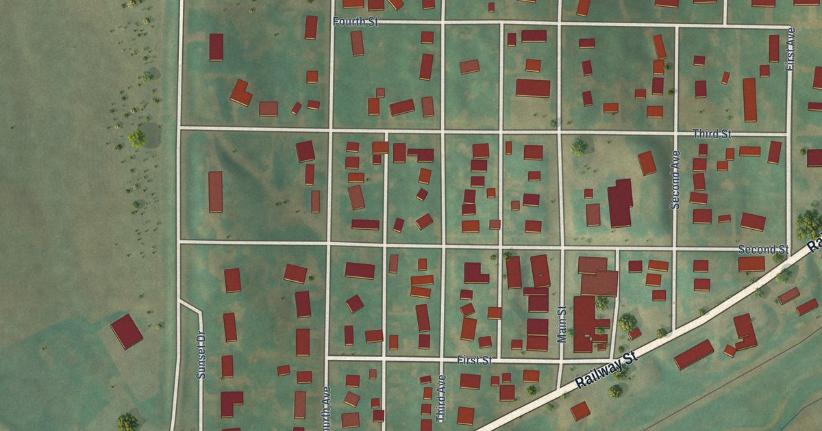
A detailed map of Earling, Iowa, showing every building in its true location, the roads by name, and shaded topographical relief.
Read More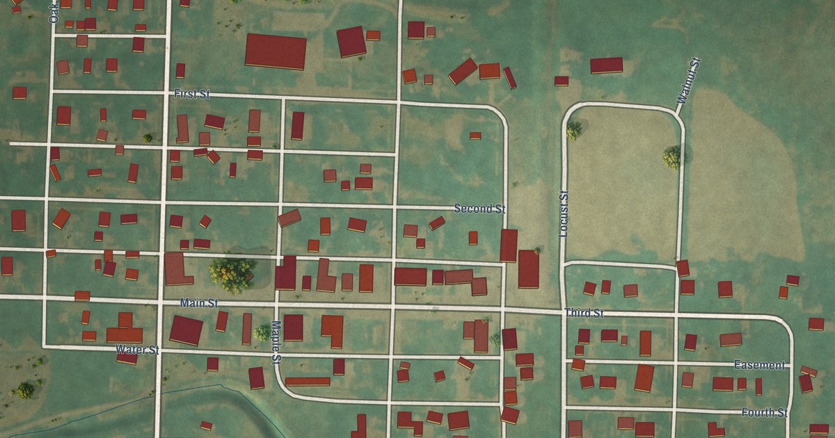
A detailed map of Elliott, Iowa, showing every building in its true location, the roads by name, and shaded topographical relief.
Read More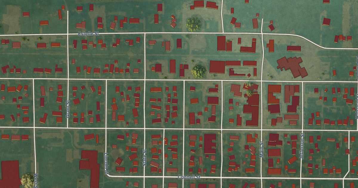
A detailed map of Dysart, Iowa, showing every building in its true location, the roads by name, and shaded topographical relief.
Read More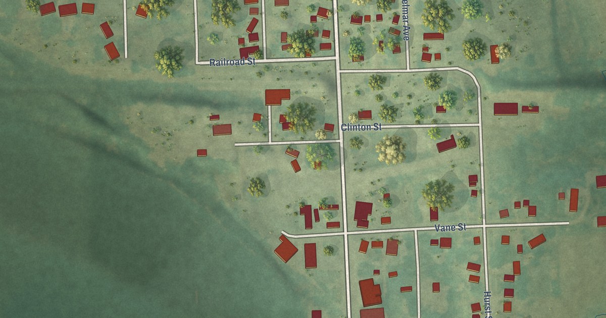
A detailed map of Delmar, Iowa, showing every building in its true location, the roads by name, and shaded topographical relief.
Read More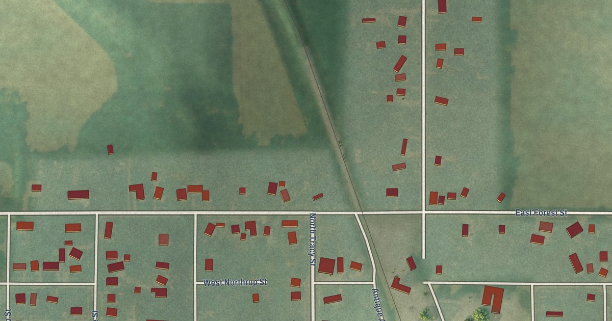
A detailed map of Dows, Iowa, showing every building in its true location, the roads by name, and shaded topographical relief.
Read More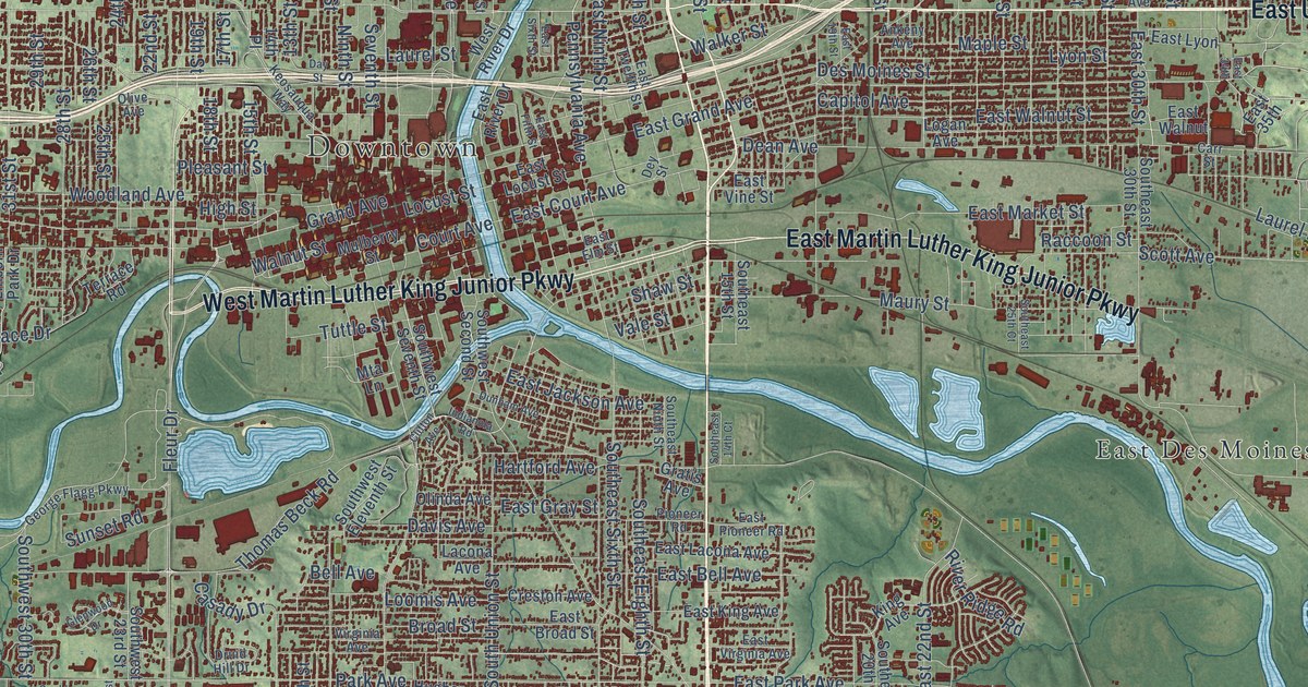
A detailed map of Des Moines, Iowa, showing every building in its true location, the roads by name, and shaded topographical relief.
Read More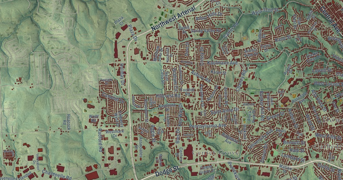
A detailed map of Dubuque, Iowa, showing every building in its true location, the roads by name, and shaded topographical relief.
Read More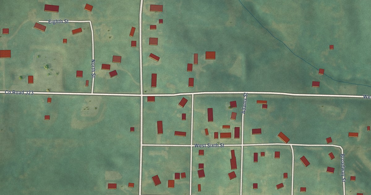
A detailed map of Diagonal, Iowa, showing every building in its true location, the roads by name, and shaded topographical relief.
Read More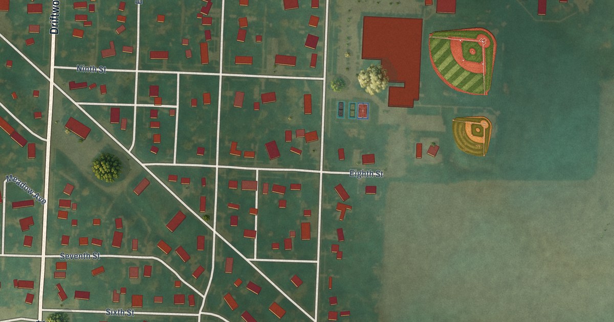
A detailed map of Correctionville, Iowa, showing every building in its true location, the roads by name, and shaded topographical relief.
Read More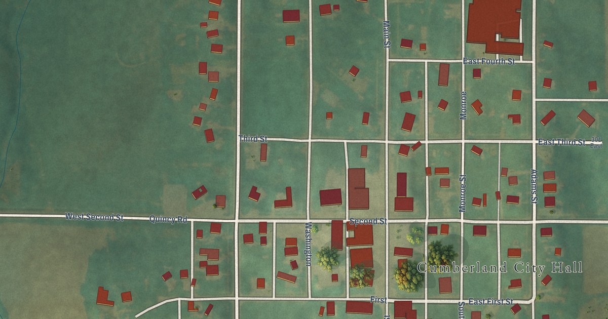
A detailed map of Cumberland, Iowa, showing every building in its true location, the roads by name, and shaded topographical relief.
Read More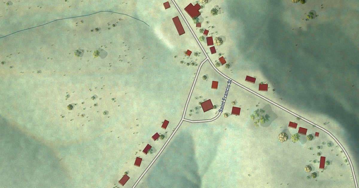
A detailed map of Balltown, Iowa, showing every building in its true location, the roads by name, and shaded topographical relief.
Read More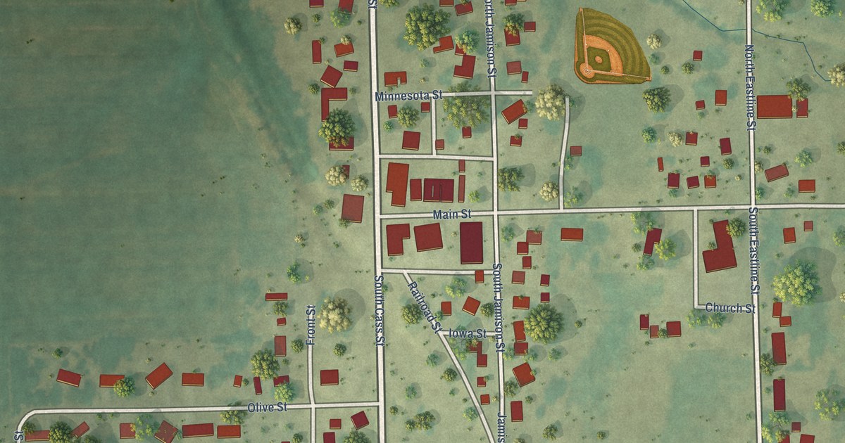
A detailed map of Westgate, Iowa, showing every building in its true location, the roads by name, and shaded topographical relief.
Read More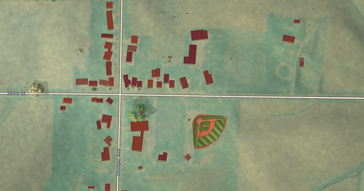
A detailed map of Willey, Iowa, showing every building in its true location, the roads by name, and shaded topographical relief.
Read More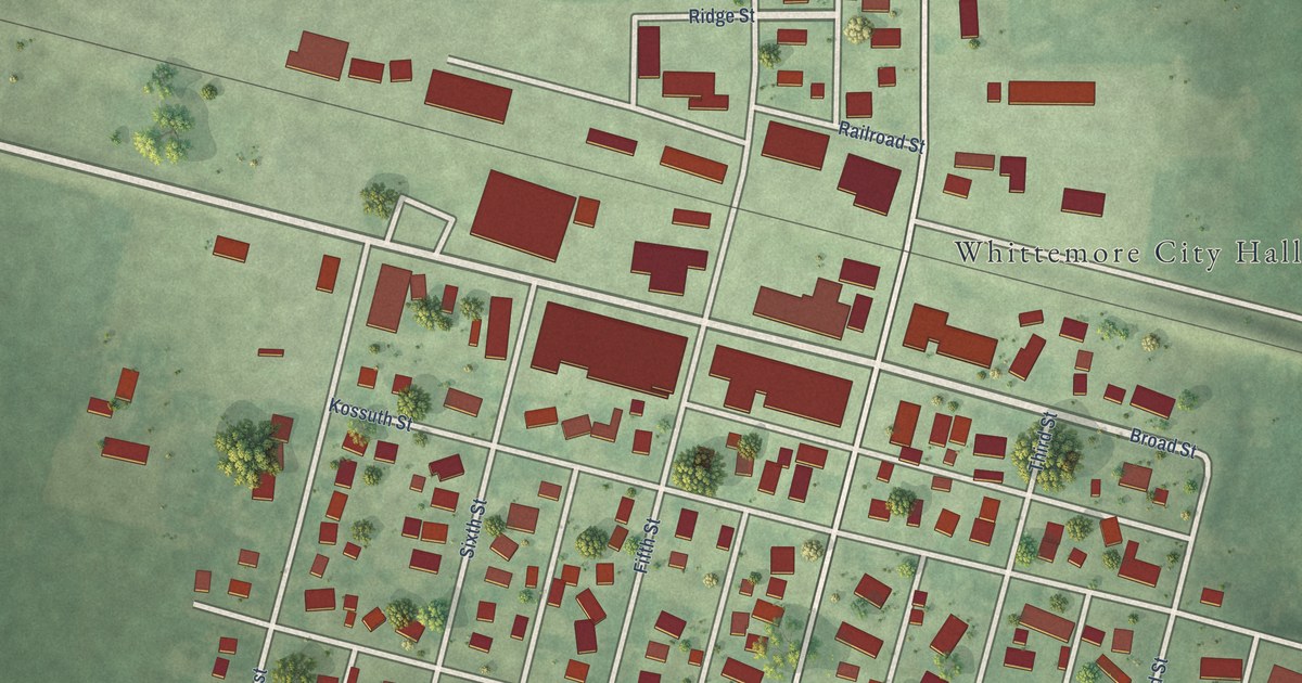
A detailed map of Whittemore, Iowa, showing every building in its true location, the roads by name, and shaded topographical relief.
Read More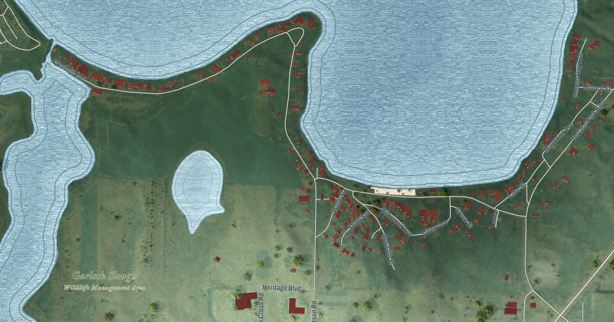
A detailed map of West Okoboji, Iowa, showing every building in its true location, the roads by name, and shaded topographical relief.
Read More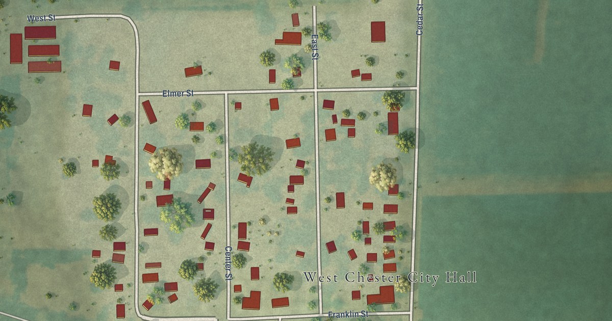
A detailed map of West Chester, Iowa, showing every building in its true location, the roads by name, and shaded topographical relief.
Read More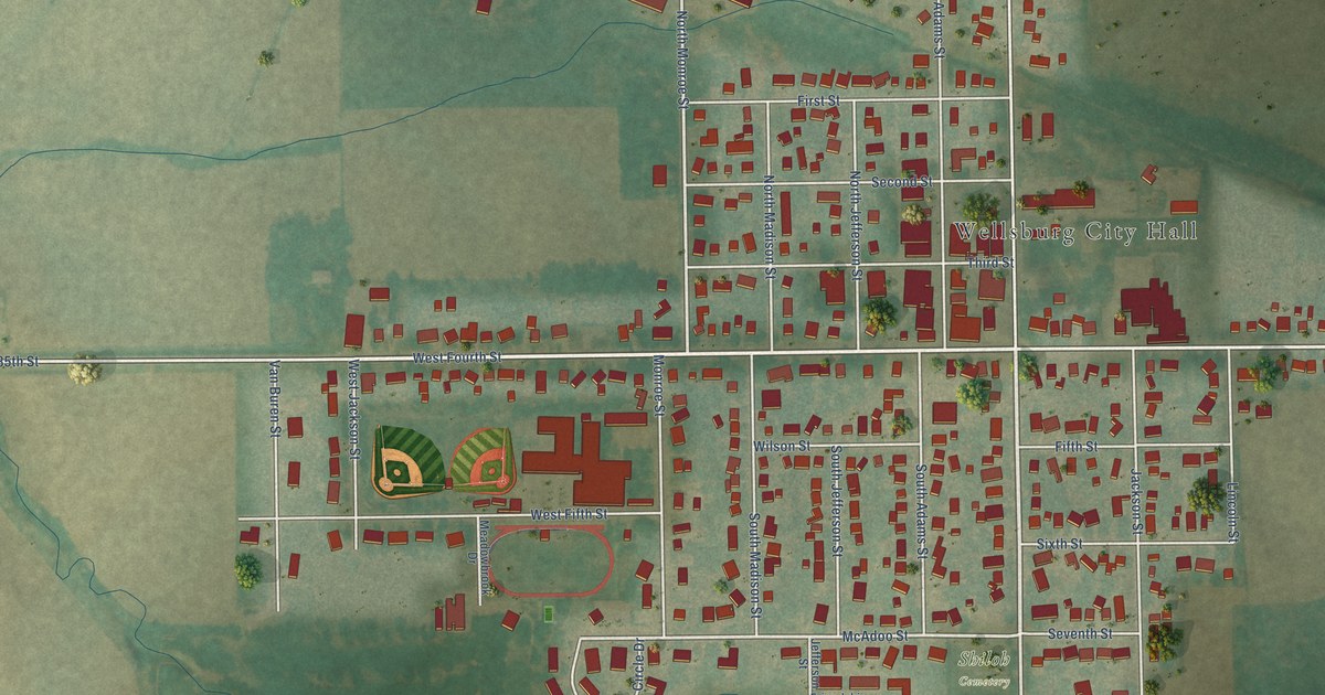
A detailed map of Wellsburg, Iowa, showing every building in its true location, the roads by name, and shaded topographical relief.
Read More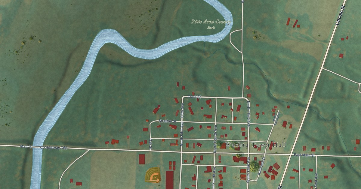
A detailed map of Washta, Iowa, showing every building in its true location, the roads by name, and shaded topographical relief.
Read More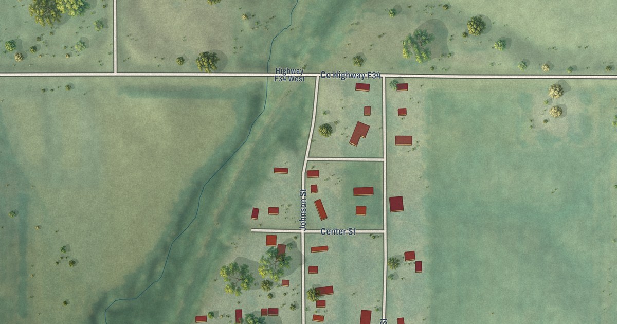
A detailed map of Valeria, Iowa, showing every building in its true location, the roads by name, and shaded topographical relief.
Read More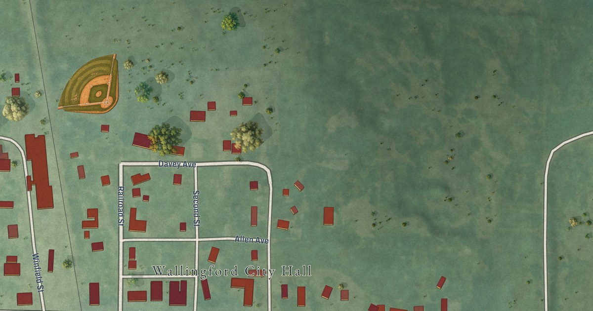
A detailed map of Wallingford, Iowa, showing every building in its true location, the roads by name, and shaded topographical relief.
Read More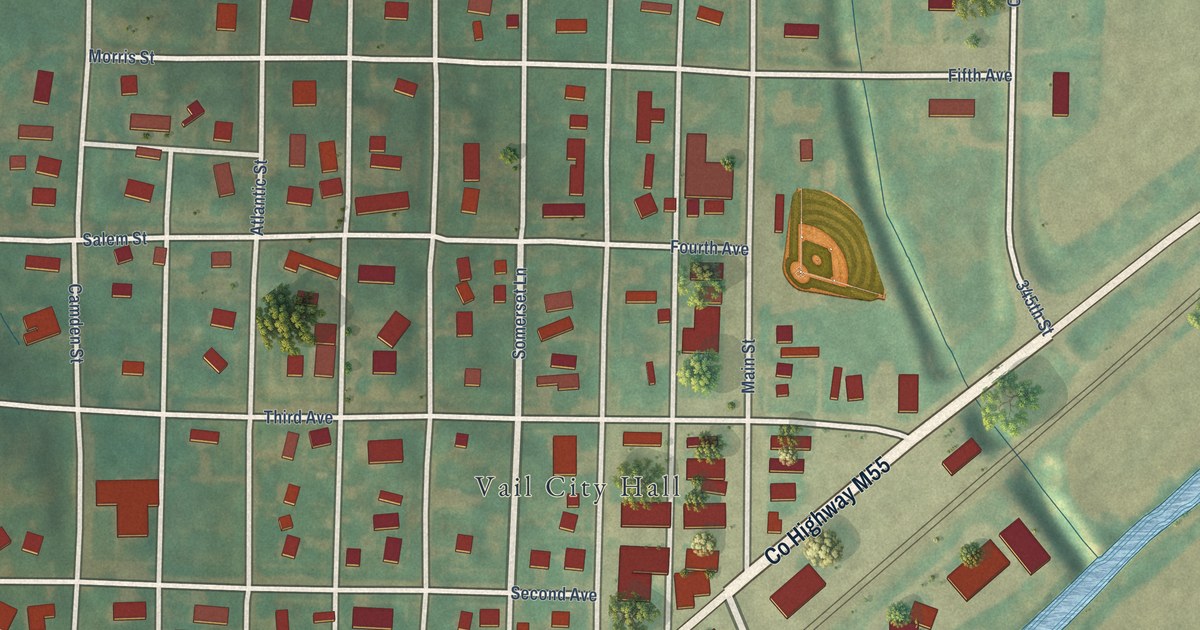
A detailed map of Vail, Iowa, showing every building in its true location, the roads by name, and shaded topographical relief.
Read More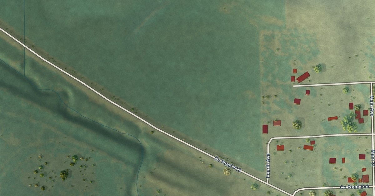
A detailed map of Vining, Iowa, showing every building in its true location, the roads by name, and shaded topographical relief.
Read More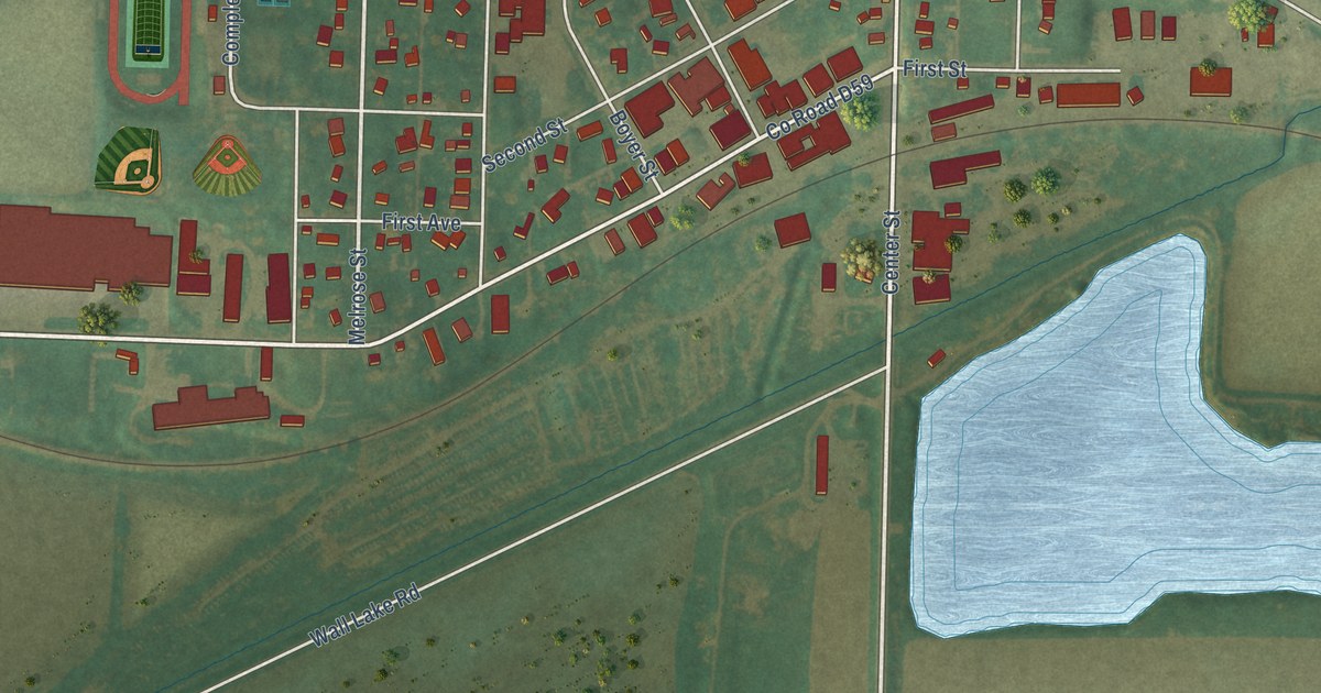
A detailed map of Wall Lake, Iowa, showing every building in its true location, the roads by name, and shaded topographical relief.
Read More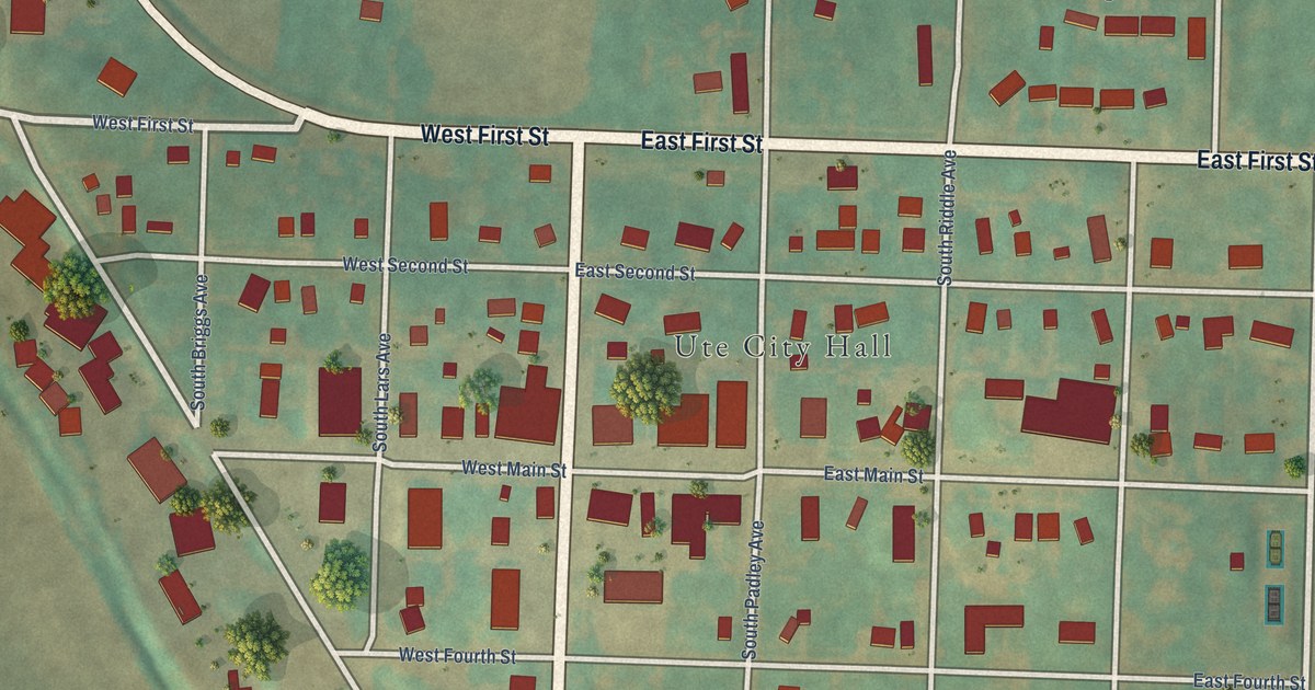
A detailed map of Ute, Iowa, showing every building in its true location, the roads by name, and shaded topographical relief.
Read More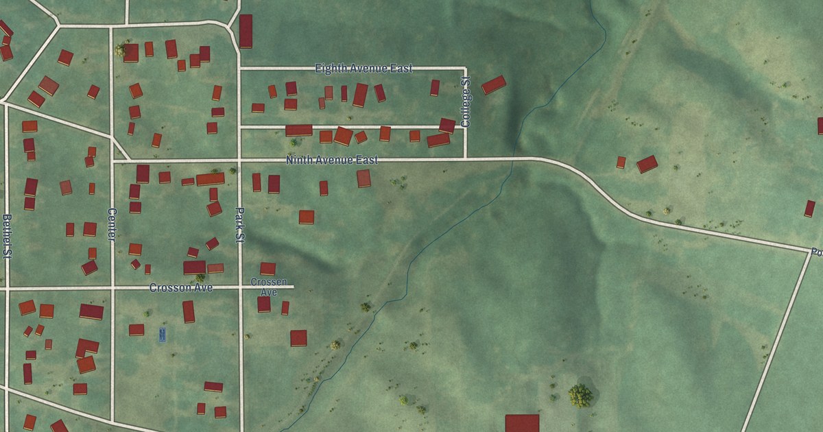
A detailed map of University Park, Iowa, showing every building in its true location, the roads by name, and shaded topographical relief.
Read More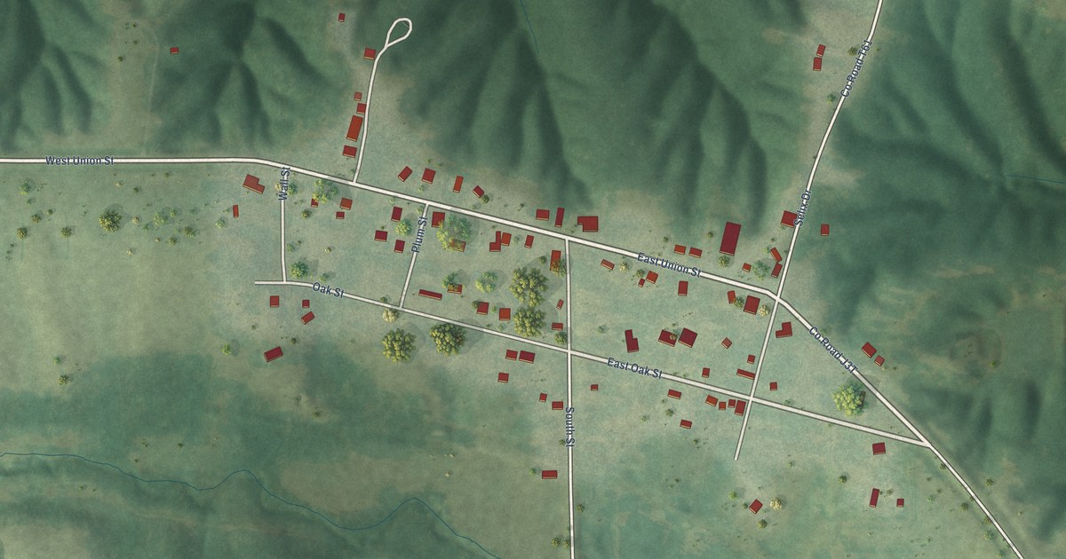
A detailed map of Unionville, Iowa, showing every building in its true location, the roads by name, and shaded topographical relief.
Read More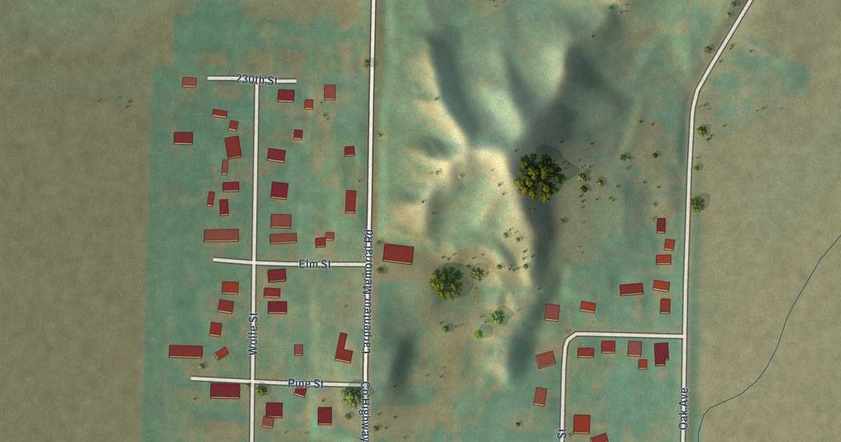
A detailed map of Turin, Iowa, showing every building in its true location, the roads by name, and shaded topographical relief.
Read More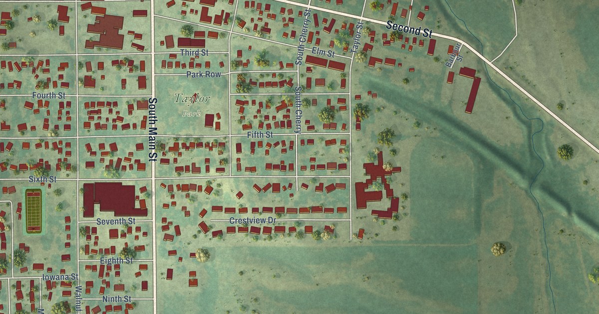
A detailed map of Traer, Iowa, showing every building in its true location, the roads by name, and shaded topographical relief.
Read More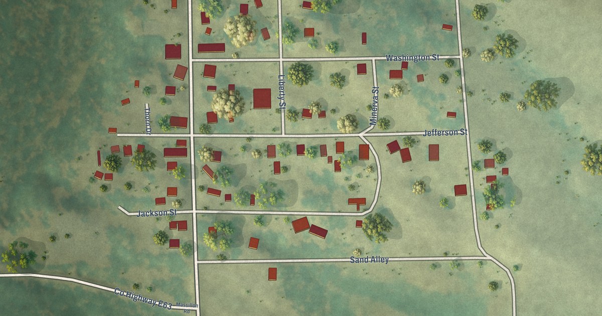
A detailed map of Toronto, Iowa, showing every building in its true location, the roads by name, and shaded topographical relief.
Read More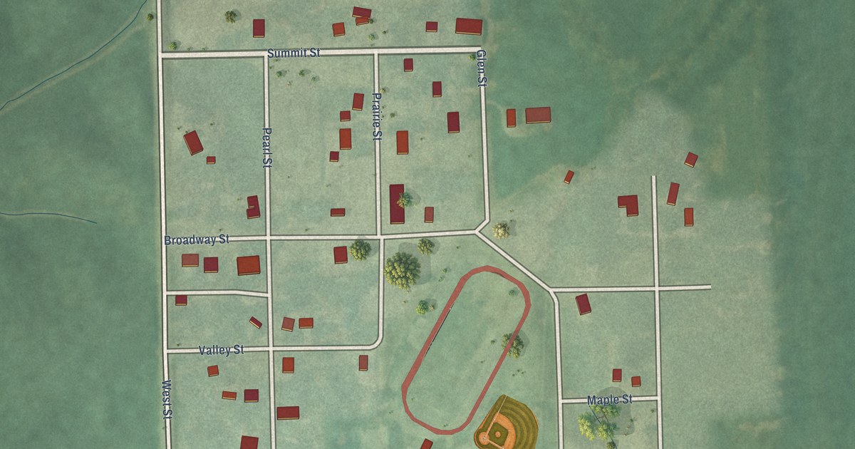
A detailed map of Thornburg, Iowa, showing every building in its true location, the roads by name, and shaded topographical relief.
Read More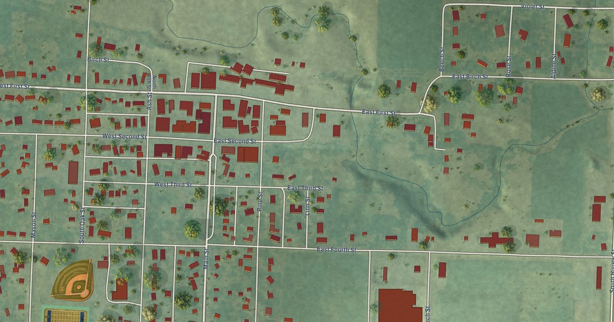
A detailed map of Sutherland, Iowa, showing every building in its true location, the roads by name, and shaded topographical relief.
Read More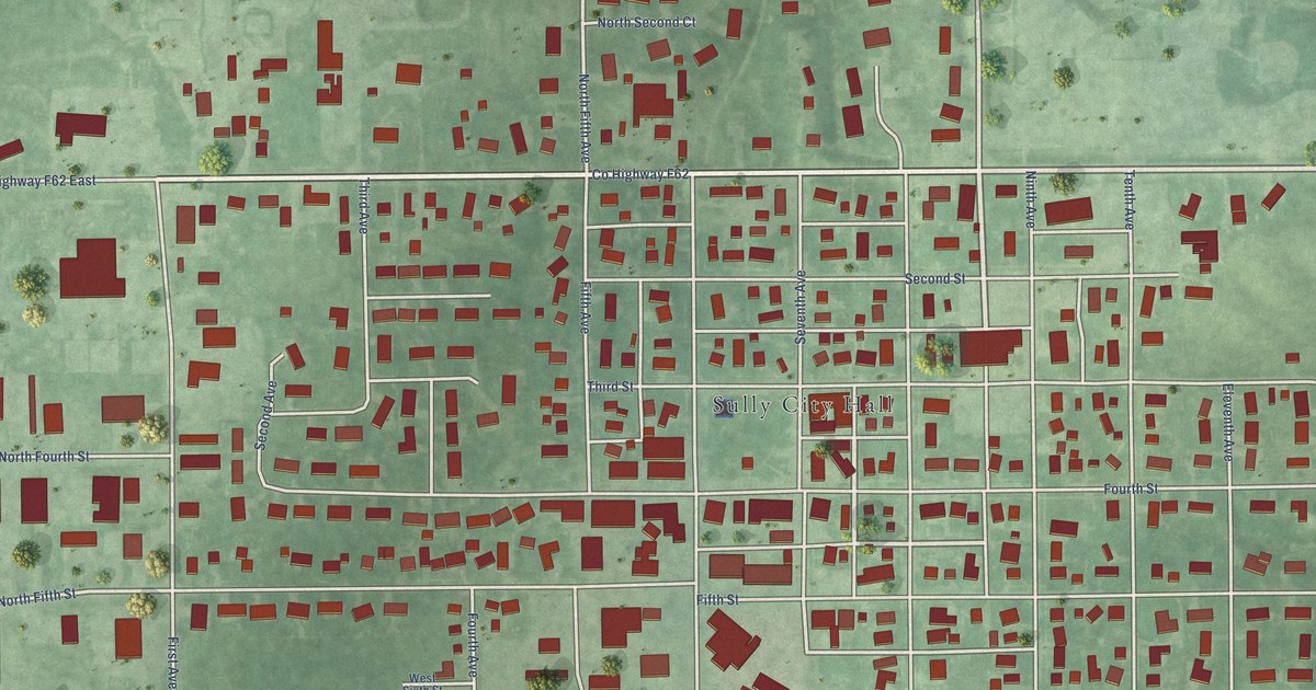
A detailed map of Sully, Iowa, showing every building in its true location, the roads by name, and shaded topographical relief.
Read More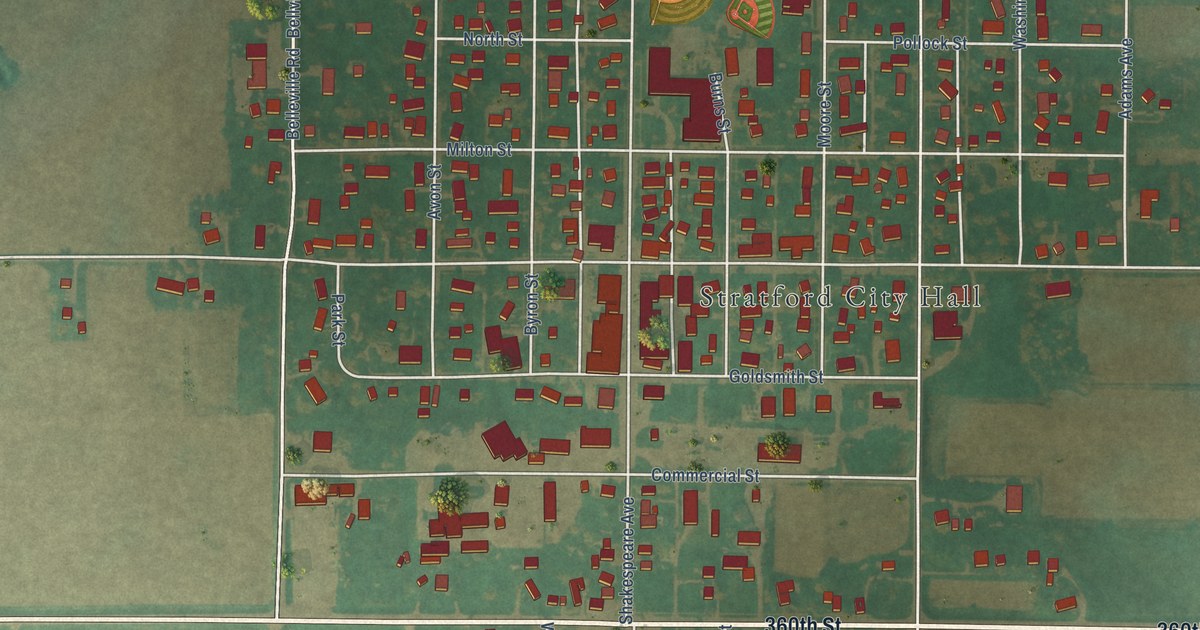
A detailed map of Stratford, Iowa, showing every building in its true location, the roads by name, and shaded topographical relief.
Read More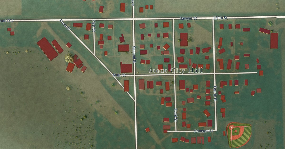
A detailed map of Stout, Iowa, showing every building in its true location, the roads by name, and shaded topographical relief.
Read More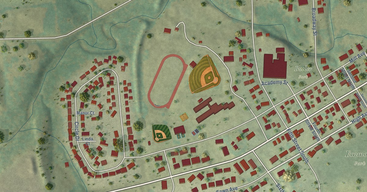
A detailed map of Springville, Iowa, showing every building in its true location, the roads by name, and shaded topographical relief.
Read More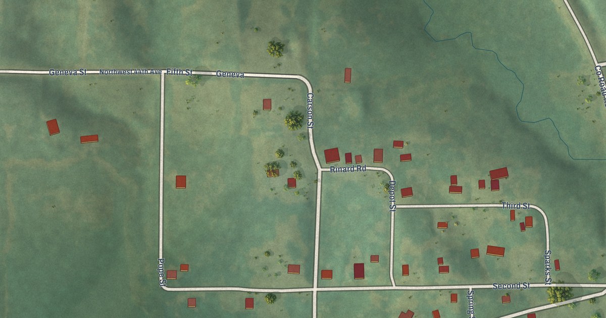
A detailed map of Spring Hill, Iowa, showing every building in its true location, the roads by name, and shaded topographical relief.
Read More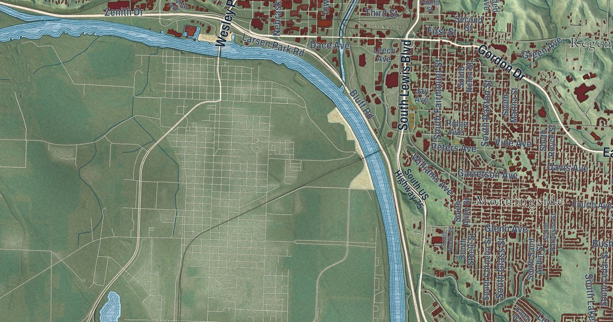
A detailed map of Sioux City, Iowa, showing every building in its true location, the roads by name, and shaded topographical relief.
Read More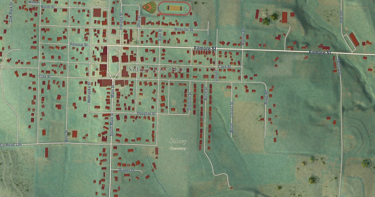
A detailed map of Sidney, Iowa, showing every building in its true location, the roads by name, and shaded topographical relief.
Read More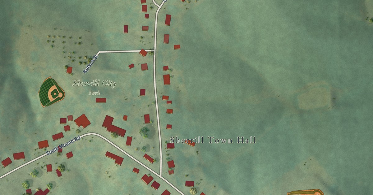
A detailed map of Sherrill, Iowa, showing every building in its true location, the roads by name, and shaded topographical relief.
Read More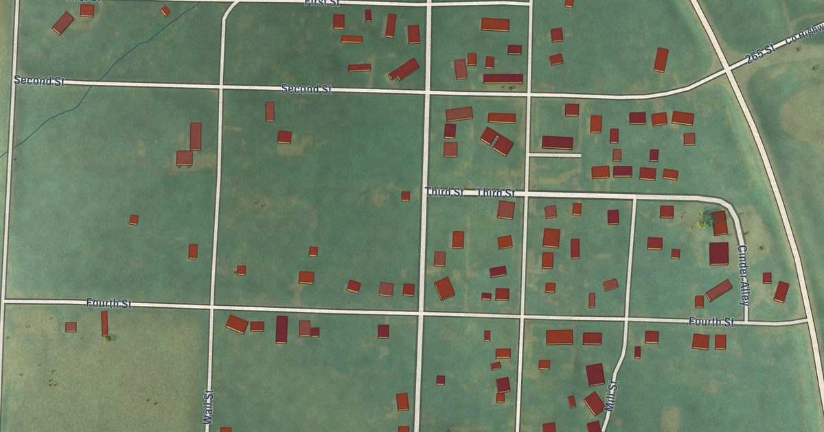
A detailed map of Shambaugh, Iowa, showing every building in its true location, the roads by name, and shaded topographical relief.
Read More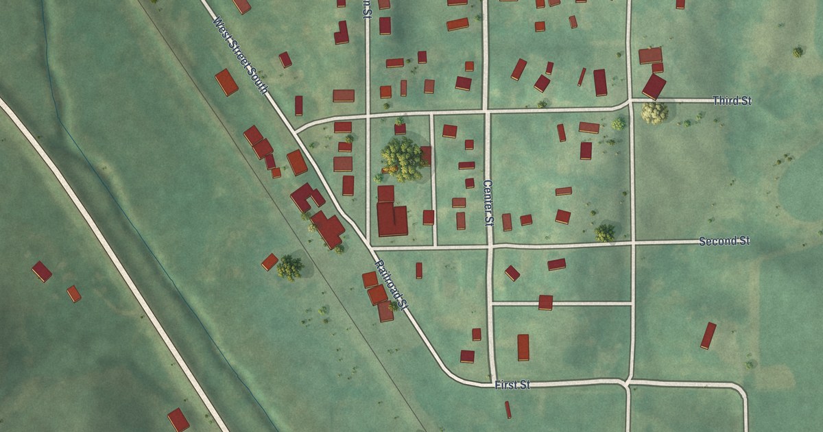
A detailed map of Searsboro, Iowa, showing every building in its true location, the roads by name, and shaded topographical relief.
Read More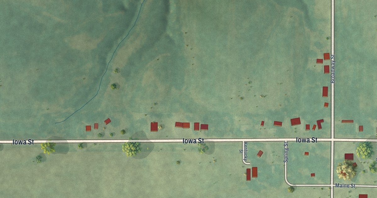
A detailed map of Sandyville, Iowa, showing every building in its true location, the roads by name, and shaded topographical relief.
Read More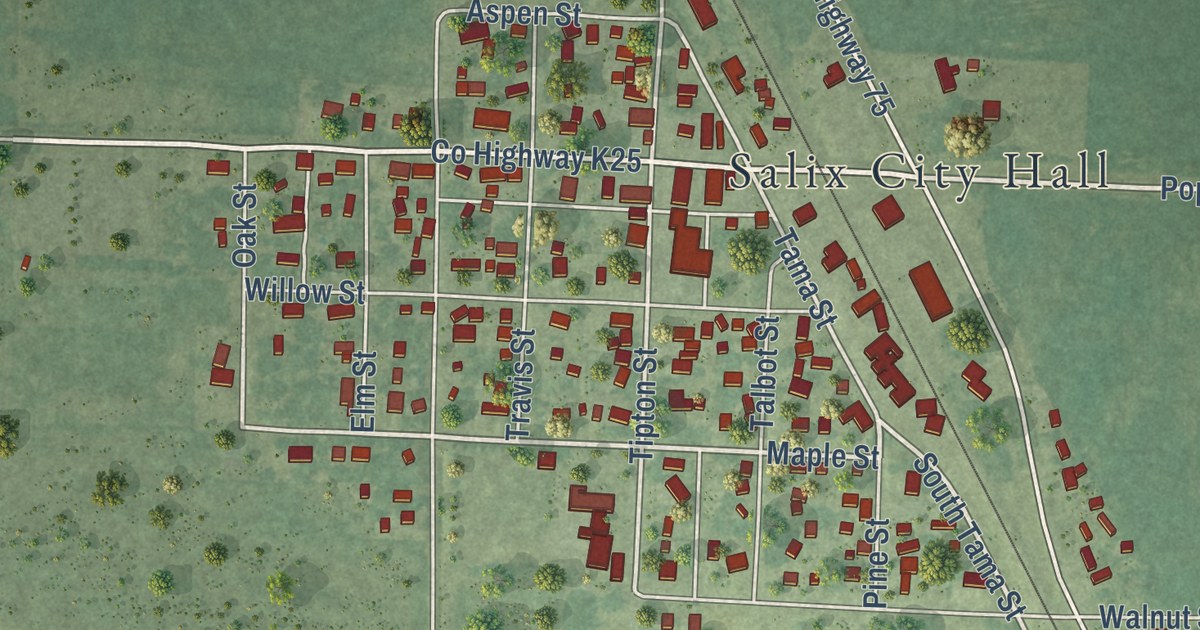
A detailed map of Salix, Iowa, showing every building in its true location, the roads by name, and shaded topographical relief.
Read More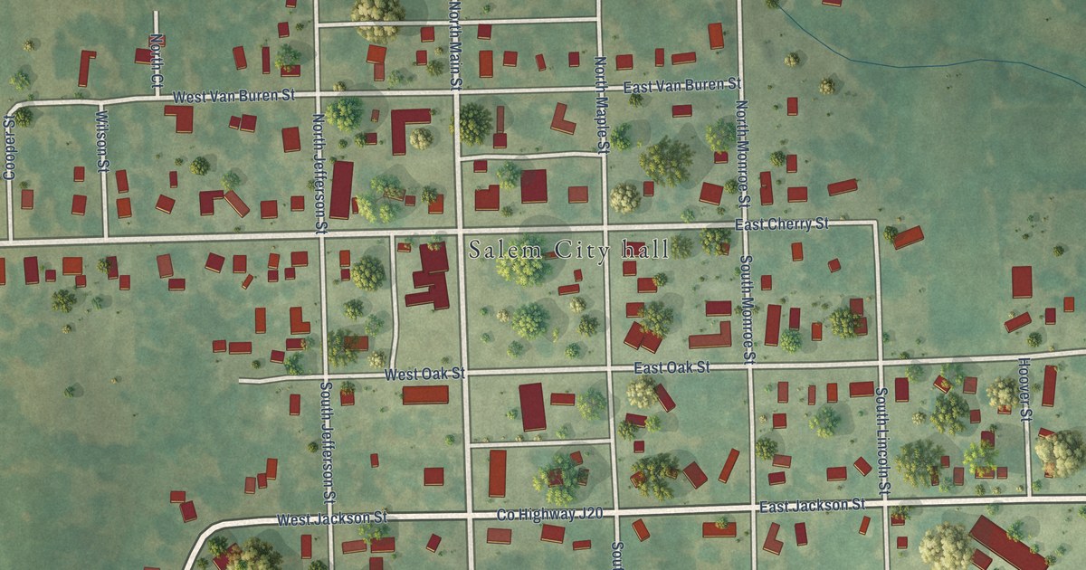
A detailed map of Salem, Iowa, showing every building in its true location, the roads by name, and shaded topographical relief.
Read More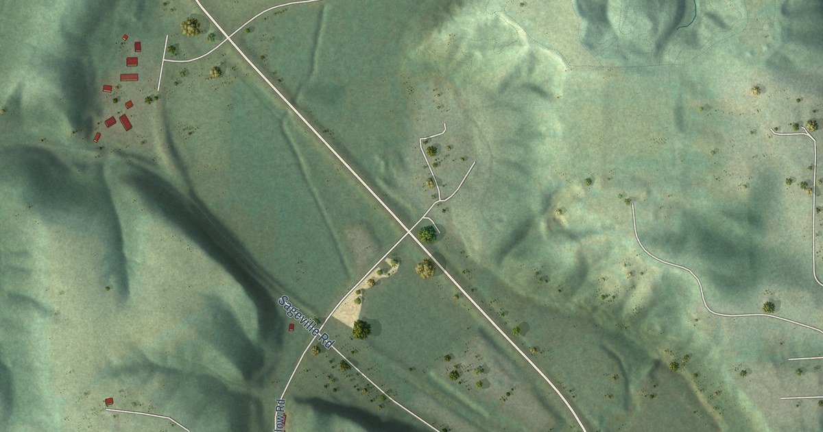
A detailed map of Sageville, Iowa, showing every building in its true location, the roads by name, and shaded topographical relief.
Read More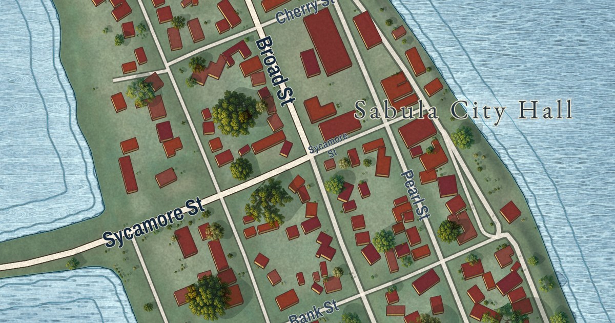
A detailed map of Sabula, Iowa, showing every building in its true location, the roads by name, and shaded topographical relief.
Read More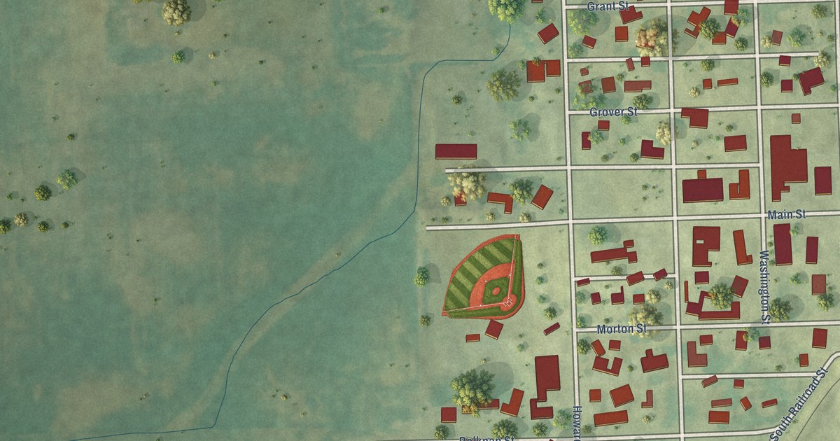
A detailed map of Ryan, Iowa, showing every building in its true location, the roads by name, and shaded topographical relief.
Read More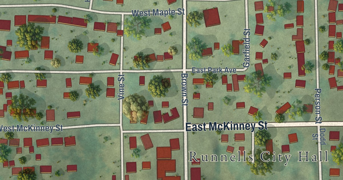
A detailed map of Runnells, Iowa, showing every building in its true location, the roads by name, and shaded topographical relief.
Read More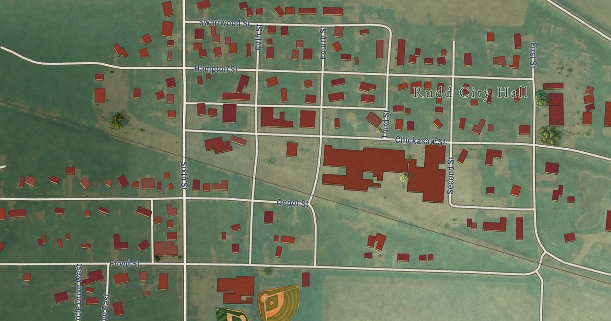
A detailed map of Rudd, Iowa, showing every building in its true location, the roads by name, and shaded topographical relief.
Read More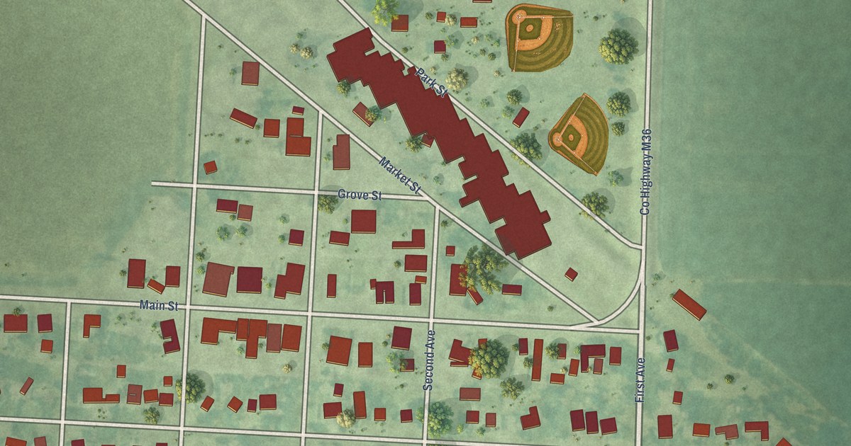
A detailed map of Royal, Iowa, showing every building in its true location, the roads by name, and shaded topographical relief.
Read More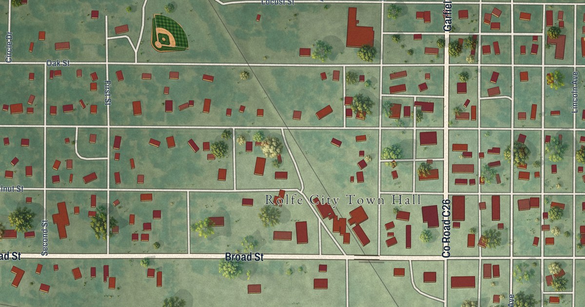
A detailed map of Rolfe, Iowa, showing every building in its true location, the roads by name, and shaded topographical relief.
Read More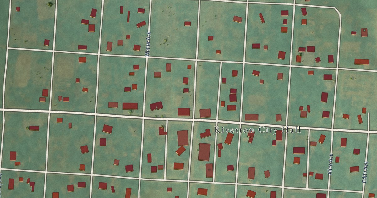
A detailed map of Riverton, Iowa, showing every building in its true location, the roads by name, and shaded topographical relief.
Read More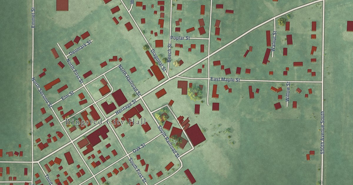
A detailed map of Ringsted, Iowa, showing every building in its true location, the roads by name, and shaded topographical relief.
Read More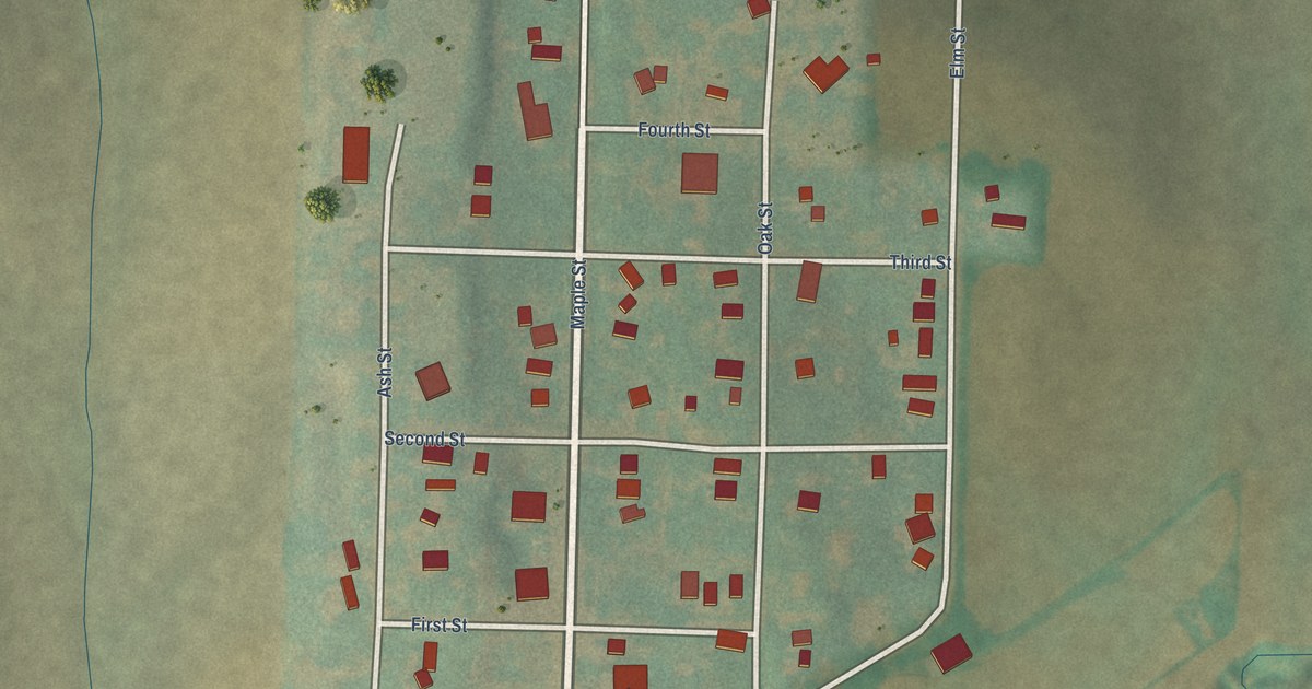
A detailed map of Ricketts, Iowa, showing every building in its true location, the roads by name, and shaded topographical relief.
Read More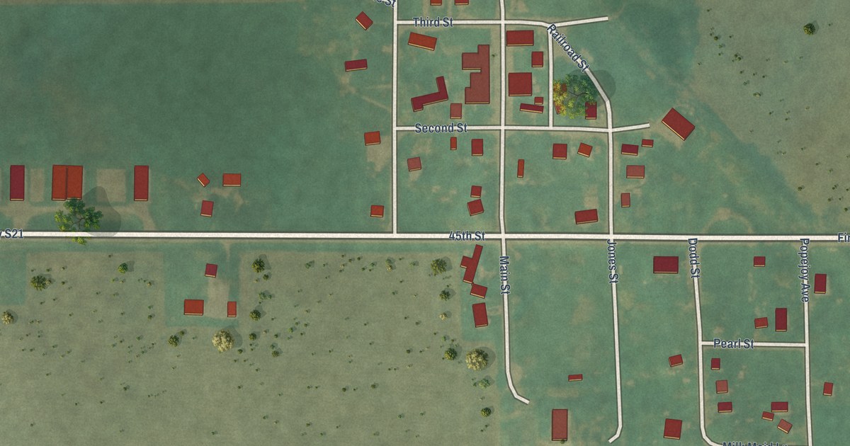
A detailed map of Popejoy, Iowa, showing every building in its true location, the roads by name, and shaded topographical relief.
Read More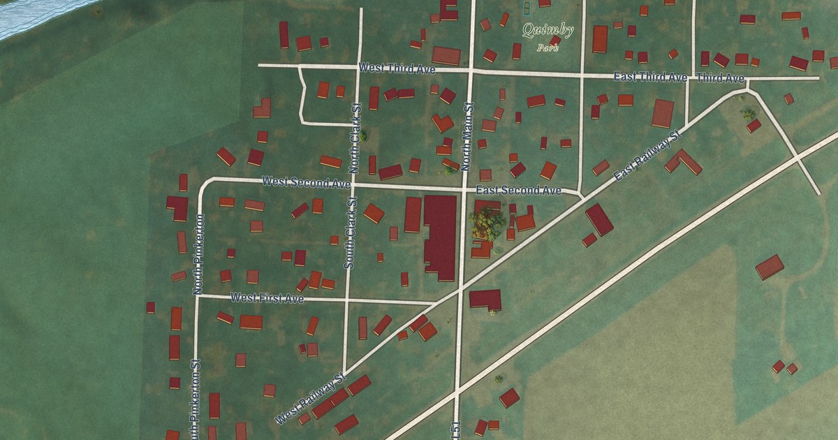
A detailed map of Quimby, Iowa, showing every building in its true location, the roads by name, and shaded topographical relief.
Read More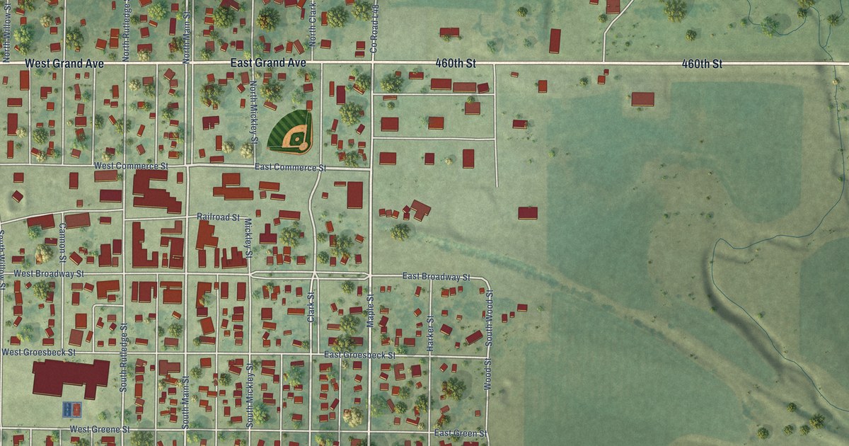
A detailed map of Paullina, Iowa, showing every building in its true location, the roads by name, and shaded topographical relief.
Read More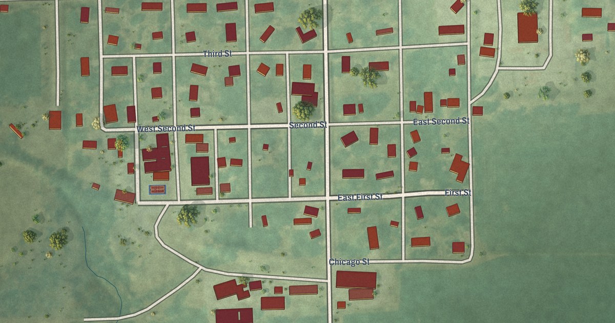
A detailed map of Packwood, Iowa, showing every building in its true location, the roads by name, and shaded topographical relief.
Read More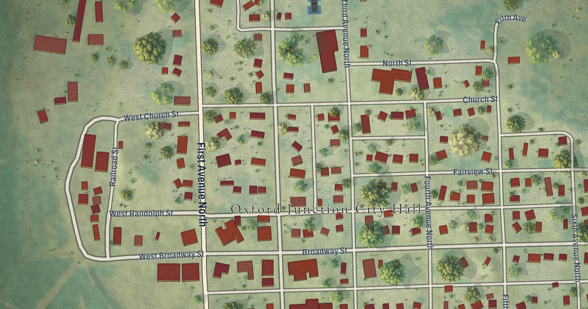
A detailed map of Oxford Junction, Iowa, showing every building in its true location, the roads by name, and shaded topographical relief.
Read More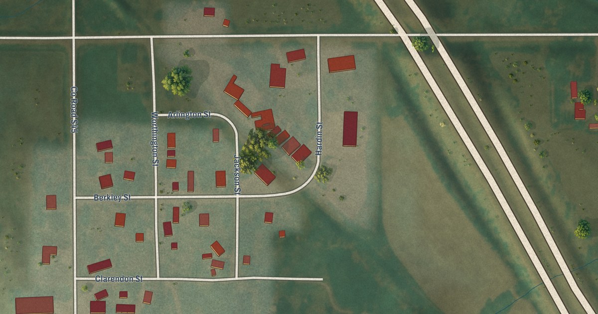
A detailed map of Owasa, Iowa, showing every building in its true location, the roads by name, and shaded topographical relief.
Read More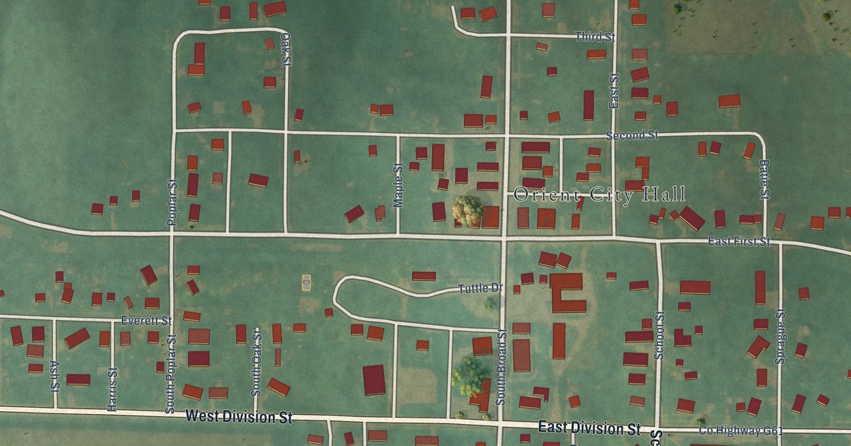
A detailed map of Orient, Iowa, showing every building in its true location, the roads by name, and shaded topographical relief.
Read More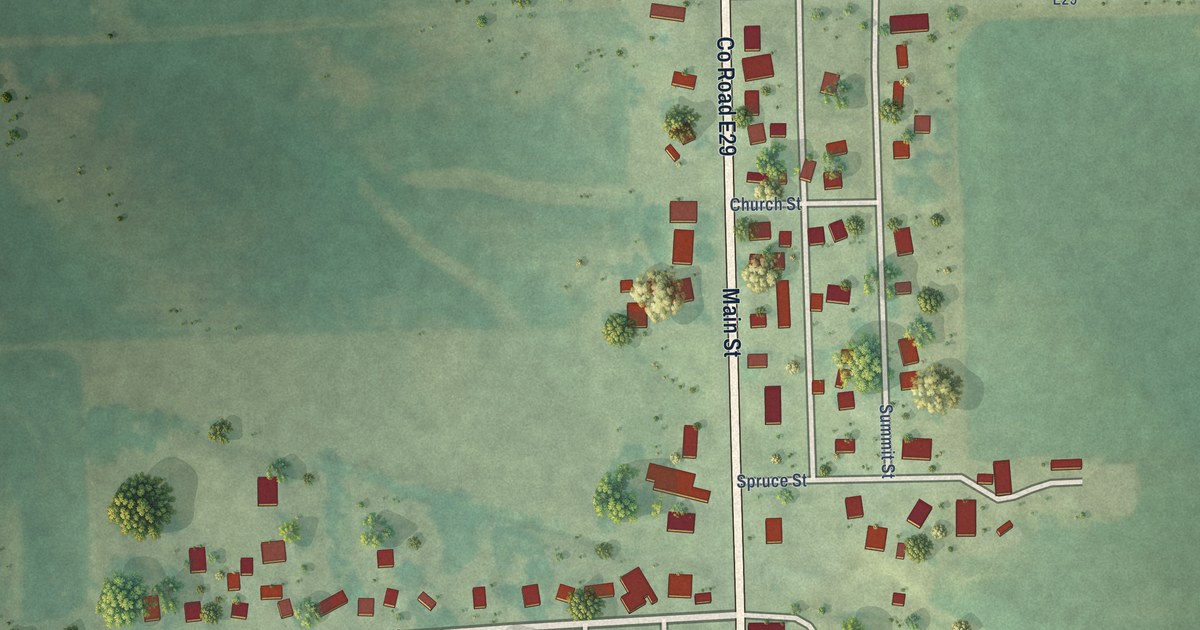
A detailed map of Onslow, Iowa, showing every building in its true location, the roads by name, and shaded topographical relief.
Read More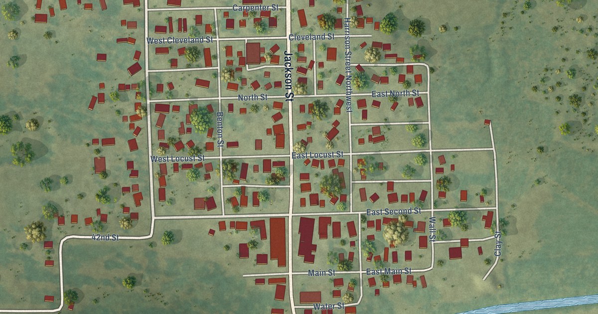
A detailed map of Olin, Iowa, showing every building in its true location, the roads by name, and shaded topographical relief.
Read More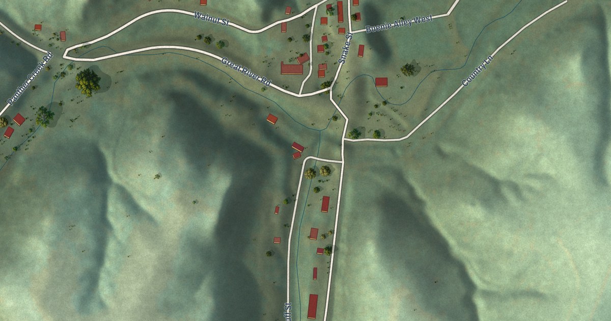
A detailed map of North Buena Vista, Iowa, showing every building in its true location, the roads by name, and shaded topographical relief.
Read More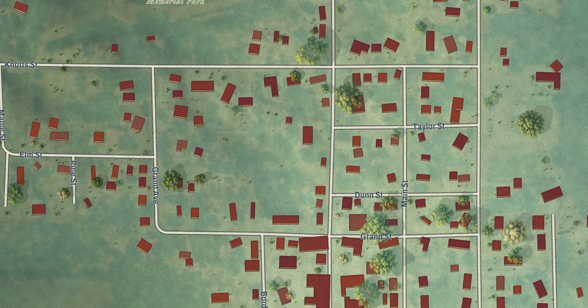
A detailed map of New Virginia, Iowa, showing every building in its true location, the roads by name, and shaded topographical relief.
Read More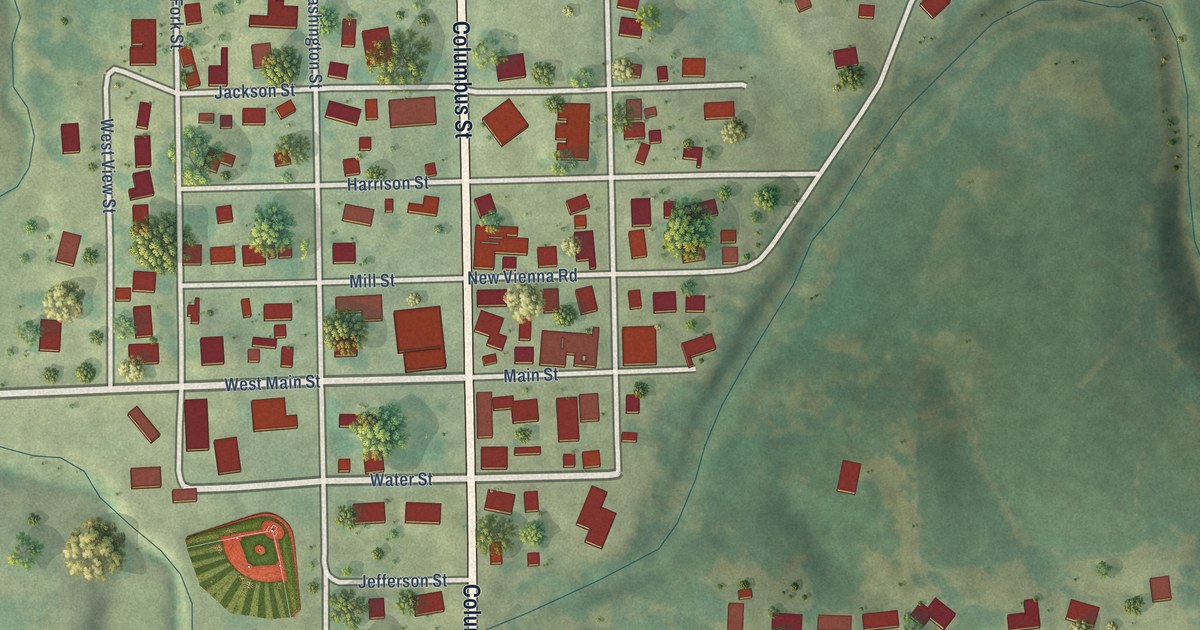
A detailed map of New Vienna, Iowa, showing every building in its true location, the roads by name, and shaded topographical relief.
Read More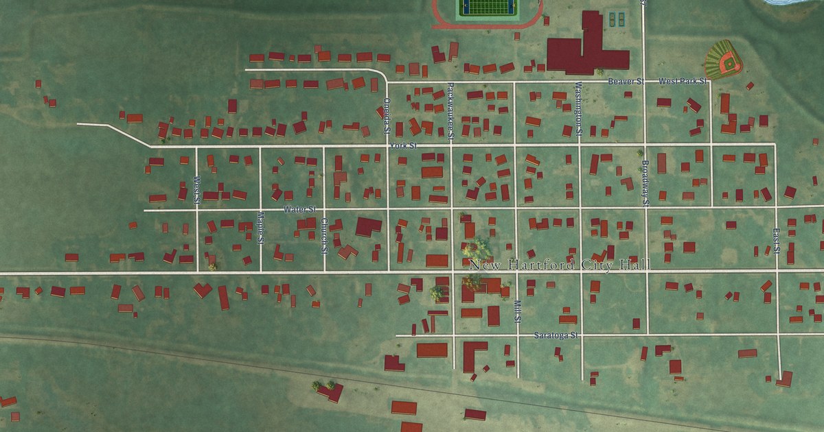
A detailed map of New Hartford, Iowa, showing every building in its true location, the roads by name, and shaded topographical relief.
Read More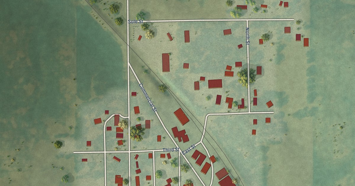
A detailed map of Mount Auburn, Iowa, showing every building in its true location, the roads by name, and shaded topographical relief.
Read More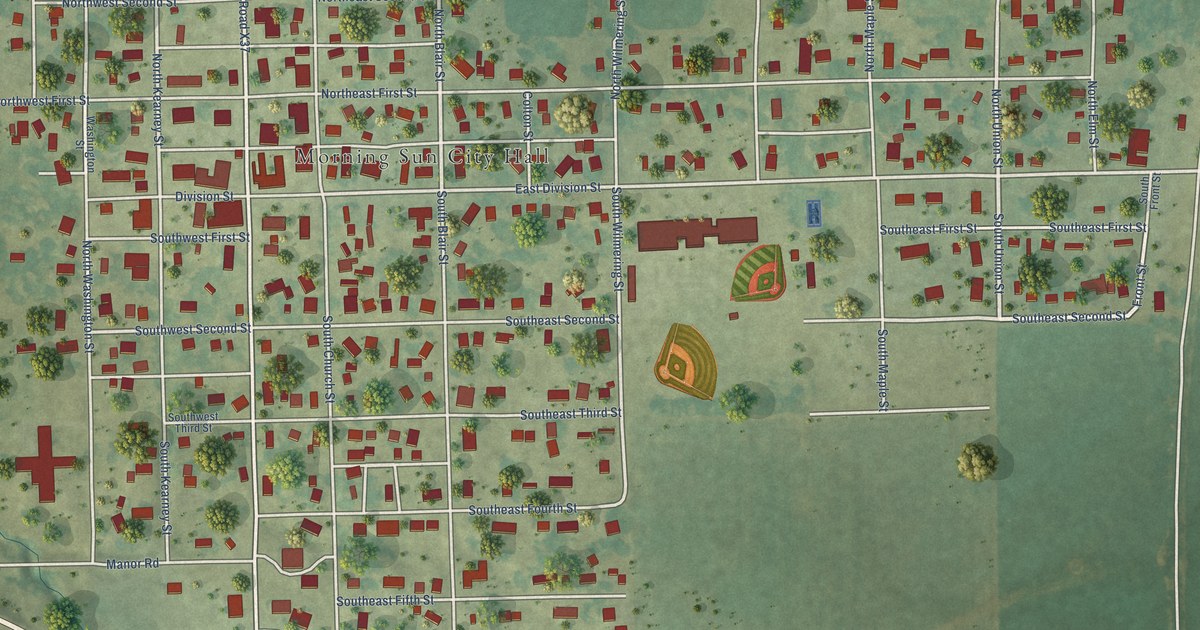
A detailed map of Morning Sun, Iowa, showing every building in its true location, the roads by name, and shaded topographical relief.
Read More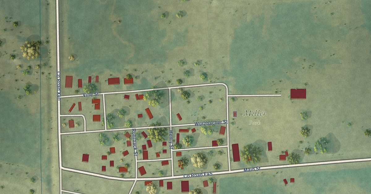
A detailed map of Morley, Iowa, showing every building in its true location, the roads by name, and shaded topographical relief.
Read More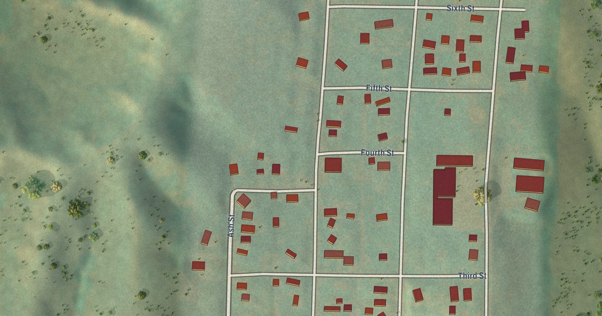
A detailed map of Moorhead, Iowa, showing every building in its true location, the roads by name, and shaded topographical relief.
Read More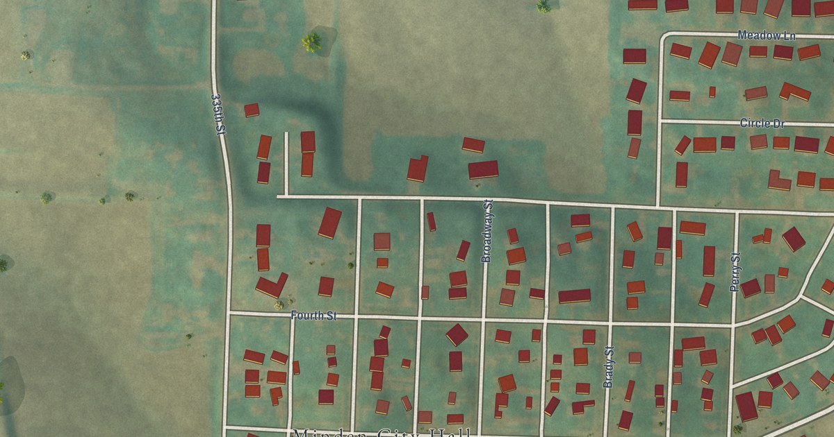
A detailed map of Minden, Iowa, showing every building in its true location, the roads by name, and shaded topographical relief.
Read More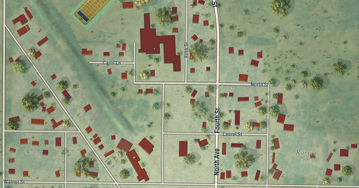
A detailed map of Minburn, Iowa, showing every building in its true location, the roads by name, and shaded topographical relief.
Read More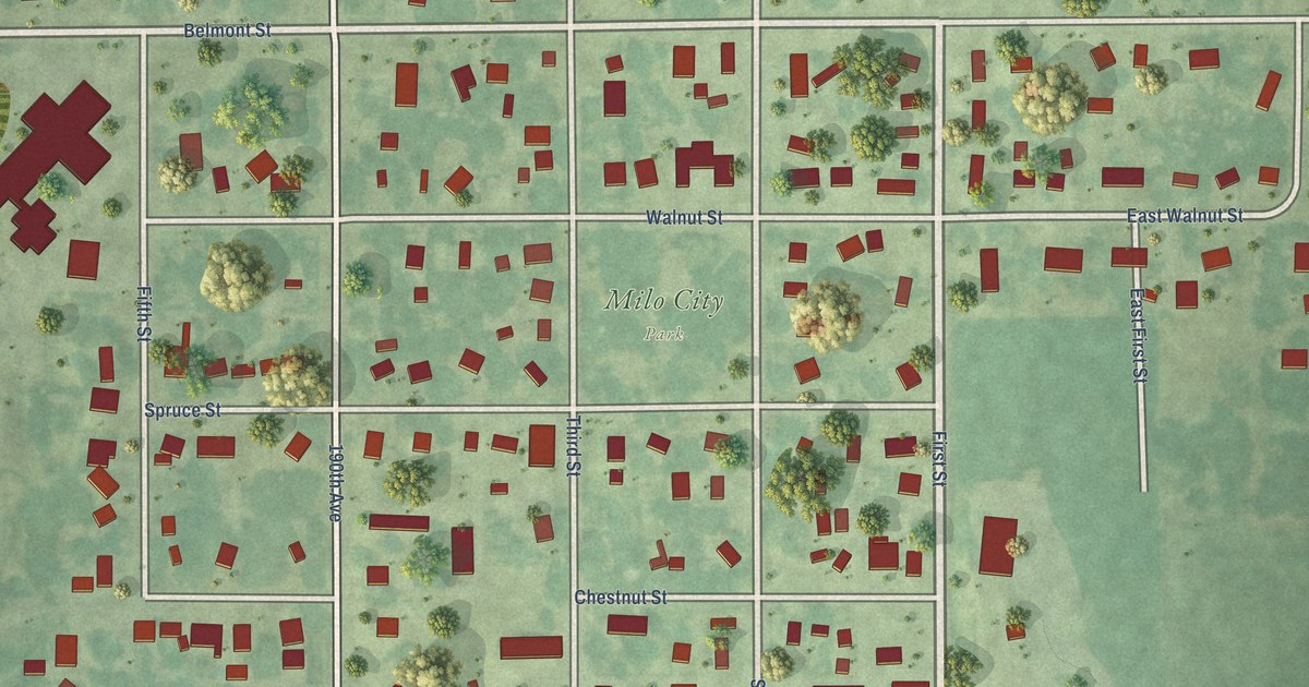
A detailed map of Milo, Iowa, showing every building in its true location, the roads by name, and shaded topographical relief.
Read More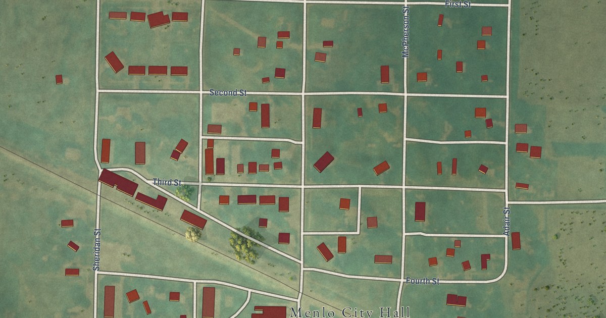
A detailed map of Menlo, Iowa, showing every building in its true location, the roads by name, and shaded topographical relief.
Read More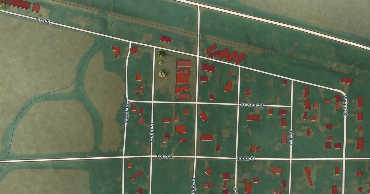
A detailed map of Meriden, Iowa, showing every building in its true location, the roads by name, and shaded topographical relief.
Read More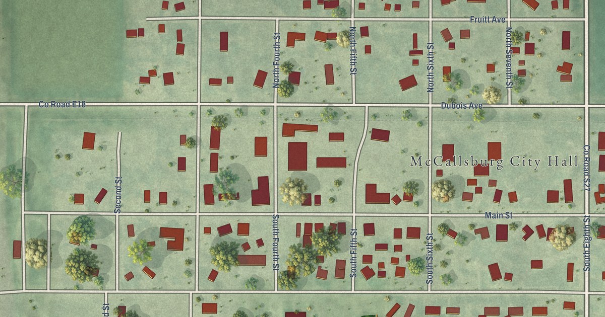
A detailed map of McCallsburg, Iowa, showing every building in its true location, the roads by name, and shaded topographical relief.
Read More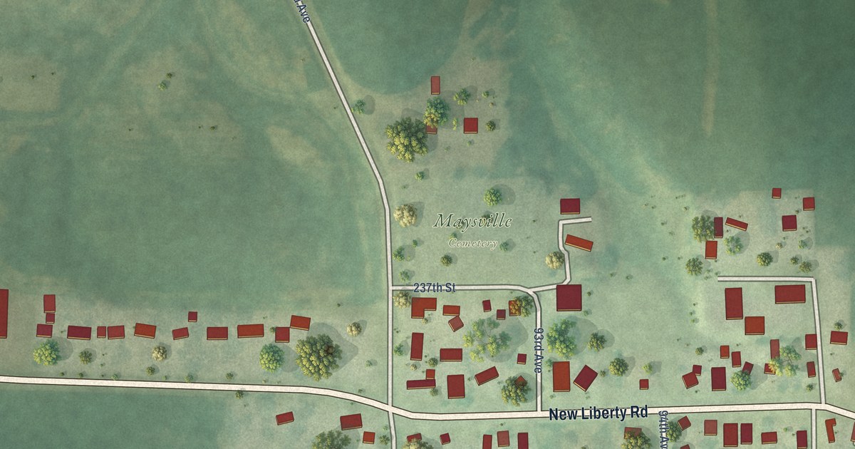
A detailed map of Maysville, Iowa, showing every building in its true location, the roads by name, and shaded topographical relief.
Read More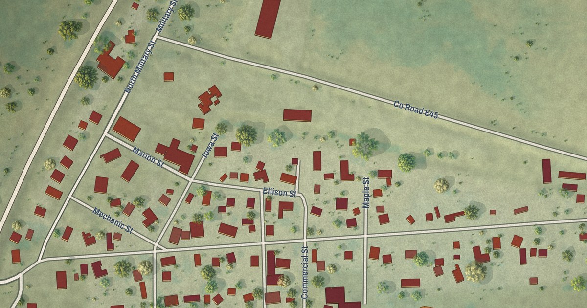
A detailed map of Martelle, Iowa, showing every building in its true location, the roads by name, and shaded topographical relief.
Read More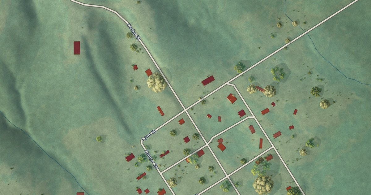
A detailed map of Marysville, Iowa, showing every building in its true location, the roads by name, and shaded topographical relief.
Read More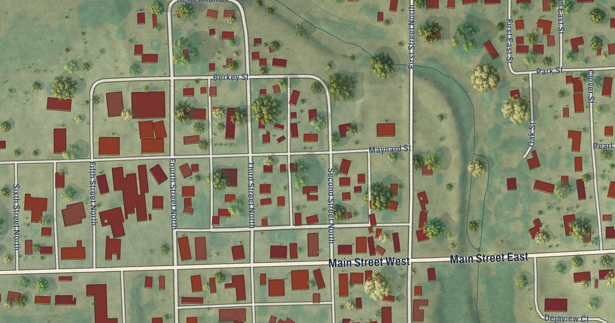
A detailed map of Maynard, Iowa, showing every building in its true location, the roads by name, and shaded topographical relief.
Read More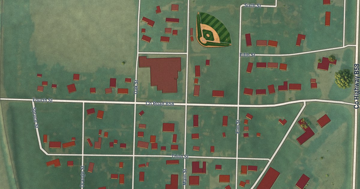
A detailed map of Maurice, Iowa, showing every building in its true location, the roads by name, and shaded topographical relief.
Read More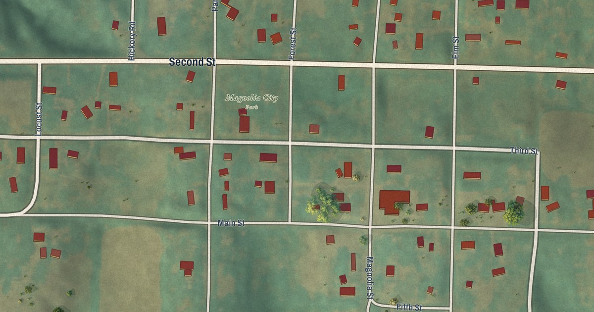
A detailed map of Magnolia, Iowa, showing every building in its true location, the roads by name, and shaded topographical relief.
Read More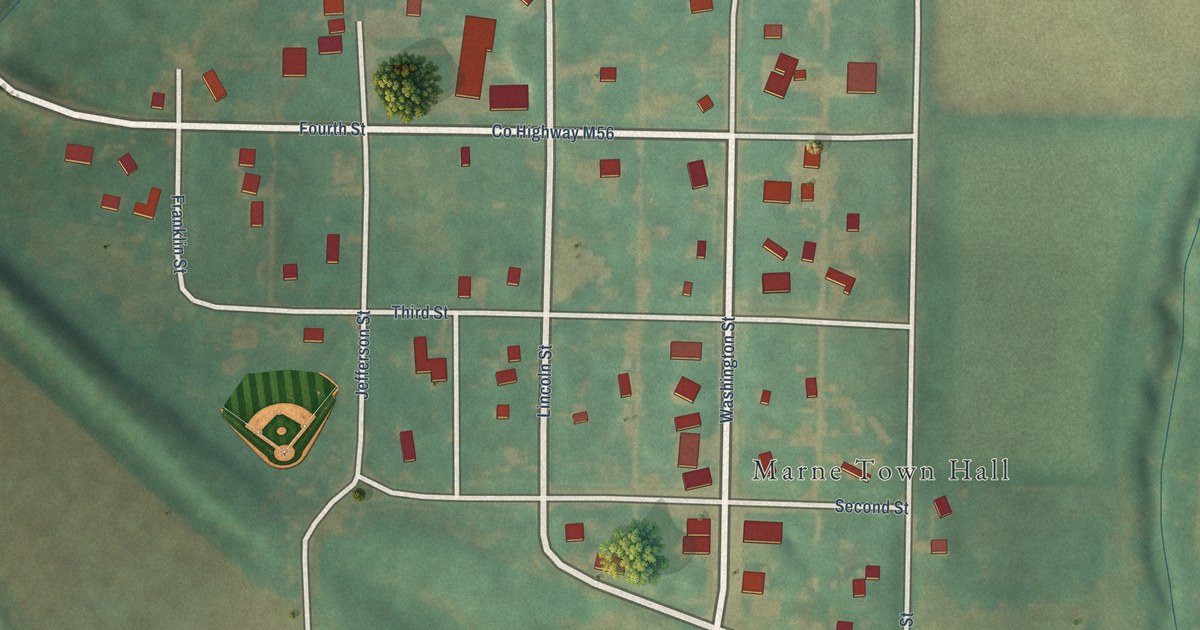
A detailed map of Marne, Iowa, showing every building in its true location, the roads by name, and shaded topographical relief.
Read More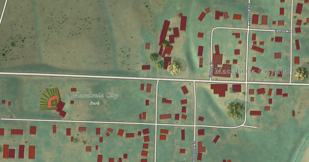
A detailed map of Macedonia, Iowa, showing every building in its true location, the roads by name, and shaded topographical relief.
Read More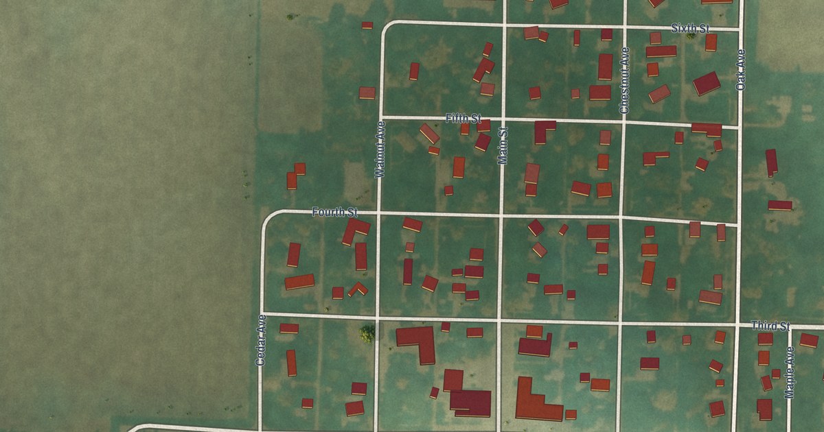
A detailed map of Lytton, Iowa, showing every building in its true location, the roads by name, and shaded topographical relief.
Read More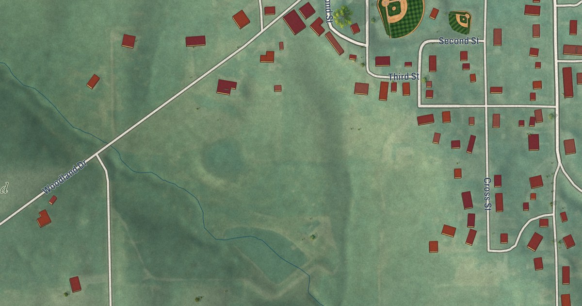
A detailed map of Lynnville, Iowa, showing every building in its true location, the roads by name, and shaded topographical relief.
Read More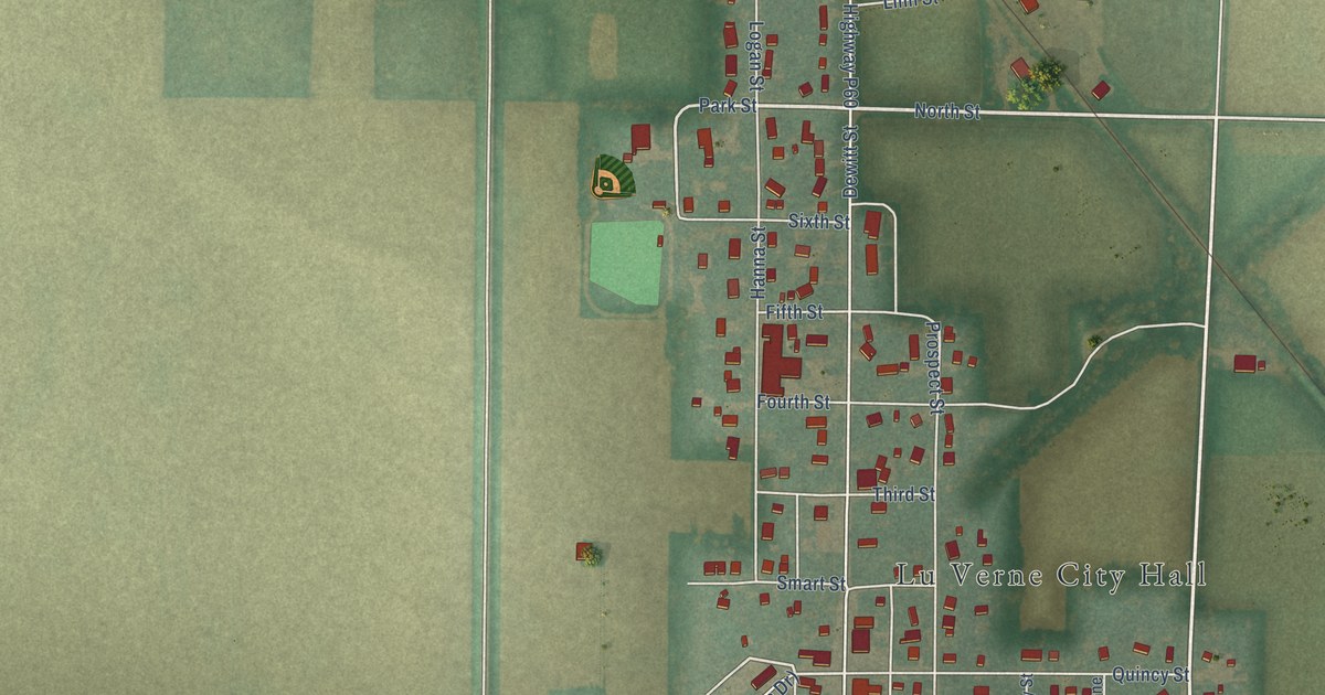
A detailed map of Lu Verne, Iowa, showing every building in its true location, the roads by name, and shaded topographical relief.
Read More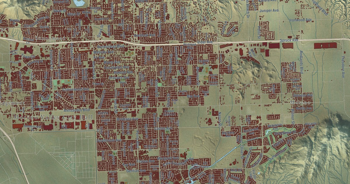
A detailed map of Moreno Valley, California, showing every building in its true location, the roads by name, and shaded topographical relief.
Read More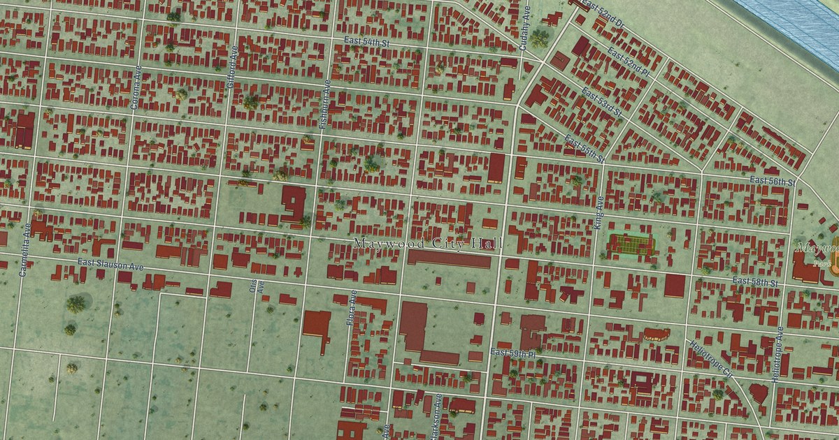
A detailed map of Maywood, California, showing every building in its true location, the roads by name, and shaded topographical relief.
Read More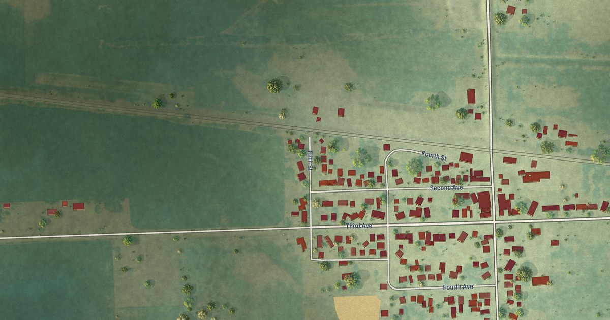
A detailed map of Low Moor, Iowa, showing every building in its true location, the roads by name, and shaded topographical relief.
Read More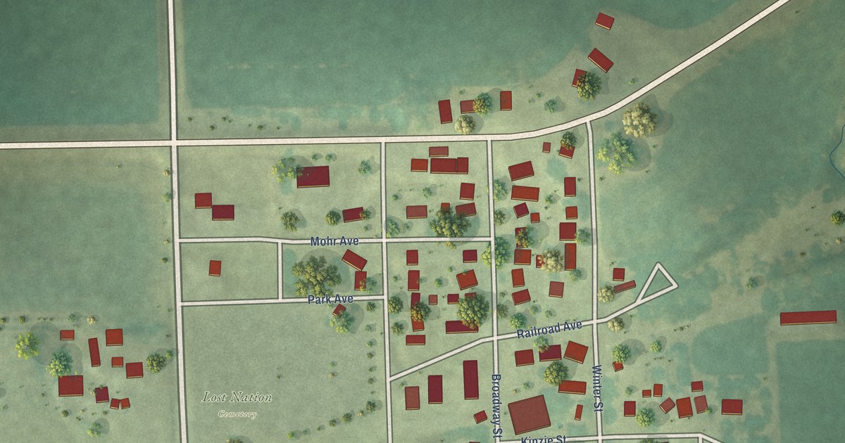
A detailed map of Lost Nation, Iowa, showing every building in its true location, the roads by name, and shaded topographical relief.
Read More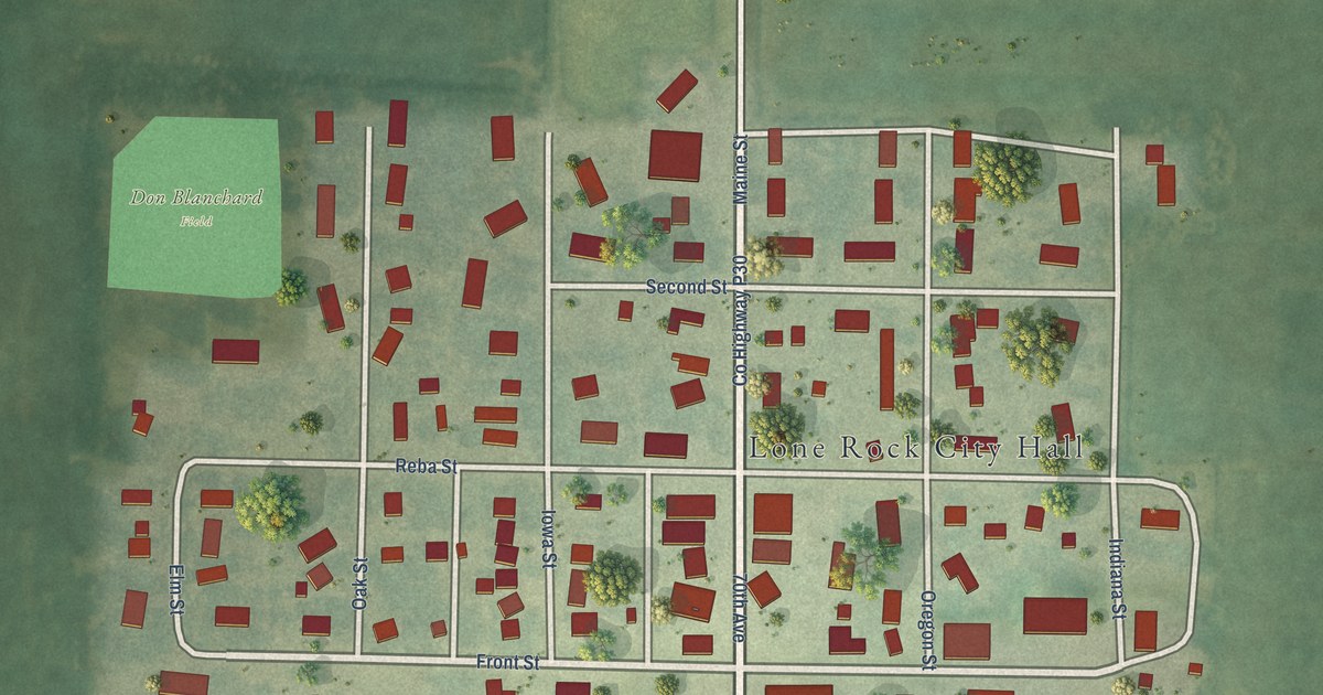
A detailed map of Lone Rock, Iowa, showing every building in its true location, the roads by name, and shaded topographical relief.
Read More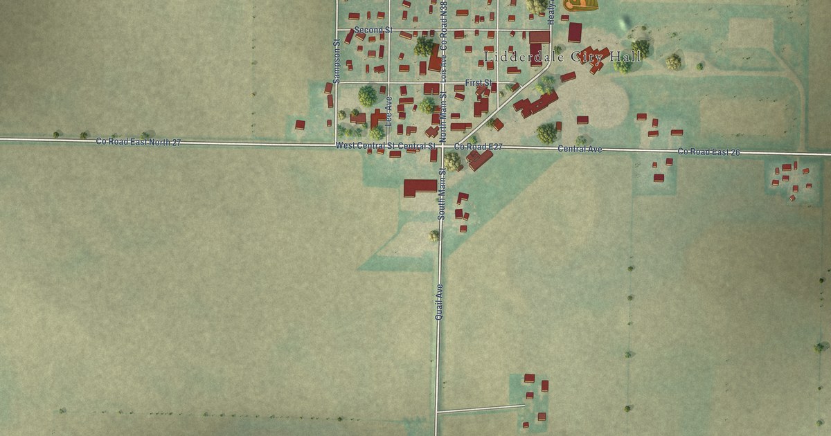
A detailed map of Lidderdale, Iowa, showing every building in its true location, the roads by name, and shaded topographical relief.
Read More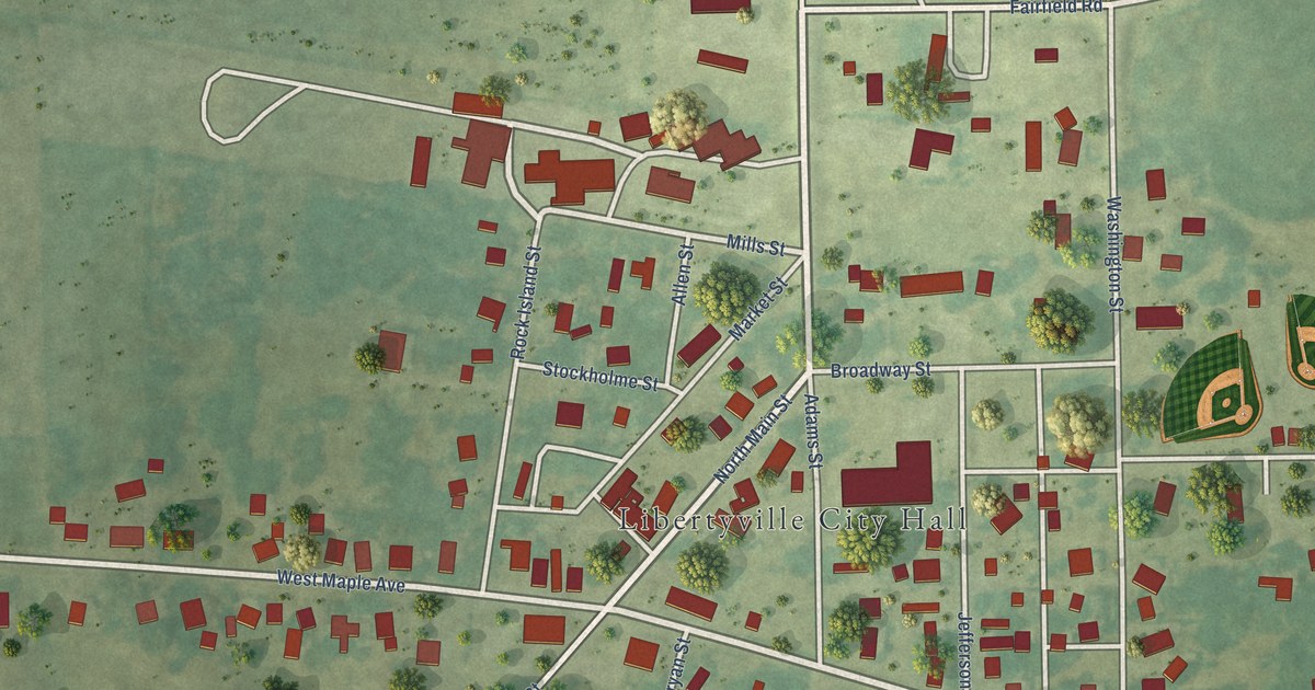
A detailed map of Libertyville, Iowa, showing every building in its true location, the roads by name, and shaded topographical relief.
Read More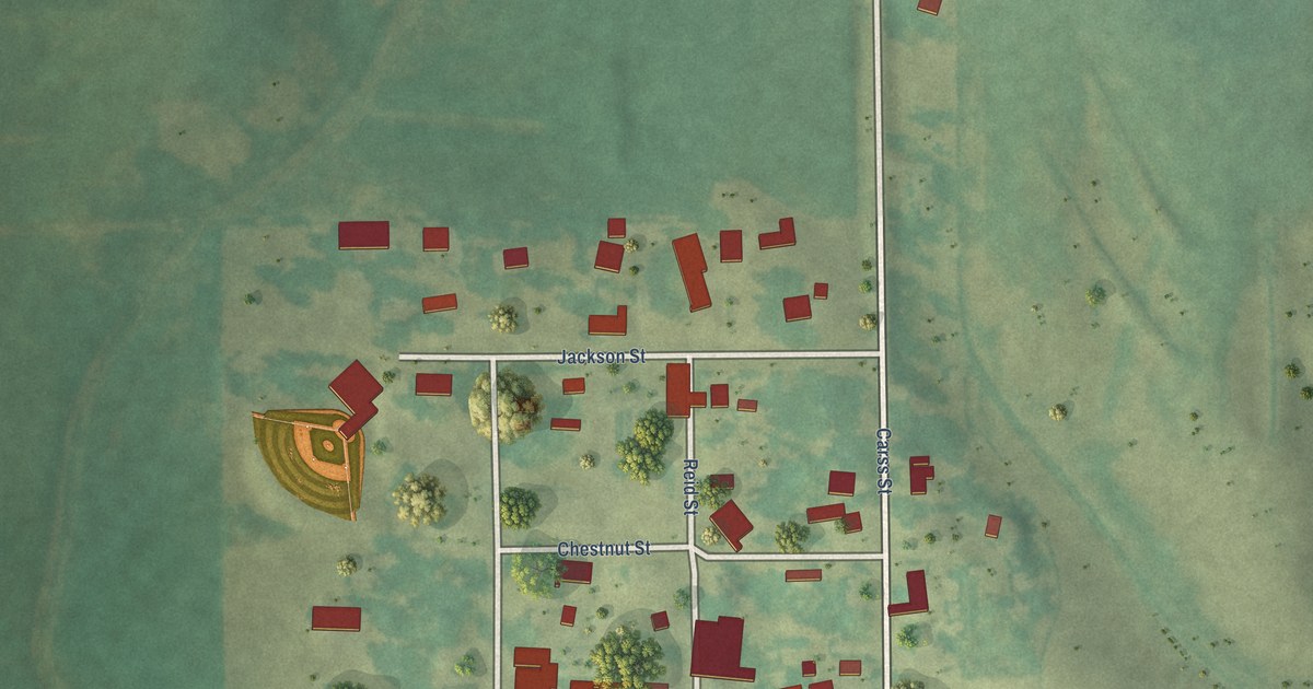
A detailed map of Leighton, Iowa, showing every building in its true location, the roads by name, and shaded topographical relief.
Read More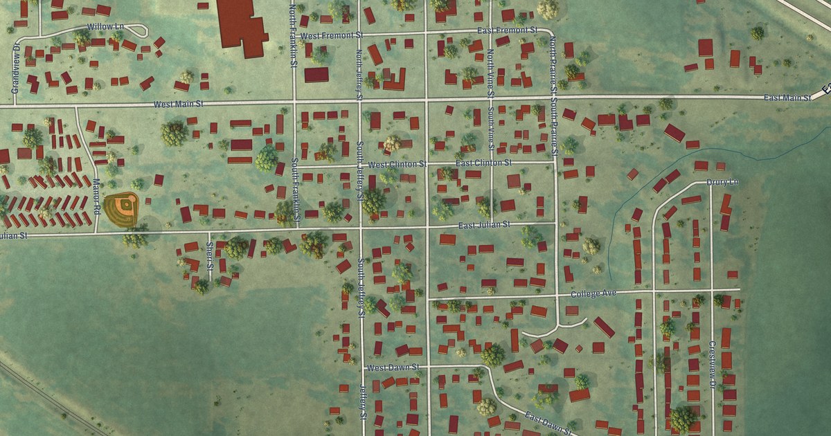
A detailed map of Le Grand, Iowa, showing every building in its true location, the roads by name, and shaded topographical relief.
Read More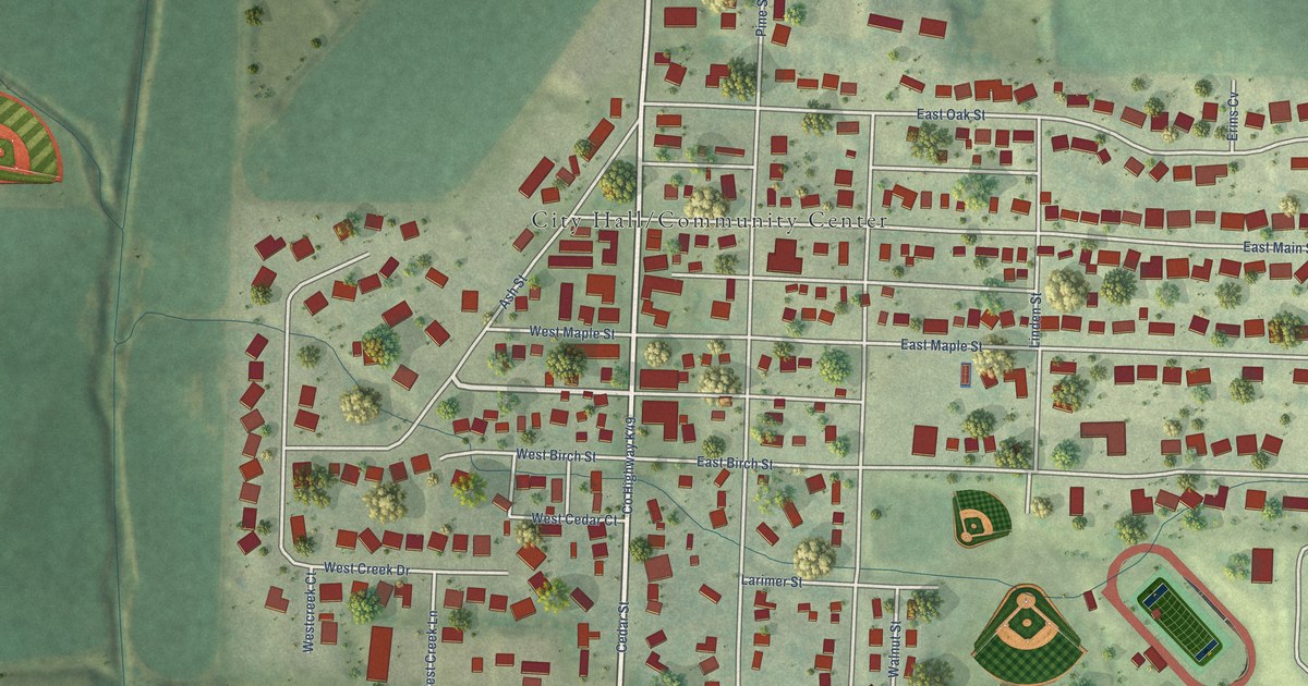
A detailed map of Lawton, Iowa, showing every building in its true location, the roads by name, and shaded topographical relief.
Read More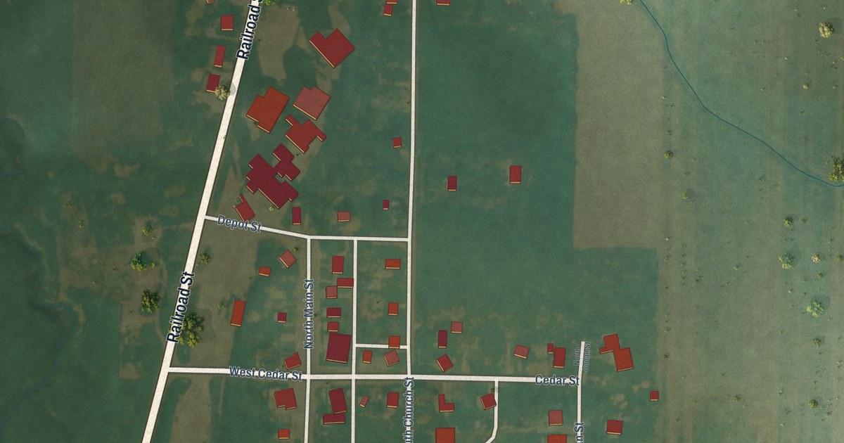
A detailed map of Larrabee, Iowa, showing every building in its true location, the roads by name, and shaded topographical relief.
Read More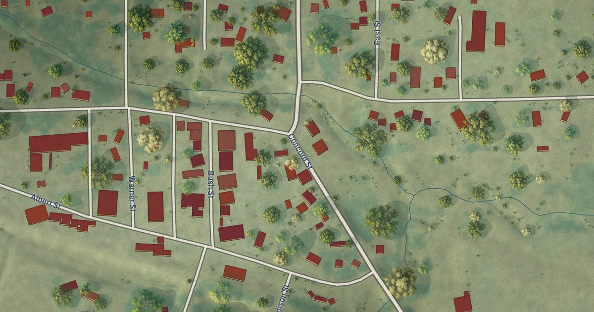
A detailed map of Lamont, Iowa, showing every building in its true location, the roads by name, and shaded topographical relief.
Read More















