Detailed Map of Essex, Iowa
A detailed map of Essex, Iowa, showing every building in its true location, the roads by name, and shaded topographical relief.
Read More
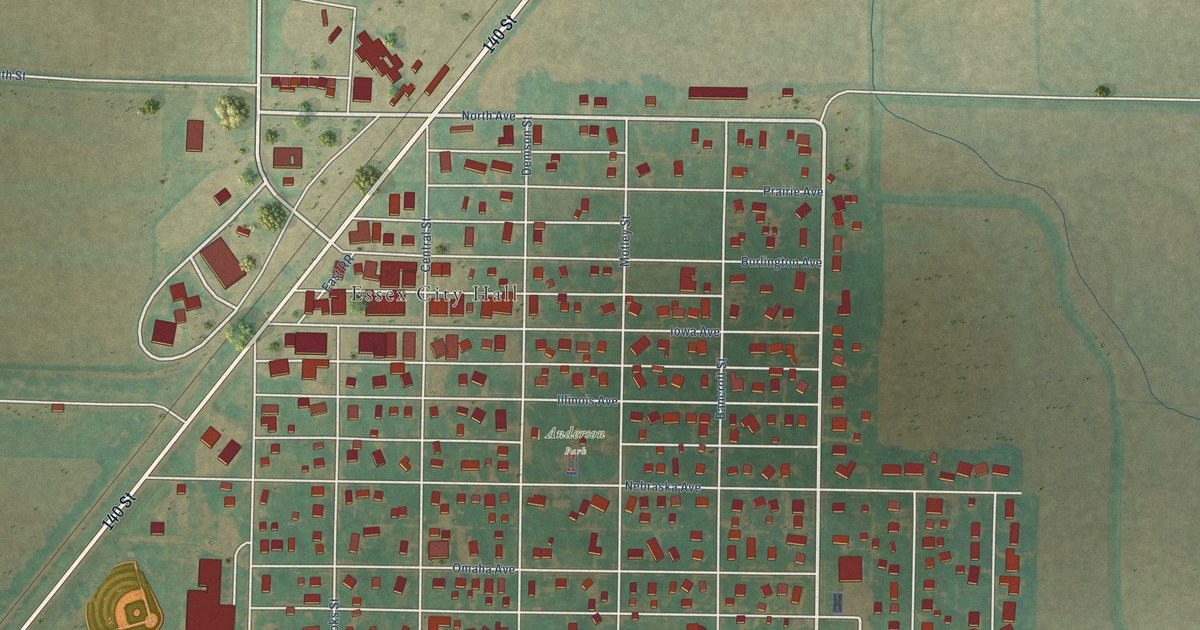
A detailed map of Essex, Iowa, showing every building in its true location, the roads by name, and shaded topographical relief.
Read More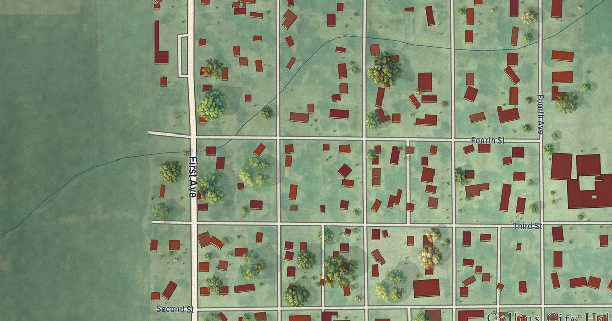
A detailed map of Collins, Iowa, showing every building in its true location, the roads by name, and shaded topographical relief.
Read More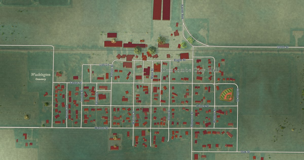
A detailed map of Duncombe, Iowa, showing every building in its true location, the roads by name, and shaded topographical relief.
Read More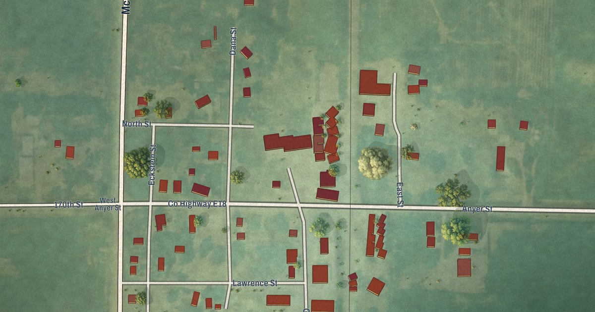
A detailed map of Dana, Iowa, showing every building in its true location, the roads by name, and shaded topographical relief.
Read More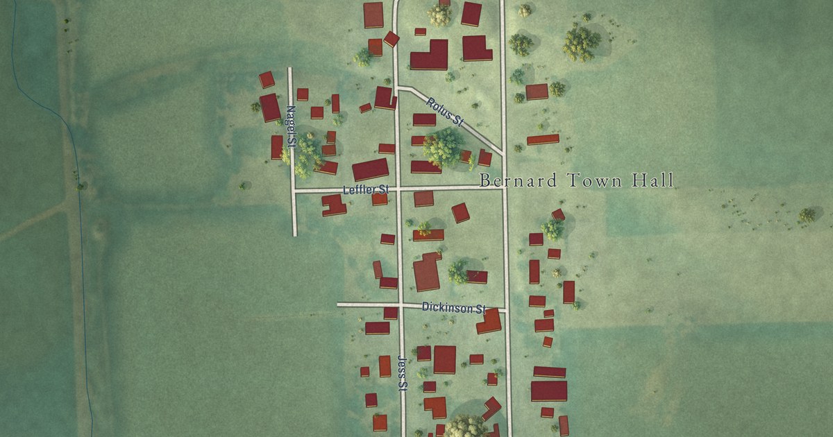
A detailed map of Bernard, Iowa, showing every building in its true location, the roads by name, and shaded topographical relief.
Read More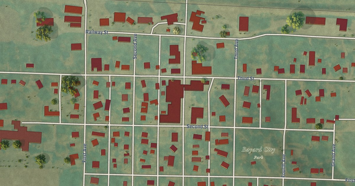
A detailed map of Bayard, Iowa, showing every building in its true location, the roads by name, and shaded topographical relief.
Read More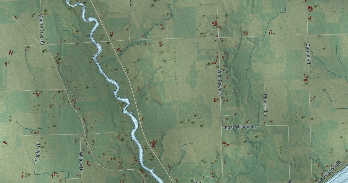
A detailed map of Ahnapee, Wisconsin, showing every building in its true location, the roads by name, and shaded topographical relief.
Read More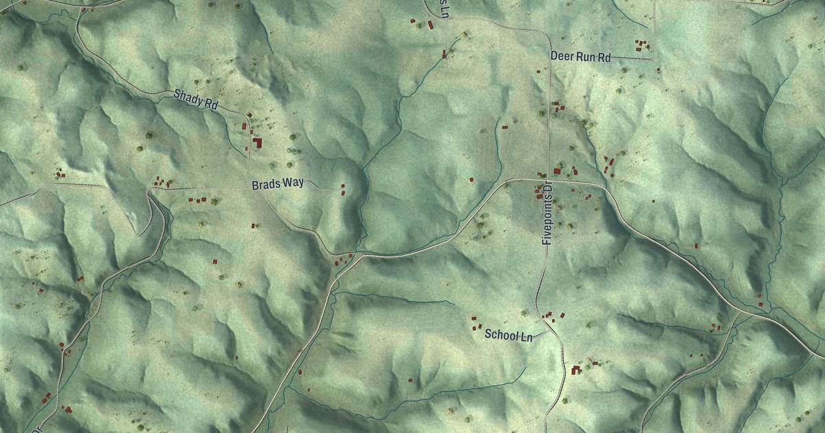
A detailed map of Akan, Wisconsin, showing every building in its true location, the roads by name, and shaded topographical relief.
Read More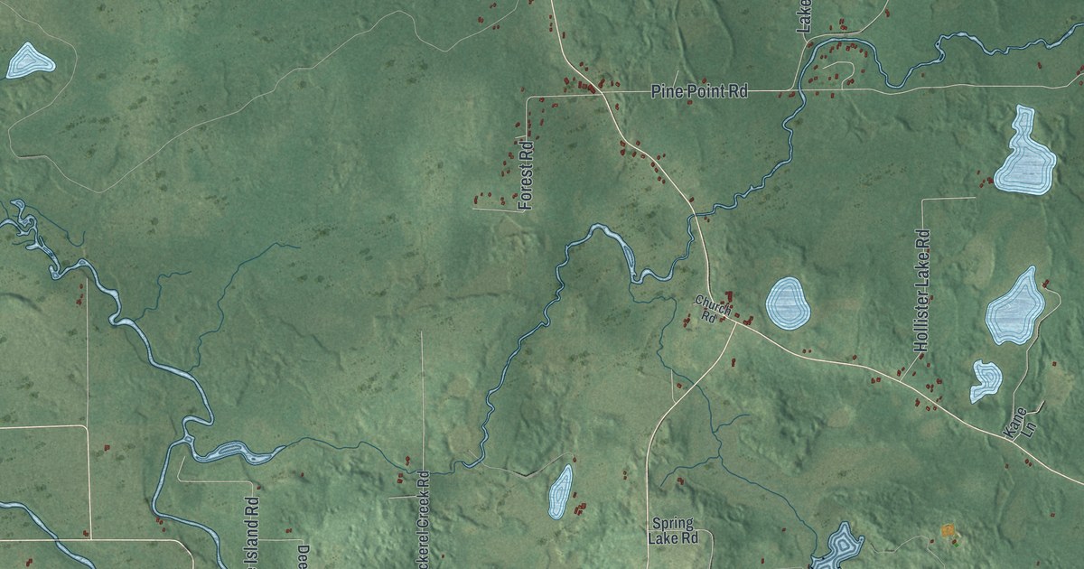
A detailed map of Ainsworth, Wisconsin, showing every building in its true location, the roads by name, and shaded topographical relief.
Read More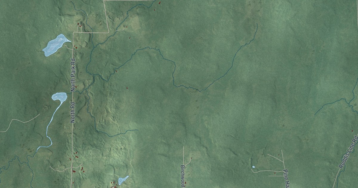
A detailed map of Agenda, Wisconsin, showing every building in its true location, the roads by name, and shaded topographical relief.
Read More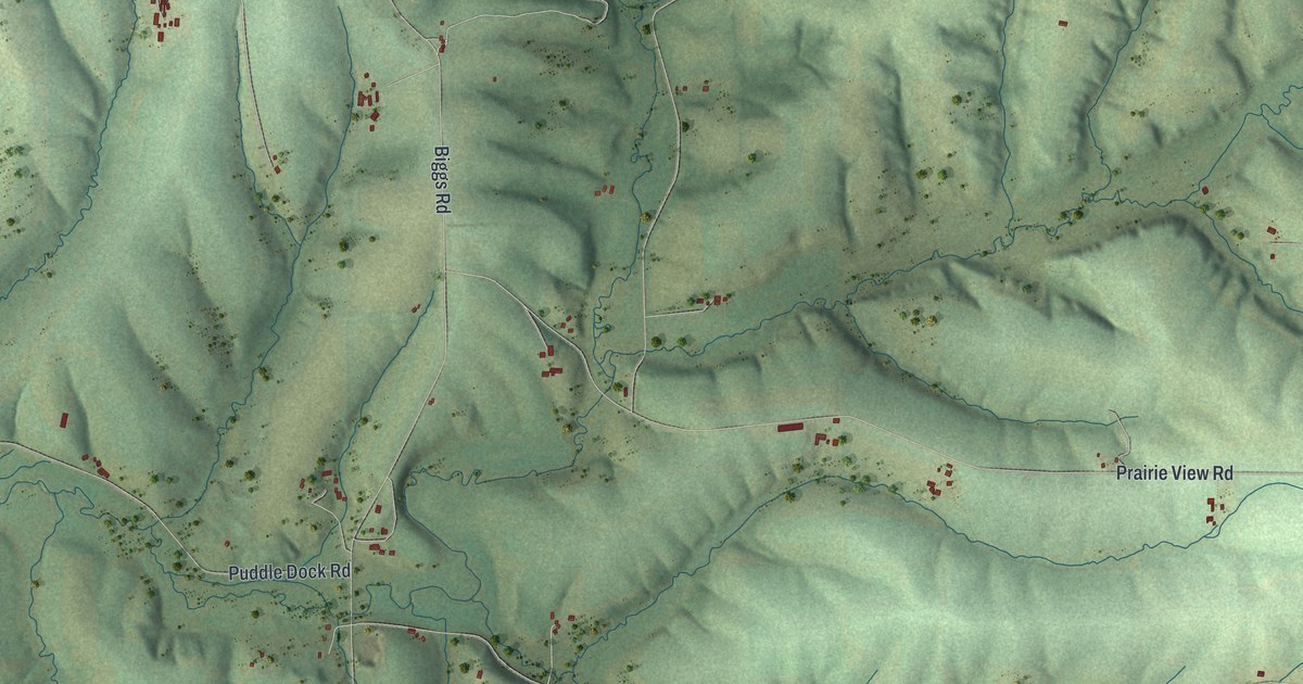
A detailed map of the Town of Adams, Green County, Wisconsin, showing every building in its true location, the roads by name, and shaded topographical relief.
Read More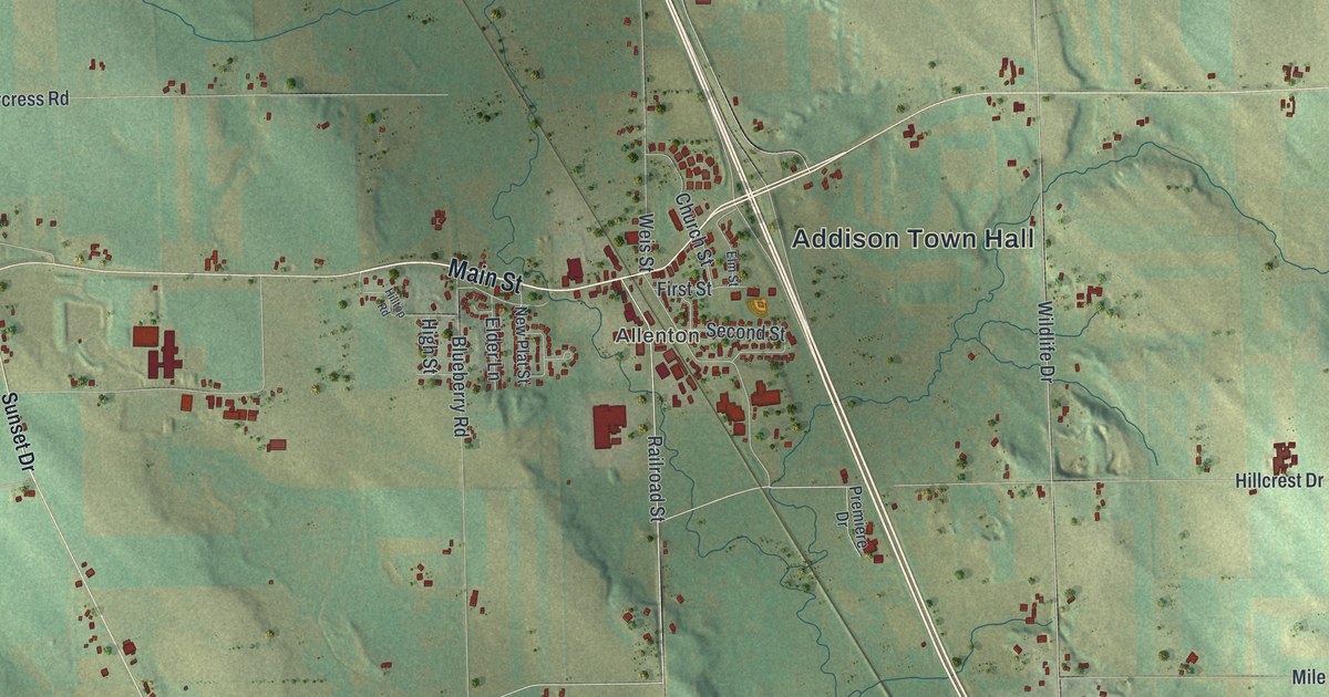
A detailed map of Addison, Wisconsin, showing every building in its true location, the roads by name, and shaded topographical relief.
Read More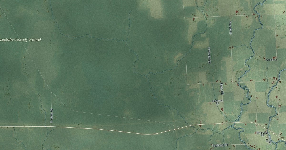
A detailed map of Ackley, Wisconsin, showing every building in its true location, the roads by name, and shaded topographical relief.
Read More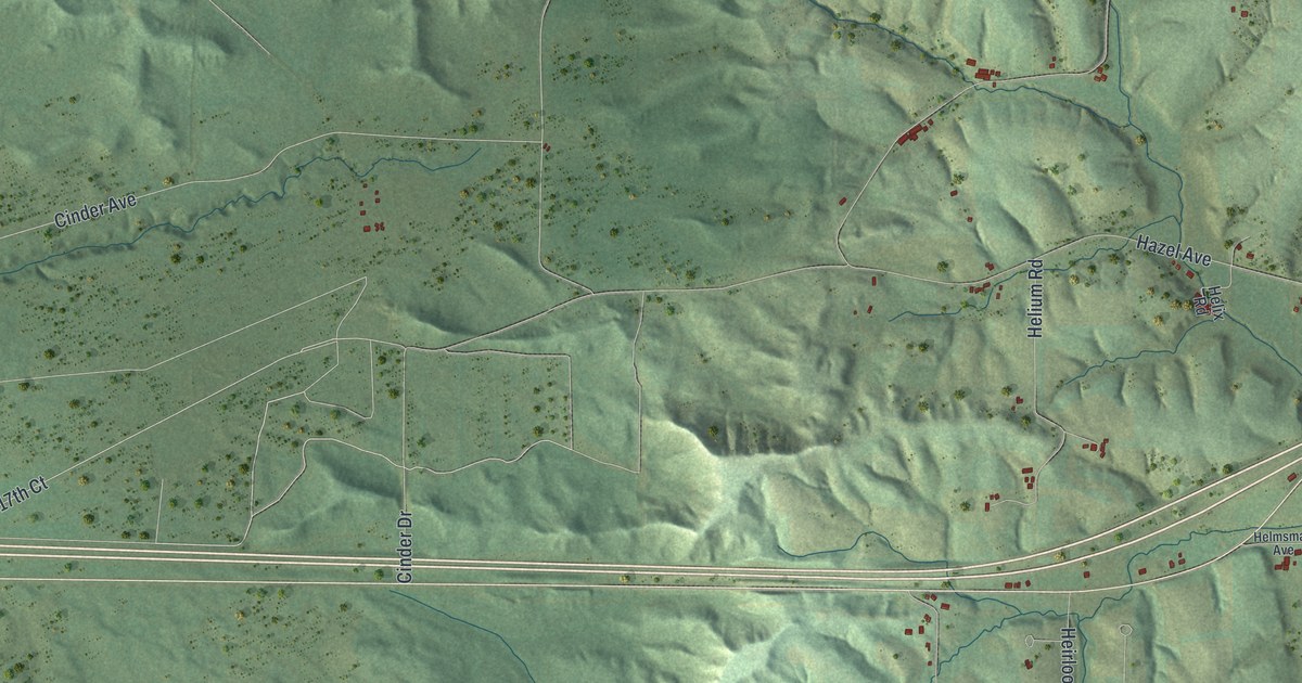
A detailed map of Adrian, Wisconsin, showing every building in its true location, the roads by name, and shaded topographical relief.
Read More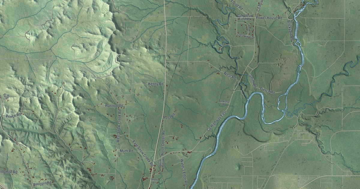
A detailed map of the Town of Adams, Jackson County, Wisconsin, showing every building in its true location, the roads by name, and shaded topographical relief.
Read More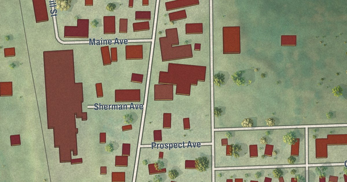
A detailed map of Adell, Wisconsin, showing every building in its true location, the roads by name, and shaded topographical relief.
Read More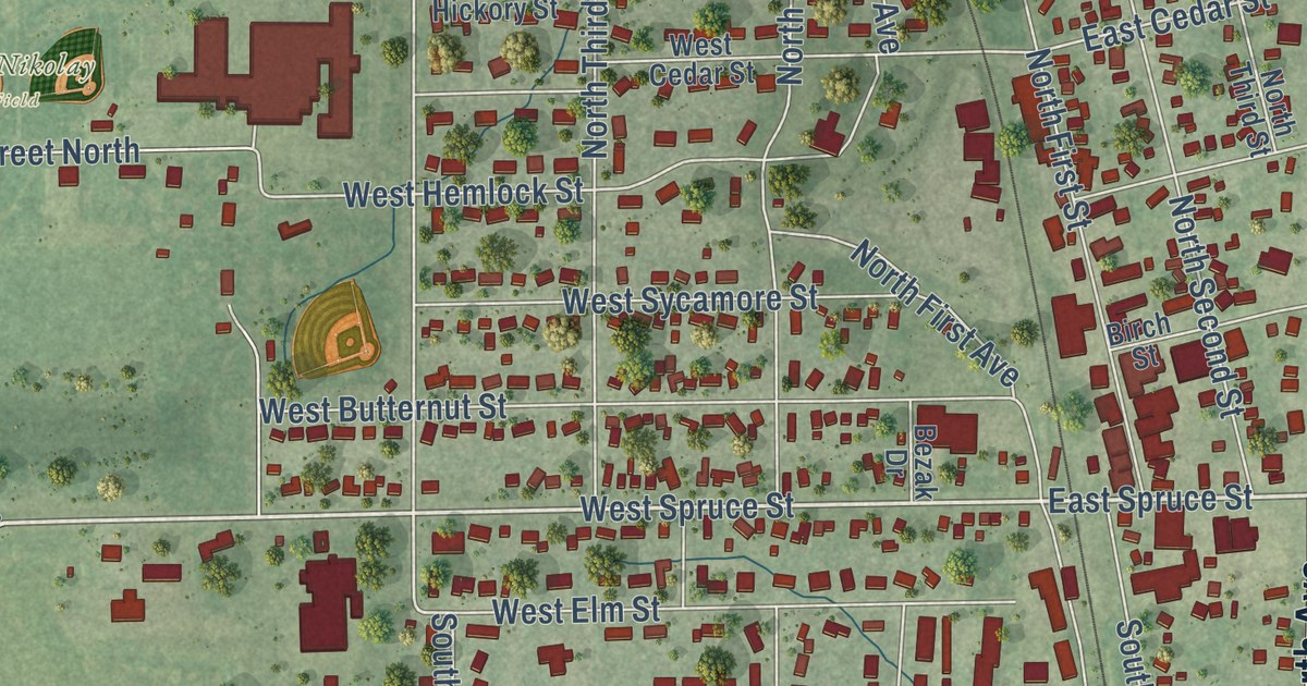
A detailed map of Abbotsford, Wisconsin, showing every building in its true location, the roads by name, and shaded topographical relief.
Read More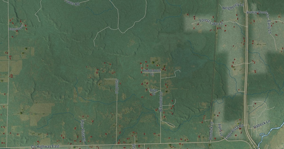
A detailed map of Abrams, Wisconsin, showing every building in its true location, the roads by name, and shaded topographical relief.
Read More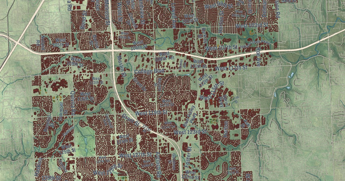
A detailed map of Overland Park, Kansas, showing every building in its true location, the roads by name, and shaded topographical relief.
Read More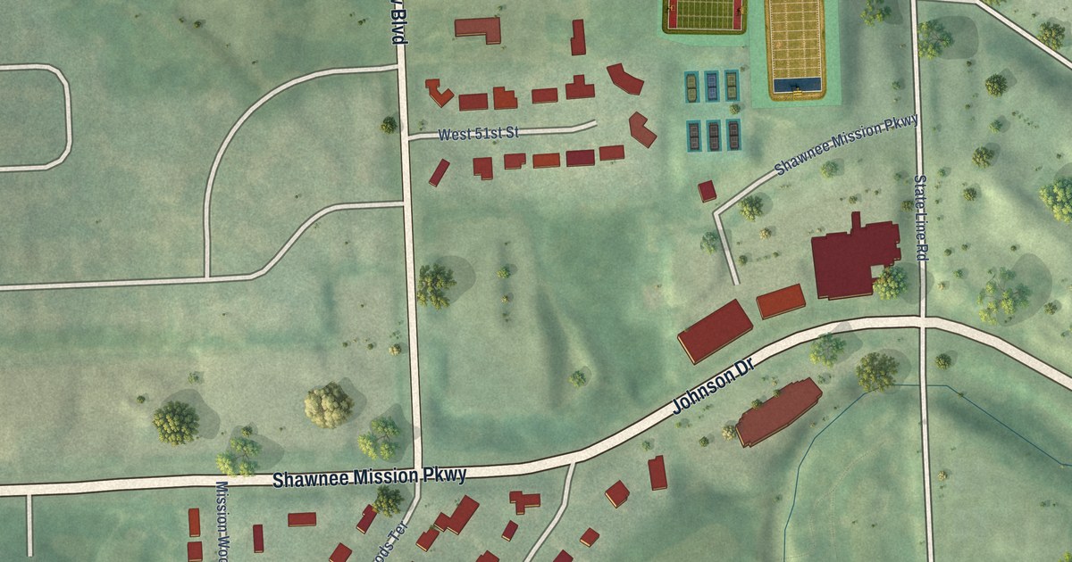
A detailed map of Mission Woods, Kansas, showing every building in its true location, the roads by name, and shaded topographical relief.
Read More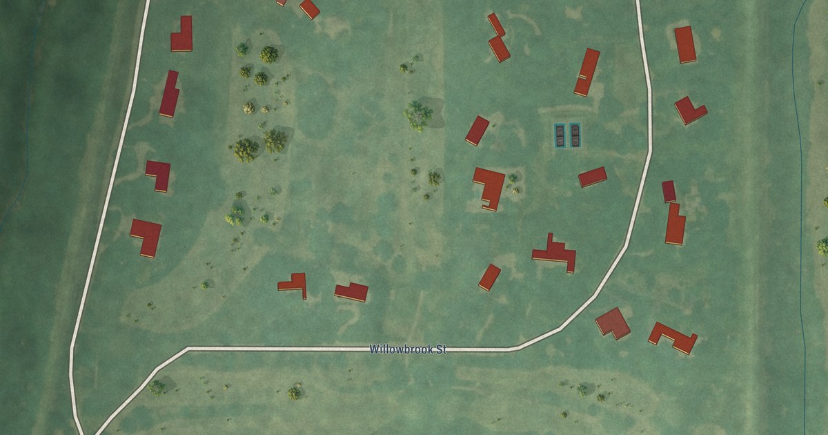
A detailed map of Willowbrook, Kansas, showing every building in its true location, the roads by name, and shaded topographical relief.
Read More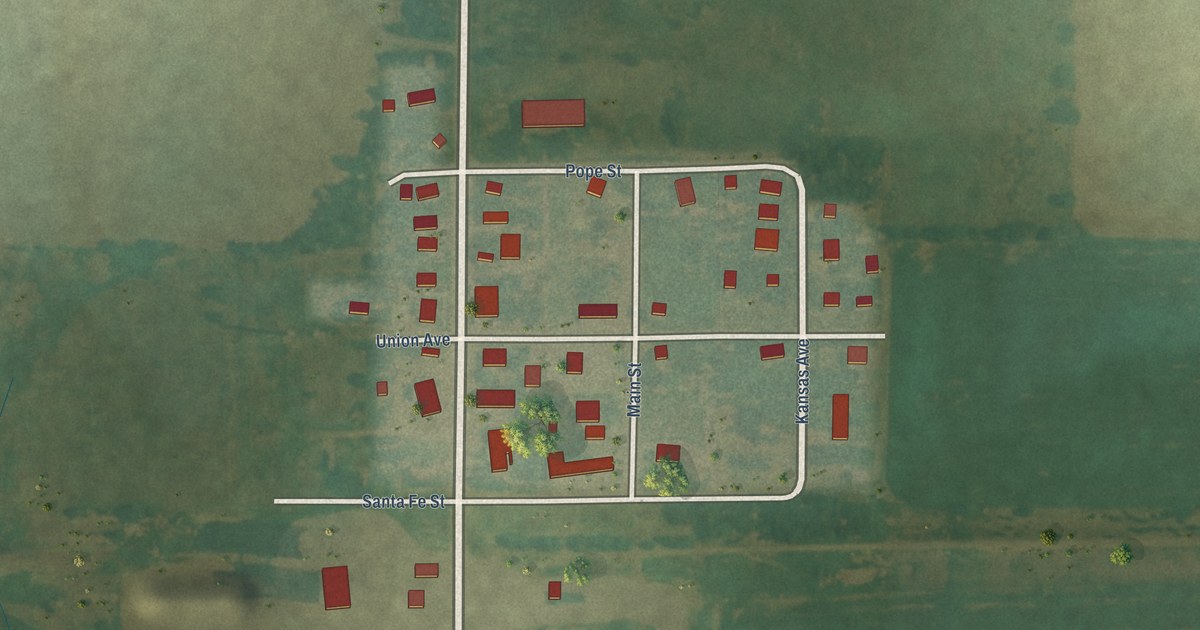
A detailed map of Susank, Kansas, showing every building in its true location, the roads by name, and shaded topographical relief.
Read More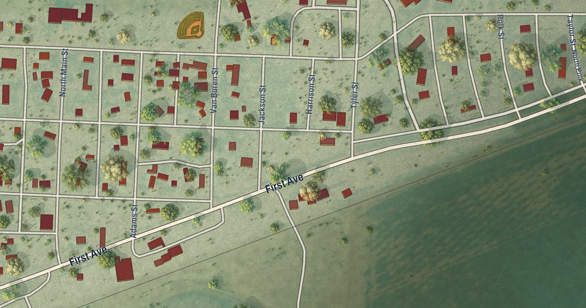
A detailed map of Manter, Kansas, showing every building in its true location, the roads by name, and shaded topographical relief.
Read More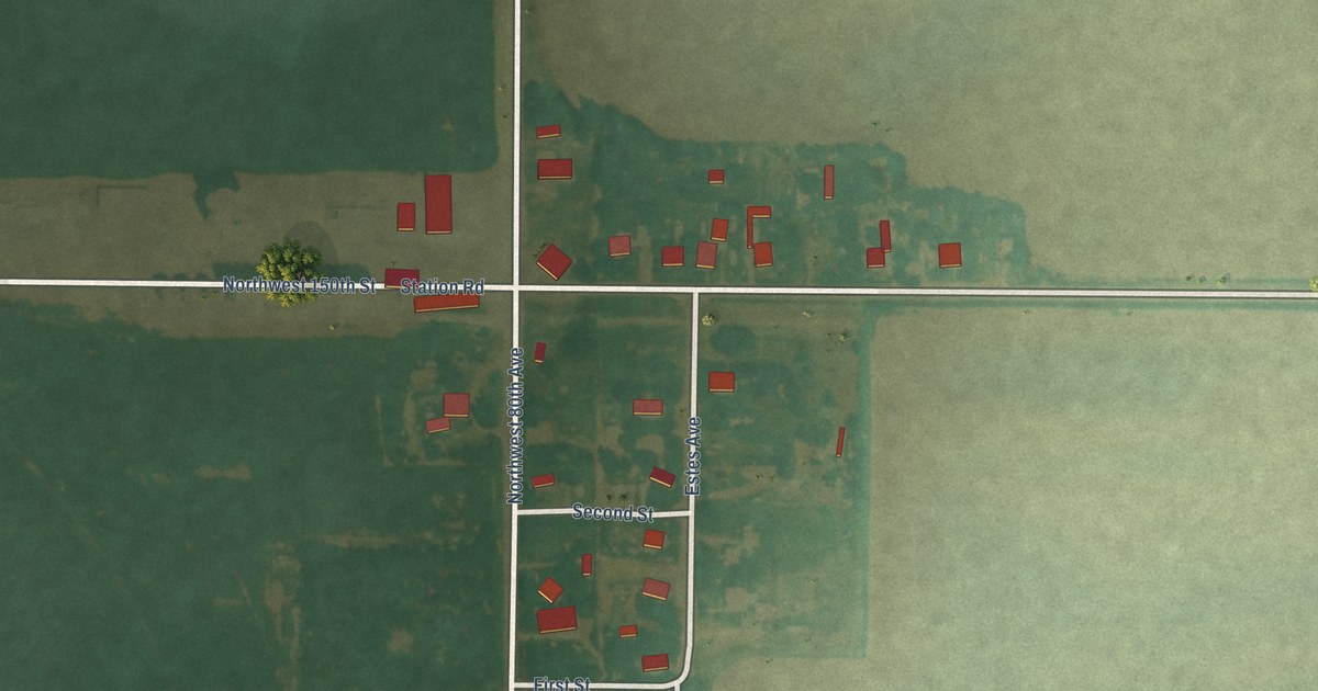
A detailed map of Radium, Kansas, showing every building in its true location, the roads by name, and shaded topographical relief.
Read More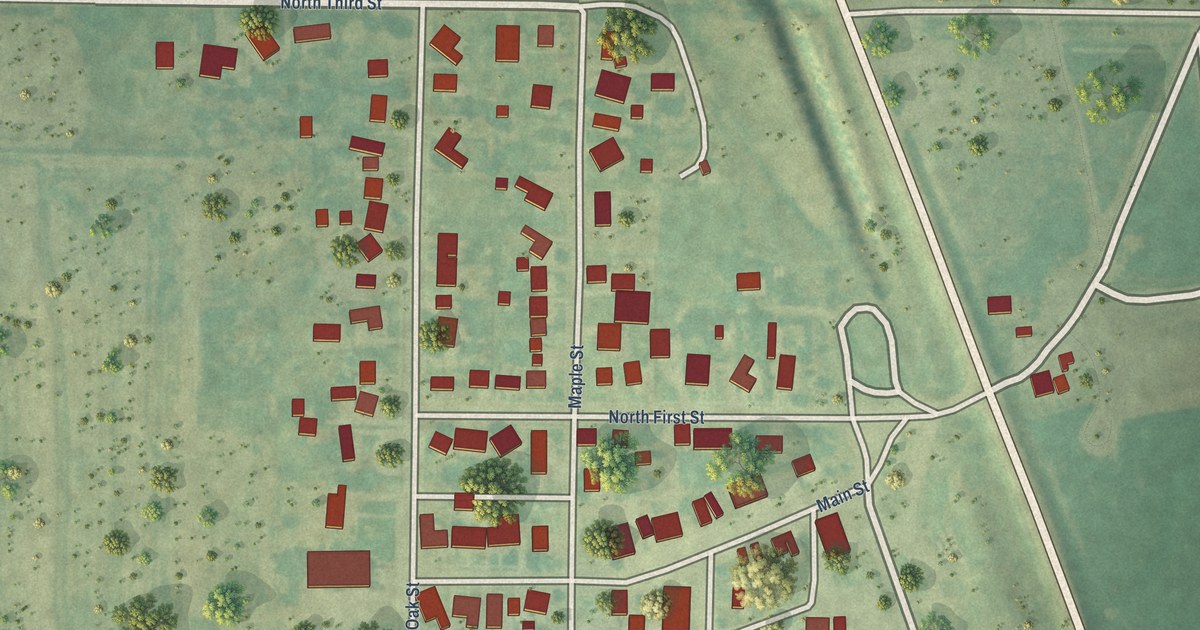
A detailed map of Damar, Kansas, showing every building in its true location, the roads by name, and shaded topographical relief.
Read More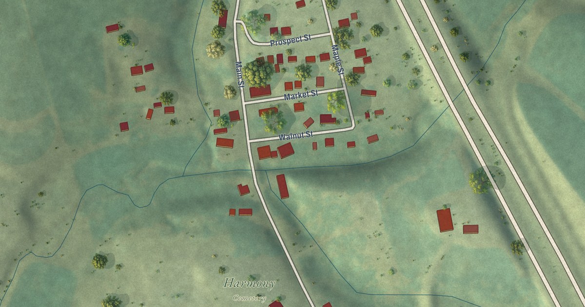
A detailed map of Zwingle, Iowa, showing every building in its true location, the roads by name, and shaded topographical relief.
Read More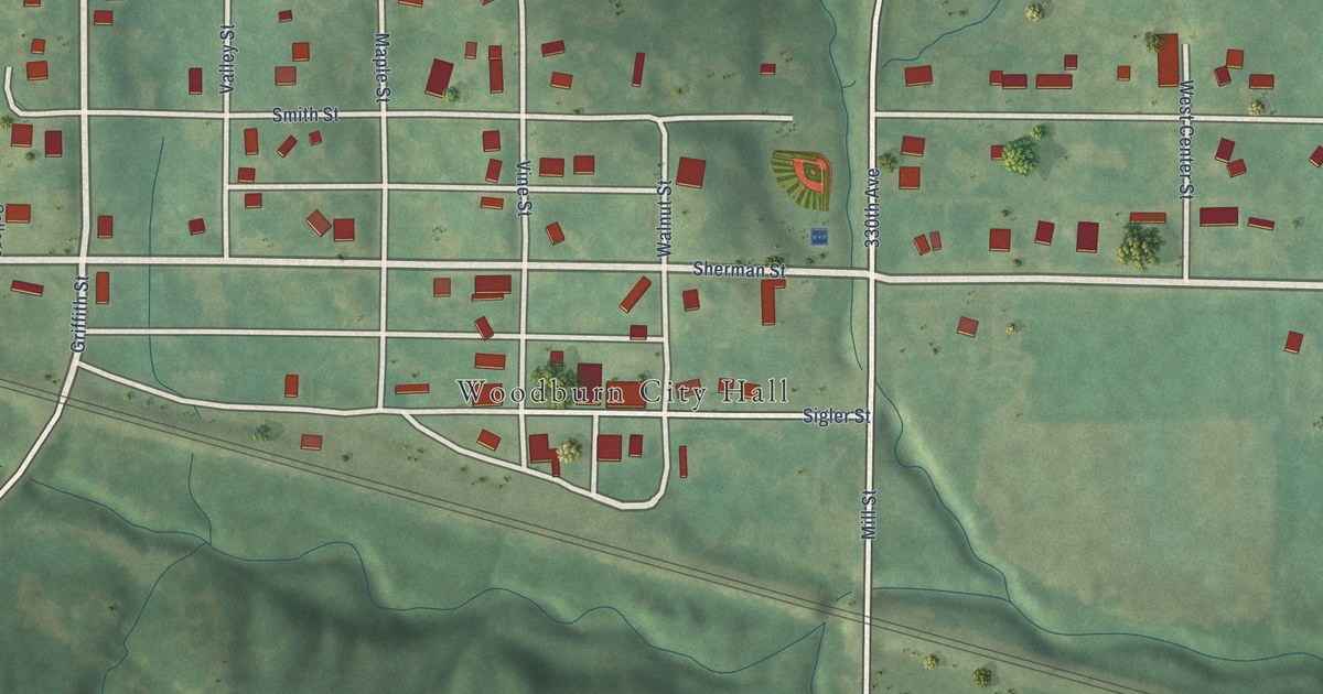
A detailed map of Woodburn, Iowa, showing every building in its true location, the roads by name, and shaded topographical relief.
Read More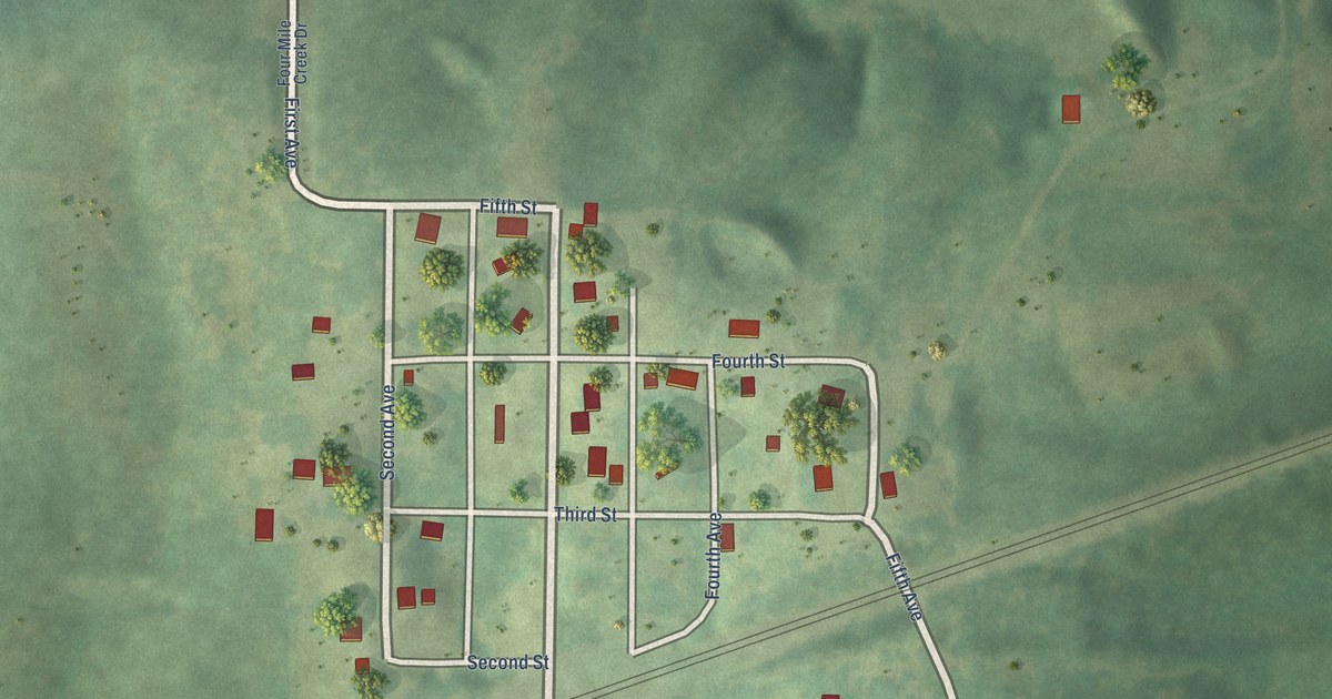
A detailed map of Thayer, Iowa, showing every building in its true location, the roads by name, and shaded topographical relief.
Read More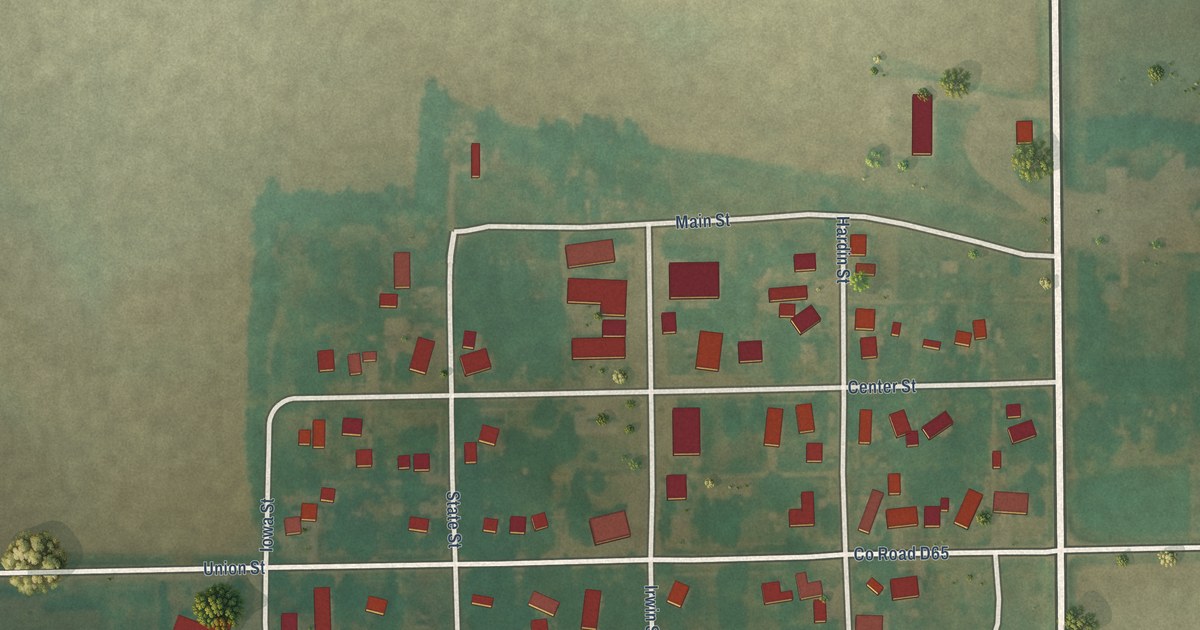
A detailed map of Whitten, Iowa, showing every building in its true location, the roads by name, and shaded topographical relief.
Read More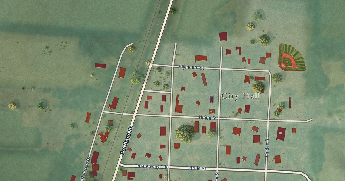
A detailed map of Westfield, Iowa, showing every building in its true location, the roads by name, and shaded topographical relief.
Read More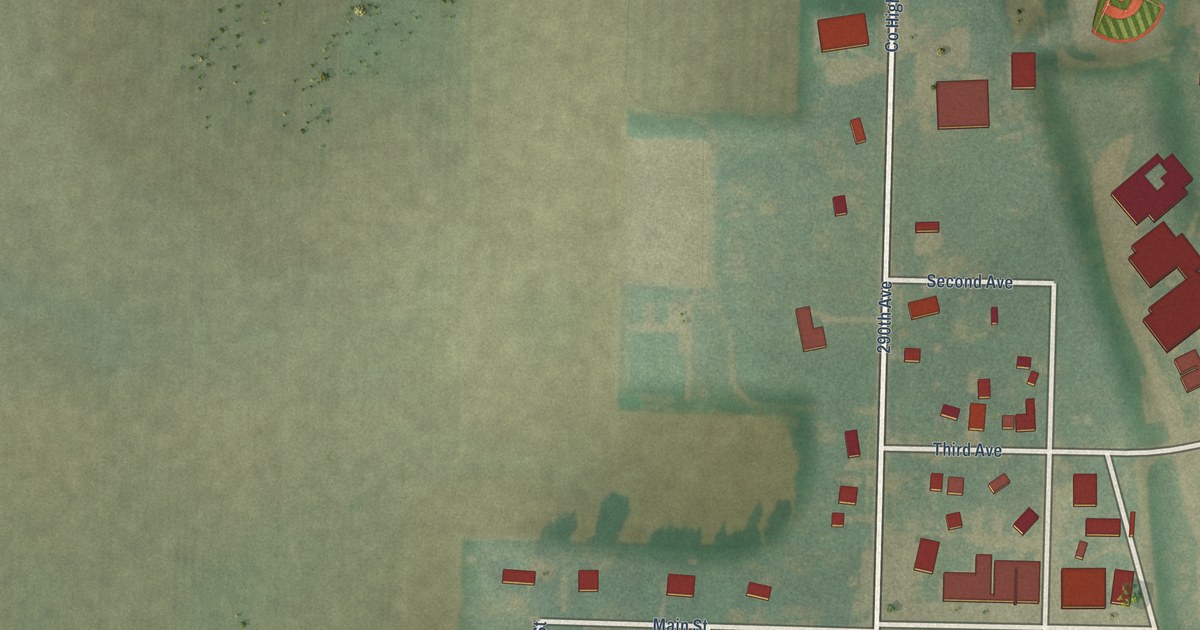
A detailed map of Webb, Iowa, showing every building in its true location, the roads by name, and shaded topographical relief.
Read More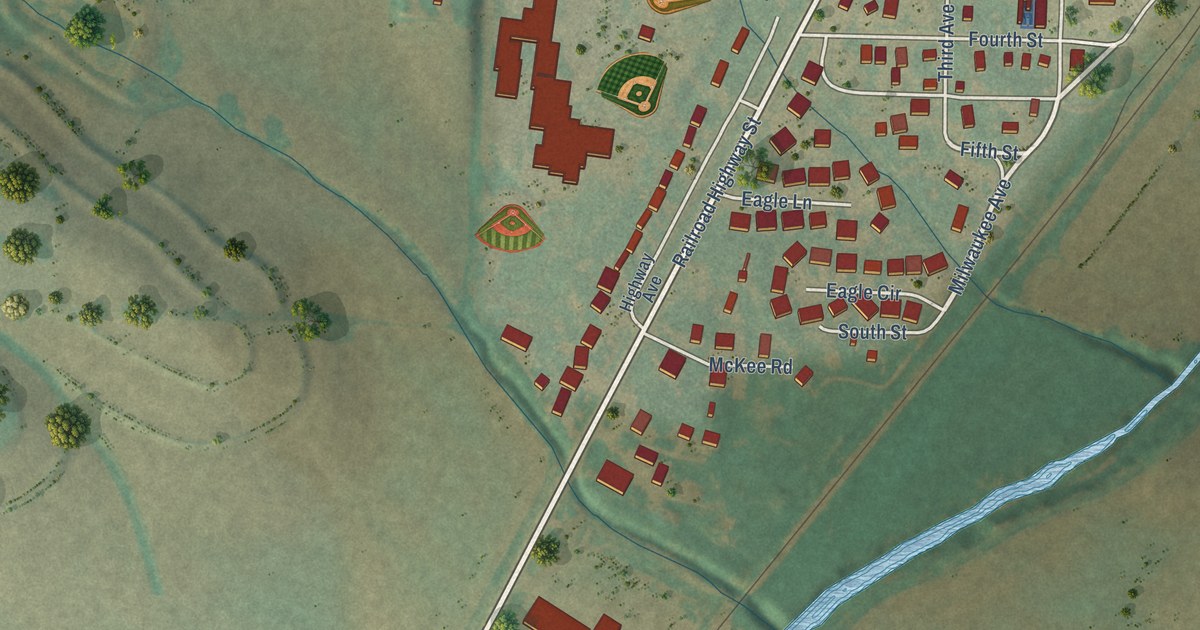
A detailed map of Underwood, Iowa, showing every building in its true location, the roads by name, and shaded topographical relief.
Read More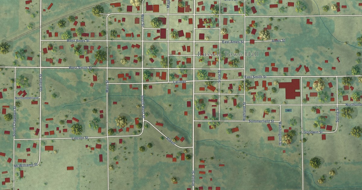
A detailed map of Russell, Iowa, showing every building in its true location, the roads by name, and shaded topographical relief.
Read More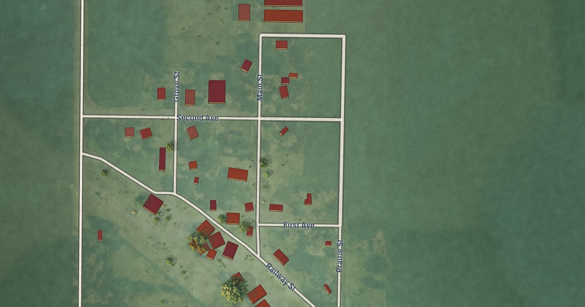
A detailed map of Rossie, Iowa, showing every building in its true location, the roads by name, and shaded topographical relief.
Read More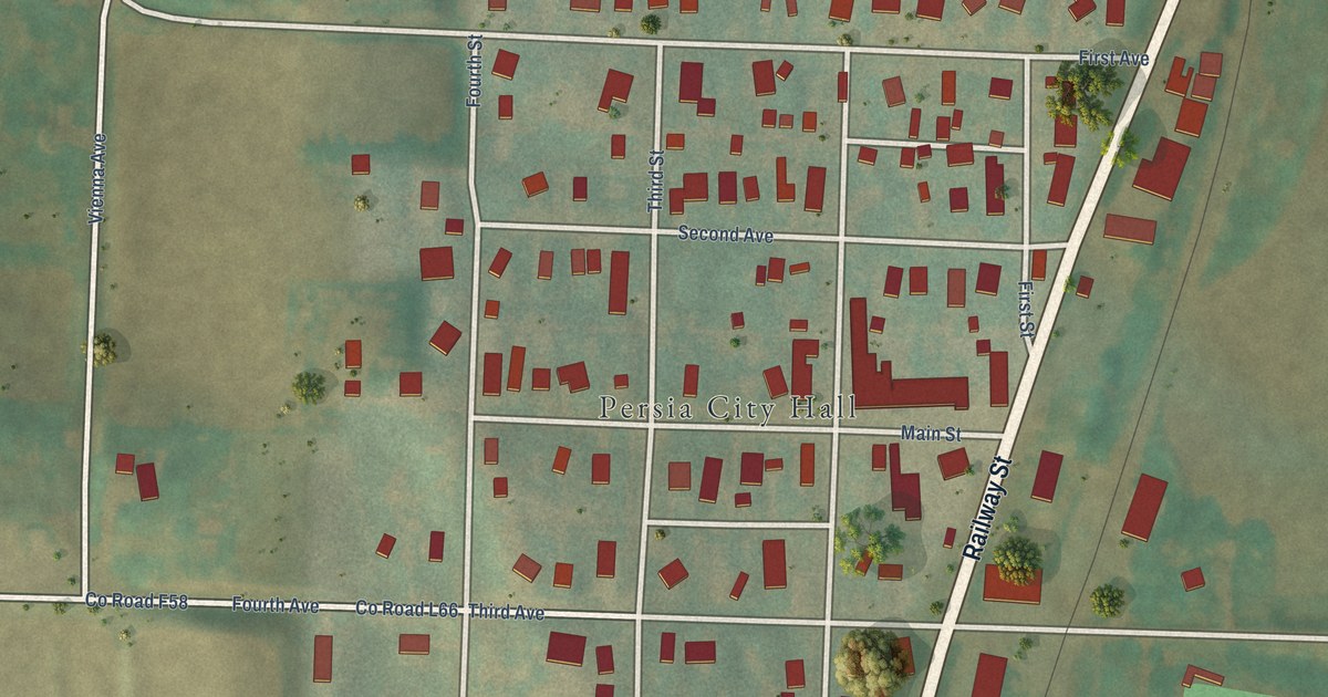
A detailed map of Persia, Iowa, showing every building in its true location, the roads by name, and shaded topographical relief.
Read More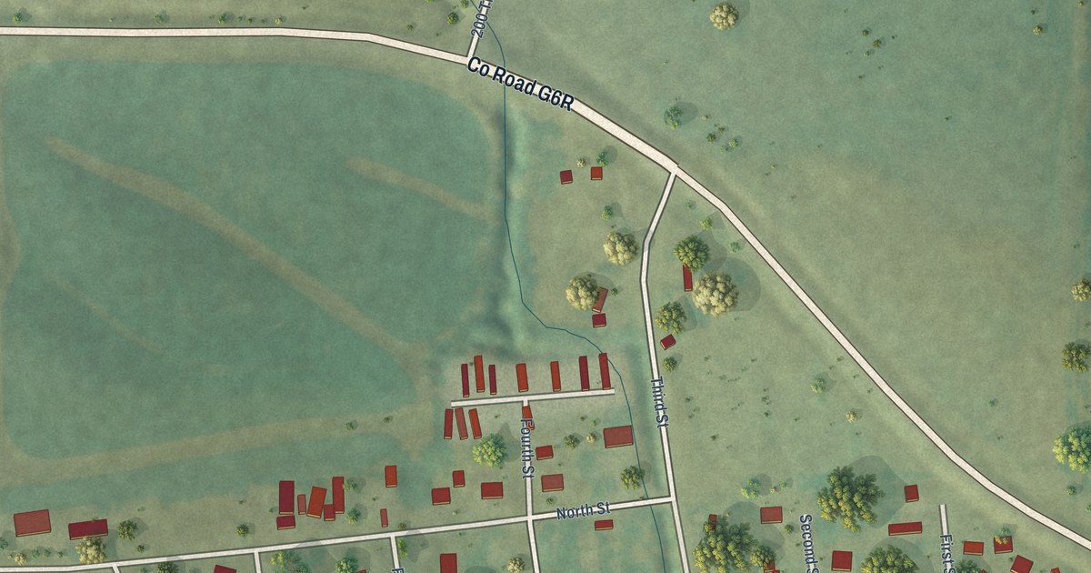
A detailed map of Patterson, Iowa, showing every building in its true location, the roads by name, and shaded topographical relief.
Read More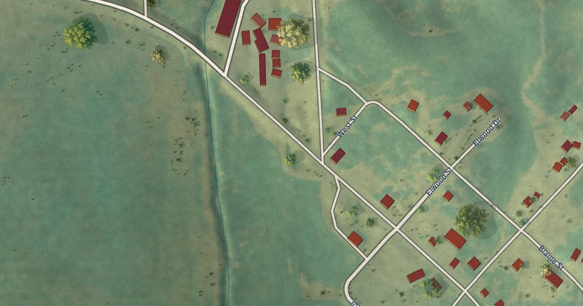
A detailed map of Guernsey, Iowa, showing every building in its true location, the roads by name, and shaded topographical relief.
Read More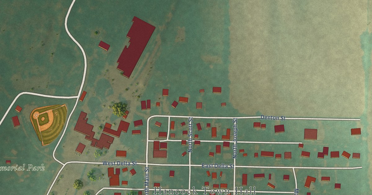
A detailed map of Hancock, Iowa, showing every building in its true location, the roads by name, and shaded topographical relief.
Read More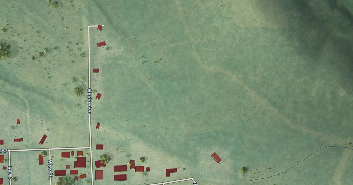
A detailed map of Harvey, Iowa, showing every building in its true location, the roads by name, and shaded topographical relief.
Read More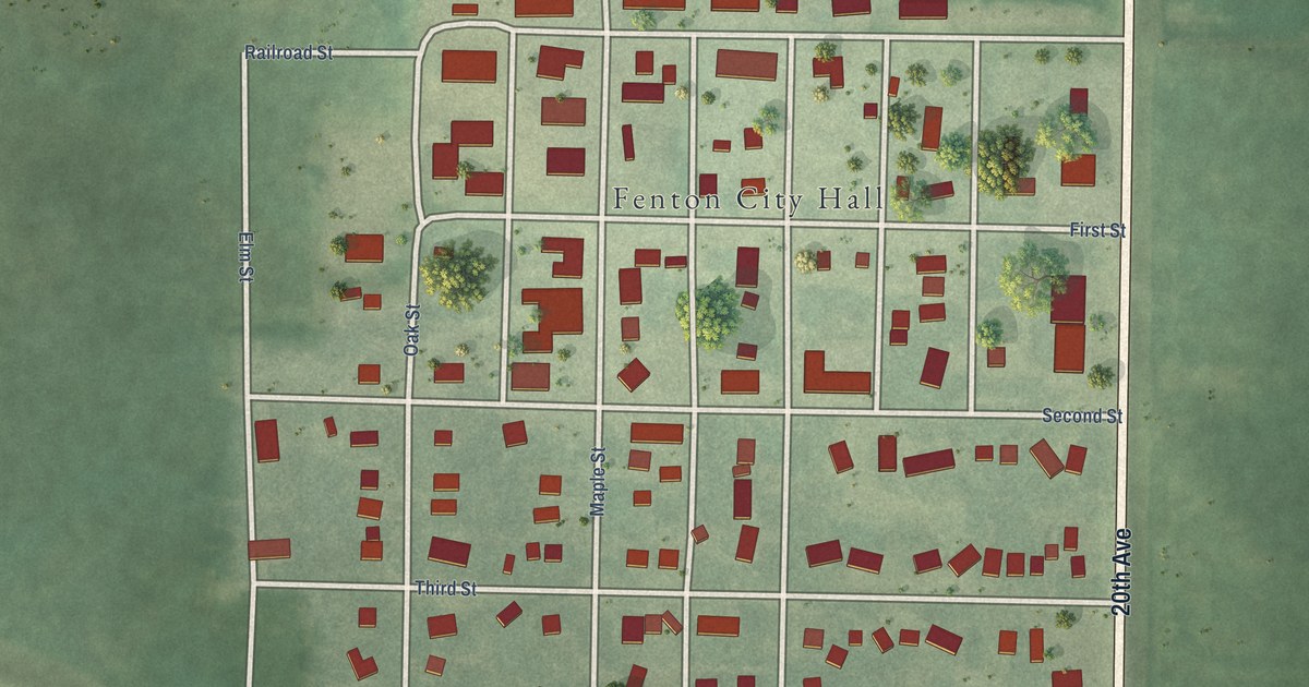
A detailed map of Fenton, Iowa, showing every building in its true location, the roads by name, and shaded topographical relief.
Read More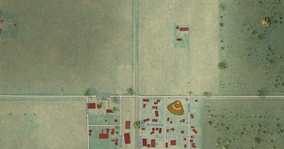
A detailed map of Buckeye, Iowa, showing every building in its true location, the roads by name, and shaded topographical relief.
Read More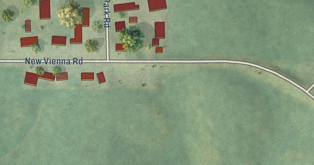
A detailed map of Bankston, Iowa, showing every building in its true location, the roads by name, and shaded topographical relief.
Read More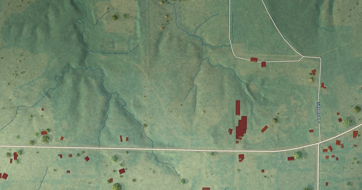
A detailed map of Stanley, Louisiana, showing every building in its true location, the roads by name, and shaded topographical relief.
Read More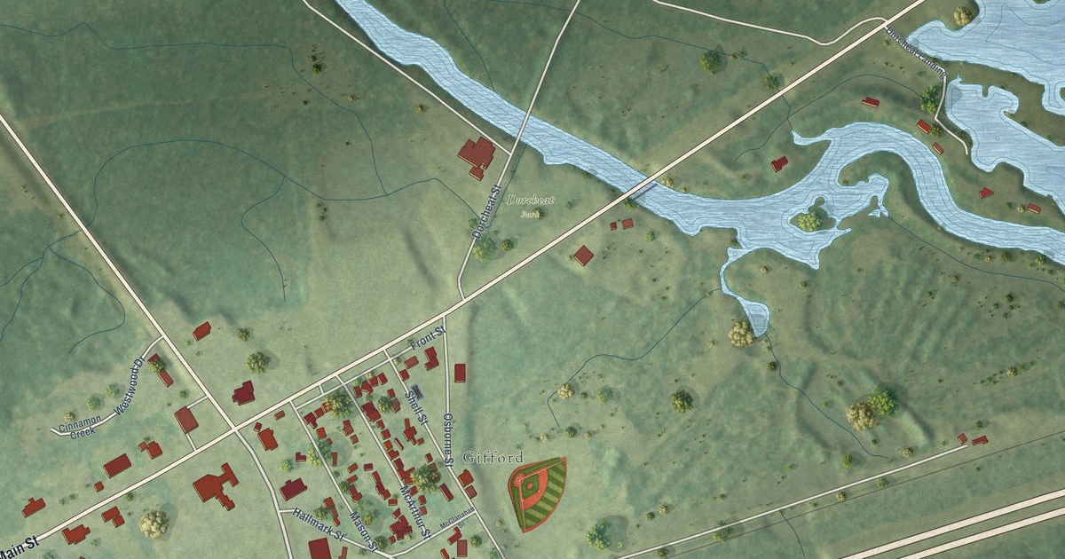
A detailed map of Dixie Inn, Louisiana, showing every building in its true location, the roads by name, and shaded topographical relief.
Read More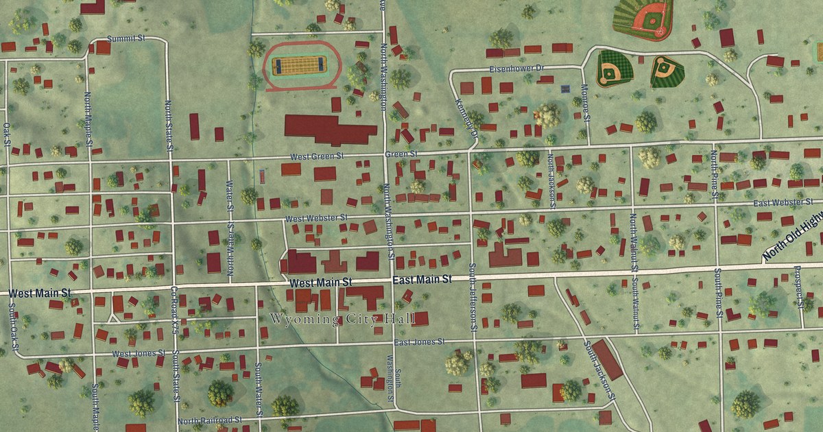
A detailed map of Wyoming, Iowa, showing every building in its true location, the roads by name, and shaded topographical relief.
Read More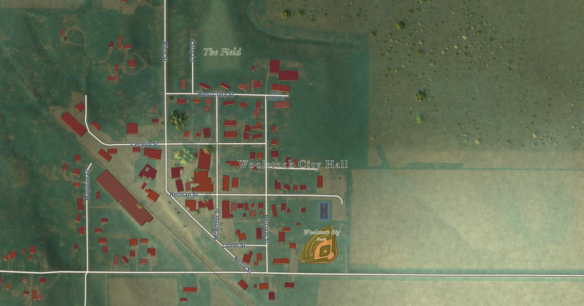
A detailed map of Woolstock, Iowa, showing every building in its true location, the roads by name, and shaded topographical relief.
Read More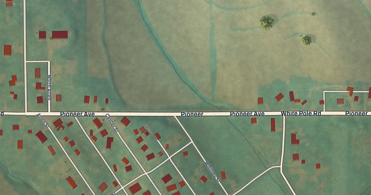
A detailed map of Wiota, Iowa, showing every building in its true location, the roads by name, and shaded topographical relief.
Read More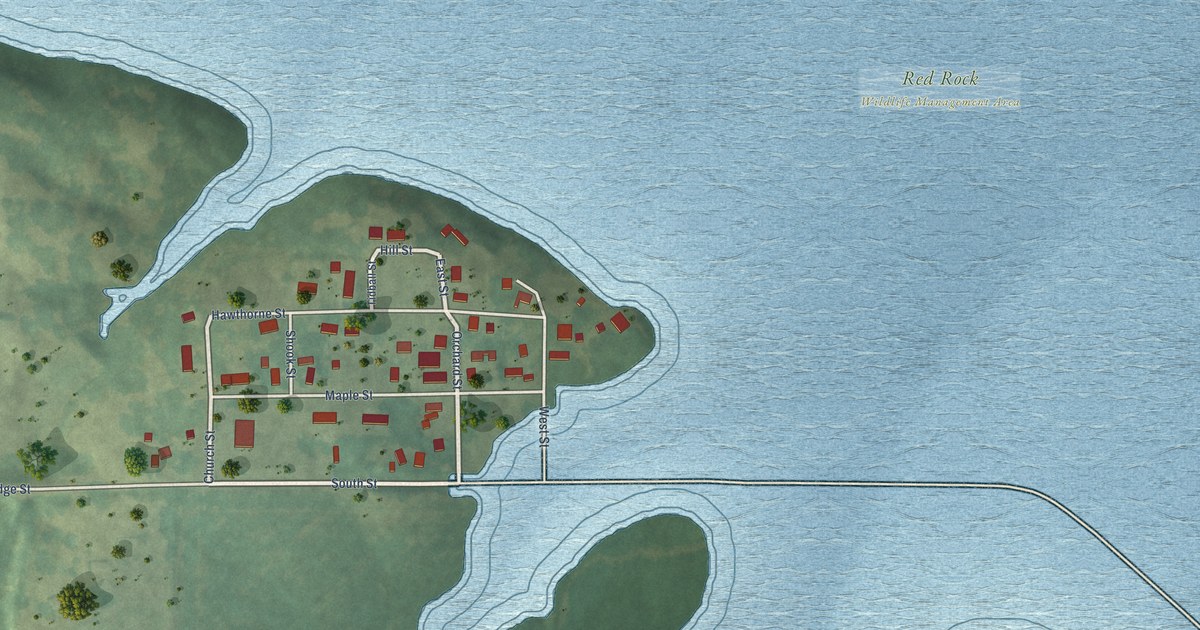
A detailed map of Swan, Iowa, showing every building in its true location, the roads by name, and shaded topographical relief.
Read More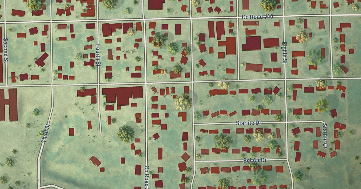
A detailed map of West Point, Iowa, showing every building in its true location, the roads by name, and shaded topographical relief.
Read More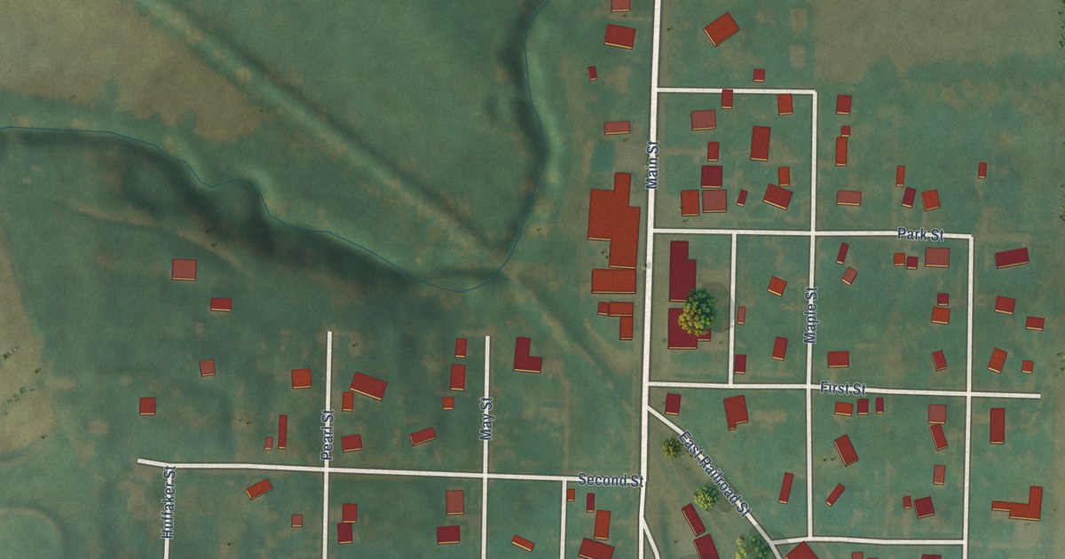
A detailed map of Silver City, Iowa, showing every building in its true location, the roads by name, and shaded topographical relief.
Read More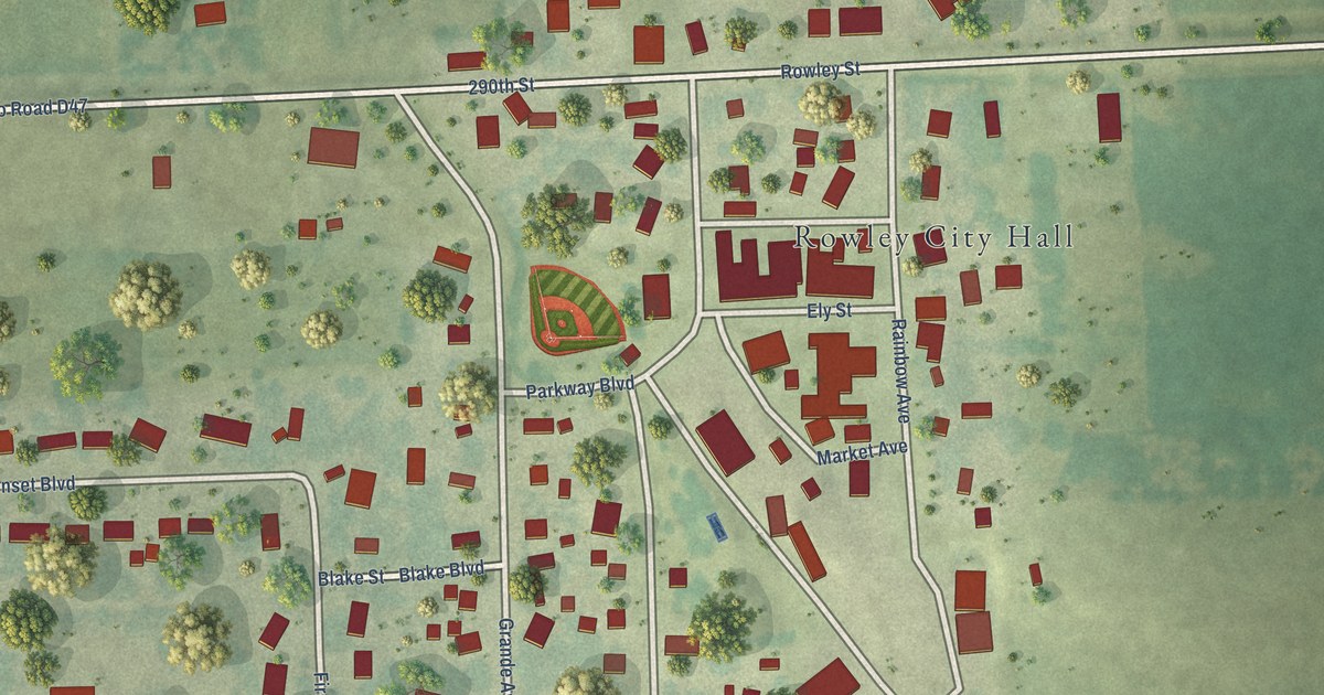
A detailed map of Rowley, Iowa, showing every building in its true location, the roads by name, and shaded topographical relief.
Read More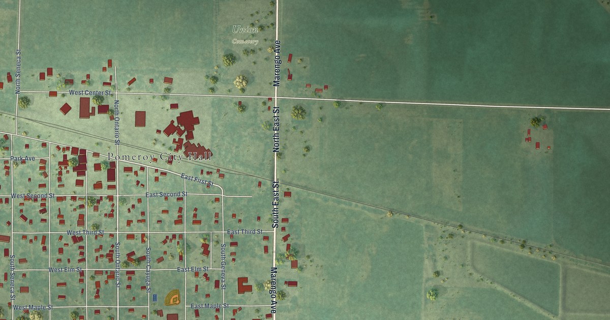
A detailed map of Pomeroy, Iowa, showing every building in its true location, the roads by name, and shaded topographical relief.
Read More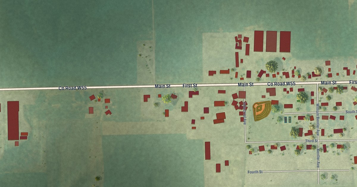
A detailed map of Houghton, Iowa, showing every building in its true location, the roads by name, and shaded topographical relief.
Read More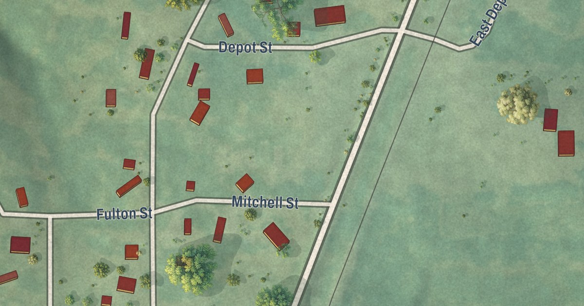
A detailed map of Hamilton, Iowa, showing every building in its true location, the roads by name, and shaded topographical relief.
Read More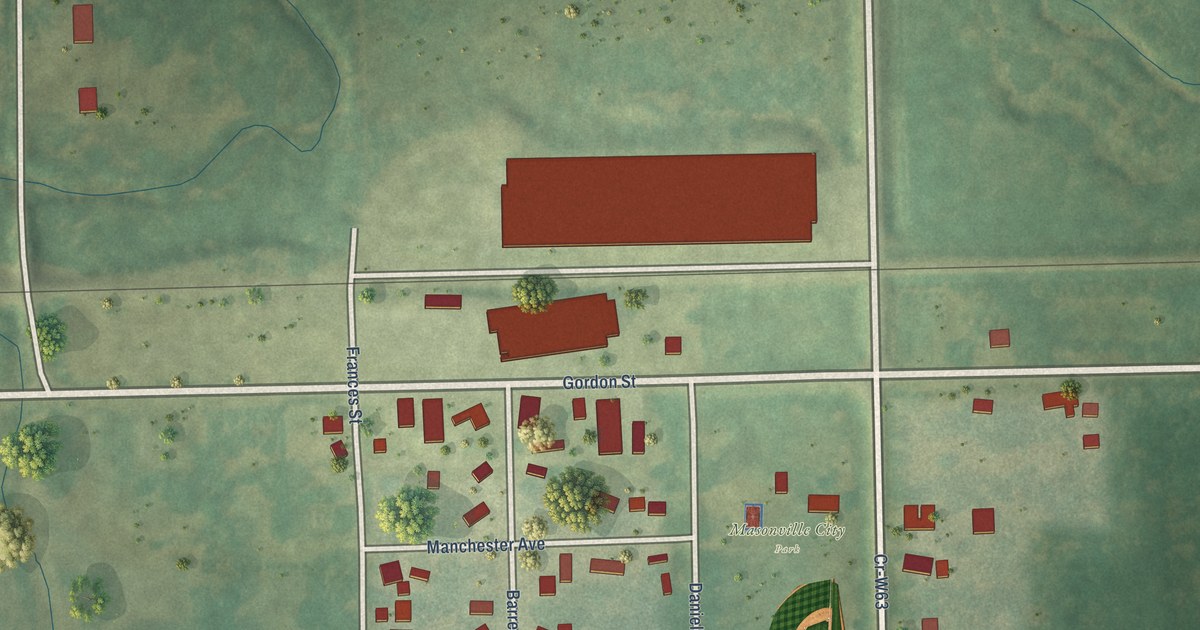
A detailed map of Masonville, Iowa, showing every building in its true location, the roads by name, and shaded topographical relief.
Read More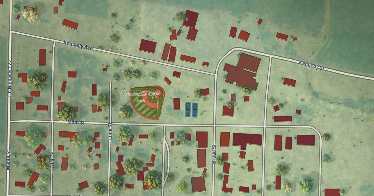
A detailed map of Granville, Iowa, showing every building in its true location, the roads by name, and shaded topographical relief.
Read More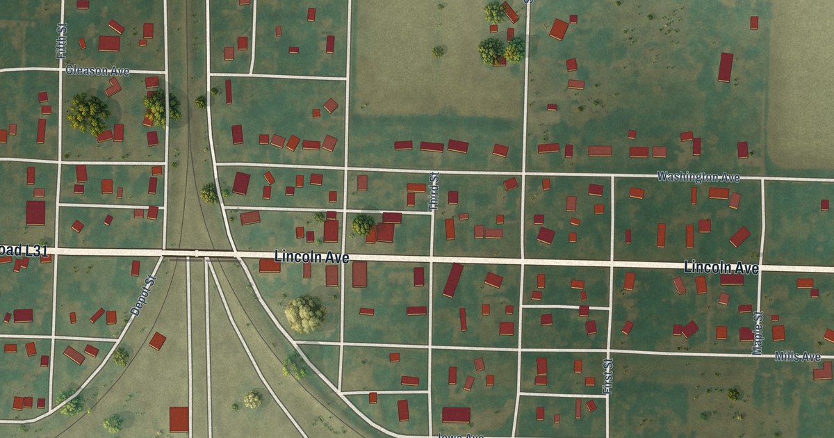
A detailed map of Pacific Junction, Iowa, showing every building in its true location, the roads by name, and shaded topographical relief.
Read More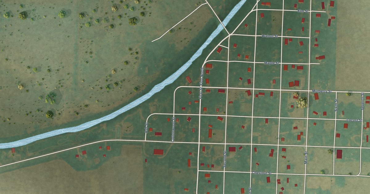
A detailed map of Little Sioux, Iowa, showing every building in its true location, the roads by name, and shaded topographical relief.
Read More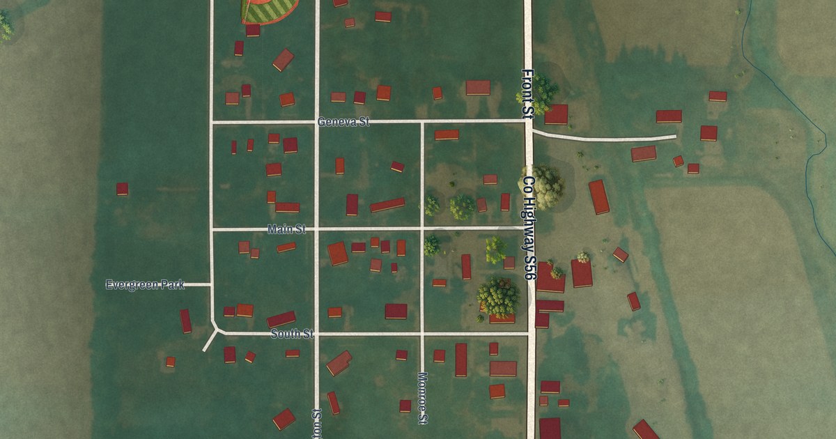
A detailed map of Geneva, Iowa, showing every building in its true location, the roads by name, and shaded topographical relief.
Read More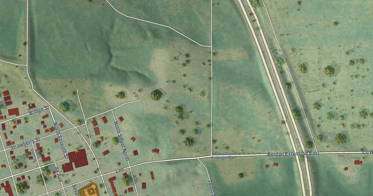
A detailed map of Eddyville, Iowa, showing every building in its true location, the roads by name, and shaded topographical relief.
Read More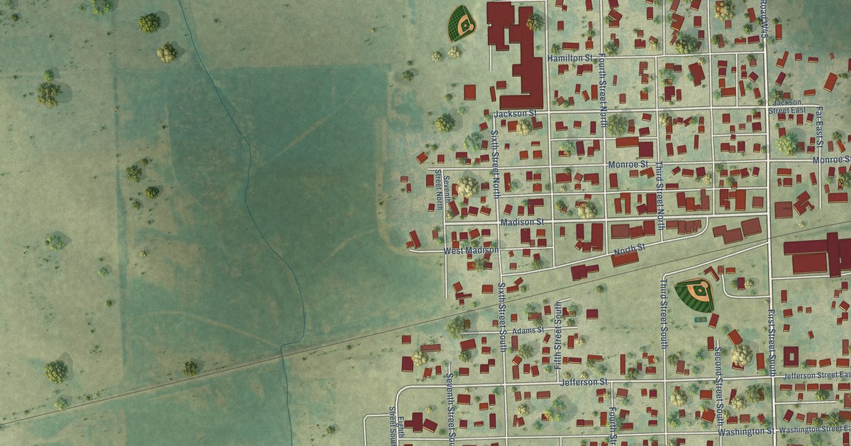
A detailed map of Winthrop, Iowa, showing every building in its true location, the roads by name, and shaded topographical relief.
Read More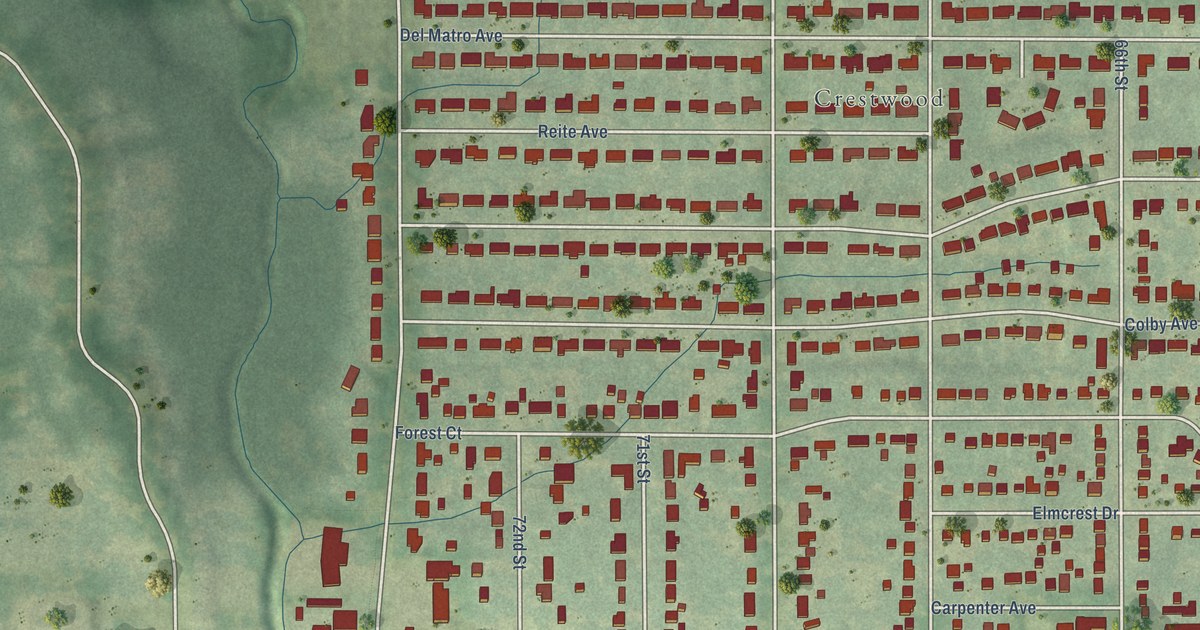
A detailed map of Windsor Heights, Iowa, showing every building in its true location, the roads by name, and shaded topographical relief.
Read More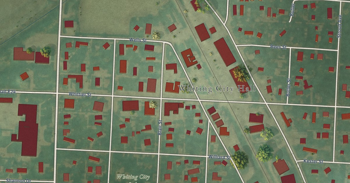
A detailed map of Whiting, Iowa, showing every building in its true location, the roads by name, and shaded topographical relief.
Read More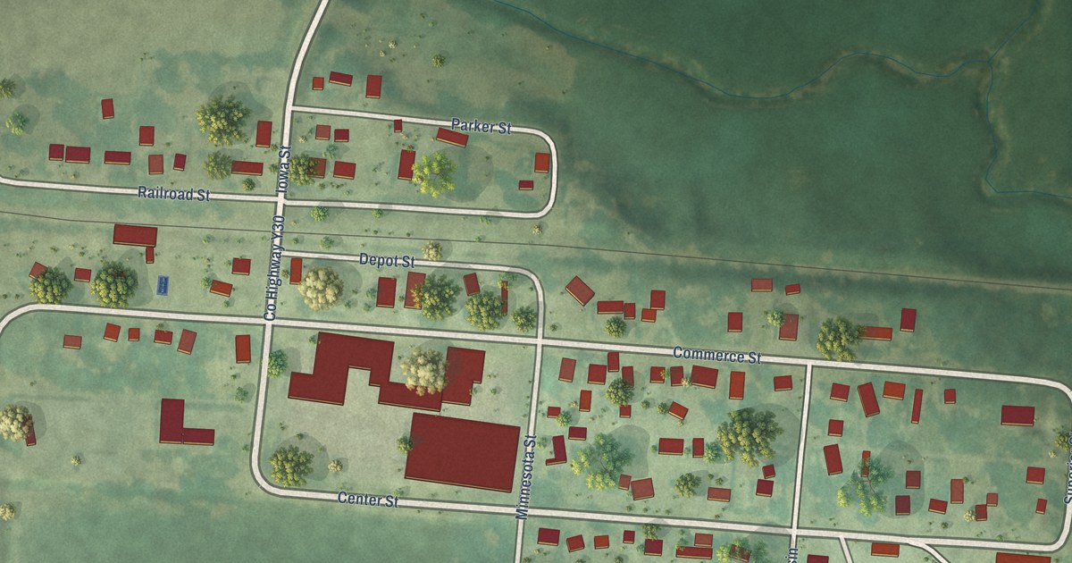
A detailed map of Stockton, Iowa, showing every building in its true location, the roads by name, and shaded topographical relief.
Read More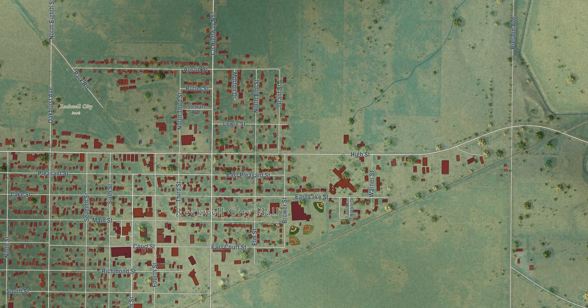
A detailed map of Rockwell City, Iowa, showing every building in its true location, the roads by name, and shaded topographical relief.
Read More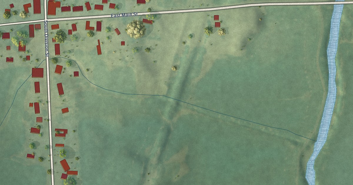
A detailed map of Spragueville, Iowa, showing every building in its true location, the roads by name, and shaded topographical relief.
Read More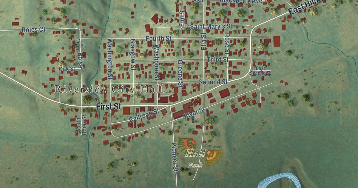
A detailed map of Riverside, Iowa, showing every building in its true location, the roads by name, and shaded topographical relief.
Read More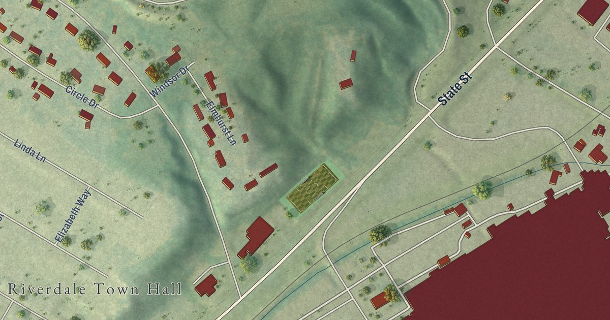
A detailed map of Riverdale, Iowa, showing every building in its true location, the roads by name, and shaded topographical relief.
Read More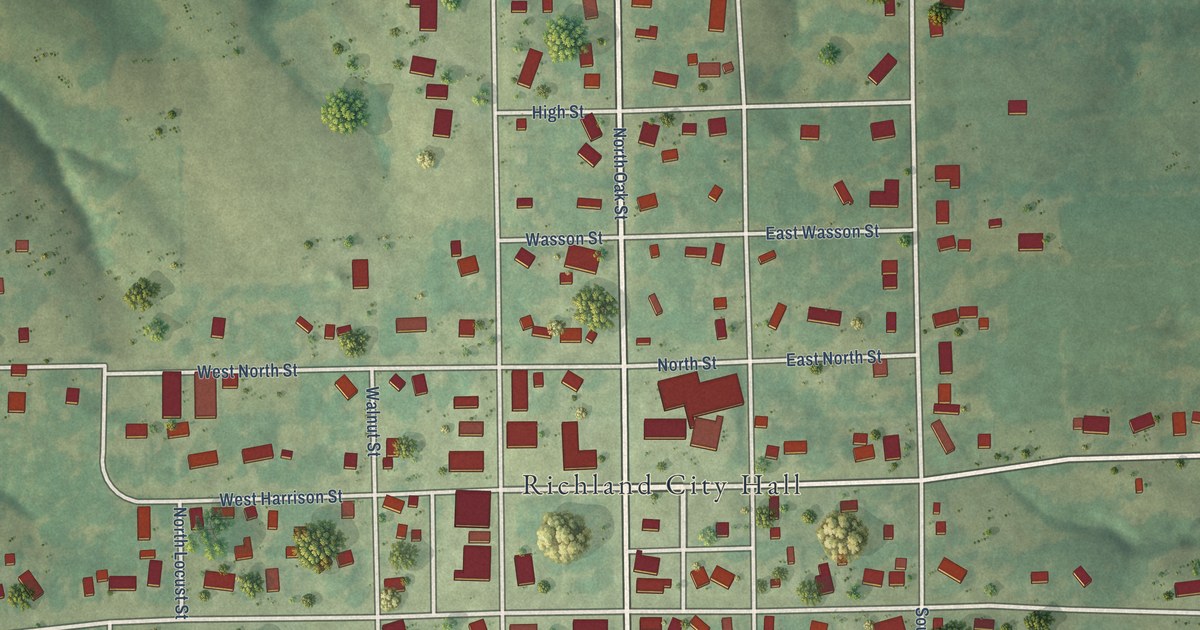
A detailed map of Richland, Iowa, showing every building in its true location, the roads by name, and shaded topographical relief.
Read More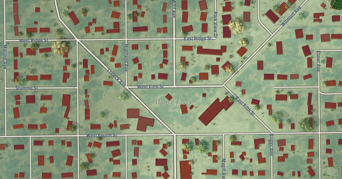
A detailed map of Readlyn, Iowa, showing every building in its true location, the roads by name, and shaded topographical relief.
Read More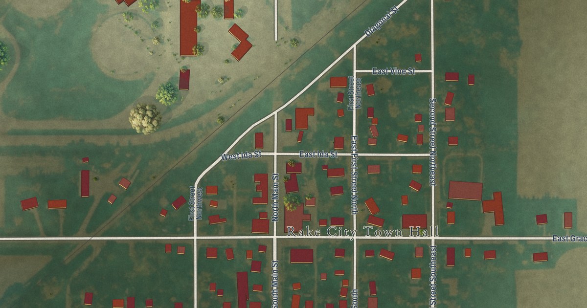
A detailed map of Rake, Iowa, showing every building in its true location, the roads by name, and shaded topographical relief.
Read More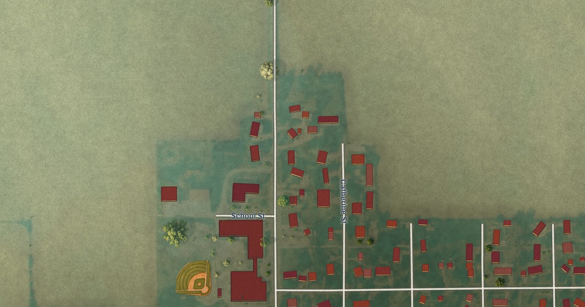
A detailed map of Radcliffe, Iowa, showing every building in its true location, the roads by name, and shaded topographical relief.
Read More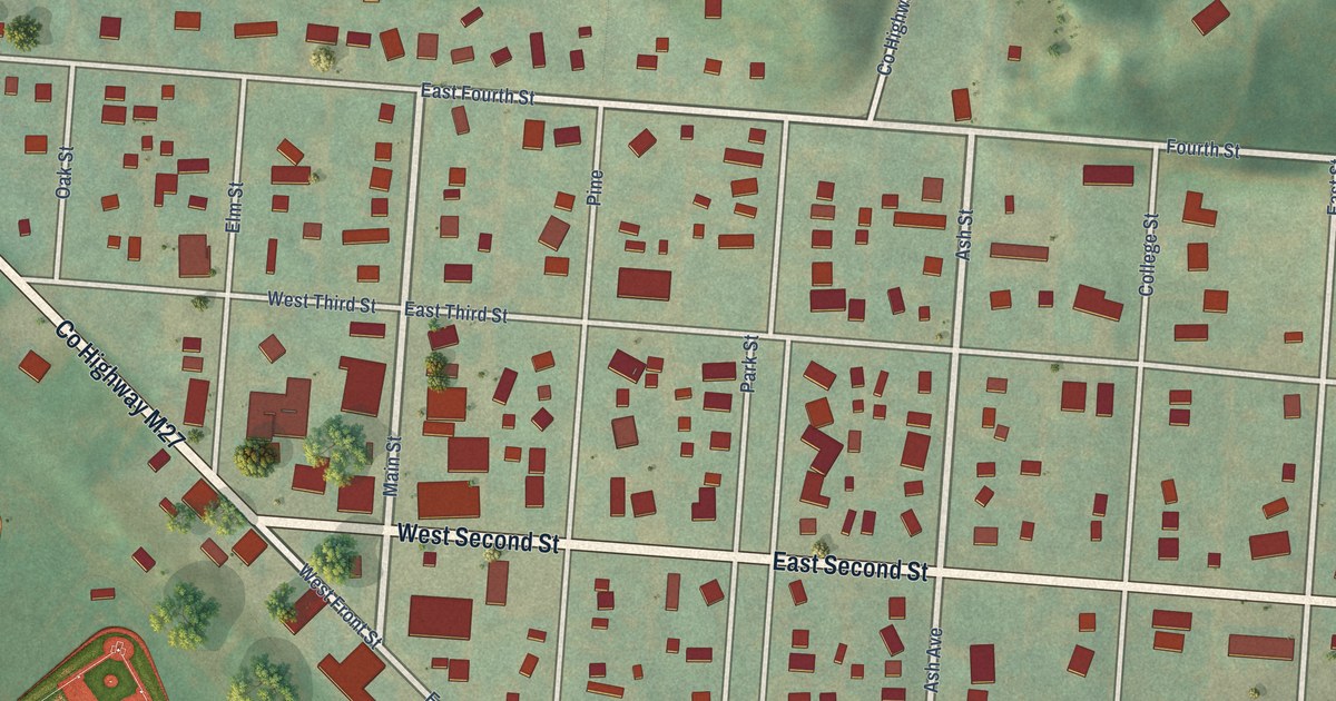
A detailed map of Peterson, Iowa, showing every building in its true location, the roads by name, and shaded topographical relief.
Read More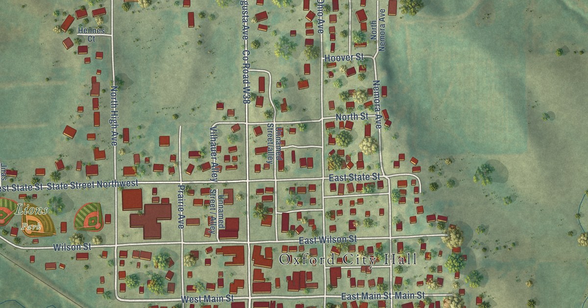
A detailed map of Oxford, Iowa, showing every building in its true location, the roads by name, and shaded topographical relief.
Read More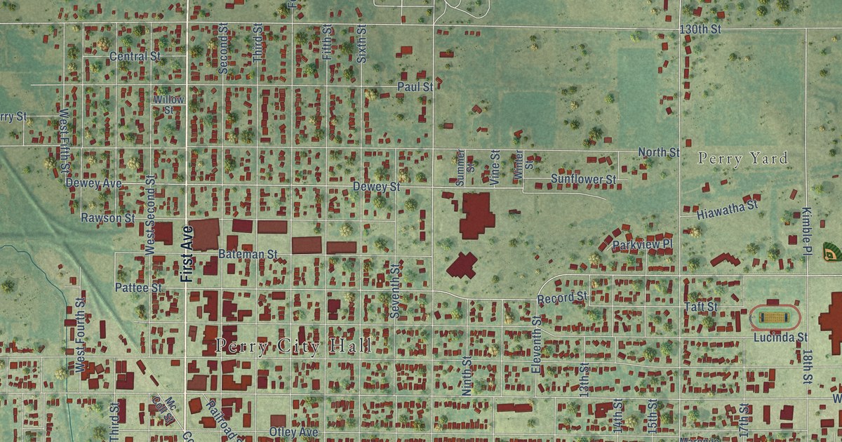
A detailed map of Perry, Iowa, showing every building in its true location, the roads by name, and shaded topographical relief.
Read More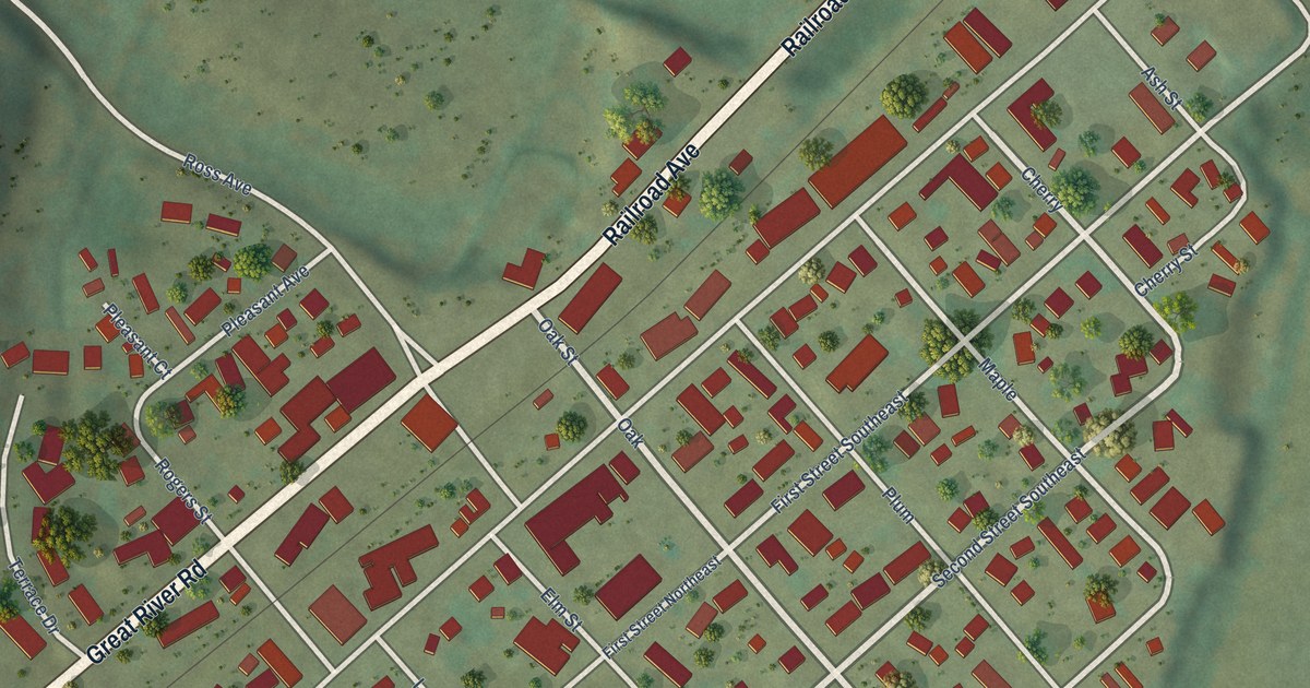
A detailed map of New Albin, Iowa, showing every building in its true location, the roads by name, and shaded topographical relief.
Read More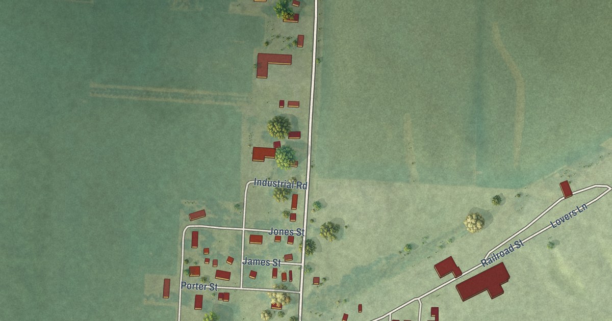
A detailed map of Ocheyedan, Iowa, showing every building in its true location, the roads by name, and shaded topographical relief.
Read More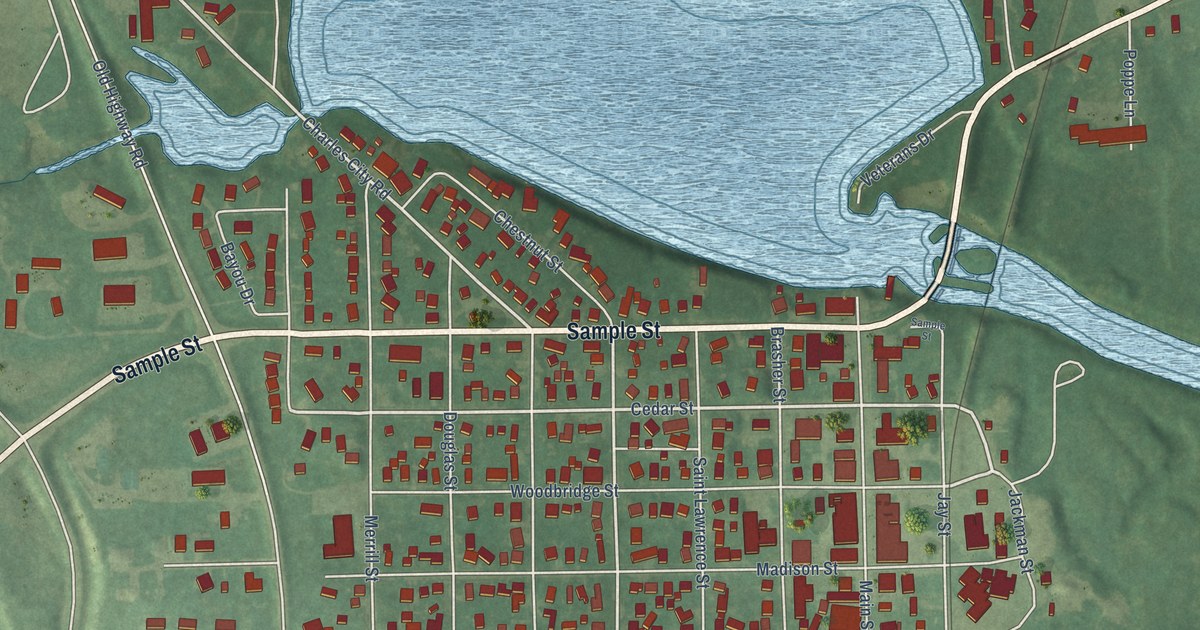
A detailed map of Nashua, Iowa, showing every building in its true location, the roads by name, and shaded topographical relief.
Read More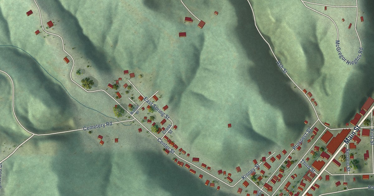
A detailed map of McGregor, Iowa, showing every building in its true location, the roads by name, and shaded topographical relief.
Read More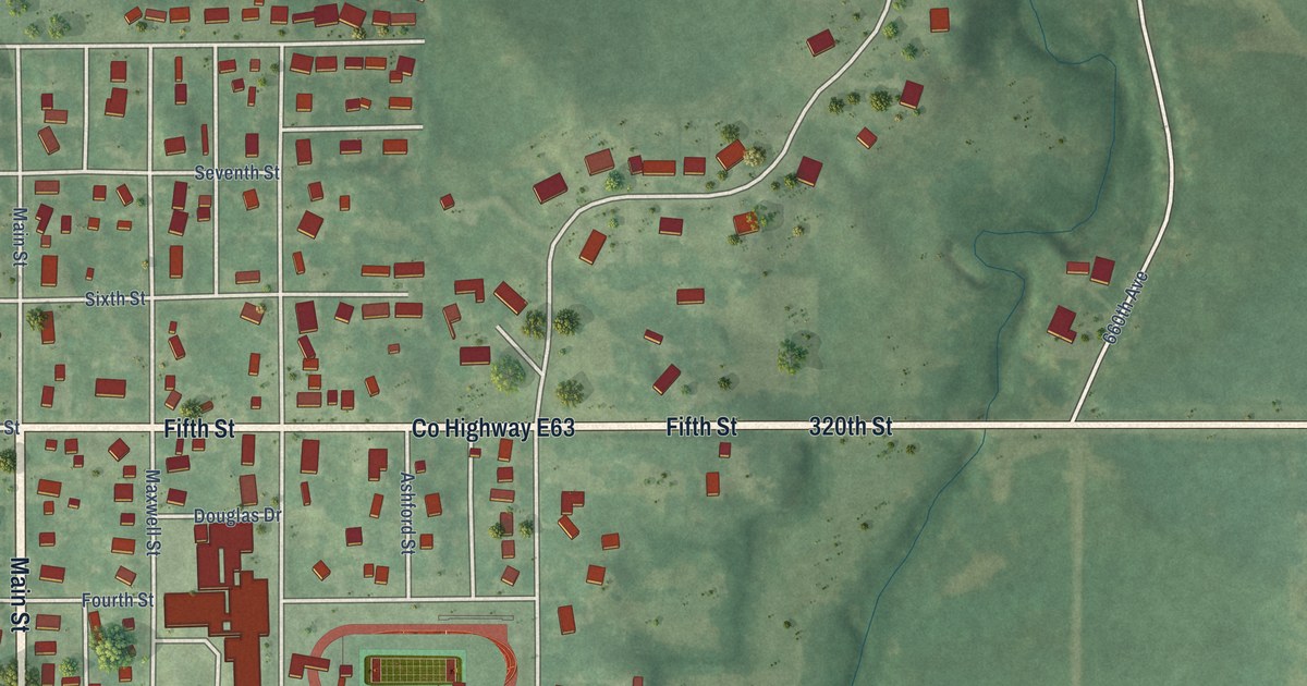
A detailed map of Maxwell, Iowa, showing every building in its true location, the roads by name, and shaded topographical relief.
Read More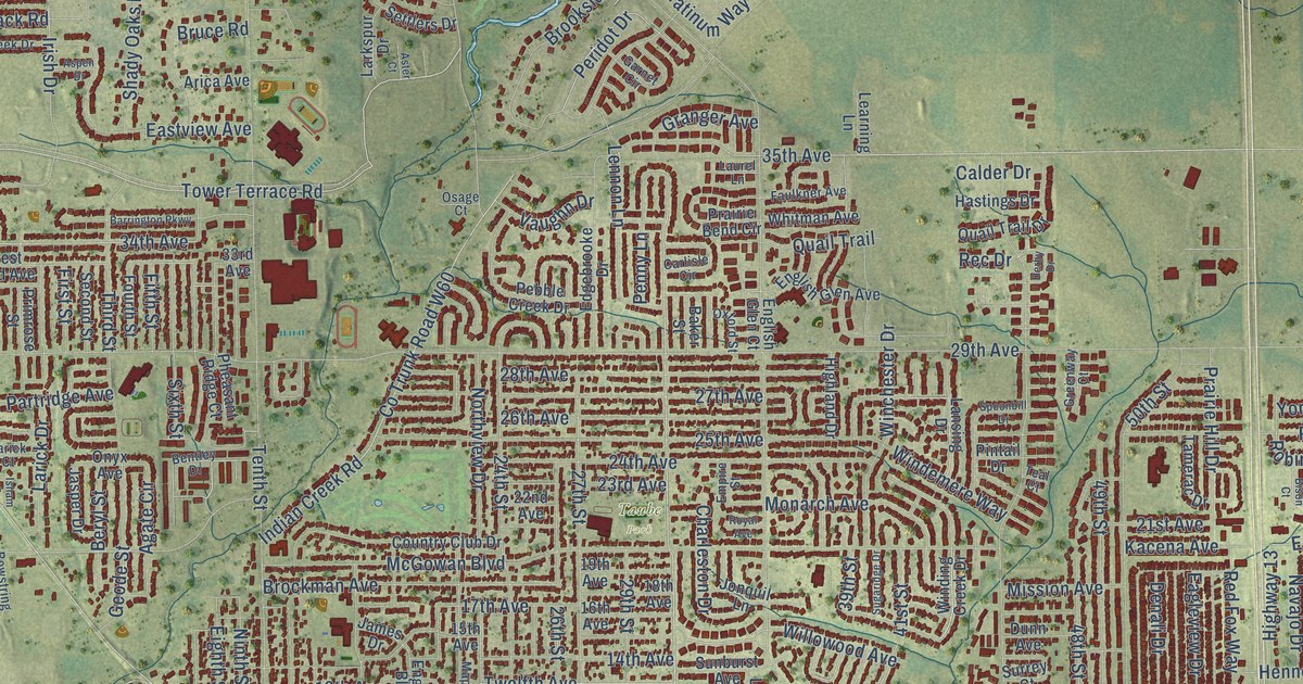
A detailed map of Marion, Iowa, showing every building in its true location, the roads by name, and shaded topographical relief.
Read More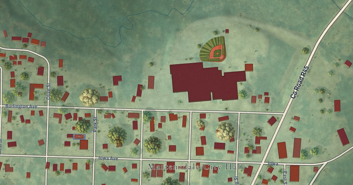
A detailed map of Martensdale, Iowa, showing every building in its true location, the roads by name, and shaded topographical relief.
Read More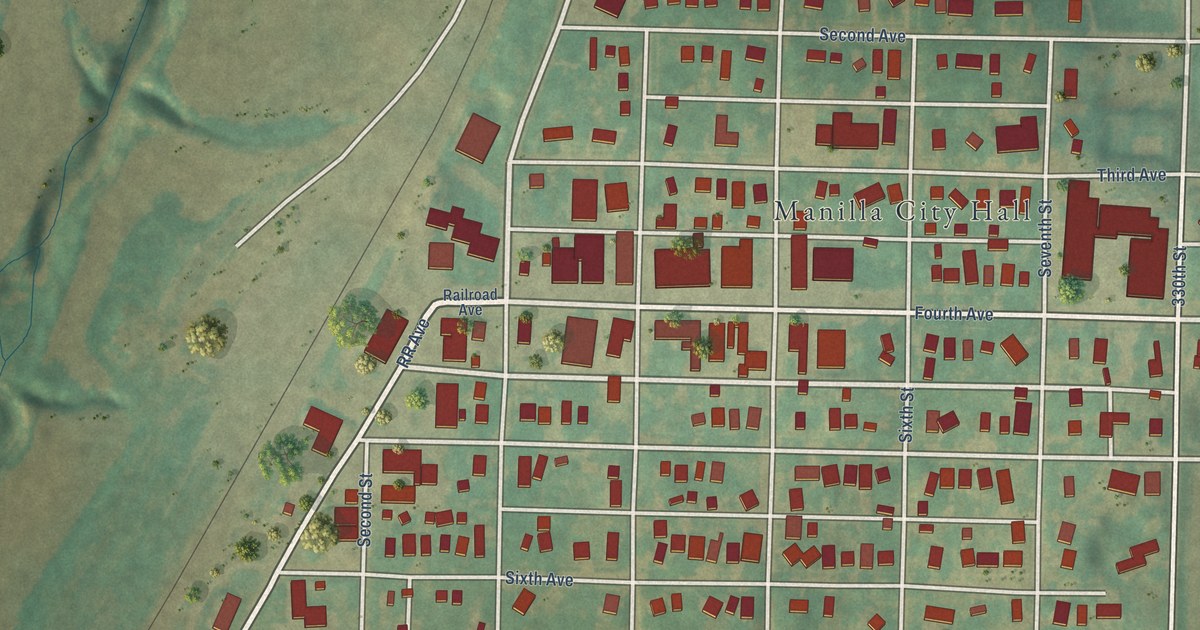
A detailed map of Manilla, Iowa, showing every building in its true location, the roads by name, and shaded topographical relief.
Read More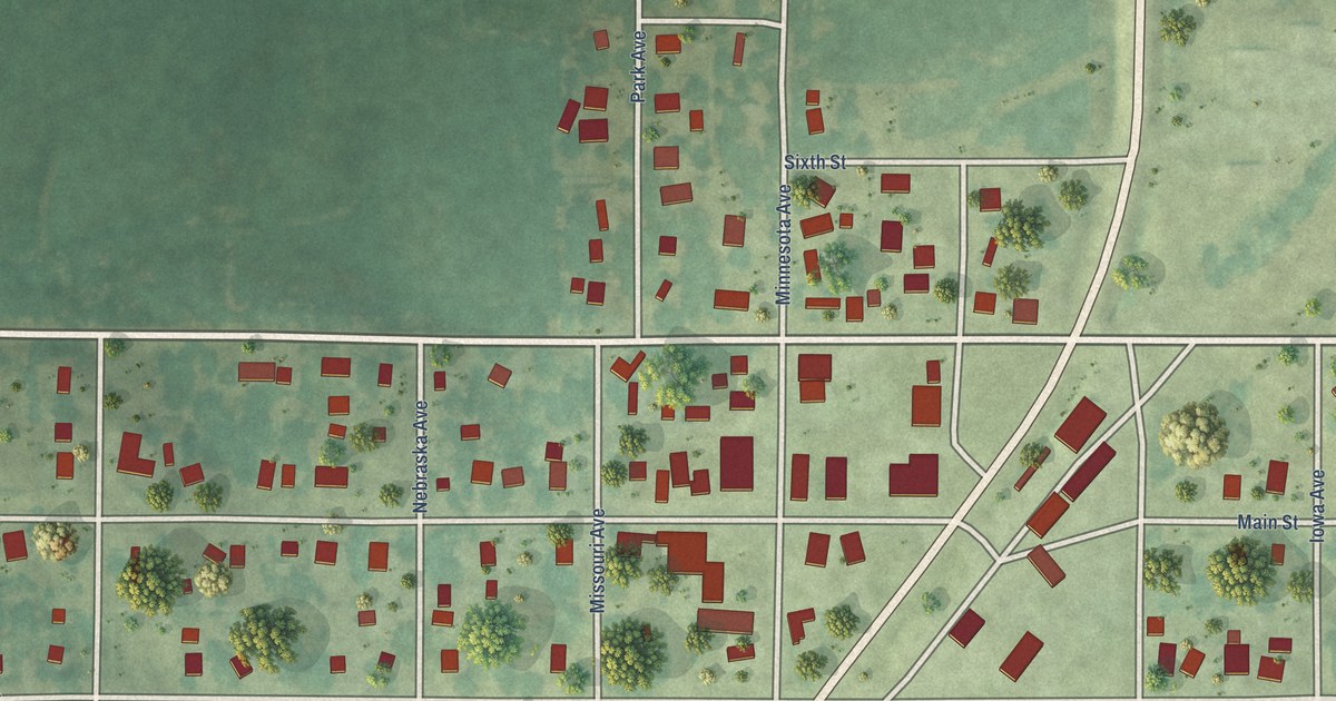
A detailed map of Lorimor, Iowa, showing every building in its true location, the roads by name, and shaded topographical relief.
Read More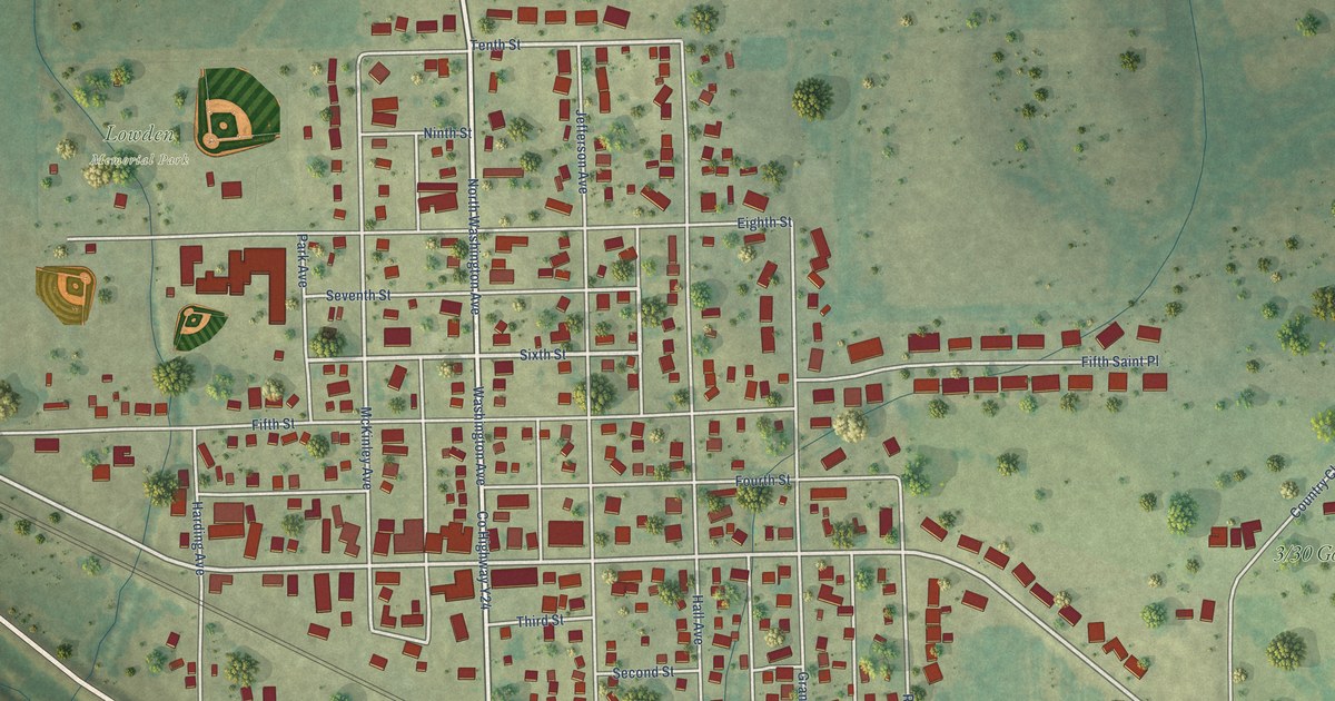
A detailed map of Lowden, Iowa, showing every building in its true location, the roads by name, and shaded topographical relief.
Read More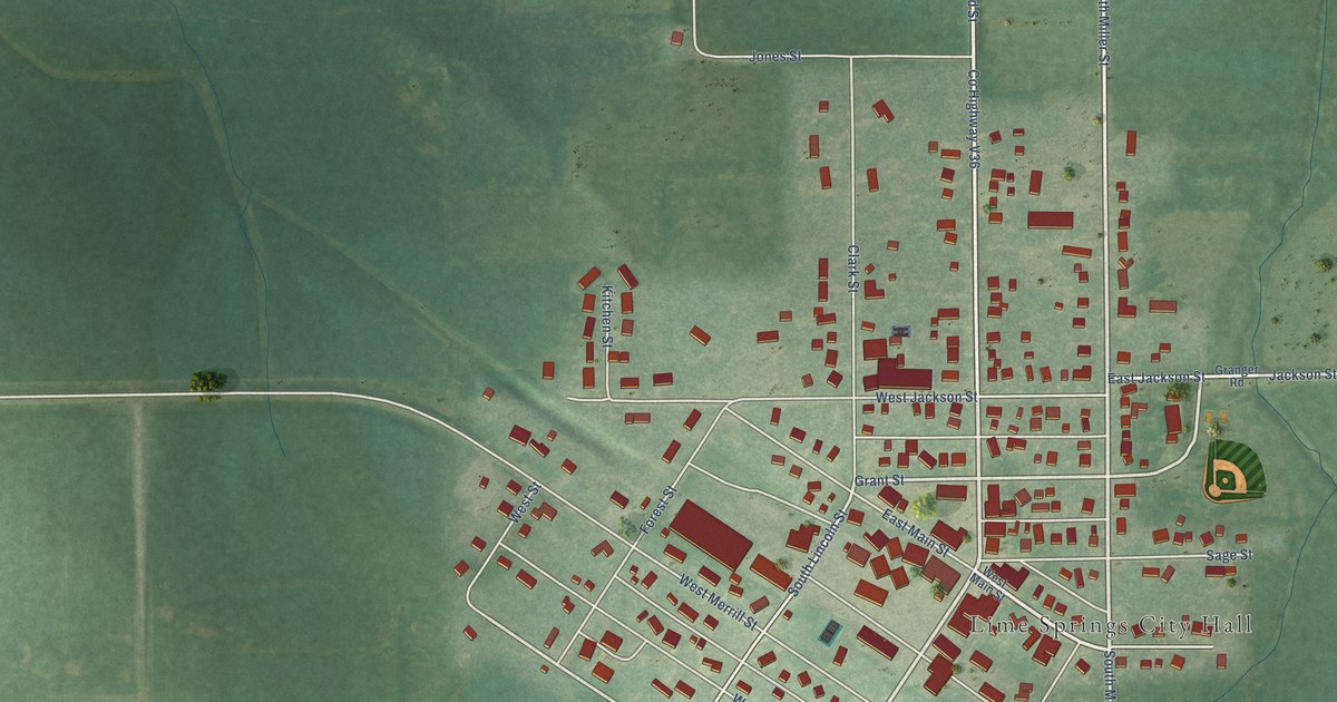
A detailed map of Lime Springs, Iowa, showing every building in its true location, the roads by name, and shaded topographical relief.
Read More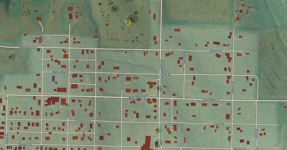
A detailed map of Lewis, Iowa, showing every building in its true location, the roads by name, and shaded topographical relief.
Read More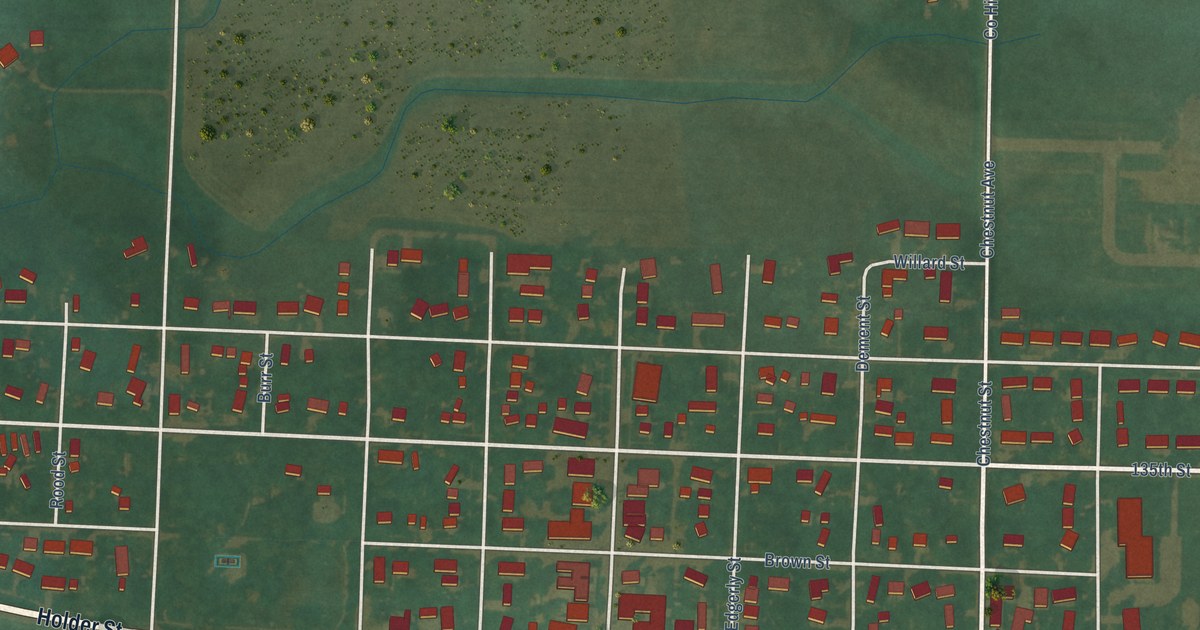
A detailed map of Larchwood, Iowa, showing every building in its true location, the roads by name, and shaded topographical relief.
Read More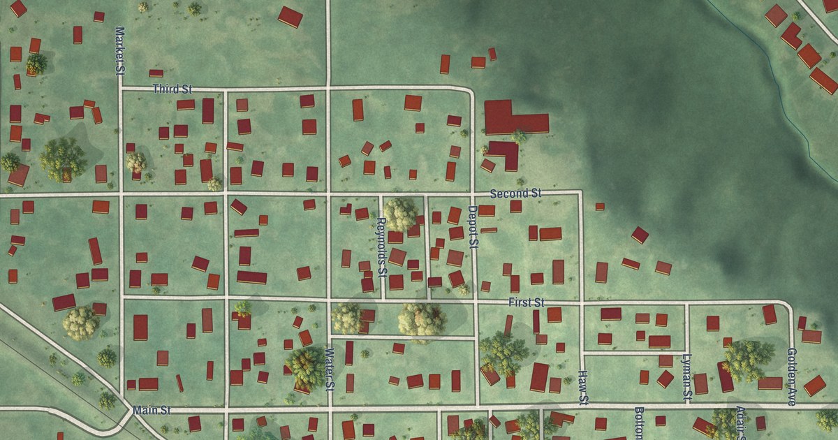
A detailed map of Kellogg, Iowa, showing every building in its true location, the roads by name, and shaded topographical relief.
Read More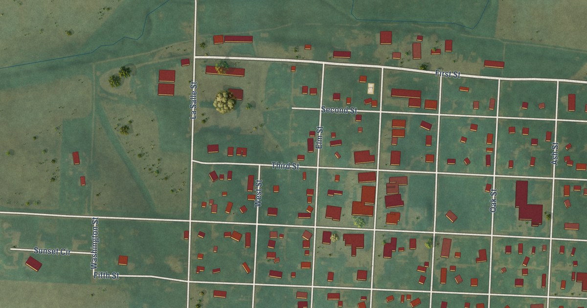
A detailed map of Ireton, Iowa, showing every building in its true location, the roads by name, and shaded topographical relief.
Read More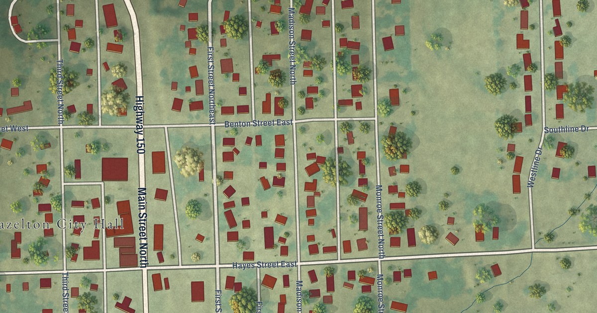
A detailed map of Hazleton, Iowa, showing every building in its true location, the roads by name, and shaded topographical relief.
Read More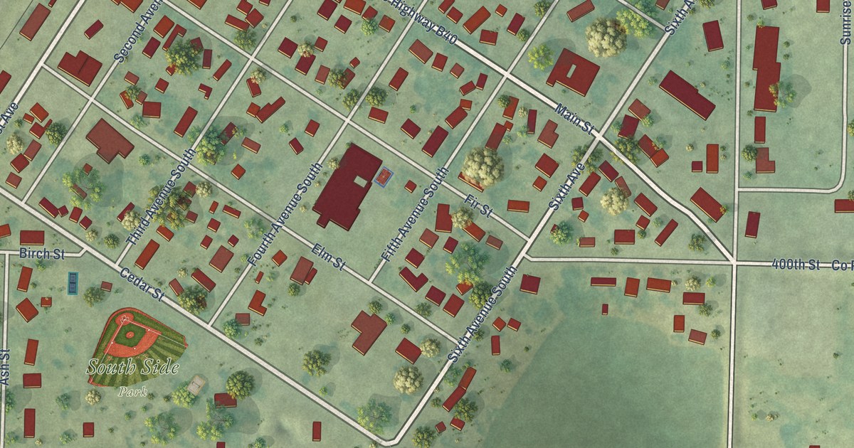
A detailed map of Hospers, Iowa, showing every building in its true location, the roads by name, and shaded topographical relief.
Read More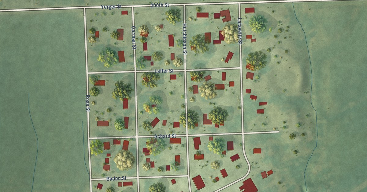
A detailed map of Harper, Iowa, showing every building in its true location, the roads by name, and shaded topographical relief.
Read More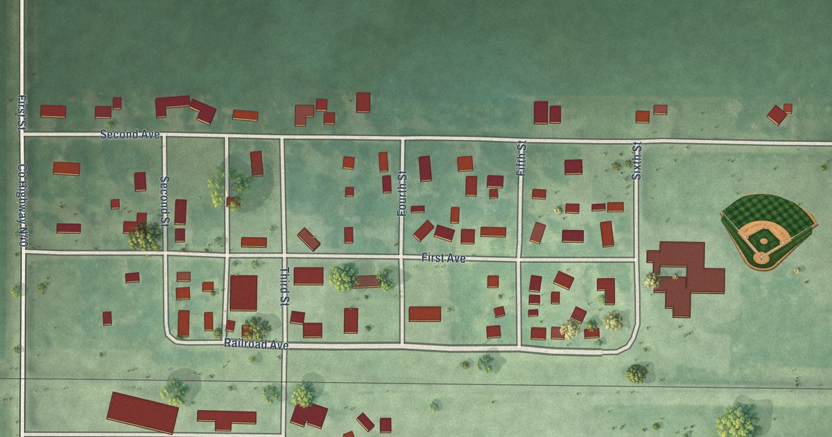
A detailed map of Gruver, Iowa, showing every building in its true location, the roads by name, and shaded topographical relief.
Read More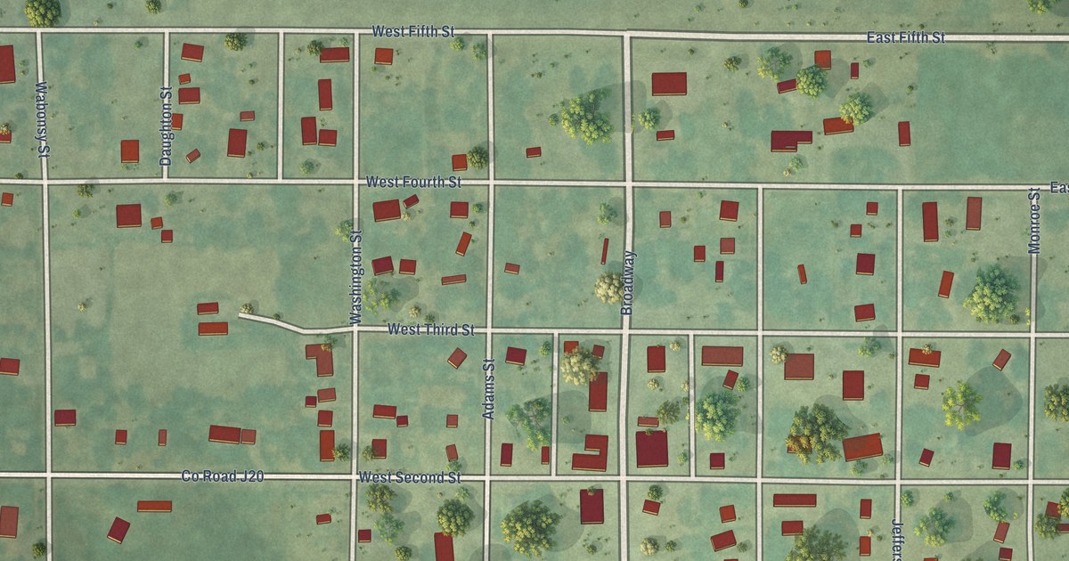
A detailed map of Grand River, Iowa, showing every building in its true location, the roads by name, and shaded topographical relief.
Read More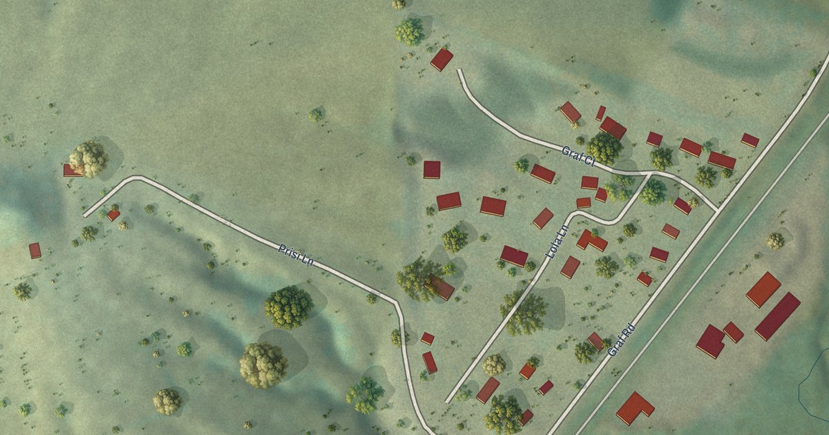
A detailed map of Graf, Iowa, showing every building in its true location, the roads by name, and shaded topographical relief.
Read More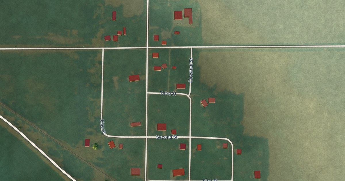
A detailed map of Galt, Iowa, showing every building in its true location, the roads by name, and shaded topographical relief.
Read More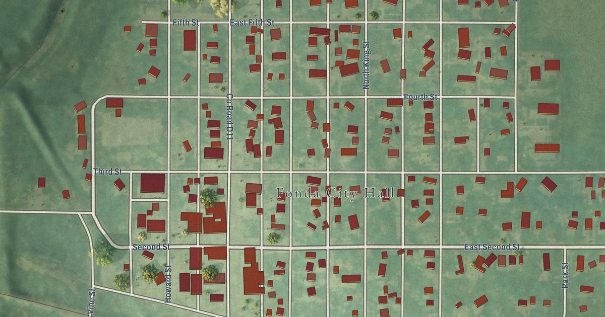
A detailed map of Fonda, Iowa, showing every building in its true location, the roads by name, and shaded topographical relief.
Read More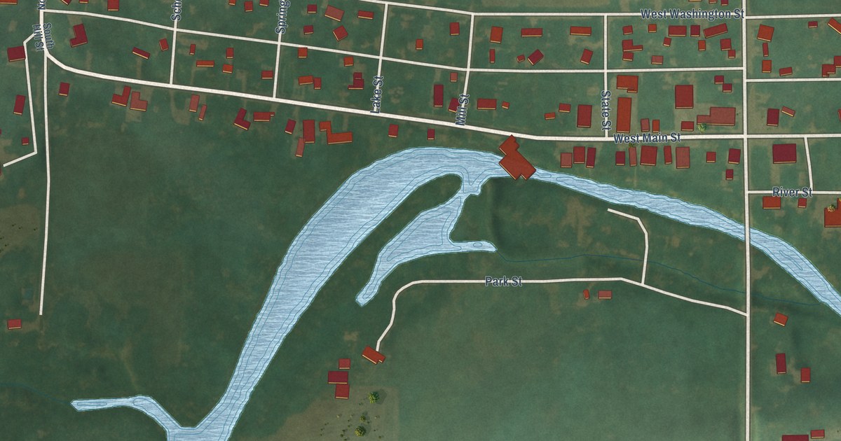
A detailed map of Fertile, Iowa, showing every building in its true location, the roads by name, and shaded topographical relief.
Read More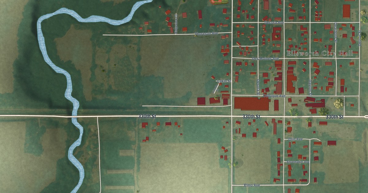
A detailed map of Ellsworth, Iowa, showing every building in its true location, the roads by name, and shaded topographical relief.
Read More















