Detailed Map of Lanesboro, Iowa
A detailed map of Lanesboro, Iowa, showing every building in its true location, the roads by name, and shaded topographical relief.
Read More
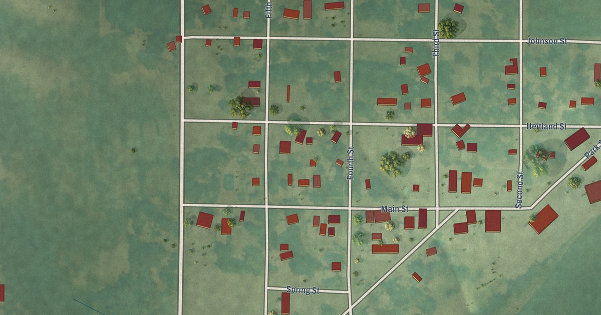
A detailed map of Lanesboro, Iowa, showing every building in its true location, the roads by name, and shaded topographical relief.
Read More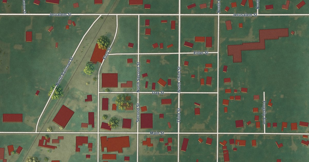
A detailed map of Klemme, Iowa, showing every building in its true location, the roads by name, and shaded topographical relief.
Read More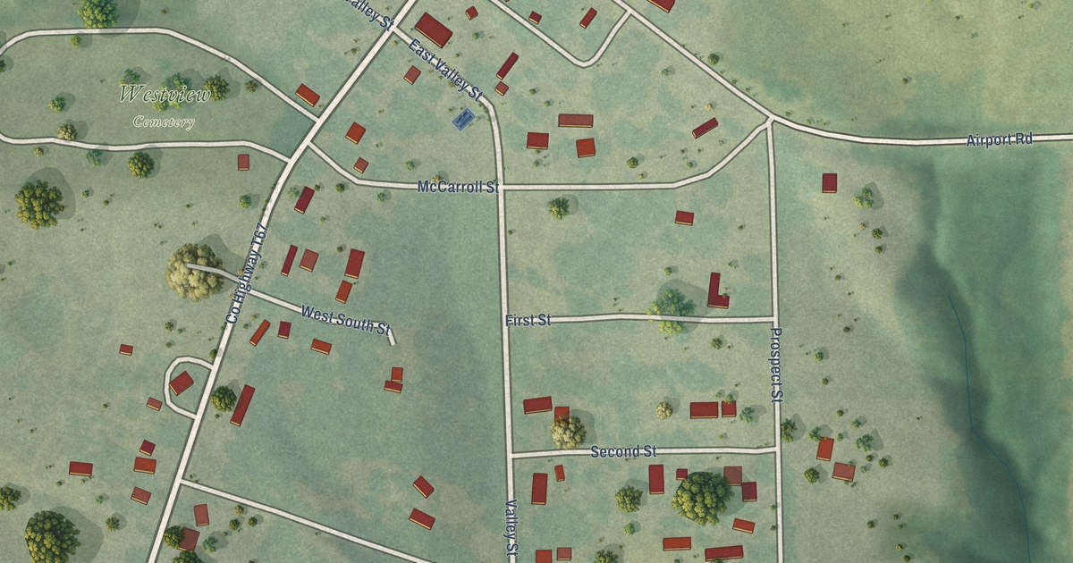
A detailed map of Kirkville, Iowa, showing every building in its true location, the roads by name, and shaded topographical relief.
Read More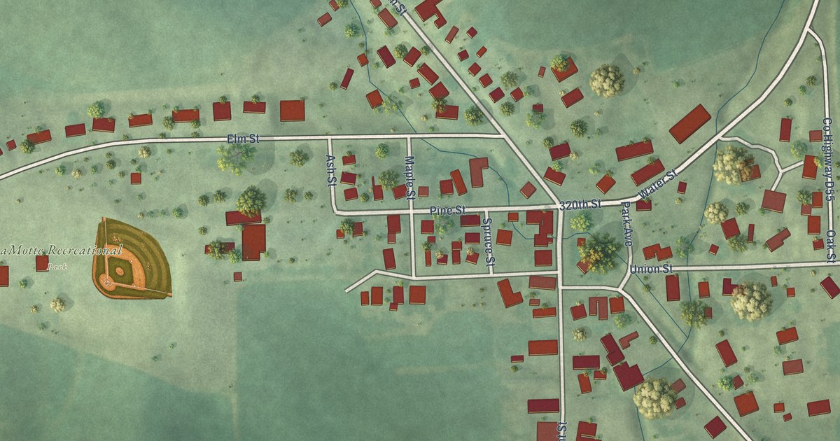
A detailed map of La Motte, Iowa, showing every building in its true location, the roads by name, and shaded topographical relief.
Read More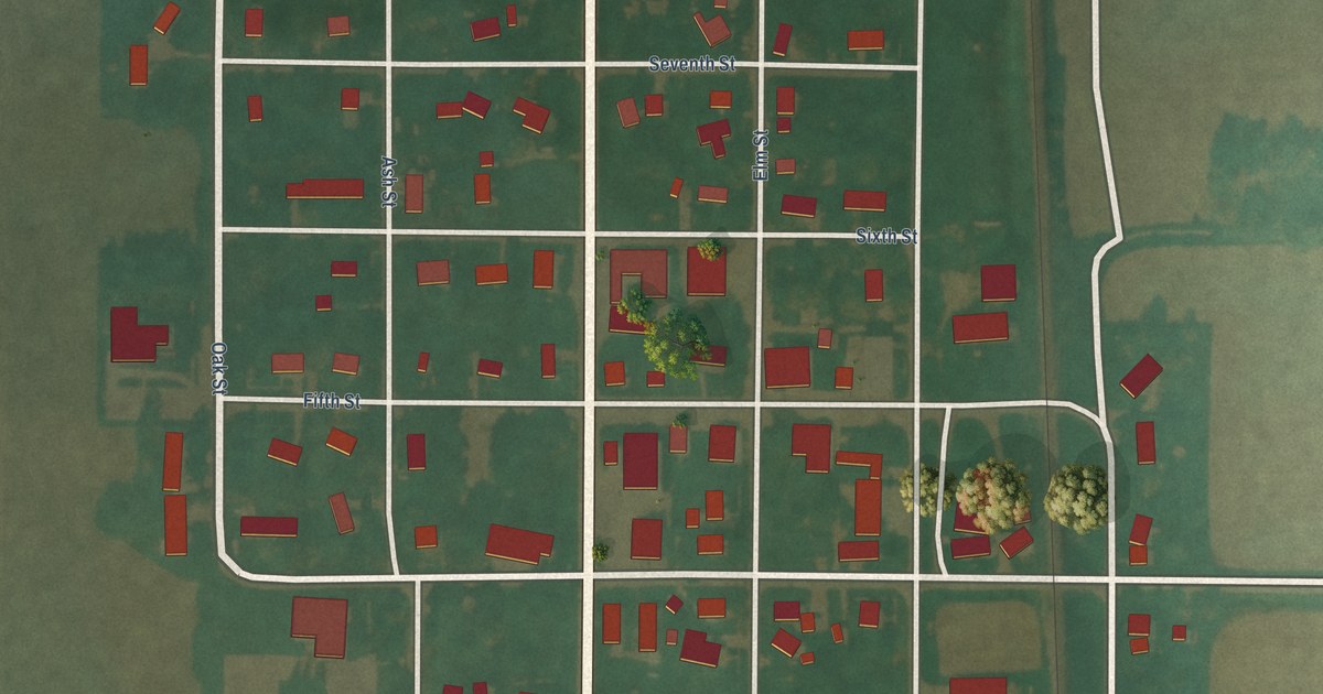
A detailed map of Kensett, Iowa, showing every building in its true location, the roads by name, and shaded topographical relief.
Read More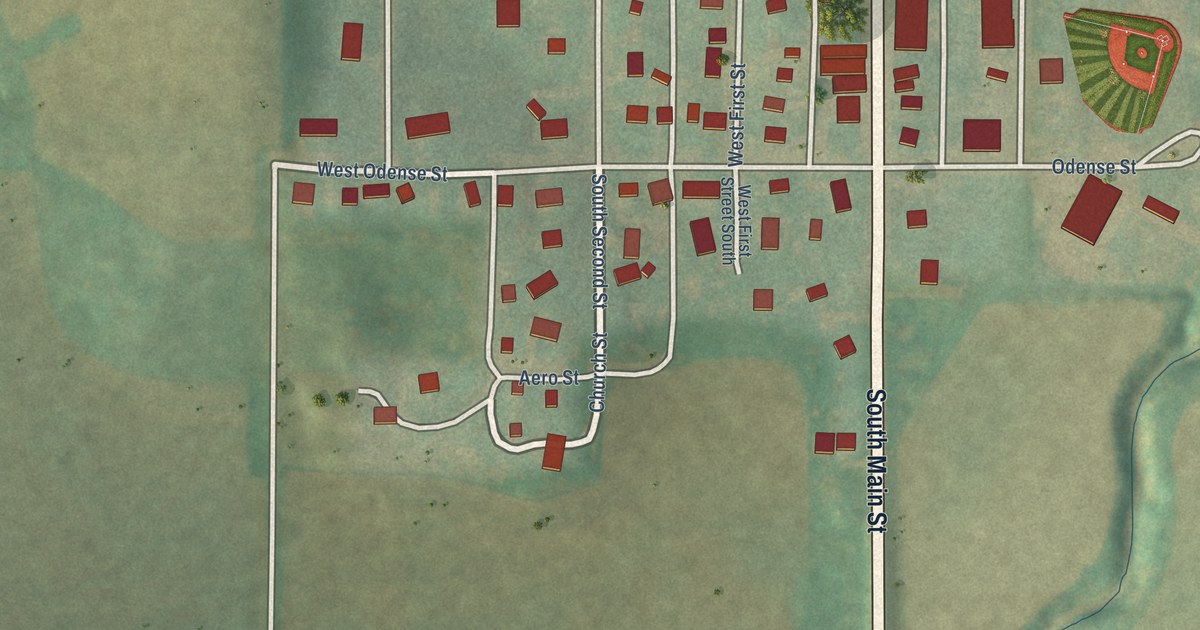
A detailed map of Kimballton, Iowa, showing every building in its true location, the roads by name, and shaded topographical relief.
Read More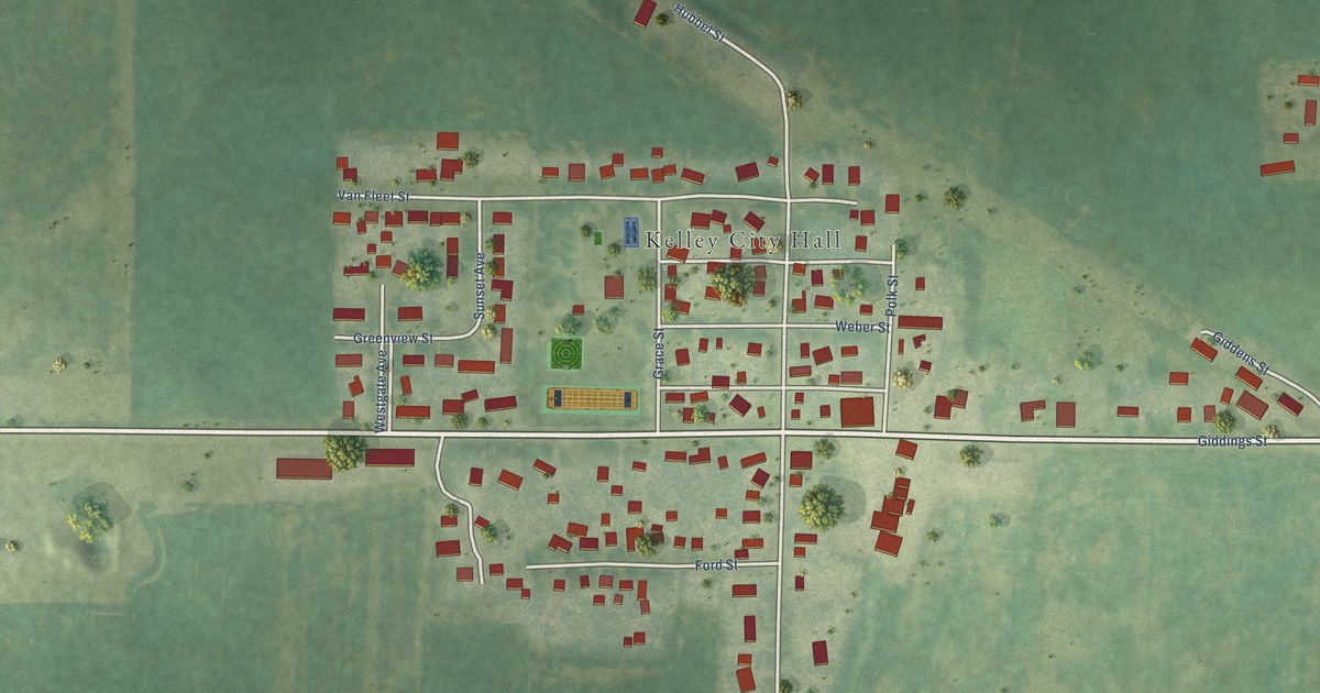
A detailed map of Kelley, Iowa, showing every building in its true location, the roads by name, and shaded topographical relief.
Read More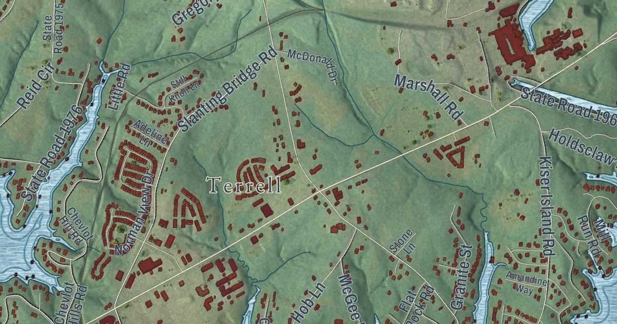
A detailed map of Lake Norman of Catawba, North Carolina, showing every building in its true location, the roads by name, and shaded topographical relief.
Read More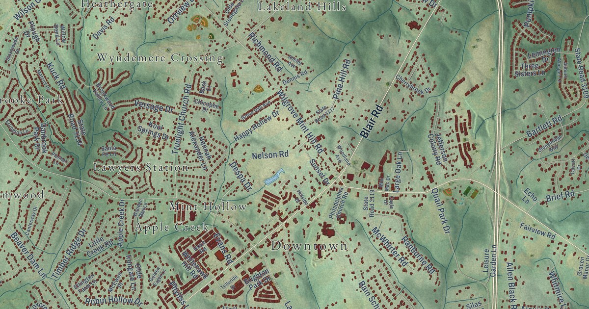
A detailed map of Mint Hill, North Carolina, showing every building in its true location, the roads by name, and shaded topographical relief.
Read More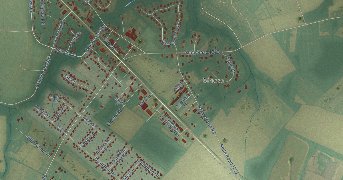
A detailed map of Moyock, North Carolina, showing every building in its true location, the roads by name, and shaded topographical relief.
Read More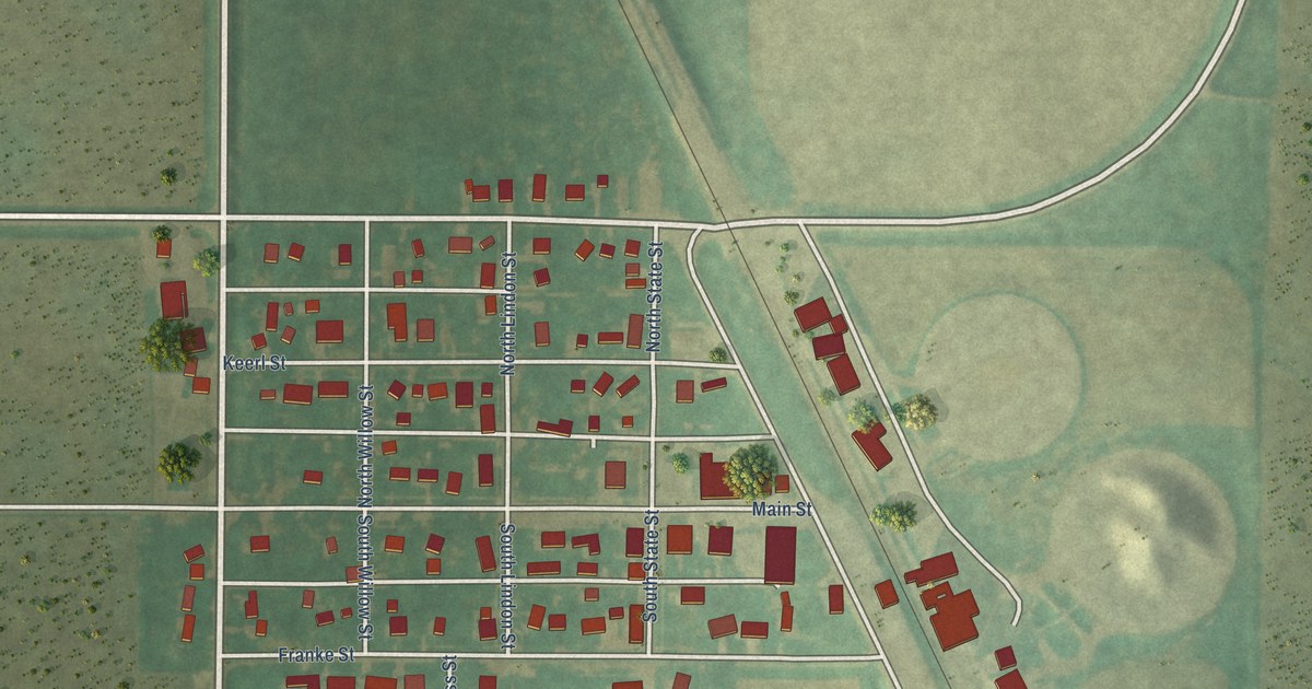
A detailed map of Joice, Iowa, showing every building in its true location, the roads by name, and shaded topographical relief.
Read More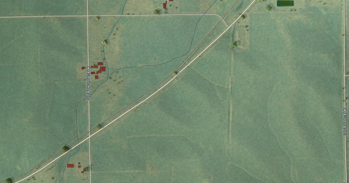
A detailed map of Jackson Junction, Iowa, showing every building in its true location, the roads by name, and shaded topographical relief.
Read More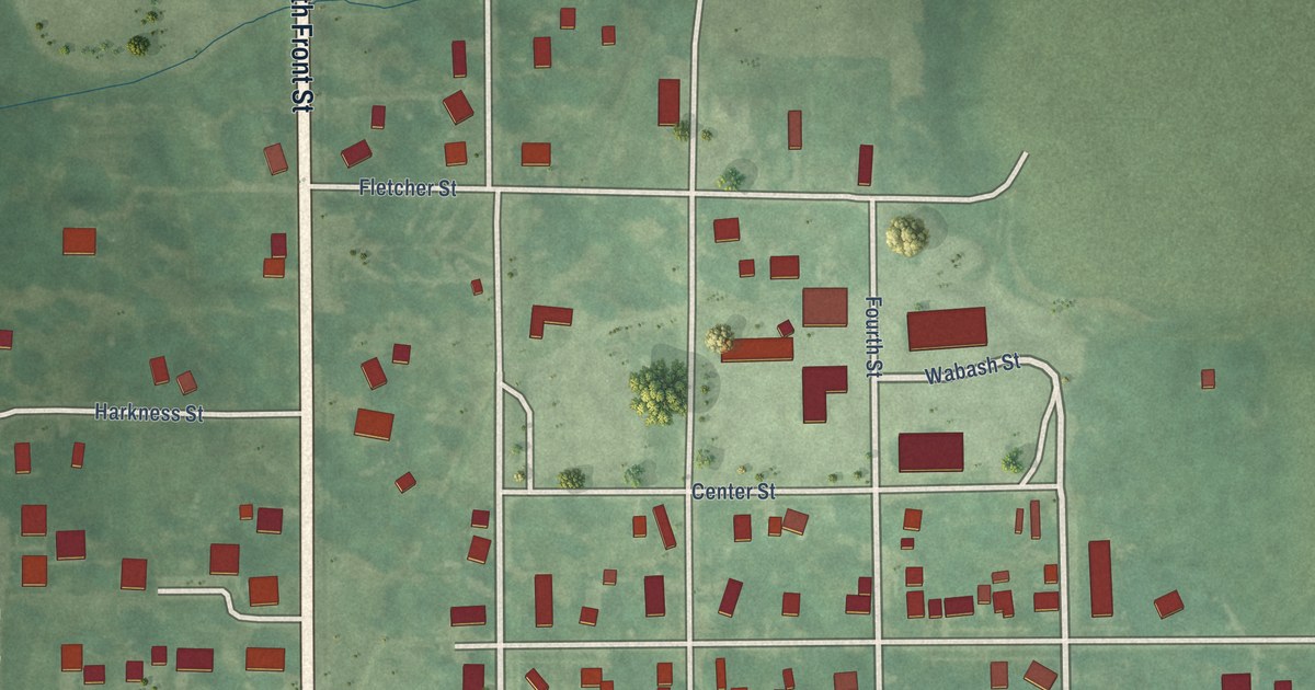
A detailed map of Humeston, Iowa, showing every building in its true location, the roads by name, and shaded topographical relief.
Read More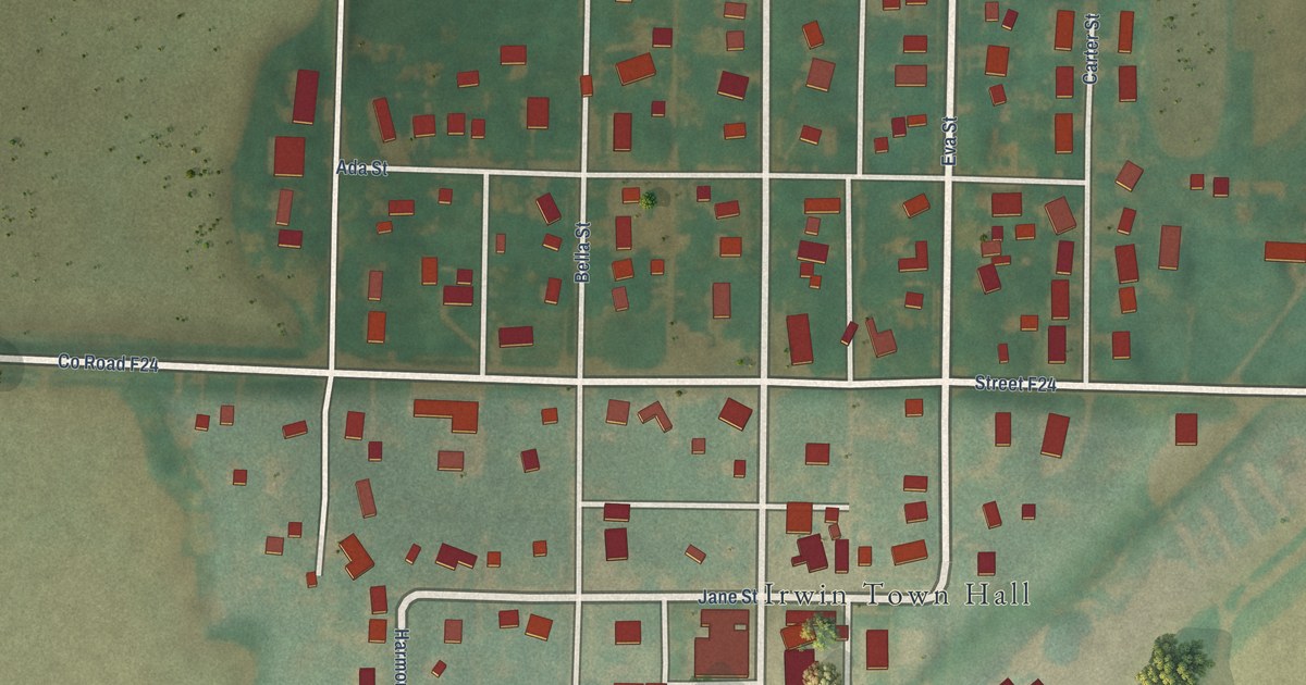
A detailed map of Irwin, Iowa, showing every building in its true location, the roads by name, and shaded topographical relief.
Read More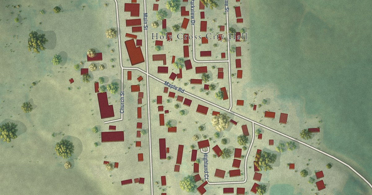
A detailed map of Holy Cross, Iowa, showing every building in its true location, the roads by name, and shaded topographical relief.
Read More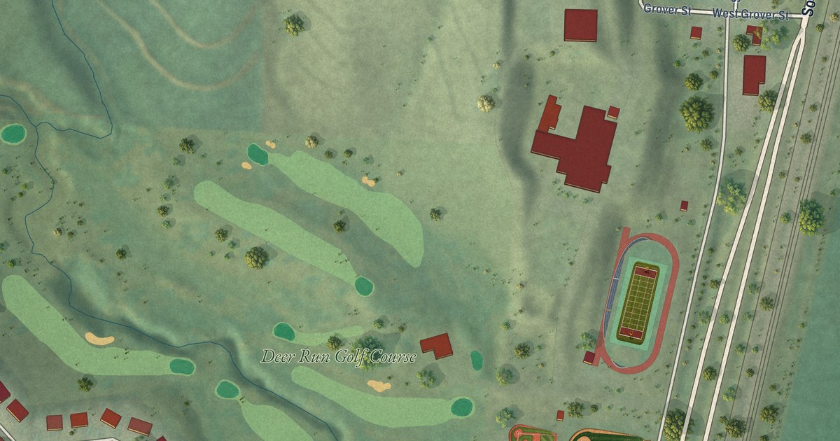
A detailed map of Hinton, Iowa, showing every building in its true location, the roads by name, and shaded topographical relief.
Read More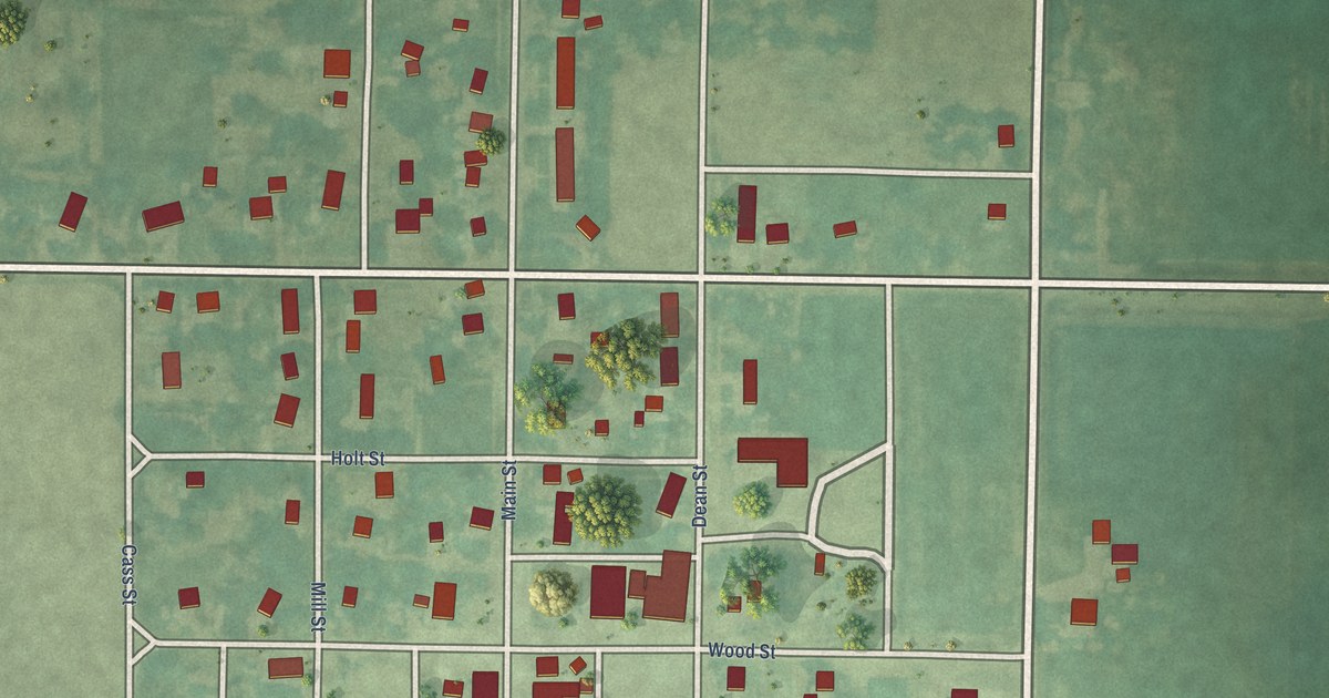
A detailed map of Havelock, Iowa, showing every building in its true location, the roads by name, and shaded topographical relief.
Read More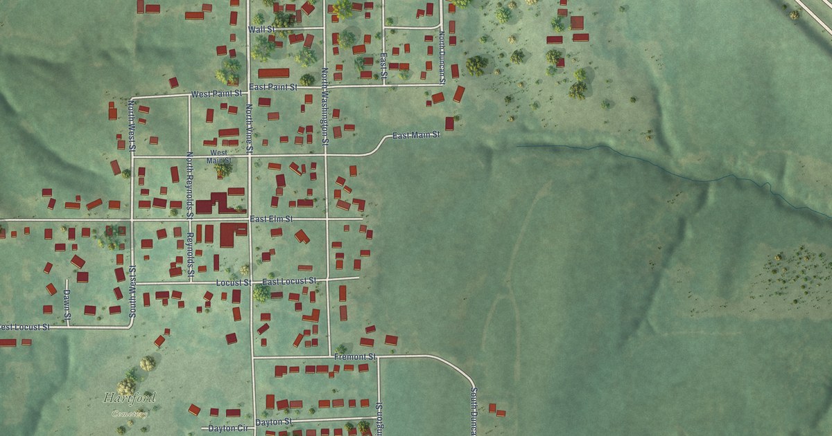
A detailed map of Hartford, Iowa, showing every building in its true location, the roads by name, and shaded topographical relief.
Read More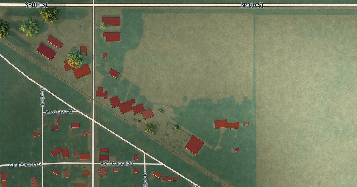
A detailed map of Hanlontown, Iowa, showing every building in its true location, the roads by name, and shaded topographical relief.
Read More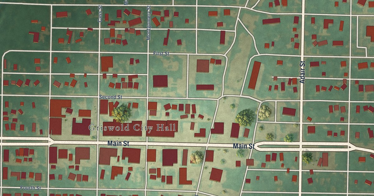
A detailed map of Griswold, Iowa, showing every building in its true location, the roads by name, and shaded topographical relief.
Read More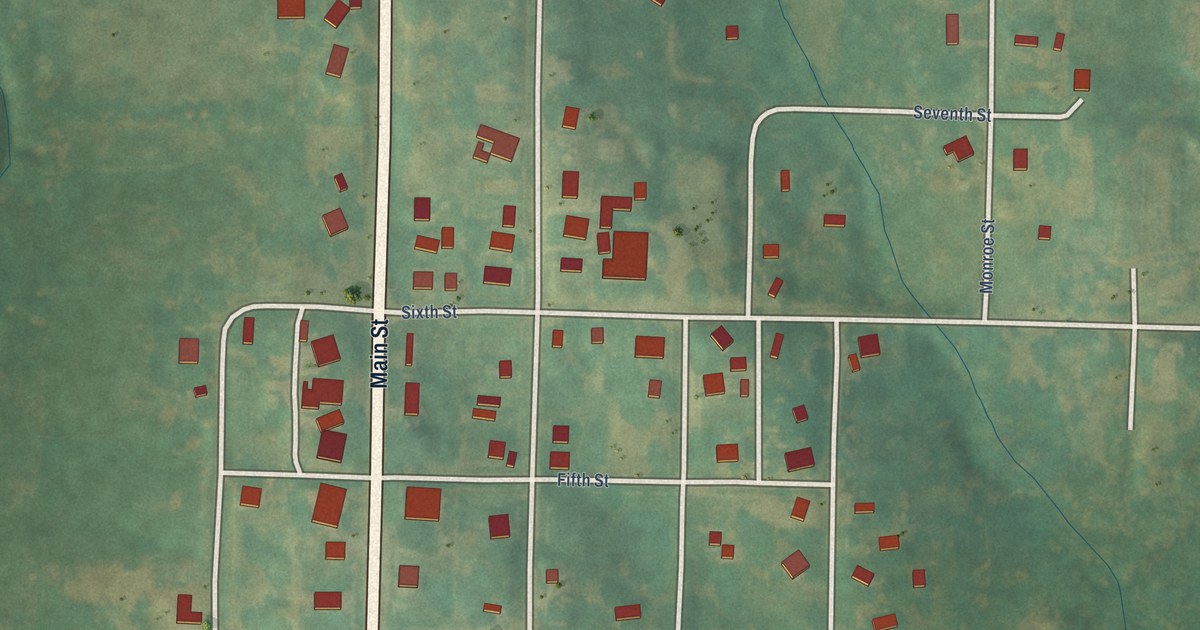
A detailed map of Gravity, Iowa, showing every building in its true location, the roads by name, and shaded topographical relief.
Read More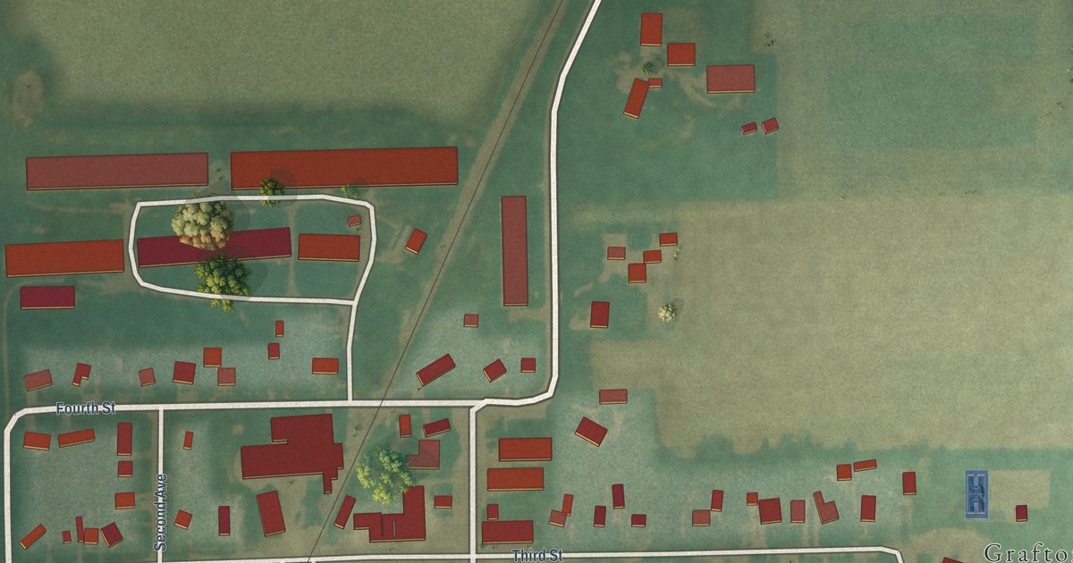
A detailed map of Grafton, Iowa, showing every building in its true location, the roads by name, and shaded topographical relief.
Read More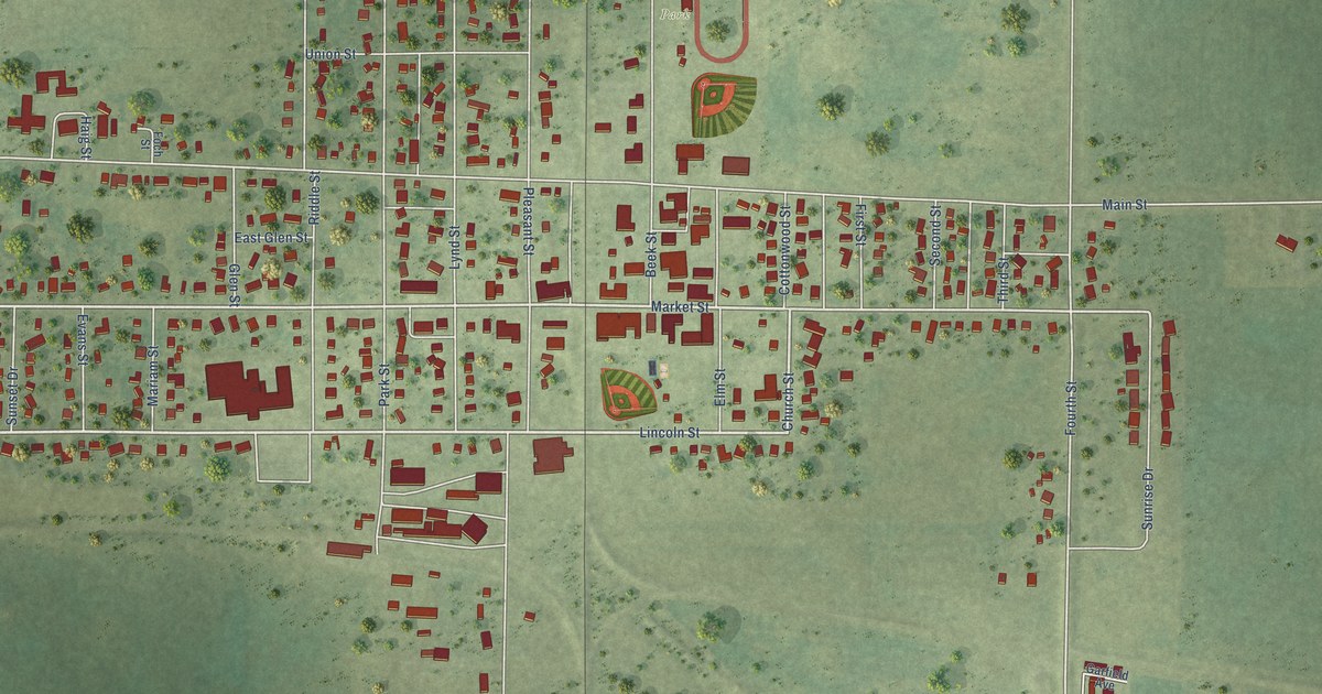
A detailed map of Gowrie, Iowa, showing every building in its true location, the roads by name, and shaded topographical relief.
Read More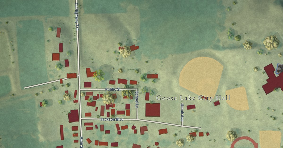
A detailed map of Goose Lake, Iowa, showing every building in its true location, the roads by name, and shaded topographical relief.
Read More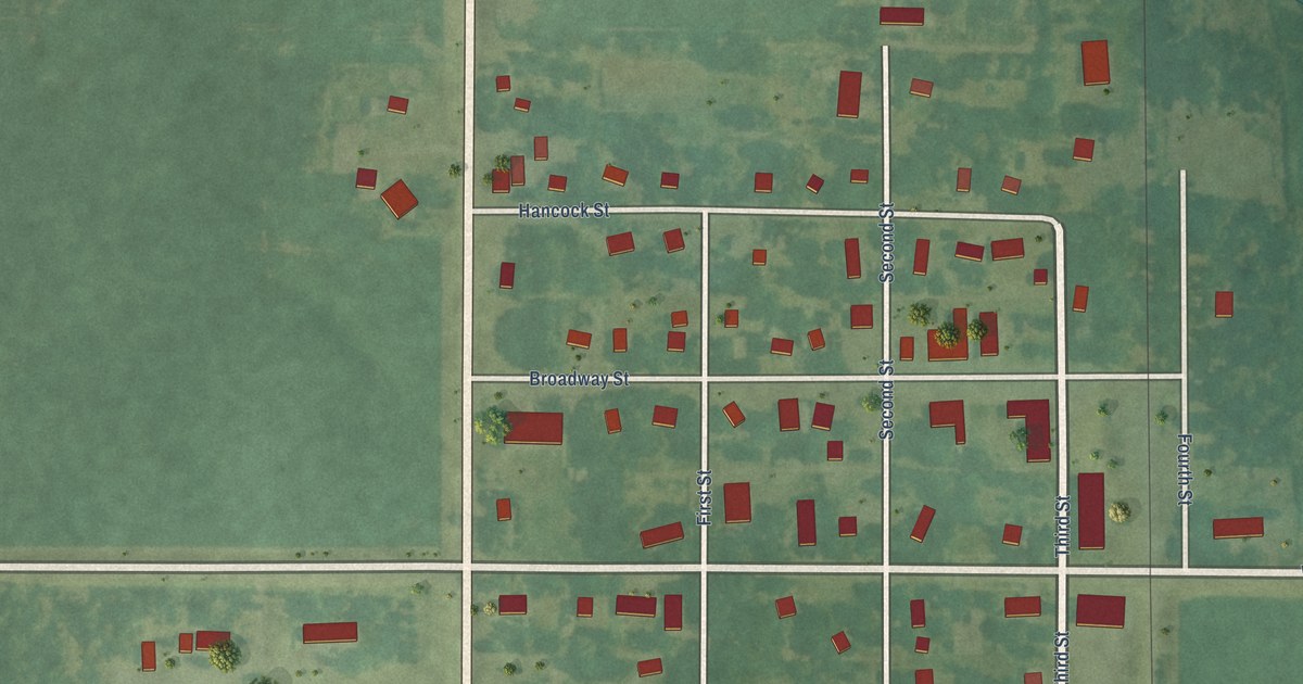
A detailed map of Goodell, Iowa, showing every building in its true location, the roads by name, and shaded topographical relief.
Read More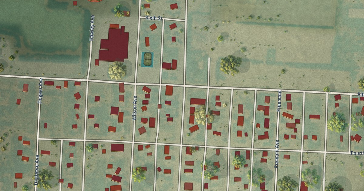
A detailed map of Winona, Kansas, showing every building in its true location, the roads by name, and shaded topographical relief.
Read More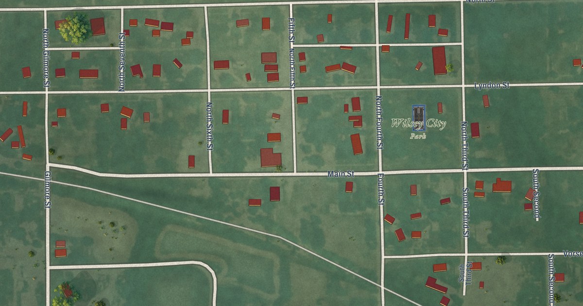
A detailed map of Wilsey, Kansas, showing every building in its true location, the roads by name, and shaded topographical relief.
Read More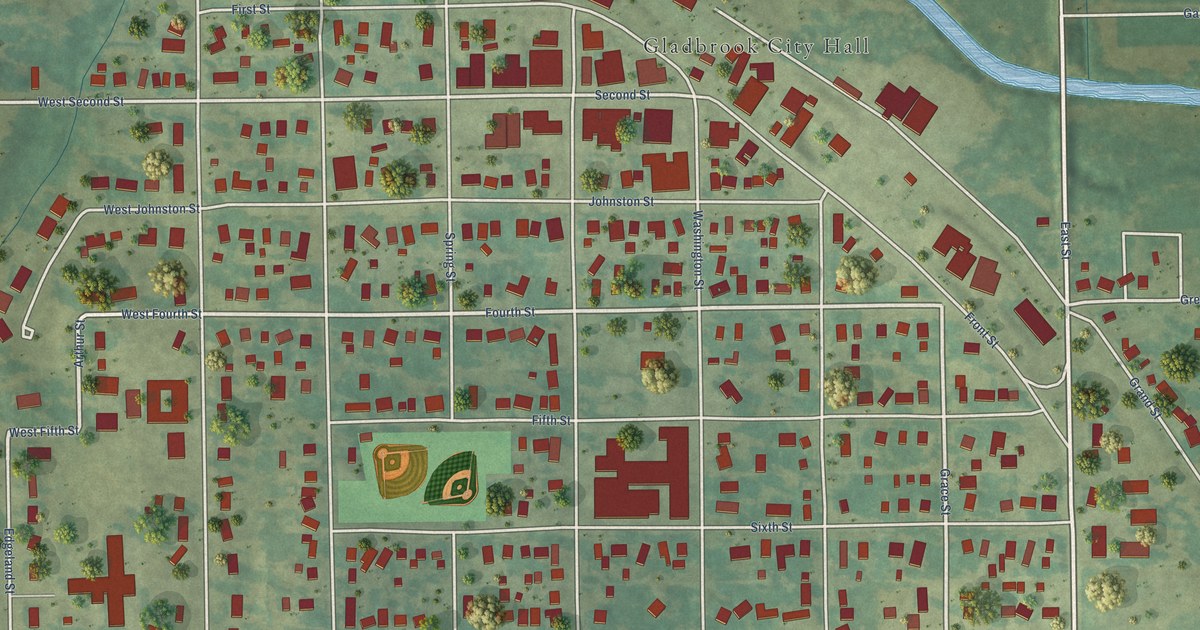
A detailed map of Gladbrook, Iowa, showing every building in its true location, the roads by name, and shaded topographical relief.
Read More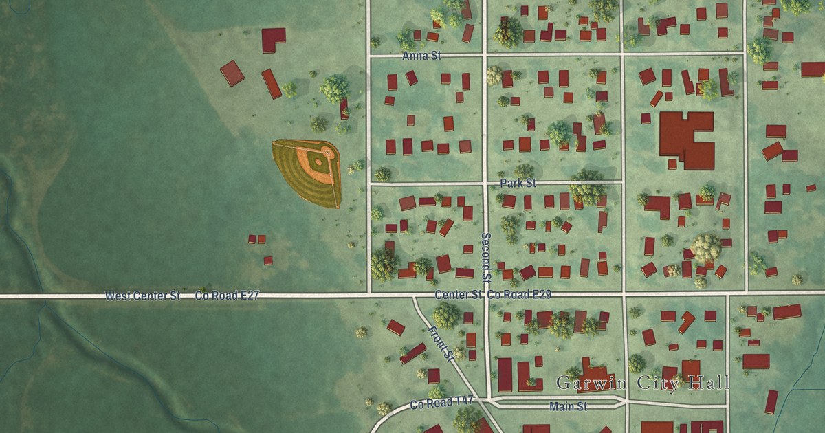
A detailed map of Garwin, Iowa, showing every building in its true location, the roads by name, and shaded topographical relief.
Read More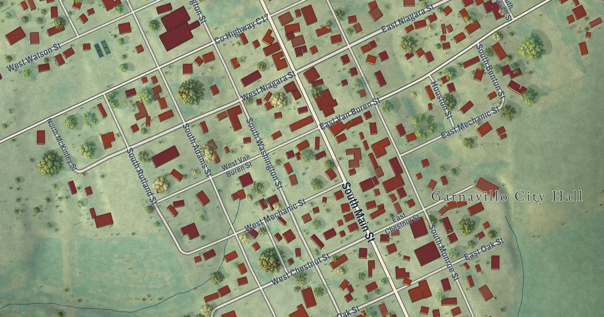
A detailed map of Garnavillo, Iowa, showing every building in its true location, the roads by name, and shaded topographical relief.
Read More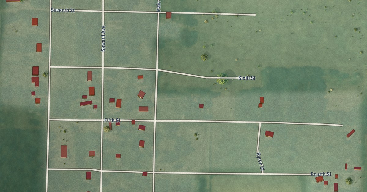
A detailed map of Seward, Kansas, showing every building in its true location, the roads by name, and shaded topographical relief.
Read More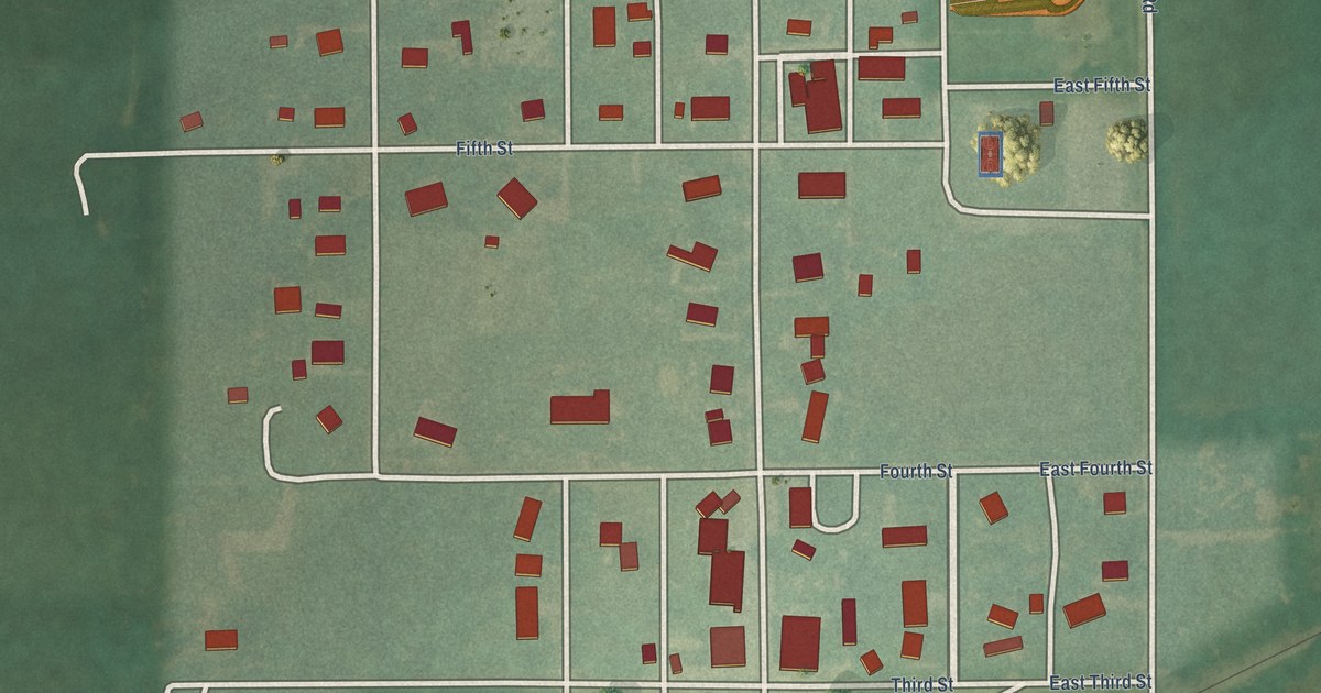
A detailed map of Tampa, Kansas, showing every building in its true location, the roads by name, and shaded topographical relief.
Read More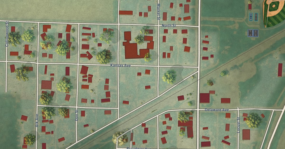
A detailed map of Kismet, Kansas, showing every building in its true location, the roads by name, and shaded topographical relief.
Read More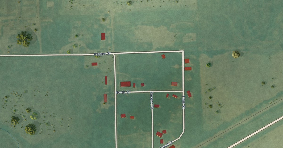
A detailed map of Latimer, Kansas, showing every building in its true location, the roads by name, and shaded topographical relief.
Read More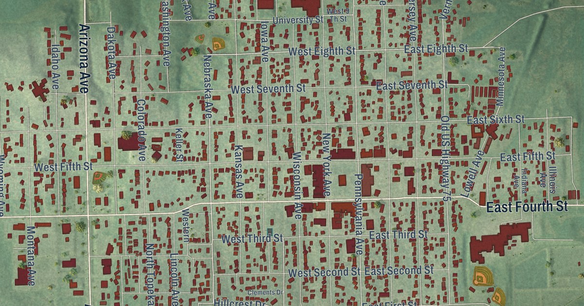
A detailed map of Holton, Kansas, showing every building in its true location, the roads by name, and shaded topographical relief.
Read More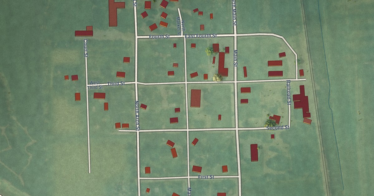
A detailed map of Reserve, Kansas, showing every building in its true location, the roads by name, and shaded topographical relief.
Read More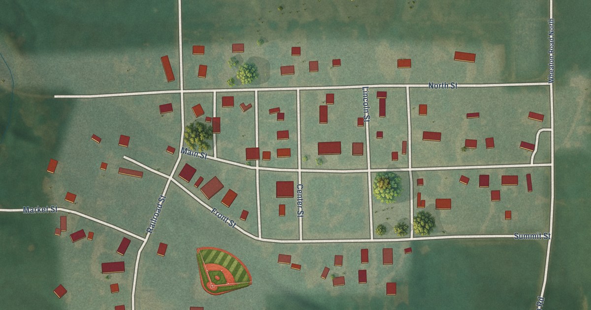
A detailed map of Wheaton, Kansas, showing every building in its true location, the roads by name, and shaded topographical relief.
Read More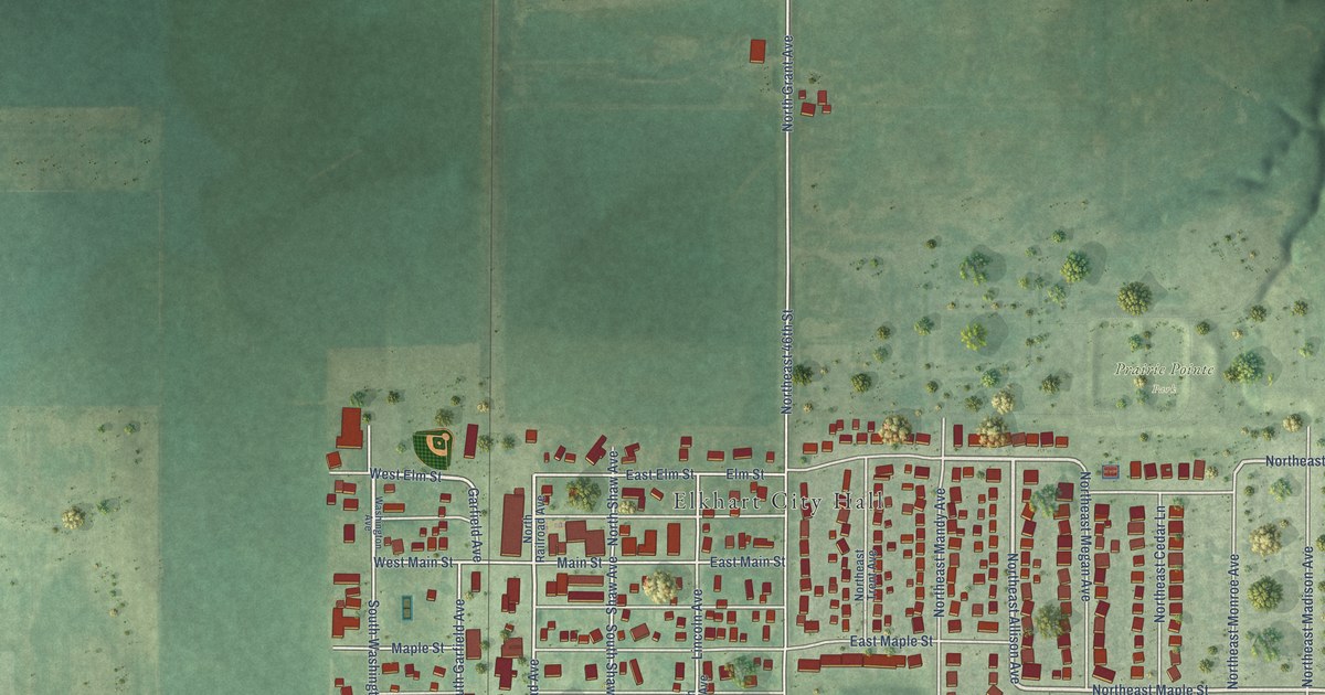
A detailed map of Elkhart, Iowa, showing every building in its true location, the roads by name, and shaded topographical relief.
Read More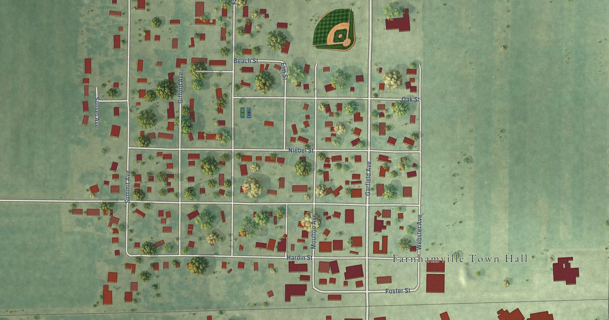
A detailed map of Farnhamville, Iowa, showing every building in its true location, the roads by name, and shaded topographical relief.
Read More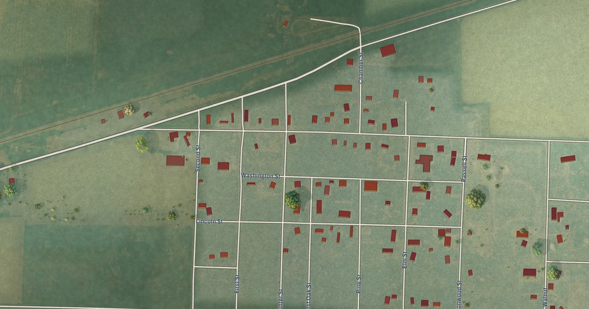
A detailed map of Gem, Kansas, showing every building in its true location, the roads by name, and shaded topographical relief.
Read More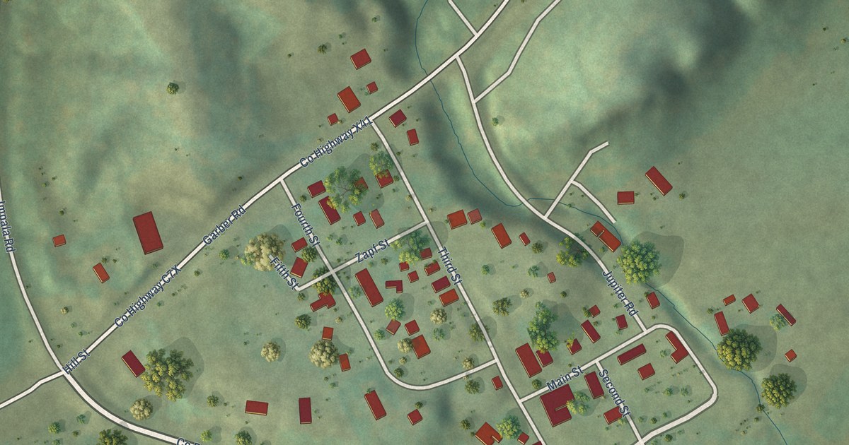
A detailed map of Garber, Iowa, showing every building in its true location, the roads by name, and shaded topographical relief.
Read More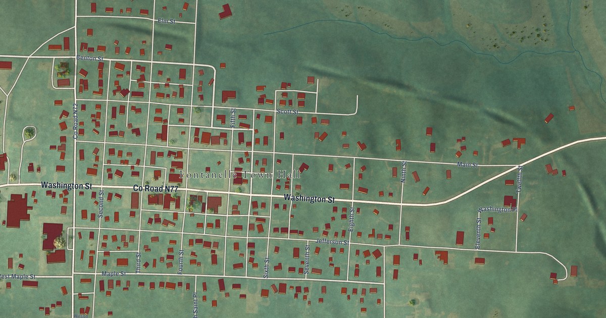
A detailed map of Fontanelle, Iowa, showing every building in its true location, the roads by name, and shaded topographical relief.
Read More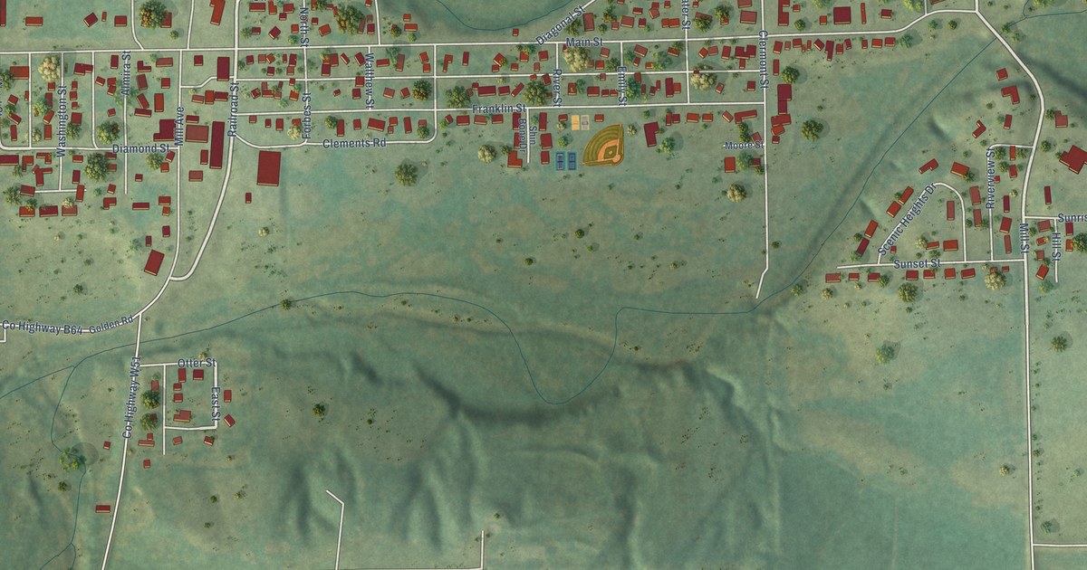
A detailed map of Elgin, Iowa, showing every building in its true location, the roads by name, and shaded topographical relief.
Read More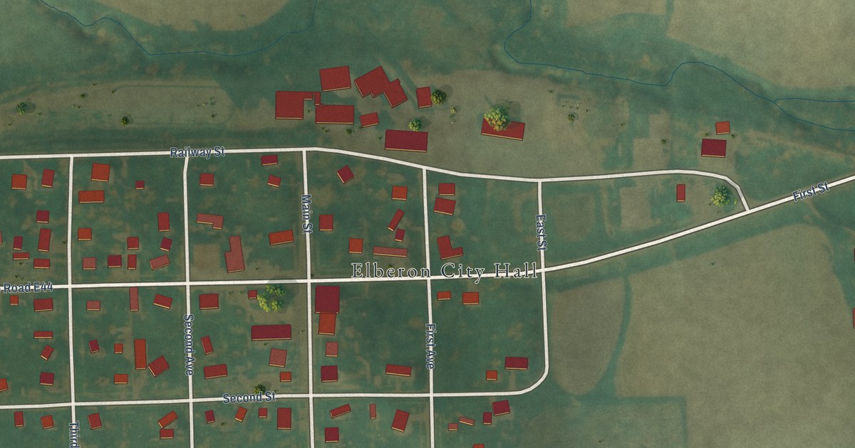
A detailed map of Elberon, Iowa, showing every building in its true location, the roads by name, and shaded topographical relief.
Read More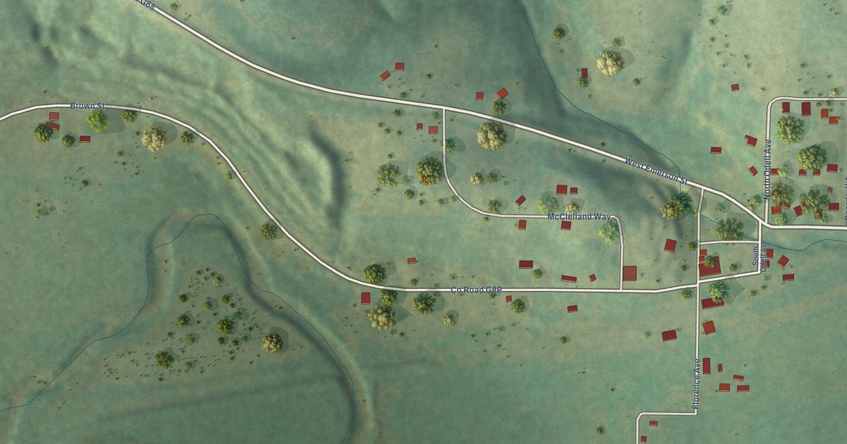
A detailed map of East Peru, Iowa, showing every building in its true location, the roads by name, and shaded topographical relief.
Read More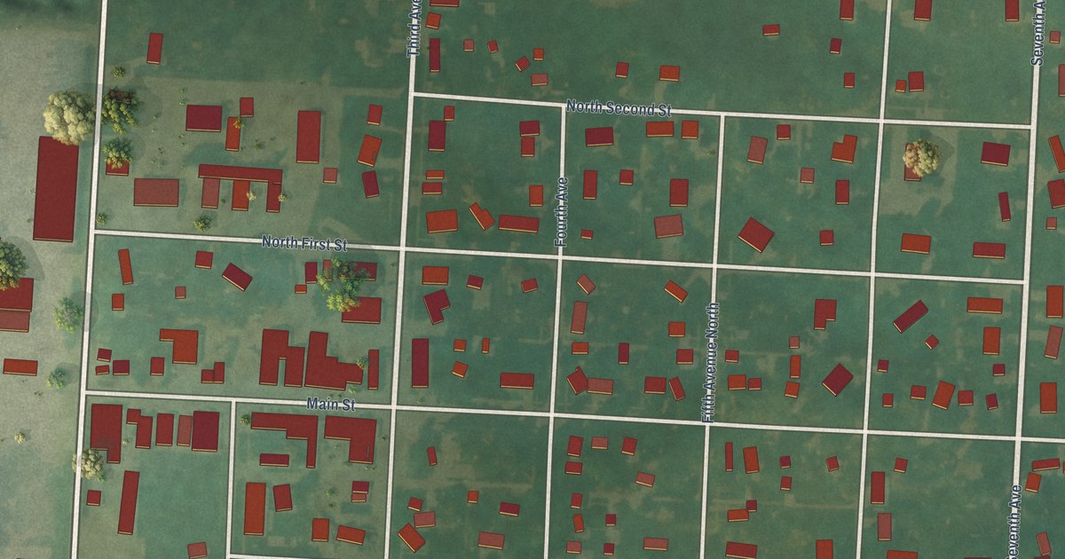
A detailed map of Doon, Iowa, showing every building in its true location, the roads by name, and shaded topographical relief.
Read More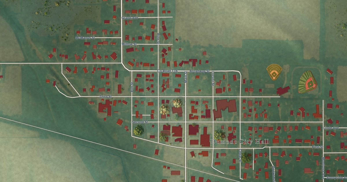
A detailed map of Dumont, Iowa, showing every building in its true location, the roads by name, and shaded topographical relief.
Read More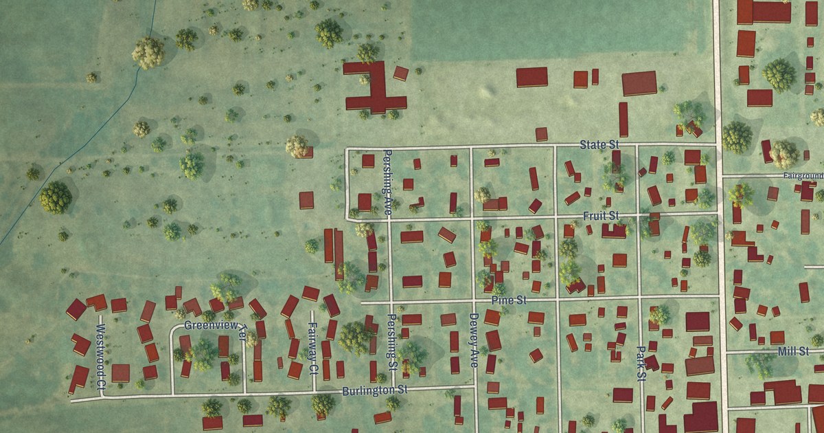
A detailed map of Donnellson, Iowa, showing every building in its true location, the roads by name, and shaded topographical relief.
Read More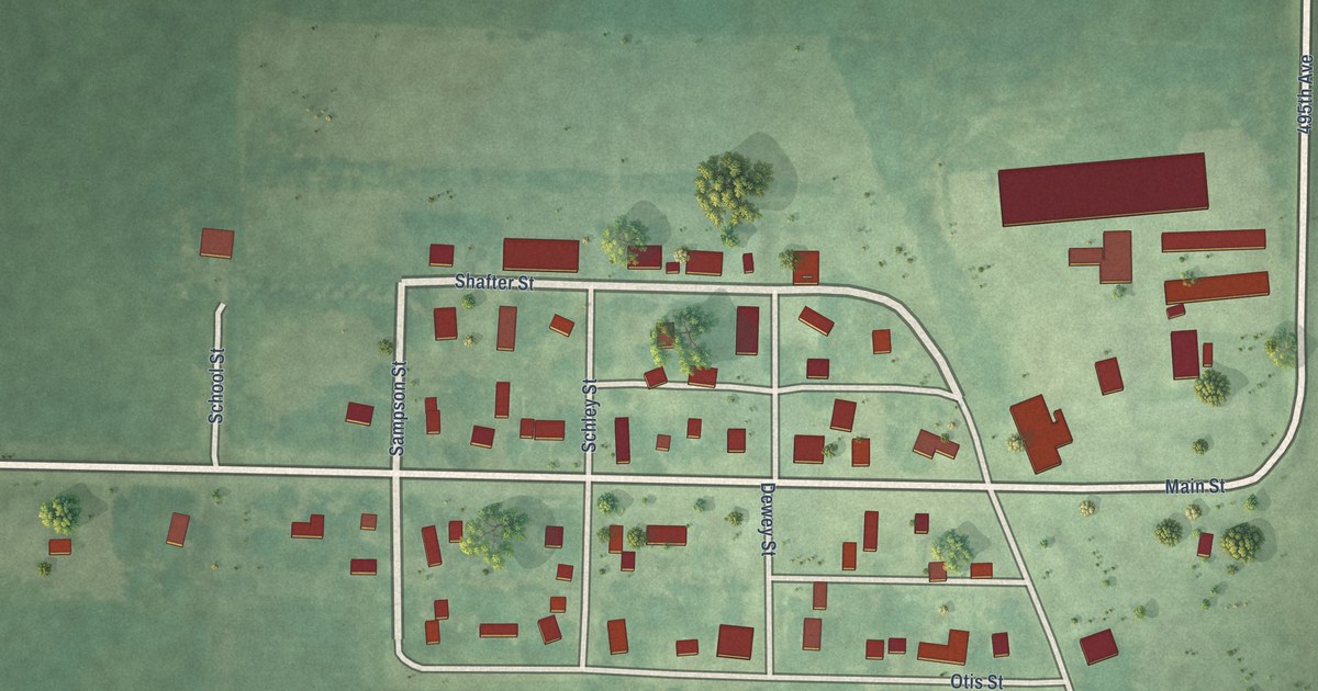
A detailed map of Dolliver, Iowa, showing every building in its true location, the roads by name, and shaded topographical relief.
Read More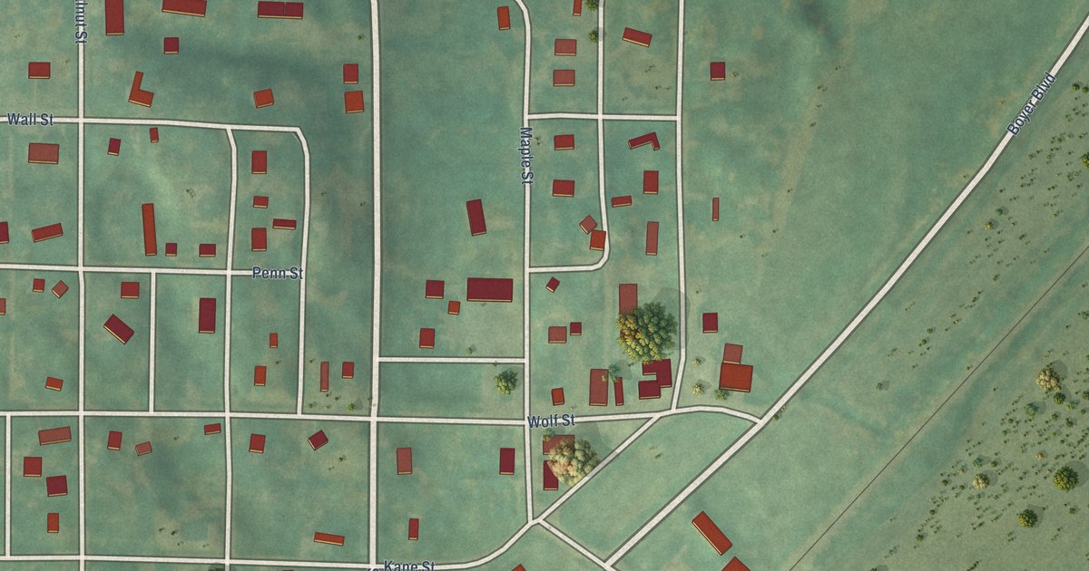
A detailed map of Deloit, Iowa, showing every building in its true location, the roads by name, and shaded topographical relief.
Read More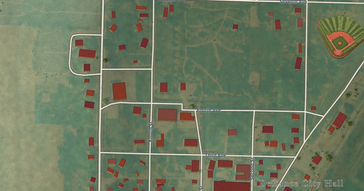
A detailed map of Defiance, Iowa, showing every building in its true location, the roads by name, and shaded topographical relief.
Read More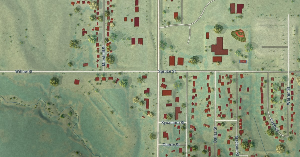
A detailed map of De Soto, Iowa, showing every building in its true location, the roads by name, and shaded topographical relief.
Read More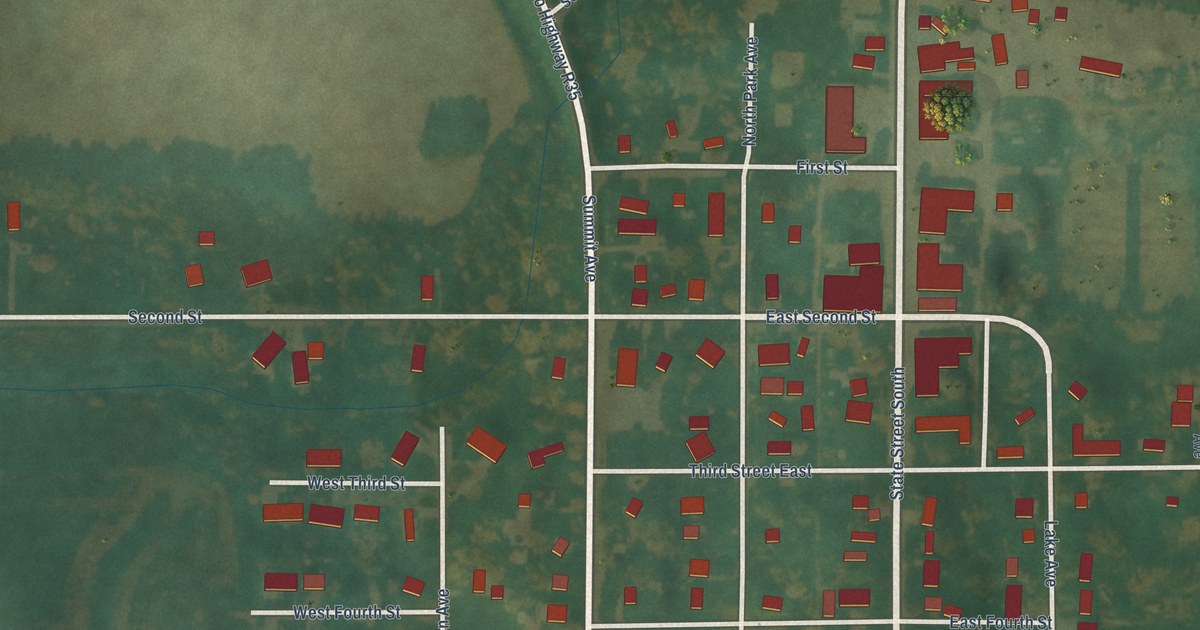
A detailed map of Crystal Lake, Iowa, showing every building in its true location, the roads by name, and shaded topographical relief.
Read More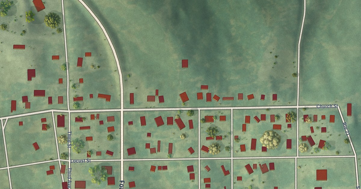
A detailed map of Deep River, Iowa, showing every building in its true location, the roads by name, and shaded topographical relief.
Read More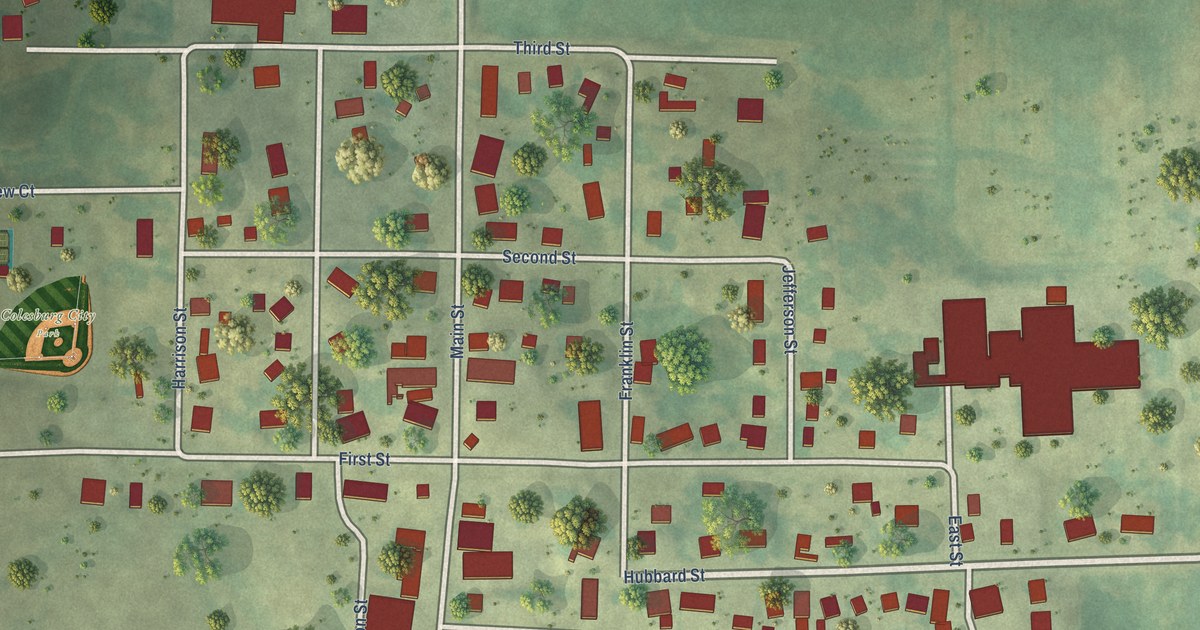
A detailed map of Colesburg, Iowa, showing every building in its true location, the roads by name, and shaded topographical relief.
Read More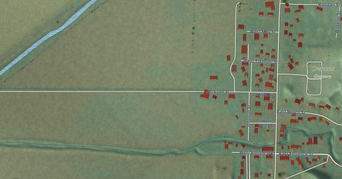
A detailed map of Crescent, Iowa, showing every building in its true location, the roads by name, and shaded topographical relief.
Read More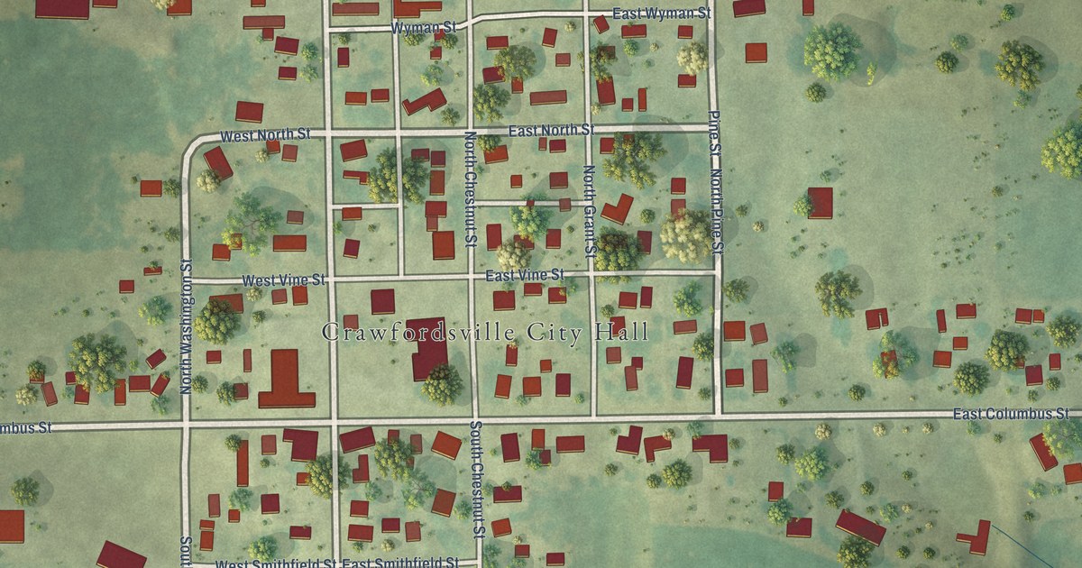
A detailed map of Crawfordsville, Iowa, showing every building in its true location, the roads by name, and shaded topographical relief.
Read More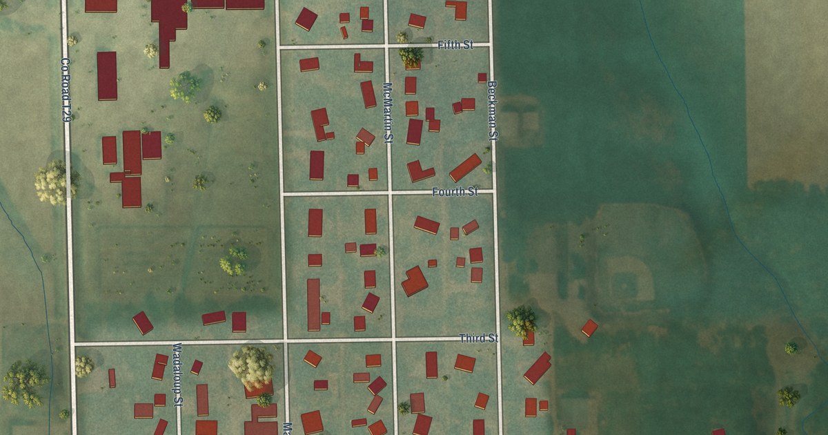
A detailed map of Beaman, Iowa, showing every building in its true location, the roads by name, and shaded topographical relief.
Read More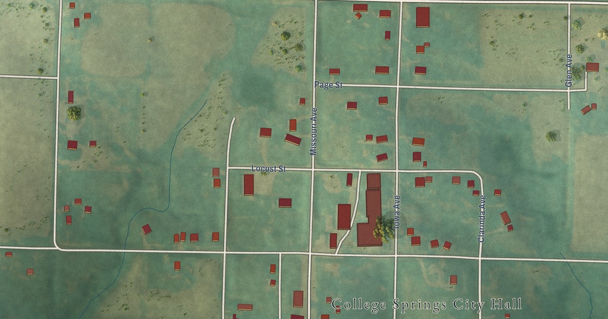
A detailed map of College Springs, Iowa, showing every building in its true location, the roads by name, and shaded topographical relief.
Read More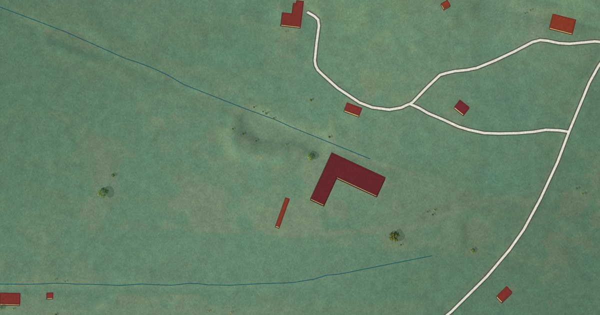
A detailed map of Valley Park, Oklahoma, showing every building in its true location, the roads by name, and shaded topographical relief.
Read More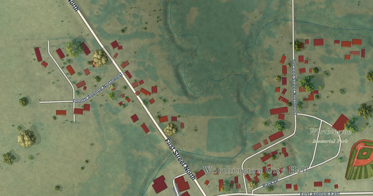
A detailed map of Worthington, Iowa, showing every building in its true location, the roads by name, and shaded topographical relief.
Read More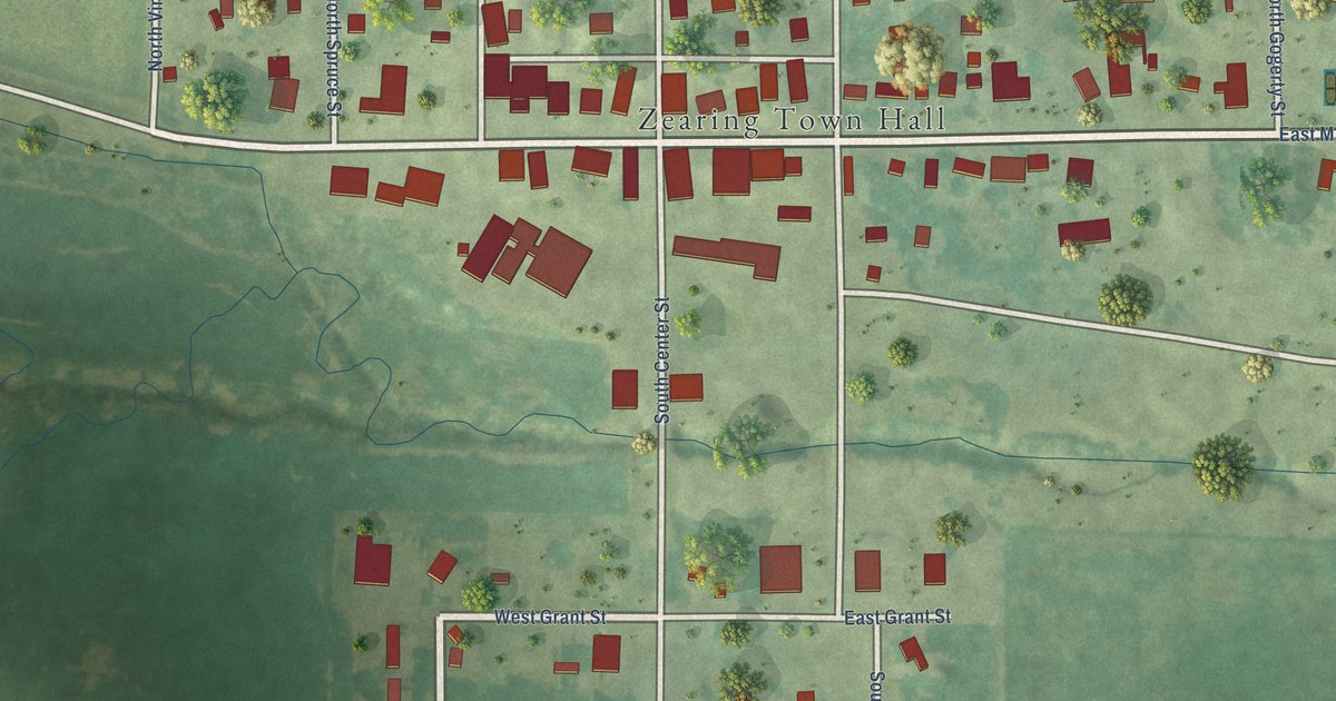
A detailed map of Zearing, Iowa, showing every building in its true location, the roads by name, and shaded topographical relief.
Read More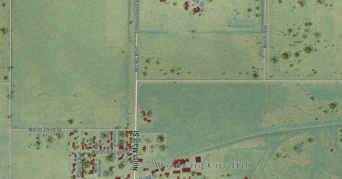
A detailed map of Woodward, Iowa, showing every building in its true location, the roads by name, and shaded topographical relief.
Read More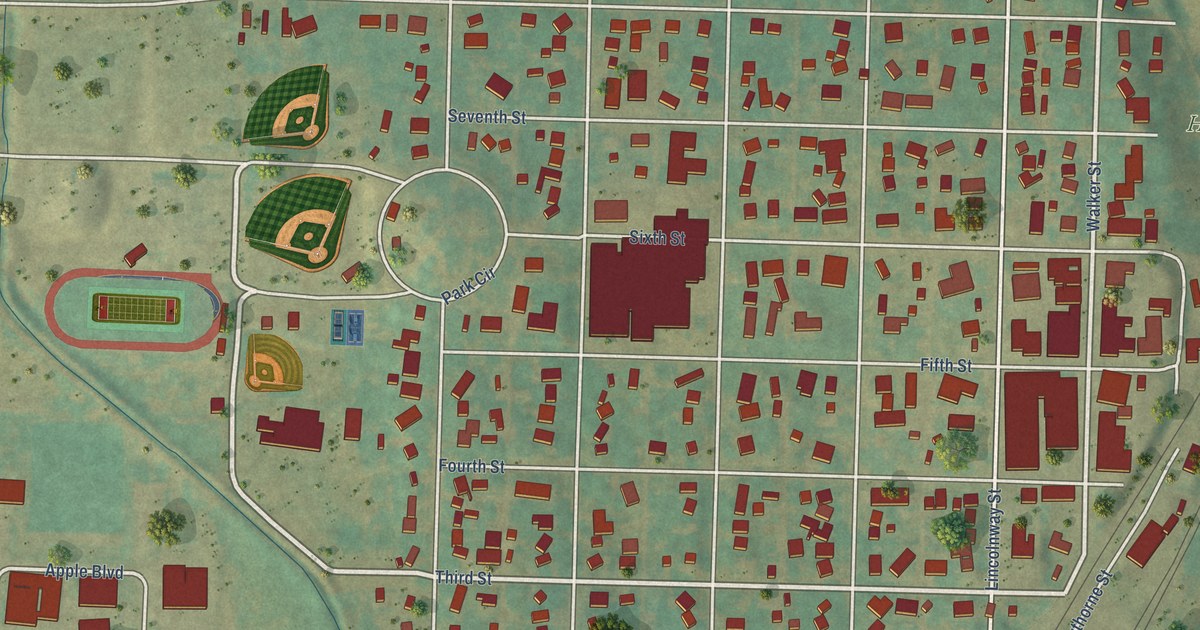
A detailed map of Woodbine, Iowa, showing every building in its true location, the roads by name, and shaded topographical relief.
Read More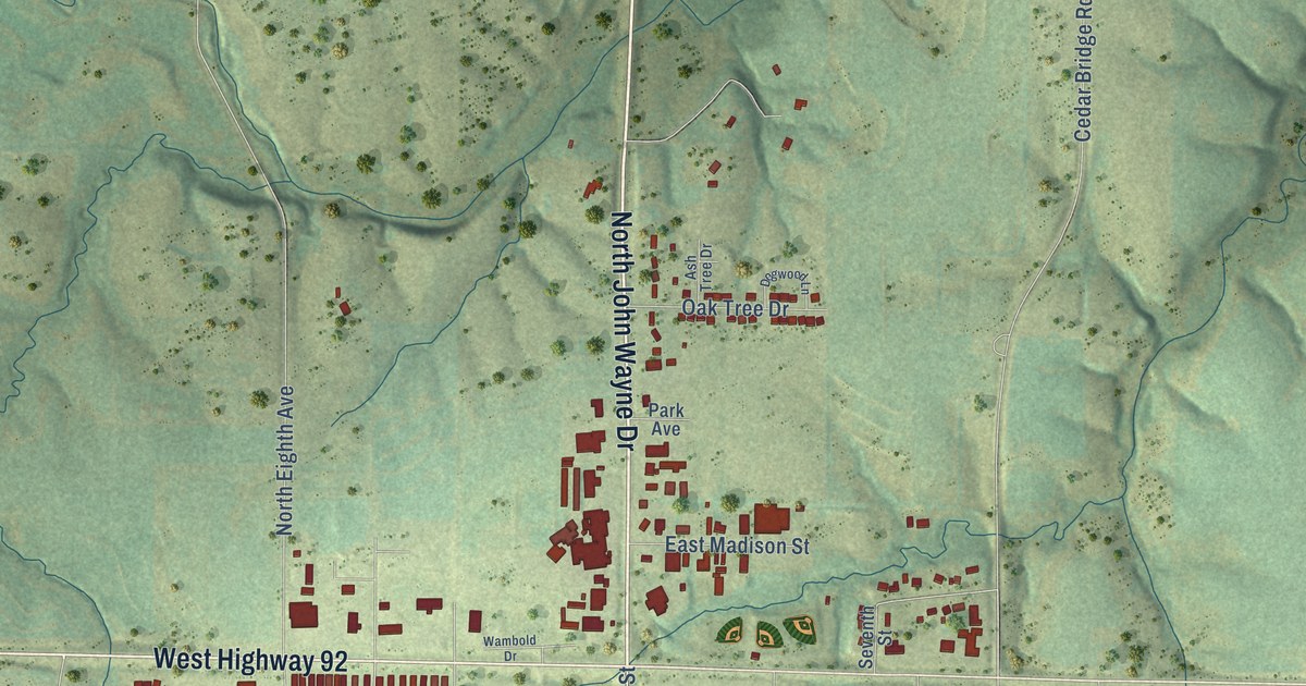
A detailed map of Winterset, Iowa, showing every building in its true location, the roads by name, and shaded topographical relief.
Read More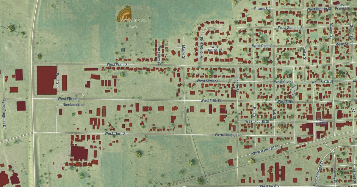
A detailed map of Wilton, Iowa, showing every building in its true location, the roads by name, and shaded topographical relief.
Read More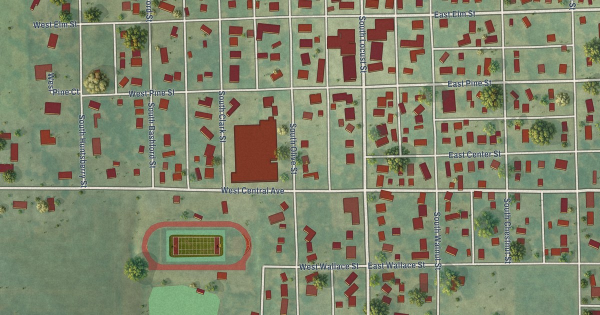
A detailed map of Winfield, Iowa, showing every building in its true location, the roads by name, and shaded topographical relief.
Read More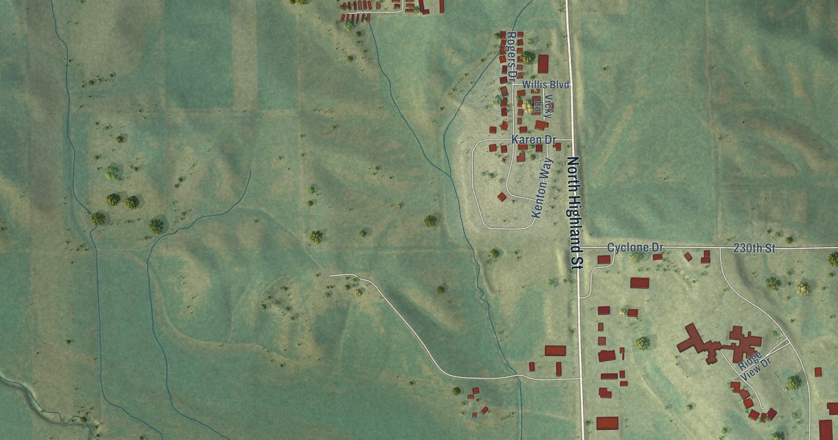
A detailed map of Williamsburg, Iowa, showing every building in its true location, the roads by name, and shaded topographical relief.
Read More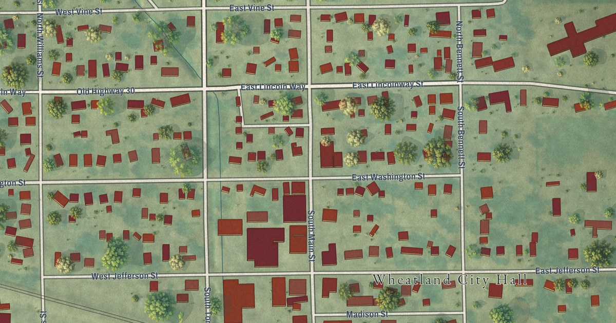
A detailed map of Wheatland, Iowa, showing every building in its true location, the roads by name, and shaded topographical relief.
Read More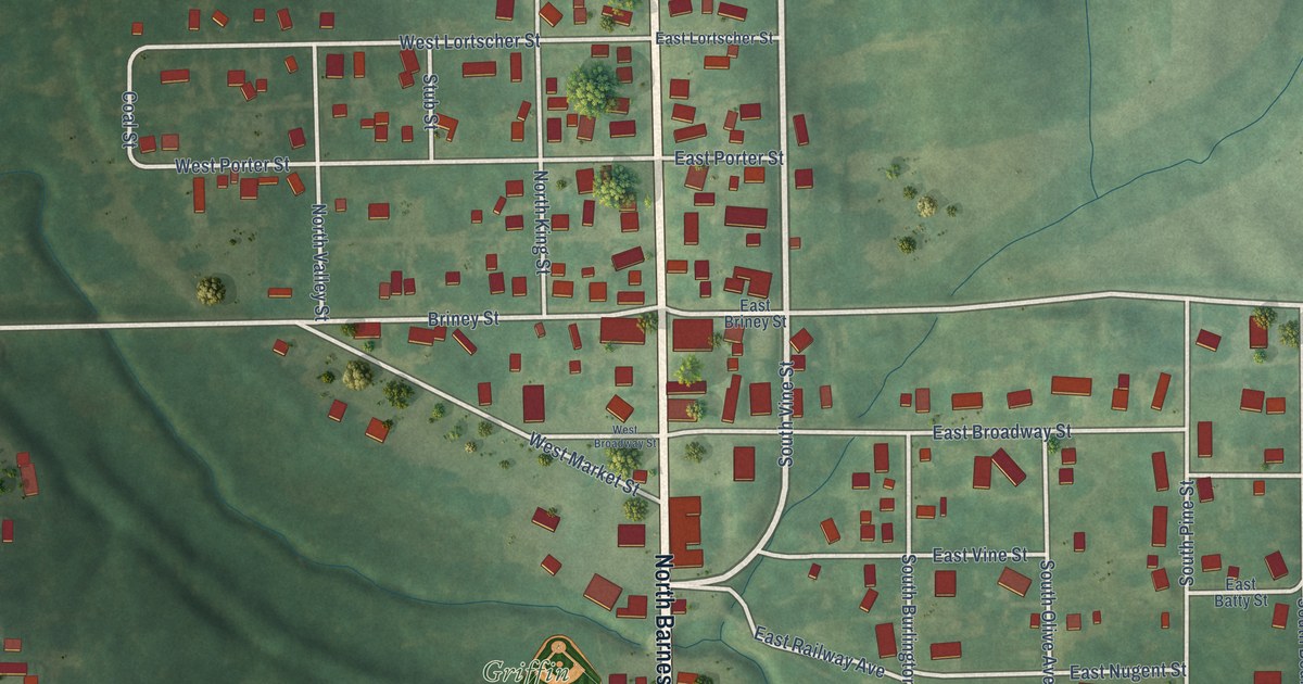
A detailed map of What Cheer, Iowa, showing every building in its true location, the roads by name, and shaded topographical relief.
Read More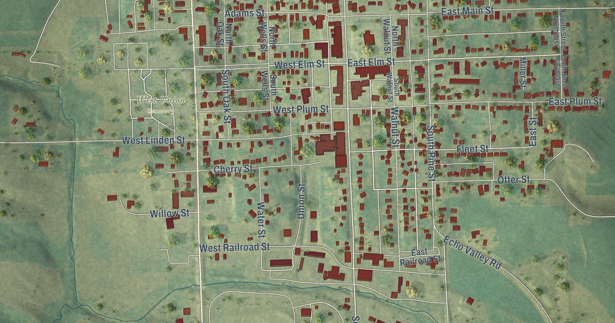
A detailed map of West Union, Iowa, showing every building in its true location, the roads by name, and shaded topographical relief.
Read More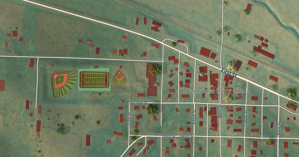
A detailed map of Westside, Iowa, showing every building in its true location, the roads by name, and shaded topographical relief.
Read More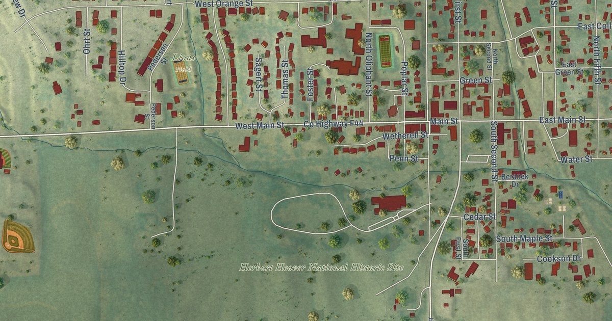
A detailed map of West Branch, Iowa, showing every building in its true location, the roads by name, and shaded topographical relief.
Read More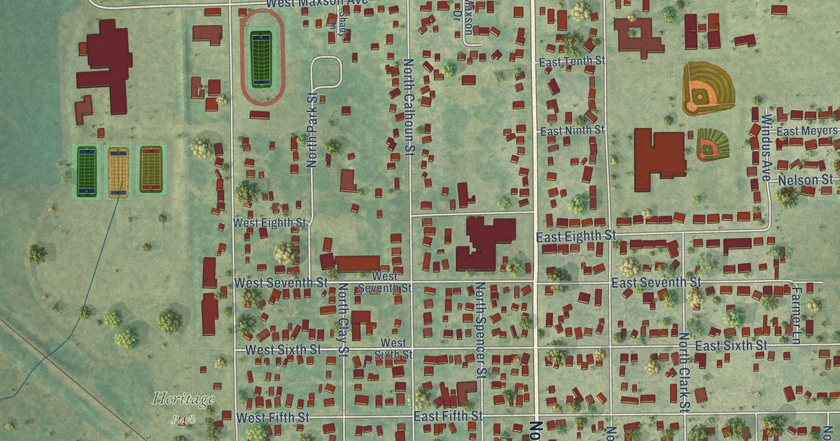
A detailed map of West Liberty, Iowa, showing every building in its true location, the roads by name, and shaded topographical relief.
Read More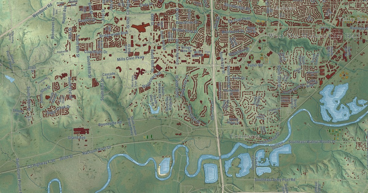
A detailed map of West Des Moines, Iowa, showing every building in its true location, the roads by name, and shaded topographical relief.
Read More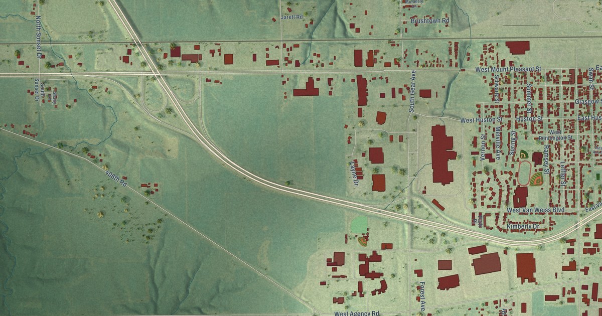
A detailed map of West Burlington, Iowa, showing every building in its true location, the roads by name, and shaded topographical relief.
Read More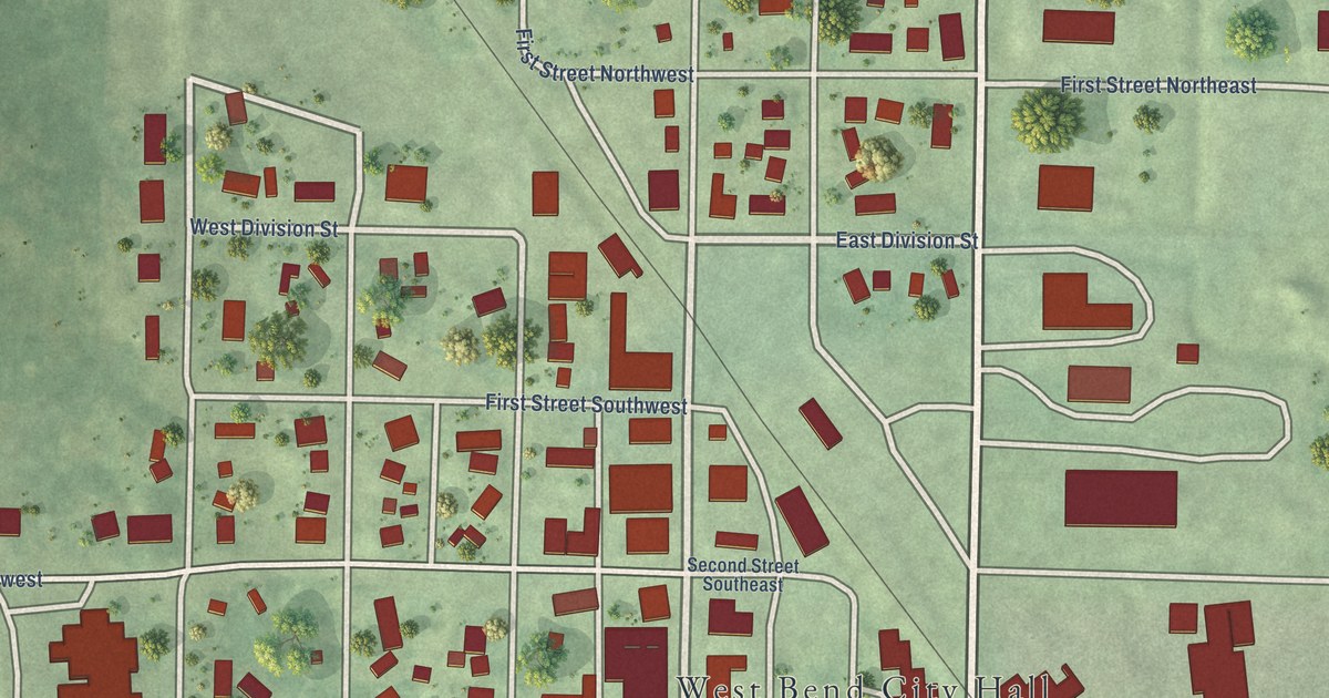
A detailed map of West Bend, Iowa, showing every building in its true location, the roads by name, and shaded topographical relief.
Read More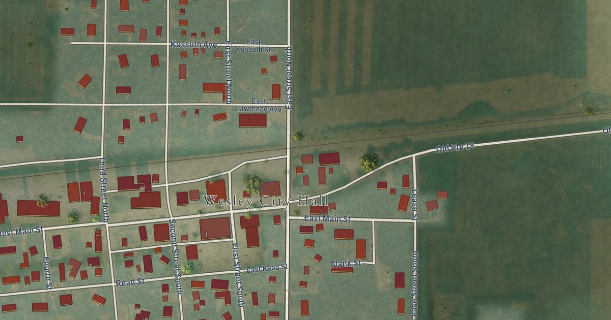
A detailed map of Wesley, Iowa, showing every building in its true location, the roads by name, and shaded topographical relief.
Read More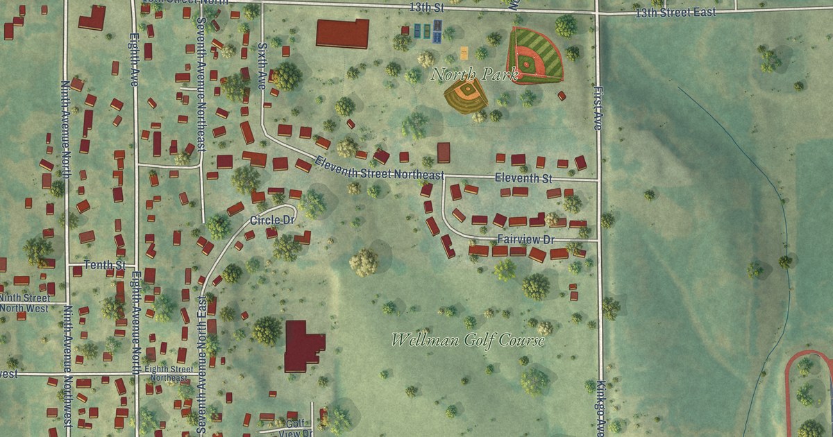
A detailed map of Wellman, Iowa, showing every building in its true location, the roads by name, and shaded topographical relief.
Read More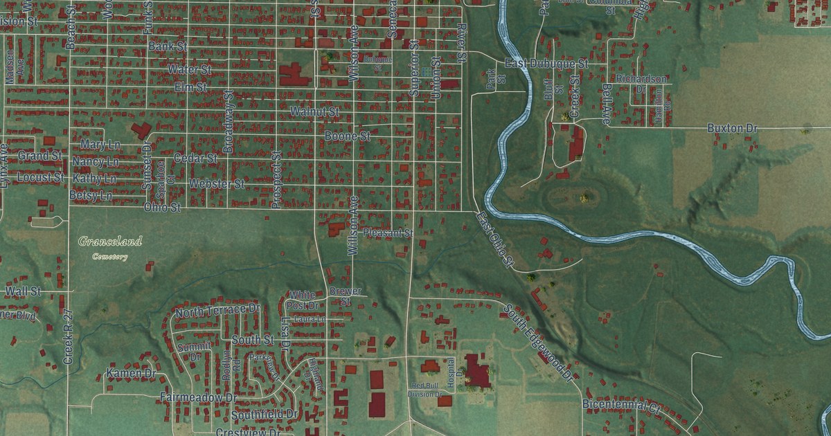
A detailed map of Webster City, Iowa, showing every building in its true location, the roads by name, and shaded topographical relief.
Read More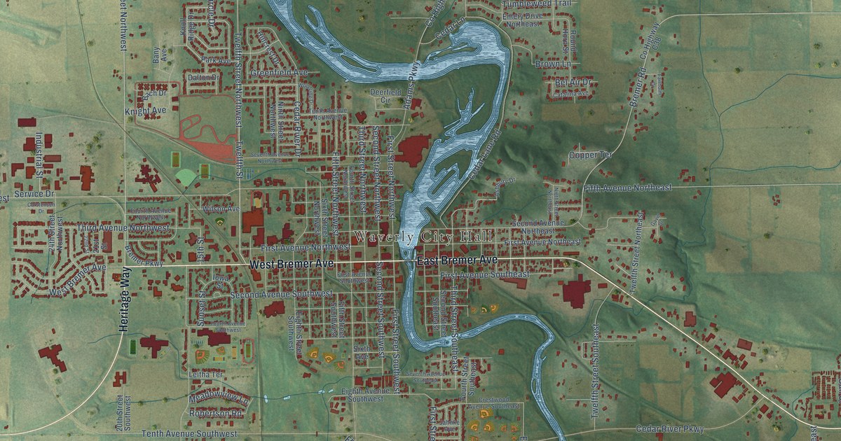
A detailed map of Waverly, Iowa, showing every building in its true location, the roads by name, and shaded topographical relief.
Read More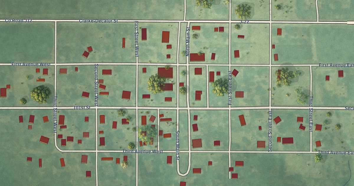
A detailed map of Weldon, Iowa, showing every building in its true location, the roads by name, and shaded topographical relief.
Read More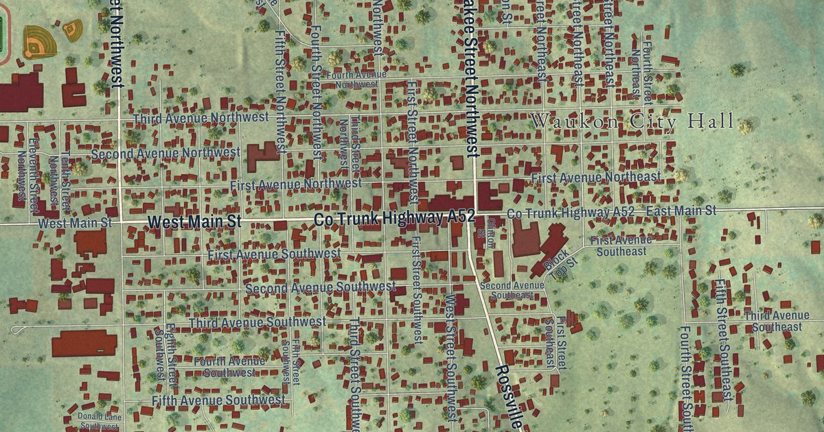
A detailed map of Waukon, Iowa, showing every building in its true location, the roads by name, and shaded topographical relief.
Read More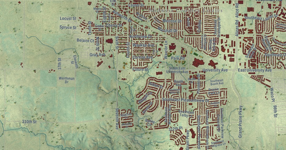
A detailed map of Waukee, Iowa, showing every building in its true location, the roads by name, and shaded topographical relief.
Read More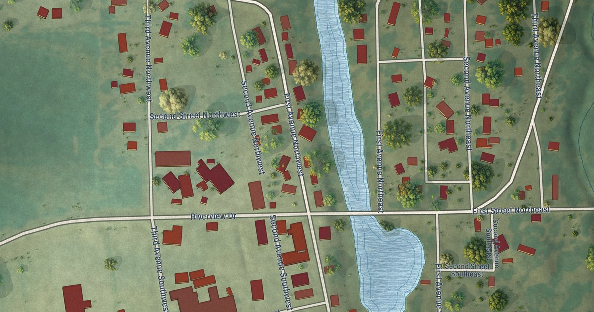
A detailed map of Waucoma, Iowa, showing every building in its true location, the roads by name, and shaded topographical relief.
Read More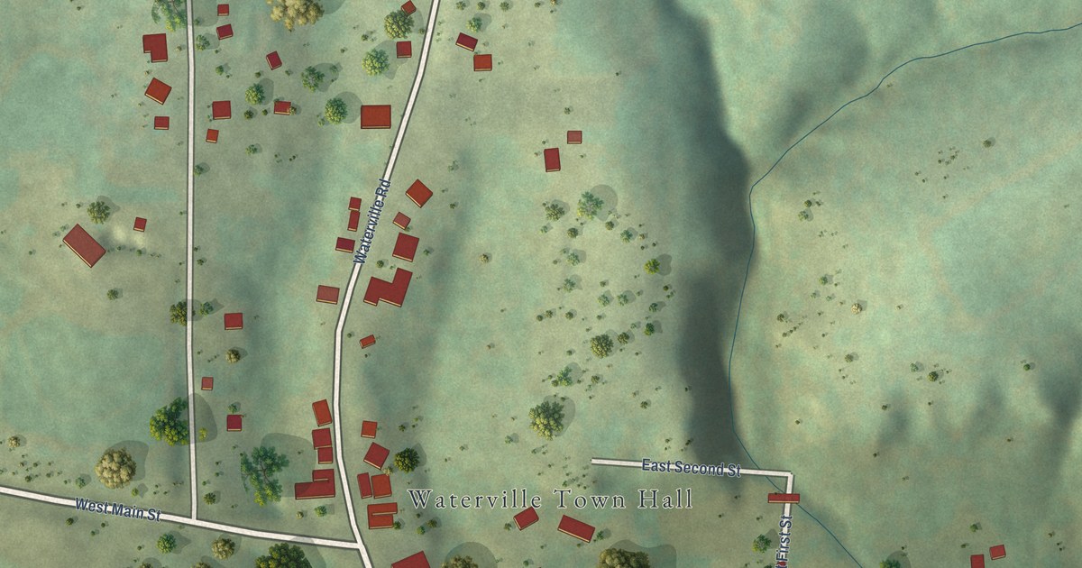
A detailed map of Waterville, Iowa, showing every building in its true location, the roads by name, and shaded topographical relief.
Read More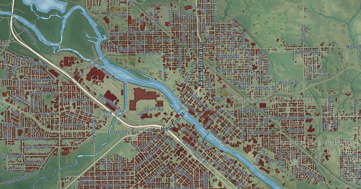
A detailed map of Waterloo, Iowa, showing every building in its true location, the roads by name, and shaded topographical relief.
Read More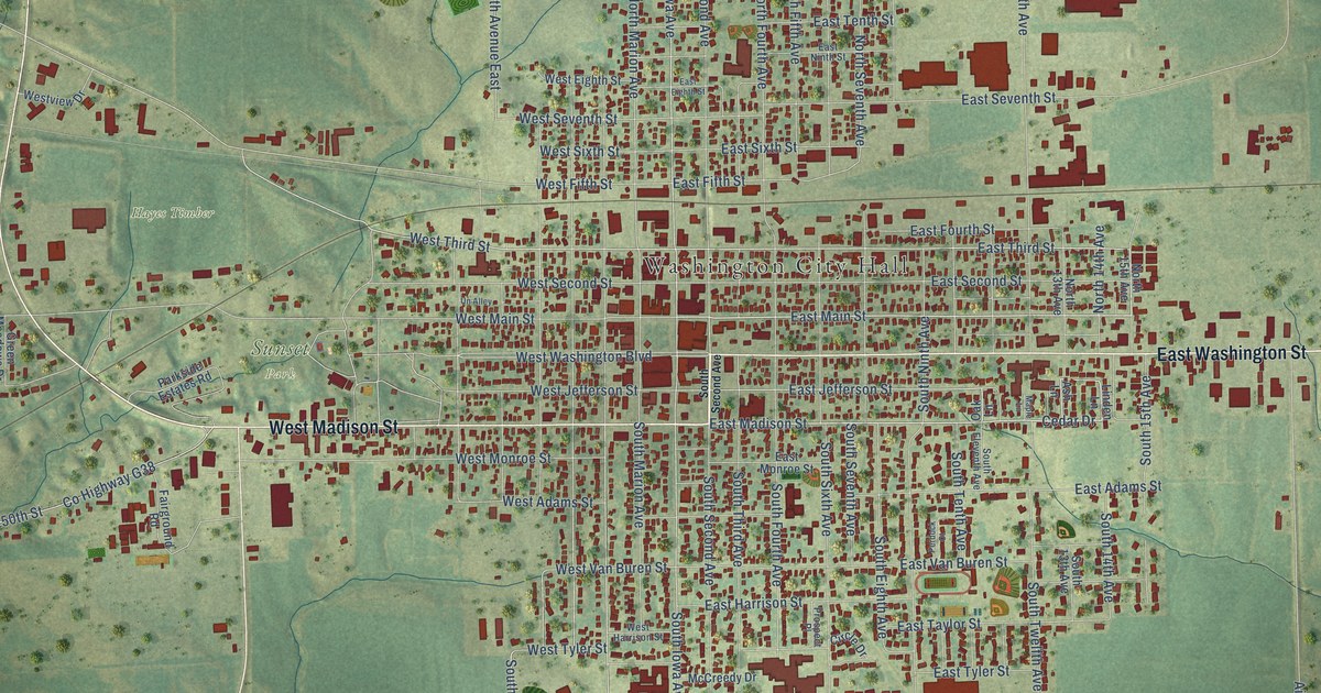
A detailed map of Washington, Iowa, showing every building in its true location, the roads by name, and shaded topographical relief.
Read More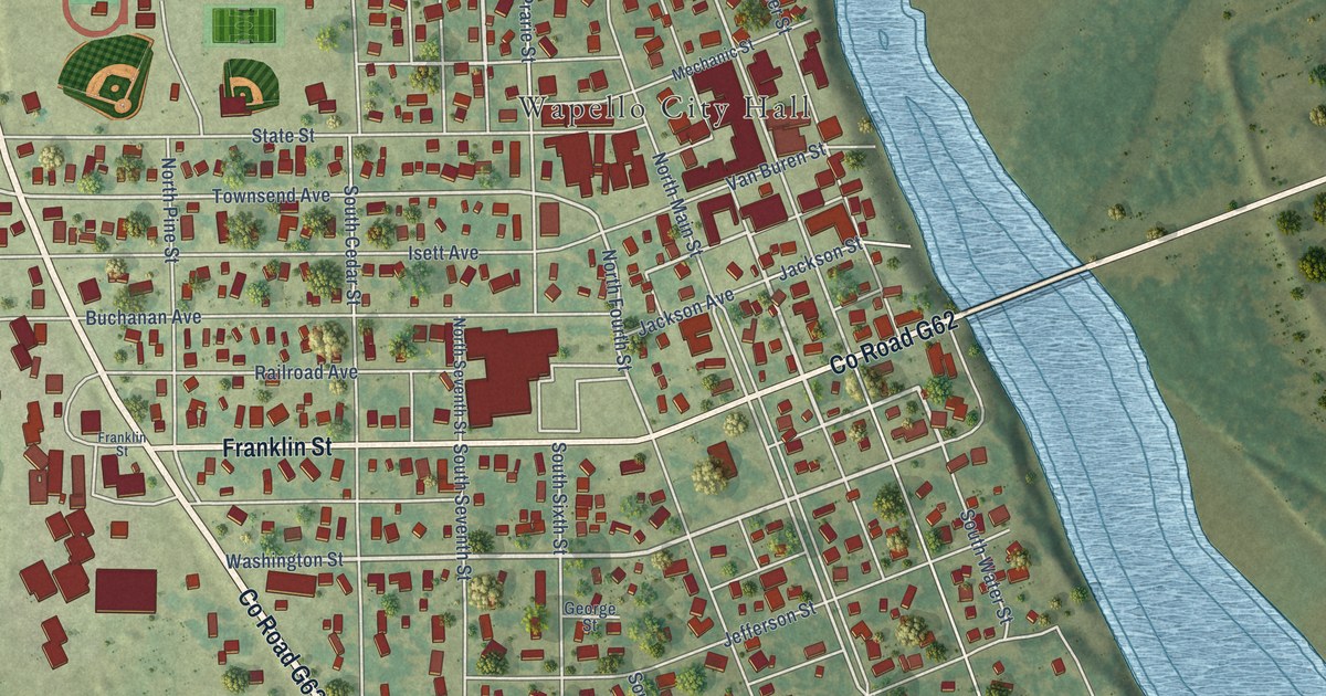
A detailed map of Wapello, Iowa, showing every building in its true location, the roads by name, and shaded topographical relief.
Read More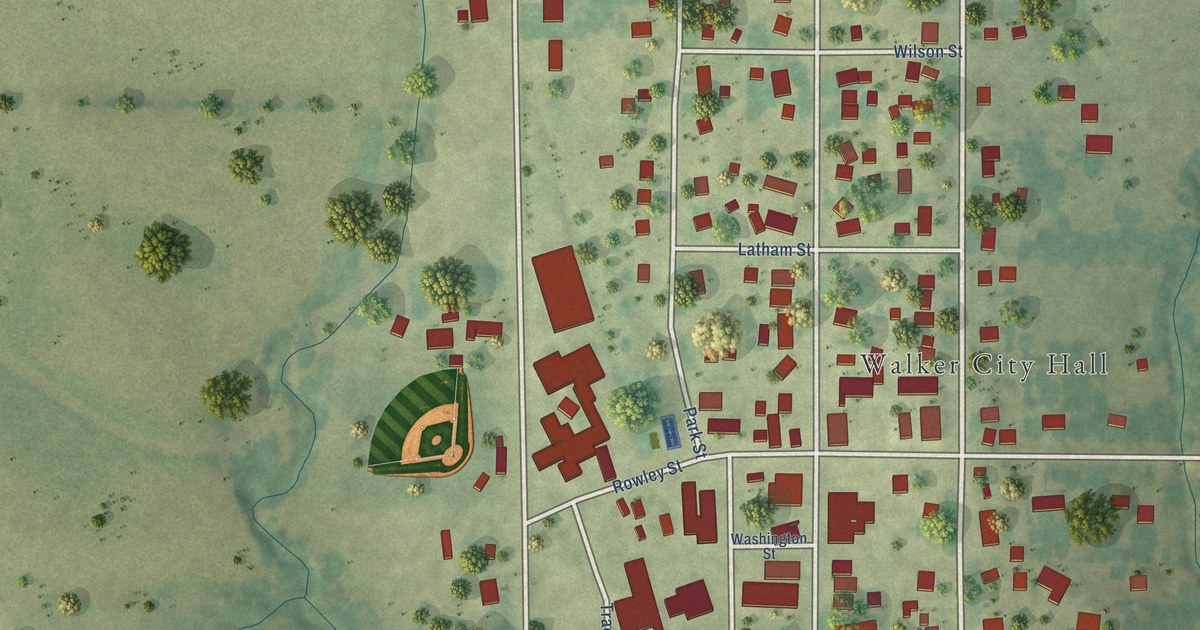
A detailed map of Walker, Iowa, showing every building in its true location, the roads by name, and shaded topographical relief.
Read More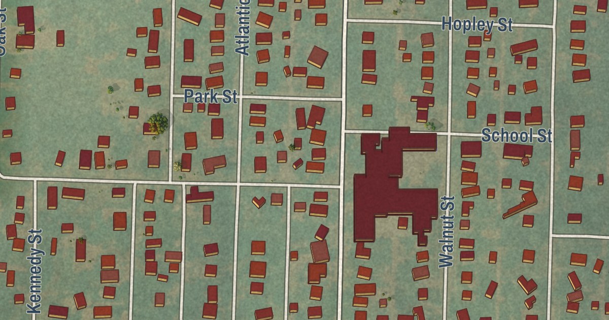
A detailed map of Walnut, Iowa, showing every building in its true location, the roads by name, and shaded topographical relief.
Read More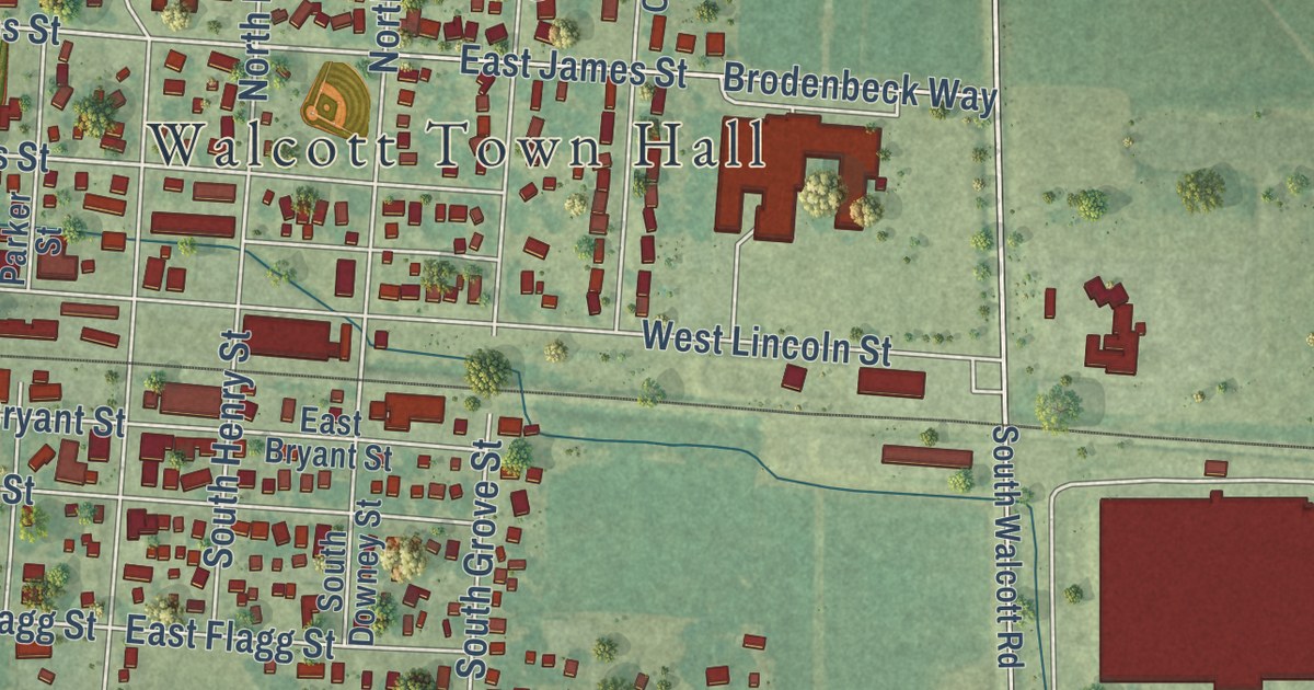
A detailed map of Walcott, Iowa, showing every building in its true location, the roads by name, and shaded topographical relief.
Read More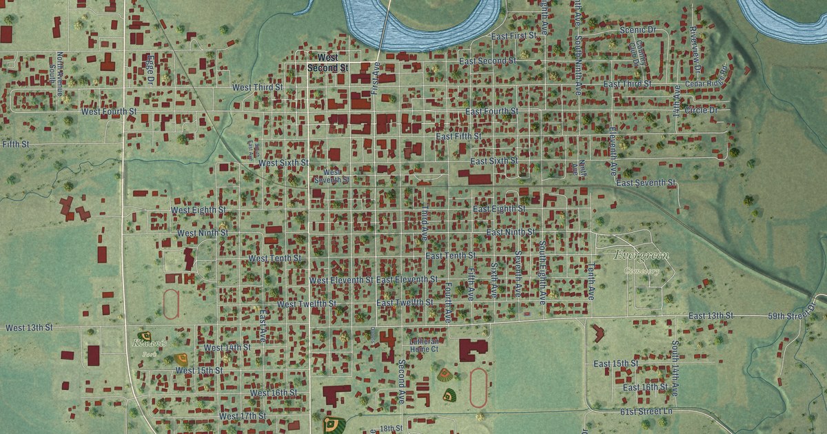
A detailed map of Vinton, Iowa, showing every building in its true location, the roads by name, and shaded topographical relief.
Read More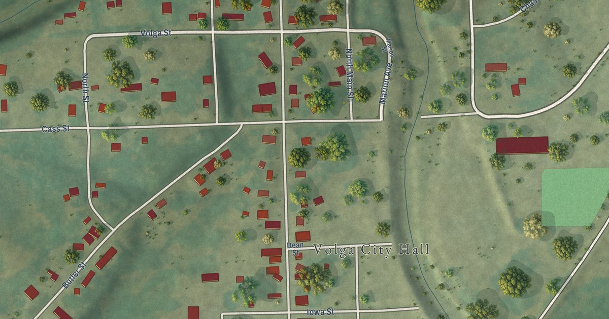
A detailed map of Volga, Iowa, showing every building in its true location, the roads by name, and shaded topographical relief.
Read More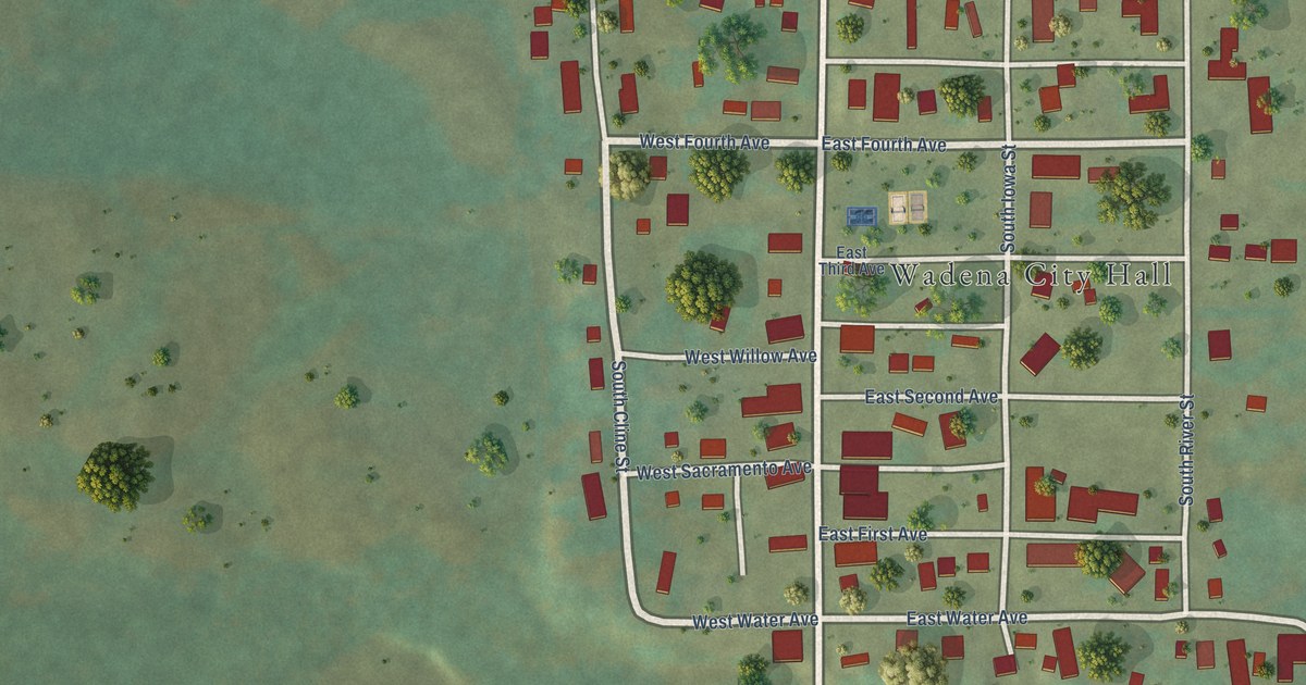
A detailed map of Wadena, Iowa, showing every building in its true location, the roads by name, and shaded topographical relief.
Read More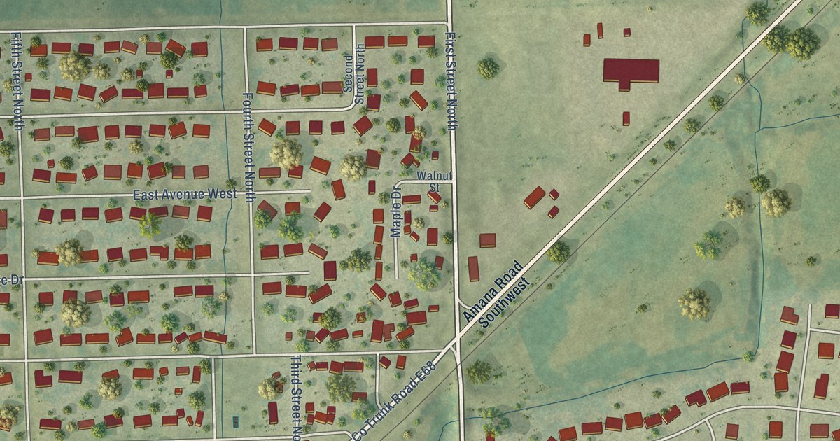
A detailed map of Walford, Iowa, showing every building in its true location, the roads by name, and shaded topographical relief.
Read More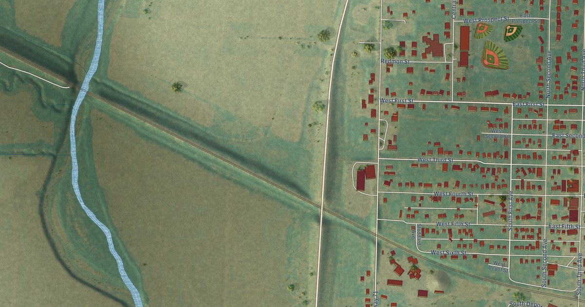
A detailed map of Villisca, Iowa, showing every building in its true location, the roads by name, and shaded topographical relief.
Read More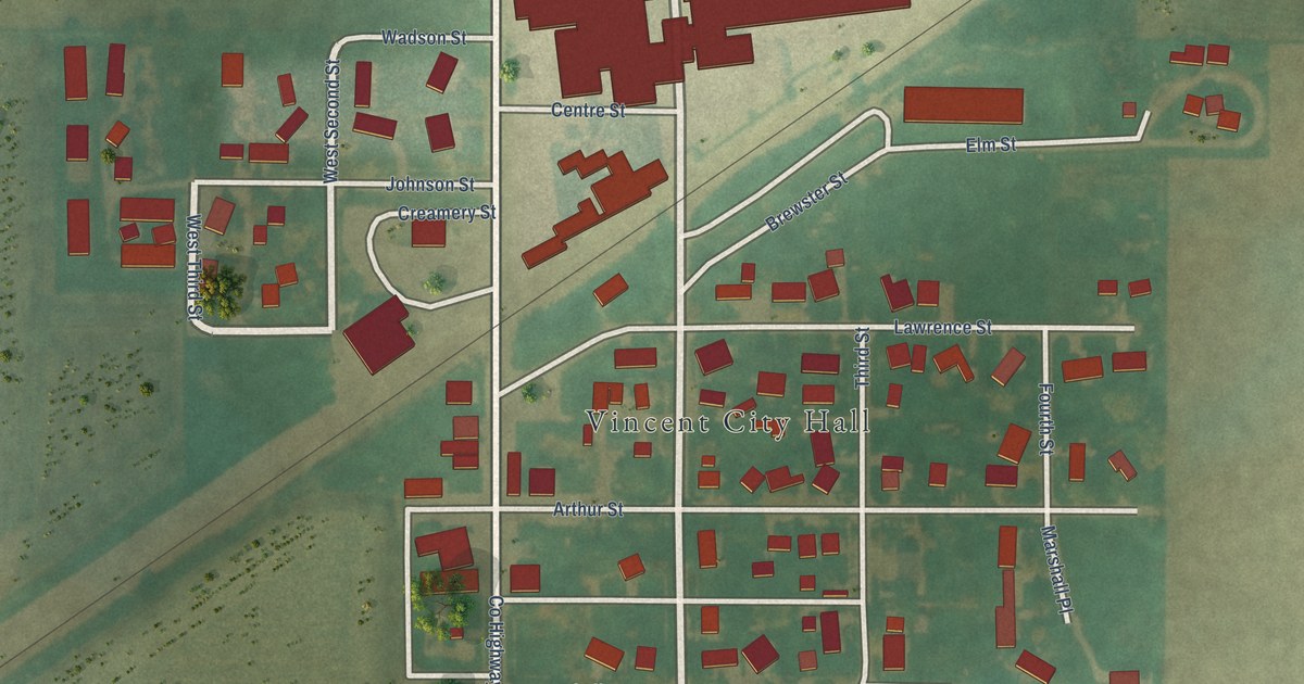
A detailed map of Vincent, Iowa, showing every building in its true location, the roads by name, and shaded topographical relief.
Read More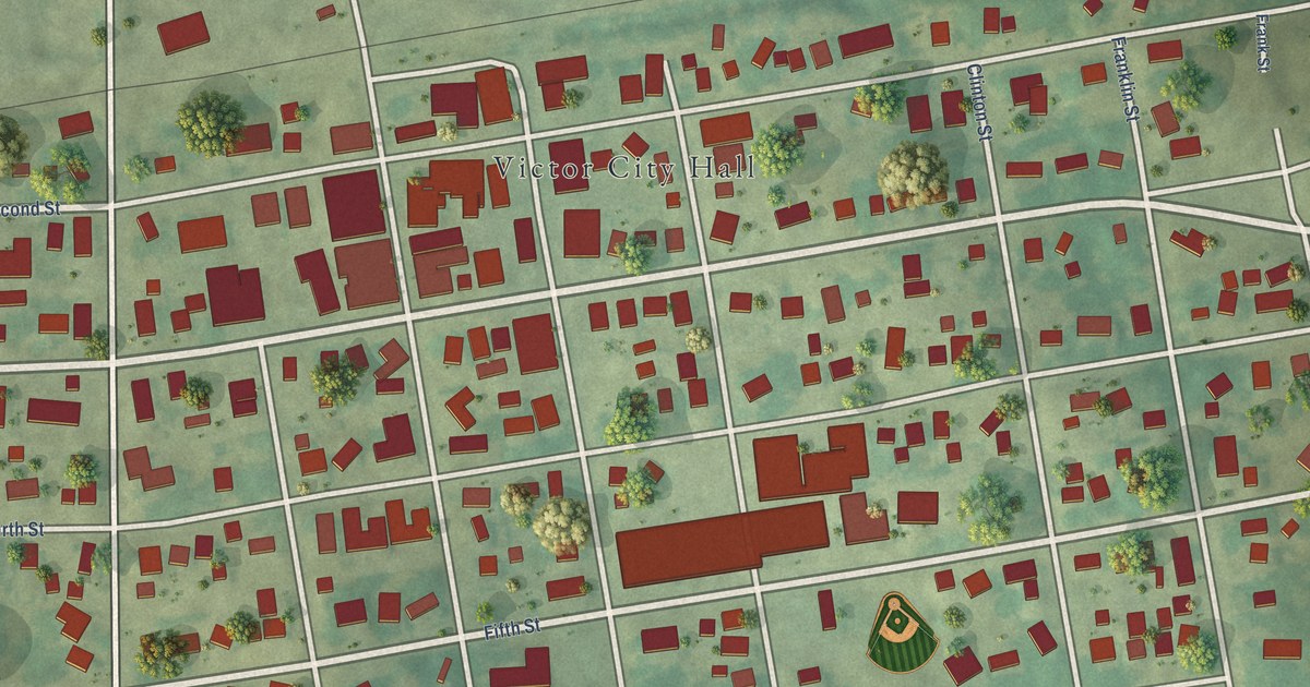
A detailed map of Victor, Iowa, showing every building in its true location, the roads by name, and shaded topographical relief.
Read More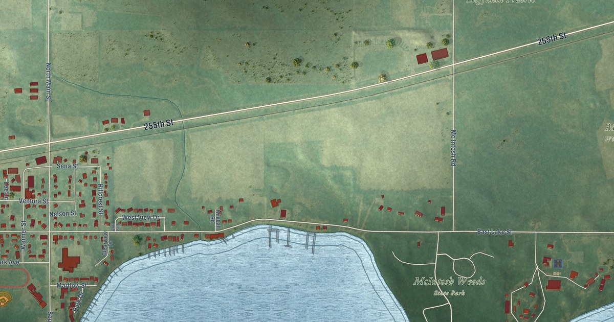
A detailed map of Ventura, Iowa, showing every building in its true location, the roads by name, and shaded topographical relief.
Read More















