Detailed Map of Varina, Iowa
A detailed map of Varina, Iowa, showing every building in its true location, the roads by name, and shaded topographical relief.
Read More
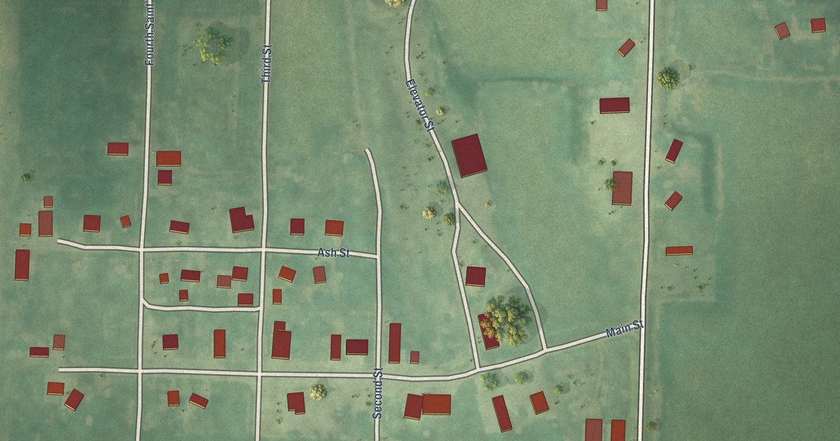
A detailed map of Varina, Iowa, showing every building in its true location, the roads by name, and shaded topographical relief.
Read More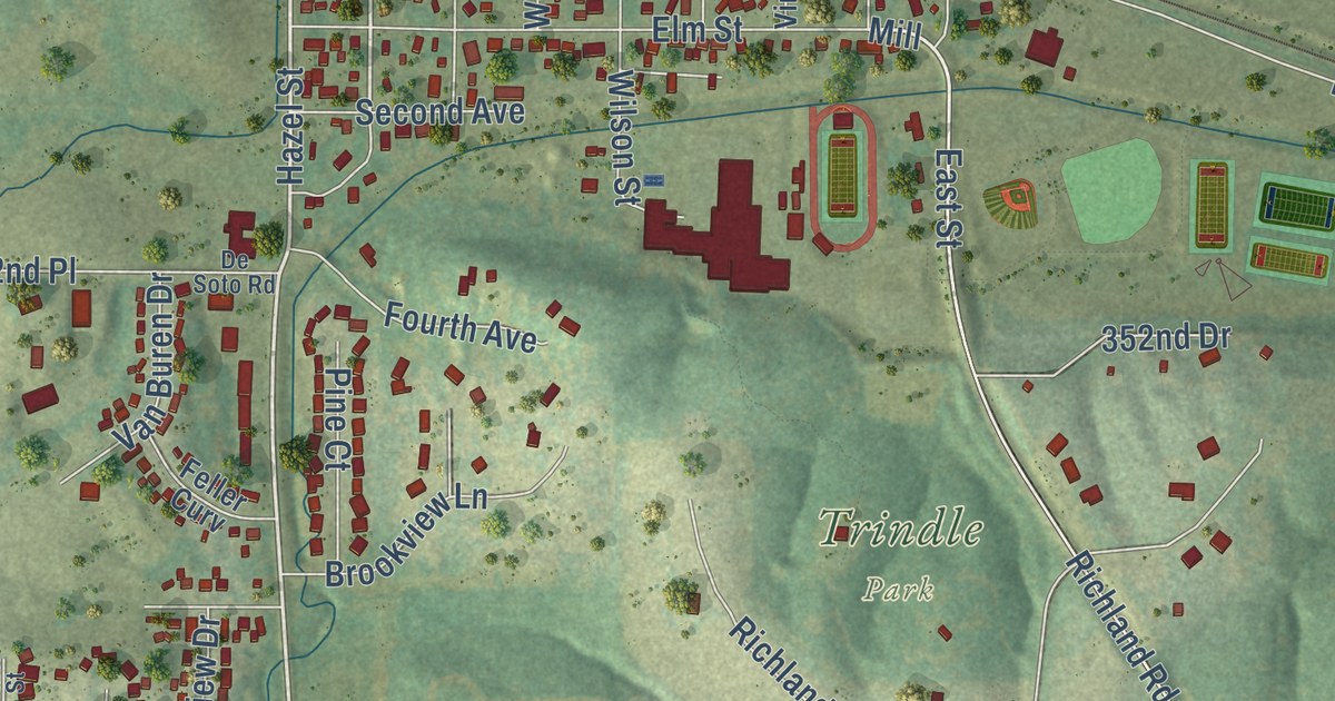
A detailed map of Van Meter, Iowa, showing every building in its true location, the roads by name, and shaded topographical relief.
Read More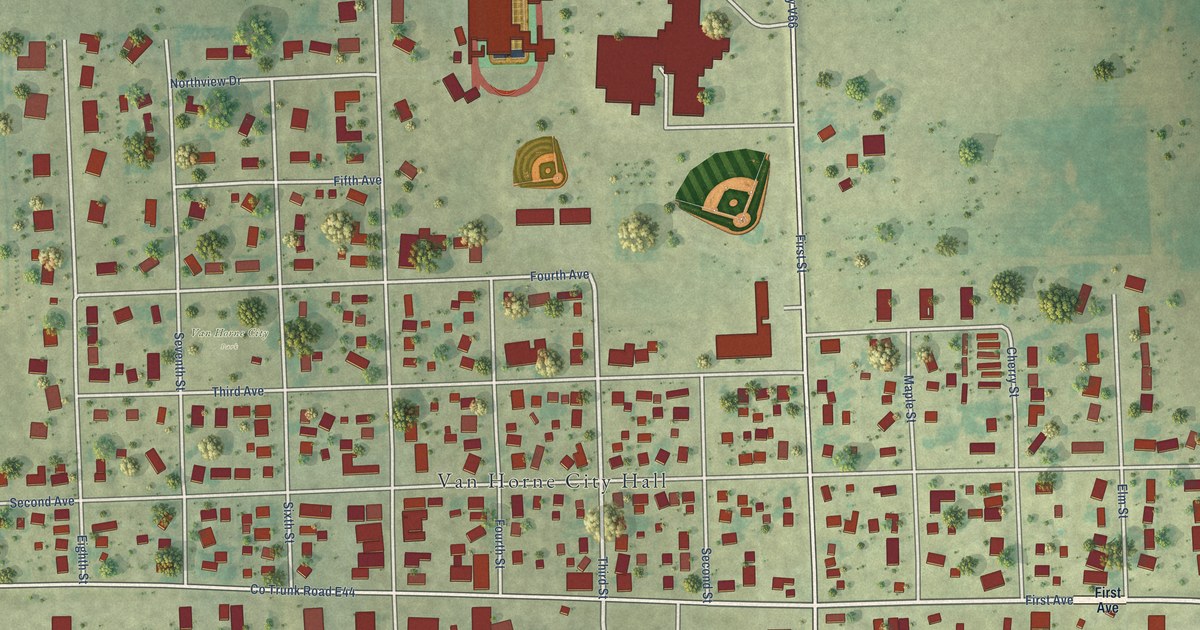
A detailed map of Van Horne, Iowa, showing every building in its true location, the roads by name, and shaded topographical relief.
Read More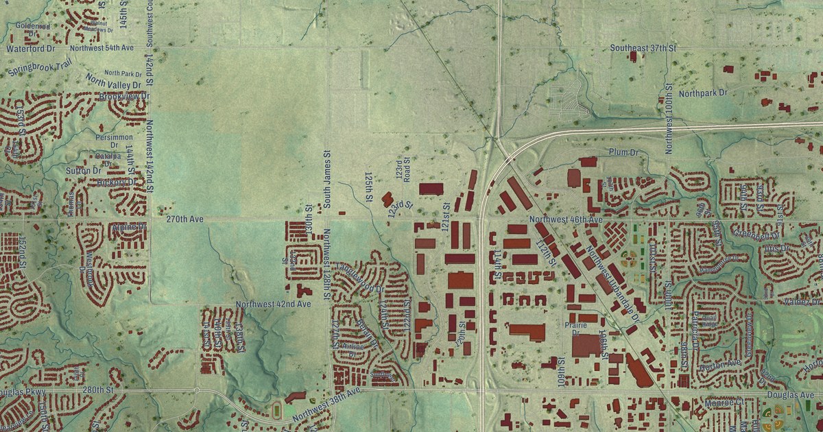
A detailed map of Urbandale, Iowa, showing every building in its true location, the roads by name, and shaded topographical relief.
Read More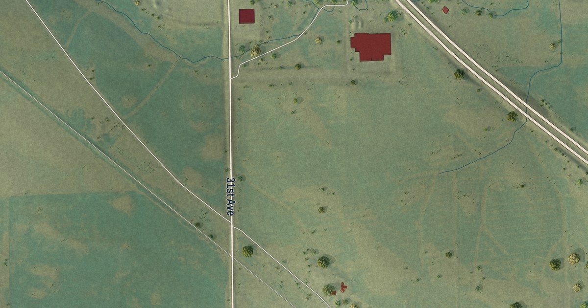
A detailed map of Urbana, Iowa, showing every building in its true location, the roads by name, and shaded topographical relief.
Read More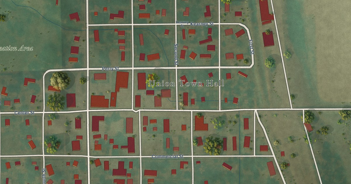
A detailed map of Union, Iowa, showing every building in its true location, the roads by name, and shaded topographical relief.
Read More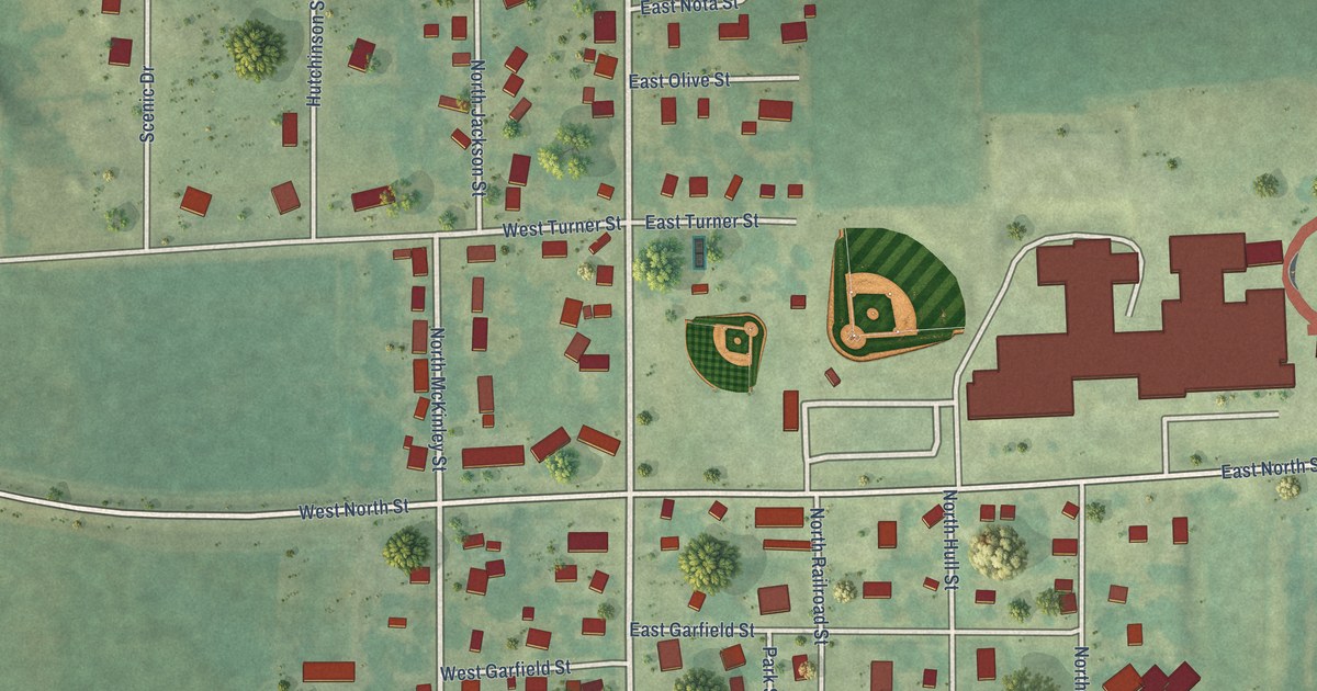
A detailed map of Truro, Iowa, showing every building in its true location, the roads by name, and shaded topographical relief.
Read More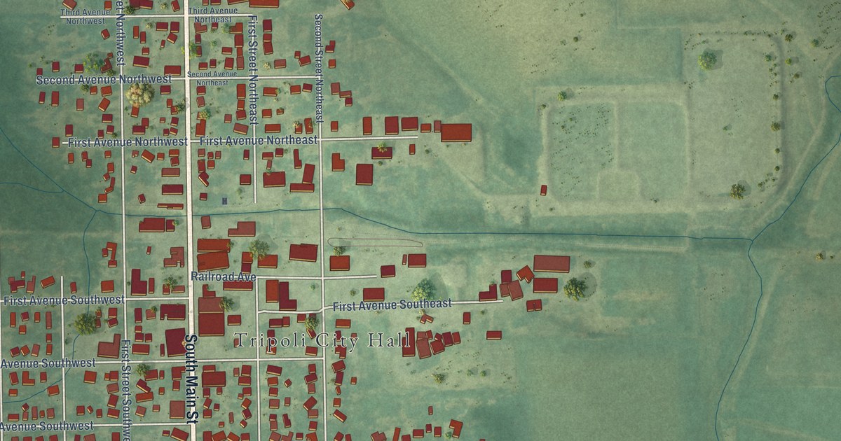
A detailed map of Tripoli, Iowa, showing every building in its true location, the roads by name, and shaded topographical relief.
Read More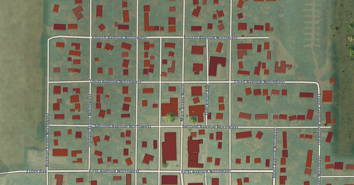
A detailed map of Titonka, Iowa, showing every building in its true location, the roads by name, and shaded topographical relief.
Read More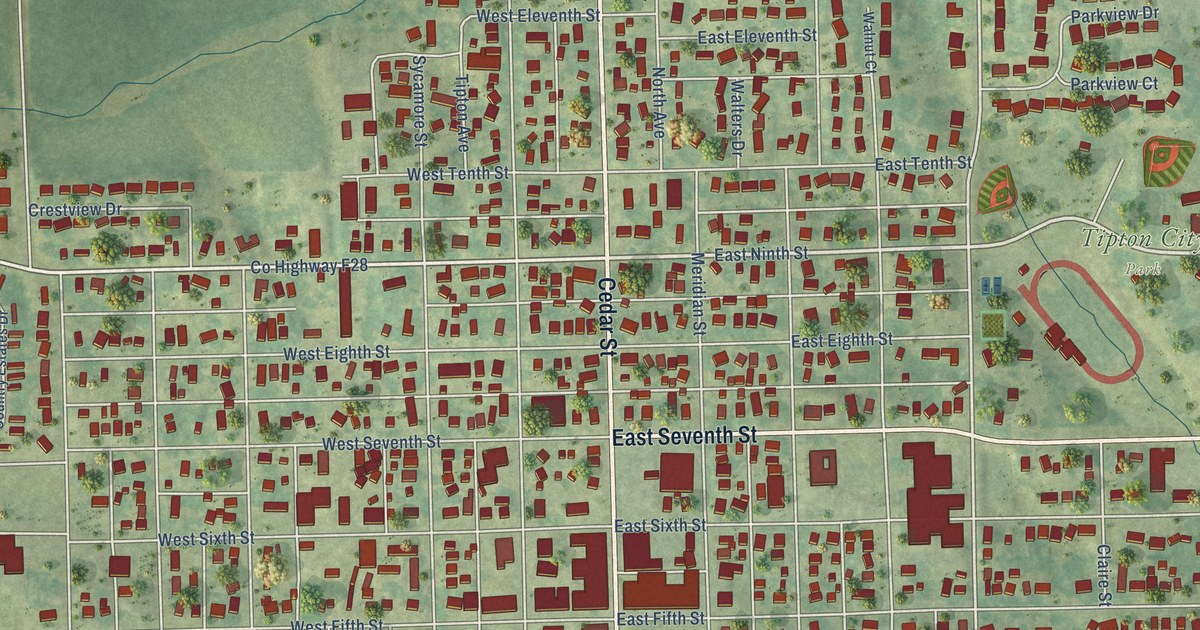
A detailed map of Tipton, Iowa, showing every building in its true location, the roads by name, and shaded topographical relief.
Read More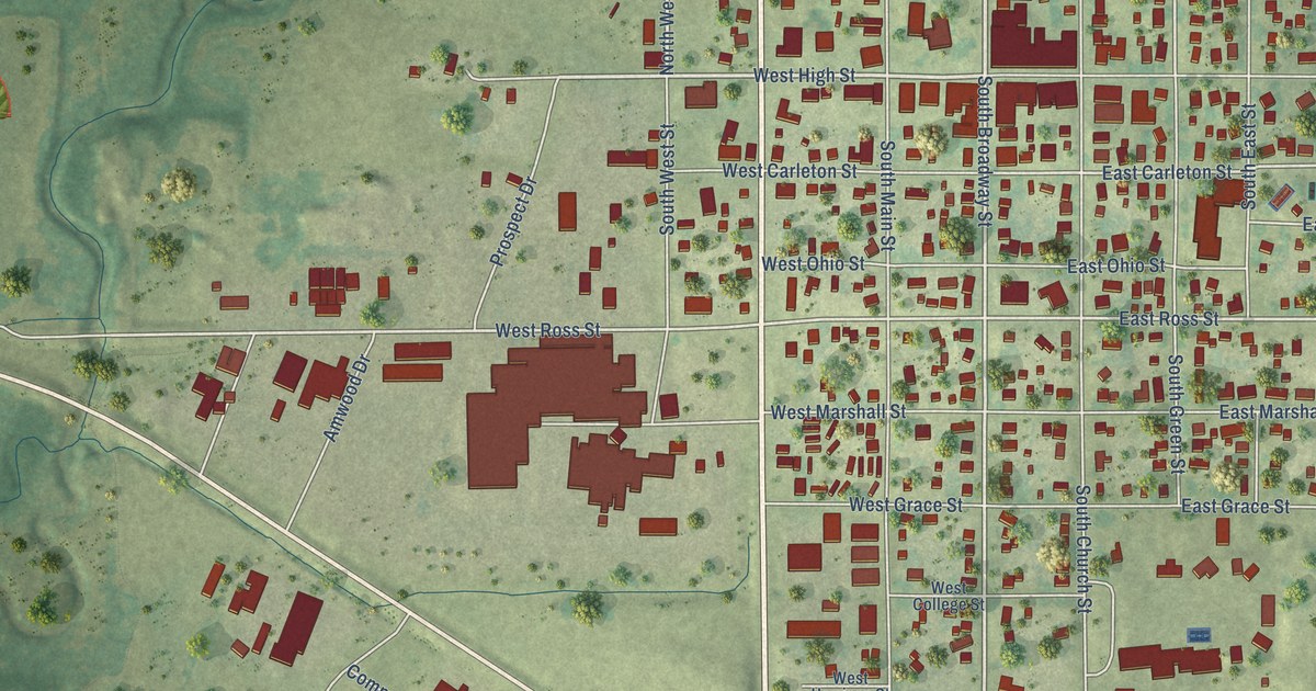
A detailed map of Toledo, Iowa, showing every building in its true location, the roads by name, and shaded topographical relief.
Read More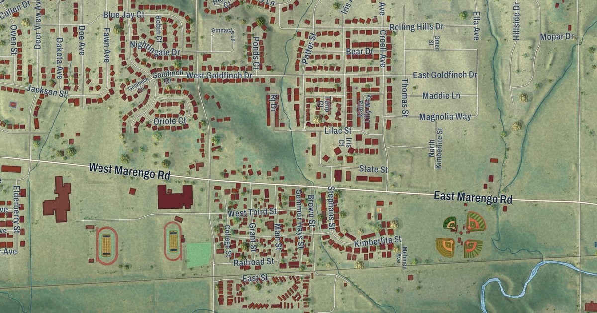
A detailed map of Tiffin, Iowa, showing every building in its true location, the roads by name, and shaded topographical relief.
Read More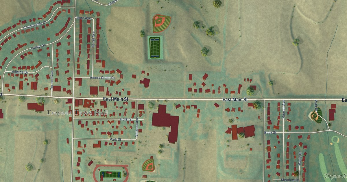
A detailed map of Treynor, Iowa, showing every building in its true location, the roads by name, and shaded topographical relief.
Read More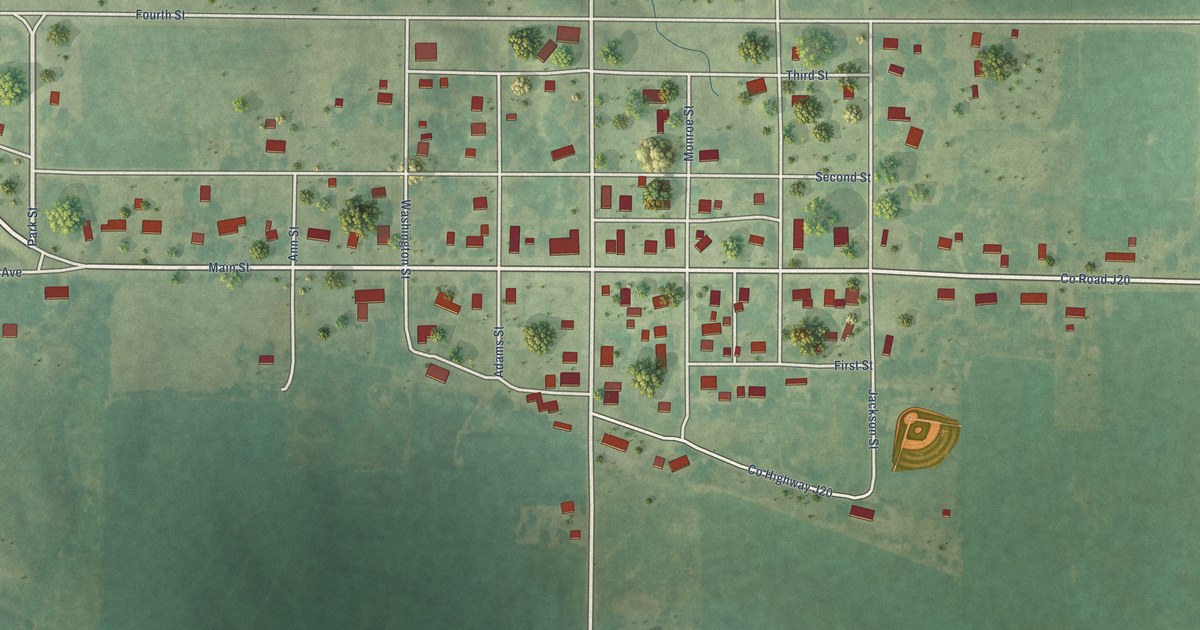
A detailed map of Tingley, Iowa, showing every building in its true location, the roads by name, and shaded topographical relief.
Read More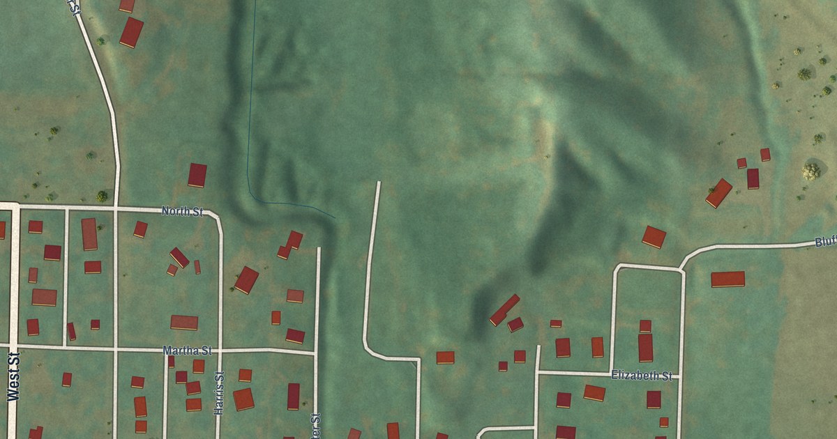
A detailed map of Thurman, Iowa, showing every building in its true location, the roads by name, and shaded topographical relief.
Read More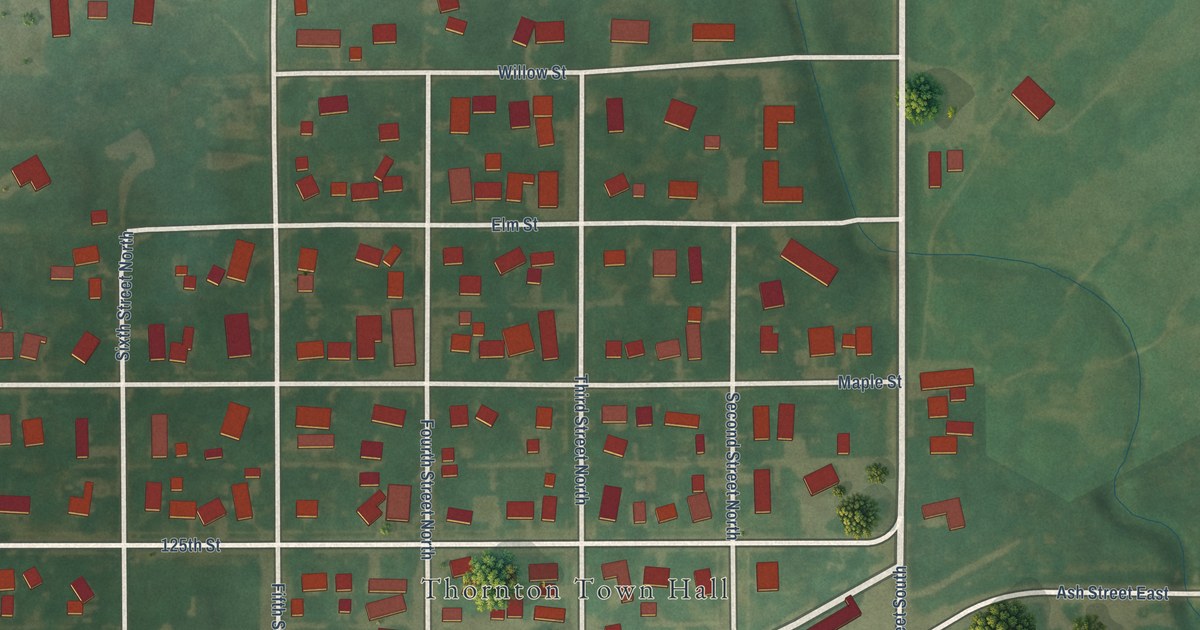
A detailed map of Thornton, Iowa, showing every building in its true location, the roads by name, and shaded topographical relief.
Read More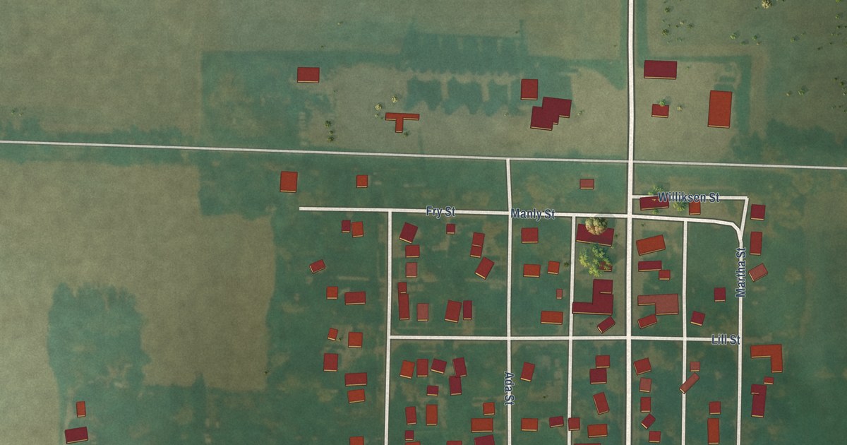
A detailed map of Thor, Iowa, showing every building in its true location, the roads by name, and shaded topographical relief.
Read More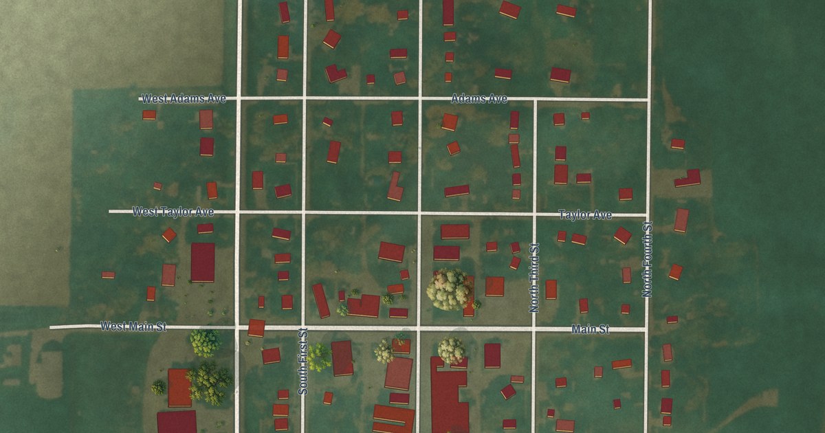
A detailed map of Terril, Iowa, showing every building in its true location, the roads by name, and shaded topographical relief.
Read More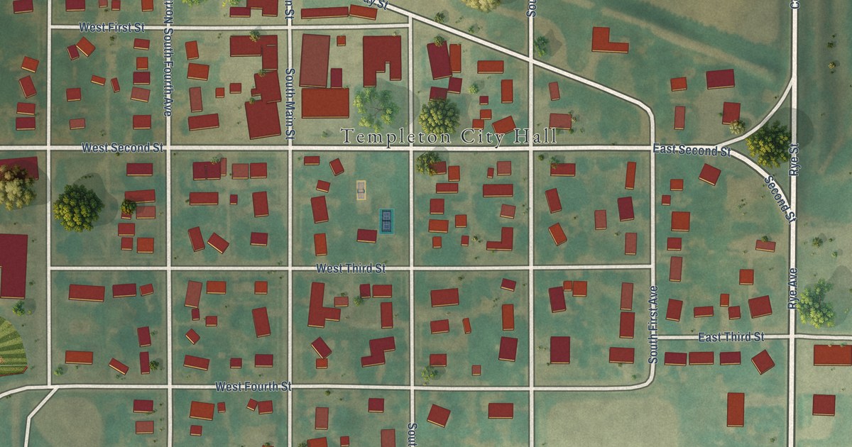
A detailed map of Templeton, Iowa, showing every building in its true location, the roads by name, and shaded topographical relief.
Read More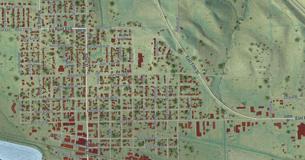
A detailed map of Tama, Iowa, showing every building in its true location, the roads by name, and shaded topographical relief.
Read More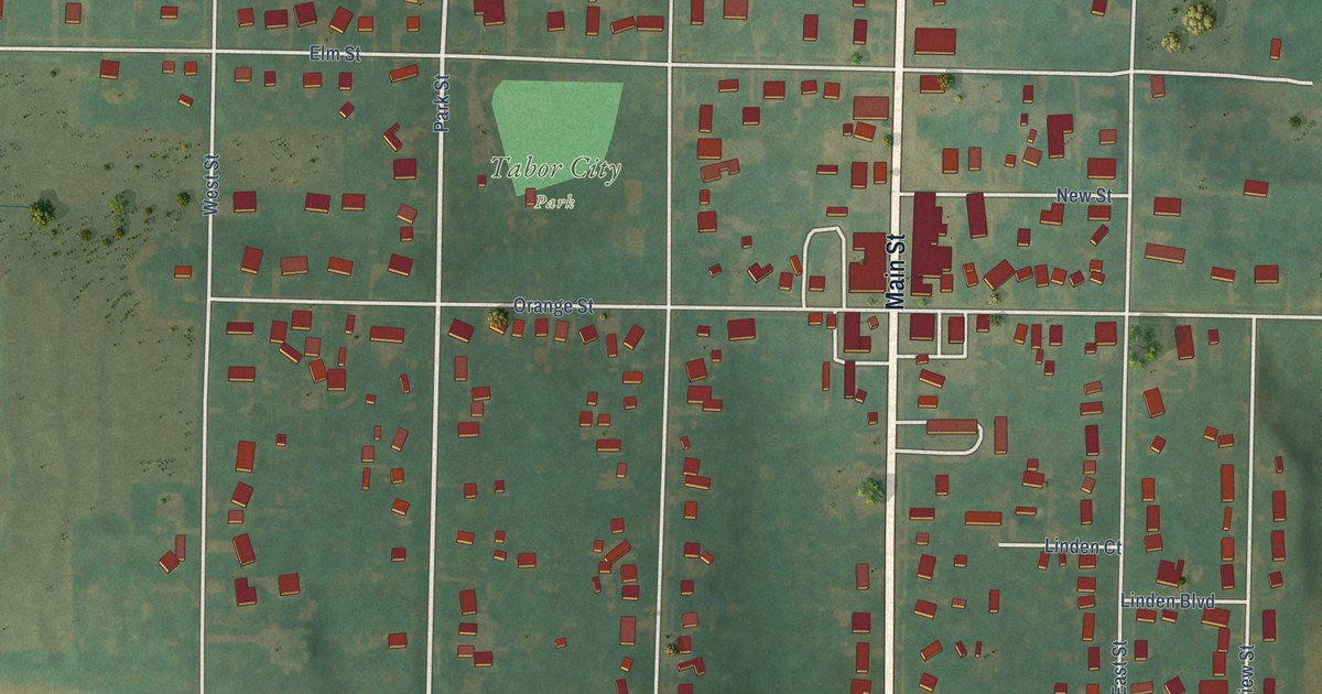
A detailed map of Tabor, Iowa, showing every building in its true location, the roads by name, and shaded topographical relief.
Read More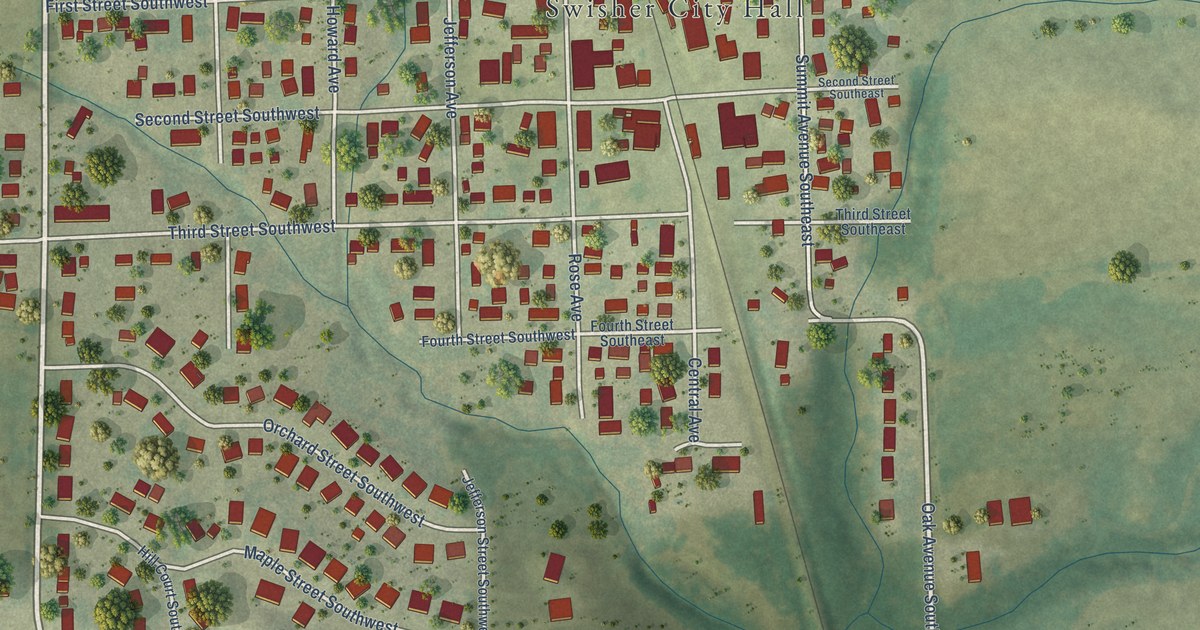
A detailed map of Swisher, Iowa, showing every building in its true location, the roads by name, and shaded topographical relief.
Read More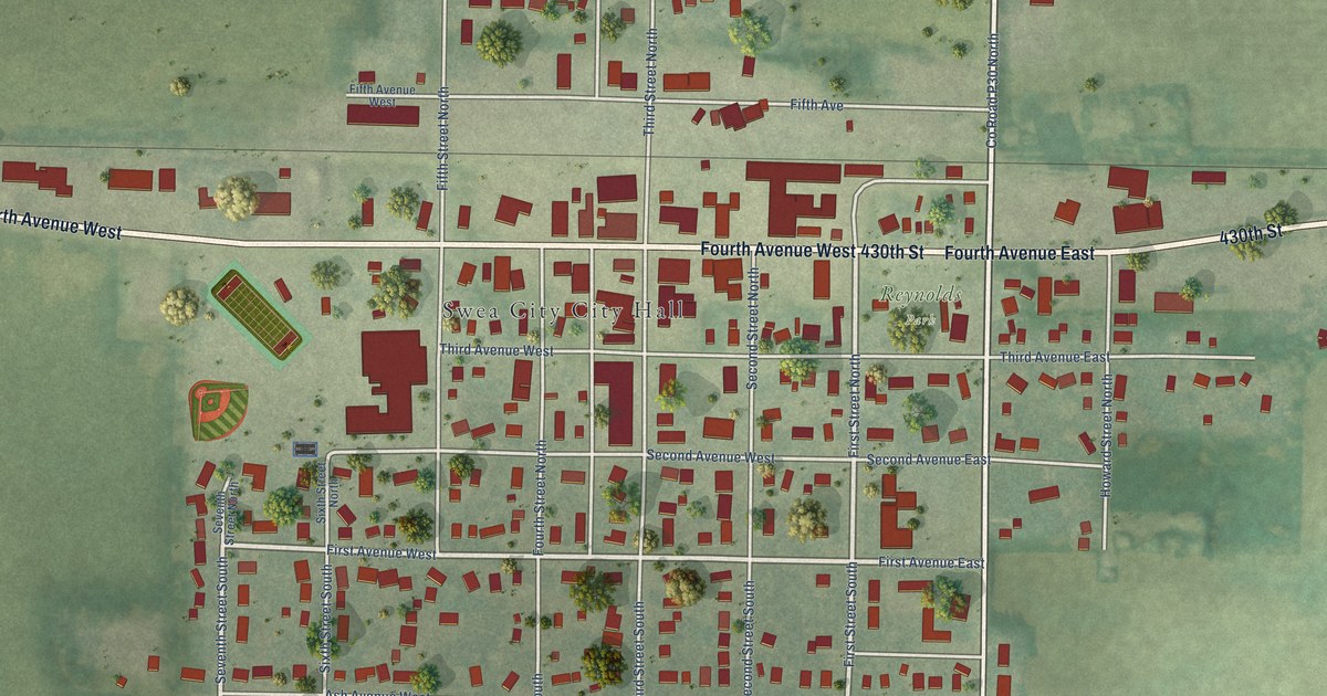
A detailed map of Swea City, Iowa, showing every building in its true location, the roads by name, and shaded topographical relief.
Read More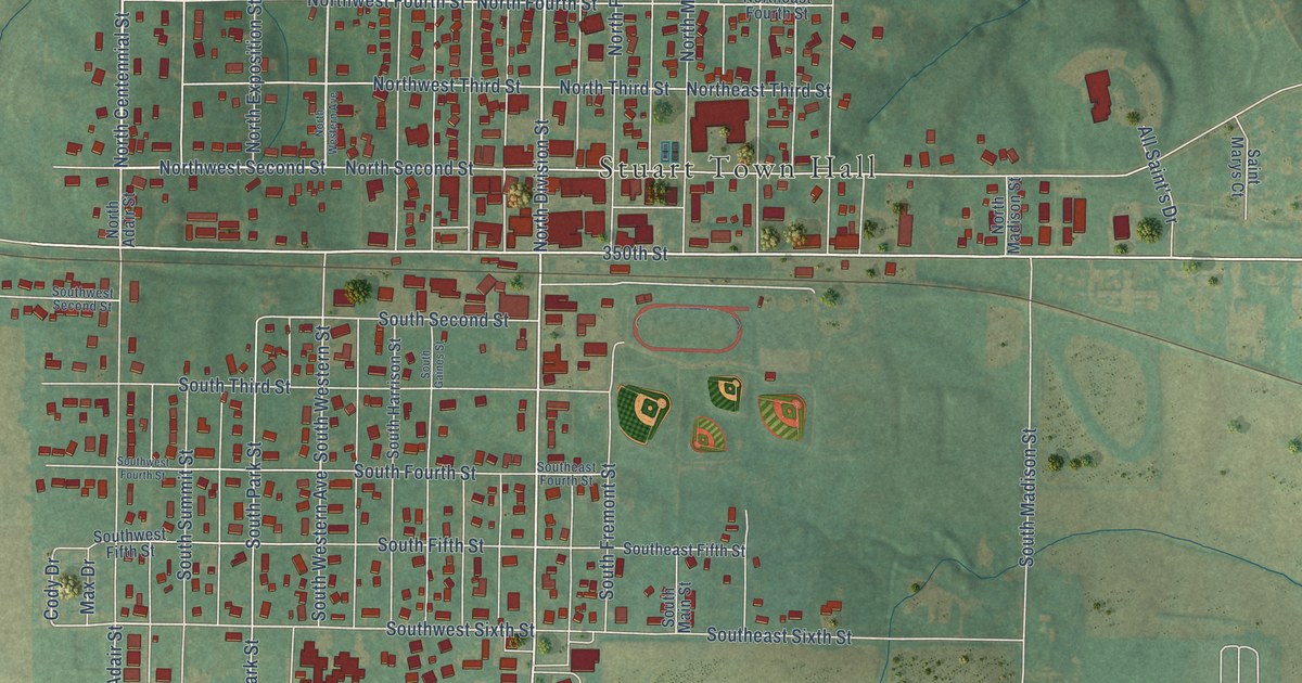
A detailed map of Stuart, Iowa, showing every building in its true location, the roads by name, and shaded topographical relief.
Read More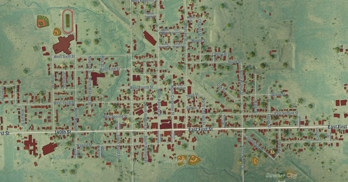
A detailed map of Sumner, Iowa, showing every building in its true location, the roads by name, and shaded topographical relief.
Read More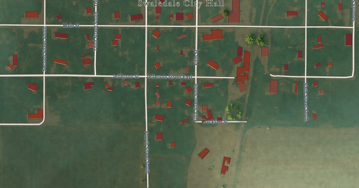
A detailed map of Swaledale, Iowa, showing every building in its true location, the roads by name, and shaded topographical relief.
Read More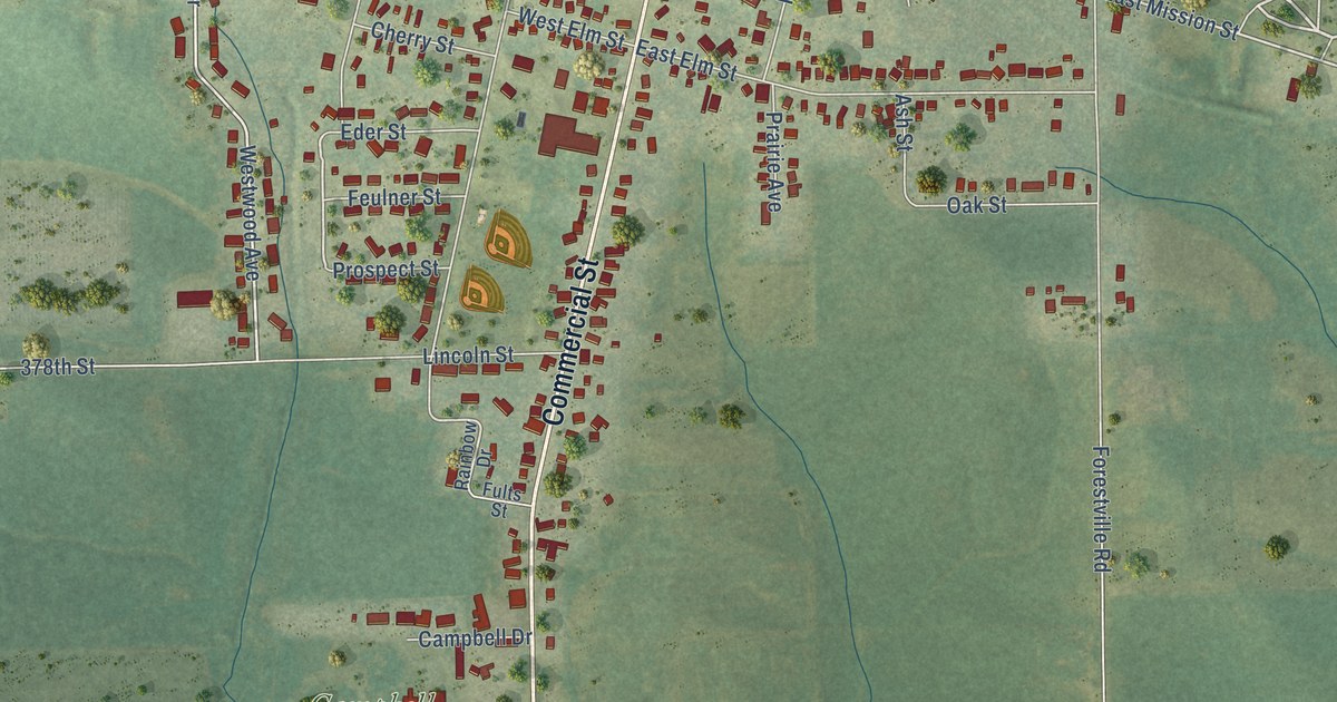
A detailed map of Strawberry Point, Iowa, showing every building in its true location, the roads by name, and shaded topographical relief.
Read More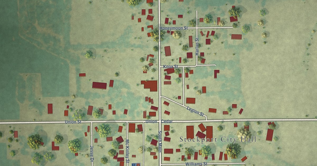
A detailed map of Stockport, Iowa, showing every building in its true location, the roads by name, and shaded topographical relief.
Read More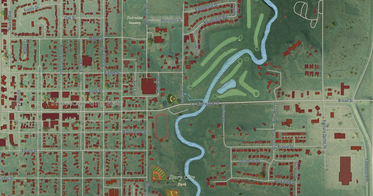
A detailed map of Story City, Iowa, showing every building in its true location, the roads by name, and shaded topographical relief.
Read More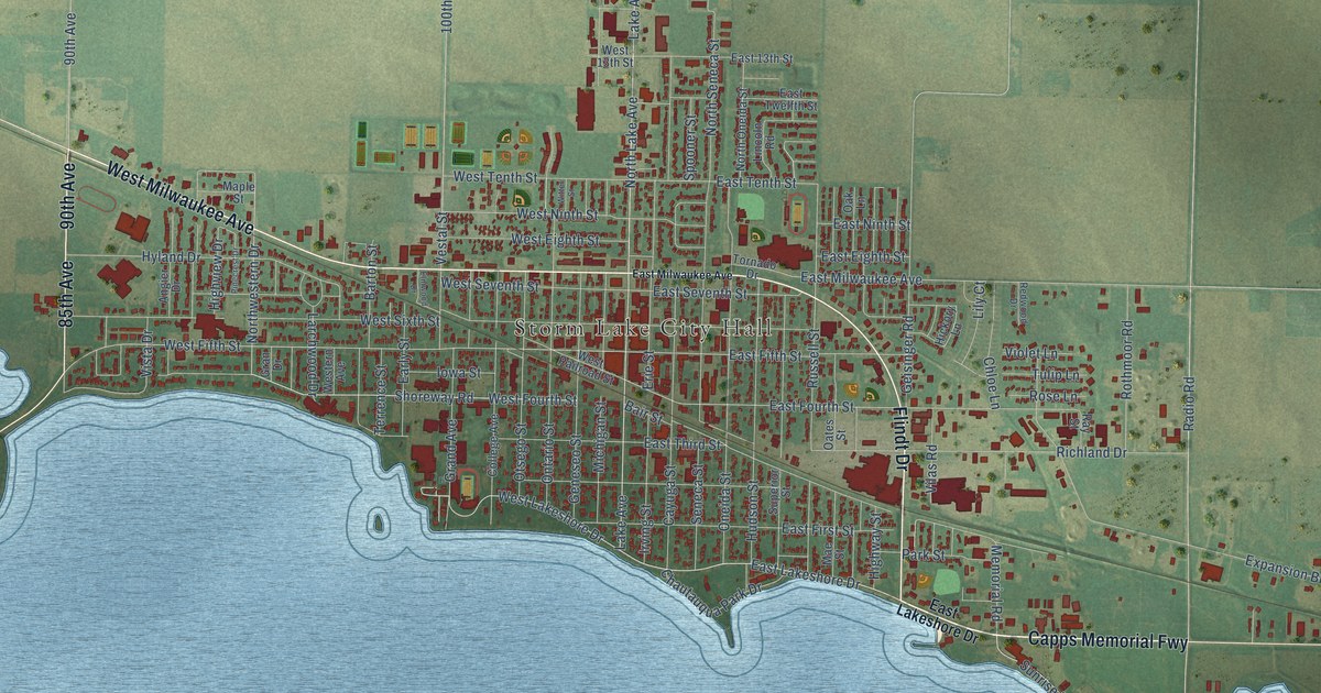
A detailed map of Storm Lake, Iowa, showing every building in its true location, the roads by name, and shaded topographical relief.
Read More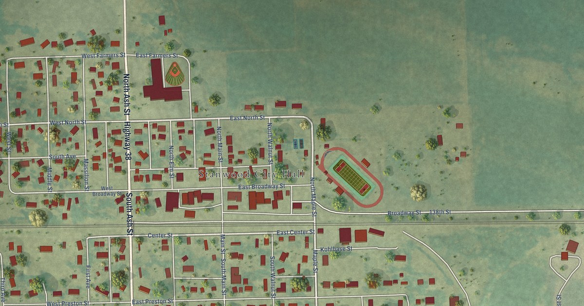
A detailed map of Stanwood, Iowa, showing every building in its true location, the roads by name, and shaded topographical relief.
Read More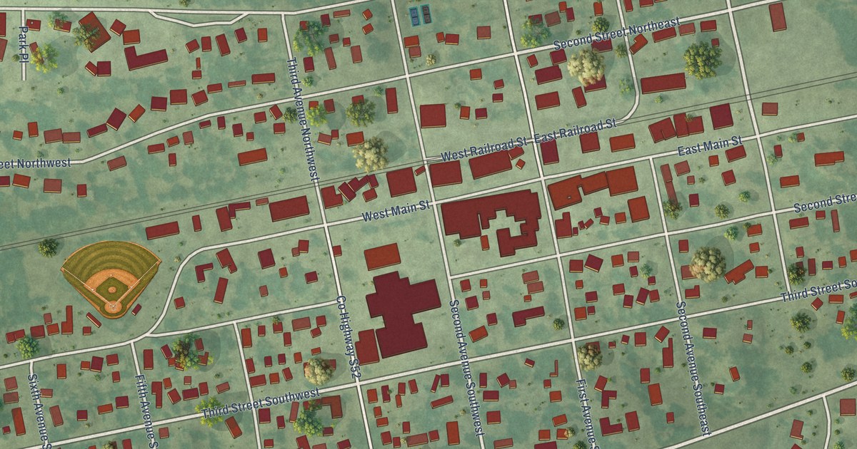
A detailed map of State Center, Iowa, showing every building in its true location, the roads by name, and shaded topographical relief.
Read More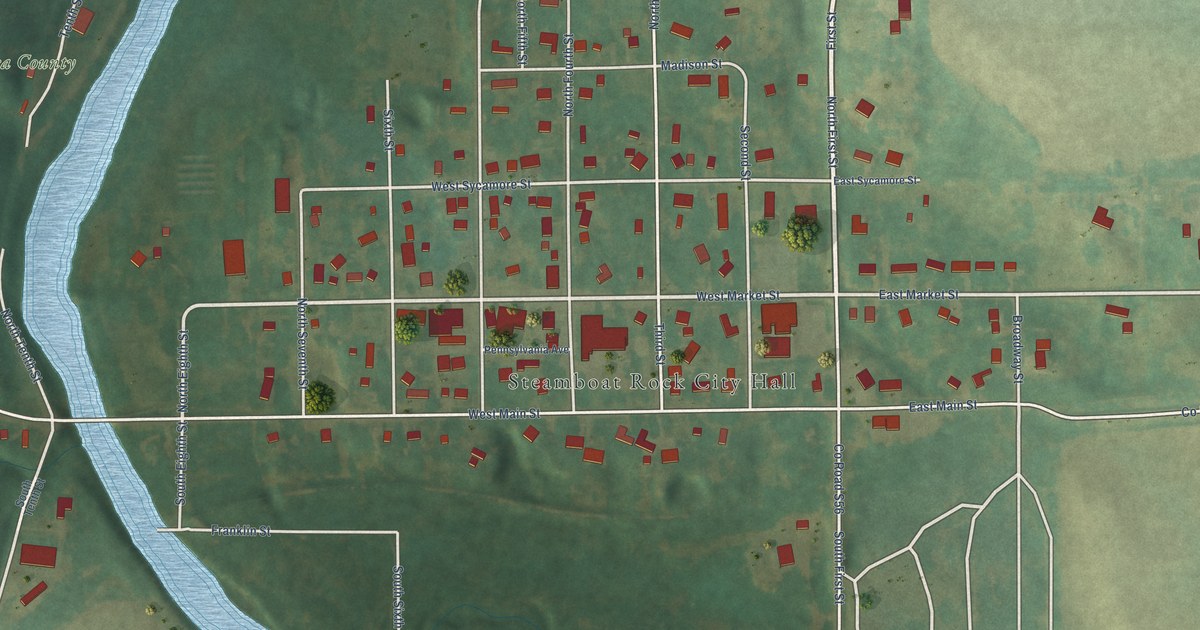
A detailed map of Steamboat Rock, Iowa, showing every building in its true location, the roads by name, and shaded topographical relief.
Read More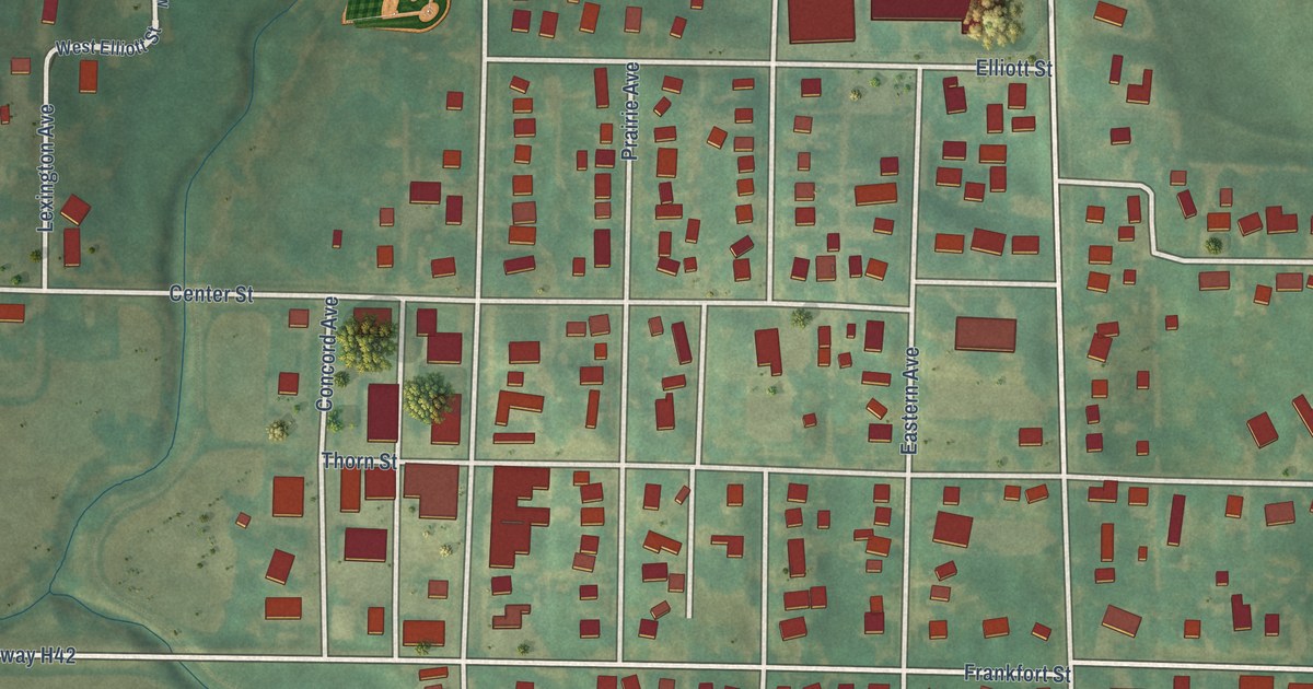
A detailed map of Stanton, Iowa, showing every building in its true location, the roads by name, and shaded topographical relief.
Read More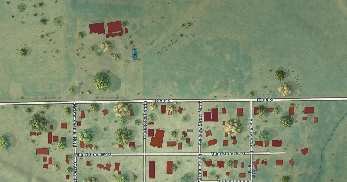
A detailed map of Stanley, Iowa, showing every building in its true location, the roads by name, and shaded topographical relief.
Read More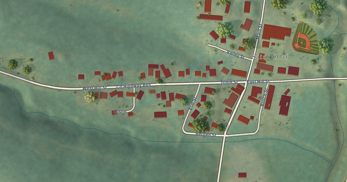
A detailed map of St. Olaf, Iowa, showing every building in its true location, the roads by name, and shaded topographical relief.
Read More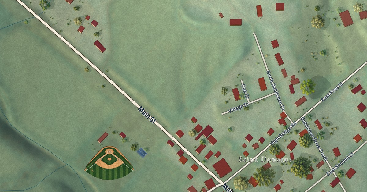
A detailed map of St. Donatus, Iowa, showing every building in its true location, the roads by name, and shaded topographical relief.
Read More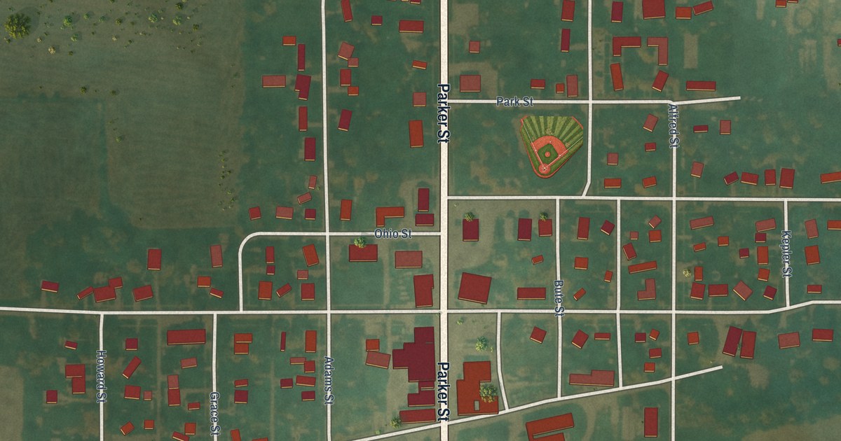
A detailed map of Stanhope, Iowa, showing every building in its true location, the roads by name, and shaded topographical relief.
Read More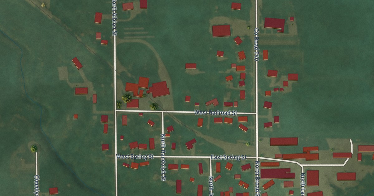
A detailed map of Stacyville, Iowa, showing every building in its true location, the roads by name, and shaded topographical relief.
Read More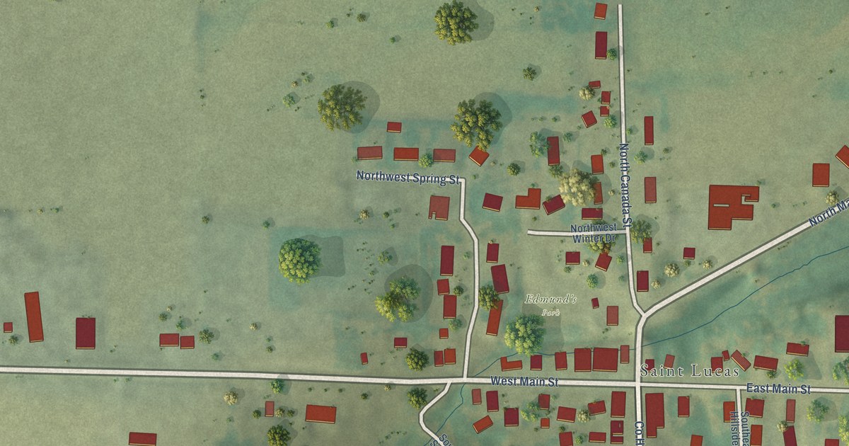
A detailed map of St. Lucas, Iowa, showing every building in its true location, the roads by name, and shaded topographical relief.
Read More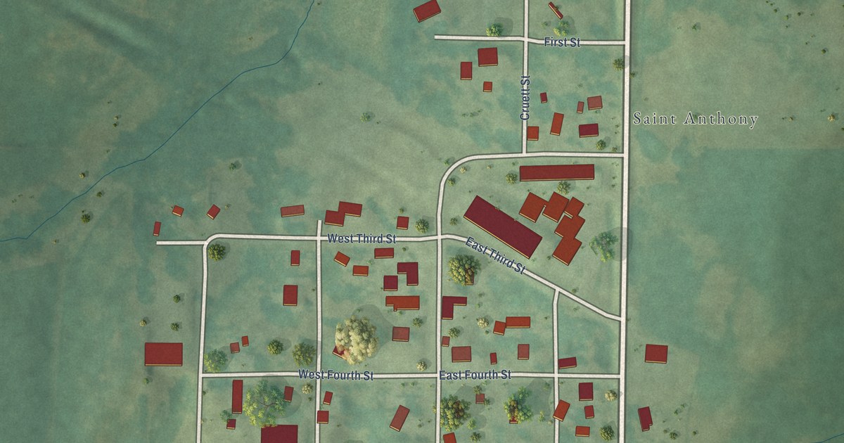
A detailed map of St. Anthony, Iowa, showing every building in its true location, the roads by name, and shaded topographical relief.
Read More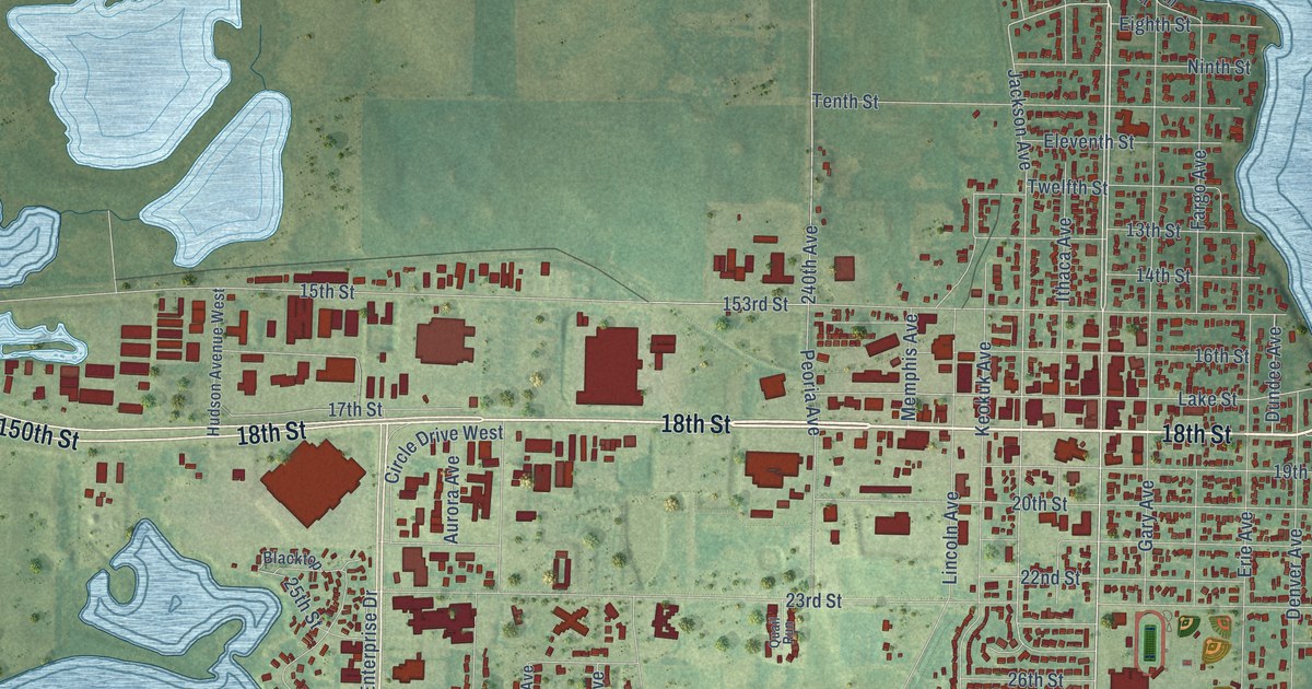
A detailed map of Spirit Lake, Iowa, showing every building in its true location, the roads by name, and shaded topographical relief.
Read More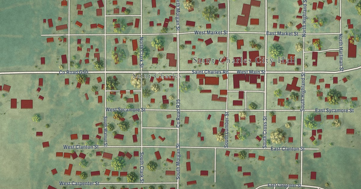
A detailed map of St. Charles, Iowa, showing every building in its true location, the roads by name, and shaded topographical relief.
Read More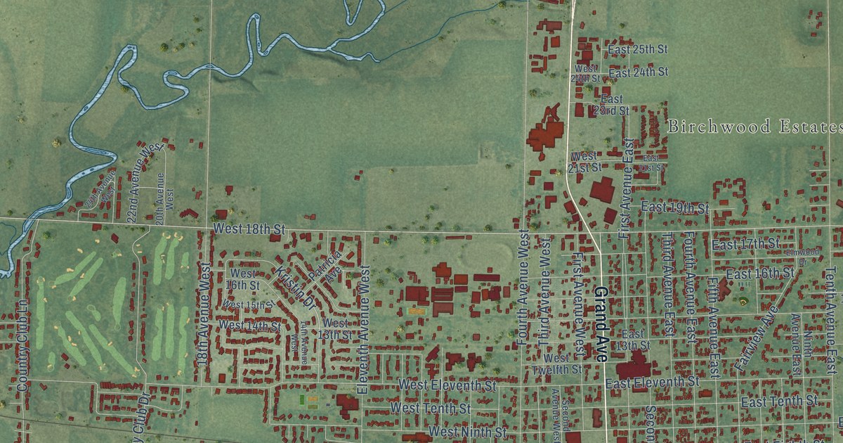
A detailed map of Spencer, Iowa, showing every building in its true location, the roads by name, and shaded topographical relief.
Read More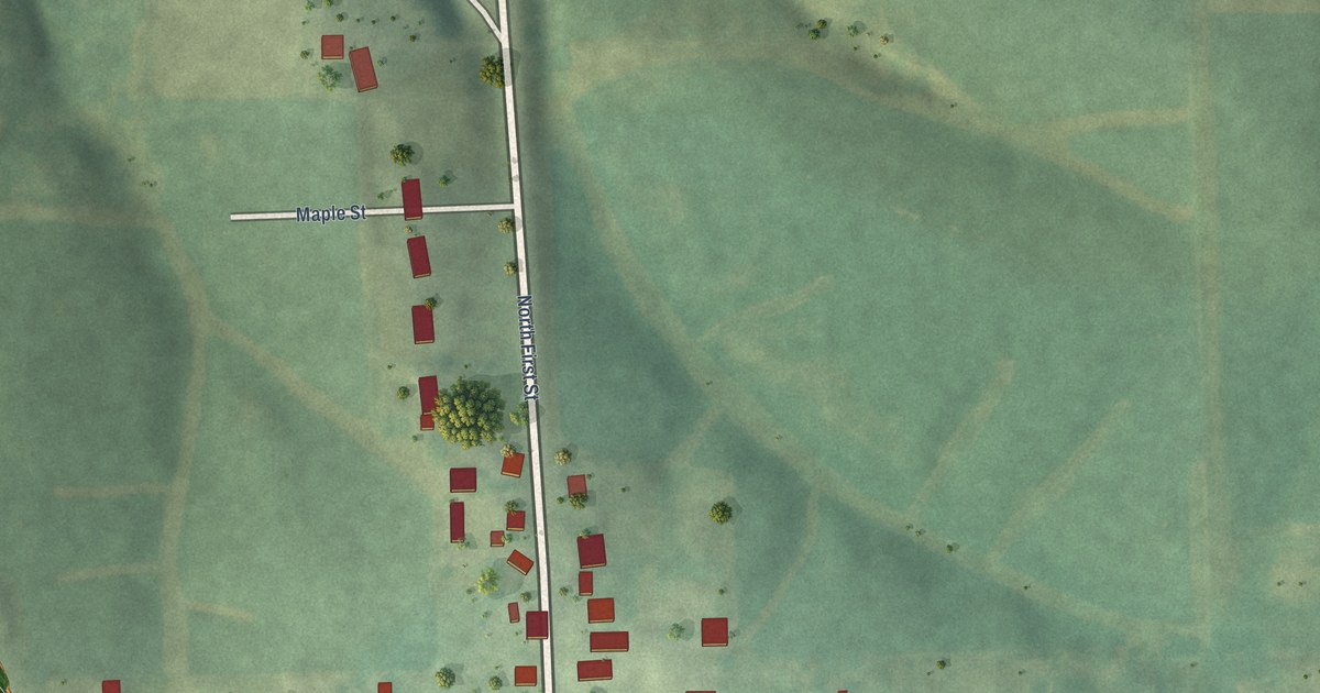
A detailed map of Springbrook, Iowa, showing every building in its true location, the roads by name, and shaded topographical relief.
Read More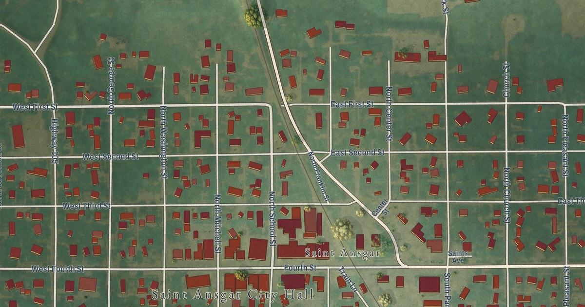
A detailed map of St. Ansgar, Iowa, showing every building in its true location, the roads by name, and shaded topographical relief.
Read More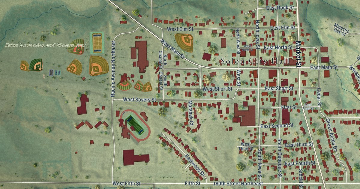
A detailed map of Solon, Iowa, showing every building in its true location, the roads by name, and shaded topographical relief.
Read More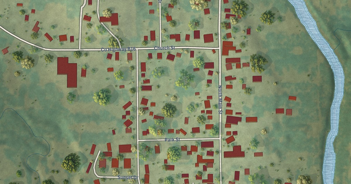
A detailed map of Spillville, Iowa, showing every building in its true location, the roads by name, and shaded topographical relief.
Read More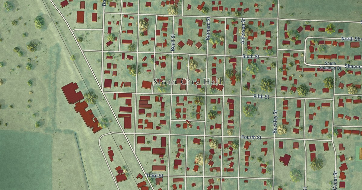
A detailed map of Sloan, Iowa, showing every building in its true location, the roads by name, and shaded topographical relief.
Read More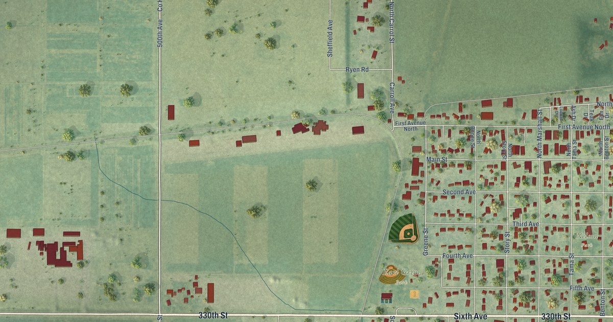
A detailed map of Slater, Iowa, showing every building in its true location, the roads by name, and shaded topographical relief.
Read More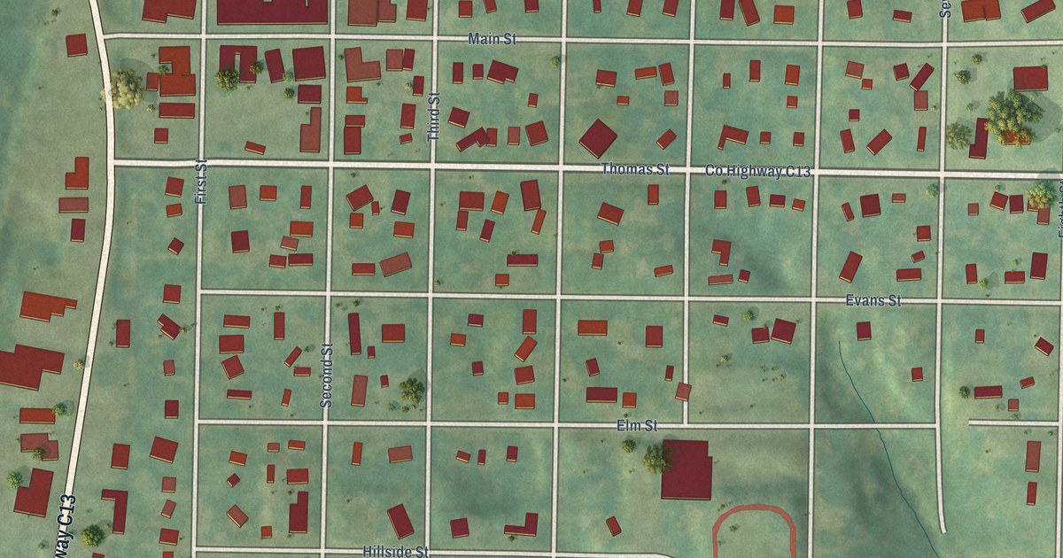
A detailed map of Sioux Rapids, Iowa, showing every building in its true location, the roads by name, and shaded topographical relief.
Read More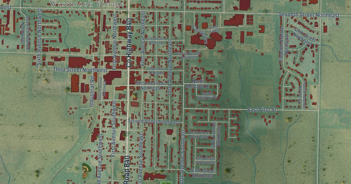
A detailed map of Sioux Center, Iowa, showing every building in its true location, the roads by name, and shaded topographical relief.
Read More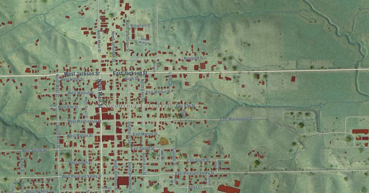
A detailed map of Sigourney, Iowa, showing every building in its true location, the roads by name, and shaded topographical relief.
Read More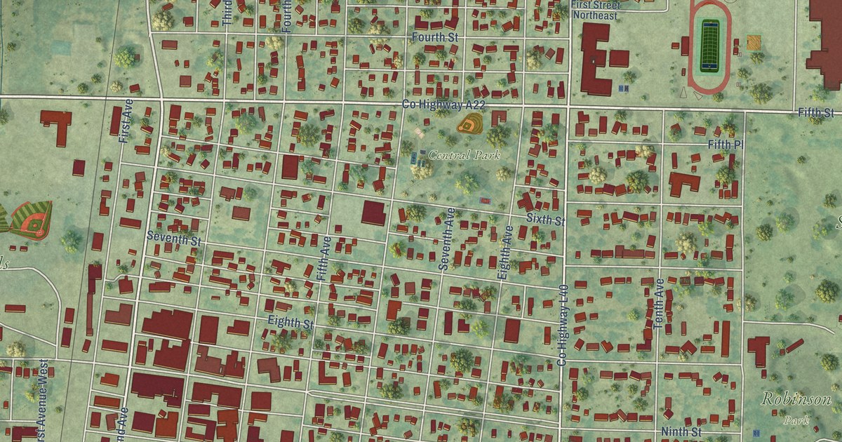
A detailed map of Sibley, Iowa, showing every building in its true location, the roads by name, and shaded topographical relief.
Read More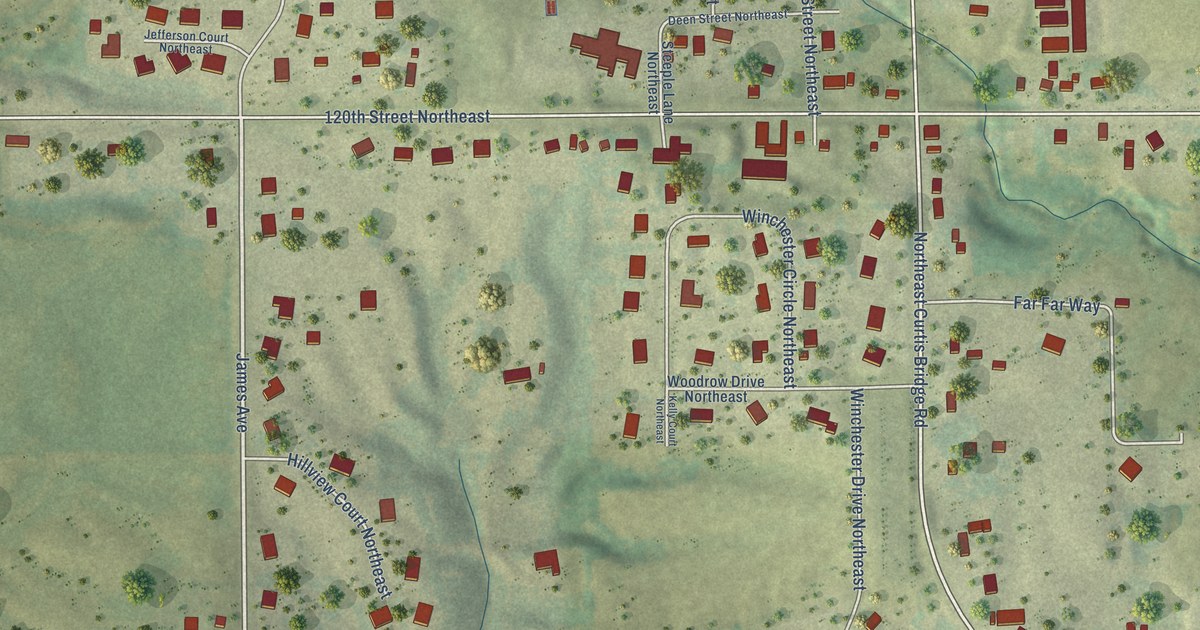
A detailed map of Shueyville, Iowa, showing every building in its true location, the roads by name, and shaded topographical relief.
Read More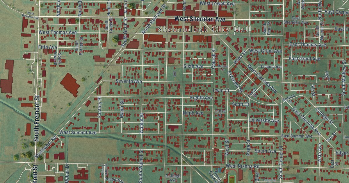
A detailed map of Shenandoah, Iowa, showing every building in its true location, the roads by name, and shaded topographical relief.
Read More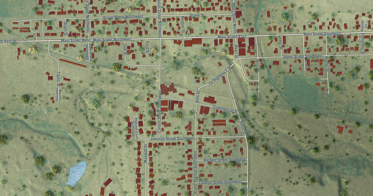
A detailed map of Shellsburg, Iowa, showing every building in its true location, the roads by name, and shaded topographical relief.
Read More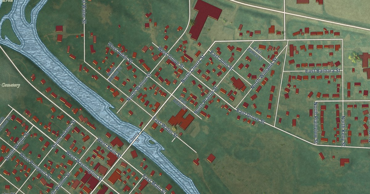
A detailed map of Shell Rock, Iowa, showing every building in its true location, the roads by name, and shaded topographical relief.
Read More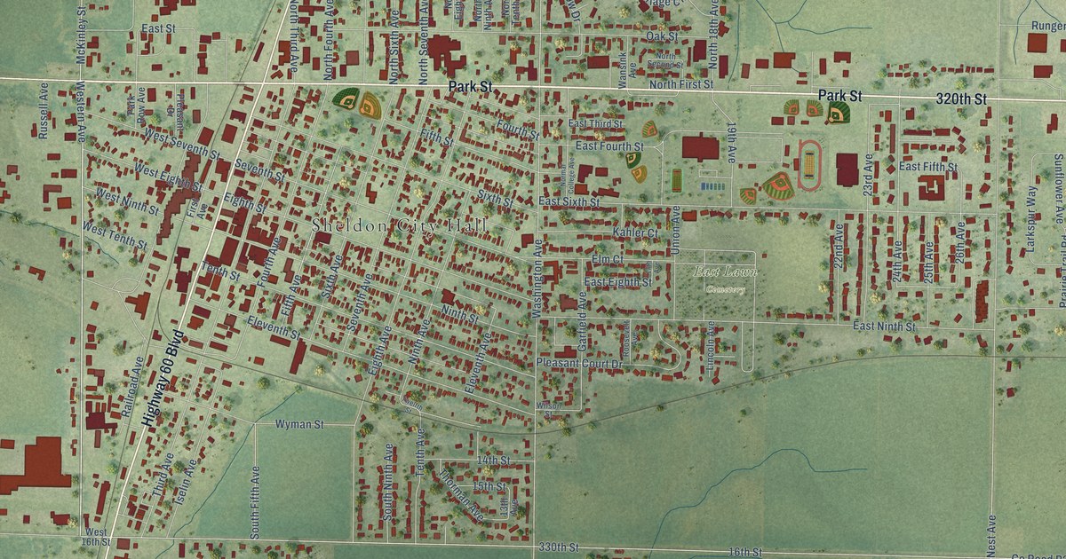
A detailed map of Sheldon, Iowa, showing every building in its true location, the roads by name, and shaded topographical relief.
Read More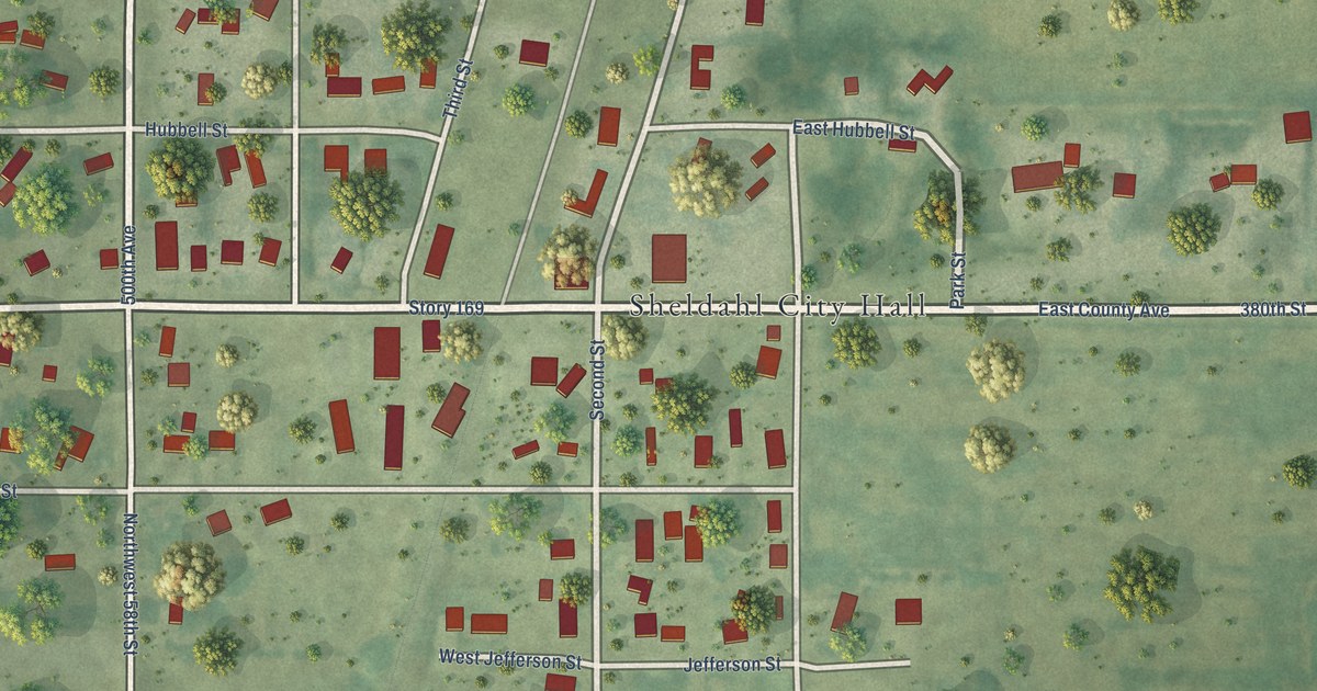
A detailed map of Sheldahl, Iowa, showing every building in its true location, the roads by name, and shaded topographical relief.
Read More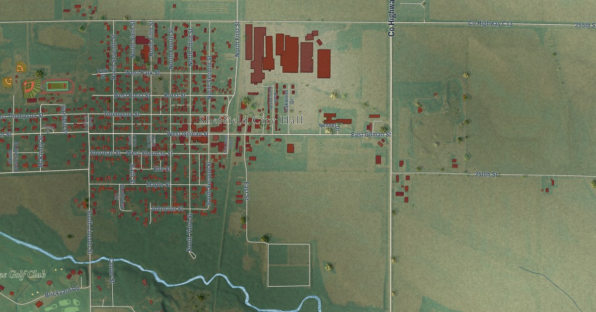
A detailed map of Sheffield, Iowa, showing every building in its true location, the roads by name, and shaded topographical relief.
Read More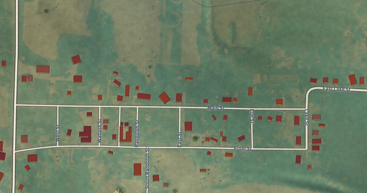
A detailed map of Sharpsburg, Iowa, showing every building in its true location, the roads by name, and shaded topographical relief.
Read More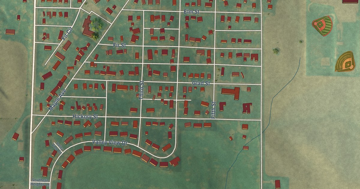
A detailed map of Schleswig, Iowa, showing every building in its true location, the roads by name, and shaded topographical relief.
Read More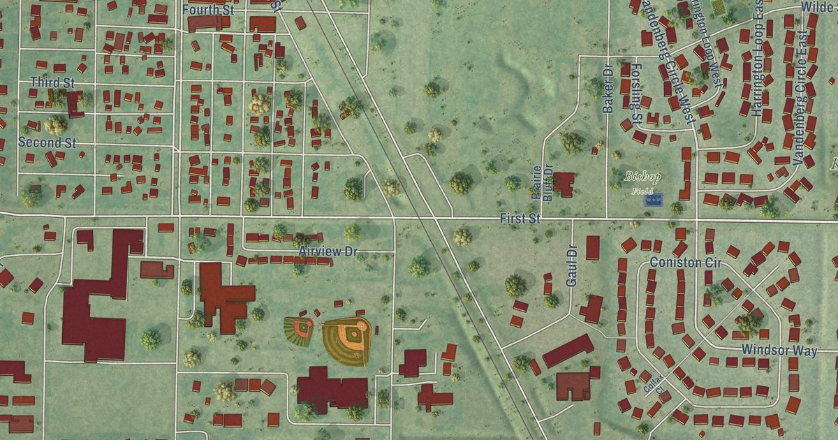
A detailed map of Sergeant Bluff, Iowa, showing every building in its true location, the roads by name, and shaded topographical relief.
Read More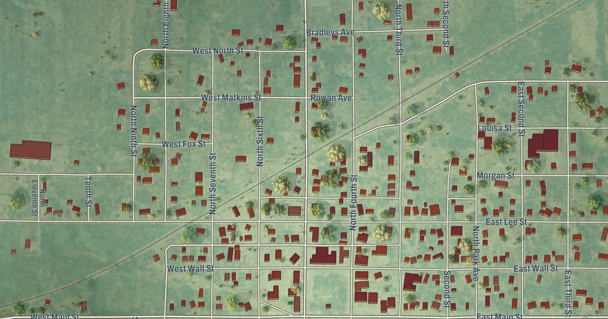
A detailed map of Seymour, Iowa, showing every building in its true location, the roads by name, and shaded topographical relief.
Read More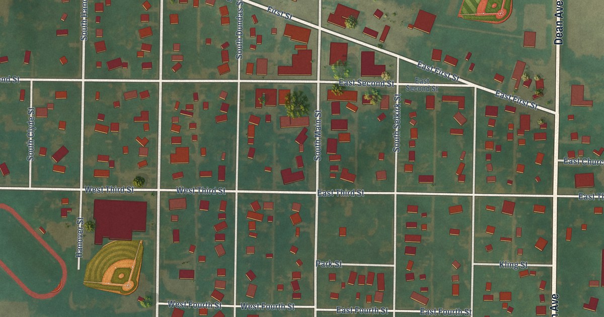
A detailed map of Schaller, Iowa, showing every building in its true location, the roads by name, and shaded topographical relief.
Read More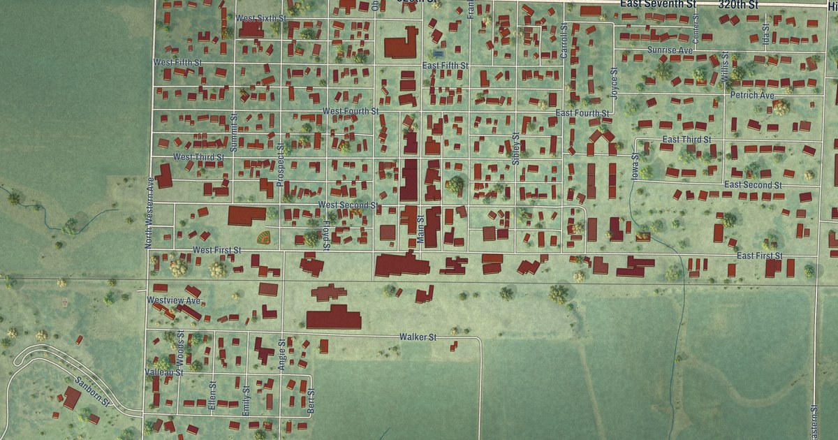
A detailed map of Sanborn, Iowa, showing every building in its true location, the roads by name, and shaded topographical relief.
Read More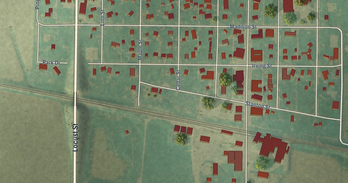
A detailed map of Scranton, Iowa, showing every building in its true location, the roads by name, and shaded topographical relief.
Read More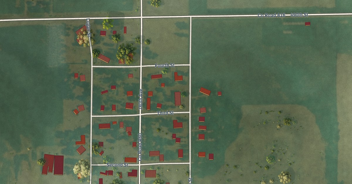
A detailed map of Scarville, Iowa, showing every building in its true location, the roads by name, and shaded topographical relief.
Read More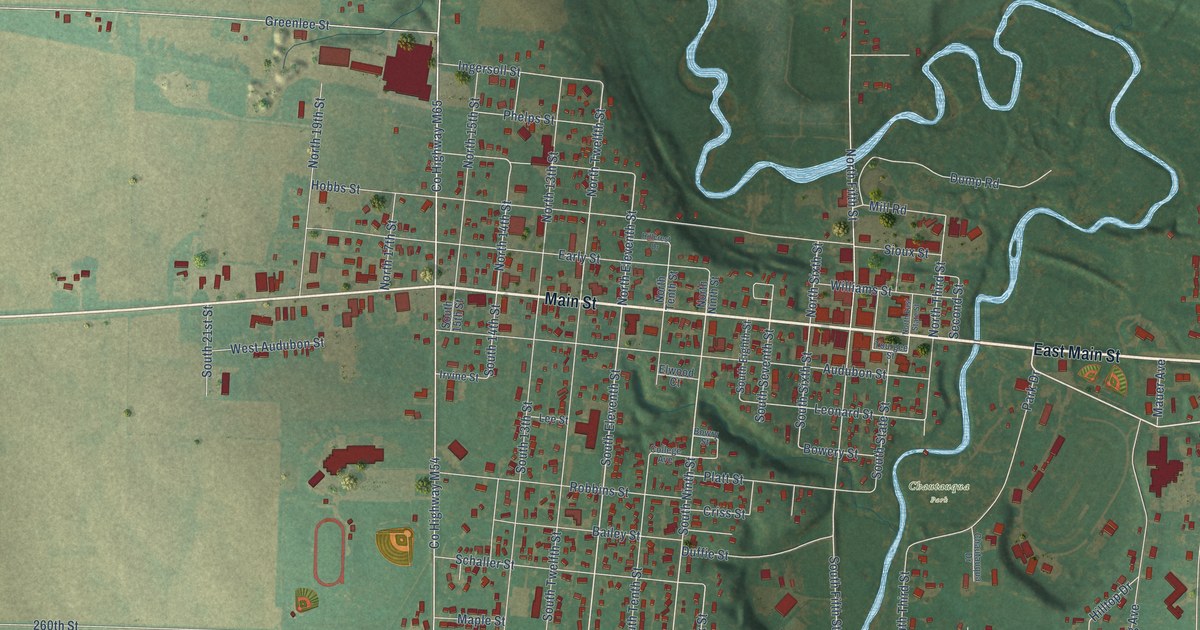
A detailed map of Sac City, Iowa, showing every building in its true location, the roads by name, and shaded topographical relief.
Read More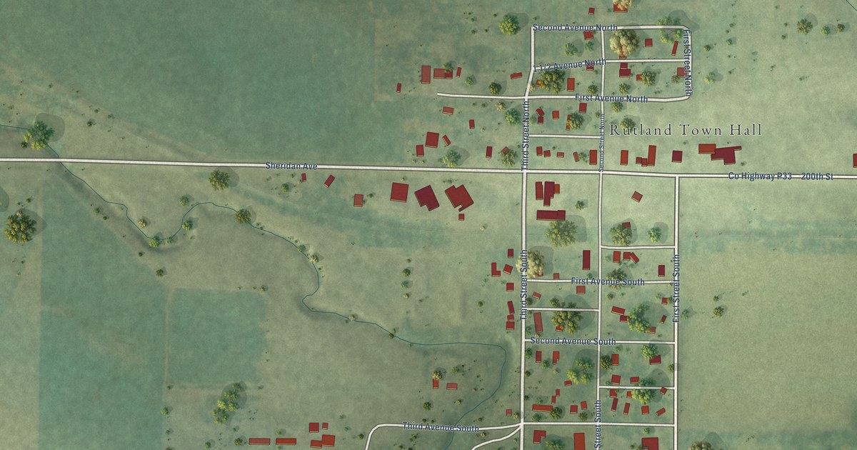
A detailed map of Rutland, Iowa, showing every building in its true location, the roads by name, and shaded topographical relief.
Read More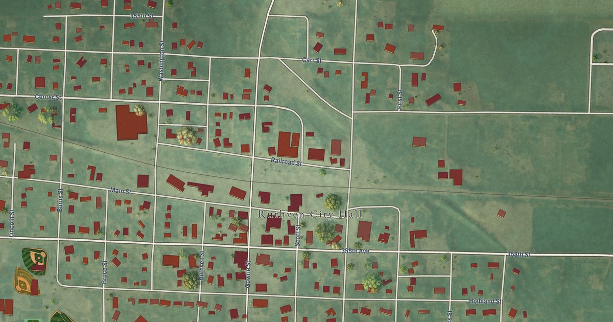
A detailed map of Ruthven, Iowa, showing every building in its true location, the roads by name, and shaded topographical relief.
Read More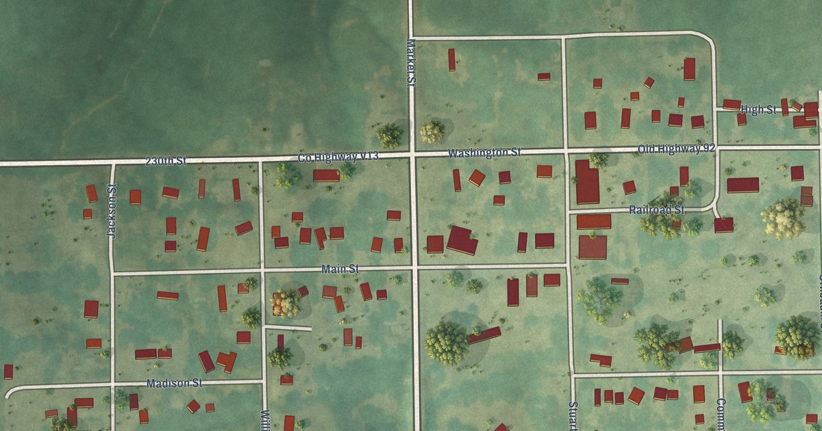
A detailed map of Rose Hill, Iowa, showing every building in its true location, the roads by name, and shaded topographical relief.
Read More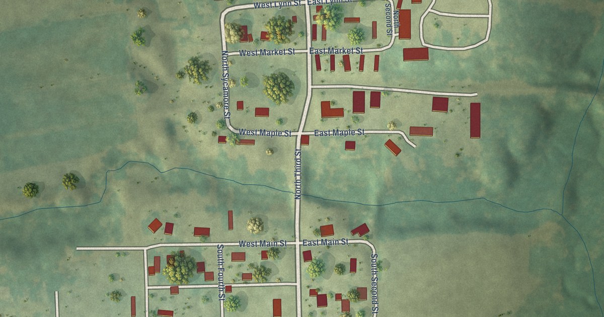
A detailed map of Rome, Iowa, showing every building in its true location, the roads by name, and shaded topographical relief.
Read More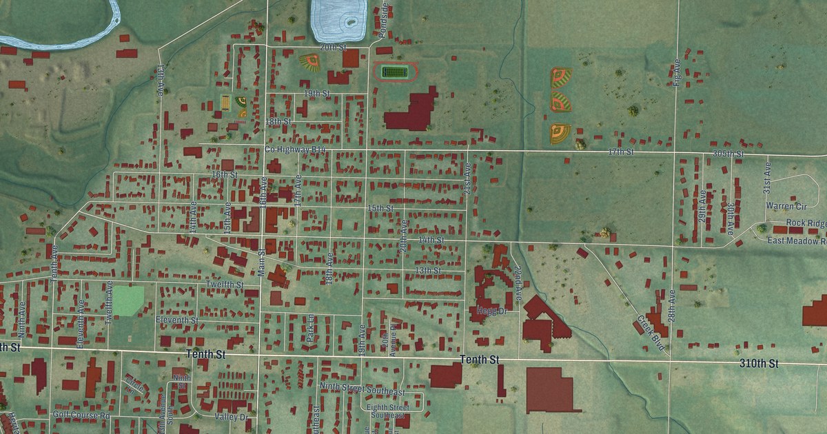
A detailed map of Rock Valley, Iowa, showing every building in its true location, the roads by name, and shaded topographical relief.
Read More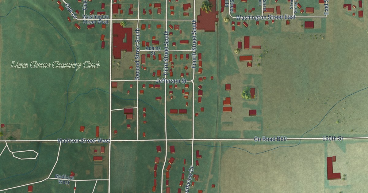
A detailed map of Rockwell, Iowa, showing every building in its true location, the roads by name, and shaded topographical relief.
Read More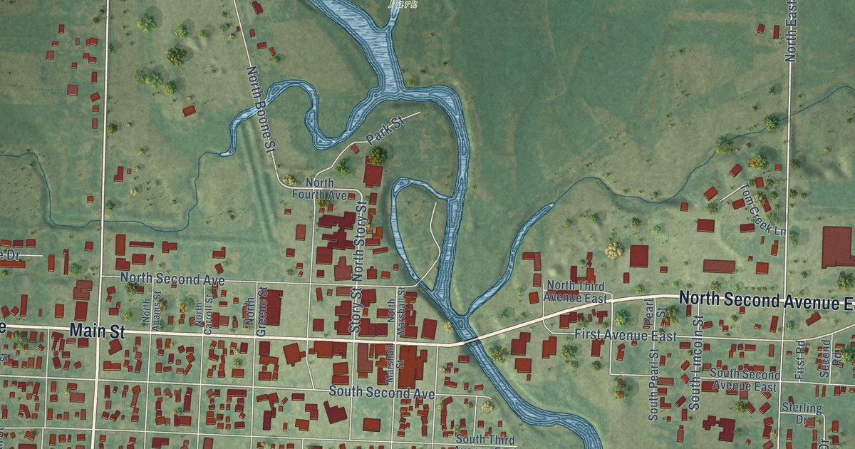
A detailed map of Rock Rapids, Iowa, showing every building in its true location, the roads by name, and shaded topographical relief.
Read More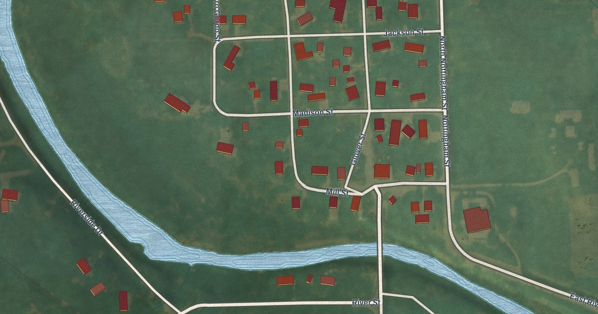
A detailed map of Rock Falls, Iowa, showing every building in its true location, the roads by name, and shaded topographical relief.
Read More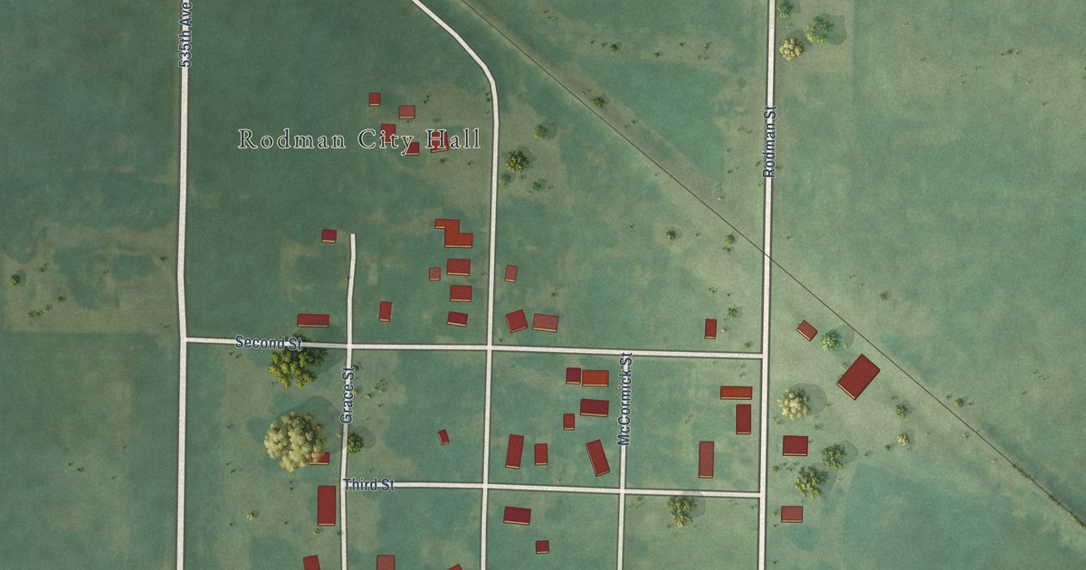
A detailed map of Rodman, Iowa, showing every building in its true location, the roads by name, and shaded topographical relief.
Read More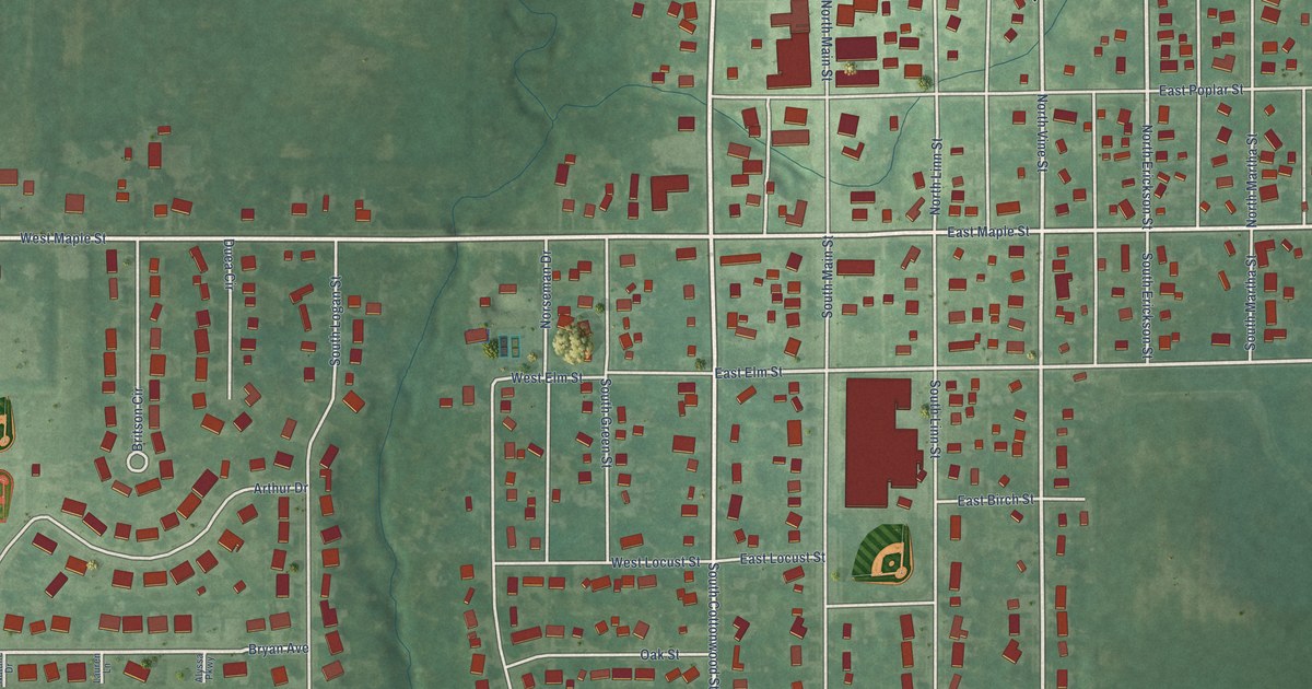
A detailed map of Roland, Iowa, showing every building in its true location, the roads by name, and shaded topographical relief.
Read More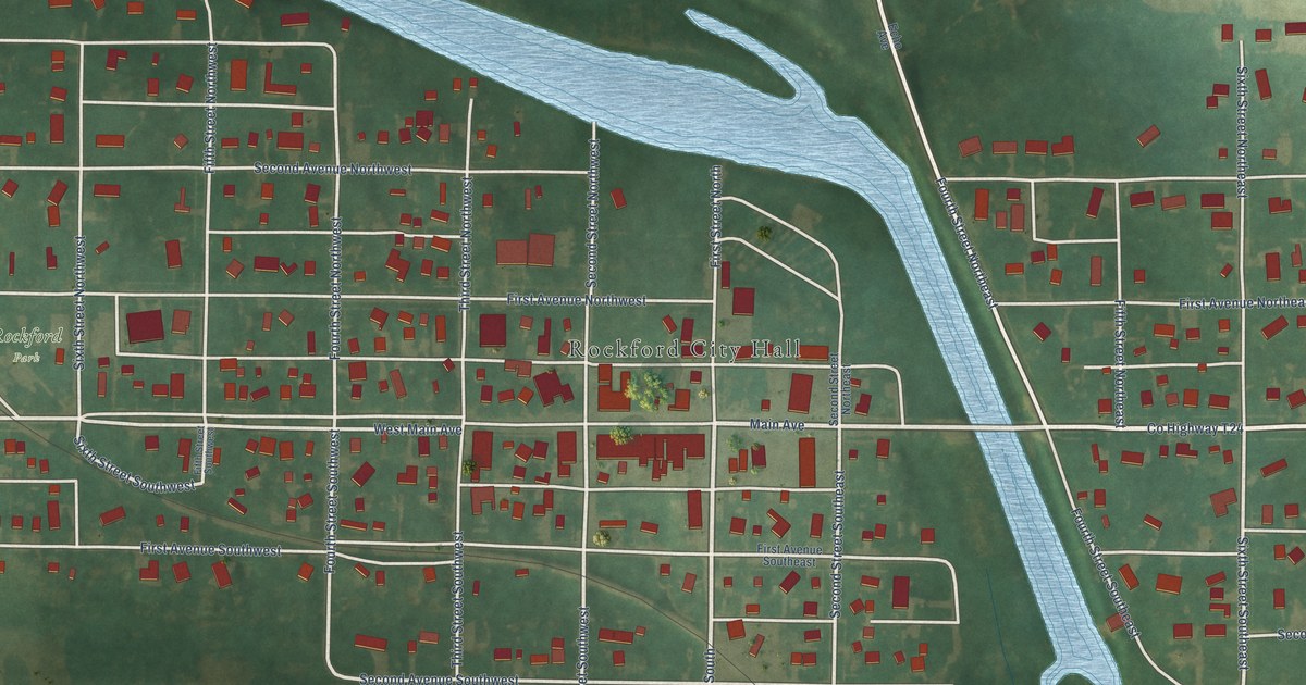
A detailed map of Rockford, Iowa, showing every building in its true location, the roads by name, and shaded topographical relief.
Read More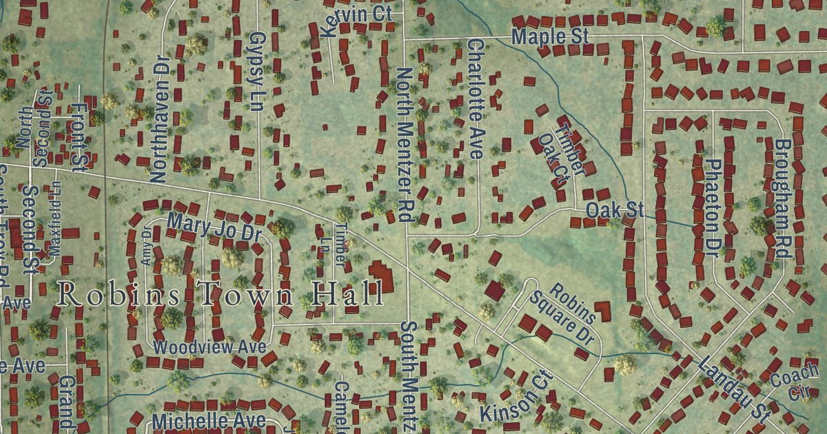
A detailed map of Robins, Iowa, showing every building in its true location, the roads by name, and shaded topographical relief.
Read More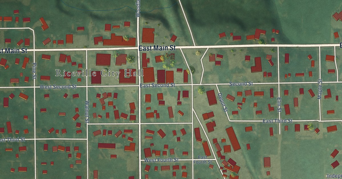
A detailed map of Riceville, Iowa, showing every building in its true location, the roads by name, and shaded topographical relief.
Read More
A detailed map of Rhodes, Iowa, showing every building in its true location, the roads by name, and shaded topographical relief.
Read More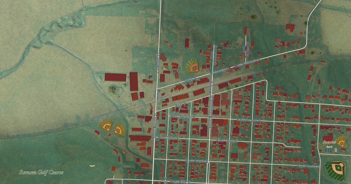
A detailed map of Remsen, Iowa, showing every building in its true location, the roads by name, and shaded topographical relief.
Read More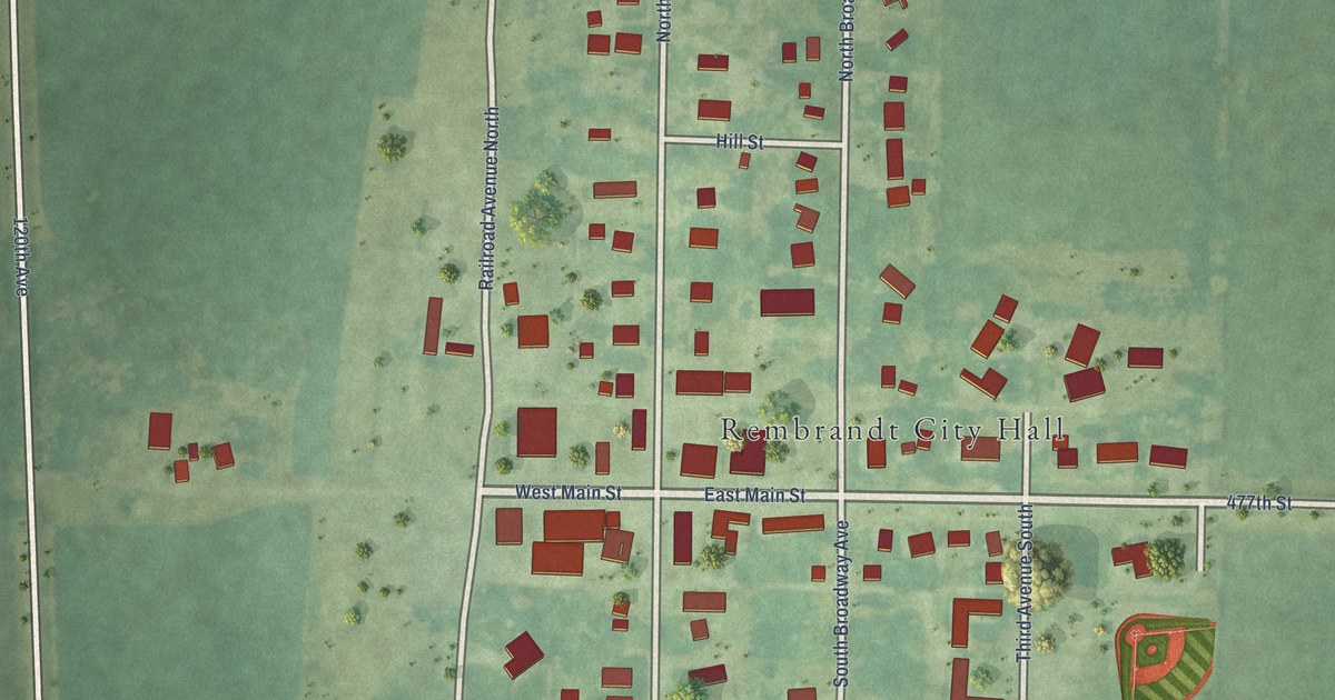
A detailed map of Rembrandt, Iowa, showing every building in its true location, the roads by name, and shaded topographical relief.
Read More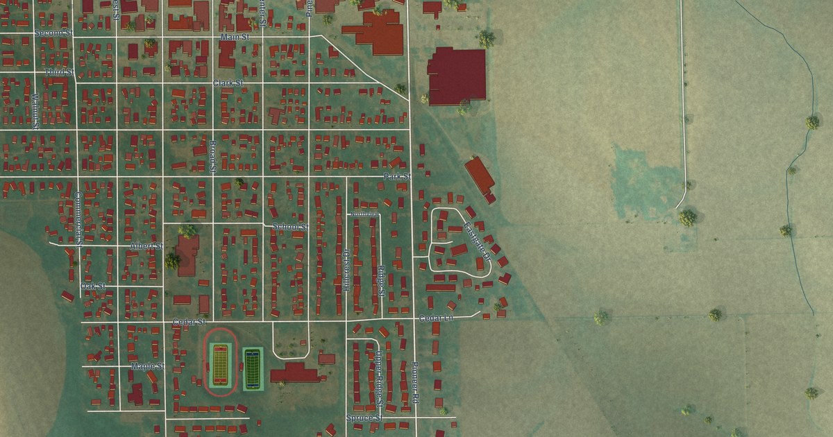
A detailed map of Reinbeck, Iowa, showing every building in its true location, the roads by name, and shaded topographical relief.
Read More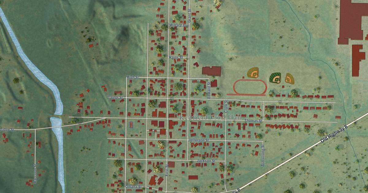
A detailed map of Redfield, Iowa, showing every building in its true location, the roads by name, and shaded topographical relief.
Read More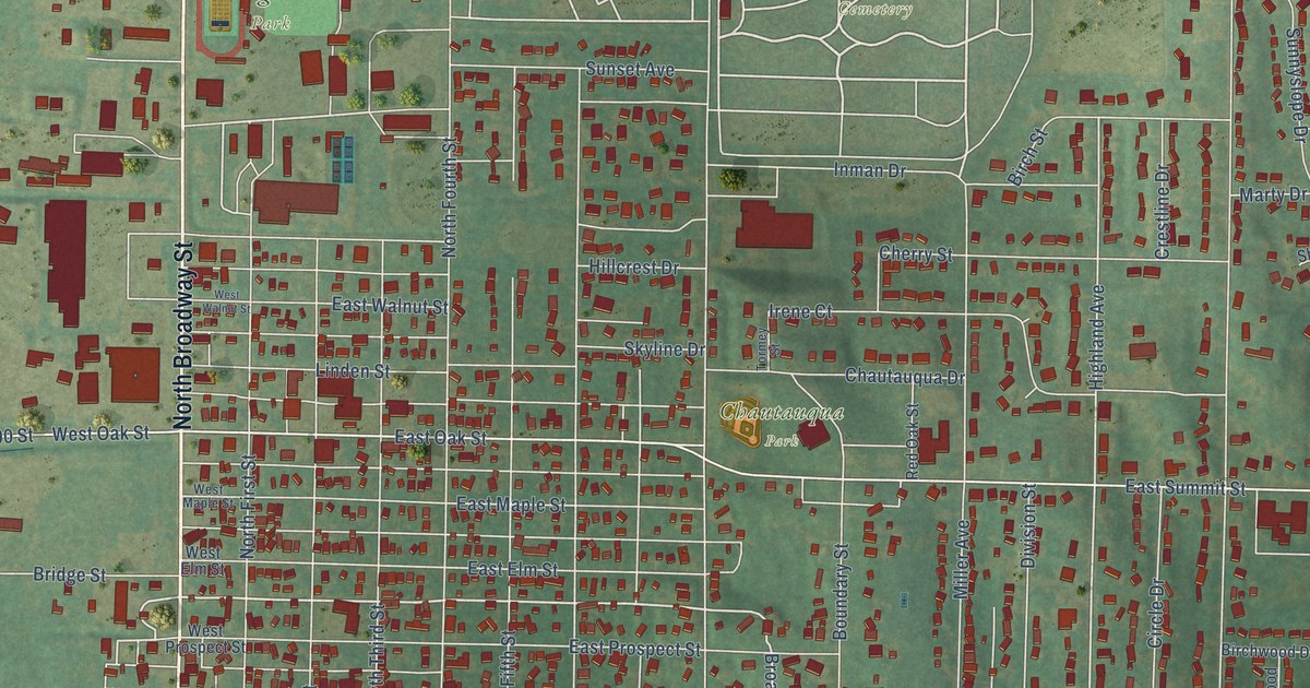
A detailed map of Red Oak, Iowa, showing every building in its true location, the roads by name, and shaded topographical relief.
Read More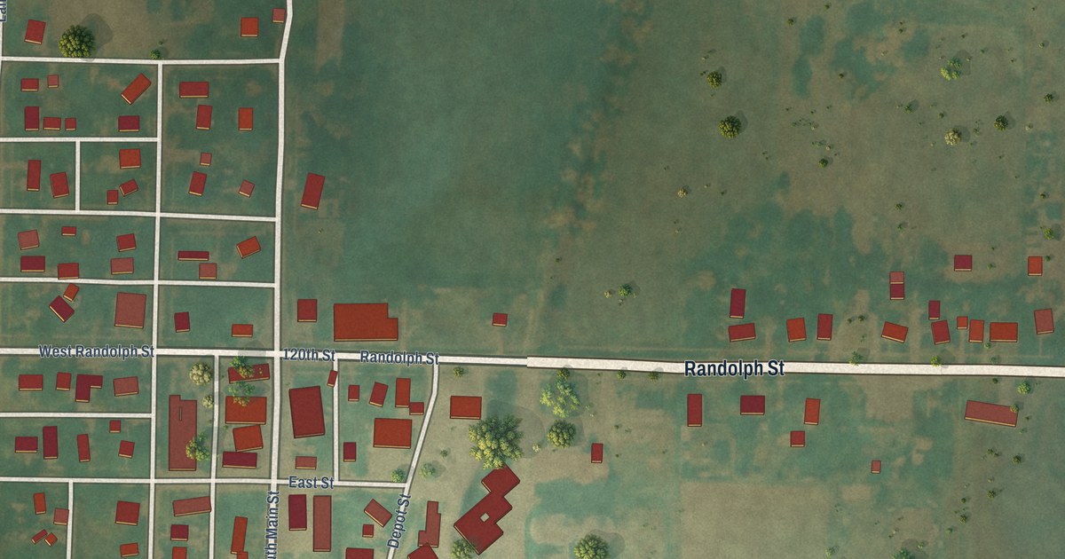
A detailed map of Randolph, Iowa, showing every building in its true location, the roads by name, and shaded topographical relief.
Read More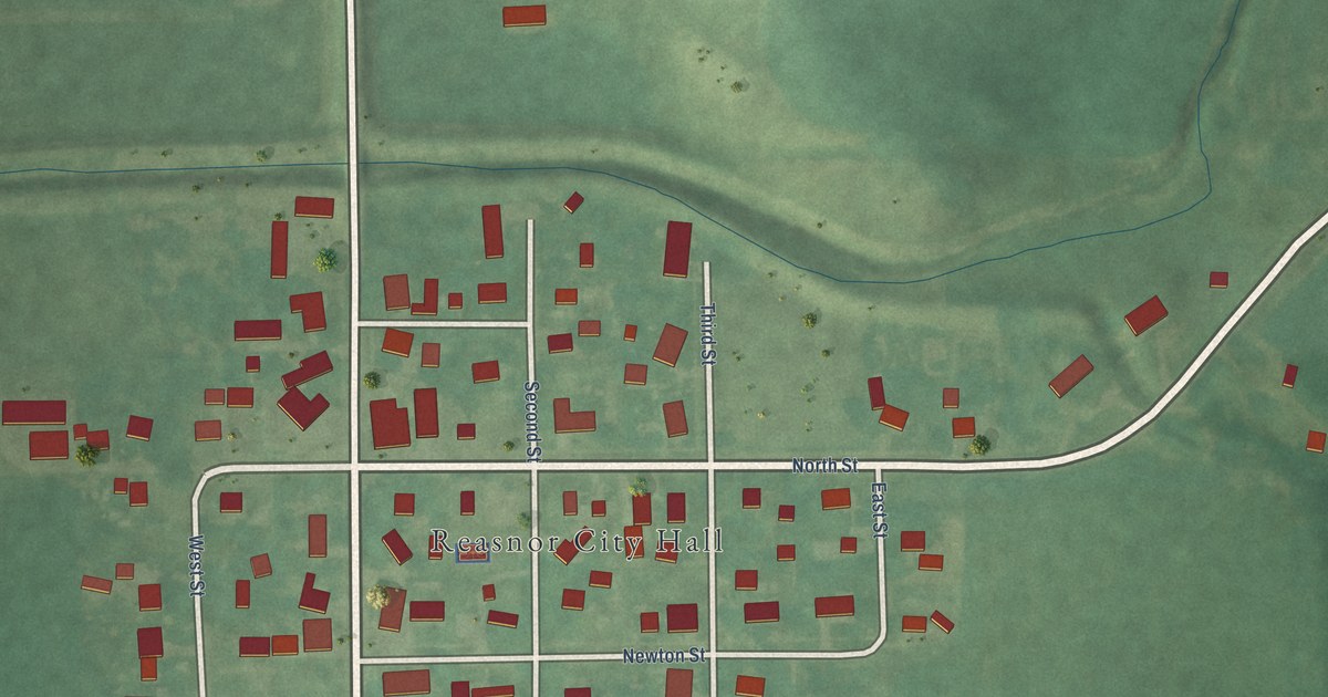
A detailed map of Reasnor, Iowa, showing every building in its true location, the roads by name, and shaded topographical relief.
Read More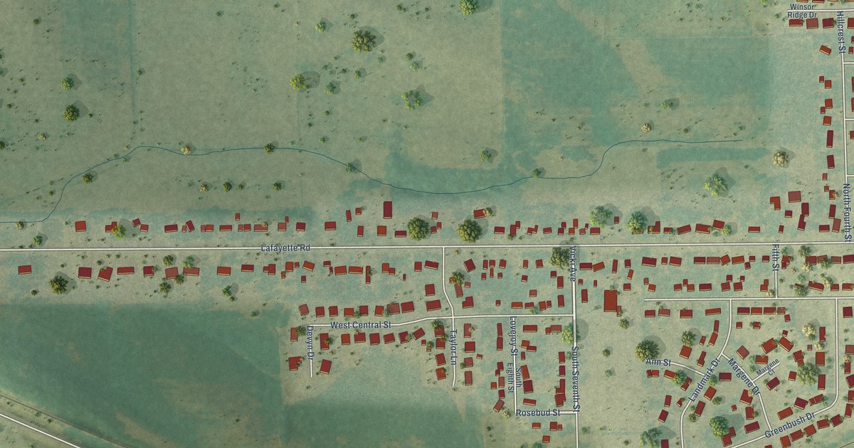
A detailed map of Raymond, Iowa, showing every building in its true location, the roads by name, and shaded topographical relief.
Read More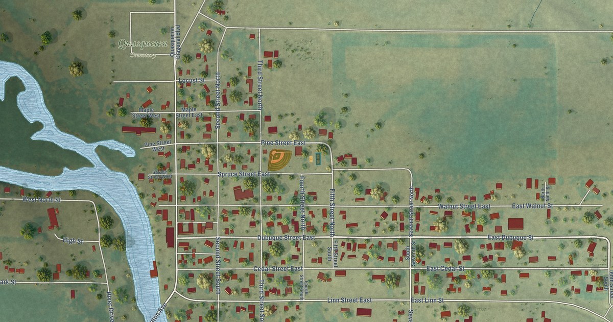
A detailed map of Quasqueton, Iowa, showing every building in its true location, the roads by name, and shaded topographical relief.
Read More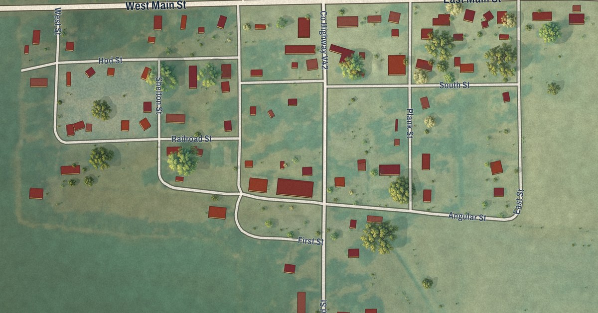
A detailed map of Pulaski, Iowa, showing every building in its true location, the roads by name, and shaded topographical relief.
Read More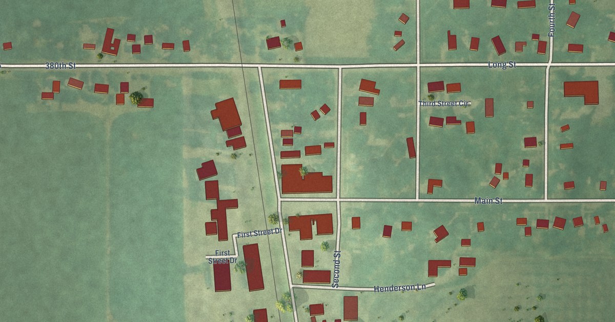
A detailed map of Randall, Iowa, showing every building in its true location, the roads by name, and shaded topographical relief.
Read More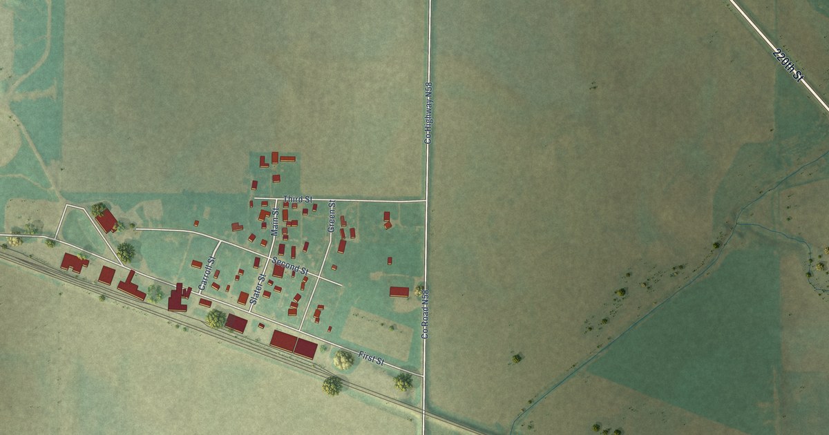
A detailed map of Ralston, Iowa, showing every building in its true location, the roads by name, and shaded topographical relief.
Read More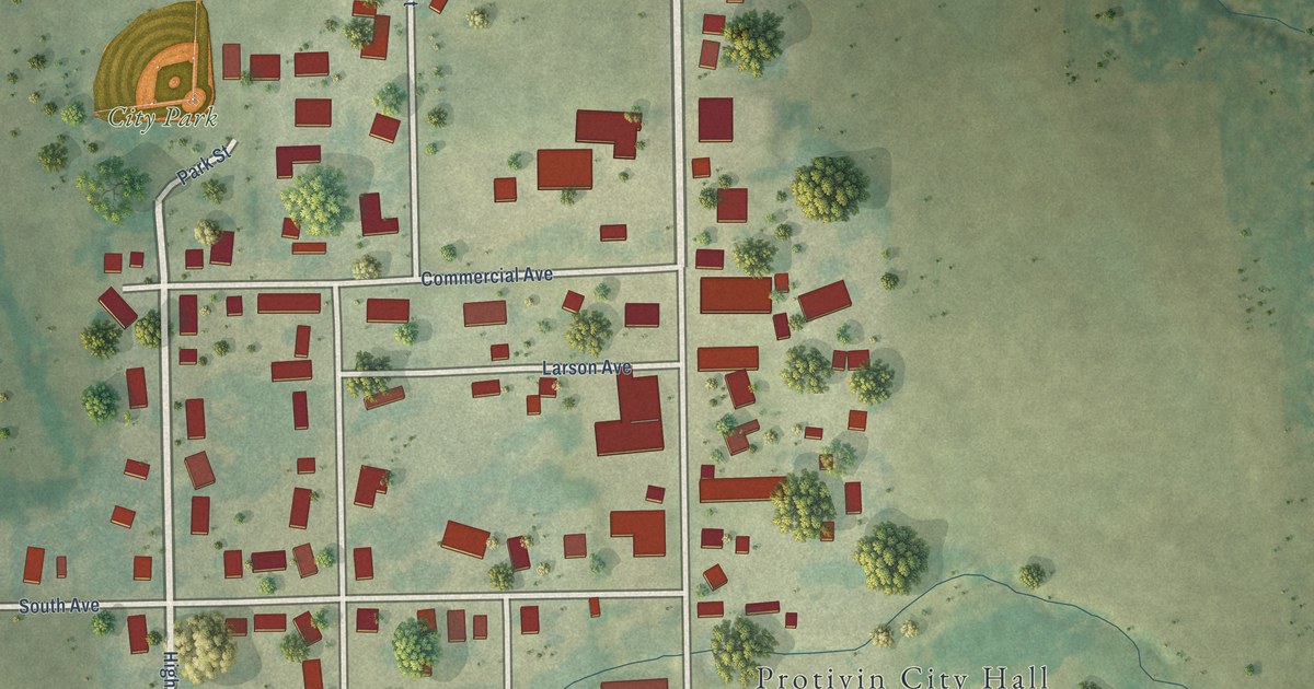
A detailed map of Protivin, Iowa, showing every building in its true location, the roads by name, and shaded topographical relief.
Read More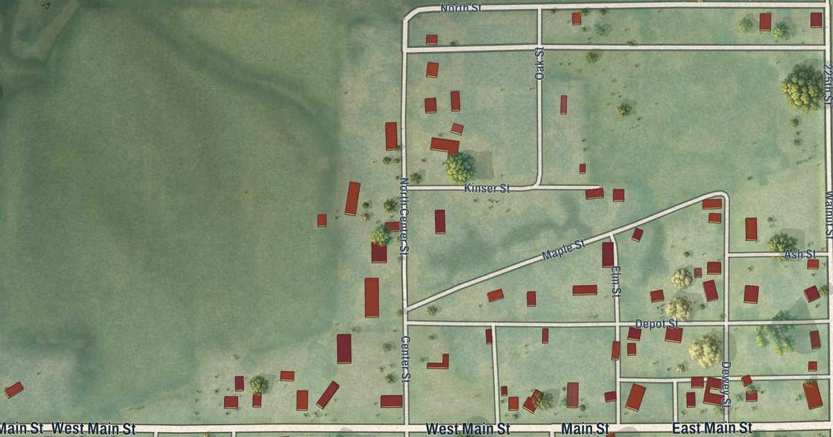
A detailed map of Promise City, Iowa, showing every building in its true location, the roads by name, and shaded topographical relief.
Read More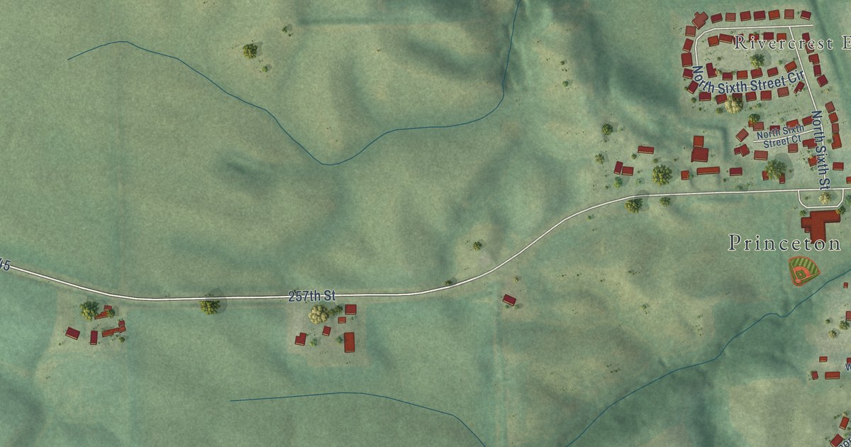
A detailed map of Princeton, Iowa, showing every building in its true location, the roads by name, and shaded topographical relief.
Read More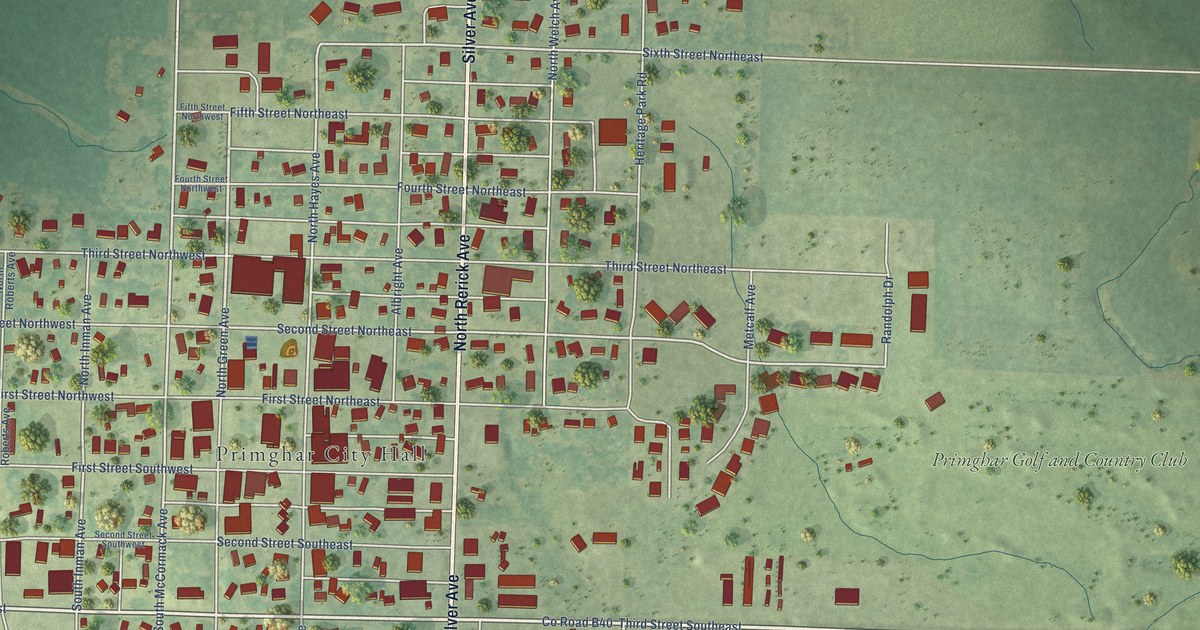
A detailed map of Primghar, Iowa, showing every building in its true location, the roads by name, and shaded topographical relief.
Read More















