Detailed Map of Prairieburg, Iowa
A detailed map of Prairieburg, Iowa, showing every building in its true location, the roads by name, and shaded topographical relief.
Read More
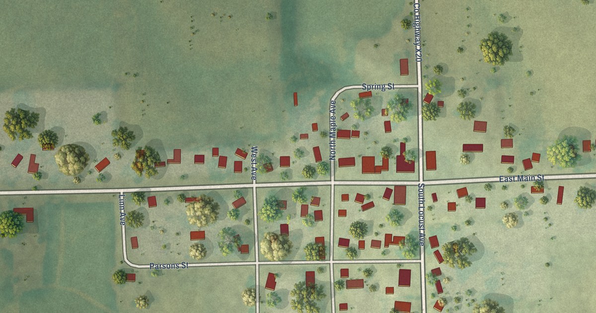
A detailed map of Prairieburg, Iowa, showing every building in its true location, the roads by name, and shaded topographical relief.
Read More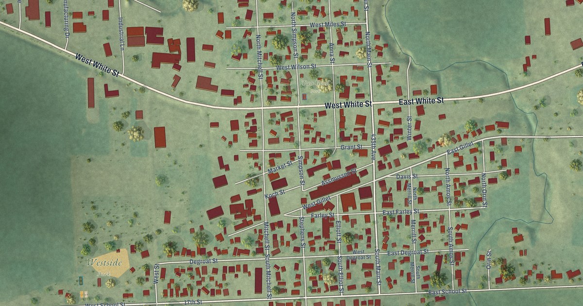
A detailed map of Preston, Iowa, showing every building in its true location, the roads by name, and shaded topographical relief.
Read More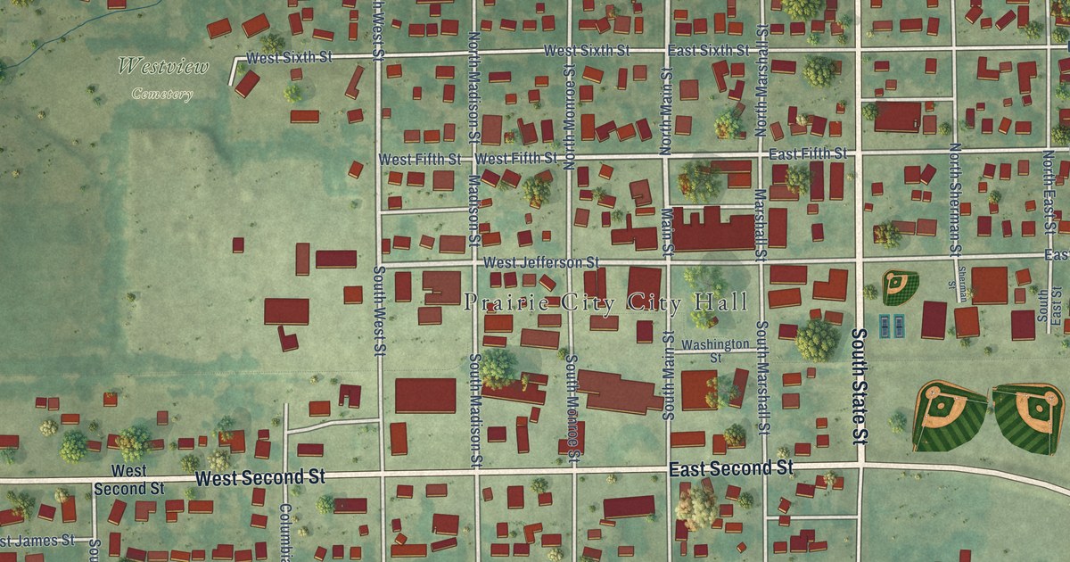
A detailed map of Prairie City, Iowa, showing every building in its true location, the roads by name, and shaded topographical relief.
Read More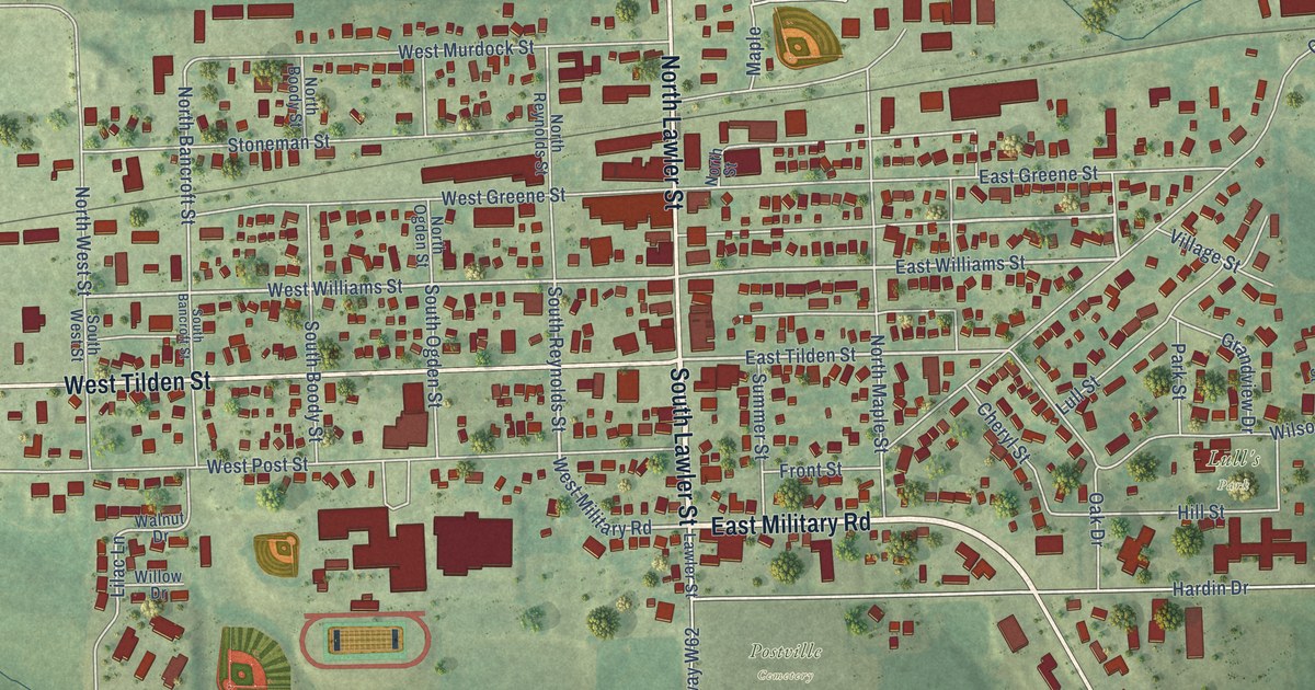
A detailed map of Postville, Iowa, showing every building in its true location, the roads by name, and shaded topographical relief.
Read More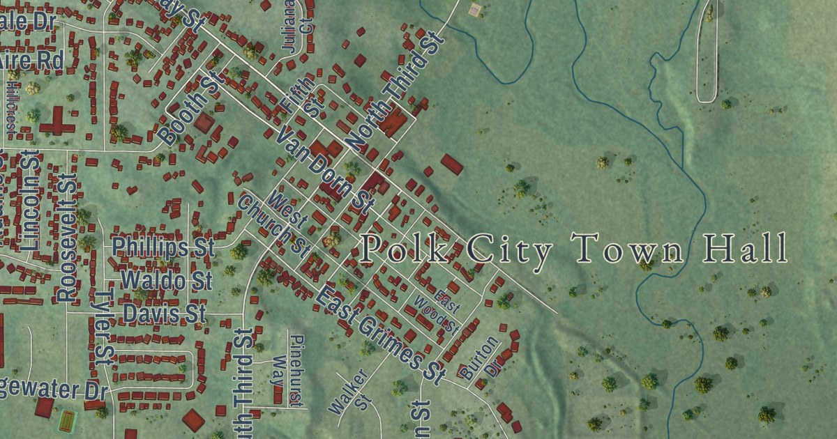
A detailed map of Polk City, Iowa, showing every building in its true location, the roads by name, and shaded topographical relief.
Read More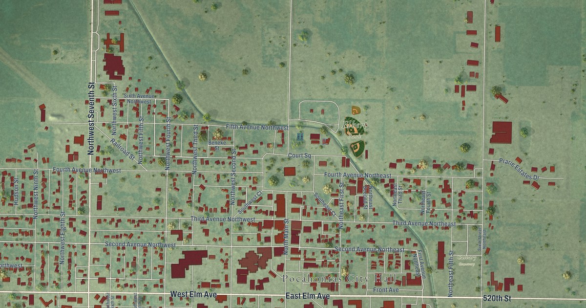
A detailed map of Pocahontas, Iowa, showing every building in its true location, the roads by name, and shaded topographical relief.
Read More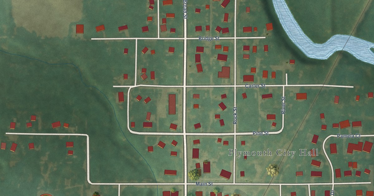
A detailed map of Plymouth, Iowa, showing every building in its true location, the roads by name, and shaded topographical relief.
Read More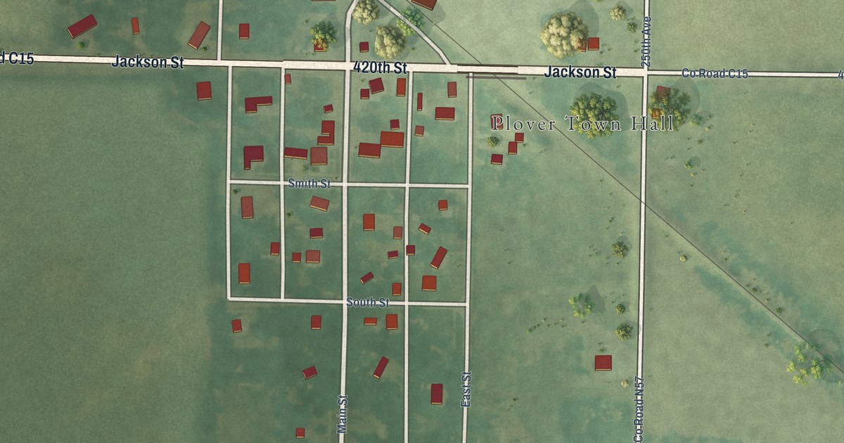
A detailed map of Plover, Iowa, showing every building in its true location, the roads by name, and shaded topographical relief.
Read More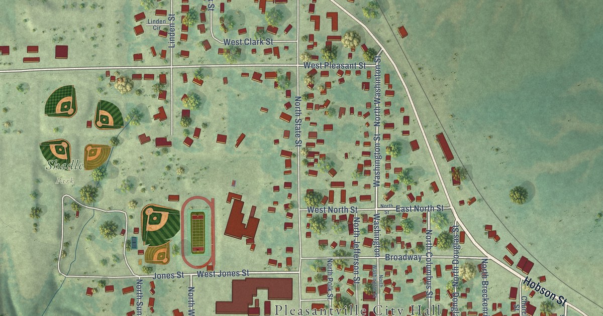
A detailed map of Pleasantville, Iowa, showing every building in its true location, the roads by name, and shaded topographical relief.
Read More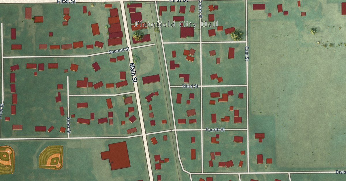
A detailed map of Plainfield, Iowa, showing every building in its true location, the roads by name, and shaded topographical relief.
Read More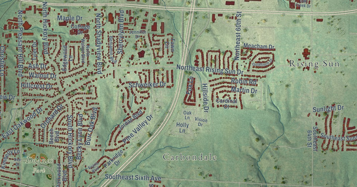
A detailed map of Pleasant Hill, Iowa, showing every building in its true location, the roads by name, and shaded topographical relief.
Read More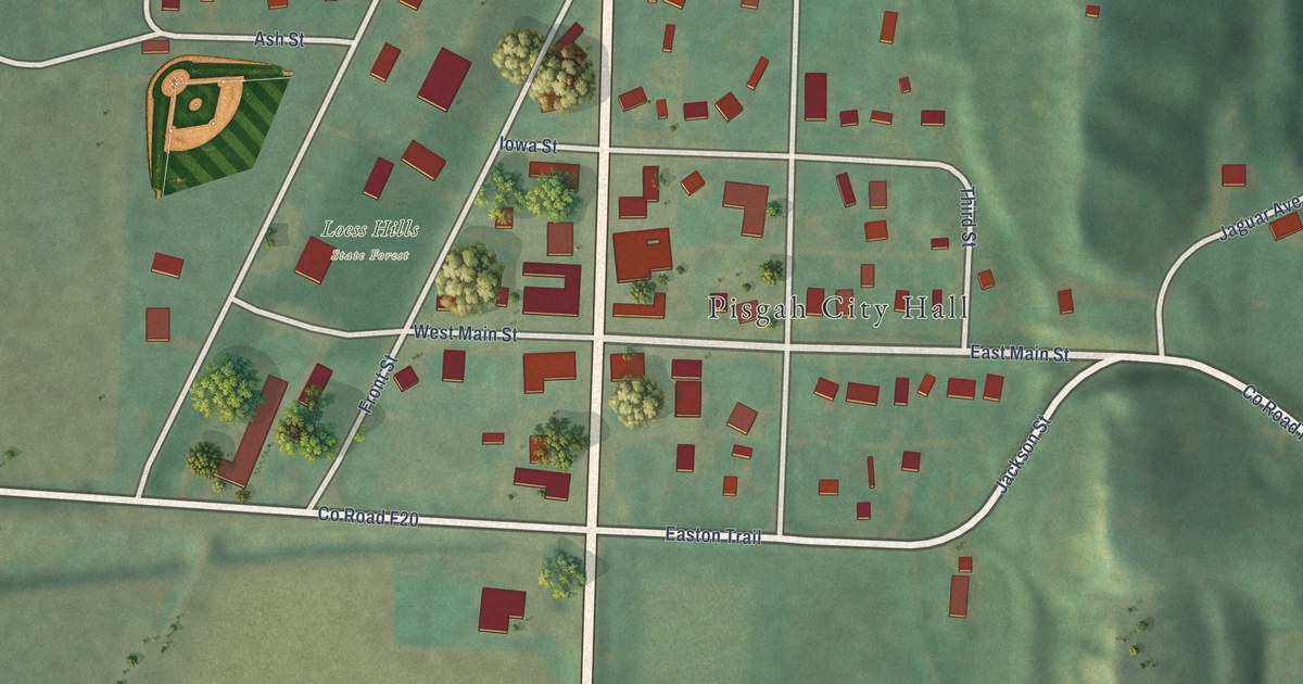
A detailed map of Pisgah, Iowa, showing every building in its true location, the roads by name, and shaded topographical relief.
Read More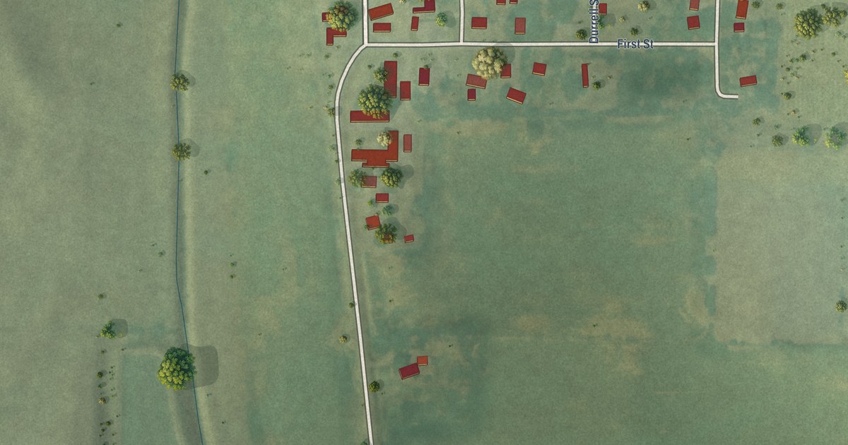
A detailed map of Pilot Mound, Iowa, showing every building in its true location, the roads by name, and shaded topographical relief.
Read More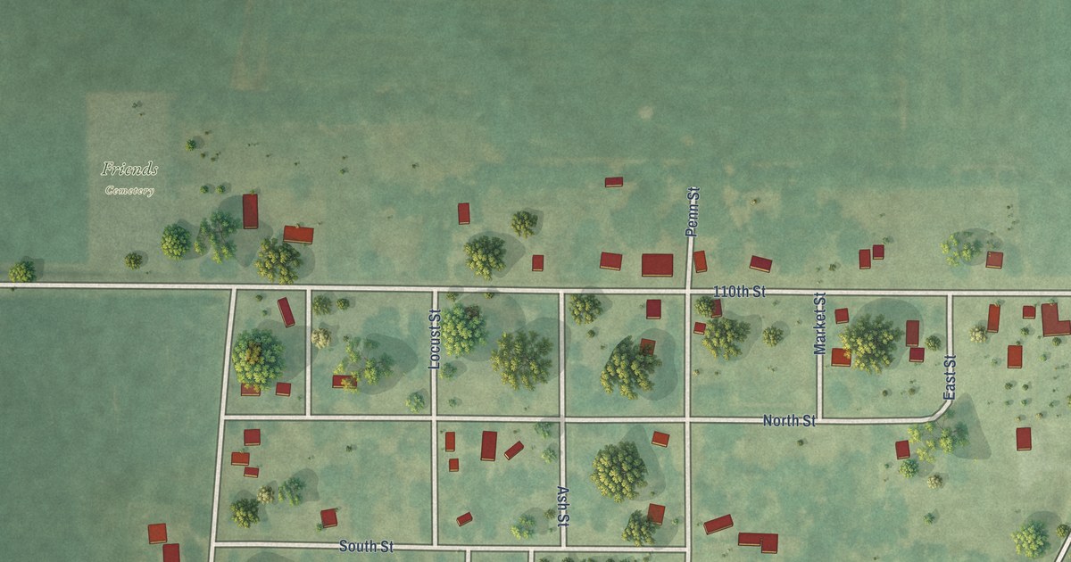
A detailed map of Pleasant Plain, Iowa, showing every building in its true location, the roads by name, and shaded topographical relief.
Read More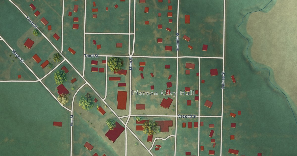
A detailed map of Pierson, Iowa, showing every building in its true location, the roads by name, and shaded topographical relief.
Read More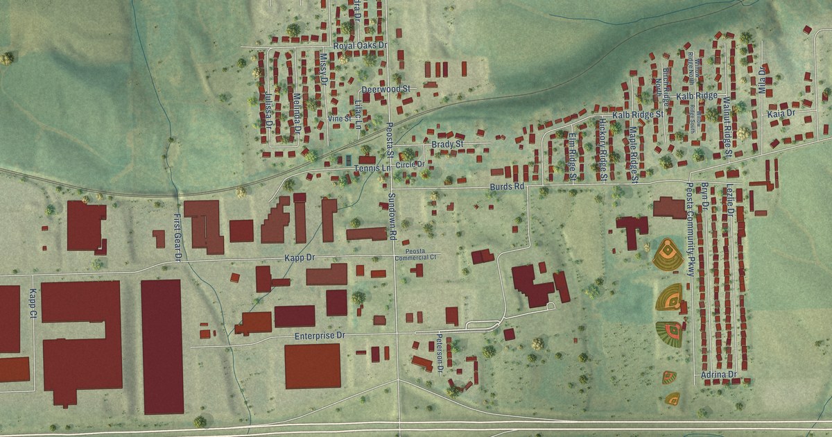
A detailed map of Peosta, Iowa, showing every building in its true location, the roads by name, and shaded topographical relief.
Read More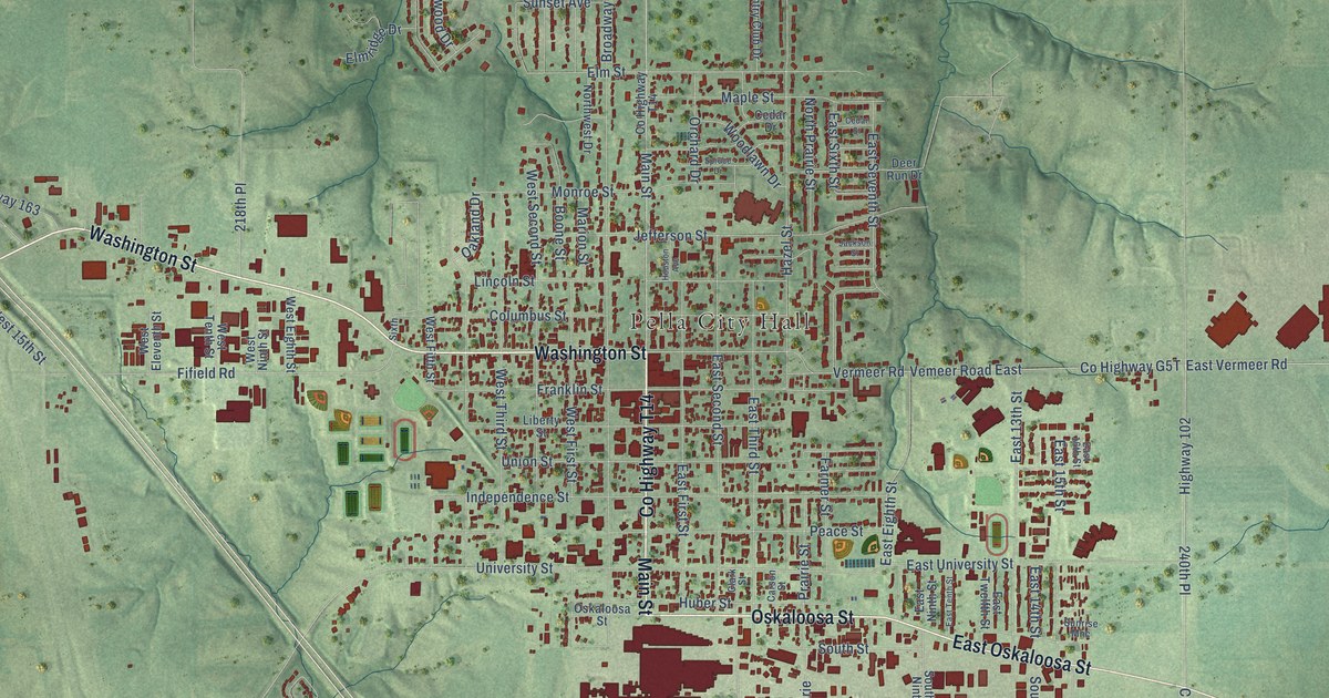
A detailed map of Pella, Iowa, showing every building in its true location, the roads by name, and shaded topographical relief.
Read More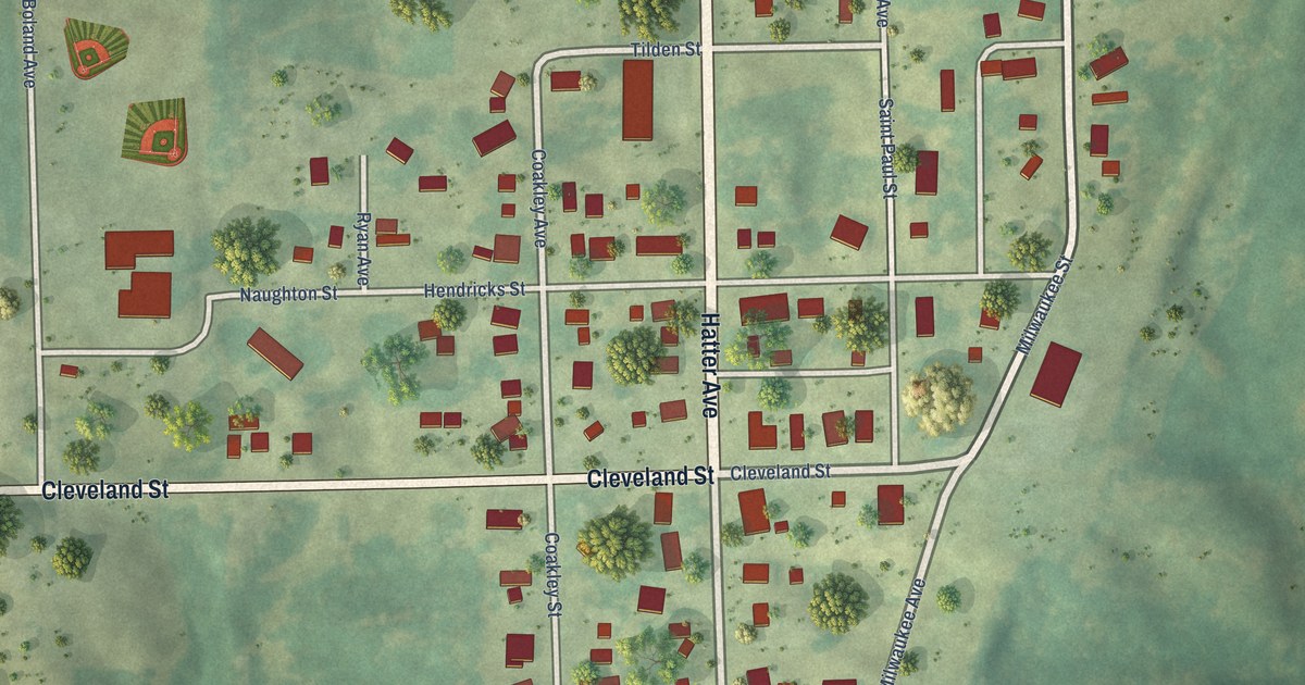
A detailed map of Parnell, Iowa, showing every building in its true location, the roads by name, and shaded topographical relief.
Read More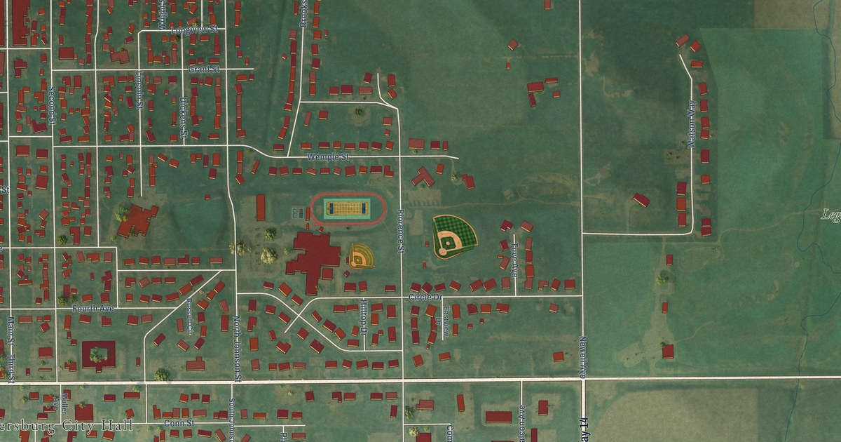
A detailed map of Parkersburg, Iowa, showing every building in its true location, the roads by name, and shaded topographical relief.
Read More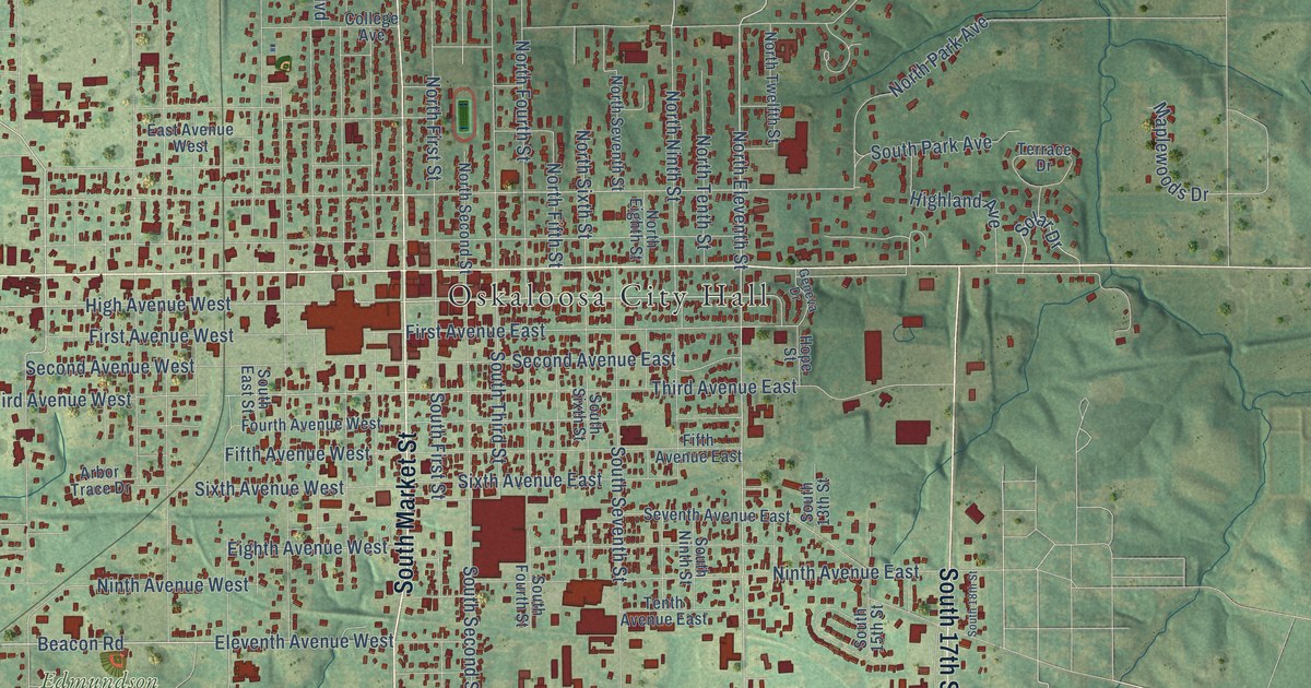
A detailed map of Oskaloosa, Iowa, showing every building in its true location, the roads by name, and shaded topographical relief.
Read More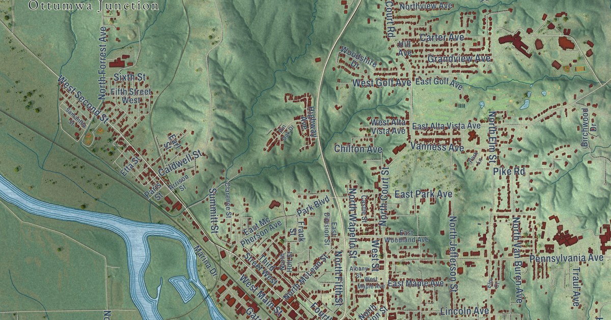
A detailed map of Ottumwa, Iowa, showing every building in its true location, the roads by name, and shaded topographical relief.
Read More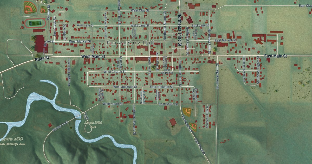
A detailed map of Panora, Iowa, showing every building in its true location, the roads by name, and shaded topographical relief.
Read More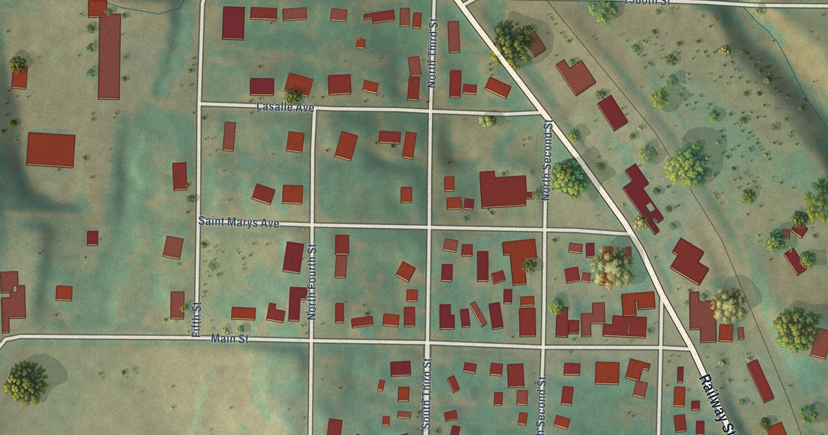
A detailed map of Panama, Iowa, showing every building in its true location, the roads by name, and shaded topographical relief.
Read More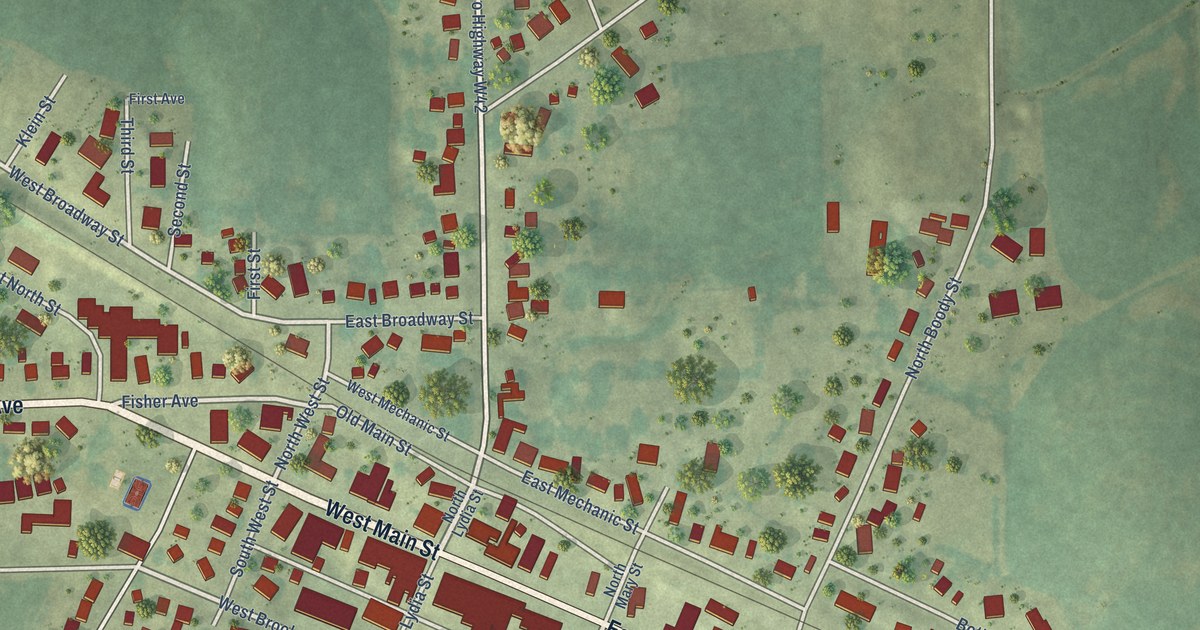
A detailed map of Ossian, Iowa, showing every building in its true location, the roads by name, and shaded topographical relief.
Read More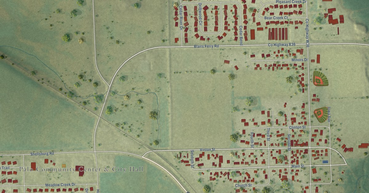
A detailed map of Palo, Iowa, showing every building in its true location, the roads by name, and shaded topographical relief.
Read More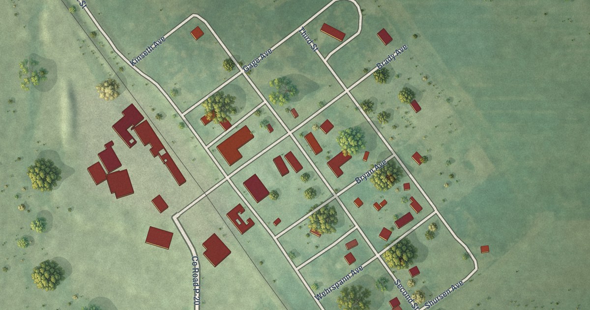
A detailed map of Ottosen, Iowa, showing every building in its true location, the roads by name, and shaded topographical relief.
Read More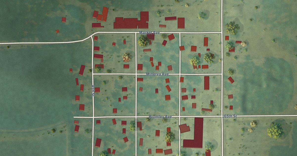
A detailed map of Clemons, Iowa, showing every building in its true location, the roads by name, and shaded topographical relief.
Read More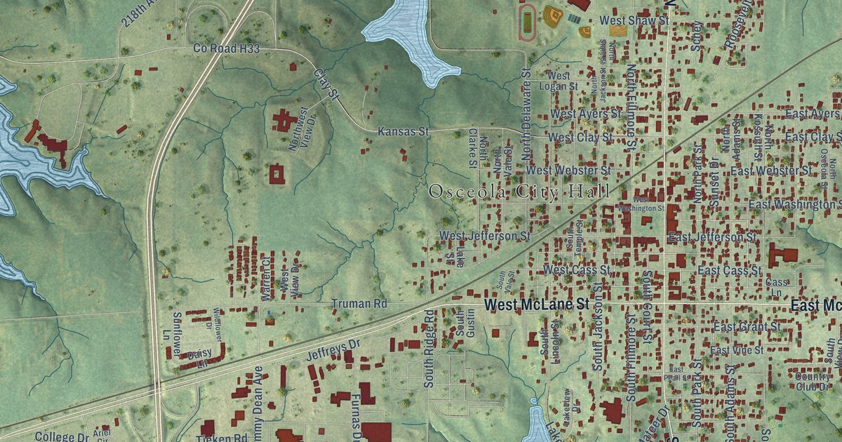
A detailed map of Osceola, Iowa, showing every building in its true location, the roads by name, and shaded topographical relief.
Read More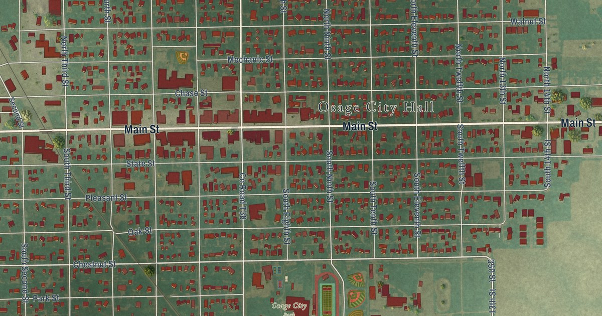
A detailed map of Osage, Iowa, showing every building in its true location, the roads by name, and shaded topographical relief.
Read More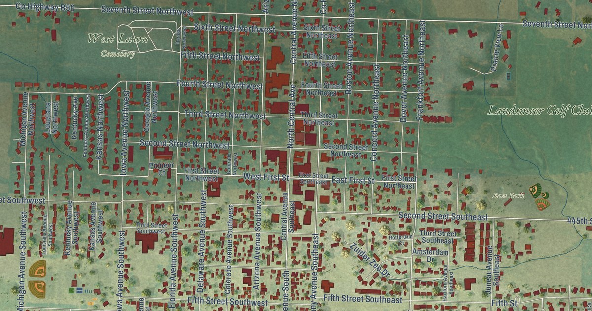
A detailed map of Orange City, Iowa, showing every building in its true location, the roads by name, and shaded topographical relief.
Read More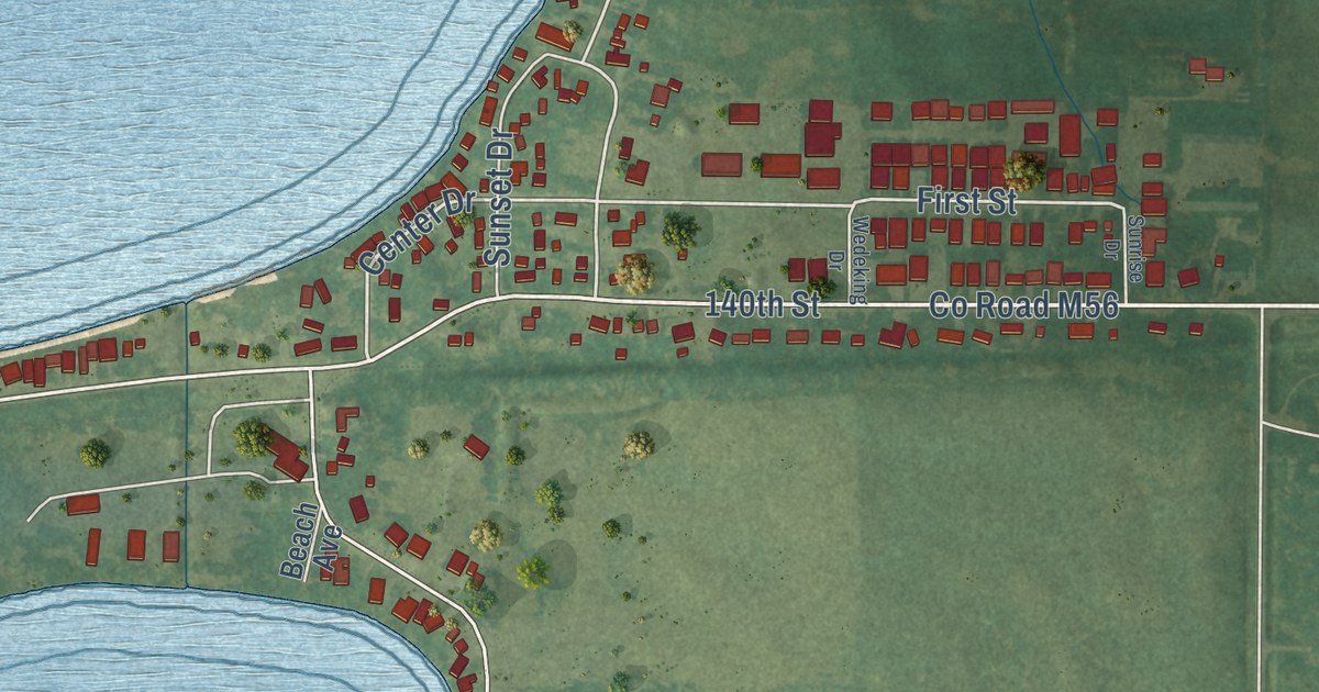
A detailed map of Orleans, Iowa, showing every building in its true location, the roads by name, and shaded topographical relief.
Read More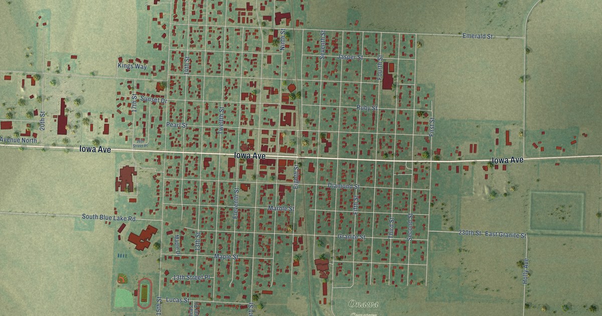
A detailed map of Onawa, Iowa, showing every building in its true location, the roads by name, and shaded topographical relief.
Read More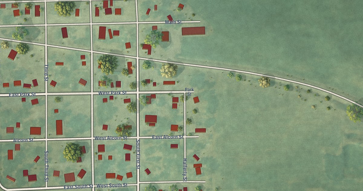
A detailed map of Ollie, Iowa, showing every building in its true location, the roads by name, and shaded topographical relief.
Read More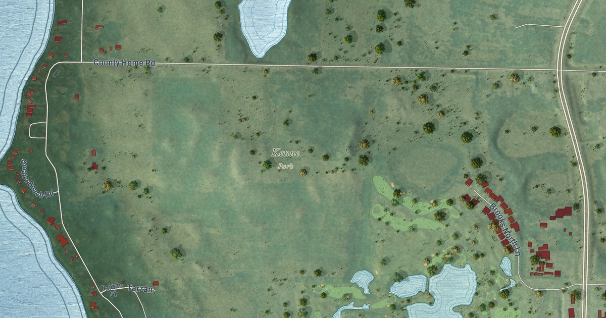
A detailed map of Okoboji, Iowa, showing every building in its true location, the roads by name, and shaded topographical relief.
Read More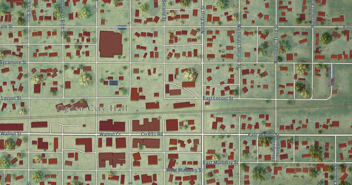
A detailed map of Ogden, Iowa, showing every building in its true location, the roads by name, and shaded topographical relief.
Read More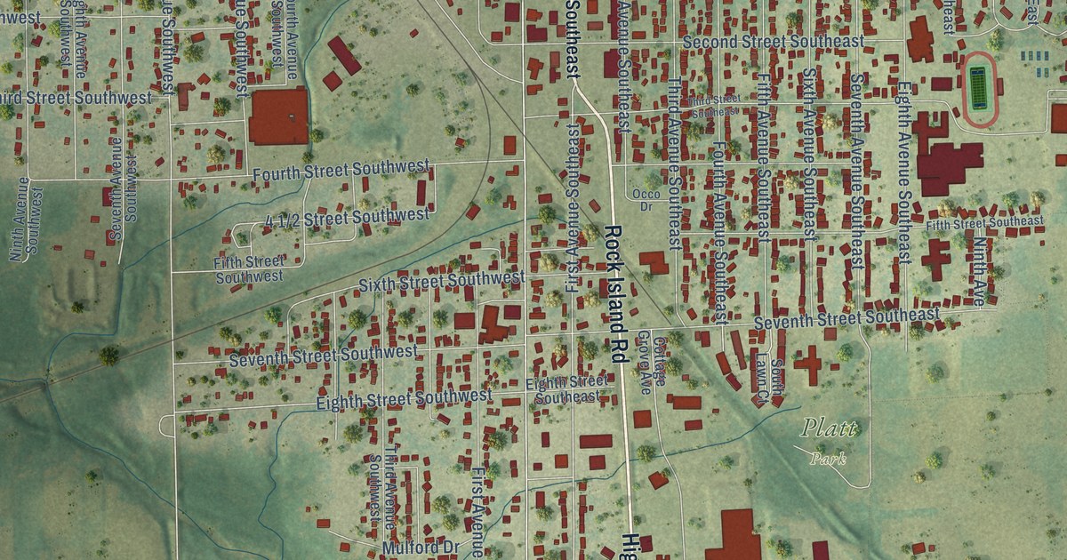
A detailed map of Oelwein, Iowa, showing every building in its true location, the roads by name, and shaded topographical relief.
Read More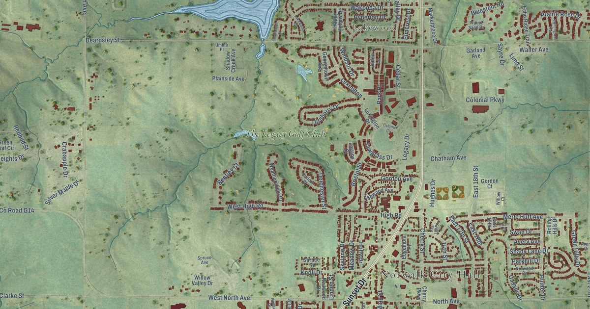
A detailed map of Norwalk, Iowa, showing every building in its true location, the roads by name, and shaded topographical relief.
Read More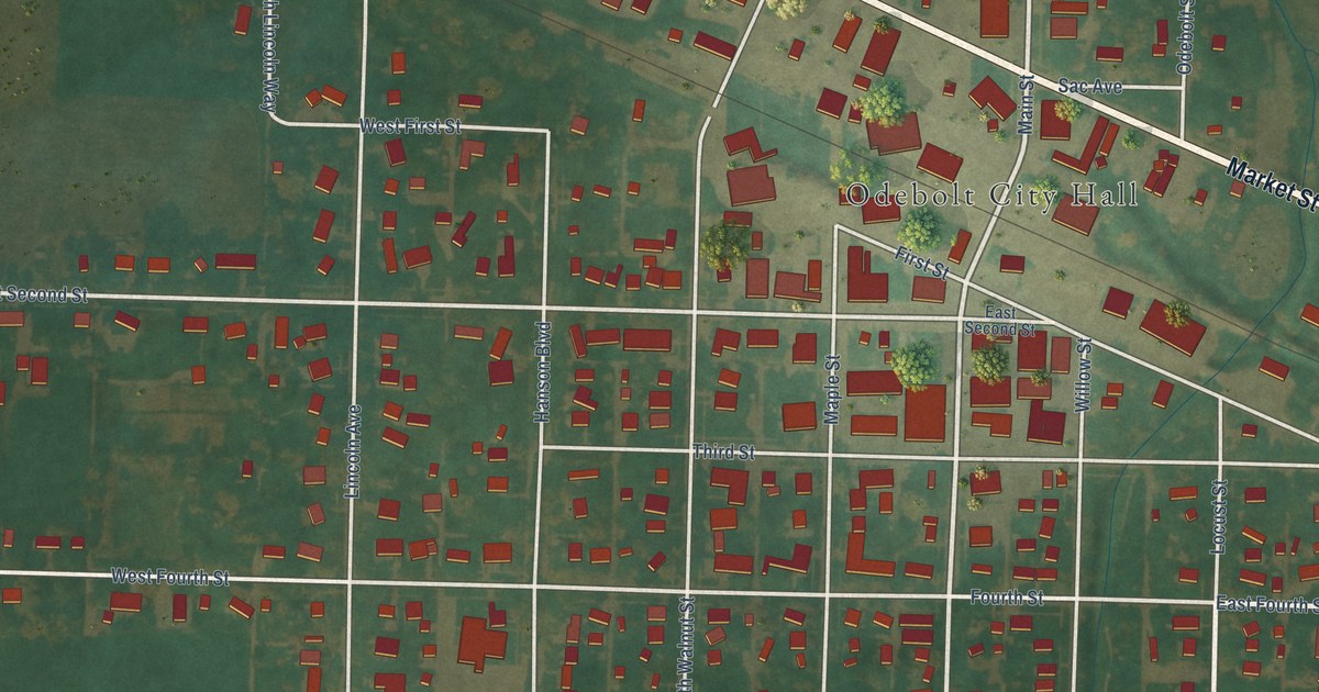
A detailed map of Odebolt, Iowa, showing every building in its true location, the roads by name, and shaded topographical relief.
Read More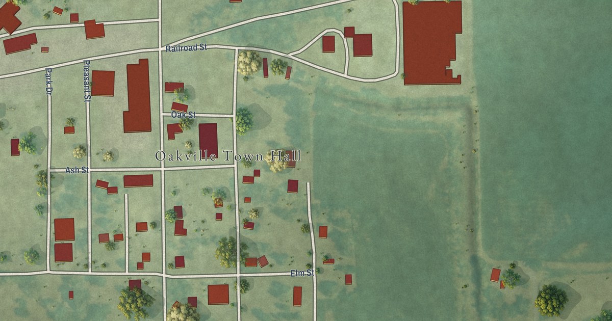
A detailed map of Oakville, Iowa, showing every building in its true location, the roads by name, and shaded topographical relief.
Read More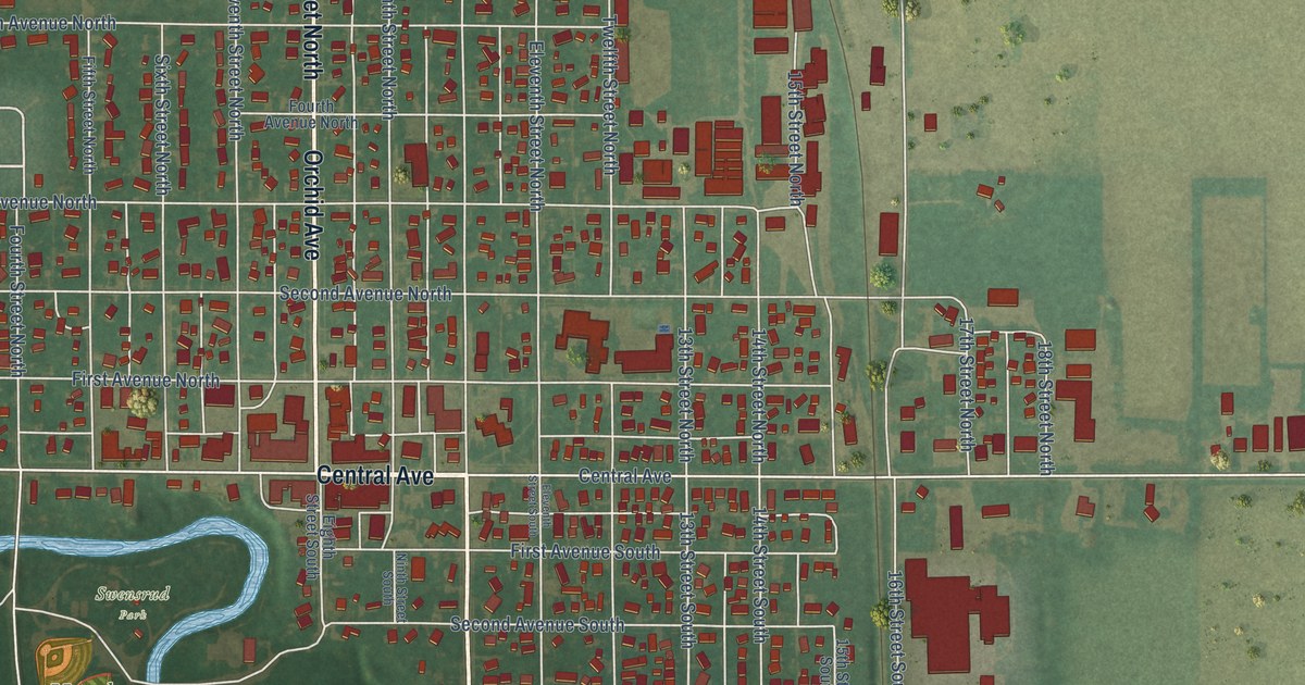
A detailed map of Northwood, Iowa, showing every building in its true location, the roads by name, and shaded topographical relief.
Read More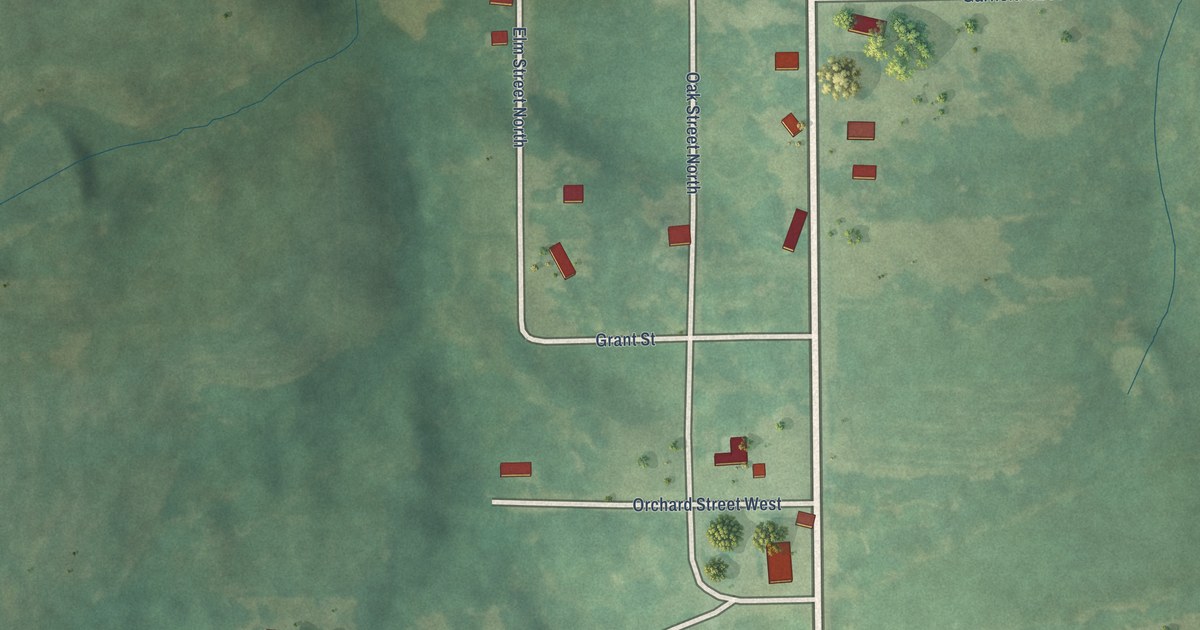
A detailed map of Numa, Iowa, showing every building in its true location, the roads by name, and shaded topographical relief.
Read More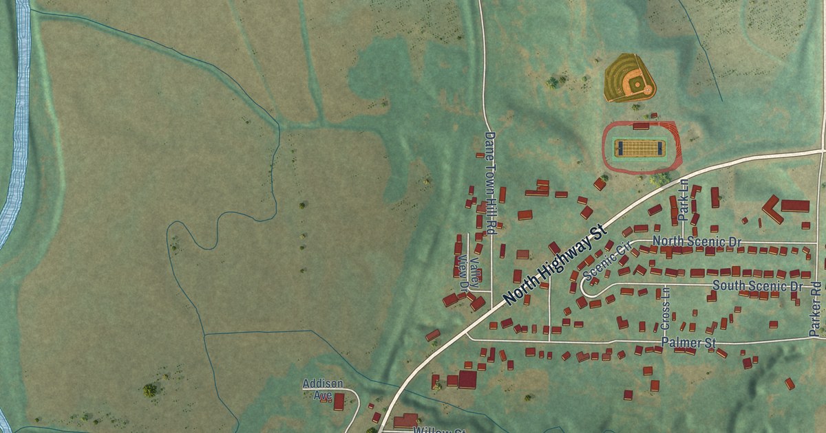
A detailed map of Oakland, Iowa, showing every building in its true location, the roads by name, and shaded topographical relief.
Read More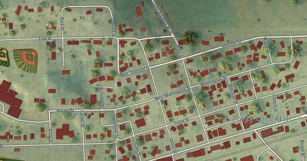
A detailed map of Norway, Iowa, showing every building in its true location, the roads by name, and shaded topographical relief.
Read More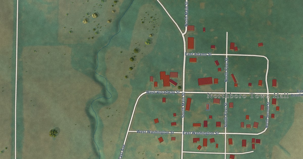
A detailed map of Northboro, Iowa, showing every building in its true location, the roads by name, and shaded topographical relief.
Read More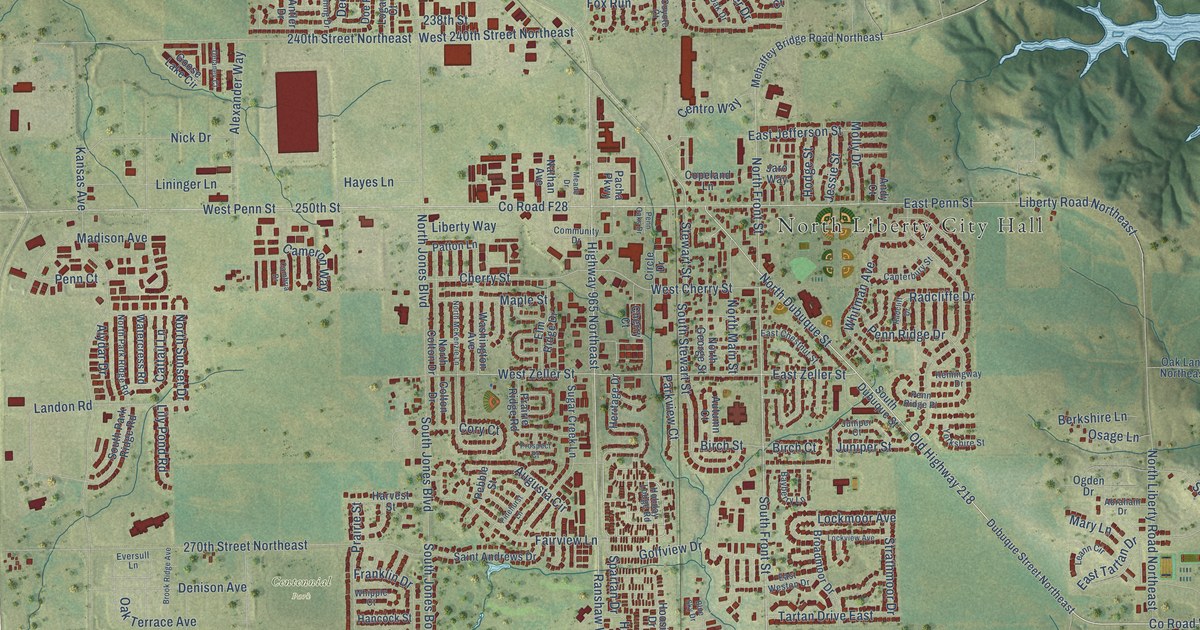
A detailed map of North Liberty, Iowa, showing every building in its true location, the roads by name, and shaded topographical relief.
Read More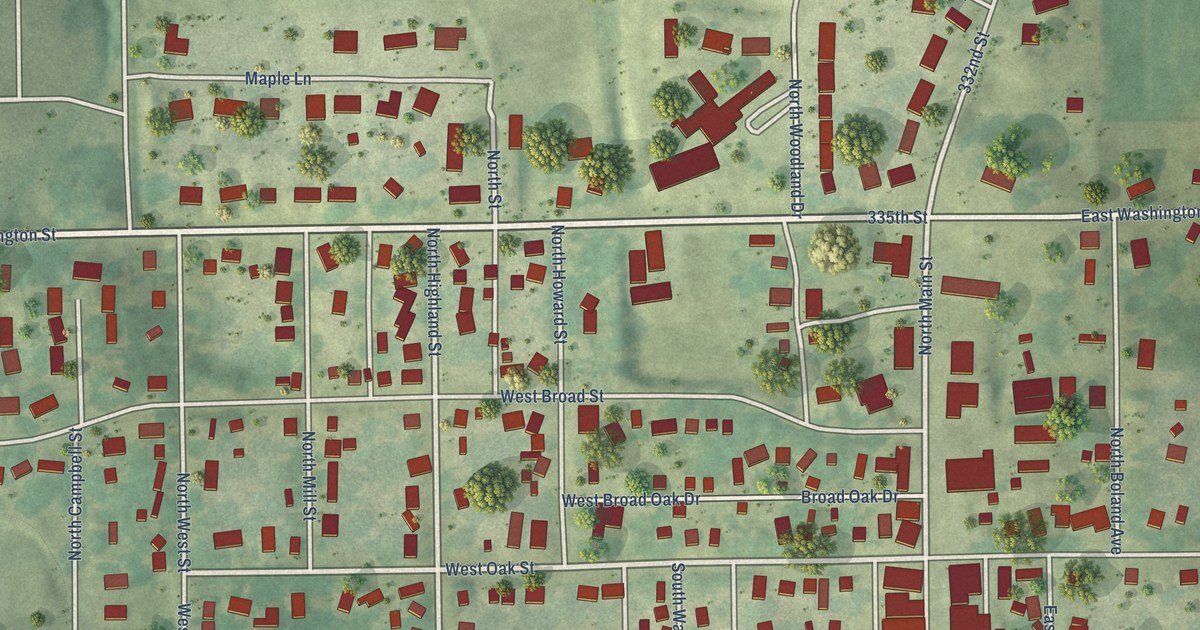
A detailed map of North English, Iowa, showing every building in its true location, the roads by name, and shaded topographical relief.
Read More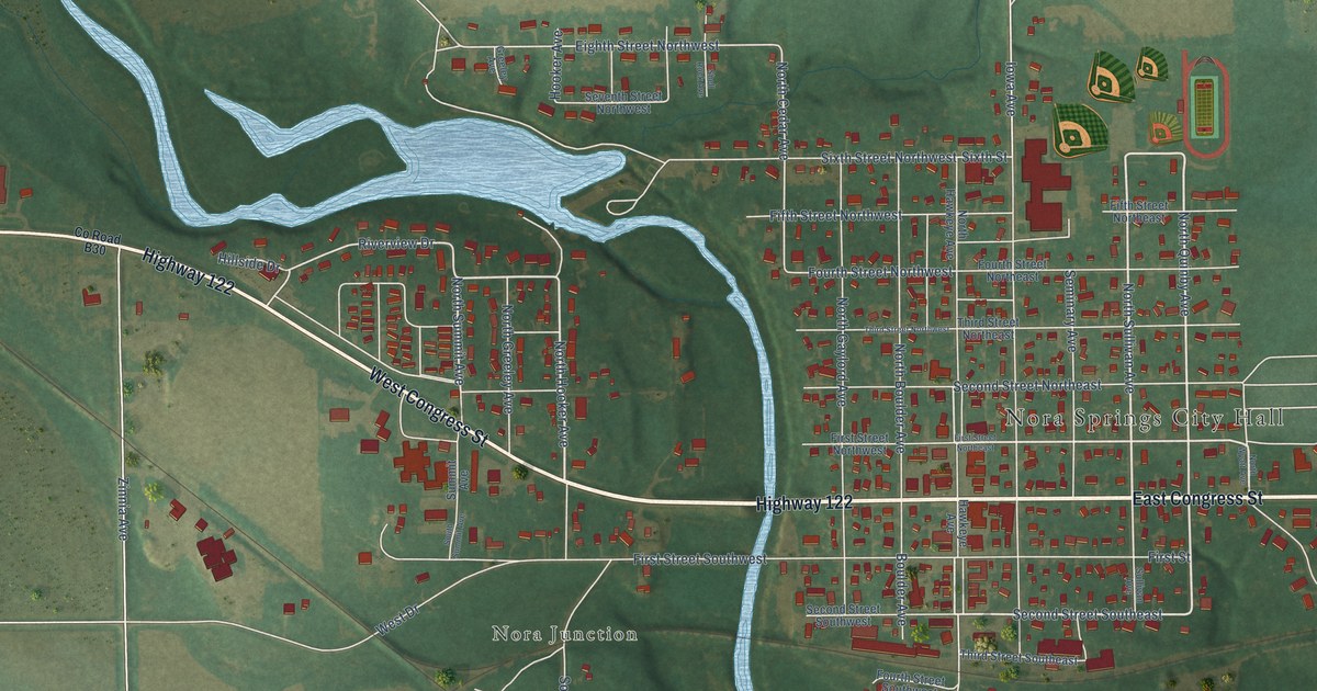
A detailed map of Nora Springs, Iowa, showing every building in its true location, the roads by name, and shaded topographical relief.
Read More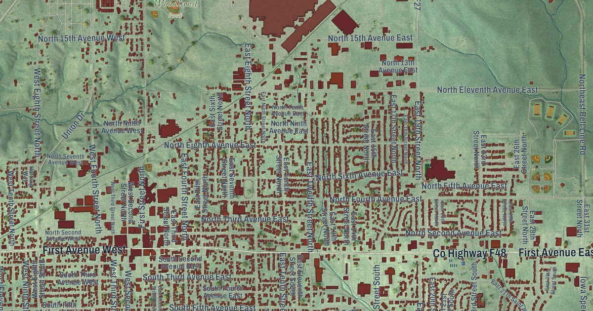
A detailed map of Newton, Iowa, showing every building in its true location, the roads by name, and shaded topographical relief.
Read More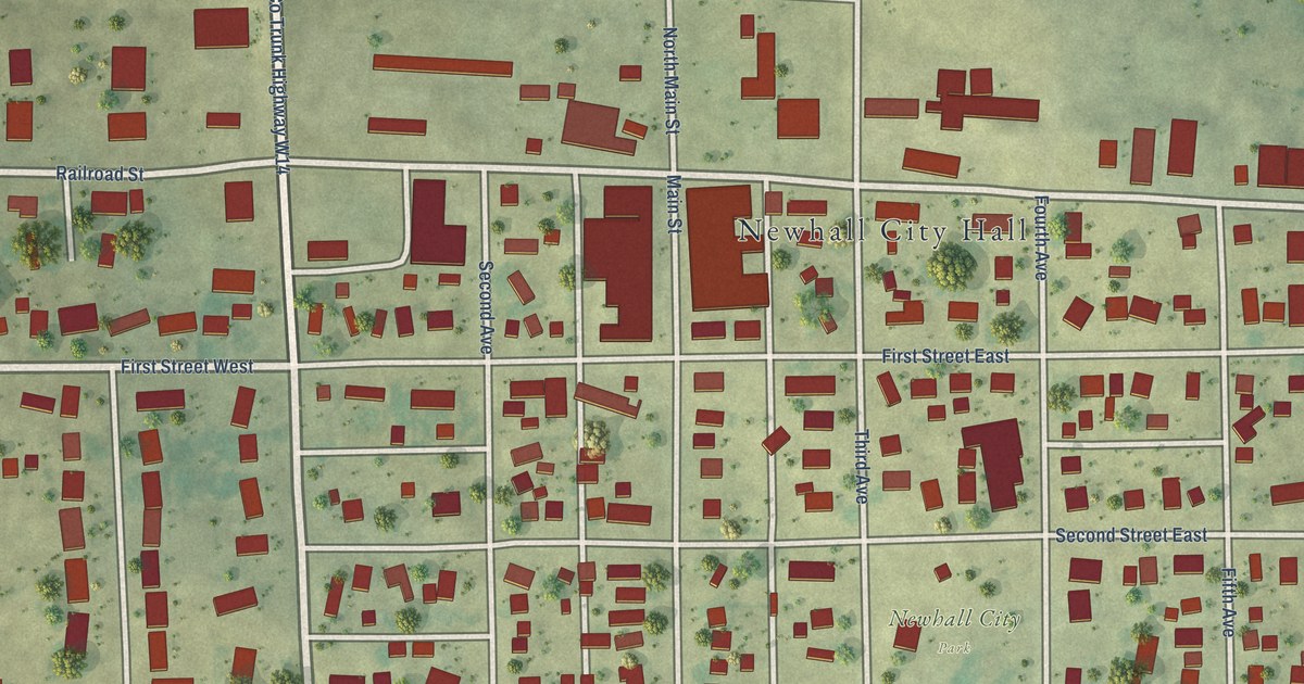
A detailed map of Newhall, Iowa, showing every building in its true location, the roads by name, and shaded topographical relief.
Read More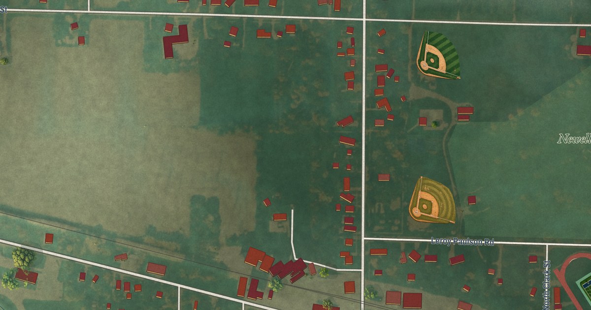
A detailed map of Newell, Iowa, showing every building in its true location, the roads by name, and shaded topographical relief.
Read More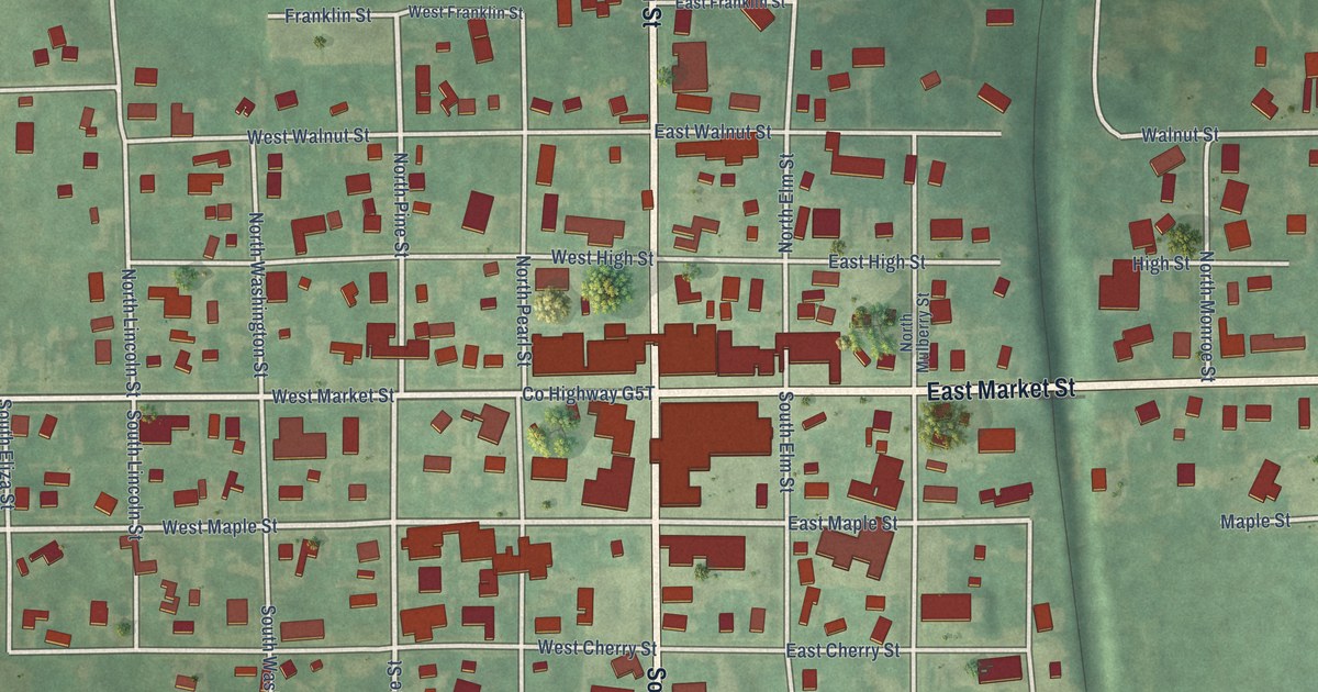
A detailed map of New Sharon, Iowa, showing every building in its true location, the roads by name, and shaded topographical relief.
Read More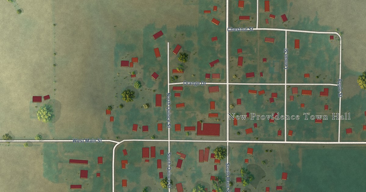
A detailed map of New Providence, Iowa, showing every building in its true location, the roads by name, and shaded topographical relief.
Read More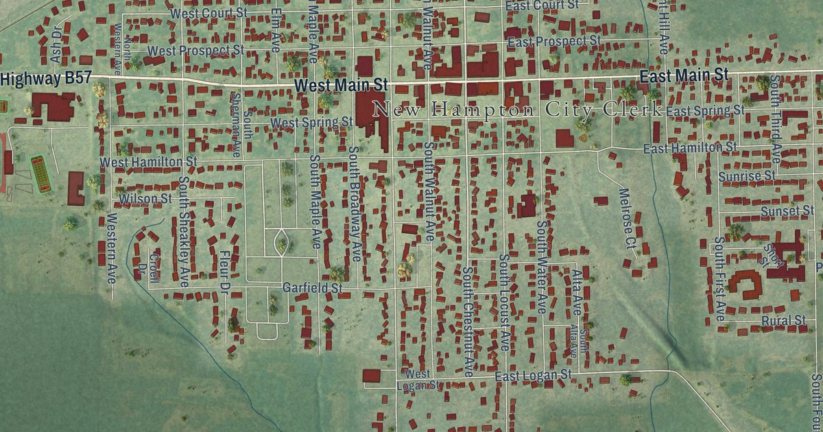
A detailed map of New Hampton, Iowa, showing every building in its true location, the roads by name, and shaded topographical relief.
Read More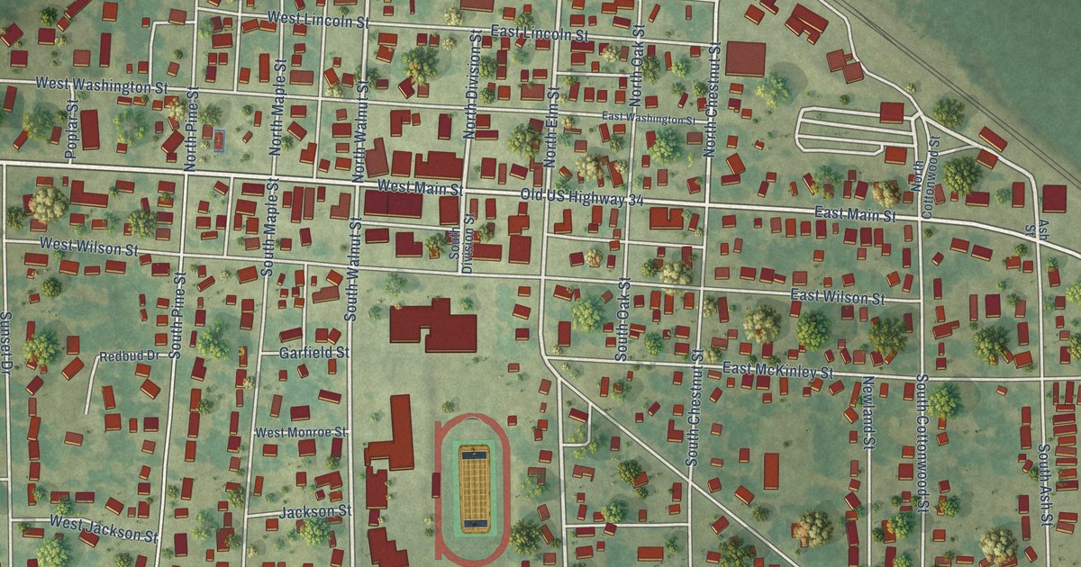
A detailed map of New London, Iowa, showing every building in its true location, the roads by name, and shaded topographical relief.
Read More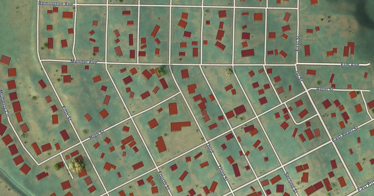
A detailed map of Neola, Iowa, showing every building in its true location, the roads by name, and shaded topographical relief.
Read More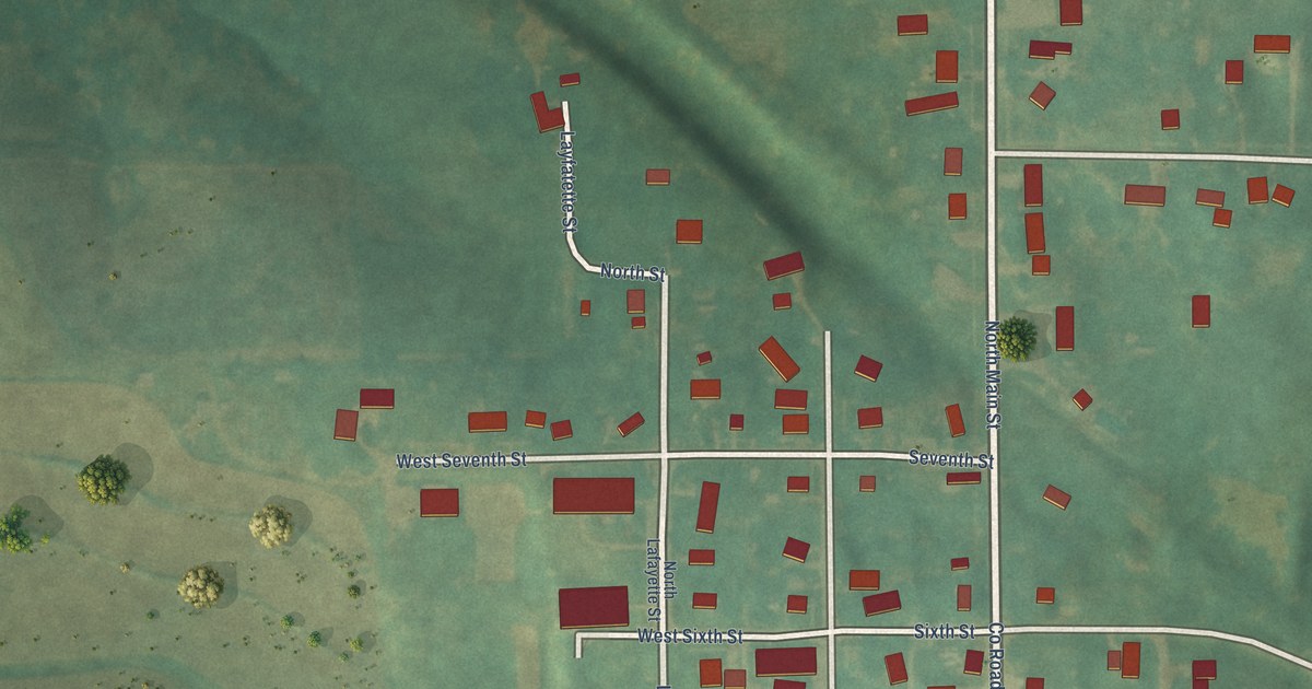
A detailed map of New Market, Iowa, showing every building in its true location, the roads by name, and shaded topographical relief.
Read More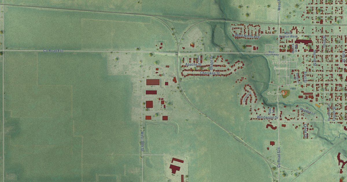
A detailed map of Nevada, Iowa, showing every building in its true location, the roads by name, and shaded topographical relief.
Read More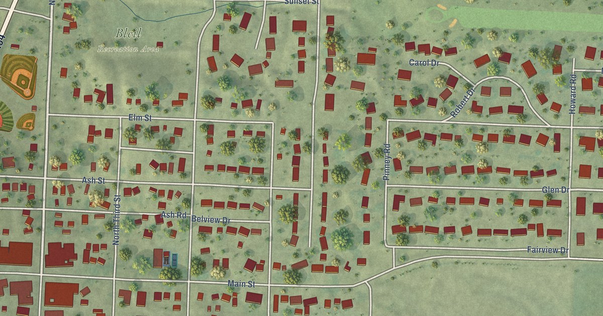
A detailed map of Moville, Iowa, showing every building in its true location, the roads by name, and shaded topographical relief.
Read More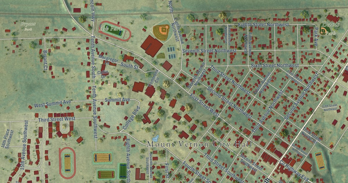
A detailed map of Mount Vernon, Iowa, showing every building in its true location, the roads by name, and shaded topographical relief.
Read More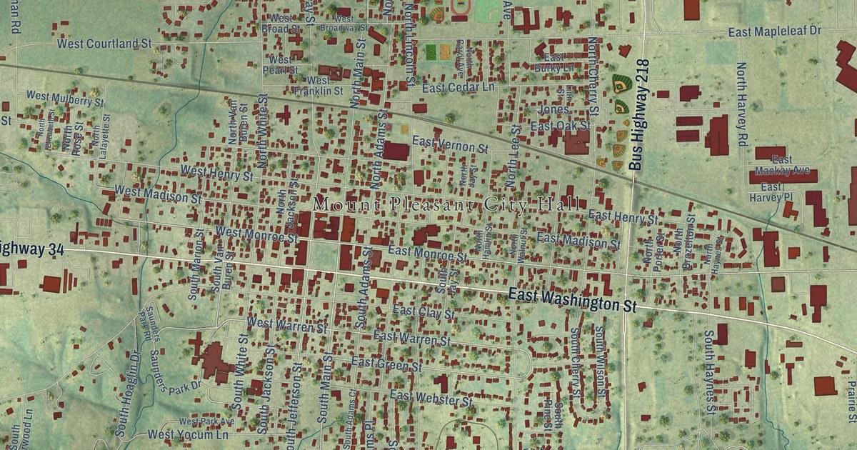
A detailed map of Mount Pleasant, Iowa, showing every building in its true location, the roads by name, and shaded topographical relief.
Read More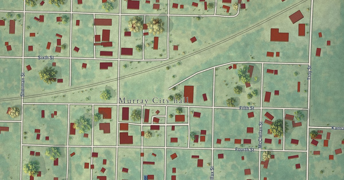
A detailed map of Murray, Iowa, showing every building in its true location, the roads by name, and shaded topographical relief.
Read More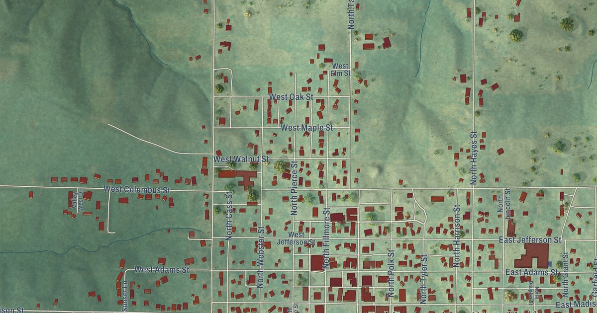
A detailed map of Mount Ayr, Iowa, showing every building in its true location, the roads by name, and shaded topographical relief.
Read More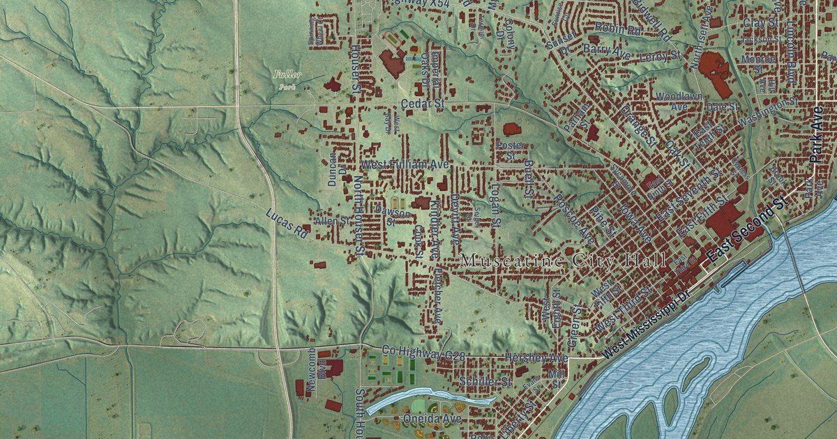
A detailed map of Muscatine, Iowa, showing every building in its true location, the roads by name, and shaded topographical relief.
Read More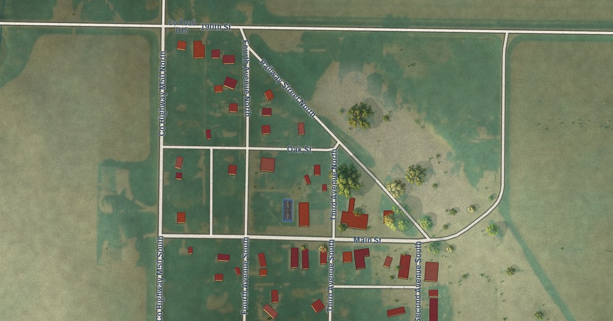
A detailed map of Nemaha, Iowa, showing every building in its true location, the roads by name, and shaded topographical relief.
Read More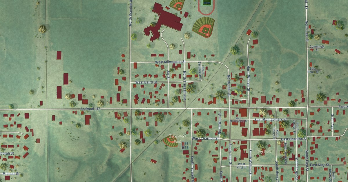
A detailed map of Moravia, Iowa, showing every building in its true location, the roads by name, and shaded topographical relief.
Read More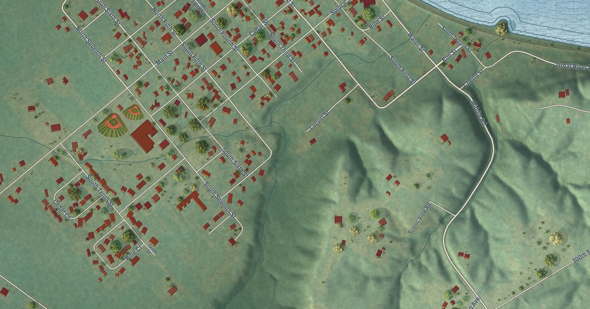
A detailed map of Montrose, Iowa, showing every building in its true location, the roads by name, and shaded topographical relief.
Read More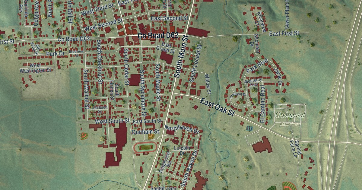
A detailed map of Monticello, Iowa, showing every building in its true location, the roads by name, and shaded topographical relief.
Read More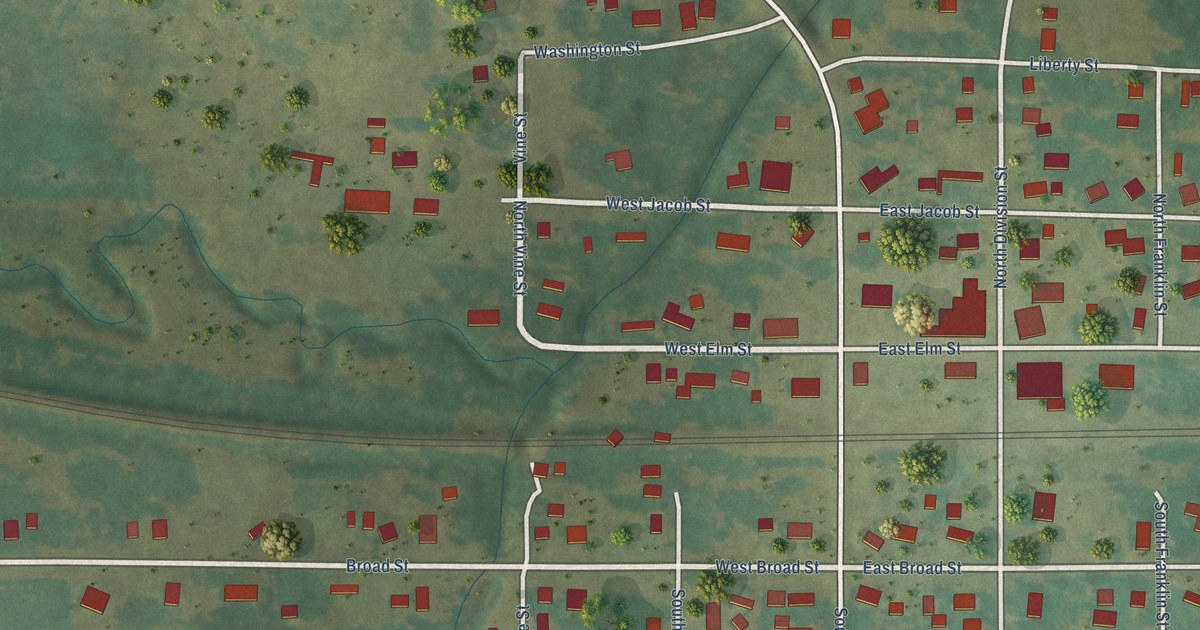
A detailed map of Montour, Iowa, showing every building in its true location, the roads by name, and shaded topographical relief.
Read More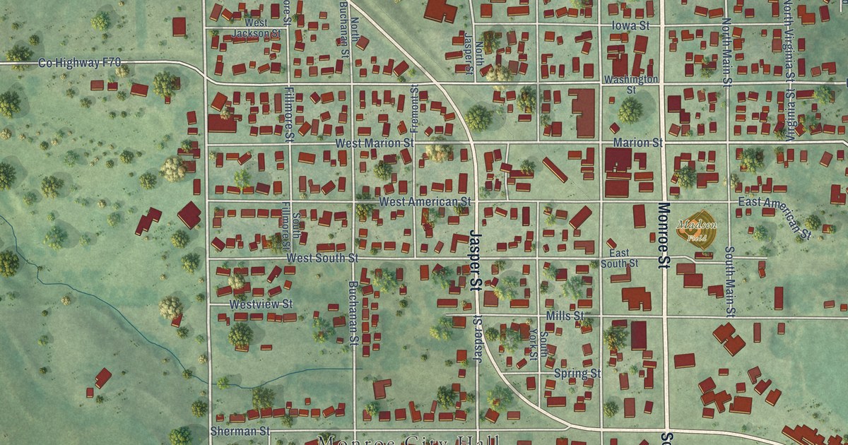
A detailed map of Monroe, Iowa, showing every building in its true location, the roads by name, and shaded topographical relief.
Read More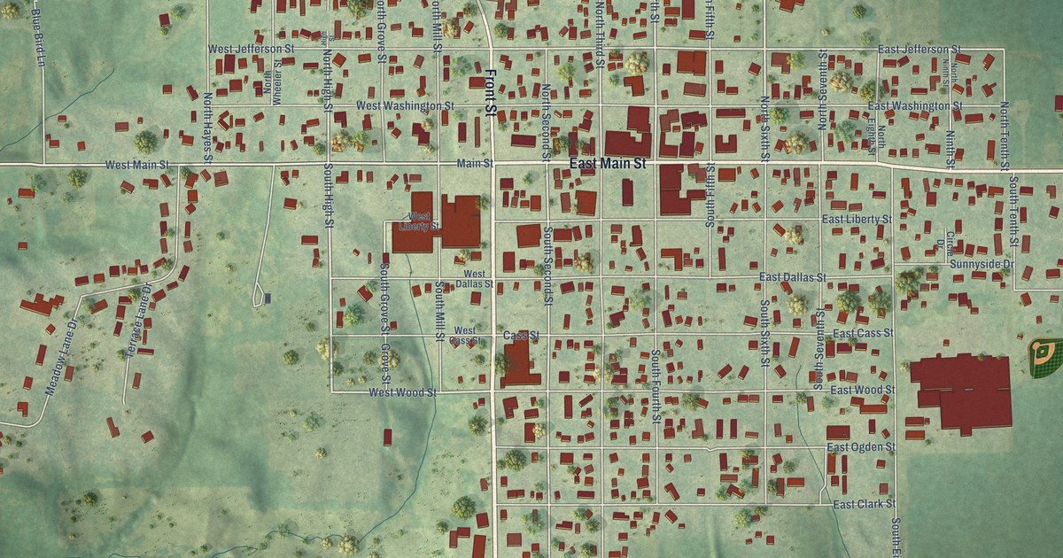
A detailed map of Montezuma, Iowa, showing every building in its true location, the roads by name, and shaded topographical relief.
Read More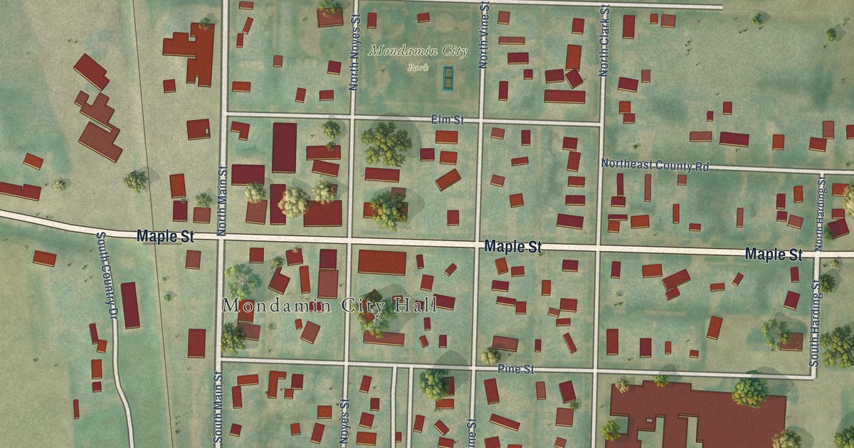
A detailed map of Mondamin, Iowa, showing every building in its true location, the roads by name, and shaded topographical relief.
Read More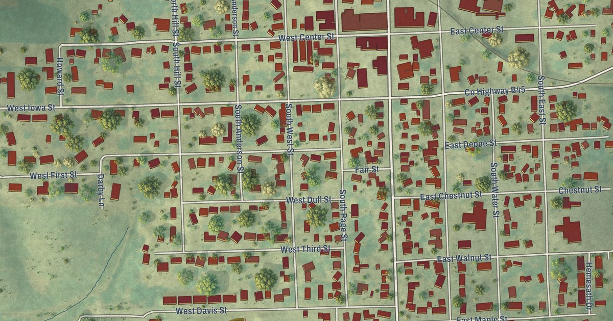
A detailed map of Monona, Iowa, showing every building in its true location, the roads by name, and shaded topographical relief.
Read More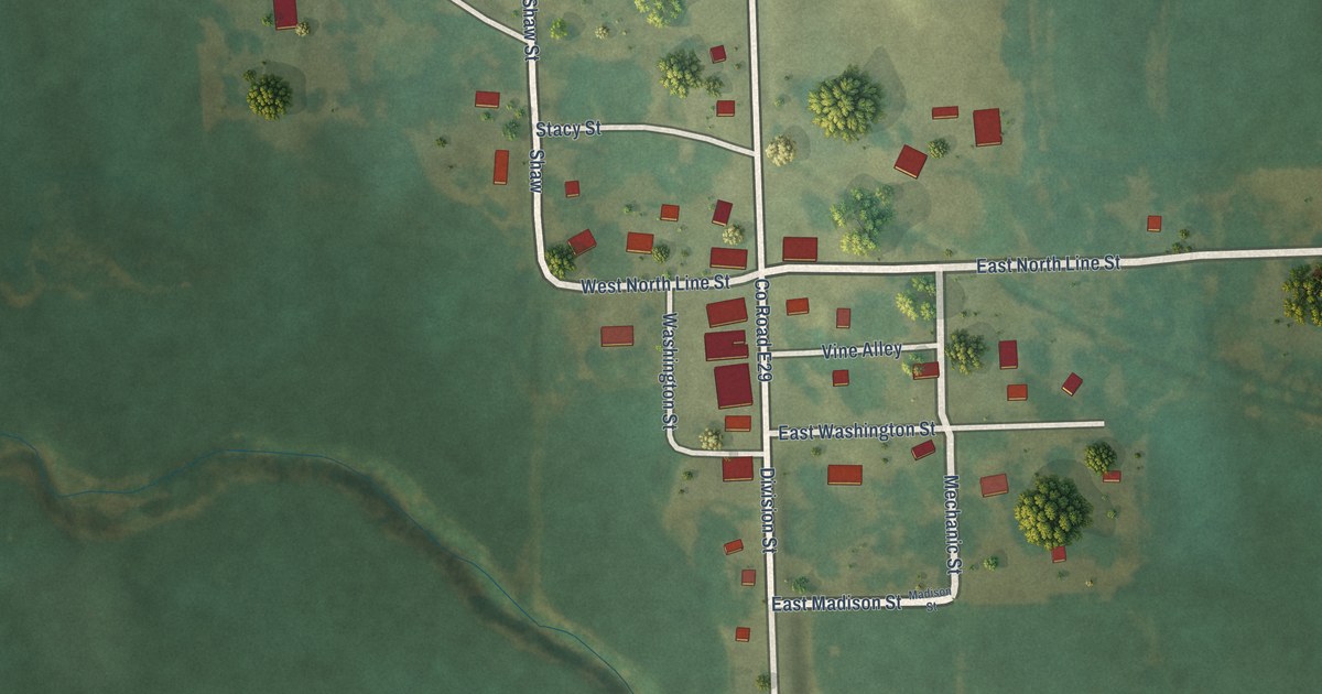
A detailed map of Monmouth, Iowa, showing every building in its true location, the roads by name, and shaded topographical relief.
Read More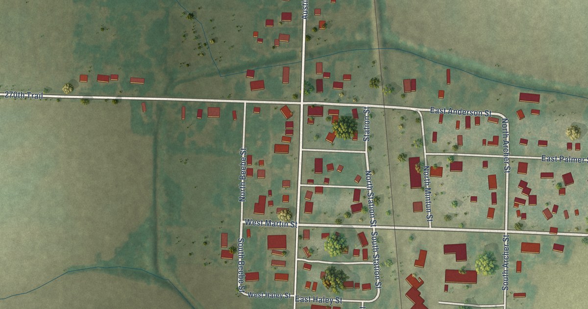
A detailed map of Modale, Iowa, showing every building in its true location, the roads by name, and shaded topographical relief.
Read More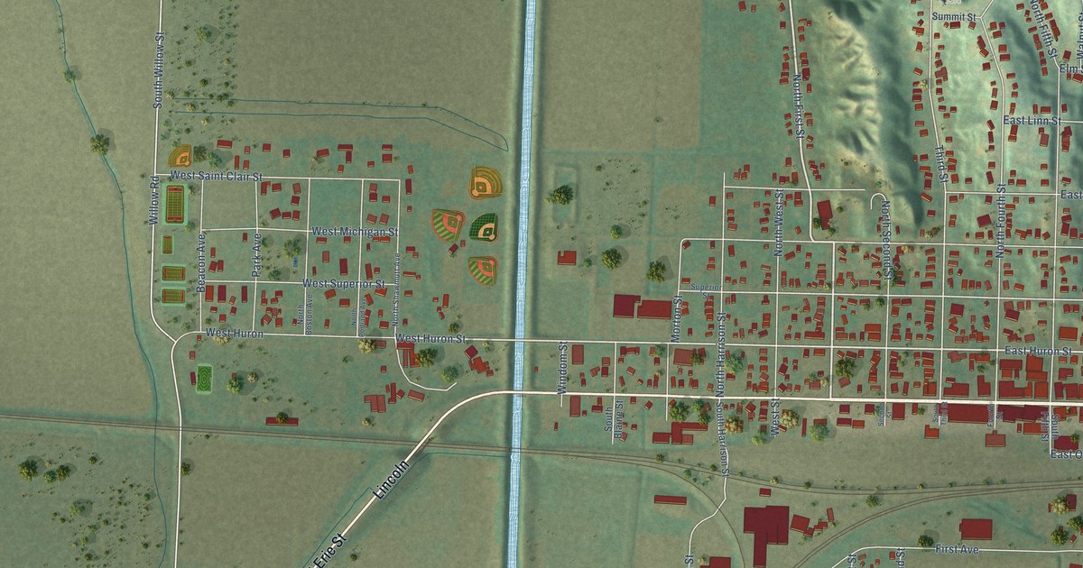
A detailed map of Missouri Valley, Iowa, showing every building in its true location, the roads by name, and shaded topographical relief.
Read More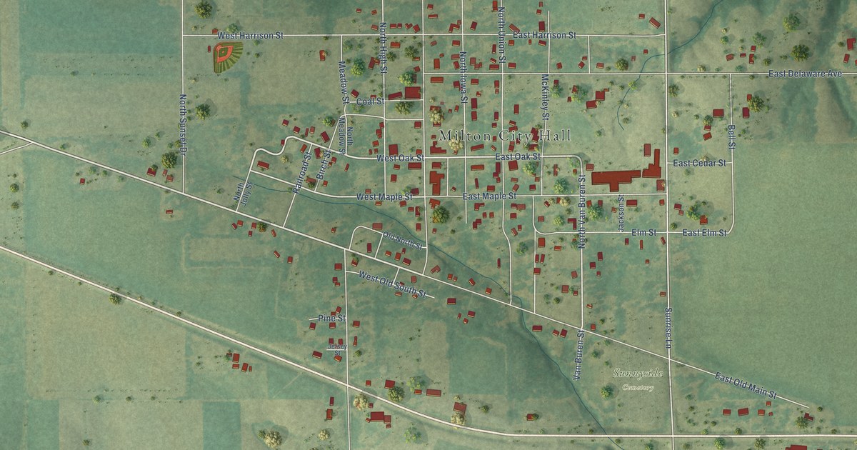
A detailed map of Milton, Iowa, showing every building in its true location, the roads by name, and shaded topographical relief.
Read More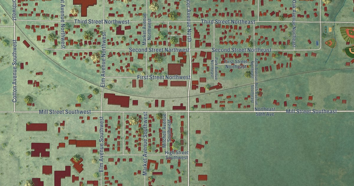
A detailed map of Mitchellville, Iowa, showing every building in its true location, the roads by name, and shaded topographical relief.
Read More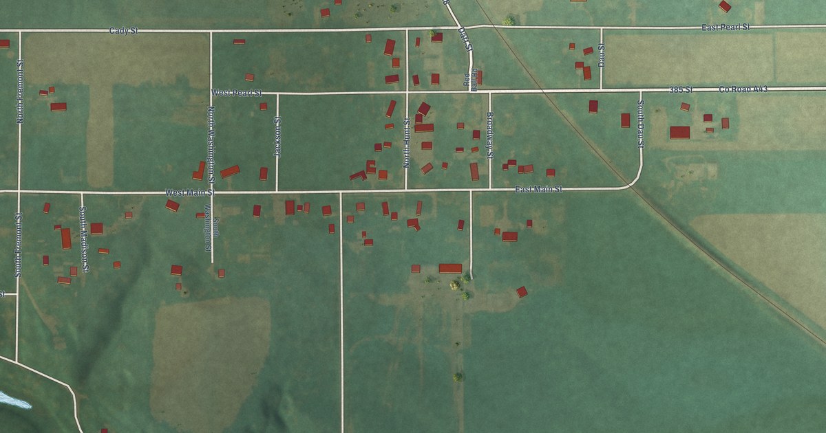
A detailed map of Mitchell, Iowa, showing every building in its true location, the roads by name, and shaded topographical relief.
Read More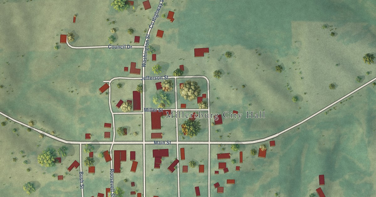
A detailed map of Millersburg, Iowa, showing every building in its true location, the roads by name, and shaded topographical relief.
Read More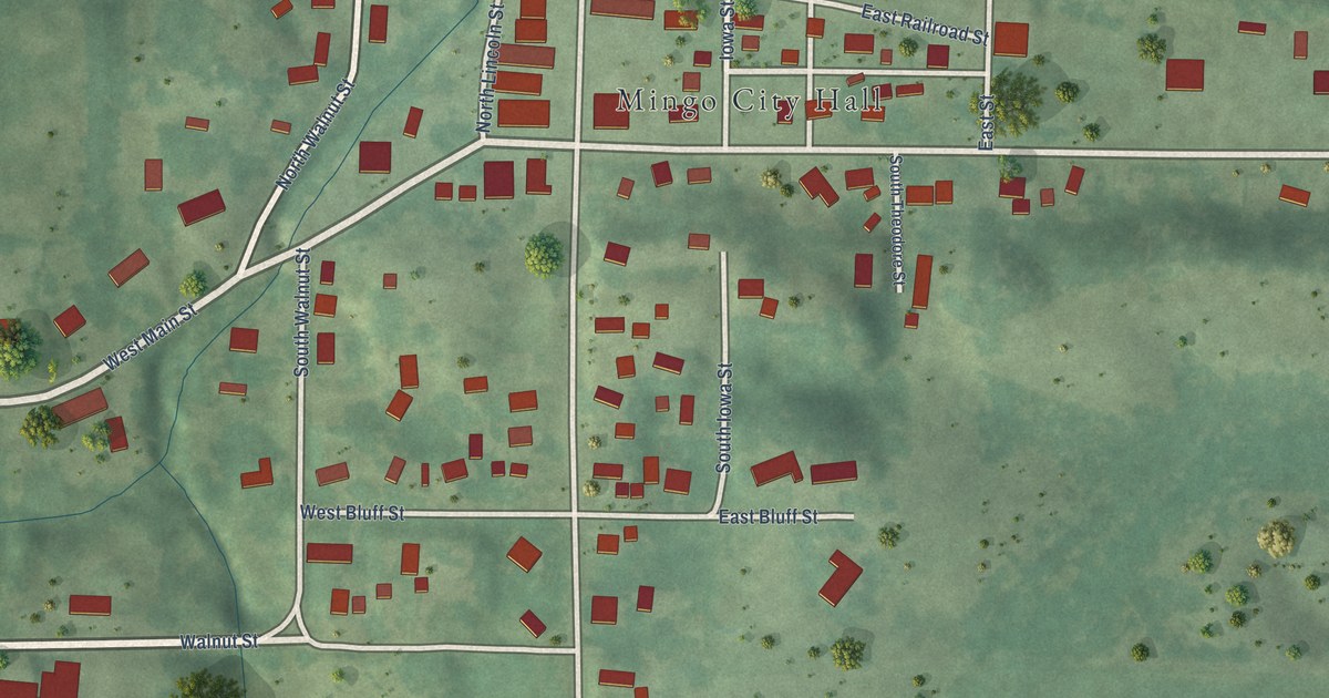
A detailed map of Mingo, Iowa, showing every building in its true location, the roads by name, and shaded topographical relief.
Read More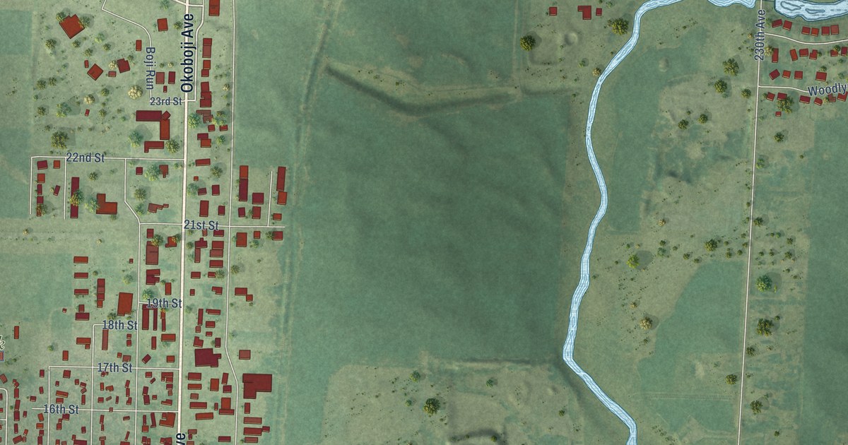
A detailed map of Milford, Iowa, showing every building in its true location, the roads by name, and shaded topographical relief.
Read More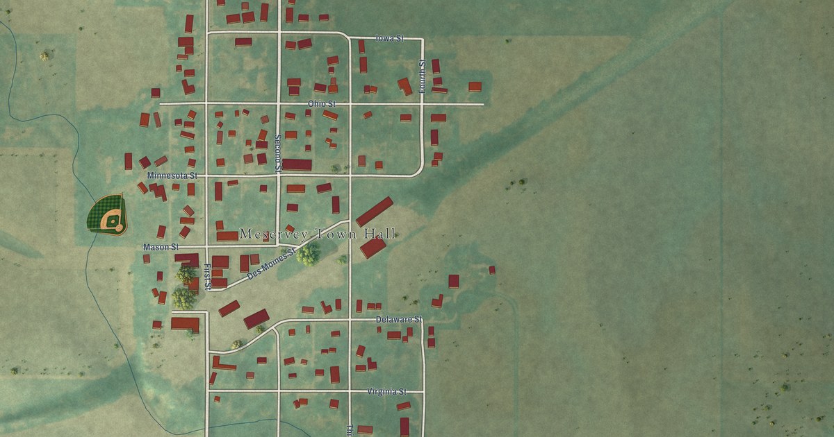
A detailed map of Meservey, Iowa, showing every building in its true location, the roads by name, and shaded topographical relief.
Read More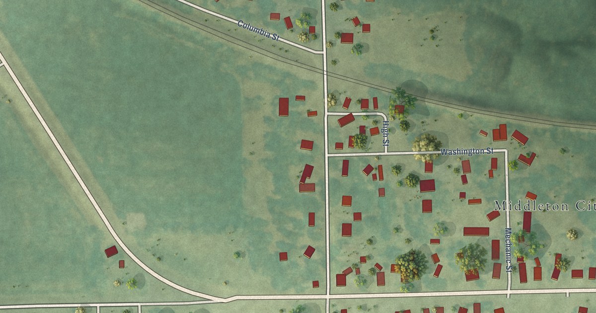
A detailed map of Middletown, Iowa, showing every building in its true location, the roads by name, and shaded topographical relief.
Read More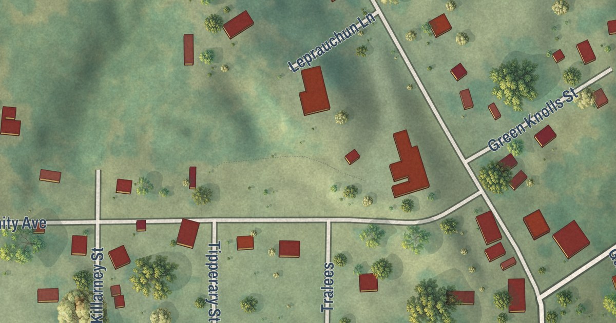
A detailed map of Melrose, Iowa, showing every building in its true location, the roads by name, and shaded topographical relief.
Read More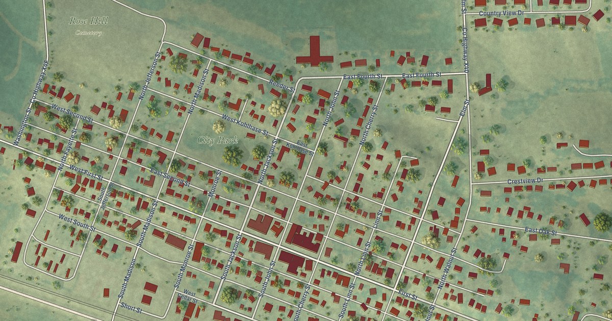
A detailed map of Mechanicsville, Iowa, showing every building in its true location, the roads by name, and shaded topographical relief.
Read More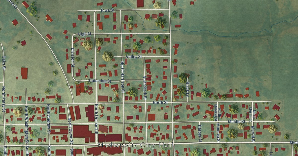
A detailed map of Mediapolis, Iowa, showing every building in its true location, the roads by name, and shaded topographical relief.
Read More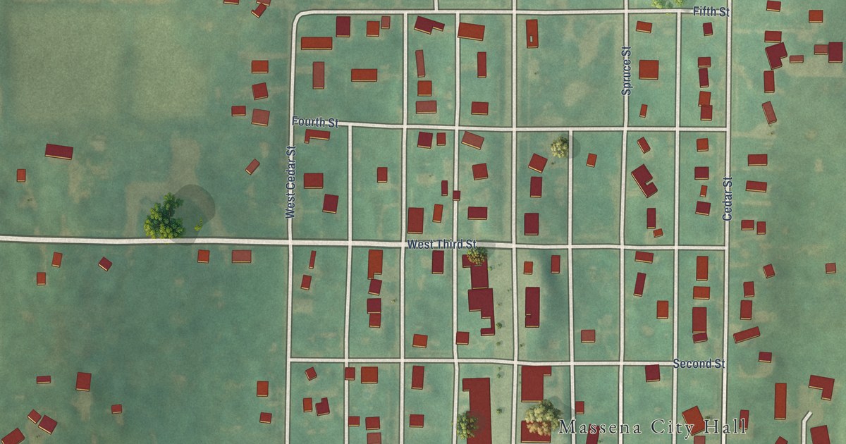
A detailed map of Massena, Iowa, showing every building in its true location, the roads by name, and shaded topographical relief.
Read More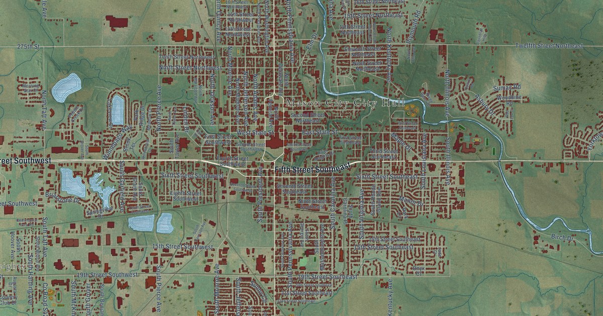
A detailed map of Mason City, Iowa, showing every building in its true location, the roads by name, and shaded topographical relief.
Read More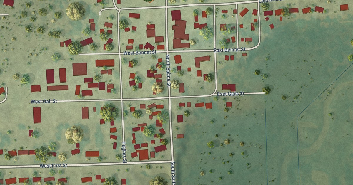
A detailed map of McCausland, Iowa, showing every building in its true location, the roads by name, and shaded topographical relief.
Read More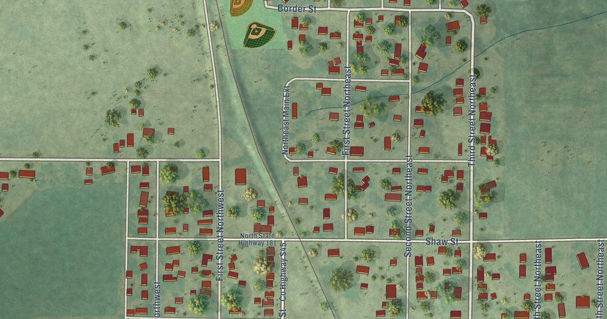
A detailed map of Melcher-Dallas, Iowa, showing every building in its true location, the roads by name, and shaded topographical relief.
Read More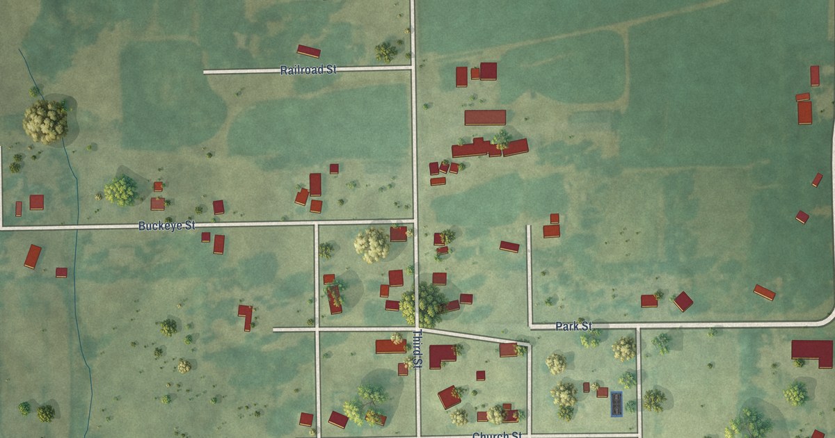
A detailed map of Martinsburg, Iowa, showing every building in its true location, the roads by name, and shaded topographical relief.
Read More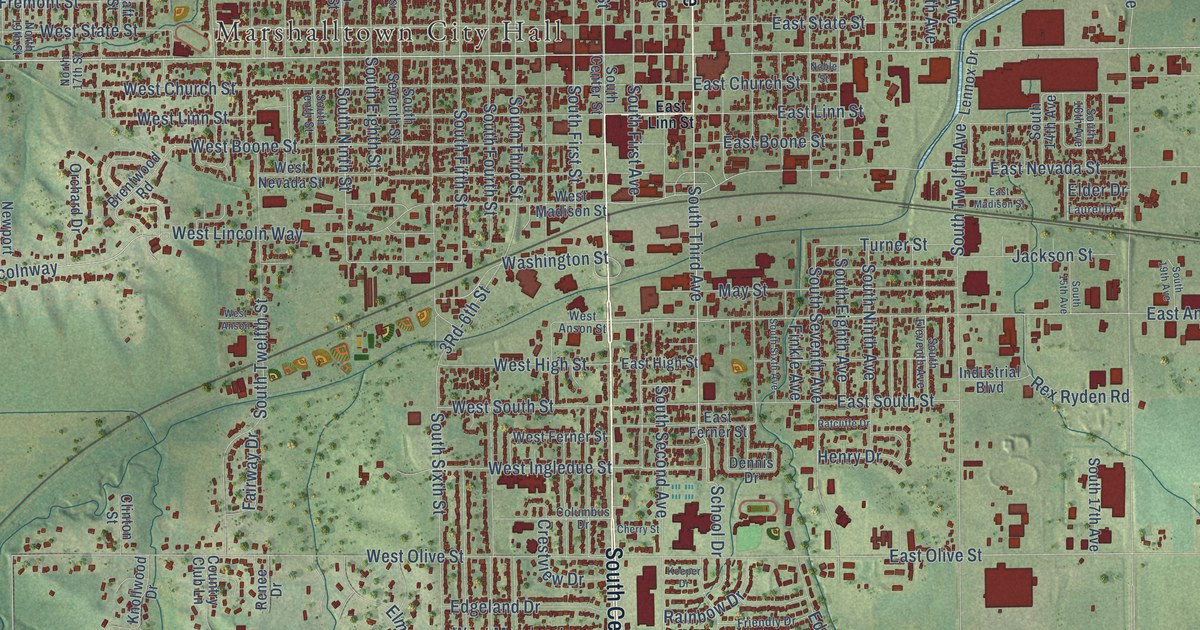
A detailed map of Marshalltown, Iowa, showing every building in its true location, the roads by name, and shaded topographical relief.
Read More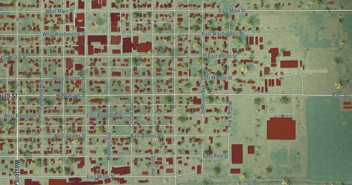
A detailed map of Marengo, Iowa, showing every building in its true location, the roads by name, and shaded topographical relief.
Read More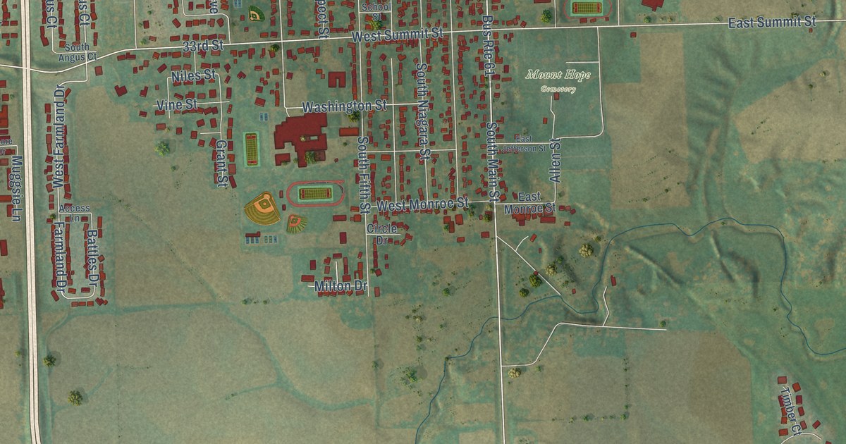
A detailed map of Maquoketa, Iowa, showing every building in its true location, the roads by name, and shaded topographical relief.
Read More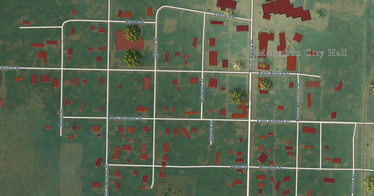
A detailed map of Marathon, Iowa, showing every building in its true location, the roads by name, and shaded topographical relief.
Read More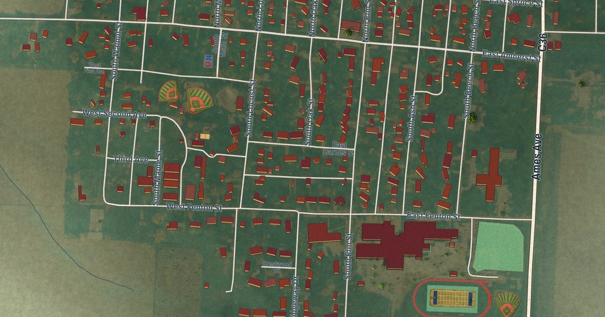
A detailed map of Marcus, Iowa, showing every building in its true location, the roads by name, and shaded topographical relief.
Read More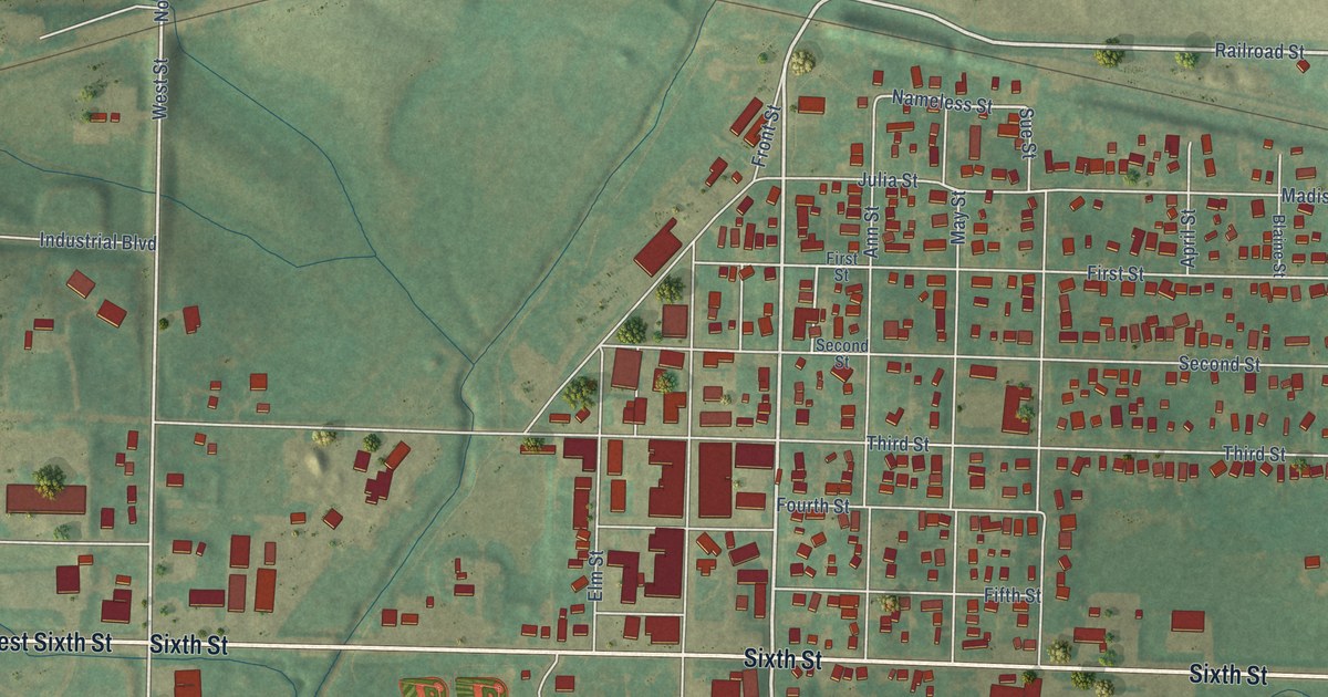
A detailed map of Manning, Iowa, showing every building in its true location, the roads by name, and shaded topographical relief.
Read More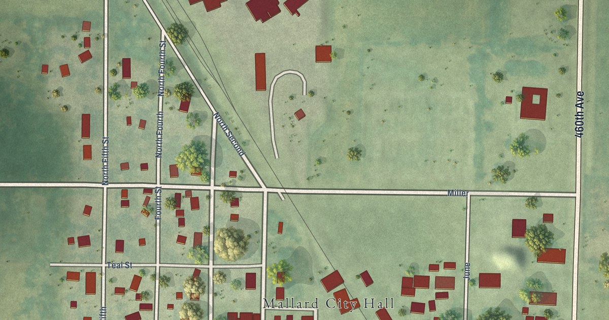
A detailed map of Mallard, Iowa, showing every building in its true location, the roads by name, and shaded topographical relief.
Read More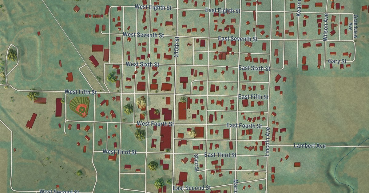
A detailed map of Malvern, Iowa, showing every building in its true location, the roads by name, and shaded topographical relief.
Read More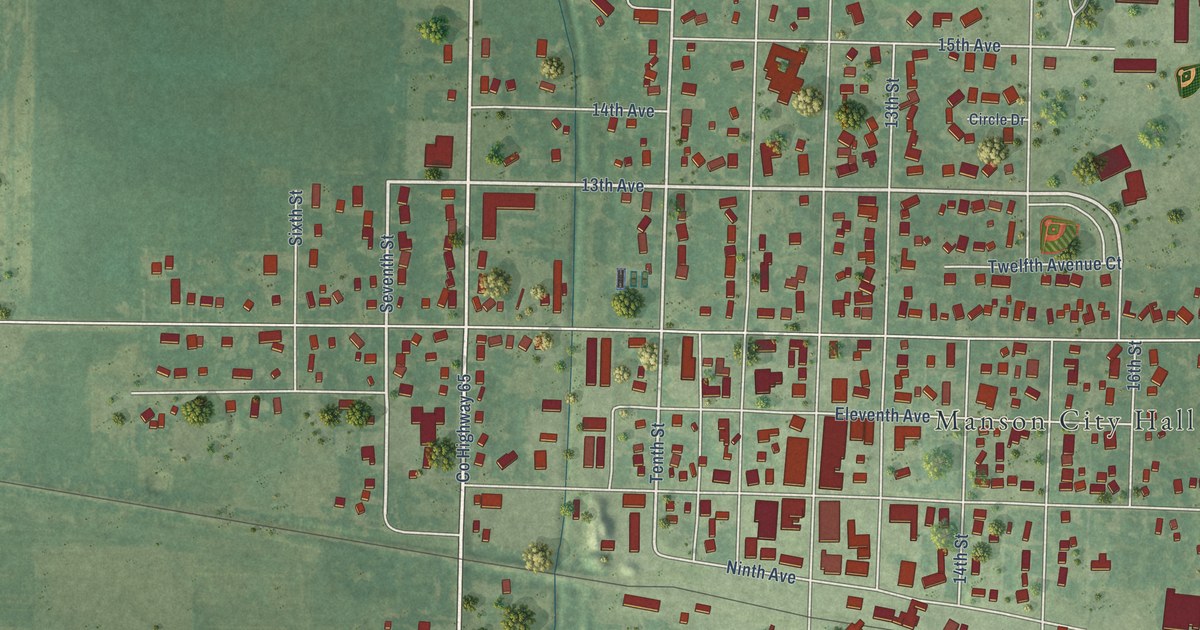
A detailed map of Manson, Iowa, showing every building in its true location, the roads by name, and shaded topographical relief.
Read More















