Detailed Map of Manchester, Iowa
A detailed map of Manchester, Iowa, showing every building in its true location, the roads by name, and shaded topographical relief.
Read More
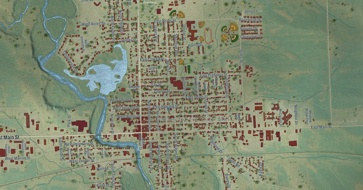
A detailed map of Manchester, Iowa, showing every building in its true location, the roads by name, and shaded topographical relief.
Read More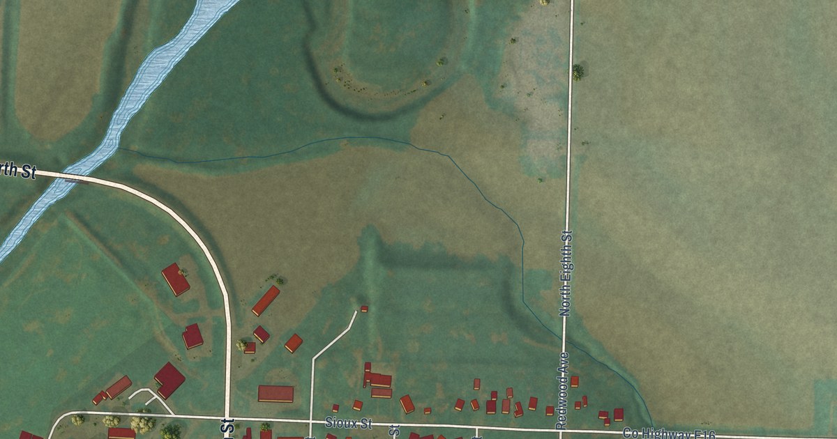
A detailed map of Mapleton, Iowa, showing every building in its true location, the roads by name, and shaded topographical relief.
Read More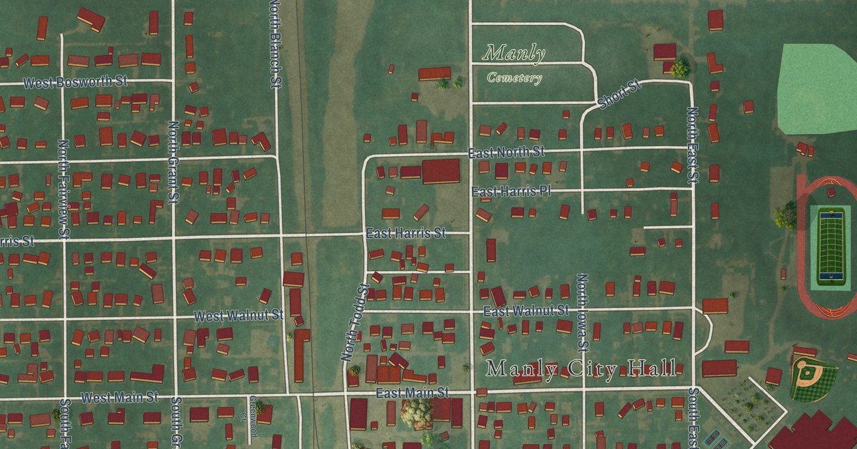
A detailed map of Manly, Iowa, showing every building in its true location, the roads by name, and shaded topographical relief.
Read More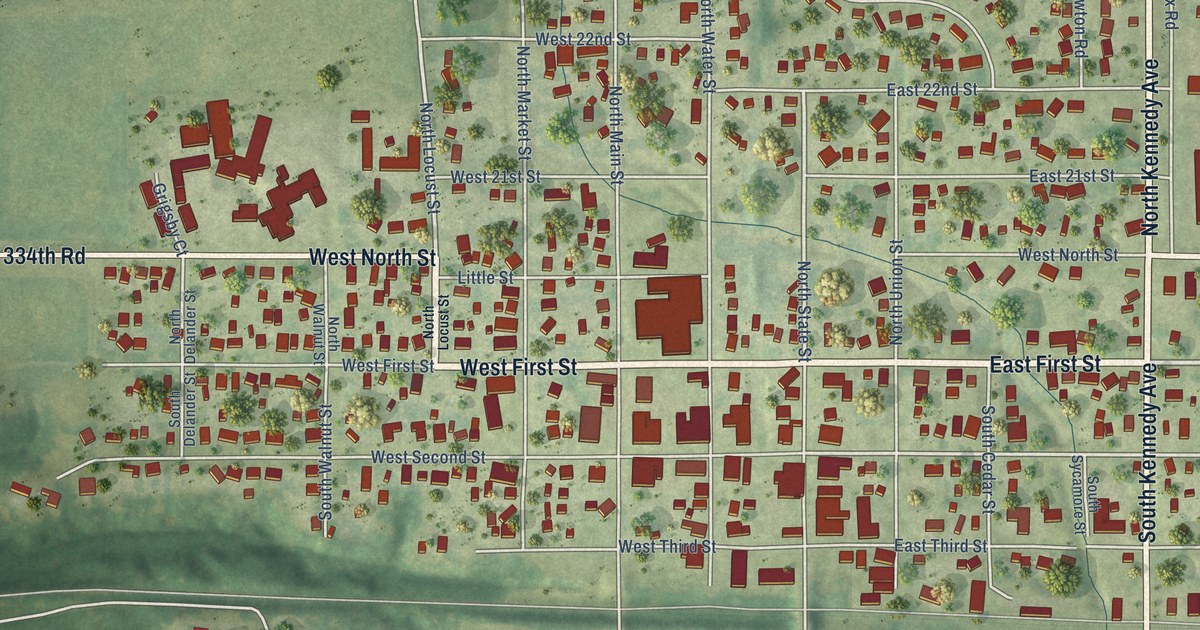
A detailed map of Madrid, Iowa, showing every building in its true location, the roads by name, and shaded topographical relief.
Read More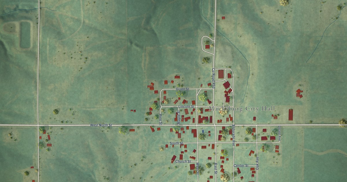
A detailed map of Macksburg, Iowa, showing every building in its true location, the roads by name, and shaded topographical relief.
Read More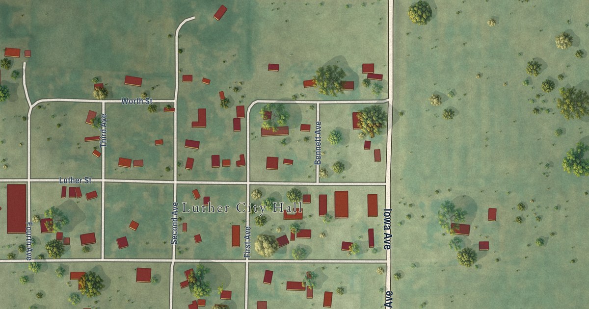
A detailed map of Luther, Iowa, showing every building in its true location, the roads by name, and shaded topographical relief.
Read More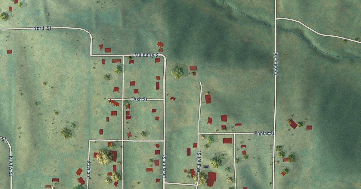
A detailed map of Lucas, Iowa, showing every building in its true location, the roads by name, and shaded topographical relief.
Read More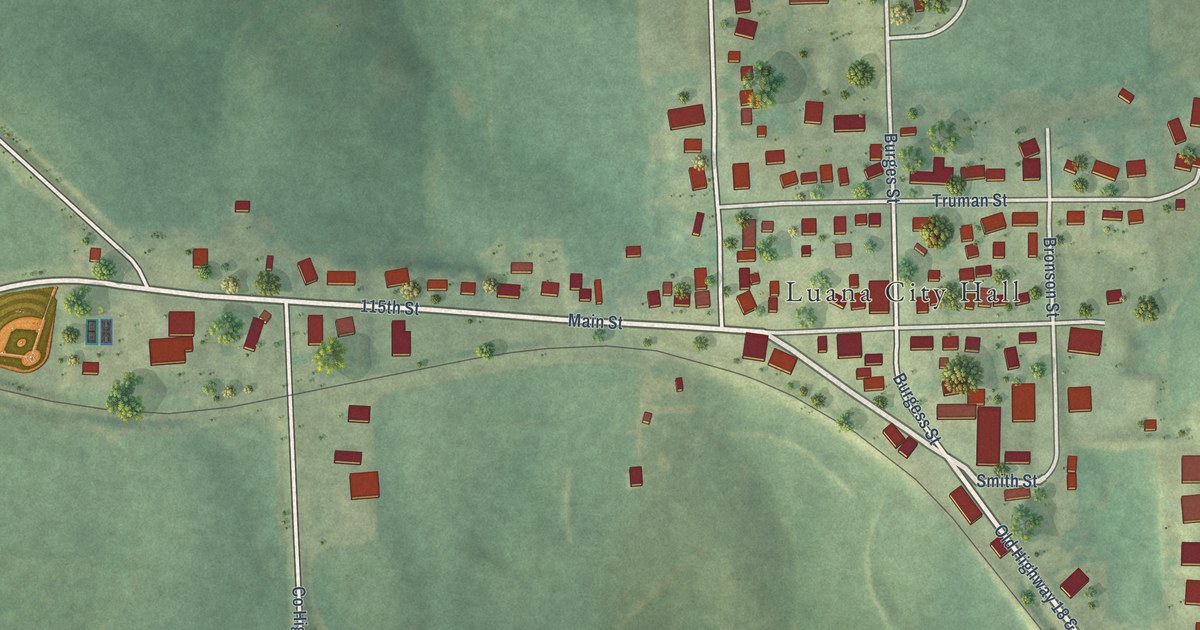
A detailed map of Luana, Iowa, showing every building in its true location, the roads by name, and shaded topographical relief.
Read More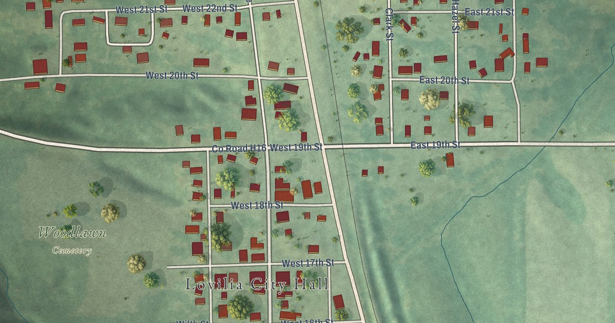
A detailed map of Lovilia, Iowa, showing every building in its true location, the roads by name, and shaded topographical relief.
Read More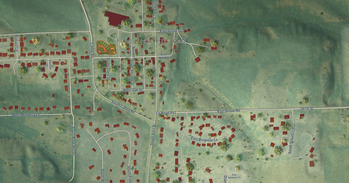
A detailed map of Long Grove, Iowa, showing every building in its true location, the roads by name, and shaded topographical relief.
Read More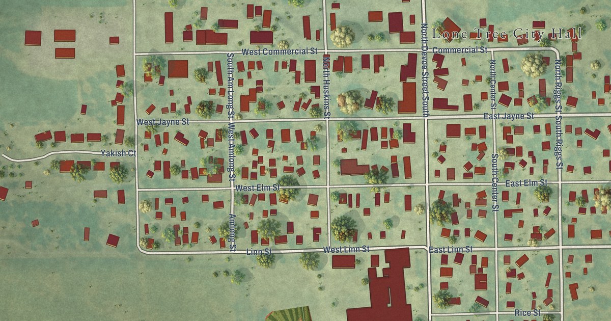
A detailed map of Lone Tree, Iowa, showing every building in its true location, the roads by name, and shaded topographical relief.
Read More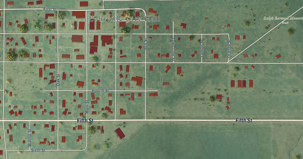
A detailed map of Lohrville, Iowa, showing every building in its true location, the roads by name, and shaded topographical relief.
Read More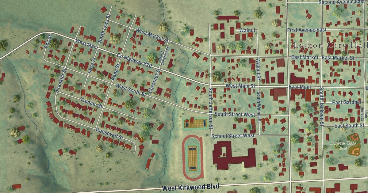
A detailed map of Lisbon, Iowa, showing every building in its true location, the roads by name, and shaded topographical relief.
Read More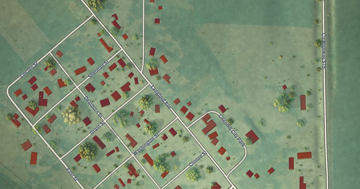
A detailed map of Liscomb, Iowa, showing every building in its true location, the roads by name, and shaded topographical relief.
Read More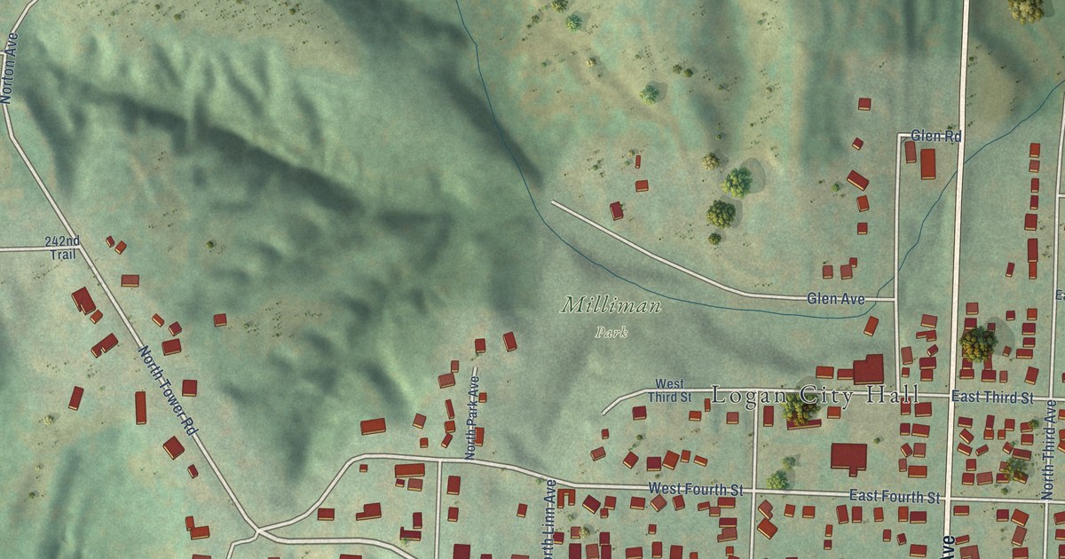
A detailed map of Logan, Iowa, showing every building in its true location, the roads by name, and shaded topographical relief.
Read More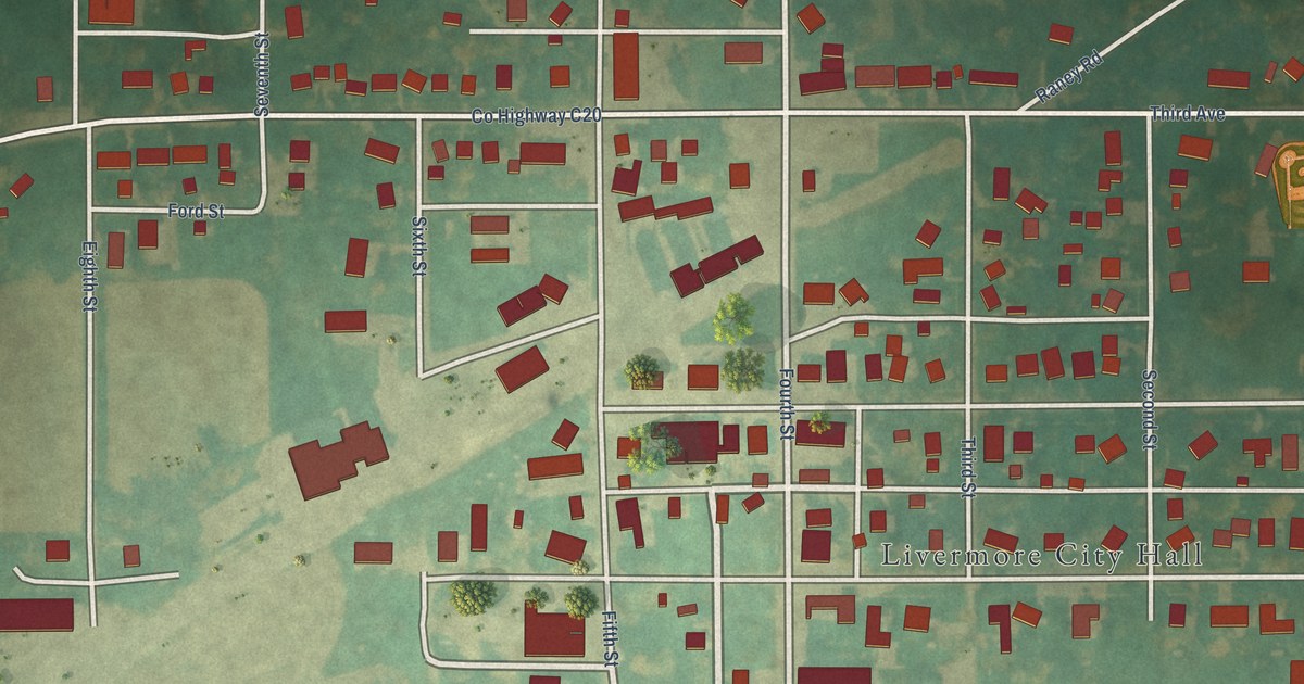
A detailed map of Livermore, Iowa, showing every building in its true location, the roads by name, and shaded topographical relief.
Read More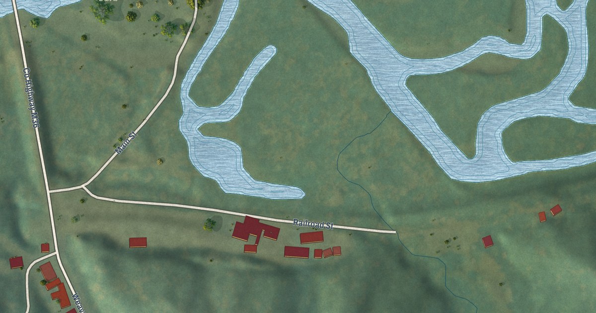
A detailed map of Linn Grove, Iowa, showing every building in its true location, the roads by name, and shaded topographical relief.
Read More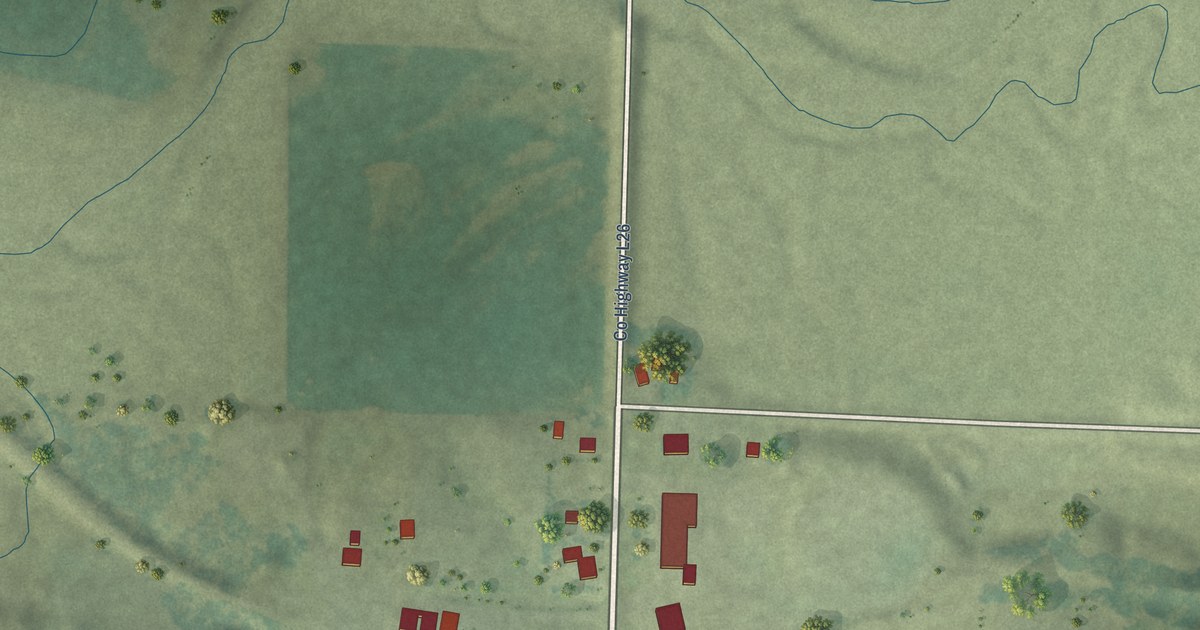
A detailed map of Little Rock, Iowa, showing every building in its true location, the roads by name, and shaded topographical relief.
Read More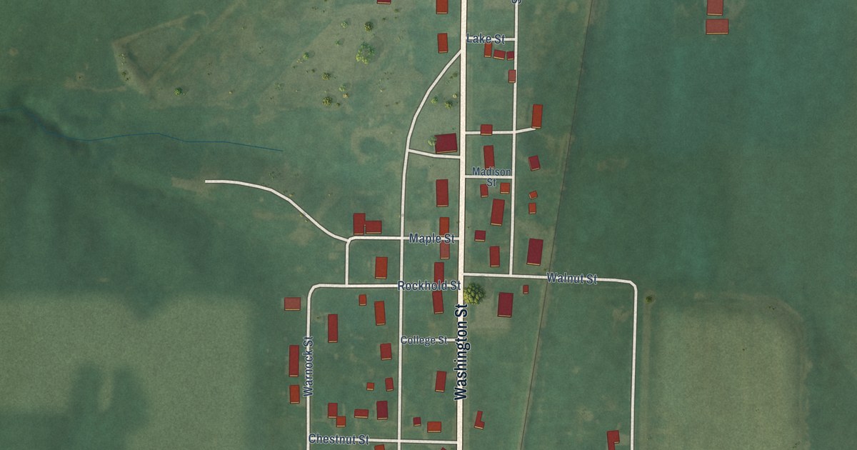
A detailed map of Lineville, Iowa, showing every building in its true location, the roads by name, and shaded topographical relief.
Read More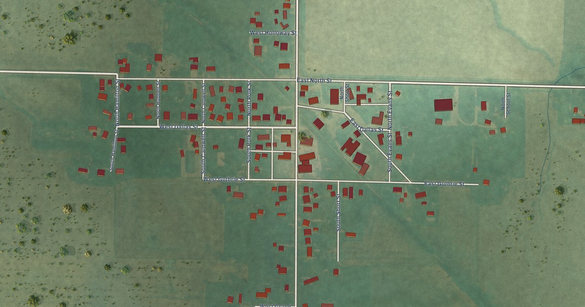
A detailed map of Linden, Iowa, showing every building in its true location, the roads by name, and shaded topographical relief.
Read More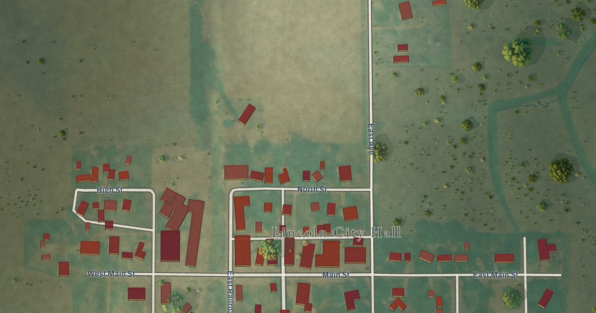
A detailed map of Lincoln, Iowa, showing every building in its true location, the roads by name, and shaded topographical relief.
Read More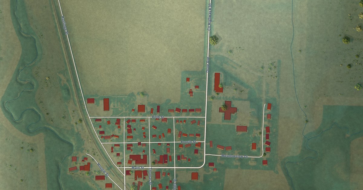
A detailed map of Lester, Iowa, showing every building in its true location, the roads by name, and shaded topographical relief.
Read More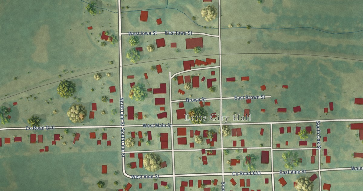
A detailed map of Letts, Iowa, showing every building in its true location, the roads by name, and shaded topographical relief.
Read More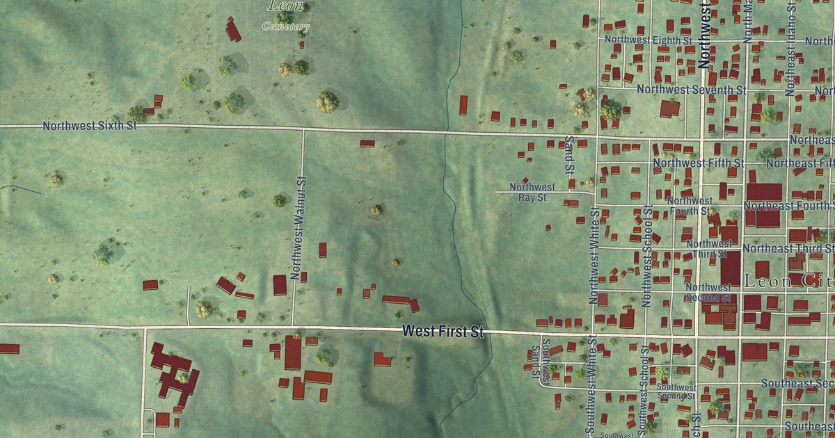
A detailed map of Leon, Iowa, showing every building in its true location, the roads by name, and shaded topographical relief.
Read More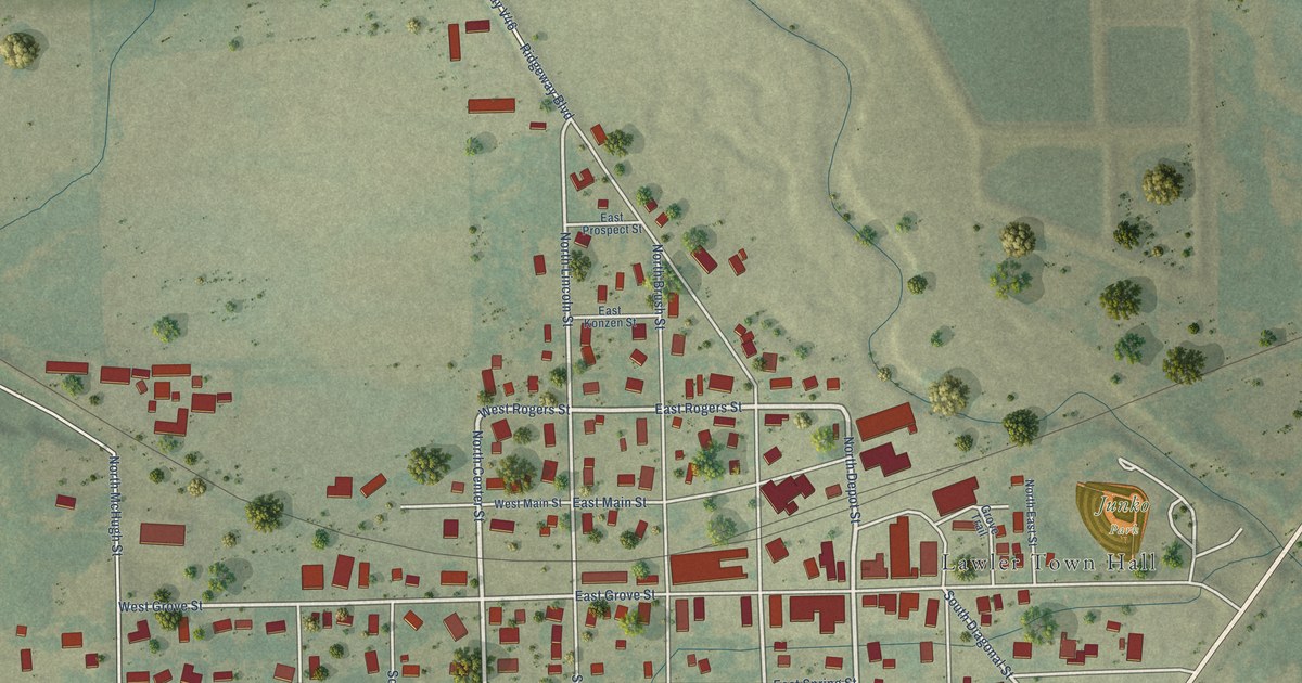
A detailed map of Lawler, Iowa, showing every building in its true location, the roads by name, and shaded topographical relief.
Read More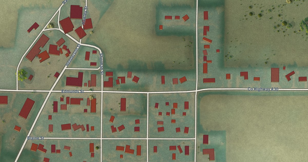
A detailed map of Ledyard, Iowa, showing every building in its true location, the roads by name, and shaded topographical relief.
Read More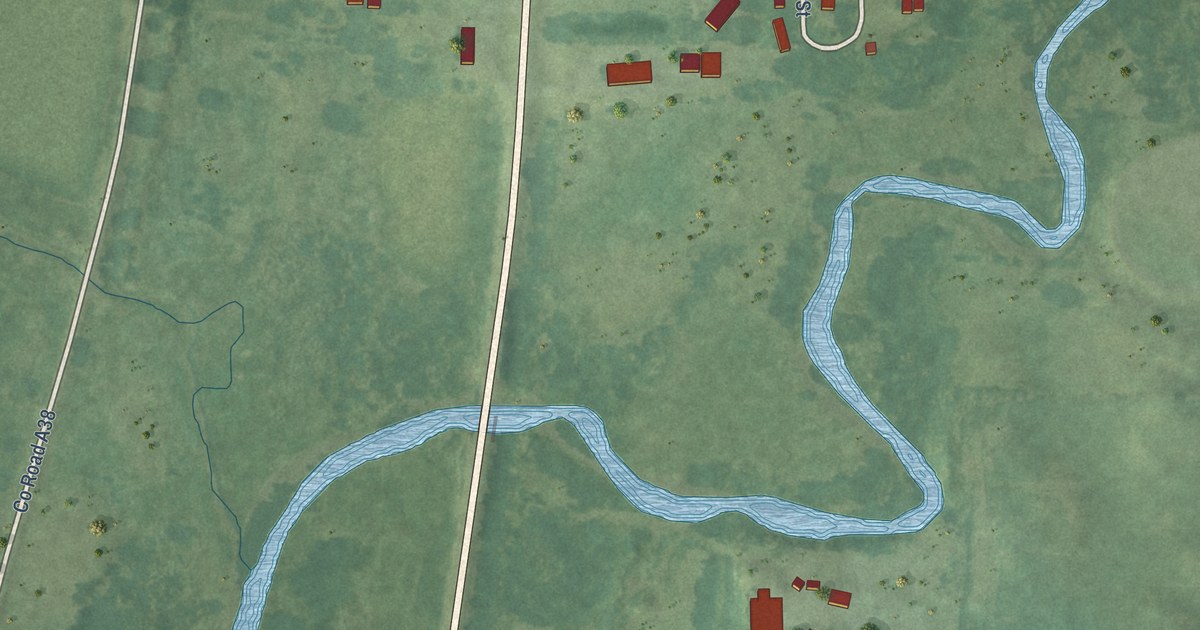
A detailed map of Leland, Iowa, showing every building in its true location, the roads by name, and shaded topographical relief.
Read More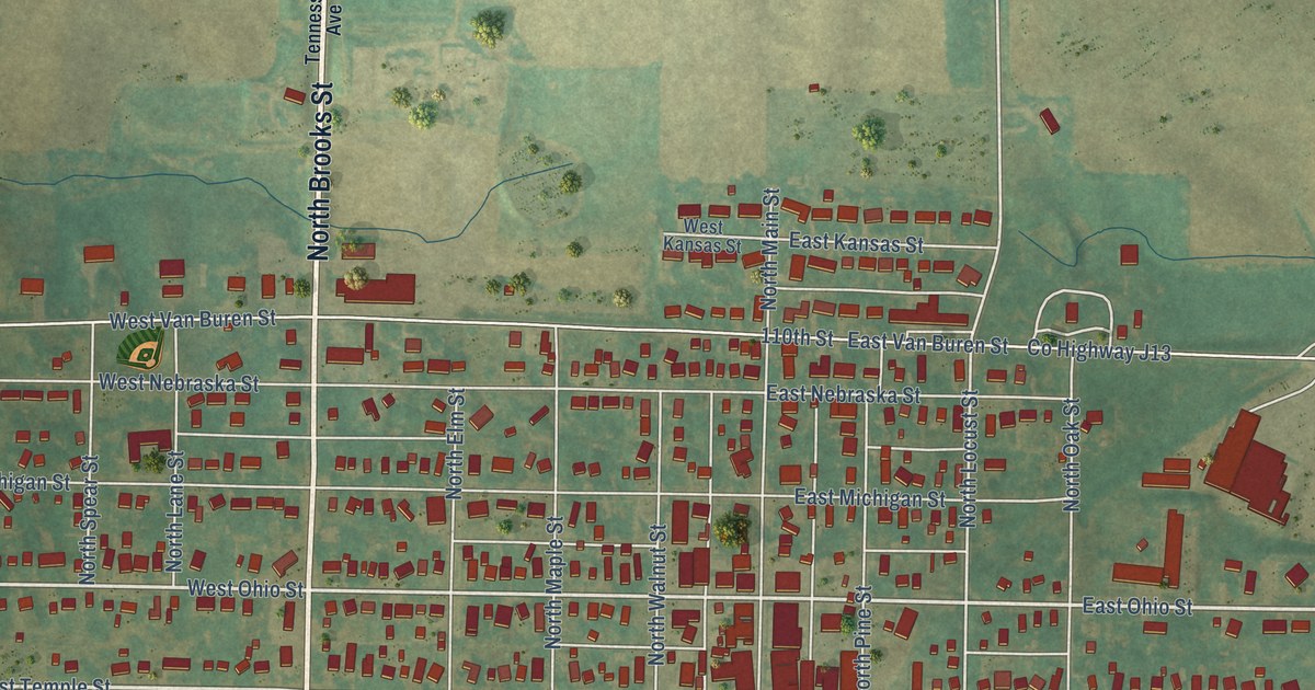
A detailed map of Lenox, Iowa, showing every building in its true location, the roads by name, and shaded topographical relief.
Read More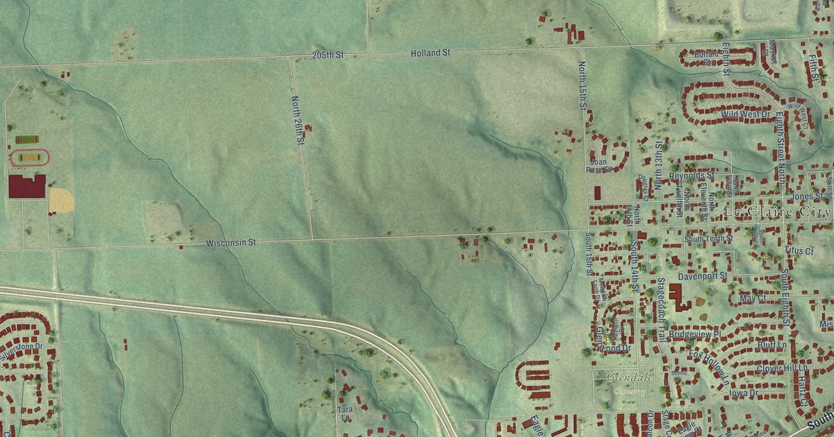
A detailed map of Le Claire, Iowa, showing every building in its true location, the roads by name, and shaded topographical relief.
Read More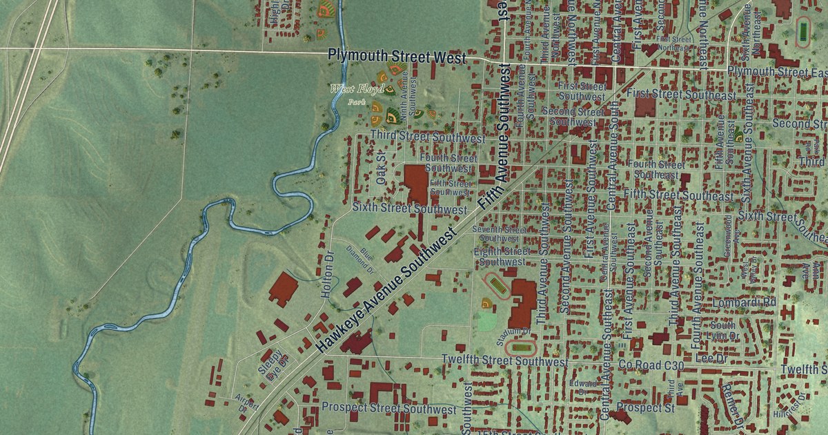
A detailed map of Le Mars, Iowa, showing every building in its true location, the roads by name, and shaded topographical relief.
Read More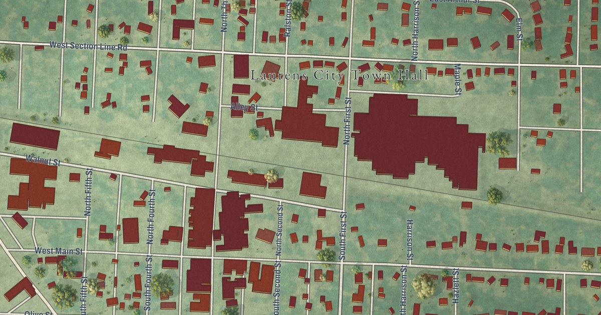
A detailed map of Laurens, Iowa, showing every building in its true location, the roads by name, and shaded topographical relief.
Read More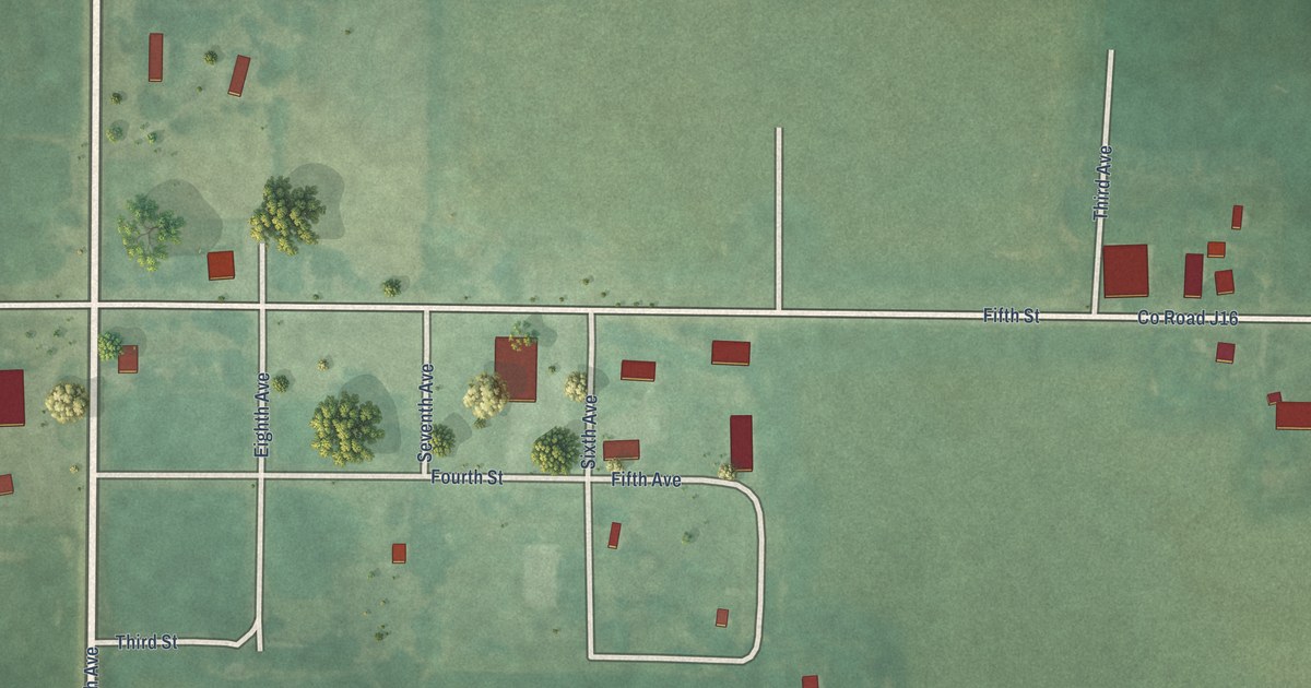
A detailed map of Le Roy, Iowa, showing every building in its true location, the roads by name, and shaded topographical relief.
Read More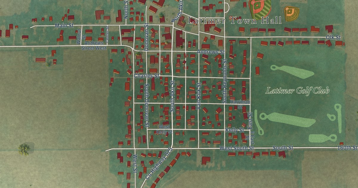
A detailed map of Latimer, Iowa, showing every building in its true location, the roads by name, and shaded topographical relief.
Read More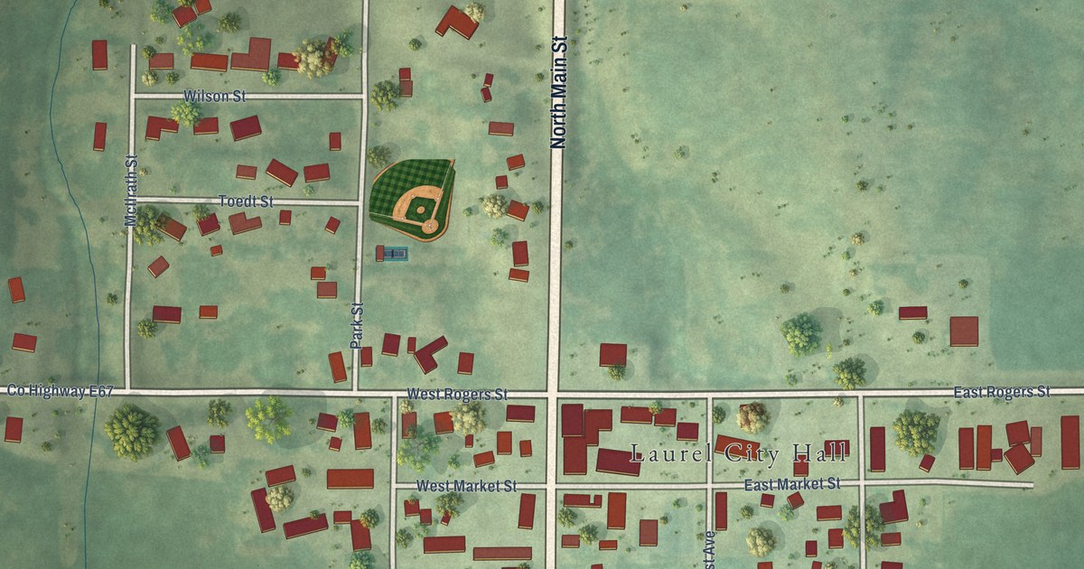
A detailed map of Laurel, Iowa, showing every building in its true location, the roads by name, and shaded topographical relief.
Read More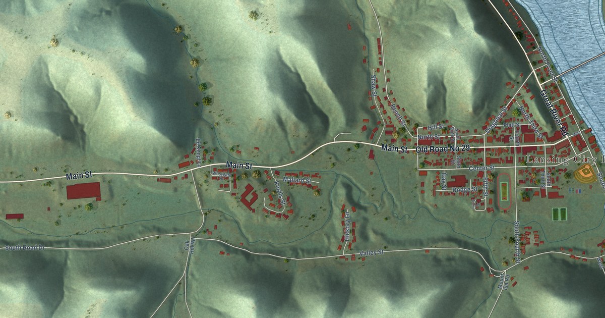
A detailed map of Lansing, Iowa, showing every building in its true location, the roads by name, and shaded topographical relief.
Read More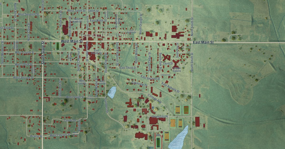
A detailed map of Lamoni, Iowa, showing every building in its true location, the roads by name, and shaded topographical relief.
Read More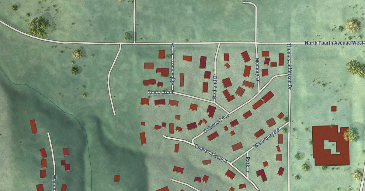
A detailed map of Lambs Grove, Iowa, showing every building in its true location, the roads by name, and shaded topographical relief.
Read More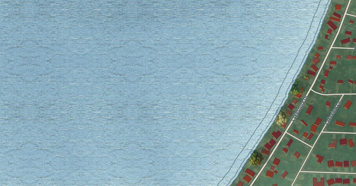
A detailed map of Lakeside, Iowa, showing every building in its true location, the roads by name, and shaded topographical relief.
Read More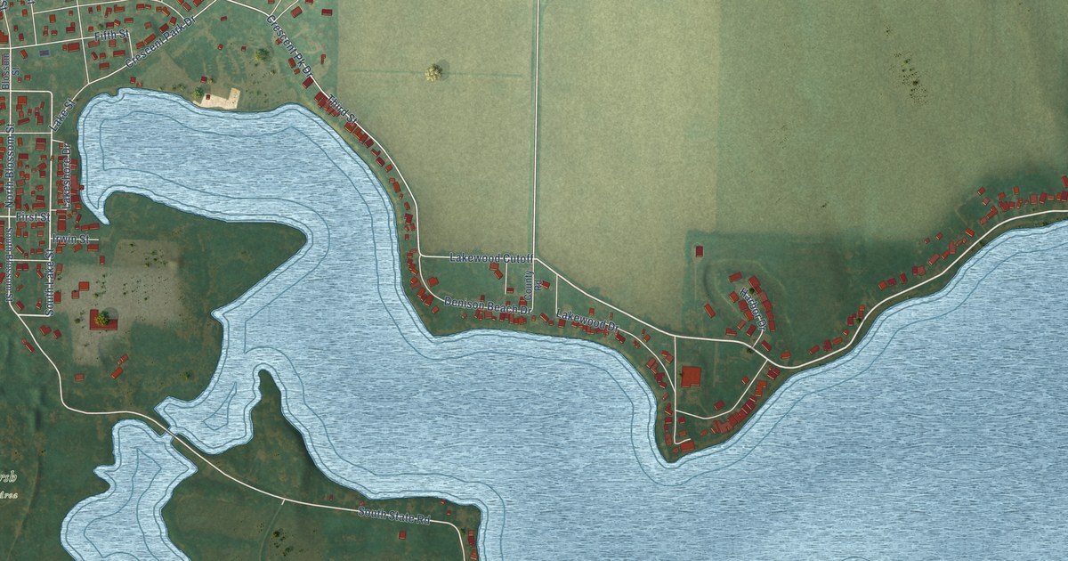
A detailed map of Lake View, Iowa, showing every building in its true location, the roads by name, and shaded topographical relief.
Read More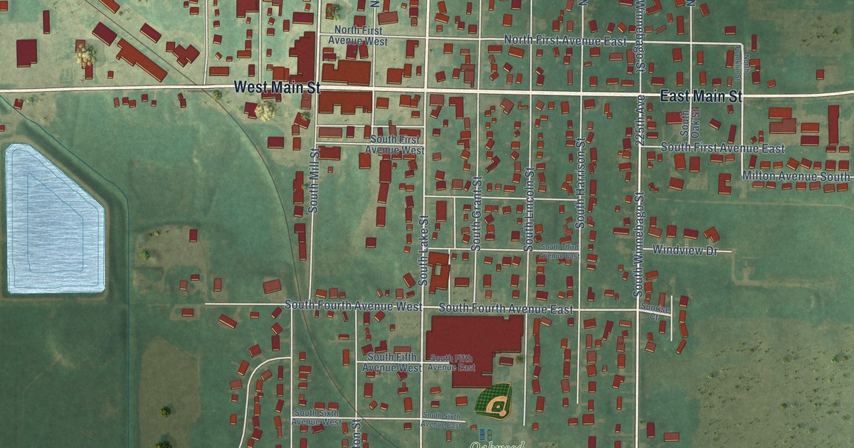
A detailed map of Lake Mills, Iowa, showing every building in its true location, the roads by name, and shaded topographical relief.
Read More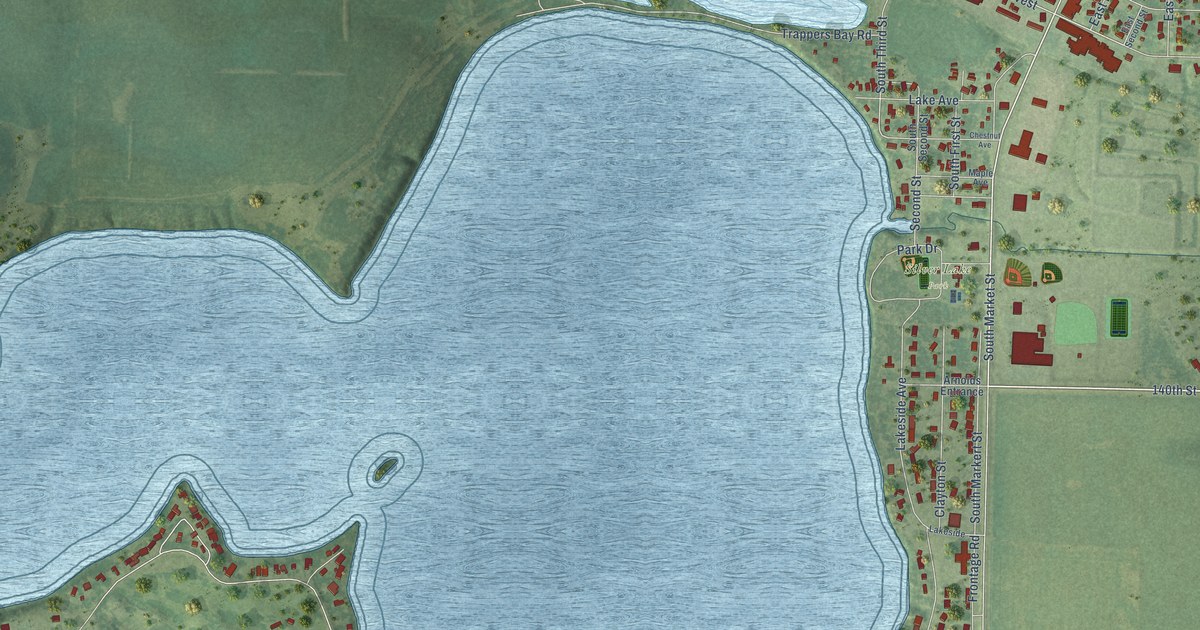
A detailed map of Lake Park, Iowa, showing every building in its true location, the roads by name, and shaded topographical relief.
Read More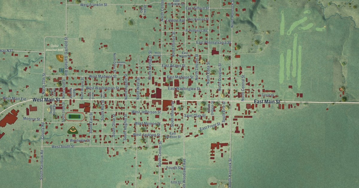
A detailed map of Lake City, Iowa, showing every building in its true location, the roads by name, and shaded topographical relief.
Read More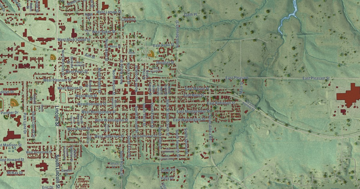
A detailed map of Knoxville, Iowa, showing every building in its true location, the roads by name, and shaded topographical relief.
Read More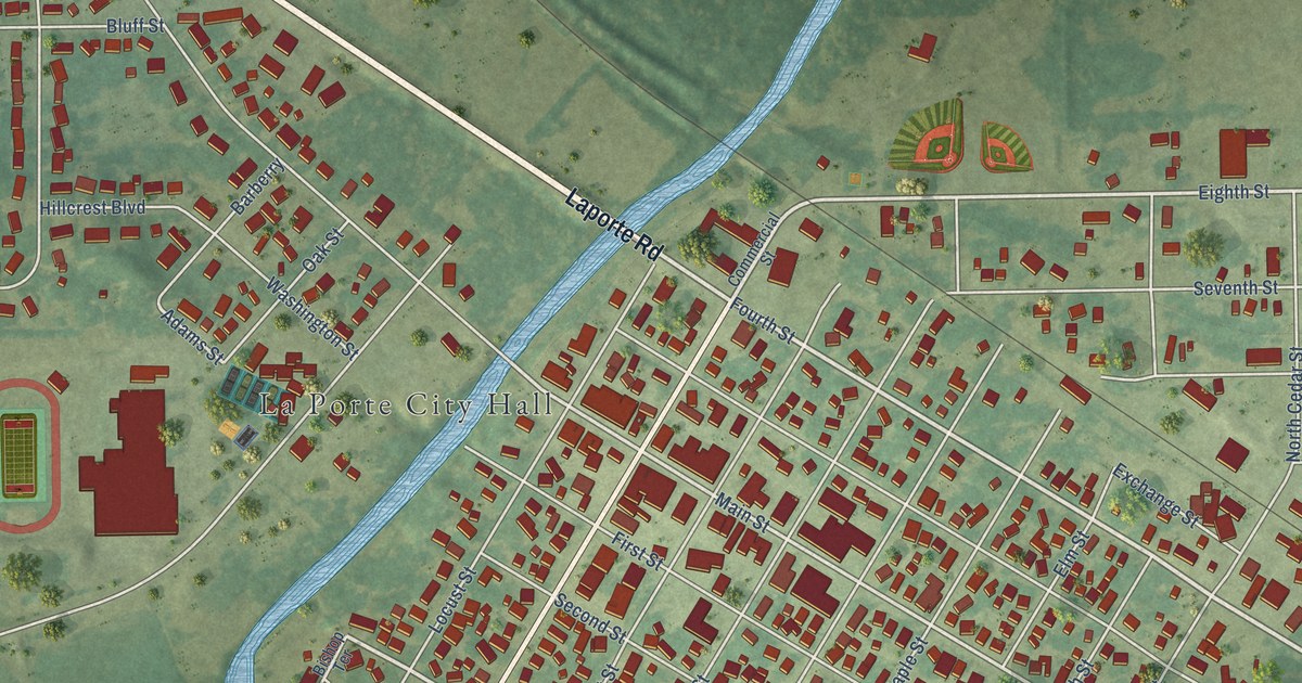
A detailed map of La Porte City, Iowa, showing every building in its true location, the roads by name, and shaded topographical relief.
Read More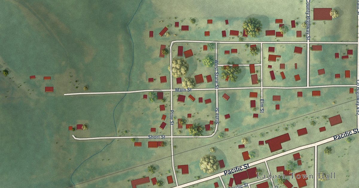
A detailed map of Ladora, Iowa, showing every building in its true location, the roads by name, and shaded topographical relief.
Read More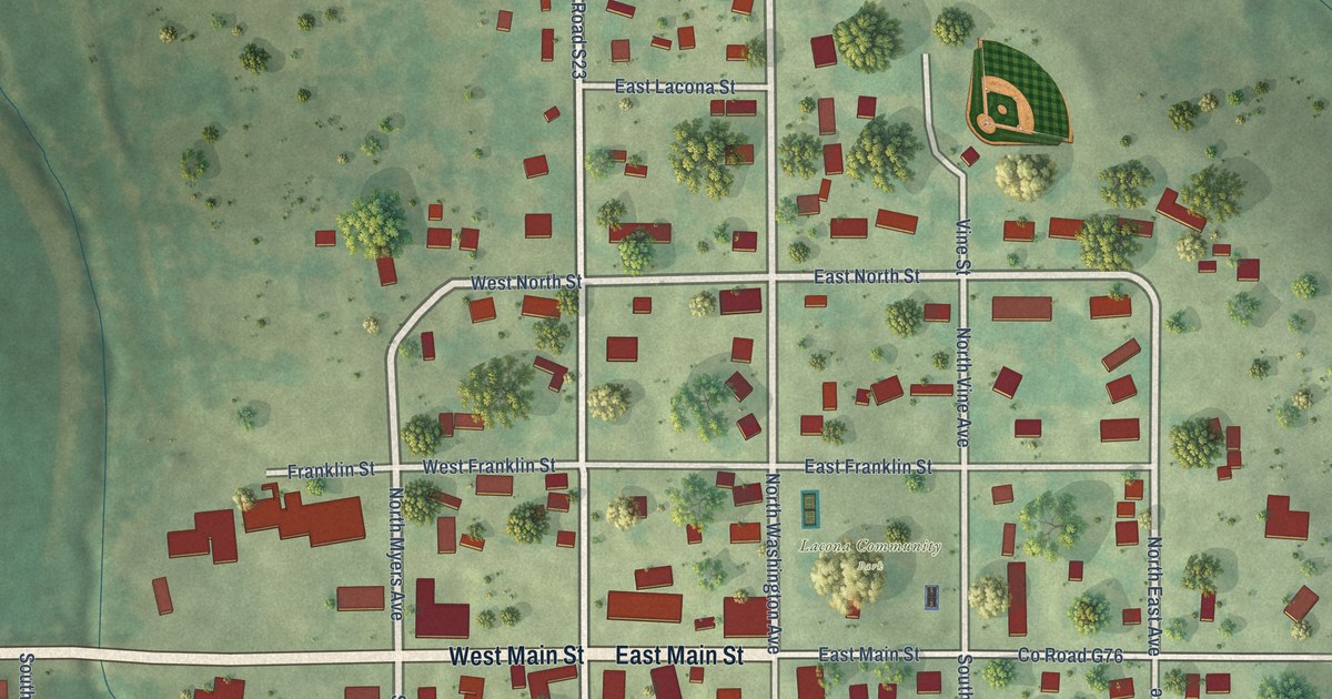
A detailed map of Lacona, Iowa, showing every building in its true location, the roads by name, and shaded topographical relief.
Read More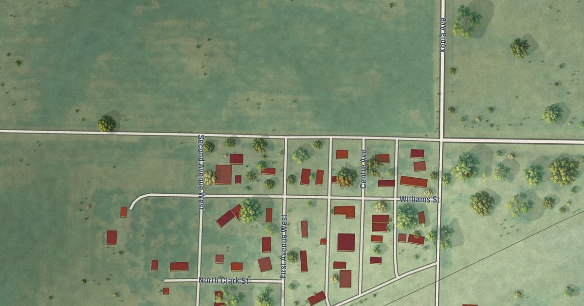
A detailed map of Knierim, Iowa, showing every building in its true location, the roads by name, and shaded topographical relief.
Read More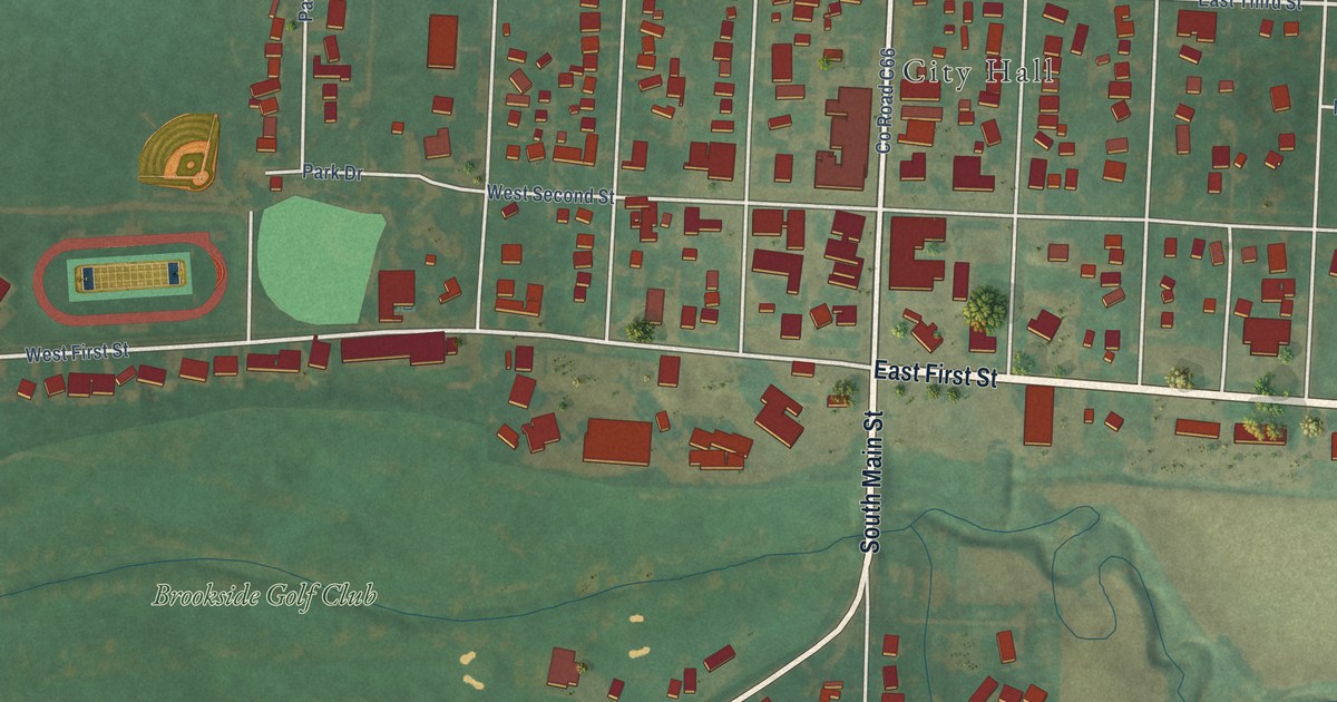
A detailed map of Kingsley, Iowa, showing every building in its true location, the roads by name, and shaded topographical relief.
Read More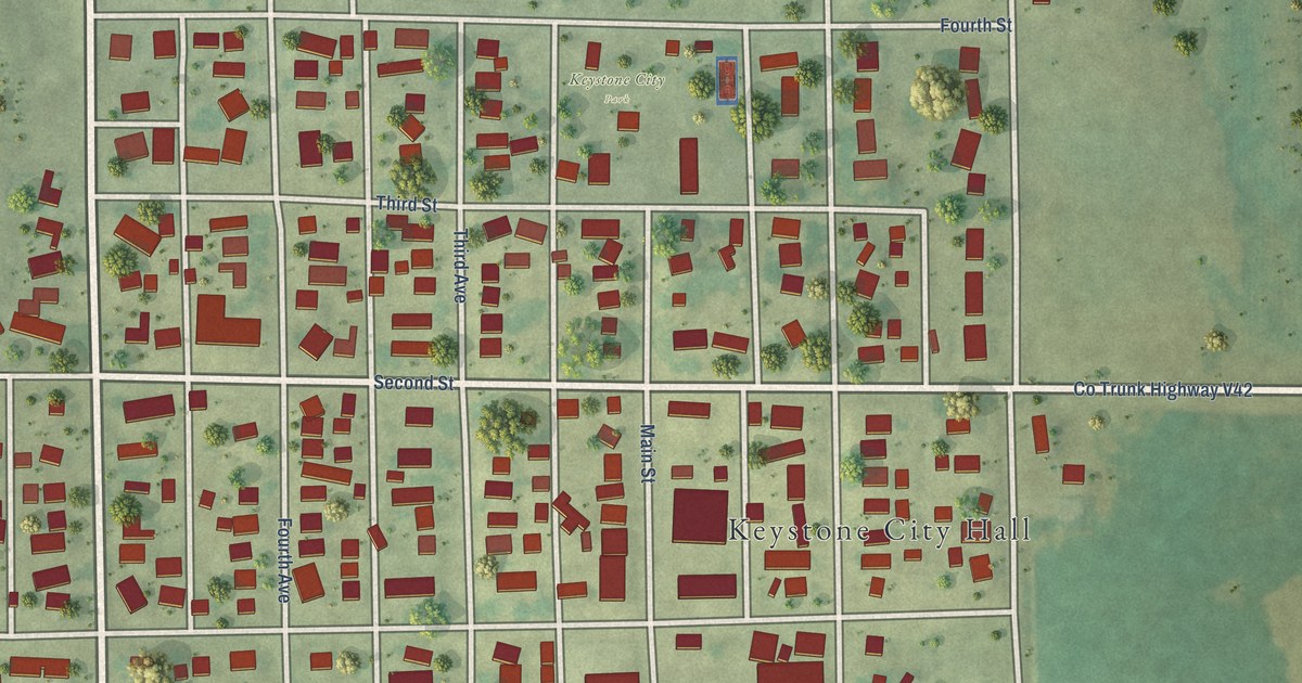
A detailed map of Keystone, Iowa, showing every building in its true location, the roads by name, and shaded topographical relief.
Read More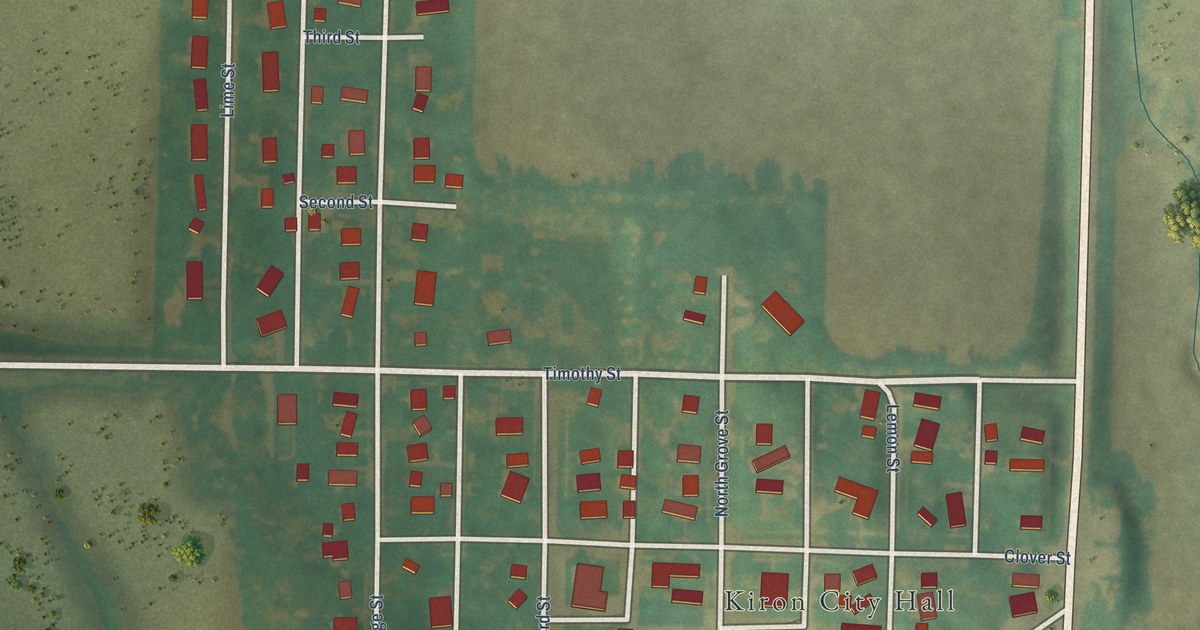
A detailed map of Kiron, Iowa, showing every building in its true location, the roads by name, and shaded topographical relief.
Read More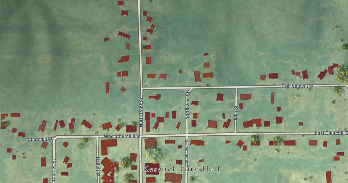
A detailed map of Keswick, Iowa, showing every building in its true location, the roads by name, and shaded topographical relief.
Read More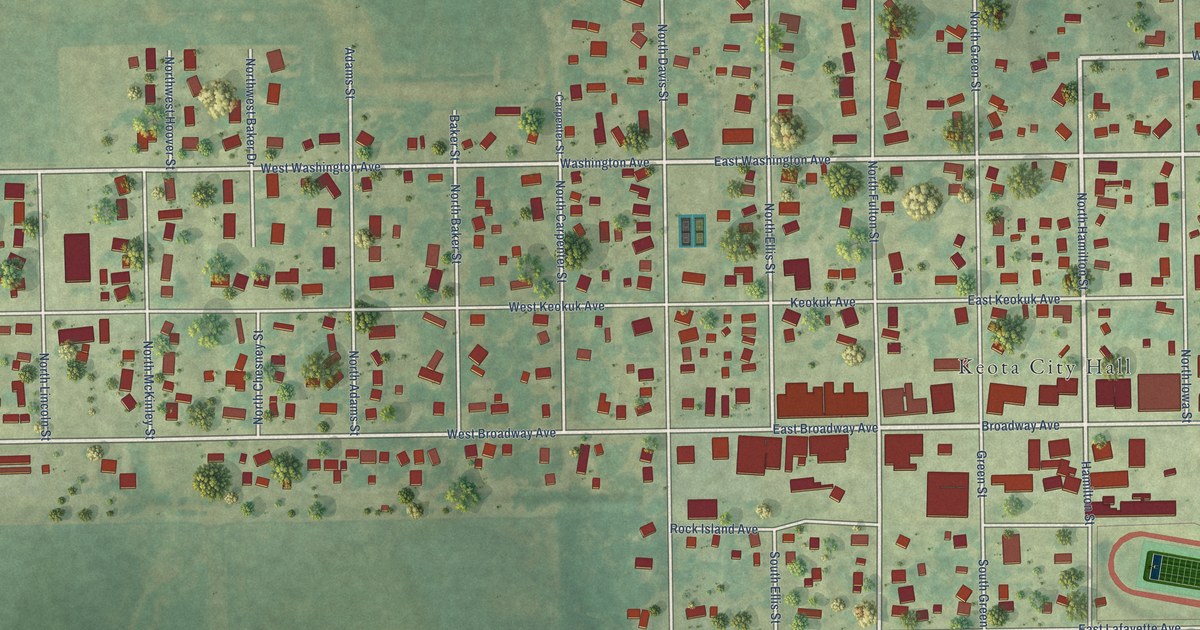
A detailed map of Keota, Iowa, showing every building in its true location, the roads by name, and shaded topographical relief.
Read More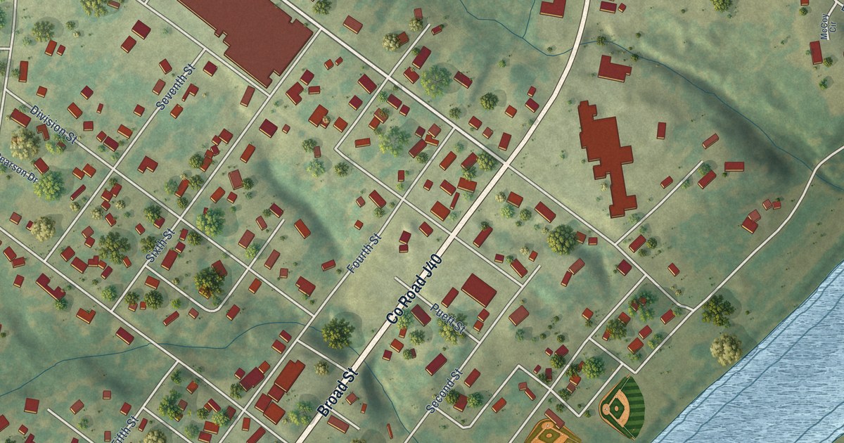
A detailed map of Keosauqua, Iowa, showing every building in its true location, the roads by name, and shaded topographical relief.
Read More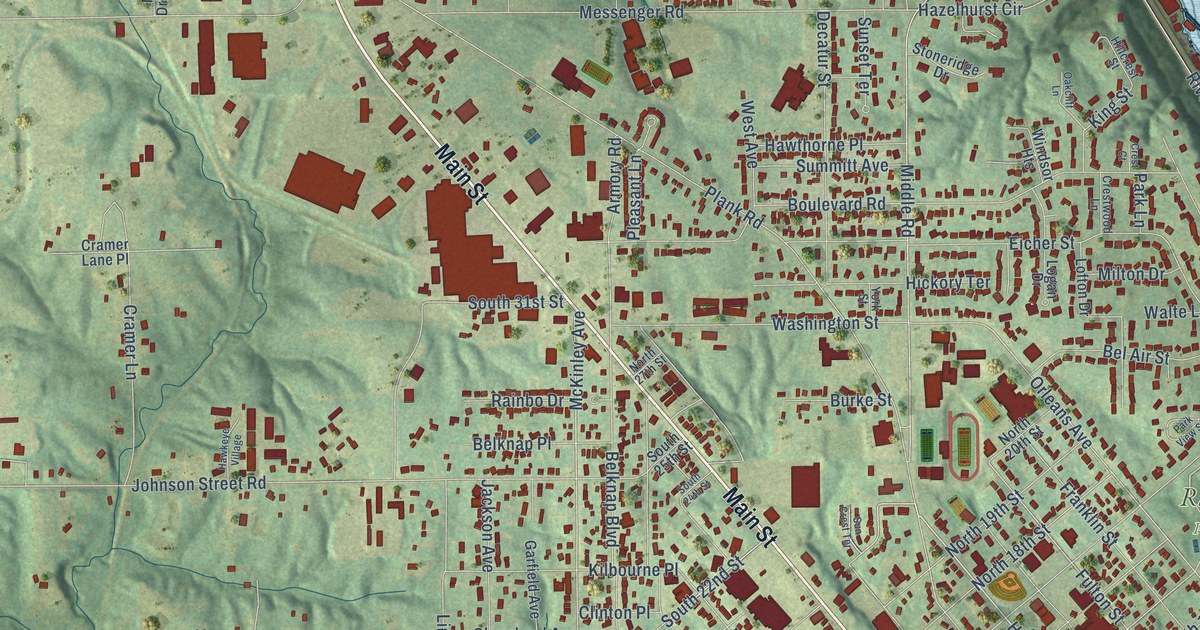
A detailed map of Keokuk, Iowa, showing every building in its true location, the roads by name, and shaded topographical relief.
Read More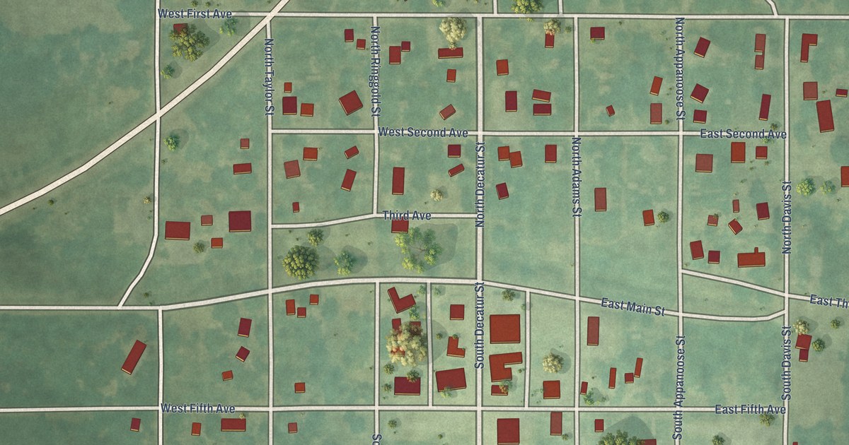
A detailed map of Kellerton, Iowa, showing every building in its true location, the roads by name, and shaded topographical relief.
Read More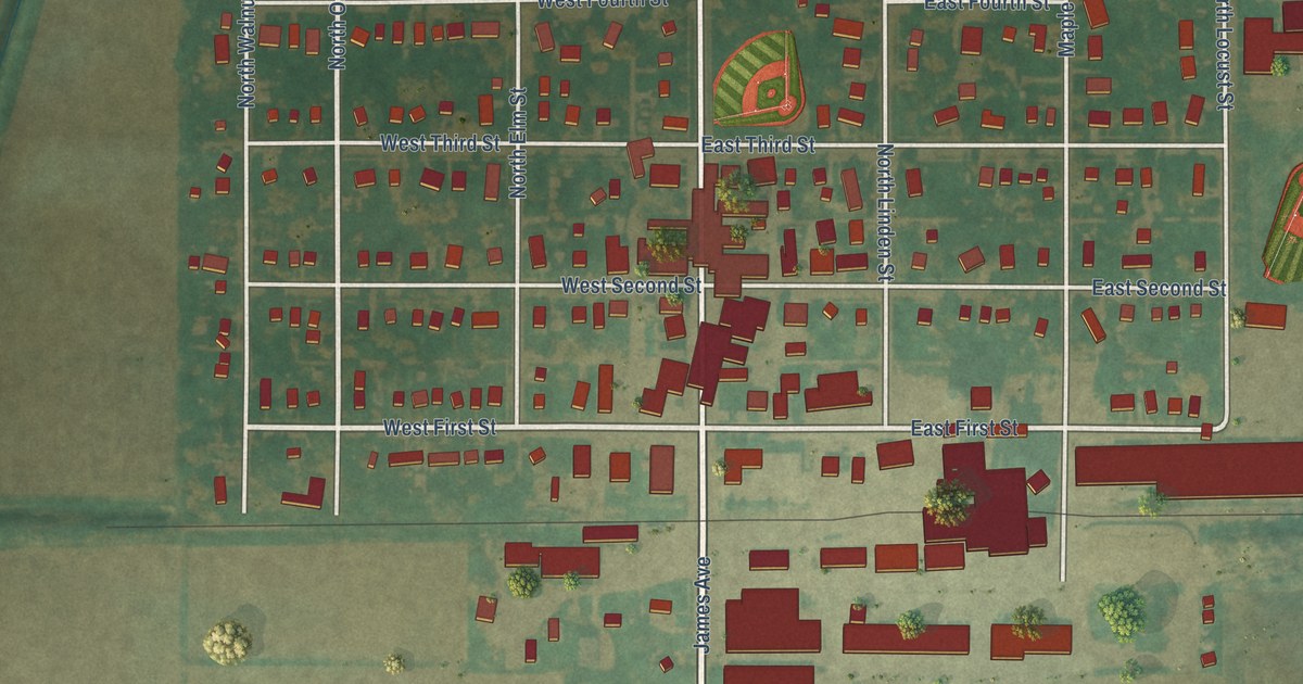
A detailed map of Kanawha, Iowa, showing every building in its true location, the roads by name, and shaded topographical relief.
Read More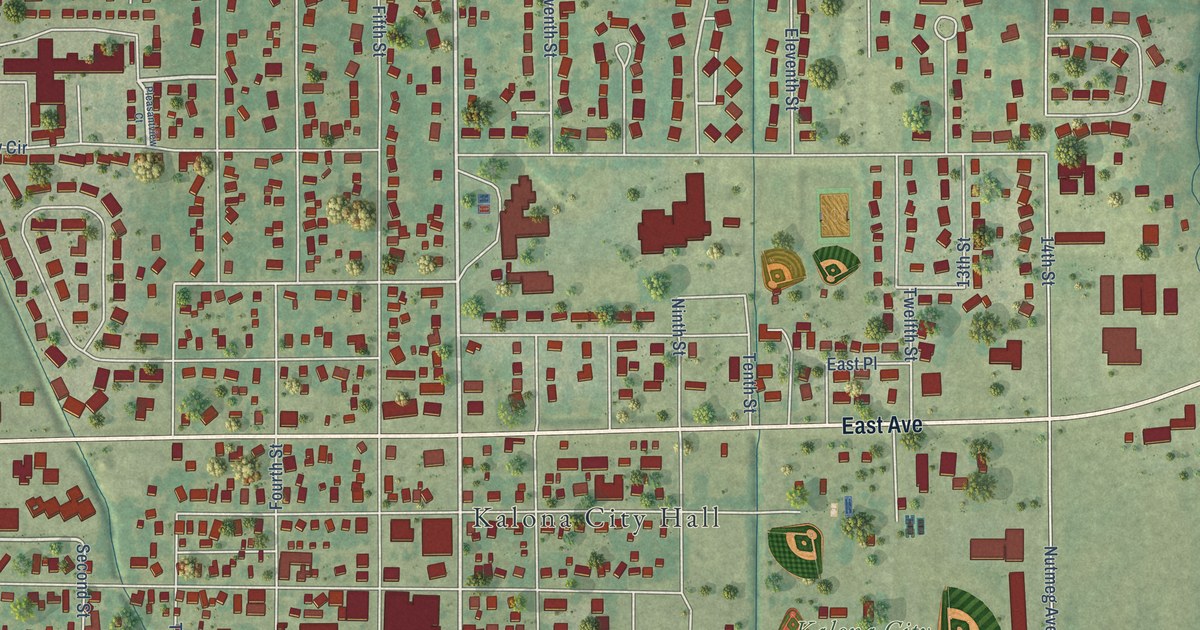
A detailed map of Kalona, Iowa, showing every building in its true location, the roads by name, and shaded topographical relief.
Read More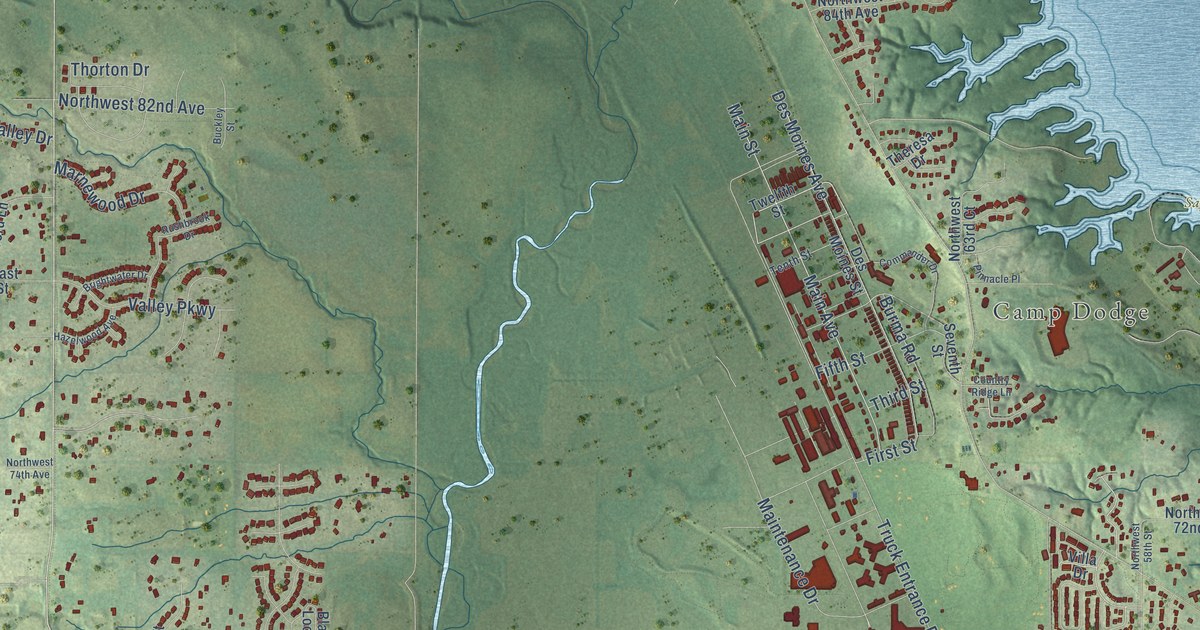
A detailed map of Johnston, Iowa, showing every building in its true location, the roads by name, and shaded topographical relief.
Read More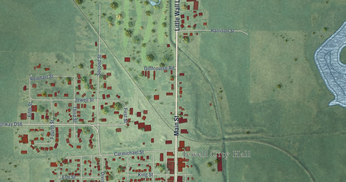
A detailed map of Jewell Junction, Iowa, showing every building in its true location, the roads by name, and shaded topographical relief.
Read More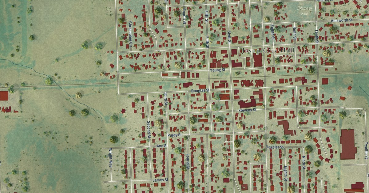
A detailed map of Jesup, Iowa, showing every building in its true location, the roads by name, and shaded topographical relief.
Read More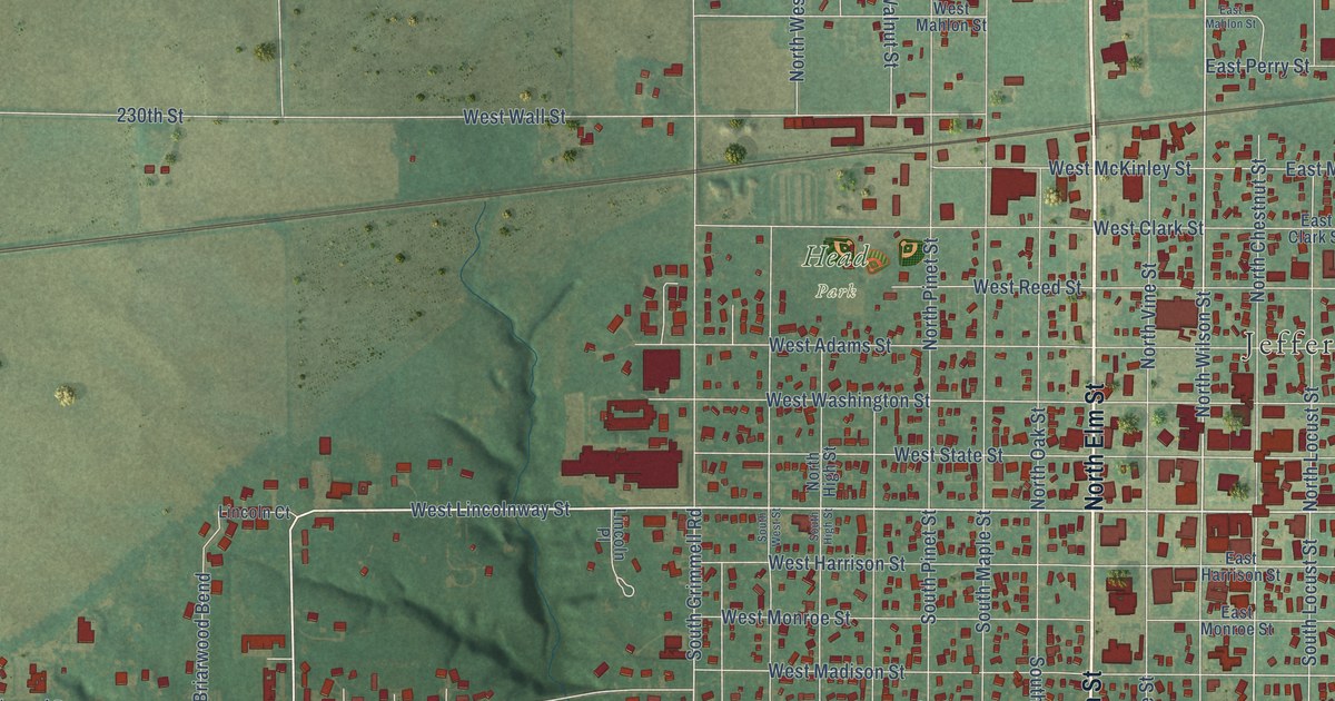
A detailed map of Jefferson, Iowa, showing every building in its true location, the roads by name, and shaded topographical relief.
Read More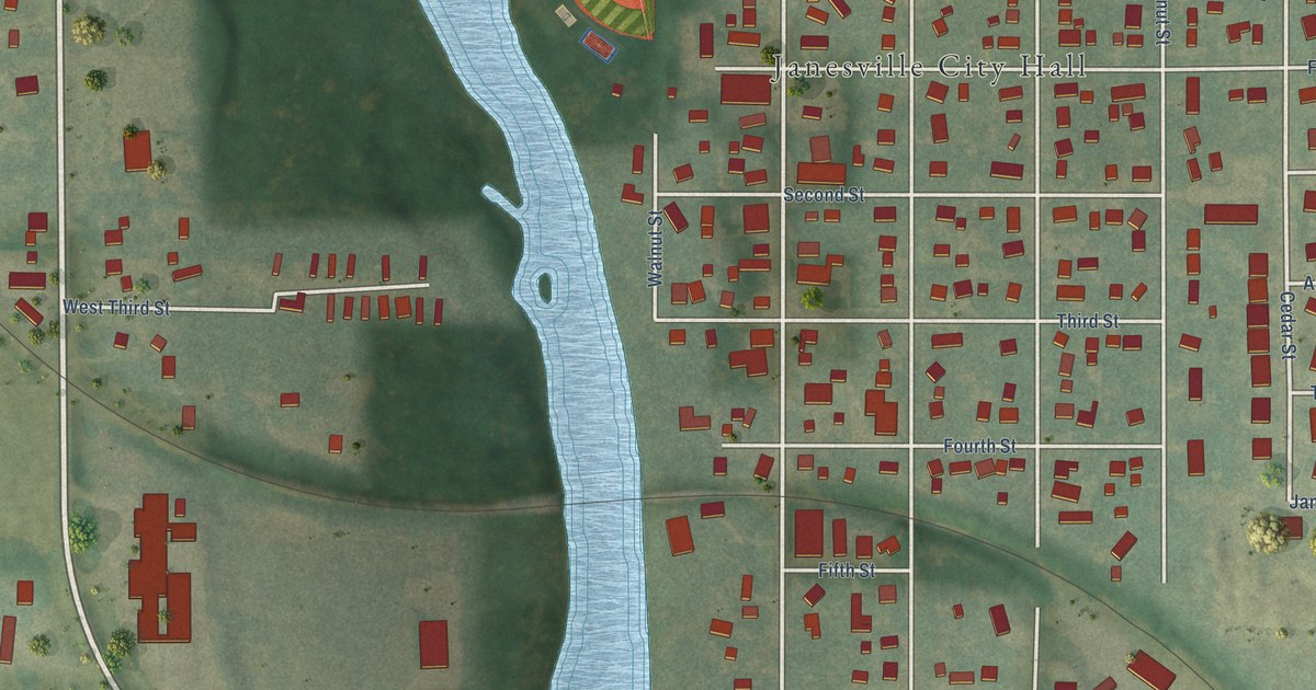
A detailed map of Janesville, Iowa, showing every building in its true location, the roads by name, and shaded topographical relief.
Read More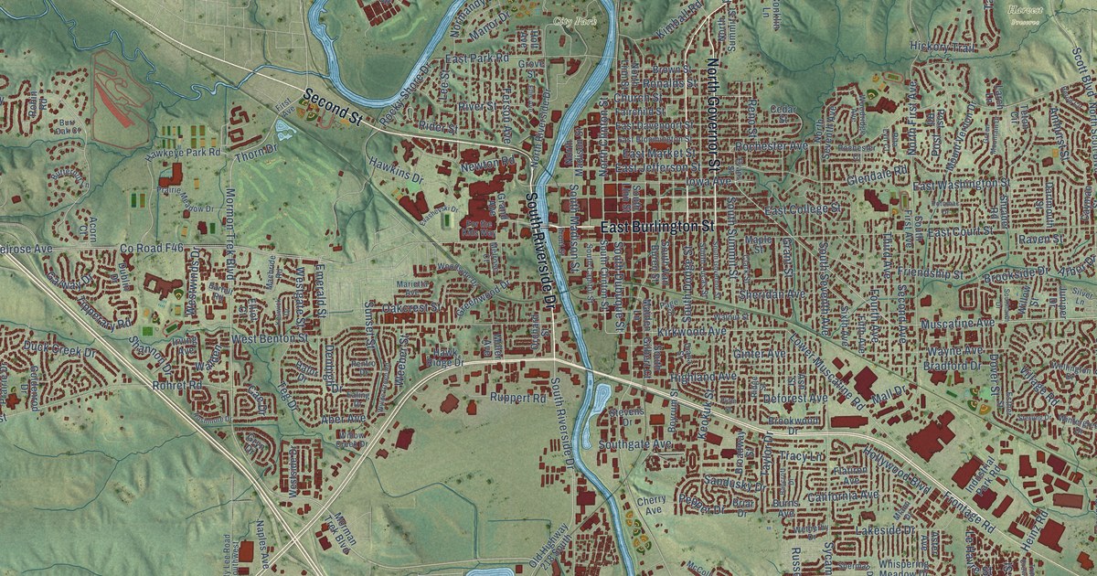
A detailed map of Iowa City, Iowa, showing every building in its true location, the roads by name, and shaded topographical relief.
Read More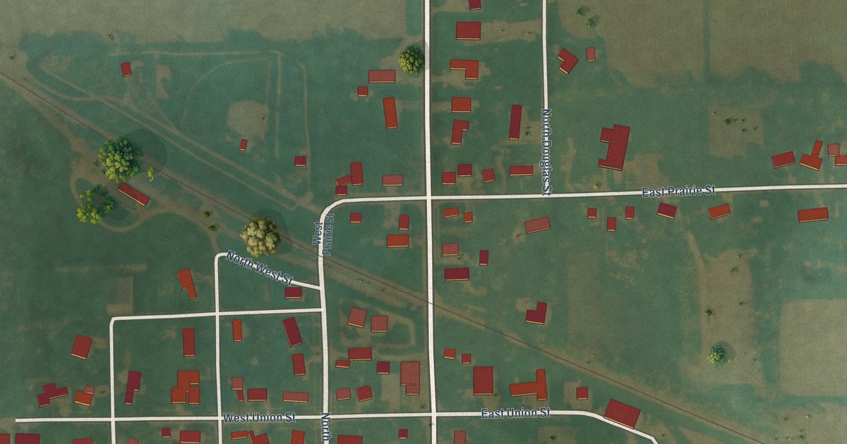
A detailed map of Ionia, Iowa, showing every building in its true location, the roads by name, and shaded topographical relief.
Read More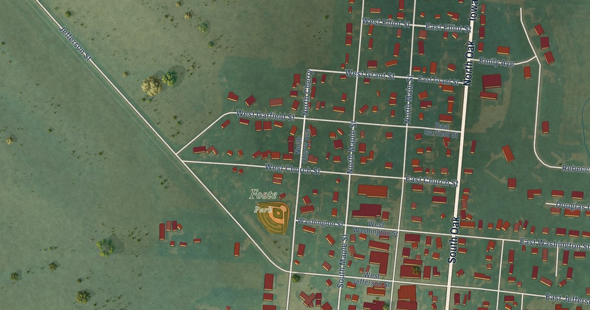
A detailed map of Inwood, Iowa, showing every building in its true location, the roads by name, and shaded topographical relief.
Read More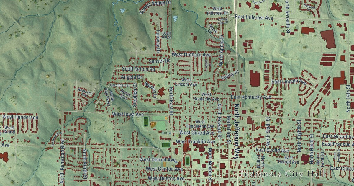
A detailed map of Indianola, Iowa, showing every building in its true location, the roads by name, and shaded topographical relief.
Read More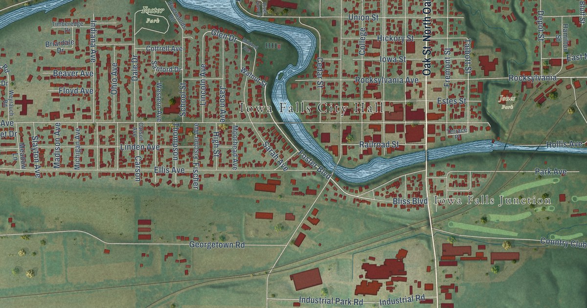
A detailed map of Iowa Falls, Iowa, showing every building in its true location, the roads by name, and shaded topographical relief.
Read More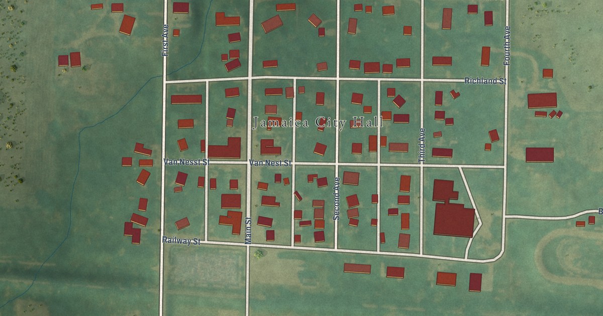
A detailed map of Jamaica, Iowa, showing every building in its true location, the roads by name, and shaded topographical relief.
Read More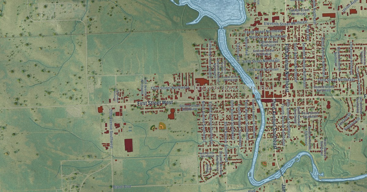
A detailed map of Independence, Iowa, showing every building in its true location, the roads by name, and shaded topographical relief.
Read More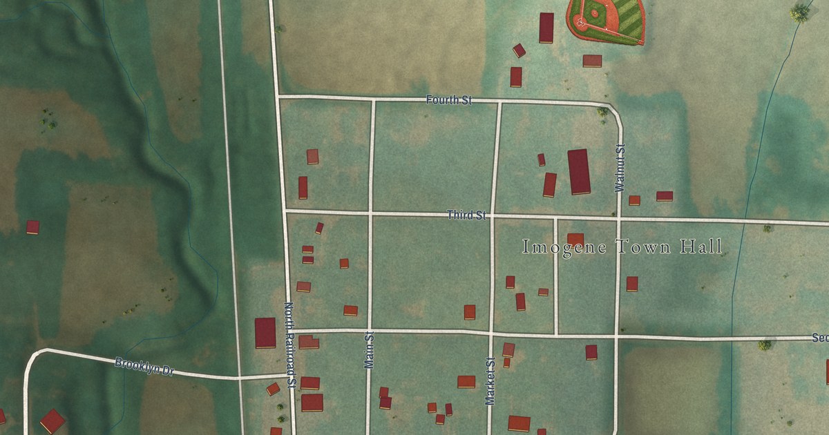
A detailed map of Imogene, Iowa, showing every building in its true location, the roads by name, and shaded topographical relief.
Read More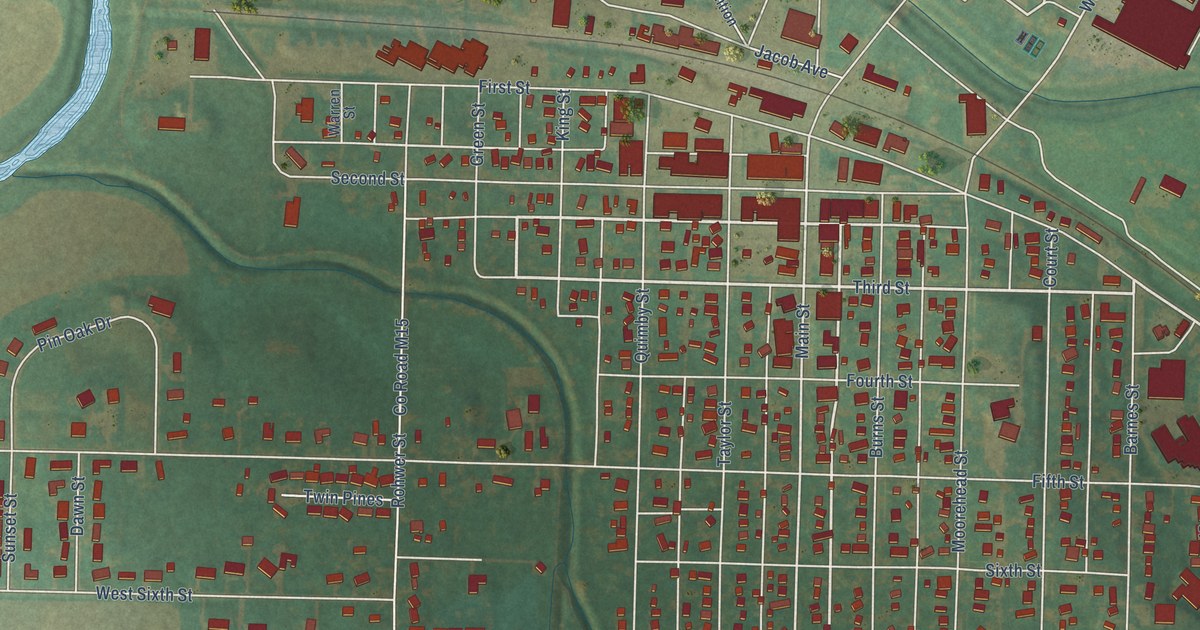
A detailed map of Ida Grove, Iowa, showing every building in its true location, the roads by name, and shaded topographical relief.
Read More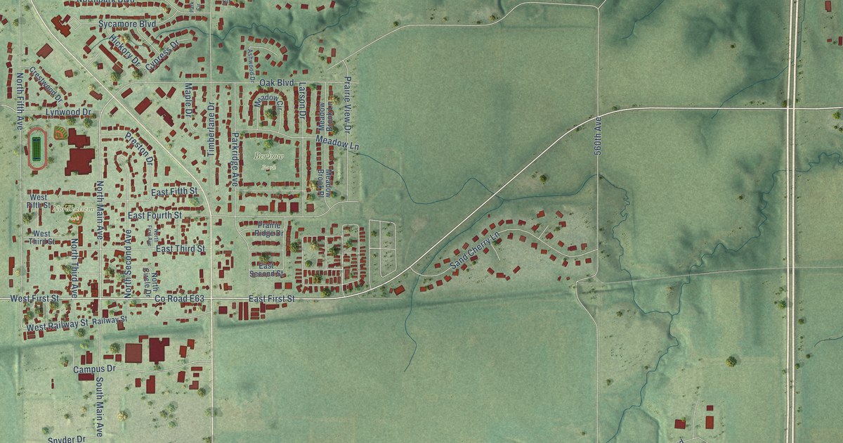
A detailed map of Huxley, Iowa, showing every building in its true location, the roads by name, and shaded topographical relief.
Read More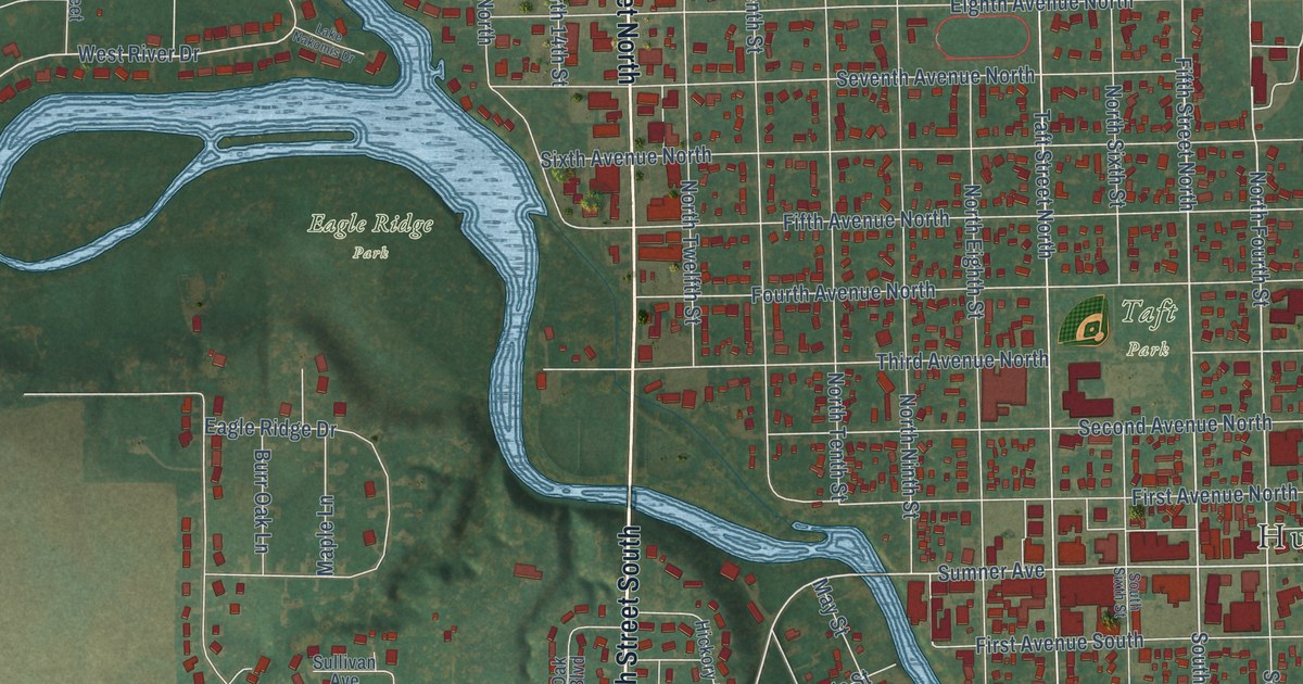
A detailed map of Humboldt, Iowa, showing every building in its true location, the roads by name, and shaded topographical relief.
Read More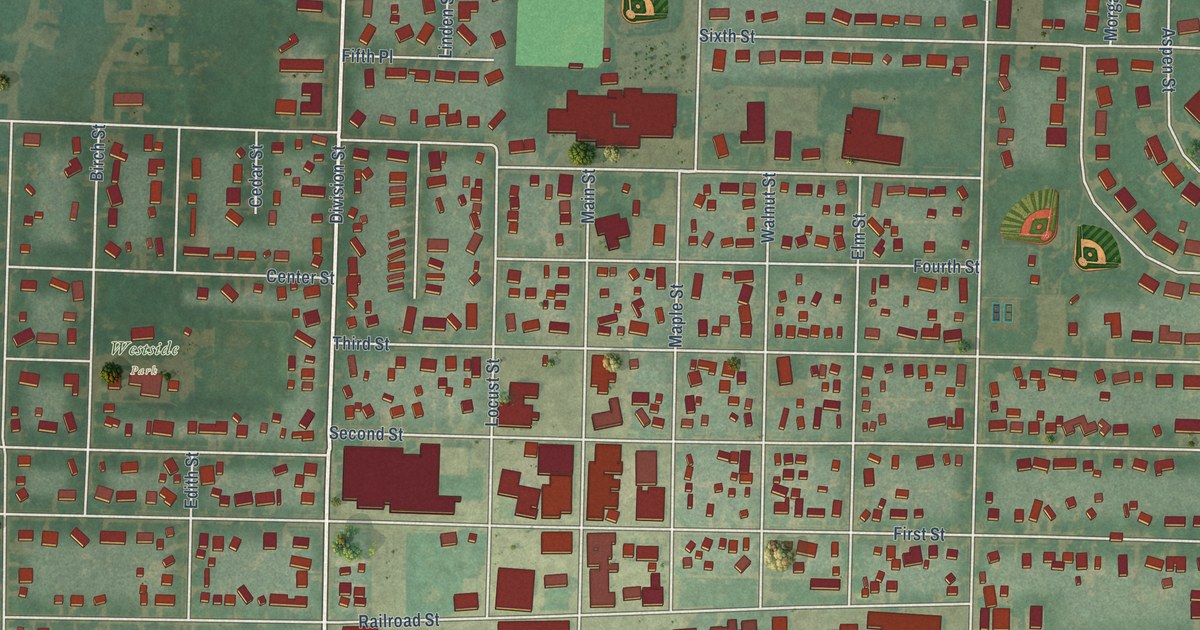
A detailed map of Hull, Iowa, showing every building in its true location, the roads by name, and shaded topographical relief.
Read More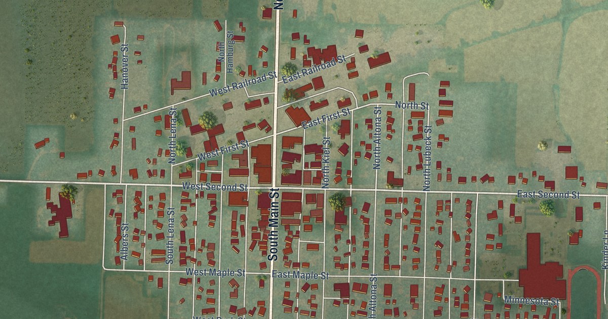
A detailed map of Holstein, Iowa, showing every building in its true location, the roads by name, and shaded topographical relief.
Read More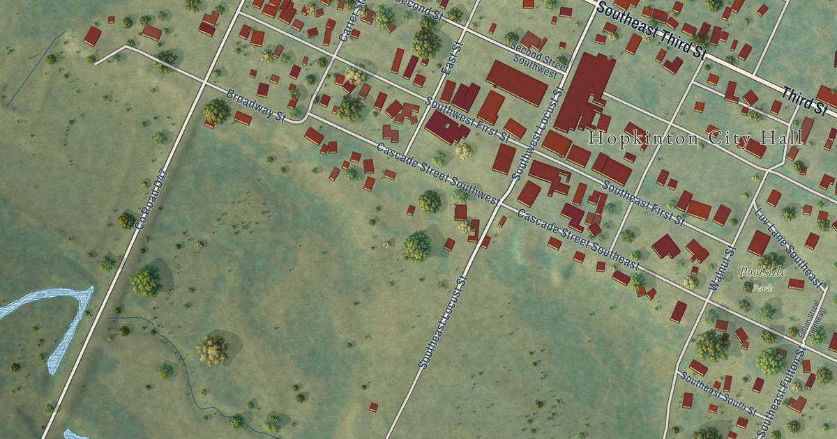
A detailed map of Hopkinton, Iowa, showing every building in its true location, the roads by name, and shaded topographical relief.
Read More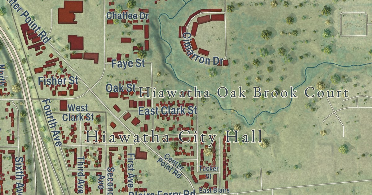
A detailed map of Hiawatha, Iowa, showing every building in its true location, the roads by name, and shaded topographical relief.
Read More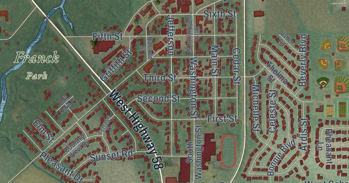
A detailed map of Hudson, Iowa, showing every building in its true location, the roads by name, and shaded topographical relief.
Read More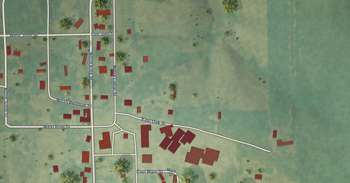
A detailed map of Hillsboro, Iowa, showing every building in its true location, the roads by name, and shaded topographical relief.
Read More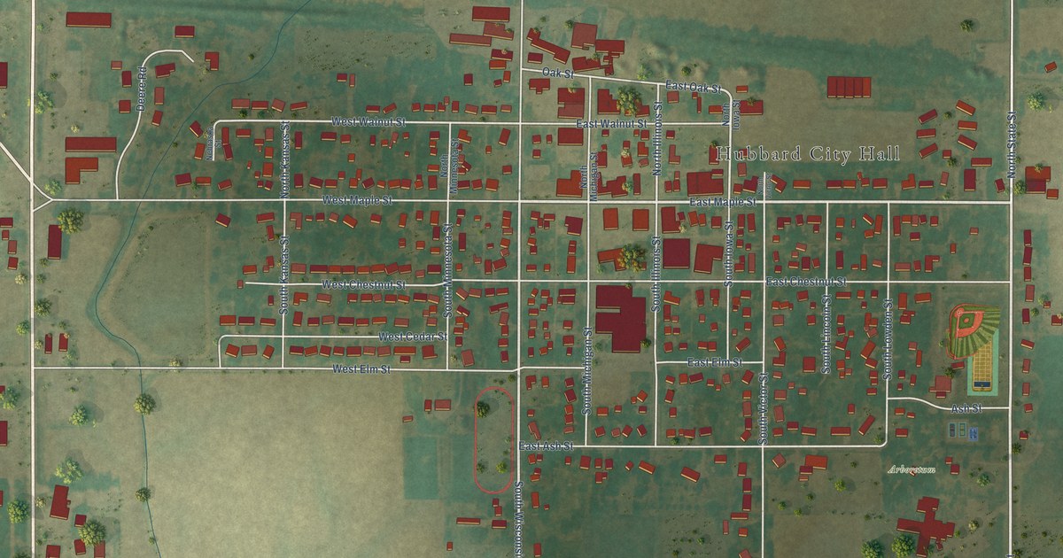
A detailed map of Hubbard, Iowa, showing every building in its true location, the roads by name, and shaded topographical relief.
Read More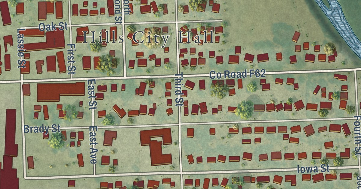
A detailed map of Hills, Iowa, showing every building in its true location, the roads by name, and shaded topographical relief.
Read More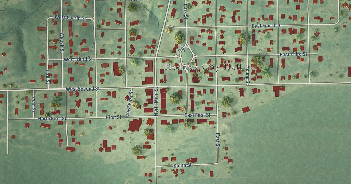
A detailed map of Hedrick, Iowa, showing every building in its true location, the roads by name, and shaded topographical relief.
Read More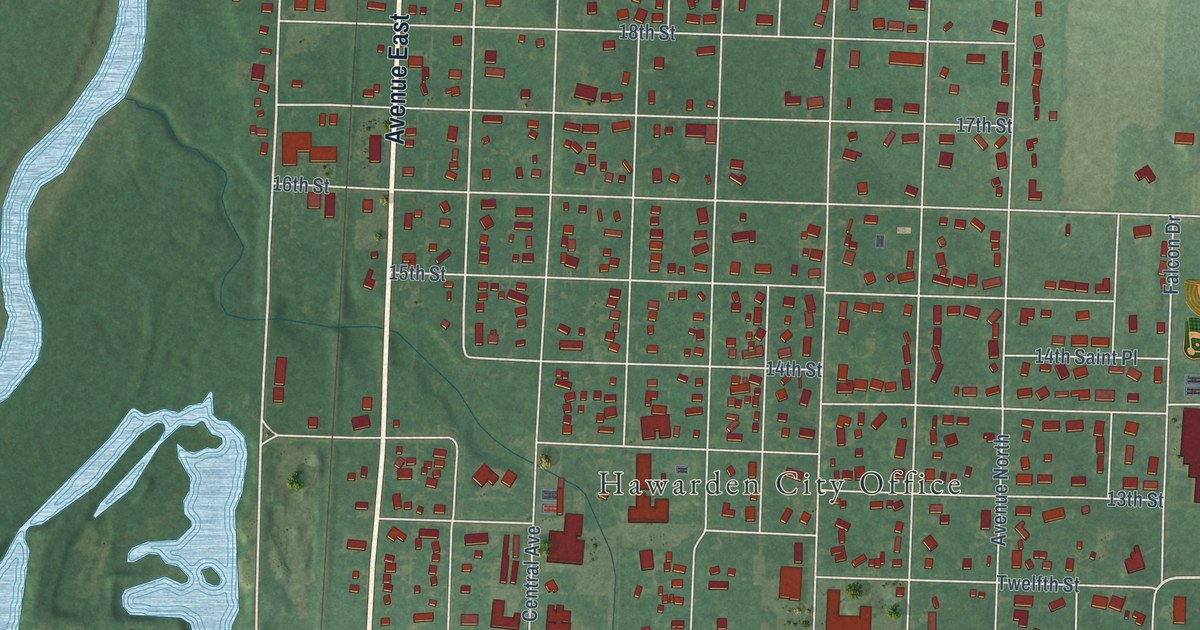
A detailed map of Hawarden, Iowa, showing every building in its true location, the roads by name, and shaded topographical relief.
Read More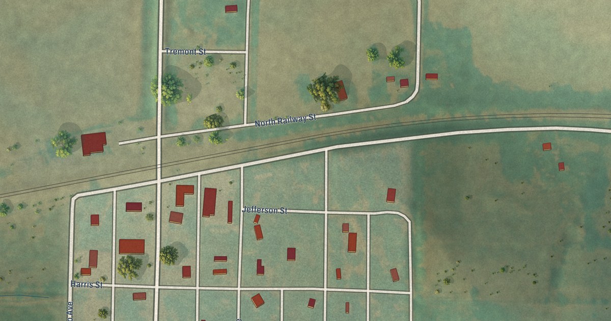
A detailed map of Hastings, Iowa, showing every building in its true location, the roads by name, and shaded topographical relief.
Read More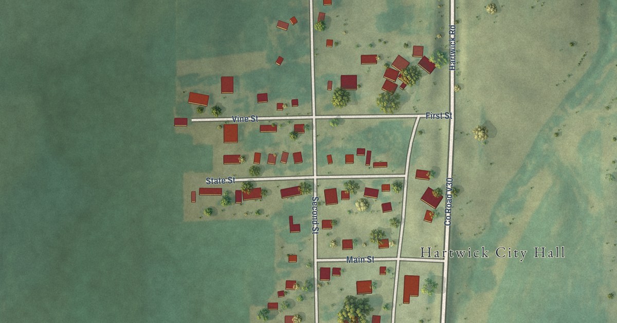
A detailed map of Hartwick, Iowa, showing every building in its true location, the roads by name, and shaded topographical relief.
Read More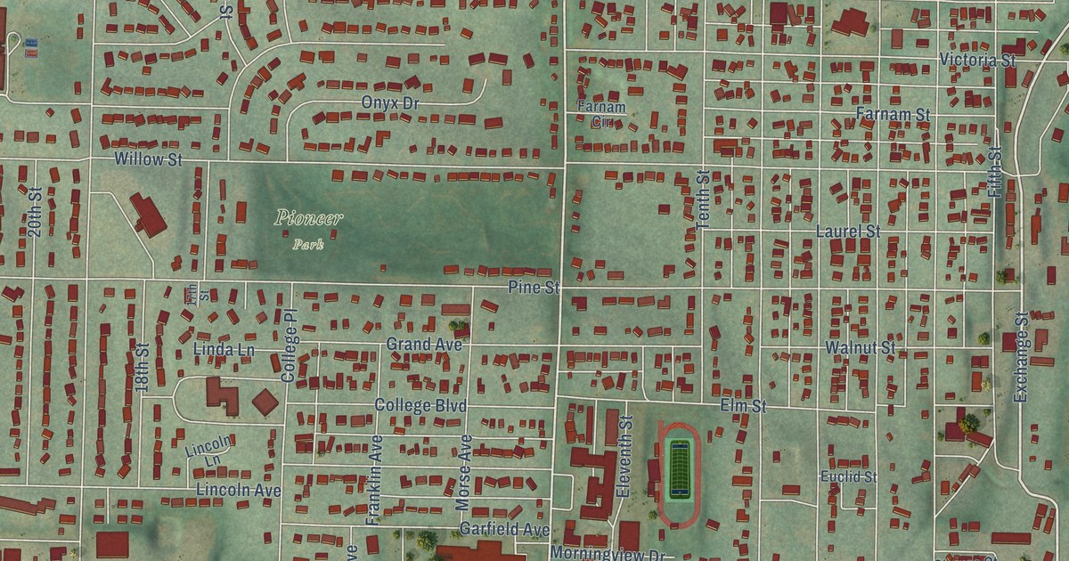
A detailed map of Harlan, Iowa, showing every building in its true location, the roads by name, and shaded topographical relief.
Read More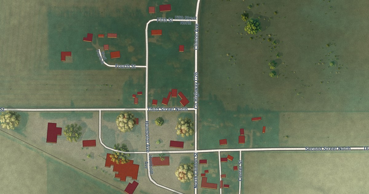
A detailed map of Hardy, Iowa, showing every building in its true location, the roads by name, and shaded topographical relief.
Read More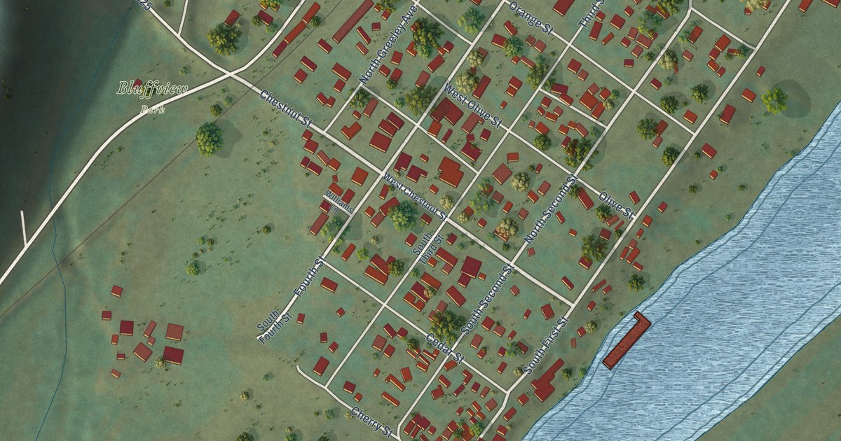
A detailed map of Harpers Ferry, Iowa, showing every building in its true location, the roads by name, and shaded topographical relief.
Read More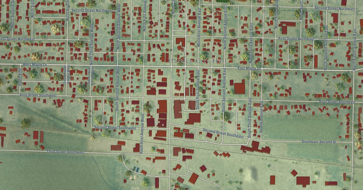
A detailed map of Hartley, Iowa, showing every building in its true location, the roads by name, and shaded topographical relief.
Read More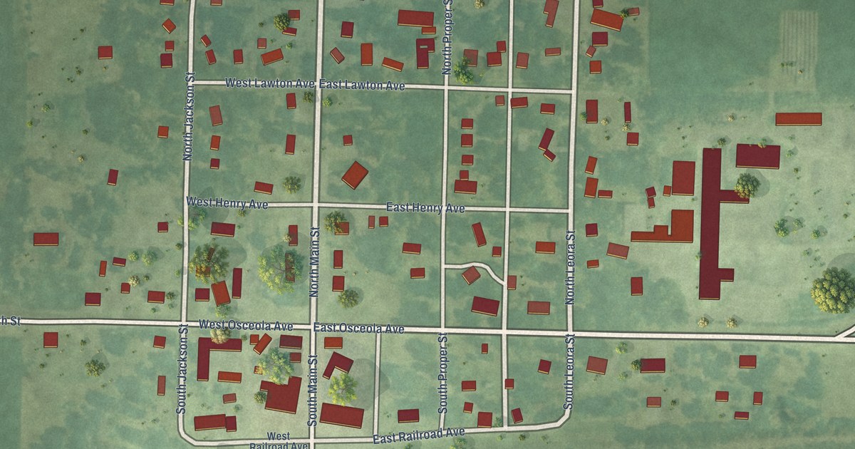
A detailed map of Harris, Iowa, showing every building in its true location, the roads by name, and shaded topographical relief.
Read More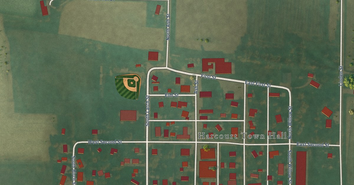
A detailed map of Harcourt, Iowa, showing every building in its true location, the roads by name, and shaded topographical relief.
Read More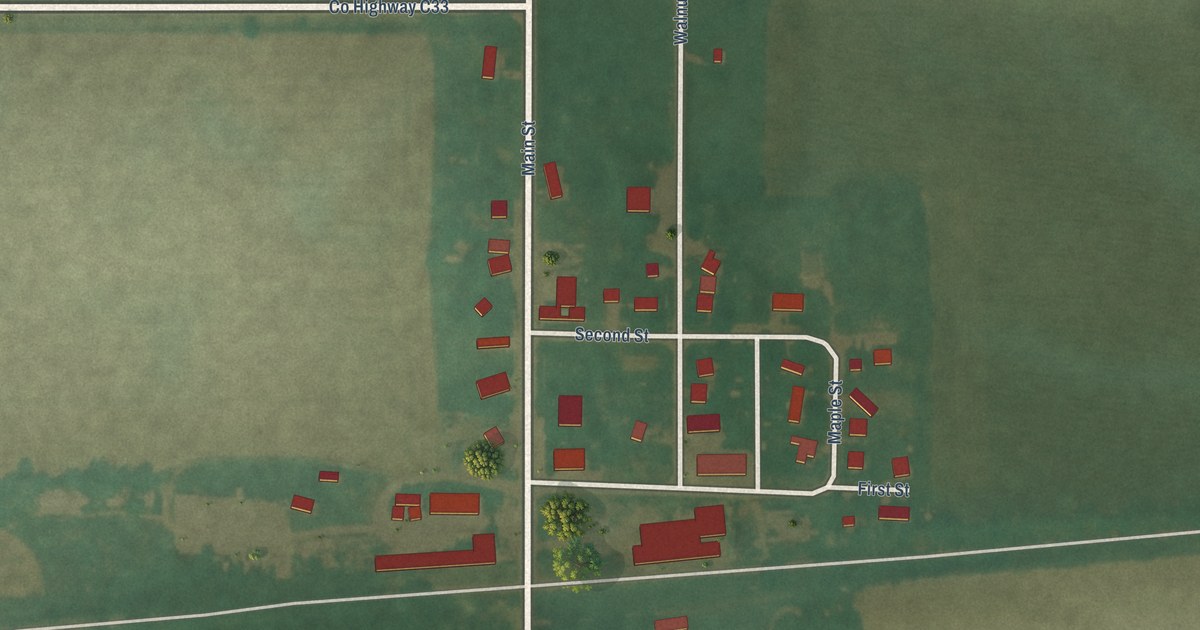
A detailed map of Hansell, Iowa, showing every building in its true location, the roads by name, and shaded topographical relief.
Read More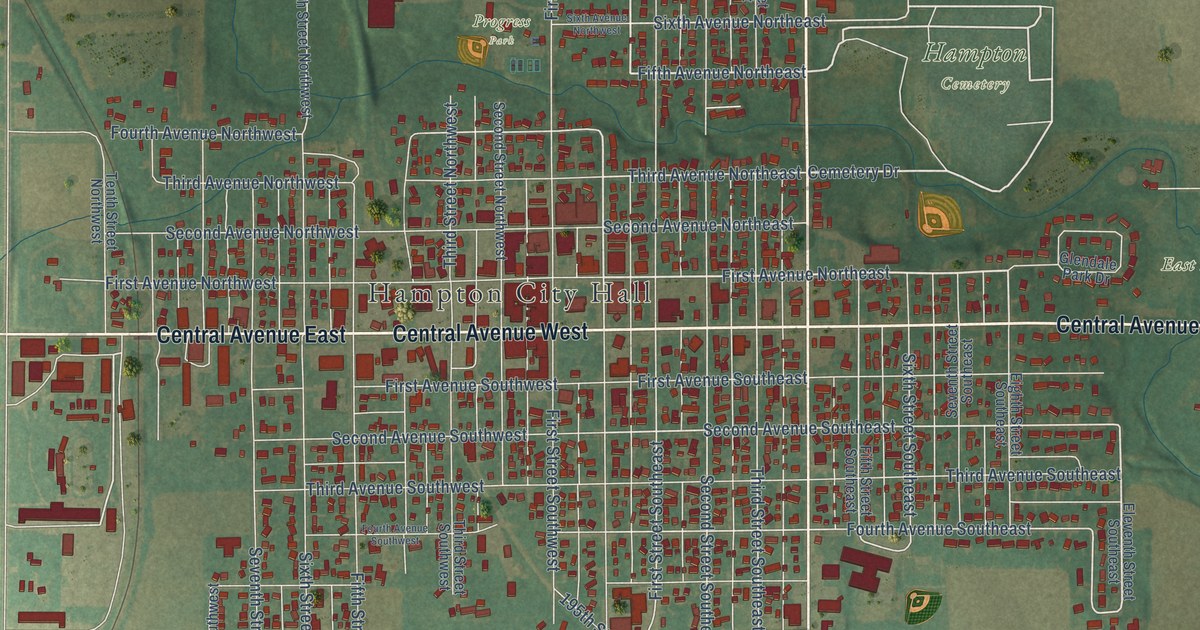
A detailed map of Hampton, Iowa, showing every building in its true location, the roads by name, and shaded topographical relief.
Read More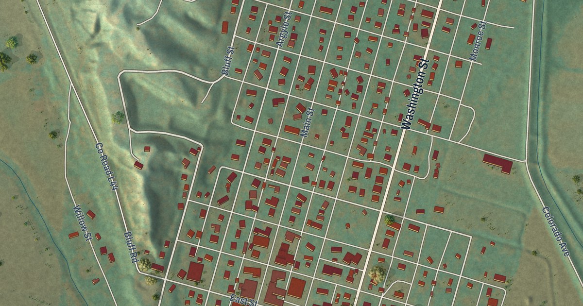
A detailed map of Hamburg, Iowa, showing every building in its true location, the roads by name, and shaded topographical relief.
Read More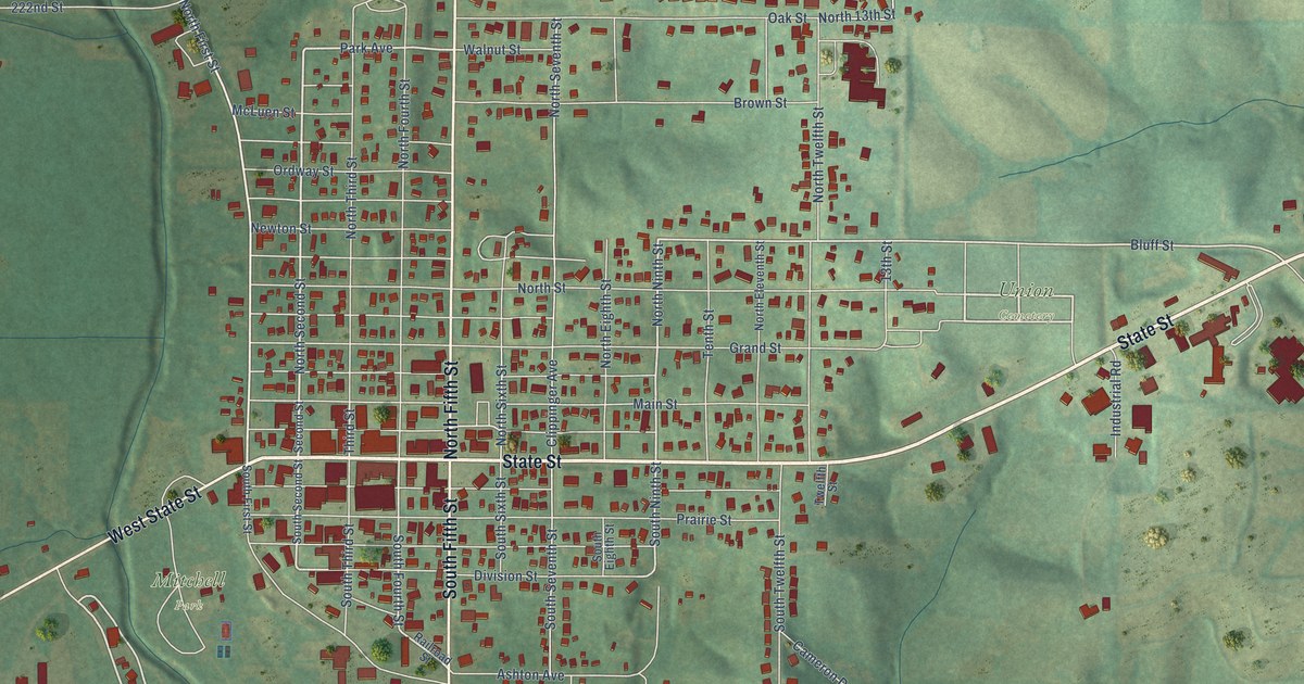
A detailed map of Guthrie Center, Iowa, showing every building in its true location, the roads by name, and shaded topographical relief.
Read More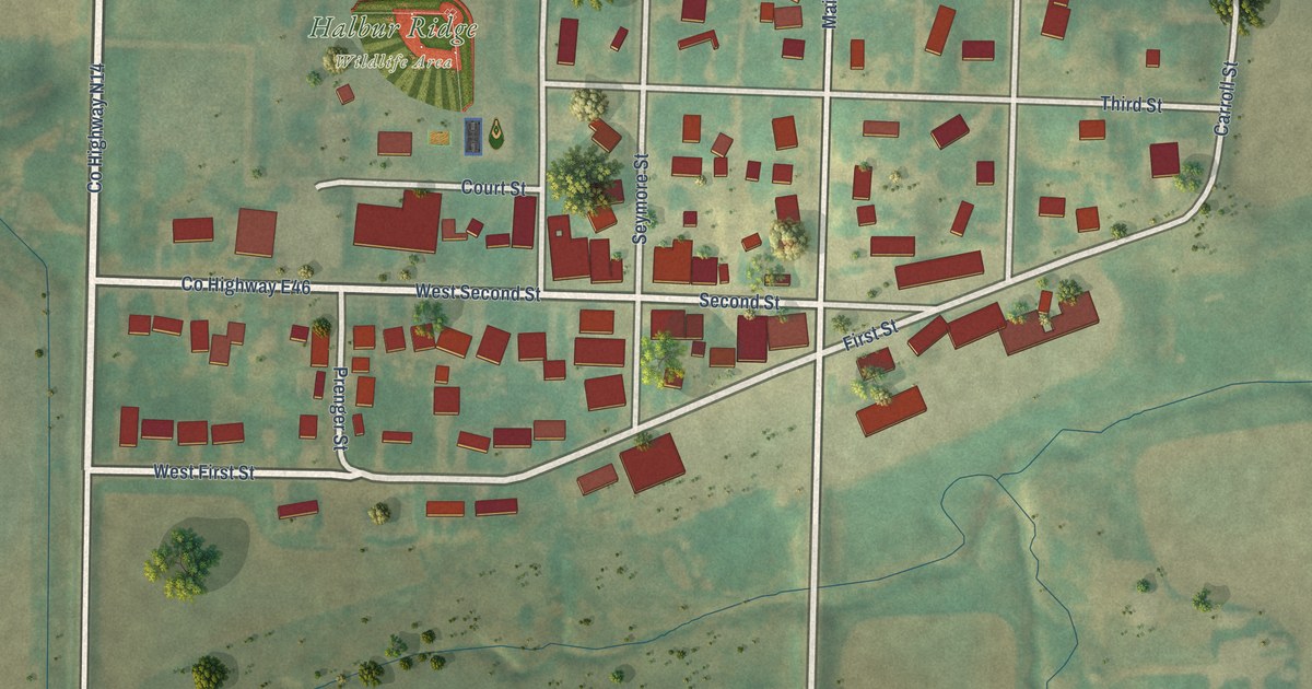
A detailed map of Halbur, Iowa, showing every building in its true location, the roads by name, and shaded topographical relief.
Read More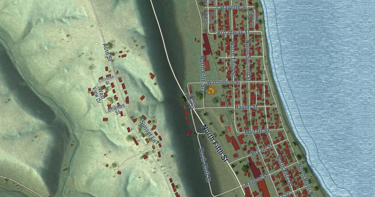
A detailed map of Guttenberg, Iowa, showing every building in its true location, the roads by name, and shaded topographical relief.
Read More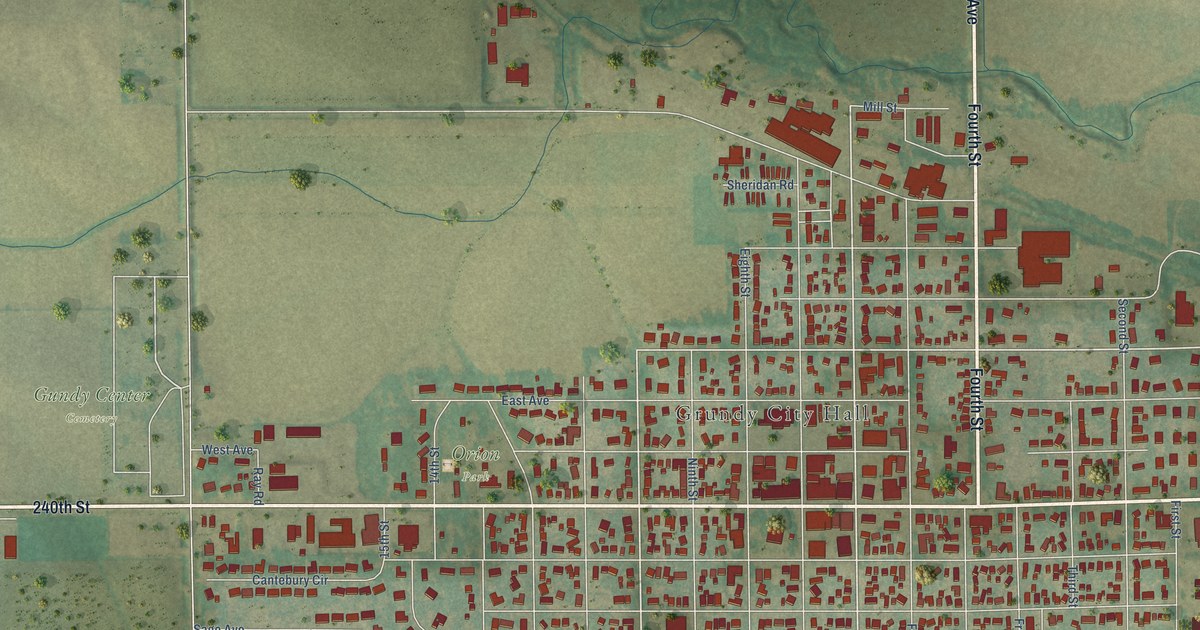
A detailed map of Grundy Center, Iowa, showing every building in its true location, the roads by name, and shaded topographical relief.
Read More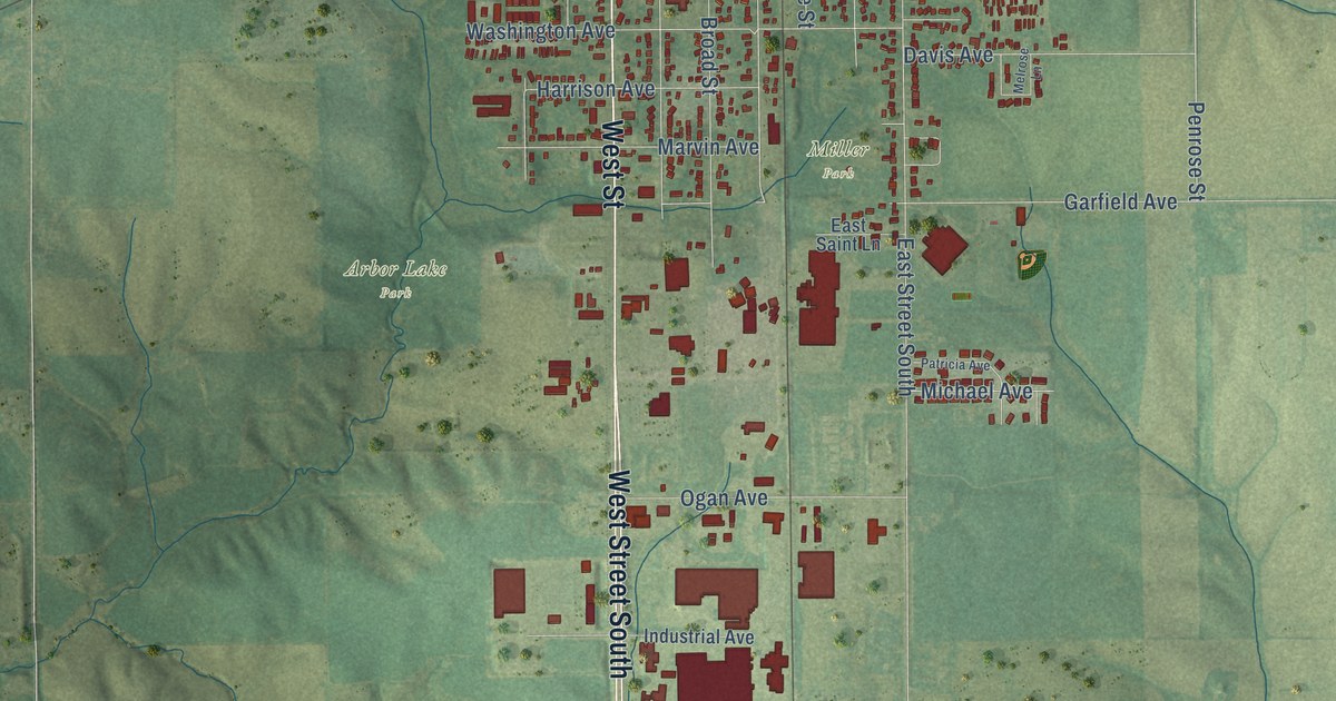
A detailed map of Grinnell, Iowa, showing every building in its true location, the roads by name, and shaded topographical relief.
Read More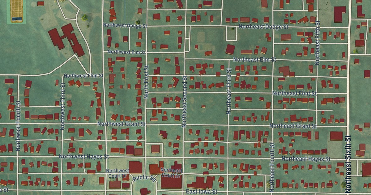
A detailed map of Greenfield, Iowa, showing every building in its true location, the roads by name, and shaded topographical relief.
Read More















