Detailed Map of Grimes, Iowa
A detailed map of Grimes, Iowa, showing every building in its true location, the roads by name, and shaded topographical relief.
Read More
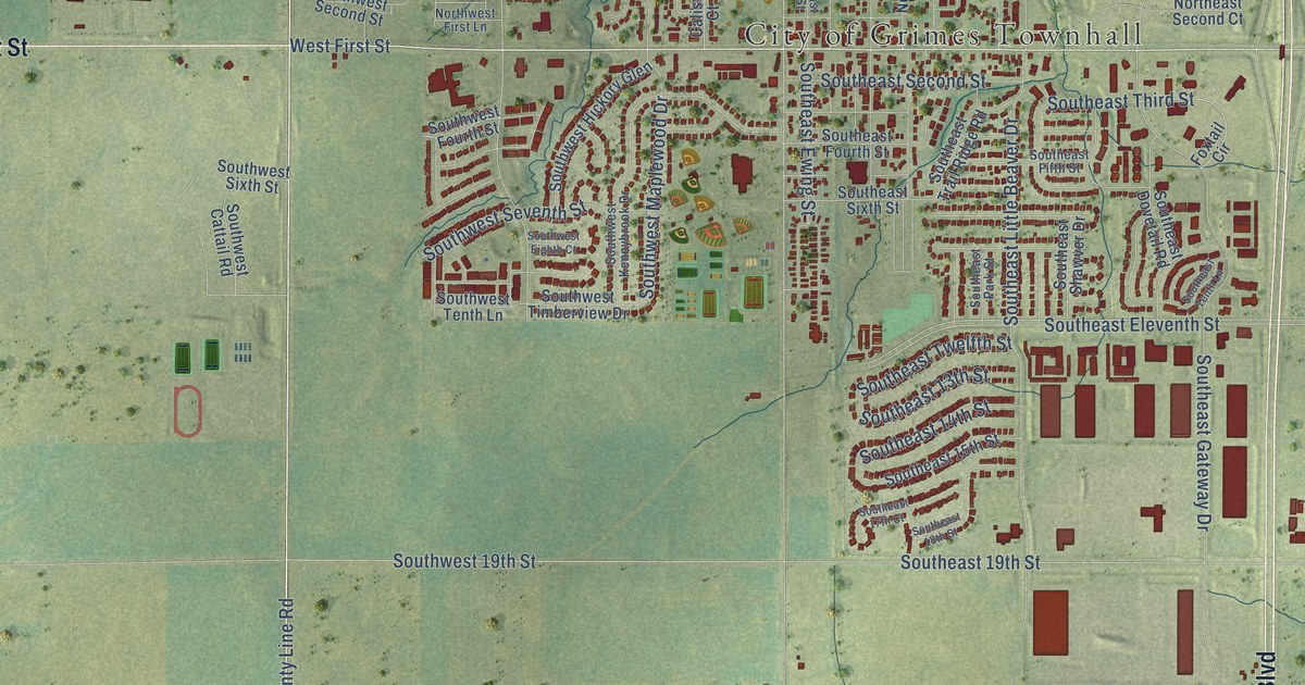
A detailed map of Grimes, Iowa, showing every building in its true location, the roads by name, and shaded topographical relief.
Read More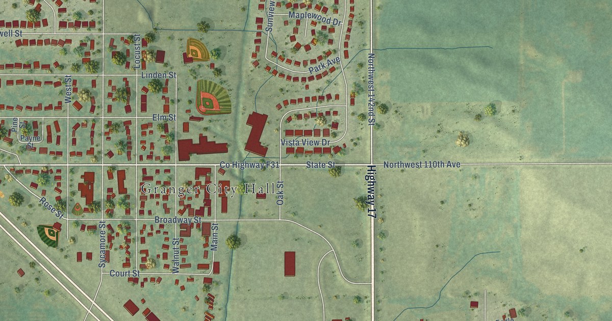
A detailed map of Granger, Iowa, showing every building in its true location, the roads by name, and shaded topographical relief.
Read More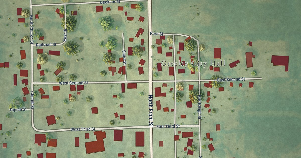
A detailed map of Greeley, Iowa, showing every building in its true location, the roads by name, and shaded topographical relief.
Read More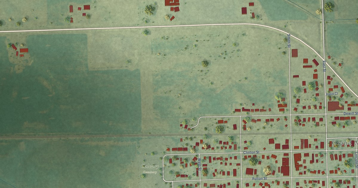
A detailed map of Grand Mound, Iowa, showing every building in its true location, the roads by name, and shaded topographical relief.
Read More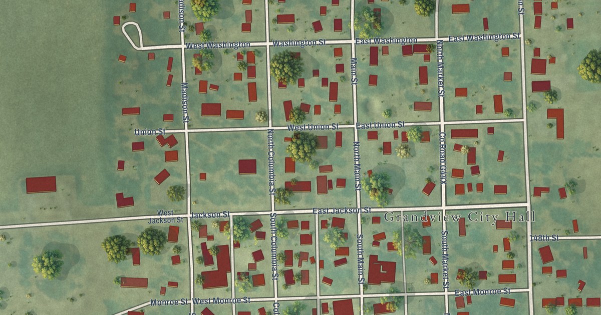
A detailed map of Grandview, Iowa, showing every building in its true location, the roads by name, and shaded topographical relief.
Read More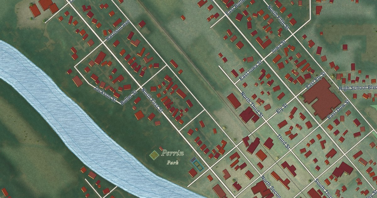
A detailed map of Greene, Iowa, showing every building in its true location, the roads by name, and shaded topographical relief.
Read More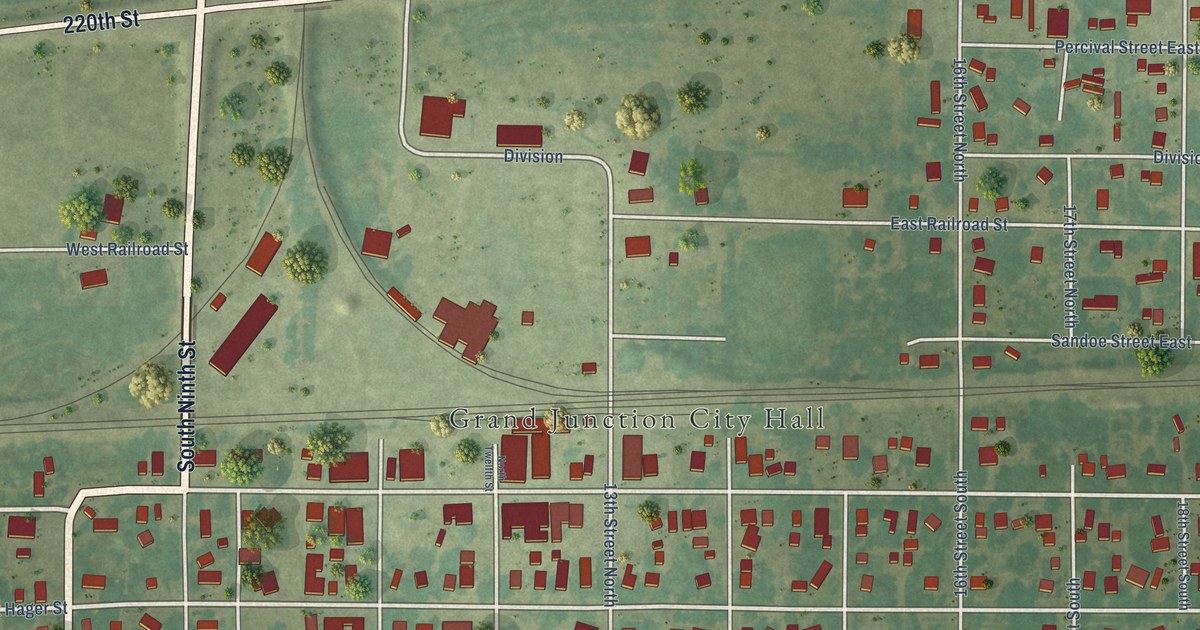
A detailed map of Grand Junction, Iowa, showing every building in its true location, the roads by name, and shaded topographical relief.
Read More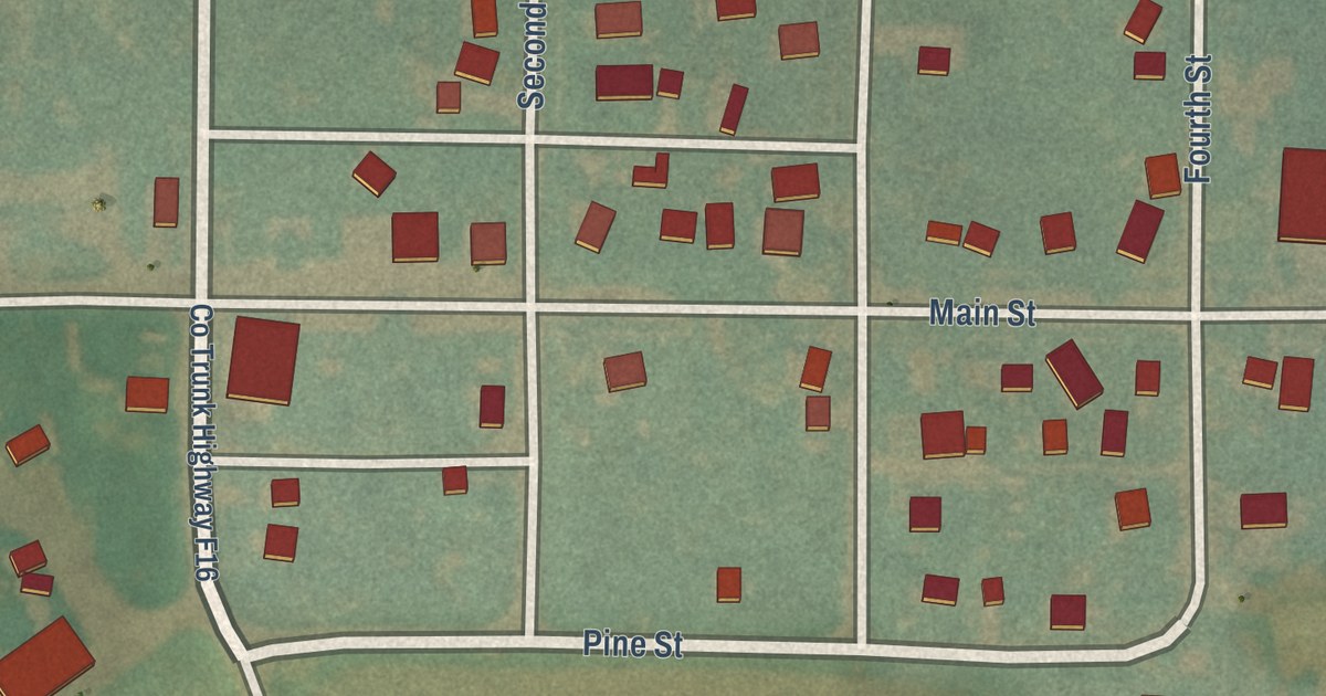
A detailed map of Gray, Iowa, showing every building in its true location, the roads by name, and shaded topographical relief.
Read More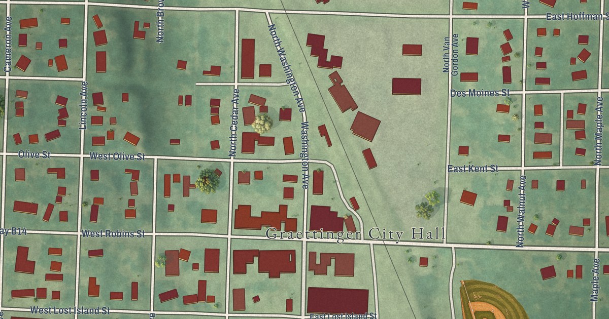
A detailed map of Graettinger, Iowa, showing every building in its true location, the roads by name, and shaded topographical relief.
Read More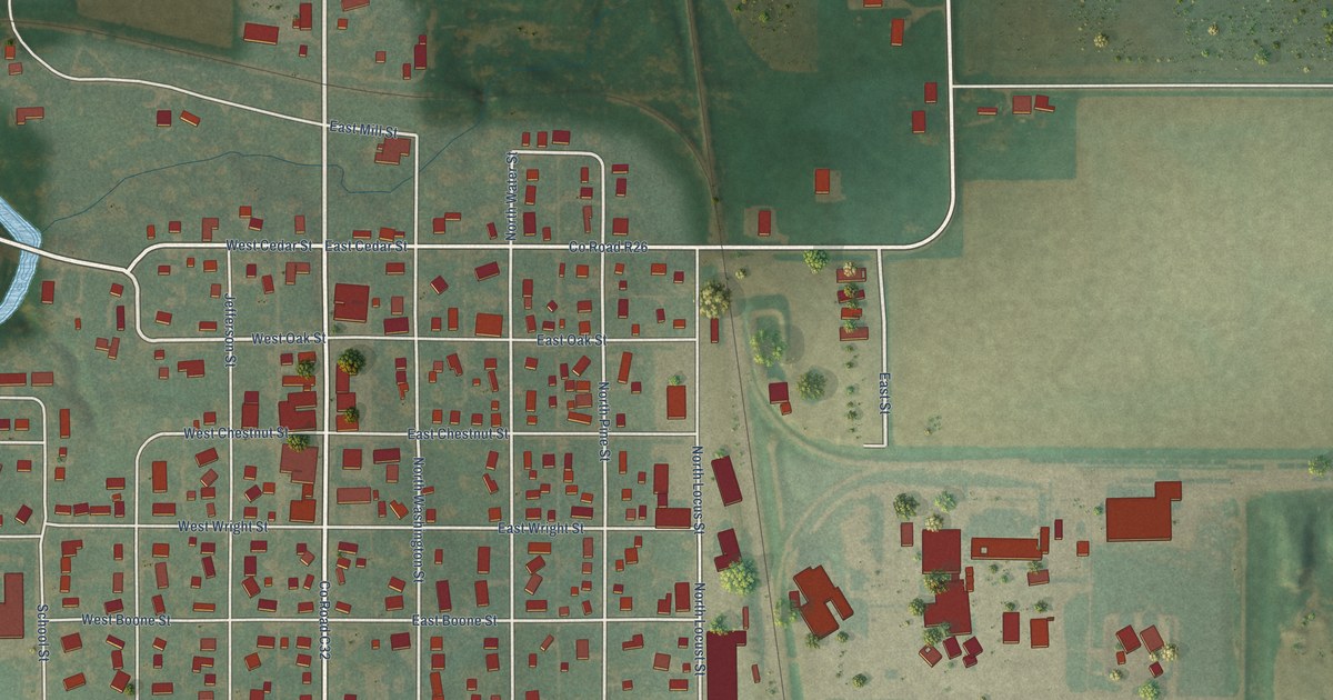
A detailed map of Goldfield, Iowa, showing every building in its true location, the roads by name, and shaded topographical relief.
Read More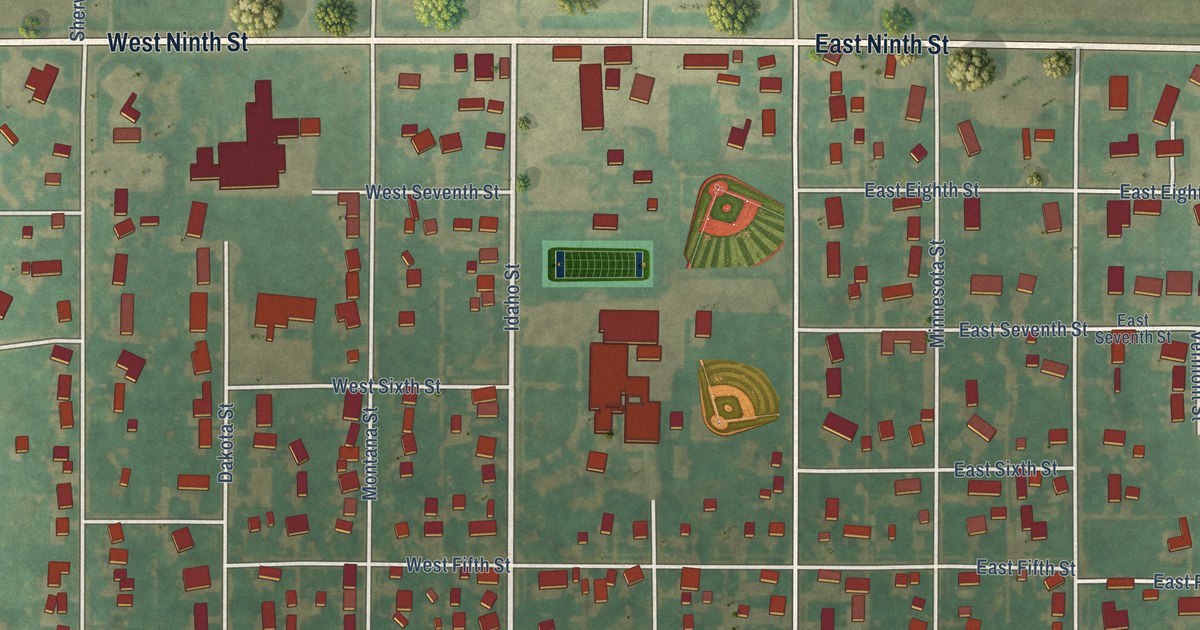
A detailed map of Glidden, Iowa, showing every building in its true location, the roads by name, and shaded topographical relief.
Read More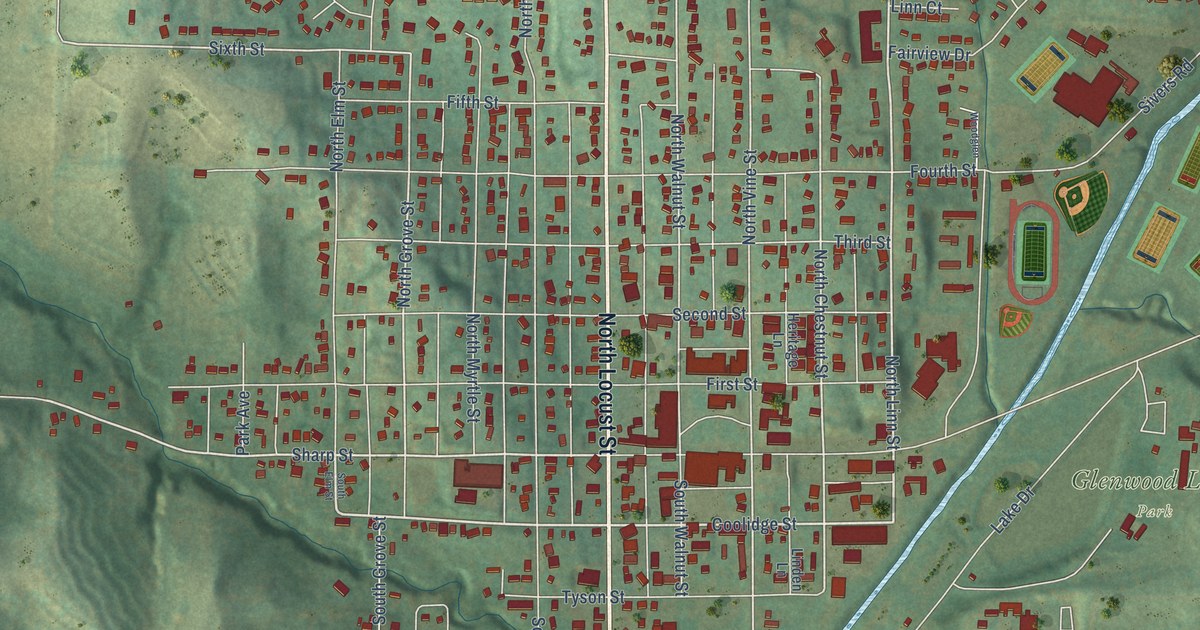
A detailed map of Glenwood, Iowa, showing every building in its true location, the roads by name, and shaded topographical relief.
Read More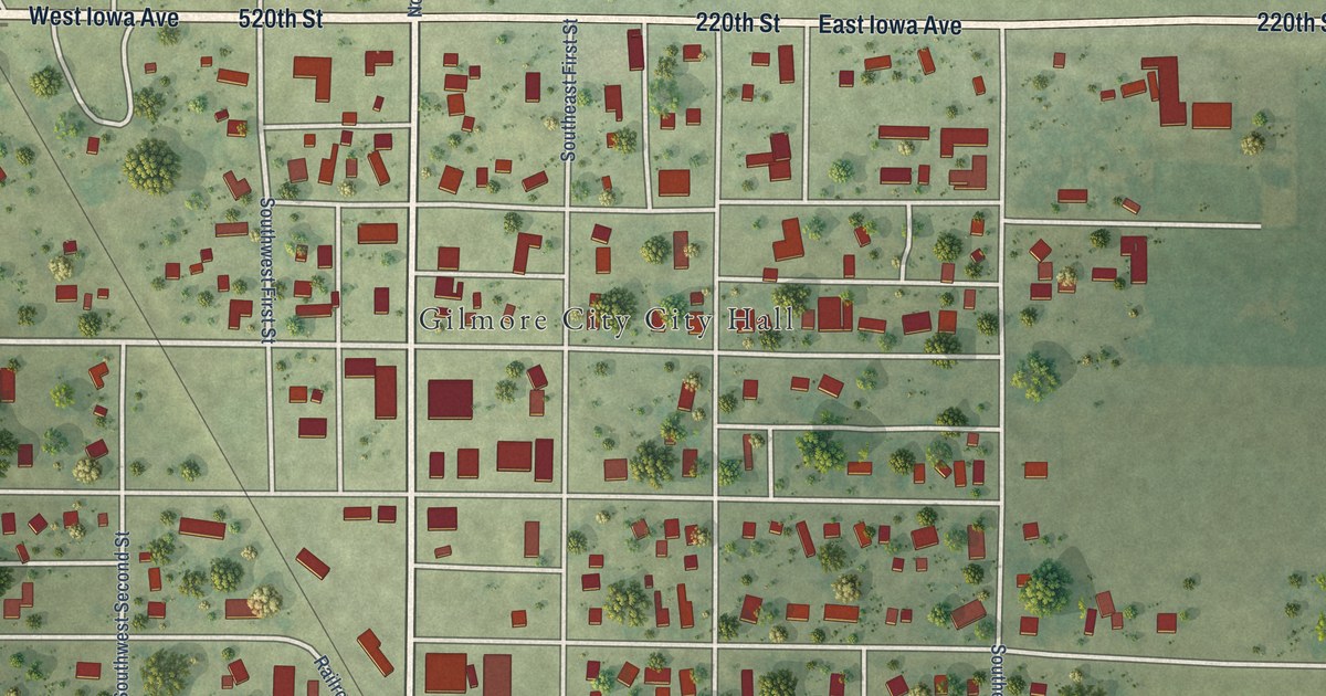
A detailed map of Gilmore City, Iowa, showing every building in its true location, the roads by name, and shaded topographical relief.
Read More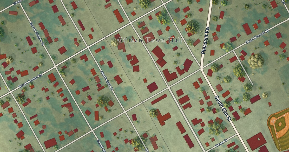
A detailed map of Gilman, Iowa, showing every building in its true location, the roads by name, and shaded topographical relief.
Read More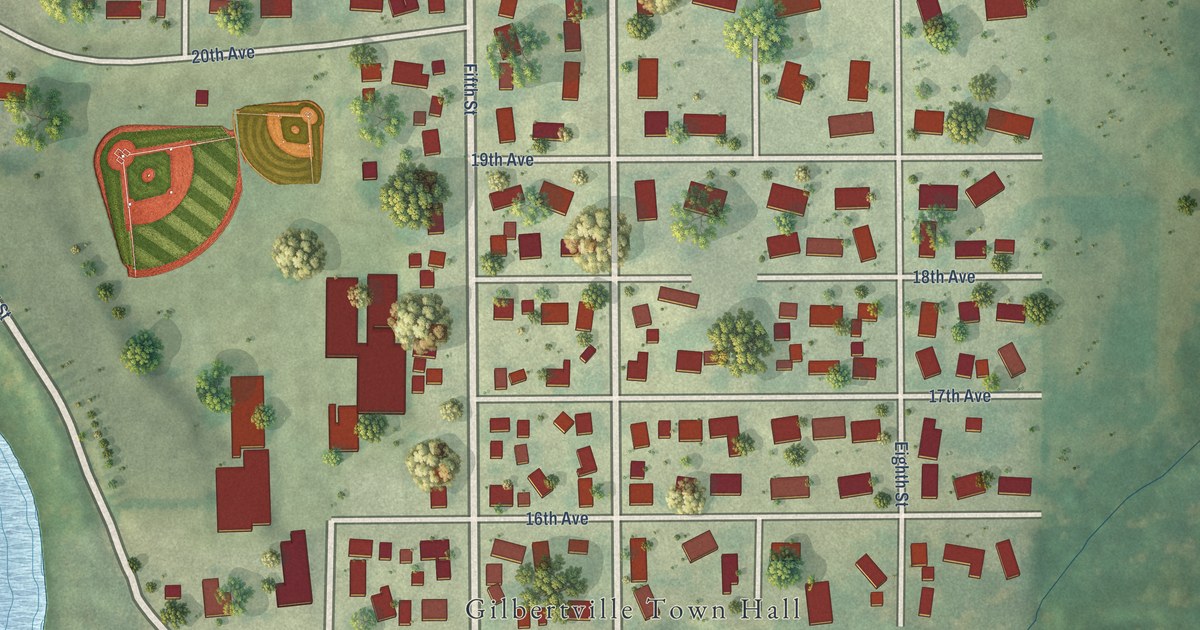
A detailed map of Gilbertville, Iowa, showing every building in its true location, the roads by name, and shaded topographical relief.
Read More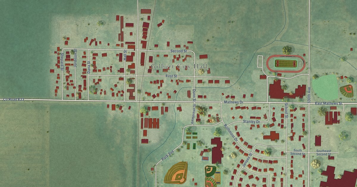
A detailed map of Gilbert, Iowa, showing every building in its true location, the roads by name, and shaded topographical relief.
Read More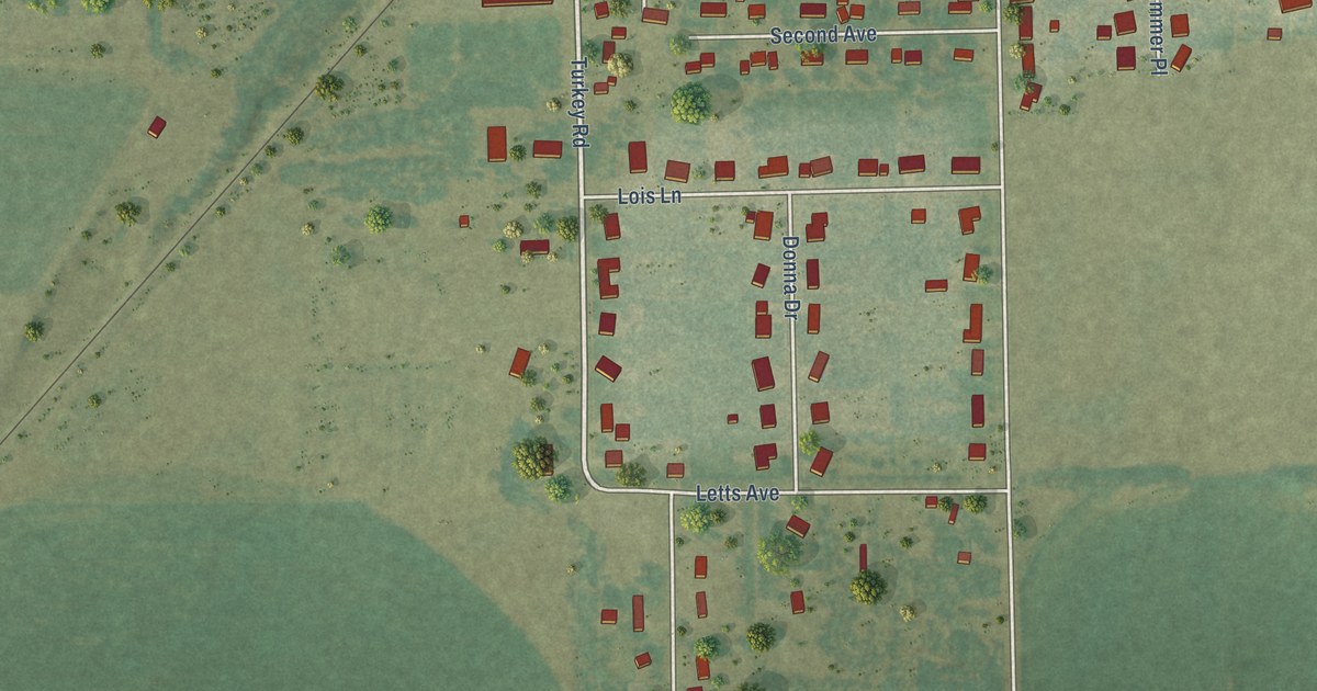
A detailed map of Fruitland, Iowa, showing every building in its true location, the roads by name, and shaded topographical relief.
Read More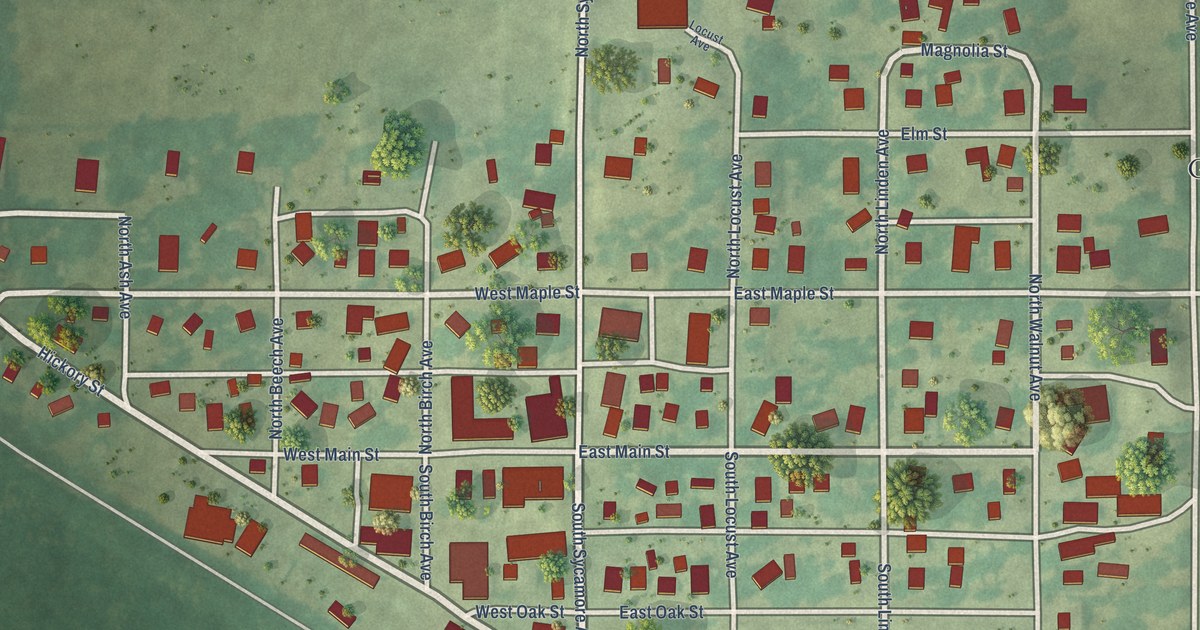
A detailed map of Garrison, Iowa, showing every building in its true location, the roads by name, and shaded topographical relief.
Read More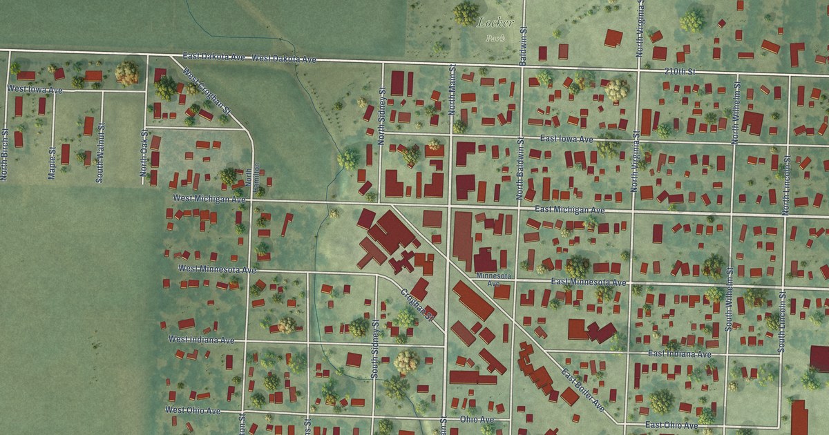
A detailed map of George, Iowa, showing every building in its true location, the roads by name, and shaded topographical relief.
Read More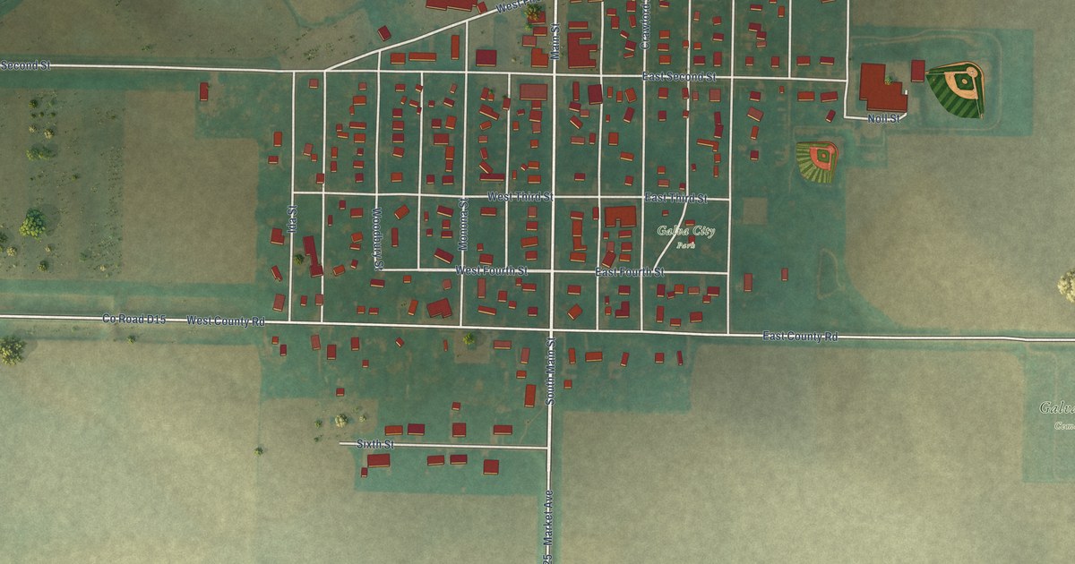
A detailed map of Galva, Iowa, showing every building in its true location, the roads by name, and shaded topographical relief.
Read More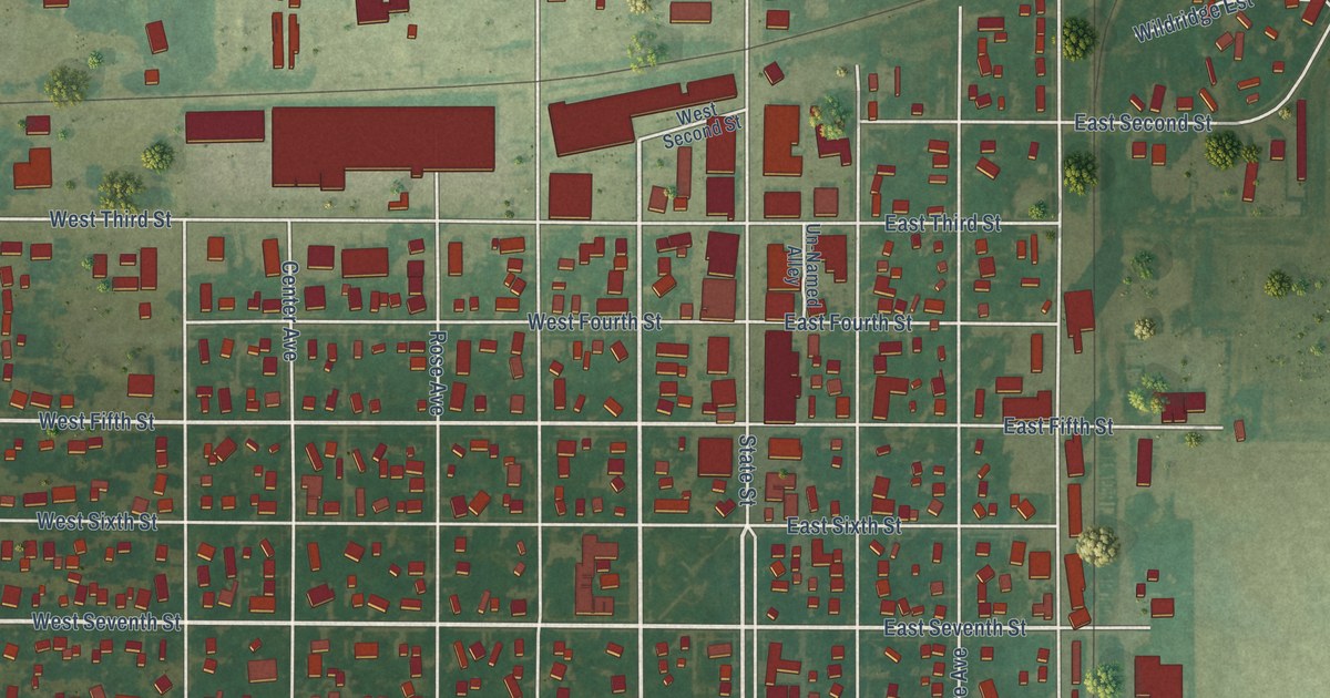
A detailed map of Garner, Iowa, showing every building in its true location, the roads by name, and shaded topographical relief.
Read More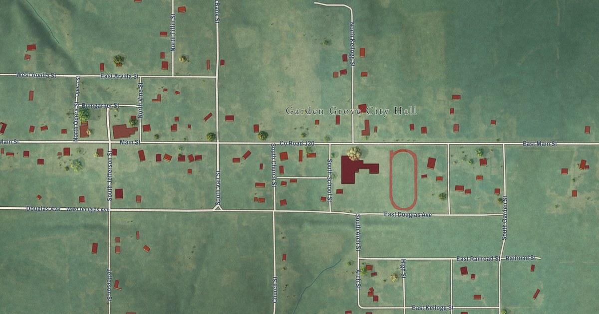
A detailed map of Garden Grove, Iowa, showing every building in its true location, the roads by name, and shaded topographical relief.
Read More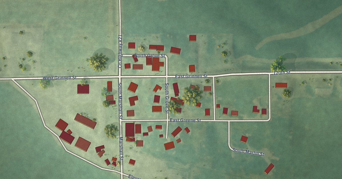
A detailed map of Gibson, Iowa, showing every building in its true location, the roads by name, and shaded topographical relief.
Read More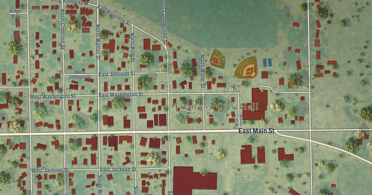
A detailed map of Fremont, Iowa, showing every building in its true location, the roads by name, and shaded topographical relief.
Read More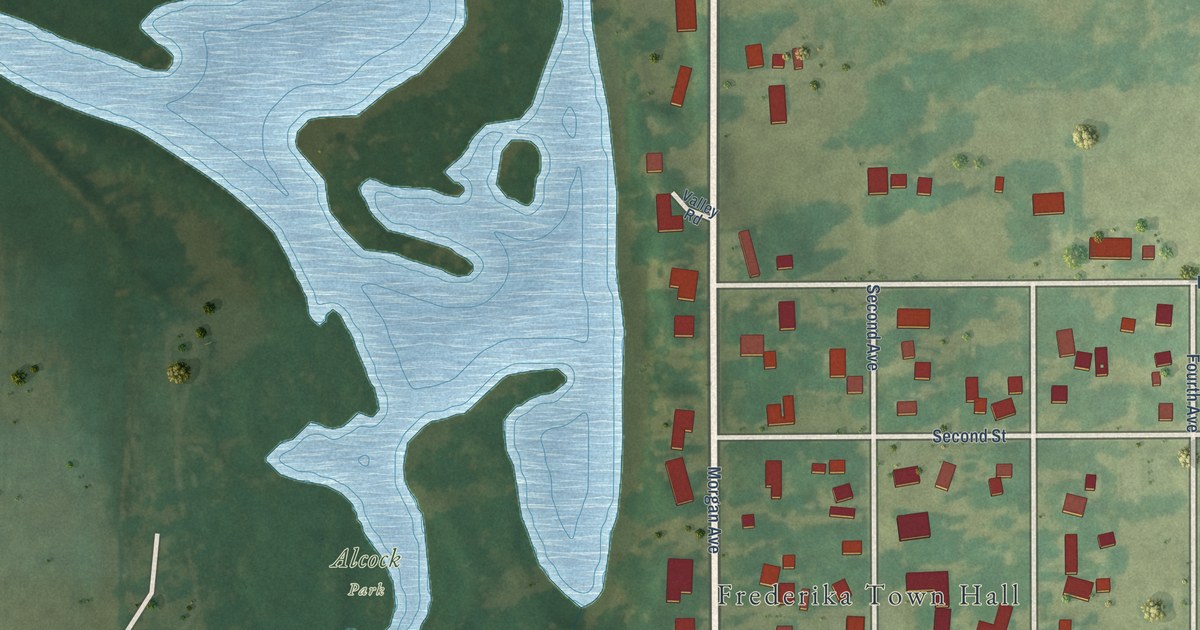
A detailed map of Frederika, Iowa, showing every building in its true location, the roads by name, and shaded topographical relief.
Read More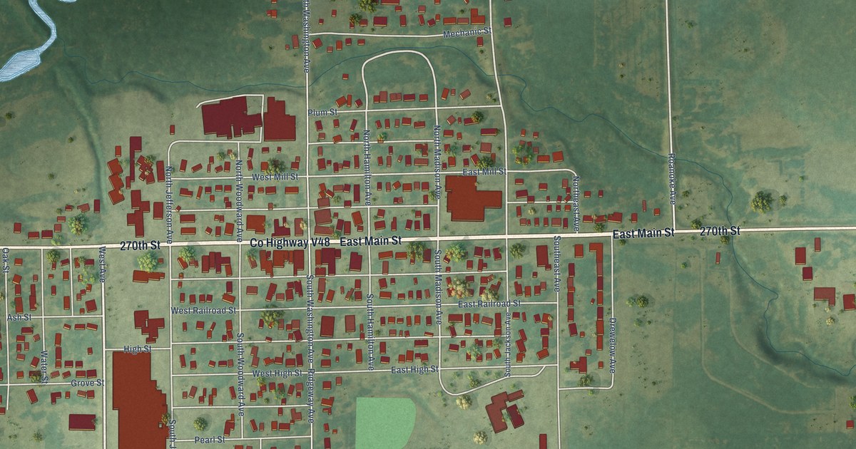
A detailed map of Fredericksburg, Iowa, showing every building in its true location, the roads by name, and shaded topographical relief.
Read More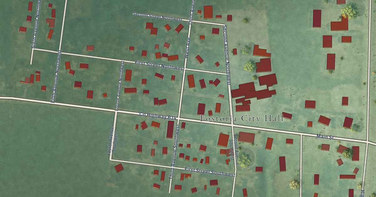
A detailed map of Fostoria, Iowa, showing every building in its true location, the roads by name, and shaded topographical relief.
Read More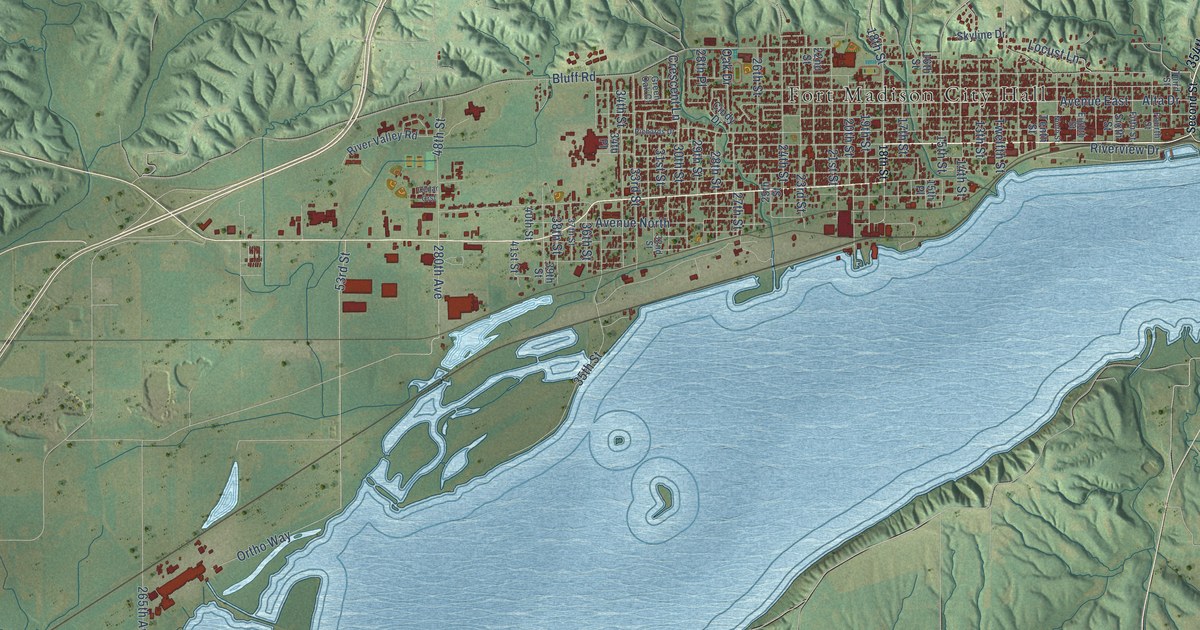
A detailed map of Fort Madison, Iowa, showing every building in its true location, the roads by name, and shaded topographical relief.
Read More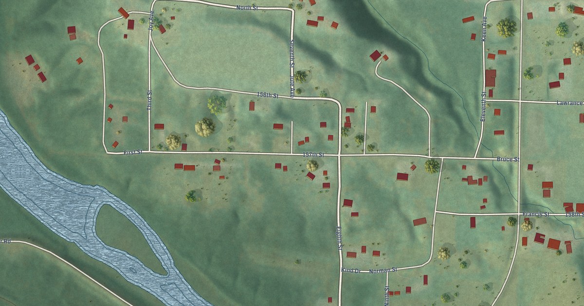
A detailed map of Fraser, Iowa, showing every building in its true location, the roads by name, and shaded topographical relief.
Read More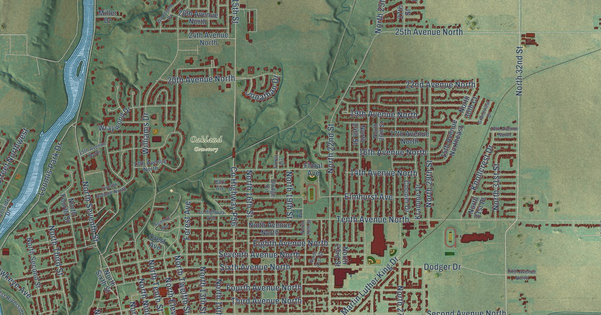
A detailed map of Fort Dodge, Iowa, showing every building in its true location, the roads by name, and shaded topographical relief.
Read More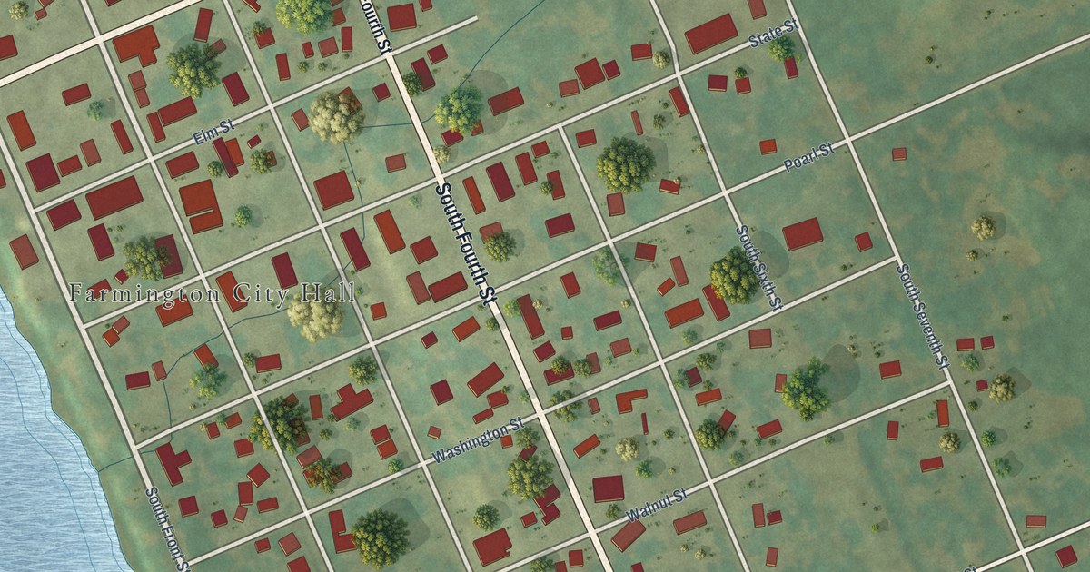
A detailed map of Farmington, Iowa, showing every building in its true location, the roads by name, and shaded topographical relief.
Read More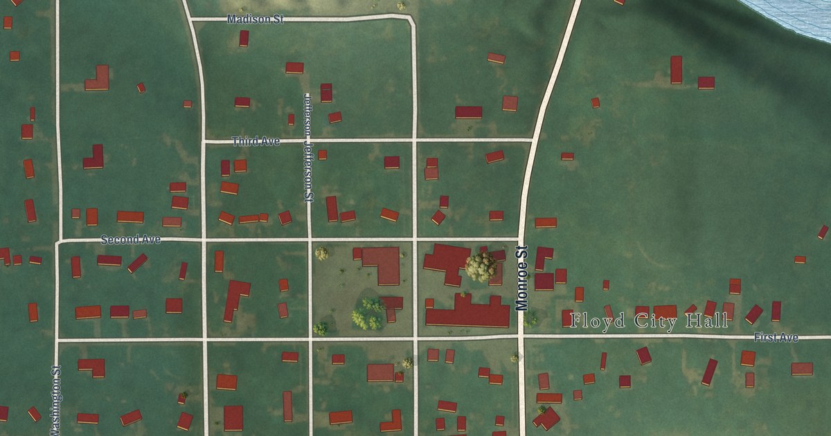
A detailed map of Floyd, Iowa, showing every building in its true location, the roads by name, and shaded topographical relief.
Read More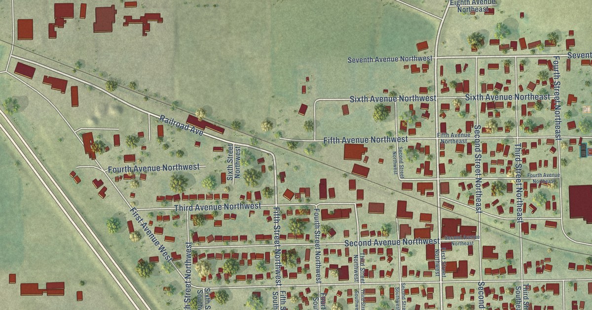
A detailed map of Farley, Iowa, showing every building in its true location, the roads by name, and shaded topographical relief.
Read More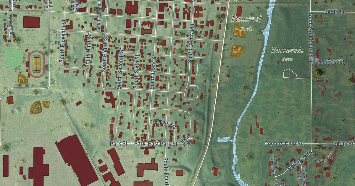
A detailed map of Forest City, Iowa, showing every building in its true location, the roads by name, and shaded topographical relief.
Read More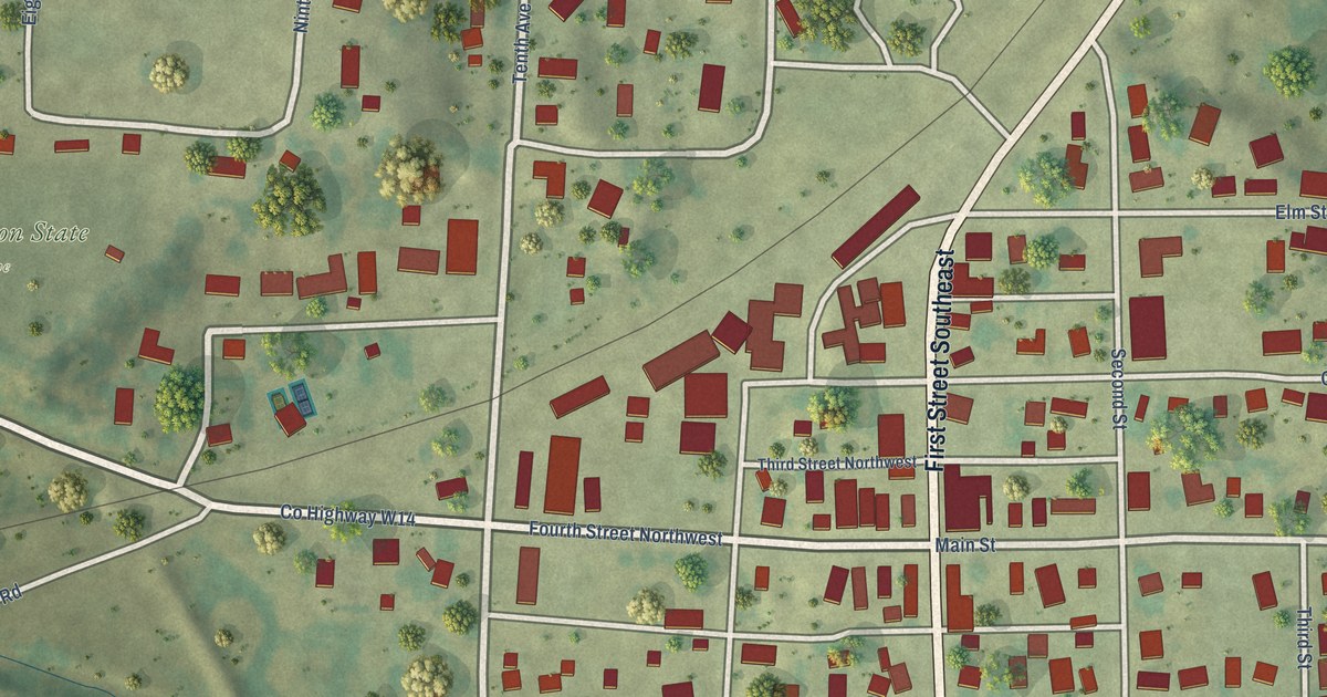
A detailed map of Fort Atkinson, Iowa, showing every building in its true location, the roads by name, and shaded topographical relief.
Read More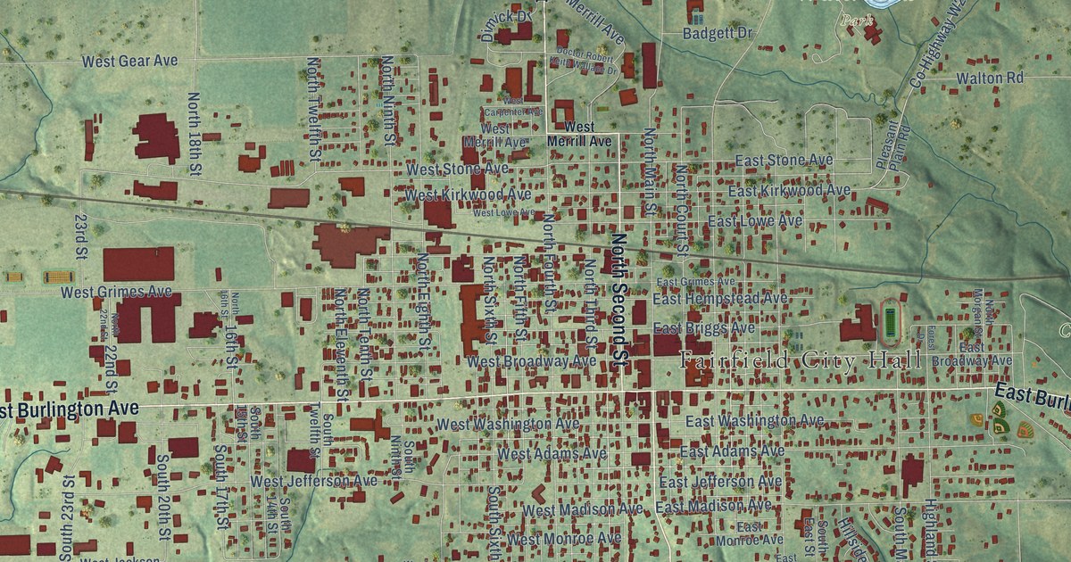
A detailed map of Fairfield, Iowa, showing every building in its true location, the roads by name, and shaded topographical relief.
Read More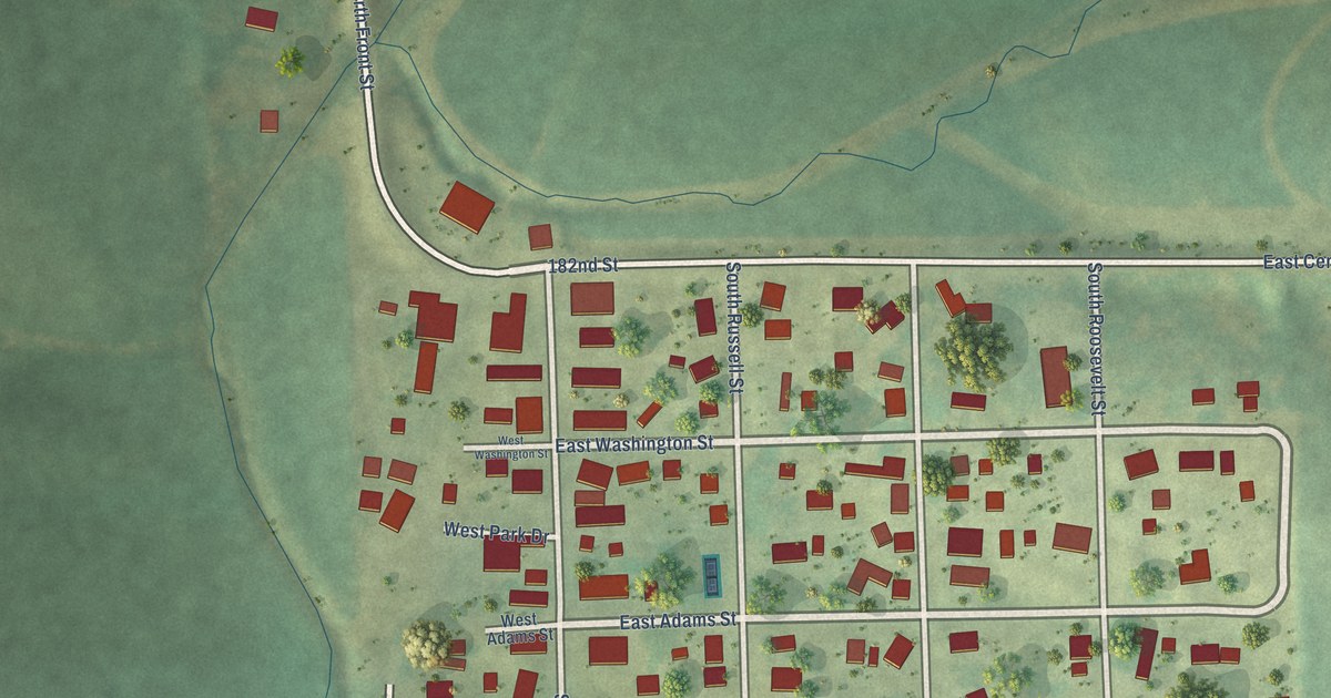
A detailed map of Farmersburg, Iowa, showing every building in its true location, the roads by name, and shaded topographical relief.
Read More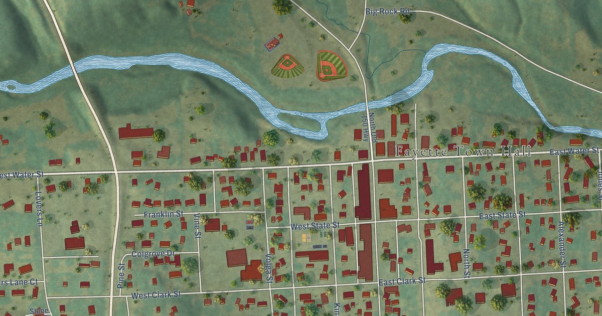
A detailed map of Fayette, Iowa, showing every building in its true location, the roads by name, and shaded topographical relief.
Read More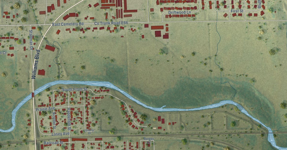
A detailed map of Fairfax, Iowa, showing every building in its true location, the roads by name, and shaded topographical relief.
Read More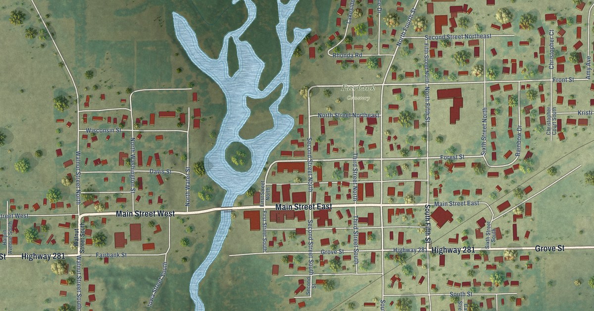
A detailed map of Fairbank, Iowa, showing every building in its true location, the roads by name, and shaded topographical relief.
Read More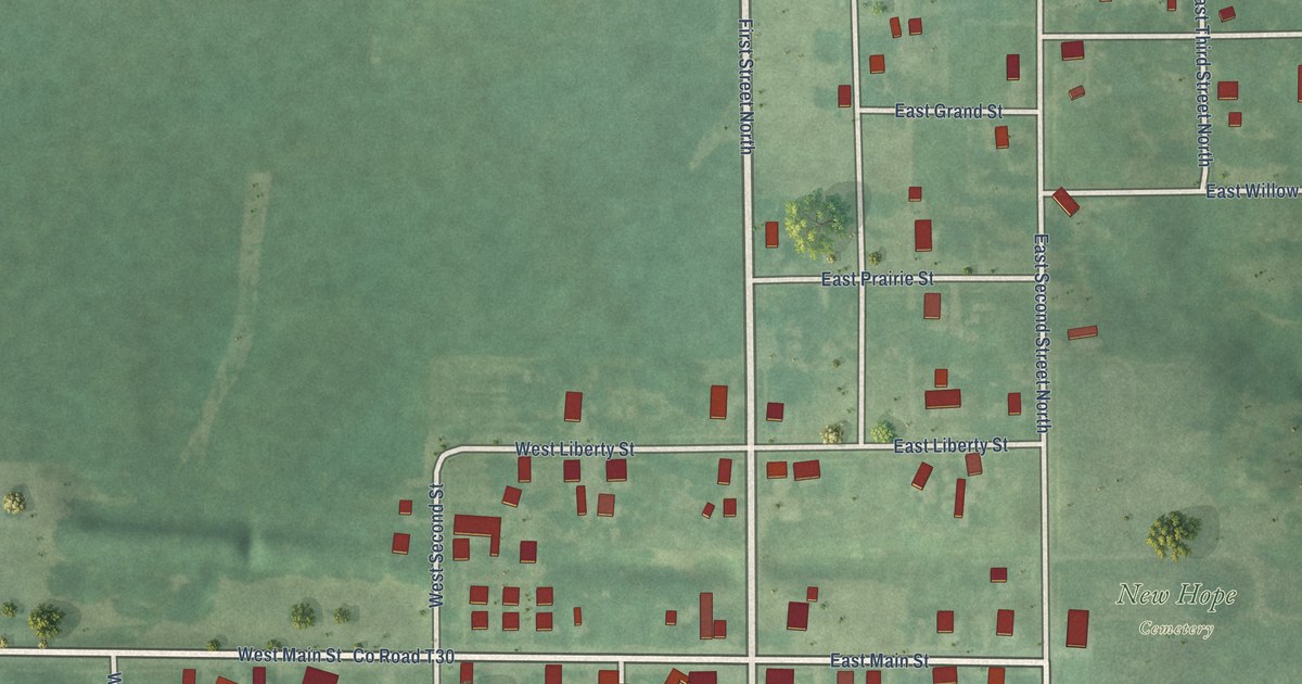
A detailed map of Exline, Iowa, showing every building in its true location, the roads by name, and shaded topographical relief.
Read More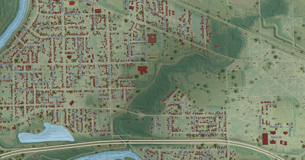
A detailed map of Evansdale, Iowa, showing every building in its true location, the roads by name, and shaded topographical relief.
Read More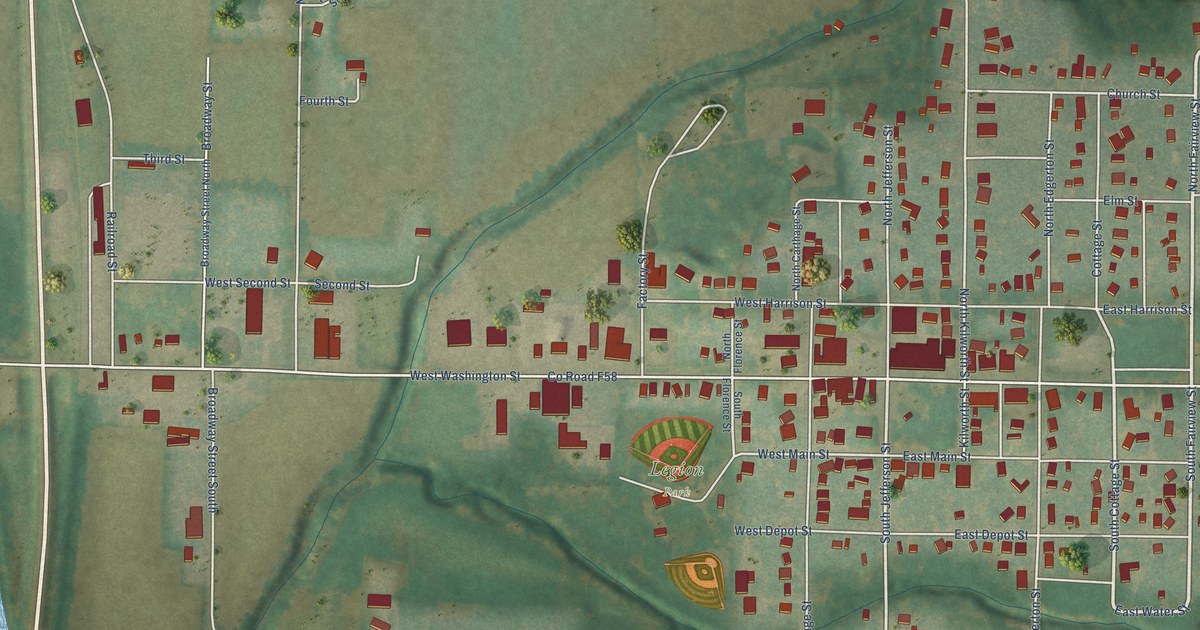
A detailed map of Exira, Iowa, showing every building in its true location, the roads by name, and shaded topographical relief.
Read More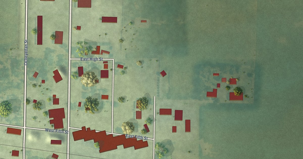
A detailed map of Everly, Iowa, showing every building in its true location, the roads by name, and shaded topographical relief.
Read More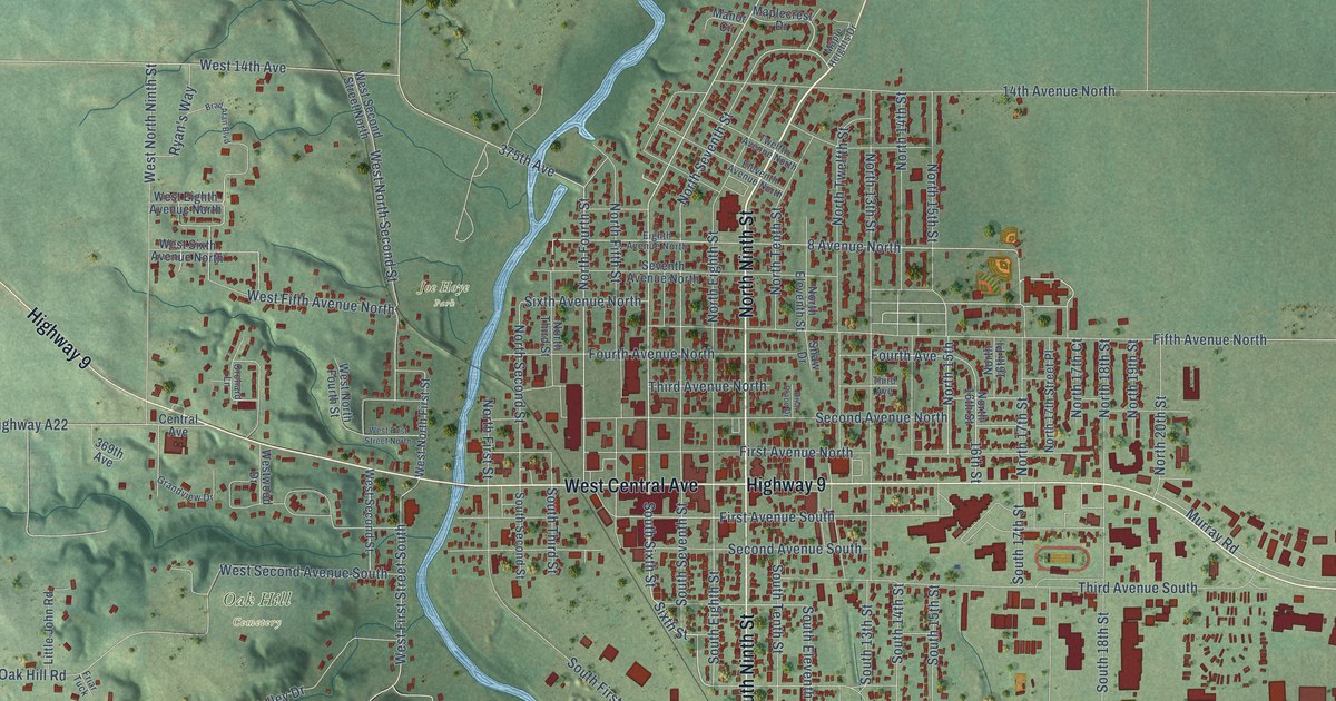
A detailed map of Estherville, Iowa, showing every building in its true location, the roads by name, and shaded topographical relief.
Read More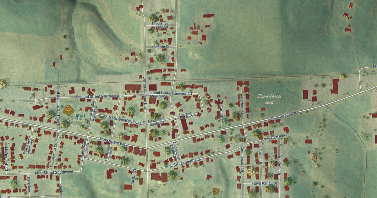
A detailed map of Epworth, Iowa, showing every building in its true location, the roads by name, and shaded topographical relief.
Read More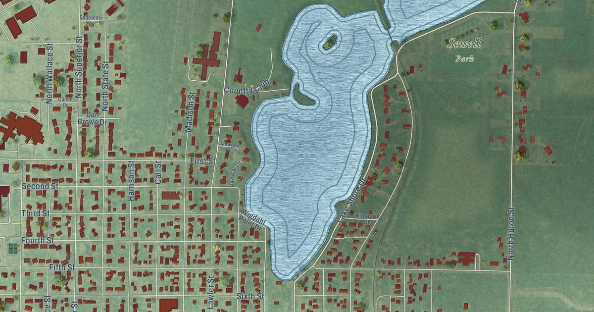
A detailed map of Emmetsburg, Iowa, showing every building in its true location, the roads by name, and shaded topographical relief.
Read More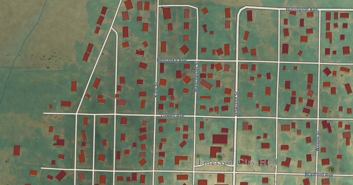
A detailed map of Emerson, Iowa, showing every building in its true location, the roads by name, and shaded topographical relief.
Read More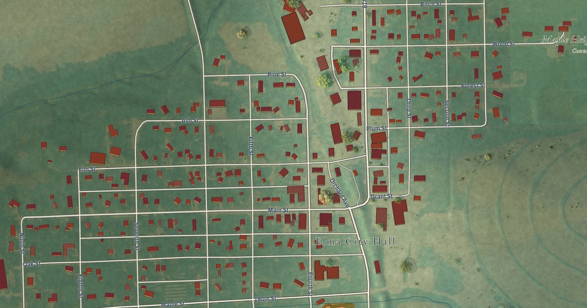
A detailed map of Elma, Iowa, showing every building in its true location, the roads by name, and shaded topographical relief.
Read More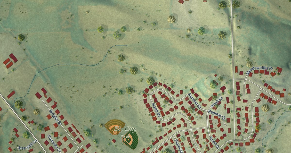
A detailed map of Ely, Iowa, showing every building in its true location, the roads by name, and shaded topographical relief.
Read More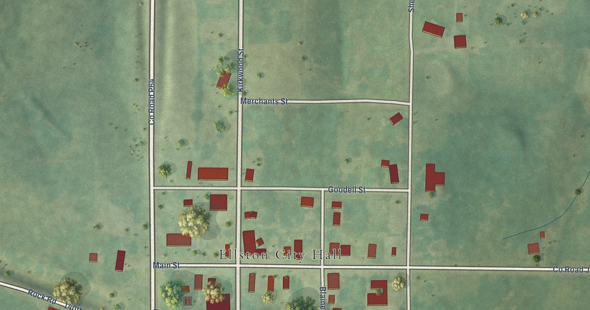
A detailed map of Ellston, Iowa, showing every building in its true location, the roads by name, and shaded topographical relief.
Read More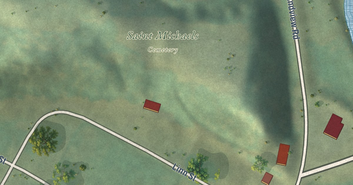
A detailed map of Elkport, Iowa, showing every building in its true location, the roads by name, and shaded topographical relief.
Read More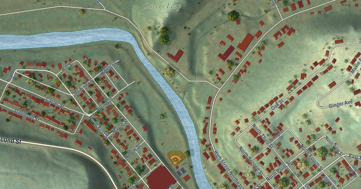
A detailed map of Elkader, Iowa, showing every building in its true location, the roads by name, and shaded topographical relief.
Read More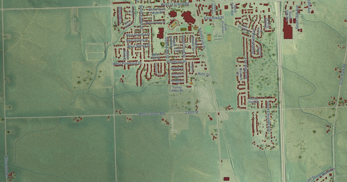
A detailed map of Eldridge, Iowa, showing every building in its true location, the roads by name, and shaded topographical relief.
Read More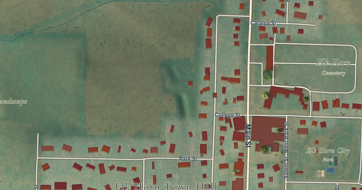
A detailed map of Elk Horn, Iowa, showing every building in its true location, the roads by name, and shaded topographical relief.
Read More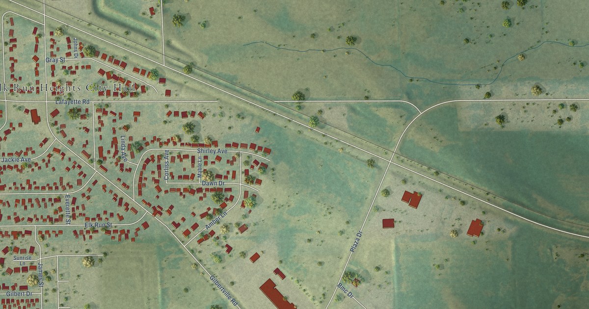
A detailed map of Elk Run Heights, Iowa, showing every building in its true location, the roads by name, and shaded topographical relief.
Read More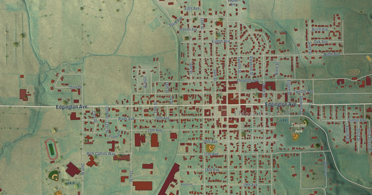
A detailed map of Eldora, Iowa, showing every building in its true location, the roads by name, and shaded topographical relief.
Read More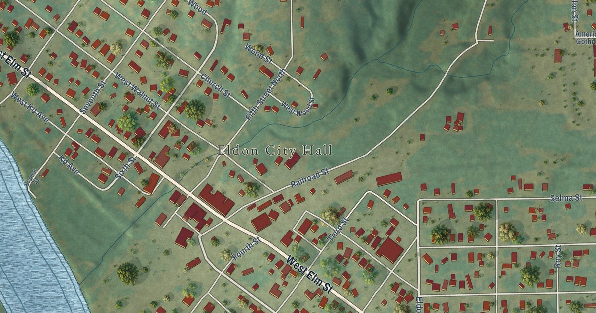
A detailed map of Eldon, Iowa, showing every building in its true location, the roads by name, and shaded topographical relief.
Read More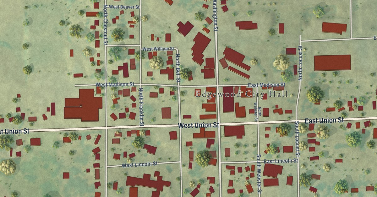
A detailed map of Edgewood, Iowa, showing every building in its true location, the roads by name, and shaded topographical relief.
Read More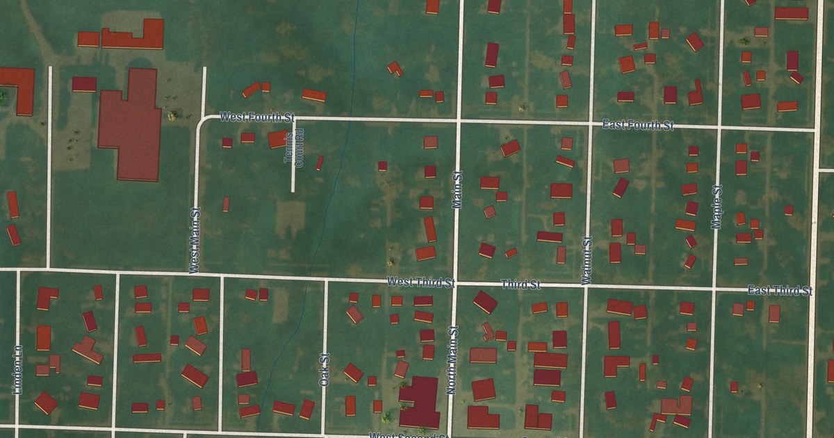
A detailed map of Early, Iowa, showing every building in its true location, the roads by name, and shaded topographical relief.
Read More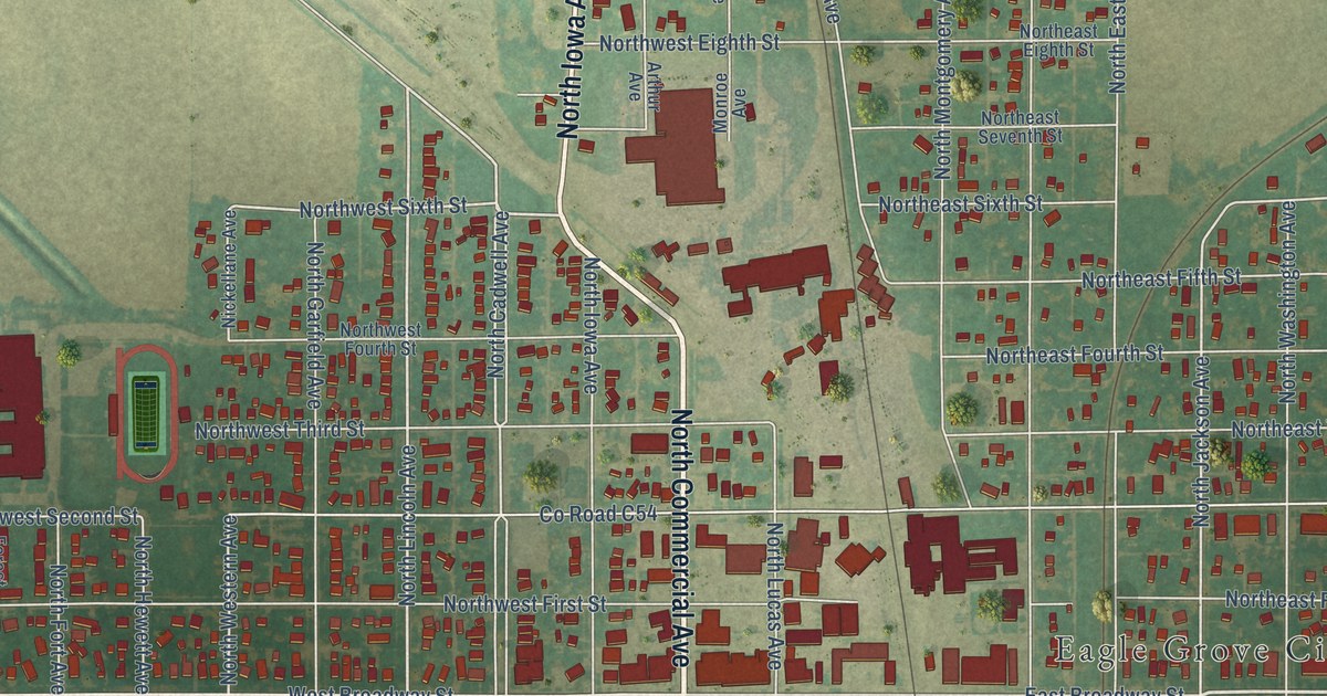
A detailed map of Eagle Grove, Iowa, showing every building in its true location, the roads by name, and shaded topographical relief.
Read More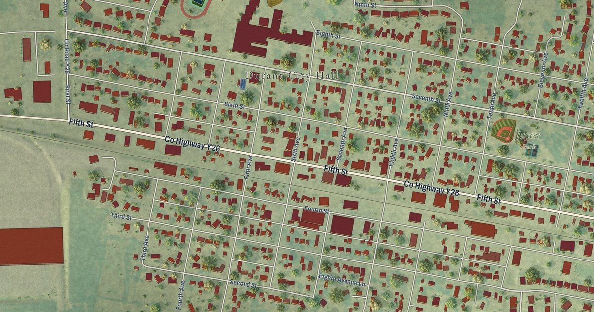
A detailed map of Durant, Iowa, showing every building in its true location, the roads by name, and shaded topographical relief.
Read More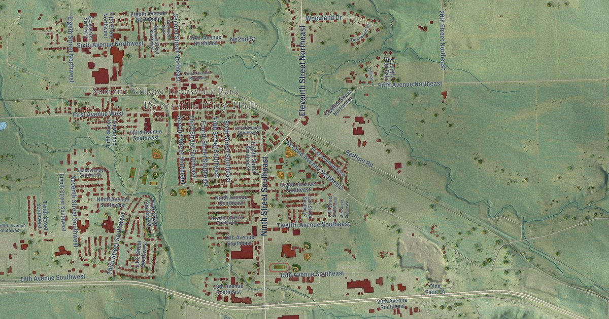
A detailed map of Dyersville, Iowa, showing every building in its true location, the roads by name, and shaded topographical relief.
Read More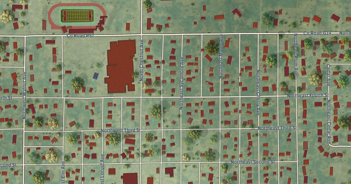
A detailed map of Earlham, Iowa, showing every building in its true location, the roads by name, and shaded topographical relief.
Read More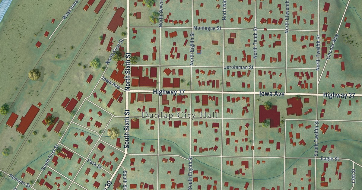
A detailed map of Dunlap, Iowa, showing every building in its true location, the roads by name, and shaded topographical relief.
Read More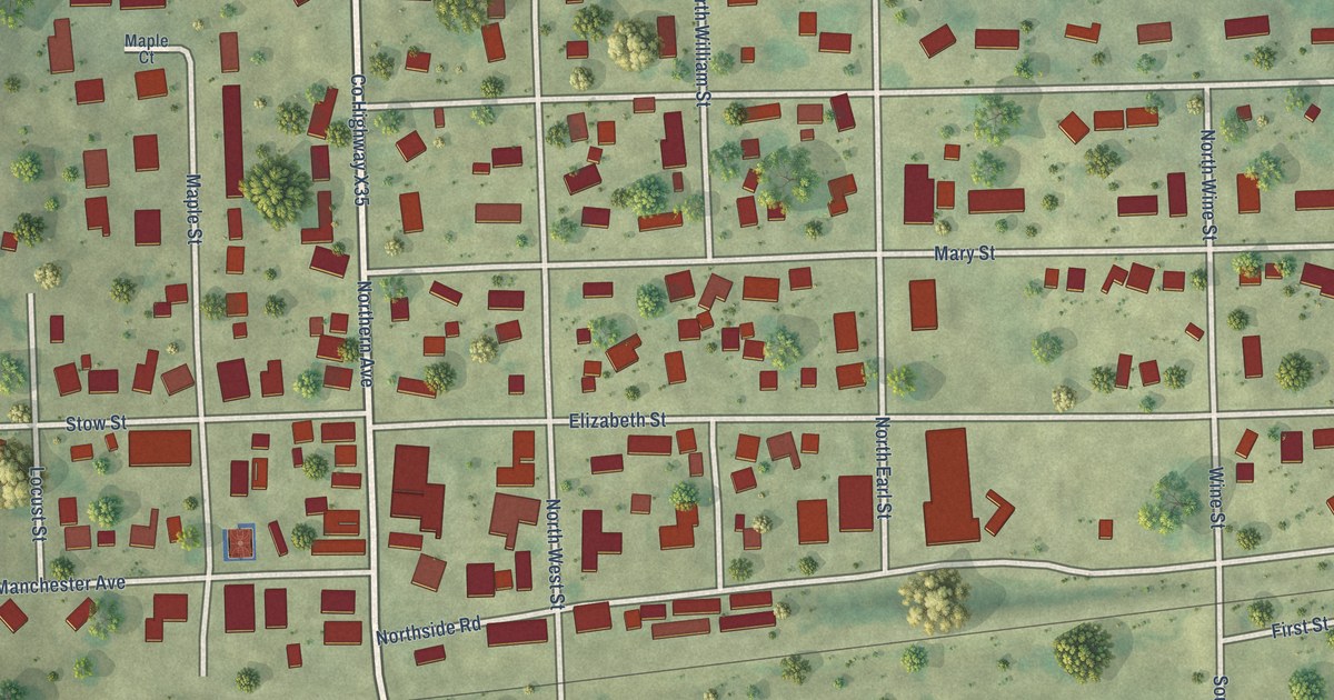
A detailed map of Earlville, Iowa, showing every building in its true location, the roads by name, and shaded topographical relief.
Read More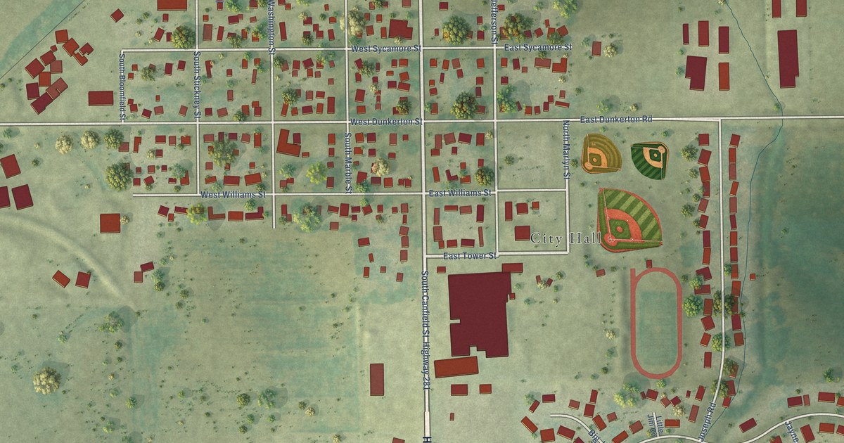
A detailed map of Dunkerton, Iowa, showing every building in its true location, the roads by name, and shaded topographical relief.
Read More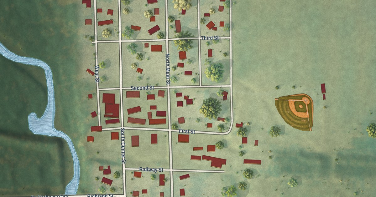
A detailed map of Dundee, Iowa, showing every building in its true location, the roads by name, and shaded topographical relief.
Read More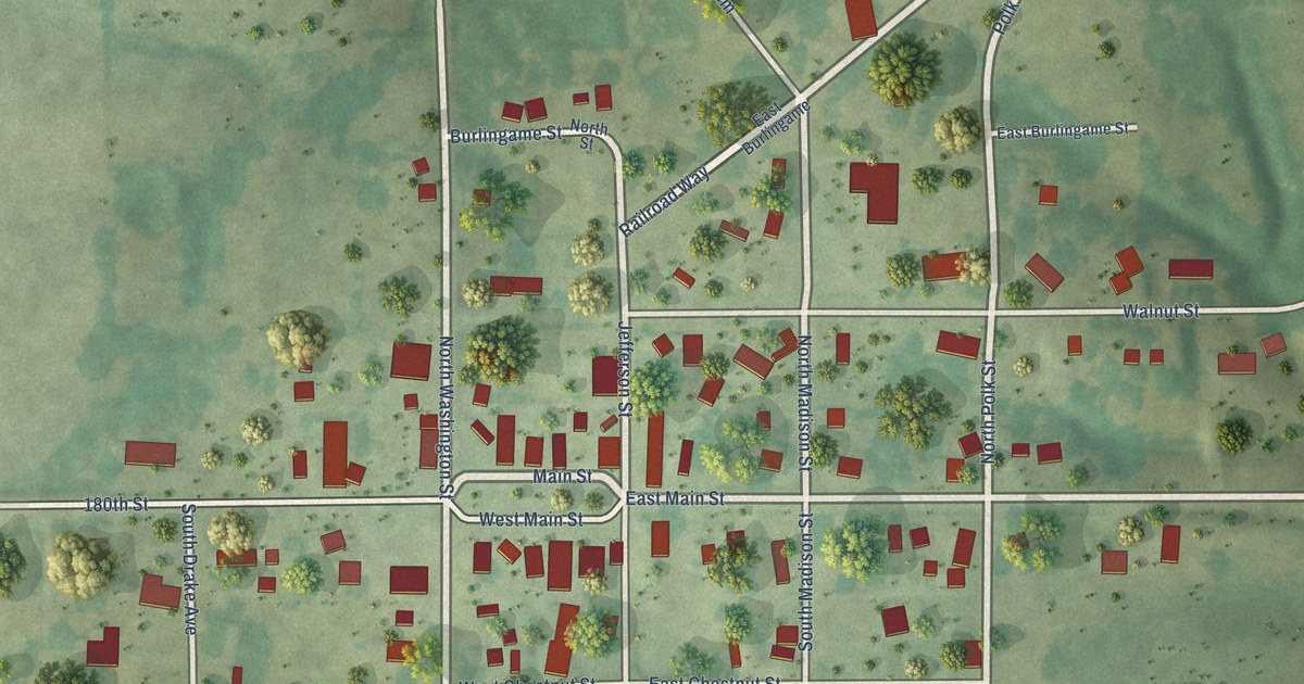
A detailed map of Drakesville, Iowa, showing every building in its true location, the roads by name, and shaded topographical relief.
Read More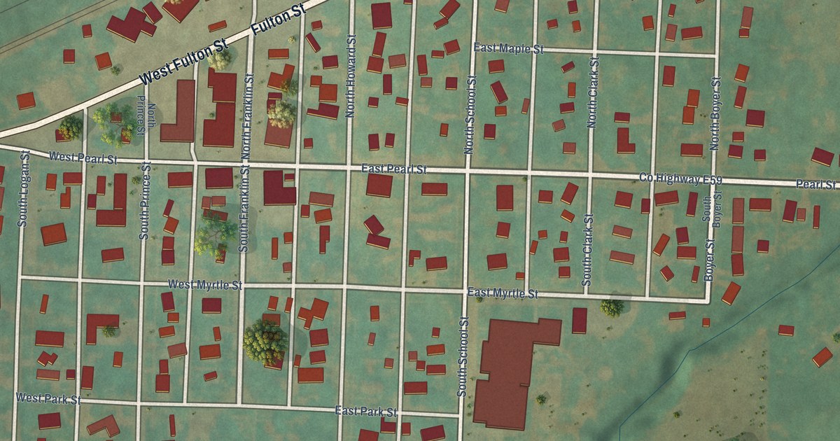
A detailed map of Dow City, Iowa, showing every building in its true location, the roads by name, and shaded topographical relief.
Read More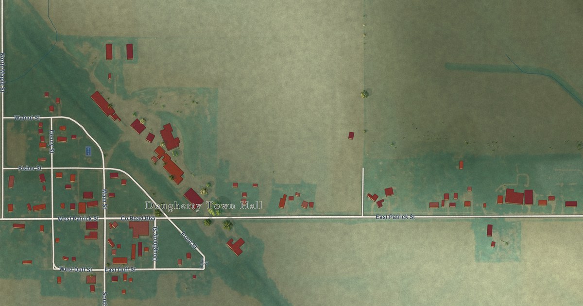
A detailed map of Dougherty, Iowa, showing every building in its true location, the roads by name, and shaded topographical relief.
Read More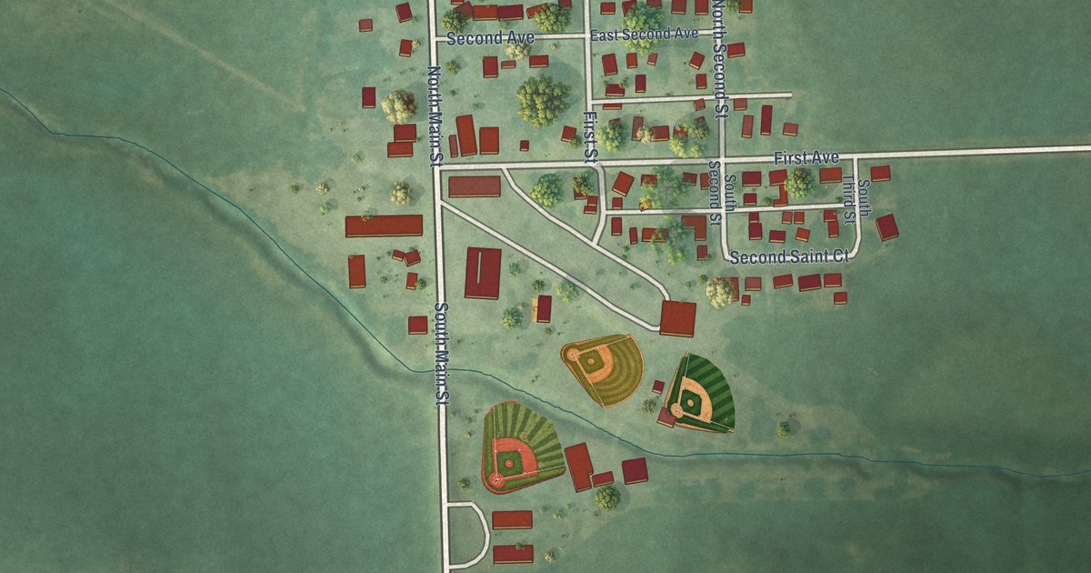
A detailed map of Donahue, Iowa, showing every building in its true location, the roads by name, and shaded topographical relief.
Read More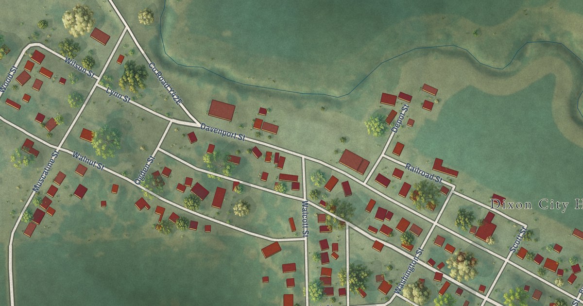
A detailed map of Dixon, Iowa, showing every building in its true location, the roads by name, and shaded topographical relief.
Read More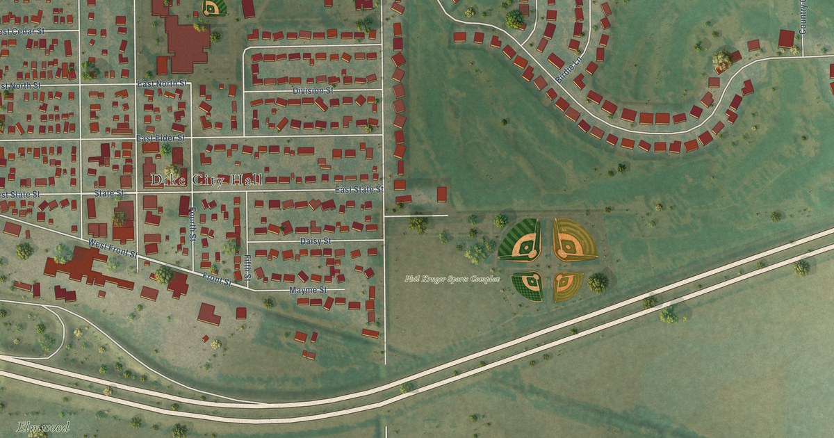
A detailed map of Dike, Iowa, showing every building in its true location, the roads by name, and shaded topographical relief.
Read More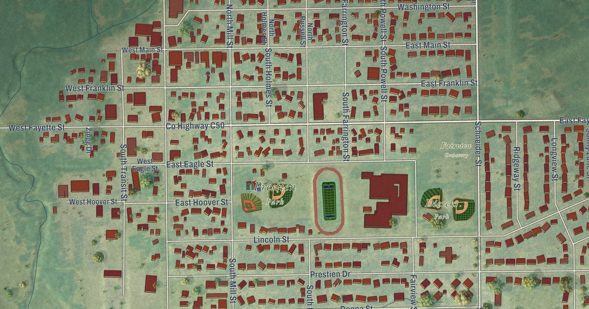
A detailed map of Denver, Iowa, showing every building in its true location, the roads by name, and shaded topographical relief.
Read More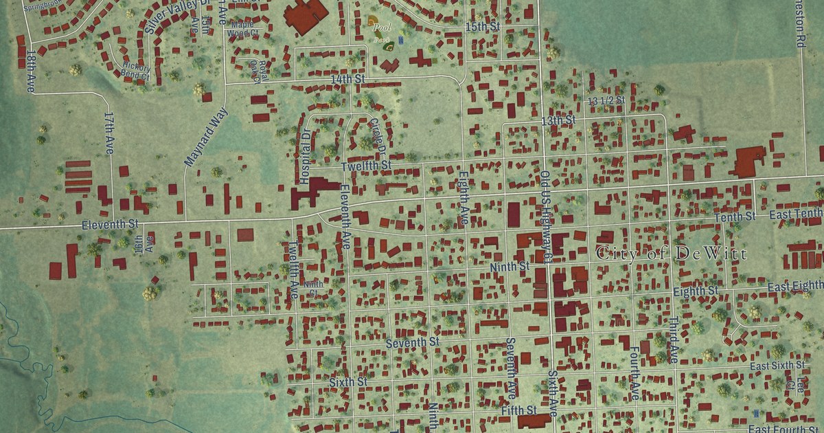
A detailed map of DeWitt, Iowa, showing every building in its true location, the roads by name, and shaded topographical relief.
Read More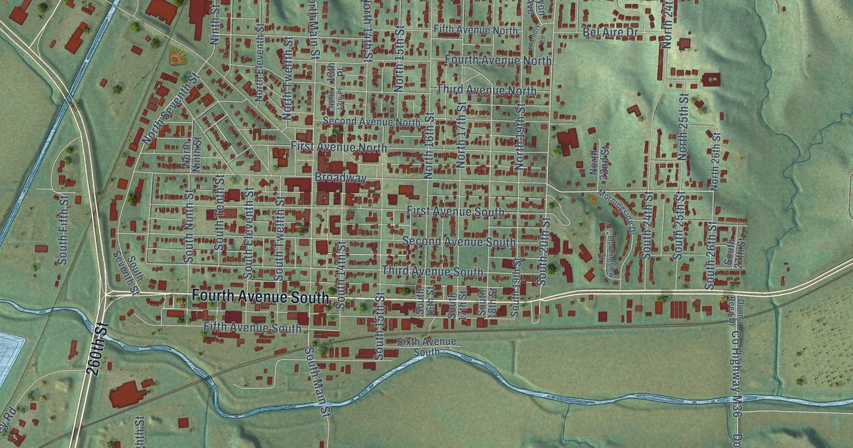
A detailed map of Denison, Iowa, showing every building in its true location, the roads by name, and shaded topographical relief.
Read More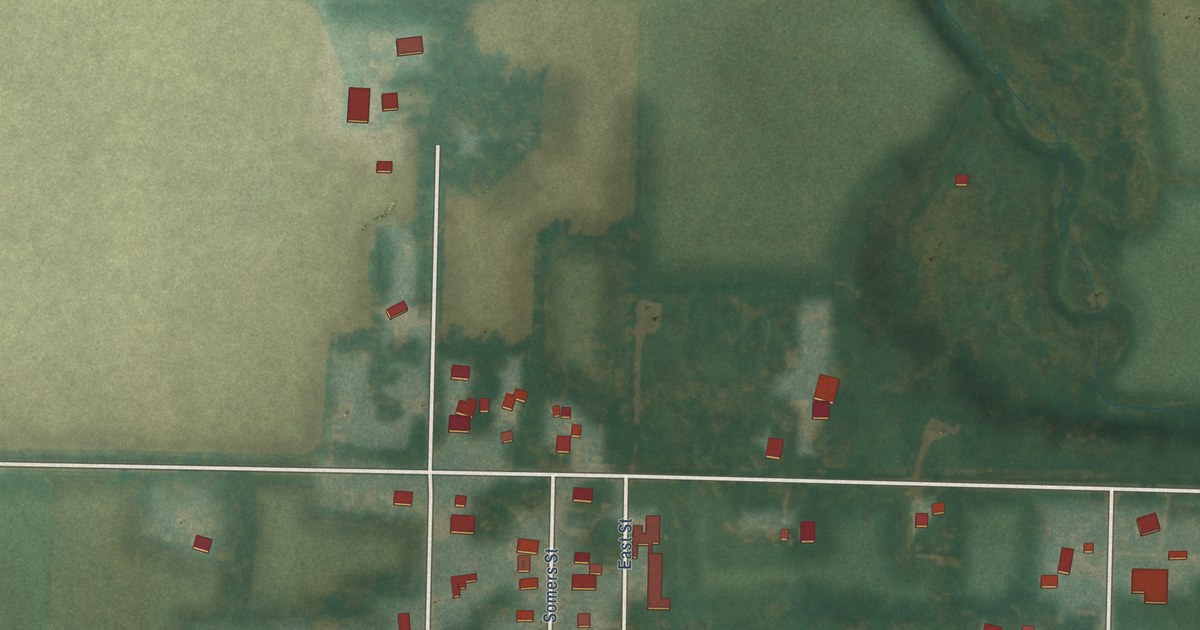
A detailed map of Dickens, Iowa, showing every building in its true location, the roads by name, and shaded topographical relief.
Read More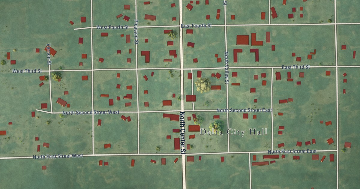
A detailed map of Delta, Iowa, showing every building in its true location, the roads by name, and shaded topographical relief.
Read More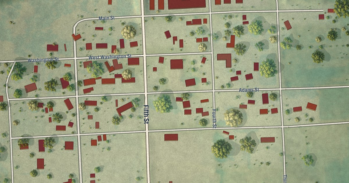
A detailed map of Delaware, Iowa, showing every building in its true location, the roads by name, and shaded topographical relief.
Read More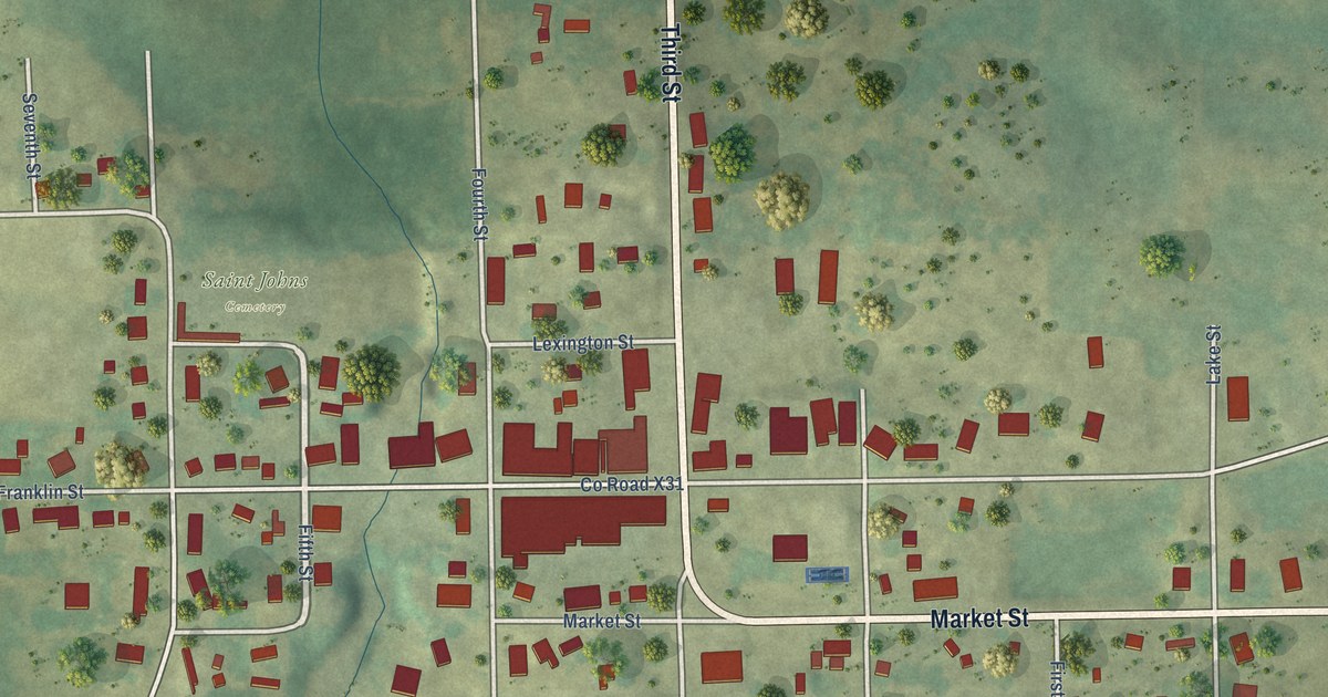
A detailed map of Delhi, Iowa, showing every building in its true location, the roads by name, and shaded topographical relief.
Read More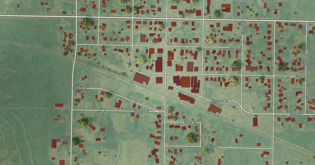
A detailed map of Dexter, Iowa, showing every building in its true location, the roads by name, and shaded topographical relief.
Read More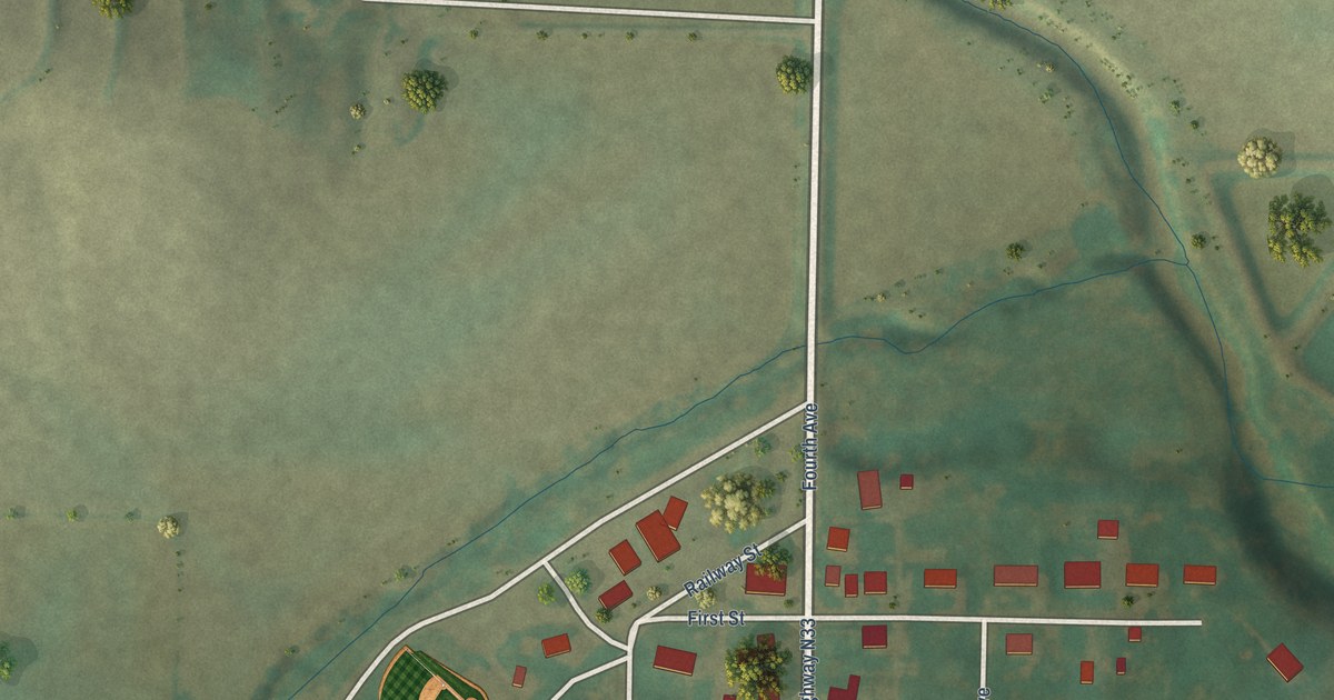
A detailed map of Dedham, Iowa, showing every building in its true location, the roads by name, and shaded topographical relief.
Read More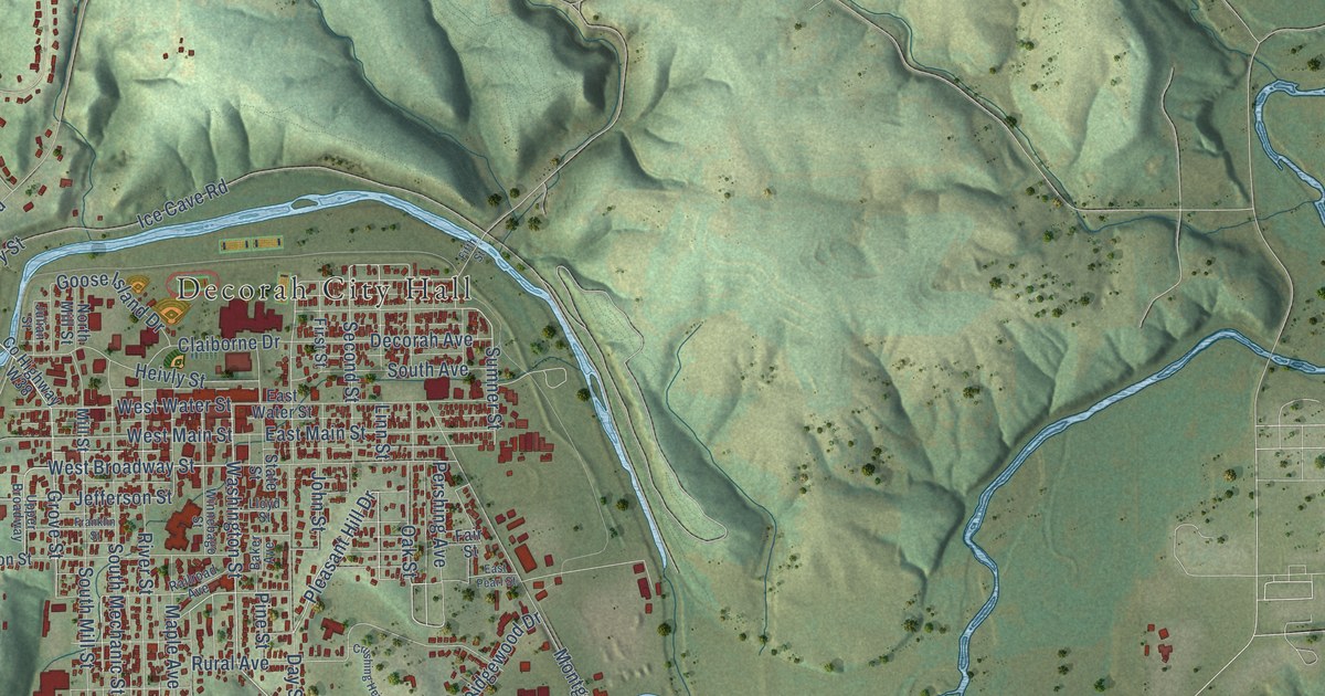
A detailed map of Decorah, Iowa, showing every building in its true location, the roads by name, and shaded topographical relief.
Read More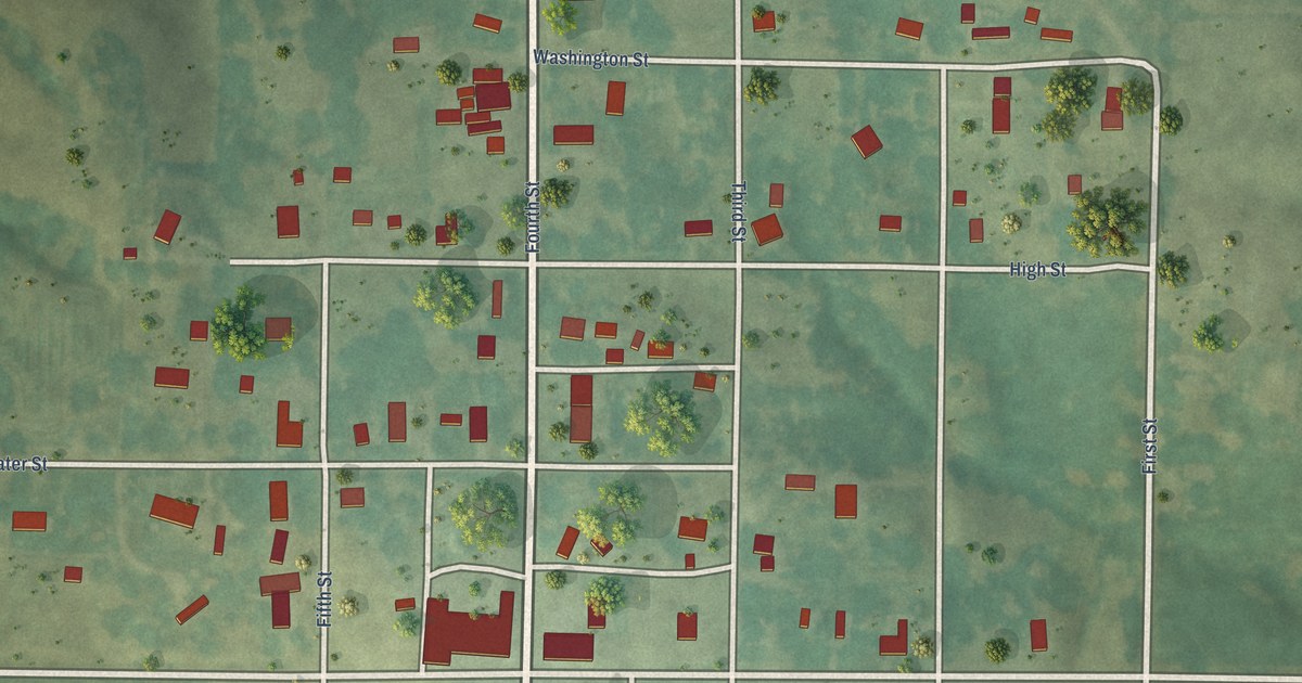
A detailed map of Decatur, Iowa, showing every building in its true location, the roads by name, and shaded topographical relief.
Read More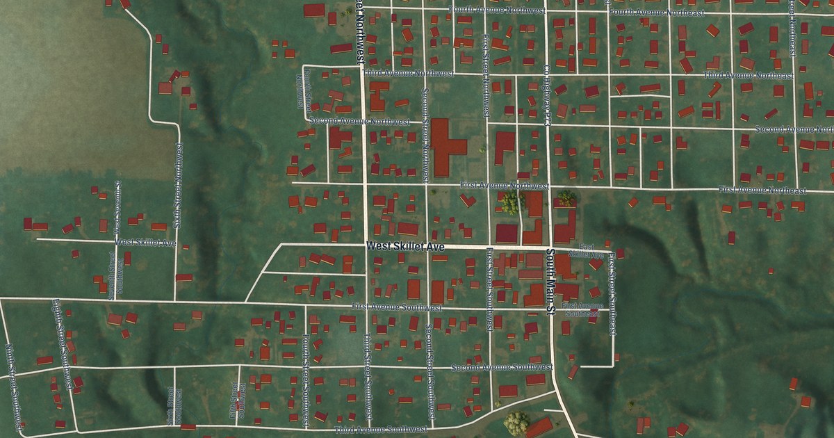
A detailed map of Dayton, Iowa, showing every building in its true location, the roads by name, and shaded topographical relief.
Read More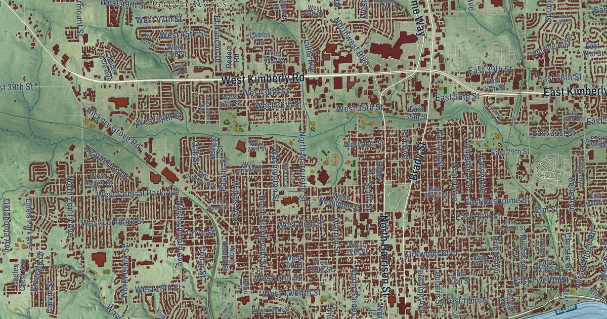
A detailed map of Davenport, Iowa, showing every building in its true location, the roads by name, and shaded topographical relief.
Read More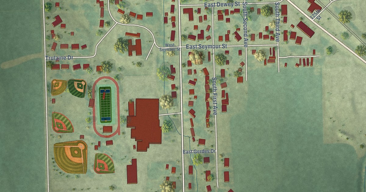
A detailed map of Danville, Iowa, showing every building in its true location, the roads by name, and shaded topographical relief.
Read More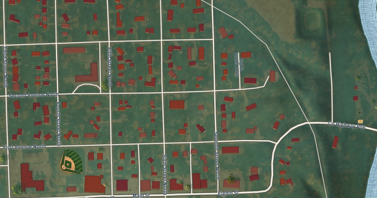
A detailed map of Dakota City, Iowa, showing every building in its true location, the roads by name, and shaded topographical relief.
Read More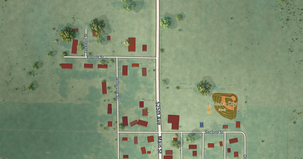
A detailed map of Cylinder, Iowa, showing every building in its true location, the roads by name, and shaded topographical relief.
Read More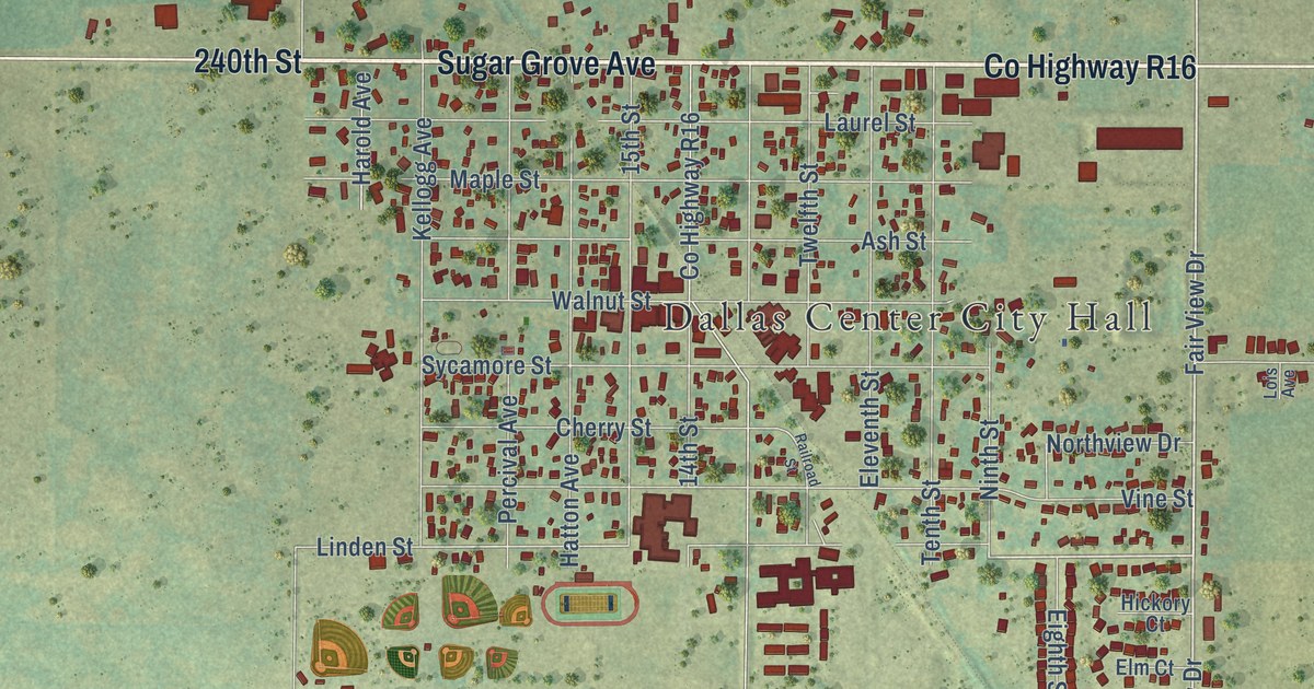
A detailed map of Dallas Center, Iowa, showing every building in its true location, the roads by name, and shaded topographical relief.
Read More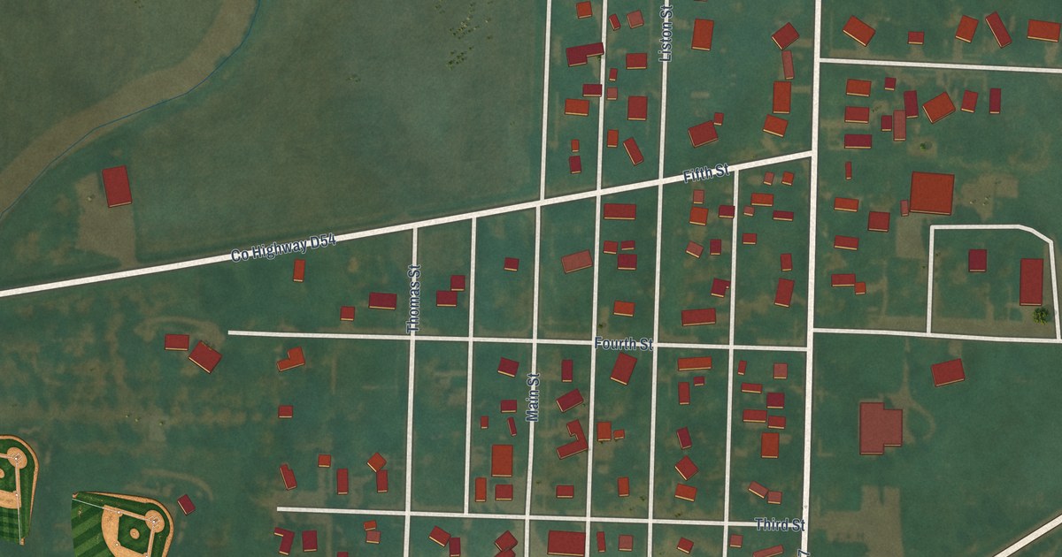
A detailed map of Danbury, Iowa, showing every building in its true location, the roads by name, and shaded topographical relief.
Read More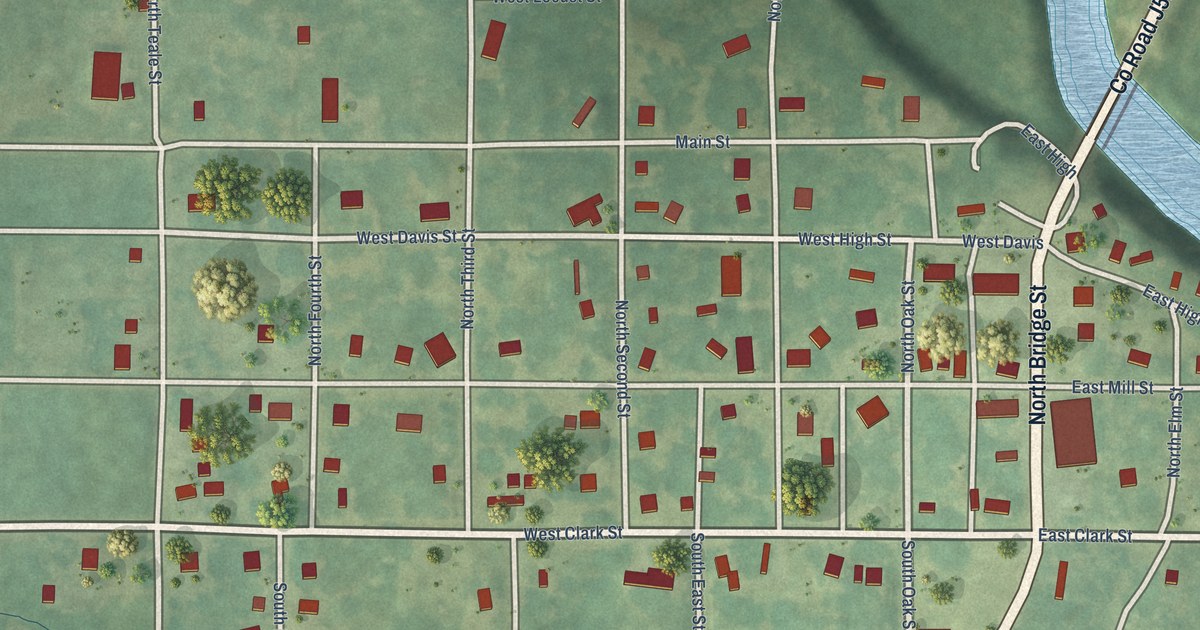
A detailed map of Davis City, Iowa, showing every building in its true location, the roads by name, and shaded topographical relief.
Read More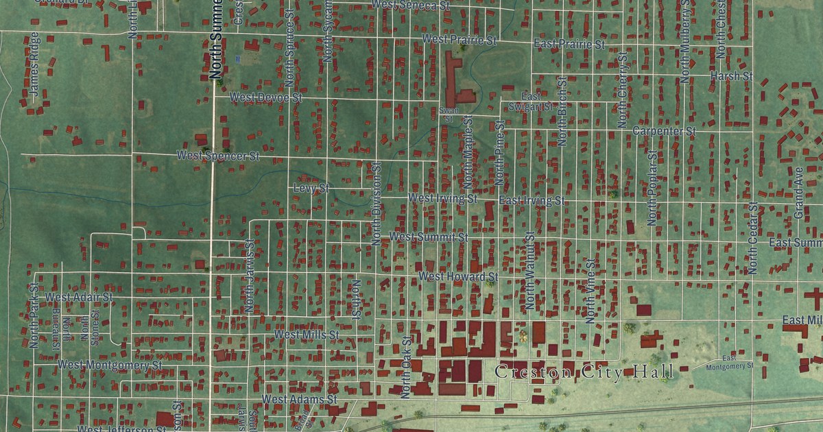
A detailed map of Creston, Iowa, showing every building in its true location, the roads by name, and shaded topographical relief.
Read More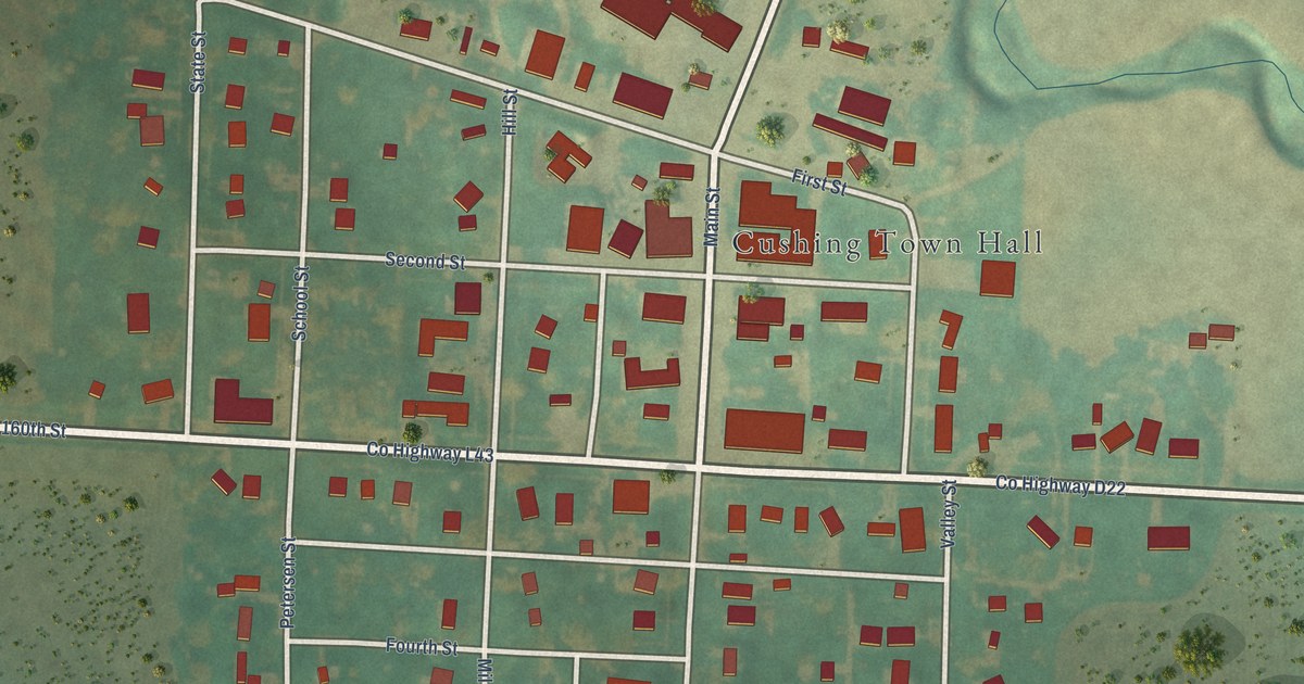
A detailed map of Cushing, Iowa, showing every building in its true location, the roads by name, and shaded topographical relief.
Read More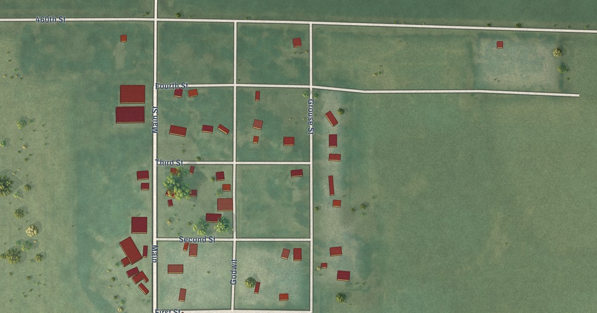
A detailed map of Curlew, Iowa, showing every building in its true location, the roads by name, and shaded topographical relief.
Read More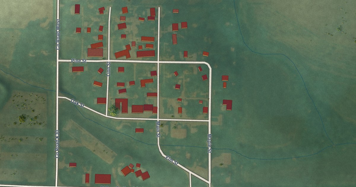
A detailed map of Craig, Iowa, showing every building in its true location, the roads by name, and shaded topographical relief.
Read More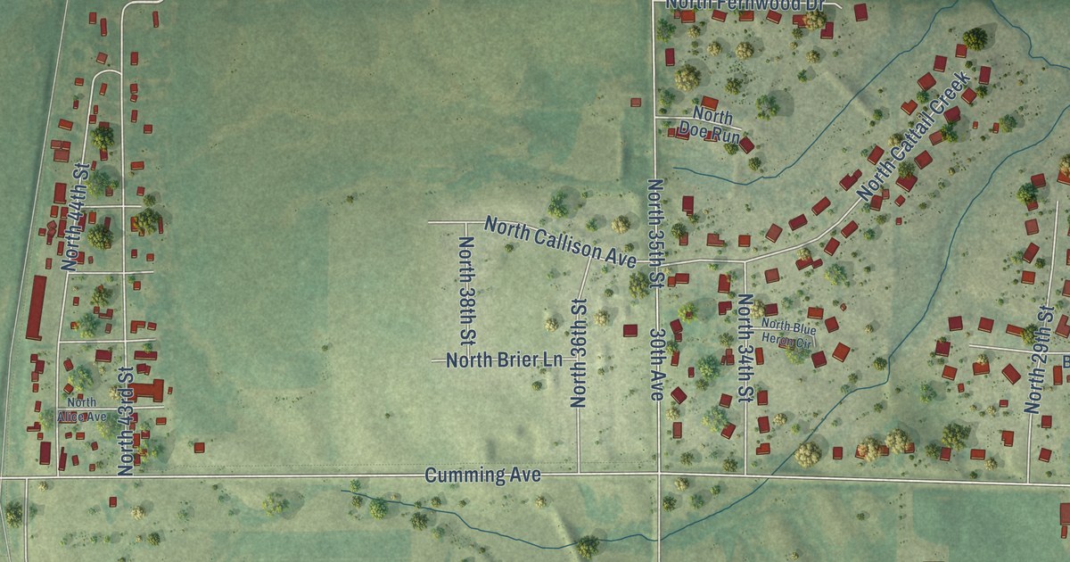
A detailed map of Cumming, Iowa, showing every building in its true location, the roads by name, and shaded topographical relief.
Read More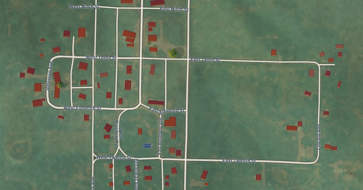
A detailed map of Cromwell, Iowa, showing every building in its true location, the roads by name, and shaded topographical relief.
Read More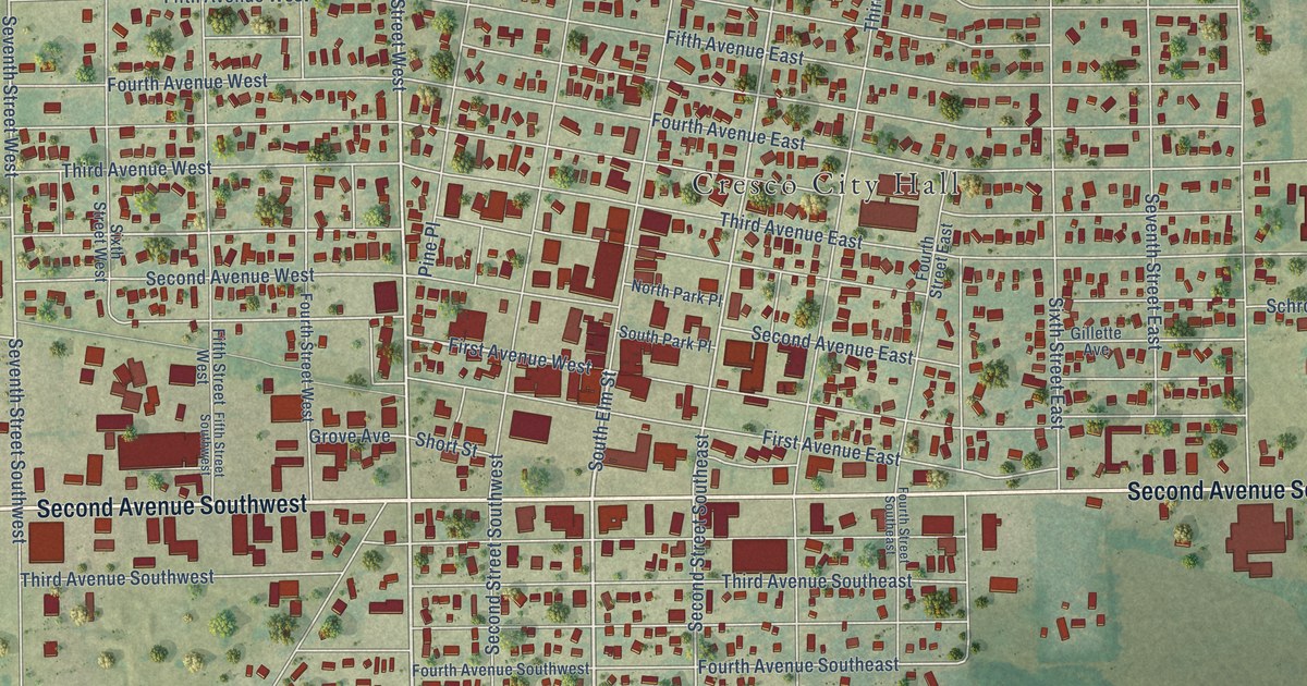
A detailed map of Cresco, Iowa, showing every building in its true location, the roads by name, and shaded topographical relief.
Read More















