Detailed Map of Council Bluffs, Iowa
A detailed map of Council Bluffs, Iowa, showing every building in its true location, the roads by name, and shaded topographical relief.
Read More
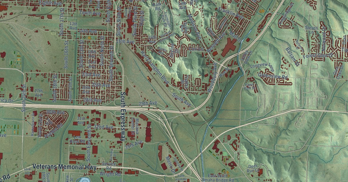
A detailed map of Council Bluffs, Iowa, showing every building in its true location, the roads by name, and shaded topographical relief.
Read More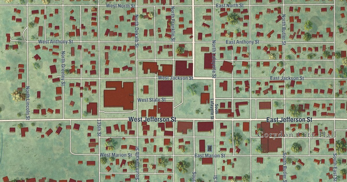
A detailed map of Corydon, Iowa, showing every building in its true location, the roads by name, and shaded topographical relief.
Read More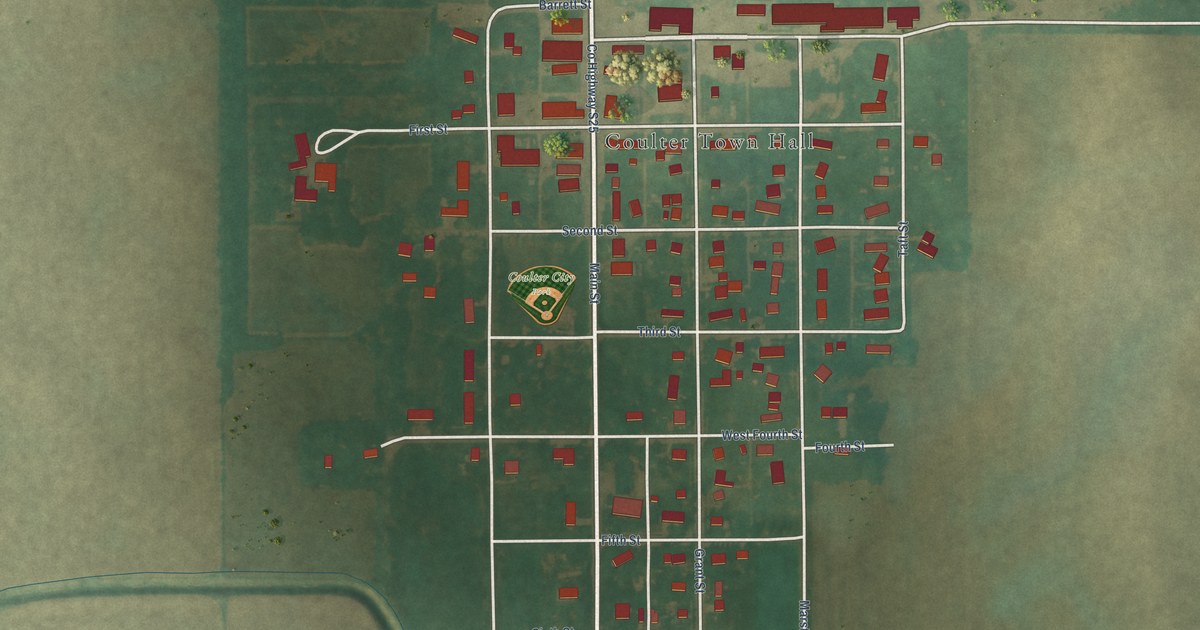
A detailed map of Coulter, Iowa, showing every building in its true location, the roads by name, and shaded topographical relief.
Read More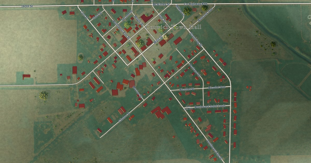
A detailed map of Corwith, Iowa, showing every building in its true location, the roads by name, and shaded topographical relief.
Read More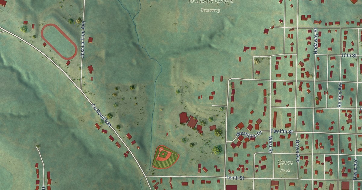
A detailed map of Corning, Iowa, showing every building in its true location, the roads by name, and shaded topographical relief.
Read More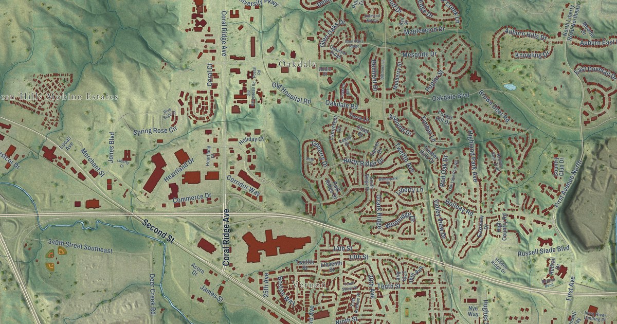
A detailed map of Coralville, Iowa, showing every building in its true location, the roads by name, and shaded topographical relief.
Read More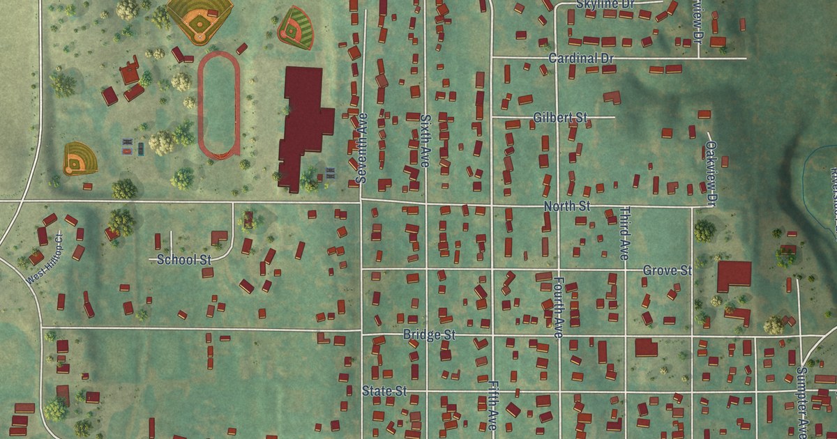
A detailed map of Coon Rapids, Iowa, showing every building in its true location, the roads by name, and shaded topographical relief.
Read More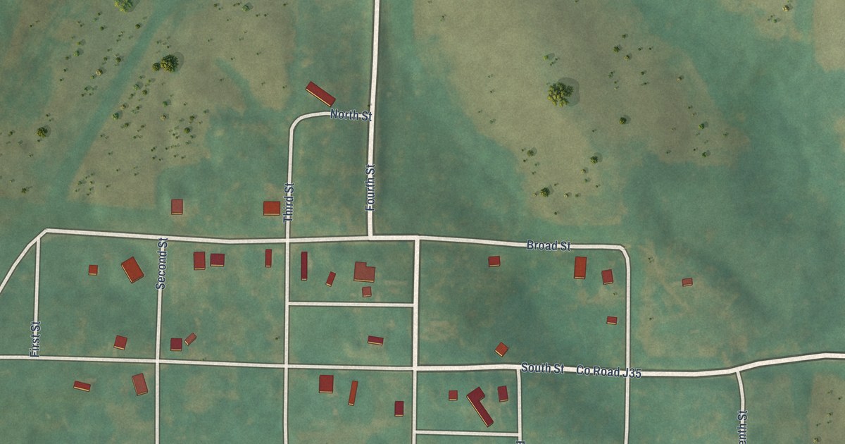
A detailed map of Conway, Iowa, showing every building in its true location, the roads by name, and shaded topographical relief.
Read More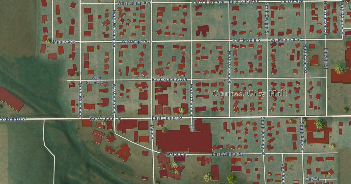
A detailed map of Conrad, Iowa, showing every building in its true location, the roads by name, and shaded topographical relief.
Read More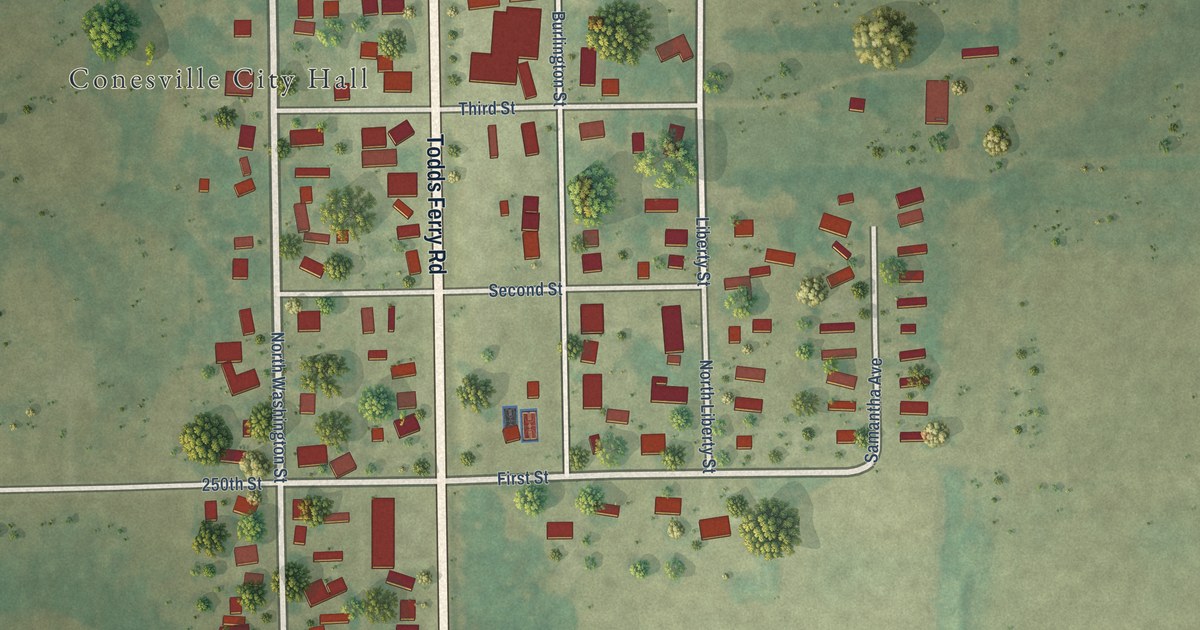
A detailed map of Conesville, Iowa, showing every building in its true location, the roads by name, and shaded topographical relief.
Read More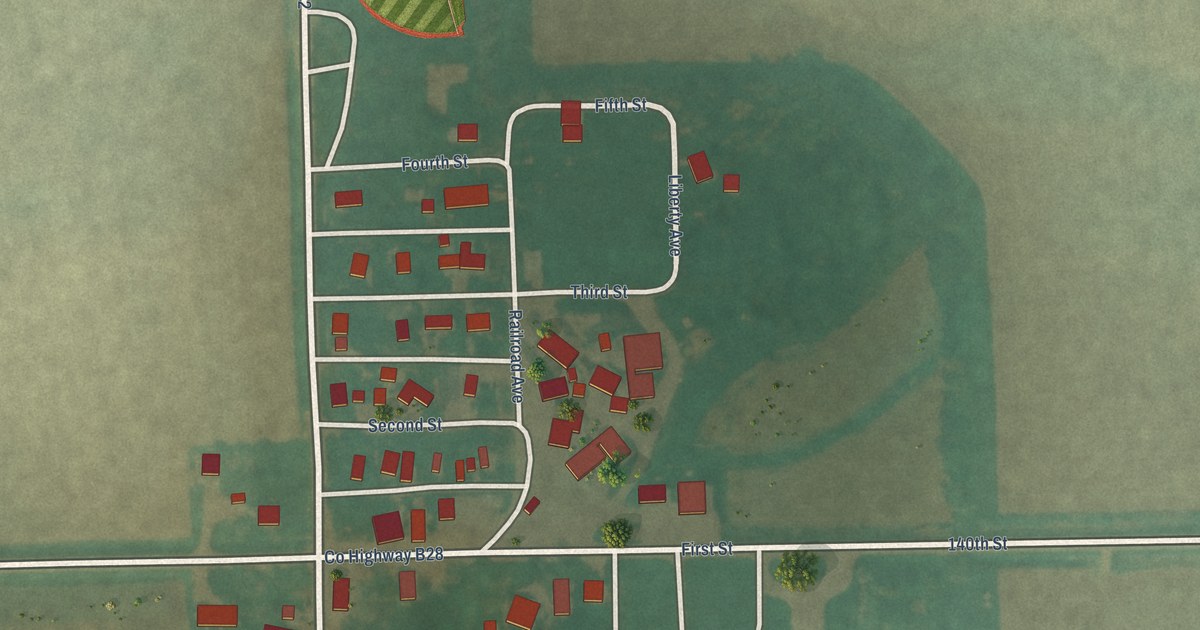
A detailed map of Colwell, Iowa, showing every building in its true location, the roads by name, and shaded topographical relief.
Read More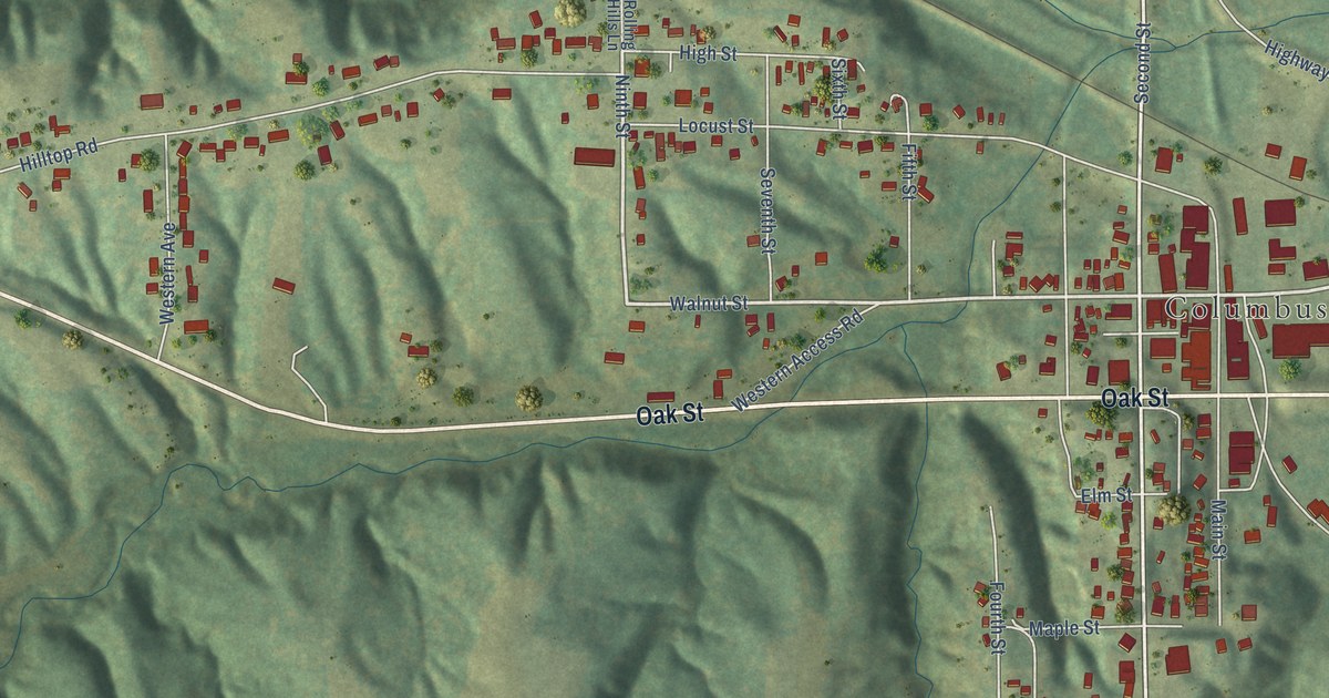
A detailed map of Columbus Junction, Iowa, showing every building in its true location, the roads by name, and shaded topographical relief.
Read More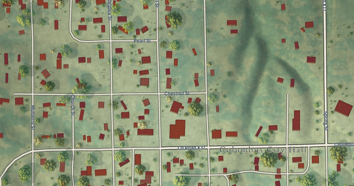
A detailed map of Columbus City, Iowa, showing every building in its true location, the roads by name, and shaded topographical relief.
Read More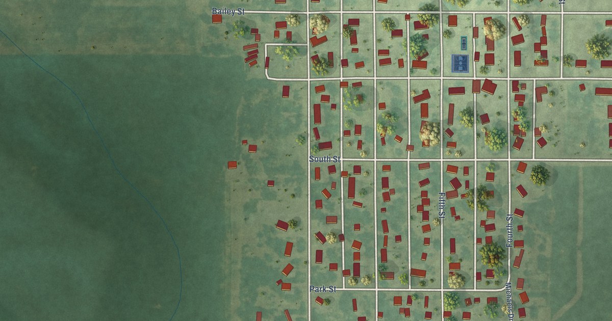
A detailed map of Colo, Iowa, showing every building in its true location, the roads by name, and shaded topographical relief.
Read More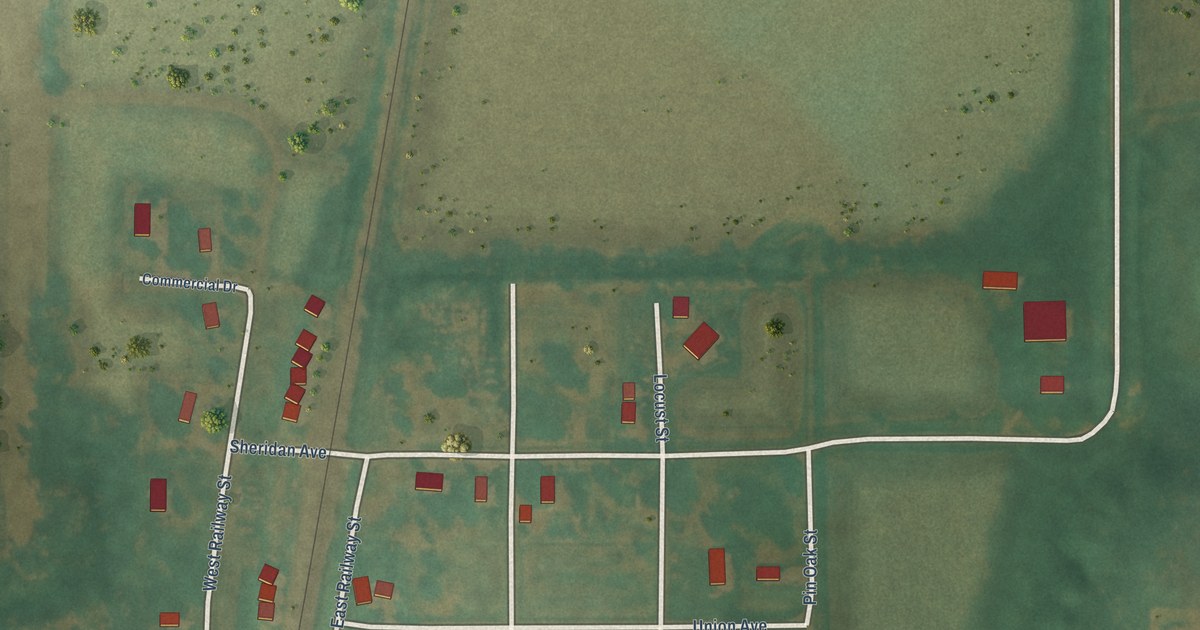
A detailed map of Coburg, Iowa, showing every building in its true location, the roads by name, and shaded topographical relief.
Read More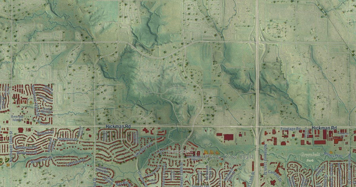
A detailed map of Clive, Iowa, showing every building in its true location, the roads by name, and shaded topographical relief.
Read More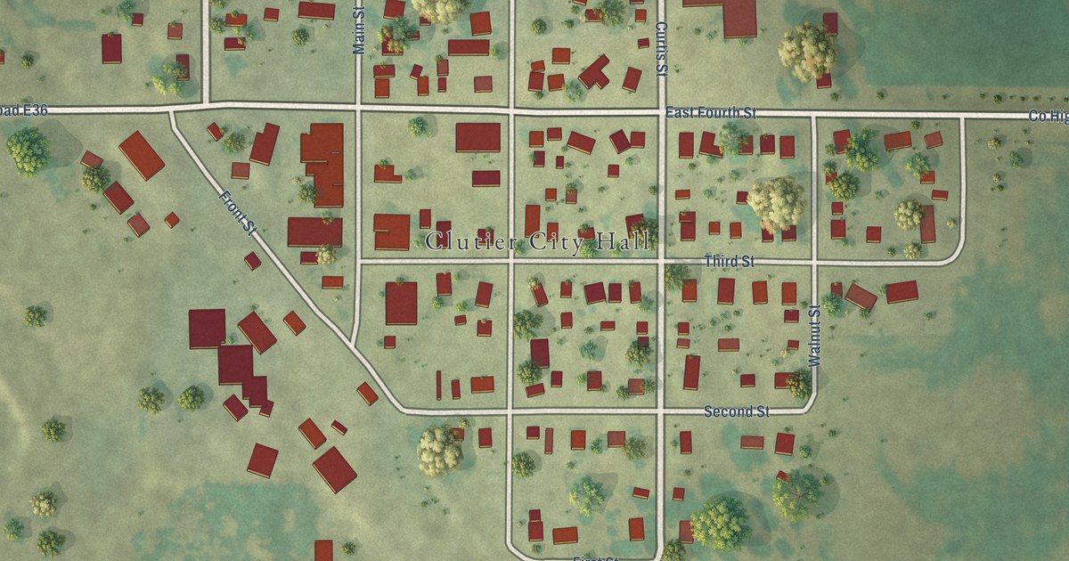
A detailed map of Clutier, Iowa, showing every building in its true location, the roads by name, and shaded topographical relief.
Read More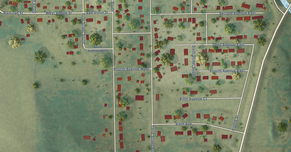
A detailed map of Coggon, Iowa, showing every building in its true location, the roads by name, and shaded topographical relief.
Read More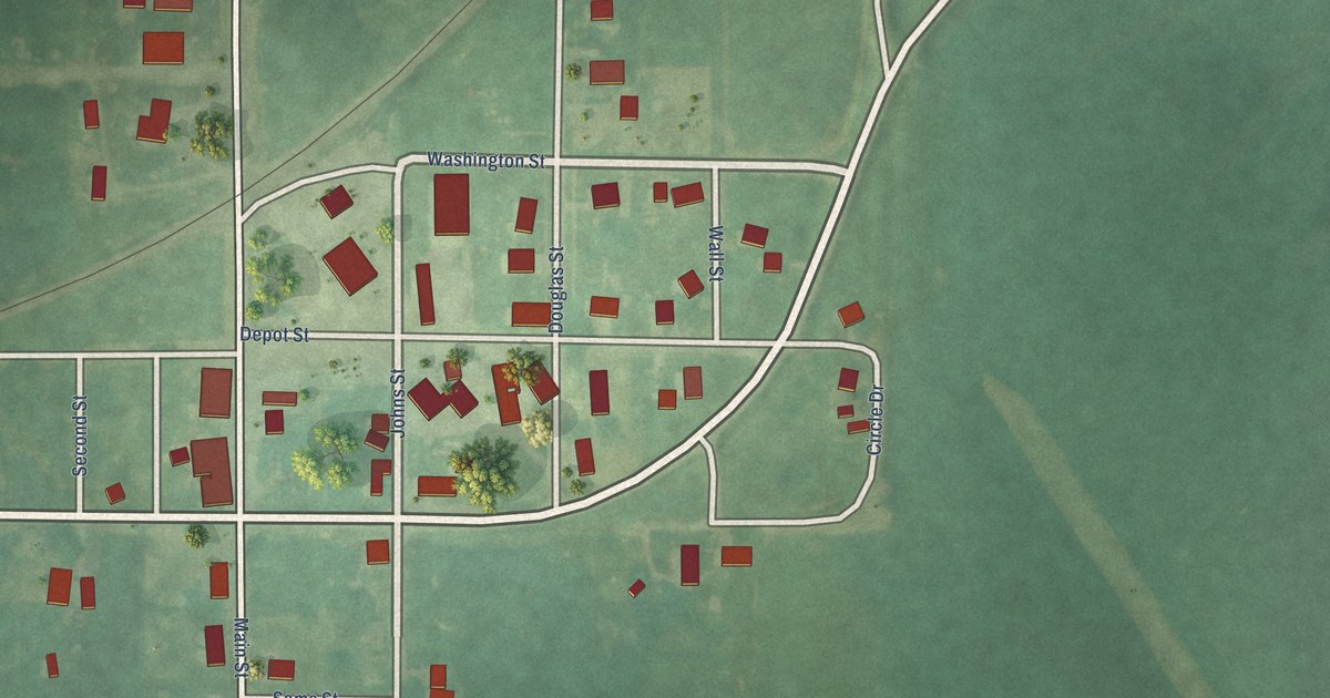
A detailed map of Clio, Iowa, showing every building in its true location, the roads by name, and shaded topographical relief.
Read More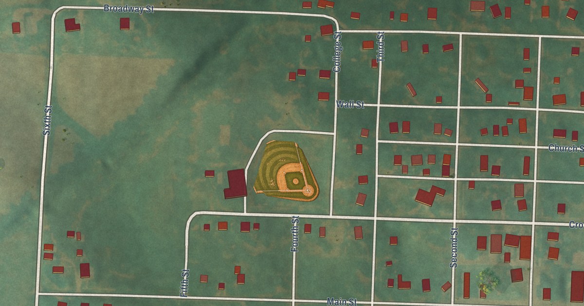
A detailed map of Coin, Iowa, showing every building in its true location, the roads by name, and shaded topographical relief.
Read More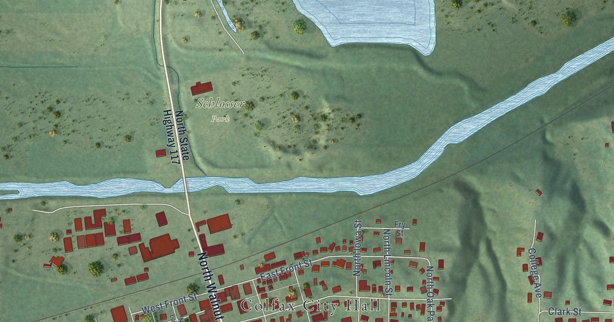
A detailed map of Colfax, Iowa, showing every building in its true location, the roads by name, and shaded topographical relief.
Read More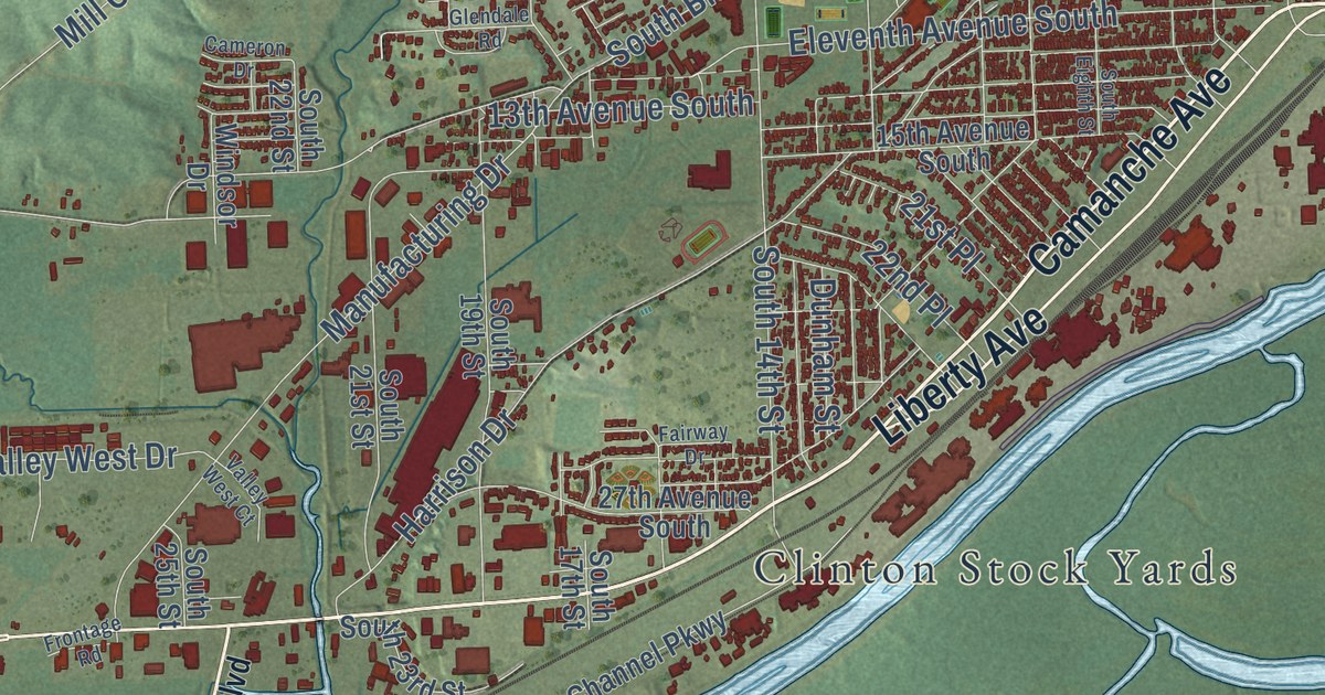
A detailed map of Clinton, Iowa, showing every building in its true location, the roads by name, and shaded topographical relief.
Read More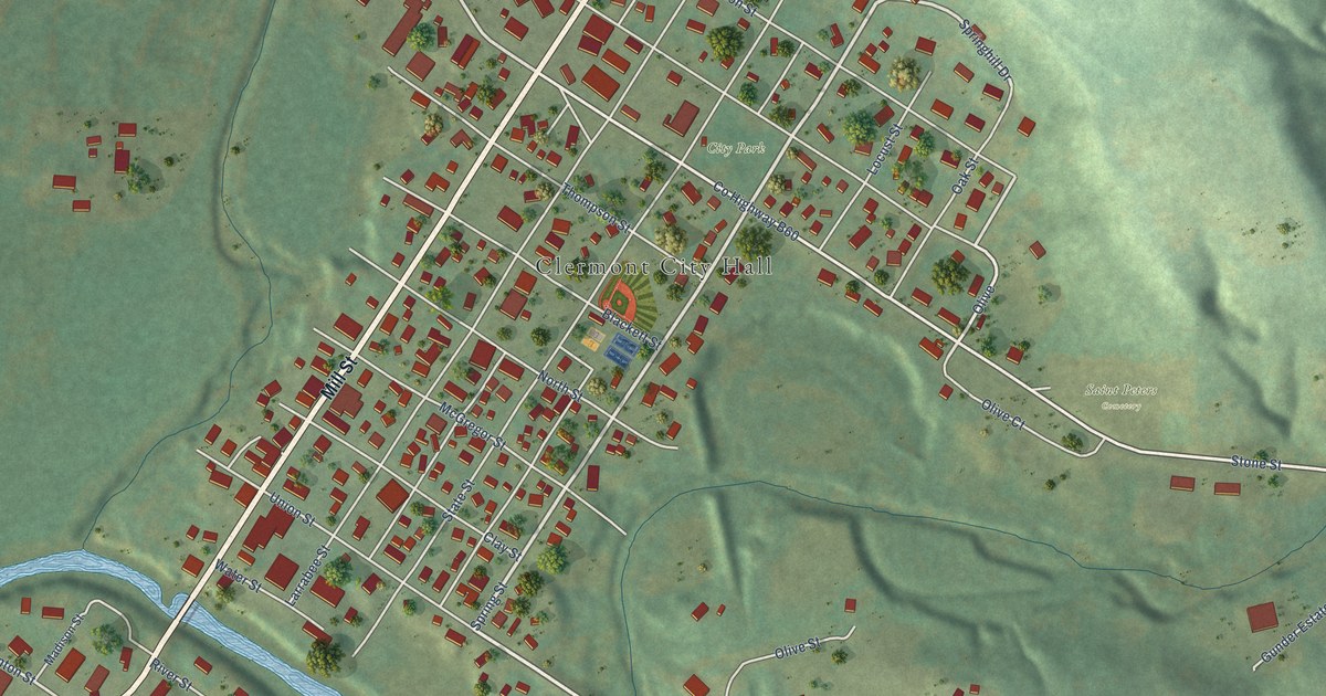
A detailed map of Clermont, Iowa, showing every building in its true location, the roads by name, and shaded topographical relief.
Read More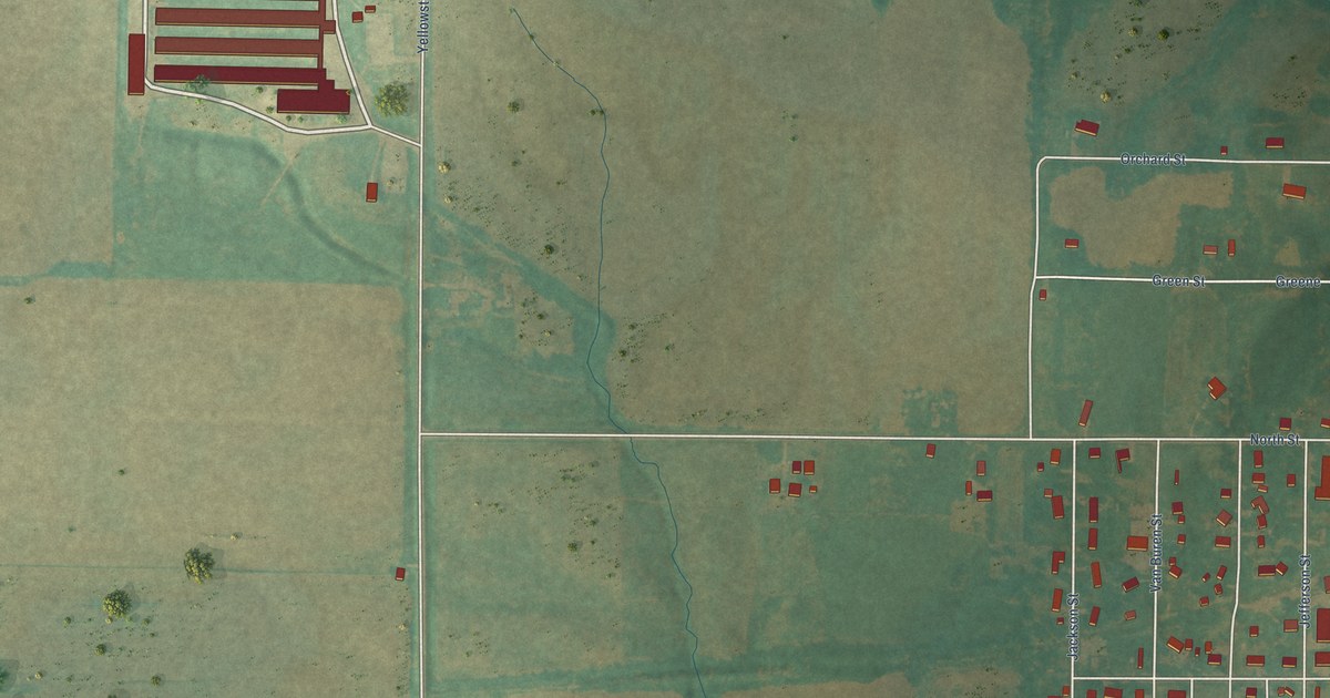
A detailed map of Clearfield, Iowa, showing every building in its true location, the roads by name, and shaded topographical relief.
Read More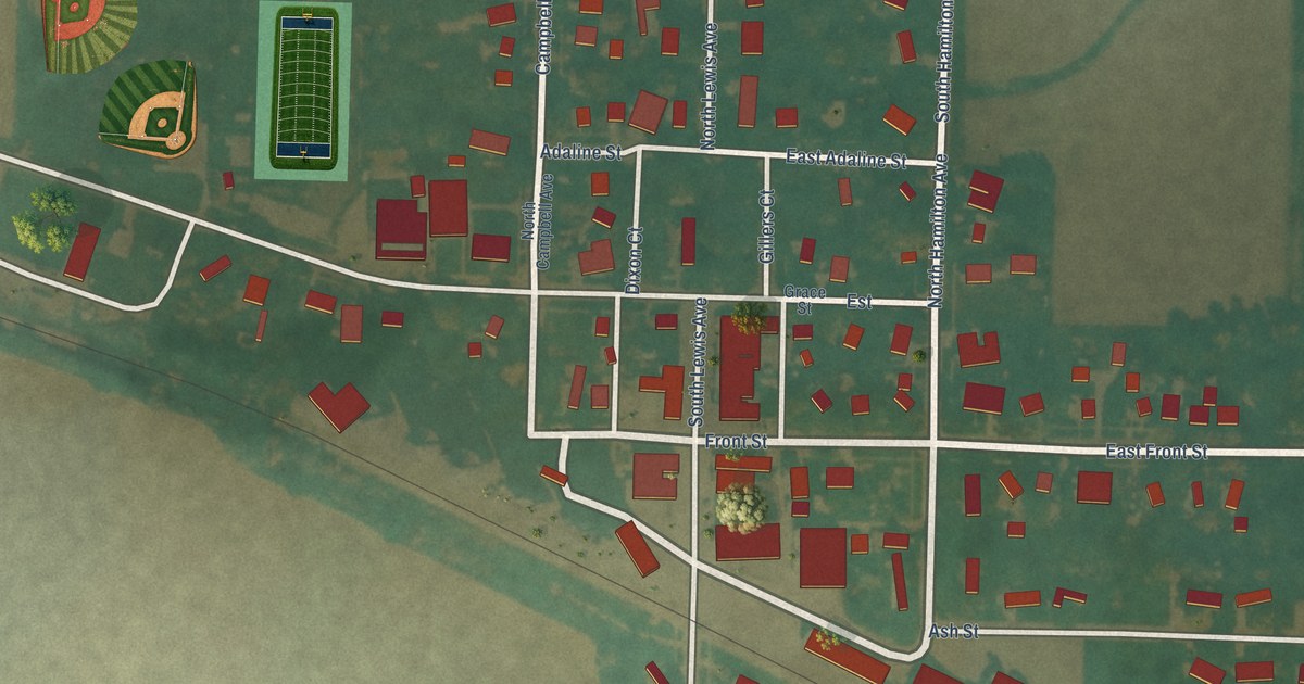
A detailed map of Cleghorn, Iowa, showing every building in its true location, the roads by name, and shaded topographical relief.
Read More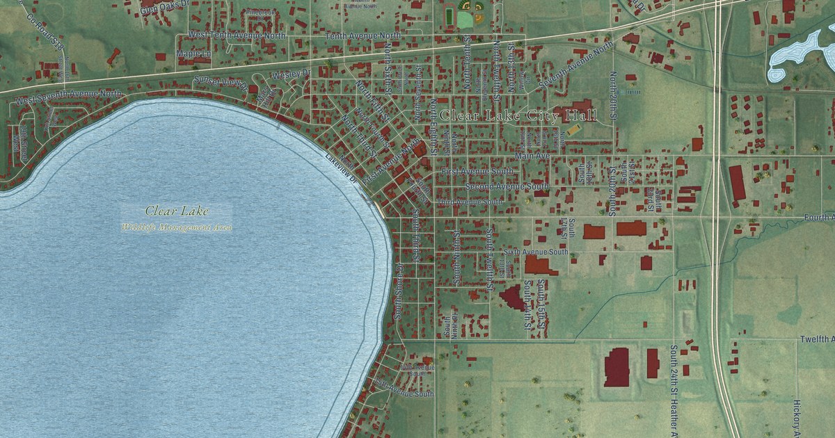
A detailed map of Clear Lake, Iowa, showing every building in its true location, the roads by name, and shaded topographical relief.
Read More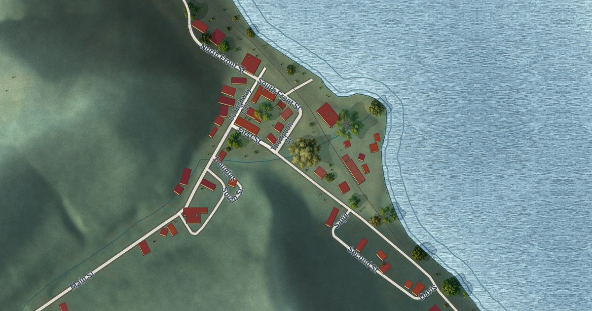
A detailed map of Clayton, Iowa, showing every building in its true location, the roads by name, and shaded topographical relief.
Read More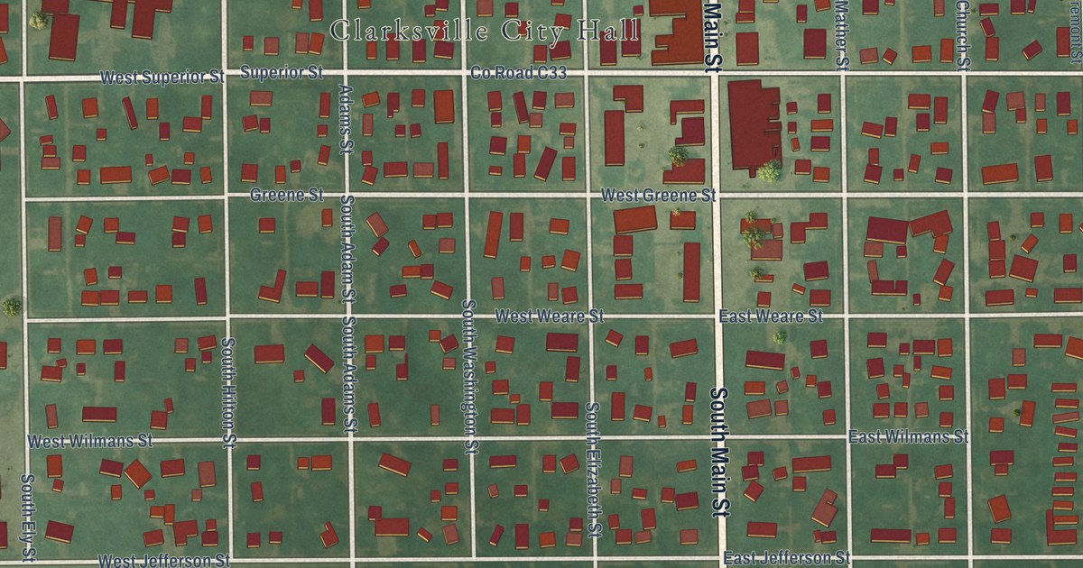
A detailed map of Clarksville, Iowa, showing every building in its true location, the roads by name, and shaded topographical relief.
Read More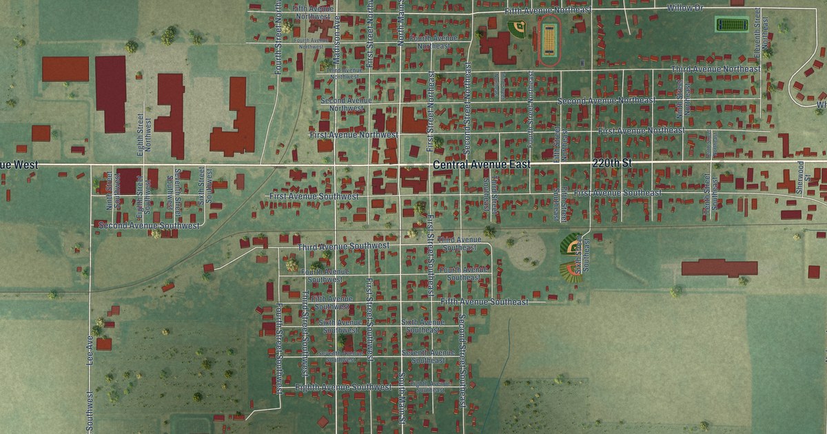
A detailed map of Clarion, Iowa, showing every building in its true location, the roads by name, and shaded topographical relief.
Read More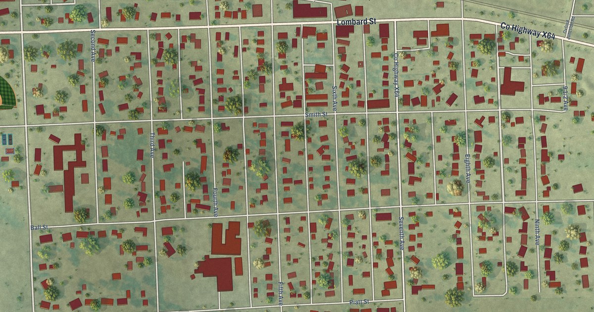
A detailed map of Clarence, Iowa, showing every building in its true location, the roads by name, and shaded topographical relief.
Read More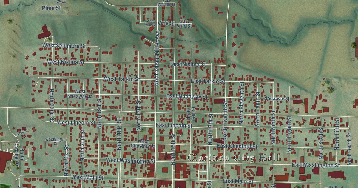
A detailed map of Clarinda, Iowa, showing every building in its true location, the roads by name, and shaded topographical relief.
Read More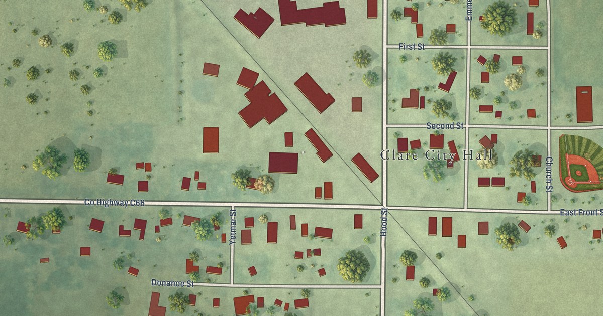
A detailed map of Clare, Iowa, showing every building in its true location, the roads by name, and shaded topographical relief.
Read More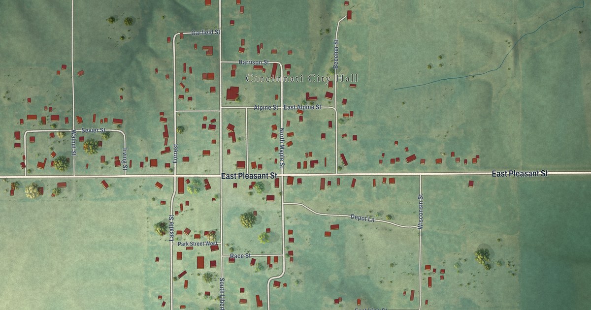
A detailed map of Cincinnati, Iowa, showing every building in its true location, the roads by name, and shaded topographical relief.
Read More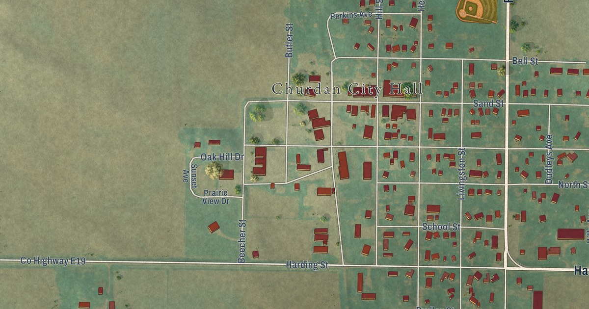
A detailed map of Churdan, Iowa, showing every building in its true location, the roads by name, and shaded topographical relief.
Read More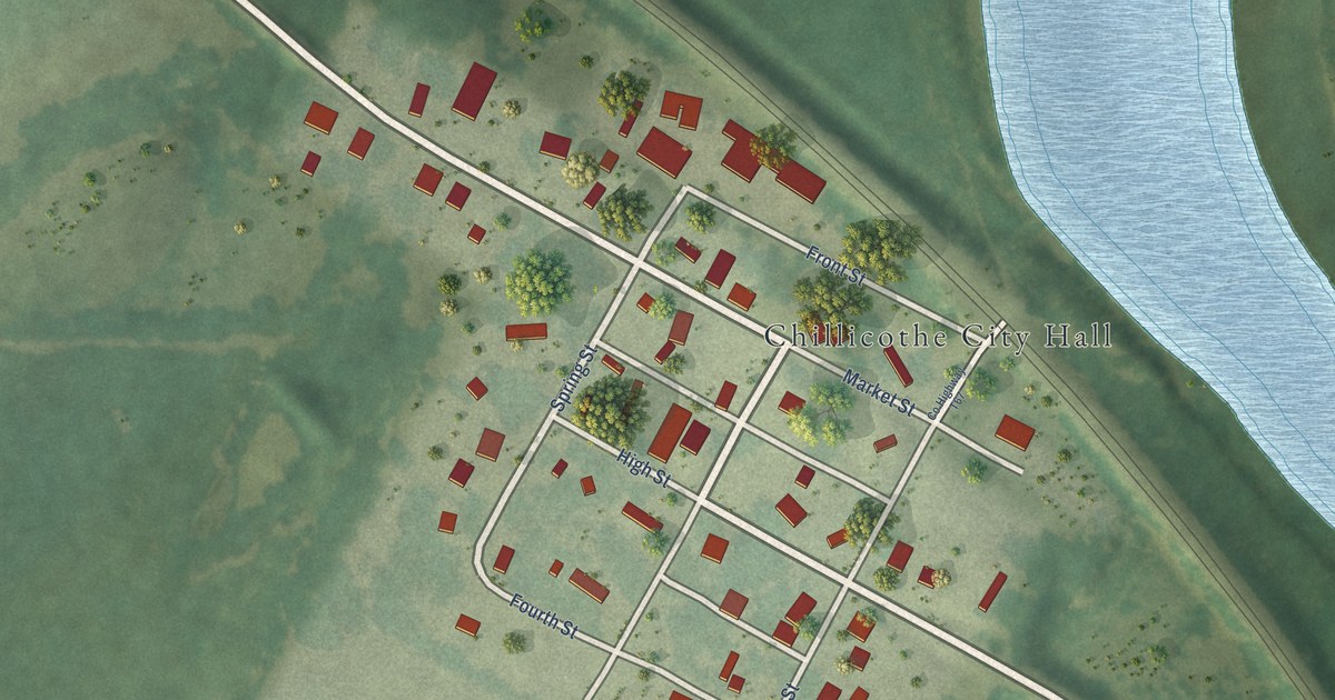
A detailed map of Chillicothe, Iowa, showing every building in its true location, the roads by name, and shaded topographical relief.
Read More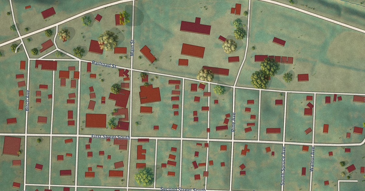
A detailed map of Charter Oak, Iowa, showing every building in its true location, the roads by name, and shaded topographical relief.
Read More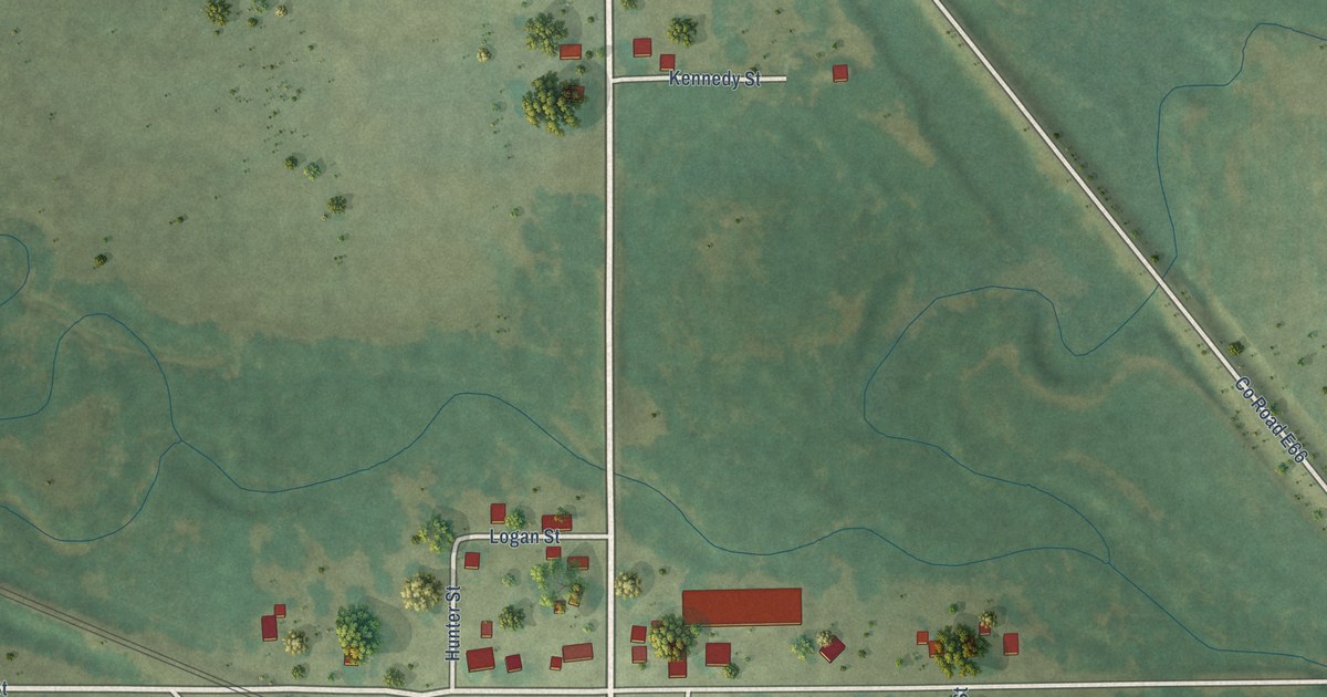
A detailed map of Chelsea, Iowa, showing every building in its true location, the roads by name, and shaded topographical relief.
Read More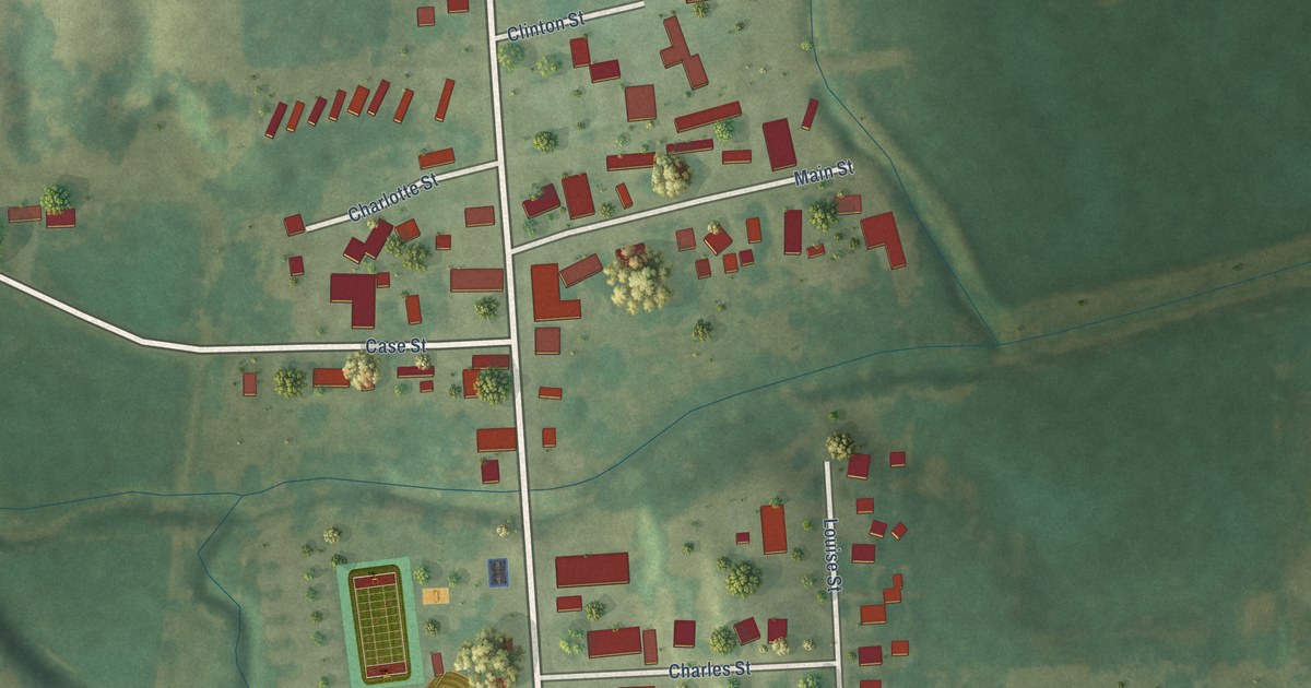
A detailed map of Charlotte, Iowa, showing every building in its true location, the roads by name, and shaded topographical relief.
Read More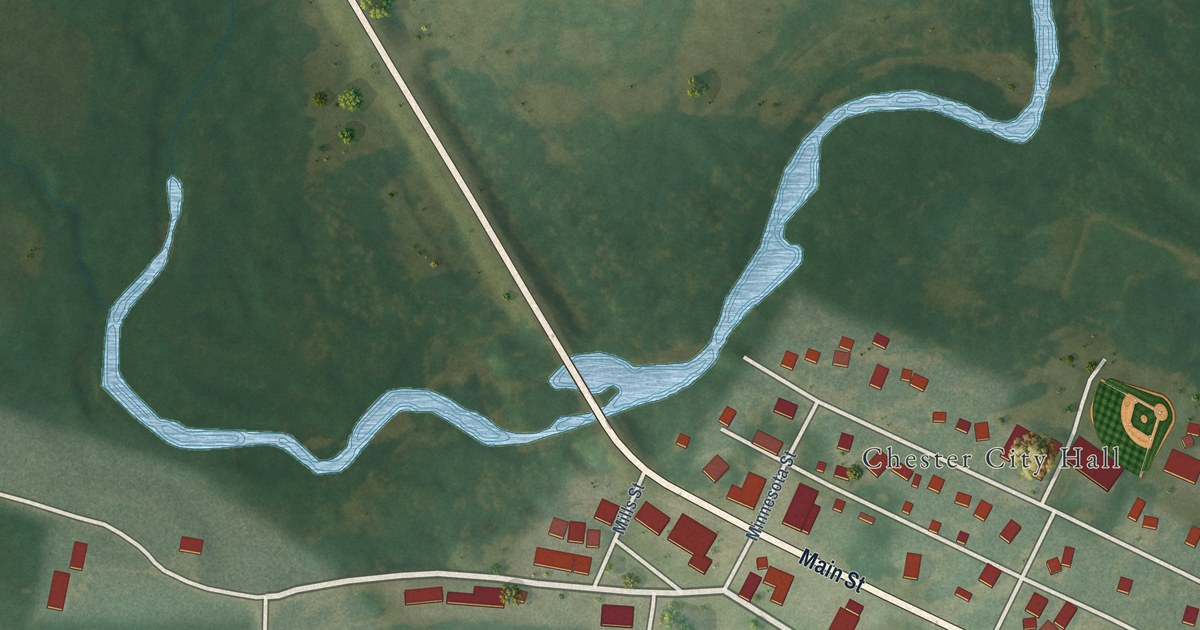
A detailed map of Chester, Iowa, showing every building in its true location, the roads by name, and shaded topographical relief.
Read More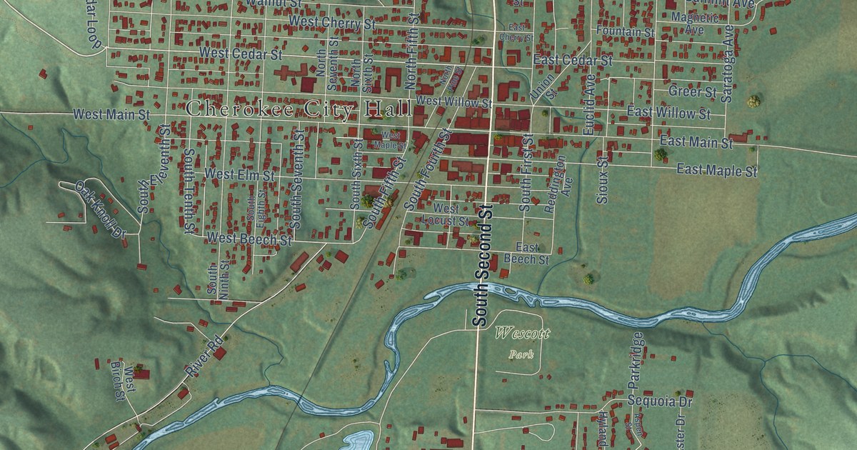
A detailed map of Cherokee, Iowa, showing every building in its true location, the roads by name, and shaded topographical relief.
Read More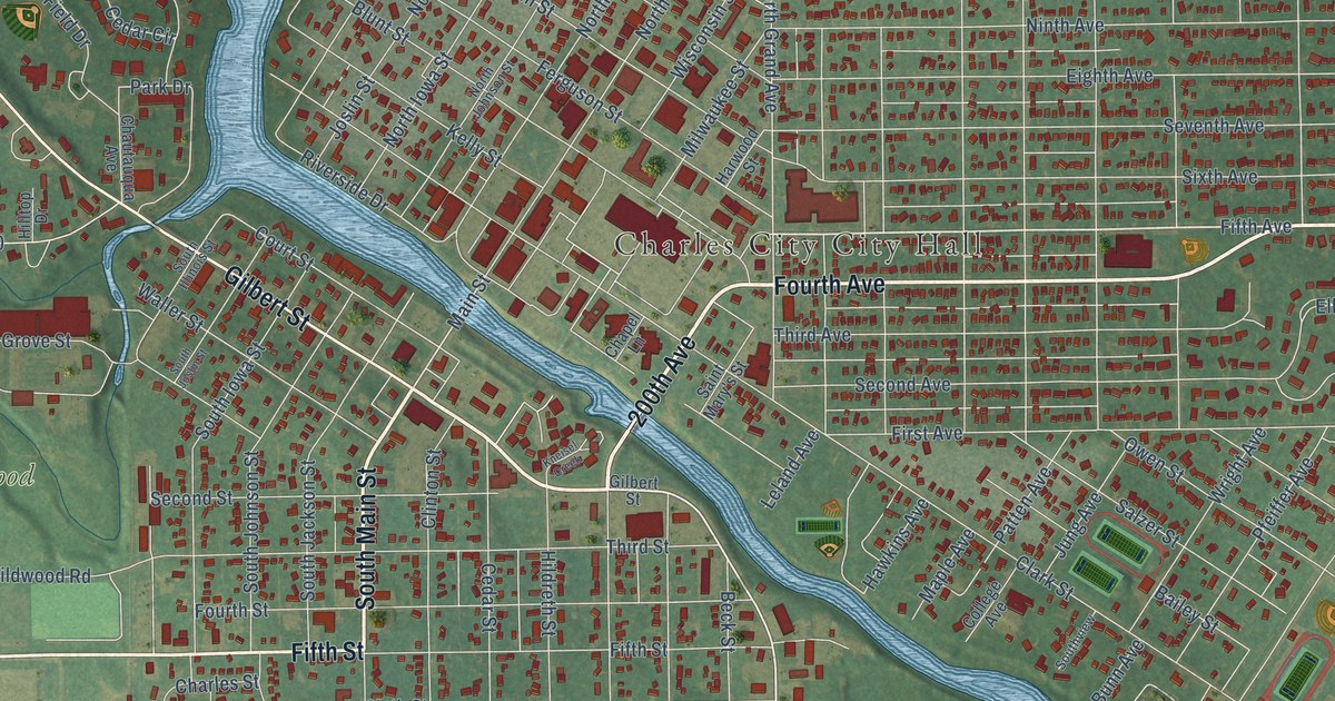
A detailed map of Charles City, Iowa, showing every building in its true location, the roads by name, and shaded topographical relief.
Read More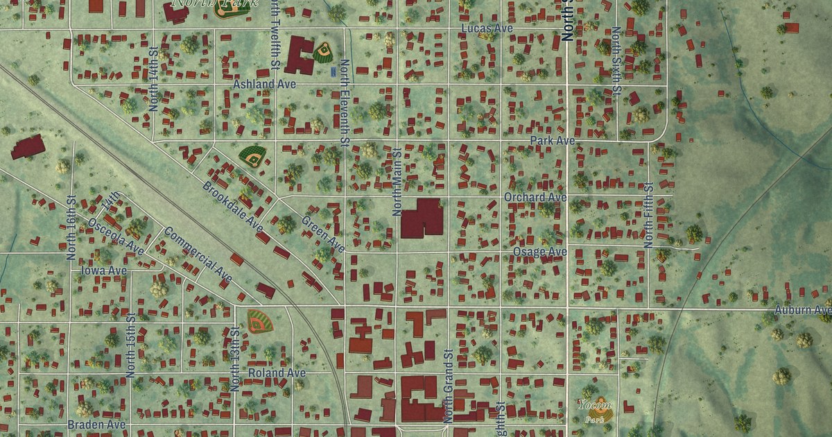
A detailed map of Chariton, Iowa, showing every building in its true location, the roads by name, and shaded topographical relief.
Read More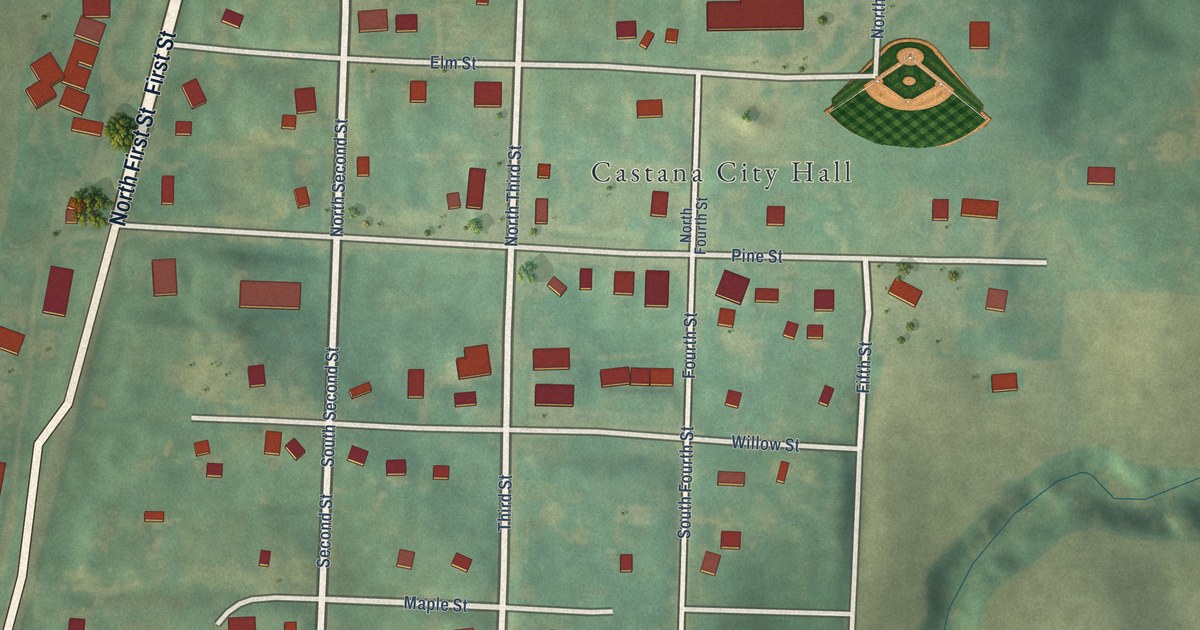
A detailed map of Castana, Iowa, showing every building in its true location, the roads by name, and shaded topographical relief.
Read More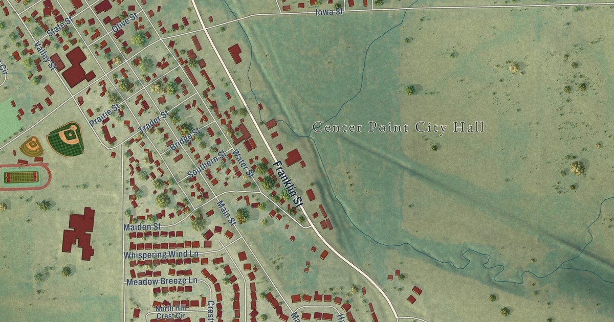
A detailed map of Center Point, Iowa, showing every building in its true location, the roads by name, and shaded topographical relief.
Read More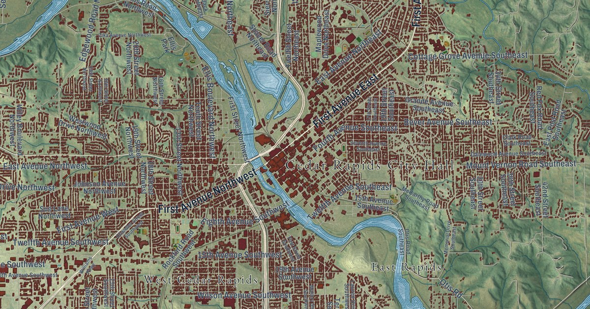
A detailed map of Cedar Rapids, Iowa, showing every building in its true location, the roads by name, and shaded topographical relief.
Read More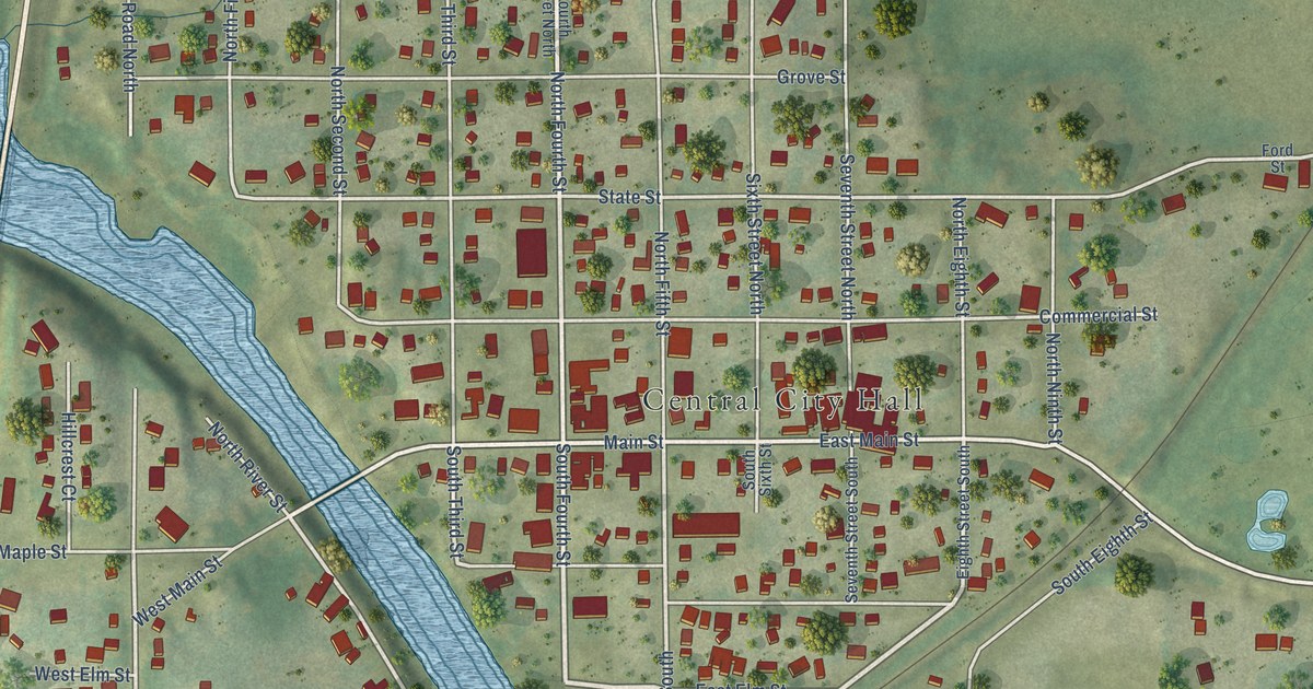
A detailed map of Central City, Iowa, showing every building in its true location, the roads by name, and shaded topographical relief.
Read More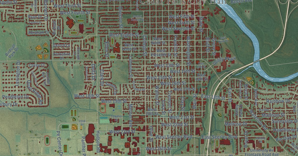
A detailed map of Cedar Falls, Iowa, showing every building in its true location, the roads by name, and shaded topographical relief.
Read More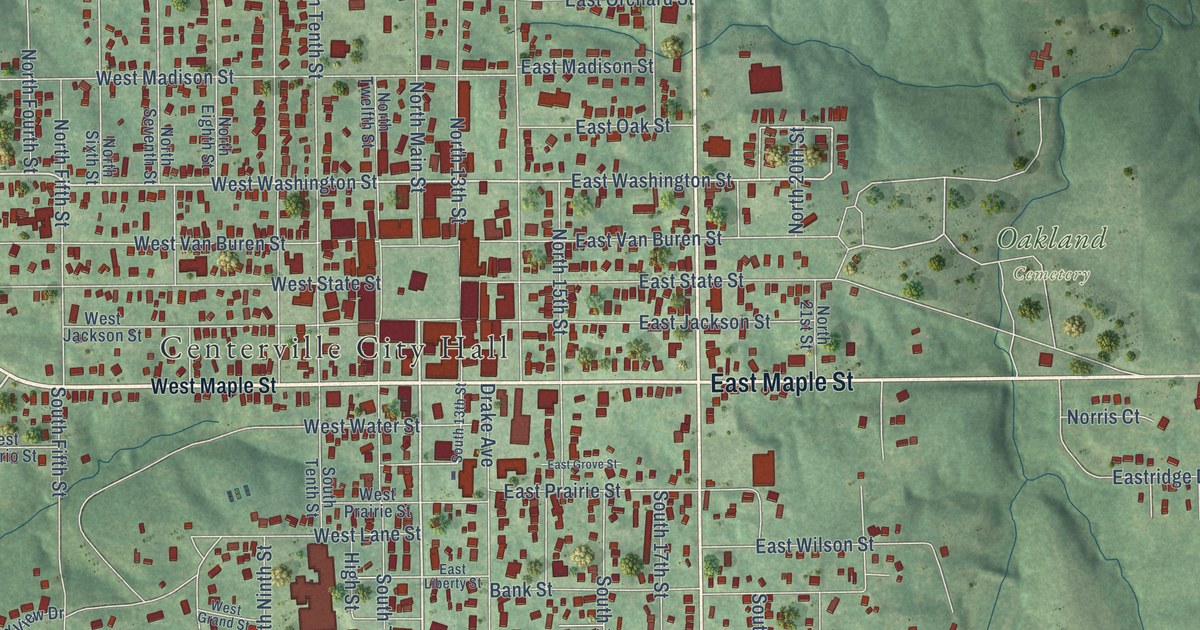
A detailed map of Centerville, Iowa, showing every building in its true location, the roads by name, and shaded topographical relief.
Read More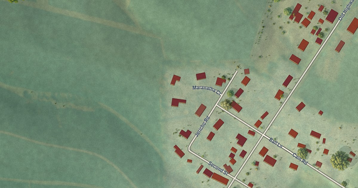
A detailed map of Centralia, Iowa, showing every building in its true location, the roads by name, and shaded topographical relief.
Read More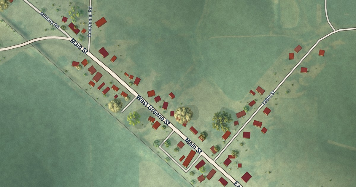
A detailed map of Castalia, Iowa, showing every building in its true location, the roads by name, and shaded topographical relief.
Read More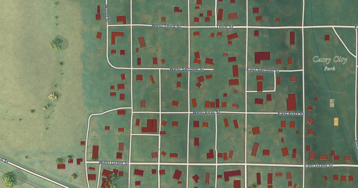
A detailed map of Casey, Iowa, showing every building in its true location, the roads by name, and shaded topographical relief.
Read More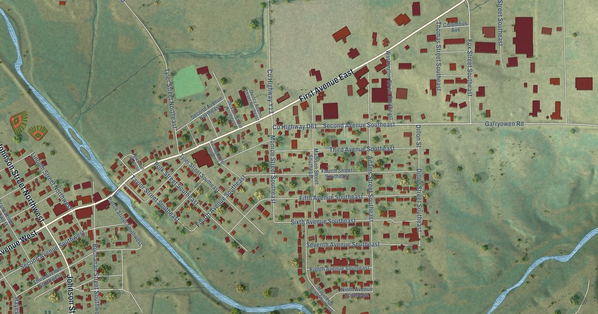
A detailed map of Cascade, Iowa, showing every building in its true location, the roads by name, and shaded topographical relief.
Read More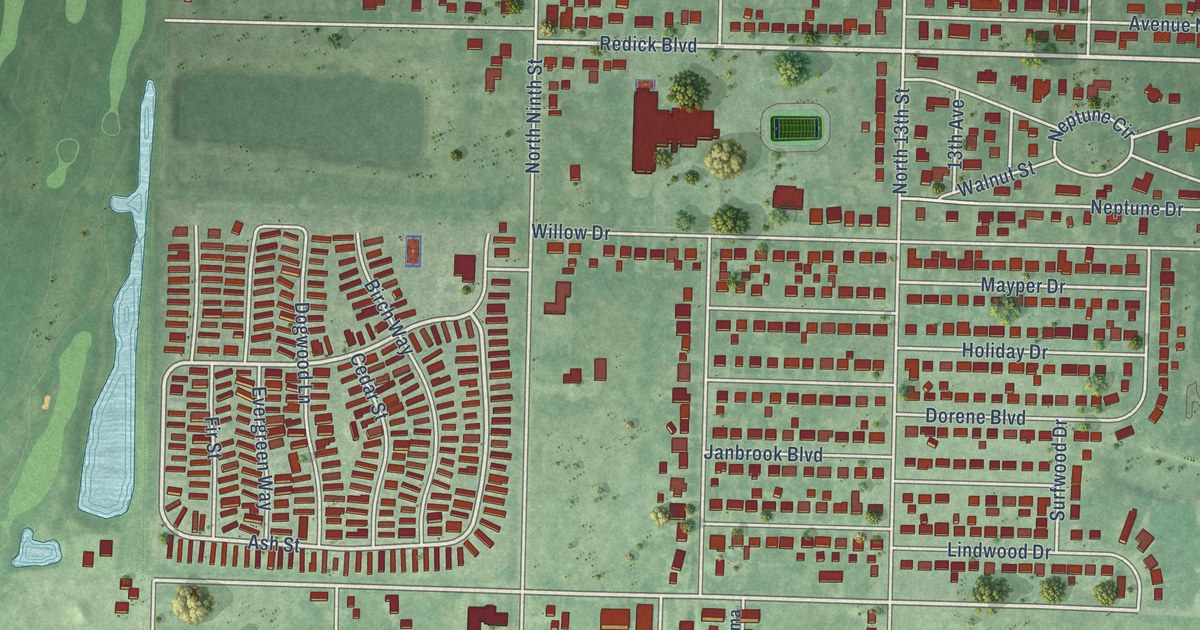
A detailed map of Carter Lake, Iowa, showing every building in its true location, the roads by name, and shaded topographical relief.
Read More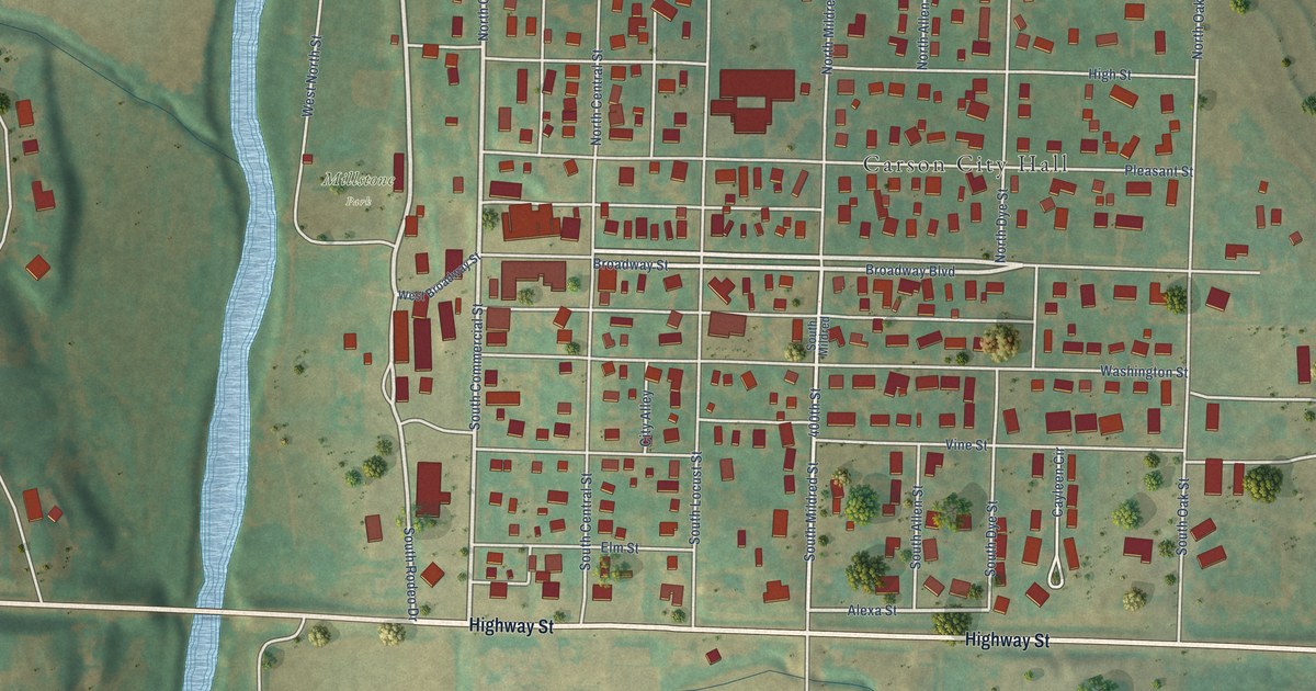
A detailed map of Carson, Iowa, showing every building in its true location, the roads by name, and shaded topographical relief.
Read More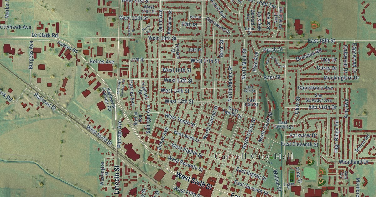
A detailed map of Carroll, Iowa, showing every building in its true location, the roads by name, and shaded topographical relief.
Read More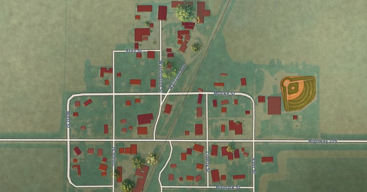
A detailed map of Carpenter, Iowa, showing every building in its true location, the roads by name, and shaded topographical relief.
Read More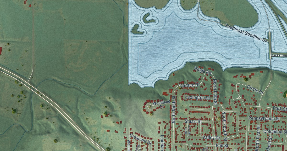
A detailed map of Carlisle, Iowa, showing every building in its true location, the roads by name, and shaded topographical relief.
Read More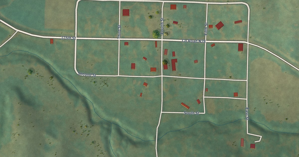
A detailed map of Carbon, Iowa, showing every building in its true location, the roads by name, and shaded topographical relief.
Read More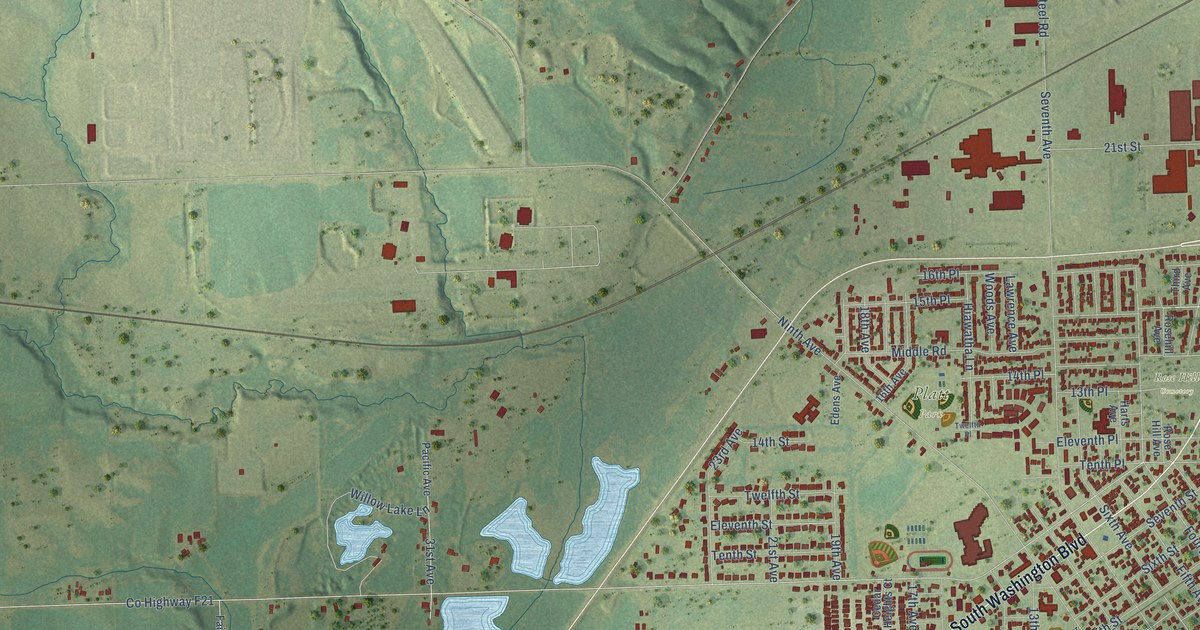
A detailed map of Camanche, Iowa, showing every building in its true location, the roads by name, and shaded topographical relief.
Read More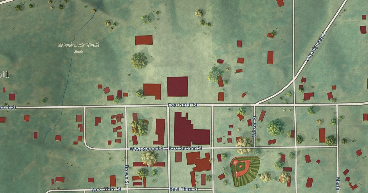
A detailed map of Cantril, Iowa, showing every building in its true location, the roads by name, and shaded topographical relief.
Read More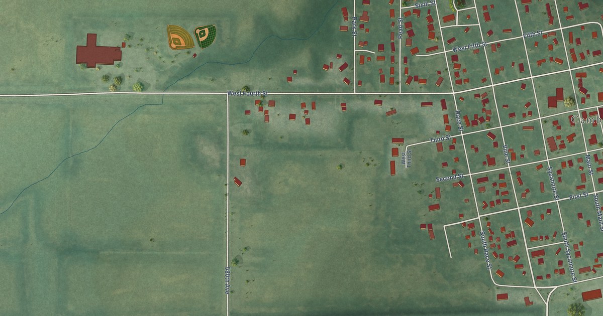
A detailed map of Cambridge, Iowa, showing every building in its true location, the roads by name, and shaded topographical relief.
Read More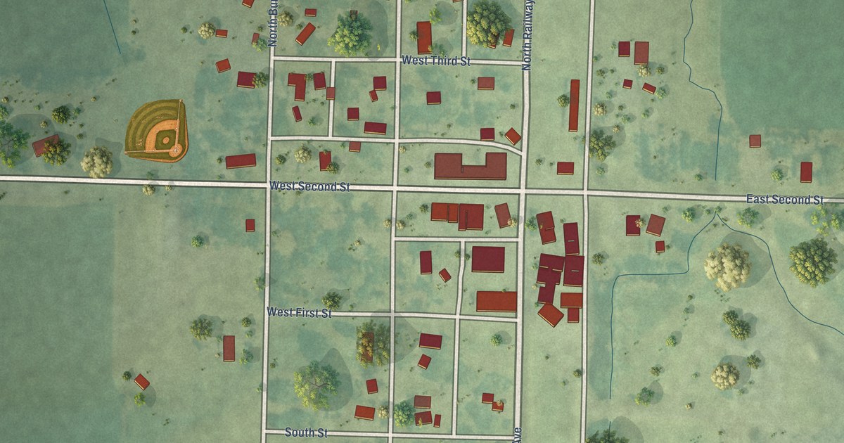
A detailed map of Calumet, Iowa, showing every building in its true location, the roads by name, and shaded topographical relief.
Read More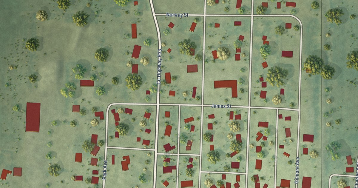
A detailed map of Callender, Iowa, showing every building in its true location, the roads by name, and shaded topographical relief.
Read More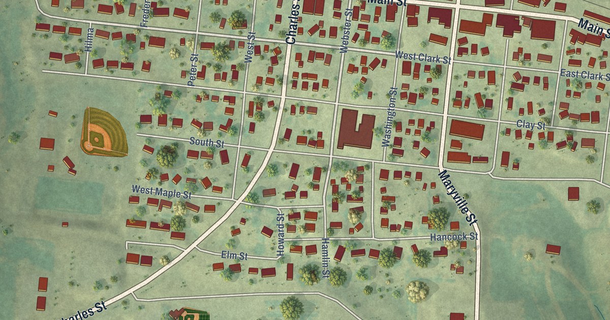
A detailed map of Calmar, Iowa, showing every building in its true location, the roads by name, and shaded topographical relief.
Read More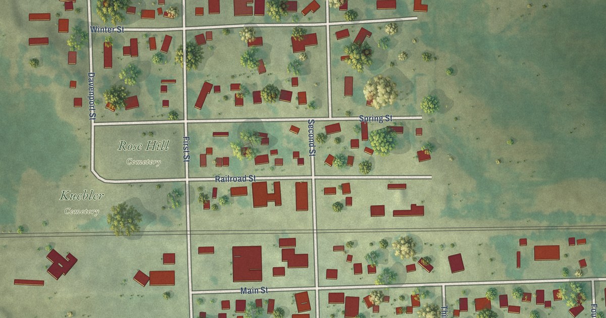
A detailed map of Calamus, Iowa, showing every building in its true location, the roads by name, and shaded topographical relief.
Read More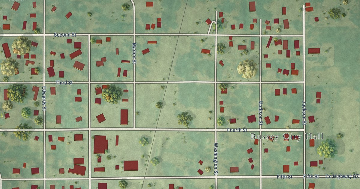
A detailed map of Bussey, Iowa, showing every building in its true location, the roads by name, and shaded topographical relief.
Read More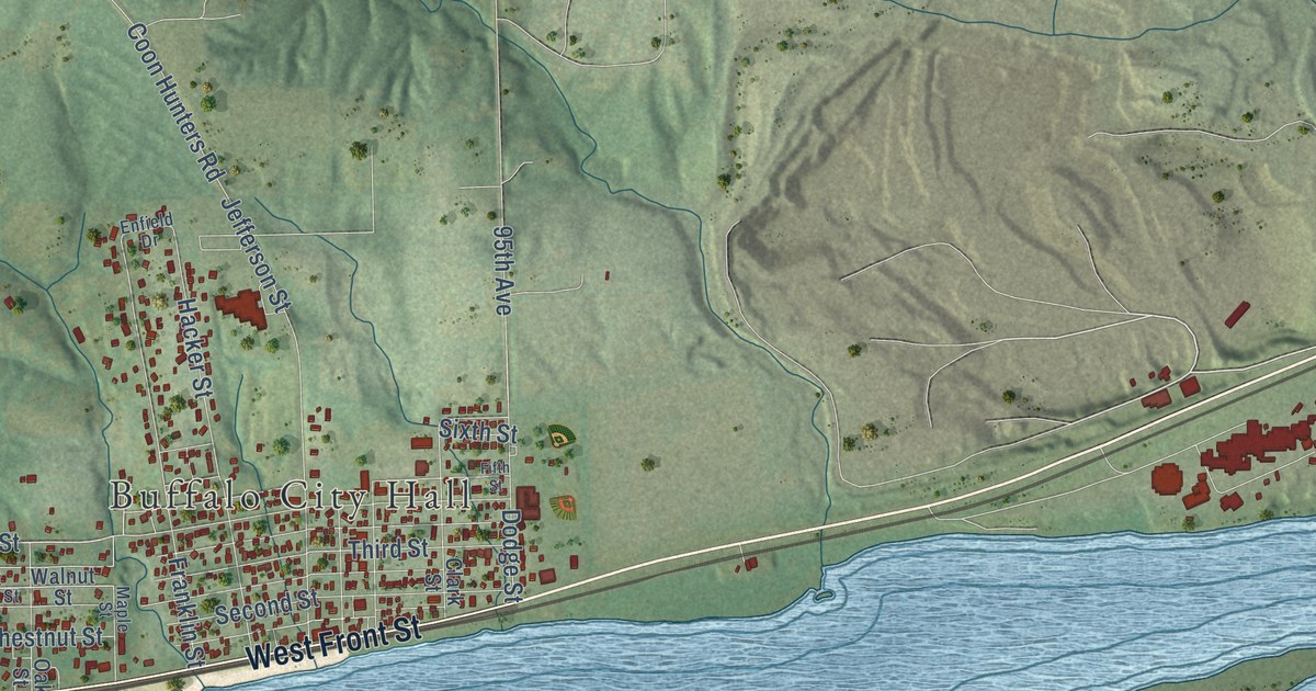
A detailed map of Buffalo, Iowa, showing every building in its true location, the roads by name, and shaded topographical relief.
Read More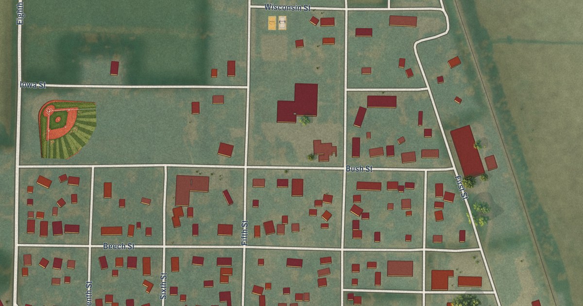
A detailed map of Burt, Iowa, showing every building in its true location, the roads by name, and shaded topographical relief.
Read More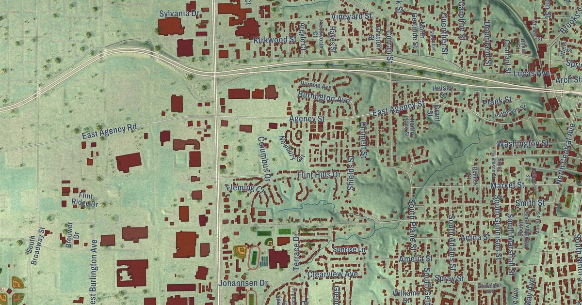
A detailed map of Burlington, Iowa, showing every building in its true location, the roads by name, and shaded topographical relief.
Read More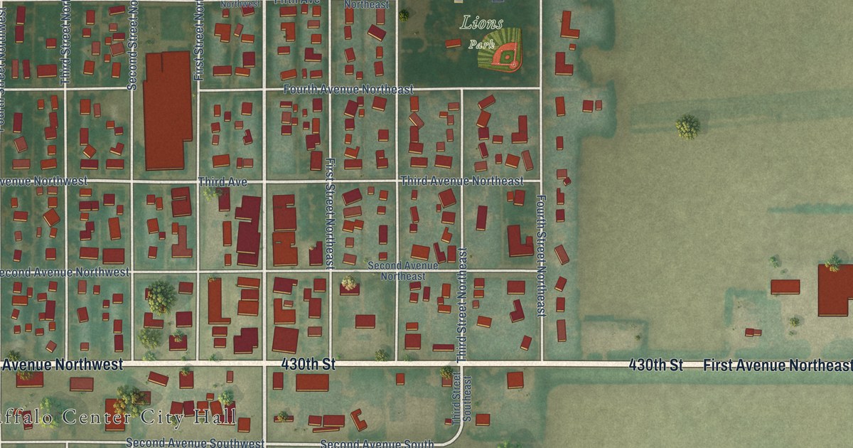
A detailed map of Buffalo Center, Iowa, showing every building in its true location, the roads by name, and shaded topographical relief.
Read More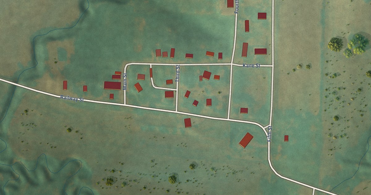
A detailed map of Buck Grove, Iowa, showing every building in its true location, the roads by name, and shaded topographical relief.
Read More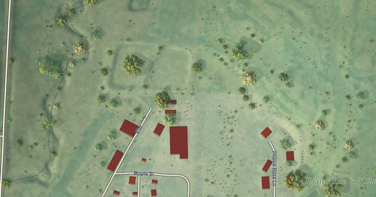
A detailed map of Brunsville, Iowa, showing every building in its true location, the roads by name, and shaded topographical relief.
Read More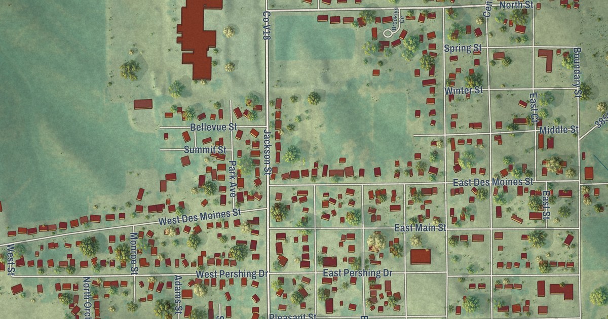
A detailed map of Brooklyn, Iowa, showing every building in its true location, the roads by name, and shaded topographical relief.
Read More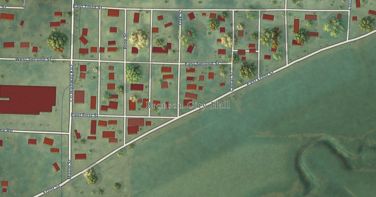
A detailed map of Bronson, Iowa, showing every building in its true location, the roads by name, and shaded topographical relief.
Read More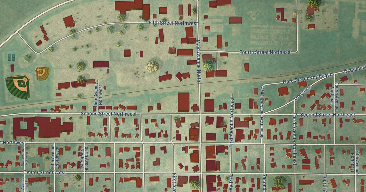
A detailed map of Britt, Iowa, showing every building in its true location, the roads by name, and shaded topographical relief.
Read More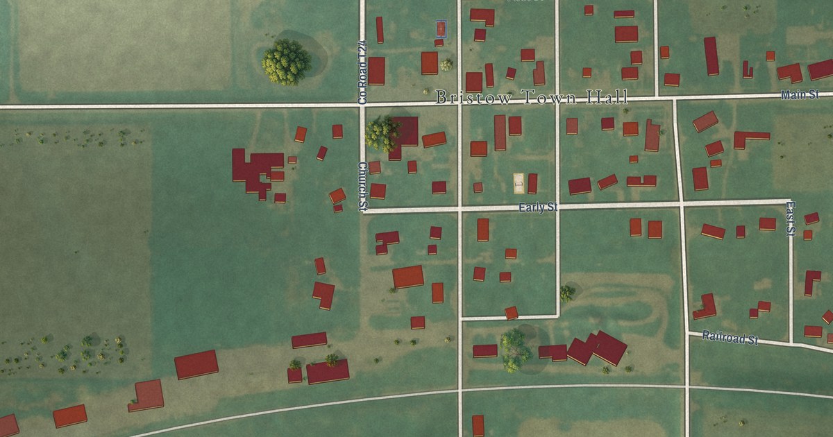
A detailed map of Bristow, Iowa, showing every building in its true location, the roads by name, and shaded topographical relief.
Read More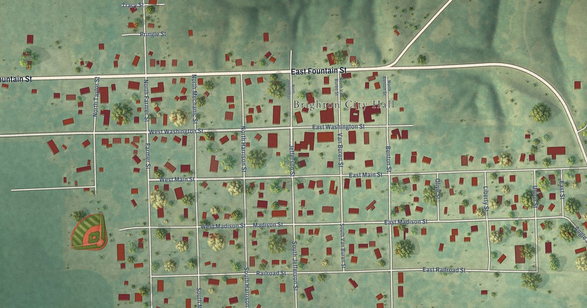
A detailed map of Brighton, Iowa, showing every building in its true location, the roads by name, and shaded topographical relief.
Read More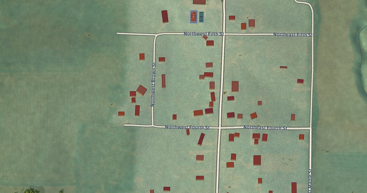
A detailed map of Bridgewater, Iowa, showing every building in its true location, the roads by name, and shaded topographical relief.
Read More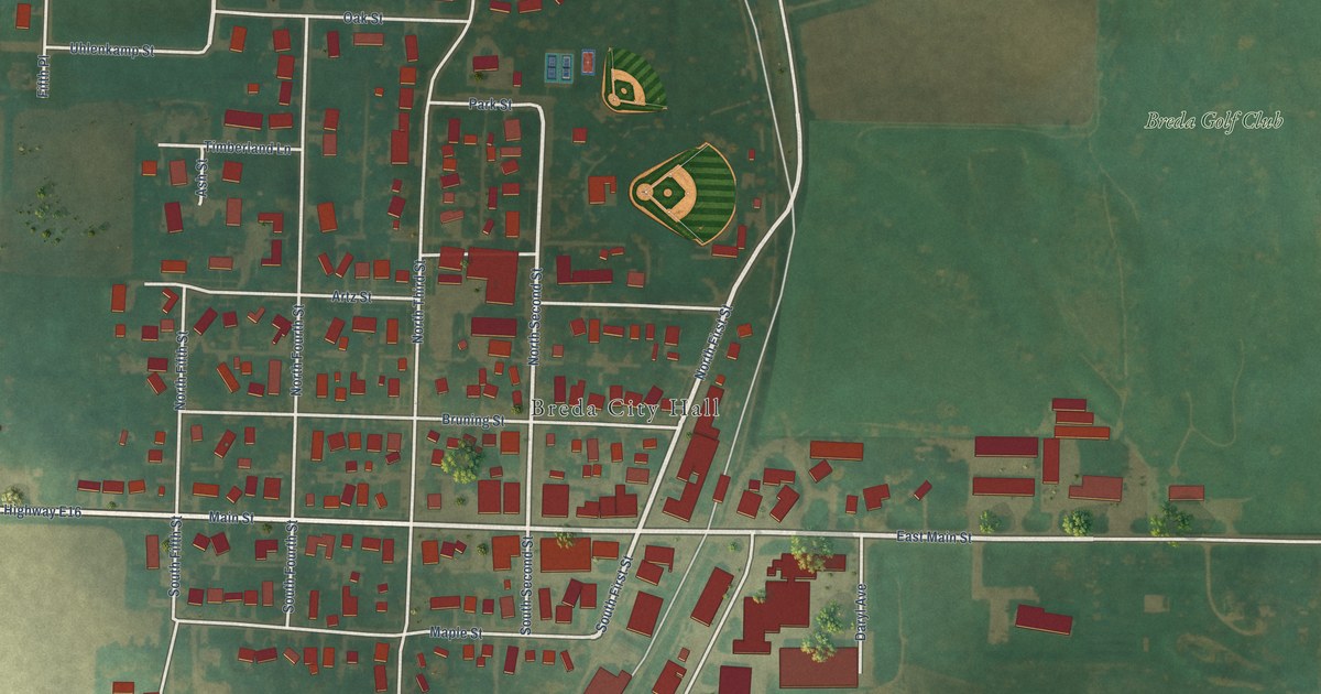
A detailed map of Breda, Iowa, showing every building in its true location, the roads by name, and shaded topographical relief.
Read More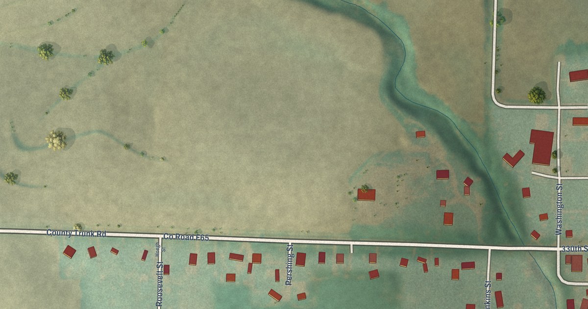
A detailed map of Brayton, Iowa, showing every building in its true location, the roads by name, and shaded topographical relief.
Read More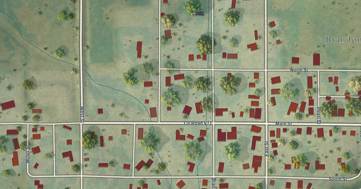
A detailed map of Brandon, Iowa, showing every building in its true location, the roads by name, and shaded topographical relief.
Read More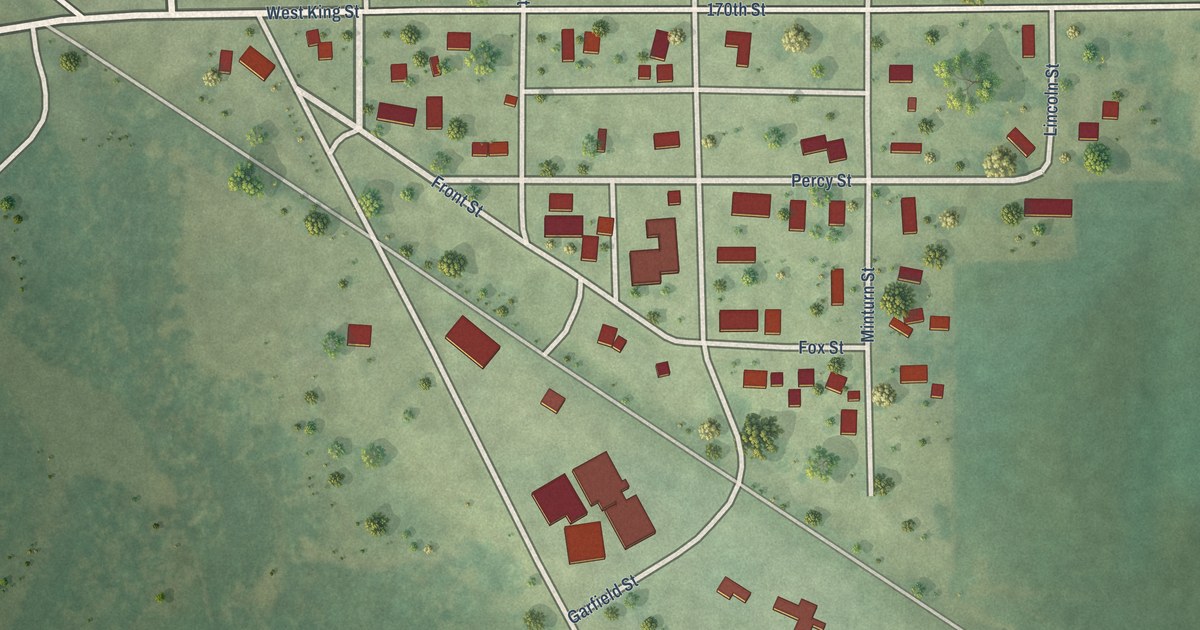
A detailed map of Bradgate, Iowa, showing every building in its true location, the roads by name, and shaded topographical relief.
Read More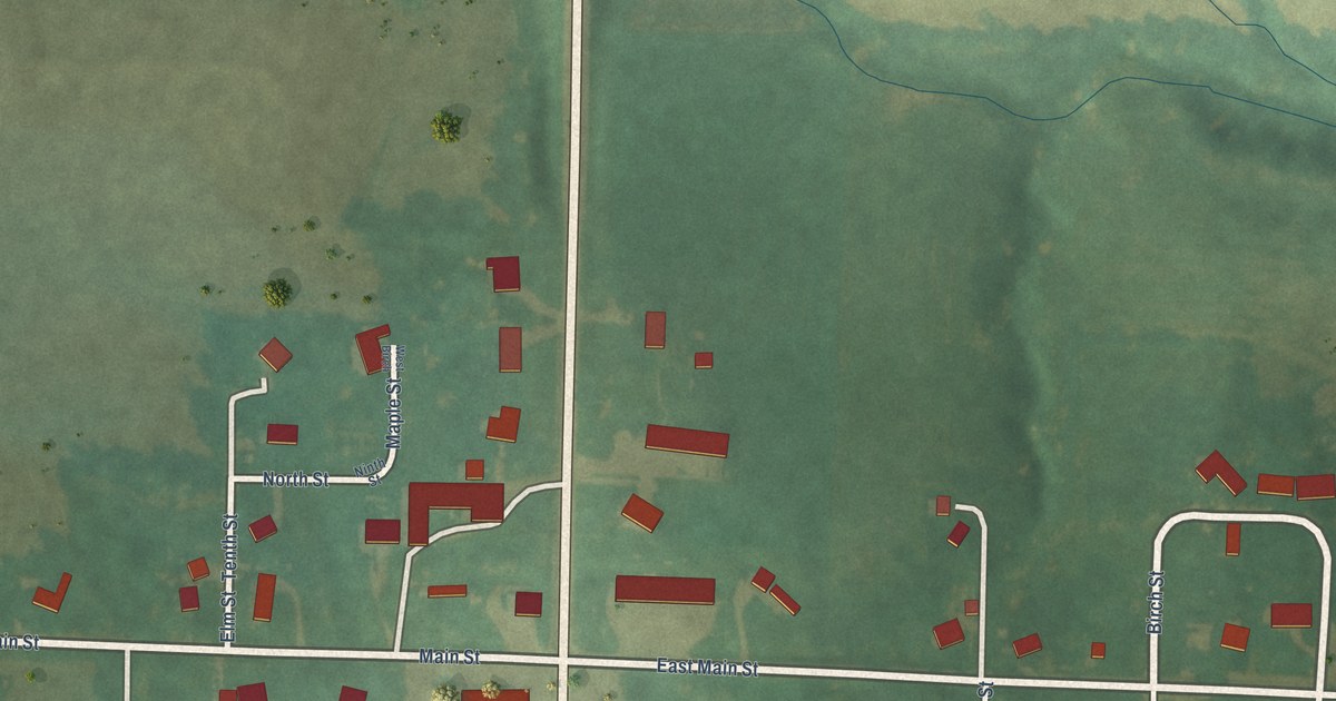
A detailed map of Braddyville, Iowa, showing every building in its true location, the roads by name, and shaded topographical relief.
Read More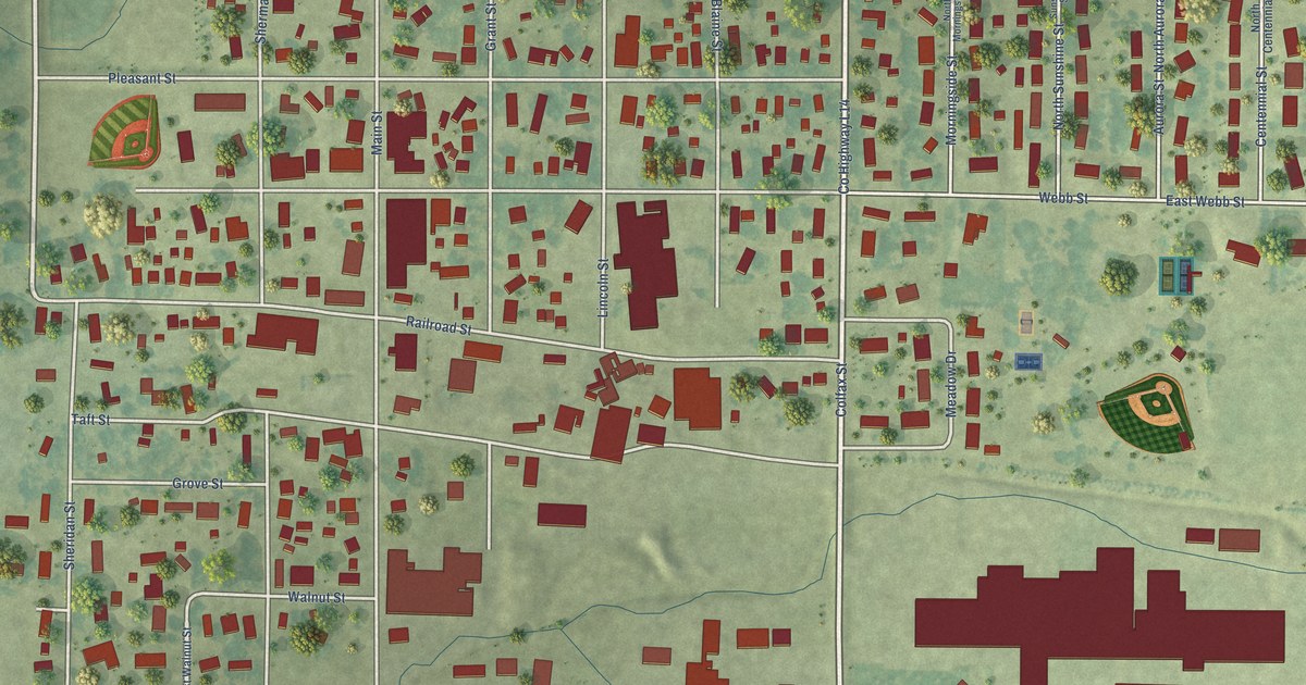
A detailed map of Boyden, Iowa, showing every building in its true location, the roads by name, and shaded topographical relief.
Read More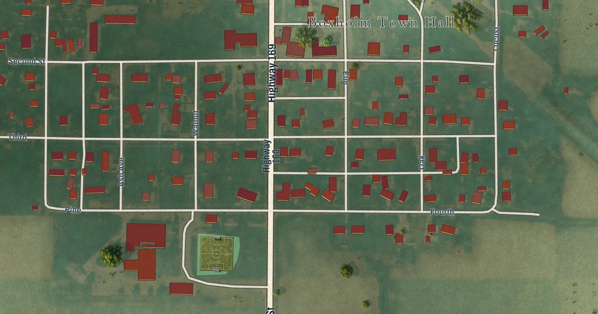
A detailed map of Boxholm, Iowa, showing every building in its true location, the roads by name, and shaded topographical relief.
Read More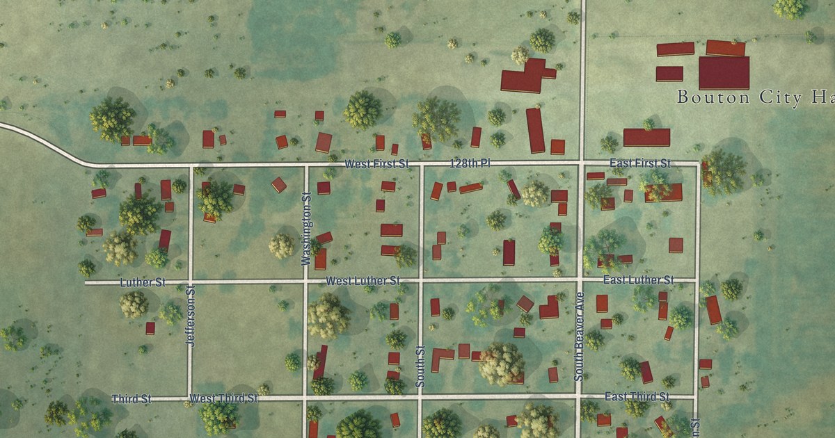
A detailed map of Bouton, Iowa, showing every building in its true location, the roads by name, and shaded topographical relief.
Read More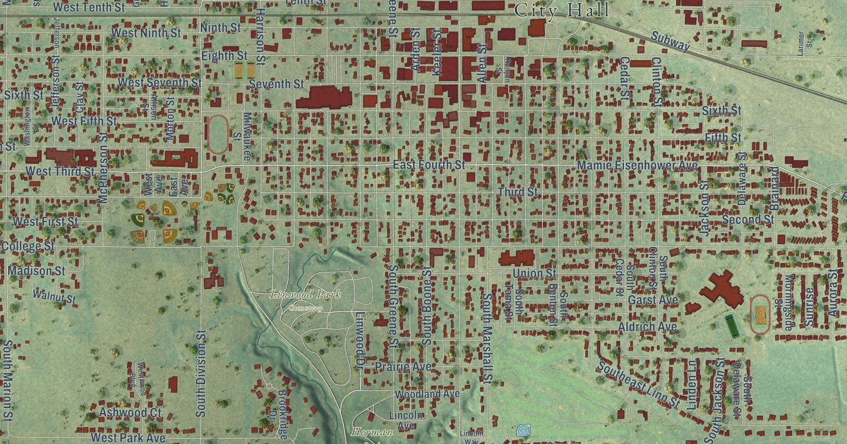
A detailed map of Boone, Iowa, showing every building in its true location, the roads by name, and shaded topographical relief.
Read More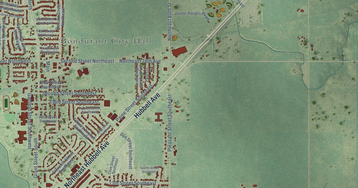
A detailed map of Bondurant, Iowa, showing every building in its true location, the roads by name, and shaded topographical relief.
Read More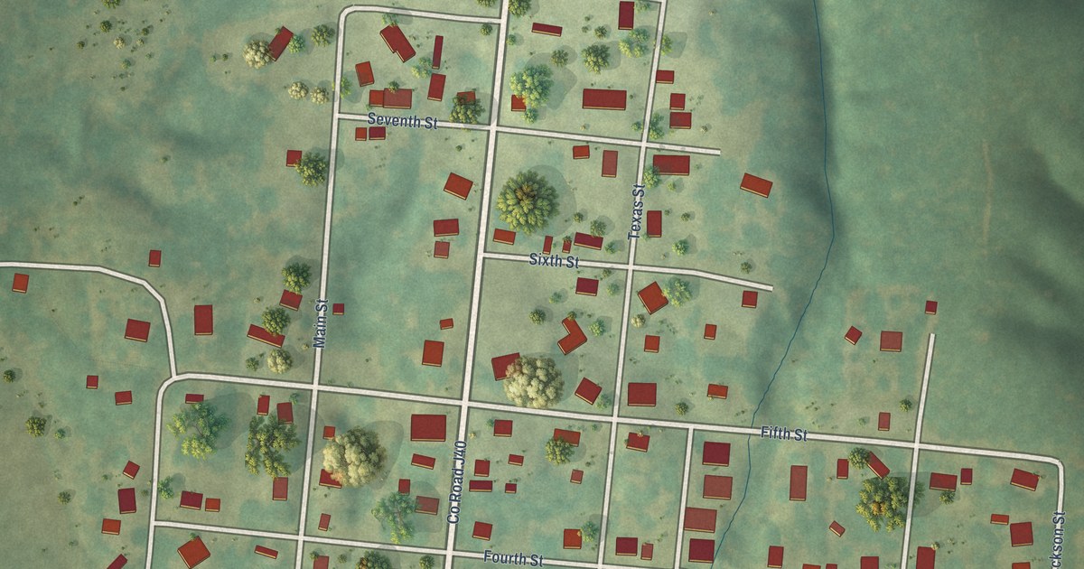
A detailed map of Bonaparte, Iowa, showing every building in its true location, the roads by name, and shaded topographical relief.
Read More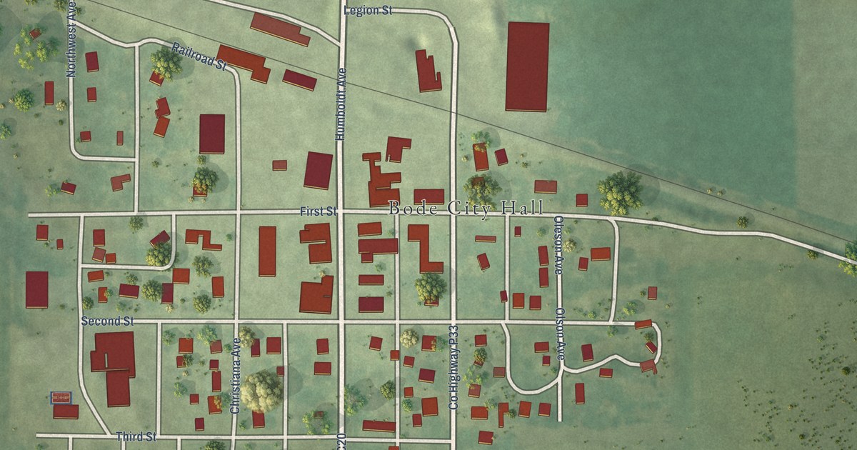
A detailed map of Bode, Iowa, showing every building in its true location, the roads by name, and shaded topographical relief.
Read More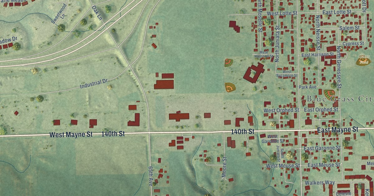
A detailed map of Blue Grass, Iowa, showing every building in its true location, the roads by name, and shaded topographical relief.
Read More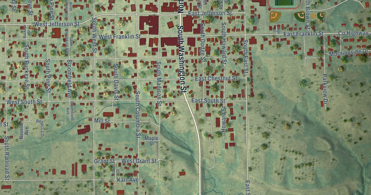
A detailed map of Bloomfield, Iowa, showing every building in its true location, the roads by name, and shaded topographical relief.
Read More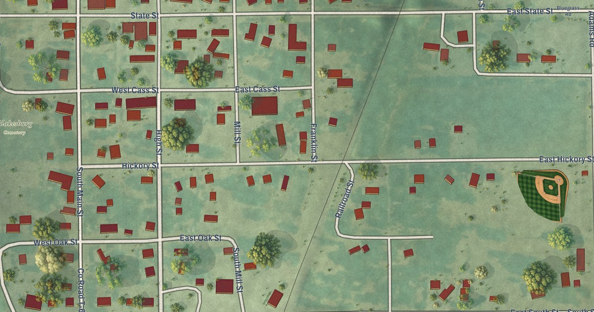
A detailed map of Blakesburg, Iowa, showing every building in its true location, the roads by name, and shaded topographical relief.
Read More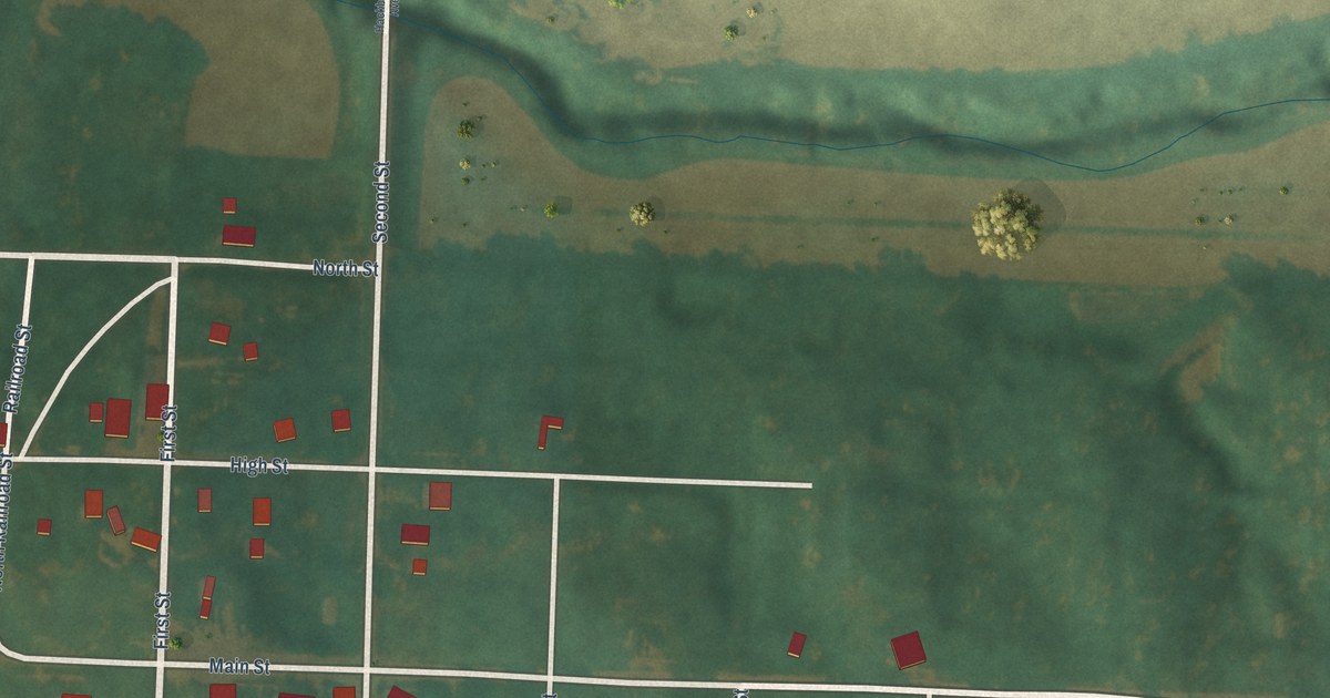
A detailed map of Blanchard, Iowa, showing every building in its true location, the roads by name, and shaded topographical relief.
Read More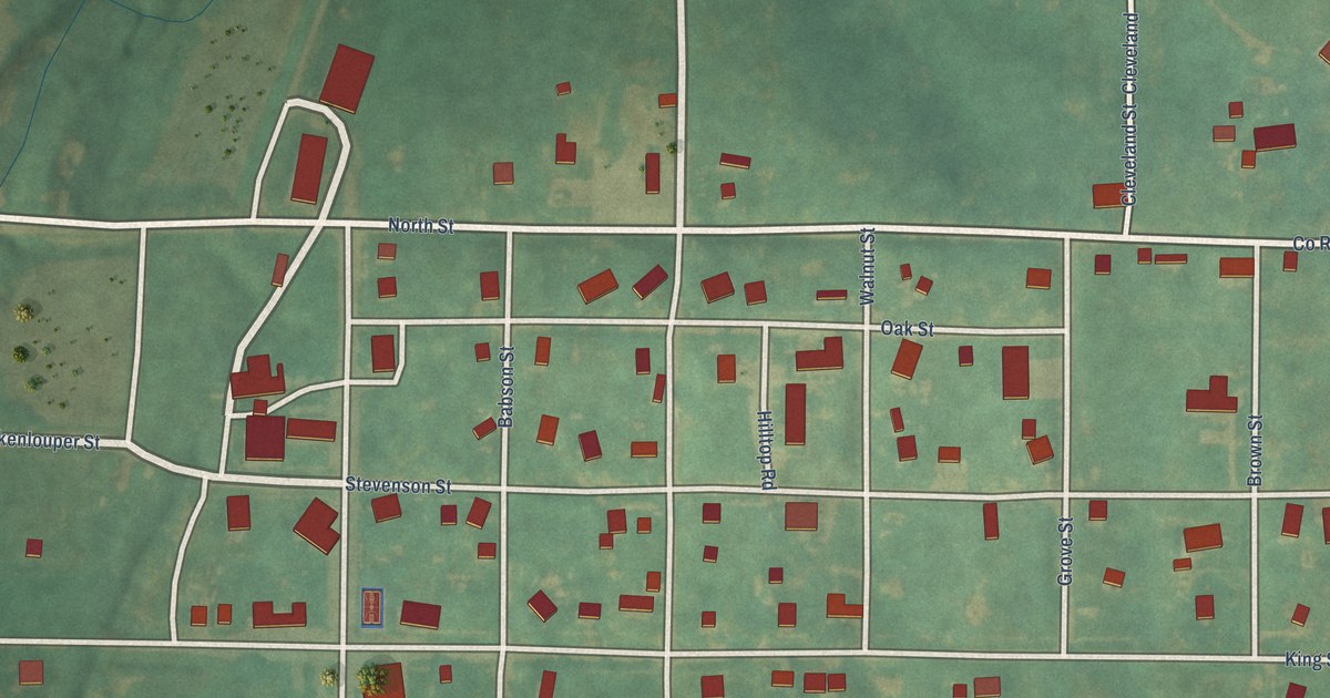
A detailed map of Blockton, Iowa, showing every building in its true location, the roads by name, and shaded topographical relief.
Read More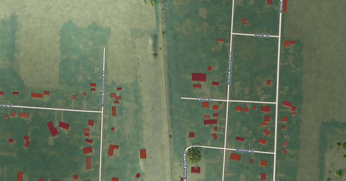
A detailed map of Blencoe, Iowa, showing every building in its true location, the roads by name, and shaded topographical relief.
Read More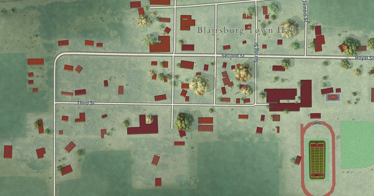
A detailed map of Blairsburg, Iowa, showing every building in its true location, the roads by name, and shaded topographical relief.
Read More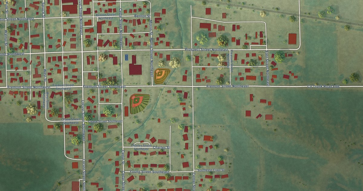
A detailed map of Blairstown, Iowa, showing every building in its true location, the roads by name, and shaded topographical relief.
Read More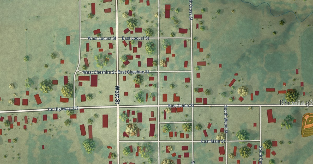
A detailed map of Birmingham, Iowa, showing every building in its true location, the roads by name, and shaded topographical relief.
Read More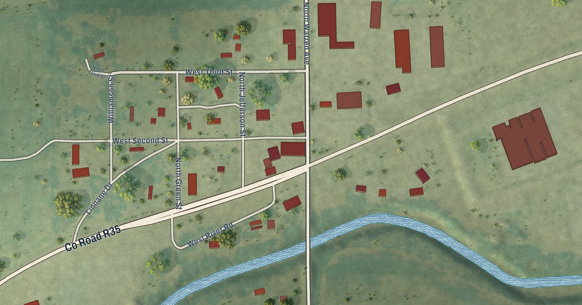
A detailed map of Bevington, Iowa, showing every building in its true location, the roads by name, and shaded topographical relief.
Read More















