Detailed Map of Bettendorf, Iowa
A detailed map of Bettendorf, Iowa, showing every building in its true location, the roads by name, and shaded topographical relief.
Read More
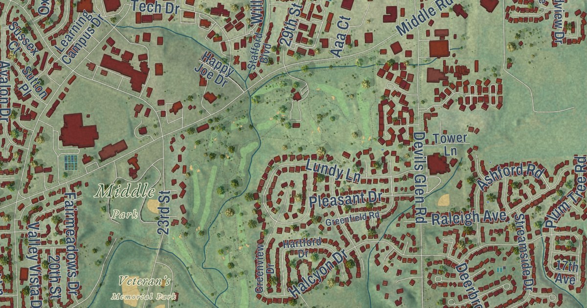
A detailed map of Bettendorf, Iowa, showing every building in its true location, the roads by name, and shaded topographical relief.
Read More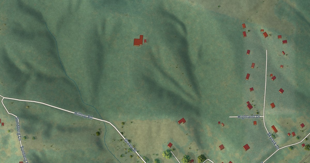
A detailed map of Bertram, Iowa, showing every building in its true location, the roads by name, and shaded topographical relief.
Read More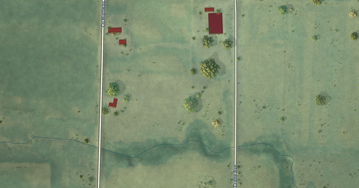
A detailed map of Berkley, Iowa, showing every building in its true location, the roads by name, and shaded topographical relief.
Read More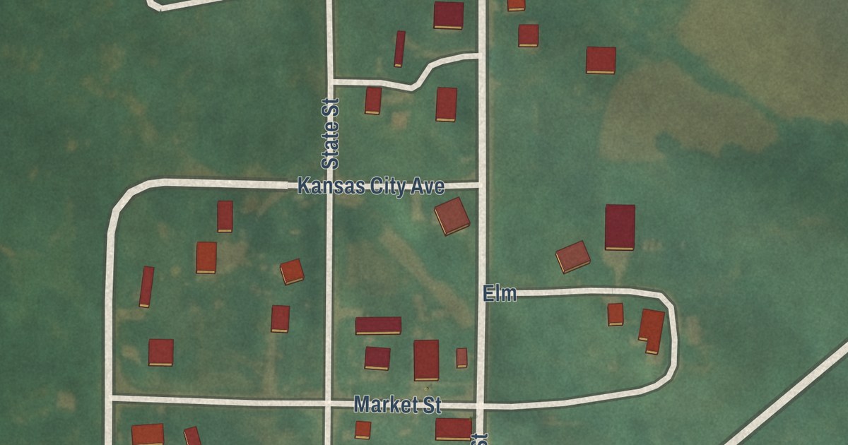
A detailed map of Benton, Iowa, showing every building in its true location, the roads by name, and shaded topographical relief.
Read More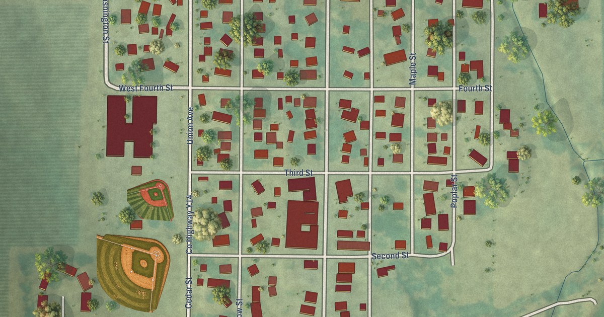
A detailed map of Bennett, Iowa, showing every building in its true location, the roads by name, and shaded topographical relief.
Read More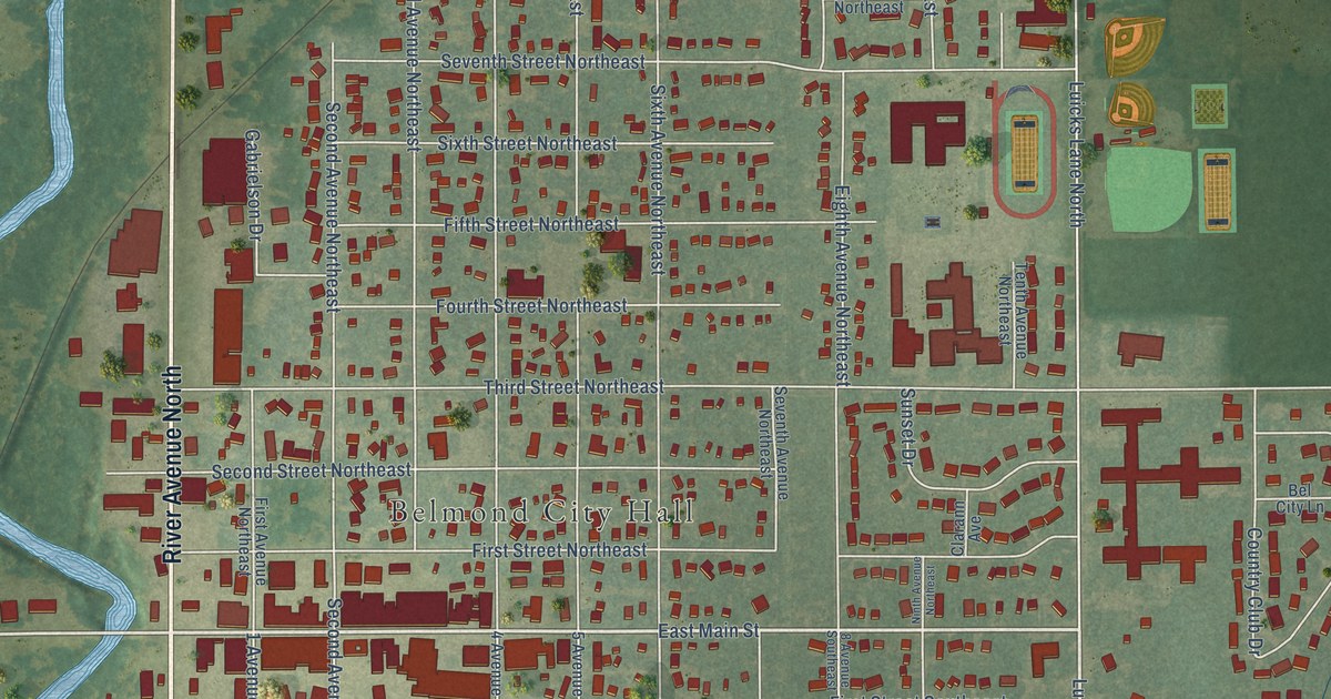
A detailed map of Belmond, Iowa, showing every building in its true location, the roads by name, and shaded topographical relief.
Read More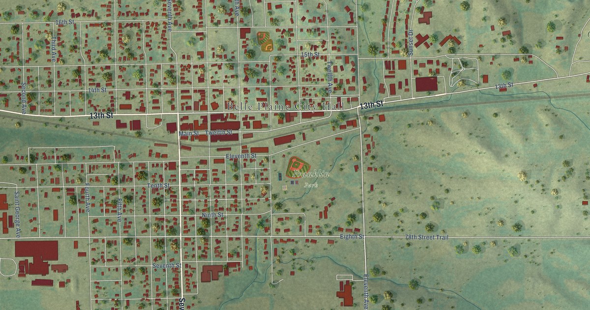
A detailed map of Belle Plaine, Iowa, showing every building in its true location, the roads by name, and shaded topographical relief.
Read More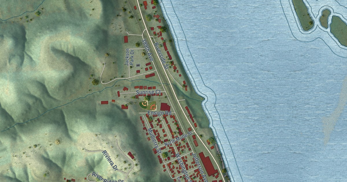
A detailed map of Bellevue, Iowa, showing every building in its true location, the roads by name, and shaded topographical relief.
Read More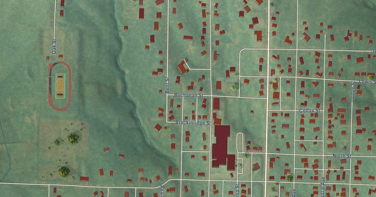
A detailed map of Bedford, Iowa, showing every building in its true location, the roads by name, and shaded topographical relief.
Read More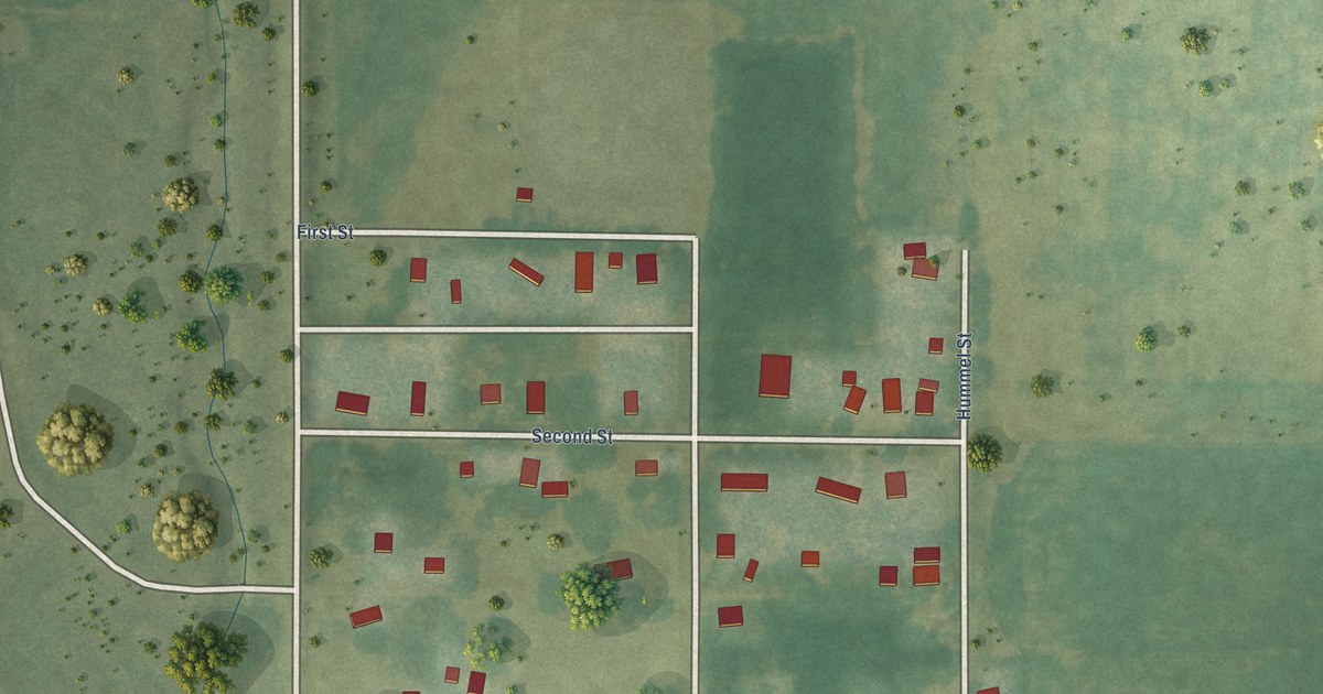
A detailed map of Beaver, Iowa, showing every building in its true location, the roads by name, and shaded topographical relief.
Read More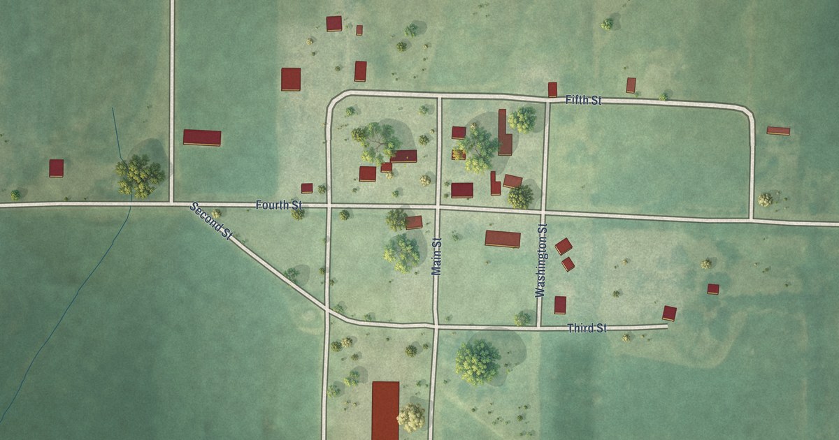
A detailed map of Beaconsfield, Iowa, showing every building in its true location, the roads by name, and shaded topographical relief.
Read More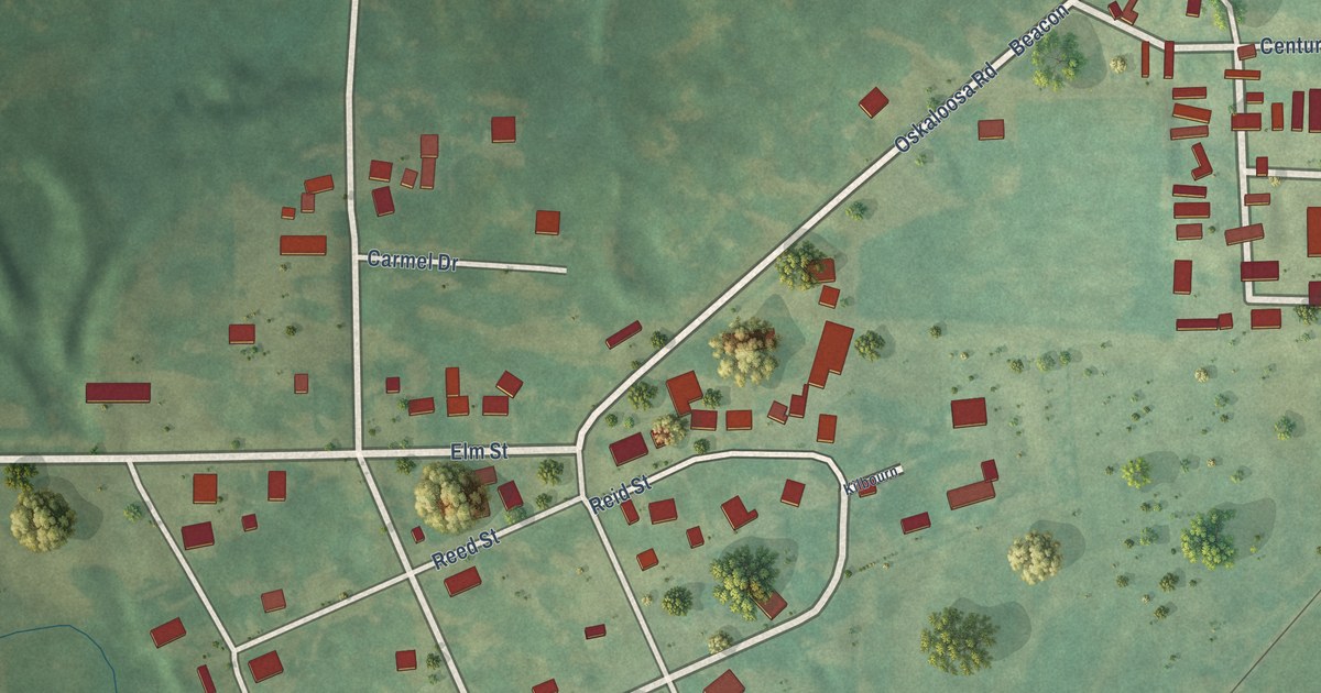
A detailed map of Beacon, Iowa, showing every building in its true location, the roads by name, and shaded topographical relief.
Read More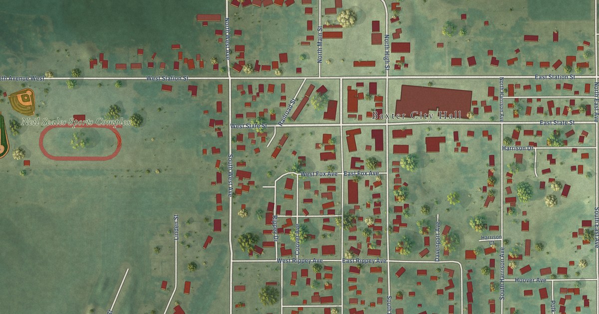
A detailed map of Baxter, Iowa, showing every building in its true location, the roads by name, and shaded topographical relief.
Read More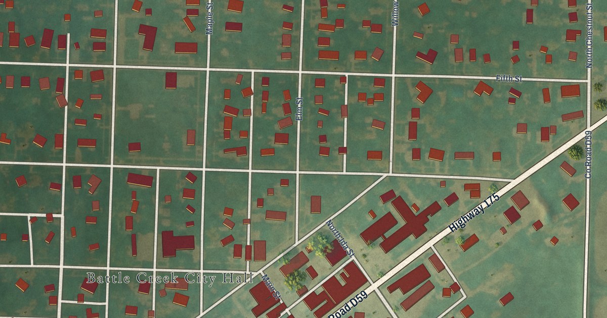
A detailed map of Battle Creek, Iowa, showing every building in its true location, the roads by name, and shaded topographical relief.
Read More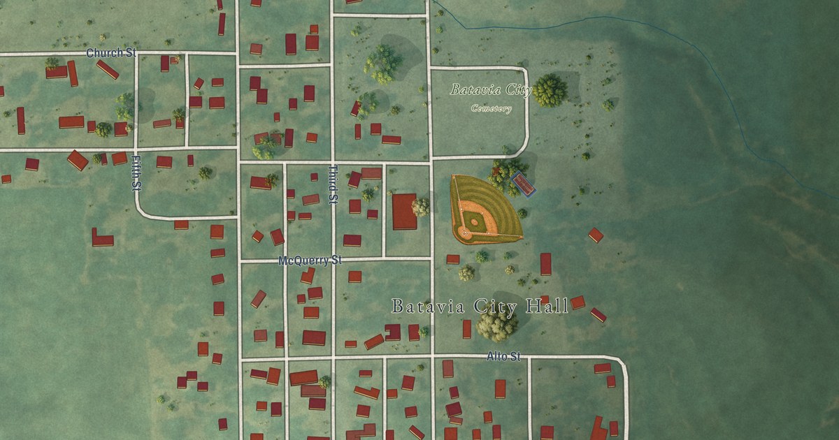
A detailed map of Batavia, Iowa, showing every building in its true location, the roads by name, and shaded topographical relief.
Read More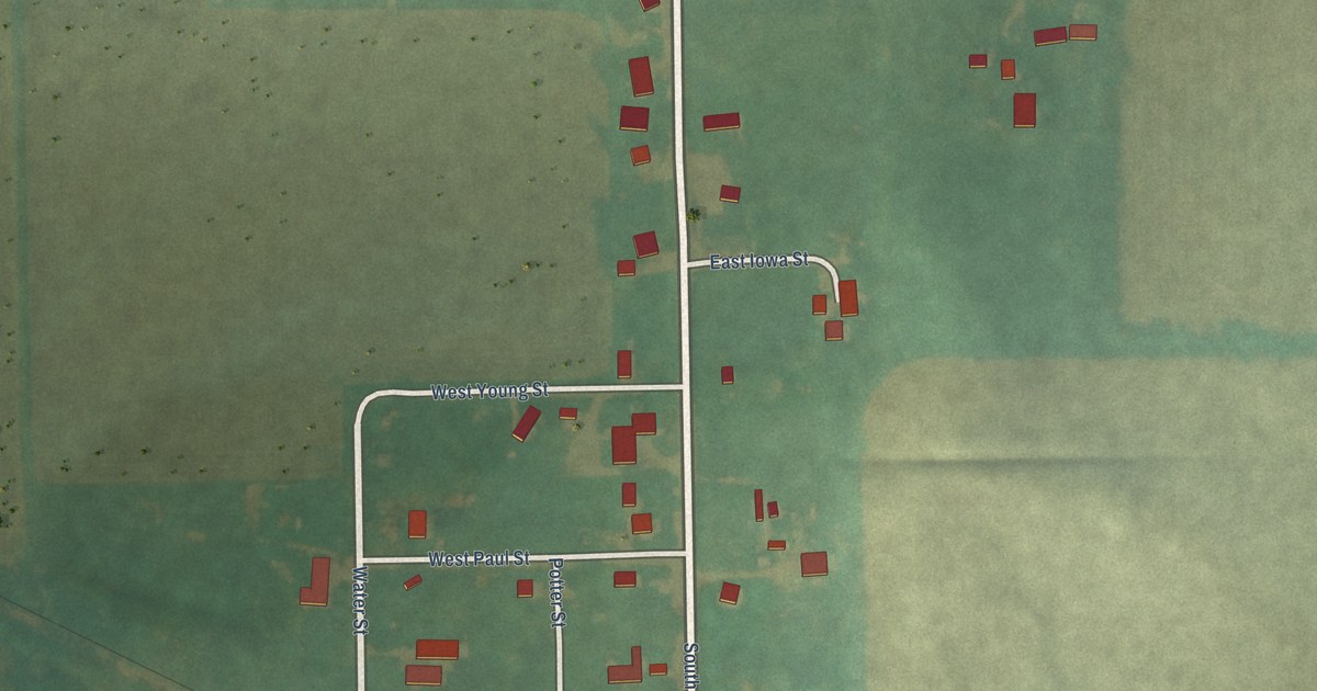
A detailed map of Bassett, Iowa, showing every building in its true location, the roads by name, and shaded topographical relief.
Read More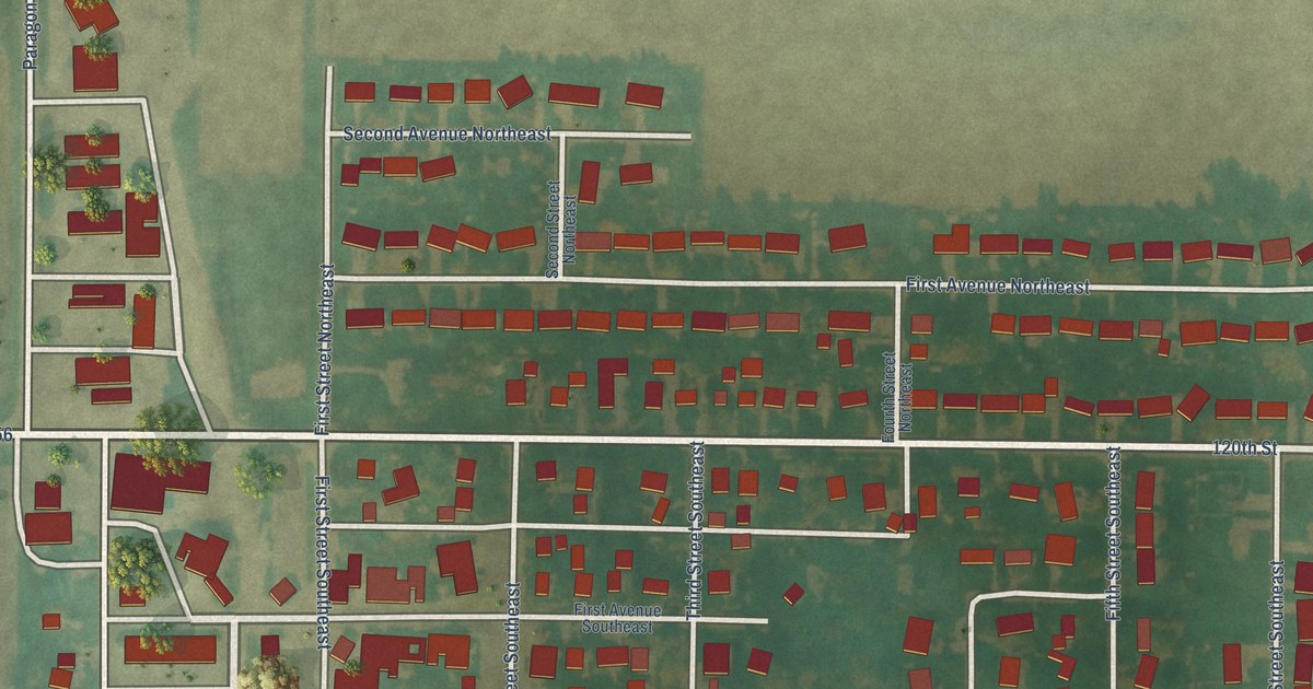
A detailed map of Badger, Iowa, showing every building in its true location, the roads by name, and shaded topographical relief.
Read More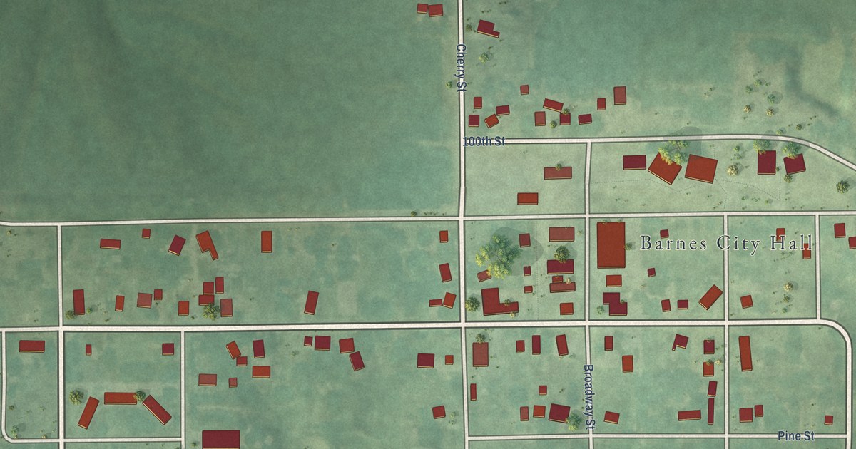
A detailed map of Barnes City, Iowa, showing every building in its true location, the roads by name, and shaded topographical relief.
Read More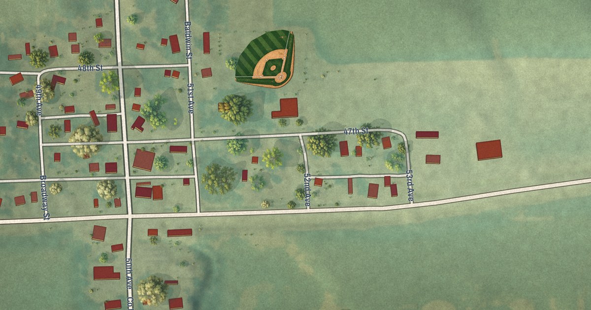
A detailed map of Baldwin, Iowa, showing every building in its true location, the roads by name, and shaded topographical relief.
Read More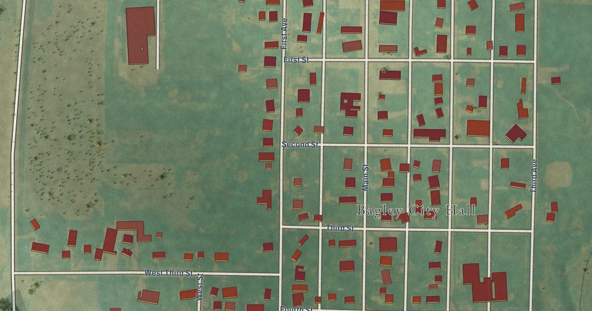
A detailed map of Bagley, Iowa, showing every building in its true location, the roads by name, and shaded topographical relief.
Read More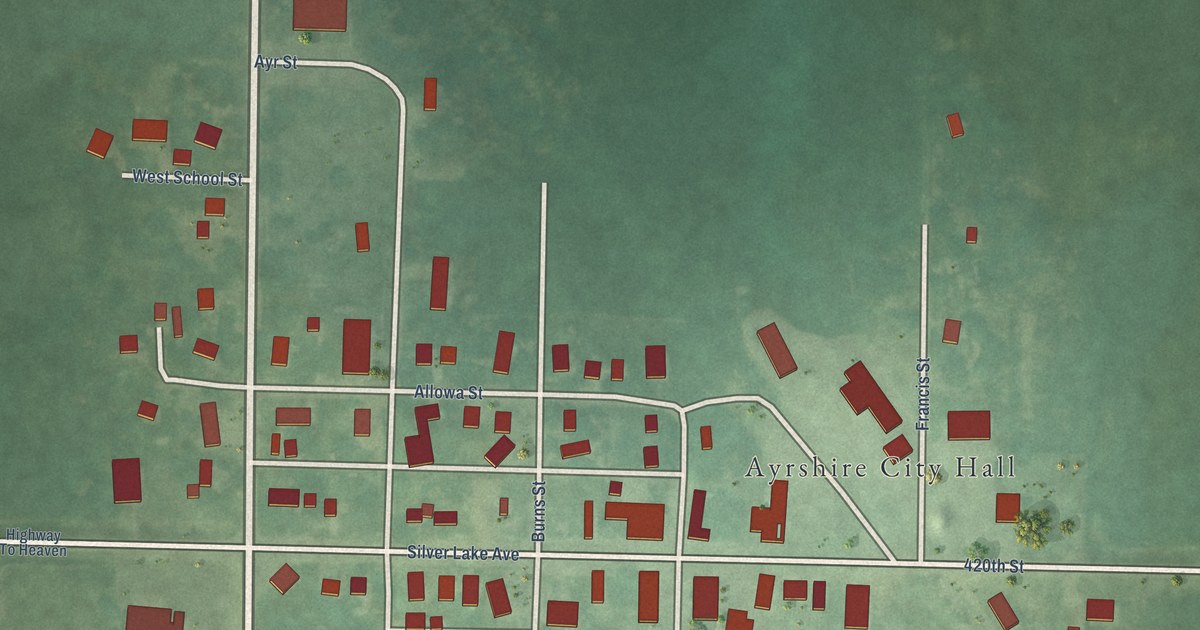
A detailed map of Ayrshire, Iowa, showing every building in its true location, the roads by name, and shaded topographical relief.
Read More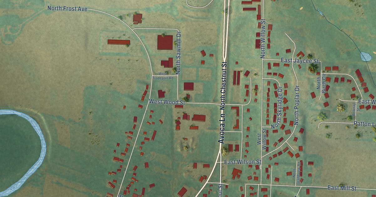
A detailed map of Avoca, Iowa, showing every building in its true location, the roads by name, and shaded topographical relief.
Read More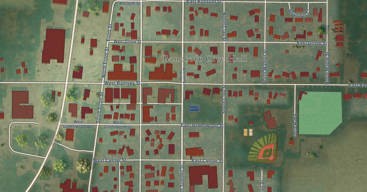
A detailed map of Bancroft, Iowa, showing every building in its true location, the roads by name, and shaded topographical relief.
Read More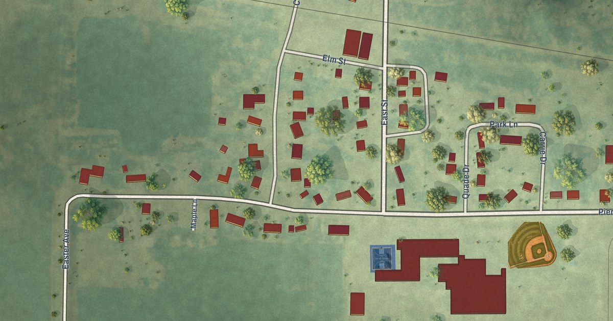
A detailed map of Barnum, Iowa, showing every building in its true location, the roads by name, and shaded topographical relief.
Read More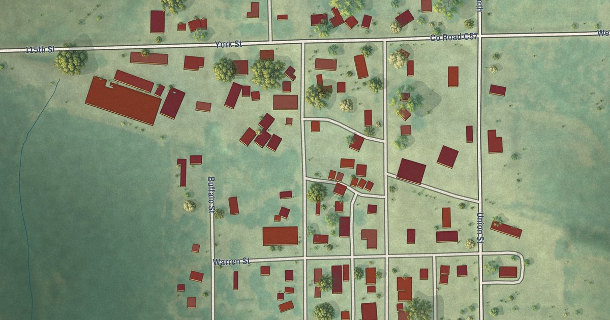
A detailed map of Aurora, Iowa, showing every building in its true location, the roads by name, and shaded topographical relief.
Read More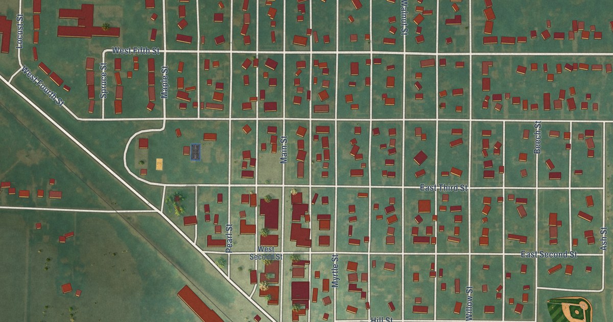
A detailed map of Aurelia, Iowa, showing every building in its true location, the roads by name, and shaded topographical relief.
Read More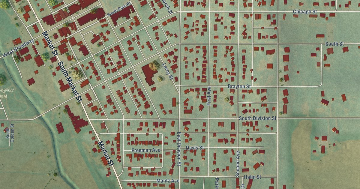
A detailed map of Audubon, Iowa, showing every building in its true location, the roads by name, and shaded topographical relief.
Read More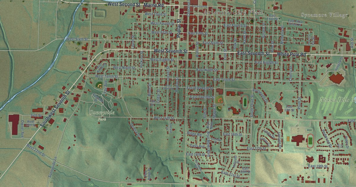
A detailed map of Atlantic, Iowa, showing every building in its true location, the roads by name, and shaded topographical relief.
Read More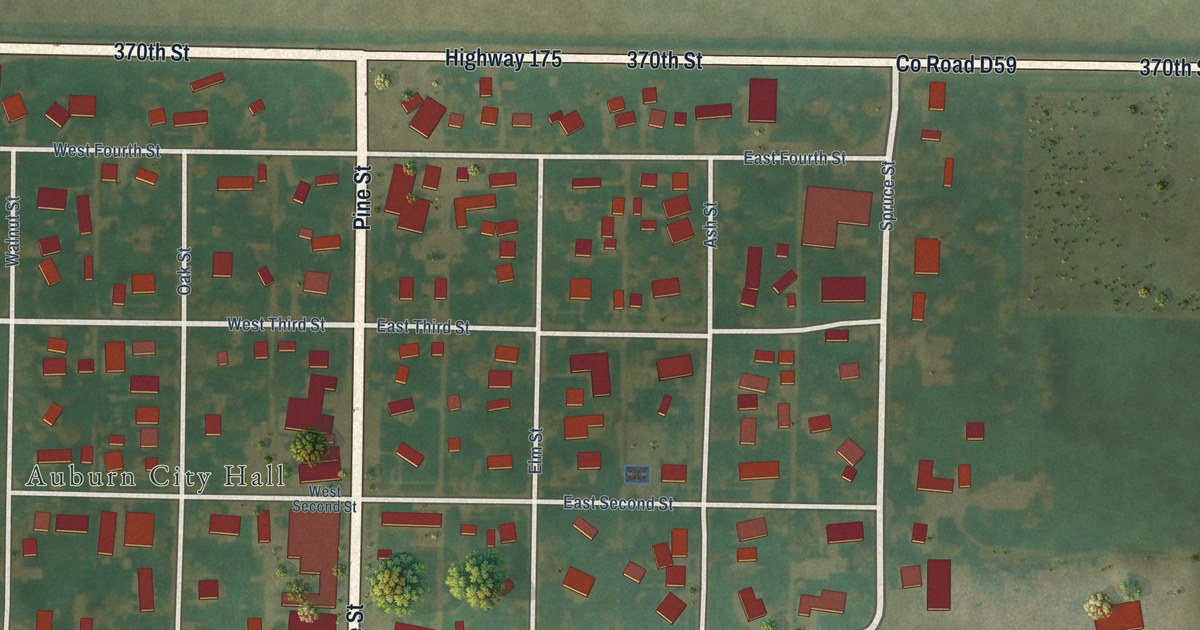
A detailed map of Auburn, Iowa, showing every building in its true location, the roads by name, and shaded topographical relief.
Read More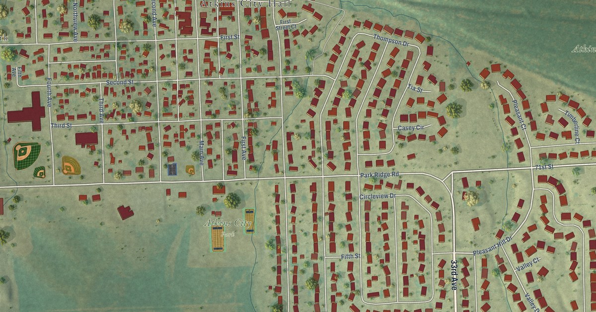
A detailed map of Atkins, Iowa, showing every building in its true location, the roads by name, and shaded topographical relief.
Read More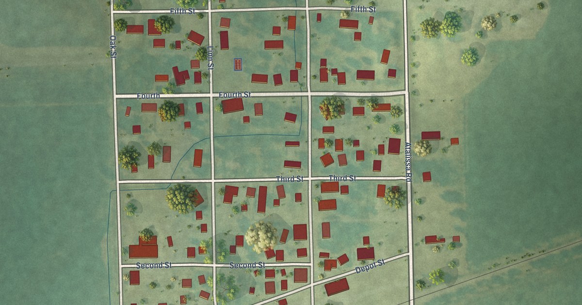
A detailed map of Atalissa, Iowa, showing every building in its true location, the roads by name, and shaded topographical relief.
Read More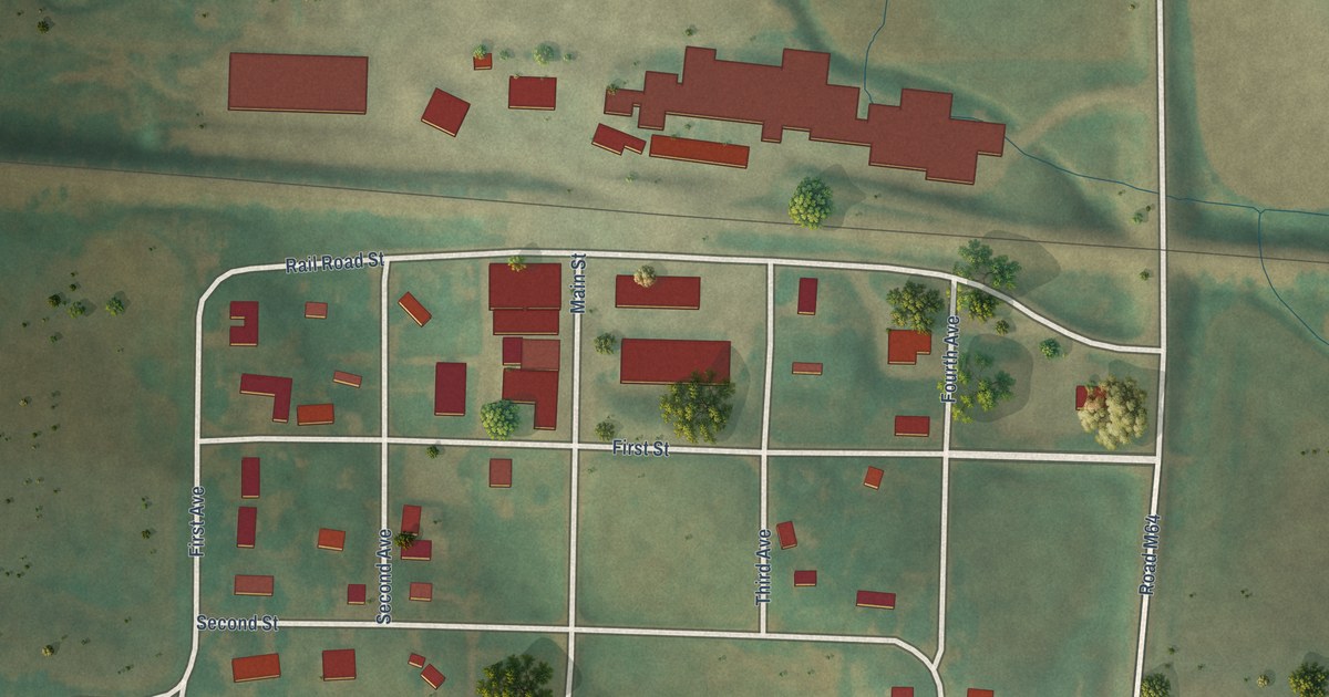
A detailed map of Aspinwall, Iowa, showing every building in its true location, the roads by name, and shaded topographical relief.
Read More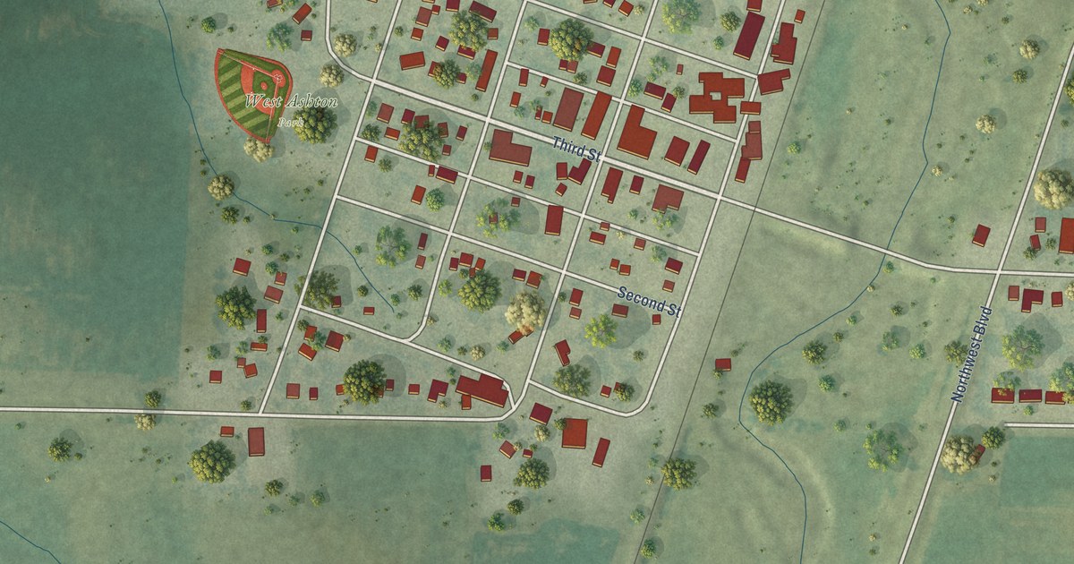
A detailed map of Ashton, Iowa, showing every building in its true location, the roads by name, and shaded topographical relief.
Read More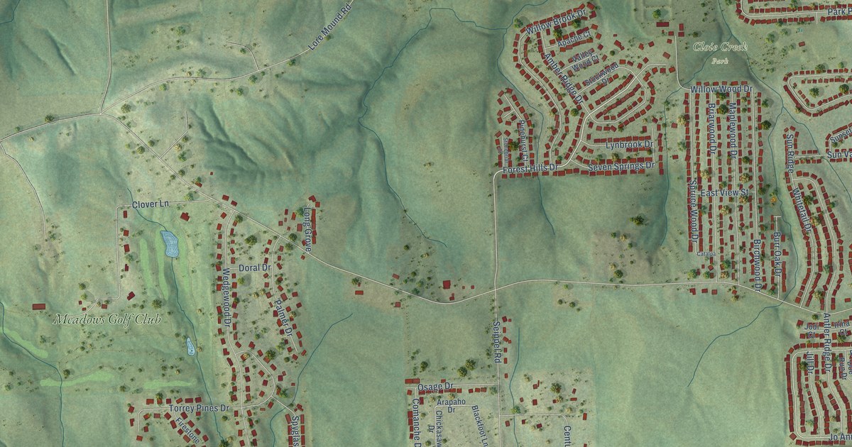
A detailed map of Asbury, Iowa, showing every building in its true location, the roads by name, and shaded topographical relief.
Read More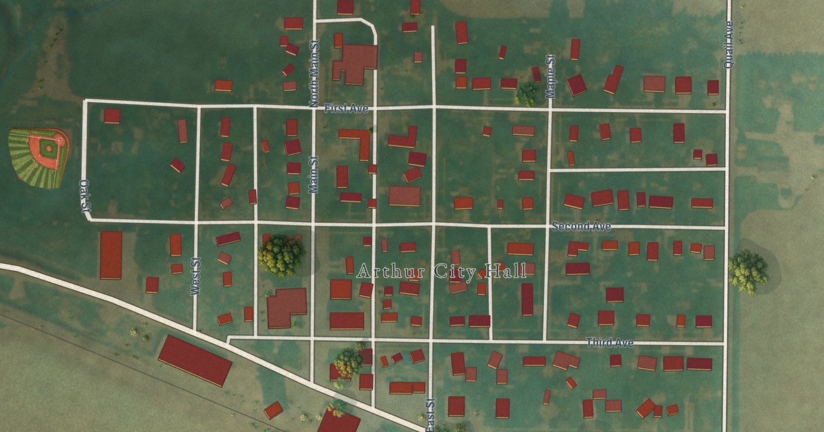
A detailed map of Arthur, Iowa, showing every building in its true location, the roads by name, and shaded topographical relief.
Read More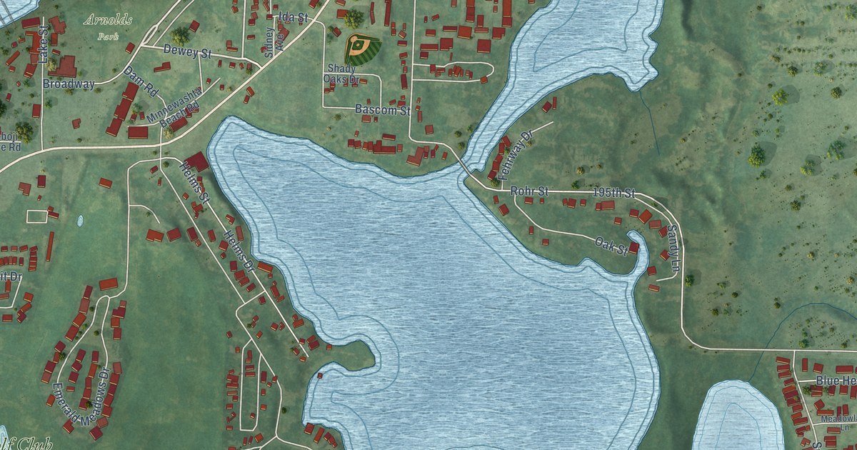
A detailed map of Arnolds Park, Iowa, showing every building in its true location, the roads by name, and shaded topographical relief.
Read More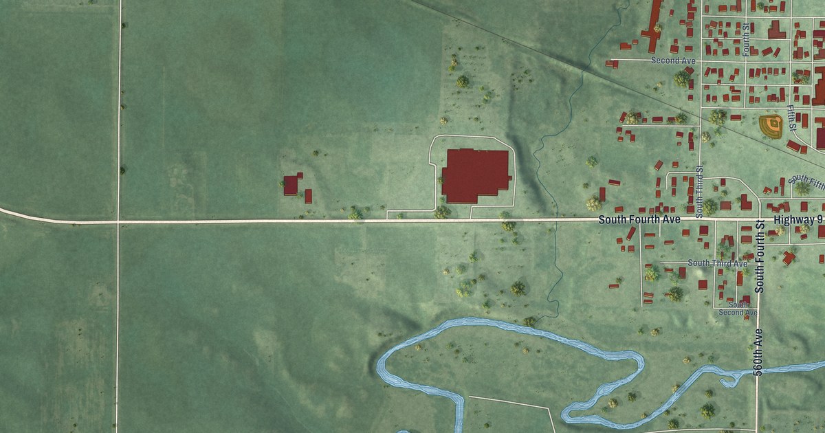
A detailed map of Armstrong, Iowa, showing every building in its true location, the roads by name, and shaded topographical relief.
Read More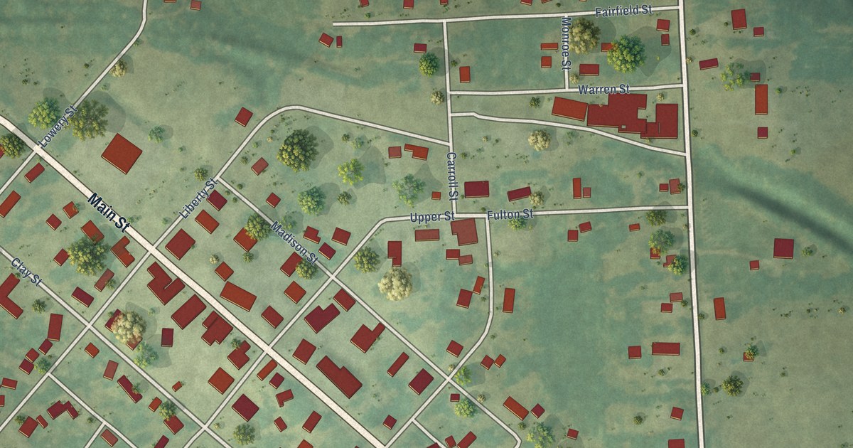
A detailed map of Arlington, Iowa, showing every building in its true location, the roads by name, and shaded topographical relief.
Read More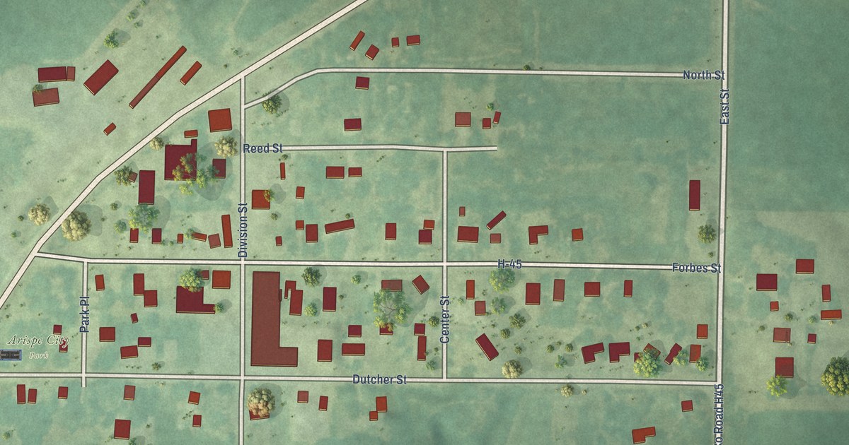
A detailed map of Arispe, Iowa, showing every building in its true location, the roads by name, and shaded topographical relief.
Read More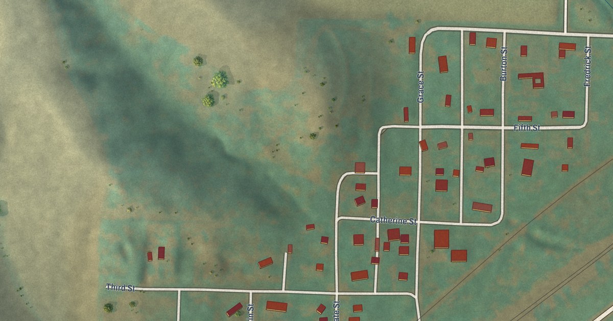
A detailed map of Arion, Iowa, showing every building in its true location, the roads by name, and shaded topographical relief.
Read More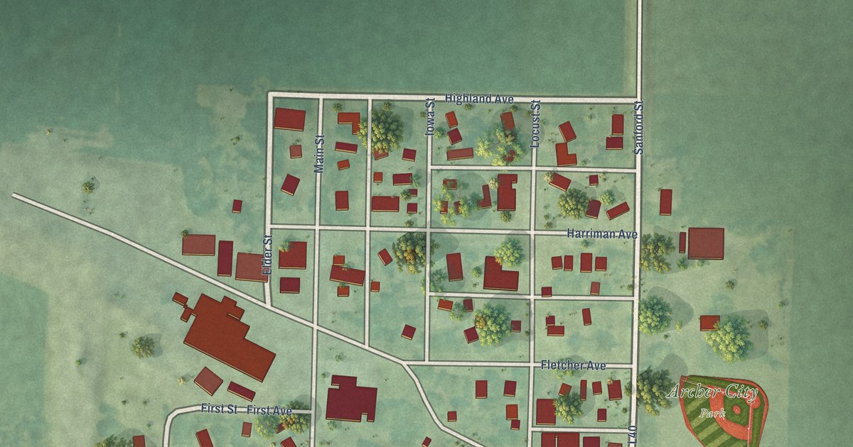
A detailed map of Archer, Iowa, showing every building in its true location, the roads by name, and shaded topographical relief.
Read More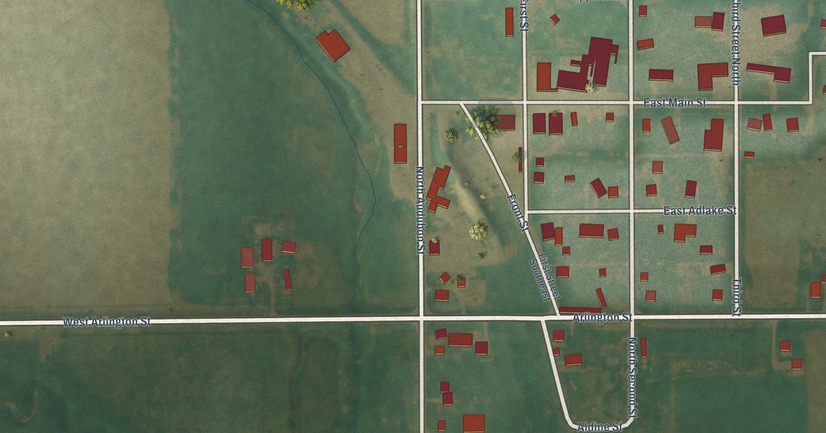
A detailed map of Aredale, Iowa, showing every building in its true location, the roads by name, and shaded topographical relief.
Read More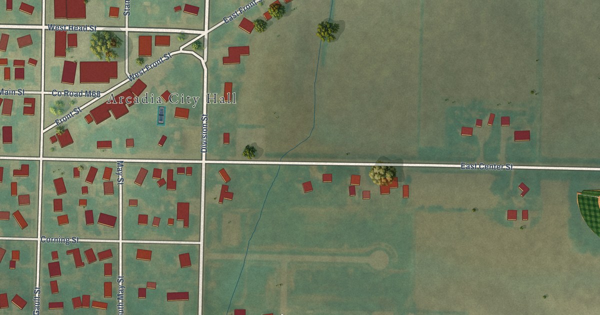
A detailed map of Arcadia, Iowa, showing every building in its true location, the roads by name, and shaded topographical relief.
Read More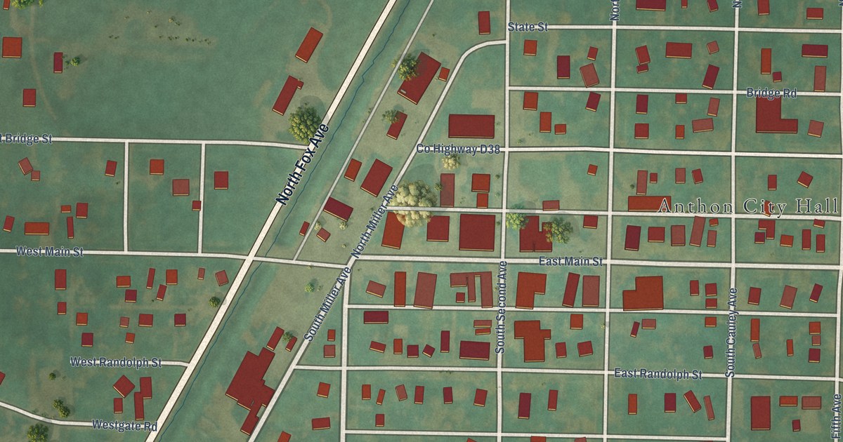
A detailed map of Anthon, Iowa, showing every building in its true location, the roads by name, and shaded topographical relief.
Read More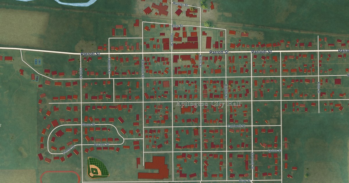
A detailed map of Aplington, Iowa, showing every building in its true location, the roads by name, and shaded topographical relief.
Read More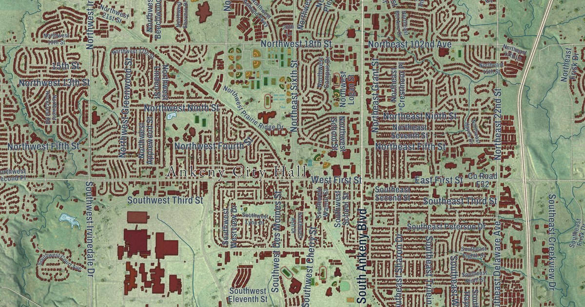
A detailed map of Ankeny, Iowa, showing every building in its true location, the roads by name, and shaded topographical relief.
Read More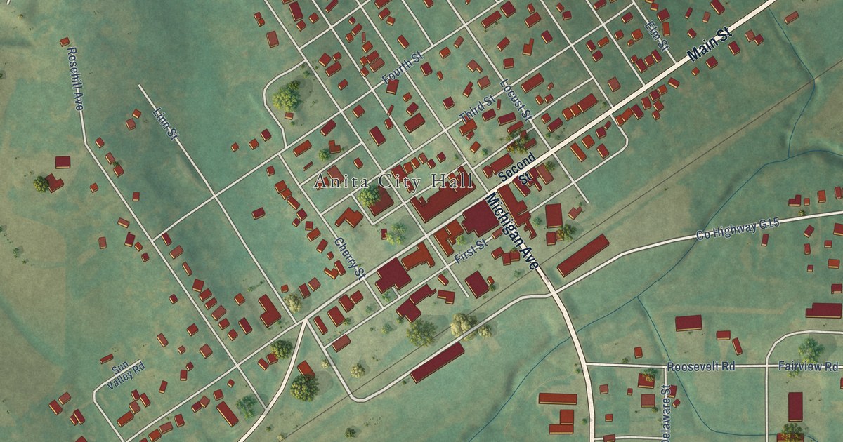
A detailed map of Anita, Iowa, showing every building in its true location, the roads by name, and shaded topographical relief.
Read More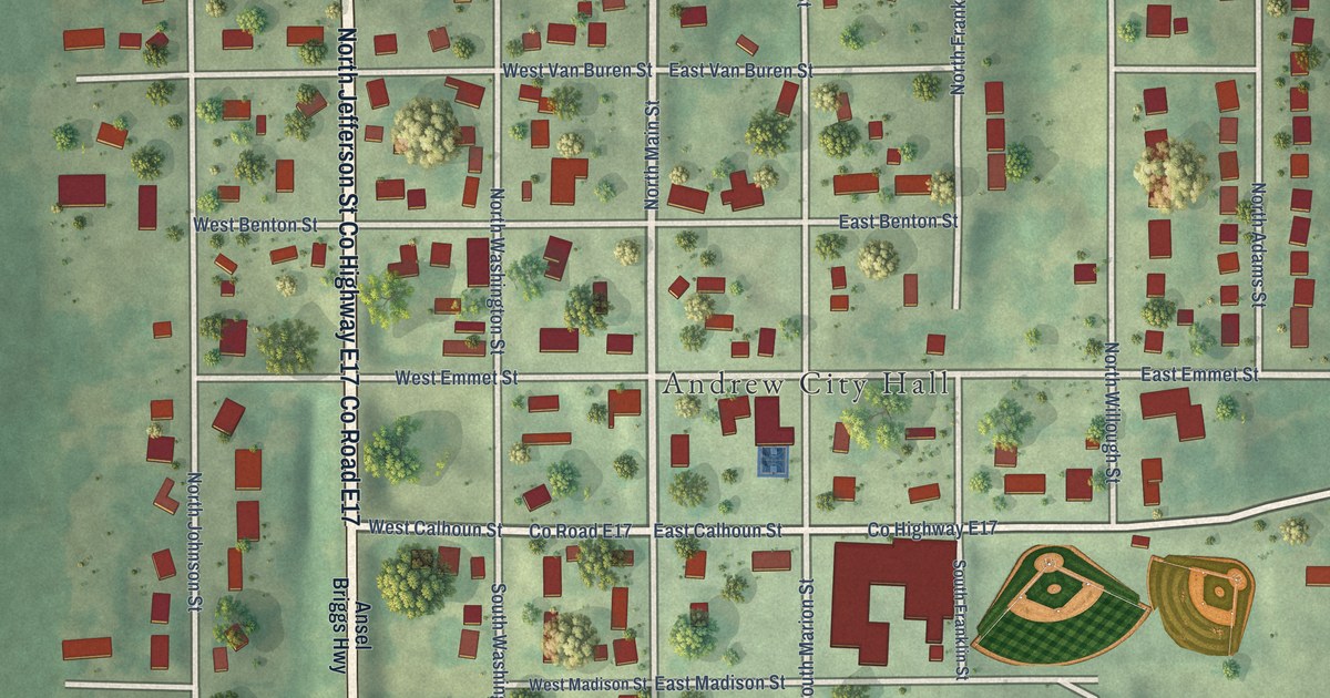
A detailed map of Andrew, Iowa, showing every building in its true location, the roads by name, and shaded topographical relief.
Read More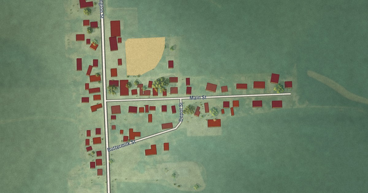
A detailed map of Andover, Iowa, showing every building in its true location, the roads by name, and shaded topographical relief.
Read More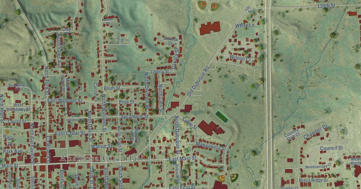
A detailed map of Anamosa, Iowa, showing every building in its true location, the roads by name, and shaded topographical relief.
Read More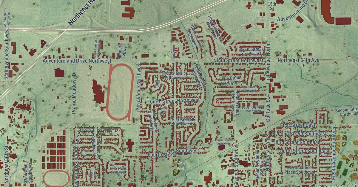
A detailed map of Altoona, Iowa, showing every building in its true location, the roads by name, and shaded topographical relief.
Read More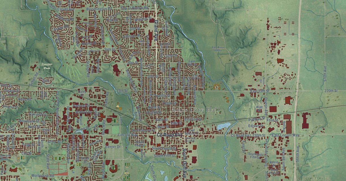
A detailed map of Ames, Iowa, showing every building in its true location, the roads by name, and shaded topographical relief.
Read More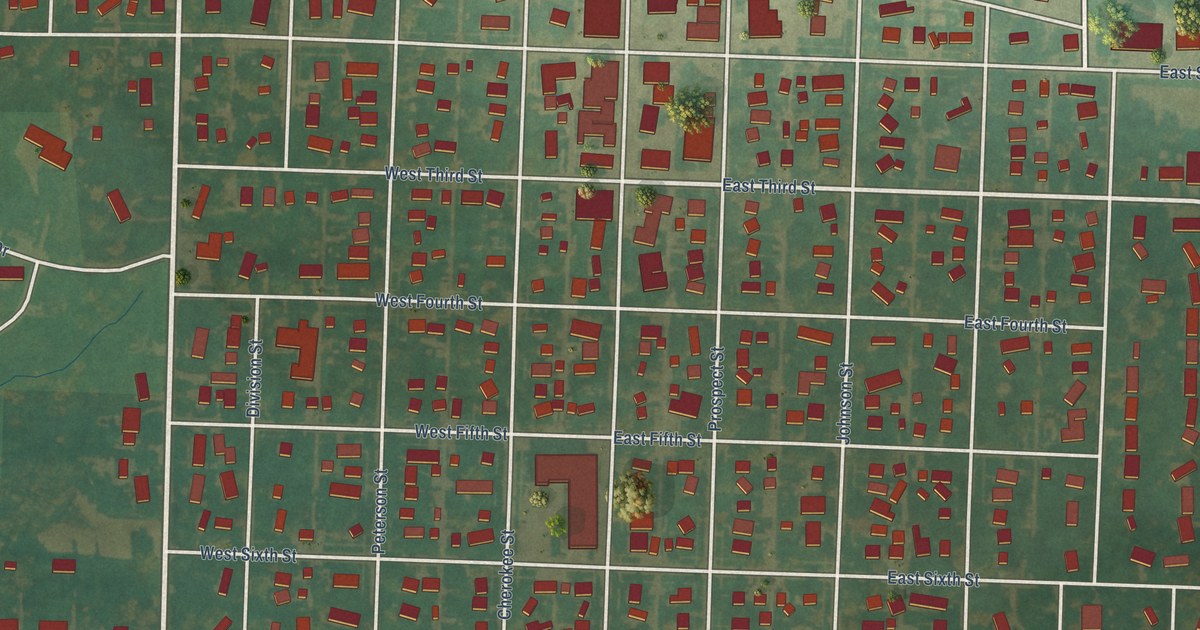
A detailed map of Alta, Iowa, showing every building in its true location, the roads by name, and shaded topographical relief.
Read More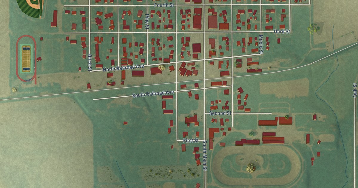
A detailed map of Allison, Iowa, showing every building in its true location, the roads by name, and shaded topographical relief.
Read More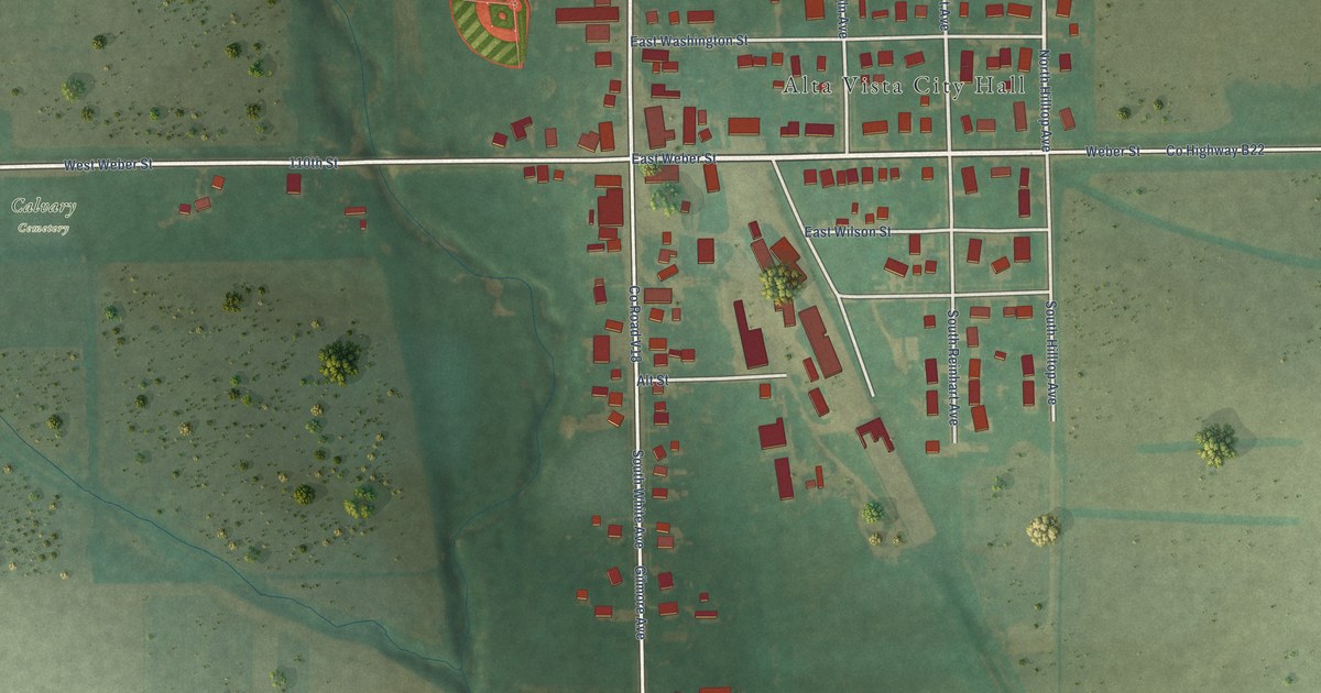
A detailed map of Alta Vista, Iowa, showing every building in its true location, the roads by name, and shaded topographical relief.
Read More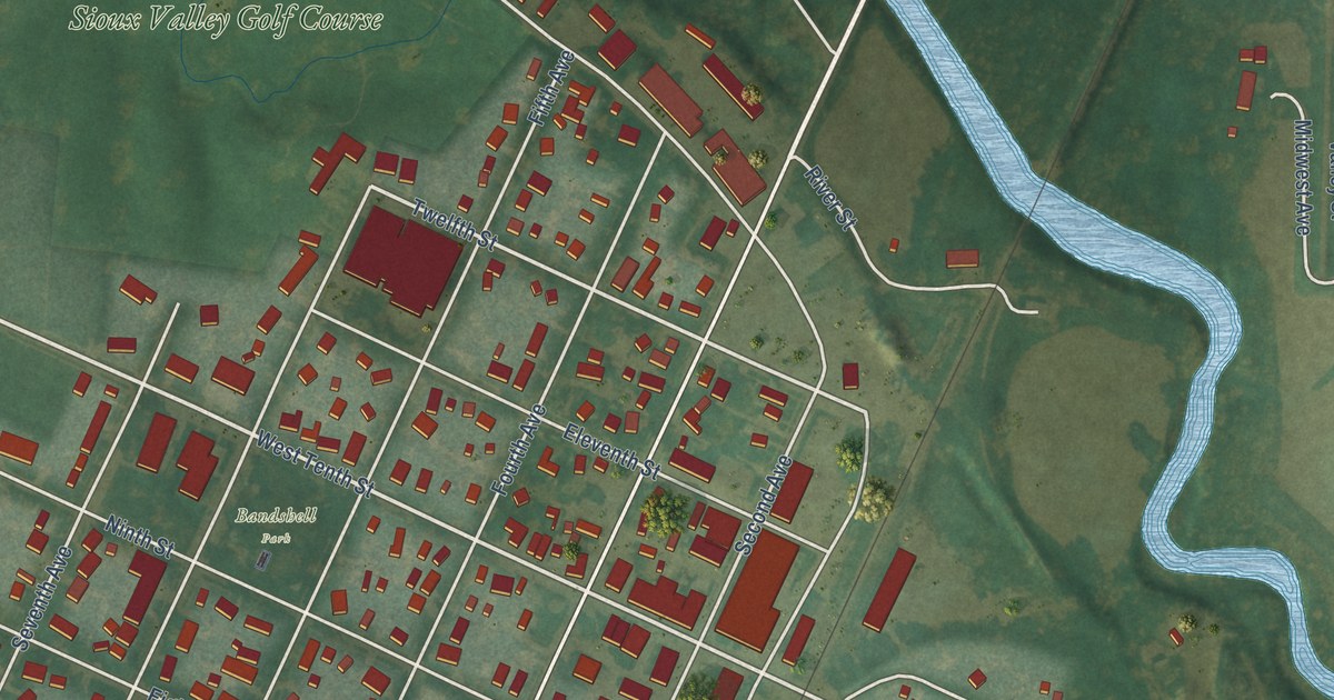
A detailed map of Alton, Iowa, showing every building in its true location, the roads by name, and shaded topographical relief.
Read More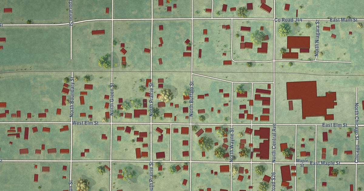
A detailed map of Allerton, Iowa, showing every building in its true location, the roads by name, and shaded topographical relief.
Read More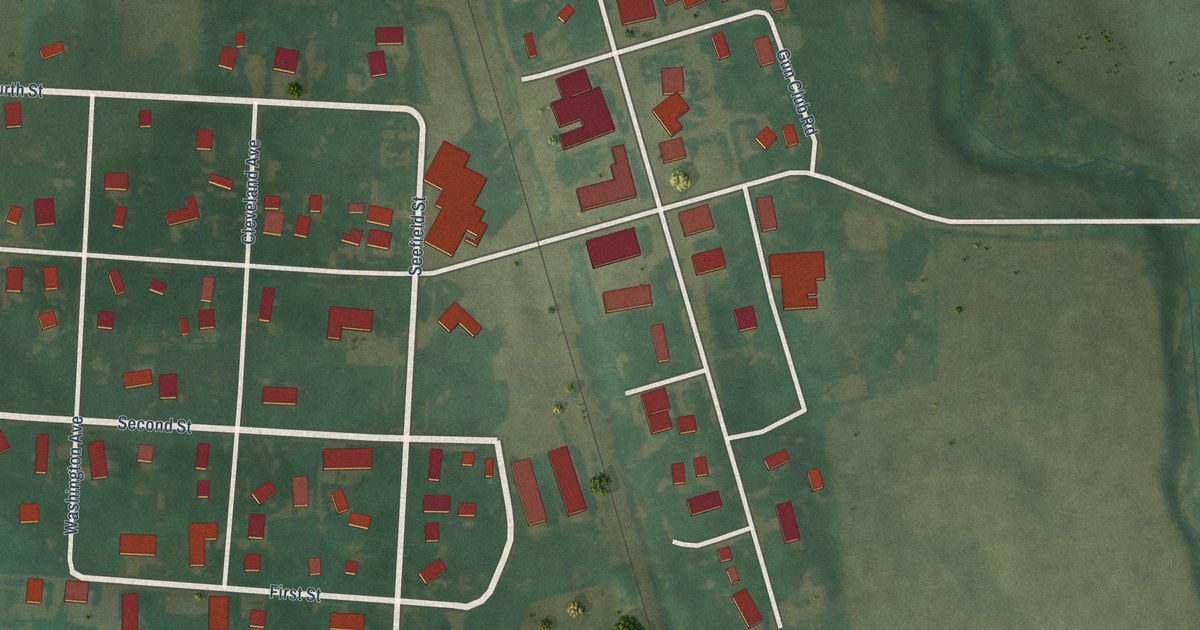
A detailed map of Alvord, Iowa, showing every building in its true location, the roads by name, and shaded topographical relief.
Read More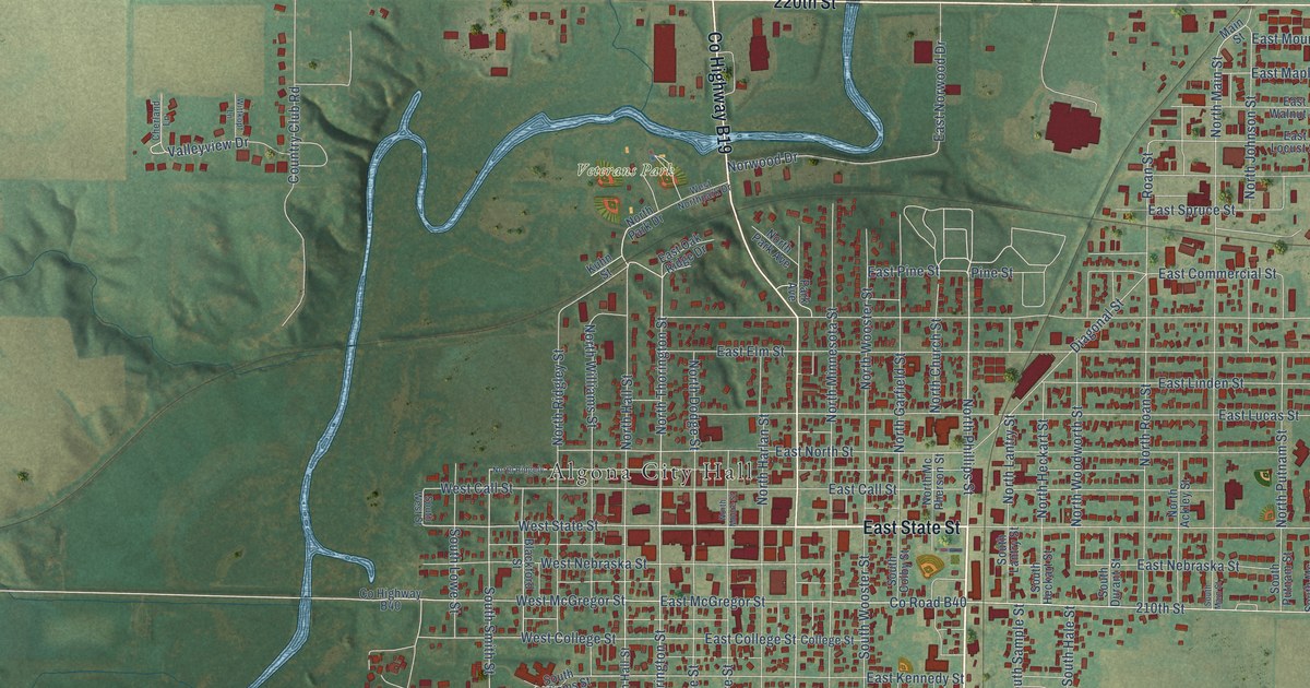
A detailed map of Algona, Iowa, showing every building in its true location, the roads by name, and shaded topographical relief.
Read More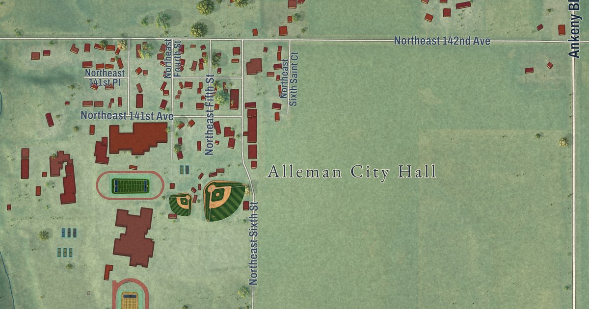
A detailed map of Alleman, Iowa, showing every building in its true location, the roads by name, and shaded topographical relief.
Read More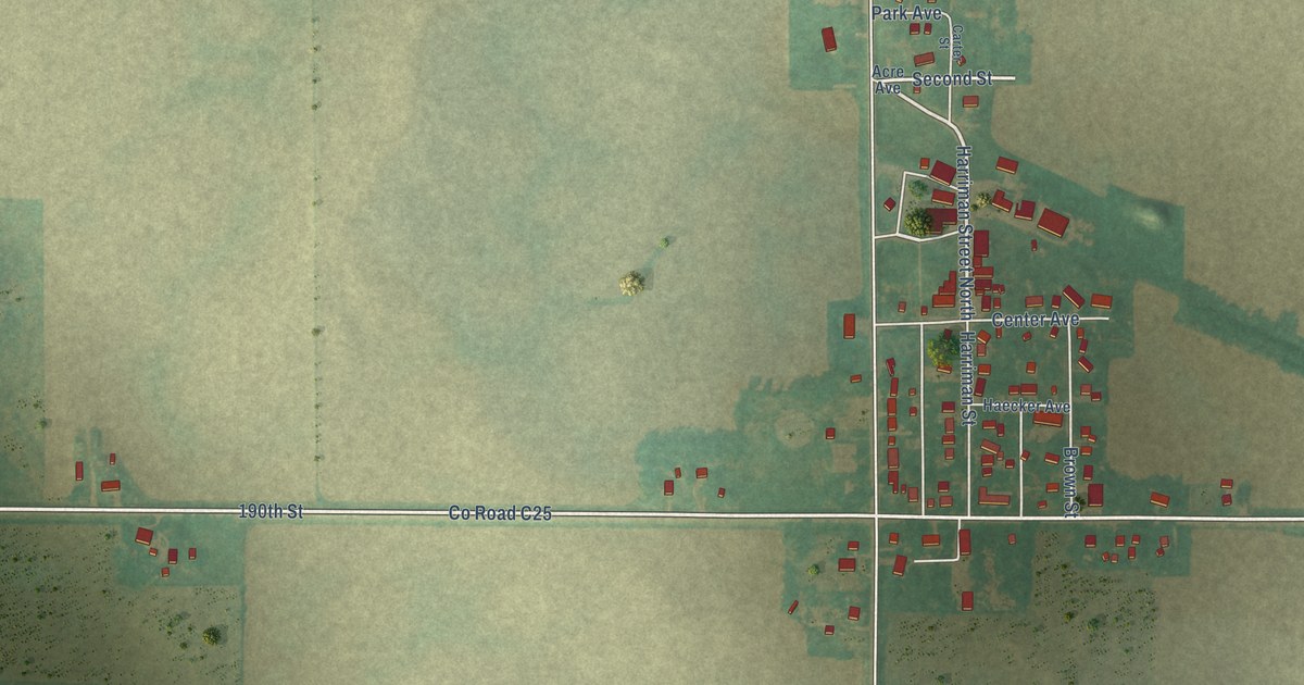
A detailed map of Alexander, Iowa, showing every building in its true location, the roads by name, and shaded topographical relief.
Read More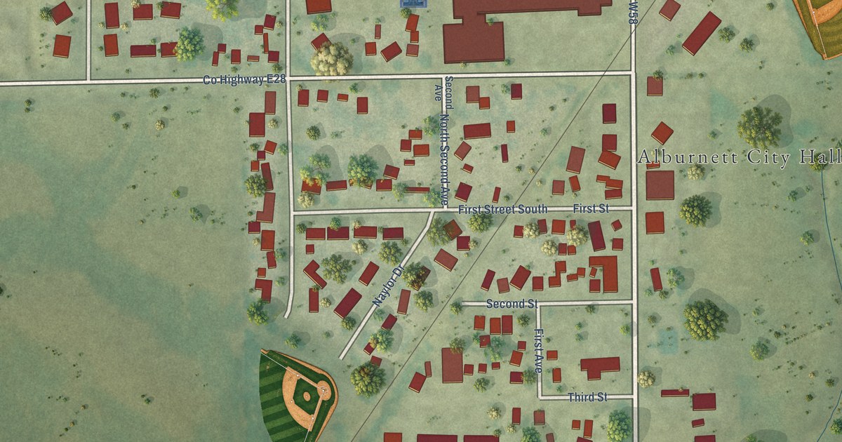
A detailed map of Alburnett, Iowa, showing every building in its true location, the roads by name, and shaded topographical relief.
Read More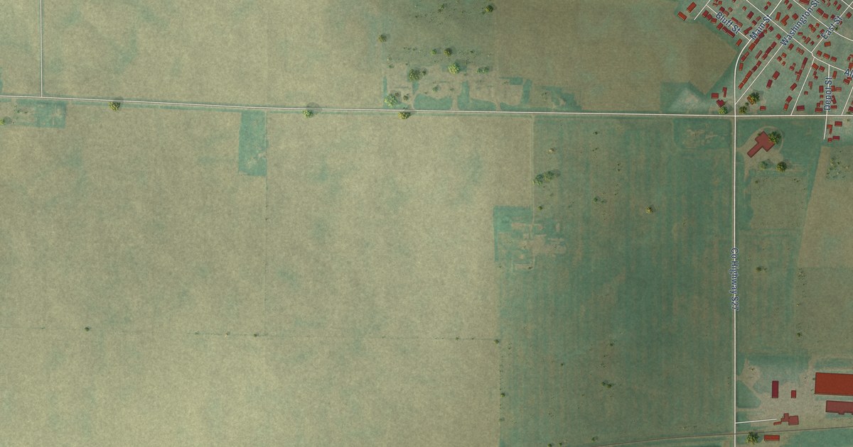
A detailed map of Alden, Iowa, showing every building in its true location, the roads by name, and shaded topographical relief.
Read More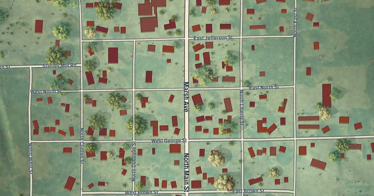
A detailed map of Albion, Iowa, showing every building in its true location, the roads by name, and shaded topographical relief.
Read More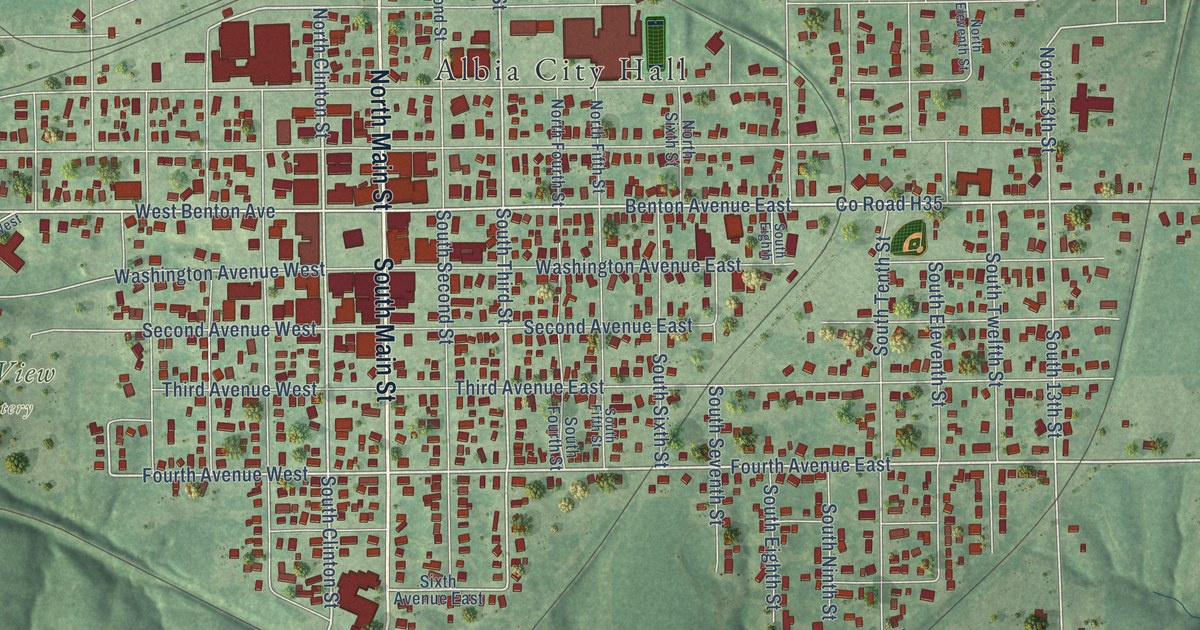
A detailed map of Albia, Iowa, showing every building in its true location, the roads by name, and shaded topographical relief.
Read More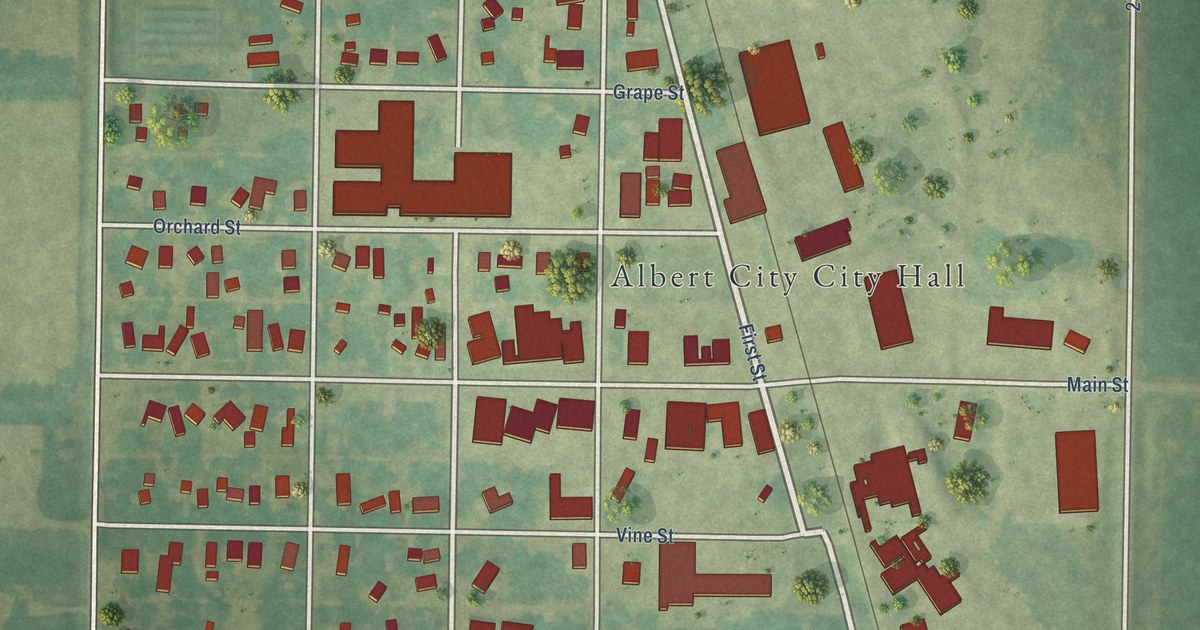
A detailed map of Albert City, Iowa, showing every building in its true location, the roads by name, and shaded topographical relief.
Read More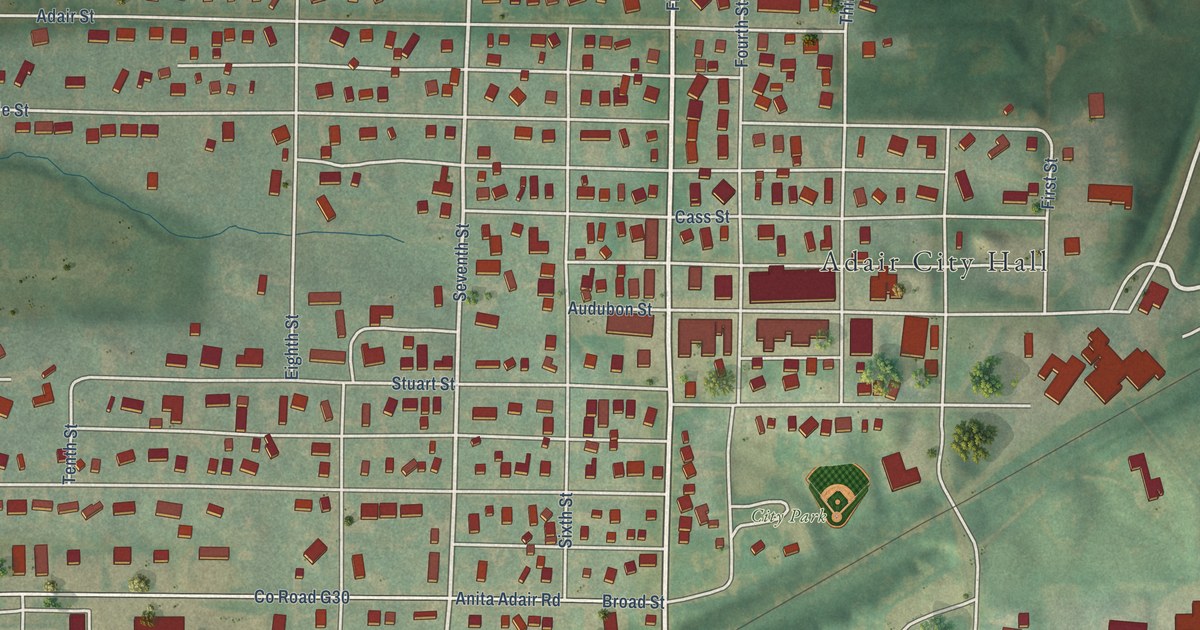
A detailed map of Adair, Iowa, showing every building in its true location, the roads by name, and shaded topographical relief.
Read More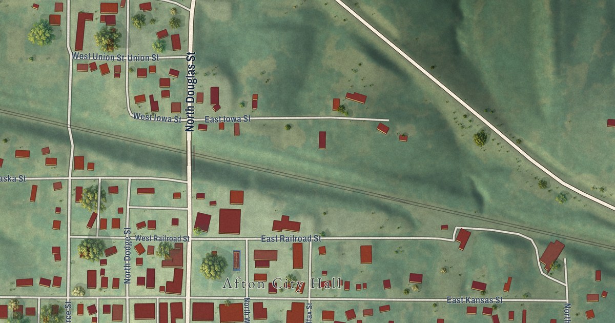
A detailed map of Afton, Iowa, showing every building in its true location, the roads by name, and shaded topographical relief.
Read More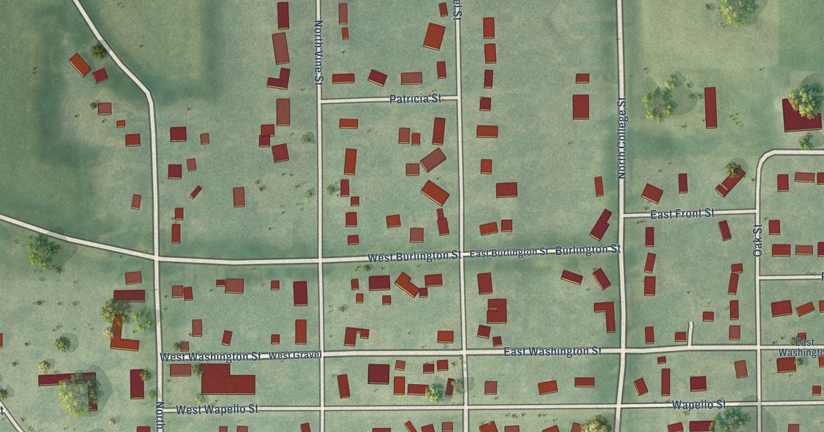
A detailed map of Agency, Iowa, showing every building in its true location, the roads by name, and shaded topographical relief.
Read More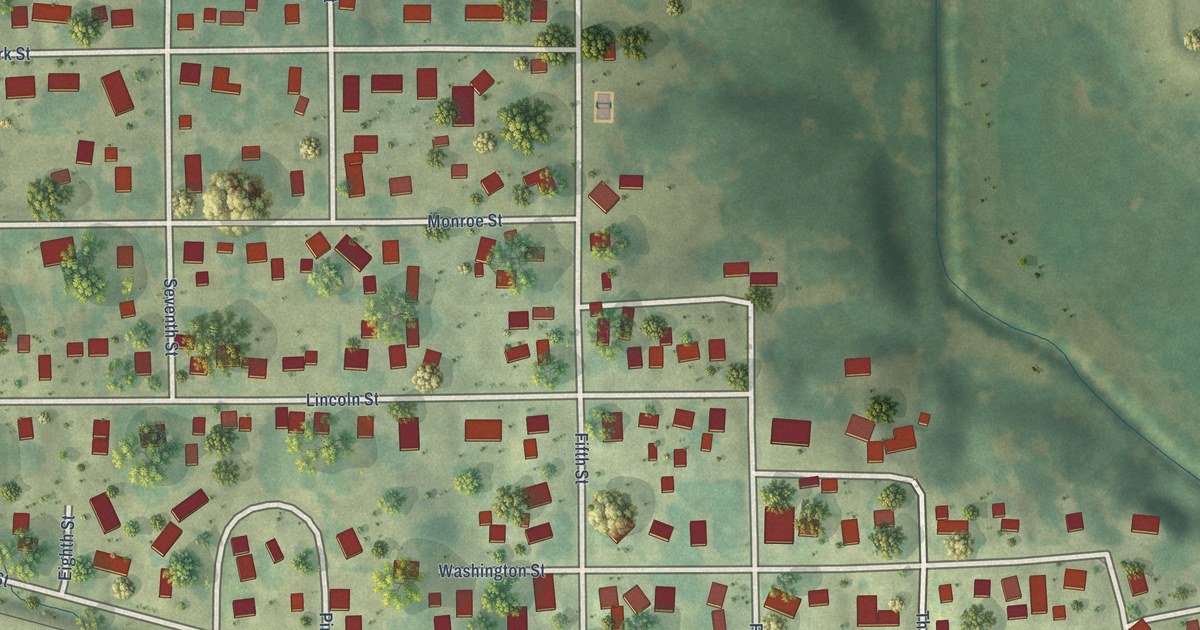
A detailed map of Ainsworth, Iowa, showing every building in its true location, the roads by name, and shaded topographical relief.
Read More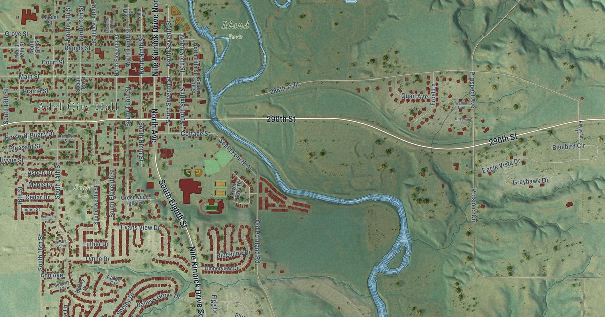
A detailed map of Adel, Iowa, showing every building in its true location, the roads by name, and shaded topographical relief.
Read More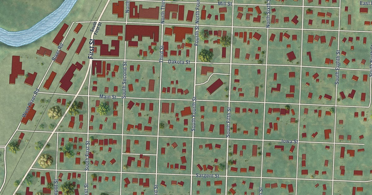
A detailed map of Akron, Iowa, showing every building in its true location, the roads by name, and shaded topographical relief.
Read More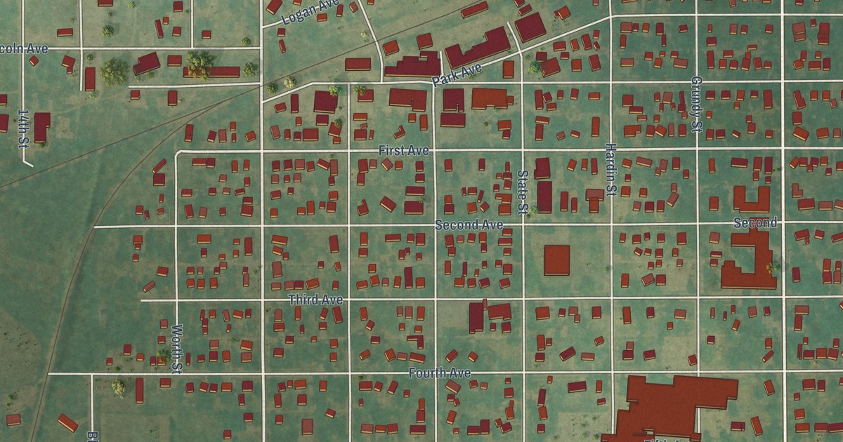
A detailed map of Ackley, Iowa, showing every building in its true location, the roads by name, and shaded topographical relief.
Read More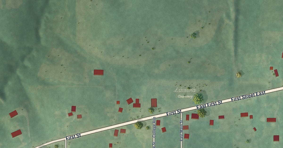
A detailed map of Ackworth, Iowa, showing every building in its true location, the roads by name, and shaded topographical relief.
Read More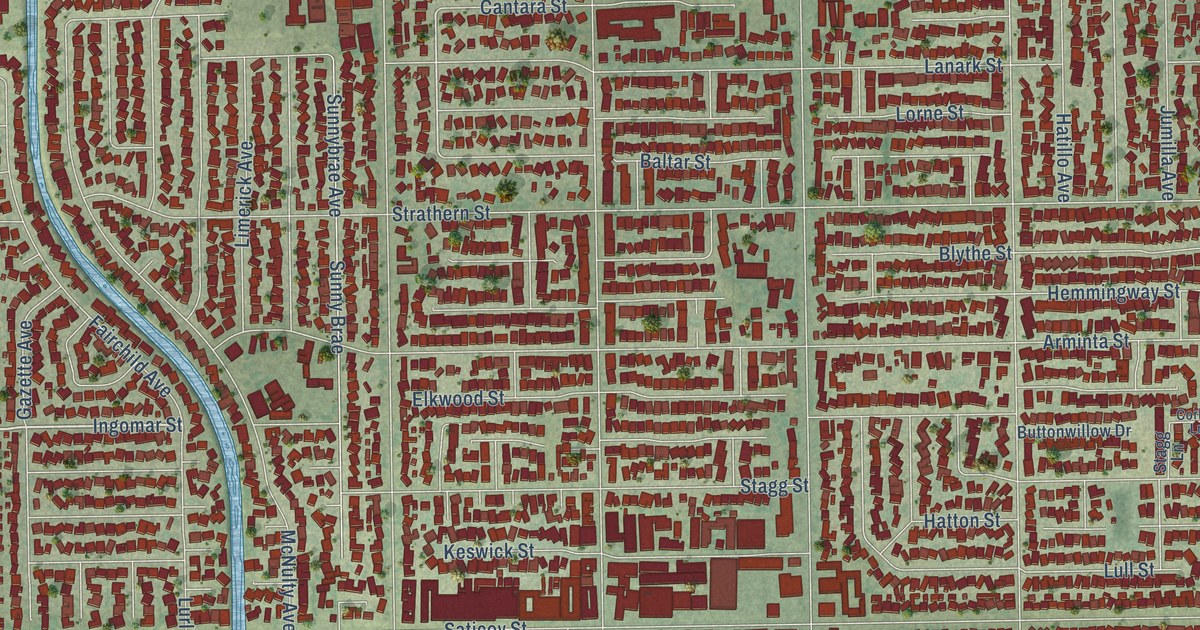
A detailed map of Winnetka, California, showing every building in its true location, the roads by name, and shaded topographical relief.
Read More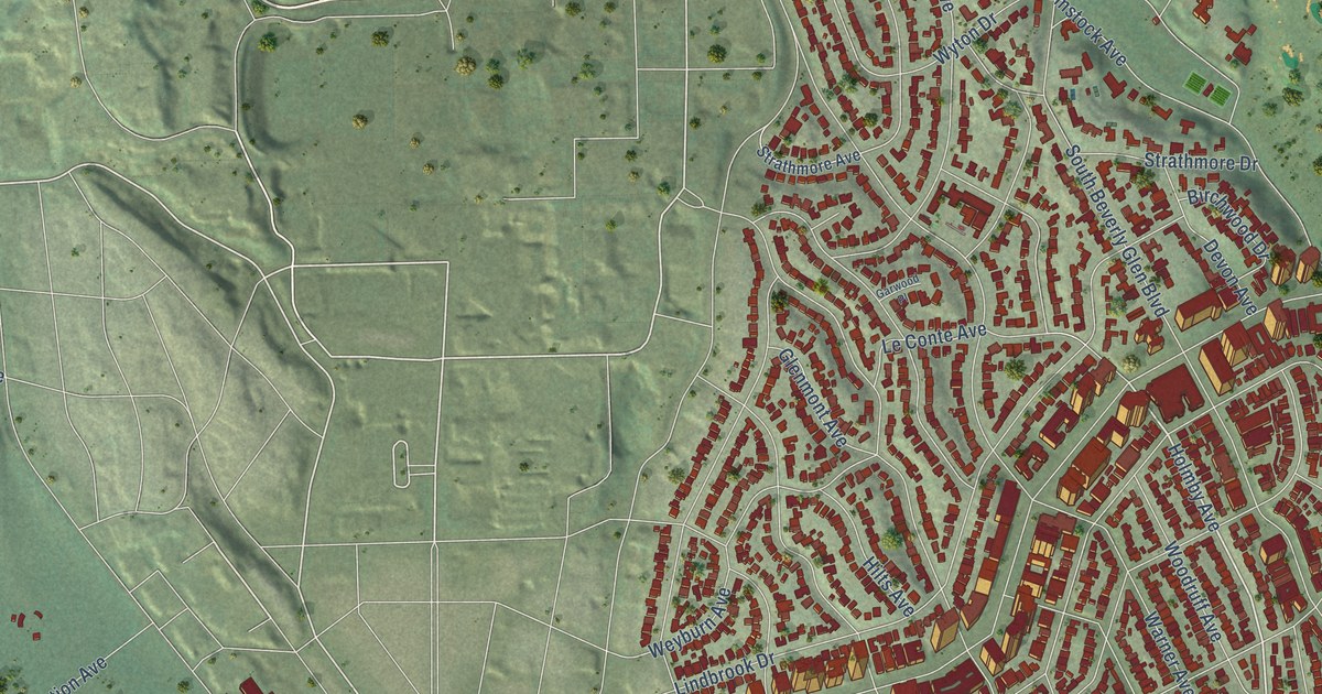
A detailed map of Westwood, California, showing every building in its true location, the roads by name, and shaded topographical relief.
Read More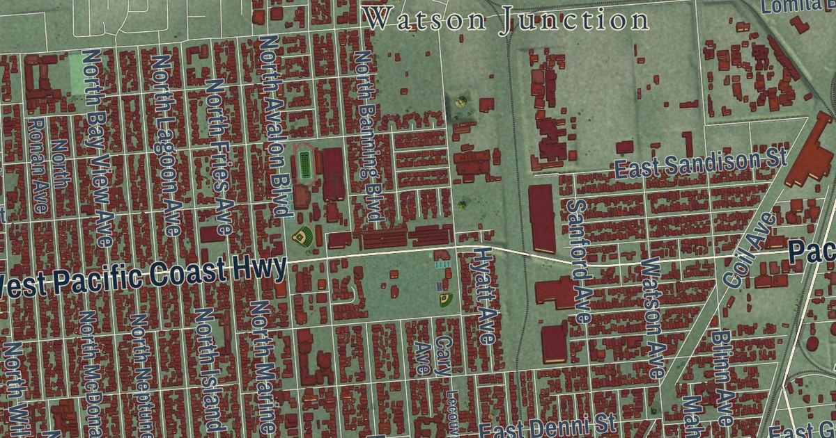
A detailed map of Wilmington, California, showing every building in its true location, the roads by name, and shaded topographical relief.
Read More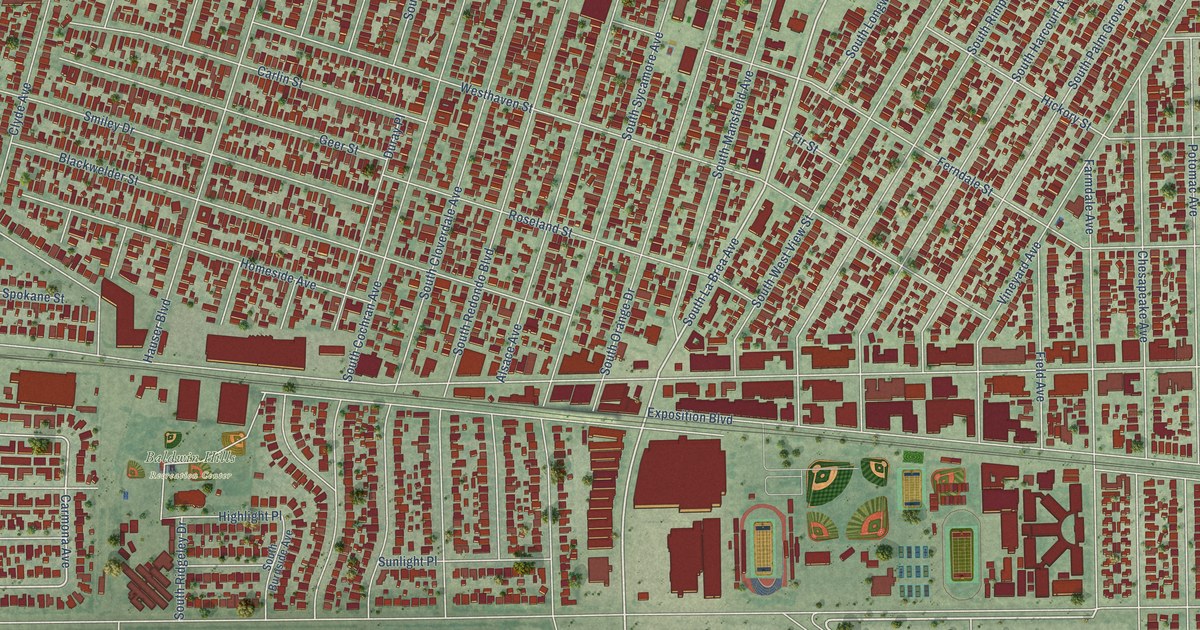
A detailed map of West Adams, California, showing every building in its true location, the roads by name, and shaded topographical relief.
Read More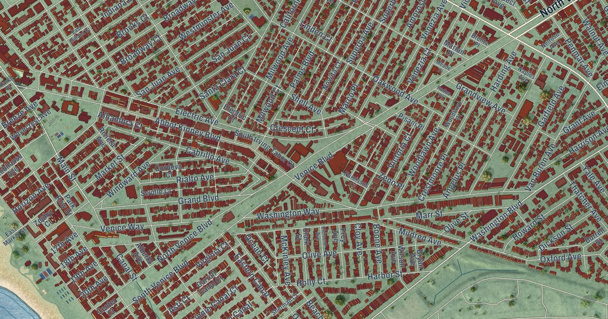
A detailed map of Venice, California, showing every building in its true location, the roads by name, and shaded topographical relief.
Read More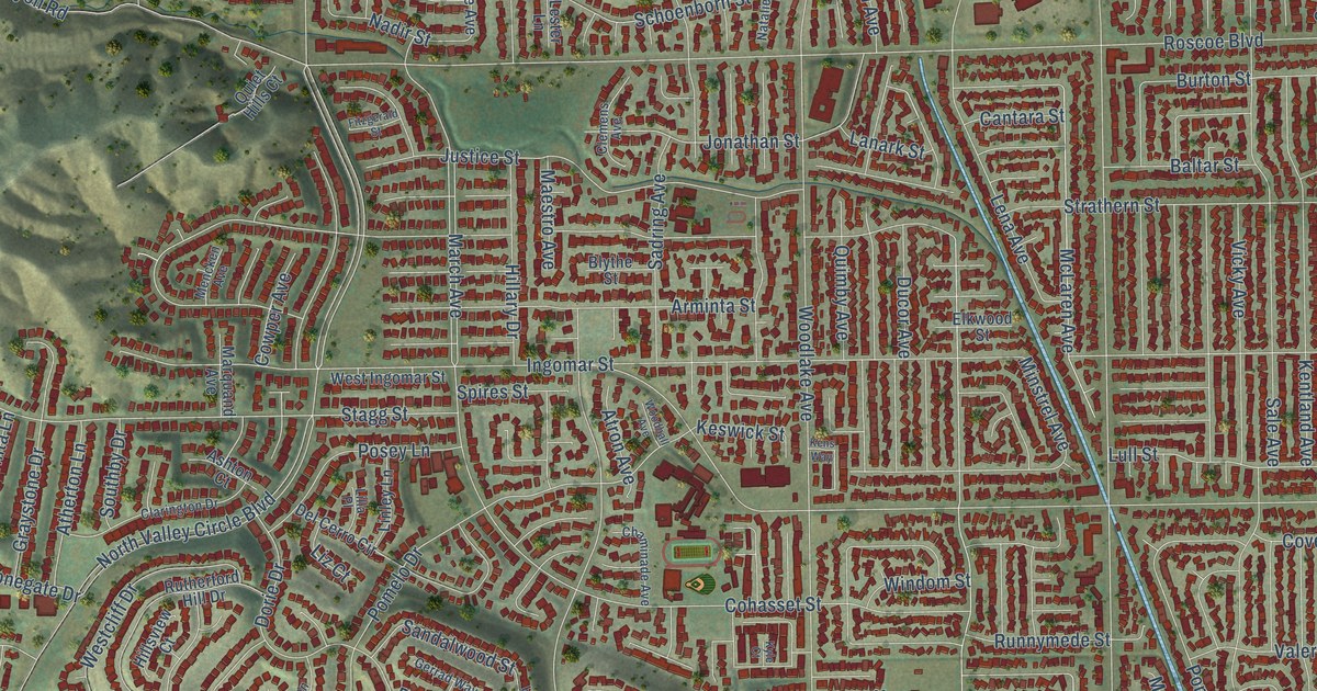
A detailed map of West Hills, California, showing every building in its true location, the roads by name, and shaded topographical relief.
Read More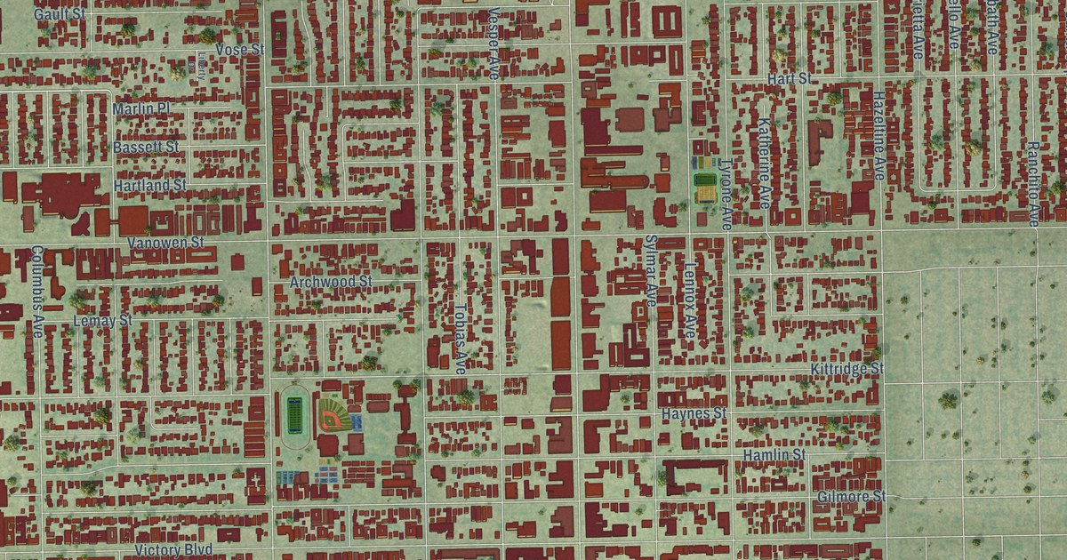
A detailed map of Van Nuys, California, showing every building in its true location, the roads by name, and shaded topographical relief.
Read More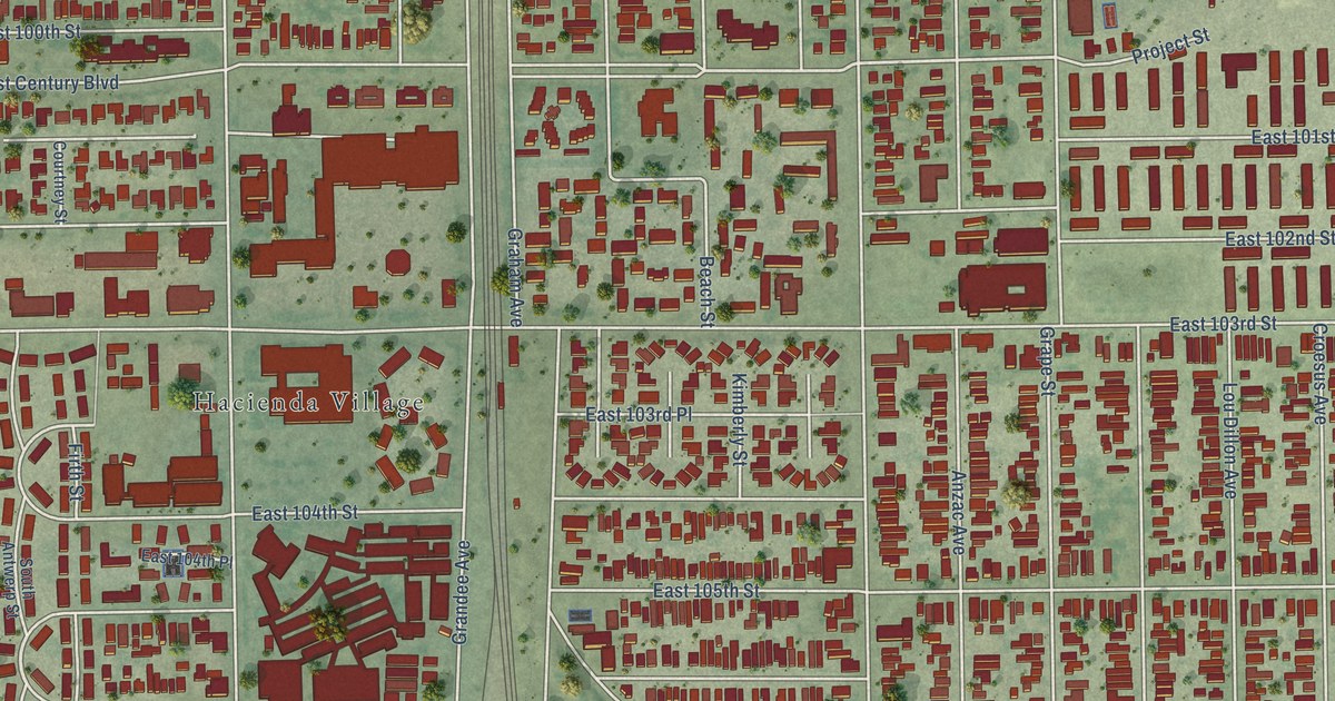
A detailed map of Watts, California, showing every building in its true location, the roads by name, and shaded topographical relief.
Read More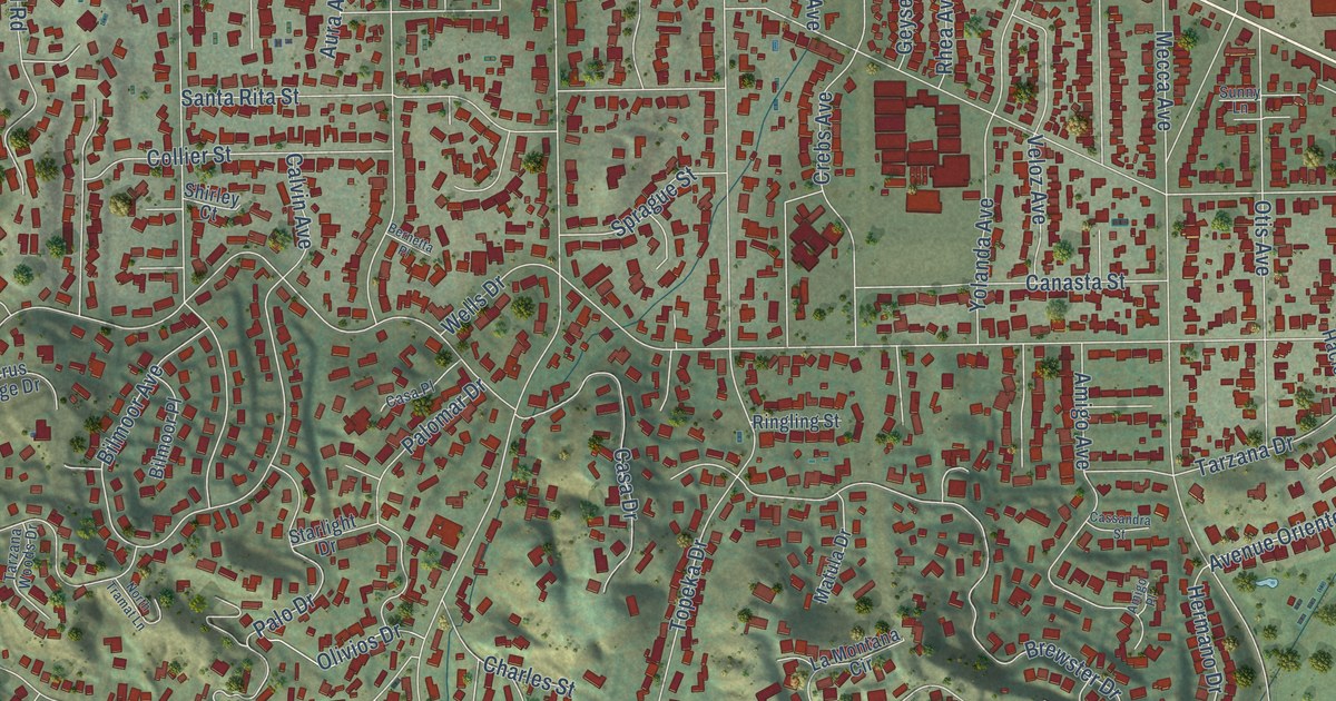
A detailed map of Tarzana, California, showing every building in its true location, the roads by name, and shaded topographical relief.
Read More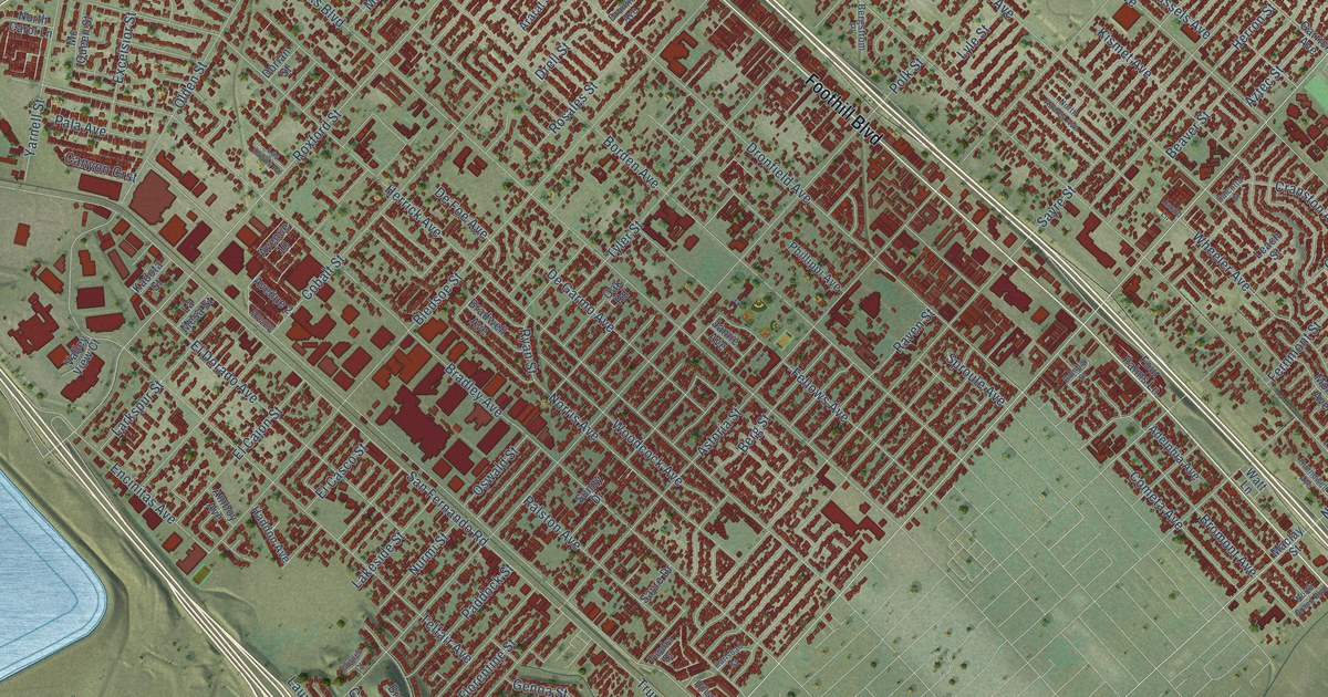
A detailed map of Sylmar, California, showing every building in its true location, the roads by name, and shaded topographical relief.
Read More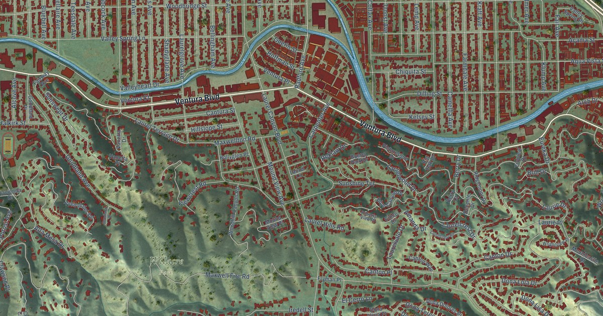
A detailed map of Studio City, California, showing every building in its true location, the roads by name, and shaded topographical relief.
Read More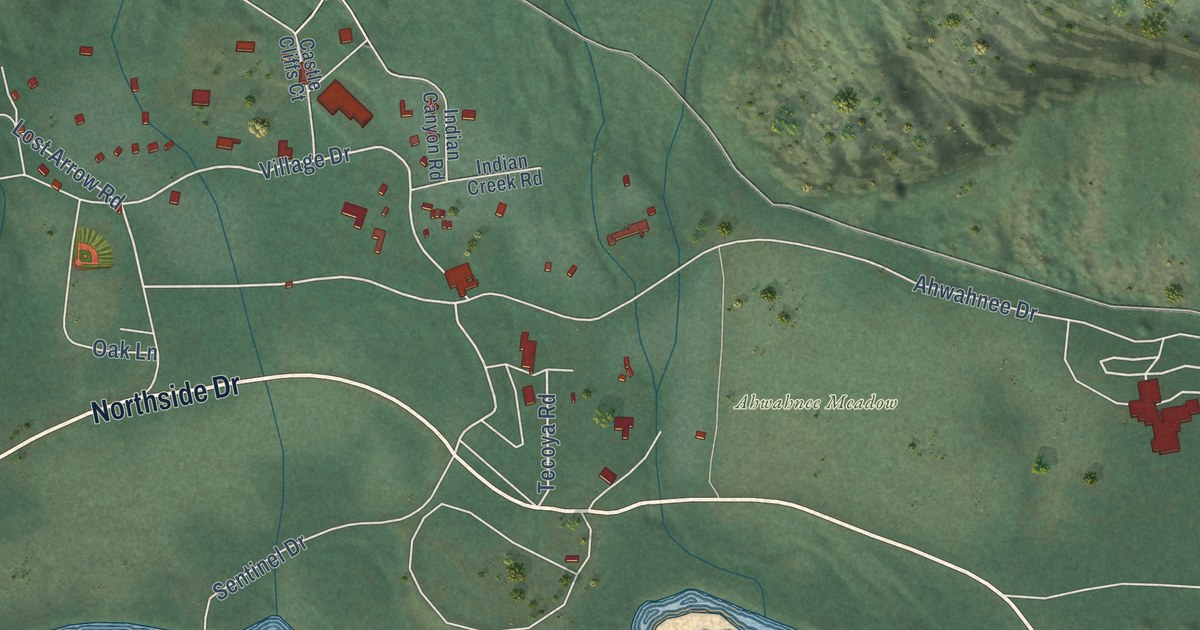
A detailed map of Yosemite Valley, California, showing every building in its true location, the roads by name, and shaded topographical relief.
Read More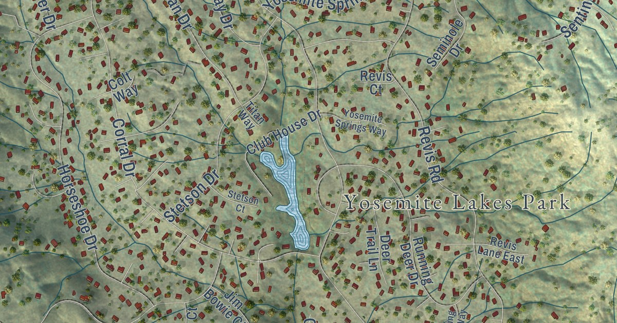
A detailed map of Yosemite Lakes, California, showing every building in its true location, the roads by name, and shaded topographical relief.
Read More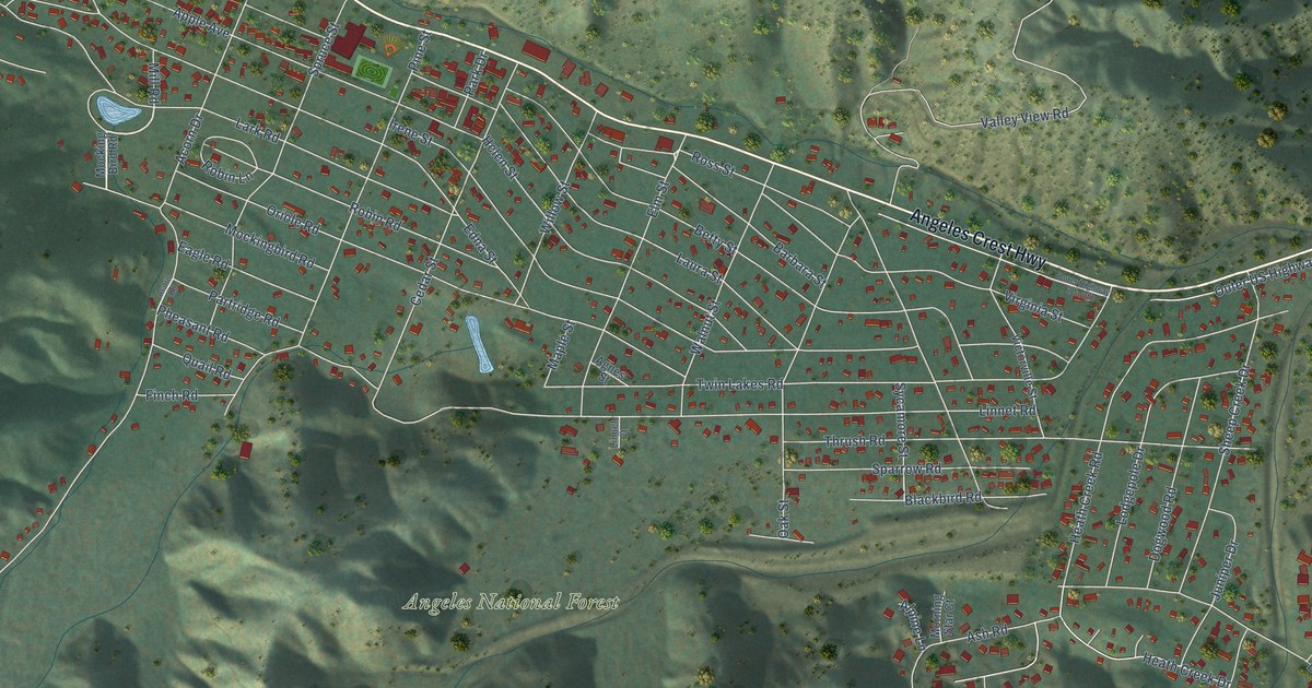
A detailed map of Wrightwood, California, showing every building in its true location, the roads by name, and shaded topographical relief.
Read More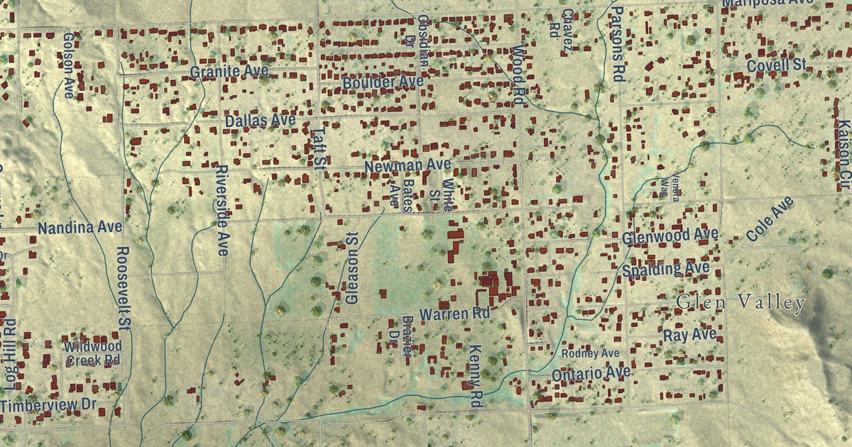
A detailed map of Woodcrest, California, showing every building in its true location, the roads by name, and shaded topographical relief.
Read More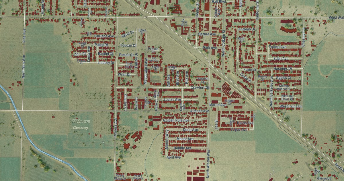
A detailed map of Winton, California, showing every building in its true location, the roads by name, and shaded topographical relief.
Read More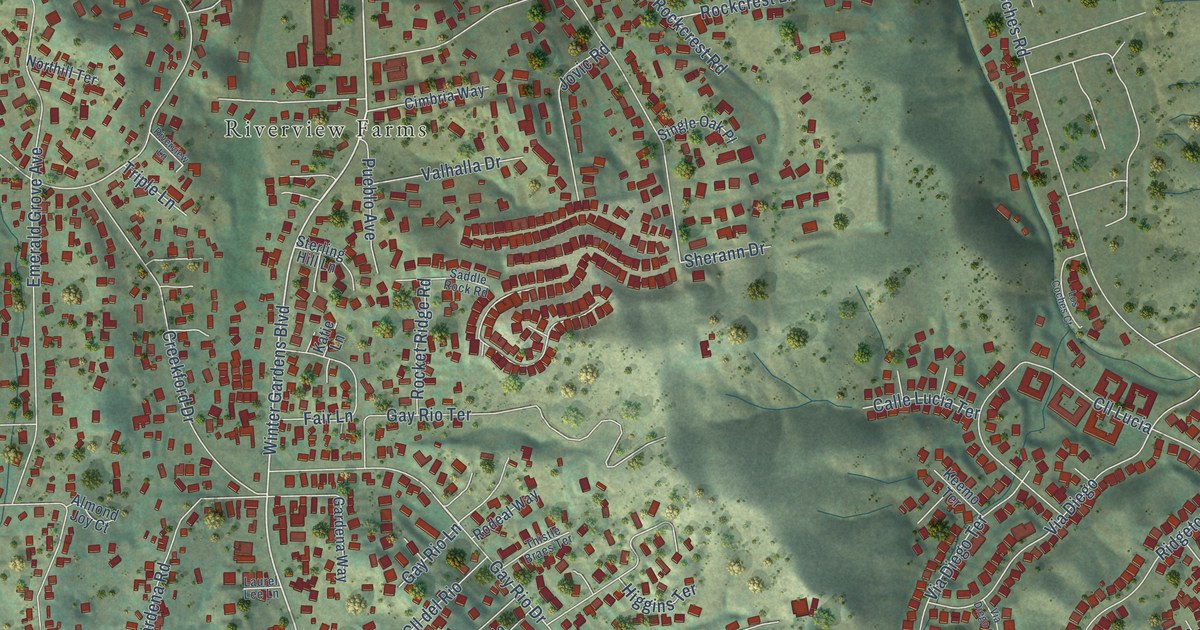
A detailed map of Winter Gardens, California, showing every building in its true location, the roads by name, and shaded topographical relief.
Read More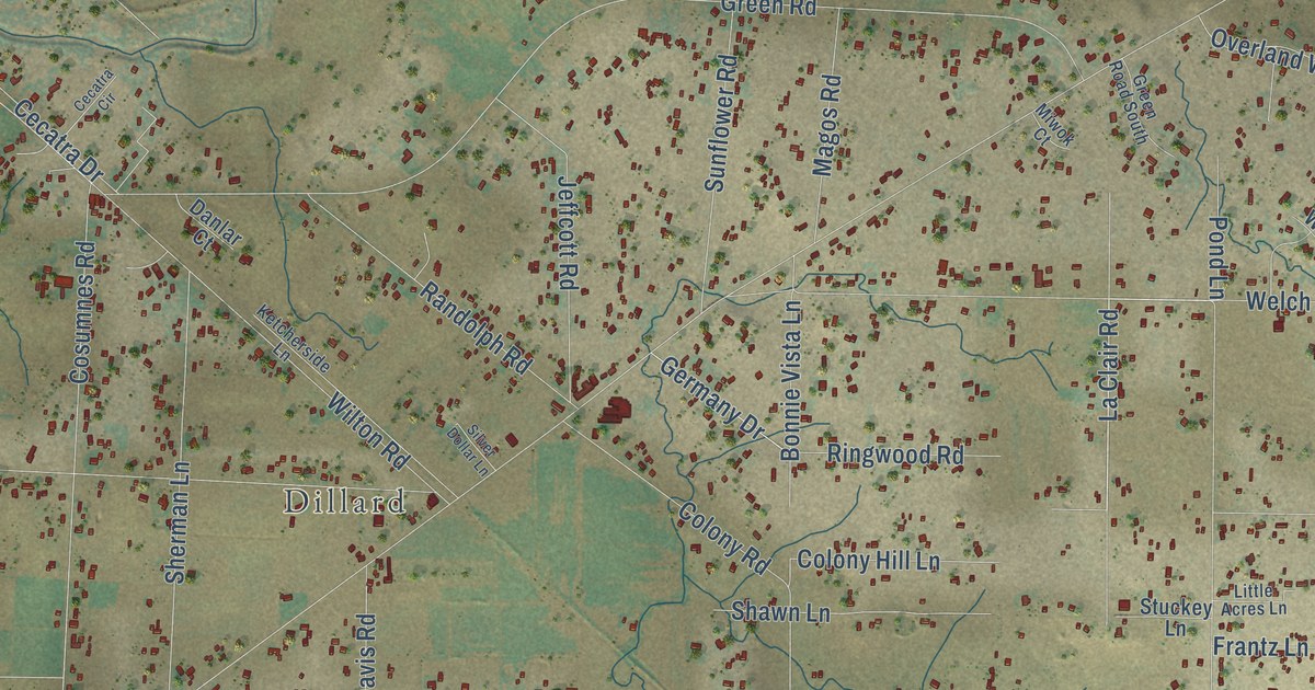
A detailed map of Wilton, California, showing every building in its true location, the roads by name, and shaded topographical relief.
Read More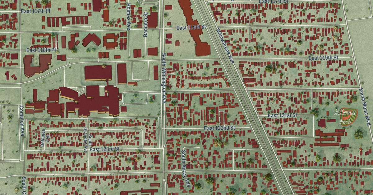
A detailed map of Willowbrook, California, showing every building in its true location, the roads by name, and shaded topographical relief.
Read More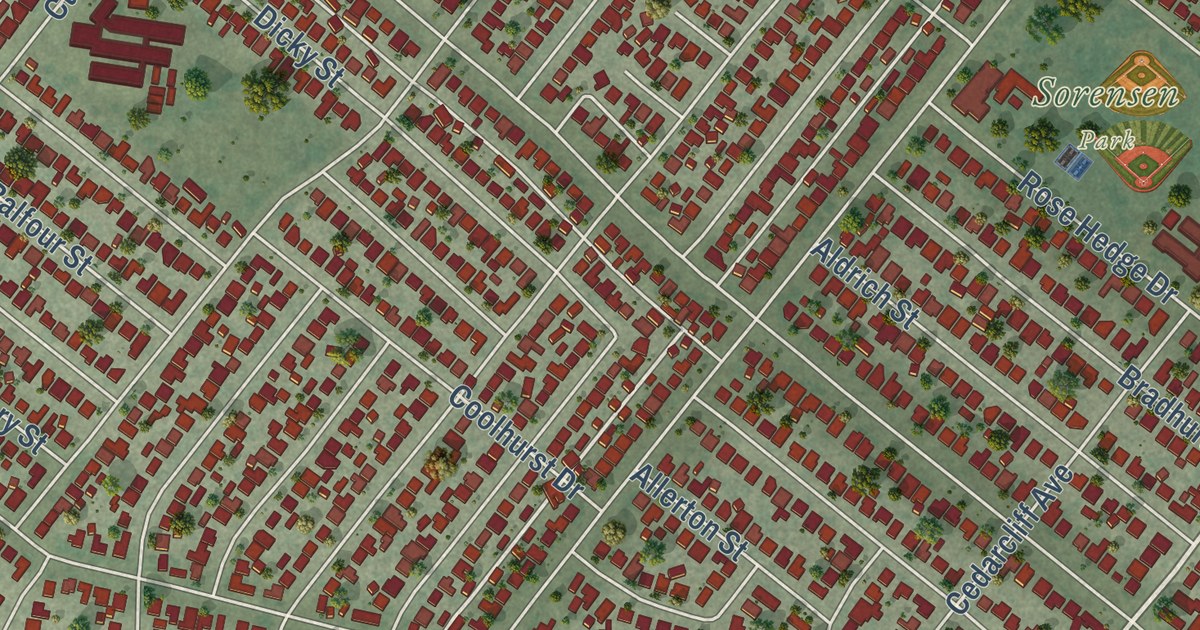
A detailed map of West Whittier-Los Nietos, California, showing every building in its true location, the roads by name, and shaded topographical relief.
Read More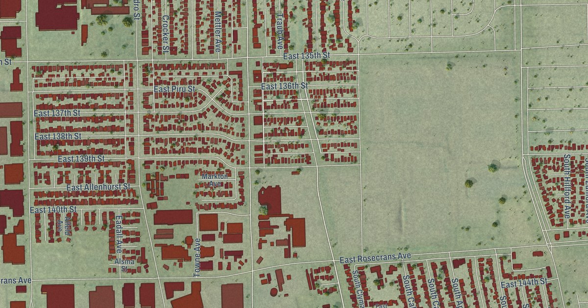
A detailed map of West Rancho Dominguez, California, showing every building in its true location, the roads by name, and shaded topographical relief.
Read More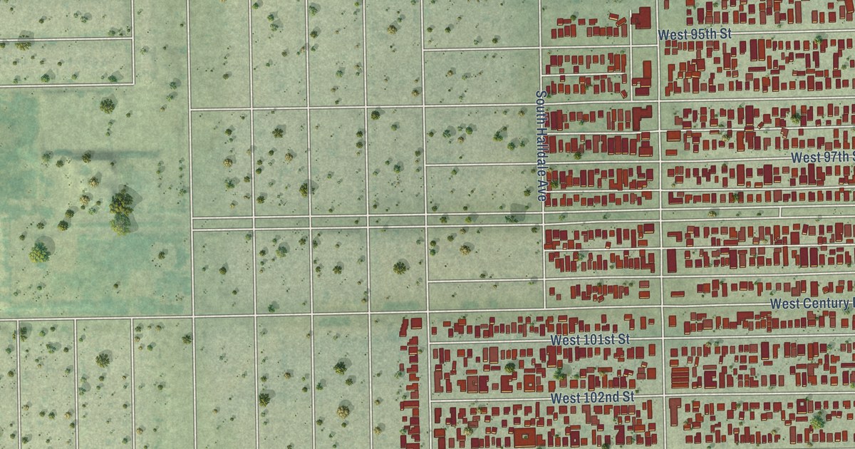
A detailed map of Westmont, California, showing every building in its true location, the roads by name, and shaded topographical relief.
Read More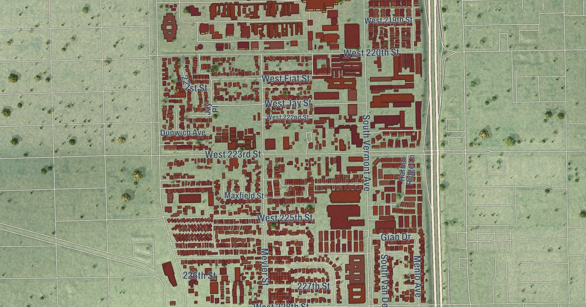
A detailed map of West Carson, California, showing every building in its true location, the roads by name, and shaded topographical relief.
Read More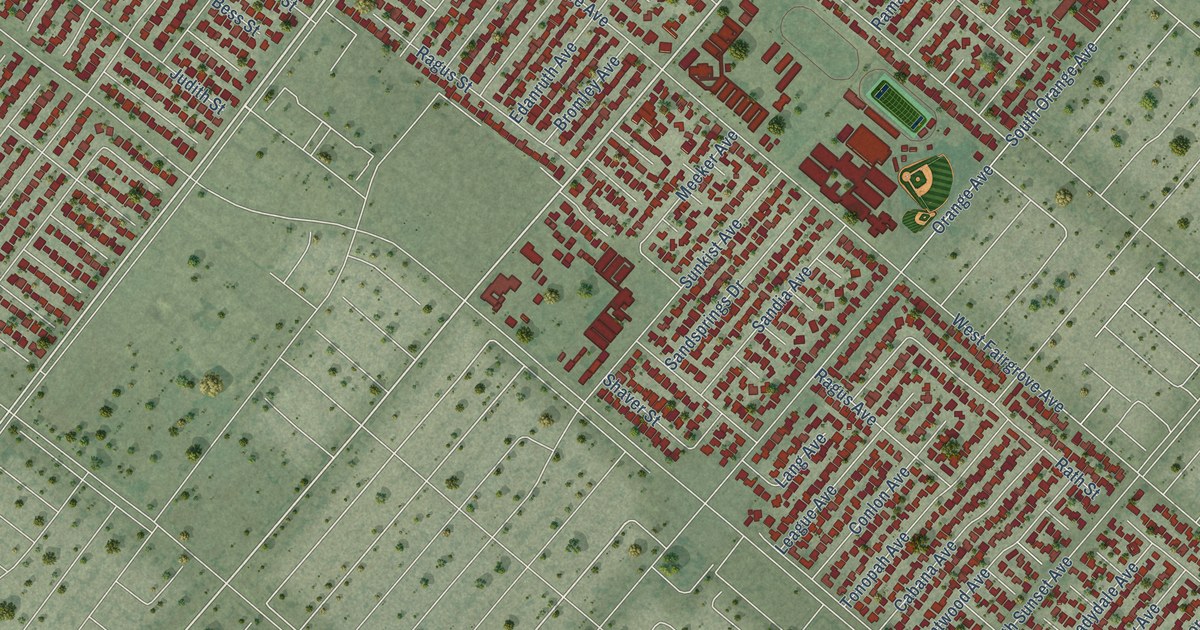
A detailed map of West Puente Valley, California, showing every building in its true location, the roads by name, and shaded topographical relief.
Read More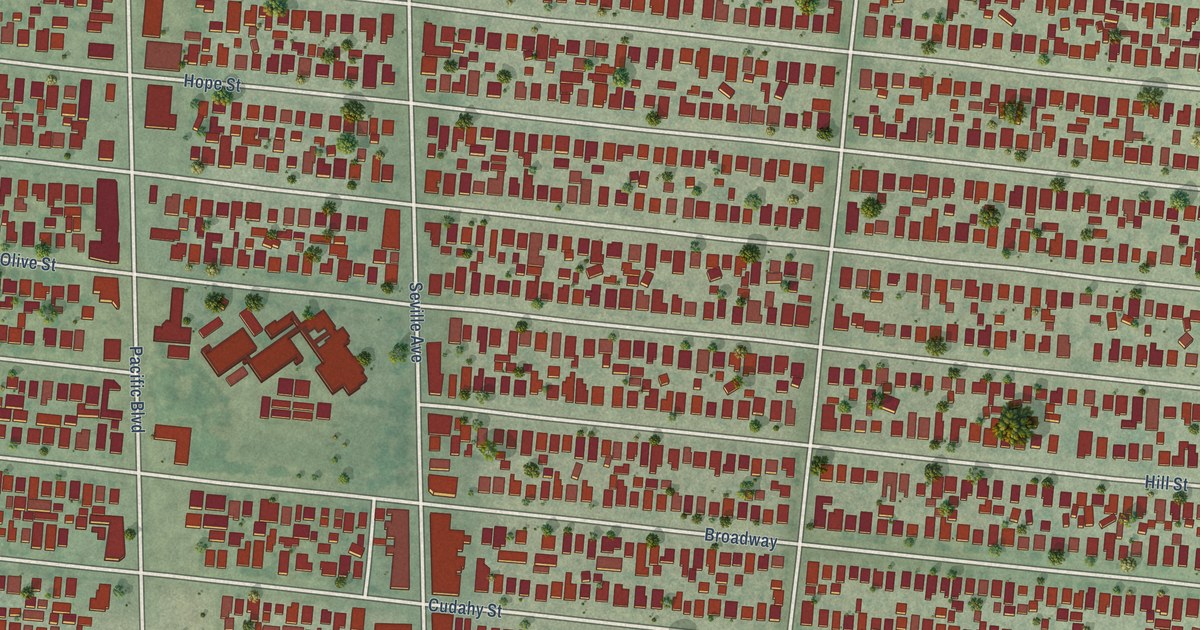
A detailed map of Walnut Park, California, showing every building in its true location, the roads by name, and shaded topographical relief.
Read More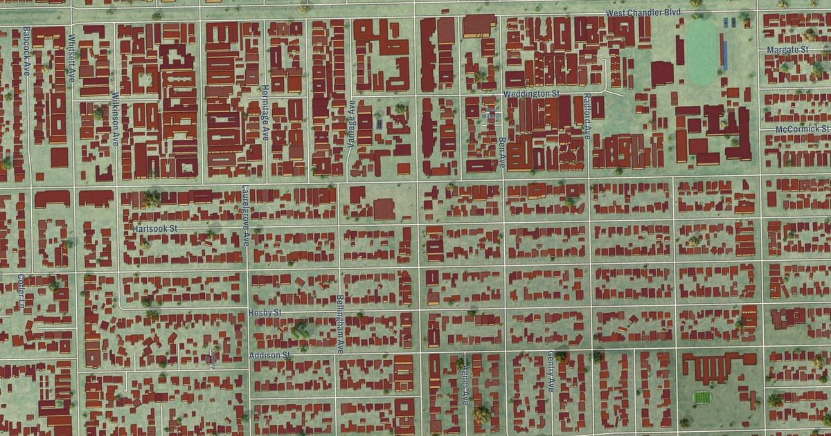
A detailed map of Valley Village, California, showing every building in its true location, the roads by name, and shaded topographical relief.
Read More















