Detailed Map of Valley Center, California
A detailed map of Valley Center, California, showing every building in its true location, the roads by name, and shaded topographical relief.
Read More
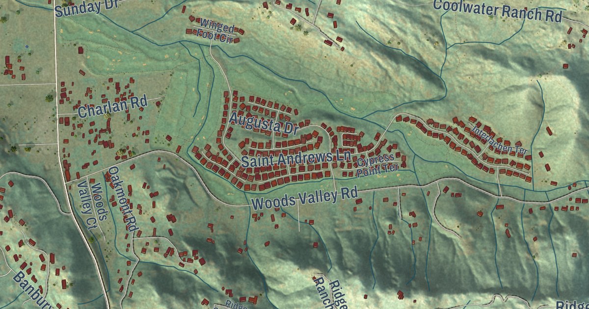
A detailed map of Valley Center, California, showing every building in its true location, the roads by name, and shaded topographical relief.
Read More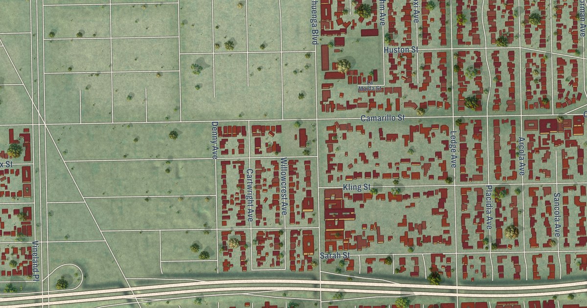
A detailed map of Toluca Lake, California, showing every building in its true location, the roads by name, and shaded topographical relief.
Read More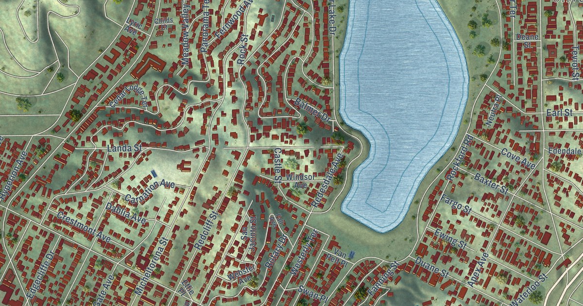
A detailed map of Silver Lake, California, showing every building in its true location, the roads by name, and shaded topographical relief.
Read More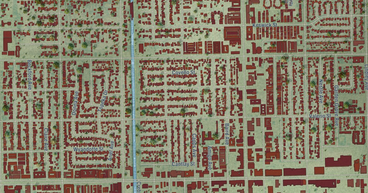
A detailed map of Reseda, California, showing every building in its true location, the roads by name, and shaded topographical relief.
Read More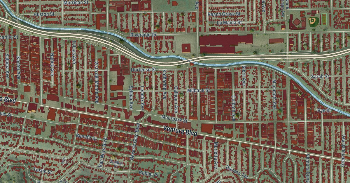
A detailed map of Sherman Oaks, California, showing every building in its true location, the roads by name, and shaded topographical relief.
Read More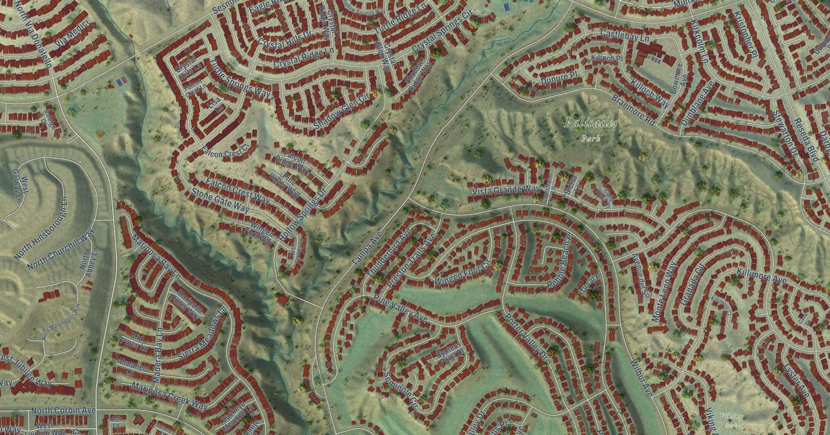
A detailed map of Porter Ranch, California, showing every building in its true location, the roads by name, and shaded topographical relief.
Read More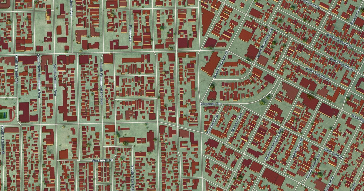
A detailed map of Pico-Union, California, showing every building in its true location, the roads by name, and shaded topographical relief.
Read More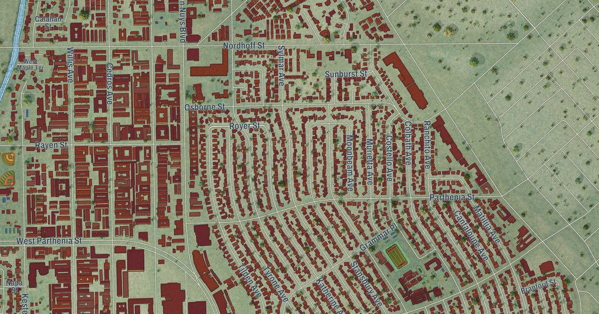
A detailed map of Panorama City, California, showing every building in its true location, the roads by name, and shaded topographical relief.
Read More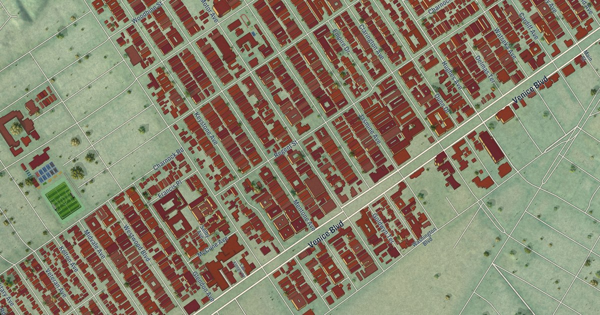
A detailed map of Palms, California, showing every building in its true location, the roads by name, and shaded topographical relief.
Read More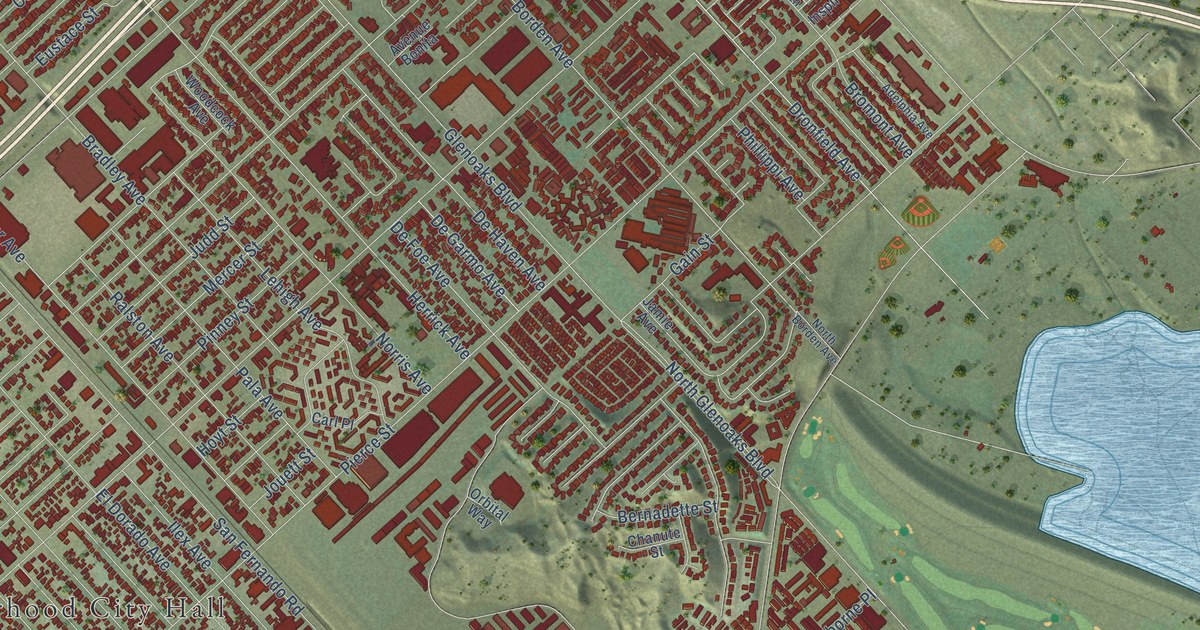
A detailed map of Pacoima, California, showing every building in its true location, the roads by name, and shaded topographical relief.
Read More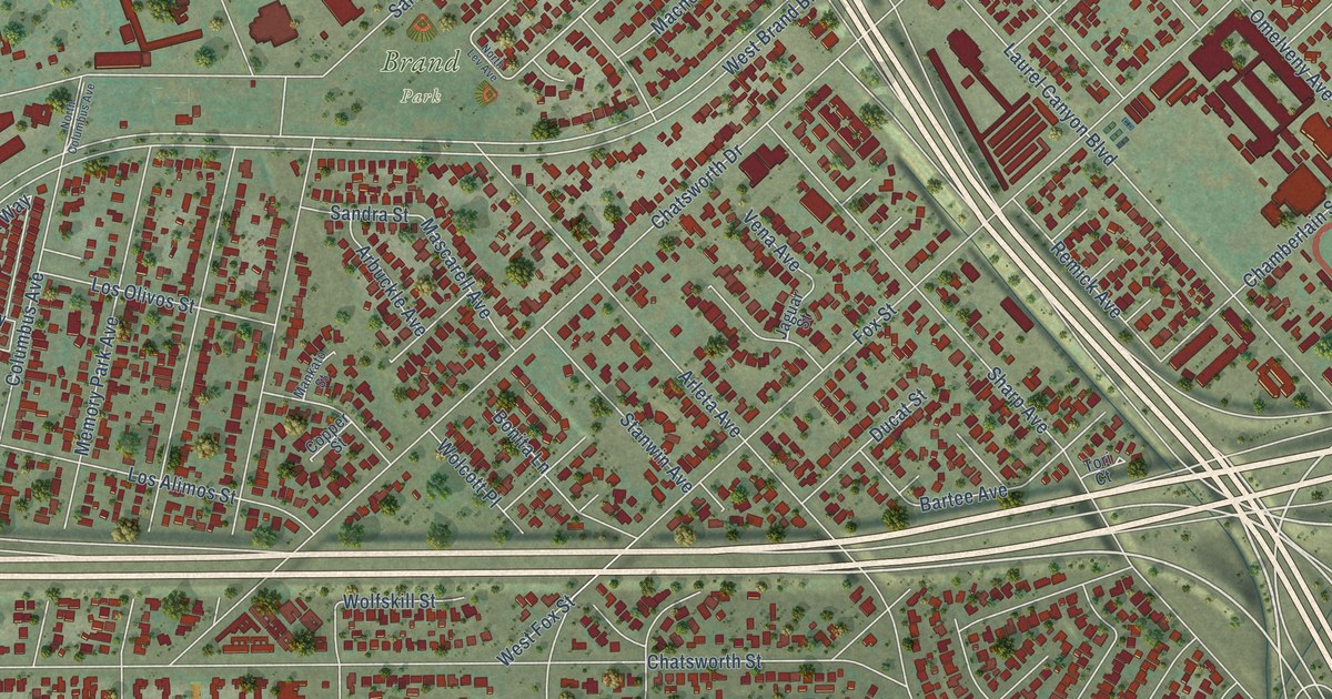
A detailed map of Mission Hills, California, showing every building in its true location, the roads by name, and shaded topographical relief.
Read More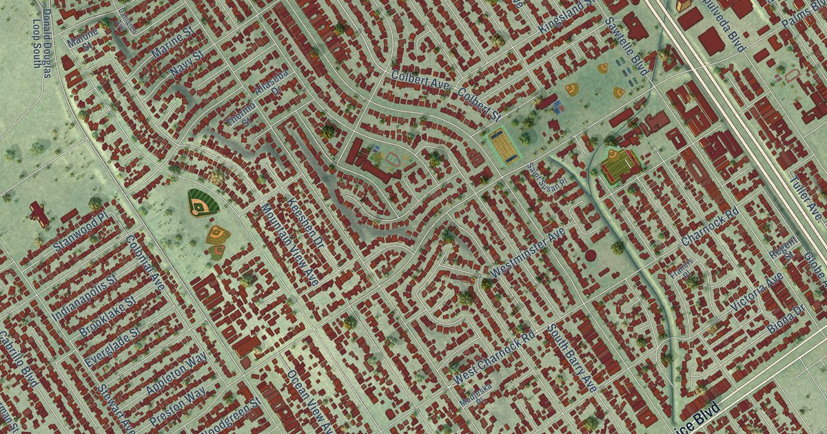
A detailed map of Mar Vista, California, showing every building in its true location, the roads by name, and shaded topographical relief.
Read More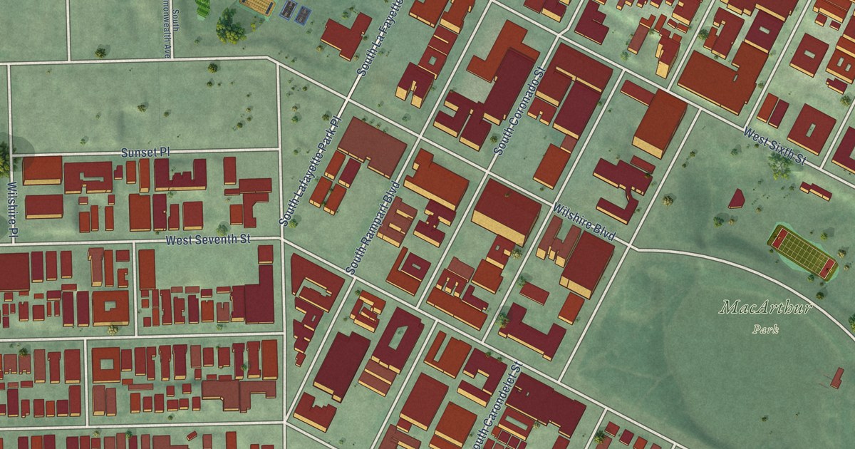
A detailed map of MacArthur Park, California, showing every building in its true location, the roads by name, and shaded topographical relief.
Read More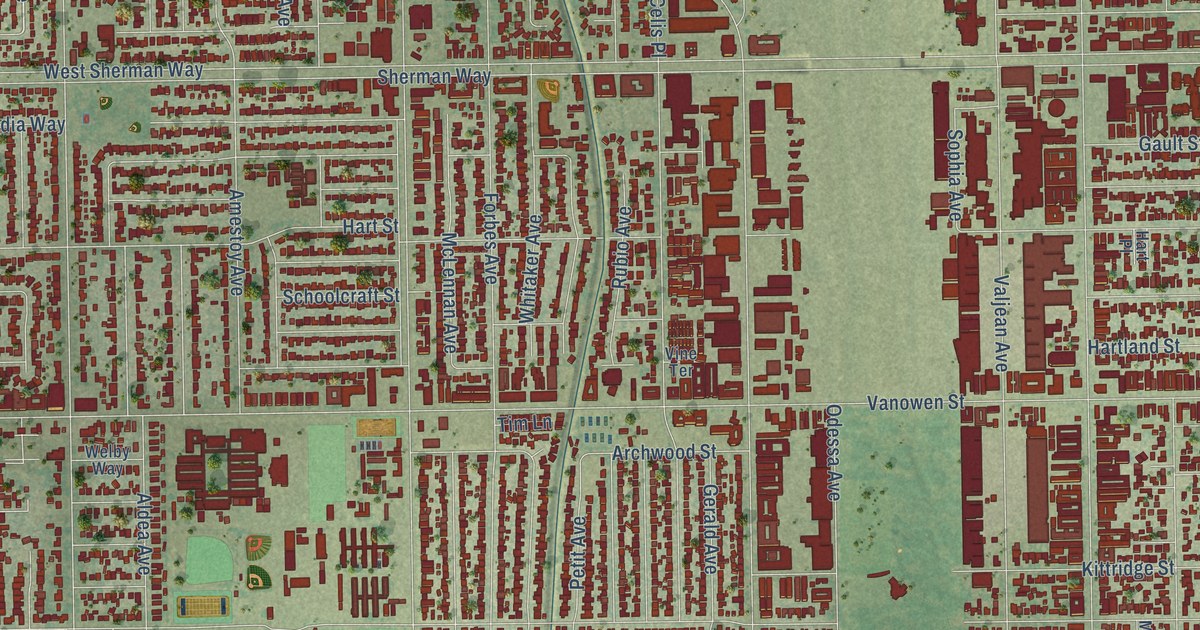
A detailed map of Lake Balboa, California, showing every building in its true location, the roads by name, and shaded topographical relief.
Read More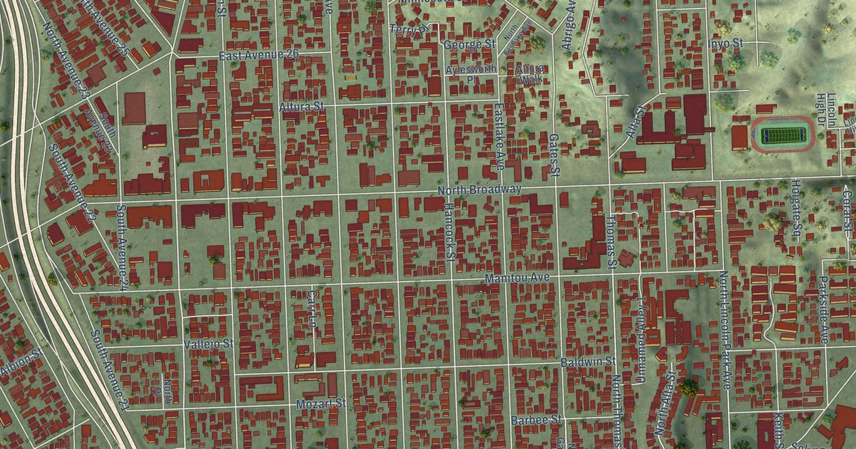
A detailed map of Lincoln Heights, California, showing every building in its true location, the roads by name, and shaded topographical relief.
Read More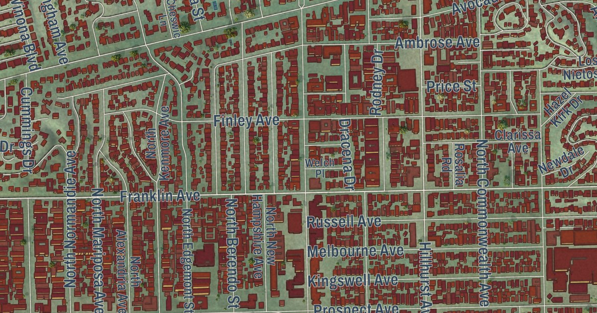
A detailed map of Los Feliz, California, showing every building in its true location, the roads by name, and shaded topographical relief.
Read More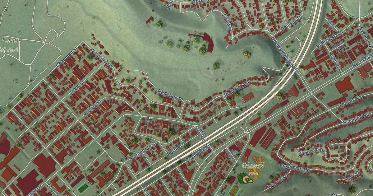
A detailed map of Glassell Park, California, showing every building in its true location, the roads by name, and shaded topographical relief.
Read More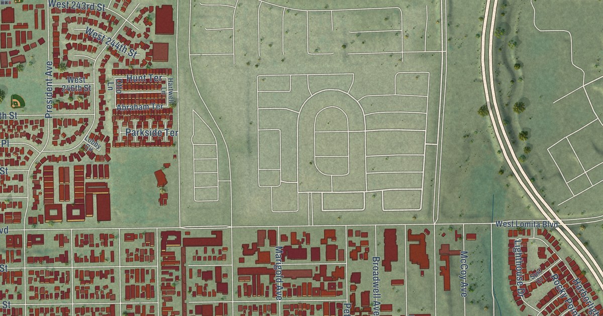
A detailed map of Harbor City, California, showing every building in its true location, the roads by name, and shaded topographical relief.
Read More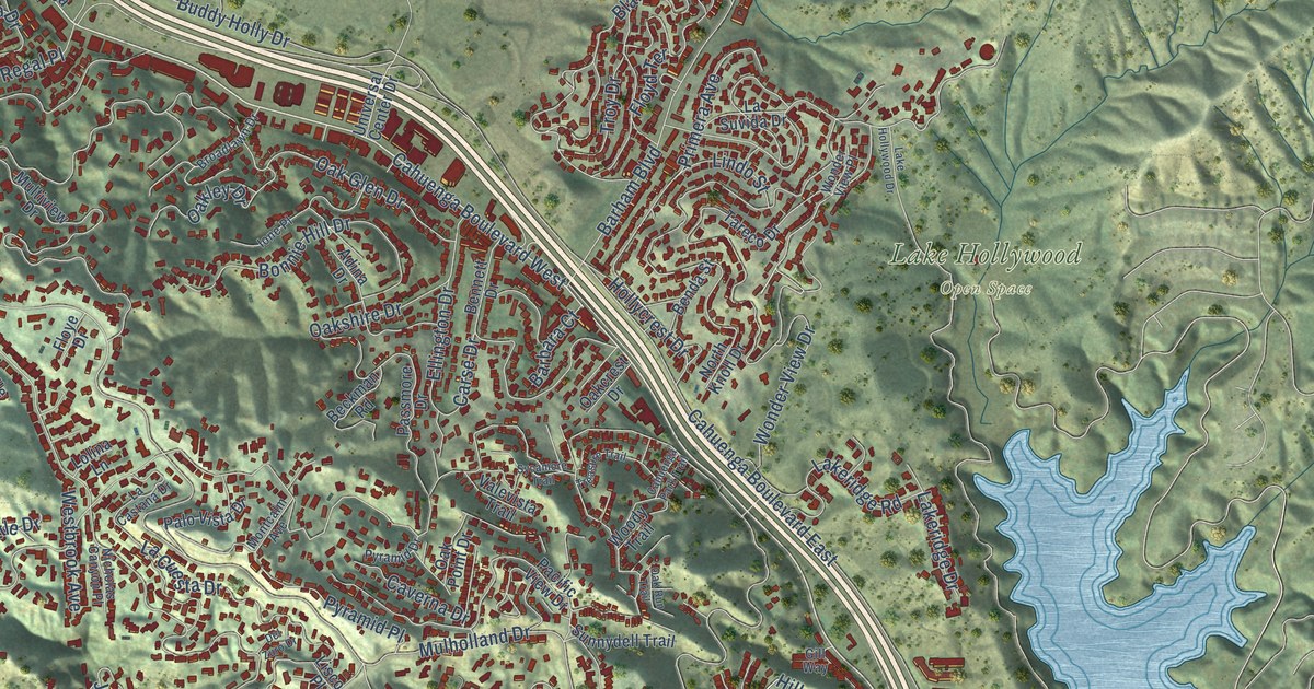
A detailed map of Hollywood Hills West, California, showing every building in its true location, the roads by name, and shaded topographical relief.
Read More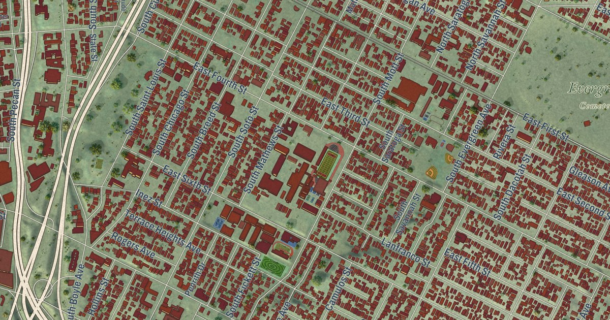
A detailed map of Boyle Heights, California, showing every building in its true location, the roads by name, and shaded topographical relief.
Read More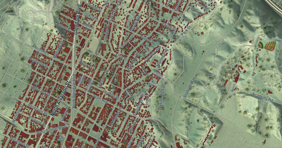
A detailed map of Echo Park, California, showing every building in its true location, the roads by name, and shaded topographical relief.
Read More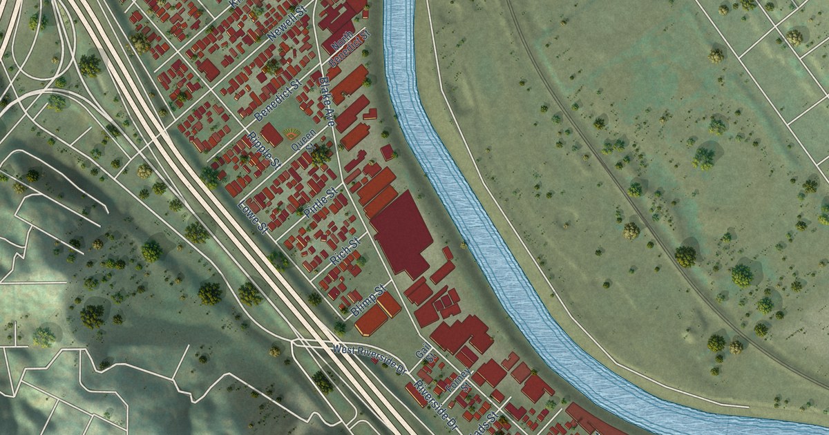
A detailed map of Elysian Valley, California, showing every building in its true location, the roads by name, and shaded topographical relief.
Read More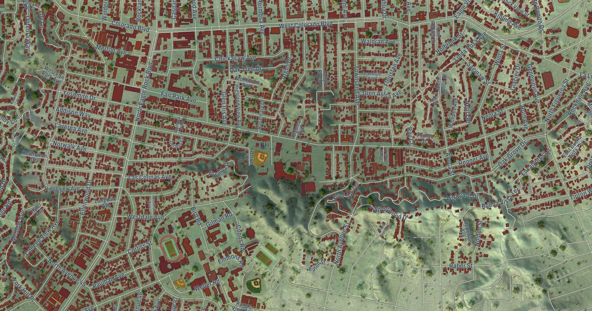
A detailed map of Eagle Rock, California, showing every building in its true location, the roads by name, and shaded topographical relief.
Read More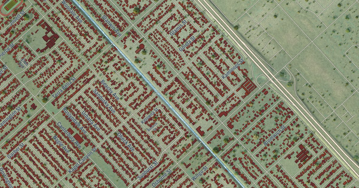
A detailed map of Arleta, California, showing every building in its true location, the roads by name, and shaded topographical relief.
Read More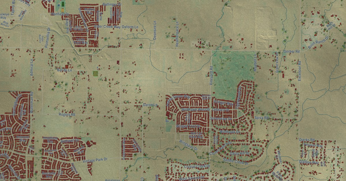
A detailed map of Vineyard, California, showing every building in its true location, the roads by name, and shaded topographical relief.
Read More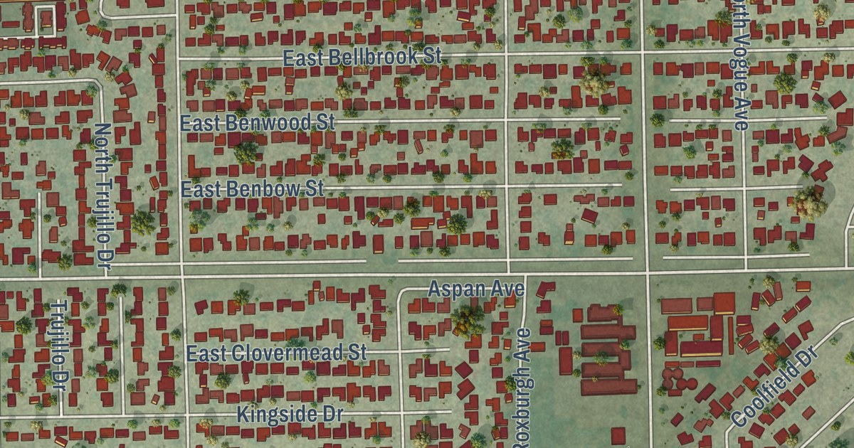
A detailed map of Vincent, California, showing every building in its true location, the roads by name, and shaded topographical relief.
Read More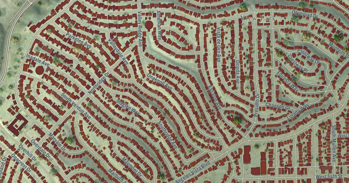
A detailed map of View Park-Windsor Hills, California, showing every building in its true location, the roads by name, and shaded topographical relief.
Read More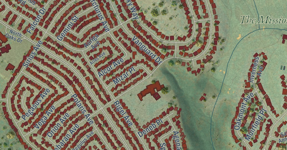
A detailed map of Vandenberg Village, California, showing every building in its true location, the roads by name, and shaded topographical relief.
Read More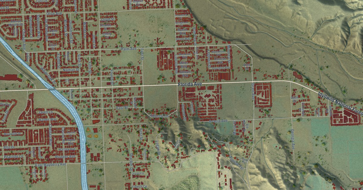
A detailed map of Valle Vista, California, showing every building in its true location, the roads by name, and shaded topographical relief.
Read More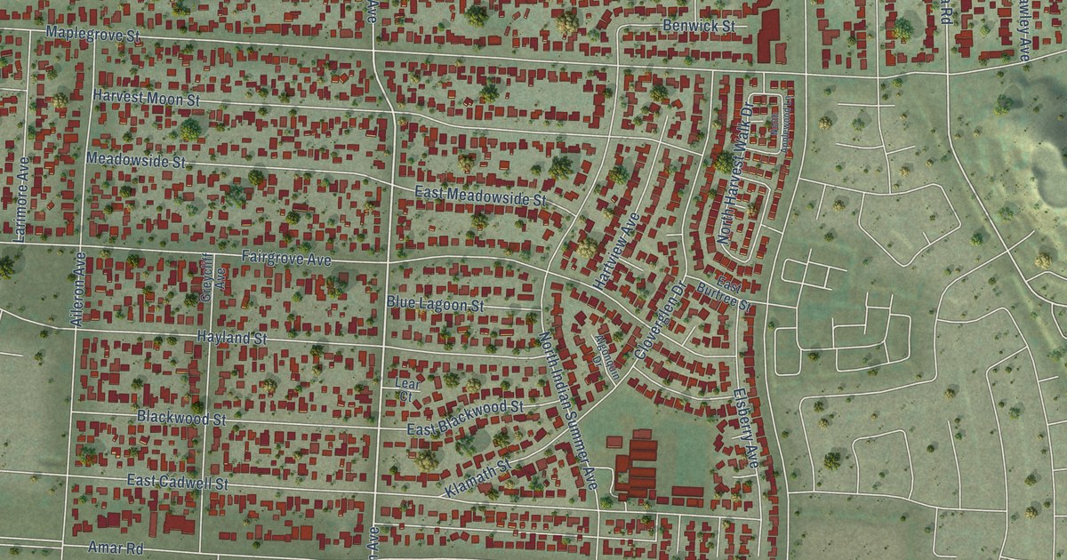
A detailed map of Valinda, California, showing every building in its true location, the roads by name, and shaded topographical relief.
Read More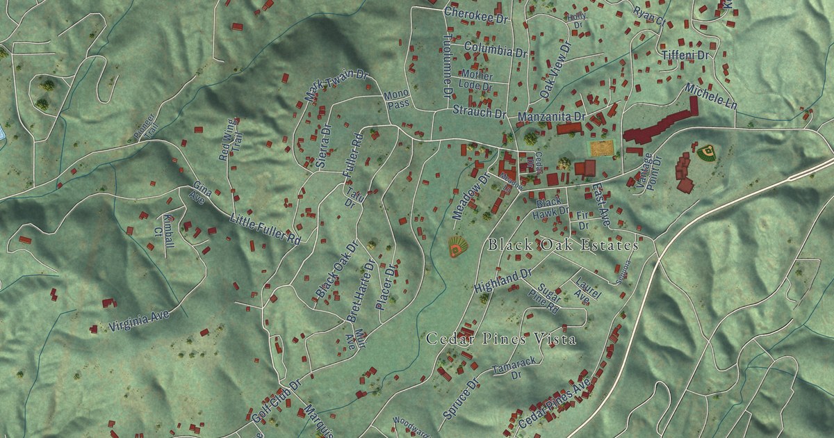
A detailed map of Twain Harte, California, showing every building in its true location, the roads by name, and shaded topographical relief.
Read More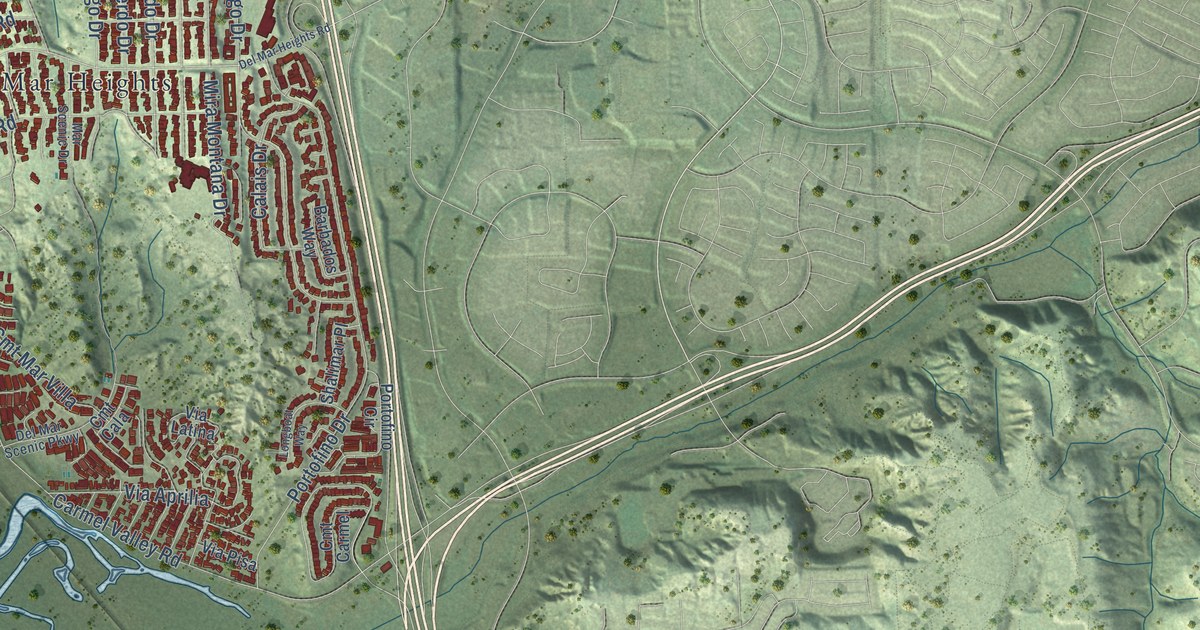
A detailed map of Torrey Pines, California, showing every building in its true location, the roads by name, and shaded topographical relief.
Read More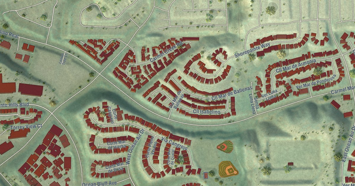
A detailed map of Torrey Hills, California, showing every building in its true location, the roads by name, and shaded topographical relief.
Read More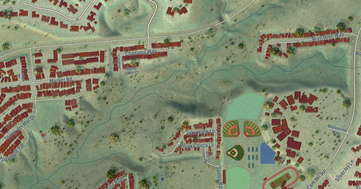
A detailed map of Torrey Highlands, California, showing every building in its true location, the roads by name, and shaded topographical relief.
Read More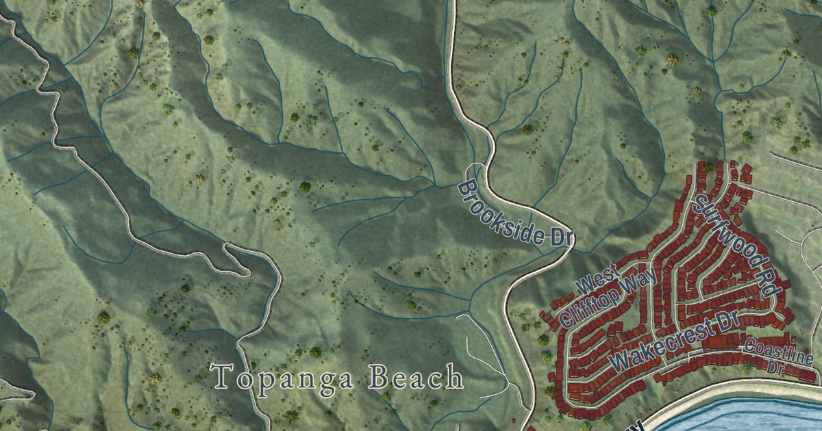
A detailed map of Topanga, California, showing every building in its true location, the roads by name, and shaded topographical relief.
Read More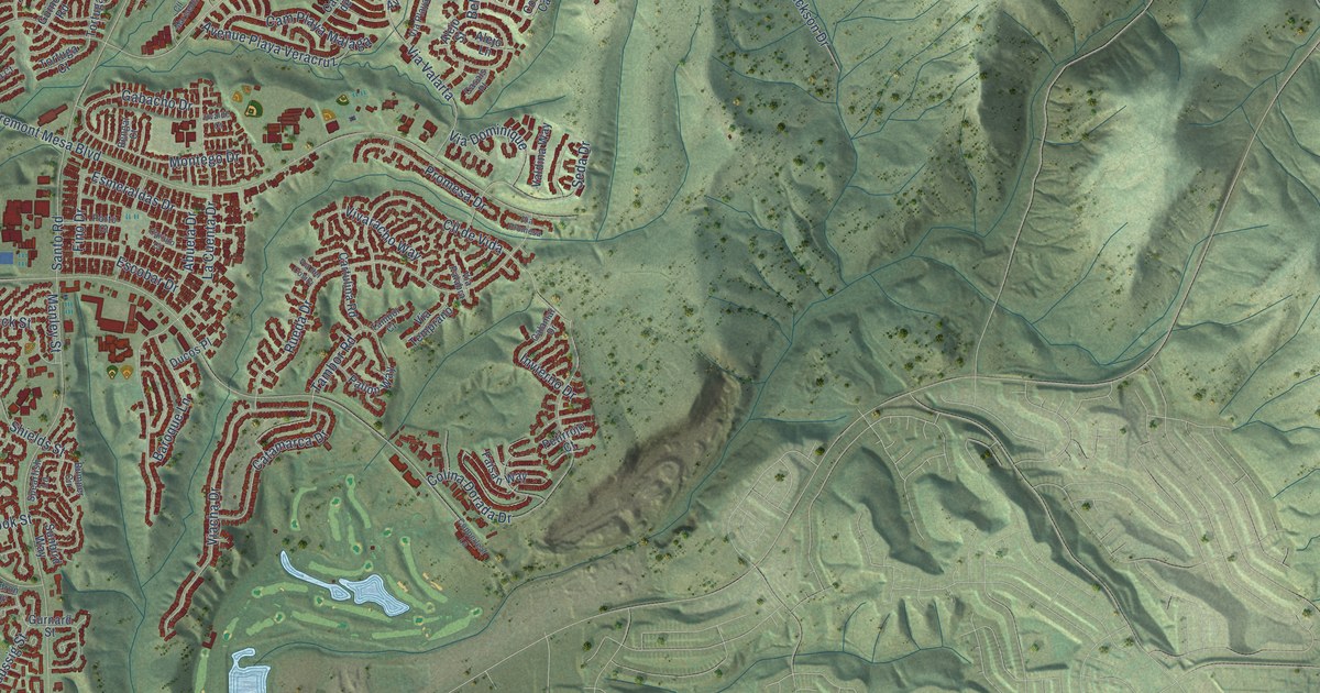
A detailed map of Tierrasanta, California, showing every building in its true location, the roads by name, and shaded topographical relief.
Read More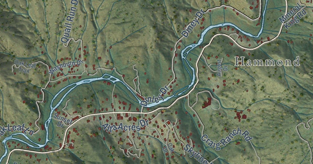
A detailed map of Three Rivers, California, showing every building in its true location, the roads by name, and shaded topographical relief.
Read More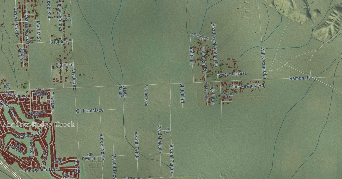
A detailed map of Thousand Palms, California, showing every building in its true location, the roads by name, and shaded topographical relief.
Read More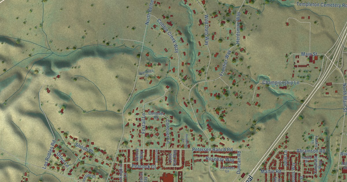
A detailed map of Templeton, California, showing every building in its true location, the roads by name, and shaded topographical relief.
Read More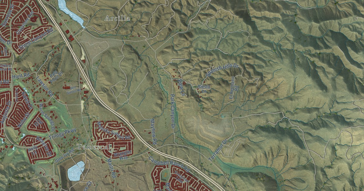
A detailed map of Temescal Valley, California, showing every building in its true location, the roads by name, and shaded topographical relief.
Read More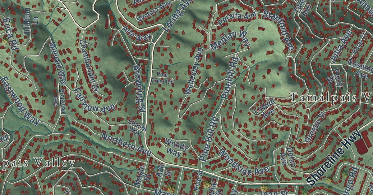
A detailed map of Tamalpais-Homestead Valley, California, showing every building in its true location, the roads by name, and shaded topographical relief.
Read More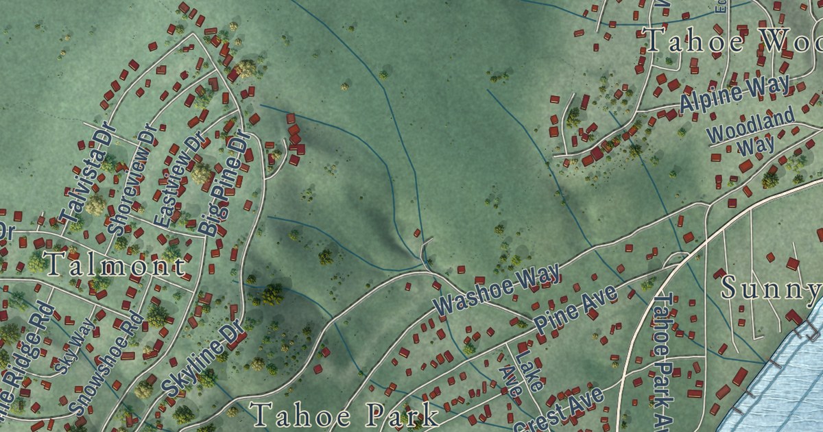
A detailed map of Sunnyside-Tahoe City, California, showing every building in its true location, the roads by name, and shaded topographical relief.
Read More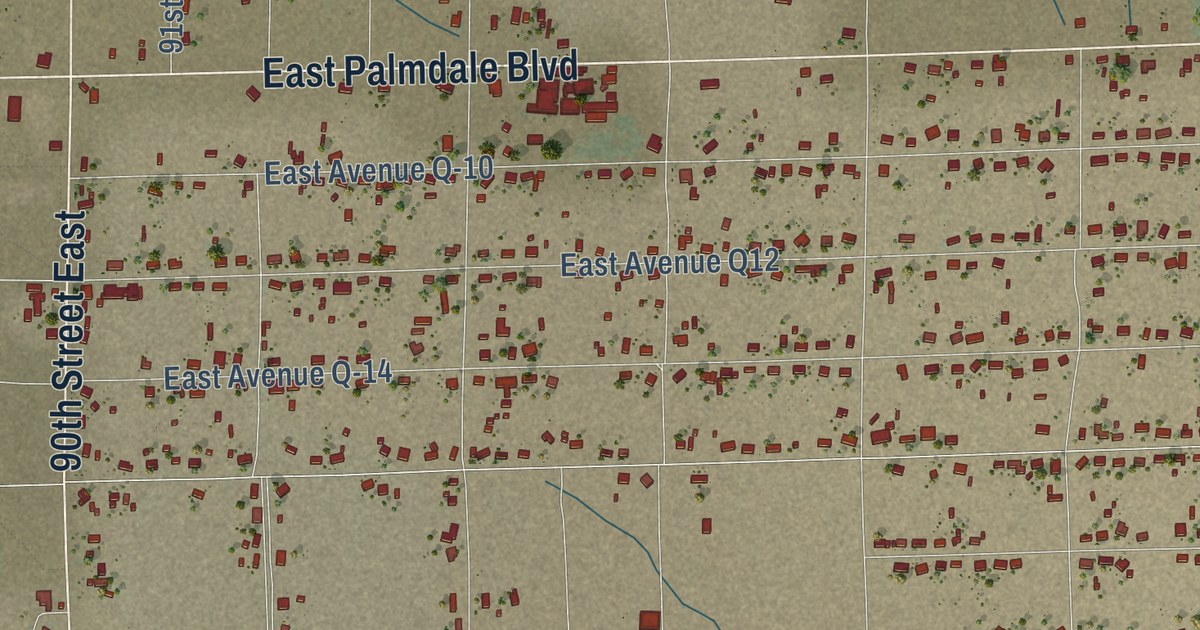
A detailed map of Sun Village, California, showing every building in its true location, the roads by name, and shaded topographical relief.
Read More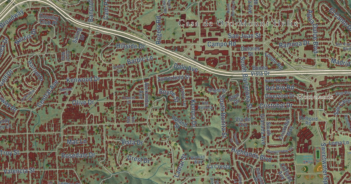
A detailed map of Spring Valley, California, showing every building in its true location, the roads by name, and shaded topographical relief.
Read More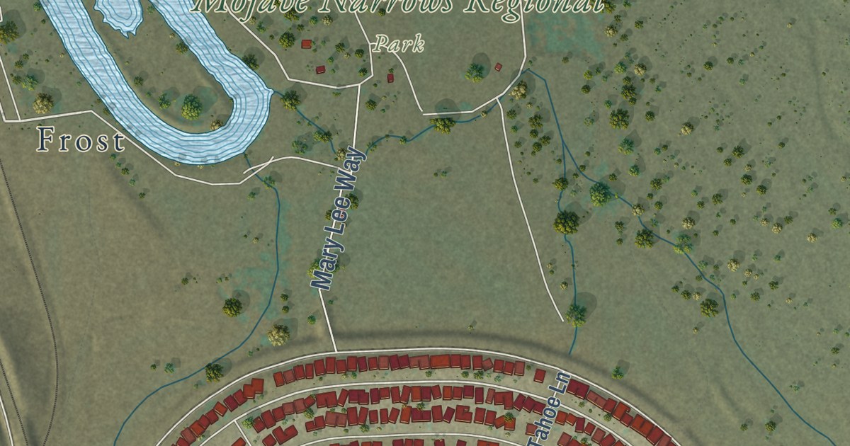
A detailed map of Spring Valley Lake, California, showing every building in its true location, the roads by name, and shaded topographical relief.
Read More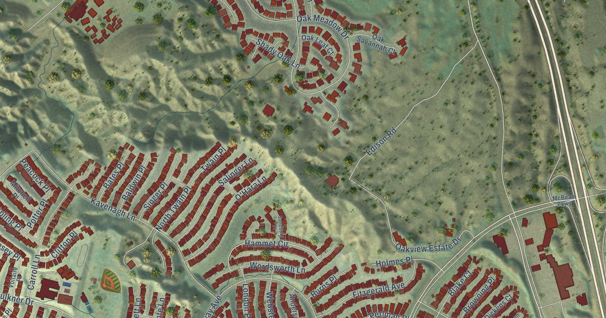
A detailed map of Stevenson Ranch, California, showing every building in its true location, the roads by name, and shaded topographical relief.
Read More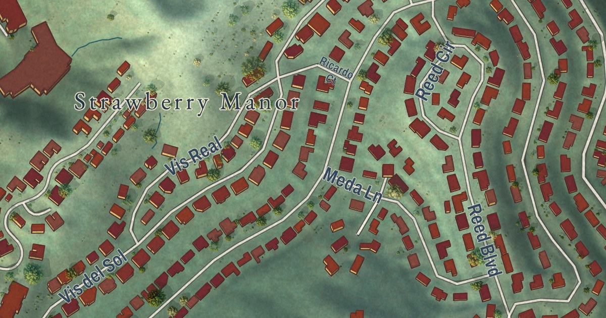
A detailed map of Strawberry, California, showing every building in its true location, the roads by name, and shaded topographical relief.
Read More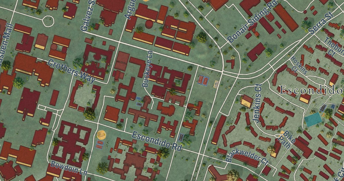
A detailed map of Stanford, California, showing every building in its true location, the roads by name, and shaded topographical relief.
Read More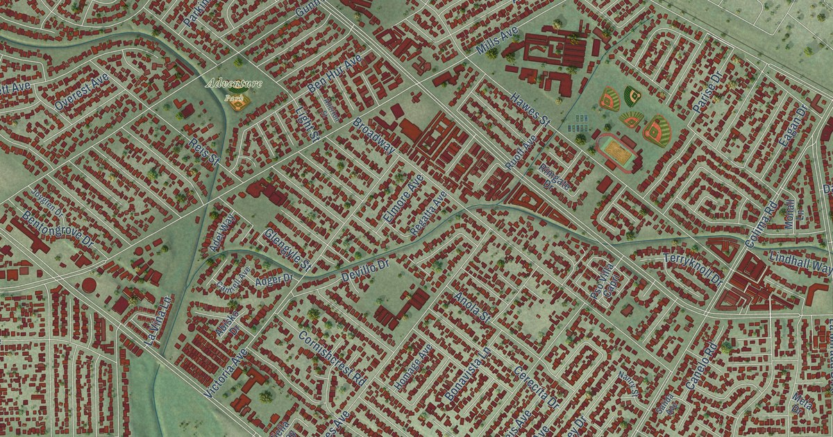
A detailed map of South Whittier, California, showing every building in its true location, the roads by name, and shaded topographical relief.
Read More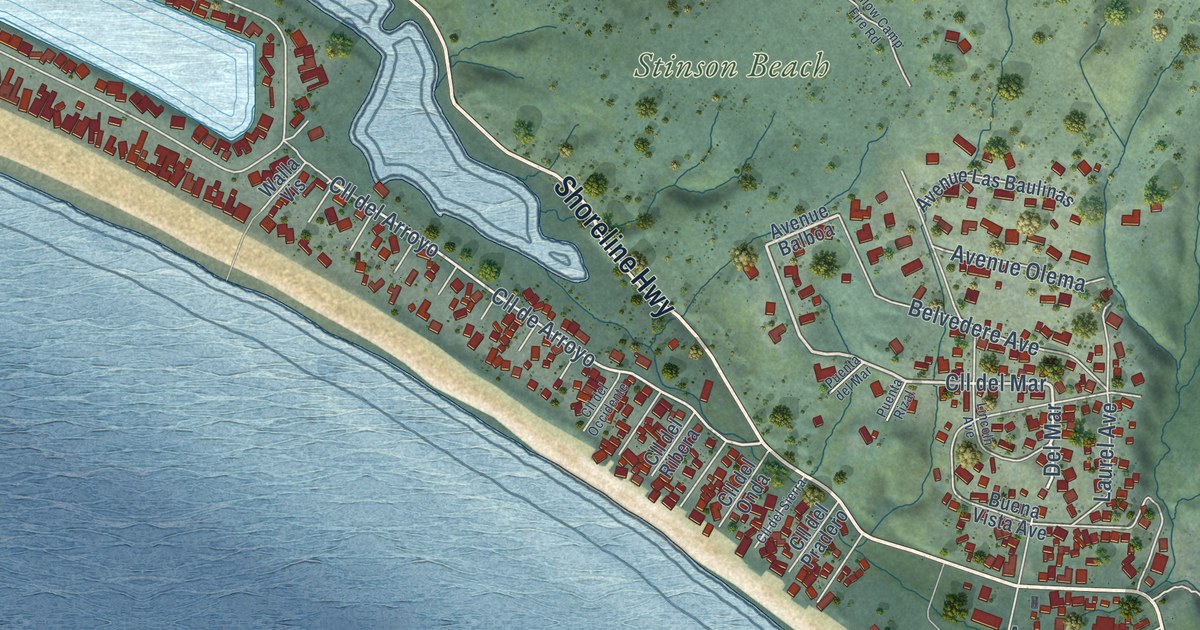
A detailed map of Stinson Beach, California, showing every building in its true location, the roads by name, and shaded topographical relief.
Read More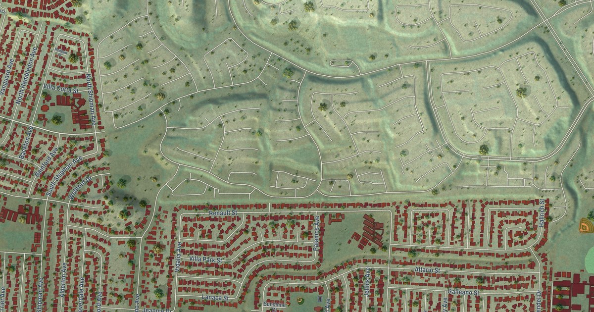
A detailed map of South San Jose Hills, California, showing every building in its true location, the roads by name, and shaded topographical relief.
Read More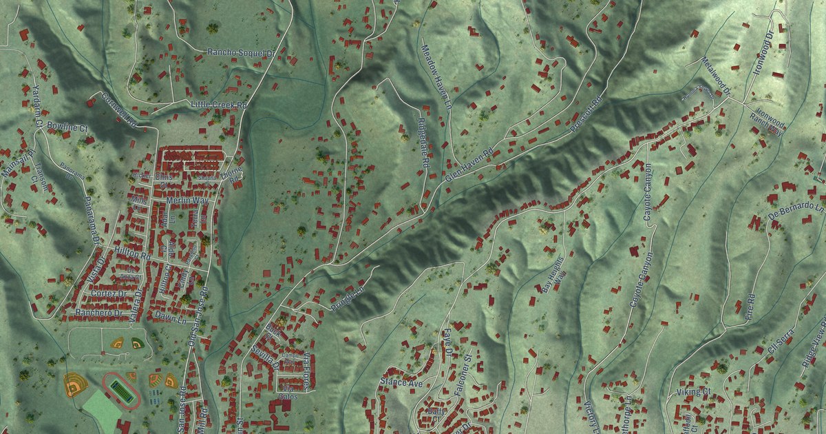
A detailed map of Soquel, California, showing every building in its true location, the roads by name, and shaded topographical relief.
Read More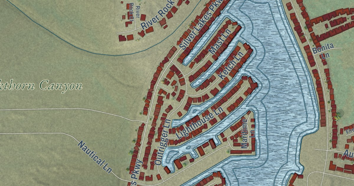
A detailed map of Silver Lakes, California, showing every building in its true location, the roads by name, and shaded topographical relief.
Read More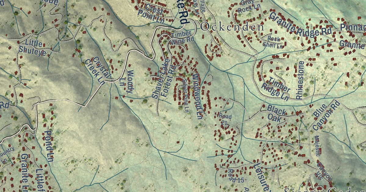
A detailed map of Shaver Lake, California, showing every building in its true location, the roads by name, and shaded topographical relief.
Read More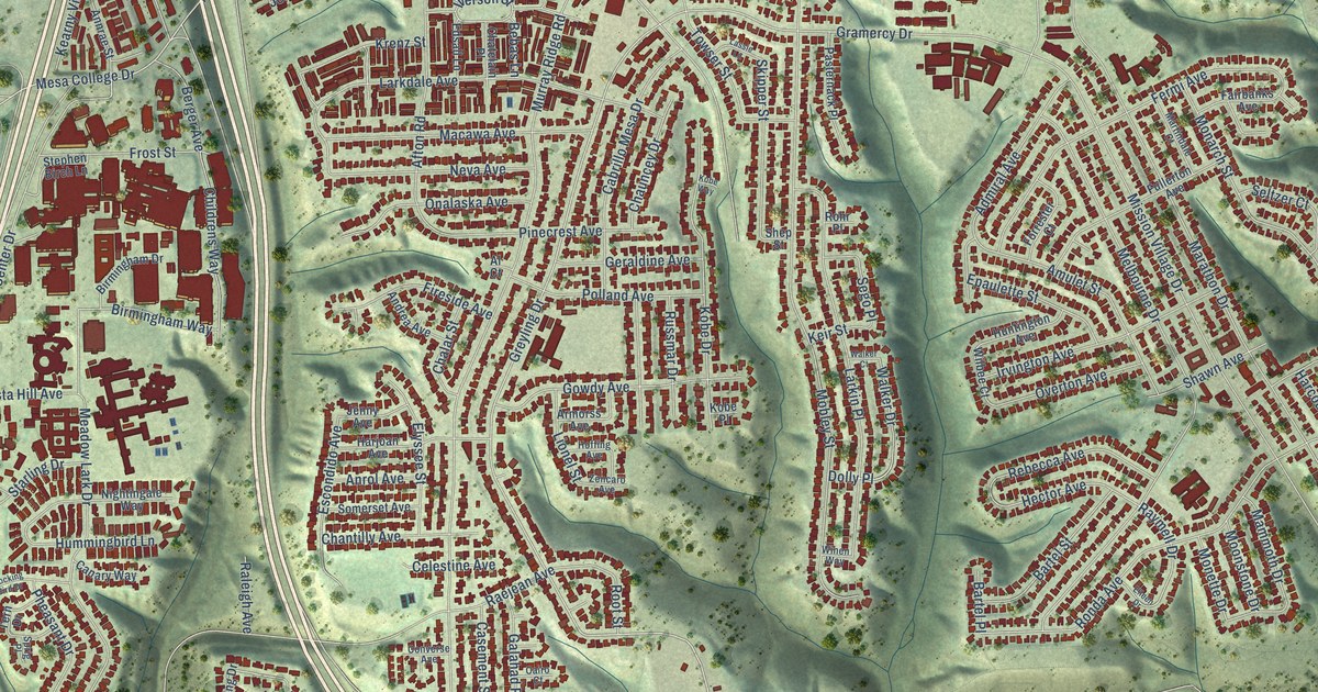
A detailed map of Serra Mesa, California, showing every building in its true location, the roads by name, and shaded topographical relief.
Read More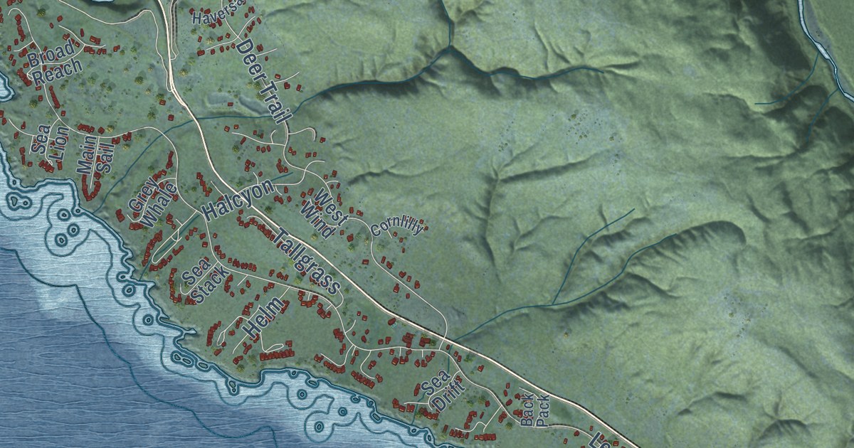
A detailed map of Sea Ranch, California, showing every building in its true location, the roads by name, and shaded topographical relief.
Read More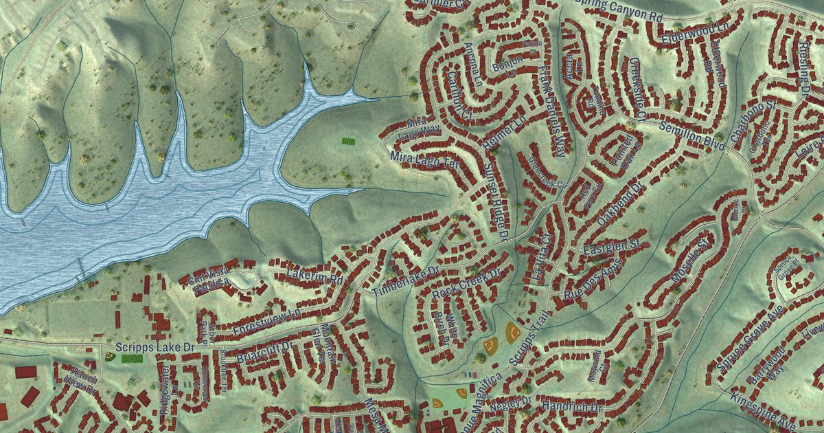
A detailed map of Scripps Miramar Ranch, California, showing every building in its true location, the roads by name, and shaded topographical relief.
Read More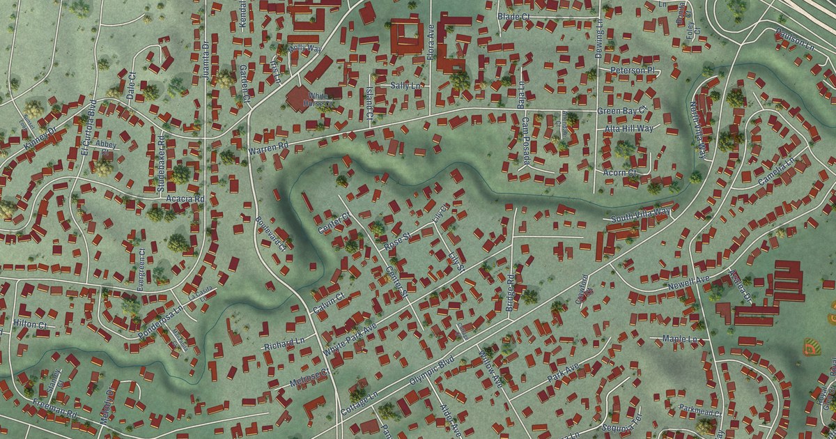
A detailed map of Saranap, California, showing every building in its true location, the roads by name, and shaded topographical relief.
Read More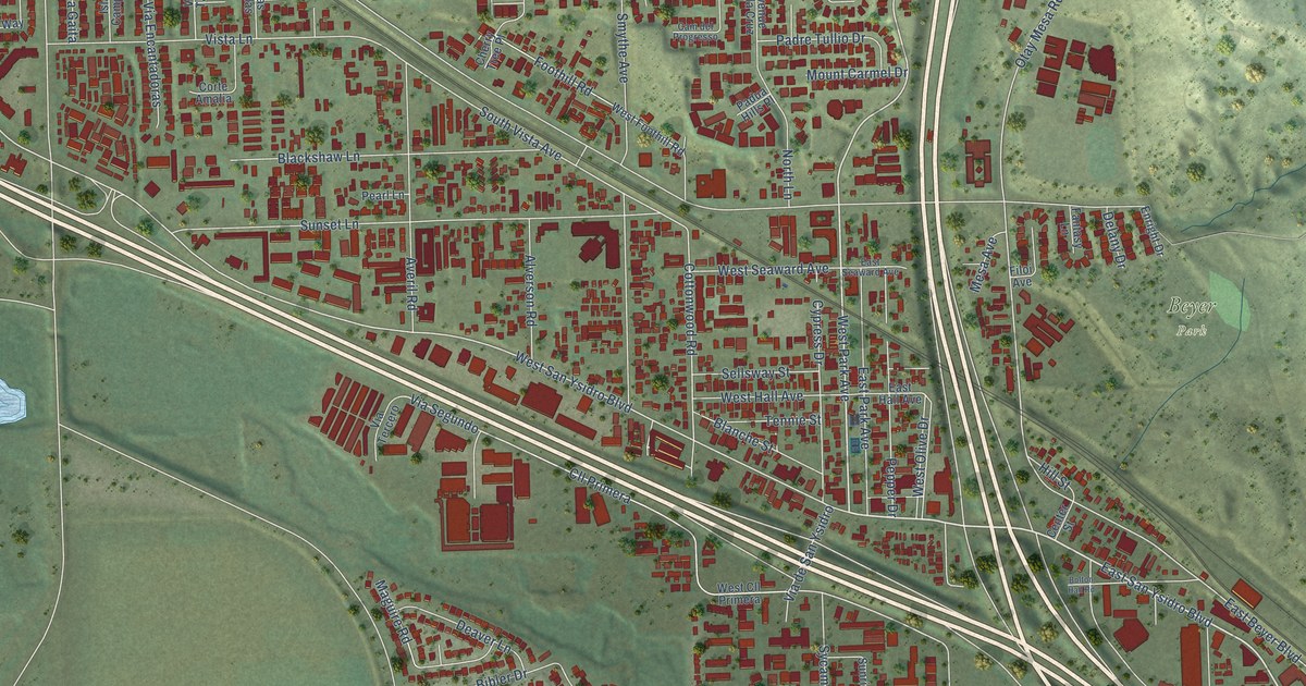
A detailed map of San Ysidro, California, showing every building in its true location, the roads by name, and shaded topographical relief.
Read More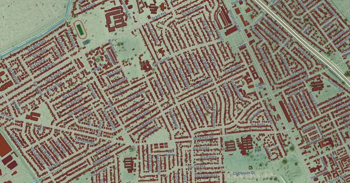
A detailed map of San Lorenzo, California, showing every building in its true location, the roads by name, and shaded topographical relief.
Read More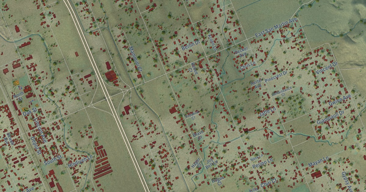
A detailed map of San Martin, California, showing every building in its true location, the roads by name, and shaded topographical relief.
Read More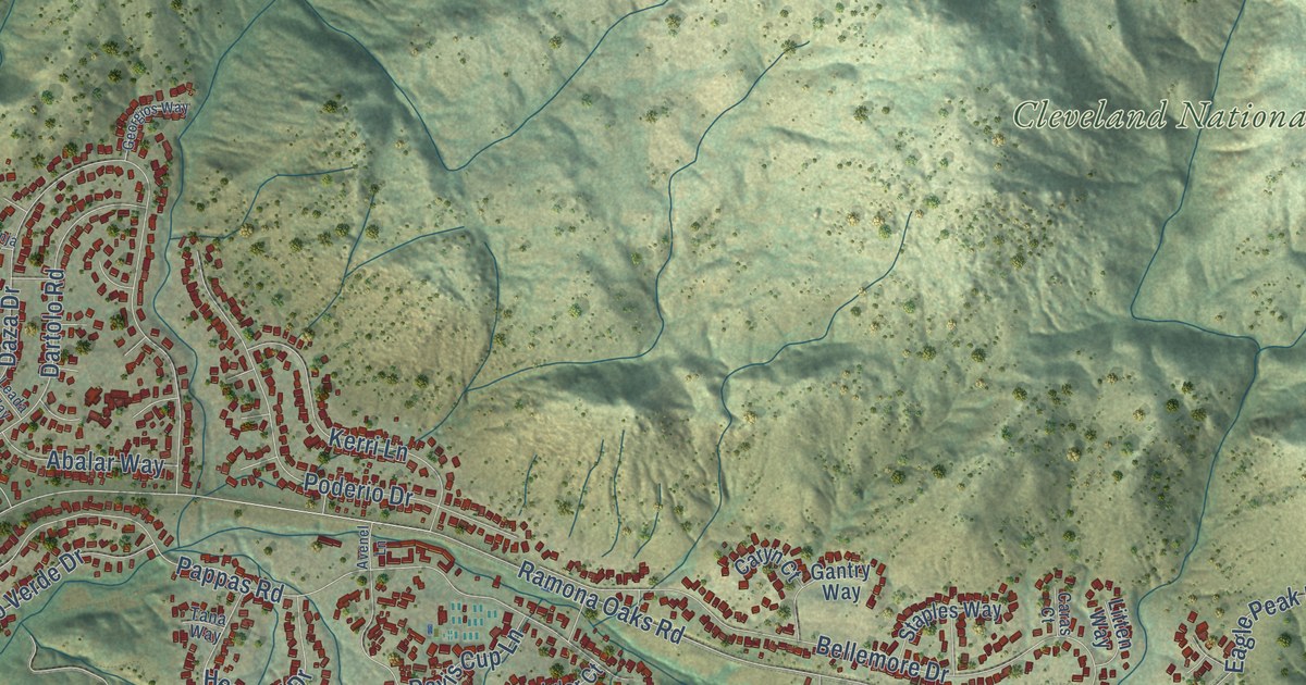
A detailed map of San Diego Country Estates, California, showing every building in its true location, the roads by name, and shaded topographical relief.
Read More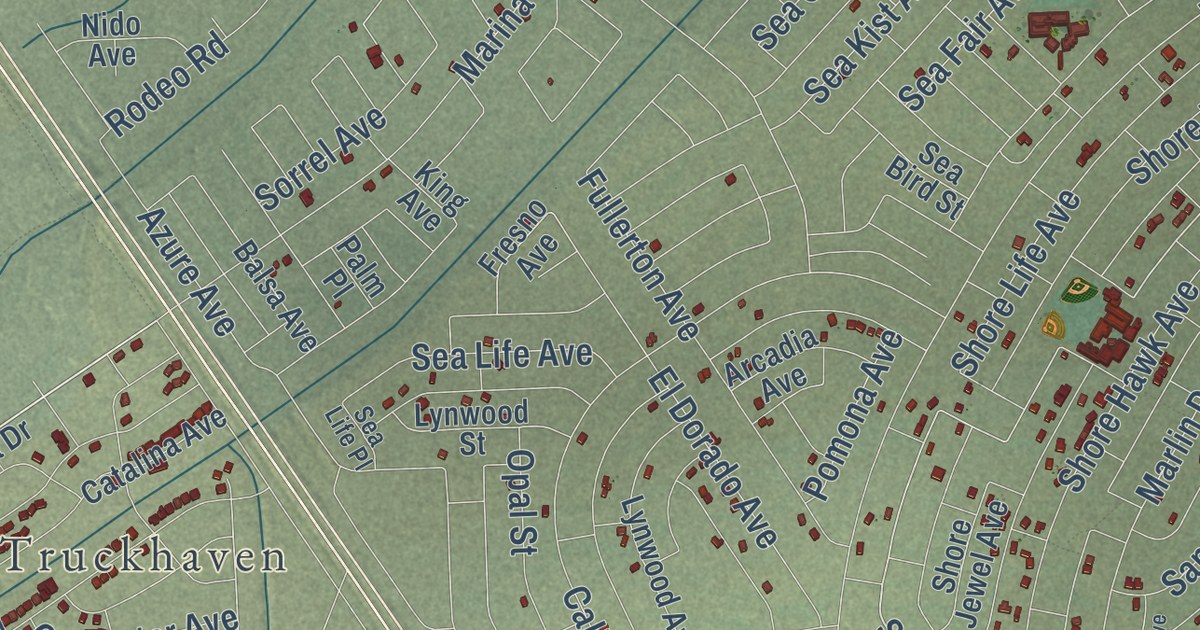
A detailed map of Salton City, California, showing every building in its true location, the roads by name, and shaded topographical relief.
Read More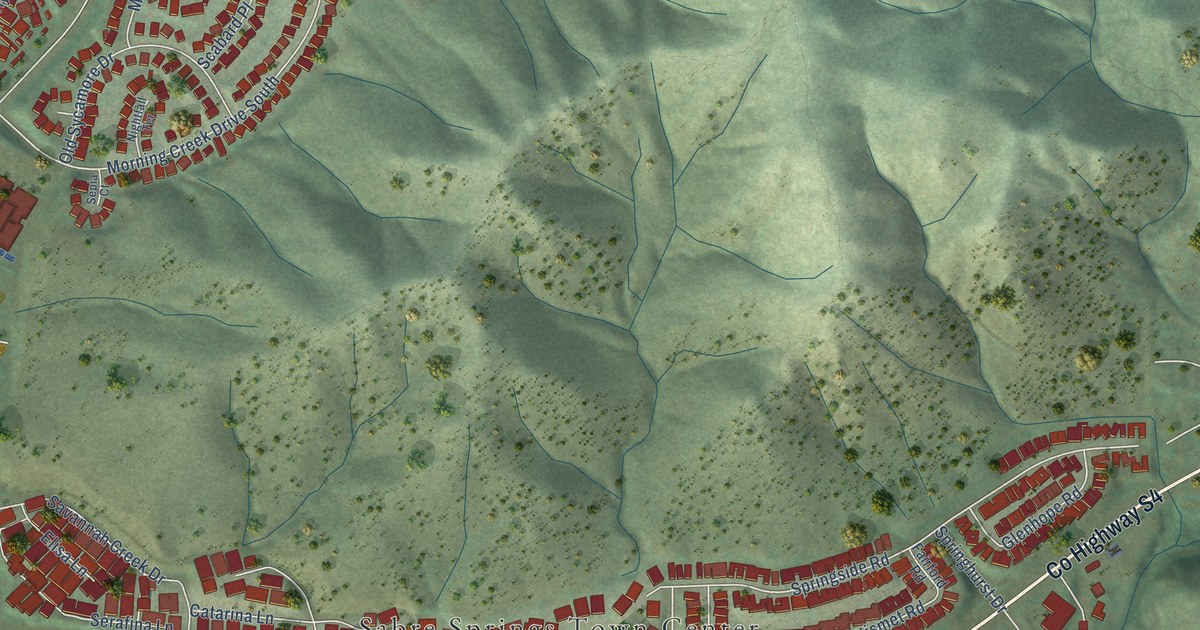
A detailed map of Sabre Springs, California, showing every building in its true location, the roads by name, and shaded topographical relief.
Read More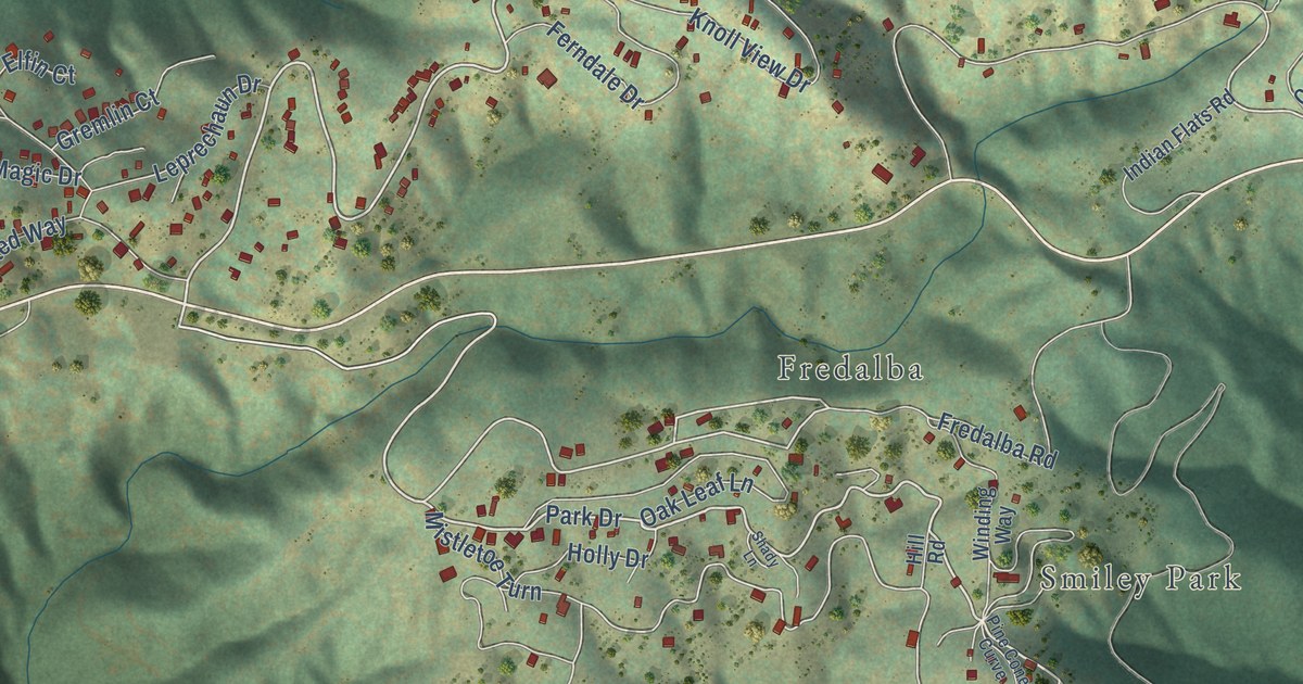
A detailed map of Running Springs, California, showing every building in its true location, the roads by name, and shaded topographical relief.
Read More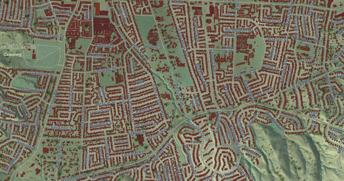
A detailed map of Rowland Heights, California, showing every building in its true location, the roads by name, and shaded topographical relief.
Read More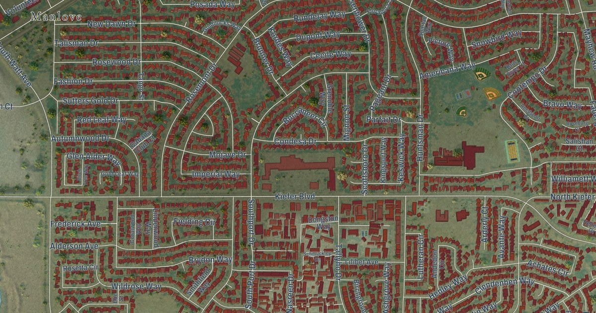
A detailed map of Rosemont, California, showing every building in its true location, the roads by name, and shaded topographical relief.
Read More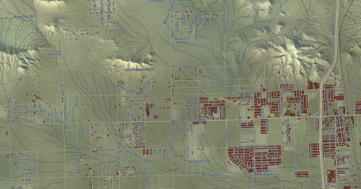
A detailed map of Rosamond, California, showing every building in its true location, the roads by name, and shaded topographical relief.
Read More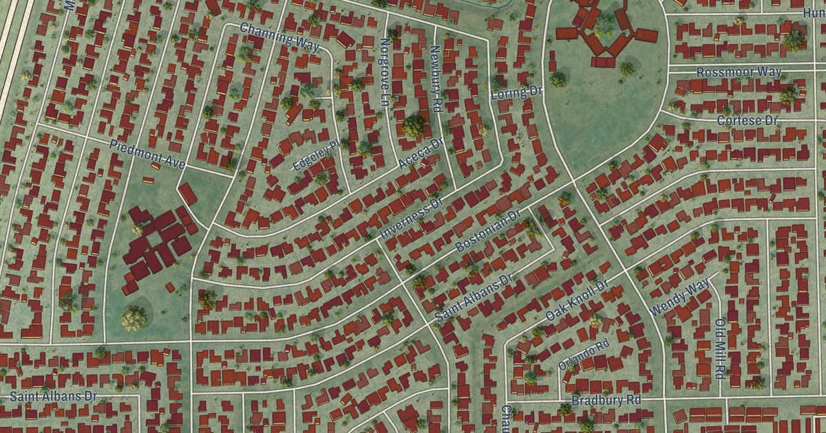
A detailed map of Rossmoor, California, showing every building in its true location, the roads by name, and shaded topographical relief.
Read More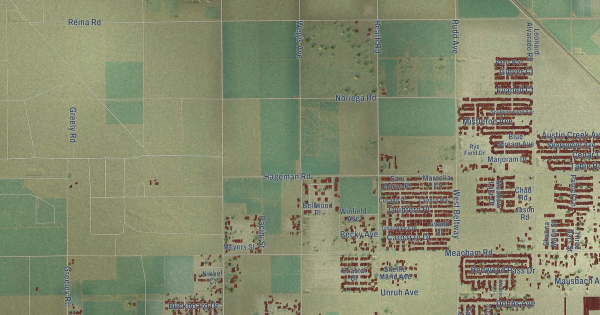
A detailed map of Rosedale, California, showing every building in its true location, the roads by name, and shaded topographical relief.
Read More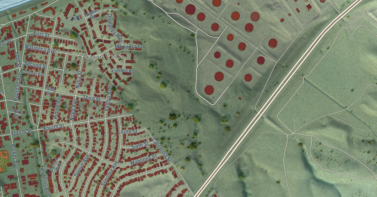
A detailed map of Rodeo, California, showing every building in its true location, the roads by name, and shaded topographical relief.
Read More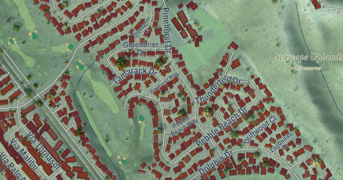
A detailed map of Rio del Mar, California, showing every building in its true location, the roads by name, and shaded topographical relief.
Read More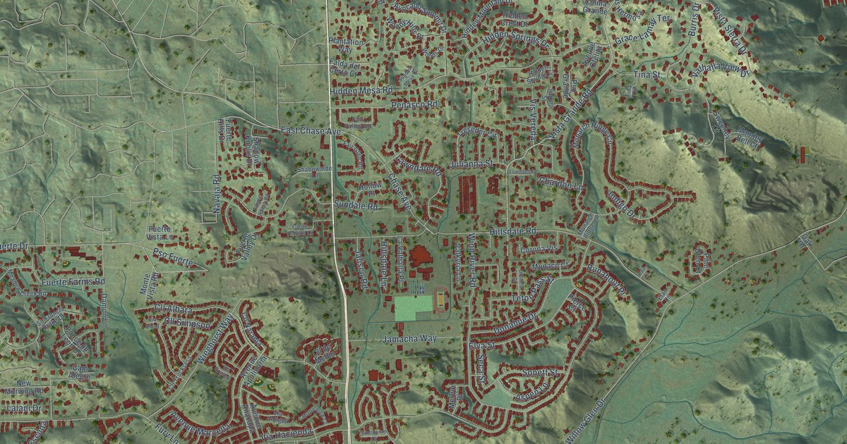
A detailed map of Rancho San Diego, California, showing every building in its true location, the roads by name, and shaded topographical relief.
Read More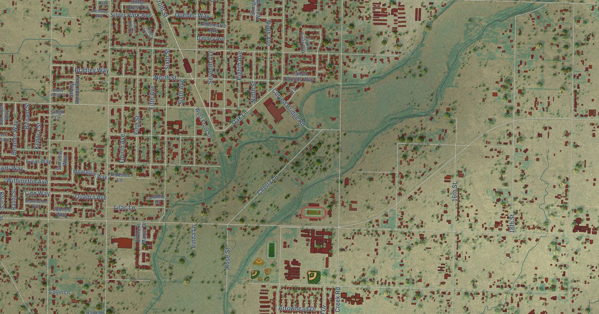
A detailed map of Rio Linda, California, showing every building in its true location, the roads by name, and shaded topographical relief.
Read More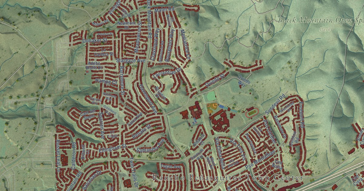
A detailed map of Rancho Penasquitos, California, showing every building in its true location, the roads by name, and shaded topographical relief.
Read More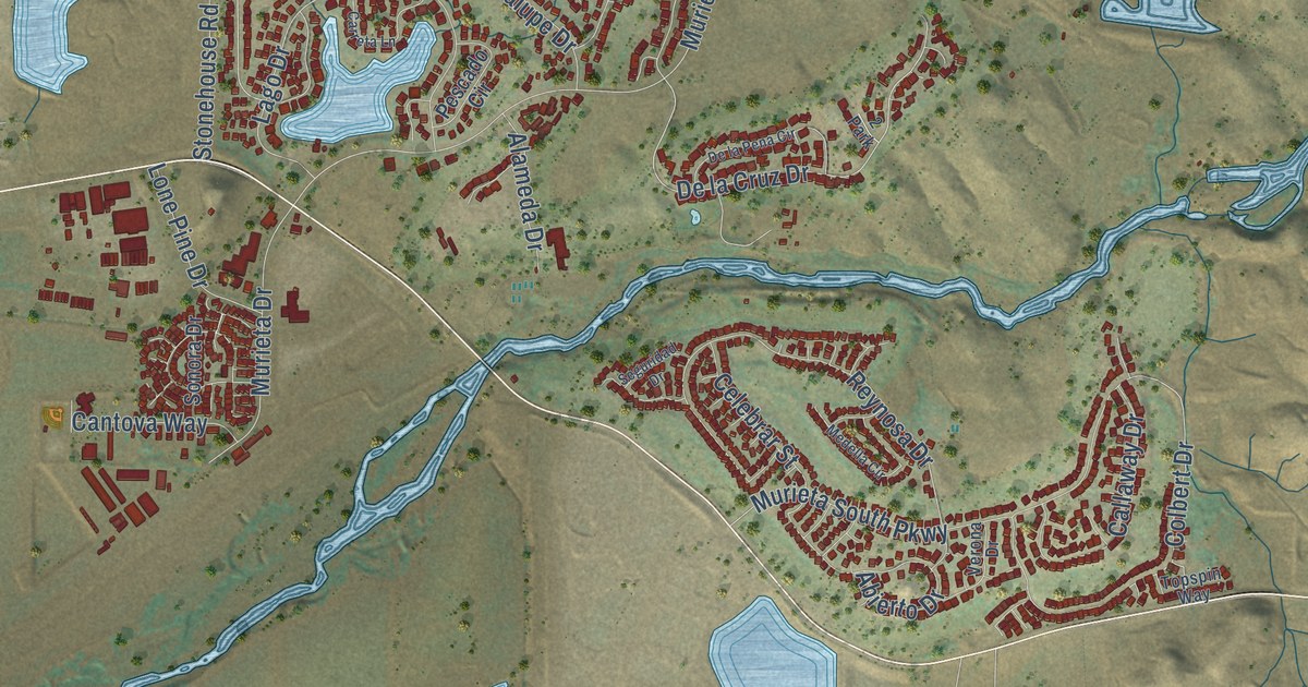
A detailed map of Rancho Murieta, California, showing every building in its true location, the roads by name, and shaded topographical relief.
Read More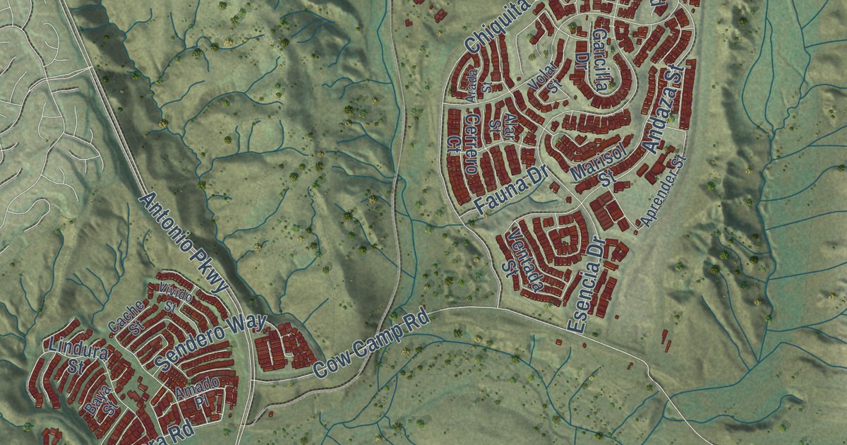
A detailed map of Rancho Mission Viejo, California, showing every building in its true location, the roads by name, and shaded topographical relief.
Read More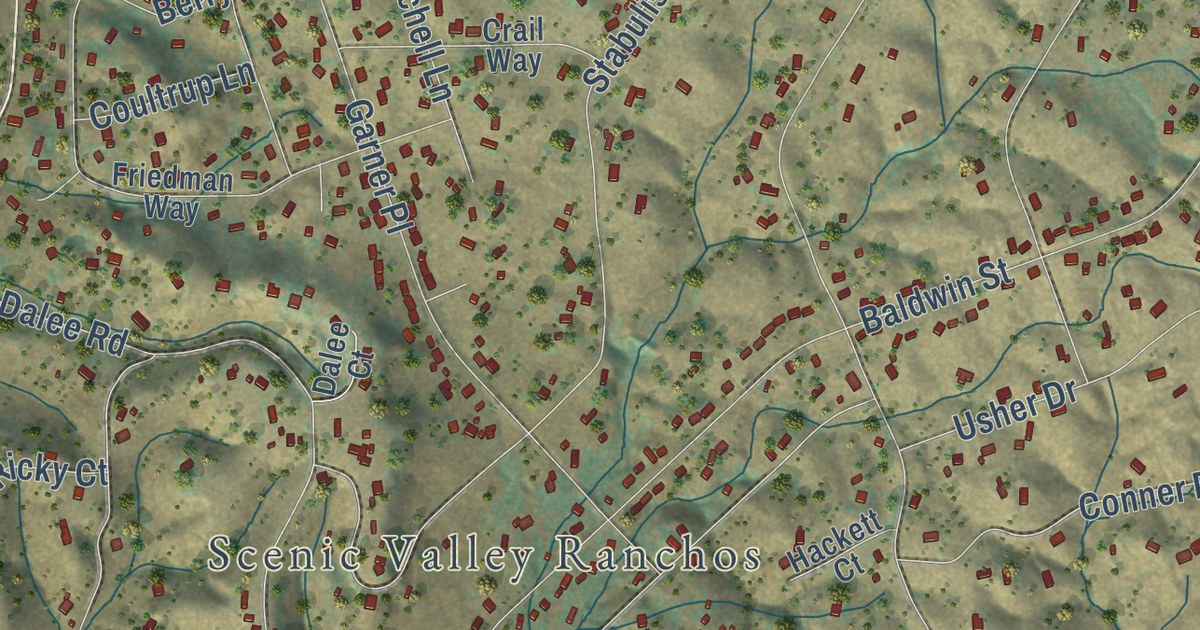
A detailed map of Rancho Calaveras, California, showing every building in its true location, the roads by name, and shaded topographical relief.
Read More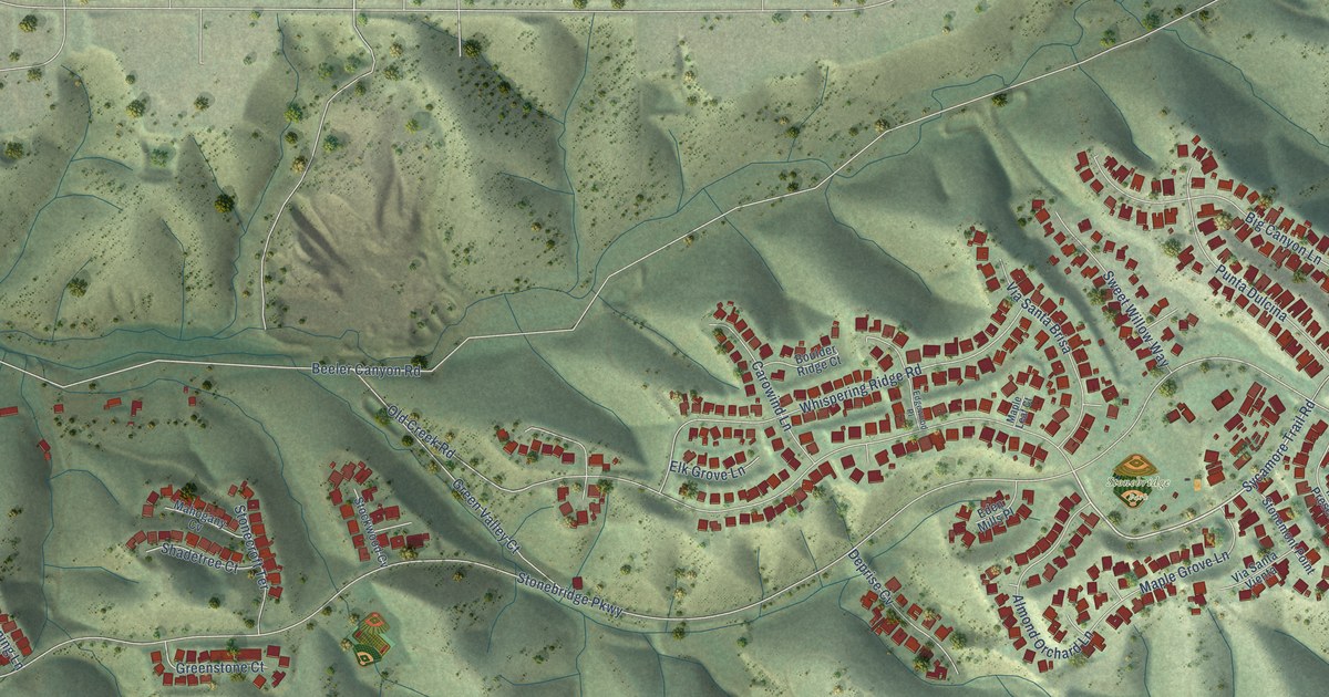
A detailed map of Rancho Encantada, California, showing every building in its true location, the roads by name, and shaded topographical relief.
Read More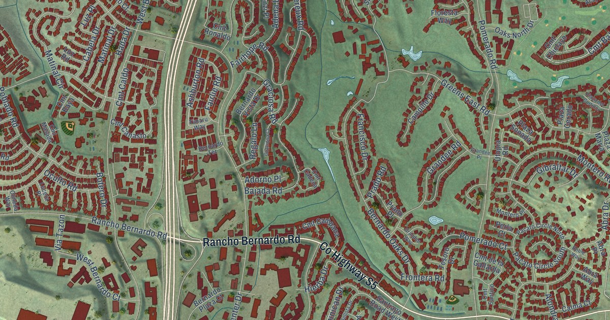
A detailed map of Rancho Bernardo, California, showing every building in its true location, the roads by name, and shaded topographical relief.
Read More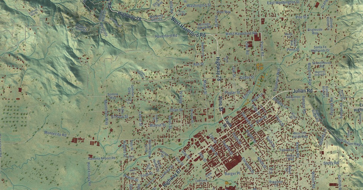
A detailed map of Ramona, California, showing every building in its true location, the roads by name, and shaded topographical relief.
Read More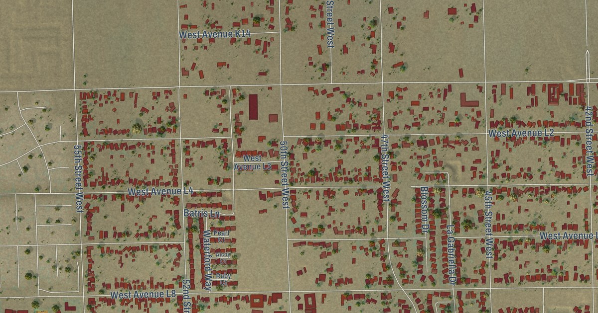
A detailed map of Quartz Hill, California, showing every building in its true location, the roads by name, and shaded topographical relief.
Read More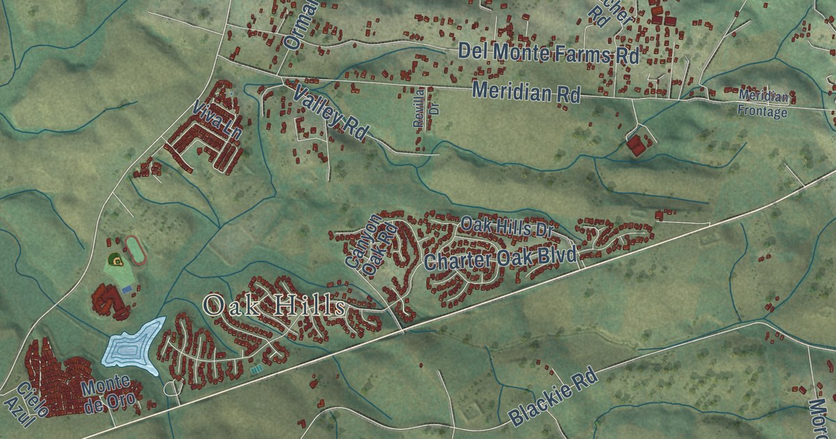
A detailed map of Prunedale, California, showing every building in its true location, the roads by name, and shaded topographical relief.
Read More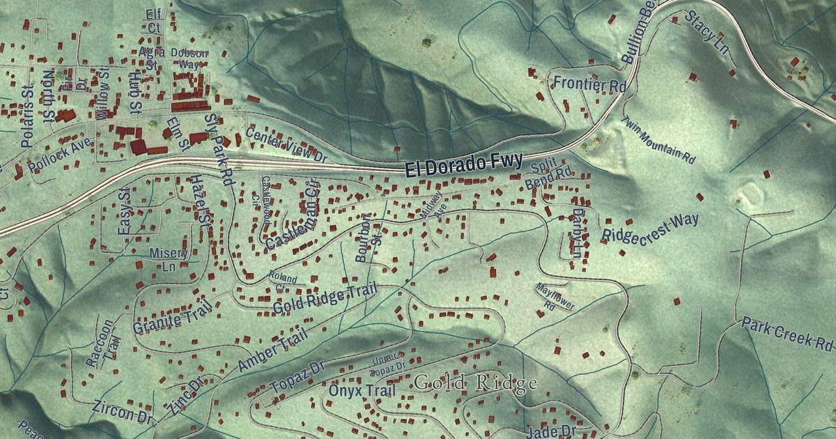
A detailed map of Pollock Pines, California, showing every building in its true location, the roads by name, and shaded topographical relief.
Read More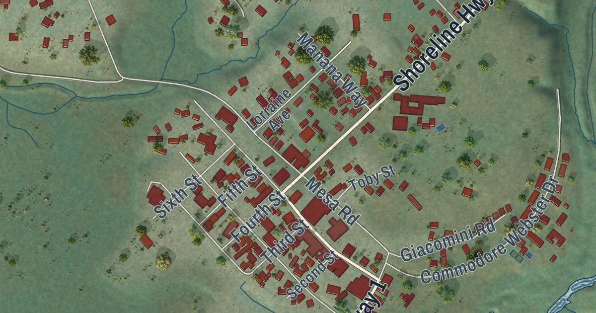
A detailed map of Point Reyes Station, California, showing every building in its true location, the roads by name, and shaded topographical relief.
Read More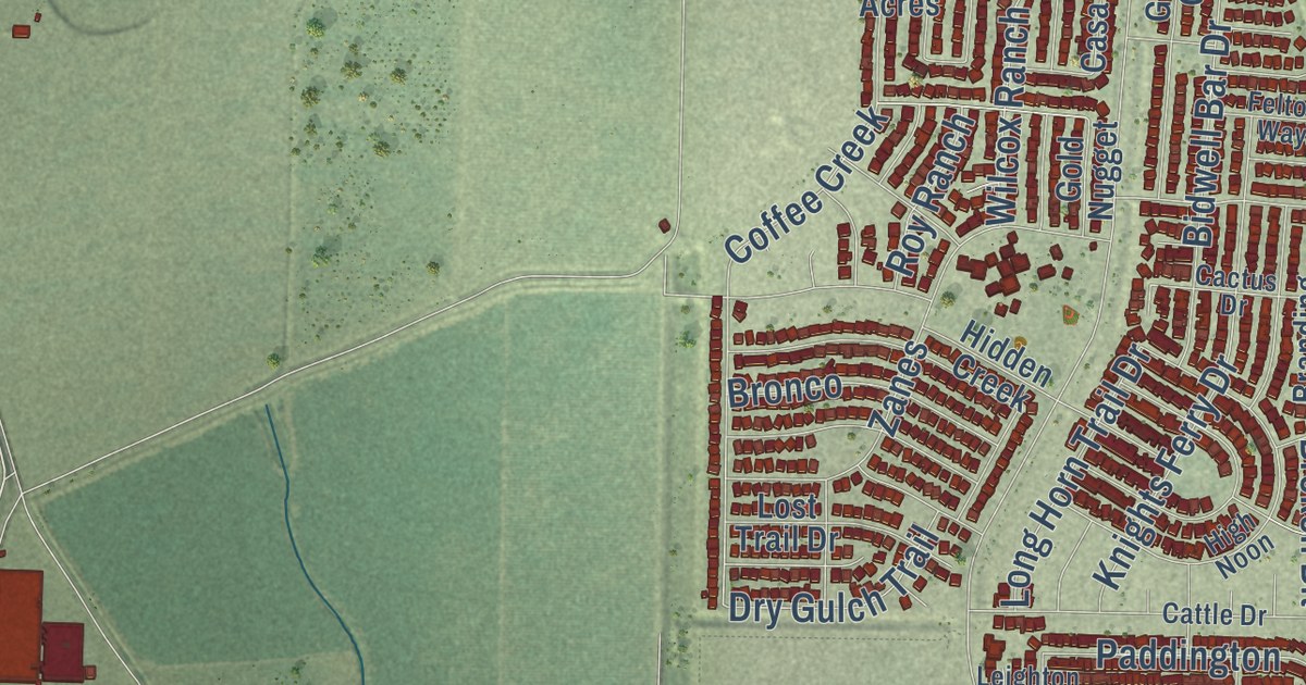
A detailed map of Plumas Lake, California, showing every building in its true location, the roads by name, and shaded topographical relief.
Read More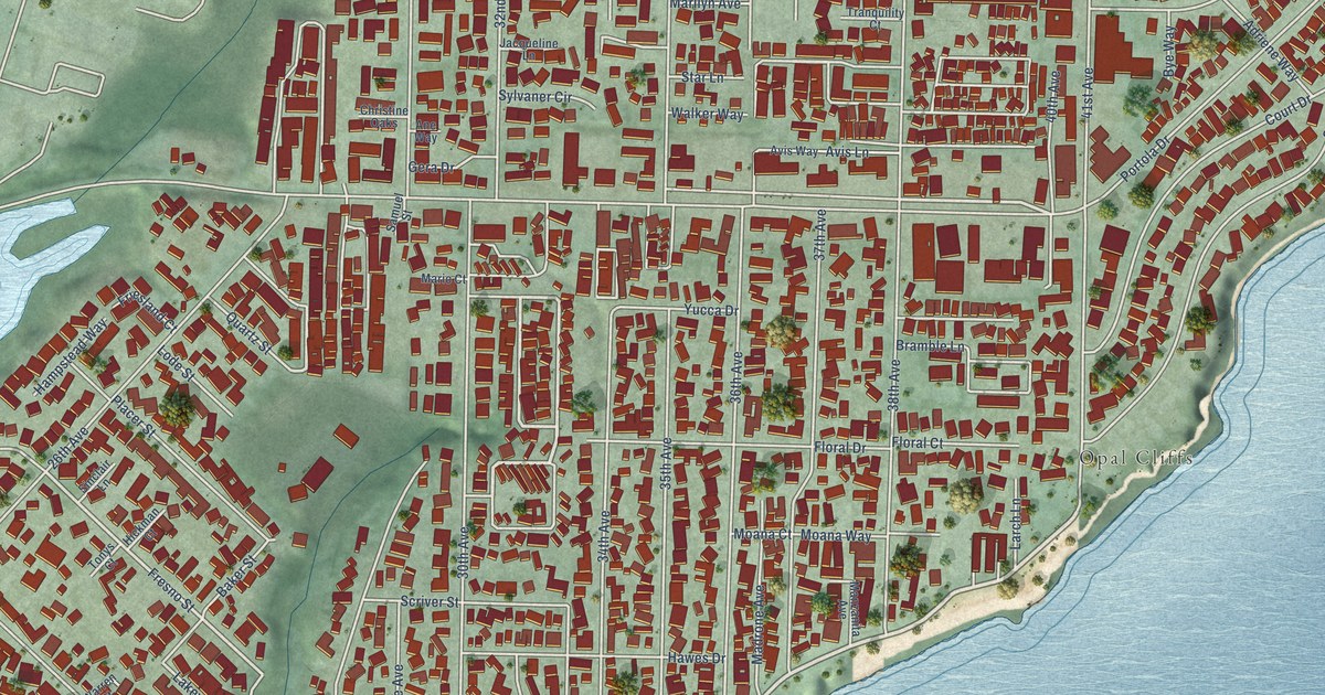
A detailed map of Pleasure Point, California, showing every building in its true location, the roads by name, and shaded topographical relief.
Read More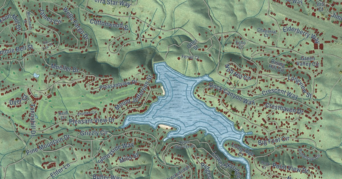
A detailed map of Pine Mountain Lake, California, showing every building in its true location, the roads by name, and shaded topographical relief.
Read More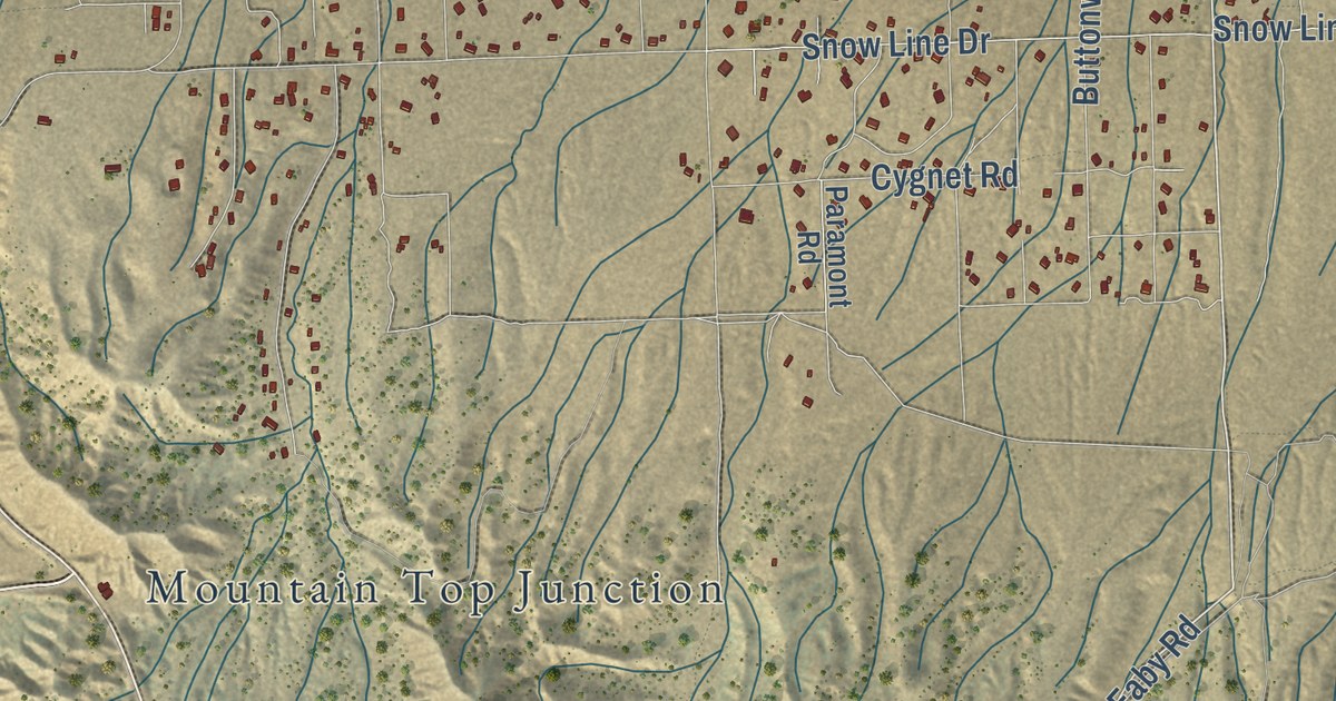
A detailed map of Phelan, California, showing every building in its true location, the roads by name, and shaded topographical relief.
Read More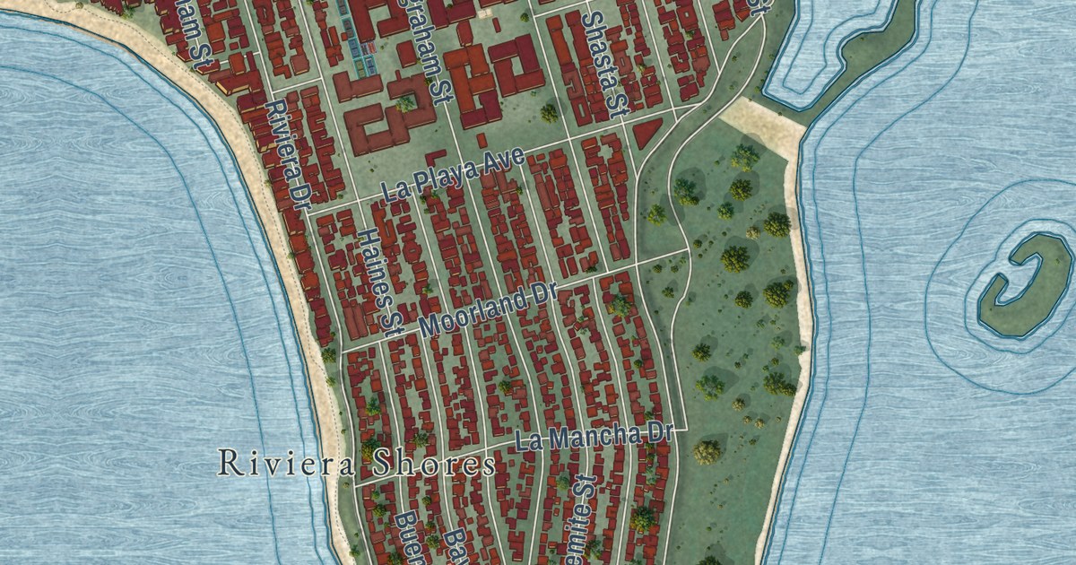
A detailed map of Pacific Beach, California, showing every building in its true location, the roads by name, and shaded topographical relief.
Read More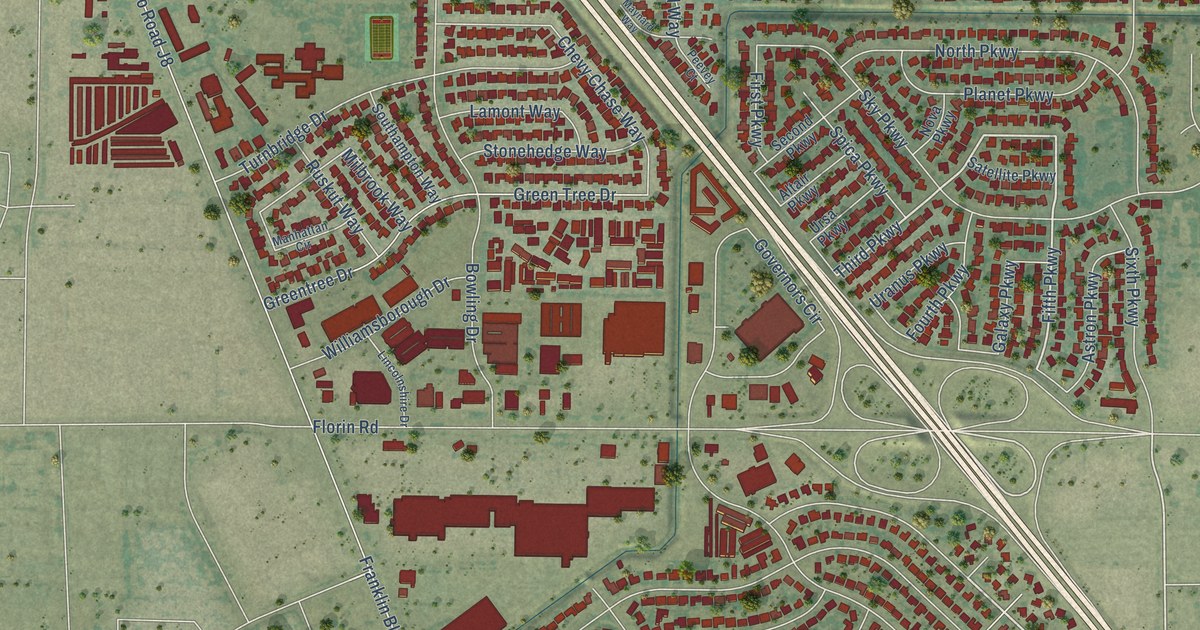
A detailed map of Parkway, California, showing every building in its true location, the roads by name, and shaded topographical relief.
Read More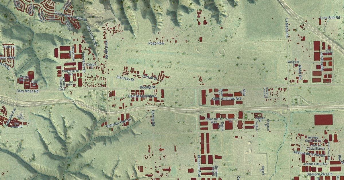
A detailed map of Otay Mesa, California, showing every building in its true location, the roads by name, and shaded topographical relief.
Read More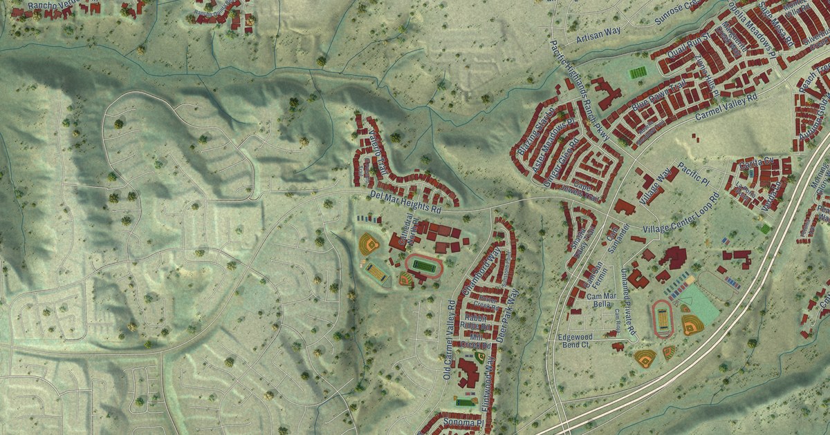
A detailed map of Pacific Highlands Ranch, California, showing every building in its true location, the roads by name, and shaded topographical relief.
Read More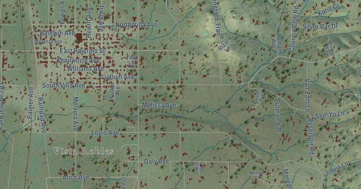
A detailed map of Palermo, California, showing every building in its true location, the roads by name, and shaded topographical relief.
Read More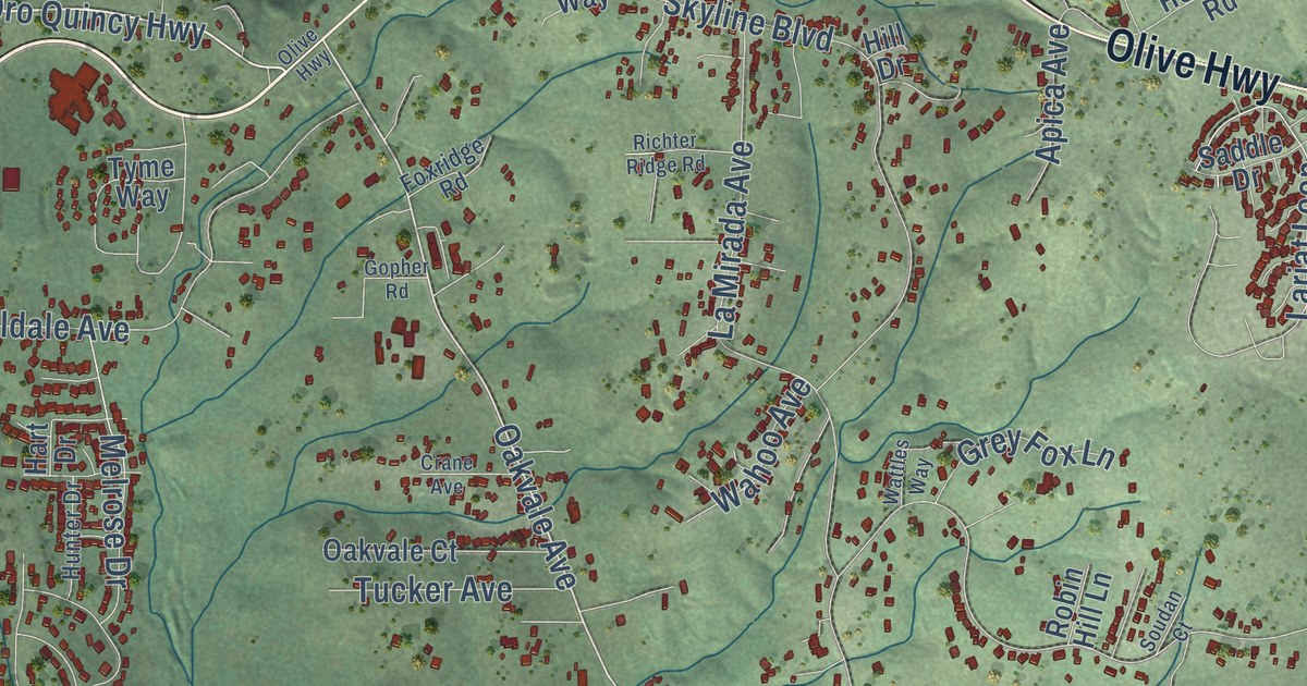
A detailed map of Oroville East, California, showing every building in its true location, the roads by name, and shaded topographical relief.
Read More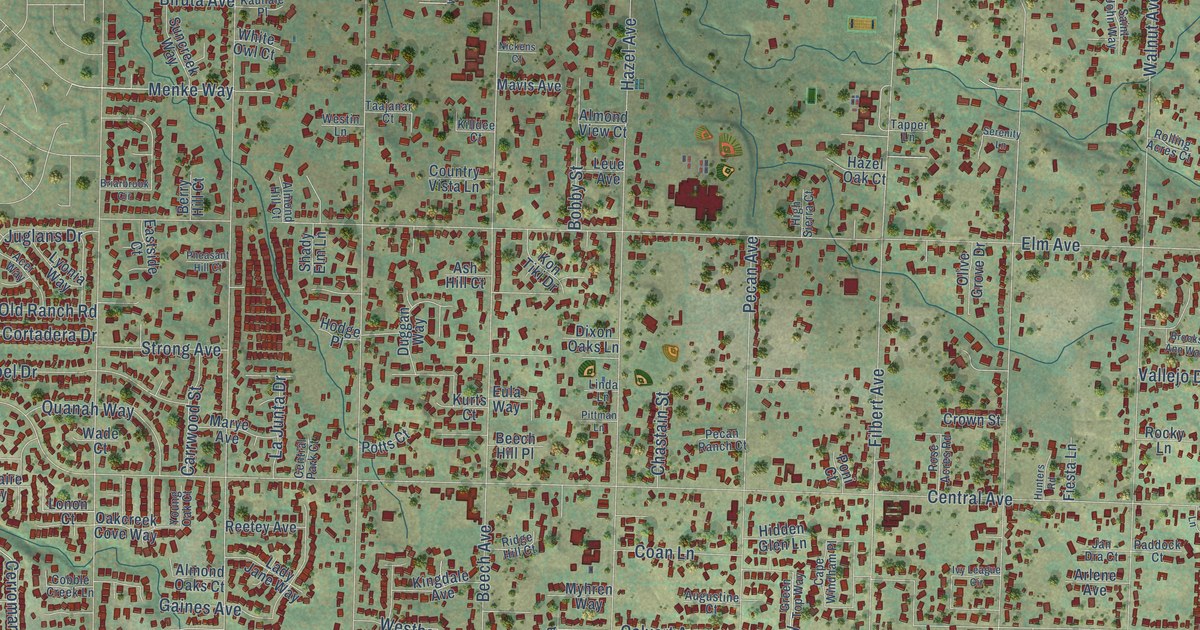
A detailed map of Orangevale, California, showing every building in its true location, the roads by name, and shaded topographical relief.
Read More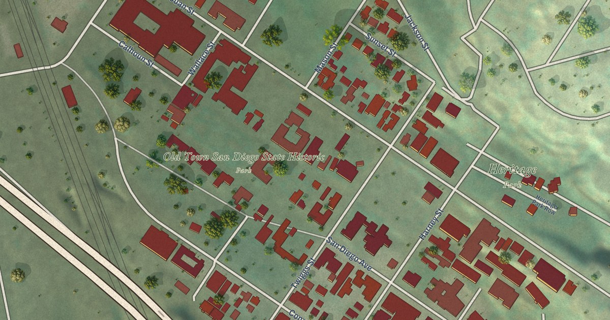
A detailed map of Old Town San Diego, California, showing every building in its true location, the roads by name, and shaded topographical relief.
Read More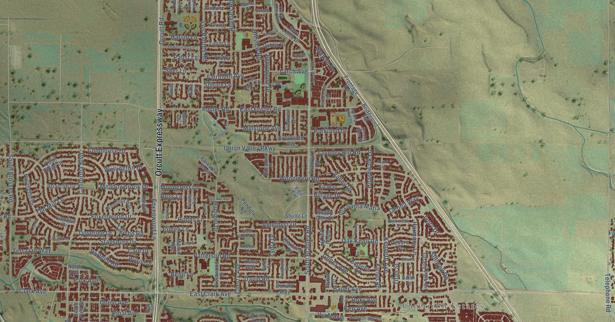
A detailed map of Orcutt, California, showing every building in its true location, the roads by name, and shaded topographical relief.
Read More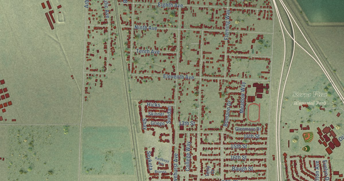
A detailed map of Olivehurst, California, showing every building in its true location, the roads by name, and shaded topographical relief.
Read More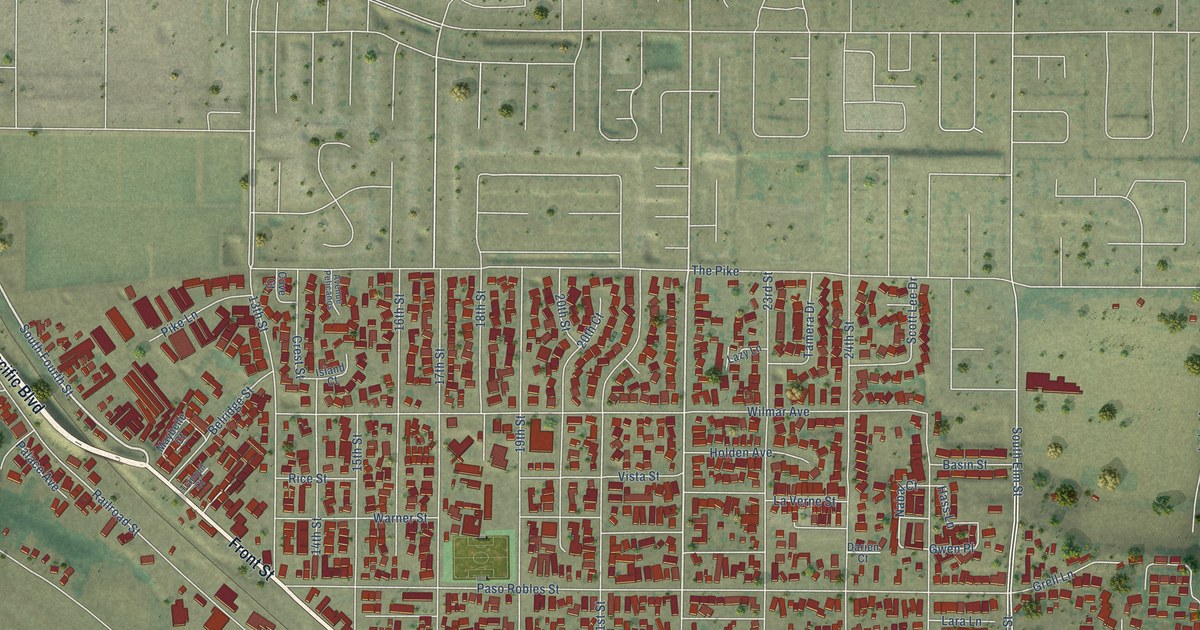
A detailed map of Oceano, California, showing every building in its true location, the roads by name, and shaded topographical relief.
Read More















