Detailed Map of Old Fig Garden, California
A detailed map of Old Fig Garden, California, showing every building in its true location, the roads by name, and shaded topographical relief.
Read More
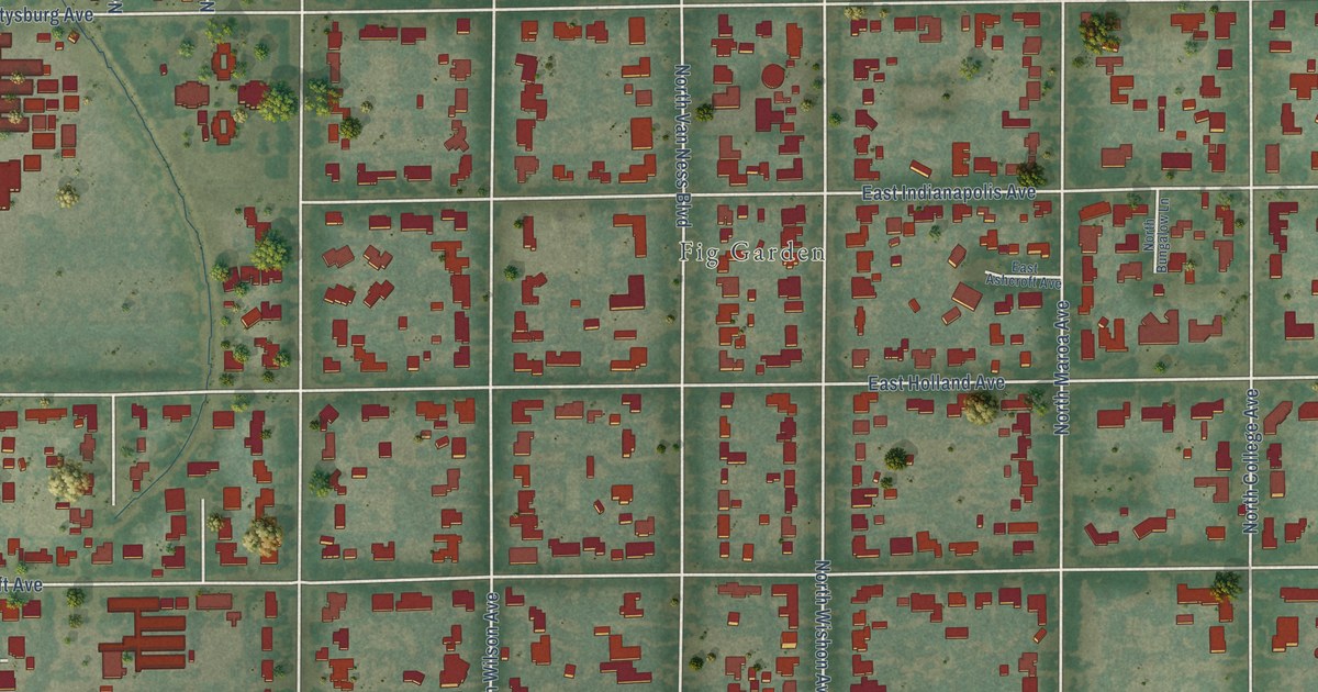
A detailed map of Old Fig Garden, California, showing every building in its true location, the roads by name, and shaded topographical relief.
Read More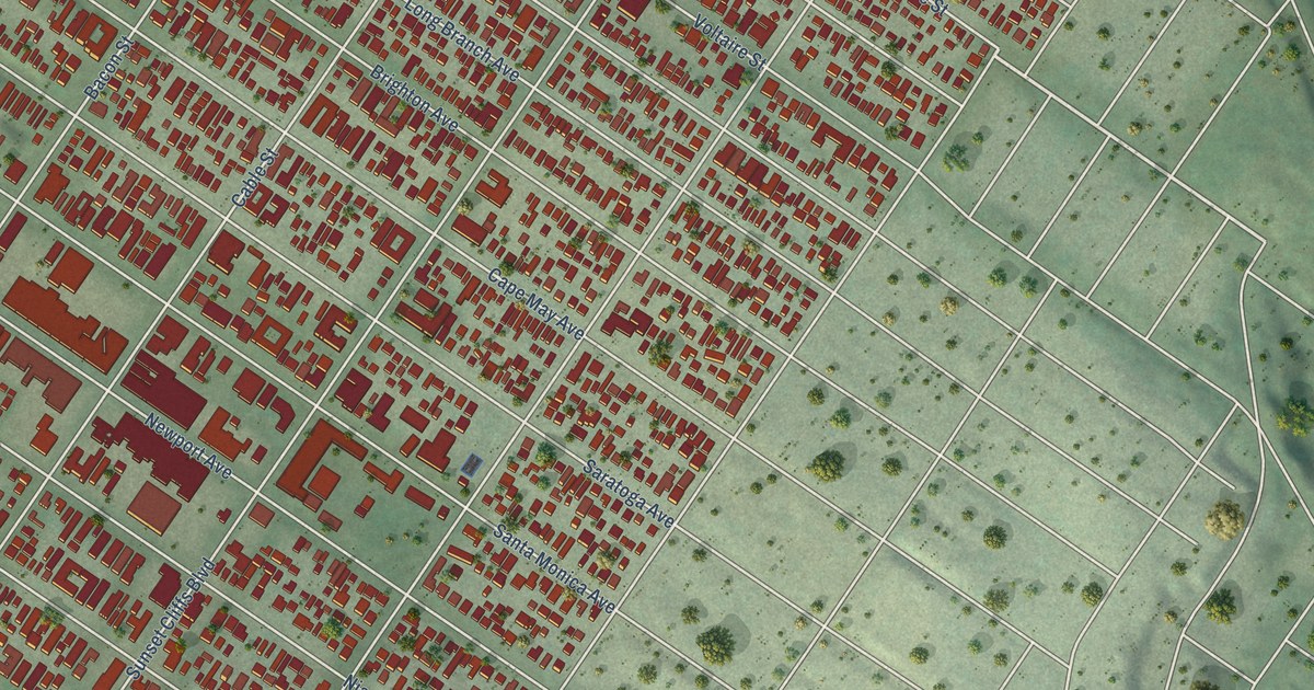
A detailed map of Ocean Beach, California, showing every building in its true location, the roads by name, and shaded topographical relief.
Read More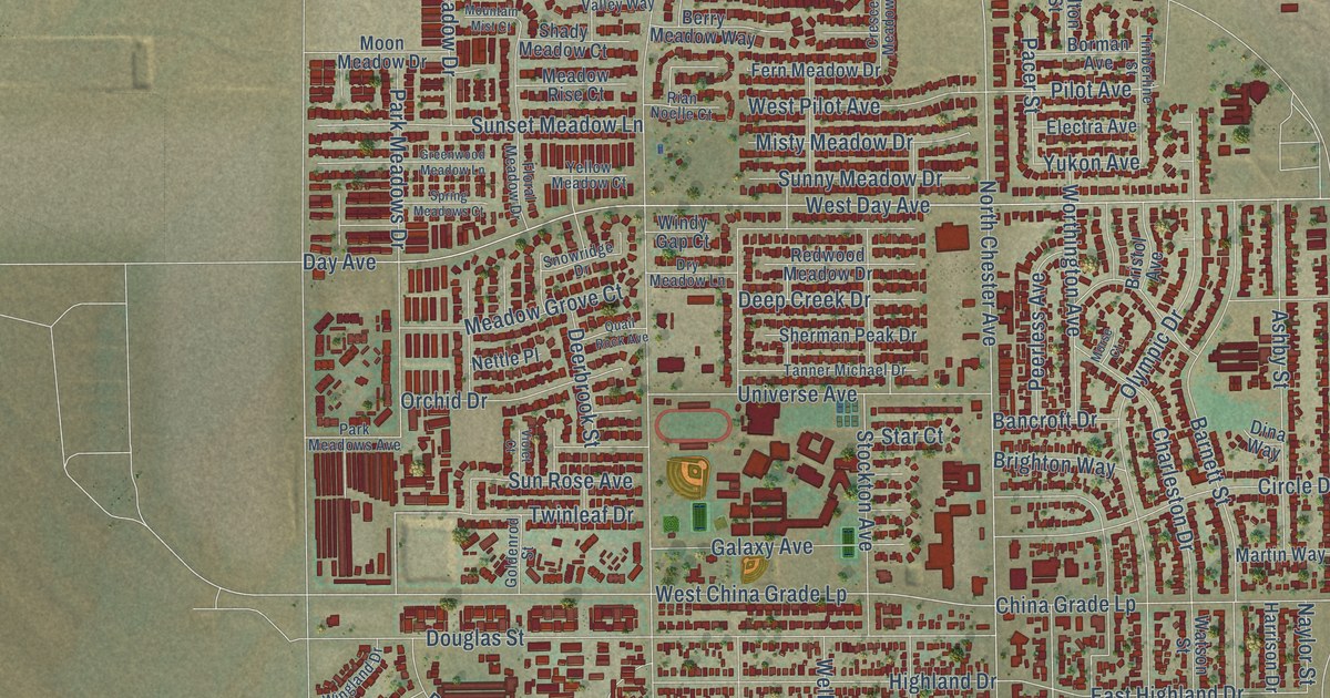
A detailed map of Oildale, California, showing every building in its true location, the roads by name, and shaded topographical relief.
Read More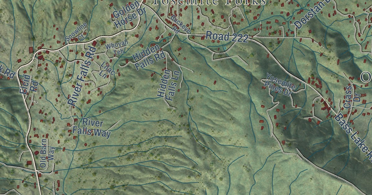
A detailed map of Oakhurst, California, showing every building in its true location, the roads by name, and shaded topographical relief.
Read More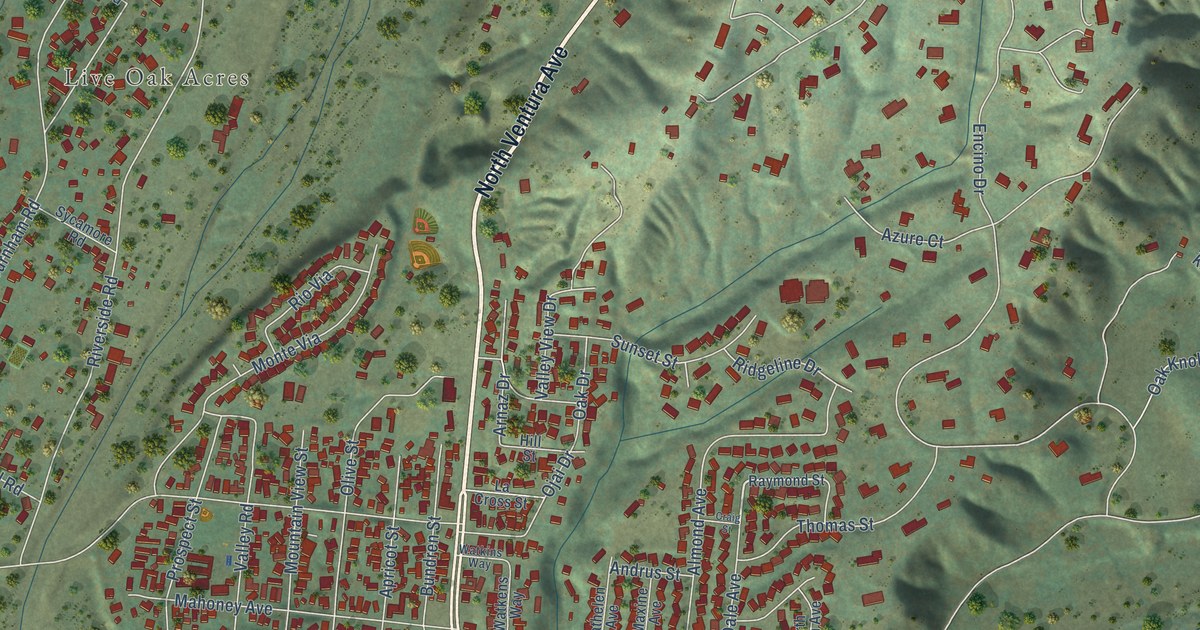
A detailed map of Oak View, California, showing every building in its true location, the roads by name, and shaded topographical relief.
Read More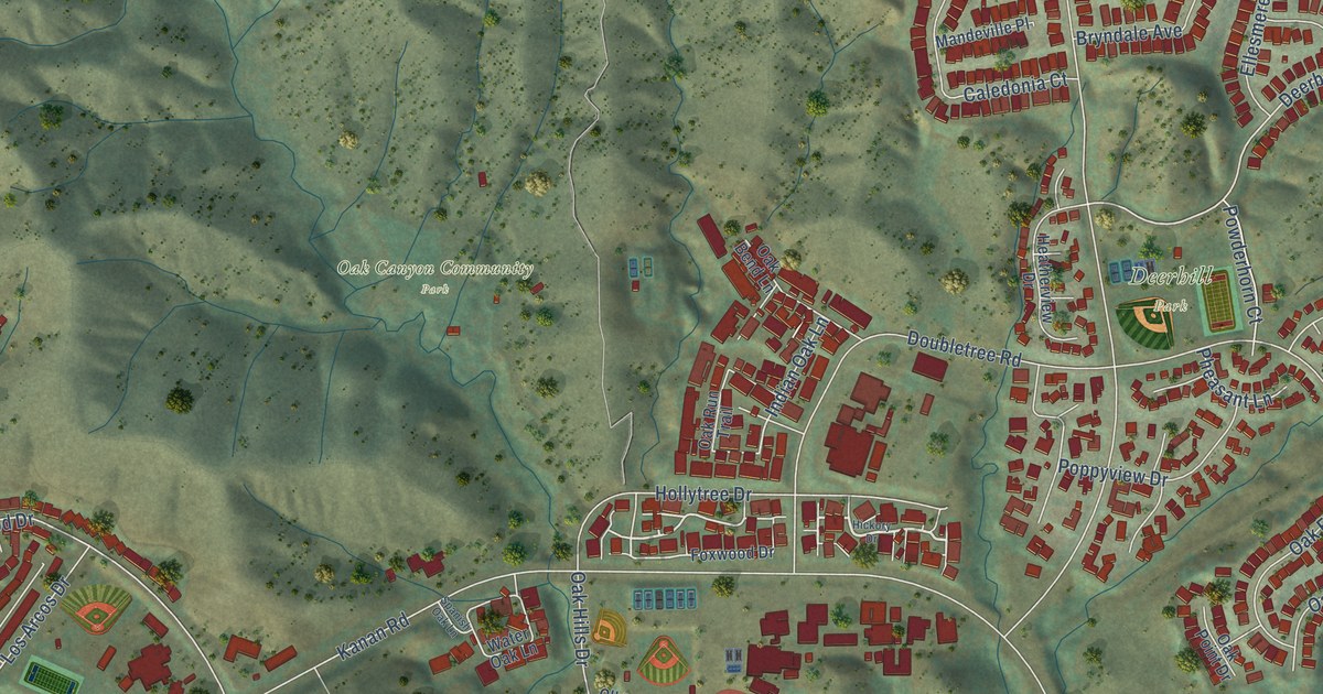
A detailed map of Oak Park, California, showing every building in its true location, the roads by name, and shaded topographical relief.
Read More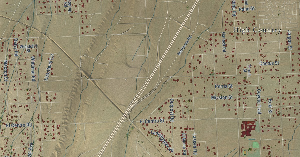
A detailed map of Oak Hills, California, showing every building in its true location, the roads by name, and shaded topographical relief.
Read More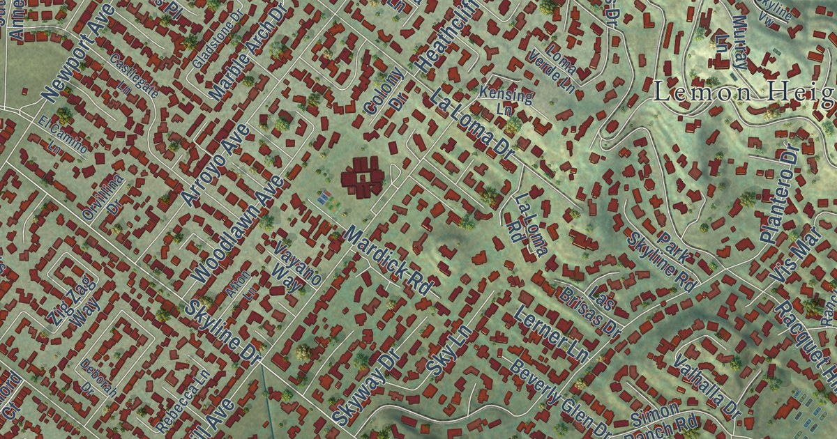
A detailed map of North Tustin, California, showing every building in its true location, the roads by name, and shaded topographical relief.
Read More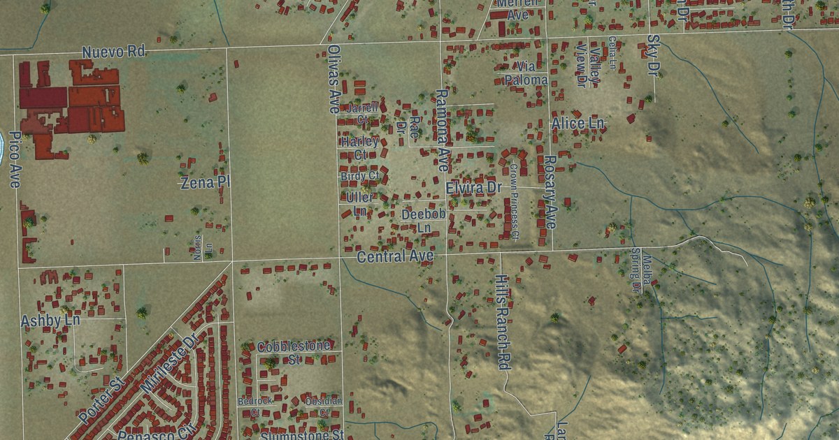
A detailed map of Nuevo, California, showing every building in its true location, the roads by name, and shaded topographical relief.
Read More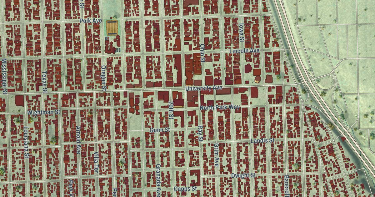
A detailed map of North Park, California, showing every building in its true location, the roads by name, and shaded topographical relief.
Read More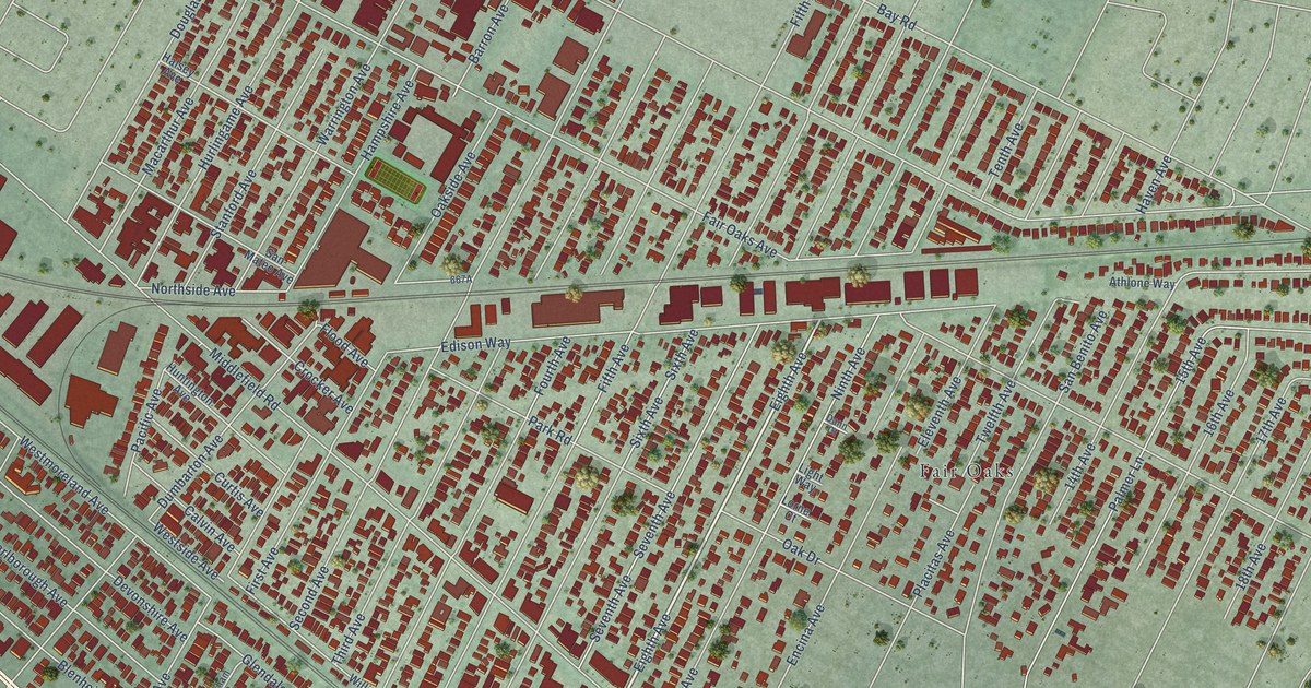
A detailed map of North Fair Oaks, California, showing every building in its true location, the roads by name, and shaded topographical relief.
Read More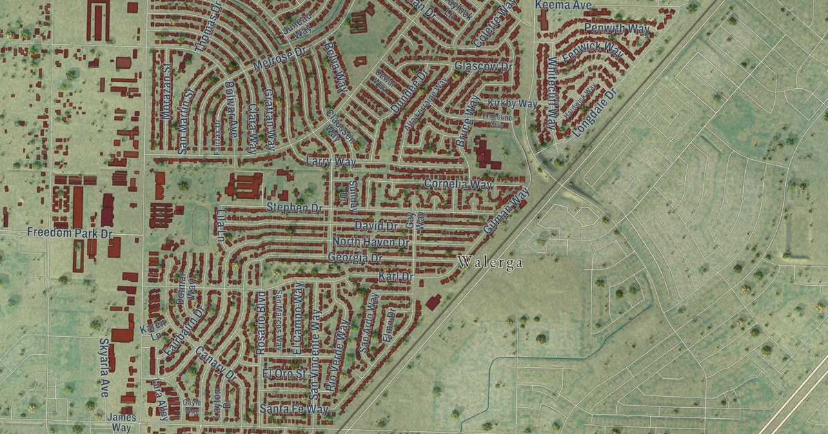
A detailed map of North Highlands, California, showing every building in its true location, the roads by name, and shaded topographical relief.
Read More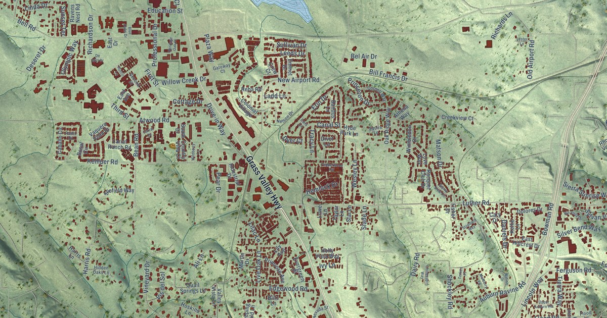
A detailed map of North Auburn, California, showing every building in its true location, the roads by name, and shaded topographical relief.
Read More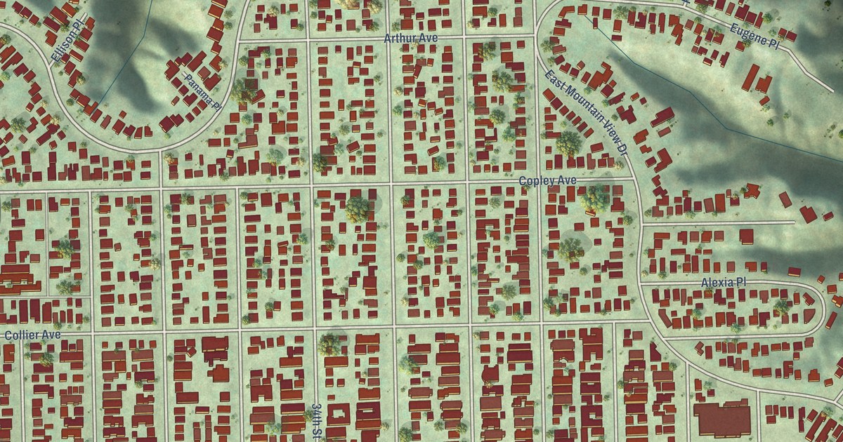
A detailed map of Normal Heights, California, showing every building in its true location, the roads by name, and shaded topographical relief.
Read More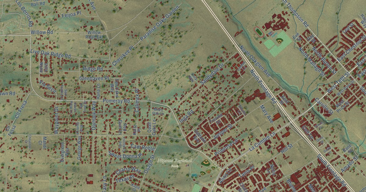
A detailed map of Nipomo, California, showing every building in its true location, the roads by name, and shaded topographical relief.
Read More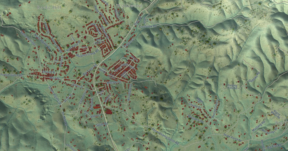
A detailed map of Murphys, California, showing every building in its true location, the roads by name, and shaded topographical relief.
Read More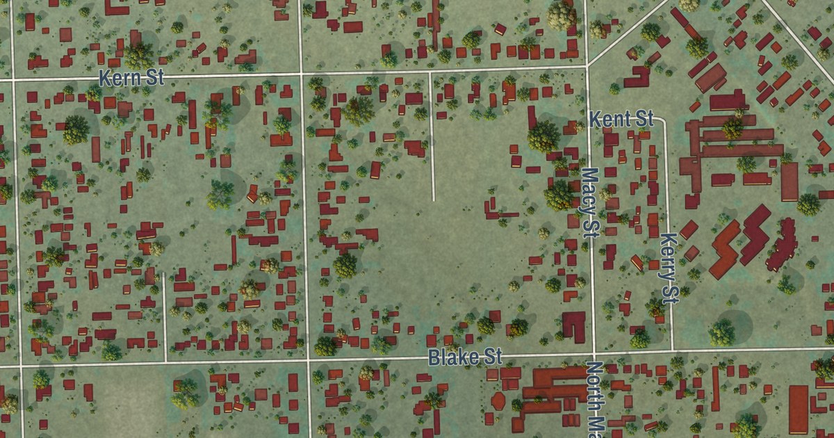
A detailed map of Muscoy, California, showing every building in its true location, the roads by name, and shaded topographical relief.
Read More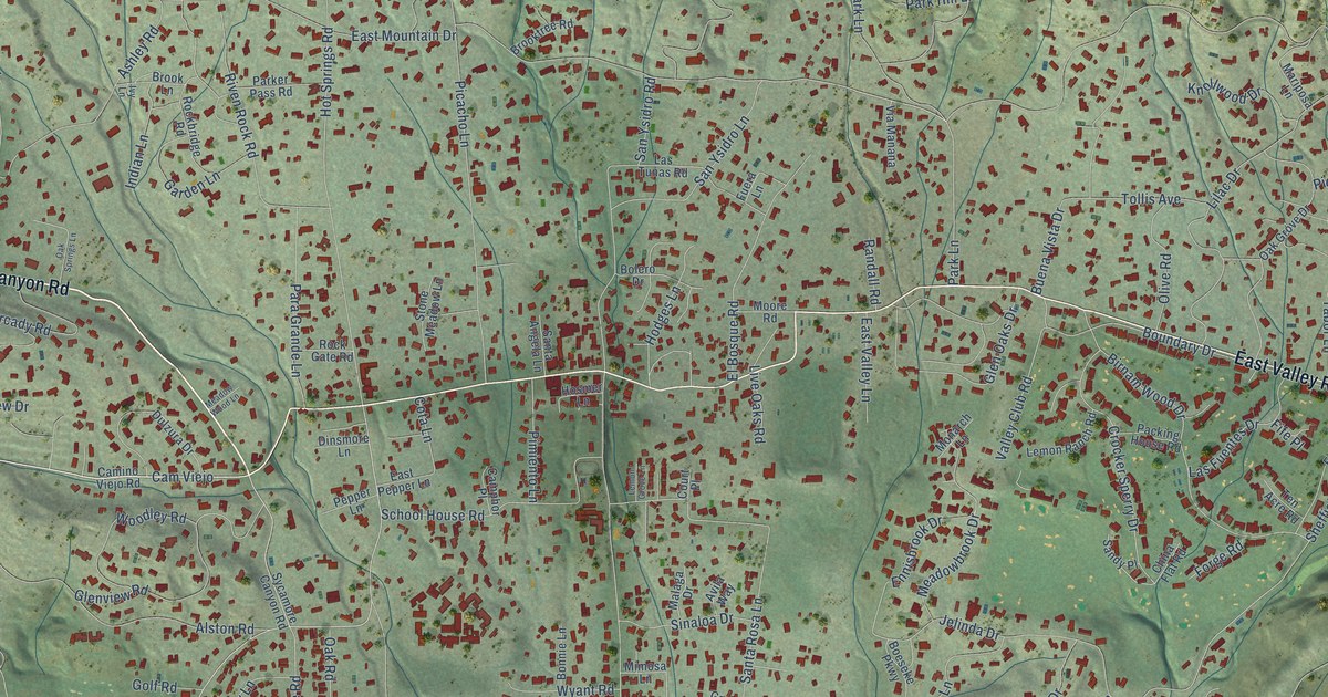
A detailed map of Montecito, California, showing every building in its true location, the roads by name, and shaded topographical relief.
Read More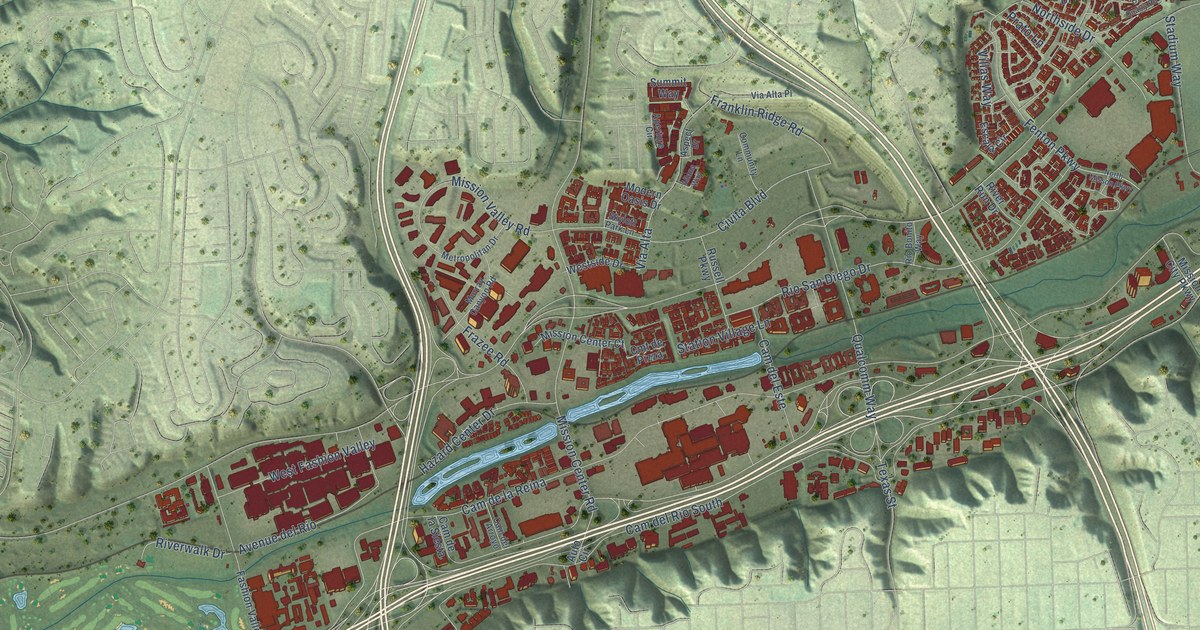
A detailed map of Mission Valley, California, showing every building in its true location, the roads by name, and shaded topographical relief.
Read More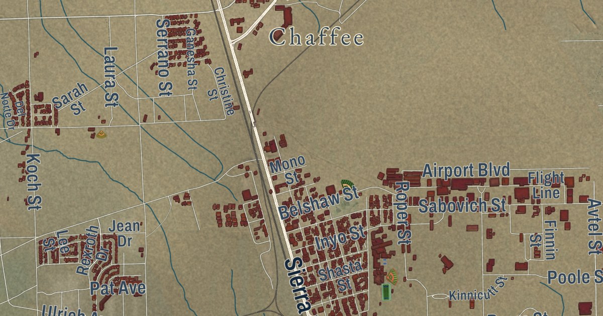
A detailed map of Mojave, California, showing every building in its true location, the roads by name, and shaded topographical relief.
Read More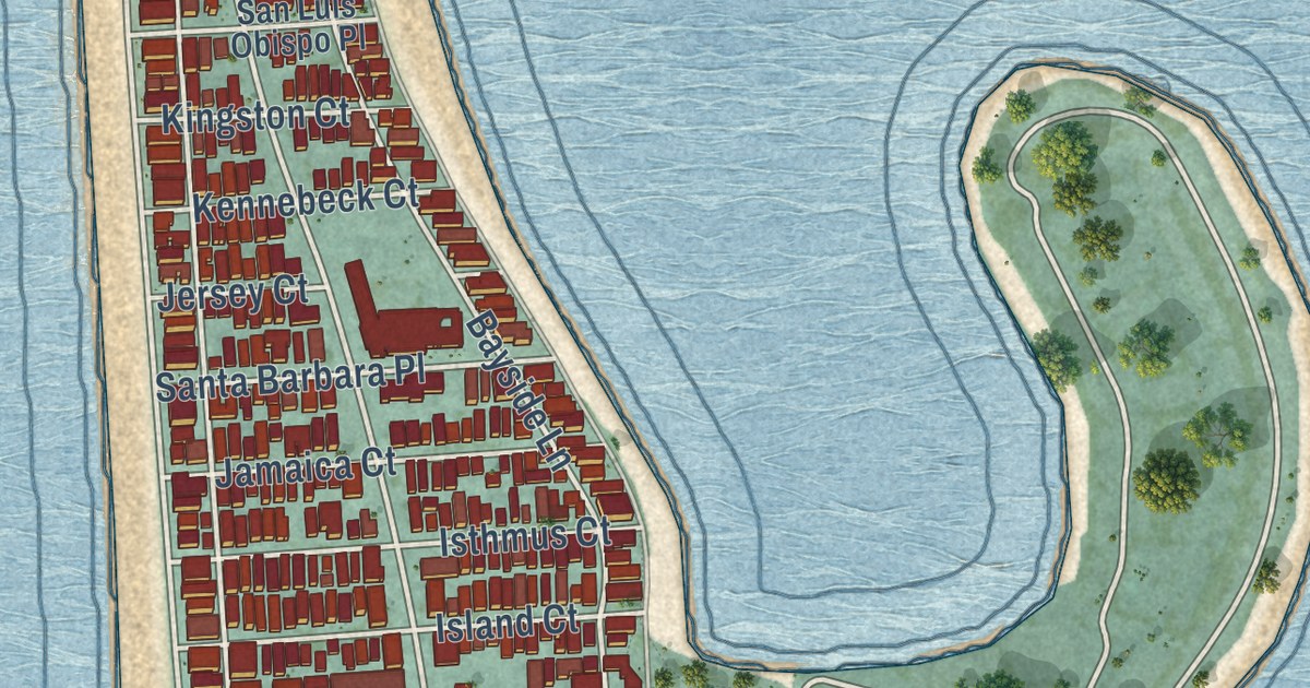
A detailed map of Mission Beach, California, showing every building in its true location, the roads by name, and shaded topographical relief.
Read More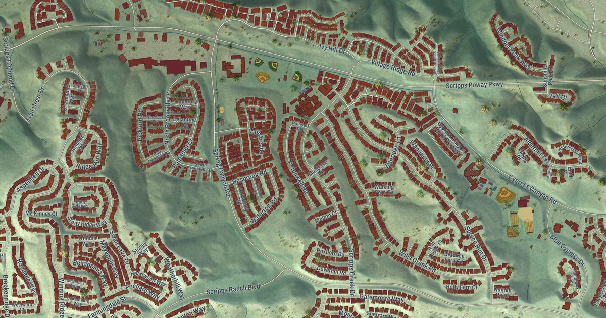
A detailed map of Miramar Ranch North, California, showing every building in its true location, the roads by name, and shaded topographical relief.
Read More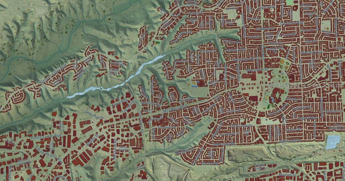
A detailed map of Mira Mesa, California, showing every building in its true location, the roads by name, and shaded topographical relief.
Read More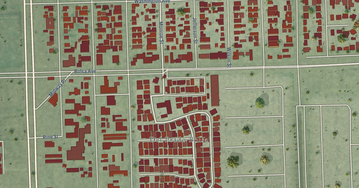
A detailed map of Midway City, California, showing every building in its true location, the roads by name, and shaded topographical relief.
Read More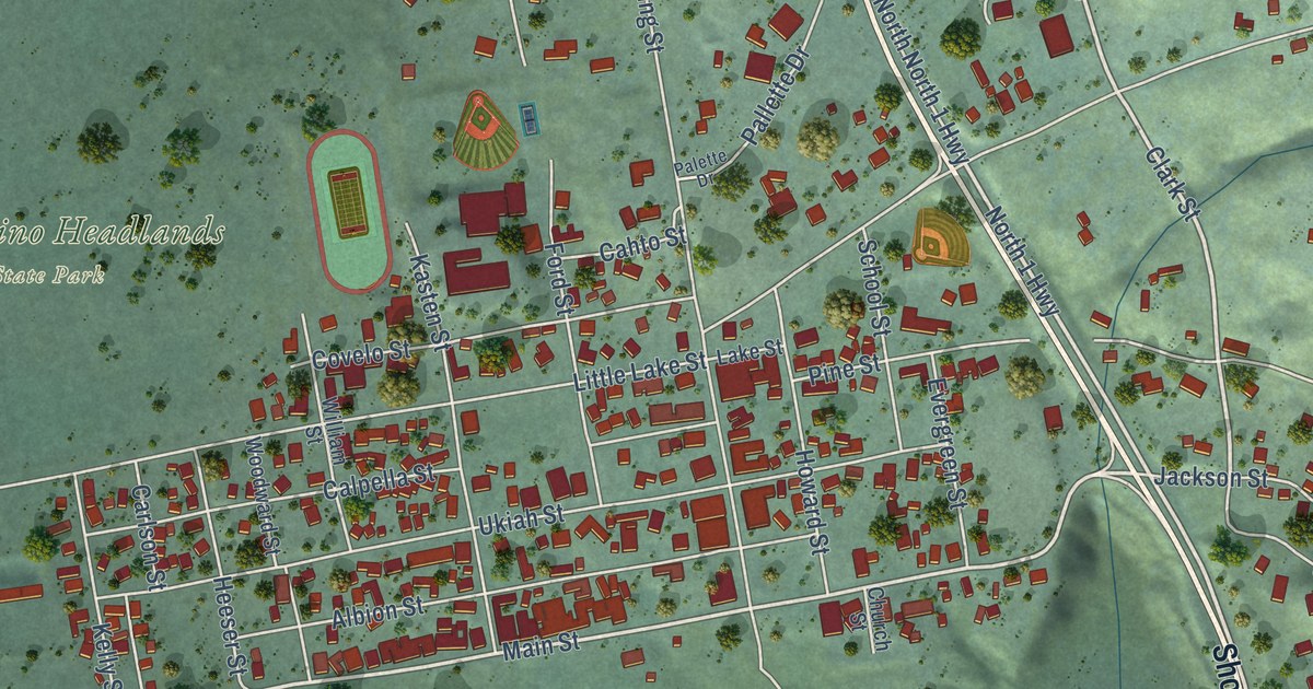
A detailed map of Mendocino, California, showing every building in its true location, the roads by name, and shaded topographical relief.
Read More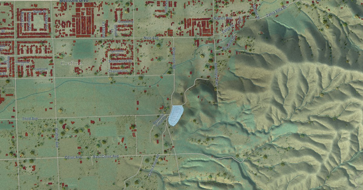
A detailed map of Mentone, California, showing every building in its true location, the roads by name, and shaded topographical relief.
Read More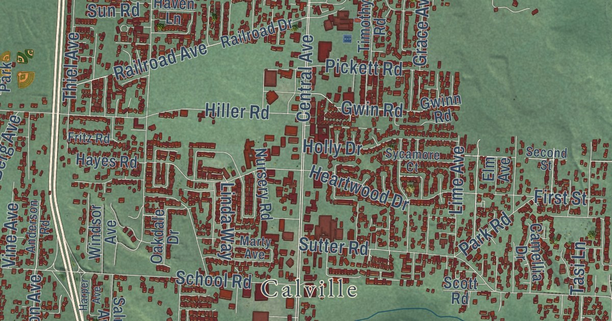
A detailed map of McKinleyville, California, showing every building in its true location, the roads by name, and shaded topographical relief.
Read More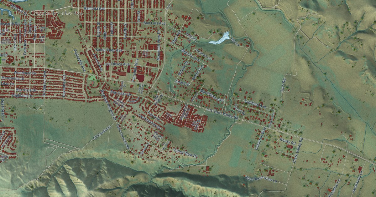
A detailed map of Los Osos, California, showing every building in its true location, the roads by name, and shaded topographical relief.
Read More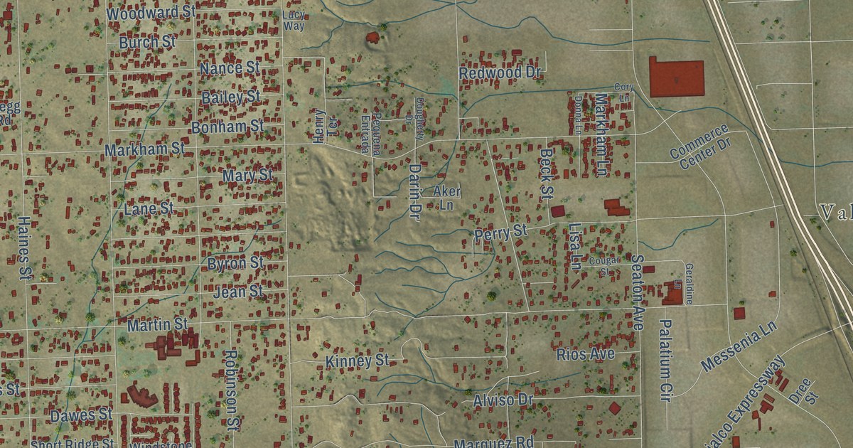
A detailed map of Mead Valley, California, showing every building in its true location, the roads by name, and shaded topographical relief.
Read More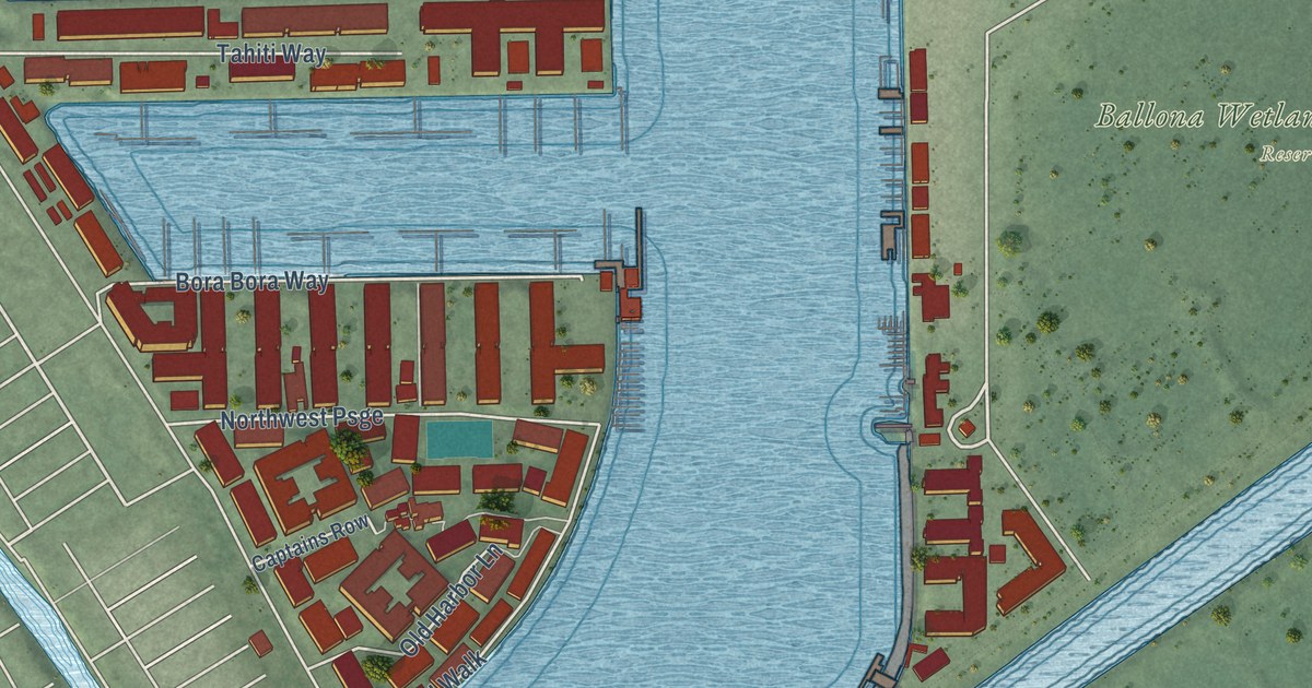
A detailed map of Marina del Rey, California, showing every building in its true location, the roads by name, and shaded topographical relief.
Read More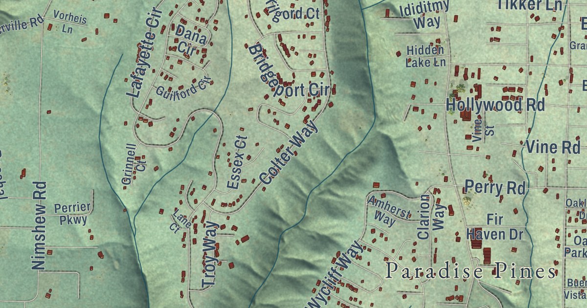
A detailed map of Magalia, California, showing every building in its true location, the roads by name, and shaded topographical relief.
Read More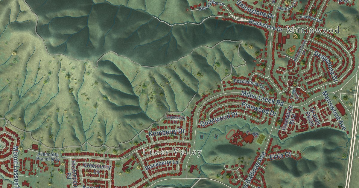
A detailed map of Lucas Valley-Marinwood, California, showing every building in its true location, the roads by name, and shaded topographical relief.
Read More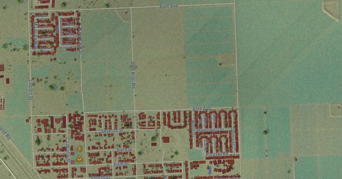
A detailed map of Mecca, California, showing every building in its true location, the roads by name, and shaded topographical relief.
Read More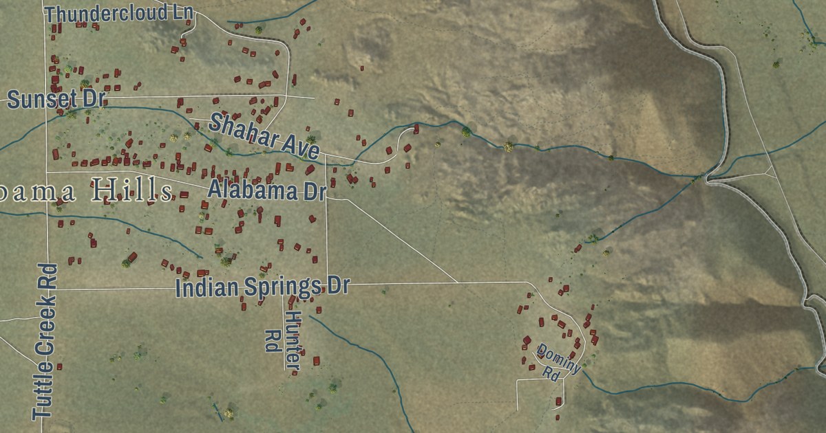
A detailed map of Lone Pine, California, showing every building in its true location, the roads by name, and shaded topographical relief.
Read More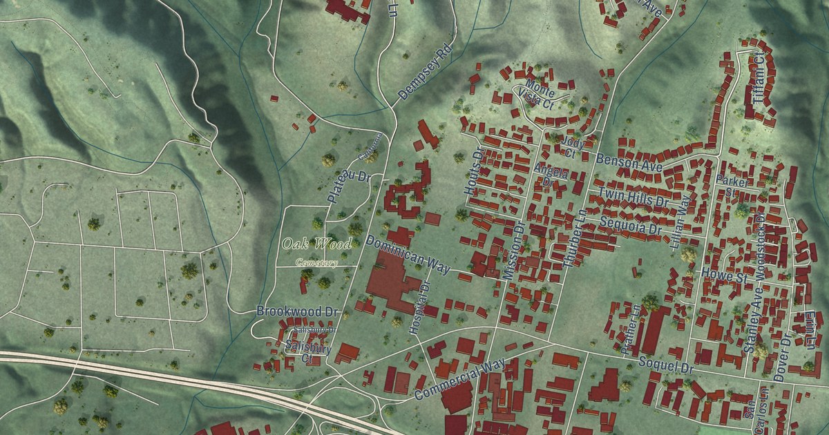
A detailed map of Live Oak, Santa Cruz County, California, showing every building in its true location, the roads by name, and shaded topographical relief.
Read More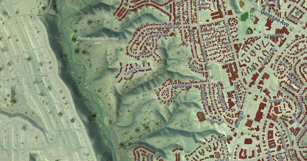
A detailed map of Linda Vista, California, showing every building in its true location, the roads by name, and shaded topographical relief.
Read More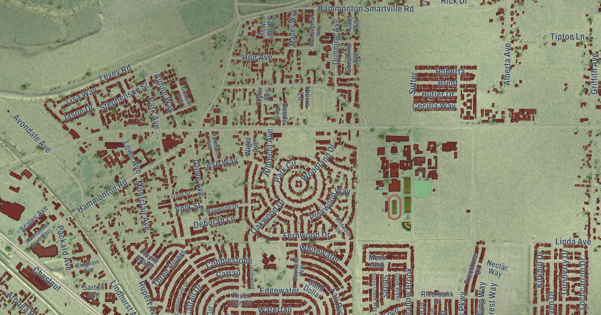
A detailed map of Linda, California, showing every building in its true location, the roads by name, and shaded topographical relief.
Read More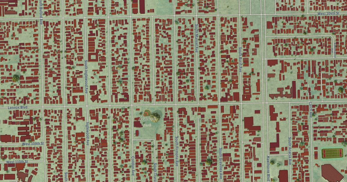
A detailed map of Lennox, California, showing every building in its true location, the roads by name, and shaded topographical relief.
Read More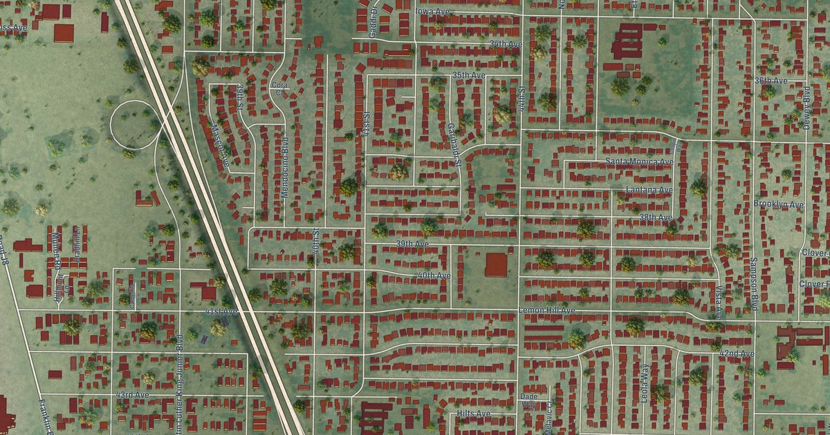
A detailed map of Lemon Hill, California, showing every building in its true location, the roads by name, and shaded topographical relief.
Read More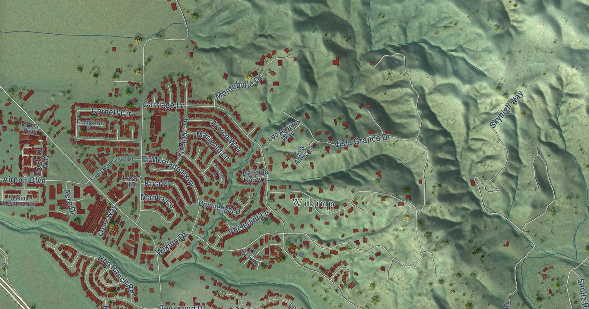
A detailed map of Larkfield-Wikiup, California, showing every building in its true location, the roads by name, and shaded topographical relief.
Read More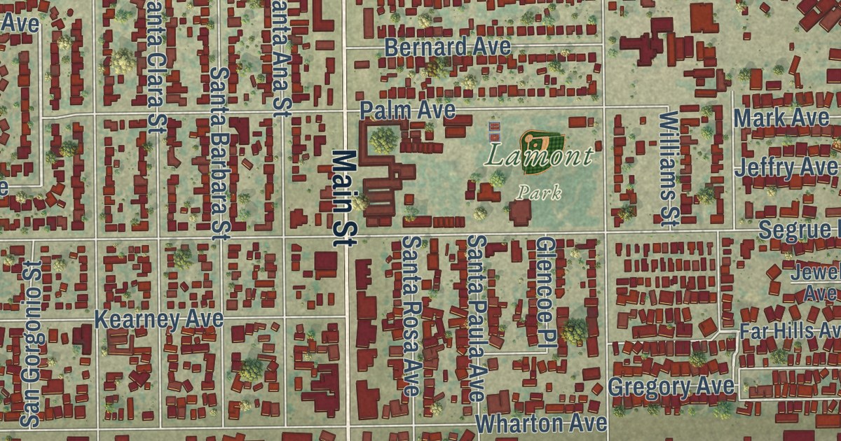
A detailed map of Lamont, California, showing every building in its true location, the roads by name, and shaded topographical relief.
Read More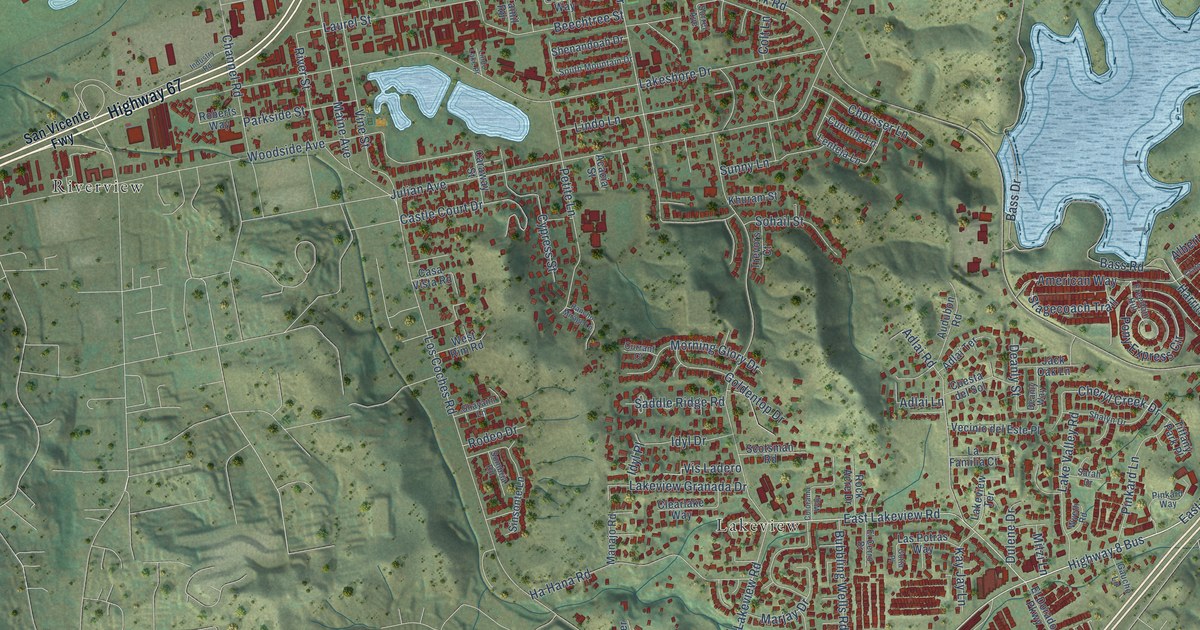
A detailed map of Lakeside, California, showing every building in its true location, the roads by name, and shaded topographical relief.
Read More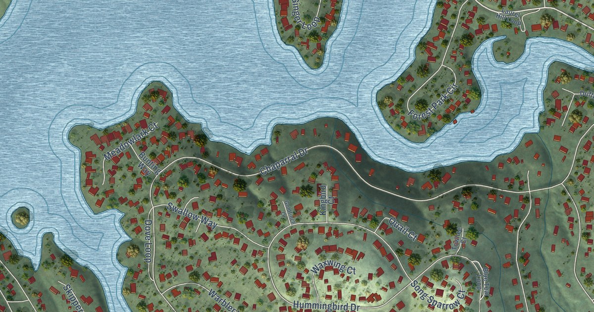
A detailed map of Lake Wildwood, California, showing every building in its true location, the roads by name, and shaded topographical relief.
Read More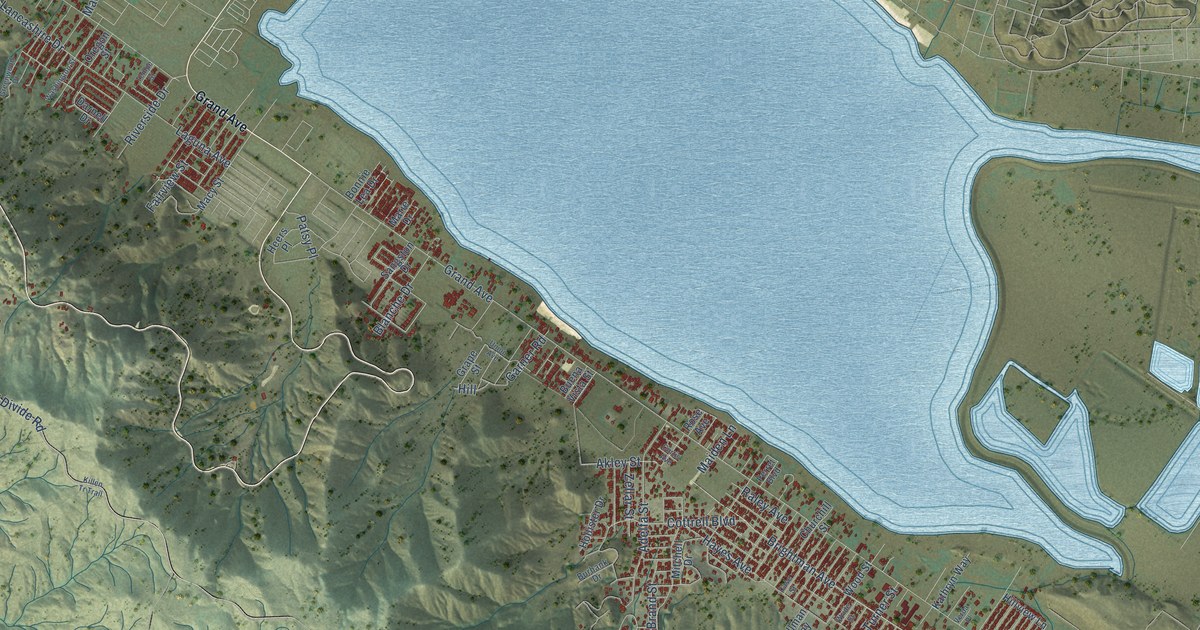
A detailed map of Lakeland Village, California, showing every building in its true location, the roads by name, and shaded topographical relief.
Read More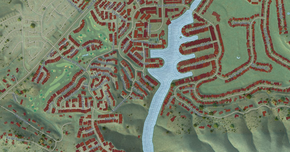
A detailed map of Lake San Marcos, California, showing every building in its true location, the roads by name, and shaded topographical relief.
Read More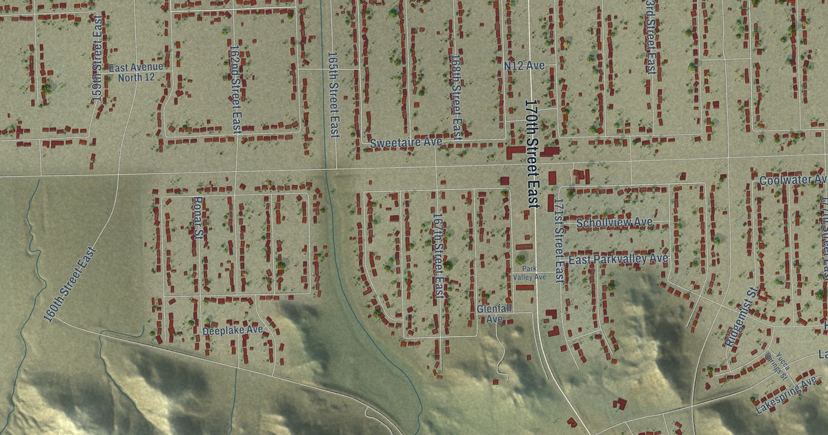
A detailed map of Lake Los Angeles, California, showing every building in its true location, the roads by name, and shaded topographical relief.
Read More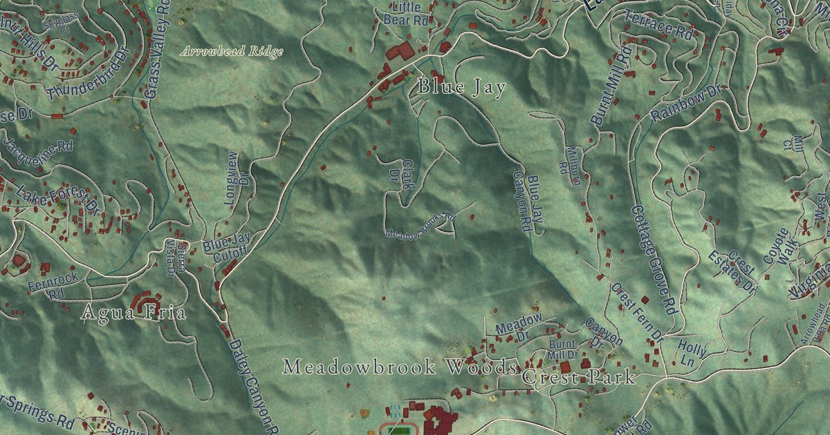
A detailed map of Lake Arrowhead, California, showing every building in its true location, the roads by name, and shaded topographical relief.
Read More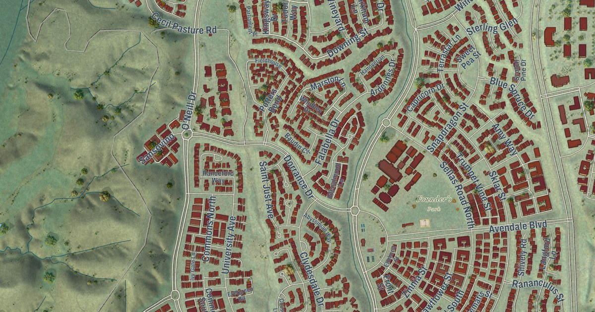
A detailed map of Ladera Ranch, California, showing every building in its true location, the roads by name, and shaded topographical relief.
Read More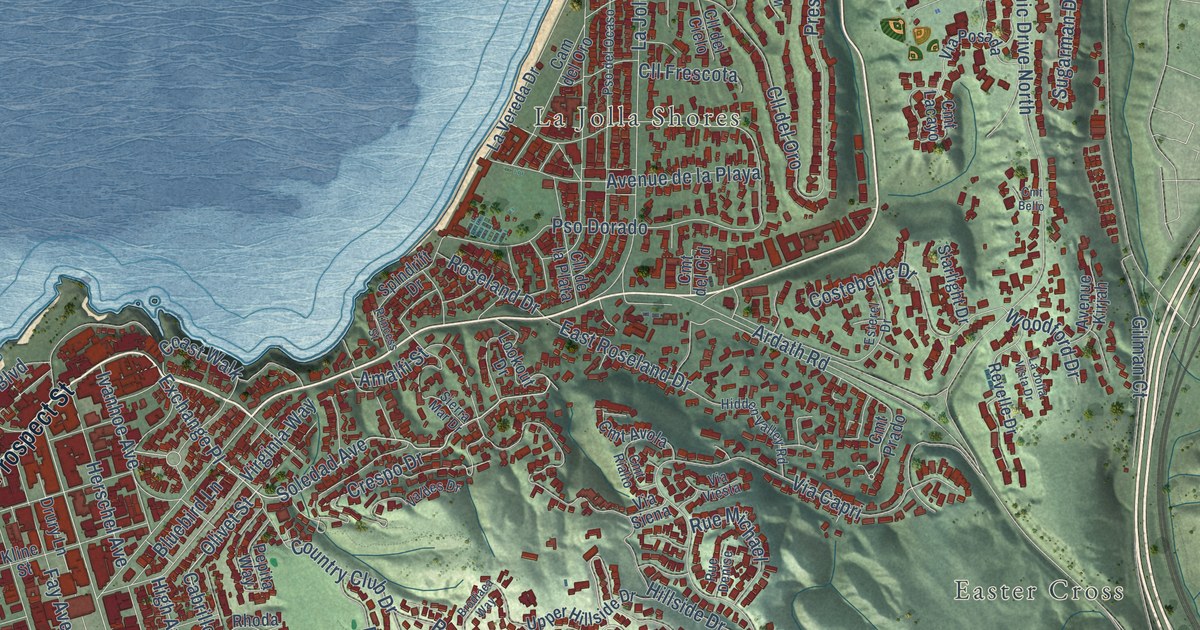
A detailed map of La Jolla, California, showing every building in its true location, the roads by name, and shaded topographical relief.
Read More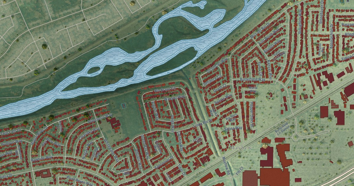
A detailed map of La Riviera, California, showing every building in its true location, the roads by name, and shaded topographical relief.
Read More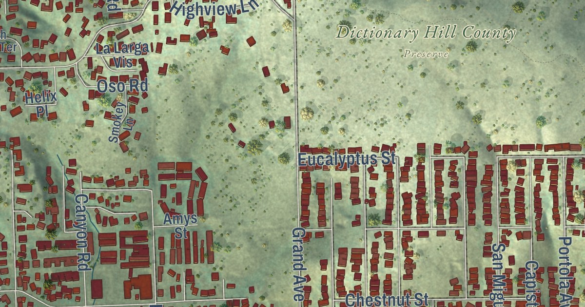
A detailed map of La Presa, California, showing every building in its true location, the roads by name, and shaded topographical relief.
Read More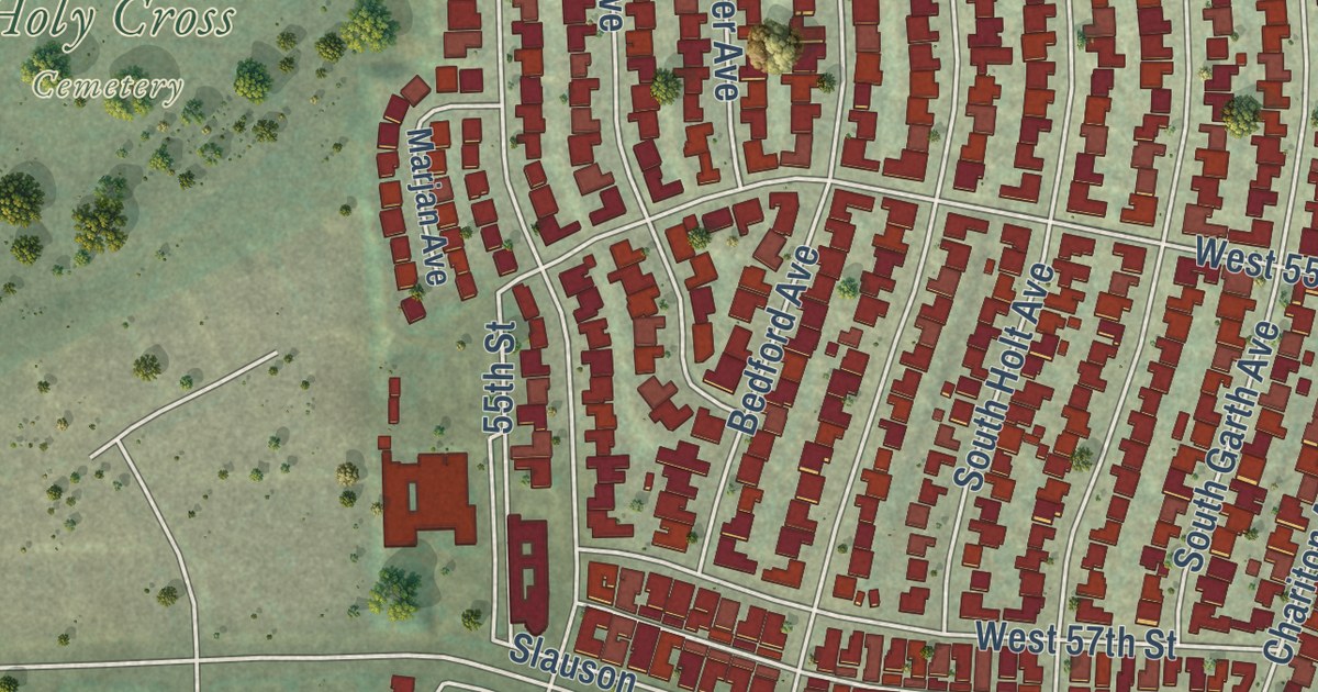
A detailed map of Ladera Heights, California, showing every building in its true location, the roads by name, and shaded topographical relief.
Read More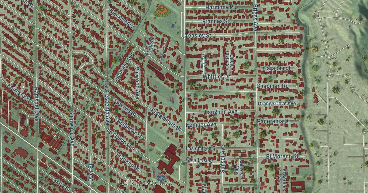
A detailed map of La Crescenta-Montrose, California, showing every building in its true location, the roads by name, and shaded topographical relief.
Read More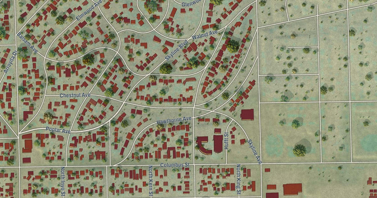
A detailed map of La Cresta, California, showing every building in its true location, the roads by name, and shaded topographical relief.
Read More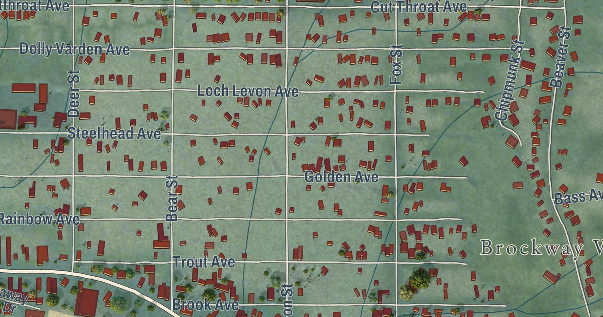
A detailed map of Kings Beach, California, showing every building in its true location, the roads by name, and shaded topographical relief.
Read More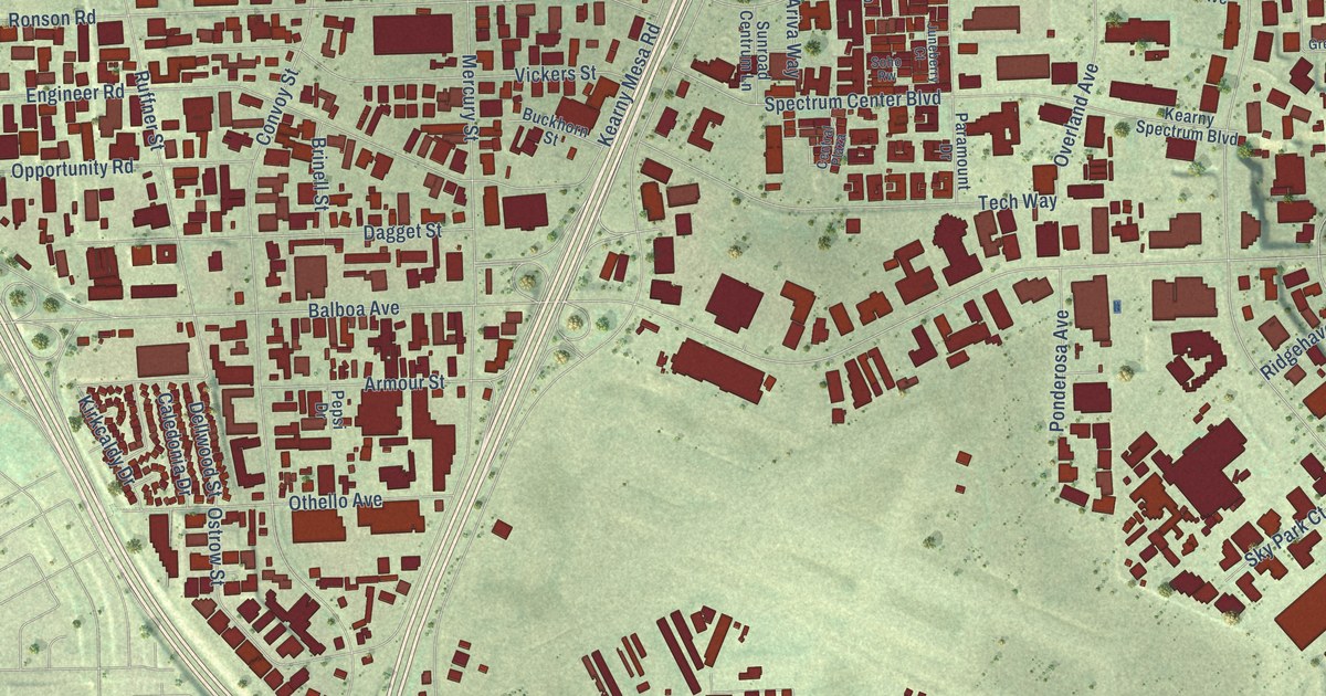
A detailed map of Kearny Mesa, California, showing every building in its true location, the roads by name, and shaded topographical relief.
Read More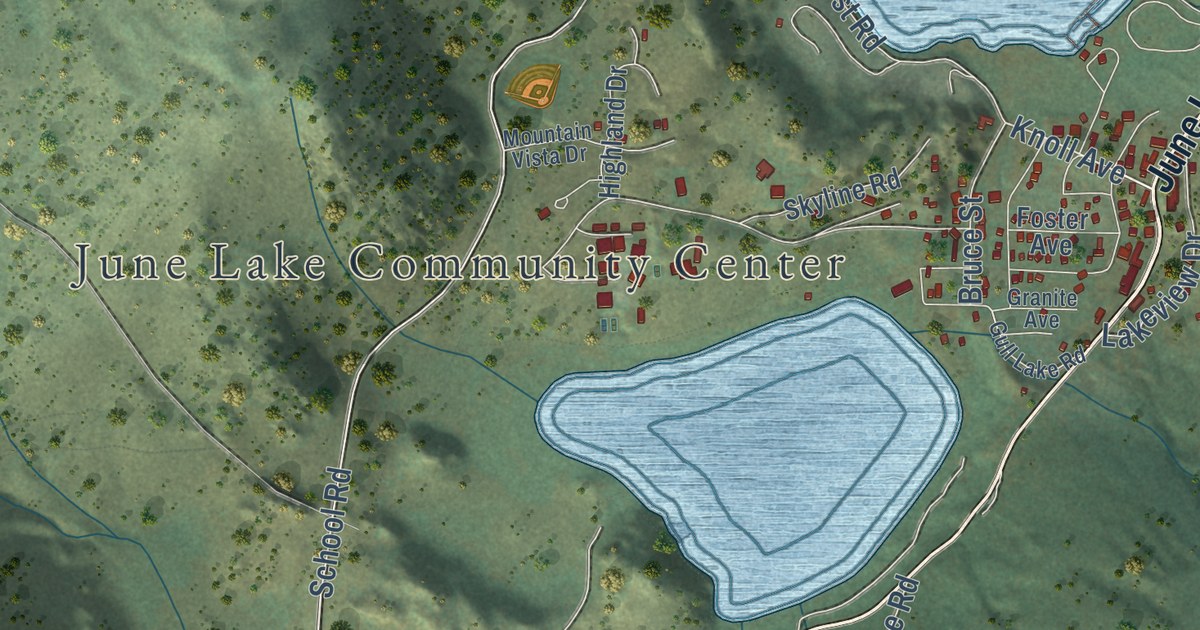
A detailed map of June Lake, California, showing every building in its true location, the roads by name, and shaded topographical relief.
Read More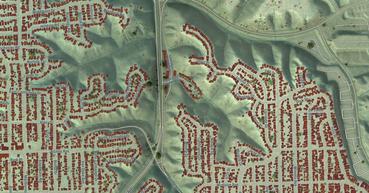
A detailed map of Kensington-Talmadge, California, showing every building in its true location, the roads by name, and shaded topographical relief.
Read More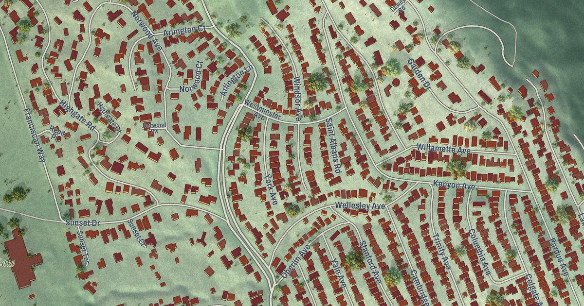
A detailed map of Kensington, California, showing every building in its true location, the roads by name, and shaded topographical relief.
Read More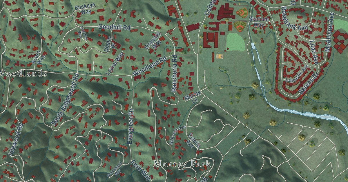
A detailed map of Kentfield, California, showing every building in its true location, the roads by name, and shaded topographical relief.
Read More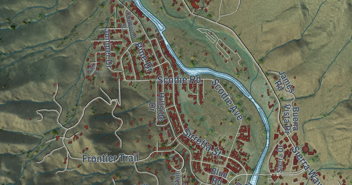
A detailed map of Kernville, California, showing every building in its true location, the roads by name, and shaded topographical relief.
Read More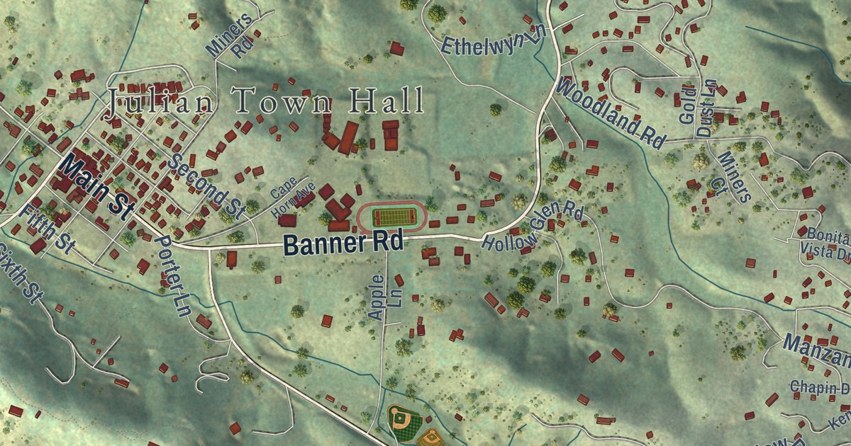
A detailed map of Julian, California, showing every building in its true location, the roads by name, and shaded topographical relief.
Read More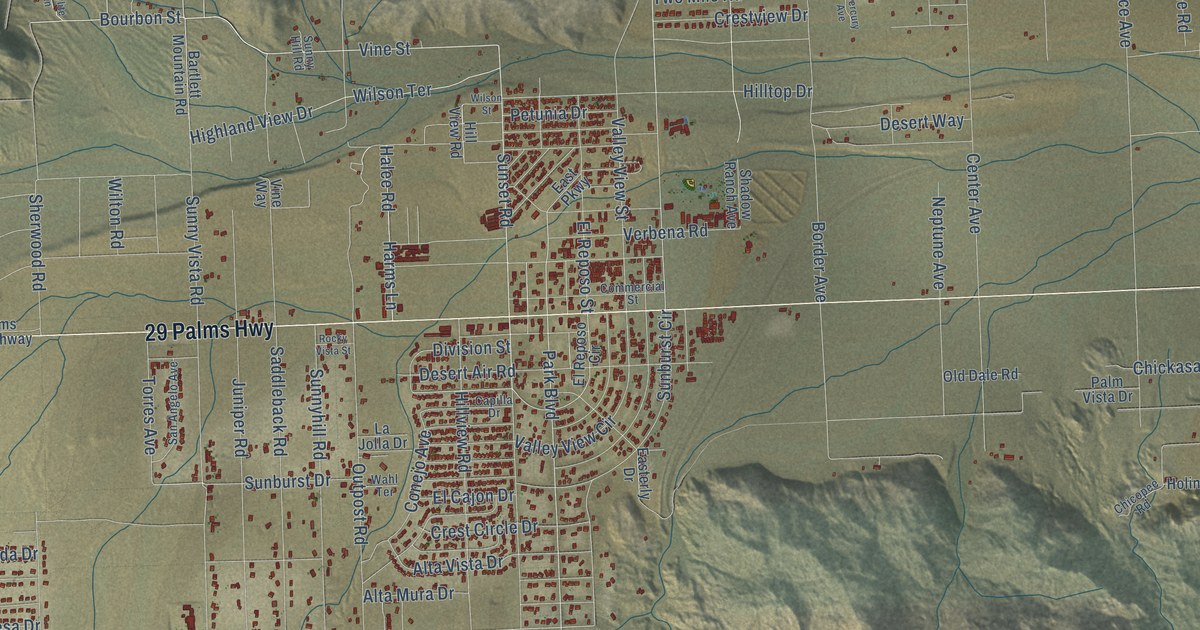
A detailed map of Joshua Tree, California, showing every building in its true location, the roads by name, and shaded topographical relief.
Read More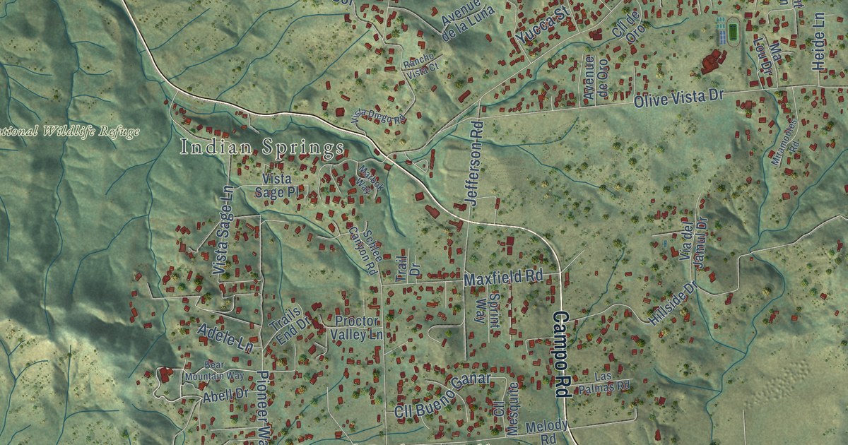
A detailed map of Jamul, California, showing every building in its true location, the roads by name, and shaded topographical relief.
Read More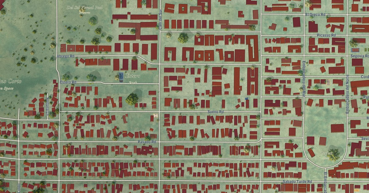
A detailed map of Isla Vista, California, showing every building in its true location, the roads by name, and shaded topographical relief.
Read More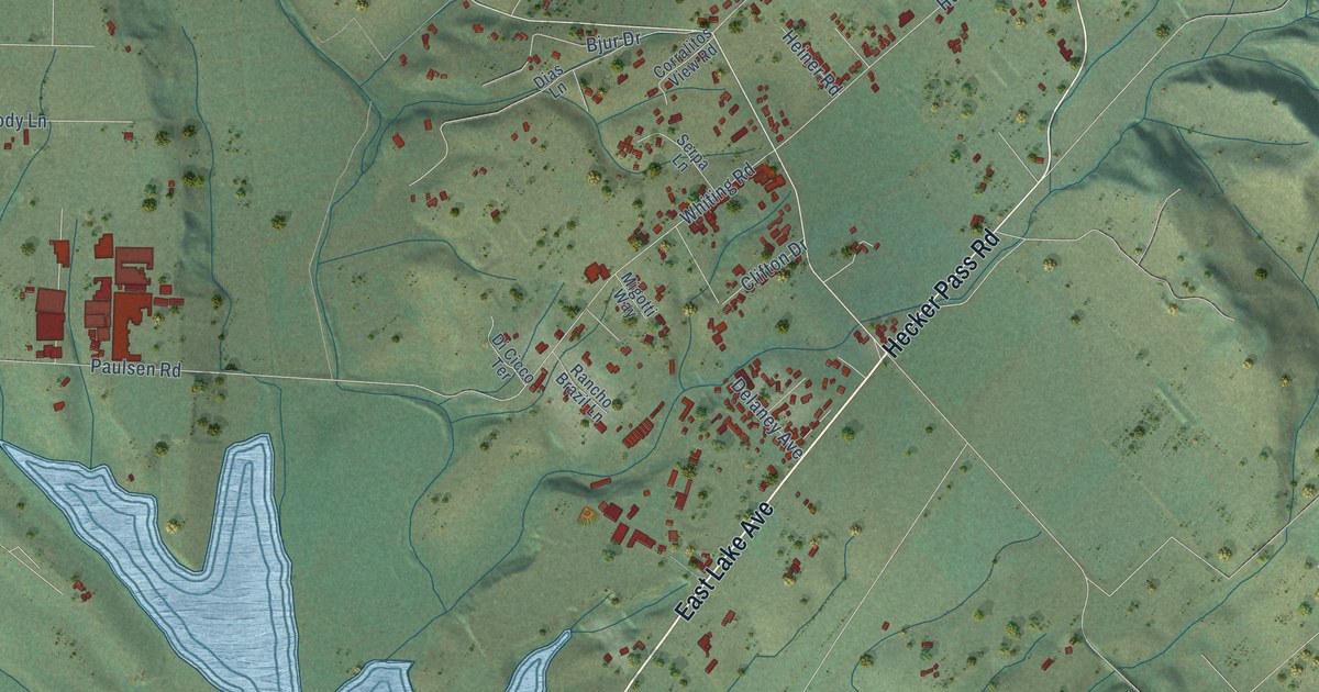
A detailed map of Interlaken, California, showing every building in its true location, the roads by name, and shaded topographical relief.
Read More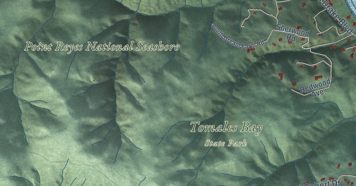
A detailed map of Inverness, California, showing every building in its true location, the roads by name, and shaded topographical relief.
Read More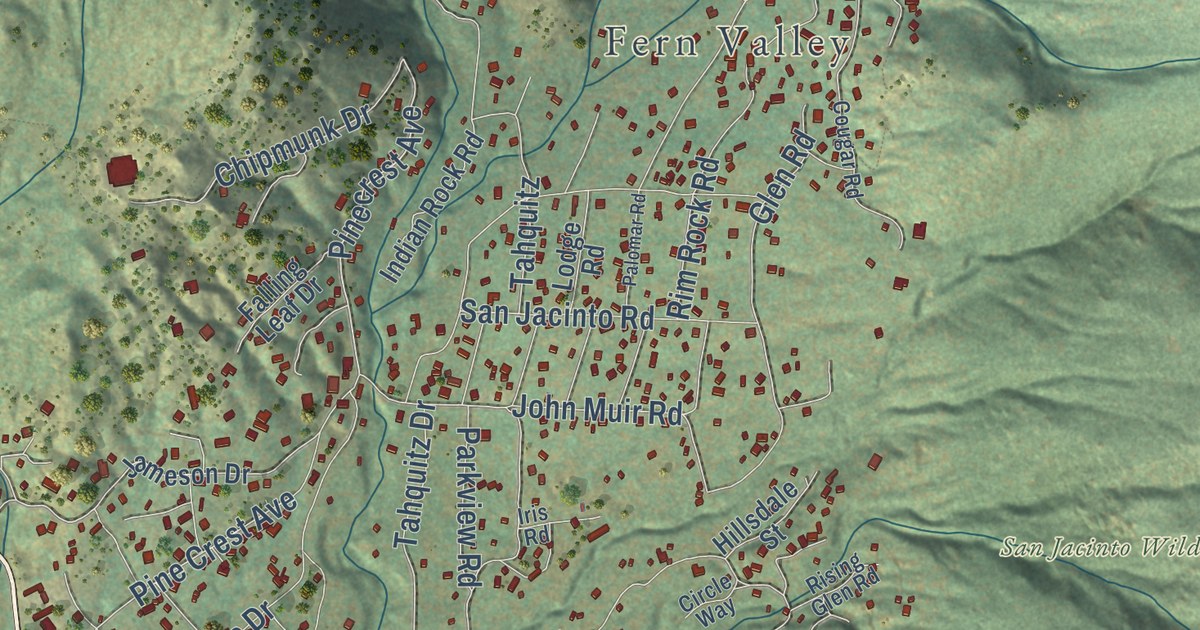
A detailed map of Idyllwild-Pine Cove, California, showing every building in its true location, the roads by name, and shaded topographical relief.
Read More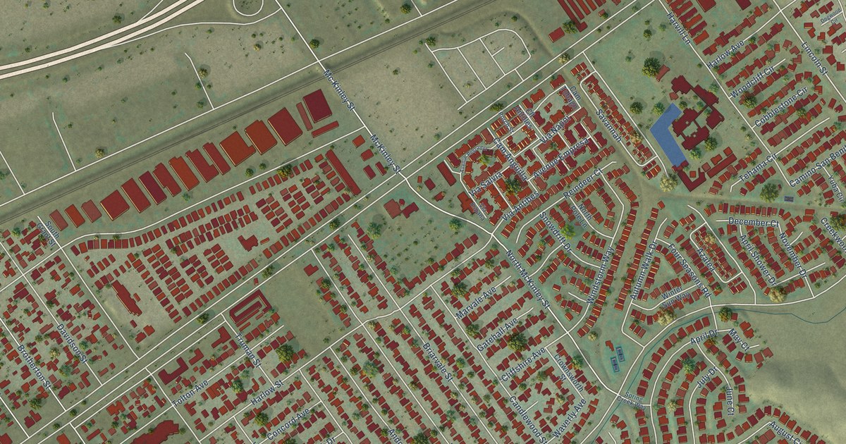
A detailed map of Home Gardens, California, showing every building in its true location, the roads by name, and shaded topographical relief.
Read More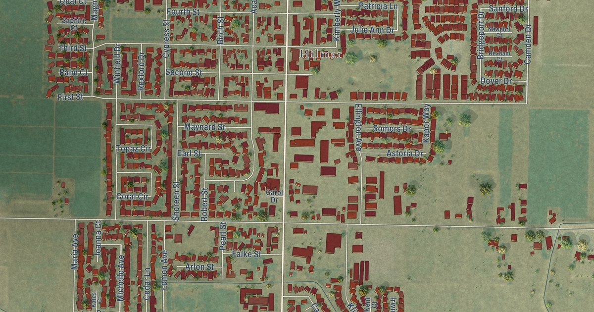
A detailed map of Hilmar-Irwin, California, showing every building in its true location, the roads by name, and shaded topographical relief.
Read More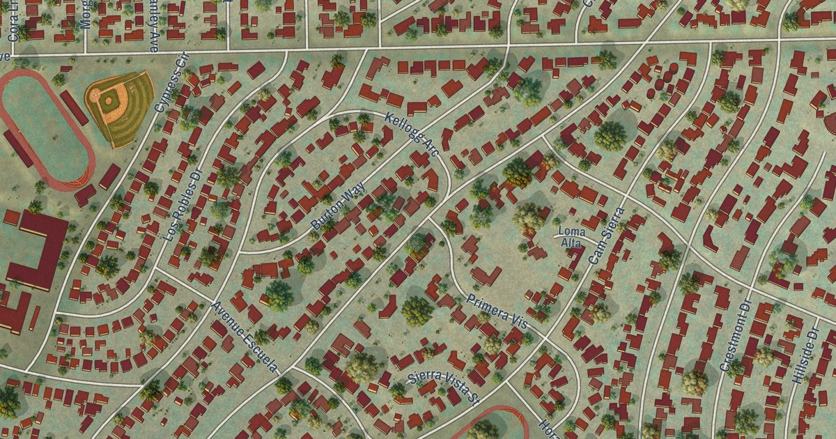
A detailed map of Hillcrest, California, showing every building in its true location, the roads by name, and shaded topographical relief.
Read More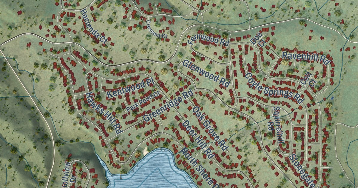
A detailed map of Hidden Valley Lake, California, showing every building in its true location, the roads by name, and shaded topographical relief.
Read More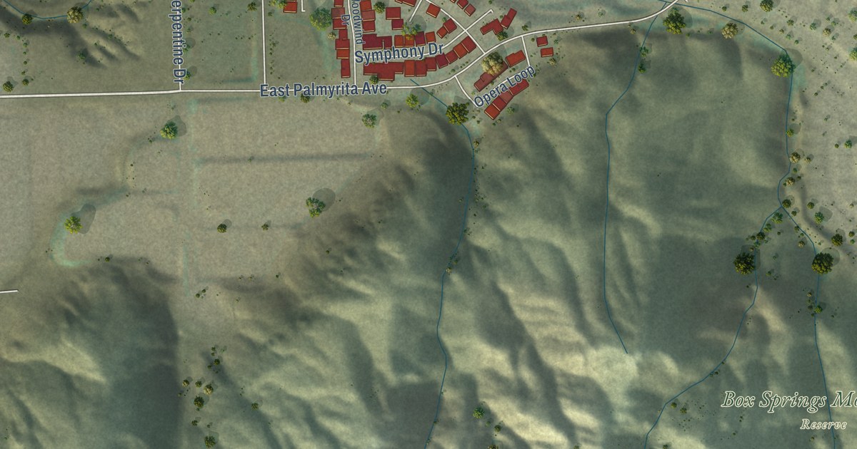
A detailed map of Highgrove, California, showing every building in its true location, the roads by name, and shaded topographical relief.
Read More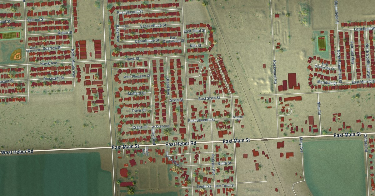
A detailed map of Heber, California, showing every building in its true location, the roads by name, and shaded topographical relief.
Read More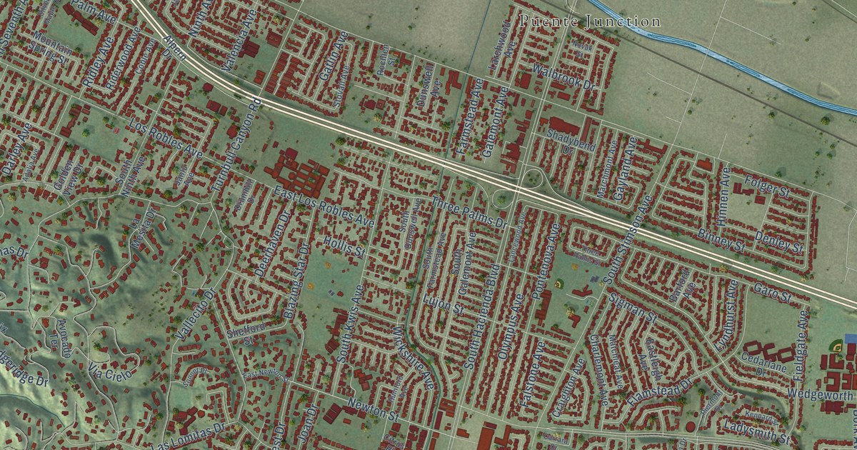
A detailed map of Hacienda Heights, California, showing every building in its true location, the roads by name, and shaded topographical relief.
Read More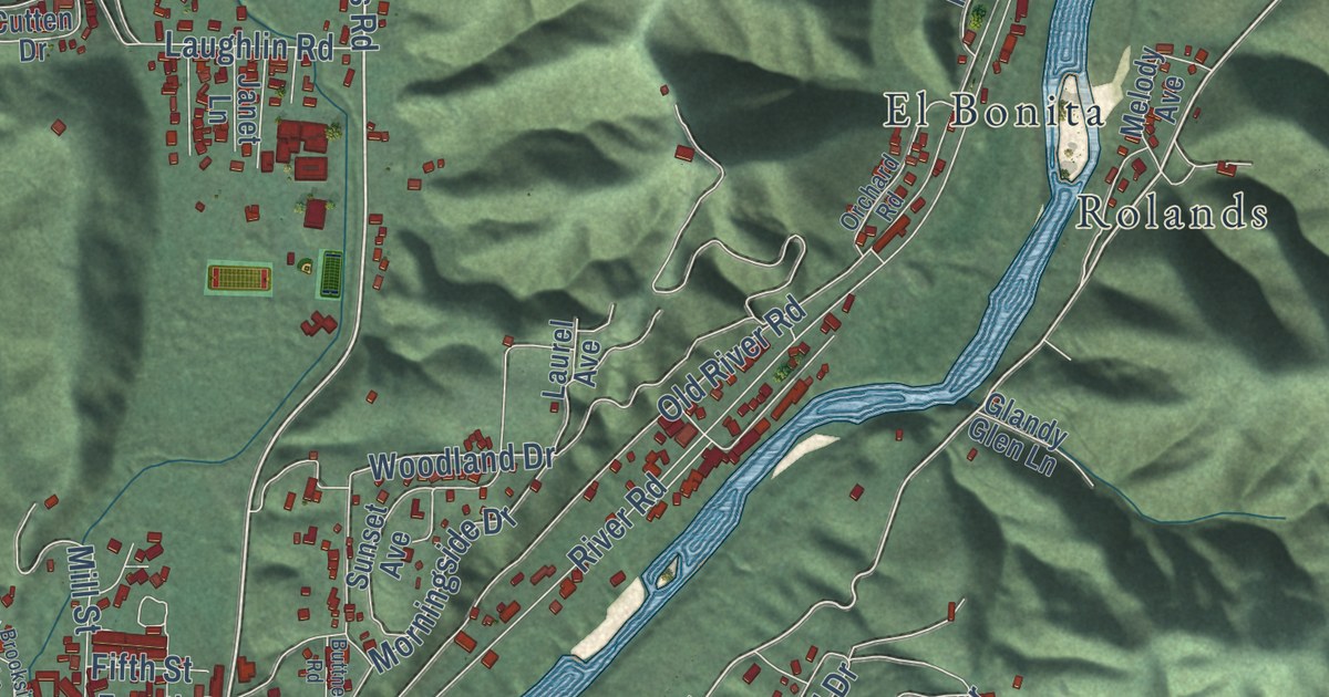
A detailed map of Guerneville, California, showing every building in its true location, the roads by name, and shaded topographical relief.
Read More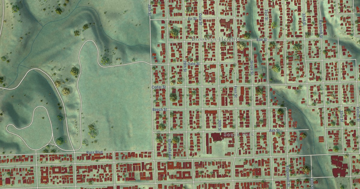
A detailed map of Greater Golden Hill, California, showing every building in its true location, the roads by name, and shaded topographical relief.
Read More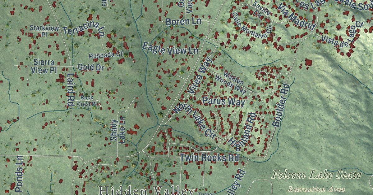
A detailed map of Granite Bay, California, showing every building in its true location, the roads by name, and shaded topographical relief.
Read More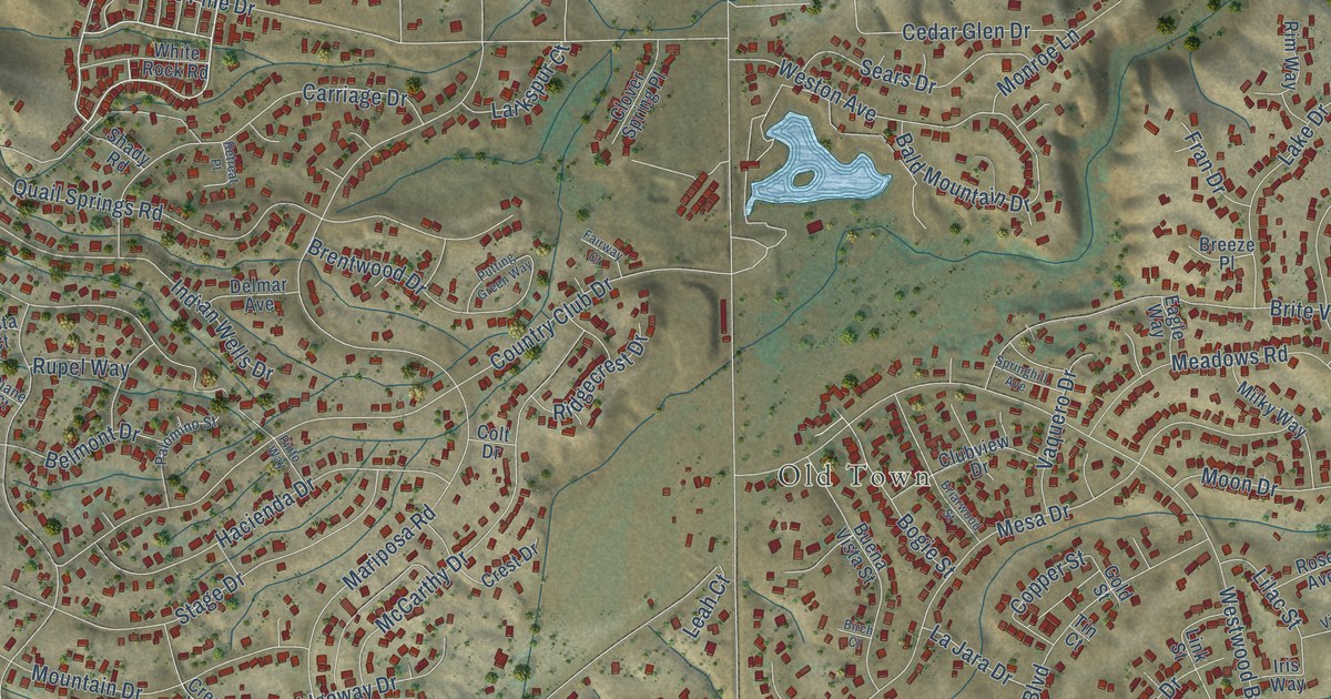
A detailed map of Golden Hills, California, showing every building in its true location, the roads by name, and shaded topographical relief.
Read More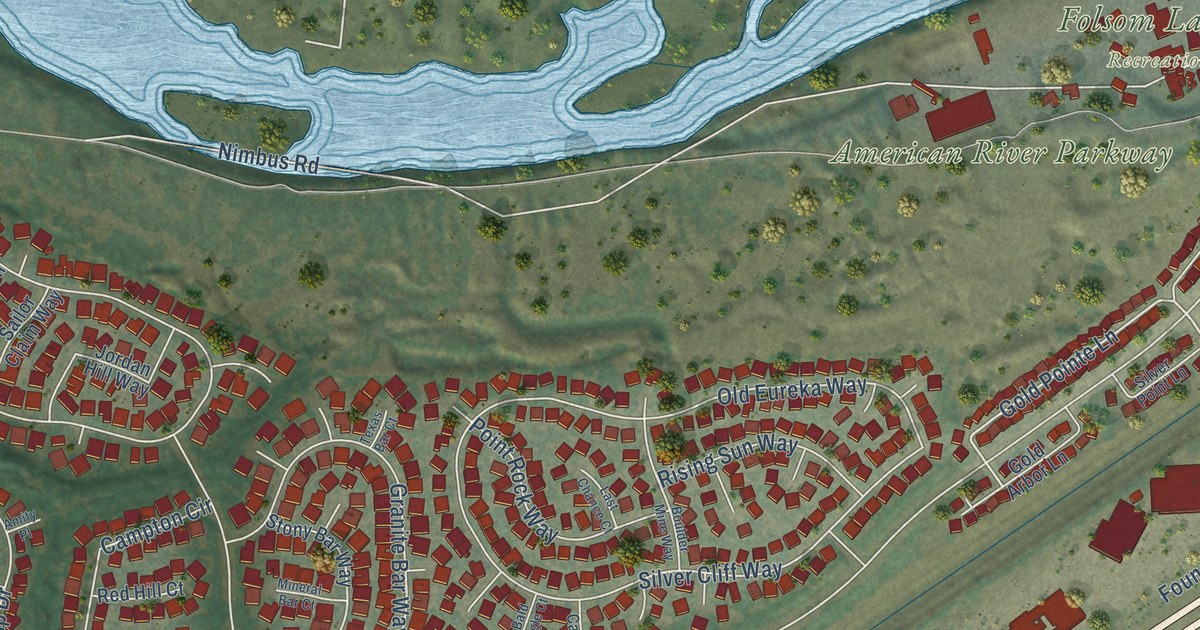
A detailed map of Gold River, California, showing every building in its true location, the roads by name, and shaded topographical relief.
Read More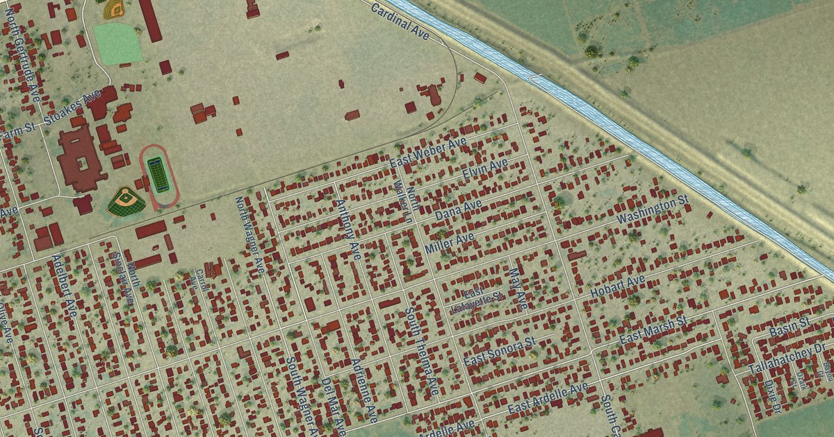
A detailed map of Garden Acres, California, showing every building in its true location, the roads by name, and shaded topographical relief.
Read More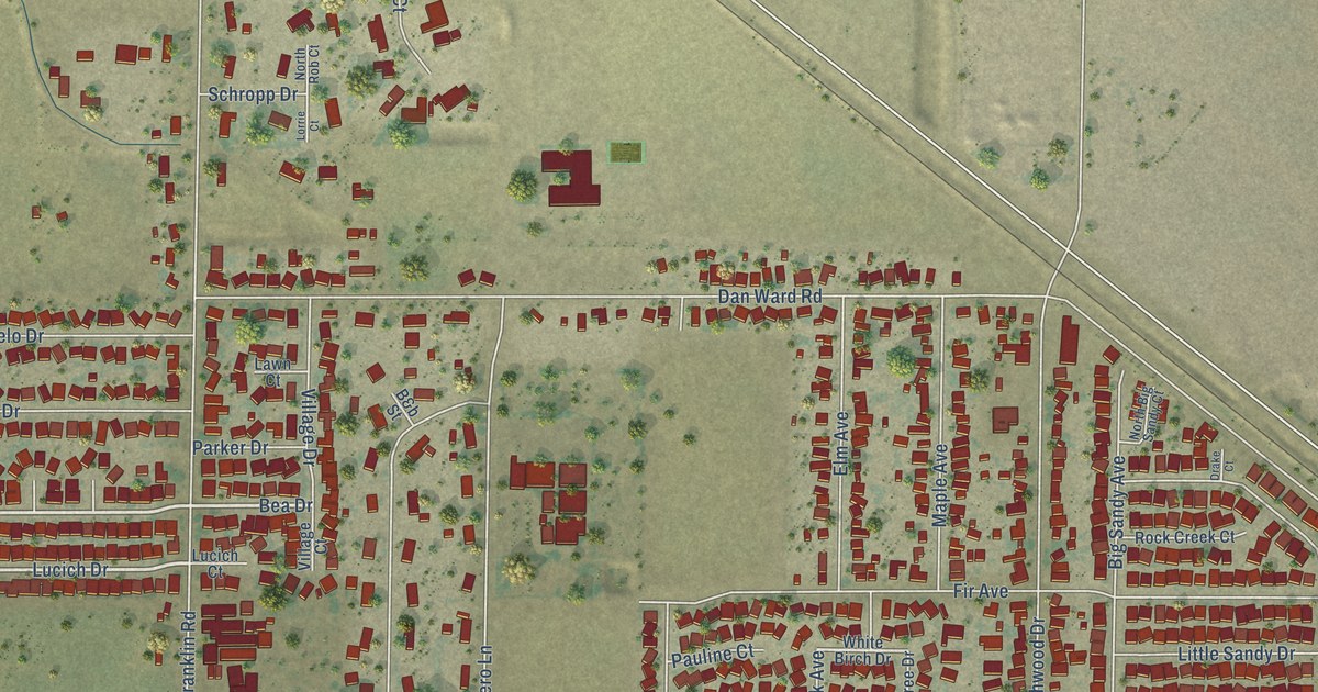
A detailed map of Franklin, California, showing every building in its true location, the roads by name, and shaded topographical relief.
Read More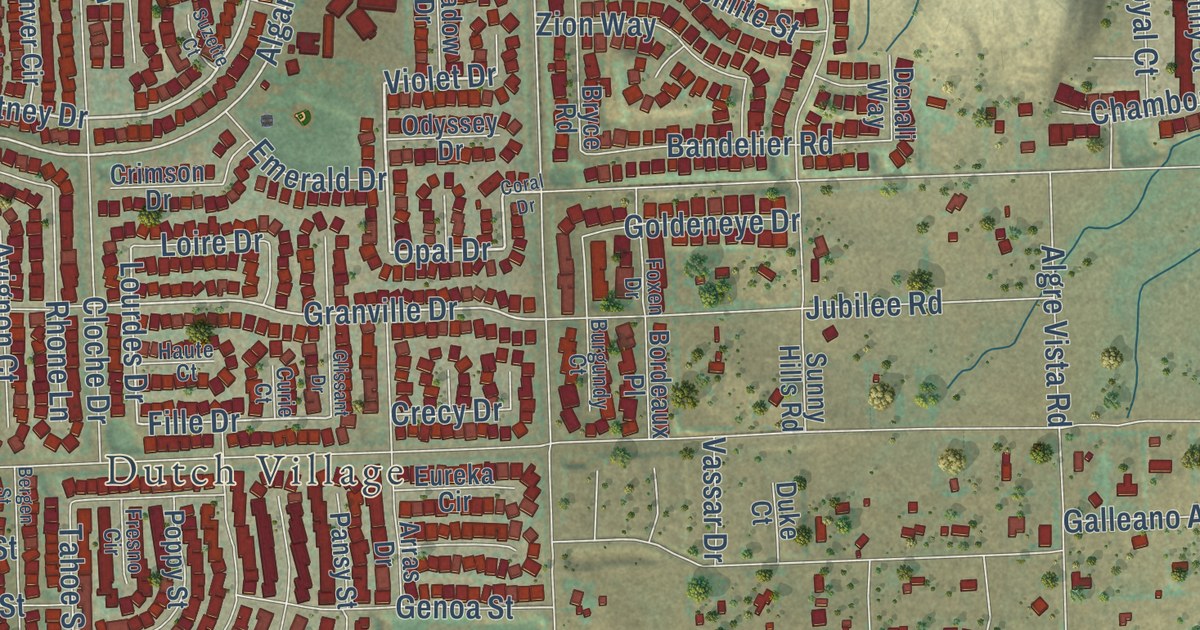
A detailed map of French Valley, California, showing every building in its true location, the roads by name, and shaded topographical relief.
Read More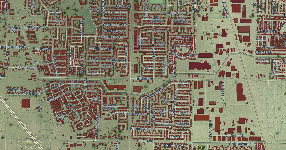
A detailed map of Florin, California, showing every building in its true location, the roads by name, and shaded topographical relief.
Read More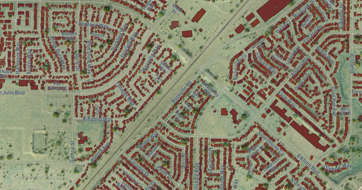
A detailed map of Foothill Farms, California, showing every building in its true location, the roads by name, and shaded topographical relief.
Read More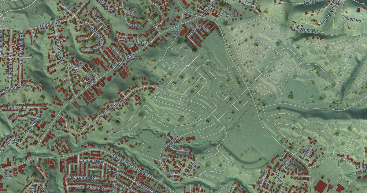
A detailed map of El Sobrante, Contra Costa County, California, showing every building in its true location, the roads by name, and shaded topographical relief.
Read More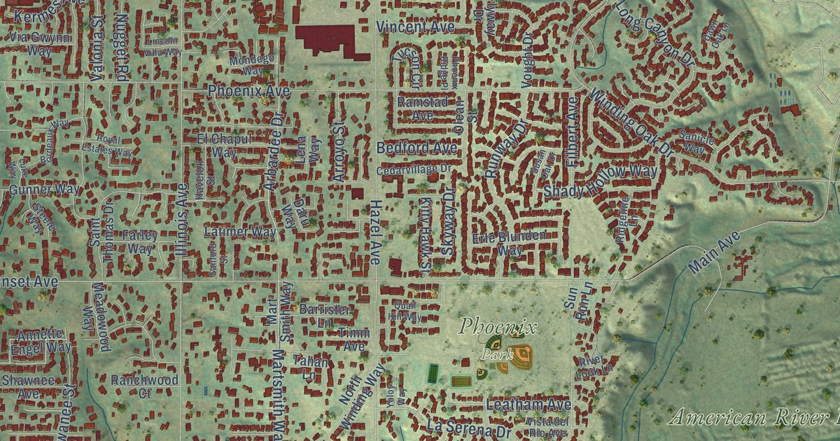
A detailed map of Fair Oaks, California, showing every building in its true location, the roads by name, and shaded topographical relief.
Read More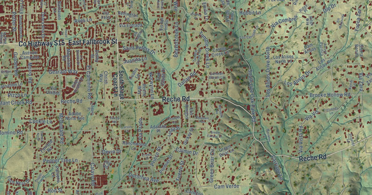
A detailed map of Fallbrook, California, showing every building in its true location, the roads by name, and shaded topographical relief.
Read More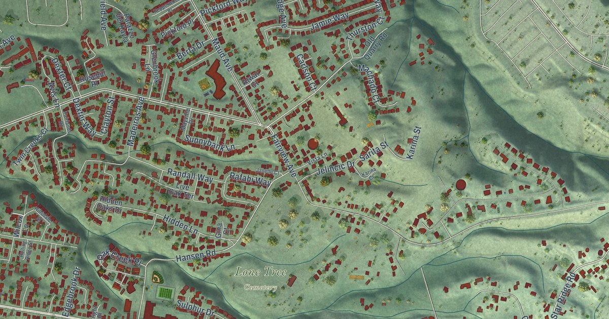
A detailed map of Fairview, California, showing every building in its true location, the roads by name, and shaded topographical relief.
Read More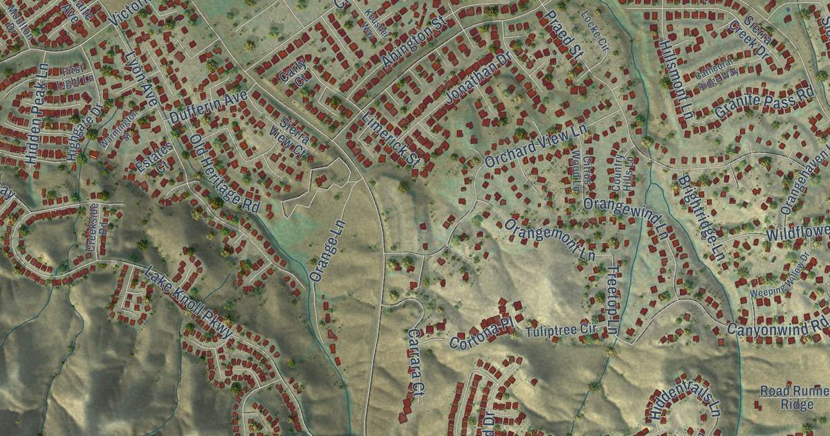
A detailed map of El Sobrante, Riverside County, California, showing every building in its true location, the roads by name, and shaded topographical relief.
Read More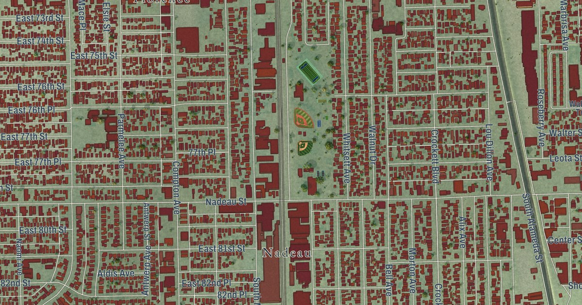
A detailed map of Florence-Graham, California, showing every building in its true location, the roads by name, and shaded topographical relief.
Read More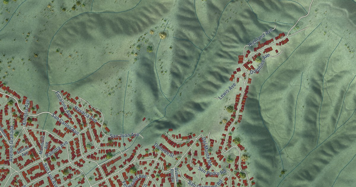
A detailed map of El Granada, California, showing every building in its true location, the roads by name, and shaded topographical relief.
Read More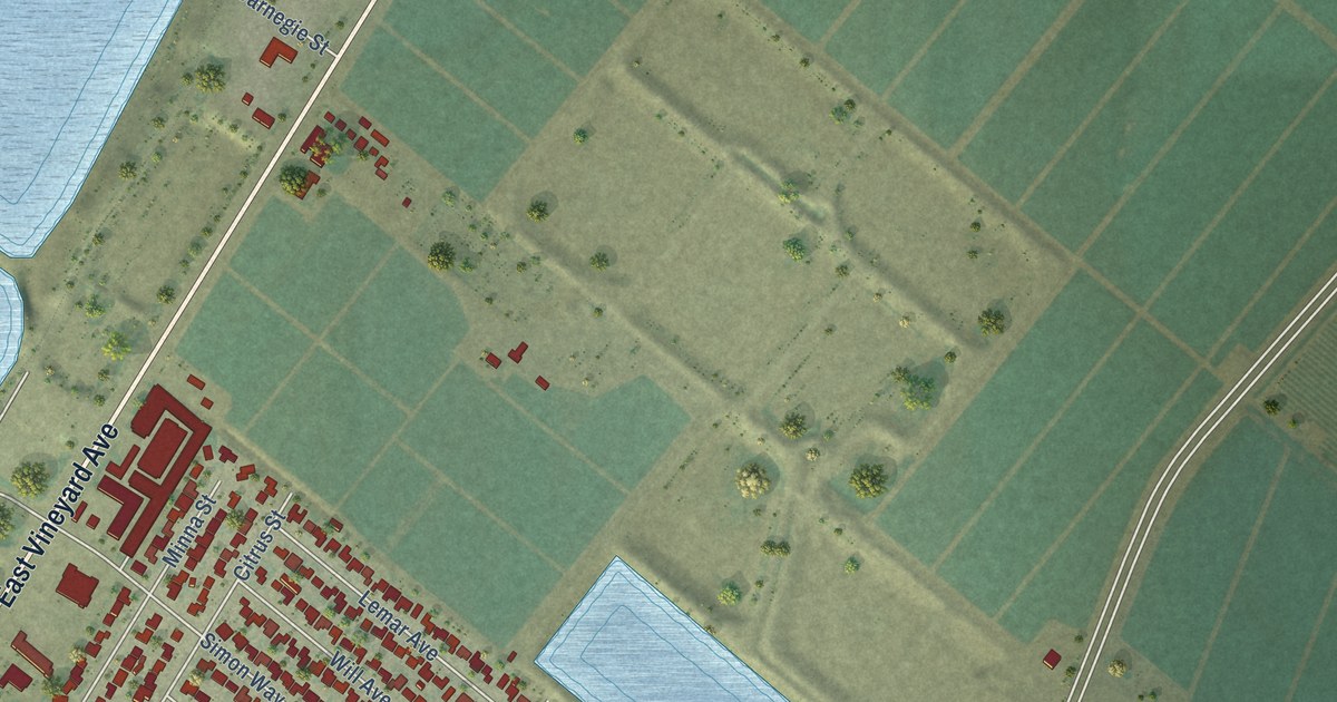
A detailed map of El Rio, California, showing every building in its true location, the roads by name, and shaded topographical relief.
Read More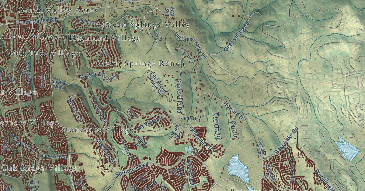
A detailed map of El Dorado Hills, California, showing every building in its true location, the roads by name, and shaded topographical relief.
Read More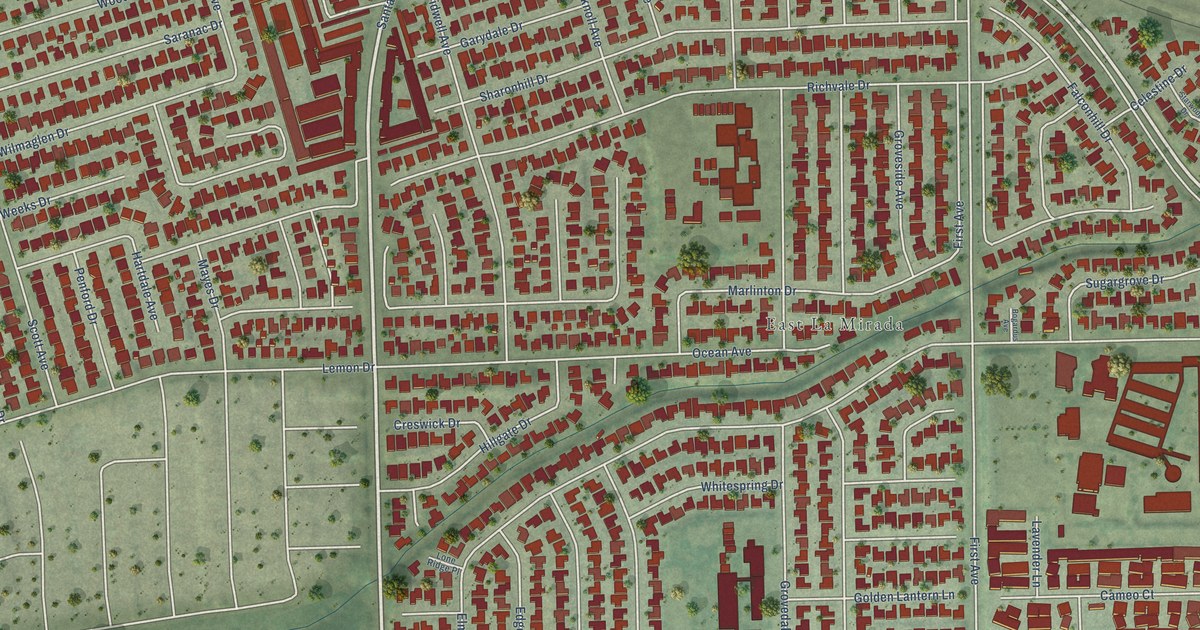
A detailed map of East Whittier, California, showing every building in its true location, the roads by name, and shaded topographical relief.
Read More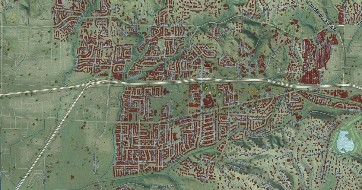
A detailed map of Eastern Goleta Valley, California, showing every building in its true location, the roads by name, and shaded topographical relief.
Read More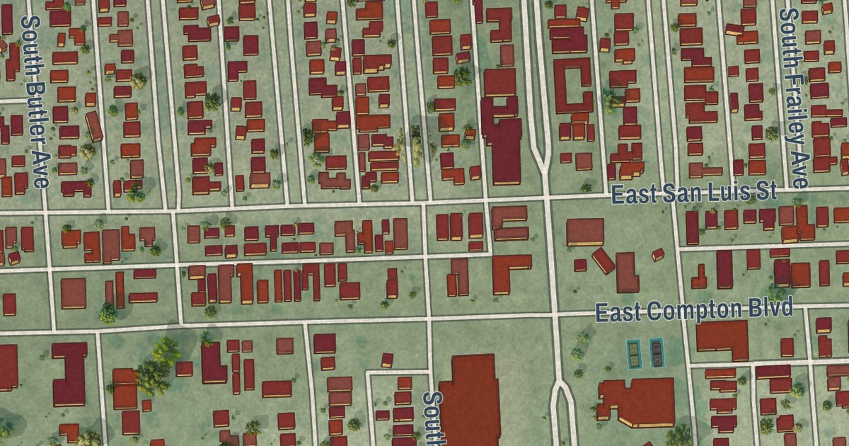
A detailed map of East Rancho Dominguez, California, showing every building in its true location, the roads by name, and shaded topographical relief.
Read More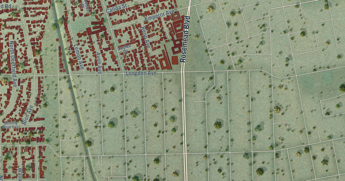
A detailed map of East San Gabriel, California, showing every building in its true location, the roads by name, and shaded topographical relief.
Read More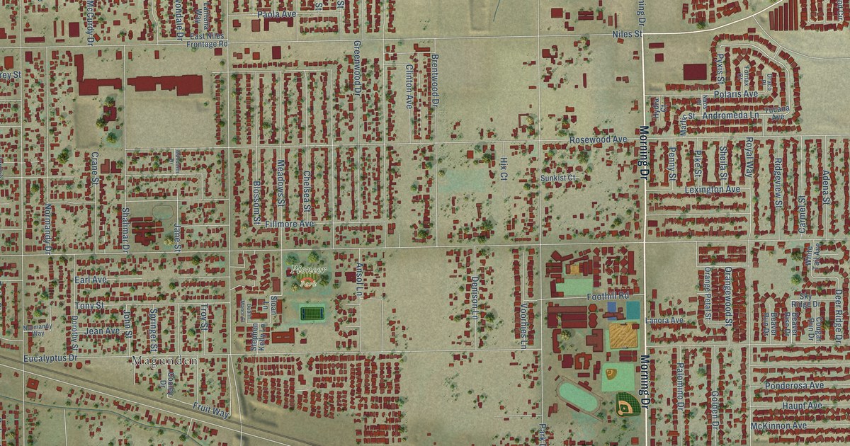
A detailed map of East Niles, California, showing every building in its true location, the roads by name, and shaded topographical relief.
Read More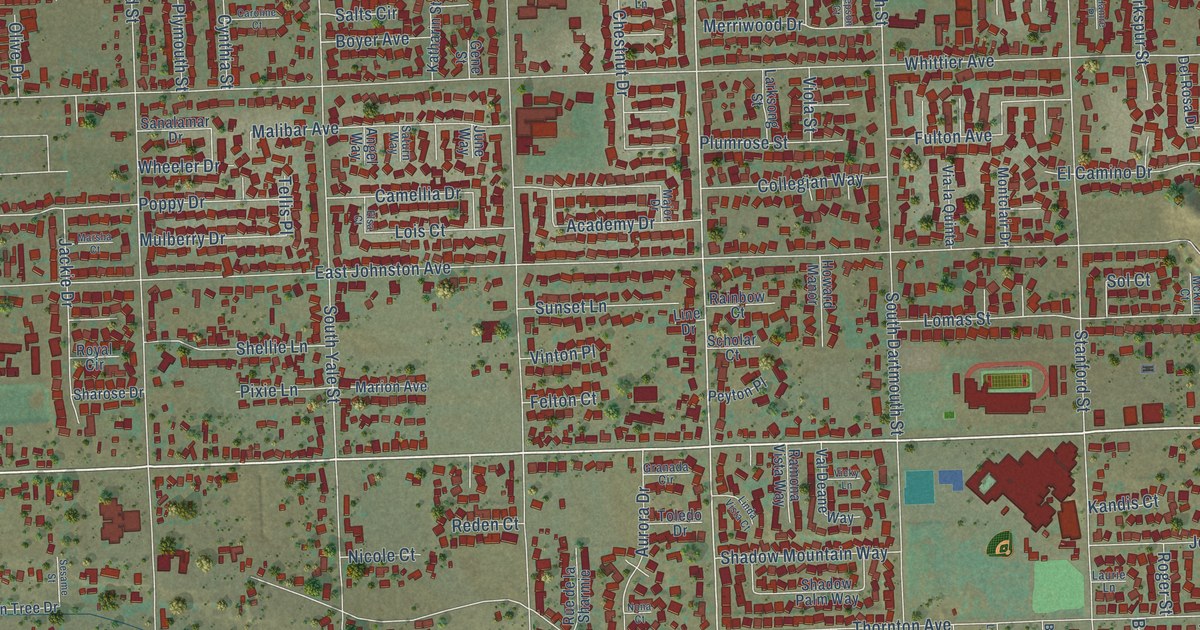
A detailed map of East Hemet, California, showing every building in its true location, the roads by name, and shaded topographical relief.
Read More















