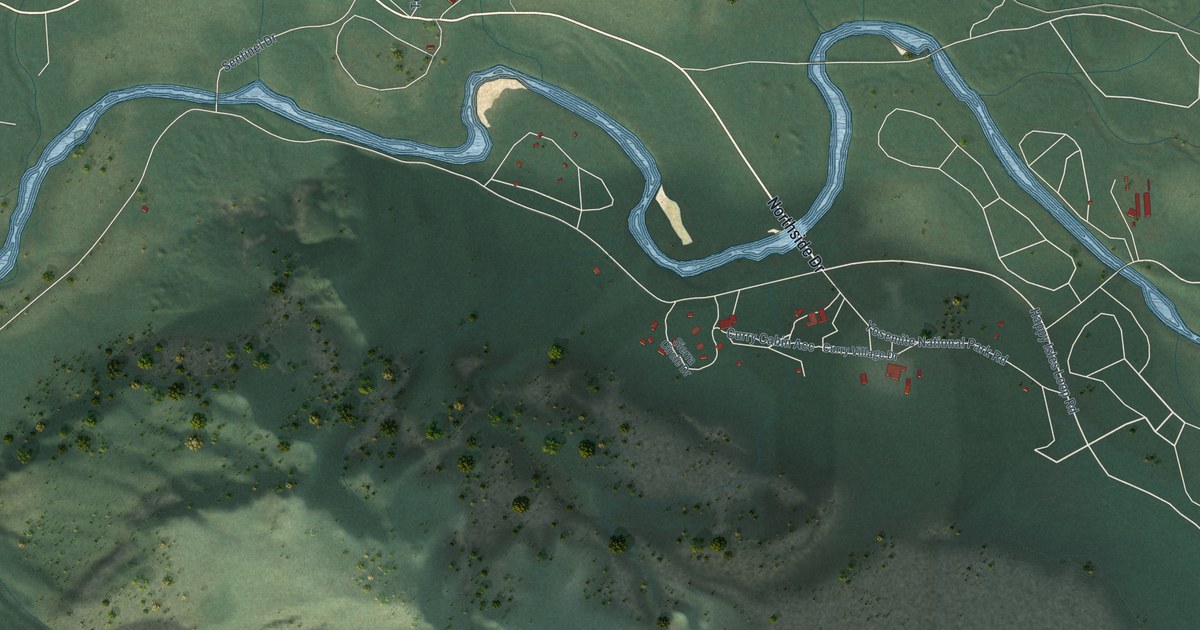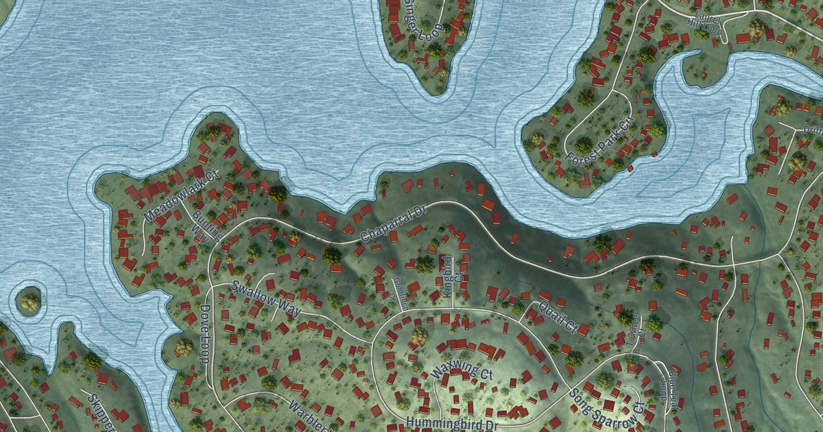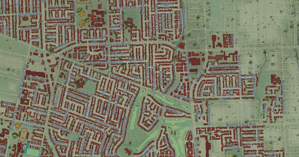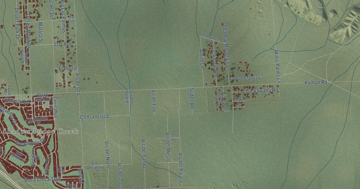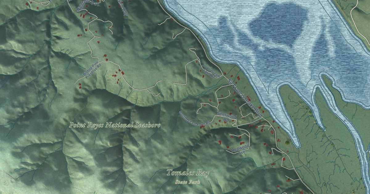
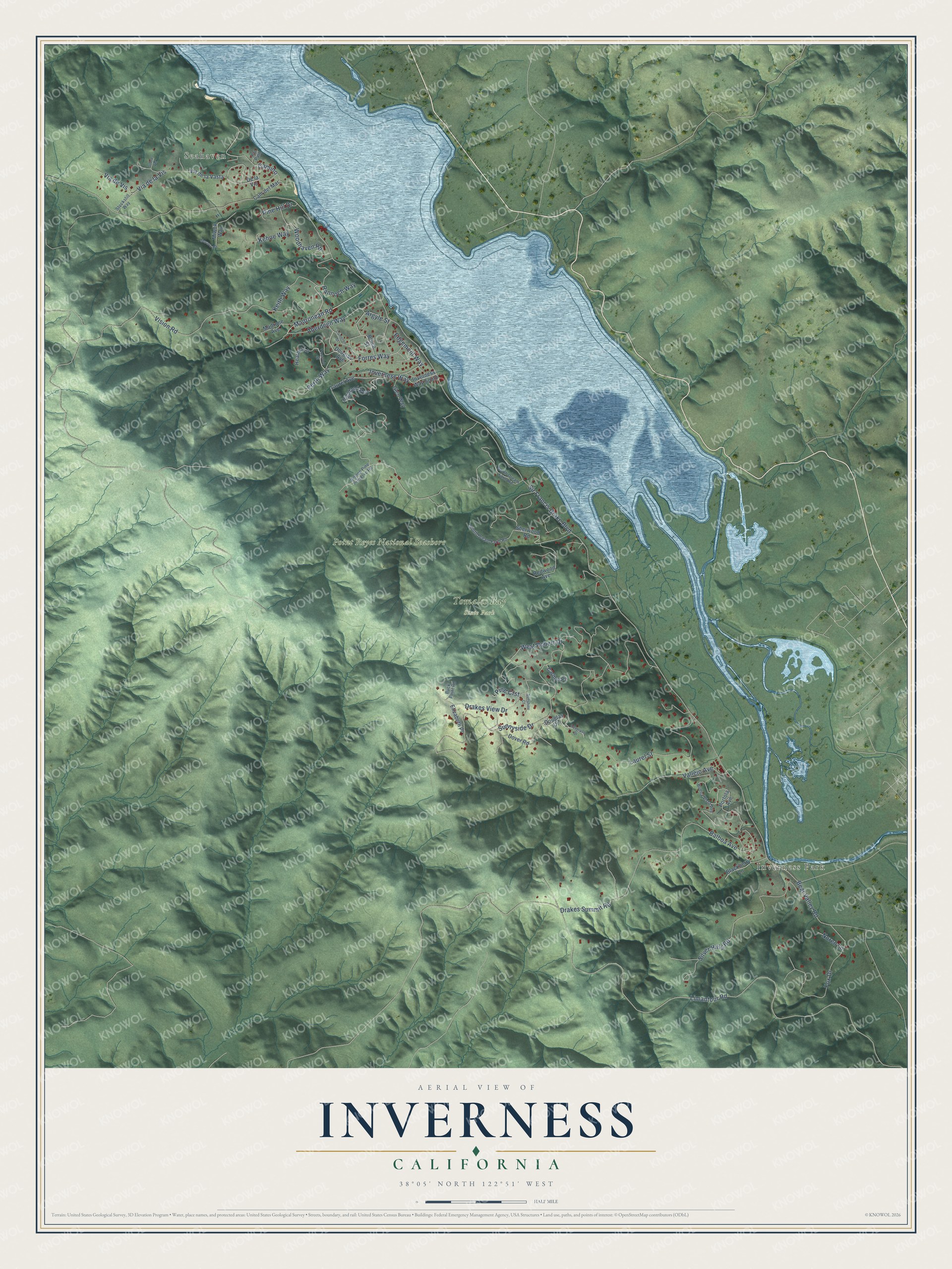
This beautifully detailed map of Inverness, California was created in 2026 using aerial imagery combined with modern topographical, census, street and landmark data. It's a modern aerial view of Inverness in Marin County, California, that combines modern data with a vintage aesthetic. The roads feature printed names, and if you look closely you can find your exact house accurately shown in its correct location.
Explore an aerial view of Inverness, California
On this map you'll find Seahaven, Inverness Park, Point Reyes National Seashore, Tomales Bay State Park, Vision Road, Rannoch Way, Forres Way, Madronean Road, Camino, Sunnyside Drive, West Robert Drive, Inverness Way, and more. Each red shape is a building, so zoom in on the preview and look for yours.
Inverness is a community in Marin County. The Census Bureau counted 1,379 people here in 2020. The map prints the town name in its title panel, with the coordinates below it.
Take a closer look at the Inverness map
Names on this map
These names are printed on this map.
Places: Seahaven, Inverness Park, Point Reyes National Seashore and Tomales Bay State Park.
Streets and roads: Vision Road, Rannoch Way, Forres Way, Madronean Road, Camino, Sunnyside Drive, West Robert Drive, Inverness Way, Sir Francis Drake Boulevard, Limantour Road, Drakes View Drive, Silver Hills Road.
More street names, A to Z
Aberdeen Way, Argyle Street, Balboa Avenue, Bear Valley Road, Bishop Pine Preserve Road, Blackberry Lane, Bruce Street, Buck Point Road, Buena Vista Avenue, Cam del Mar, Cameron Street, Carlton Place, De la Vis, Douglas Avenue, Douglas Drive, Douglass Drive, Dover Road, Drakes Summit Road, Edgemont Way, Elizabeth Place, Fox Drive, Glen Way, Heather Lane, Highland Way, Inverness Way South, Kehoe Way, Keith Way, Laurel Avenue, Laurel Street, Madrone Avenue, Miwok Way, Morava Road, Noren Lane, North Dream Farm Road, Perth Way, Pine Crst, Pine Hill Drive, Portola Avenue, Pvt Path, Redwood Avenue, Sherwood Road, Sobre Vis, South Dream Farm Road, Stockstill Way, Sunshine Court, Trossach Street, Vallejo Avenue, Via de la Vasta, Via de la Vis, Via de Vis, Woodhaven Road.
Created by KNOWOL in 2026. The buildings are small red shapes, the roads carry their printed names, and shaded relief shows the shape of the land. The title panel reads "AERIAL VIEW OF INVERNESS CALIFORNIA" with 38°05' NORTH 122°51' WEST.
It looks right in a kitchen, an office or a den, and it's a gift for anyone who grew up in Inverness or moved away. Open the preview and find your street. See sizes and frames for the Inverness map.