Detailed Map of East Los Angeles, California
A detailed map of East Los Angeles, California, showing every building in its true location, the roads by name, and shaded topographical relief.
Read More
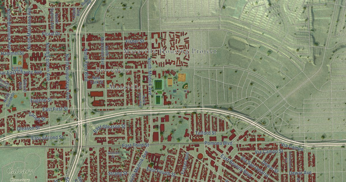
A detailed map of East Los Angeles, California, showing every building in its true location, the roads by name, and shaded topographical relief.
Read More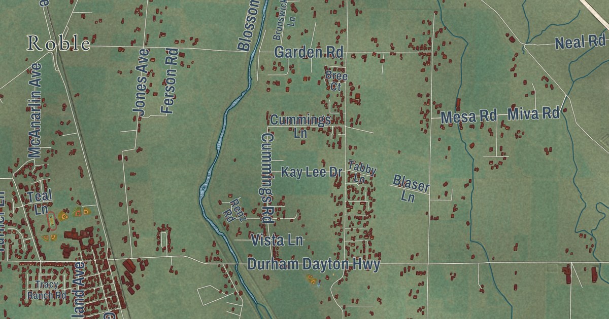
A detailed map of Durham, California, showing every building in its true location, the roads by name, and shaded topographical relief.
Read More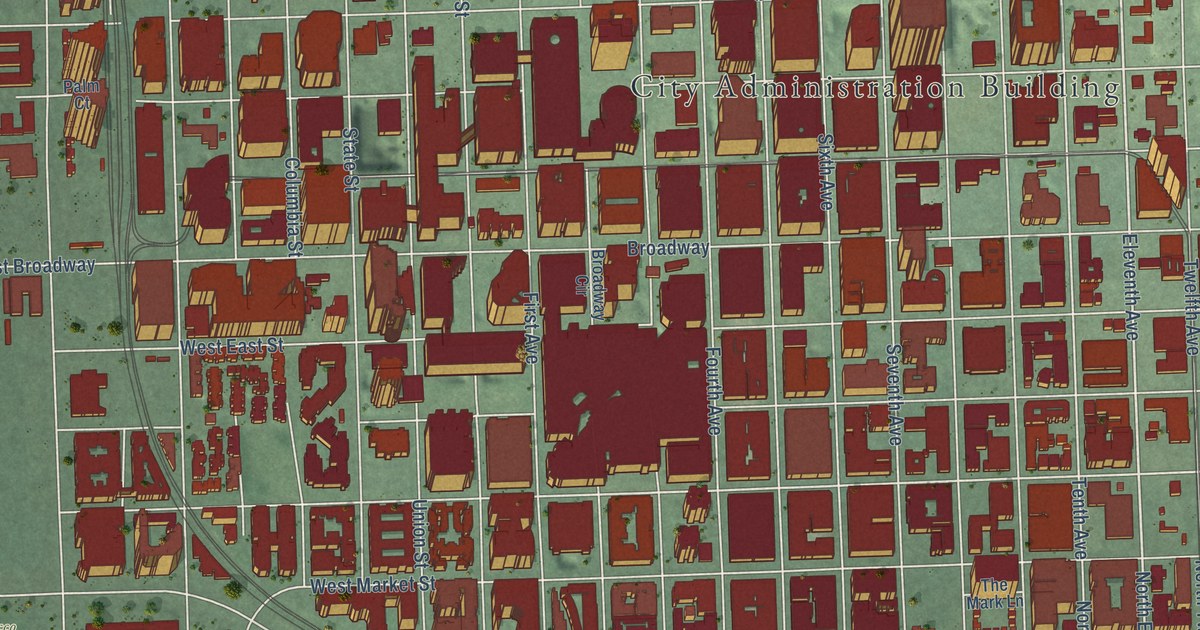
A detailed map of Downtown San Diego, California, showing every building in its true location, the roads by name, and shaded topographical relief.
Read More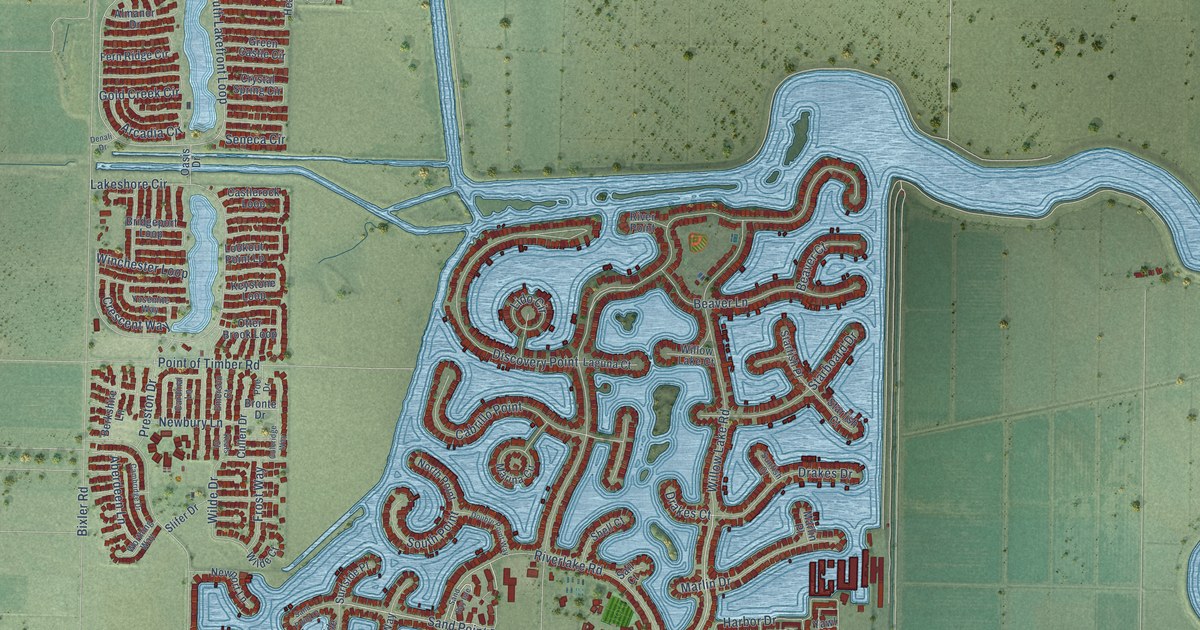
A detailed map of Discovery Bay, California, showing every building in its true location, the roads by name, and shaded topographical relief.
Read More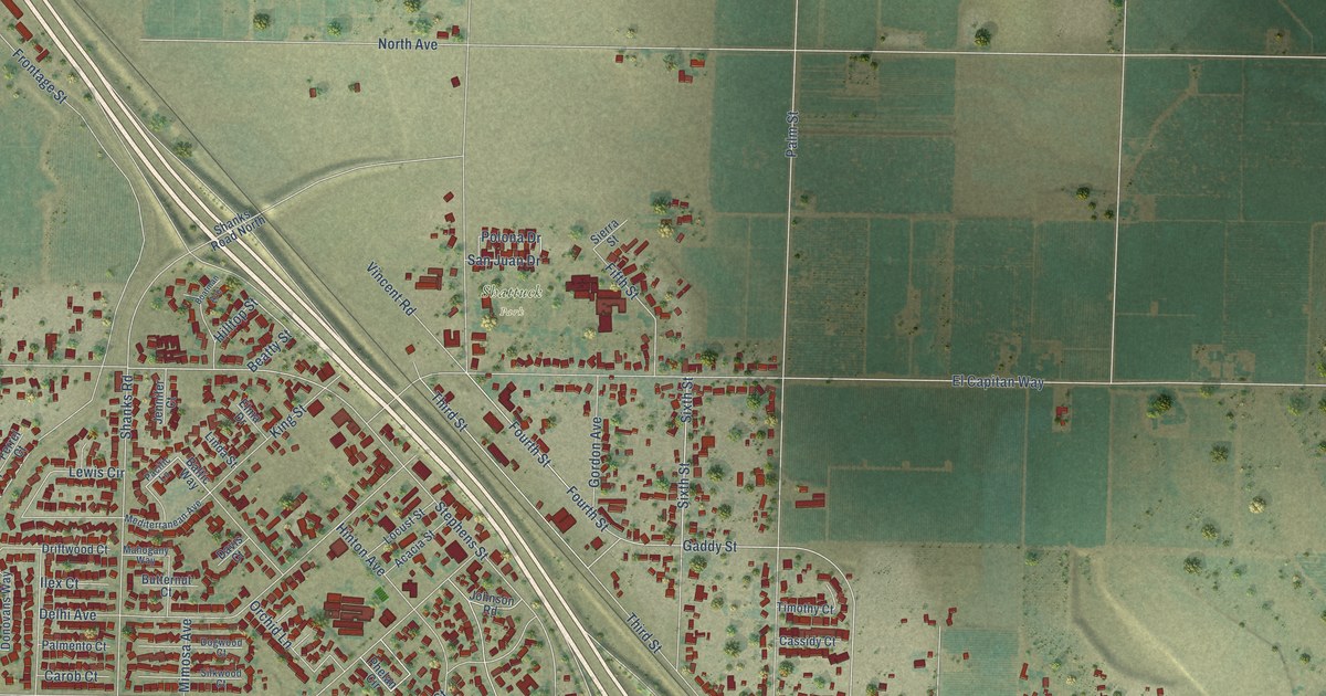
A detailed map of Delhi, California, showing every building in its true location, the roads by name, and shaded topographical relief.
Read More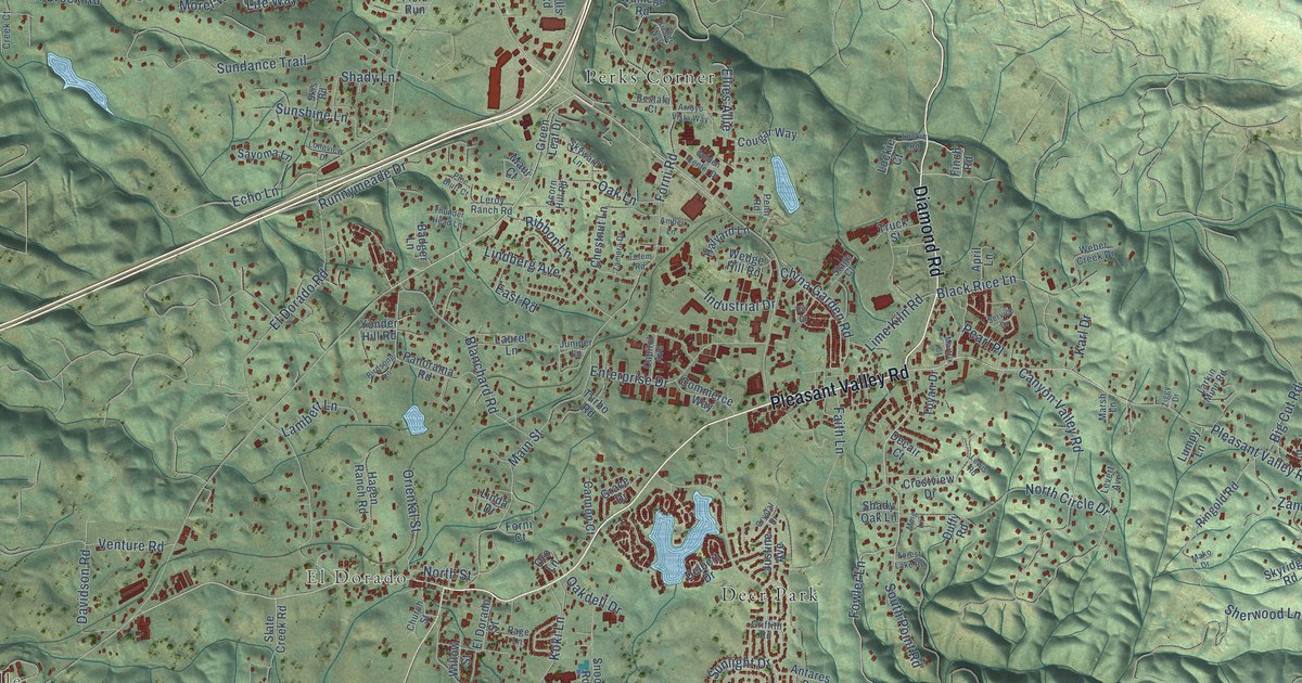
A detailed map of Diamond Springs, California, showing every building in its true location, the roads by name, and shaded topographical relief.
Read More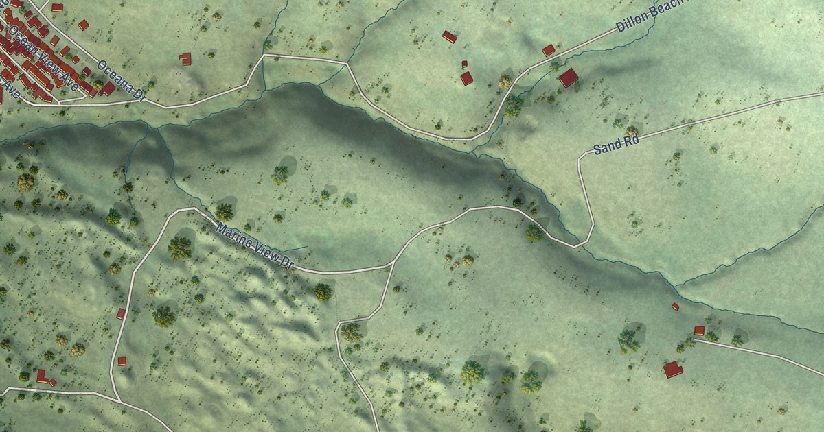
A detailed map of Dillon Beach, California, showing every building in its true location, the roads by name, and shaded topographical relief.
Read More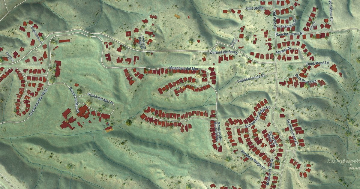
A detailed map of Del Mar Mesa, California, showing every building in its true location, the roads by name, and shaded topographical relief.
Read More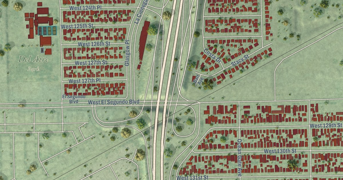
A detailed map of Del Aire, California, showing every building in its true location, the roads by name, and shaded topographical relief.
Read More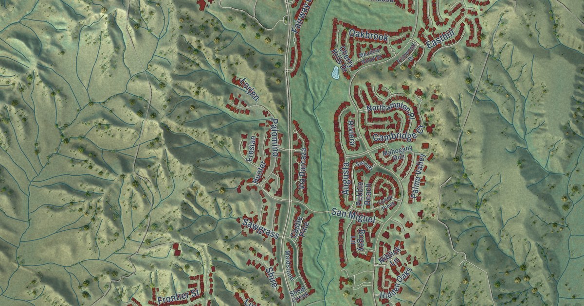
A detailed map of Coto de Caza, California, showing every building in its true location, the roads by name, and shaded topographical relief.
Read More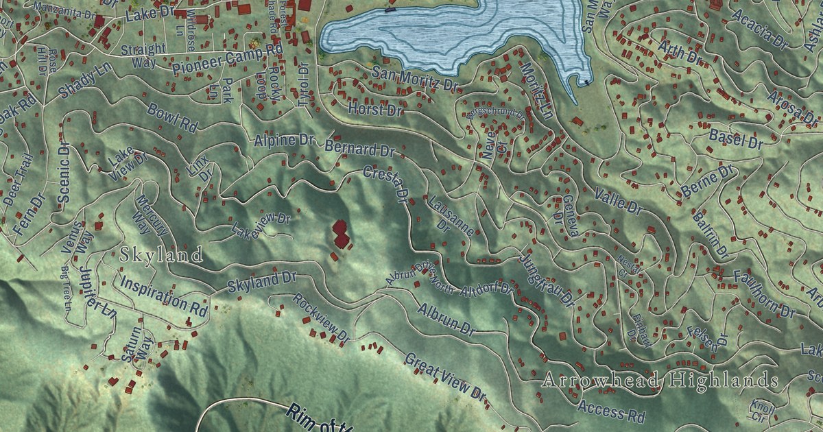
A detailed map of Crestline, California, showing every building in its true location, the roads by name, and shaded topographical relief.
Read More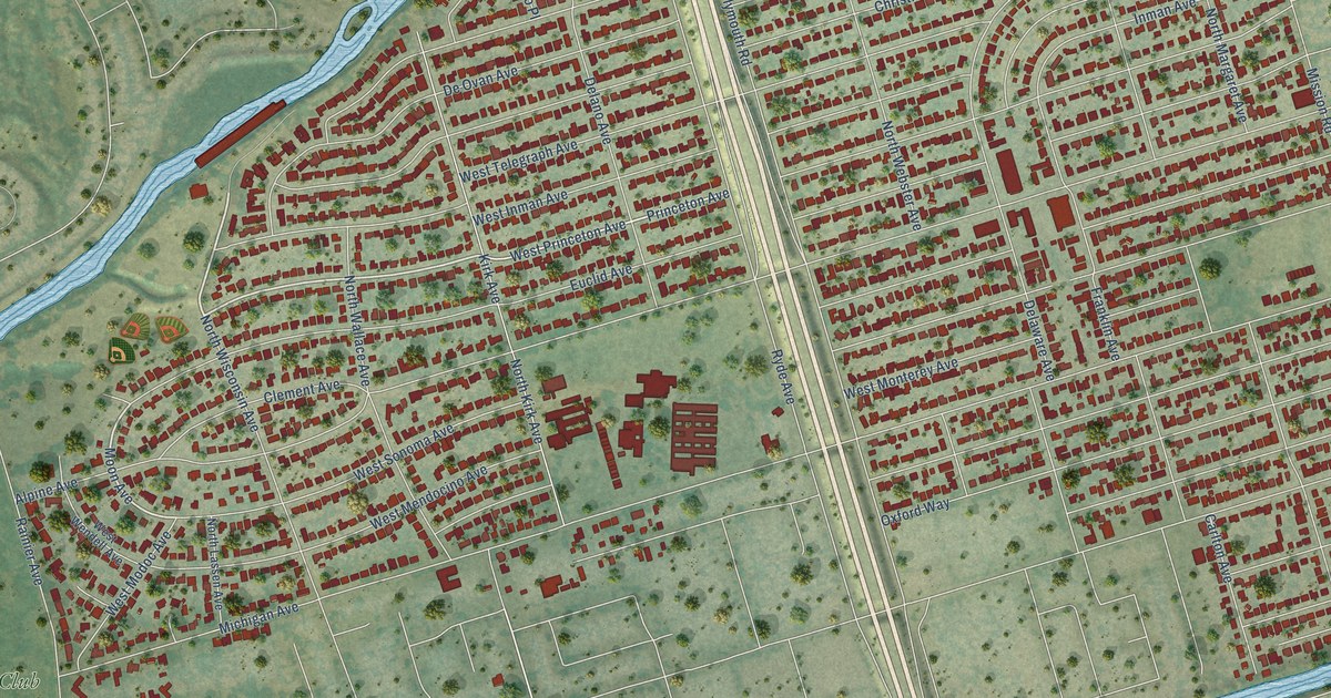
A detailed map of Country Club, California, showing every building in its true location, the roads by name, and shaded topographical relief.
Read More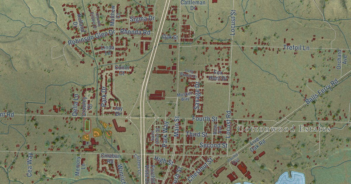
A detailed map of Cottonwood, California, showing every building in its true location, the roads by name, and shaded topographical relief.
Read More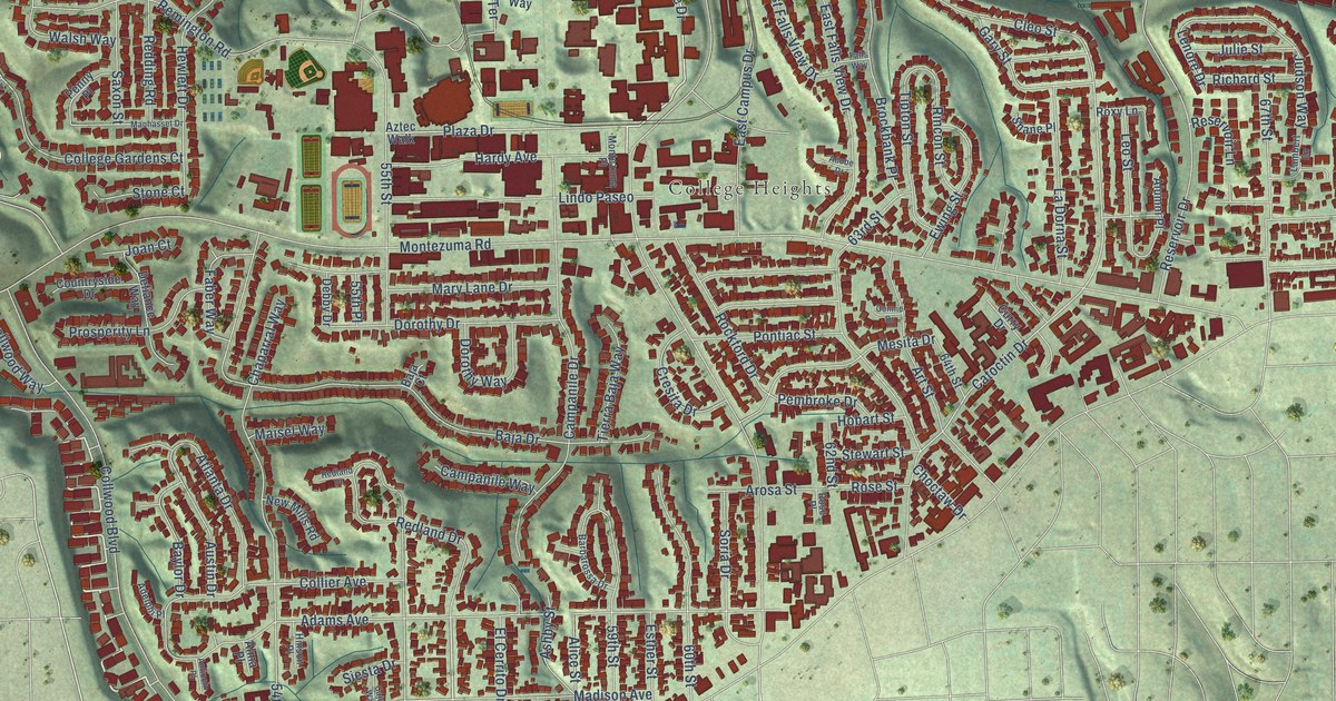
A detailed map of College Area, California, showing every building in its true location, the roads by name, and shaded topographical relief.
Read More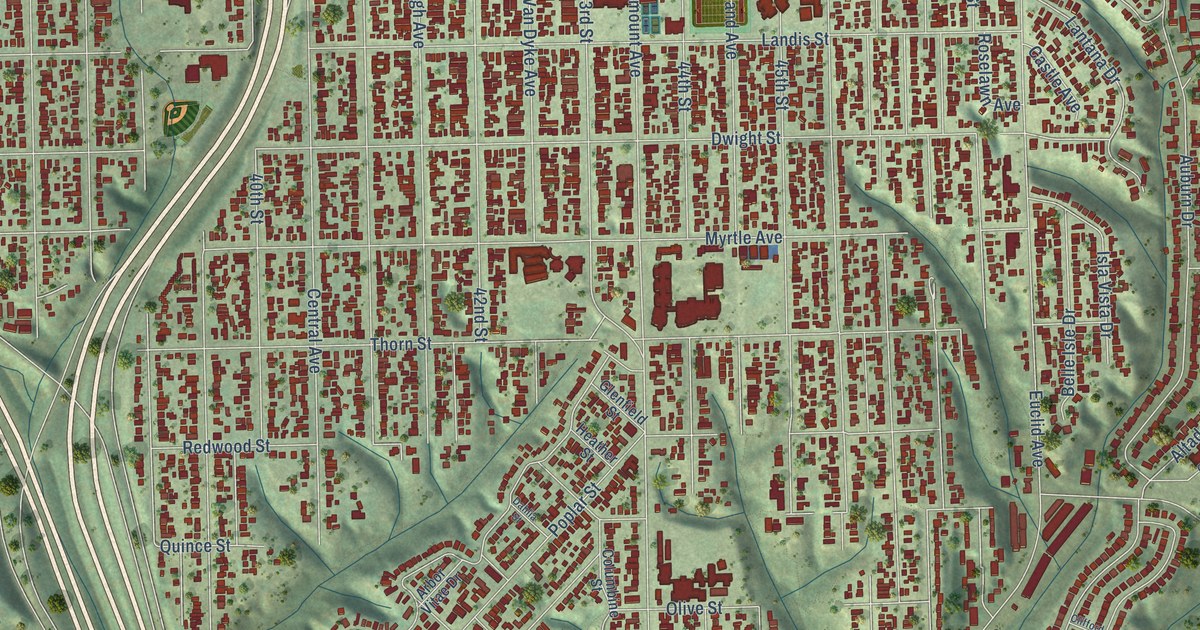
A detailed map of City Heights, California, showing every building in its true location, the roads by name, and shaded topographical relief.
Read More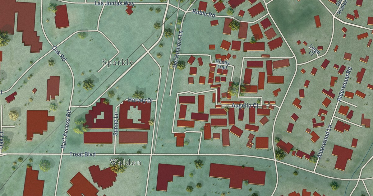
A detailed map of Contra Costa Centre, California, showing every building in its true location, the roads by name, and shaded topographical relief.
Read More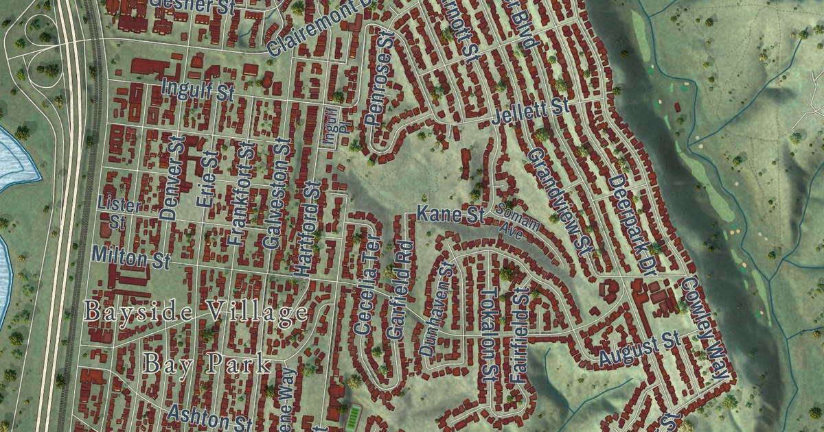
A detailed map of Clairemont Mesa, California, showing every building in its true location, the roads by name, and shaded topographical relief.
Read More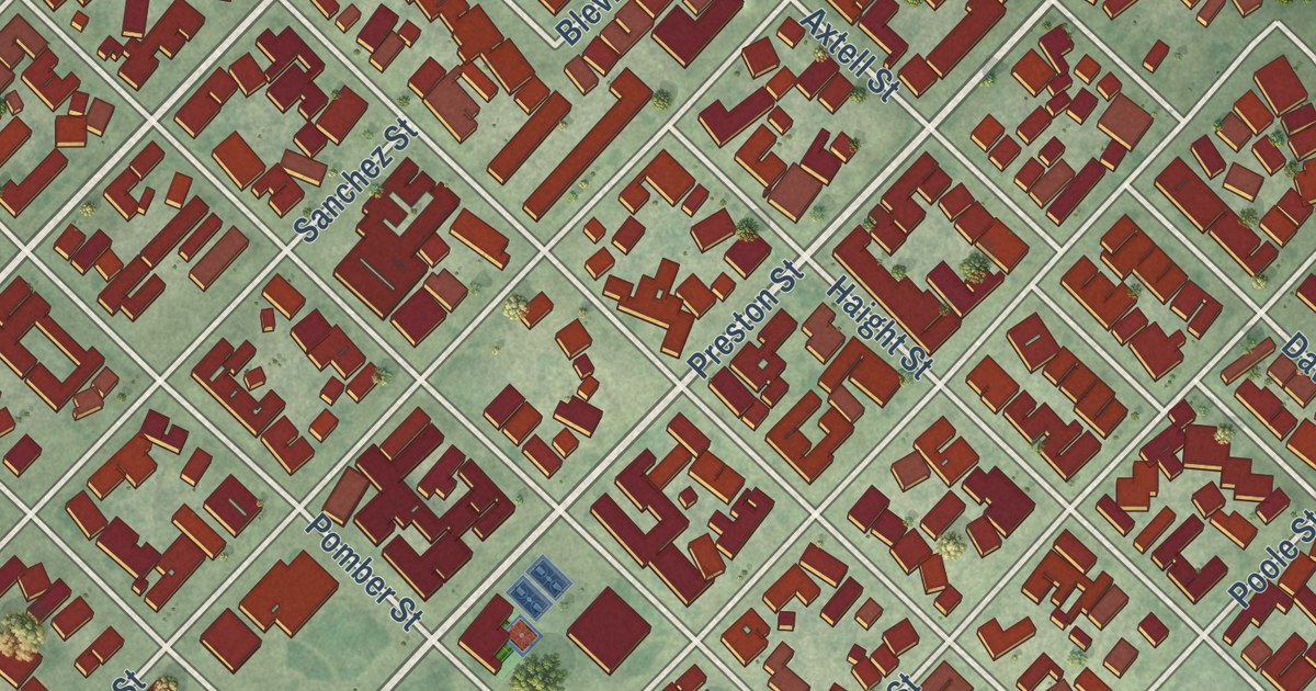
A detailed map of Castroville, California, showing every building in its true location, the roads by name, and shaded topographical relief.
Read More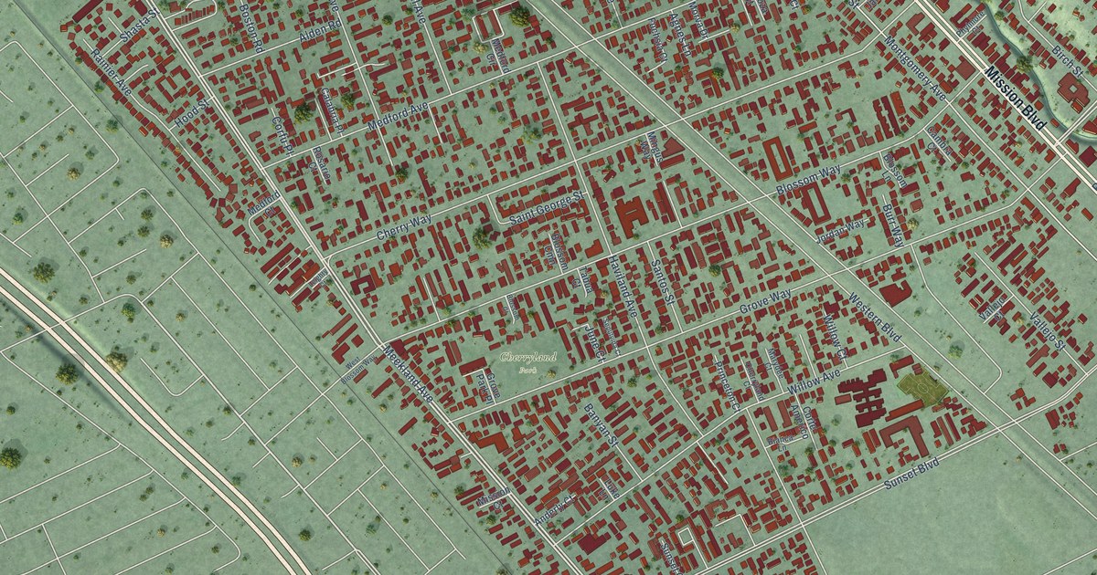
A detailed map of Cherryland, California, showing every building in its true location, the roads by name, and shaded topographical relief.
Read More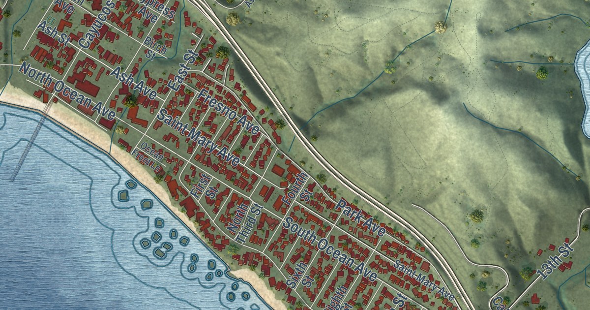
A detailed map of Cayucos, California, showing every building in its true location, the roads by name, and shaded topographical relief.
Read More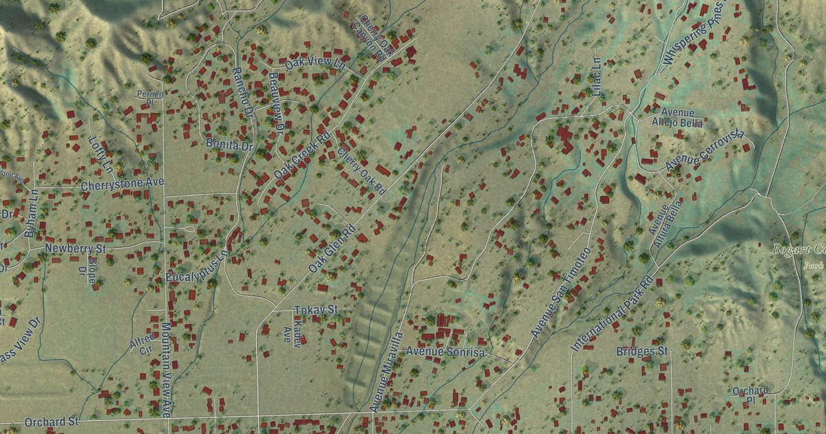
A detailed map of Cherry Valley, California, showing every building in its true location, the roads by name, and shaded topographical relief.
Read More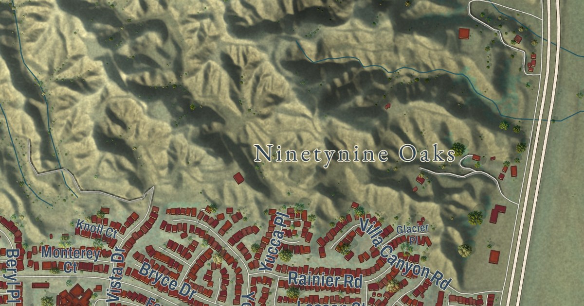
A detailed map of Castaic, California, showing every building in its true location, the roads by name, and shaded topographical relief.
Read More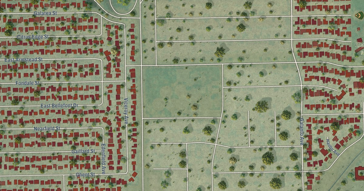
A detailed map of Citrus, California, showing every building in its true location, the roads by name, and shaded topographical relief.
Read More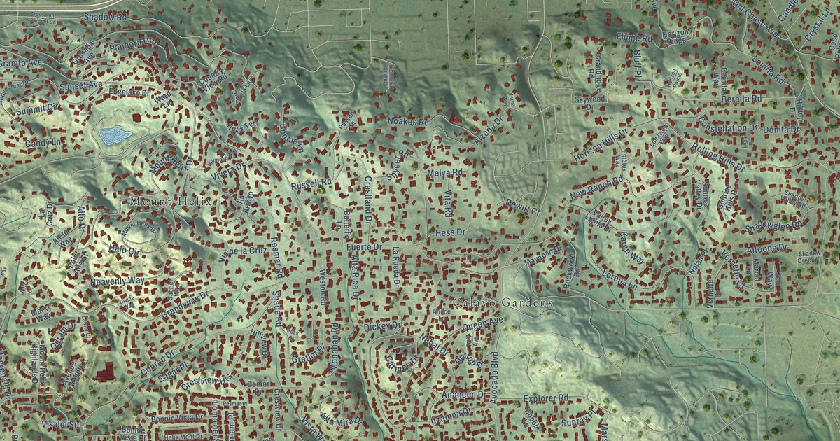
A detailed map of Casa de Oro-Mount Helix, California, showing every building in its true location, the roads by name, and shaded topographical relief.
Read More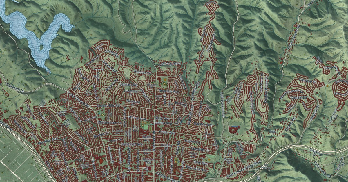
A detailed map of Castro Valley, California, showing every building in its true location, the roads by name, and shaded topographical relief.
Read More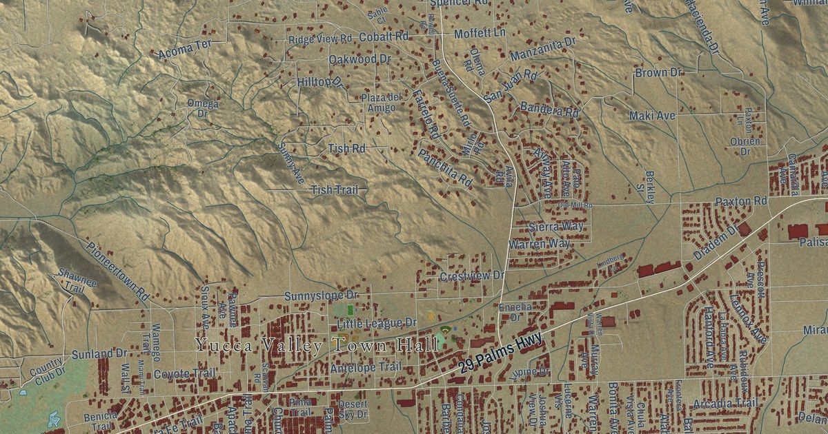
A detailed map of Yucca Valley, California, showing every building in its true location, the roads by name, and shaded topographical relief.
Read More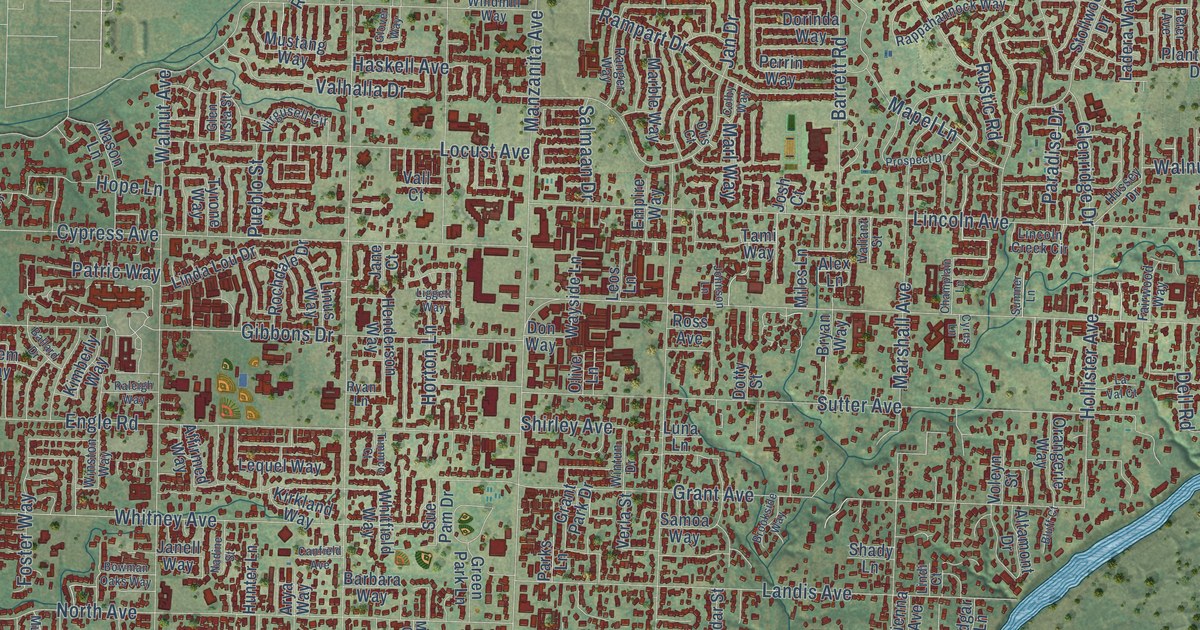
A detailed map of Carmichael, California, showing every building in its true location, the roads by name, and shaded topographical relief.
Read More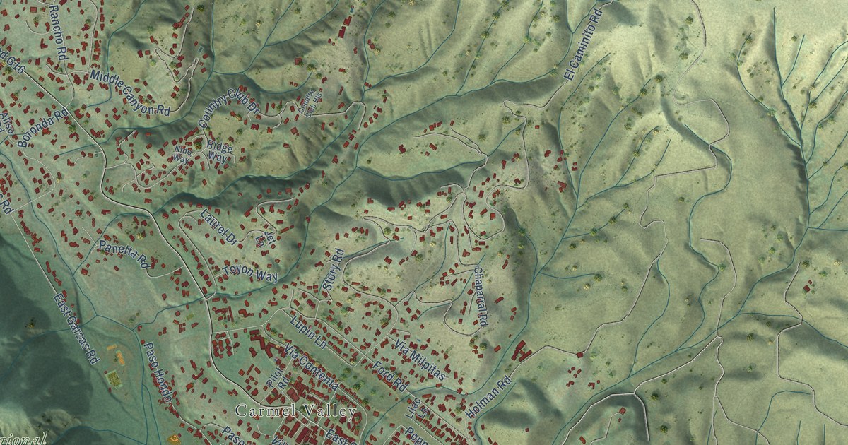
A detailed map of Carmel Valley Village, California, showing every building in its true location, the roads by name, and shaded topographical relief.
Read More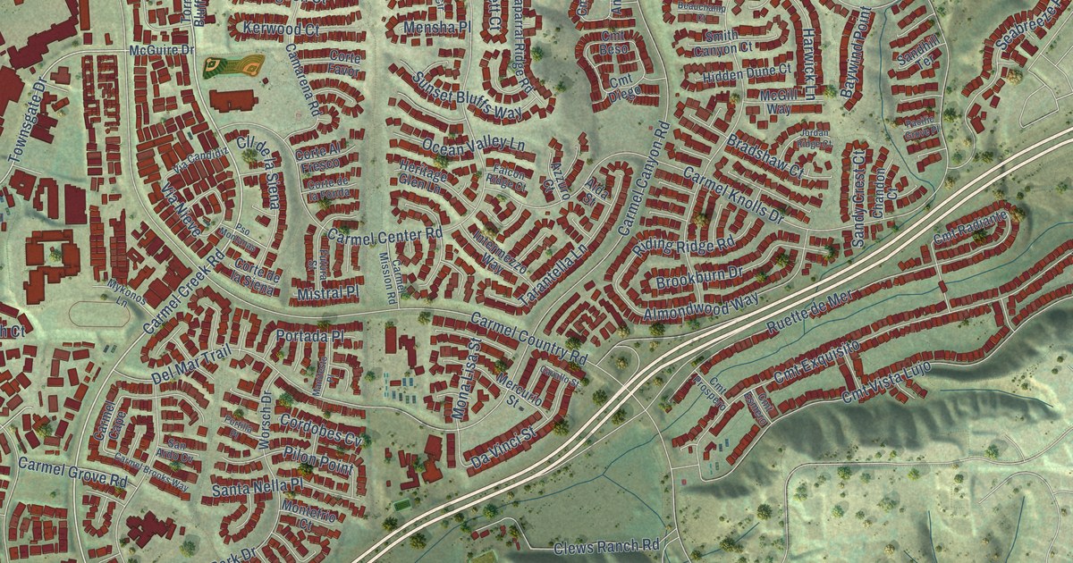
A detailed map of Carmel Valley, California, showing every building in its true location, the roads by name, and shaded topographical relief.
Read More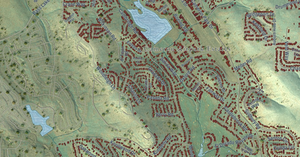
A detailed map of Cameron Park, California, showing every building in its true location, the roads by name, and shaded topographical relief.
Read More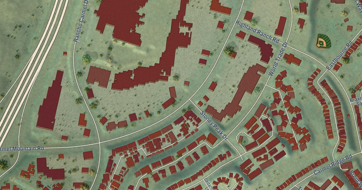
A detailed map of Carmel Mountain Ranch, California, showing every building in its true location, the roads by name, and shaded topographical relief.
Read More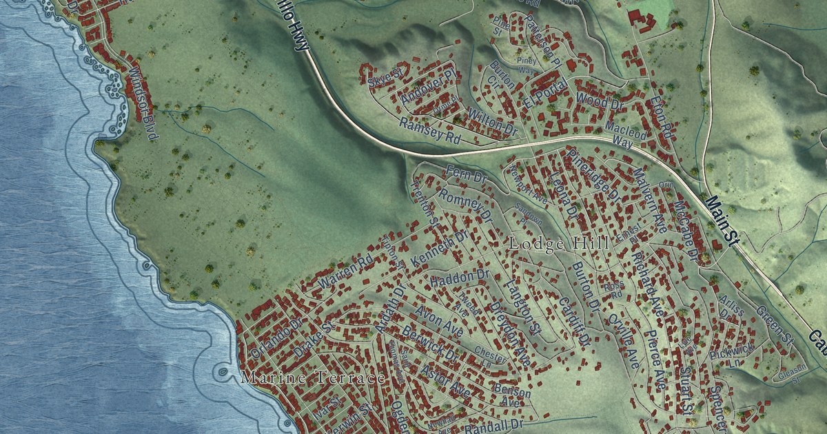
A detailed map of Cambria, California, showing every building in its true location, the roads by name, and shaded topographical relief.
Read More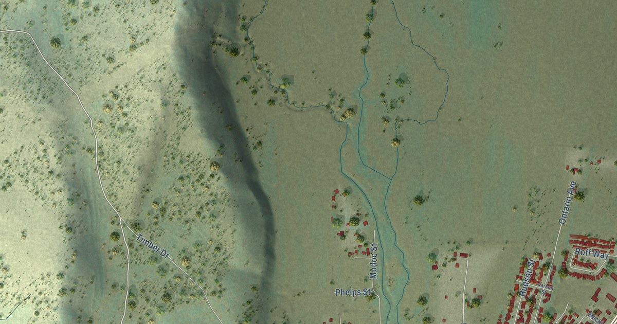
A detailed map of Burney, California, showing every building in its true location, the roads by name, and shaded topographical relief.
Read More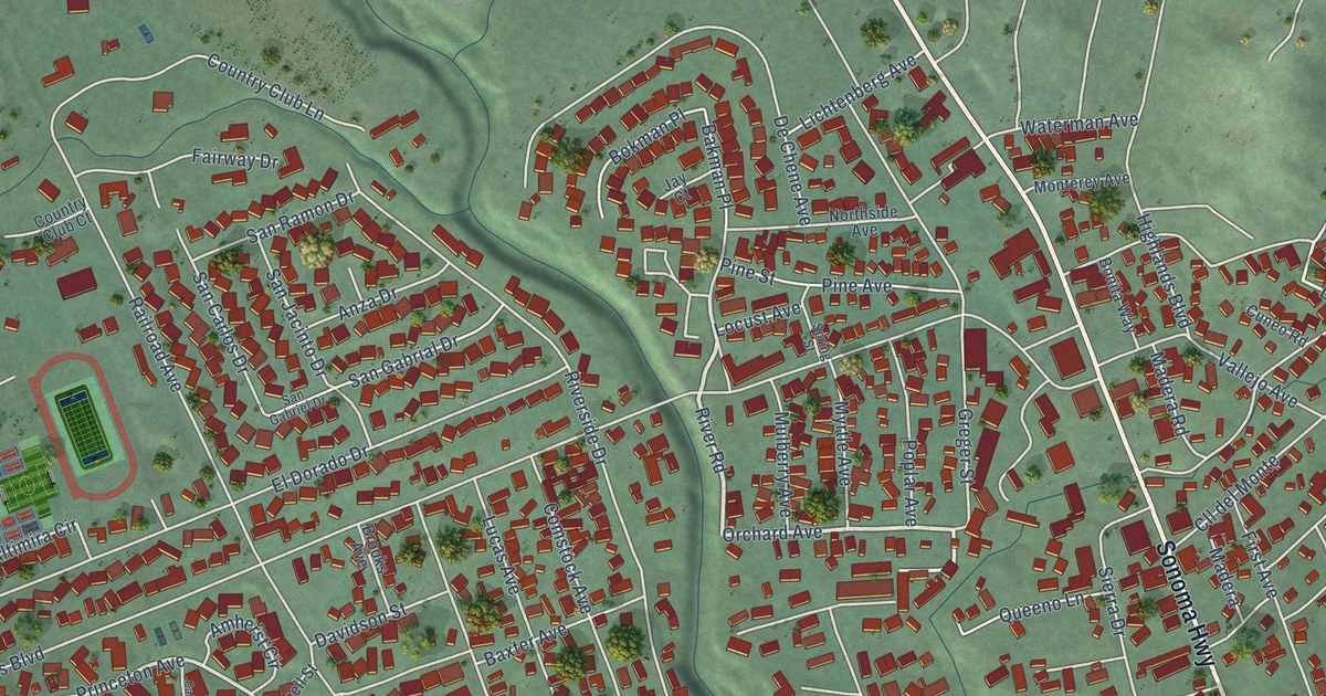
A detailed map of Boyes Hot Springs, California, showing every building in its true location, the roads by name, and shaded topographical relief.
Read More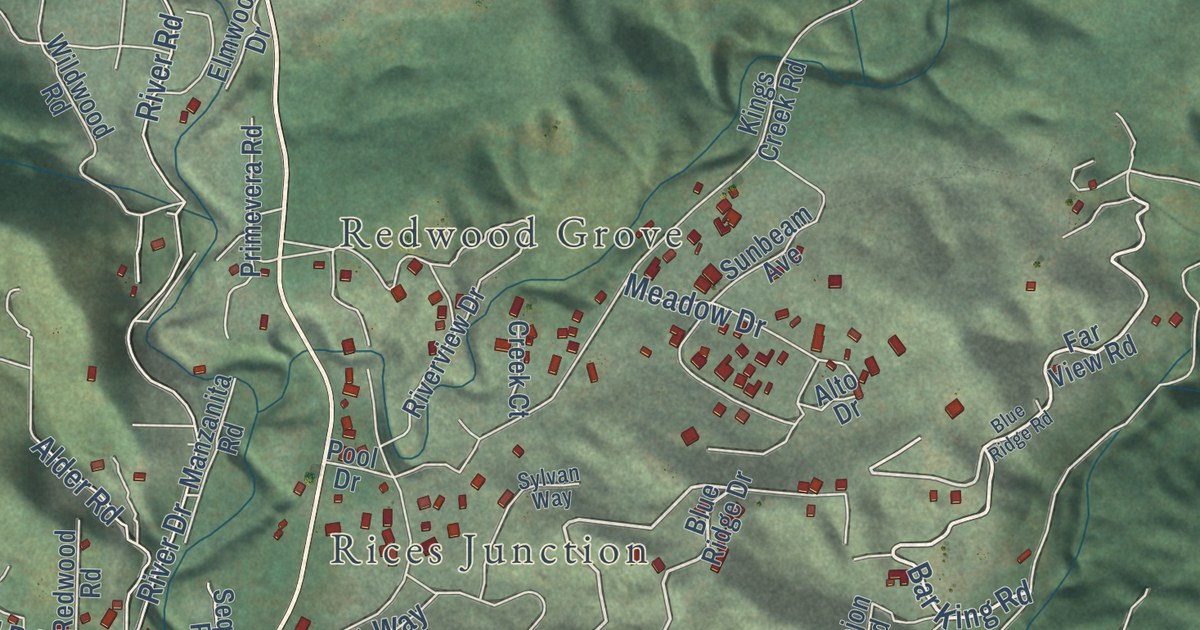
A detailed map of Boulder Creek, California, showing every building in its true location, the roads by name, and shaded topographical relief.
Read More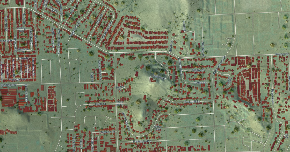
A detailed map of Bostonia, California, showing every building in its true location, the roads by name, and shaded topographical relief.
Read More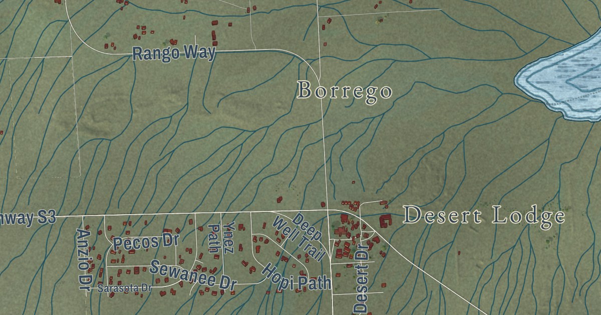
A detailed map of Borrego Springs, California, showing every building in its true location, the roads by name, and shaded topographical relief.
Read More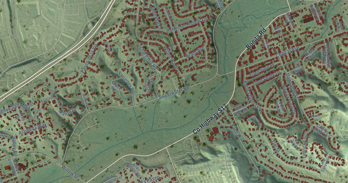
A detailed map of Bonita, California, showing every building in its true location, the roads by name, and shaded topographical relief.
Read More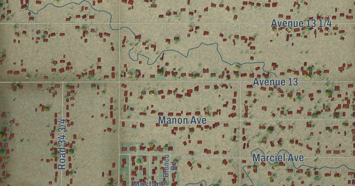
A detailed map of Bonadelle Ranchos, California, showing every building in its true location, the roads by name, and shaded topographical relief.
Read More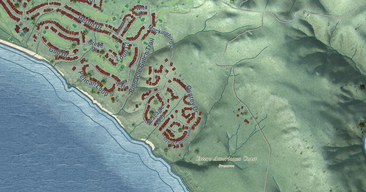
A detailed map of Bodega Bay, California, showing every building in its true location, the roads by name, and shaded topographical relief.
Read More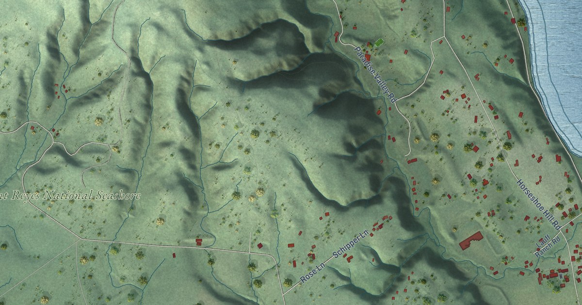
A detailed map of Bolinas, California, showing every building in its true location, the roads by name, and shaded topographical relief.
Read More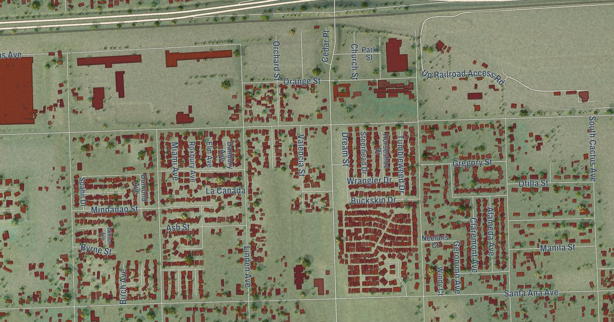
A detailed map of Bloomington, California, showing every building in its true location, the roads by name, and shaded topographical relief.
Read More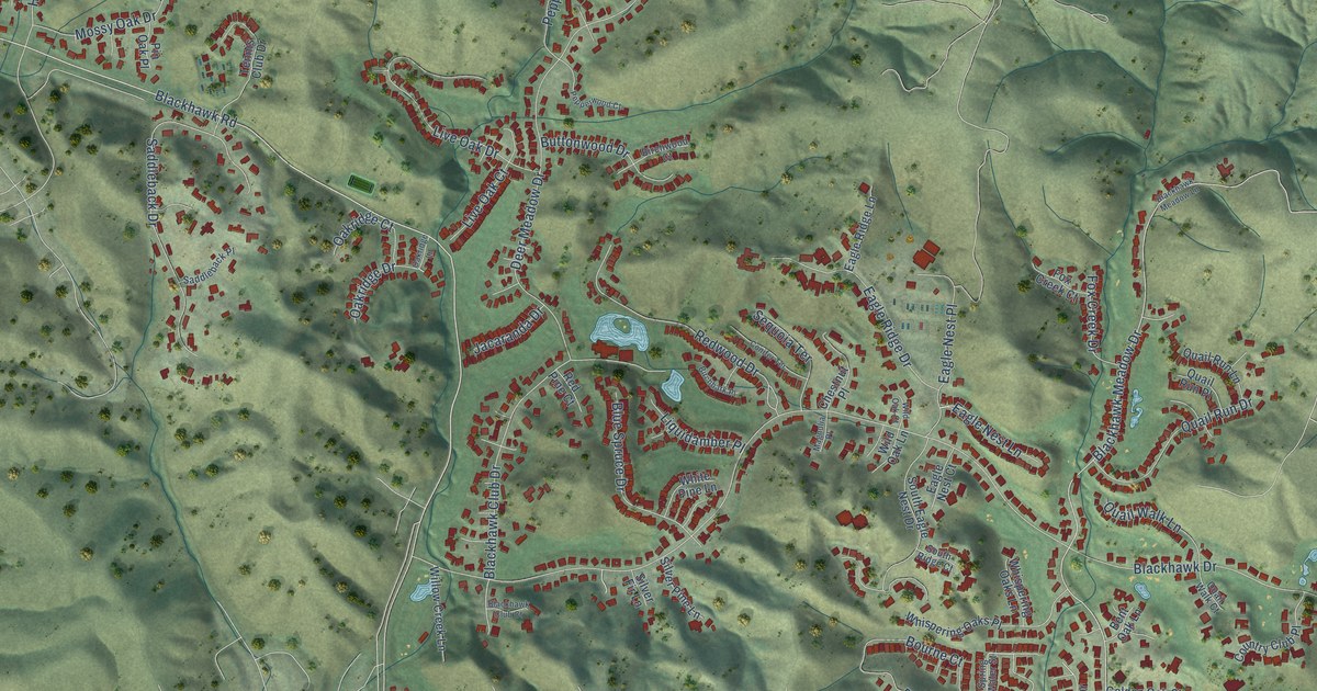
A detailed map of Blackhawk, California, showing every building in its true location, the roads by name, and shaded topographical relief.
Read More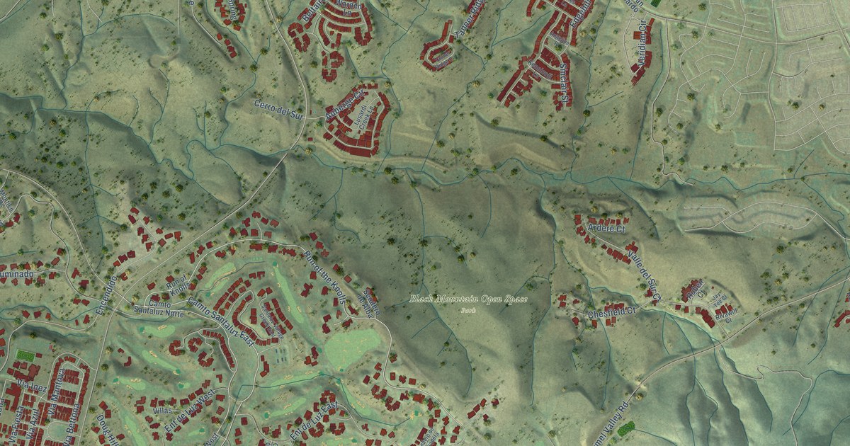
A detailed map of Black Mountain Ranch, California, showing every building in its true location, the roads by name, and shaded topographical relief.
Read More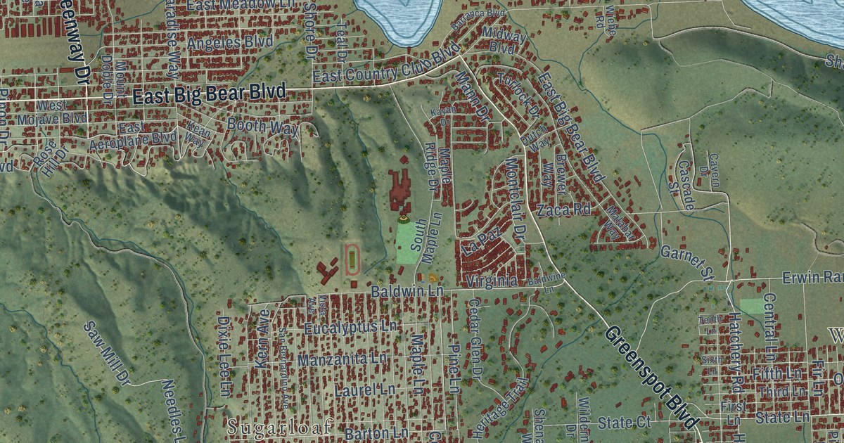
A detailed map of Big Bear City, California, showing every building in its true location, the roads by name, and shaded topographical relief.
Read More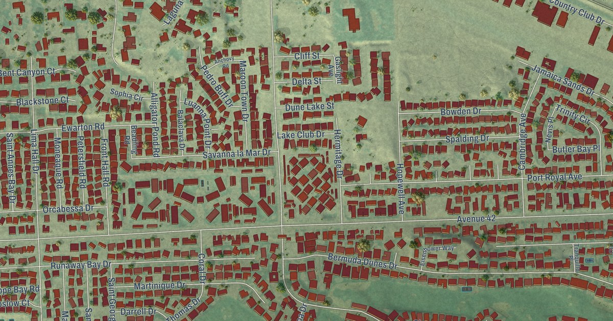
A detailed map of Bermuda Dunes, California, showing every building in its true location, the roads by name, and shaded topographical relief.
Read More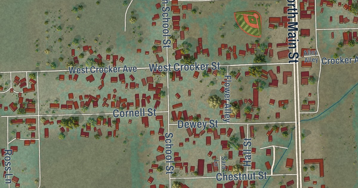
A detailed map of Big Pine, California, showing every building in its true location, the roads by name, and shaded topographical relief.
Read More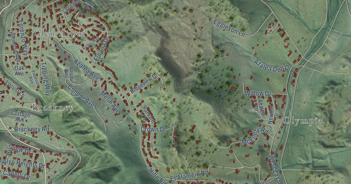
A detailed map of Ben Lomond, California, showing every building in its true location, the roads by name, and shaded topographical relief.
Read More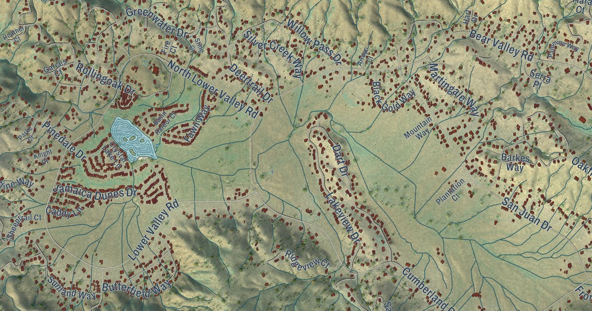
A detailed map of Bear Valley Springs, California, showing every building in its true location, the roads by name, and shaded topographical relief.
Read More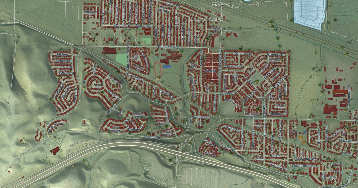
A detailed map of Bay Point, California, showing every building in its true location, the roads by name, and shaded topographical relief.
Read More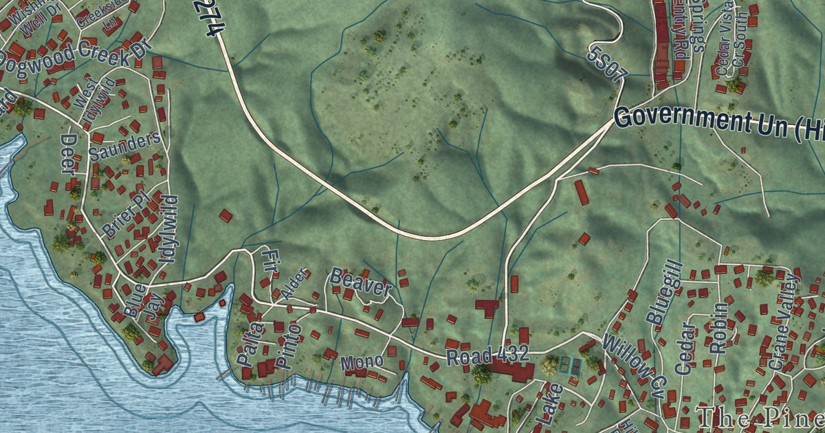
A detailed map of Bass Lake, California, showing every building in its true location, the roads by name, and shaded topographical relief.
Read More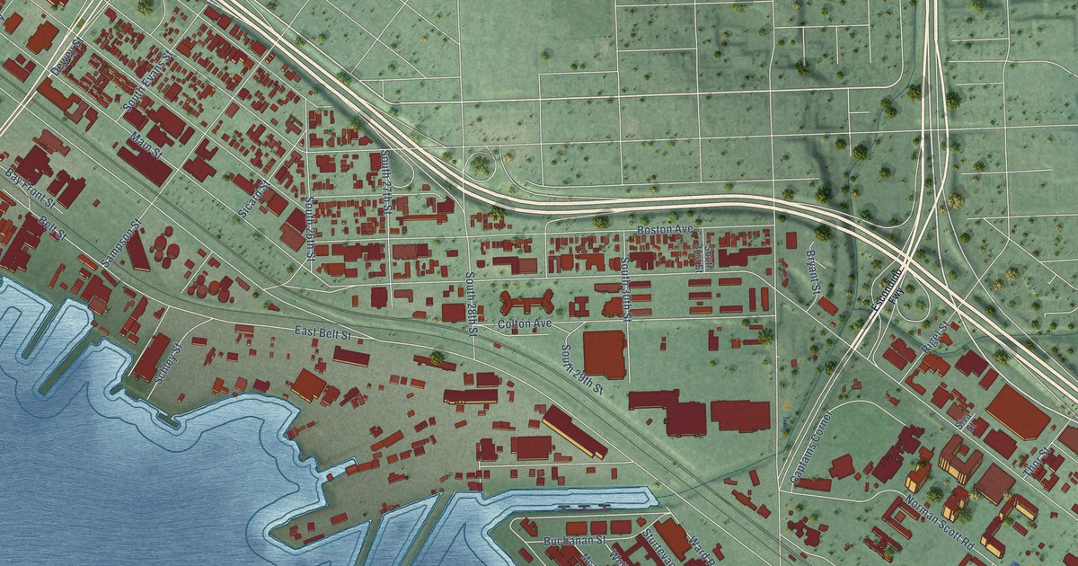
A detailed map of Barrio Logan, California, showing every building in its true location, the roads by name, and shaded topographical relief.
Read More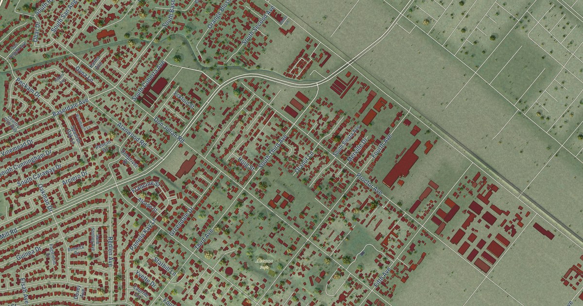
A detailed map of Avocado Heights, California, showing every building in its true location, the roads by name, and shaded topographical relief.
Read More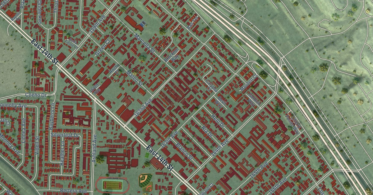
A detailed map of Ashland, California, showing every building in its true location, the roads by name, and shaded topographical relief.
Read More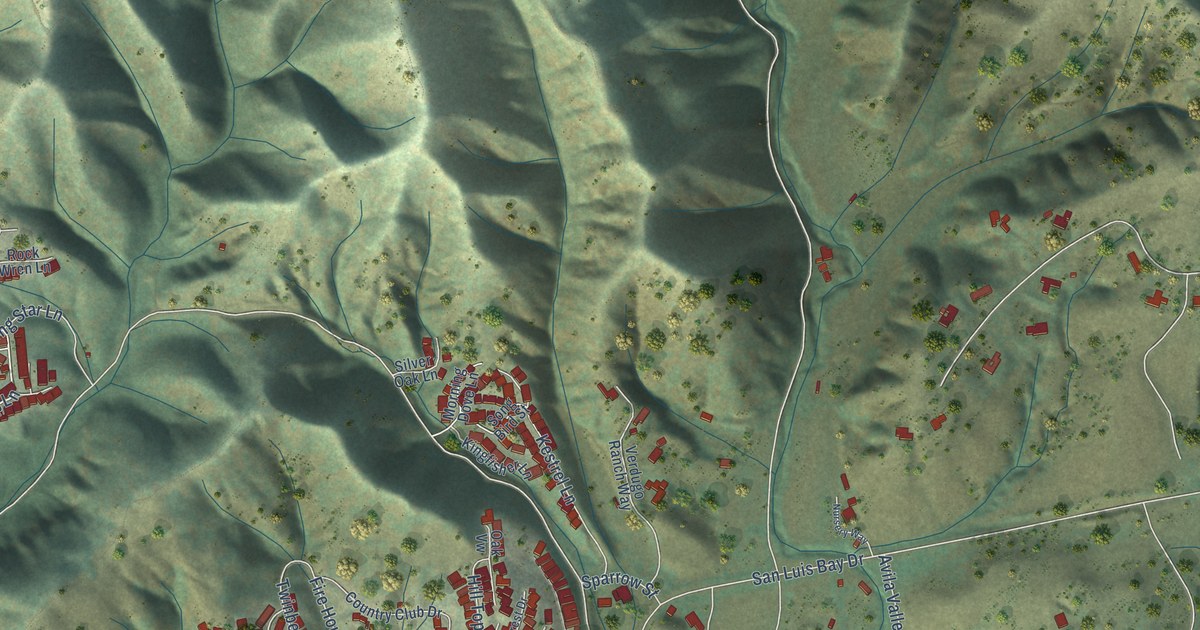
A detailed map of Avila Beach, California, showing every building in its true location, the roads by name, and shaded topographical relief.
Read More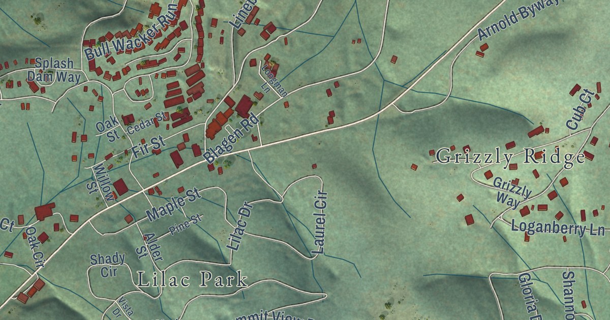
A detailed map of Arnold, California, showing every building in its true location, the roads by name, and shaded topographical relief.
Read More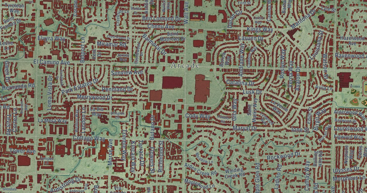
A detailed map of Arden-Arcade, California, showing every building in its true location, the roads by name, and shaded topographical relief.
Read More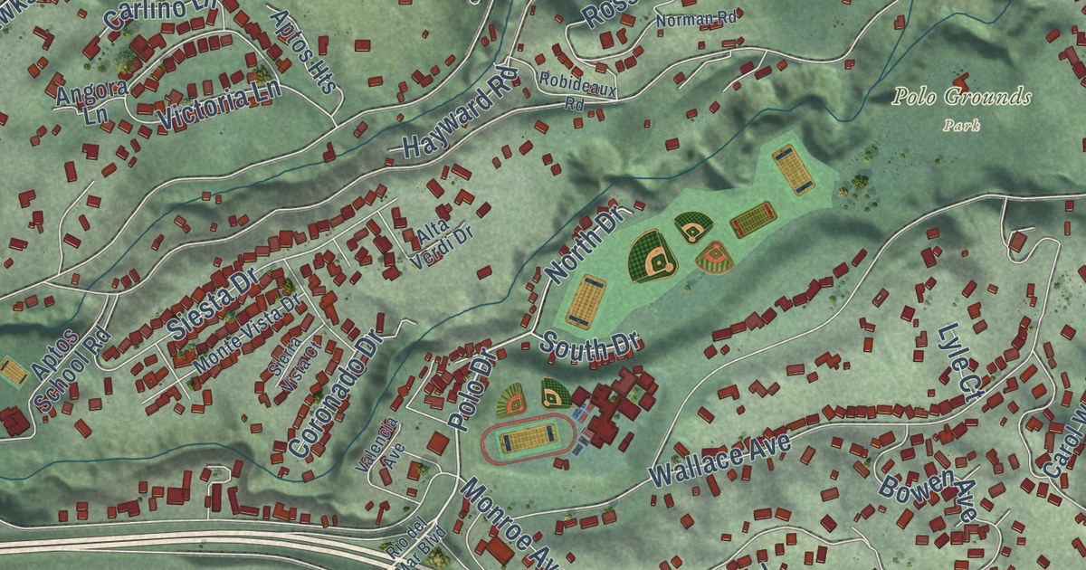
A detailed map of Aptos, California, showing every building in its true location, the roads by name, and shaded topographical relief.
Read More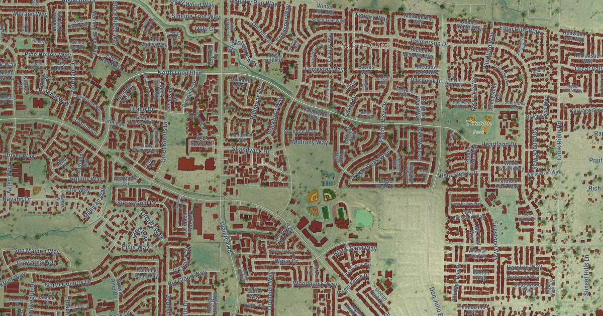
A detailed map of Antelope, California, showing every building in its true location, the roads by name, and shaded topographical relief.
Read More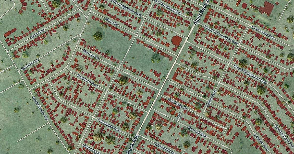
A detailed map of Alum Rock, California, showing every building in its true location, the roads by name, and shaded topographical relief.
Read More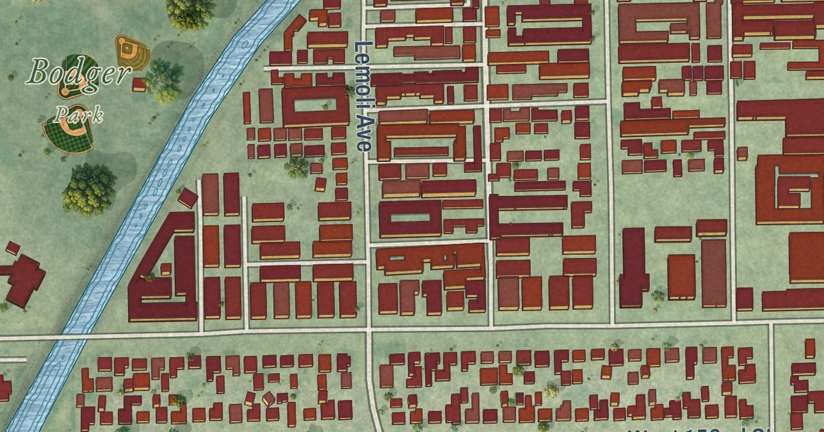
A detailed map of Alondra Park, California, showing every building in its true location, the roads by name, and shaded topographical relief.
Read More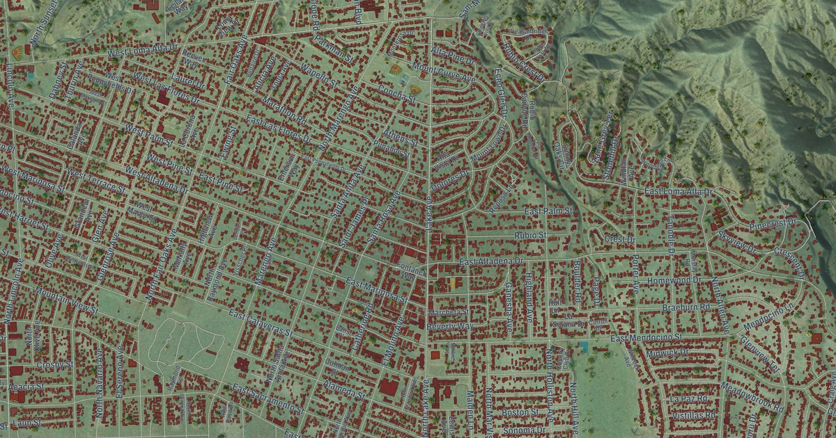
A detailed map of Altadena, California, showing every building in its true location, the roads by name, and shaded topographical relief.
Read More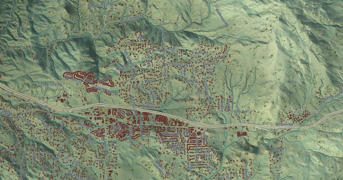
A detailed map of Alpine, California, showing every building in its true location, the roads by name, and shaded topographical relief.
Read More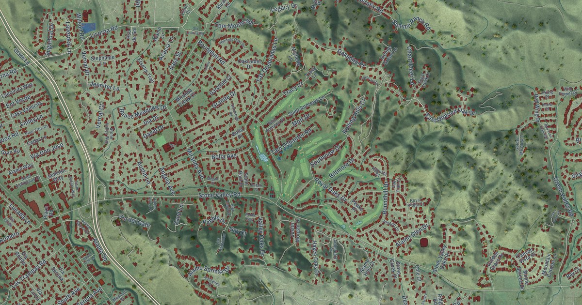
A detailed map of Alamo, California, showing every building in its true location, the roads by name, and shaded topographical relief.
Read More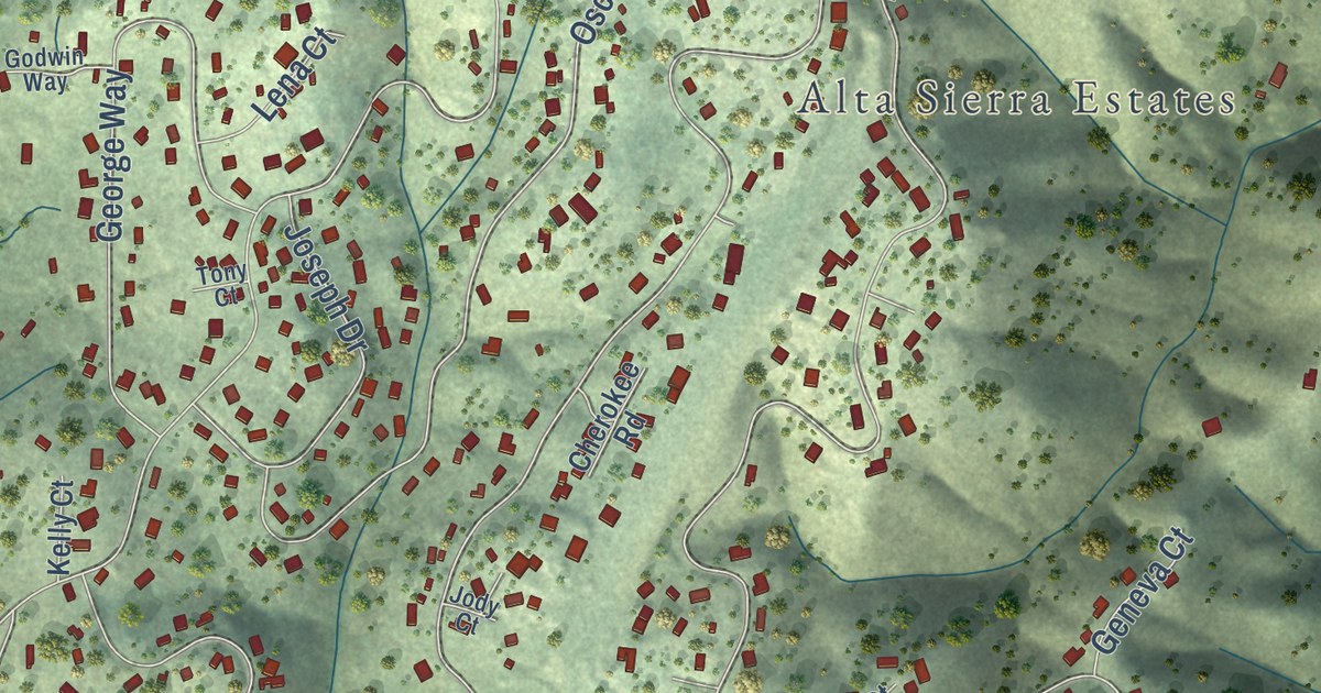
A detailed map of Alta Sierra, California, showing every building in its true location, the roads by name, and shaded topographical relief.
Read More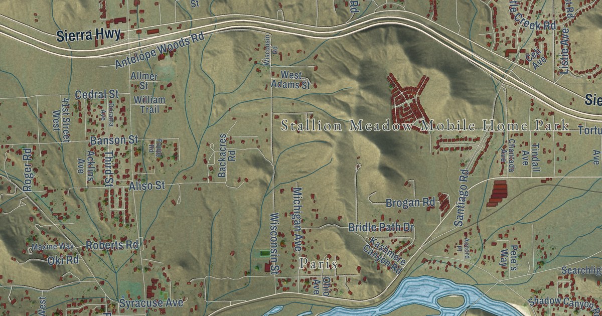
A detailed map of Acton, California, showing every building in its true location, the roads by name, and shaded topographical relief.
Read More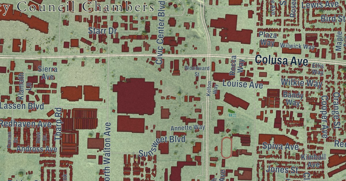
A detailed map of Yuba City, California, showing every building in its true location, the roads by name, and shaded topographical relief.
Read More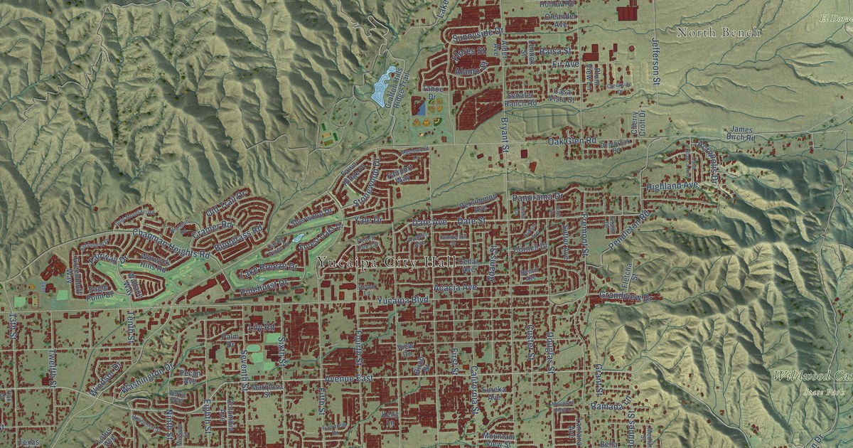
A detailed map of Yucaipa, California, showing every building in its true location, the roads by name, and shaded topographical relief.
Read More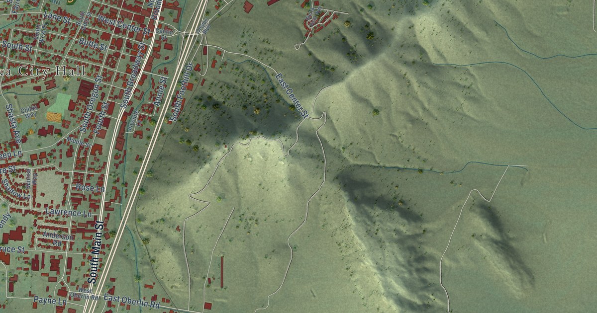
A detailed map of Yreka, California, showing every building in its true location, the roads by name, and shaded topographical relief.
Read More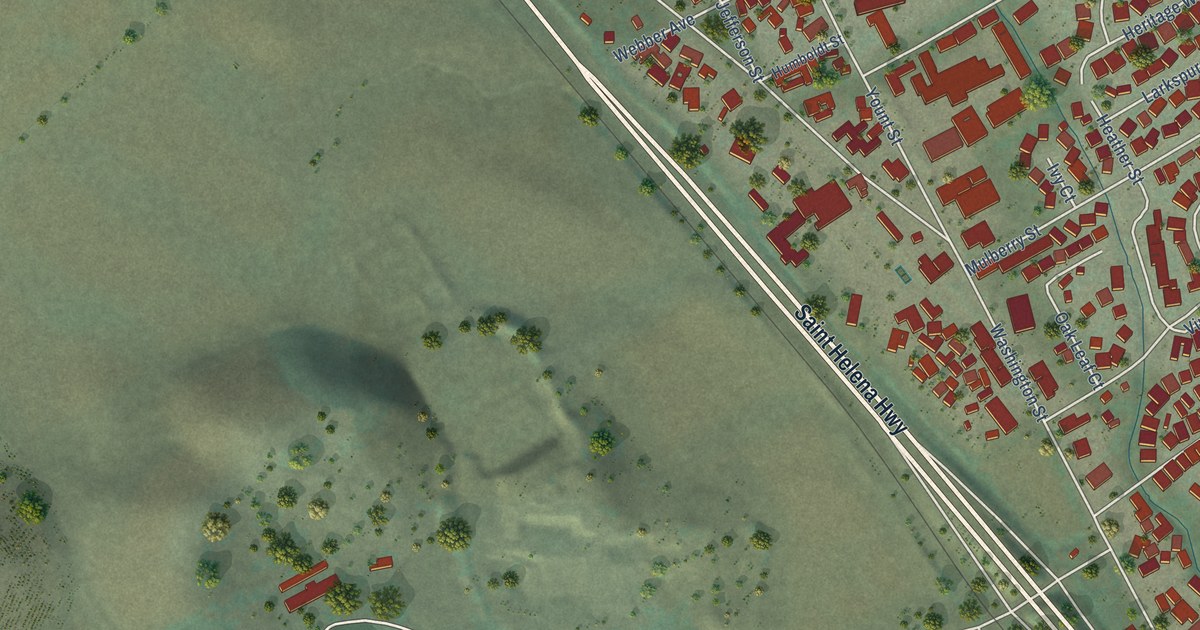
A detailed map of Yountville, California, showing every building in its true location, the roads by name, and shaded topographical relief.
Read More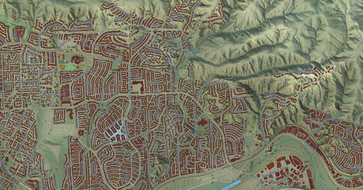
A detailed map of Yorba Linda, California, showing every building in its true location, the roads by name, and shaded topographical relief.
Read More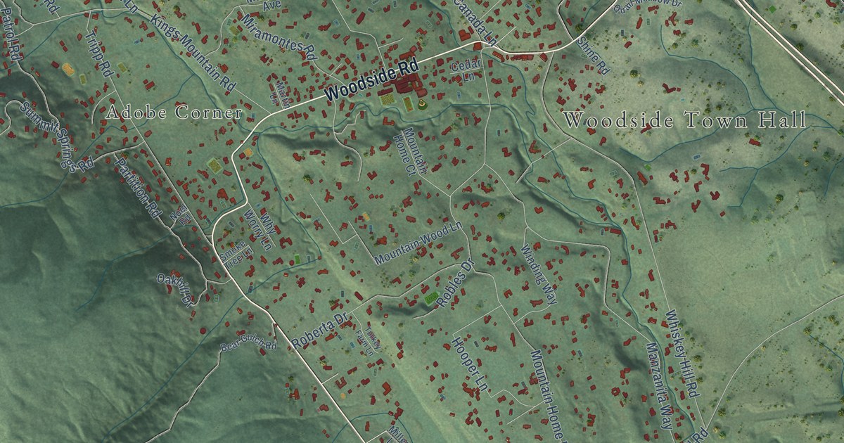
A detailed map of Woodside, California, showing every building in its true location, the roads by name, and shaded topographical relief.
Read More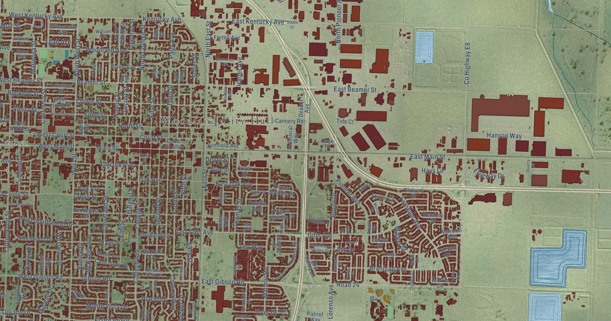
A detailed map of Woodland, California, showing every building in its true location, the roads by name, and shaded topographical relief.
Read More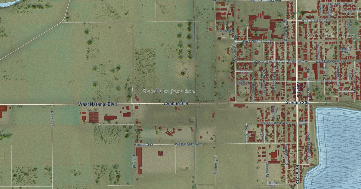
A detailed map of Woodlake, California, showing every building in its true location, the roads by name, and shaded topographical relief.
Read More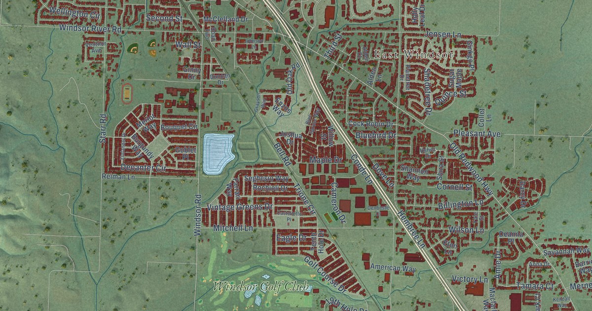
A detailed map of Windsor, California, showing every building in its true location, the roads by name, and shaded topographical relief.
Read More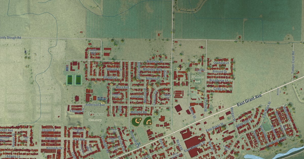
A detailed map of Winters, California, showing every building in its true location, the roads by name, and shaded topographical relief.
Read More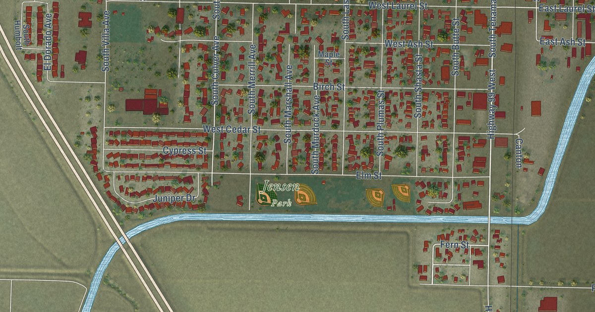
A detailed map of Willows, California, showing every building in its true location, the roads by name, and shaded topographical relief.
Read More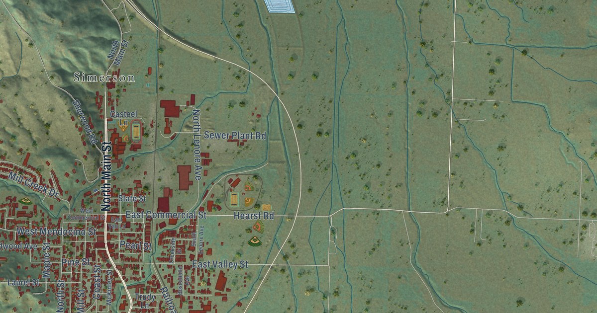
A detailed map of Willits, California, showing every building in its true location, the roads by name, and shaded topographical relief.
Read More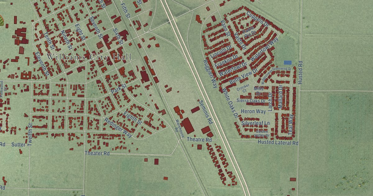
A detailed map of Williams, California, showing every building in its true location, the roads by name, and shaded topographical relief.
Read More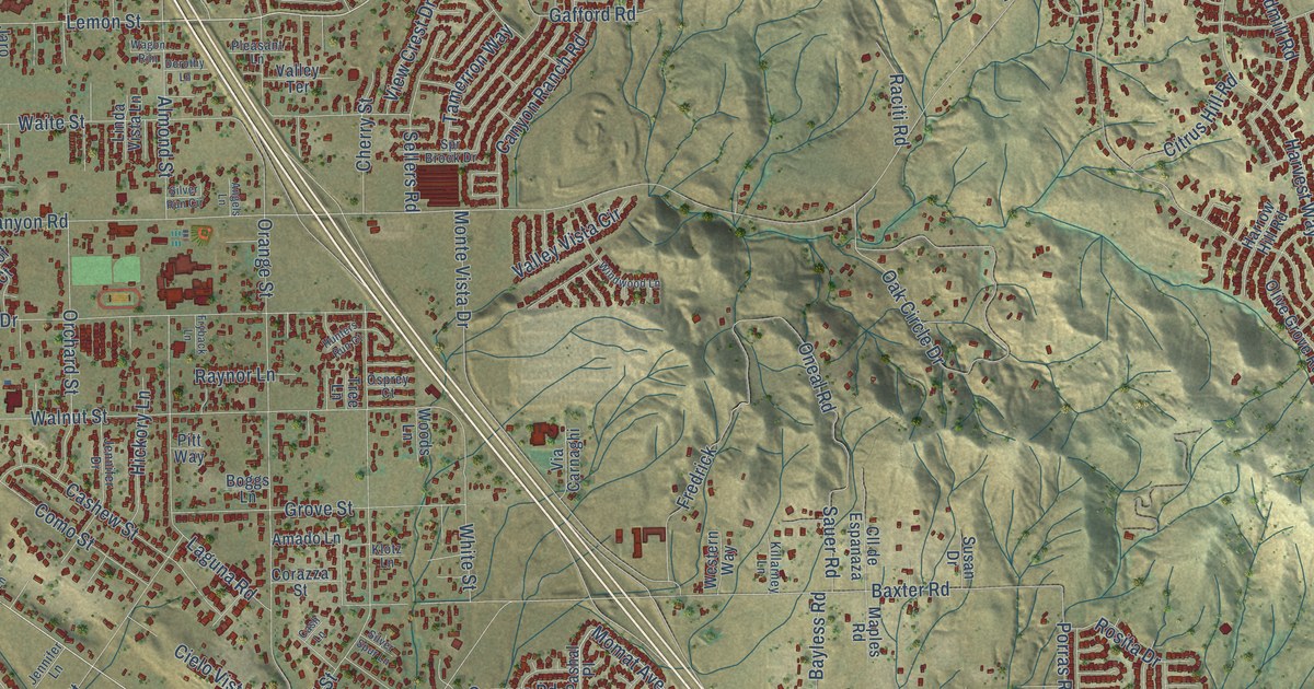
A detailed map of Wildomar, California, showing every building in its true location, the roads by name, and shaded topographical relief.
Read More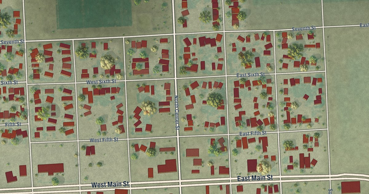
A detailed map of Westmorland, California, showing every building in its true location, the roads by name, and shaded topographical relief.
Read More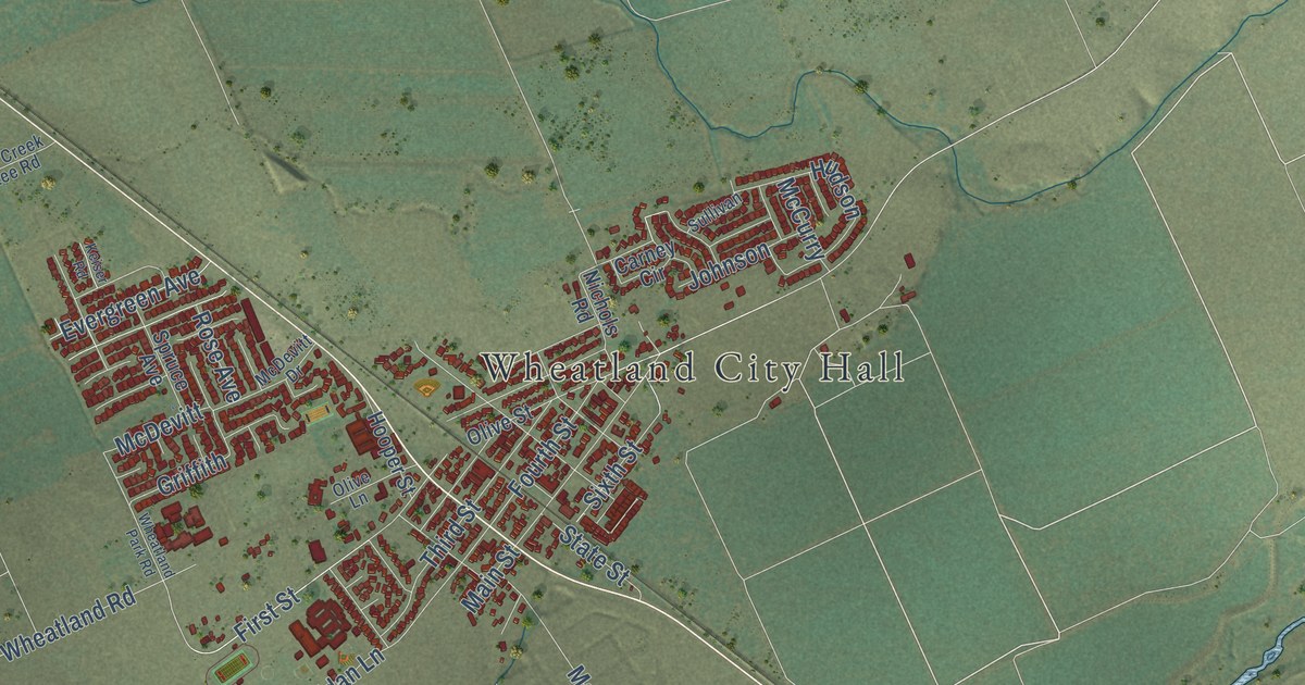
A detailed map of Wheatland, California, showing every building in its true location, the roads by name, and shaded topographical relief.
Read More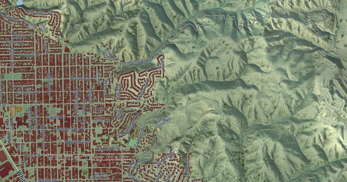
A detailed map of Whittier, California, showing every building in its true location, the roads by name, and shaded topographical relief.
Read More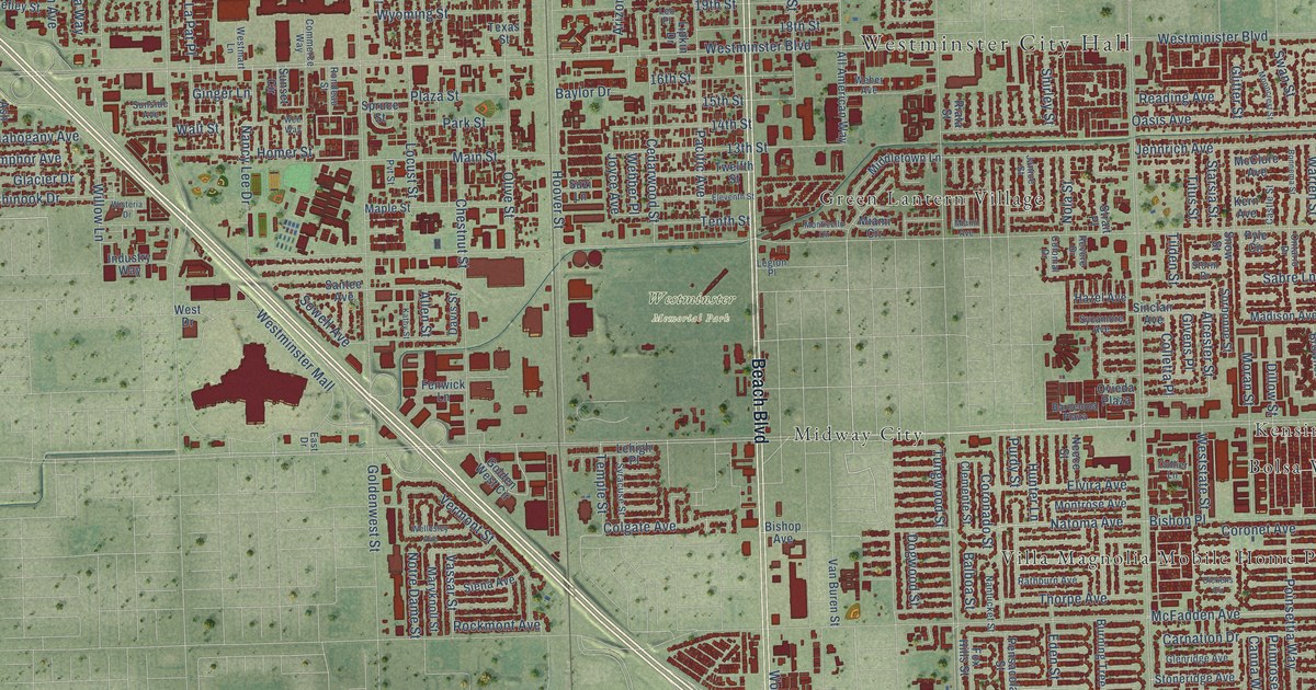
A detailed map of Westminster, California, showing every building in its true location, the roads by name, and shaded topographical relief.
Read More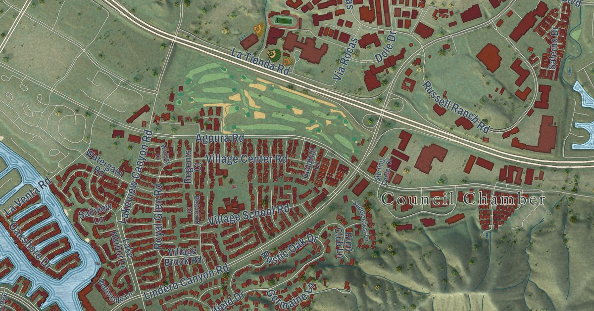
A detailed map of Westlake Village, California, showing every building in its true location, the roads by name, and shaded topographical relief.
Read More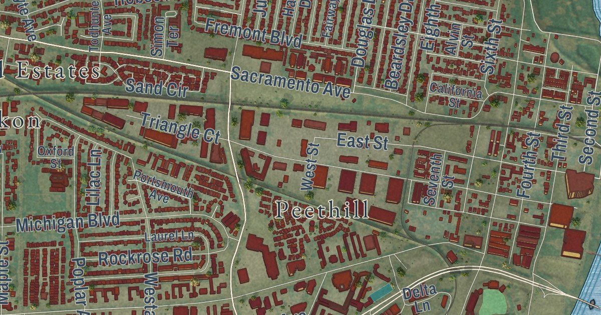
A detailed map of West Sacramento, California, showing every building in its true location, the roads by name, and shaded topographical relief.
Read More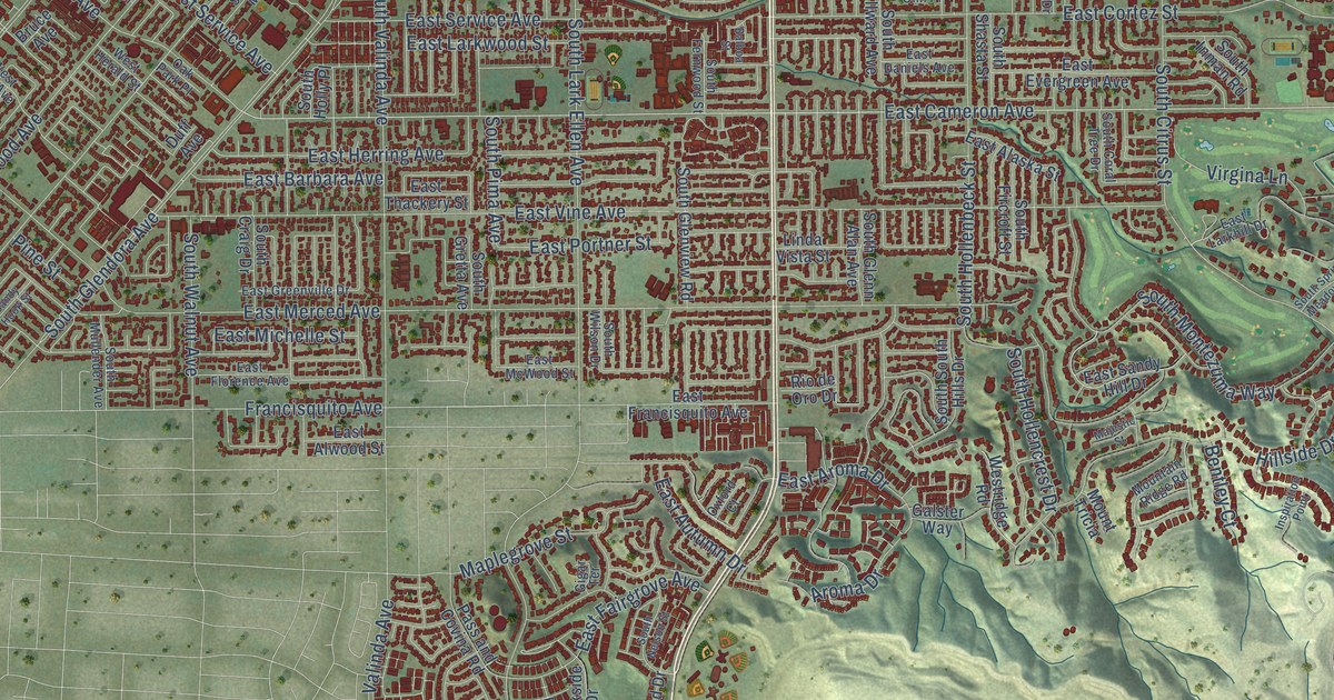
A detailed map of West Covina, California, showing every building in its true location, the roads by name, and shaded topographical relief.
Read More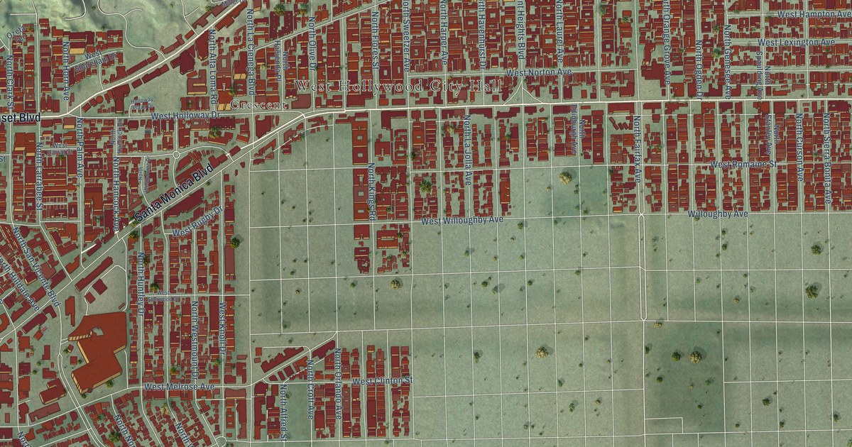
A detailed map of West Hollywood, California, showing every building in its true location, the roads by name, and shaded topographical relief.
Read More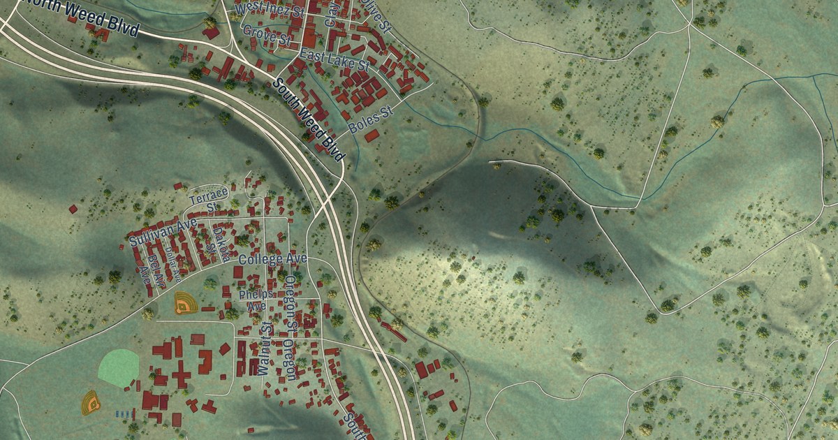
A detailed map of Weed, California, showing every building in its true location, the roads by name, and shaded topographical relief.
Read More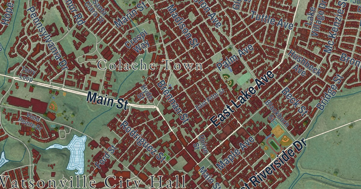
A detailed map of Watsonville, California, showing every building in its true location, the roads by name, and shaded topographical relief.
Read More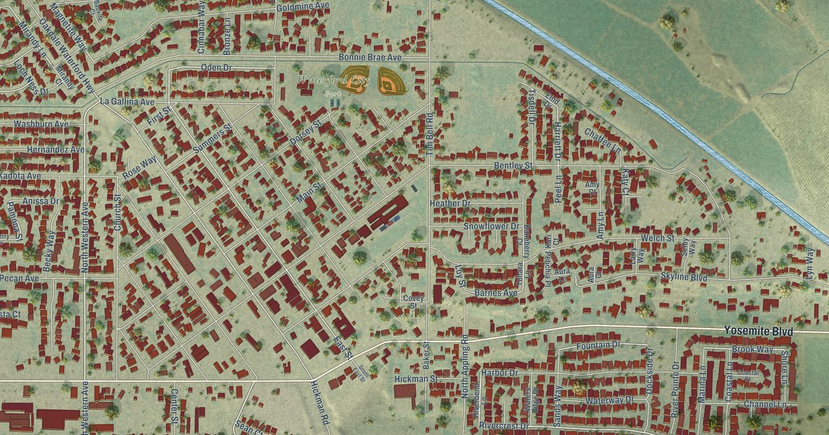
A detailed map of Waterford, California, showing every building in its true location, the roads by name, and shaded topographical relief.
Read More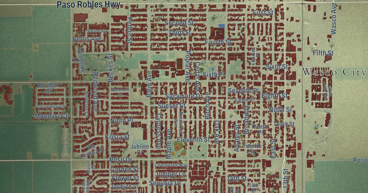
A detailed map of Wasco, California, showing every building in its true location, the roads by name, and shaded topographical relief.
Read More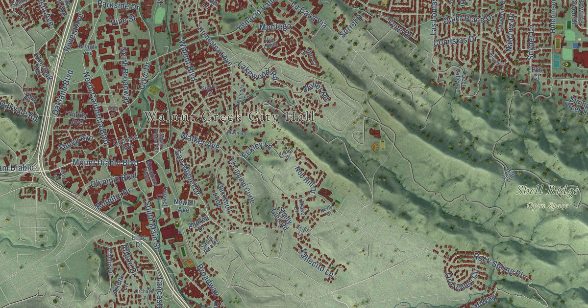
A detailed map of Walnut Creek, California, showing every building in its true location, the roads by name, and shaded topographical relief.
Read More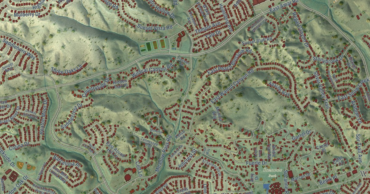
A detailed map of Walnut, California, showing every building in its true location, the roads by name, and shaded topographical relief.
Read More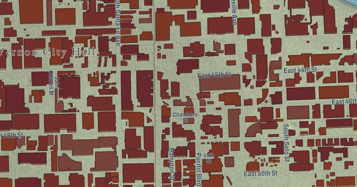
A detailed map of Vernon, California, showing every building in its true location, the roads by name, and shaded topographical relief.
Read More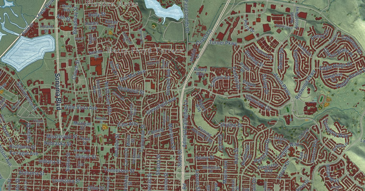
A detailed map of Vallejo, California, showing every building in its true location, the roads by name, and shaded topographical relief.
Read More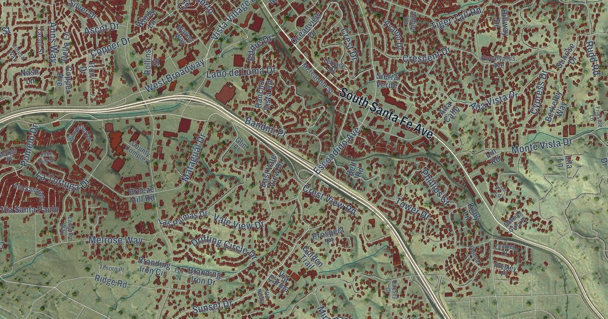
A detailed map of Vista, California, showing every building in its true location, the roads by name, and shaded topographical relief.
Read More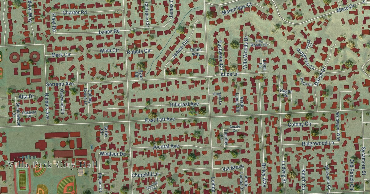
A detailed map of Villa Park, California, showing every building in its true location, the roads by name, and shaded topographical relief.
Read More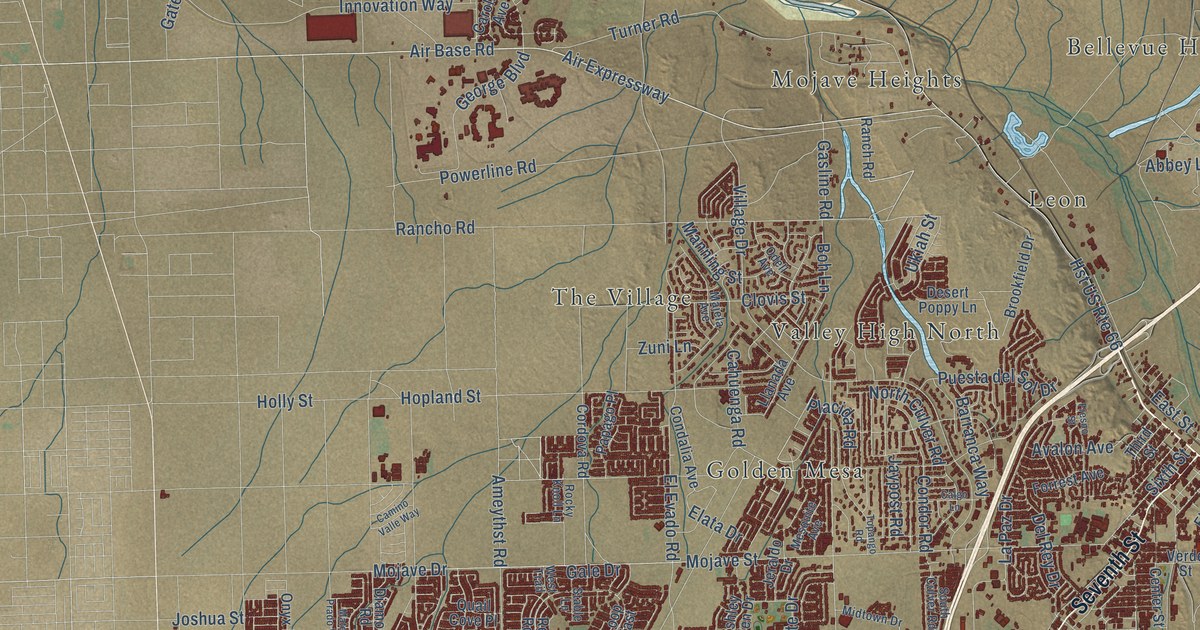
A detailed map of Victorville, California, showing every building in its true location, the roads by name, and shaded topographical relief.
Read More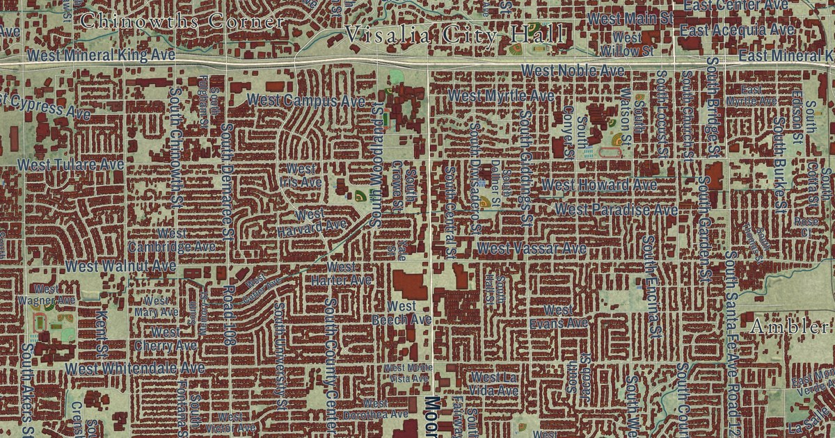
A detailed map of Visalia, California, showing every building in its true location, the roads by name, and shaded topographical relief.
Read More















