Detailed Map of Ventura, California
A detailed map of Ventura, California, showing every building in its true location, the roads by name, and shaded topographical relief.
Read More
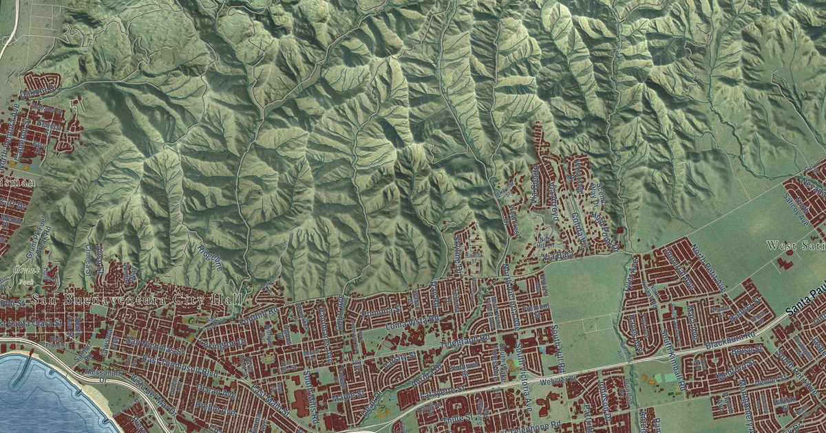
A detailed map of Ventura, California, showing every building in its true location, the roads by name, and shaded topographical relief.
Read More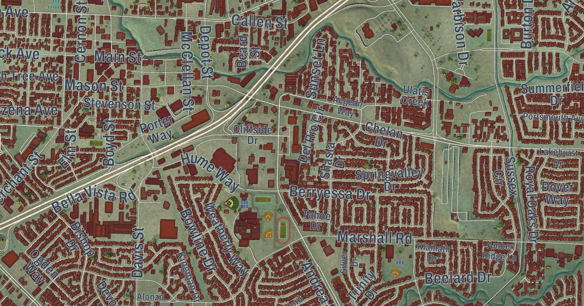
A detailed map of Vacaville, California, showing every building in its true location, the roads by name, and shaded topographical relief.
Read More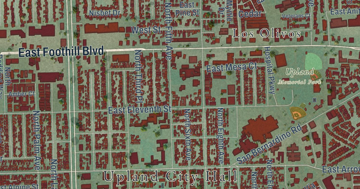
A detailed map of Upland, California, showing every building in its true location, the roads by name, and shaded topographical relief.
Read More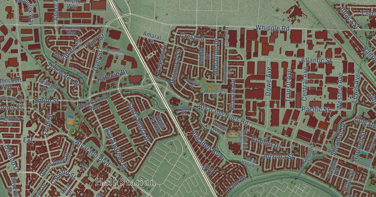
A detailed map of Union City, California, showing every building in its true location, the roads by name, and shaded topographical relief.
Read More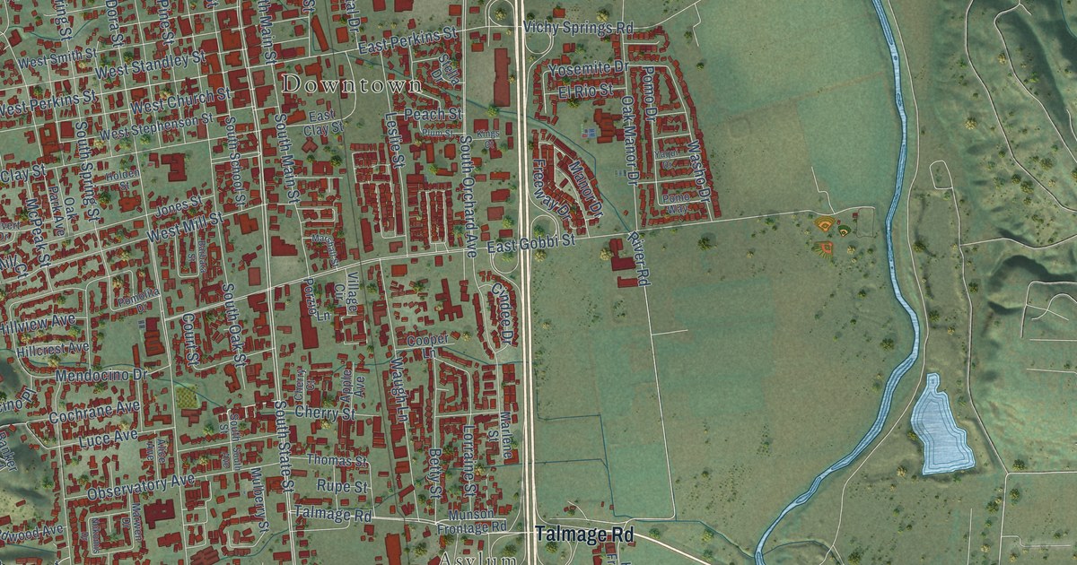
A detailed map of Ukiah, California, showing every building in its true location, the roads by name, and shaded topographical relief.
Read More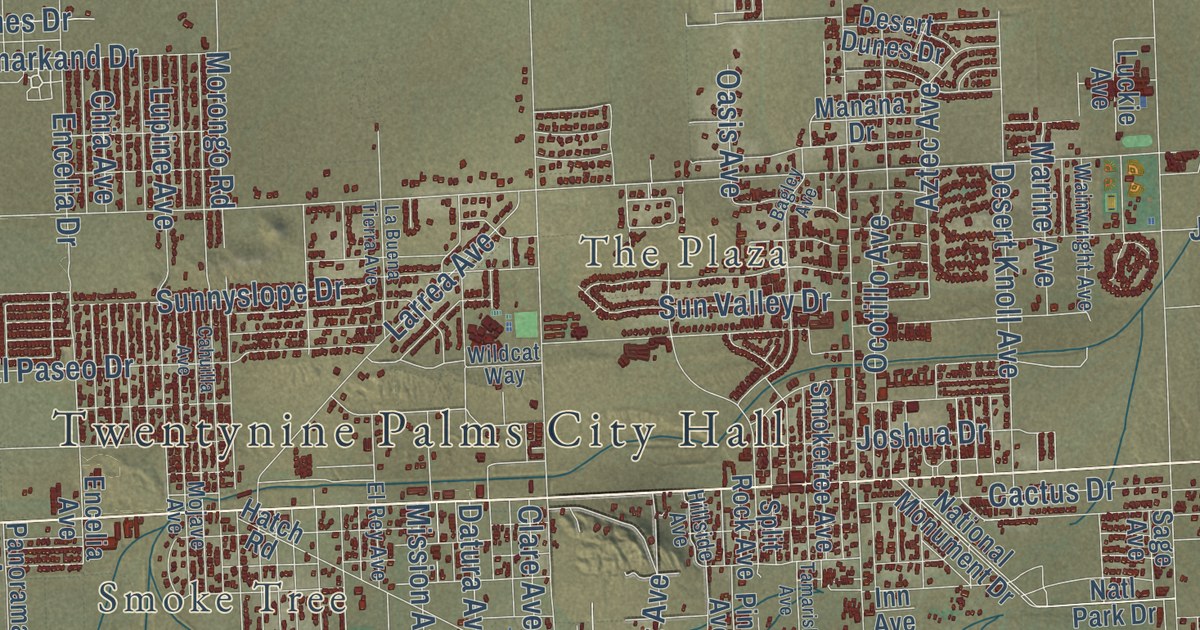
A detailed map of Twentynine Palms, California, showing every building in its true location, the roads by name, and shaded topographical relief.
Read More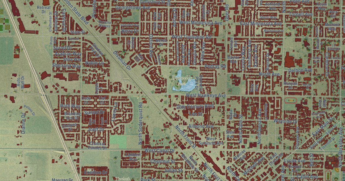
A detailed map of Turlock, California, showing every building in its true location, the roads by name, and shaded topographical relief.
Read More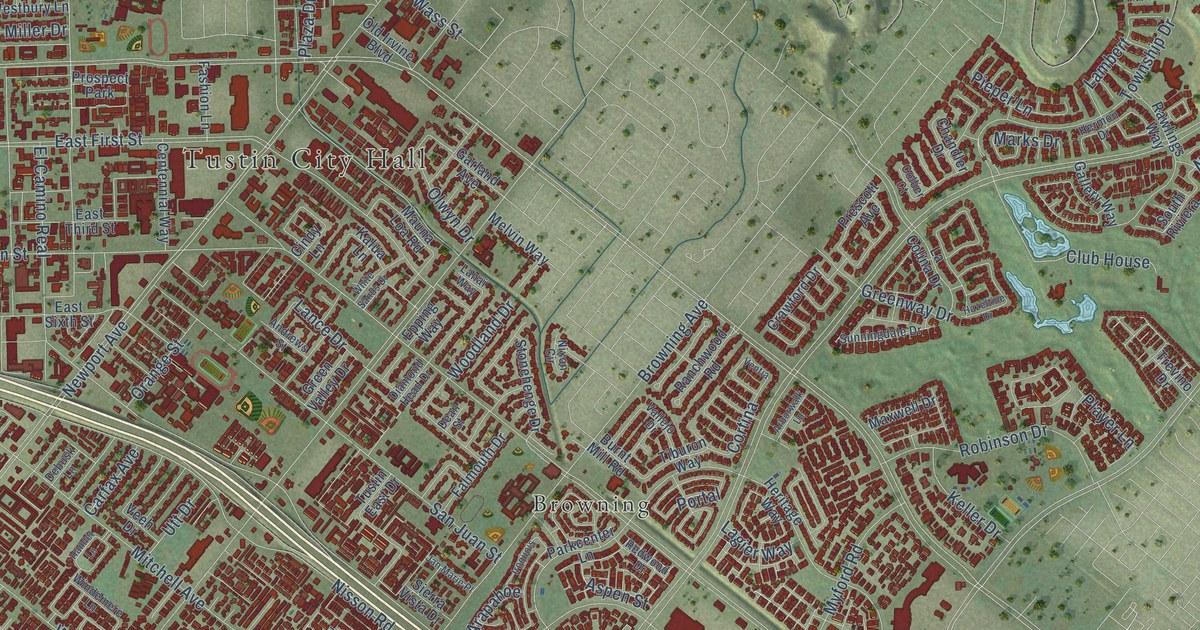
A detailed map of Tustin, California, showing every building in its true location, the roads by name, and shaded topographical relief.
Read More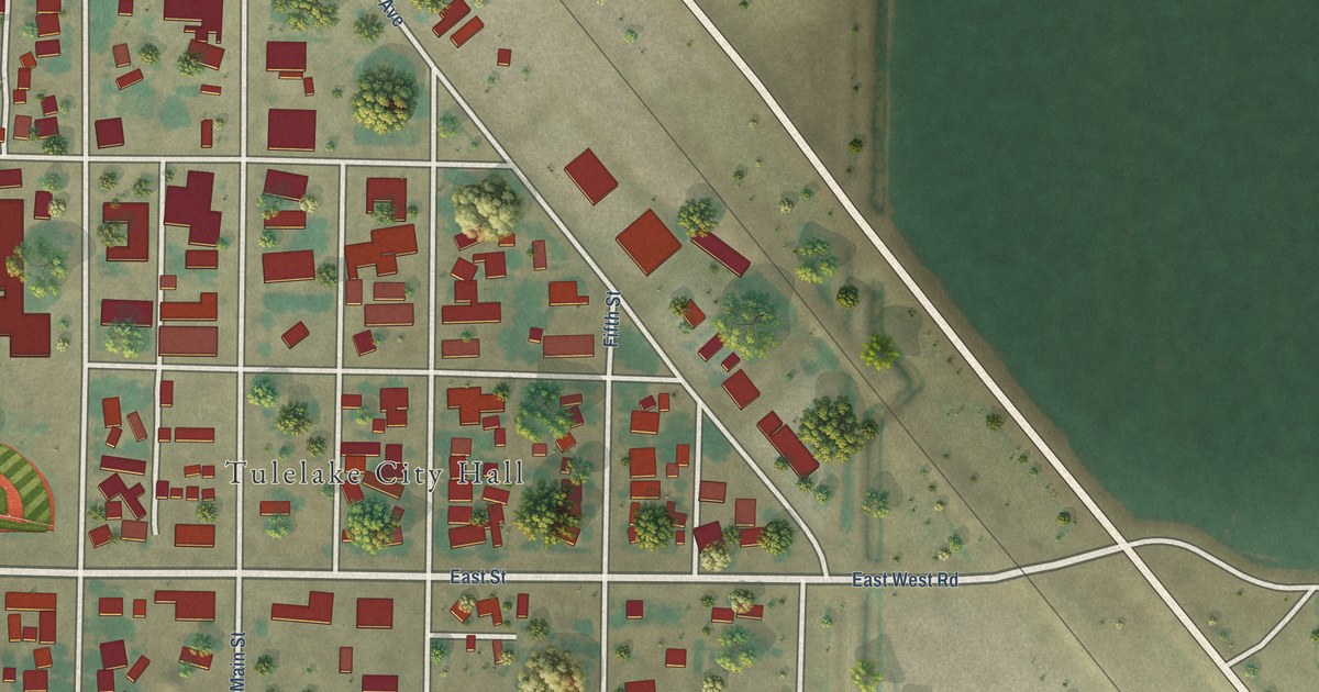
A detailed map of Tulelake, California, showing every building in its true location, the roads by name, and shaded topographical relief.
Read More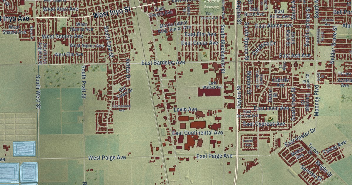
A detailed map of Tulare, California, showing every building in its true location, the roads by name, and shaded topographical relief.
Read More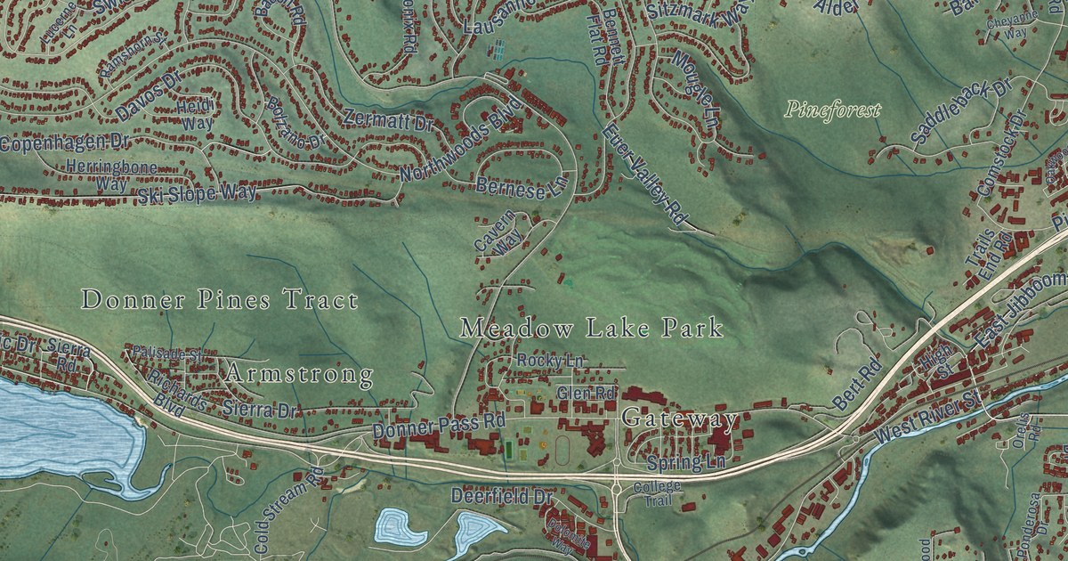
A detailed map of Truckee, California, showing every building in its true location, the roads by name, and shaded topographical relief.
Read More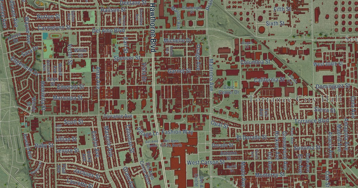
A detailed map of Torrance, California, showing every building in its true location, the roads by name, and shaded topographical relief.
Read More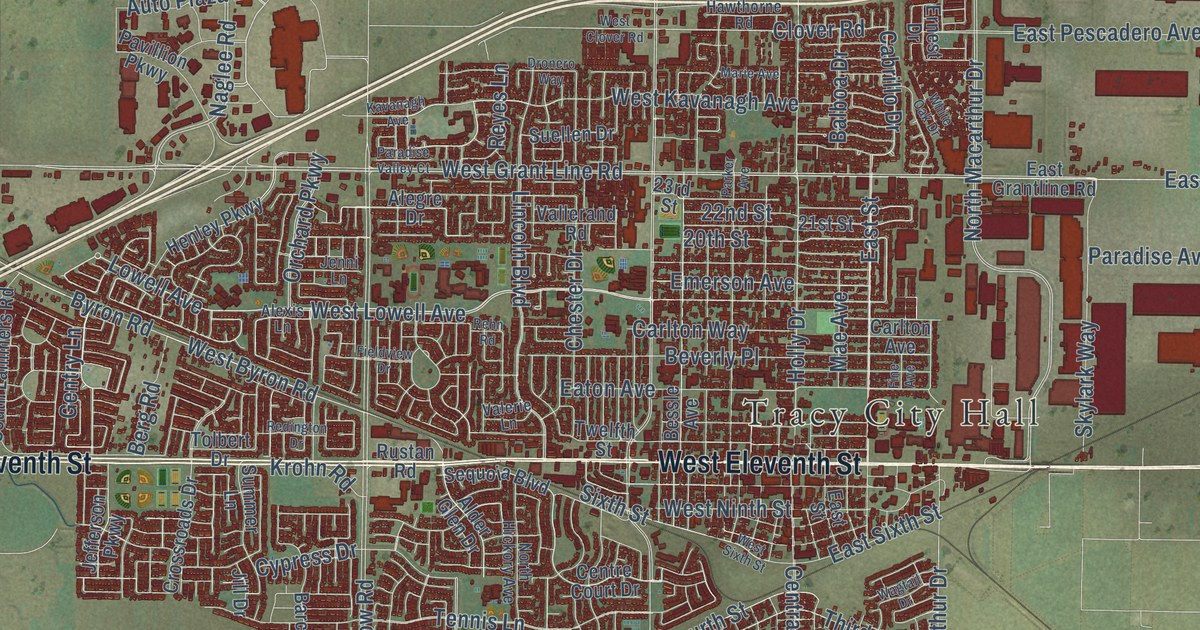
A detailed map of Tracy, California, showing every building in its true location, the roads by name, and shaded topographical relief.
Read More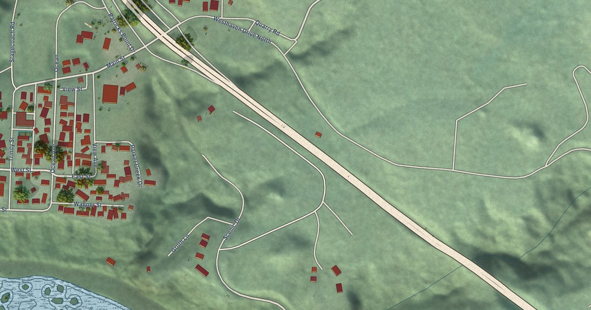
A detailed map of Trinidad, California, showing every building in its true location, the roads by name, and shaded topographical relief.
Read More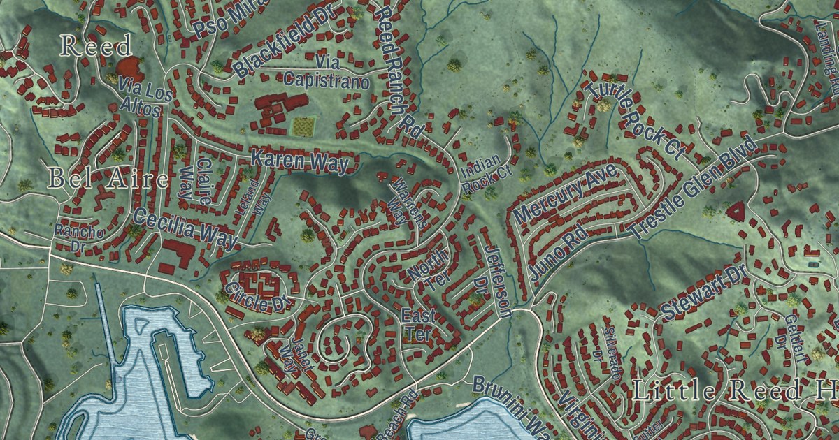
A detailed map of Tiburon, California, showing every building in its true location, the roads by name, and shaded topographical relief.
Read More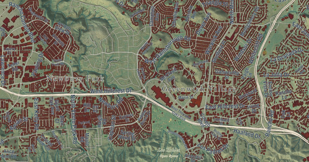
A detailed map of Thousand Oaks, California, showing every building in its true location, the roads by name, and shaded topographical relief.
Read More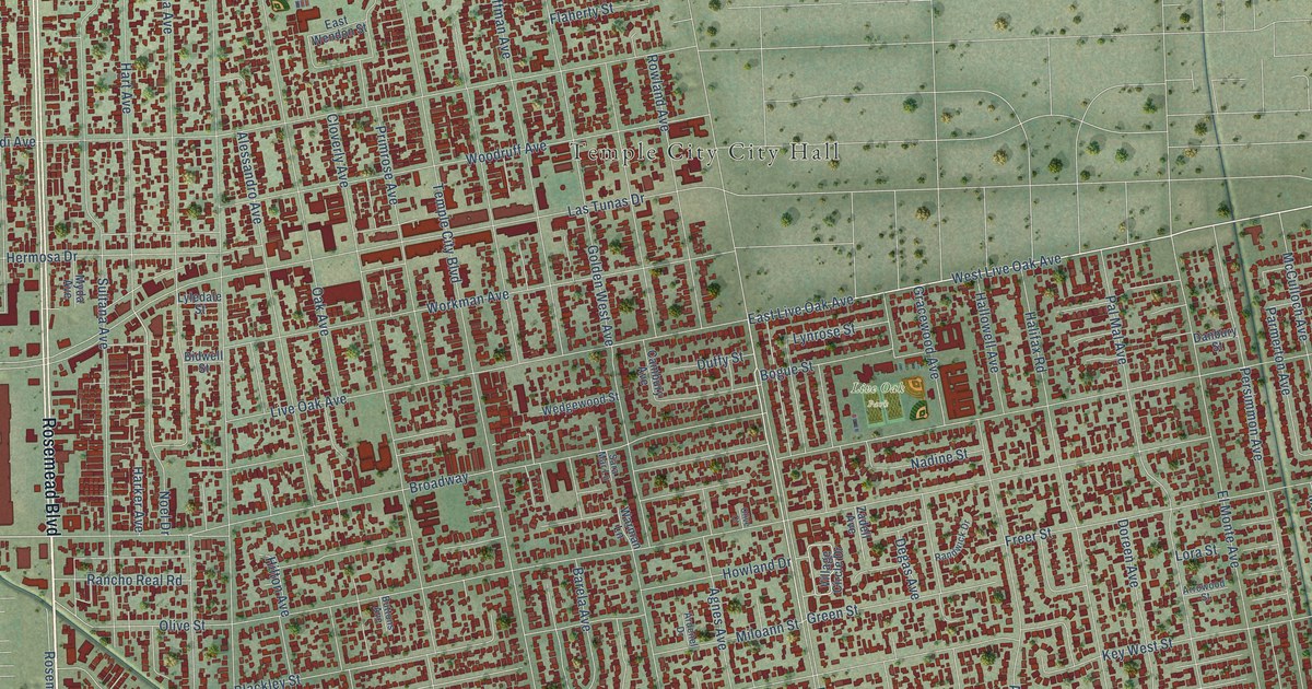
A detailed map of Temple City, California, showing every building in its true location, the roads by name, and shaded topographical relief.
Read More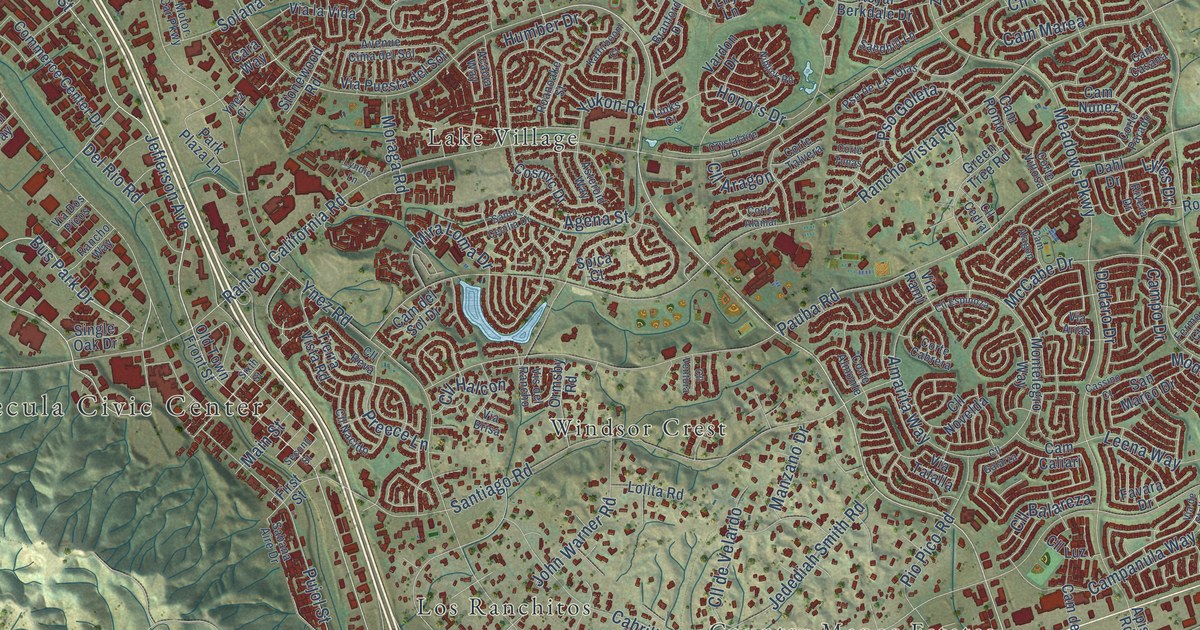
A detailed map of Temecula, California, showing every building in its true location, the roads by name, and shaded topographical relief.
Read More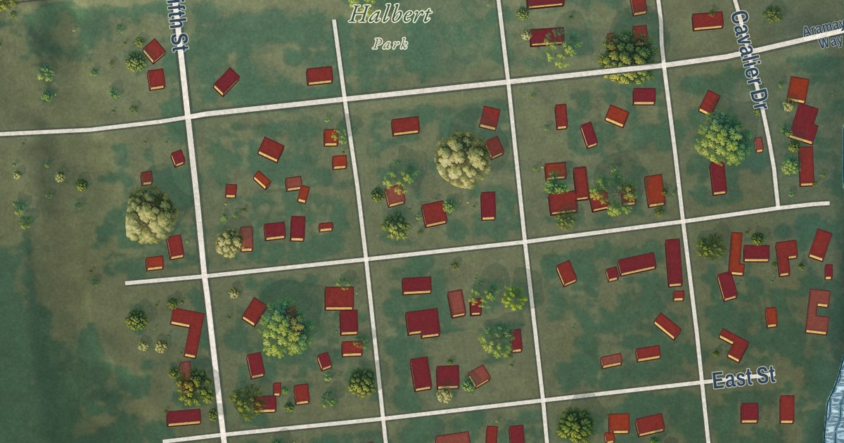
A detailed map of Tehama, California, showing every building in its true location, the roads by name, and shaded topographical relief.
Read More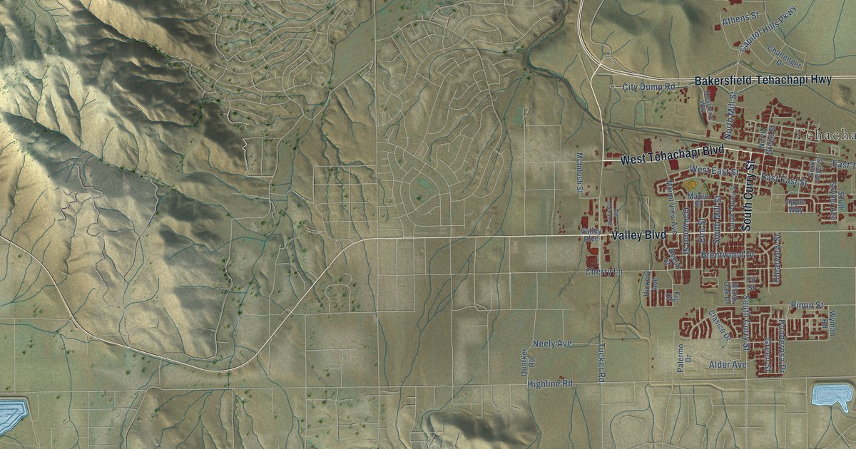
A detailed map of Tehachapi, California, showing every building in its true location, the roads by name, and shaded topographical relief.
Read More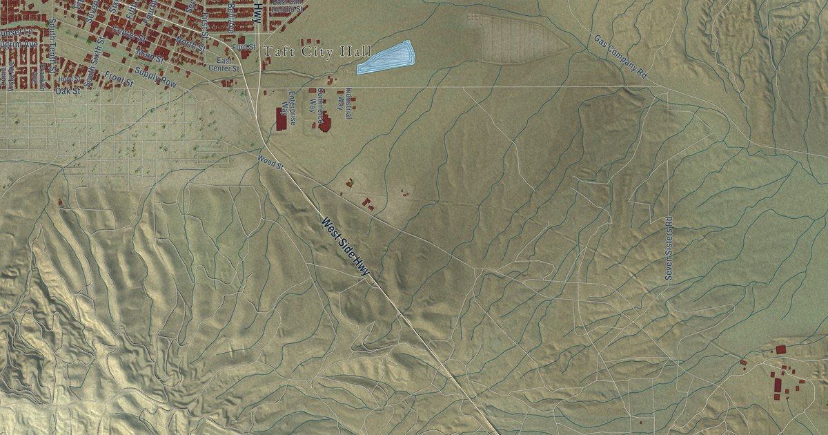
A detailed map of Taft, California, showing every building in its true location, the roads by name, and shaded topographical relief.
Read More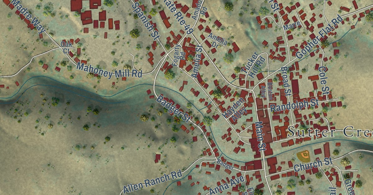
A detailed map of Sutter Creek, California, showing every building in its true location, the roads by name, and shaded topographical relief.
Read More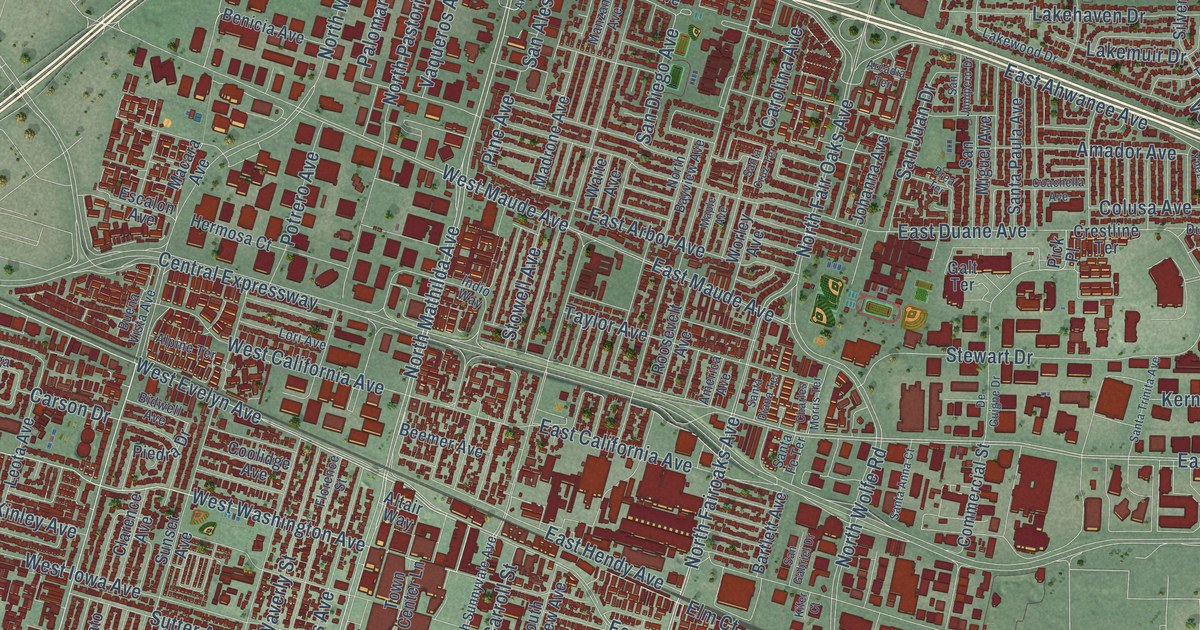
A detailed map of Sunnyvale, California, showing every building in its true location, the roads by name, and shaded topographical relief.
Read More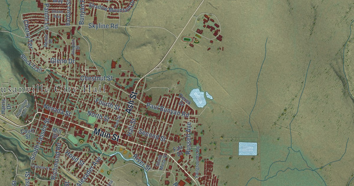
A detailed map of Susanville, California, showing every building in its true location, the roads by name, and shaded topographical relief.
Read More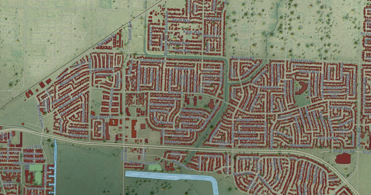
A detailed map of Suisun City, California, showing every building in its true location, the roads by name, and shaded topographical relief.
Read More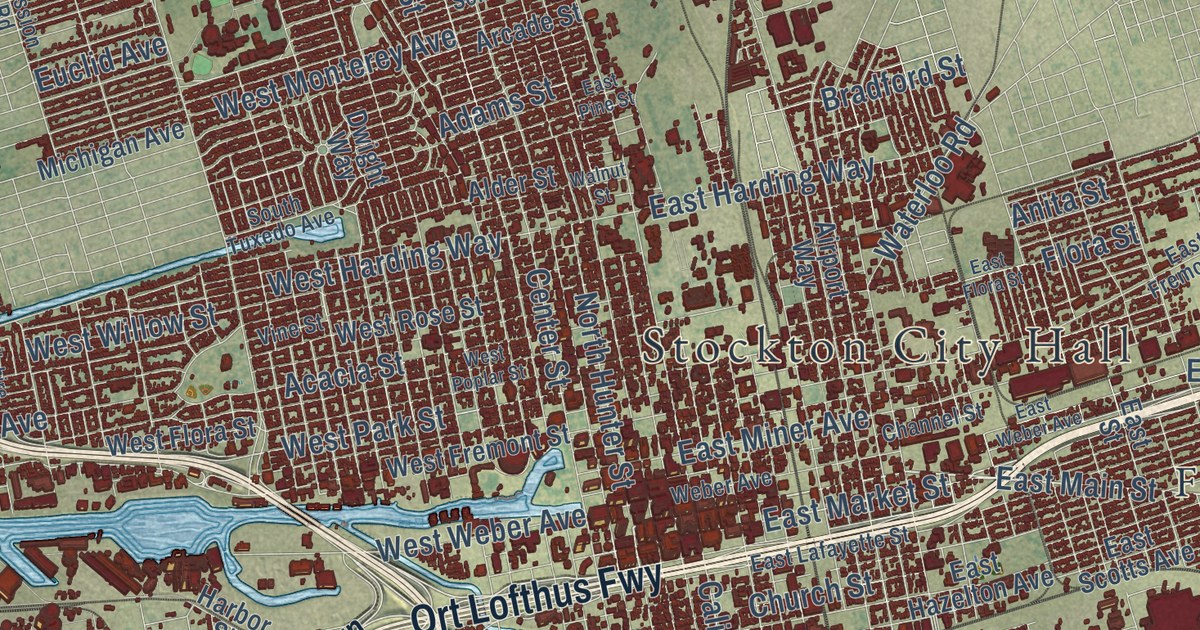
A detailed map of Stockton, California, showing every building in its true location, the roads by name, and shaded topographical relief.
Read More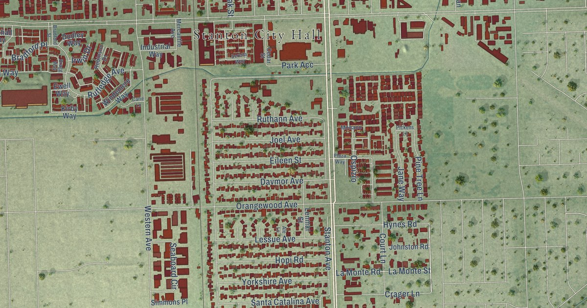
A detailed map of Stanton, California, showing every building in its true location, the roads by name, and shaded topographical relief.
Read More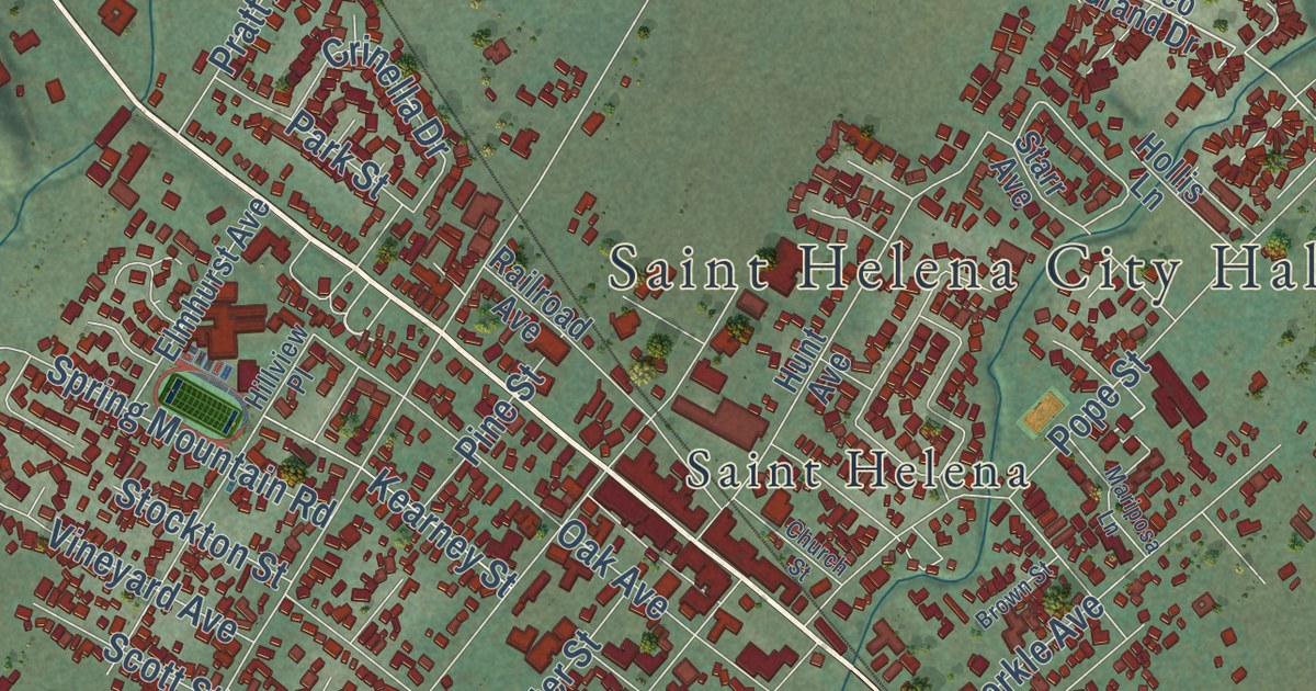
A detailed map of St. Helena, California, showing every building in its true location, the roads by name, and shaded topographical relief.
Read More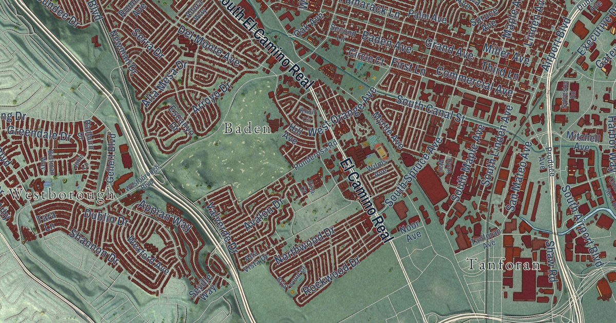
A detailed map of South San Francisco, California, showing every building in its true location, the roads by name, and shaded topographical relief.
Read More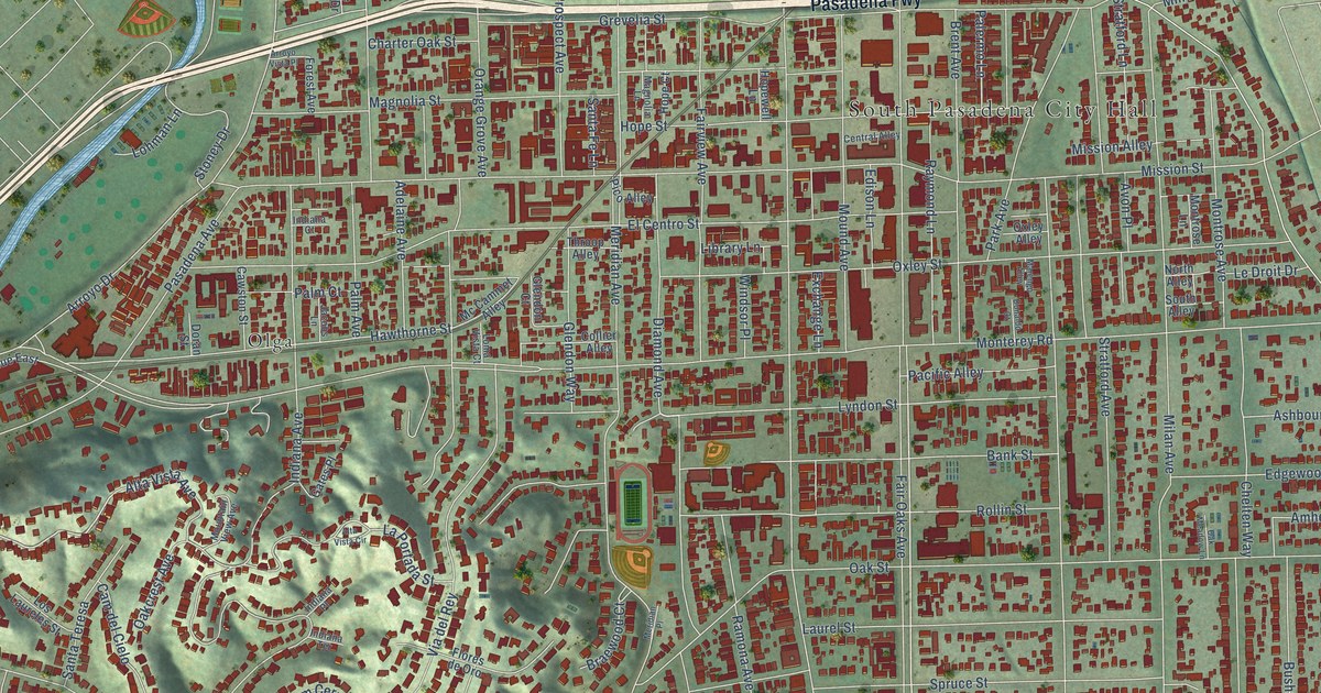
A detailed map of South Pasadena, California, showing every building in its true location, the roads by name, and shaded topographical relief.
Read More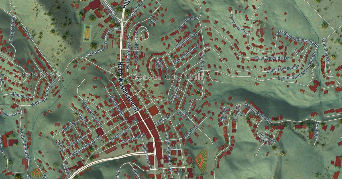
A detailed map of Sonora, California, showing every building in its true location, the roads by name, and shaded topographical relief.
Read More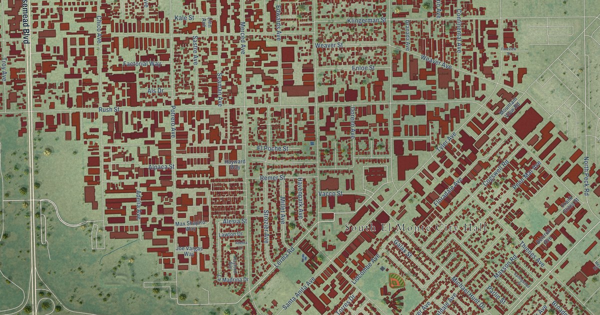
A detailed map of South El Monte, California, showing every building in its true location, the roads by name, and shaded topographical relief.
Read More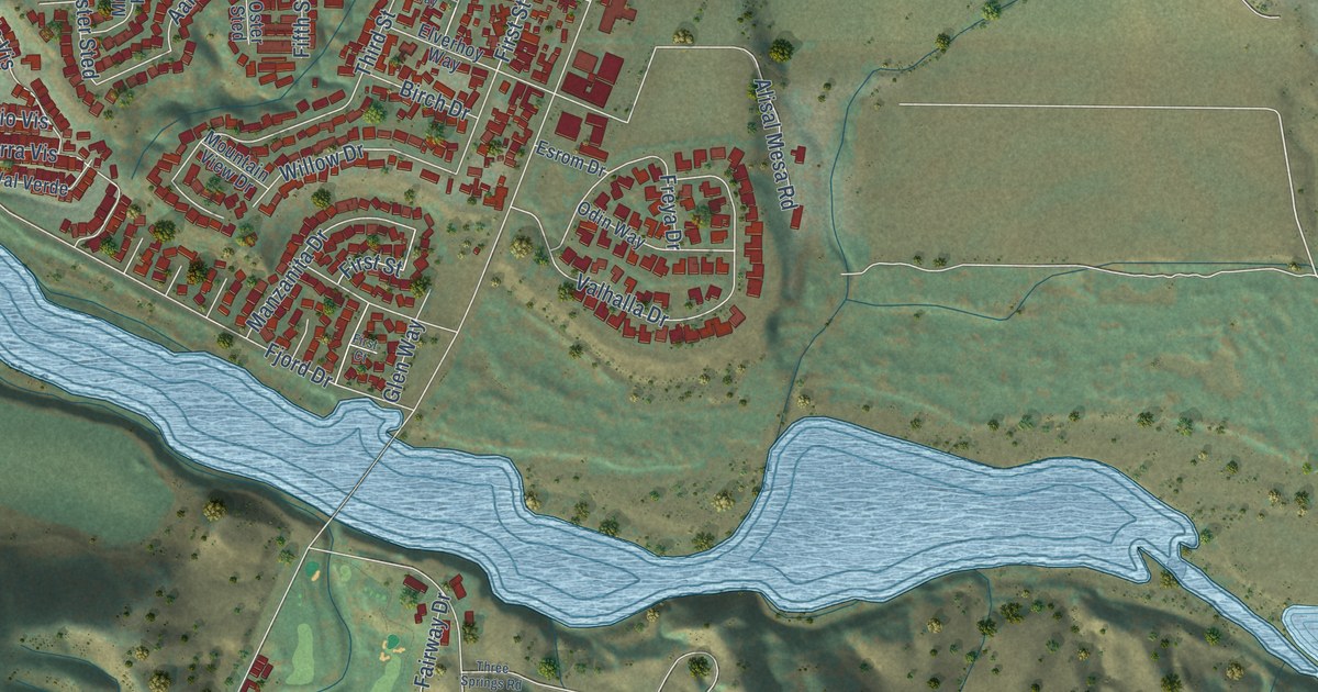
A detailed map of Solvang, California, showing every building in its true location, the roads by name, and shaded topographical relief.
Read More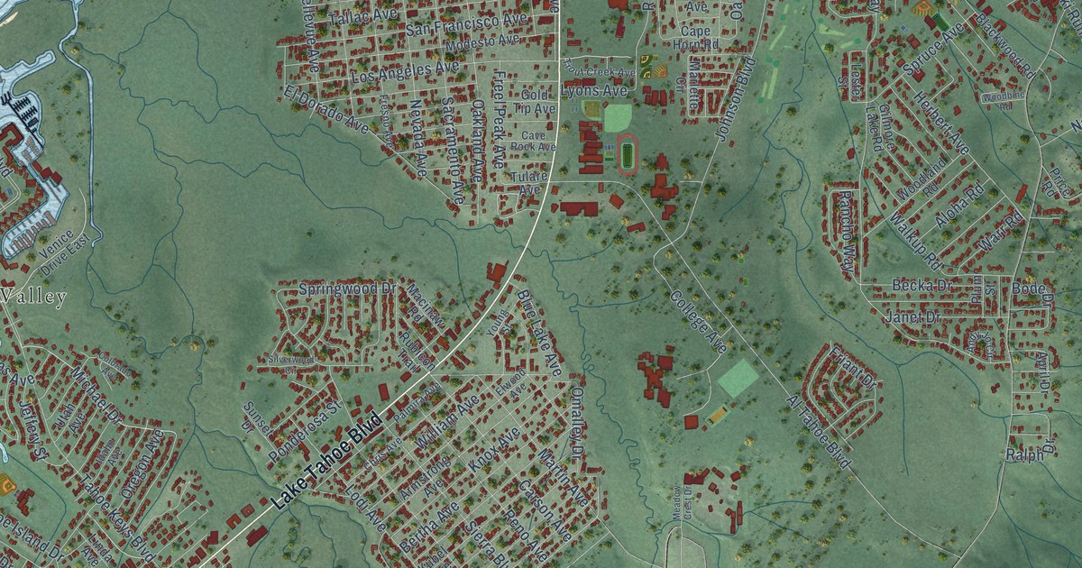
A detailed map of South Lake Tahoe, California, showing every building in its true location, the roads by name, and shaded topographical relief.
Read More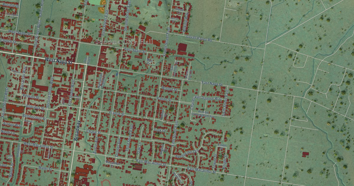
A detailed map of Sonoma, California, showing every building in its true location, the roads by name, and shaded topographical relief.
Read More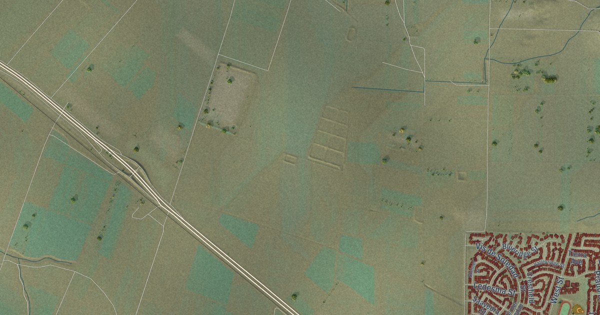
A detailed map of Soledad, California, showing every building in its true location, the roads by name, and shaded topographical relief.
Read More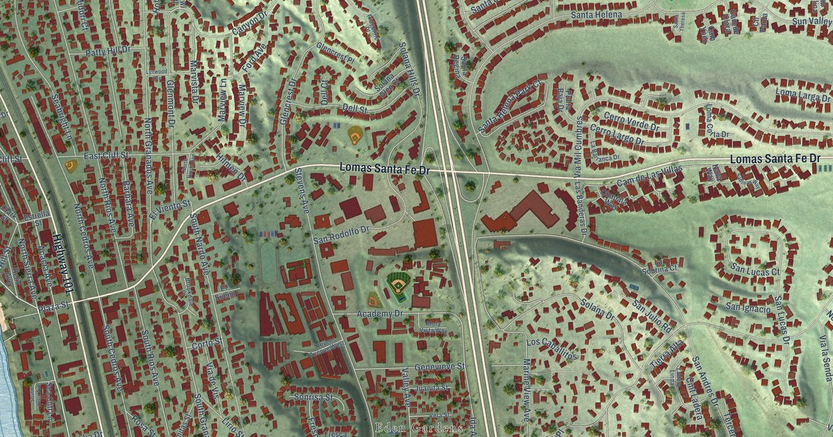
A detailed map of Solana Beach, California, showing every building in its true location, the roads by name, and shaded topographical relief.
Read More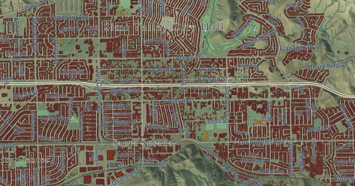
A detailed map of Simi Valley, California, showing every building in its true location, the roads by name, and shaded topographical relief.
Read More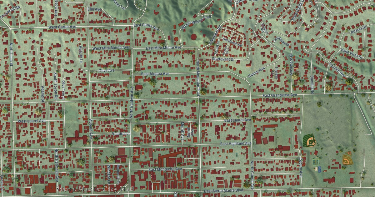
A detailed map of Sierra Madre, California, showing every building in its true location, the roads by name, and shaded topographical relief.
Read More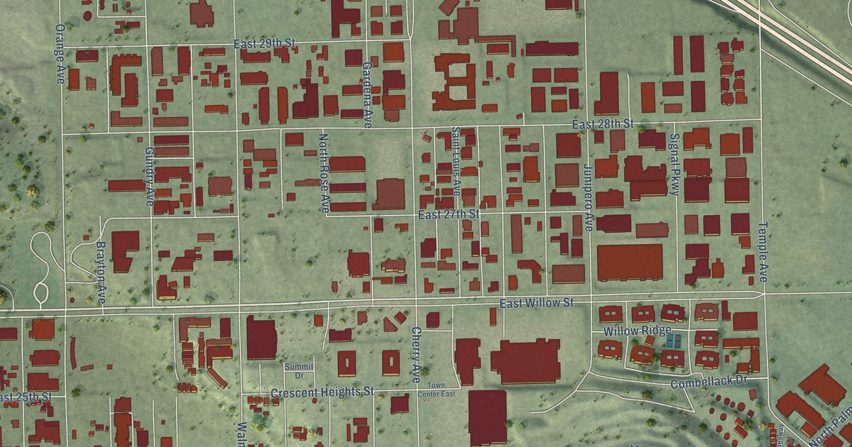
A detailed map of Signal Hill, California, showing every building in its true location, the roads by name, and shaded topographical relief.
Read More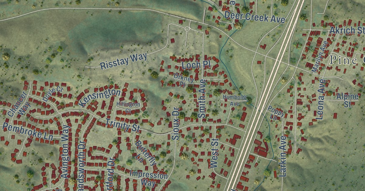
A detailed map of Shasta Lake, California, showing every building in its true location, the roads by name, and shaded topographical relief.
Read More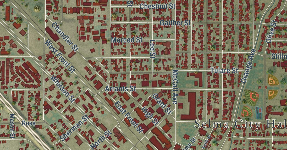
A detailed map of Selma, California, showing every building in its true location, the roads by name, and shaded topographical relief.
Read More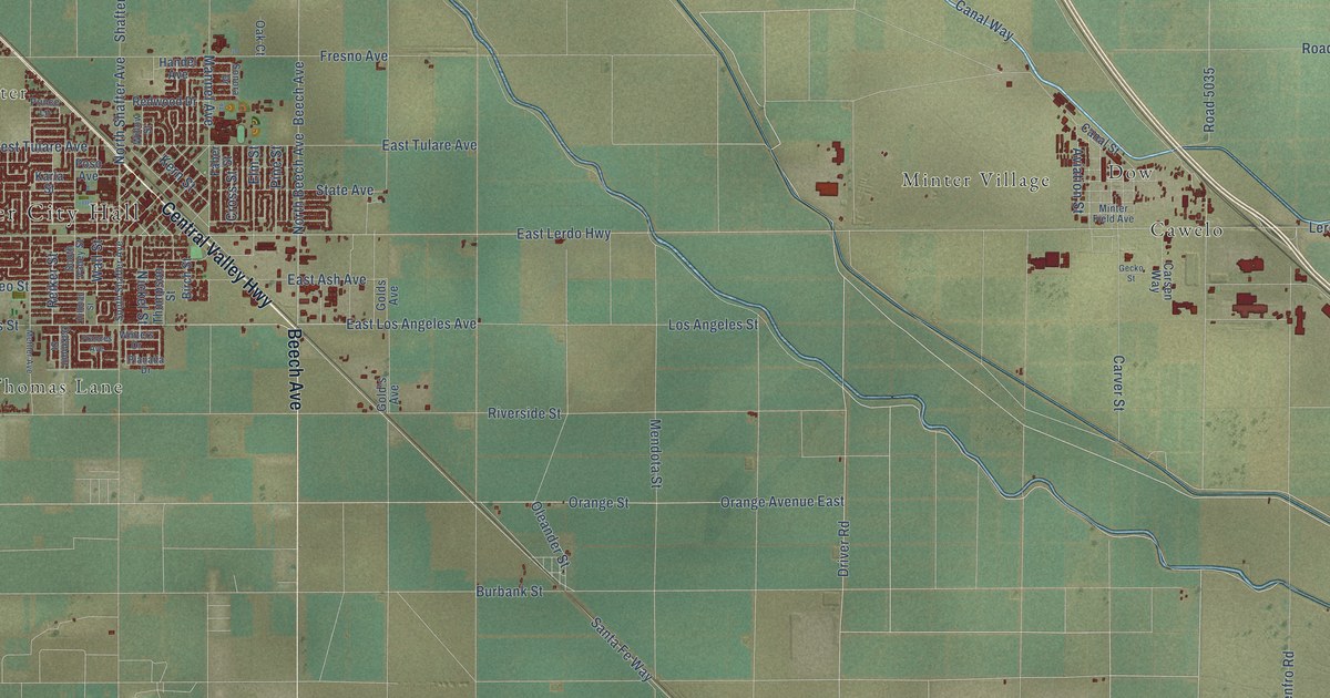
A detailed map of Shafter, California, showing every building in its true location, the roads by name, and shaded topographical relief.
Read More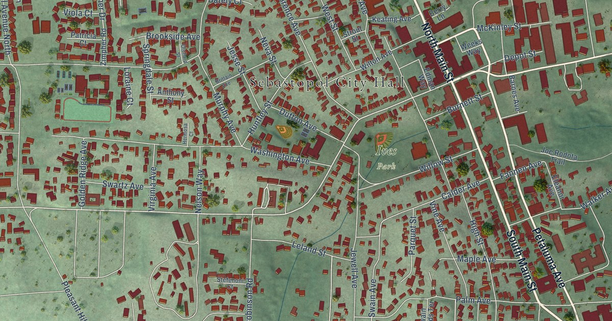
A detailed map of Sebastopol, California, showing every building in its true location, the roads by name, and shaded topographical relief.
Read More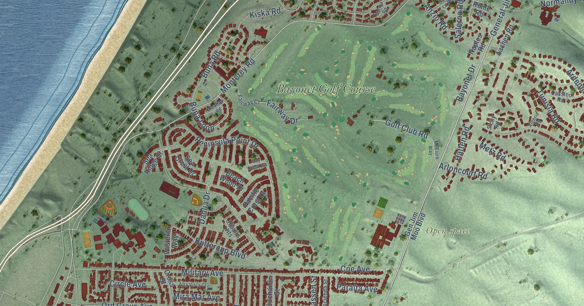
A detailed map of Seaside, California, showing every building in its true location, the roads by name, and shaded topographical relief.
Read More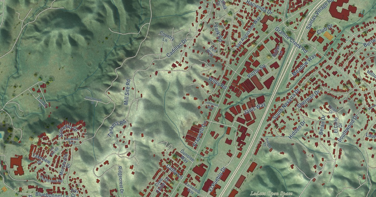
A detailed map of Scotts Valley, California, showing every building in its true location, the roads by name, and shaded topographical relief.
Read More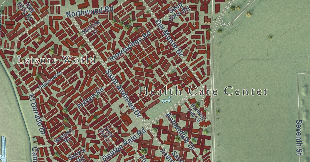
A detailed map of Seal Beach, California, showing every building in its true location, the roads by name, and shaded topographical relief.
Read More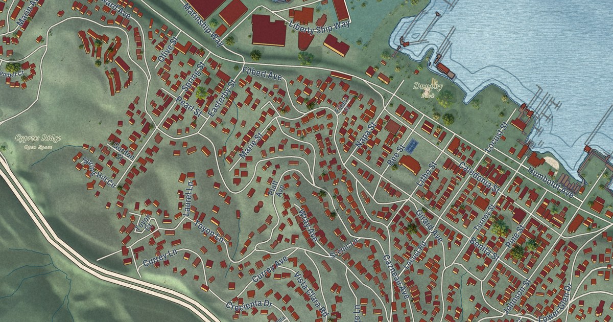
A detailed map of Sausalito, California, showing every building in its true location, the roads by name, and shaded topographical relief.
Read More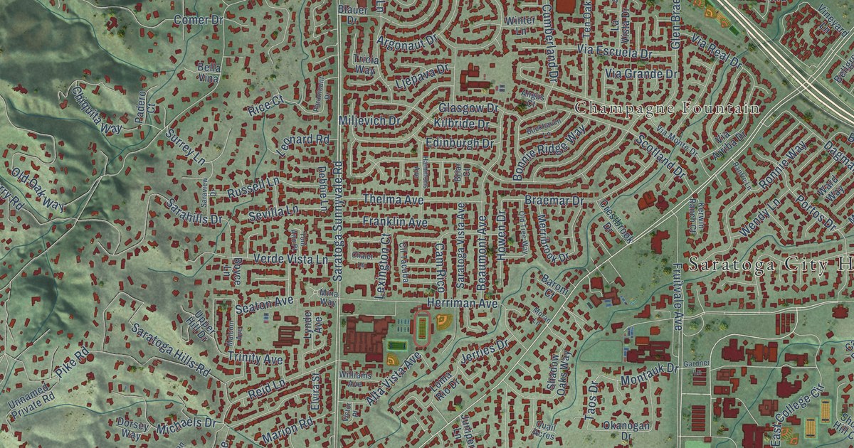
A detailed map of Saratoga, California, showing every building in its true location, the roads by name, and shaded topographical relief.
Read More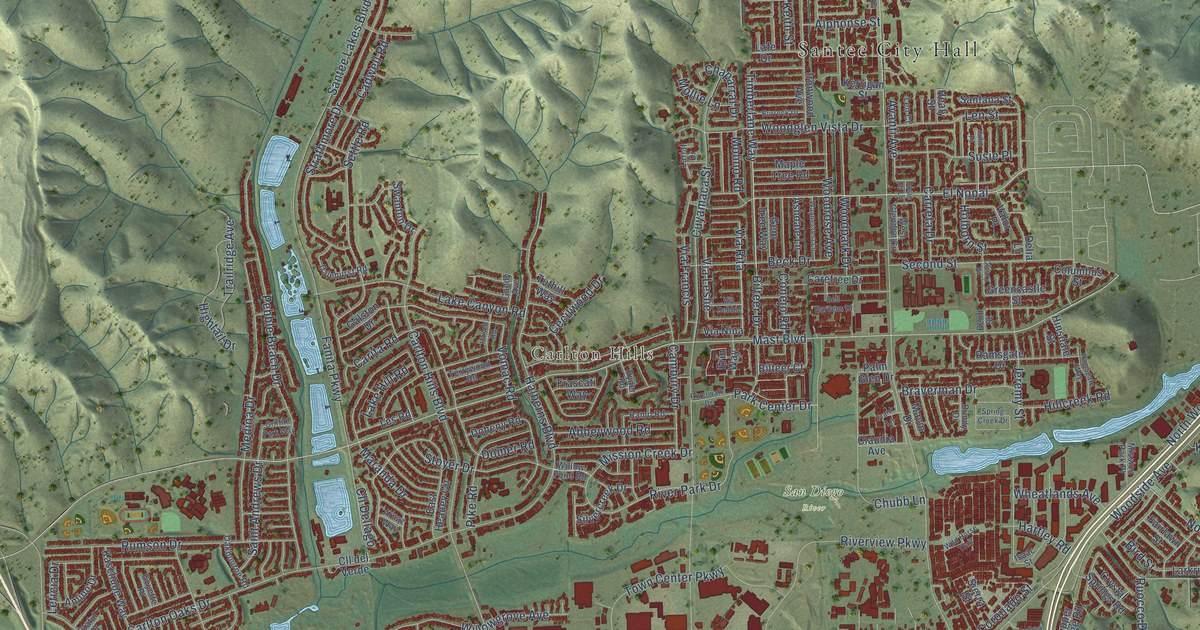
A detailed map of Santee, California, showing every building in its true location, the roads by name, and shaded topographical relief.
Read More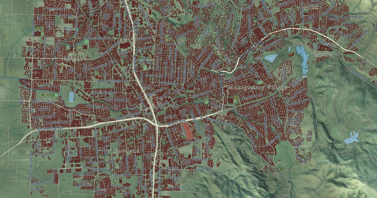
A detailed map of Santa Rosa, California, showing every building in its true location, the roads by name, and shaded topographical relief.
Read More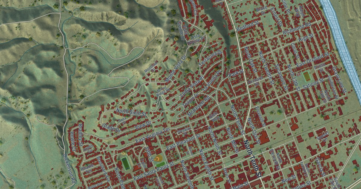
A detailed map of Santa Paula, California, showing every building in its true location, the roads by name, and shaded topographical relief.
Read More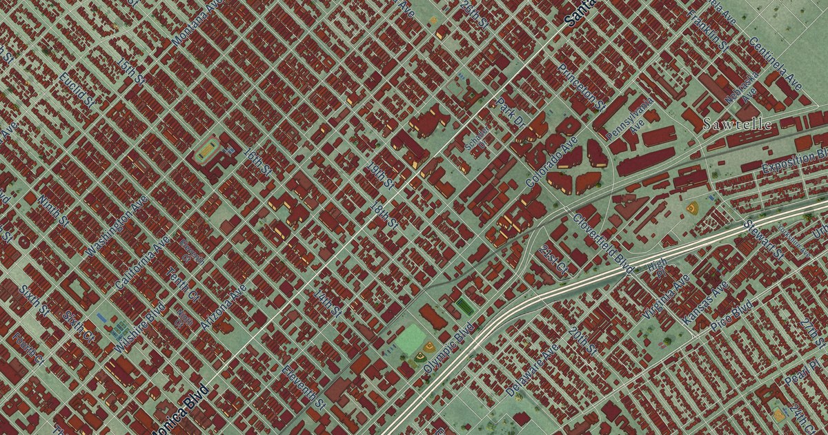
A detailed map of Santa Monica, California, showing every building in its true location, the roads by name, and shaded topographical relief.
Read More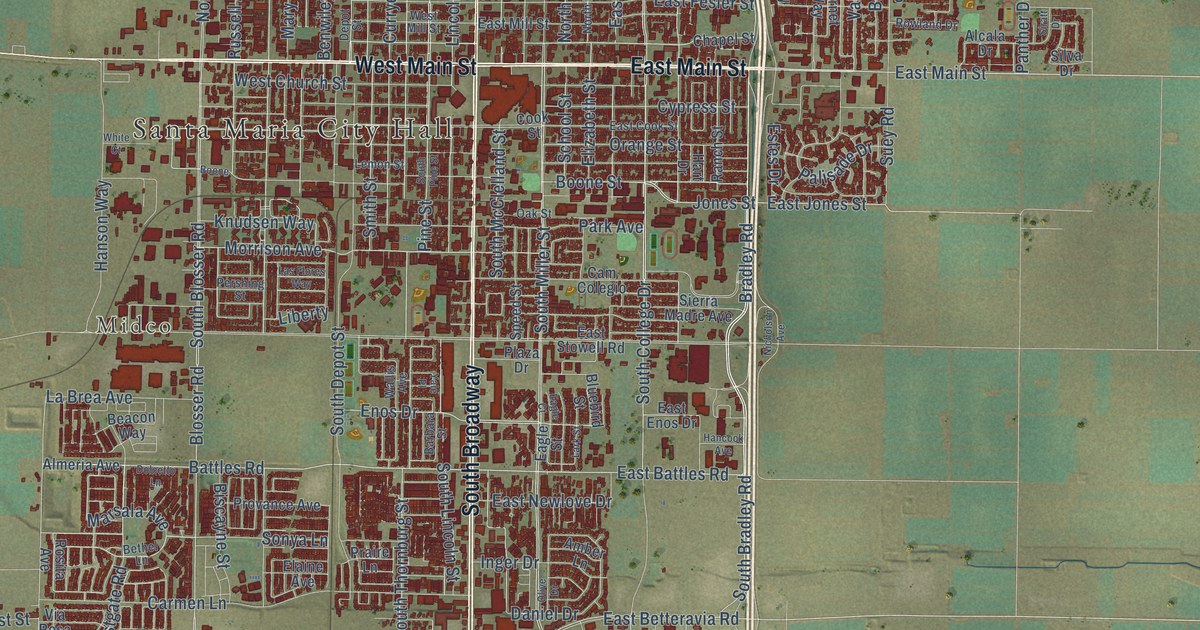
A detailed map of Santa Maria, California, showing every building in its true location, the roads by name, and shaded topographical relief.
Read More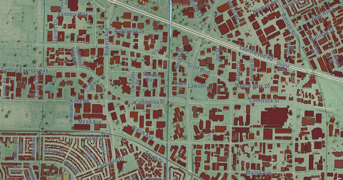
A detailed map of Santa Clara, California, showing every building in its true location, the roads by name, and shaded topographical relief.
Read More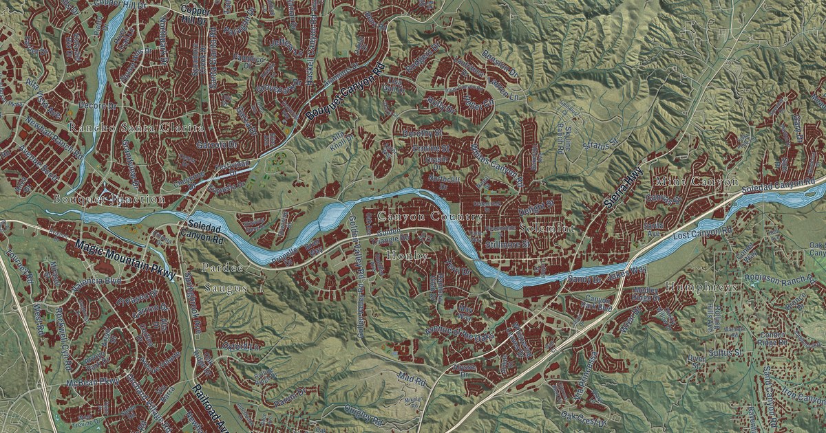
A detailed map of Santa Clarita, California, showing every building in its true location, the roads by name, and shaded topographical relief.
Read More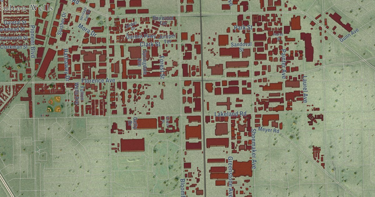
A detailed map of Santa Fe Springs, California, showing every building in its true location, the roads by name, and shaded topographical relief.
Read More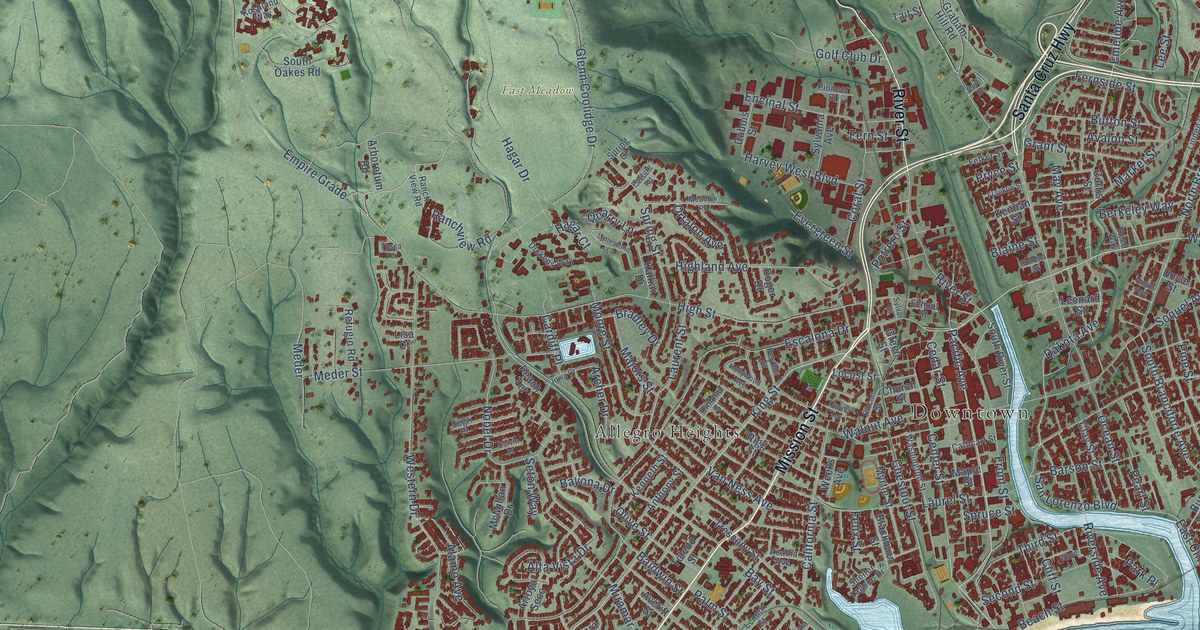
A detailed map of Santa Cruz, California, showing every building in its true location, the roads by name, and shaded topographical relief.
Read More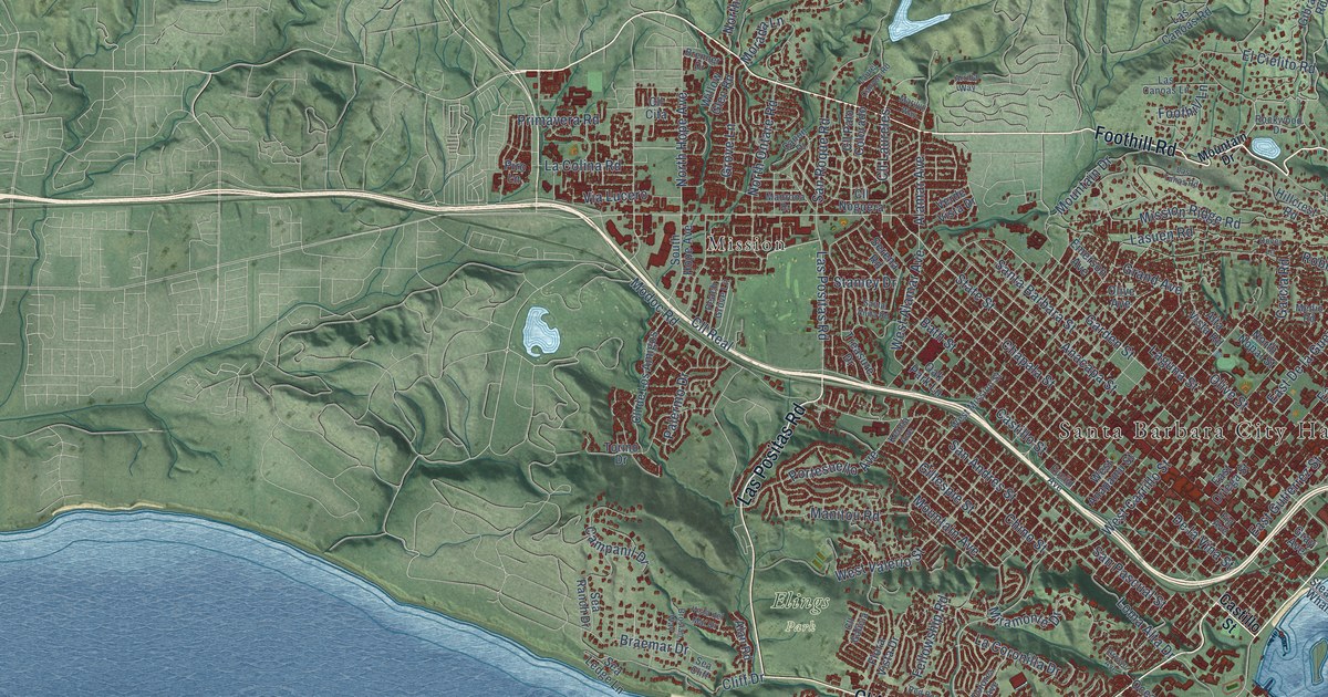
A detailed map of Santa Barbara, California, showing every building in its true location, the roads by name, and shaded topographical relief.
Read More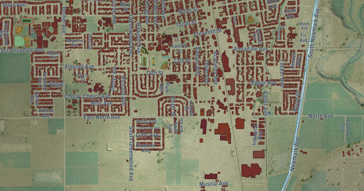
A detailed map of Sanger, California, showing every building in its true location, the roads by name, and shaded topographical relief.
Read More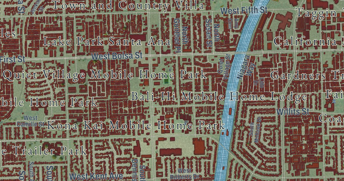
A detailed map of Santa Ana, California, showing every building in its true location, the roads by name, and shaded topographical relief.
Read More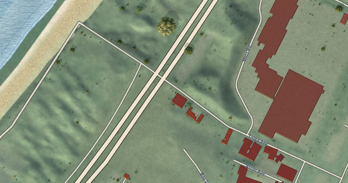
A detailed map of Sand City, California, showing every building in its true location, the roads by name, and shaded topographical relief.
Read More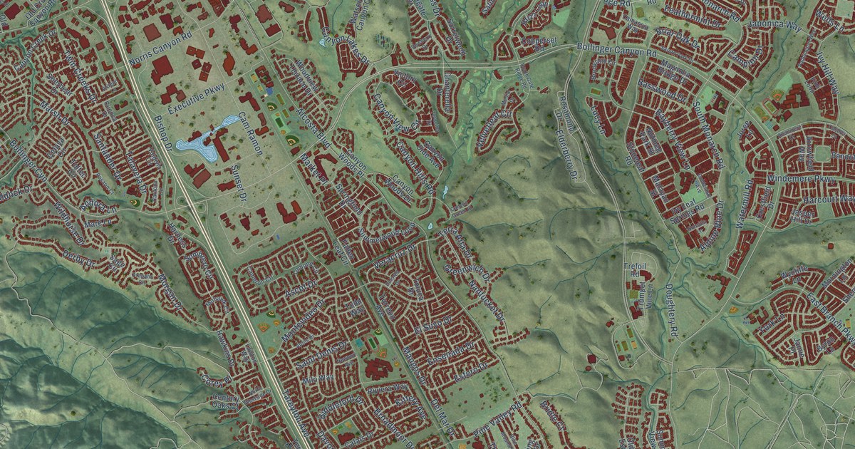
A detailed map of San Ramon, California, showing every building in its true location, the roads by name, and shaded topographical relief.
Read More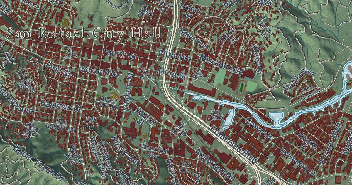
A detailed map of San Rafael, California, showing every building in its true location, the roads by name, and shaded topographical relief.
Read More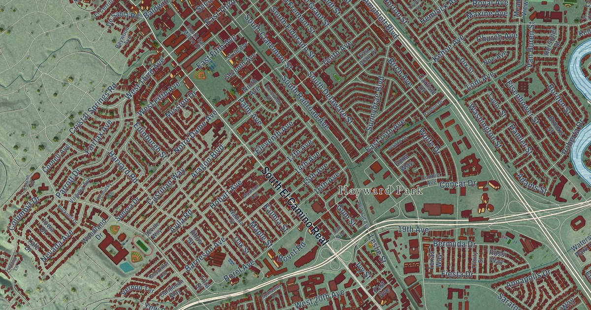
A detailed map of San Mateo, California, showing every building in its true location, the roads by name, and shaded topographical relief.
Read More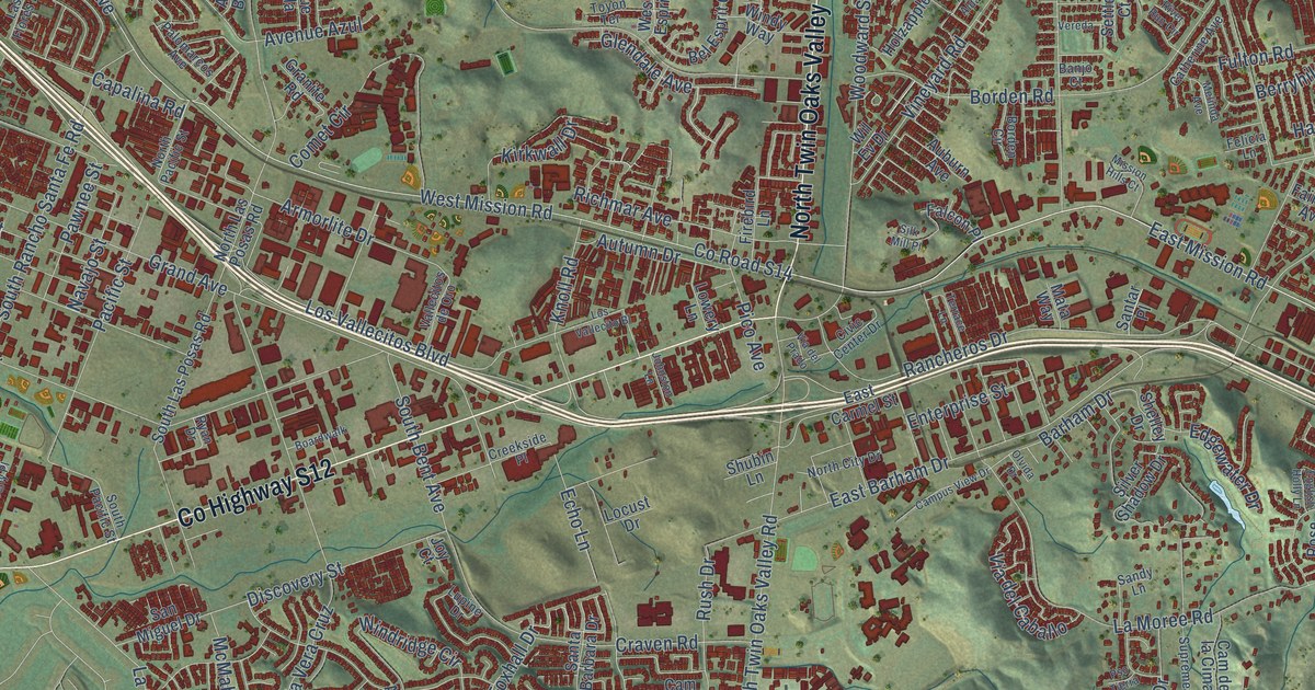
A detailed map of San Marcos, California, showing every building in its true location, the roads by name, and shaded topographical relief.
Read More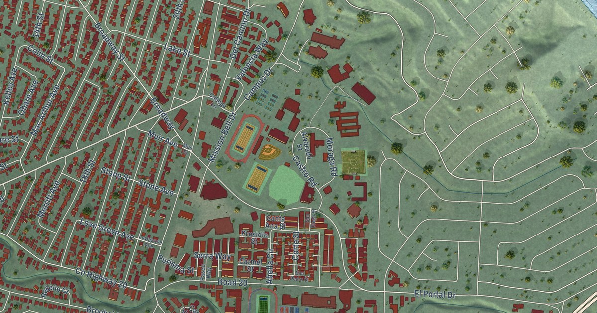
A detailed map of San Pablo, California, showing every building in its true location, the roads by name, and shaded topographical relief.
Read More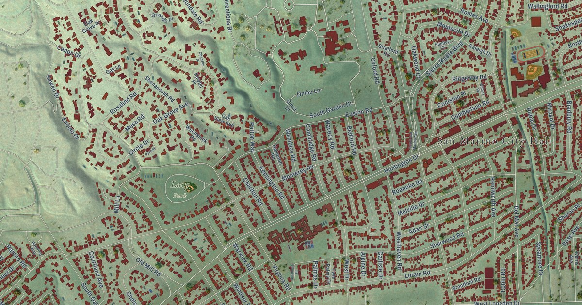
A detailed map of San Marino, California, showing every building in its true location, the roads by name, and shaded topographical relief.
Read More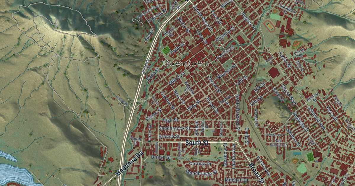
A detailed map of San Luis Obispo, California, showing every building in its true location, the roads by name, and shaded topographical relief.
Read More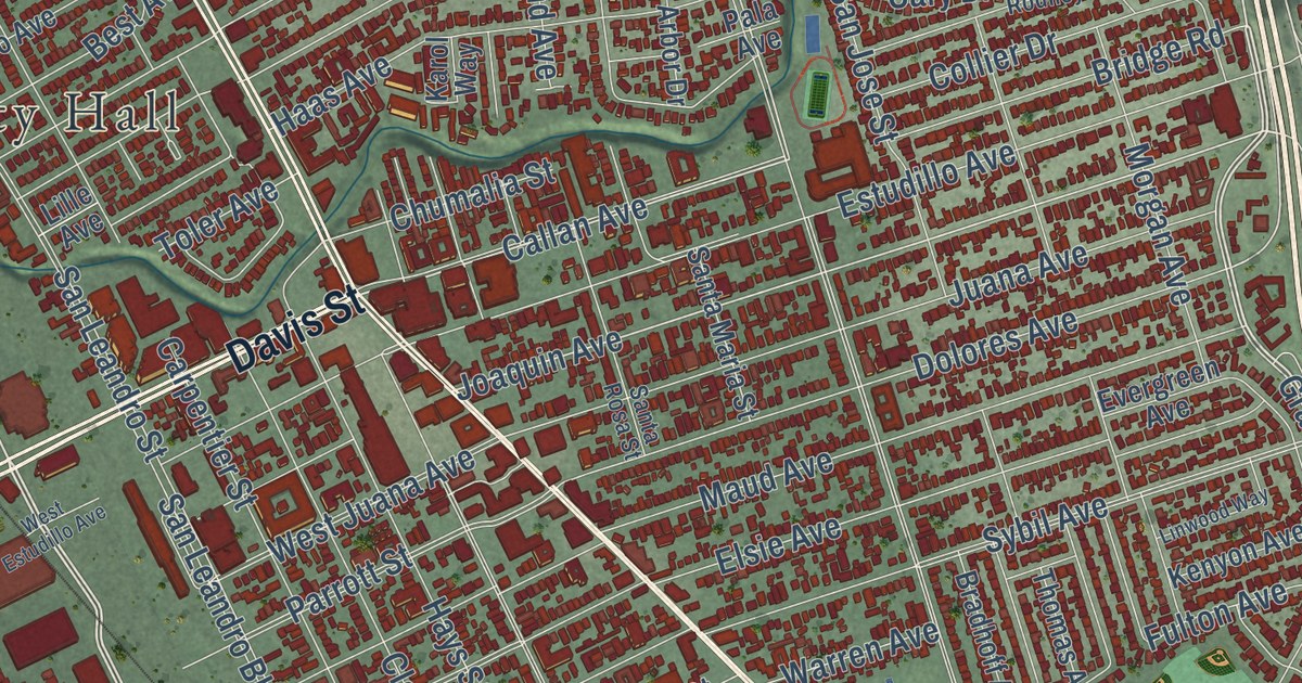
A detailed map of San Leandro, California, showing every building in its true location, the roads by name, and shaded topographical relief.
Read More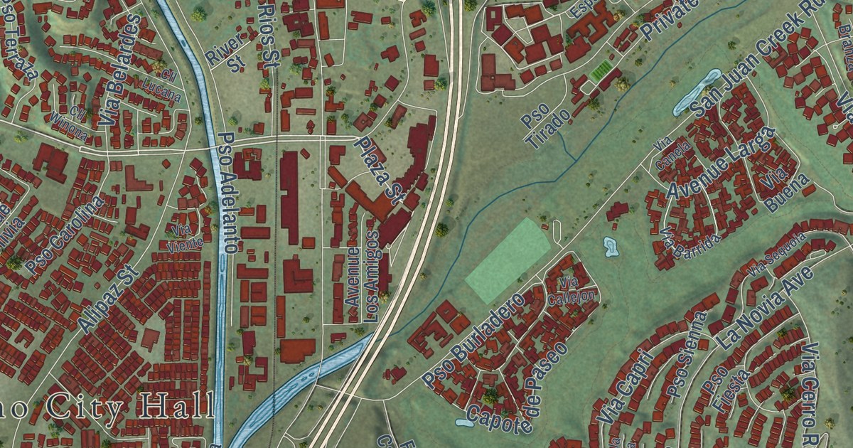
A detailed map of San Juan Capistrano, California, showing every building in its true location, the roads by name, and shaded topographical relief.
Read More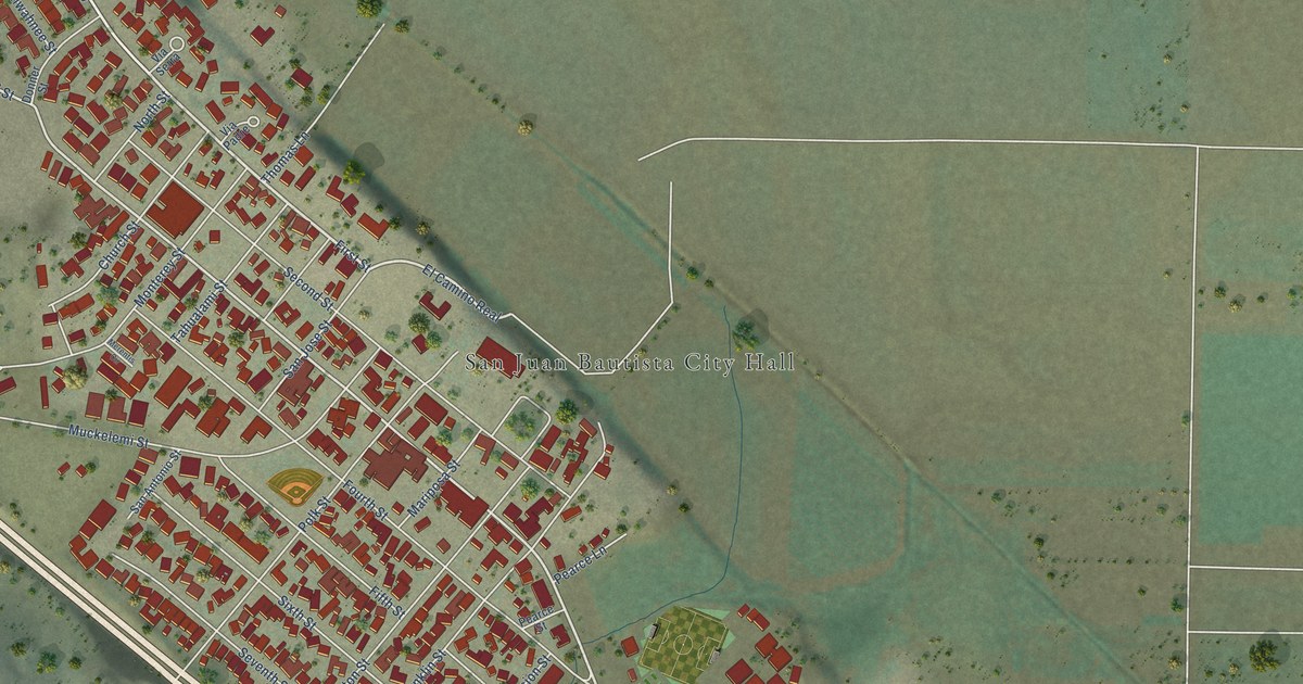
A detailed map of San Juan Bautista, California, showing every building in its true location, the roads by name, and shaded topographical relief.
Read More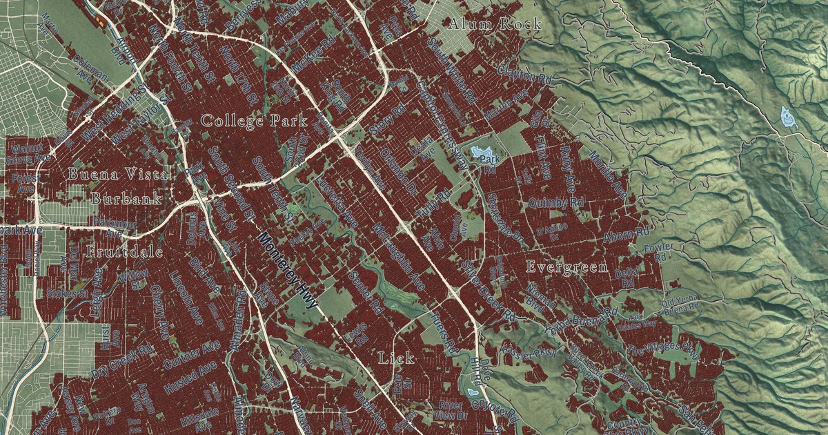
A detailed map of San Jose, California, showing every building in its true location, the roads by name, and shaded topographical relief.
Read More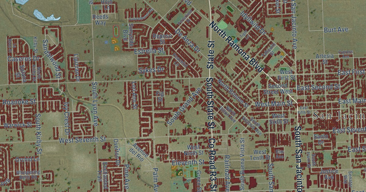
A detailed map of San Jacinto, California, showing every building in its true location, the roads by name, and shaded topographical relief.
Read More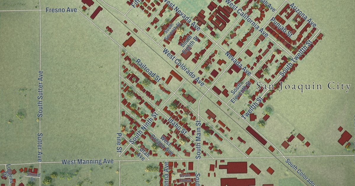
A detailed map of San Joaquin, California, showing every building in its true location, the roads by name, and shaded topographical relief.
Read More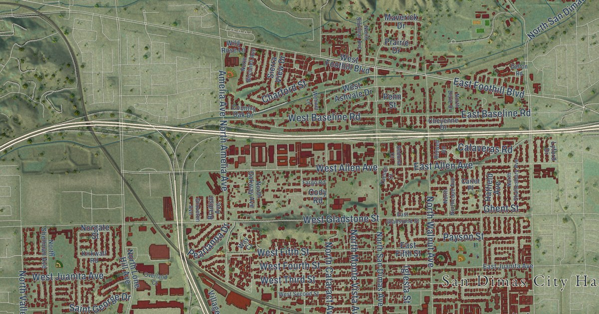
A detailed map of San Dimas, California, showing every building in its true location, the roads by name, and shaded topographical relief.
Read More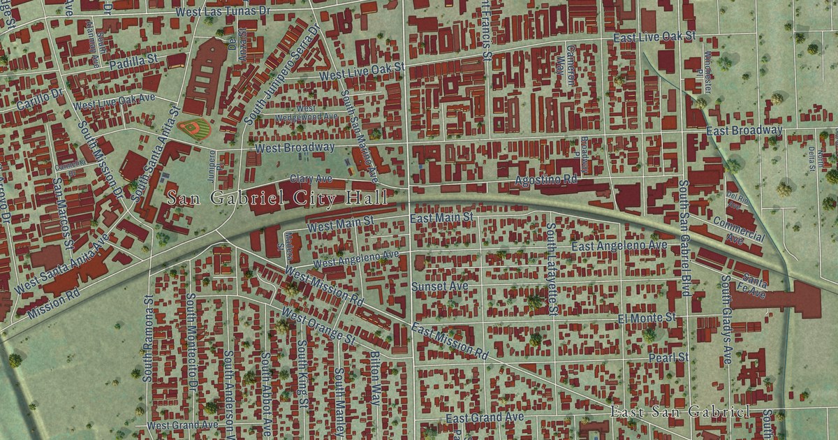
A detailed map of San Gabriel, California, showing every building in its true location, the roads by name, and shaded topographical relief.
Read More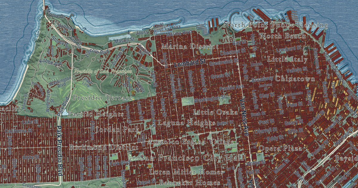
A detailed map of San Francisco, California, showing every building in its true location, the roads by name, and shaded topographical relief.
Read More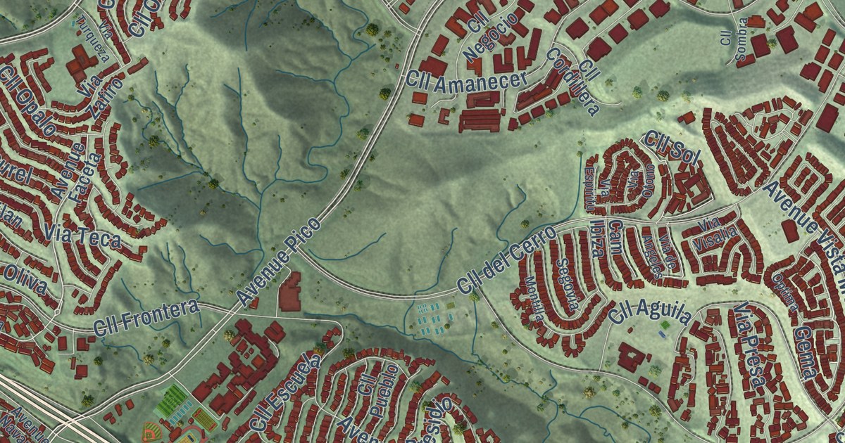
A detailed map of San Clemente, California, showing every building in its true location, the roads by name, and shaded topographical relief.
Read More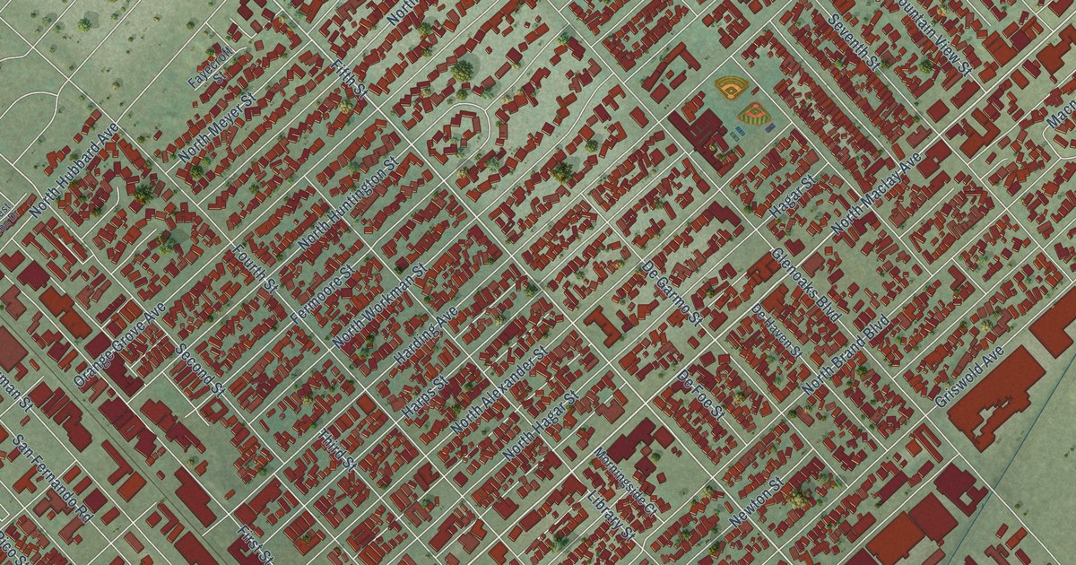
A detailed map of San Fernando, California, showing every building in its true location, the roads by name, and shaded topographical relief.
Read More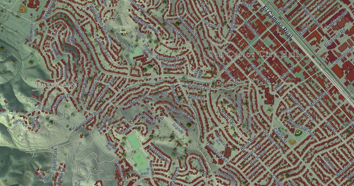
A detailed map of San Carlos, California, showing every building in its true location, the roads by name, and shaded topographical relief.
Read More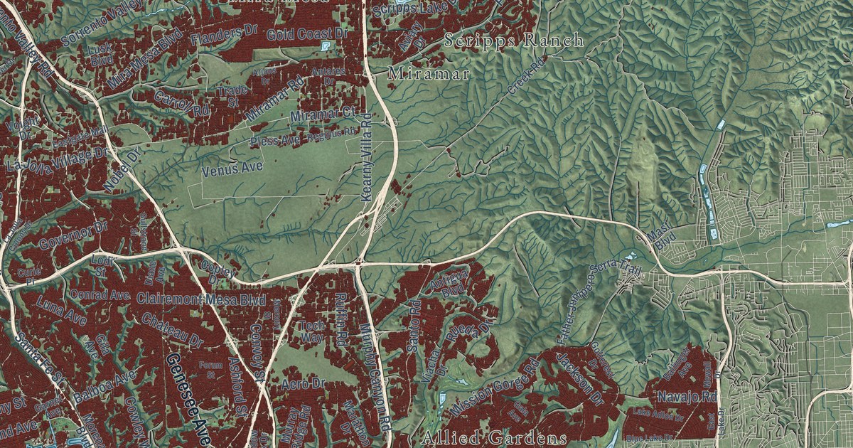
A detailed map of San Diego, California, showing every building in its true location, the roads by name, and shaded topographical relief.
Read More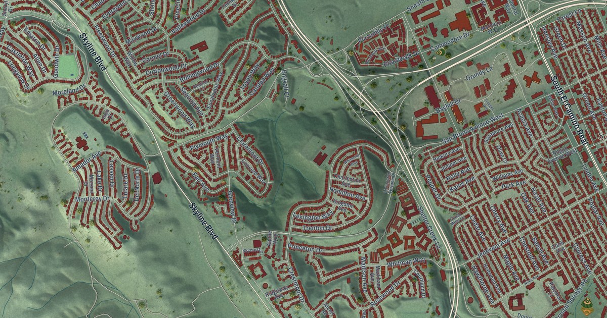
A detailed map of San Bruno, California, showing every building in its true location, the roads by name, and shaded topographical relief.
Read More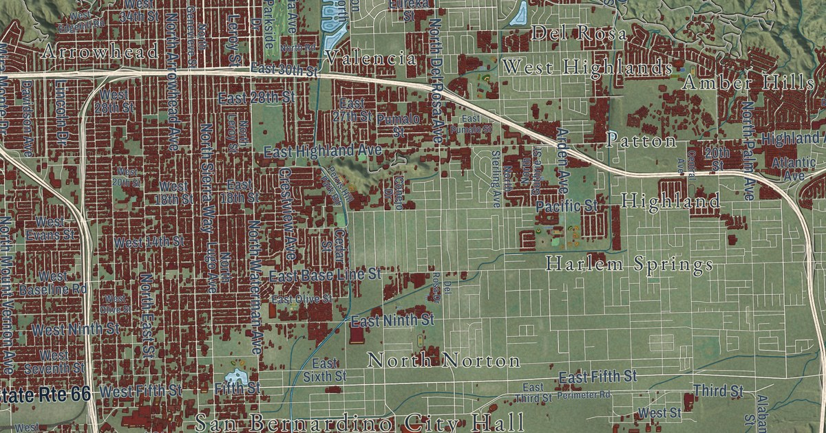
A detailed map of San Bernardino, California, showing every building in its true location, the roads by name, and shaded topographical relief.
Read More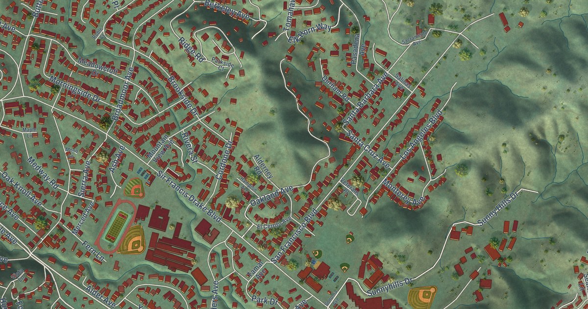
A detailed map of San Anselmo, California, showing every building in its true location, the roads by name, and shaded topographical relief.
Read More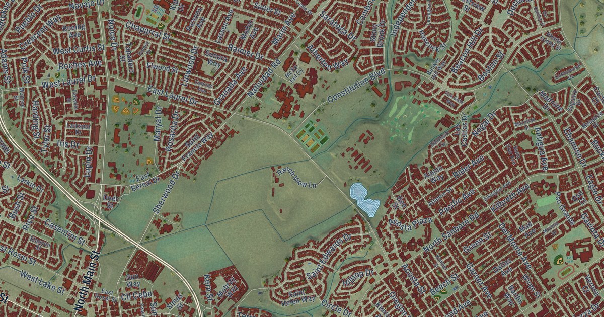
A detailed map of Salinas, California, showing every building in its true location, the roads by name, and shaded topographical relief.
Read More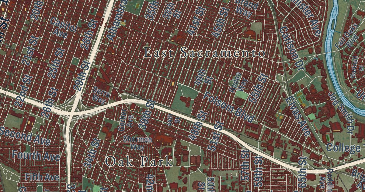
A detailed map of Sacramento, California, showing every building in its true location, the roads by name, and shaded topographical relief.
Read More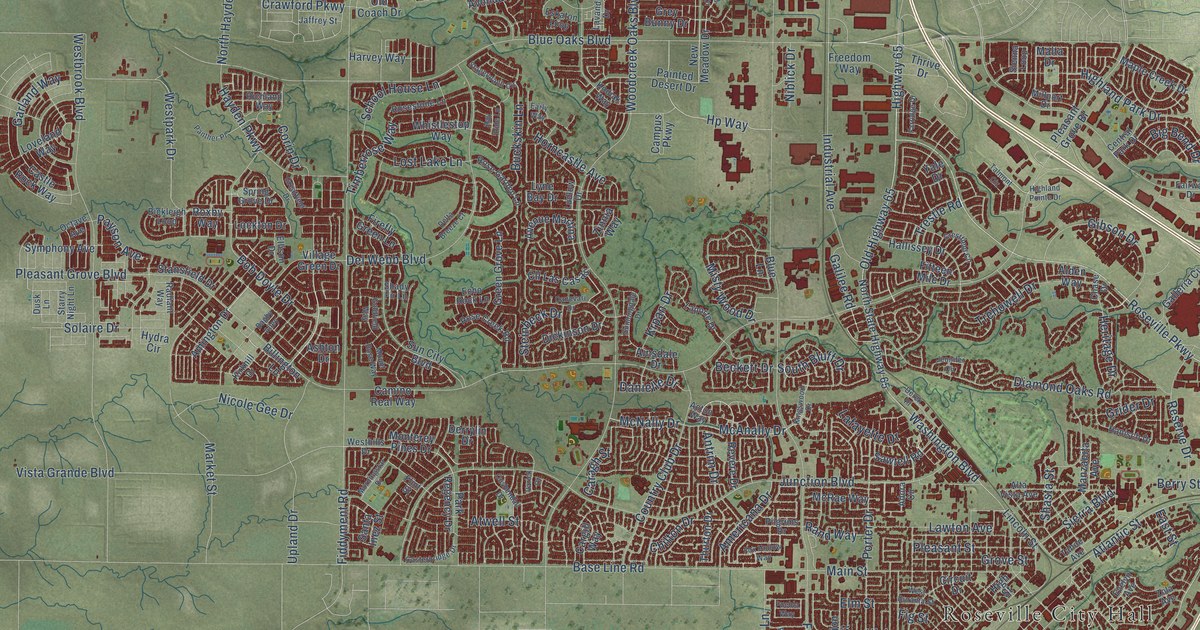
A detailed map of Roseville, California, showing every building in its true location, the roads by name, and shaded topographical relief.
Read More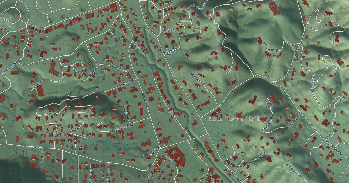
A detailed map of Ross, California, showing every building in its true location, the roads by name, and shaded topographical relief.
Read More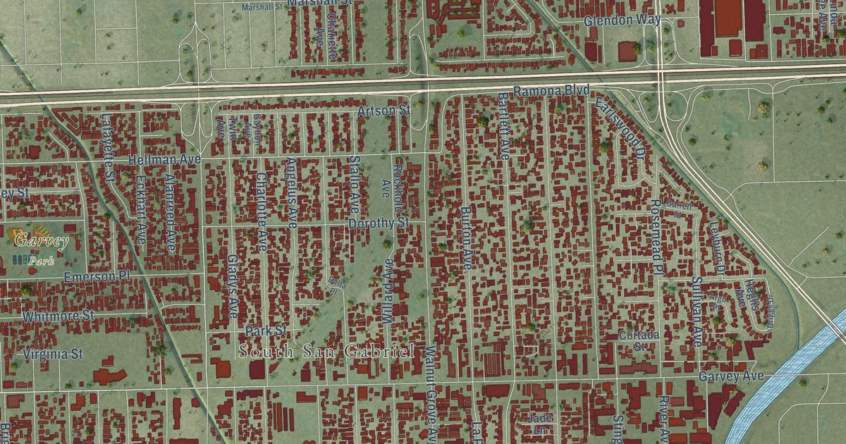
A detailed map of Rosemead, California, showing every building in its true location, the roads by name, and shaded topographical relief.
Read More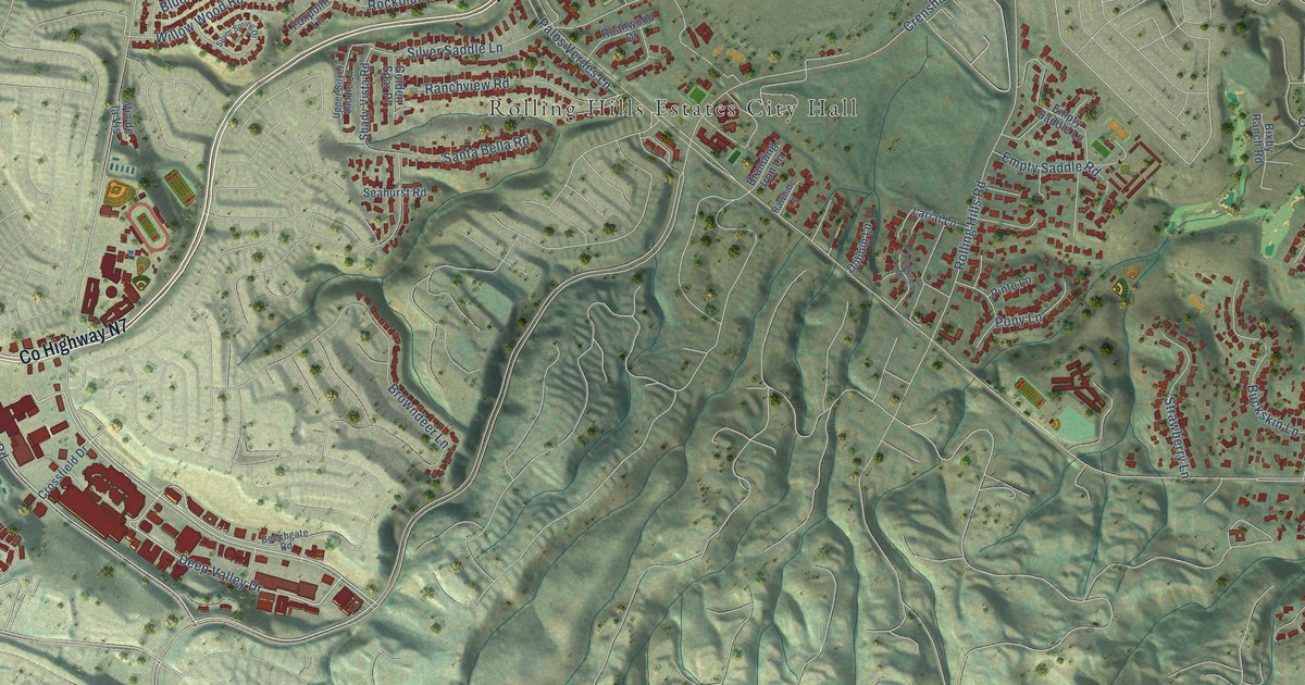
A detailed map of Rolling Hills Estates, California, showing every building in its true location, the roads by name, and shaded topographical relief.
Read More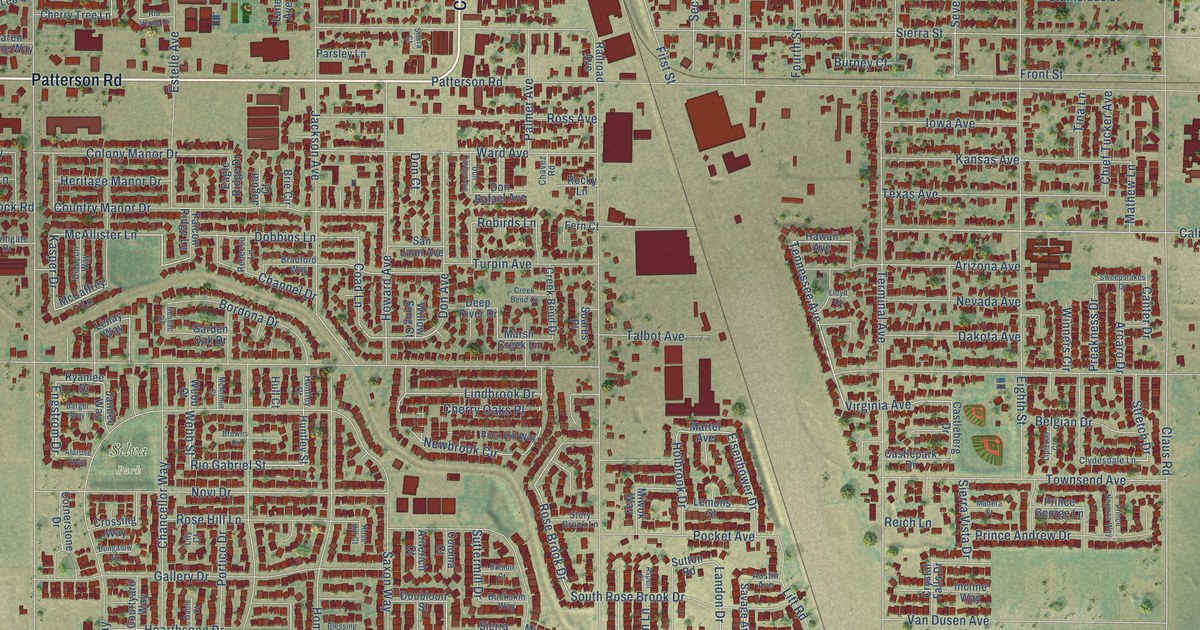
A detailed map of Riverbank, California, showing every building in its true location, the roads by name, and shaded topographical relief.
Read More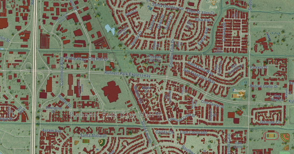
A detailed map of Rohnert Park, California, showing every building in its true location, the roads by name, and shaded topographical relief.
Read More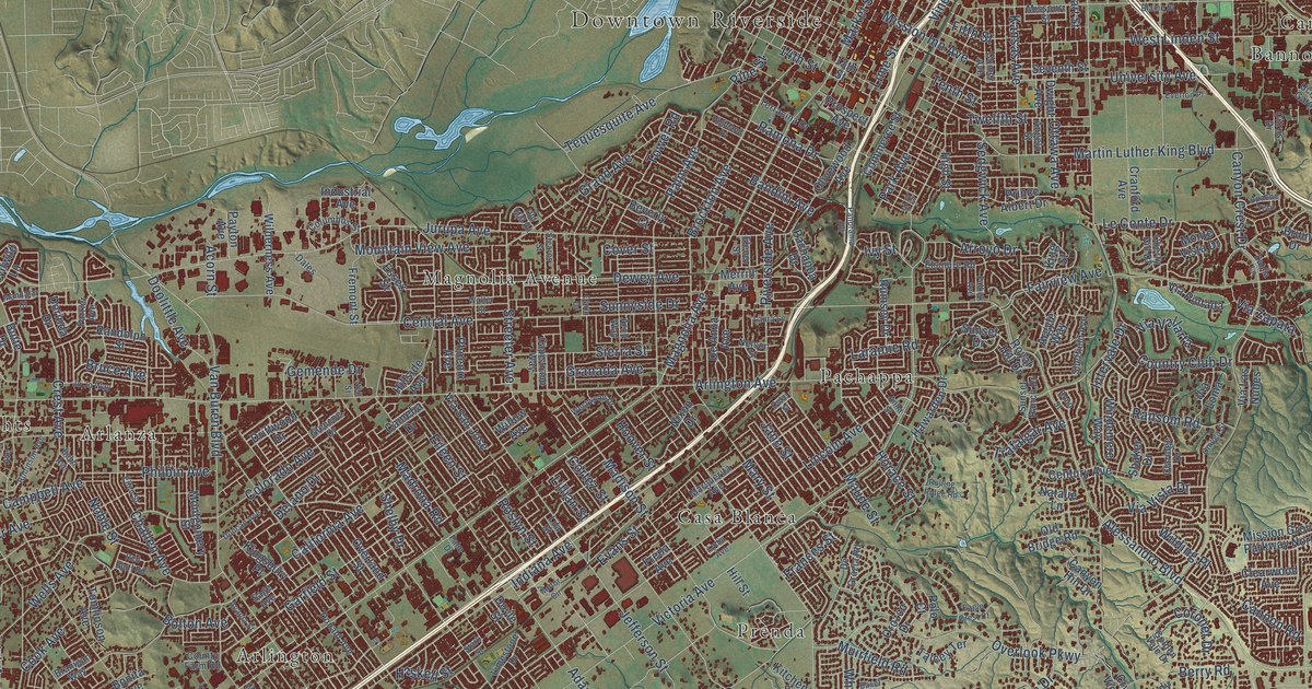
A detailed map of Riverside, California, showing every building in its true location, the roads by name, and shaded topographical relief.
Read More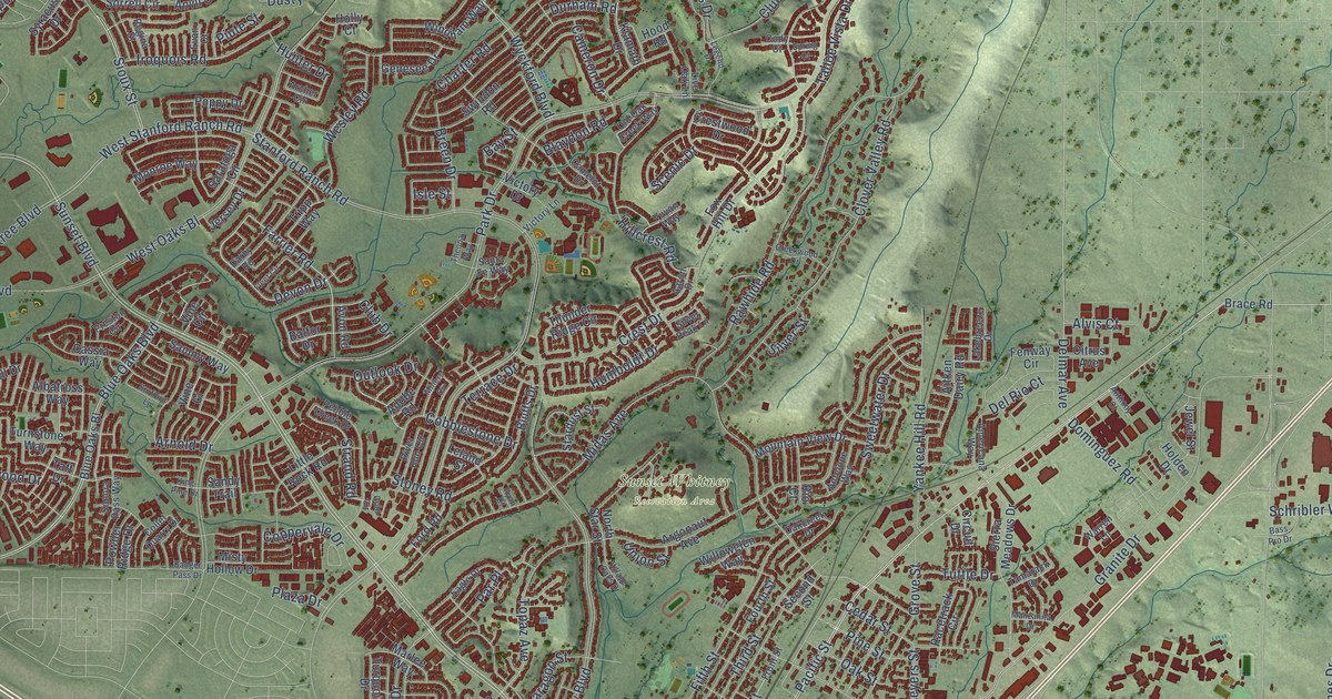
A detailed map of Rocklin, California, showing every building in its true location, the roads by name, and shaded topographical relief.
Read More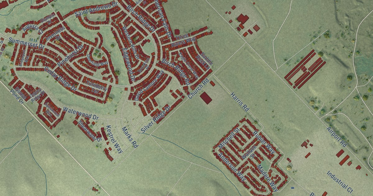
A detailed map of Rio Vista, California, showing every building in its true location, the roads by name, and shaded topographical relief.
Read More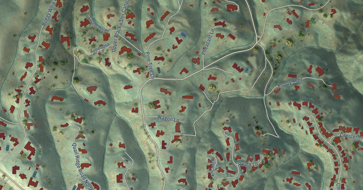
A detailed map of Rolling Hills, California, showing every building in its true location, the roads by name, and shaded topographical relief.
Read More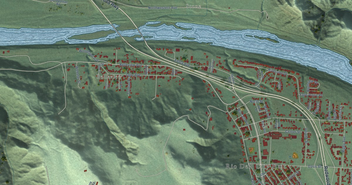
A detailed map of Rio Dell, California, showing every building in its true location, the roads by name, and shaded topographical relief.
Read More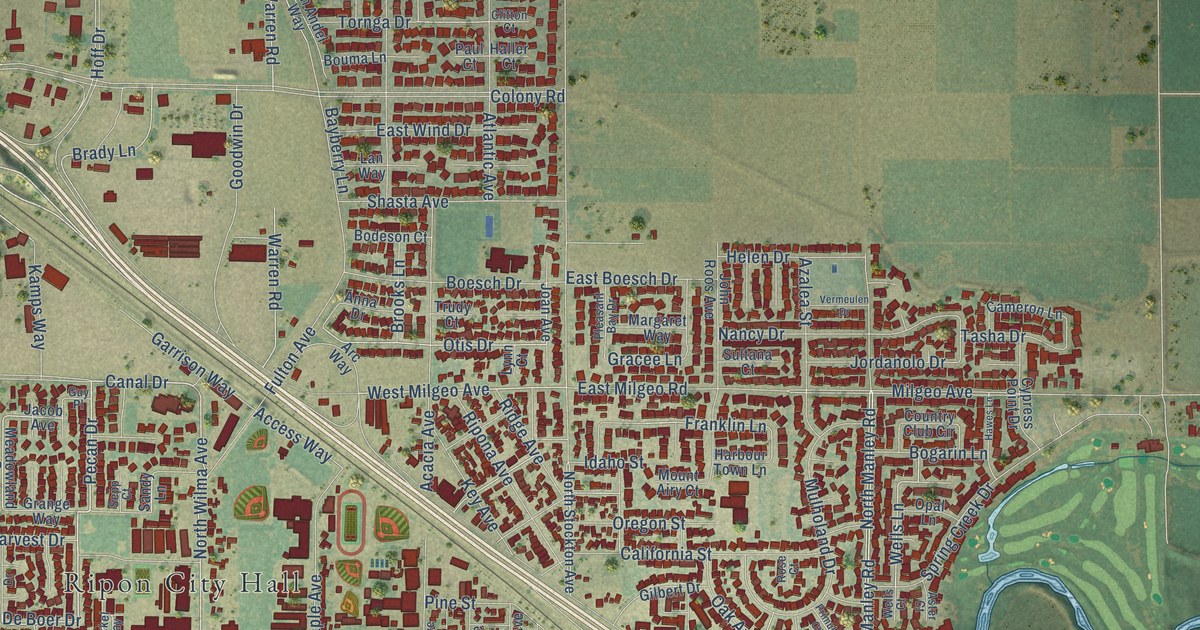
A detailed map of Ripon, California, showing every building in its true location, the roads by name, and shaded topographical relief.
Read More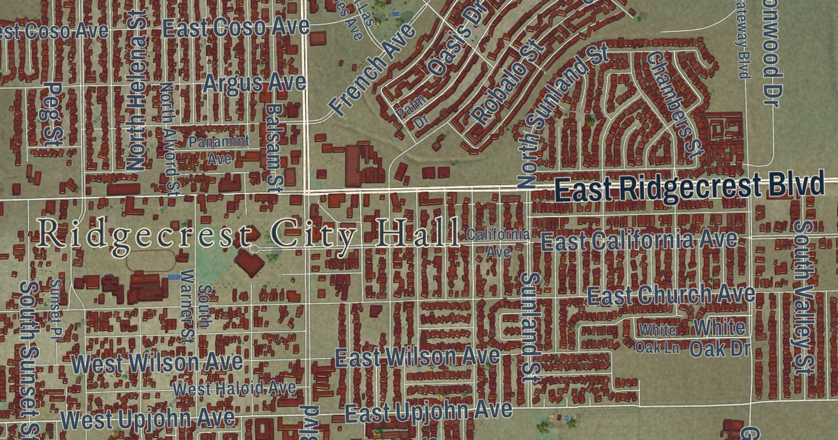
A detailed map of Ridgecrest, California, showing every building in its true location, the roads by name, and shaded topographical relief.
Read More















