Detailed Map of Elmont, Kansas
A detailed map of Elmont, Kansas, showing every building in its true location, the roads by name, and shaded topographical relief.
Read More
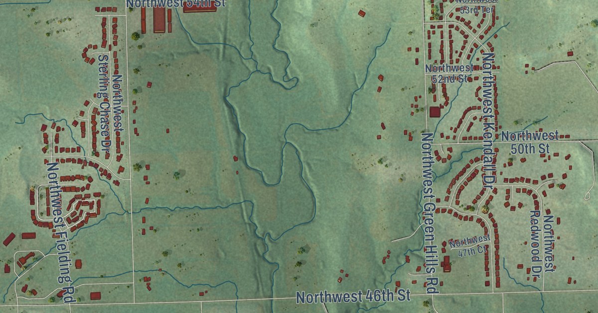
A detailed map of Elmont, Kansas, showing every building in its true location, the roads by name, and shaded topographical relief.
Read More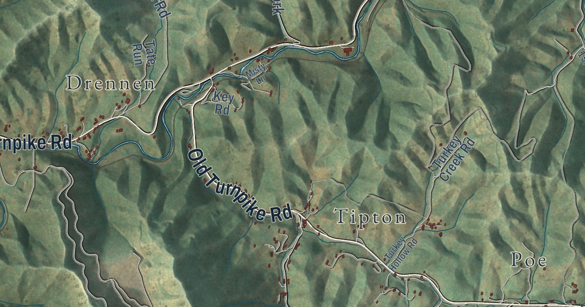
A detailed map of Zela, West Virginia, showing every building in its true location, the roads by name, and shaded topographical relief.
Read More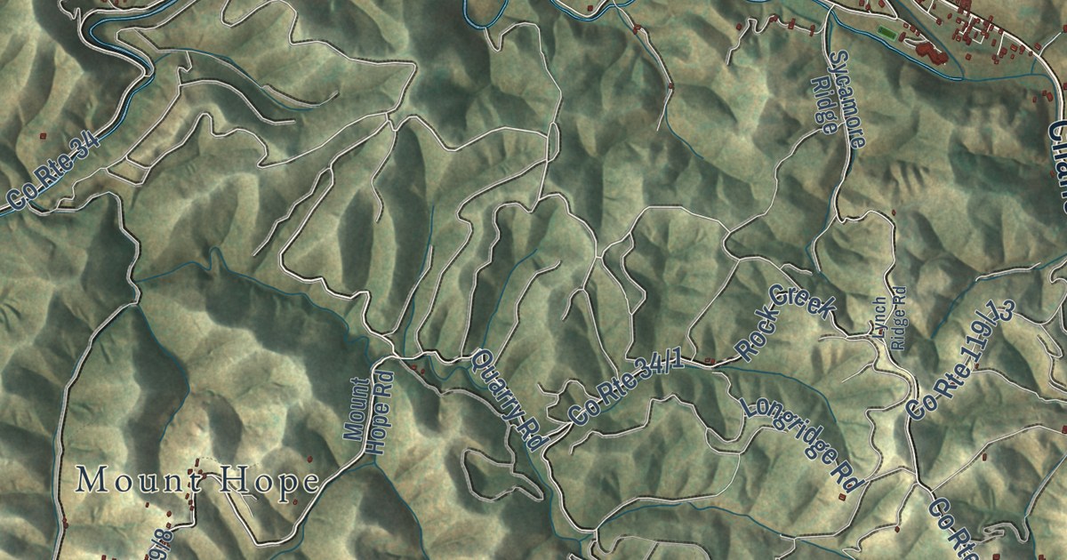
A detailed map of Walton, West Virginia, showing every building in its true location, the roads by name, and shaded topographical relief.
Read More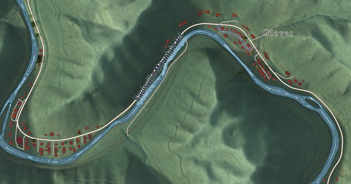
A detailed map of Wyoming, West Virginia, showing every building in its true location, the roads by name, and shaded topographical relief.
Read More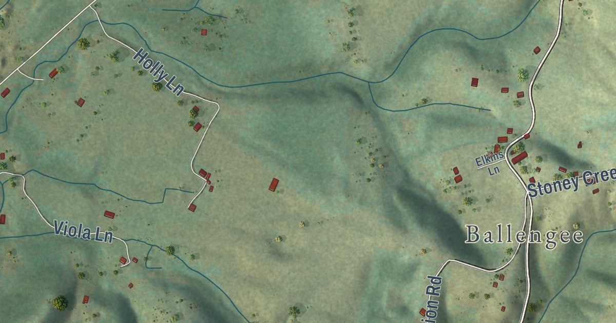
A detailed map of Talcott, West Virginia, showing every building in its true location, the roads by name, and shaded topographical relief.
Read More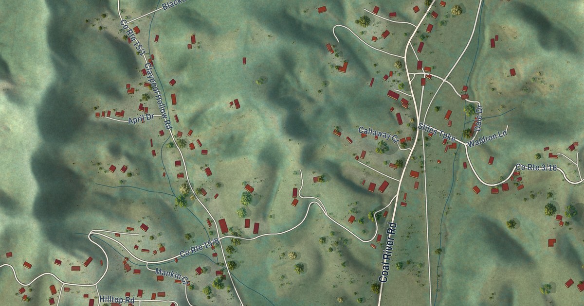
A detailed map of Trap Hill, West Virginia, showing every building in its true location, the roads by name, and shaded topographical relief.
Read More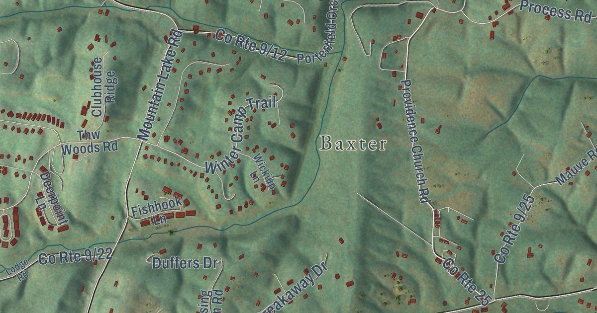
A detailed map of Tomahawk, West Virginia, showing every building in its true location, the roads by name, and shaded topographical relief.
Read More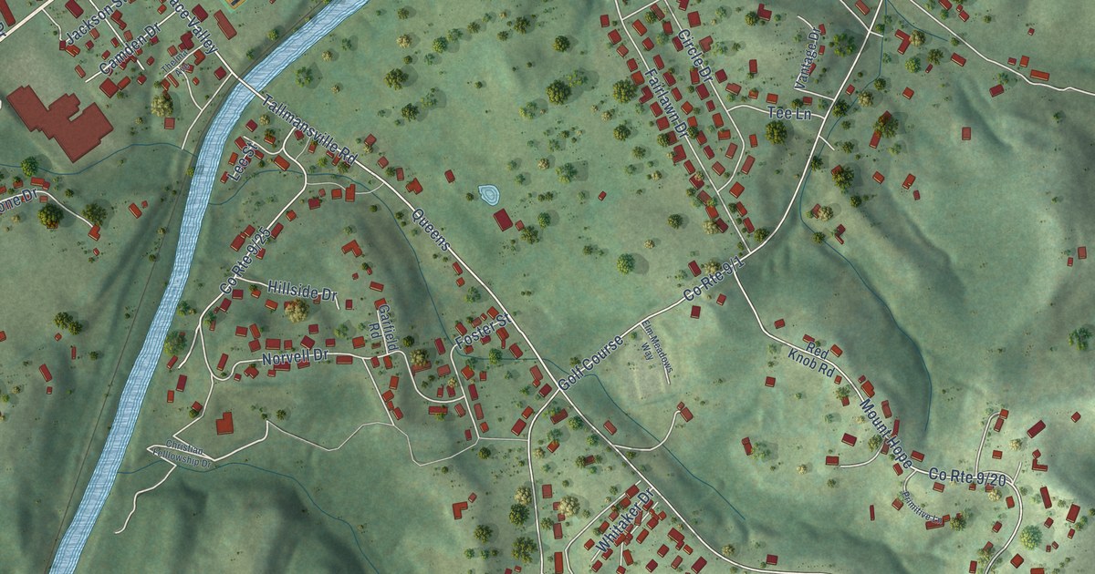
A detailed map of Tennerton, West Virginia, showing every building in its true location, the roads by name, and shaded topographical relief.
Read More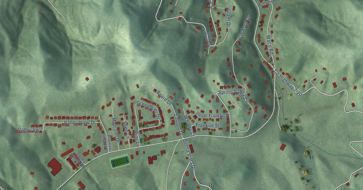
A detailed map of Spring Valley, West Virginia, showing every building in its true location, the roads by name, and shaded topographical relief.
Read More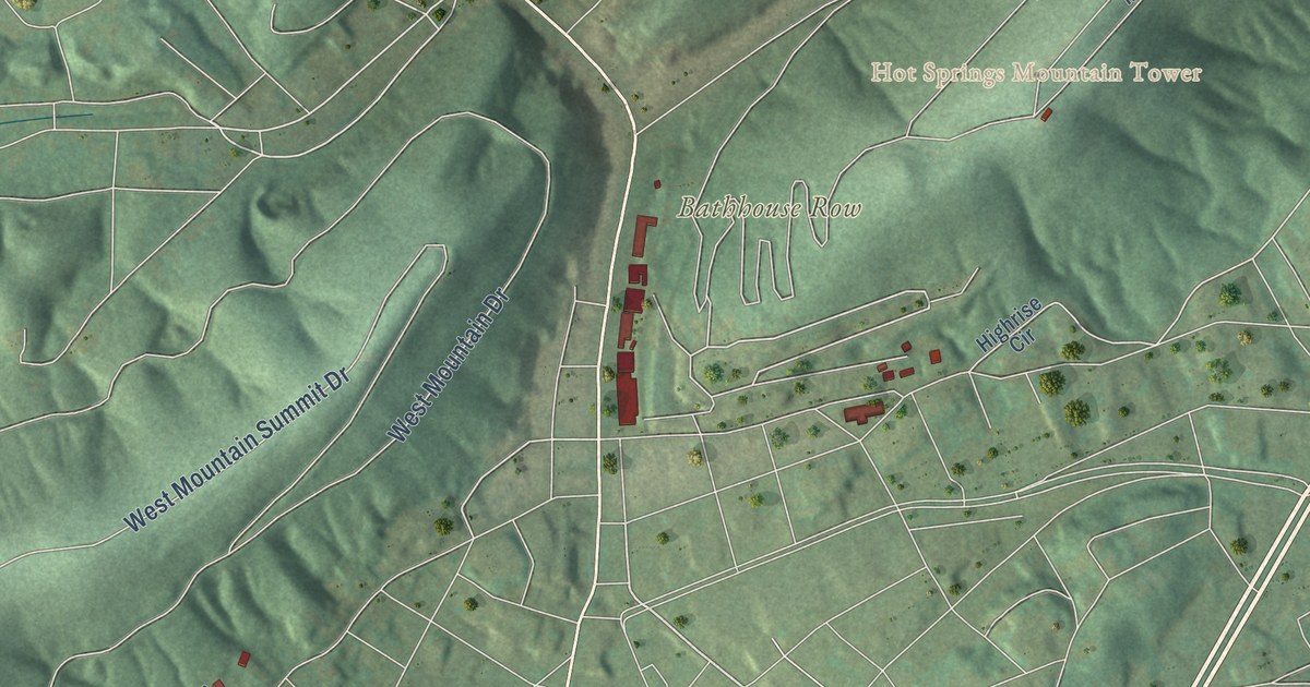
A detailed map of Hot Springs National Park, from Bathhouse Row and Hot Springs Mountain to North Mountain and Sugarloaf Mountain, with shaded relief and the streets of the city around it.
Read More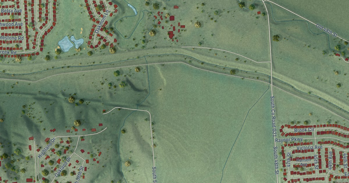
A detailed map of Rumsey, Nebraska, showing every building in its true location, the roads by name, and shaded topographical relief.
Read More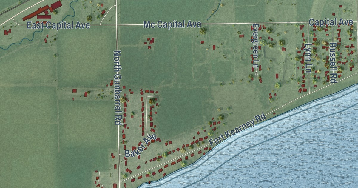
A detailed map of Lockwood, Nebraska, showing every building in its true location, the roads by name, and shaded topographical relief.
Read More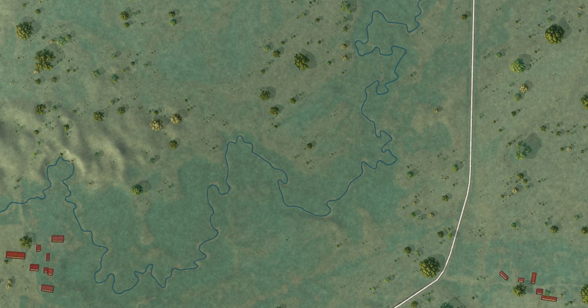
A detailed map of Simeon, Nebraska, showing every building in its true location, the roads by name, and shaded topographical relief.
Read More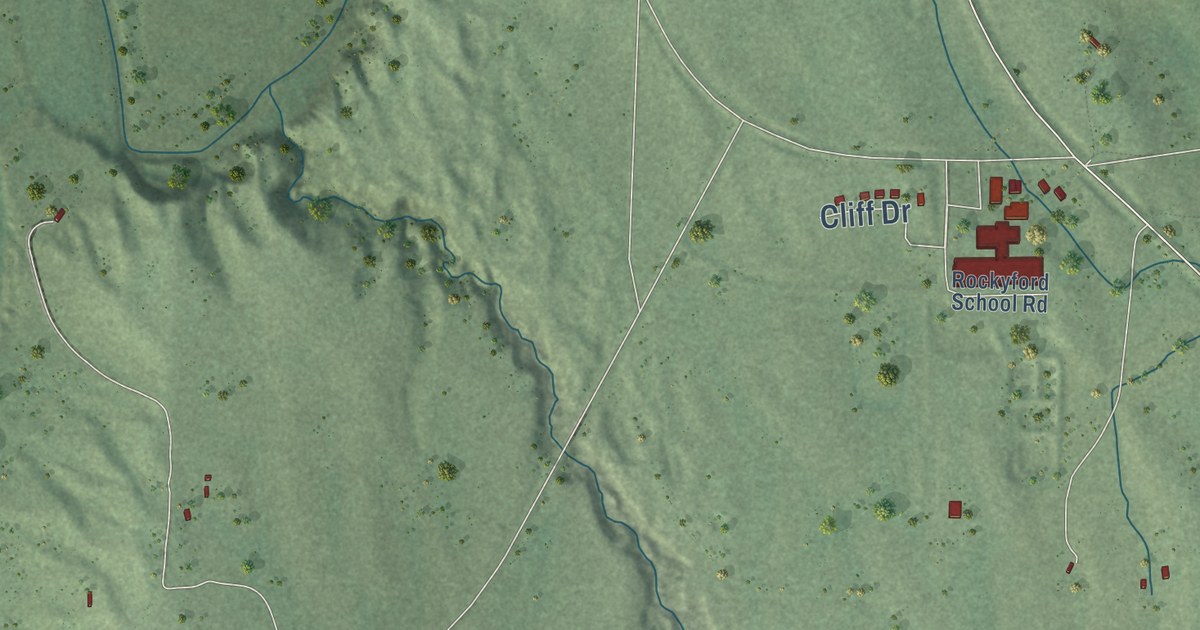
A detailed map of Rockyford, South Dakota, showing every building in its true location, the roads by name, and shaded topographical relief.
Read More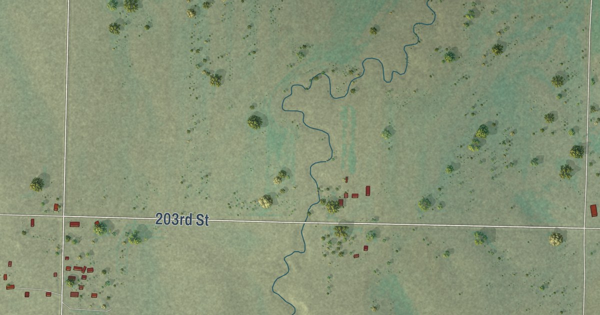
A detailed map of Milesville, South Dakota, showing every building in its true location, the roads by name, and shaded topographical relief.
Read More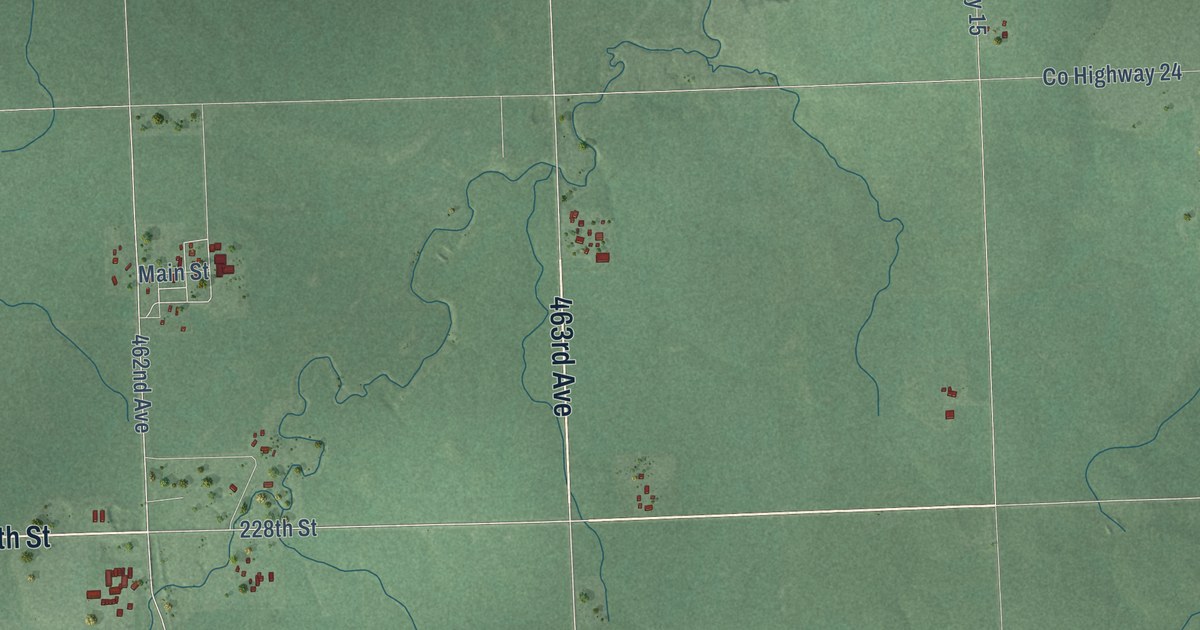
A detailed map of Rutland, South Dakota, showing every building in its true location, the roads by name, and shaded topographical relief.
Read More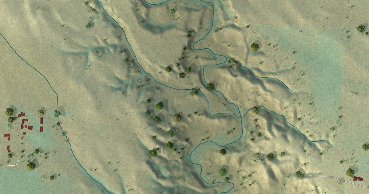
A detailed map of Hereford, South Dakota, showing every building in its true location, the roads by name, and shaded topographical relief.
Read More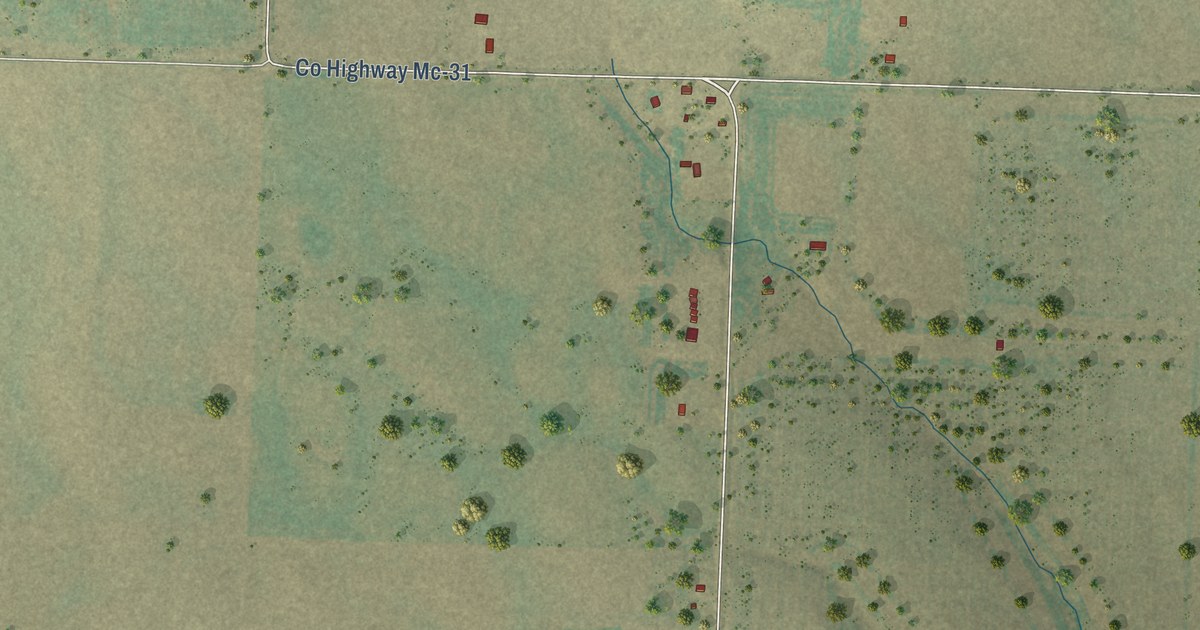
A detailed map of Elm Springs, South Dakota, showing every building in its true location, the roads by name, and shaded topographical relief.
Read More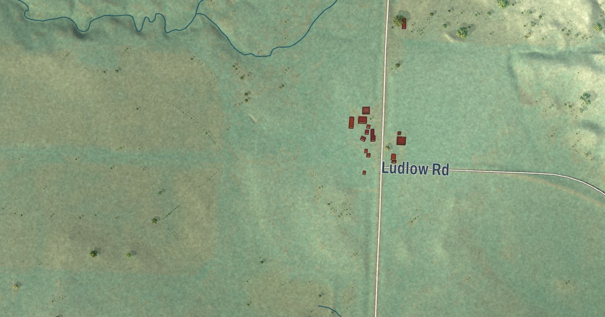
A detailed map of Ludlow, South Dakota, showing every building in its true location, the roads by name, and shaded topographical relief.
Read More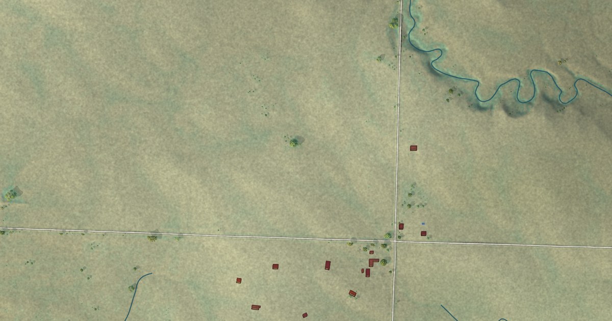
A detailed map of Opal, South Dakota, showing every building in its true location, the roads by name, and shaded topographical relief.
Read More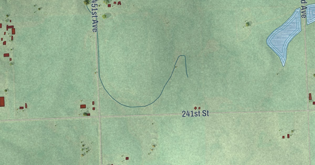
A detailed map of Orland, South Dakota, showing every building in its true location, the roads by name, and shaded topographical relief.
Read More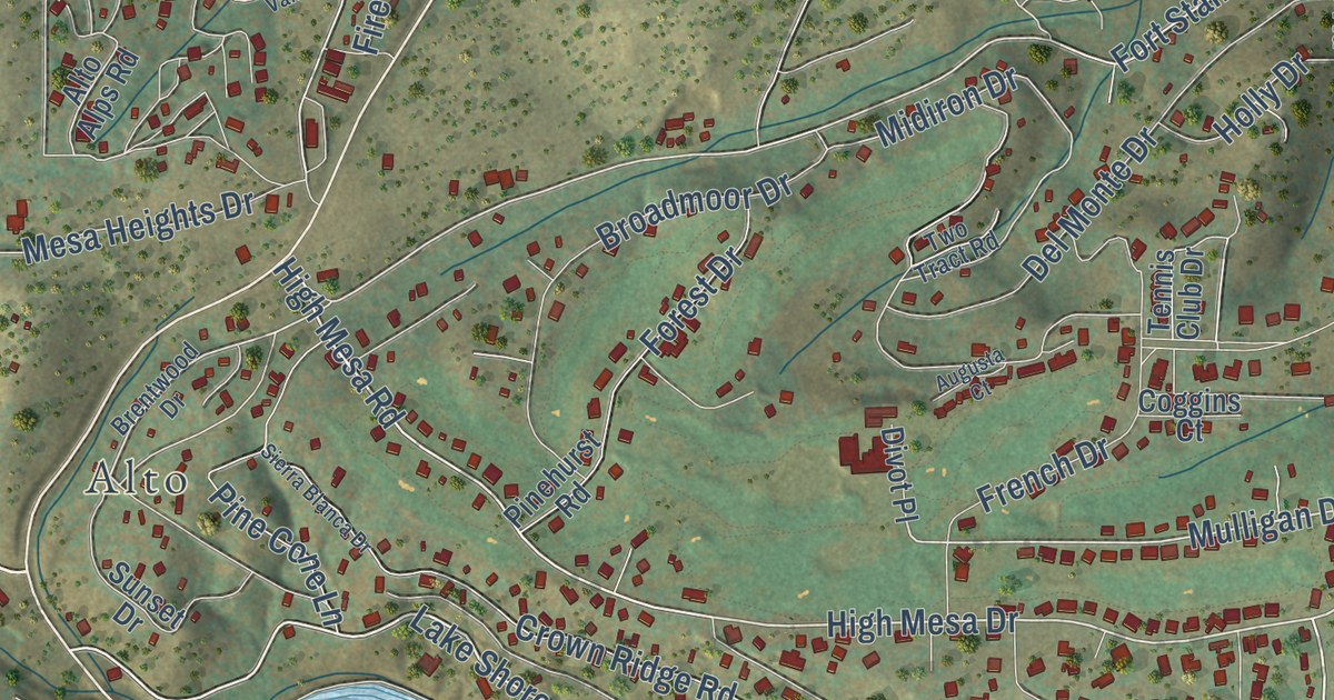
A detailed map of Sierra Vista, New Mexico, showing every building in its true location, the roads by name, and shaded topographical relief.
Read More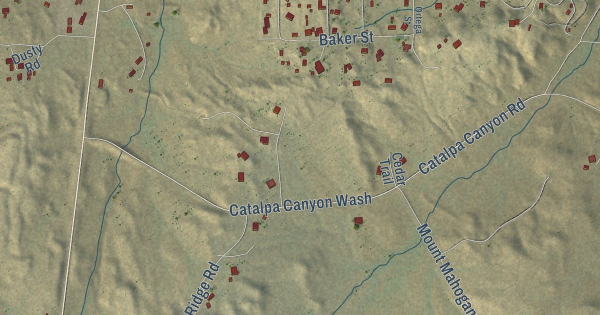
A detailed map of Red Rock, New Mexico, showing every building in its true location, the roads by name, and shaded topographical relief.
Read More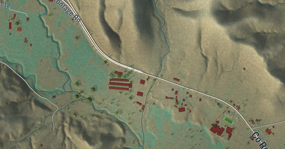
A detailed map of Hondo, New Mexico, showing every building in its true location, the roads by name, and shaded topographical relief.
Read More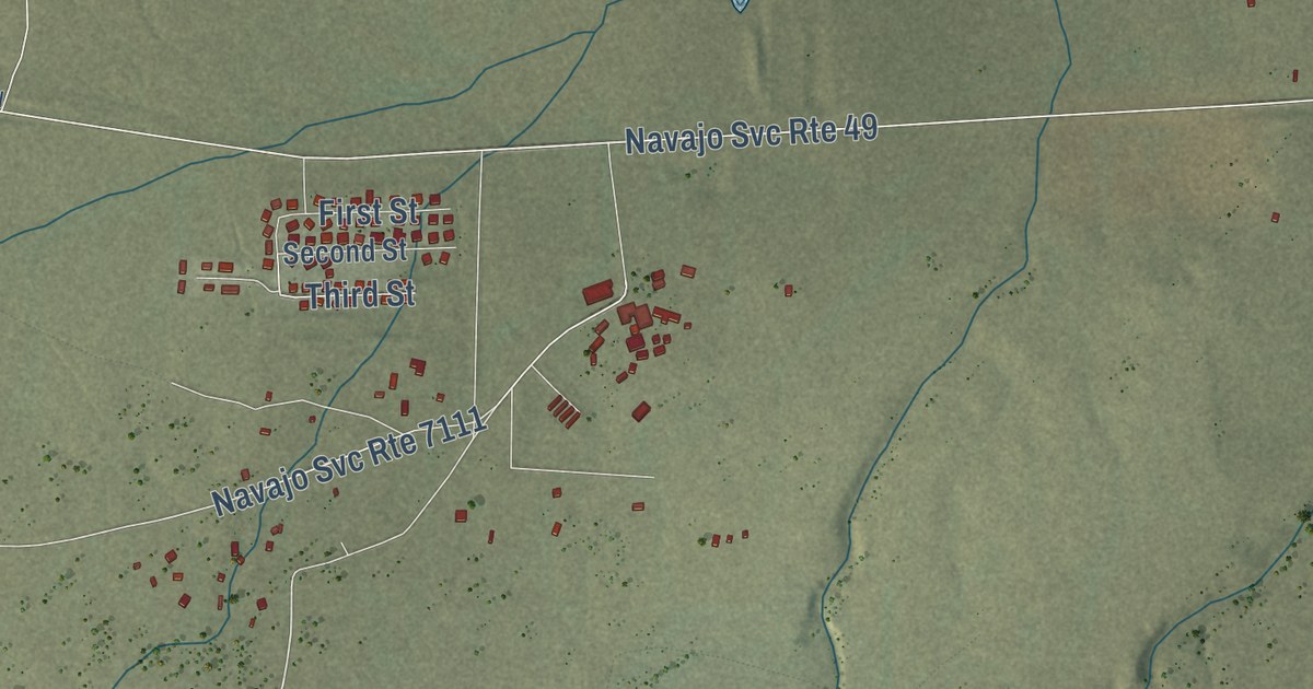
A detailed map of Mariano Lake, New Mexico, showing every building in its true location, the roads by name, and shaded topographical relief.
Read More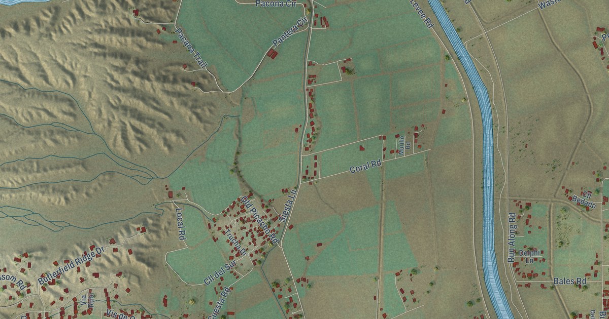
A detailed map of Picacho, New Mexico, showing every building in its true location, the roads by name, and shaded topographical relief.
Read More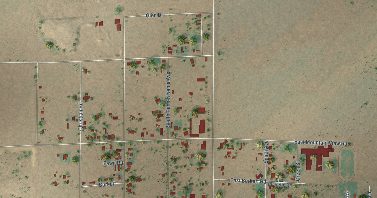
A detailed map of Mountain View, New Mexico, showing every building in its true location, the roads by name, and shaded topographical relief.
Read More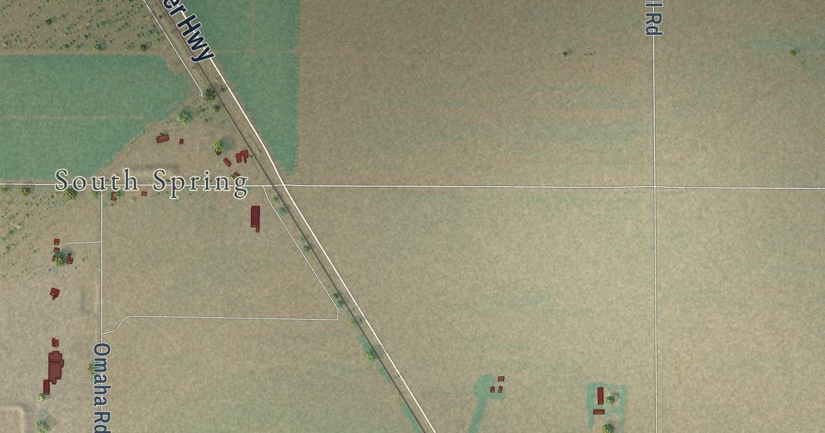
A detailed map of East Grand Plains, New Mexico, showing every building in its true location, the roads by name, and shaded topographical relief.
Read More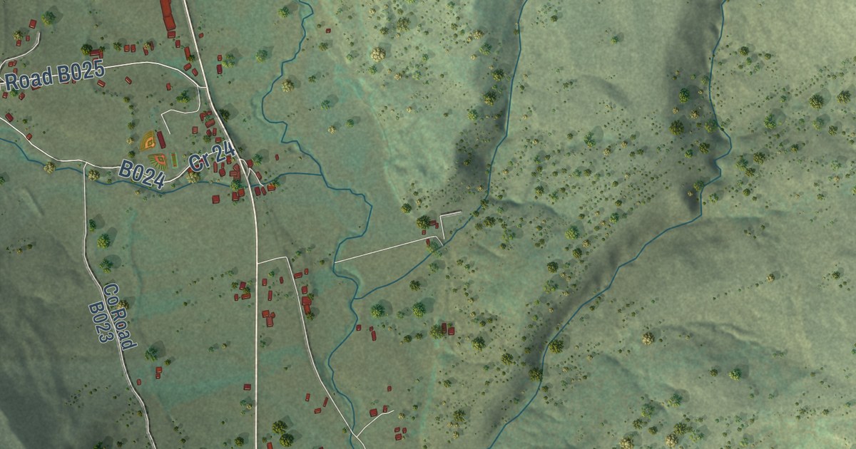
A detailed map of Holman, New Mexico, showing every building in its true location, the roads by name, and shaded topographical relief.
Read More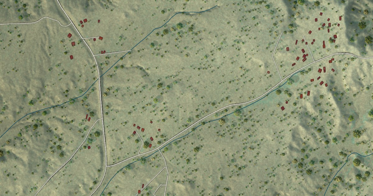
A detailed map of Bread Springs, New Mexico, showing every building in its true location, the roads by name, and shaded topographical relief.
Read More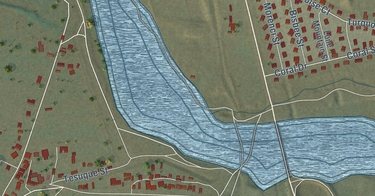
A detailed map of Domingo, New Mexico, showing every building in its true location, the roads by name, and shaded topographical relief.
Read More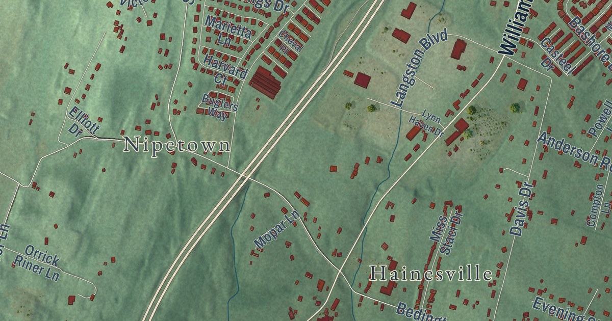
A detailed map of Spring Mills, West Virginia, showing every building in its true location, the roads by name, and shaded topographical relief.
Read More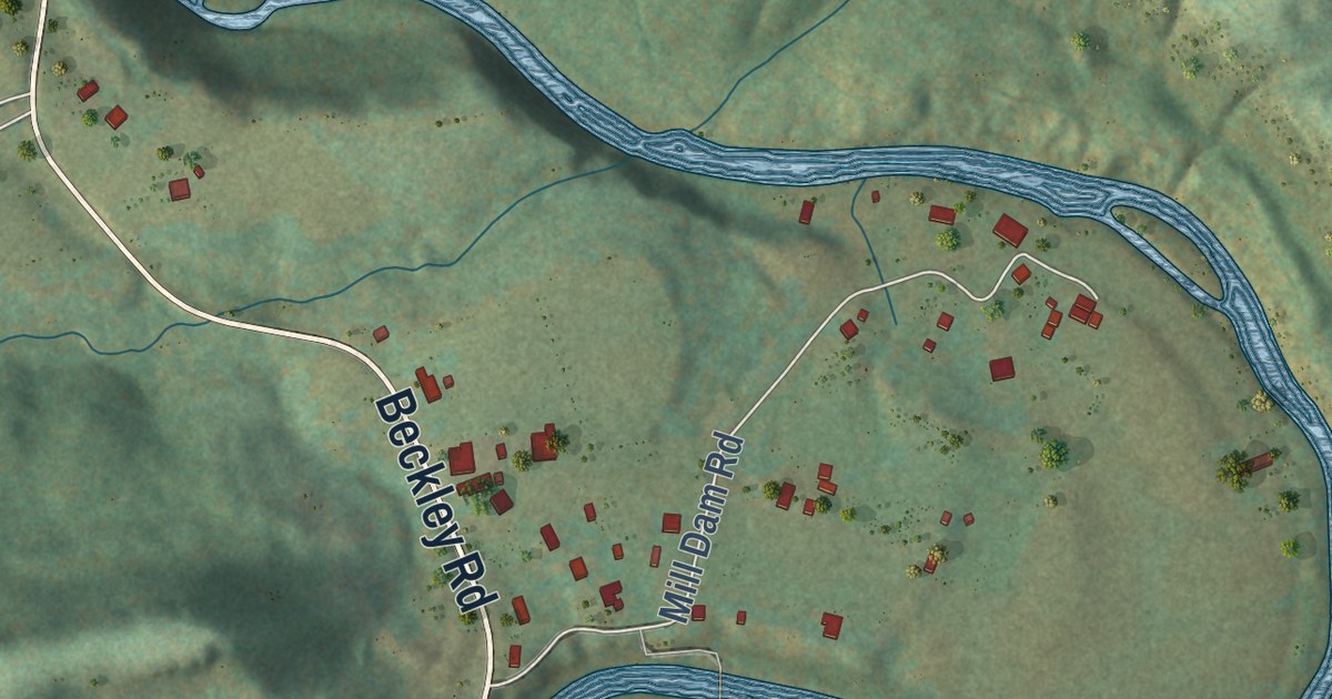
A detailed map of Spanishburg, West Virginia, showing every building in its true location, the roads by name, and shaded topographical relief.
Read More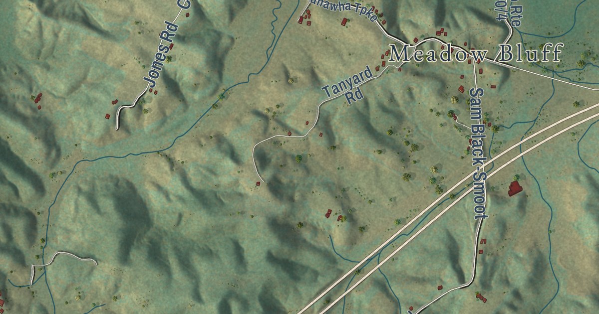
A detailed map of Smoot, West Virginia, showing every building in its true location, the roads by name, and shaded topographical relief.
Read More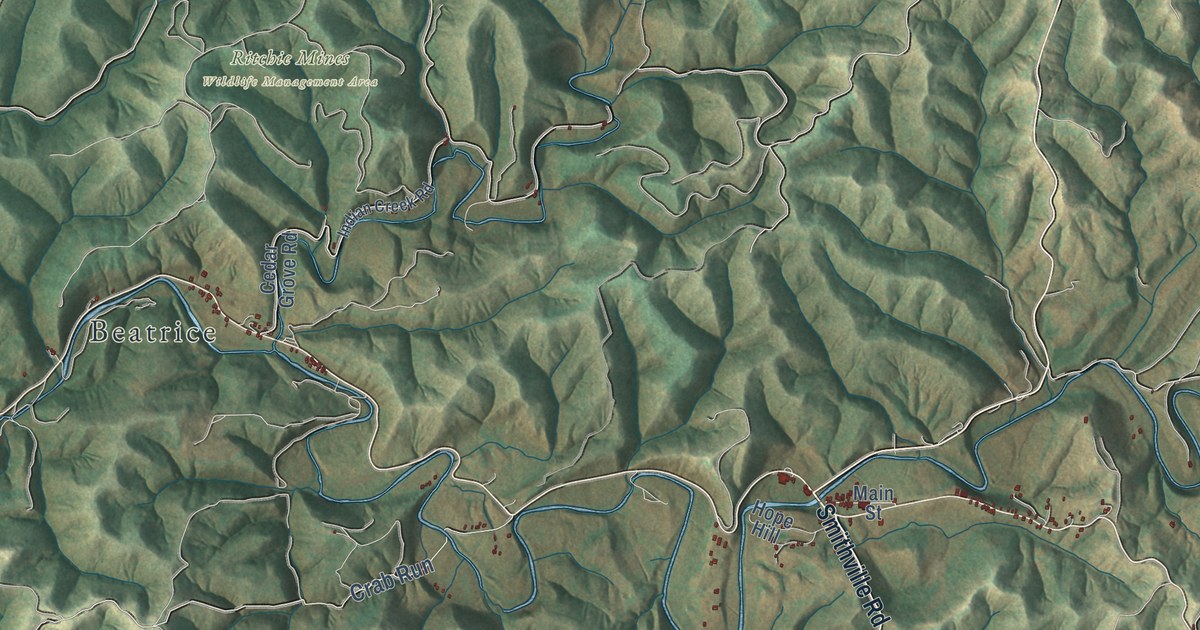
A detailed map of Smithville, West Virginia, showing every building in its true location, the roads by name, and shaded topographical relief.
Read More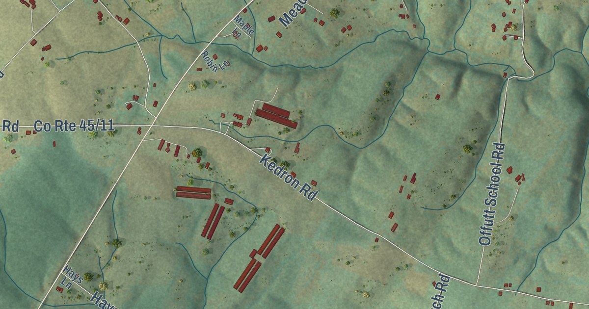
A detailed map of Slanesville, West Virginia, showing every building in its true location, the roads by name, and shaded topographical relief.
Read More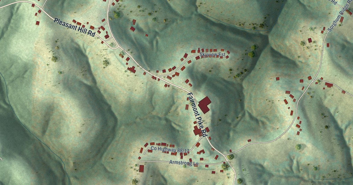
A detailed map of Sherrard, West Virginia, showing every building in its true location, the roads by name, and shaded topographical relief.
Read More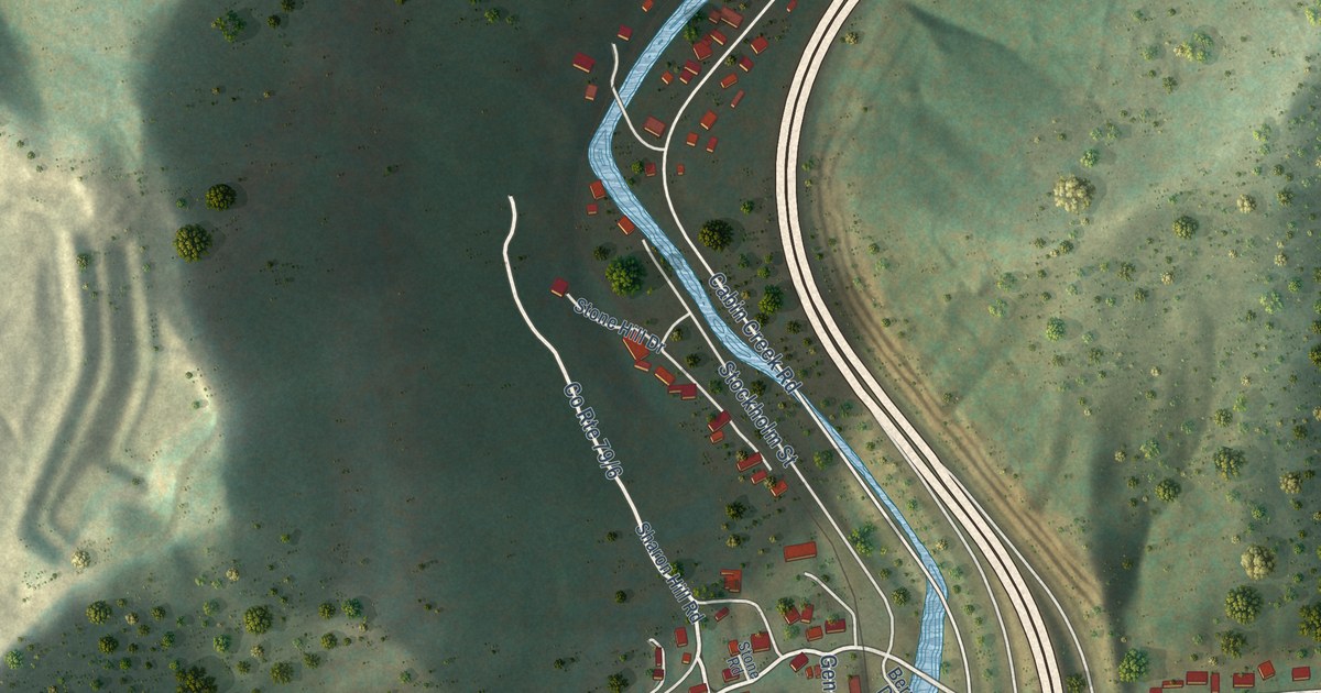
A detailed map of Sharon, West Virginia, showing every building in its true location, the roads by name, and shaded topographical relief.
Read More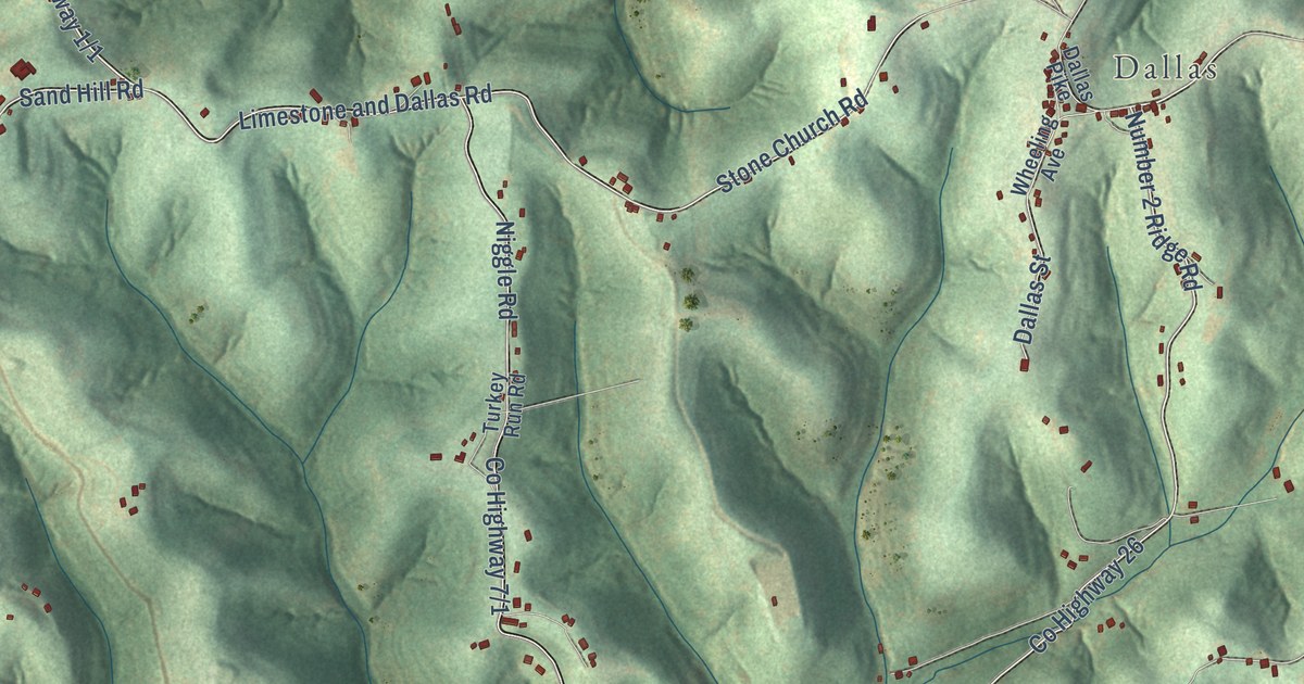
A detailed map of Sand Hill, West Virginia, showing every building in its true location, the roads by name, and shaded topographical relief.
Read More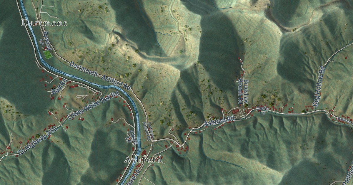
A detailed map of Rumble, West Virginia, showing every building in its true location, the roads by name, and shaded topographical relief.
Read More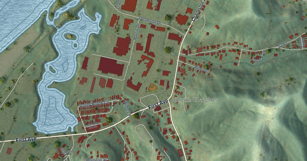
A detailed map of Rock Branch, West Virginia, showing every building in its true location, the roads by name, and shaded topographical relief.
Read More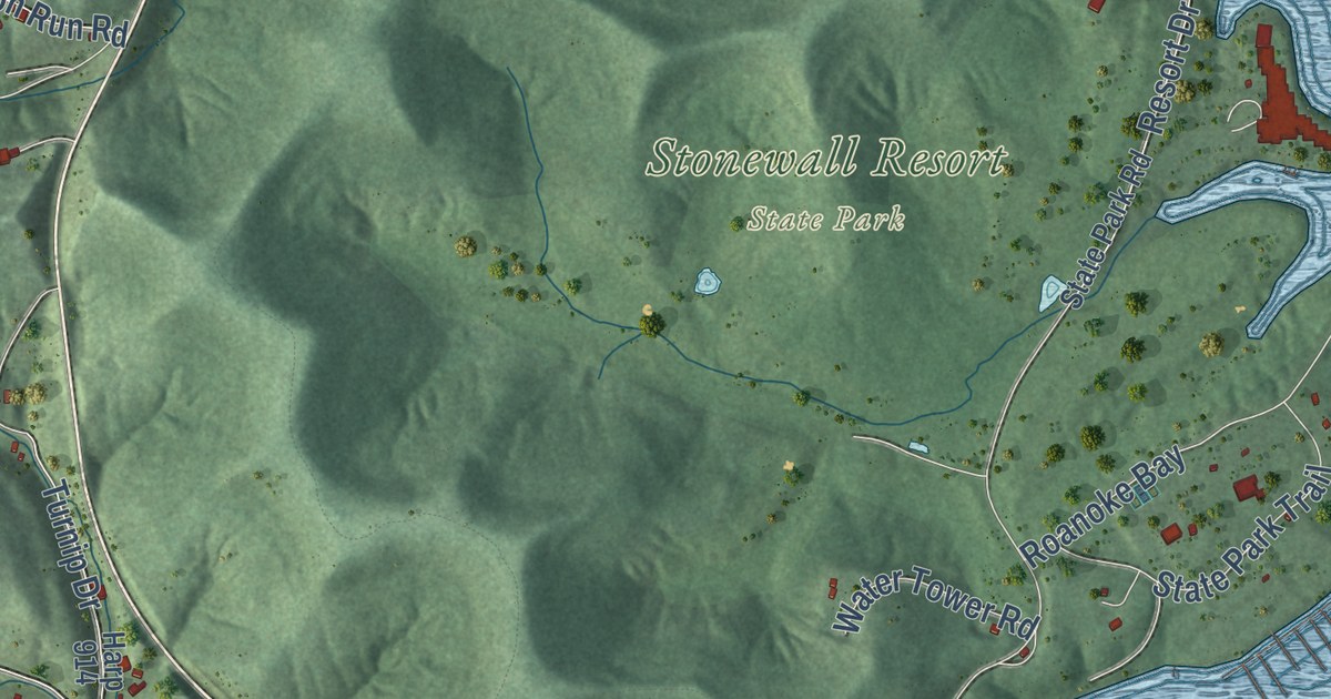
A detailed map of Roanoke, West Virginia, showing every building in its true location, the roads by name, and shaded topographical relief.
Read More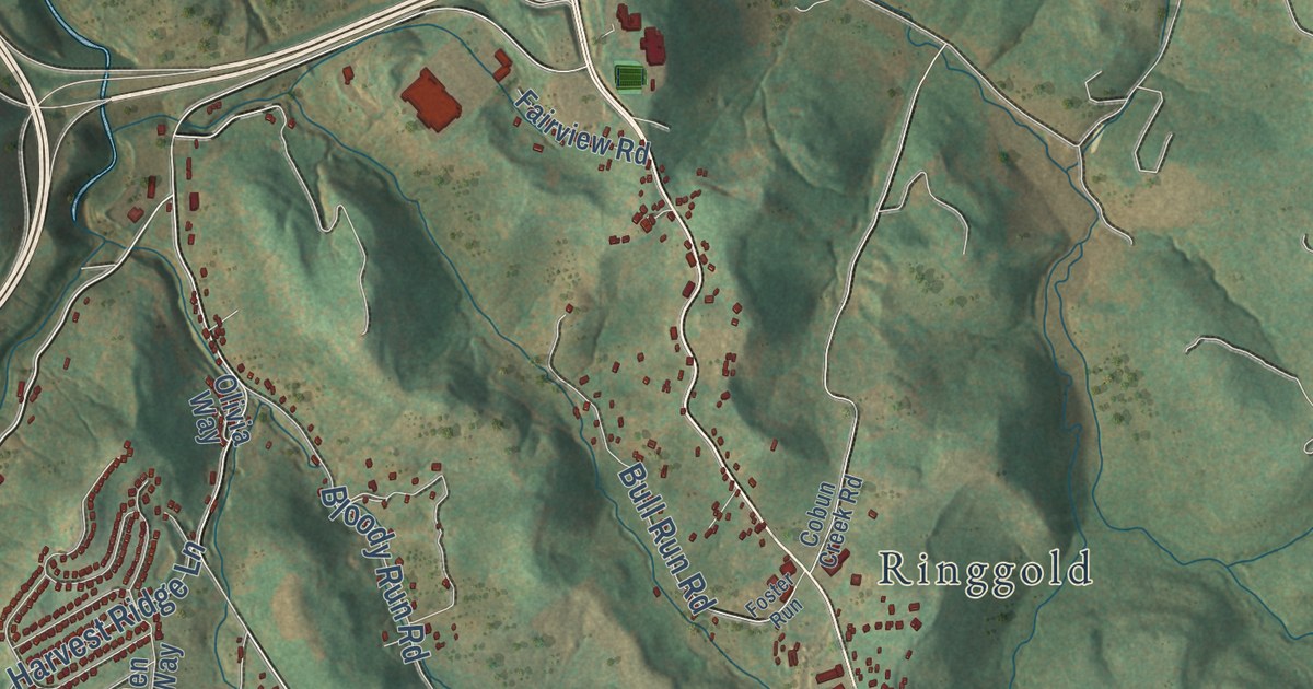
A detailed map of Ridgedale, West Virginia, showing every building in its true location, the roads by name, and shaded topographical relief.
Read More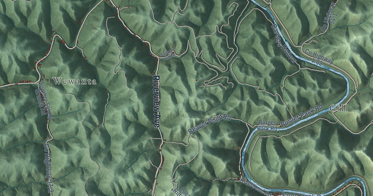
A detailed map of Ranger, West Virginia, showing every building in its true location, the roads by name, and shaded topographical relief.
Read More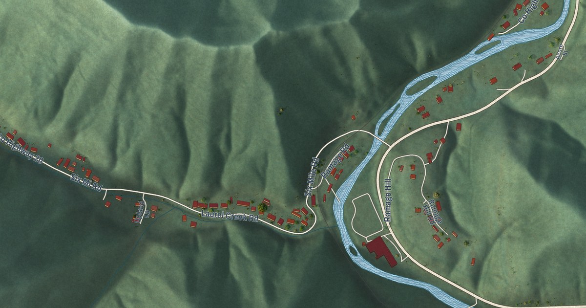
A detailed map of Ramage, West Virginia, showing every building in its true location, the roads by name, and shaded topographical relief.
Read More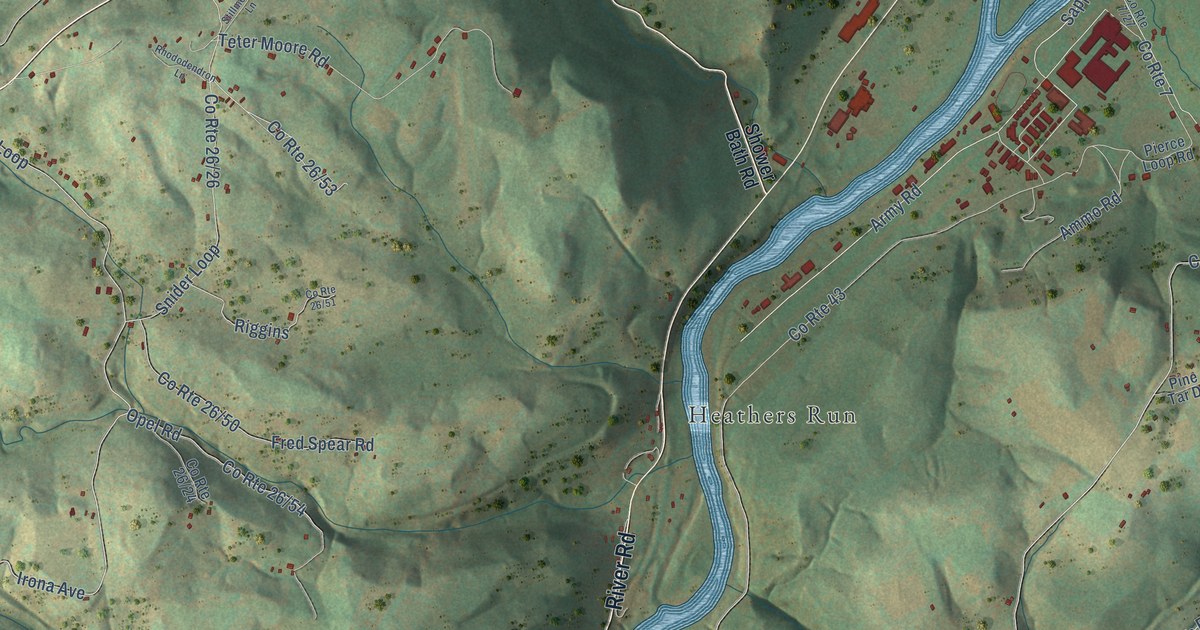
A detailed map of Preston, West Virginia, showing every building in its true location, the roads by name, and shaded topographical relief.
Read More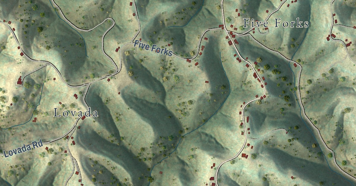
A detailed map of Pleasant Hill, West Virginia, showing every building in its true location, the roads by name, and shaded topographical relief.
Read More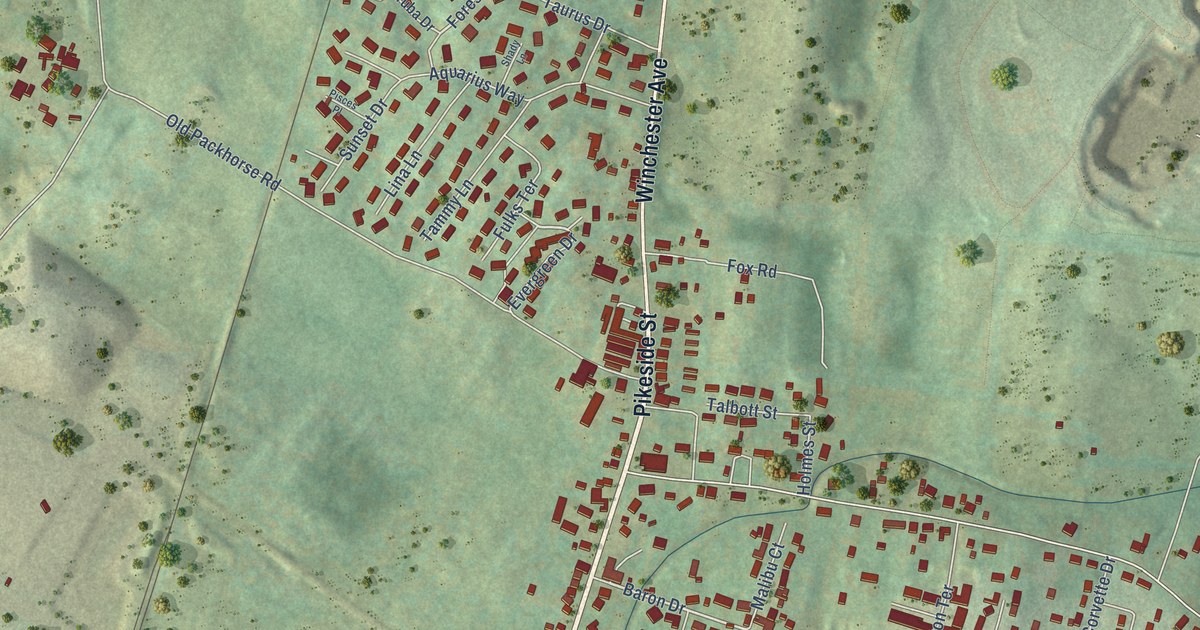
A detailed map of Pikeside, West Virginia, showing every building in its true location, the roads by name, and shaded topographical relief.
Read More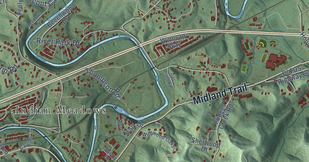
A detailed map of Ona, West Virginia, showing every building in its true location, the roads by name, and shaded topographical relief.
Read More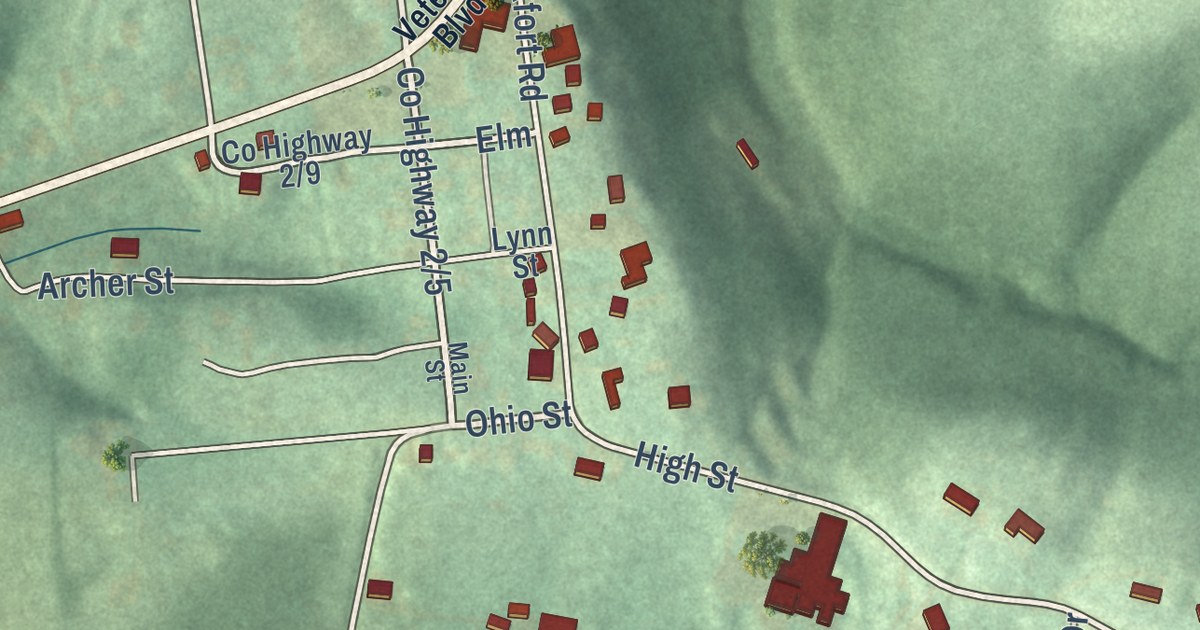
A detailed map of New Manchester, West Virginia, showing every building in its true location, the roads by name, and shaded topographical relief.
Read More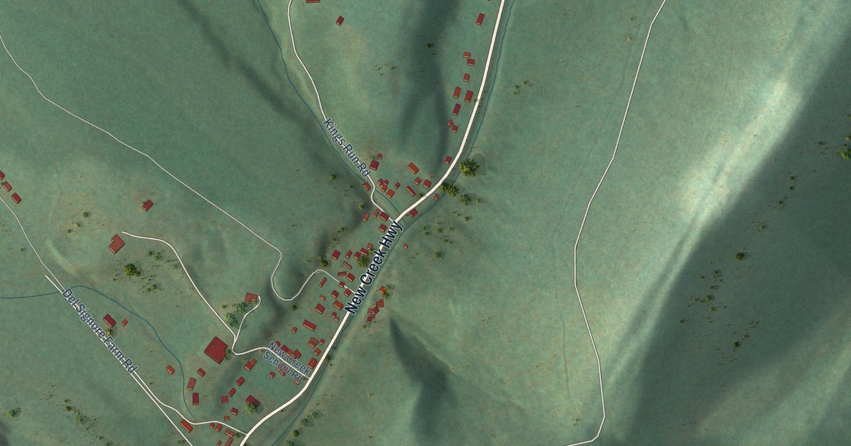
A detailed map of New Creek, West Virginia, showing every building in its true location, the roads by name, and shaded topographical relief.
Read More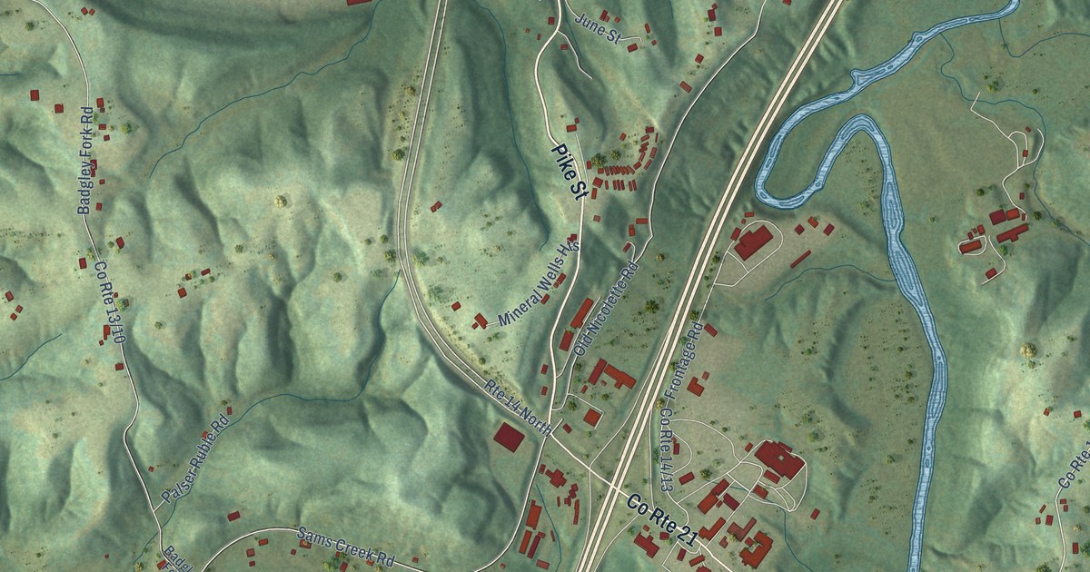
A detailed map of Mineral Wells, West Virginia, showing every building in its true location, the roads by name, and shaded topographical relief.
Read More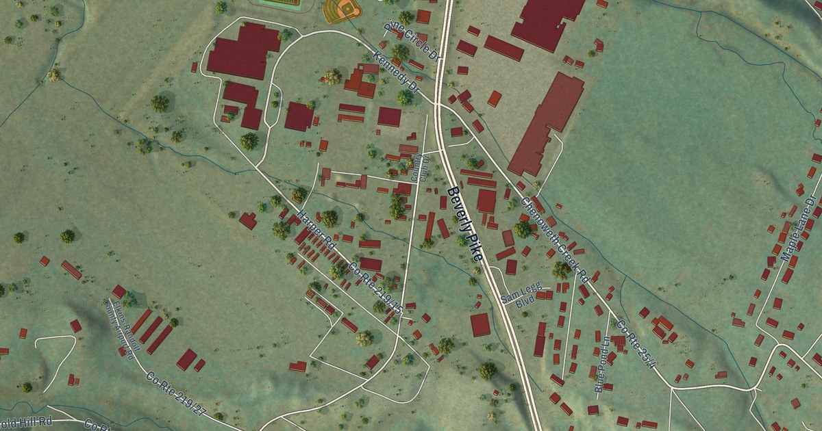
A detailed map of Midland, West Virginia, showing every building in its true location, the roads by name, and shaded topographical relief.
Read More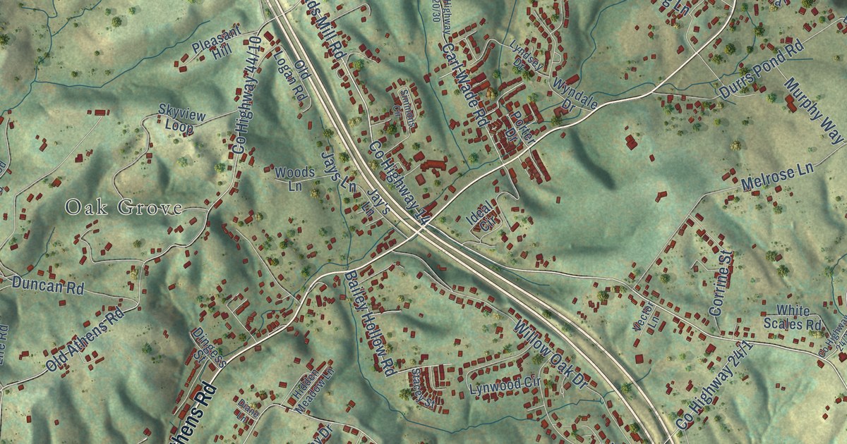
A detailed map of Melrose, West Virginia, showing every building in its true location, the roads by name, and shaded topographical relief.
Read More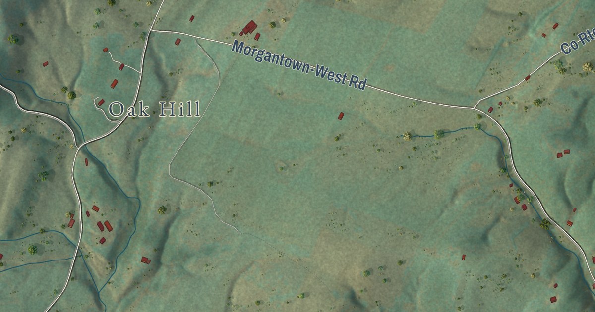
A detailed map of Maysville, West Virginia, showing every building in its true location, the roads by name, and shaded topographical relief.
Read More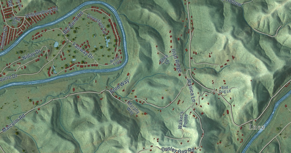
A detailed map of Martha, West Virginia, showing every building in its true location, the roads by name, and shaded topographical relief.
Read More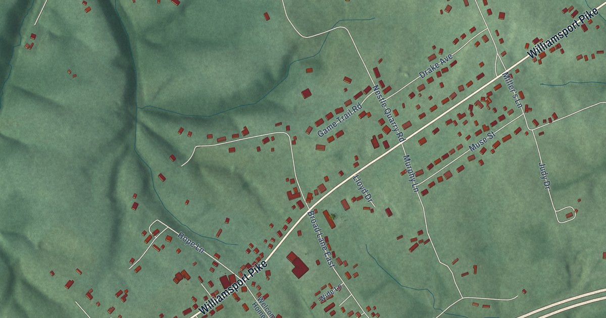
A detailed map of Marlowe, West Virginia, showing every building in its true location, the roads by name, and shaded topographical relief.
Read More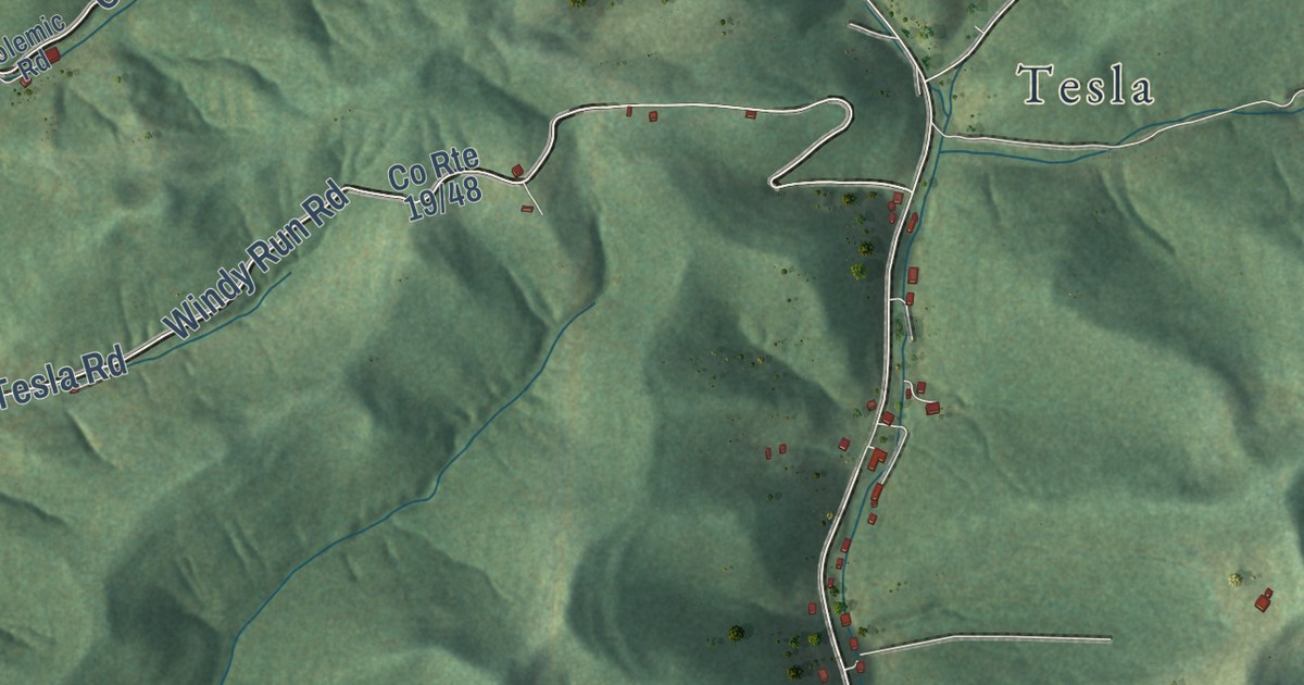
A detailed map of Little Birch, West Virginia, showing every building in its true location, the roads by name, and shaded topographical relief.
Read More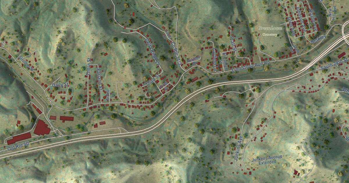
A detailed map of Liberty, West Virginia, showing every building in its true location, the roads by name, and shaded topographical relief.
Read More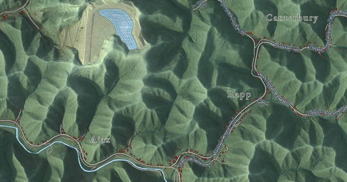
A detailed map of Lenore, West Virginia, showing every building in its true location, the roads by name, and shaded topographical relief.
Read More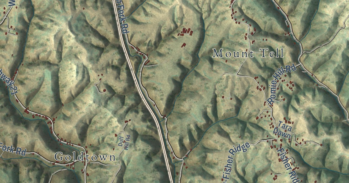
A detailed map of Kenna, West Virginia, showing every building in its true location, the roads by name, and shaded topographical relief.
Read More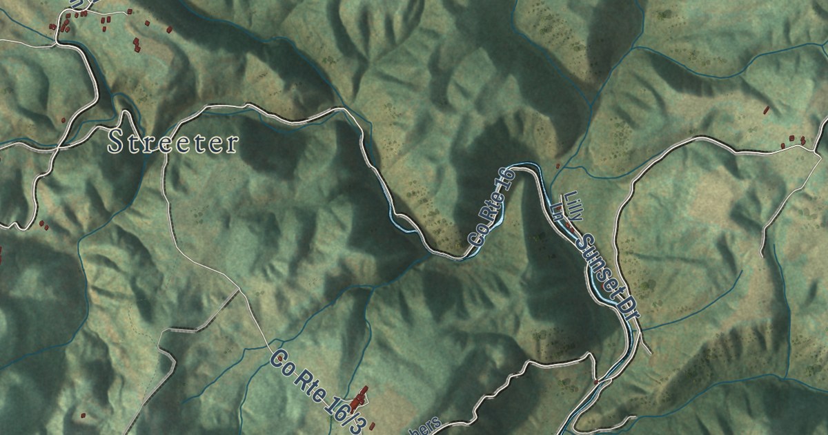
A detailed map of Jumping Branch, West Virginia, showing every building in its true location, the roads by name, and shaded topographical relief.
Read More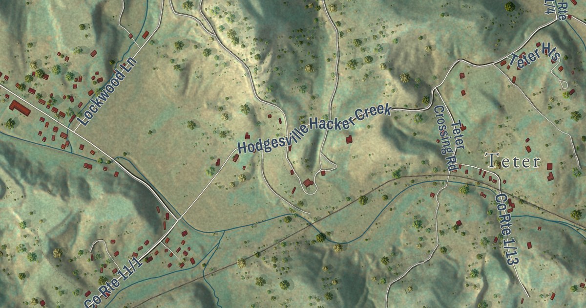
A detailed map of Hodgesville, West Virginia, showing every building in its true location, the roads by name, and shaded topographical relief.
Read More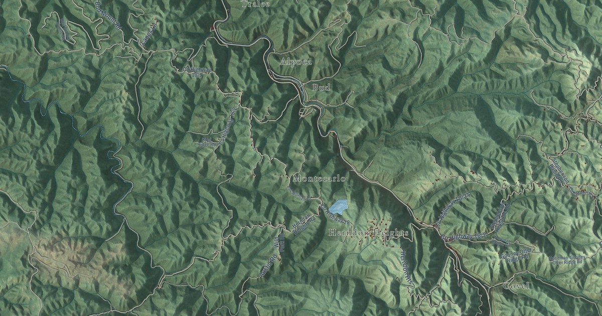
A detailed map of Herndon, West Virginia, showing every building in its true location, the roads by name, and shaded topographical relief.
Read More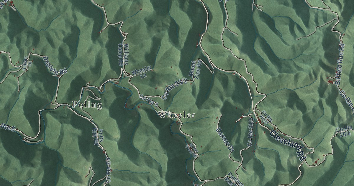
A detailed map of Hacker Valley, West Virginia, showing every building in its true location, the roads by name, and shaded topographical relief.
Read More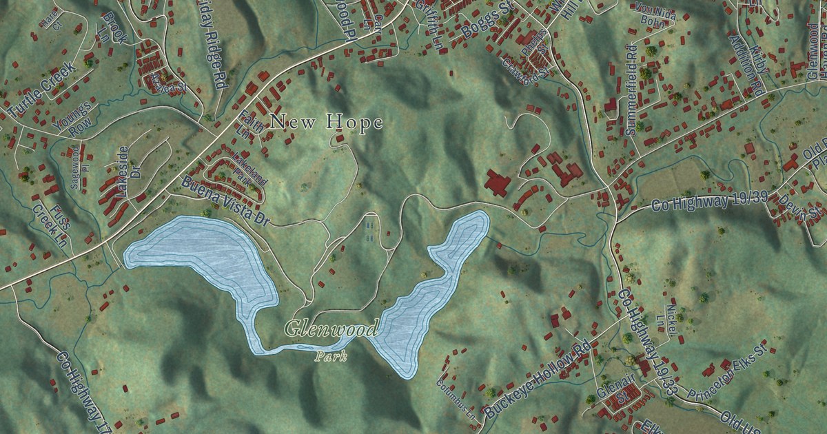
A detailed map of Glenwood, West Virginia, showing every building in its true location, the roads by name, and shaded topographical relief.
Read More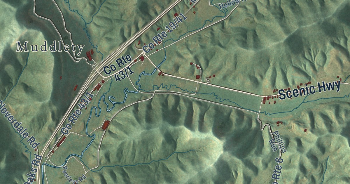
A detailed map of Glade Creek, West Virginia, showing every building in its true location, the roads by name, and shaded topographical relief.
Read More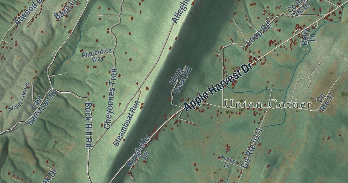
A detailed map of Gerrardstown, West Virginia, showing every building in its true location, the roads by name, and shaded topographical relief.
Read More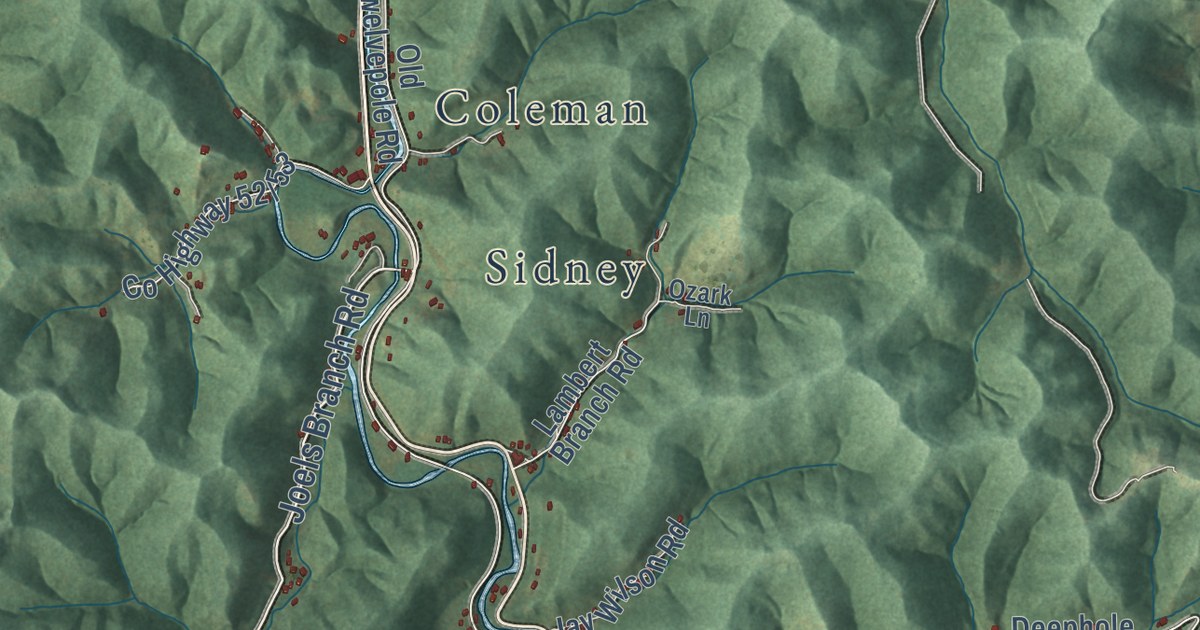
A detailed map of Genoa, West Virginia, showing every building in its true location, the roads by name, and shaded topographical relief.
Read More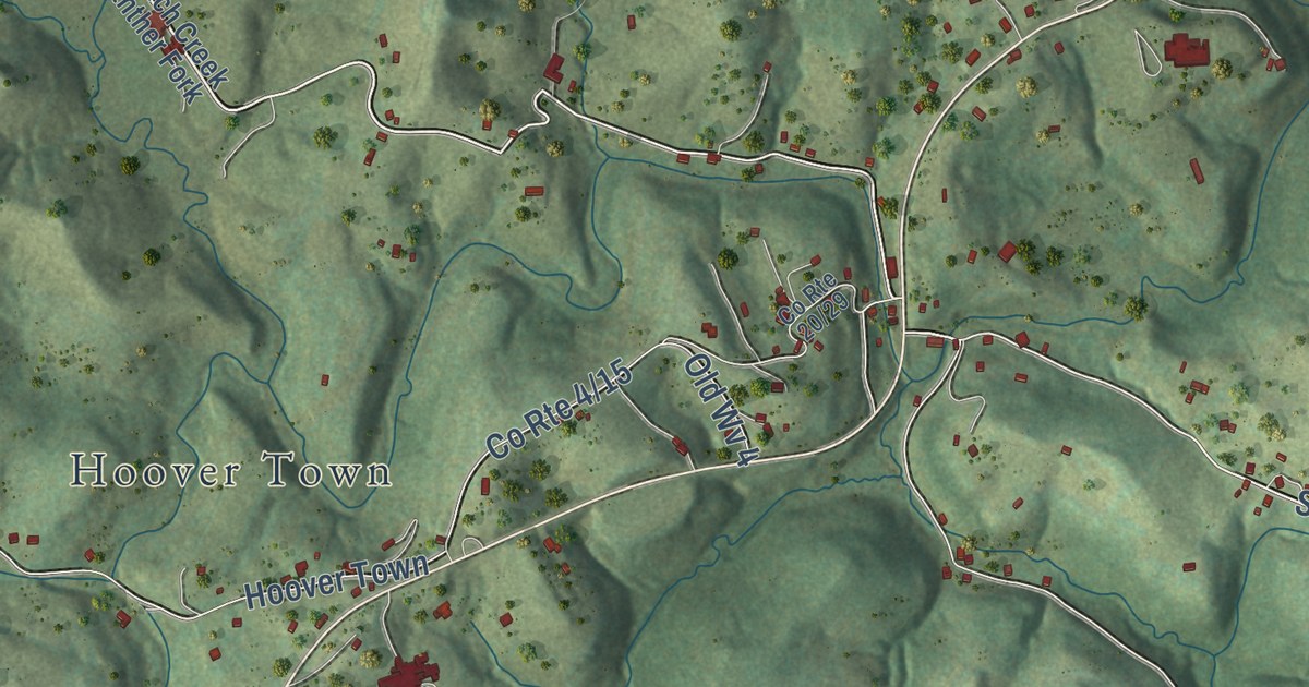
A detailed map of French Creek, West Virginia, showing every building in its true location, the roads by name, and shaded topographical relief.
Read More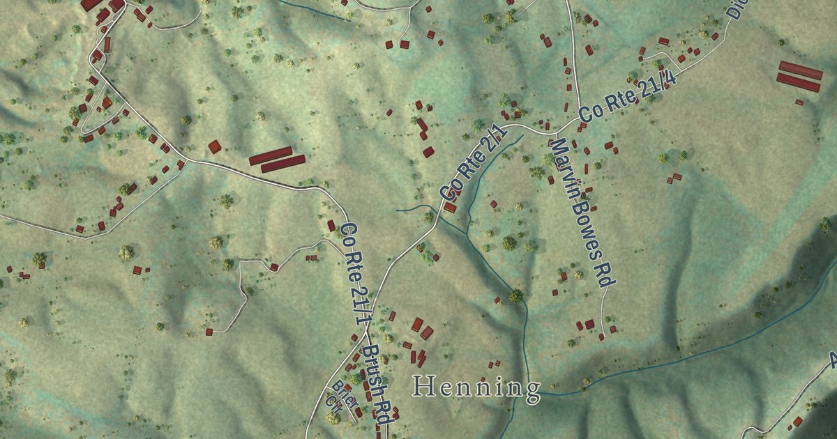
A detailed map of Frankford, West Virginia, showing every building in its true location, the roads by name, and shaded topographical relief.
Read More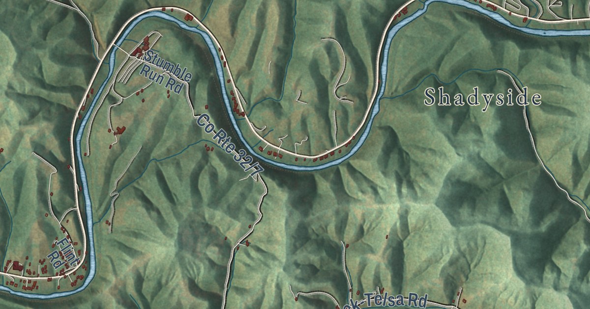
A detailed map of Frametown, West Virginia, showing every building in its true location, the roads by name, and shaded topographical relief.
Read More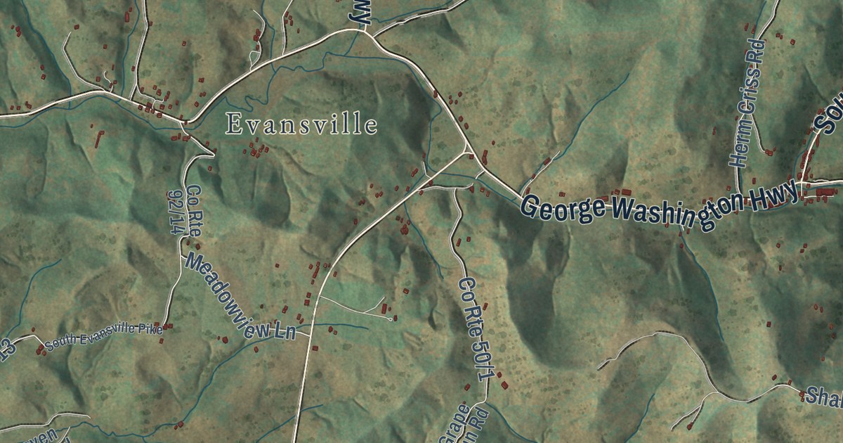
A detailed map of Fellowsville, West Virginia, showing every building in its true location, the roads by name, and shaded topographical relief.
Read More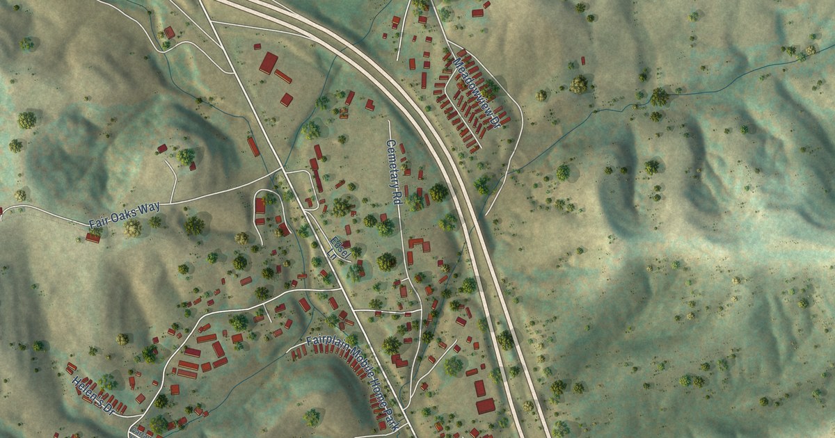
A detailed map of Fairplain, West Virginia, showing every building in its true location, the roads by name, and shaded topographical relief.
Read More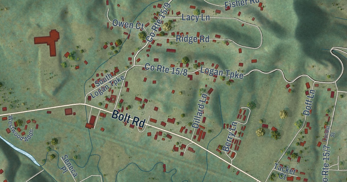
A detailed map of Fairdale, West Virginia, showing every building in its true location, the roads by name, and shaded topographical relief.
Read More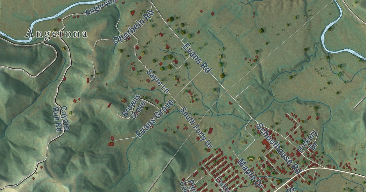
A detailed map of Evans, West Virginia, showing every building in its true location, the roads by name, and shaded topographical relief.
Read More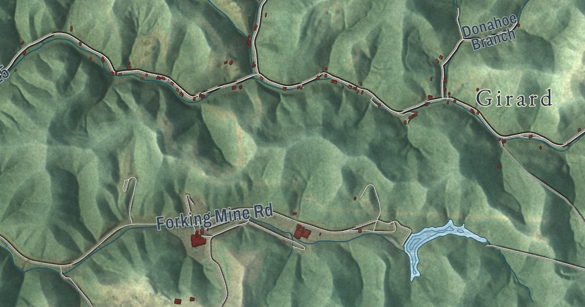
A detailed map of East Lynn, West Virginia, showing every building in its true location, the roads by name, and shaded topographical relief.
Read More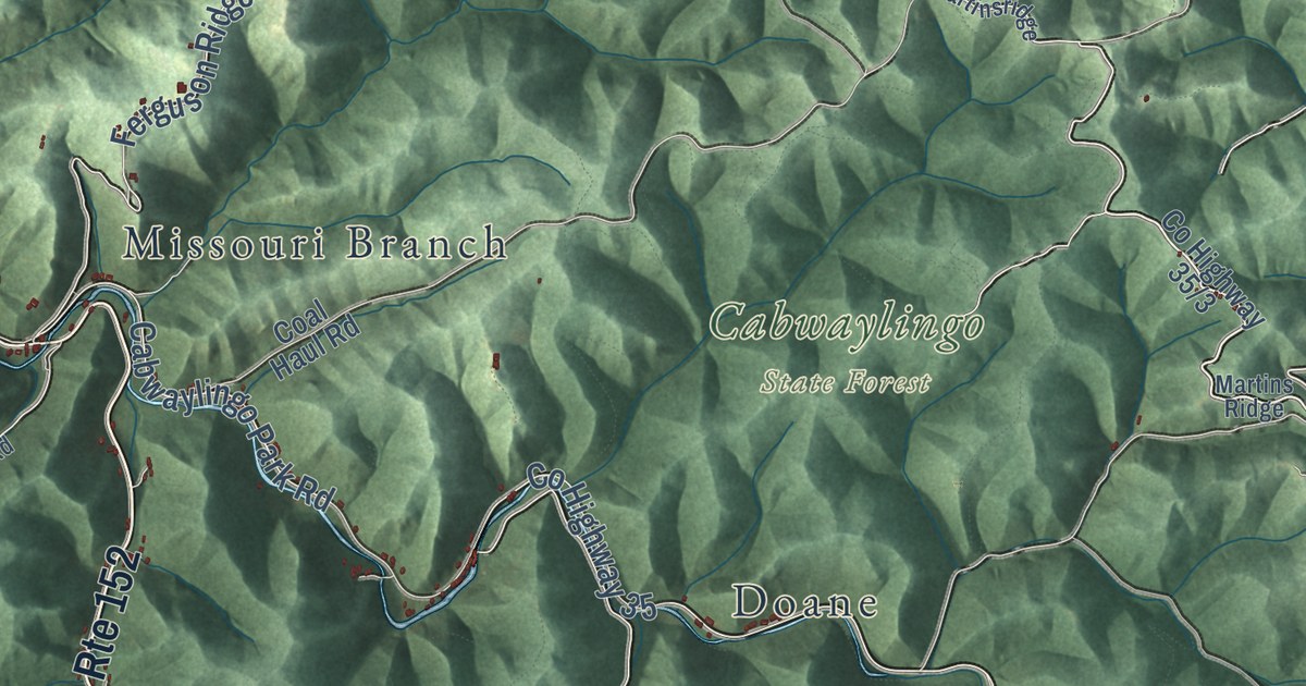
A detailed map of Dunlow, West Virginia, showing every building in its true location, the roads by name, and shaded topographical relief.
Read More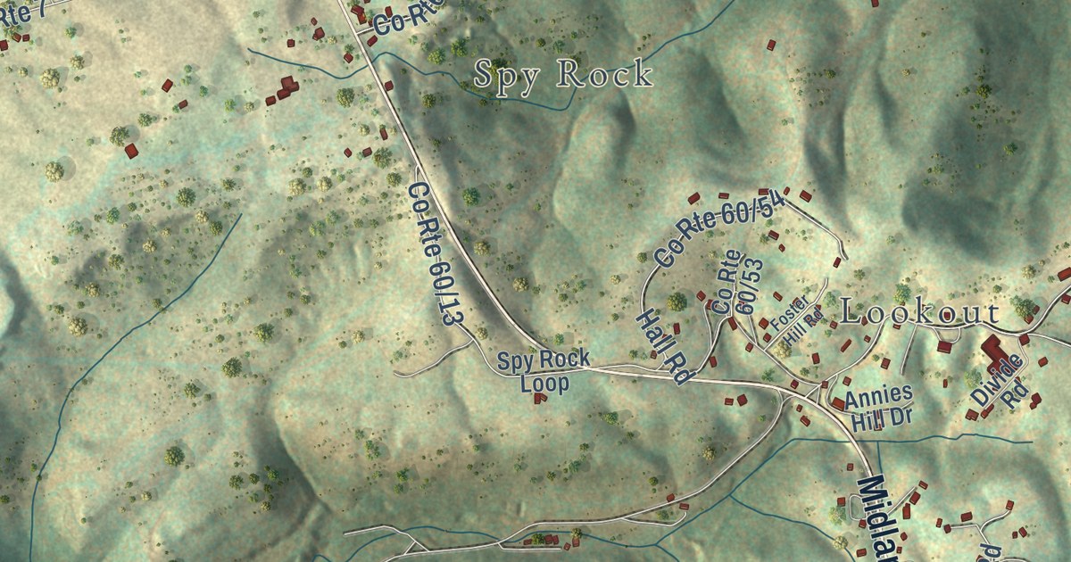
A detailed map of Divide, West Virginia, showing every building in its true location, the roads by name, and shaded topographical relief.
Read More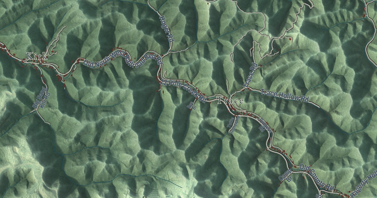
A detailed map of Dingess, West Virginia, showing every building in its true location, the roads by name, and shaded topographical relief.
Read More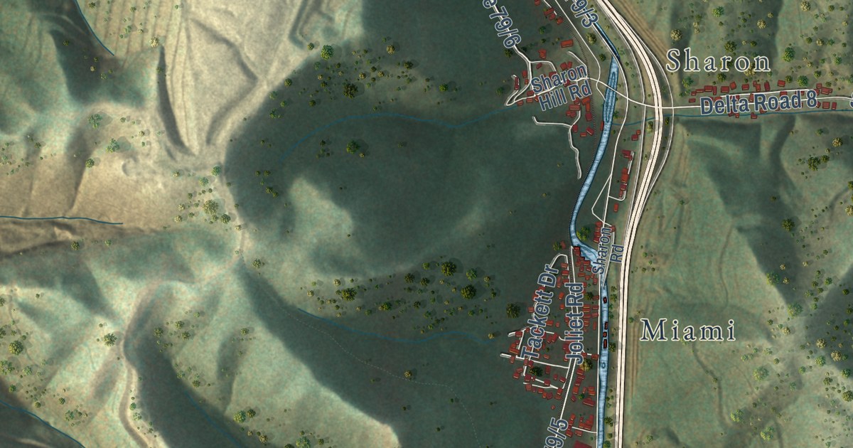
A detailed map of Dawes, West Virginia, showing every building in its true location, the roads by name, and shaded topographical relief.
Read More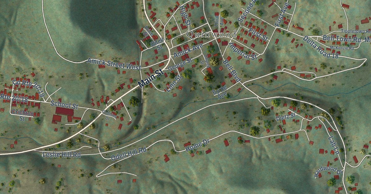
A detailed map of Crichton, West Virginia, showing every building in its true location, the roads by name, and shaded topographical relief.
Read More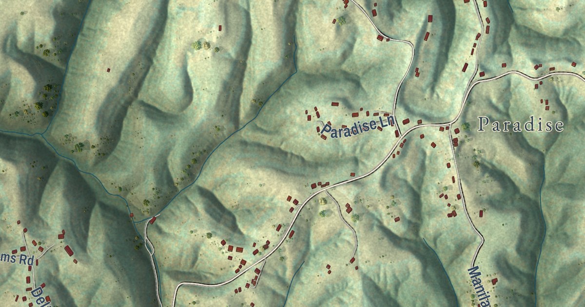
A detailed map of Confidence, West Virginia, showing every building in its true location, the roads by name, and shaded topographical relief.
Read More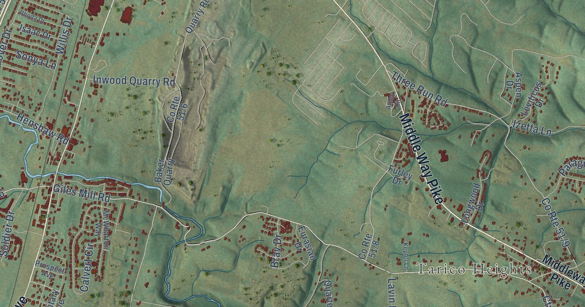
A detailed map of Bunker Hill, West Virginia, showing every building in its true location, the roads by name, and shaded topographical relief.
Read More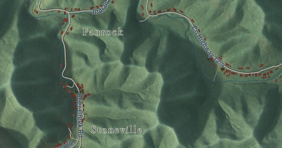
A detailed map of Baileysville, West Virginia, showing every building in its true location, the roads by name, and shaded topographical relief.
Read More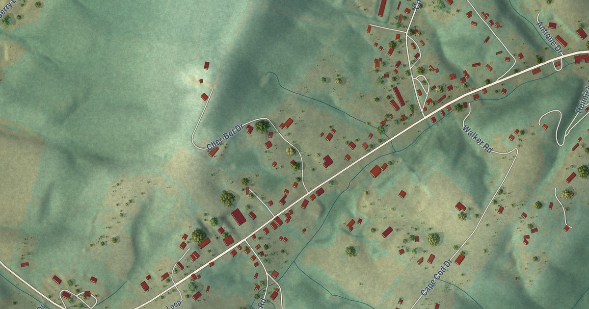
A detailed map of Augusta, West Virginia, showing every building in its true location, the roads by name, and shaded topographical relief.
Read More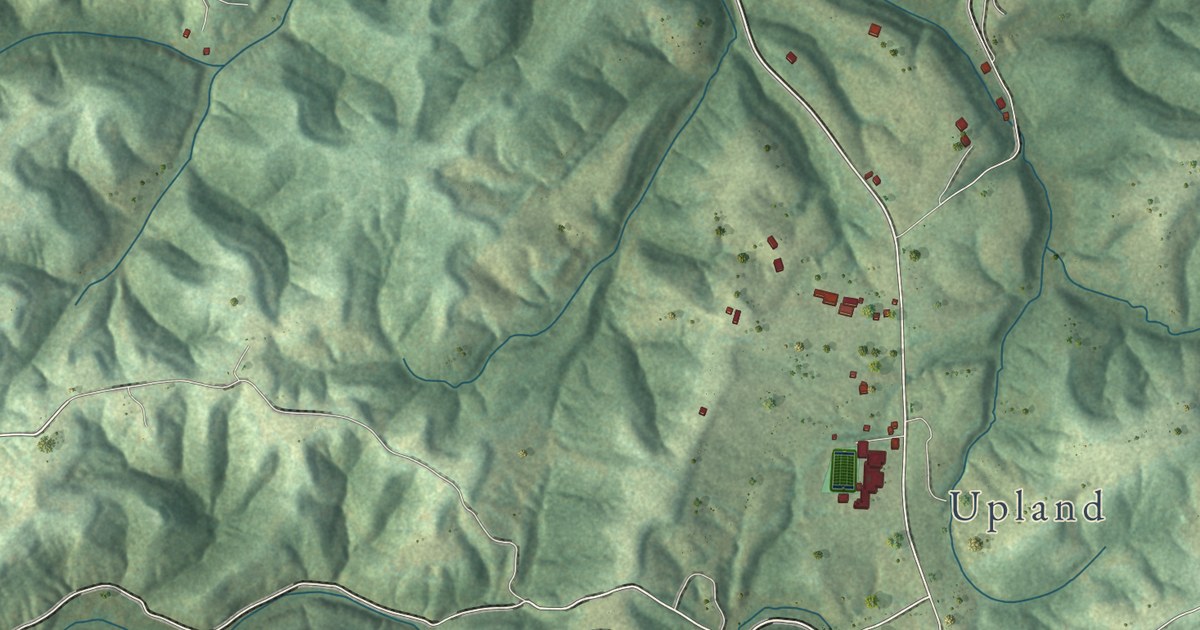
A detailed map of Ashton, West Virginia, showing every building in its true location, the roads by name, and shaded topographical relief.
Read More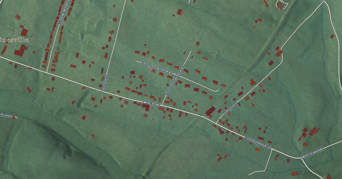
A detailed map of Bedington, West Virginia, showing every building in its true location, the roads by name, and shaded topographical relief.
Read More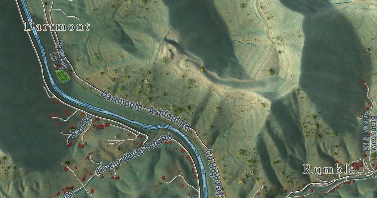
A detailed map of Ashford, West Virginia, showing every building in its true location, the roads by name, and shaded topographical relief.
Read More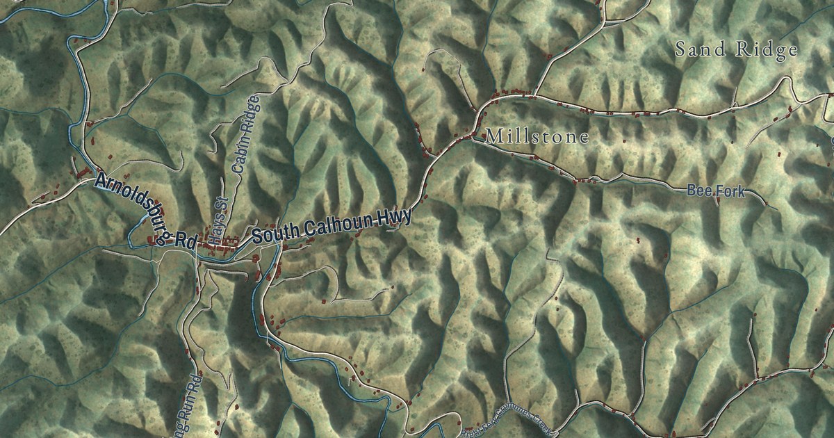
A detailed map of Arnoldsburg, West Virginia, showing every building in its true location, the roads by name, and shaded topographical relief.
Read More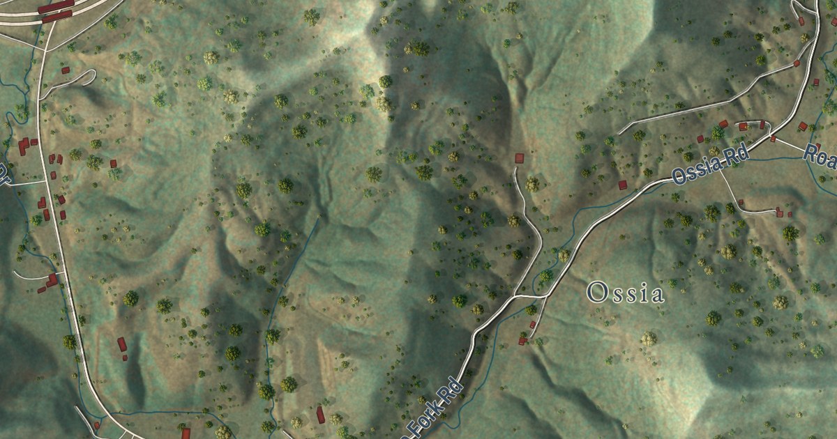
A detailed map of Big Otter, West Virginia, showing every building in its true location, the roads by name, and shaded topographical relief.
Read More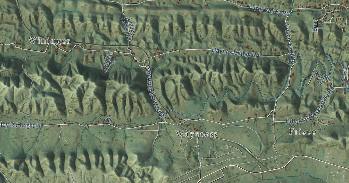
A detailed map of Yuma, Virginia, showing every building in its true location, the roads by name, and shaded topographical relief.
Read More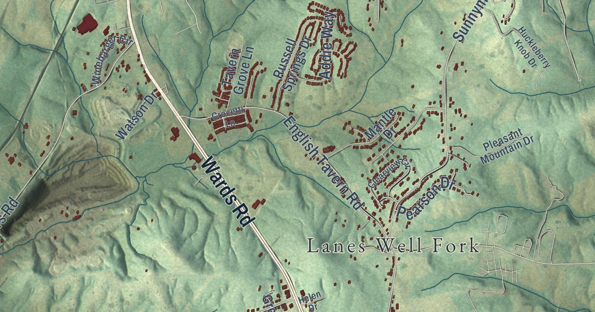
A detailed map of Yellow Branch, Virginia, showing every building in its true location, the roads by name, and shaded topographical relief.
Read More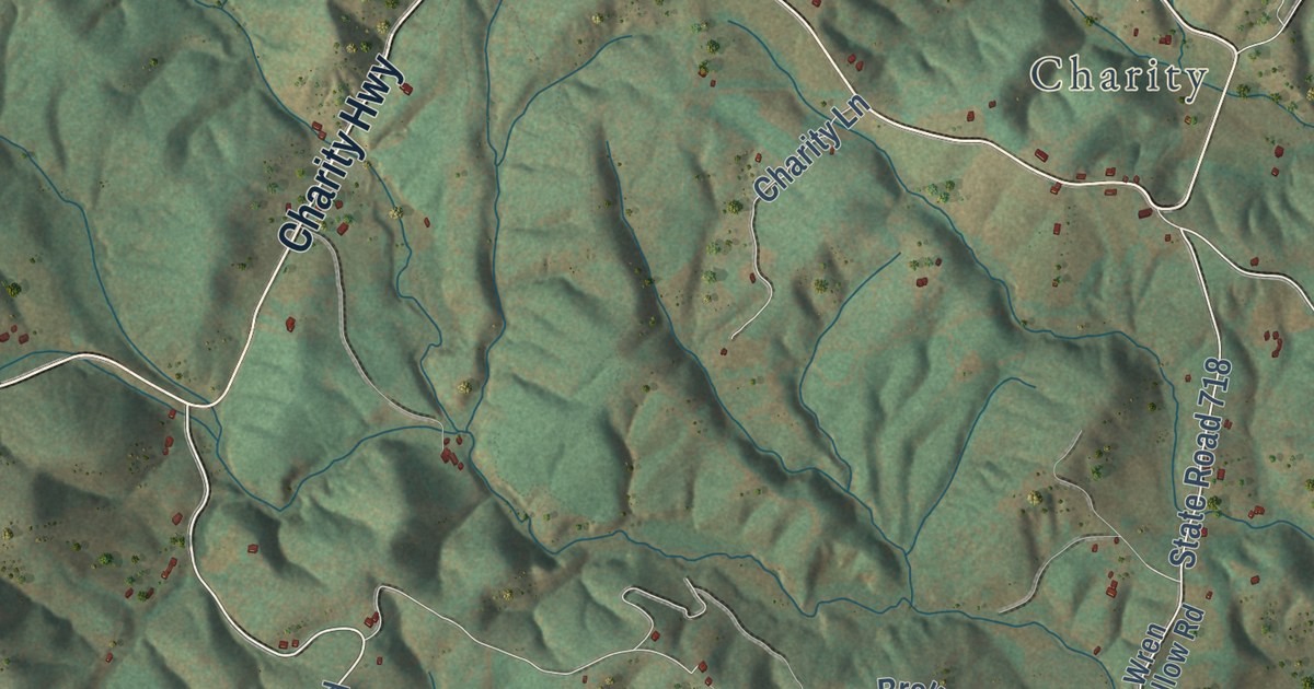
A detailed map of Woolwine, Virginia, showing every building in its true location, the roads by name, and shaded topographical relief.
Read More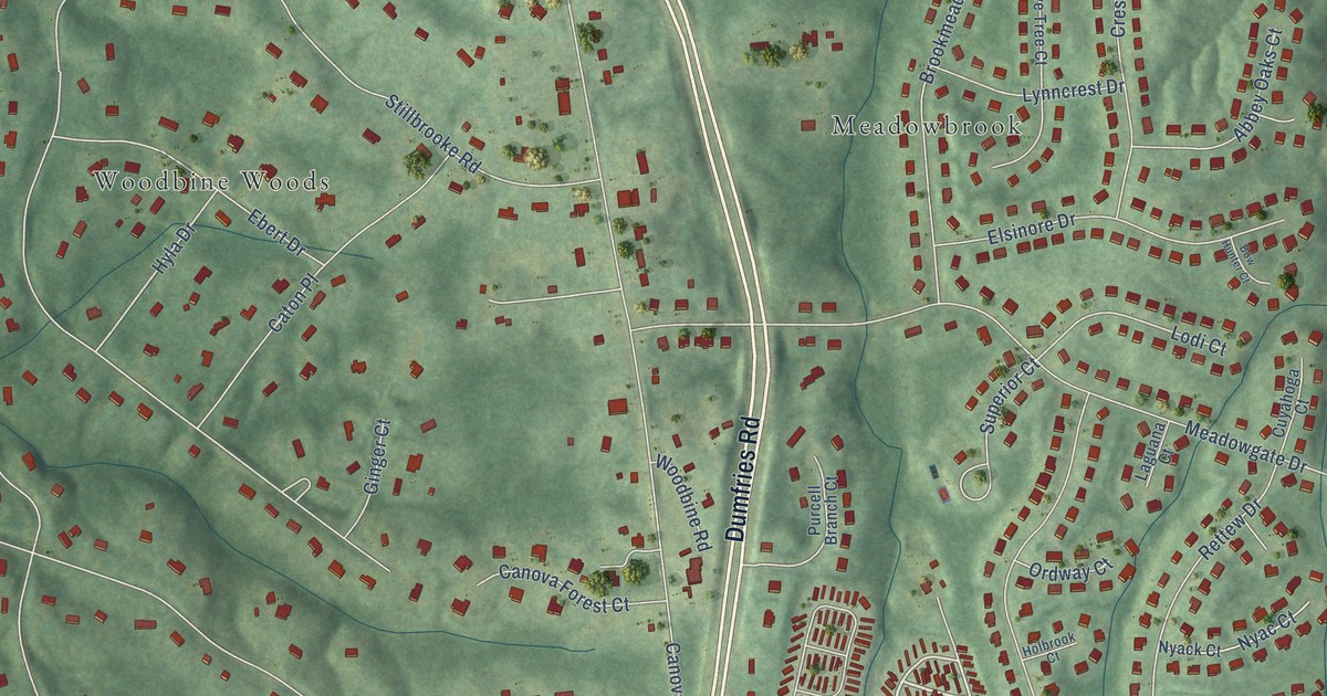
A detailed map of Woodbine, Virginia, showing every building in its true location, the roads by name, and shaded topographical relief.
Read More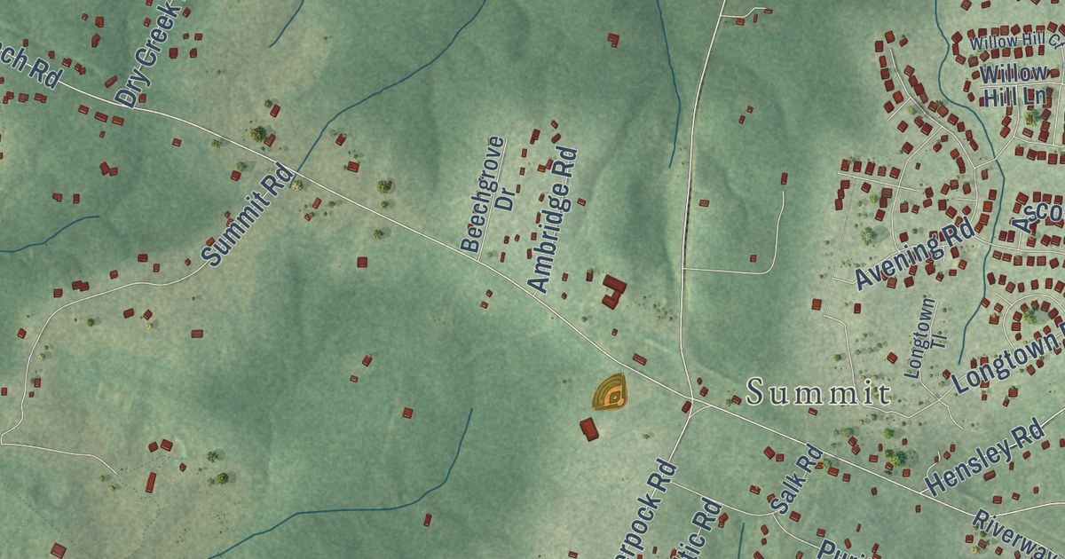
A detailed map of Winterpock, Virginia, showing every building in its true location, the roads by name, and shaded topographical relief.
Read More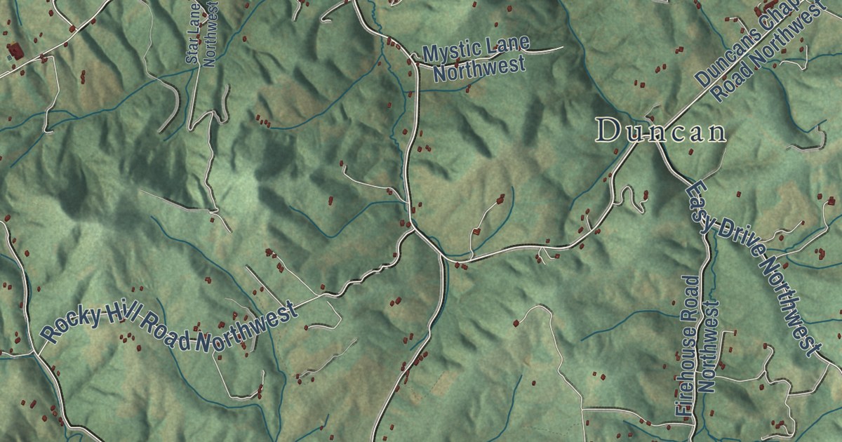
A detailed map of Willis, Virginia, showing every building in its true location, the roads by name, and shaded topographical relief.
Read More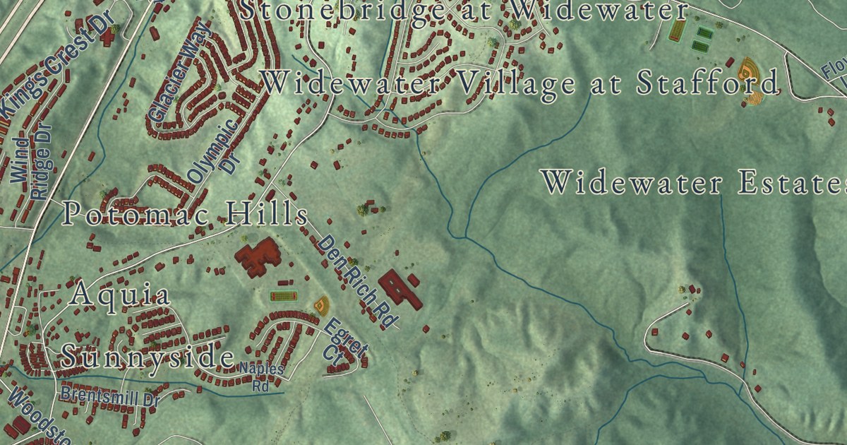
A detailed map of Widewater, Virginia, showing every building in its true location, the roads by name, and shaded topographical relief.
Read More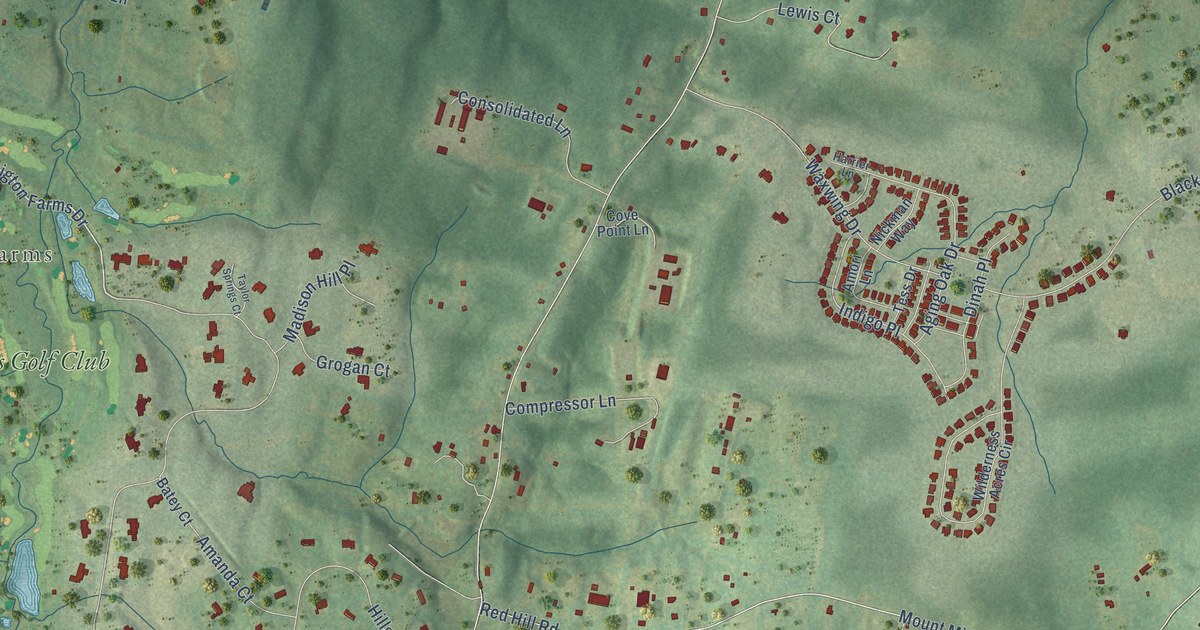
A detailed map of Watson, Virginia, showing every building in its true location, the roads by name, and shaded topographical relief.
Read More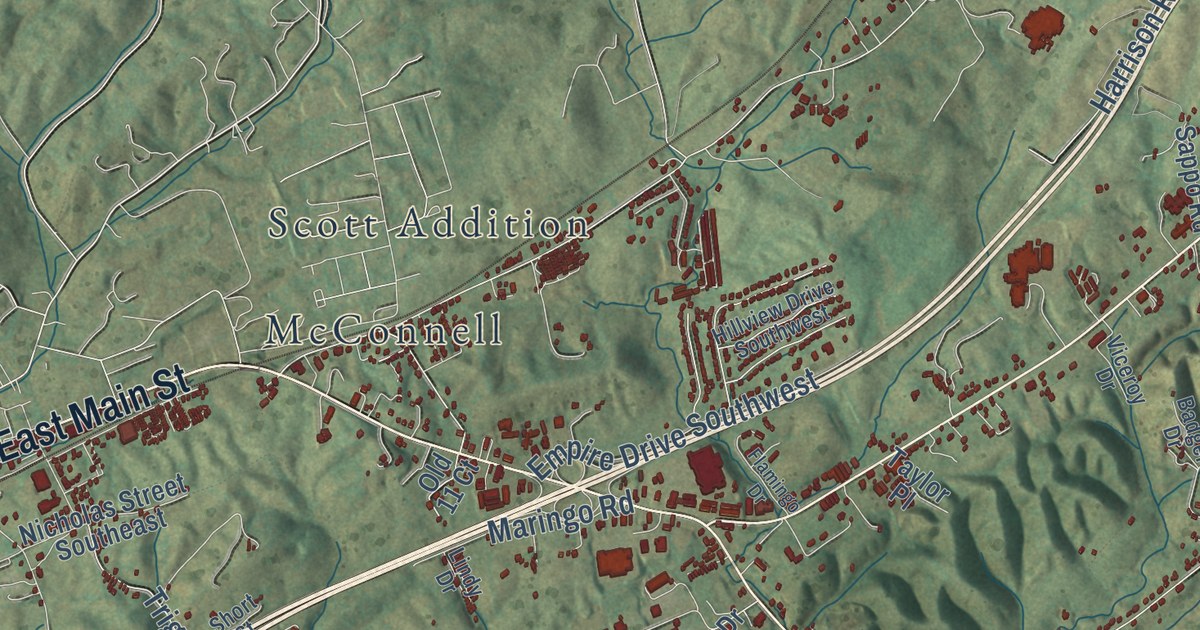
A detailed map of Watauga, Virginia, showing every building in its true location, the roads by name, and shaded topographical relief.
Read More















