Detailed Map of Clayton-Tamm, Missouri
A detailed map of Clayton-Tamm, Missouri, showing every building in its true location, the roads by name, and shaded topographical relief.
Read More
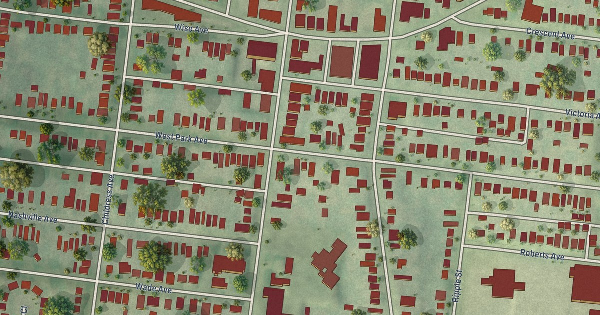
A detailed map of Clayton-Tamm, Missouri, showing every building in its true location, the roads by name, and shaded topographical relief.
Read More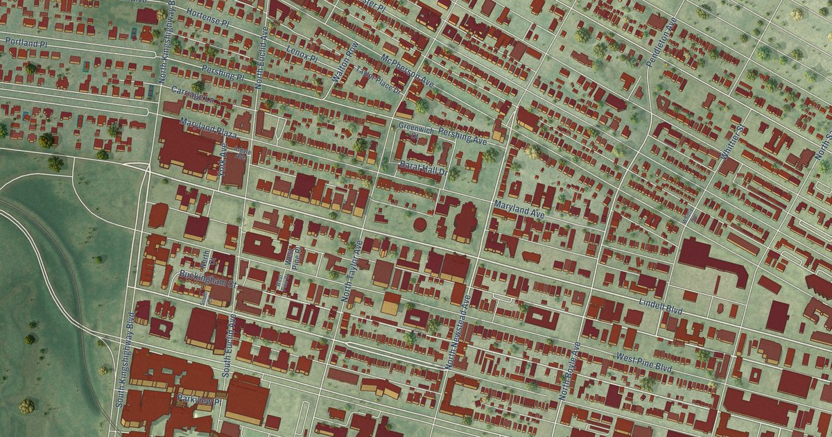
A detailed map of Central West End, Missouri, showing every building in its true location, the roads by name, and shaded topographical relief.
Read More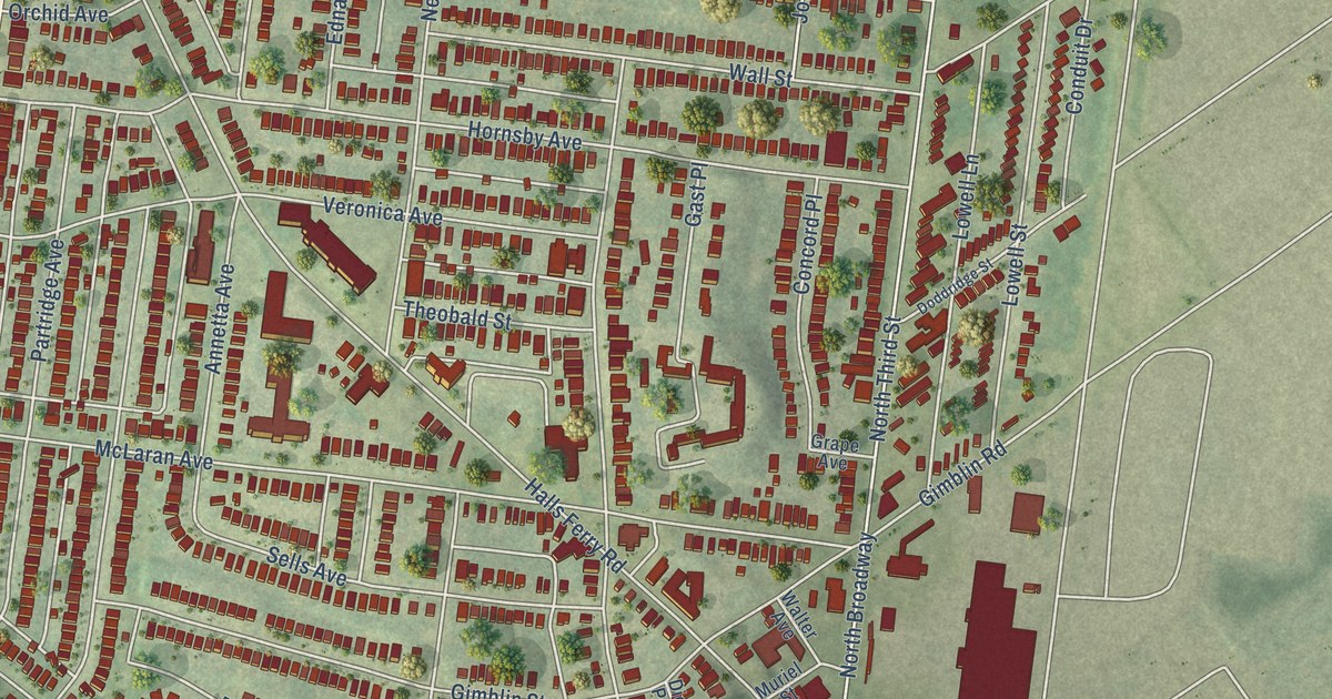
A detailed map of Baden, Missouri, showing every building in its true location, the roads by name, and shaded topographical relief.
Read More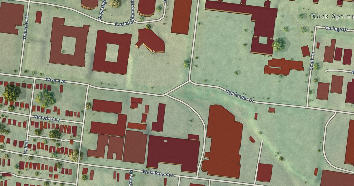
A detailed map of Cheltenham, Missouri, showing every building in its true location, the roads by name, and shaded topographical relief.
Read More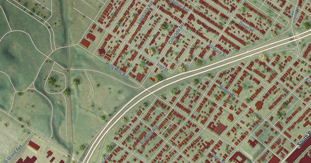
A detailed map of Carondelet, Missouri, showing every building in its true location, the roads by name, and shaded topographical relief.
Read More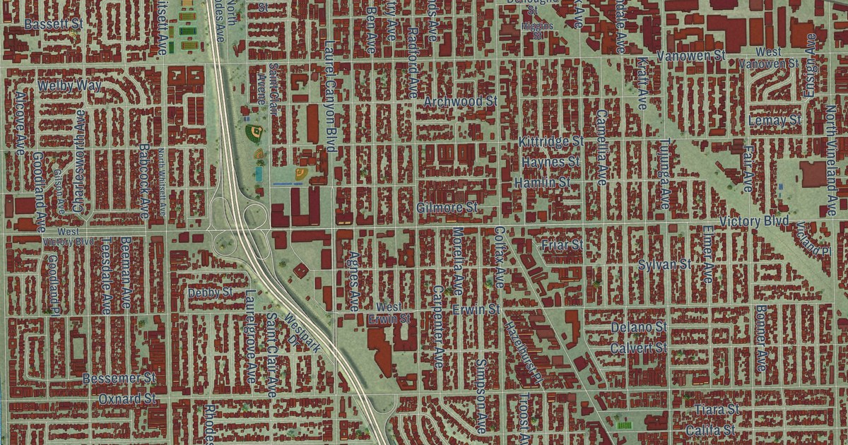
A detailed map of North Hollywood, California, showing every building in its true location, the roads by name, and shaded topographical relief.
Read More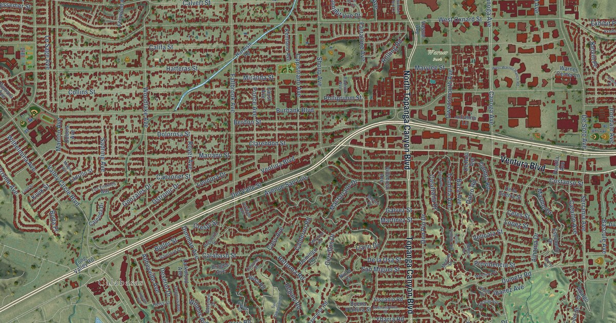
A detailed map of Woodland Hills, California, showing every building in its true location, the roads by name, and shaded topographical relief.
Read More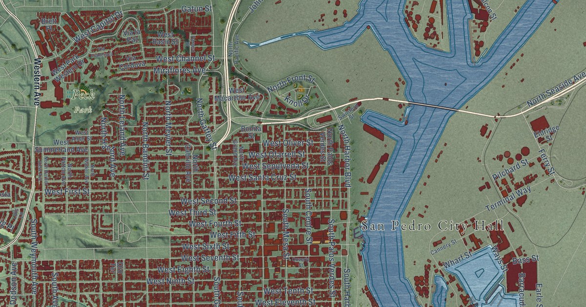
A detailed map of San Pedro, California, showing every building in its true location, the roads by name, and shaded topographical relief.
Read More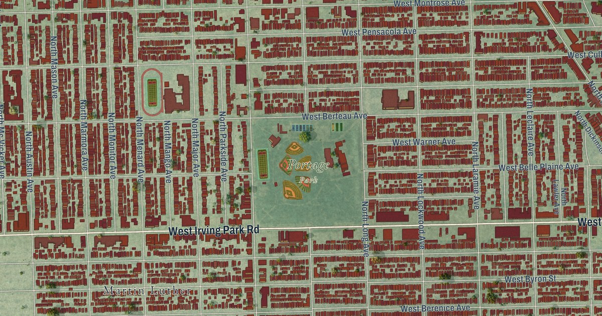
A detailed map of Portage Park, Illinois, showing every building in its true location, the roads by name, and shaded topographical relief.
Read More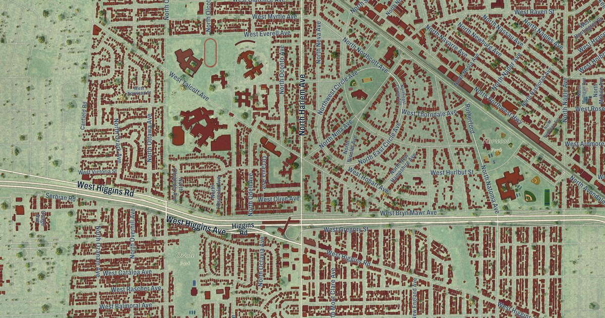
A detailed map of Norwood Park, Illinois, showing every building in its true location, the roads by name, and shaded topographical relief.
Read More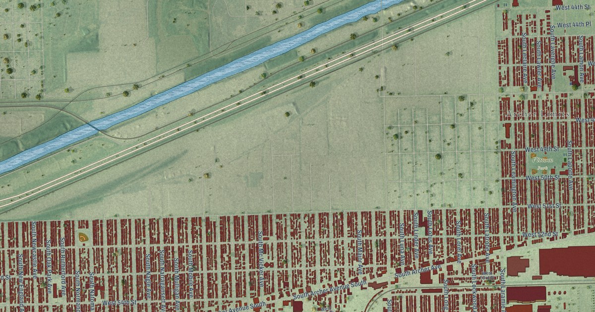
A detailed map of Garfield Ridge, Illinois, showing every building in its true location, the roads by name, and shaded topographical relief.
Read More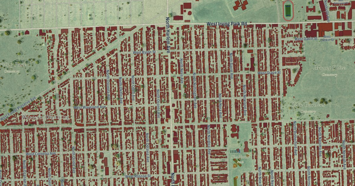
A detailed map of Dunning, Illinois, showing every building in its true location, the roads by name, and shaded topographical relief.
Read More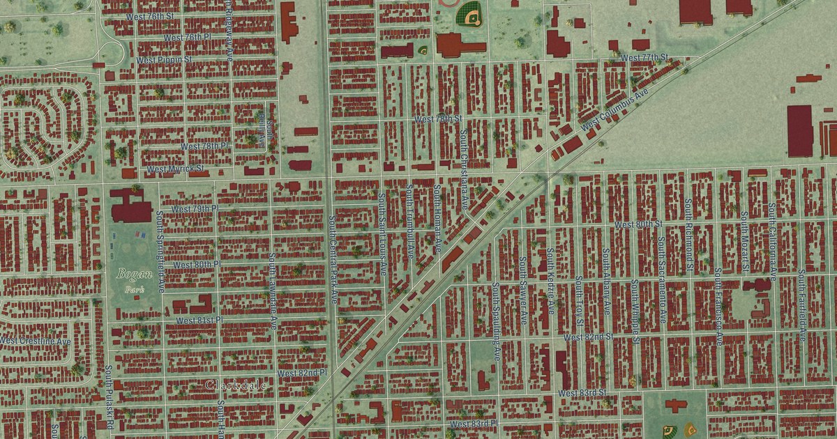
A detailed map of Ashburn, Illinois, showing every building in its true location, the roads by name, and shaded topographical relief.
Read More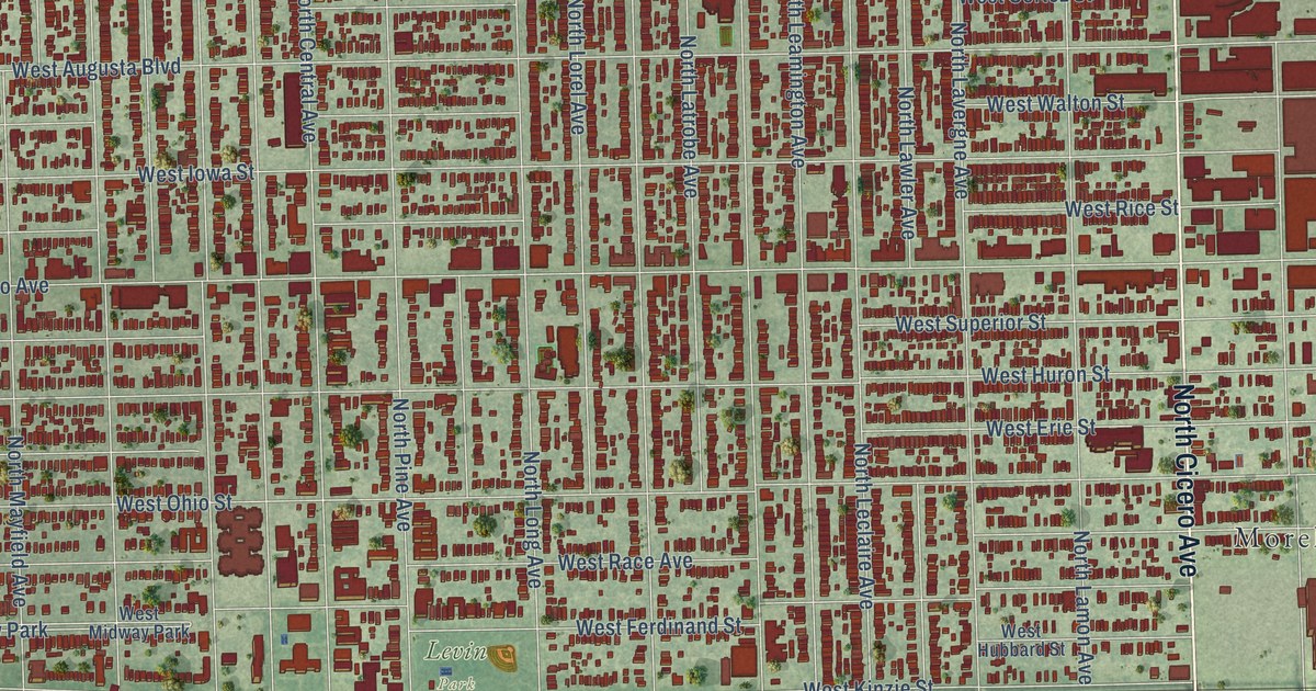
A detailed map of Austin, Illinois, showing every building in its true location, the roads by name, and shaded topographical relief.
Read More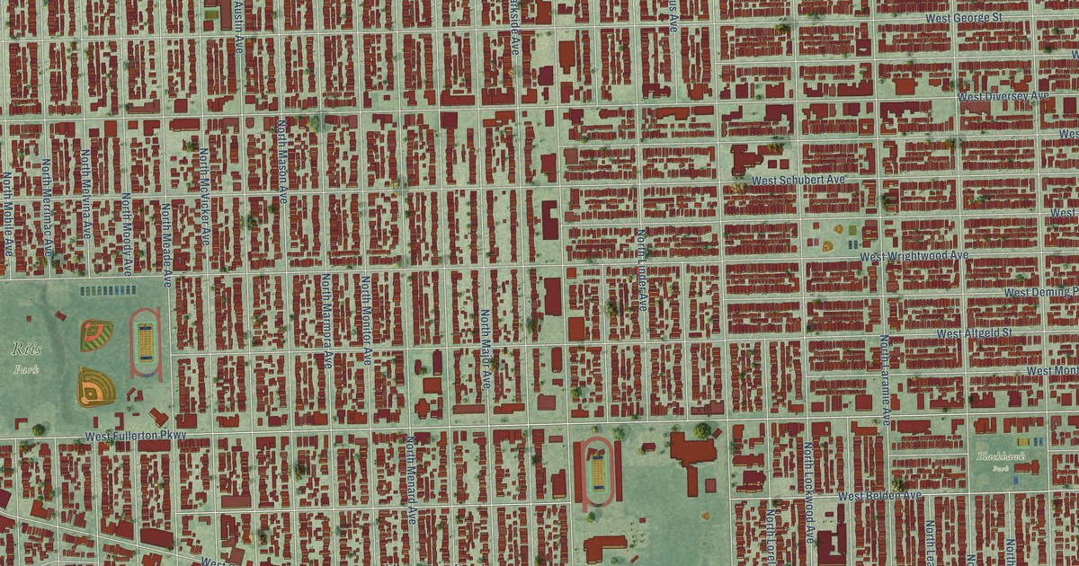
A detailed map of Belmont Cragin, Illinois, showing every building in its true location, the roads by name, and shaded topographical relief.
Read More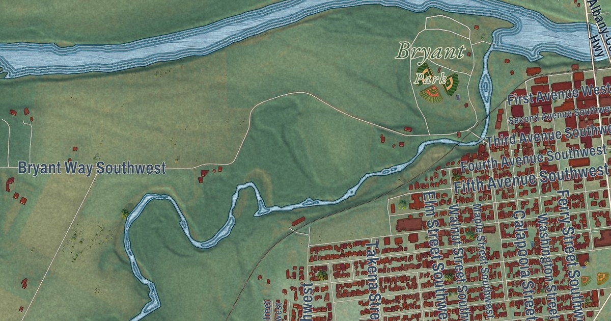
A detailed map of Riverside, Oregon, showing every building in its true location, the roads by name, and shaded topographical relief.
Read More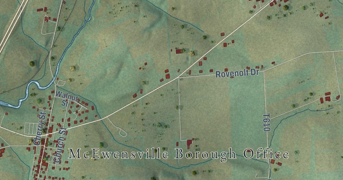
A detailed map of Warrior Run, Pennsylvania, showing every building in its true location, the roads by name, and shaded topographical relief.
Read More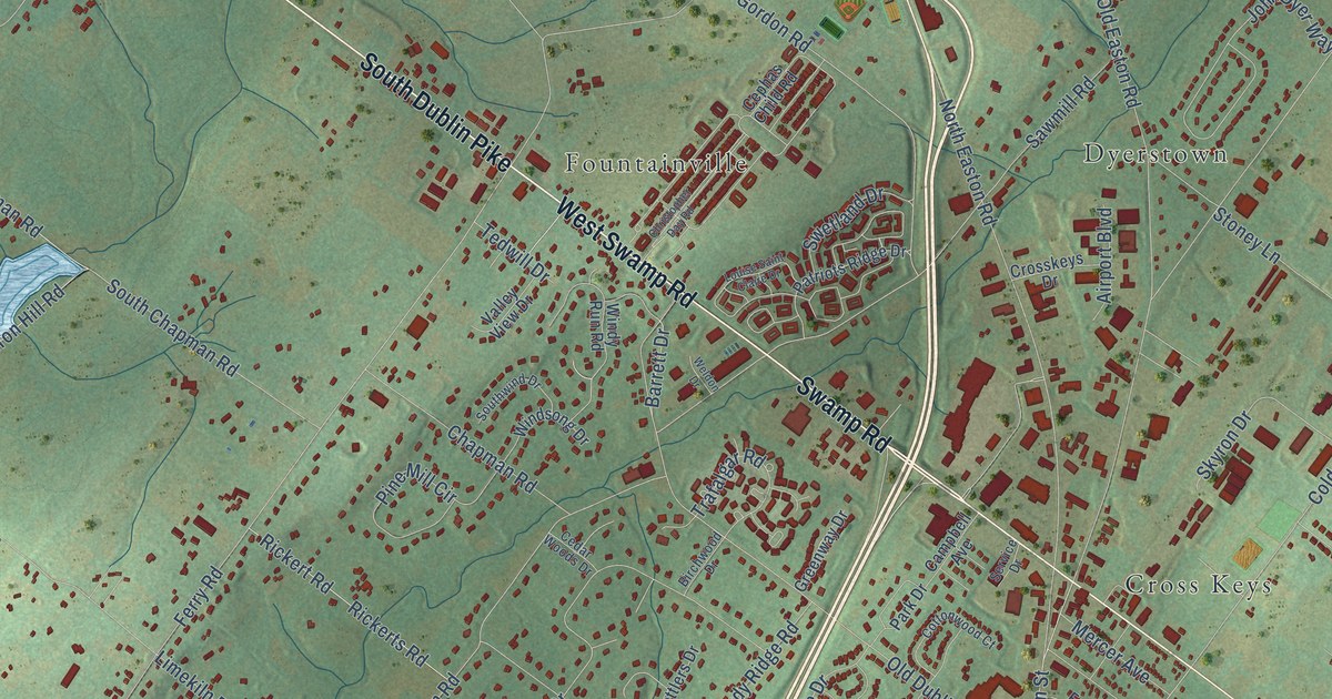
A detailed map of Pine Run, Pennsylvania, showing every building in its true location, the roads by name, and shaded topographical relief.
Read More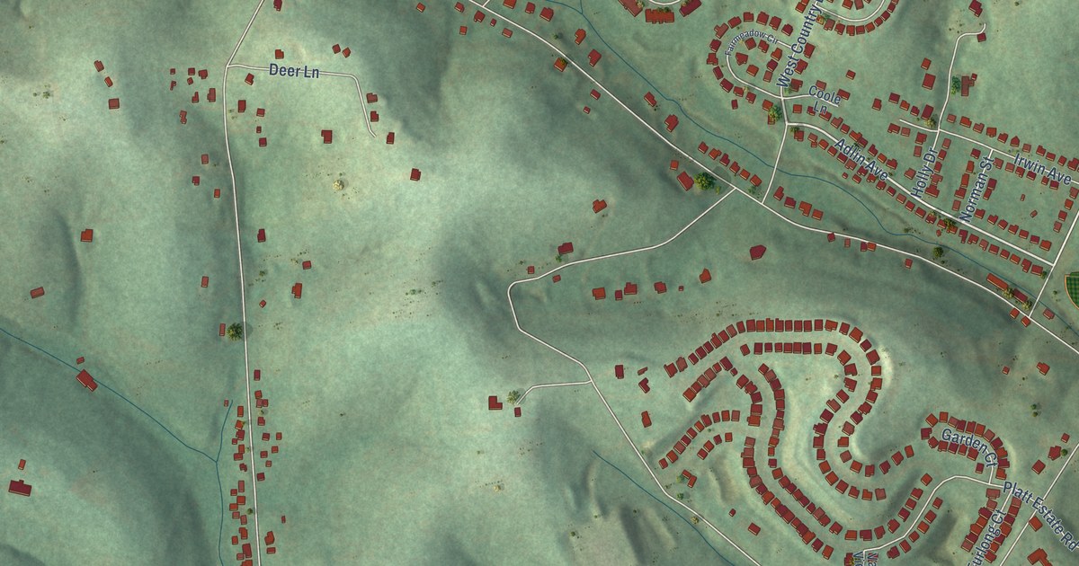
A detailed map of Allison Park, Pennsylvania, showing every building in its true location, the roads by name, and shaded topographical relief.
Read More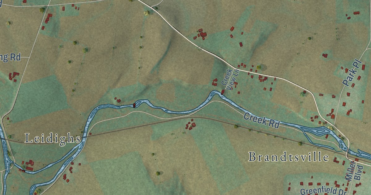
A detailed map of Allen, Pennsylvania, showing every building in its true location, the roads by name, and shaded topographical relief.
Read More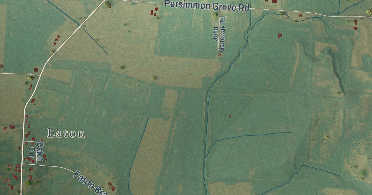
A detailed map of Spring Hill, Tennessee, showing every building in its true location, the roads by name, and shaded topographical relief.
Read More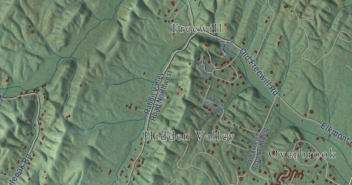
A detailed map of Prospect, Tennessee, showing every building in its true location, the roads by name, and shaded topographical relief.
Read More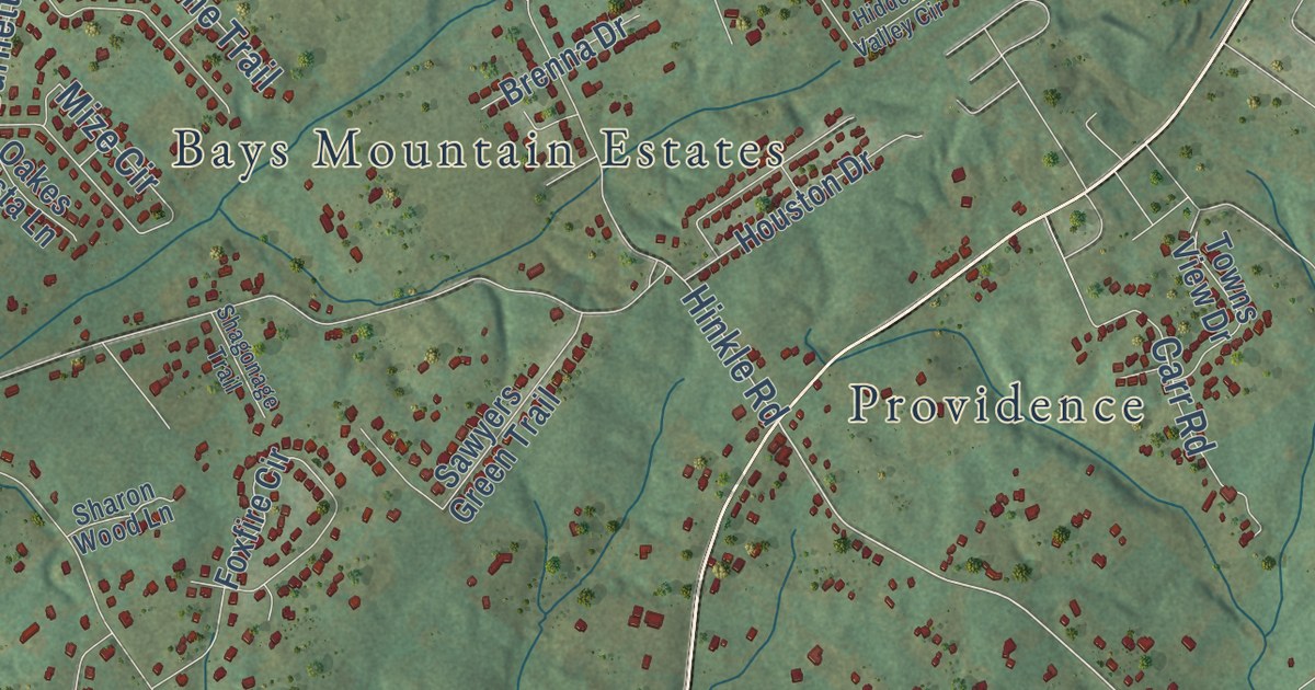
A detailed map of Prospect, Tennessee, showing every building in its true location, the roads by name, and shaded topographical relief.
Read More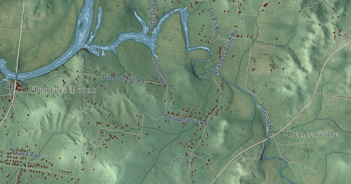
A detailed map of Oakland, Tennessee, showing every building in its true location, the roads by name, and shaded topographical relief.
Read More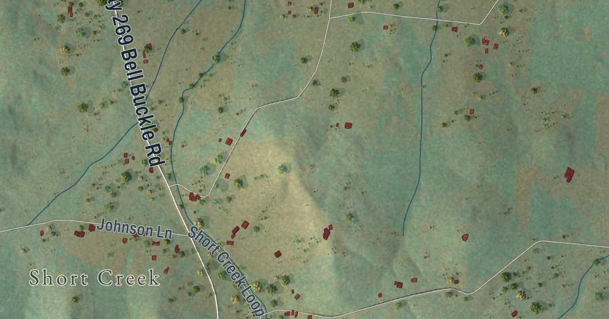
A detailed map of Plainview, Tennessee, showing every building in its true location, the roads by name, and shaded topographical relief.
Read More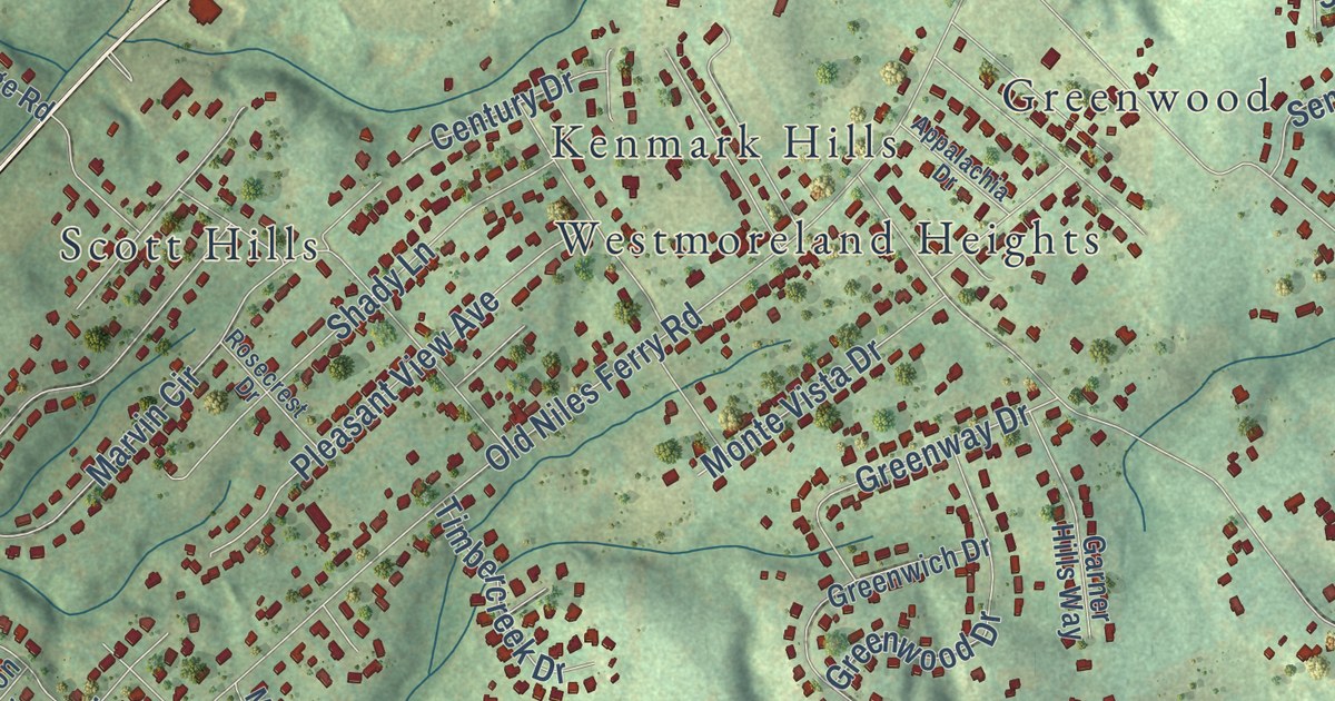
A detailed map of Fairview, Tennessee, showing every building in its true location, the roads by name, and shaded topographical relief.
Read More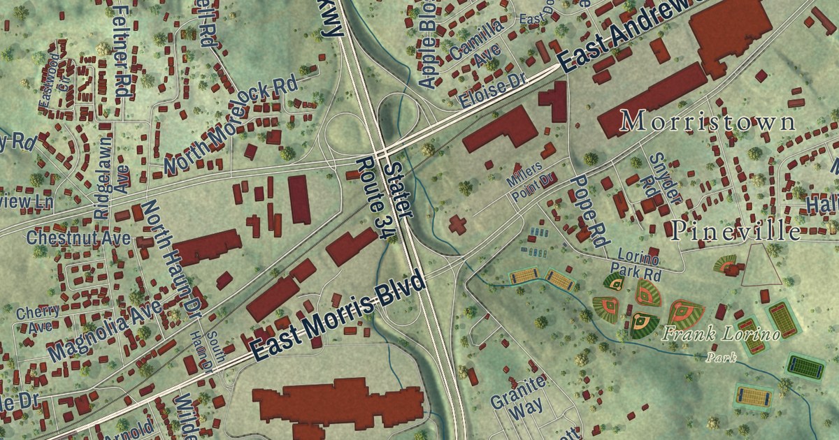
A detailed map of East Ridge, Tennessee, showing every building in its true location, the roads by name, and shaded topographical relief.
Read More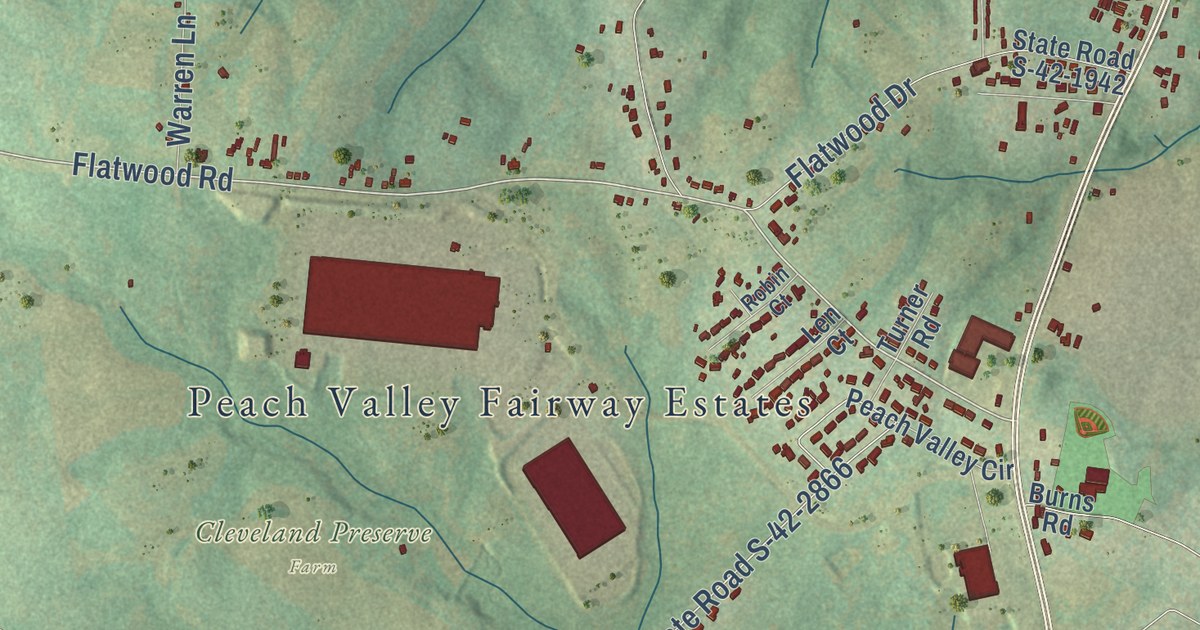
A detailed map of Carlisle, South Carolina, showing every building in its true location, the roads by name, and shaded topographical relief.
Read More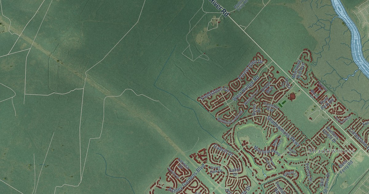
A detailed map of Drayton, South Carolina, showing every building in its true location, the roads by name, and shaded topographical relief.
Read More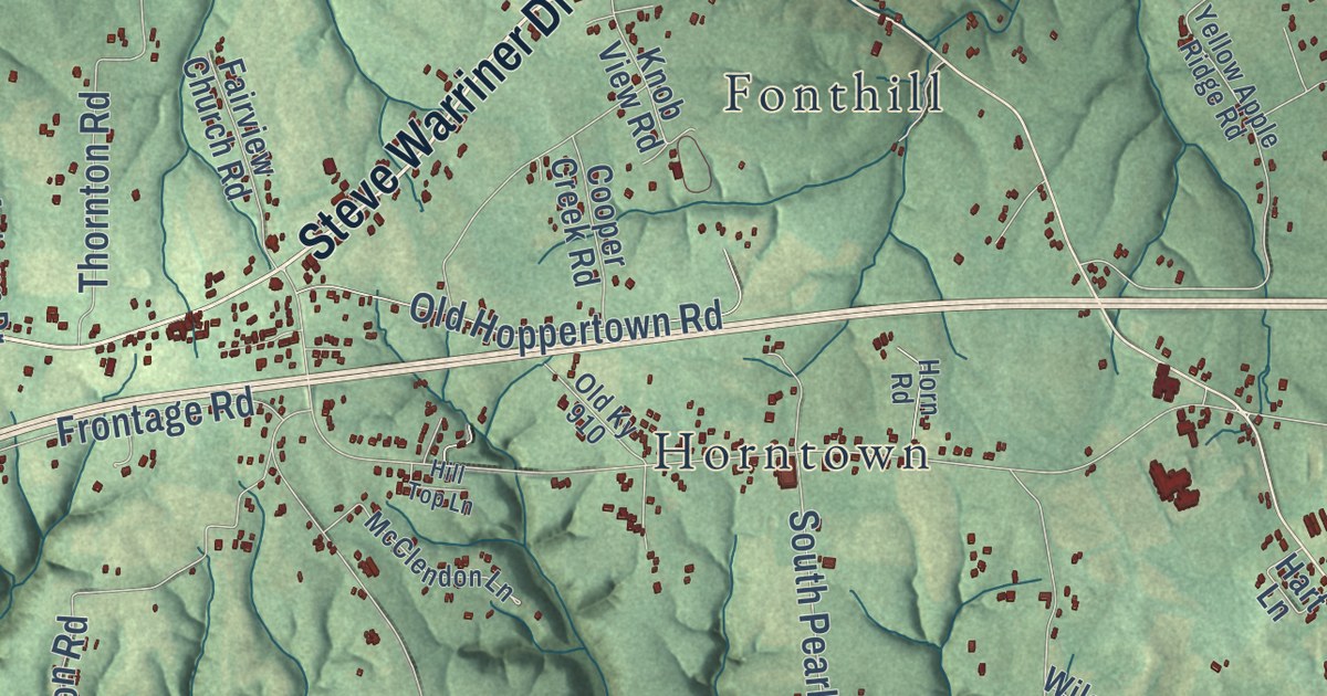
A detailed map of Salem, Kentucky, showing every building in its true location, the roads by name, and shaded topographical relief.
Read More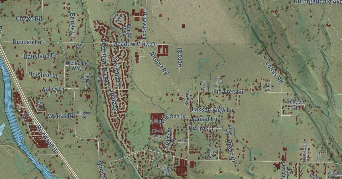
A detailed map of Pacheco, California, showing every building in its true location, the roads by name, and shaded topographical relief.
Read More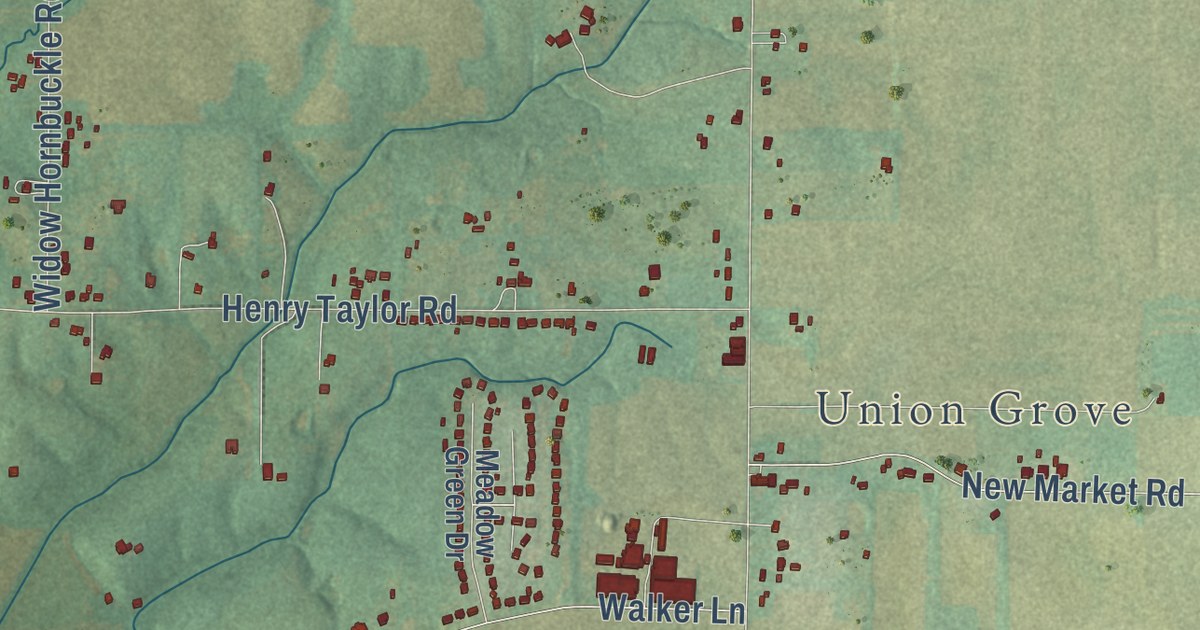
A detailed map of Walnut Grove, Alabama, showing every building in its true location, the roads by name, and shaded topographical relief.
Read More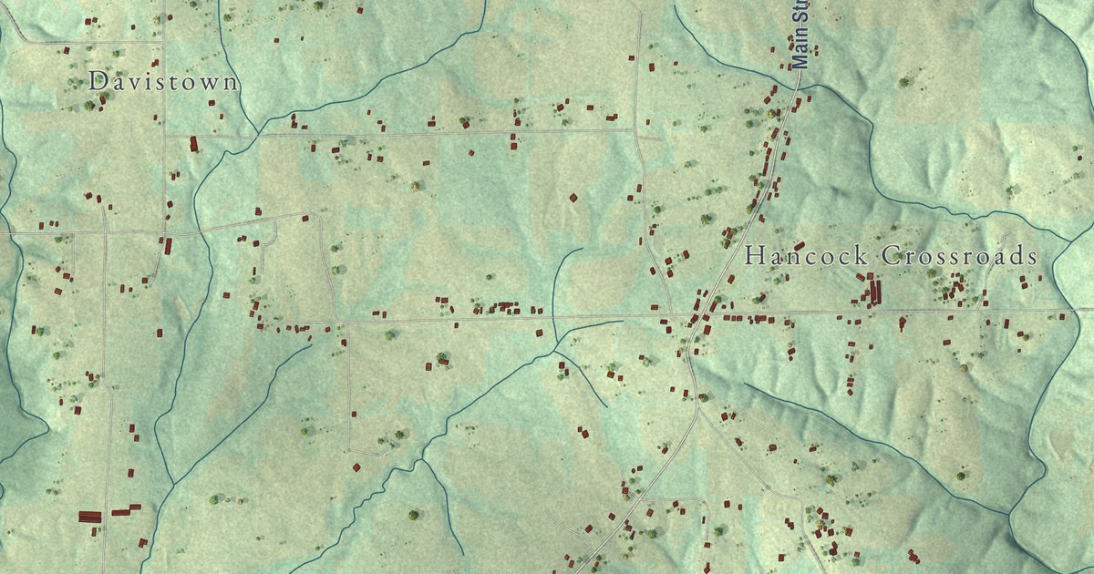
A detailed map of Macedonia, Alabama, showing every building in its true location, the roads by name, and shaded topographical relief.
Read More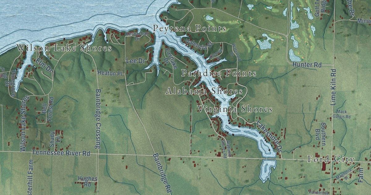
A detailed map of Hatton, Alabama, showing every building in its true location, the roads by name, and shaded topographical relief.
Read More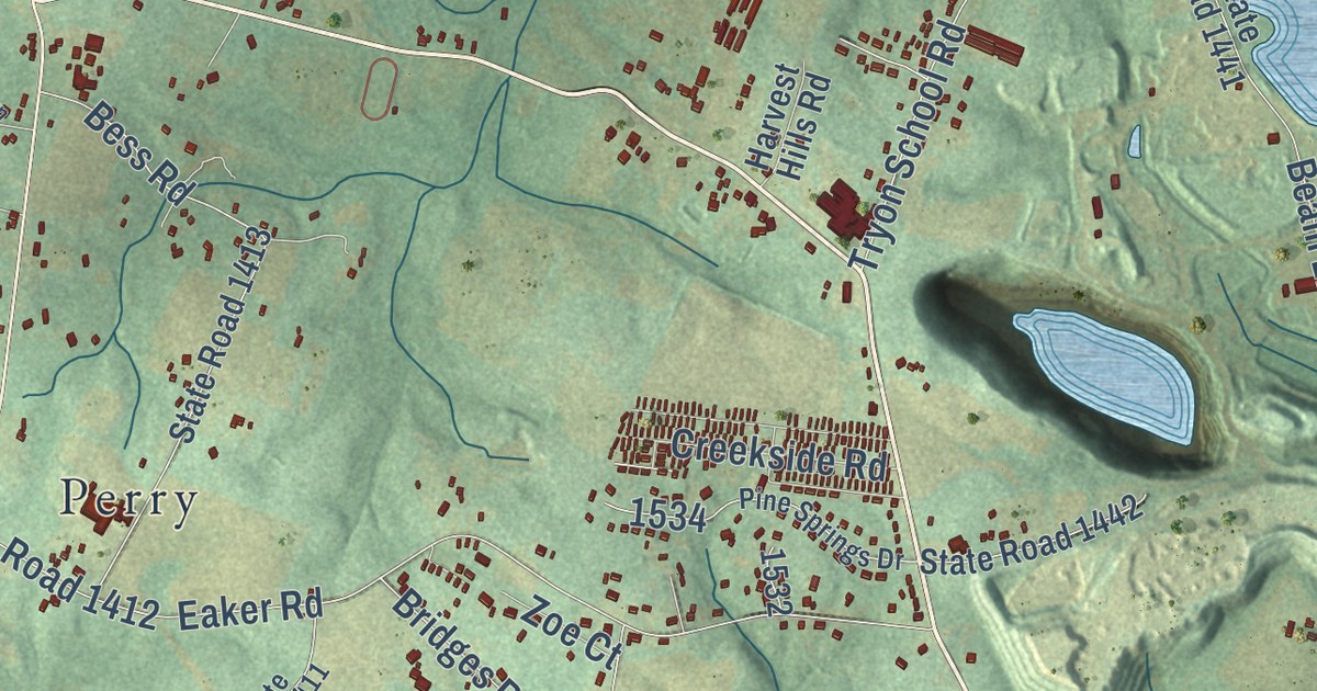
A detailed map of Tryon, North Carolina, showing every building in its true location, the roads by name, and shaded topographical relief.
Read More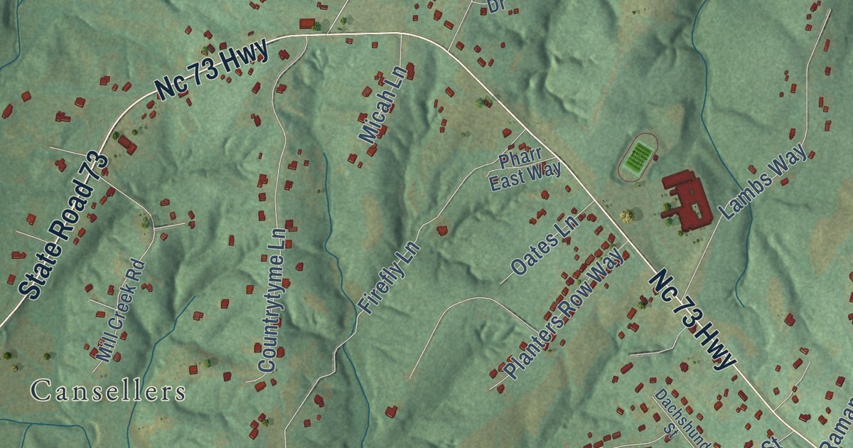
A detailed map of Pumpkin Center, North Carolina, showing every building in its true location, the roads by name, and shaded topographical relief.
Read More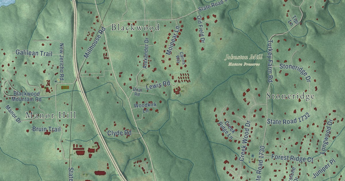
A detailed map of New Hope, North Carolina, showing every building in its true location, the roads by name, and shaded topographical relief.
Read More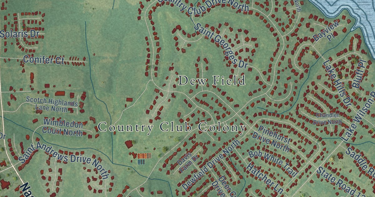
A detailed map of New Hope, North Carolina, showing every building in its true location, the roads by name, and shaded topographical relief.
Read More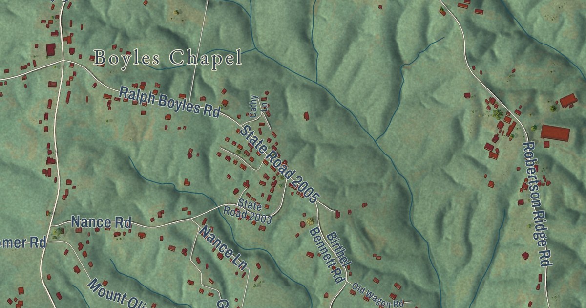
A detailed map of Mount Olive, North Carolina, showing every building in its true location, the roads by name, and shaded topographical relief.
Read More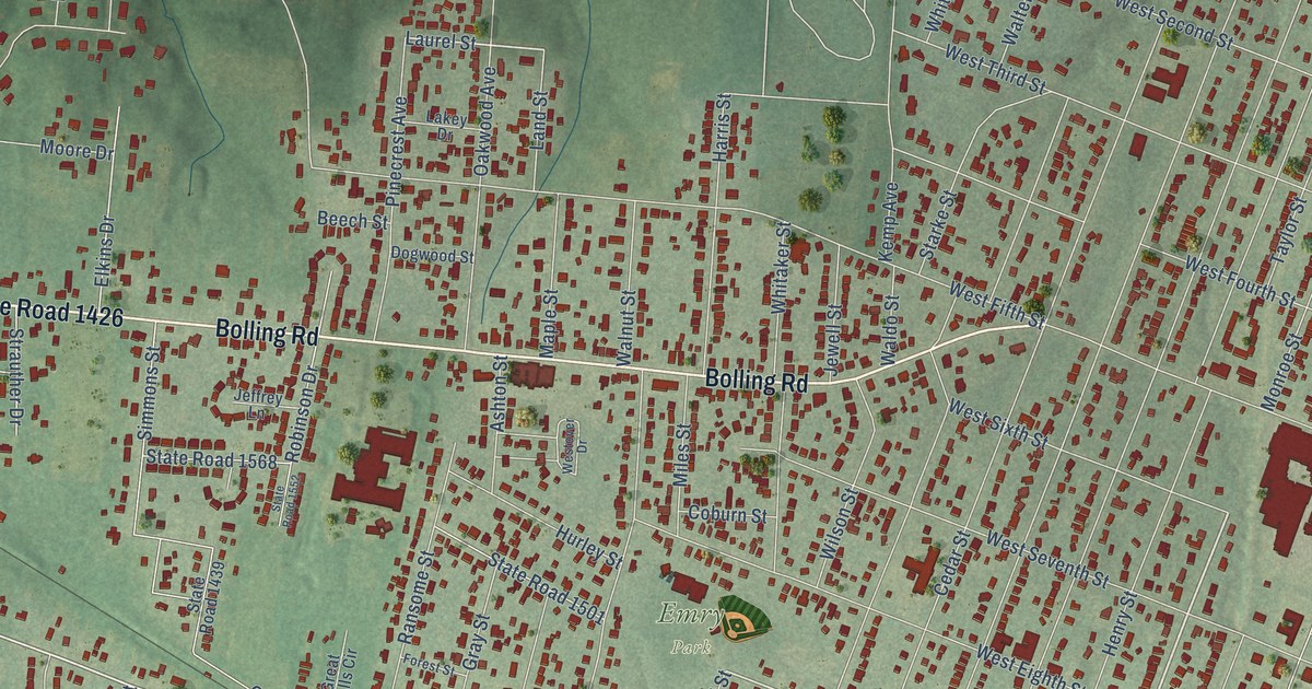
A detailed map of Belmont, North Carolina, showing every building in its true location, the roads by name, and shaded topographical relief.
Read More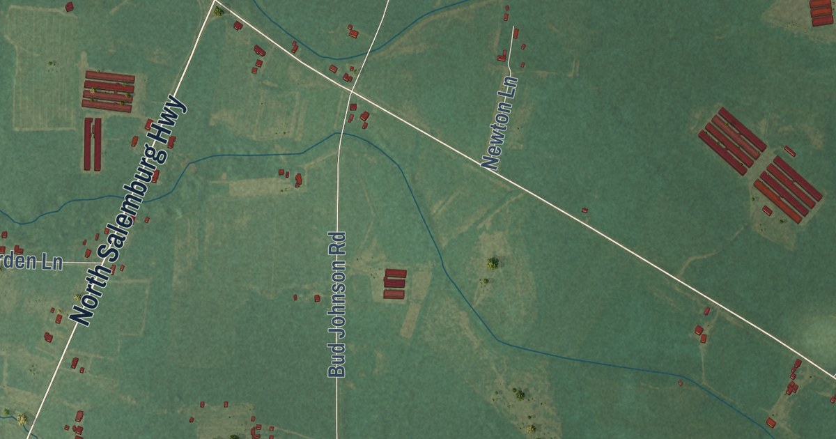
A detailed map of Midway, North Carolina, showing every building in its true location, the roads by name, and shaded topographical relief.
Read More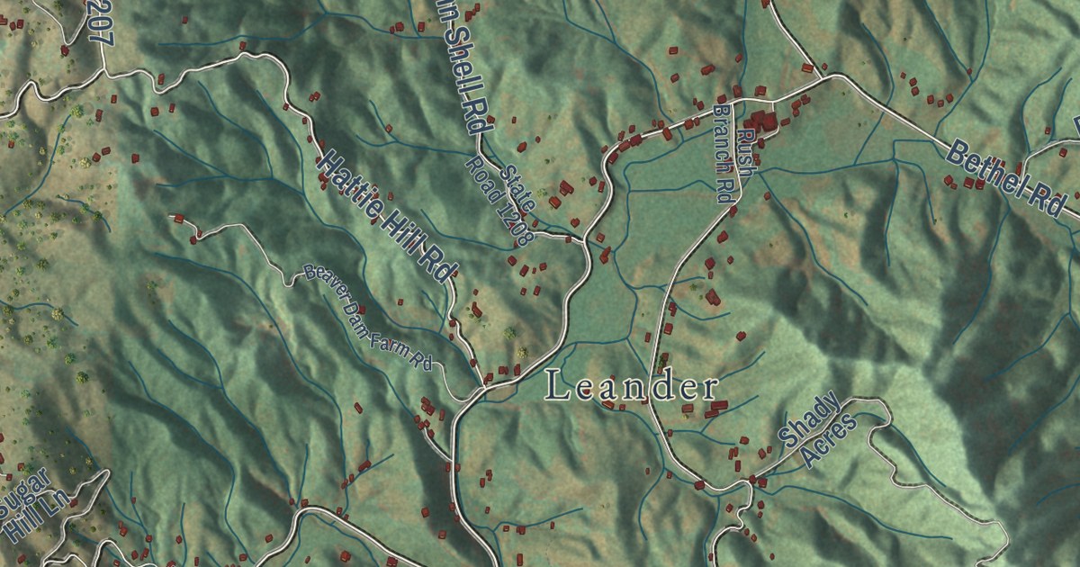
A detailed map of Bethel, North Carolina, showing every building in its true location, the roads by name, and shaded topographical relief.
Read More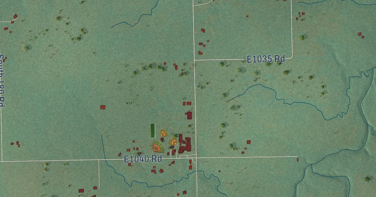
A detailed map of Wilson, Oklahoma, showing every building in its true location, the roads by name, and shaded topographical relief.
Read More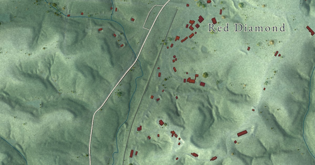
A detailed map of Vinton, Ohio, showing every building in its true location, the roads by name, and shaded topographical relief.
Read More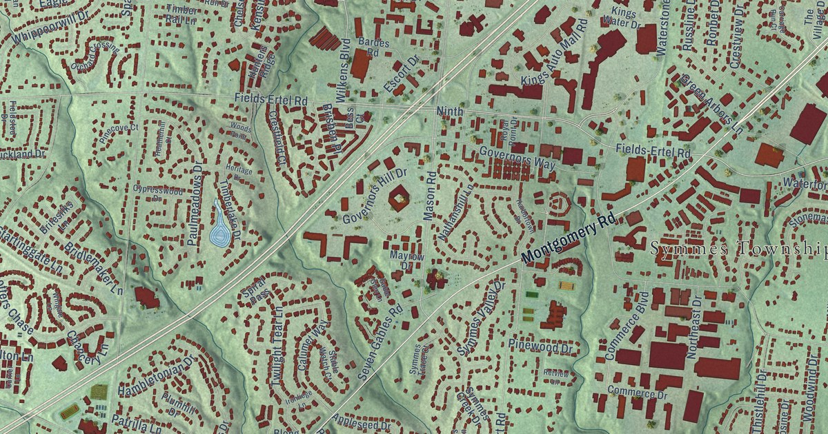
A detailed map of Sycamore, Ohio, showing every building in its true location, the roads by name, and shaded topographical relief.
Read More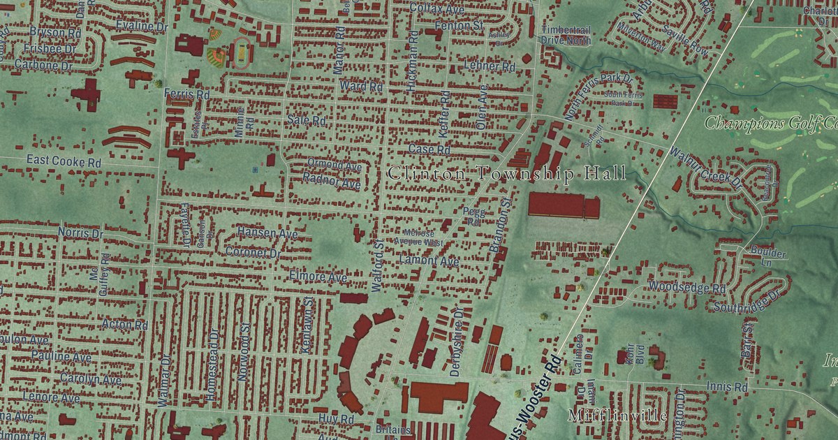
A detailed map of Clinton, Ohio, showing every building in its true location, the roads by name, and shaded topographical relief.
Read More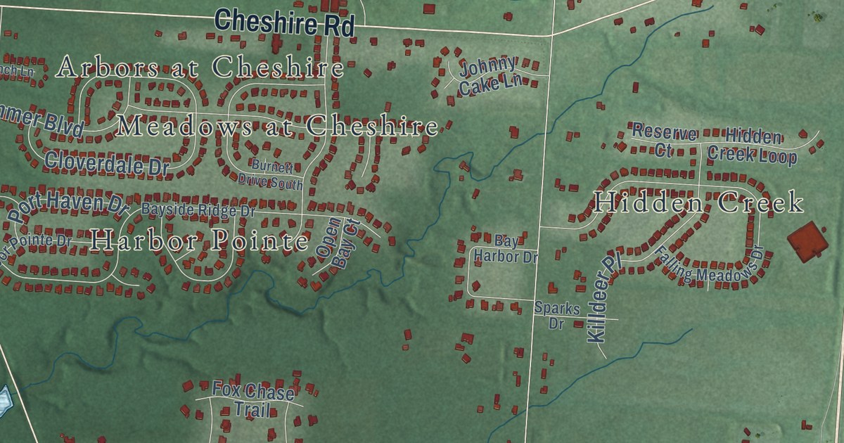
A detailed map of Cheshire, Ohio, showing every building in its true location, the roads by name, and shaded topographical relief.
Read More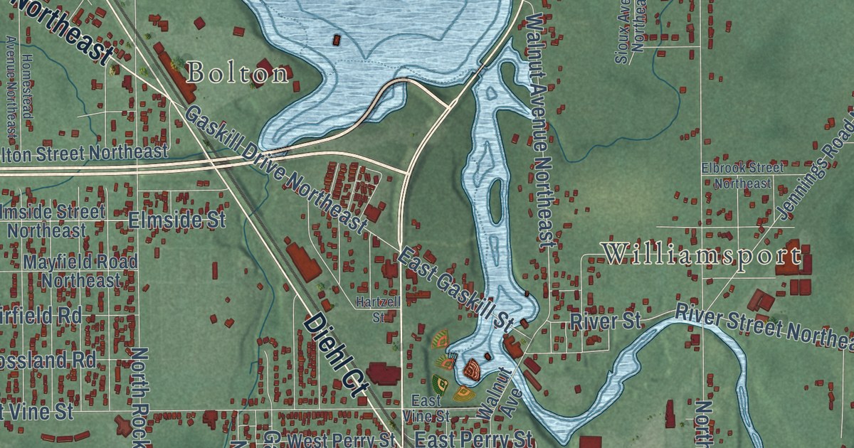
A detailed map of Lexington, Ohio, showing every building in its true location, the roads by name, and shaded topographical relief.
Read More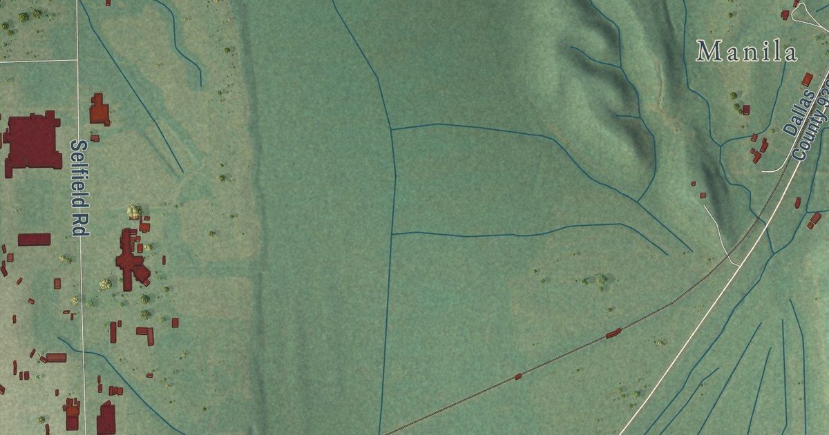
A detailed map of Brantley, Alabama, showing every building in its true location, the roads by name, and shaded topographical relief.
Read More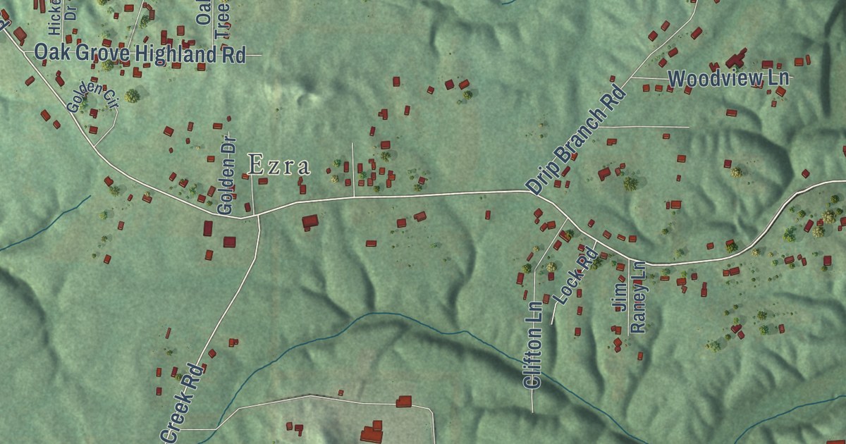
A detailed map of Oak Grove, Alabama, showing every building in its true location, the roads by name, and shaded topographical relief.
Read More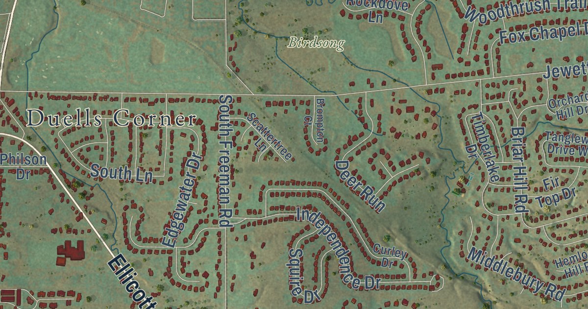
A detailed map of Ellicott, New York, showing every building in its true location, the roads by name, and shaded topographical relief.
Read More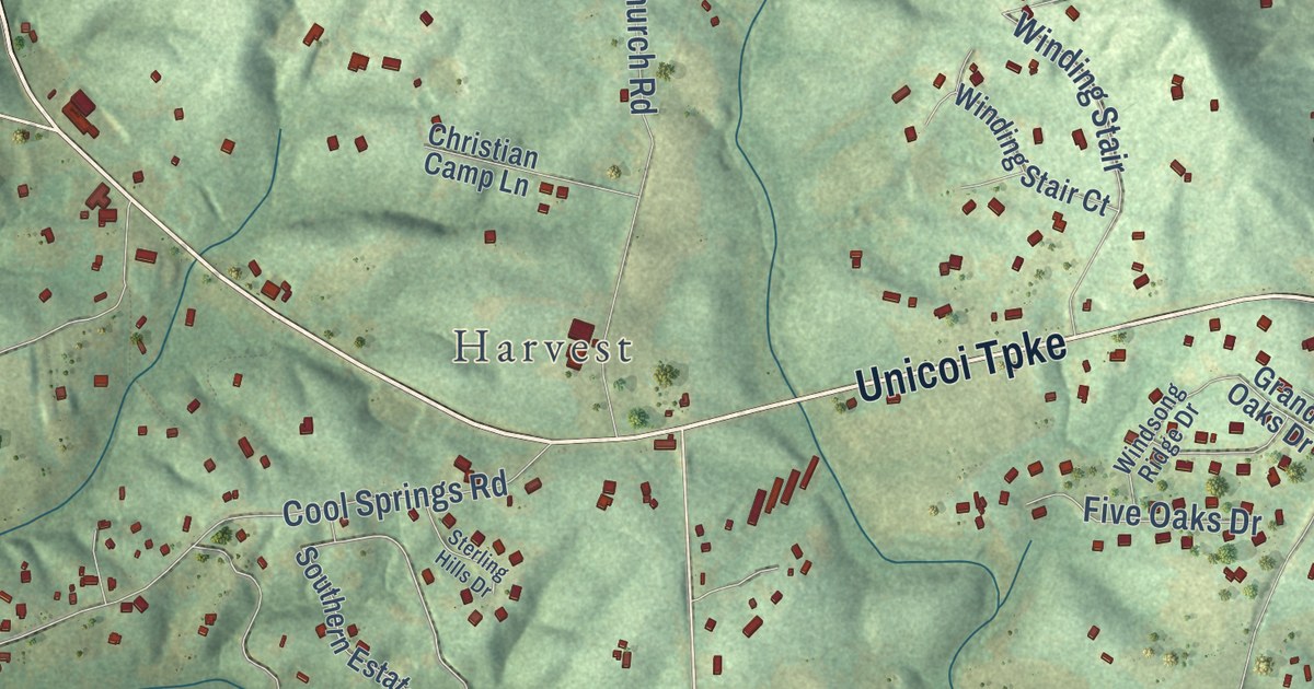
A detailed map of Fairview, Georgia, showing every building in its true location, the roads by name, and shaded topographical relief.
Read More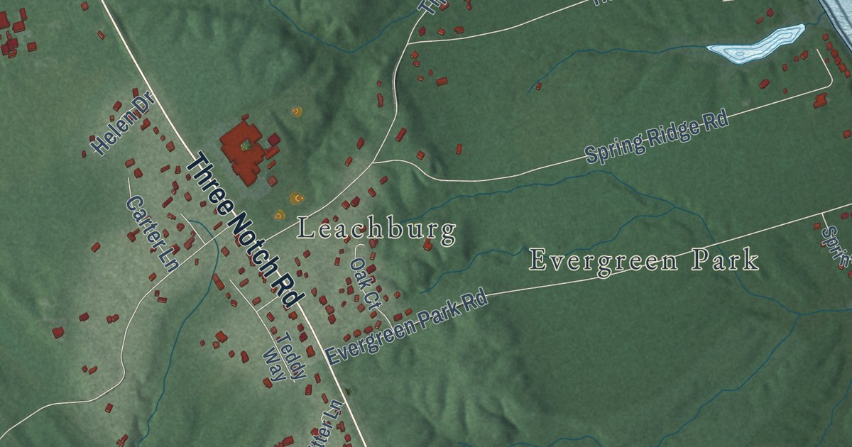
A detailed map of Spring Ridge, Maryland, showing every building in its true location, the roads by name, and shaded topographical relief.
Read More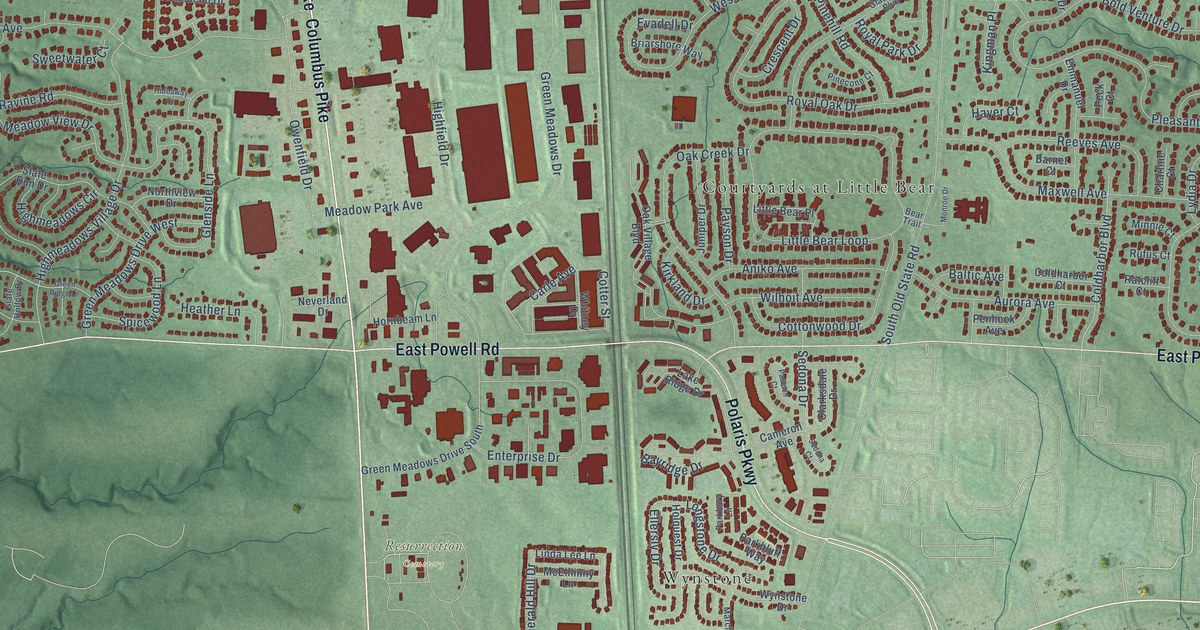
A detailed map of Orange, Ohio, showing every building in its true location, the roads by name, and shaded topographical relief.
Read More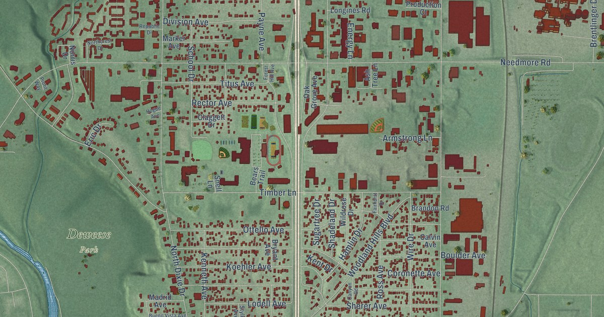
A detailed map of Northridge, Ohio, showing every building in its true location, the roads by name, and shaded topographical relief.
Read More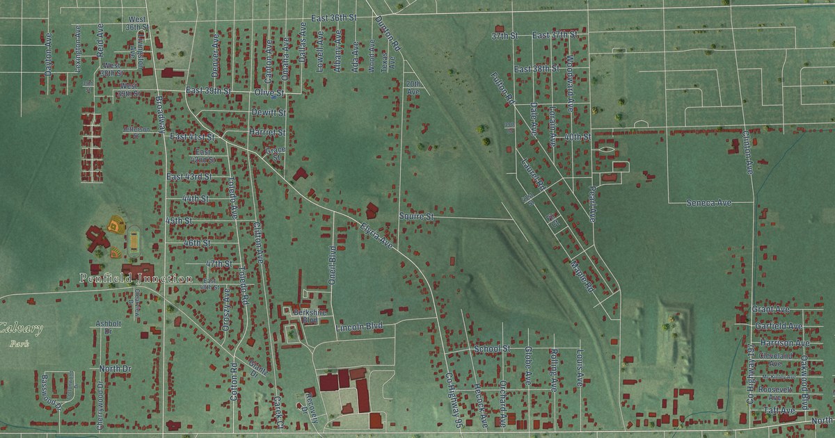
A detailed map of Vincent, Ohio, showing every building in its true location, the roads by name, and shaded topographical relief.
Read More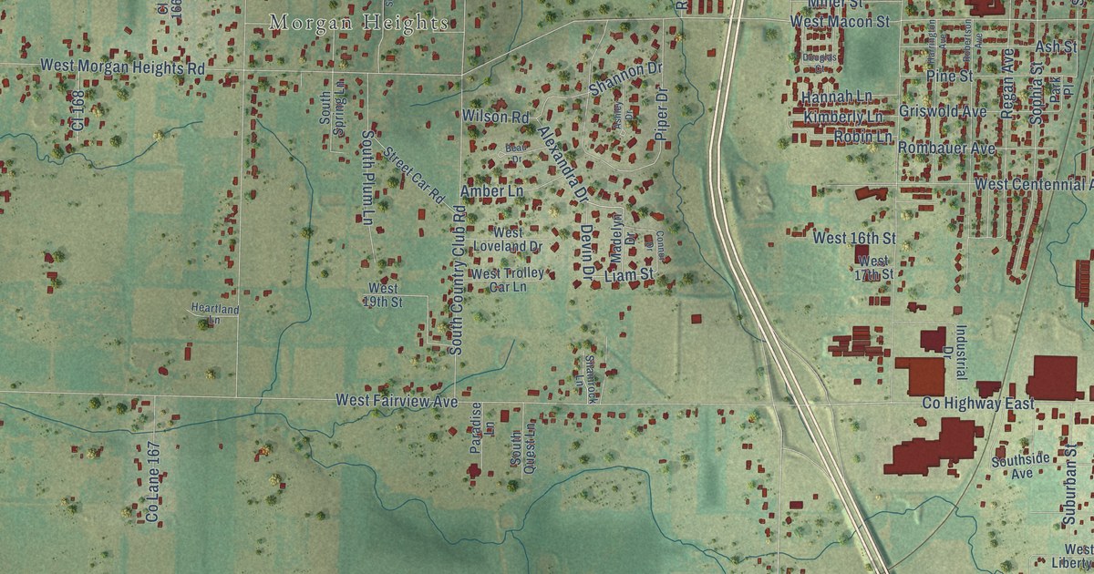
A detailed map of Pleasant Valley, Missouri, showing every building in its true location, the roads by name, and shaded topographical relief.
Read More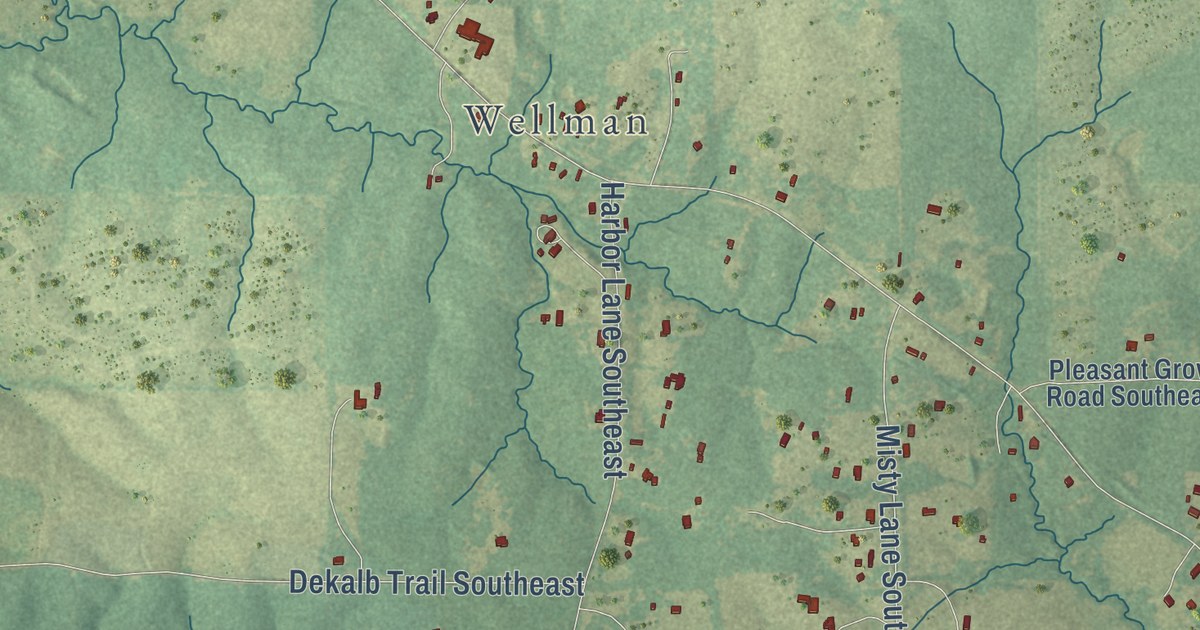
A detailed map of Enterprise, Mississippi, showing every building in its true location, the roads by name, and shaded topographical relief.
Read More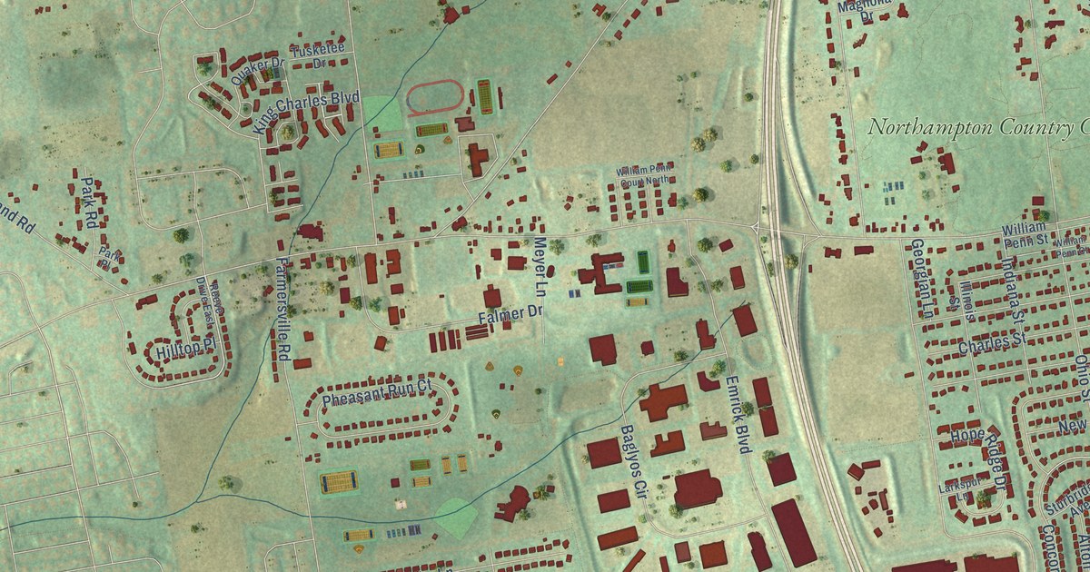
A detailed map of Farmersville, Pennsylvania, showing every building in its true location, the roads by name, and shaded topographical relief.
Read More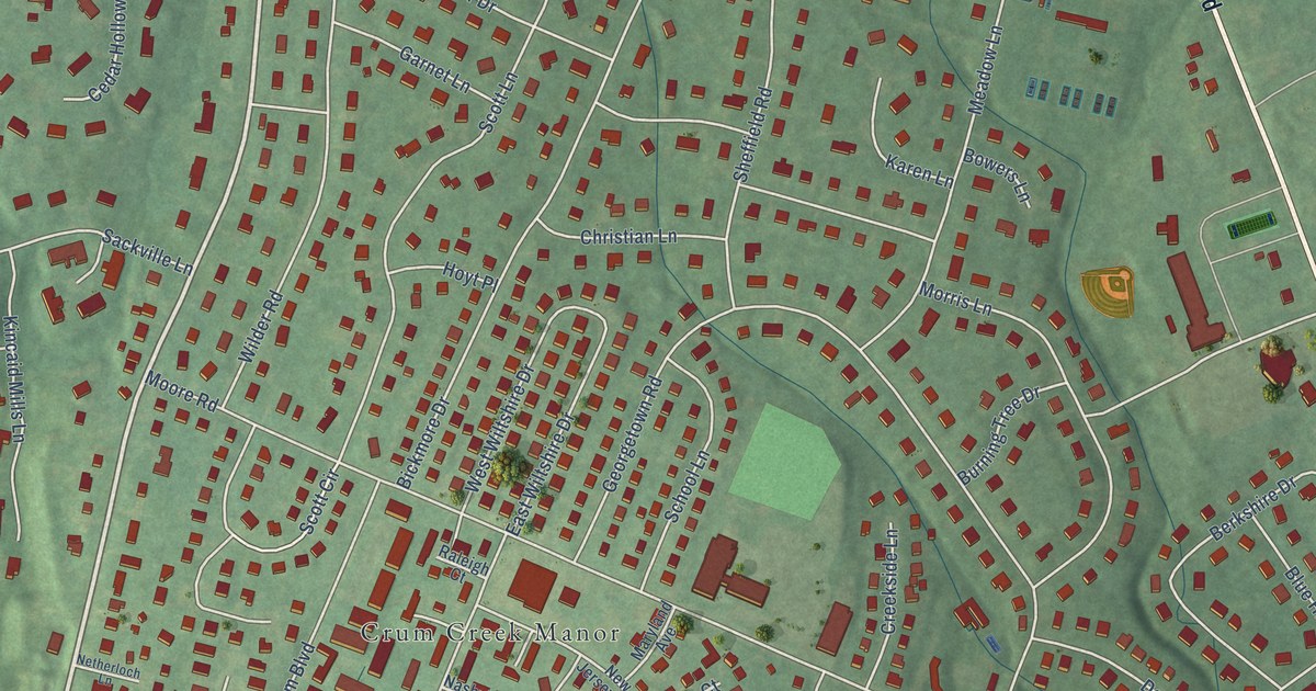
A detailed map of Providence, Pennsylvania, showing every building in its true location, the roads by name, and shaded topographical relief.
Read More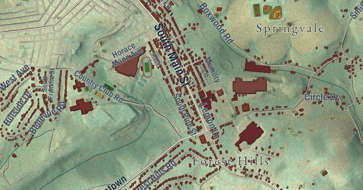
A detailed map of Pleasant View, Pennsylvania, showing every building in its true location, the roads by name, and shaded topographical relief.
Read More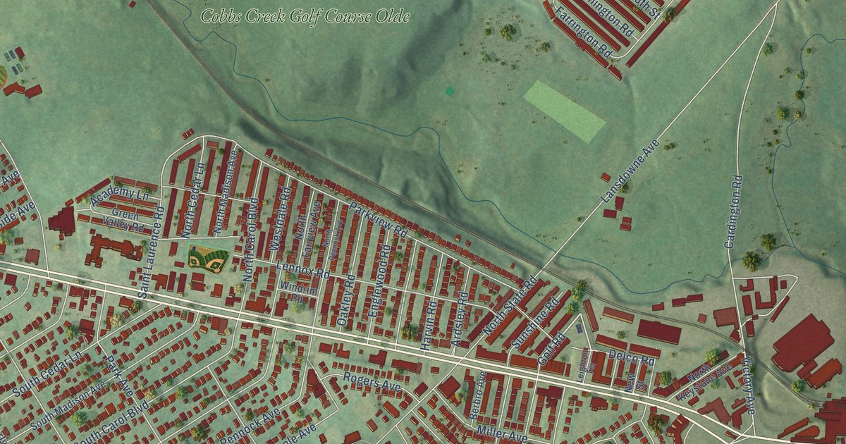
A detailed map of Highland Park, Pennsylvania, showing every building in its true location, the roads by name, and shaded topographical relief.
Read More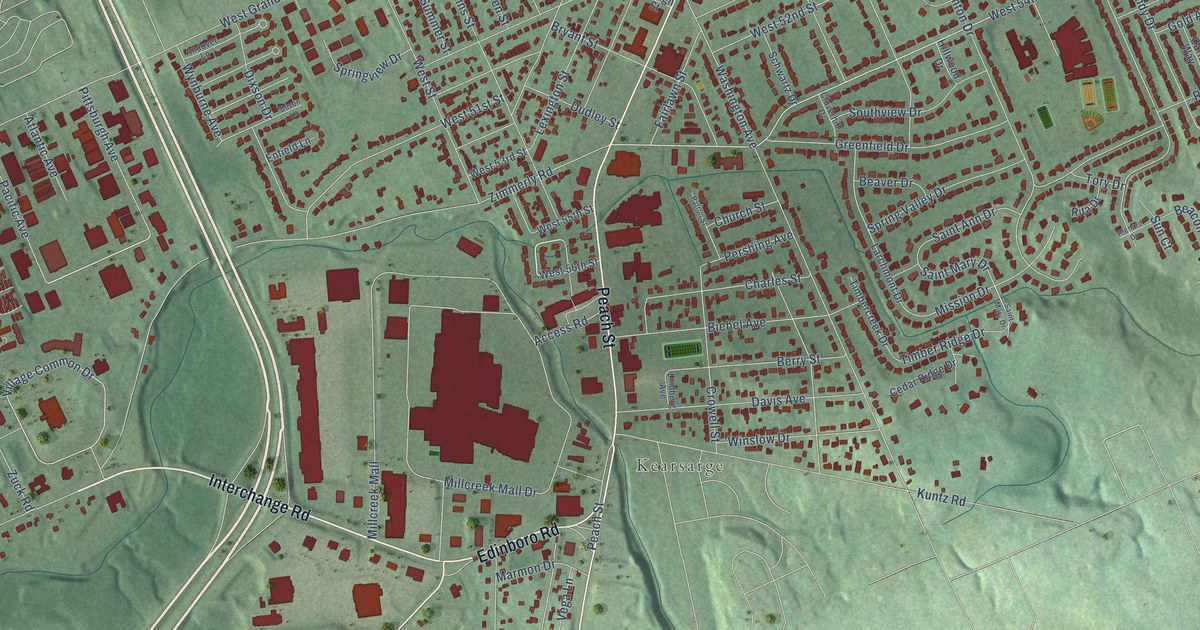
A detailed map of Chestnut Hill, Pennsylvania, showing every building in its true location, the roads by name, and shaded topographical relief.
Read More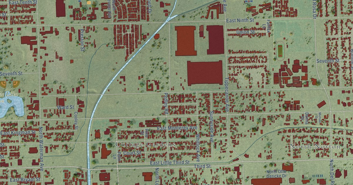
A detailed map of Warm Springs, California, showing every building in its true location, the roads by name, and shaded topographical relief.
Read More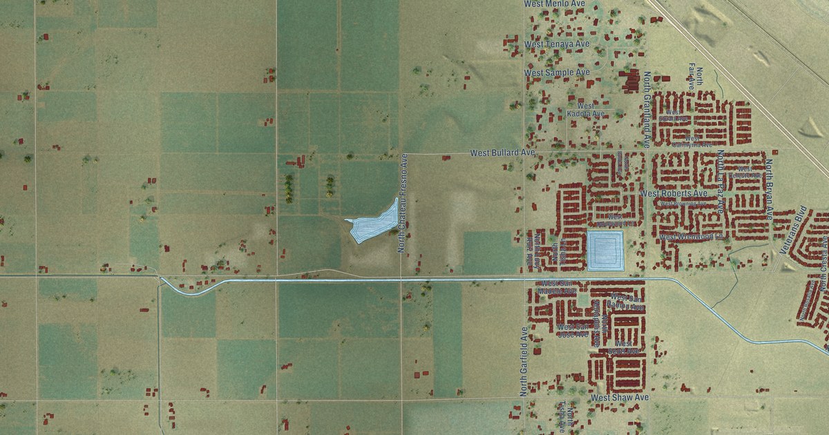
A detailed map of Barstow, California, showing every building in its true location, the roads by name, and shaded topographical relief.
Read More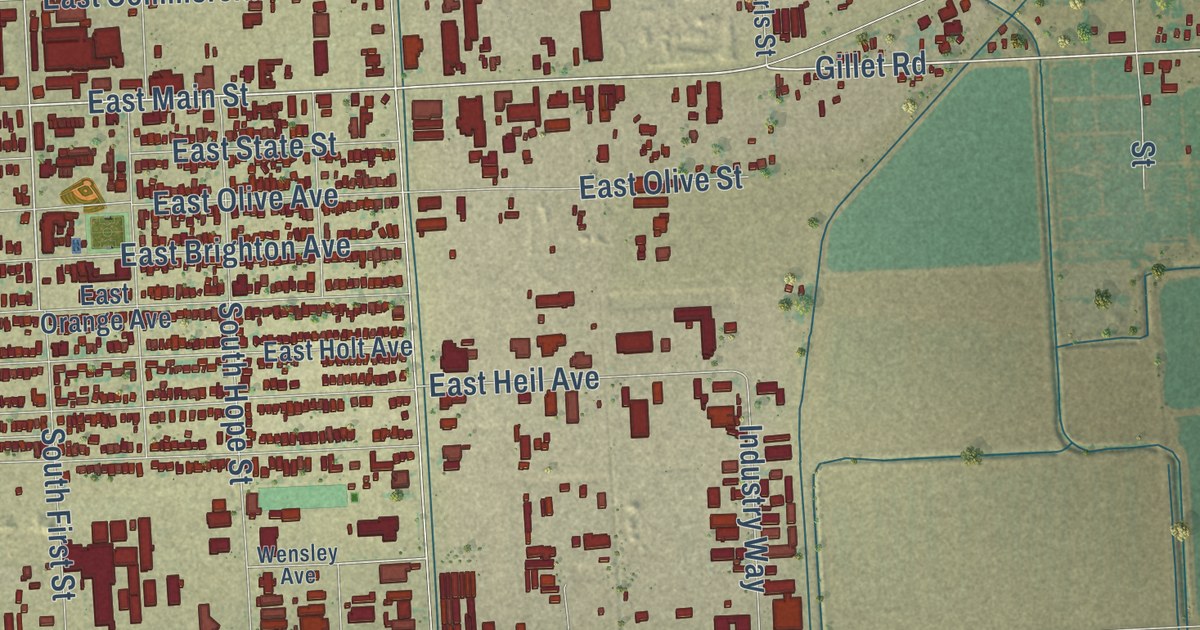
A detailed map of Anza, California, showing every building in its true location, the roads by name, and shaded topographical relief.
Read More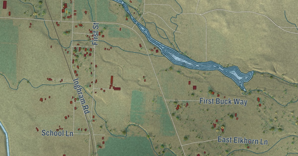
A detailed map of Kirkwood, California, showing every building in its true location, the roads by name, and shaded topographical relief.
Read More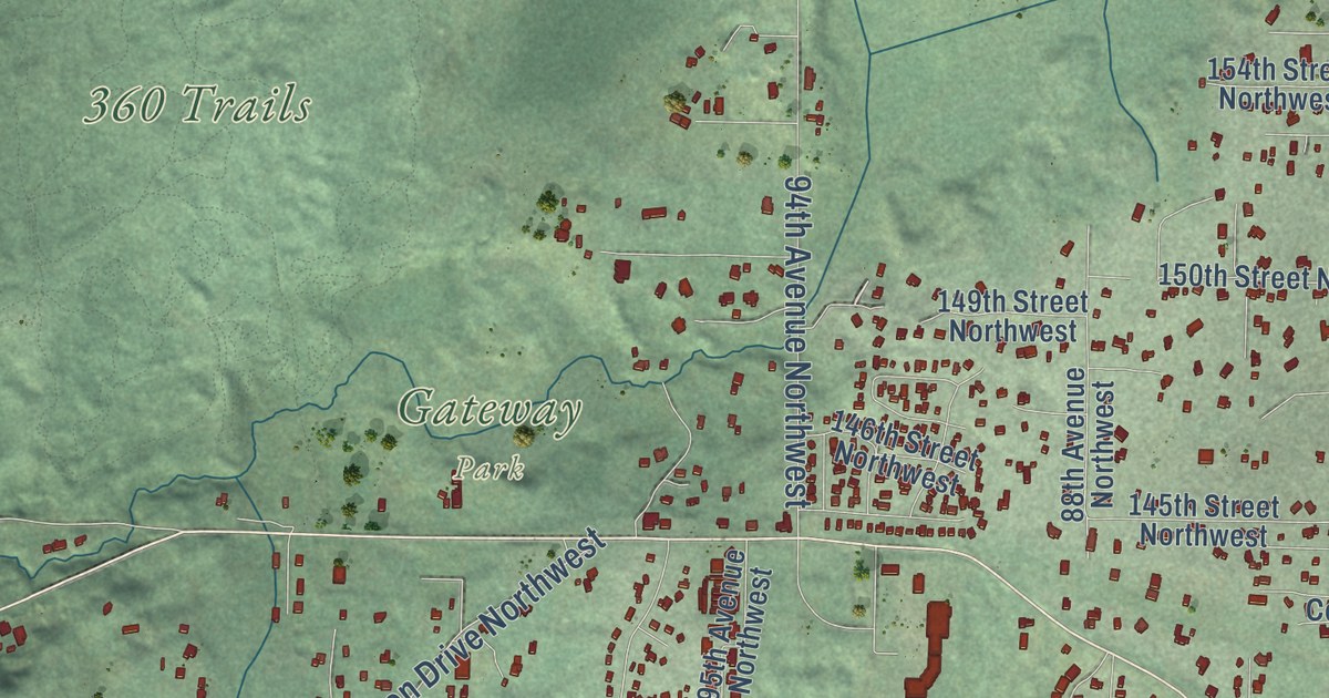
A detailed map of Glenwood, Washington, showing every building in its true location, the roads by name, and shaded topographical relief.
Read More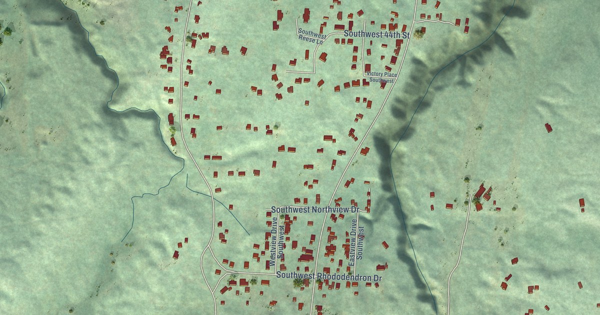
A detailed map of Sunnyslope, Washington, showing every building in its true location, the roads by name, and shaded topographical relief.
Read More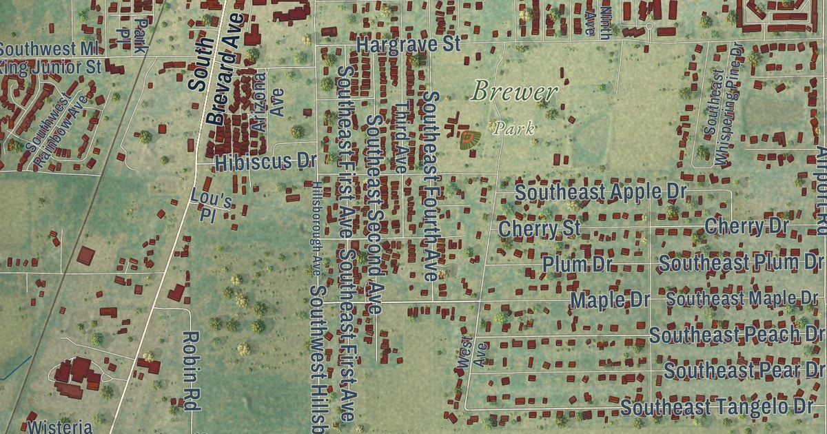
A detailed map of Nocatee, Florida, showing every building in its true location, the roads by name, and shaded topographical relief.
Read More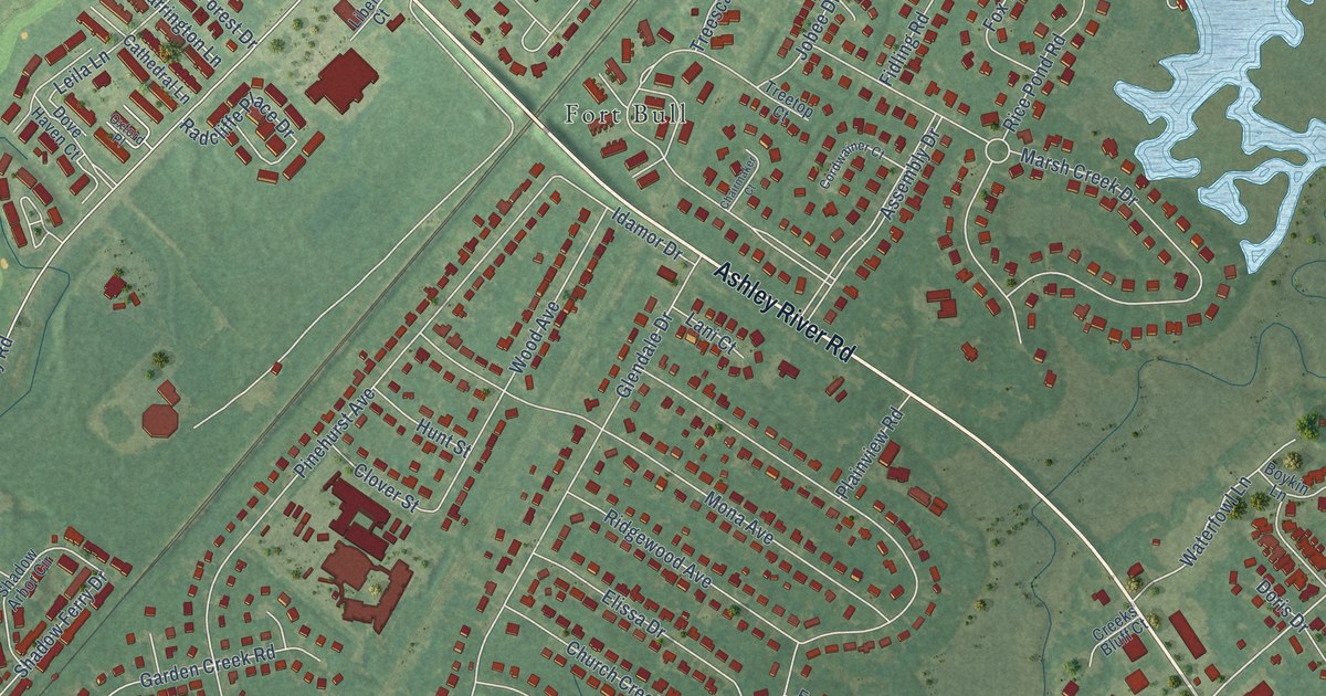
A detailed map of Springfield, South Carolina, showing every building in its true location, the roads by name, and shaded topographical relief.
Read More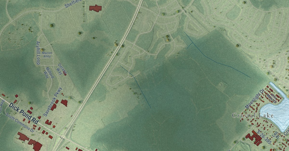
A detailed map of Lakewood, South Carolina, showing every building in its true location, the roads by name, and shaded topographical relief.
Read More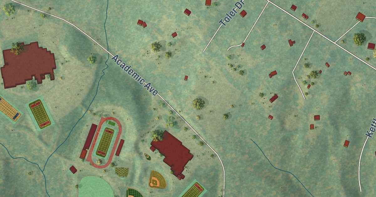
A detailed map of Greenville, Virginia, showing every building in its true location, the roads by name, and shaded topographical relief.
Read More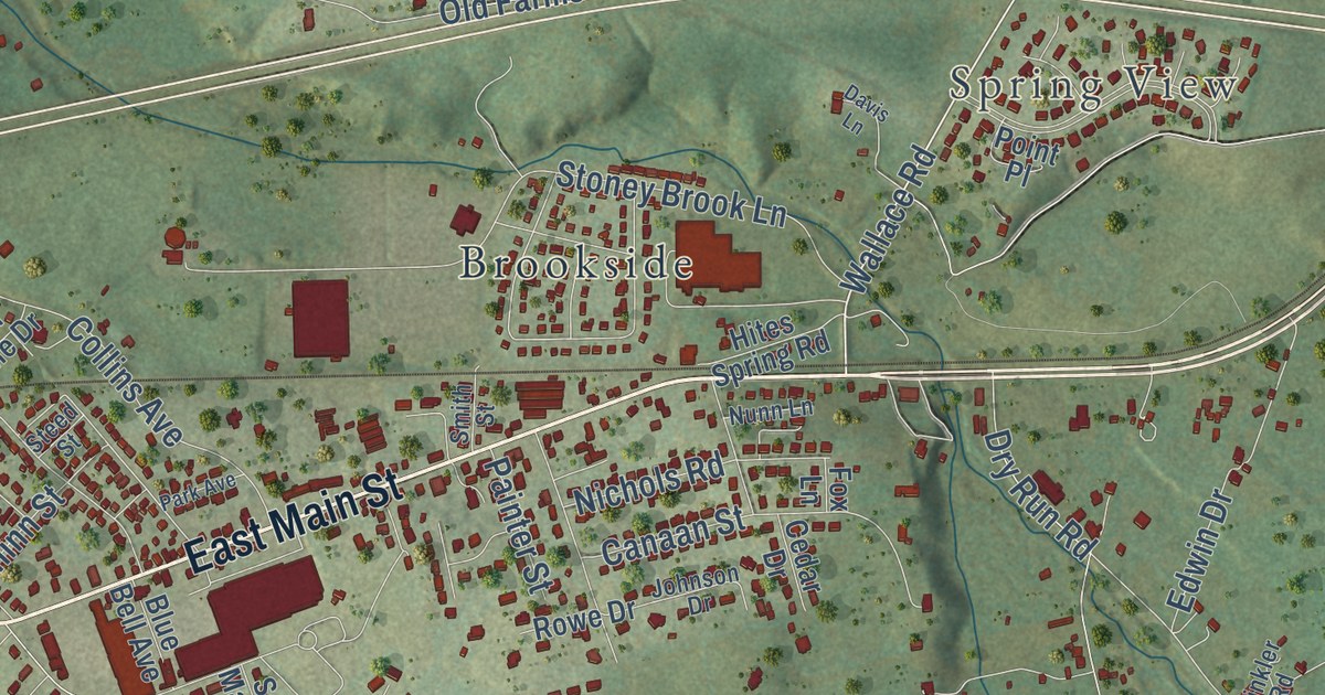
A detailed map of Springfield, Virginia, showing every building in its true location, the roads by name, and shaded topographical relief.
Read More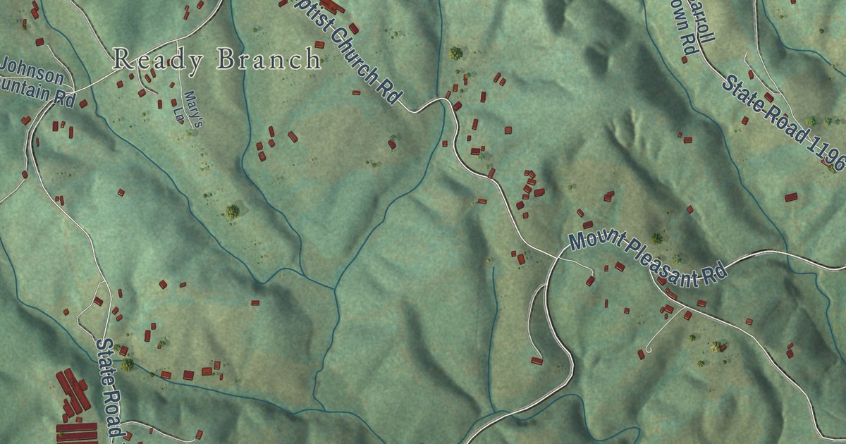
A detailed map of Mount Pleasant, North Carolina, showing every building in its true location, the roads by name, and shaded topographical relief.
Read More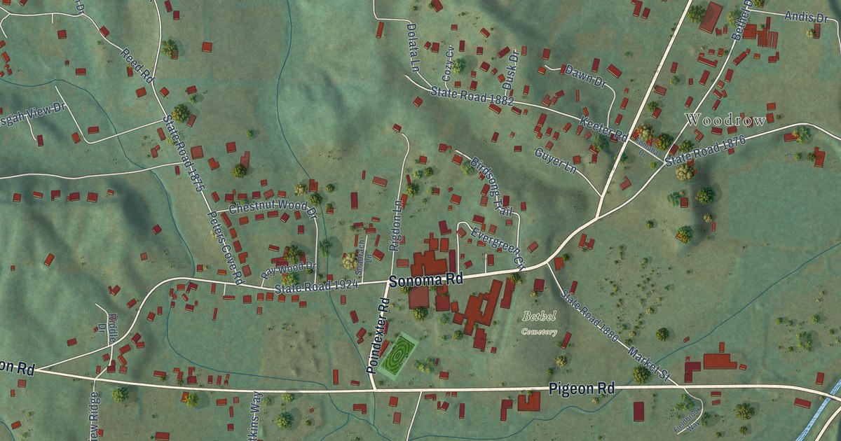
A detailed map of Bethel, North Carolina, showing every building in its true location, the roads by name, and shaded topographical relief.
Read More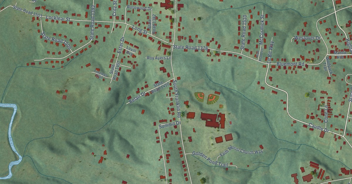
A detailed map of Franklin, North Carolina, showing every building in its true location, the roads by name, and shaded topographical relief.
Read More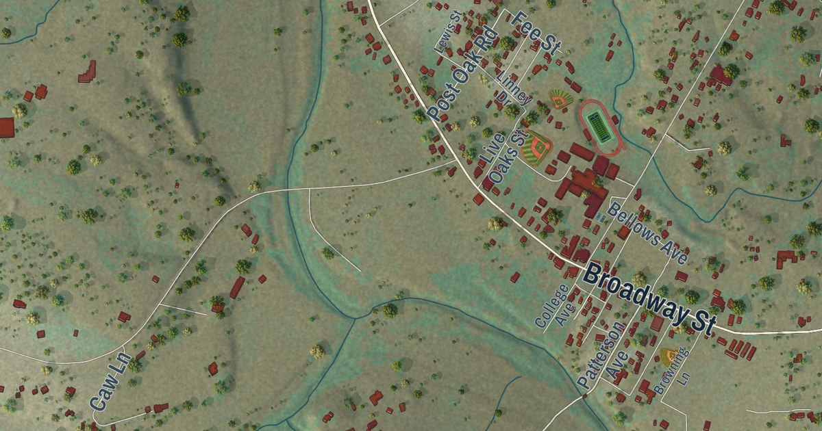
A detailed map of Medina, Texas, showing every building in its true location, the roads by name, and shaded topographical relief.
Read More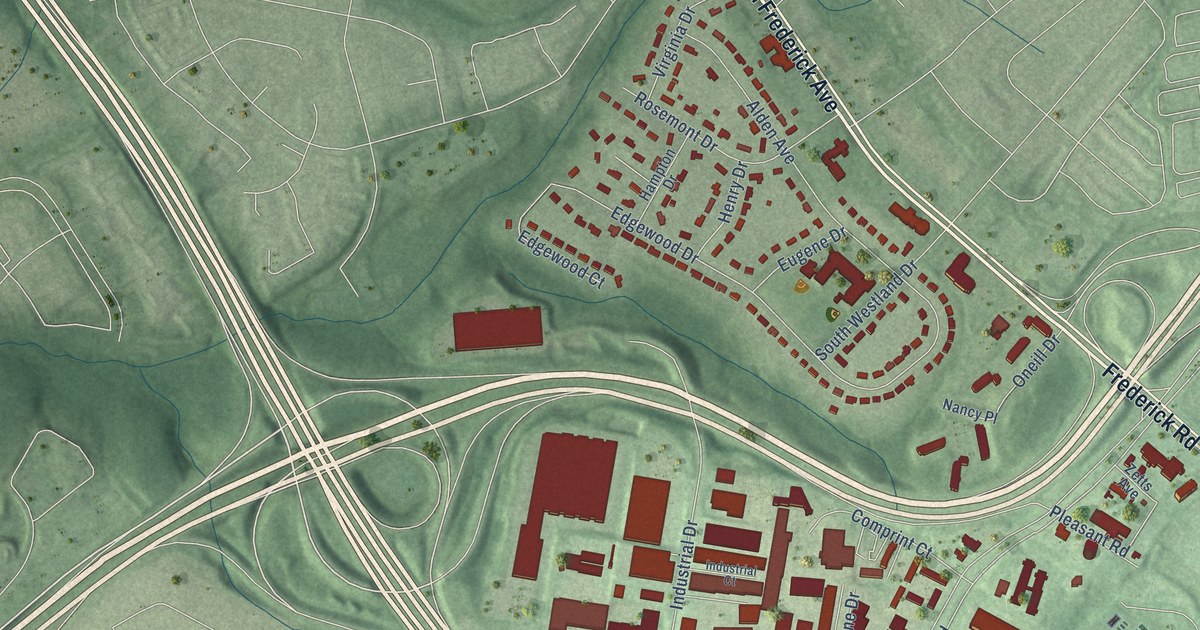
A detailed map of Rosemont, Maryland, showing every building in its true location, the roads by name, and shaded topographical relief.
Read More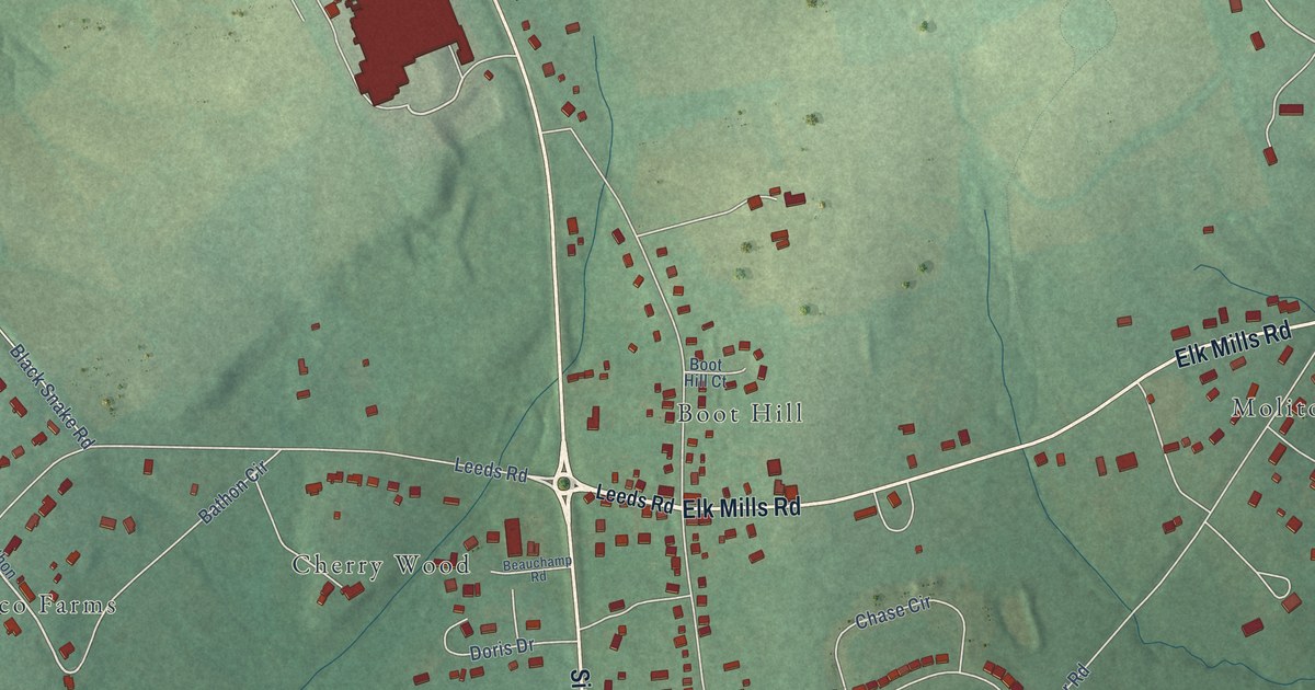
A detailed map of Cherry Hill, Maryland, showing every building in its true location, the roads by name, and shaded topographical relief.
Read More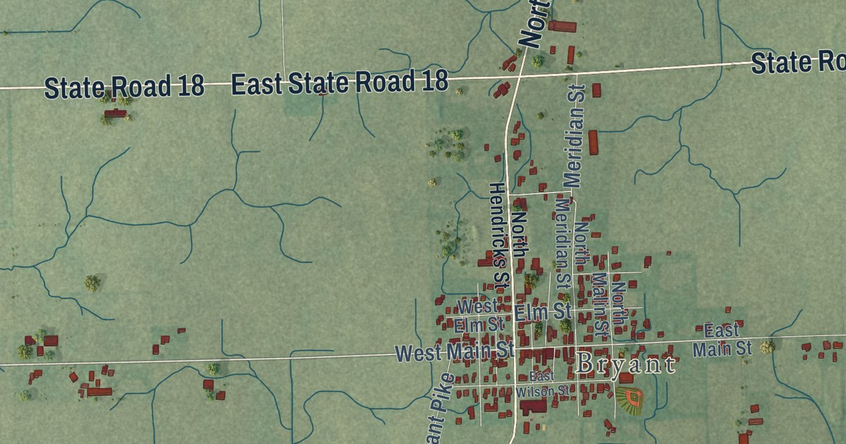
A detailed map of Bloomfield, Indiana, showing every building in its true location, the roads by name, and shaded topographical relief.
Read More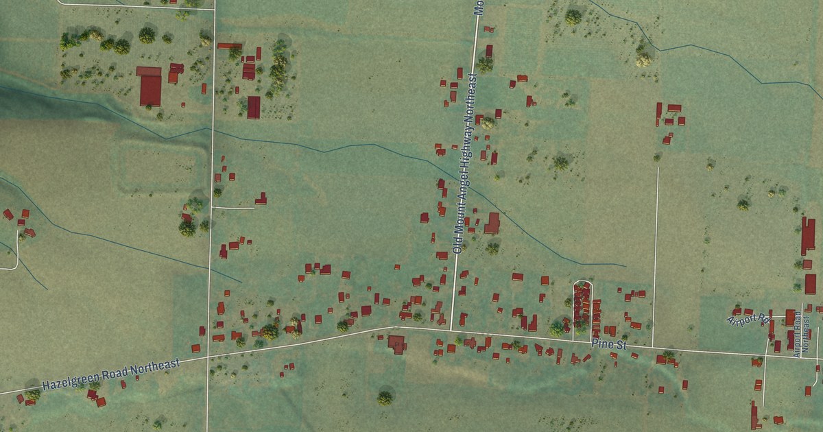
A detailed map of Bethany, Oregon, showing every building in its true location, the roads by name, and shaded topographical relief.
Read More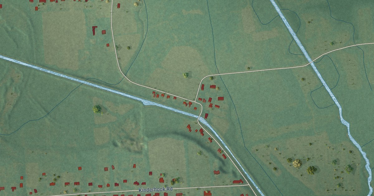
A detailed map of Bolivar, New York, showing every building in its true location, the roads by name, and shaded topographical relief.
Read More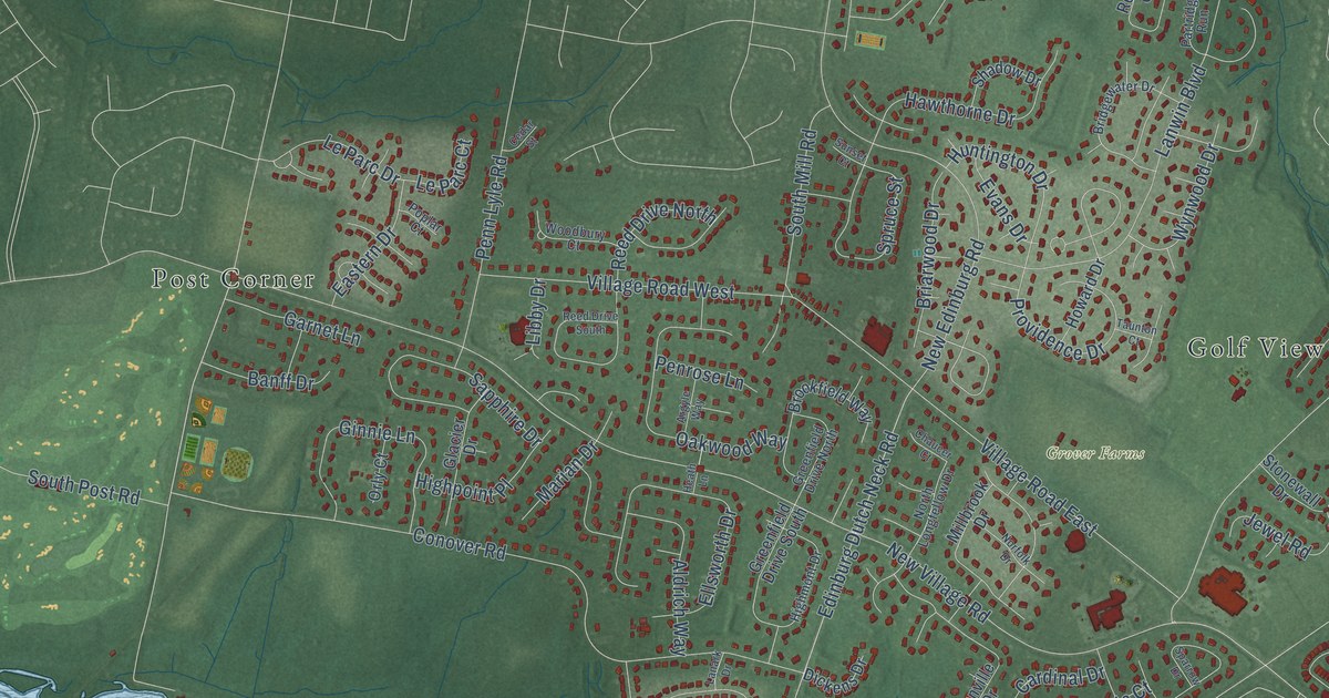
A detailed map of Dutch Neck, New Jersey, showing every building in its true location, the roads by name, and shaded topographical relief.
Read More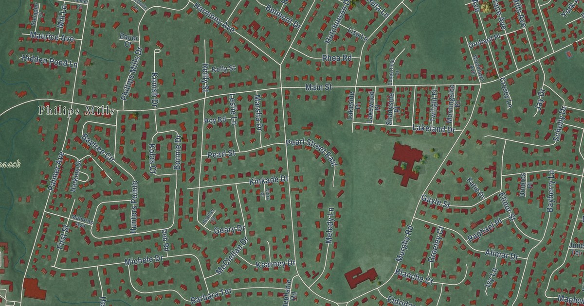
A detailed map of Harmony, New Jersey, showing every building in its true location, the roads by name, and shaded topographical relief.
Read More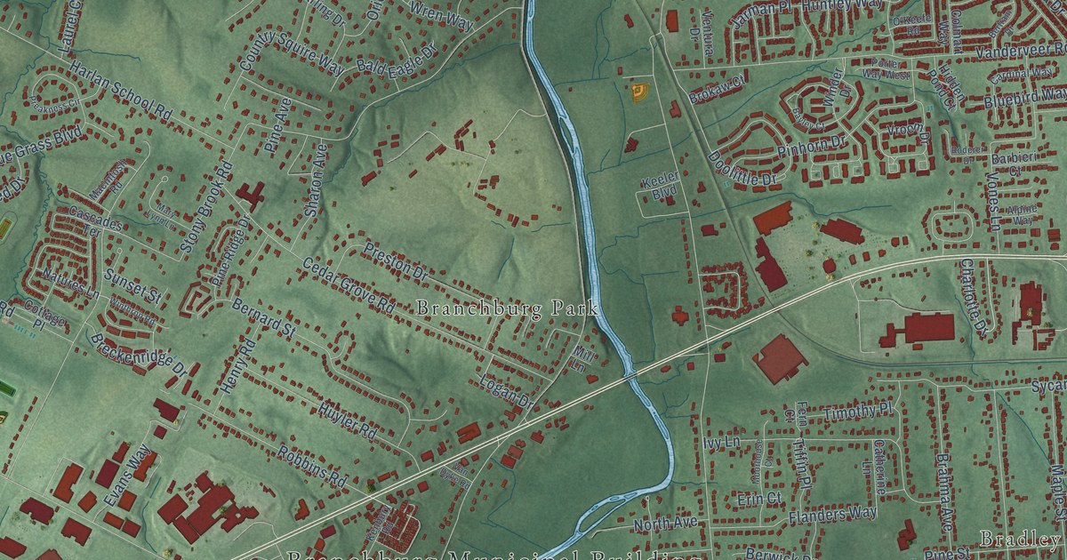
A detailed map of Milltown, New Jersey, showing every building in its true location, the roads by name, and shaded topographical relief.
Read More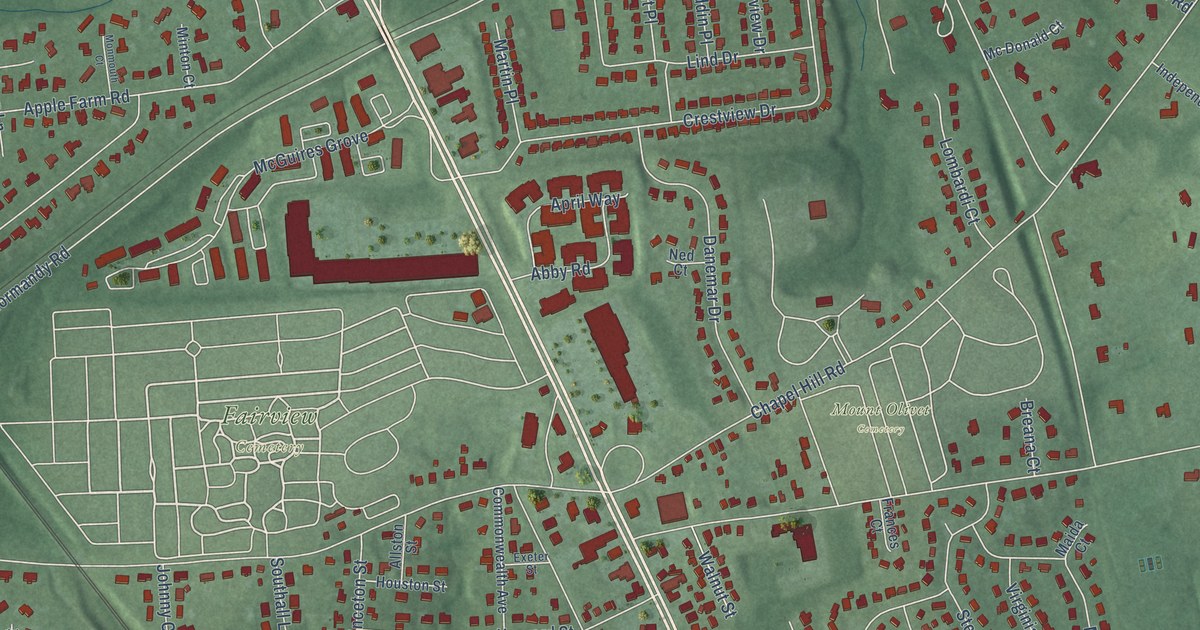
A detailed map of Fairview, New Jersey, showing every building in its true location, the roads by name, and shaded topographical relief.
Read More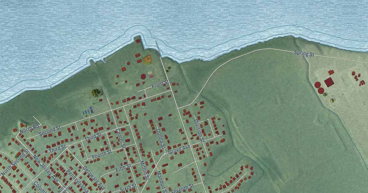
A detailed map of Red Bank, New Jersey, showing every building in its true location, the roads by name, and shaded topographical relief.
Read More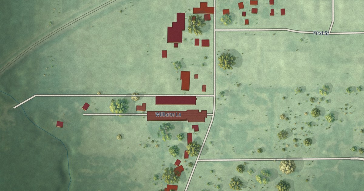
A detailed map of Riverside, Michigan, showing every building in its true location, the roads by name, and shaded topographical relief.
Read More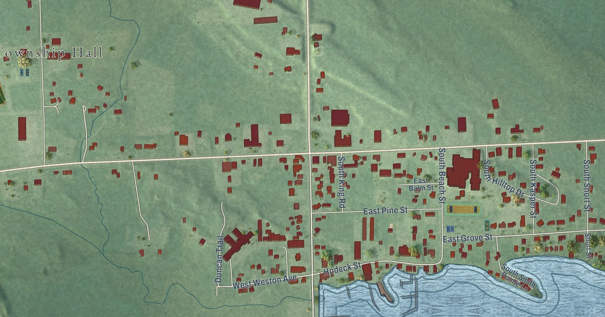
A detailed map of Cedarville, Michigan, showing every building in its true location, the roads by name, and shaded topographical relief.
Read More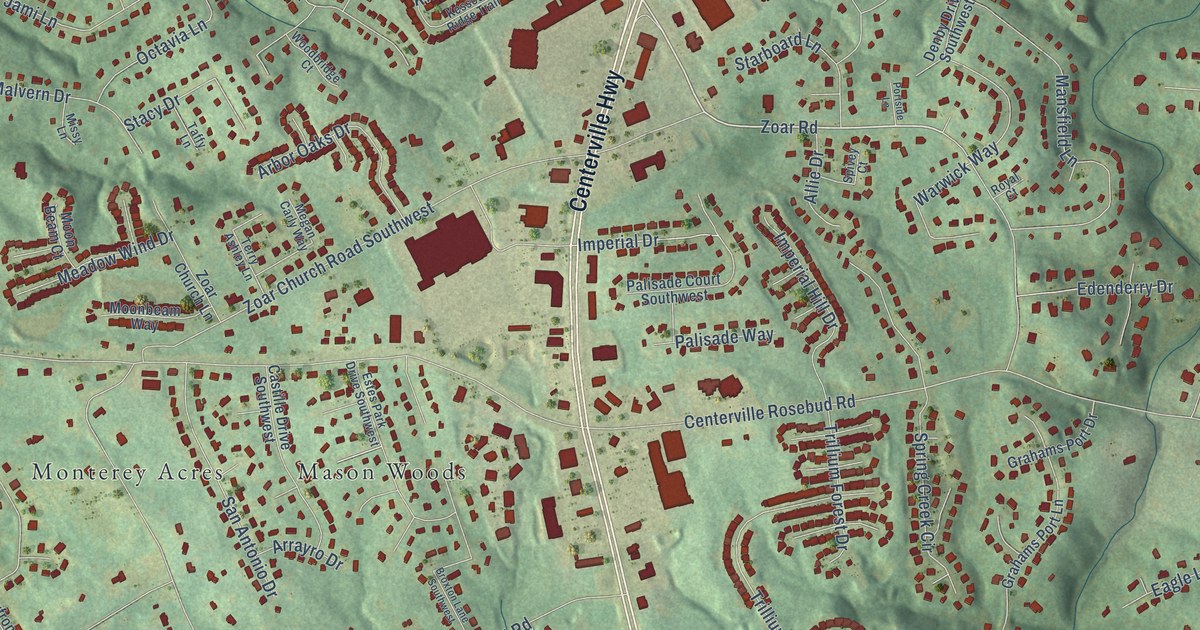
A detailed map of Centerville, Georgia, showing every building in its true location, the roads by name, and shaded topographical relief.
Read More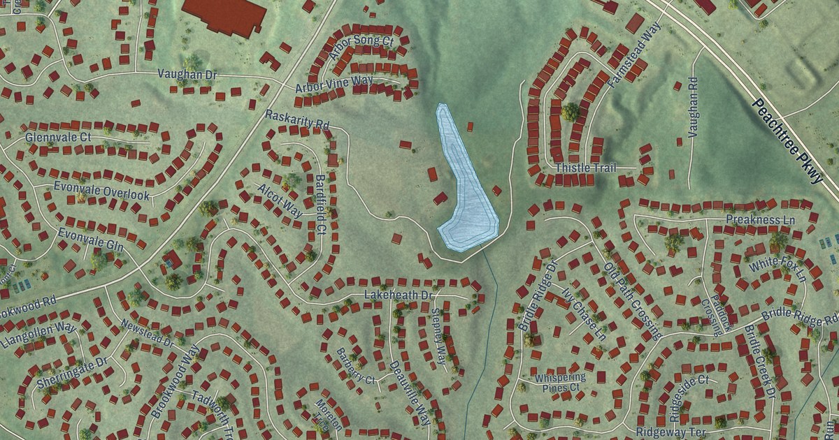
A detailed map of Brookwood, Georgia, showing every building in its true location, the roads by name, and shaded topographical relief.
Read More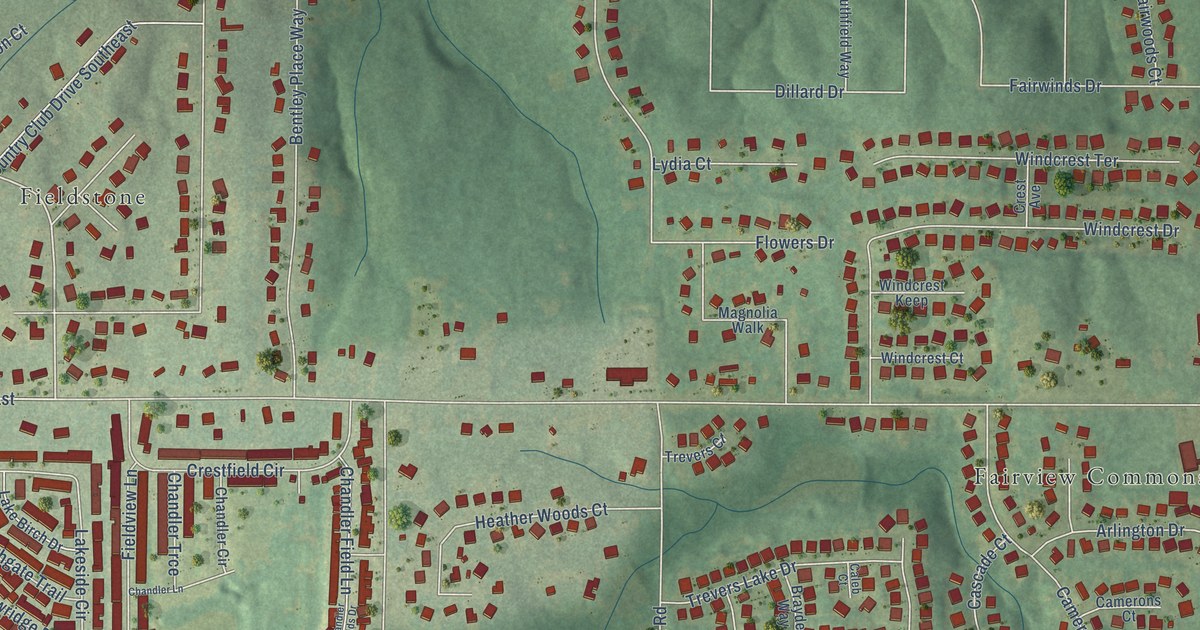
A detailed map of Fairview, Georgia, showing every building in its true location, the roads by name, and shaded topographical relief.
Read More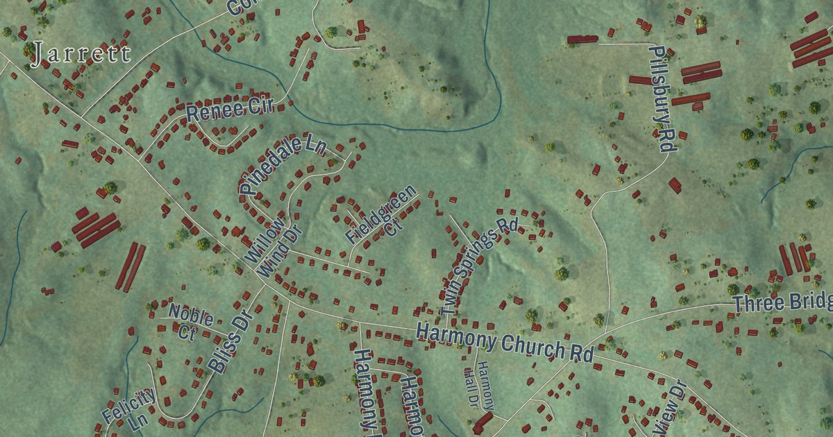
A detailed map of Sugar Hill, Georgia, showing every building in its true location, the roads by name, and shaded topographical relief.
Read More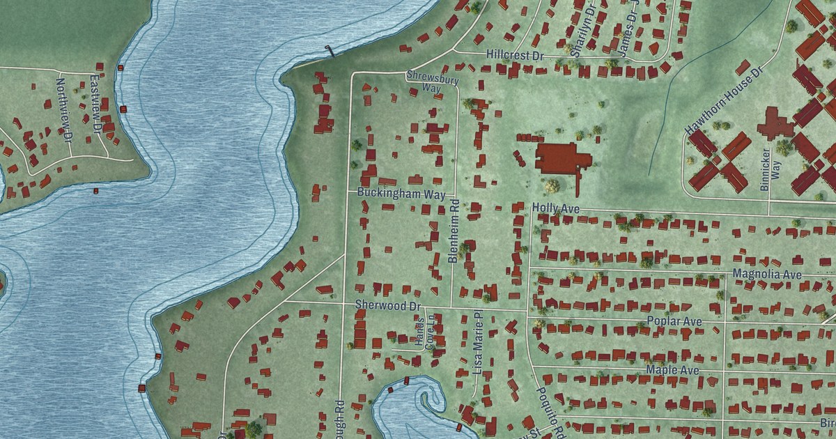
A detailed map of Longwood, Florida, showing every building in its true location, the roads by name, and shaded topographical relief.
Read More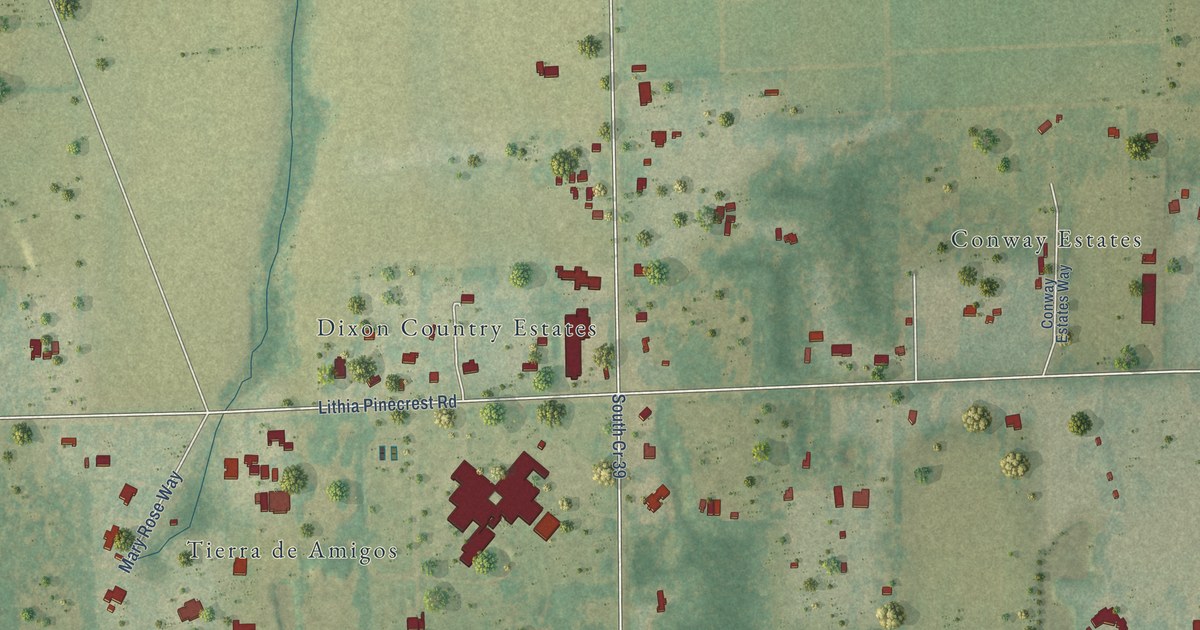
A detailed map of Pinecrest, Florida, showing every building in its true location, the roads by name, and shaded topographical relief.
Read More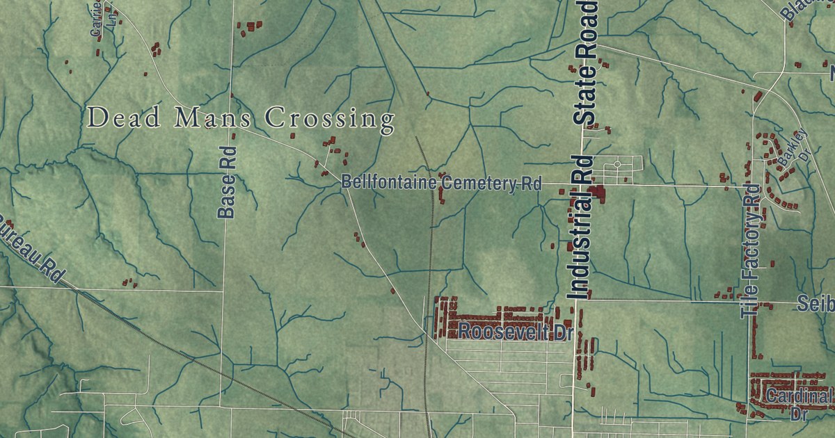
A detailed map of Farmersville, Indiana, showing every building in its true location, the roads by name, and shaded topographical relief.
Read More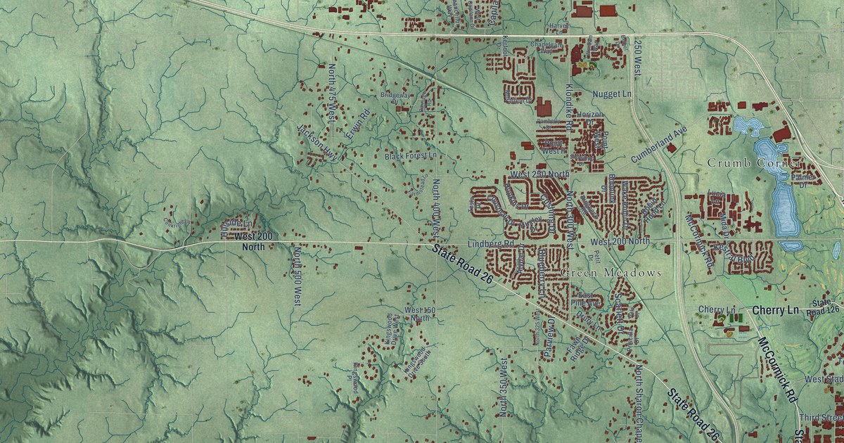
A detailed map of Klondike, Indiana, showing every building in its true location, the roads by name, and shaded topographical relief.
Read More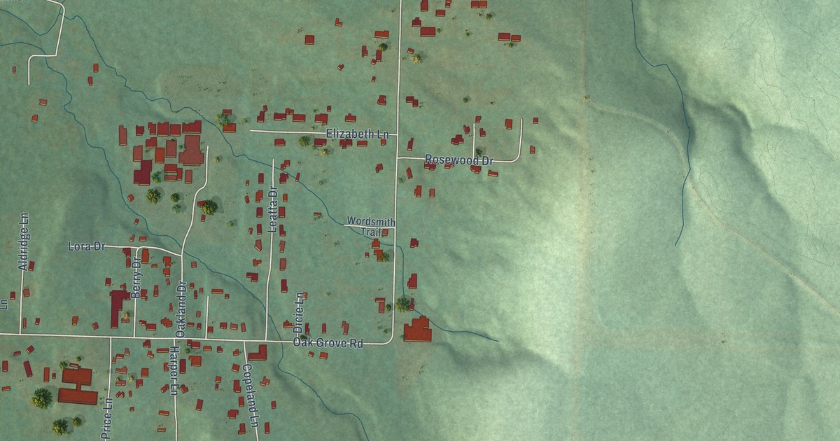
A detailed map of Oak Grove, Arkansas, showing every building in its true location, the roads by name, and shaded topographical relief.
Read More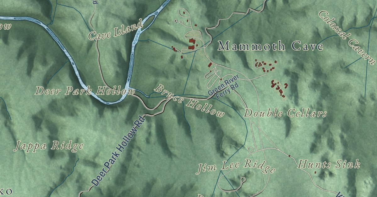
A detailed map of Mammoth Cave National Park, from Mammoth Cave Ridge and Flint Ridge to the Green River valley, with shaded relief and the hollows, sinks and ridges above the cave.
Read More















