Detailed Map of Laurelhurst, Washington
A detailed map of Laurelhurst, Washington, showing every building in its true location, the roads by name, and shaded topographical relief.
Read More
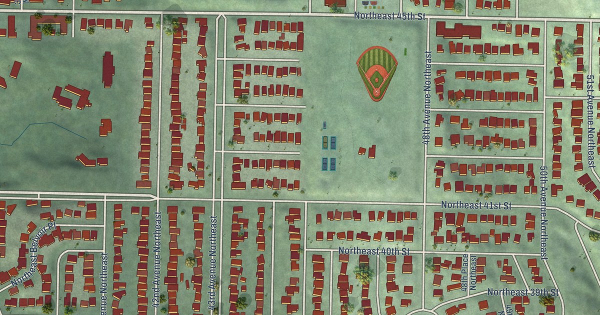
A detailed map of Laurelhurst, Washington, showing every building in its true location, the roads by name, and shaded topographical relief.
Read More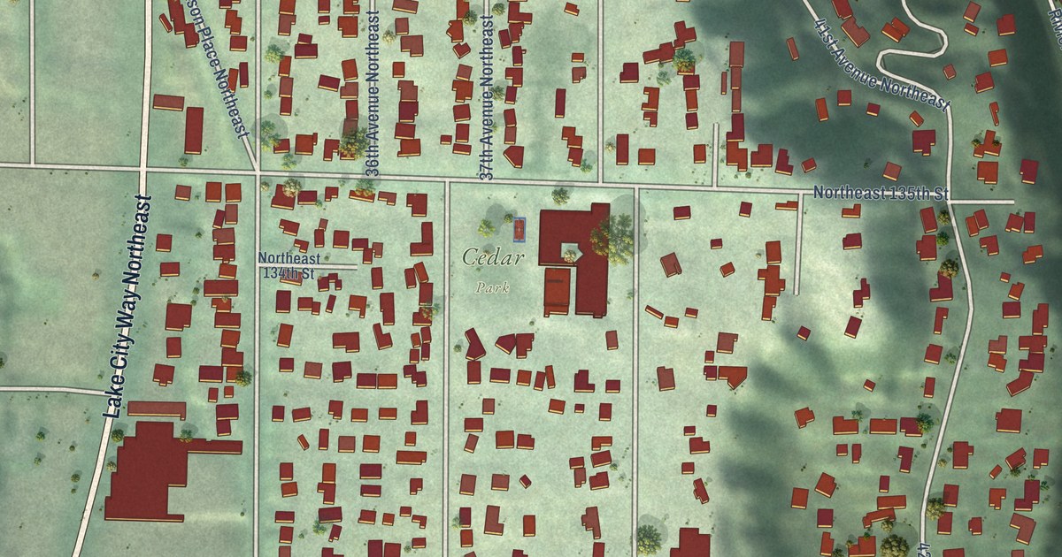
A detailed map of Cedar Park, Washington, showing every building in its true location, the roads by name, and shaded topographical relief.
Read More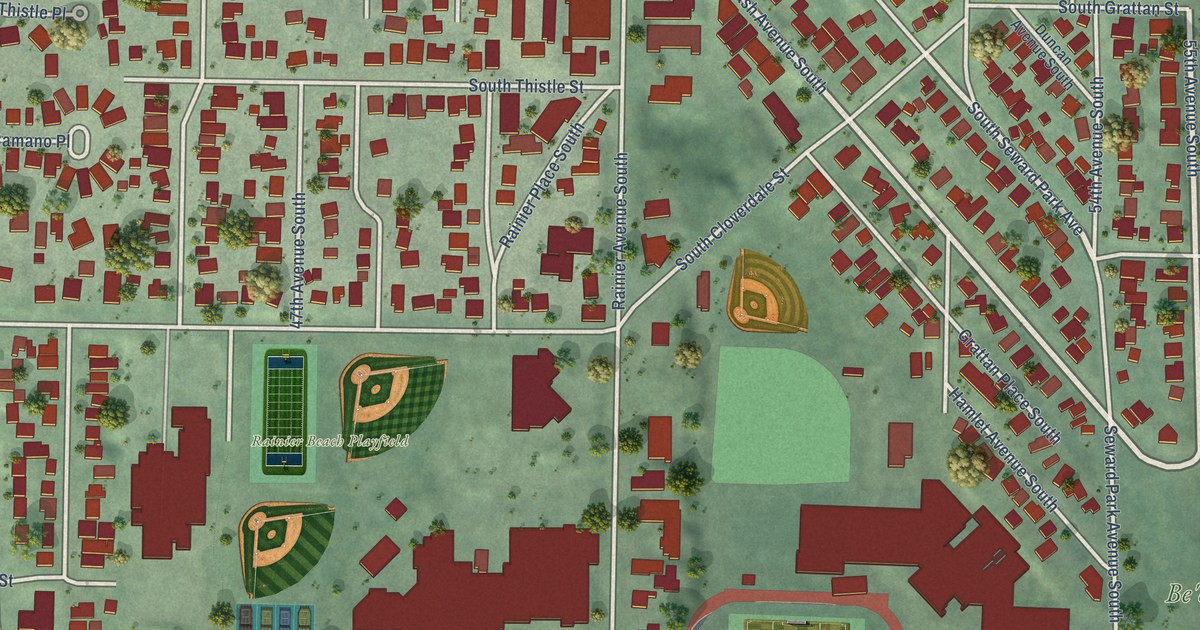
A detailed map of Dunlap, Washington, showing every building in its true location, the roads by name, and shaded topographical relief.
Read More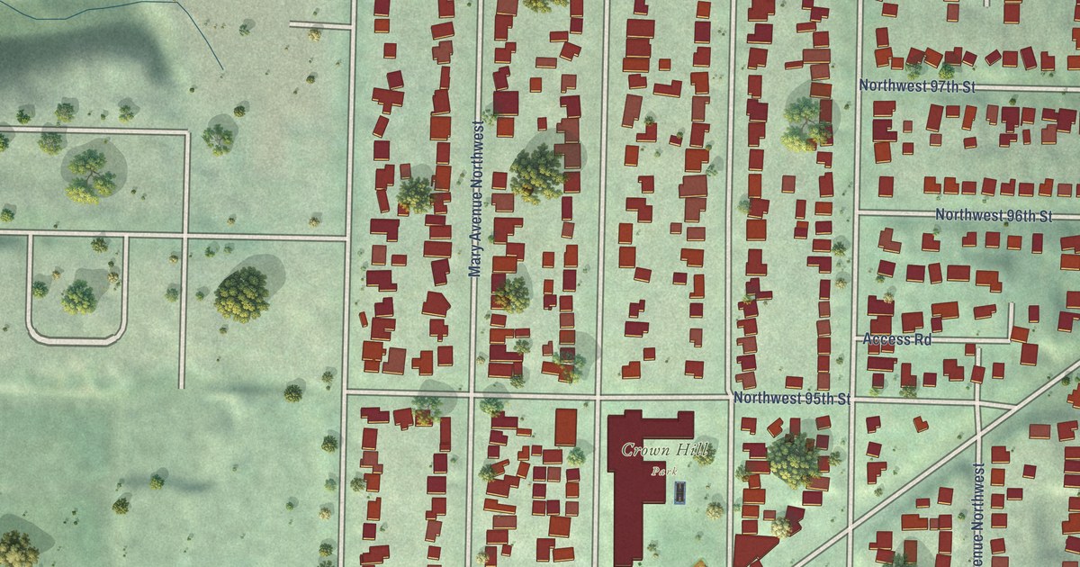
A detailed map of Crown Hill, Washington, showing every building in its true location, the roads by name, and shaded topographical relief.
Read More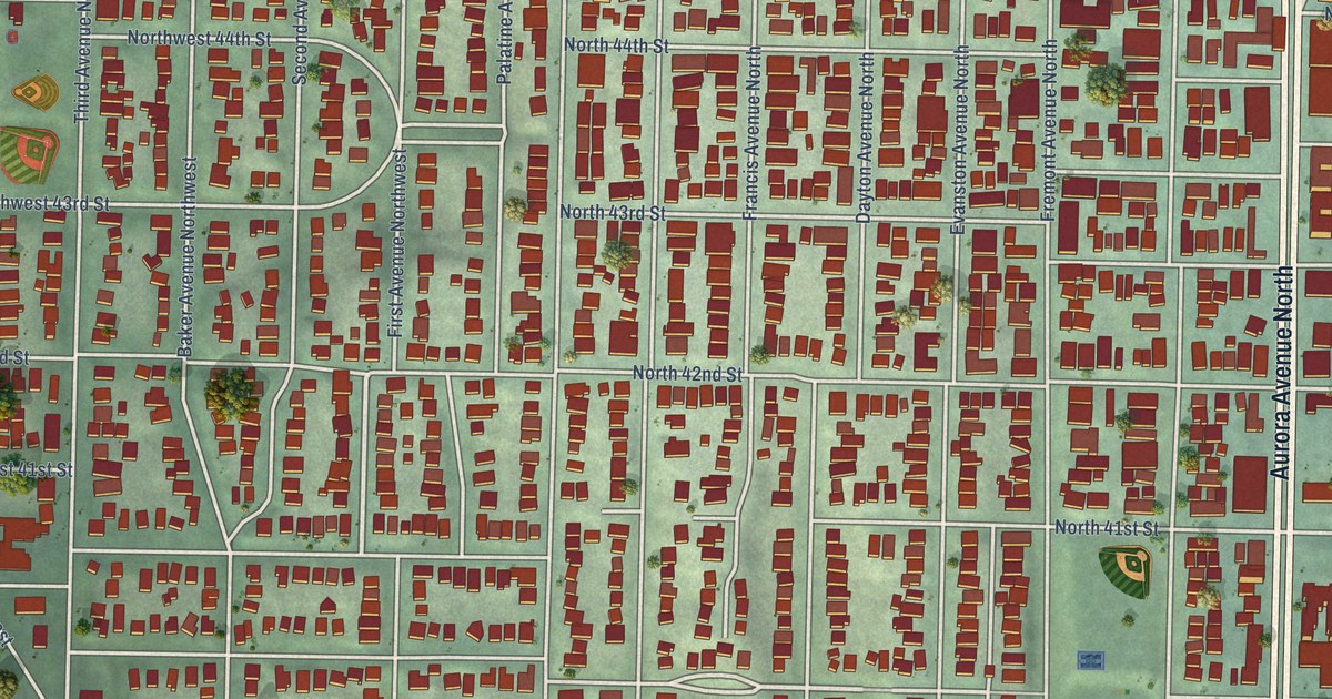
A detailed map of Fremont, Washington, showing every building in its true location, the roads by name, and shaded topographical relief.
Read More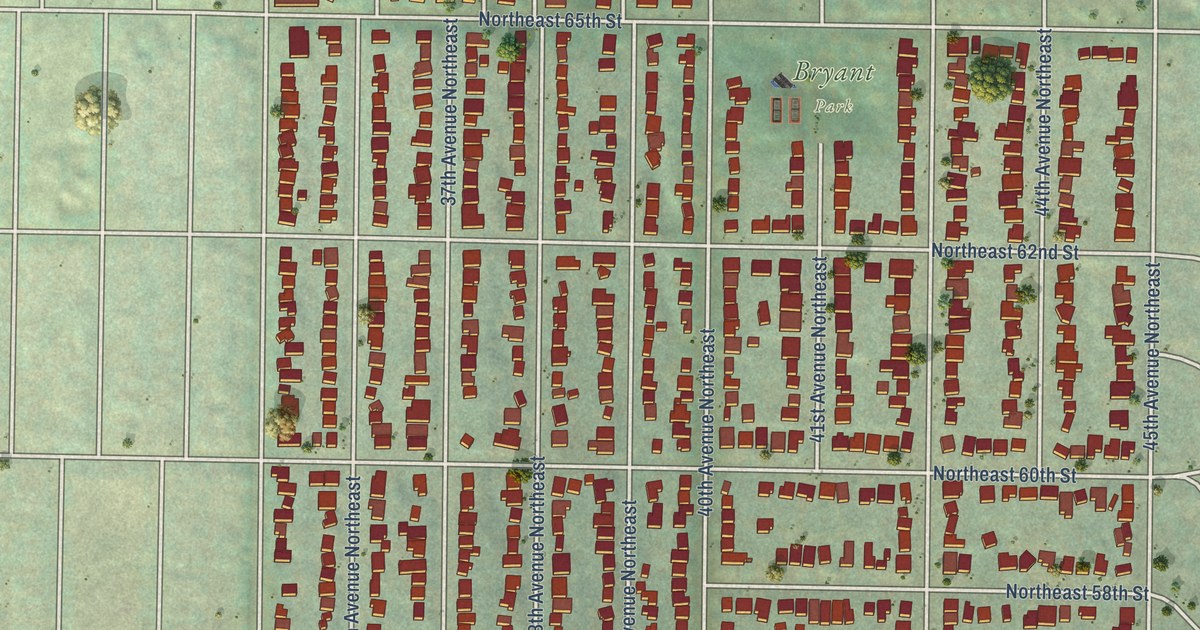
A detailed map of Bryant, Washington, showing every building in its true location, the roads by name, and shaded topographical relief.
Read More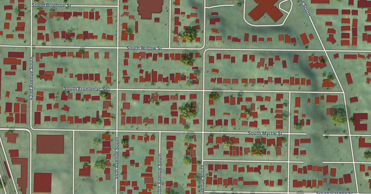
A detailed map of Brighton, Washington, showing every building in its true location, the roads by name, and shaded topographical relief.
Read More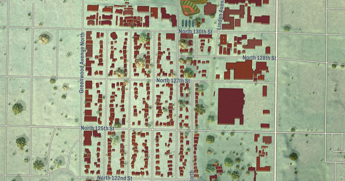
A detailed map of Bitter Lake, Washington, showing every building in its true location, the roads by name, and shaded topographical relief.
Read More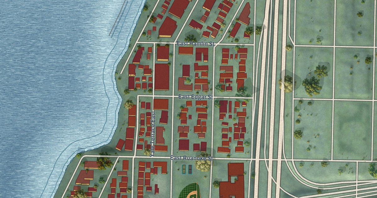
A detailed map of Eastlake, Washington, showing every building in its true location, the roads by name, and shaded topographical relief.
Read More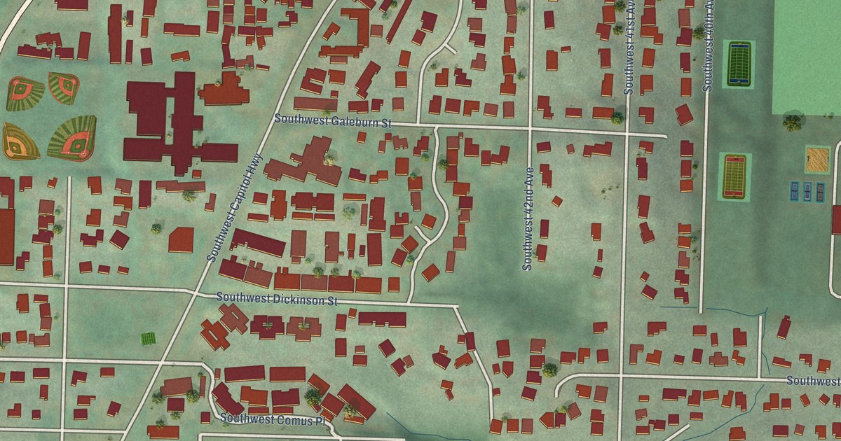
A detailed map of West Portland Park, Oregon, showing every building in its true location, the roads by name, and shaded topographical relief.
Read More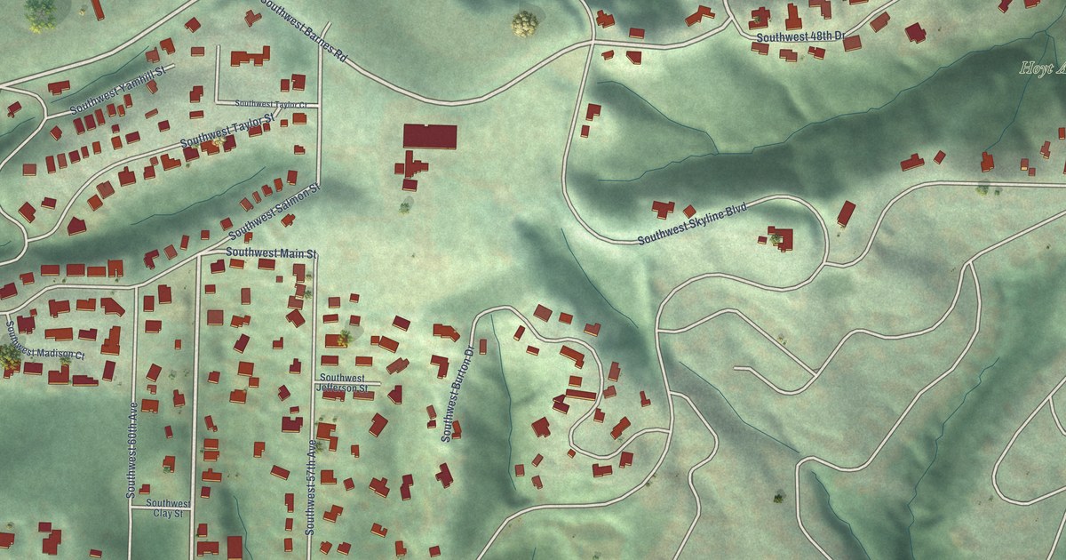
A detailed map of Sylvan-Highlands, Oregon, showing every building in its true location, the roads by name, and shaded topographical relief.
Read More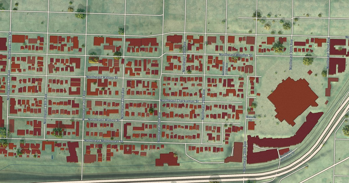
A detailed map of Sullivan’s Gulch, Oregon, showing every building in its true location, the roads by name, and shaded topographical relief.
Read More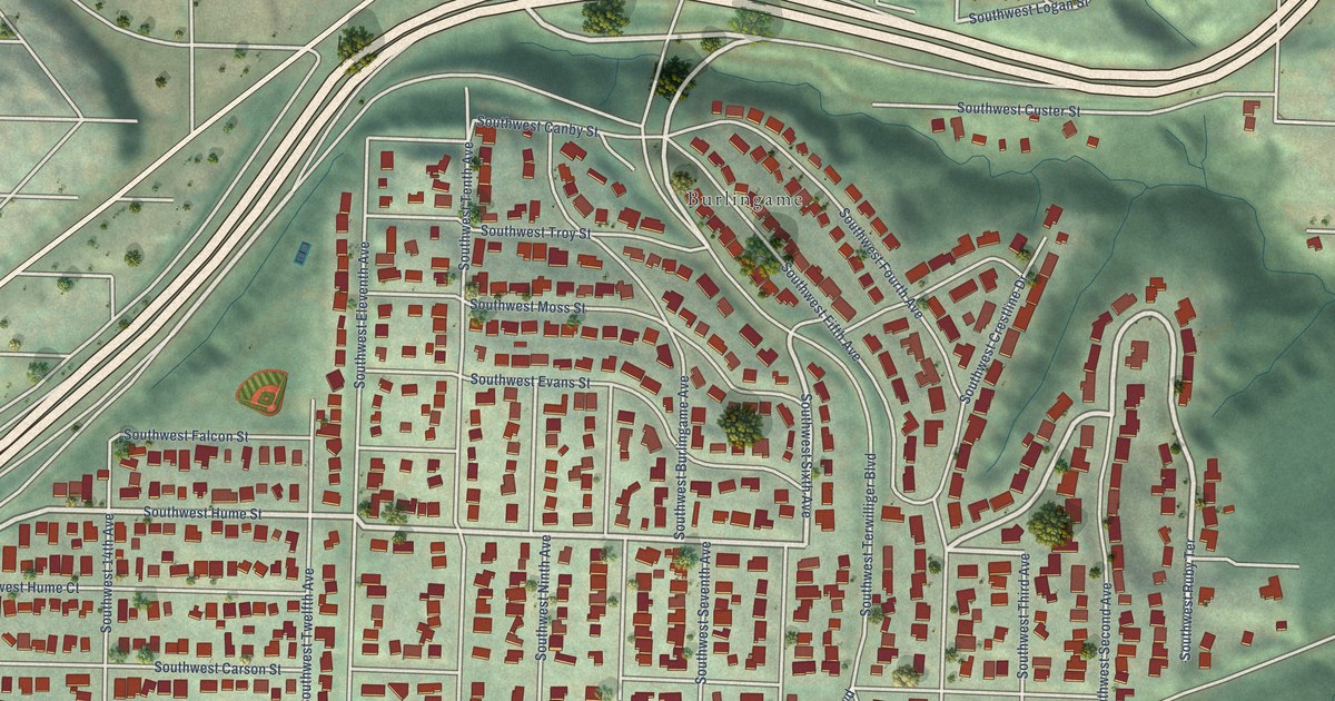
A detailed map of South Burlingame, Oregon, showing every building in its true location, the roads by name, and shaded topographical relief.
Read More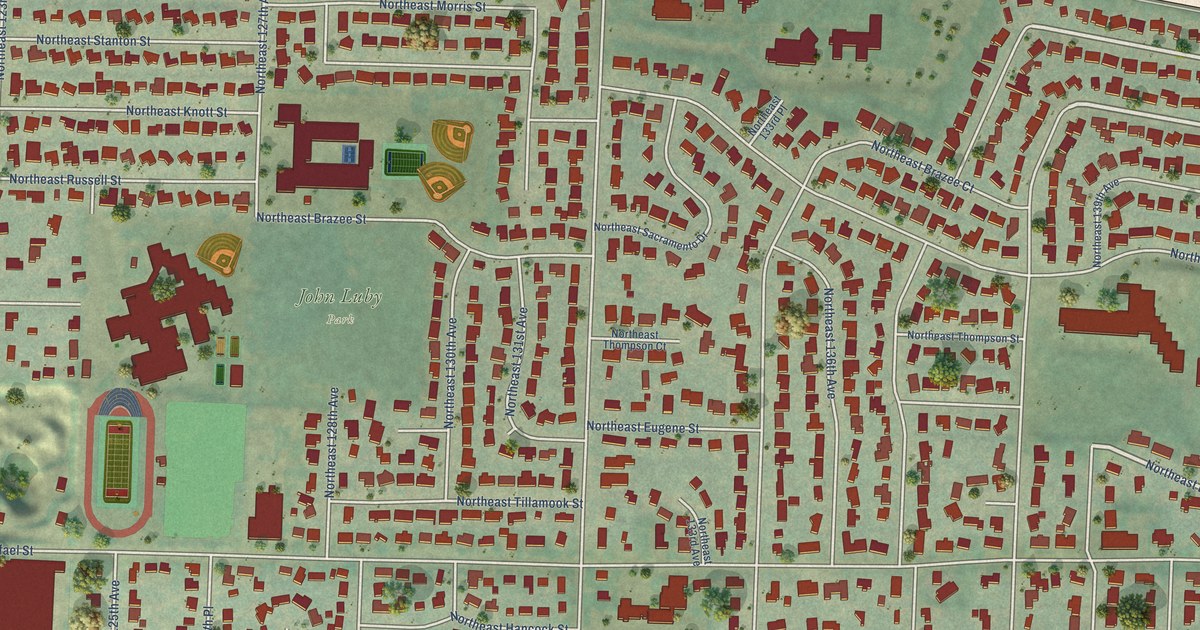
A detailed map of Russell, Oregon, showing every building in its true location, the roads by name, and shaded topographical relief.
Read More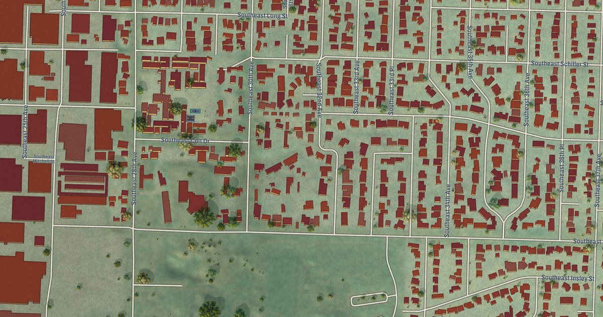
A detailed map of Reed, Oregon, showing every building in its true location, the roads by name, and shaded topographical relief.
Read More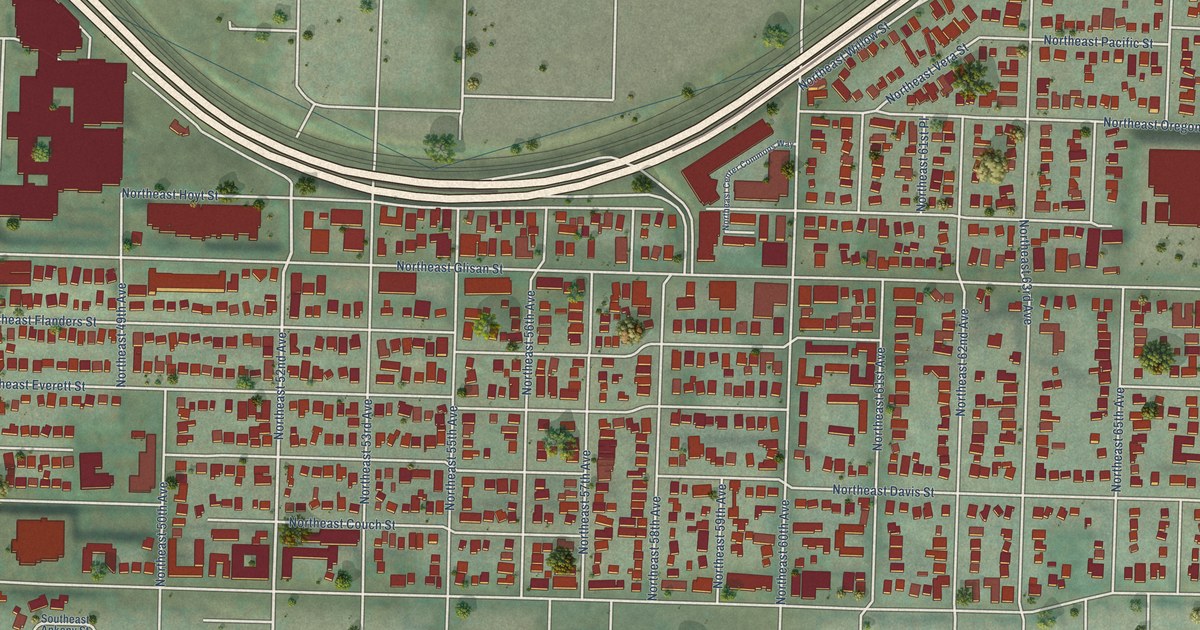
A detailed map of North Tabor, Oregon, showing every building in its true location, the roads by name, and shaded topographical relief.
Read More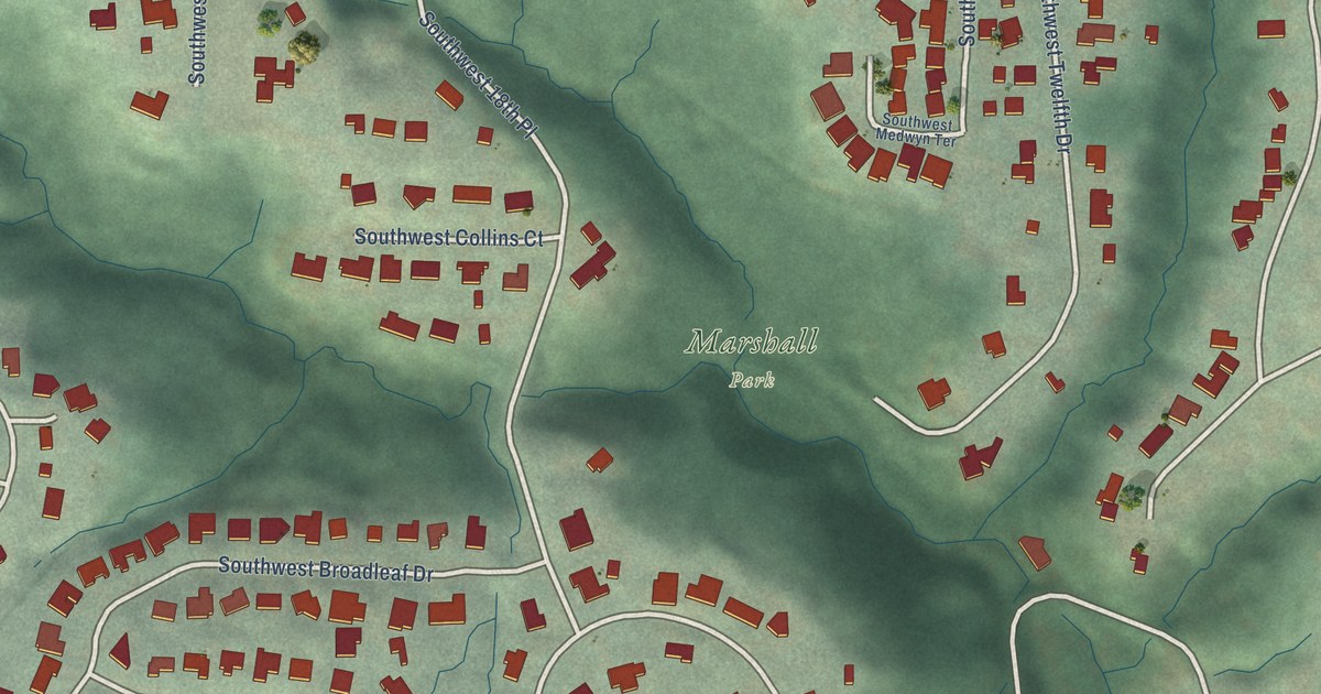
A detailed map of Marshall Park, Oregon, showing every building in its true location, the roads by name, and shaded topographical relief.
Read More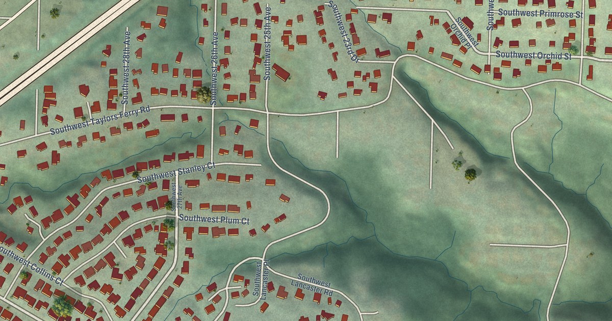
A detailed map of Markham, Oregon, showing every building in its true location, the roads by name, and shaded topographical relief.
Read More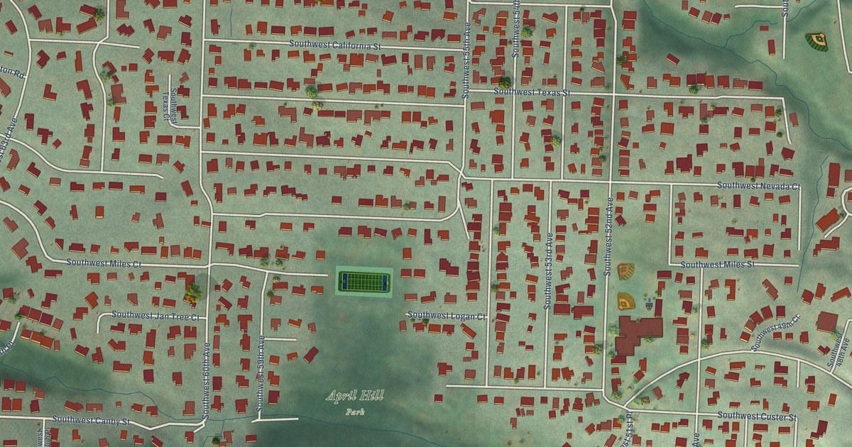
A detailed map of Maplewood, Oregon, showing every building in its true location, the roads by name, and shaded topographical relief.
Read More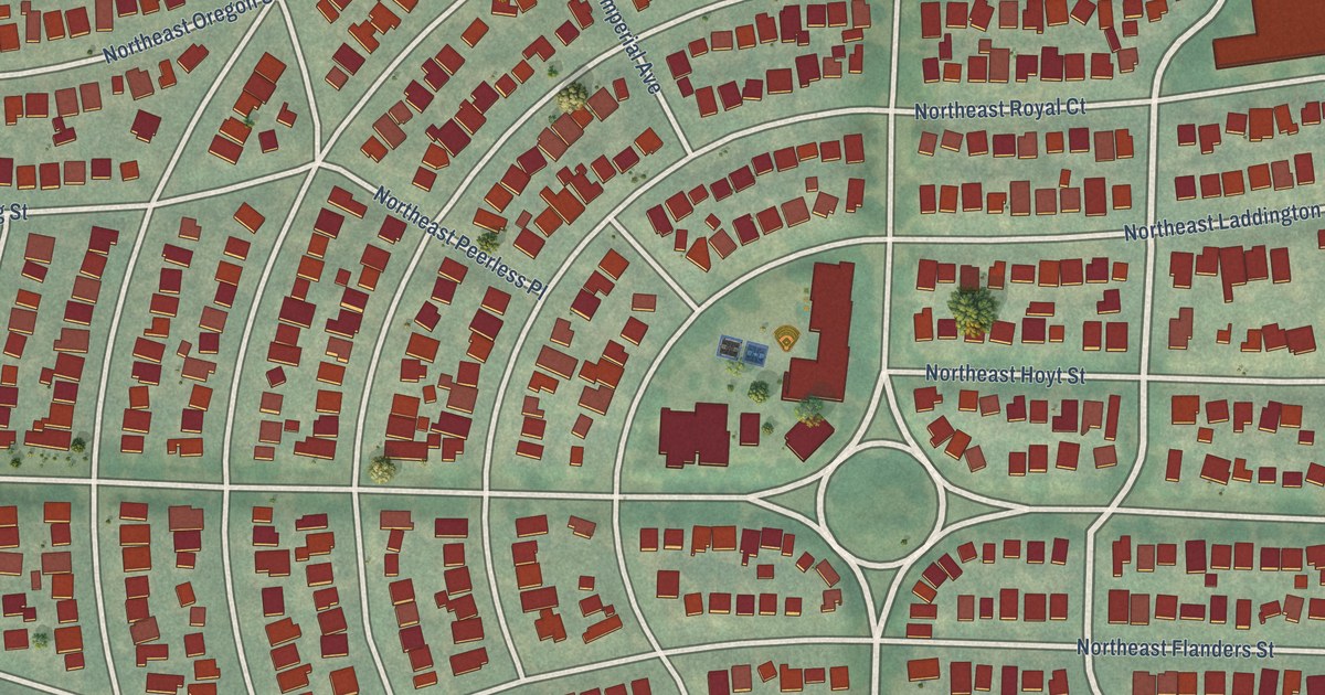
A detailed map of Laurelhurst, Oregon, showing every building in its true location, the roads by name, and shaded topographical relief.
Read More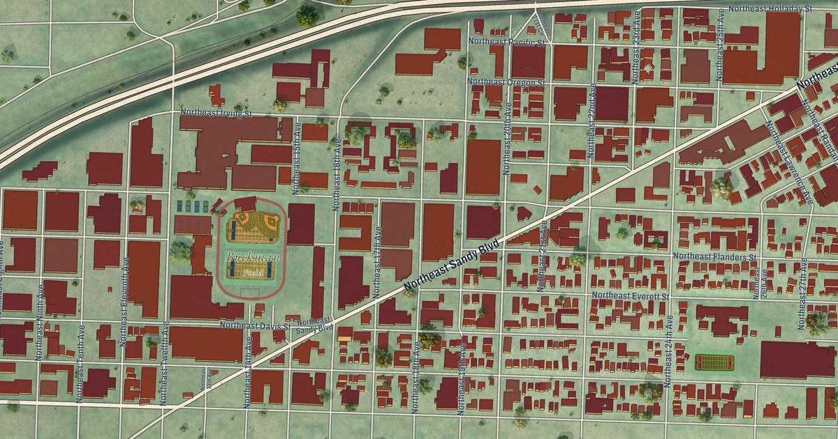
A detailed map of Kerns, Oregon, showing every building in its true location, the roads by name, and shaded topographical relief.
Read More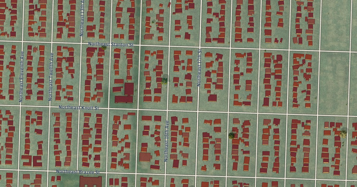
A detailed map of Irvington, Oregon, showing every building in its true location, the roads by name, and shaded topographical relief.
Read More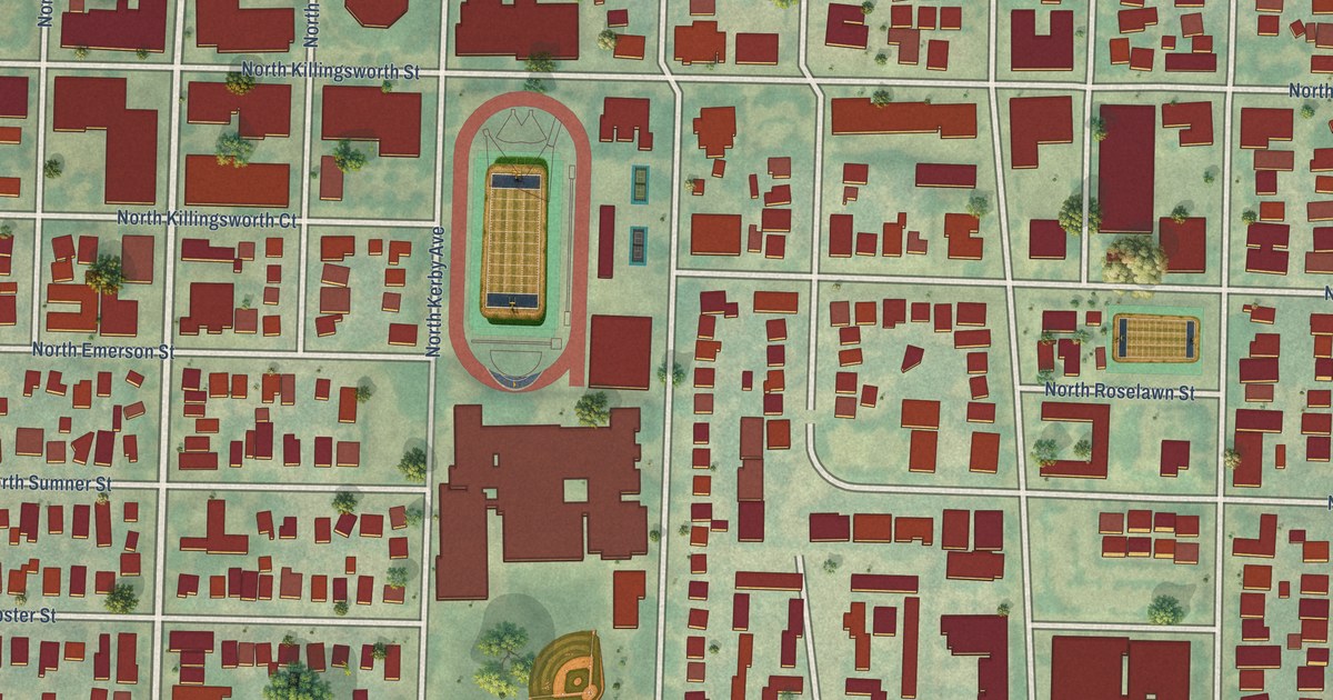
A detailed map of Humboldt, Oregon, showing every building in its true location, the roads by name, and shaded topographical relief.
Read More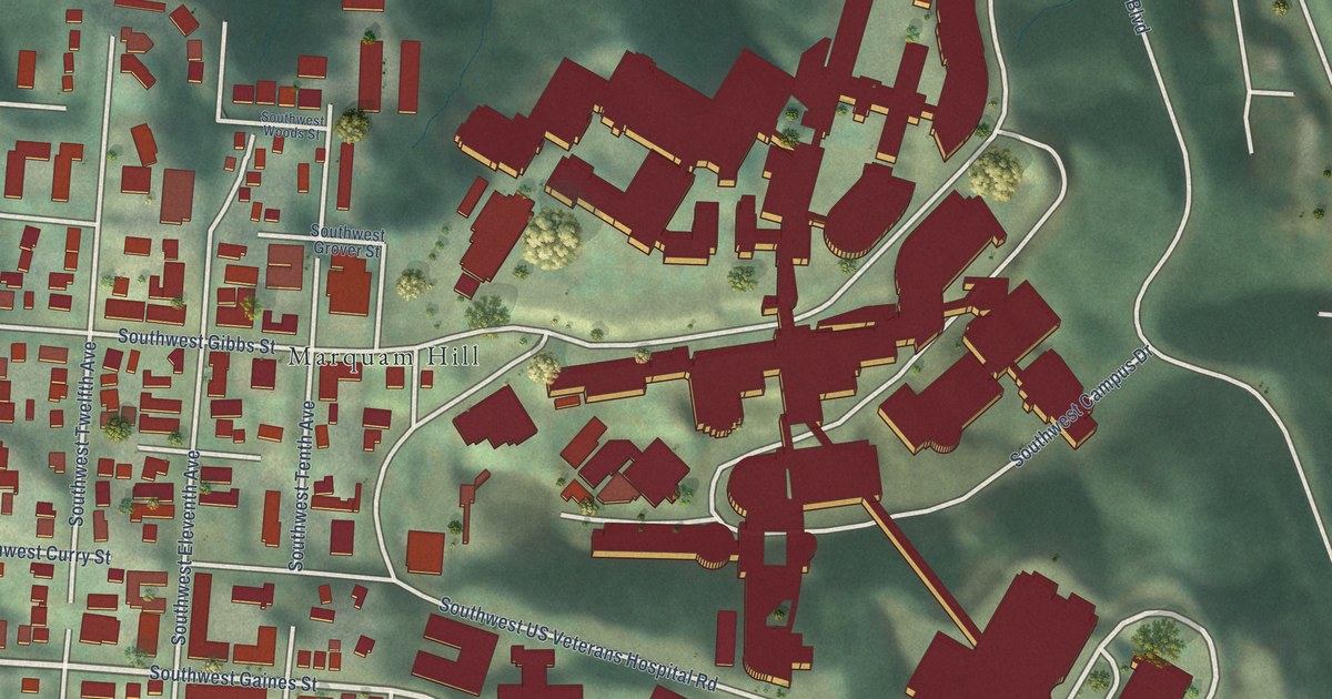
A detailed map of Homestead, Oregon, showing every building in its true location, the roads by name, and shaded topographical relief.
Read More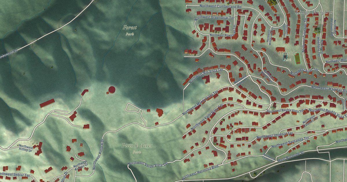
A detailed map of Hillside, Oregon, showing every building in its true location, the roads by name, and shaded topographical relief.
Read More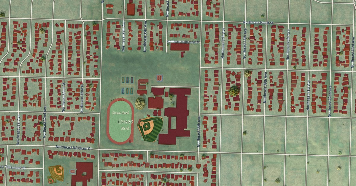
A detailed map of Grant Park, Oregon, showing every building in its true location, the roads by name, and shaded topographical relief.
Read More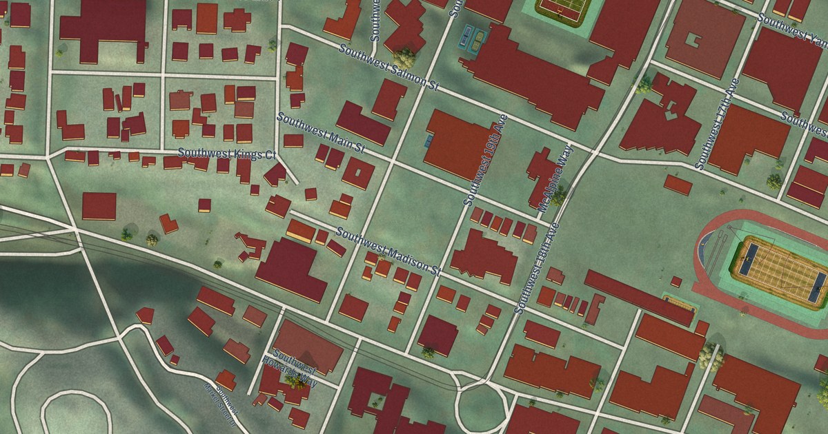
A detailed map of Goose Hollow, Oregon, showing every building in its true location, the roads by name, and shaded topographical relief.
Read More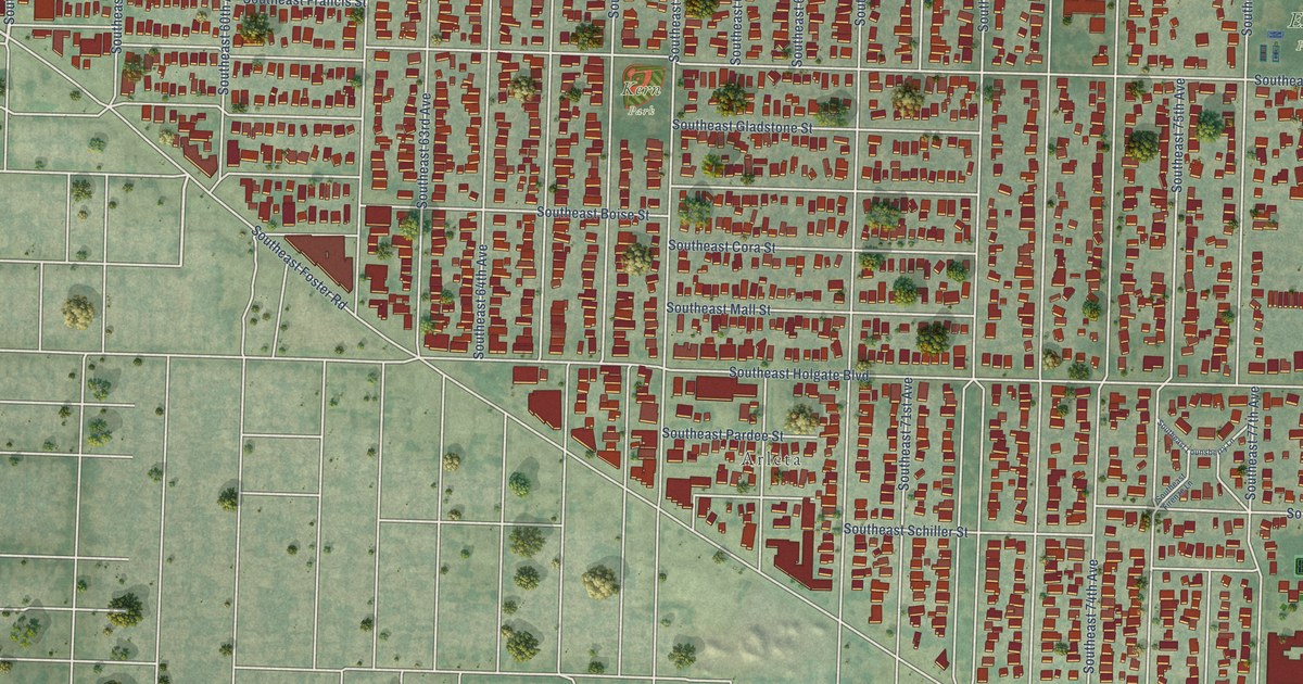
A detailed map of Foster-Powell, Oregon, showing every building in its true location, the roads by name, and shaded topographical relief.
Read More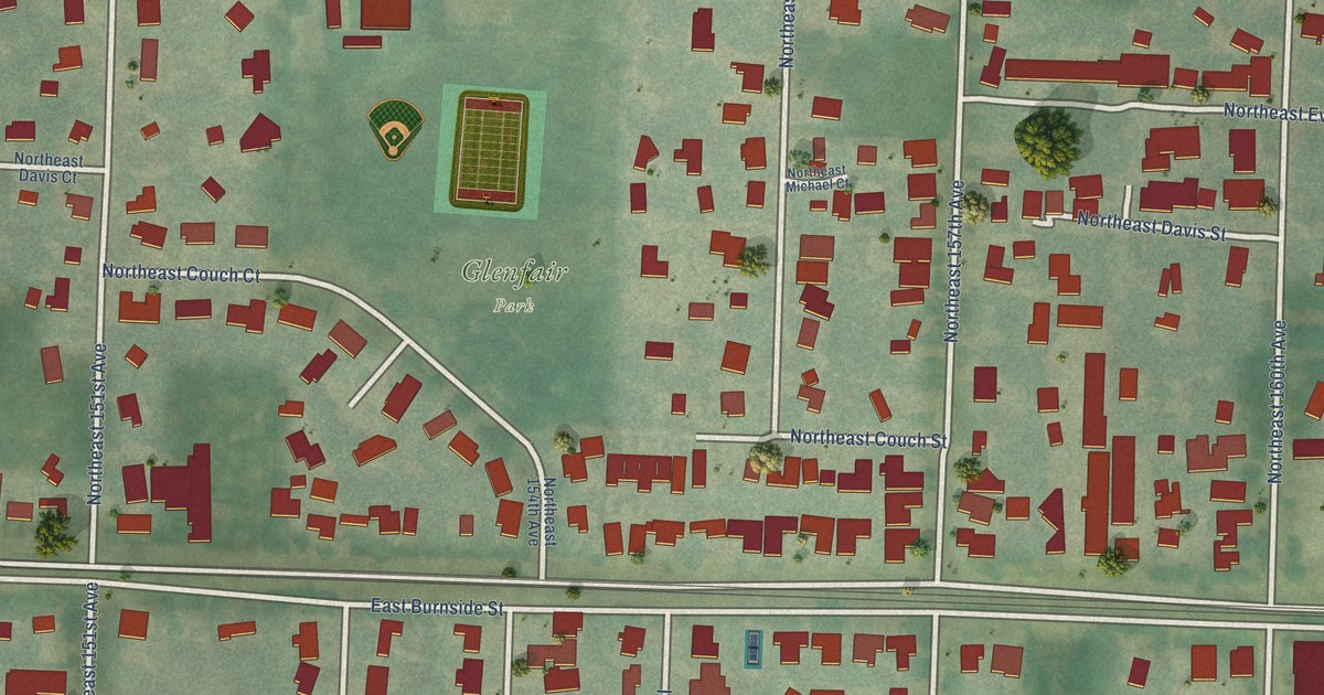
A detailed map of Glenfair, Oregon, showing every building in its true location, the roads by name, and shaded topographical relief.
Read More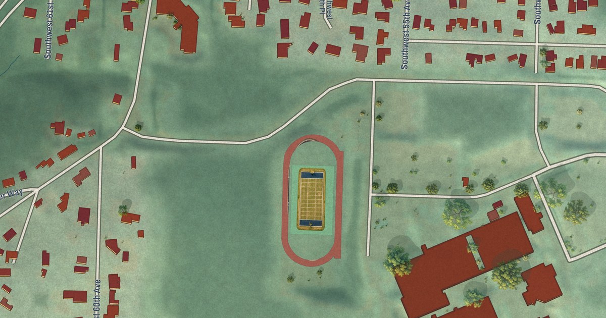
A detailed map of Far Southwest, Oregon, showing every building in its true location, the roads by name, and shaded topographical relief.
Read More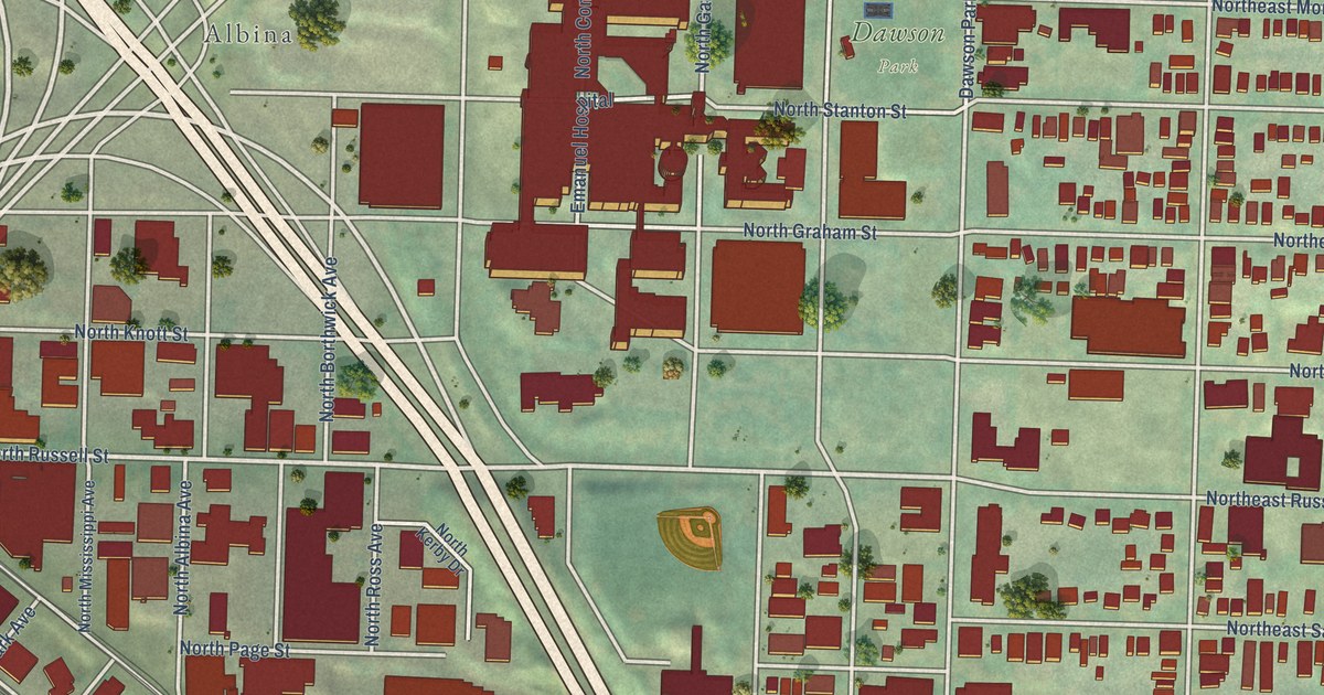
A detailed map of Eliot, Oregon, showing every building in its true location, the roads by name, and shaded topographical relief.
Read More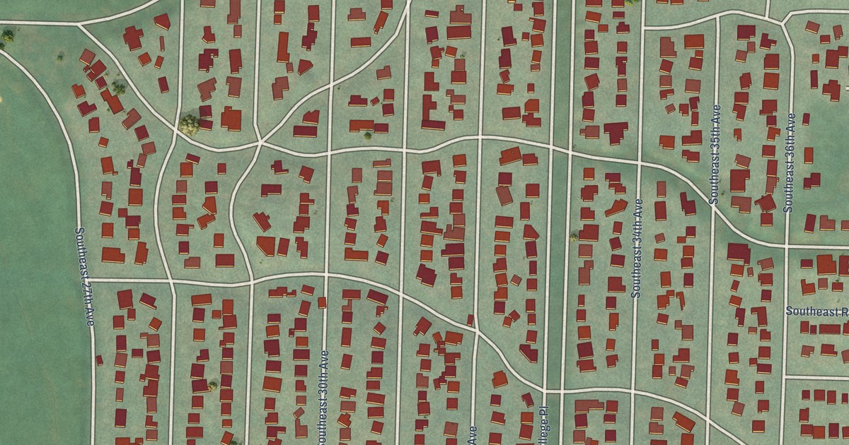
A detailed map of Eastmoreland, Oregon, showing every building in its true location, the roads by name, and shaded topographical relief.
Read More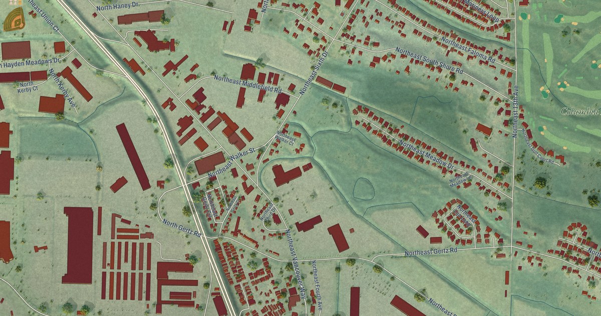
A detailed map of East Columbia, Oregon, showing every building in its true location, the roads by name, and shaded topographical relief.
Read More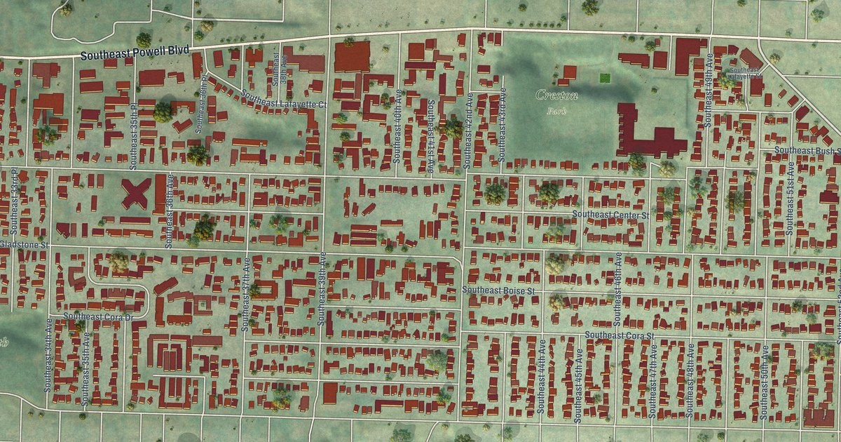
A detailed map of Creston-Kenilworth, Oregon, showing every building in its true location, the roads by name, and shaded topographical relief.
Read More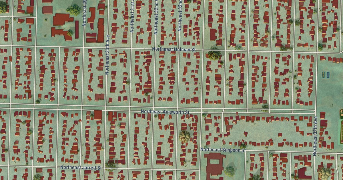
A detailed map of Concordia, Oregon, showing every building in its true location, the roads by name, and shaded topographical relief.
Read More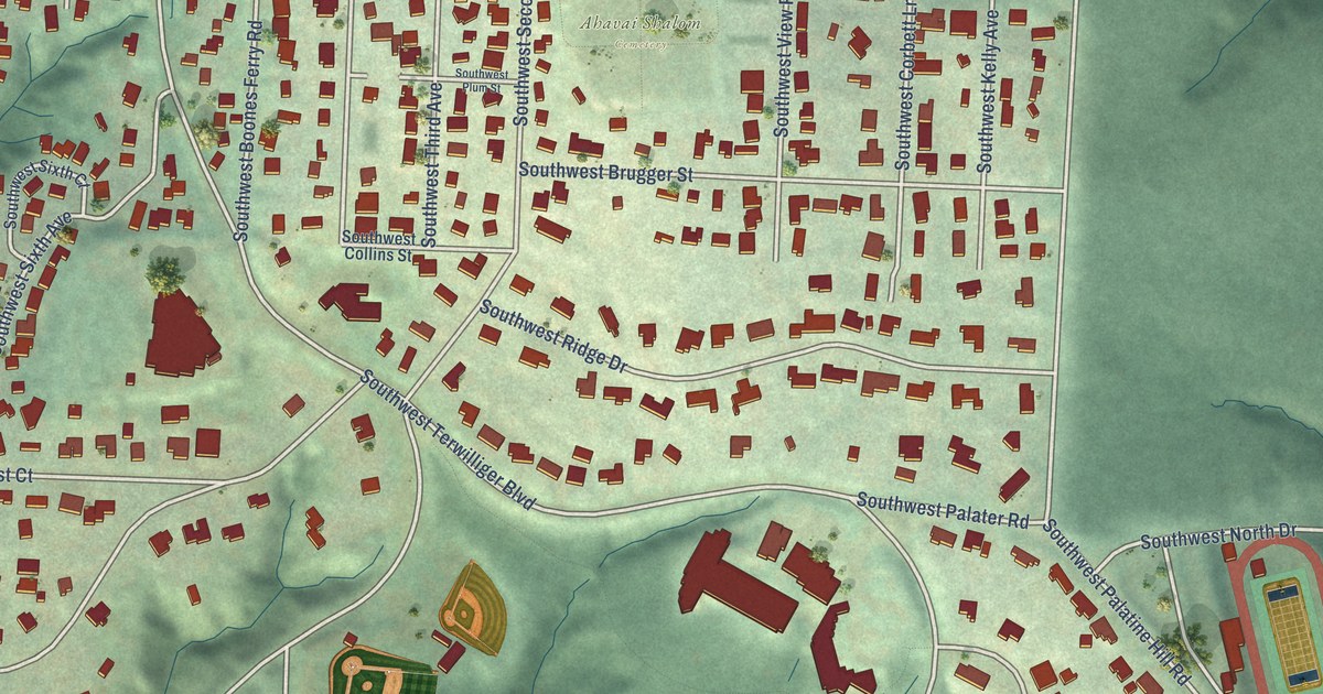
A detailed map of Collins View, Oregon, showing every building in its true location, the roads by name, and shaded topographical relief.
Read More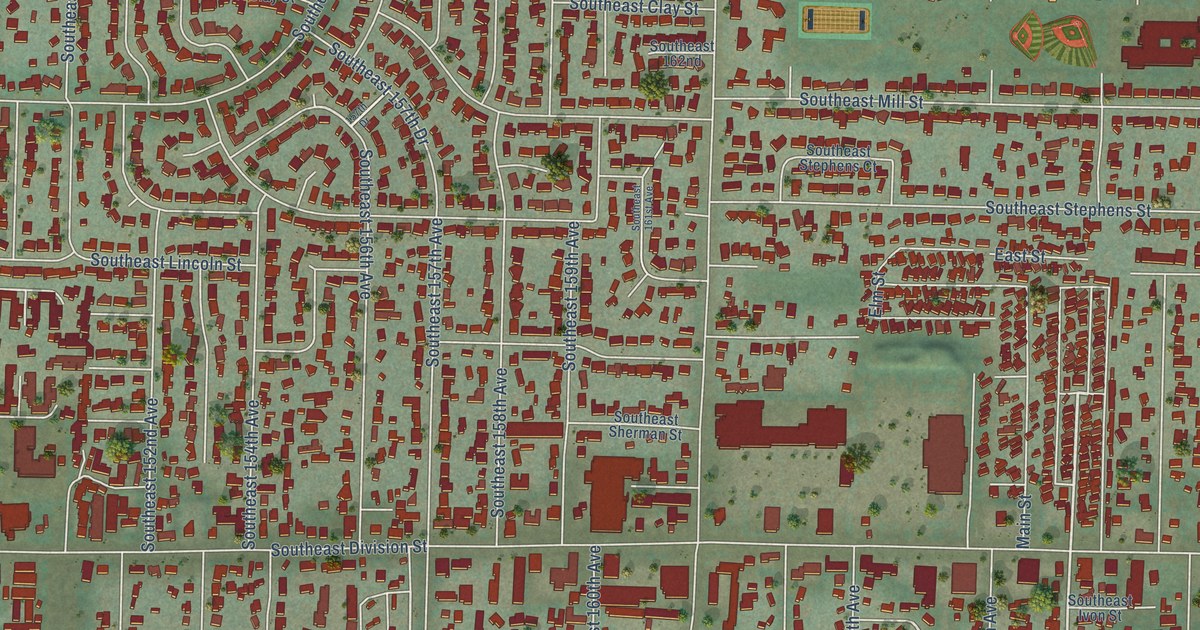
A detailed map of Centennial, Oregon, showing every building in its true location, the roads by name, and shaded topographical relief.
Read More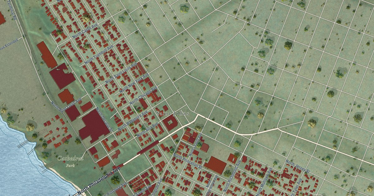
A detailed map of Cathedral Park, Oregon, showing every building in its true location, the roads by name, and shaded topographical relief.
Read More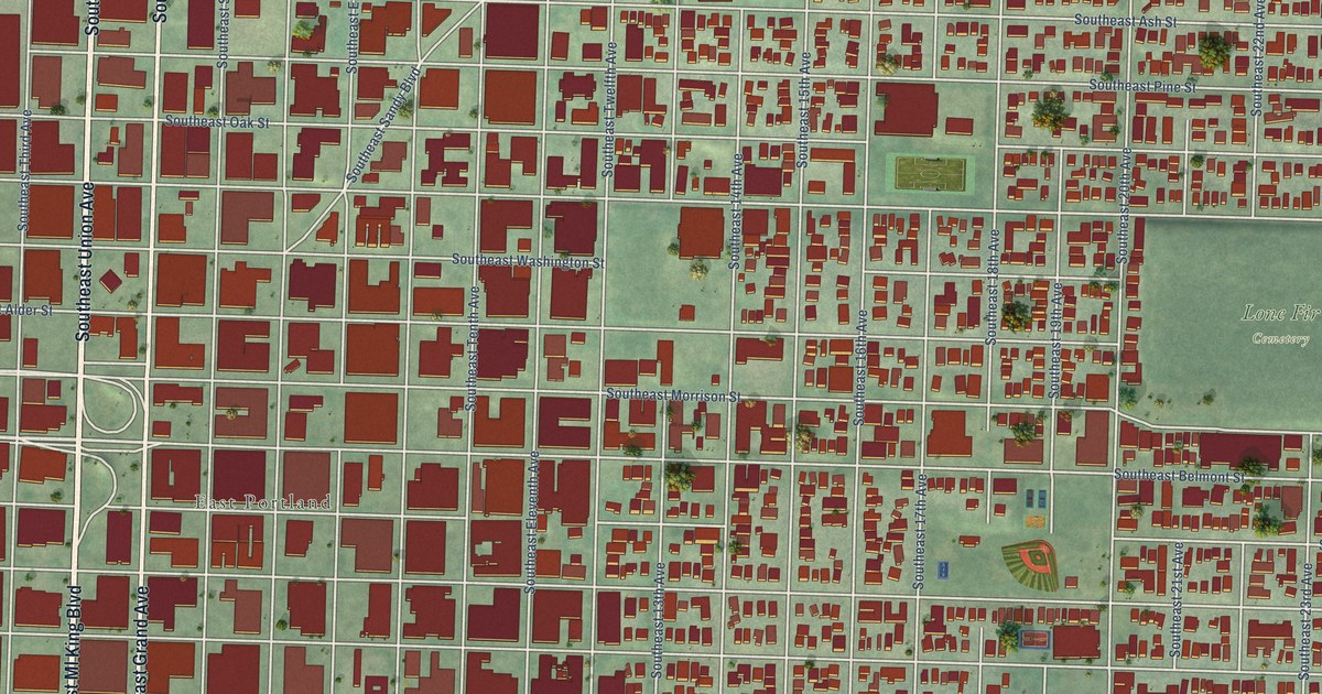
A detailed map of Buckman, Oregon, showing every building in its true location, the roads by name, and shaded topographical relief.
Read More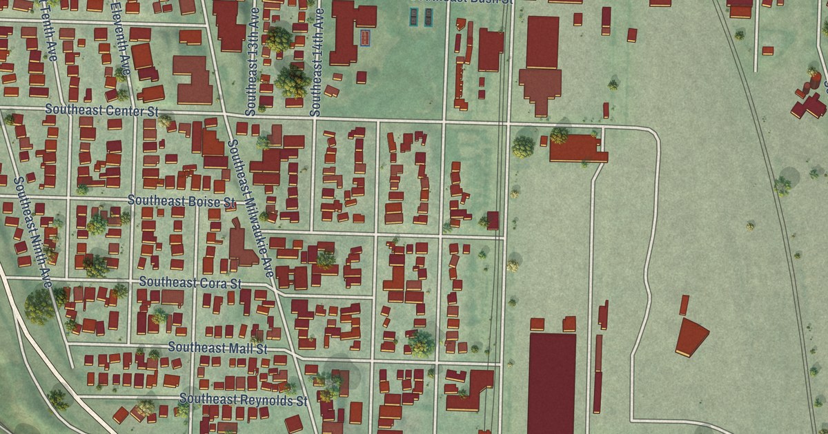
A detailed map of Brooklyn, Oregon, showing every building in its true location, the roads by name, and shaded topographical relief.
Read More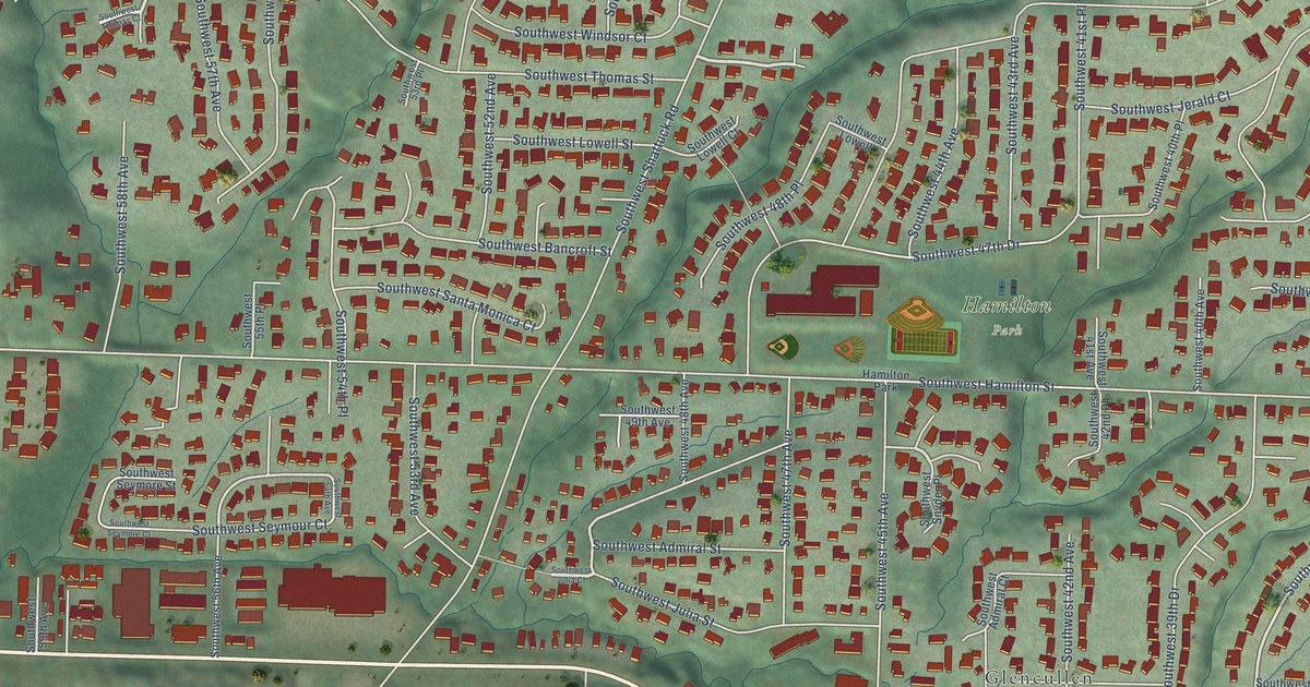
A detailed map of Bridlemile, Oregon, showing every building in its true location, the roads by name, and shaded topographical relief.
Read More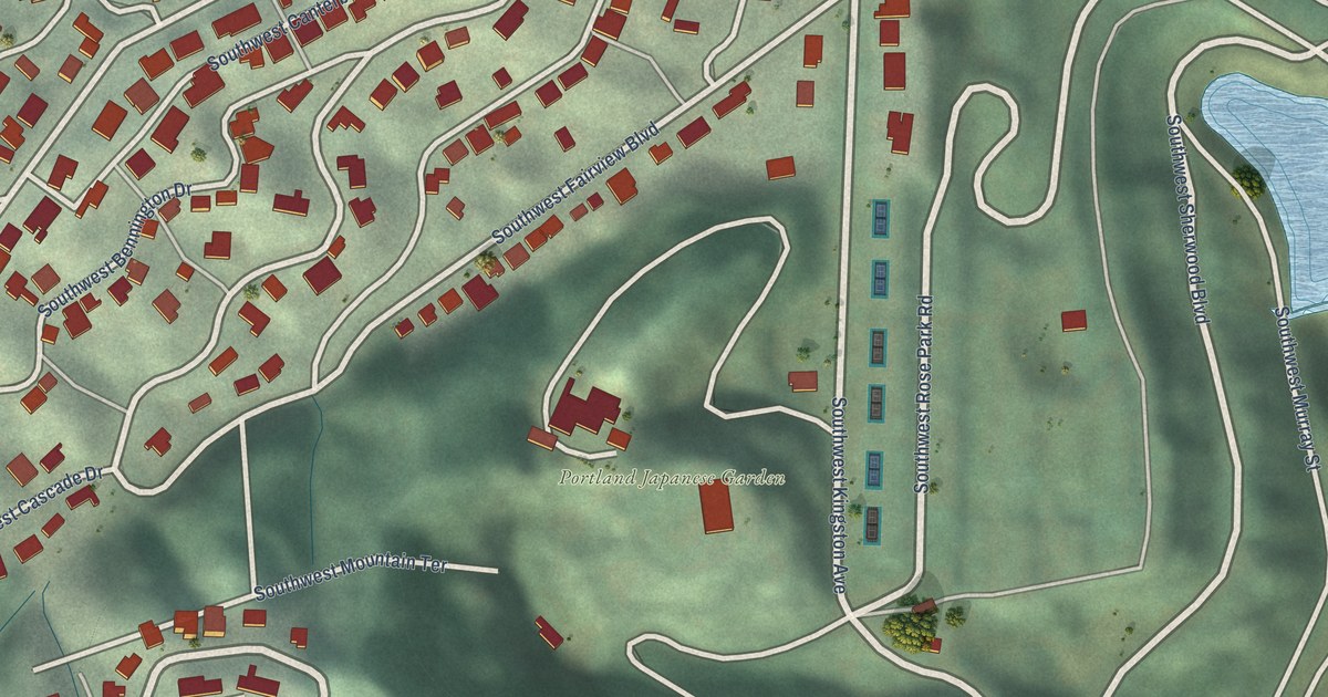
A detailed map of Arlington Heights, Oregon, showing every building in its true location, the roads by name, and shaded topographical relief.
Read More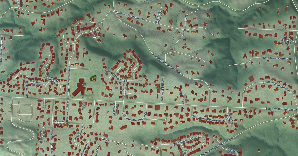
A detailed map of Arnold Creek, Oregon, showing every building in its true location, the roads by name, and shaded topographical relief.
Read More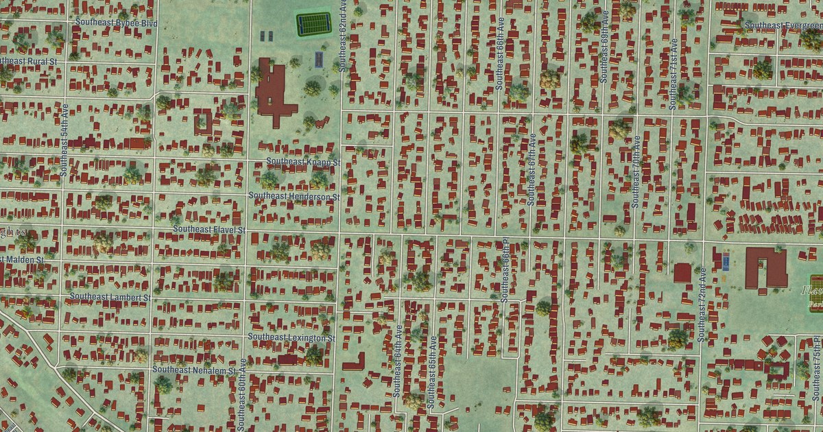
A detailed map of Brentwood-Darlington, Oregon, showing every building in its true location, the roads by name, and shaded topographical relief.
Read More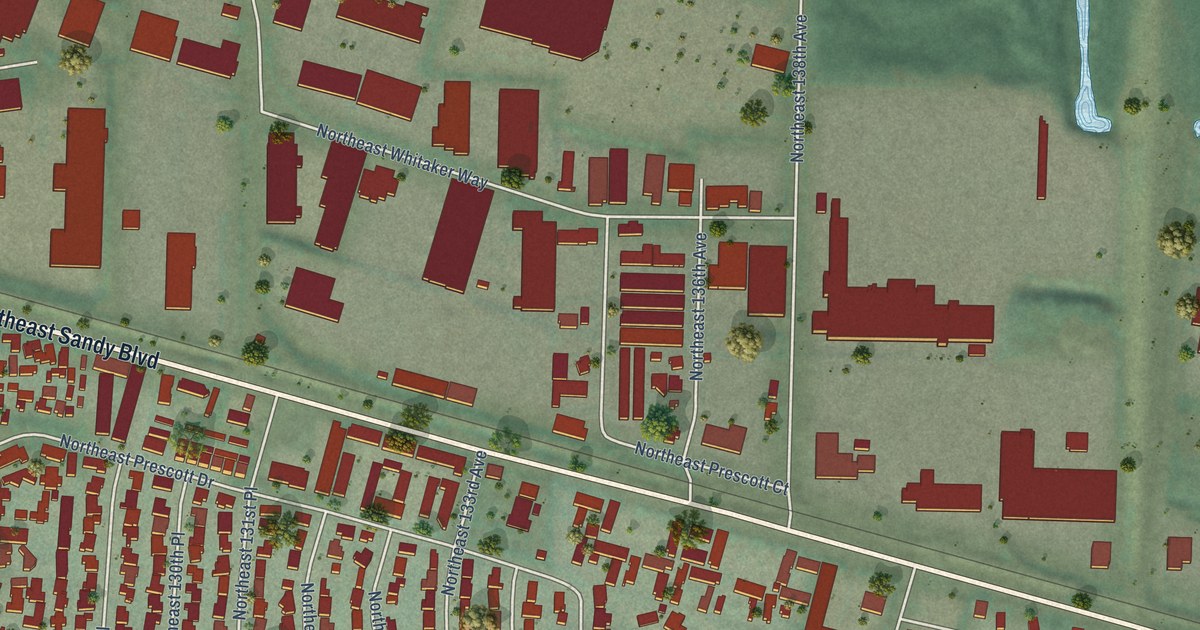
A detailed map of Argay Terrace, Oregon, showing every building in its true location, the roads by name, and shaded topographical relief.
Read More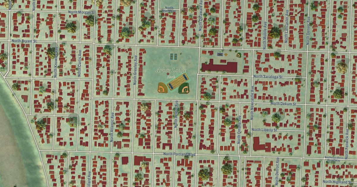
A detailed map of Arbor Lodge, Oregon, showing every building in its true location, the roads by name, and shaded topographical relief.
Read More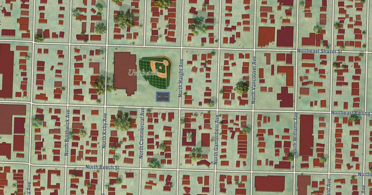
A detailed map of Boise, Oregon, showing every building in its true location, the roads by name, and shaded topographical relief.
Read More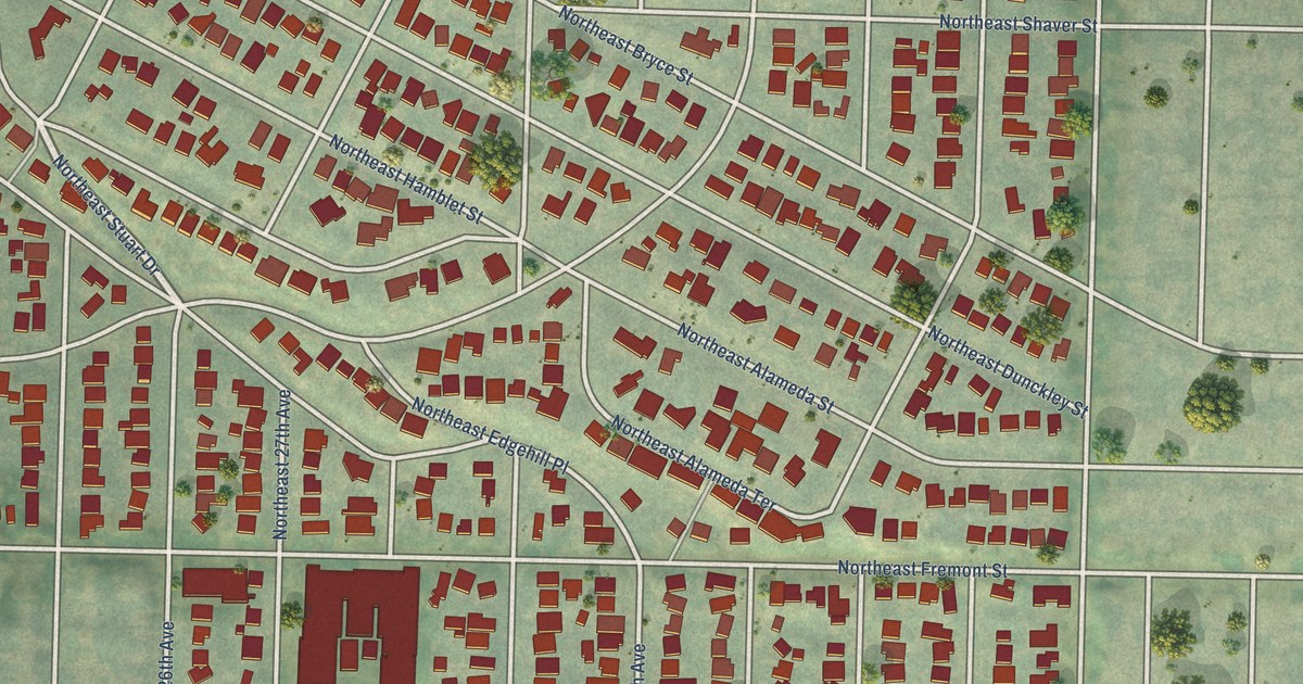
A detailed map of Alameda, Oregon, showing every building in its true location, the roads by name, and shaded topographical relief.
Read More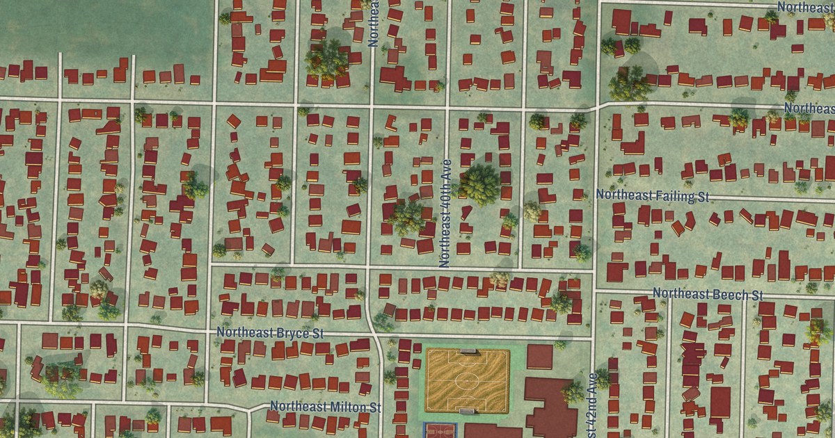
A detailed map of Beaumont-Wilshire, Oregon, showing every building in its true location, the roads by name, and shaded topographical relief.
Read More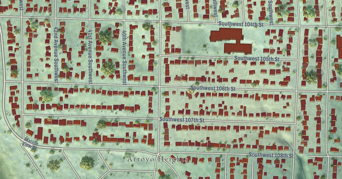
A detailed map of Arbor Heights, Washington, showing every building in its true location, the roads by name, and shaded topographical relief.
Read More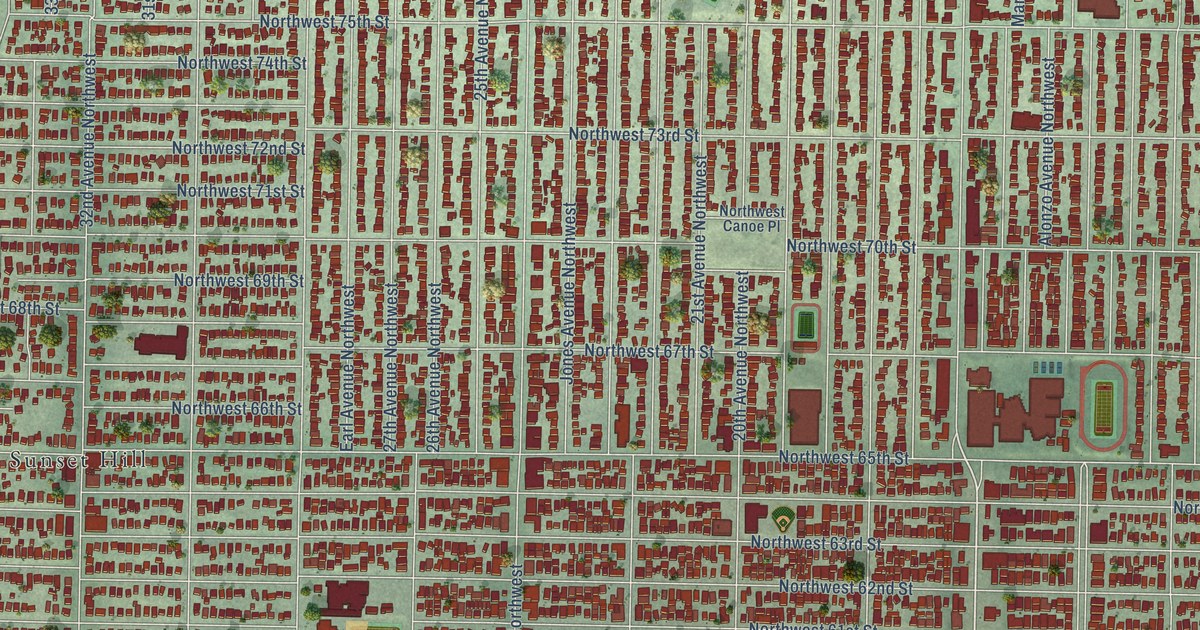
A detailed map of Ballard, Washington, showing every building in its true location, the roads by name, and shaded topographical relief.
Read More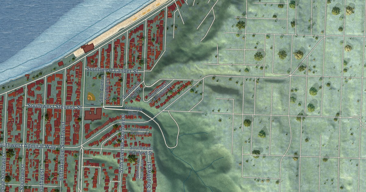
A detailed map of Alki, Washington, showing every building in its true location, the roads by name, and shaded topographical relief.
Read More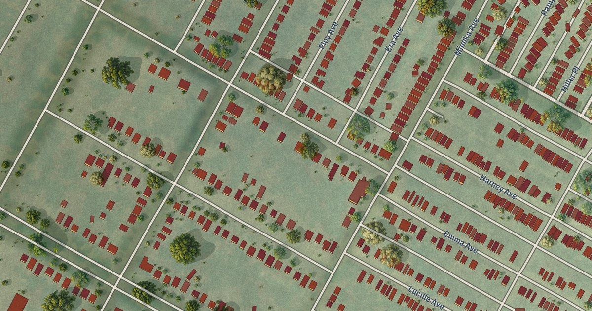
A detailed map of Walnut Park West, Missouri, showing every building in its true location, the roads by name, and shaded topographical relief.
Read More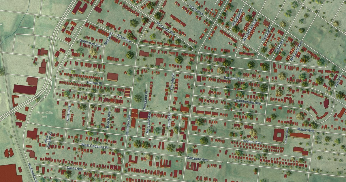
A detailed map of West End, Missouri, showing every building in its true location, the roads by name, and shaded topographical relief.
Read More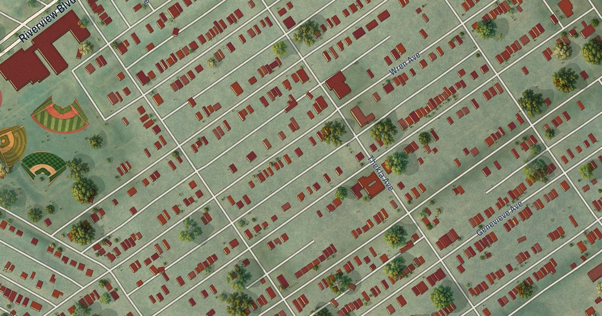
A detailed map of Walnut Park East, Missouri, showing every building in its true location, the roads by name, and shaded topographical relief.
Read More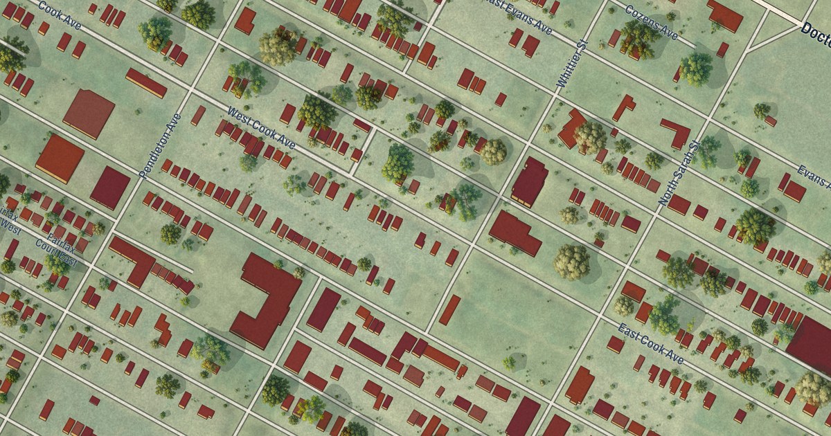
A detailed map of Vandeventer, Missouri, showing every building in its true location, the roads by name, and shaded topographical relief.
Read More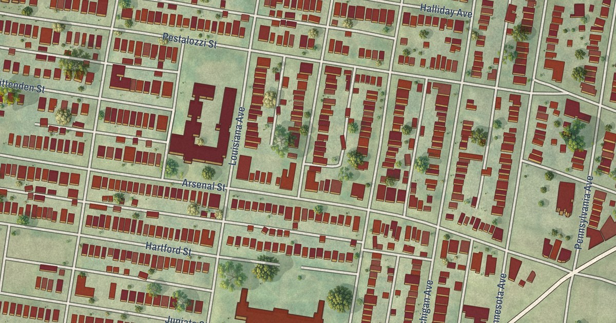
A detailed map of Tower Grove East, Missouri, showing every building in its true location, the roads by name, and shaded topographical relief.
Read More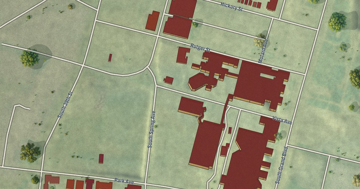
A detailed map of Tiffany, Missouri, showing every building in its true location, the roads by name, and shaded topographical relief.
Read More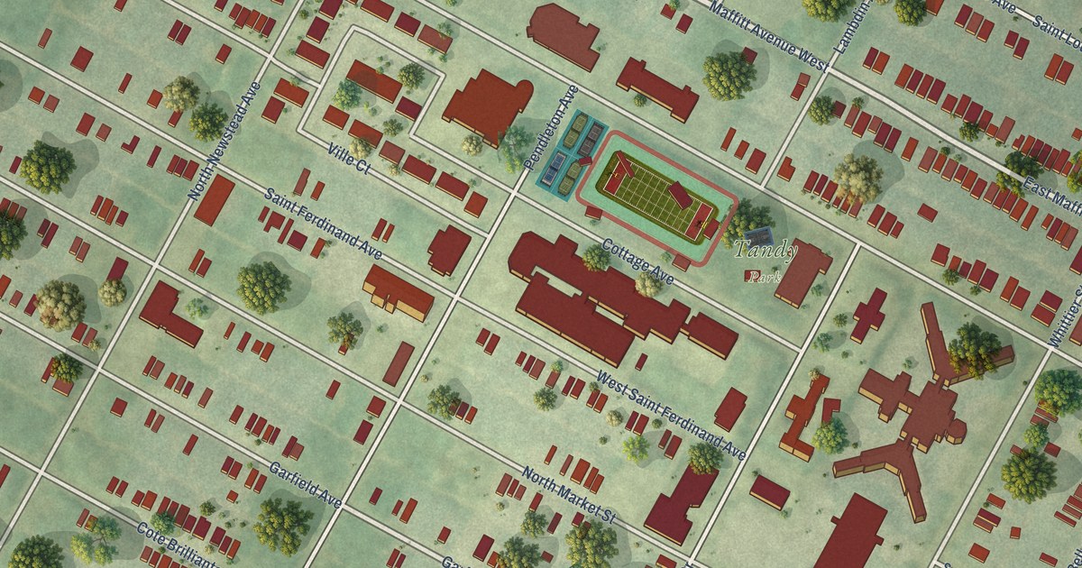
A detailed map of The Ville, Missouri, showing every building in its true location, the roads by name, and shaded topographical relief.
Read More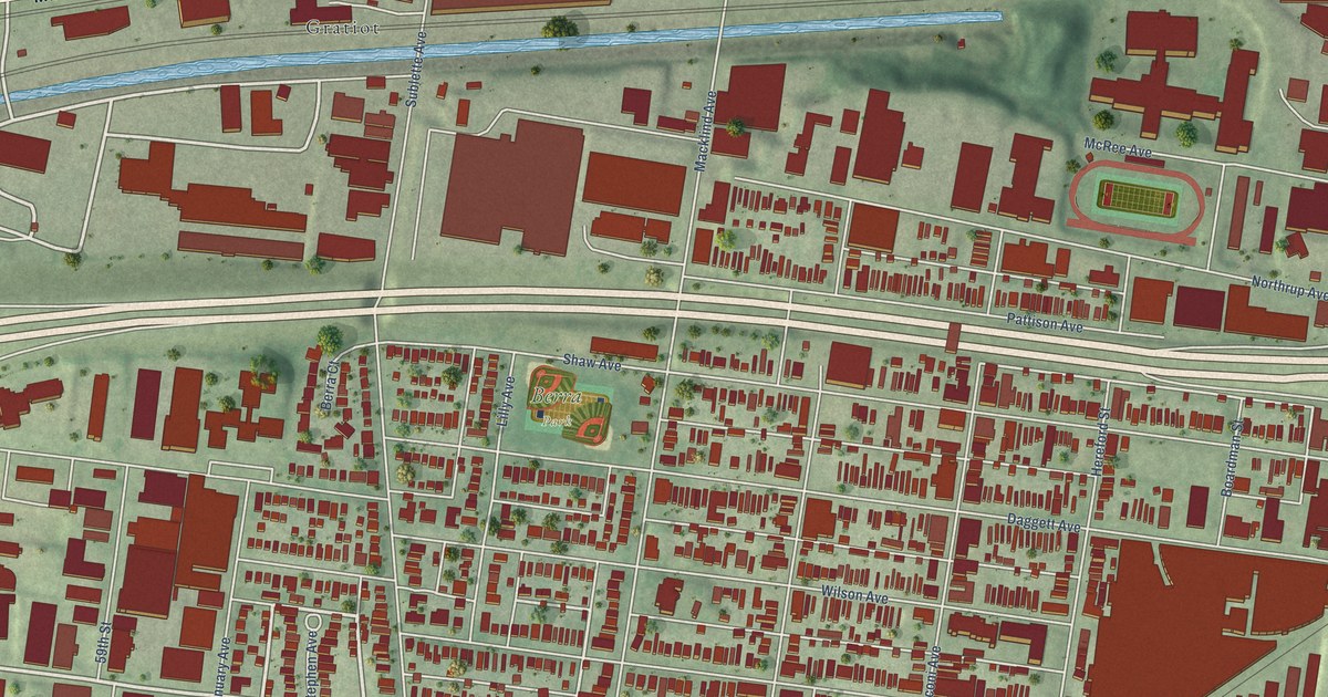
A detailed map of The Hill, Missouri, showing every building in its true location, the roads by name, and shaded topographical relief.
Read More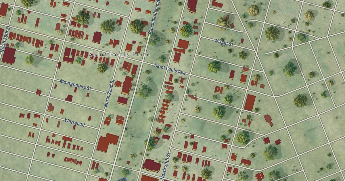
A detailed map of St. Louis Place, Missouri, showing every building in its true location, the roads by name, and shaded topographical relief.
Read More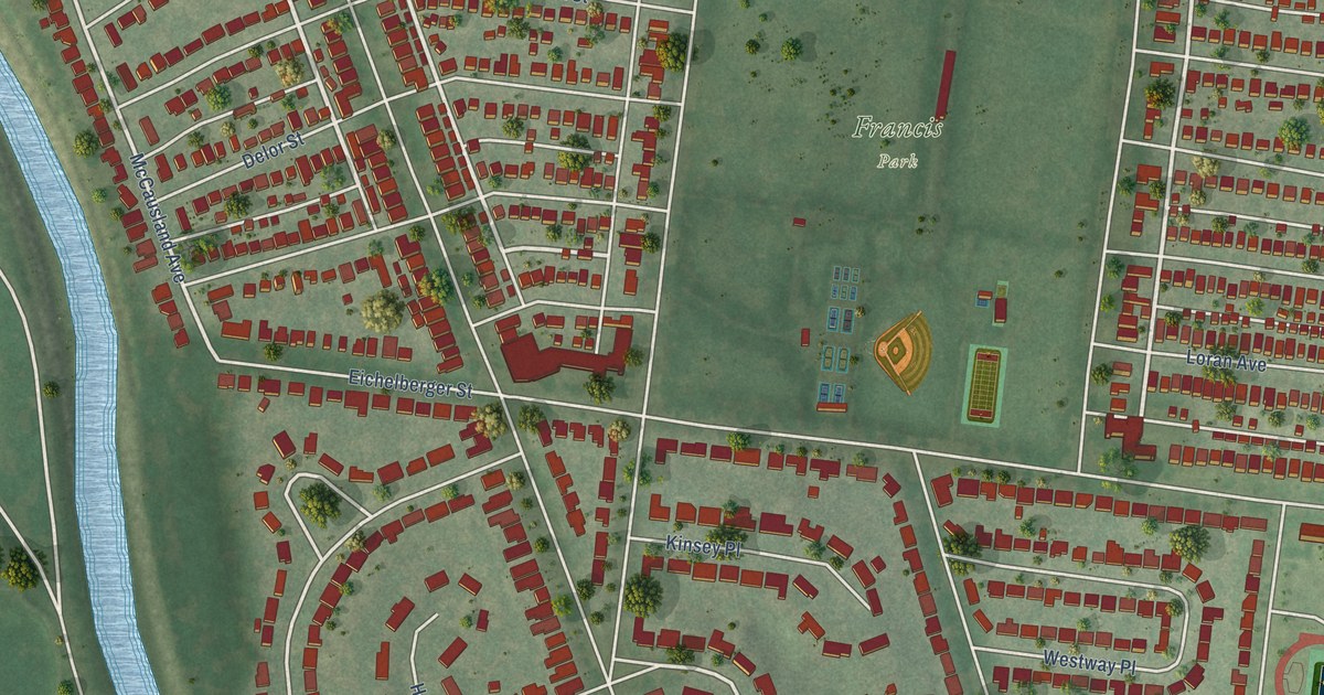
A detailed map of St. Louis Hills, Missouri, showing every building in its true location, the roads by name, and shaded topographical relief.
Read More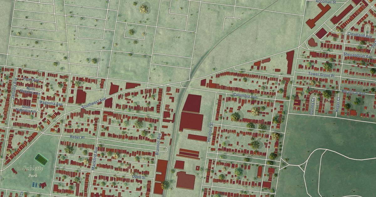
A detailed map of Southwest Garden, Missouri, showing every building in its true location, the roads by name, and shaded topographical relief.
Read More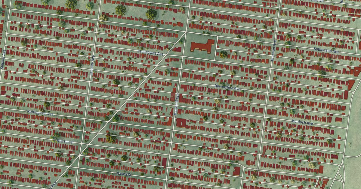
A detailed map of Southampton, Missouri, showing every building in its true location, the roads by name, and shaded topographical relief.
Read More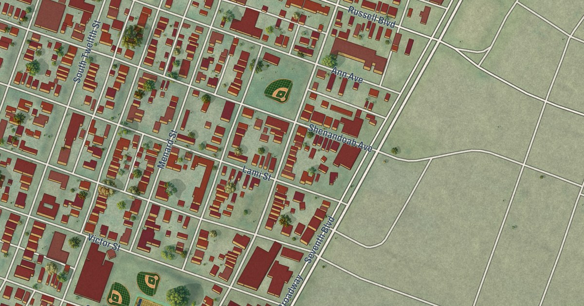
A detailed map of Soulard, Missouri, showing every building in its true location, the roads by name, and shaded topographical relief.
Read More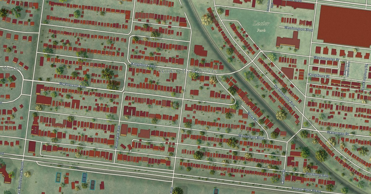
A detailed map of Skinker DeBaliviere, Missouri, showing every building in its true location, the roads by name, and shaded topographical relief.
Read More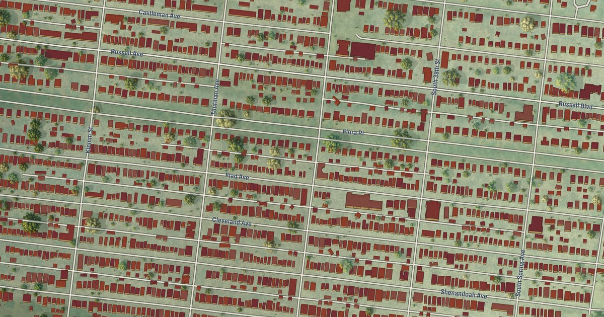
A detailed map of Shaw, Missouri, showing every building in its true location, the roads by name, and shaded topographical relief.
Read More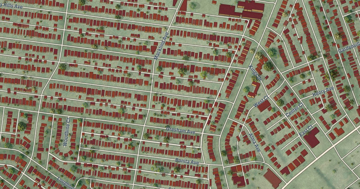
A detailed map of Princeton Heights, Missouri, showing every building in its true location, the roads by name, and shaded topographical relief.
Read More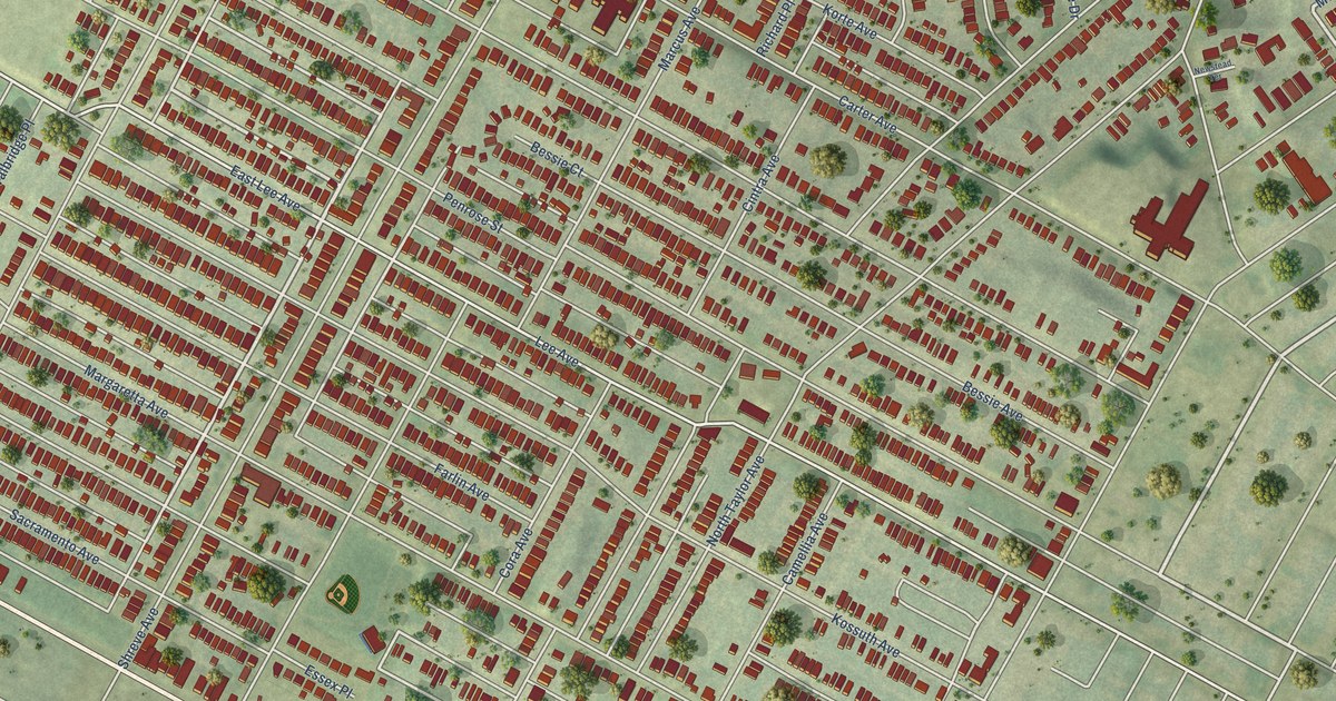
A detailed map of Penrose, Missouri, showing every building in its true location, the roads by name, and shaded topographical relief.
Read More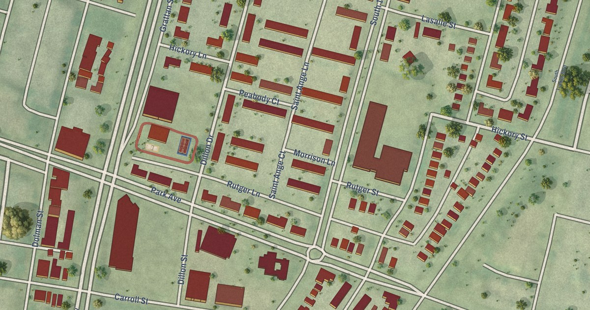
A detailed map of Peabody Darst Webbe, Missouri, showing every building in its true location, the roads by name, and shaded topographical relief.
Read More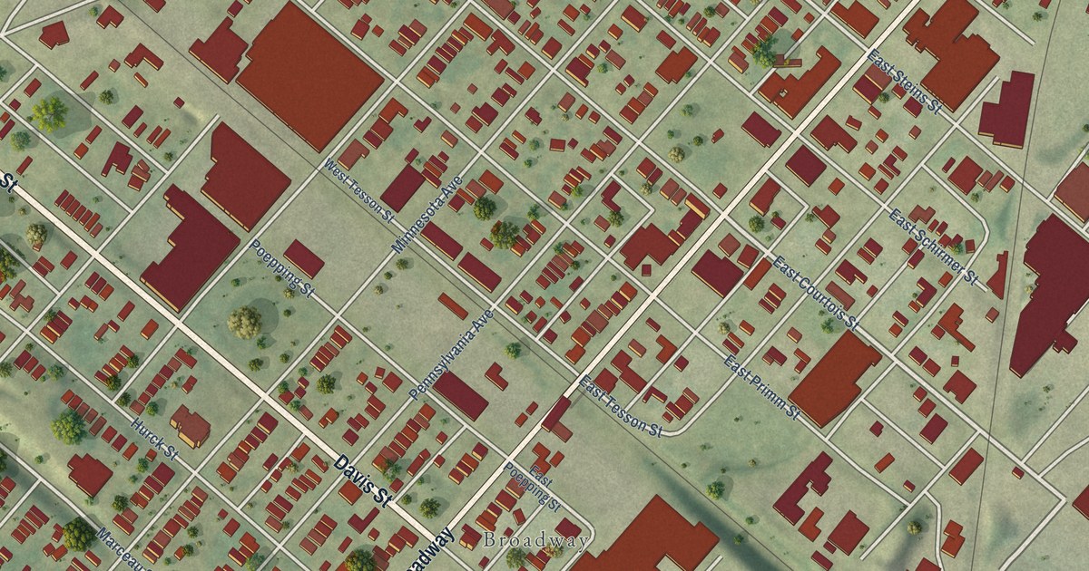
A detailed map of Patch, Missouri, showing every building in its true location, the roads by name, and shaded topographical relief.
Read More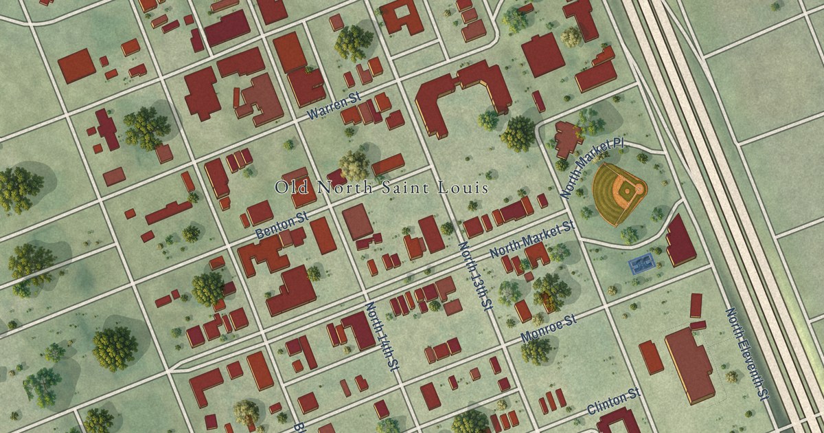
A detailed map of Old North St. Louis, Missouri, showing every building in its true location, the roads by name, and shaded topographical relief.
Read More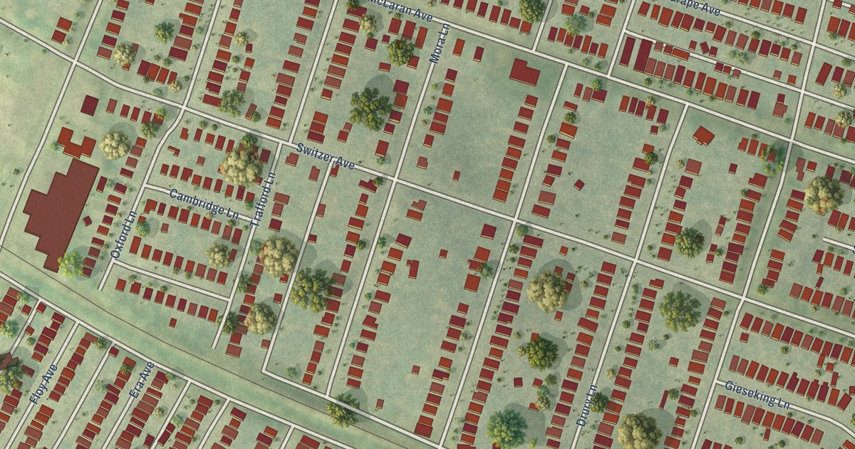
A detailed map of North Pointe, Missouri, showing every building in its true location, the roads by name, and shaded topographical relief.
Read More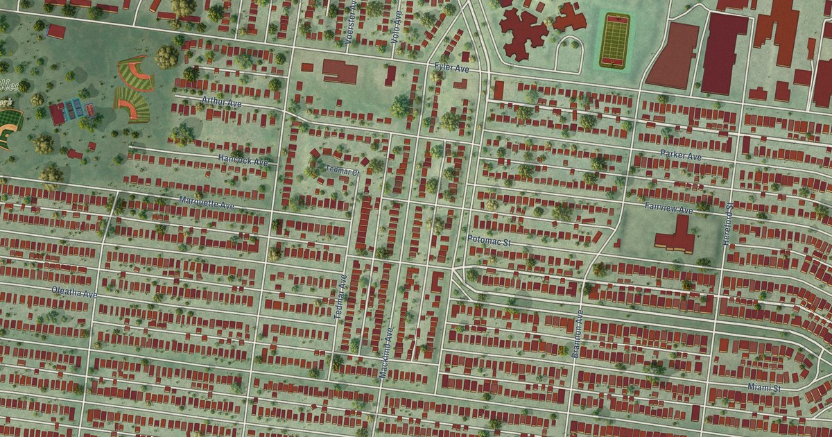
A detailed map of North Hampton, Missouri, showing every building in its true location, the roads by name, and shaded topographical relief.
Read More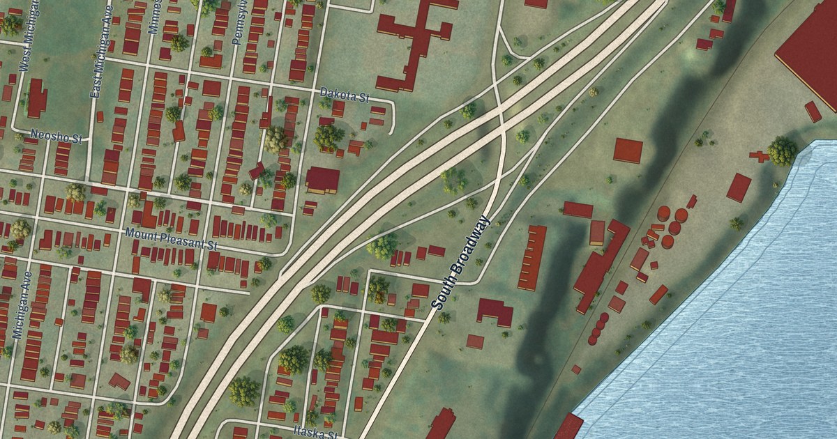
A detailed map of Mount Pleasant, Missouri, showing every building in its true location, the roads by name, and shaded topographical relief.
Read More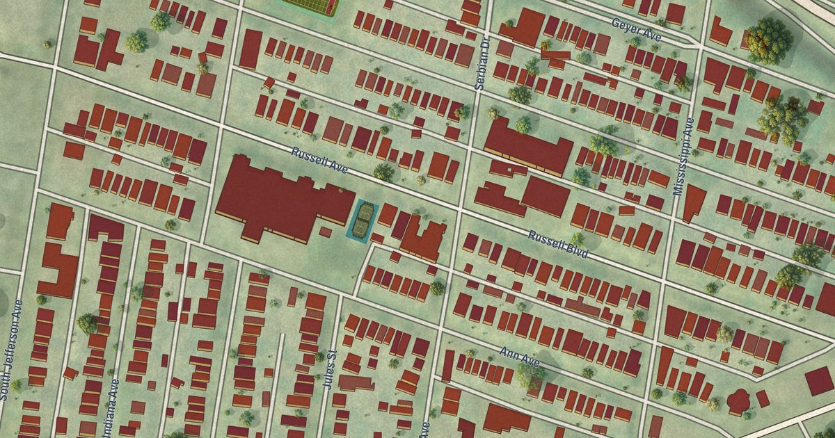
A detailed map of McKinley Heights, Missouri, showing every building in its true location, the roads by name, and shaded topographical relief.
Read More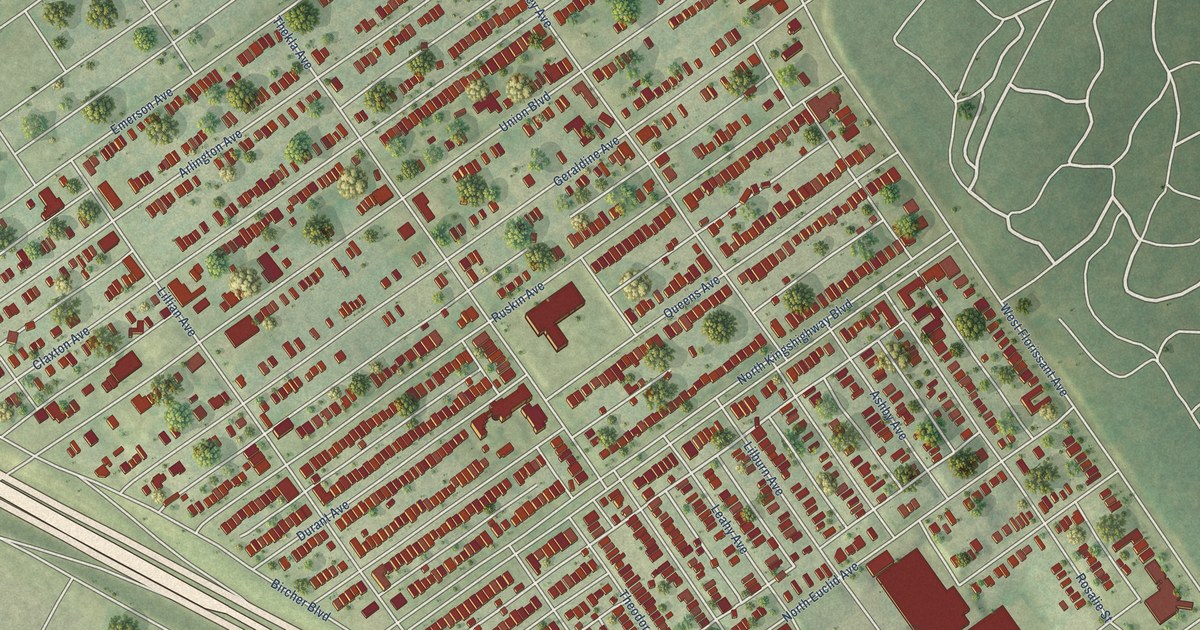
A detailed map of Mark Twain, Missouri, showing every building in its true location, the roads by name, and shaded topographical relief.
Read More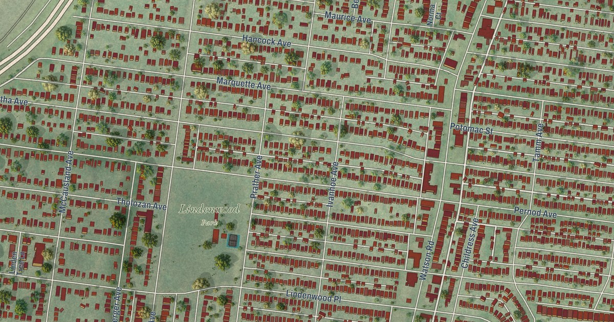
A detailed map of Lindenwood Park, Missouri, showing every building in its true location, the roads by name, and shaded topographical relief.
Read More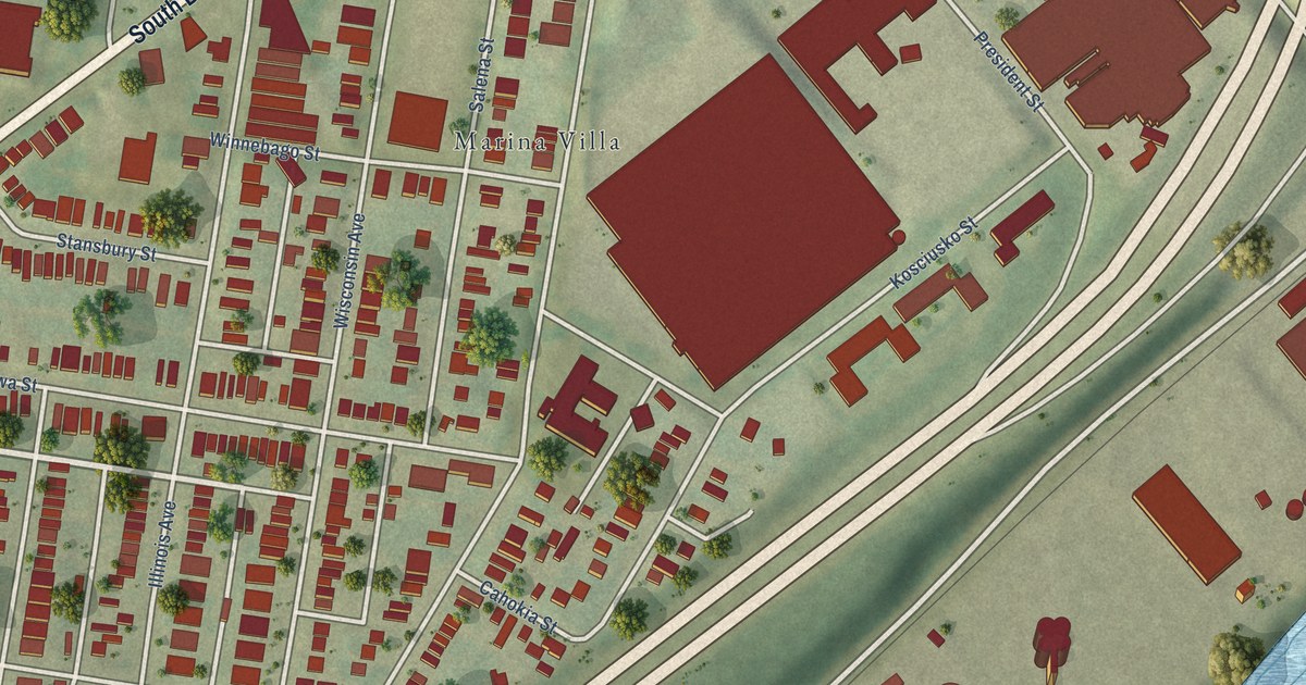
A detailed map of Marine Villa, Missouri, showing every building in its true location, the roads by name, and shaded topographical relief.
Read More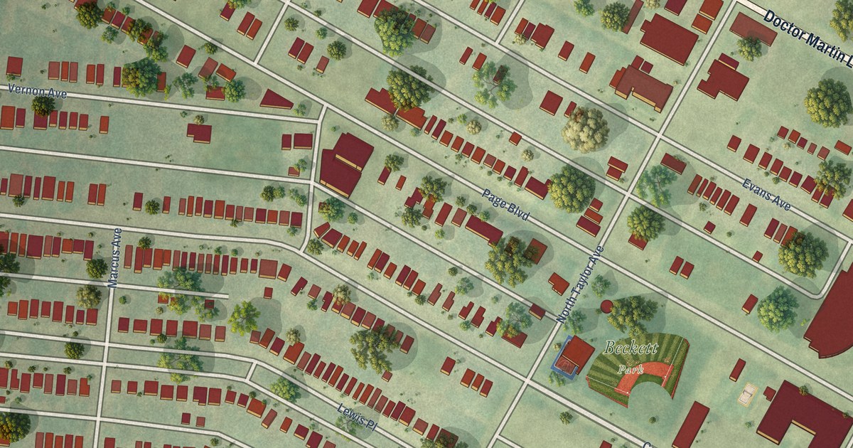
A detailed map of Lewis Place, Missouri, showing every building in its true location, the roads by name, and shaded topographical relief.
Read More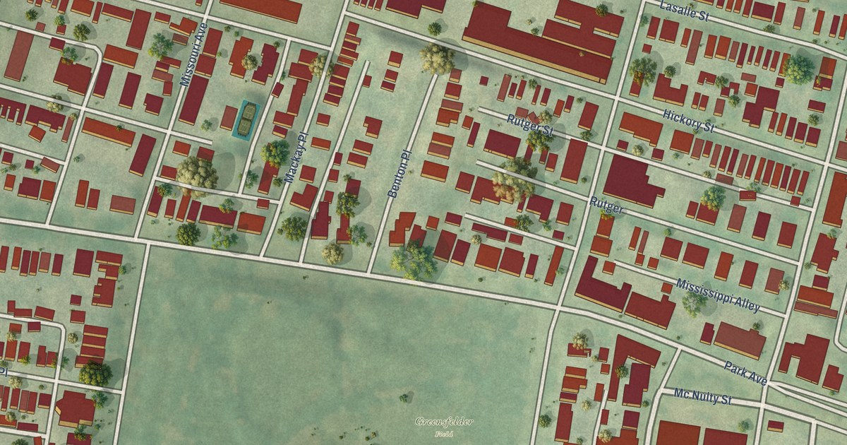
A detailed map of Lafayette Square, Missouri, showing every building in its true location, the roads by name, and shaded topographical relief.
Read More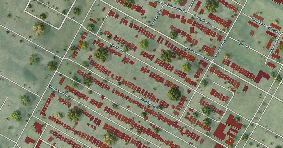
A detailed map of Kingsway West, Missouri, showing every building in its true location, the roads by name, and shaded topographical relief.
Read More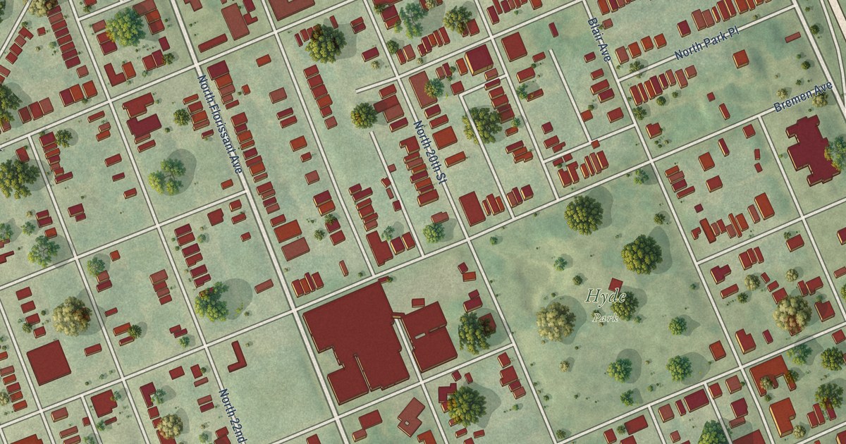
A detailed map of Hyde Park, Missouri, showing every building in its true location, the roads by name, and shaded topographical relief.
Read More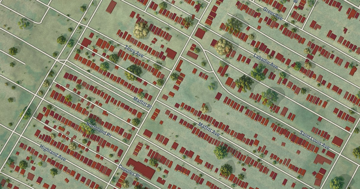
A detailed map of Kingsway East, Missouri, showing every building in its true location, the roads by name, and shaded topographical relief.
Read More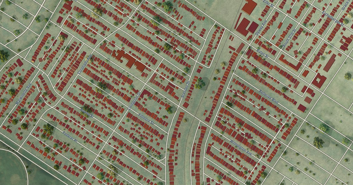
A detailed map of Holly Hills, Missouri, showing every building in its true location, the roads by name, and shaded topographical relief.
Read More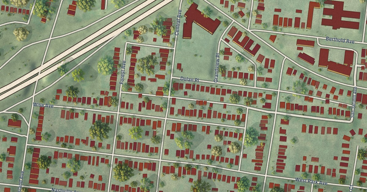
A detailed map of Hi-Pointe, Missouri, showing every building in its true location, the roads by name, and shaded topographical relief.
Read More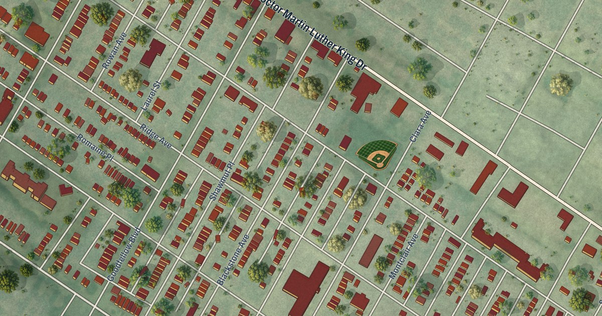
A detailed map of Hamilton Heights, Missouri, showing every building in its true location, the roads by name, and shaded topographical relief.
Read More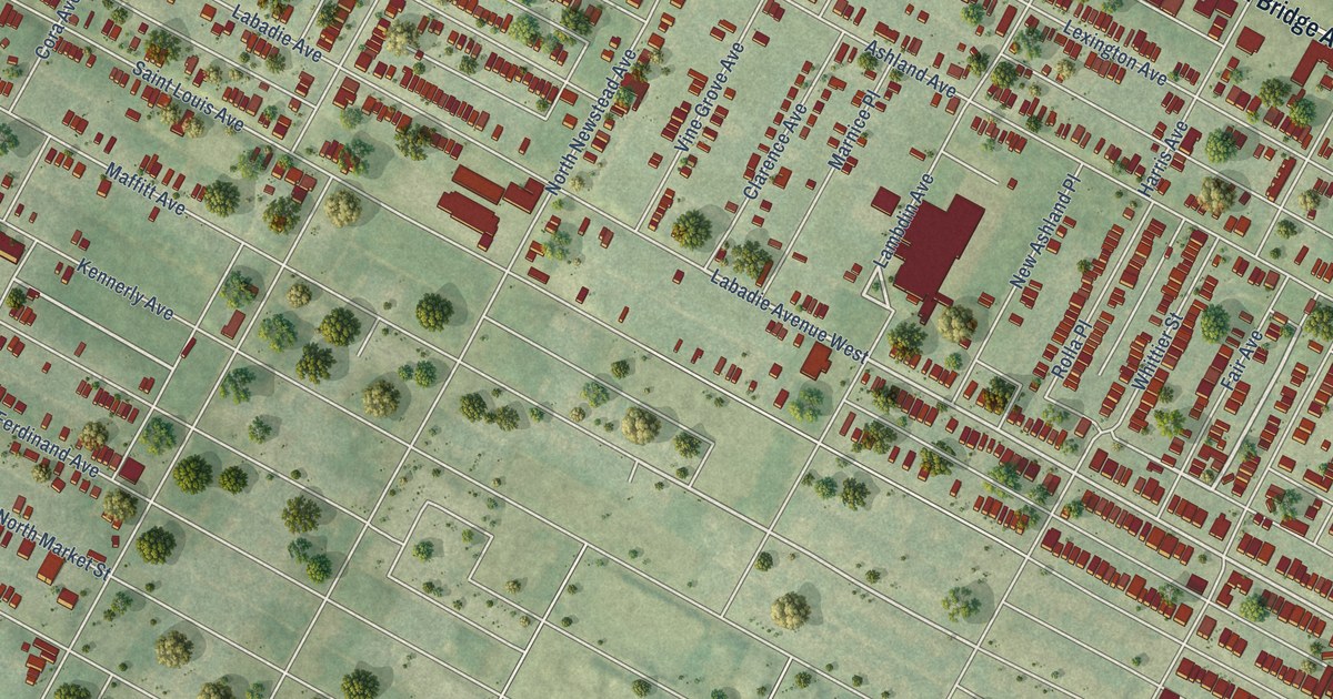
A detailed map of Greater Ville, Missouri, showing every building in its true location, the roads by name, and shaded topographical relief.
Read More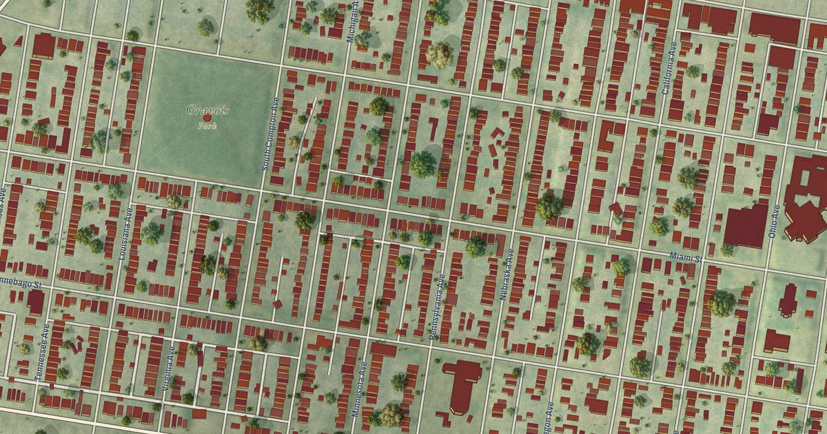
A detailed map of Gravois Park, Missouri, showing every building in its true location, the roads by name, and shaded topographical relief.
Read More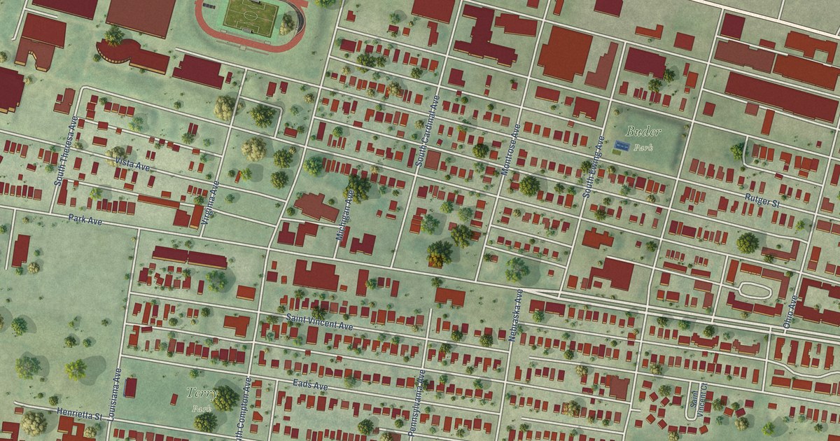
A detailed map of Gate District, Missouri, showing every building in its true location, the roads by name, and shaded topographical relief.
Read More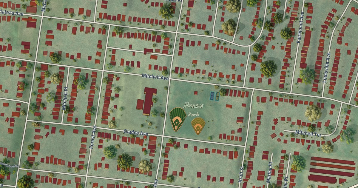
A detailed map of Franz Park, Missouri, showing every building in its true location, the roads by name, and shaded topographical relief.
Read More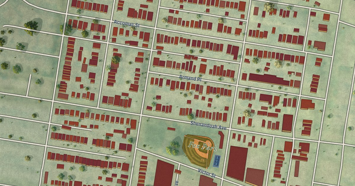
A detailed map of Fox Park, Missouri, showing every building in its true location, the roads by name, and shaded topographical relief.
Read More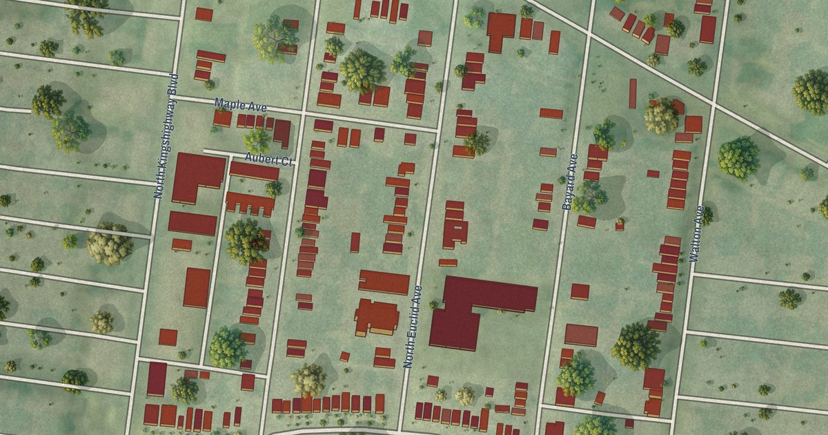
A detailed map of Fountain Park, Missouri, showing every building in its true location, the roads by name, and shaded topographical relief.
Read More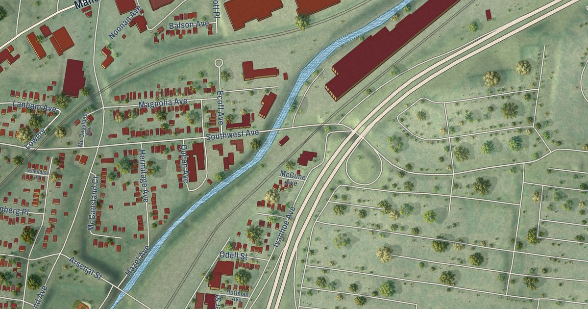
A detailed map of Ellendale, Missouri, showing every building in its true location, the roads by name, and shaded topographical relief.
Read More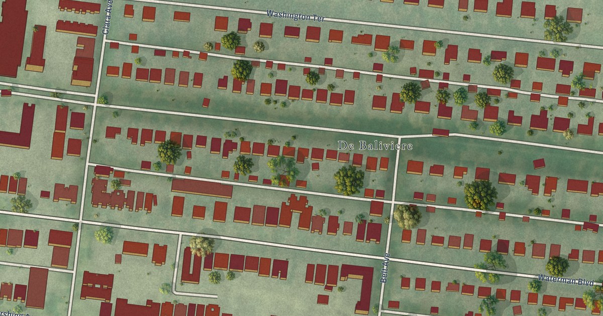
A detailed map of DeBaliviere Place, Missouri, showing every building in its true location, the roads by name, and shaded topographical relief.
Read More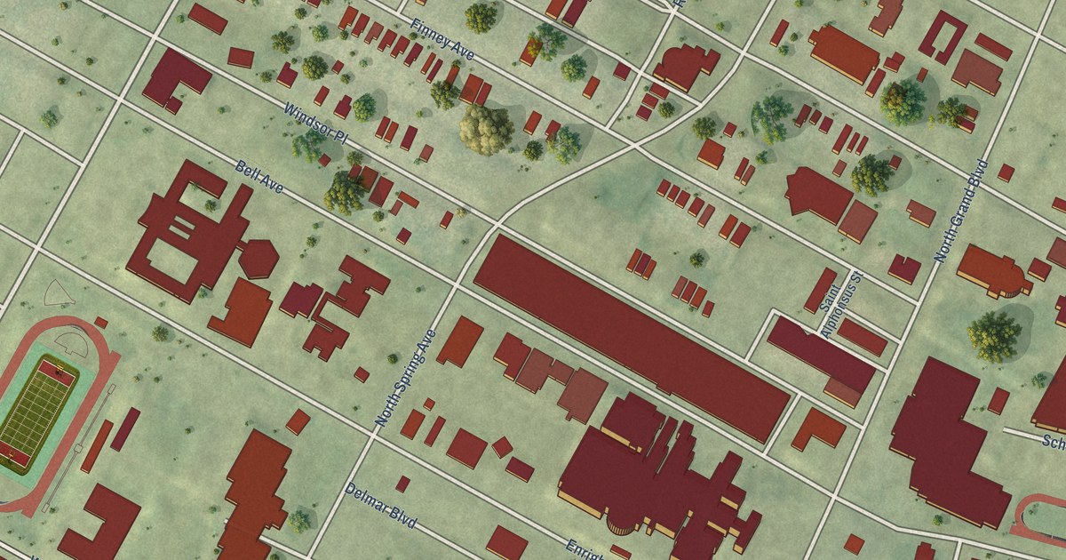
A detailed map of Covenant Blu-Grand Center, Missouri, showing every building in its true location, the roads by name, and shaded topographical relief.
Read More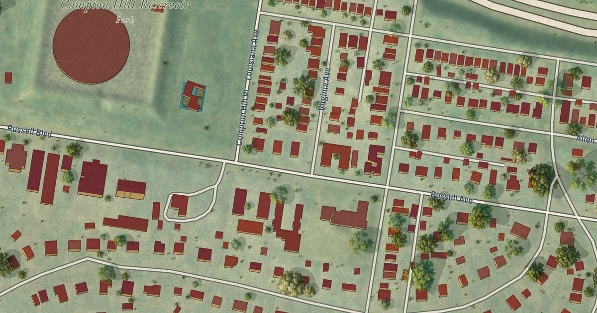
A detailed map of Compton Heights, Missouri, showing every building in its true location, the roads by name, and shaded topographical relief.
Read More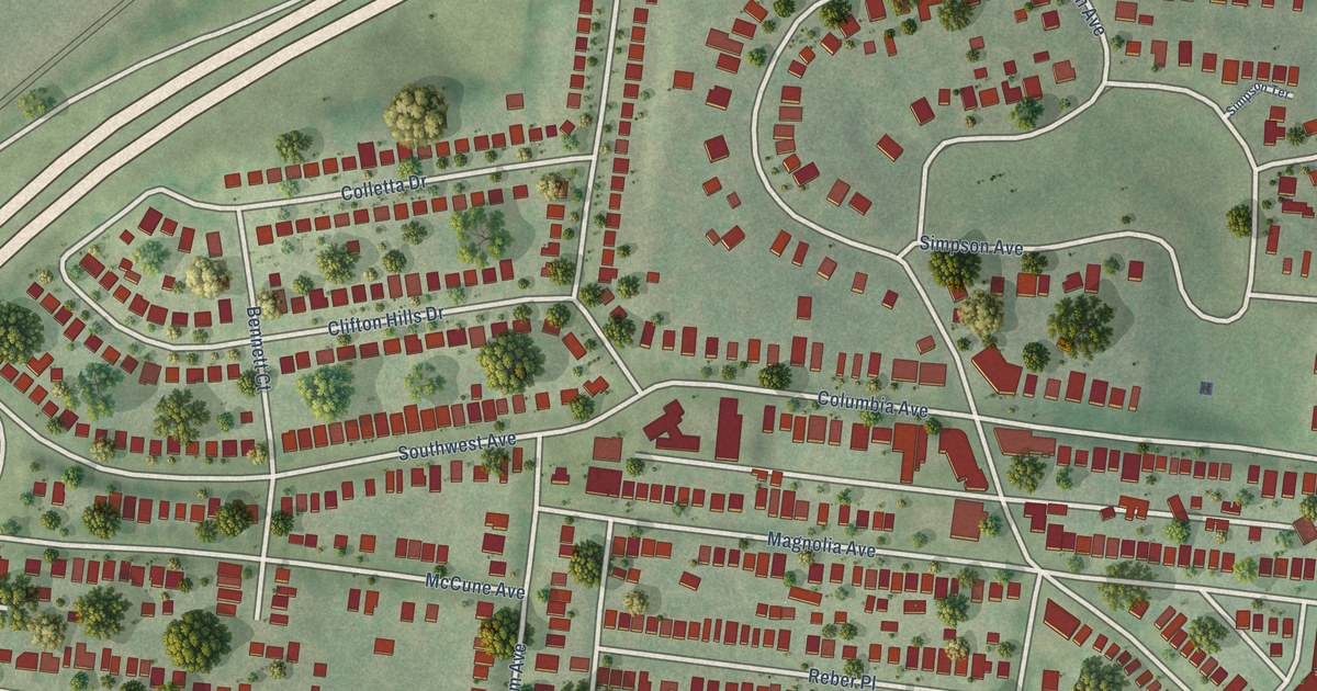
A detailed map of Clifton Heights, Missouri, showing every building in its true location, the roads by name, and shaded topographical relief.
Read More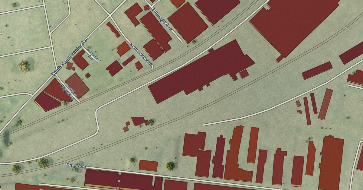
A detailed map of Botanical Heights, Missouri, showing every building in its true location, the roads by name, and shaded topographical relief.
Read More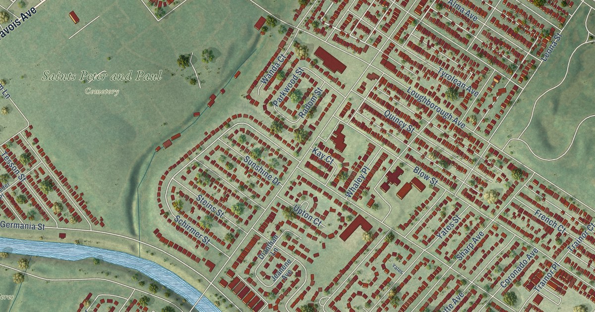
A detailed map of Boulevard Heights, Missouri, showing every building in its true location, the roads by name, and shaded topographical relief.
Read More















