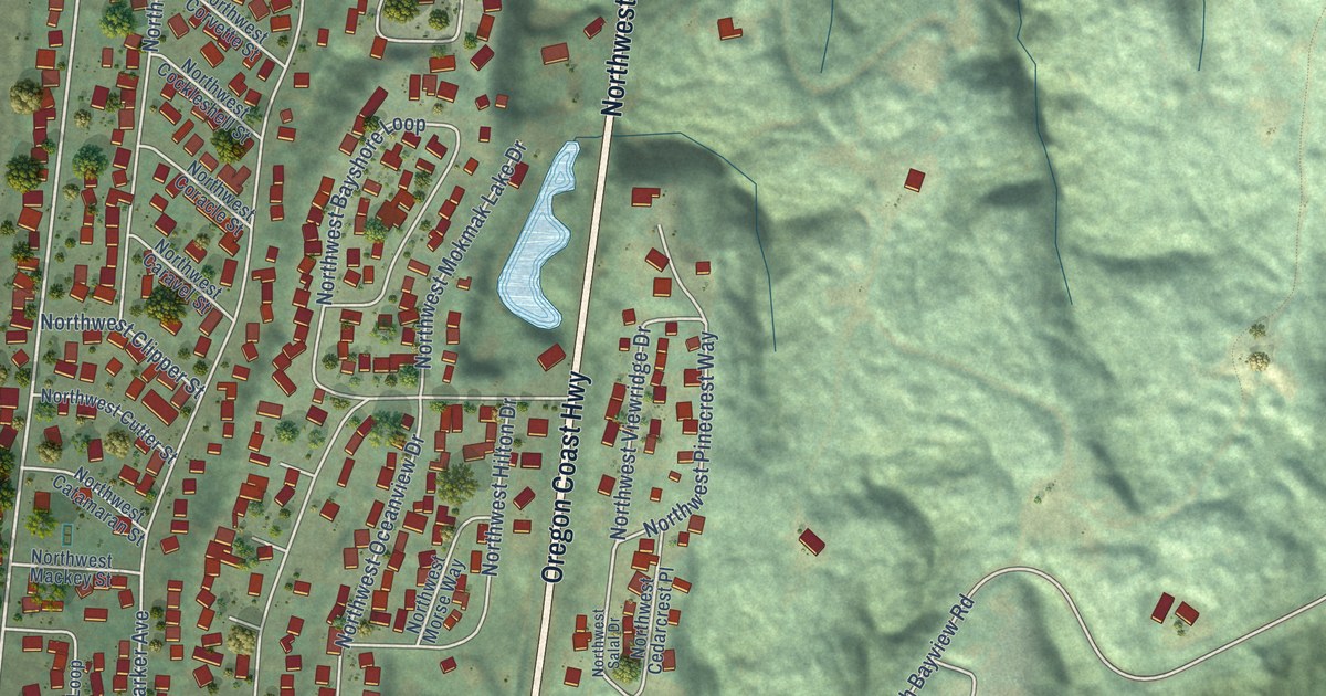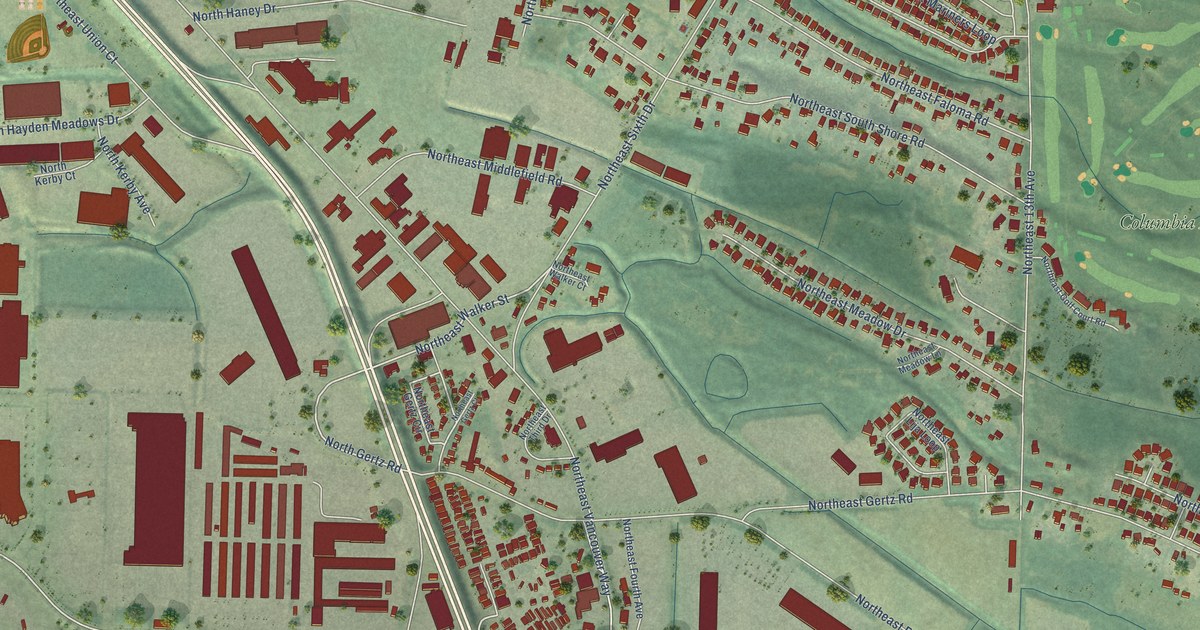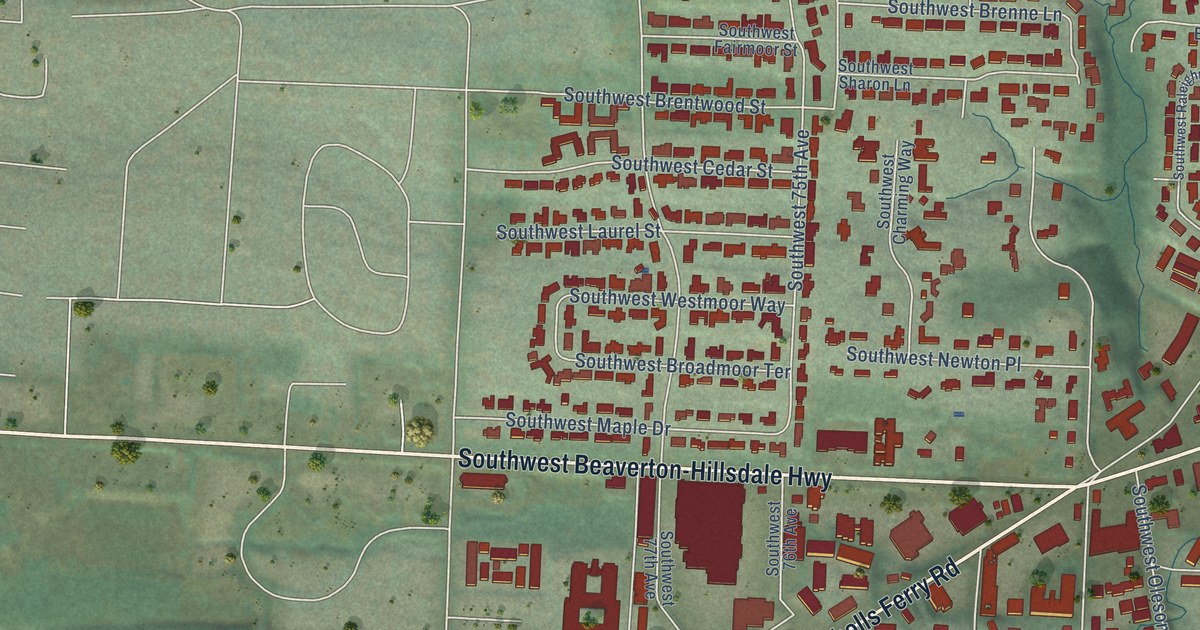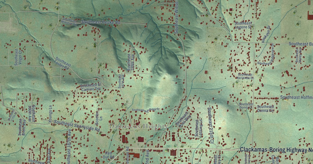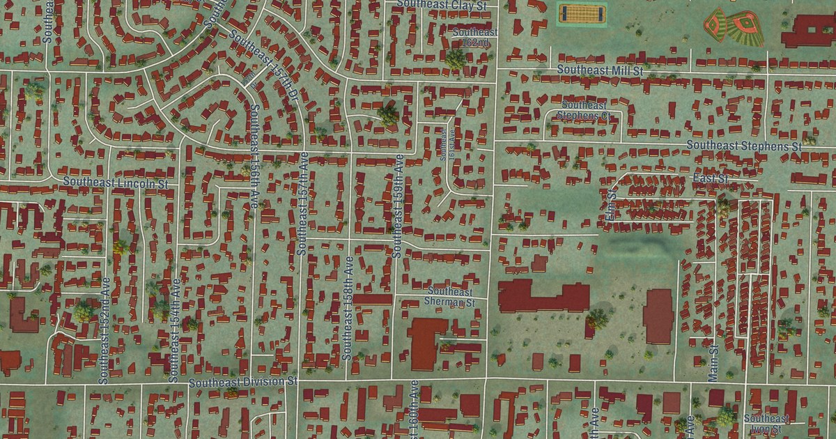
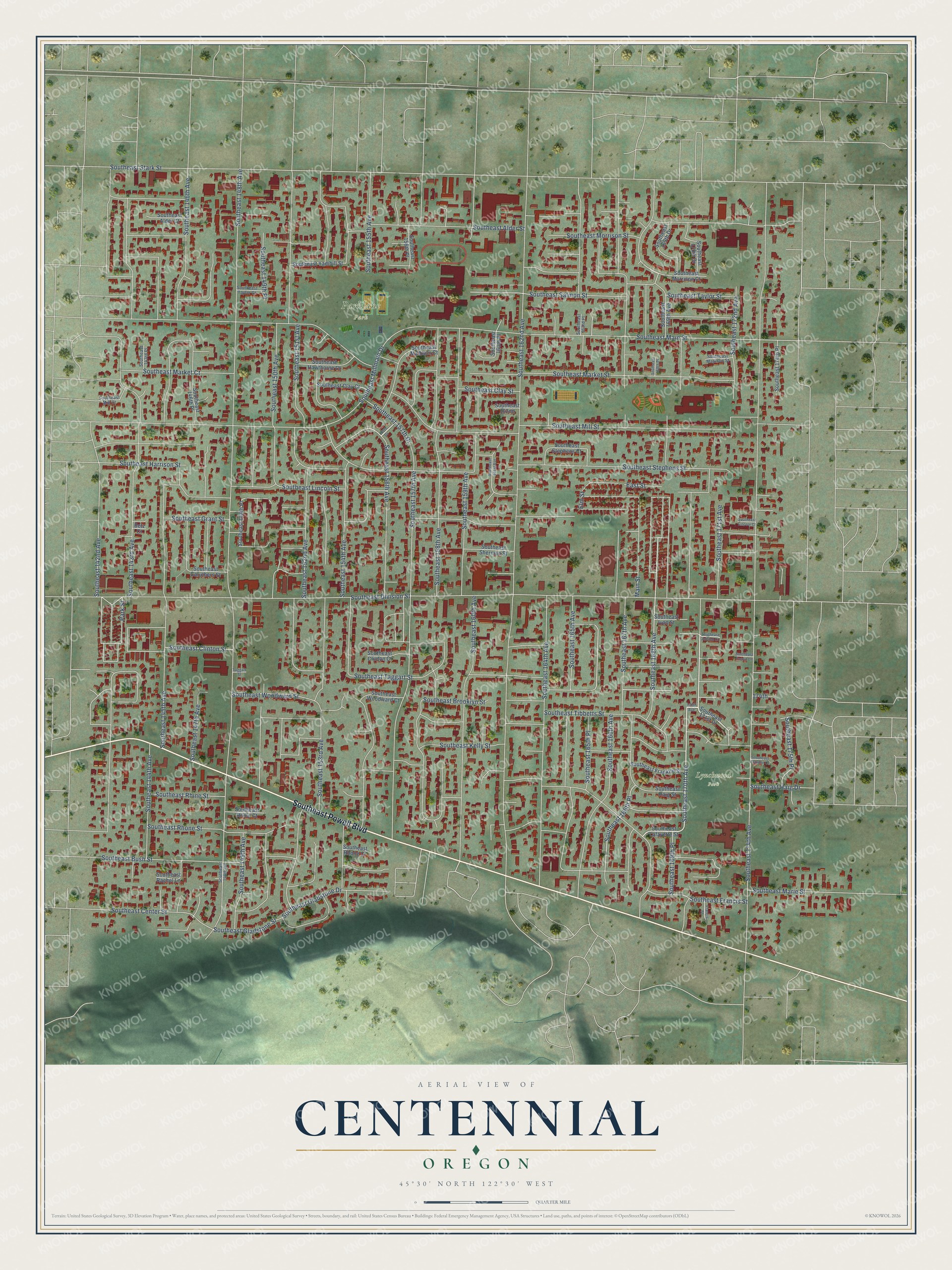
This beautifully detailed map of Centennial, Oregon was created in 2026 using aerial imagery combined with modern topographical, census, street and landmark data. It’s a one-of-a-kind view of Centennial that combines accurate data with a vintage aesthetic. The map shows every building in its true location, many of the roads carry their names, and the shaded topographic relief shows the shape of the land.
Explore an aerial view of Centennial, Oregon
On the map you’ll find Parklane Park, Lynchwood Park, and Southeast 166th Place, along with Southeast Powell Boulevard, Southeast 170th Avenue, Southeast Brooklyn Street, Southeast 168th Avenue, Southeast 166th Avenue, Southeast 152nd Avenue, Southeast 172nd Avenue, Southeast 148th Avenue, Southeast 174th Avenue, and more. If you look closely you can even find your house accurately drawn in its correct location. Zoom in on the preview to look for yours.
Did You Know?
From Internet Archive: "On May 3, 1 904, the first ground for the construction of the Exposition was broken amidst imposing ceremonies conducted by Jefferson Myers, president of the Lewis and Clark Centennial Exposition Commission."
Centennial is a place in Multnomah County.
Take a closer look at the Centennial map
Names on this map
These names are printed on this map.
Places: Parklane Park and Lynchwood Park.
Streets and roads: Southeast Powell Boulevard, Southeast 170th Avenue, Southeast Brooklyn Street, Southeast 168th Avenue, Southeast 166th Avenue, Southeast 166th Place, Southeast 152nd Avenue, Southeast 172nd Avenue, Southeast 148th Avenue, Southeast 174th Avenue, Southeast Division Street, Southeast 162nd Avenue.
More street names, A to Z
157th Drive, 170th Avenue, 174th, Betz Court, East Street, Elm Street, Francis Street, Main Street, Park Street, Southeast 142nd Avenue, Southeast 143rd Avenue, Southeast 143rd Place, Southeast 144th Avenue, Southeast 145th Avenue, Southeast 146th Avenue, Southeast 146th Place, Southeast 147th Avenue, Southeast 148th Drive, Southeast 148th Place, Southeast 149th Avenue, Southeast 149th Place, Southeast 150th Avenue, Southeast 151st Avenue, Southeast 153rd Avenue, Southeast 154th Avenue, Southeast 155th Avenue, Southeast 156th Avenue, Southeast 156th Place, Southeast 157th Avenue, Southeast 157th Drive, Southeast 158th Avenue, Southeast 159th Avenue, Southeast 160th Avenue, Southeast 160th Place, Southeast 161st Avenue, Southeast 162nd, Southeast 163rd Place, Southeast 164th Avenue, Southeast 165th Avenue, Southeast 165th Place, Southeast 167th Avenue, Southeast 168th Place, Southeast 169th Avenue, Southeast 169th Drive, Southeast 169th Place, Southeast 170th Drive, Southeast 171st Avenue, Southeast 171st Drive, Southeast 174th Place, Southeast 175th Place, Southeast Alder Court, Southeast Alder Street, Southeast Bush Street, Southeast Caruthers Street, Southeast Center Street, Southeast Clay Court, Southeast Clay Street, Southeast Clinton Court, Southeast Clinton Street, Southeast Ezgoin Lane, Southeast Francis Street, Southeast Franklin Court, Southeast Franklin Street, Southeast Gladstone Drive, Southeast Gladstone Street, Southeast Grant Street, Southeast Haig Drive, Southeast Haig Street, Southeast Harrison Street, Southeast Hawthorne Court, Southeast Ivon Street, Southeast Juliano Court, Southeast Kelly Street, Southeast Lafayette Street, Southeast Lincoln Court, Southeast Lincoln Street, Southeast Madison Court, Southeast Madison Street, Southeast Main Street, Southeast Marie Street, Southeast Market Court, Southeast Market Street, Southeast Mill Court, Southeast Millmain Drive, Southeast Mill Street, Southeast Morrison Court, Southeast Morrison Street, Southeast Rachel Lane, Southeast Rhine Court, Southeast Rhine Street, Southeast Rhone Court, Southeast Rhone Street, Southeast Salmon Street, Southeast Sherman Street, Southeast Stark Street, Southeast Stephens Court, Southeast Stephens Street, Southeast Taggart Street, Southeast Taylor Court, Southeast Taylor Street, Southeast Tibbetts Street, Southeast Woodward Court, Southeast Woodward Street, Southeast Yamhill Street, Taggart Street.
See it on a wall
The Centennial map as a framed print. Swipe for more.


This beautifully detailed map of Centennial makes an attractive addition to your office, library, or den, and it can even be used to teach children the geography and history of the area. It also makes a great gift for anyone who grew up in Centennial or moved away. When you’re done exploring, click here to get your copy of the Centennial map.