Detailed Map of Parks, Arizona
A detailed map of Parks, Arizona, showing every building in its true location, the roads by name, and shaded topographical relief.
Read More
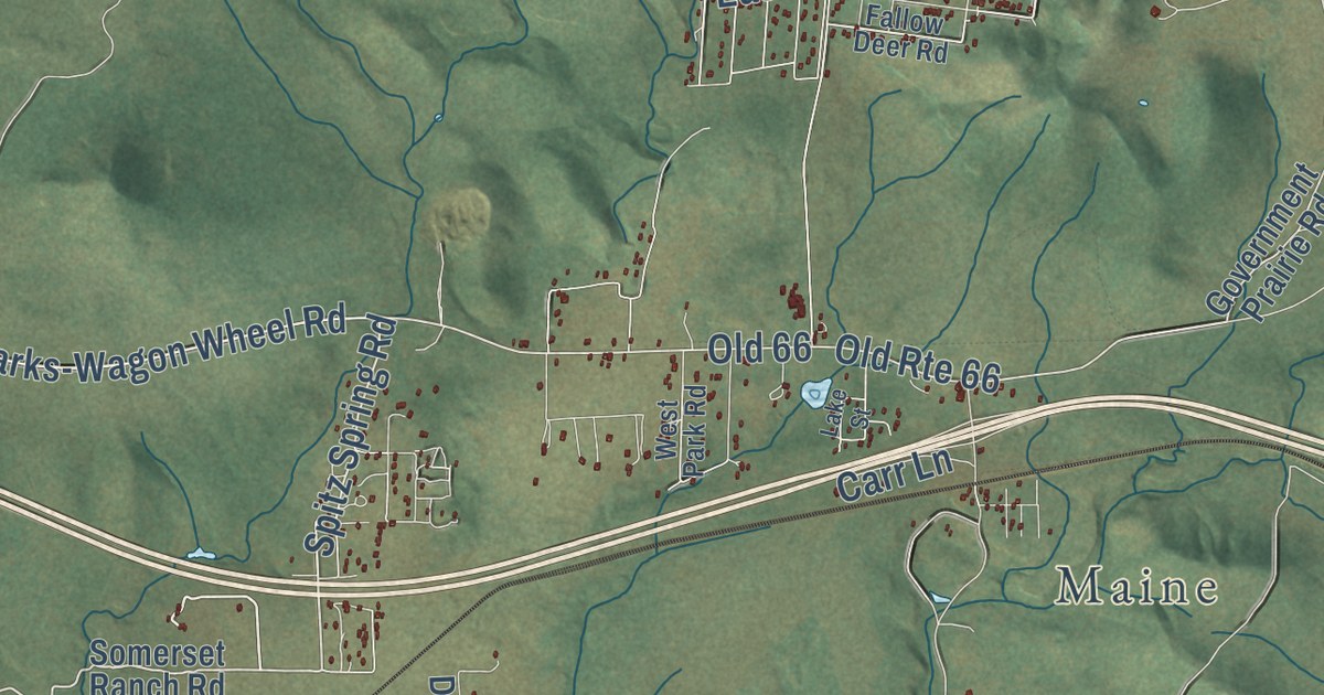
A detailed map of Parks, Arizona, showing every building in its true location, the roads by name, and shaded topographical relief.
Read More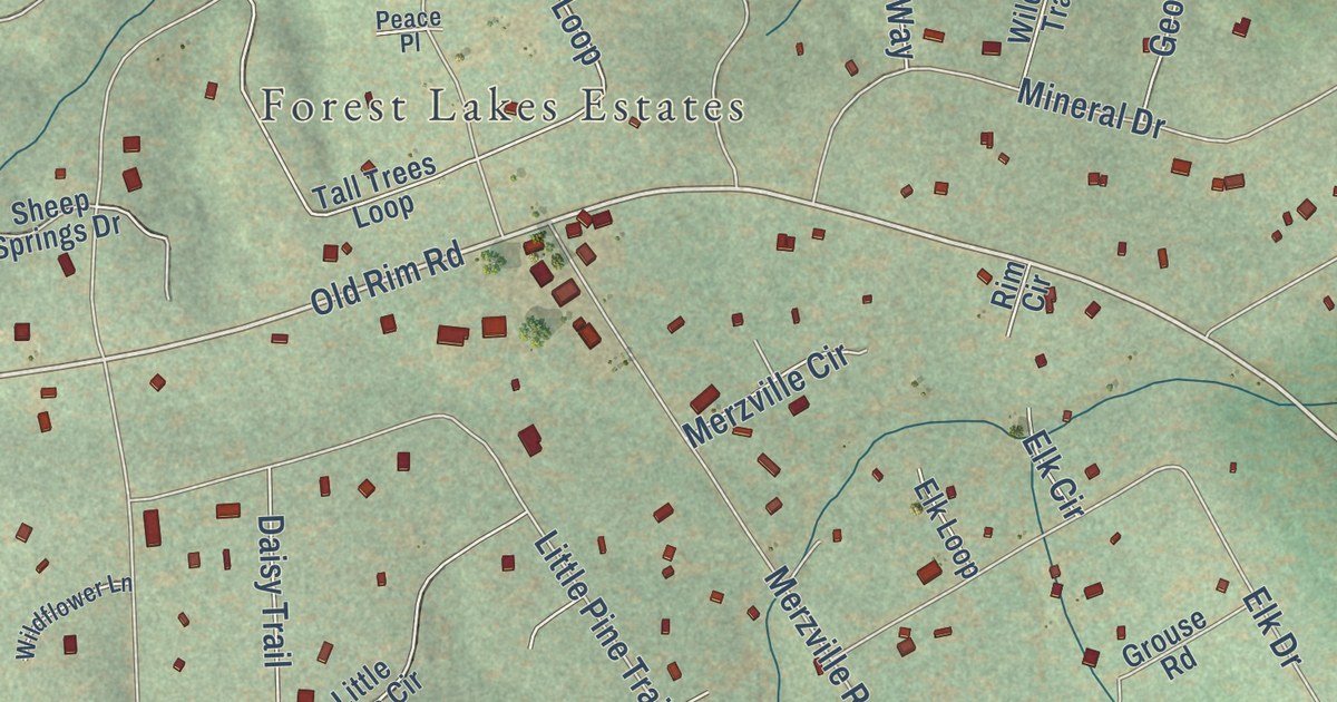
A detailed map of Forest Lakes, Arizona, showing every building in its true location, the roads by name, and shaded topographical relief.
Read More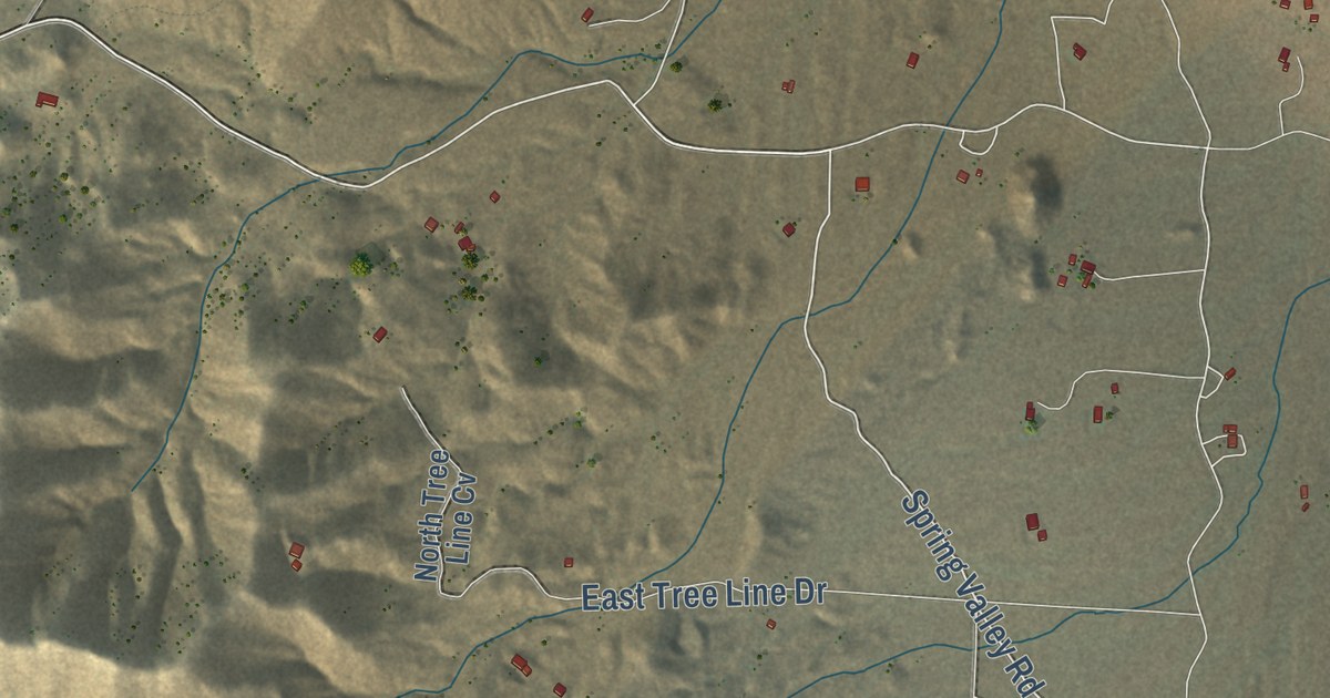
A detailed map of Hackberry, Arizona, showing every building in its true location, the roads by name, and shaded topographical relief.
Read More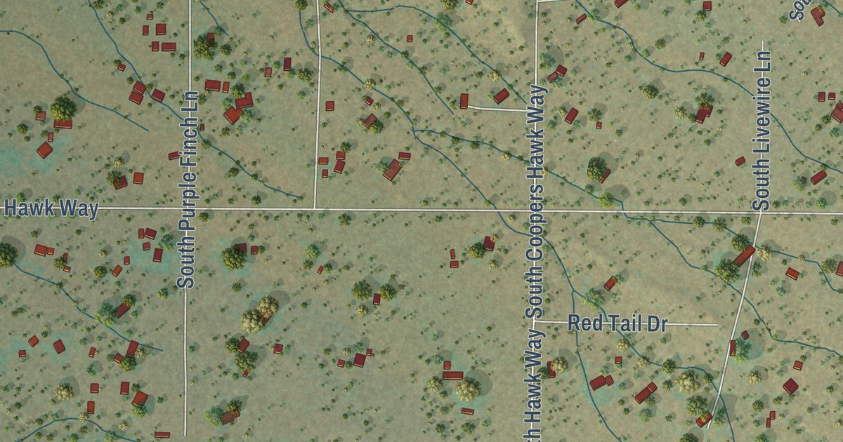
A detailed map of Elephant Head, Arizona, showing every building in its true location, the roads by name, and shaded topographical relief.
Read More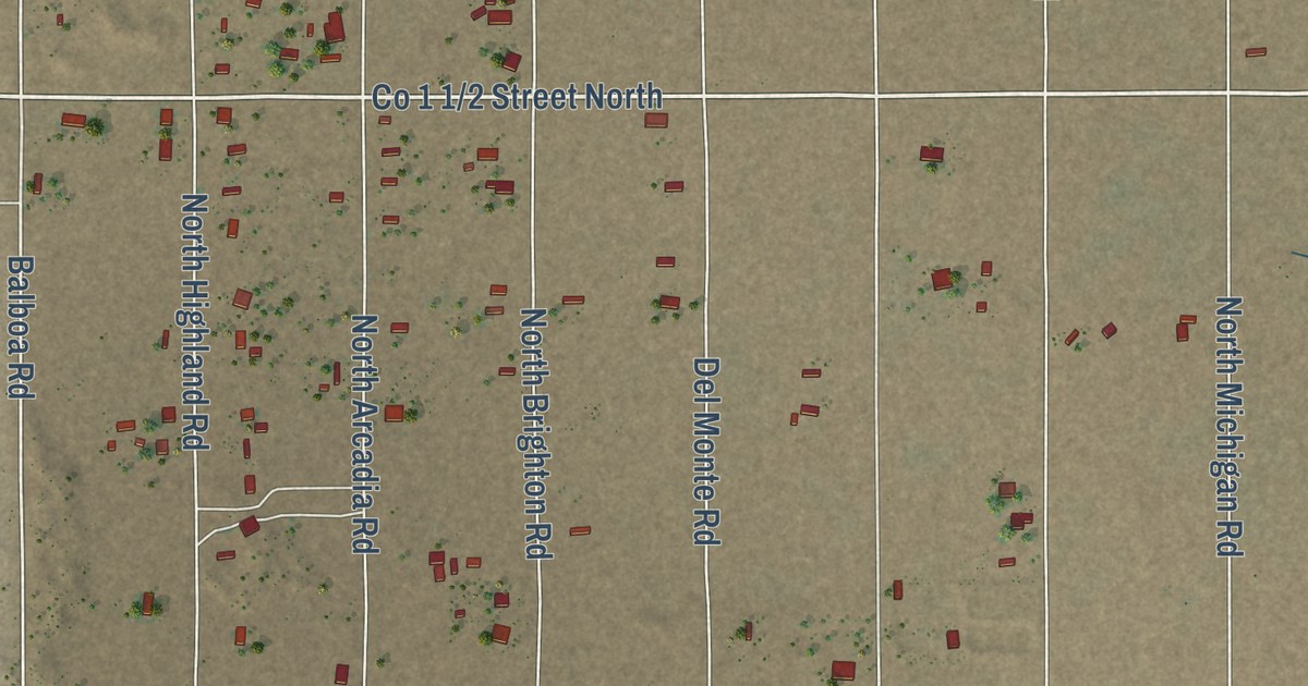
A detailed map of Dateland, Arizona, showing every building in its true location, the roads by name, and shaded topographical relief.
Read More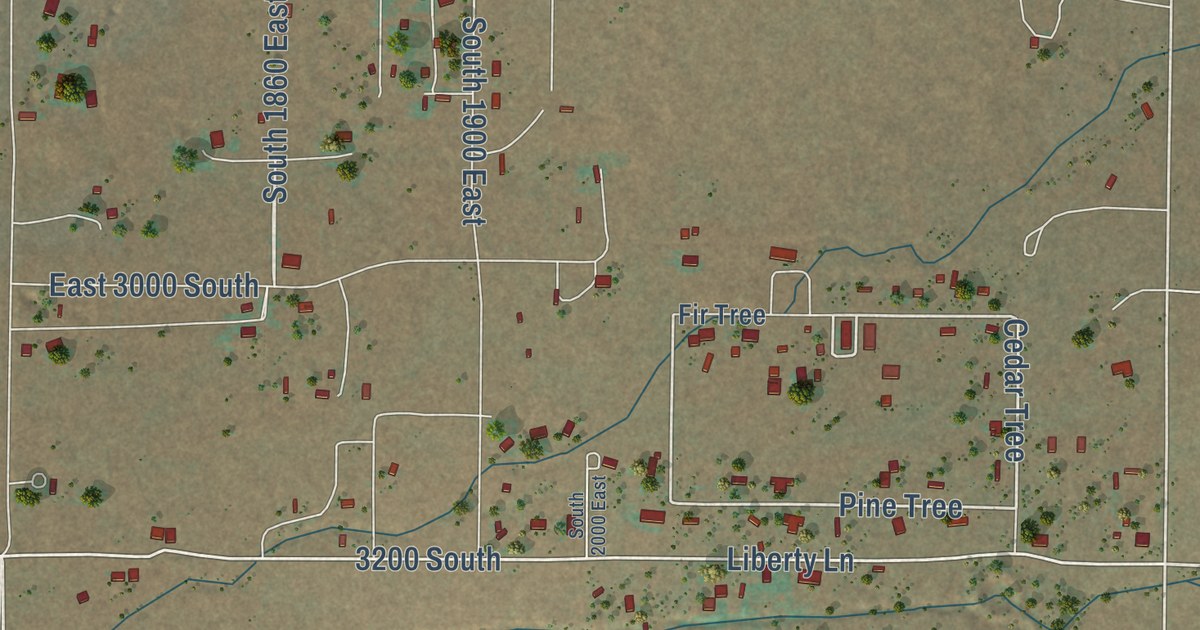
A detailed map of Cane Beds, Arizona, showing every building in its true location, the roads by name, and shaded topographical relief.
Read More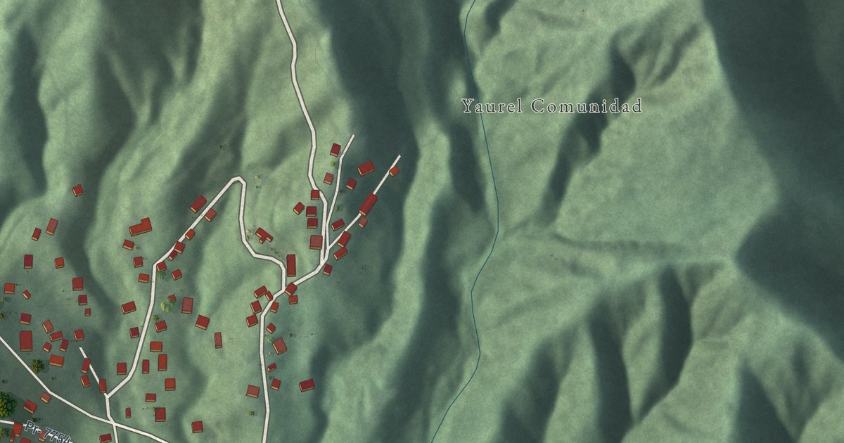
A detailed map of Yaurel, Puerto Rico, showing every building in its true location, the roads by name, and shaded topographical relief.
Read More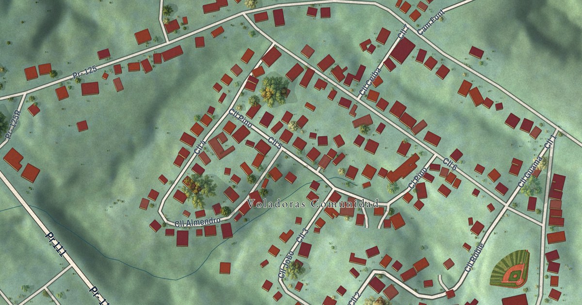
A detailed map of Voladoras, Puerto Rico, showing every building in its true location, the roads by name, and shaded topographical relief.
Read More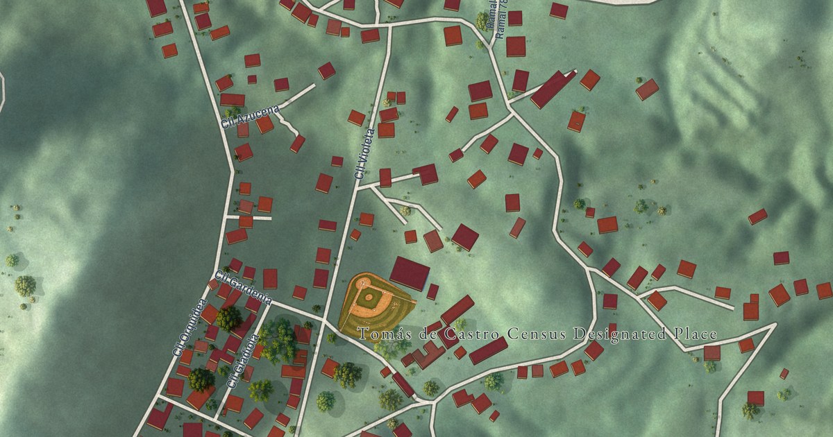
A detailed map of Tomás de Castro, Puerto Rico, showing every building in its true location, the roads by name, and shaded topographical relief.
Read More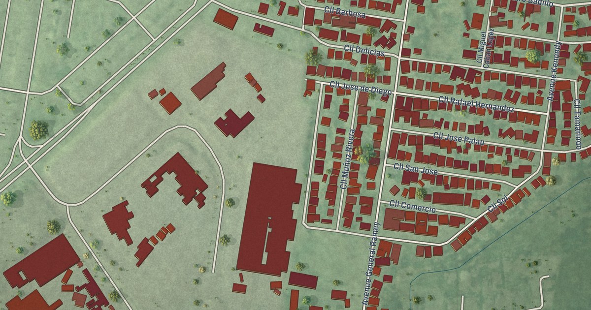
A detailed map of San Antonio, Puerto Rico, showing every building in its true location, the roads by name, and shaded topographical relief.
Read More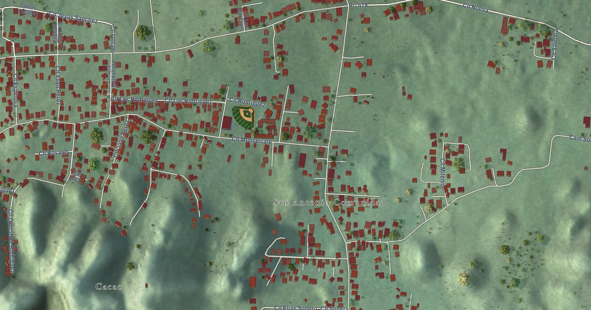
A detailed map of San Antonio, Puerto Rico, showing every building in its true location, the roads by name, and shaded topographical relief.
Read More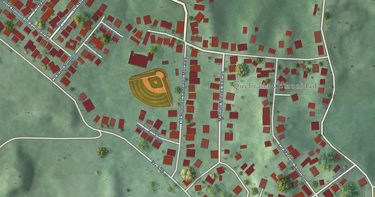
A detailed map of Quebrada, Puerto Rico, showing every building in its true location, the roads by name, and shaded topographical relief.
Read More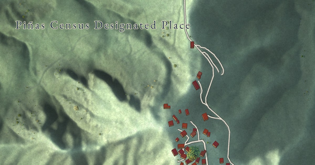
A detailed map of Piñas, Puerto Rico, showing every building in its true location, the roads by name, and shaded topographical relief.
Read More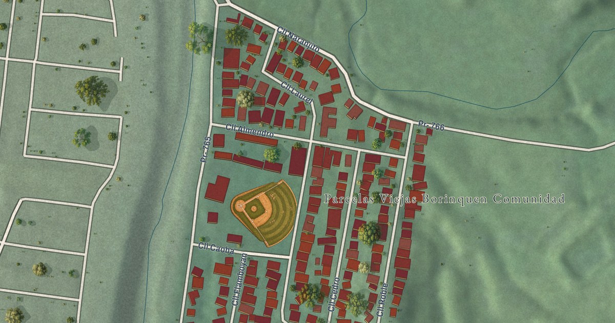
A detailed map of Parcelas Viejas Borinquen, Puerto Rico, showing every building in its true location, the roads by name, and shaded topographical relief.
Read More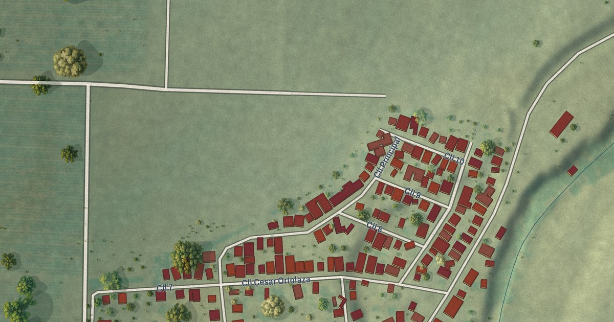
A detailed map of Parcelas Peñuelas, Puerto Rico, showing every building in its true location, the roads by name, and shaded topographical relief.
Read More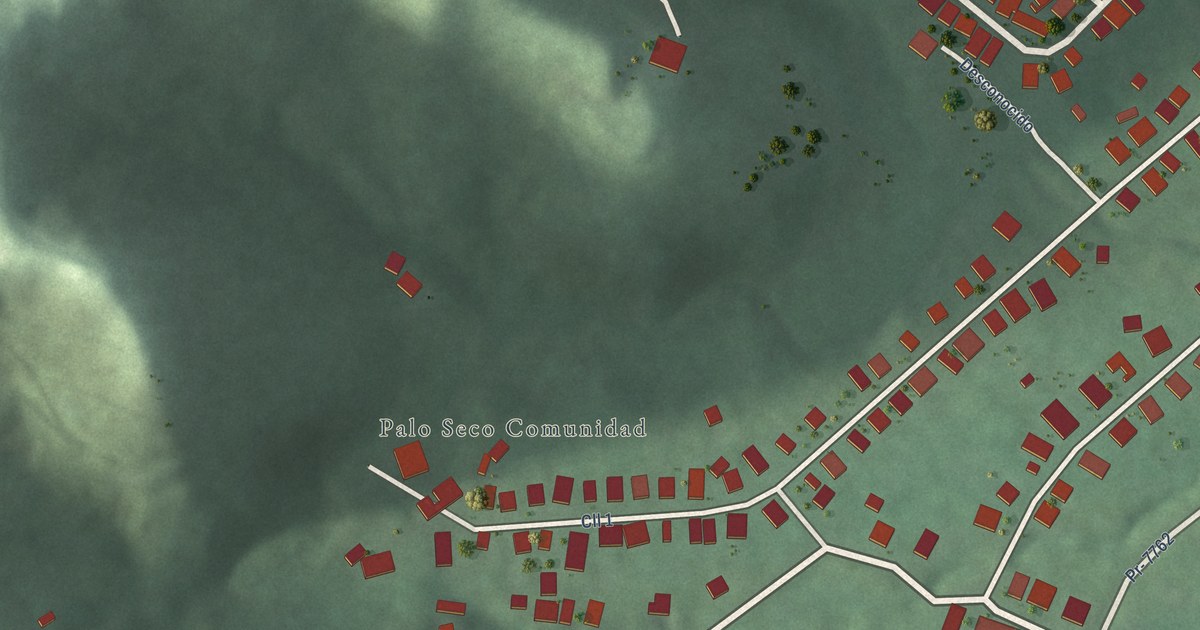
A detailed map of Palo Seco, Puerto Rico, showing every building in its true location, the roads by name, and shaded topographical relief.
Read More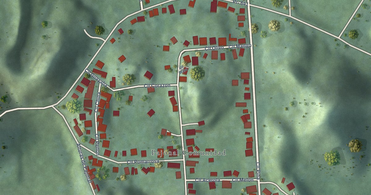
A detailed map of Pajonal, Puerto Rico, showing every building in its true location, the roads by name, and shaded topographical relief.
Read More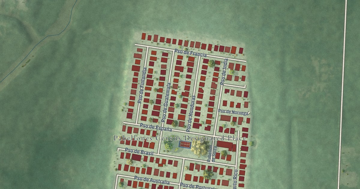
A detailed map of Pabellones, Puerto Rico, showing every building in its true location, the roads by name, and shaded topographical relief.
Read More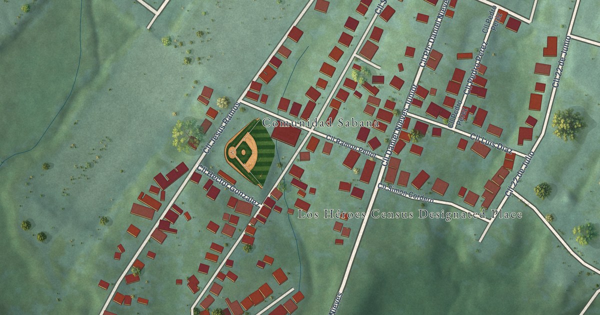
A detailed map of Los Héroes, Puerto Rico, showing every building in its true location, the roads by name, and shaded topographical relief.
Read More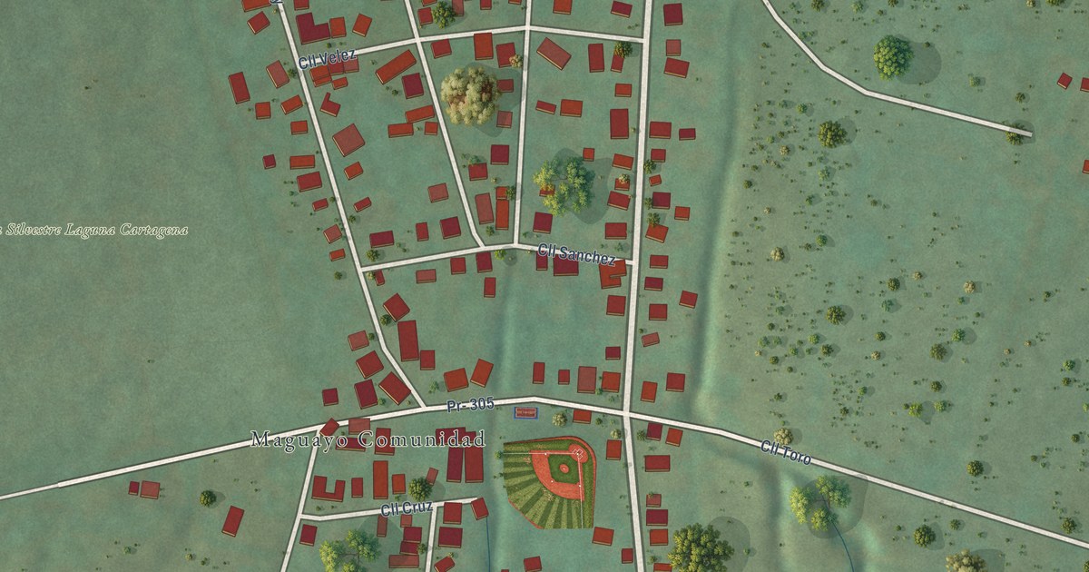
A detailed map of Maguayo, Puerto Rico, showing every building in its true location, the roads by name, and shaded topographical relief.
Read More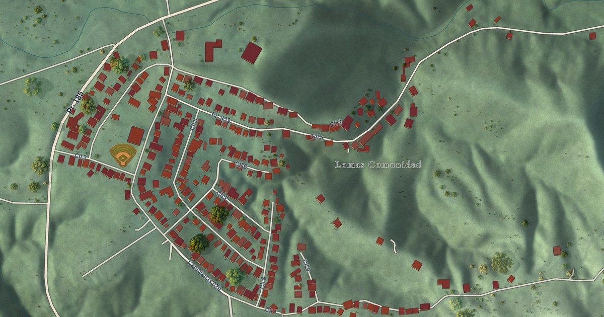
A detailed map of Lomas, Puerto Rico, showing every building in its true location, the roads by name, and shaded topographical relief.
Read More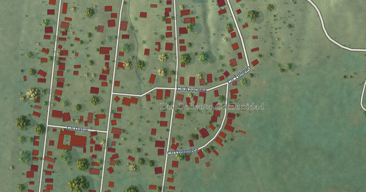
A detailed map of Las Ochenta, Puerto Rico, showing every building in its true location, the roads by name, and shaded topographical relief.
Read More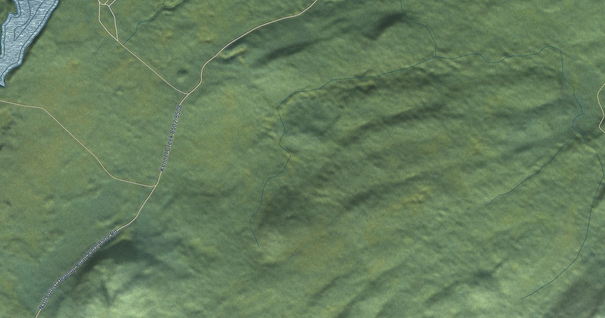
A detailed map of Whitestone Logging Camp, Alaska, showing every building in its true location, the roads by name, and shaded topographical relief.
Read More
A detailed map of Ugashik, Alaska, showing every building in its true location, the roads by name, and shaded topographical relief.
Read More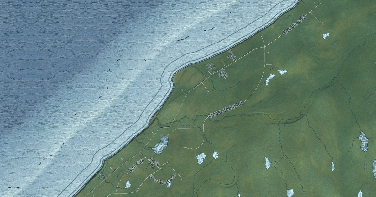
A detailed map of Point Possession, Alaska, showing every building in its true location, the roads by name, and shaded topographical relief.
Read More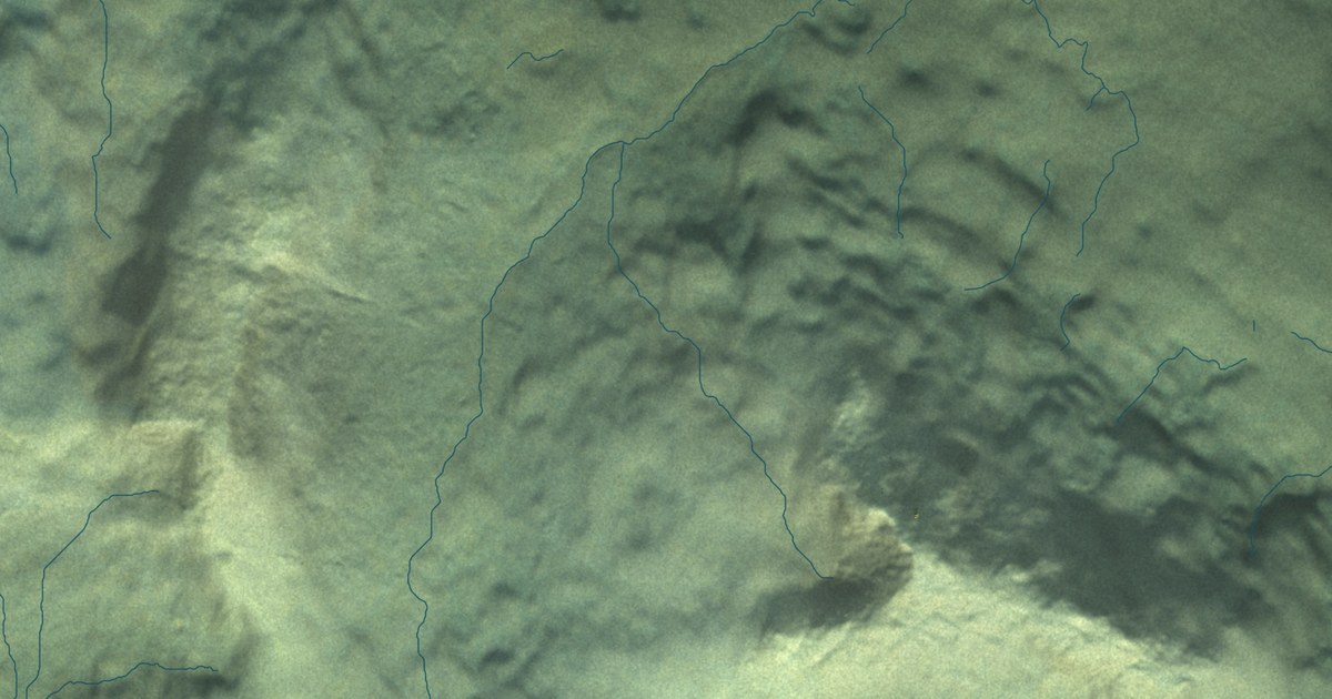
A detailed map of Aleneva, Alaska, showing every building in its true location, the roads by name, and shaded topographical relief.
Read More
A detailed map of Portage Creek, Alaska, showing every building in its true location, the roads by name, and shaded topographical relief.
Read More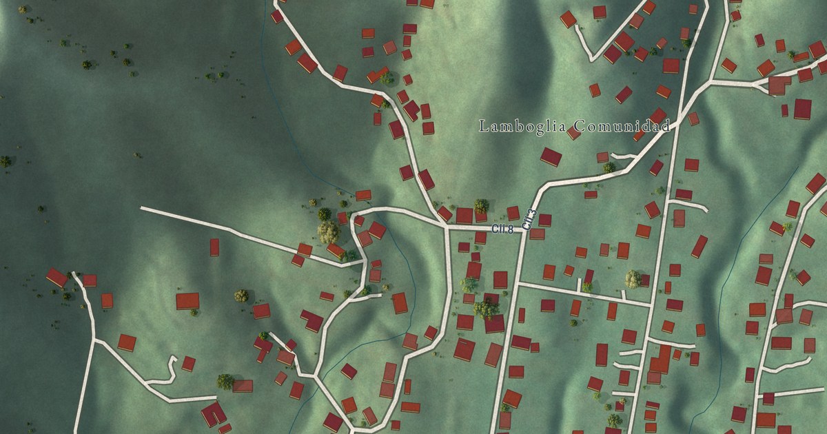
A detailed map of Lamboglia, Puerto Rico, showing every building in its true location, the roads by name, and shaded topographical relief.
Read More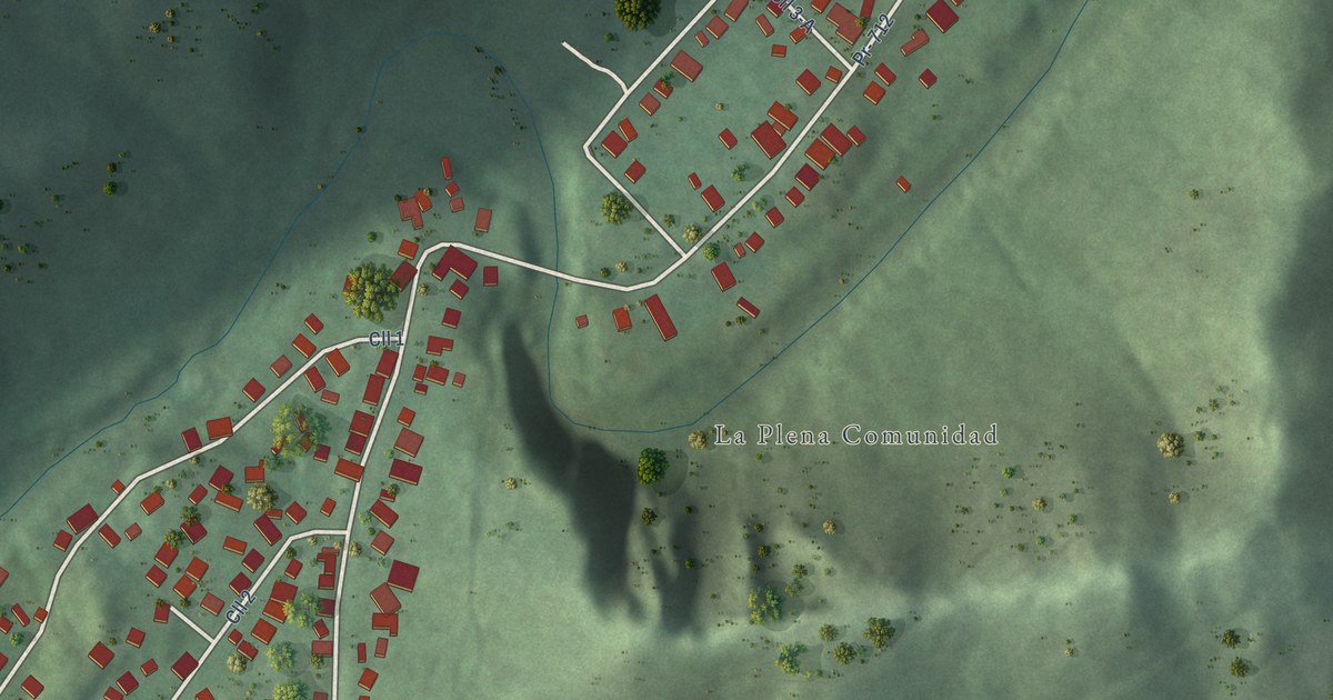
A detailed map of La Plena, Puerto Rico, showing every building in its true location, the roads by name, and shaded topographical relief.
Read More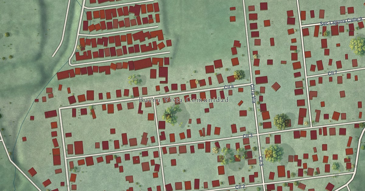
A detailed map of Buena Vista, Puerto Rico, showing every building in its true location, the roads by name, and shaded topographical relief.
Read More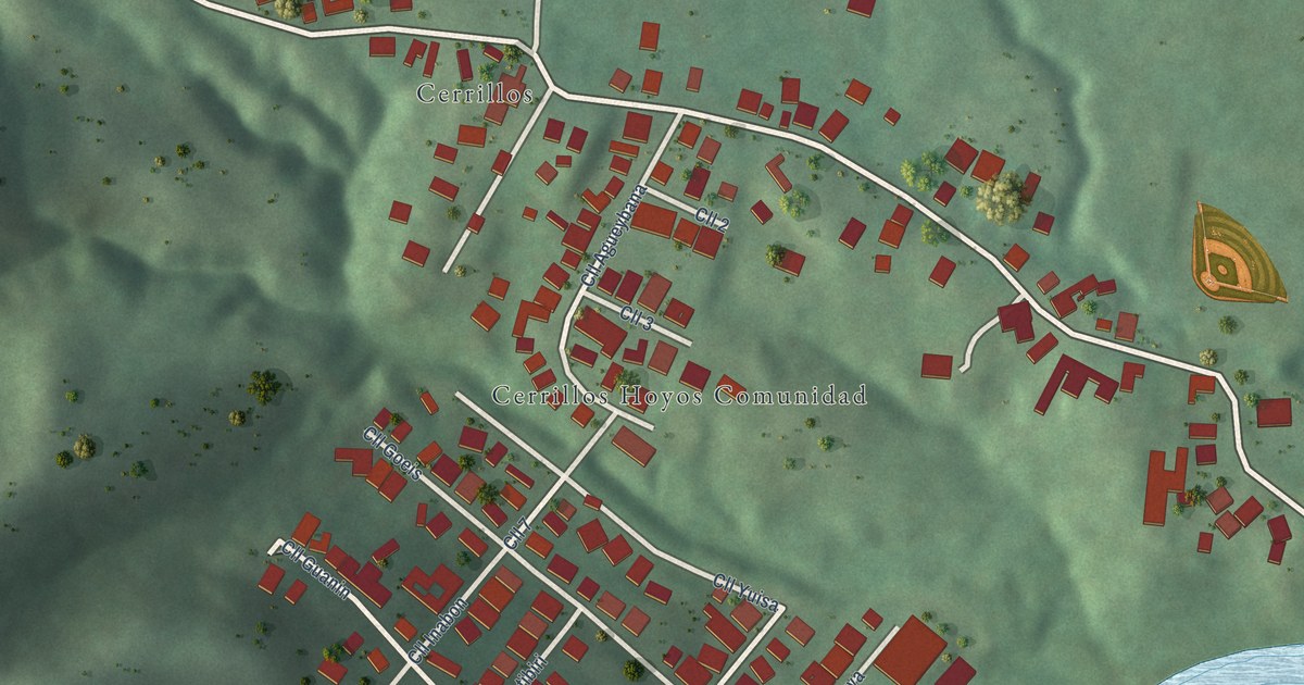
A detailed map of Cerrillos Hoyos, Puerto Rico, showing every building in its true location, the roads by name, and shaded topographical relief.
Read More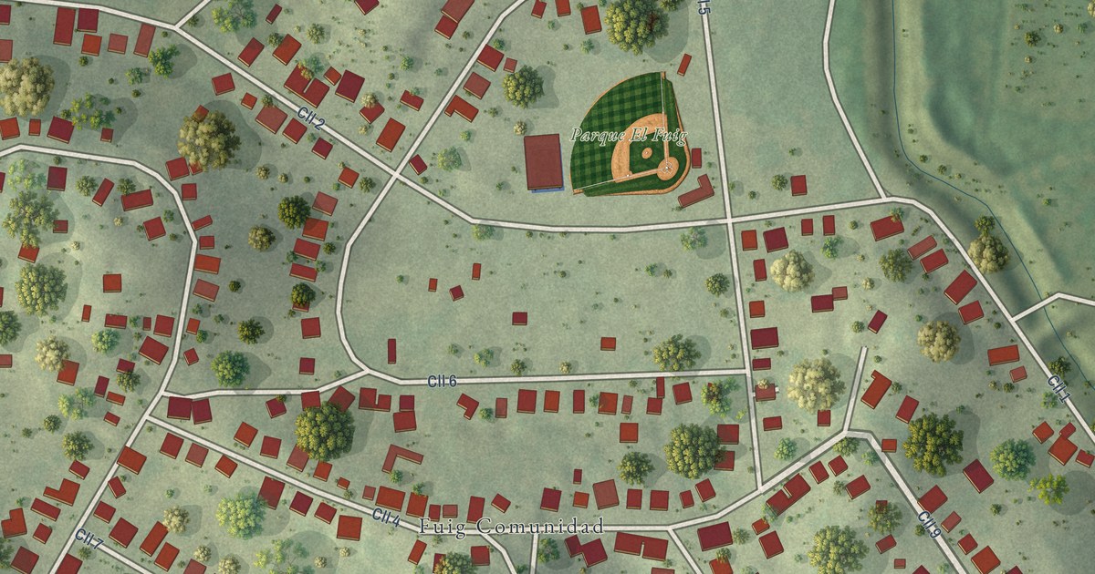
A detailed map of Fuig, Puerto Rico, showing every building in its true location, the roads by name, and shaded topographical relief.
Read More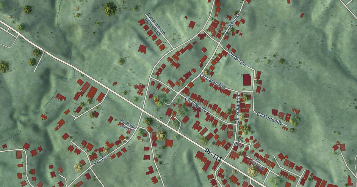
A detailed map of Hato Arriba, Puerto Rico, showing every building in its true location, the roads by name, and shaded topographical relief.
Read More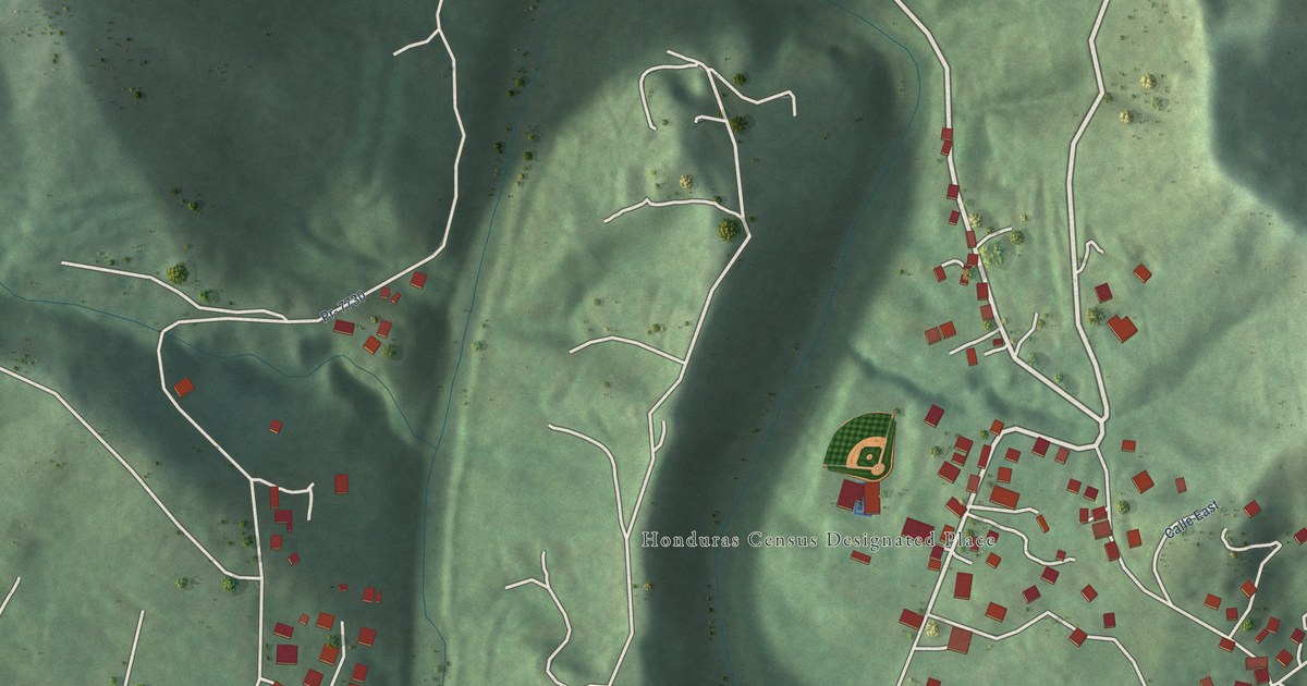
A detailed map of Honduras, Puerto Rico, showing every building in its true location, the roads by name, and shaded topographical relief.
Read More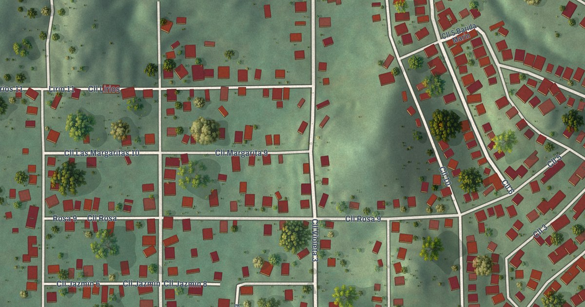
A detailed map of Buena Vista, Puerto Rico, showing every building in its true location, the roads by name, and shaded topographical relief.
Read More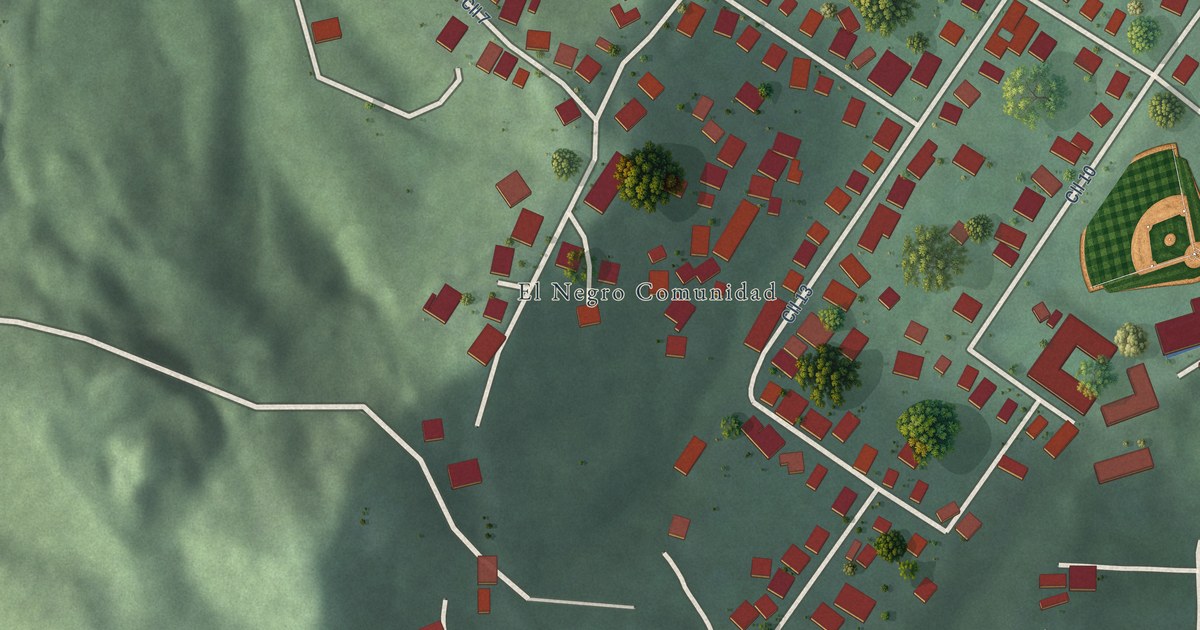
A detailed map of El Negro, Puerto Rico, showing every building in its true location, the roads by name, and shaded topographical relief.
Read More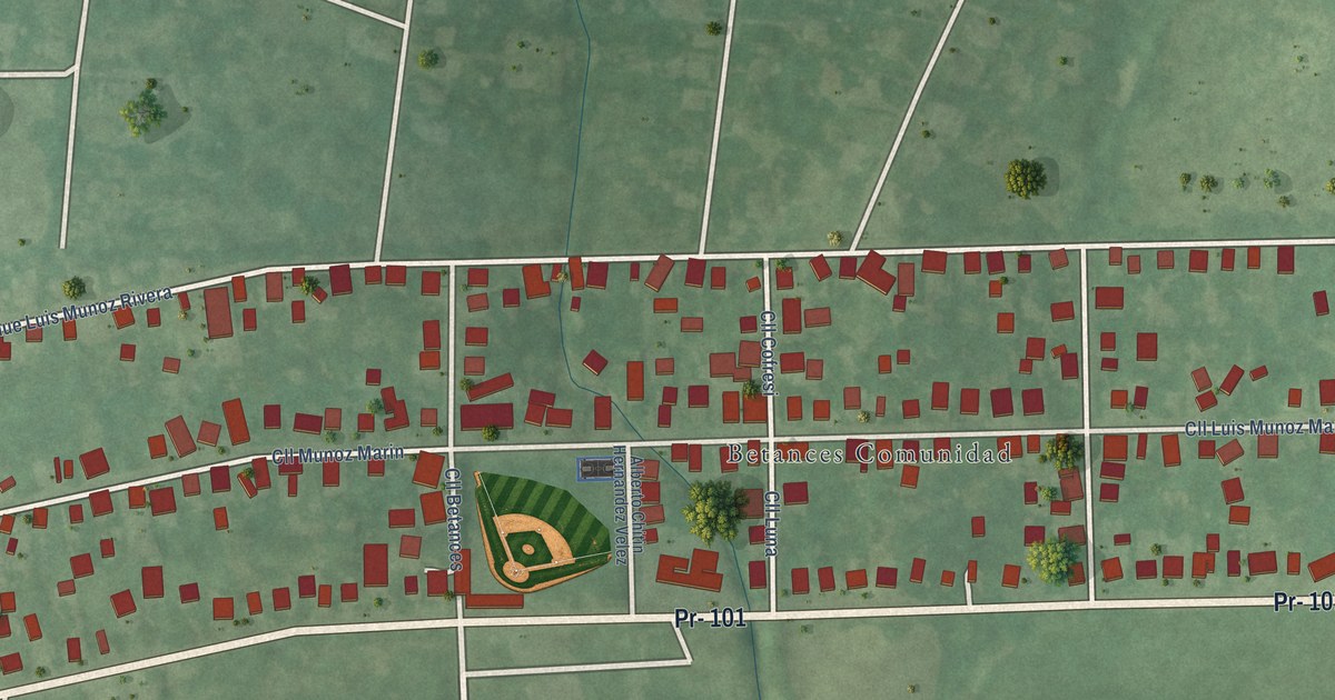
A detailed map of Betances, Puerto Rico, showing every building in its true location, the roads by name, and shaded topographical relief.
Read More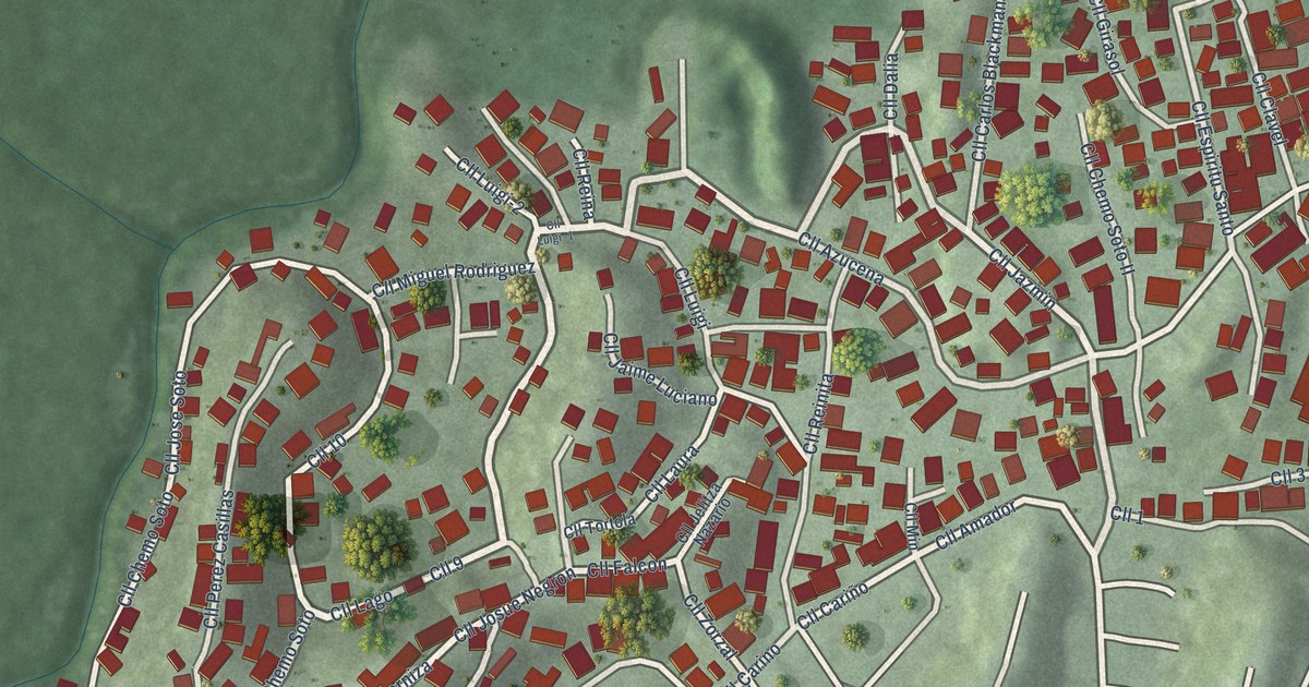
A detailed map of Villa Hugo II, Puerto Rico, showing every building in its true location, the roads by name, and shaded topographical relief.
Read More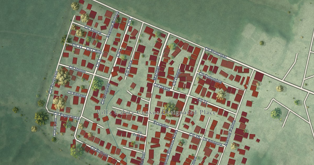
A detailed map of Villa Calma, Puerto Rico, showing every building in its true location, the roads by name, and shaded topographical relief.
Read More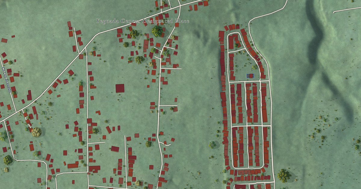
A detailed map of Yeguada, Puerto Rico, showing every building in its true location, the roads by name, and shaded topographical relief.
Read More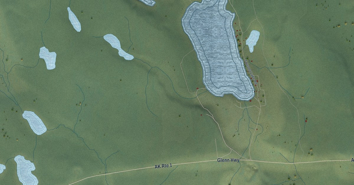
A detailed map of Tolsona, Alaska, showing every building in its true location, the roads by name, and shaded topographical relief.
Read More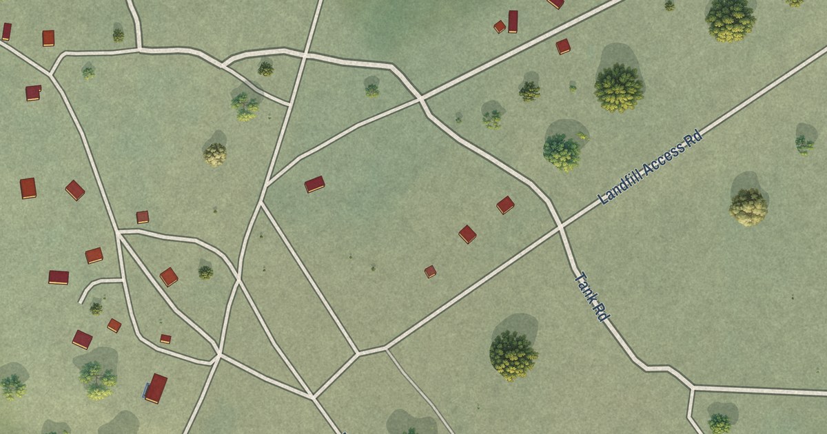
A detailed map of Venetie, Alaska, showing every building in its true location, the roads by name, and shaded topographical relief.
Read More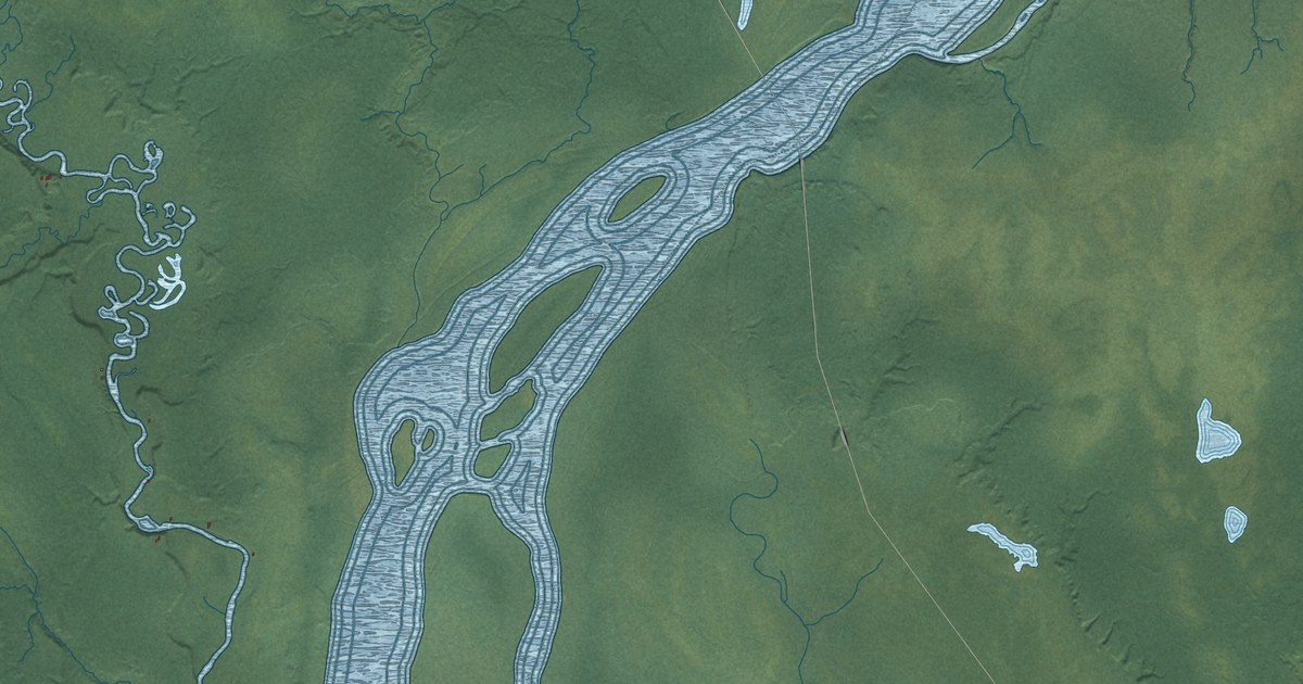
A detailed map of Susitna, Alaska, showing every building in its true location, the roads by name, and shaded topographical relief.
Read More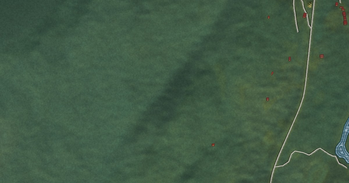
A detailed map of Sunrise, Alaska, showing every building in its true location, the roads by name, and shaded topographical relief.
Read More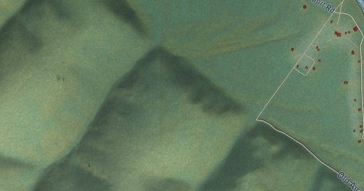
A detailed map of Red Devil, Alaska, showing every building in its true location, the roads by name, and shaded topographical relief.
Read More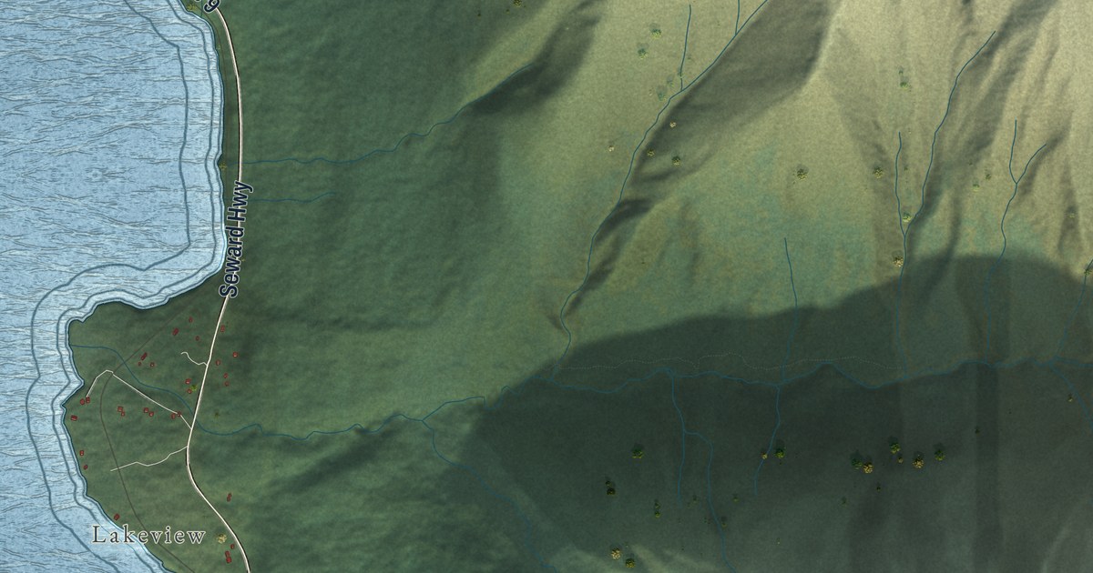
A detailed map of Primrose, Alaska, showing every building in its true location, the roads by name, and shaded topographical relief.
Read More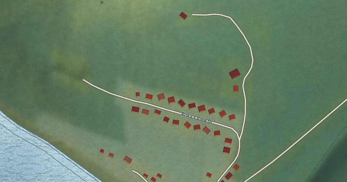
A detailed map of Pitkas Point, Alaska, showing every building in its true location, the roads by name, and shaded topographical relief.
Read More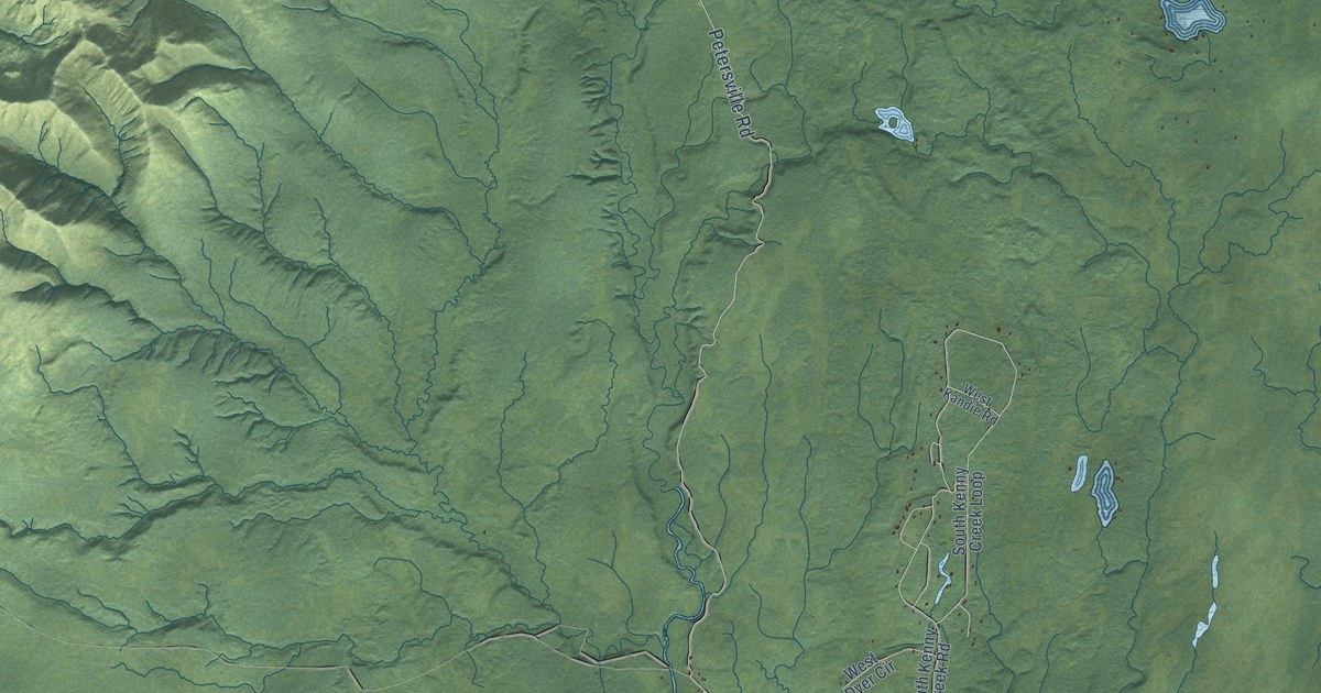
A detailed map of Petersville, Alaska, showing every building in its true location, the roads by name, and shaded topographical relief.
Read More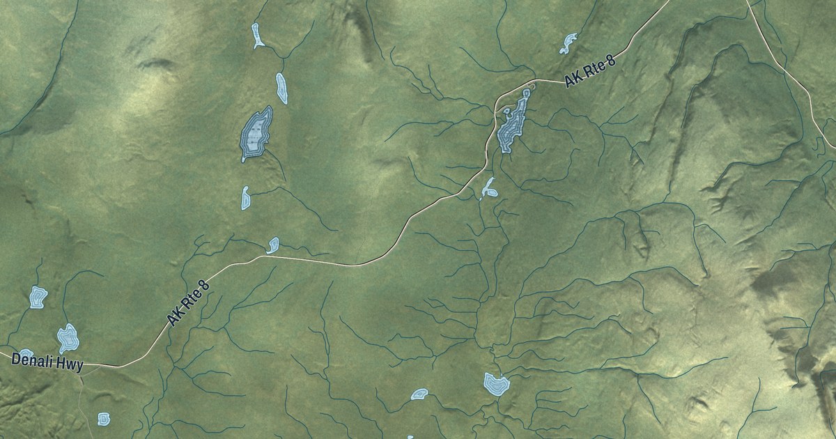
A detailed map of Paxson, Alaska, showing every building in its true location, the roads by name, and shaded topographical relief.
Read More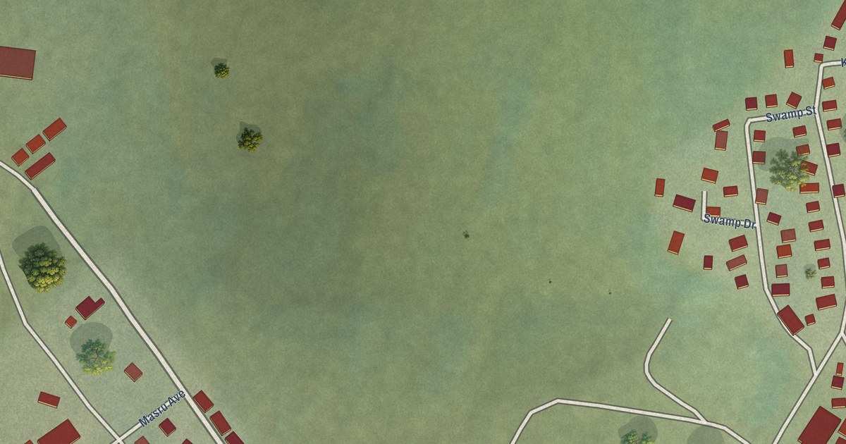
A detailed map of Noatak, Alaska, showing every building in its true location, the roads by name, and shaded topographical relief.
Read More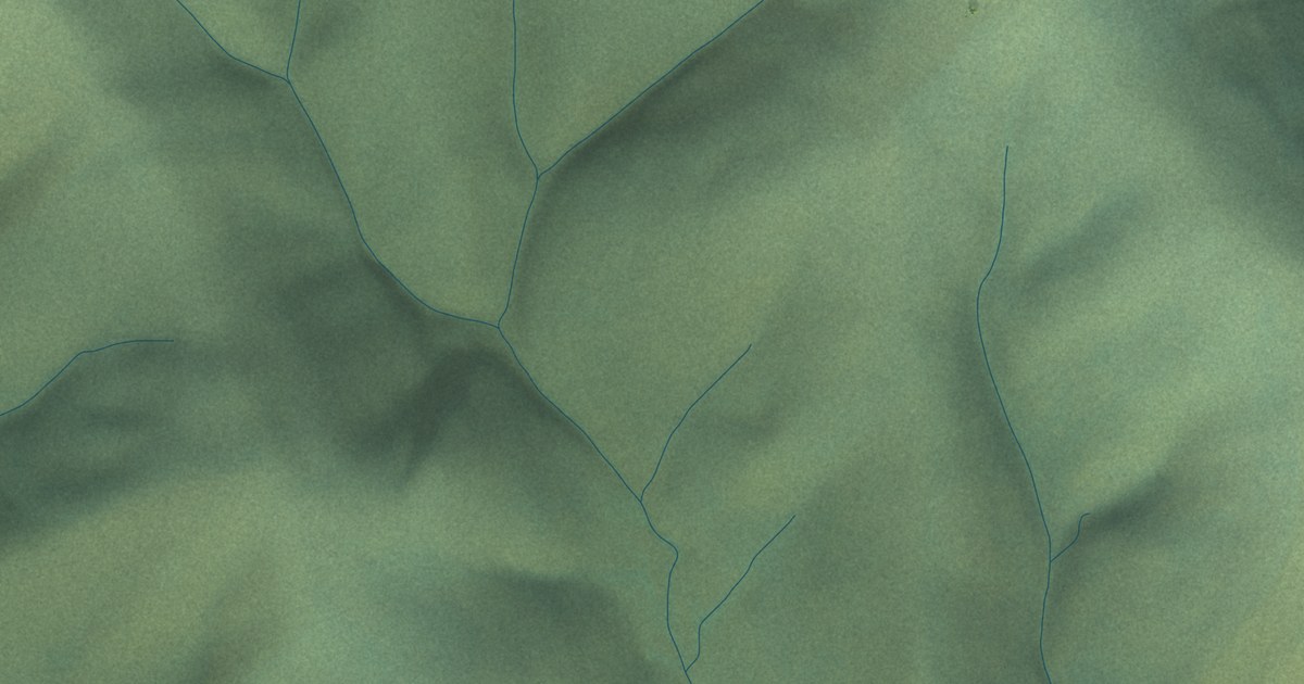
A detailed map of Healy Lake, Alaska, showing every building in its true location, the roads by name, and shaded topographical relief.
Read More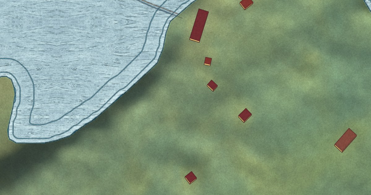
A detailed map of Game Creek, Alaska, showing every building in its true location, the roads by name, and shaded topographical relief.
Read More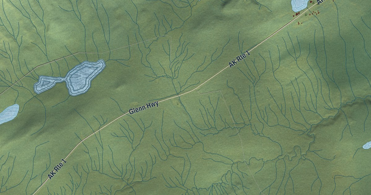
A detailed map of Eureka Roadhouse, Alaska, showing every building in its true location, the roads by name, and shaded topographical relief.
Read More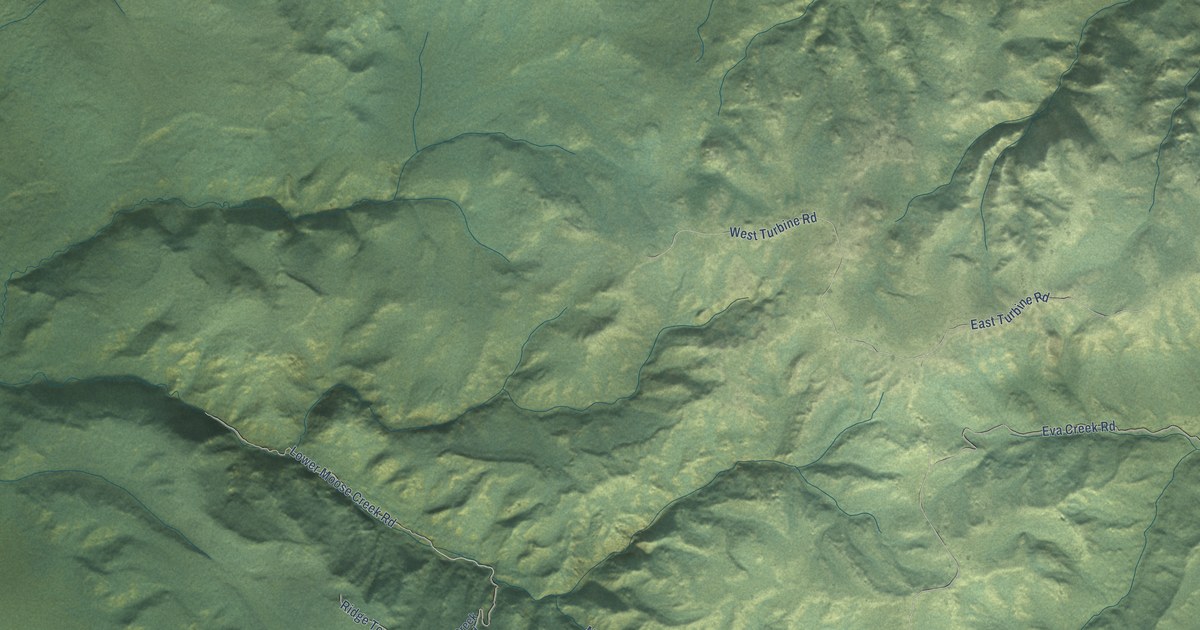
A detailed map of Ferry, Alaska, showing every building in its true location, the roads by name, and shaded topographical relief.
Read More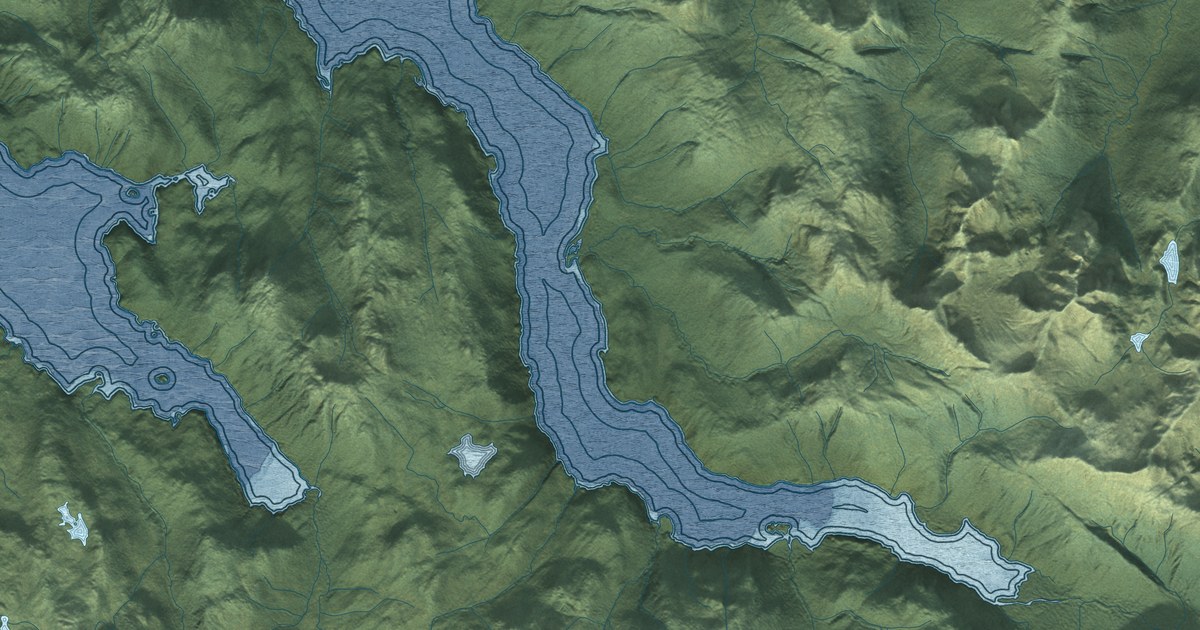
A detailed map of Elfin Cove, Alaska, showing every building in its true location, the roads by name, and shaded topographical relief.
Read More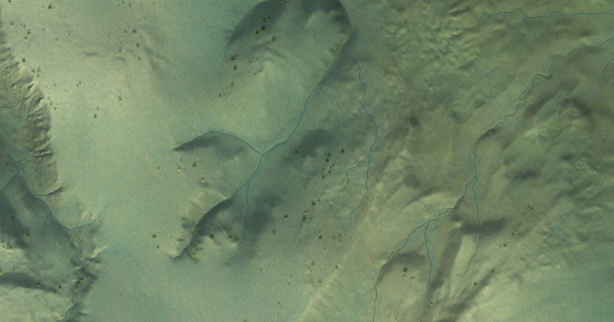
A detailed map of Dry Creek, Alaska, showing every building in its true location, the roads by name, and shaded topographical relief.
Read More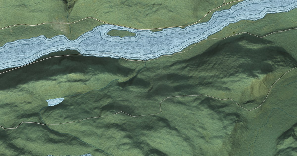
A detailed map of Covenant Life, Alaska, showing every building in its true location, the roads by name, and shaded topographical relief.
Read More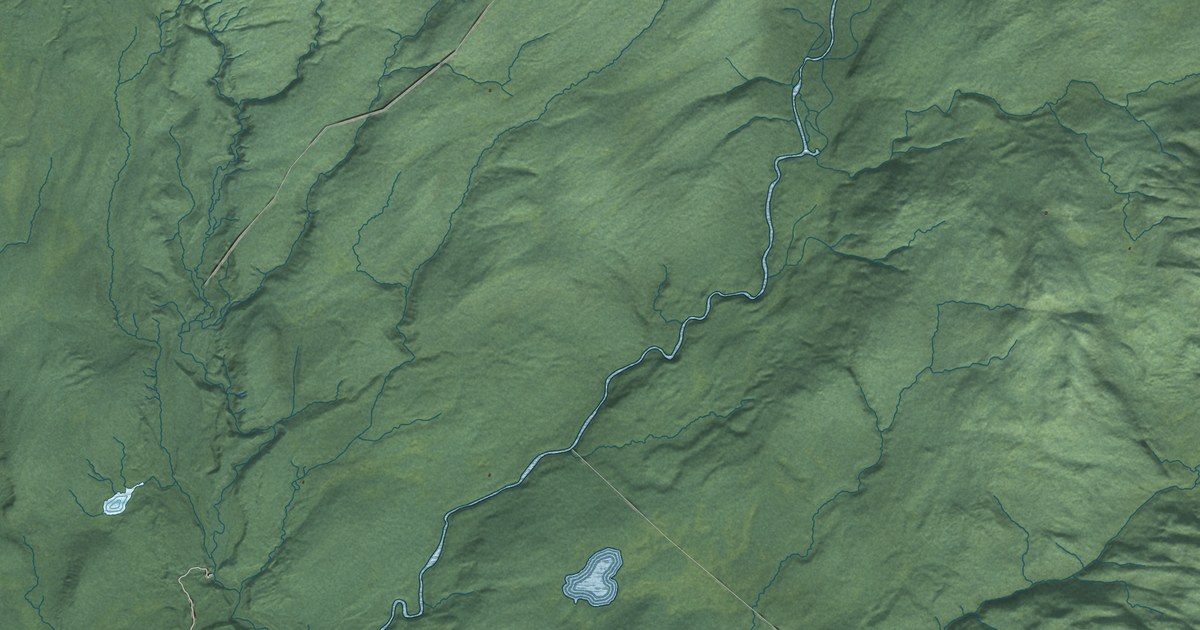
A detailed map of Chase, Alaska, showing every building in its true location, the roads by name, and shaded topographical relief.
Read More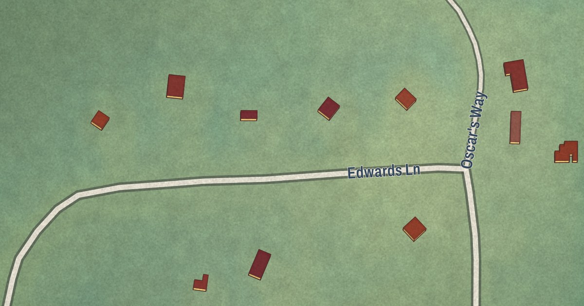
A detailed map of Alatna, Alaska, showing every building in its true location, the roads by name, and shaded topographical relief.
Read More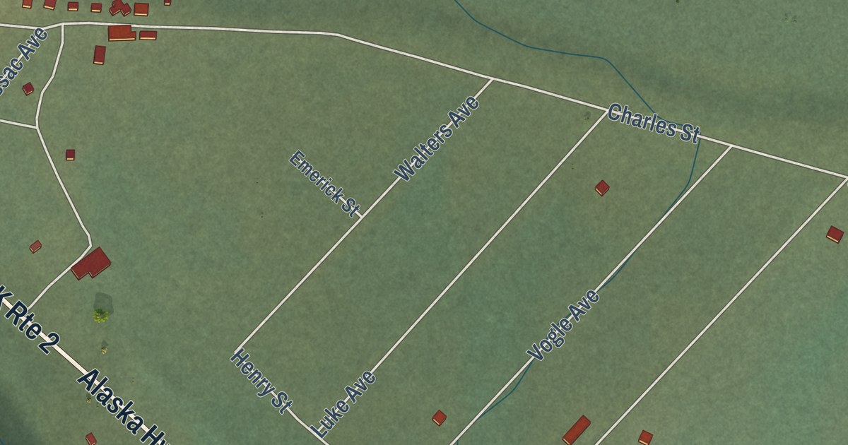
A detailed map of Dot Lake Village, Alaska, showing every building in its true location, the roads by name, and shaded topographical relief.
Read More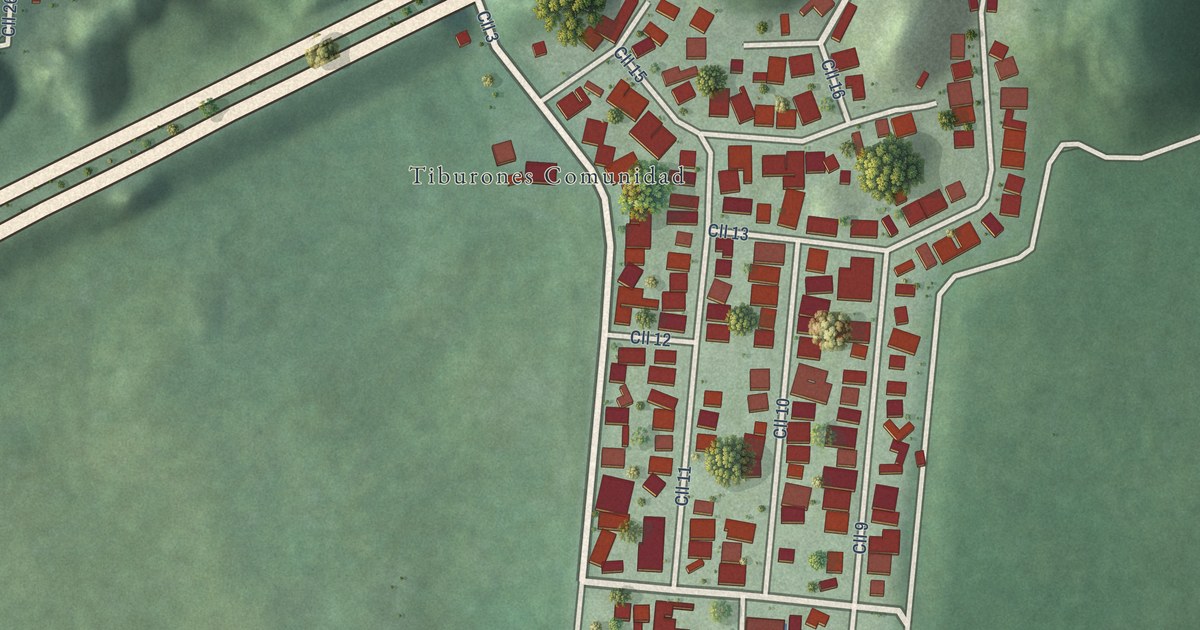
A detailed map of Tiburones, Puerto Rico, showing every building in its true location, the roads by name, and shaded topographical relief.
Read More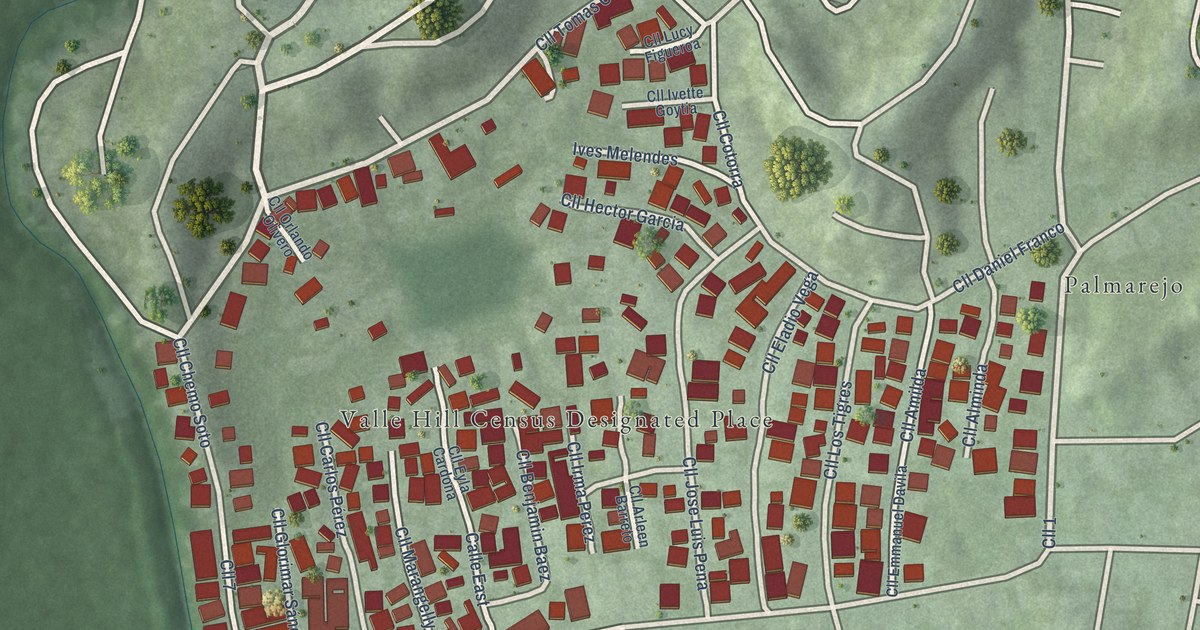
A detailed map of Valle Hill, Puerto Rico, showing every building in its true location, the roads by name, and shaded topographical relief.
Read More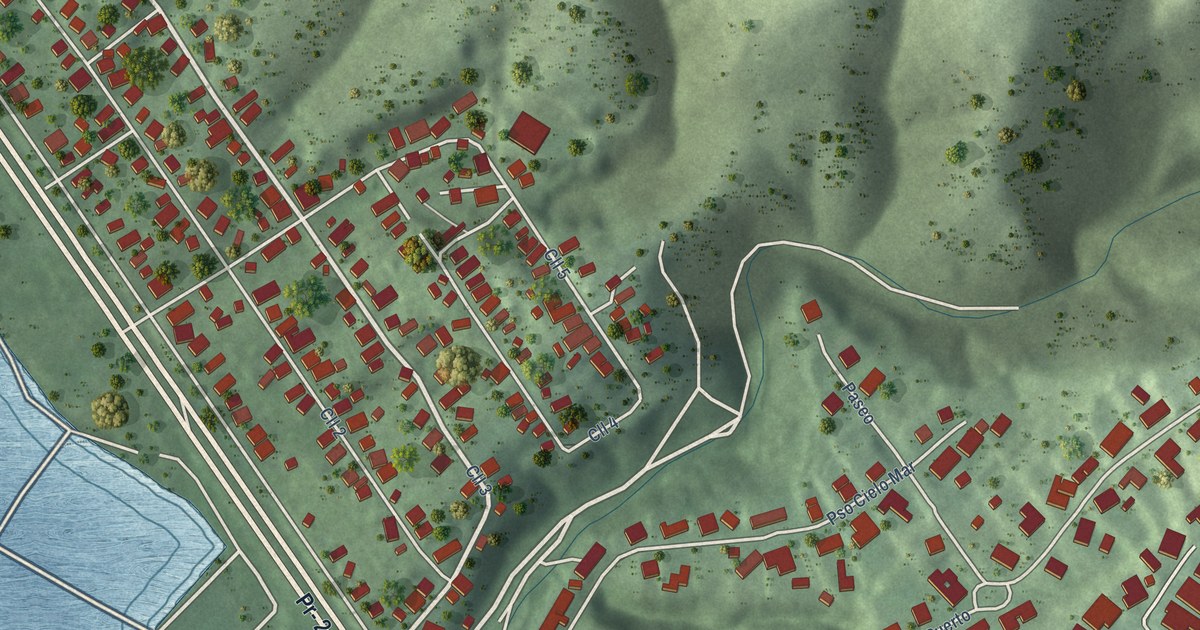
A detailed map of Tallaboa, Puerto Rico, showing every building in its true location, the roads by name, and shaded topographical relief.
Read More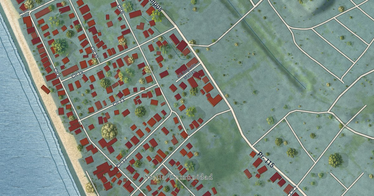
A detailed map of Stella, Puerto Rico, showing every building in its true location, the roads by name, and shaded topographical relief.
Read More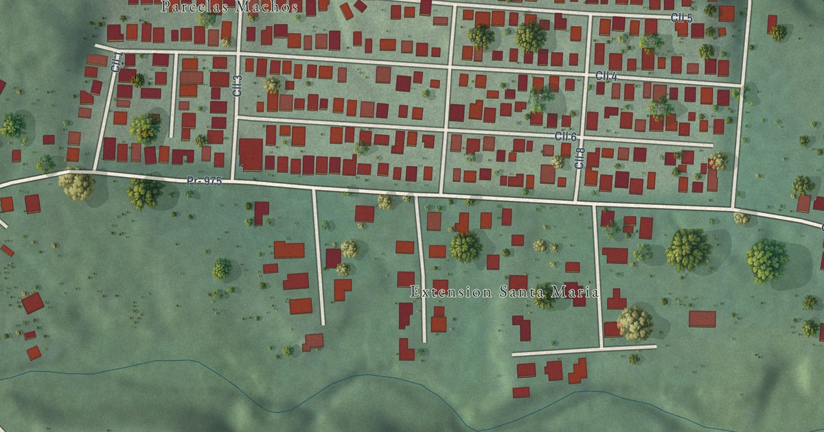
A detailed map of Santa María, Puerto Rico, showing every building in its true location, the roads by name, and shaded topographical relief.
Read More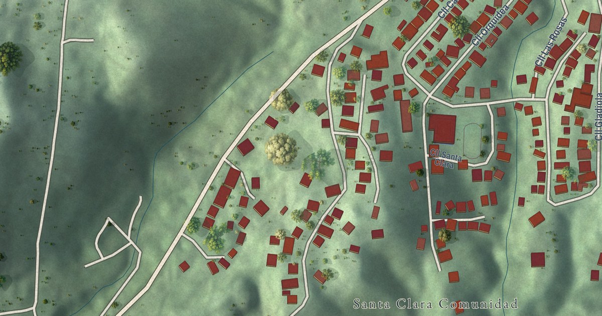
A detailed map of Santa Clara, Puerto Rico, showing every building in its true location, the roads by name, and shaded topographical relief.
Read More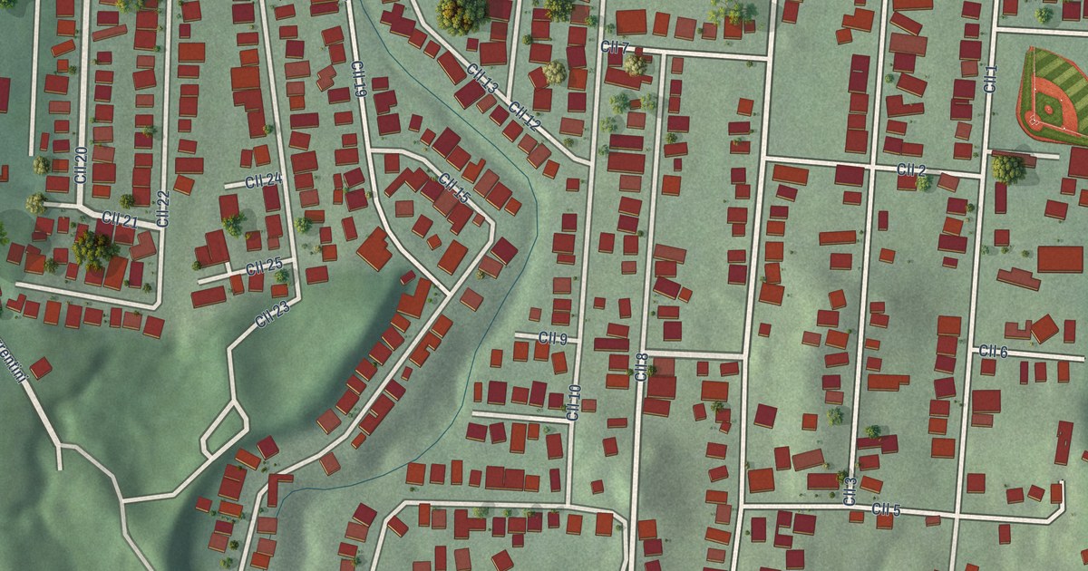
A detailed map of Sabana Eneas, Puerto Rico, showing every building in its true location, the roads by name, and shaded topographical relief.
Read More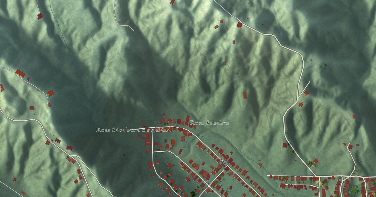
A detailed map of Rosa Sánchez, Puerto Rico, showing every building in its true location, the roads by name, and shaded topographical relief.
Read More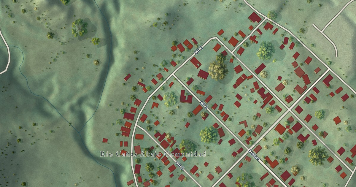
A detailed map of Río Cañas Abajo, Puerto Rico, showing every building in its true location, the roads by name, and shaded topographical relief.
Read More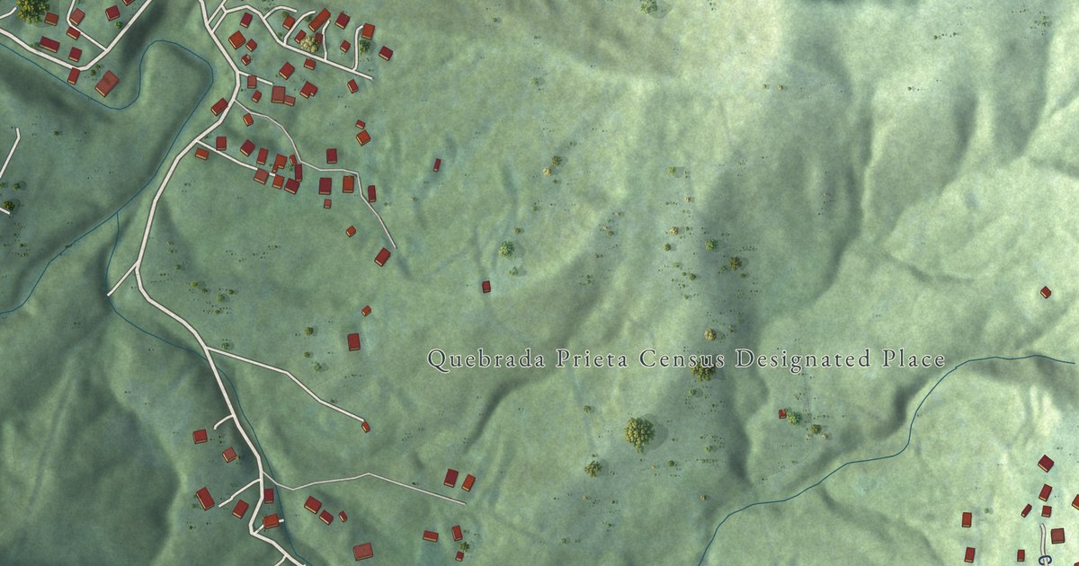
A detailed map of Quebrada Prieta, Puerto Rico, showing every building in its true location, the roads by name, and shaded topographical relief.
Read More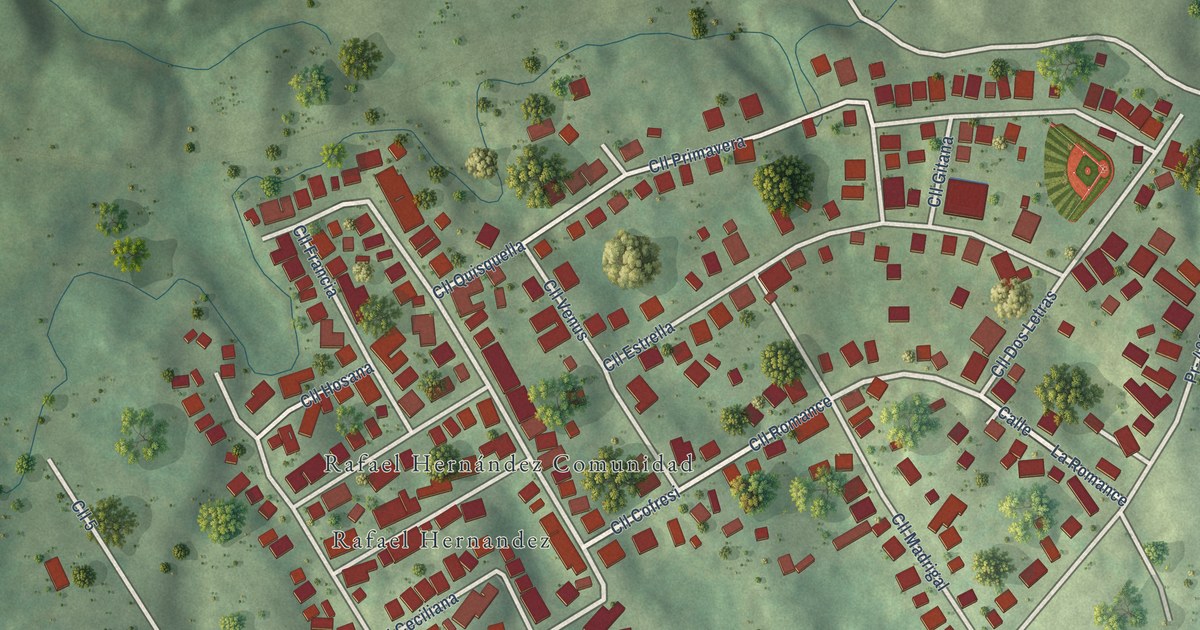
A detailed map of Rafael Hernández, Puerto Rico, showing every building in its true location, the roads by name, and shaded topographical relief.
Read More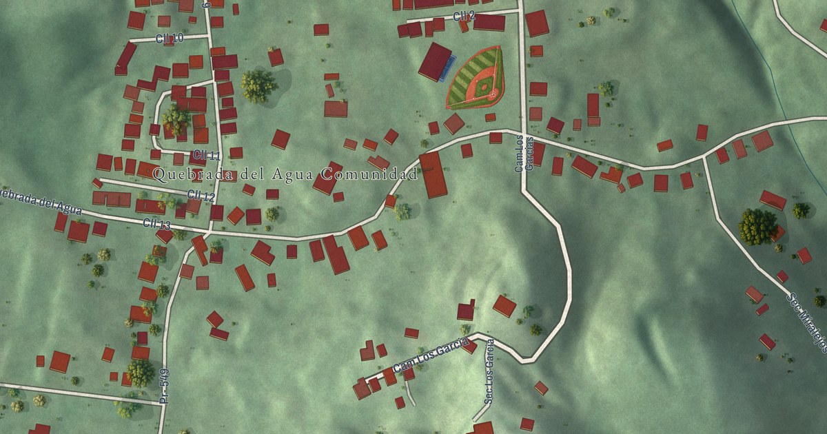
A detailed map of Quebrada del Agua, Puerto Rico, showing every building in its true location, the roads by name, and shaded topographical relief.
Read More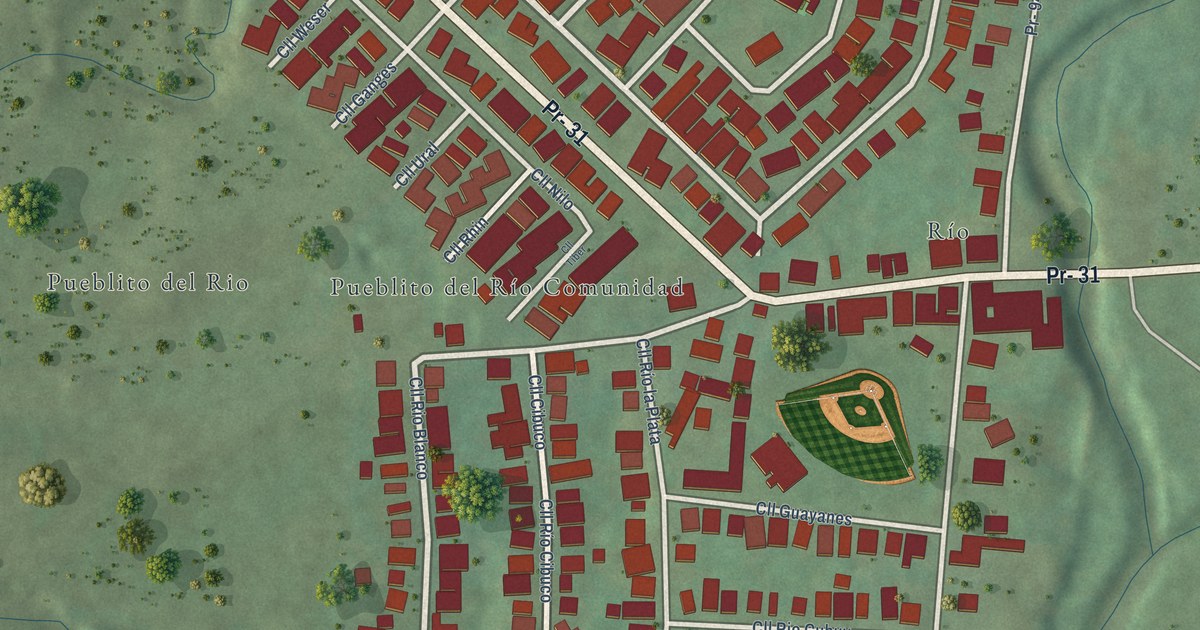
A detailed map of Pueblito del Río, Puerto Rico, showing every building in its true location, the roads by name, and shaded topographical relief.
Read More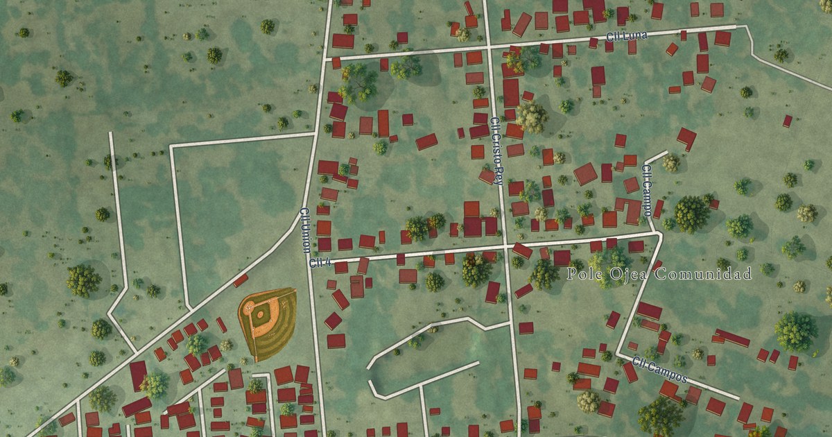
A detailed map of Pole Ojea, Puerto Rico, showing every building in its true location, the roads by name, and shaded topographical relief.
Read More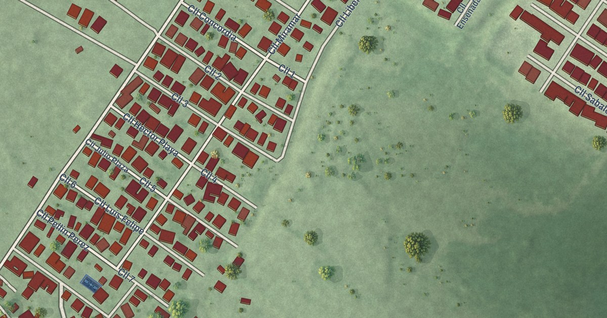
A detailed map of Playita Cortada, Puerto Rico, showing every building in its true location, the roads by name, and shaded topographical relief.
Read More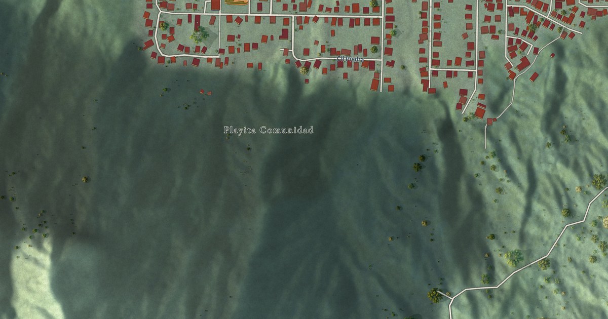
A detailed map of Playita, Puerto Rico, showing every building in its true location, the roads by name, and shaded topographical relief.
Read More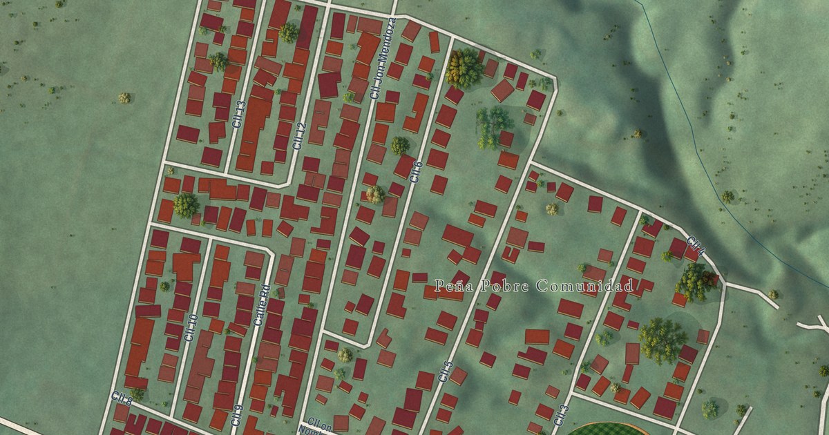
A detailed map of Peña Pobre, Puerto Rico, showing every building in its true location, the roads by name, and shaded topographical relief.
Read More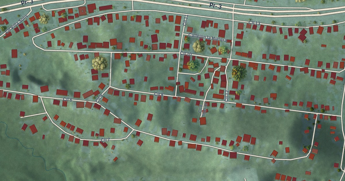
A detailed map of Playa Fortuna, Puerto Rico, showing every building in its true location, the roads by name, and shaded topographical relief.
Read More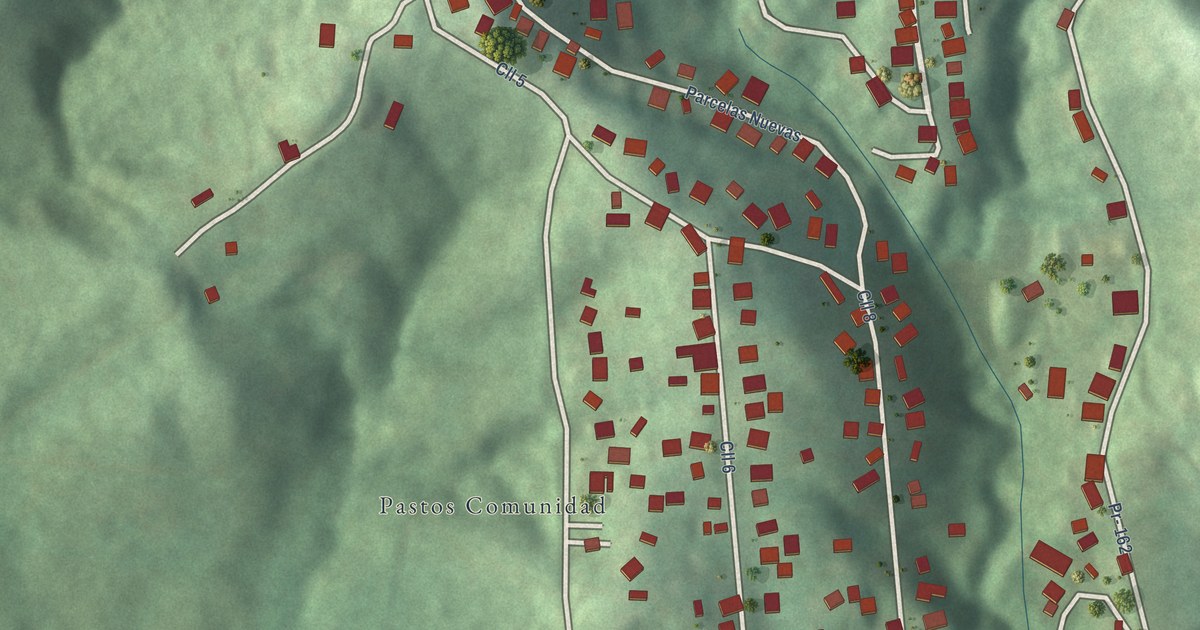
A detailed map of Pastos, Puerto Rico, showing every building in its true location, the roads by name, and shaded topographical relief.
Read More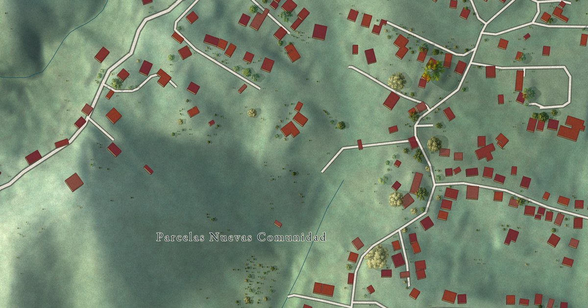
A detailed map of Parcelas Nuevas, Puerto Rico, showing every building in its true location, the roads by name, and shaded topographical relief.
Read More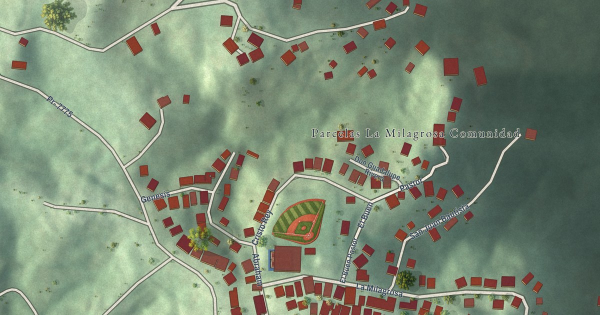
A detailed map of Parcelas La Milagrosa, Puerto Rico, showing every building in its true location, the roads by name, and shaded topographical relief.
Read More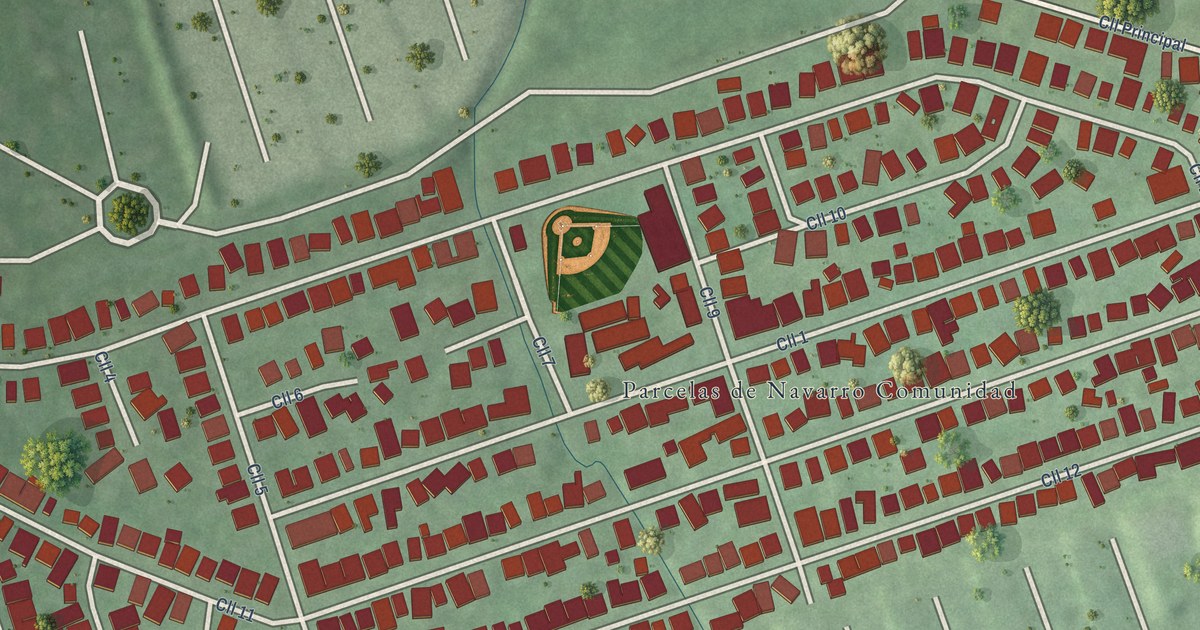
A detailed map of Parcelas de Navarro, Puerto Rico, showing every building in its true location, the roads by name, and shaded topographical relief.
Read More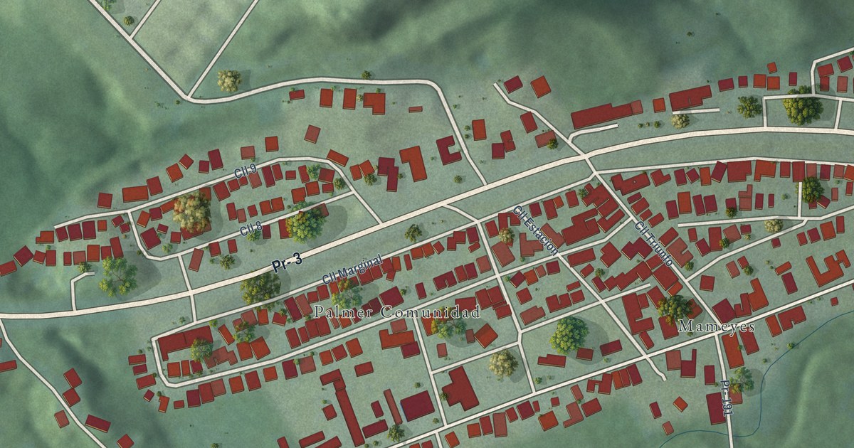
A detailed map of Palmer, Puerto Rico, showing every building in its true location, the roads by name, and shaded topographical relief.
Read More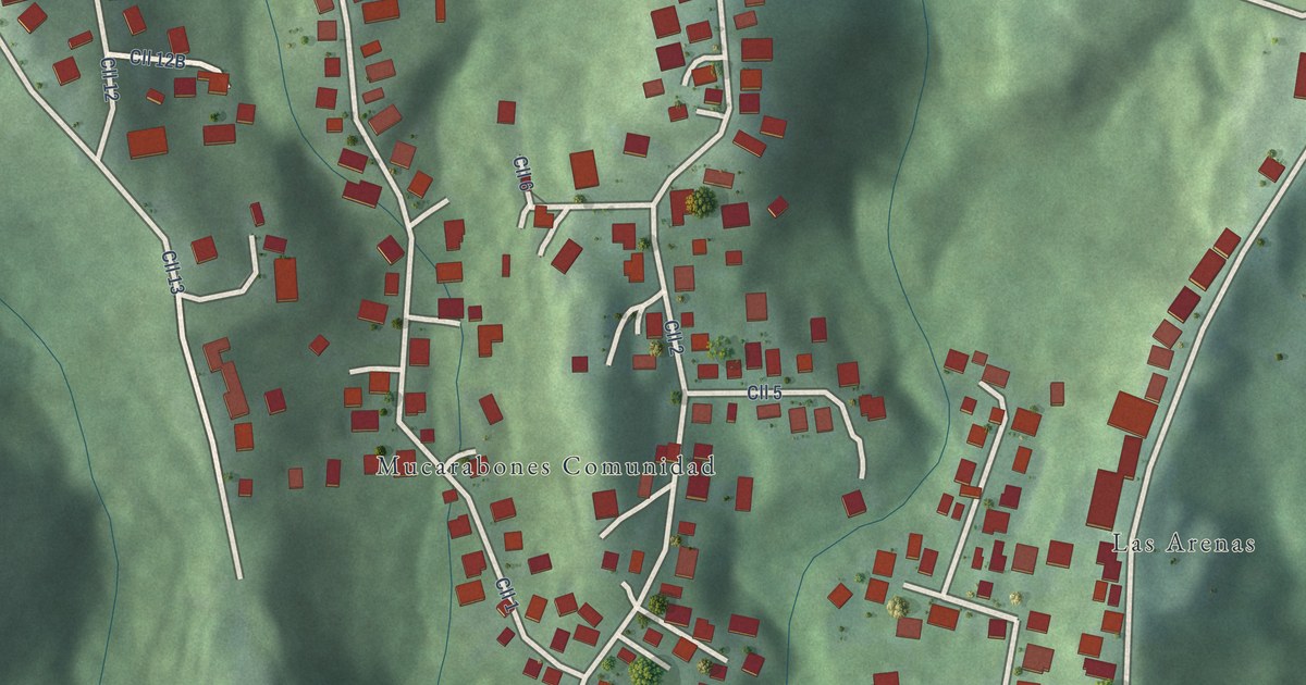
A detailed map of Mucarabones, Puerto Rico, showing every building in its true location, the roads by name, and shaded topographical relief.
Read More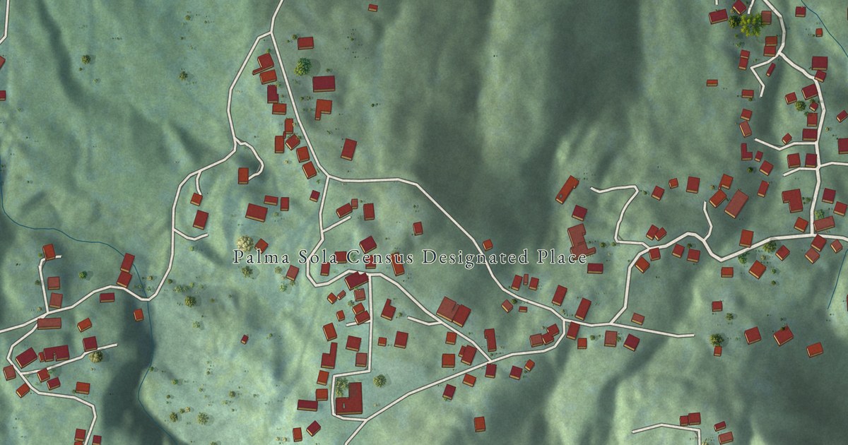
A detailed map of Palma Sola, Puerto Rico, showing every building in its true location, the roads by name, and shaded topographical relief.
Read More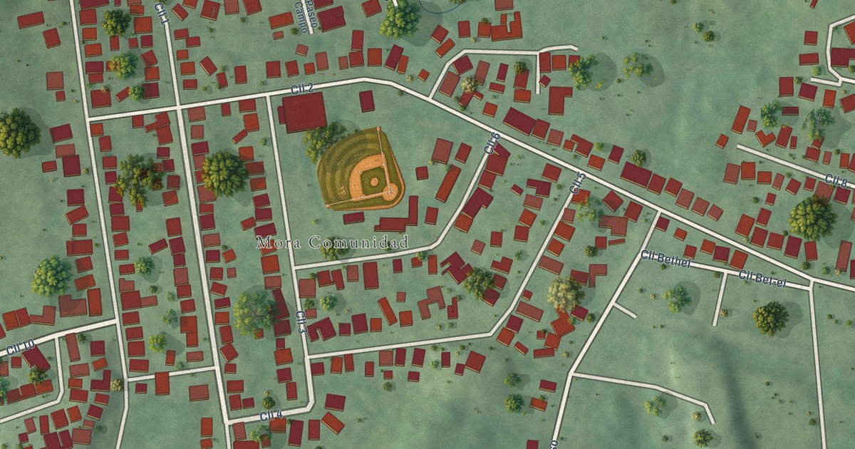
A detailed map of Mora, Puerto Rico, showing every building in its true location, the roads by name, and shaded topographical relief.
Read More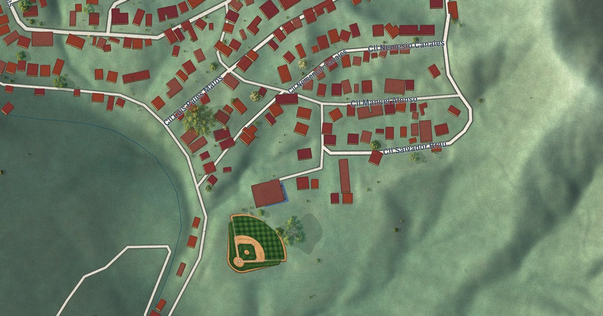
A detailed map of Marueño, Puerto Rico, showing every building in its true location, the roads by name, and shaded topographical relief.
Read More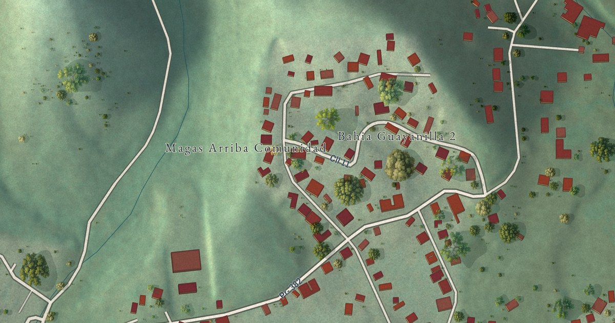
A detailed map of Magas Arriba, Puerto Rico, showing every building in its true location, the roads by name, and shaded topographical relief.
Read More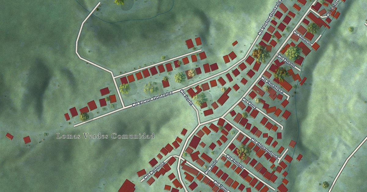
A detailed map of Lomas Verdes, Puerto Rico, showing every building in its true location, the roads by name, and shaded topographical relief.
Read More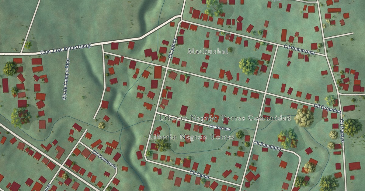
A detailed map of Liborio Negrón Torres, Puerto Rico, showing every building in its true location, the roads by name, and shaded topographical relief.
Read More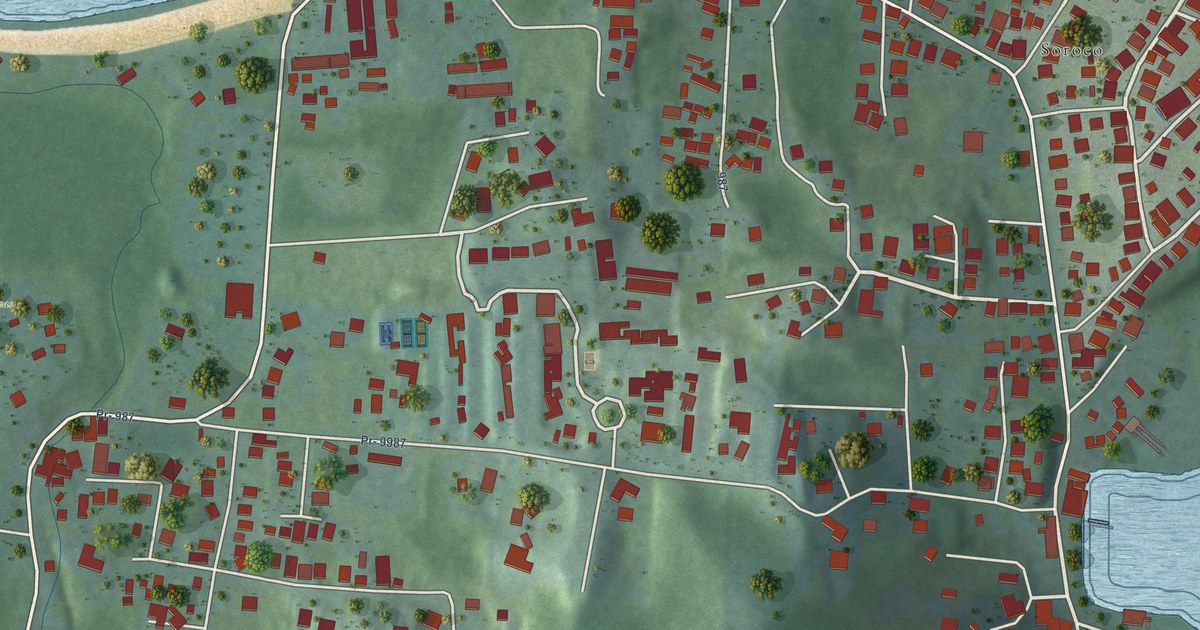
A detailed map of Las Croabas, Puerto Rico, showing every building in its true location, the roads by name, and shaded topographical relief.
Read More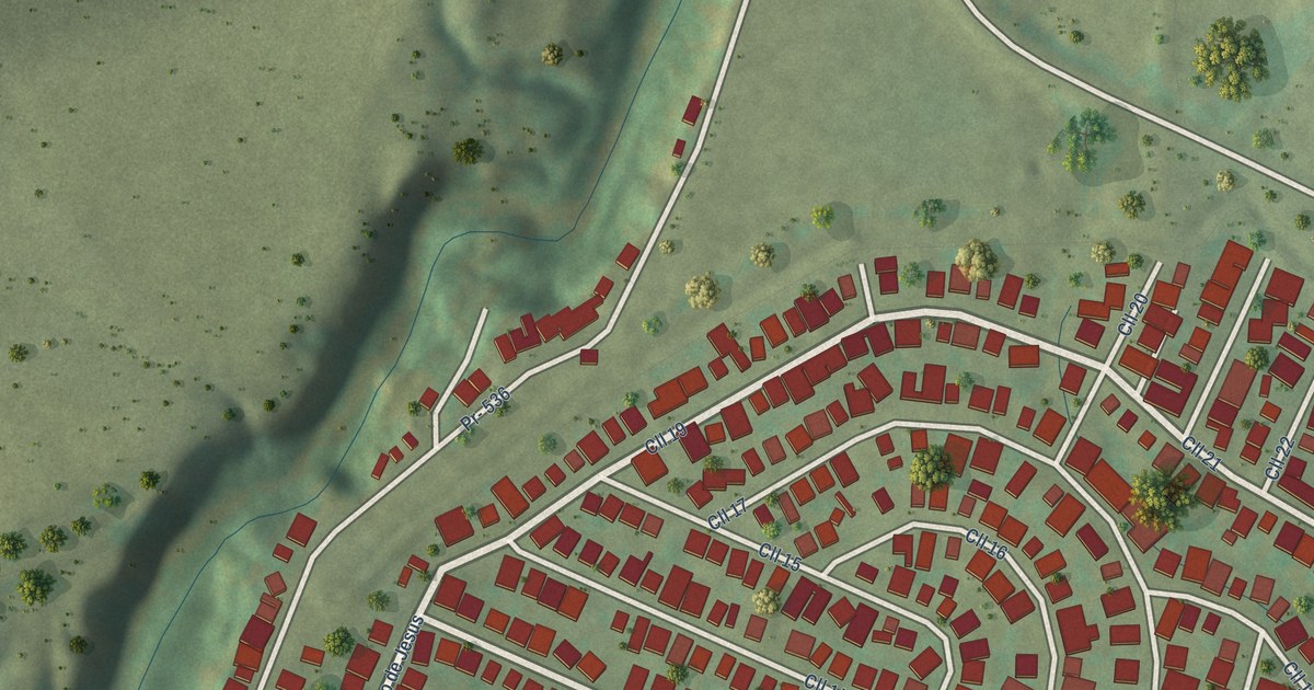
A detailed map of Las Ollas, Puerto Rico, showing every building in its true location, the roads by name, and shaded topographical relief.
Read More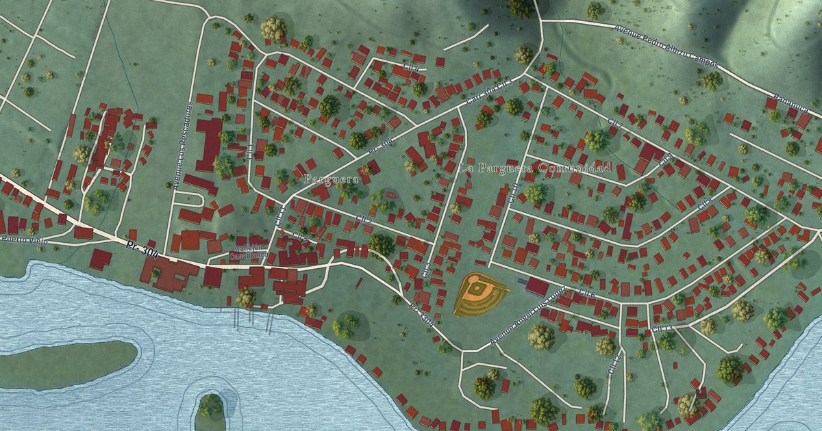
A detailed map of La Parguera, Puerto Rico, showing every building in its true location, the roads by name, and shaded topographical relief.
Read More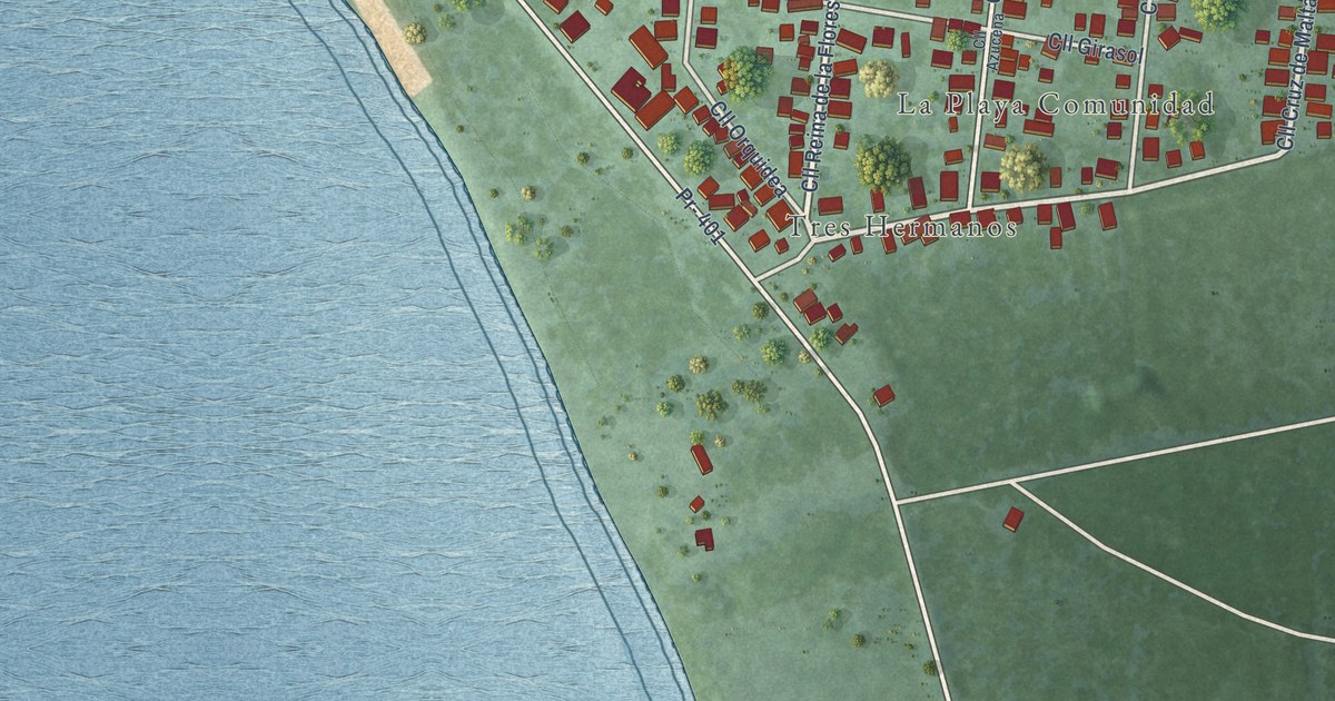
A detailed map of La Playa, Puerto Rico, showing every building in its true location, the roads by name, and shaded topographical relief.
Read More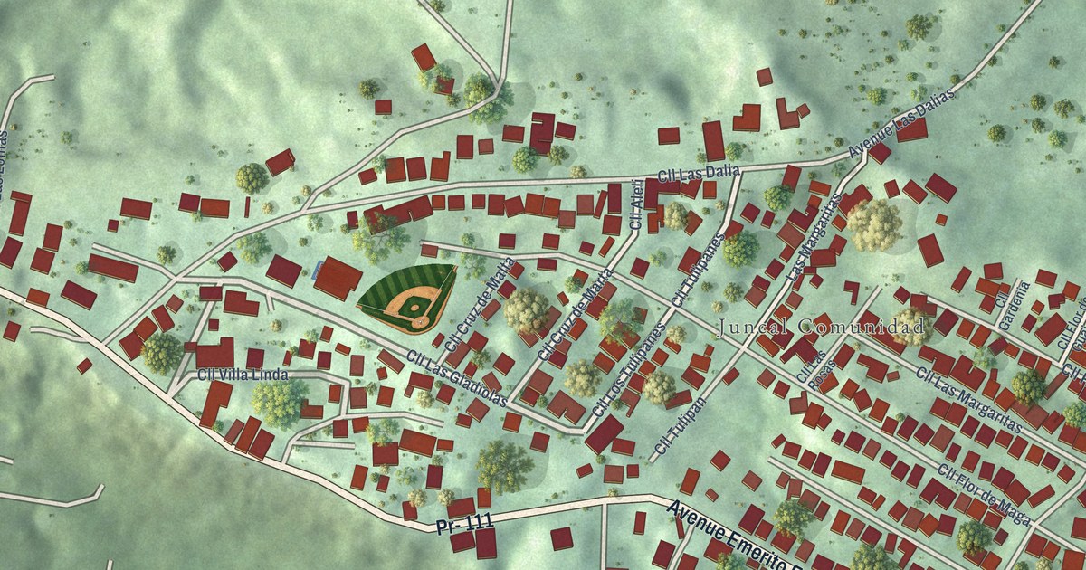
A detailed map of Juncal, Puerto Rico, showing every building in its true location, the roads by name, and shaded topographical relief.
Read More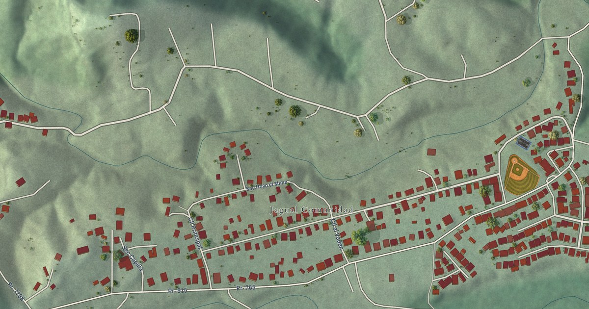
A detailed map of Jagual, Puerto Rico, showing every building in its true location, the roads by name, and shaded topographical relief.
Read More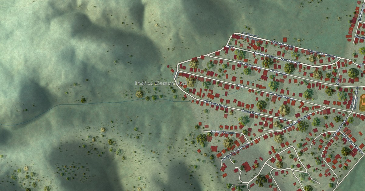
A detailed map of Indios, Puerto Rico, showing every building in its true location, the roads by name, and shaded topographical relief.
Read More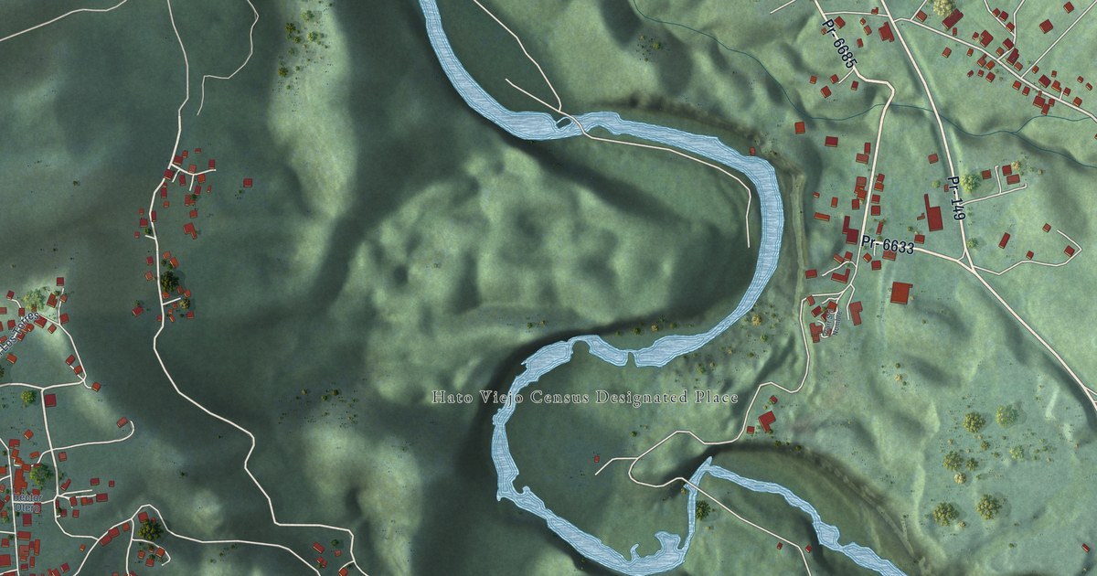
A detailed map of Hato Viejo, Puerto Rico, showing every building in its true location, the roads by name, and shaded topographical relief.
Read More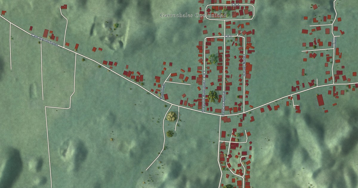
A detailed map of Garrochales, Puerto Rico, showing every building in its true location, the roads by name, and shaded topographical relief.
Read More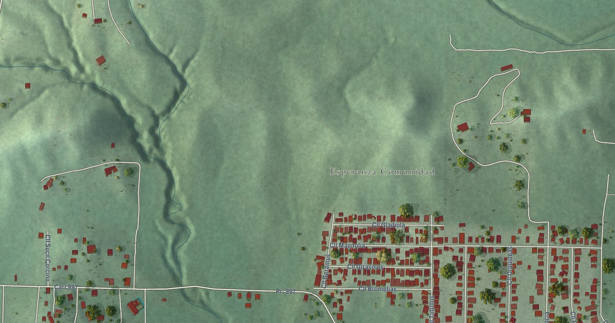
A detailed map of Esperanza, Puerto Rico, showing every building in its true location, the roads by name, and shaded topographical relief.
Read More















