Detailed Map of Eareckson Station, Alaska
A detailed map of Eareckson Station, Alaska, showing every building in its true location, the roads by name, and shaded topographical relief.
Read More
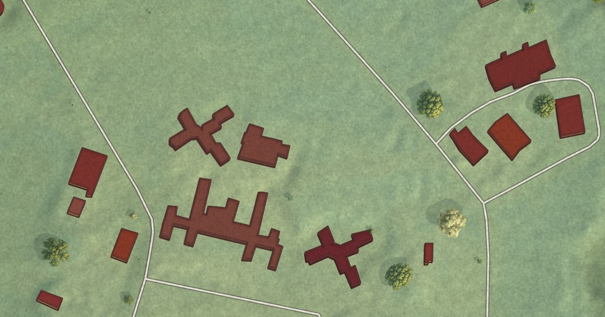
A detailed map of Eareckson Station, Alaska, showing every building in its true location, the roads by name, and shaded topographical relief.
Read More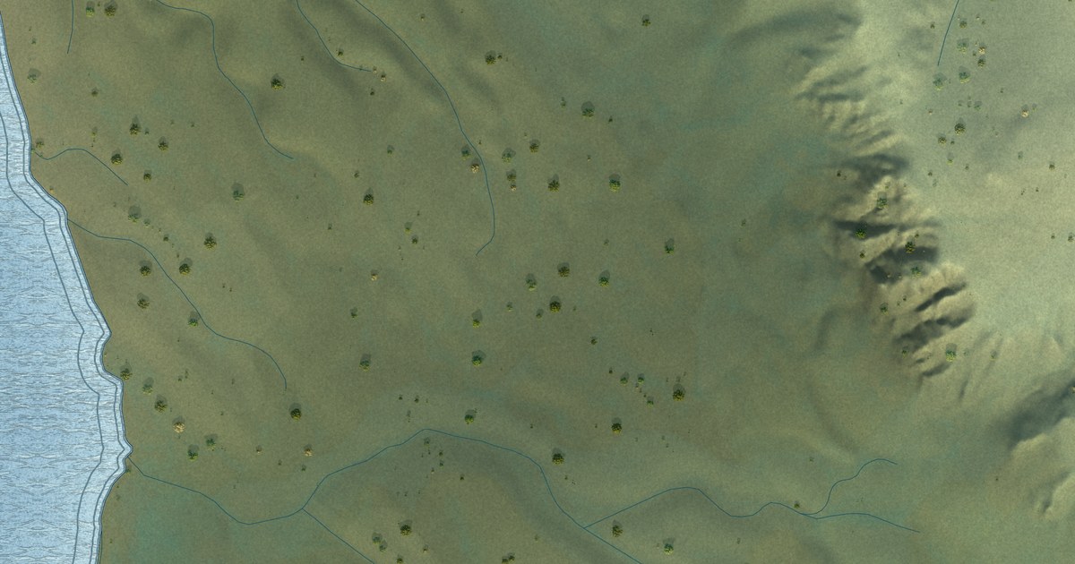
A detailed map of Chisana, Alaska, showing every building in its true location, the roads by name, and shaded topographical relief.
Read More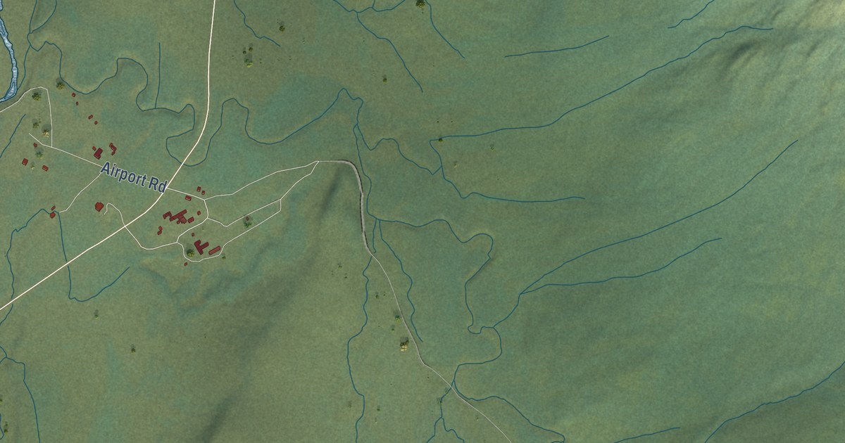
A detailed map of Coldfoot, Alaska, showing every building in its true location, the roads by name, and shaded topographical relief.
Read More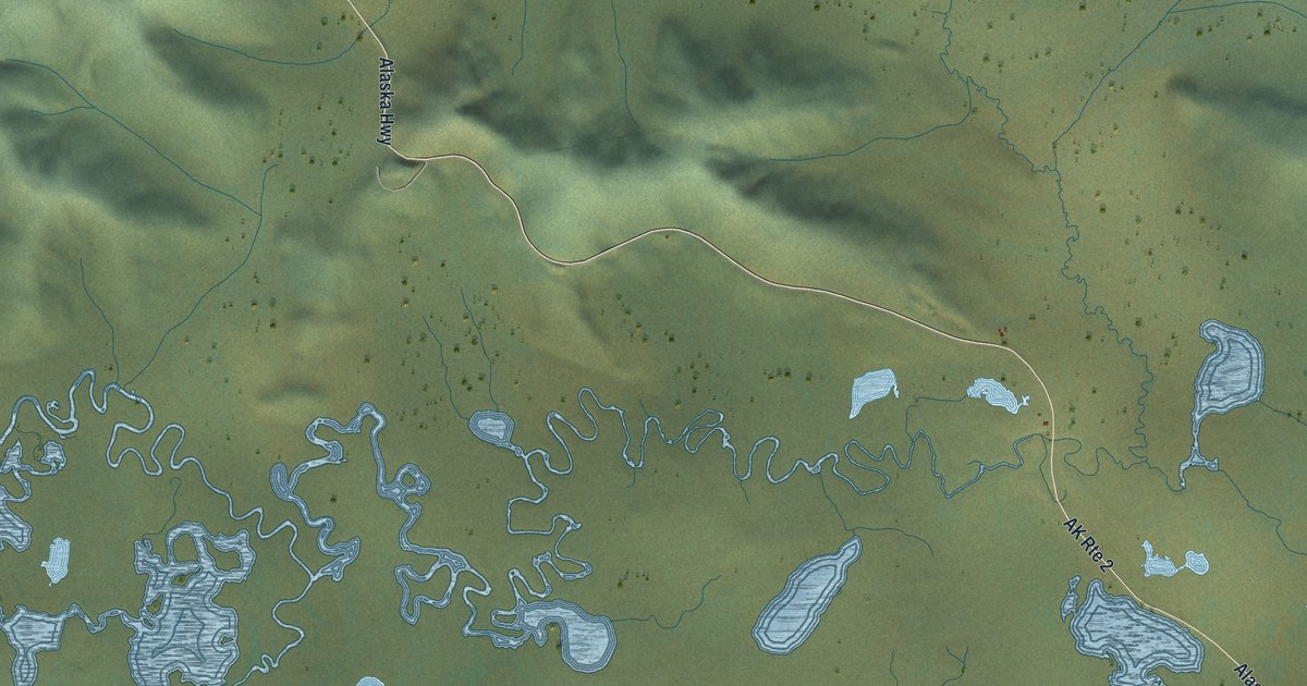
A detailed map of Alcan Border, Alaska, showing every building in its true location, the roads by name, and shaded topographical relief.
Read More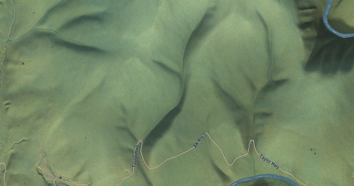
A detailed map of Chicken, Alaska, showing every building in its true location, the roads by name, and shaded topographical relief.
Read More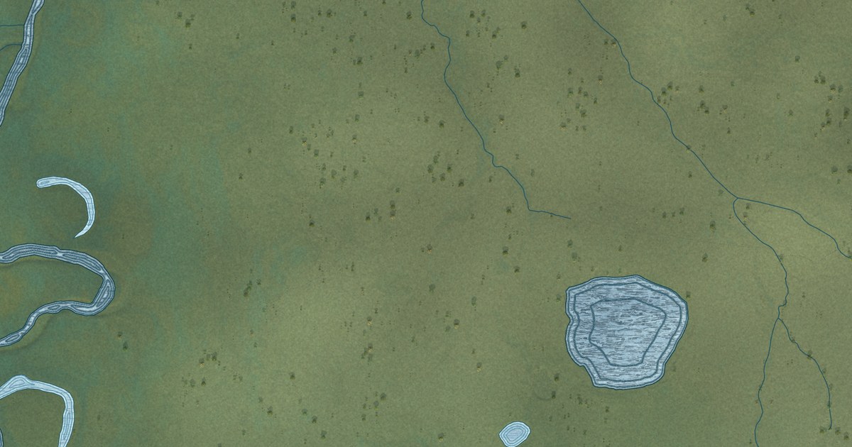
A detailed map of Circle, Alaska, showing every building in its true location, the roads by name, and shaded topographical relief.
Read More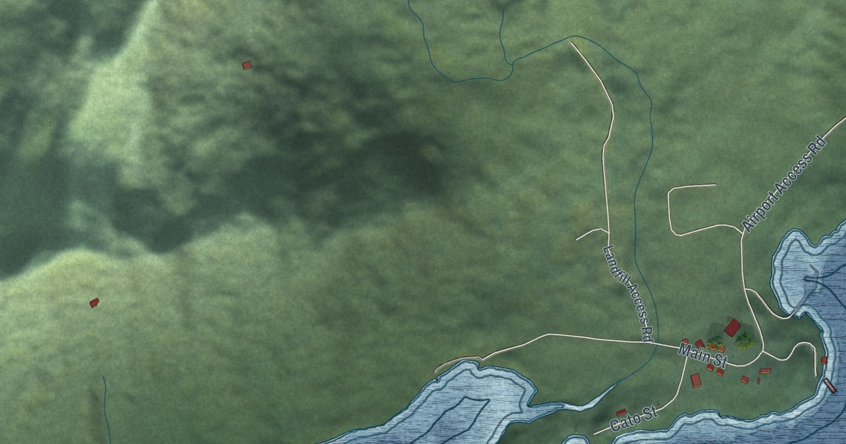
A detailed map of Chenega, Alaska, showing every building in its true location, the roads by name, and shaded topographical relief.
Read More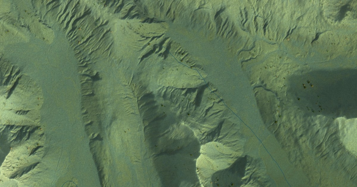
A detailed map of Attu Station, Alaska, showing every building in its true location, the roads by name, and shaded topographical relief.
Read More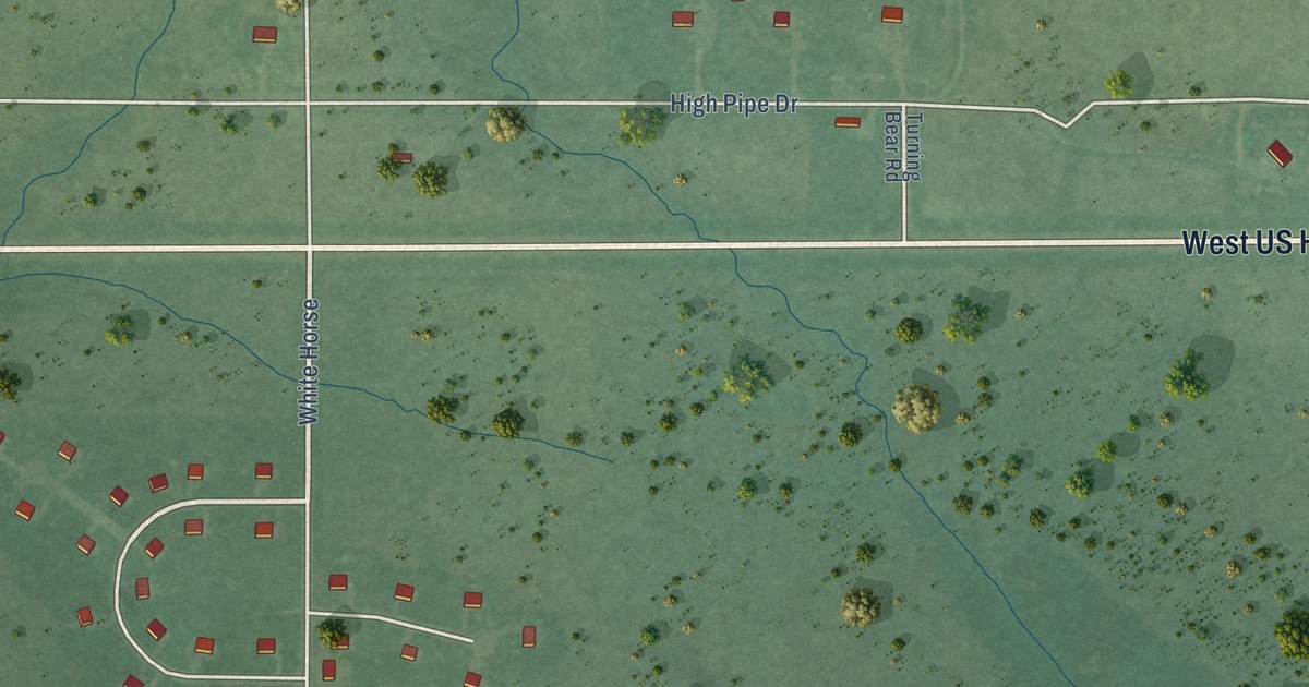
A detailed map of White Horse, South Dakota, showing every building in its true location, the roads by name, and shaded topographical relief.
Read More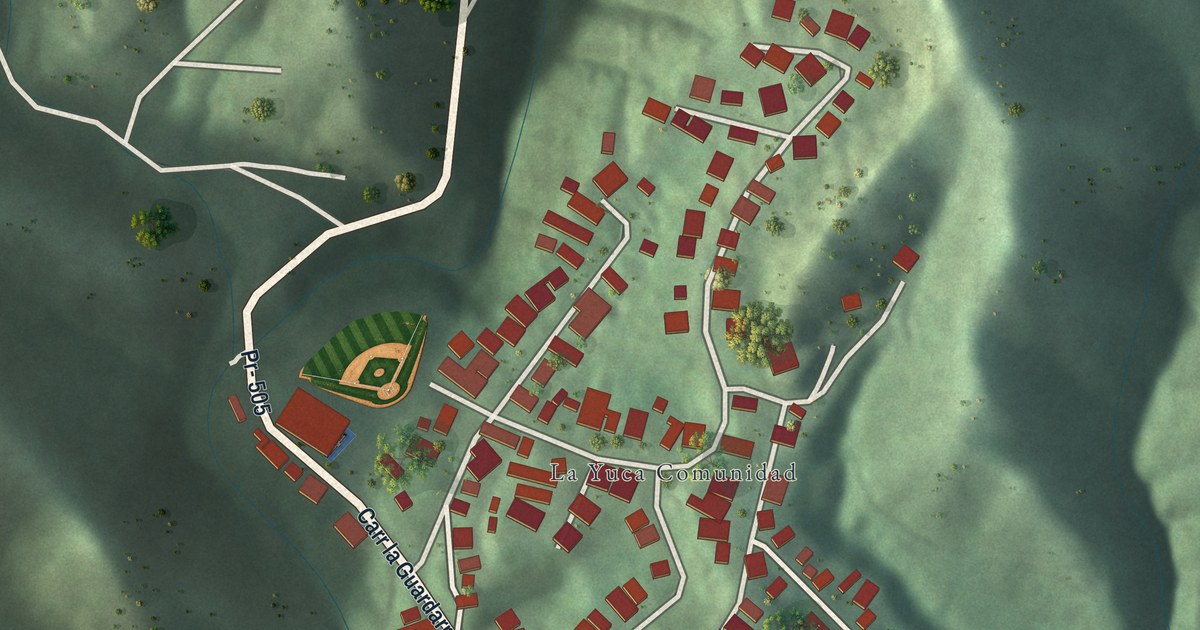
A detailed map of La Yuca, Puerto Rico, showing every building in its true location, the roads by name, and shaded topographical relief.
Read More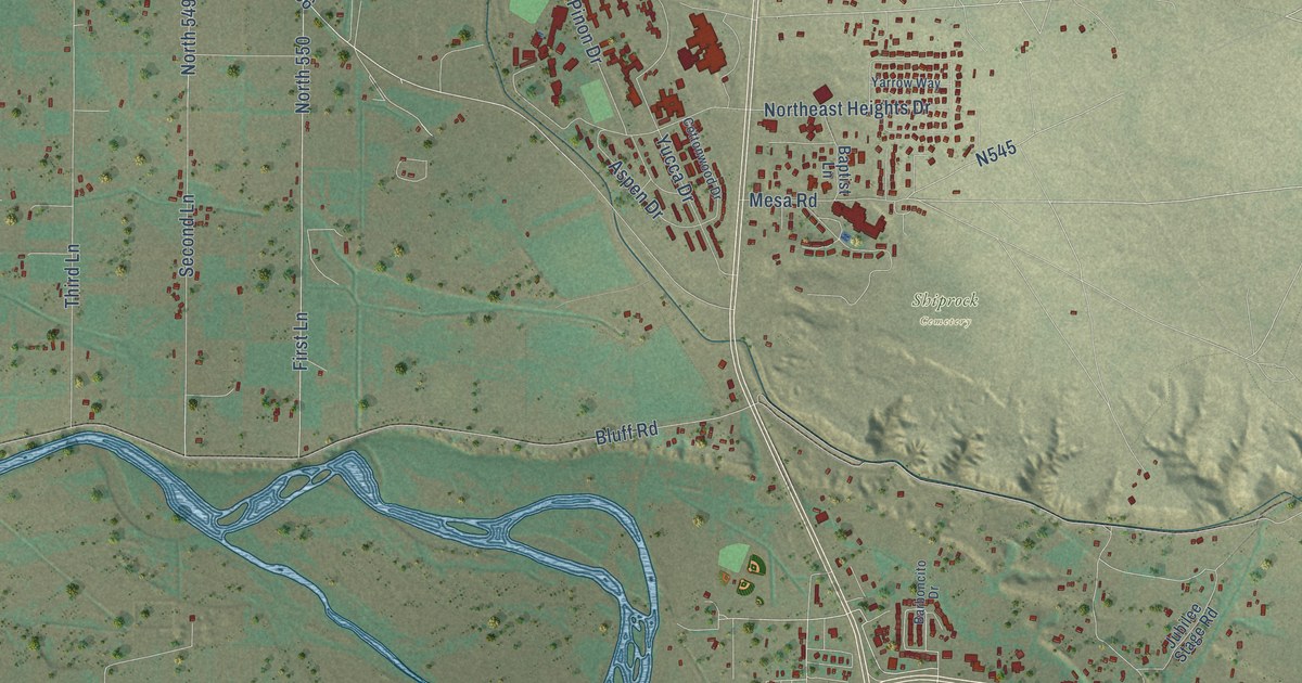
A detailed map of Shiprock, New Mexico, showing every building in its true location, the roads by name, and shaded topographical relief.
Read More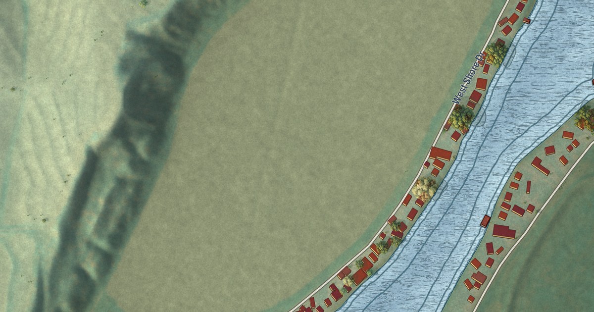
A detailed map of Lake Waconda, Nebraska, showing every building in its true location, the roads by name, and shaded topographical relief.
Read More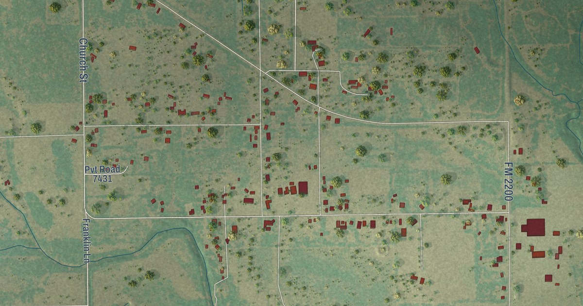
A detailed map of Yancey, Texas, showing every building in its true location, the roads by name, and shaded topographical relief.
Read More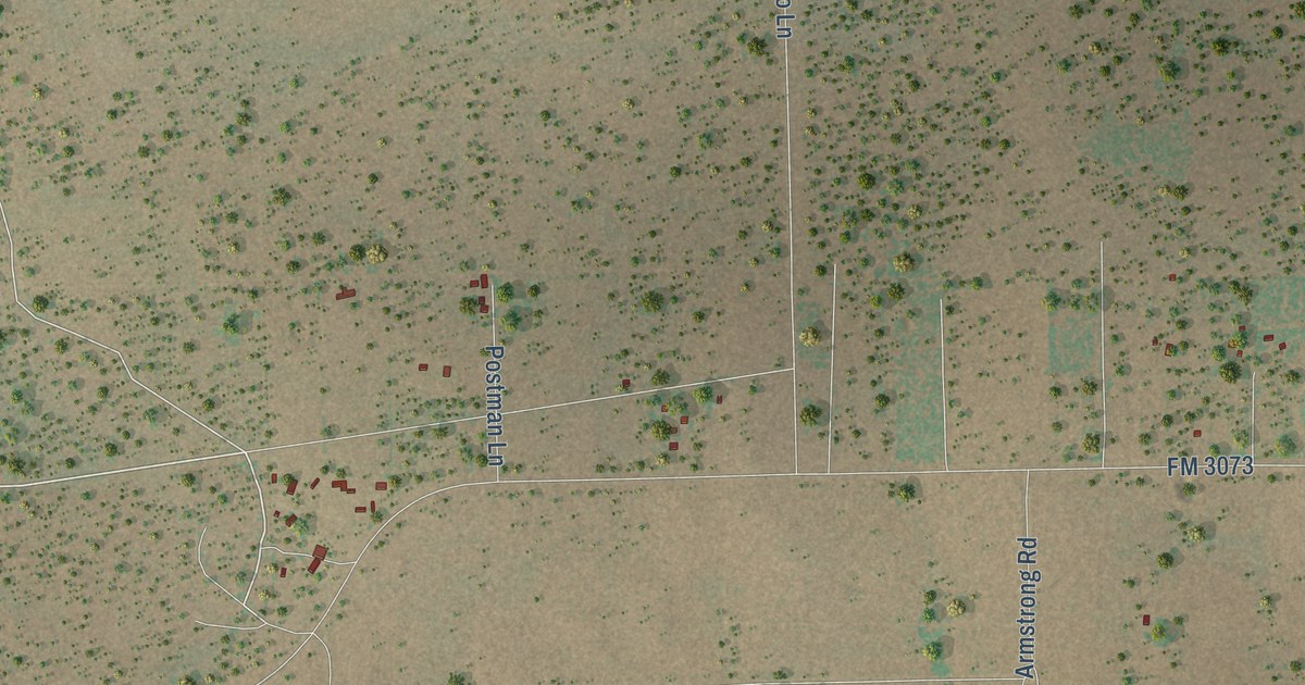
A detailed map of Thompsonville, Texas, showing every building in its true location, the roads by name, and shaded topographical relief.
Read More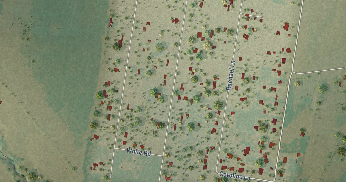
A detailed map of Rancho Banquete, Texas, showing every building in its true location, the roads by name, and shaded topographical relief.
Read More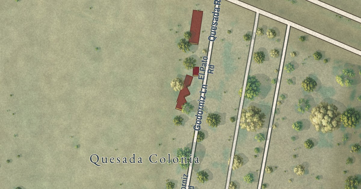
A detailed map of Quesada, Texas, showing every building in its true location, the roads by name, and shaded topographical relief.
Read More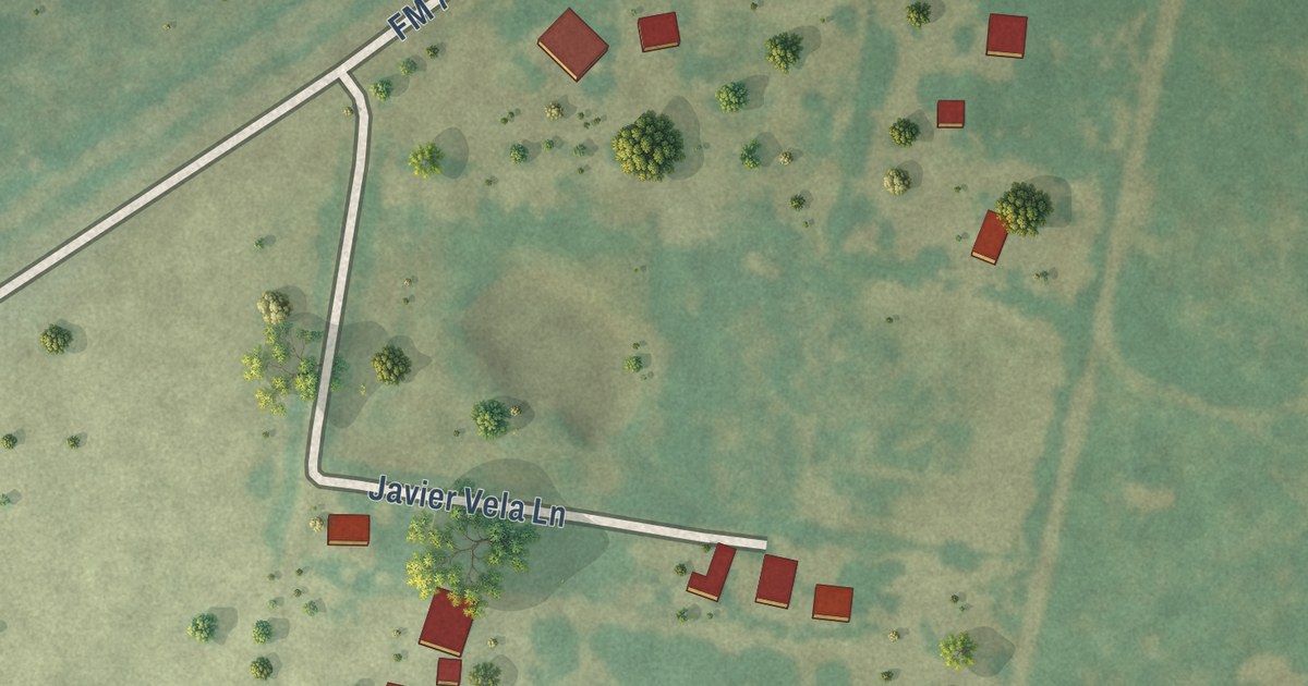
A detailed map of Netos, Texas, showing every building in its true location, the roads by name, and shaded topographical relief.
Read More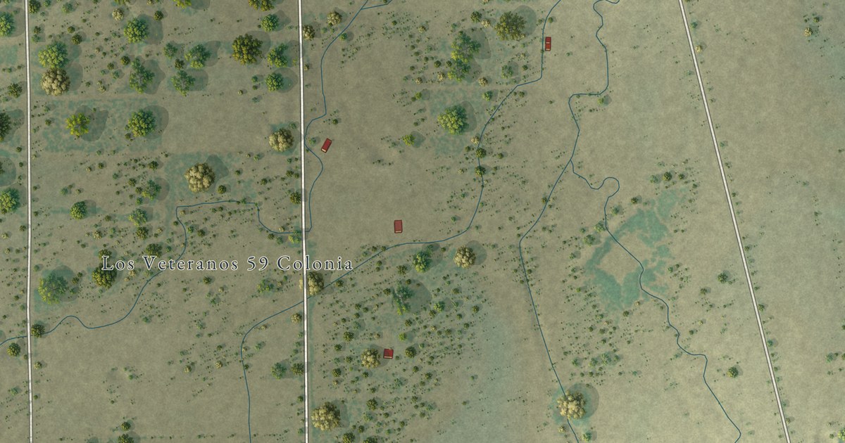
A detailed map of Los Veteranos I, Texas, showing every building in its true location, the roads by name, and shaded topographical relief.
Read More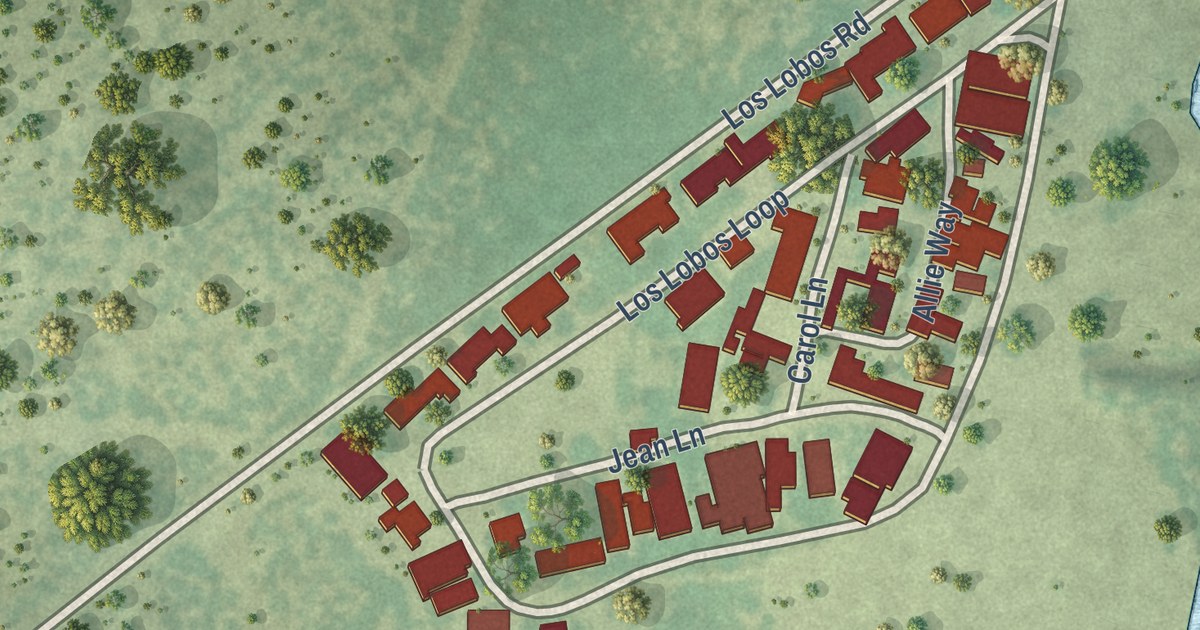
A detailed map of Los Lobos, Texas, showing every building in its true location, the roads by name, and shaded topographical relief.
Read More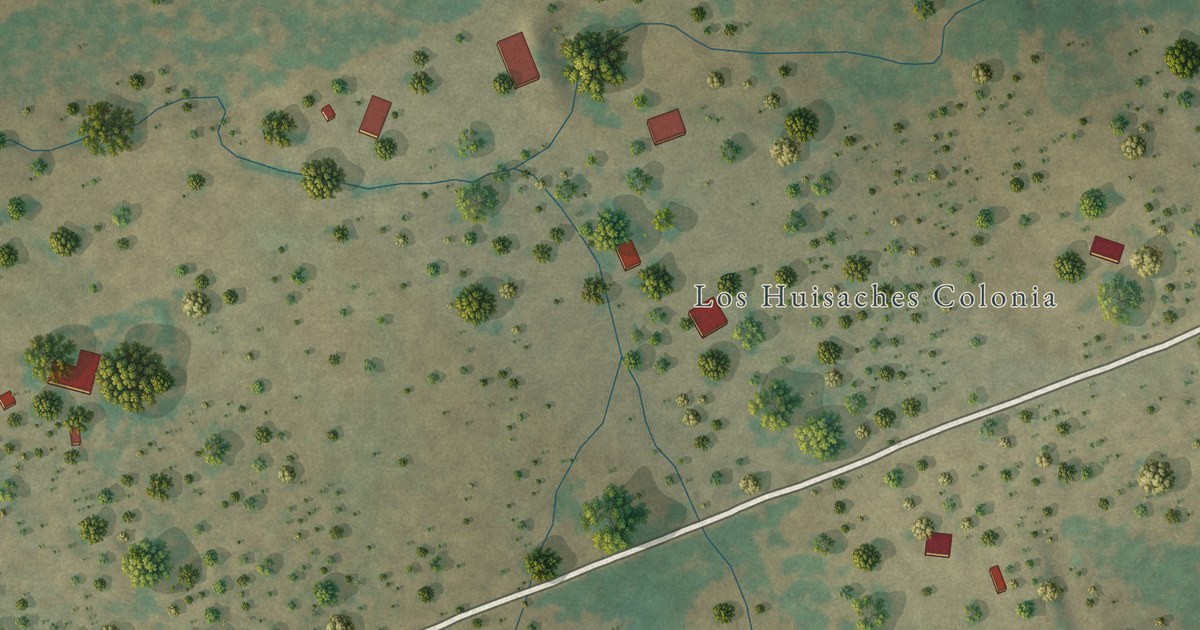
A detailed map of Los Huisaches, Texas, showing every building in its true location, the roads by name, and shaded topographical relief.
Read More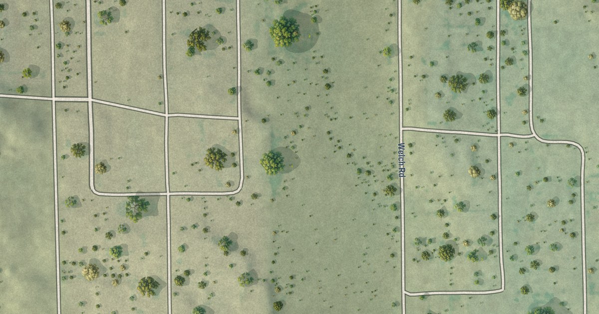
A detailed map of Laredo Ranchettes West, Texas, showing every building in its true location, the roads by name, and shaded topographical relief.
Read More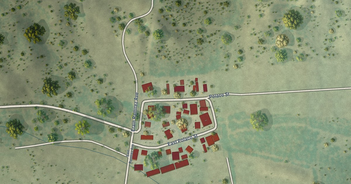
A detailed map of J.F. Villareal, Texas, showing every building in its true location, the roads by name, and shaded topographical relief.
Read More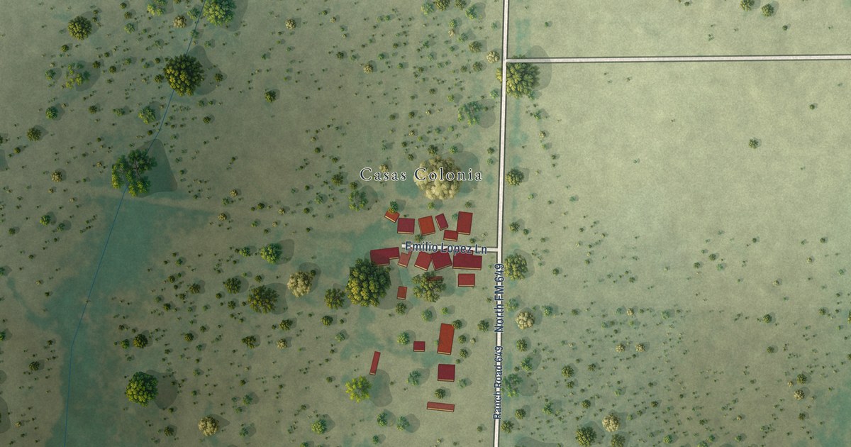
A detailed map of Casas, Texas, showing every building in its true location, the roads by name, and shaded topographical relief.
Read More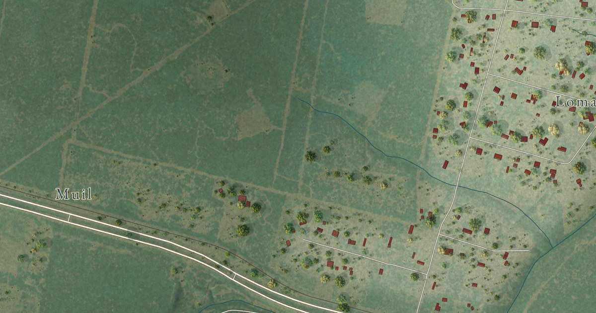
A detailed map of Loma Linda East, Texas, showing every building in its true location, the roads by name, and shaded topographical relief.
Read More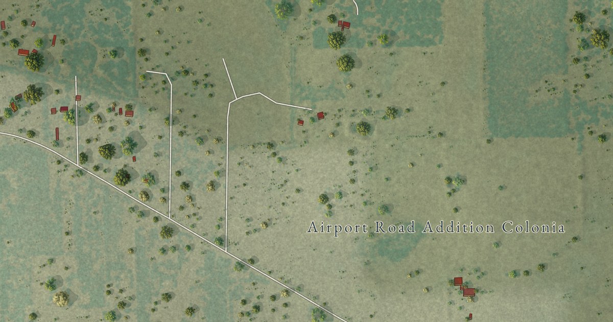
A detailed map of Airport Road Addition, Texas, showing every building in its true location, the roads by name, and shaded topographical relief.
Read More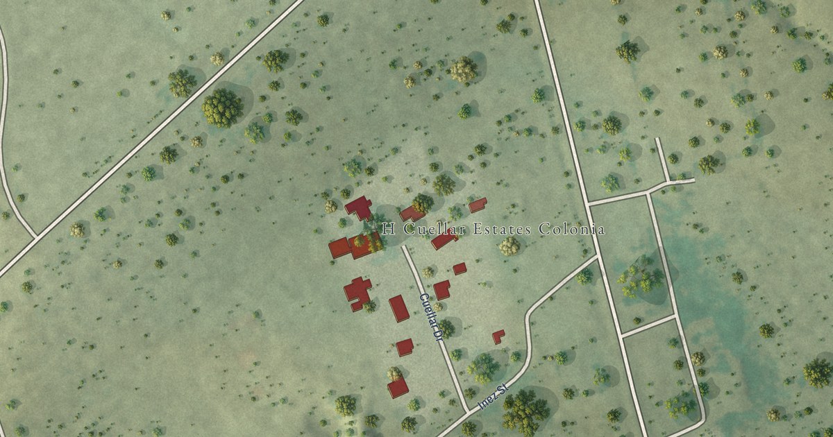
A detailed map of H. Cuellar Estates, Texas, showing every building in its true location, the roads by name, and shaded topographical relief.
Read More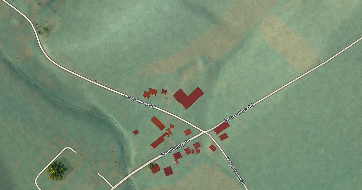
A detailed map of Cotton Town, Pennsylvania, showing every building in its true location, the roads by name, and shaded topographical relief.
Read More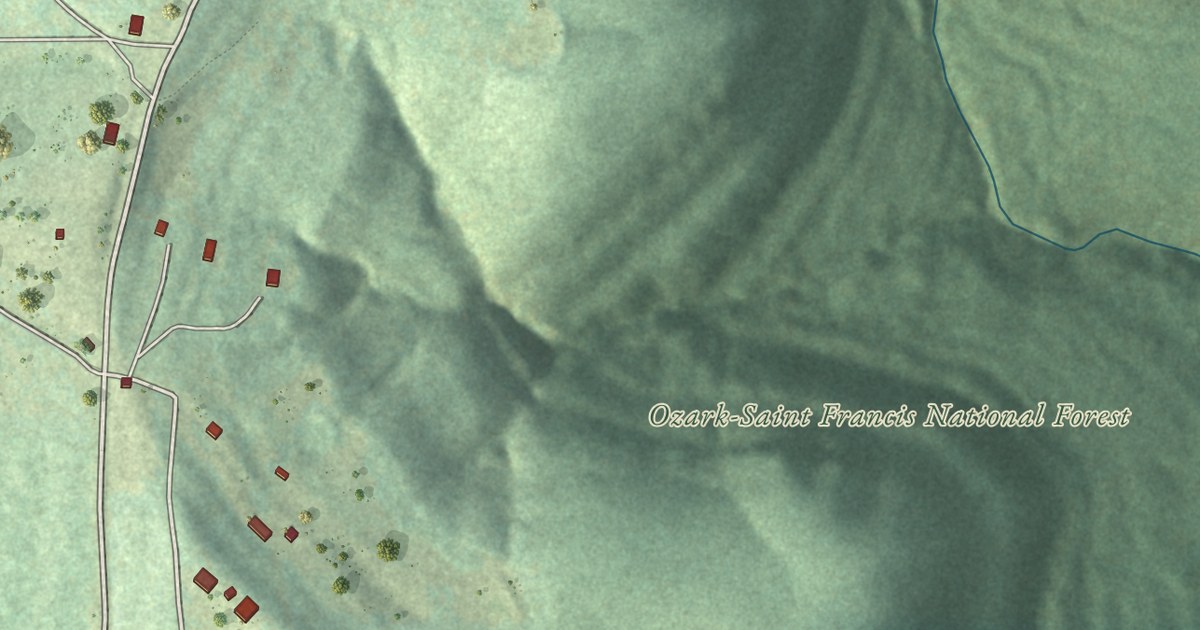
A detailed map of Wayton, Arkansas, showing every building in its true location, the roads by name, and shaded topographical relief.
Read More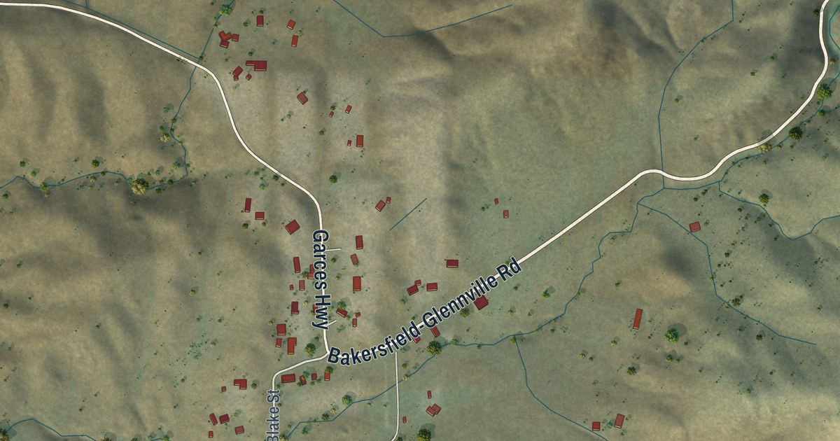
A detailed map of Woody, California, showing every building in its true location, the roads by name, and shaded topographical relief.
Read More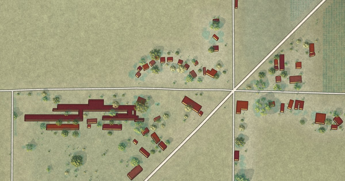
A detailed map of Westside, California, showing every building in its true location, the roads by name, and shaded topographical relief.
Read More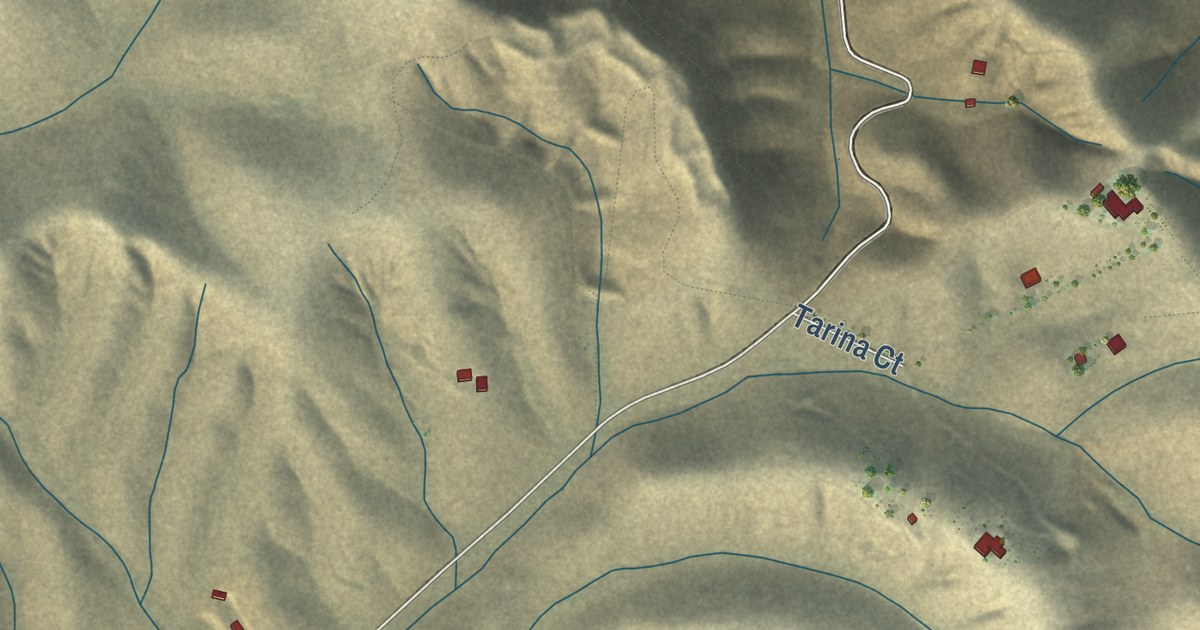
A detailed map of Tarina, California, showing every building in its true location, the roads by name, and shaded topographical relief.
Read More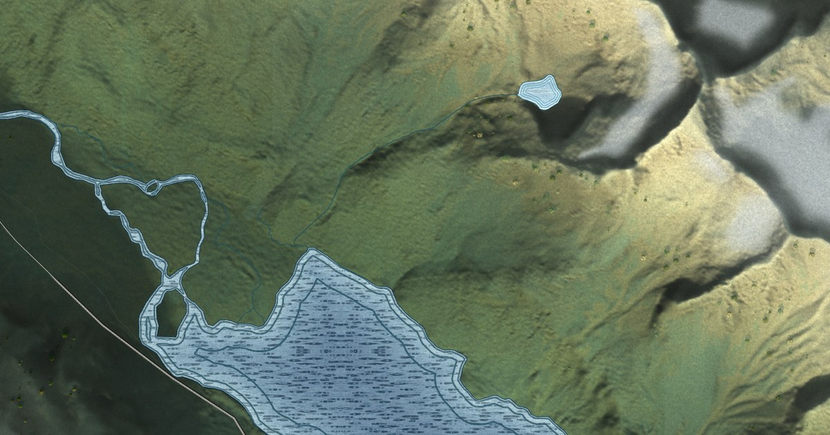
A detailed map of Lutak, Alaska, showing every building in its true location, the roads by name, and shaded topographical relief.
Read More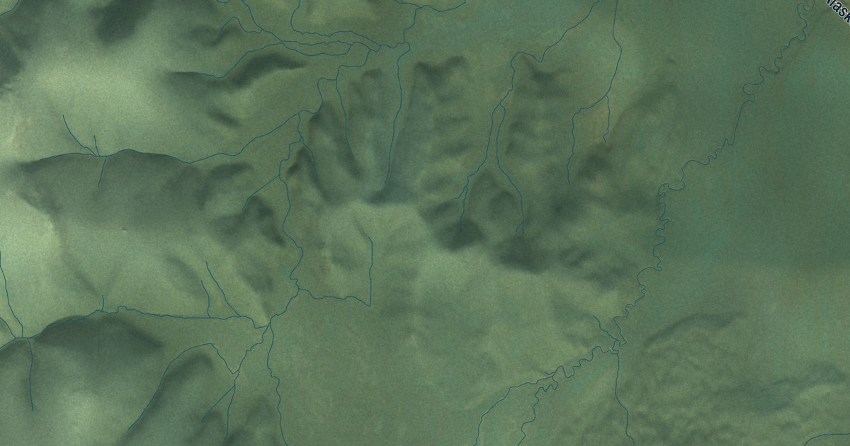
A detailed map of Dot Lake, Alaska, showing every building in its true location, the roads by name, and shaded topographical relief.
Read More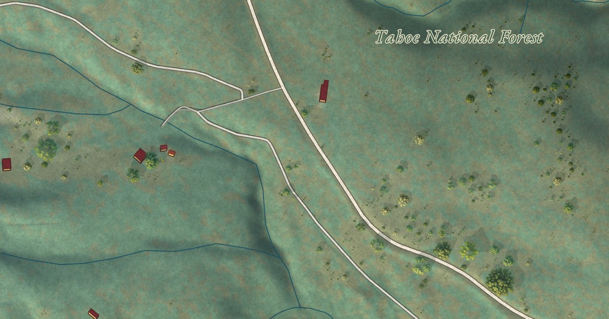
A detailed map of Sattley, California, showing every building in its true location, the roads by name, and shaded topographical relief.
Read More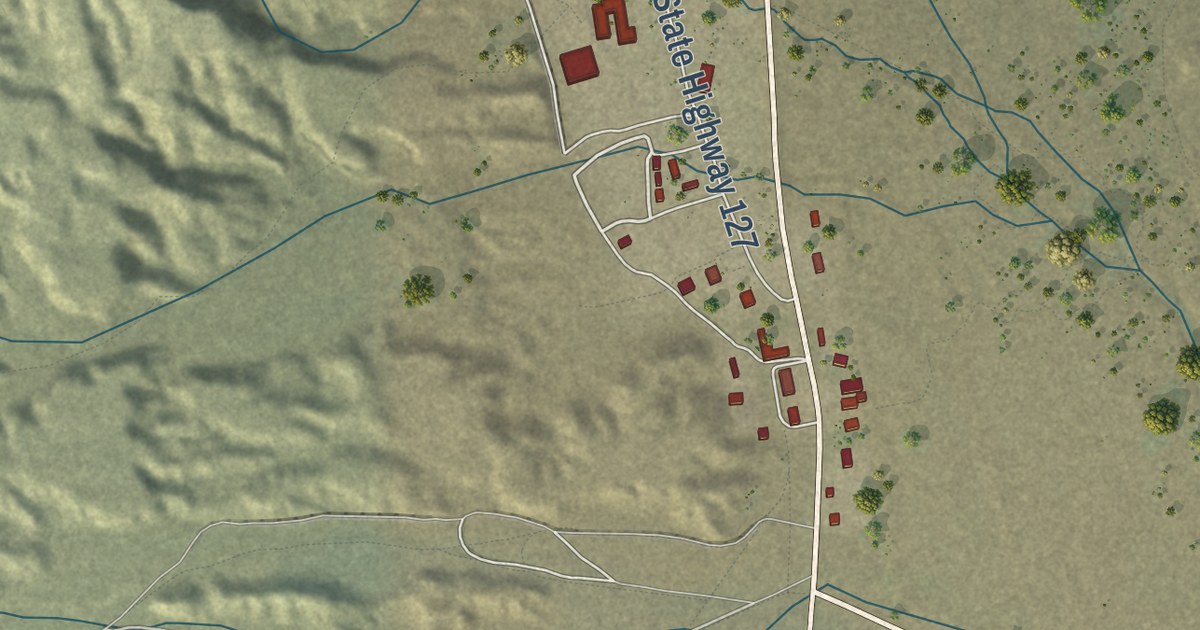
A detailed map of Shoshone, California, showing every building in its true location, the roads by name, and shaded topographical relief.
Read More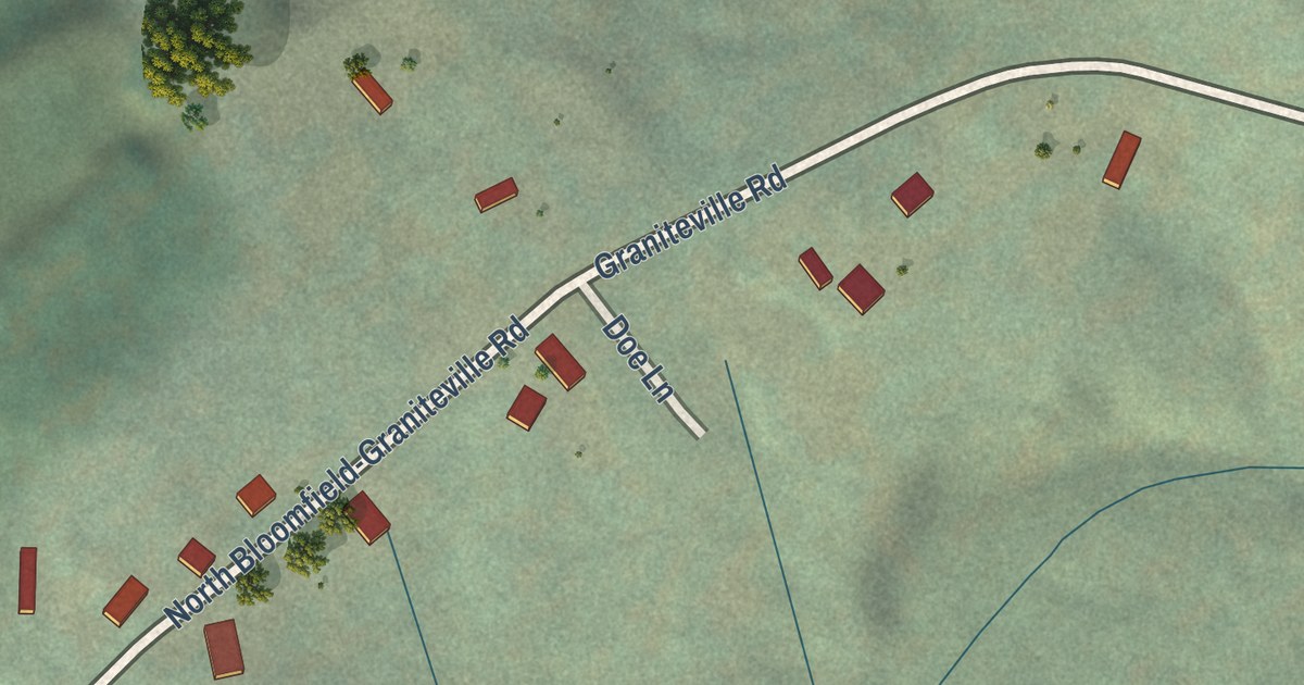
A detailed map of Graniteville, California, showing every building in its true location, the roads by name, and shaded topographical relief.
Read More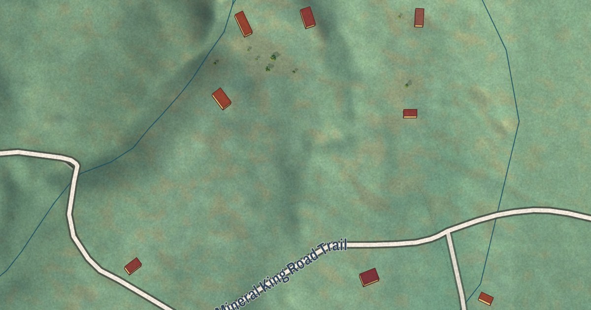
A detailed map of Silver City, California, showing every building in its true location, the roads by name, and shaded topographical relief.
Read More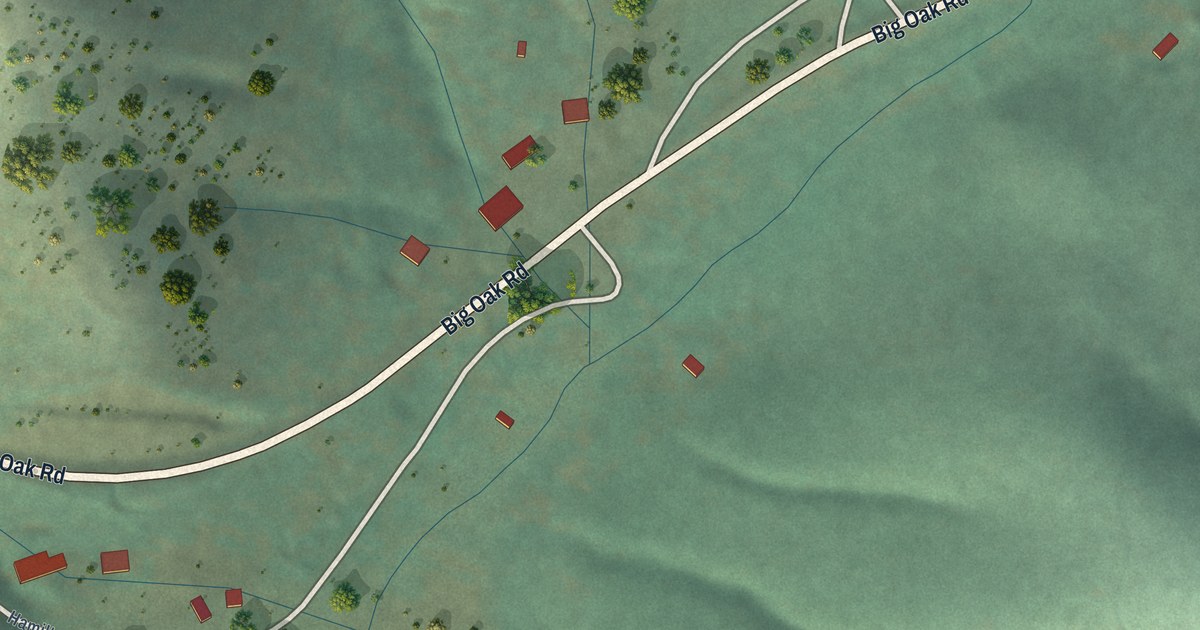
A detailed map of Buck Meadows, California, showing every building in its true location, the roads by name, and shaded topographical relief.
Read More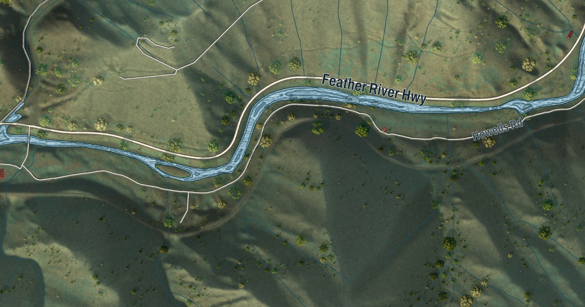
A detailed map of Belden, California, showing every building in its true location, the roads by name, and shaded topographical relief.
Read More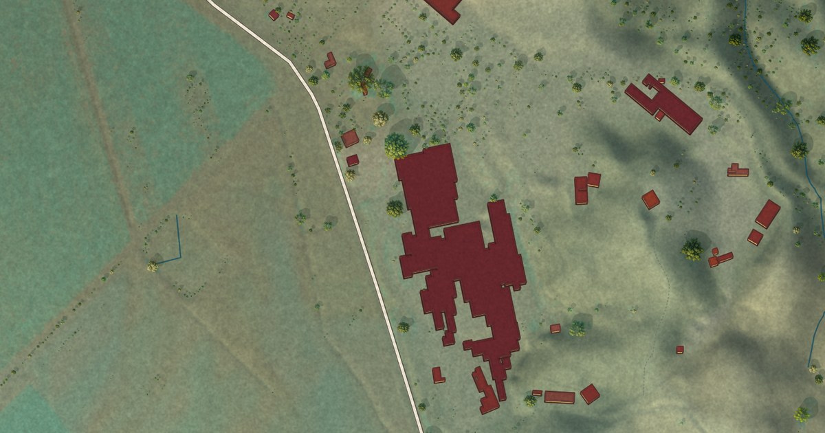
A detailed map of Brooks, California, showing every building in its true location, the roads by name, and shaded topographical relief.
Read More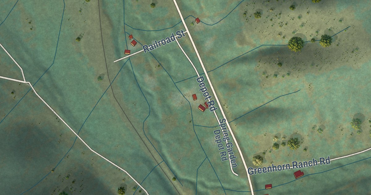
A detailed map of Spring Garden, California, showing every building in its true location, the roads by name, and shaded topographical relief.
Read More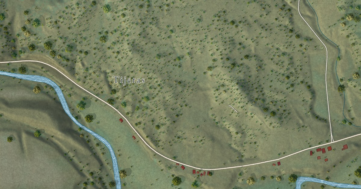
A detailed map of Valdez, Colorado, showing every building in its true location, the roads by name, and shaded topographical relief.
Read More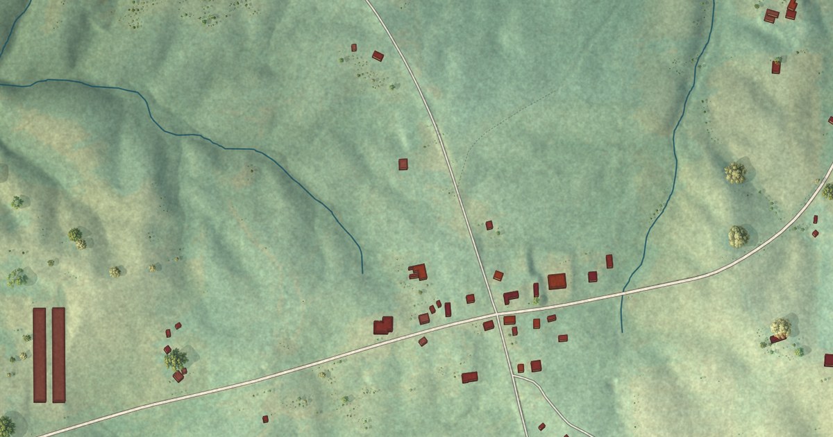
A detailed map of Graham, Alabama, showing every building in its true location, the roads by name, and shaded topographical relief.
Read More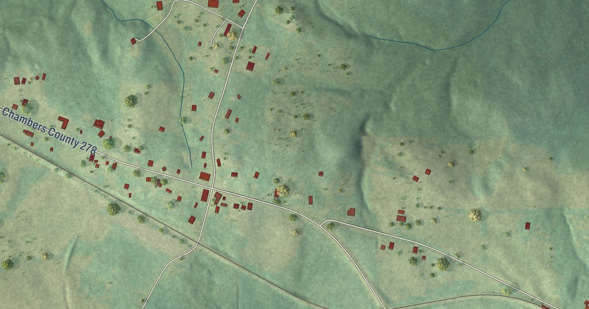
A detailed map of Standing Rock, Alabama, showing every building in its true location, the roads by name, and shaded topographical relief.
Read More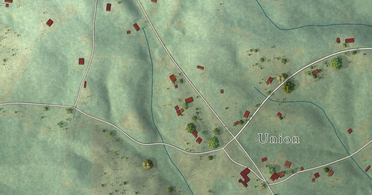
A detailed map of Morrison Crossroads, Alabama, showing every building in its true location, the roads by name, and shaded topographical relief.
Read More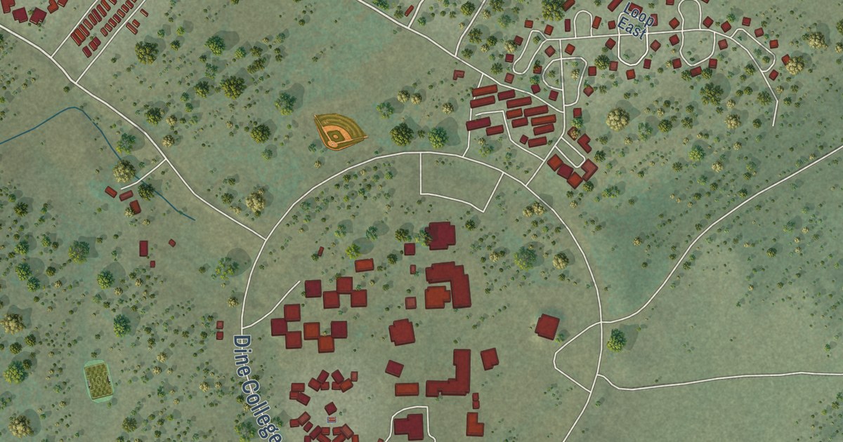
A detailed map of Tsaile, Arizona, showing every building in its true location, the roads by name, and shaded topographical relief.
Read More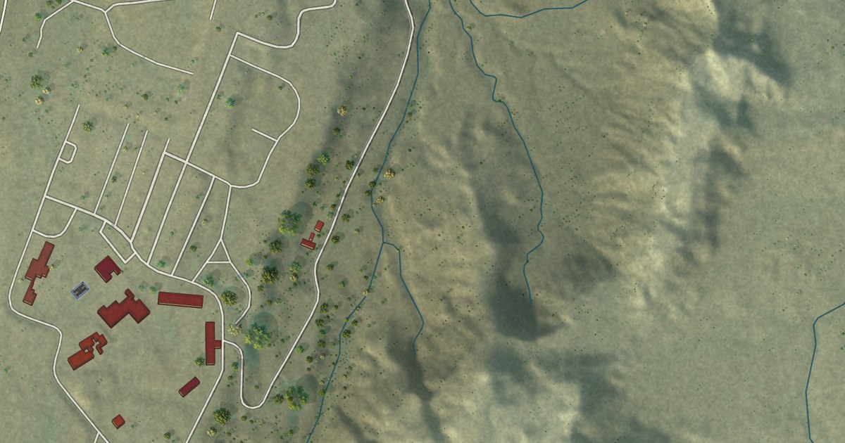
A detailed map of Teec Nos Pos, Arizona, showing every building in its true location, the roads by name, and shaded topographical relief.
Read More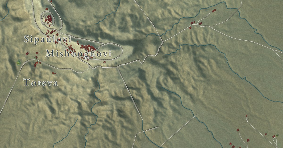
A detailed map of Second Mesa, Arizona, showing every building in its true location, the roads by name, and shaded topographical relief.
Read More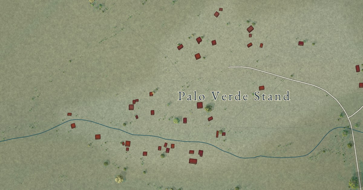
A detailed map of Santa Rosa, Arizona, showing every building in its true location, the roads by name, and shaded topographical relief.
Read More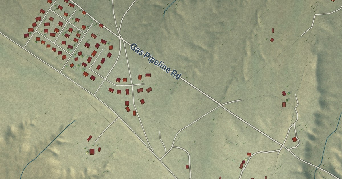
A detailed map of Nazlini, Arizona, showing every building in its true location, the roads by name, and shaded topographical relief.
Read More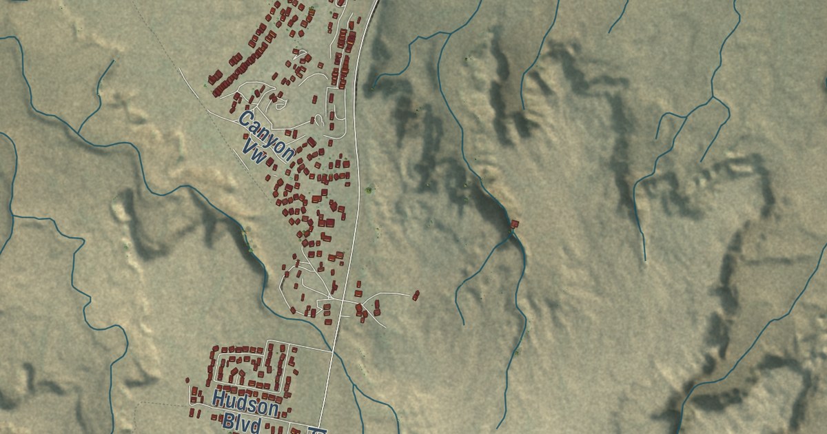
A detailed map of LeChee, Arizona, showing every building in its true location, the roads by name, and shaded topographical relief.
Read More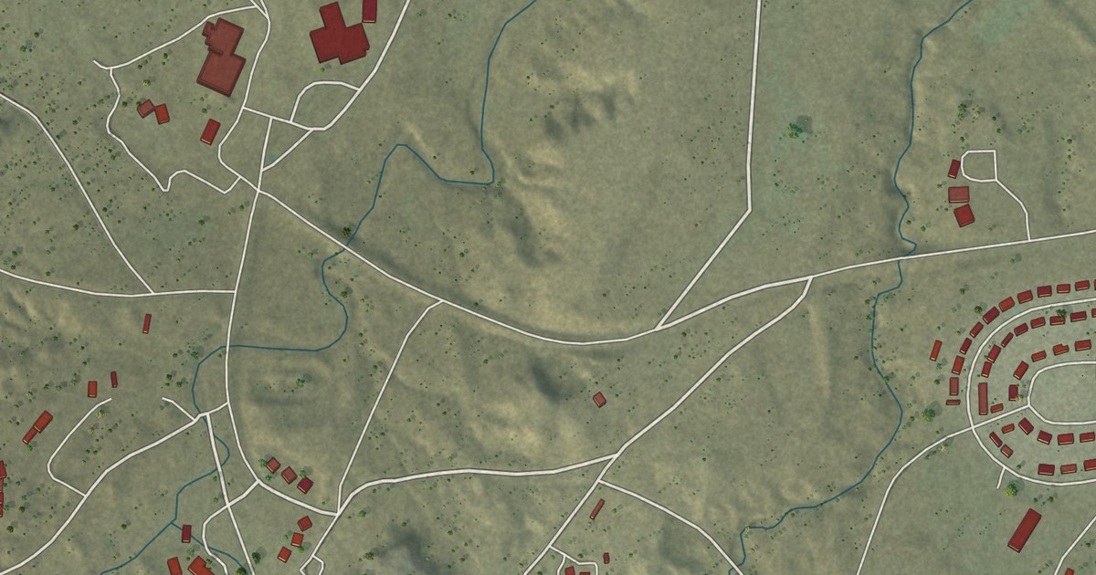
A detailed map of Rough Rock, Arizona, showing every building in its true location, the roads by name, and shaded topographical relief.
Read More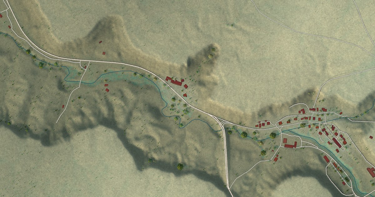
A detailed map of Keams Canyon, Arizona, showing every building in its true location, the roads by name, and shaded topographical relief.
Read More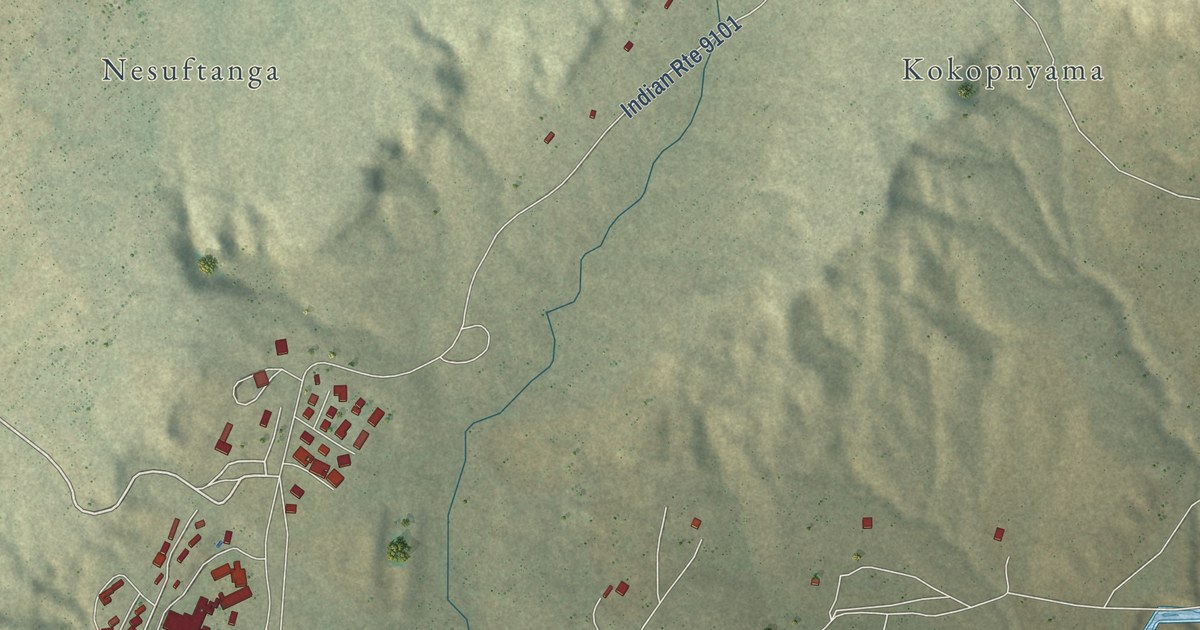
A detailed map of Jeddito, Arizona, showing every building in its true location, the roads by name, and shaded topographical relief.
Read More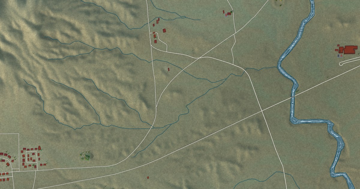
A detailed map of Indian Wells, Arizona, showing every building in its true location, the roads by name, and shaded topographical relief.
Read More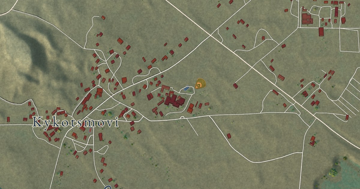
A detailed map of Kykotsmovi Village, Arizona, showing every building in its true location, the roads by name, and shaded topographical relief.
Read More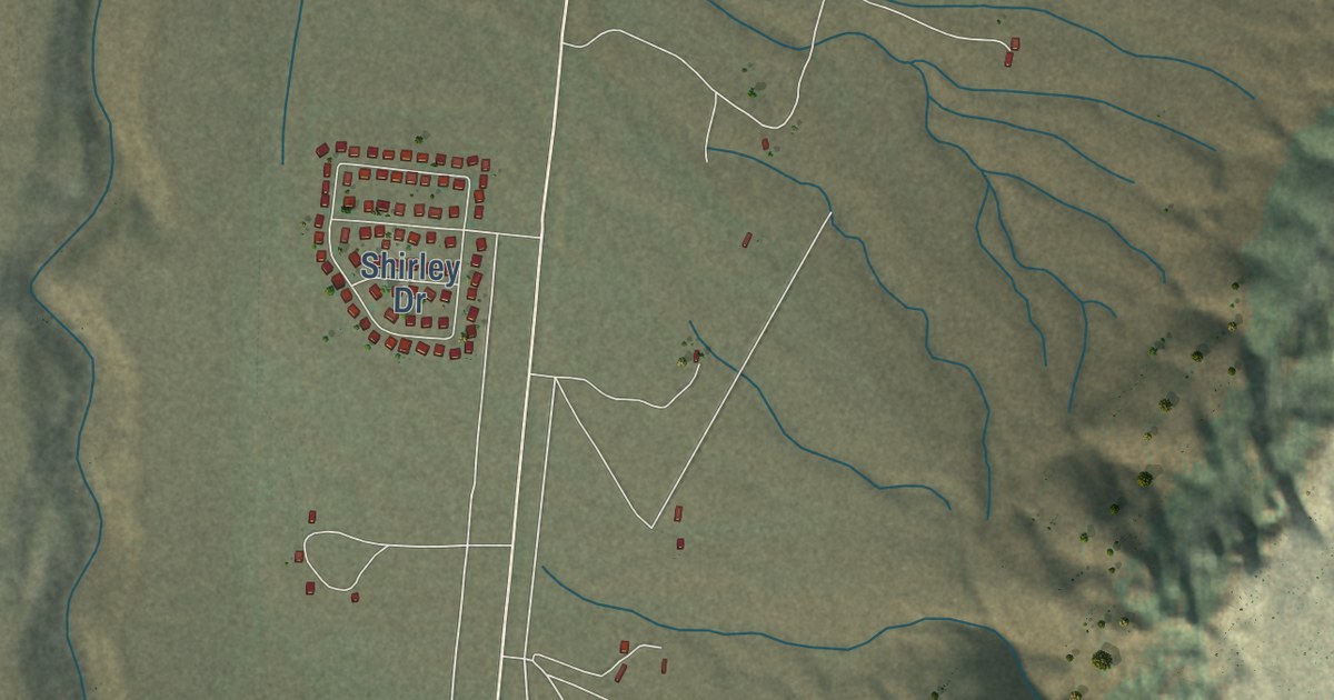
A detailed map of Bitter Springs, Arizona, showing every building in its true location, the roads by name, and shaded topographical relief.
Read More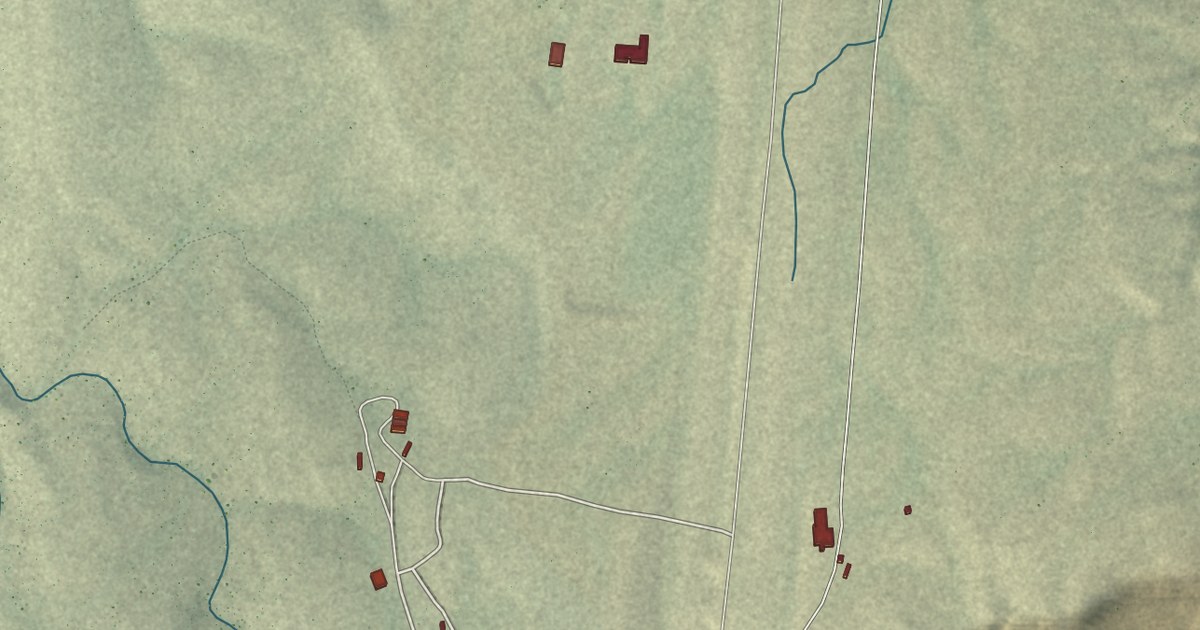
A detailed map of Grand Canyon West, Arizona, showing every building in its true location, the roads by name, and shaded topographical relief.
Read More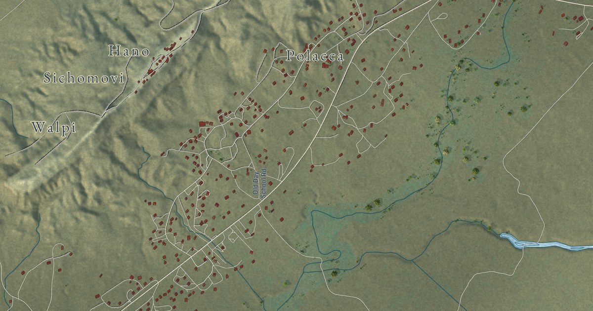
A detailed map of First Mesa, Arizona, showing every building in its true location, the roads by name, and shaded topographical relief.
Read More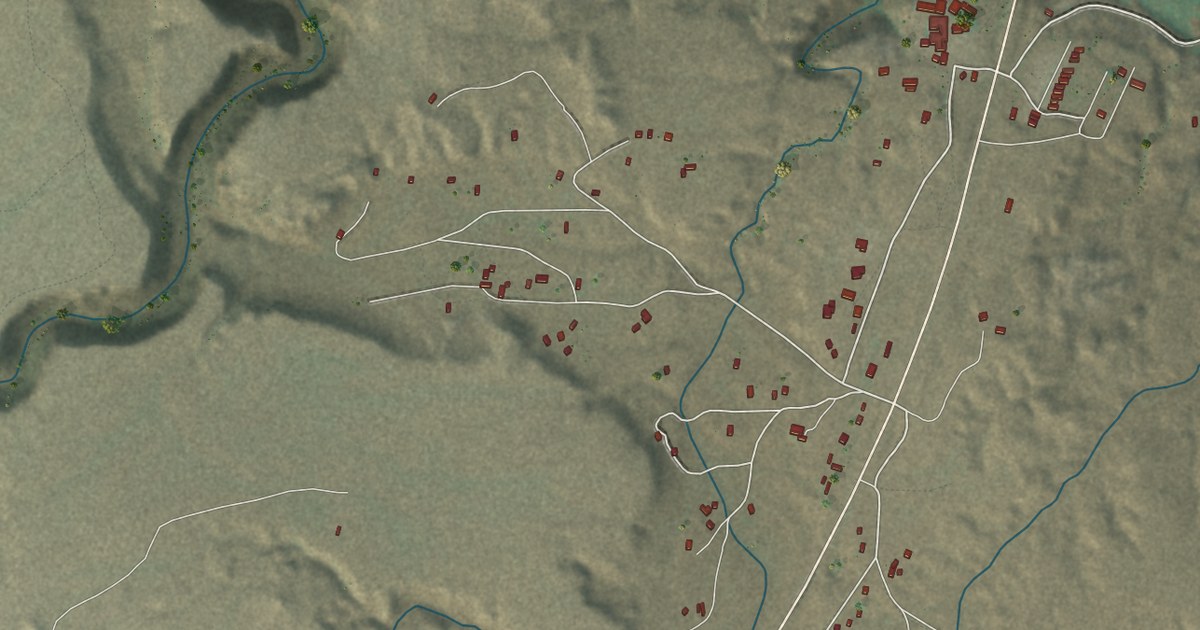
A detailed map of Cameron, Arizona, showing every building in its true location, the roads by name, and shaded topographical relief.
Read More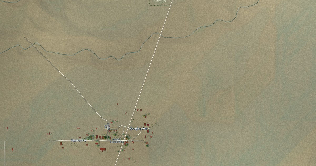
A detailed map of Stanley, New Mexico, showing every building in its true location, the roads by name, and shaded topographical relief.
Read More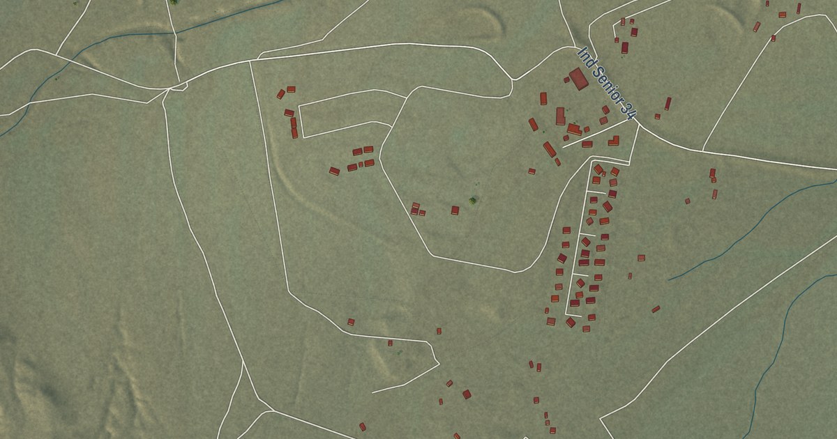
A detailed map of Sanostee, New Mexico, showing every building in its true location, the roads by name, and shaded topographical relief.
Read More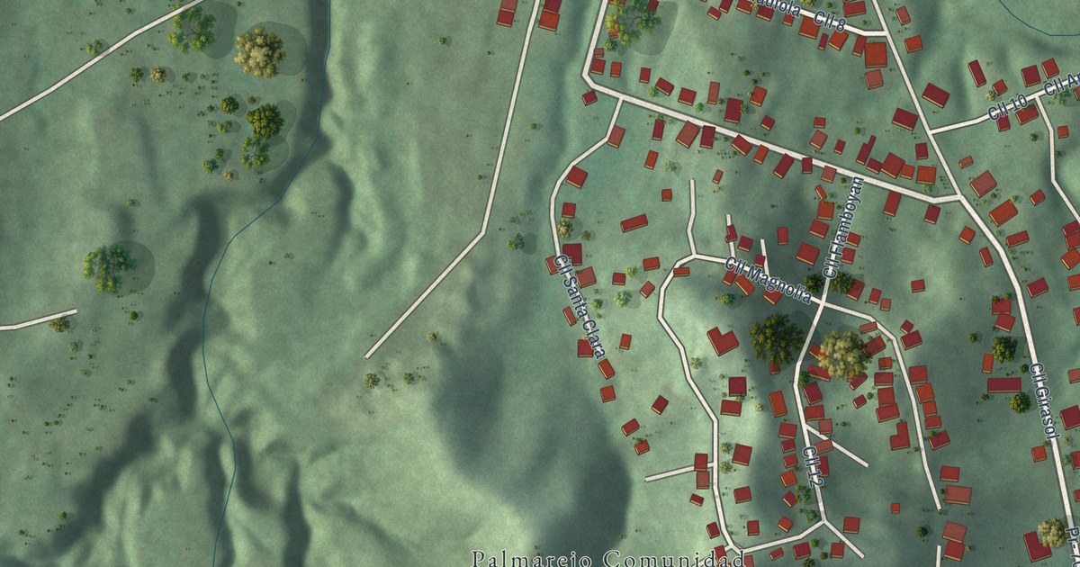
A detailed map of Palmarejo, Puerto Rico, showing every building in its true location, the roads by name, and shaded topographical relief.
Read More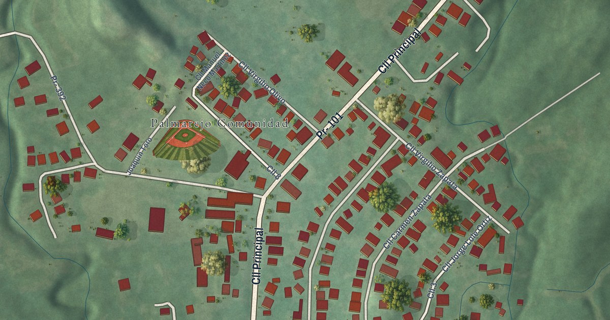
A detailed map of Palmarejo, Puerto Rico, showing every building in its true location, the roads by name, and shaded topographical relief.
Read More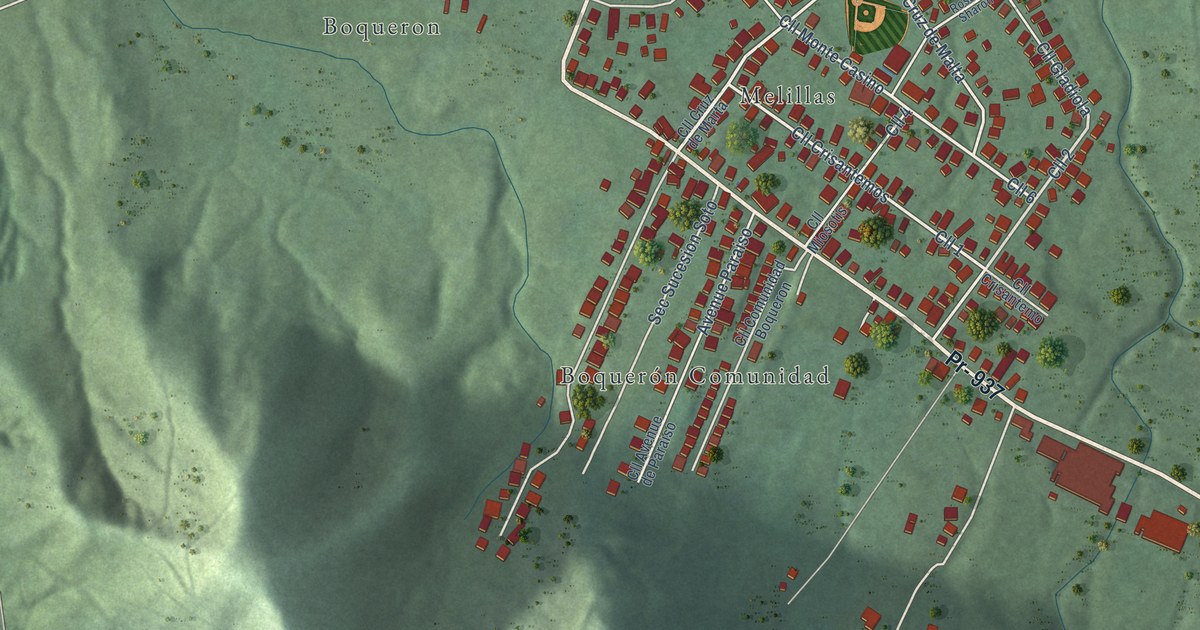
A detailed map of Boquerón, Puerto Rico, showing every building in its true location, the roads by name, and shaded topographical relief.
Read More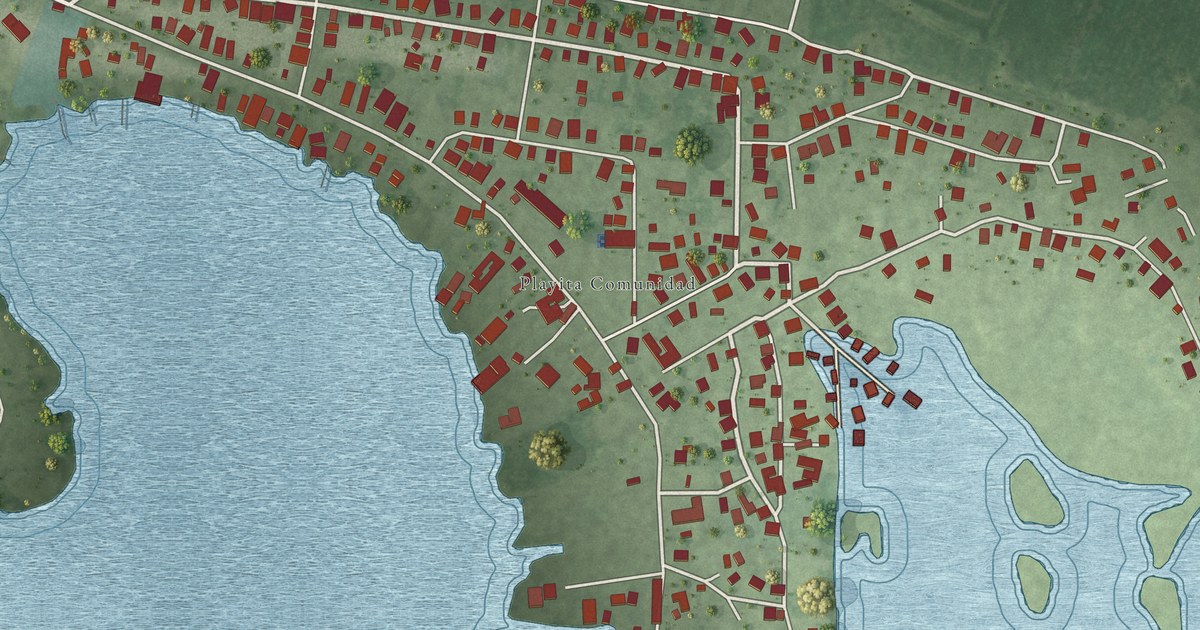
A detailed map of Playita, Puerto Rico, showing every building in its true location, the roads by name, and shaded topographical relief.
Read More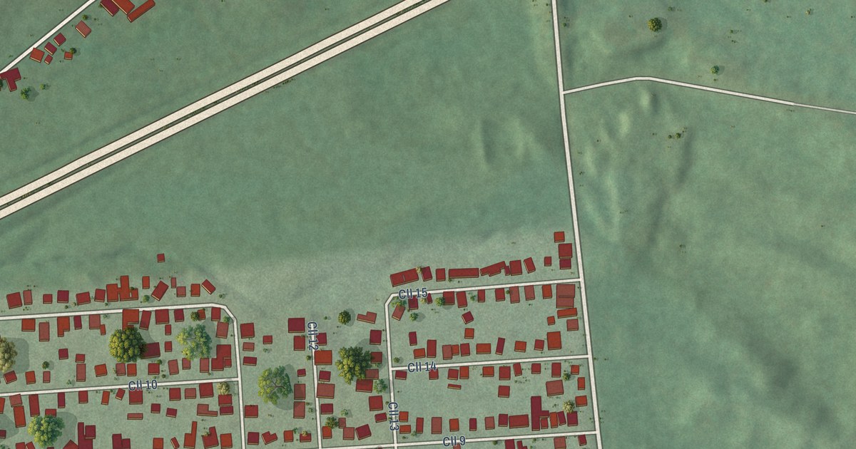
A detailed map of Palomas, Puerto Rico, showing every building in its true location, the roads by name, and shaded topographical relief.
Read More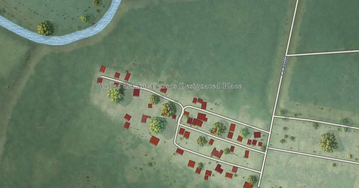
A detailed map of Villas del Sol, Puerto Rico, showing every building in its true location, the roads by name, and shaded topographical relief.
Read More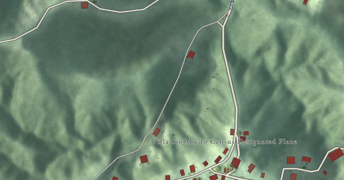
A detailed map of Villa Sin Miedo, Puerto Rico, showing every building in its true location, the roads by name, and shaded topographical relief.
Read More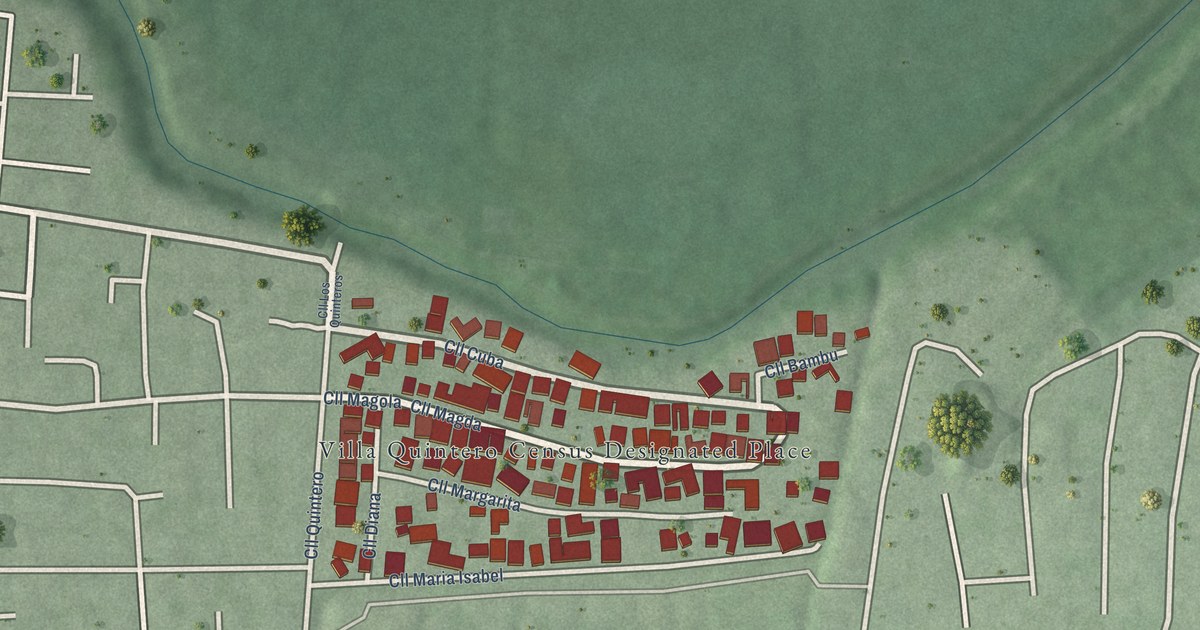
A detailed map of Villa Quintero, Puerto Rico, showing every building in its true location, the roads by name, and shaded topographical relief.
Read More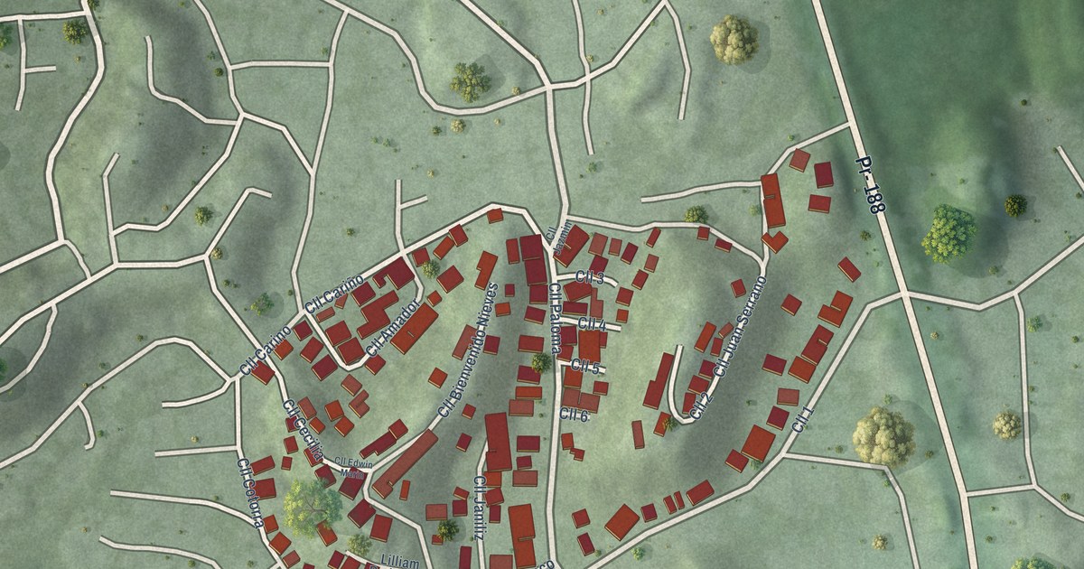
A detailed map of Villa Hugo I, Puerto Rico, showing every building in its true location, the roads by name, and shaded topographical relief.
Read More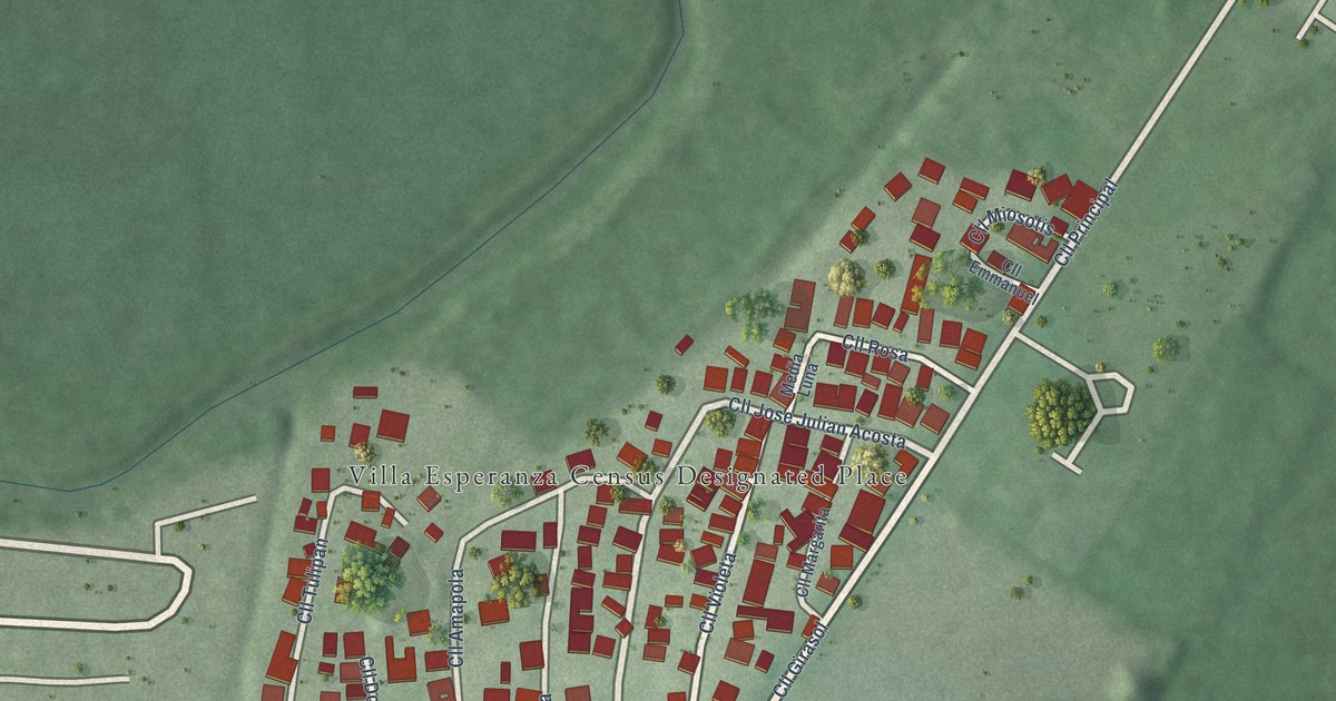
A detailed map of Villa Esperanza, Puerto Rico, showing every building in its true location, the roads by name, and shaded topographical relief.
Read More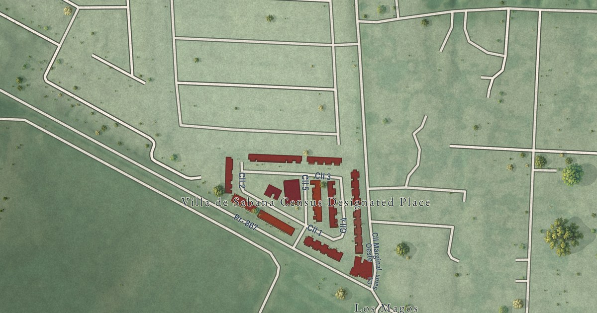
A detailed map of Villa de Sabana, Puerto Rico, showing every building in its true location, the roads by name, and shaded topographical relief.
Read More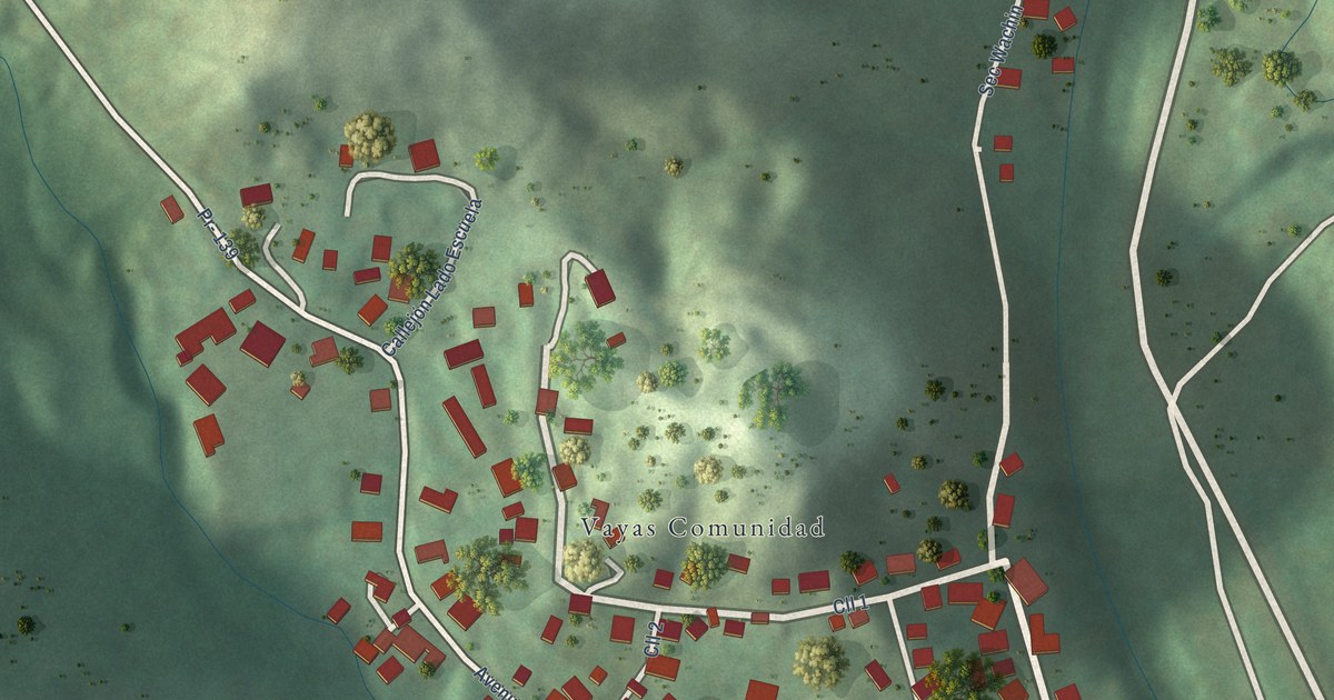
A detailed map of Vayas, Puerto Rico, showing every building in its true location, the roads by name, and shaded topographical relief.
Read More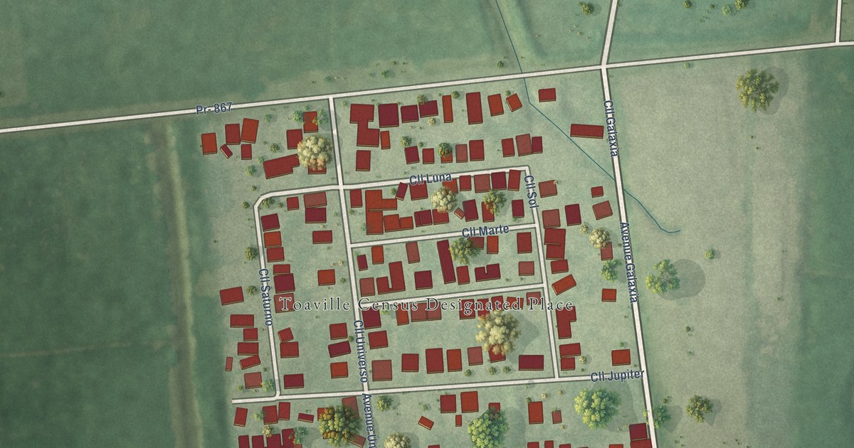
A detailed map of Toaville, Puerto Rico, showing every building in its true location, the roads by name, and shaded topographical relief.
Read More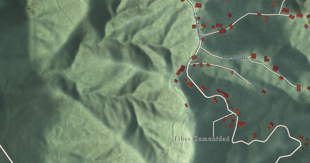
A detailed map of Tibes, Puerto Rico, showing every building in its true location, the roads by name, and shaded topographical relief.
Read More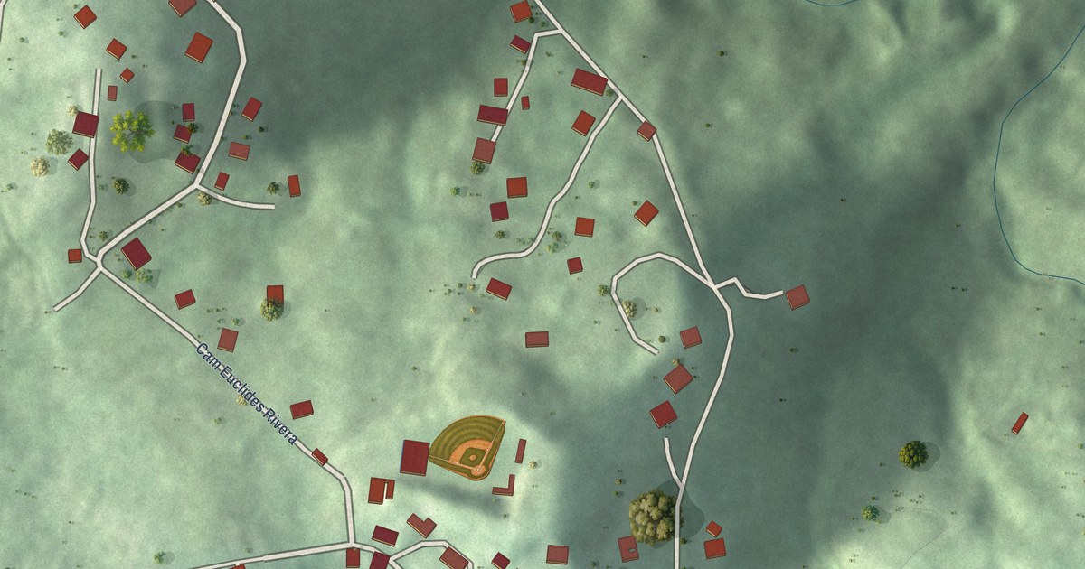
A detailed map of Rodríguez Hevia, Puerto Rico, showing every building in its true location, the roads by name, and shaded topographical relief.
Read More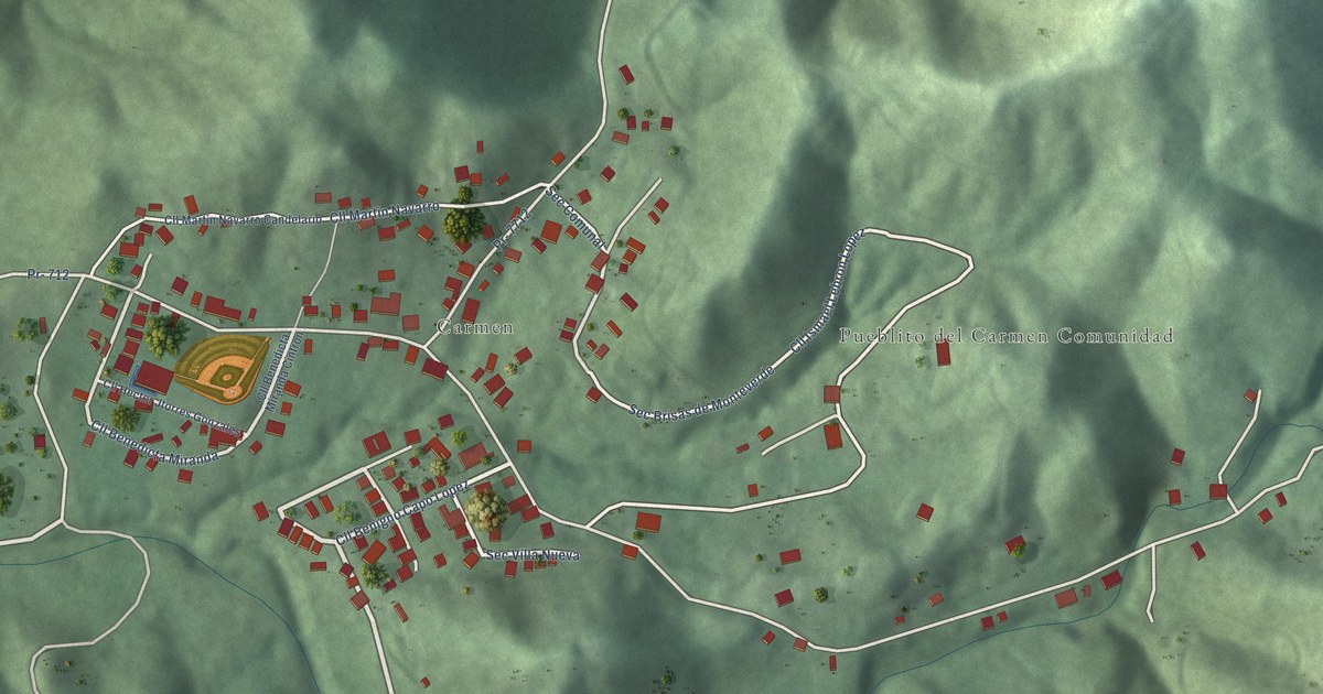
A detailed map of Pueblito del Carmen, Puerto Rico, showing every building in its true location, the roads by name, and shaded topographical relief.
Read More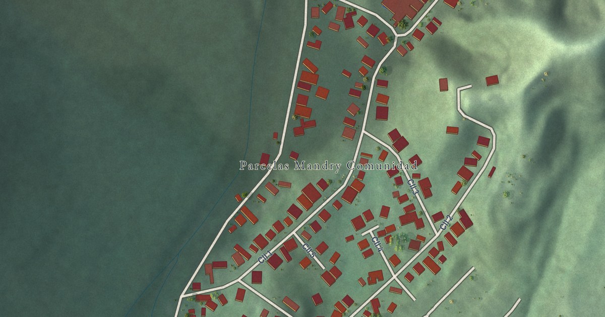
A detailed map of Parcelas Mandry, Puerto Rico, showing every building in its true location, the roads by name, and shaded topographical relief.
Read More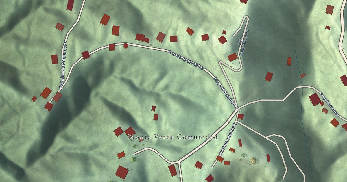
A detailed map of Monte Verde, Puerto Rico, showing every building in its true location, the roads by name, and shaded topographical relief.
Read More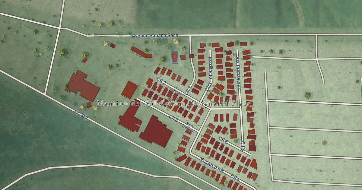
A detailed map of Mansión del Sol, Puerto Rico, showing every building in its true location, the roads by name, and shaded topographical relief.
Read More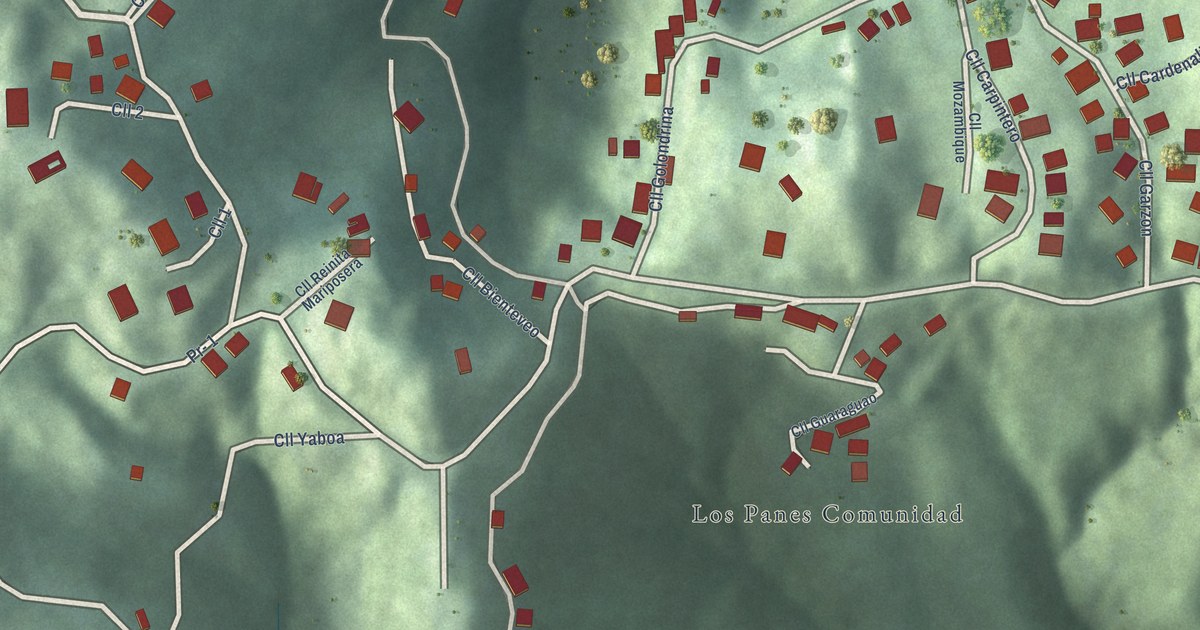
A detailed map of Los Panes, Puerto Rico, showing every building in its true location, the roads by name, and shaded topographical relief.
Read More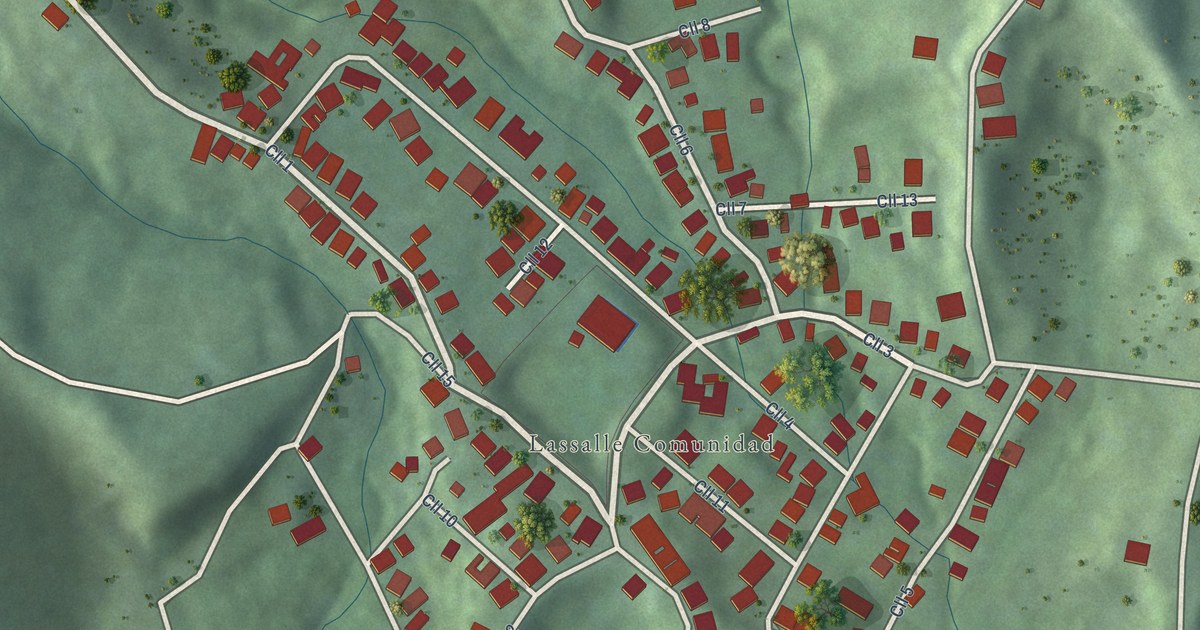
A detailed map of Lassalle, Puerto Rico, showing every building in its true location, the roads by name, and shaded topographical relief.
Read More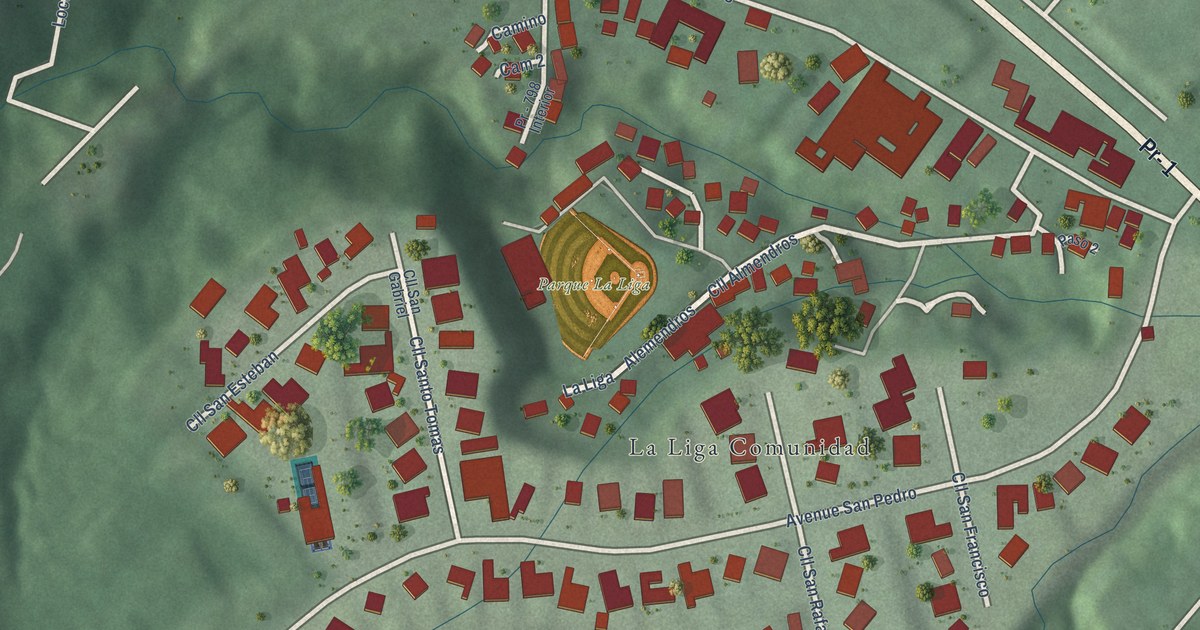
A detailed map of La Liga, Puerto Rico, showing every building in its true location, the roads by name, and shaded topographical relief.
Read More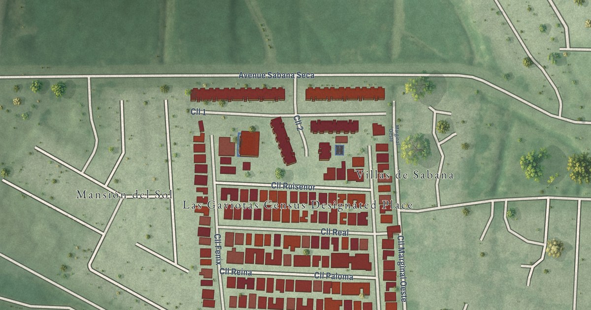
A detailed map of Las Gaviotas, Puerto Rico, showing every building in its true location, the roads by name, and shaded topographical relief.
Read More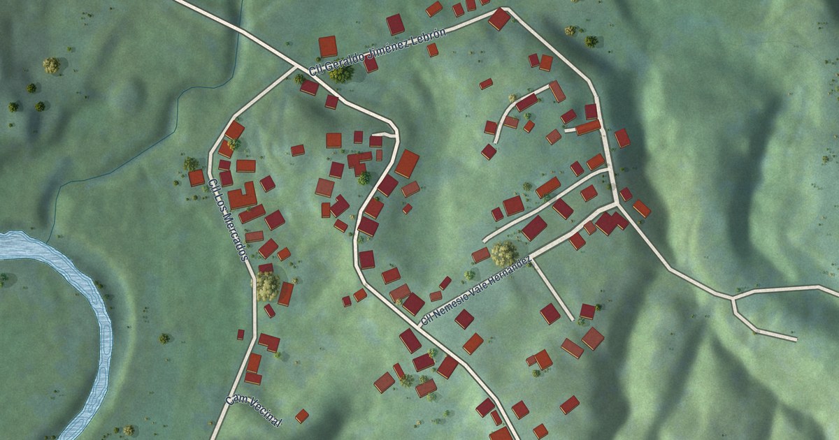
A detailed map of Isleta, Puerto Rico, showing every building in its true location, the roads by name, and shaded topographical relief.
Read More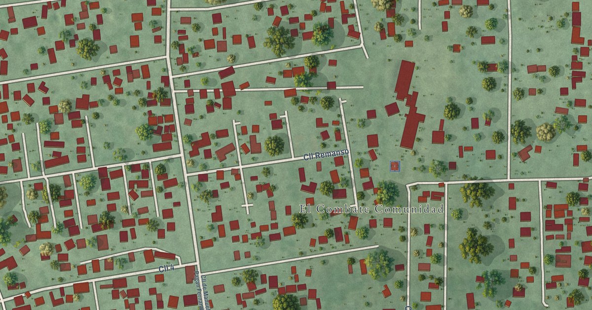
A detailed map of El Combate, Puerto Rico, showing every building in its true location, the roads by name, and shaded topographical relief.
Read More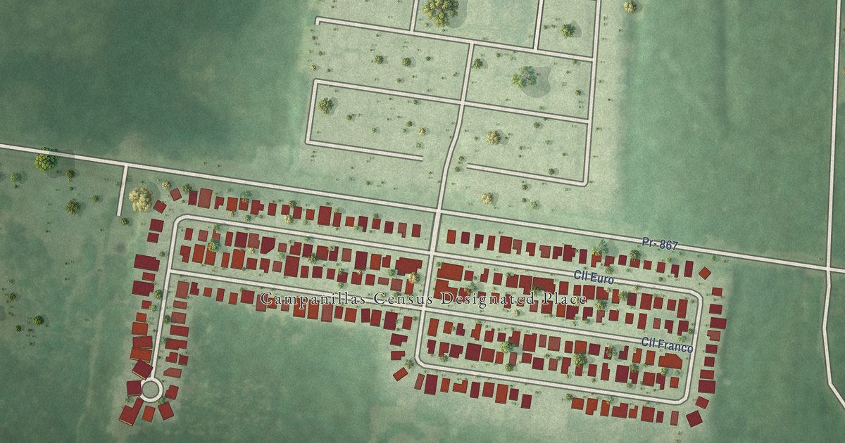
A detailed map of Campanillas, Puerto Rico, showing every building in its true location, the roads by name, and shaded topographical relief.
Read More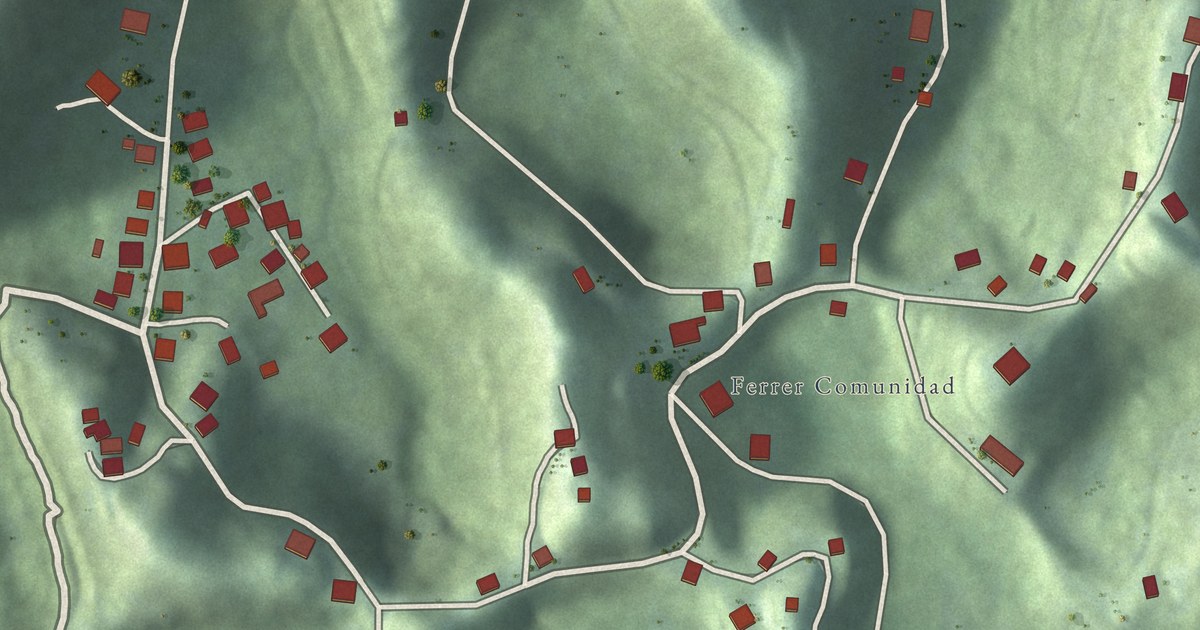
A detailed map of Ferrer, Puerto Rico, showing every building in its true location, the roads by name, and shaded topographical relief.
Read More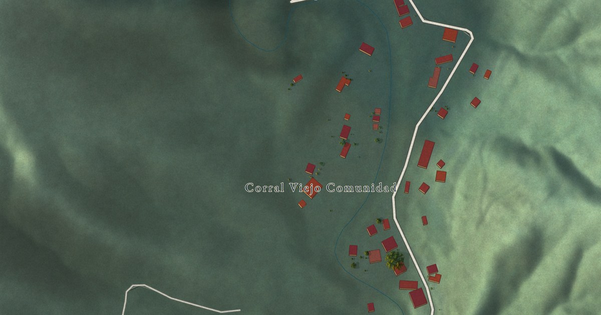
A detailed map of Corral Viejo, Puerto Rico, showing every building in its true location, the roads by name, and shaded topographical relief.
Read More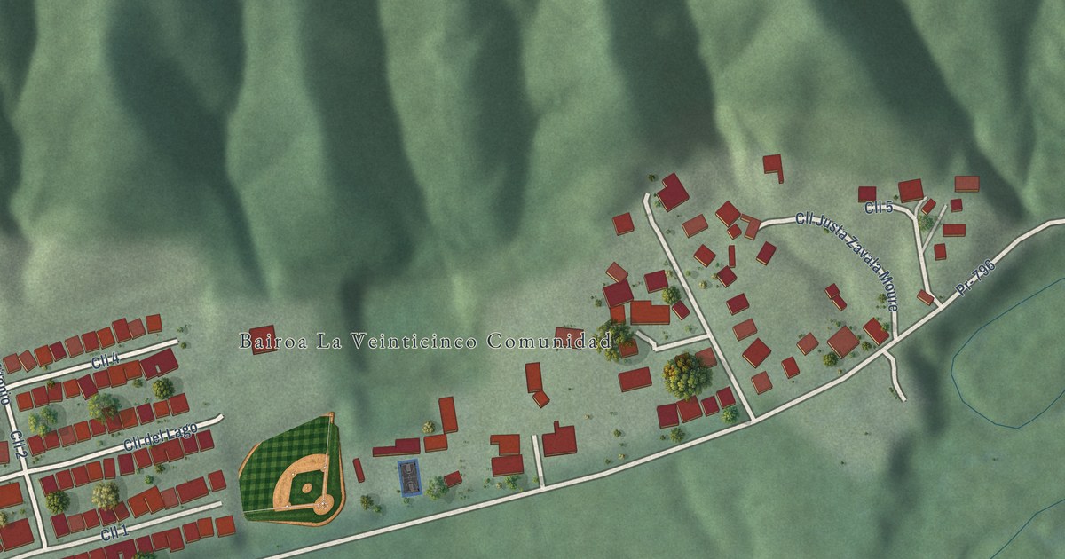
A detailed map of Bairoa La Veinticinco, Puerto Rico, showing every building in its true location, the roads by name, and shaded topographical relief.
Read More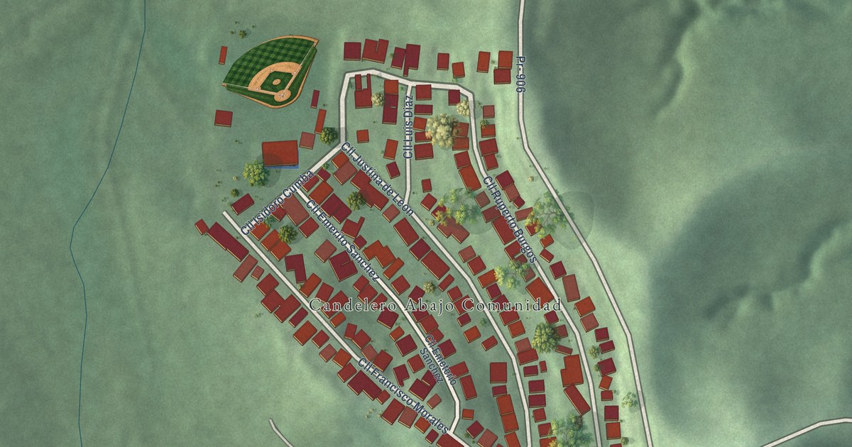
A detailed map of Candelero Abajo, Puerto Rico, showing every building in its true location, the roads by name, and shaded topographical relief.
Read More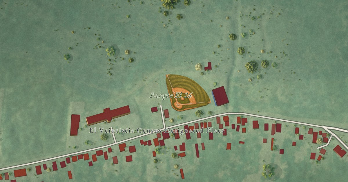
A detailed map of El Veintiséis, Puerto Rico, showing every building in its true location, the roads by name, and shaded topographical relief.
Read More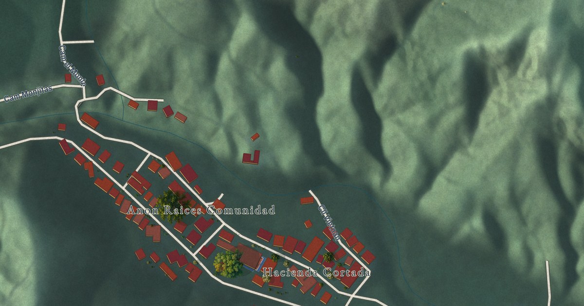
A detailed map of Anon Raices, Puerto Rico, showing every building in its true location, the roads by name, and shaded topographical relief.
Read More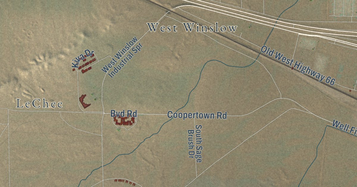
A detailed map of Winslow West, Arizona, showing every building in its true location, the roads by name, and shaded topographical relief.
Read More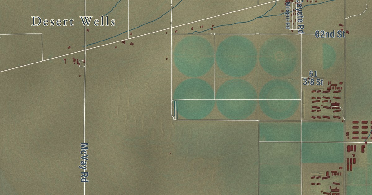
A detailed map of Vicksburg, Arizona, showing every building in its true location, the roads by name, and shaded topographical relief.
Read More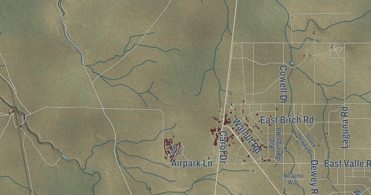
A detailed map of Valle, Arizona, showing every building in its true location, the roads by name, and shaded topographical relief.
Read More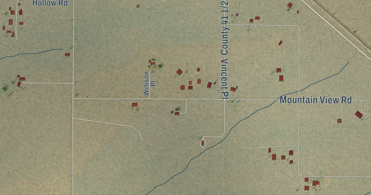
A detailed map of Utting, Arizona, showing every building in its true location, the roads by name, and shaded topographical relief.
Read More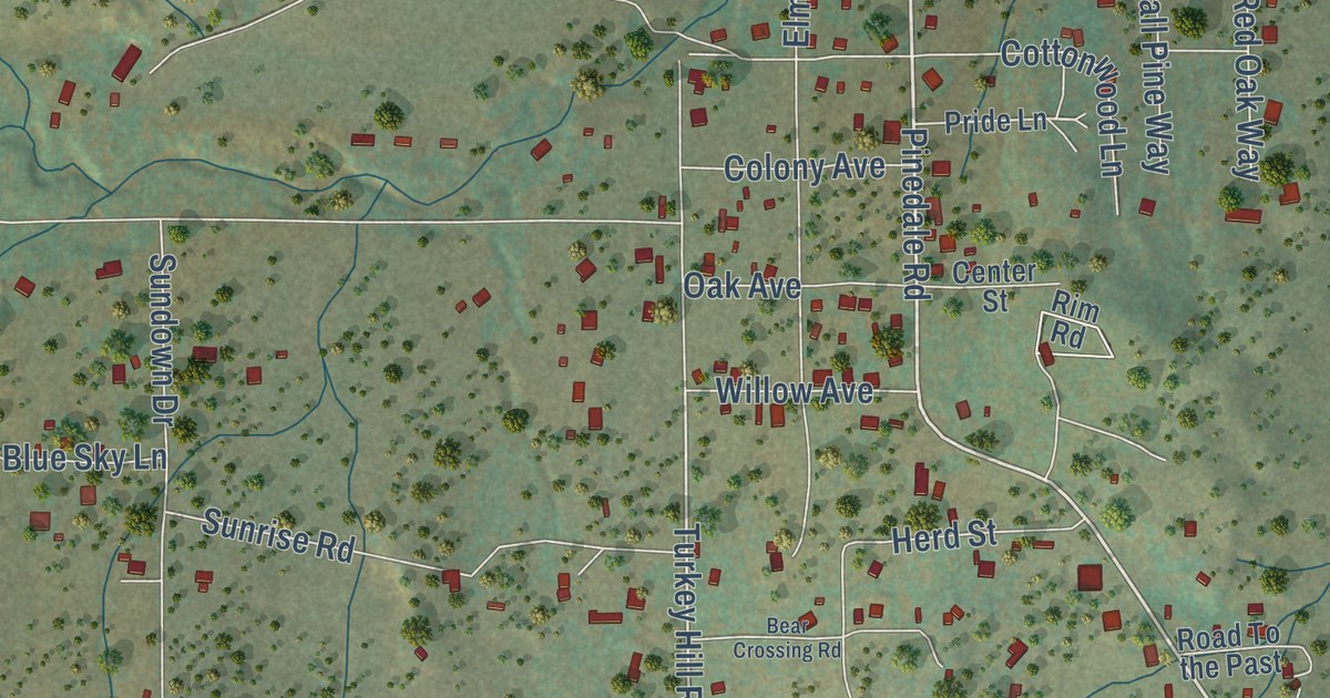
A detailed map of Pinedale, Arizona, showing every building in its true location, the roads by name, and shaded topographical relief.
Read More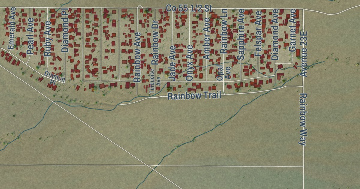
A detailed map of La Paz Valley, Arizona, showing every building in its true location, the roads by name, and shaded topographical relief.
Read More















