Detailed Map of Norma, New Jersey
A detailed map of Norma, New Jersey, showing every building in its true location, the roads by name, and shaded topographical relief.
Read More
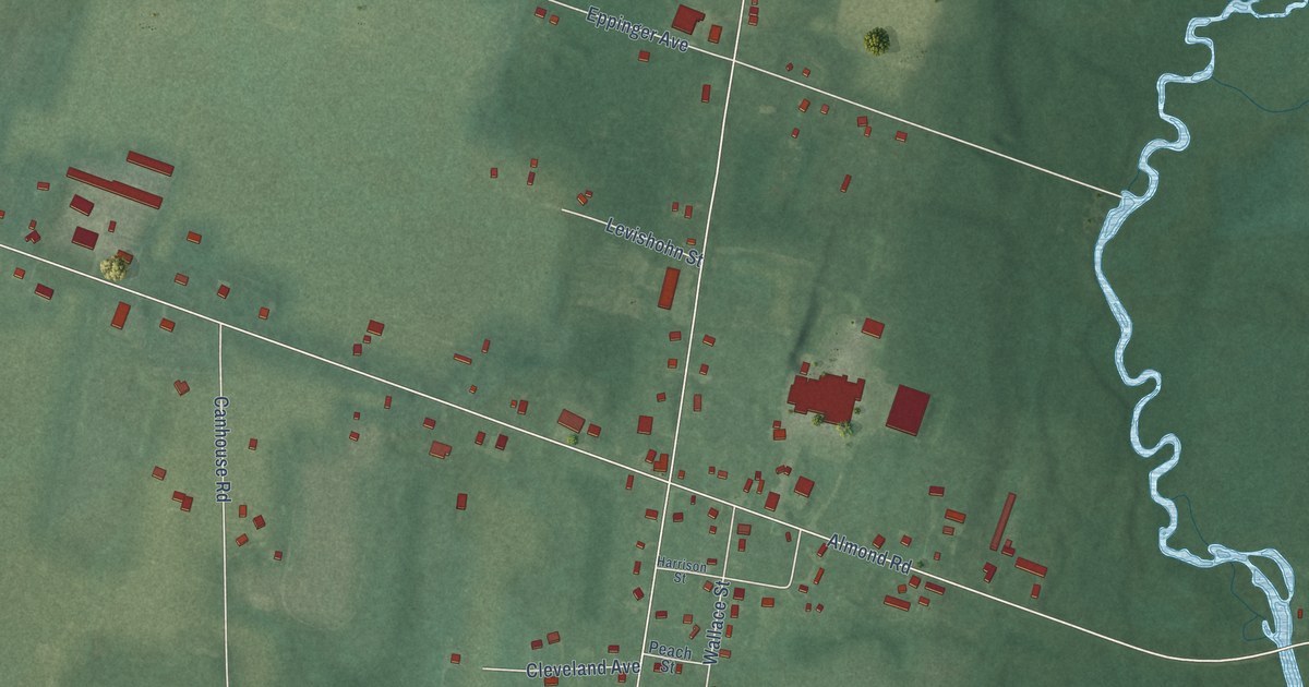
A detailed map of Norma, New Jersey, showing every building in its true location, the roads by name, and shaded topographical relief.
Read More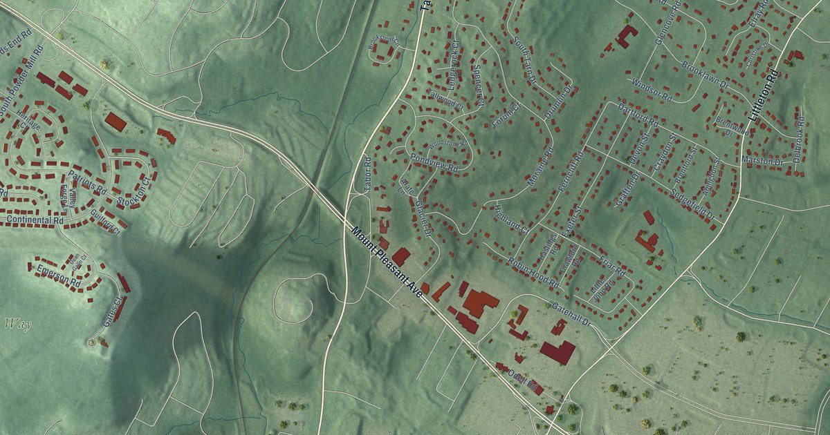
A detailed map of Littleton, New Jersey, showing every building in its true location, the roads by name, and shaded topographical relief.
Read More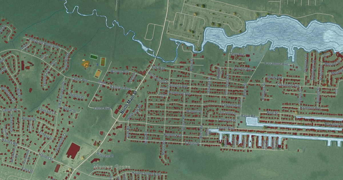
A detailed map of Lanoka Harbor, New Jersey, showing every building in its true location, the roads by name, and shaded topographical relief.
Read More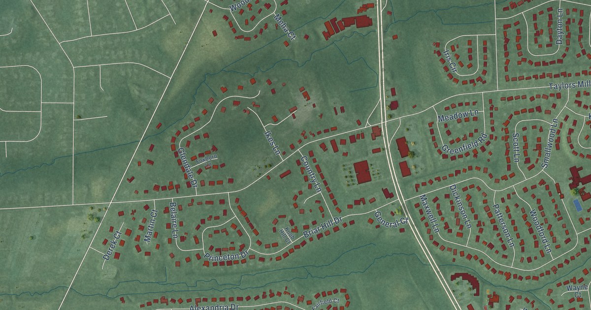
A detailed map of Lafayette Mills, New Jersey, showing every building in its true location, the roads by name, and shaded topographical relief.
Read More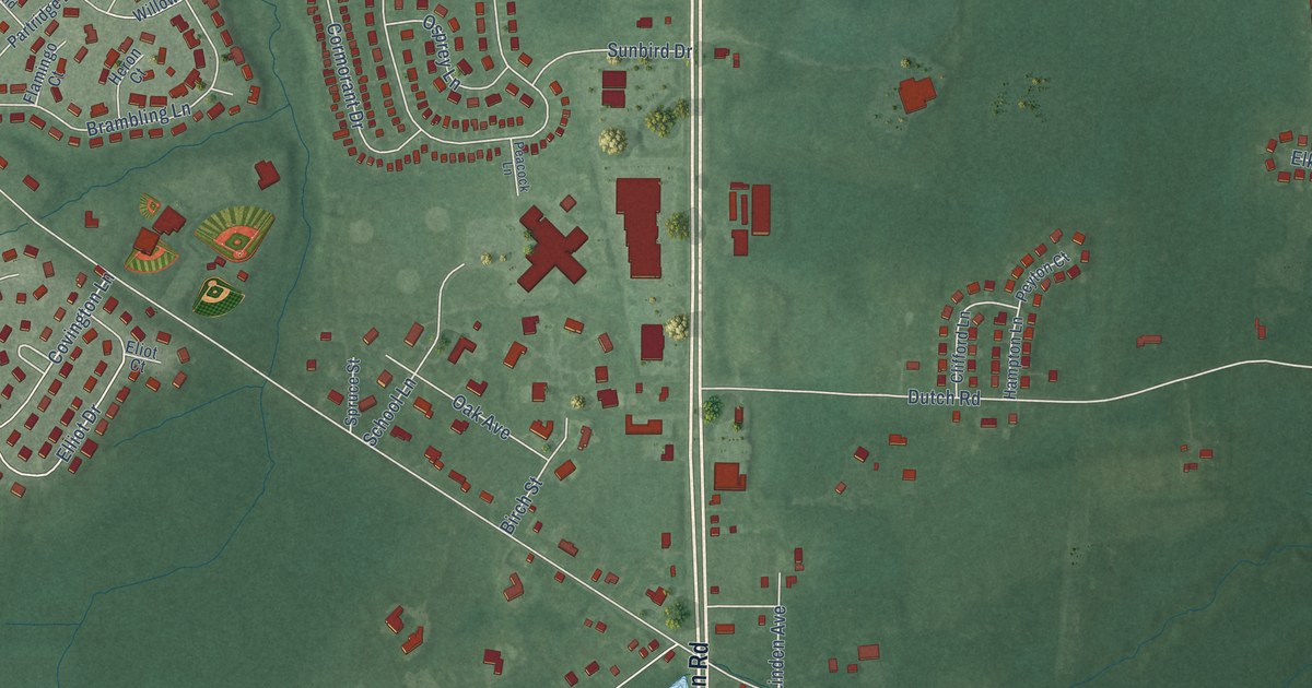
A detailed map of Kresson, New Jersey, showing every building in its true location, the roads by name, and shaded topographical relief.
Read More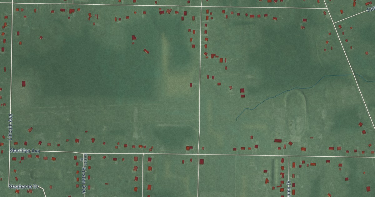
A detailed map of Janvier, New Jersey, showing every building in its true location, the roads by name, and shaded topographical relief.
Read More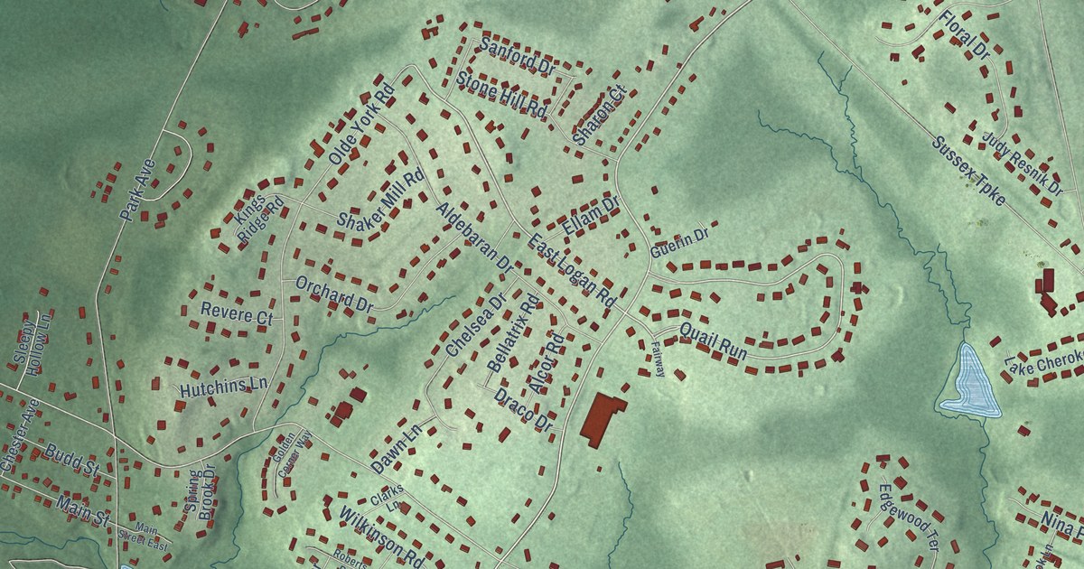
A detailed map of Ironia, New Jersey, showing every building in its true location, the roads by name, and shaded topographical relief.
Read More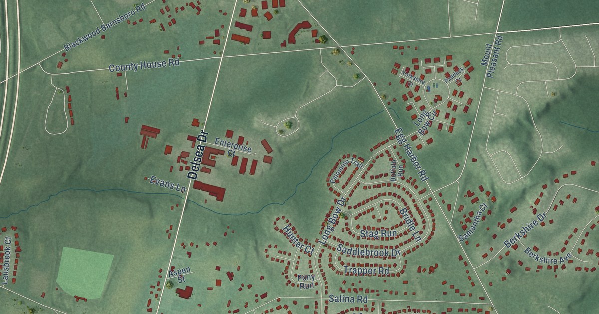
A detailed map of Hurffville, New Jersey, showing every building in its true location, the roads by name, and shaded topographical relief.
Read More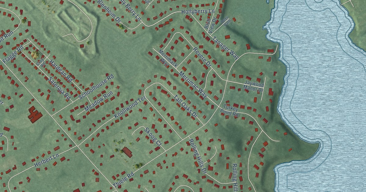
A detailed map of Herbertsville, New Jersey, showing every building in its true location, the roads by name, and shaded topographical relief.
Read More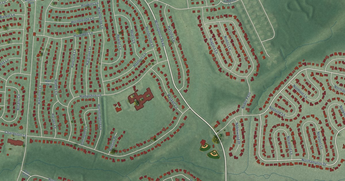
A detailed map of Hawthorne Park, New Jersey, showing every building in its true location, the roads by name, and shaded topographical relief.
Read More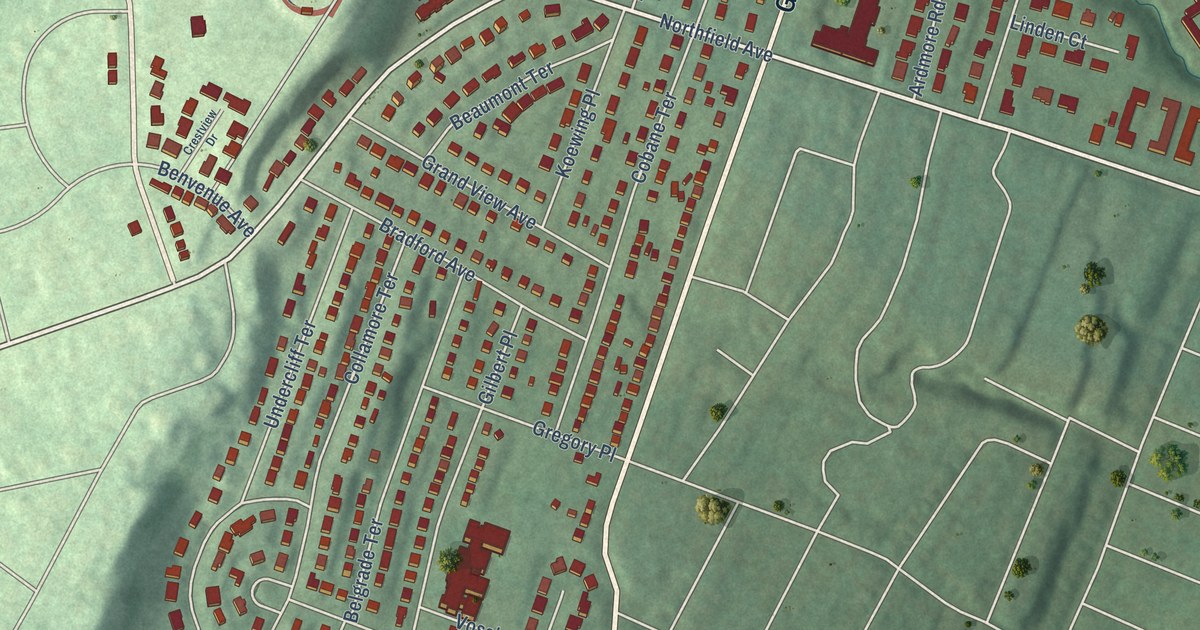
A detailed map of Gregory, New Jersey, showing every building in its true location, the roads by name, and shaded topographical relief.
Read More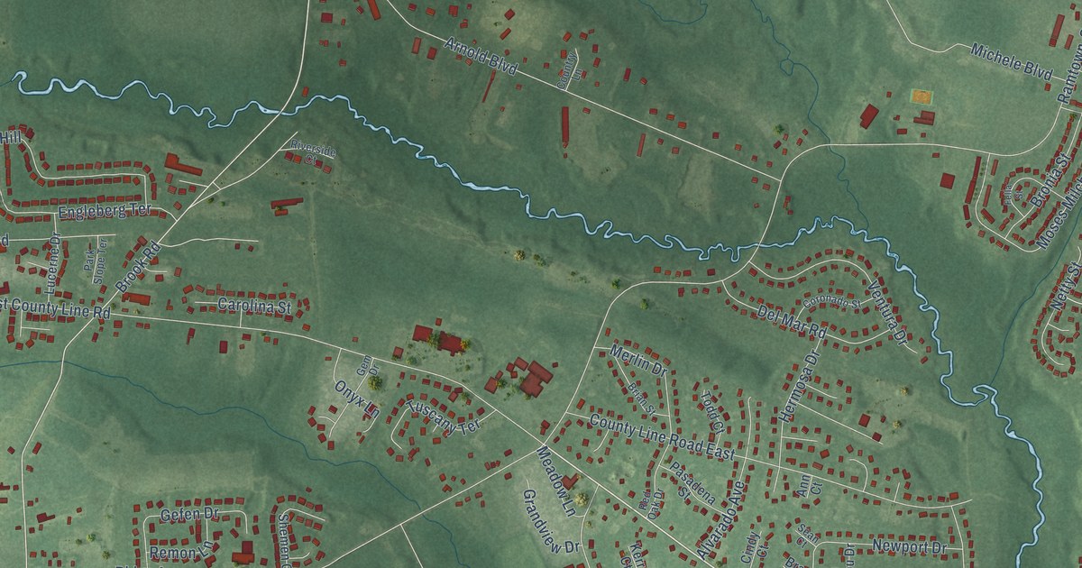
A detailed map of Greenville, New Jersey, showing every building in its true location, the roads by name, and shaded topographical relief.
Read More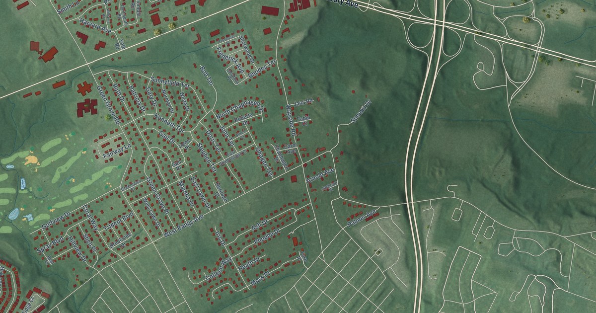
A detailed map of Green Grove, New Jersey, showing every building in its true location, the roads by name, and shaded topographical relief.
Read More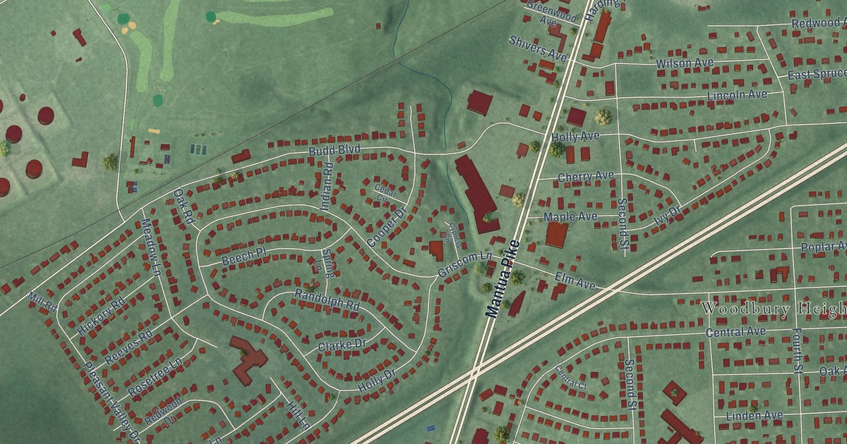
A detailed map of Green-Fields, New Jersey, showing every building in its true location, the roads by name, and shaded topographical relief.
Read More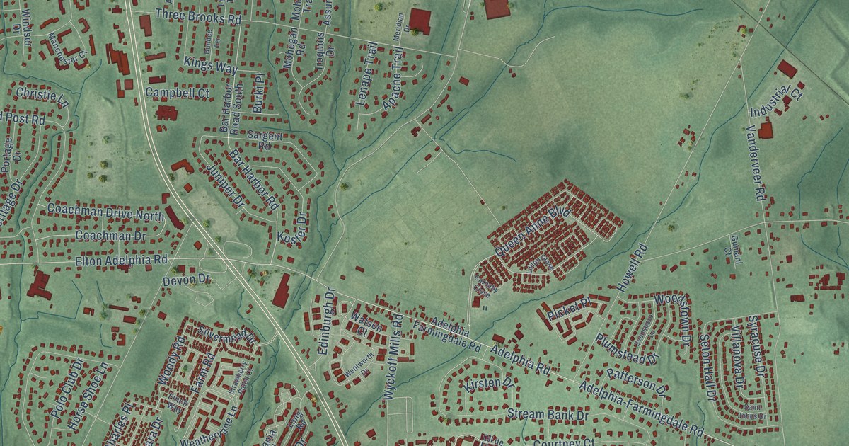
A detailed map of Adelphia, New Jersey, showing every building in its true location, the roads by name, and shaded topographical relief.
Read More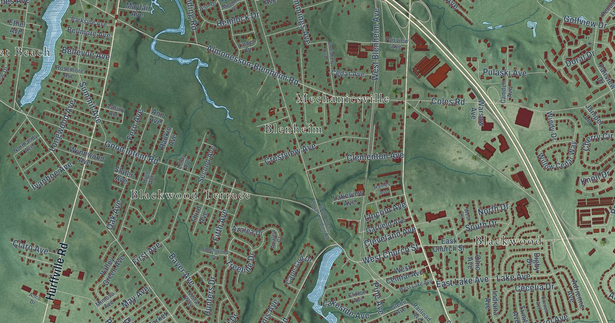
A detailed map of Good Intent, New Jersey, showing every building in its true location, the roads by name, and shaded topographical relief.
Read More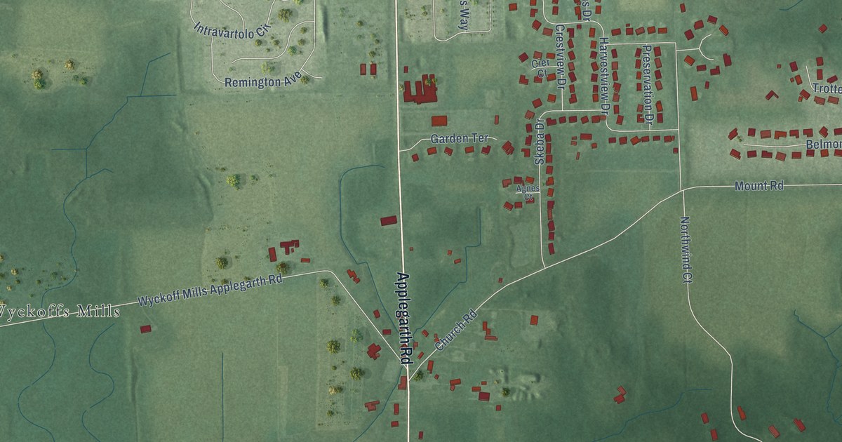
A detailed map of Applegarth, New Jersey, showing every building in its true location, the roads by name, and shaded topographical relief.
Read More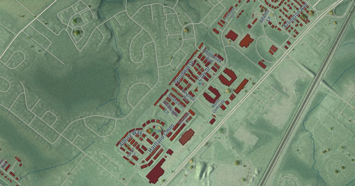
A detailed map of Adams, New Jersey, showing every building in its true location, the roads by name, and shaded topographical relief.
Read More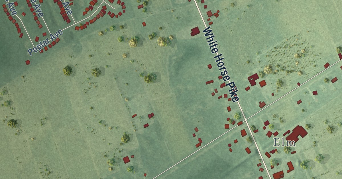
A detailed map of Ancora, New Jersey, showing every building in its true location, the roads by name, and shaded topographical relief.
Read More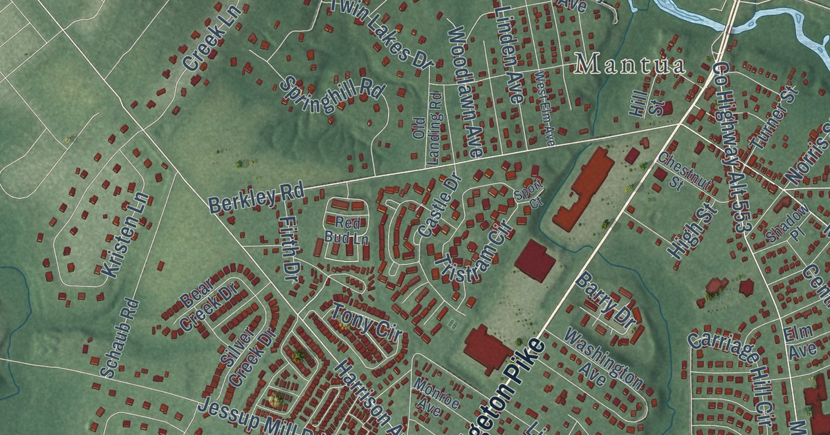
A detailed map of Centre City, New Jersey, showing every building in its true location, the roads by name, and shaded topographical relief.
Read More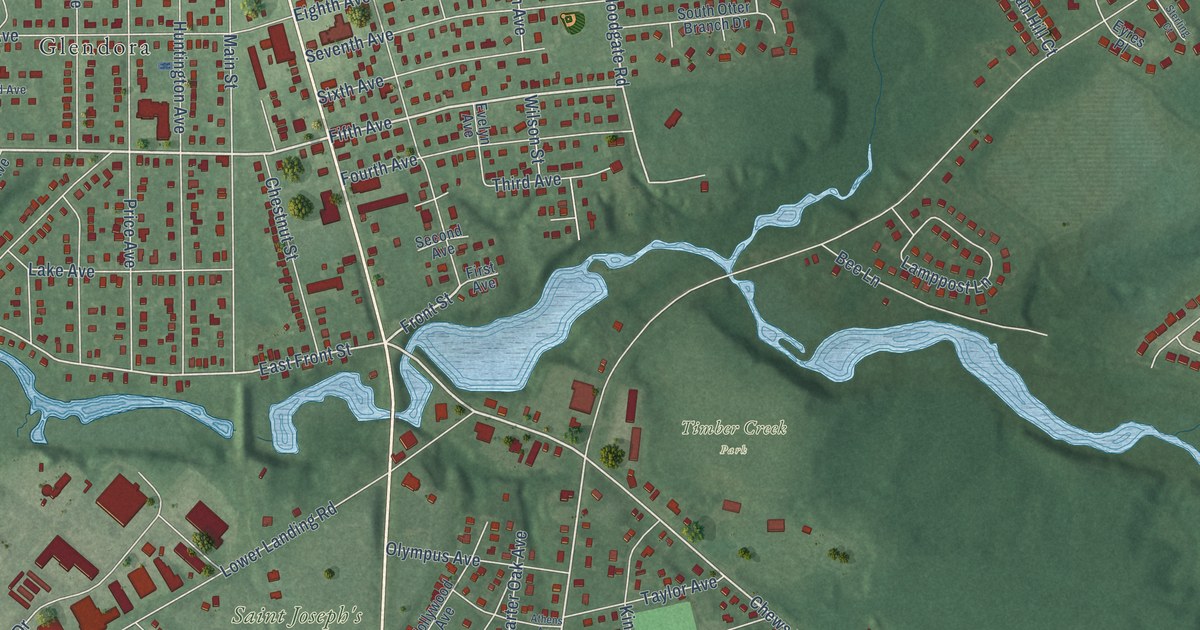
A detailed map of Chews, New Jersey, showing every building in its true location, the roads by name, and shaded topographical relief.
Read More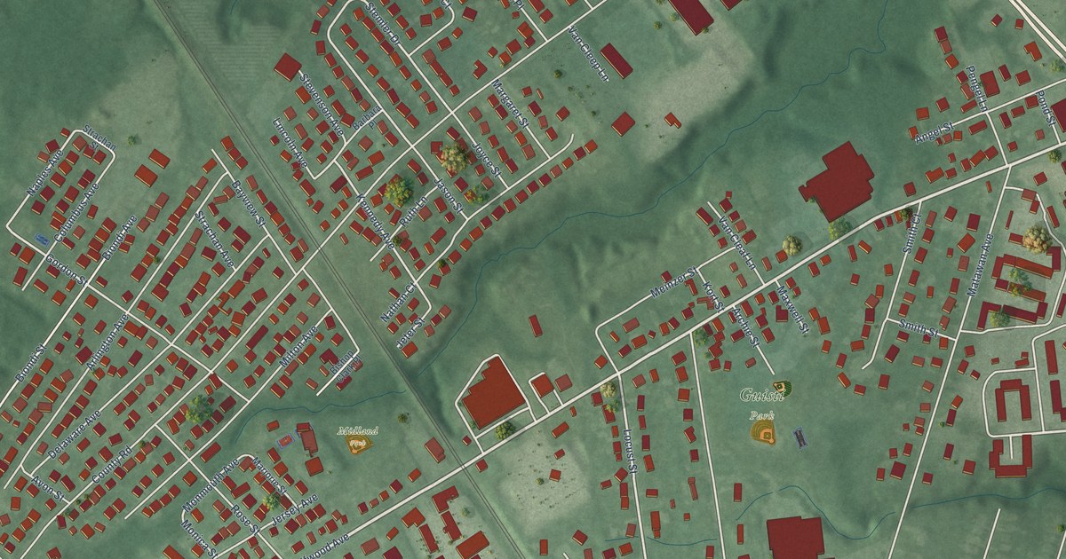
A detailed map of Cliffwood, New Jersey, showing every building in its true location, the roads by name, and shaded topographical relief.
Read More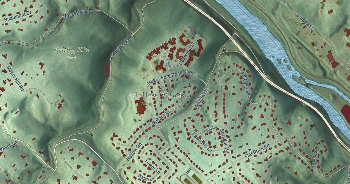
A detailed map of Belmont Hills, Pennsylvania, showing every building in its true location, the roads by name, and shaded topographical relief.
Read More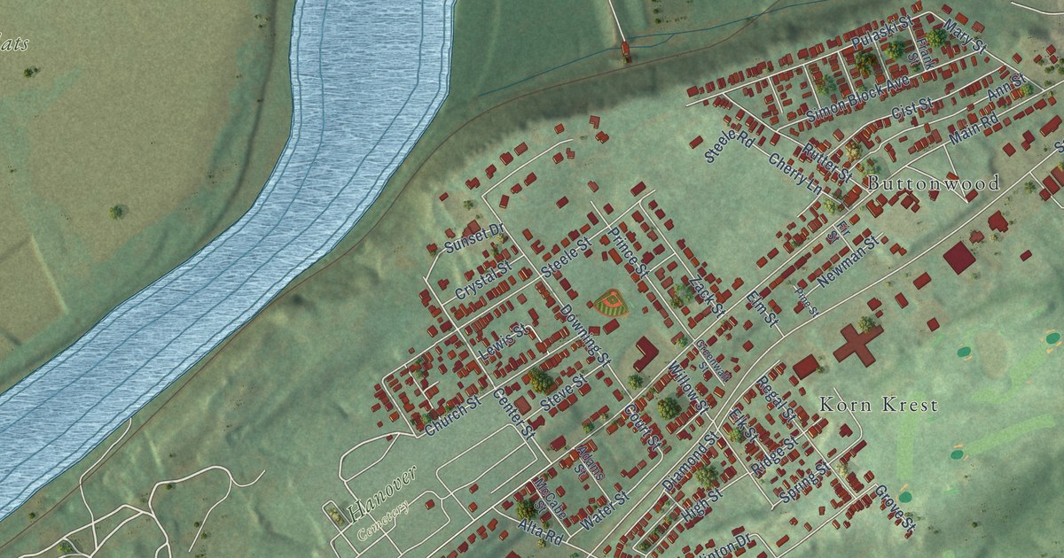
A detailed map of Hanover Green, Pennsylvania, showing every building in its true location, the roads by name, and shaded topographical relief.
Read More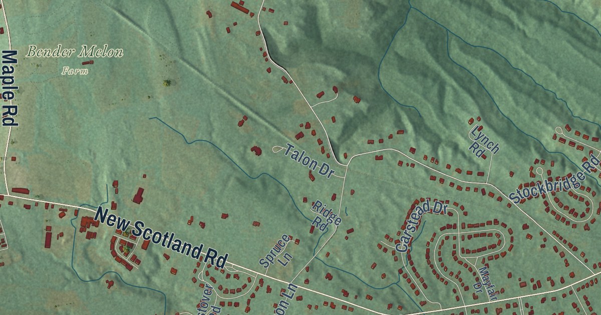
A detailed map of Slingerlands, New York, showing every building in its true location, the roads by name, and shaded topographical relief.
Read More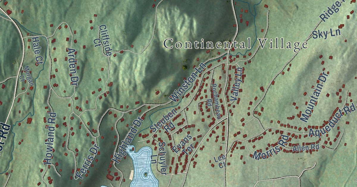
A detailed map of Garrison, New York, showing every building in its true location, the roads by name, and shaded topographical relief.
Read More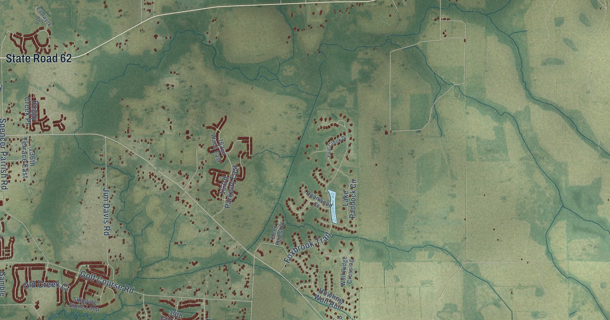
A detailed map of Parrish, Florida, showing every building in its true location, the roads by name, and shaded topographical relief.
Read More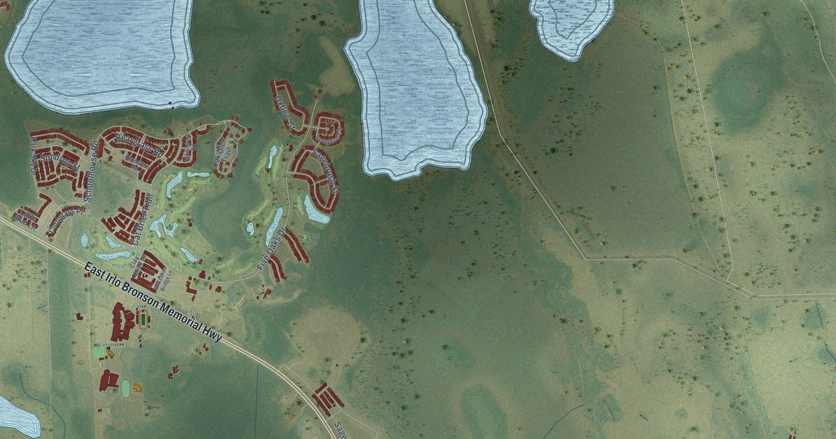
A detailed map of Harmony, Florida, showing every building in its true location, the roads by name, and shaded topographical relief.
Read More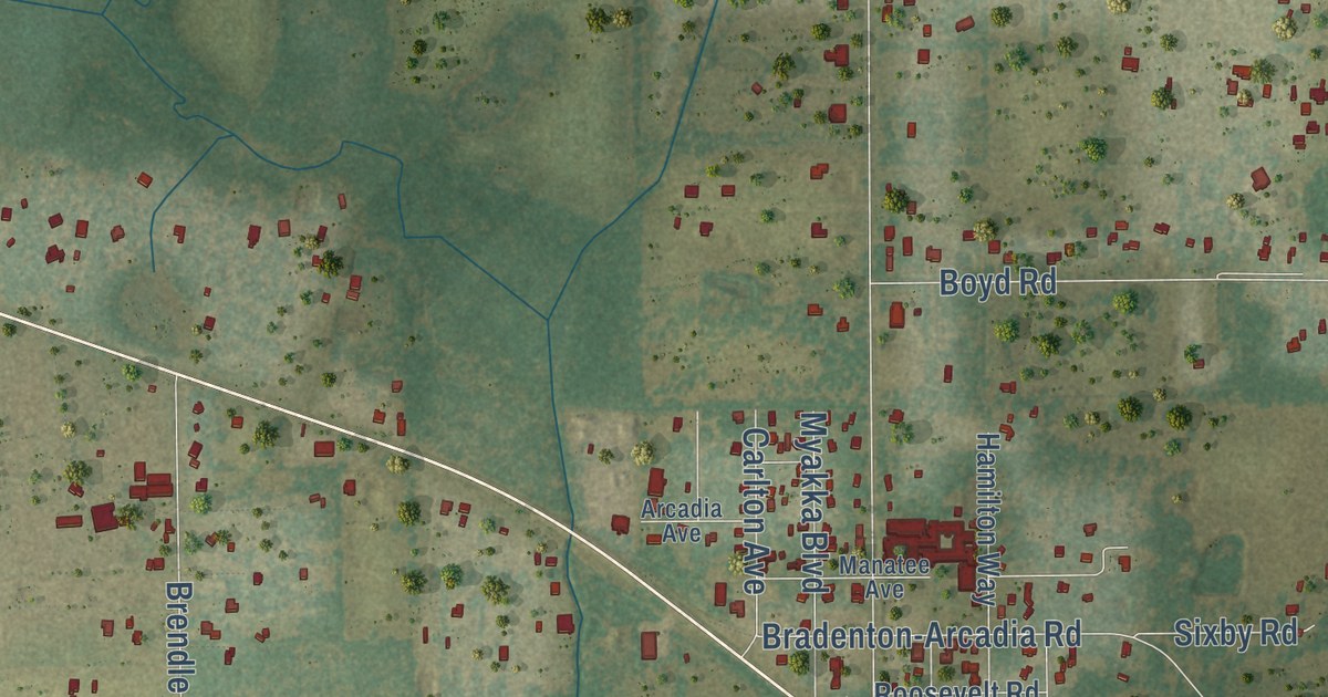
A detailed map of Myakka City, Florida, showing every building in its true location, the roads by name, and shaded topographical relief.
Read More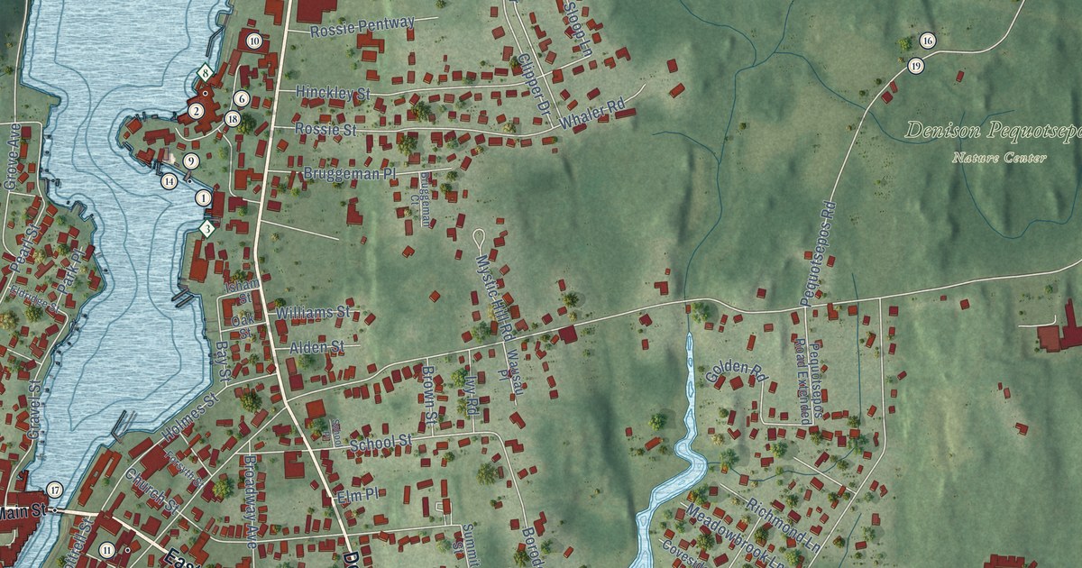
A detailed map of Mystic, Connecticut, showing every building in its true location, the roads by name, and shaded topographical relief.
Read More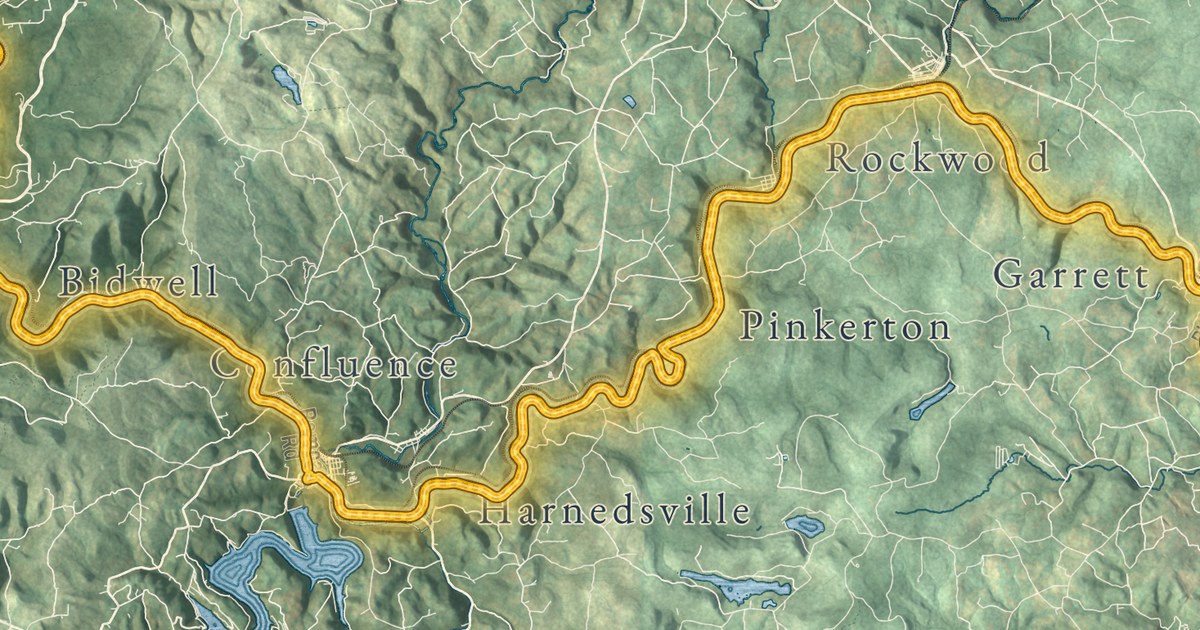
A detailed map of the Great Allegheny Passage, following the trail 150 miles from Cumberland to Pittsburgh, with every building in its true location and shaded topographical relief.
Read More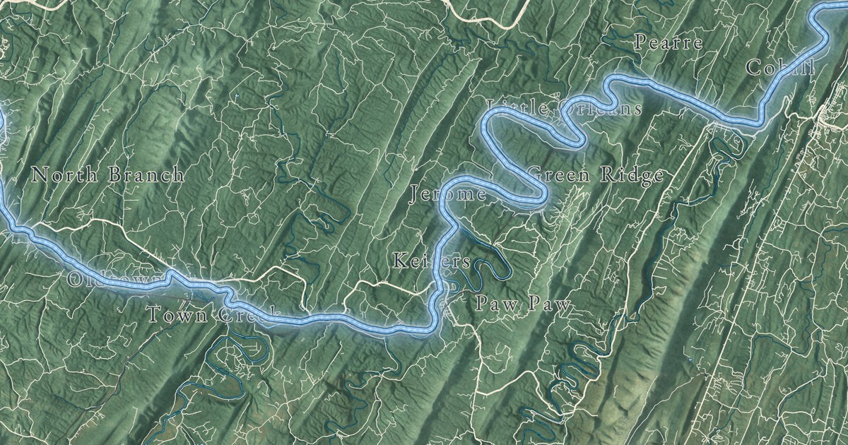
A detailed map of the C&O Canal, following its towpath 184.5 miles from Georgetown to Cumberland, with every building in its true location and shaded topographical relief.
Read More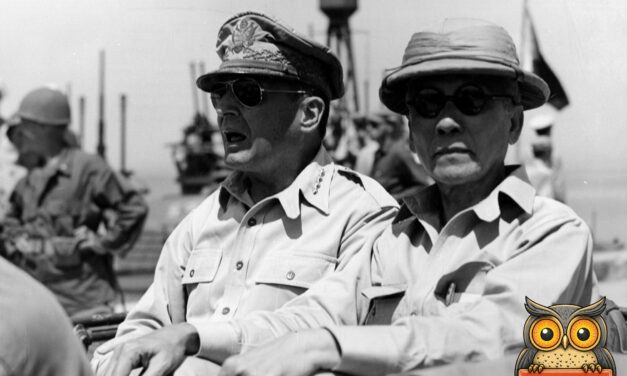
General Douglas MacArthur and Philippine President Sergio Osmeña ride by jeep to the October 1944 ceremony at Tacloban, Leyte, where civil government was restored.
Read More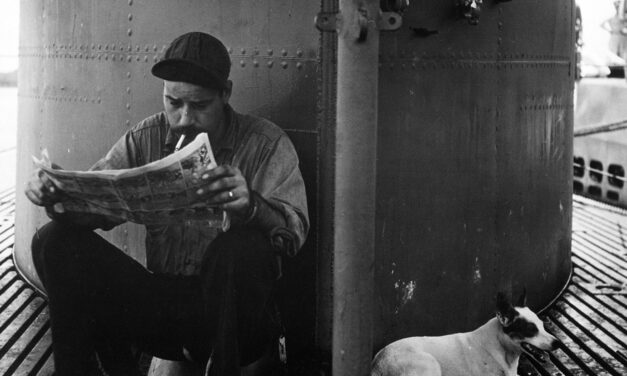
A U.S. Navy submarine sailor reads the comics in the shade of the conning tower while the boat’s mascot dog pants beside him. The story of the dogs that went to sea.
Read More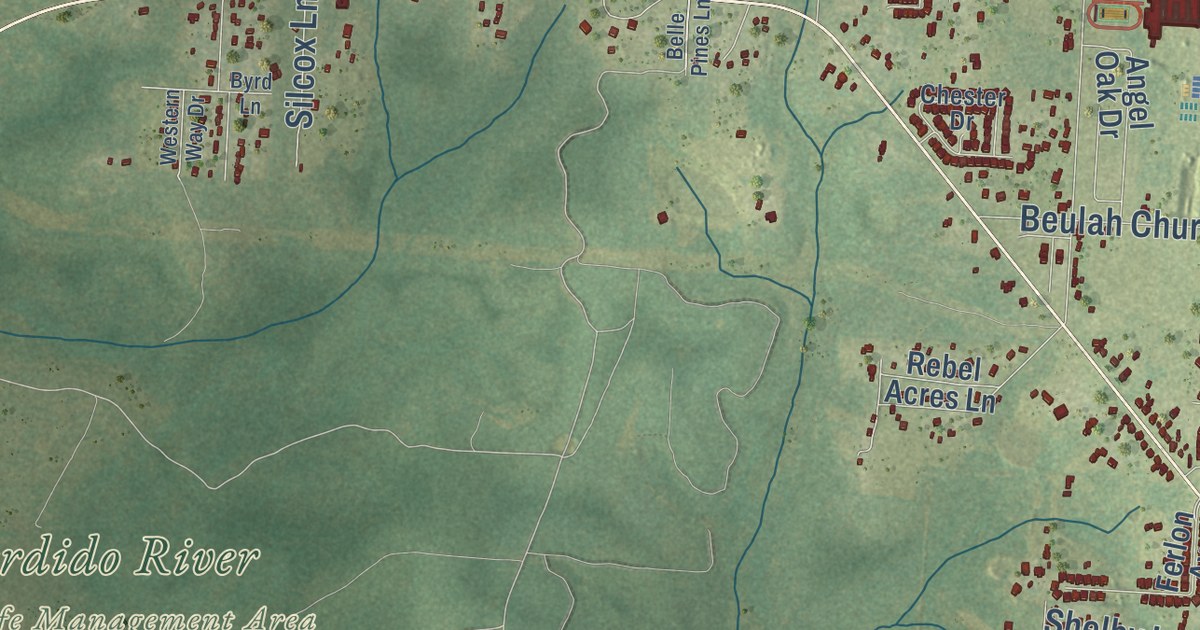
A detailed map of Beulah, Florida, showing every building in its true location, the roads by name, and shaded topographical relief.
Read More
A glass-domed machine gun turret is tested on its stand at the Glenn L. Martin plant near Baltimore in 1943, before going into a PBM Mariner flying boat.
Read More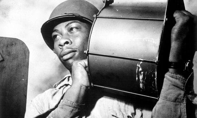
Steward’s Mate Miles Davis King carries a loaded magazine to his 20mm gun aboard USS Tulagi on the way to the invasion of southern France, August 1944.
Read More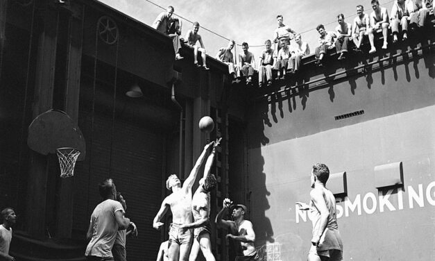
Future president Gerald Ford jumps for the ball in a game on the forward elevator of the carrier USS Monterey in June 1944. The court was his idea.
Read More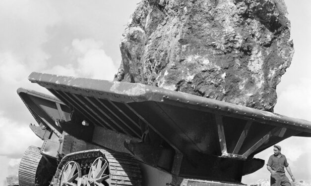
Seabees of the 76th Construction Battalion haul a 30-ton boulder to build the two-mile Glass Breakwater at Apra Harbor, Guam, in August 1945. Its story.
Read More
A round Navy radar screen laid over the men who read it, about 1944 to 1945. How the PPI screen worked and how radar plot became the Combat Information Center.
Read More
Steward’s Mate James Lee Frazer reads his Bible below decks the night before a Navy raid on Manila Bay in World War II. The restored photo and its story.
Read More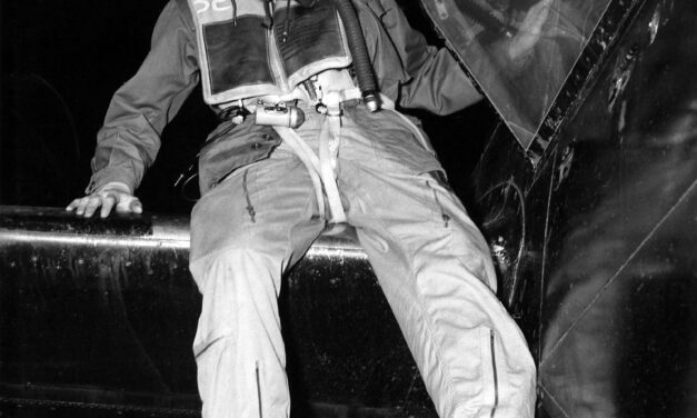
Capt. Donald R. DeFoe of Detroit climbs down from his B-26 after his second night mission over Korea in 1951. The restored Air Force photo and the story of the night intruders.
Read More
May 1951: a B-29 pilot from Salt Lake City at the controls on Okinawa, just before a mission over North Korea. The restored Air Force photo and its story.
Read More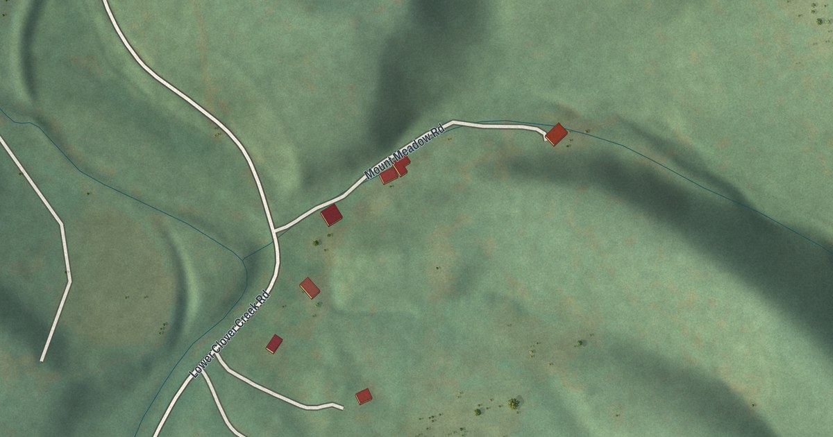
A detailed map of Fisherville, Pennsylvania, showing every building in its true location, the roads by name, and shaded topographical relief.
Read More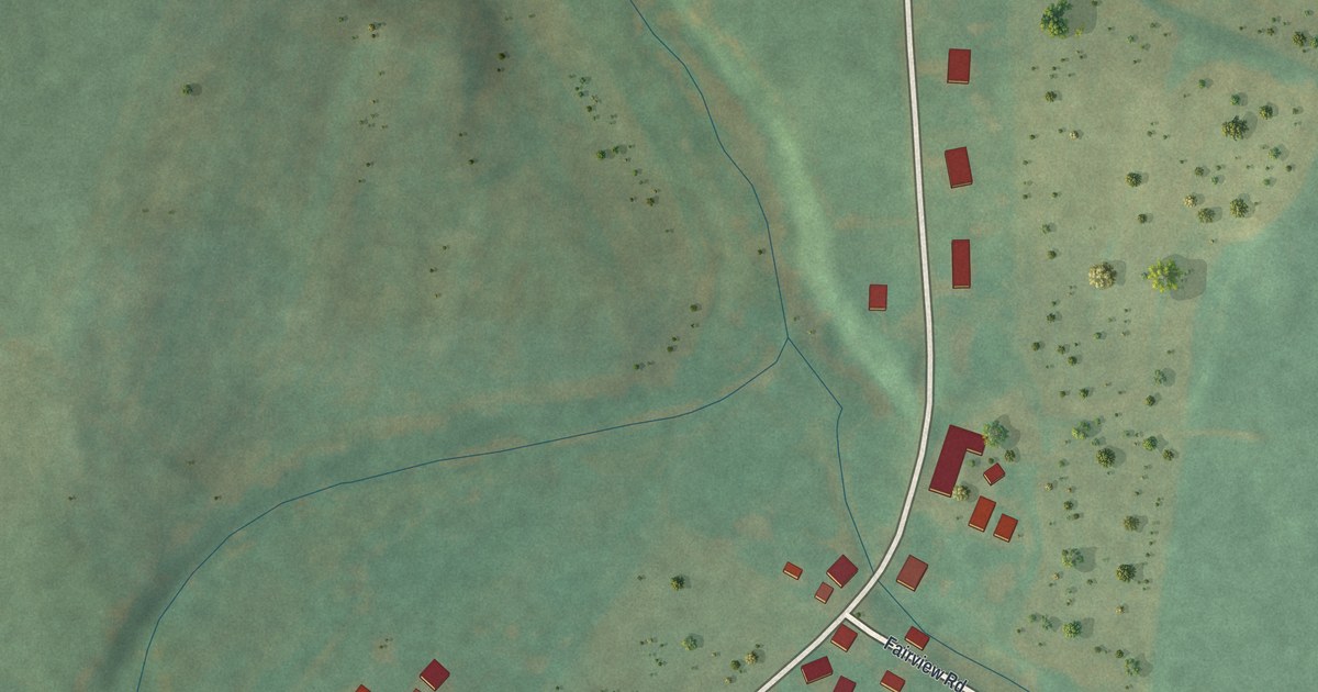
A detailed map of Shellytown, Pennsylvania, showing every building in its true location, the roads by name, and shaded topographical relief.
Read More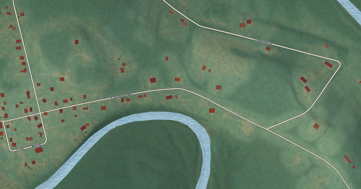
A detailed map of Casanova, Pennsylvania, showing every building in its true location, the roads by name, and shaded topographical relief.
Read More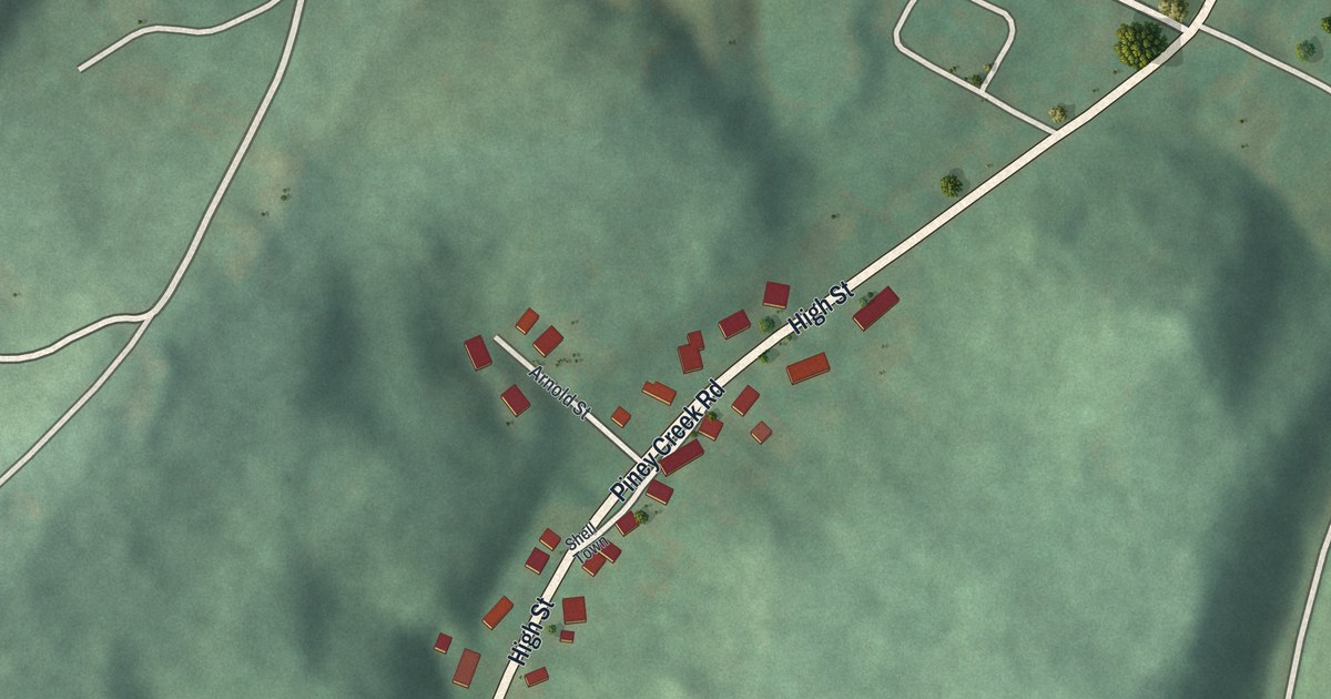
A detailed map of Shelltown, Pennsylvania, showing every building in its true location, the roads by name, and shaded topographical relief.
Read More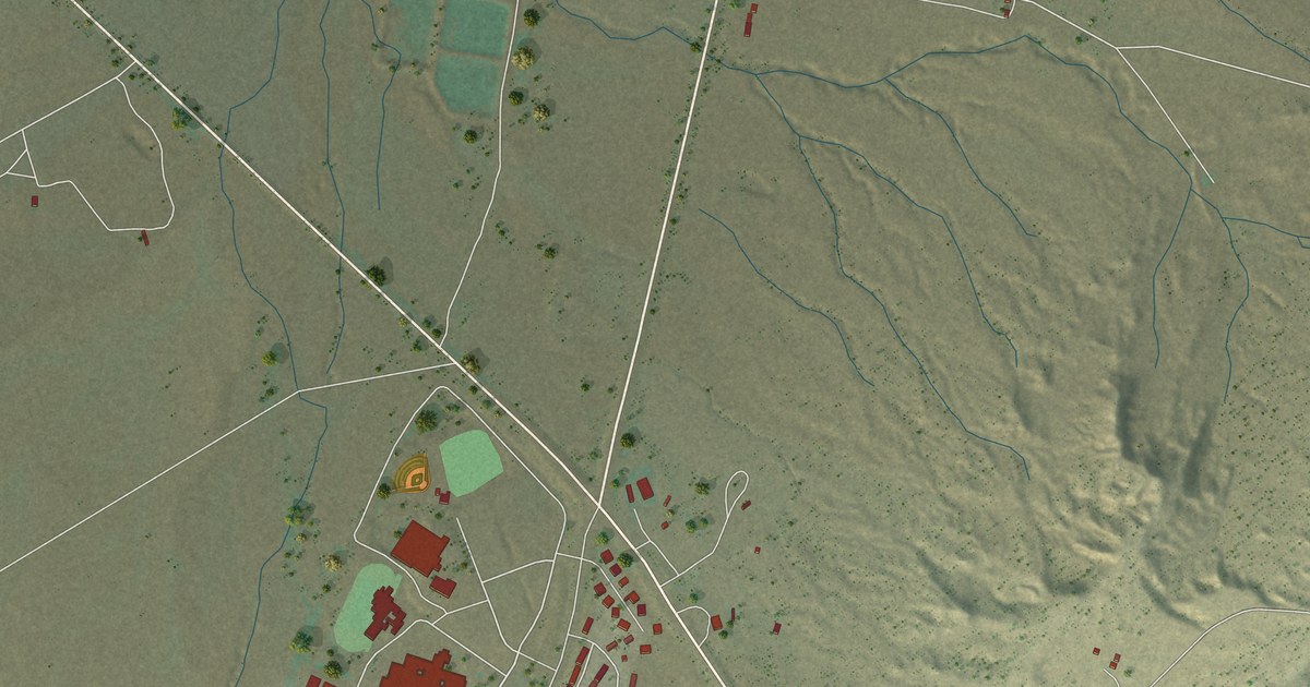
A detailed map of Burnside, Arizona, showing every building in its true location, the roads by name, and shaded topographical relief.
Read More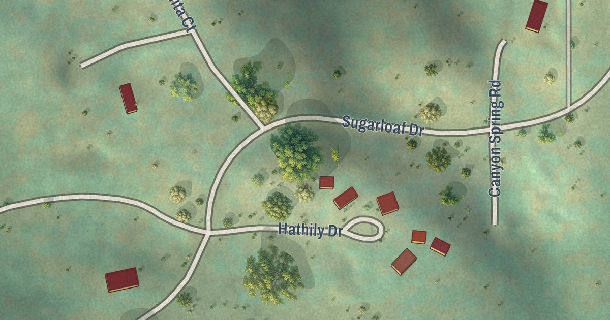
A detailed map of Sugarloaf Village, California, showing every building in its true location, the roads by name, and shaded topographical relief.
Read More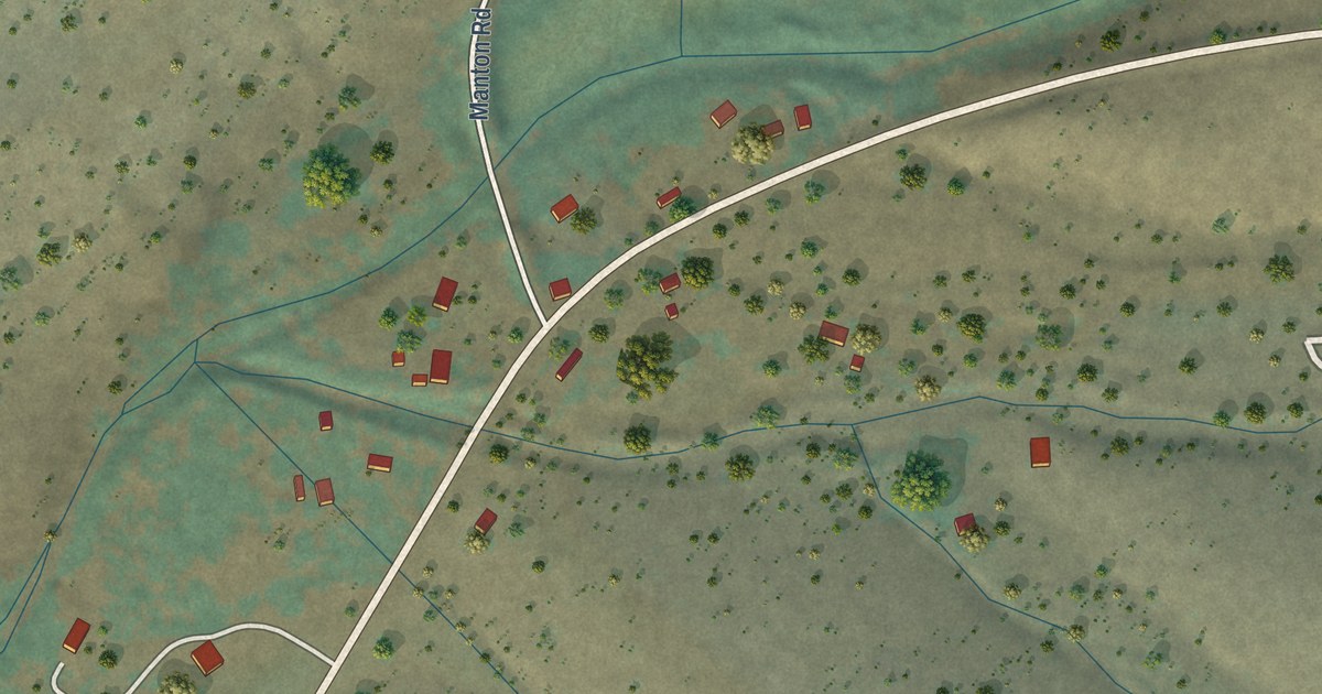
A detailed map of Dales, California, showing every building in its true location, the roads by name, and shaded topographical relief.
Read More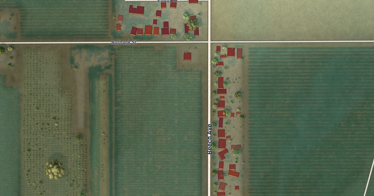
A detailed map of Cherokee Strip, California, showing every building in its true location, the roads by name, and shaded topographical relief.
Read More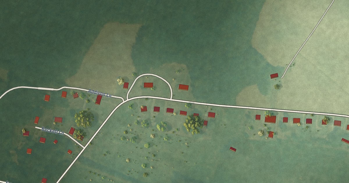
A detailed map of Savage Town, Virginia, showing every building in its true location, the roads by name, and shaded topographical relief.
Read More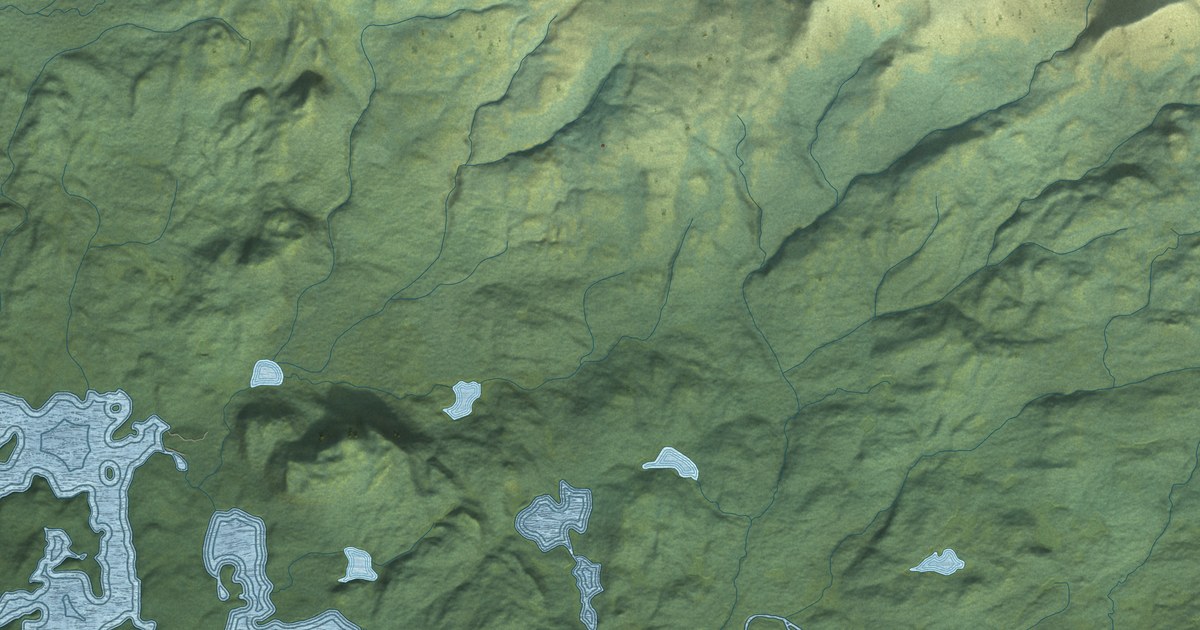
A detailed map of Pope-Vannoy Landing, Alaska, showing every building in its true location, the roads by name, and shaded topographical relief.
Read More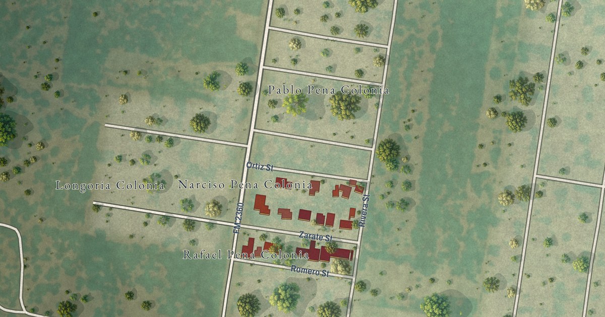
A detailed map of Narciso Pena, Texas, showing every building in its true location, the roads by name, and shaded topographical relief.
Read More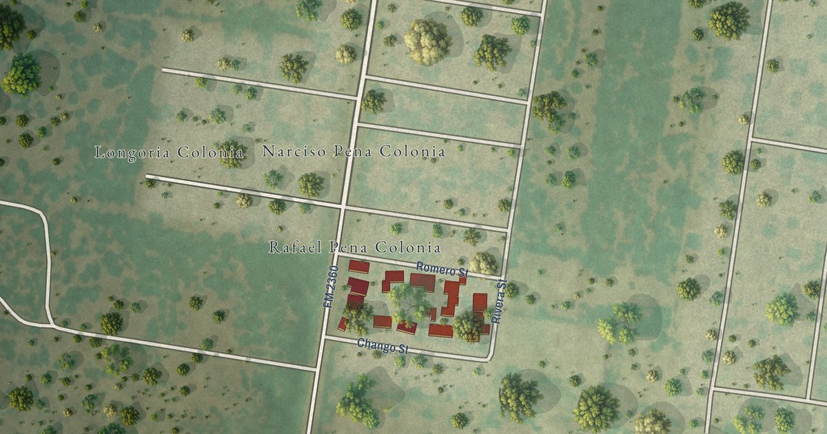
A detailed map of Rafael Pena, Texas, showing every building in its true location, the roads by name, and shaded topographical relief.
Read More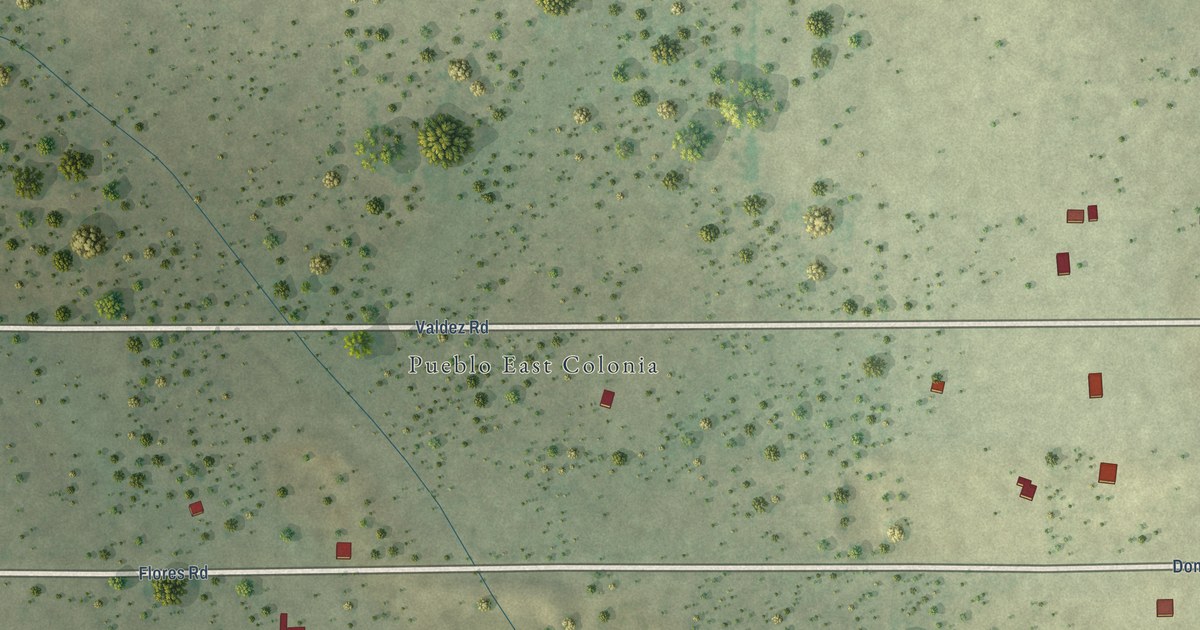
A detailed map of Pueblo East, Texas, showing every building in its true location, the roads by name, and shaded topographical relief.
Read More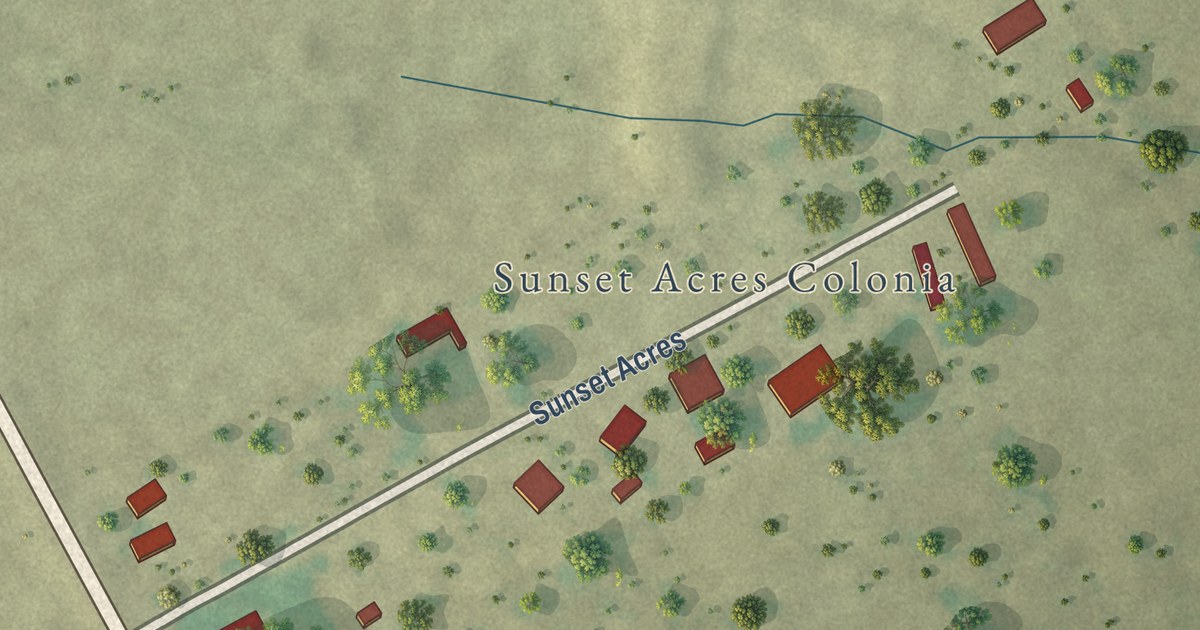
A detailed map of Sunset Acres, Texas, showing every building in its true location, the roads by name, and shaded topographical relief.
Read More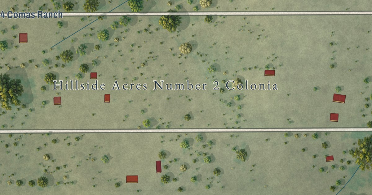
A detailed map of Hillside Acres, Texas, showing every building in its true location, the roads by name, and shaded topographical relief.
Read More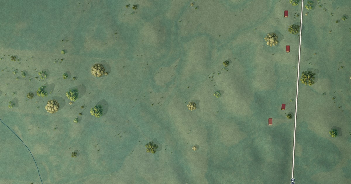
A detailed map of Midway, Minnesota, showing every building in its true location, the roads by name, and shaded topographical relief.
Read More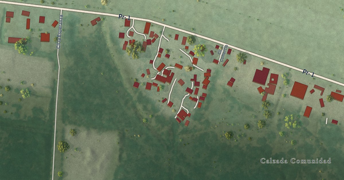
A detailed map of Calzada, Puerto Rico, showing every building in its true location, the roads by name, and shaded topographical relief.
Read More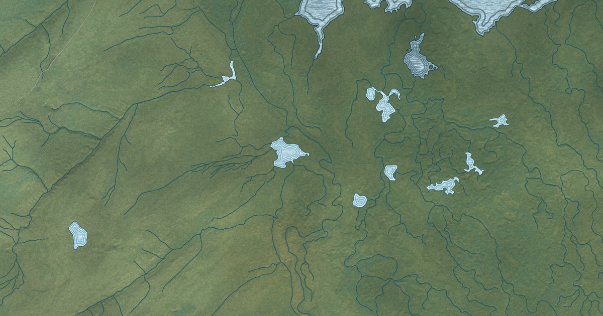
A detailed map of Lake Minchumina, Alaska, showing every building in its true location, the roads by name, and shaded topographical relief.
Read More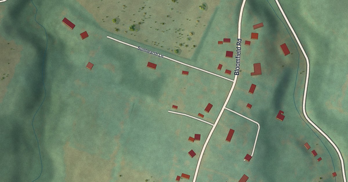
A detailed map of Dumb Hundred, Pennsylvania, showing every building in its true location, the roads by name, and shaded topographical relief.
Read More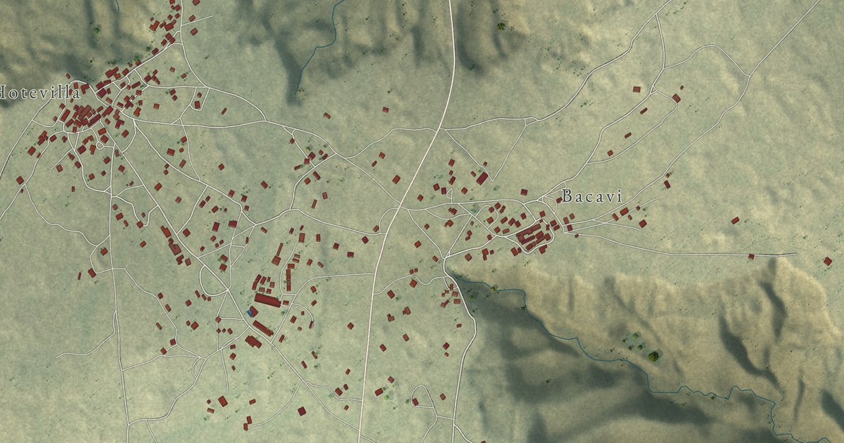
A detailed map of Hotevilla-Bacavi, Arizona, showing every building in its true location, the roads by name, and shaded topographical relief.
Read More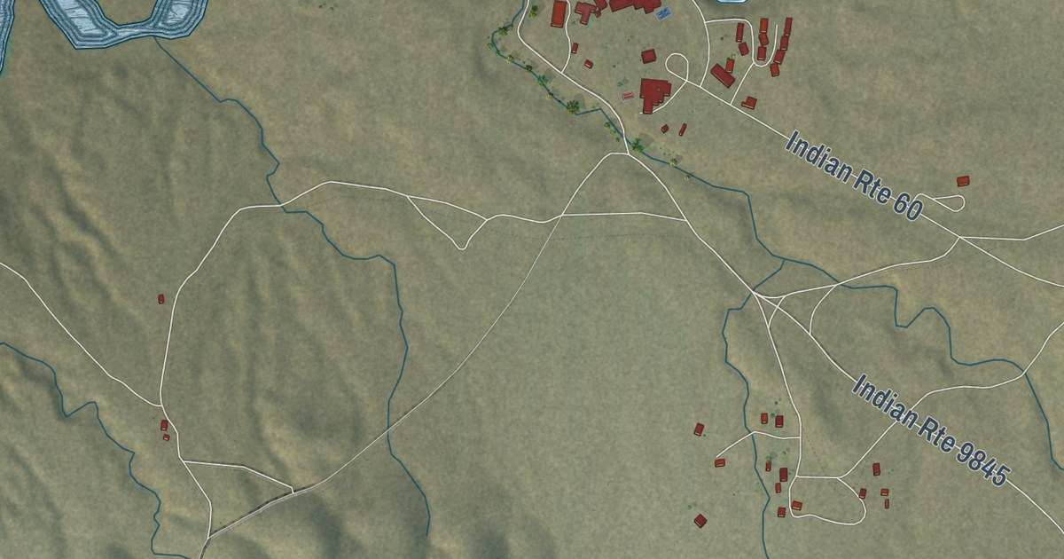
A detailed map of Seba Dalkai, Arizona, showing every building in its true location, the roads by name, and shaded topographical relief.
Read More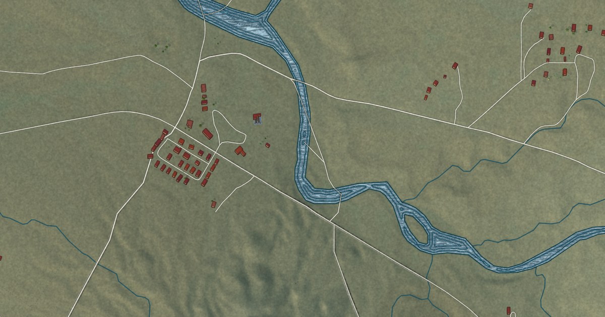
A detailed map of Tees Toh, Arizona, showing every building in its true location, the roads by name, and shaded topographical relief.
Read More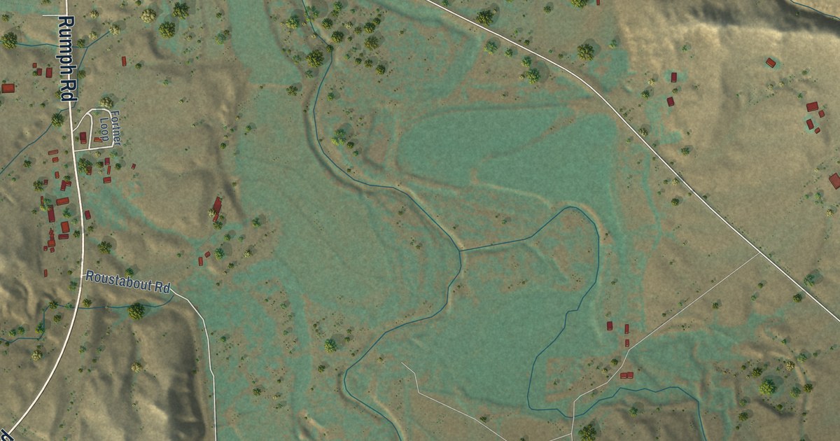
A detailed map of Biddle, Montana, showing every building in its true location, the roads by name, and shaded topographical relief.
Read More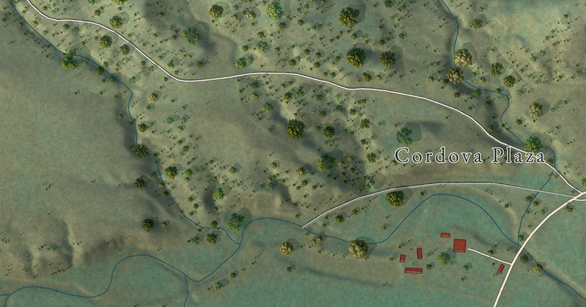
A detailed map of Weston, Colorado, showing every building in its true location, the roads by name, and shaded topographical relief.
Read More
The Pilchard crew of the 468th Bomb Group poses with a B-29 in India. On the first B-29 raid on Japan, June 15, 1944, their bomber never came back.
Read More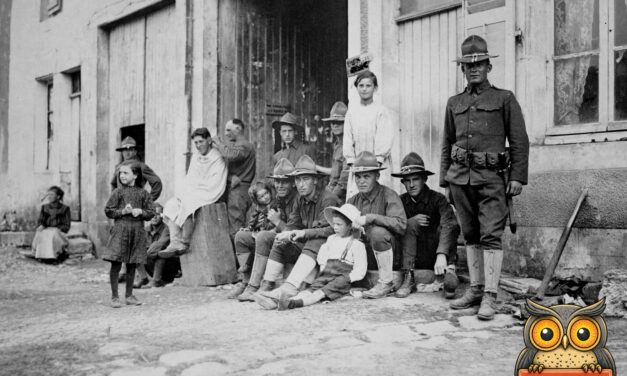
World War I: an American soldier gets a haircut on a French village street while his buddies sit with local children. The restored National Archives photo.
Read More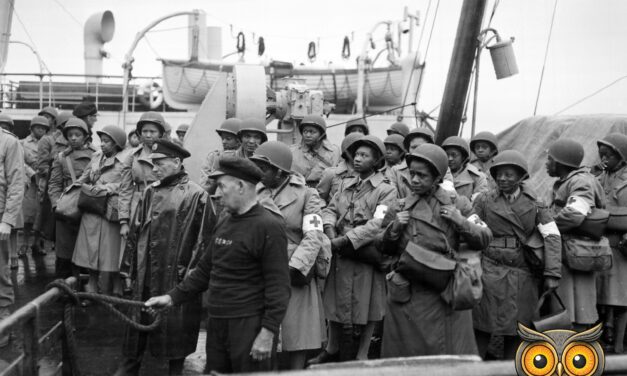
August 15, 1944: U.S. Army nurses line the rail as their ship pulls into Greenock, Scotland. The restored National Archives photo and the story behind it.
Read More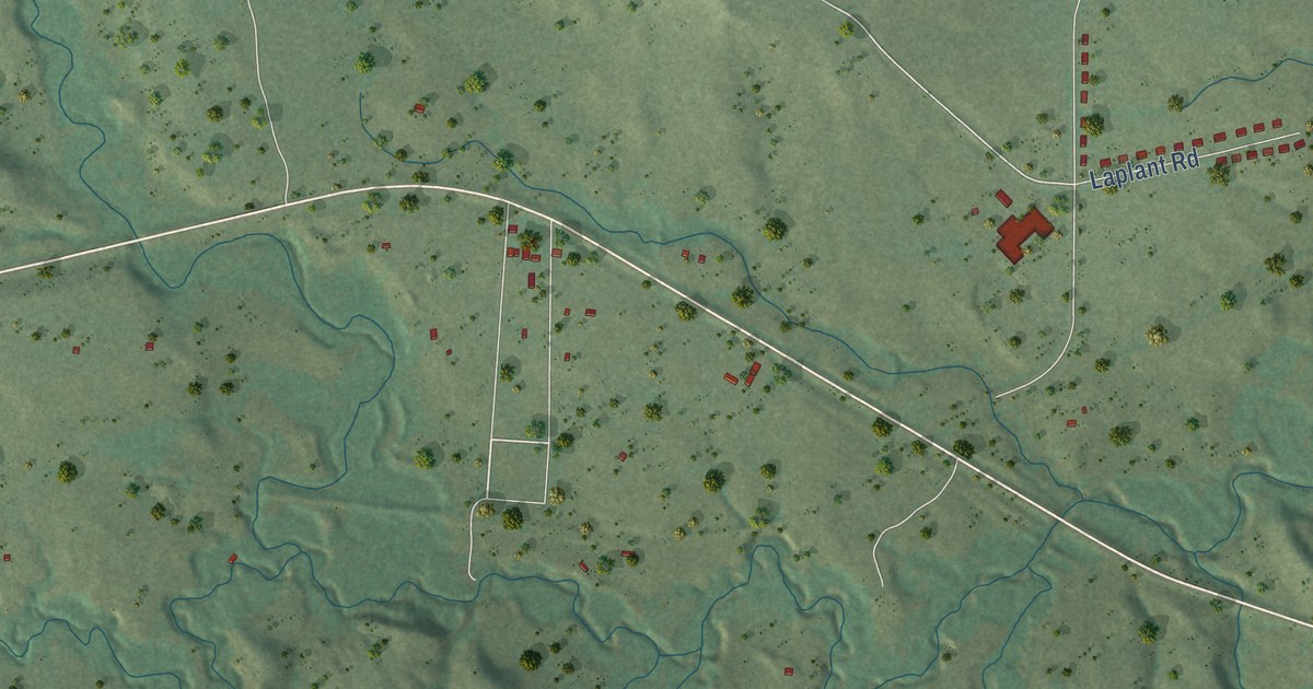
A detailed map of La Plant, South Dakota, showing every building in its true location, the roads by name, and shaded topographical relief.
Read More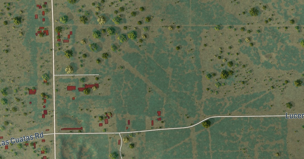
A detailed map of Encino, Texas, showing every building in its true location, the roads by name, and shaded topographical relief.
Read More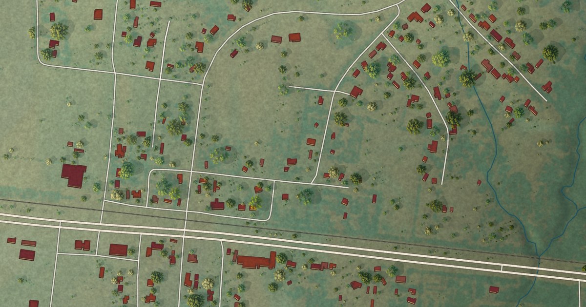
A detailed map of Elmo, Texas, showing every building in its true location, the roads by name, and shaded topographical relief.
Read More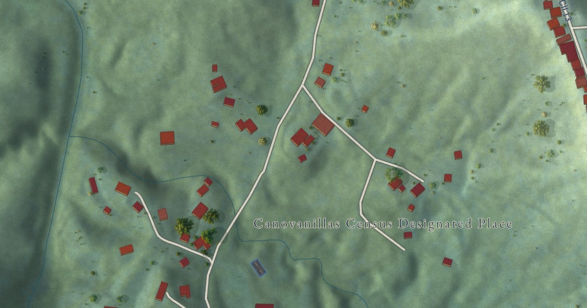
A detailed map of Canovanillas, Puerto Rico, showing every building in its true location, the roads by name, and shaded topographical relief.
Read More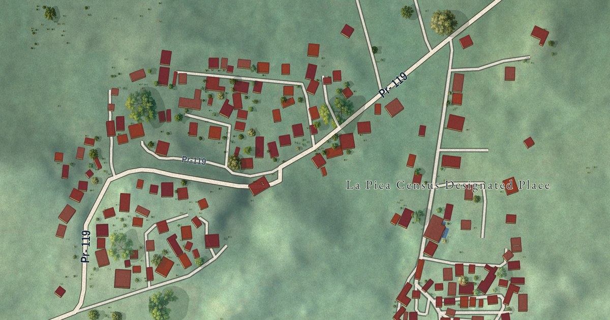
A detailed map of La Pica, Puerto Rico, showing every building in its true location, the roads by name, and shaded topographical relief.
Read More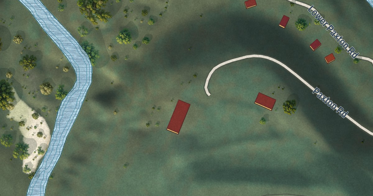
A detailed map of Paxton, California, showing every building in its true location, the roads by name, and shaded topographical relief.
Read More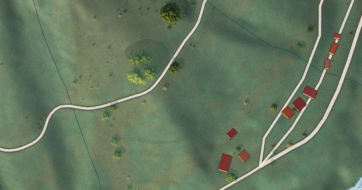
A detailed map of Caribou, California, showing every building in its true location, the roads by name, and shaded topographical relief.
Read More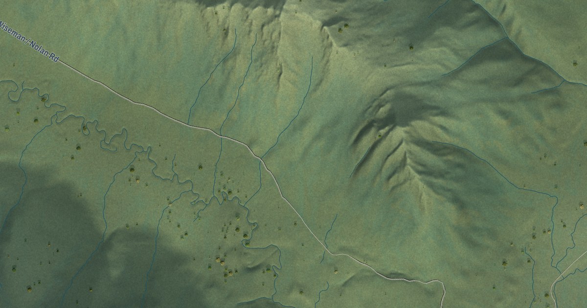
A detailed map of Wiseman, Alaska, showing every building in its true location, the roads by name, and shaded topographical relief.
Read More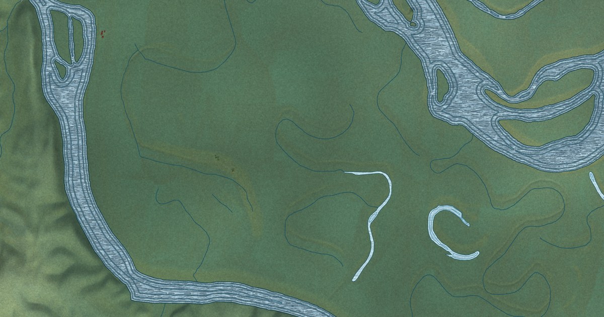
A detailed map of Sleetmute, Alaska, showing every building in its true location, the roads by name, and shaded topographical relief.
Read More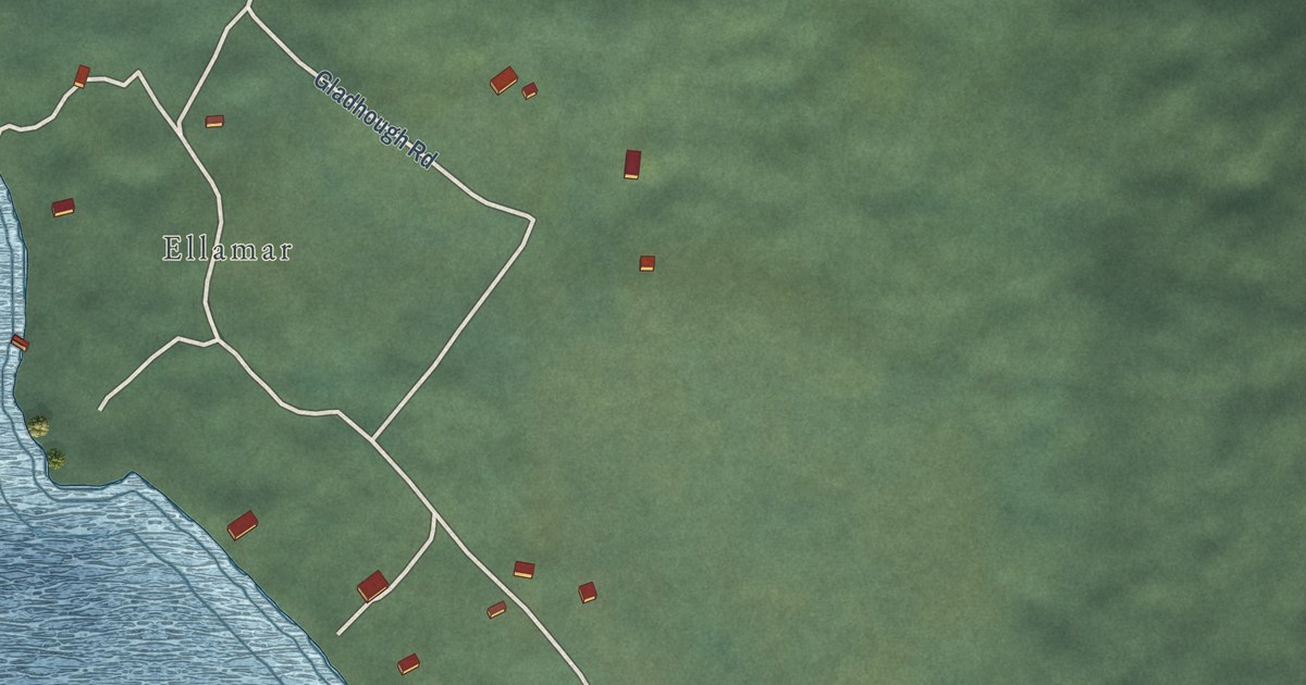
A detailed map of Tatitlek, Alaska, showing every building in its true location, the roads by name, and shaded topographical relief.
Read More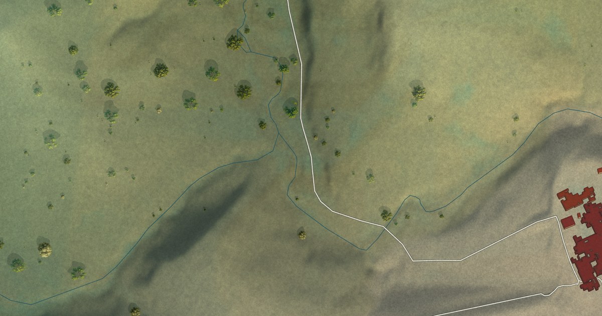
A detailed map of Red Dog Mine, Alaska, showing every building in its true location, the roads by name, and shaded topographical relief.
Read More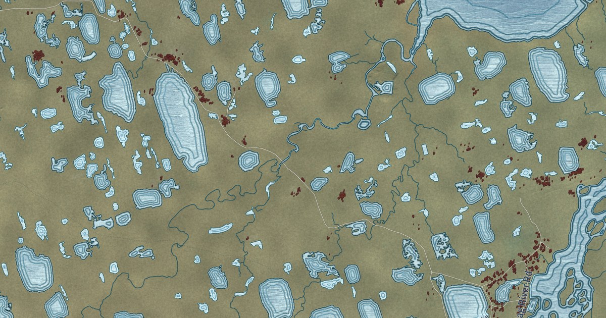
A detailed map of Prudhoe Bay, Alaska, showing every building in its true location, the roads by name, and shaded topographical relief.
Read More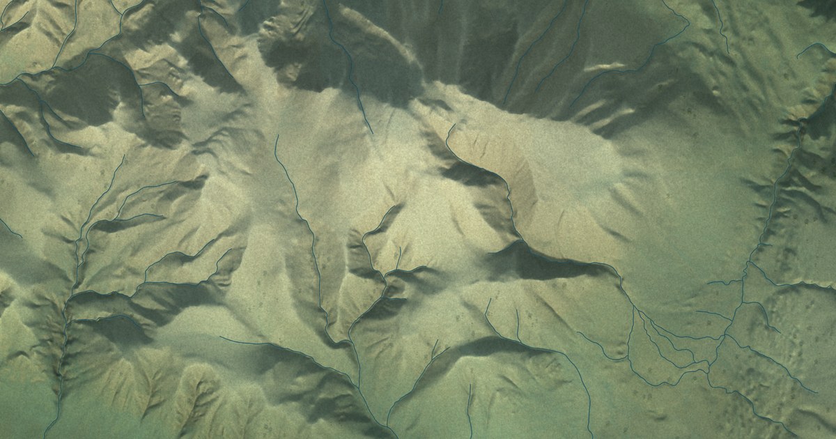
A detailed map of Nabesna, Alaska, showing every building in its true location, the roads by name, and shaded topographical relief.
Read More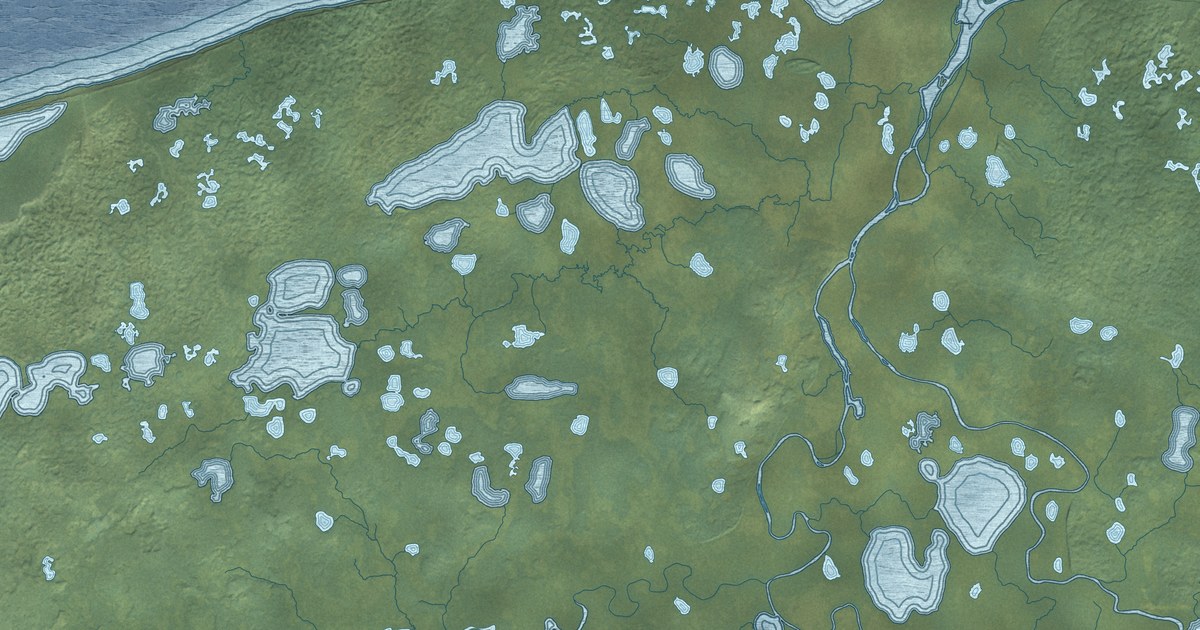
A detailed map of Nelson Lagoon, Alaska, showing every building in its true location, the roads by name, and shaded topographical relief.
Read More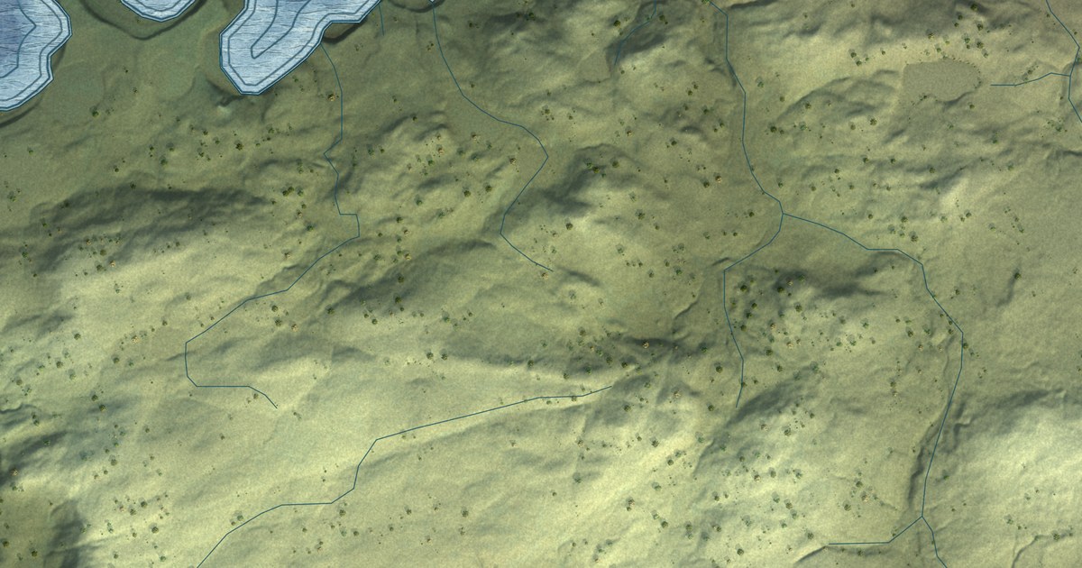
A detailed map of Nikolski, Alaska, showing every building in its true location, the roads by name, and shaded topographical relief.
Read More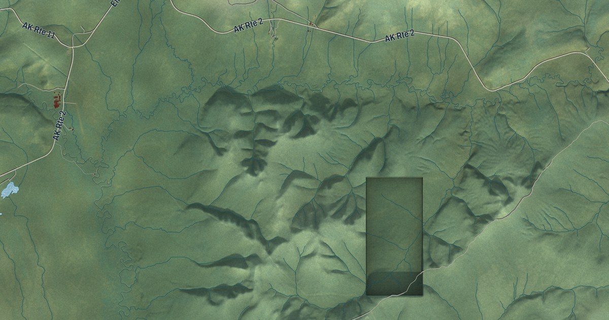
A detailed map of Livengood, Alaska, showing every building in its true location, the roads by name, and shaded topographical relief.
Read More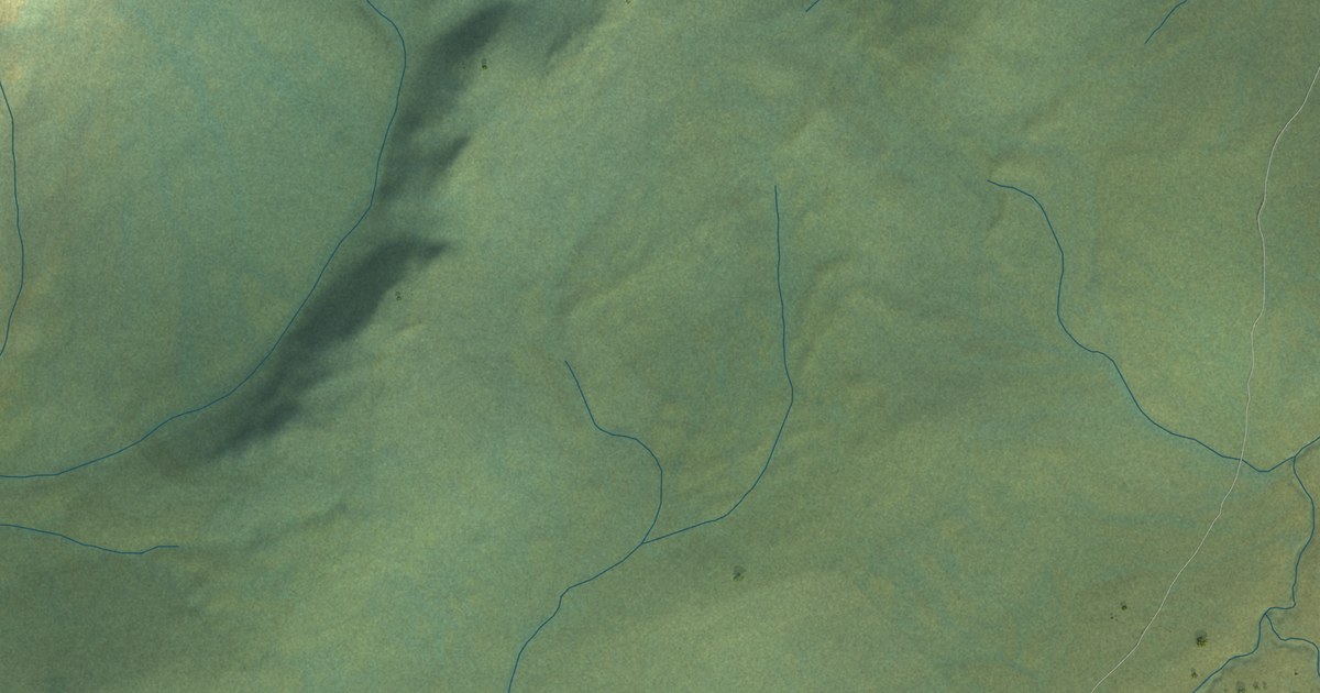
A detailed map of Lime Village, Alaska, showing every building in its true location, the roads by name, and shaded topographical relief.
Read More
A detailed map of Port Clarence, Alaska, showing every building in its true location, the roads by name, and shaded topographical relief.
Read More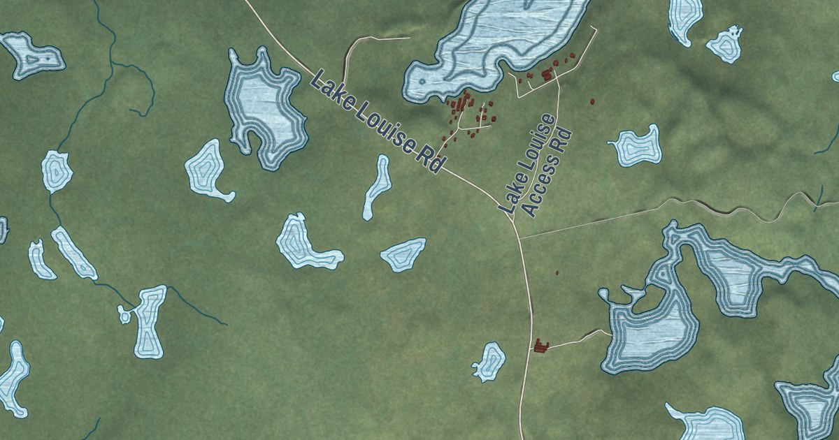
A detailed map of Lake Louise, Alaska, showing every building in its true location, the roads by name, and shaded topographical relief.
Read More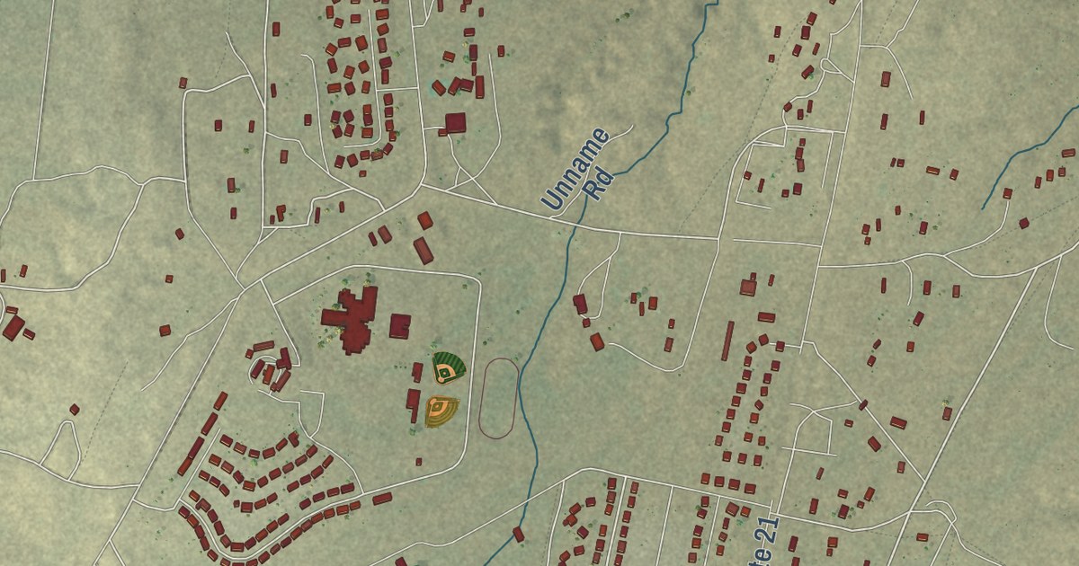
A detailed map of Kaibito, Arizona, showing every building in its true location, the roads by name, and shaded topographical relief.
Read More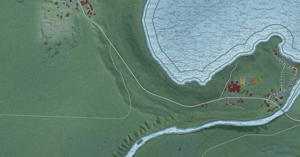
A detailed map of Amanda Park, Washington, showing every building in its true location, the roads by name, and shaded topographical relief.
Read More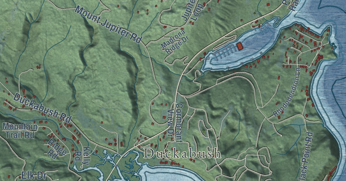
A detailed map of Brinnon, Washington, showing every building in its true location, the roads by name, and shaded topographical relief.
Read More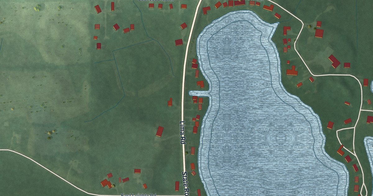
A detailed map of Cree Lake, Indiana, showing every building in its true location, the roads by name, and shaded topographical relief.
Read More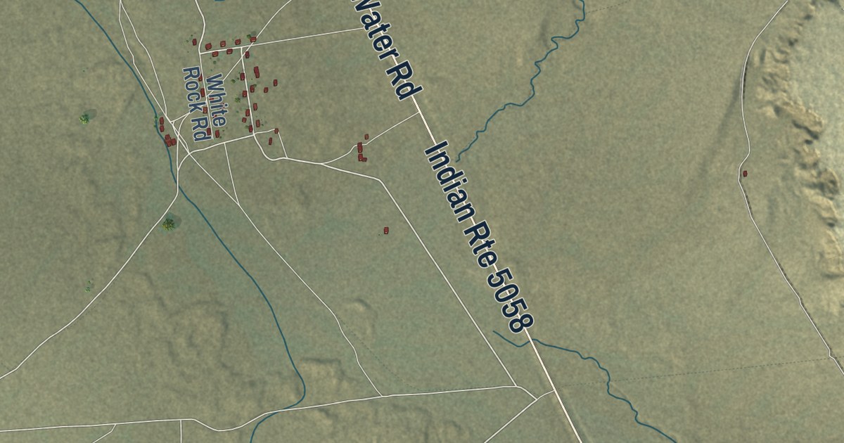
A detailed map of Tselakai Dezza, Utah, showing every building in its true location, the roads by name, and shaded topographical relief.
Read More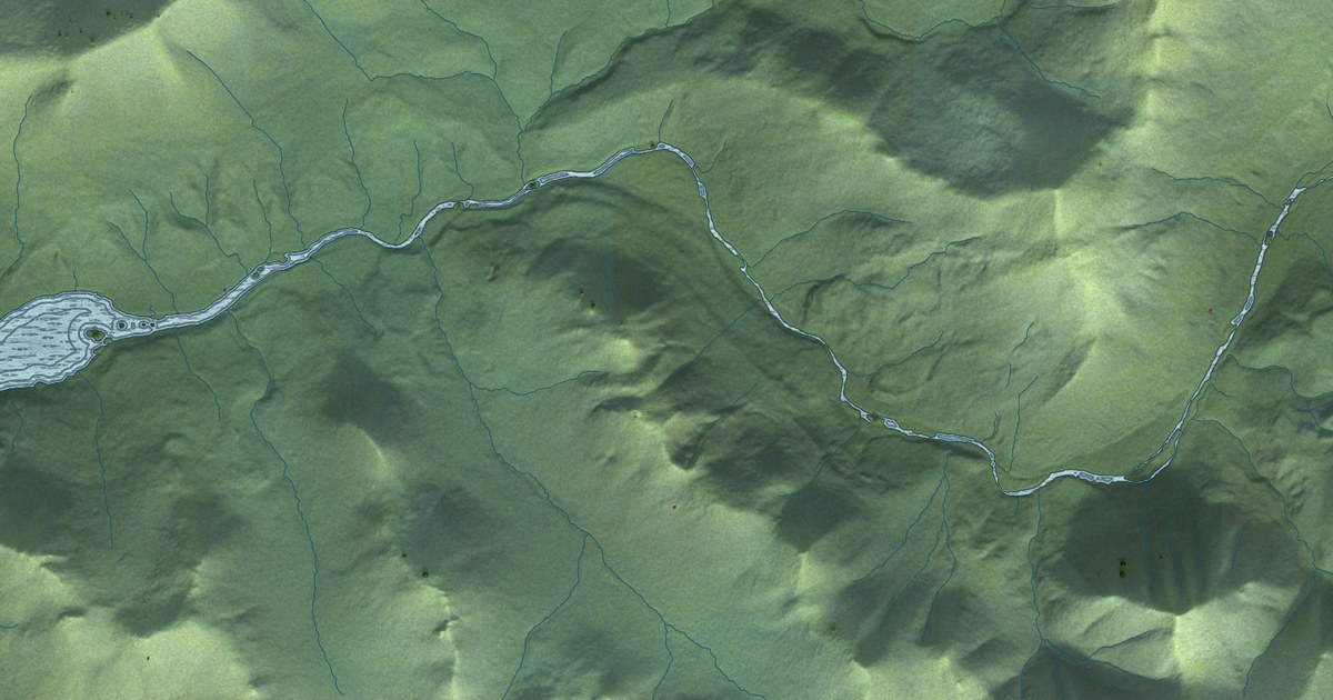
A detailed map of Karluk, Alaska, showing every building in its true location, the roads by name, and shaded topographical relief.
Read More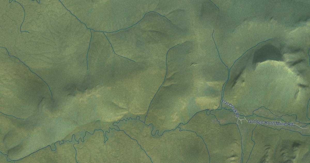
A detailed map of Flat, Alaska, showing every building in its true location, the roads by name, and shaded topographical relief.
Read More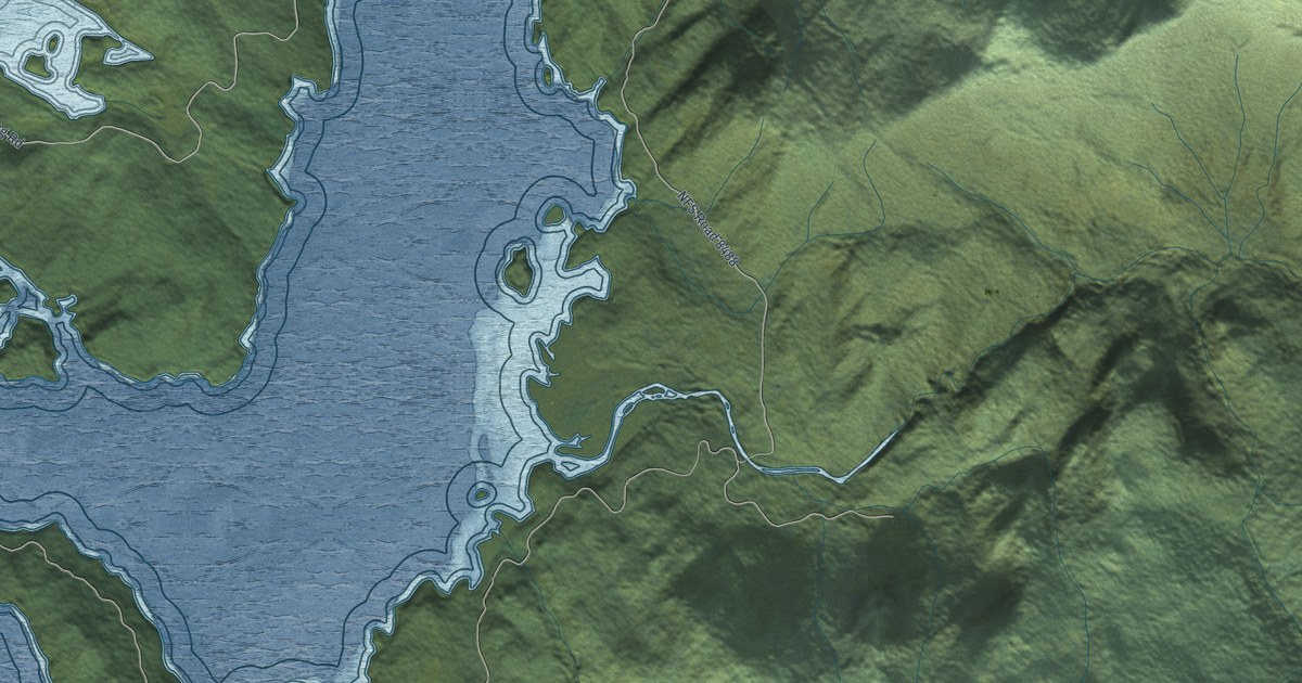
A detailed map of Hobart Bay, Alaska, showing every building in its true location, the roads by name, and shaded topographical relief.
Read More
A detailed map of Evansville, Alaska, showing every building in its true location, the roads by name, and shaded topographical relief.
Read More
A detailed map of Hyder, Alaska, showing every building in its true location, the roads by name, and shaded topographical relief.
Read More
A detailed map of Ivanof Bay, Alaska, showing every building in its true location, the roads by name, and shaded topographical relief.
Read More















