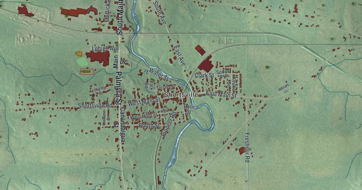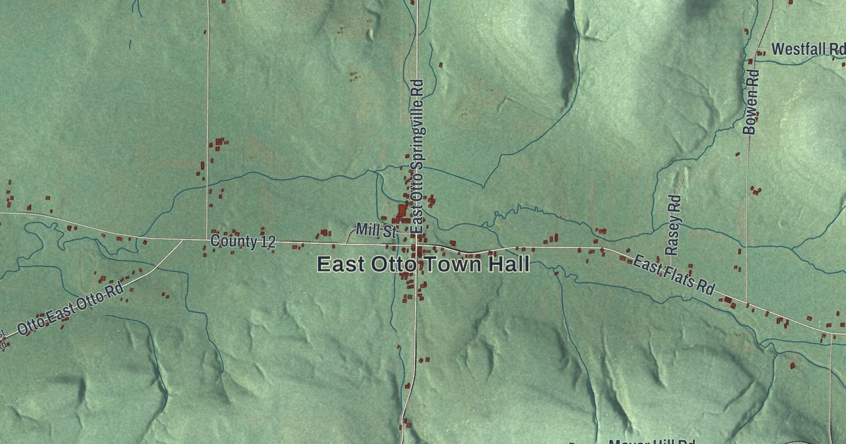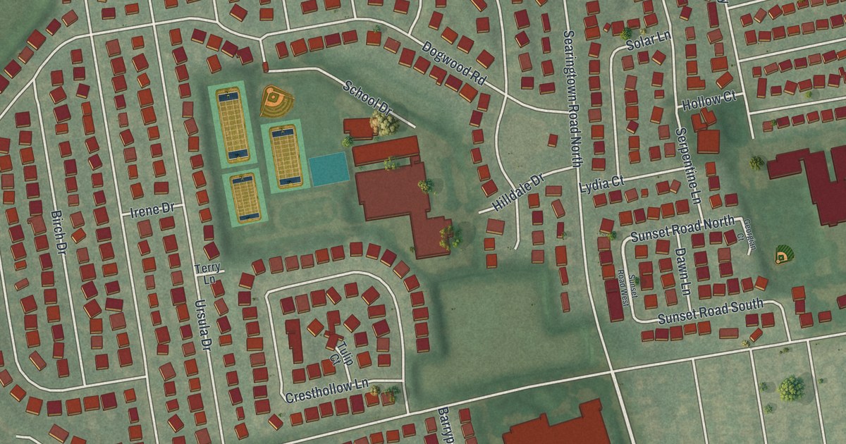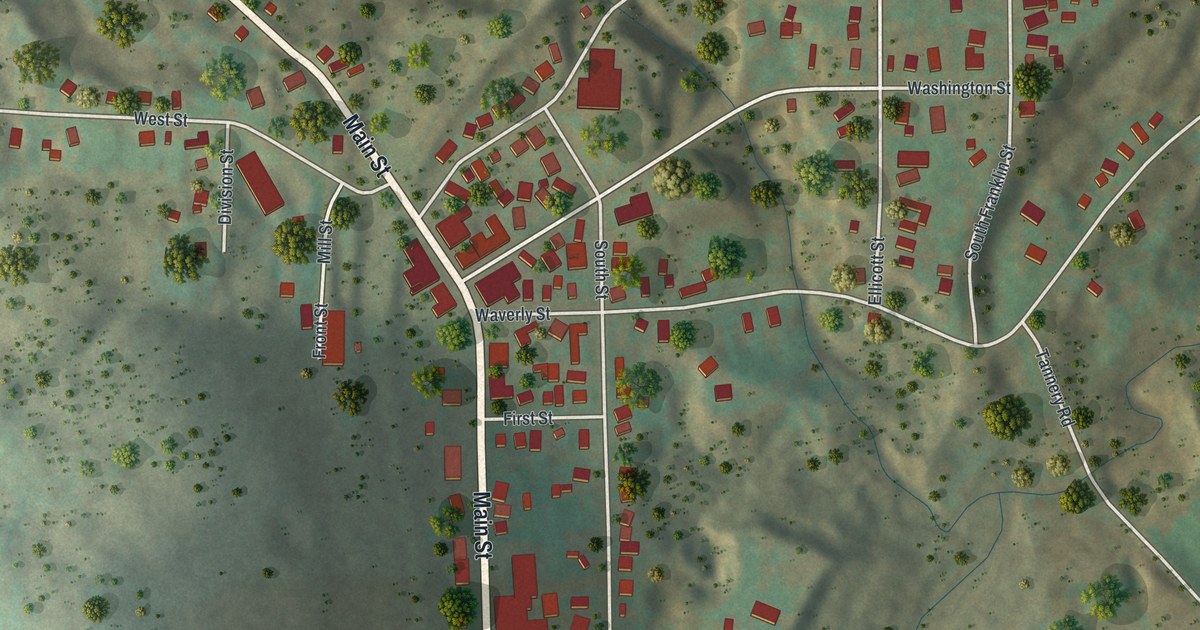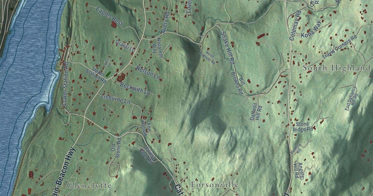
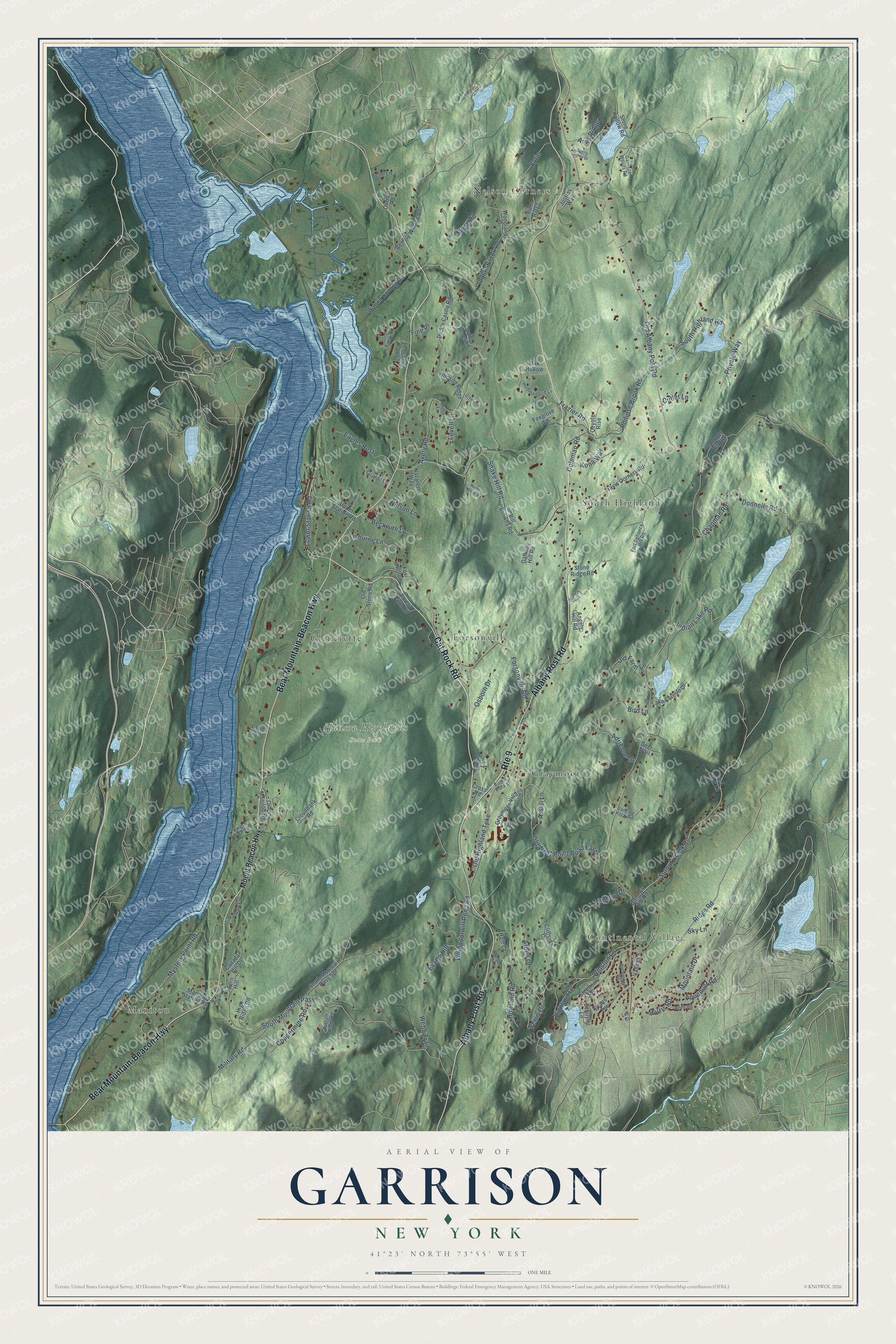
This beautifully detailed map of Garrison, New York was created in 2026 using aerial imagery combined with modern topographical, census, street and landmark data. It’s a one-of-a-kind view of Garrison that combines accurate data with a vintage aesthetic. The map shows every building in its true location, many of the roads carry their names, and the shaded topographic relief shows the shape of the land.
Explore an aerial view of Garrison, New York
On the map you’ll find Manitou, Continental Village, Hudson Highlands State Park, Nelson Corners, South Highland, Forsonville, Graymoor, and Glenclyffe, along with Bear Mountain-Beacon Highway, Albany Post Road, Cat Rock Road, Sprout Brook Road, and more. If you look closely you can even find your house accurately drawn in its correct location. Zoom in on the preview to look for yours.
Did You Know?
From Internet Archive: "John Brown of the 24: Batts: of the Royal Americans, who Commanded the Garrison; he having first told the Commery: and Commanding Officer, that it was by desire of Sir Will=: Johnson Baronet, that he wanted to spake to the Indians."
Garrison is a community in Putnam County.
Take a closer look at the Garrison map
Names on this map
These names are printed on this map.
Places: Manitou, Continental Village, Hudson Highlands State Park, Nelson Corners, South Highland, Forsonville, Graymoor and Glenclyffe.
Streets and roads: Bear Mountain-Beacon Highway, Albany Post Road, Cat Rock Road, Route 9, Sprout Brook Road, Lower Station Road, Forsonville Road, Old Albany Post Road, Indian Brook Road, South Mountain Pass, Avery Road, Snake Hill Road.
More street names, A to Z
Adrienne Lane, Allen Road, Angels Hill Road, Aqueduct Road, Aras Ridge, Archbishop Road, Arden Drive, Assisi Lane, Beckwith Lane, Belle Lane, Beverly Warren Road, Bill Browns Road, Bird Lane, Buena Vista Street, Canada Hill Drive, Canopus Hill Road, Chapman Road, Cliffside Court, Cloudbank Road, Coleman Road, Coppermine Road, Coyote Rise, Cross Road, Cutler Lane, Daffodil Hill Road, Dancing Rock Road, Deer Trail, Denning Hill, Dick's Castle Road, Donnelly Road, Durisol Road, Eagles Rest, Evans Terrace, Evarts Hill, Eyrie, Fern Hill, Ferris Drive, Fine Place, Forest Farm Road, Fort Defiance Hill Road, Foxfire Lane, Foxglove Lane, Fox Hollow, Frazier Road, Gallows Hill Road, Garrison Woods Road, Grassi Lane, Graymoor Village, Greencliff Lane, Hale Court, Highland Drive, High Ridge Road, Howland Road, Hudson Ridge, Hummingbird Lane, Indian Lake Road, Justins Way, Kings Dock Road, Kona Way, Lake Celeste Drive, Lawes Lane, Lee Court, Lewis Lane, Lisburne Lane, Lovell Lane, Mandalay Drive, Manitou Road, Manitou Station Road, Military Road, Moog Road, Morgan Court, Morris Road, Moss Lane, Mountain Drive, Mount Beacon Highway, Mystery Point Road, Nazareth Way, Nelson Lane, North Redoubt Road, Oak Hollow, Old Farm Lane, Old Highland Turnpike, Old Manitou Road, Old Stone Road, Old West Point Road East, Osborn Drive, Philipse Brook Road, Pine Ridge, Private Way, Putnam Ridge Road, Quiet Acres Lane, Red Oak Lane, Ridge Road, Rochambeau Road, Saint Basil's Road, Schuyler Lane, Sky Lane, South Highland Road, South Mountain Pass Spr, Steuben Road, Stone Hollow Road, Stone Ridge Road, Sunny Acres Drive, Travis Corners Road, Upland Drive, Upper Station Road, Valley Lane, Warren Landing Road, Webb Trail, Whippoorwill Pond Road, Winston Lane, Woodland Drive.
See it on a wall
The Garrison map as a framed print. Swipe for more.


This beautifully detailed map of Garrison makes an attractive addition to your office, library, or den, and it can even be used to teach children the geography and history of the area. It also makes a great gift for anyone who grew up in Garrison or moved away. When you’re done exploring, click here to get your copy of the Garrison map.