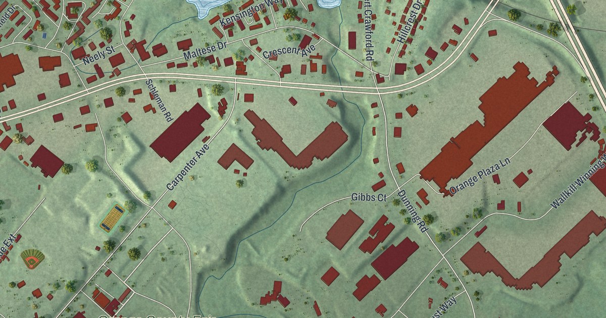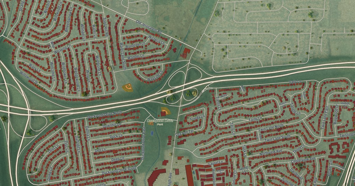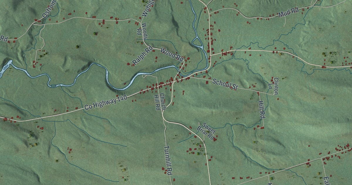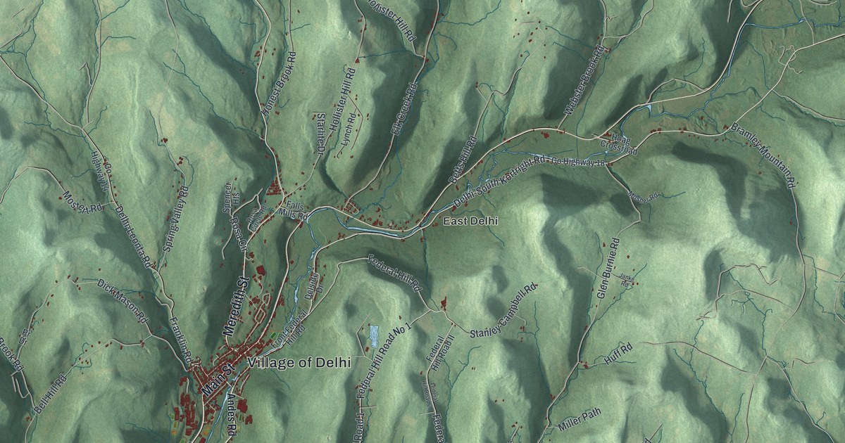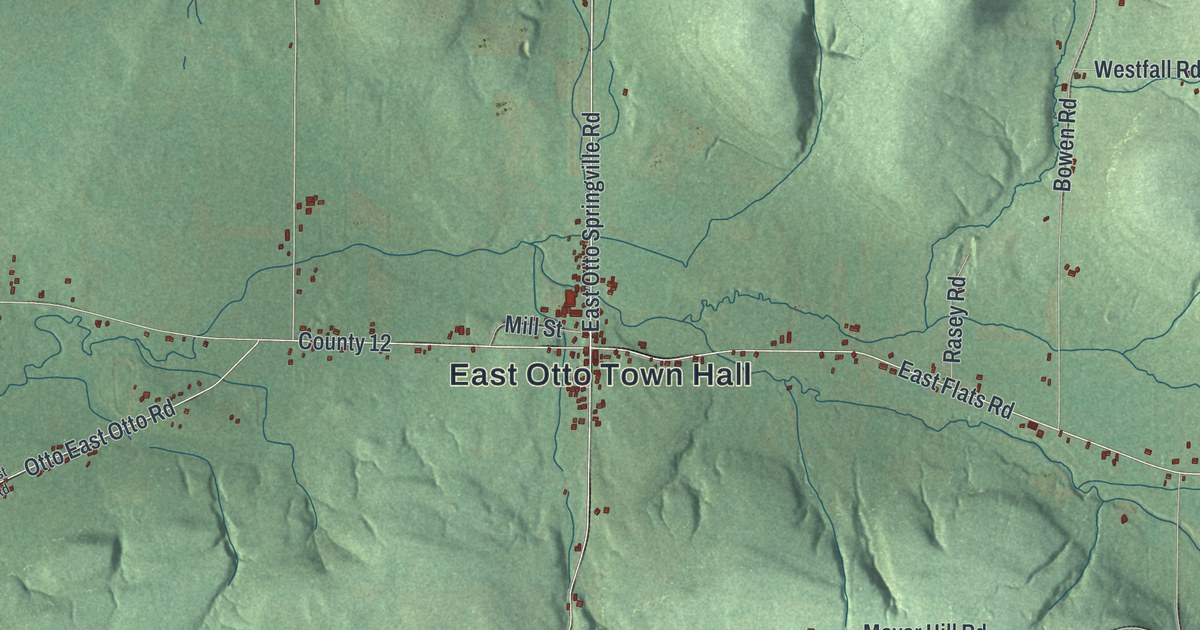
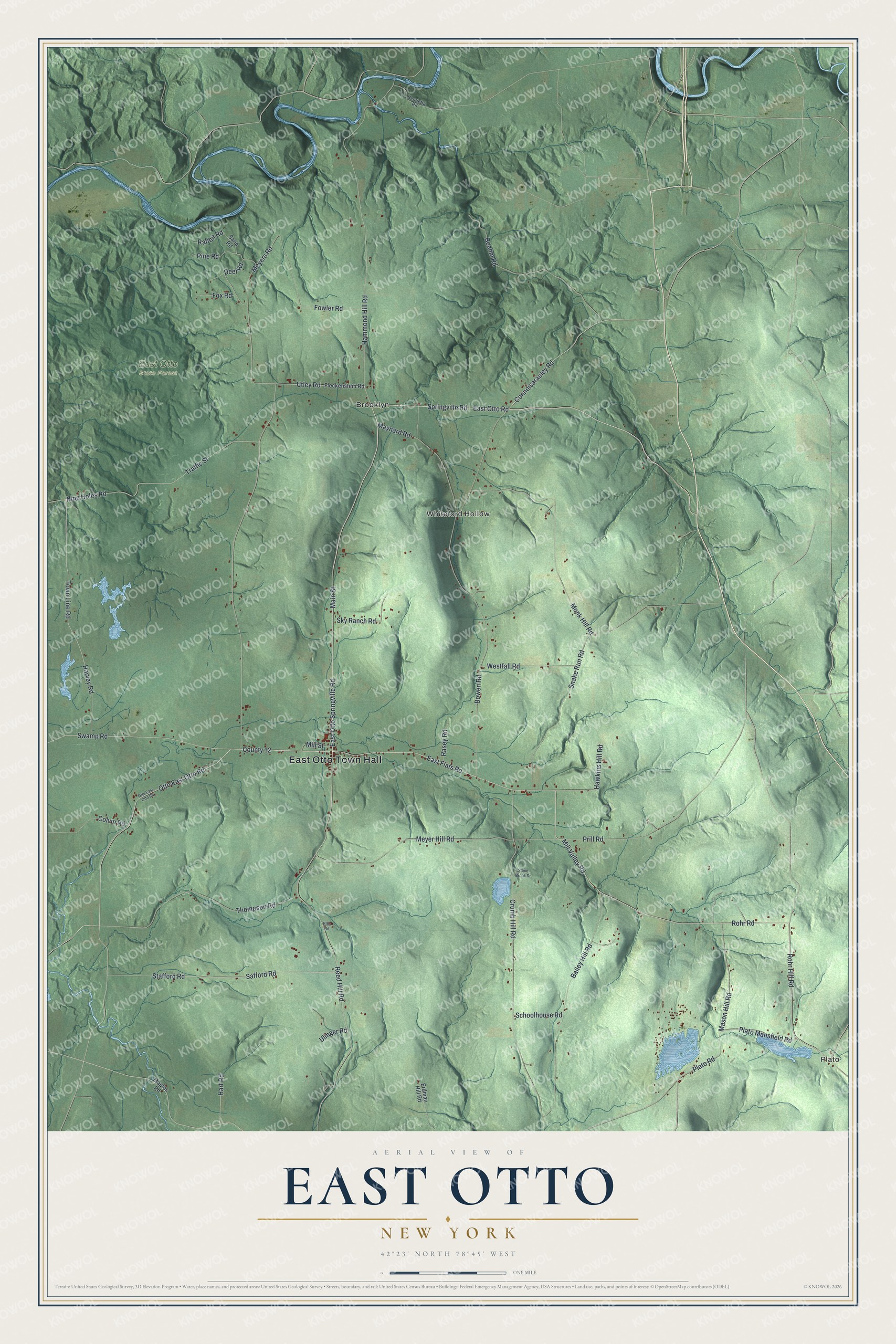
This beautifully detailed map of East Otto, New York was created in 2026 using aerial imagery combined with modern topographical, census, street and landmark data. It’s a one-of-a-kind view of East Otto that combines accurate data with a vintage aesthetic. The map shows every building in its true location, many of the roads carry their names, and the shaded topographic relief shows the shape of the land.
Explore an aerial view of East Otto, New York
On the map you’ll find East Otto Town Hall, Plato, Brooklyn, and Whiteford Hollow, along with Springville Road, Otto Springville Road, Otto Road, Rohr Road, and more. If you look closely you can even find your house accurately drawn in its correct location. Zoom in on the preview to look for yours.
Did You Know?
East Otto and its neighbor Otto are both named for Jacob Otto, an agent of the Holland Land Company. East Otto was split off from the eastern half of Otto in 1854. It was among the last towns created in Cattaraugus County. Its 1920 union school building now serves as the town hall.
Take a closer look at the East Otto map
Names on this map
These names are printed on this map.
Places: East Otto Town Hall, Plato, Brooklyn, Whiteford Hollow and East Otto State Forest.
Streets and roads: Springville Road, East Otto Springville Road, East Otto Road, Rohr Road, Connoisarauley Road, Plato Road, Otto East Otto Road, Mill Valley Road, East Flats Road, Utley Road, Meyer Hill Road, Rohr Hill Road.
More street names, A to Z
Bailey Hill Road, Boehm Road, Bowen Road, Colvin Road, County 12, Crumb Hill Road, Deer Road, Ellis Road, Erdman Hill Road, Fleckenstein Road, Fowler Road, Fox Road, Hammond Hill Road, Hart Road, Harvey Road, Hawkins Hill Road, Henrietta Road, Main Street, Maples Road, Mason Hill Road, Maynard Road, Meyers Road, Mill Street, Monk Hill Road, Nine Holes Road, Pine Road, Plato Mansfield Road, Prill Road, Rabbit Road, Rasey Road, Reed Hill Road, Safford Road, Sand Road, Schoolhouse Road, Sky Ranch Road, Snake Run Road, Stafford Road, Stone Brook Drive, Swamp Road, Thompson Road, Town Line Road, Traffic Street, Ulinger Road, Westfall Road.
See it on a wall
The East Otto map as a framed print. Swipe for more.


This beautifully detailed map of East Otto makes an attractive addition to your office, library, or den, and it can even be used to teach children the geography and history of the area. It also makes a great gift for anyone with East Otto roots. When you’re done exploring, click here to get your copy of the East Otto map.