Detailed Map of Sandy Creek, Georgia
A detailed map of Sandy Creek, Georgia, showing every building in its true location, the roads by name, and shaded topographical relief.
Read More
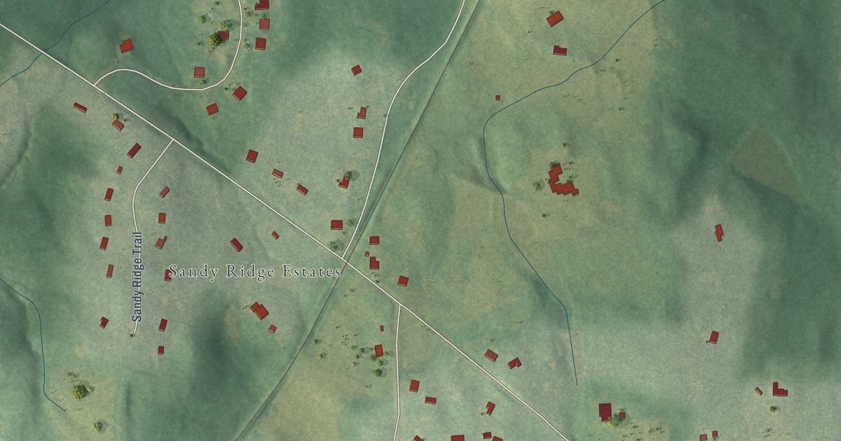
A detailed map of Sandy Creek, Georgia, showing every building in its true location, the roads by name, and shaded topographical relief.
Read More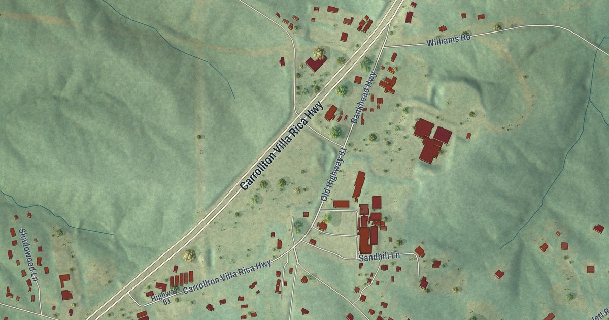
A detailed map of Sand Hill, Georgia, showing every building in its true location, the roads by name, and shaded topographical relief.
Read More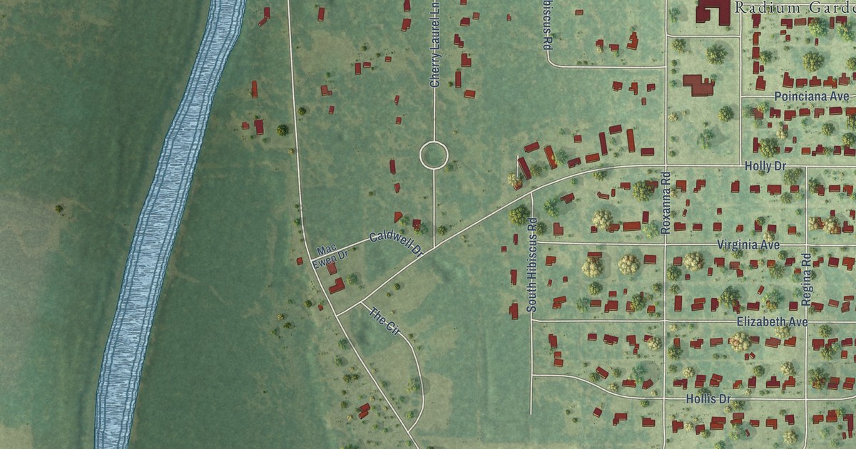
A detailed map of Radium Springs, Georgia, showing every building in its true location, the roads by name, and shaded topographical relief.
Read More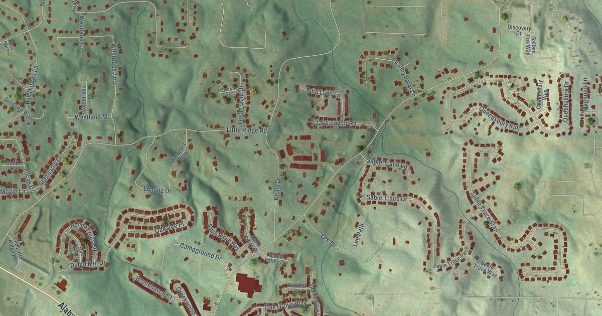
A detailed map of Oak Grove, Georgia, showing every building in its true location, the roads by name, and shaded topographical relief.
Read More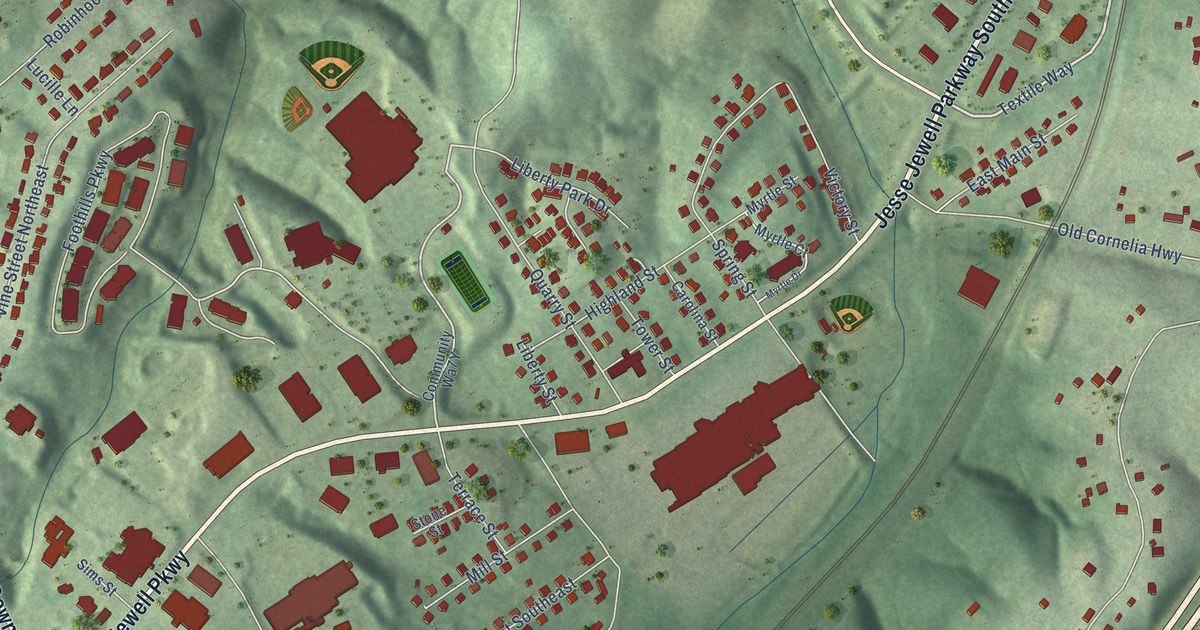
A detailed map of New Holland, Georgia, showing every building in its true location, the roads by name, and shaded topographical relief.
Read More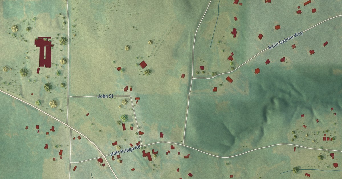
A detailed map of Inman, Georgia, showing every building in its true location, the roads by name, and shaded topographical relief.
Read More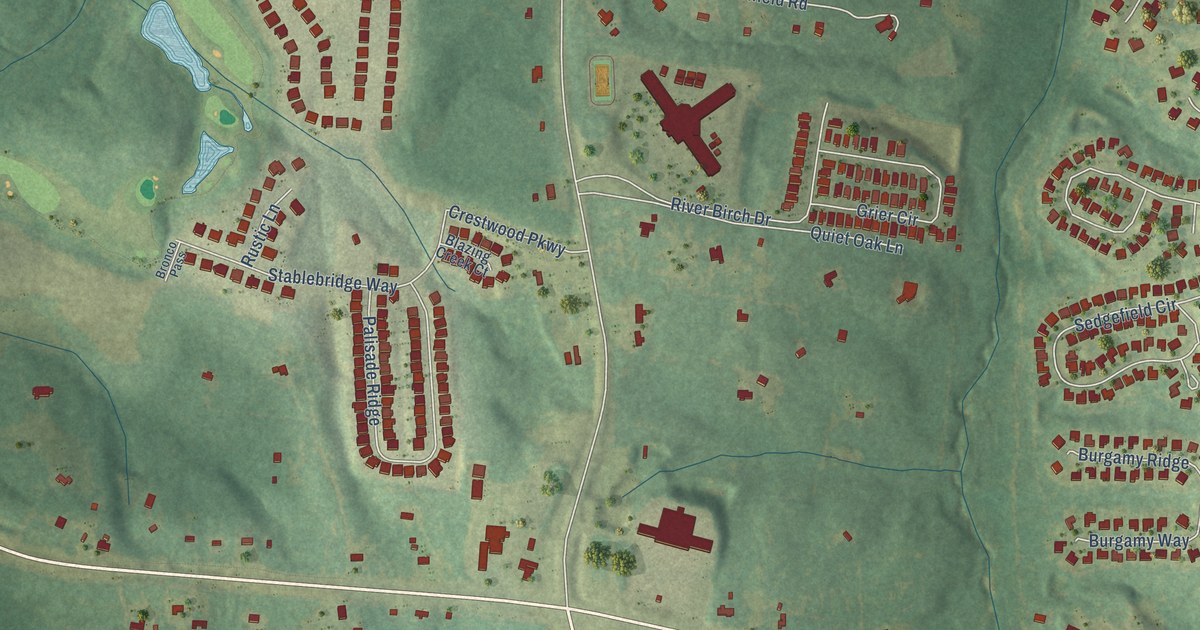
A detailed map of Lewiston, Georgia, showing every building in its true location, the roads by name, and shaded topographical relief.
Read More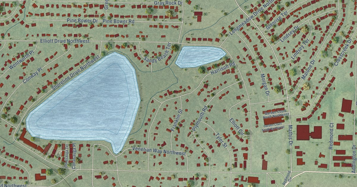
A detailed map of Garden Lakes, Georgia, showing every building in its true location, the roads by name, and shaded topographical relief.
Read More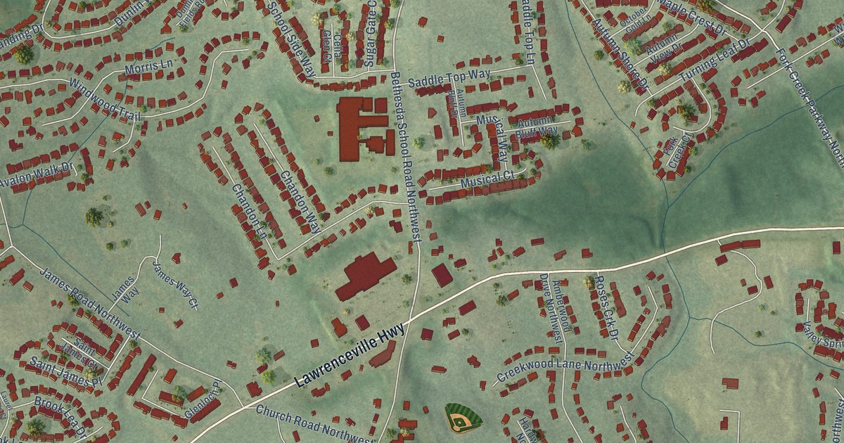
A detailed map of Bethesda, Georgia, showing every building in its true location, the roads by name, and shaded topographical relief.
Read More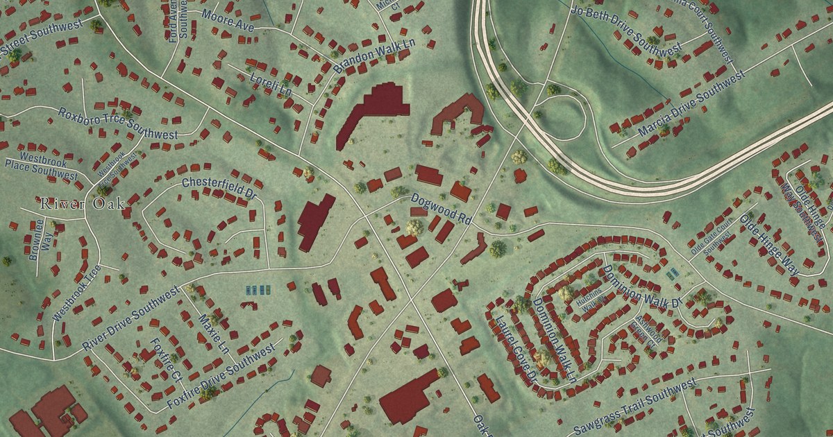
A detailed map of Five Forks, Georgia, showing every building in its true location, the roads by name, and shaded topographical relief.
Read More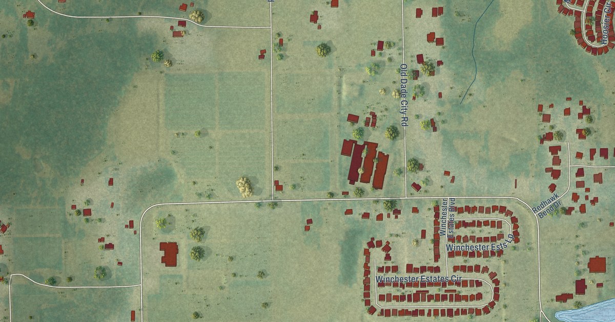
A detailed map of Socrum, Florida, showing every building in its true location, the roads by name, and shaded topographical relief.
Read More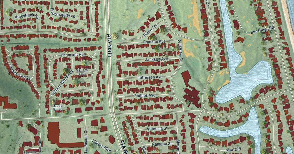
A detailed map of Ponte Vedra, Florida, showing every building in its true location, the roads by name, and shaded topographical relief.
Read More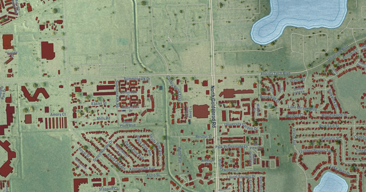
A detailed map of Aloma, Florida, showing every building in its true location, the roads by name, and shaded topographical relief.
Read More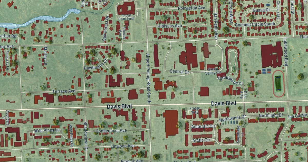
A detailed map of East Naples, Florida, showing every building in its true location, the roads by name, and shaded topographical relief.
Read More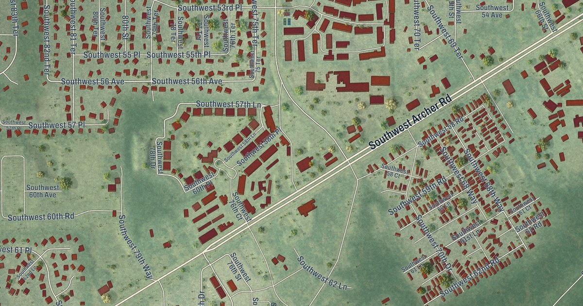
A detailed map of Kanapaha, Florida, showing every building in its true location, the roads by name, and shaded topographical relief.
Read More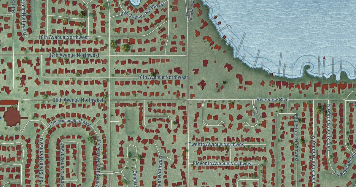
A detailed map of Palma Sola, Florida, showing every building in its true location, the roads by name, and shaded topographical relief.
Read More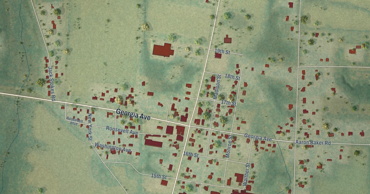
A detailed map of Baker, Florida, showing every building in its true location, the roads by name, and shaded topographical relief.
Read More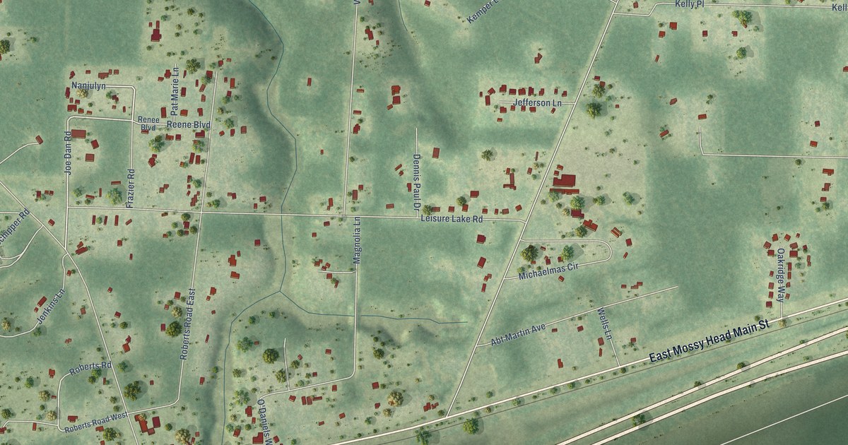
A detailed map of Mossy Head, Florida, showing every building in its true location, the roads by name, and shaded topographical relief.
Read More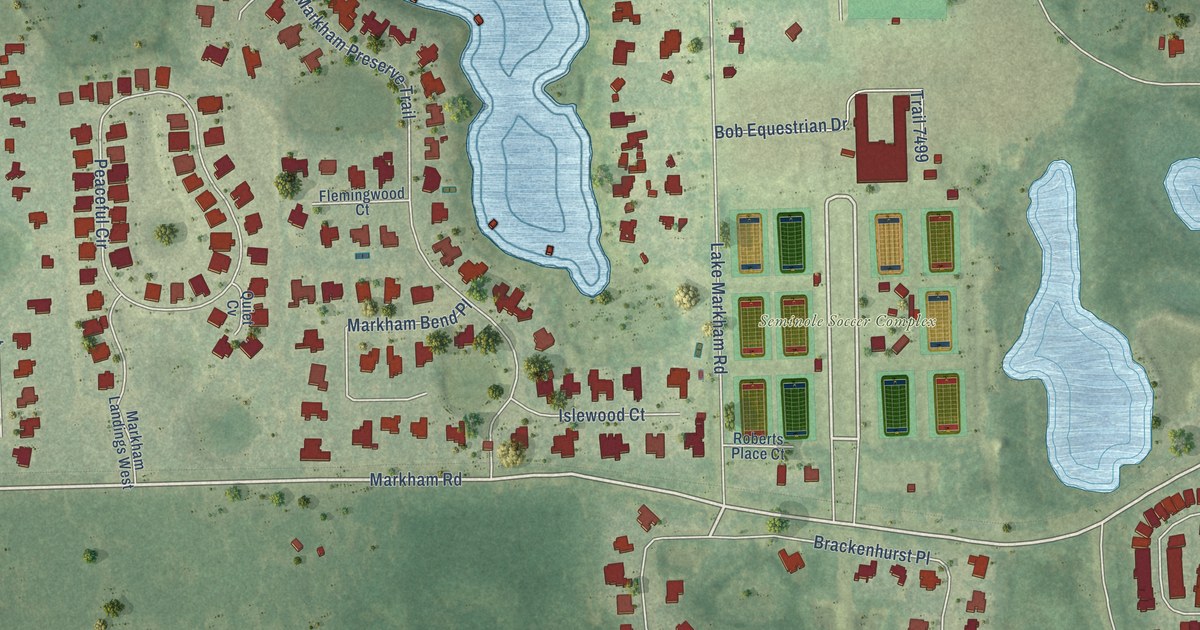
A detailed map of Markham, Florida, showing every building in its true location, the roads by name, and shaded topographical relief.
Read More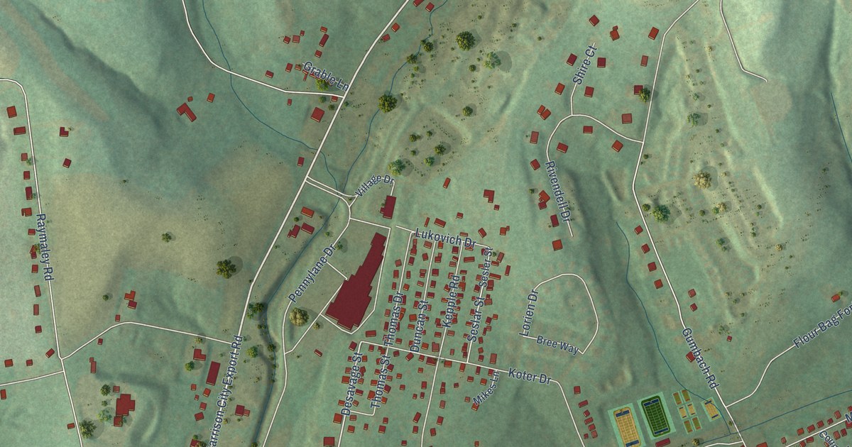
A detailed map of McCullough, Pennsylvania, showing every building in its true location, the roads by name, and shaded topographical relief.
Read More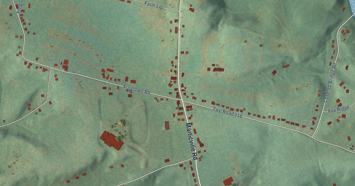
A detailed map of Marticville, Pennsylvania, showing every building in its true location, the roads by name, and shaded topographical relief.
Read More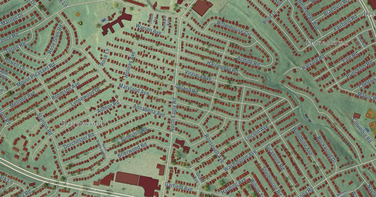
A detailed map of Manoa, Pennsylvania, showing every building in its true location, the roads by name, and shaded topographical relief.
Read More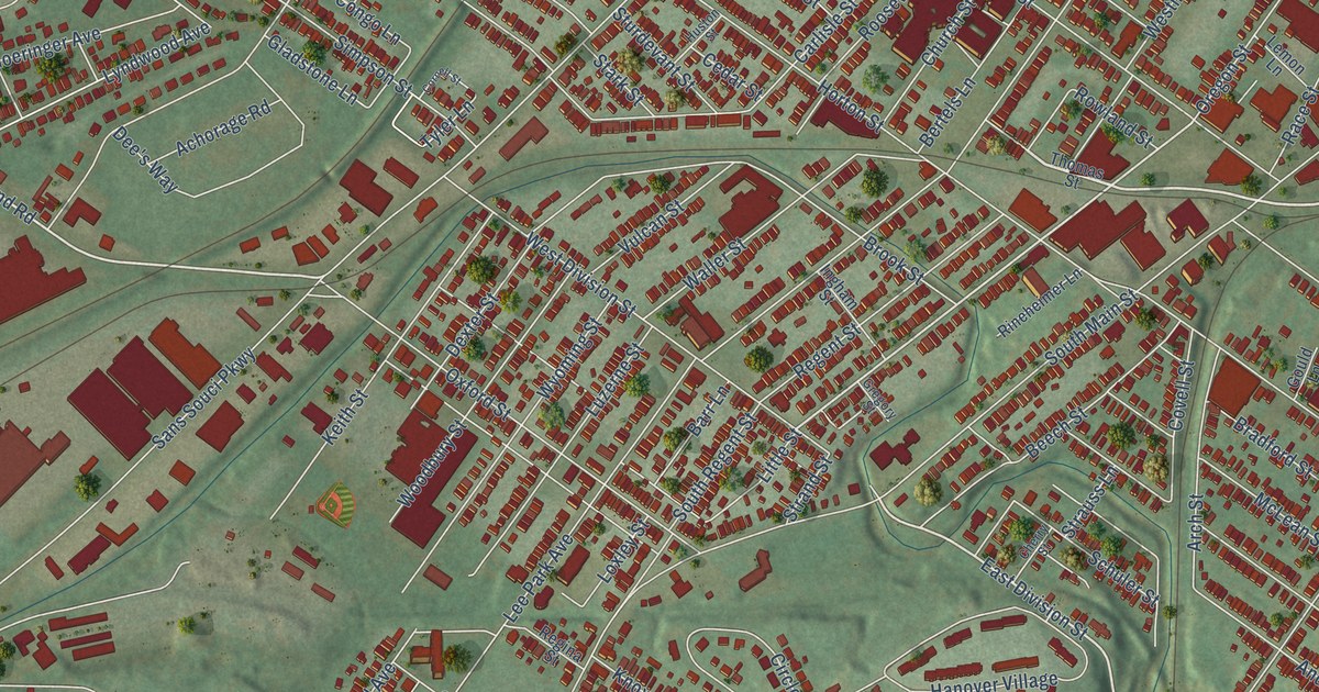
A detailed map of Lee Park, Pennsylvania, showing every building in its true location, the roads by name, and shaded topographical relief.
Read More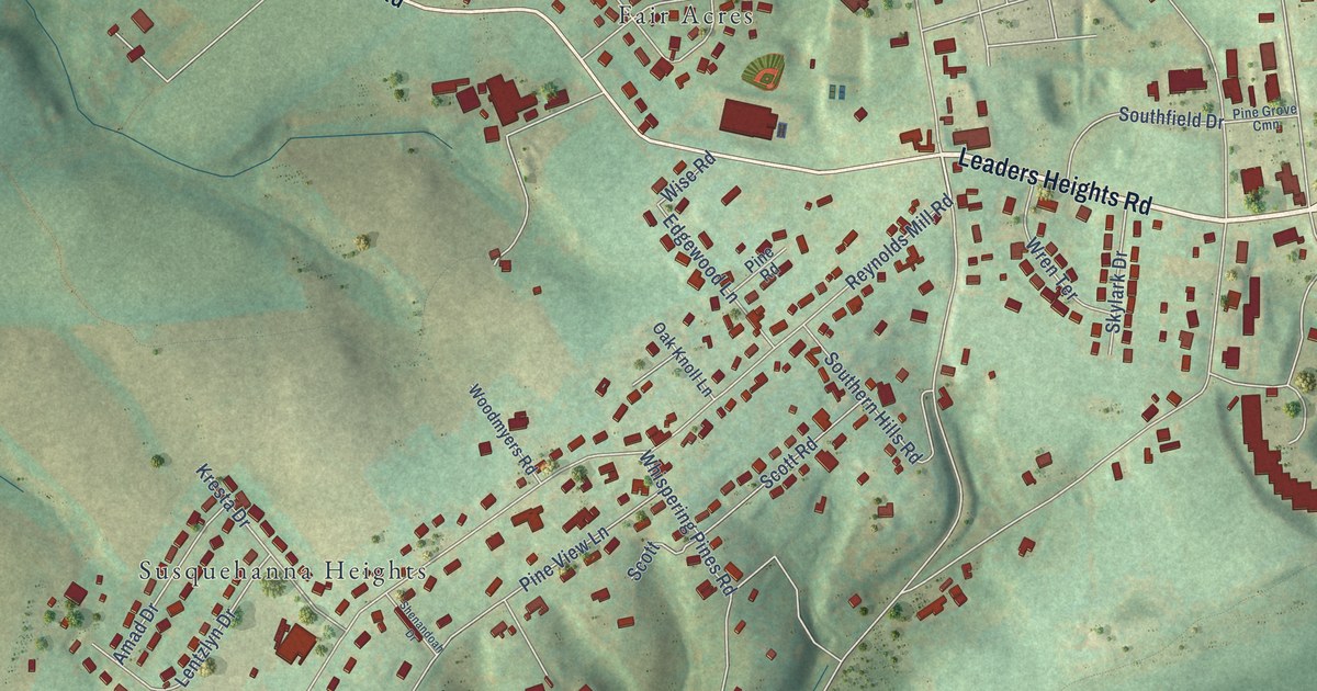
A detailed map of Leaders Heights, Pennsylvania, showing every building in its true location, the roads by name, and shaded topographical relief.
Read More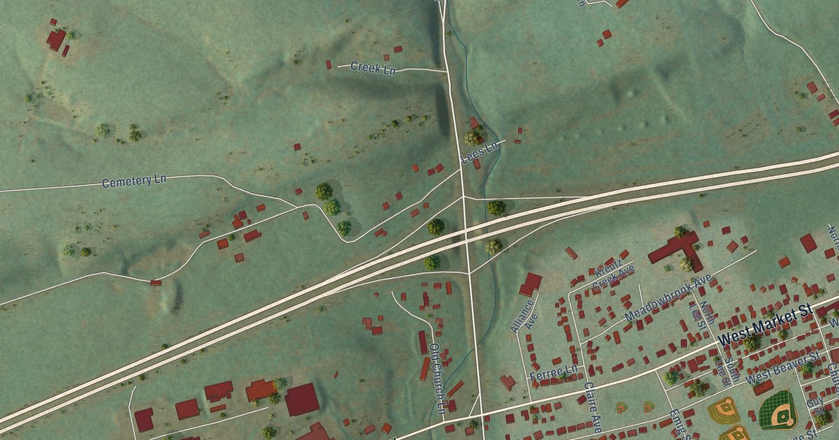
A detailed map of Kreutz Creek, Pennsylvania, showing every building in its true location, the roads by name, and shaded topographical relief.
Read More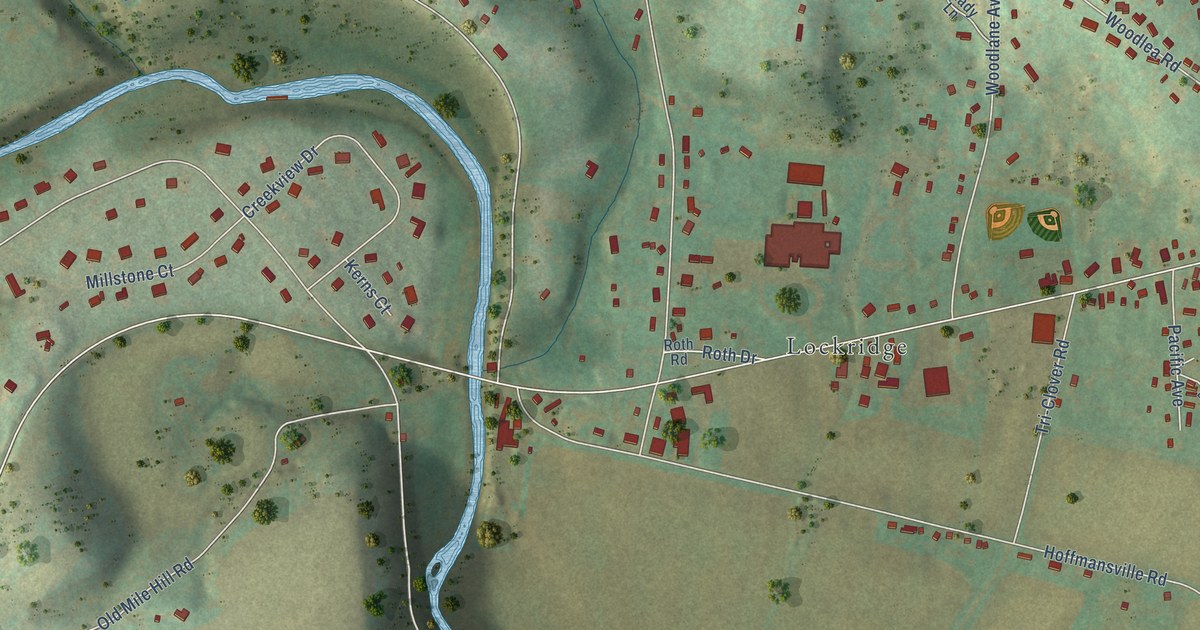
A detailed map of Kernsville, Pennsylvania, showing every building in its true location, the roads by name, and shaded topographical relief.
Read More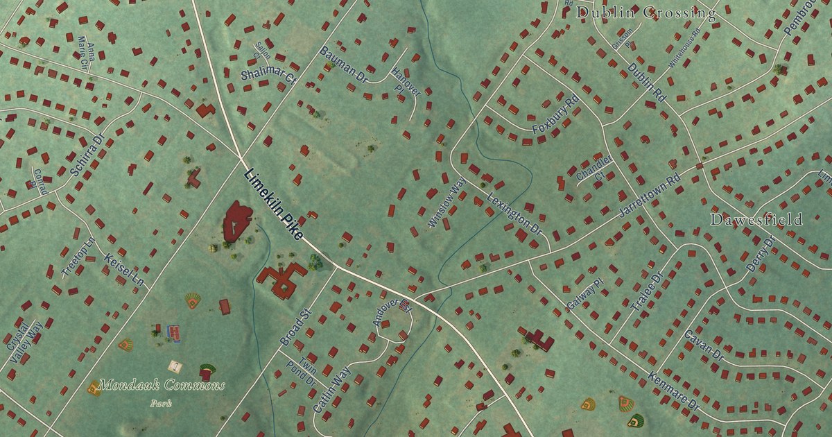
A detailed map of Jarrettown, Pennsylvania, showing every building in its true location, the roads by name, and shaded topographical relief.
Read More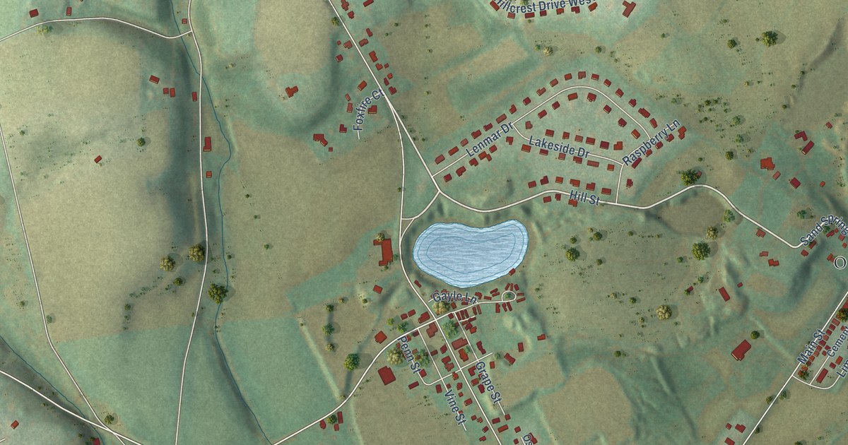
A detailed map of Ironton, Pennsylvania, showing every building in its true location, the roads by name, and shaded topographical relief.
Read More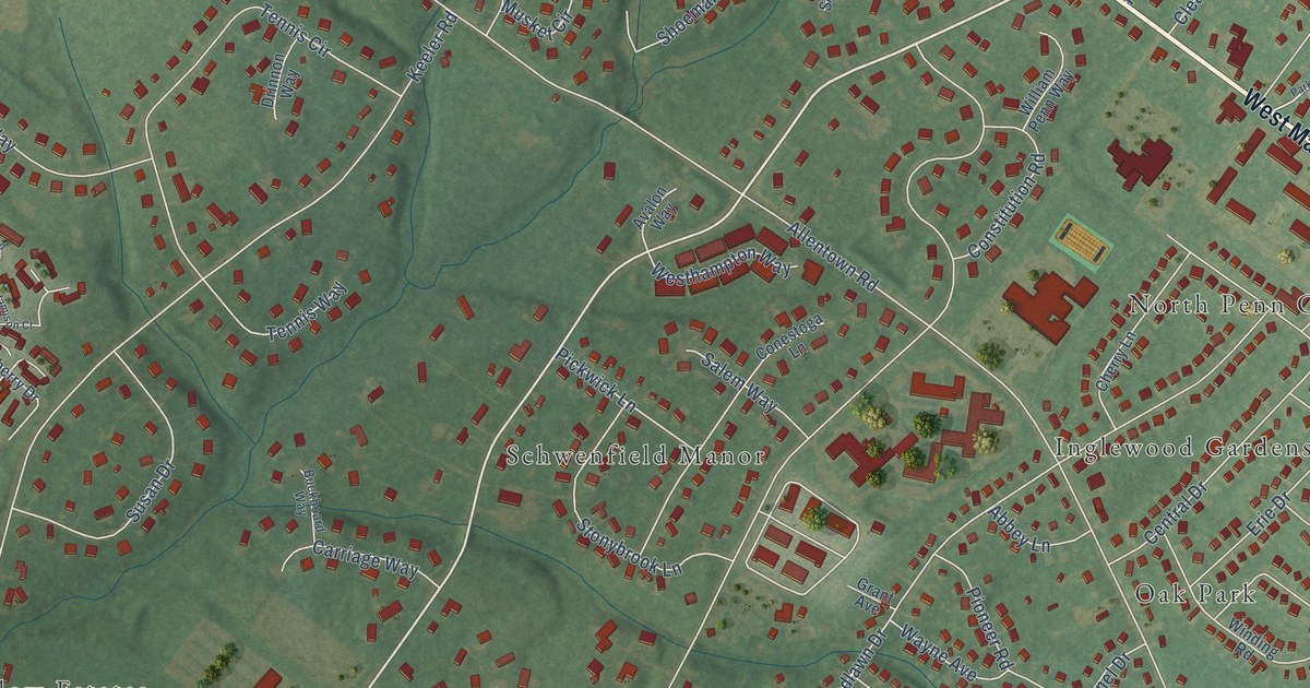
A detailed map of Inglewood, Pennsylvania, showing every building in its true location, the roads by name, and shaded topographical relief.
Read More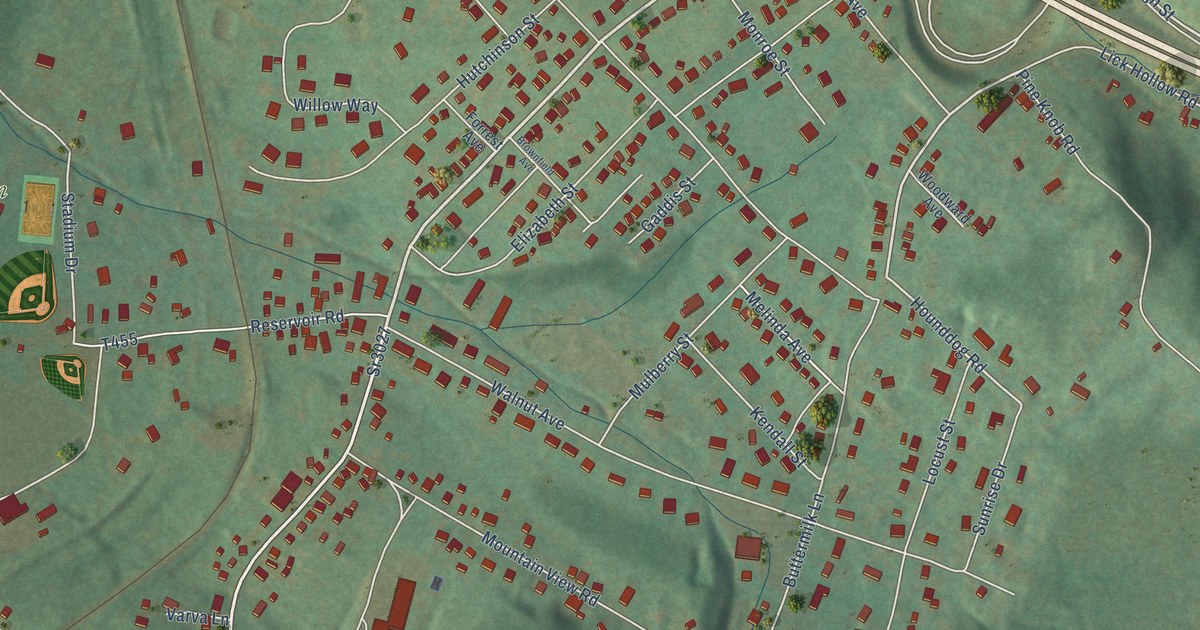
A detailed map of Hutchinson, Pennsylvania, showing every building in its true location, the roads by name, and shaded topographical relief.
Read More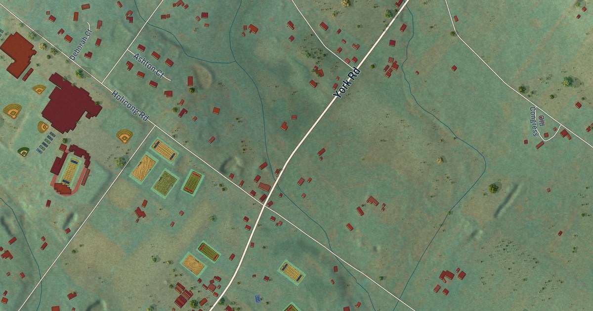
A detailed map of Holicong, Pennsylvania, showing every building in its true location, the roads by name, and shaded topographical relief.
Read More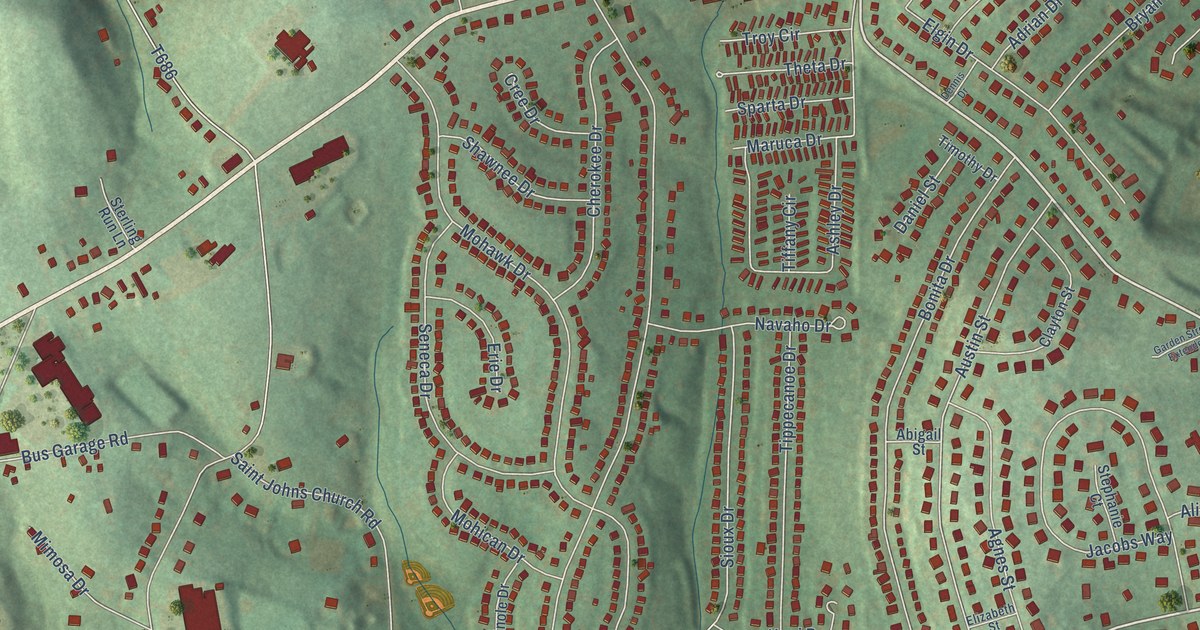
A detailed map of Fort Allen, Pennsylvania, showing every building in its true location, the roads by name, and shaded topographical relief.
Read More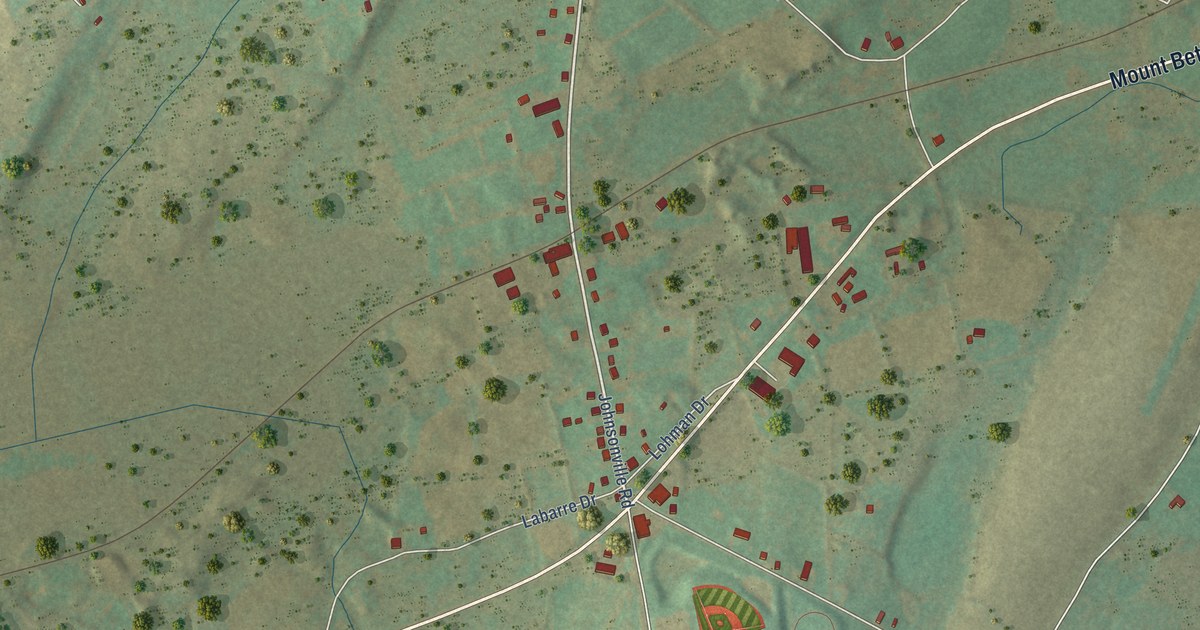
A detailed map of Five Points, Pennsylvania, showing every building in its true location, the roads by name, and shaded topographical relief.
Read More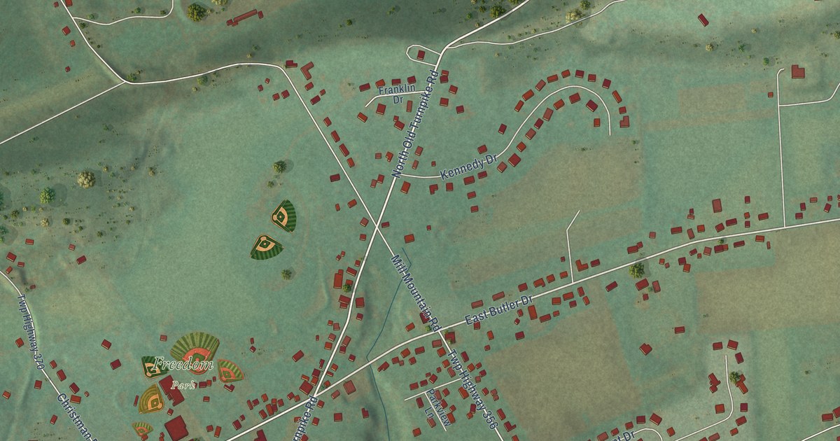
A detailed map of Drums, Pennsylvania, showing every building in its true location, the roads by name, and shaded topographical relief.
Read More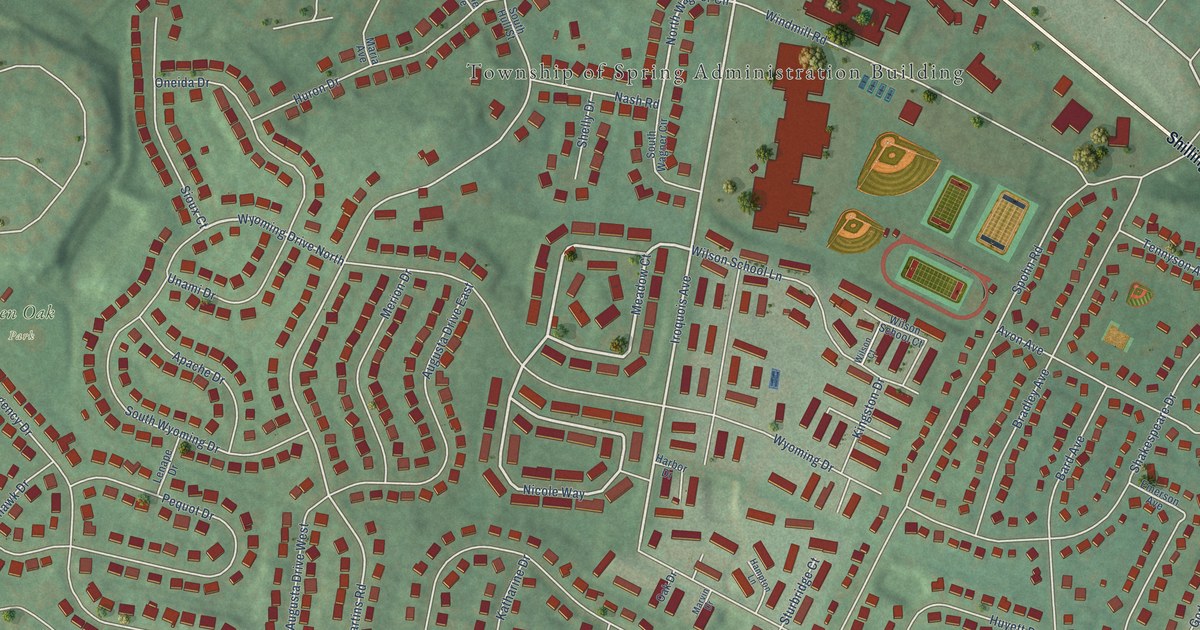
A detailed map of Cornwall Terrace, Pennsylvania, showing every building in its true location, the roads by name, and shaded topographical relief.
Read More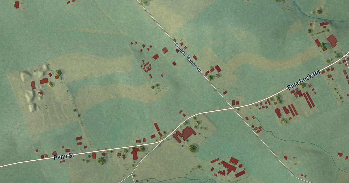
A detailed map of Central Manor, Pennsylvania, showing every building in its true location, the roads by name, and shaded topographical relief.
Read More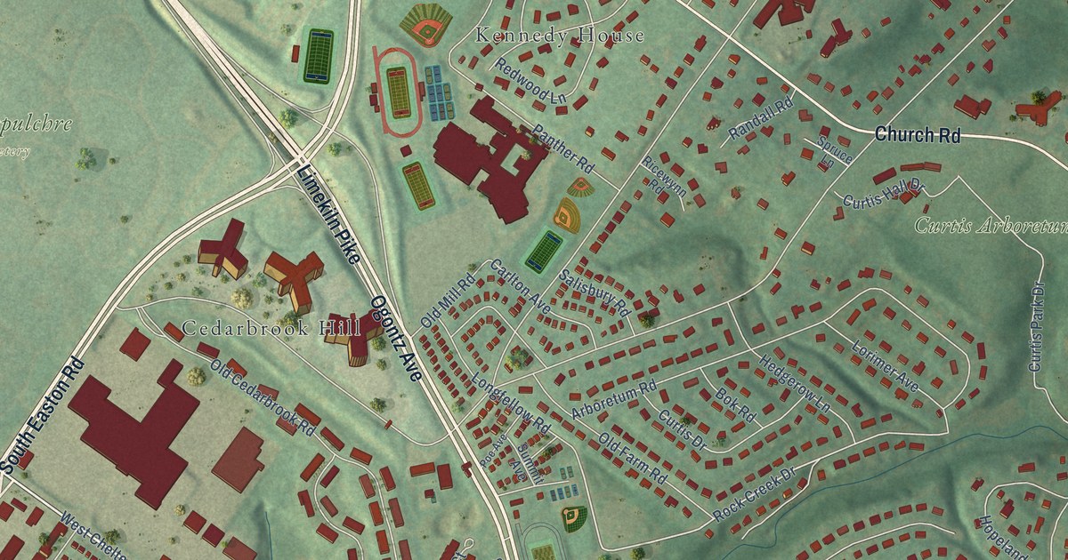
A detailed map of Cedarbrook, Pennsylvania, showing every building in its true location, the roads by name, and shaded topographical relief.
Read More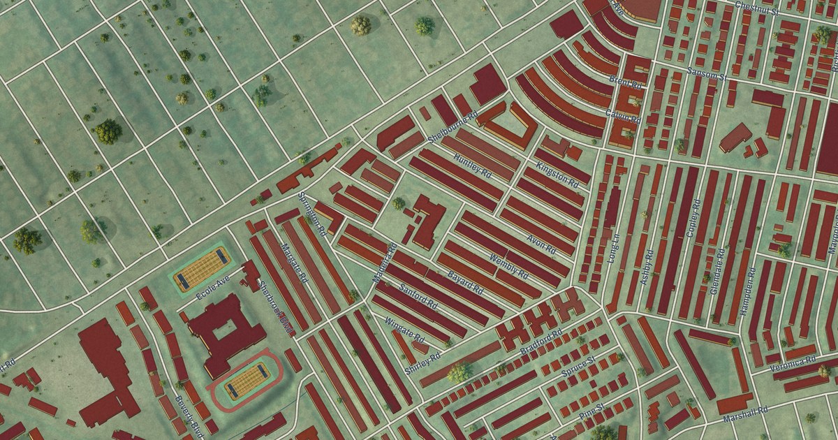
A detailed map of Bywood, Pennsylvania, showing every building in its true location, the roads by name, and shaded topographical relief.
Read More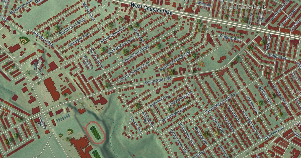
A detailed map of Beverly Hills, Pennsylvania, showing every building in its true location, the roads by name, and shaded topographical relief.
Read More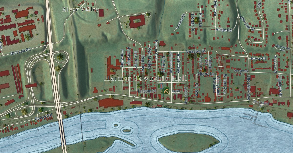
A detailed map of Acmetonia, Pennsylvania, showing every building in its true location, the roads by name, and shaded topographical relief.
Read More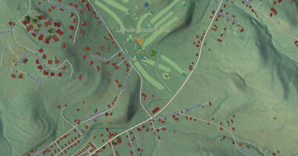
A detailed map of Baggaley, Pennsylvania, showing every building in its true location, the roads by name, and shaded topographical relief.
Read More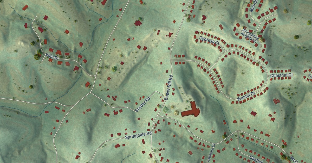
A detailed map of Bower Hill, Pennsylvania, showing every building in its true location, the roads by name, and shaded topographical relief.
Read More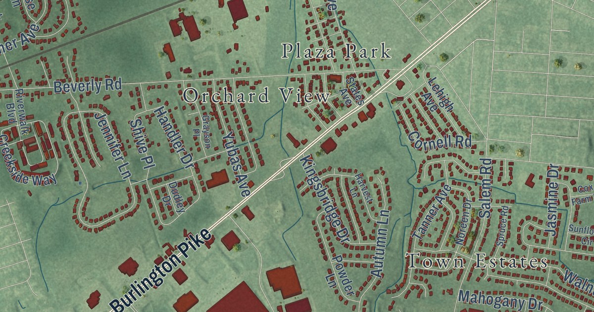
A detailed map of Springside, New Jersey, showing every building in its true location, the roads by name, and shaded topographical relief.
Read More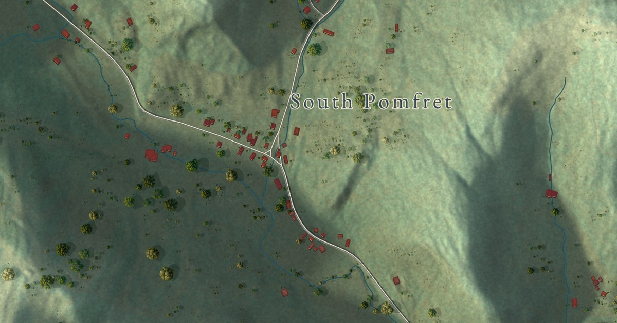
A detailed map of Prosper, Vermont, showing every building in its true location, the roads by name, and shaded topographical relief.
Read More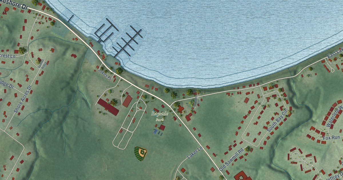
A detailed map of Malletts Bay, Vermont, showing every building in its true location, the roads by name, and shaded topographical relief.
Read More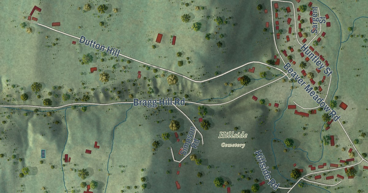
A detailed map of Dothan, Vermont, showing every building in its true location, the roads by name, and shaded topographical relief.
Read More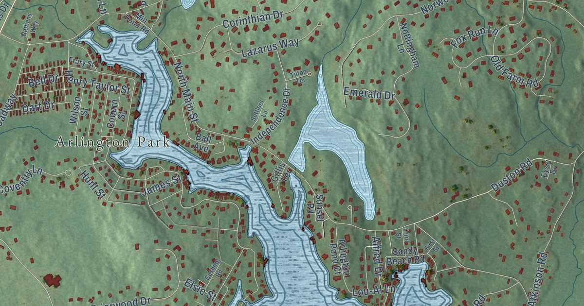
A detailed map of North Salem, New Hampshire, showing every building in its true location, the roads by name, and shaded topographical relief.
Read More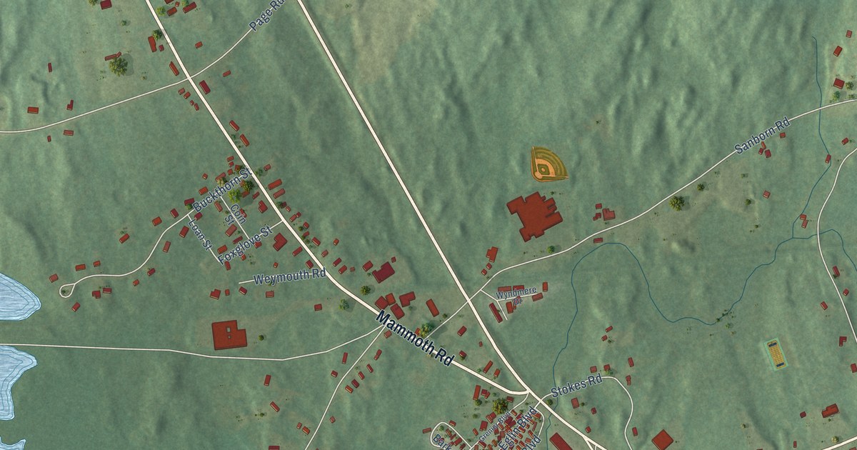
A detailed map of North Londonderry, New Hampshire, showing every building in its true location, the roads by name, and shaded topographical relief.
Read More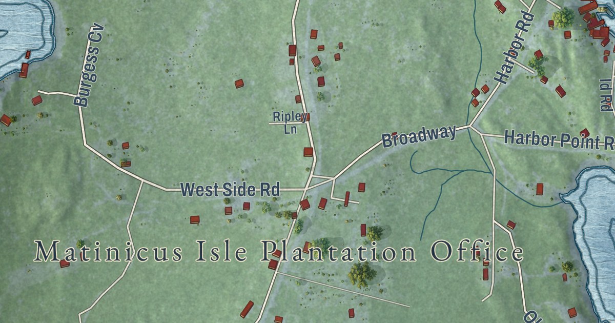
A detailed map of Matinicus, Maine, showing every building in its true location, the roads by name, and shaded topographical relief.
Read More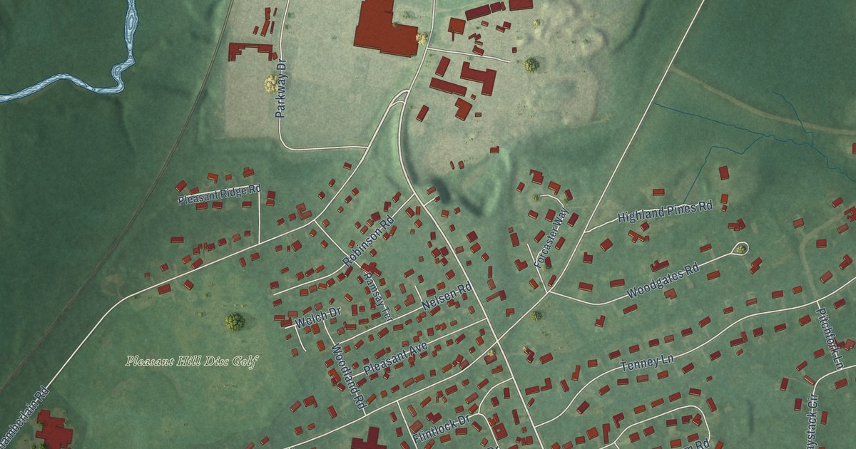
A detailed map of Pleasant Hill, Maine, showing every building in its true location, the roads by name, and shaded topographical relief.
Read More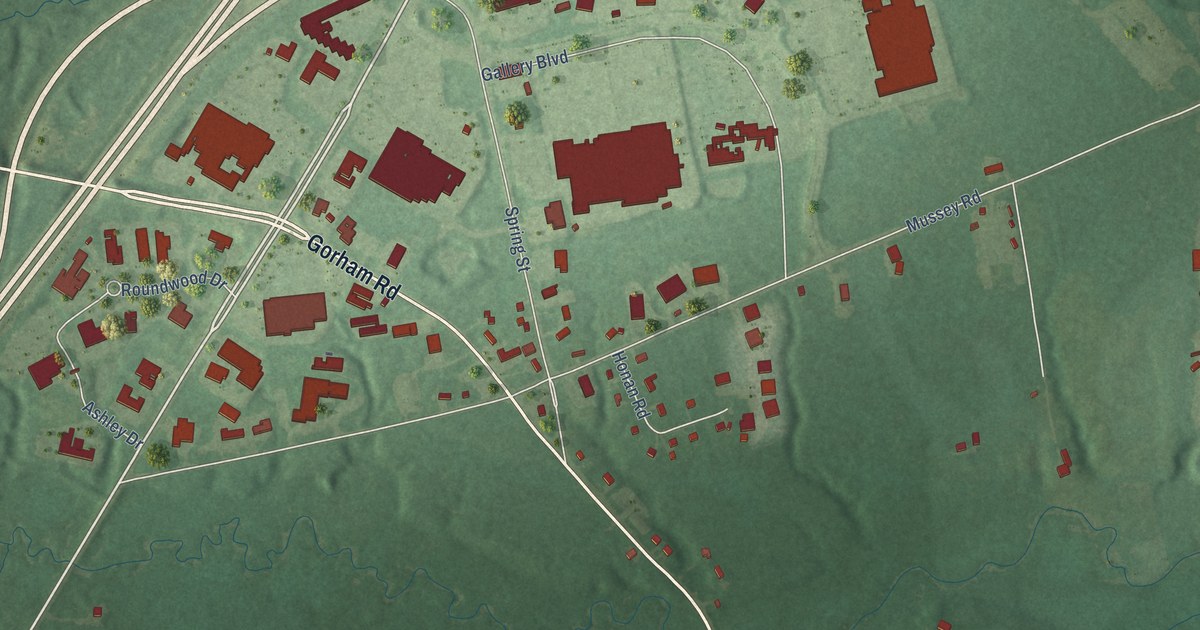
A detailed map of Eight Corners, Maine, showing every building in its true location, the roads by name, and shaded topographical relief.
Read More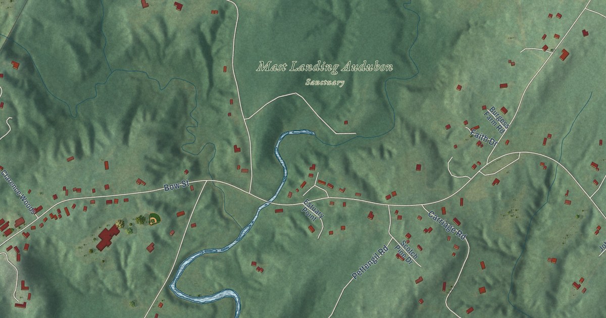
A detailed map of Mast Landing, Maine, showing every building in its true location, the roads by name, and shaded topographical relief.
Read More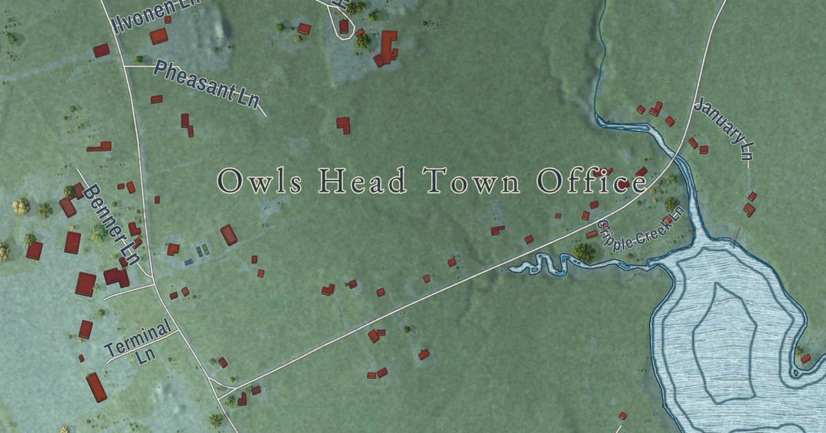
A detailed map of Ash Point, Maine, showing every building in its true location, the roads by name, and shaded topographical relief.
Read More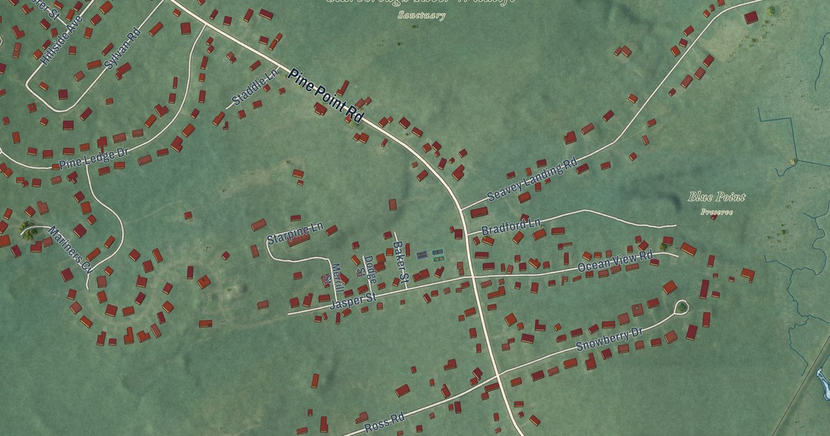
A detailed map of Blue Point, Maine, showing every building in its true location, the roads by name, and shaded topographical relief.
Read More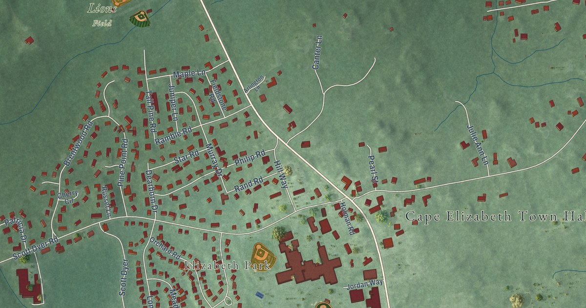
A detailed map of Pond Cove, Maine, showing every building in its true location, the roads by name, and shaded topographical relief.
Read More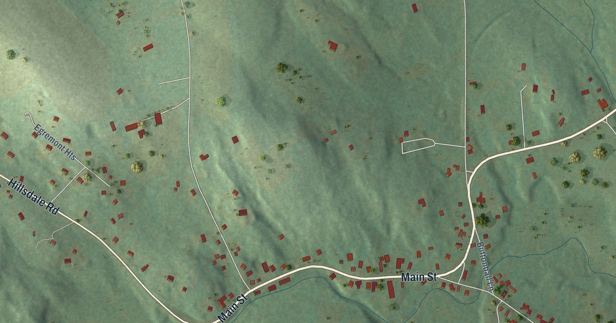
A detailed map of South Egremont, Massachusetts, showing every building in its true location, the roads by name, and shaded topographical relief.
Read More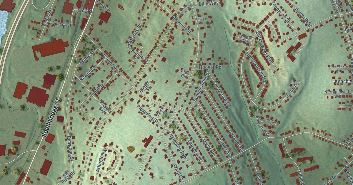
A detailed map of Pakachoag, Massachusetts, showing every building in its true location, the roads by name, and shaded topographical relief.
Read More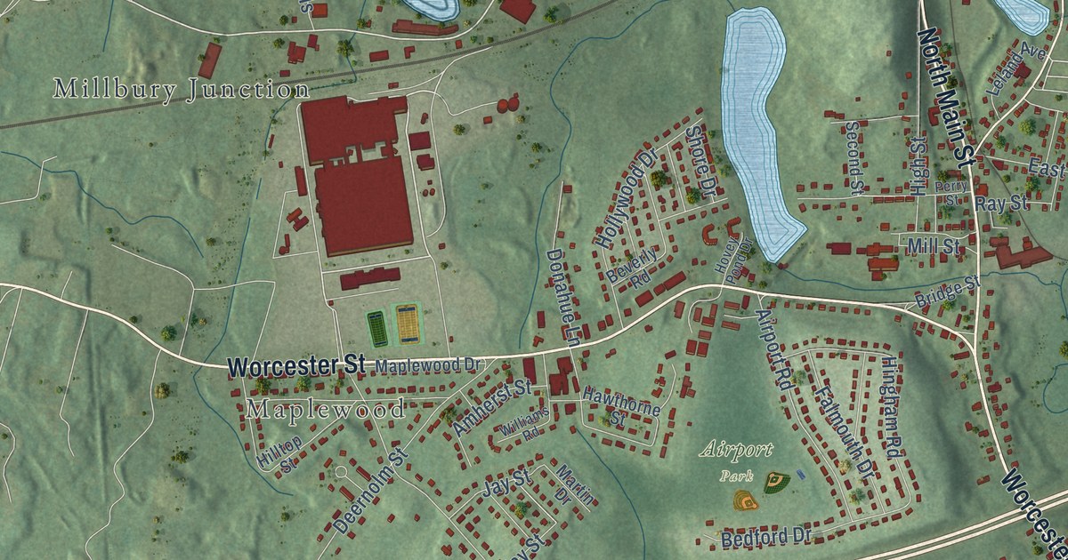
A detailed map of North Grafton, Massachusetts, showing every building in its true location, the roads by name, and shaded topographical relief.
Read More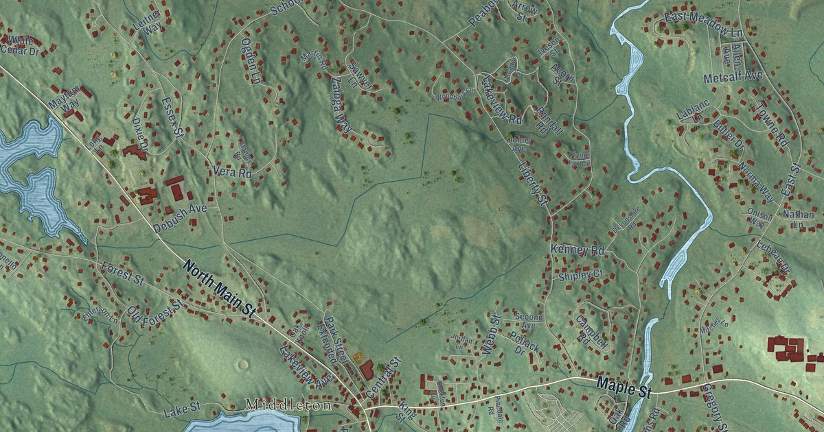
A detailed map of Howe, Massachusetts, showing every building in its true location, the roads by name, and shaded topographical relief.
Read More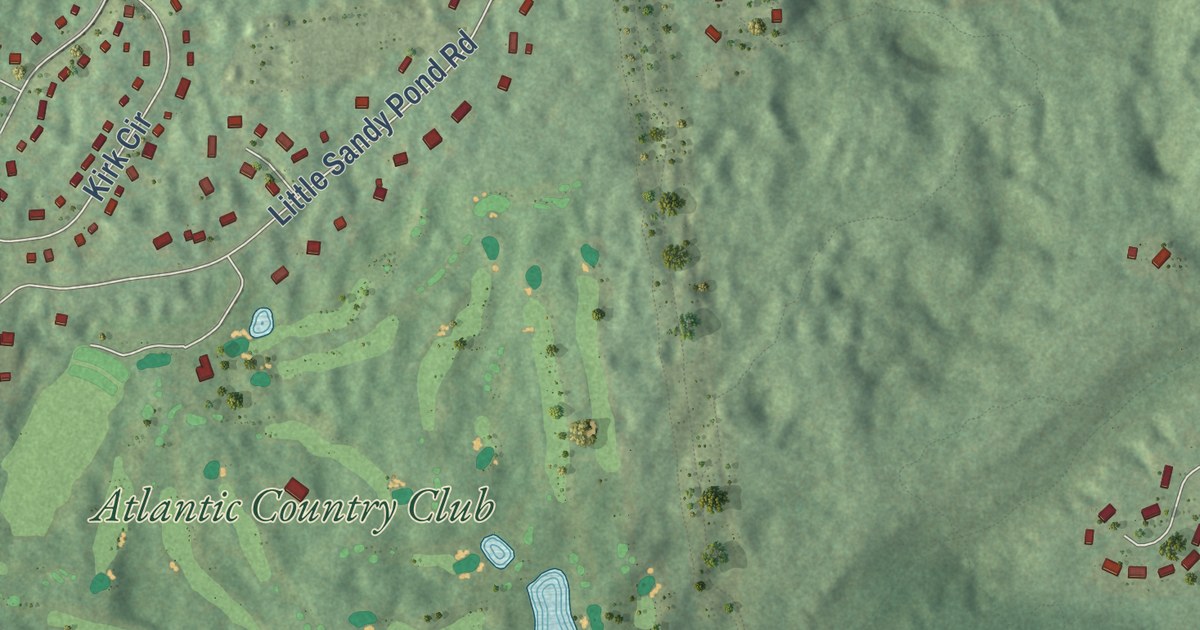
A detailed map of Bournedale, Massachusetts, showing every building in its true location, the roads by name, and shaded topographical relief.
Read More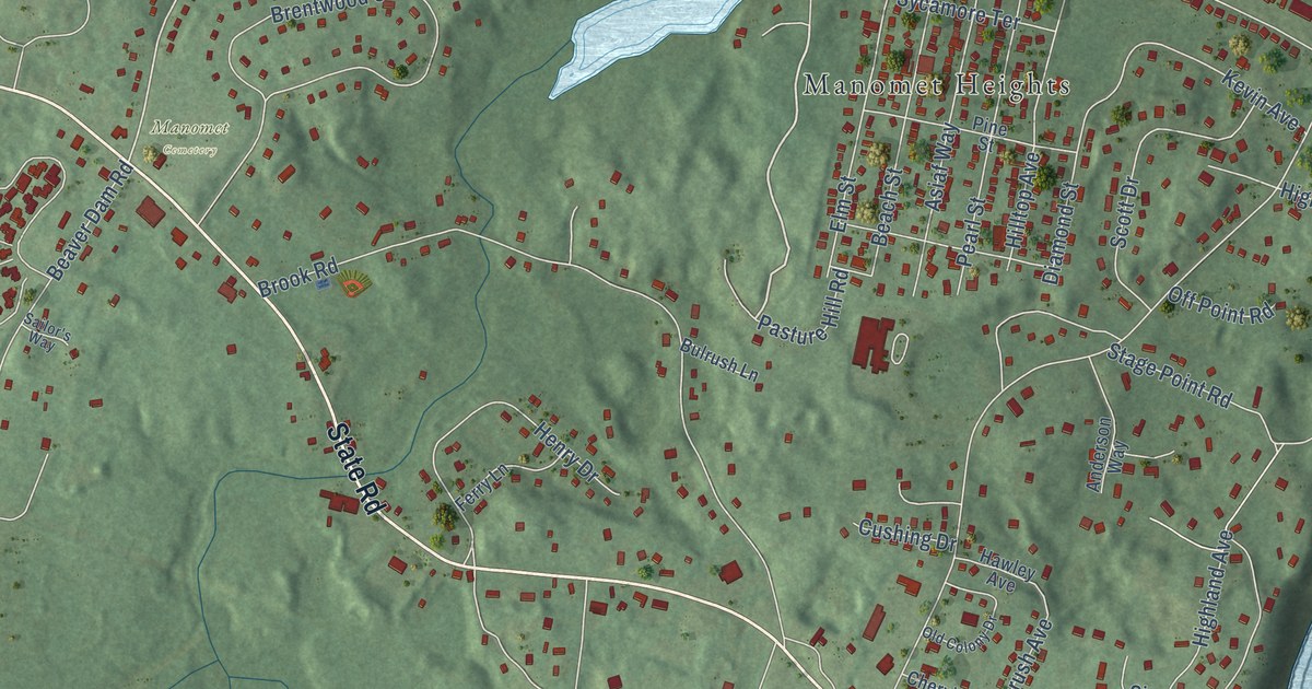
A detailed map of Manomet, Massachusetts, showing every building in its true location, the roads by name, and shaded topographical relief.
Read More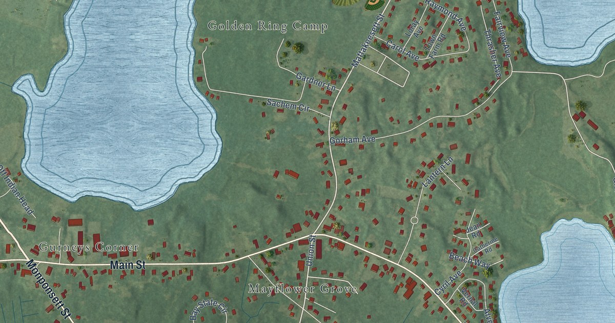
A detailed map of Bryantville, Massachusetts, showing every building in its true location, the roads by name, and shaded topographical relief.
Read More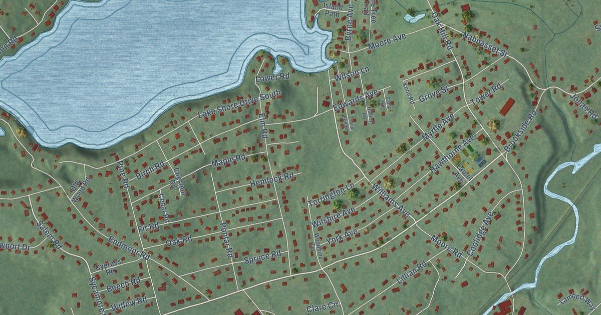
A detailed map of Nabnasset, Massachusetts, showing every building in its true location, the roads by name, and shaded topographical relief.
Read More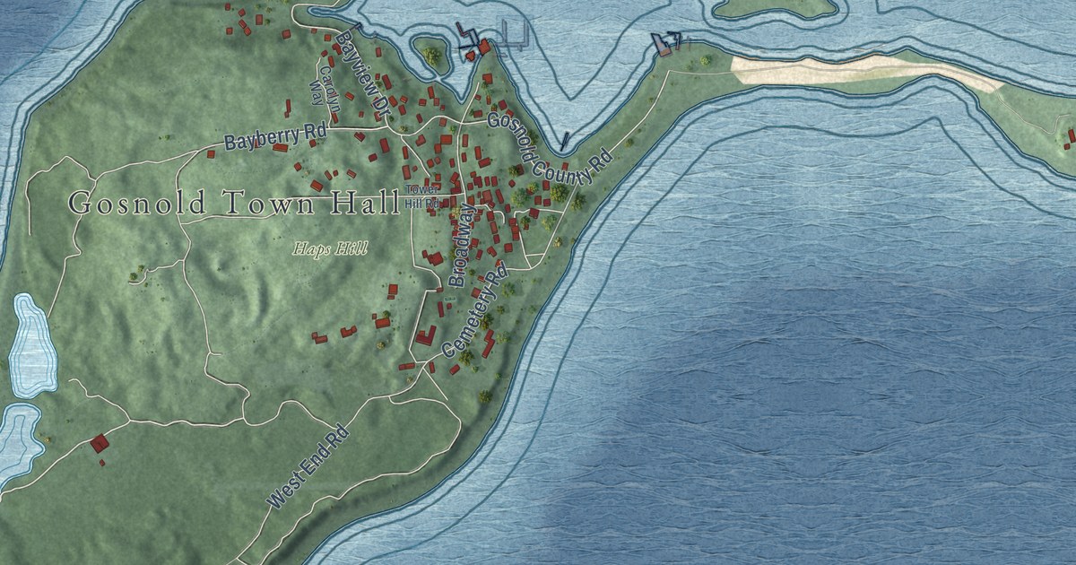
A detailed map of Cuttyhunk, Massachusetts, showing every building in its true location, the roads by name, and shaded topographical relief.
Read More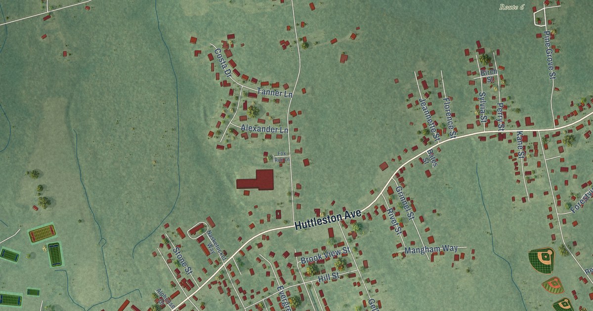
A detailed map of East Fairhaven, Massachusetts, showing every building in its true location, the roads by name, and shaded topographical relief.
Read More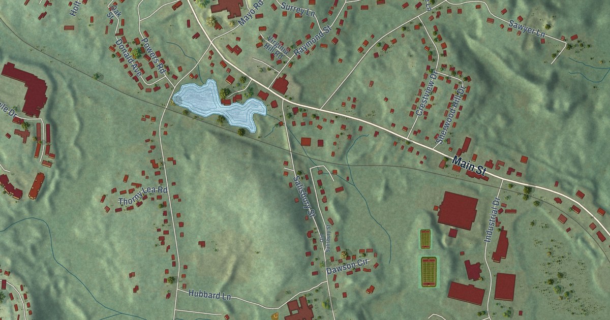
A detailed map of Dawson, Massachusetts, showing every building in its true location, the roads by name, and shaded topographical relief.
Read More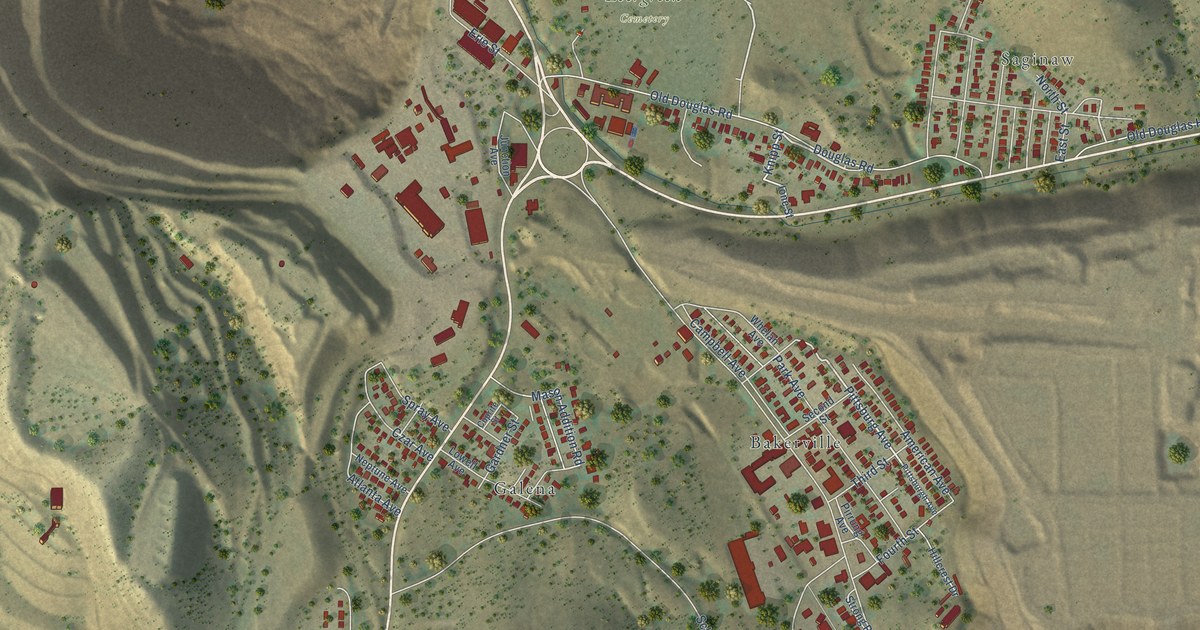
A detailed map of Lowell, Arizona, showing every building in its true location, the roads by name, and shaded topographical relief.
Read More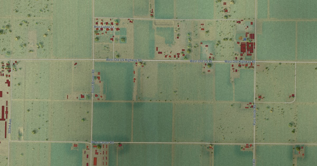
A detailed map of Palo Verde, Arizona, showing every building in its true location, the roads by name, and shaded topographical relief.
Read More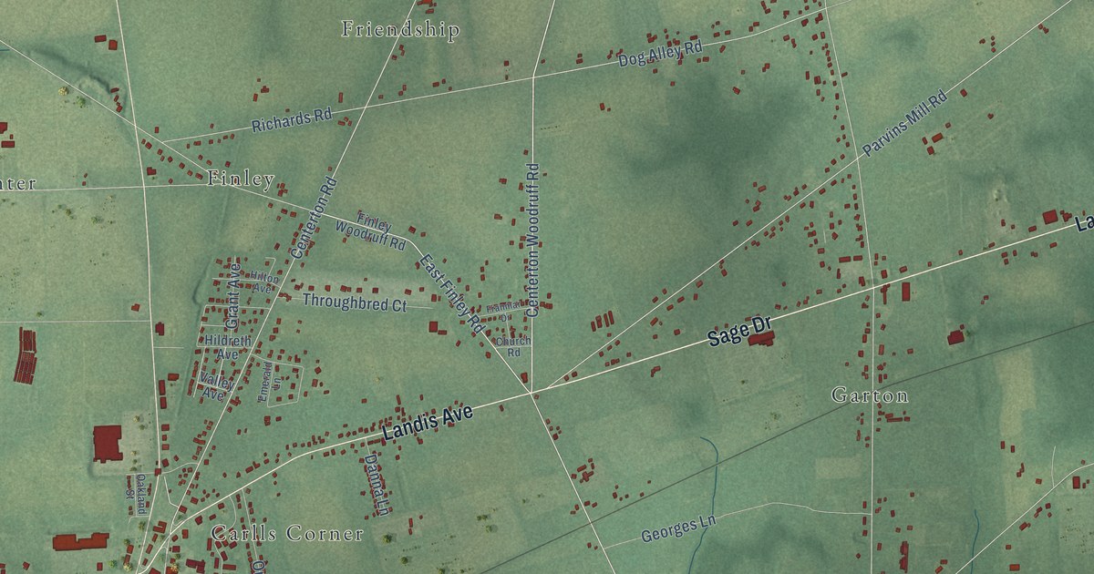
A detailed map of Woodruff, New Jersey, showing every building in its true location, the roads by name, and shaded topographical relief.
Read More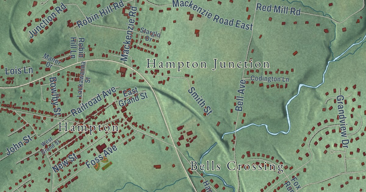
A detailed map of Spruce Run, New Jersey, showing every building in its true location, the roads by name, and shaded topographical relief.
Read More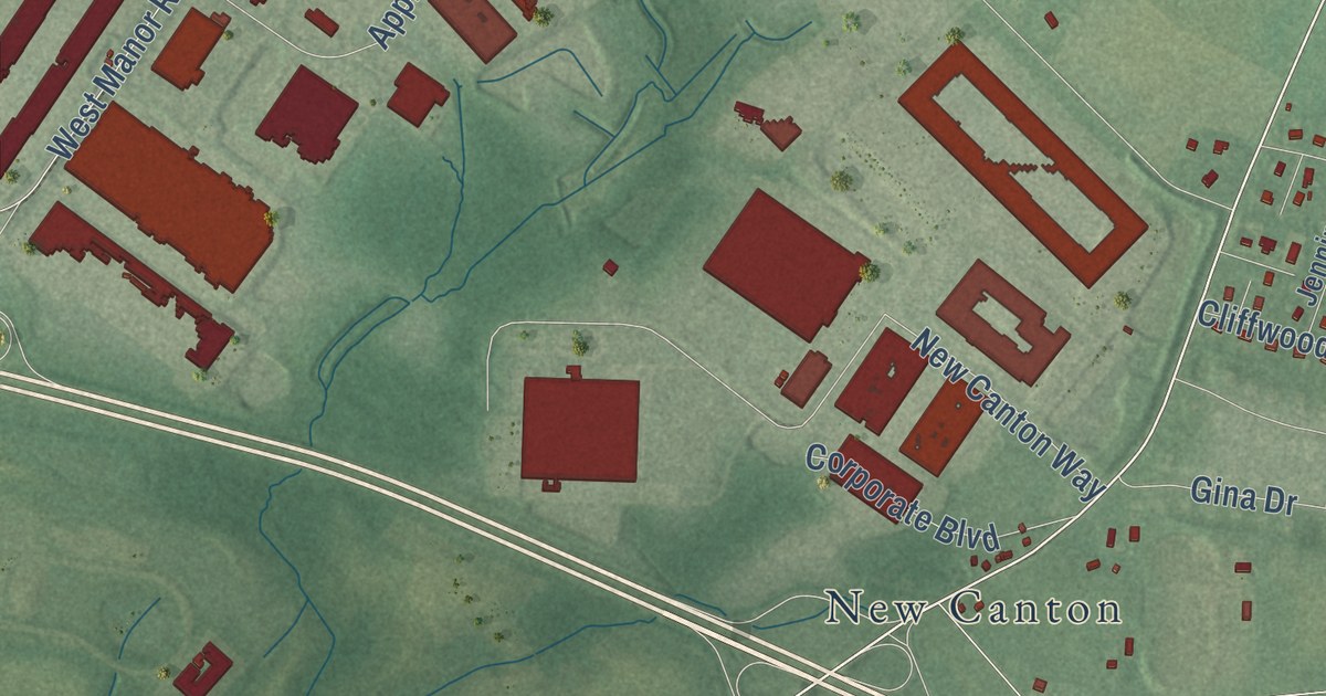
A detailed map of Sharon, New Jersey, showing every building in its true location, the roads by name, and shaded topographical relief.
Read More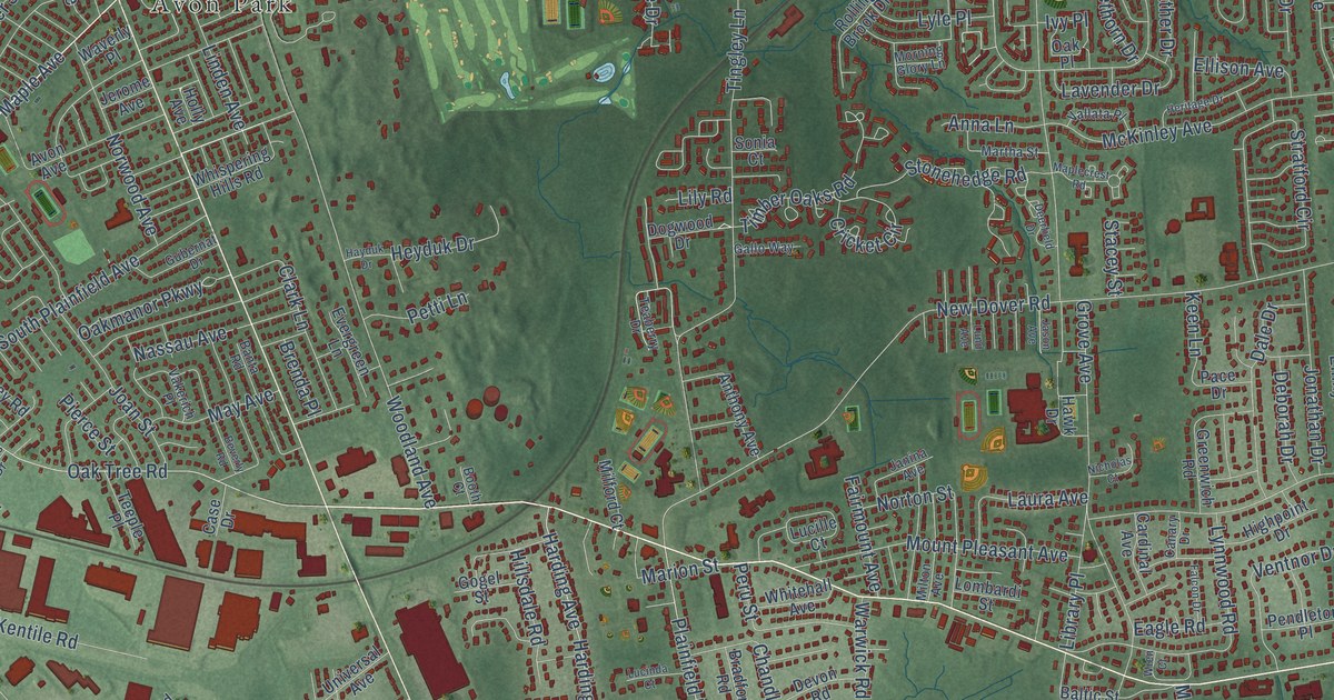
A detailed map of Oak Tree, New Jersey, showing every building in its true location, the roads by name, and shaded topographical relief.
Read More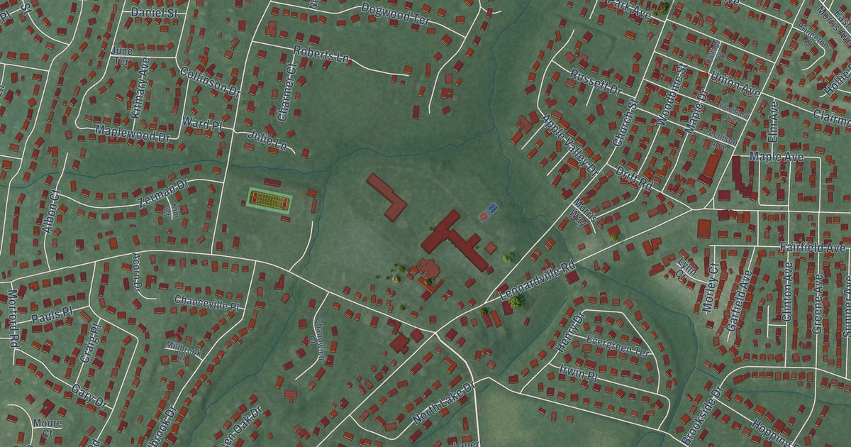
A detailed map of New Monmouth, New Jersey, showing every building in its true location, the roads by name, and shaded topographical relief.
Read More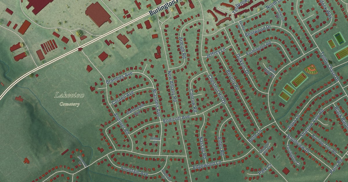
A detailed map of New Albany, New Jersey, showing every building in its true location, the roads by name, and shaded topographical relief.
Read More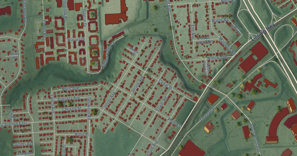
A detailed map of Menlo Park, New Jersey, showing every building in its true location, the roads by name, and shaded topographical relief.
Read More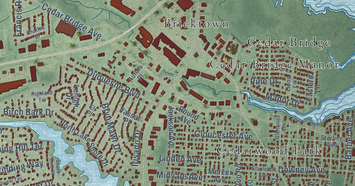
A detailed map of Lake Riviera, New Jersey, showing every building in its true location, the roads by name, and shaded topographical relief.
Read More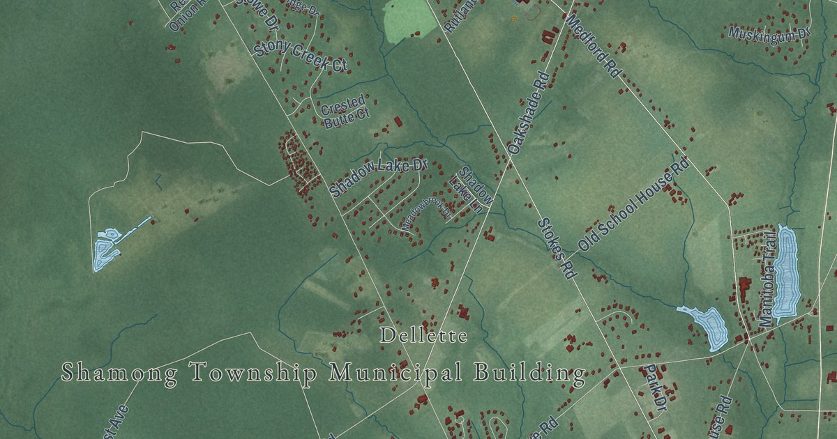
A detailed map of Indian Mills, New Jersey, showing every building in its true location, the roads by name, and shaded topographical relief.
Read More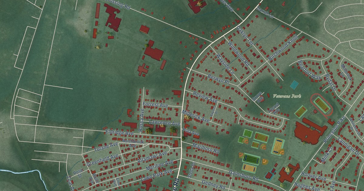
A detailed map of Eldridge Park, New Jersey, showing every building in its true location, the roads by name, and shaded topographical relief.
Read More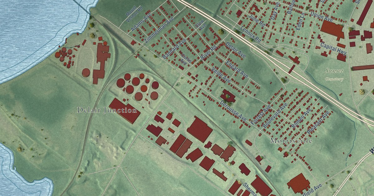
A detailed map of Delair, New Jersey, showing every building in its true location, the roads by name, and shaded topographical relief.
Read More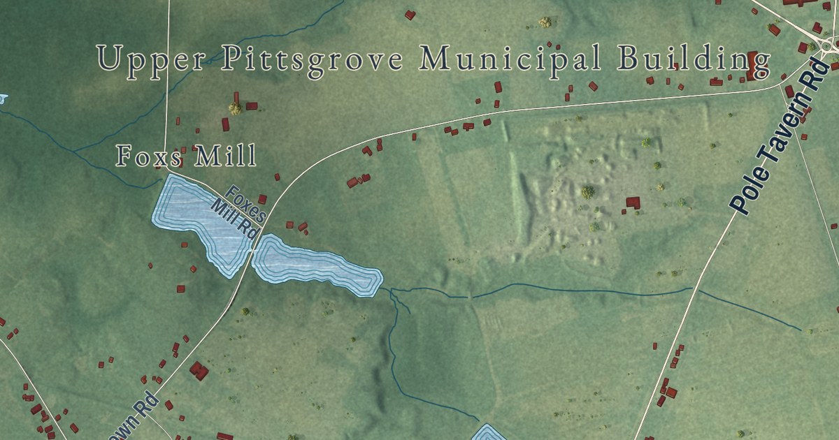
A detailed map of Daretown, New Jersey, showing every building in its true location, the roads by name, and shaded topographical relief.
Read More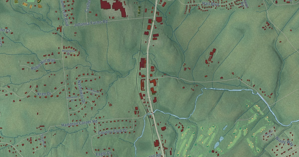
A detailed map of Copper Hill, New Jersey, showing every building in its true location, the roads by name, and shaded topographical relief.
Read More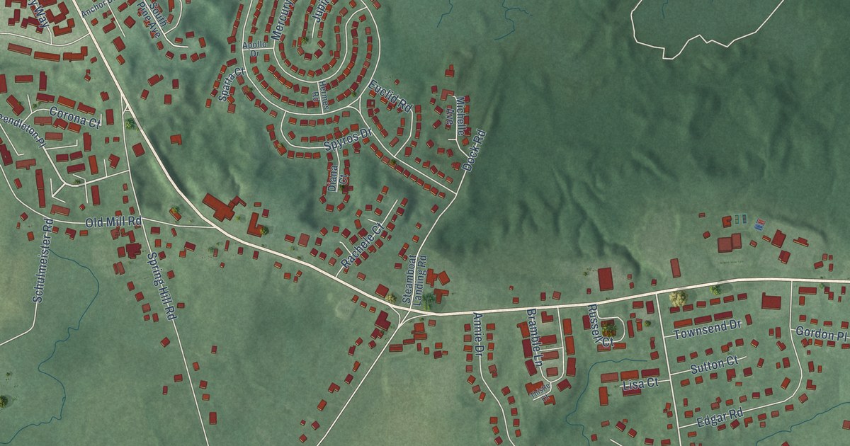
A detailed map of Cheesequake, New Jersey, showing every building in its true location, the roads by name, and shaded topographical relief.
Read More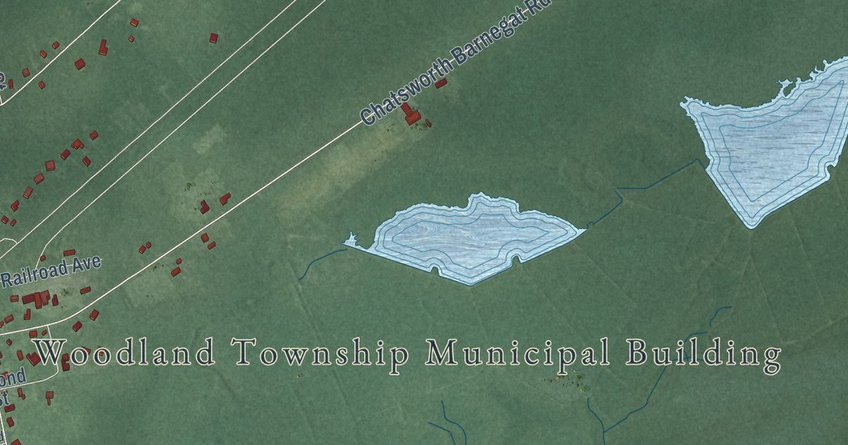
A detailed map of Chatsworth, New Jersey, showing every building in its true location, the roads by name, and shaded topographical relief.
Read More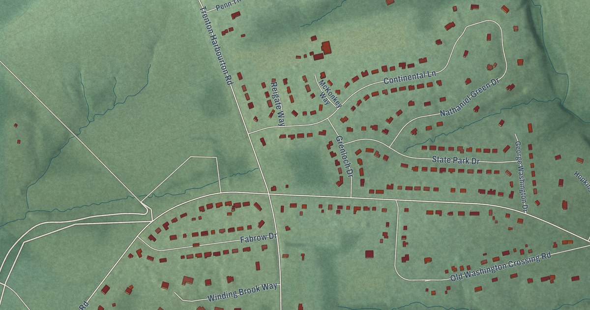
A detailed map of Bear Tavern, New Jersey, showing every building in its true location, the roads by name, and shaded topographical relief.
Read More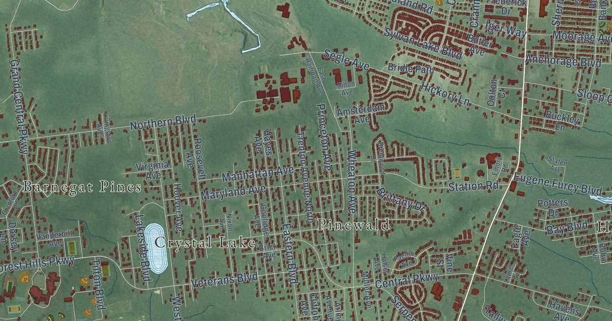
A detailed map of Bayville, New Jersey, showing every building in its true location, the roads by name, and shaded topographical relief.
Read More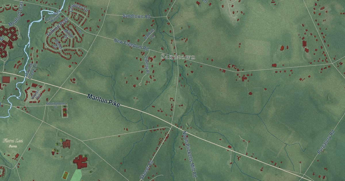
A detailed map of Chairville, New Jersey, showing every building in its true location, the roads by name, and shaded topographical relief.
Read More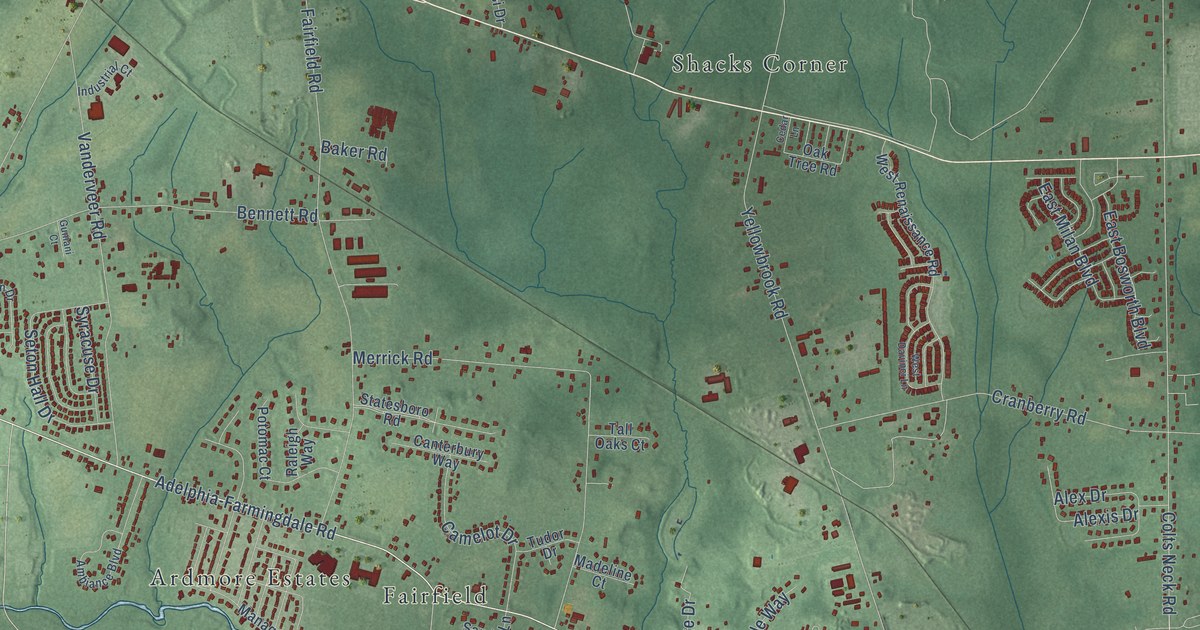
A detailed map of Ardena, New Jersey, showing every building in its true location, the roads by name, and shaded topographical relief.
Read More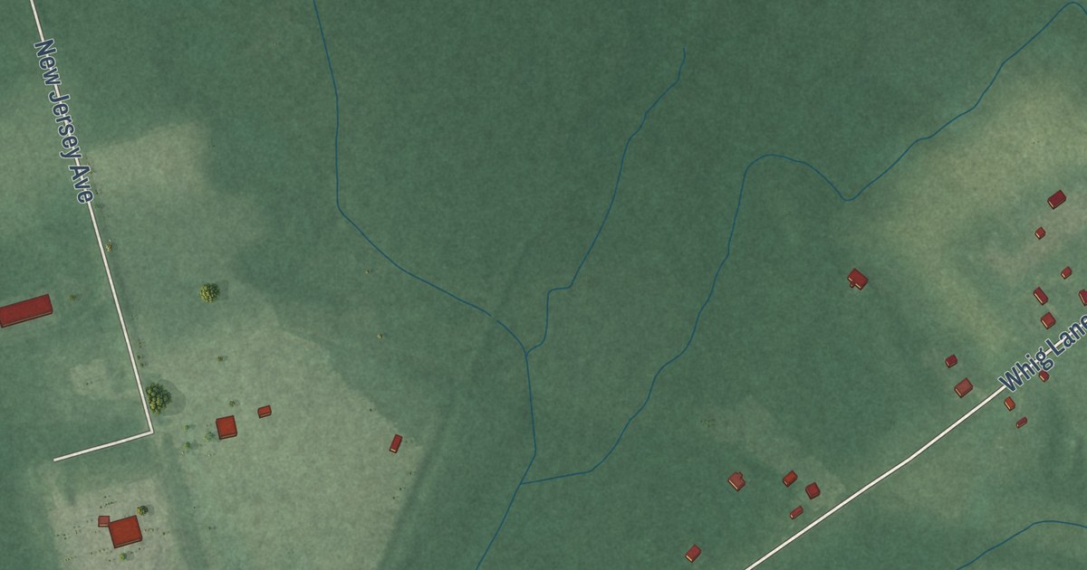
A detailed map of Aura, New Jersey, showing every building in its true location, the roads by name, and shaded topographical relief.
Read More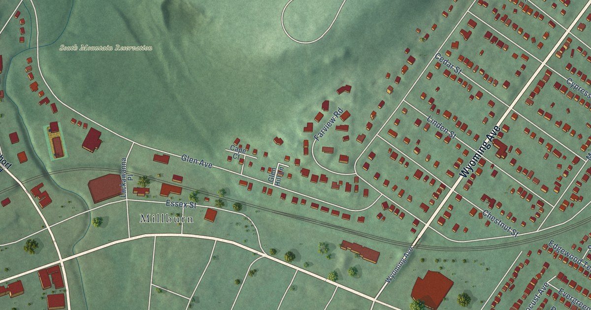
A detailed map of Wyoming, New Jersey, showing every building in its true location, the roads by name, and shaded topographical relief.
Read More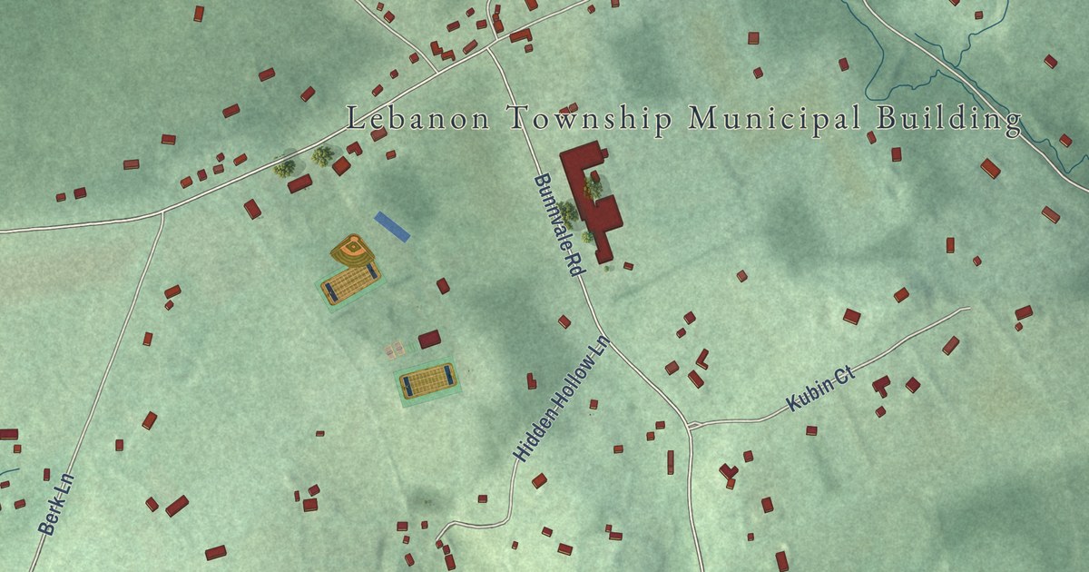
A detailed map of Woodglen, New Jersey, showing every building in its true location, the roads by name, and shaded topographical relief.
Read More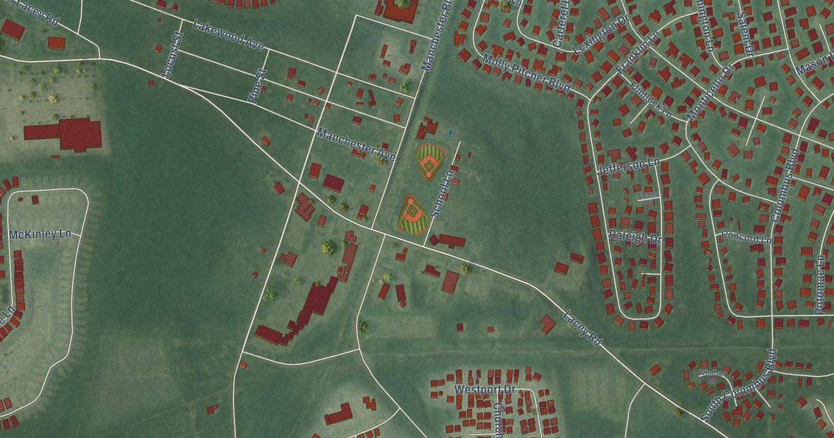
A detailed map of Whiting, New Jersey, showing every building in its true location, the roads by name, and shaded topographical relief.
Read More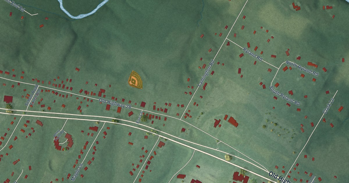
A detailed map of Whitehouse, New Jersey, showing every building in its true location, the roads by name, and shaded topographical relief.
Read More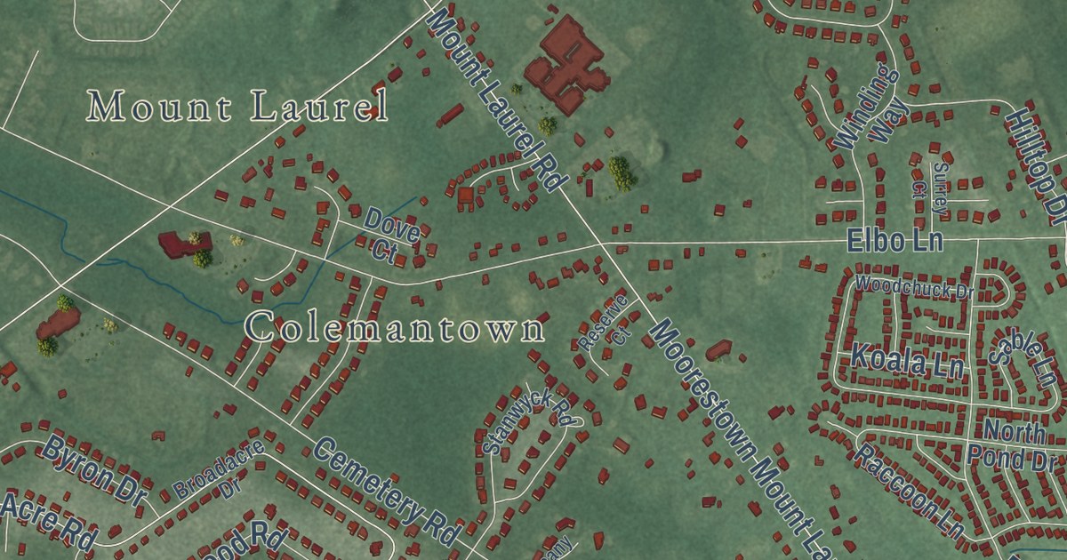
A detailed map of Springville, New Jersey, showing every building in its true location, the roads by name, and shaded topographical relief.
Read More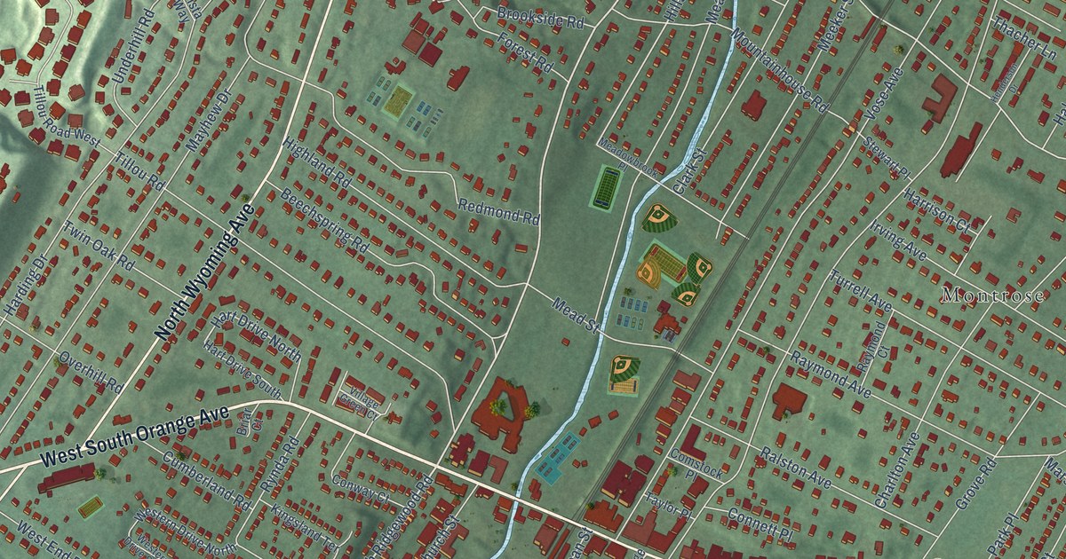
A detailed map of South Orange, New Jersey, showing every building in its true location, the roads by name, and shaded topographical relief.
Read More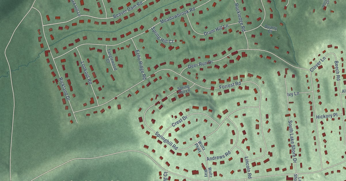
A detailed map of Shongum, New Jersey, showing every building in its true location, the roads by name, and shaded topographical relief.
Read More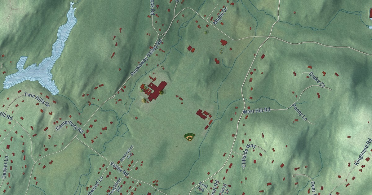
A detailed map of Rockaway Valley, New Jersey, showing every building in its true location, the roads by name, and shaded topographical relief.
Read More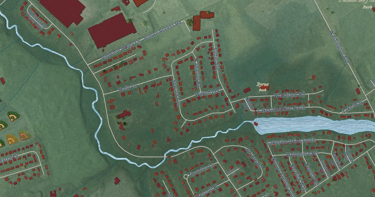
A detailed map of Randolphville, New Jersey, showing every building in its true location, the roads by name, and shaded topographical relief.
Read More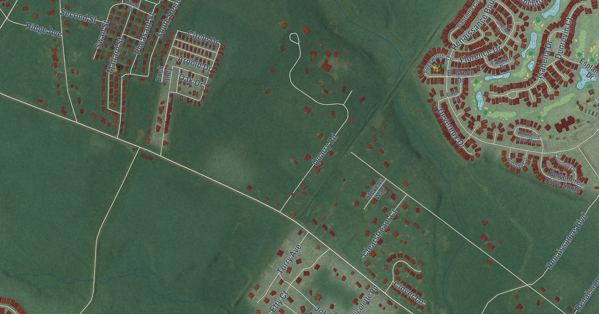
A detailed map of Ridgeway, New Jersey, showing every building in its true location, the roads by name, and shaded topographical relief.
Read More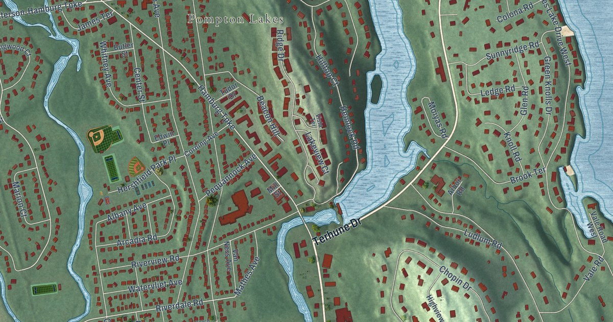
A detailed map of Pompton, New Jersey, showing every building in its true location, the roads by name, and shaded topographical relief.
Read More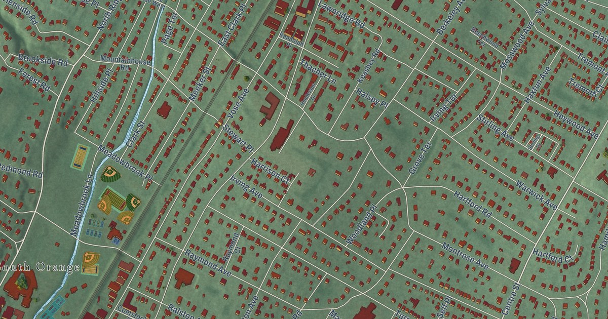
A detailed map of Montrose, New Jersey, showing every building in its true location, the roads by name, and shaded topographical relief.
Read More















