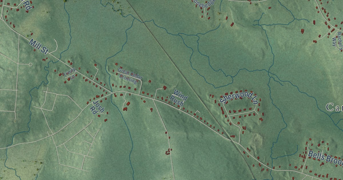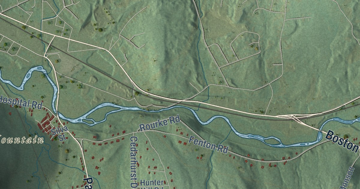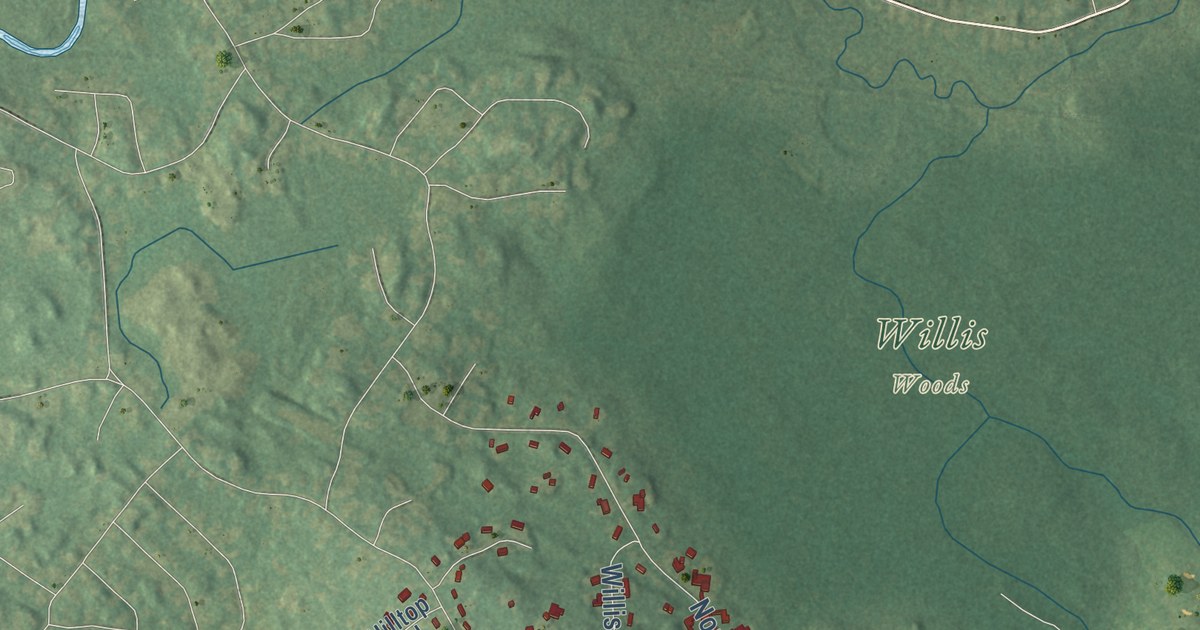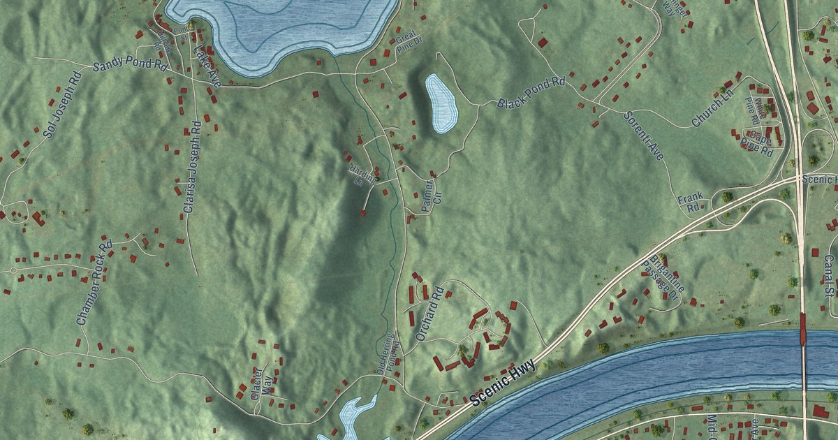
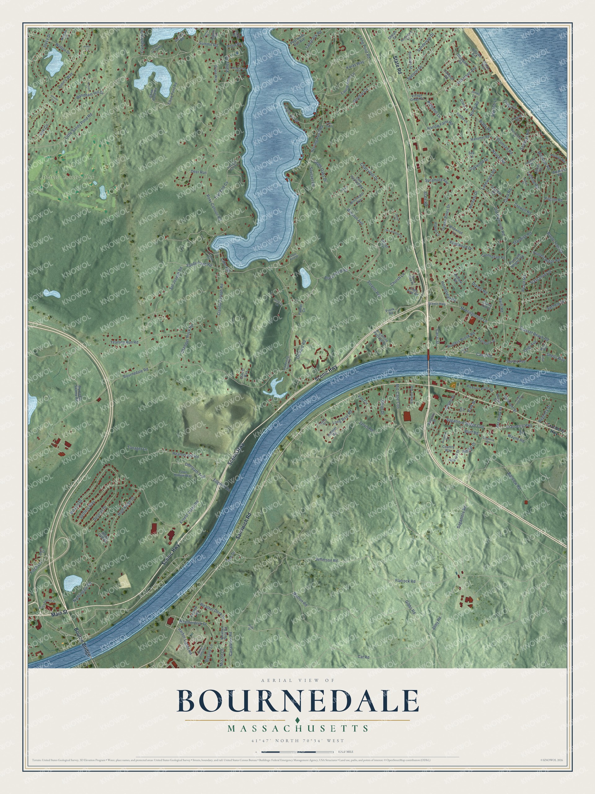
This beautifully detailed map of Bournedale, Massachusetts was created in 2026 using aerial imagery combined with modern topographical, census, street and landmark data. It’s a one-of-a-kind view of Bournedale that combines accurate data with a vintage aesthetic. The map shows every building in its true location, many of the roads carry their names, and the shaded topographic relief shows the shape of the land.
Explore an aerial view of Bournedale, Massachusetts
On the map you’ll find Atlantic Country Club and Bourne Bridge, along with Scenic Highway, Main Street, State Road, Sandwich Road, Canal Street, Meetinghouse Lane, Gibbs Road, Vickerson Avenue, Tech Drive, Harbor Lights Road, and more. If you look closely you can even find your house accurately drawn in its correct location. Zoom in on the preview to look for yours.
Did You Know?
From Internet Archive: "*The foundation of this structure and traces of Indian graves nearby are visible on a sporadic hill, not far from the Bournedale railroad station."
Bournedale is a community in Barnstable County.
Take a closer look at the Bournedale map
Names on this map
These names are printed on this map.
Places: Atlantic Country Club.
Streets and roads: Scenic Highway, Main Street, State Road, Sandwich Road, Bourne Bridge, Canal Street, Meetinghouse Lane, Gibbs Road, Vickerson Avenue, Tech Drive, Harbor Lights Road, Deerpath Trail.
More street names, A to Z
Abby Road, Adams Street, Alpine Circle, Alpine Road, Andrew Road, Arthur Circle, Bayview Road, Beach Road, Ben Abbey Road, Black Pond Road, Bluff Road, Bosuns Lane, Bournedale Road, Bradford Road, Brady Road, Bridge Approach Street, Bridge Street, Brigantine Passage Drive, Brook Trail Road, Burnside Street, Canal Road, Canalview Road, Cape Pine Road, Carver Road, Cat Road, Cedar Oak Drive, Cedar Oaks Drive, Chamber Rock Road, Chapin Lane, Chart Well Drive, Cherry Hill Court, Church Lane, Clapp Lane, Clarisa Joseph Road, Clark Road, Country Way, Cranberry Highway, Crowell Road, Cunningham Road, Deer Run, Deseret Drive, Desmond Drive, Diandy Road, Dover Lane, Dry Cedar Swamp Road, Eagle Hill Drive, Easting Road, Ebow Pond Road, Edgehill Road, Elbow Pond Road, Eleanor Avenue, Ernest Valeri Road, Fawn Hollow Way, Fieldwood Drive, Finch Lane, Fisher Lane, Flatrock Road, Foretop Road, Frank Road, Freight House Road, Gardner Road, Glacier Way, Grace Way, Great Pine Drive, Harbor Lights Avenue, Harding Lane, Harlow Farm Road, Heather Hill Road, Herring Pond Road, High Ridge Drive, Hillcrest Drive, Hillside Avenue, Hillside Road, Hilltop Drive, Hobbler Road, Homestead Road, Hunters Brook Road, Hunters Ridge Road, Indian Trail, Janebar Circle, Jarvis Road, Jean Street, Jefferson Road, Jennifer Circle, Jillian Drive, Jones Lane, Joyce Drive, Karas Way, Kimba Lane, Kirk Circle, Lake Avenue, Lakewood Road, Lathrop Road, Laurie Anns Lane, Lisa Lane, Little Sandy Pond Road, Livingston Drive, Long Boat Road, Longfellow Road, Long Pond Road, Lookout Road, Lord Hayford Road, Lucia Avenue, Luigi Avenue, Lunn's Way, Manomet Road, Marconi Street, Maria Avenue, Maston Road, Mid-Cape Con, Mirasol Drive, Mizzen Lane, Nathan Lane, Nauset Road, Nightingale Road, Noreast Drive, Noreast Lane, Norris Road, Nuovo Drive, Oakbluff Road, Oak Street, Oakwood Drive, Ocean Pines Drive, Old Herring Pond Road, Old Plymouth Road, Orchard Road, Palmer Circle, Park Street, Phillips Road, Pilgrim Road, Pine Street, Pleasant Street, Pleasure Point Road, Plymouth Heights Road, Pond Road, Pond Street, Poplar Court, Post North Rail Avenue, Regency Drive, Remington Lane, Ridgehill Lane, Roxy Cahoon Road, Sachem Drive, Sagamore Bridge Con, Sagamore Road, Sallinger Way, Samoset Road, Sanderson Drive, Sandy Pond Road, Savary Avenue, Scusset Beach Road, Scusset Road, Sea Lane, Seaview Road, Settlers Way, Sharps Drive, Shawmut Road, Shells Way, Sheppard Road, Shore Road, Siasconset Drive, Silent Spring Way, Sir Lancelot Drive, Sol Joseph Road, Sorenti Avenue, Spencer Drive, Standish Road, Starfish Lane, Summit Road, Swift Road, Sycamore Avenue, Tamarack Road, Tanager Lane, Tecumseh Road, Trail End Cv, Trails End Cove Road, Valley Road, Van Circle, Village Green Road, Wampanoag Road, Washburn Street, Wayne Road, Weatherdeck Drive, Weather Deck Drive, Weather Deck Road, Welton Drive, White Cliff Road, White Pine Road, Wildwood Lane, Williston Road, Winchester Avenue, Winston Avenue, Womponoag Road, Woodland Road, Wyndham Hill Drive, Yearling Run Road.
See it on a wall
The Bournedale map as a framed print. Swipe for more.


This beautifully detailed map of Bournedale makes an attractive addition to your office, library, or den, and it can even be used to teach children the geography and history of the area. It also makes a great gift for someone who left Bournedale and still calls it home. When you’re done exploring, click here to get your copy of the Bournedale map.