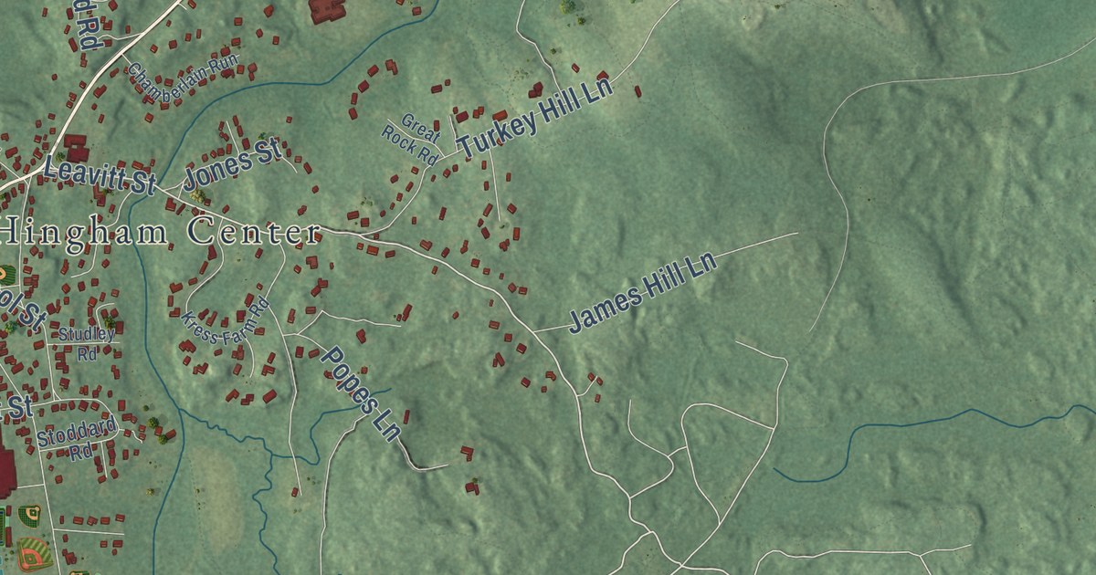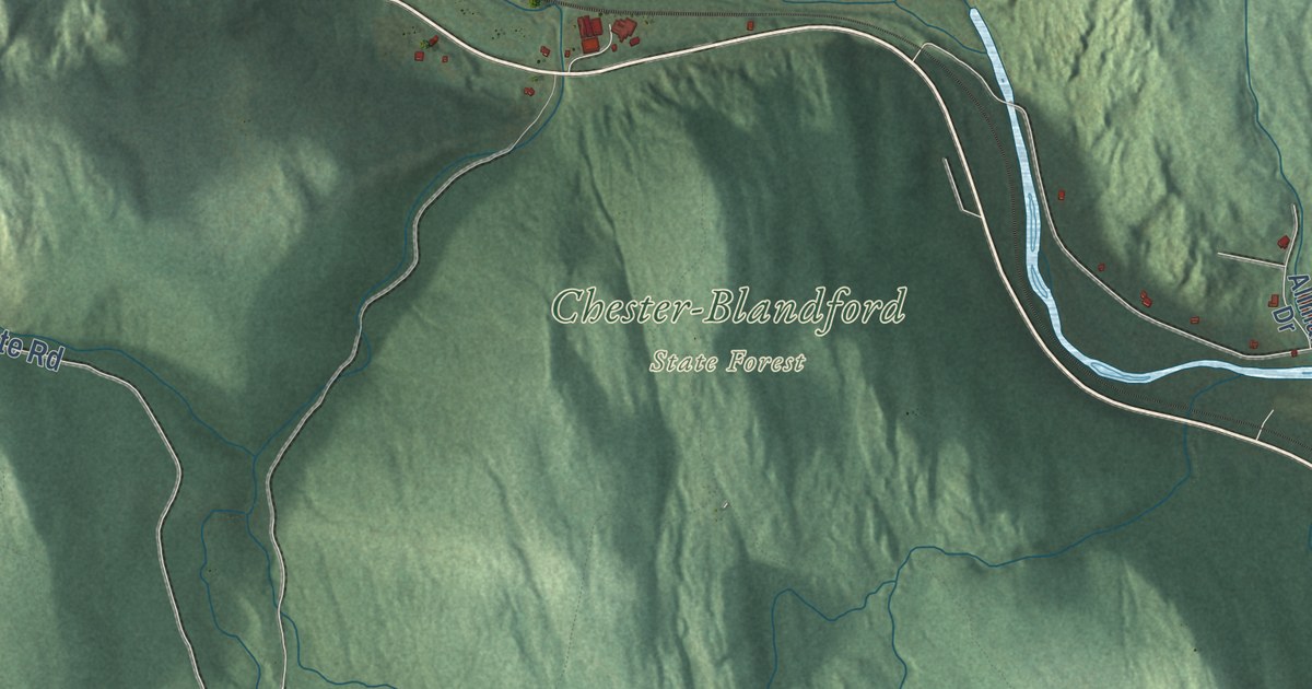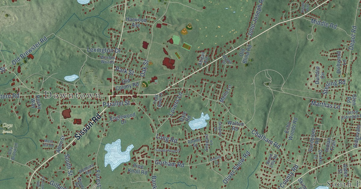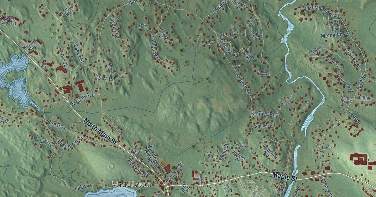
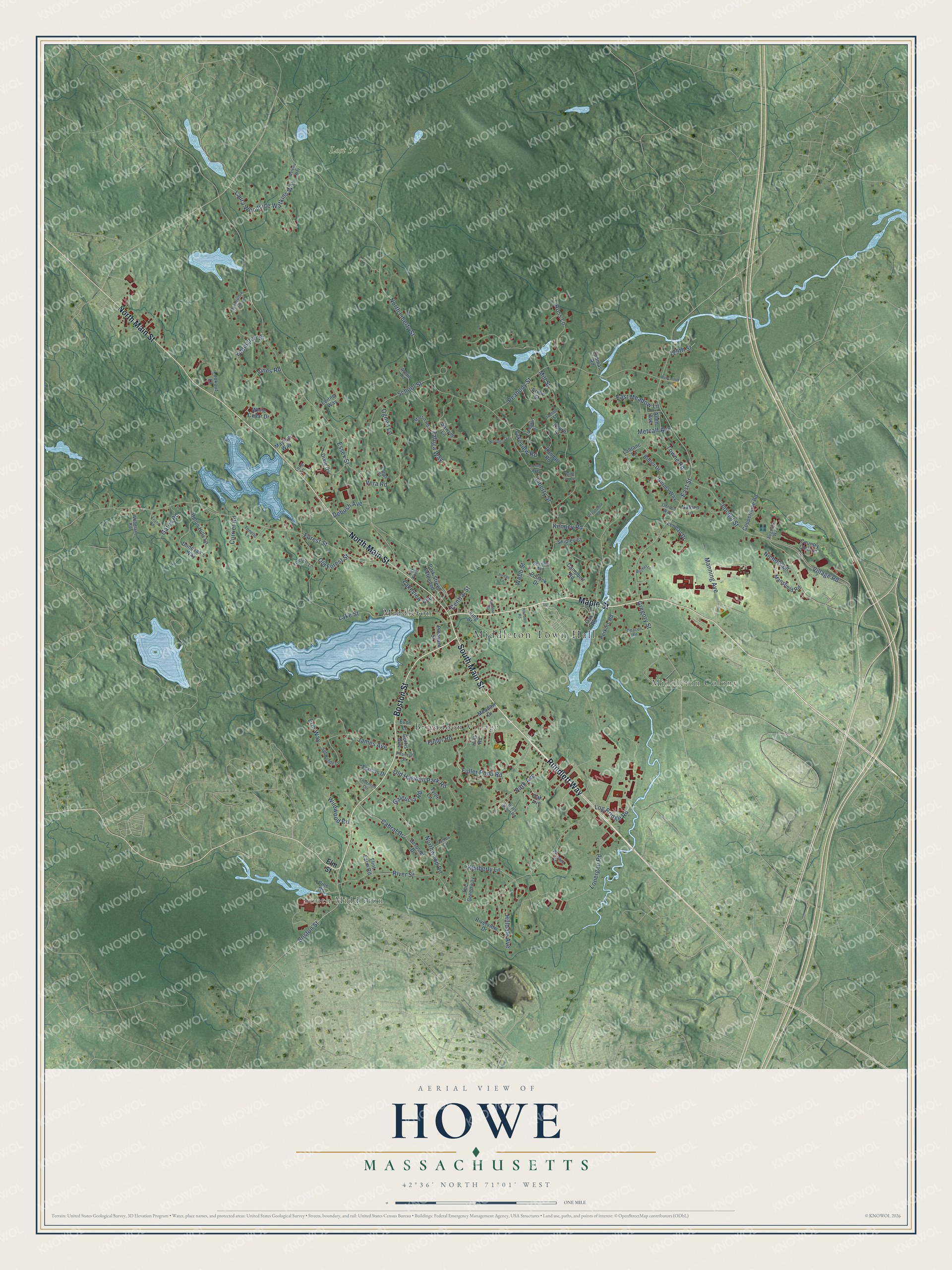
This beautifully detailed map of Howe, Massachusetts was created in 2026 using aerial imagery combined with modern topographical, census, street and landmark data. It’s a one-of-a-kind view of Howe that combines accurate data with a vintage aesthetic. The map shows every building in its true location, many of the roads carry their names, and the shaded topographic relief shows the shape of the land.
Explore an aerial view of Howe, Massachusetts
On the map you’ll find Middleton Town Hall, South Middleton, Middleton Colony, Lost 50, Brigadoon Village, and Middleton, along with South Main Street, Maple Street, North Main Street, Rundlett Way, Boston Street, Fuller Pond Road, and more. If you look closely you can even find your house accurately drawn in its correct location. Zoom in on the preview to look for yours.
Did You Know?
From Internet Archive: "Lieutenant Howe also informed General Stone that Lieutenant-Colonel Ward had joined Colonel Devens with his five companies instead of occupying Smart's Mill."
Howe is a community in Essex County.
Take a closer look at the Howe map
Names on this map
These names are printed on this map.
Places: Middleton Town Hall, South Middleton, Middleton Colony, Lost 50, Brigadoon Village and Middleton.
Streets and roads: South Main Street, Maple Street, North Main Street, Rundlett Way, Boston Street, Fuller Pond Road, Forest Street, Gregory Street, East Street, Liberty Street, North Liberty Street, Village Road.
More street names, A to Z
125th Street, Acorn Street, Allen Avenue, Arrow Street, Augusta Way, Averill Road, Blais Farm Road, Butler Drive, Cabral Drive, Campbell Road, Central Street, Coppermine Road, Country Club Lane, Currier Road, Curtis Avenue, Deacon Drive, Debush Avenue, Derosier Drive, Devonshire Road, Dixie Drive, Donovan's Way, East Meadow Lane, Eddington Street, Elm Street, Emerson Lane, Erin Way, Essex Street, Evans Road, Evon Lane, Flint Farm Road, Flying Fox Circle, Francis Drive, Fuller Road, Galeucia Road, Gates Road, Hilldale Avenue, Hills Road, Iveson Street, James Avenue, Johns Avenue, Jones Road, Jordan Lane, Kenney Road, Kimberly Lane, King Street, Lablanc Lane, Lake Street, Lakeview Avenue, Lakeview Road, Laura Woodside Watkins Way, Lebeau Drive, Leitner Way, Locust Street, Log Bridge Road, Lonergan Road, Long Lane, Lookout Lane, Manning Avenue, Mansfield Road, Martin Road, Maytum Way, Meadow Drive, Meadowlark Farm Lane, Metcalf Avenue, Mill Street, Mitchell Lane, Nathan Lane, Nichols Lane, Norma Way, Northwood Road, Oak Avenue, Oak Knoll, Oak Road, Ogden Lane, Ohlson Way, Old Forest Street, Old Haswell Park Road, Park Avenue, Park Street Extended, Peabody Street, Peaslee Circle, Perkins Road, Phaneuf Street, Pinedale Road, Pine Road, Pleasant Street, Pollack Drive, Randall Road, River Street, Riverview Drive, Ross Lane, Rubchinuk Lane, Samos Circle, Sawyer Lane, School Street, Second Avenue, Sgt Roode Lane, Sheldon Circle, Shipley Court, Stanley Road, The Greenway, Thomas Road, Thornton Circle, Tonello Lane, Towne Road, Tyler Lane, Upton Hills Lane, Useador Street, Vera Road, Watkins Way, Webb Street, White Cedar Drive, Wildwood Road, Woodbury Lane, Woodland Road, Zaloga Way.
See it on a wall
The Howe map as a framed print. Swipe for more.


This beautifully detailed map of Howe makes an attractive addition to your office, library, or den, and it can even be used to teach children the geography and history of the area. It also makes a great gift for anyone with Howe roots. When you’re done exploring, click here to get your copy of the Howe map.