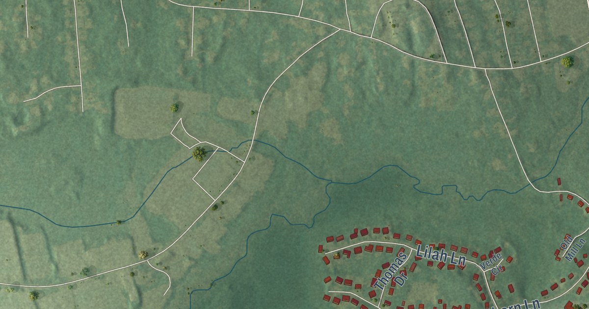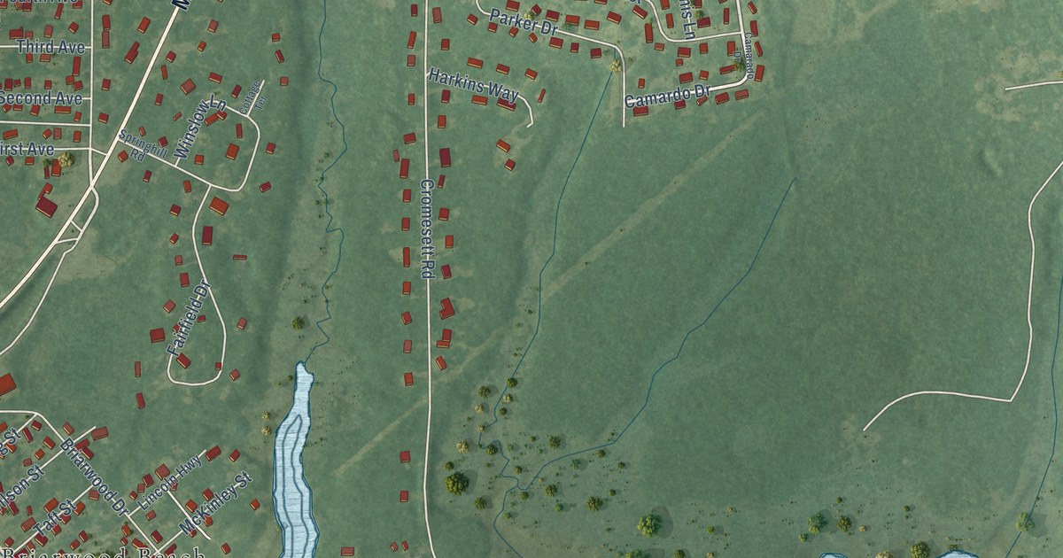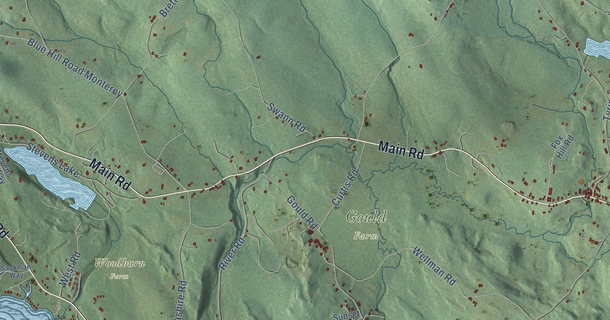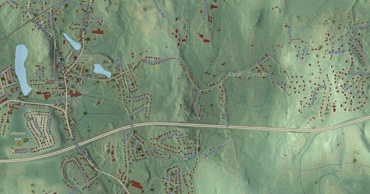
This beautifully detailed map of North Grafton, Massachusetts was created in 2026 using aerial imagery combined with modern topographical, census, street and landmark data. It’s a one-of-a-kind view of North Grafton that combines accurate data with a vintage aesthetic. The map shows every building in its true location, many of the roads carry their names, and the shaded topographic relief shows the shape of the land.
Explore an aerial view of North Grafton, Massachusetts
On the map you’ll find Grafton Town Hall, Maplewood, Axtell Corner, Airport Park, Marsters Preserve, Nelson Park, and Millbury Junction, along with Shrewsbury Street, Worcester Street, Westboro Road, Waterville Street, North Main Street, and more. If you look closely you can even find your house accurately drawn in its correct location. Zoom in on the preview to look for yours.
Did You Know?
From Internet Archive: "July 9, 1885, a farmer in Stratton, then in Dummerston, Vt., next in North Grafton, Mass., in 1843 moved to Oxford, Mass. and in 1849 purchased a farm there and named it the Greenwood Farm in honor of his wife."
North Grafton is a community in Worcester County.
Take a closer look at the North Grafton map
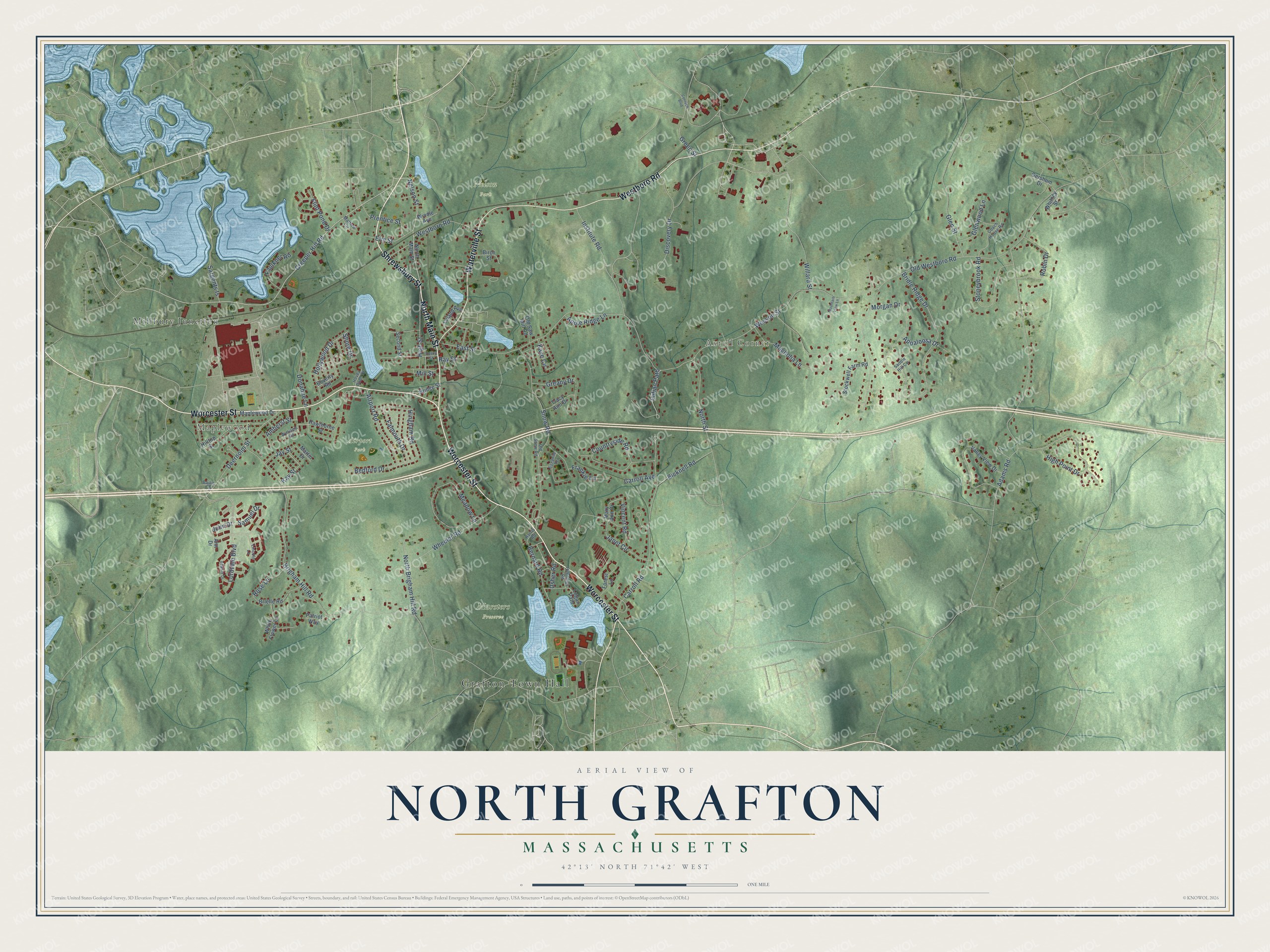
Names on this map
These names are printed on this map.
Places: Grafton Town Hall, Maplewood, Axtell Corner, Airport Park, Marsters Preserve, Nelson Park and Millbury Junction.
Streets and roads: Shrewsbury Street, Worcester Street, Westboro Road, Waterville Street, North Main Street, Creeper Hill Road, Nelson Street, Willard Street, Stoneybrook Road, Samuel Drive, John Drive, Indian Path.
More street names, A to Z
Adams Road, Airport Road, Amherst Street, Ann Drive, Appaloosa Drive, Apple Ridge Lane, Bailin Circle, Bedford Drive, Bernard Road, Beverly Road, Bicknell Road, Birch Street, Bridge Street, Bridle Ridge Drive, Brielle Road, Brigham Hill Road, Carroll Avenue, Carroll Road, Centech Boulevard, Coach House Road, Countryside Road, Deernolm Street, Discovery Drive, Donahue Lane, East Street, Edward Drive, Elm Street, Falmouth Drive, Faulkner Road, Flint Pond Drive, Forest Lane, Frankie Lane, Gershom Drive, Glen Street, Glenwood Lane, Greany Drive, Green Street, Harris Road, Hawthorne Street, High Point Drive, High Street, Hilltop Street, Hingham Road, Hitchings Road, Hollywood Drive, Hovey Pond Drive, Institute Road, Janet Circle, Jay Street, Kaye Circle, Kay Street, Leland Avenue, Lincoln Lane, Logan Path, Lordvale Boulevard, Magnolia Lane, Maplewood Drive, Martin Drive, Mary Ann Drive, Mathew Circle, Meadow Lane, Mill Street, Morgan Drive, Mountain View Lane, North Brigham Hill Road, North Street, Old Saw Mill Road, Old Snow Road, Old Westboro Road, Patriot Way, Perry Street, Prentice Street, Ray Street, Robin Drive, Rose Lane, Saddle Hill Circle, Sargents Is, Second Street, Shore Drive, Snow Road, Stockwell Farm Road, Suzanne Terrace, Tracy Ann Drive, Usher Road, Valley View Drive, Vincent Road, Wesson Street, Wheeler Road, White Flower Lane, Whitney Street, Williams Road, Windle Avenue.
See it on a wall
The North Grafton map as a framed print. Swipe for more.


This beautifully detailed map of North Grafton makes an attractive addition to your office, library, or den, and it can even be used to teach children the geography and history of the area. It also makes a great gift for anyone who grew up in North Grafton or moved away. When you’re done exploring, click here to get your copy of the North Grafton map.