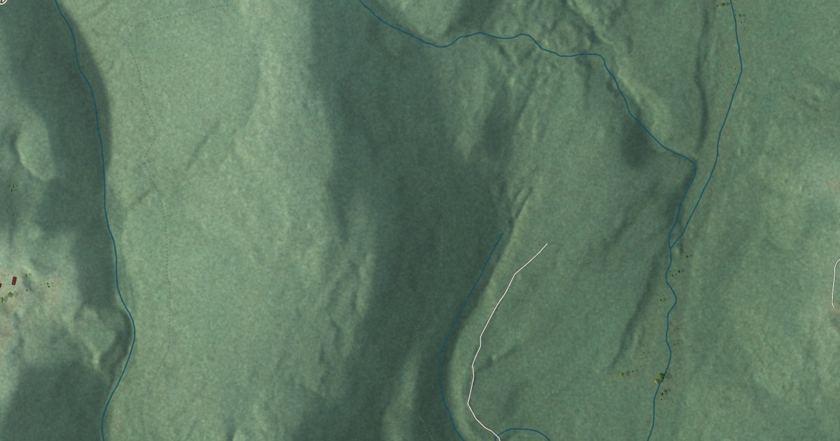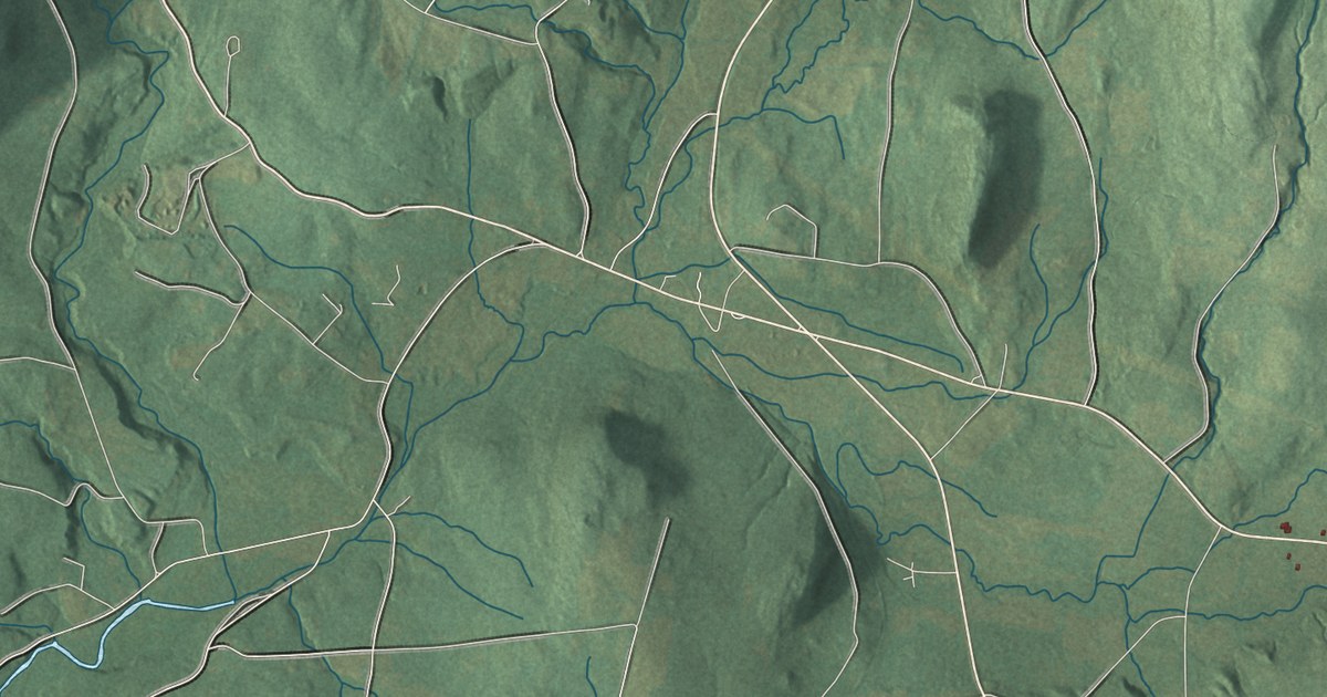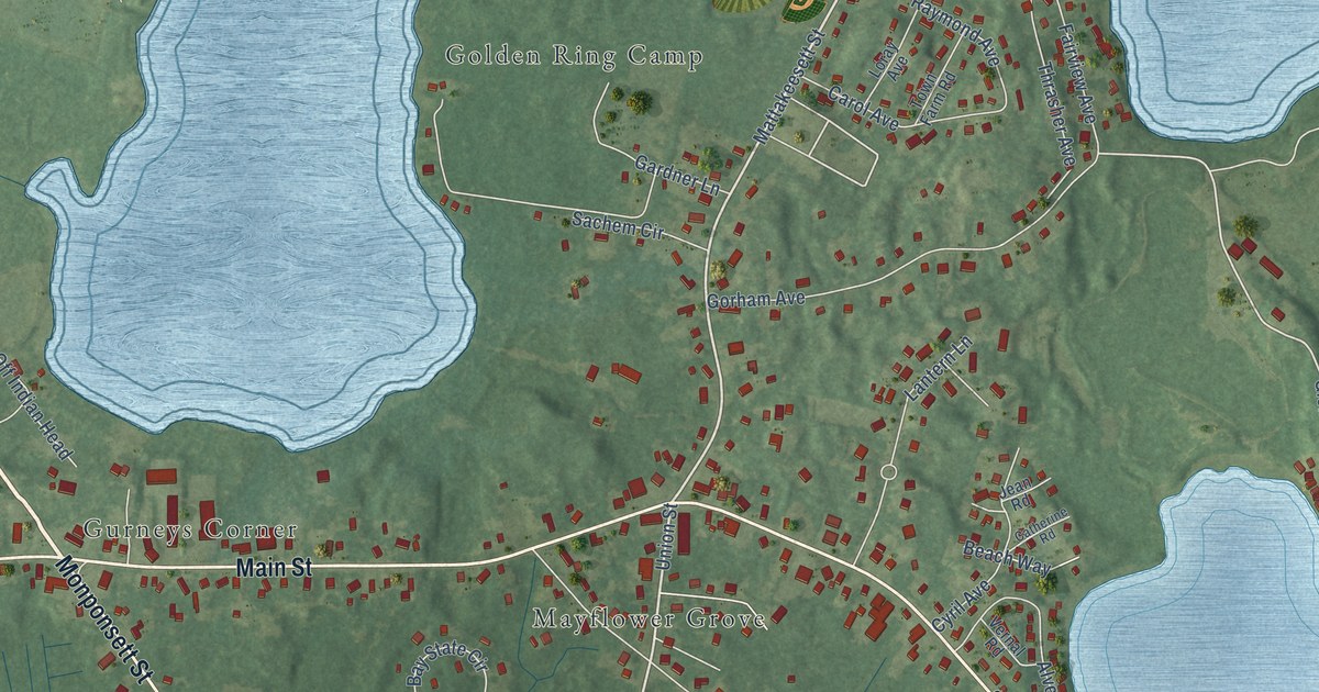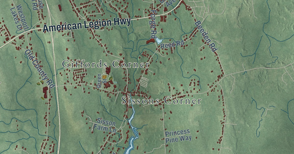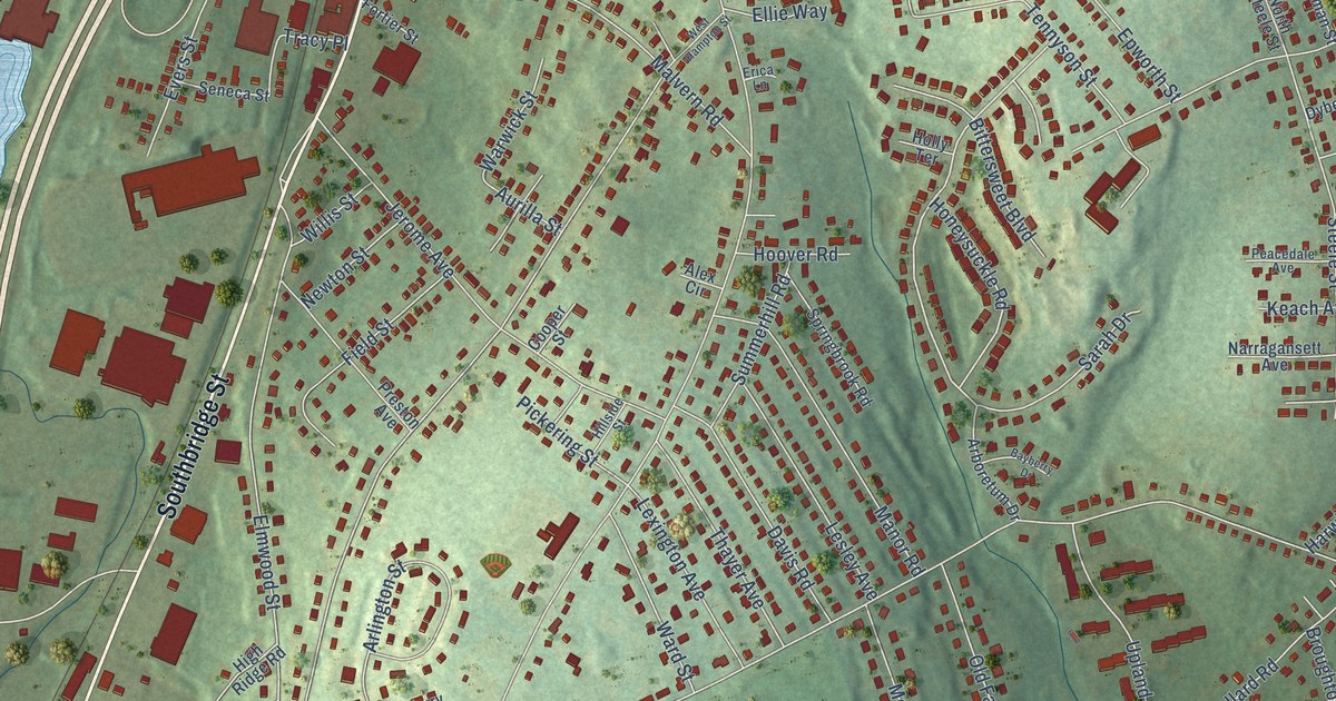
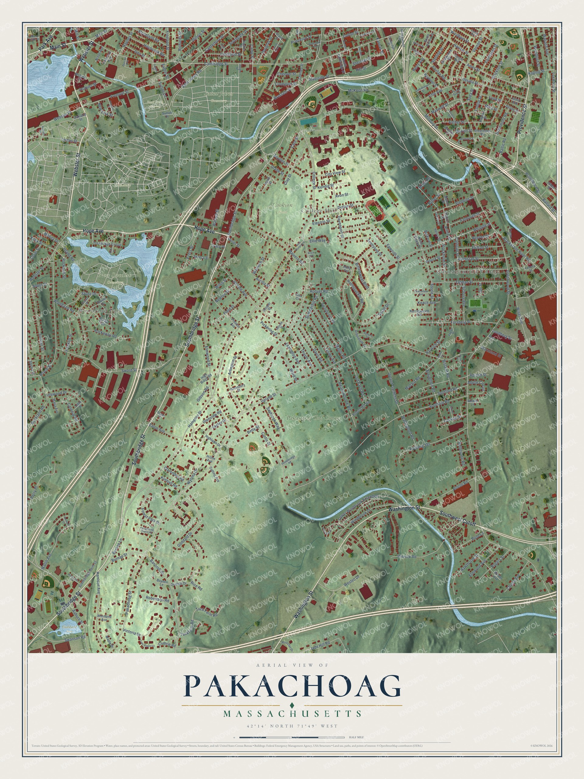
This beautifully detailed map of Pakachoag, Massachusetts was created in 2026 using aerial imagery combined with modern topographical, census, street and landmark data. It’s a one-of-a-kind view of Pakachoag that combines accurate data with a vintage aesthetic. The map shows every building in its true location, many of the roads carry their names, and the shaded topographic relief shows the shape of the land.
Explore an aerial view of Pakachoag, Massachusetts
On the map you’ll find Cookson Field, Hope Cemetery, New Swedish Cemetery, Notre Dame Cemetery, Saint Johns Cemetery, Bnai Brith Cemetery, Goddard Park, Quinsigamond Village, Woodland Park, College Hill, and Pakachoag Golf Course, along with Hope Avenue, and more. If you look closely you can even find your house accurately drawn in its correct location. Zoom in on the preview to look for yours.
Did You Know?
From Internet Archive: "The principal settlement of these Indians in Worcester was on a hill in the south part of the town, extending into Ward, called by them Pakachoag, now known as Bogachoag."
Pakachoag is a community in Worcester County.
Take a closer look at the Pakachoag map
Names on this map
These names are printed on this map.
Places: Cookson Field, Hope Cemetery, New Swedish Cemetery, Notre Dame Cemetery, Saint Johns Cemetery, Bnai Brith Cemetery, Goddard Park, Quinsigamond Village, Woodland Park, College Hill and Pakachoag Golf Course.
Streets and roads: Hope Avenue, Webster Street, Main Street, Park Avenue, Southwest Cutoff, Southbridge Street, Washington Street, Providence Street, Cambridge Street, Millbury Street, Honeysuckle Road, Crompton Street.
More street names, A to Z
Accomodation Street, Adelle Circuit, Agrand Street, Alden Street, Alex Circle, Alpine Trail, Amesbury Street, Ames Street, Arboretum Drive, Arline Street, Arlington Street, Arnold Road, Aster Place, Astrid Avenue, Auburn Hill Road, Auburn Street, Aurilla Street, Avon Street, Ballard Street, Baltic Road, Bancroft Street, Bayberry Drive, Beckman Street, Beck Street, Bella Lane, Betty Street, Bisland Road, Bittersweet Boulevard, Blackstone River Road, Border Avenue, Boyce Street, Boyden Lane, Boyden Street, Breezy Bend, Broughton Road, Brussels Street, Burnap Lane, Burnap Street, Burton Court, Burton Street, Butler Street, Cambridge Place, Camp Street, Canterbury Street, Cargill Avenue, Carlstad Street, Caro Street, Cheever Street, Chelsea Street, Chunis Avenue, City View Street, Clarendon Road, Clay Street, Clover Street, College Street, Colonial Road, Colton Street, Comrie Road, Conway Street, Cooper Street, Curran Place, Curtis Street, Cutting Avenue, Davenport Street, Davis Road, Delaware Street, Diamond Street, Doane Street, Douglas Street, Duncan Avenue, Dutton Street, Dwight Street, Dybeck Street, Eaton Avenue, Ekman Street, Electric Street, Ellie Way, Elmwood Avenue, Elmwood Street, Epworth Street, Erica Lane, Esther Street, Ethel Place, Euclid Avenue, Evelyn Street, Evers Street, Exeter Drive, Exeter Street, Fairbanks Street, Fairfax Road, Falmouth Street, Field Street, Fifth Avenue, Forest Drive, Forest Park Drive, Forsberg Street, Fortier Street, Franklin Street, Freeland Street, Fremont Street, Gediminas Street, Gibbs Street, Gibson Road, Glade Street, Glenview Road, Gloucester Road, Goddard Drive, Grammont Road, Grand Street, Grand Street Court, Greenwood Street, Hacker Street, Halmstad Street, Hampton Street, Harlem Street, Harrison Avenue, Harwich Street, Hawthorne Street, Haynes Street, Heath Street, Henrietta Street, Henry Terrace, Highlawn Drive, High Ridge Road, Hillside Street, Hilton Avenue, Hitchcock Road, Holly Terrace, Holstrom Court, Homestead Avenue, Hoover Road, Idlewood Drive, Illinois Street, Island Road, Ives Street, Jacques Street, Jade Hill Road, Jay Street, Jerome Avenue, Kansas Street, Keach Avenue, Kendig Street, Kimball Road, Knowlton Avenue, Knox Street, Koping Street, Lady Slipper Lane, Lawrence Street, Lenora Street, Lesley Avenue, Lewis Street, Lexington Avenue, Litchfield Street, Little Drive, Louise Street, Lower Windbrook Extended, Loxwood Street, Lundberg Street, Lund Street, Lyman Street, Mallard Road, Malmo Street, Malvern Road, Manor Road, Maple Drive, Maria Avenue, Mars Street, Maxwell Street, McGill Street, McKeon Road, Meadowbrook Road, Meena Drive, Melbourne Road, Mill Street, Montclair Drive, Mystic Street, Narragansett Avenue, Newton Street, New York Street, Nixon Avenue, North Steele Street, Oakland Street, Old Farm Road, Oswald Street, Overhill Drive, Pakachoag Crossing, Pakachoag Street, Payson Street, Peacedale Avenue, Perry Avenue, Perry Place, Pheasant Court, Pickering Street, Pinrock Road, Pitt Street, Preston Avenue, Princeton Street, Quinsigamond Avenue, Ravine Drive, Raymond Street, Reeves Street, Rice Road, Richards Street, Riverside Street, Robertson Road, Rockaway Road, Rockland Road, Rockwell Street, Rogers Street, Rose Lane, Rydberg Terrace, Saint Johns Road, Sarah Drive, Saugus Place, Savoy Street, Saybrook Way, Seneca Street, Sheridan Street, Sherman Street, Shirley Street, Shore Drive, Southbridge Saint Court, South Cambridge Street, Southern Avenue, Southgate Street, South Harlem Street, Southold Road, Spofford Road, Springbrook Road, Stebbins Street, Steele Street, Sterling Street, Stockholm Street, Stockton Street, Stonebridge Road, Stoneland Road, Strathmore Road, Summerhill Road, Sumner Street, Sutton Lane, Sutton Place, Svea Street, Swanson Road, Sword Street, Tatman Street, Tennyson Street, Thayer Avenue, Thenius Street, Tracy Place, Trowbridge Circuit, Tuck Farm Road, Tuckfarm Road, Upland Gardens Drive, Upland Street, Upsala Street, Vernon Saint Place, Vernon Street, Vesper Street, Victoria Avenue, Victoria Drive, Wabash Avenue, Walcott Street, Wallingford Road, Walsh Avenue, Ward Street, Warmland Street, Warwick Street, Washburn Street, Webster Court, Webster Place, Weden Lane, Westec Drive, West Hampton Street, West Lake Street, Westlund Avenue, Whipple Street, Whitney Street, Willis Street, Windbrook Drive, Windham Street, Wiser Avenue, Woodford Street, Woodland Road, Wyoma Drive.
See it on a wall
The Pakachoag map as a framed print. Swipe for more.


This beautifully detailed map of Pakachoag makes an attractive addition to your office, library, or den, and it can even be used to teach children the geography and history of the area. It also makes a great gift for anyone with Pakachoag roots. When you’re done exploring, click here to get your copy of the Pakachoag map.