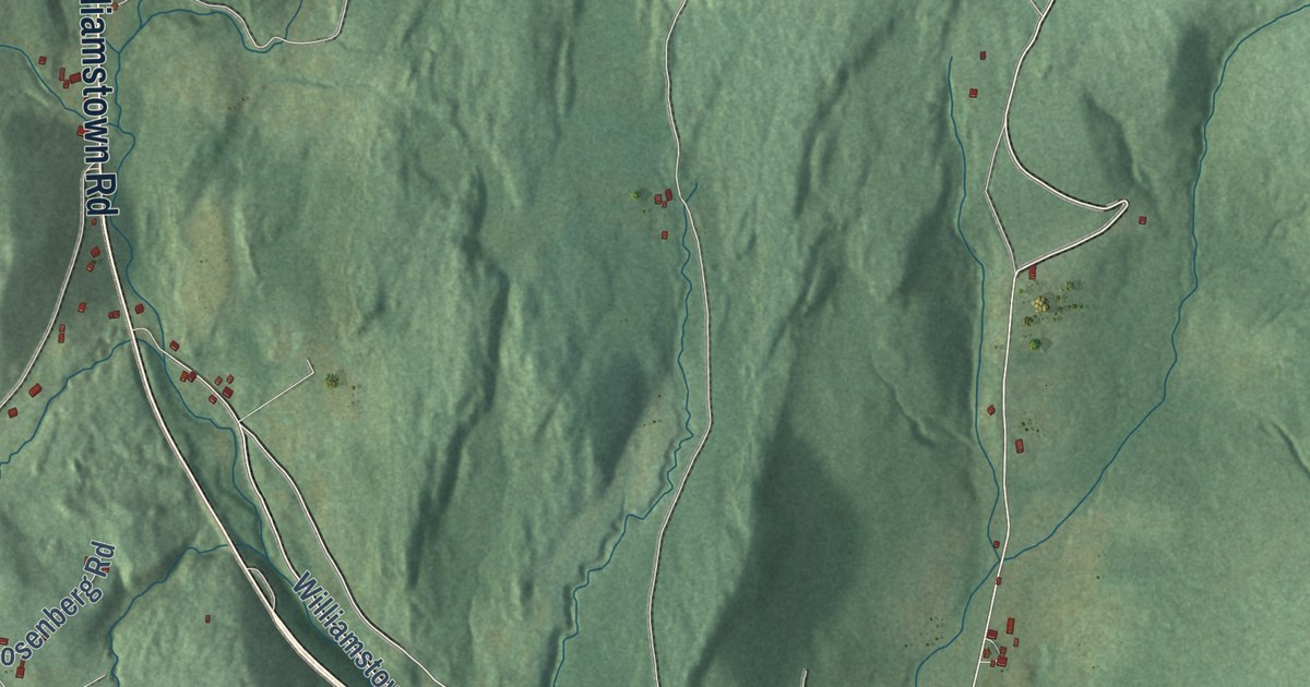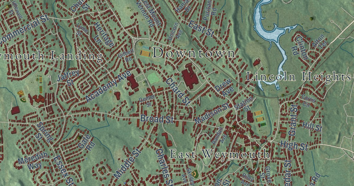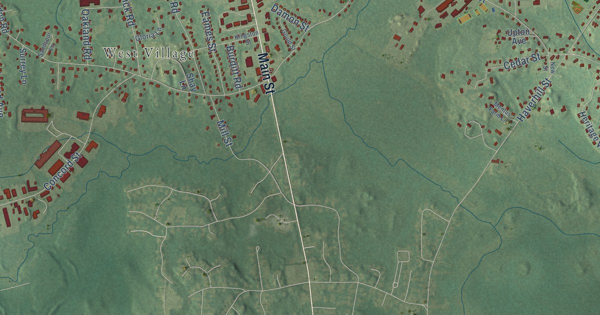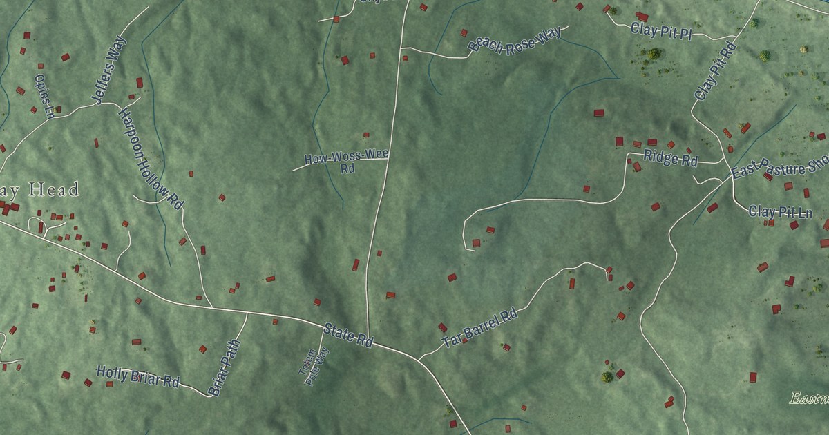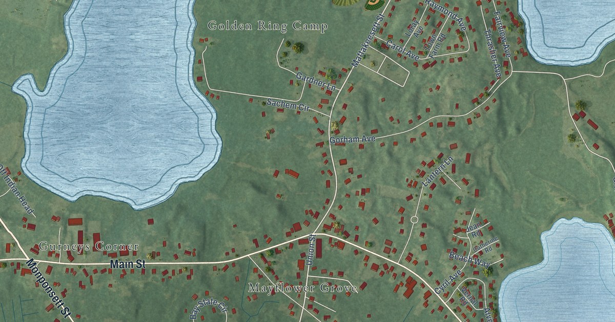
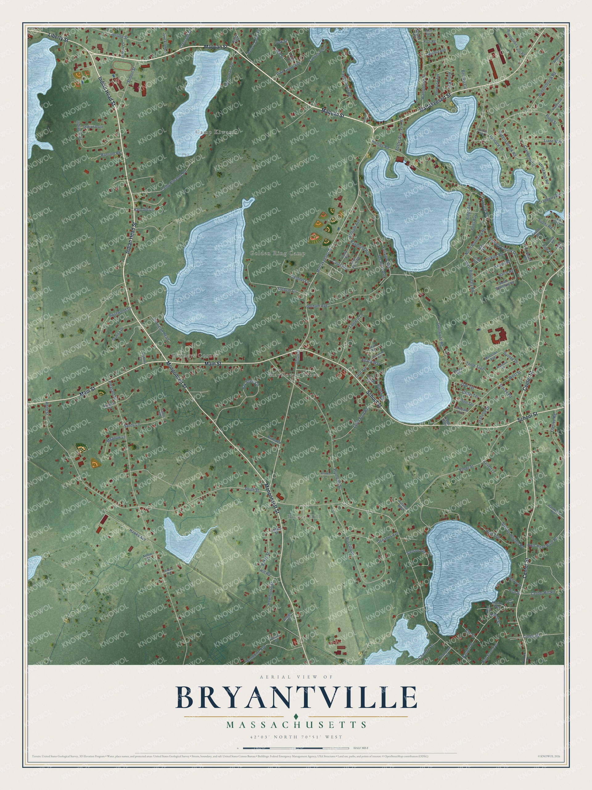
This beautifully detailed map of Bryantville, Massachusetts was created in 2026 using aerial imagery combined with modern topographical, census, street and landmark data. It’s a one-of-a-kind view of Bryantville that combines accurate data with a vintage aesthetic. The map shows every building in its true location, many of the roads carry their names, and the shaded topographic relief shows the shape of the land.
Explore an aerial view of Bryantville, Massachusetts
On the map you’ll find Breezy Hill, Golden Ring Camp, Gurneys Corner, Camp Kiwanis, and Mayflower Grove, along with Maquan Street, Indian Head Street, Center Street, Monponsett Street, School Street, Main Street, Mattakeesett Street, and more. If you look closely you can even find your house accurately drawn in its correct location. Zoom in on the preview to look for yours.
Did You Know?
From Internet Archive: "Passing through Bridgewater the regiment moved toward South Hanson Station and Bryantville."
Bryantville is a community in Plymouth County.
Take a closer look at the Bryantville map
Names on this map
These names are printed on this map.
Places: Breezy Hill, Golden Ring Camp, Gurneys Corner, Camp Kiwanis and Mayflower Grove.
Streets and roads: Maquan Street, Indian Head Street, Center Street, Monponsett Street, School Street, Main Street, Mattakeesett Street, Liberty Street, Union Street, West Street, Furnace Lane, Furnace Road.
More street names, A to Z
Adams Avenue, Alice Avenue, Alma Avenue, Alvern Road, Ames Way, Andrew Drive, Andrew Lane, Arthur Street, Autumn Way, Baker Street, Bartlett Street, Bay State Circle, Beach Road, Beach Way, Beech Street, Bersani Circle, Braeburn Avenue, Brenda Lane, Briggs Street, Camp Kiwanee Road, Carol Avenue, Carver Street, Catherine Road, Cedar Terrace, Center Hill Road, Chandler Street, Cinder Road, Cranberry Lane, Cranberry Road, Crescent Street, Cynthia Avenue, Cyril Avenue, Deveuve Lane, Donna Drive, Eagle Gate, Elmer Avenue, Elmer Street, Fairview Avenue, Fallons Point, Ferris Street, Fir Road, Fish Street, Foster Avenue, Fourth Street, Furnace Colony Drive, Gardner Lane, Glenwood Road, Gorham Avenue, Gurney Drive, Harvest Lane, Hatch Road, Hawks Avenue, Hawthorne Street, High Avenue, High Street East, Hill Road, Hill Street, Hilltop Road, Holmes Street, Indian Path, Indian Trail, Jeanette Drive, Jean Road, Jean Street, Jereva Road, Jerrold Street, June Elaine Drive, Katy Did Lane, Lantern Lane, Lapham Street, Liane Way, Linda Road, Loray Avenue, Lydia Ford Road, Maplewood Road, Marion Way, Mattakeesett Avenue, Meadow Lane, Mill Pond Road, Monroe Street, Montclair Avenue, North Boundary Road, Nye Street, Oak Street, Oak Terrace, Oceanus Avenue, Off Indian Head, Oletree Road, Owls Head Bluff Road, Parker Road, Park Street, Perkins Road, Phillips Road, Pine Circle, Pine Grove Avenue, Pine Street, Pine Terrace, Pleasant Street, Plymouth Street, Pond Street, Pondview Avenue, Priscilla Drive, Queensbrook Road, Queens Brook Road, Ramsdell Place, Ransom Road, Raymond Avenue, Reed Street, Ridge Avenue, Roller Coaster Road, Rosewood Drive, Ruth Road, Sachem Circle, Sandy Lane, Sandy Terrace, Scobbie Avenue, Sheila Road, Shepard Avenue, South Boundary Road, South Street, Stacey Road, Stetson Avenue, Stetson Heights Road, Suomi Road, Sydney Lane, Taylor Point Road, Thompson Street, Thrasher Avenue, Toole Trail, Town Farm Road, Valley Road, Verna Hall Road, Vernal Road, Wampatuck Street, West Boundary Road, Wilkie Terrace, William Avenue, Willow Road, Wintergreen Farm Road, Woodbine Avenue, Woodman Terrace.
See it on a wall
The Bryantville map as a framed print. Swipe for more.


This beautifully detailed map of Bryantville makes an attractive addition to your office, library, or den, and it can even be used to teach children the geography and history of the area. It also makes a great gift for someone who left Bryantville and still calls it home. When you’re done exploring, click here to get your copy of the Bryantville map.