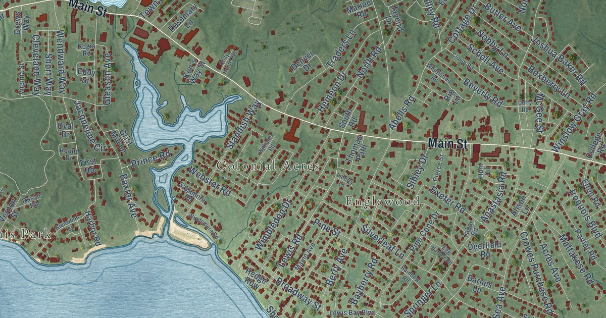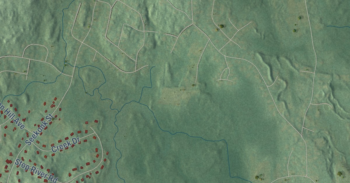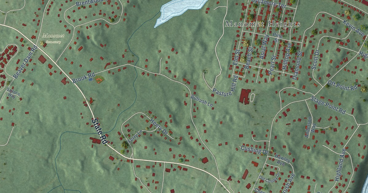
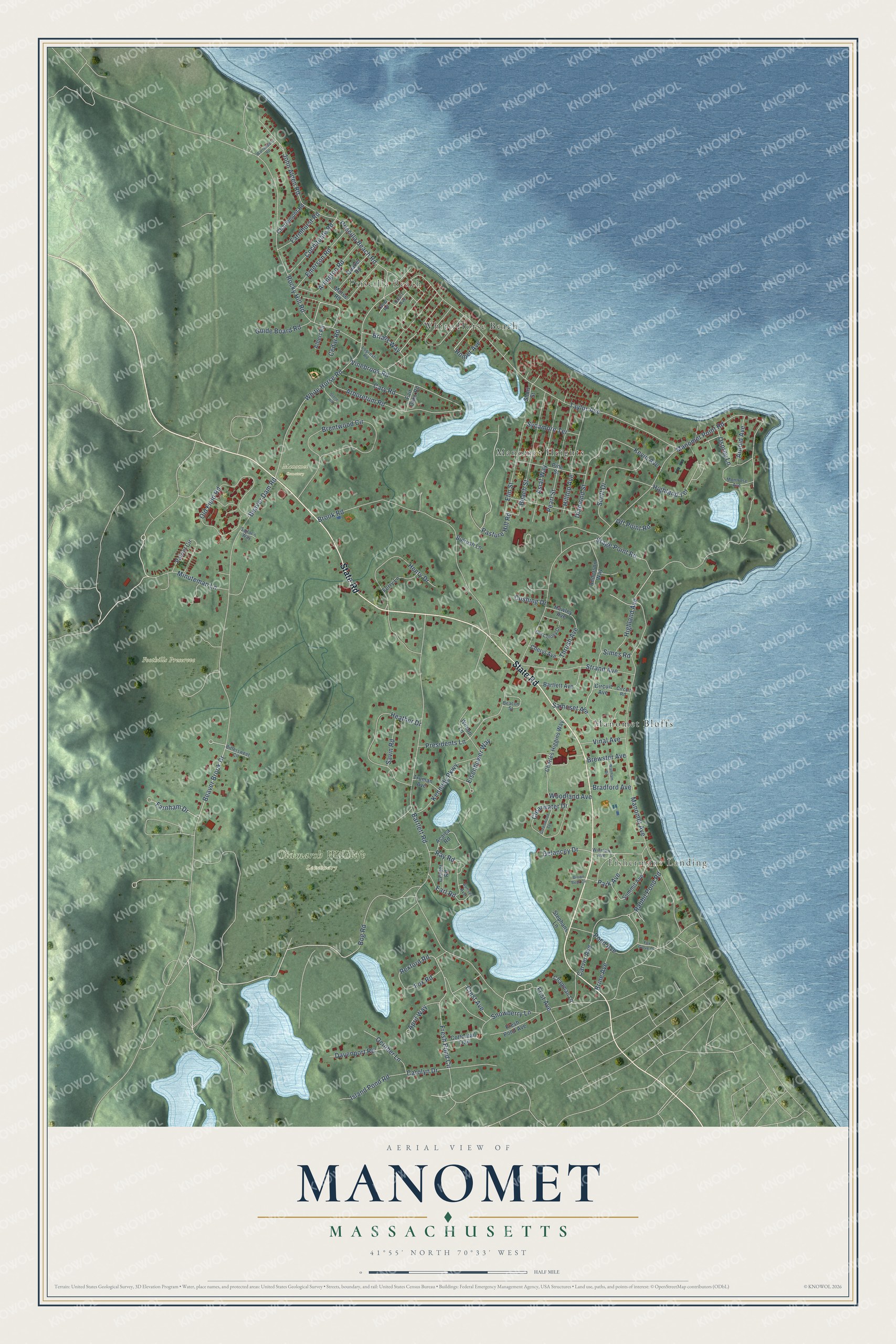
This beautifully detailed map of Manomet, Massachusetts was created in 2026 using aerial imagery combined with modern topographical, census, street and landmark data. It’s a one-of-a-kind view of Manomet that combines accurate data with a vintage aesthetic. The map shows every building in its true location, many of the roads carry their names, and the shaded topographic relief shows the shape of the land.
Explore an aerial view of Manomet, Massachusetts
On the map you’ll find Fishermans Landing, Priscilla Beach, Foothills Presereve, Tidmarsh Wildlife Sanctuary, Manomet Cemetery, Manomet Heights, Manomet Bluffs, and White Horse Beach, along with State Road, Pasture Hill Road, Rexford Road, White Horse Road, and more. If you look closely you can even find your house accurately drawn in its correct location. Zoom in on the preview to look for yours.
Did You Know?
From Internet Archive: "In 1731 a church was formed at Manomet Ponds, which, in 1747, settled Jonathan Ellis as its pastor, a graduate of Harvard in 1737."
Manomet is a community in Plymouth County.
Take a closer look at the Manomet map
Names on this map
These names are printed on this map.
Places: Fishermans Landing, Priscilla Beach, Foothills Presereve, Tidmarsh Wildlife Sanctuary, Manomet Cemetery, Manomet Heights, Manomet Bluffs and White Horse Beach.
Streets and roads: State Road, Pasture Hill Road, Rexford Road, White Horse Road, Highland Terrace, Fresh Pond Circle, Beaver Brook Drive, Bartlett Road, Manomet Point Road, Manomet Avenue, Beaver Dam Road, Taylor Avenue.
More street names, A to Z
Acaica Road, Albert Road, Anderson Way, April Way, Arboretum Road, Arlington Road, Arnold Avenue, Asiaf Way, Bartlett Avenue, Beach Street, Beacon Street, Bittersweet Circle, Bog Road, Bradford Avenue, Brentwood Circle, Brewster Avenue, Brians Way, Brine Avenue, Brook Road, Brown Bear Circle, Bulrush Lane, Carolyn Drive, Carver Avenue, Cary Road, Cedar Road, Center Road, Chapman Lane, Charlemont Road, Charles Higgins Way, Cheryl Avenue, Circuit Avenue, Circuit Road, Clearwater Drive, Cochituate Road, Cottontail Trail, Court Avenue, Crest Avenue, Cushing Drive, Davenport Road, Delancey Drive, Diamond Street, Earl Road, Eisenhower Way, Elm Street, Emerson Road, Fair Oaks Road, Farmhurst Road, Farnham Drive, Ferry Lane, First Avenue, Fox Glove Drive, Fox Road, Fresh Pond Avenue, Greenwood Terrace, Guide Board Road, Hawley Avenue, Heather Drive, Henry Drive, Highland Avenue, Hilltop Avenue, Homer Avenue, Island Pond Road, John Alden Road, Kennedy Parkway, Kevin Avenue, Lopresti Road, Minuteman Lane, Montrose Avenue, Morse Road, October Lane, Off Point Road, Old Colony Drive, Old Field Road, Osprey Lane, Park Avenue, Patriot Circle, Pearl Street, Pine Street, Pond Avenue, Presidents Lane, Priscilla Beach Road, Quaker Road, Rabbit Pond Road, Ray Road, Rocky Hill Road, Sailor's Way, Samoset Avenue, Savin Road, Scott Drive, Short Street, Simes Road, Snowberry Lane, Stage Point Road, Stephans Lane, Stone Hill, Strand Avenue, Summit Avenue, Sunset Avenue, Sycamore Terrace, Taber Road, Thrush Avenue, Truman Avenue, Vinal Avenue, Vinebrook Road, Waltham Road, Warrendale Road, Wilson Lane, Winslow Avenue, Woodland Avenue.
See it on a wall
The Manomet map as a framed print. Swipe for more.


This beautifully detailed map of Manomet makes an attractive addition to your office, library, or den, and it can even be used to teach children the geography and history of the area. It also makes a great gift for someone who left Manomet and still calls it home. When you’re done exploring, click here to get your copy of the Manomet map.