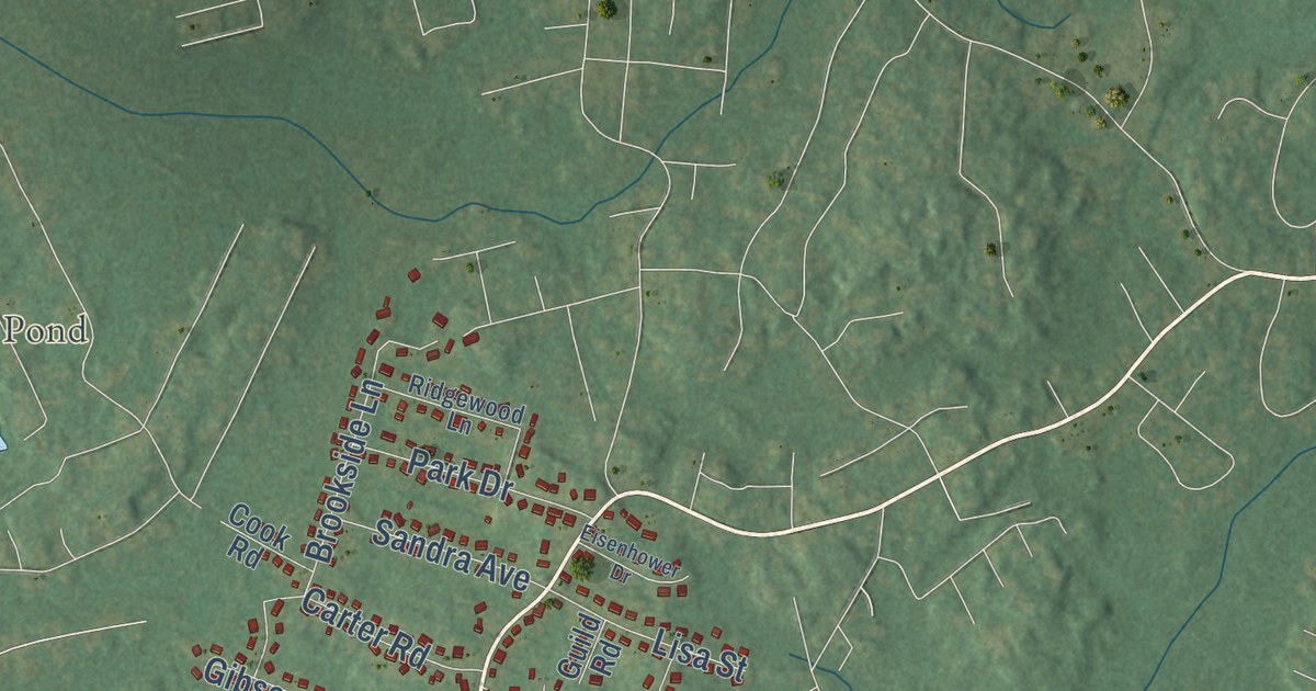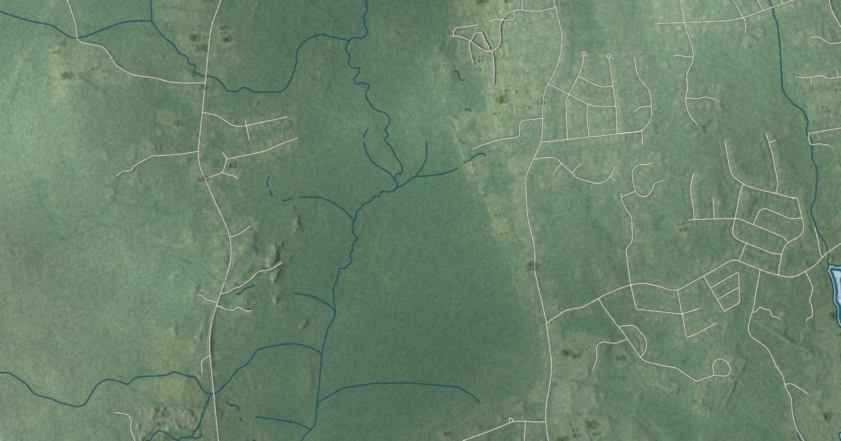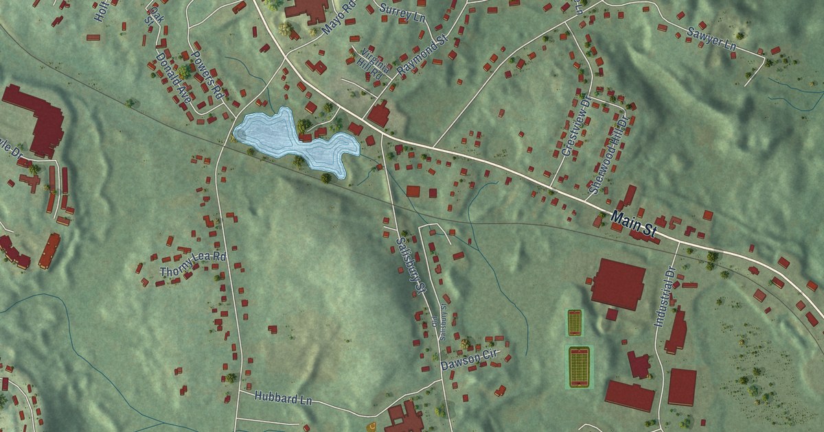
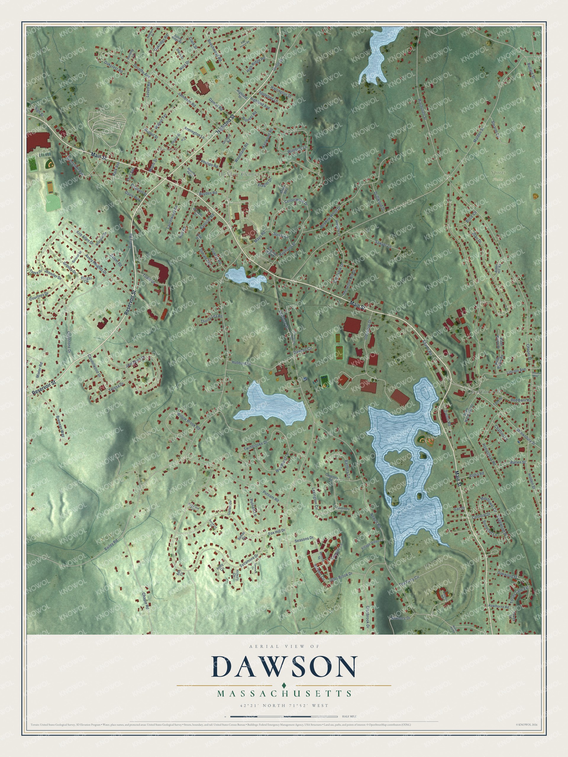
This beautifully detailed map of Dawson, Massachusetts was created in 2026 using aerial imagery combined with modern topographical, census, street and landmark data. It’s a one-of-a-kind view of Dawson that combines accurate data with a vintage aesthetic. The map shows every building in its true location, many of the roads carry their names, and the shaded topographic relief shows the shape of the land.
Explore an aerial view of Dawson, Massachusetts
On the map you’ll find Holden, Holden Center, Grove Cemetery, Sports Fields, and Chaffinville, along with Reservoir Street, Main Street, Highland Street, Mayflower Circle, Woodland Road, Shrewsbury Street, Britney Drive, and more. If you look closely you can even find your house accurately drawn in its correct location. Zoom in on the preview to look for yours.
Did You Know?
From Internet Archive: "Hough, in writing of Duck shooting in North Dakota (1897), says that up to within two years of that time it was a daily sight at Dawson station to see the entire platform lined with Ducks."
Dawson is a community in Worcester County.
Take a closer look at the Dawson map
Names on this map
These names are printed on this map.
Places: Holden, Holden Center, Grove Cemetery, Sports Fields and Chaffinville.
Streets and roads: Reservoir Street, Main Street, Highland Street, Mayflower Circle, Woodland Road, Shrewsbury Street, Britney Drive, Colonial Drive, Centerwood Drive, Bailey Road, Wachusett Street, Salisbury Street.
More street names, A to Z
Adams Road, Alden Hill Road, Alpha Road, Appletree Lane, Armington Lane, Ash Circle, Avery Heights Drive, Avery Road, Banbury Lane, Bancroft Road, Bascom Parkway, Basswood Circle, Beechwood Road, Blair Drive, Blossom Square, Boyden Road, Brennan Way, Brice Circle, Brunnell Drive, Bullard Street, Candelwood Drive, Canterbury Lane, Chaffins Lane, Chapel Street, Chapin Road, Clark Street, Courtney Drive, Coventry Road, Cranbrook Drive, Crestview Drive, Damon Road, Davis Way, Dawson Circle, Deane Street, Dix Street, Dogwood Circle, Donald Avenue, Dorothy Avenue, Dorothy Lane, Driftwood Drive, Edgewood Drive, Erins Way, Explorers Way, Fireside Lane, Flagler Drive, Fox Hill Drive, Fruit Avenue, Gail Drive, Gallair Circle, Greystone Drive, Harrington Drive, Harvest Circle, Hawthorne Road, Hemlock Drive, Hickory Circle, Highland Avenue, High Ridge Road, High Street, Holden Street, Holly Circle, Holt Road, Homestead Road, Hubbard Lane, Industrial Drive, Jamieson Road, Jennifer Drive, Joel Scott Drive, Kenwood Road, Kris Allen Drive, Laurelwood Road, Lexington Circle, Lincoln Avenue, Lovell Road, Malden Street, Maple Street, Marlen Street, Mayo Road, Meadow Wood Drive, Mixter Road, Morgan Circle, Newbury Drive, Newell Road, Nola Drive, Oakcrest Road, Oakridge Road, Oak Street, Oakwood Street, Old Salisbury Street, Orchard Road, Otter Brook Drive, Ottoson Way, Park Avenue, Paul Revere Road, Phillips Road, Pioneer Road, Pleasant Street, Powers Road, Putnam Lane, Putnam Road, Raymond Street, Red Barn Road, Redgate Lane, Rolling Ridge Road, Salem Road, Sawyer Lane, Seasons Drive, Sherwood Hill Drive, Short Street, Somerset Lane, South Wachusett Street, Stearns Lane, Sumac Circle, Sunnyside Avenue, Sunset Drive, Surrey Lane, Sycamore Drive, Tamarack Circle, Tanya Drive, Tea Party Circle, Teresa Drive, Thorny Lea Road, Torrey Lane, Torrey Lane Extension, Towle Drive, Twinbrooke Drive, Tyler Drive, Union Street, Village Green Lane, Virginia Hill Road, Walnut Street, Walnut Terrace, Wilde Willow Drive, Wilde Willow Road, William Street, Willow Brook Road, Winter Hill Road, Winthrop Lane, Wyndhurst Drive, Zottoli Road.
See it on a wall
The Dawson map as a framed print. Swipe for more.


This beautifully detailed map of Dawson makes an attractive addition to your office, library, or den, and it can even be used to teach children the geography and history of the area. It also makes a great gift for anyone who grew up in Dawson or moved away. When you’re done exploring, click here to get your copy of the Dawson map.