Detailed Map of Fallsington, Pennsylvania
A detailed map of Fallsington, Pennsylvania, showing every building in its true location, the roads by name, and shaded topographical relief.
Read More
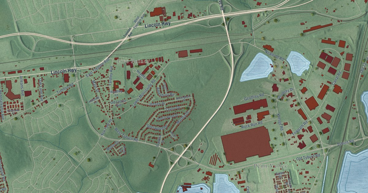
A detailed map of Fallsington, Pennsylvania, showing every building in its true location, the roads by name, and shaded topographical relief.
Read More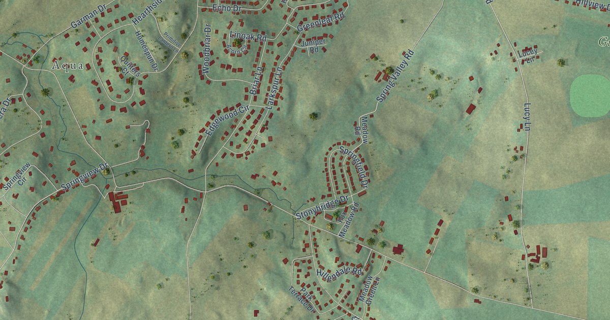
A detailed map of Falling Spring, Pennsylvania, showing every building in its true location, the roads by name, and shaded topographical relief.
Read More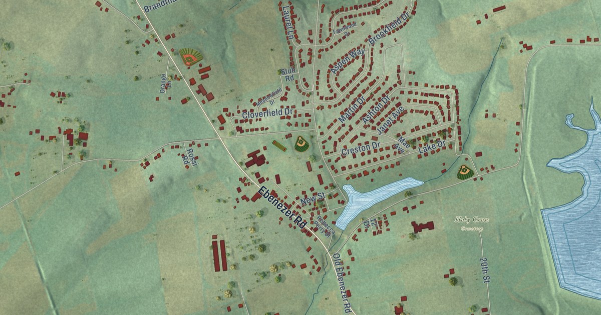
A detailed map of Ebenezer, Pennsylvania, showing every building in its true location, the roads by name, and shaded topographical relief.
Read More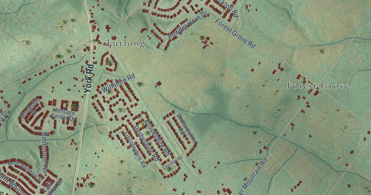
A detailed map of Bridge Valley, Pennsylvania, showing every building in its true location, the roads by name, and shaded topographical relief.
Read More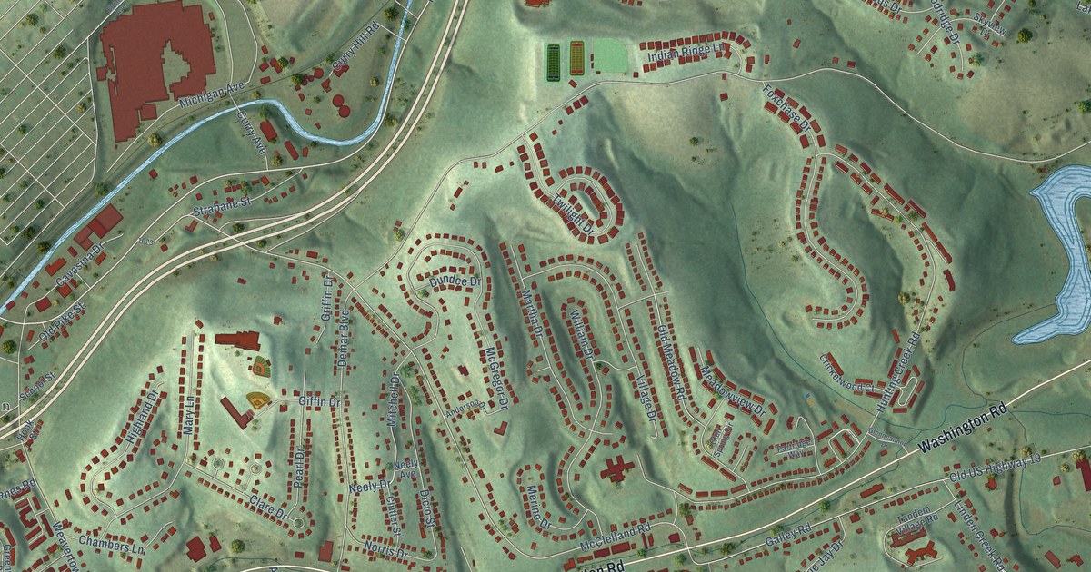
A detailed map of Borland Manor, Pennsylvania, showing every building in its true location, the roads by name, and shaded topographical relief.
Read More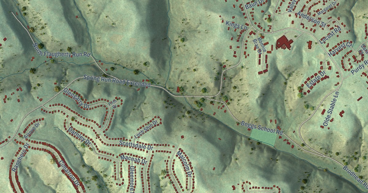
A detailed map of Bon Meade, Pennsylvania, showing every building in its true location, the roads by name, and shaded topographical relief.
Read More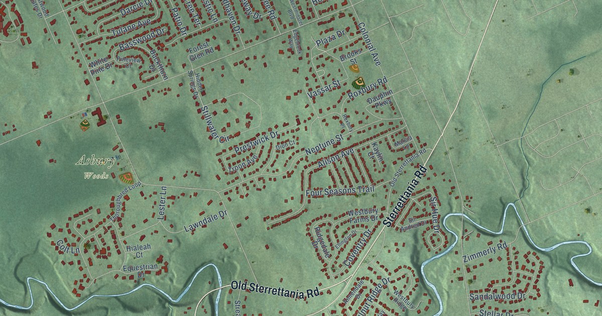
A detailed map of Asbury, Pennsylvania, showing every building in its true location, the roads by name, and shaded topographical relief.
Read More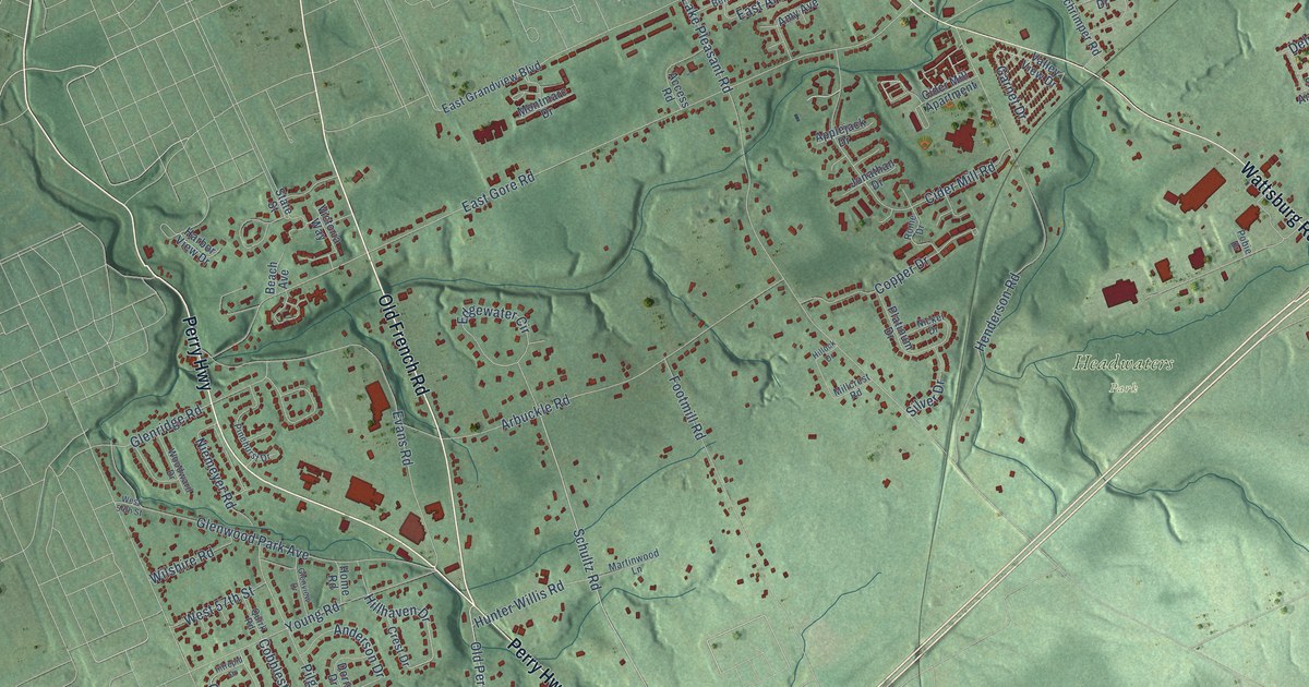
A detailed map of Belle Valley, Pennsylvania, showing every building in its true location, the roads by name, and shaded topographical relief.
Read More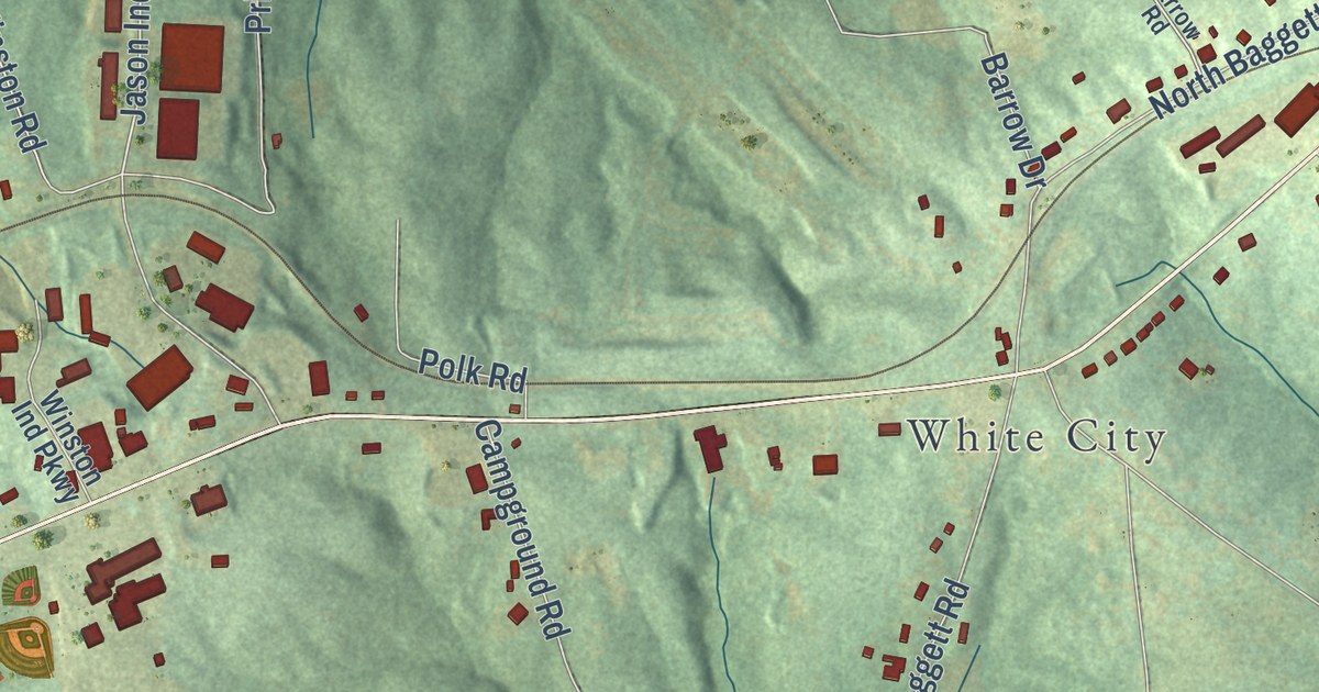
A detailed map of Winston, Georgia, showing every building in its true location, the roads by name, and shaded topographical relief.
Read More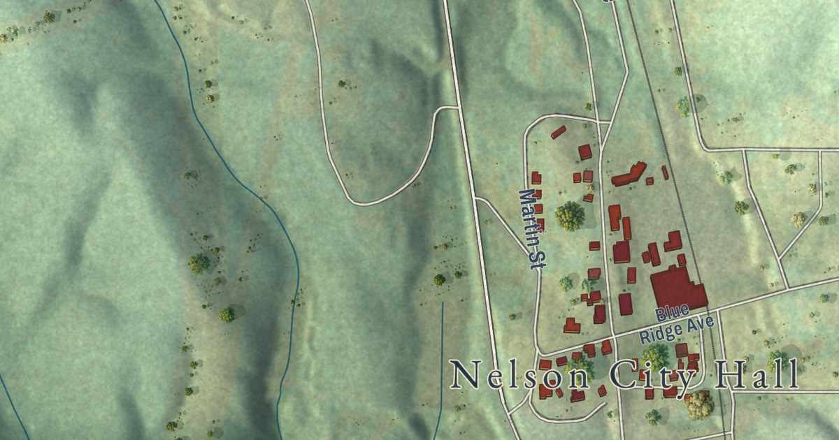
A detailed map of Tate, Georgia, showing every building in its true location, the roads by name, and shaded topographical relief.
Read More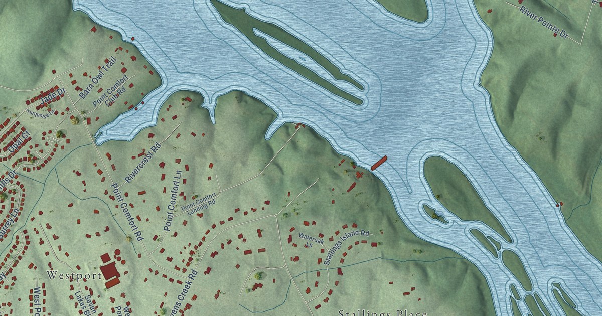
A detailed map of Stevens Creek, Georgia, showing every building in its true location, the roads by name, and shaded topographical relief.
Read More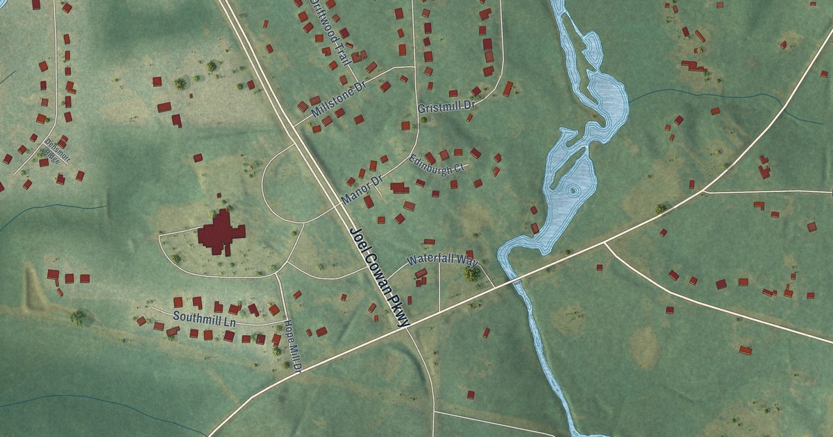
A detailed map of Starrs Mill, Georgia, showing every building in its true location, the roads by name, and shaded topographical relief.
Read More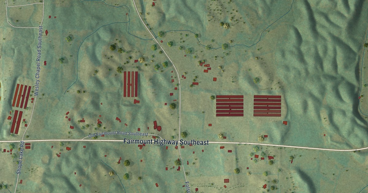
A detailed map of Sonoraville, Georgia, showing every building in its true location, the roads by name, and shaded topographical relief.
Read More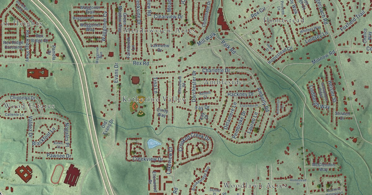
A detailed map of Rex, Georgia, showing every building in its true location, the roads by name, and shaded topographical relief.
Read More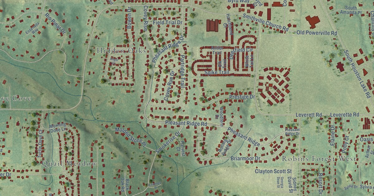
A detailed map of Quail Run, Georgia, showing every building in its true location, the roads by name, and shaded topographical relief.
Read More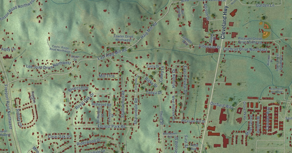
A detailed map of Pleasant Grove, Georgia, showing every building in its true location, the roads by name, and shaded topographical relief.
Read More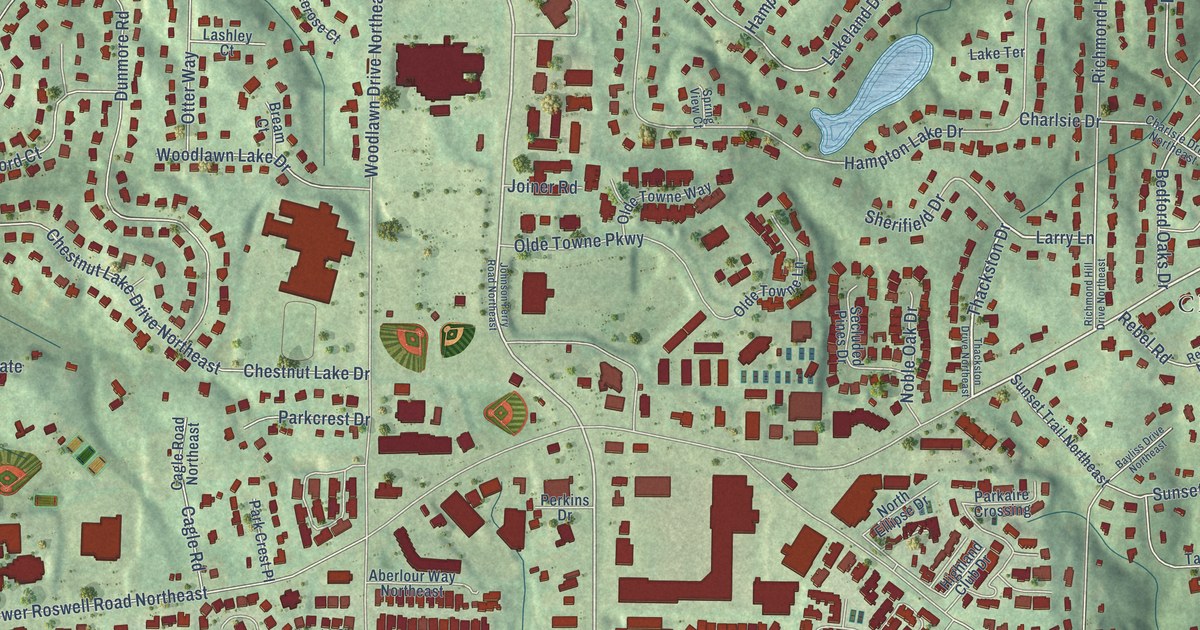
A detailed map of Mount Bethel, Georgia, showing every building in its true location, the roads by name, and shaded topographical relief.
Read More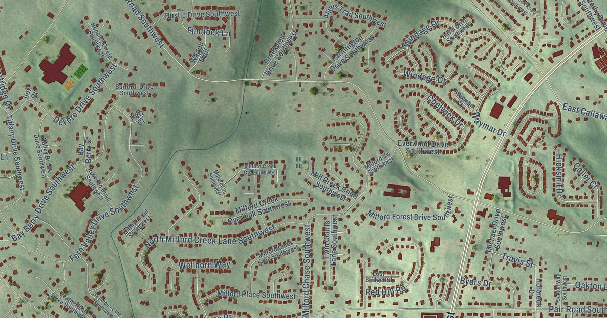
A detailed map of Milford, Georgia, showing every building in its true location, the roads by name, and shaded topographical relief.
Read More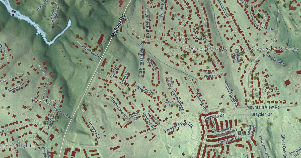
A detailed map of McEver, Georgia, showing every building in its true location, the roads by name, and shaded topographical relief.
Read More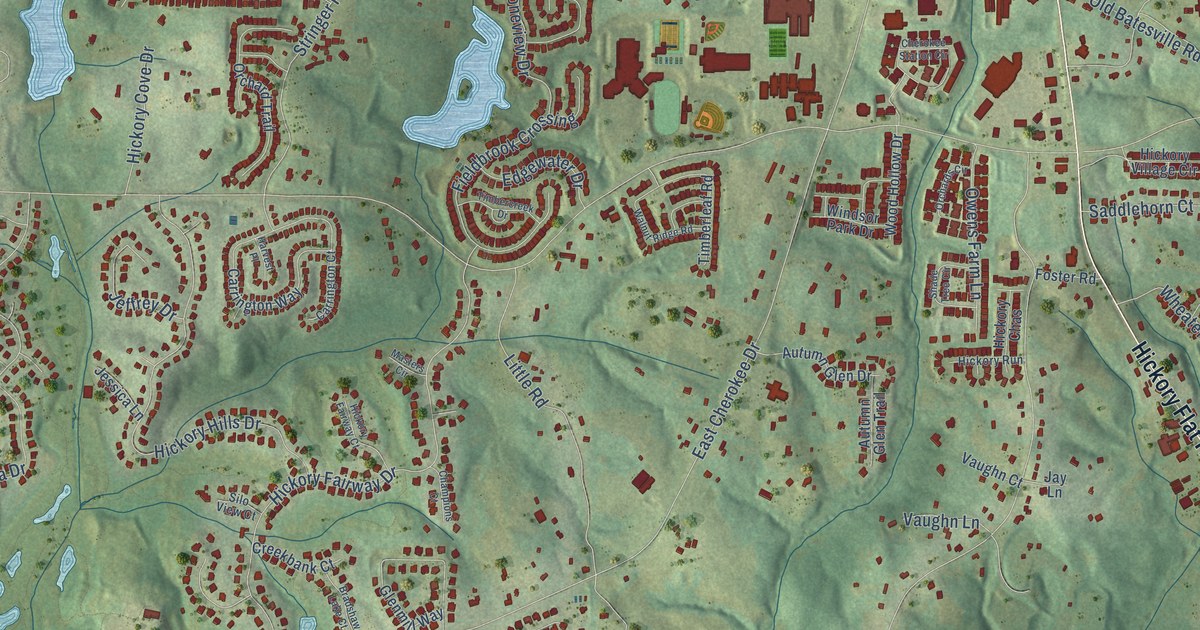
A detailed map of Hickory Flat, Georgia, showing every building in its true location, the roads by name, and shaded topographical relief.
Read More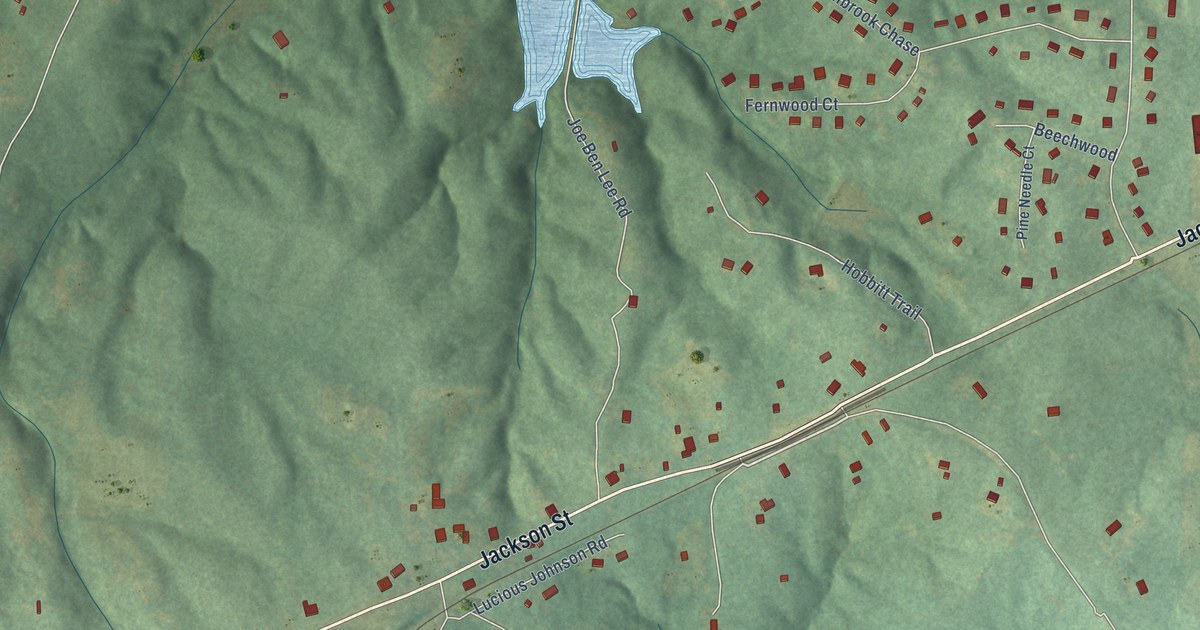
A detailed map of Madras, Georgia, showing every building in its true location, the roads by name, and shaded topographical relief.
Read More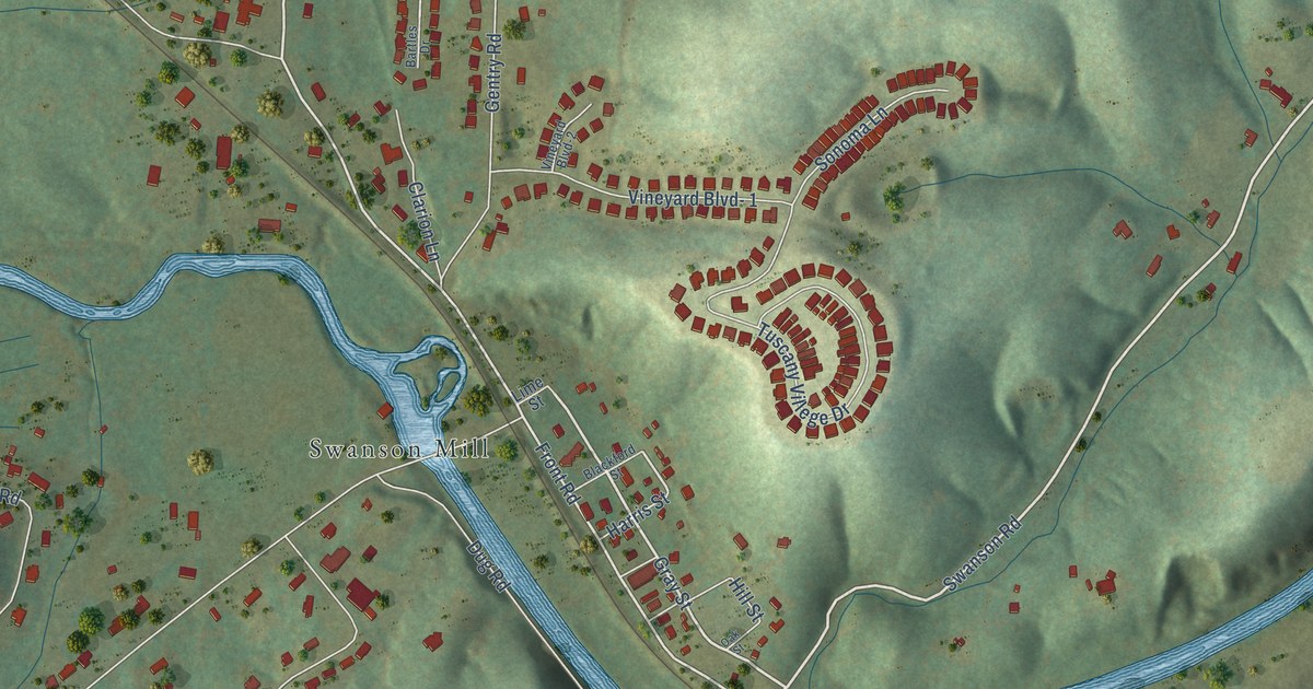
A detailed map of Graysville, Georgia, showing every building in its true location, the roads by name, and shaded topographical relief.
Read More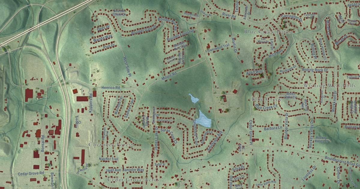
A detailed map of Cedar Grove, Georgia, showing every building in its true location, the roads by name, and shaded topographical relief.
Read More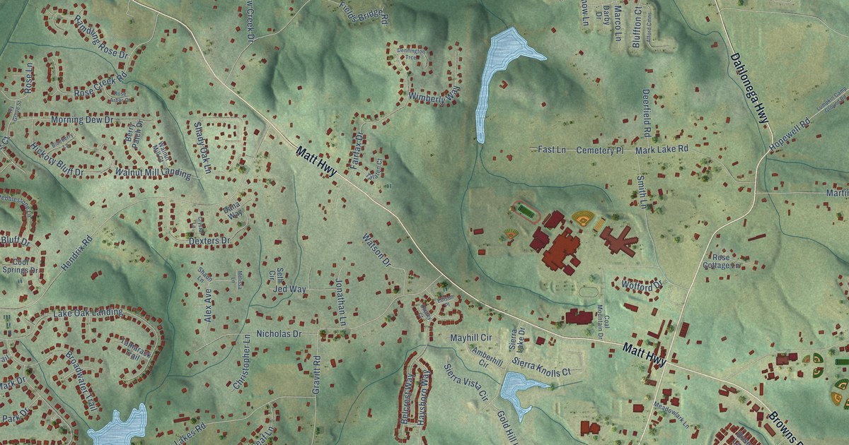
A detailed map of Coal Mountain, Georgia, showing every building in its true location, the roads by name, and shaded topographical relief.
Read More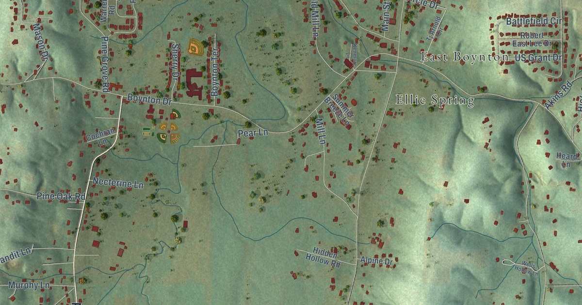
A detailed map of Boynton, Georgia, showing every building in its true location, the roads by name, and shaded topographical relief.
Read More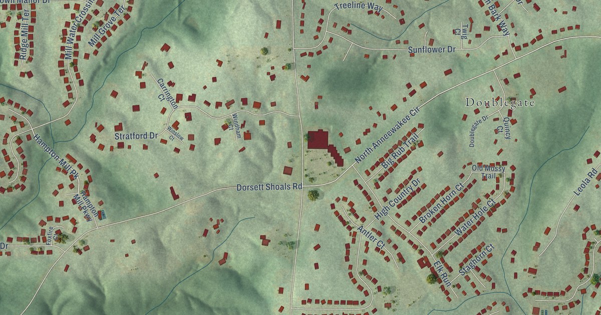
A detailed map of Chapel Hill, Georgia, showing every building in its true location, the roads by name, and shaded topographical relief.
Read More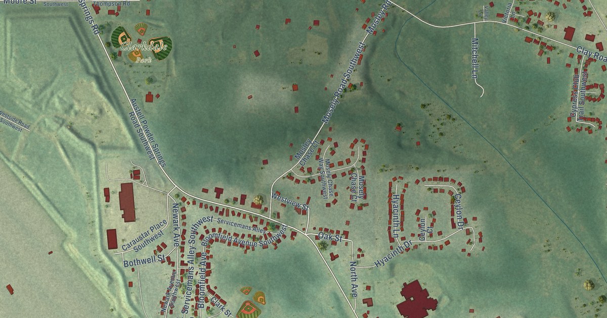
A detailed map of Clarkdale, Georgia, showing every building in its true location, the roads by name, and shaded topographical relief.
Read More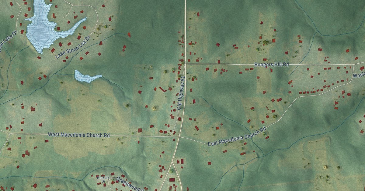
A detailed map of Flint Hill, Georgia, showing every building in its true location, the roads by name, and shaded topographical relief.
Read More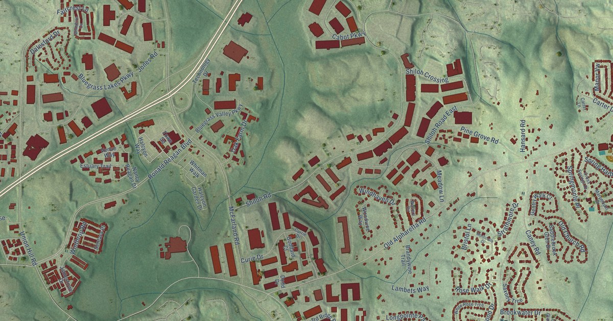
A detailed map of Big Creek, Georgia, showing every building in its true location, the roads by name, and shaded topographical relief.
Read More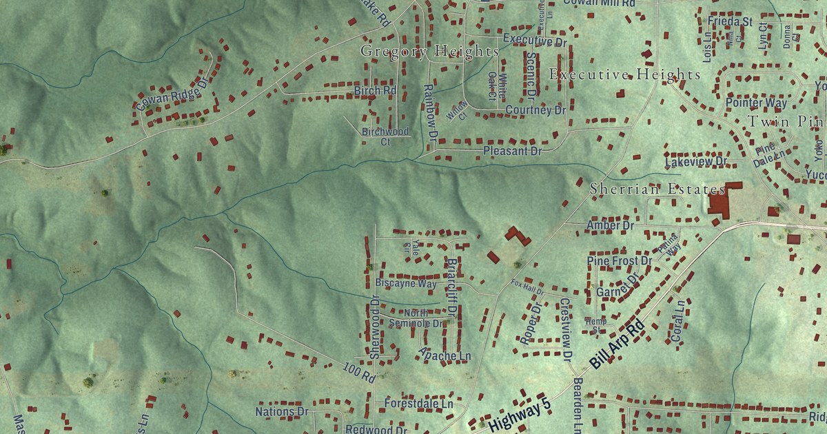
A detailed map of Bright Star, Georgia, showing every building in its true location, the roads by name, and shaded topographical relief.
Read More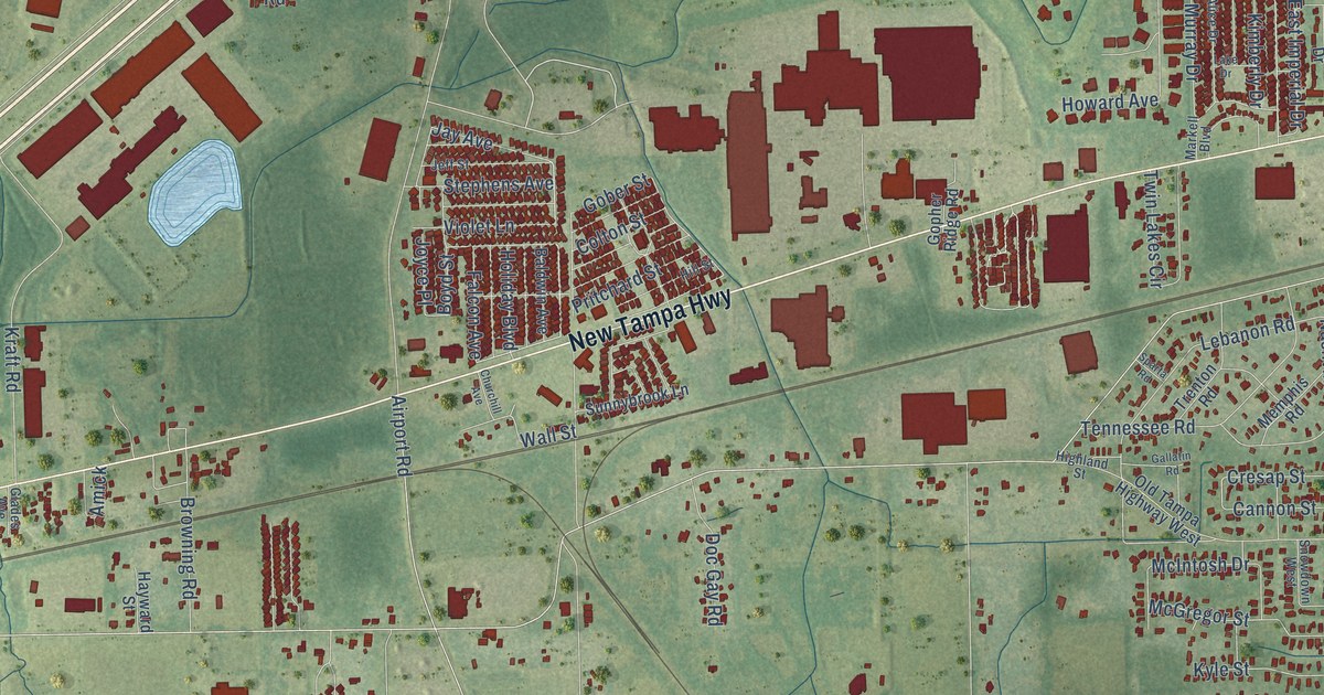
A detailed map of Winston, Florida, showing every building in its true location, the roads by name, and shaded topographical relief.
Read More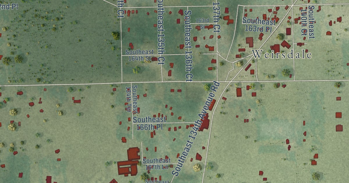
A detailed map of Stanton, Florida, showing every building in its true location, the roads by name, and shaded topographical relief.
Read More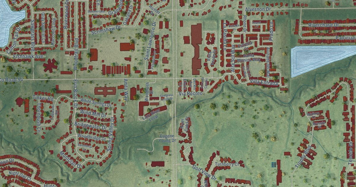
A detailed map of Seven Springs, Florida, showing every building in its true location, the roads by name, and shaded topographical relief.
Read More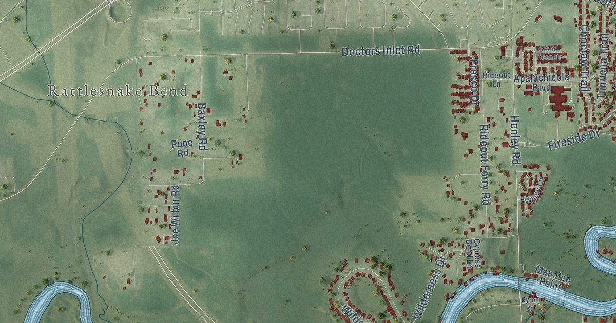
A detailed map of Rideout, Florida, showing every building in its true location, the roads by name, and shaded topographical relief.
Read More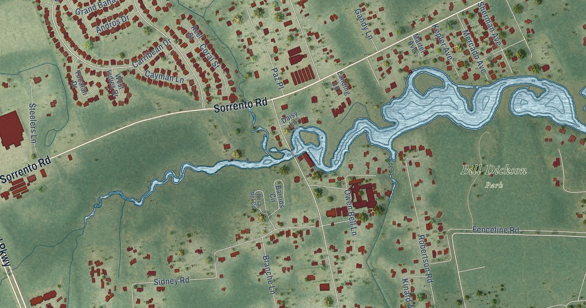
A detailed map of Pleasant Grove, Florida, showing every building in its true location, the roads by name, and shaded topographical relief.
Read More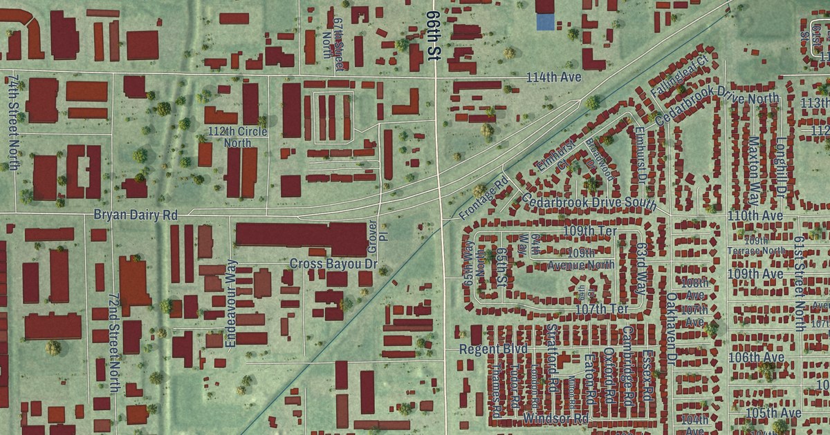
A detailed map of Cross Bayou, Florida, showing every building in its true location, the roads by name, and shaded topographical relief.
Read More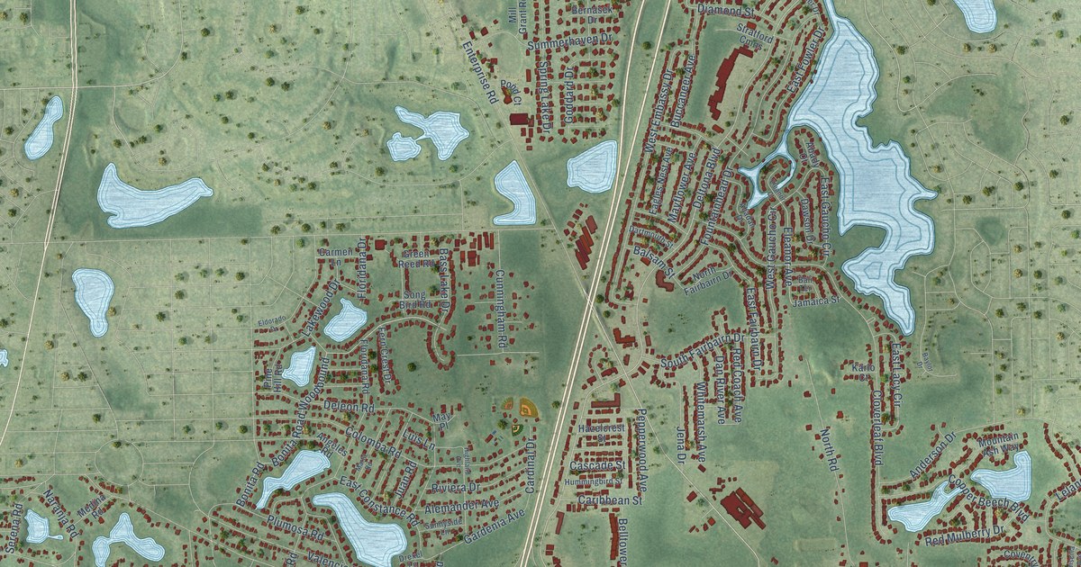
A detailed map of Enterprise, Florida, showing every building in its true location, the roads by name, and shaded topographical relief.
Read More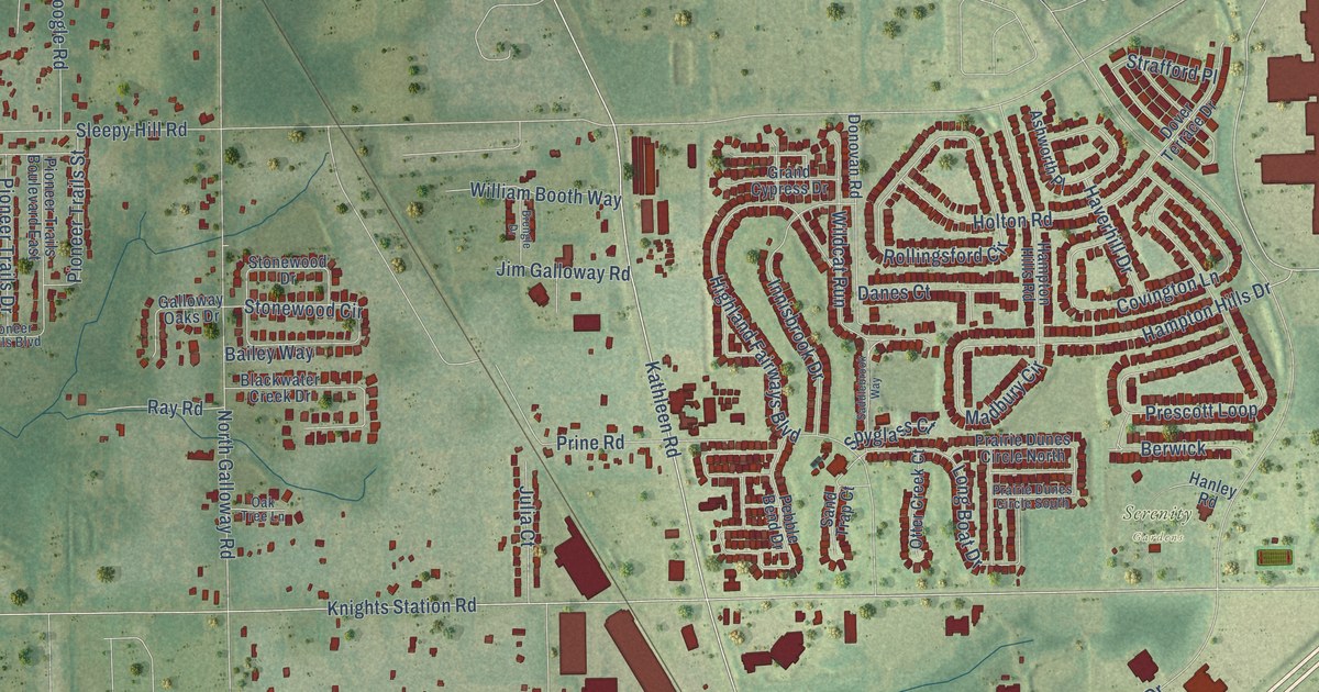
A detailed map of Griffin, Florida, showing every building in its true location, the roads by name, and shaded topographical relief.
Read More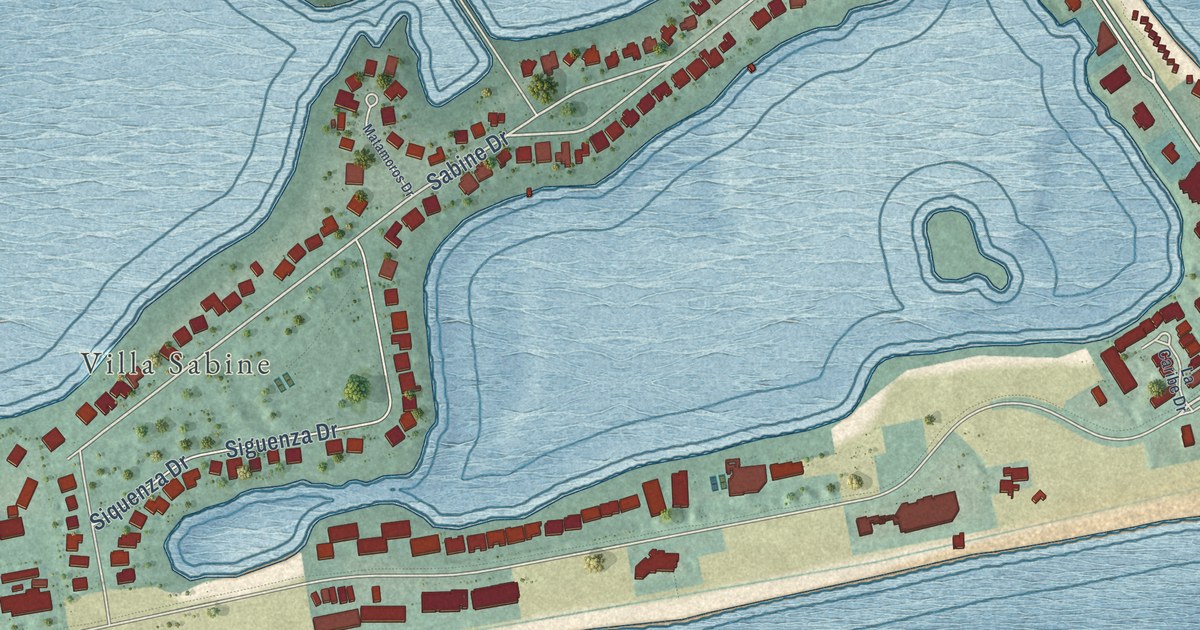
A detailed map of Pensacola Beach, Florida, showing every building in its true location, the roads by name, and shaded topographical relief.
Read More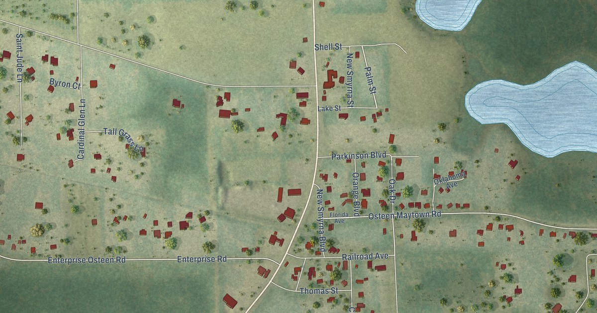
A detailed map of Osteen, Florida, showing every building in its true location, the roads by name, and shaded topographical relief.
Read More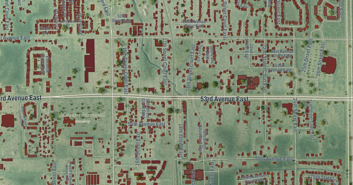
A detailed map of Oneco, Florida, showing every building in its true location, the roads by name, and shaded topographical relief.
Read More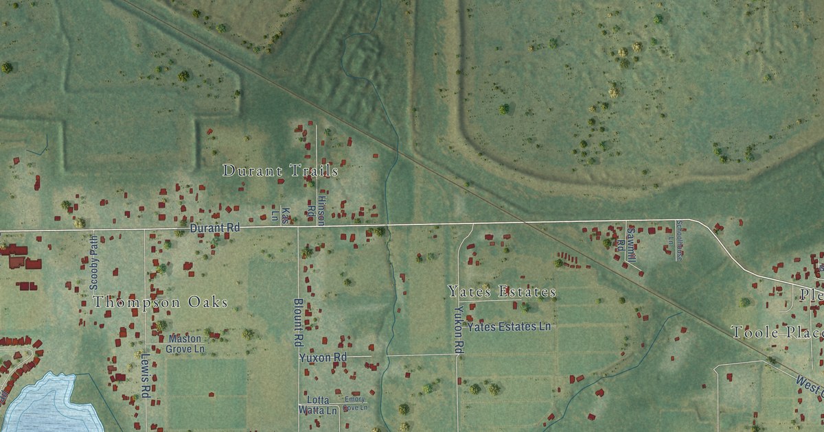
A detailed map of Durant, Florida, showing every building in its true location, the roads by name, and shaded topographical relief.
Read More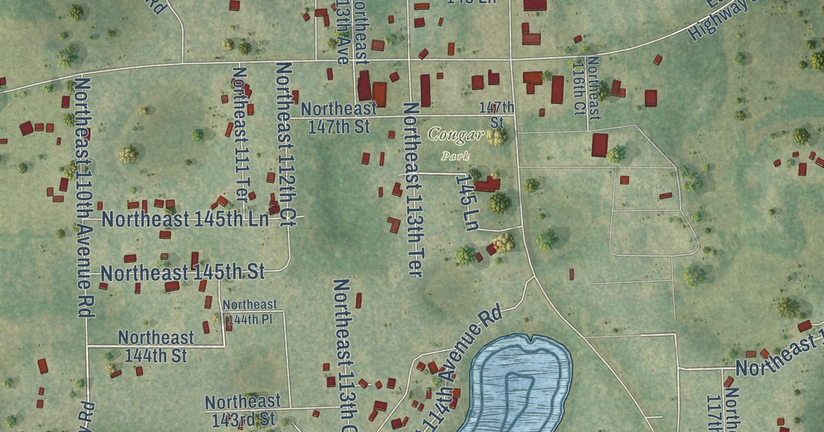
A detailed map of Fort McCoy, Florida, showing every building in its true location, the roads by name, and shaded topographical relief.
Read More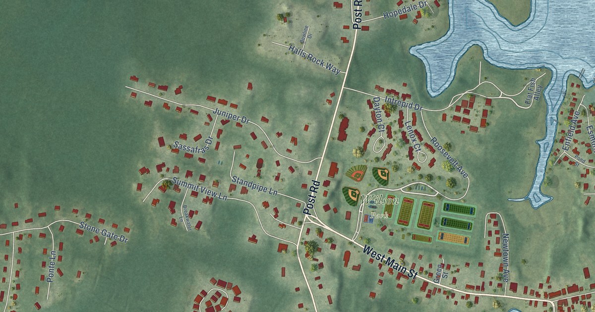
A detailed map of Wickford, Rhode Island, showing every building in its true location, the roads by name, and shaded topographical relief.
Read More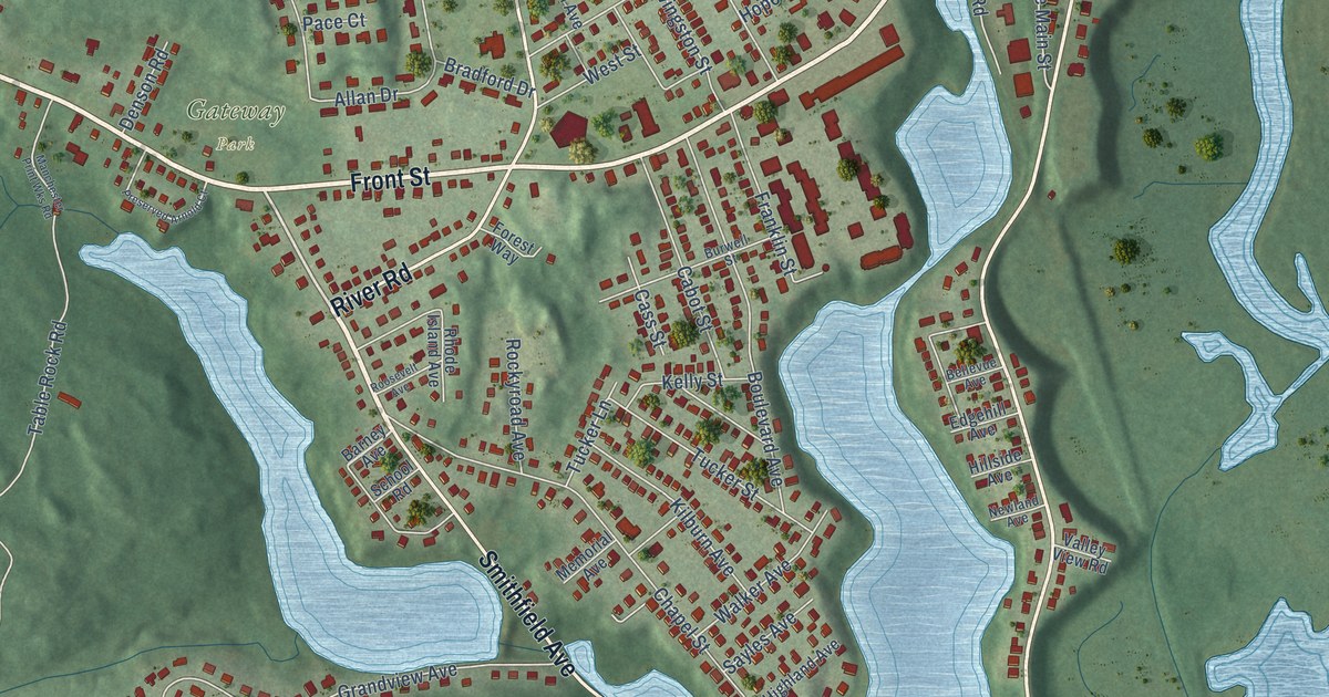
A detailed map of Saylesville, Rhode Island, showing every building in its true location, the roads by name, and shaded topographical relief.
Read More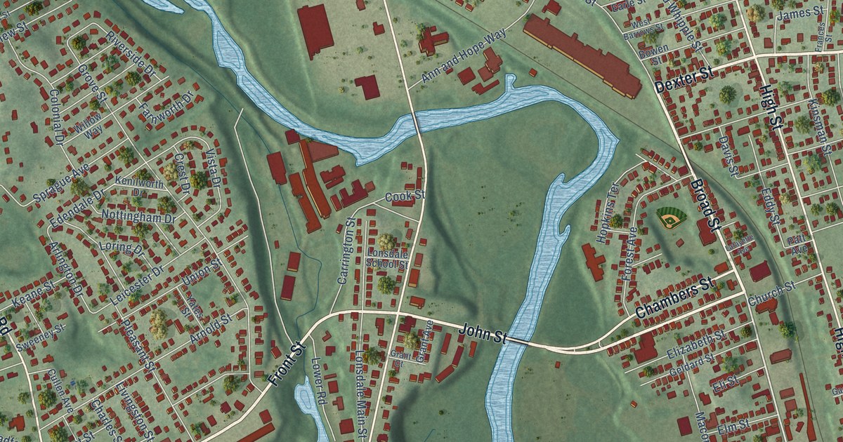
A detailed map of Lonsdale, Rhode Island, showing every building in its true location, the roads by name, and shaded topographical relief.
Read More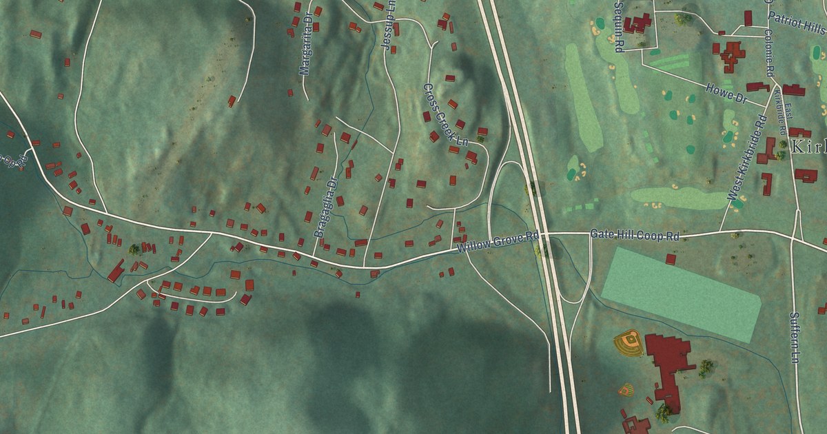
A detailed map of Willow Grove, New York, showing every building in its true location, the roads by name, and shaded topographical relief.
Read More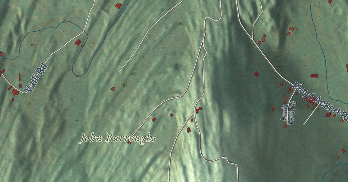
A detailed map of West Park, New York, showing every building in its true location, the roads by name, and shaded topographical relief.
Read More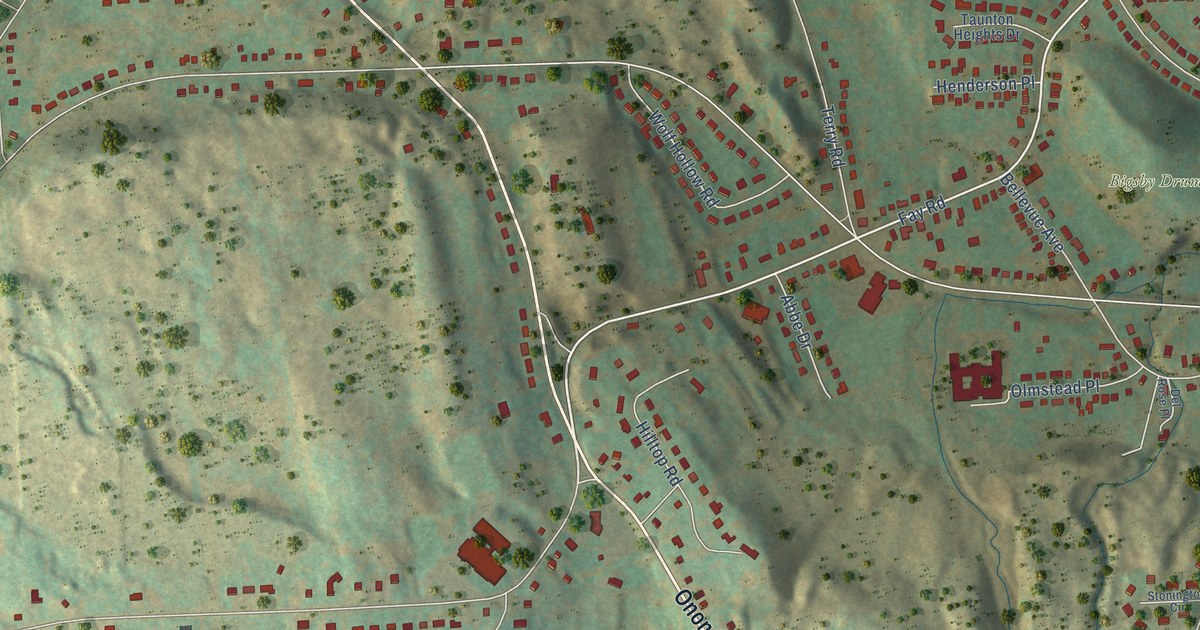
A detailed map of Split Rock, New York, showing every building in its true location, the roads by name, and shaded topographical relief.
Read More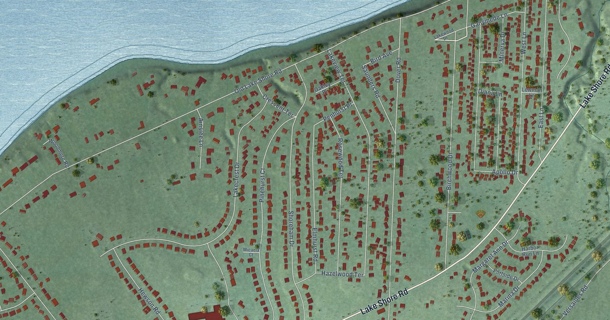
A detailed map of Pinehurst, New York, showing every building in its true location, the roads by name, and shaded topographical relief.
Read More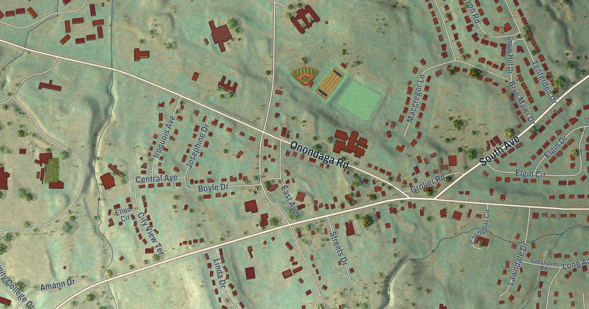
A detailed map of Onondaga Hill, New York, showing every building in its true location, the roads by name, and shaded topographical relief.
Read More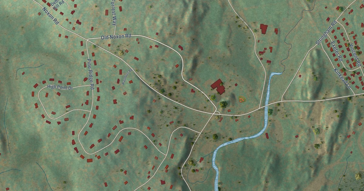
A detailed map of Noxon, New York, showing every building in its true location, the roads by name, and shaded topographical relief.
Read More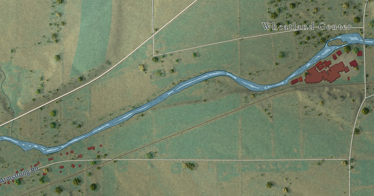
A detailed map of Mumford, New York, showing every building in its true location, the roads by name, and shaded topographical relief.
Read More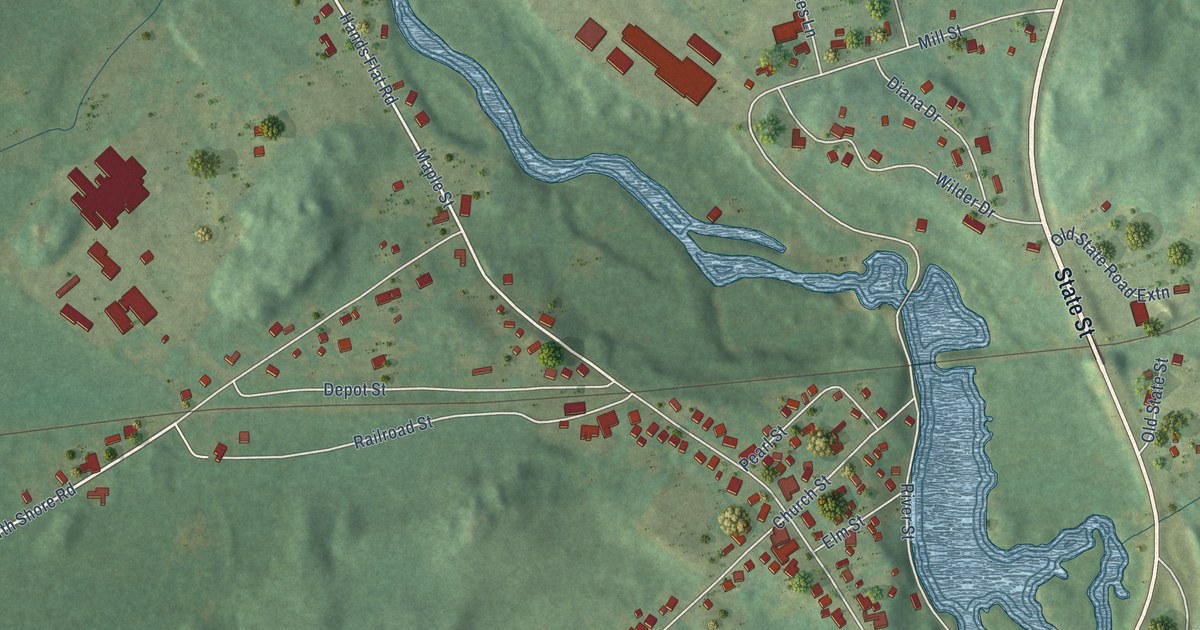
A detailed map of Harrisville, New York, showing every building in its true location, the roads by name, and shaded topographical relief.
Read More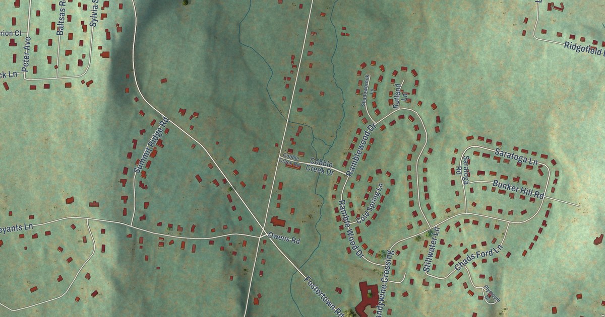
A detailed map of Fostertown, New York, showing every building in its true location, the roads by name, and shaded topographical relief.
Read More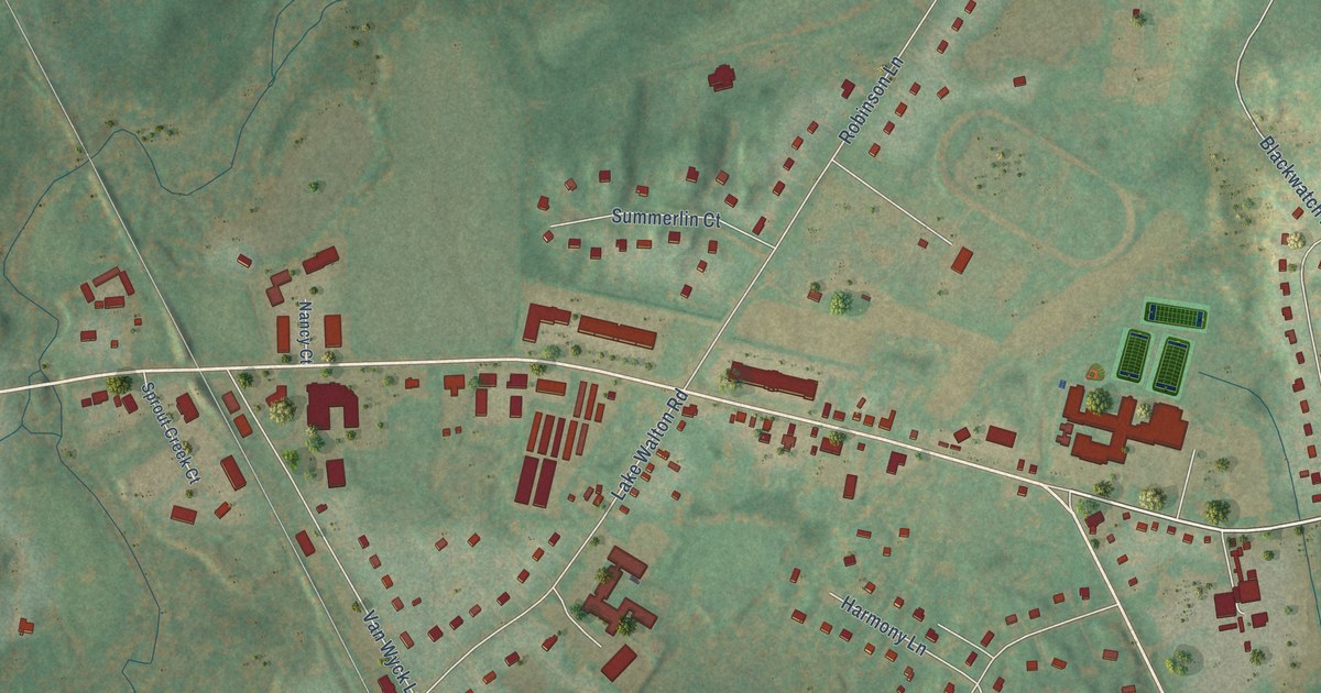
A detailed map of Fishkill Plains, New York, showing every building in its true location, the roads by name, and shaded topographical relief.
Read More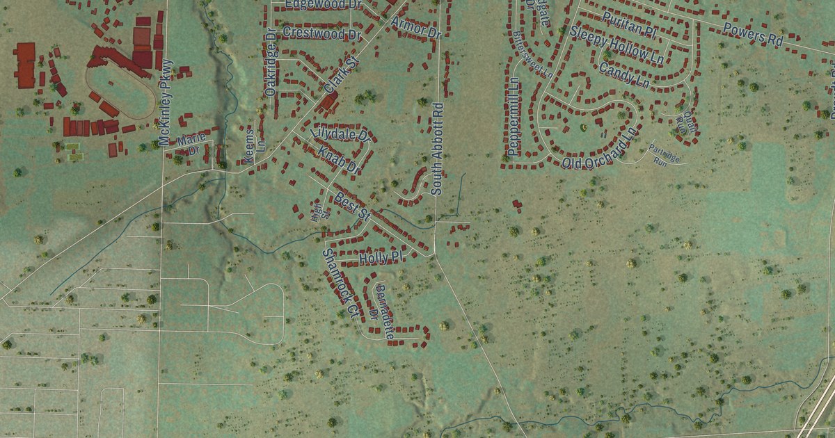
A detailed map of Armor, New York, showing every building in its true location, the roads by name, and shaded topographical relief.
Read More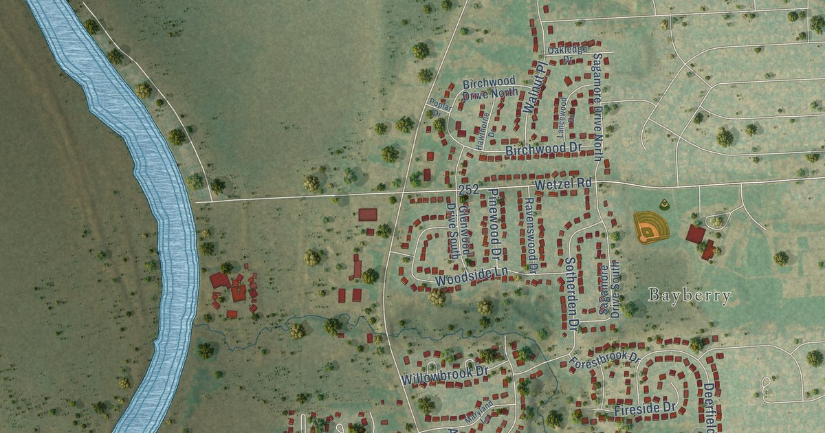
A detailed map of Elmcrest, New York, showing every building in its true location, the roads by name, and shaded topographical relief.
Read More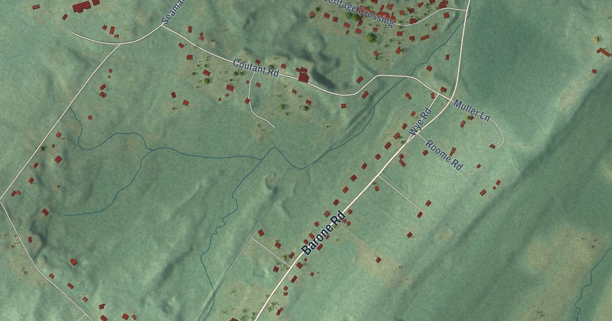
A detailed map of Circleville, New York, showing every building in its true location, the roads by name, and shaded topographical relief.
Read More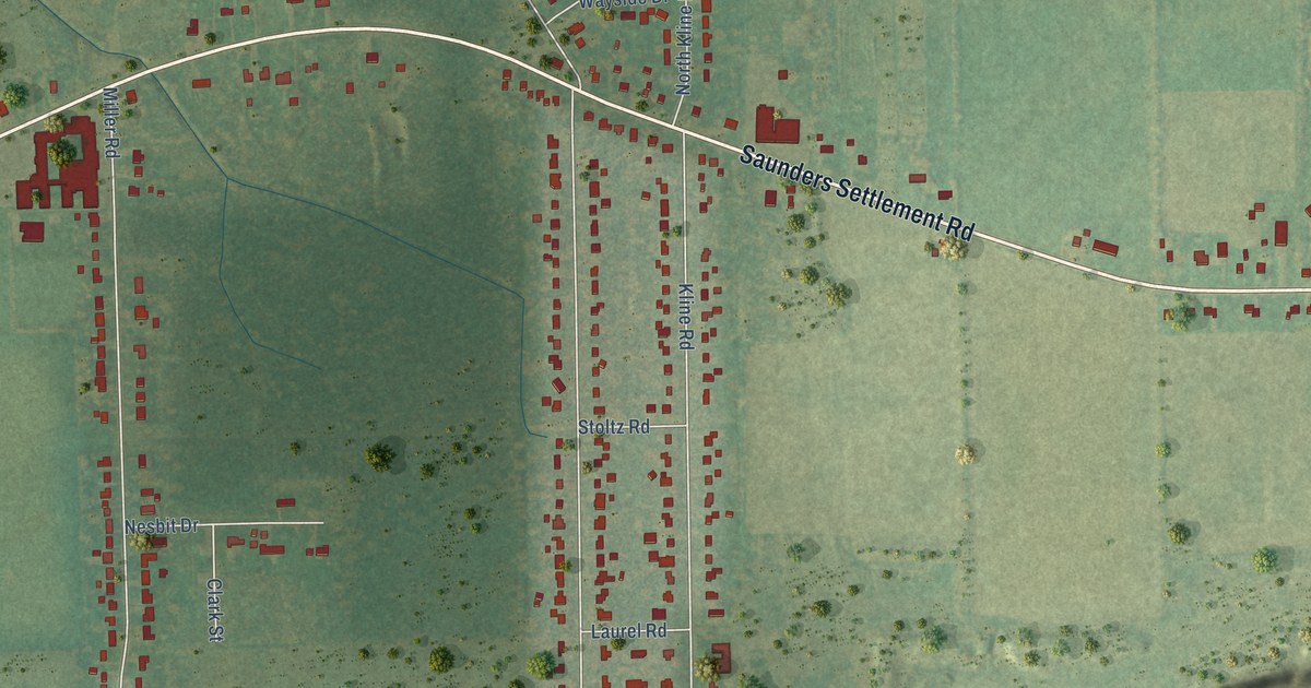
A detailed map of Colonial Village, New York, showing every building in its true location, the roads by name, and shaded topographical relief.
Read More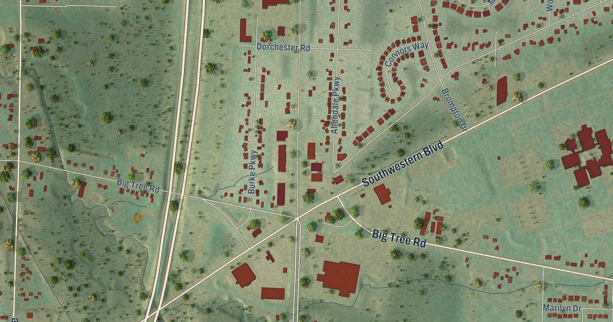
A detailed map of Big Tree, New York, showing every building in its true location, the roads by name, and shaded topographical relief.
Read More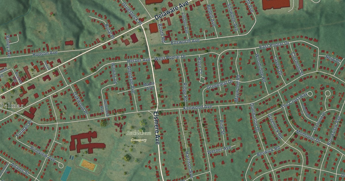
A detailed map of Elsmere, New York, showing every building in its true location, the roads by name, and shaded topographical relief.
Read More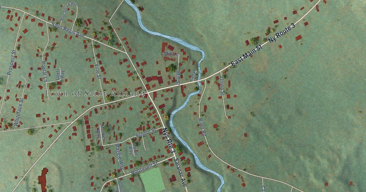
A detailed map of Bloomingdale, New York, showing every building in its true location, the roads by name, and shaded topographical relief.
Read More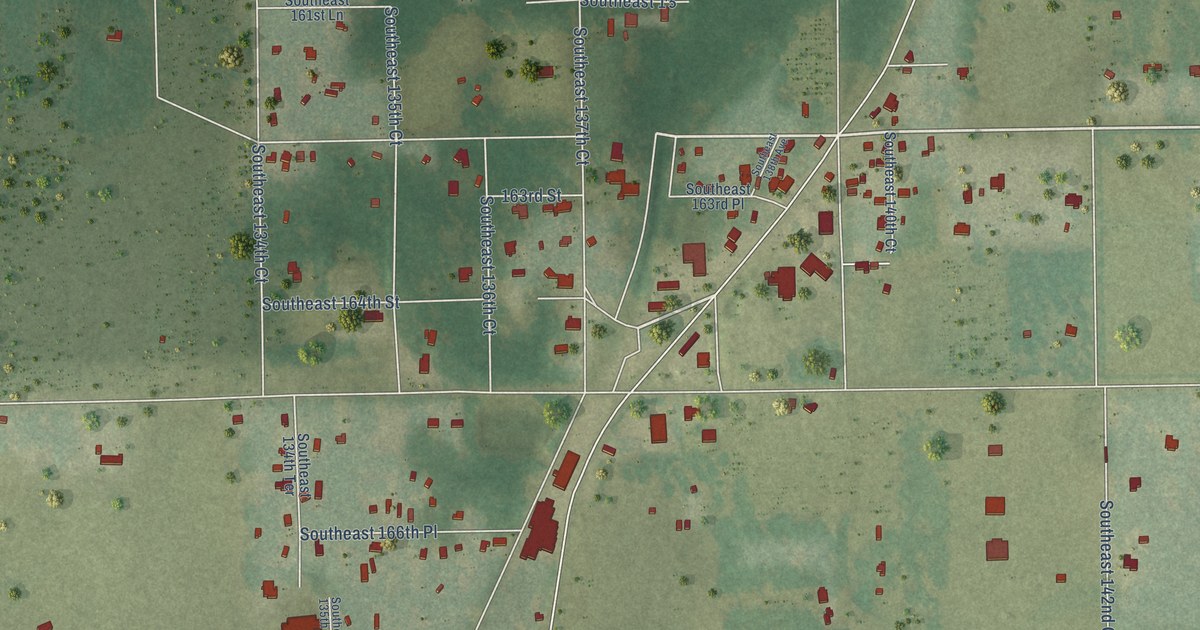
A detailed map of Weirsdale, Florida, showing every building in its true location, the roads by name, and shaded topographical relief.
Read More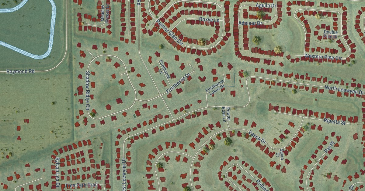
A detailed map of Tatum, Florida, showing every building in its true location, the roads by name, and shaded topographical relief.
Read More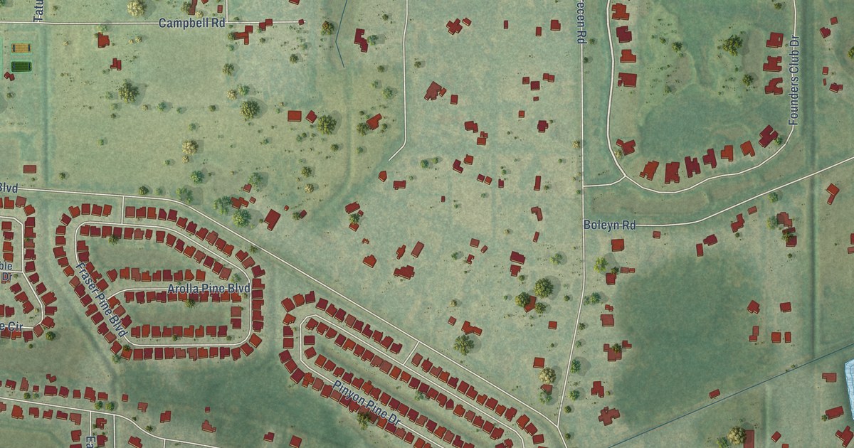
A detailed map of Tatum Ridge, Florida, showing every building in its true location, the roads by name, and shaded topographical relief.
Read More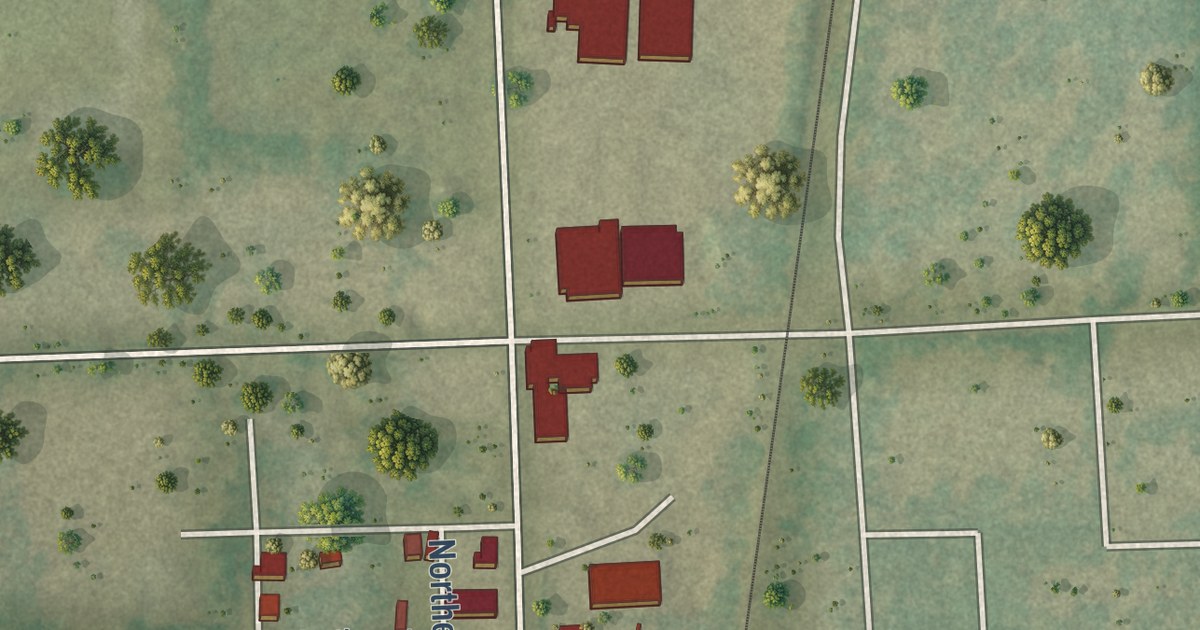
A detailed map of Sparr, Florida, showing every building in its true location, the roads by name, and shaded topographical relief.
Read More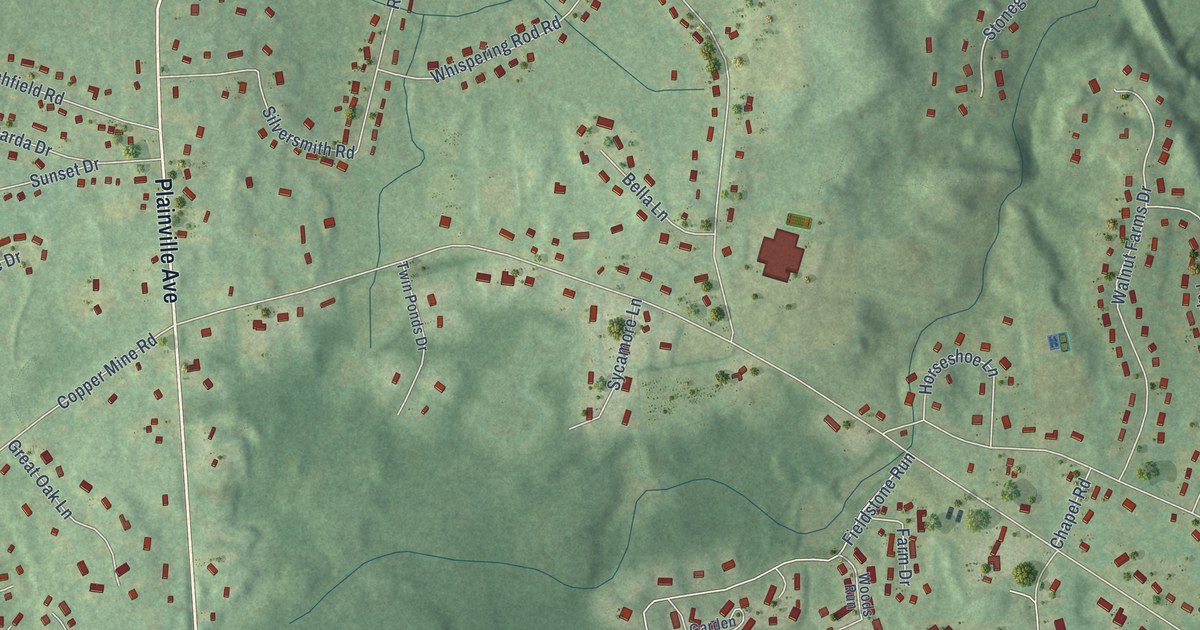
A detailed map of West District, Connecticut, showing every building in its true location, the roads by name, and shaded topographical relief.
Read More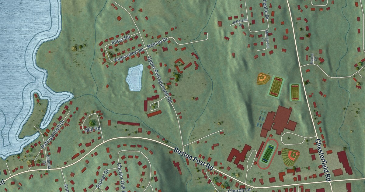
A detailed map of Flanders, Connecticut, showing every building in its true location, the roads by name, and shaded topographical relief.
Read More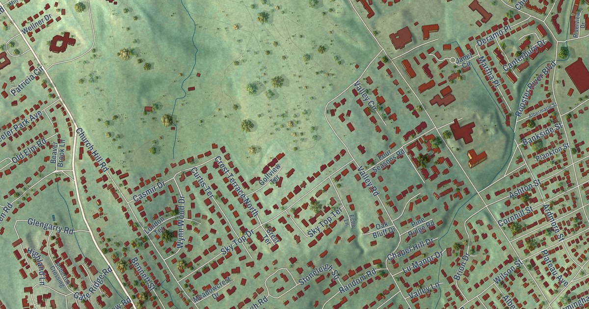
A detailed map of Stratfield, Connecticut, showing every building in its true location, the roads by name, and shaded topographical relief.
Read More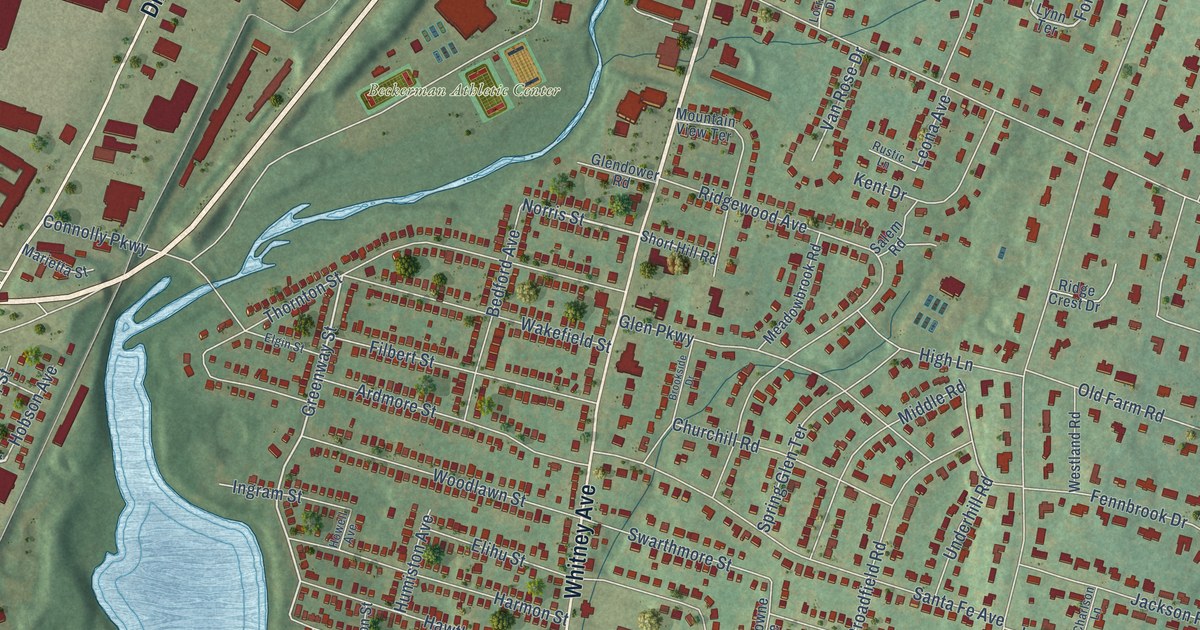
A detailed map of Spring Glen, Connecticut, showing every building in its true location, the roads by name, and shaded topographical relief.
Read More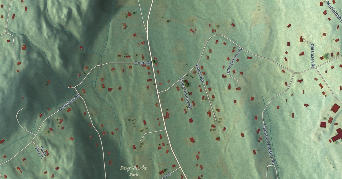
A detailed map of Quaker Farms, Connecticut, showing every building in its true location, the roads by name, and shaded topographical relief.
Read More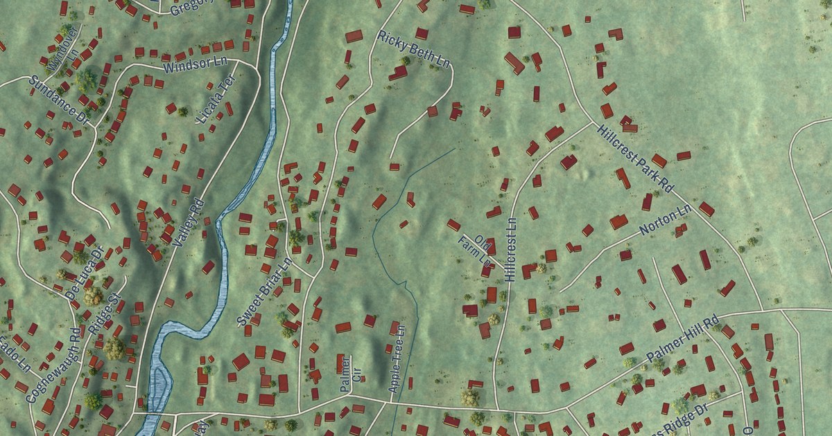
A detailed map of North Mianus, Connecticut, showing every building in its true location, the roads by name, and shaded topographical relief.
Read More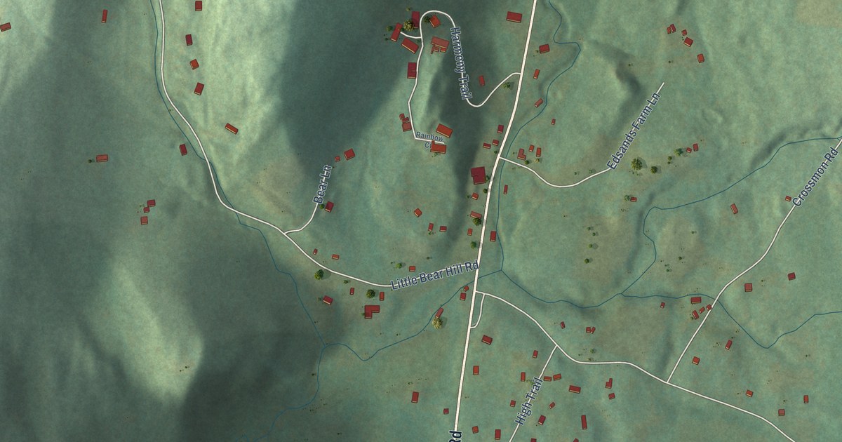
A detailed map of Northville, Connecticut, showing every building in its true location, the roads by name, and shaded topographical relief.
Read More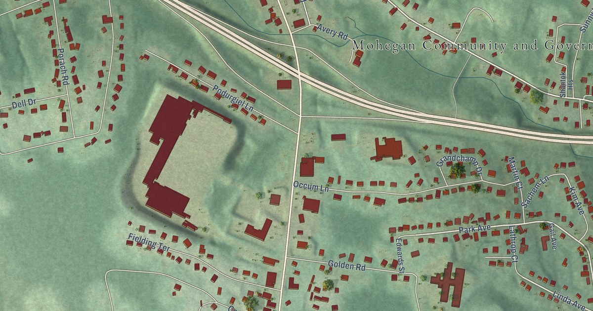
A detailed map of Mohegan, Connecticut, showing every building in its true location, the roads by name, and shaded topographical relief.
Read More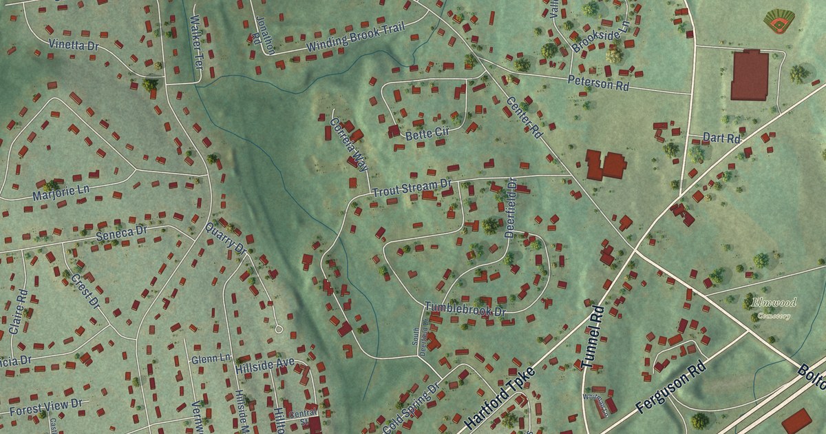
A detailed map of Vernon Center, Connecticut, showing every building in its true location, the roads by name, and shaded topographical relief.
Read More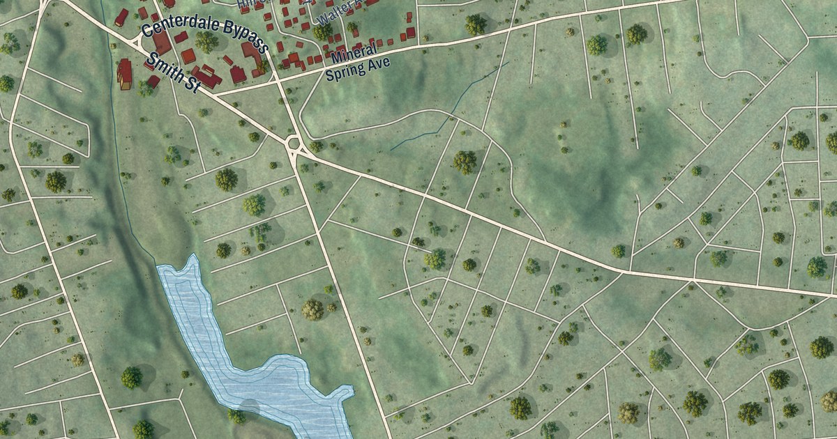
A detailed map of Greystone, Rhode Island, showing every building in its true location, the roads by name, and shaded topographical relief.
Read More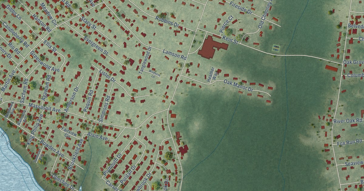
A detailed map of Hampden Meadows, Rhode Island, showing every building in its true location, the roads by name, and shaded topographical relief.
Read More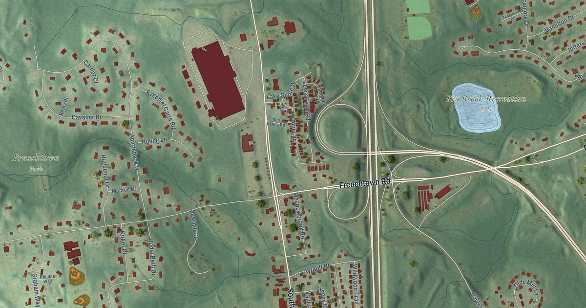
A detailed map of Frenchtown, Rhode Island, showing every building in its true location, the roads by name, and shaded topographical relief.
Read More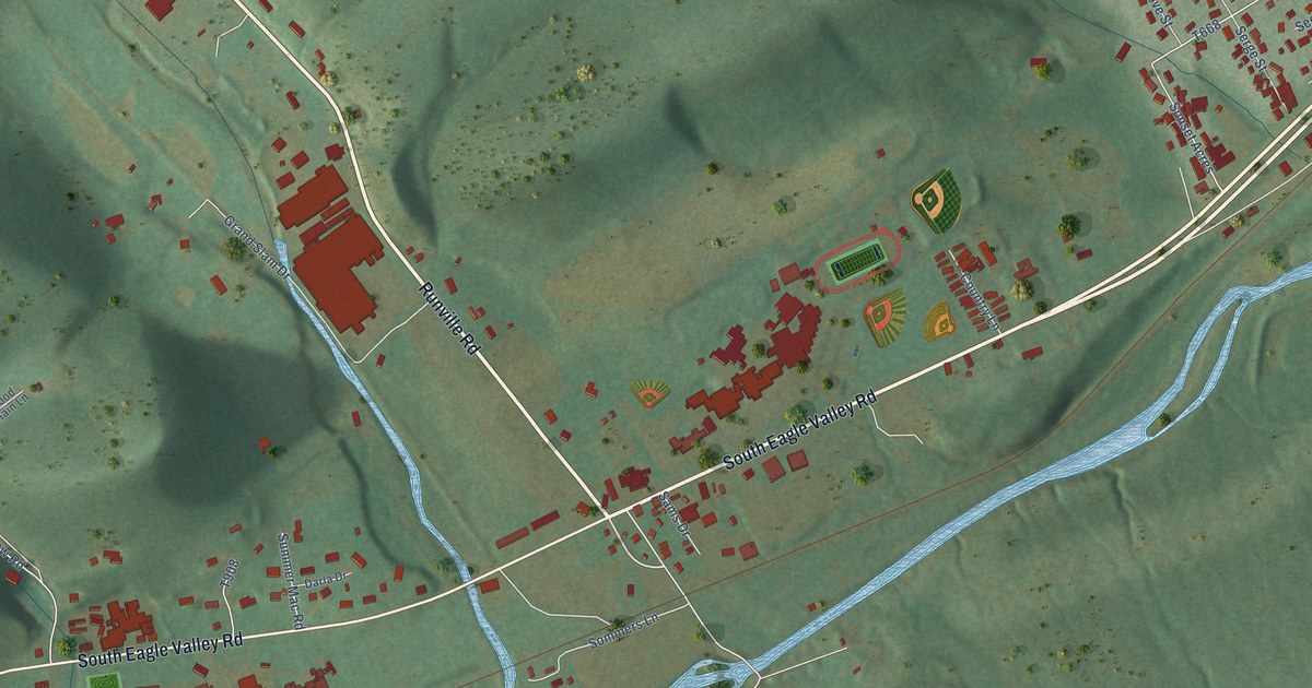
A detailed map of Wingate, Pennsylvania, showing every building in its true location, the roads by name, and shaded topographical relief.
Read More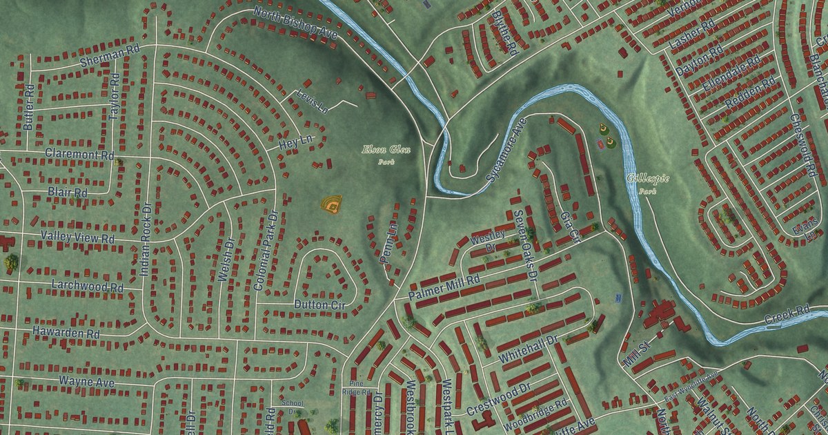
A detailed map of Westbrook Park, Pennsylvania, showing every building in its true location, the roads by name, and shaded topographical relief.
Read More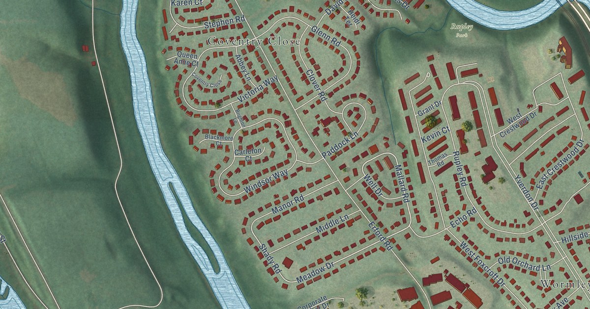
A detailed map of West Creek Hills, Pennsylvania, showing every building in its true location, the roads by name, and shaded topographical relief.
Read More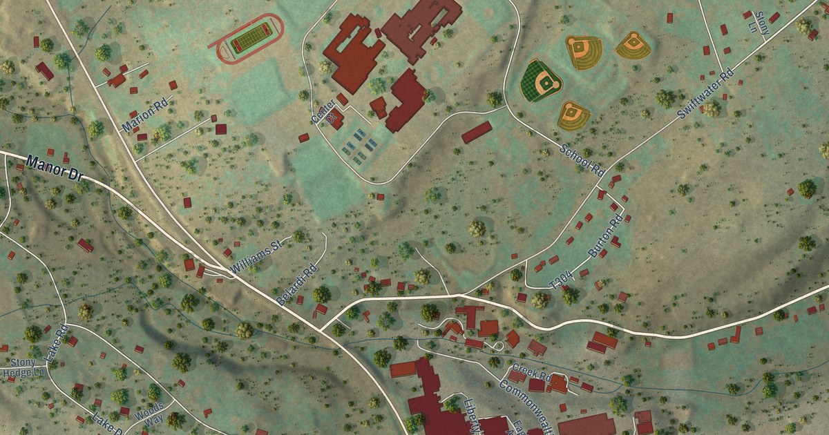
A detailed map of Swiftwater, Pennsylvania, showing every building in its true location, the roads by name, and shaded topographical relief.
Read More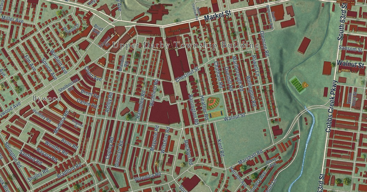
A detailed map of Stonehurst, Pennsylvania, showing every building in its true location, the roads by name, and shaded topographical relief.
Read More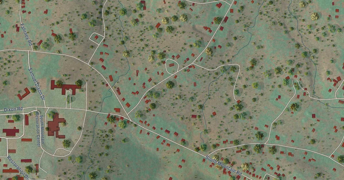
A detailed map of South Mountain, Pennsylvania, showing every building in its true location, the roads by name, and shaded topographical relief.
Read More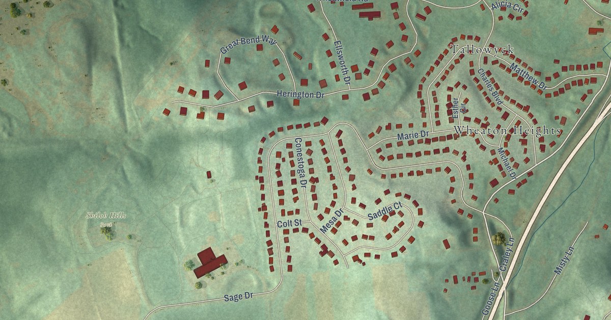
A detailed map of Shiloh Hills, Pennsylvania, showing every building in its true location, the roads by name, and shaded topographical relief.
Read More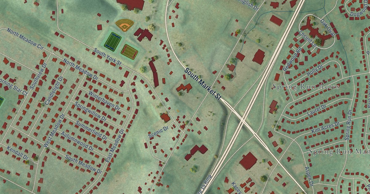
A detailed map of Shepherdstown, Pennsylvania, showing every building in its true location, the roads by name, and shaded topographical relief.
Read More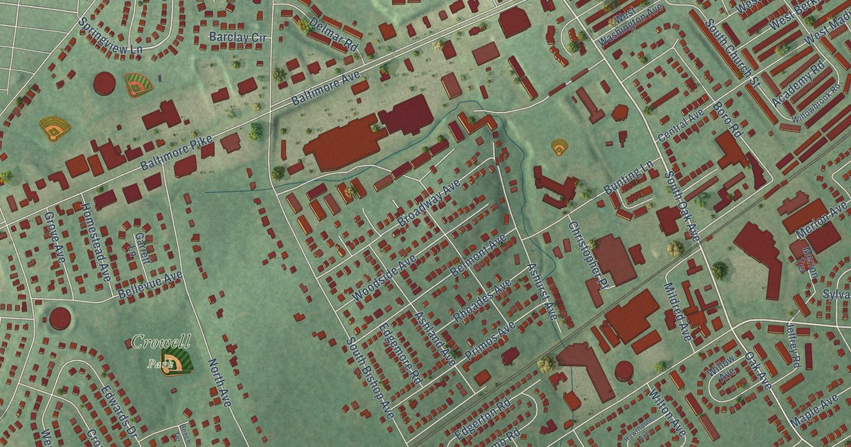
A detailed map of Primos, Pennsylvania, showing every building in its true location, the roads by name, and shaded topographical relief.
Read More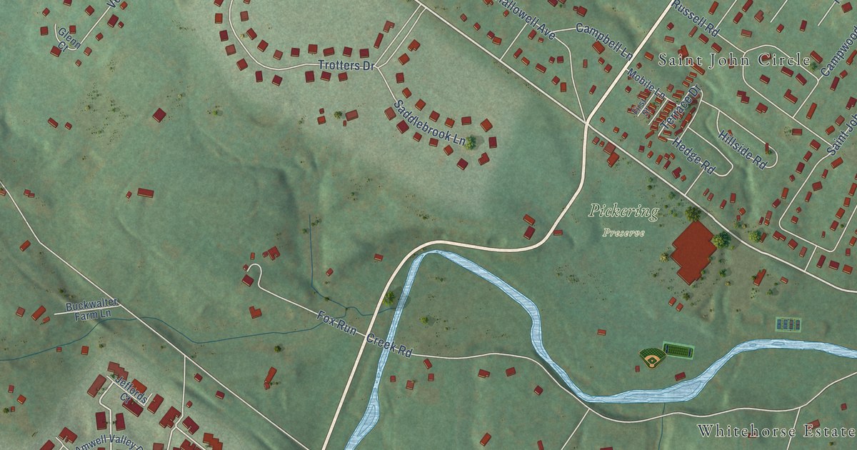
A detailed map of Pickering, Pennsylvania, showing every building in its true location, the roads by name, and shaded topographical relief.
Read More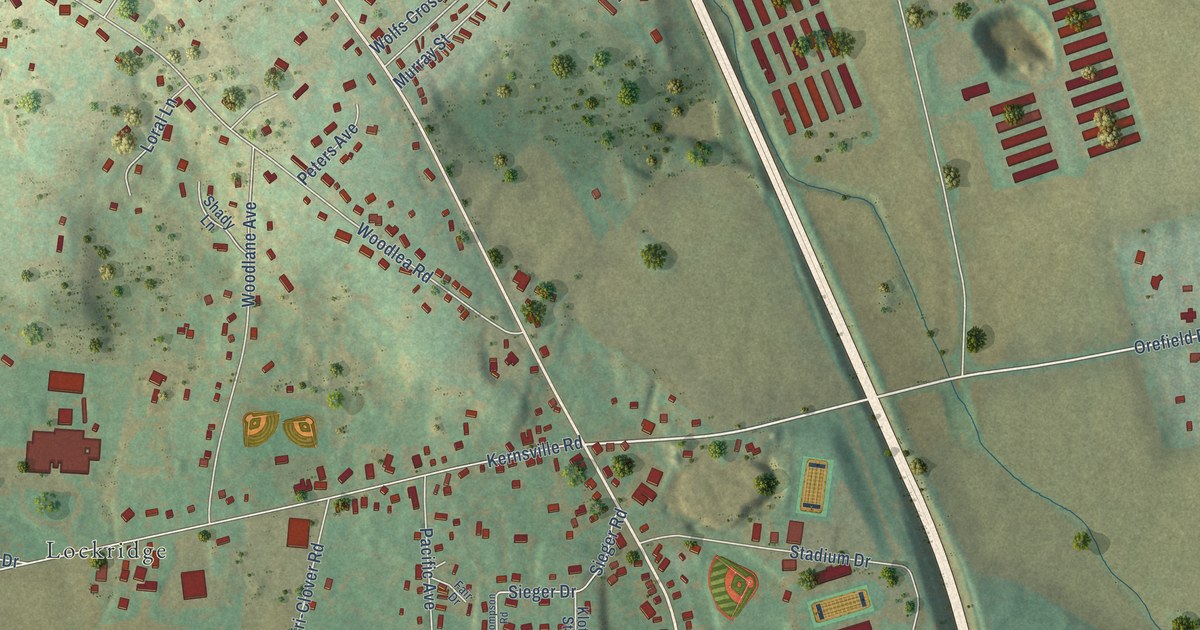
A detailed map of Orefield, Pennsylvania, showing every building in its true location, the roads by name, and shaded topographical relief.
Read More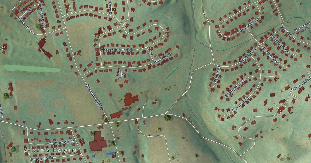
A detailed map of Ore Valley, Pennsylvania, showing every building in its true location, the roads by name, and shaded topographical relief.
Read More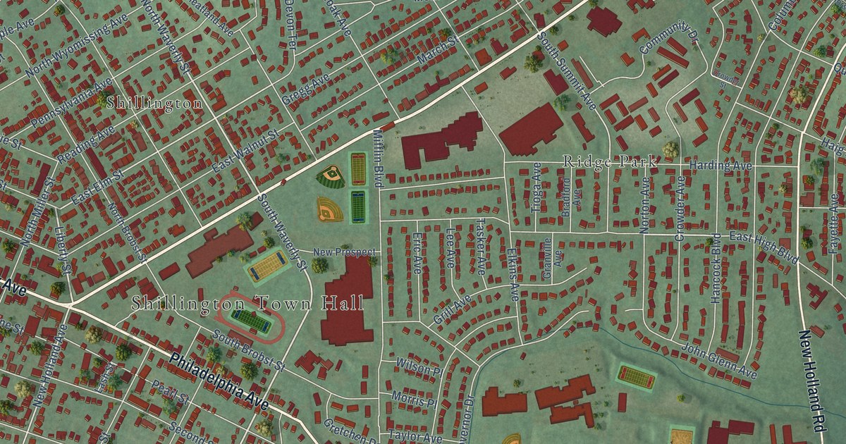
A detailed map of Mifflin Park, Pennsylvania, showing every building in its true location, the roads by name, and shaded topographical relief.
Read More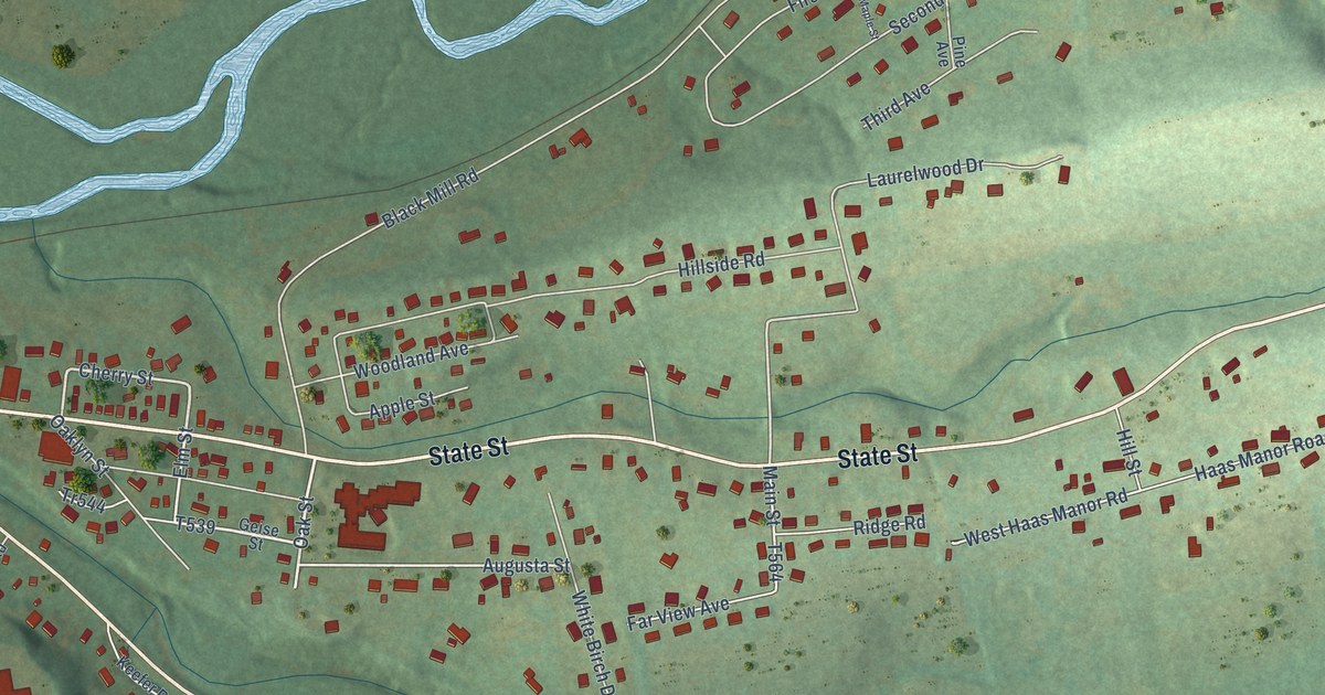
A detailed map of Oaklyn, Pennsylvania, showing every building in its true location, the roads by name, and shaded topographical relief.
Read More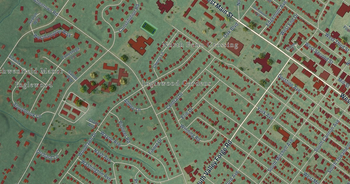
A detailed map of Oak Park, Pennsylvania, showing every building in its true location, the roads by name, and shaded topographical relief.
Read More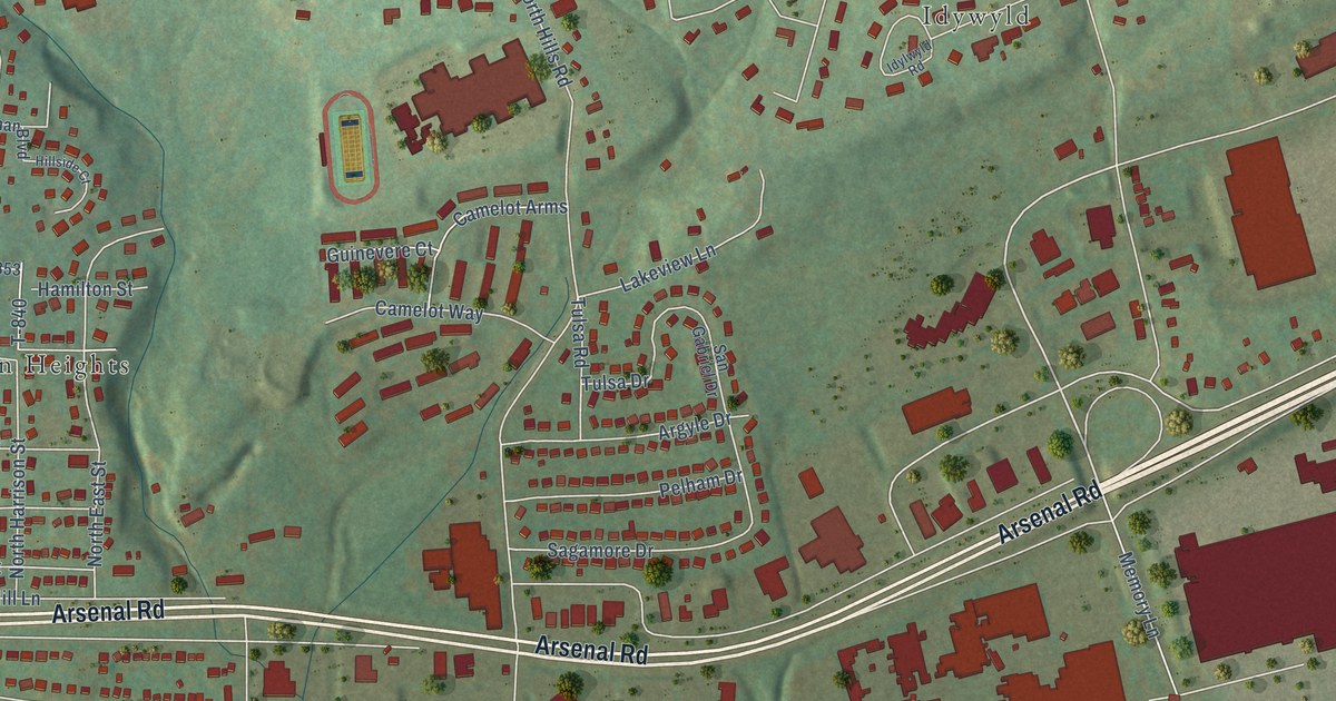
A detailed map of North Hills, Pennsylvania, showing every building in its true location, the roads by name, and shaded topographical relief.
Read More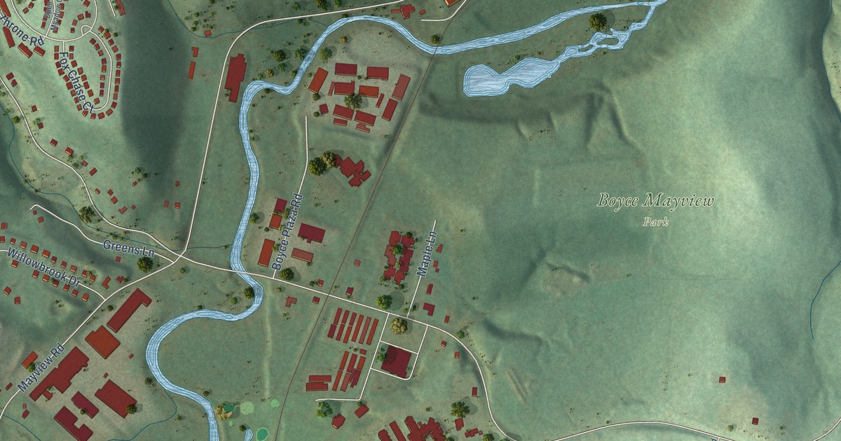
A detailed map of Boyce, Pennsylvania, showing every building in its true location, the roads by name, and shaded topographical relief.
Read More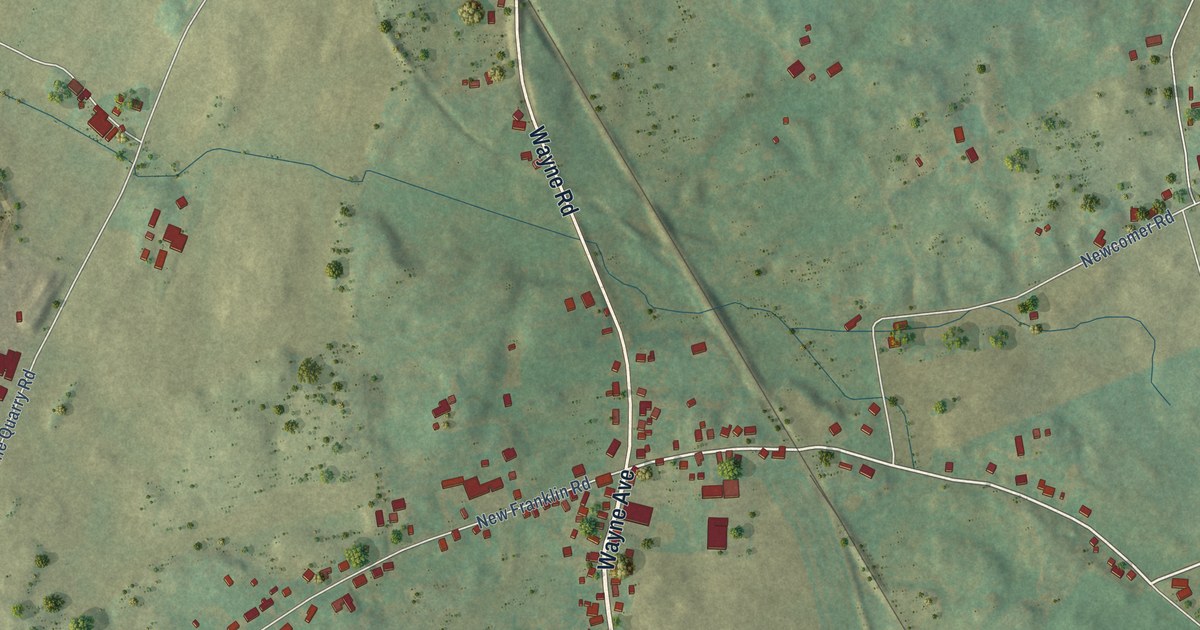
A detailed map of New Franklin, Pennsylvania, showing every building in its true location, the roads by name, and shaded topographical relief.
Read More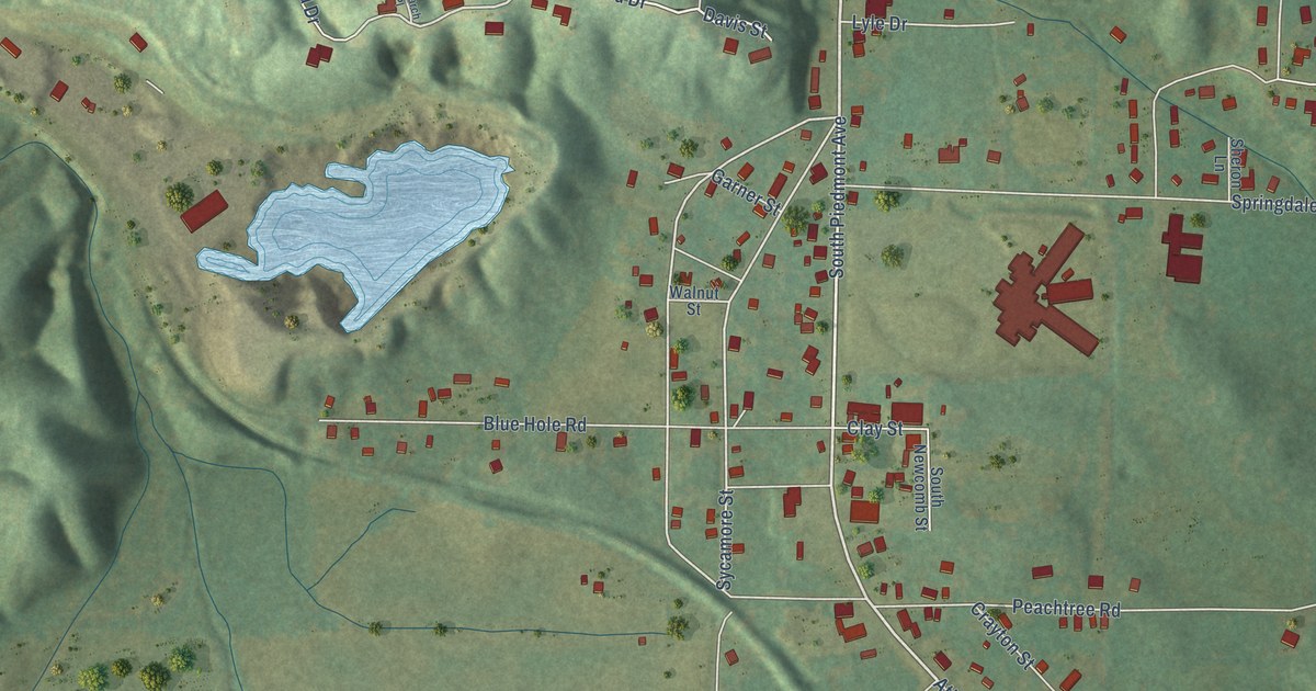
A detailed map of Van Wert, Georgia, showing every building in its true location, the roads by name, and shaded topographical relief.
Read More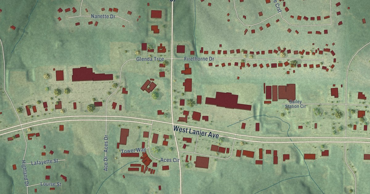
A detailed map of Thomas Crossroads, Georgia, showing every building in its true location, the roads by name, and shaded topographical relief.
Read More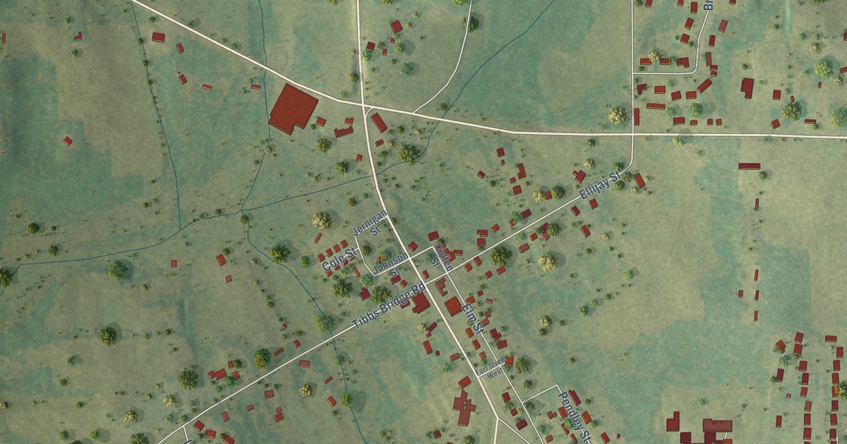
A detailed map of Spring Place, Georgia, showing every building in its true location, the roads by name, and shaded topographical relief.
Read More















