Detailed Map of Garnet Valley, Pennsylvania
A detailed map of Garnet Valley, Pennsylvania, showing every building in its true location, the roads by name, and shaded topographical relief.
Read More
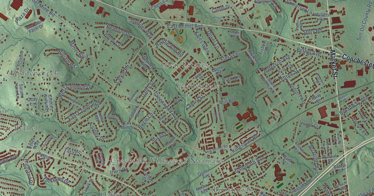
A detailed map of Garnet Valley, Pennsylvania, showing every building in its true location, the roads by name, and shaded topographical relief.
Read More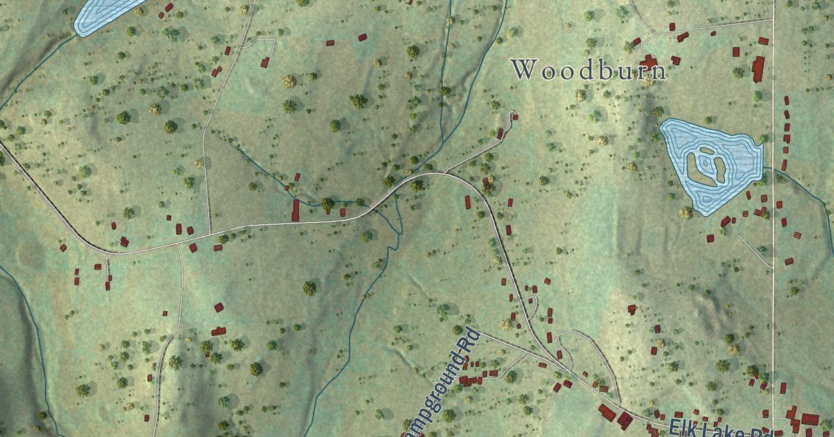
A detailed map of Elk Lake, Pennsylvania, showing every building in its true location, the roads by name, and shaded topographical relief.
Read More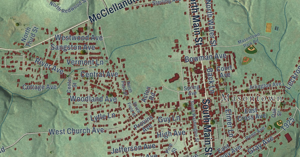
A detailed map of Gallatin, Pennsylvania, showing every building in its true location, the roads by name, and shaded topographical relief.
Read More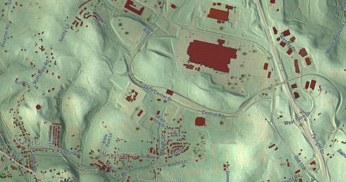
A detailed map of Central, Pennsylvania, showing every building in its true location, the roads by name, and shaded topographical relief.
Read More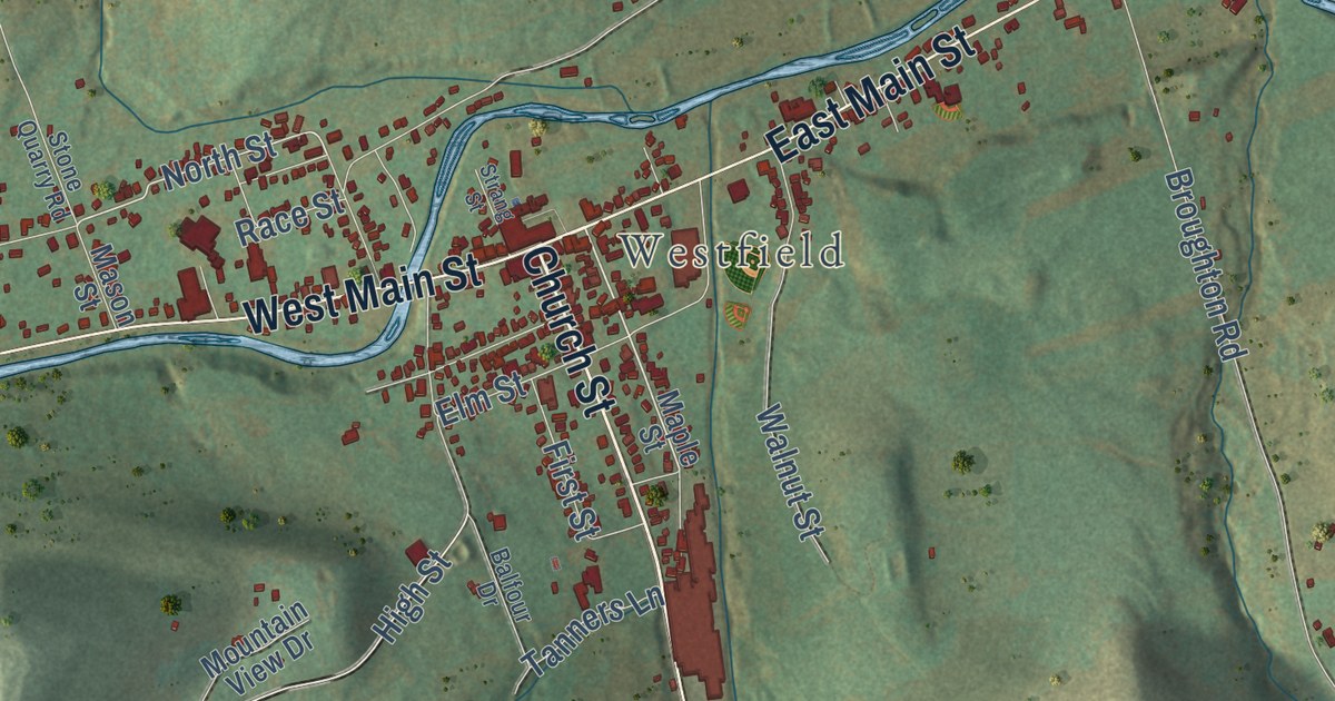
A detailed map of Cowanesque, Pennsylvania, showing every building in its true location, the roads by name, and shaded topographical relief.
Read More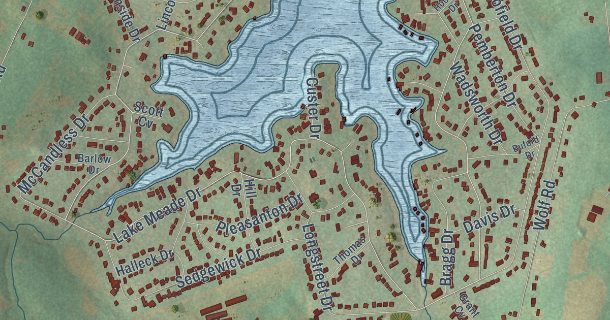
A detailed map of Bermudian, Pennsylvania, showing every building in its true location, the roads by name, and shaded topographical relief.
Read More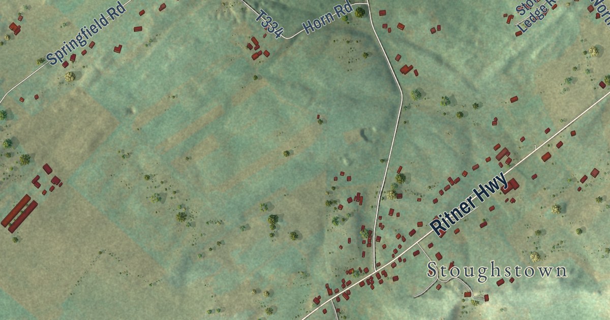
A detailed map of Big Spring, Pennsylvania, showing every building in its true location, the roads by name, and shaded topographical relief.
Read More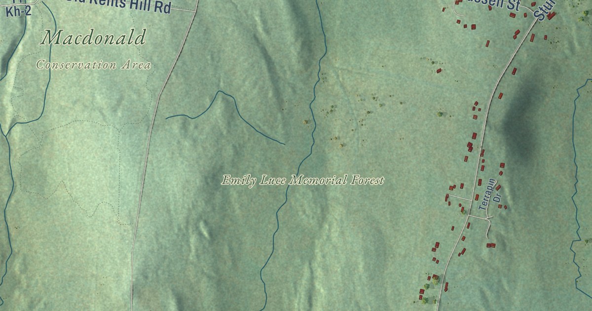
A detailed map of Maranacook, Maine, showing every building in its true location, the roads by name, and shaded topographical relief.
Read More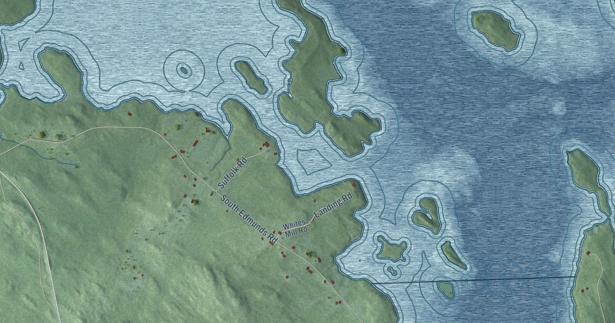
A detailed map of Edmunds, Maine, showing every building in its true location, the roads by name, and shaded topographical relief.
Read More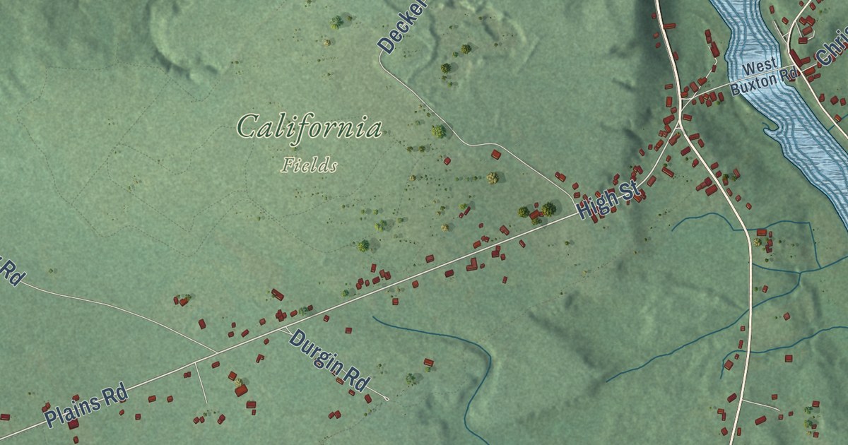
A detailed map of Bonny Eagle, Maine, showing every building in its true location, the roads by name, and shaded topographical relief.
Read More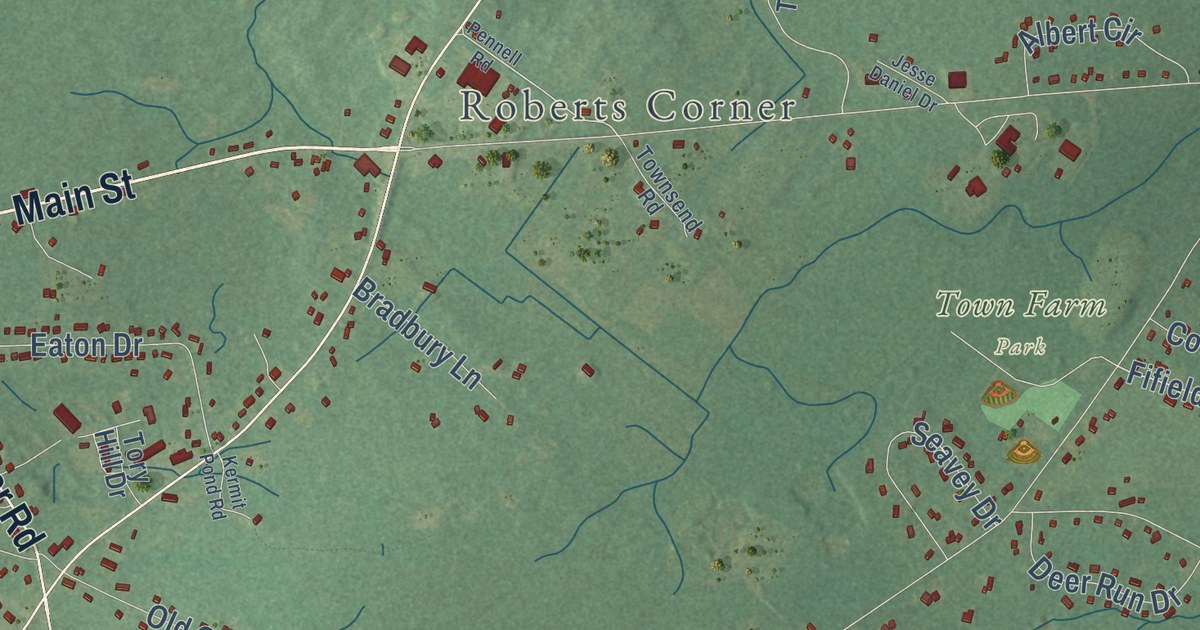
A detailed map of Buxton Center, Maine, showing every building in its true location, the roads by name, and shaded topographical relief.
Read More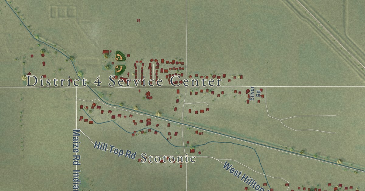
A detailed map of Santan, Arizona, showing every building in its true location, the roads by name, and shaded topographical relief.
Read More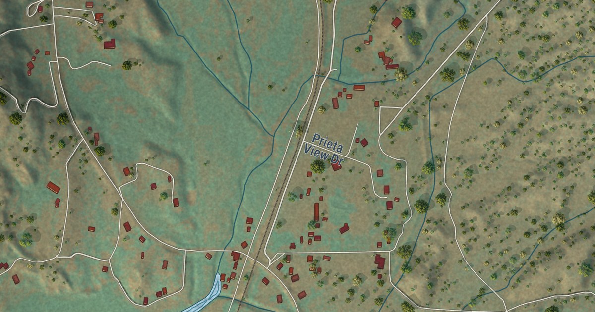
A detailed map of Skull Valley, Arizona, showing every building in its true location, the roads by name, and shaded topographical relief.
Read More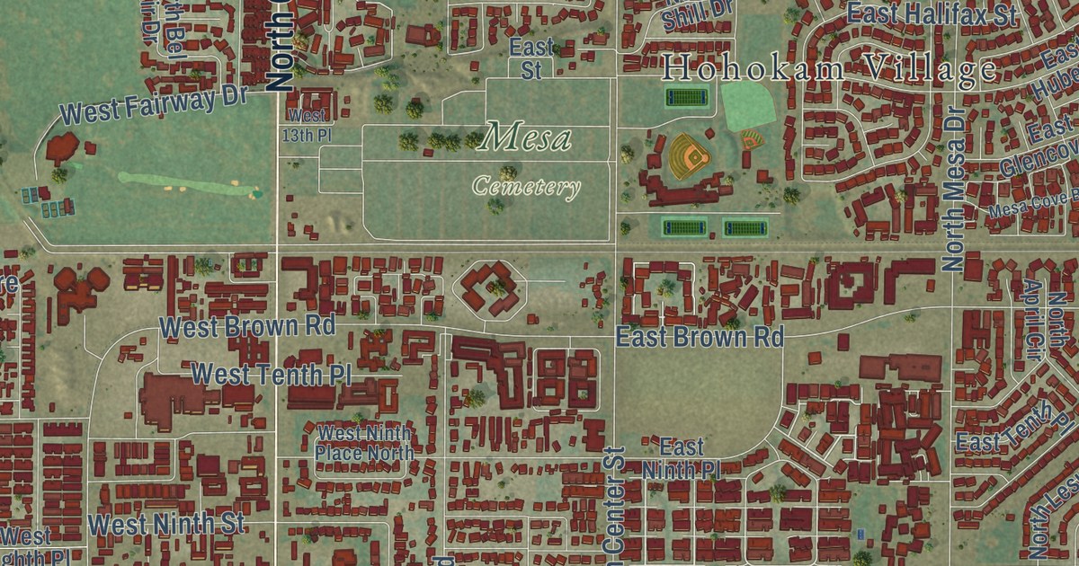
A detailed map of Salt River, Arizona, showing every building in its true location, the roads by name, and shaded topographical relief.
Read More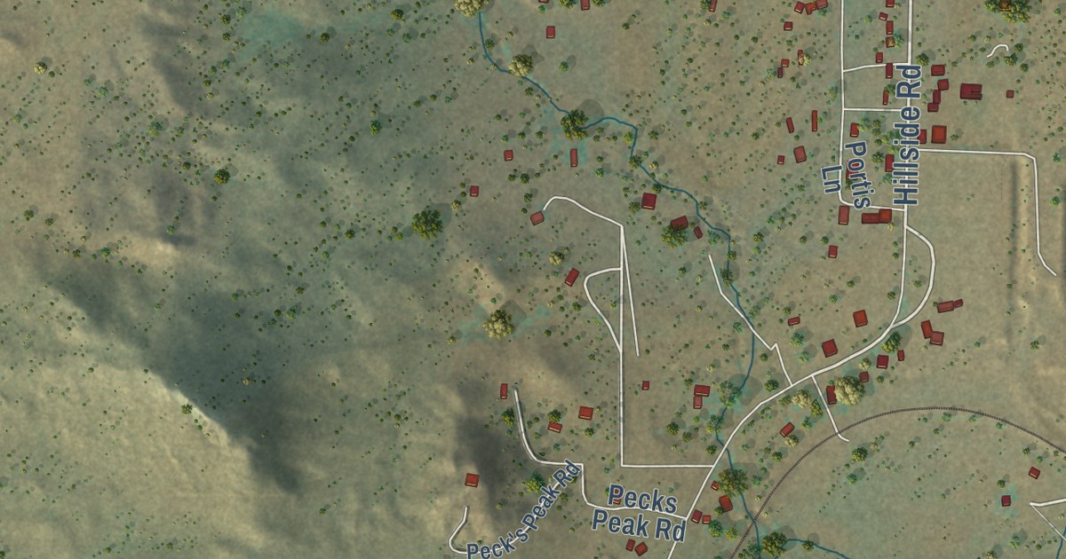
A detailed map of Hillside, Arizona, showing every building in its true location, the roads by name, and shaded topographical relief.
Read More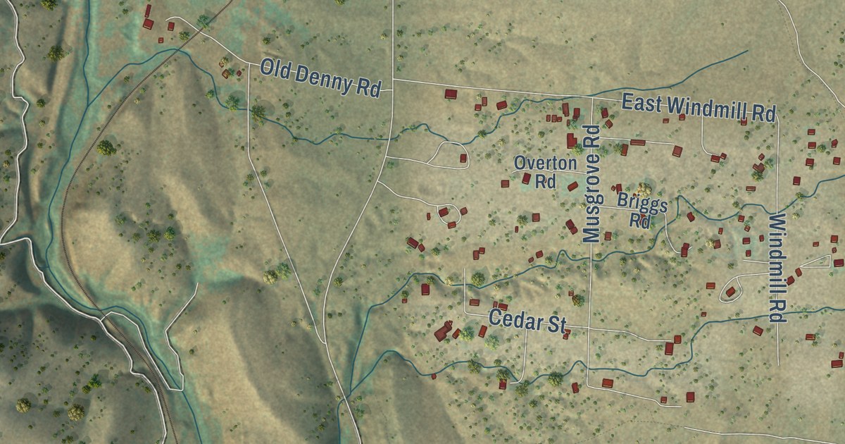
A detailed map of Kirkland, Arizona, showing every building in its true location, the roads by name, and shaded topographical relief.
Read More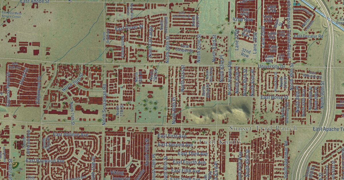
A detailed map of East Mesa, Arizona, showing every building in its true location, the roads by name, and shaded topographical relief.
Read More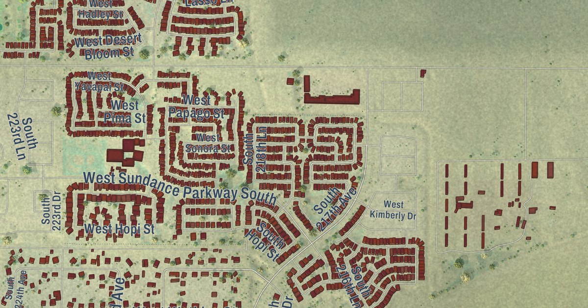
A detailed map of Liberty, Arizona, showing every building in its true location, the roads by name, and shaded topographical relief.
Read More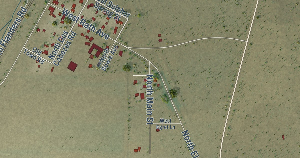
A detailed map of Cochise, Arizona, showing every building in its true location, the roads by name, and shaded topographical relief.
Read More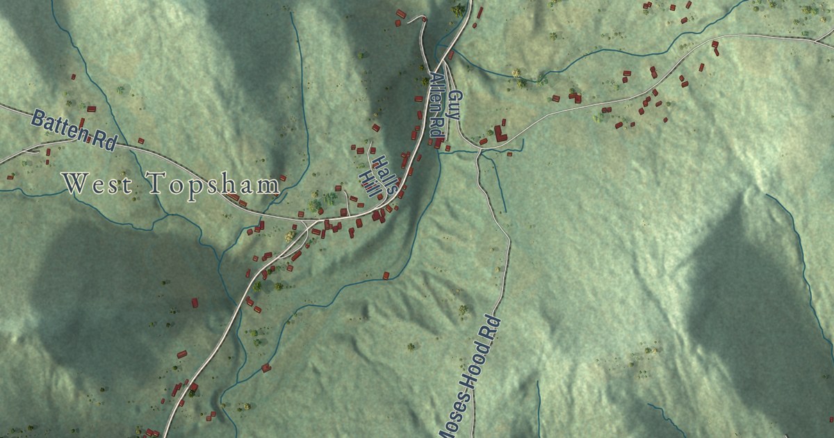
A detailed map of Waits River, Vermont, showing every building in its true location, the roads by name, and shaded topographical relief.
Read More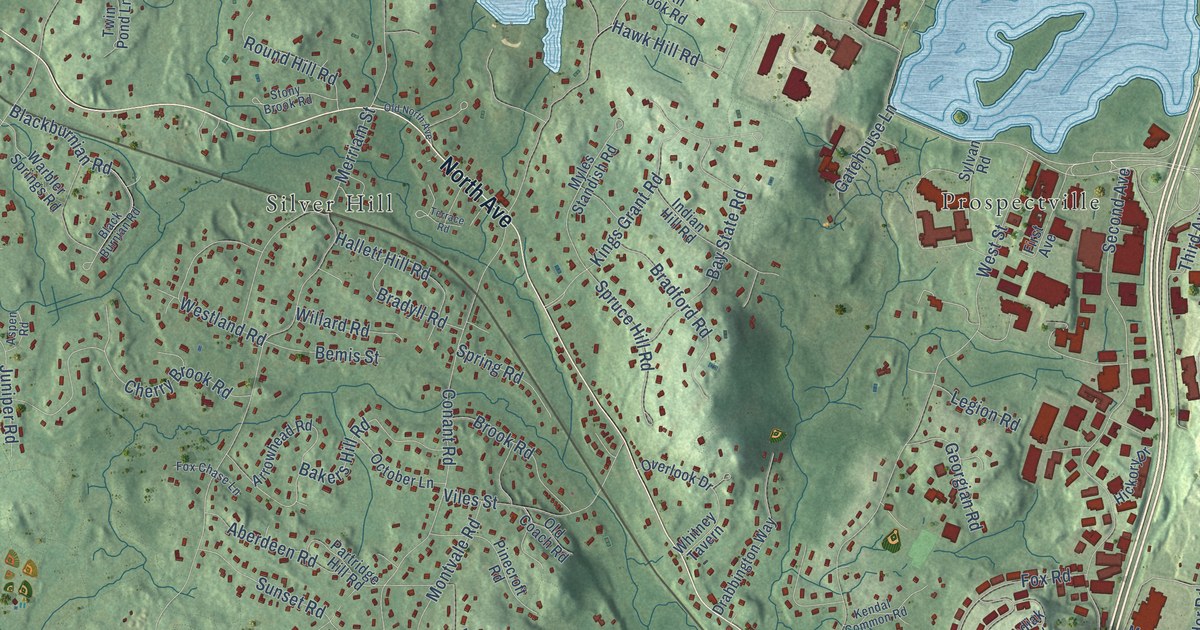
A detailed map of Hastings, Massachusetts, showing every building in its true location, the roads by name, and shaded topographical relief.
Read More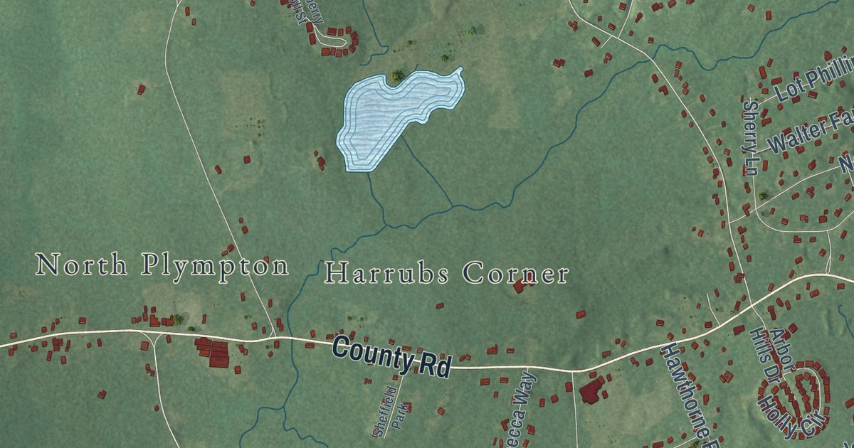
A detailed map of Silver Lake, Massachusetts, showing every building in its true location, the roads by name, and shaded topographical relief.
Read More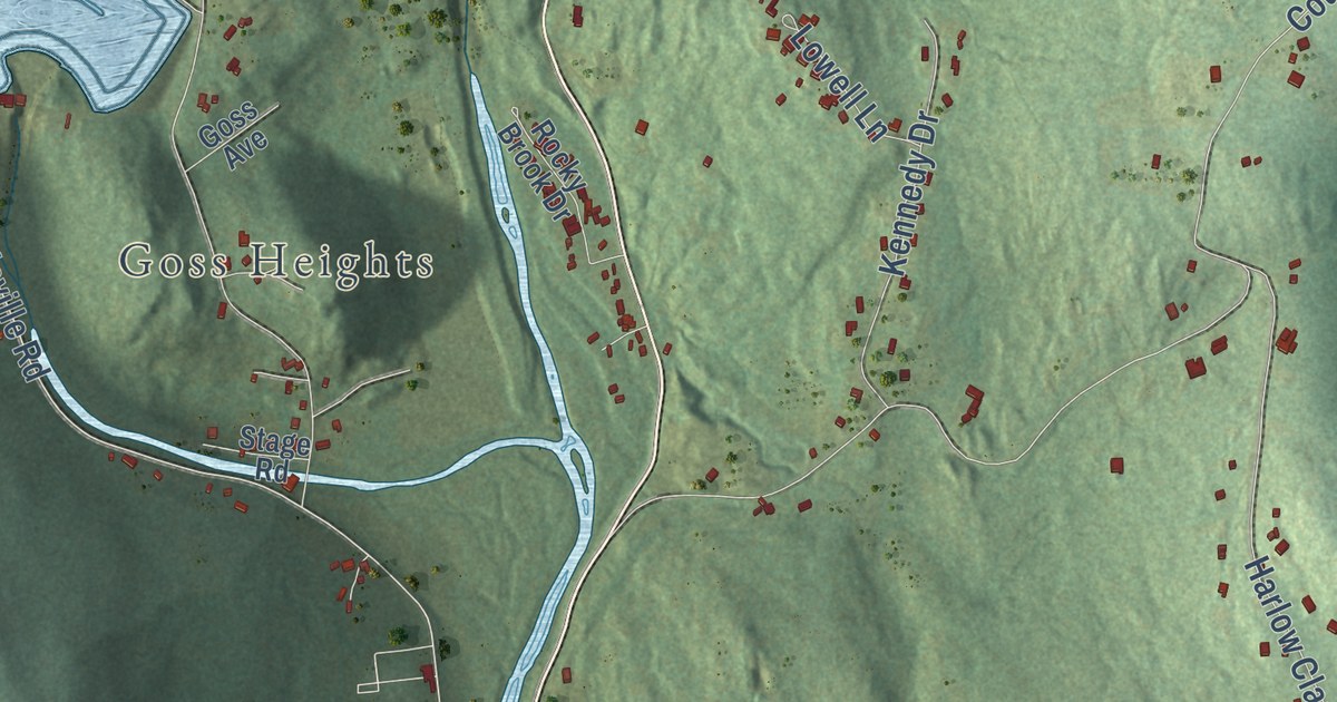
A detailed map of Littleville, Massachusetts, showing every building in its true location, the roads by name, and shaded topographical relief.
Read More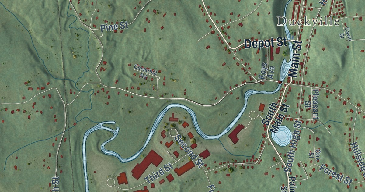
A detailed map of Cold Spring, Massachusetts, showing every building in its true location, the roads by name, and shaded topographical relief.
Read More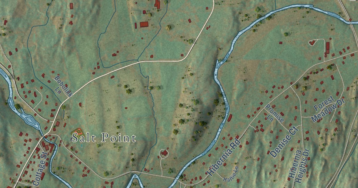
A detailed map of Netherwood, New York, showing every building in its true location, the roads by name, and shaded topographical relief.
Read More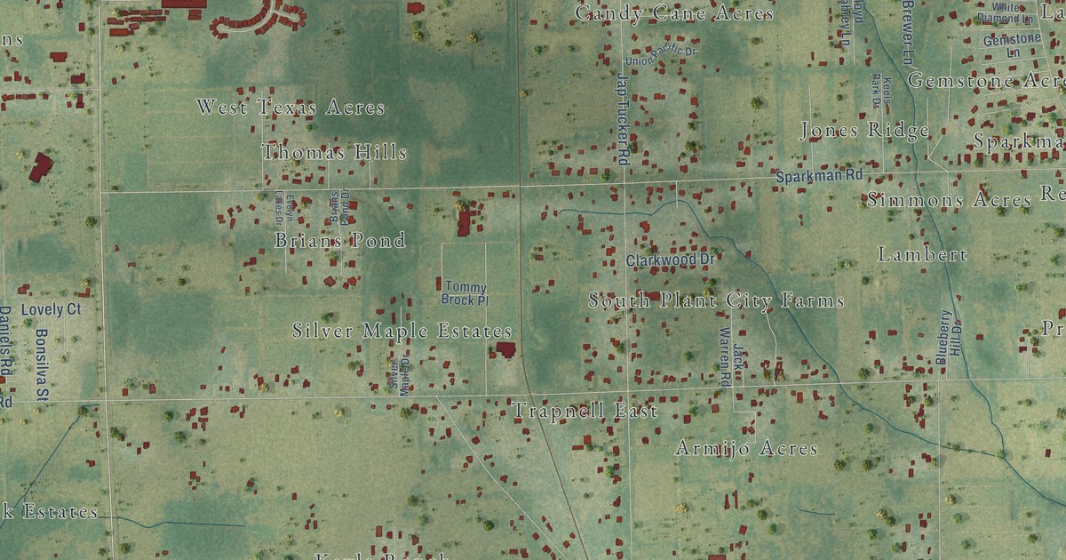
A detailed map of Trapnell, Florida, showing every building in its true location, the roads by name, and shaded topographical relief.
Read More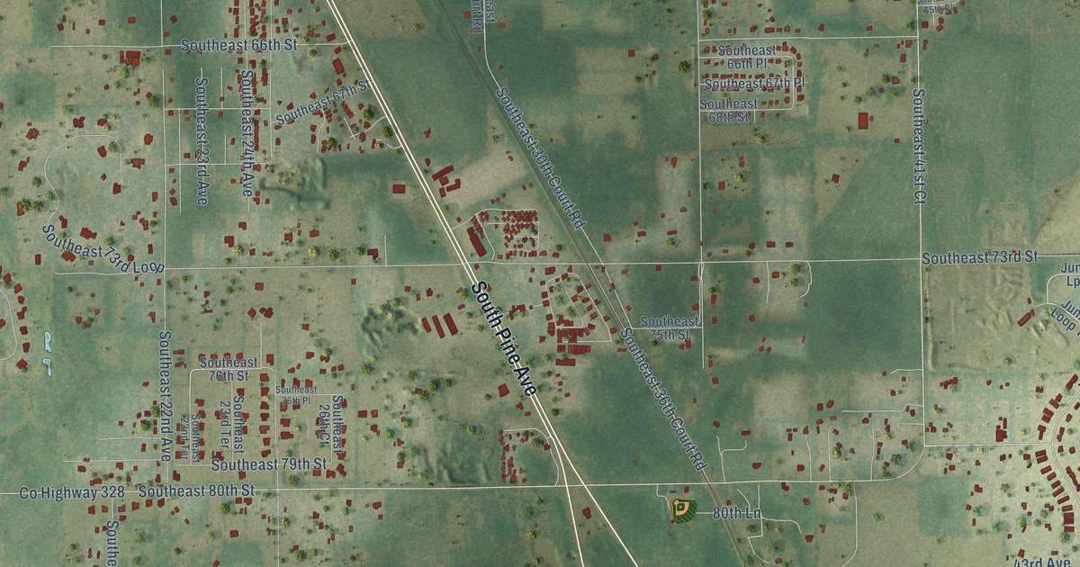
A detailed map of Santos, Florida, showing every building in its true location, the roads by name, and shaded topographical relief.
Read More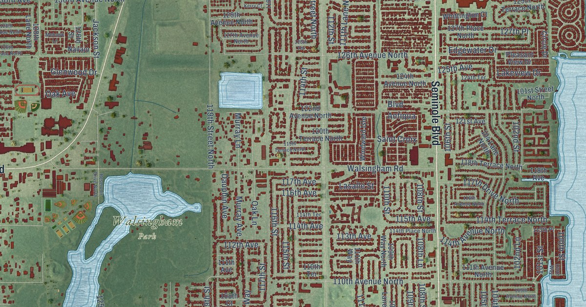
A detailed map of Walsingham, Florida, showing every building in its true location, the roads by name, and shaded topographical relief.
Read More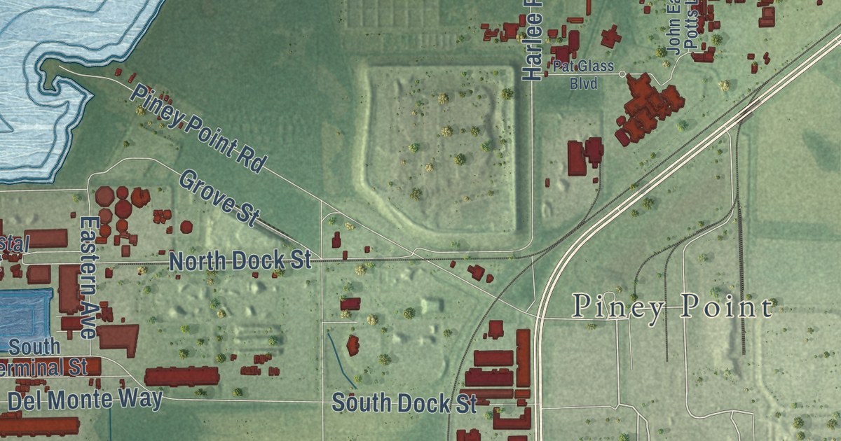
A detailed map of Palm View, Florida, showing every building in its true location, the roads by name, and shaded topographical relief.
Read More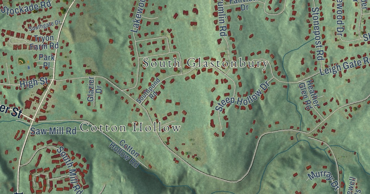
A detailed map of Hopewell, Connecticut, showing every building in its true location, the roads by name, and shaded topographical relief.
Read More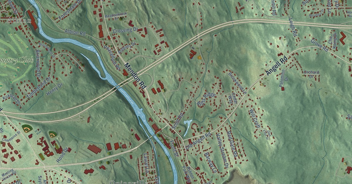
A detailed map of Ashton, Rhode Island, showing every building in its true location, the roads by name, and shaded topographical relief.
Read More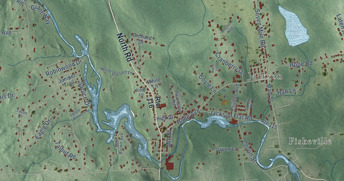
A detailed map of Hope, Rhode Island, showing every building in its true location, the roads by name, and shaded topographical relief.
Read More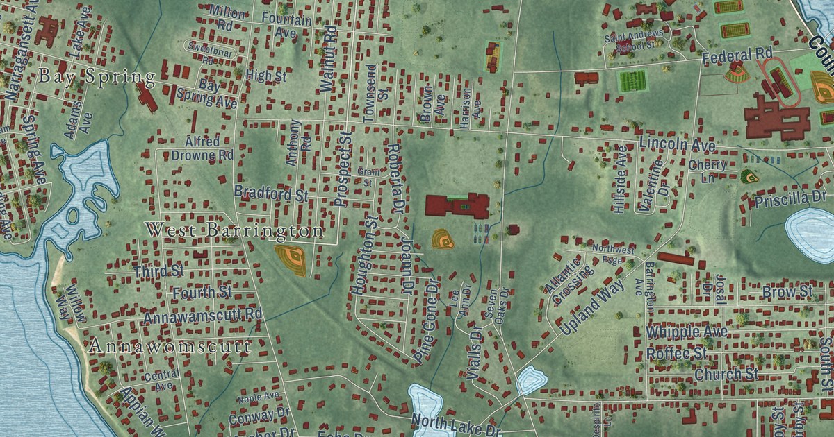
A detailed map of Nayatt, Rhode Island, showing every building in its true location, the roads by name, and shaded topographical relief.
Read More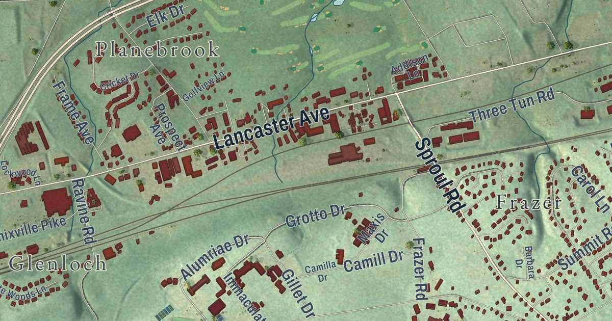
A detailed map of Sugartown, Pennsylvania, showing every building in its true location, the roads by name, and shaded topographical relief.
Read More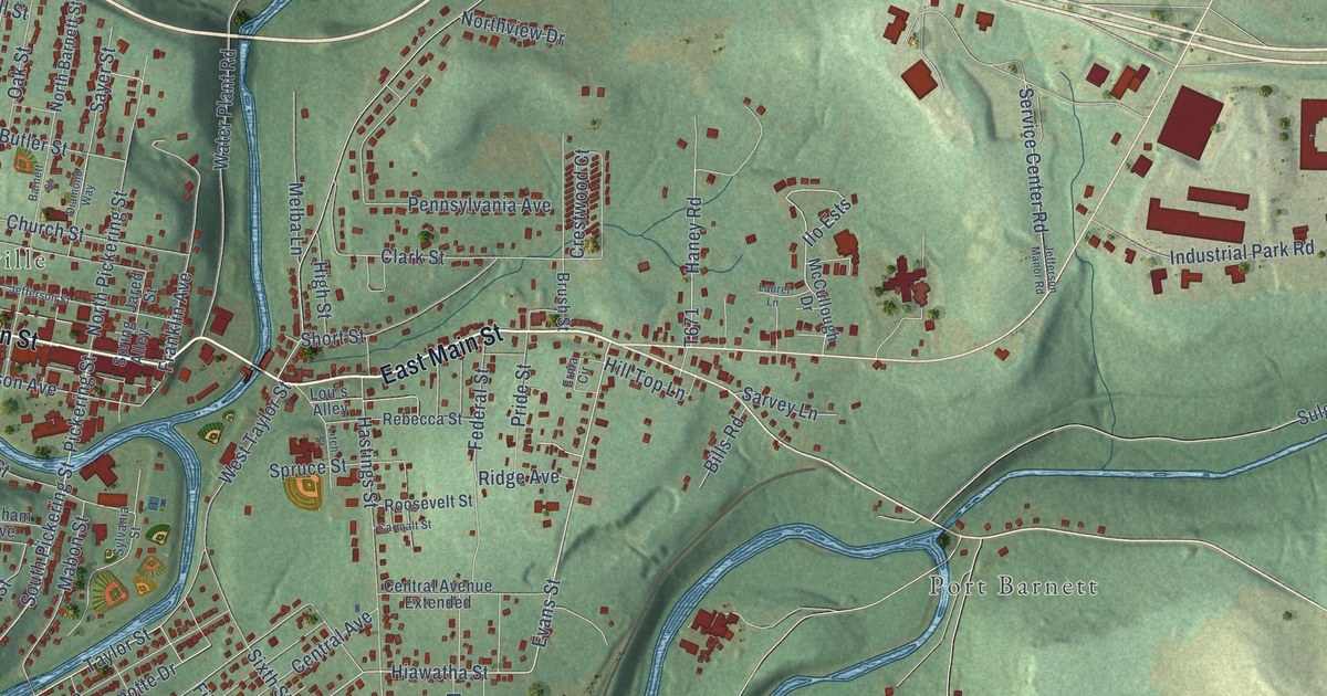
A detailed map of Pinecreek, Pennsylvania, showing every building in its true location, the roads by name, and shaded topographical relief.
Read More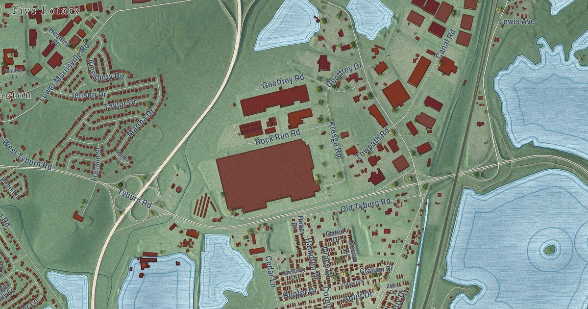
A detailed map of Penn Valley, Pennsylvania, showing every building in its true location, the roads by name, and shaded topographical relief.
Read More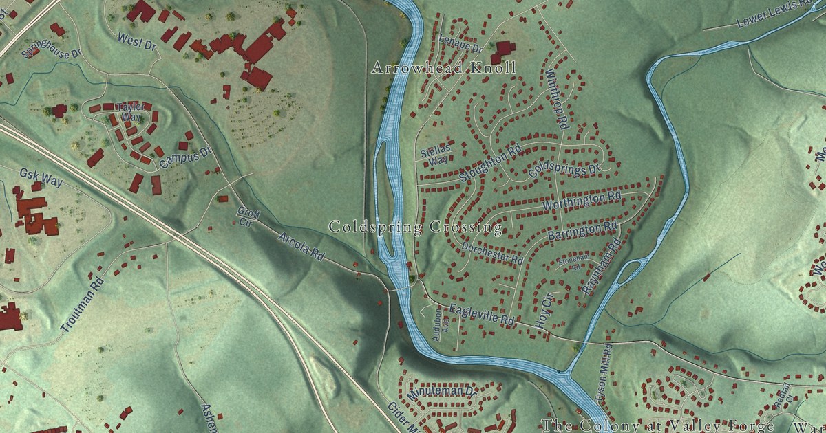
A detailed map of Arcola, Pennsylvania, showing every building in its true location, the roads by name, and shaded topographical relief.
Read More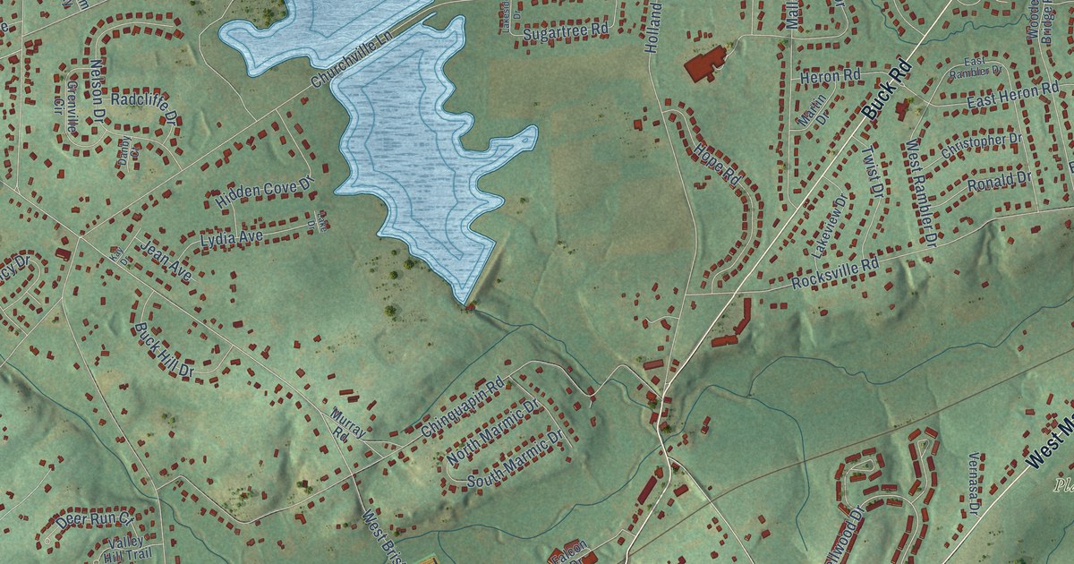
A detailed map of Holland, Pennsylvania, showing every building in its true location, the roads by name, and shaded topographical relief.
Read More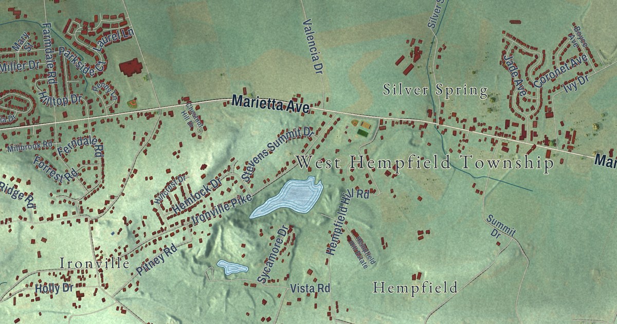
A detailed map of Farmdale, Pennsylvania, showing every building in its true location, the roads by name, and shaded topographical relief.
Read More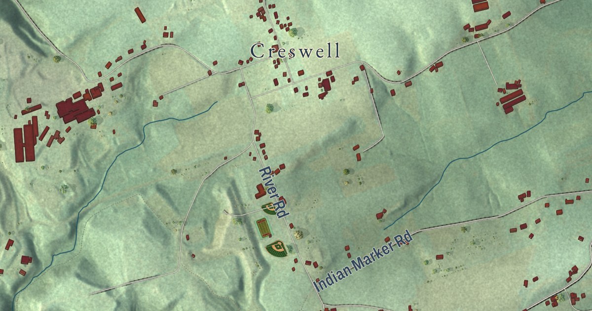
A detailed map of Letort, Pennsylvania, showing every building in its true location, the roads by name, and shaded topographical relief.
Read More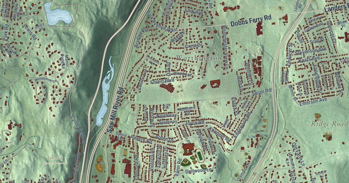
A detailed map of Woodlands, New York, showing every building in its true location, the roads by name, and shaded topographical relief.
Read More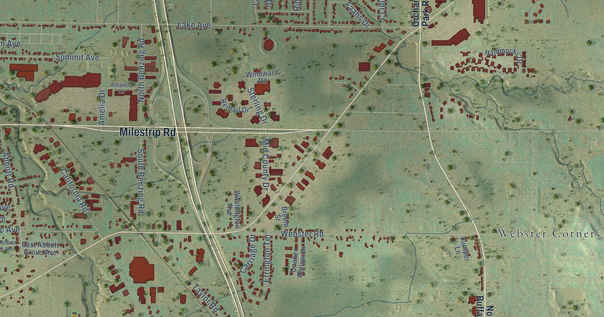
A detailed map of Windom, New York, showing every building in its true location, the roads by name, and shaded topographical relief.
Read More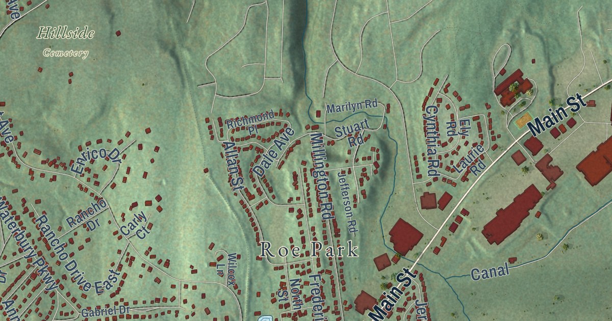
A detailed map of Van Cortlandtville, New York, showing every building in its true location, the roads by name, and shaded topographical relief.
Read More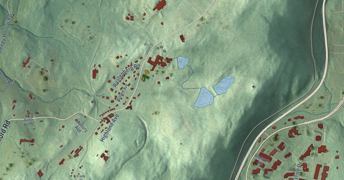
A detailed map of Pocantico Hills, New York, showing every building in its true location, the roads by name, and shaded topographical relief.
Read More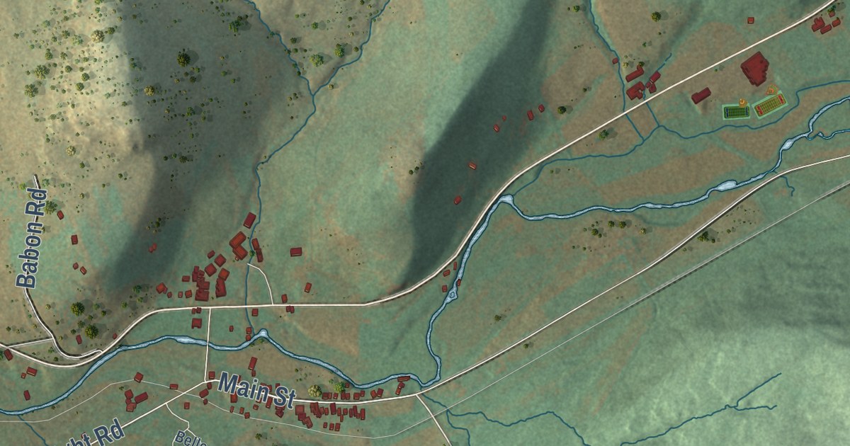
A detailed map of South Kortright, New York, showing every building in its true location, the roads by name, and shaded topographical relief.
Read More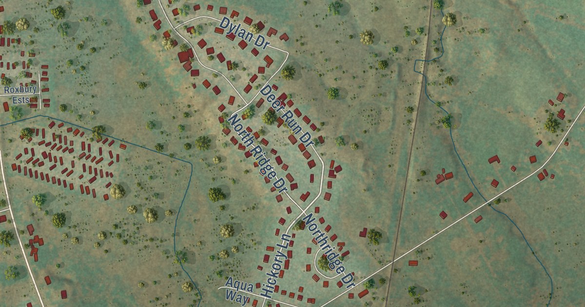
A detailed map of Mallory, New York, showing every building in its true location, the roads by name, and shaded topographical relief.
Read More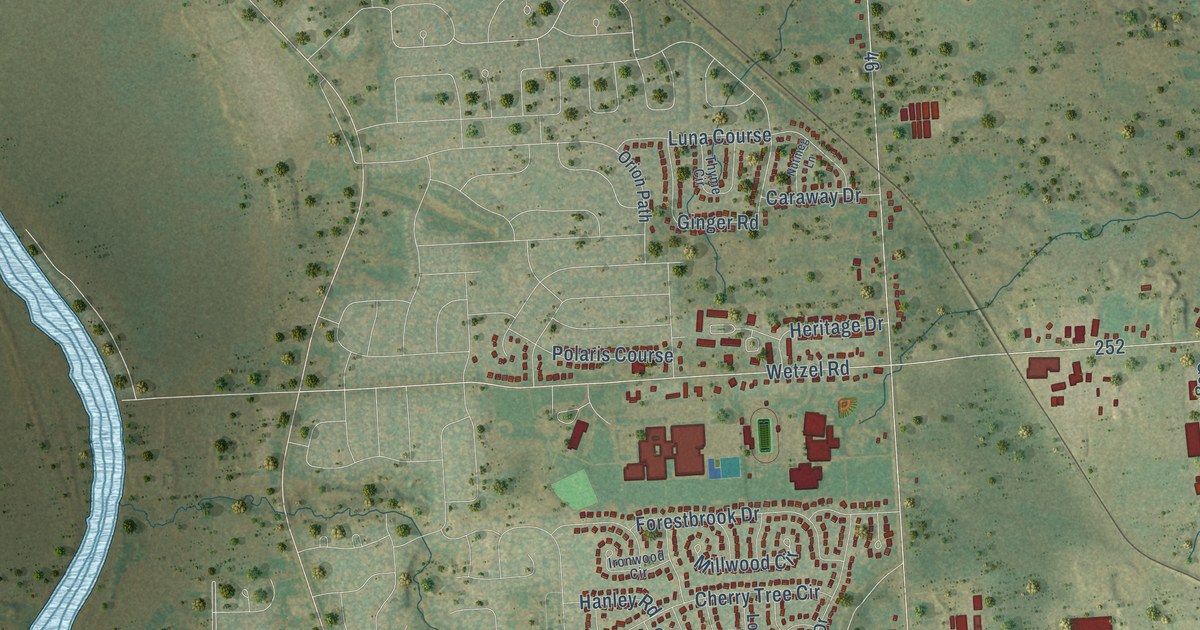
A detailed map of Long Branch, New York, showing every building in its true location, the roads by name, and shaded topographical relief.
Read More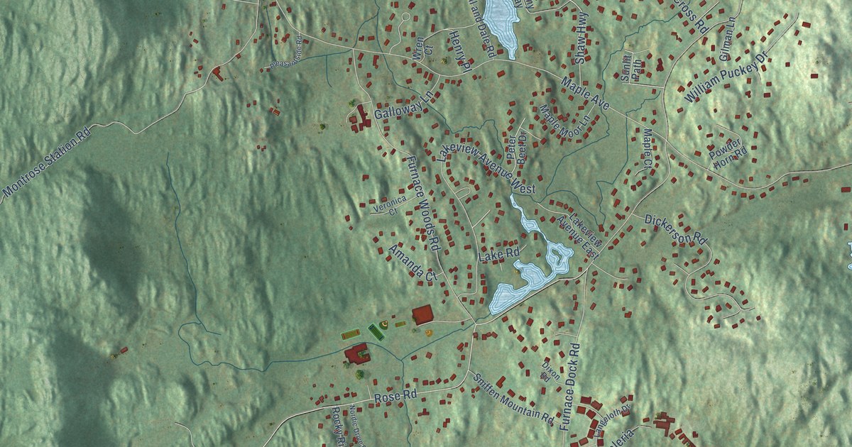
A detailed map of Furnace Woods, New York, showing every building in its true location, the roads by name, and shaded topographical relief.
Read More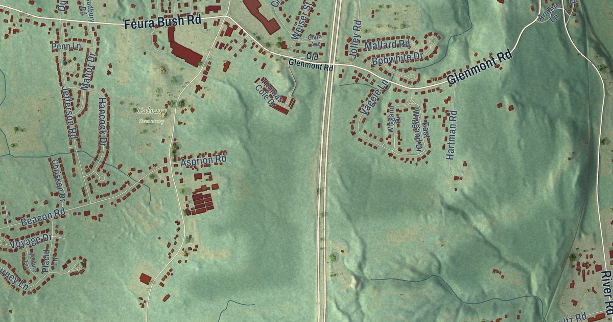
A detailed map of Glenmont, New York, showing every building in its true location, the roads by name, and shaded topographical relief.
Read More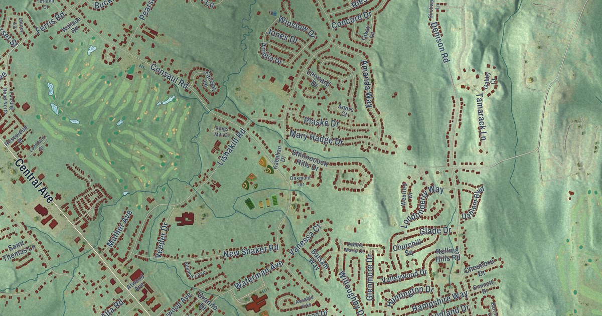
A detailed map of Lisha Kill, New York, showing every building in its true location, the roads by name, and shaded topographical relief.
Read More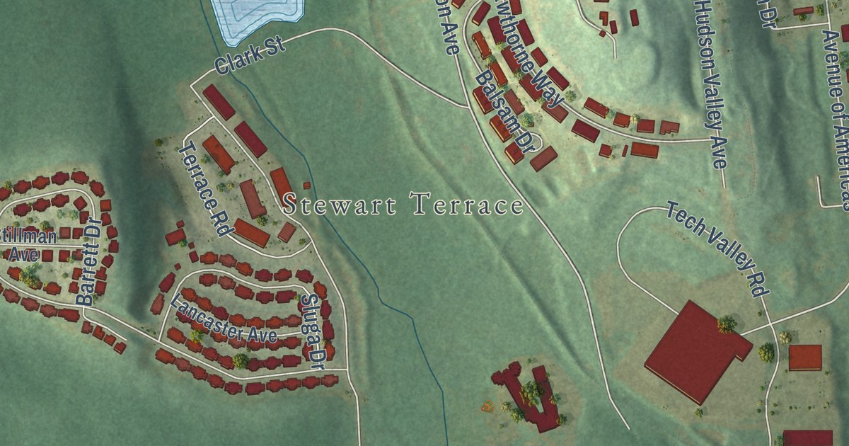
A detailed map of Little Britain, New York, showing every building in its true location, the roads by name, and shaded topographical relief.
Read More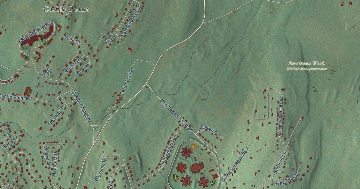
A detailed map of Glenham, New York, showing every building in its true location, the roads by name, and shaded topographical relief.
Read More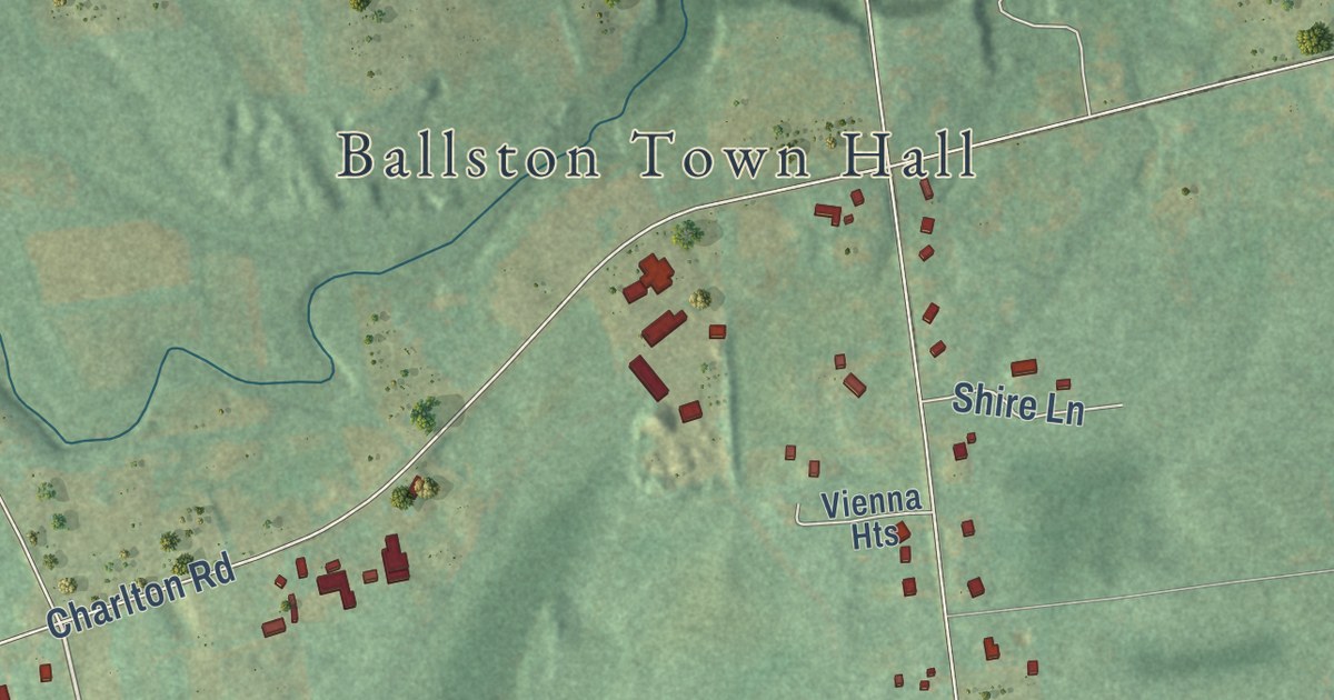
A detailed map of Burnt Hills, New York, showing every building in its true location, the roads by name, and shaded topographical relief.
Read More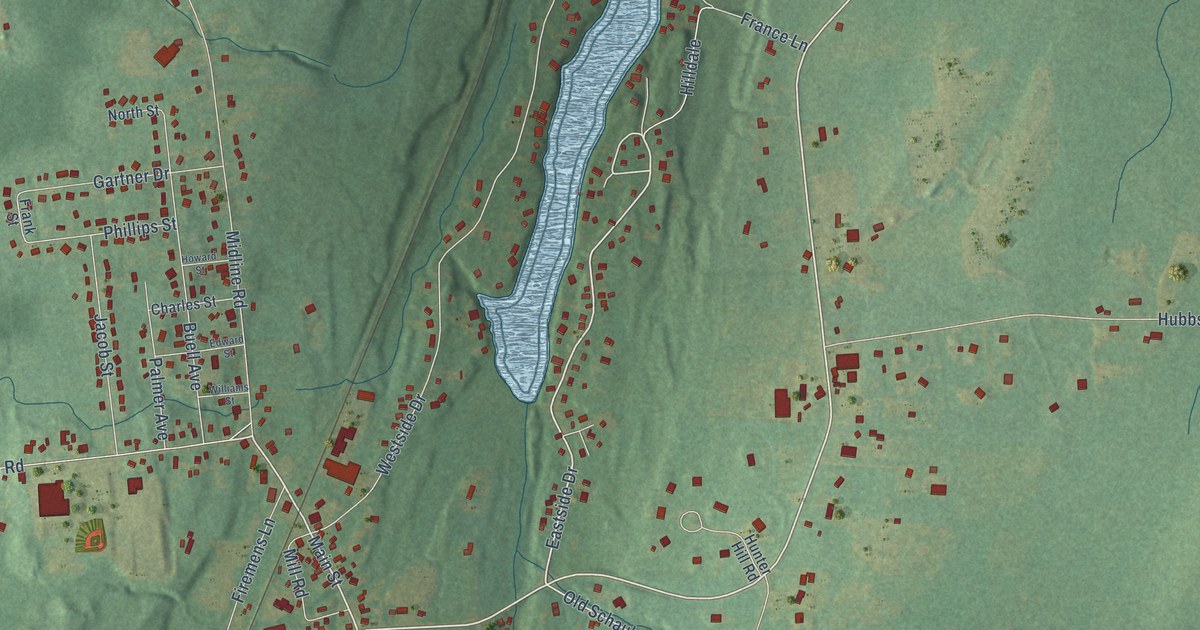
A detailed map of Ballston Lake, New York, showing every building in its true location, the roads by name, and shaded topographical relief.
Read More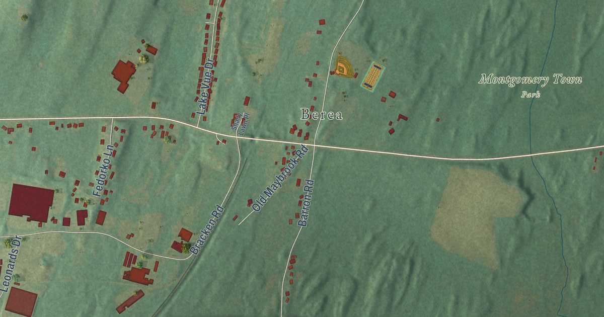
A detailed map of Coldenham, New York, showing every building in its true location, the roads by name, and shaded topographical relief.
Read More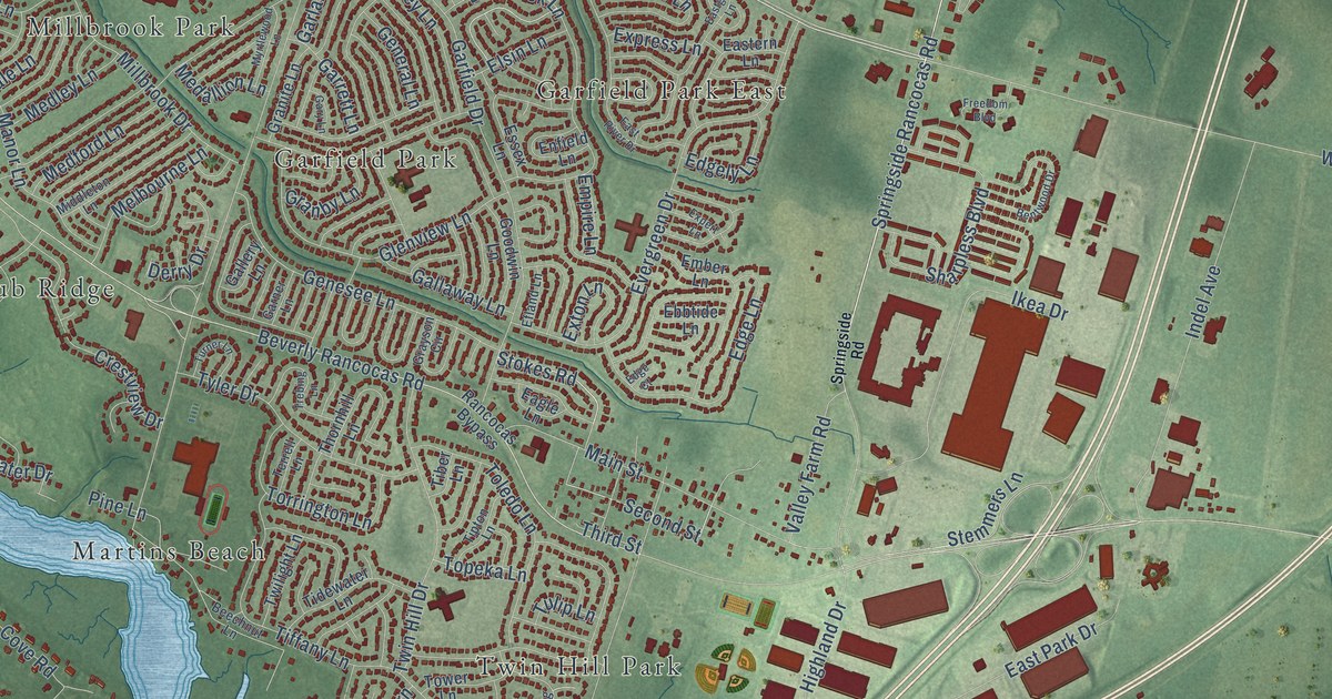
A detailed map of Rancocas, New Jersey, showing every building in its true location, the roads by name, and shaded topographical relief.
Read More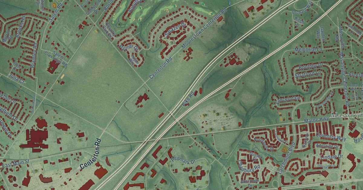
A detailed map of Hartford, New Jersey, showing every building in its true location, the roads by name, and shaded topographical relief.
Read More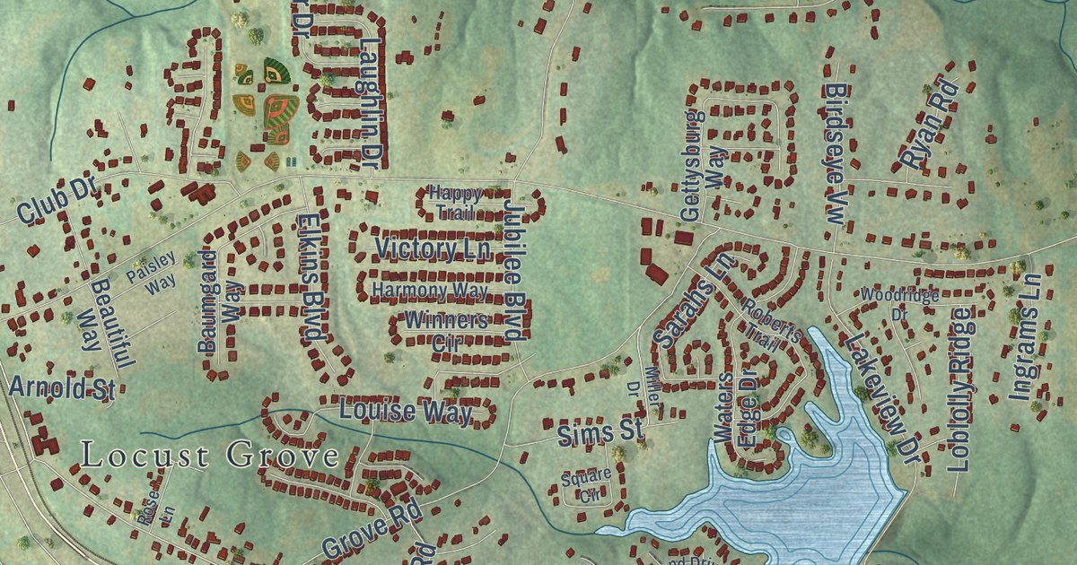
A detailed map of Unity Grove, Georgia, showing every building in its true location, the roads by name, and shaded topographical relief.
Read More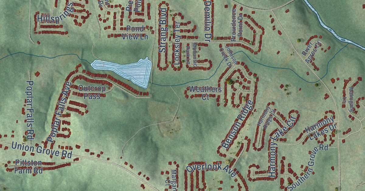
A detailed map of Rock Chapel, Georgia, showing every building in its true location, the roads by name, and shaded topographical relief.
Read More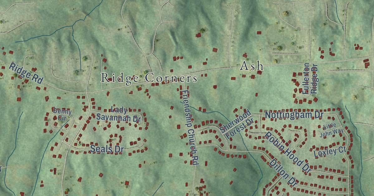
A detailed map of New Georgia, Georgia, showing every building in its true location, the roads by name, and shaded topographical relief.
Read More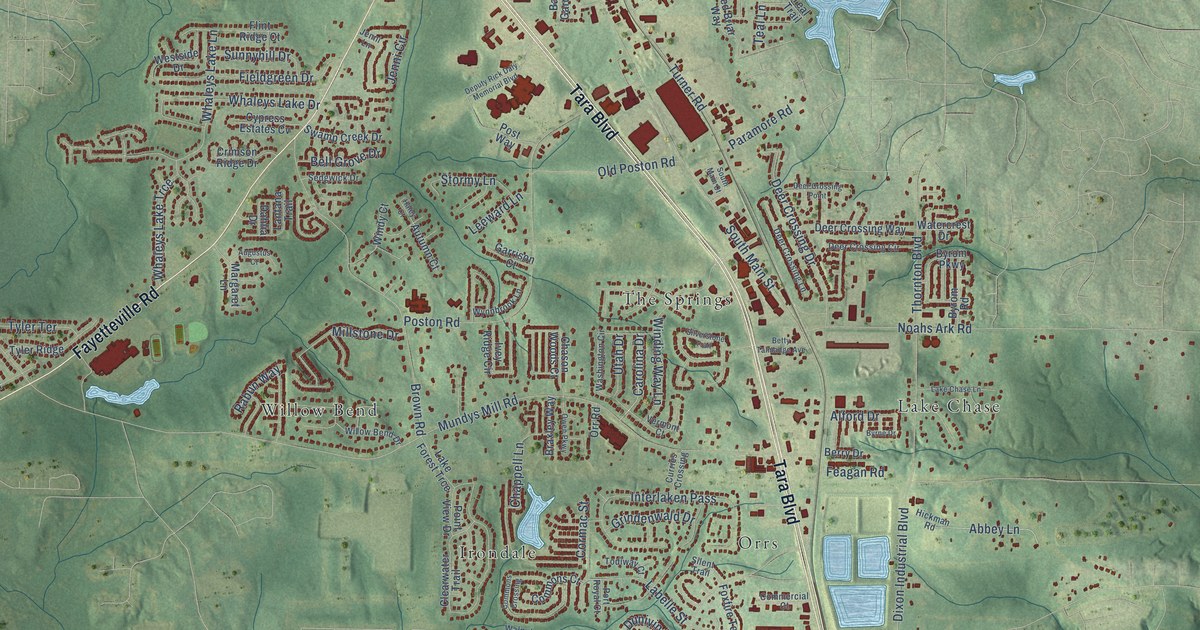
A detailed map of Mundys Mill, Georgia, showing every building in its true location, the roads by name, and shaded topographical relief.
Read More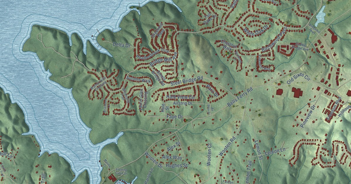
A detailed map of Cherokee, Georgia, showing every building in its true location, the roads by name, and shaded topographical relief.
Read More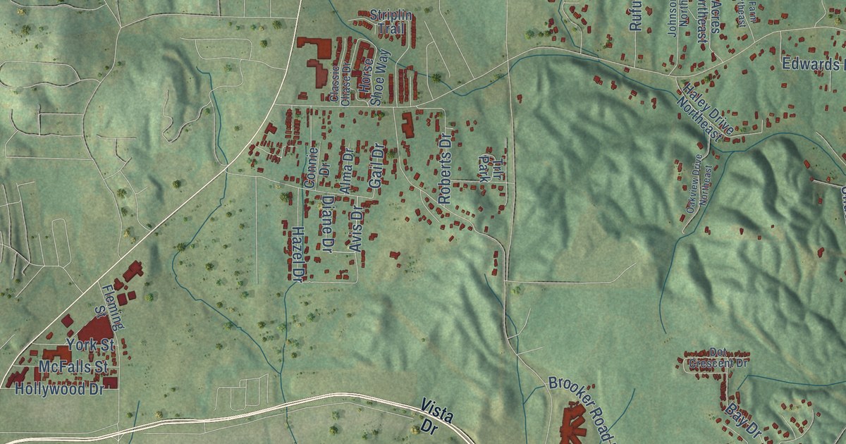
A detailed map of Dawnville, Georgia, showing every building in its true location, the roads by name, and shaded topographical relief.
Read More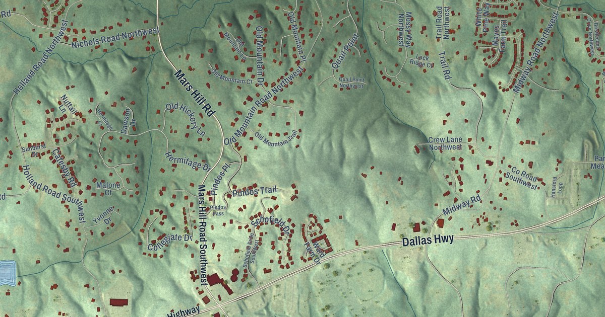
A detailed map of Lost Mountain, Georgia, showing every building in its true location, the roads by name, and shaded topographical relief.
Read More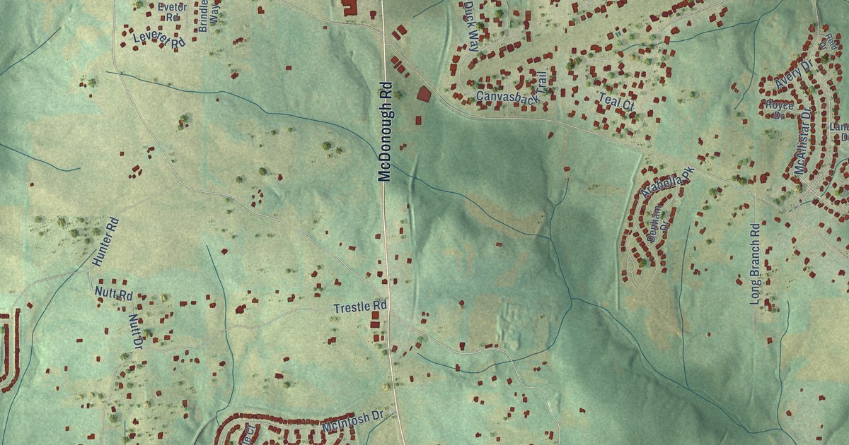
A detailed map of Luella, Georgia, showing every building in its true location, the roads by name, and shaded topographical relief.
Read More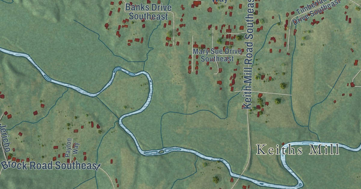
A detailed map of Cedar Ridge, Georgia, showing every building in its true location, the roads by name, and shaded topographical relief.
Read More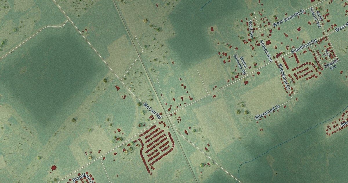
A detailed map of Blandford, Georgia, showing every building in its true location, the roads by name, and shaded topographical relief.
Read More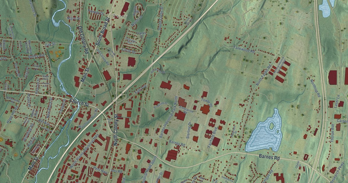
A detailed map of Yalesville, Connecticut, showing every building in its true location, the roads by name, and shaded topographical relief.
Read More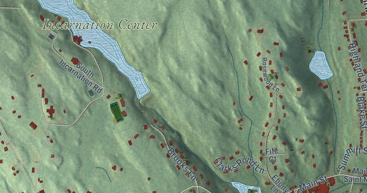
A detailed map of Winthrop, Connecticut, showing every building in its true location, the roads by name, and shaded topographical relief.
Read More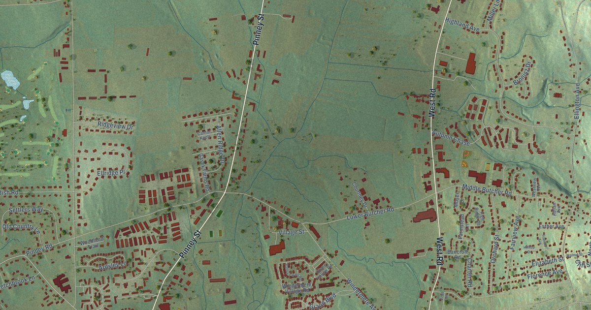
A detailed map of Windermere, Connecticut, showing every building in its true location, the roads by name, and shaded topographical relief.
Read More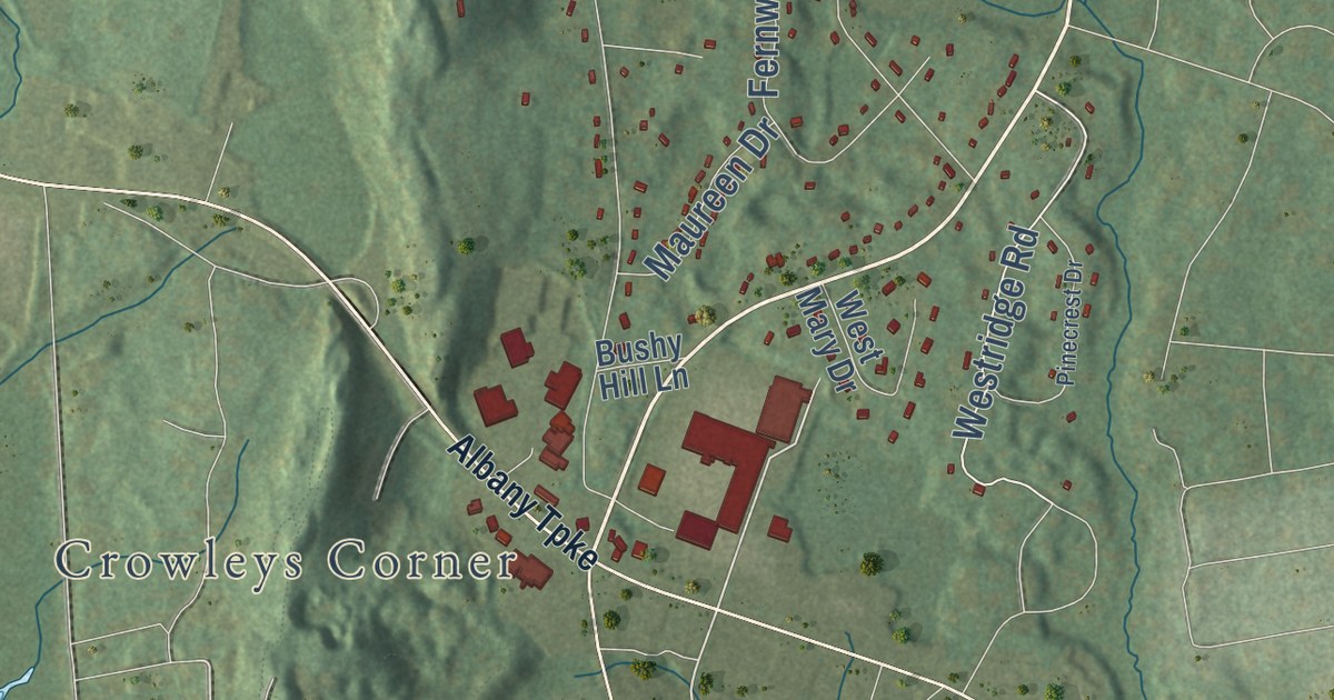
A detailed map of Tootin’ Hills, Connecticut, showing every building in its true location, the roads by name, and shaded topographical relief.
Read More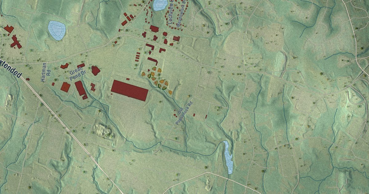
A detailed map of Poquonock, Connecticut, showing every building in its true location, the roads by name, and shaded topographical relief.
Read More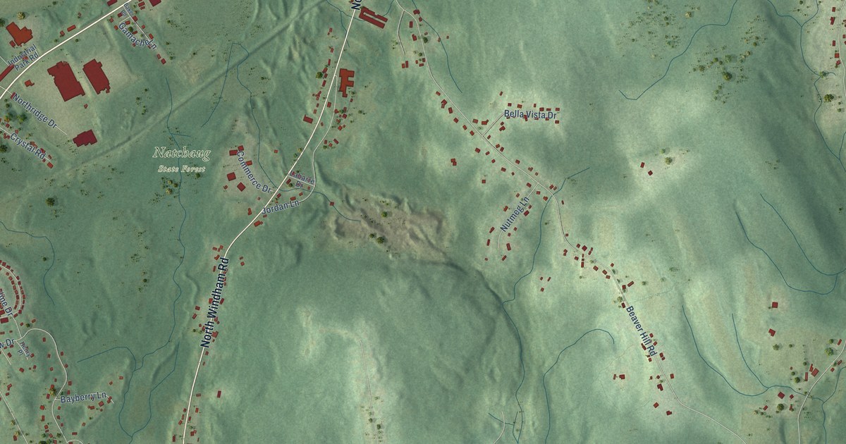
A detailed map of North Windham, Connecticut, showing every building in its true location, the roads by name, and shaded topographical relief.
Read More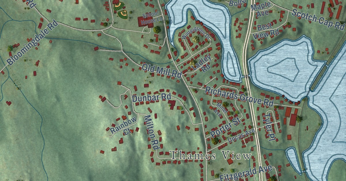
A detailed map of Quaker Hill, Connecticut, showing every building in its true location, the roads by name, and shaded topographical relief.
Read More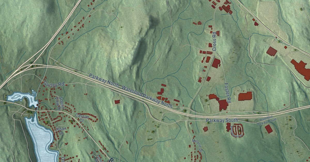
A detailed map of Oswegatchie, Connecticut, showing every building in its true location, the roads by name, and shaded topographical relief.
Read More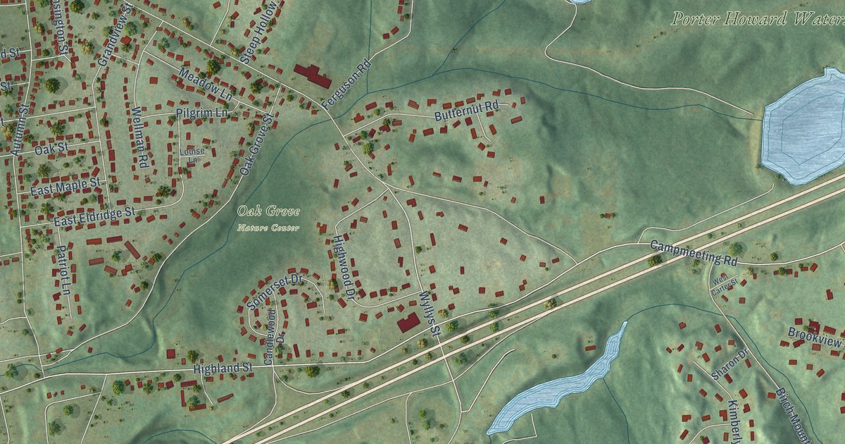
A detailed map of Highland Park, Connecticut, showing every building in its true location, the roads by name, and shaded topographical relief.
Read More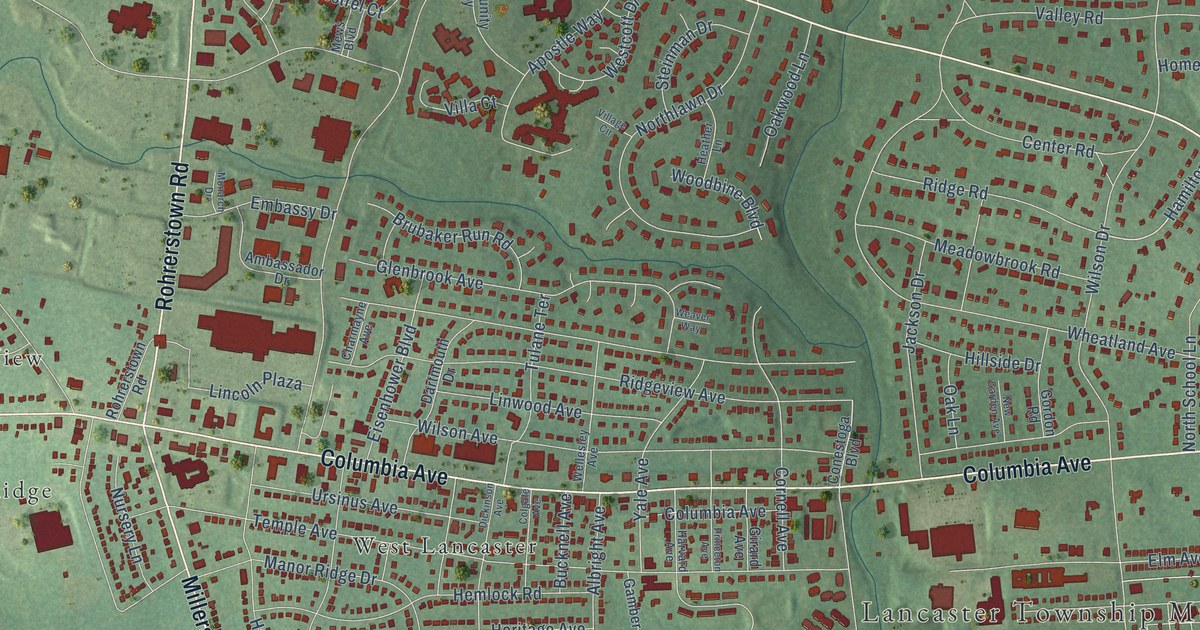
A detailed map of Wheatland, Pennsylvania, showing every building in its true location, the roads by name, and shaded topographical relief.
Read More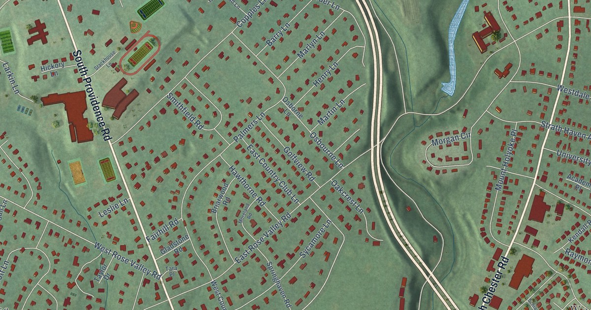
A detailed map of Wallingford, Pennsylvania, showing every building in its true location, the roads by name, and shaded topographical relief.
Read More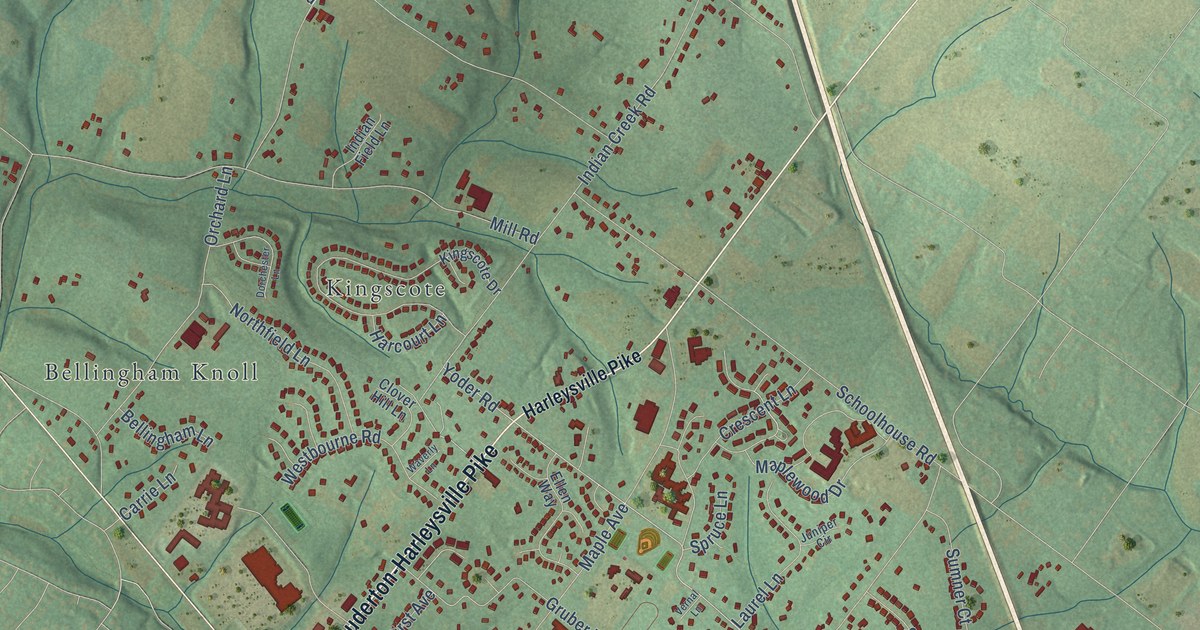
A detailed map of Vernfield, Pennsylvania, showing every building in its true location, the roads by name, and shaded topographical relief.
Read More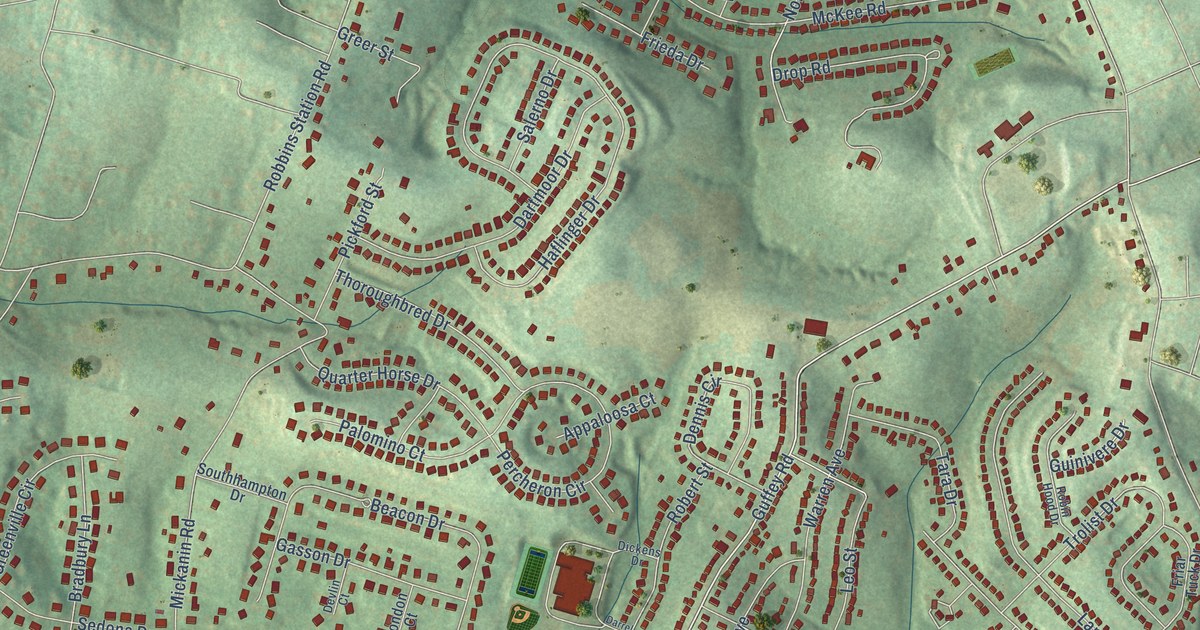
A detailed map of Sunset Valley, Pennsylvania, showing every building in its true location, the roads by name, and shaded topographical relief.
Read More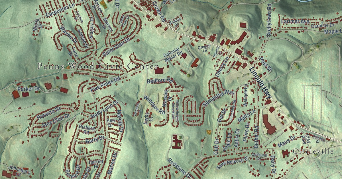
A detailed map of Stewartsville, Pennsylvania, showing every building in its true location, the roads by name, and shaded topographical relief.
Read More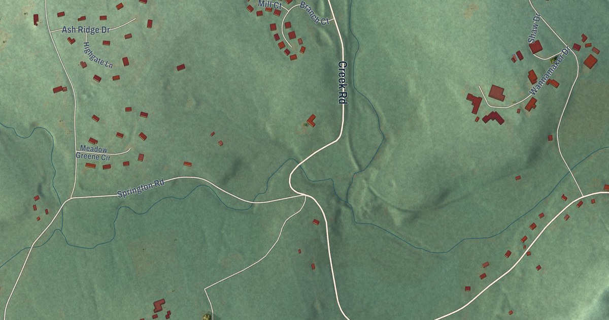
A detailed map of Springton, Pennsylvania, showing every building in its true location, the roads by name, and shaded topographical relief.
Read More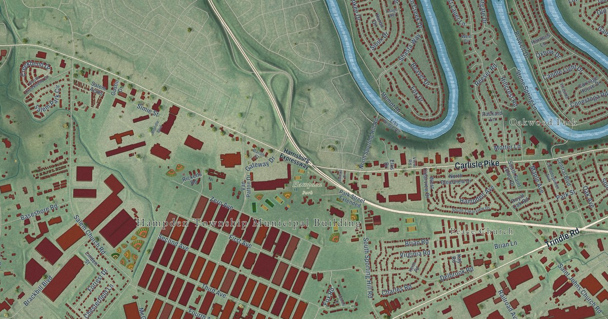
A detailed map of Sporting Hill, Pennsylvania, showing every building in its true location, the roads by name, and shaded topographical relief.
Read More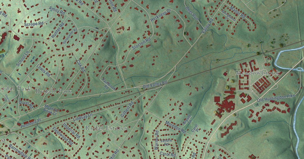
A detailed map of Rydal, Pennsylvania, showing every building in its true location, the roads by name, and shaded topographical relief.
Read More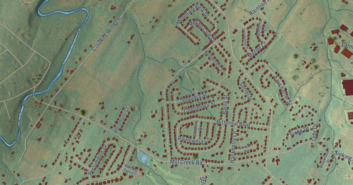
A detailed map of Roundtown, Pennsylvania, showing every building in its true location, the roads by name, and shaded topographical relief.
Read More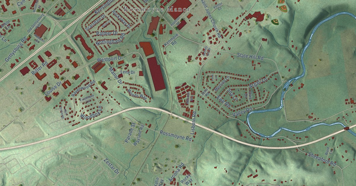
A detailed map of Rossmoyne, Pennsylvania, showing every building in its true location, the roads by name, and shaded topographical relief.
Read More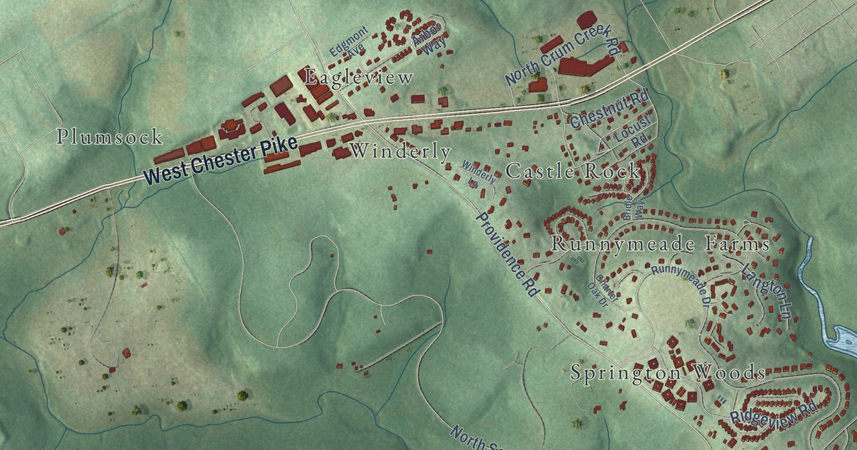
A detailed map of Rose Tree, Pennsylvania, showing every building in its true location, the roads by name, and shaded topographical relief.
Read More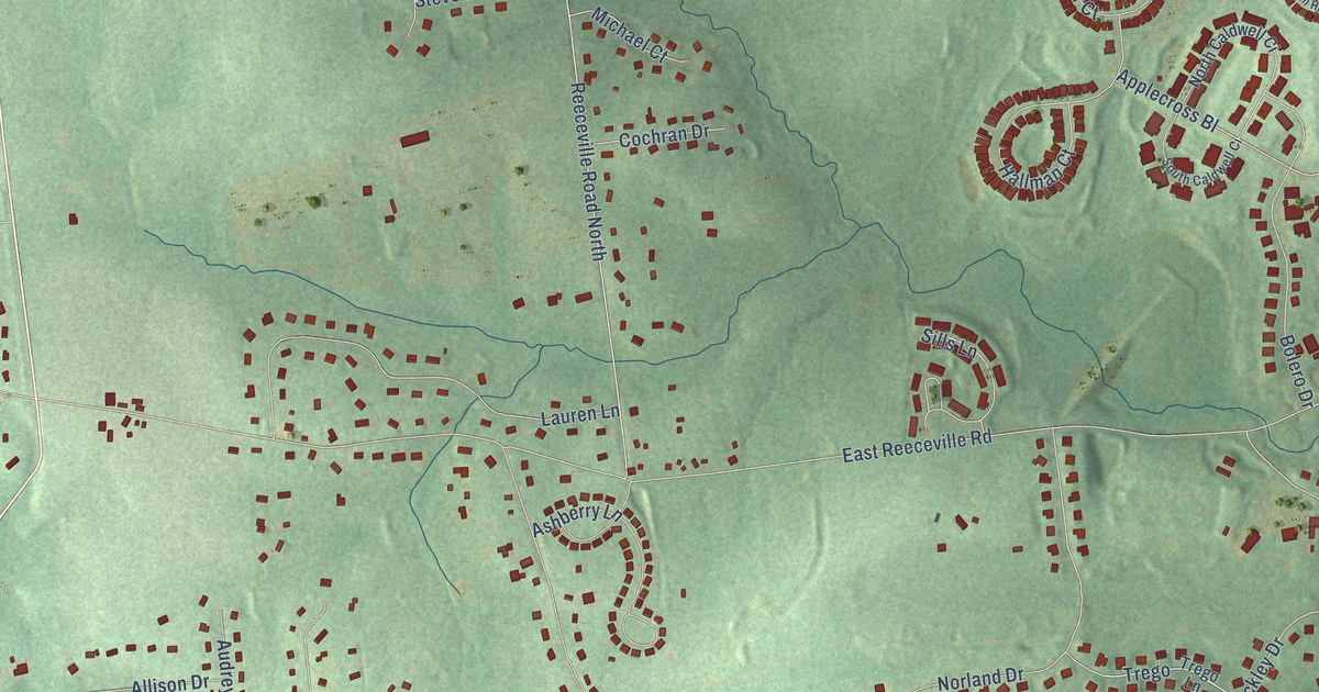
A detailed map of Reeceville, Pennsylvania, showing every building in its true location, the roads by name, and shaded topographical relief.
Read More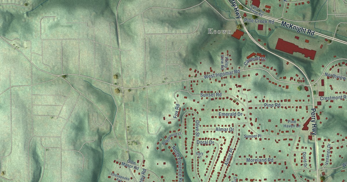
A detailed map of McKnight, Pennsylvania, showing every building in its true location, the roads by name, and shaded topographical relief.
Read More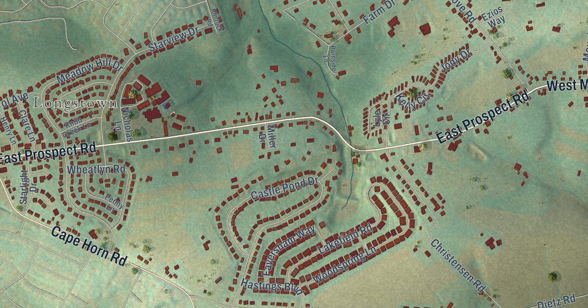
A detailed map of Locust Grove, Pennsylvania, showing every building in its true location, the roads by name, and shaded topographical relief.
Read More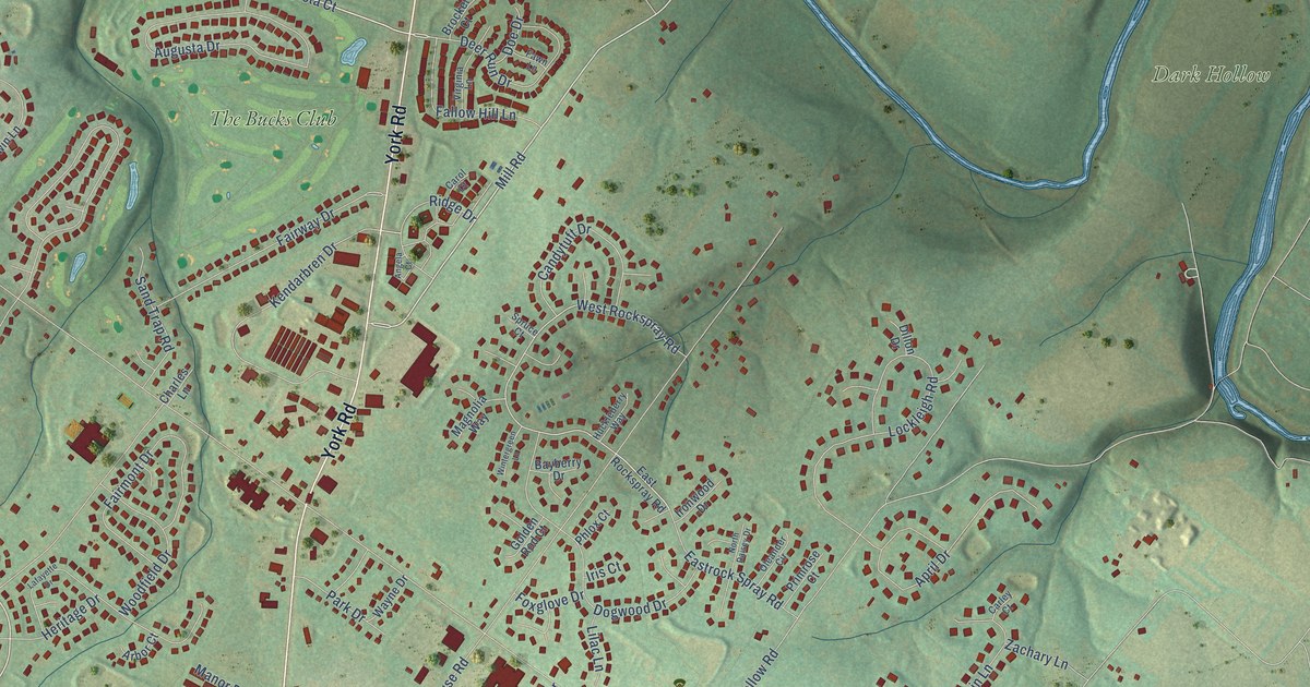
A detailed map of Jamison, Pennsylvania, showing every building in its true location, the roads by name, and shaded topographical relief.
Read More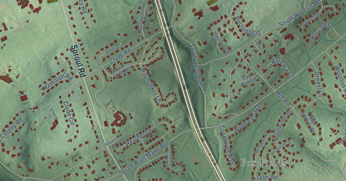
A detailed map of Ithan, Pennsylvania, showing every building in its true location, the roads by name, and shaded topographical relief.
Read More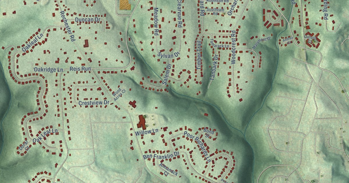
A detailed map of Ingomar, Pennsylvania, showing every building in its true location, the roads by name, and shaded topographical relief.
Read More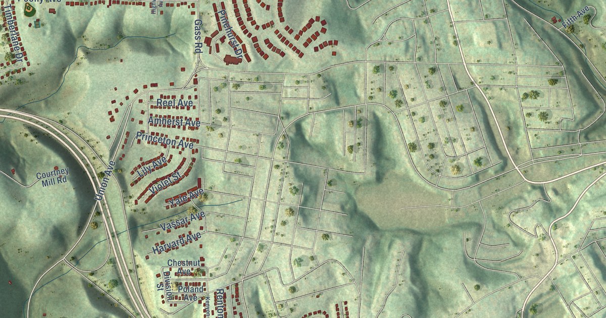
A detailed map of Highcliff, Pennsylvania, showing every building in its true location, the roads by name, and shaded topographical relief.
Read More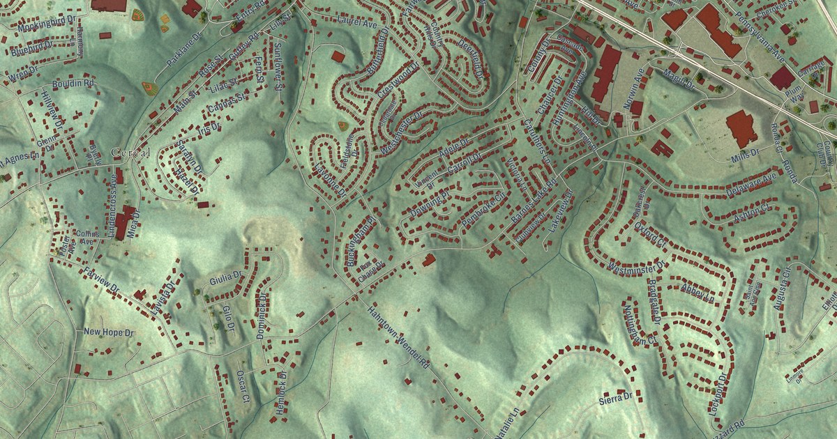
A detailed map of Hahntown, Pennsylvania, showing every building in its true location, the roads by name, and shaded topographical relief.
Read More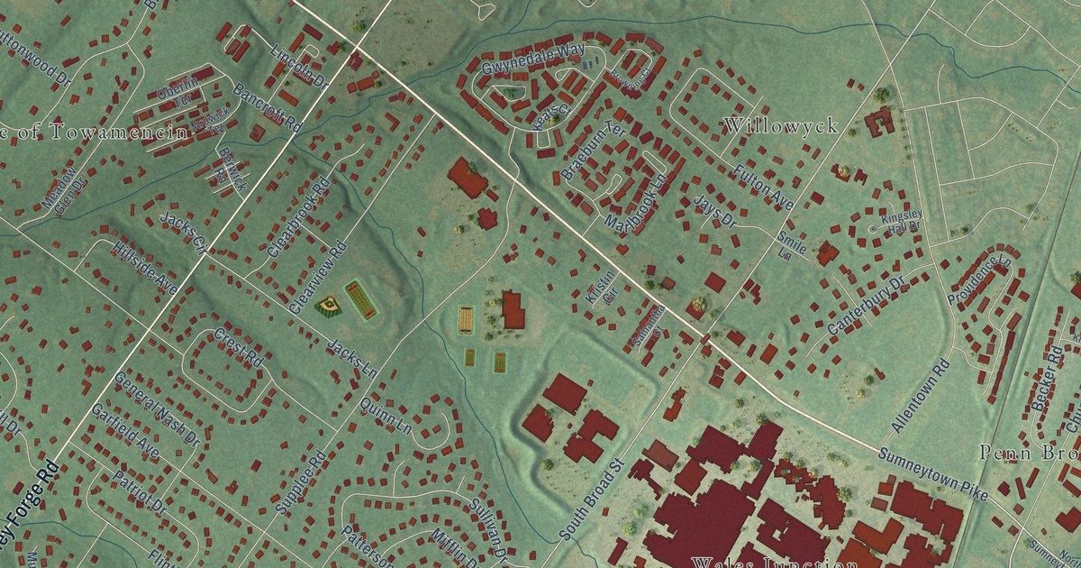
A detailed map of Gwynedd Square, Pennsylvania, showing every building in its true location, the roads by name, and shaded topographical relief.
Read More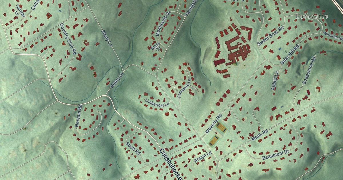
A detailed map of Gladwyne, Pennsylvania, showing every building in its true location, the roads by name, and shaded topographical relief.
Read More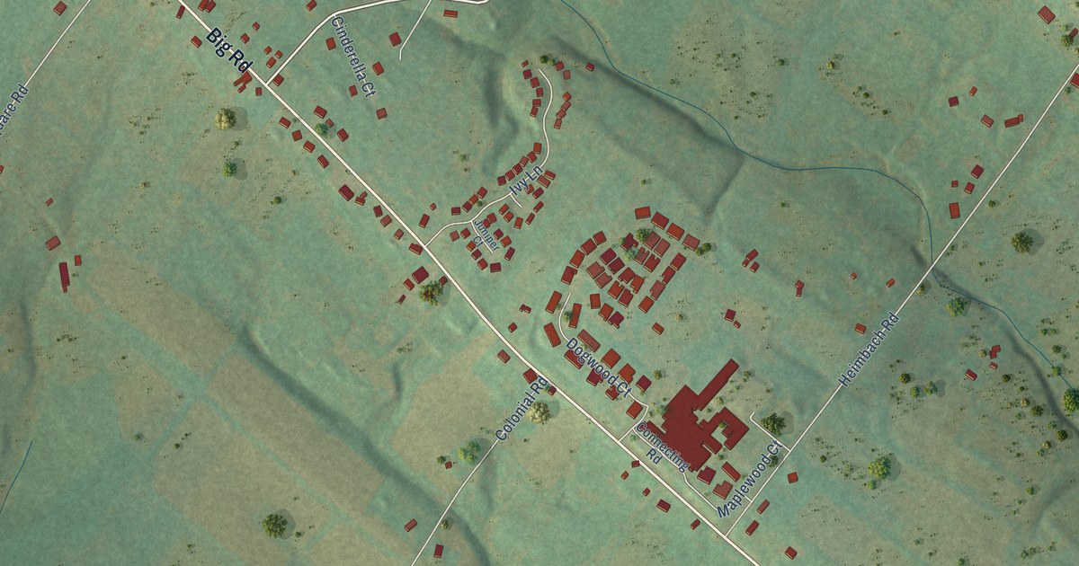
A detailed map of Frederick, Pennsylvania, showing every building in its true location, the roads by name, and shaded topographical relief.
Read More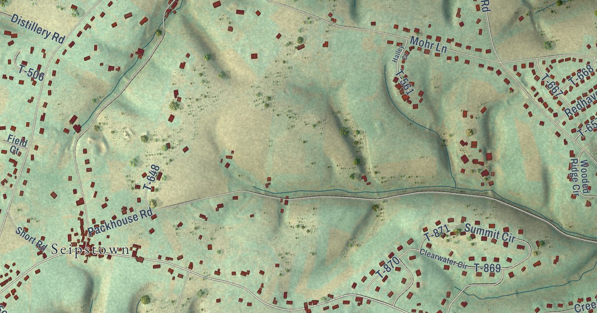
A detailed map of Fogelsville, Pennsylvania, showing every building in its true location, the roads by name, and shaded topographical relief.
Read More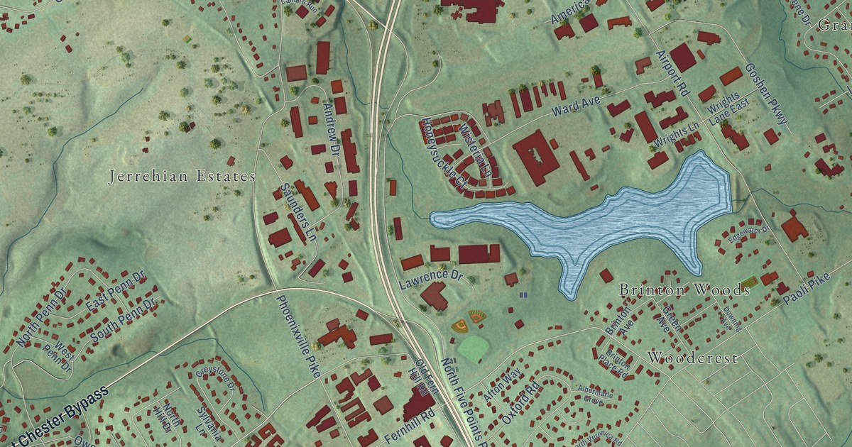
A detailed map of Fern Hill, Pennsylvania, showing every building in its true location, the roads by name, and shaded topographical relief.
Read More















