Detailed Map of Montague, Ontario
A detailed map of Montague, Ontario, showing every building in its true location, the roads by name, and shaded topographical relief.
Read More
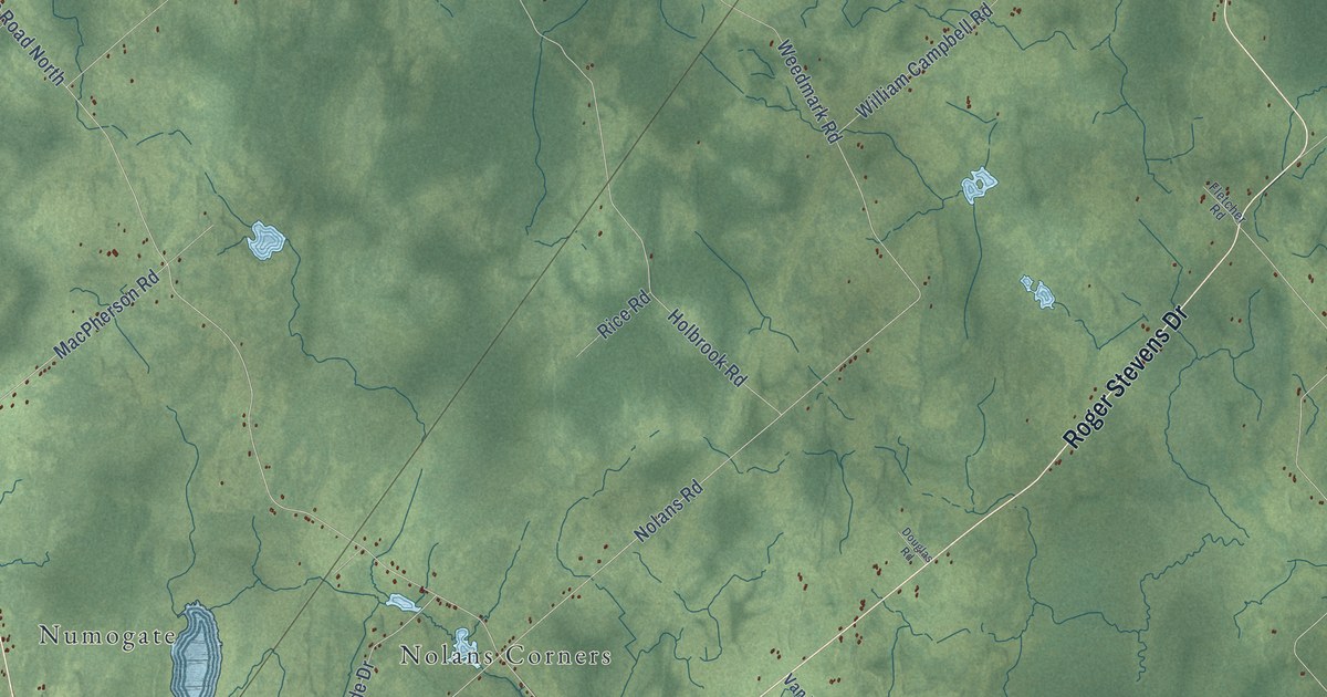
A detailed map of Montague, Ontario, showing every building in its true location, the roads by name, and shaded topographical relief.
Read More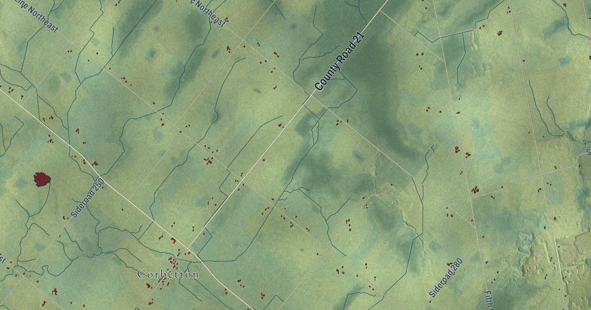
A detailed map of Melancthon, Ontario, showing every building in its true location, the roads by name, and shaded topographical relief.
Read More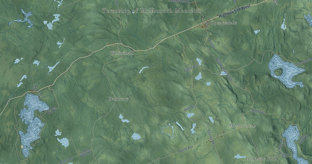
A detailed map of McMurrich-Monteith, Ontario, showing every building in its true location, the roads by name, and shaded topographical relief.
Read More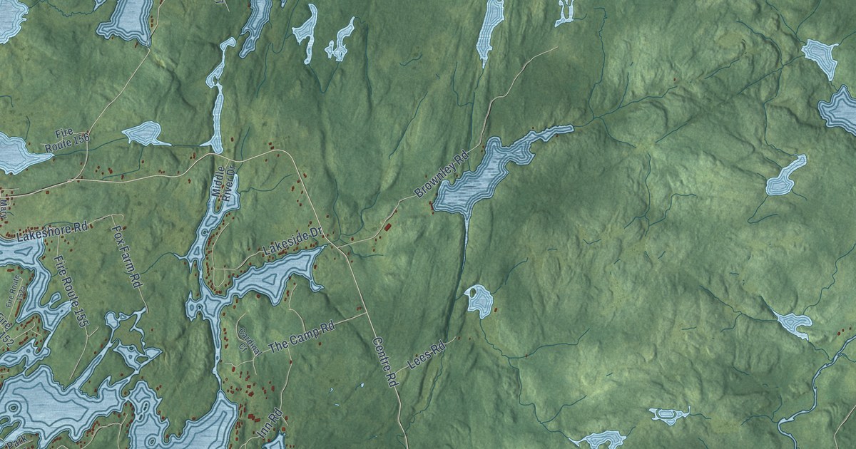
A detailed map of McKellar, Ontario, showing every building in its true location, the roads by name, and shaded topographical relief.
Read More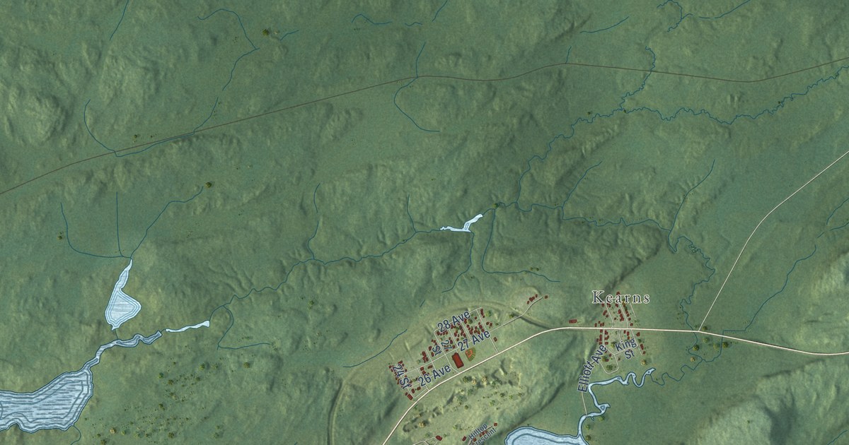
A detailed map of McGarry, Ontario, showing every building in its true location, the roads by name, and shaded topographical relief.
Read More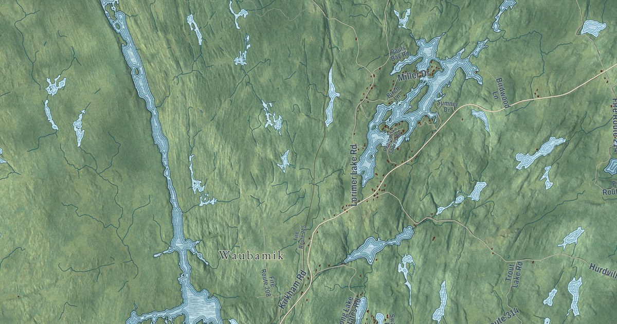
A detailed map of McDougall, Ontario, showing every building in its true location, the roads by name, and shaded topographical relief.
Read More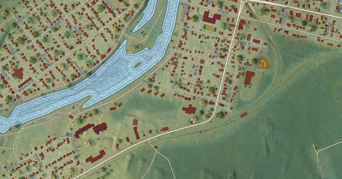
A detailed map of Mattawa, Ontario, showing every building in its true location, the roads by name, and shaded topographical relief.
Read More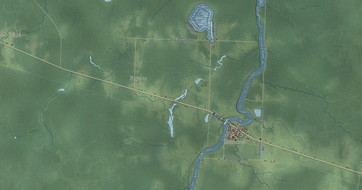
A detailed map of Mattice-Val Côté, Ontario, showing every building in its true location, the roads by name, and shaded topographical relief.
Read More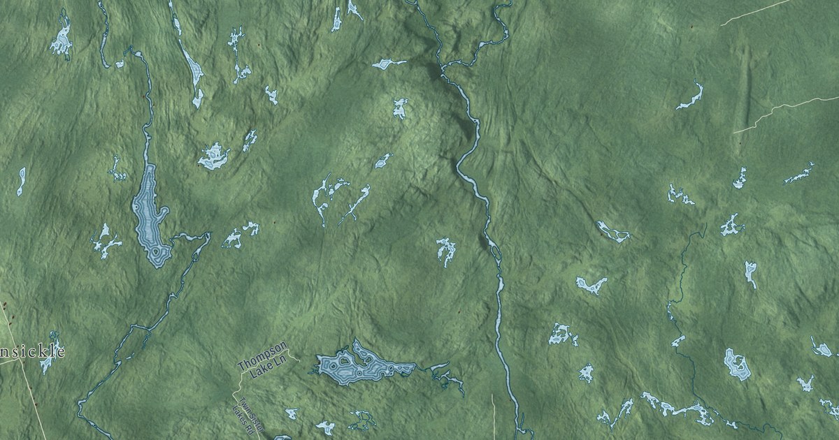
A detailed map of Marmora and Lake, Ontario, showing every building in its true location, the roads by name, and shaded topographical relief.
Read More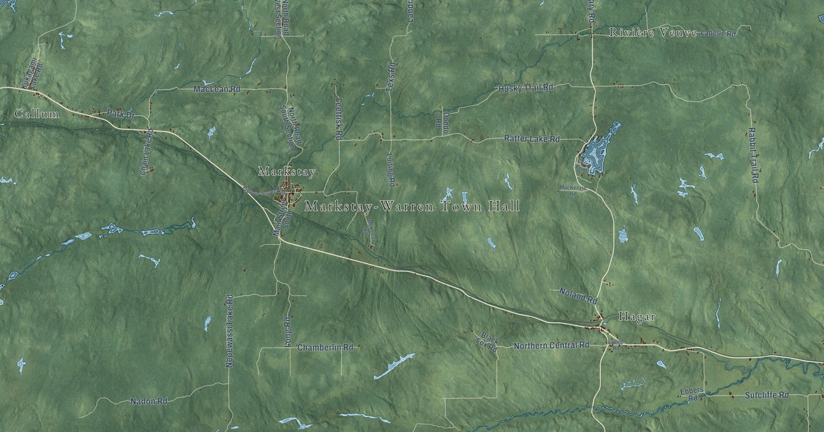
A detailed map of Markstay-Warren, Ontario, showing every building in its true location, the roads by name, and shaded topographical relief.
Read More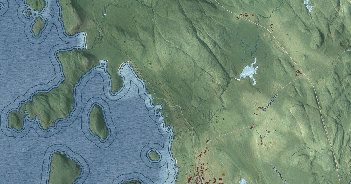
A detailed map of Marathon, Ontario, showing every building in its true location, the roads by name, and shaded topographical relief.
Read More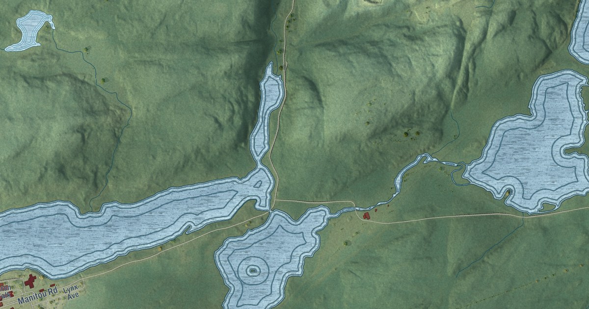
A detailed map of Manitouwadge, Ontario, showing every building in its true location, the roads by name, and shaded topographical relief.
Read More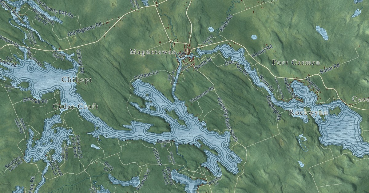
A detailed map of Municipality of Magnetawan, Ontario, showing every building in its true location, the roads by name, and shaded topographical relief.
Read More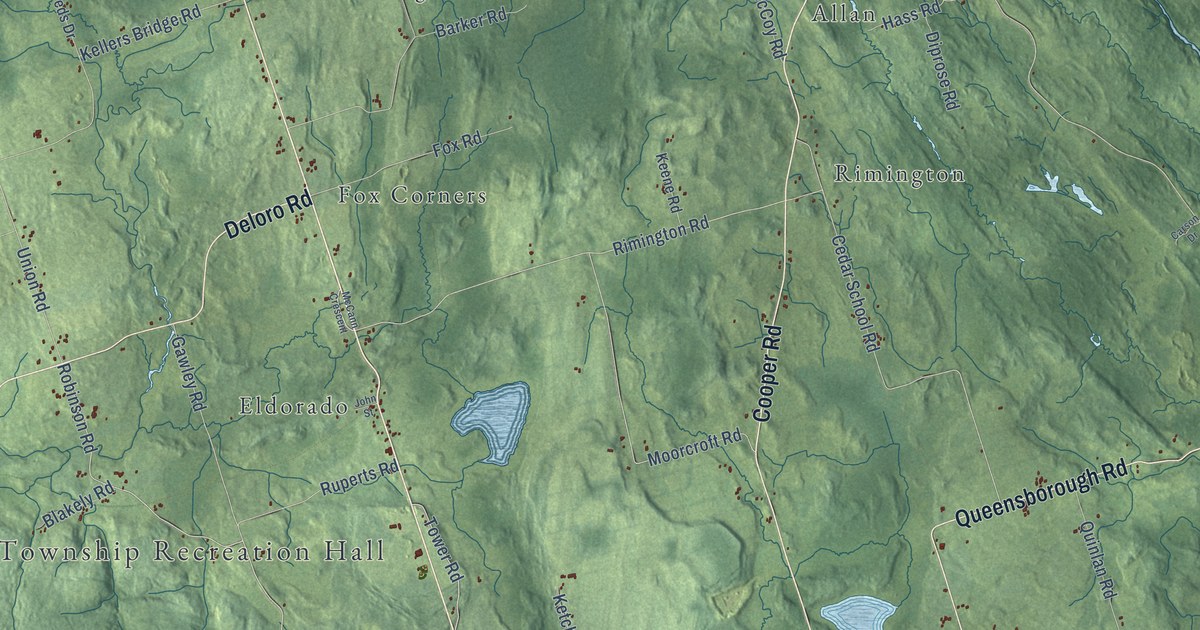
A detailed map of Madoc Township, Ontario, showing every building in its true location, the roads by name, and shaded topographical relief.
Read More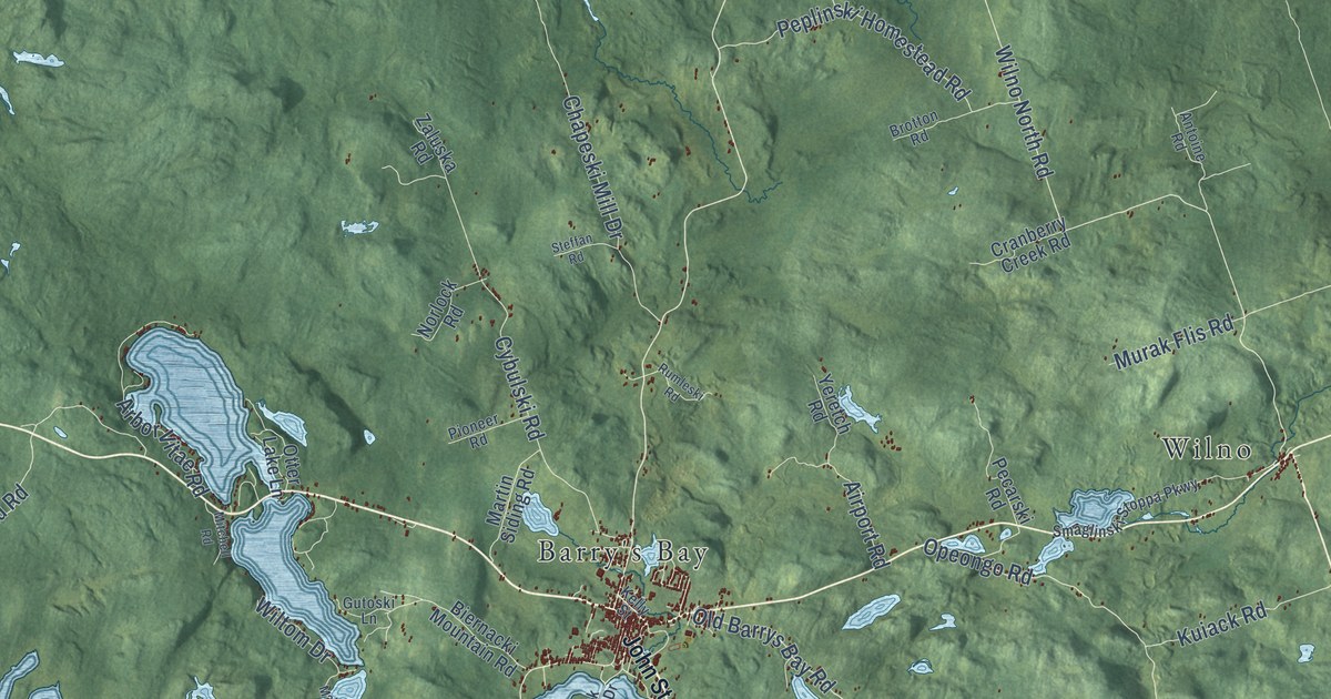
A detailed map of Madawaska Valley, Ontario, showing every building in its true location, the roads by name, and shaded topographical relief.
Read More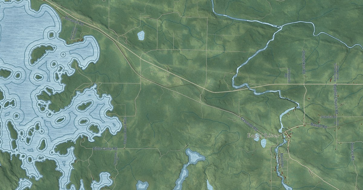
A detailed map of Machin, Ontario, showing every building in its true location, the roads by name, and shaded topographical relief.
Read More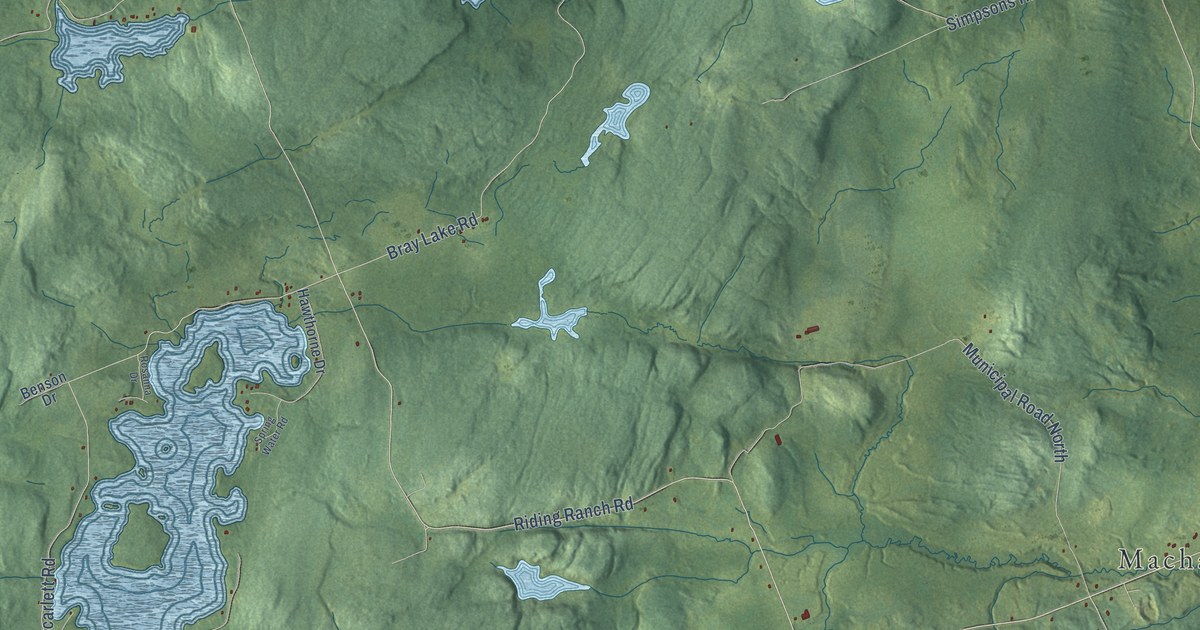
A detailed map of Machar, Ontario, showing every building in its true location, the roads by name, and shaded topographical relief.
Read More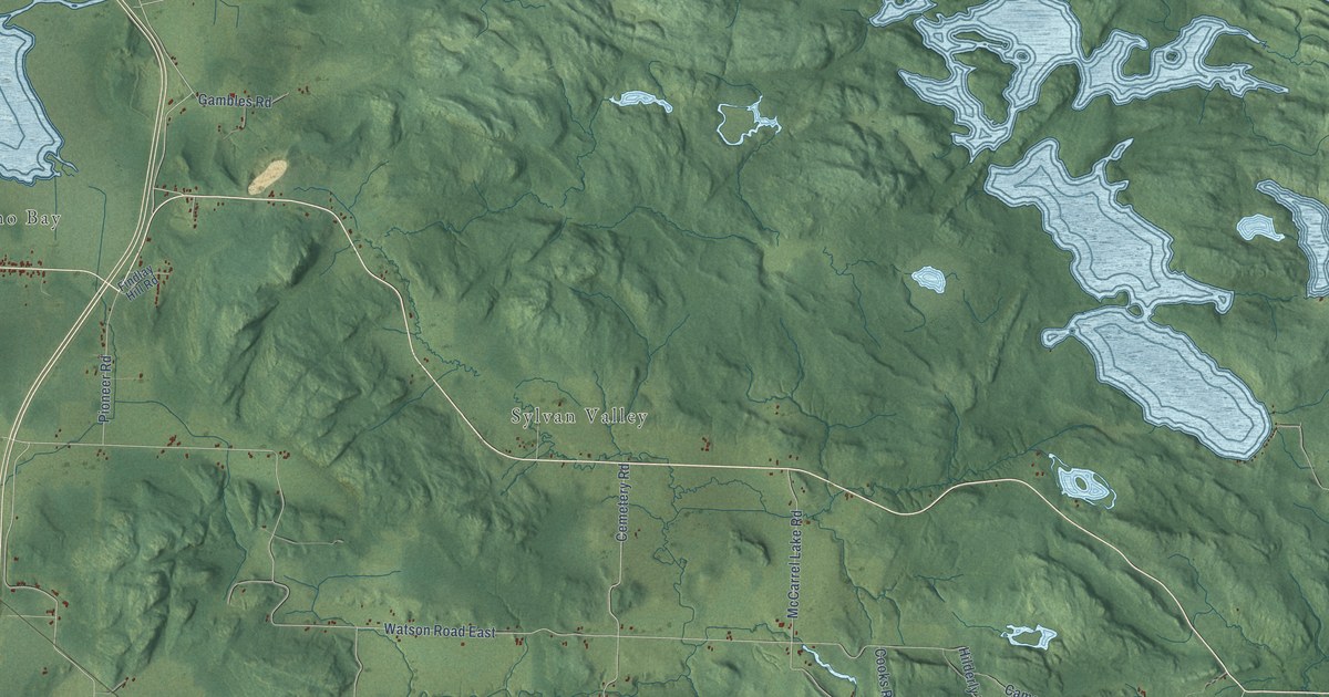
A detailed map of Macdonald, Meredith and Aberdeen Additional, Ontario, showing every building in its true location, the roads by name, and shaded topographical relief.
Read More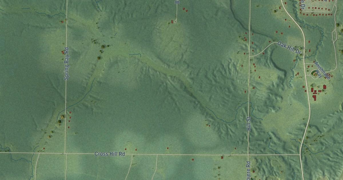
A detailed map of M’Chigeeng, Ontario, showing every building in its true location, the roads by name, and shaded topographical relief.
Read More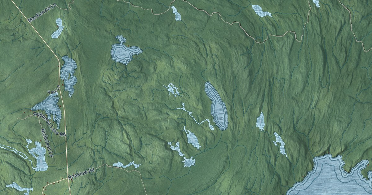
A detailed map of Limerick, Ontario, showing every building in its true location, the roads by name, and shaded topographical relief.
Read More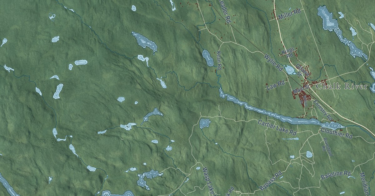
A detailed map of Laurentian Hills, Ontario, showing every building in its true location, the roads by name, and shaded topographical relief.
Read More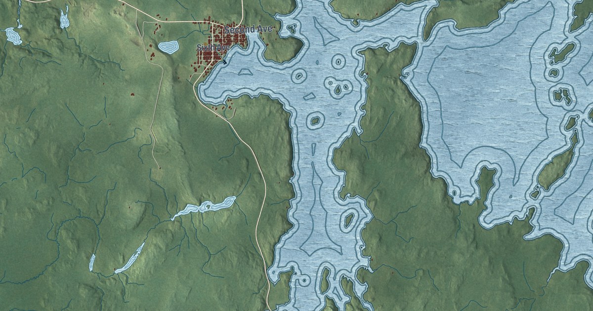
A detailed map of Larder Lake, Ontario, showing every building in its true location, the roads by name, and shaded topographical relief.
Read More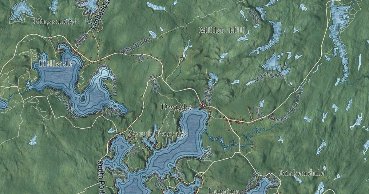
A detailed map of Lake of Bays, Ontario, showing every building in its true location, the roads by name, and shaded topographical relief.
Read More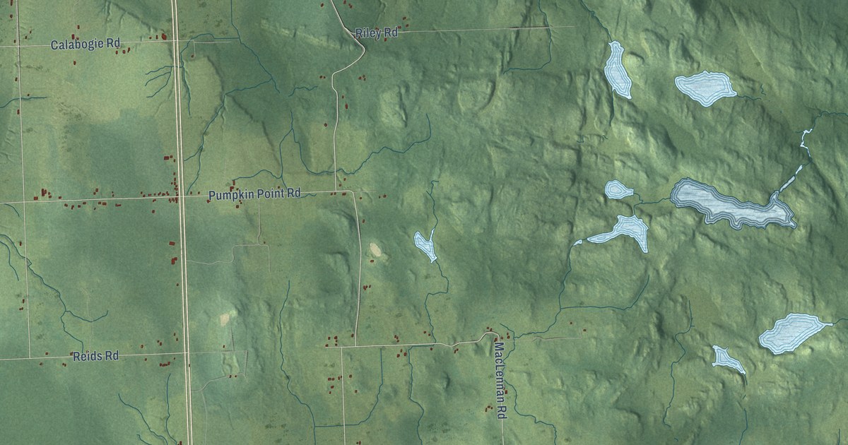
A detailed map of Laird, Ontario, showing every building in its true location, the roads by name, and shaded topographical relief.
Read More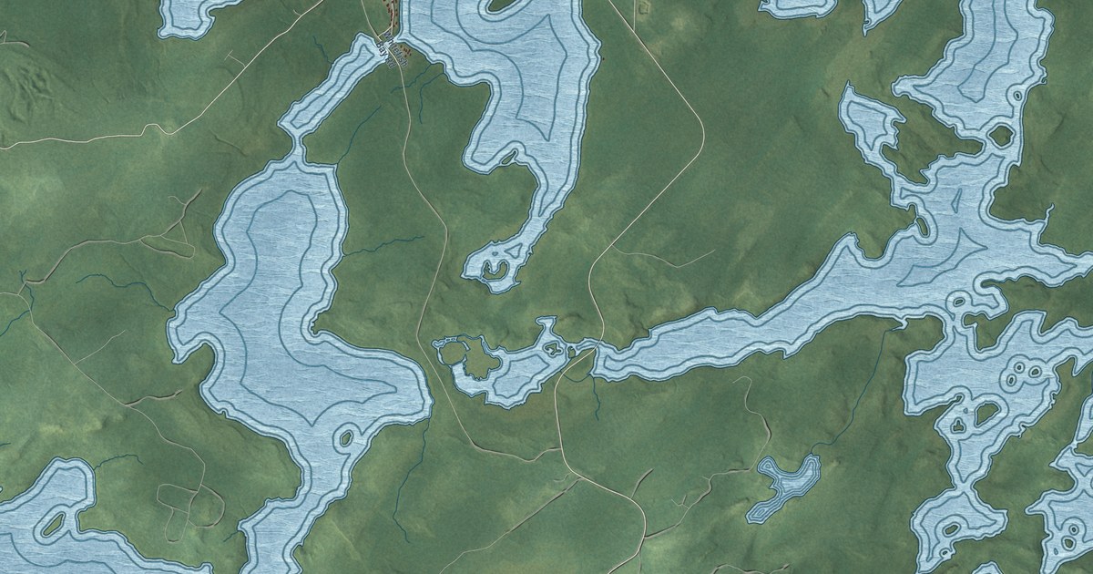
A detailed map of Lac Seul, Ontario, showing every building in its true location, the roads by name, and shaded topographical relief.
Read More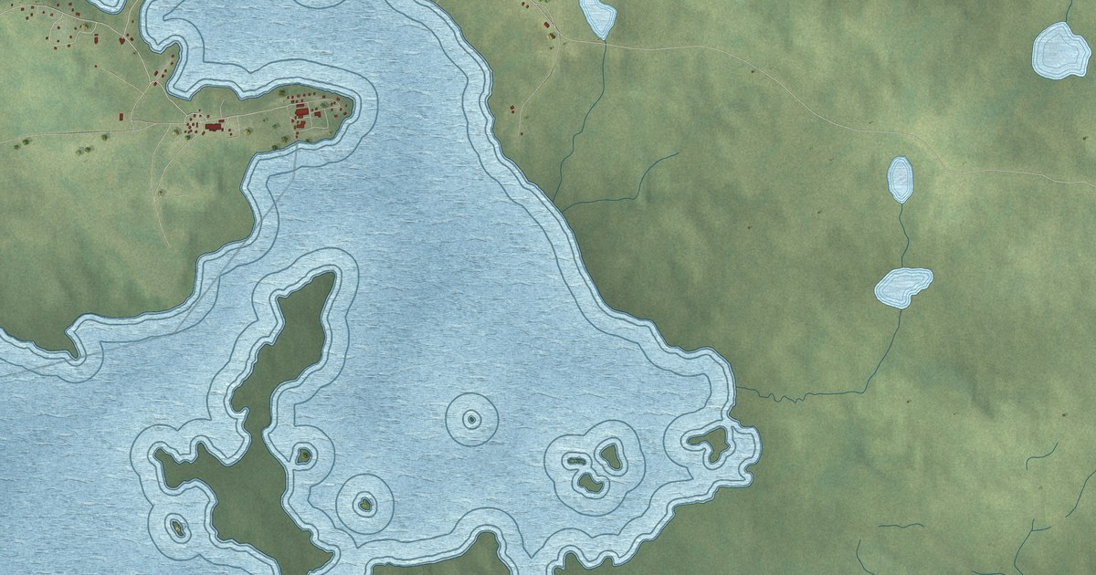
A detailed map of Kitchenuhmaykoosib Aaki, Ontario, showing every building in its true location, the roads by name, and shaded topographical relief.
Read More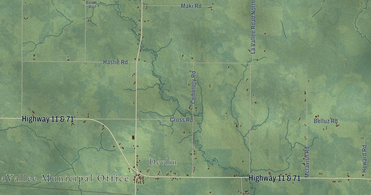
A detailed map of La Vallee, Ontario, showing every building in its true location, the roads by name, and shaded topographical relief.
Read More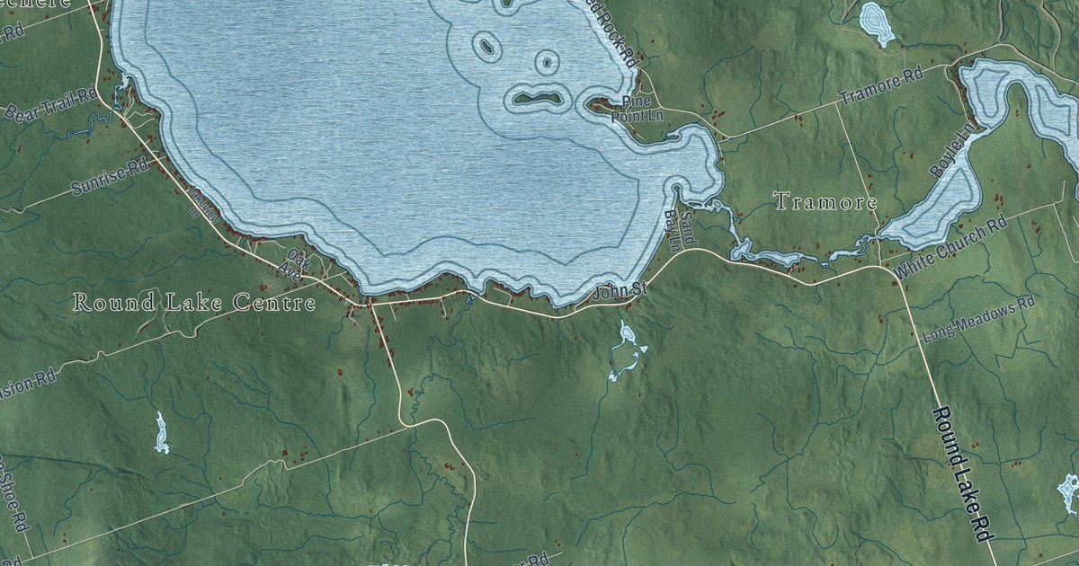
A detailed map of Killaloe, Hagarty and Richards, Ontario, showing every building in its true location, the roads by name, and shaded topographical relief.
Read More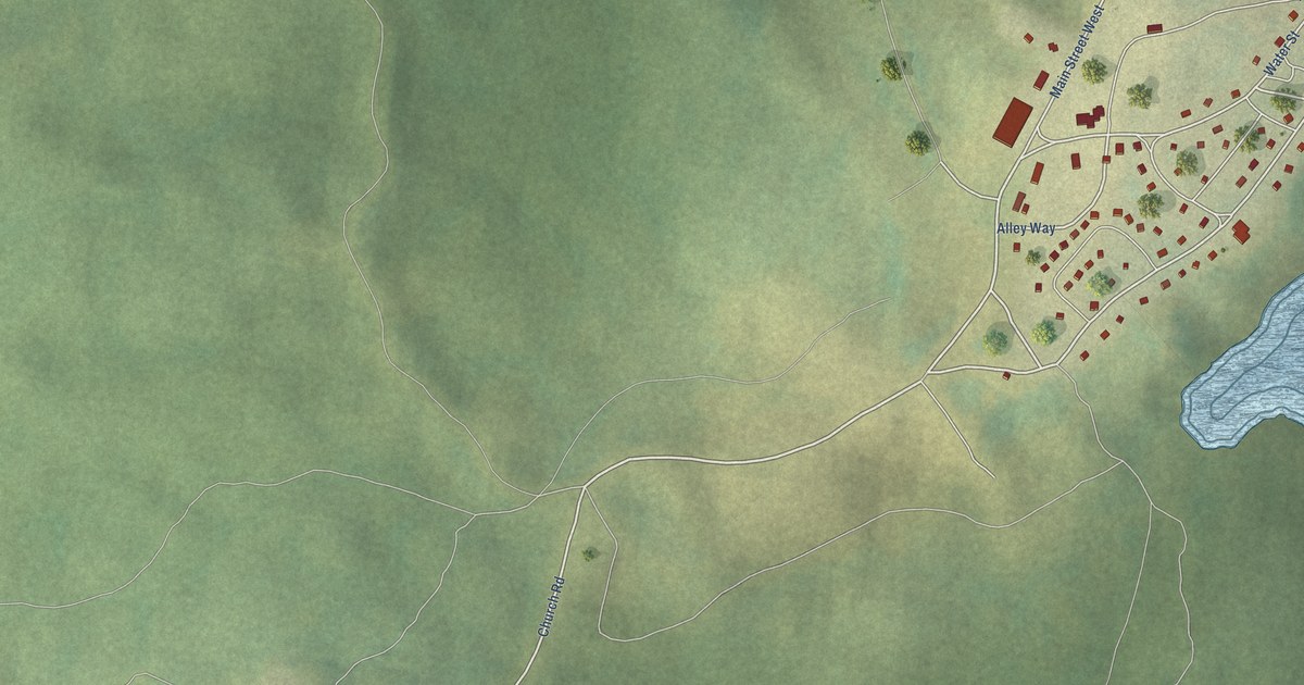
A detailed map of Kingfisher Lake, Ontario, showing every building in its true location, the roads by name, and shaded topographical relief.
Read More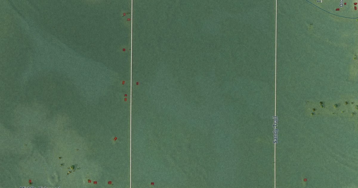
A detailed map of Kettle Point, Ontario, showing every building in its true location, the roads by name, and shaded topographical relief.
Read More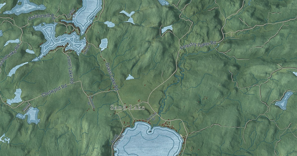
A detailed map of Kearney, Ontario, showing every building in its true location, the roads by name, and shaded topographical relief.
Read More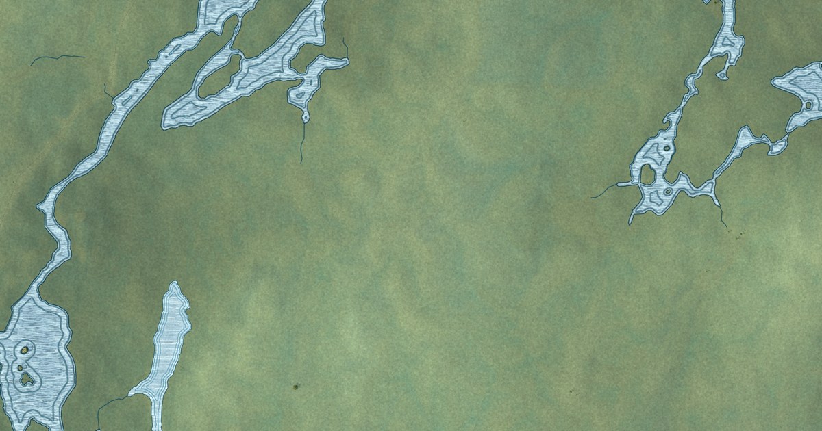
A detailed map of Kasabonika Lake, Ontario, showing every building in its true location, the roads by name, and shaded topographical relief.
Read More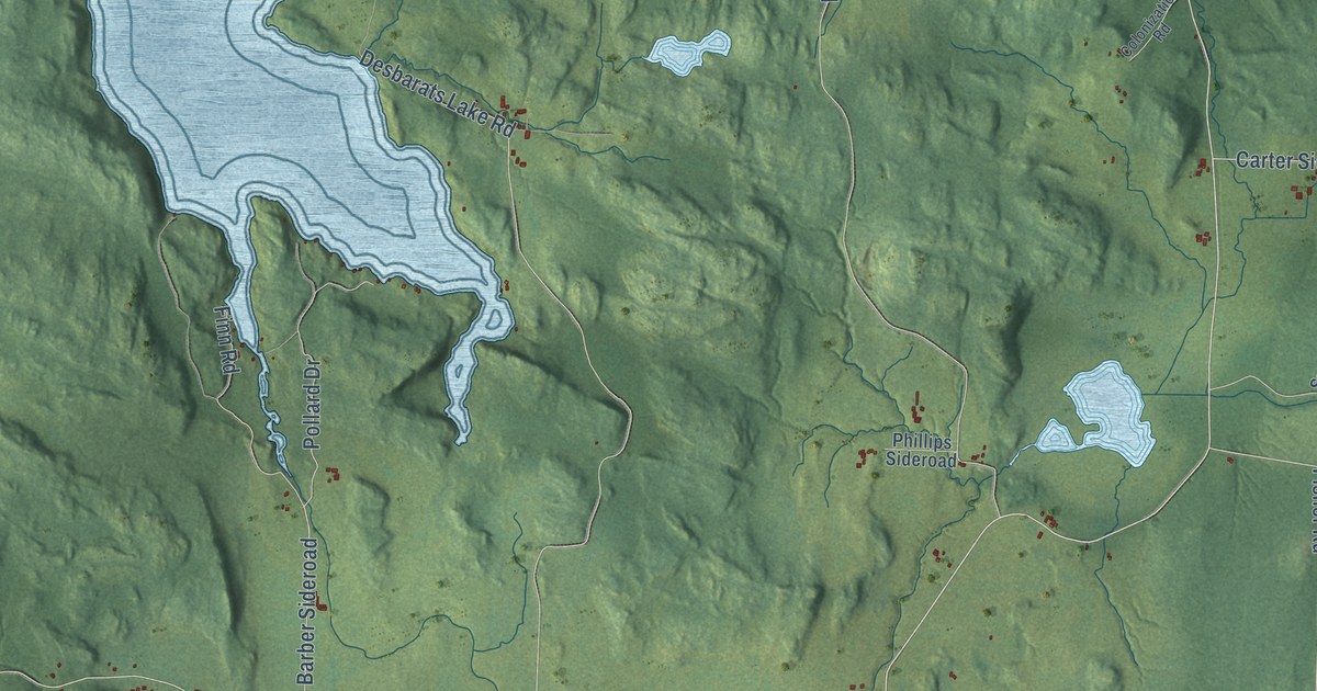
A detailed map of Johnson, Ontario, showing every building in its true location, the roads by name, and shaded topographical relief.
Read More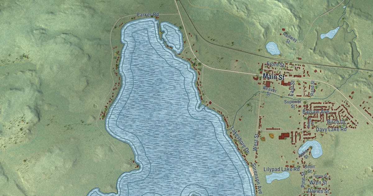
A detailed map of Ignace, Ontario, showing every building in its true location, the roads by name, and shaded topographical relief.
Read More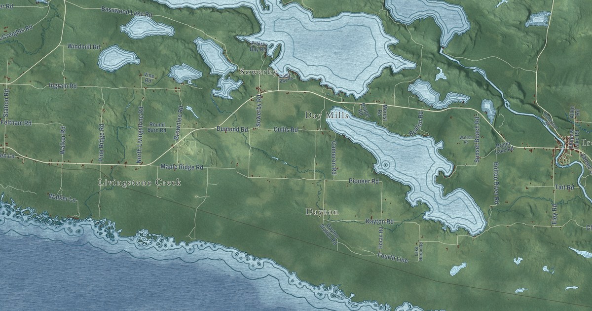
A detailed map of Huron Shores, Ontario, showing every building in its true location, the roads by name, and shaded topographical relief.
Read More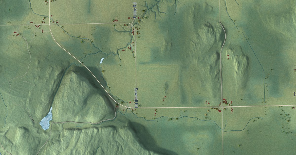
A detailed map of Hudson Township, Ontario, showing every building in its true location, the roads by name, and shaded topographical relief.
Read More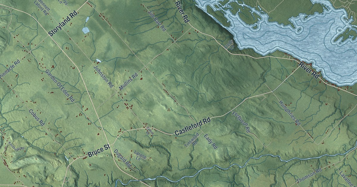
A detailed map of Horton, Ontario, showing every building in its true location, the roads by name, and shaded topographical relief.
Read More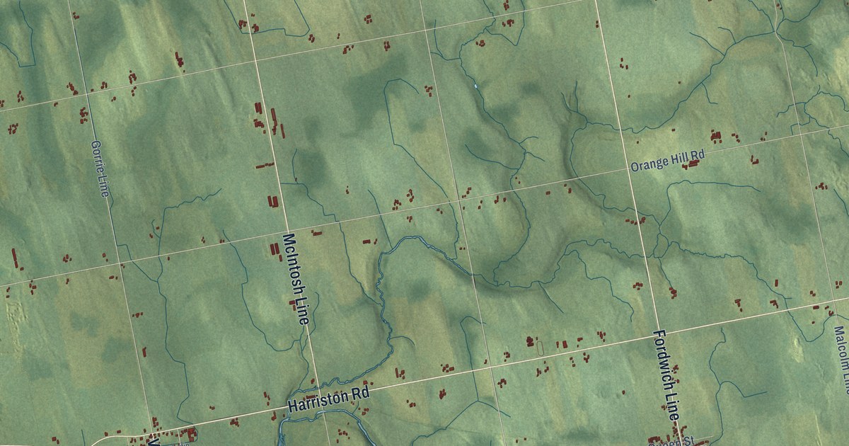
A detailed map of Howick, Ontario, showing every building in its true location, the roads by name, and shaded topographical relief.
Read More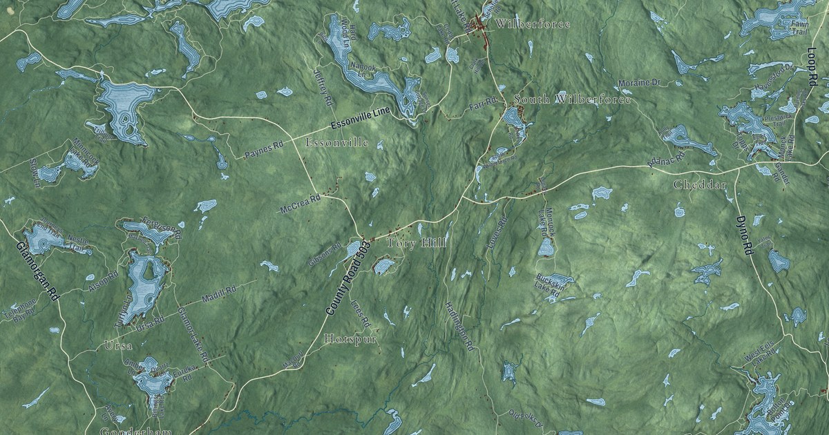
A detailed map of Highlands East, Ontario, showing every building in its true location, the roads by name, and shaded topographical relief.
Read More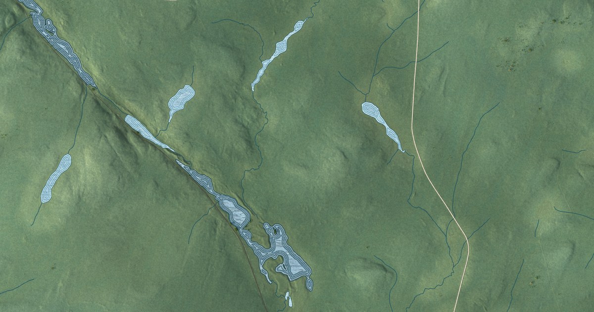
A detailed map of Hornepayne, Ontario, showing every building in its true location, the roads by name, and shaded topographical relief.
Read More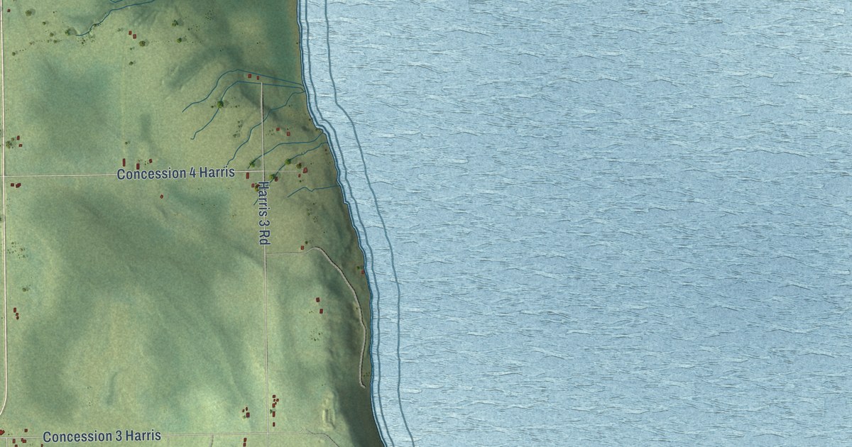
A detailed map of Harris, Ontario, showing every building in its true location, the roads by name, and shaded topographical relief.
Read More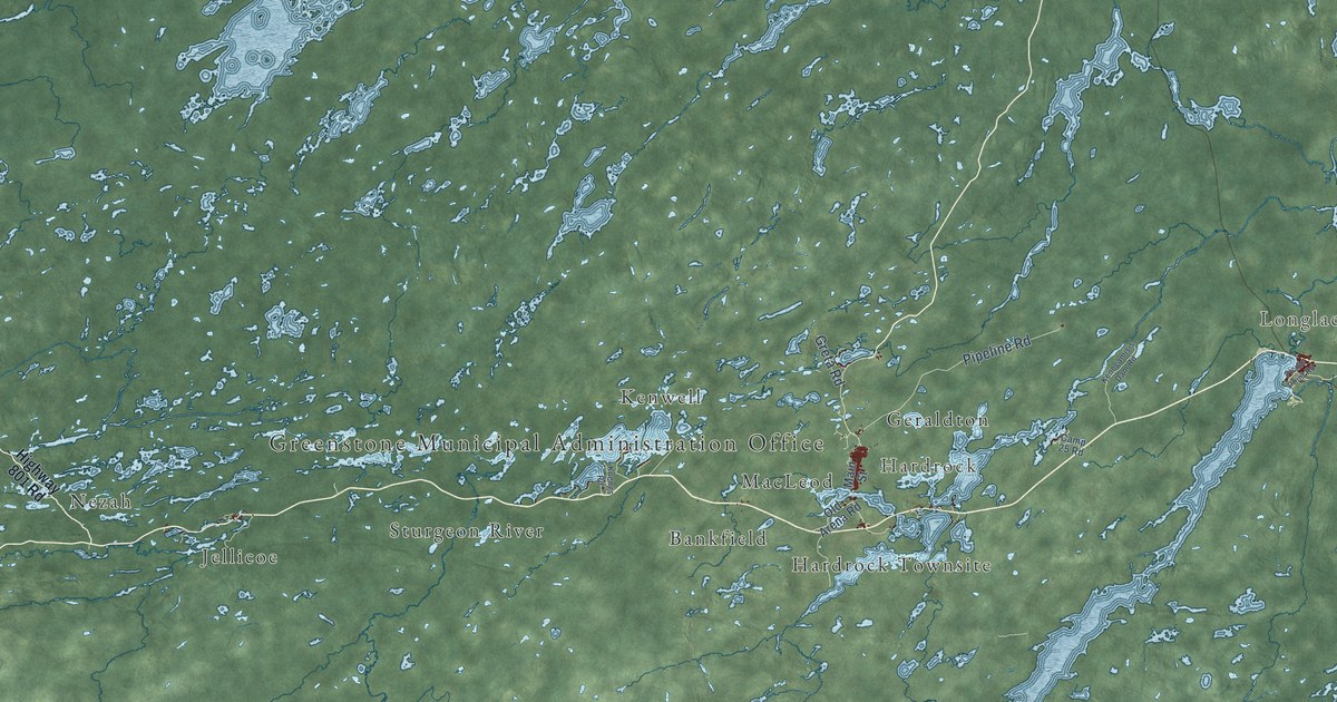
A detailed map of Greenstone, Ontario, showing every building in its true location, the roads by name, and shaded topographical relief.
Read More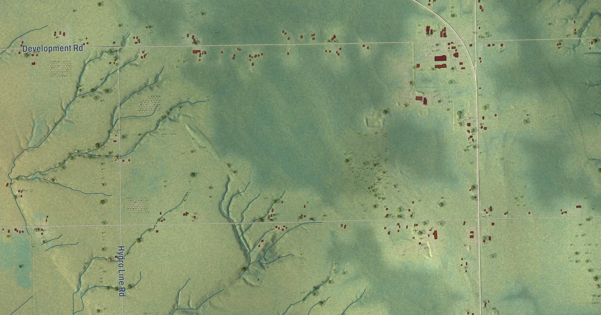
A detailed map of Harley, Ontario, showing every building in its true location, the roads by name, and shaded topographical relief.
Read More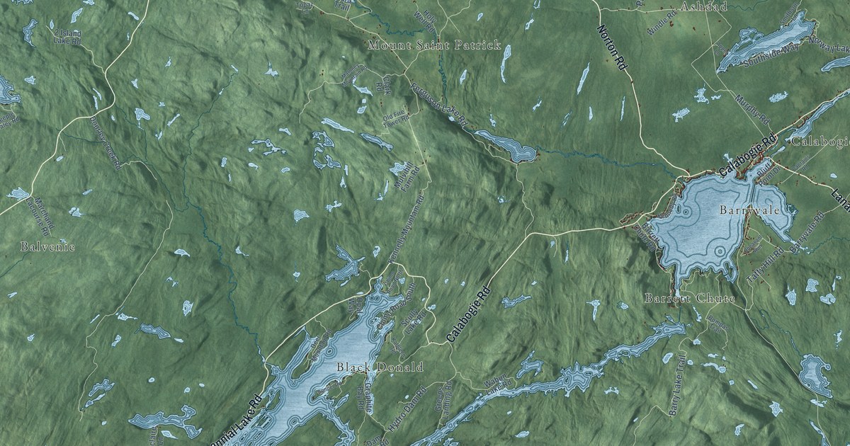
A detailed map of Greater Madawaska, Ontario, showing every building in its true location, the roads by name, and shaded topographical relief.
Read More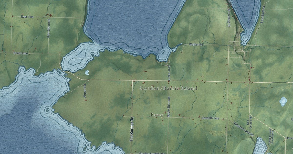
A detailed map of Gordon-Barrie Island, Ontario, showing every building in its true location, the roads by name, and shaded topographical relief.
Read More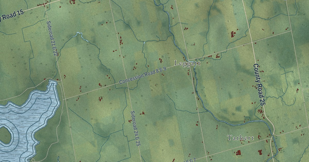
A detailed map of Grand Valley, Ontario, showing every building in its true location, the roads by name, and shaded topographical relief.
Read More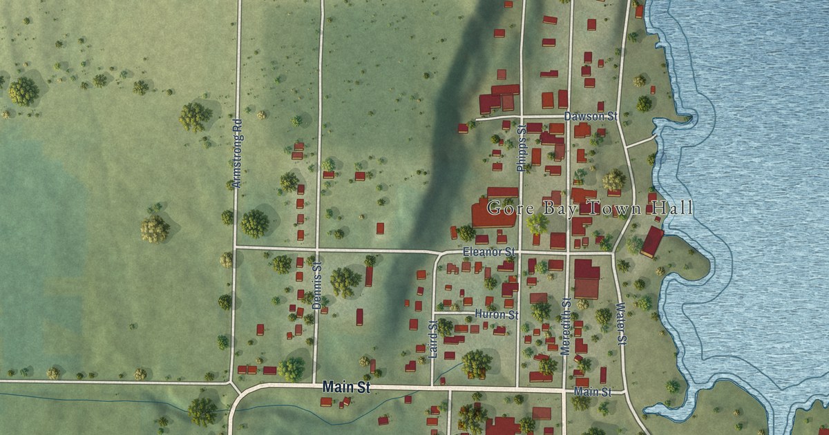
A detailed map of Gore Bay, Ontario, showing every building in its true location, the roads by name, and shaded topographical relief.
Read More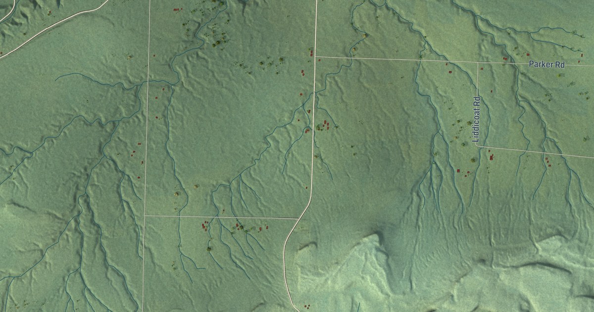
A detailed map of Gillies, Ontario, showing every building in its true location, the roads by name, and shaded topographical relief.
Read More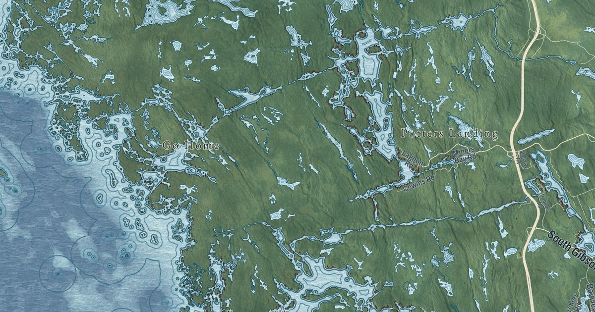
A detailed map of Georgian Bay, Ontario, showing every building in its true location, the roads by name, and shaded topographical relief.
Read More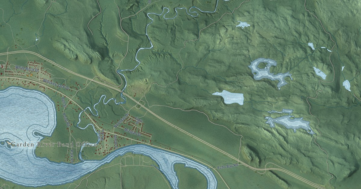
A detailed map of Garden River, Ontario, showing every building in its true location, the roads by name, and shaded topographical relief.
Read More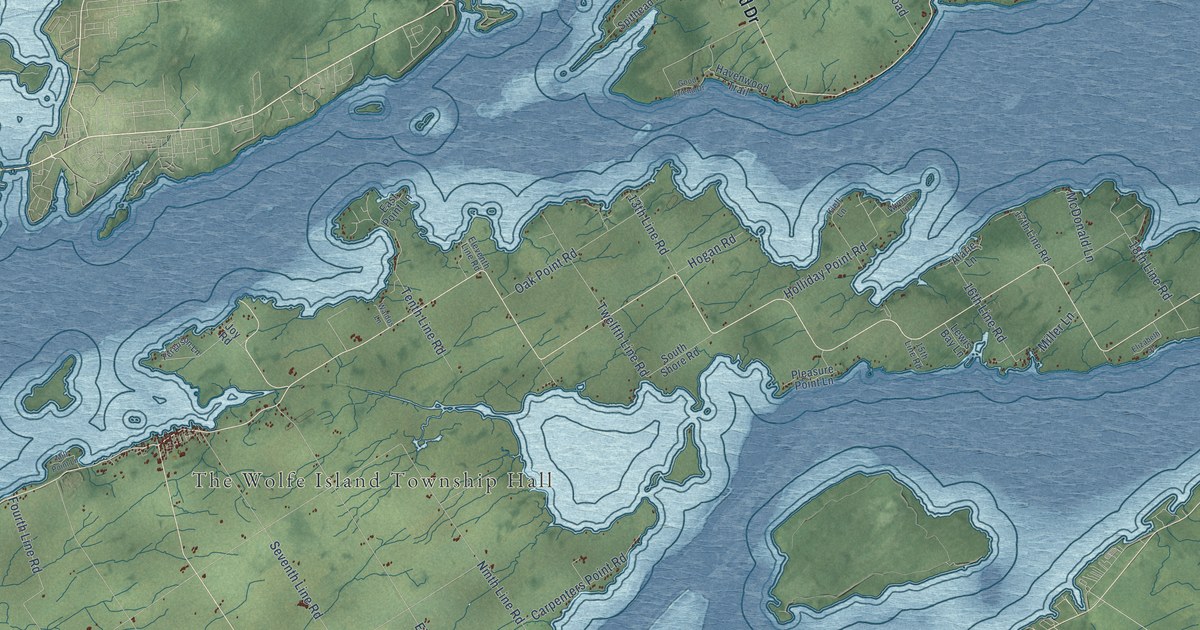
A detailed map of Frontenac Islands, Ontario, showing every building in its true location, the roads by name, and shaded topographical relief.
Read More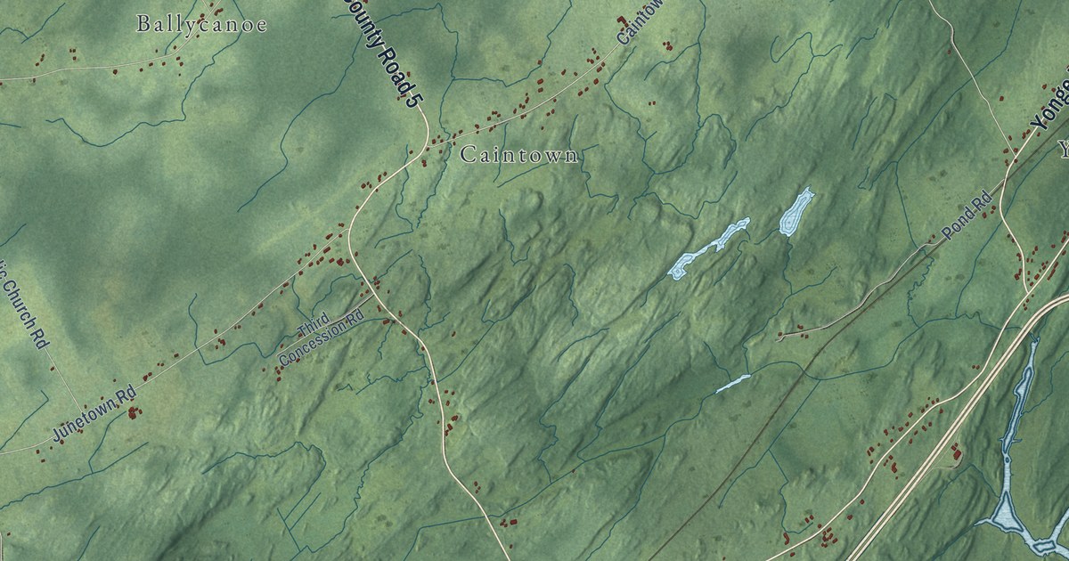
A detailed map of Front of Yonge, Ontario, showing every building in its true location, the roads by name, and shaded topographical relief.
Read More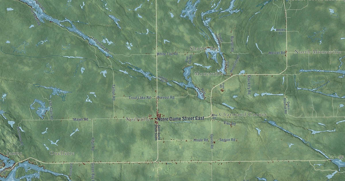
A detailed map of French River-Rivière des Français, Ontario, showing every building in its true location, the roads by name, and shaded topographical relief.
Read More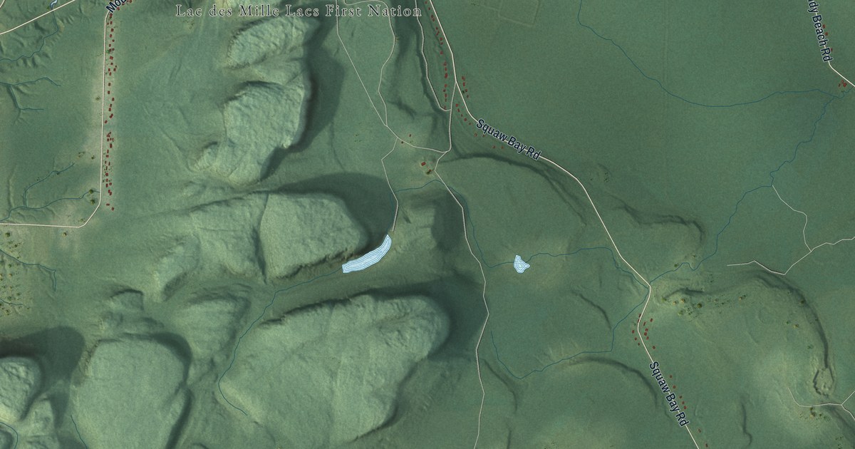
A detailed map of Fort William, Ontario, showing every building in its true location, the roads by name, and shaded topographical relief.
Read More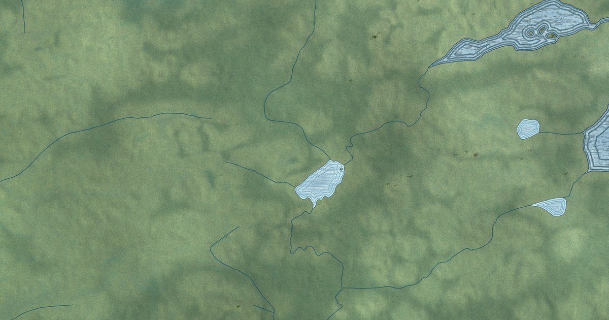
A detailed map of Fort Hope, Ontario, showing every building in its true location, the roads by name, and shaded topographical relief.
Read More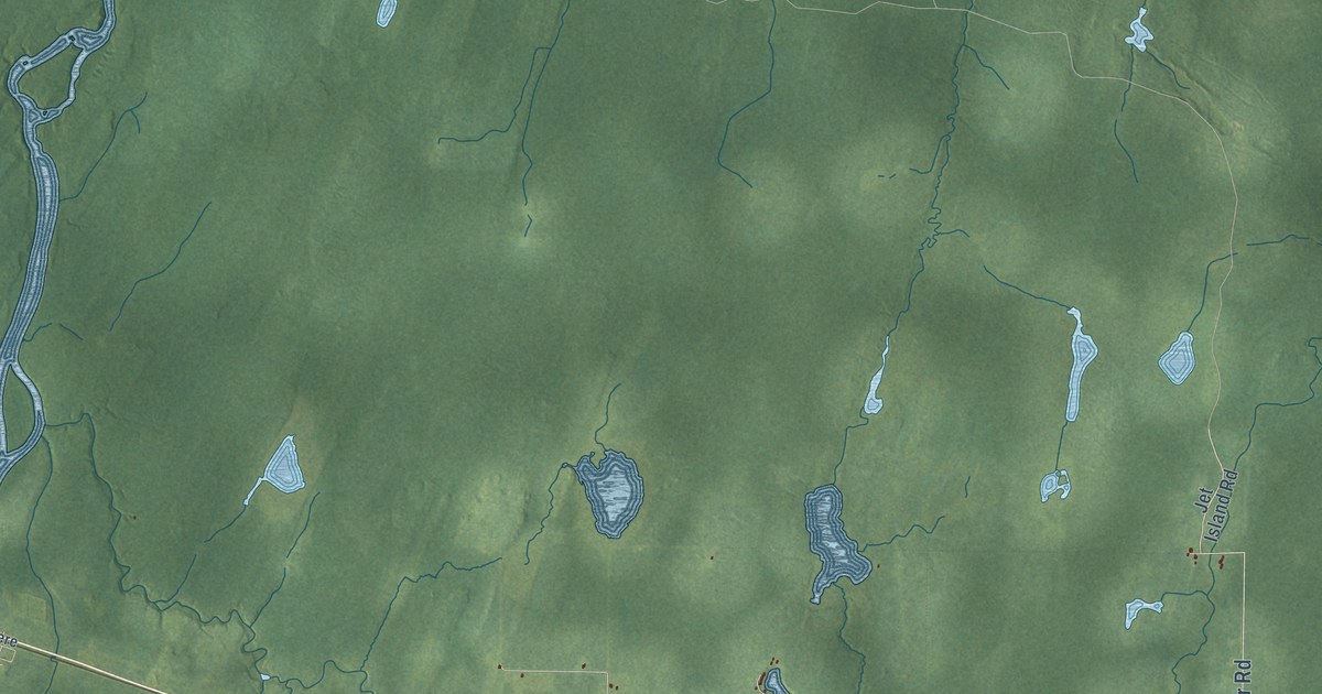
A detailed map of Fauquier-Strickland, Ontario, showing every building in its true location, the roads by name, and shaded topographical relief.
Read More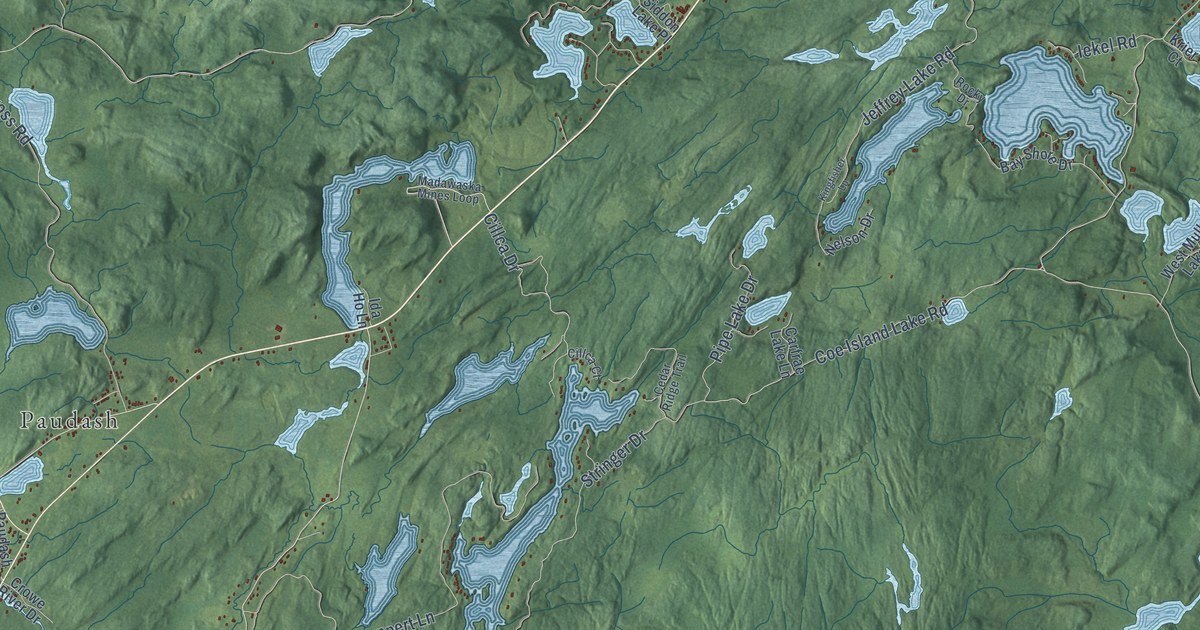
A detailed map of Faraday, Ontario, showing every building in its true location, the roads by name, and shaded topographical relief.
Read More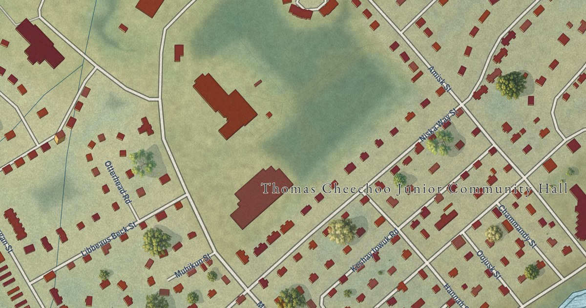
A detailed map of Factory Island, Ontario, showing every building in its true location, the roads by name, and shaded topographical relief.
Read More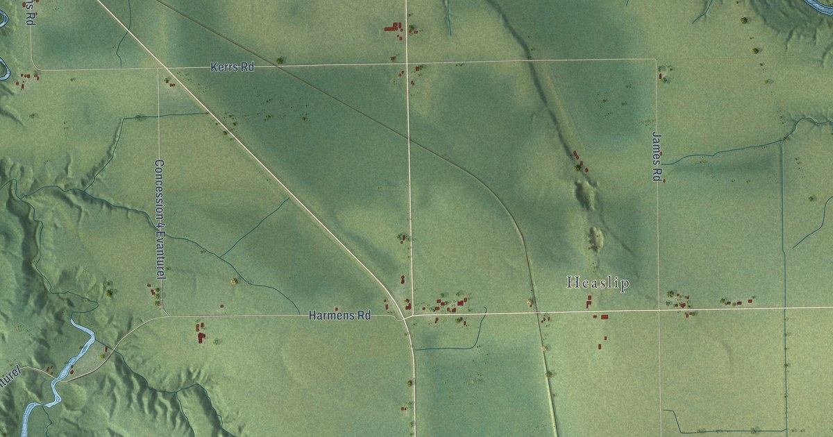
A detailed map of Evanturel, Ontario, showing every building in its true location, the roads by name, and shaded topographical relief.
Read More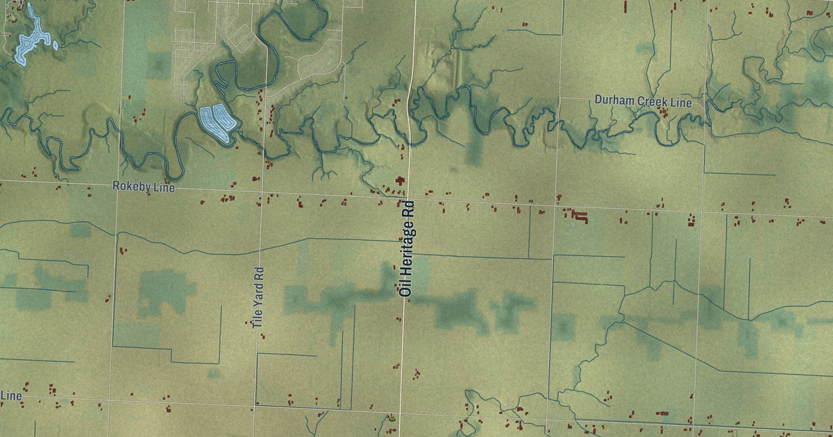
A detailed map of Enniskillen, Ontario, showing every building in its true location, the roads by name, and shaded topographical relief.
Read More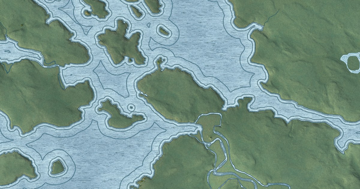
A detailed map of Grassy Narrows First Nation, Ontario, showing every building in its true location, the roads by name, and shaded topographical relief.
Read More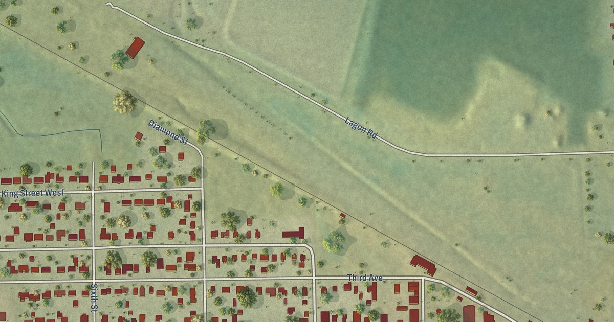
A detailed map of Englehart, Ontario, showing every building in its true location, the roads by name, and shaded topographical relief.
Read More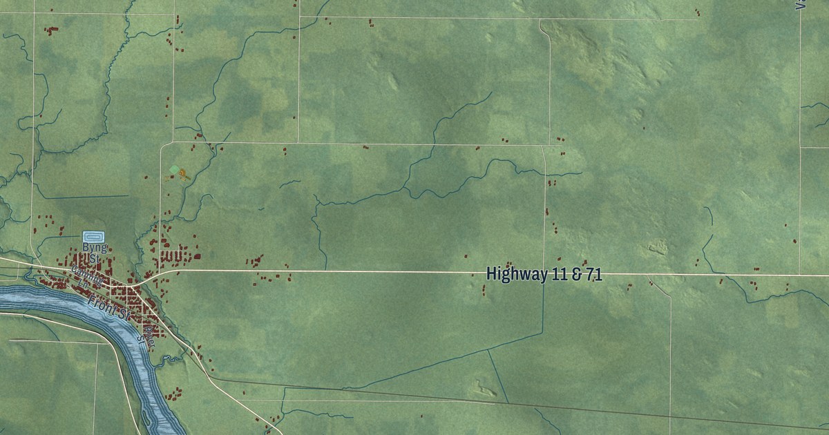
A detailed map of Emo, Ontario, showing every building in its true location, the roads by name, and shaded topographical relief.
Read More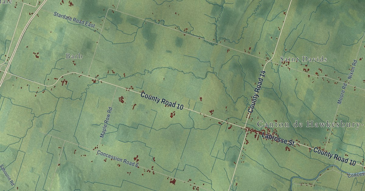
A detailed map of East Hawkesbury, Ontario, showing every building in its true location, the roads by name, and shaded topographical relief.
Read More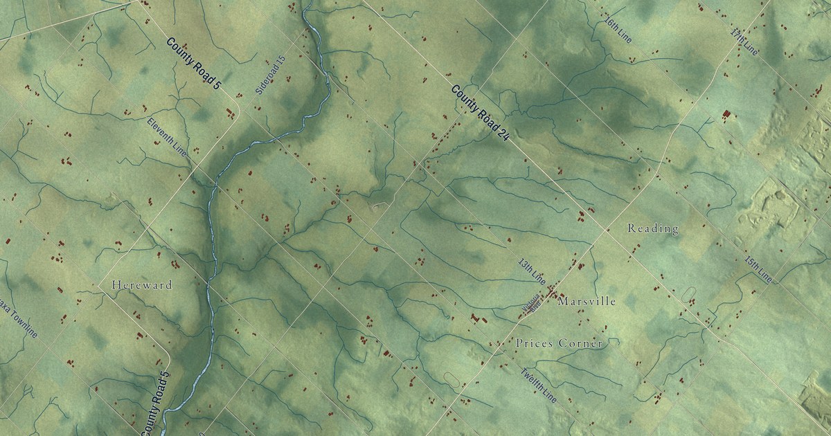
A detailed map of East Garafraxa, Ontario, showing every building in its true location, the roads by name, and shaded topographical relief.
Read More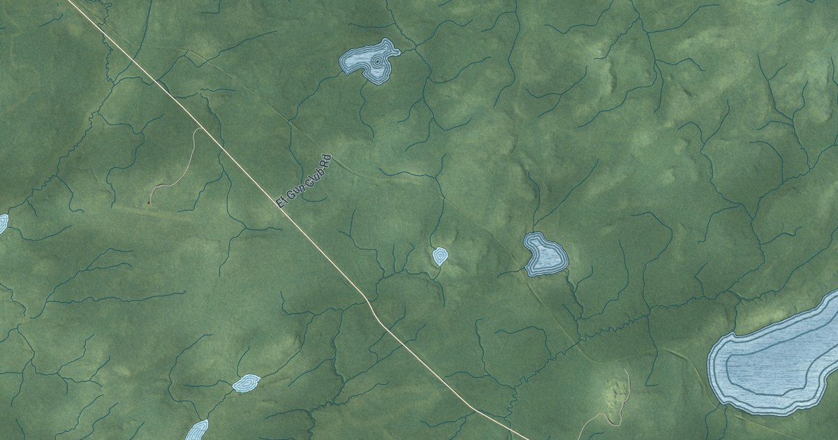
A detailed map of Ear Falls, Ontario, showing every building in its true location, the roads by name, and shaded topographical relief.
Read More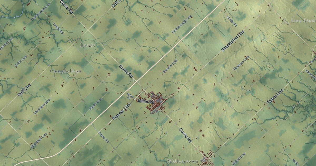
A detailed map of Dutton-Dunwich, Ontario, showing every building in its true location, the roads by name, and shaded topographical relief.
Read More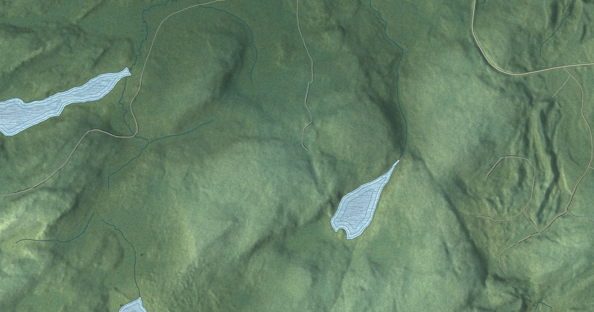
A detailed map of Dubreuilville, Ontario, showing every building in its true location, the roads by name, and shaded topographical relief.
Read More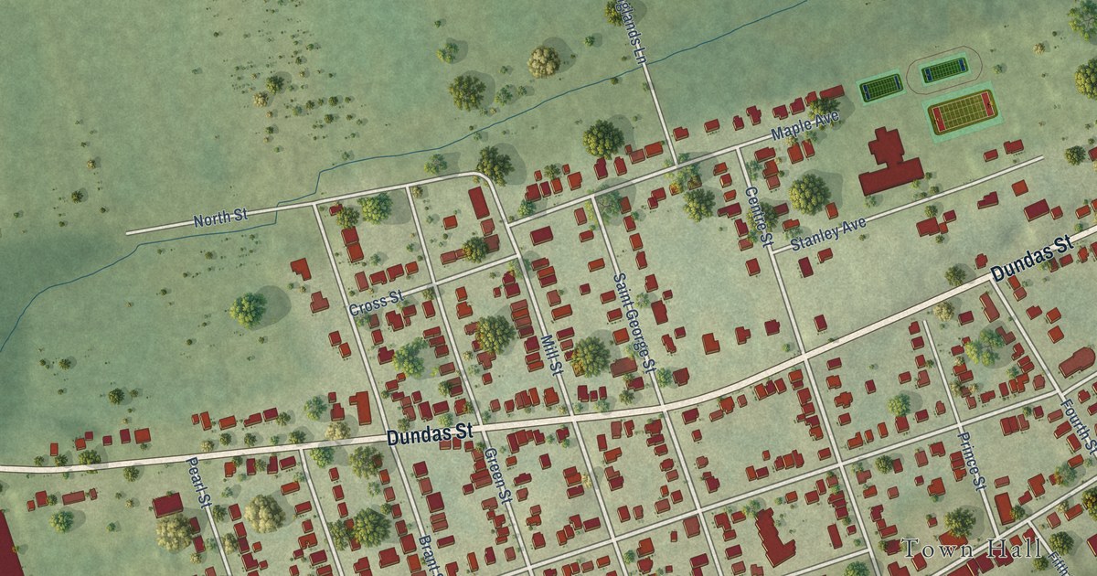
A detailed map of Deseronto, Ontario, showing every building in its true location, the roads by name, and shaded topographical relief.
Read More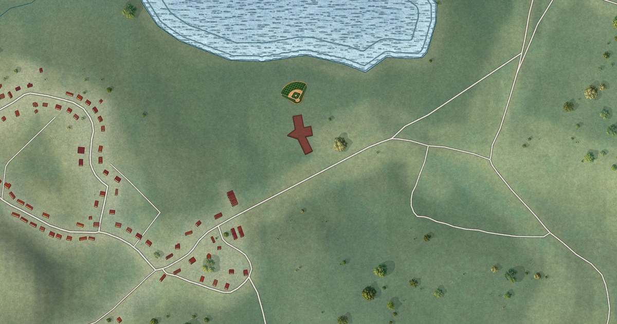
A detailed map of Deer Lake, Ontario, showing every building in its true location, the roads by name, and shaded topographical relief.
Read More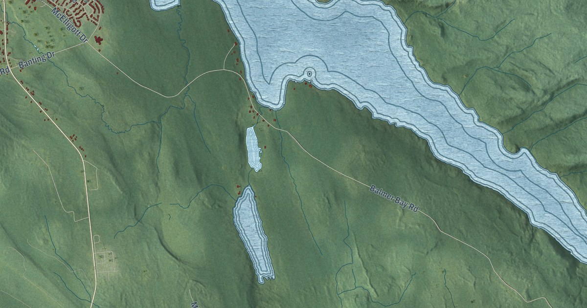
A detailed map of Deep River, Ontario, showing every building in its true location, the roads by name, and shaded topographical relief.
Read More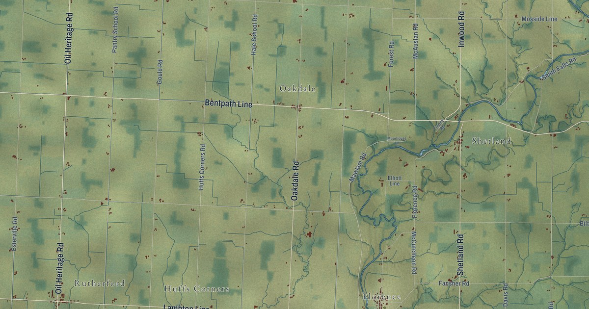
A detailed map of Dawn-Euphemia, Ontario, showing every building in its true location, the roads by name, and shaded topographical relief.
Read More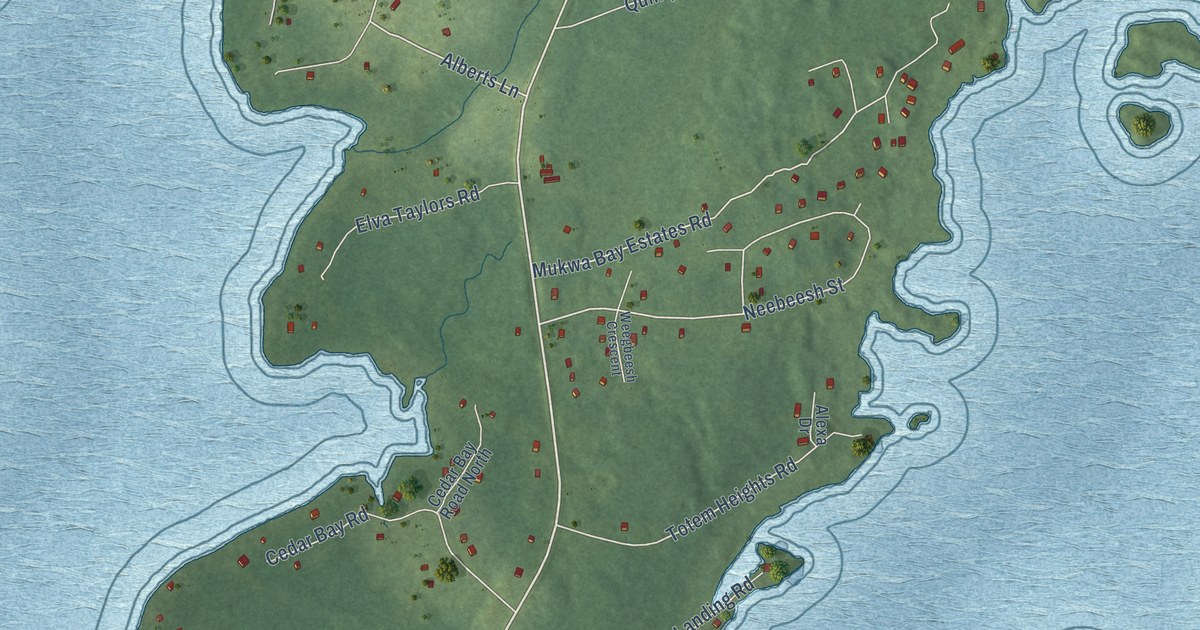
A detailed map of Curve Lake First Nation, Ontario, showing every building in its true location, the roads by name, and shaded topographical relief.
Read More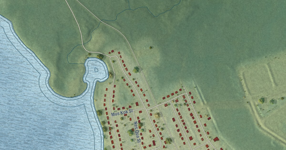
A detailed map of Constance Lake, Ontario, showing every building in its true location, the roads by name, and shaded topographical relief.
Read More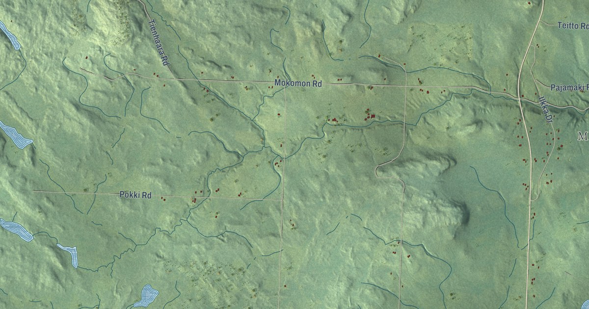
A detailed map of Conmee, Ontario, showing every building in its true location, the roads by name, and shaded topographical relief.
Read More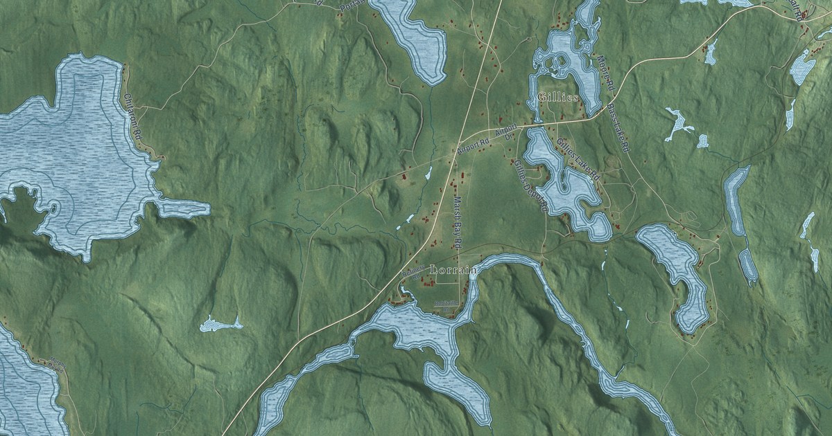
A detailed map of Coleman, Ontario, showing every building in its true location, the roads by name, and shaded topographical relief.
Read More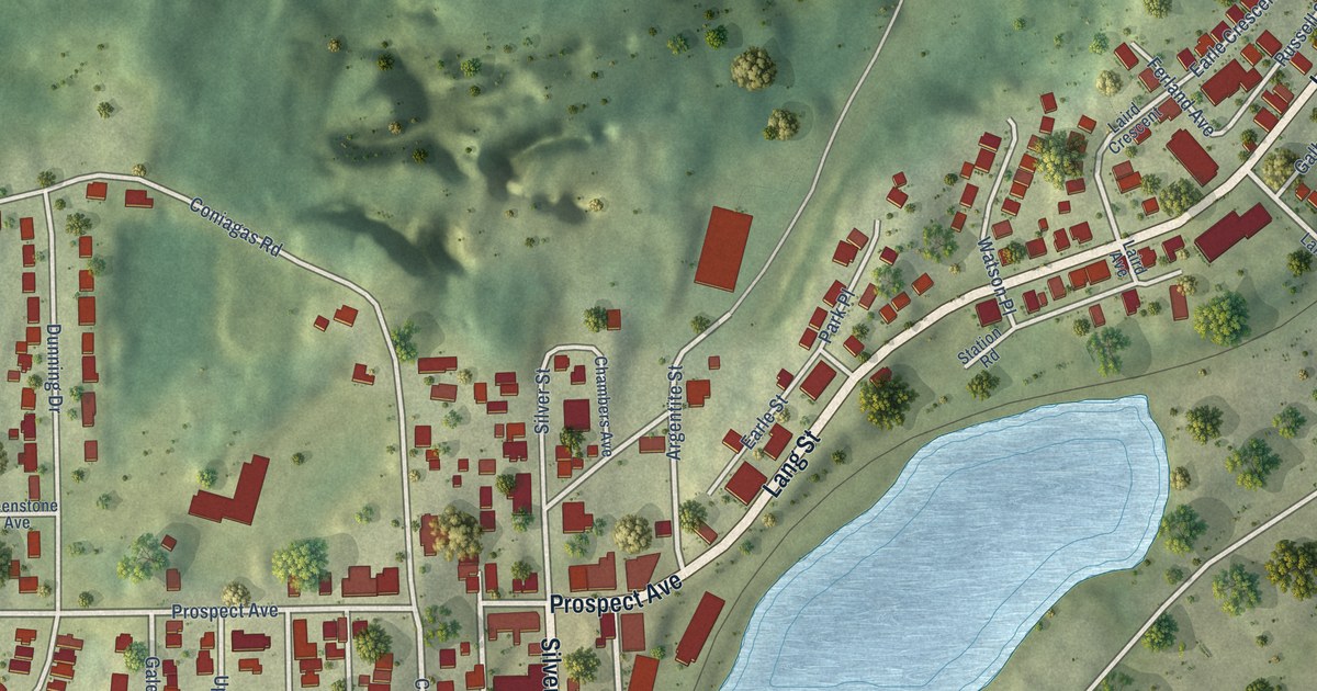
A detailed map of Cobalt, Ontario, showing every building in its true location, the roads by name, and shaded topographical relief.
Read More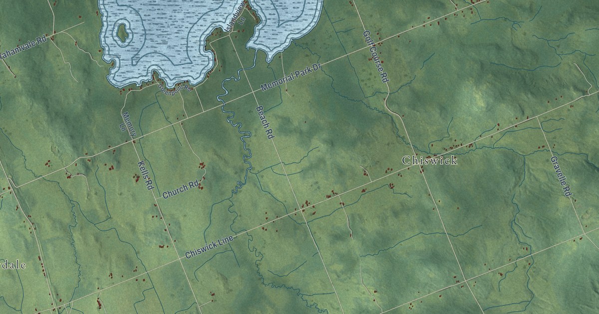
A detailed map of Chisholm, Ontario, showing every building in its true location, the roads by name, and shaded topographical relief.
Read More
A detailed map of Christian Island, Ontario, showing every building in its true location, the roads by name, and shaded topographical relief.
Read More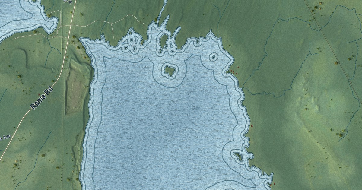
A detailed map of Chippewas of Rama First Nation, Ontario, showing every building in its true location, the roads by name, and shaded topographical relief.
Read More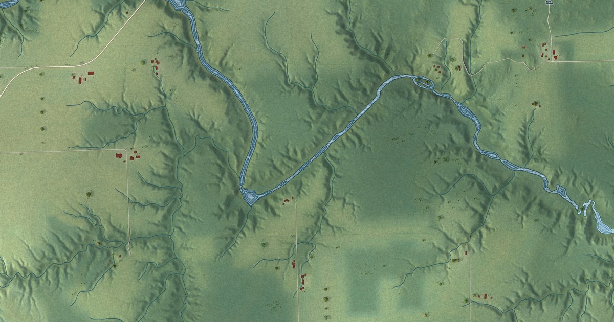
A detailed map of Charlton and Dack, Ontario, showing every building in its true location, the roads by name, and shaded topographical relief.
Read More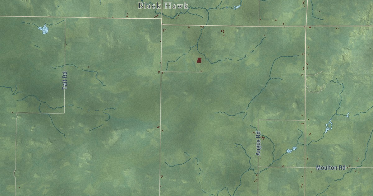
A detailed map of Chapple, Ontario, showing every building in its true location, the roads by name, and shaded topographical relief.
Read More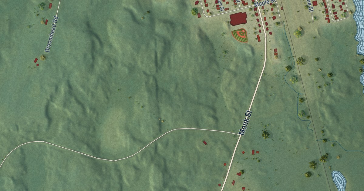
A detailed map of Chapleau, Ontario, showing every building in its true location, the roads by name, and shaded topographical relief.
Read More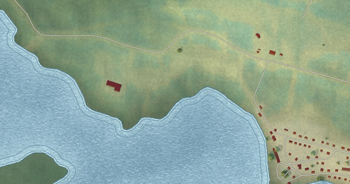
A detailed map of Cat Lake, Ontario, showing every building in its true location, the roads by name, and shaded topographical relief.
Read More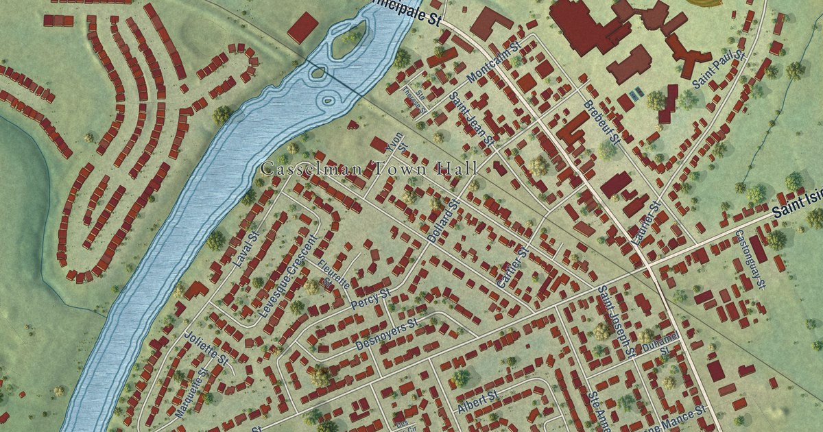
A detailed map of Casselman, Ontario, showing every building in its true location, the roads by name, and shaded topographical relief.
Read More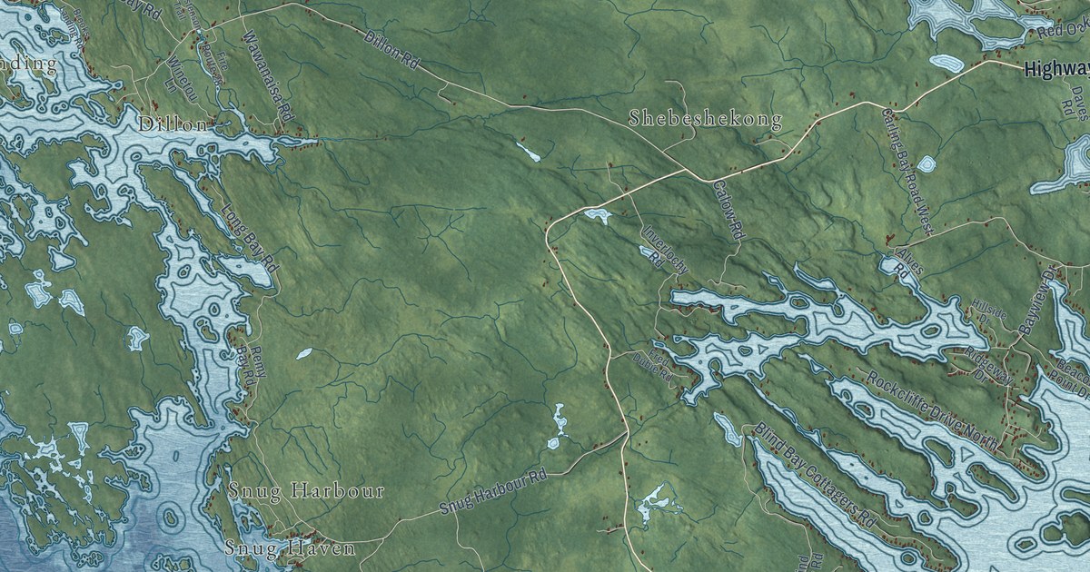
A detailed map of Carling, Ontario, showing every building in its true location, the roads by name, and shaded topographical relief.
Read More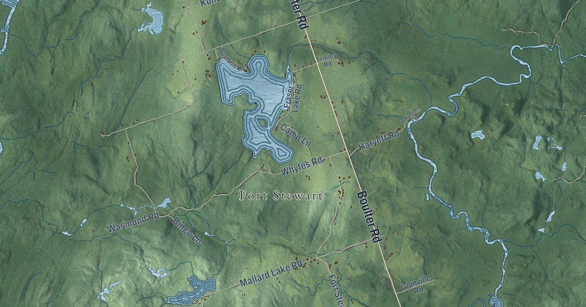
A detailed map of Carlow-Mayo, Ontario, showing every building in its true location, the roads by name, and shaded topographical relief.
Read More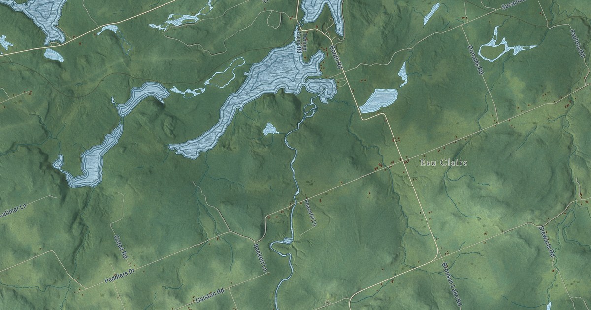
A detailed map of Calvin, Ontario, showing every building in its true location, the roads by name, and shaded topographical relief.
Read More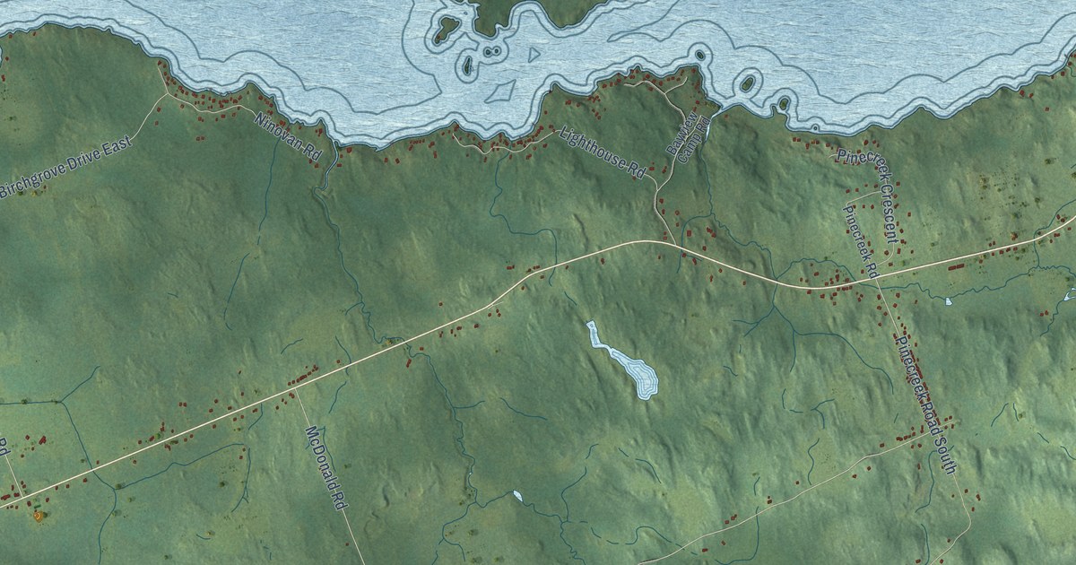
A detailed map of Callander, Ontario, showing every building in its true location, the roads by name, and shaded topographical relief.
Read More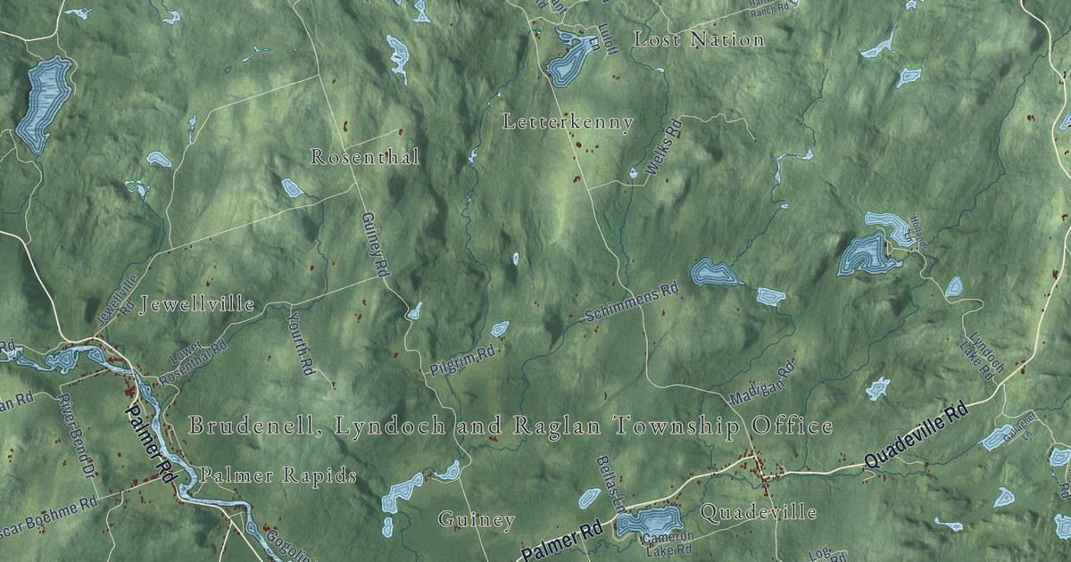
A detailed map of Brudenell, Lyndoch and Raglan, Ontario, showing every building in its true location, the roads by name, and shaded topographical relief.
Read More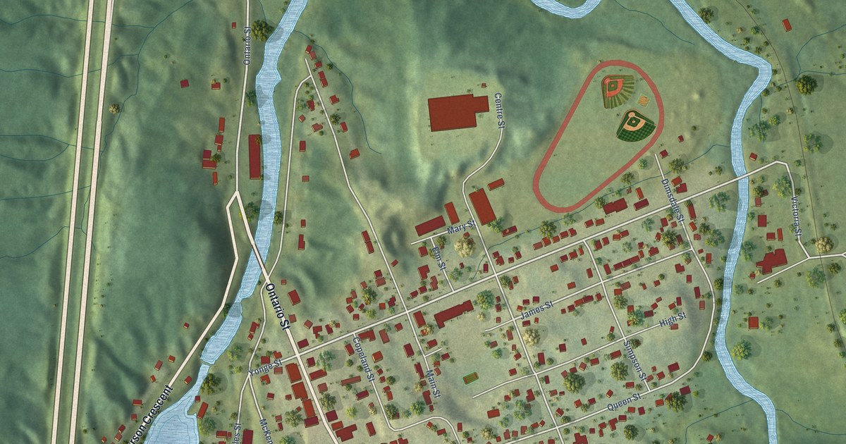
A detailed map of Burk’s Falls, Ontario, showing every building in its true location, the roads by name, and shaded topographical relief.
Read More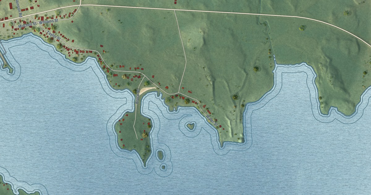
A detailed map of Bruce Mines, Ontario, showing every building in its true location, the roads by name, and shaded topographical relief.
Read More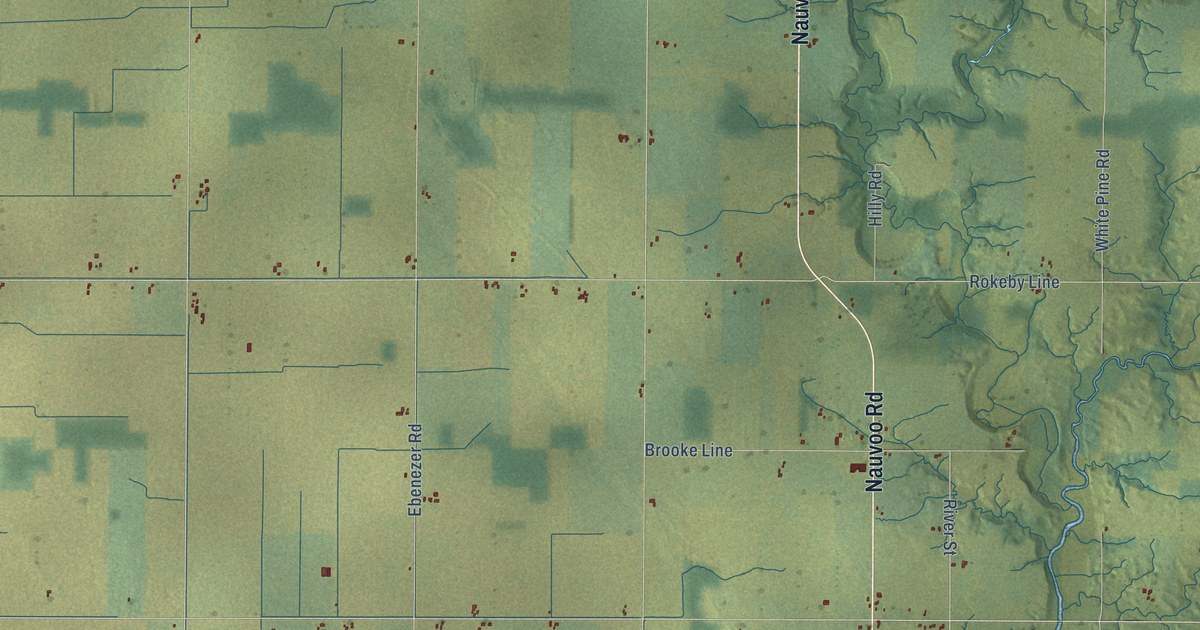
A detailed map of Brooke-Alvinston, Ontario, showing every building in its true location, the roads by name, and shaded topographical relief.
Read More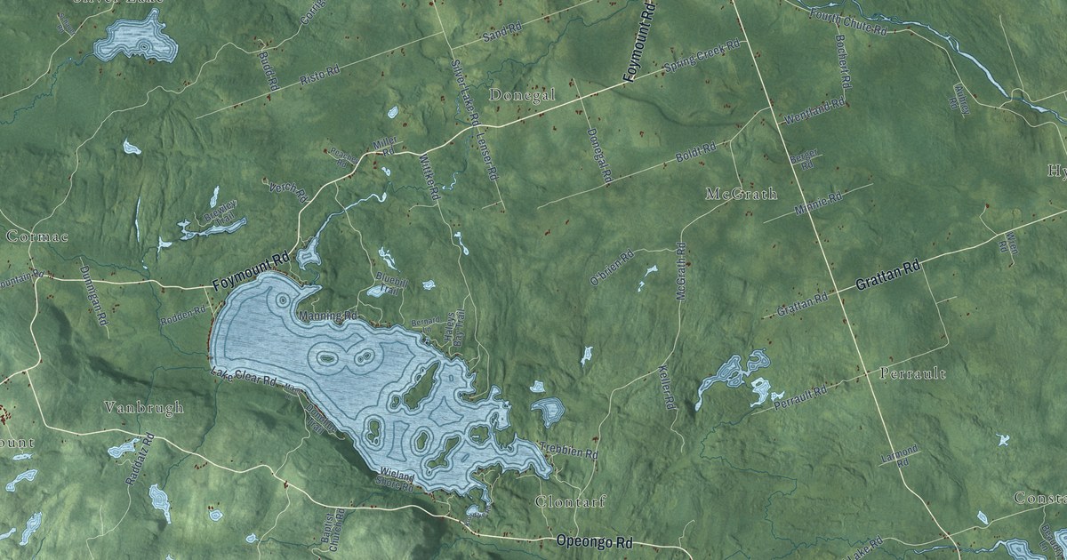
A detailed map of Bonnechere Valley, Ontario, showing every building in its true location, the roads by name, and shaded topographical relief.
Read More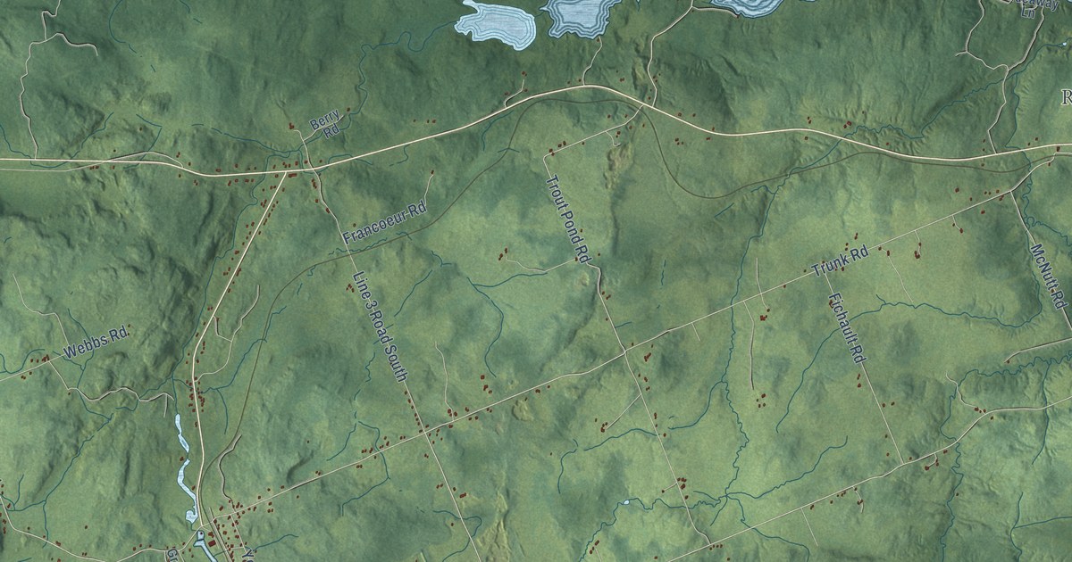
A detailed map of Bonfield, Ontario, showing every building in its true location, the roads by name, and shaded topographical relief.
Read More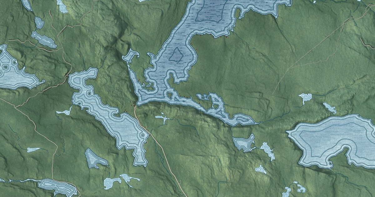
A detailed map of Blind River, Ontario, showing every building in its true location, the roads by name, and shaded topographical relief.
Read More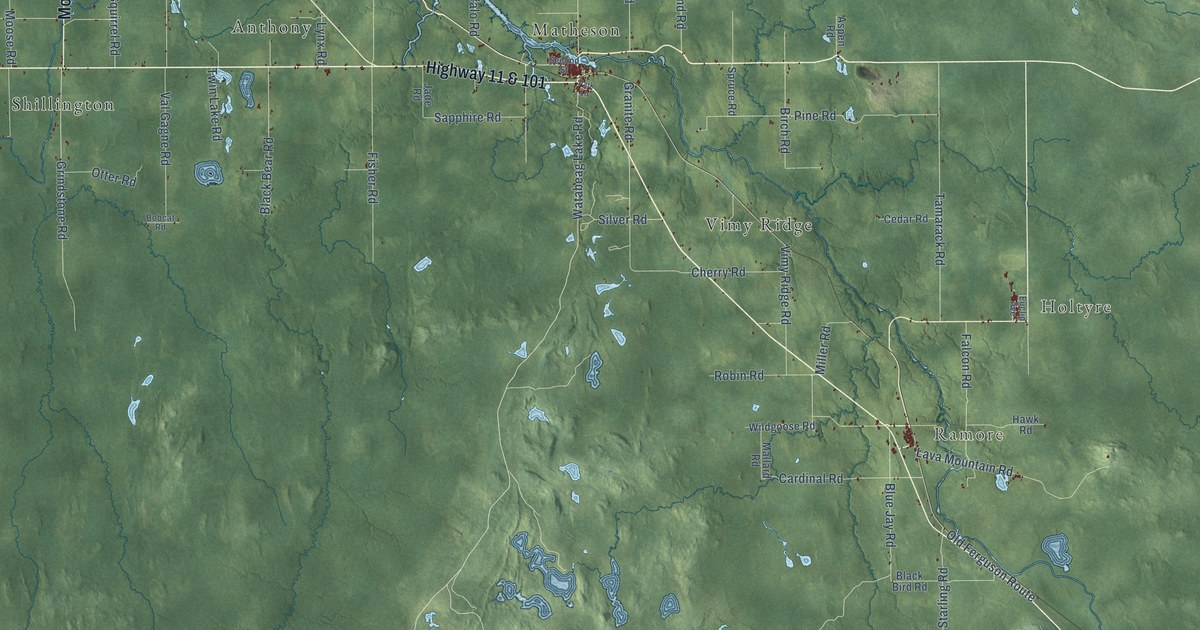
A detailed map of Black River-Matheson, Ontario, showing every building in its true location, the roads by name, and shaded topographical relief.
Read More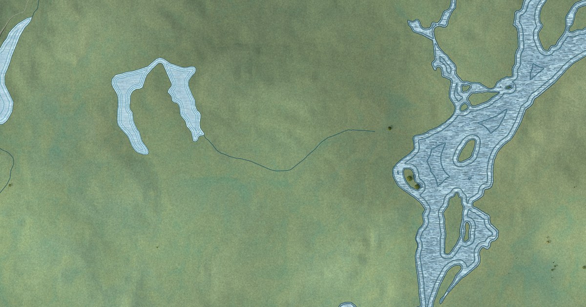
A detailed map of Bearskin Lake, Ontario, showing every building in its true location, the roads by name, and shaded topographical relief.
Read More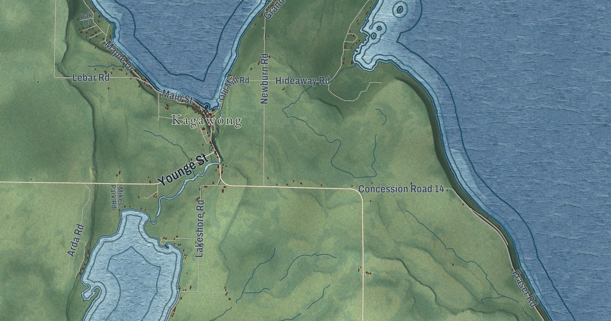
A detailed map of Billings, Ontario, showing every building in its true location, the roads by name, and shaded topographical relief.
Read More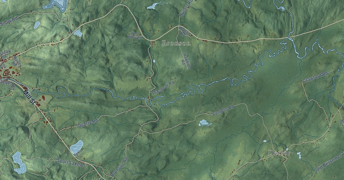
A detailed map of Bancroft, Ontario, showing every building in its true location, the roads by name, and shaded topographical relief.
Read More