Detailed Map of Clearmont, Missouri
A detailed map of Clearmont, Missouri, showing every building in its true location, the roads by name, and shaded topographical relief.
Read More
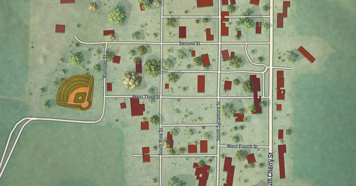
A detailed map of Clearmont, Missouri, showing every building in its true location, the roads by name, and shaded topographical relief.
Read More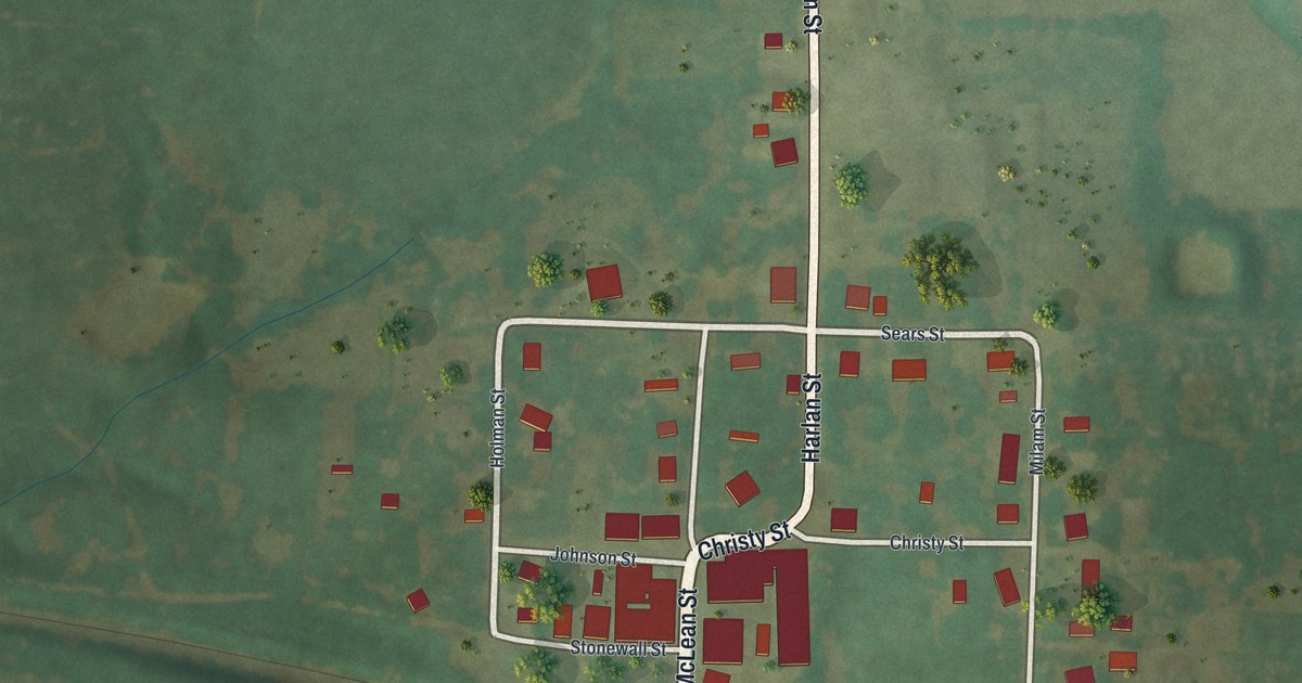
A detailed map of Clifton Hill, Missouri, showing every building in its true location, the roads by name, and shaded topographical relief.
Read More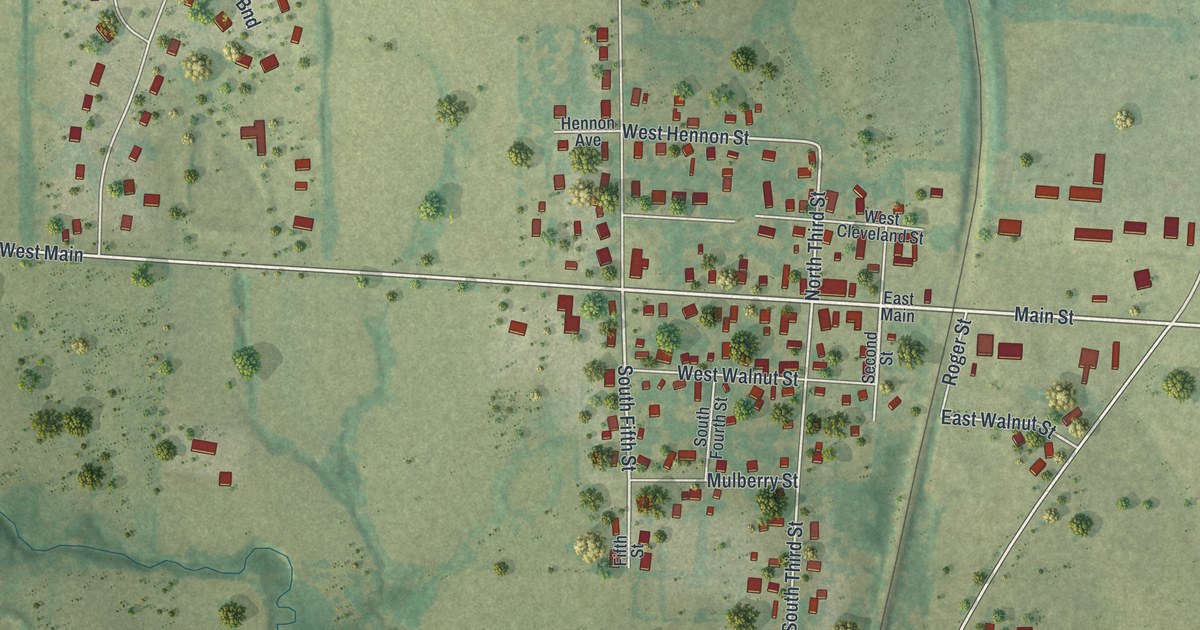
A detailed map of Cleveland, Missouri, showing every building in its true location, the roads by name, and shaded topographical relief.
Read More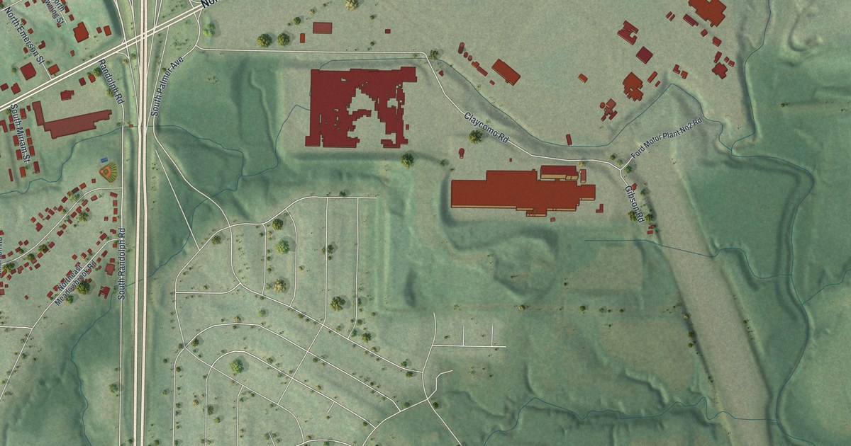
A detailed map of Claycomo, Missouri, showing every building in its true location, the roads by name, and shaded topographical relief.
Read More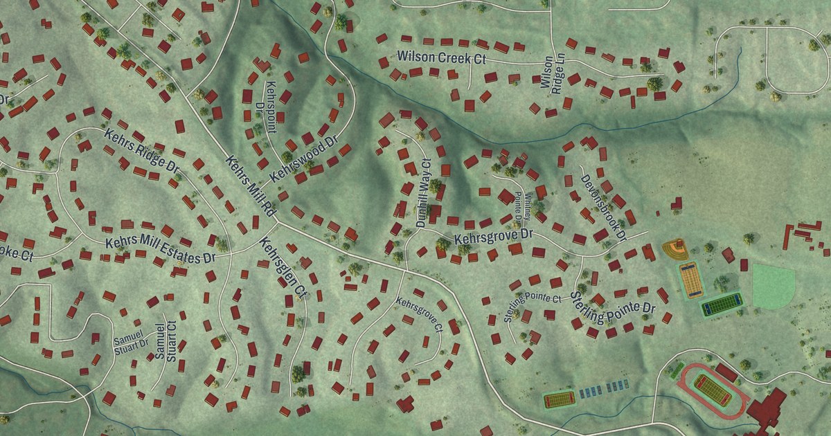
A detailed map of Clarkson Valley, Missouri, showing every building in its true location, the roads by name, and shaded topographical relief.
Read More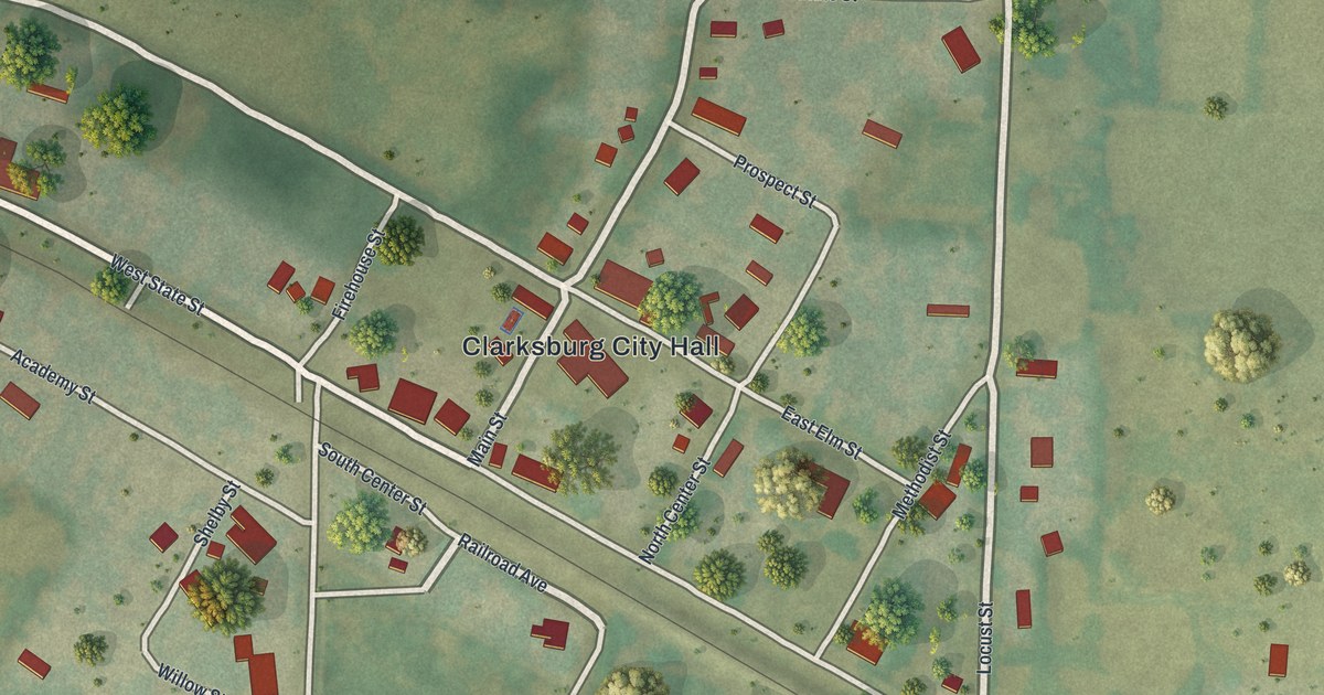
A detailed map of Clarksburg, Missouri, showing every building in its true location, the roads by name, and shaded topographical relief.
Read More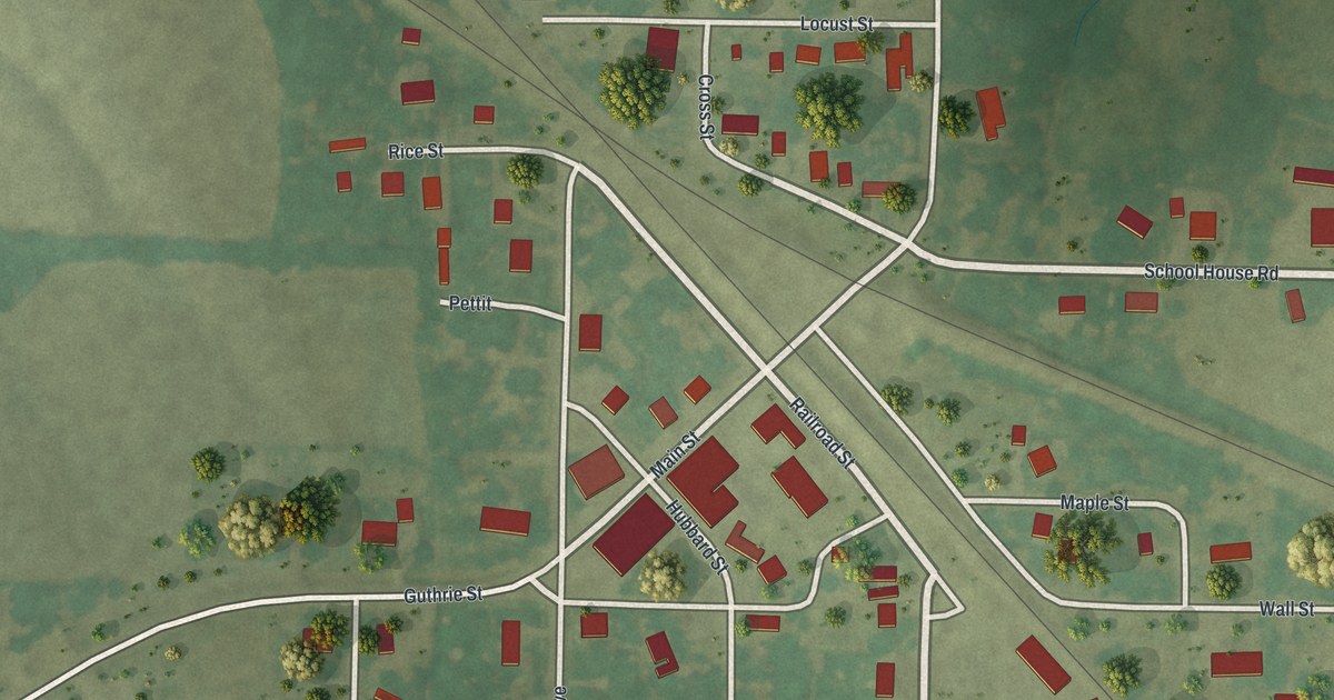
A detailed map of Clark, Missouri, showing every building in its true location, the roads by name, and shaded topographical relief.
Read More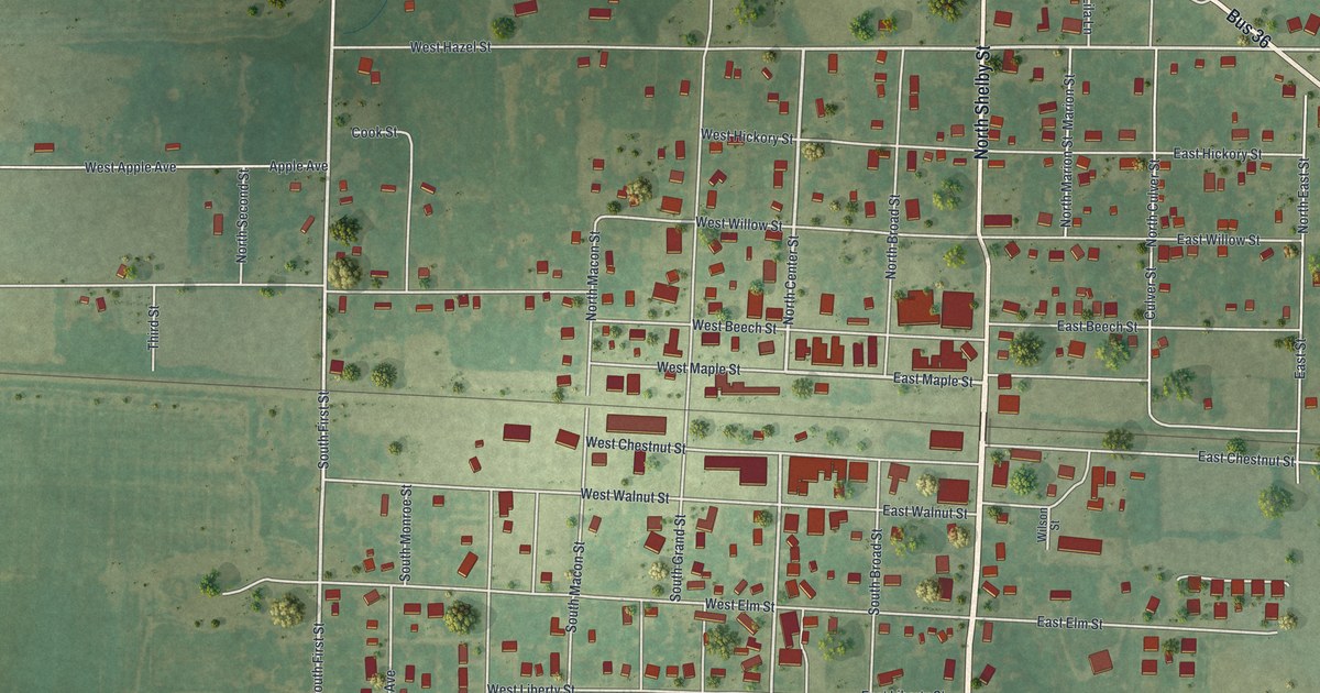
A detailed map of Clarence, Missouri, showing every building in its true location, the roads by name, and shaded topographical relief.
Read More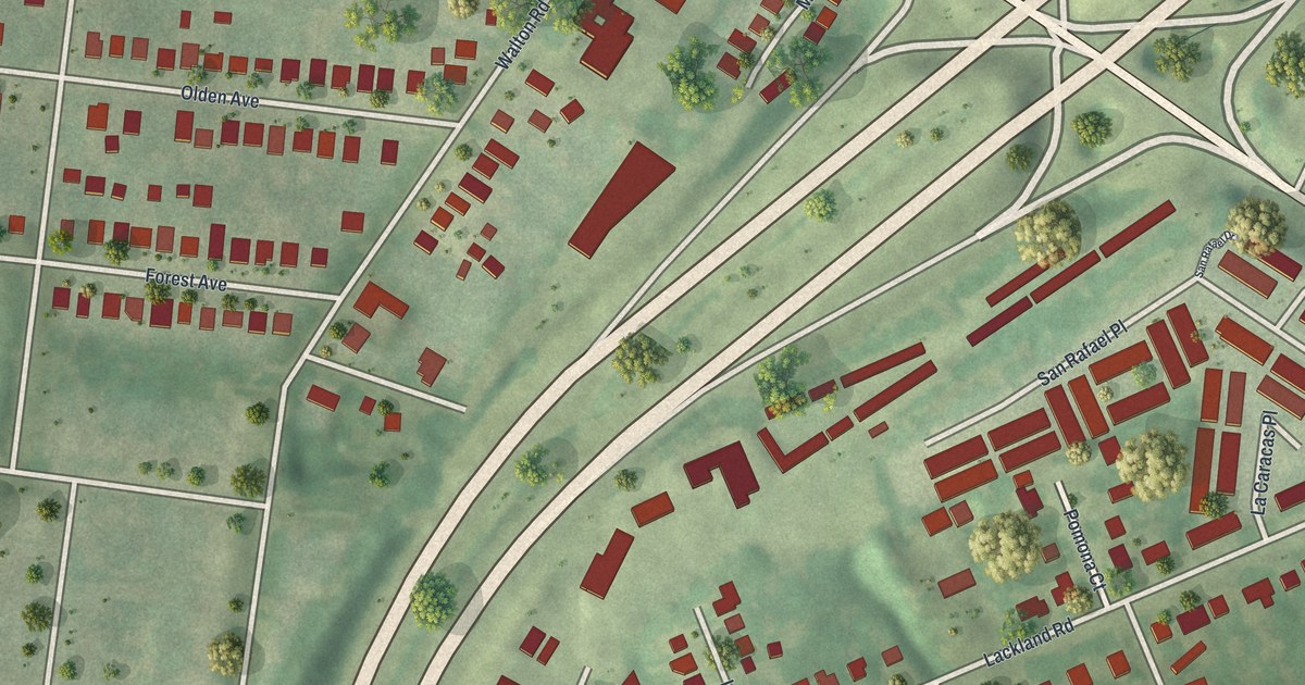
A detailed map of Charlack, Missouri, showing every building in its true location, the roads by name, and shaded topographical relief.
Read More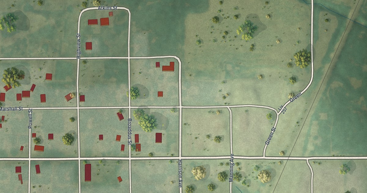
A detailed map of Chula, Missouri, showing every building in its true location, the roads by name, and shaded topographical relief.
Read More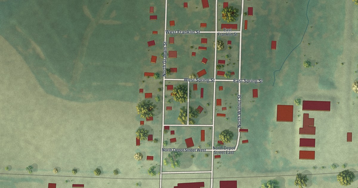
A detailed map of Centerview, Missouri, showing every building in its true location, the roads by name, and shaded topographical relief.
Read More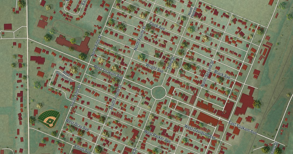
A detailed map of Chaffee, Missouri, showing every building in its true location, the roads by name, and shaded topographical relief.
Read More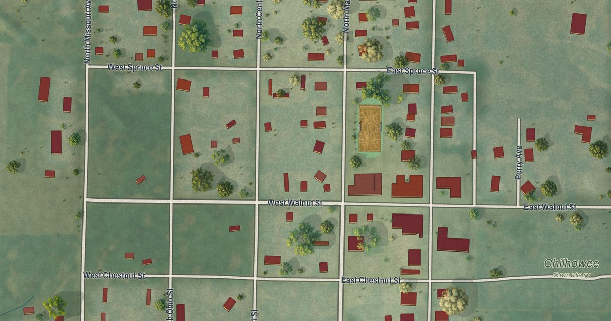
A detailed map of Chilhowee, Missouri, showing every building in its true location, the roads by name, and shaded topographical relief.
Read More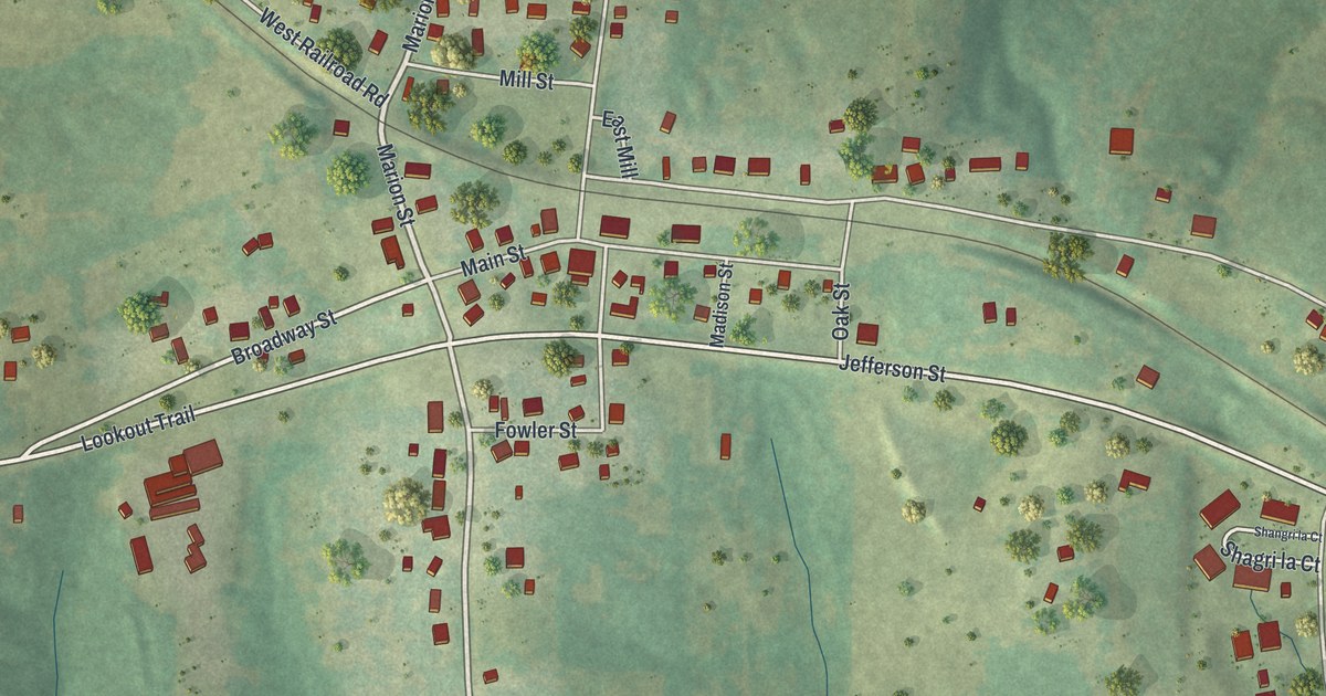
A detailed map of Centertown, Missouri, showing every building in its true location, the roads by name, and shaded topographical relief.
Read More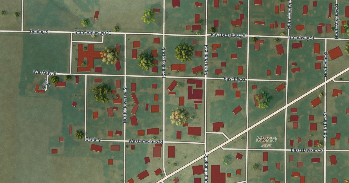
A detailed map of Center, Missouri, showing every building in its true location, the roads by name, and shaded topographical relief.
Read More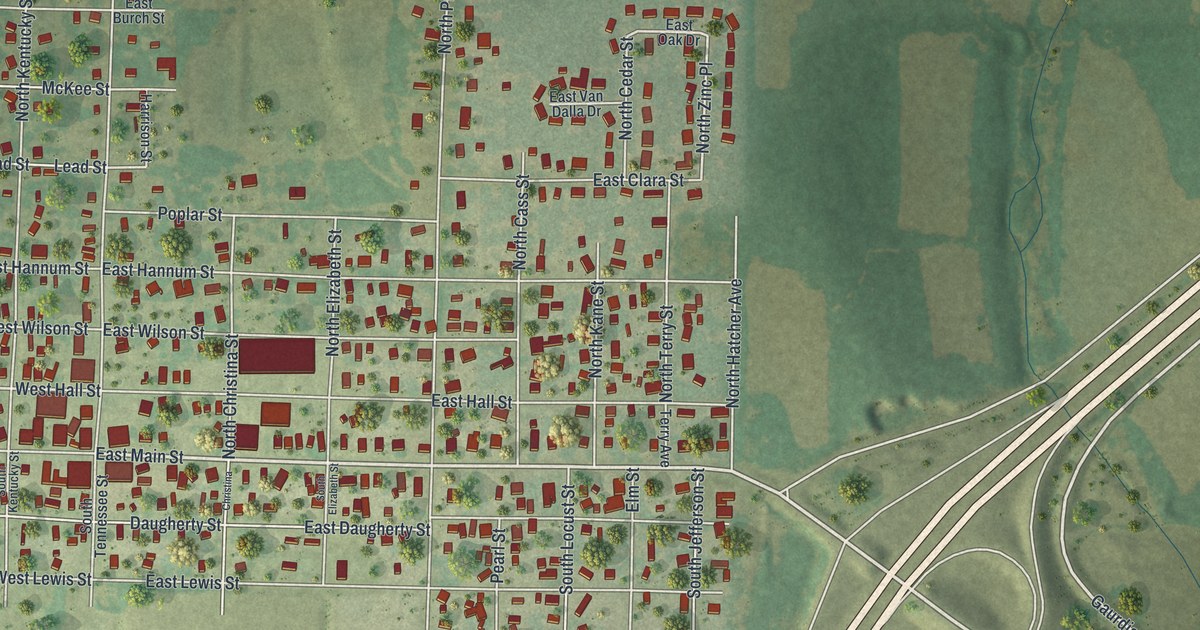
A detailed map of Carterville, Missouri, showing every building in its true location, the roads by name, and shaded topographical relief.
Read More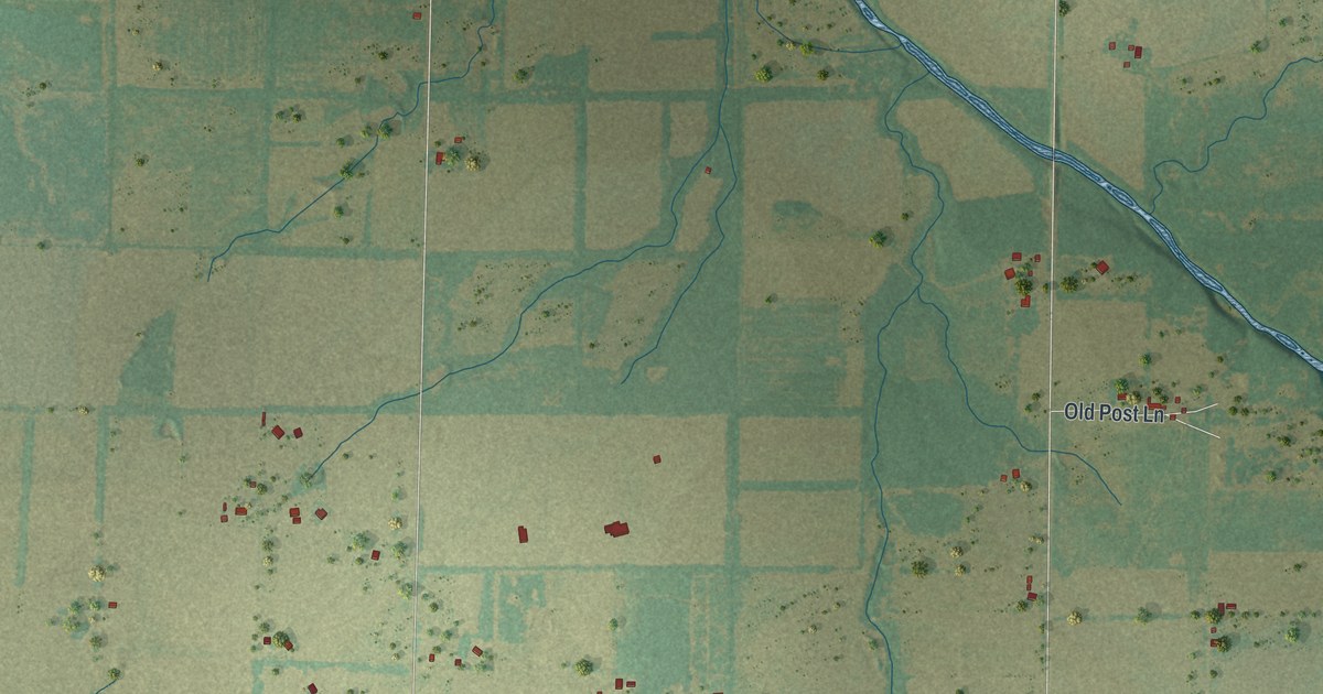
A detailed map of Carytown, Missouri, showing every building in its true location, the roads by name, and shaded topographical relief.
Read More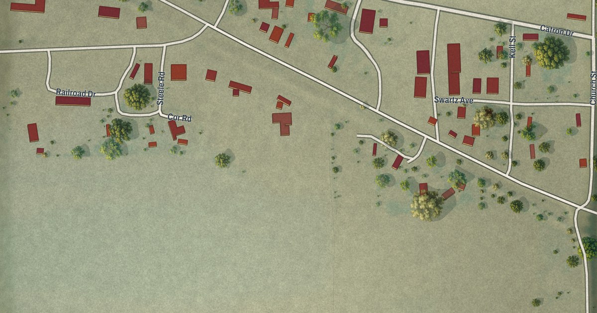
A detailed map of Catron, Missouri, showing every building in its true location, the roads by name, and shaded topographical relief.
Read More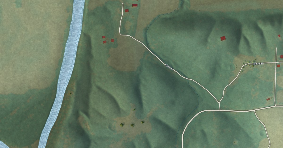
A detailed map of Cave, Missouri, showing every building in its true location, the roads by name, and shaded topographical relief.
Read More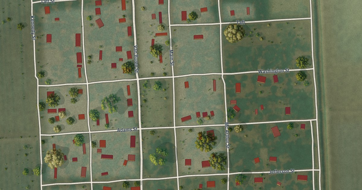
A detailed map of Canalou, Missouri, showing every building in its true location, the roads by name, and shaded topographical relief.
Read More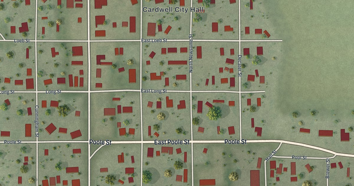
A detailed map of Cardwell, Missouri, showing every building in its true location, the roads by name, and shaded topographical relief.
Read More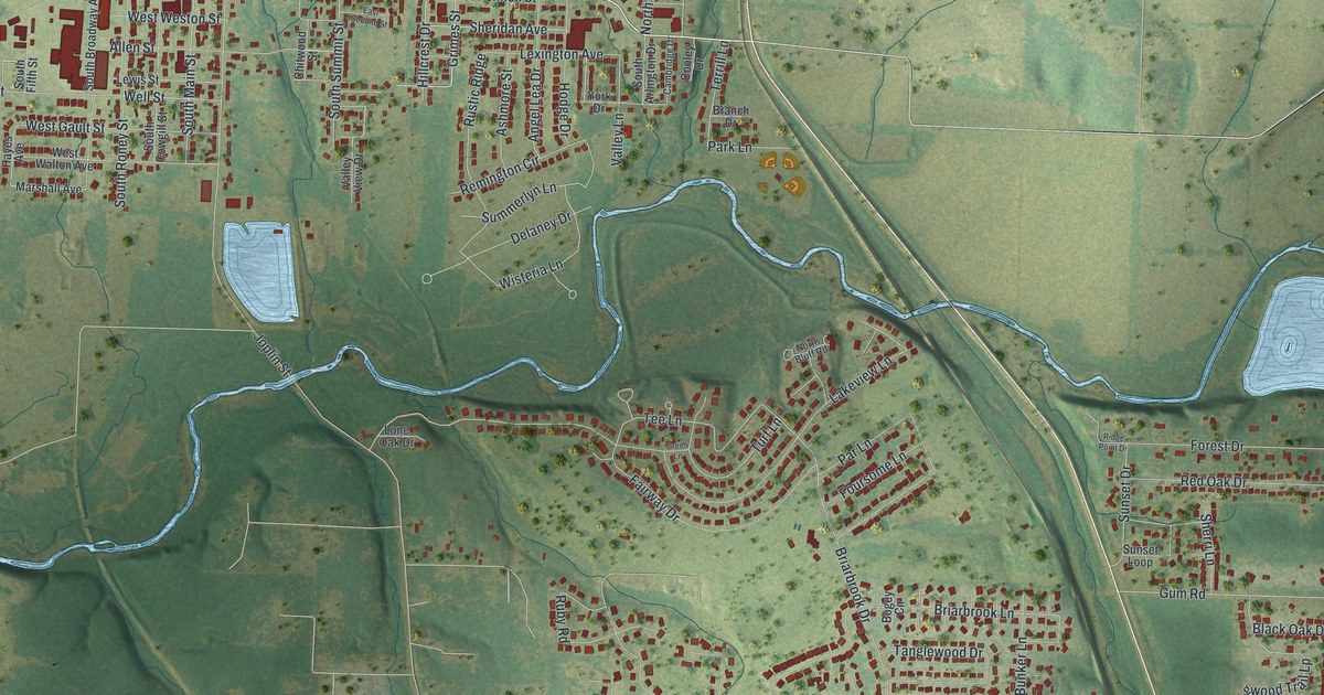
A detailed map of Carl Junction, Missouri, showing every building in its true location, the roads by name, and shaded topographical relief.
Read More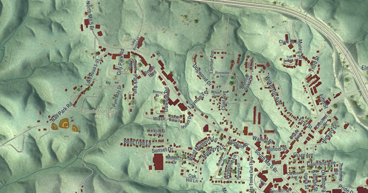
A detailed map of Camdenton, Missouri, showing every building in its true location, the roads by name, and shaded topographical relief.
Read More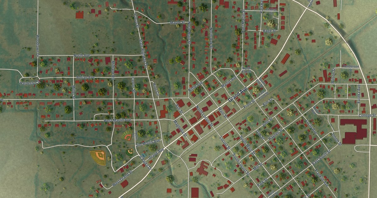
A detailed map of Campbell, Missouri, showing every building in its true location, the roads by name, and shaded topographical relief.
Read More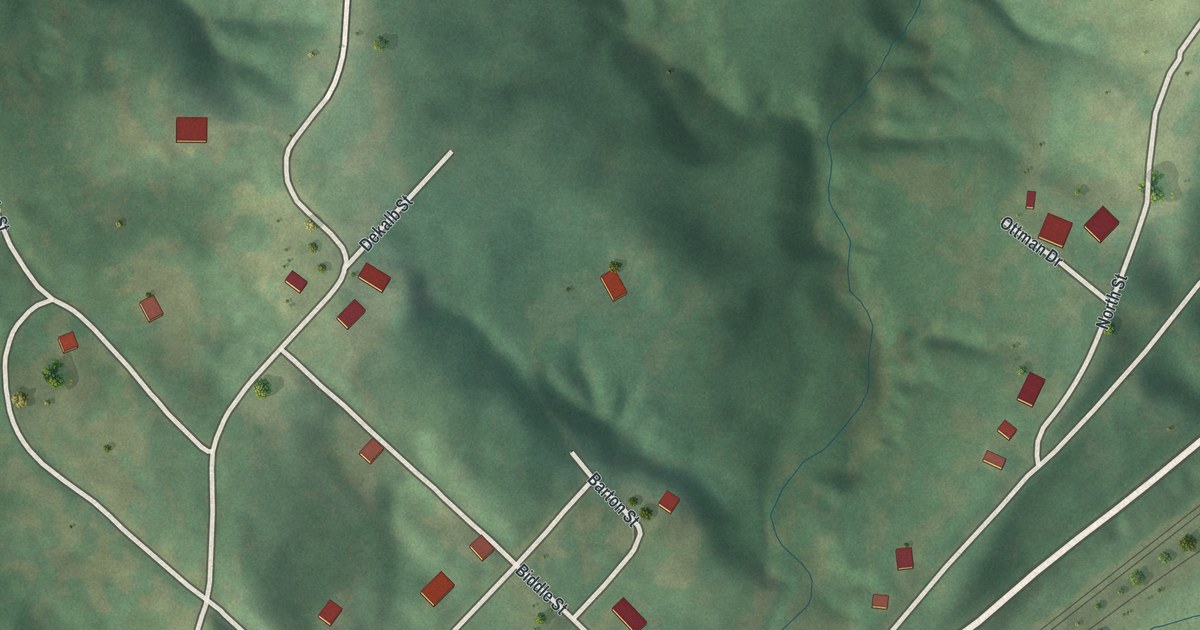
A detailed map of Camden, Missouri, showing every building in its true location, the roads by name, and shaded topographical relief.
Read More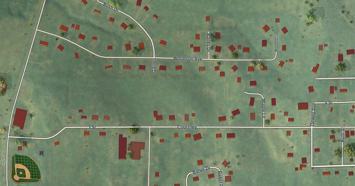
A detailed map of Camden Point, Missouri, showing every building in its true location, the roads by name, and shaded topographical relief.
Read More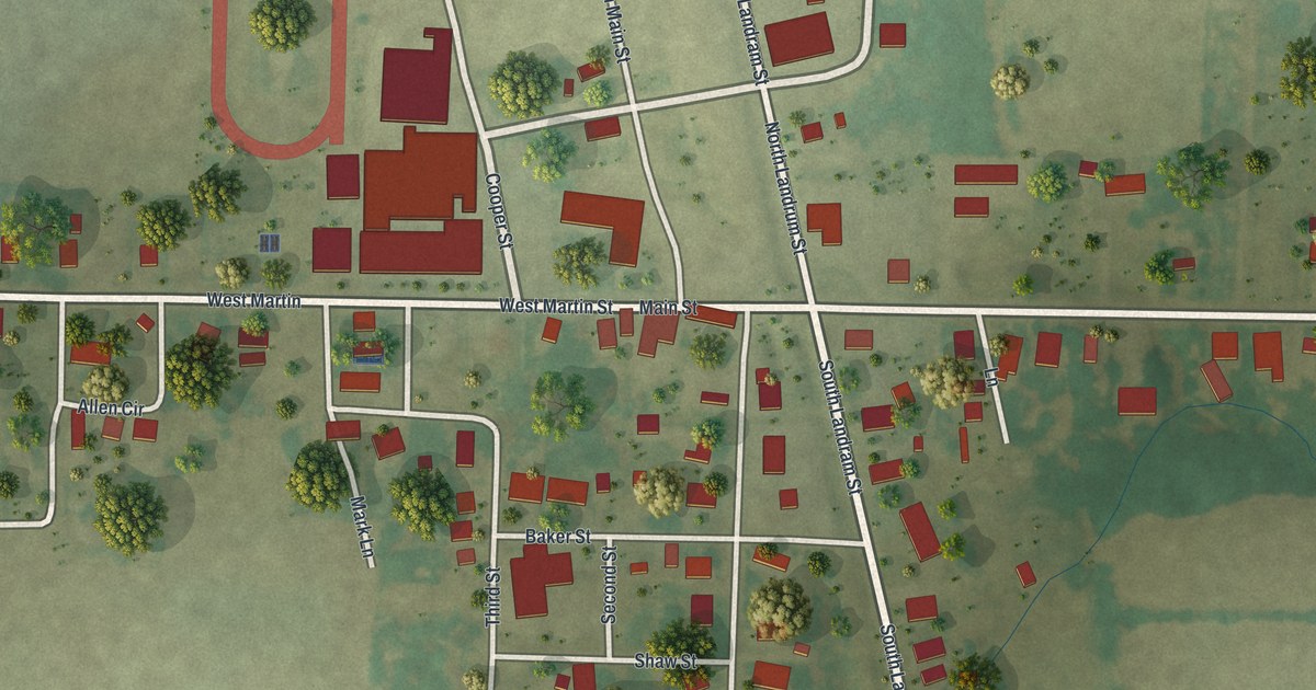
A detailed map of Cairo, Missouri, showing every building in its true location, the roads by name, and shaded topographical relief.
Read More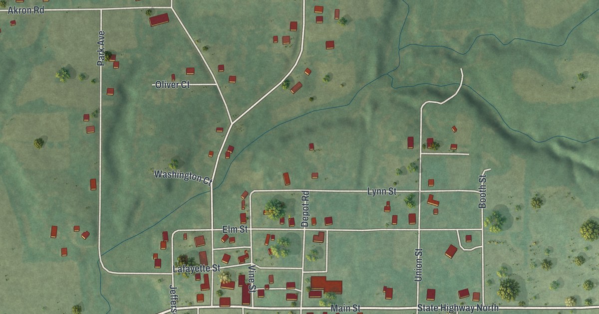
A detailed map of Cainsville, Missouri, showing every building in its true location, the roads by name, and shaded topographical relief.
Read More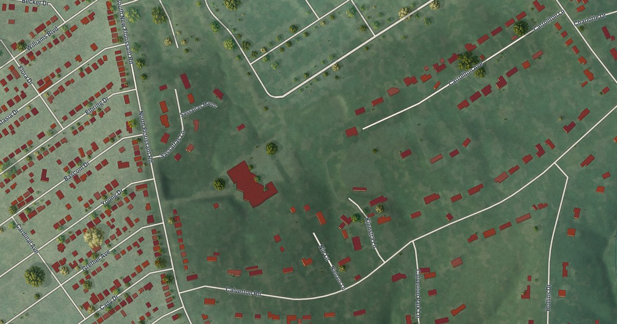
A detailed map of Calverton Park, Missouri, showing every building in its true location, the roads by name, and shaded topographical relief.
Read More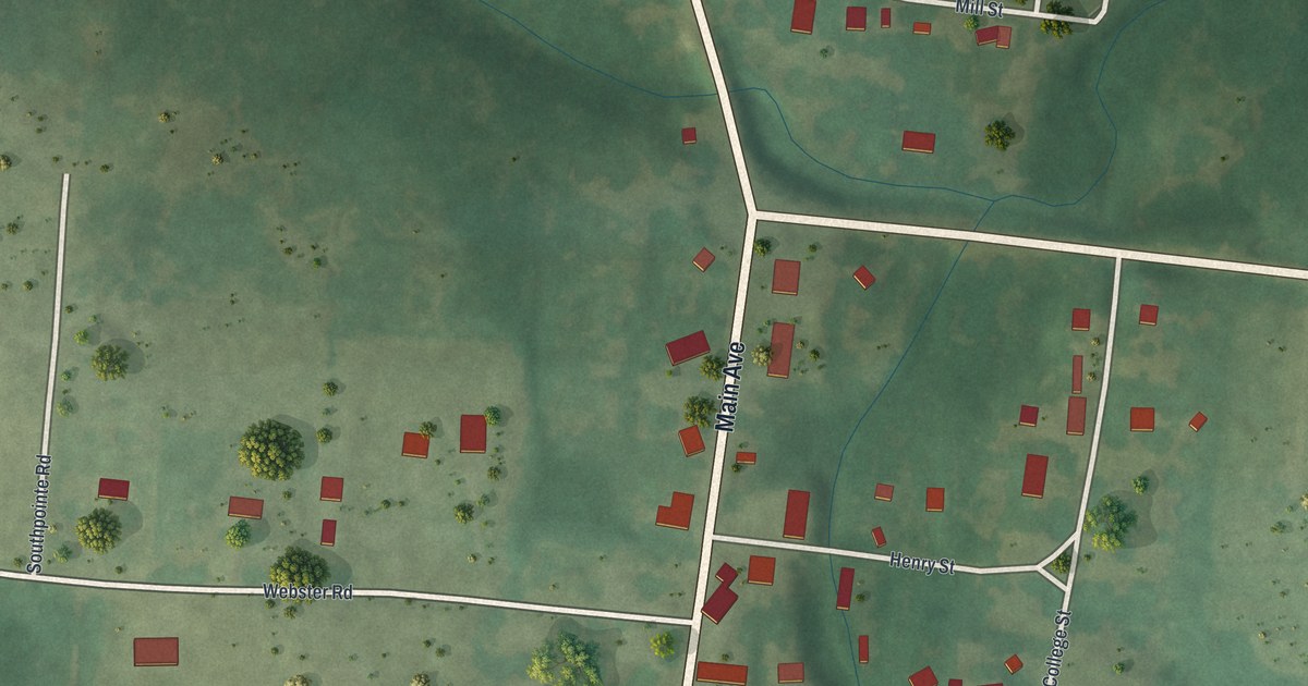
A detailed map of Caledonia, Missouri, showing every building in its true location, the roads by name, and shaded topographical relief.
Read More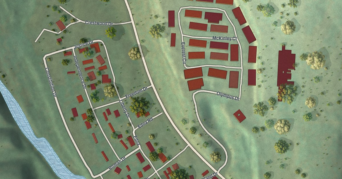
A detailed map of Bull Creek, Missouri, showing every building in its true location, the roads by name, and shaded topographical relief.
Read More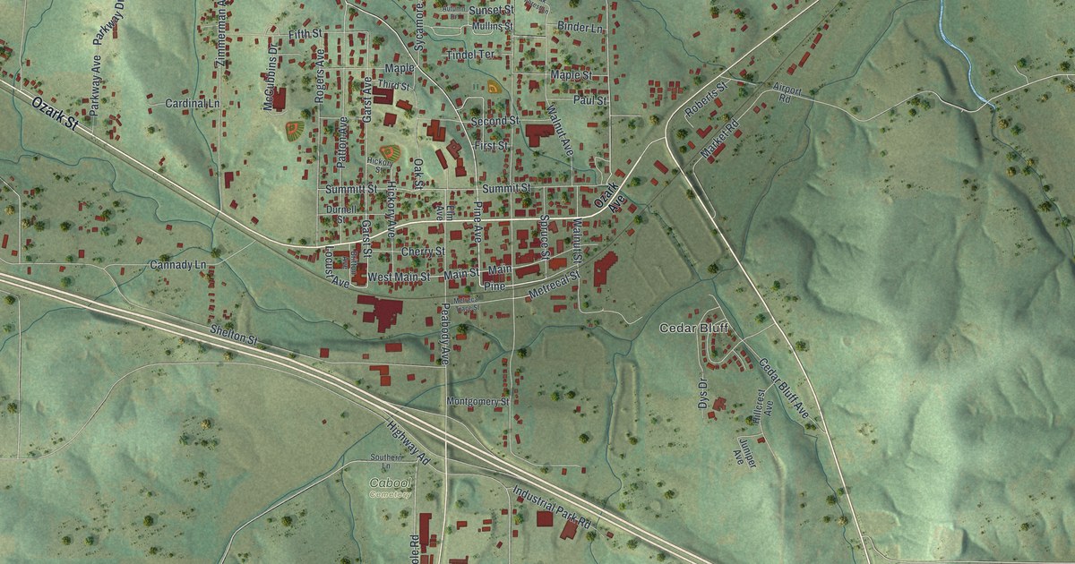
A detailed map of Cabool, Missouri, showing every building in its true location, the roads by name, and shaded topographical relief.
Read More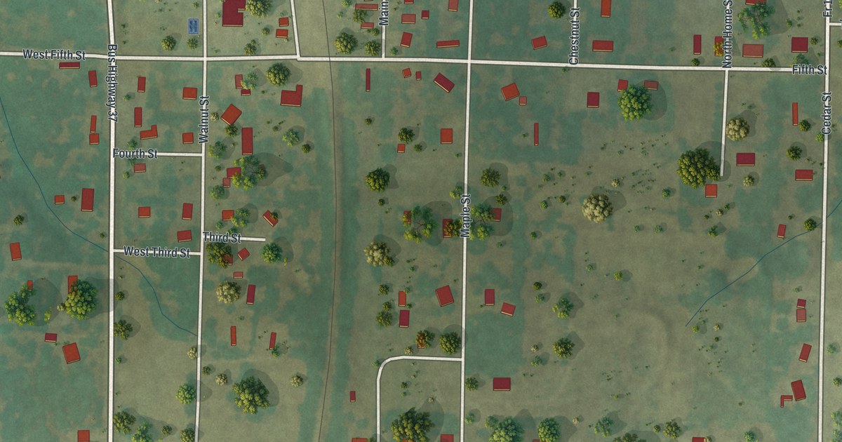
A detailed map of Butterfield, Missouri, showing every building in its true location, the roads by name, and shaded topographical relief.
Read More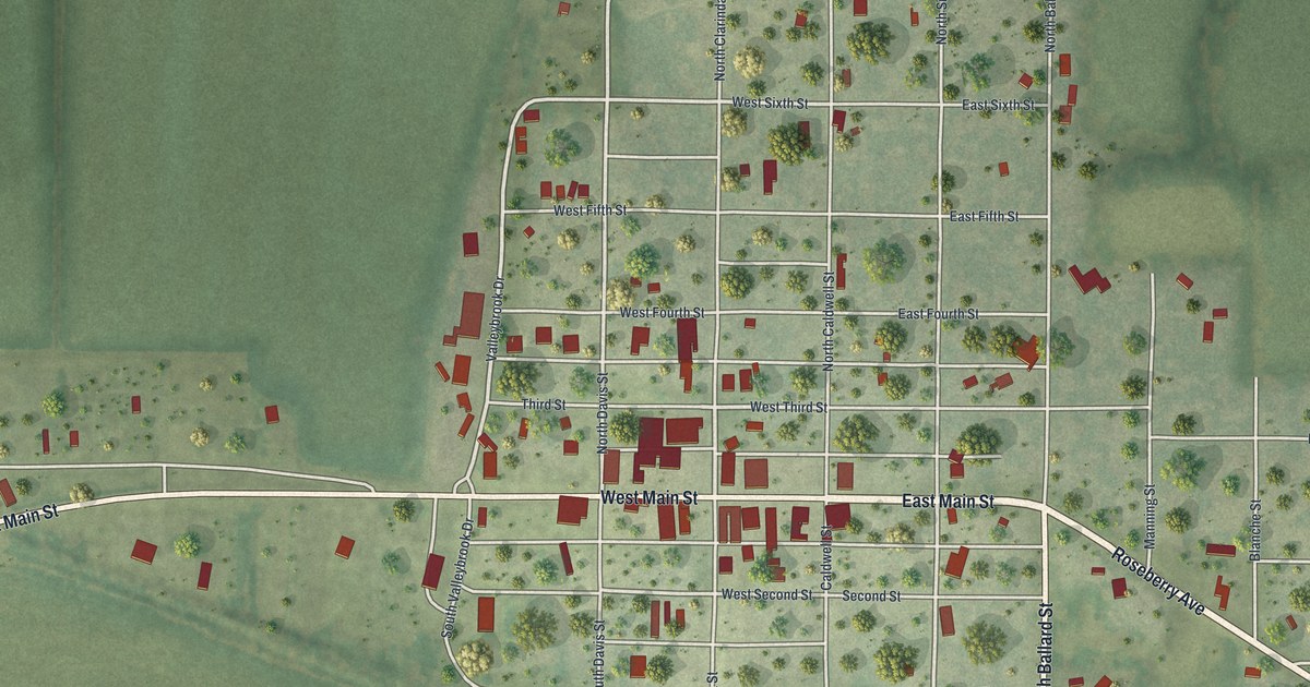
A detailed map of Burlington Junction, Missouri, showing every building in its true location, the roads by name, and shaded topographical relief.
Read More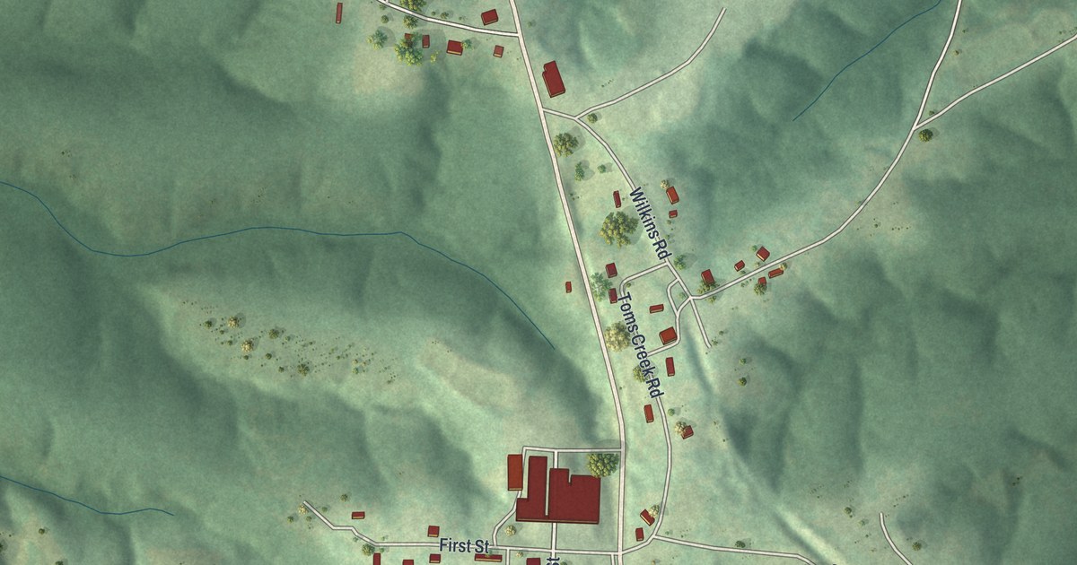
A detailed map of Bunker, Missouri, showing every building in its true location, the roads by name, and shaded topographical relief.
Read More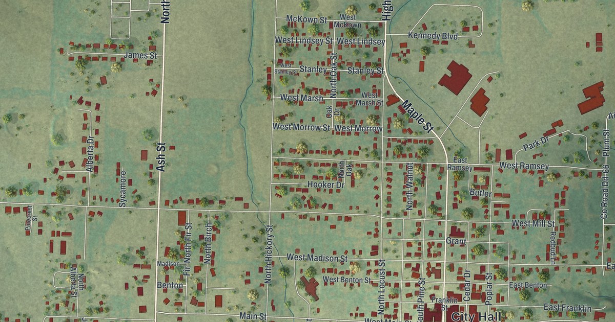
A detailed map of Buffalo, Missouri, showing every building in its true location, the roads by name, and shaded topographical relief.
Read More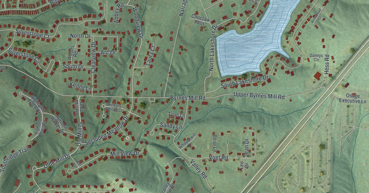
A detailed map of Byrnes Mill, Missouri, showing every building in its true location, the roads by name, and shaded topographical relief.
Read More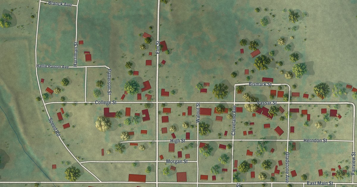
A detailed map of Bunceton, Missouri, showing every building in its true location, the roads by name, and shaded topographical relief.
Read More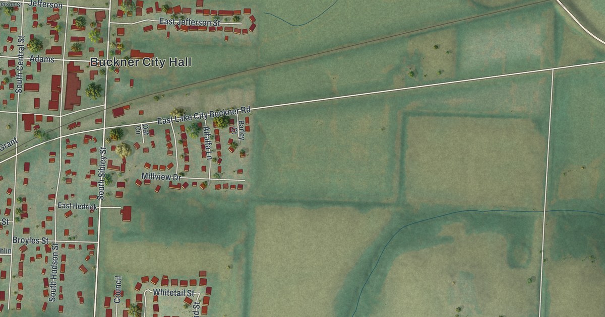
A detailed map of Buckner, Missouri, showing every building in its true location, the roads by name, and shaded topographical relief.
Read More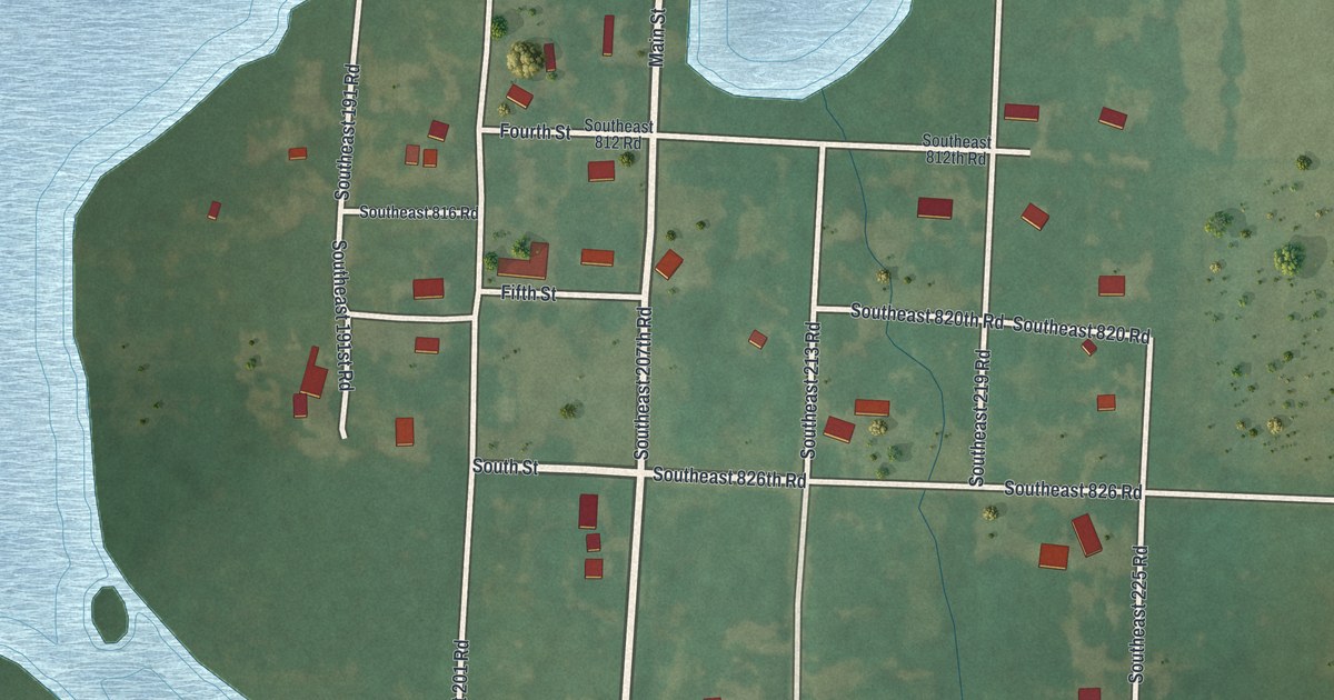
A detailed map of Brownington, Missouri, showing every building in its true location, the roads by name, and shaded topographical relief.
Read More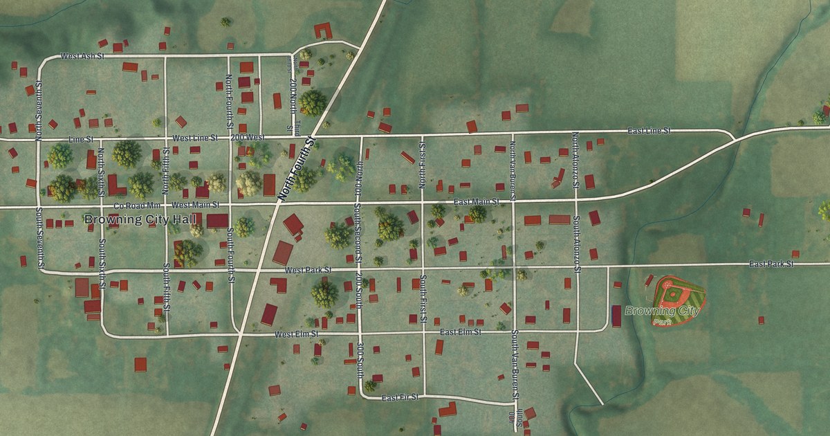
A detailed map of Browning, Missouri, showing every building in its true location, the roads by name, and shaded topographical relief.
Read More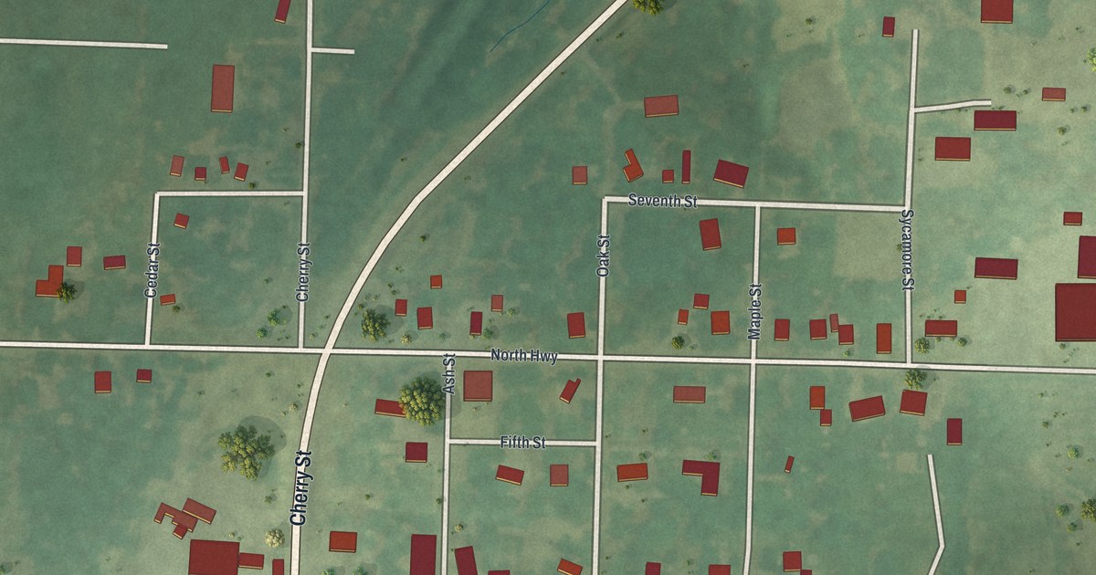
A detailed map of Bronaugh, Missouri, showing every building in its true location, the roads by name, and shaded topographical relief.
Read More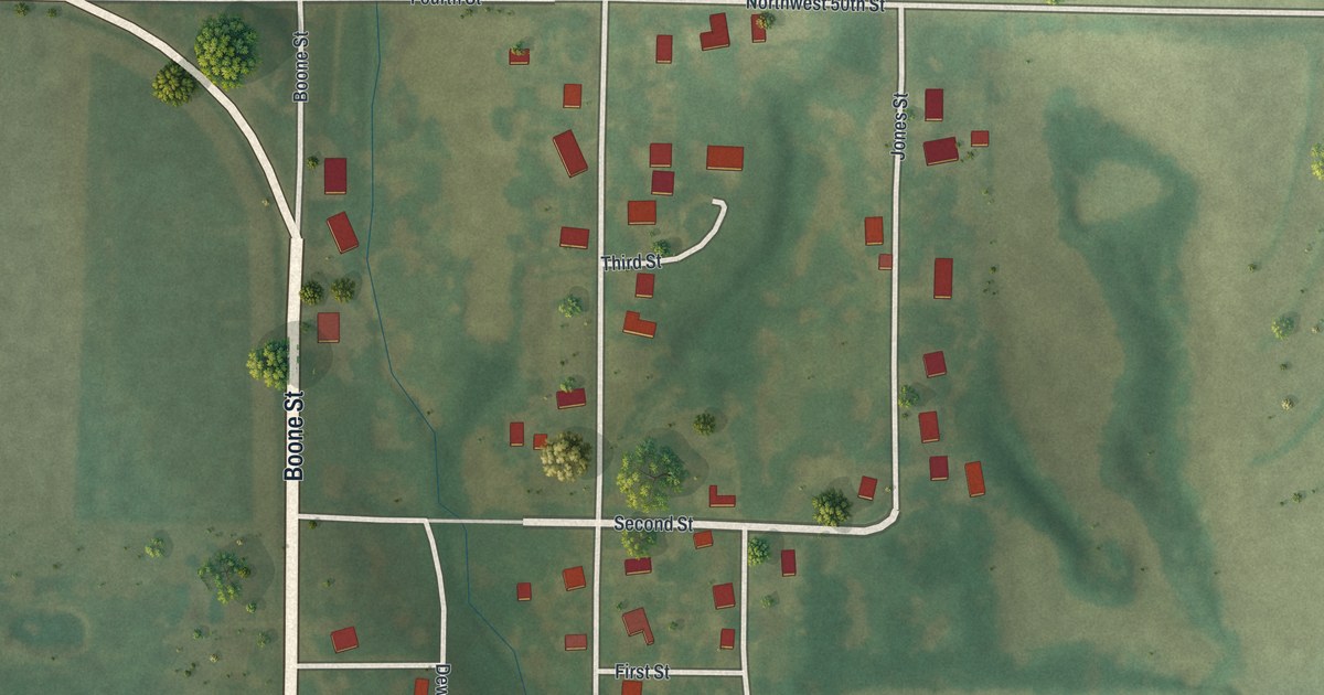
A detailed map of Brimson, Missouri, showing every building in its true location, the roads by name, and shaded topographical relief.
Read More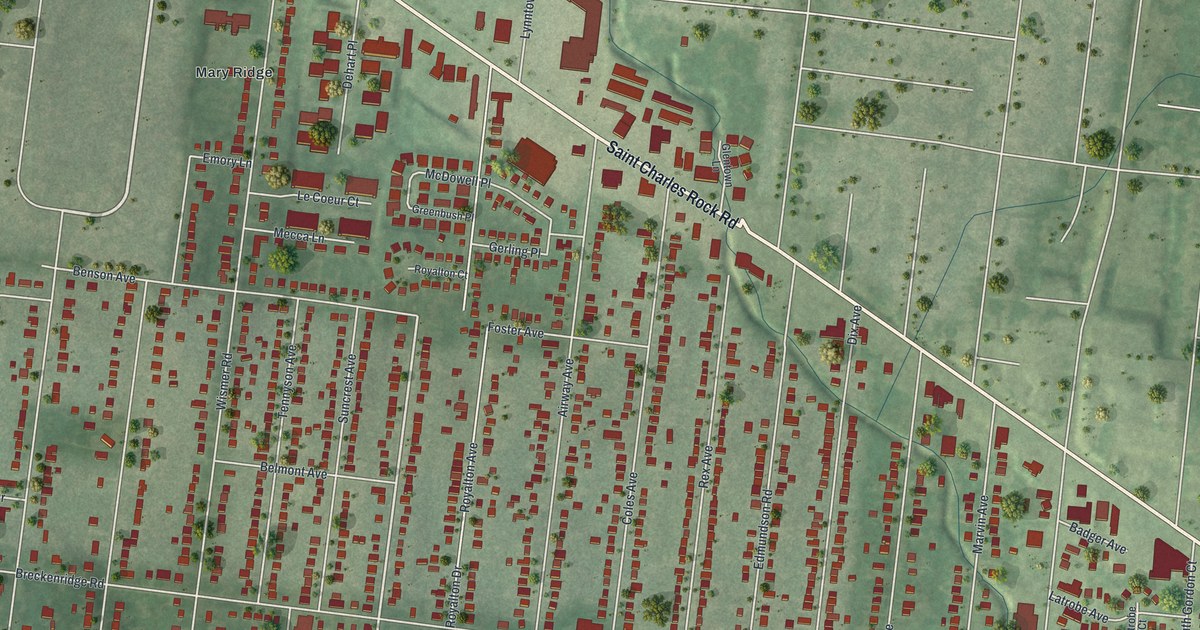
A detailed map of Breckenridge Hills, Missouri, showing every building in its true location, the roads by name, and shaded topographical relief.
Read More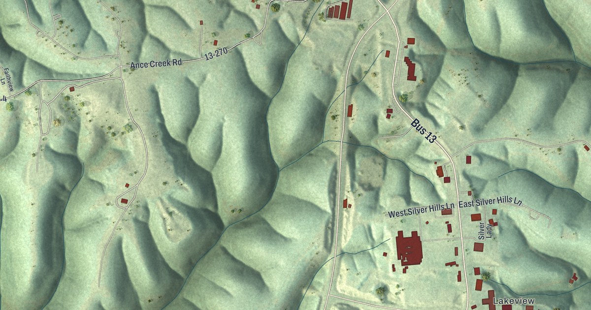
A detailed map of Branson West, Missouri, showing every building in its true location, the roads by name, and shaded topographical relief.
Read More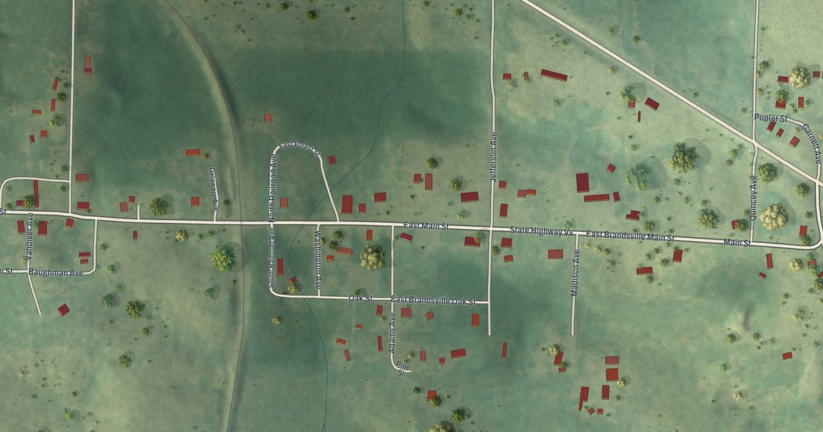
A detailed map of Brandsville, Missouri, showing every building in its true location, the roads by name, and shaded topographical relief.
Read More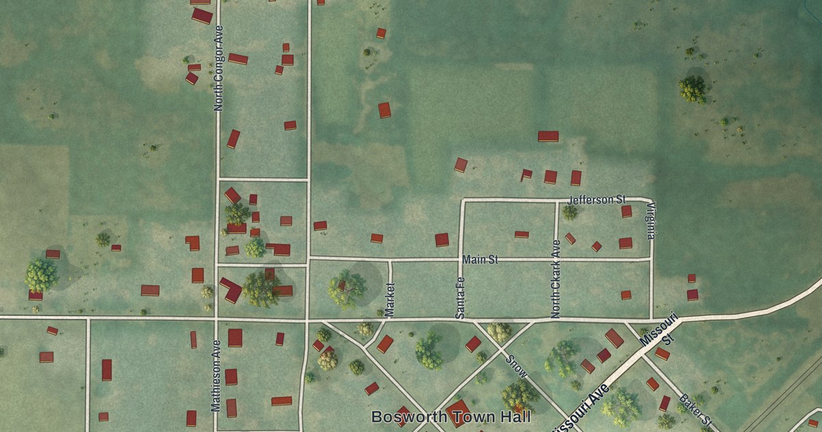
A detailed map of Bosworth, Missouri, showing every building in its true location, the roads by name, and shaded topographical relief.
Read More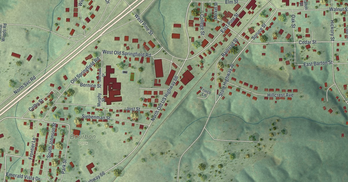
A detailed map of Bourbon, Missouri, showing every building in its true location, the roads by name, and shaded topographical relief.
Read More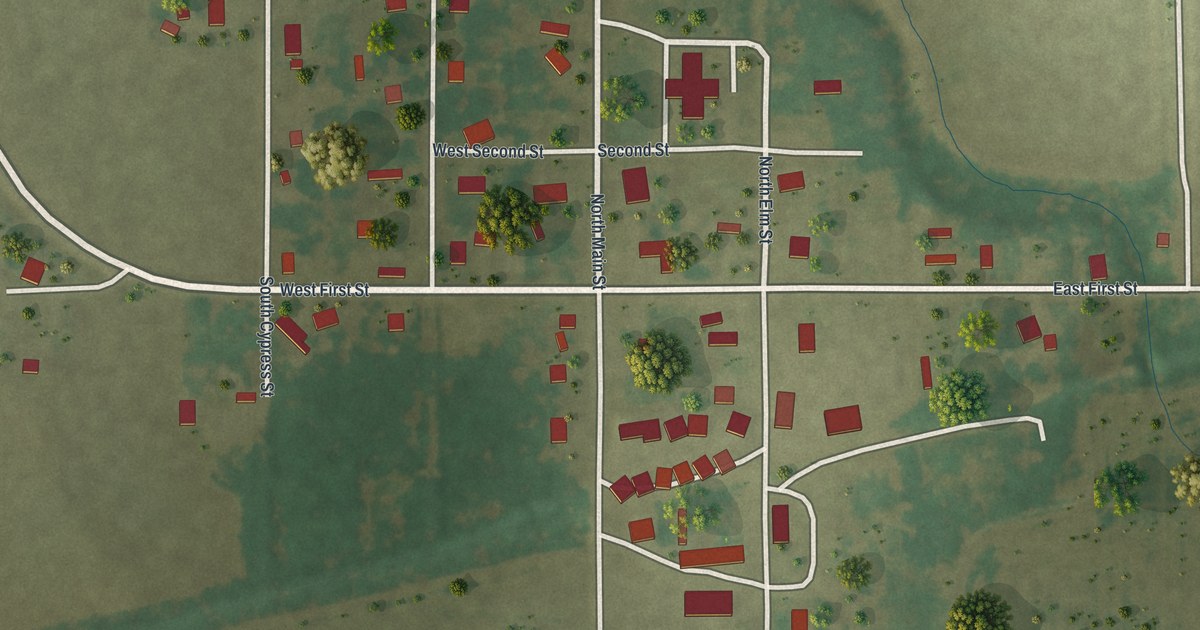
A detailed map of Bragg City, Missouri, showing every building in its true location, the roads by name, and shaded topographical relief.
Read More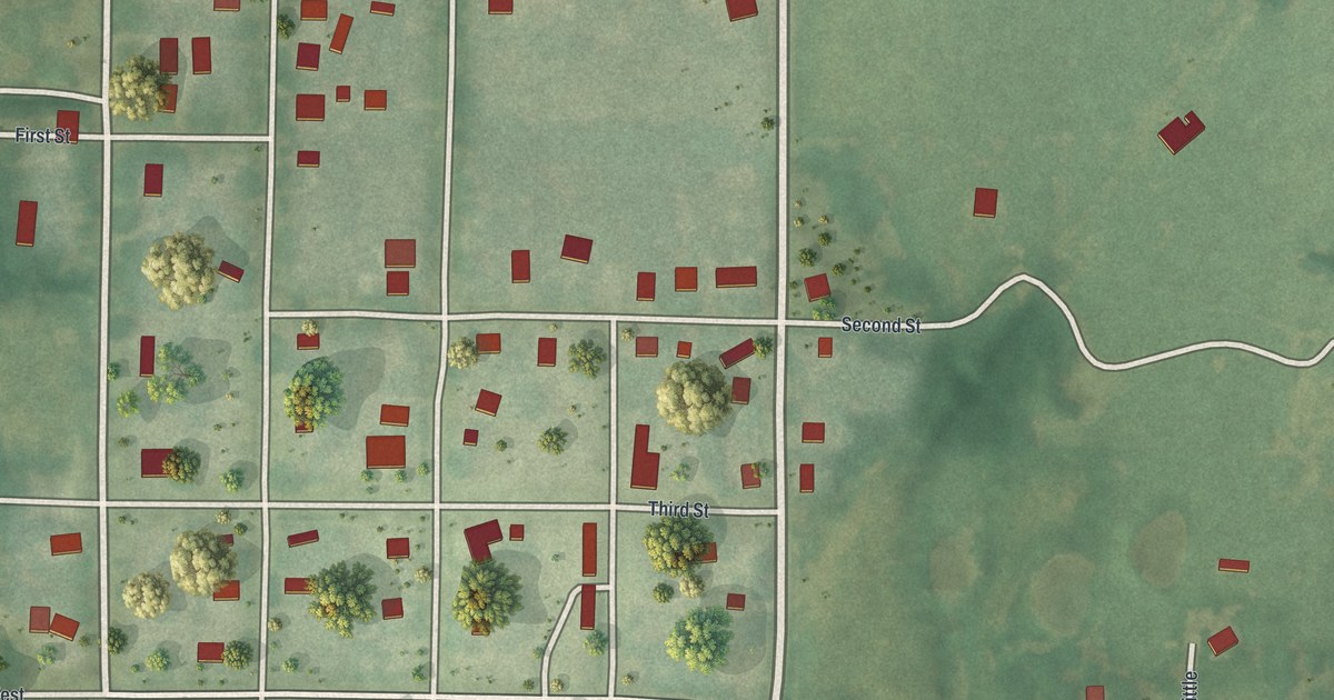
A detailed map of Bogard, Missouri, showing every building in its true location, the roads by name, and shaded topographical relief.
Read More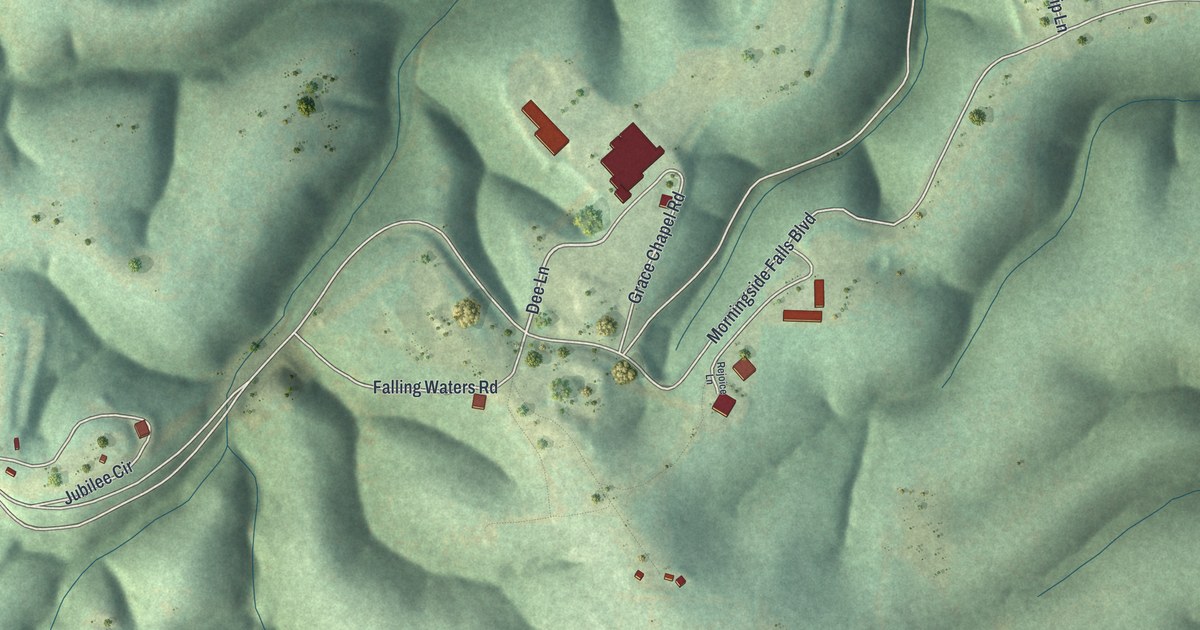
A detailed map of Blue Eye, Missouri, showing every building in its true location, the roads by name, and shaded topographical relief.
Read More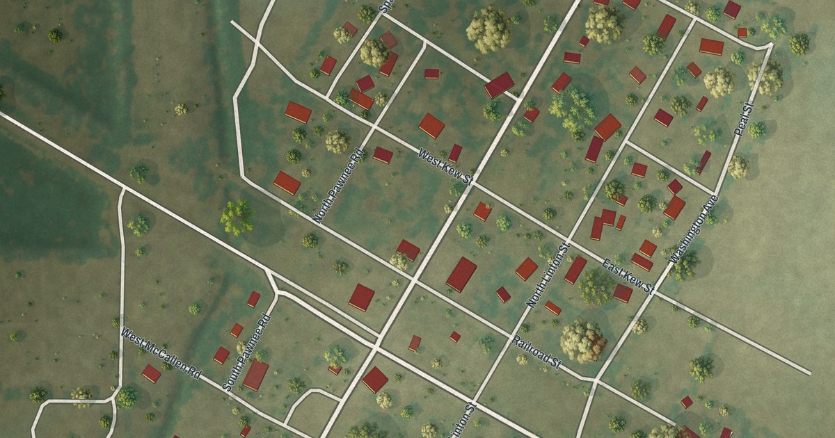
A detailed map of Blodgett, Missouri, showing every building in its true location, the roads by name, and shaded topographical relief.
Read More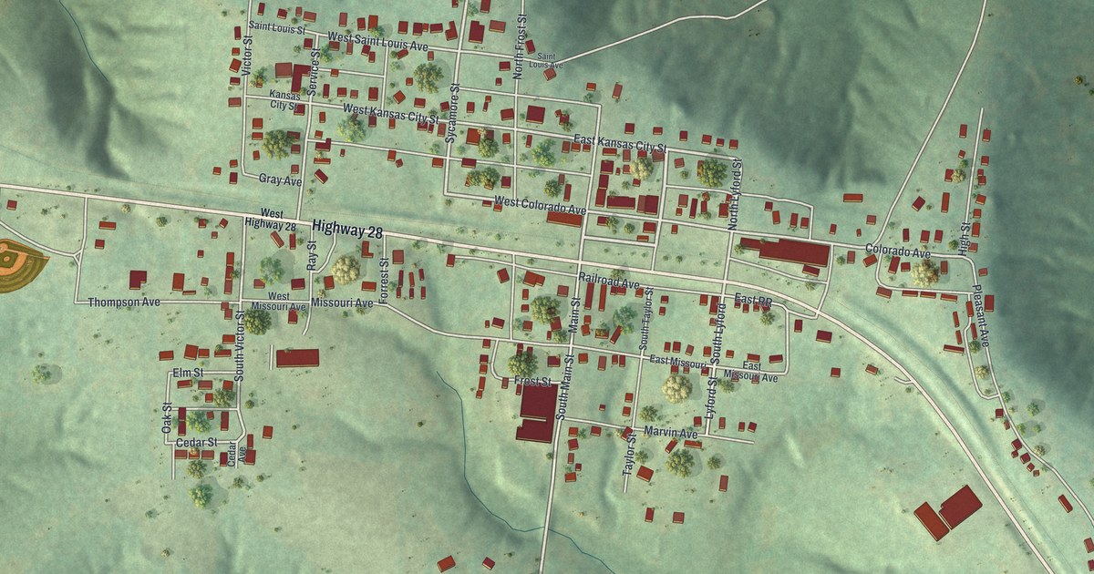
A detailed map of Bland, Missouri, showing every building in its true location, the roads by name, and shaded topographical relief.
Read More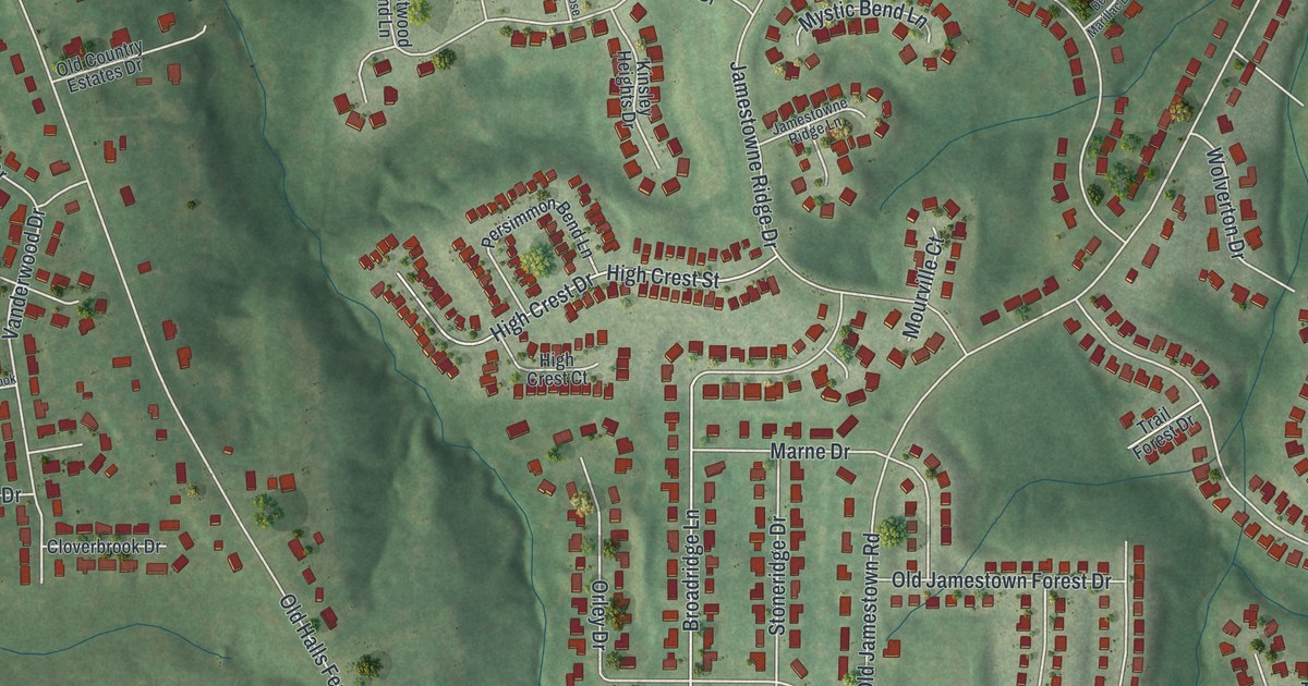
A detailed map of Black Jack, Missouri, showing every building in its true location, the roads by name, and shaded topographical relief.
Read More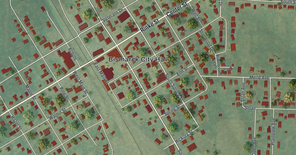
A detailed map of Bismarck, Missouri, showing every building in its true location, the roads by name, and shaded topographical relief.
Read More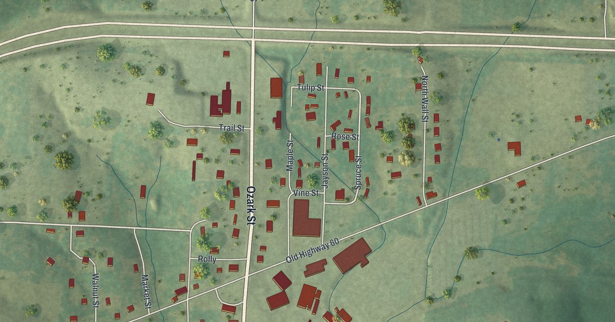
A detailed map of Birch Tree, Missouri, showing every building in its true location, the roads by name, and shaded topographical relief.
Read More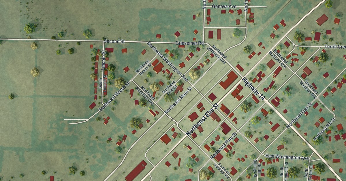
A detailed map of Billings, Missouri, showing every building in its true location, the roads by name, and shaded topographical relief.
Read More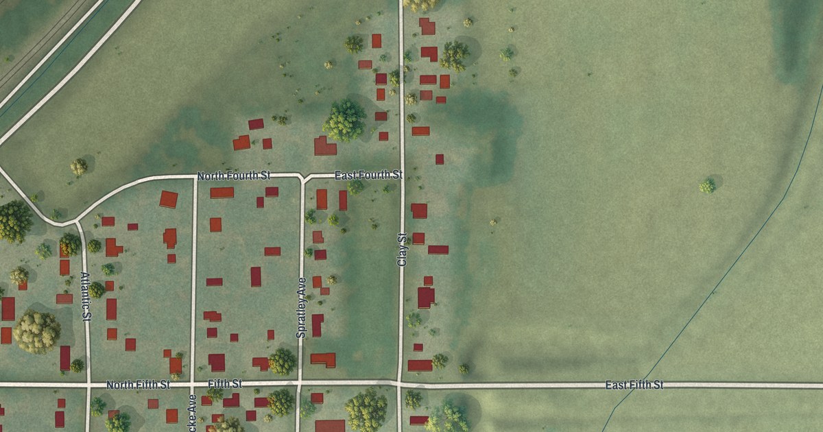
A detailed map of Birmingham, Missouri, showing every building in its true location, the roads by name, and shaded topographical relief.
Read More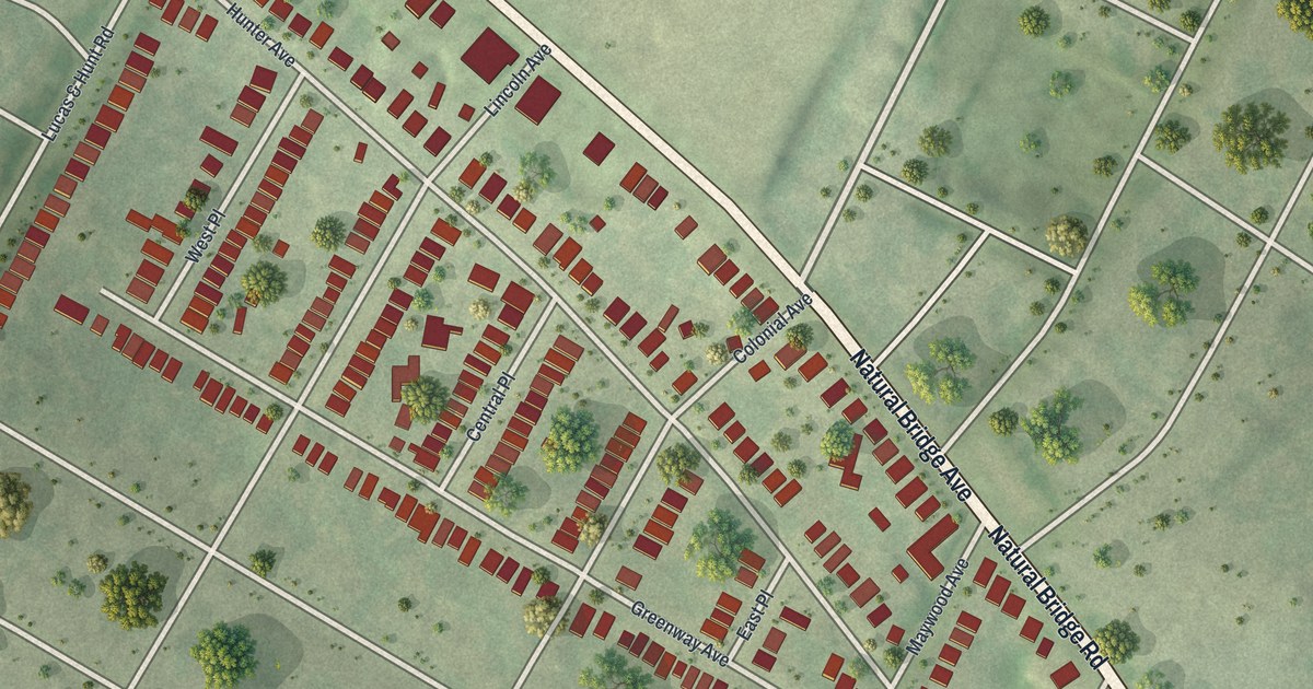
A detailed map of Beverly Hills, Missouri, showing every building in its true location, the roads by name, and shaded topographical relief.
Read More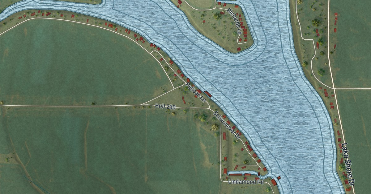
A detailed map of Big Lake, Missouri, showing every building in its true location, the roads by name, and shaded topographical relief.
Read More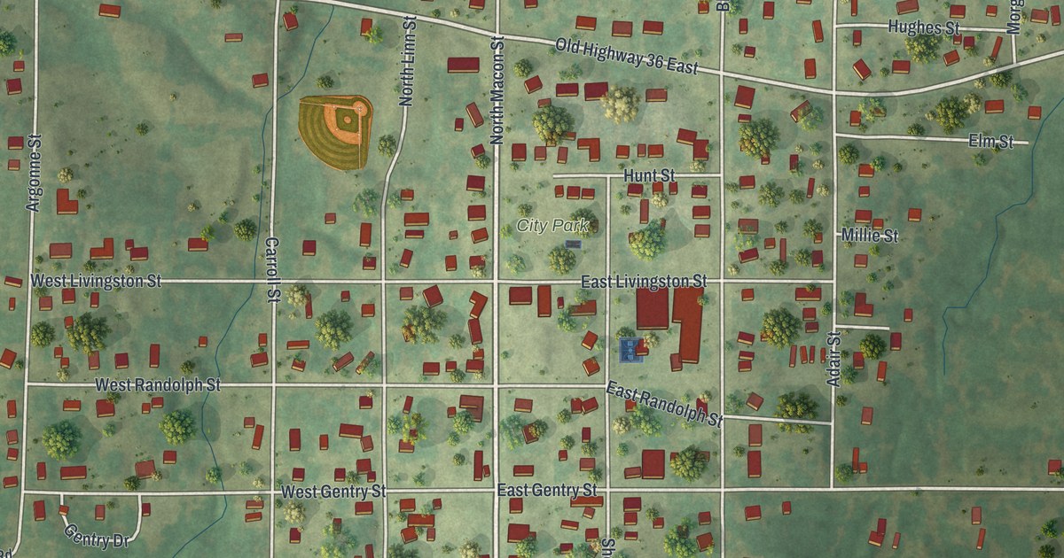
A detailed map of Bevier, Missouri, showing every building in its true location, the roads by name, and shaded topographical relief.
Read More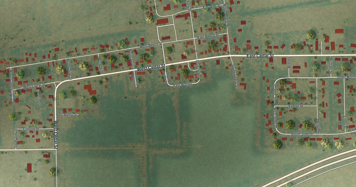
A detailed map of Bertrand, Missouri, showing every building in its true location, the roads by name, and shaded topographical relief.
Read More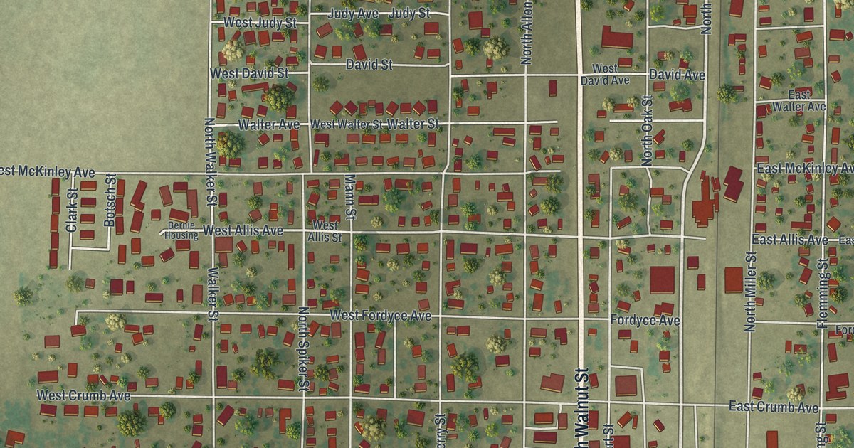
A detailed map of Bernie, Missouri, showing every building in its true location, the roads by name, and shaded topographical relief.
Read More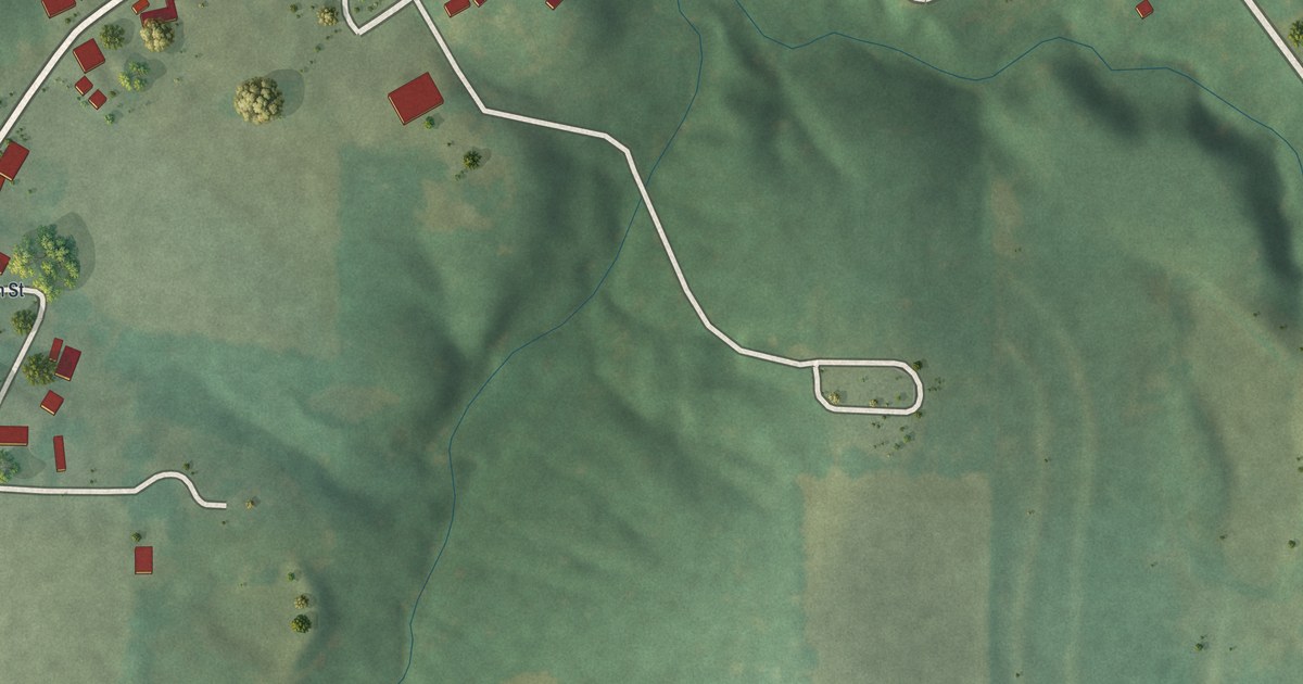
A detailed map of Berger, Missouri, showing every building in its true location, the roads by name, and shaded topographical relief.
Read More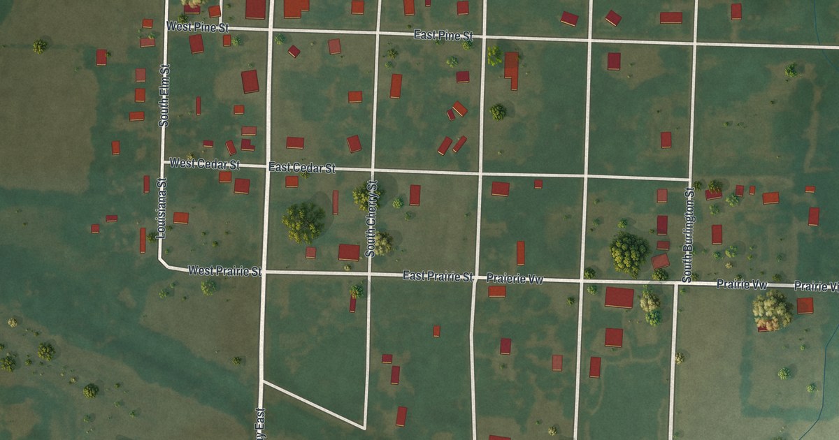
A detailed map of Bellflower, Missouri, showing every building in its true location, the roads by name, and shaded topographical relief.
Read More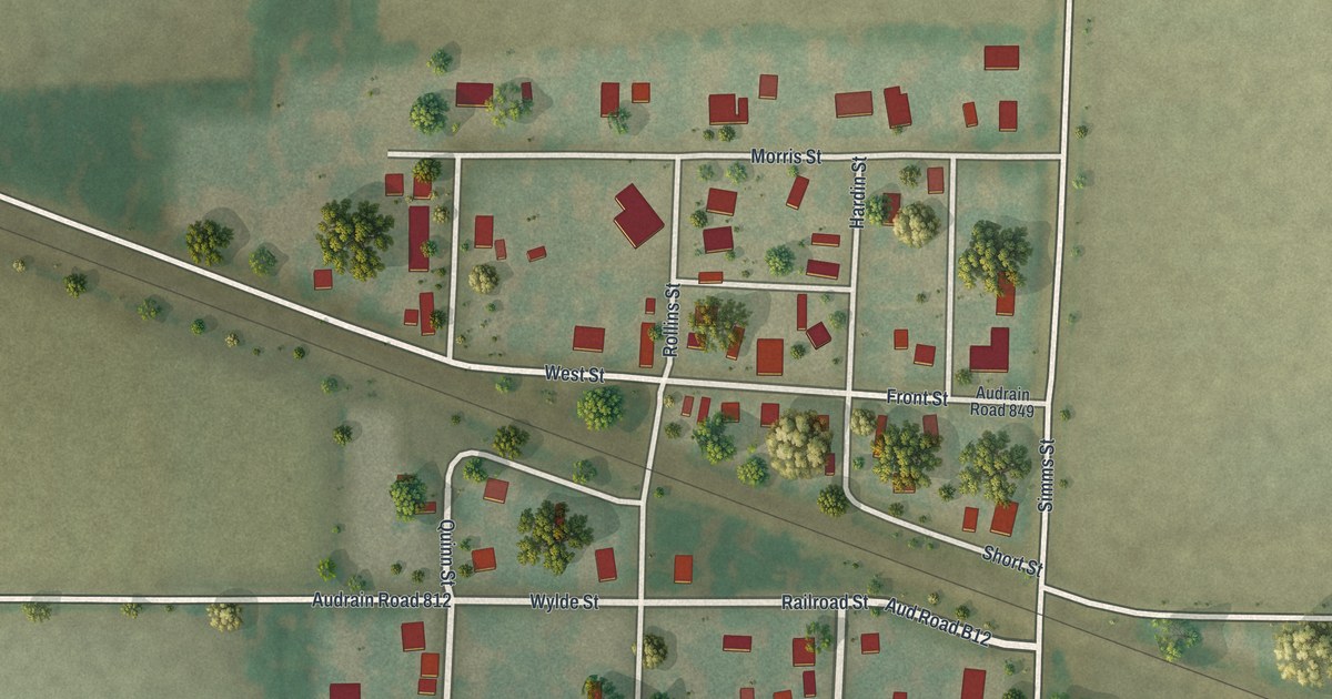
A detailed map of Benton City, Missouri, showing every building in its true location, the roads by name, and shaded topographical relief.
Read More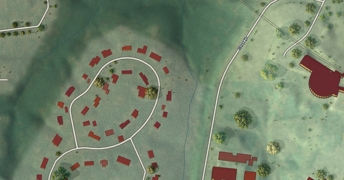
A detailed map of Bellerive Acres, Missouri, showing every building in its true location, the roads by name, and shaded topographical relief.
Read More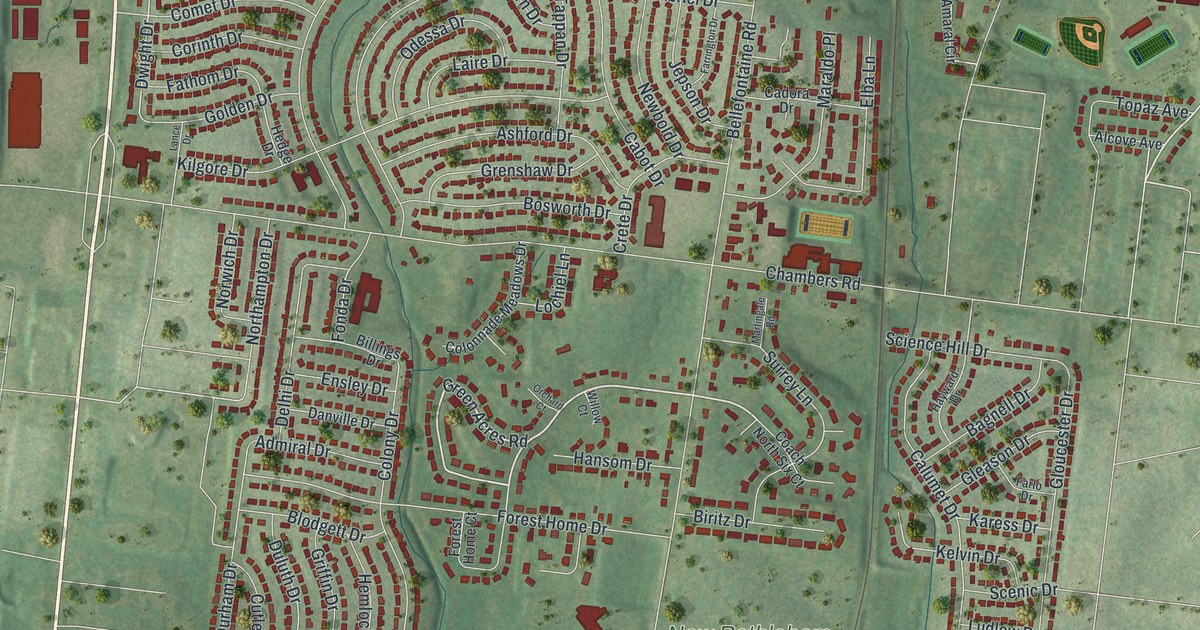
A detailed map of Bellefontaine Neighbors, Missouri, showing every building in its true location, the roads by name, and shaded topographical relief.
Read More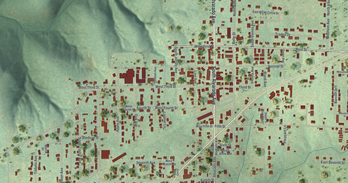
A detailed map of Belle, Missouri, showing every building in its true location, the roads by name, and shaded topographical relief.
Read More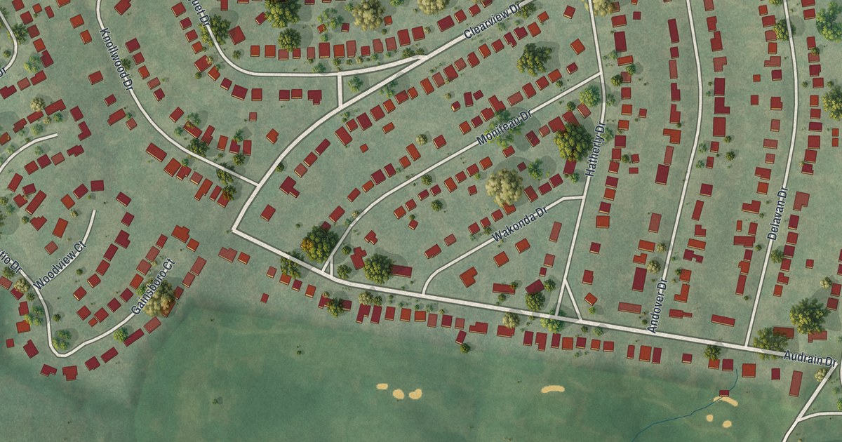
A detailed map of Bel-Nor, Missouri, showing every building in its true location, the roads by name, and shaded topographical relief.
Read More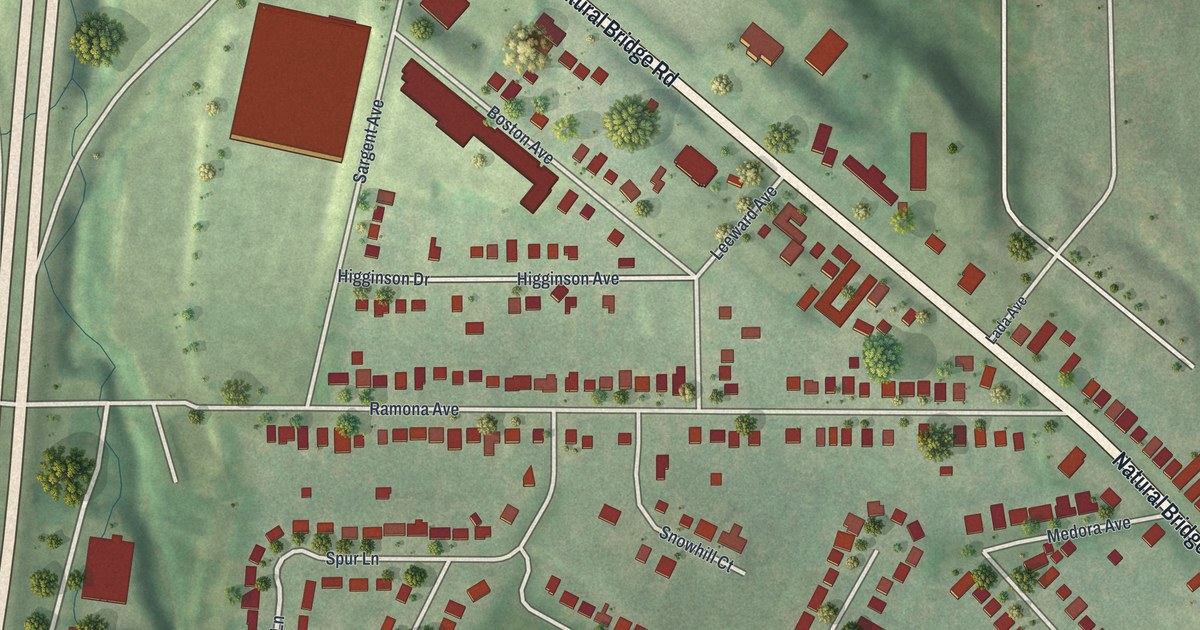
A detailed map of Bel-Ridge, Missouri, showing every building in its true location, the roads by name, and shaded topographical relief.
Read More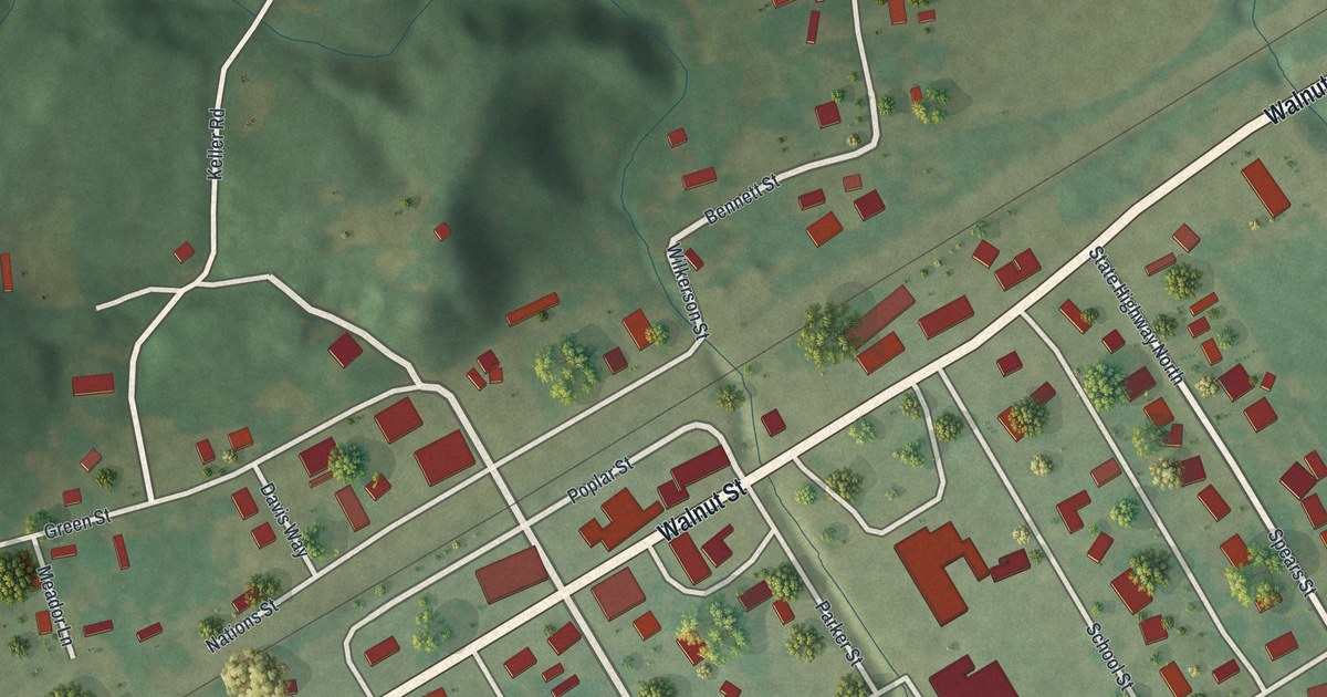
A detailed map of Bell City, Missouri, showing every building in its true location, the roads by name, and shaded topographical relief.
Read More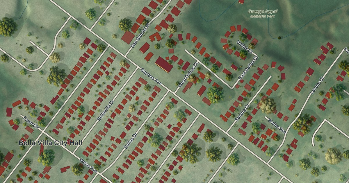
A detailed map of Bella Villa, Missouri, showing every building in its true location, the roads by name, and shaded topographical relief.
Read More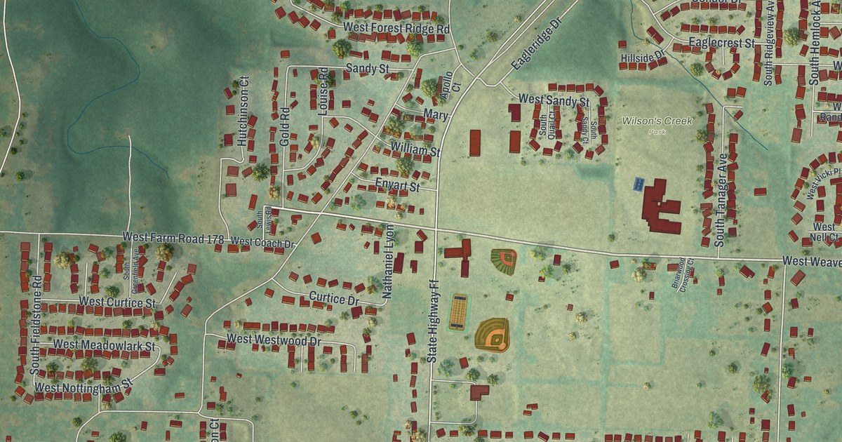
A detailed map of Battlefield, Missouri, showing every building in its true location, the roads by name, and shaded topographical relief.
Read More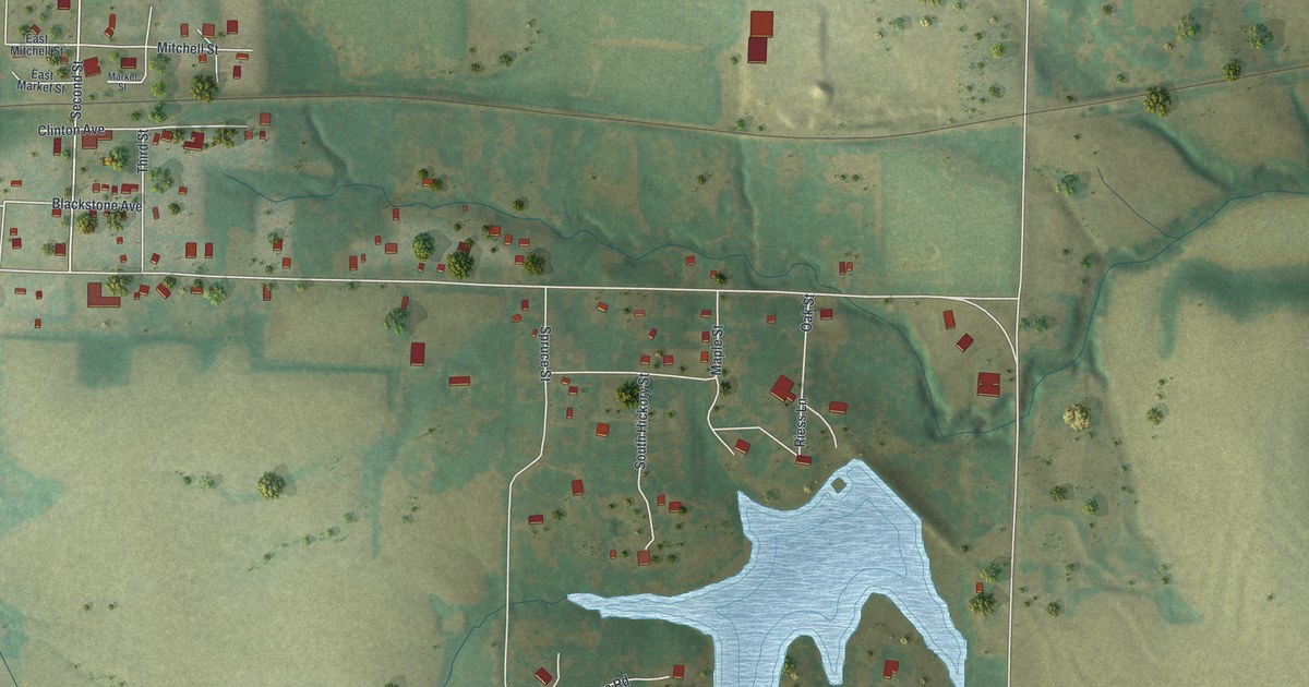
A detailed map of Bates City, Missouri, showing every building in its true location, the roads by name, and shaded topographical relief.
Read More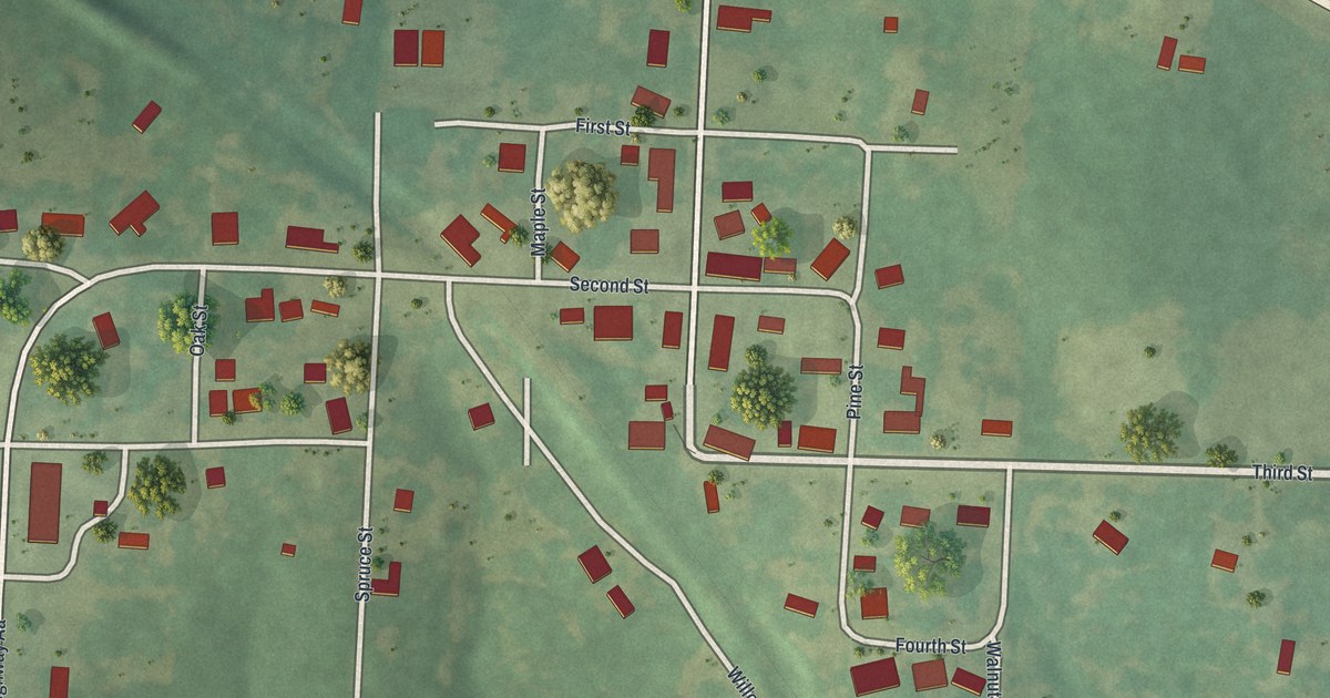
A detailed map of Barnett, Missouri, showing every building in its true location, the roads by name, and shaded topographical relief.
Read More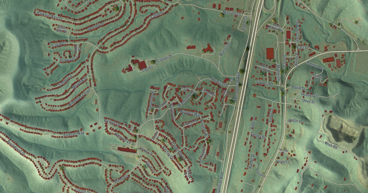
A detailed map of Barnhart, Missouri, showing every building in its true location, the roads by name, and shaded topographical relief.
Read More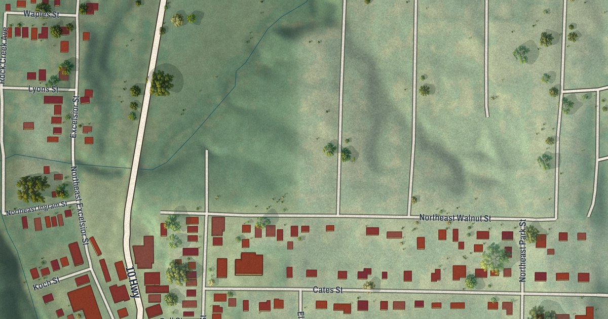
A detailed map of Avondale, Missouri, showing every building in its true location, the roads by name, and shaded topographical relief.
Read More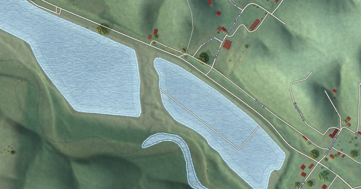
A detailed map of Bagnell, Missouri, showing every building in its true location, the roads by name, and shaded topographical relief.
Read More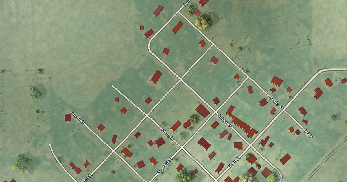
A detailed map of Baring, Missouri, showing every building in its true location, the roads by name, and shaded topographical relief.
Read More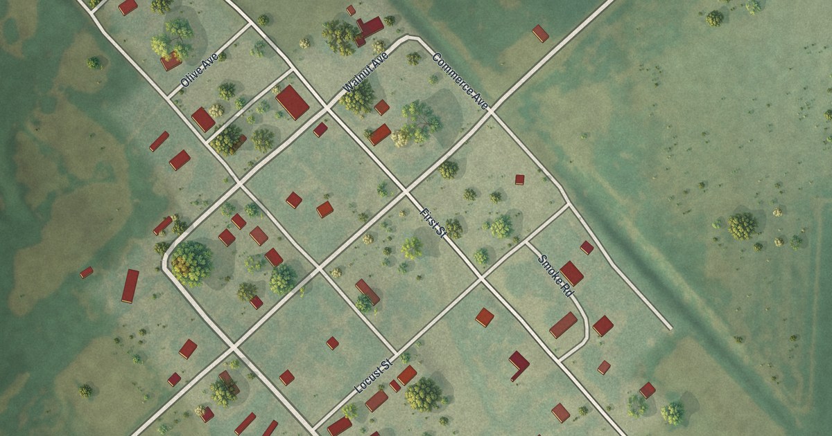
A detailed map of Aullville, Missouri, showing every building in its true location, the roads by name, and shaded topographical relief.
Read More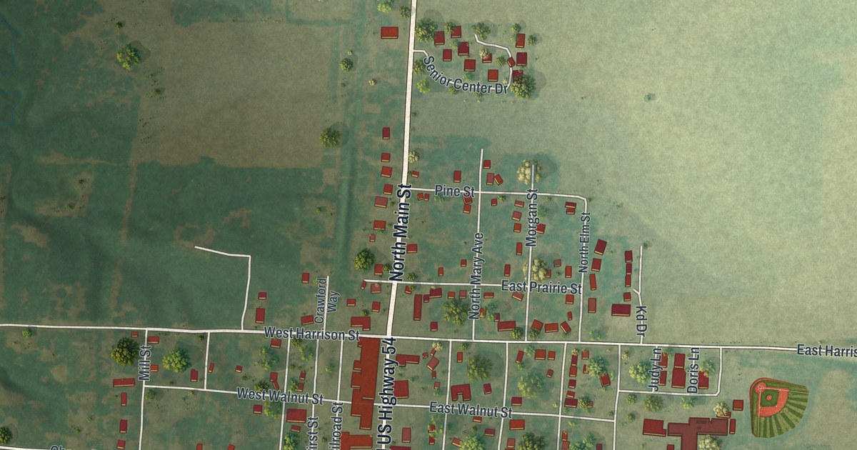
A detailed map of Auxvasse, Missouri, showing every building in its true location, the roads by name, and shaded topographical relief.
Read More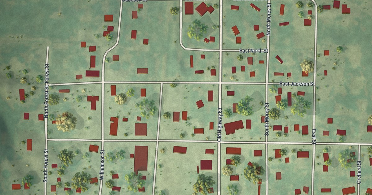
A detailed map of Atlanta, Missouri, showing every building in its true location, the roads by name, and shaded topographical relief.
Read More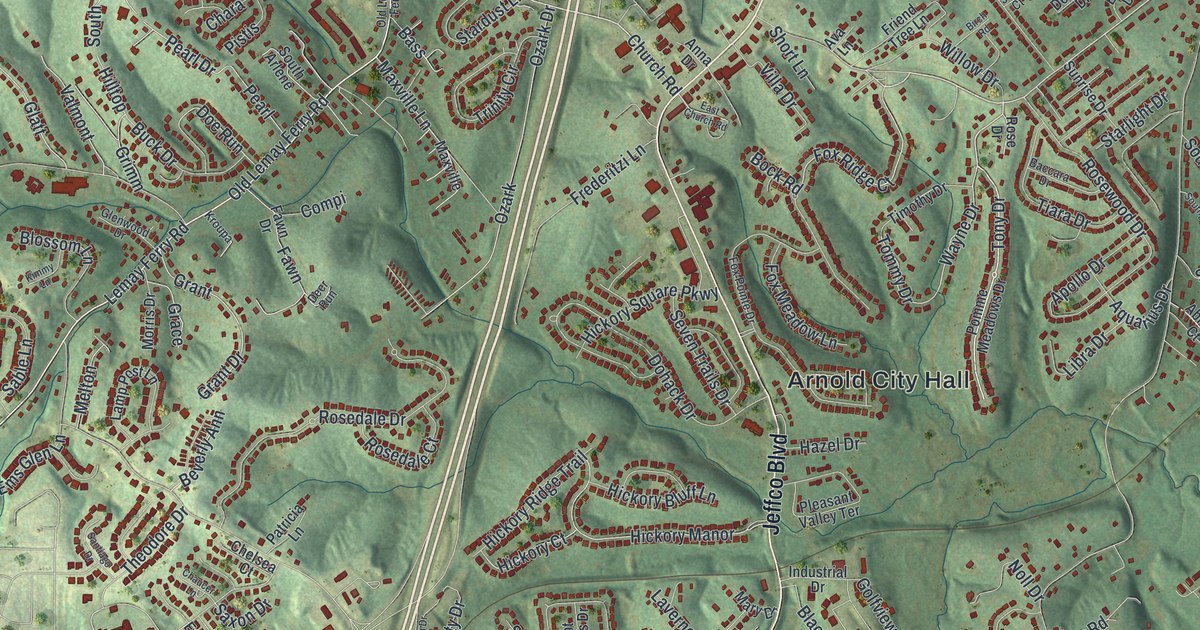
A detailed map of Arnold, Missouri, showing every building in its true location, the roads by name, and shaded topographical relief.
Read More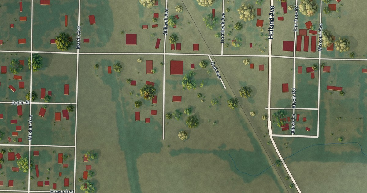
A detailed map of Asbury, Missouri, showing every building in its true location, the roads by name, and shaded topographical relief.
Read More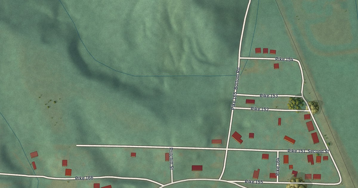
A detailed map of Ashburn, Missouri, showing every building in its true location, the roads by name, and shaded topographical relief.
Read More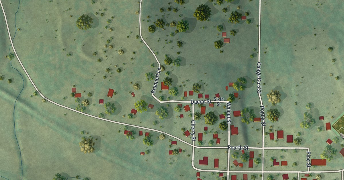
A detailed map of Argyle, Missouri, showing every building in its true location, the roads by name, and shaded topographical relief.
Read More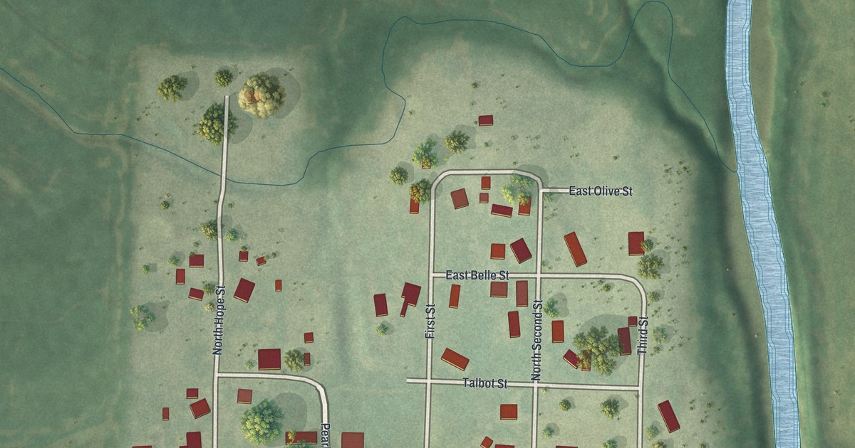
A detailed map of Arkoe, Missouri, showing every building in its true location, the roads by name, and shaded topographical relief.
Read More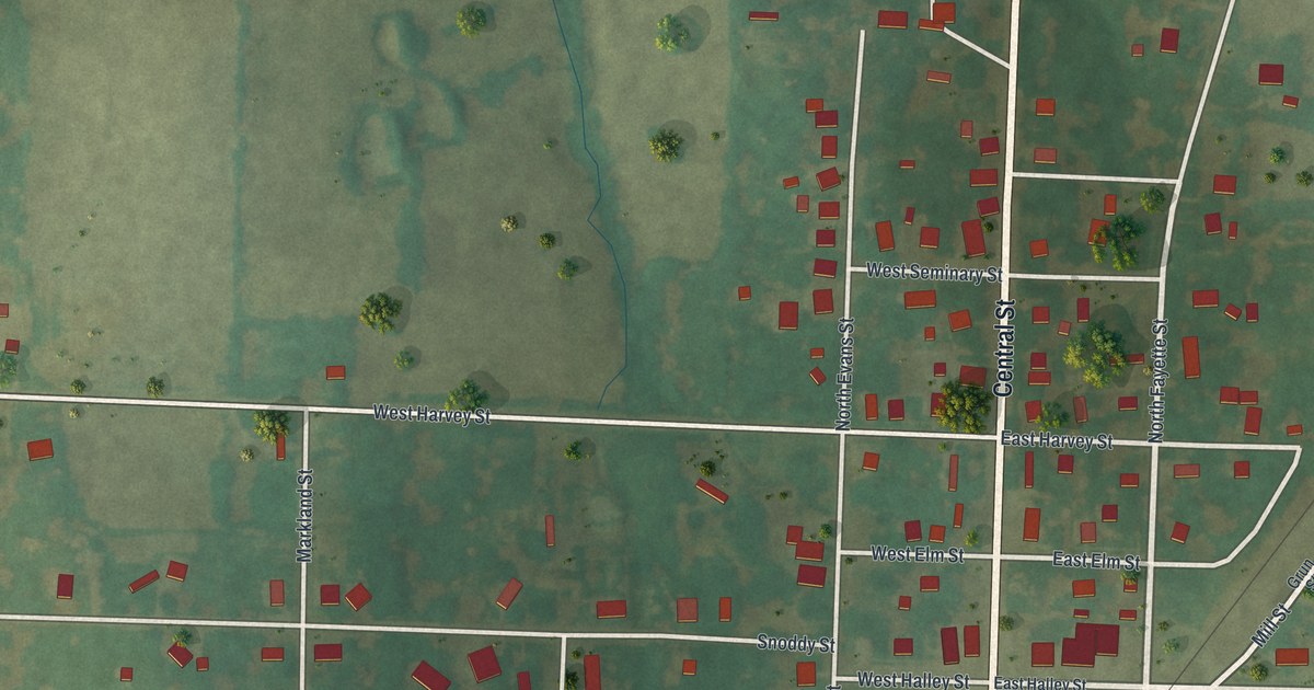
A detailed map of Armstrong, Missouri, showing every building in its true location, the roads by name, and shaded topographical relief.
Read More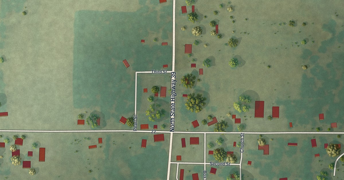
A detailed map of Arcola, Missouri, showing every building in its true location, the roads by name, and shaded topographical relief.
Read More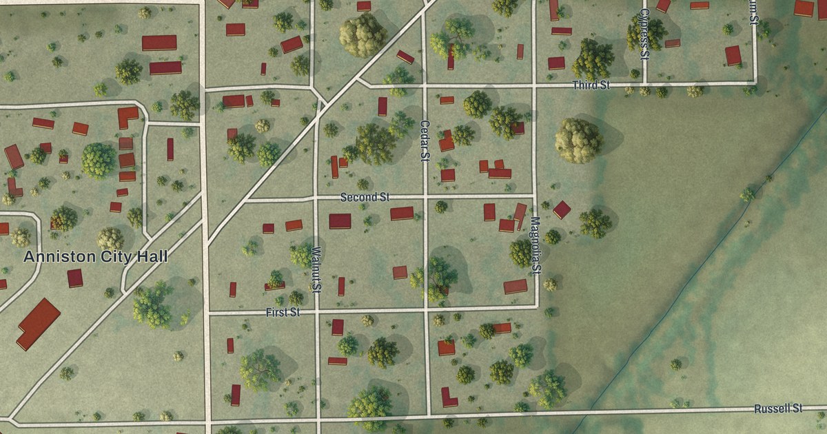
A detailed map of Anniston, Missouri, showing every building in its true location, the roads by name, and shaded topographical relief.
Read More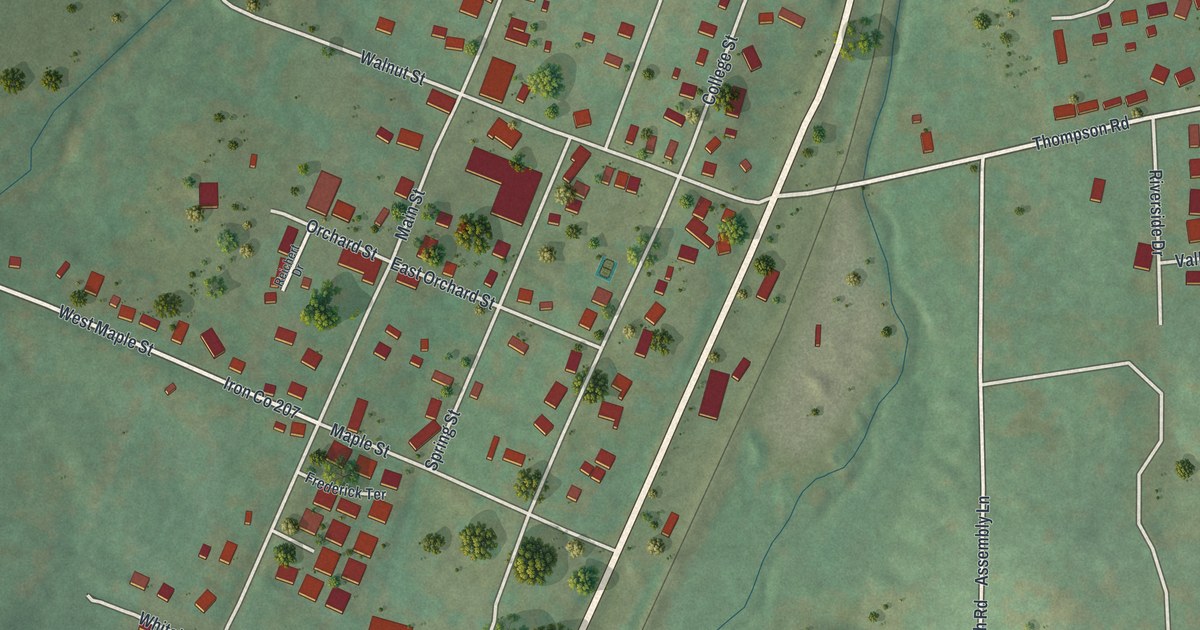
A detailed map of Arcadia, Missouri, showing every building in its true location, the roads by name, and shaded topographical relief.
Read More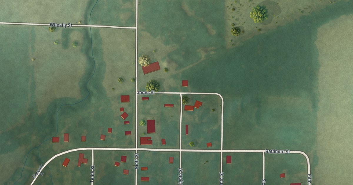
A detailed map of Arbela, Missouri, showing every building in its true location, the roads by name, and shaded topographical relief.
Read More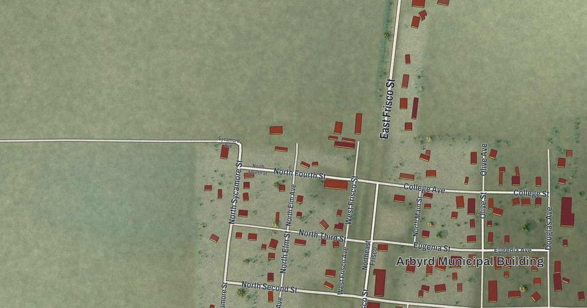
A detailed map of Arbyrd, Missouri, showing every building in its true location, the roads by name, and shaded topographical relief.
Read More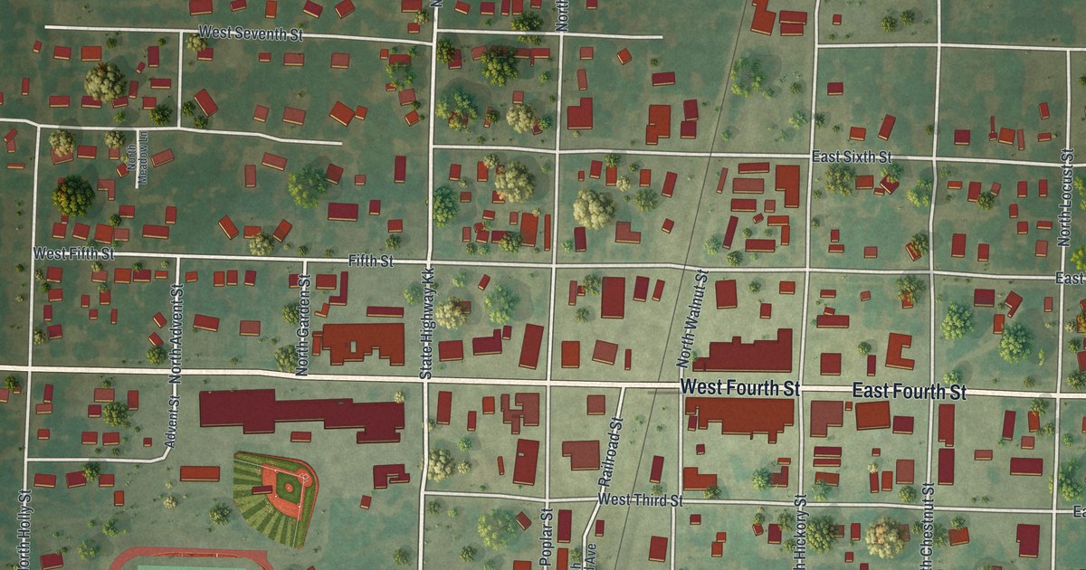
A detailed map of Appleton City, Missouri, showing every building in its true location, the roads by name, and shaded topographical relief.
Read More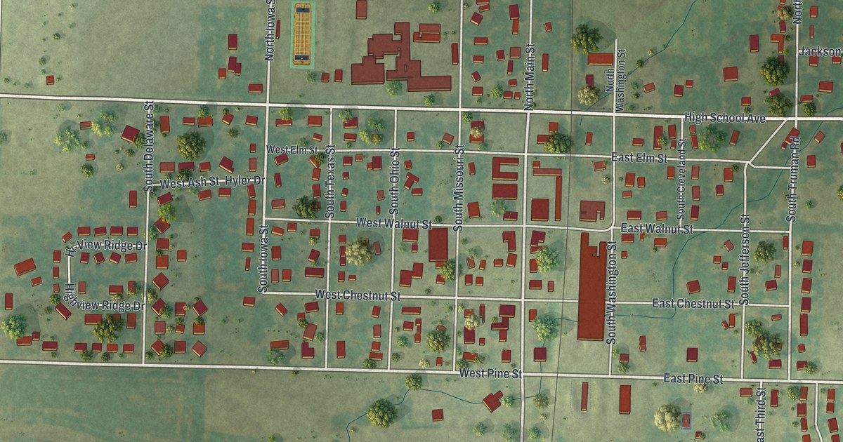
A detailed map of Archie, Missouri, showing every building in its true location, the roads by name, and shaded topographical relief.
Read More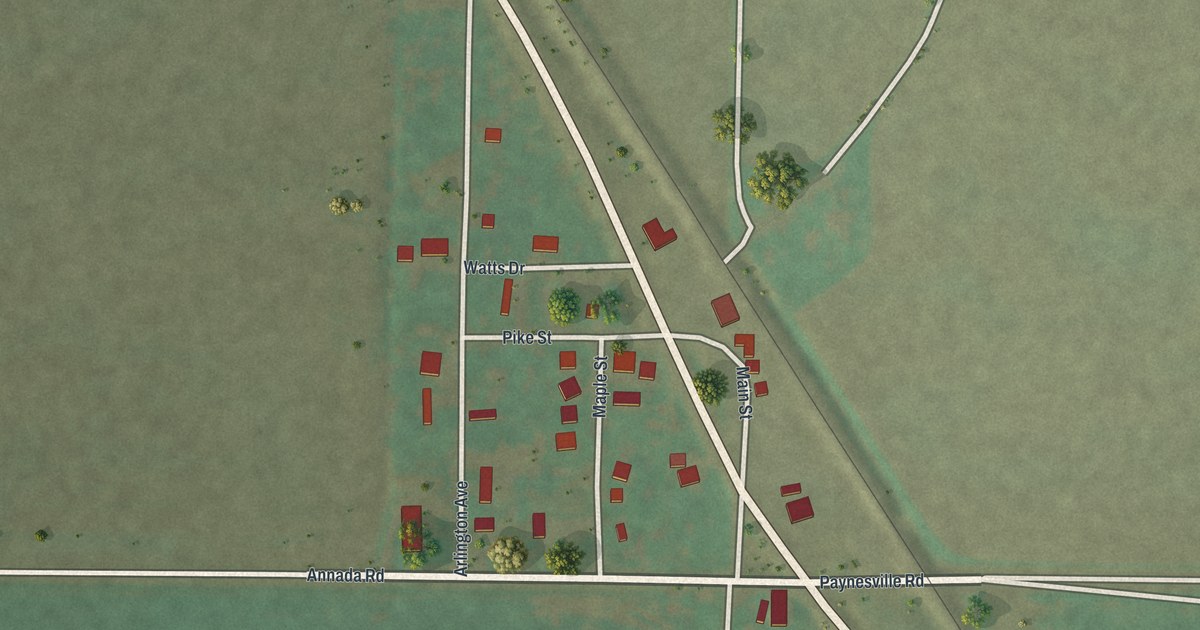
A detailed map of Annada, Missouri, showing every building in its true location, the roads by name, and shaded topographical relief.
Read More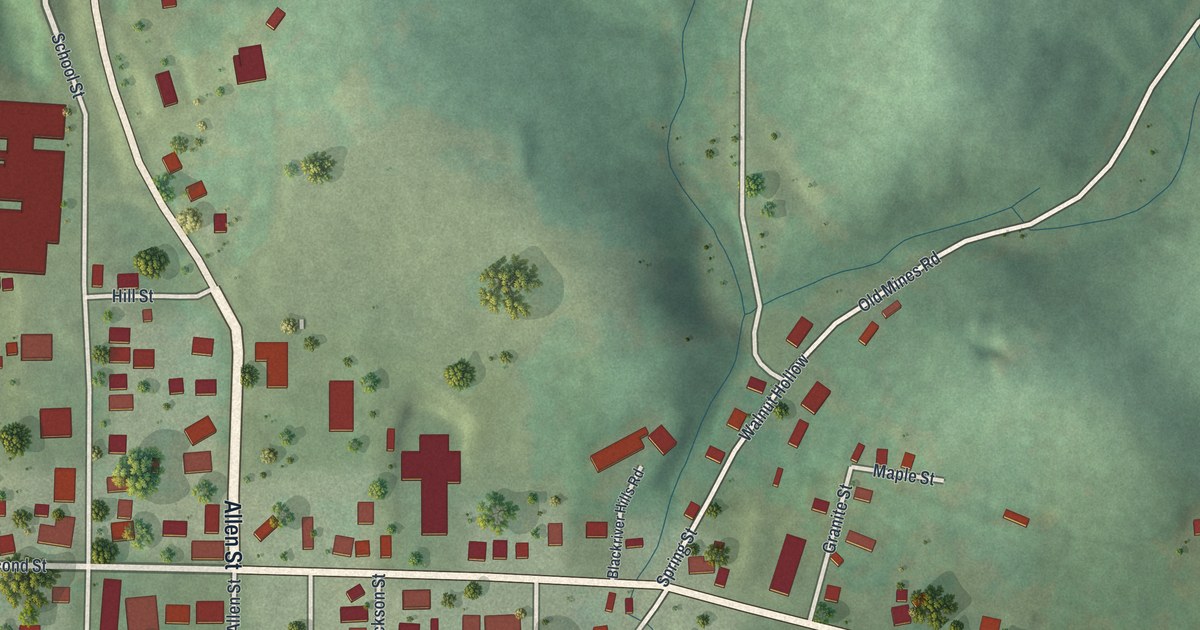
A detailed map of Annapolis, Missouri, showing every building in its true location, the roads by name, and shaded topographical relief.
Read More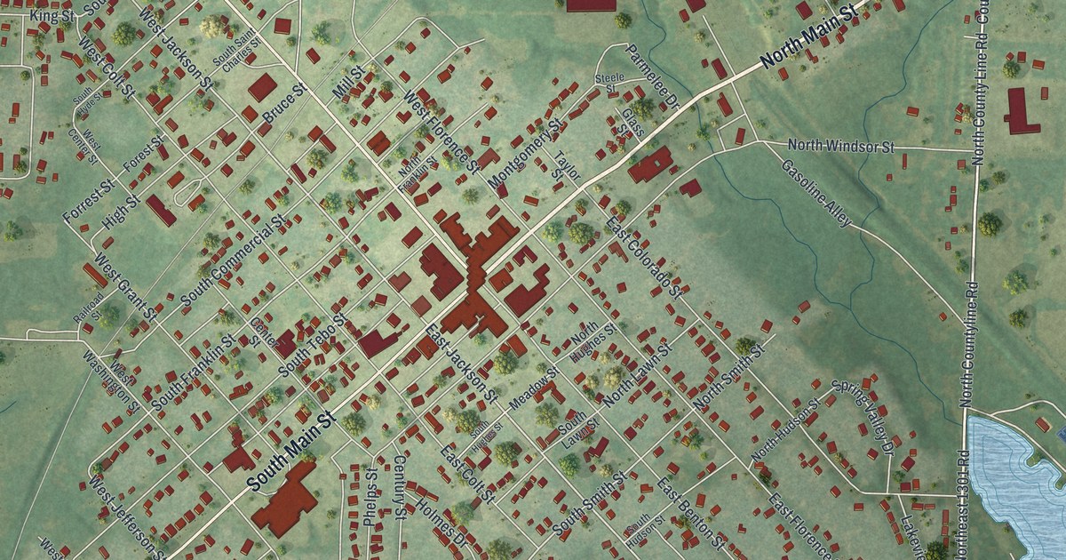
See Windsor’s streets, red buildings and green surroundings in a new aerial map. Look for your block and read about Thomas Anderson, Henry County’s first blacksmith.
Read More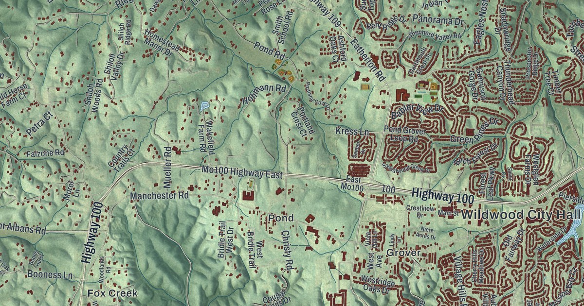
Explore Wildwood’s green hills, winding streets and familiar names, from Melrose and Pond to Grover. This new aerial map pairs modern data with a vintage feel.
Read More