Category: Missouri

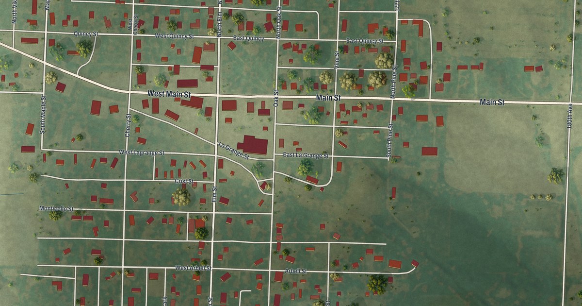
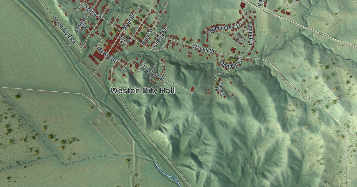
Detailed Map of Weston, Missouri

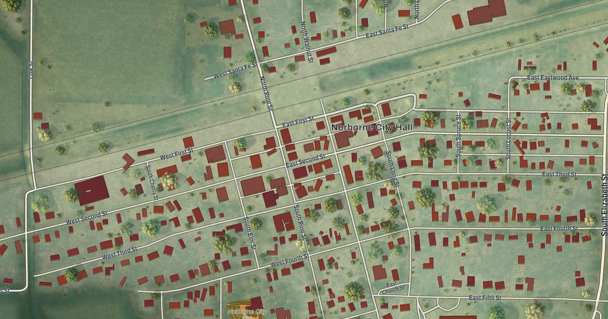
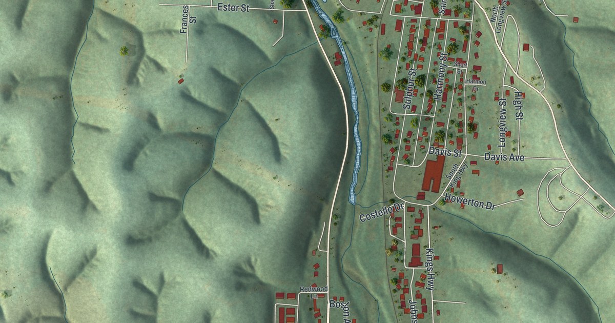
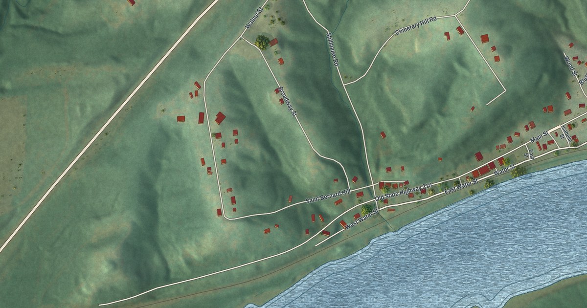
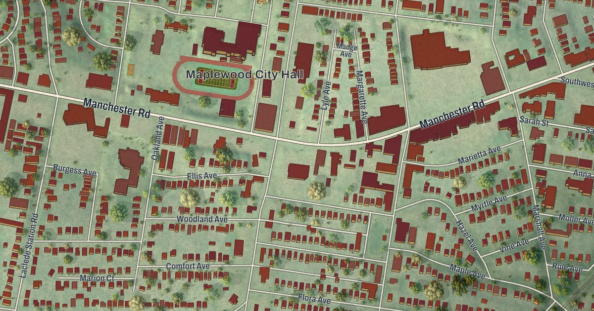
See Weston, Missouri from above: Main Street, Weston City Hall, green Platte County hills and a wide river bend. Read how Weston merchants built a lasting trade in the rush to California, and learn about the town’s two National Register places.

Read More
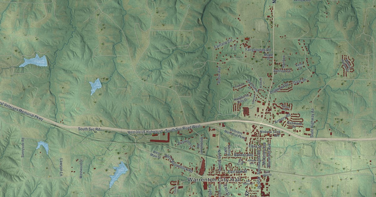
Detailed Map of Wellston, Missouri

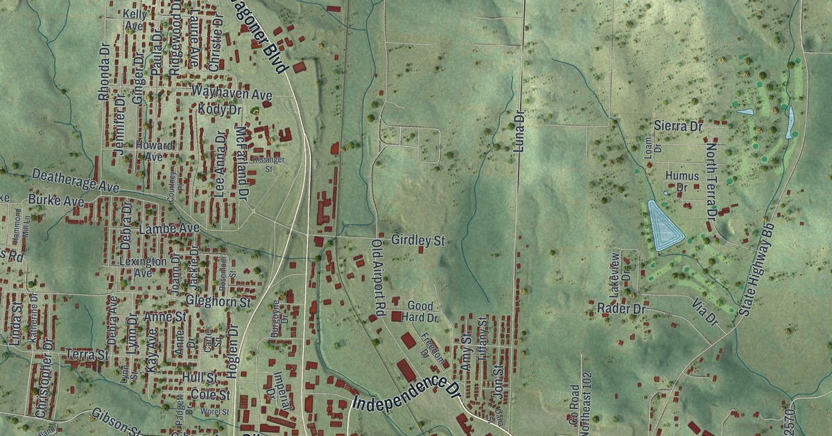
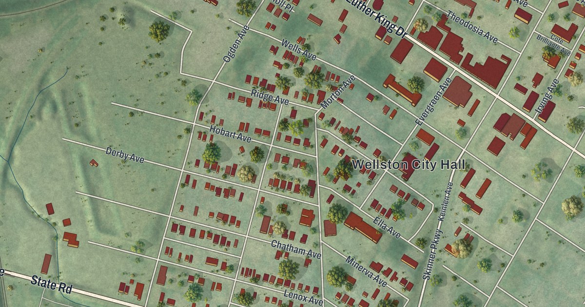
A modern aerial map of Wellston in St. Louis County, Missouri, with a vintage feel. Find Wellston City Hall, Page Avenue and Trojan Park, and learn how the town got its name from streetcar builder Erastus Wells.

Read More
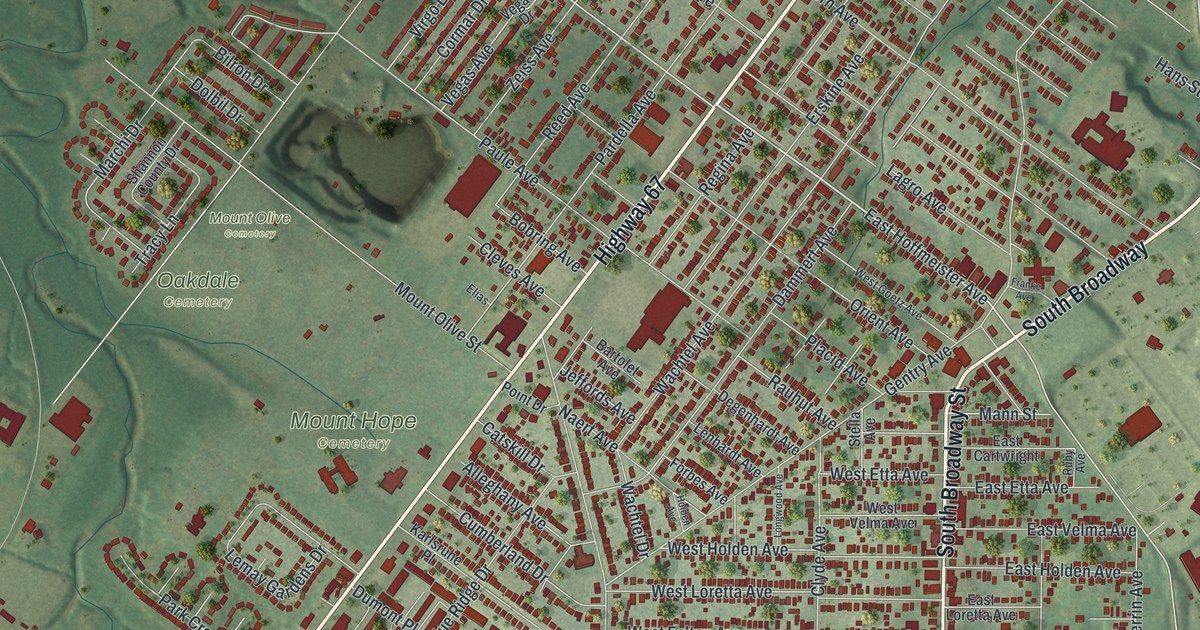
Detailed Map of Webb City, Missouri

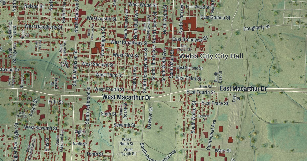
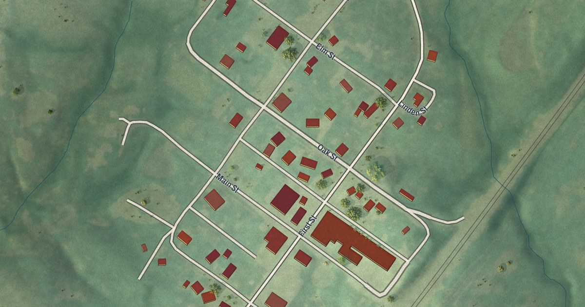
A modern aerial map of Webb City in Jasper County, Missouri, with almost 8,000 buildings in red. Find King Jack Park, Main Street and Mount Hope Cemetery, and read how the town got its name and about the Middle West Hotel.

Read More
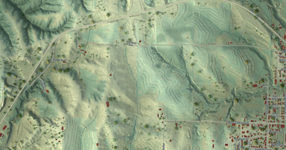
Detailed Map of Washington, Missouri

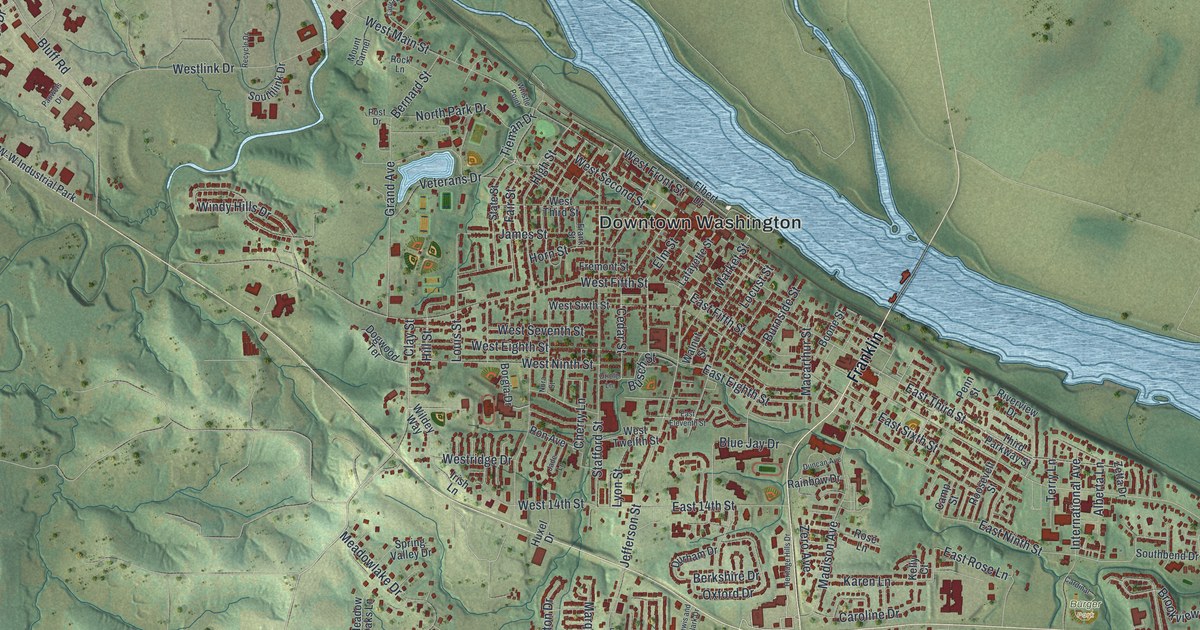
Washington, Missouri had a boat landing as early as 1822. This 2026 aerial map shows Downtown Washington by the river, the old streets of the Tibbe Historic District, and newer neighborhoods in the hills of Franklin County.

Read More
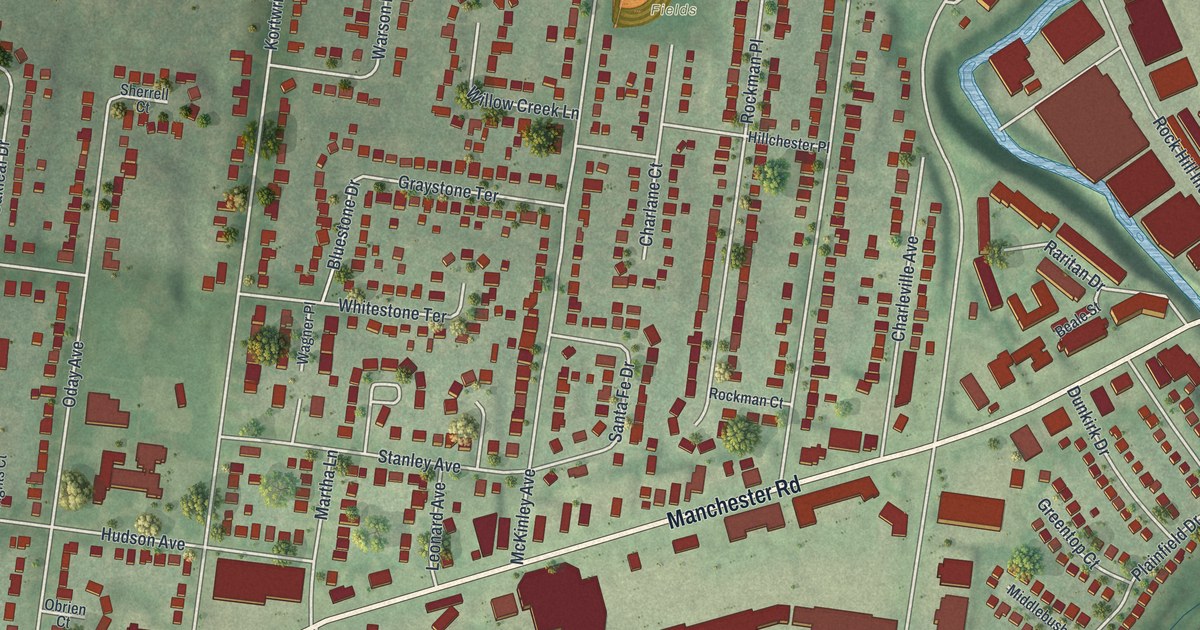
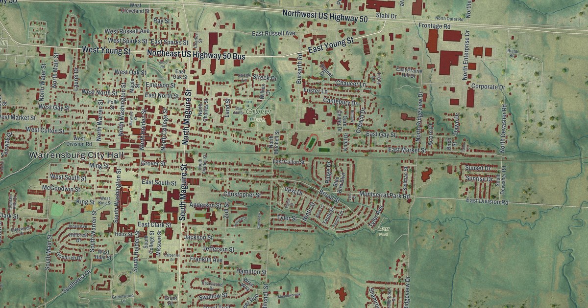
Detailed Map of Warrensburg, Missouri

Warrensburg was laid out in 1836 and named for Martin Warren, who came from Kentucky in 1833. This new 2026 map shows Warren Street, Grover Park, Holden Street and thousands of buildings across the green hills of Johnson County.

Read More
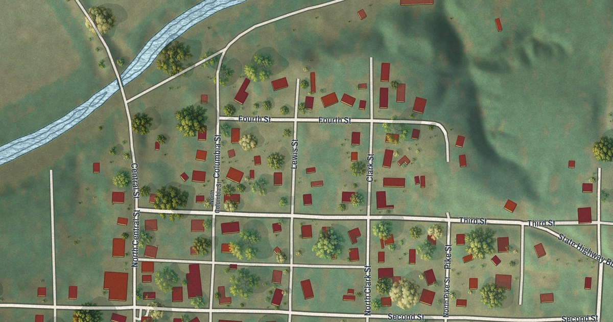
Detailed Map of University City, Missouri

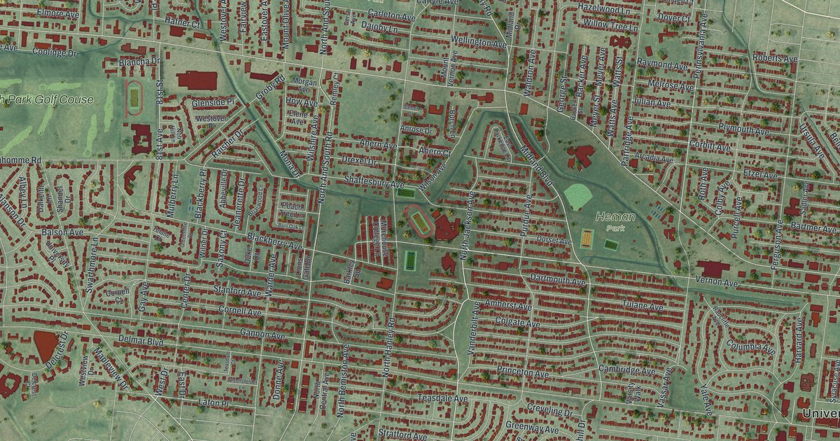
A new aerial map of University City in St. Louis County, made in 2026. Find Delmar Boulevard, Olive Boulevard, Heman Park and Millar Park, and learn about University City Plaza, the historic district listed on the National Register in 1975.

Read More
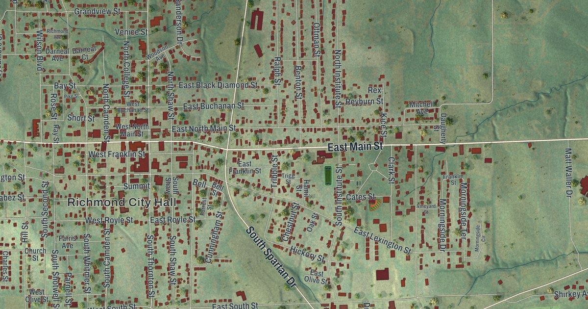
Detailed Map of Town and Country, Missouri

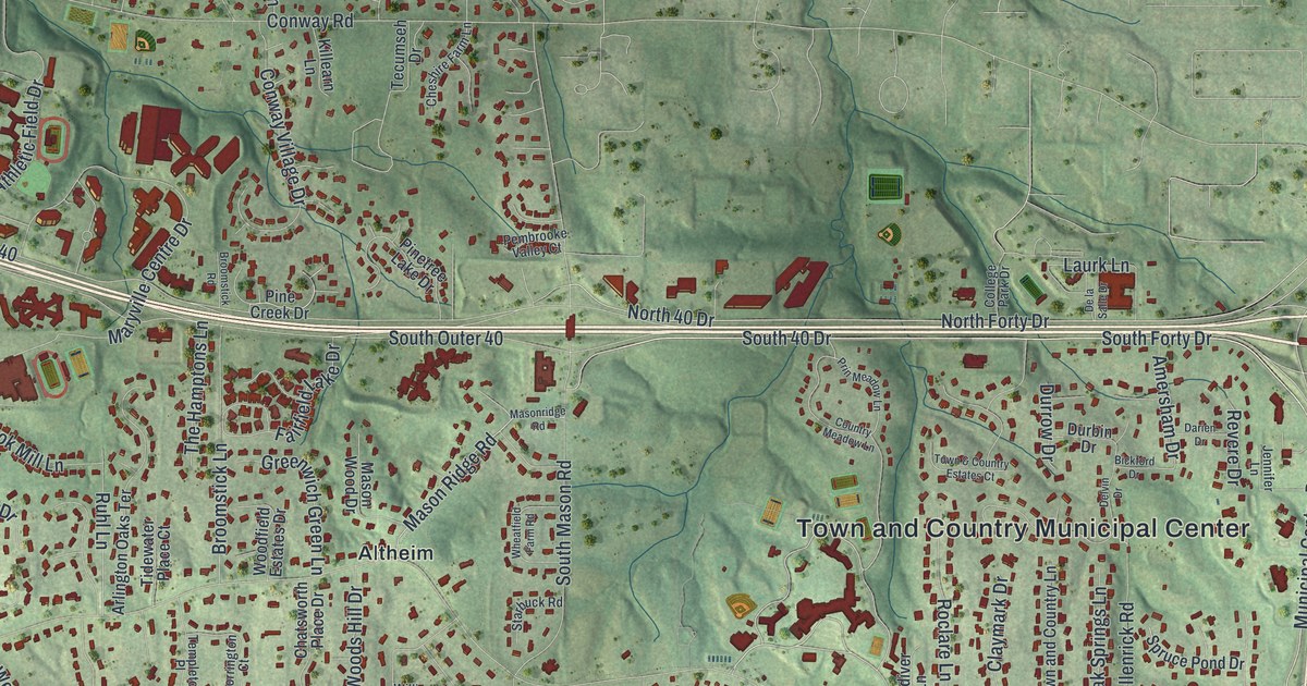
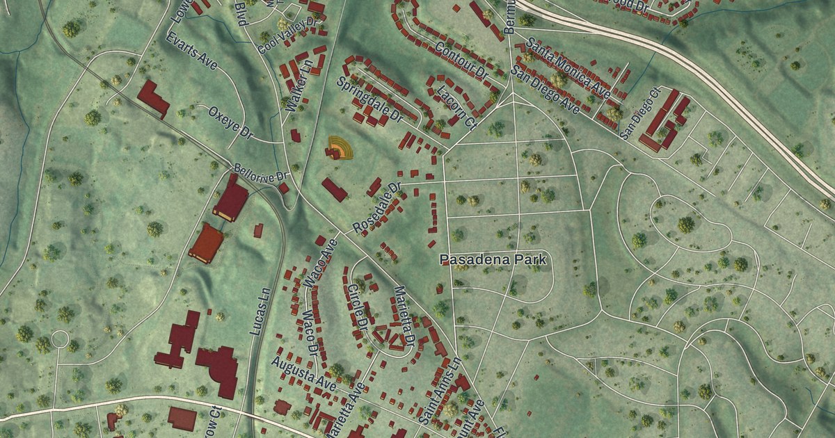
A new aerial view map of Town and Country in St. Louis County, Missouri. Find Mason Road, Clayton Road, Bellerive Country Club and Crystal Lake Park, plus the street where the Pappas House stands, listed on the National Register in 1979.

Read More
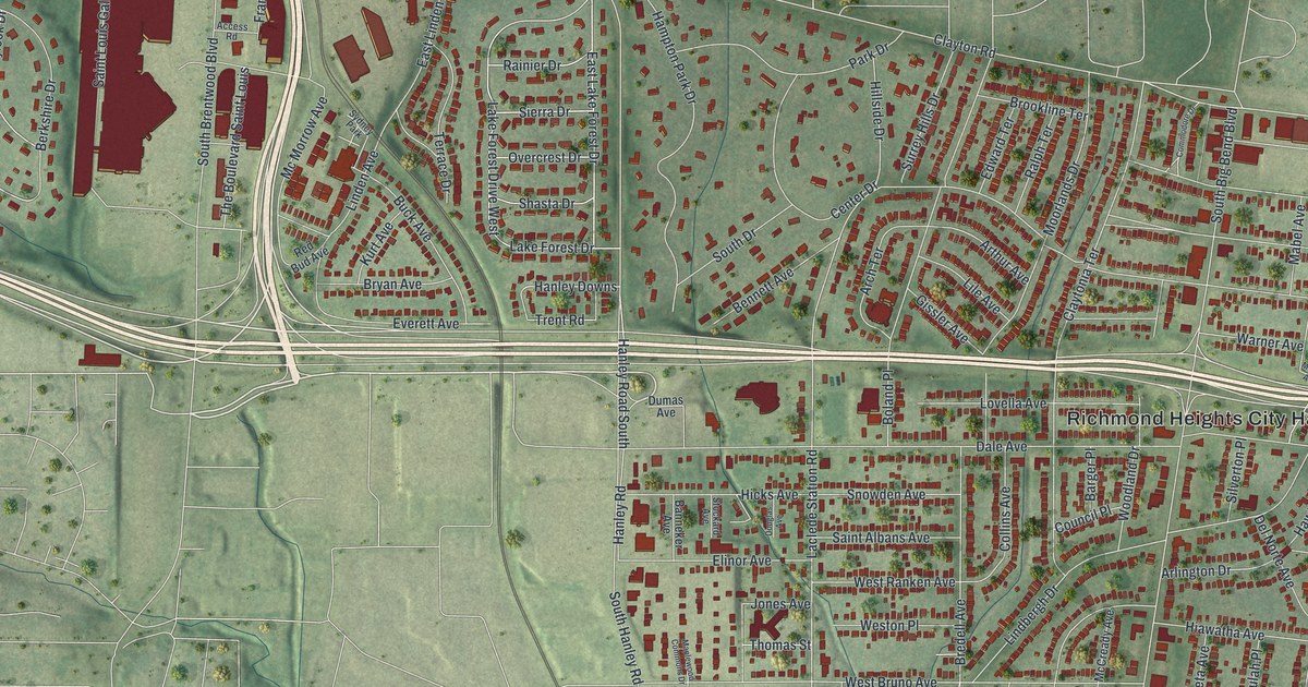
Detailed Map of Sullivan, Missouri

Sullivan, Missouri was first called Mount Helicon, with a post office from 1856 to 1860. This new 2026 map shows the town in Franklin County from above, with its green hills, Main Street, Sullivan City Hall and more than 5,000 buildings.

Read More
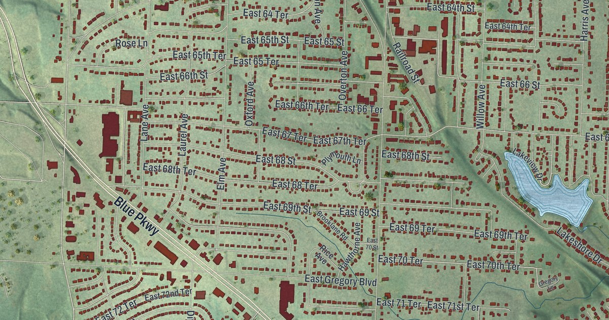
Detailed Map of Stanberry, Missouri

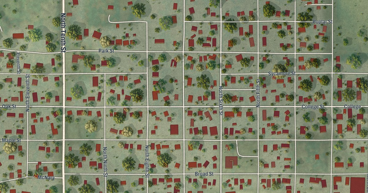
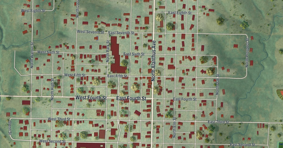
A modern aerial view of Stanberry in Gentry County, Missouri, with a vintage look. Find North Alanthus Avenue, City Park and the numbered streets, plus what a 1922 county history said about the town’s stores and the Advent Publishing House.

Read More
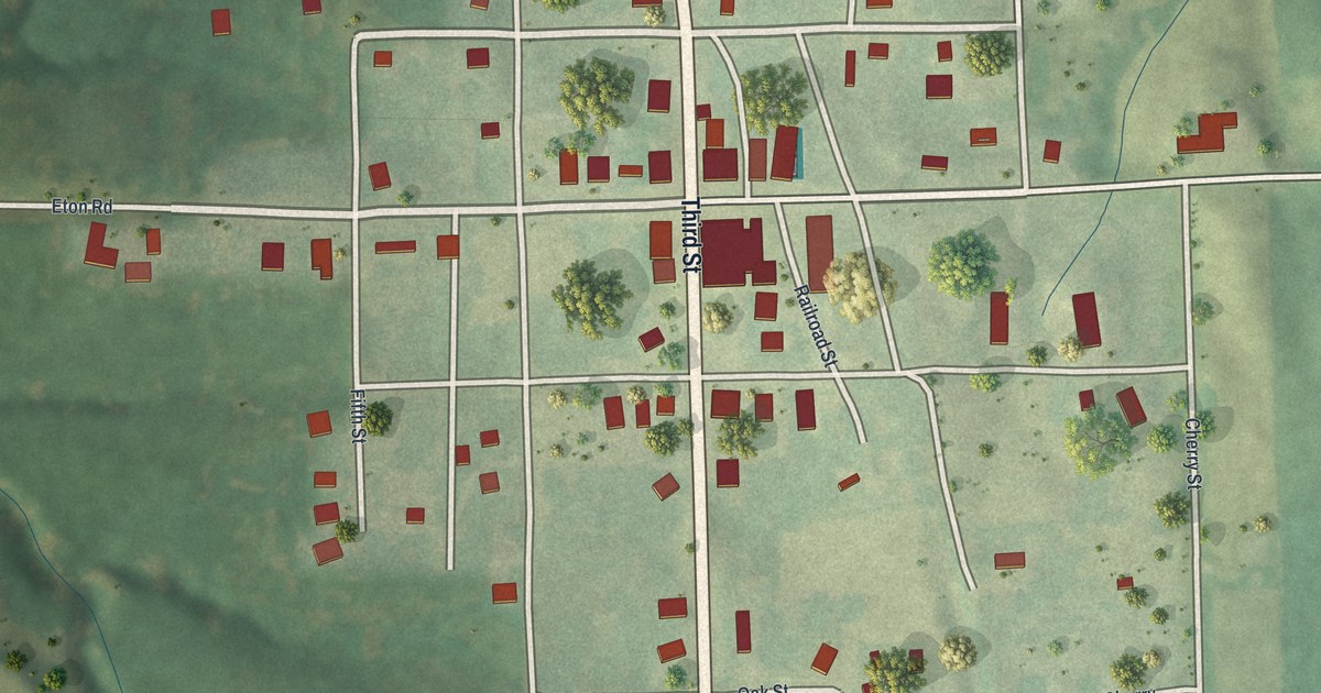
Detailed Map of St. Louis, Missouri

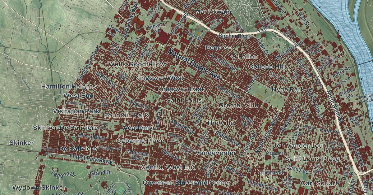
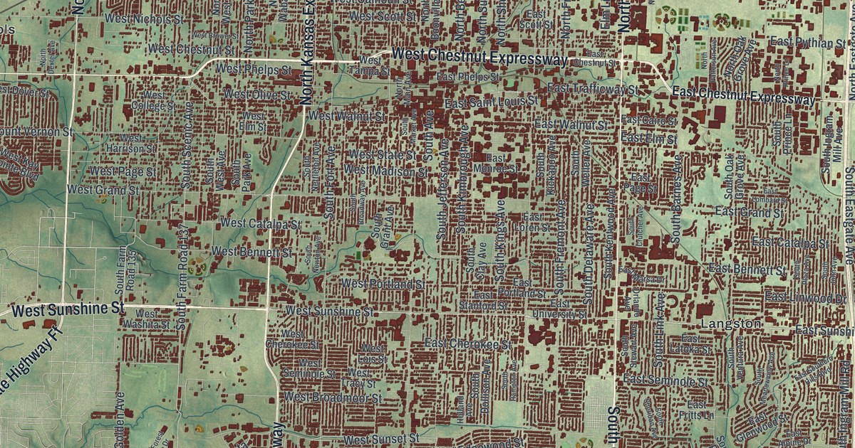
A modern aerial map of St. Louis with more than 60 neighborhoods printed by name. Plus the story of the Baby Tooth Survey, when St. Louis kids gave their baby teeth so scientists could measure fallout from bomb tests.

Read More
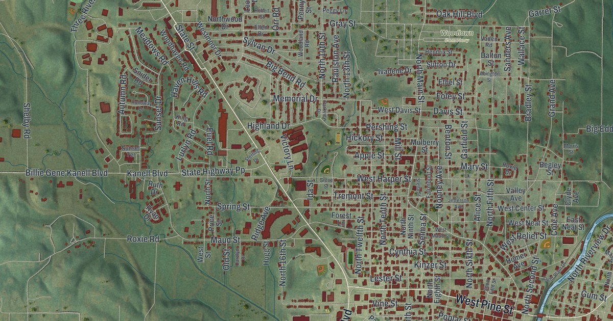
Detailed Map of St. Joseph, Missouri

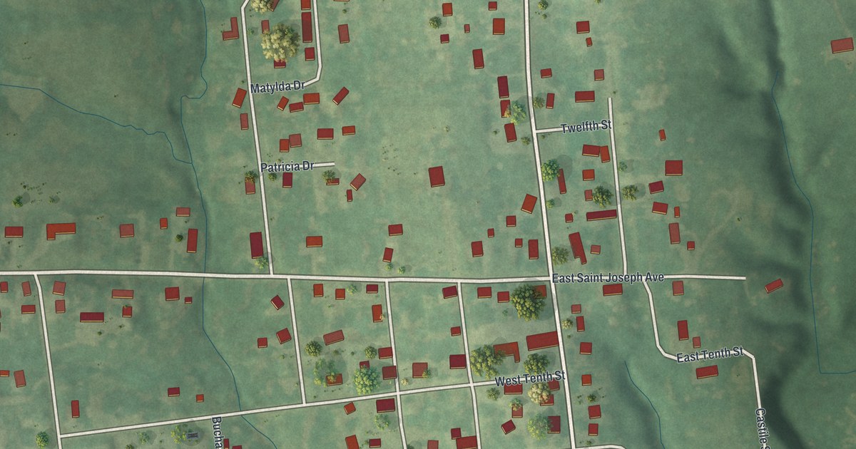
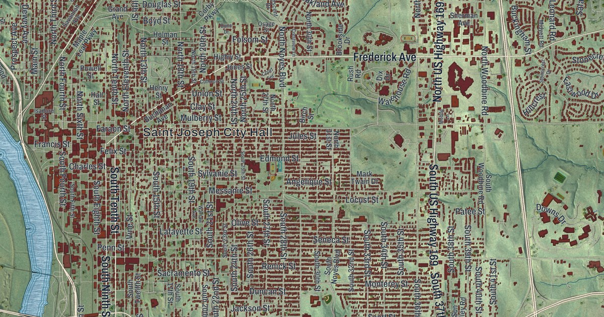
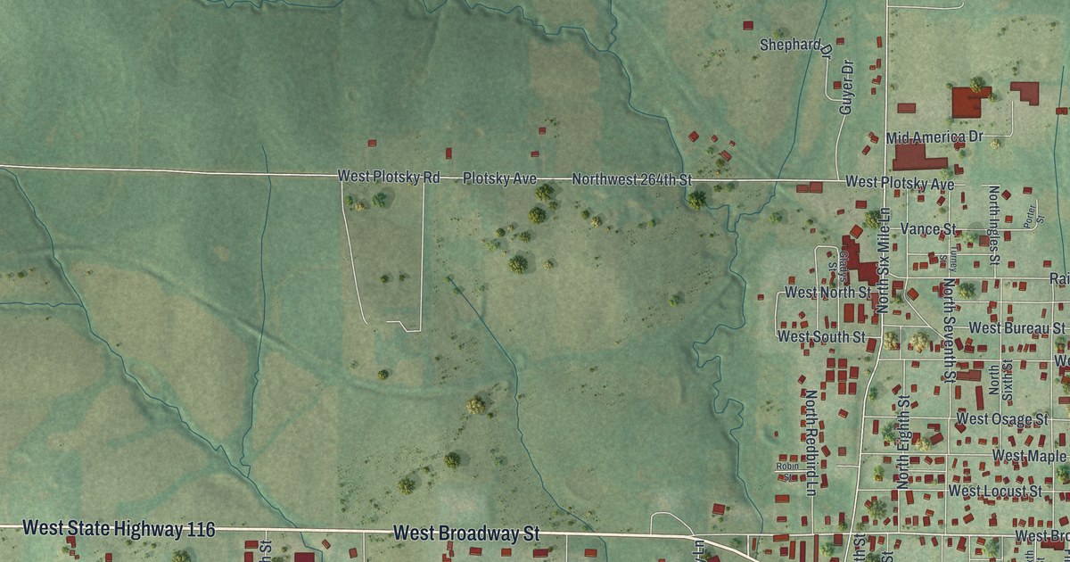
A modern aerial map of St. Joseph in Buchanan County, Missouri, with a vintage feel. Find Frederick Avenue, Penn Street and Corby Grove among more than 31,000 red buildings, plus the Pony Express Stables and how the town got its name.
Read More
Detailed Map of St. Charles, Missouri

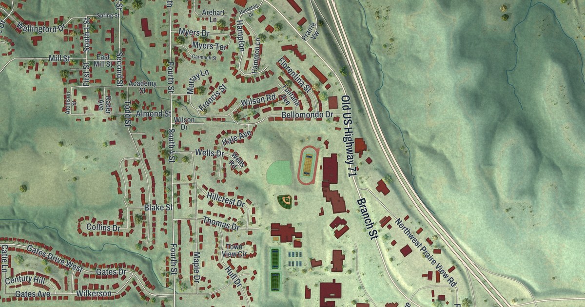
St. Charles was founded about 1769, and it’s called the oldest settlement in the St. Louis District. This new 2026 map shows nearly 33,000 buildings, from the Register-listed blocks of Main Street by the river to Elm Point, Boschertown and the neighborhoods out west.
Read More

Detailed Map of Smithville, Missouri

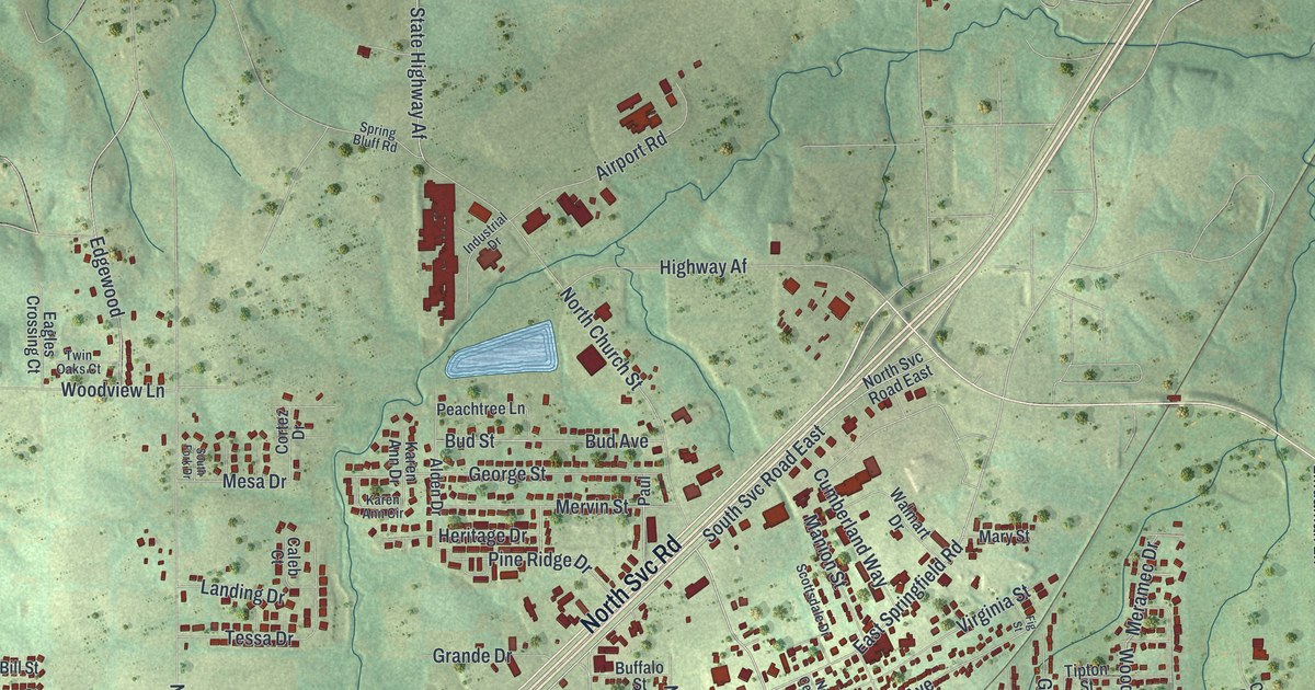
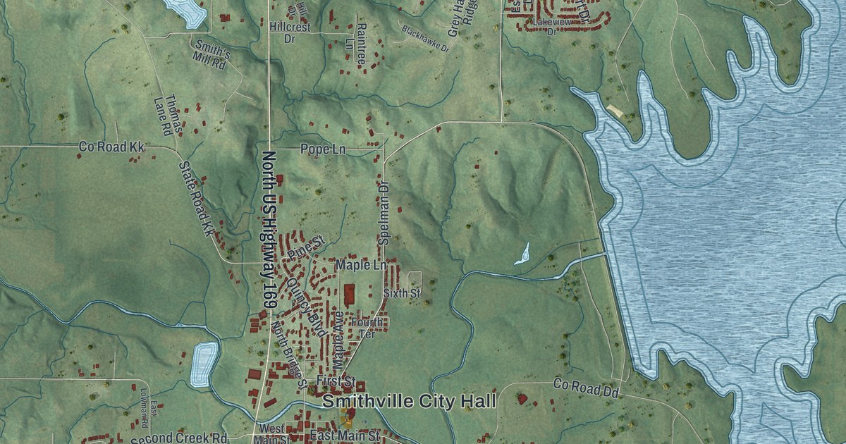
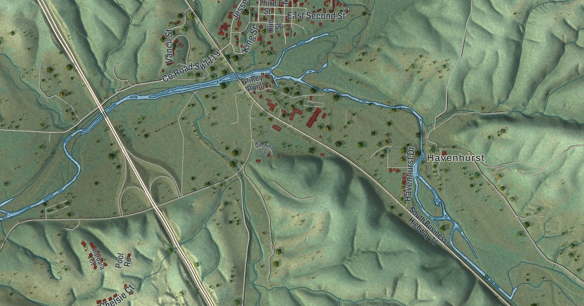
Humphrey Smith settled here in 1822 and built a mill two years later. This 2026 aerial map of Smithville, Missouri shows City Hall, East Main Street, Smith’s Mill Road, the hills and creeks around town, and a wide blue lake to the east.

Read More

Detailed Map of Sikeston, Missouri

A new aerial map of Sikeston, Missouri, made in 2026. Find East Malone Avenue, North Main Street and Westgate Street, and learn about the Marshall Hotel, the old Iron Mountain depot and Lincoln School, all on the National Register.

Read More

Detailed Map of Sedalia, Missouri

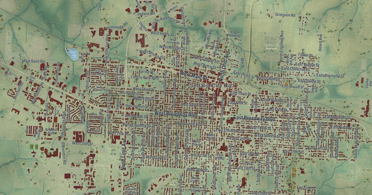
A modern aerial map of Sedalia in Pettis County, Missouri, with a vintage look. Find West Broadway Boulevard, Sedalia City Hall, the Missouri State Fairground and more than 12,000 buildings, plus the story of the town’s 1864 charter.

Read More

Detailed Map of Sappington, Missouri

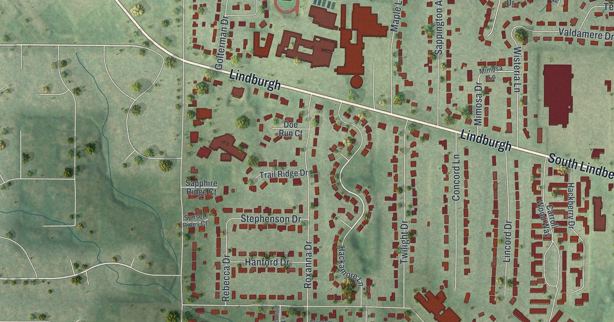
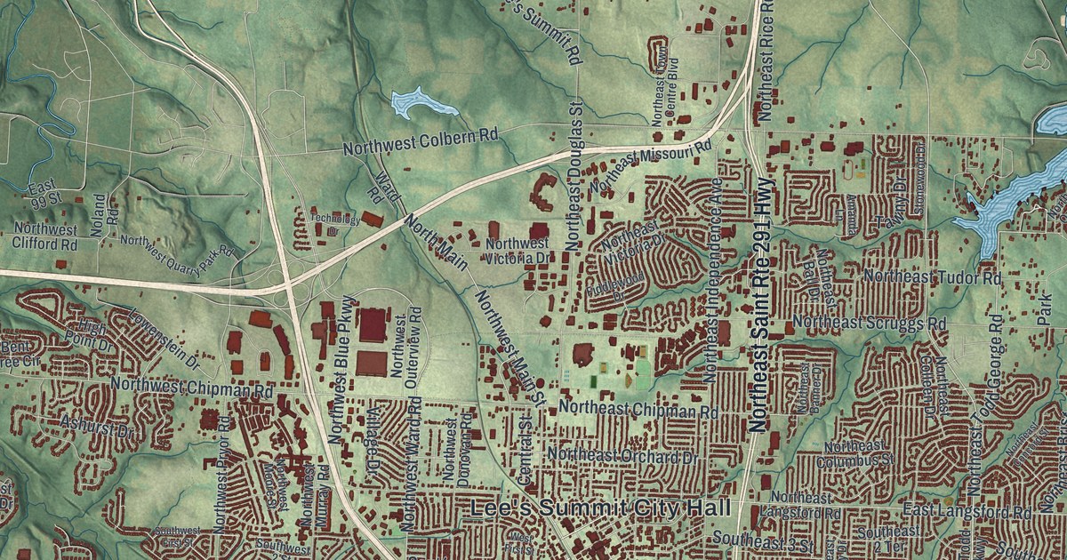
Sappington was named for a family of pioneers, and that name still runs down Sappington Road. This new 2026 map of Sappington, Missouri shows Gravois Road, Tesson Ferry Road, South Lindbergh Boulevard and every block in between, with buildings in red over green hills.

Read More
Detailed Map of Rutledge, Missouri

A new aerial map of Rutledge in Scotland County, Missouri. Find Main Street, Second Street, Cemetery Road and the rail line, plus the story of the Rutledge School, listed on the National Register in 2017.

Read More
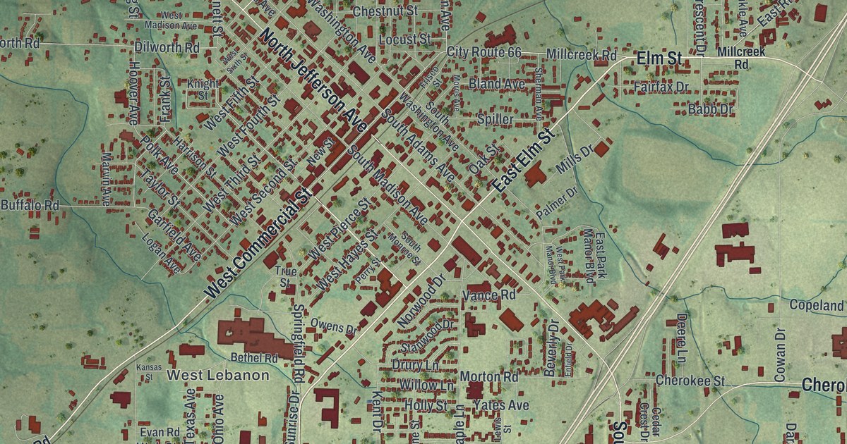
Detailed Map of Rock Port, Missouri

A new aerial-style map of Rock Port in Atchison County, Missouri. Find Main Street, Mill Street and Elmwood Cemetery, and learn how Nathan Meeks built a grist mill on Rock Creek in 1843, right where the town stands today.

Read More
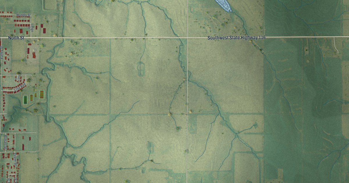
Detailed Map of Richmond, Missouri

Richmond, Missouri was laid out in 1828 and named by settlers from Virginia for their home capital. This 2026 aerial map of Richmond in Ray County shows East Main Street, Richmond City Hall, Shirkey Golf Course and thousands of buildings.

Read More
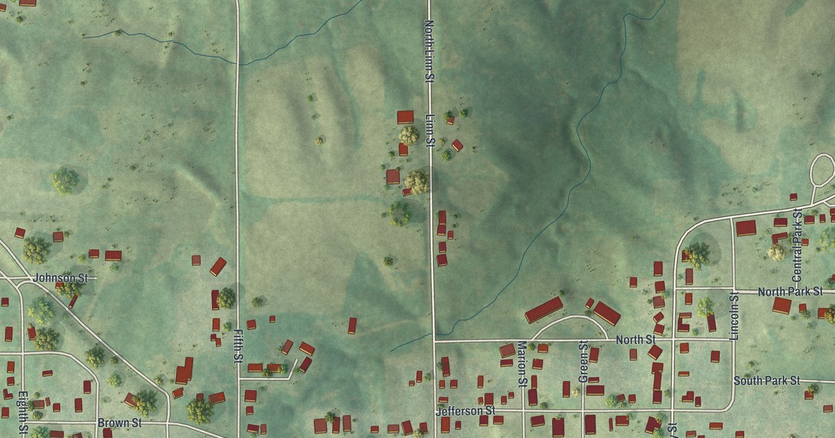
Detailed Map of Richmond Heights, Missouri

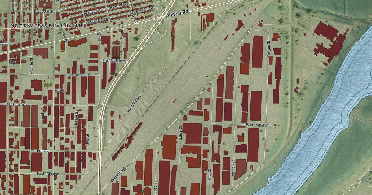
A modern aerial map of Richmond Heights in St. Louis County, Missouri, made in 2026. Find Clayton Road, Big Bend, Bellevue Avenue and City Hall, and learn how the town’s name came from Richmond, Virginia, and the high ground it sits on.

Read More
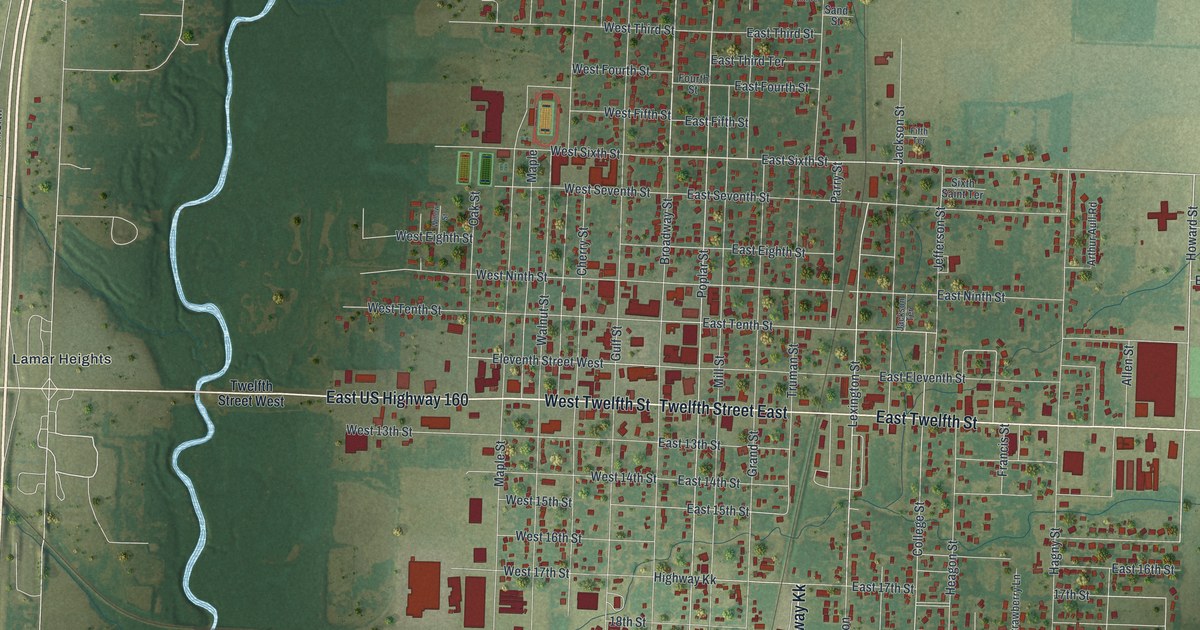
Detailed Map of Raytown, Missouri

A 2026 aerial map of Raytown in Jackson County, Missouri. Find Raytown Road, Blue Ridge Boulevard, Kenagy Park and thousands of red buildings, plus one old account that says the town was named for the many roads that met there.

Read More
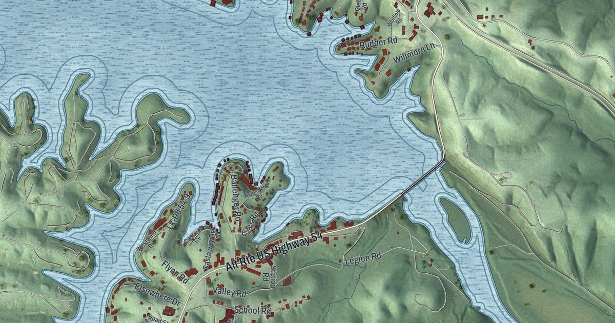
Detailed Map of Purdin, Missouri

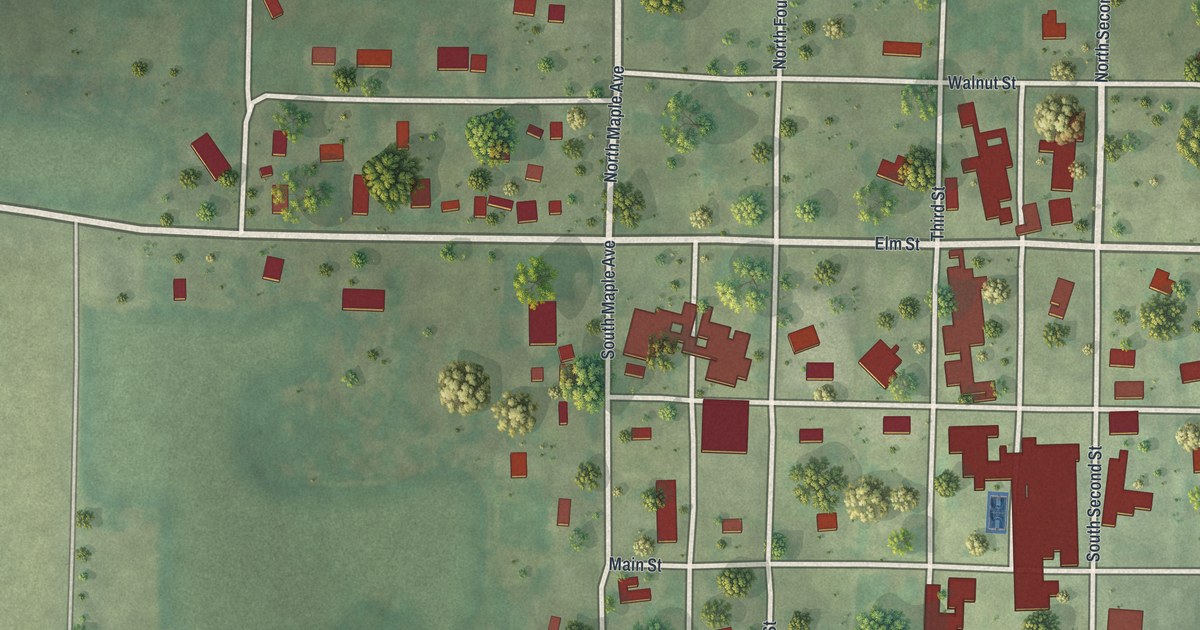
A modern aerial map of Purdin in Linn County, Missouri. Find Third Street, Main Street, Purdin Cemetery and every block of town, plus the story of John I. Purdin, the 1887 hotel, the 1894 bank and the school the town was proud of in 1912.

Read More
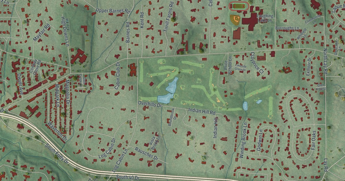
Detailed Map of Plattsburg, Missouri

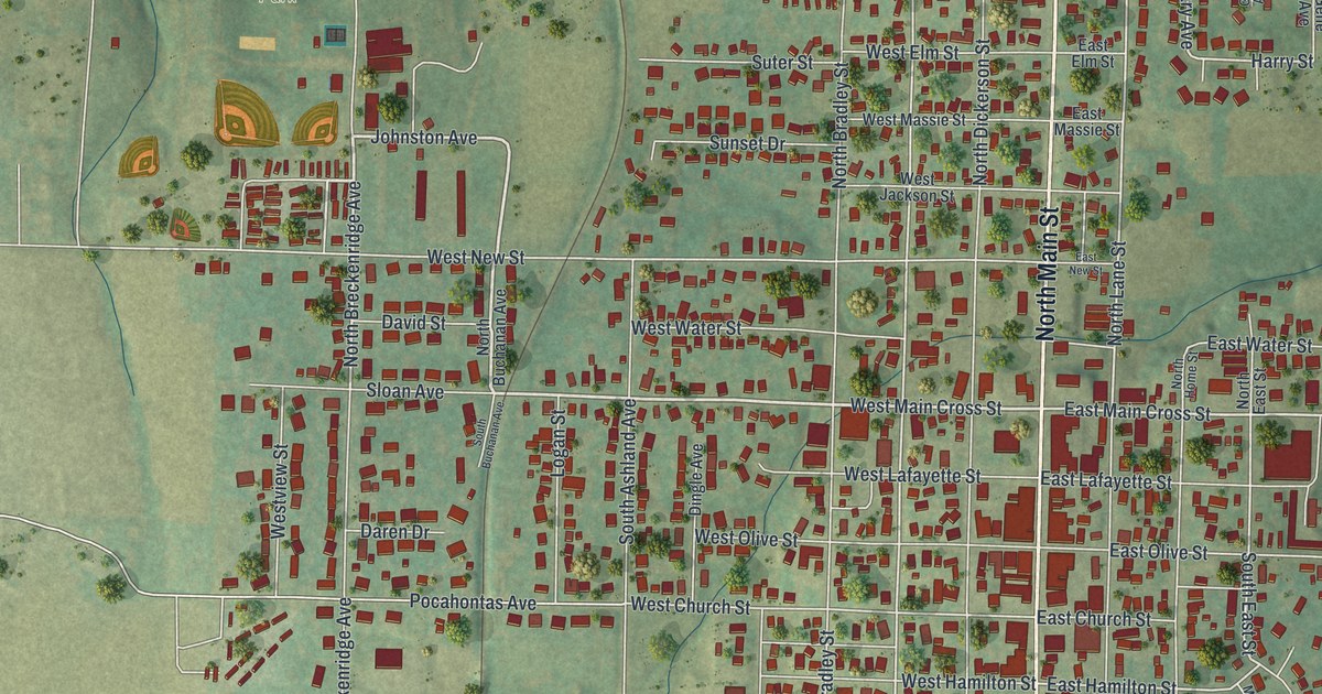
Plattsburg’s first house went up soon after John Livingston arrived from Kentucky in 1833, when the town was called Concord. Find West Clay Avenue, Plattsburg City Hall, Perkins Park, Lexington Lane and Bunker Hill Drive on this new map.

Read More
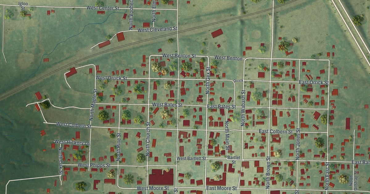
Detailed Map of Palmyra, Missouri

A new aerial map of Palmyra in Marion County, Missouri, made in 2026. Find North Main Street, West Ross Street, Greenwood Cemetery and Flower City Park, and learn why Palmyra is called the first settlement in Liberty Township.

Read More
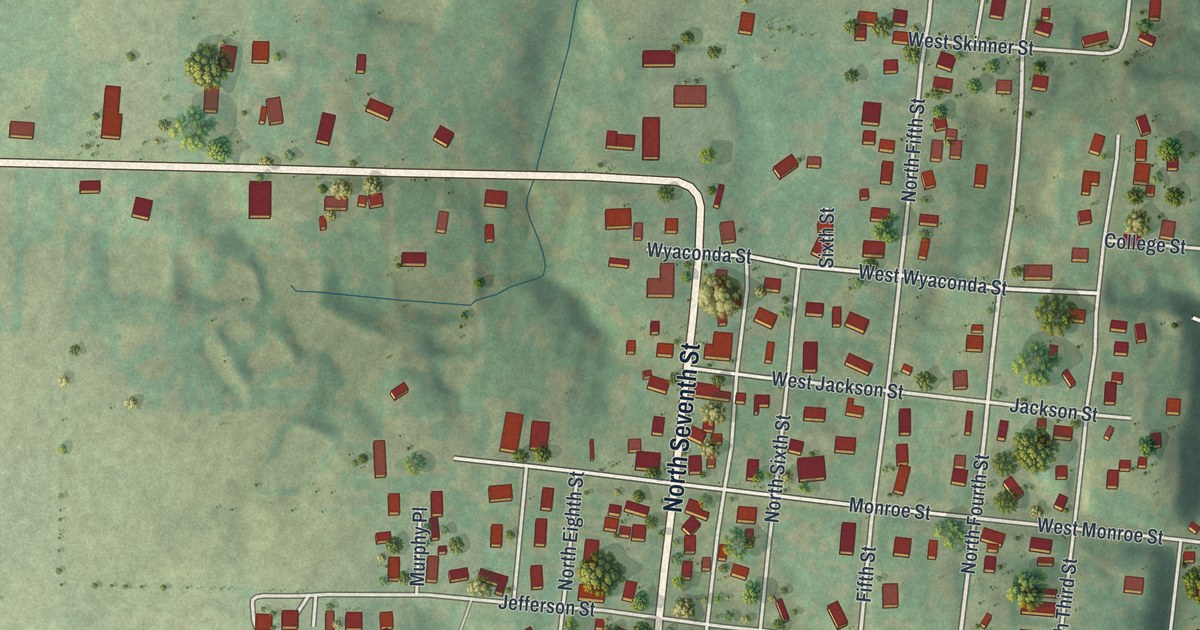
Detailed Map of Osage Beach, Missouri

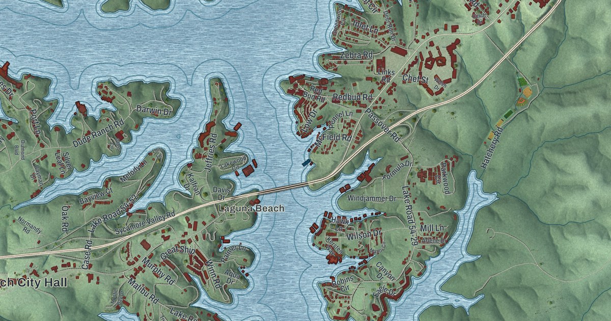
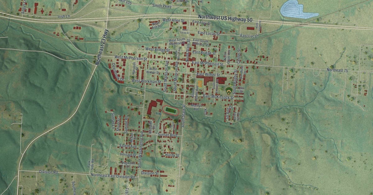
Osage Beach sits on the eastern shore of the Lake of the Ozarks and was named for the Osage River. This 2026 aerial map shows the town’s coves, hills and streets, including Damsel and Laguna Beach, with buildings shown in red.
Read More
Detailed Map of Oregon, Missouri

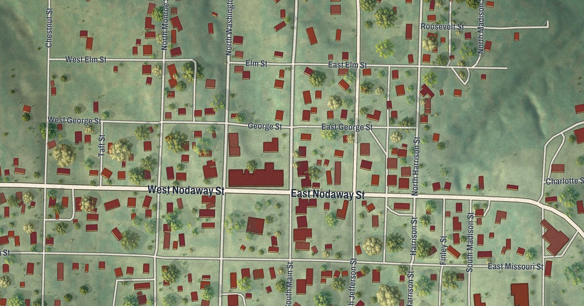
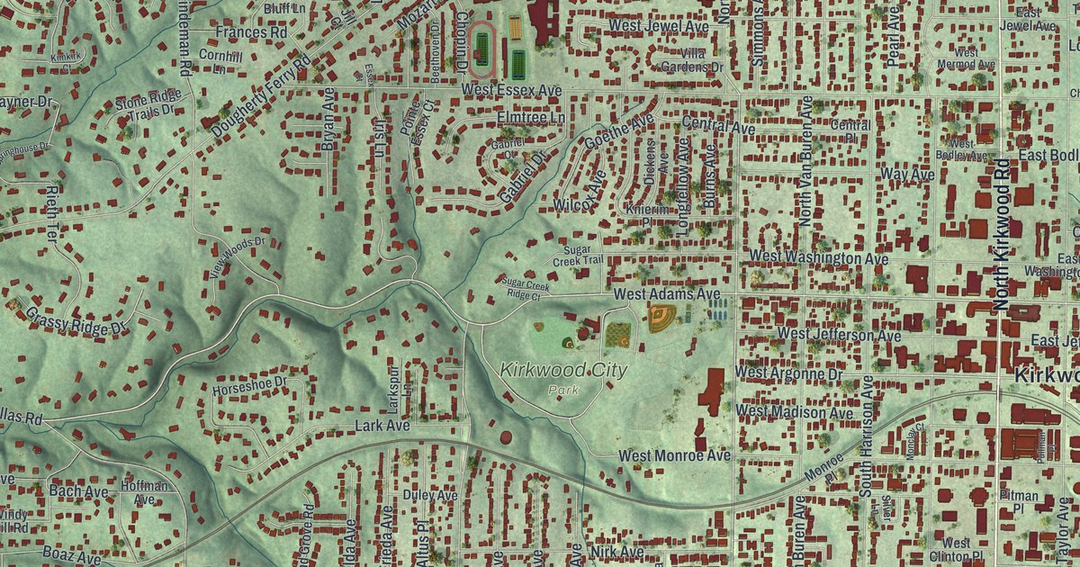
A modern aerial map of Oregon in Holt County, Missouri, with a vintage feel. Find Nodaway Street, Main Street and Oregon Cemetery, and read how the land under the town came to belong to the county.

Read More

Detailed Map of Olivette, Missouri

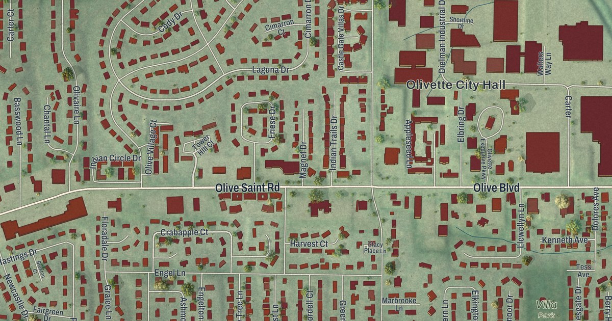
A new aerial map of Olivette, Missouri, made in 2026. Find Olive Boulevard, Olivette City Hall, Stacy Park and Dielman Rock Island Industrial Drive, which shares its name with the railroad that once had an Olivette post office.

Read More

Detailed Map of O’Fallon, Missouri

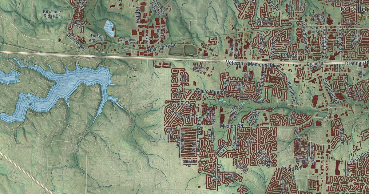
O’Fallon, Missouri, was surveyed in 1857 and named for Colonel John O’Fallon, a director in the North Missouri Railroad. This 2026 aerial map shows its hills, lakes and streets, from South Main Street to Winghaven Boulevard.

Read More

Detailed Map of Normandy, Missouri

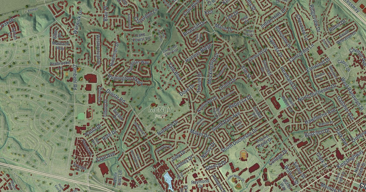
Normandy, Missouri, was evidently named for Normandy, France. This new 2026 aerial map of the St. Louis County city shows Natural Bridge Road, Glen Echo Park, Berdell Hills, Saint Vincent County Park and thousands of red buildings over rolling green ground.

Read More

Detailed Map of Noel, Missouri

A new aerial map of Noel, Missouri, made in 2026. See Main Street, Railroad Street, Spring Valley and the green hills of McDonald County, and read how Marshall moved his farm store to Noel when the railroad came.

Read More

Detailed Map of Nevada, Missouri

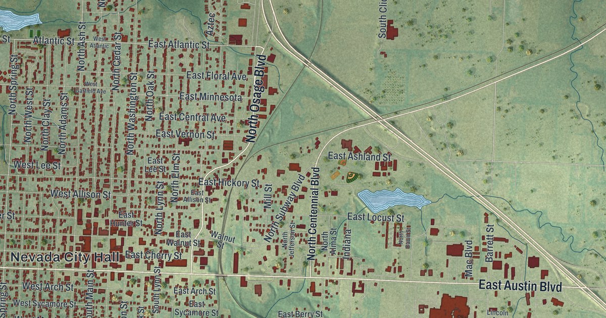
A new aerial-style map of Nevada in Vernon County, Missouri. Find Main Street, Austin Boulevard, Walton Park and Twin Lakes Park, plus the streets around the Vernon County Courthouse, listed on the National Register in 1997.

Read More

Detailed Map of Morrisville, Missouri

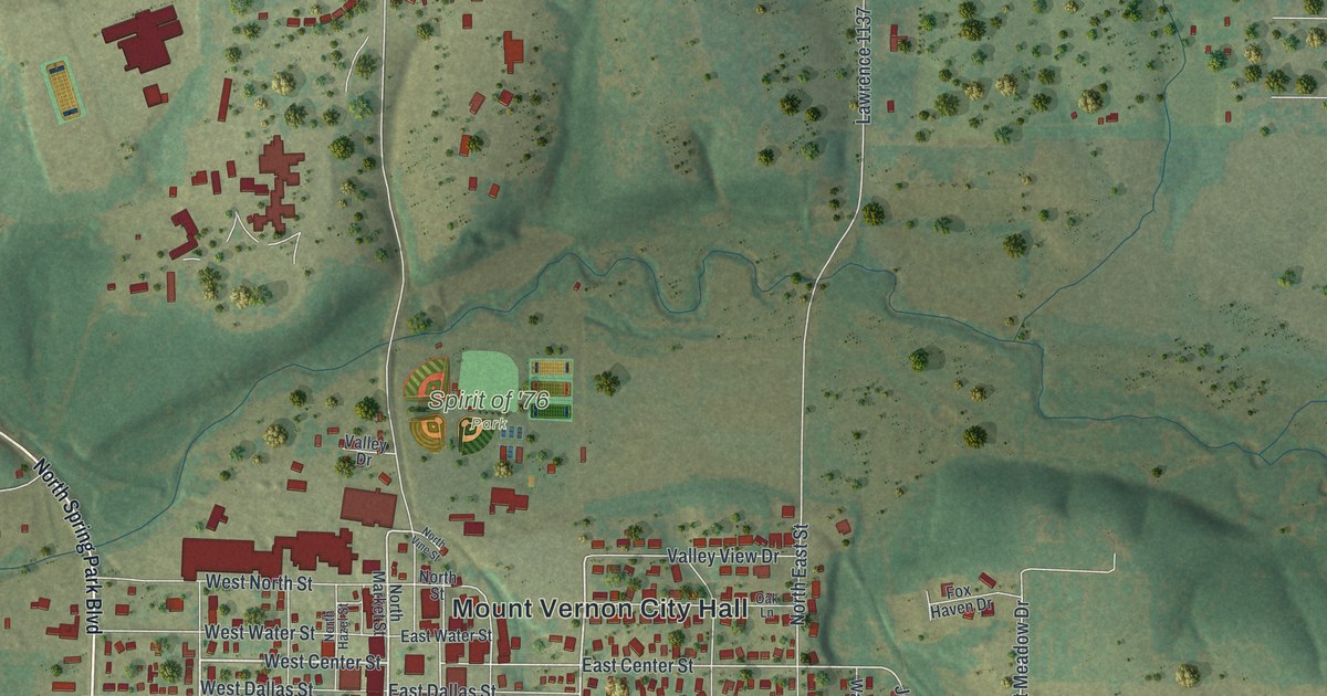
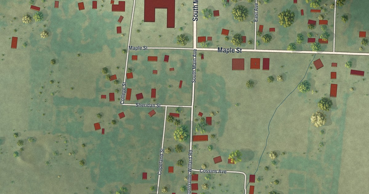
A modern aerial map of Morrisville in Polk County, Missouri, with a vintage look. Find Main Avenue, Maple Street and College Street, and read how the chapel of Morrisville College gave a church a home after an 1880 fire.

Read More

Detailed Map of Monett, Missouri

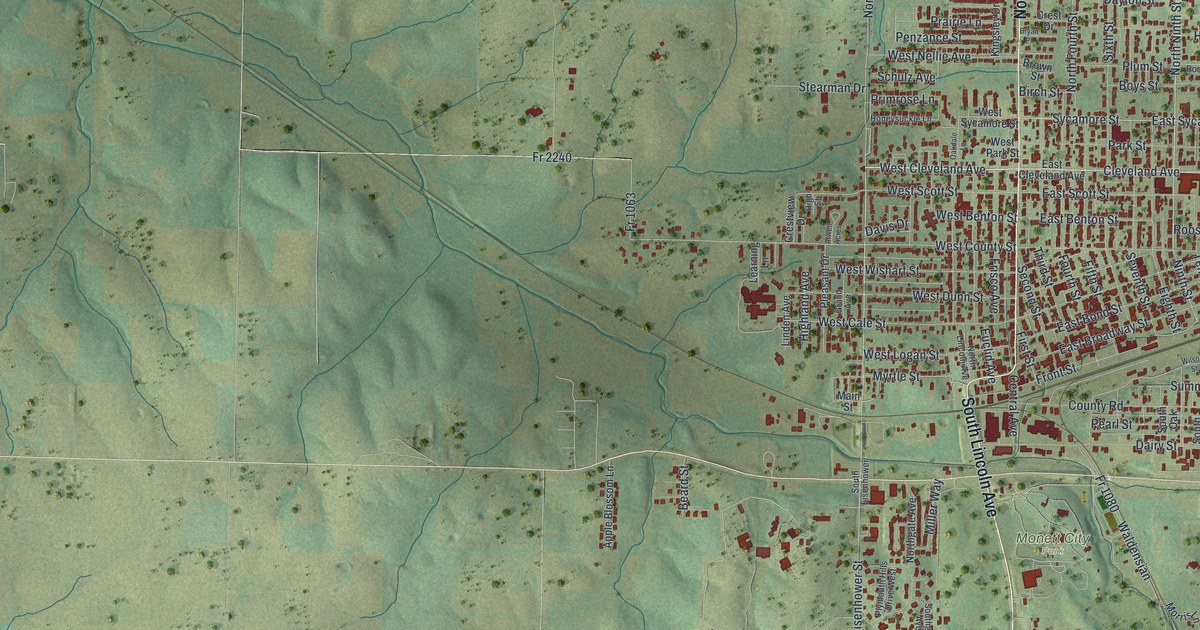
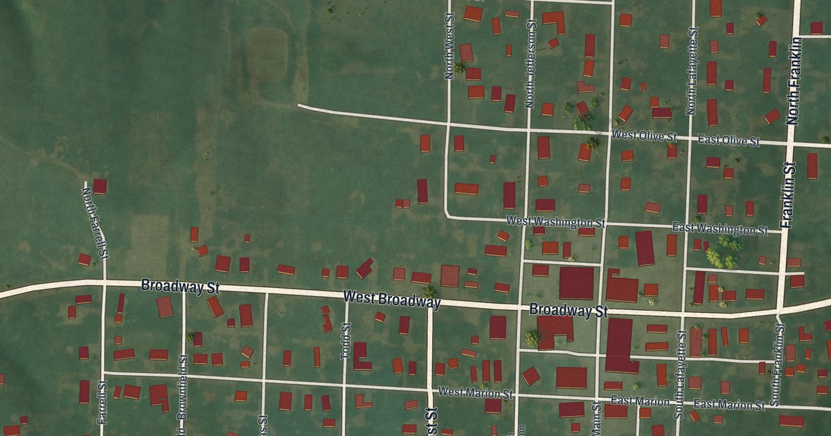
A modern aerial view of Monett in Barry County, Missouri, with a vintage feel. Find North Central Avenue, East Broadway Street, North Park and your own block, and learn how a railroad passenger agent gave the town its name.

Read More

Detailed Map of Milan, Missouri

A modern aerial map of Milan, the county seat of Sullivan County, Missouri, with a vintage feel. Find North Main Street, North Water Street and American Legion Park, and read how Milan got its Pharsalia post office in 1846.

Read More

Detailed Map of Miami, Missouri

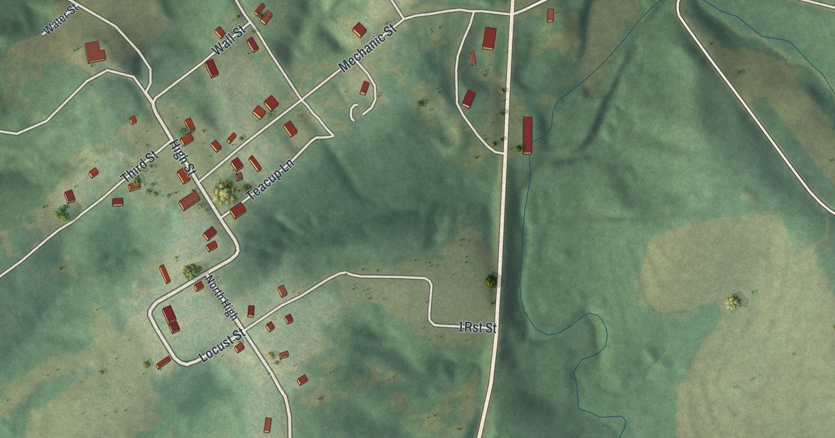
Miami is one of the oldest towns in Saline County, set on hills above a wide river. This new 2026 aerial map shows Main Street, Mechanic Street, Huron Trail and the town’s buildings in red, plus the story of Jesse J. Ferrill’s rain records.

Read More

Detailed Map of Memphis, Missouri

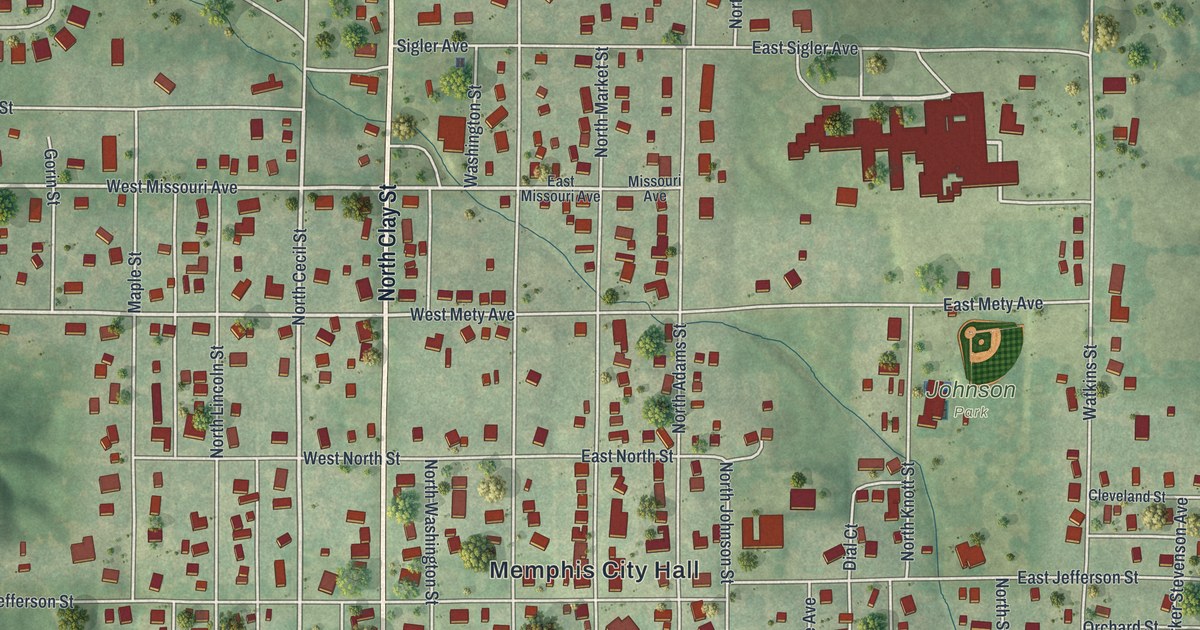
A modern aerial map of Memphis in Scotland County, Missouri, made in 2026. Find North Clay Street, Grand Avenue and Memphis City Hall, and read about the 196-foot well dug on the courthouse square in 1846.

Read More

Detailed Map of McFall, Missouri

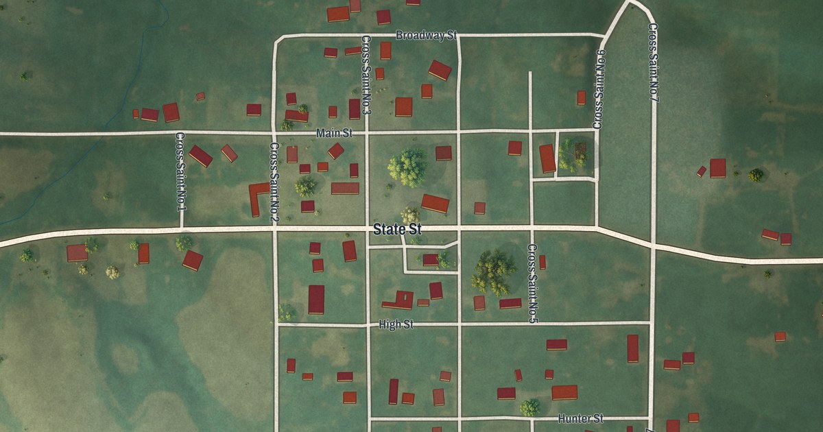
A new aerial map of McFall in Gentry County, Missouri, made in 2026. Find Main Street, White Street and Lawrence Street, and read how Theron Sweat of McFall took first place for the best boar at a stock show.

Read More

Detailed Map of Marceline, Missouri

A modern aerial map of Marceline in Linn County, Missouri, made in 2026. Find North Kansas Avenue, Ripley Park and the Disney Complex, and learn how Marceline’s schools grew from 306 pupils in 1888 to 1,267 by 1912.

Read More

Detailed Map of Manchester, Missouri

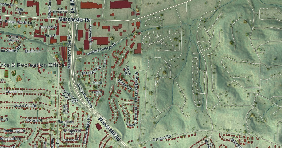
A modern aerial map of Manchester in St. Louis County, Missouri, with a vintage look. Find Manchester Road, Woods Mill Road, Big Bend Road and your own street, plus the story of Bryson O’Hara, the first permanent settler in 1800.

Read More

Detailed Map of Malta Bend, Missouri

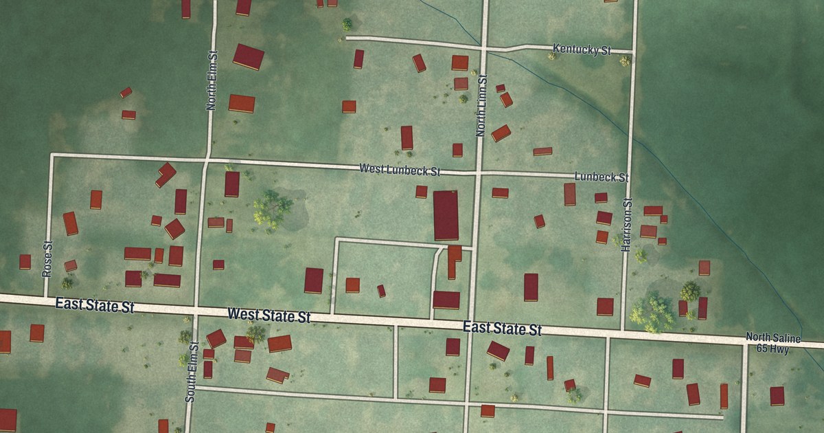
A new aerial map of Malta Bend in Saline County, Missouri. Find East State Street, North Linn Street and West Agnes Street, and read how the town’s first carpenter came in 1868 and how Vanmeter built its first house and first church.

Read More

Detailed Map of Maitland, Missouri

A new aerial map of Maitland in Holt County, Missouri, made in 2026. Find Main Street, Elm Street and your own block, and read how the Maitland Fair of 1882 had a half-mile track said to be one of the best in the west.

Read More

Detailed Map of Madison, Missouri

Madison in Monroe County, Missouri, seen from above on a new 2026 map. Find Broadway Street, Main Street and Franklin Street, and read what the 1884 county history says about the Masonic lodge at Madison.

Read More

Detailed Map of Lock Springs, Missouri

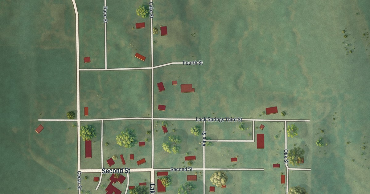
In 1882, Lock Springs was a railroad station town with a drug store, a grocery, a blacksmith and a postmaster who was also the railroad agent. This new 2026 aerial map of the Daviess County village shows Front Street, Lake Street and the buildings of town.

Read More

Detailed Map of Liberty, Missouri

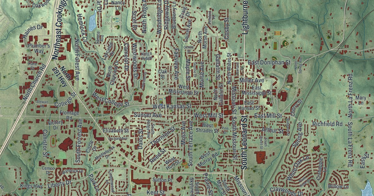
A modern aerial map of Liberty in Clay County, Missouri, with Lightburne Street, Bennett Park, South Liberty and thousands of red buildings. Plus the eleven Liberty places on the National Register, from Jewell Hall to the old courthouse square.

Read More

Detailed Map of Lewistown, Missouri

Lewistown was laid out by the railroad in 1871 as a shipping center and named for Lewis County. This 2026 aerial map shows its neat grid of streets, from Main Street to Canton Street, with its buildings in red and farm fields all around.

Read More

Detailed Map of Lemay, Missouri

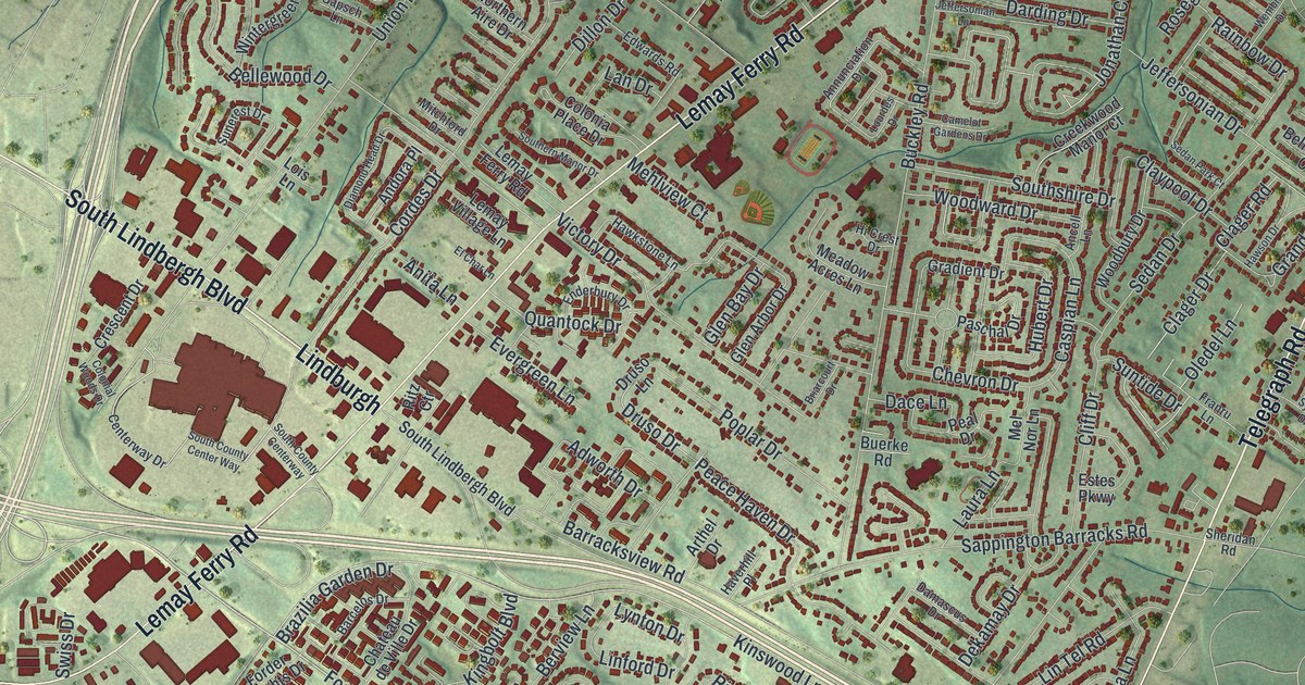
Lemay was named for Francis LeMais, Sr. and Jr., who ran a ferry across the Meramec River. This 2026 aerial map of Lemay, Missouri shows Lemay Ferry Road, South Broadway, Lemay Park and thousands of red buildings.

Read More

Detailed Map of Lebanon, Missouri

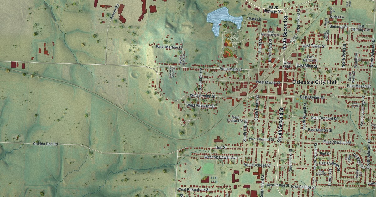
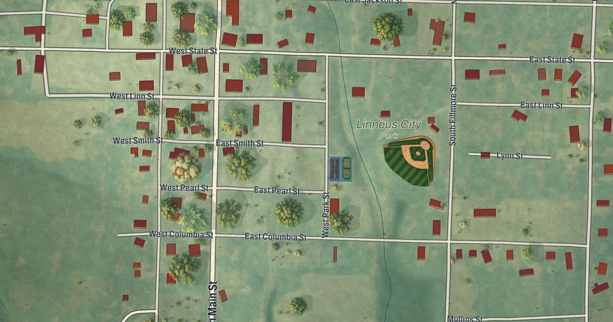
Lebanon, Missouri took its name from Lebanon, Tennessee, where many first settlers came from. This 2026 aerial map shows West Commercial Street, Nelson Park, Harwood Avenue and red buildings across Lebanon, in Laclede County.

Read More

Detailed Map of Lathrop, Missouri

A new aerial map of Lathrop in Clinton County, Missouri, made in 2026. Find Center Street, Lathrop City Hall and Breckenridge Road, and learn about James Leake’s first farm near the town site in 1857.

Read More

Detailed Map of Lancaster, Missouri

A new aerial map of Lancaster in Schuyler County, Missouri, made in 2026. Find Washington Street, Jaycee Park and your own block, and read how the county court held its first Lancaster term at James Cochrane’s house in 1845.

Read More

Detailed Map of Lamar, Missouri

A new aerial map of Lamar in Barton County, Missouri, made in 2026. Find Broadway Street, Truman Street and Lamar Heights, and learn about the Harry Truman Birthplace Memorial, listed on the National Register in 1969.

Read More

Detailed Map of La Grange, Missouri

La Grange was started in 1832, just below a mill that backwater washed away. This new 2026 aerial map of the Lewis County town shows North Main Street, Washington Street, Riverview Cemetery and 597 buildings set between green hills and a wide river.

Read More

Detailed Map of Knob Noster, Missouri

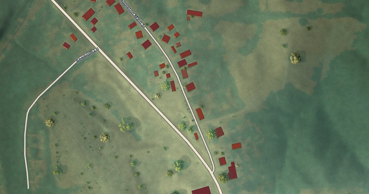
A new aerial view of Knob Noster in Johnson County, Missouri, made in 2026. Find State Street, McPherson Street and Highway 50, read how the town was laid out in 1856, and learn about the Montserrat sites on the National Register near town.

Read More

Detailed Map of Kirkwood, Missouri

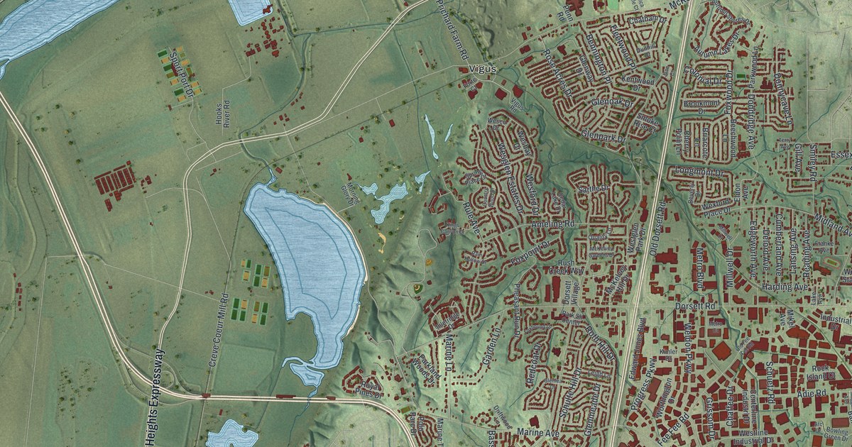
A modern aerial view of Kirkwood in St. Louis County, Missouri, with a vintage feel. Find Manchester Road, Kirkwood City Hall, Meacham Park and West Argonne Drive, in a town named for a Missouri Pacific engineer.

Read More