Category: Missouri

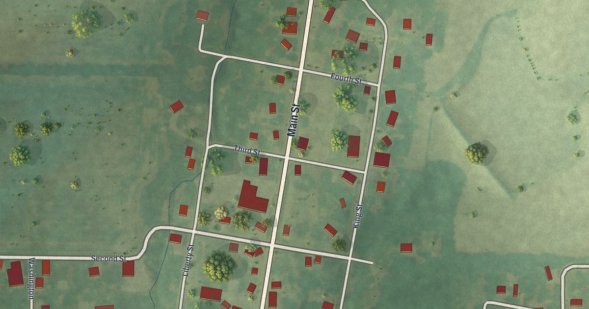
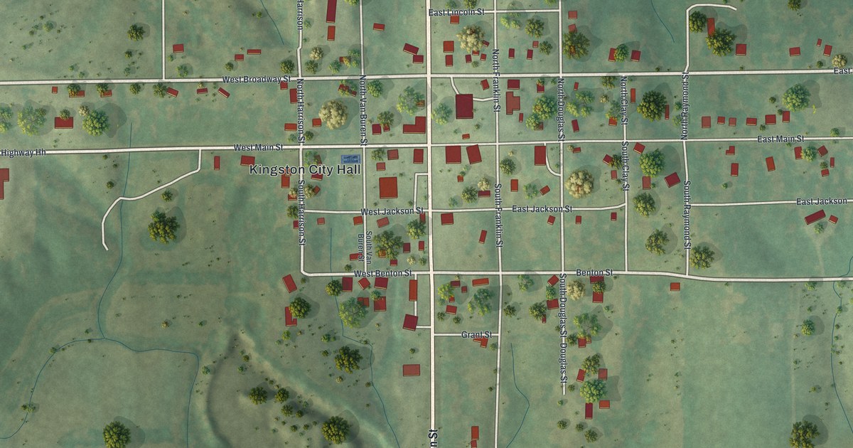
Detailed Map of Kingston, Missouri

A modern aerial map of Kingston in Caldwell County, Missouri, made in 2026 with a vintage feel. See Washington, Main and Broadway streets, Kingston City Hall, and the story of the regimental musters once held here.

Read More
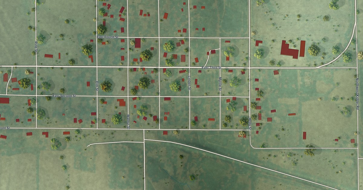
Detailed Map of Kidder, Missouri

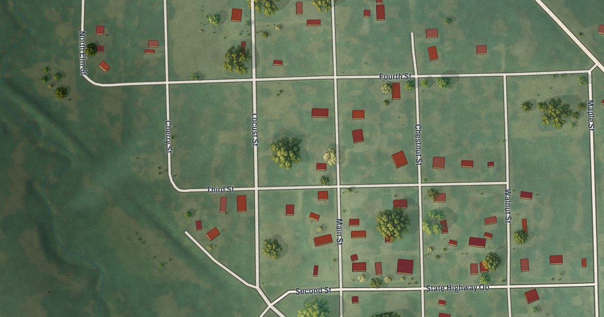
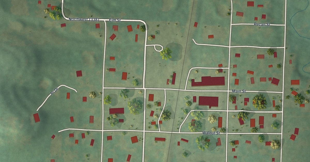
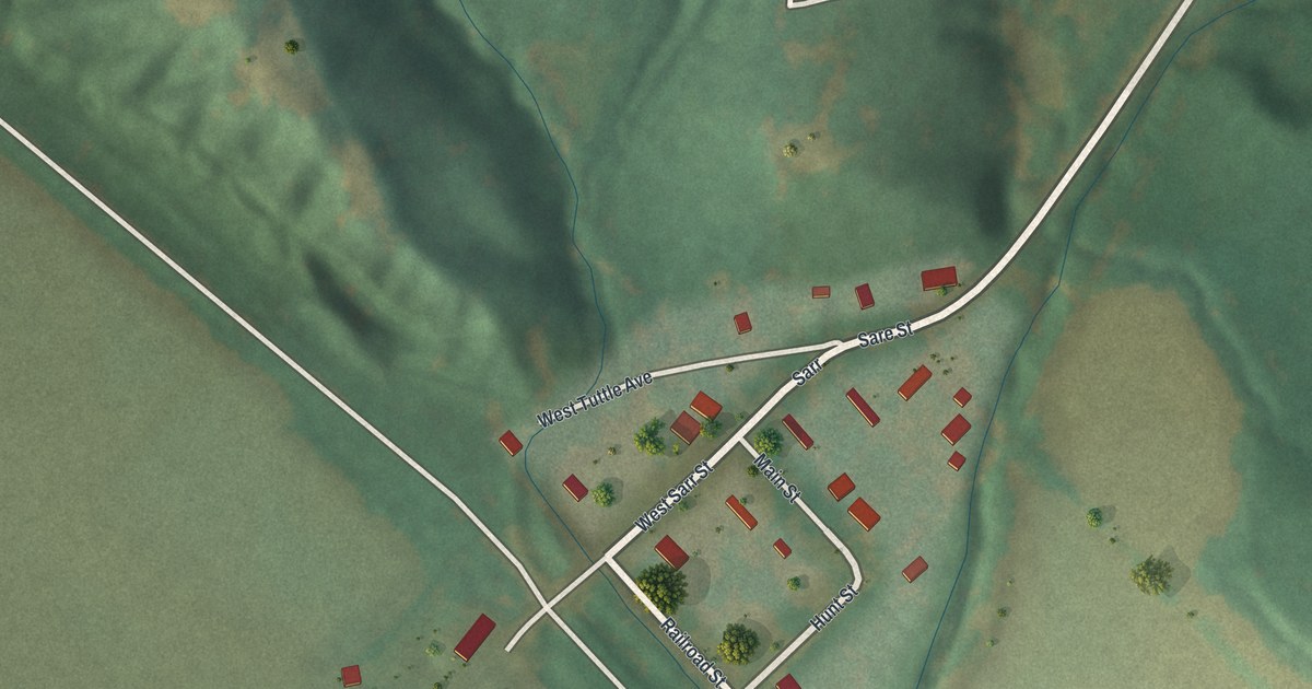
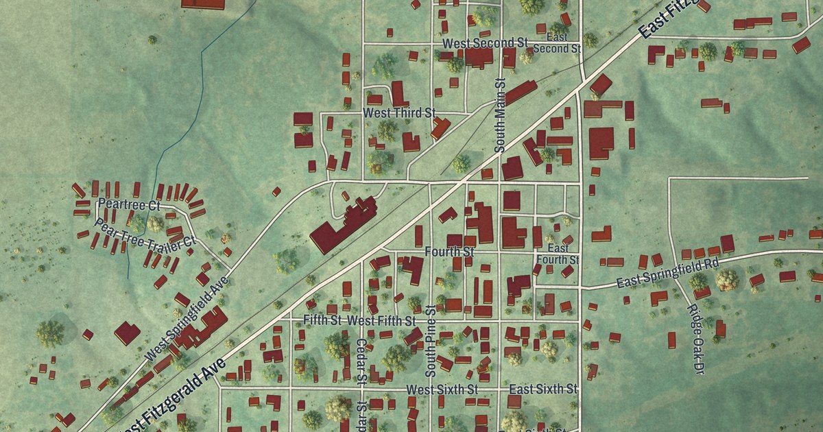
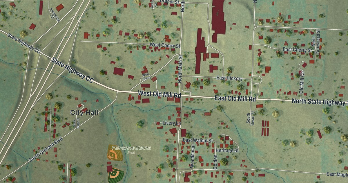
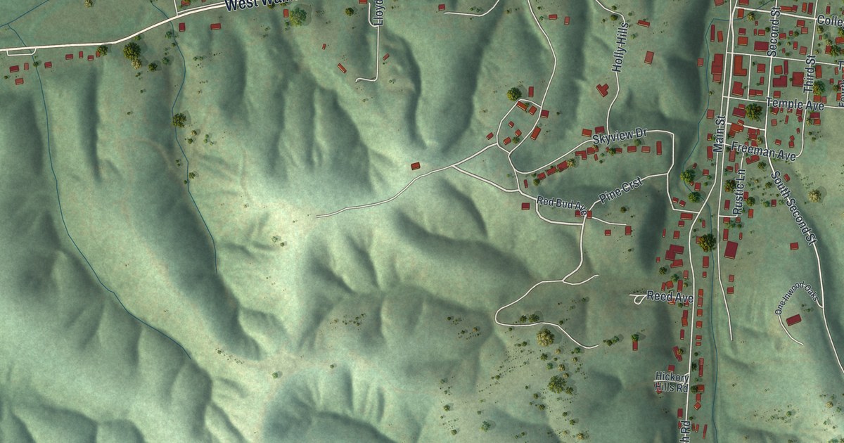
Explore Kidder, Missouri, through Holly Street, East Front Street and the tree-named streets on this 2026 map. More than 200 buildings appear in red among green fields. A county history traces the separate story of Kidder township to its organization in May 1867.

Read More

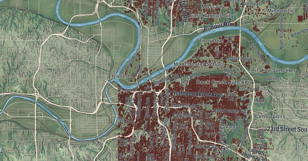
Detailed Map of Kansas City, Missouri

Kansas City was once called the City of Kansas. This new 2026 map shows the whole city in green hills, blue rivers and dark red buildings, with Troost Avenue, The Paseo, Ward Parkway, Westport and Waldo printed by name.

Read More
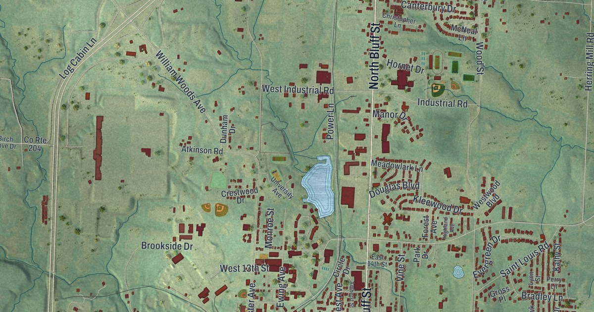
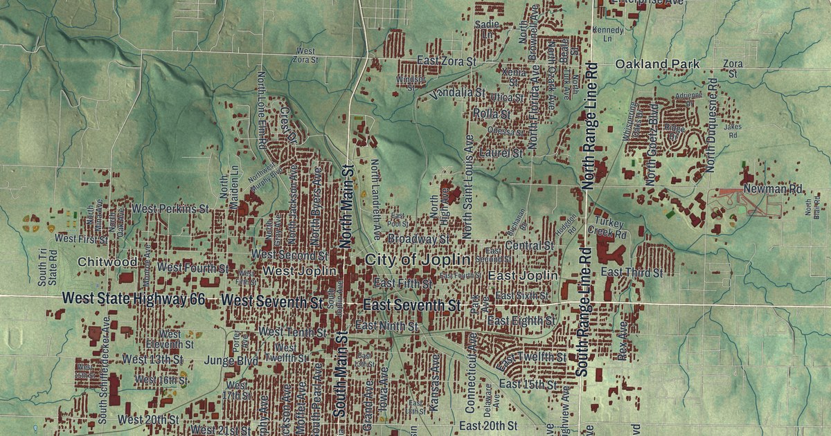
Detailed Map of Joplin, Missouri

A new aerial view map of Joplin, Missouri, made in 2026. Find South Main Street, North Range Line Road and Redings Mill, and learn how the city’s name goes back to a Methodist minister and his cabin on a creek in 1840.

Read More
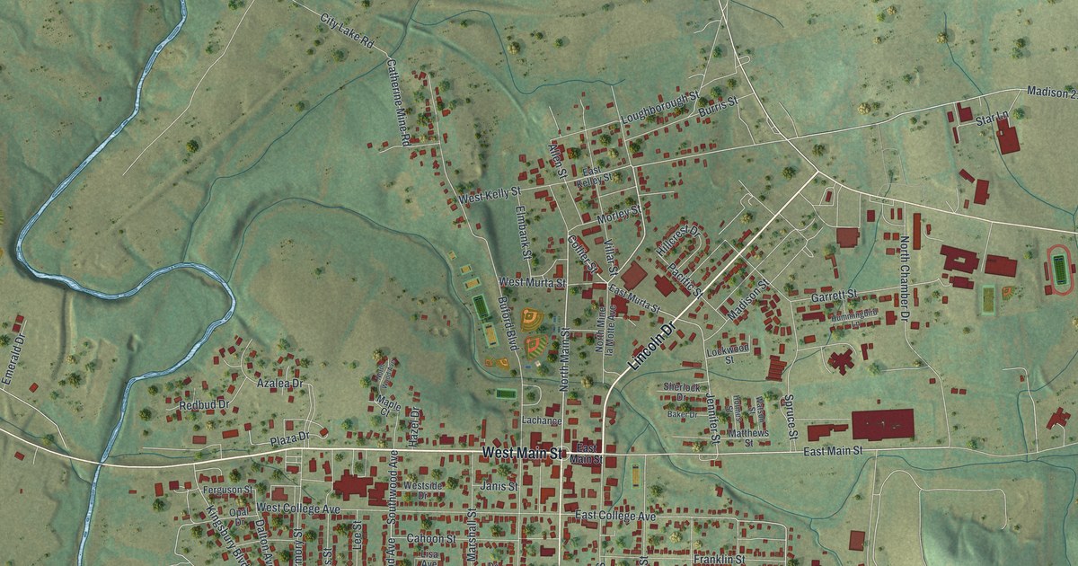
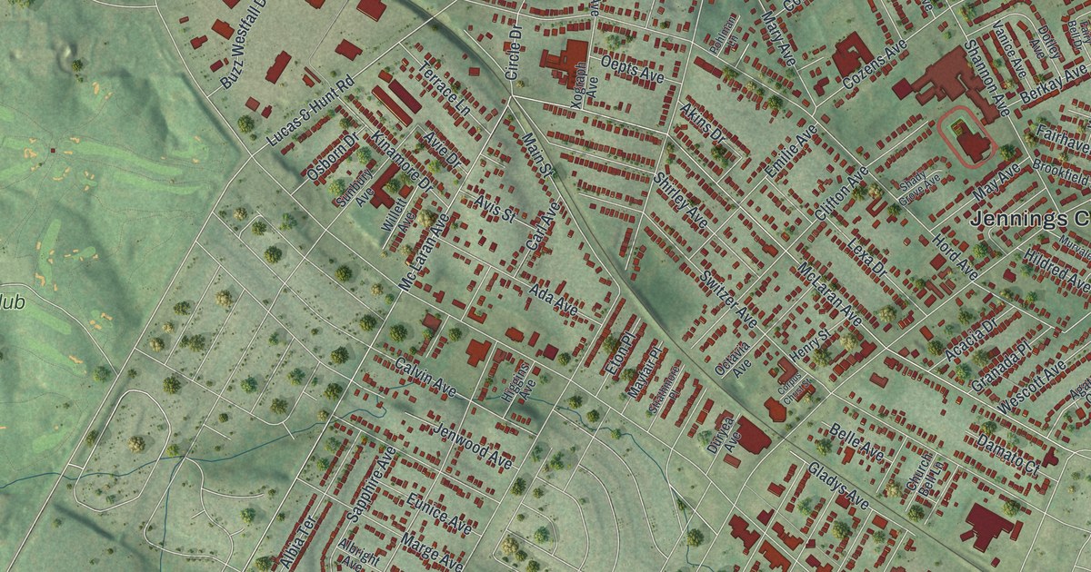
Detailed Map of Jennings, Missouri

A new aerial map of Jennings in St. Louis County, Missouri, made in 2026. Find West Florissant Avenue, Hord Avenue and Jennings City Hall, and learn about the old Jennings post office and the Seed Carriage House.

Read More
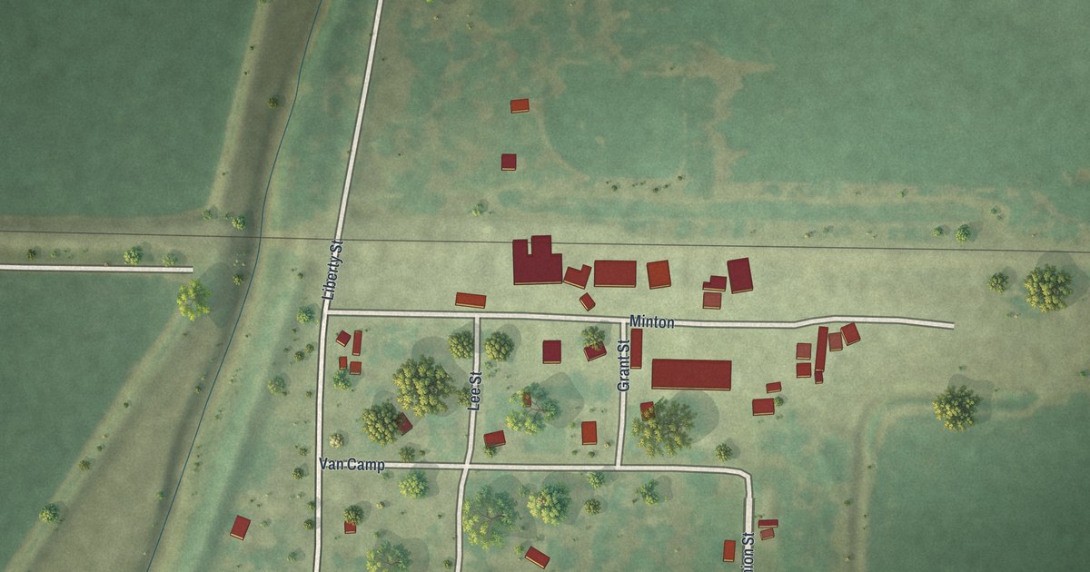
Detailed Map of Jackson, Missouri

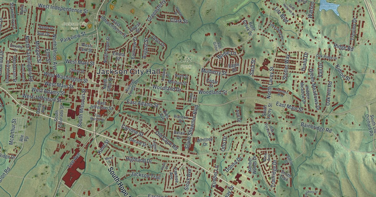
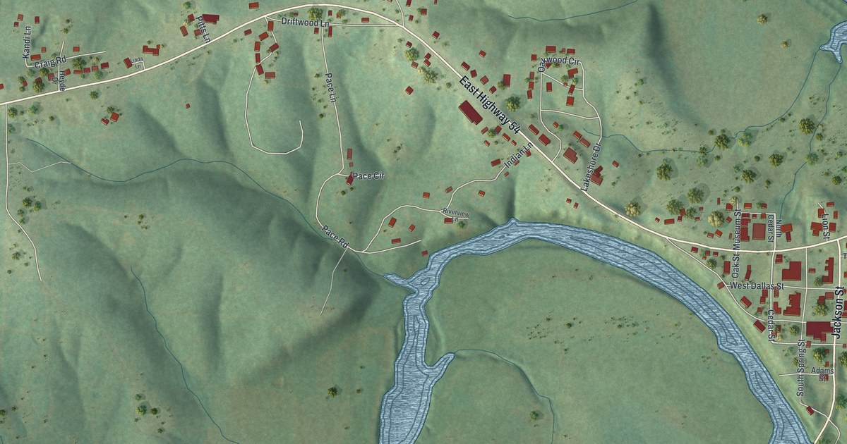
Jackson, Missouri was started in 1815 and named for Andrew Jackson. This new aerial map shows the hills, creeks and red buildings of the town, with East Main Street, Jackson City Hall, Jackson City Park and Litz Park printed by name.

Read More
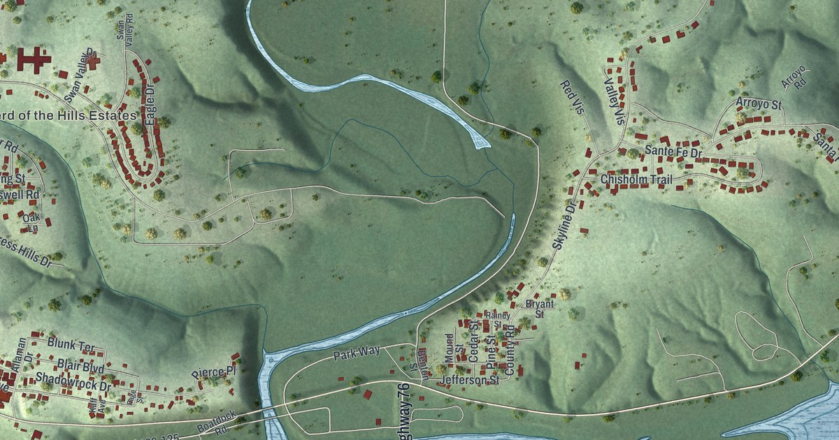
Detailed Map of Ironton, Missouri

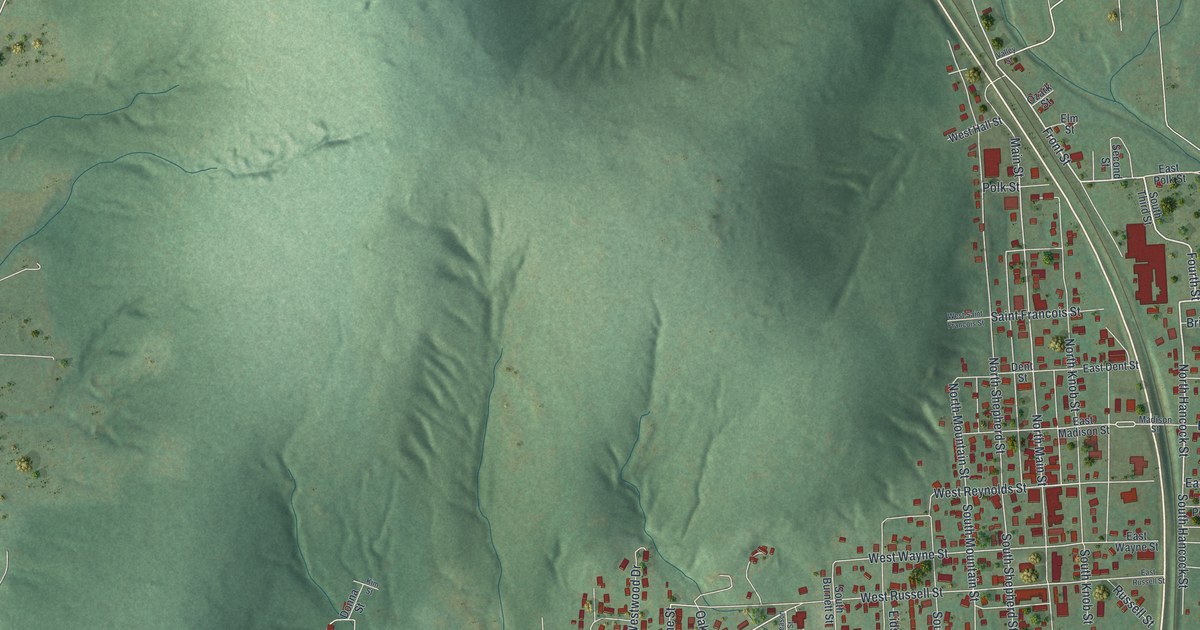
A new aerial map of Ironton, Missouri, made in 2026. See the valley streets, the hills around town and the blue lake by Shepherd Mountain Lake Road. Ironton was settled in 1853 and became the Iron County seat in 1857.

Read More
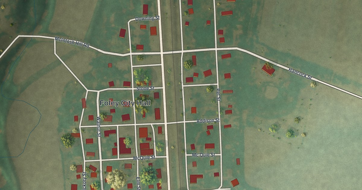
Detailed Map of Humphreys, Missouri

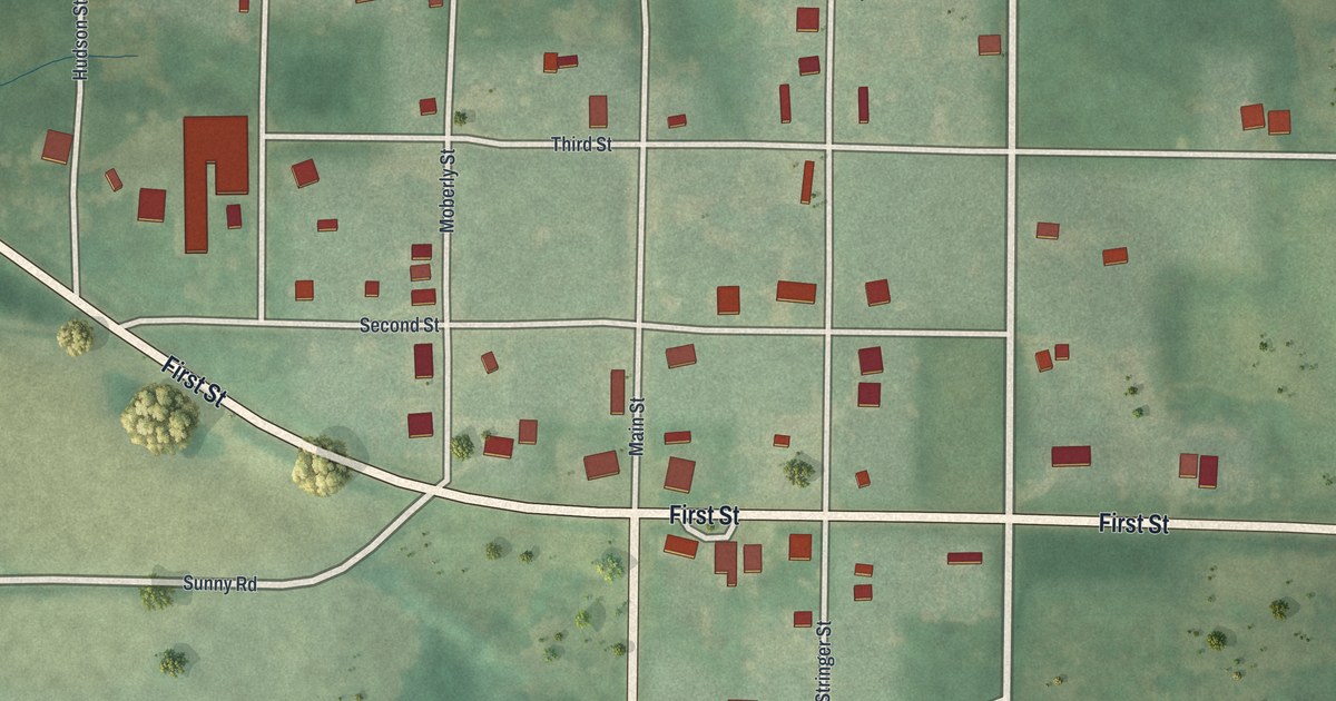
A new aerial view map of Humphreys in Sullivan County, Missouri. Find Main Street, First Street and the village grid, and read how a four months’ school term was taught in the college building in the winter of 1884 and 1885.

Read More
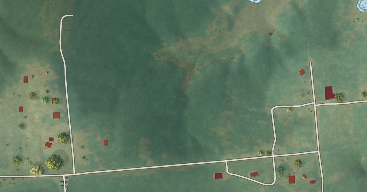
Detailed Map of Holt, Missouri

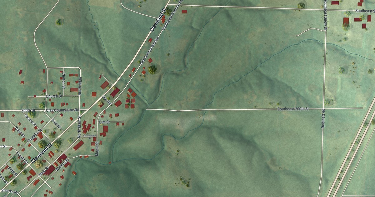
Holt was laid out in 1867 on land owned by Uncle Jerry Holt. This new aerial map of Holt in Clay County, Missouri shows Main Street, Cleveland Street, Haynesville and the green hills all around.

Read More
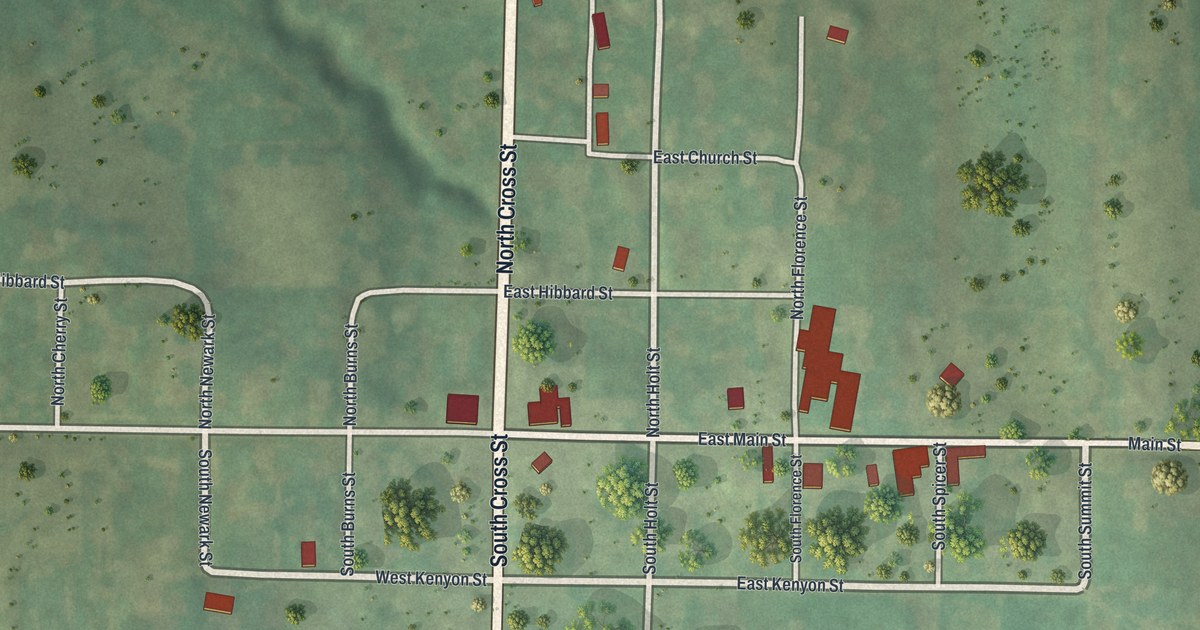
Detailed Map of Hillsboro, Missouri

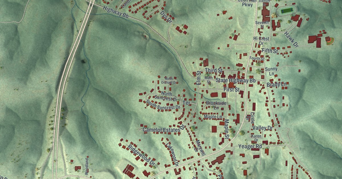
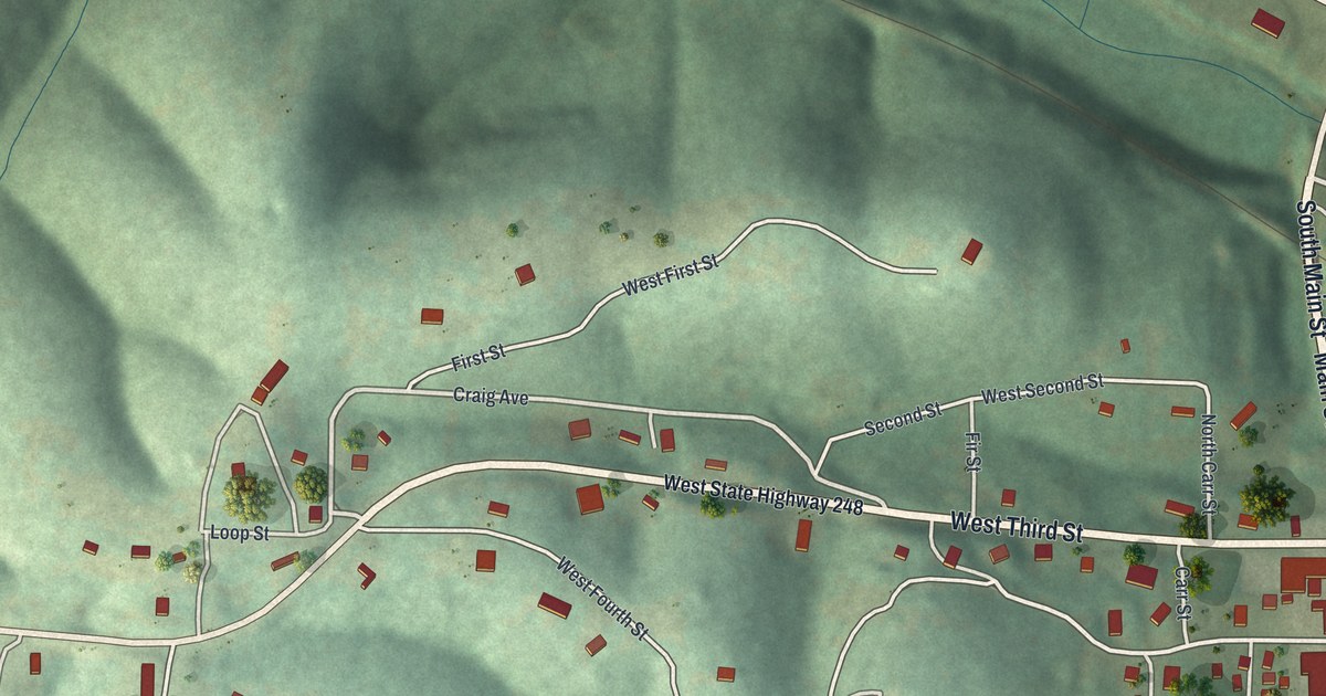
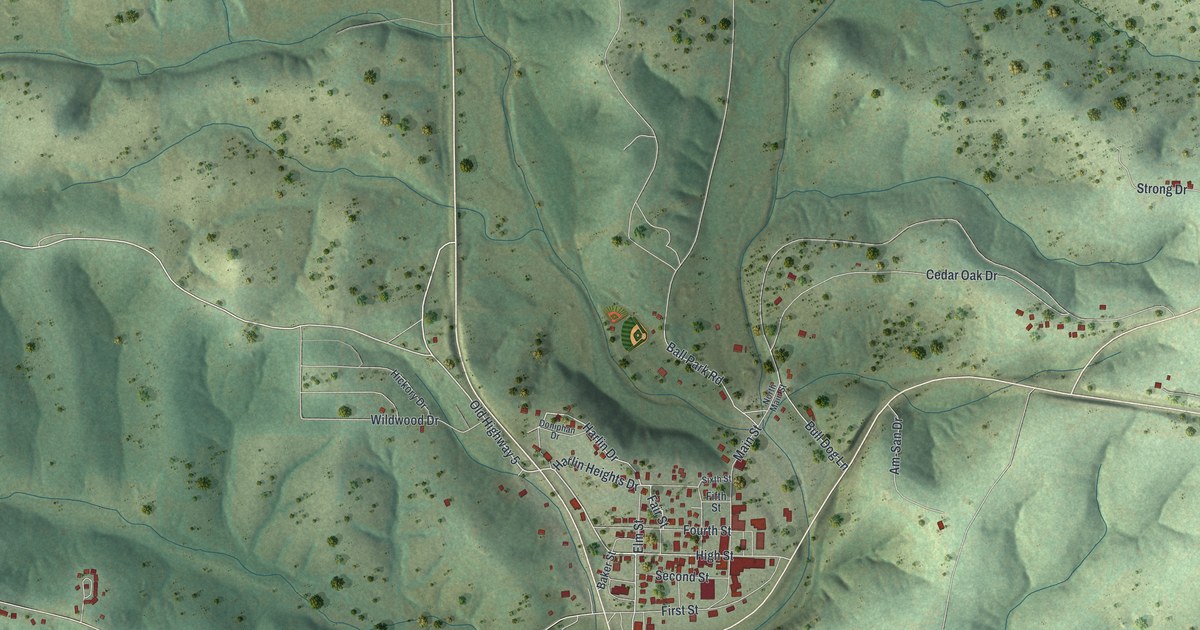
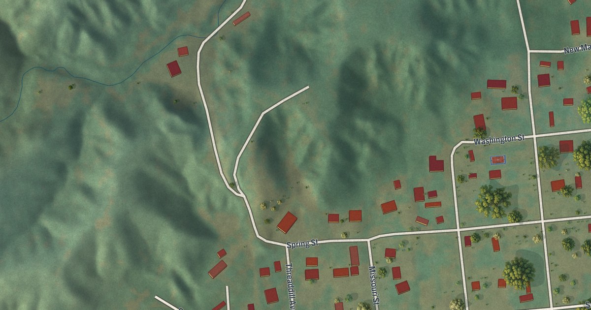
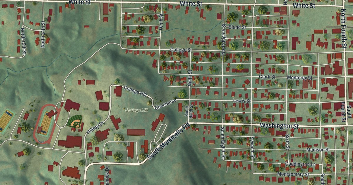
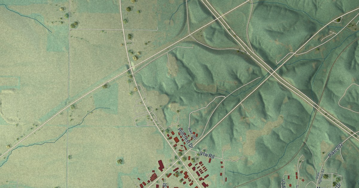
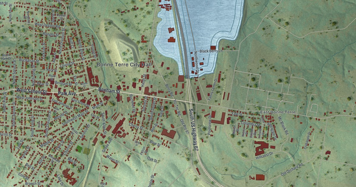
Hillsboro was first called Menticello, then renamed for the hill just south of town. This new 2026 map shows those hills in shaded relief, with Main Street, Elm Street, Old Highway 21 and the town’s buildings in red.

Read More
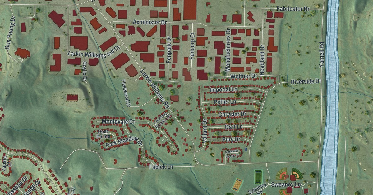
Detailed Map of Higbee, Missouri

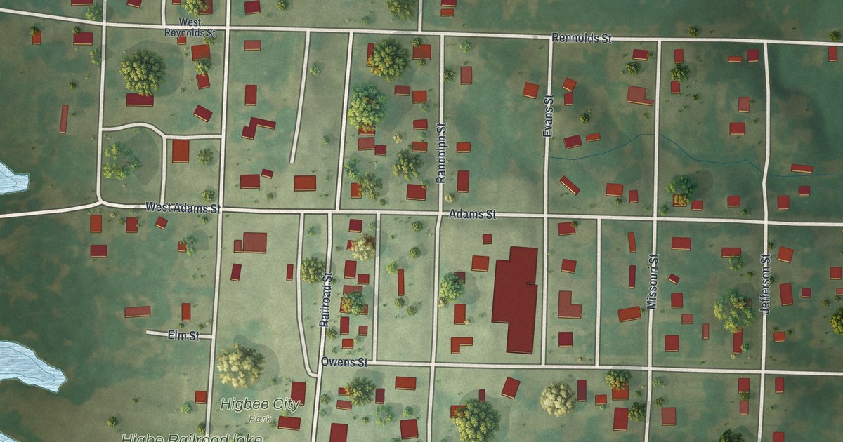
Higbee, Missouri began as a railroad depot on Edward Owens’ land. This 2026 aerial map of the Randolph County town shows Owens Street, Burton Street, Higbee City Park and the blocks around them.

Read More
Detailed Map of Harrisburg, Missouri

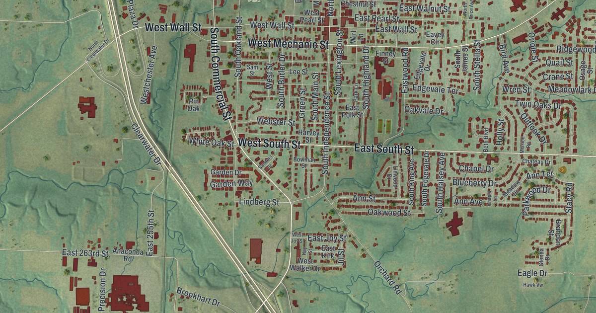
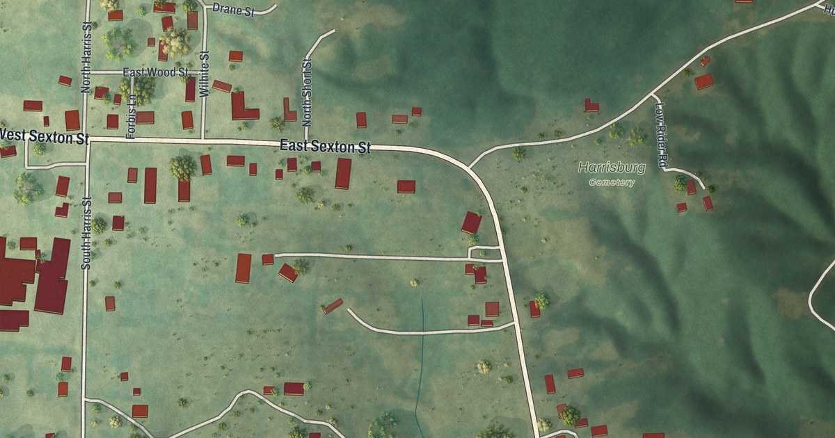
A modern aerial map of Harrisburg in Boone County, Missouri, made in 2026. Find West Sexton Street, South Harris Street and Harrisburg Cemetery, plus the story of the town’s historic school and lodge building and a railroad that was never finished.

Read More
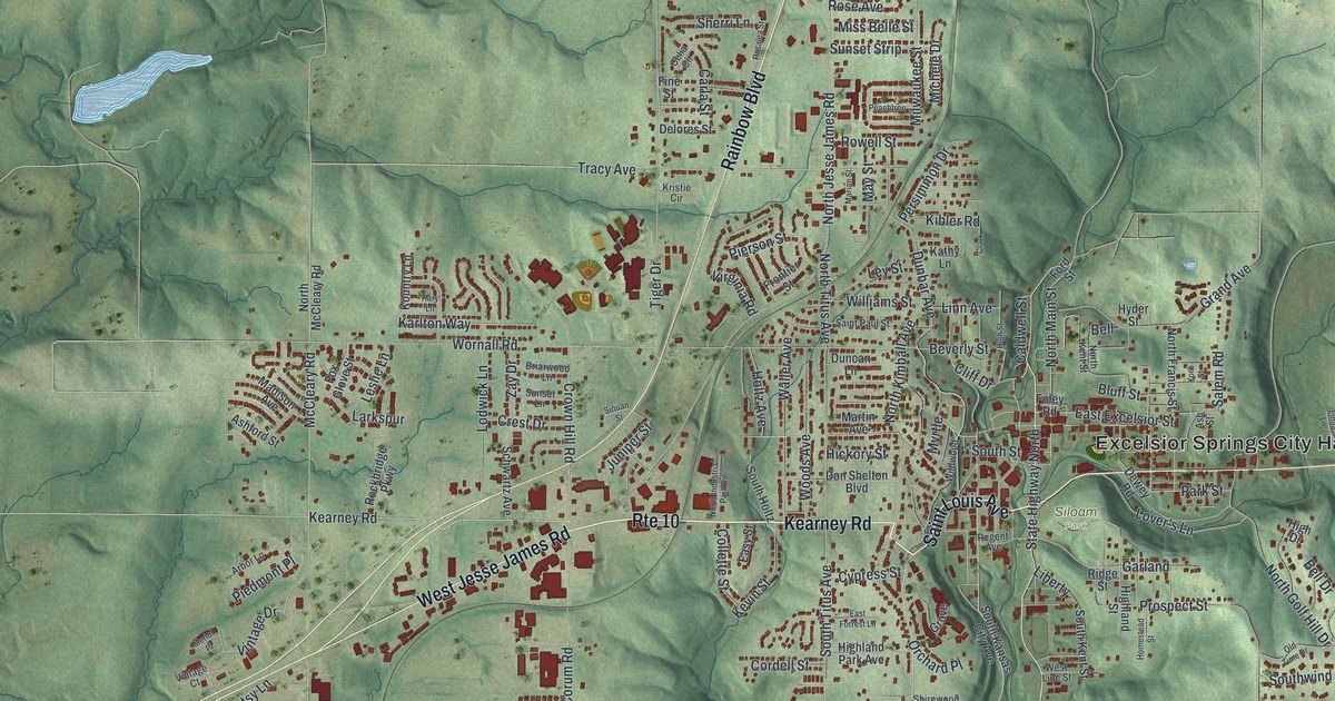
Detailed Map of Hannibal, Missouri

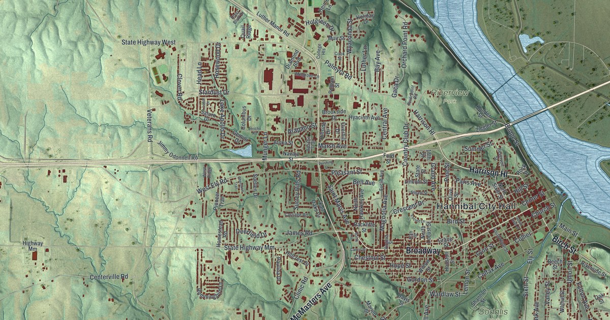
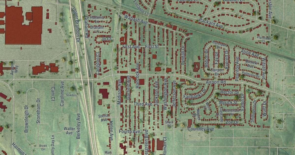
A new aerial map of Hannibal, Missouri, made in 2026. Find Broadway, Main Street and Hill Street, home of the Mark Twain Boyhood Home, plus Riverview Park, Oakwood and Cave City, with each building shown in red.

Read More
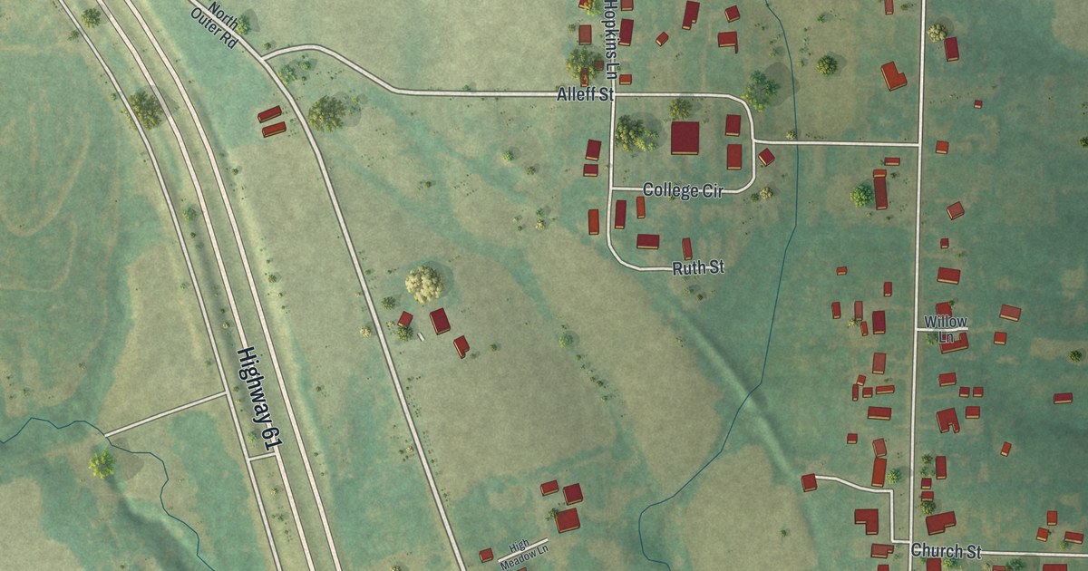
Detailed Map of Hallsville, Missouri

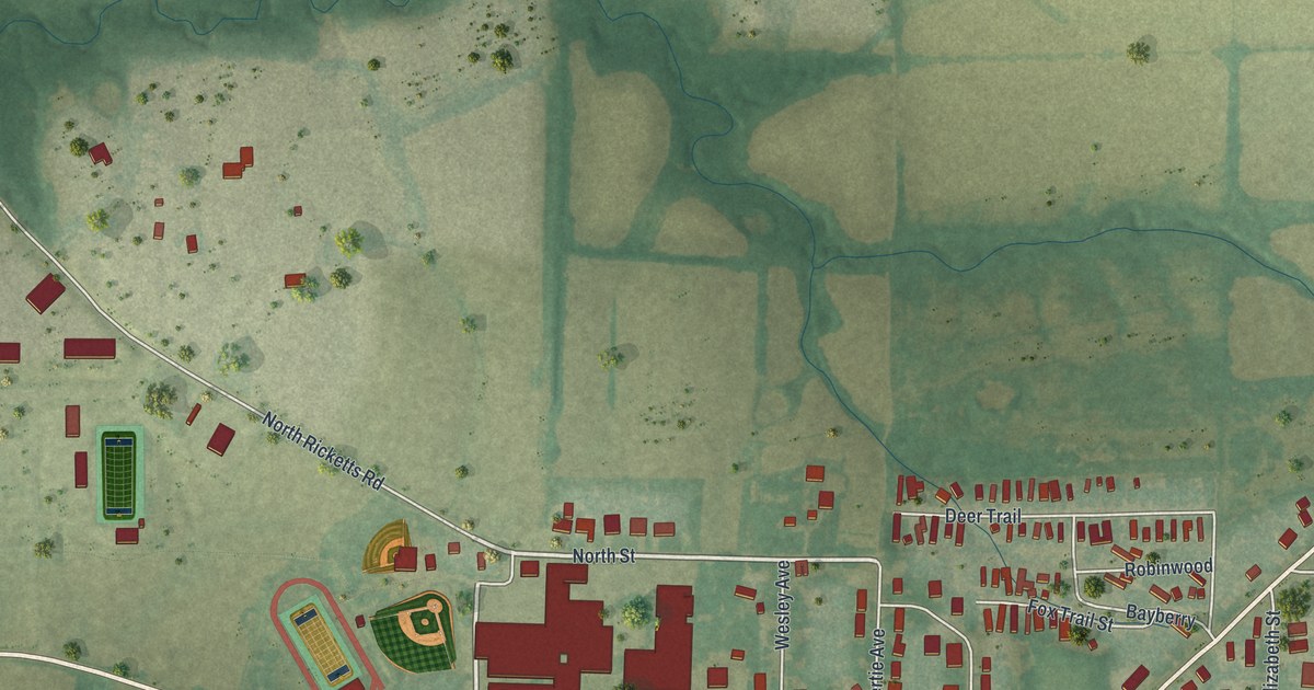
A new aerial map of Hallsville in Boone County, Missouri. Find North Street, Tribble Park and the Hallsville Fairgrounds, and learn how Hallsville kept going when the railroad built its depot town of Hickman half a mile south.
Read More

Detailed Map of Graham, Missouri

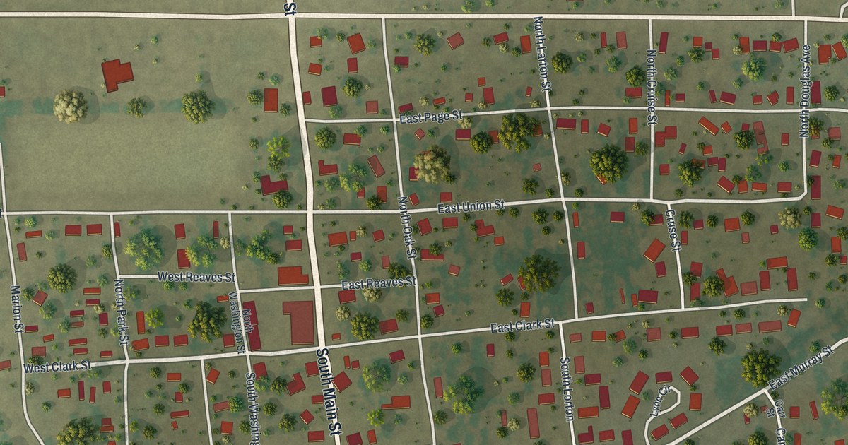
A new aerial map of Graham in Nodaway County, Missouri, made in 2026. Find Main Street, East Jackson Street and your own block, and read how a lame horse led Isaac Hogan to settle just south of town in 1839.

Read More

Detailed Map of Fulton, Missouri

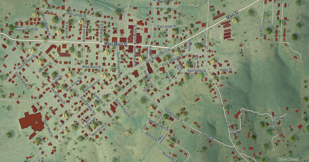
A modern aerial view map of Fulton in Callaway County, Missouri. Find Market Street, Bluff Street and Fulton City Hall, and learn how the town got its name from Robert Fulton, the steamboat builder.

Read More

Detailed Map of Foley, Missouri

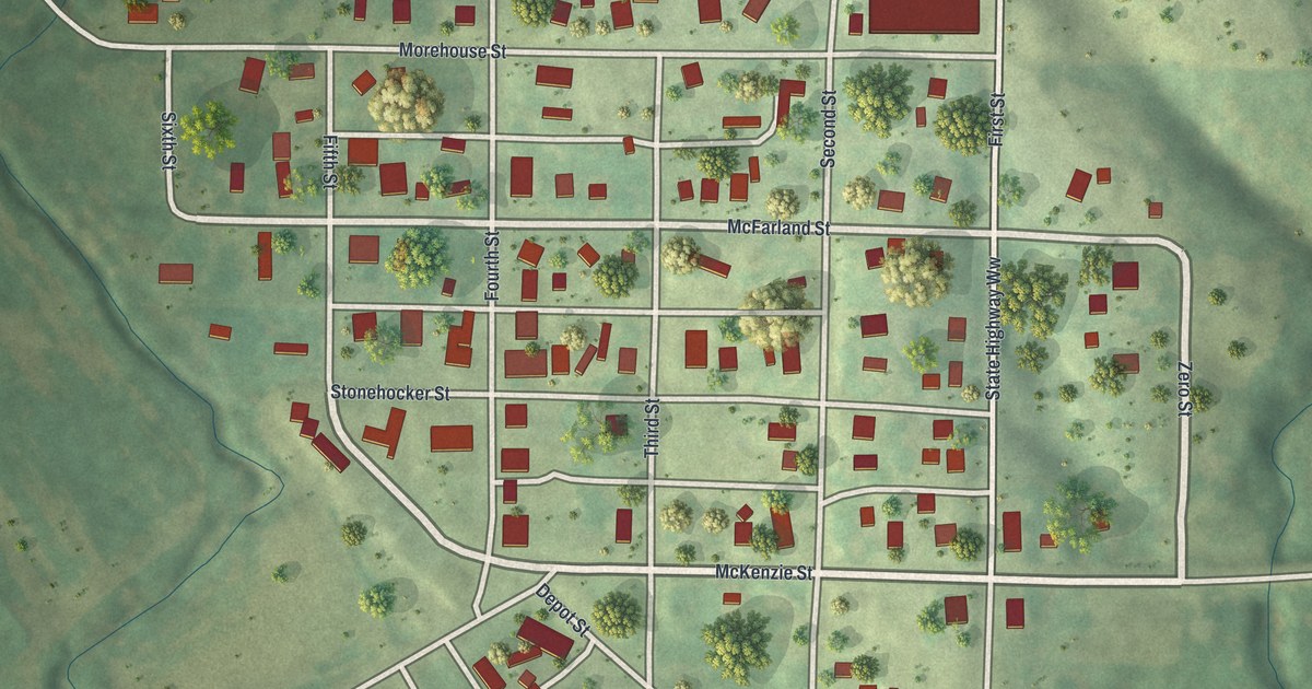
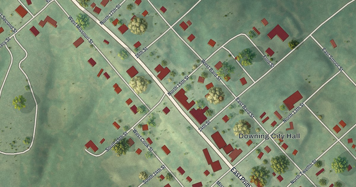
Foley, Missouri began in 1879 with a railroad depot deal and was named for Miss Addie Foley. This 2026 aerial map shows Foley City Hall, Railroad Avenue, Downing Street, Mill Street and the hills and fields around town.

Read More

Detailed Map of Florida, Missouri

A modern aerial view of Florida in Monroe County, Missouri, with a vintage feel. Find Shrine Road and the village homes, and read how Nesbit’s father hewed the logs for the first house in Florida and helped build its first mill.

Read More

Detailed Map of Fenton, Missouri

Find familiar Fenton streets, red buildings, and green hills on a new aerial map. See where Fenton’s name comes from, according to the State Historical Society of Missouri, and take a closer look at home.

Read More
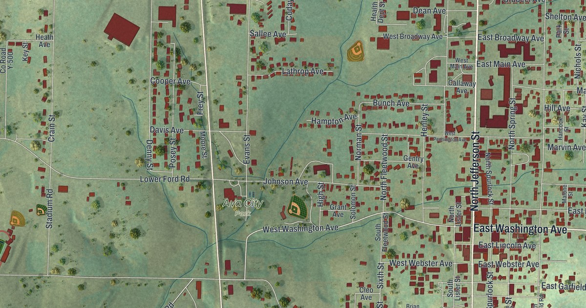
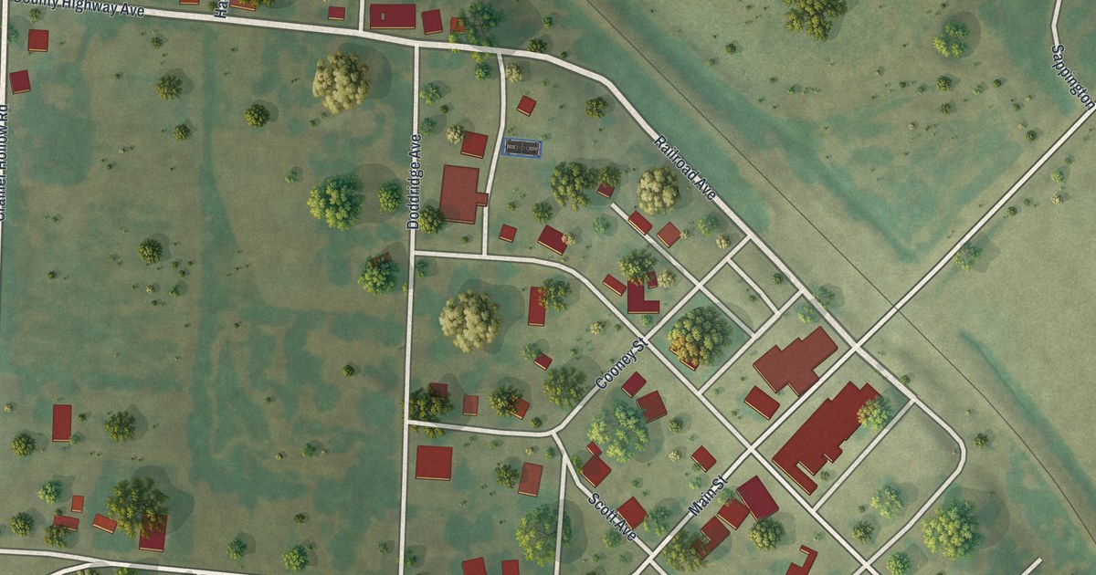
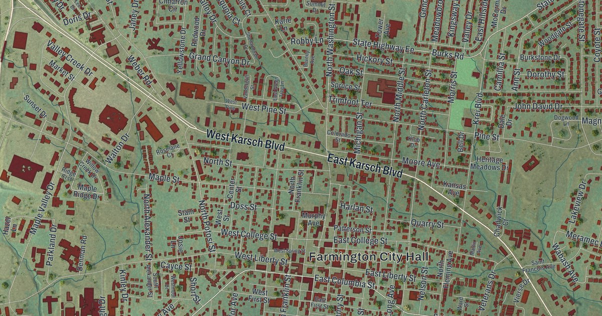
Detailed Map of Farmington, Missouri

Farmington was laid out in 1822 on land given by David Murphy. This new 2026 aerial map of Farmington in St. Francois County, Missouri shows Karsch Boulevard, Columbia Street, Farmington City Hall and thousands of buildings in the green hills.

Read More
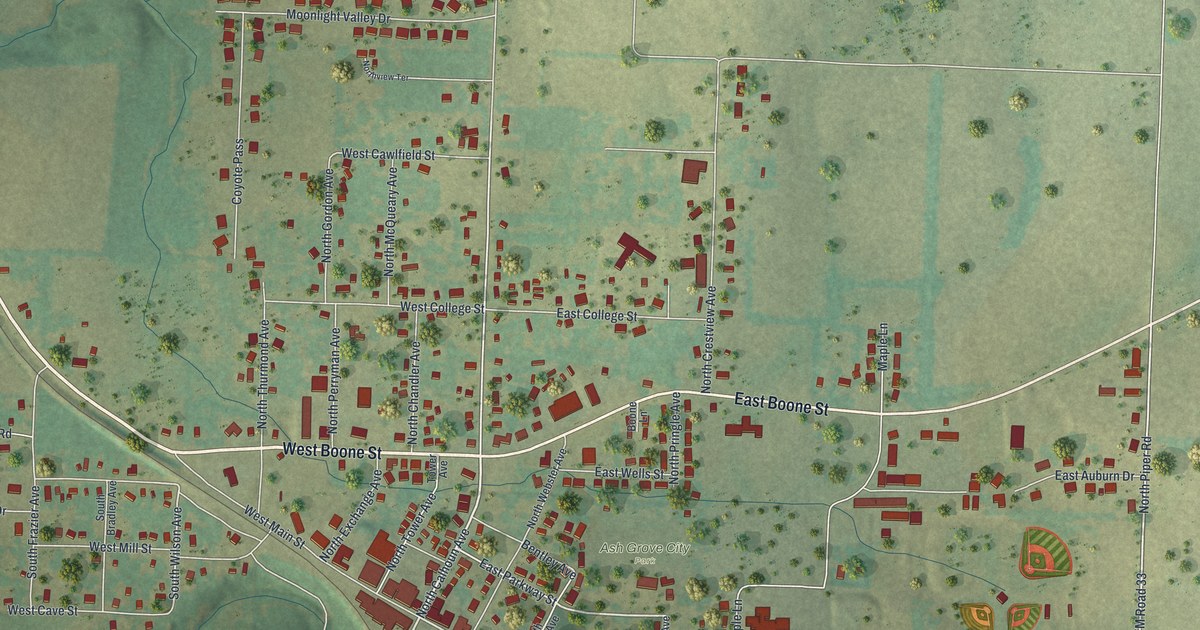
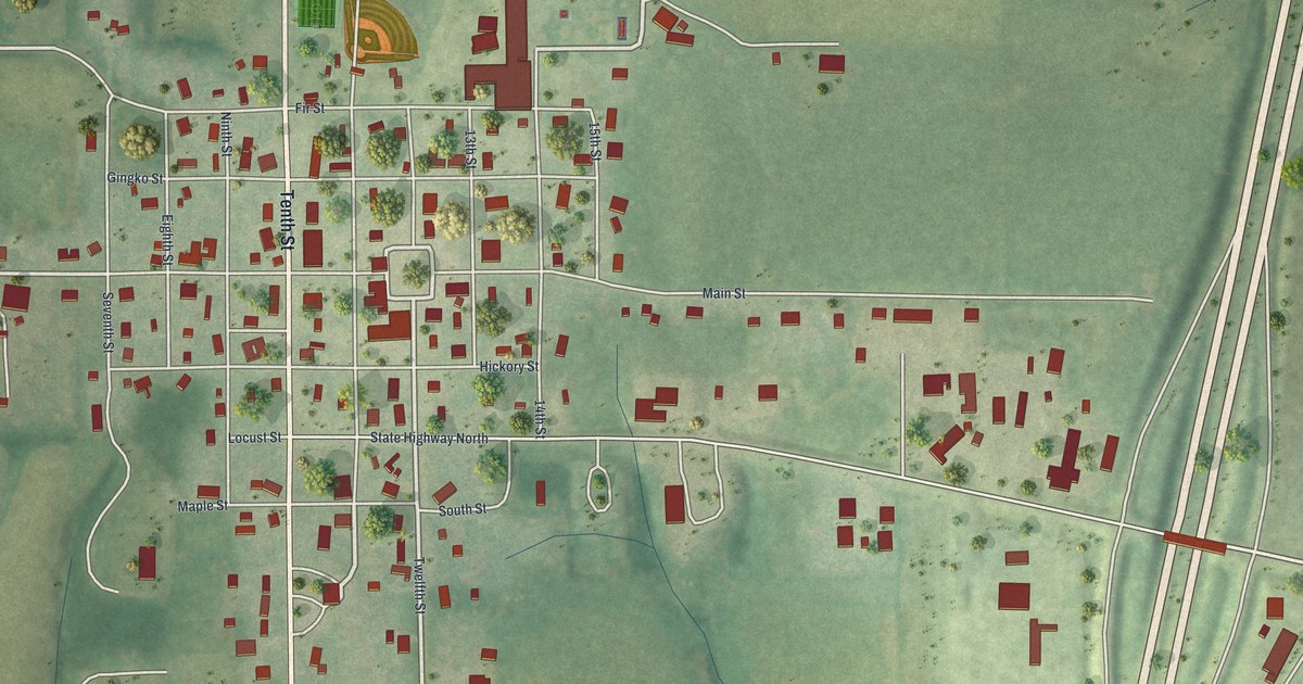
Detailed Map of Eagleville, Missouri

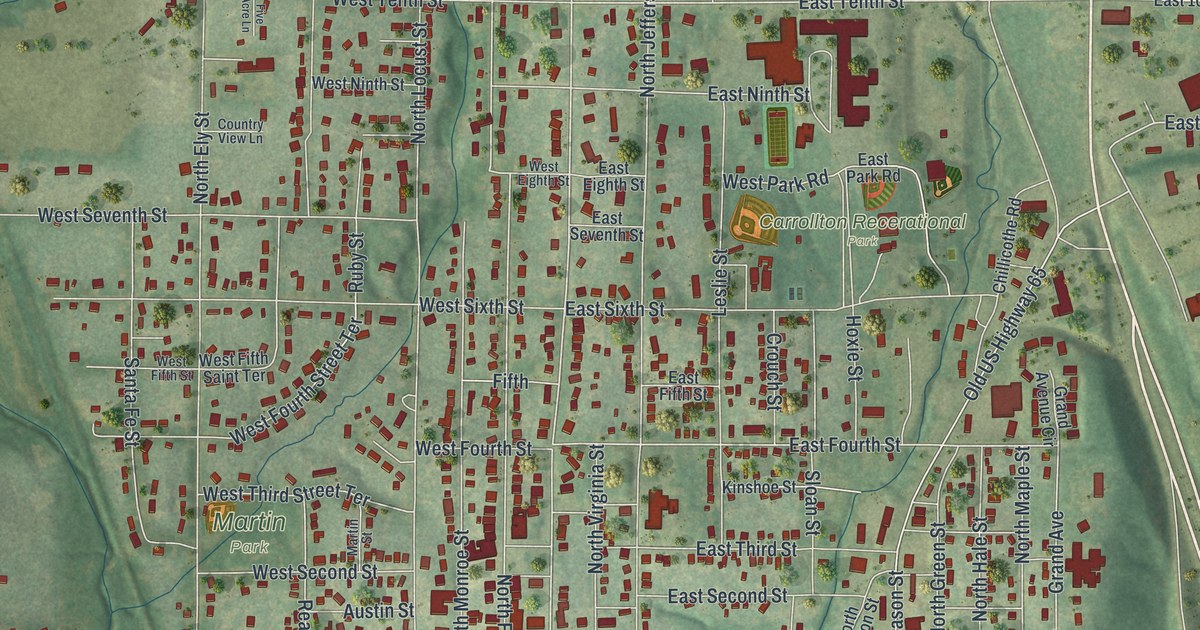
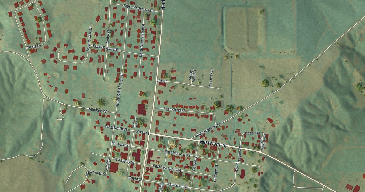
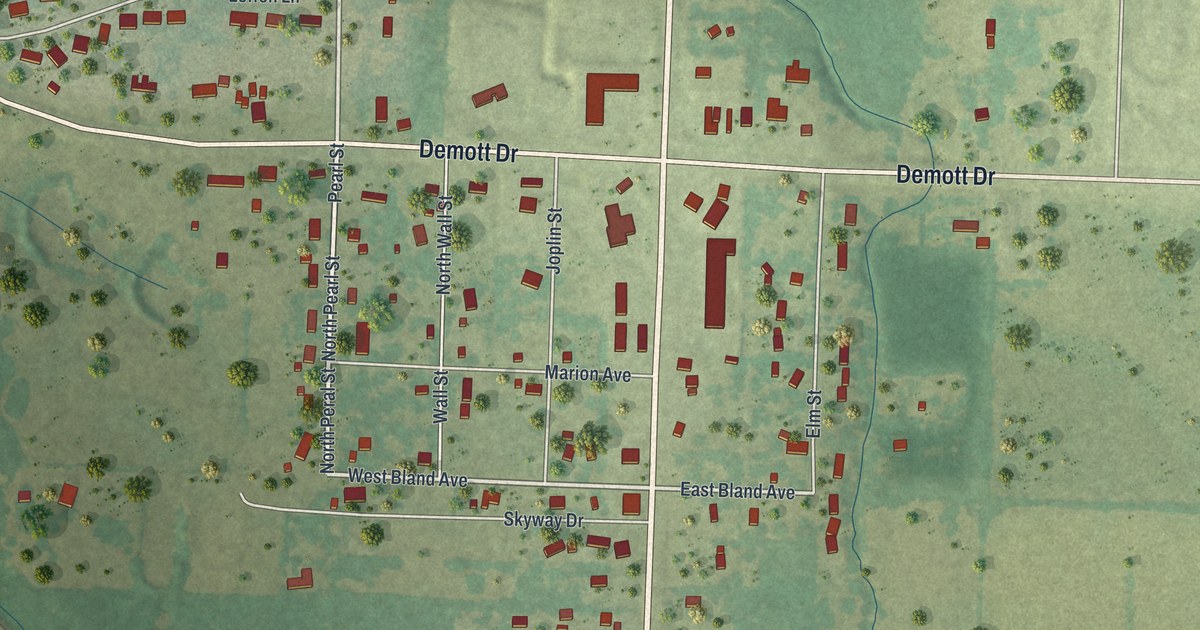
Eagleville wasn’t on a railroad, but a 1921 county history said it kept an important place for trade. This new 2026 map shows Main Street, Tenth Street and the red shapes of the town’s buildings among green farm hills.

Read More
Detailed Map of Corning, Missouri

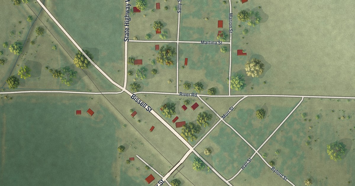
Corning was a Burlington railroad stop where the Tarkio Valley Branch left the main line. This 2026 aerial map of the Holt County town prints Bissell Street, Walters Street, River Road and more, with the rail line and farm fields all around.

Read More
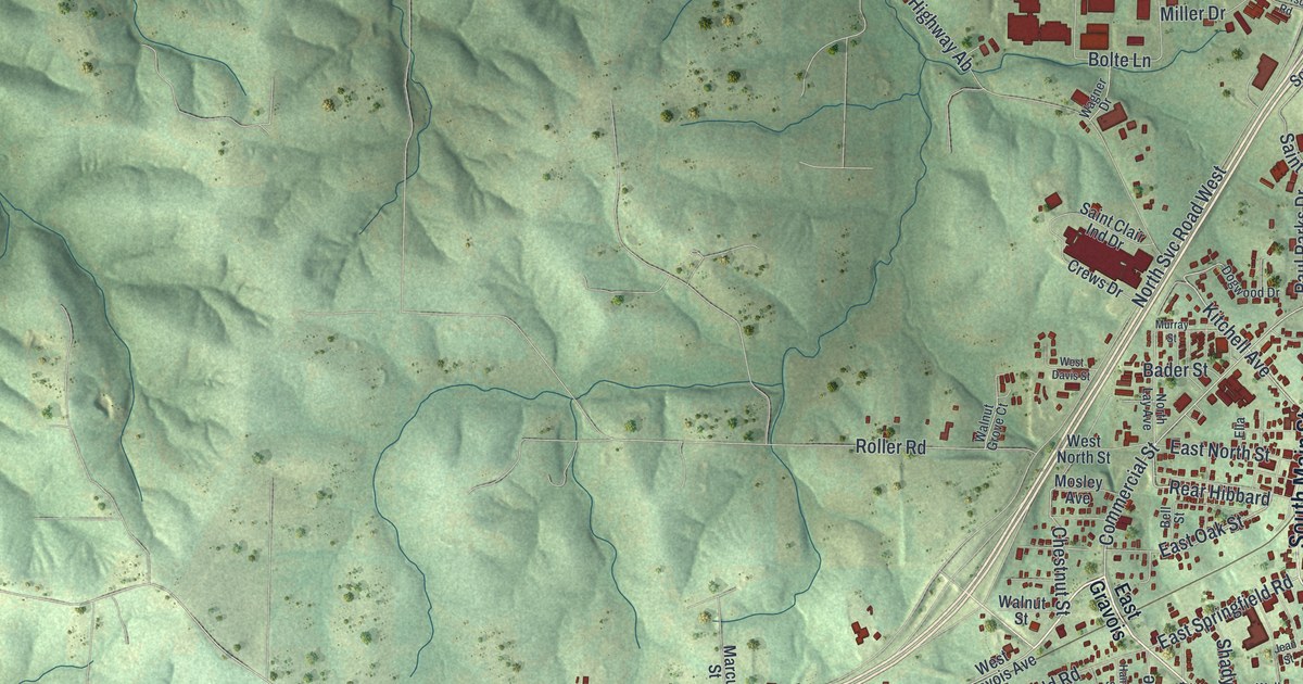
Detailed Map of Clarksdale, Missouri

A modern aerial map of Clarksdale in DeKalb County, Missouri, made in 2026 with a vintage feel. See North Main Street, City Hall and the red buildings of town, plus the story of the Christian Church started there in 1886.

Read More
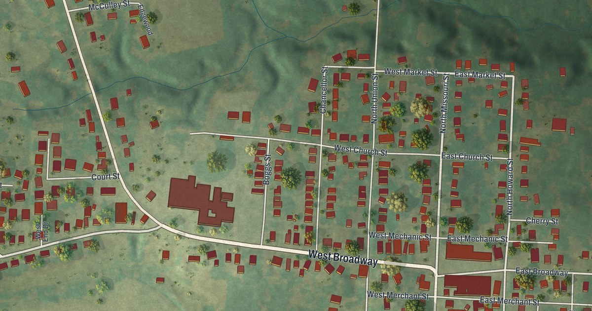
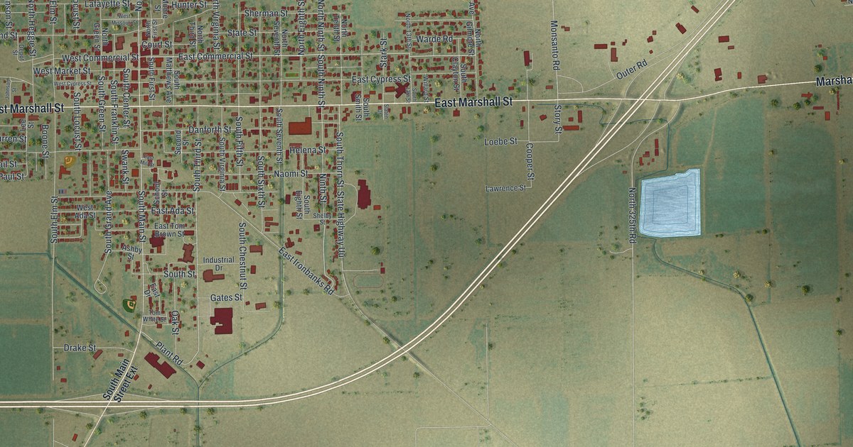
Detailed Map of Charleston, Missouri

A new aerial map of Charleston in Mississippi County, Missouri. Find North Main Street, East Marshall Street and East Commercial Street, home of the McCutchen Theatre and the Russell Hotel, plus how the town borrowed its name from Charleston, South Carolina.

Read More
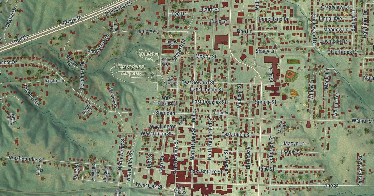
Detailed Map of Cameron, Missouri

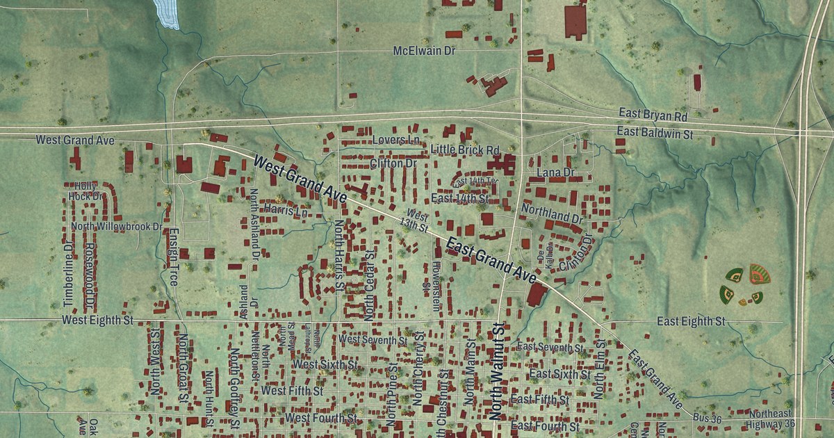
A modern aerial map of Cameron in Clinton County, Missouri, with Cameron City Hall, Grand Avenue, Walnut Street and thousands of buildings. Plus the story of the town’s first carpenters and Obadiah Smith’s first blacksmith and wagon shop in 1857.

Read More
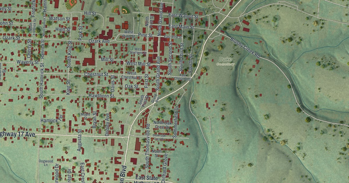
Detailed Map of California, Missouri

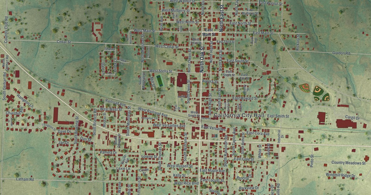
A modern aerial map of California in Moniteau County, Missouri, with North High Street, Proctor Park and about 2,400 buildings. Read about Walter Garner’s 1835 blacksmith shop and the five National Register places downtown.

Read More
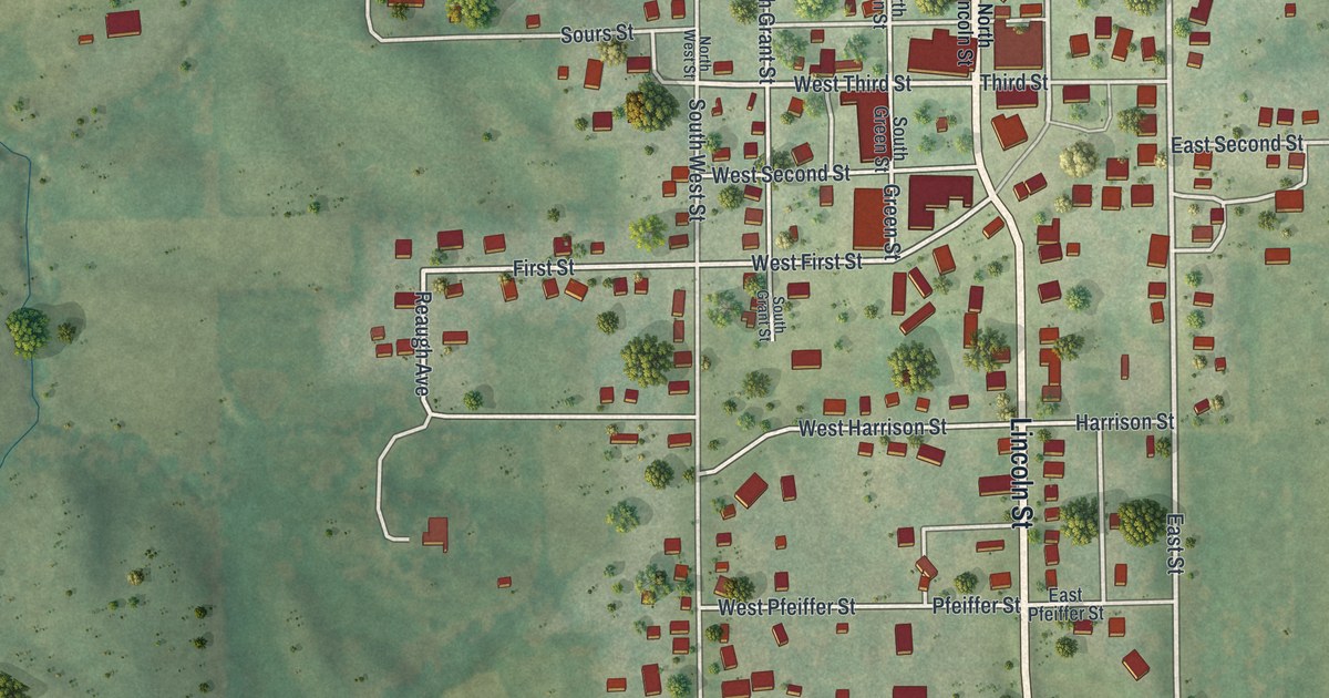
Detailed Map of Brentwood, Missouri

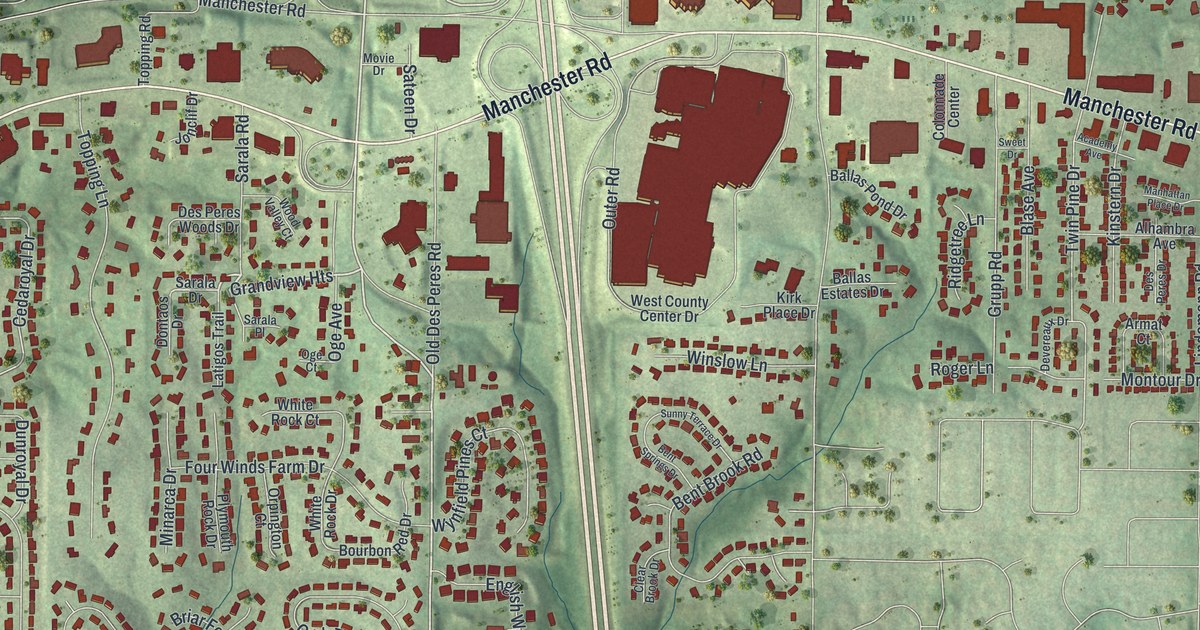
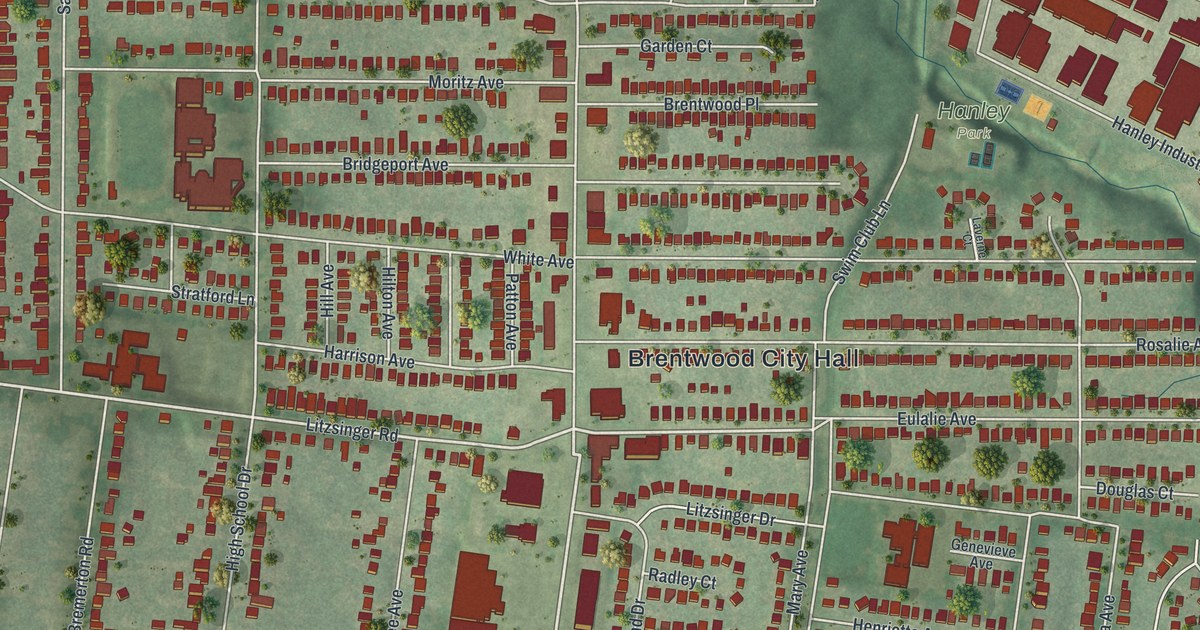
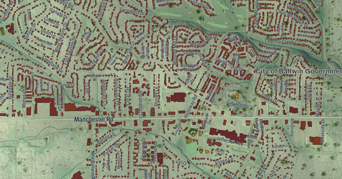
Brentwood, Missouri was named for Mr. Brent, who laid out the town. This new 2026 aerial map shows Brentwood City Hall, Memorial Park and Manchester Road, with each building drawn as a red shape and a vintage feel.

Read More
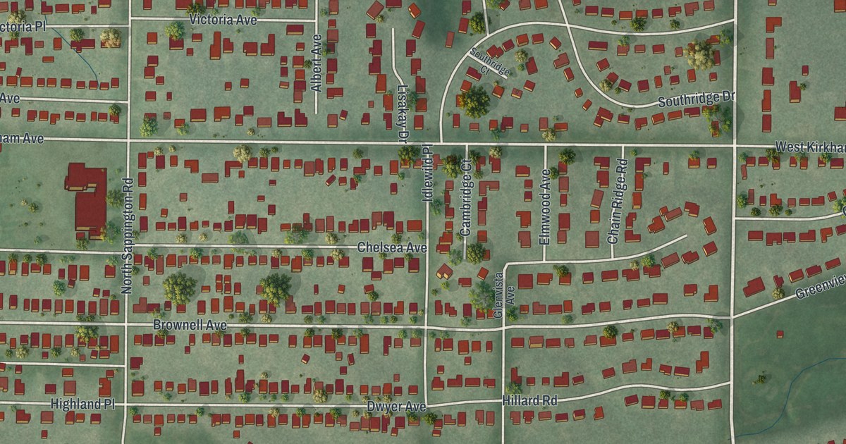
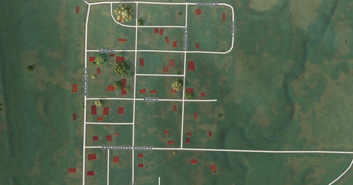
Detailed Map of Blythedale, Missouri

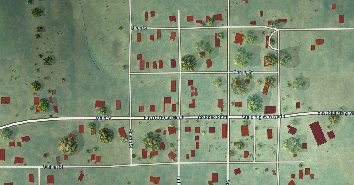
A new aerial view map of Blythedale in Harrison County, Missouri. Find Main Street, Walnut Street and Cherry Street, and learn how the town started three churches in three years in the 1880s and was known for its public schools.

Read More
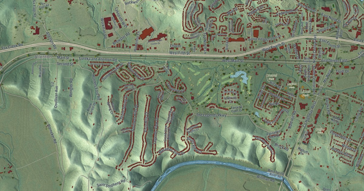
Detailed Map of Bloomfield, Missouri

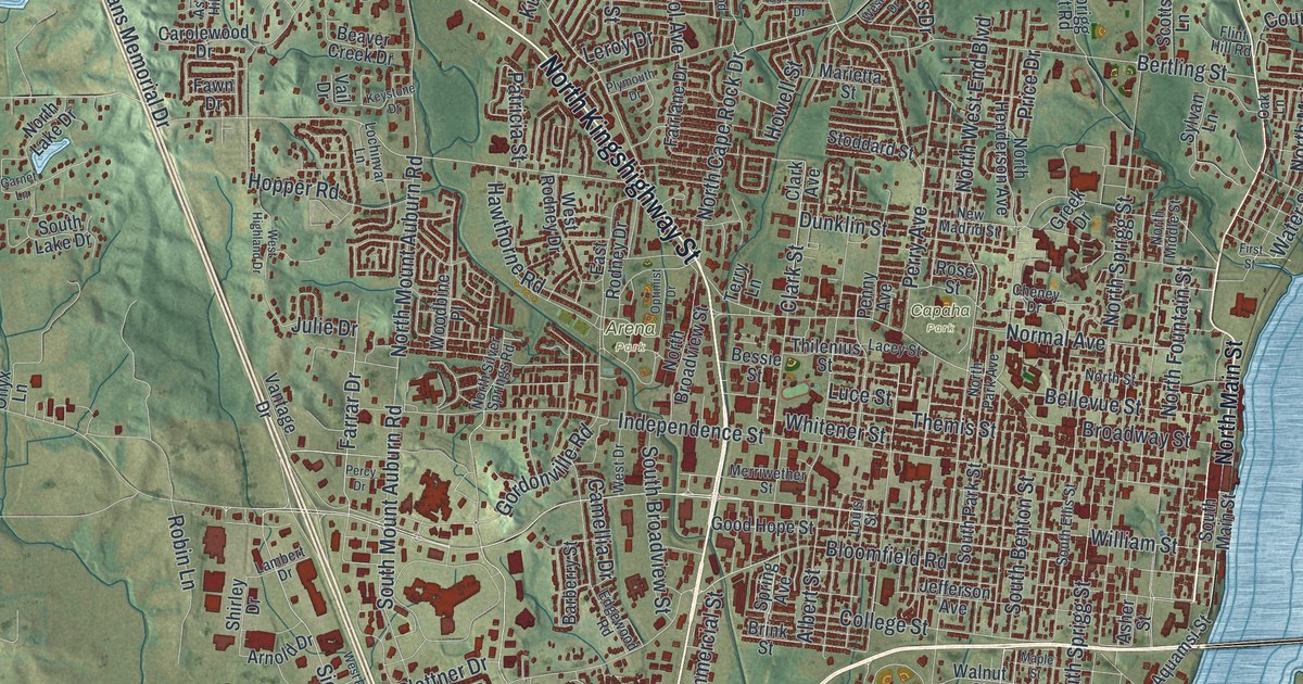
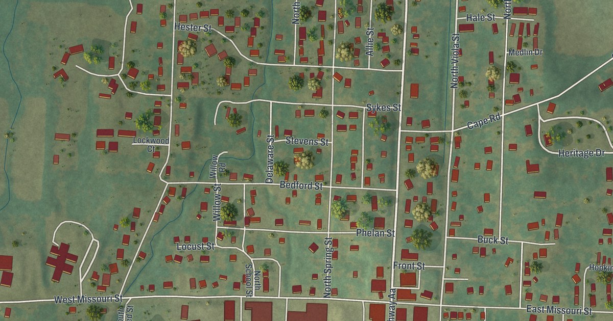
Bloomfield, Missouri was named for a large field of flowers found there in 1835. This new 2026 aerial map of the Stoddard County town shows Prairie Street, Cape Road, East Court Street and more than 1,000 buildings.

Read More

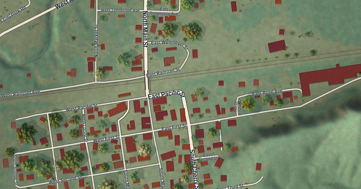
Detailed Map of Blairstown, Missouri

A railroad company laid out Blairstown in Henry County, Missouri, and named it for John I. Blair. This new 2026 map shows the town from above, with Main Street, Wall Street, the numbered streets and small red building shapes.

Read More

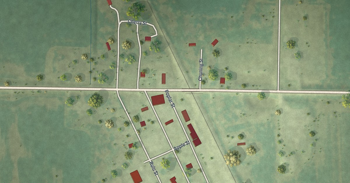
Detailed Map of Bigelow, Missouri

Bigelow in Holt County, Missouri, was where the Nodaway Valley Branch met the main rail line in 1880. This new 2026 aerial map shows Rulo Street, Poplar Street, Apple Street and the small blocks beside the tracks.

Read More

Detailed Map of Bethel, Missouri

A modern aerial map of Bethel in Shelby County, Missouri, with Main Street, the numbered streets and the town’s buildings in red. Read how a German colony laid out the town, and how Peter Stice built a water mill here in 1836.

Read More

Detailed Map of Berkeley, Missouri

A new aerial map of Berkeley in St. Louis County, Missouri, made in 2026. Find Natural Bridge Road, Wabash Avenue and your own block, and learn how the town was first known as Kinlock, a post office on the Wabash Railroad.

Read More

Detailed Map of Alma, Missouri

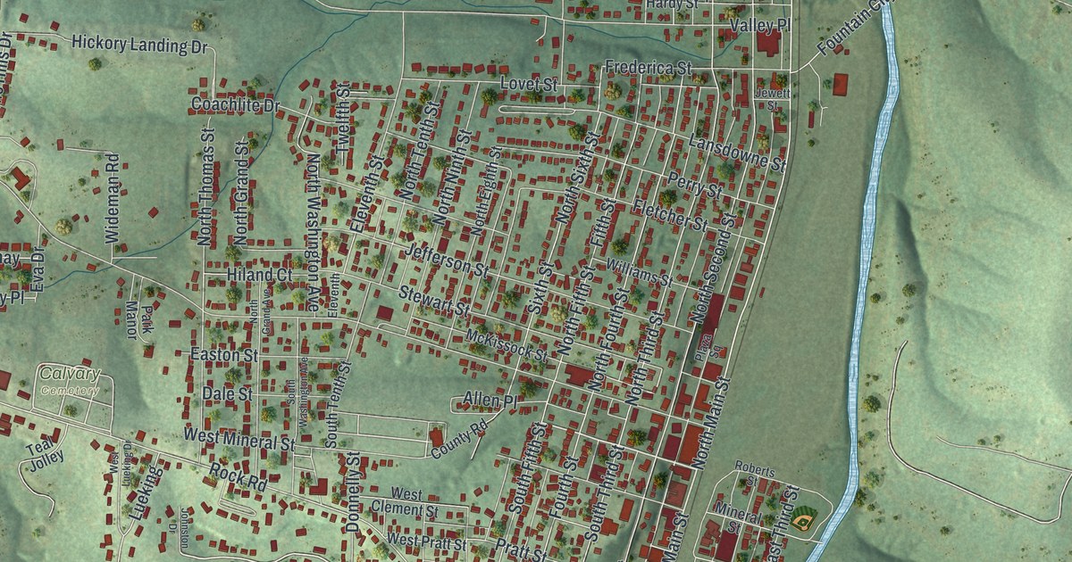
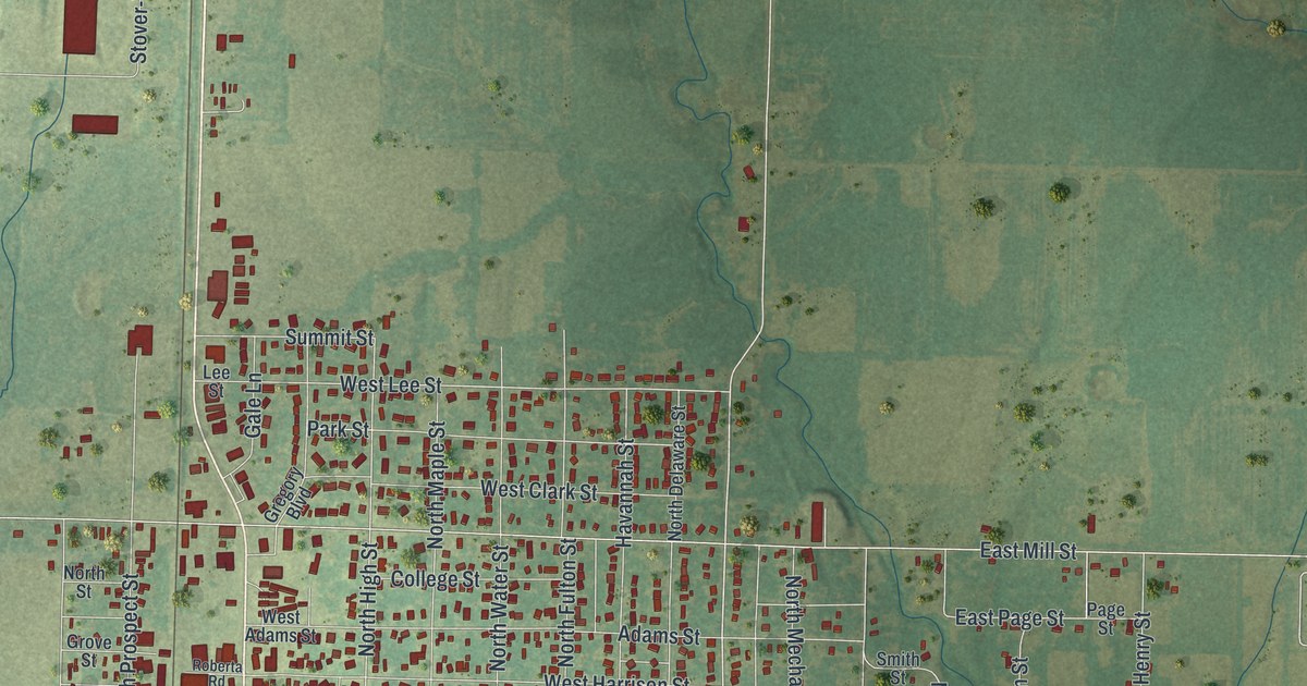
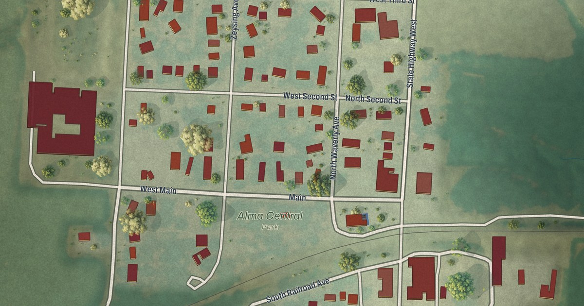
Follow Main, Waverly Avenue and West Fourth Street across this map of Alma in Lafayette County, Missouri, from Alma Central Park to the Lions Club ball diamond, and see how a 1910 county history listed the town.

Read More

Detailed Map of Marshfield, Missouri

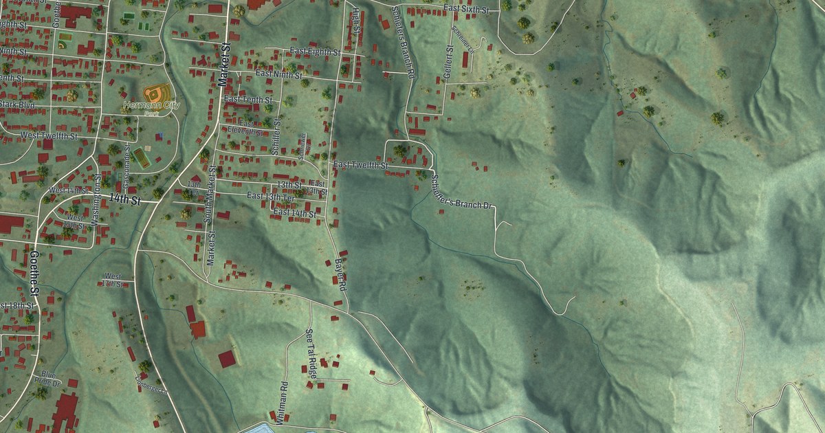
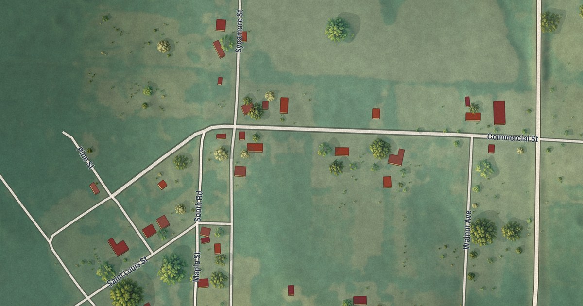
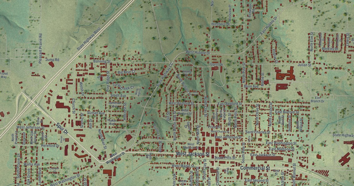
Marshfield, Missouri was named for Daniel Webster’s home in Massachusetts. This new 2026 aerial map shows the town in Webster County, from Commercial Street and West Jackson Street to East Hubble Drive, with its buildings in red over soft green hills.

Read More

Detailed Map of Kimmswick, Missouri

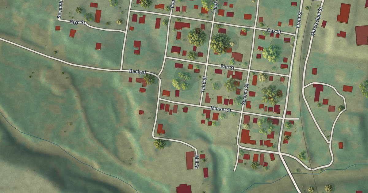
Kimmswick was laid out in October 1859 by Theodore Kimm and named for him. This new 2026 aerial map of the Jefferson County town shows Front Street, Market Street, the numbered streets, the green hills to the west and its buildings as small red shapes.

Read More

Detailed Map of St. Clair, Missouri

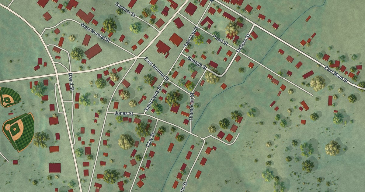
St. Clair, Missouri, as a modern aerial map with a vintage feel. See the green Franklin County hills, North Main Street and Old State Highway 66, and read the old story of a wayside inn called Traveler’s Repose.

Read More