Category: Missouri

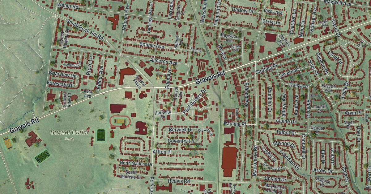
Detailed Map of Affton, Missouri

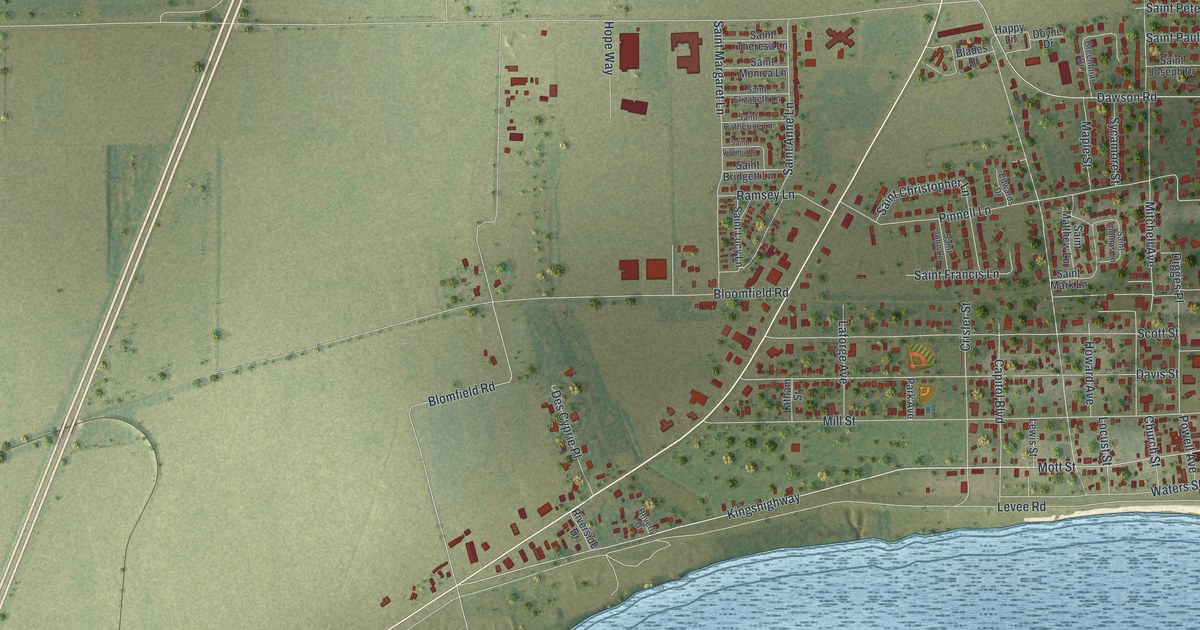
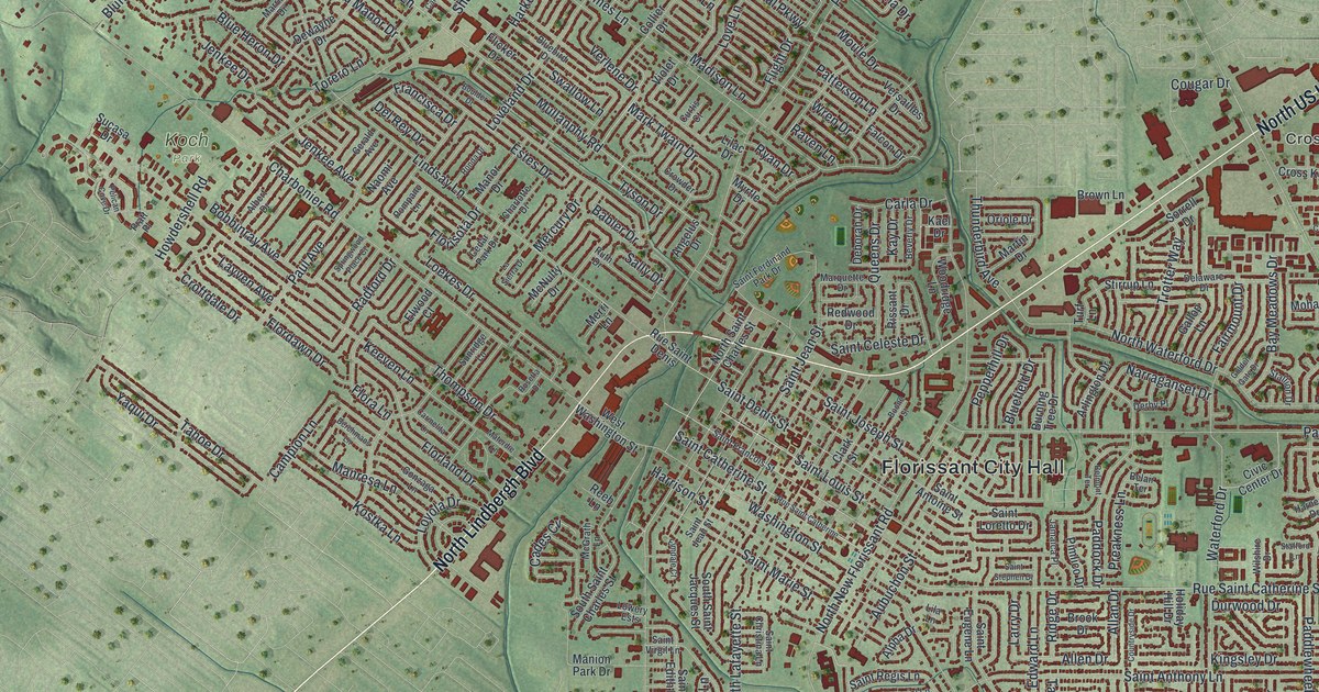
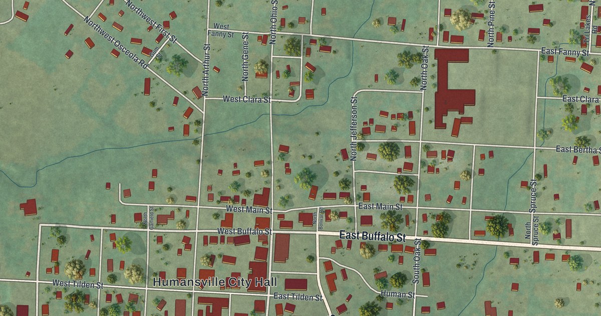
A new aerial map of Affton in St. Louis County, Missouri, with thousands of red buildings along Gravois Road, Watson Road and Mackenzie Road. Affton takes its name from Johann George Aff, a farmer and merchant who came to St. Louis in 1858.

Read More
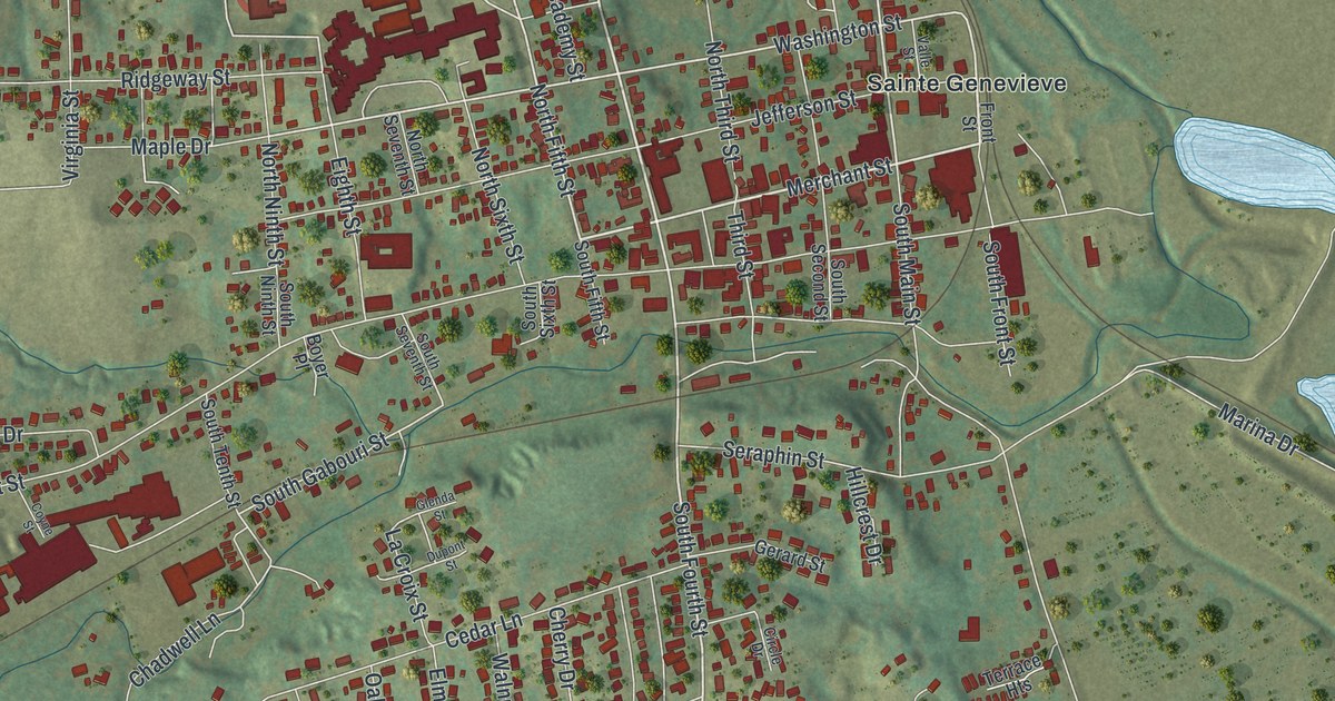
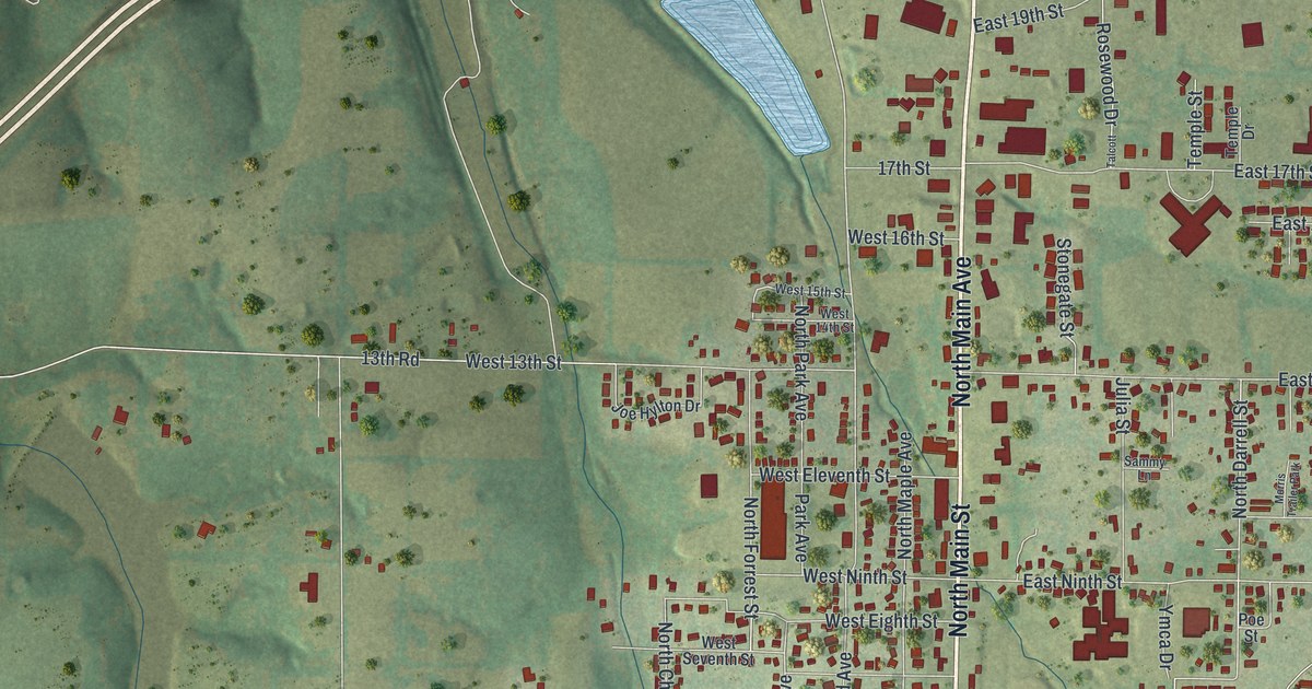
Detailed Map of Hollister, Missouri

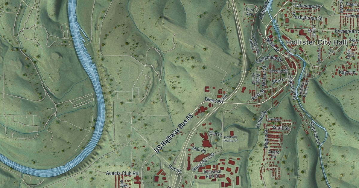
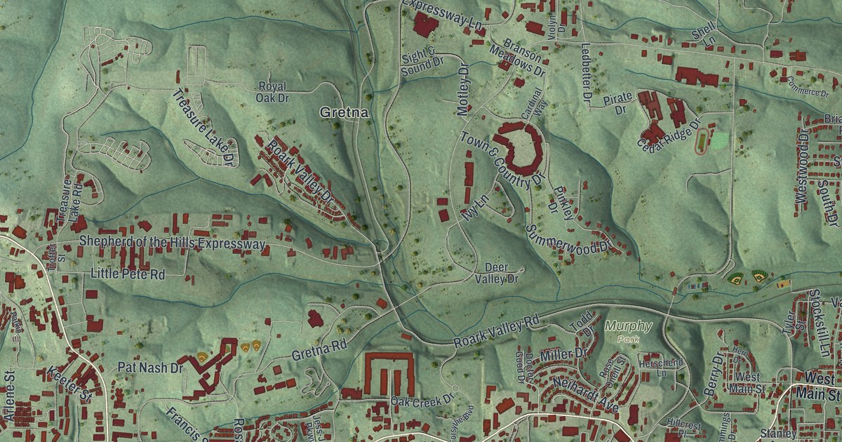
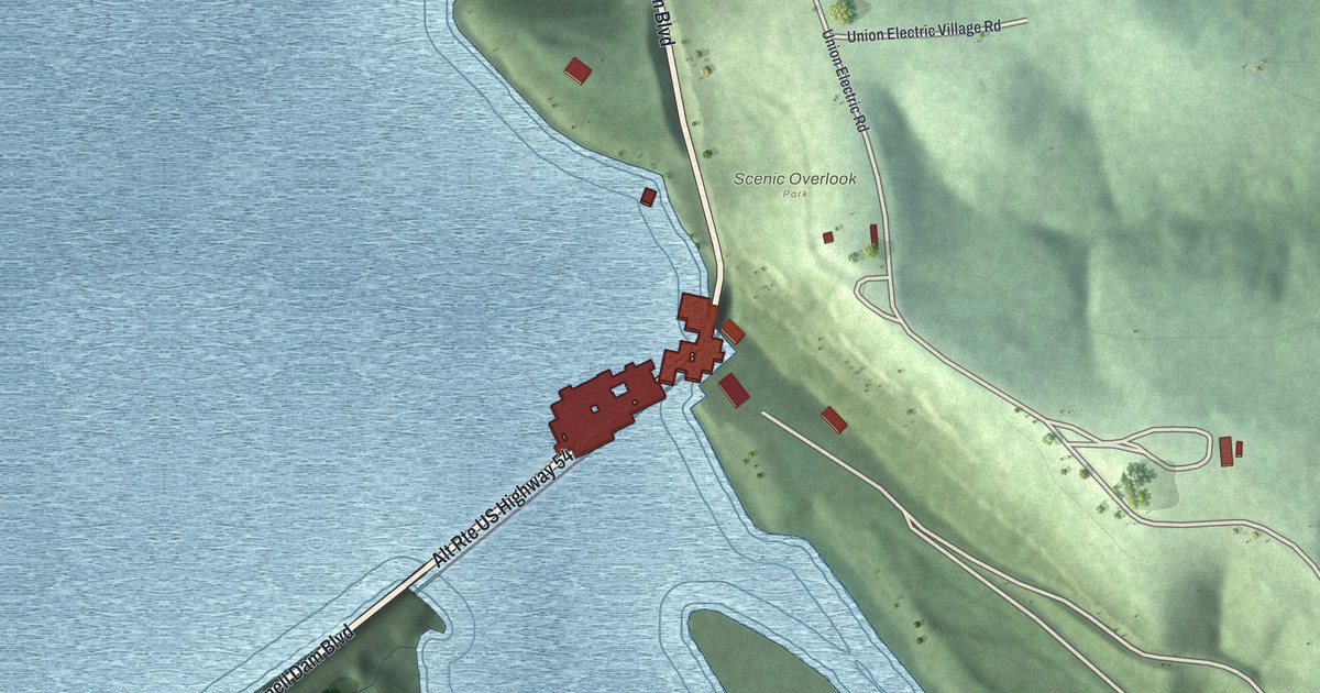
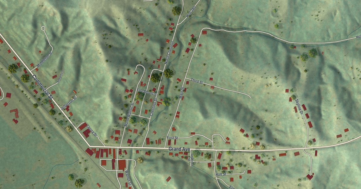
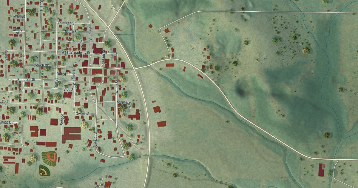
A new aerial map of Hollister in Taney County, Missouri. See the green hills, the winding river and the streets around Hollister City Hall, plus the story of how a Missouri Pacific railroad official gave the town its name.

Read More
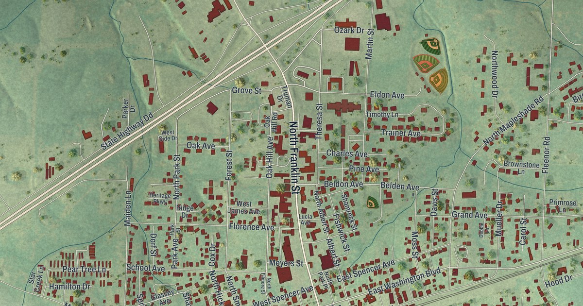
Detailed Map of Silex, Missouri

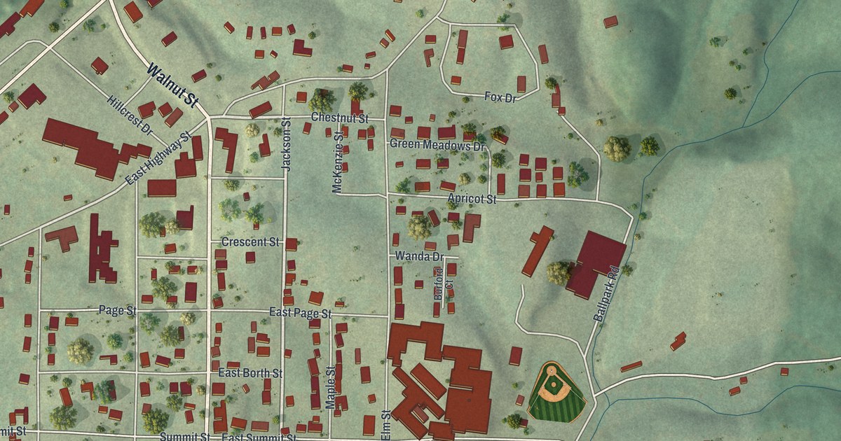
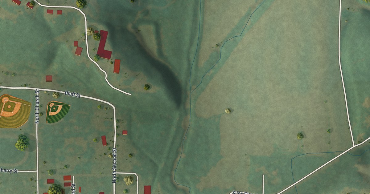
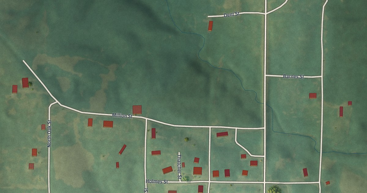
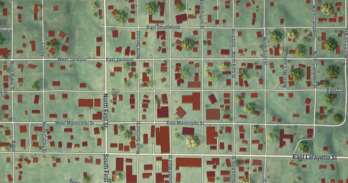
Silex began when the railroad came through and George P. Smith moved his store from Cave City. This 2026 map of Silex, Missouri shows Main Street, Cuivre Street, the rolling hills around town and red building shapes you can zoom in on.

Read More
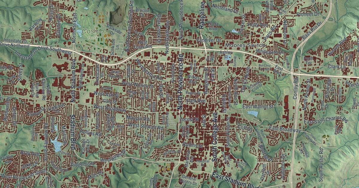
Detailed Map of Mercer, Missouri

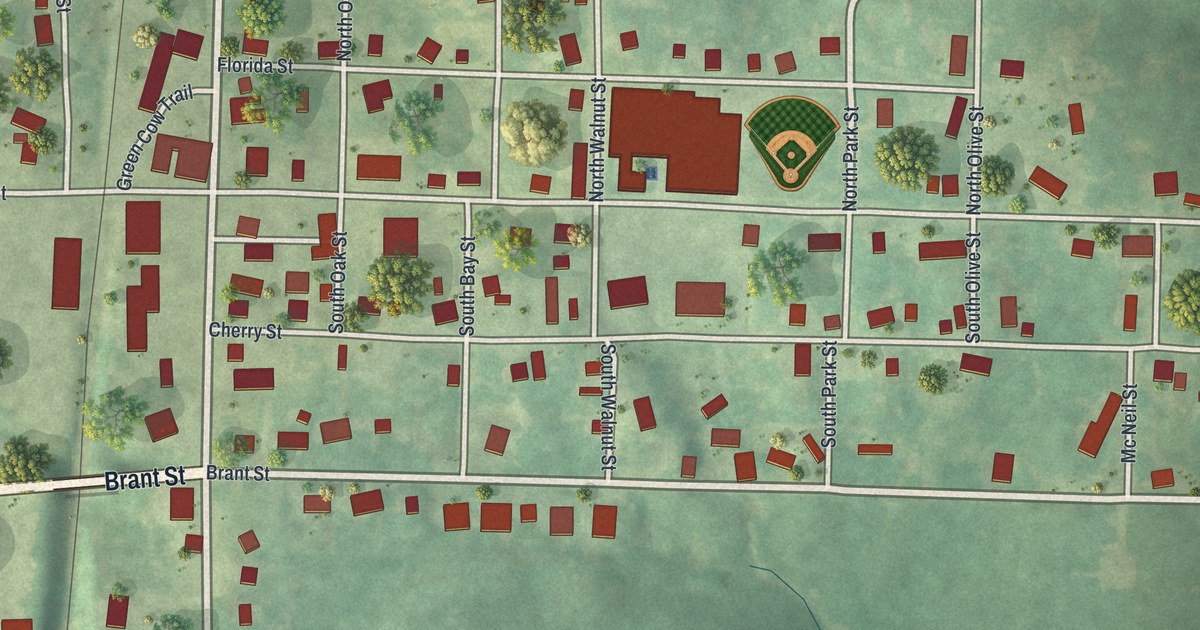
Mercer, Missouri, is a town of 263 people in Mercer County. This new 2026 aerial map shows Main Street, Bison Street, Green Cow Trail and more than 300 buildings drawn in red, set among green rolling hills.

Read More
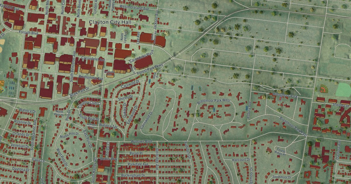
Detailed Map of Luray, Missouri

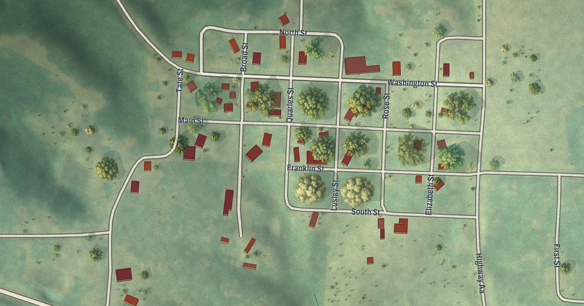
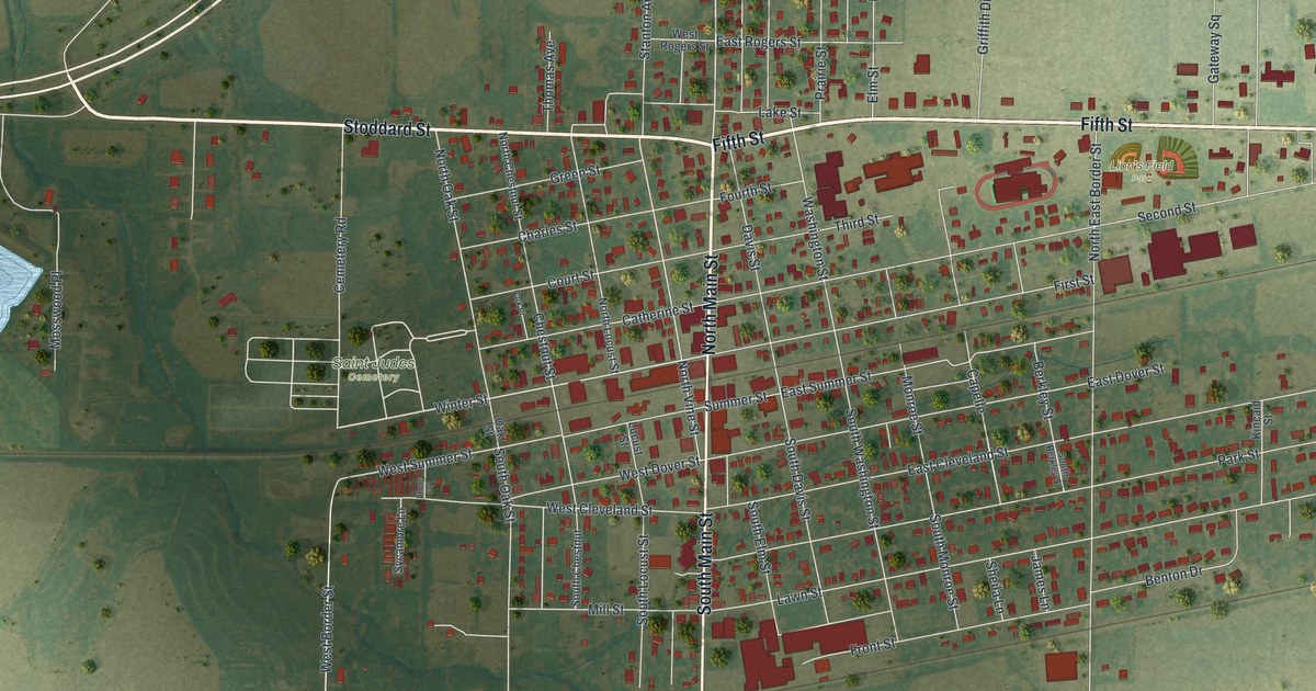
Luray is a small Clark County village with a tight grid of streets. This 2026 aerial map shows Main Street, Washington Street and the farm country that an 1887 history said made Luray a shipping point on the Keokuk & Western Railroad.

Read More
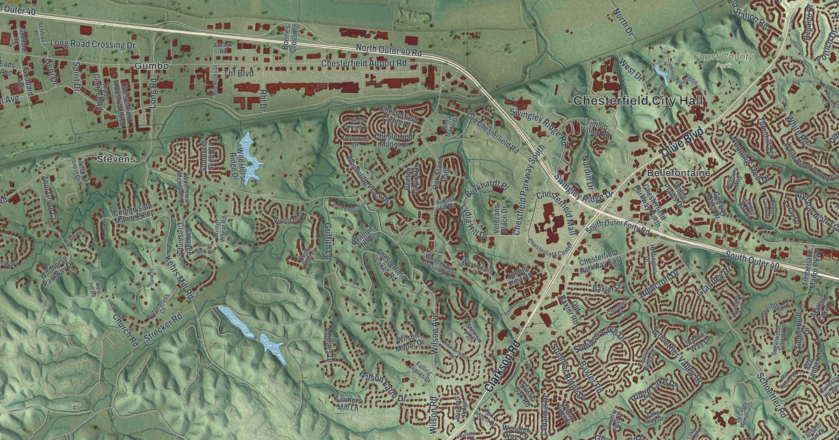
Detailed Map of Hunnewell, Missouri

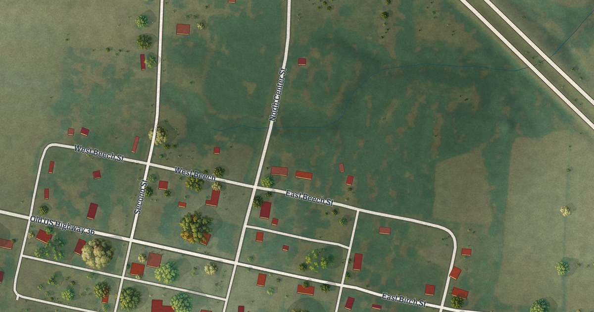
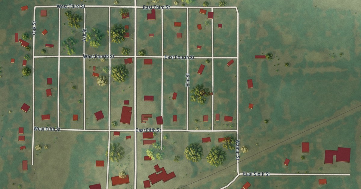
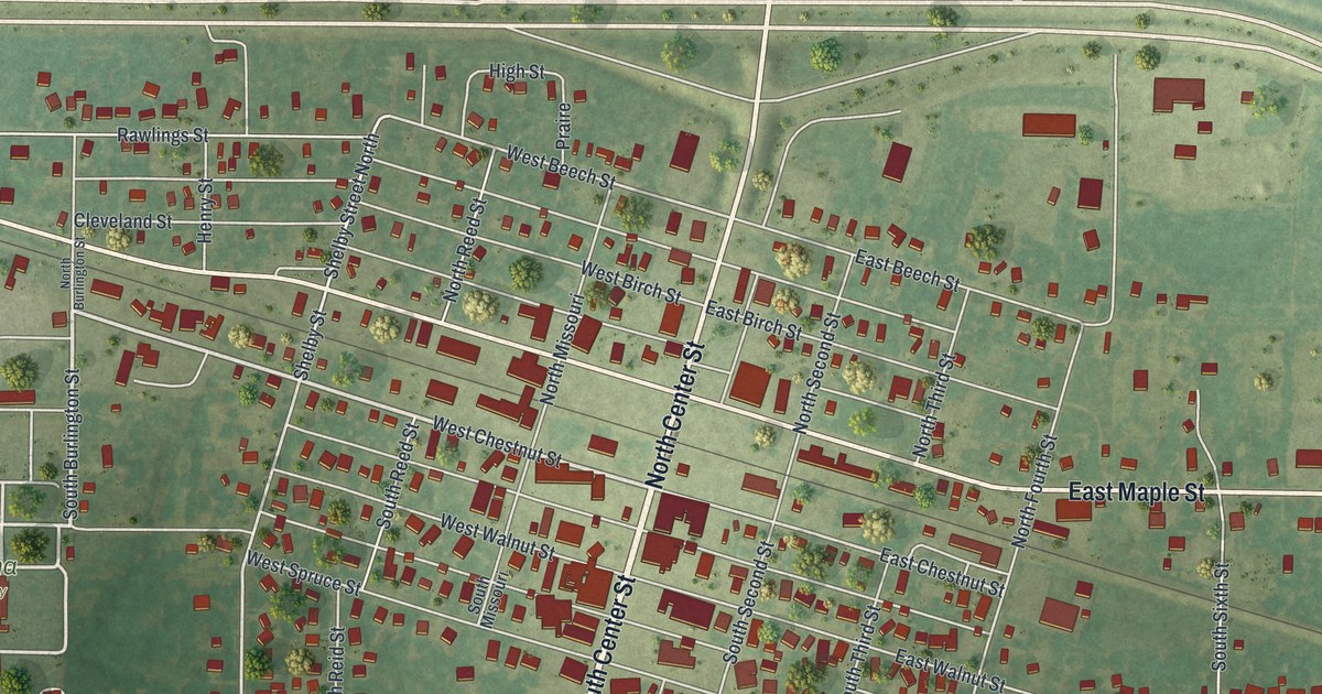
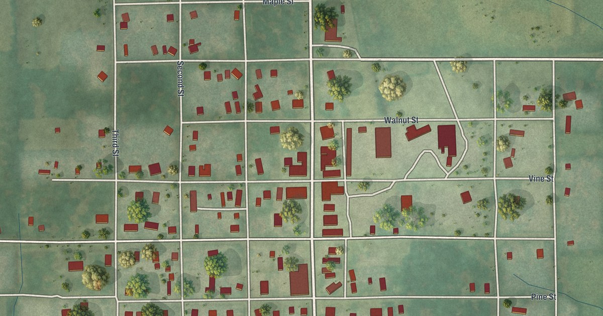
Hunnewell sits in Shelby County, Missouri, on a neat grid of streets named for trees. This new 2026 aerial map shows Birch, Maple, Walnut and Center Streets, and it tells the story of the town’s big public meeting in April 1861.

Read More
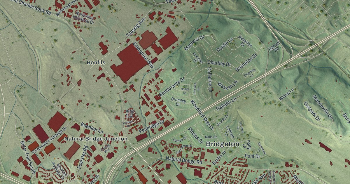
Detailed Map of Granger, Missouri

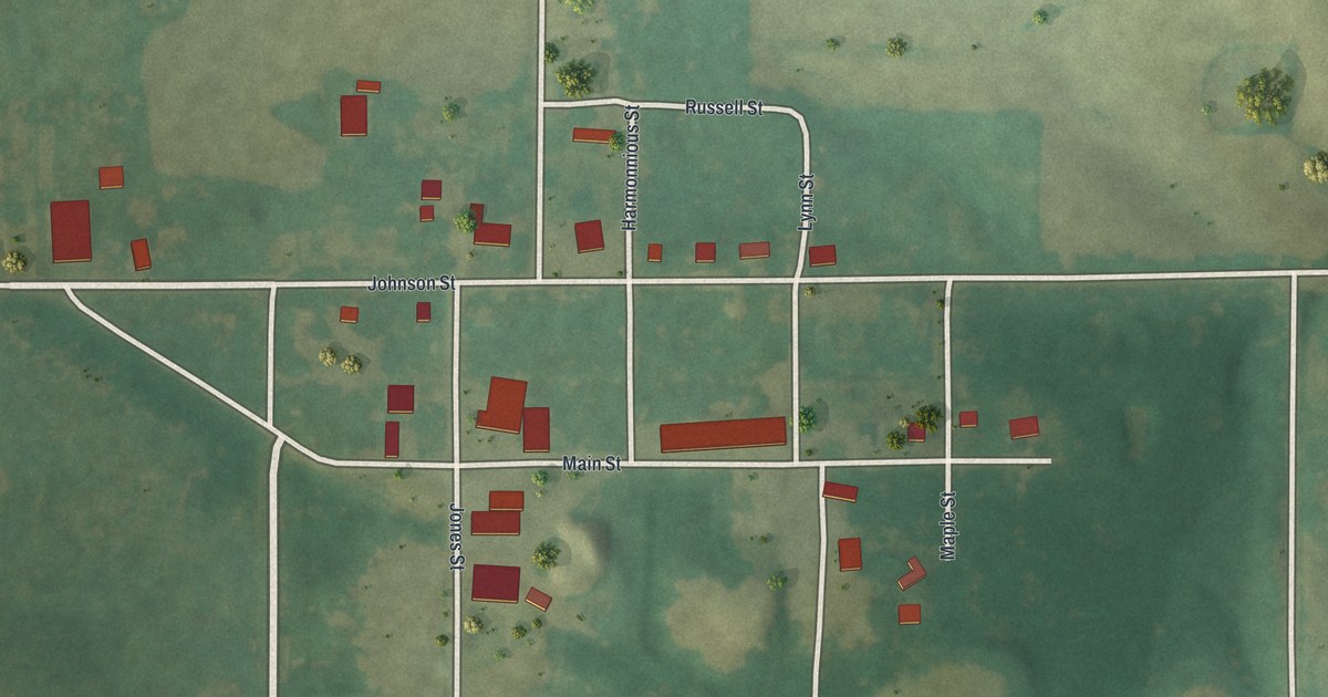
A modern aerial map of Granger in Scotland County, Missouri, with Main Street, Johnson Street, Evans Street and the farm fields around them. An 1887 county history placed Granger on the Keokuk & Western Railroad.

Read More
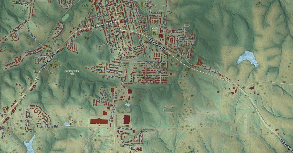
Detailed Map of Deepwater, Missouri

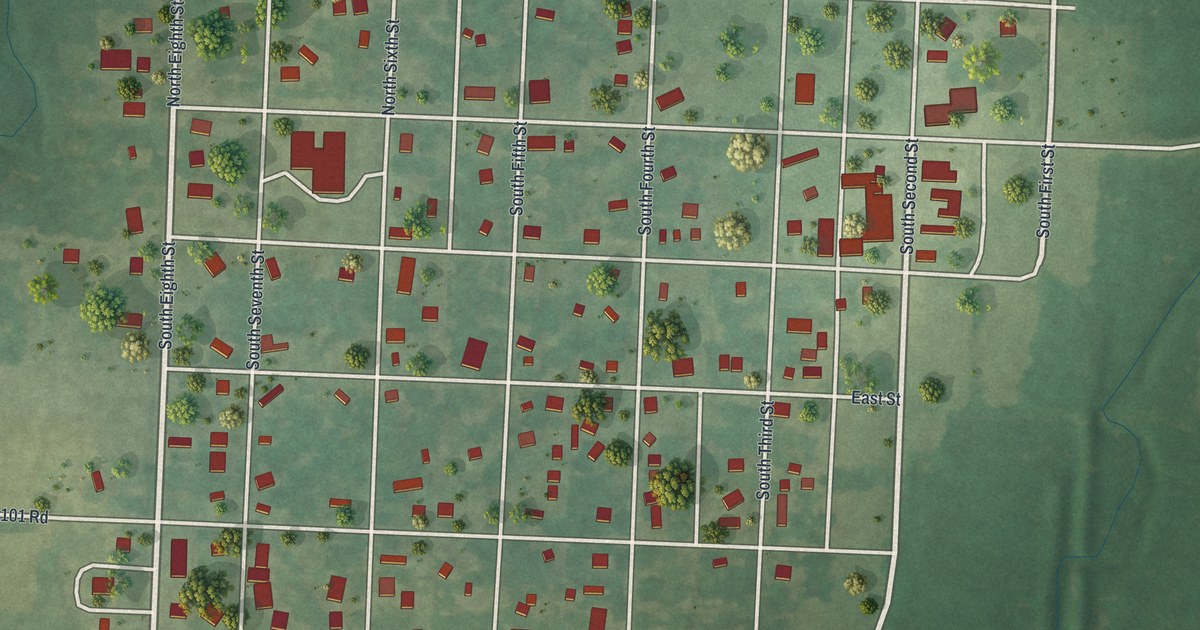
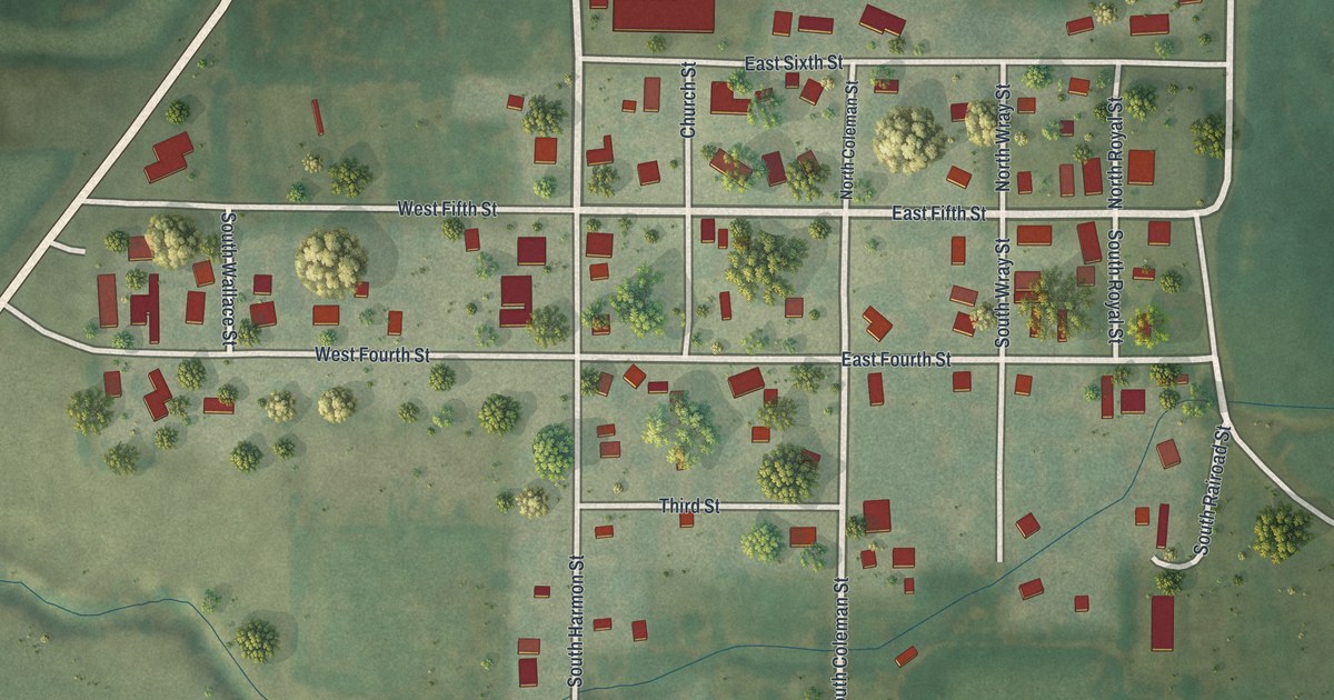
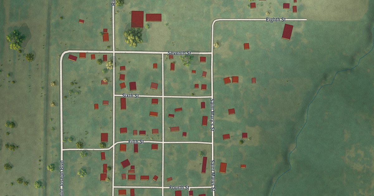
A new aerial map of Deepwater in Henry County, Missouri, made in 2026. Find the numbered streets from First to Eighth, Grove Street and Sherwood Avenue, and read how the first settlers came to Deepwater Creek in 1835.

Read More
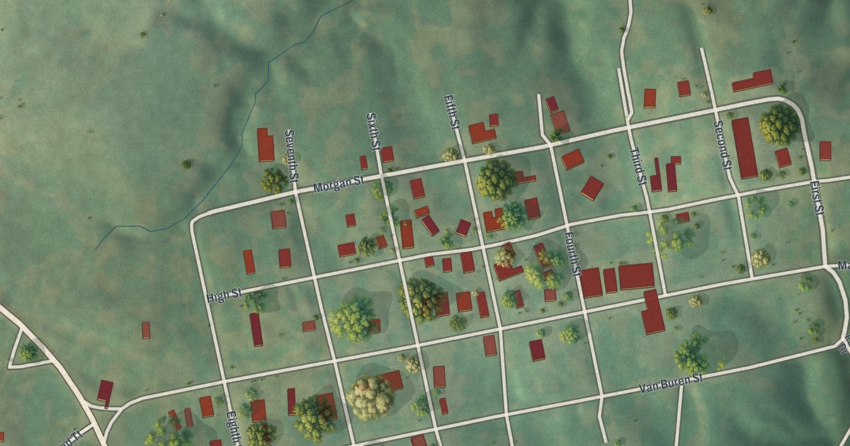
Detailed Map of Cowgill, Missouri

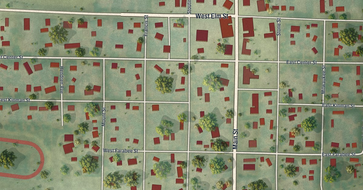
A new aerial view map of Cowgill in Caldwell County, Missouri. Find Main Street, Van Trump Avenue and the numbered streets, and read what a 1923 county history said about the town’s First National Bank.

Read More
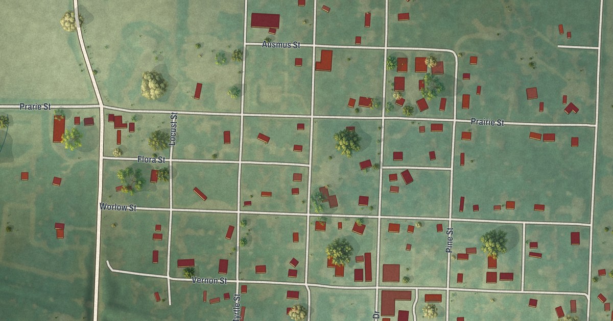
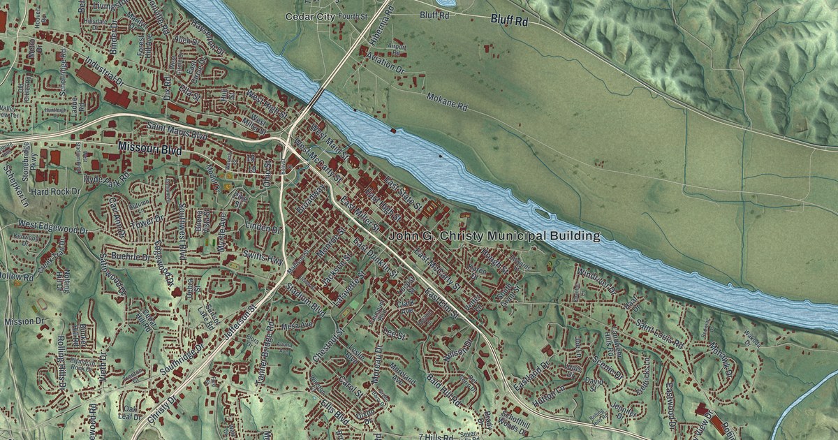
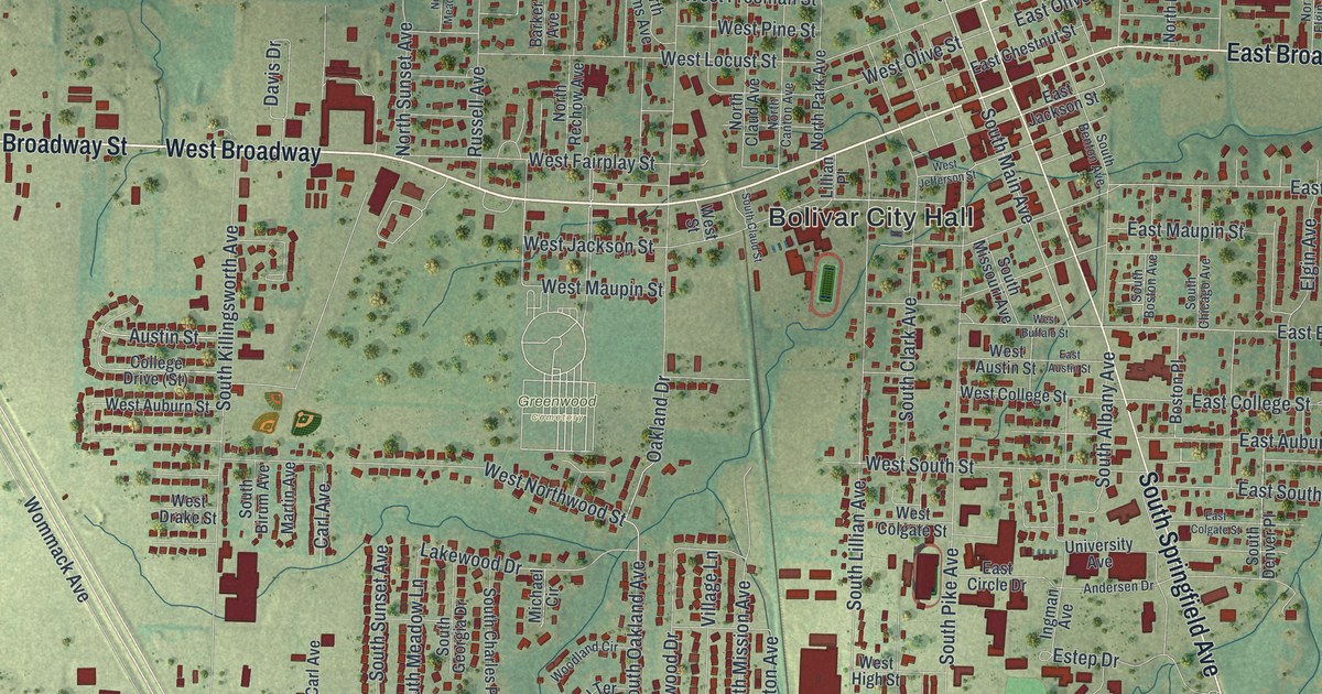
Detailed Map of Branson, Missouri

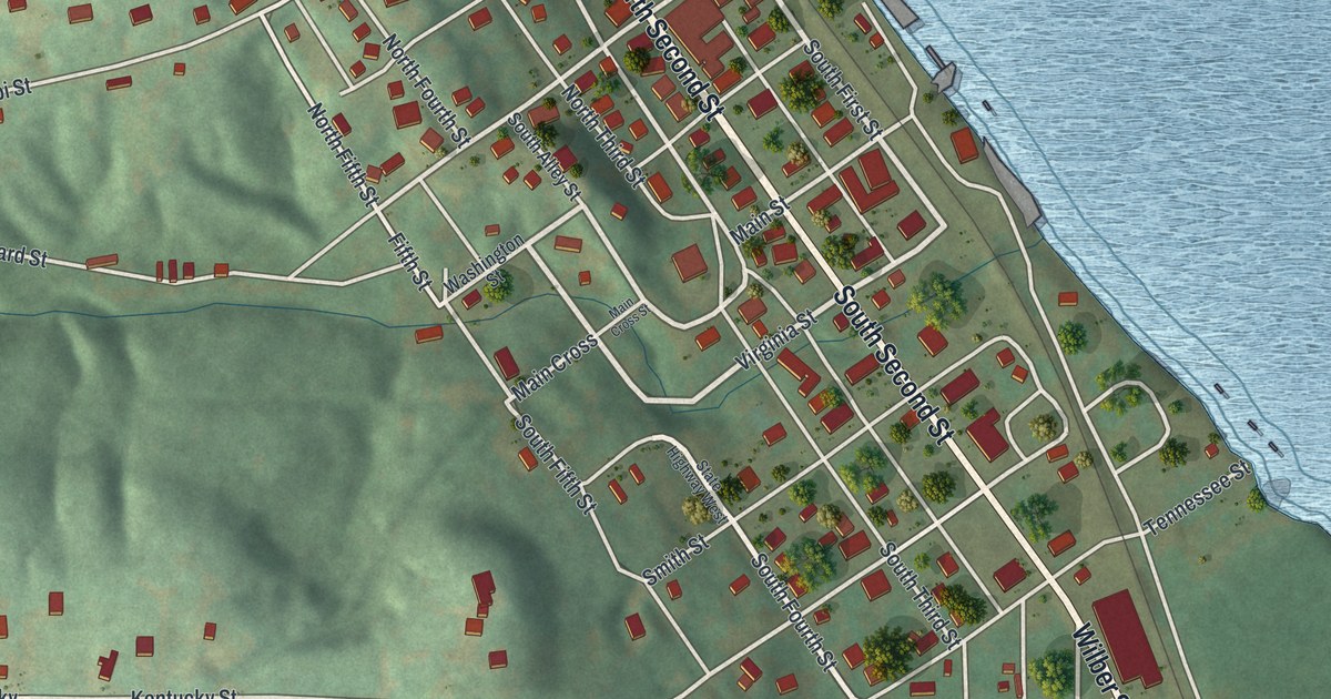
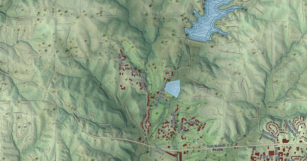
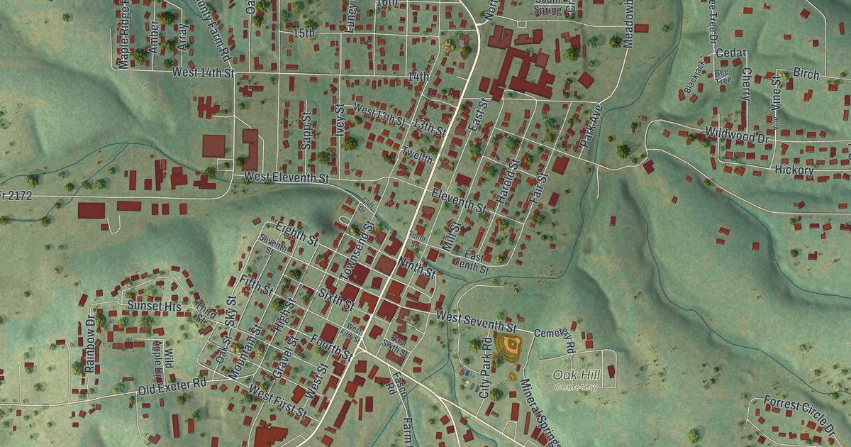
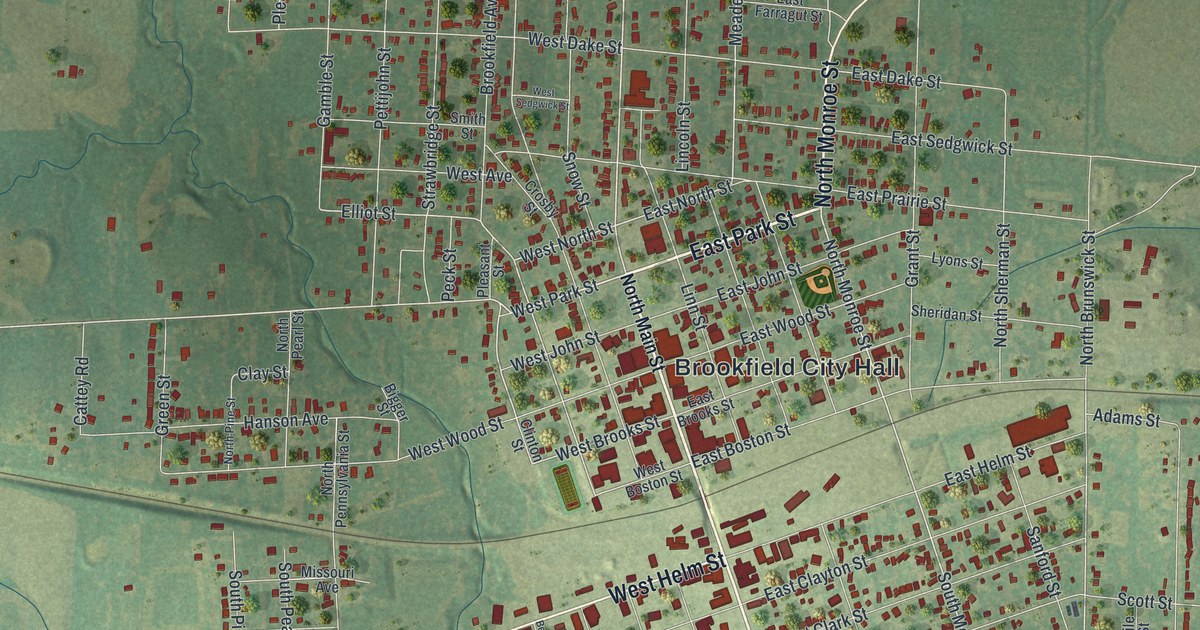
A new aerial view map of Branson in Taney County, Missouri. Green hills, a winding blue river and more than 10,000 red buildings, from Table Rock to West Main Street. The town’s name goes back to its first postmaster in 1881.
Read More
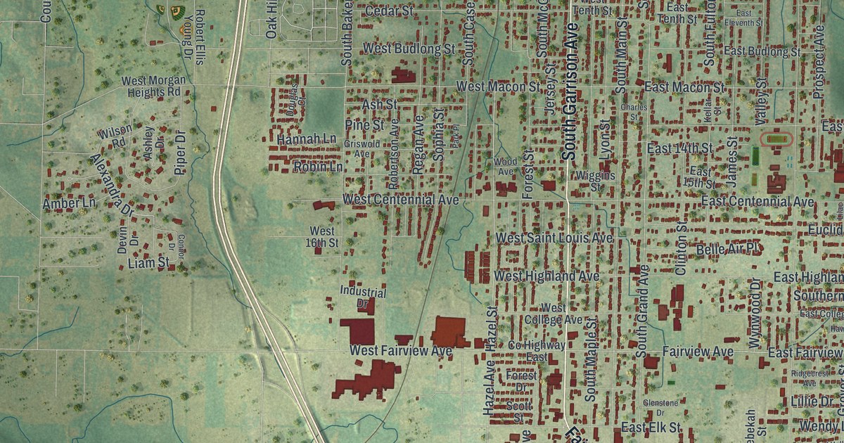
Detailed Map of Unionville, Missouri

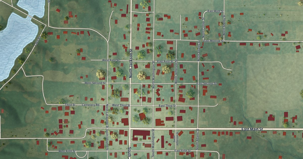
A modern aerial map of Unionville in Putnam County, Missouri, with a vintage look. Find Main Street, Grant Street, the old square and more than a dozen named streets, plus the story of the Unionville Square Historic District.
Read More
Detailed Map of Shelbina, Missouri

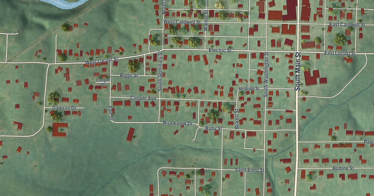
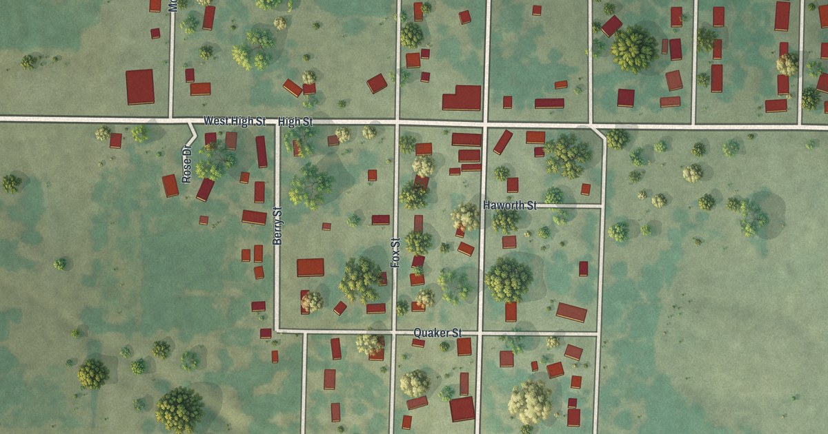
A new aerial-style map of Shelbina, Missouri, made in 2026. Find Center Street, Maple Street and Shelbina Cemetery, and read how the town came through Bill Anderson’s raid and started the county’s first paper after the Civil War.

Read More
Detailed Map of Callao, Missouri

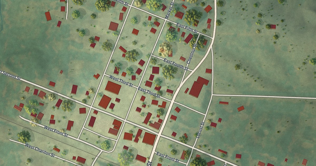
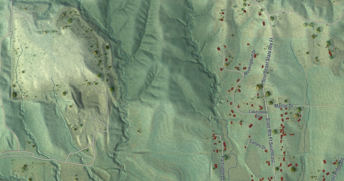
Callao, Missouri, from above: a new 2026 map of Chestnut Street, Second Street and Locust Grove Cemetery in Macon County, plus the story of Aunt Polly Baskett, whose birthday the town kept like a holiday.

Read More
Detailed Map of Bethany, Missouri

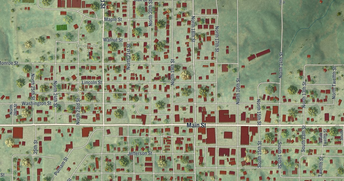
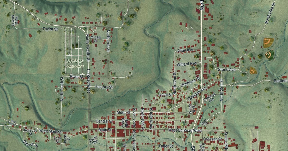
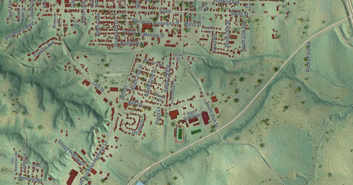
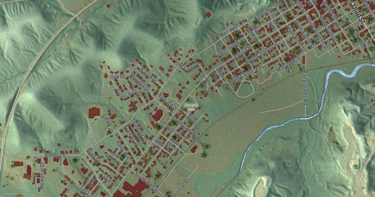
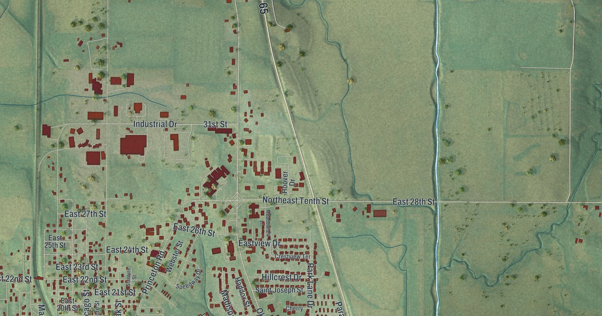
Bethany had the first post office in Harrison County, opened in 1845 and called Bethpage for several years. This new 2026 aerial map shows Main Street, South 25th Street, Bulldog Avenue and the hills around town.

Read More
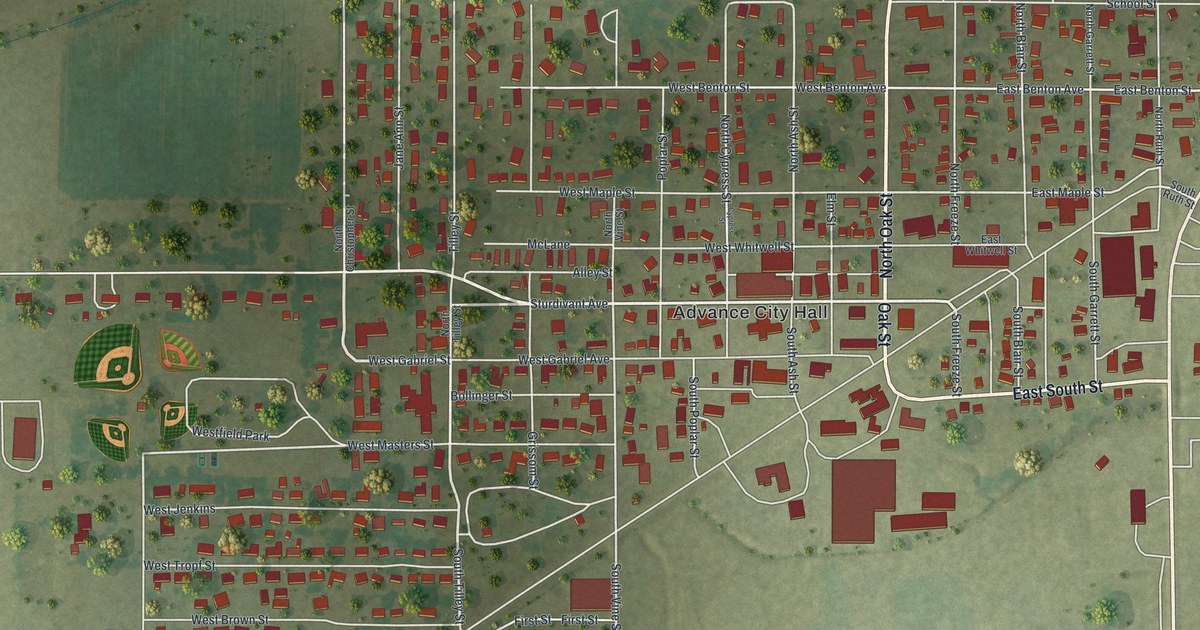
Detailed Map of Meadville, Missouri

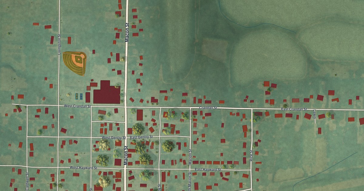
A new aerial map of Meadville in Linn County, Missouri, made in 2026. See Macon Street, Crandall Street and the blocks around them, and read how Meadville hosted the first meeting about draining the valley in July 1911.

Read More
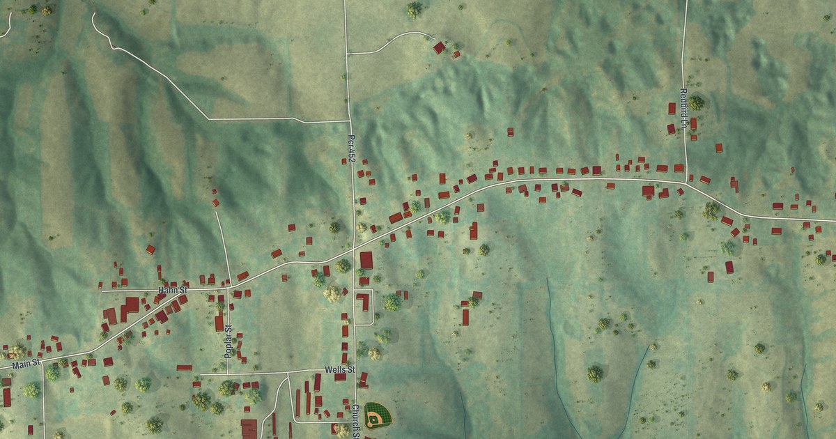
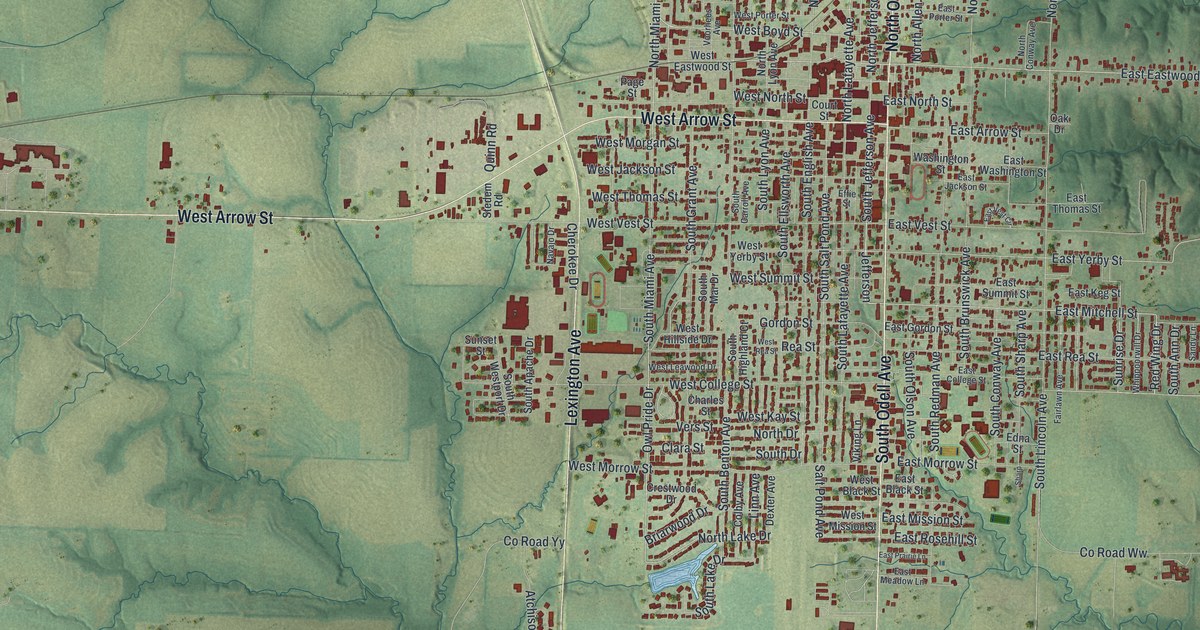
Detailed Map of Marshall, Missouri

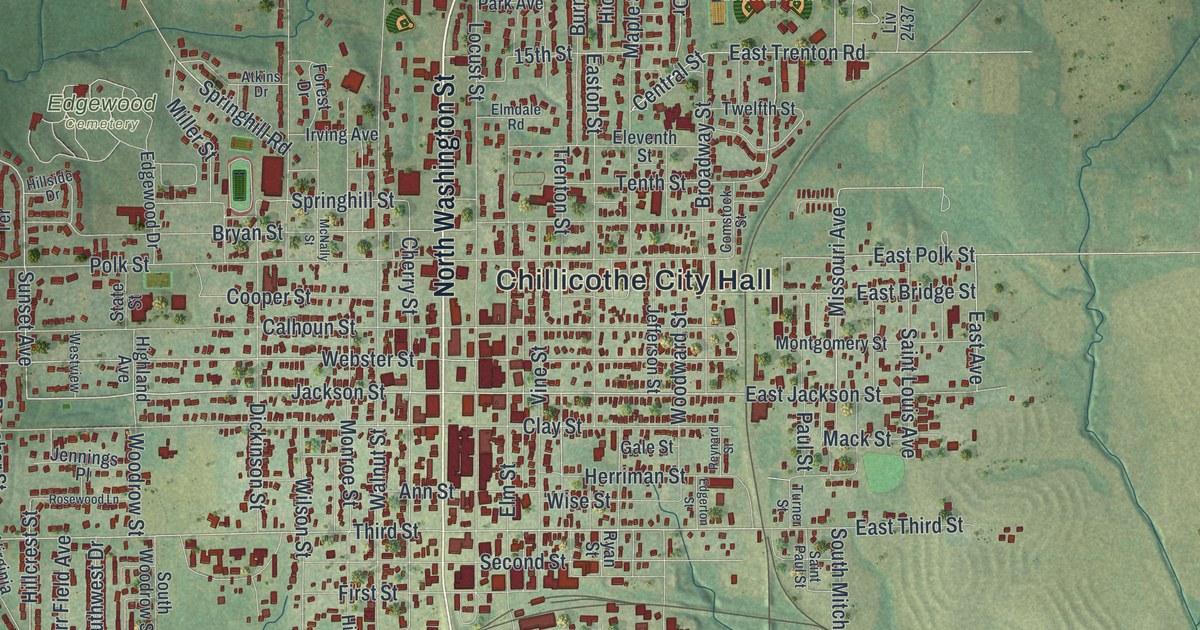
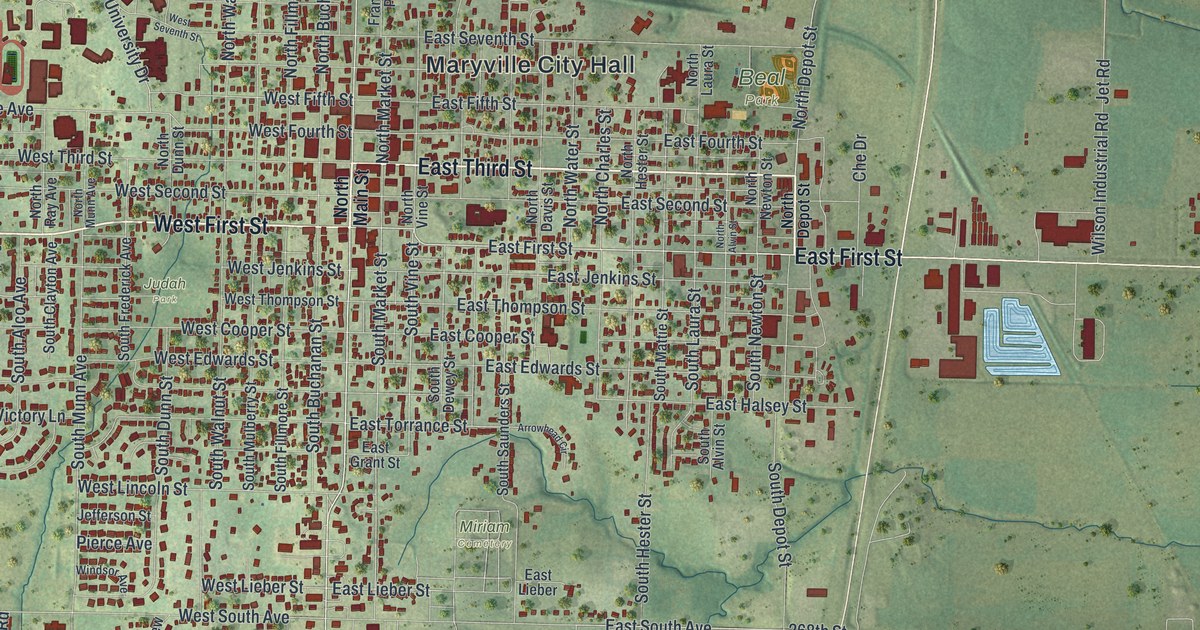
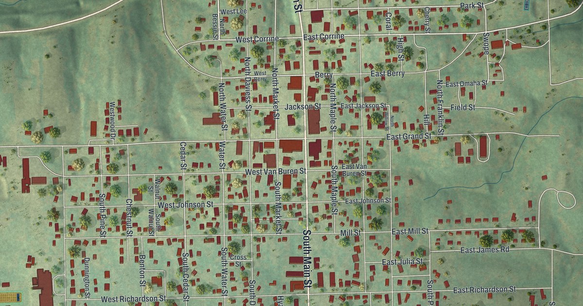
A modern aerial map of Marshall in Saline County, Missouri, with a vintage feel. Find your street, from Lexington Avenue to South Odell Avenue, and read how Marshall went without a newspaper during the Civil War until the Progress started in 1866.

Read More
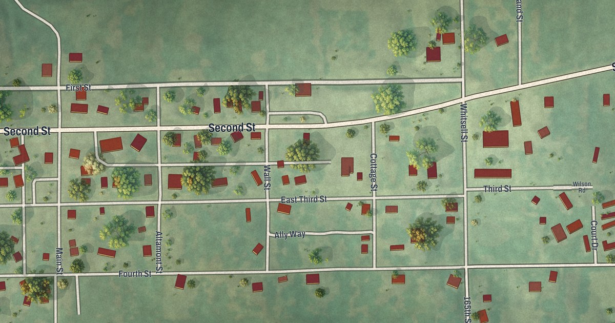
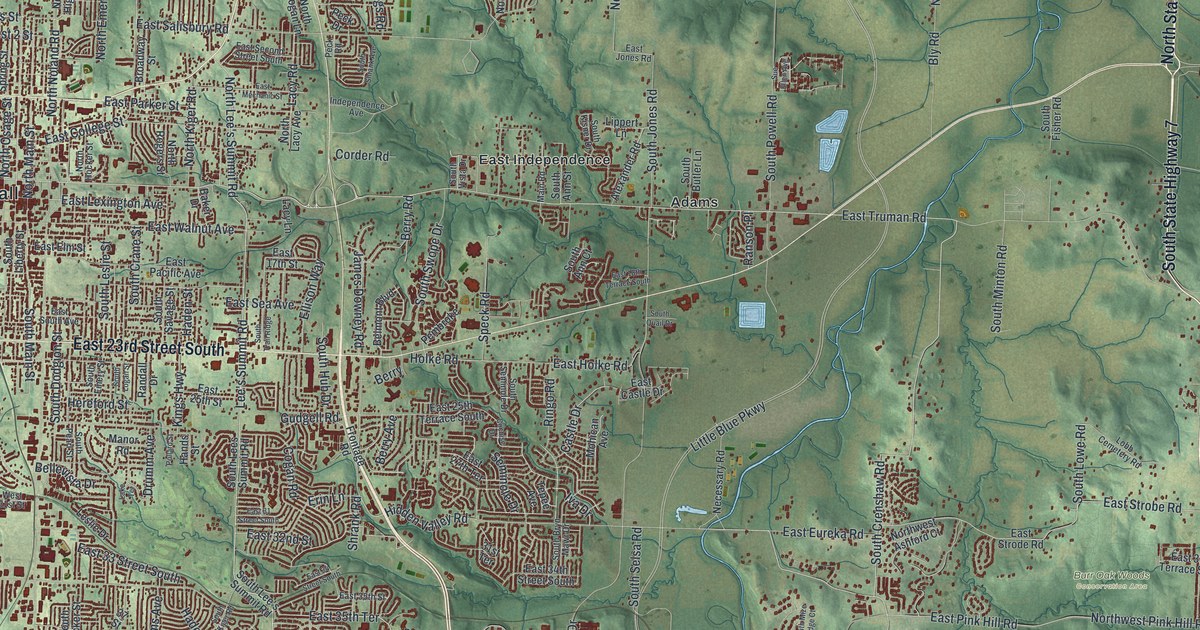
Detailed Map of Independence, Missouri

A modern aerial map of Independence in Jackson County, Missouri, with a vintage feel. Find North Delaware Street, home of the Harry S Truman National Historic Site, plus Englewood, Fairmount, Mount Washington and thousands of homes.

Read More
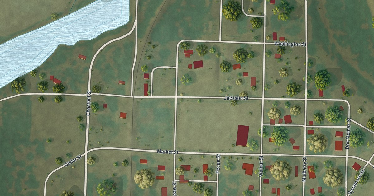
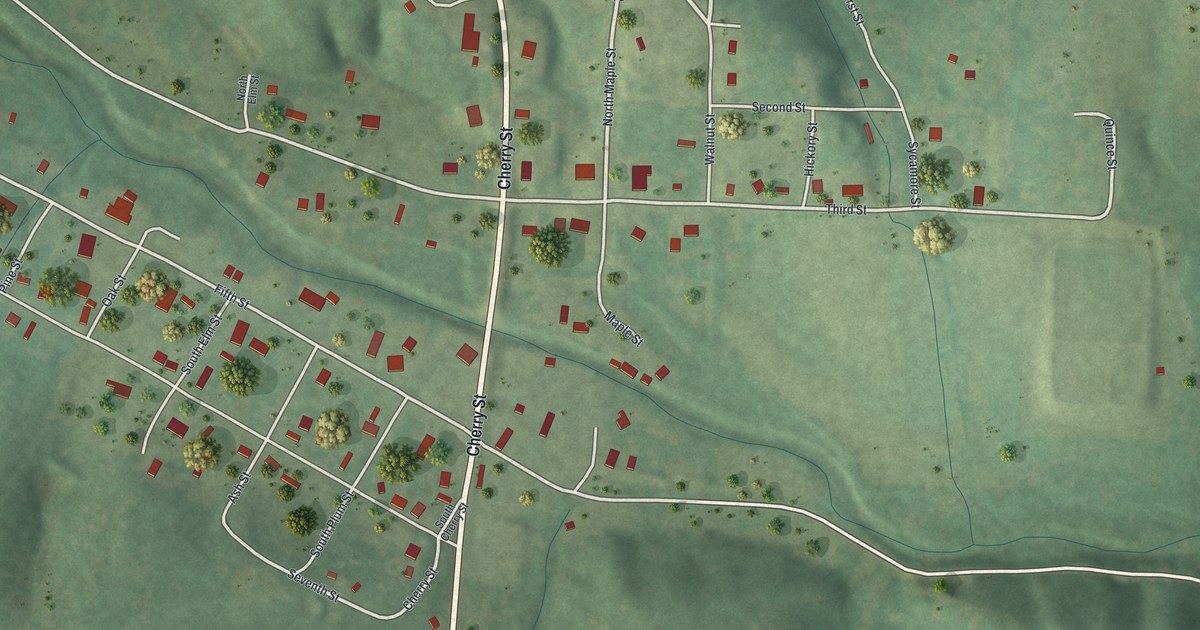
Detailed Map of Grandin, Missouri

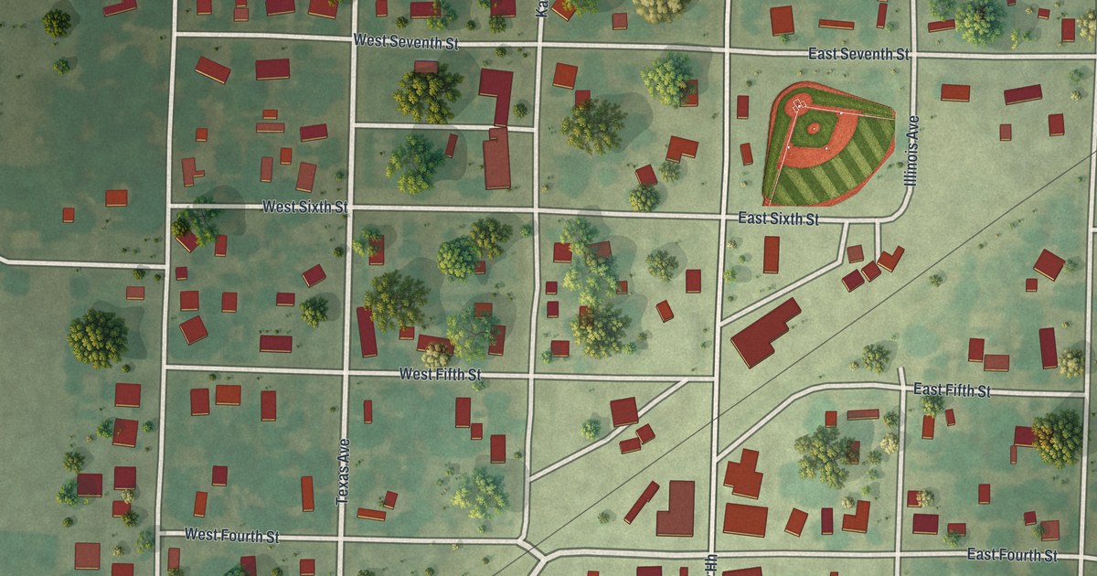
A new aerial map of Grandin in Carter County, Missouri. About 1885, one of the state’s largest lumber mills started here. Find Cherry Street, Sixth Street and the old homes of the Sixth Street Historic District.

Read More
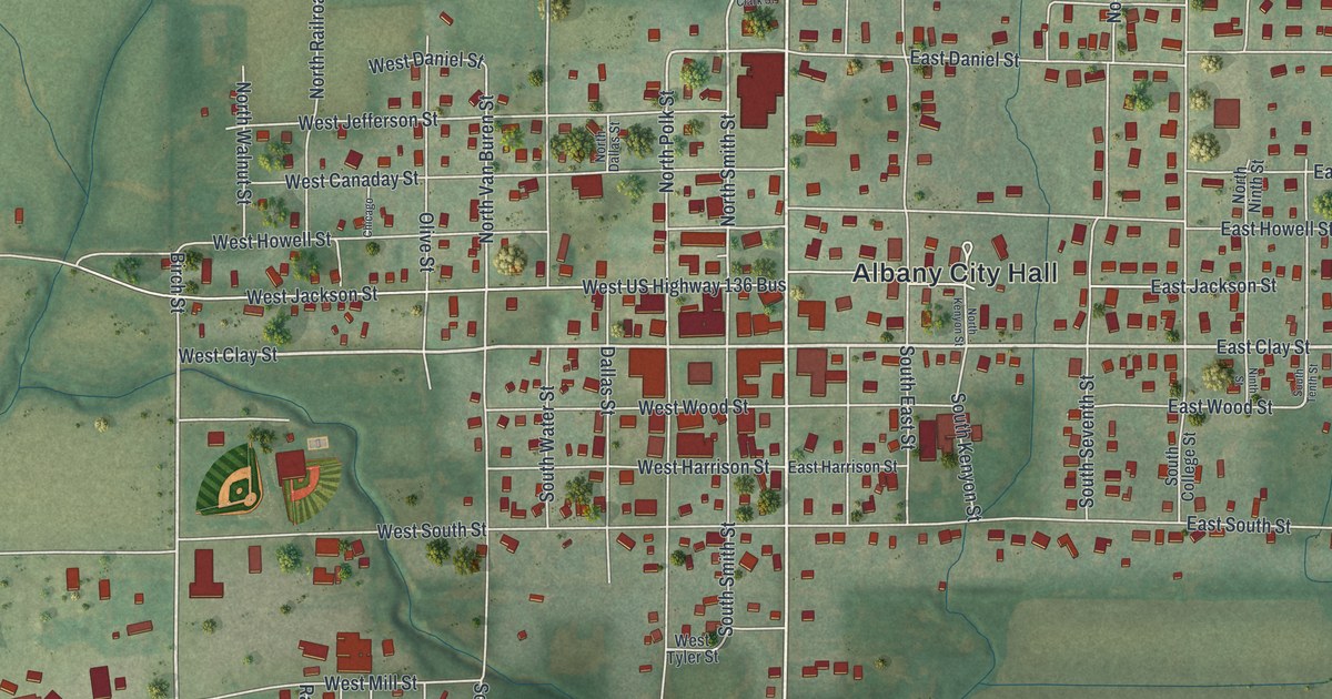
Detailed Map of Ferguson, Missouri

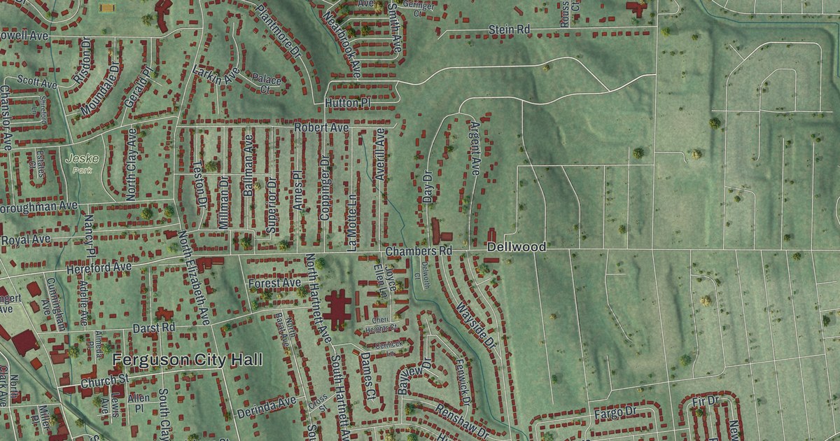
An aerial view map of Ferguson in St. Louis County, Missouri, made in 2026. Find Church Street, Ferguson City Hall, Jeske Park and thousands of red buildings, plus the story of a town with a post office since 1876.

Read More
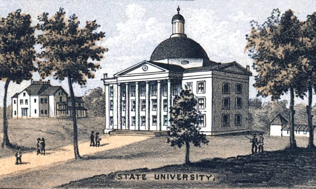
Detailed Map of Wheeling, Missouri

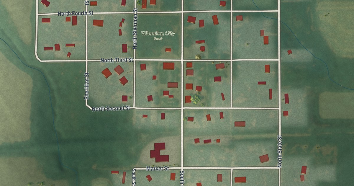
Wheeling, Missouri, in Livingston County, seen from above on a new 2026 map. Find Market Street, State Street and Wheeling City Park, and read how the town’s school began in a small log building in 1859 and 1860.

Read More
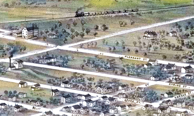
Detailed Map of Newark, Missouri

A modern aerial view of Newark in Knox County, Missouri, with a vintage feel. Find Fresh Street, Main Street, State Highway KK and your own block, plus the story of the county’s first Methodist classes, formed near Newark in 1835.

Read More

Detailed Map of Pattonsburg, Missouri

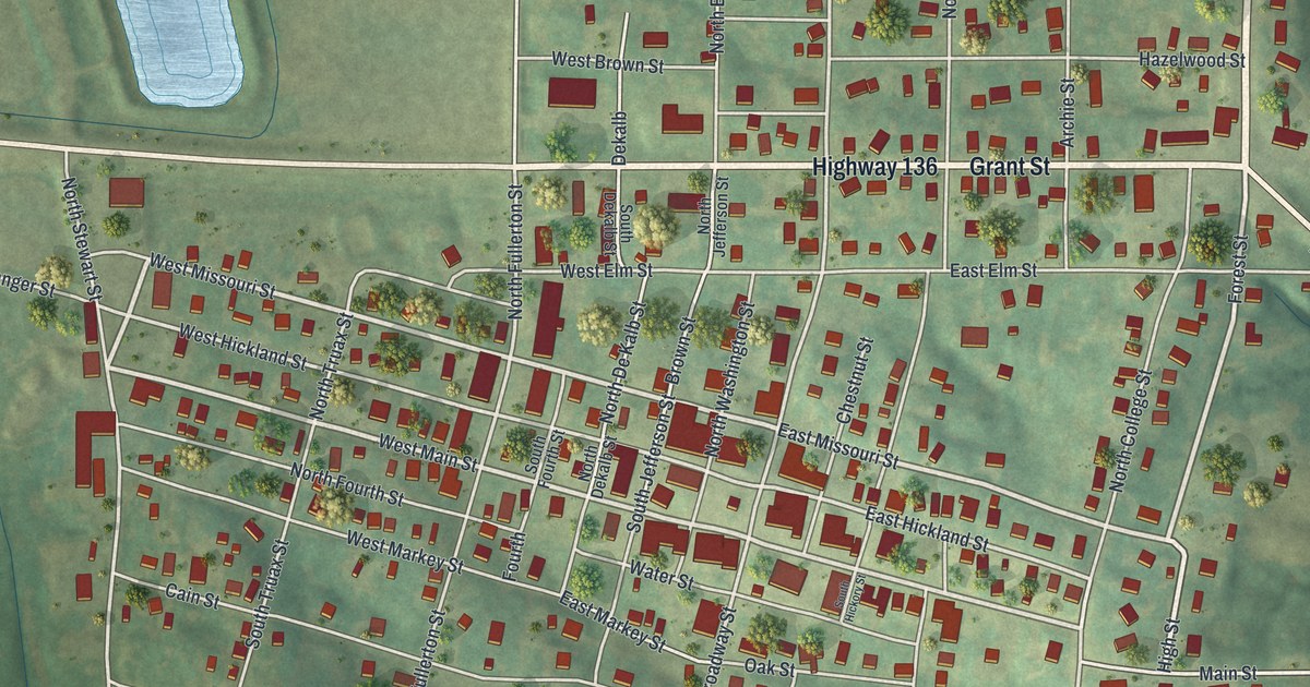
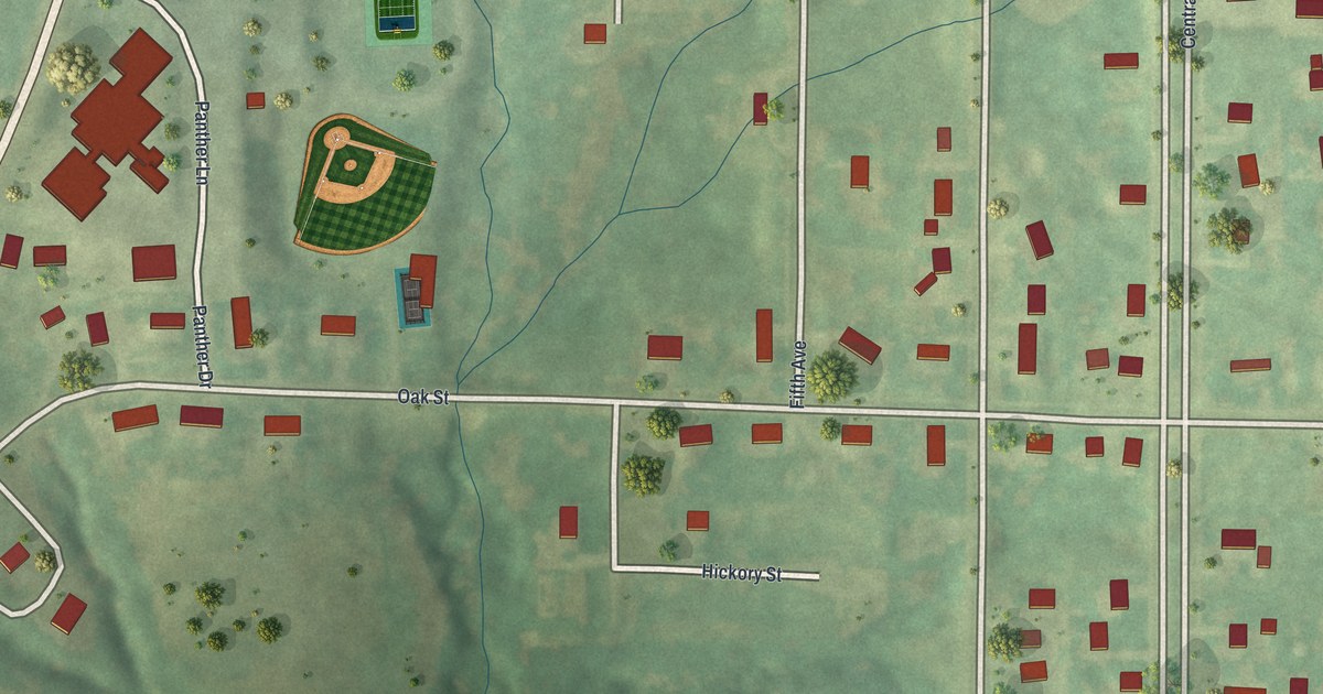
A 2026 aerial-style map of Pattonsburg in Daviess County, Missouri. Find Oak Street, Main Street, Central Avenue, Panther Drive and your own block, and read how Meredith Morris of Pattonsburg rose from first lieutenant to captain of a Union company in 1863.

Read More

Detailed Map of Montrose, Missouri

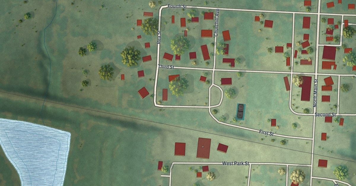
Montrose, Missouri was platted for the railroad in 1870, and Germantown’s business houses soon moved four miles to join it. This new map shows the numbered streets, the avenues named for states and each building drawn in red.

Read More

Detailed Map of Braymer, Missouri

A rail line was the direct cause of Braymer’s founding, a 1923 county history says. This 2026 map shows Main Street, Railroad Street and nearly 700 buildings, plus the story of the town’s first office and first school.

Read More

Detailed Map of Gower, Missouri

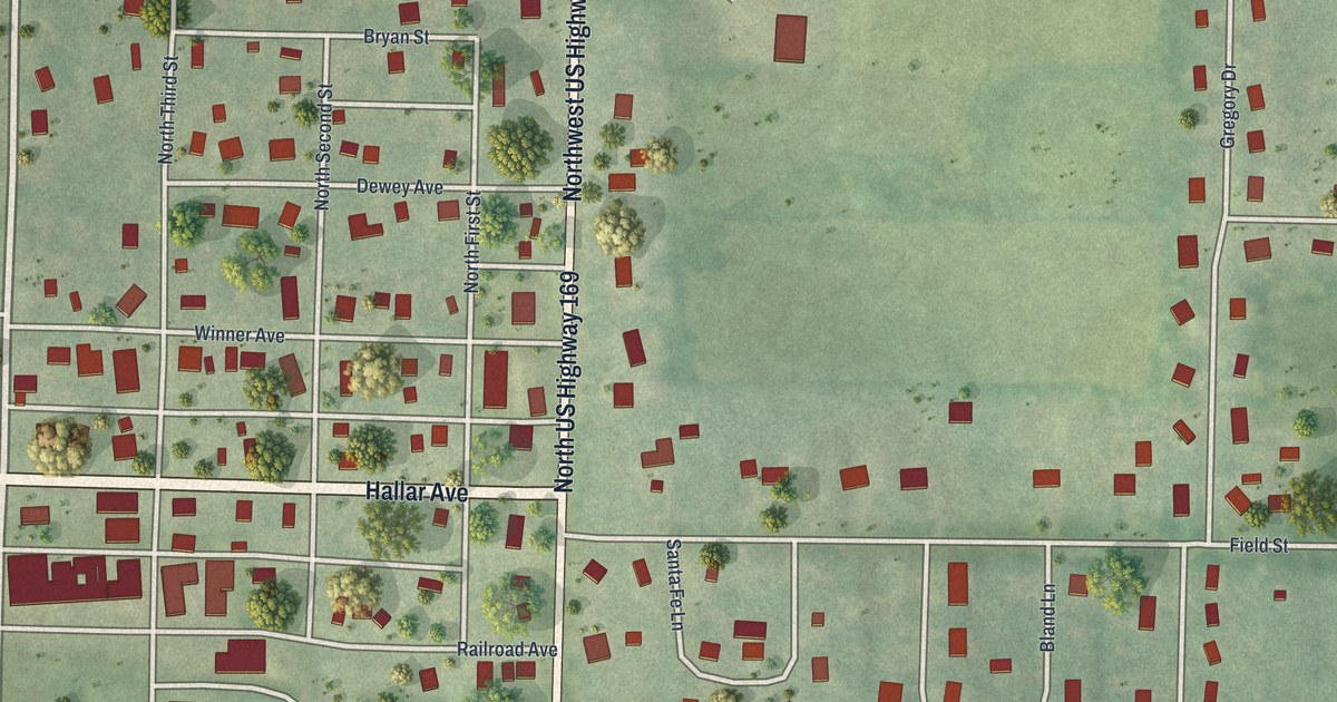
Gower’s first town board met on June 21, 1873, and a settler’s tent once stood where the town is now. Find Hallar Avenue, Gower City Park and the numbered streets on this new map of Gower, Missouri.

Read More

Detailed Map of Calhoun, Missouri

Calhoun was Henry County’s leading business town by the fall of 1837. This new map shows its grid of numbered streets, Main Street and more than 260 buildings, plus the story of its first stores and hand potteries.

Read More

Detailed Map of Hamilton, Missouri

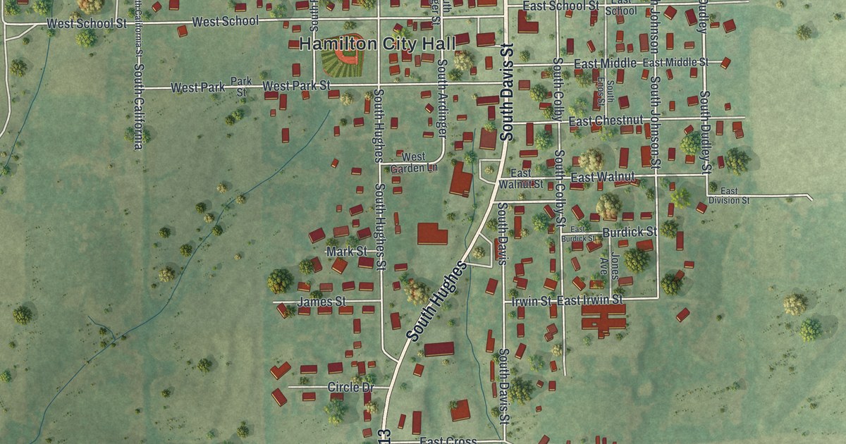
Follow Davis Street through Hamilton, Missouri on this 2026 map. Learn how a town company trustee built Hamilton’s first house in 1856, and read about the National Register residence at 211 East Samuel Street.

Read More

Detailed Map of Kirksville, Missouri

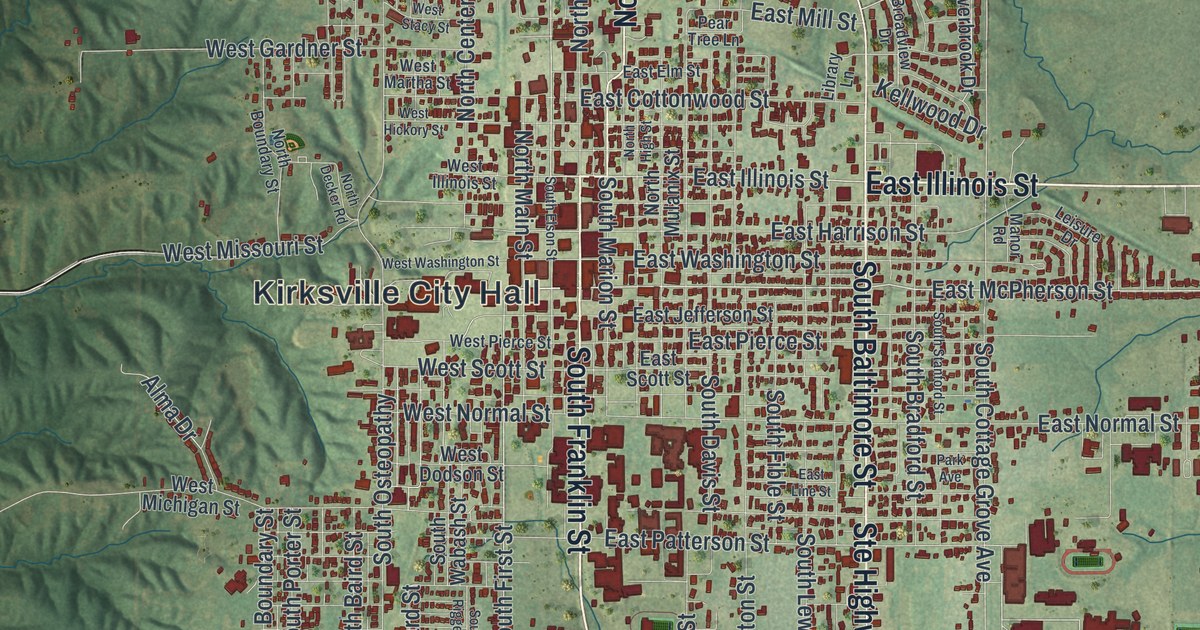
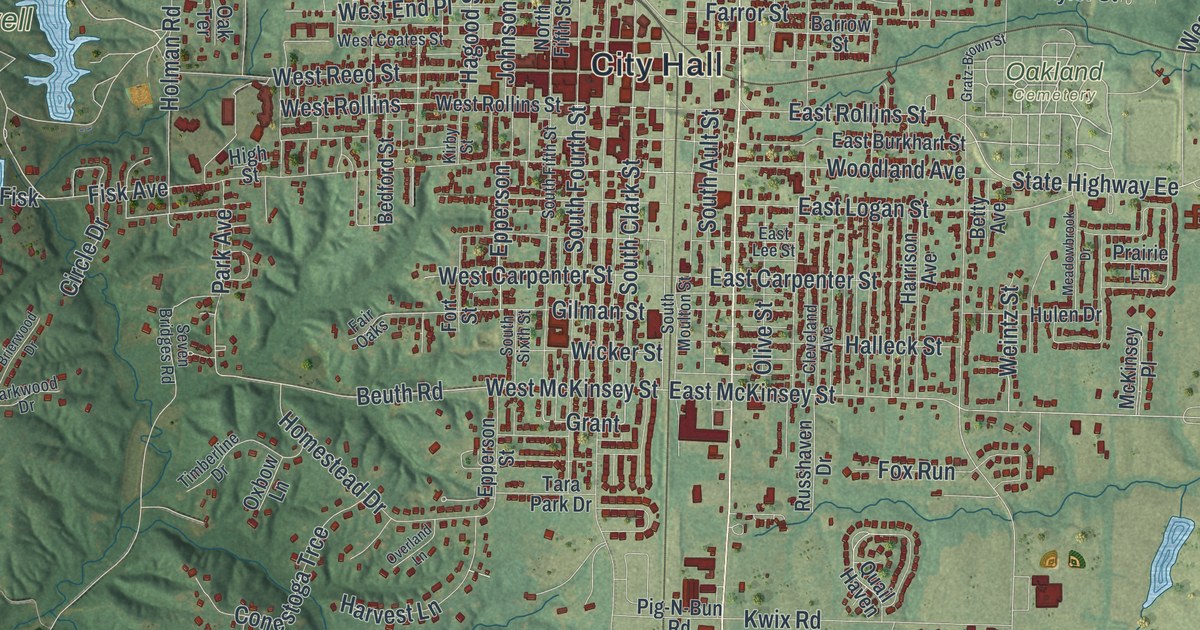
Follow Kirksville’s streets from City Hall to North Park and Maple Hill Cemetery. See where the Courthouse Square and the newly listed Princess Theatre stand, and learn what an 1888 history found in the hills southwest of town.

Read More

Detailed Map of Moberly, Missouri

Follow Morley Street through Moberly, Missouri, from City Hall to Urbandale. Then learn how Moberly’s Black teachers brought the first federal case to directly challenge the firings of Black school staff after Brown.

Read More

Detailed Map of Glasgow, Missouri

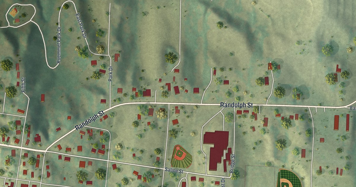
Follow First Street and Randolph Street across this Glasgow, Missouri map, find the National Register church and library at Fourth Street, and read about the old resident who went out to General Clark during the Battle at Glasgow.

Read More

Detailed Map of Anderson, Missouri

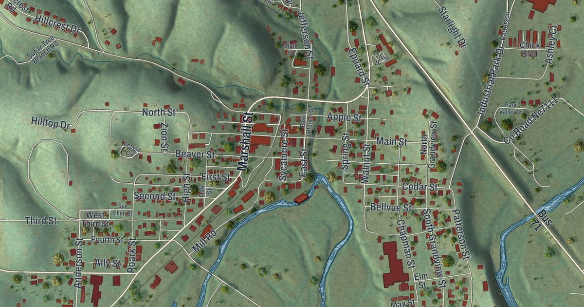
Follow Marshall Street and North 71 Business Highway across a new map of Anderson, Missouri. Then meet James W. Tatum of Beaver valley and John Patterson, who gave Patterson Creek its name, from an 1897 county history.

Read More

Detailed Map of Amity, Missouri

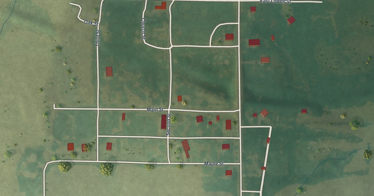
Follow Amity, Missouri from Lowell Street down past Main Street to Maple Street and out to Southwest Frank Ross Road, on a new map of a DeKalb County town of 26 people, its green fields and its winding creeks.

Read More

Detailed Map of Amoret, Missouri

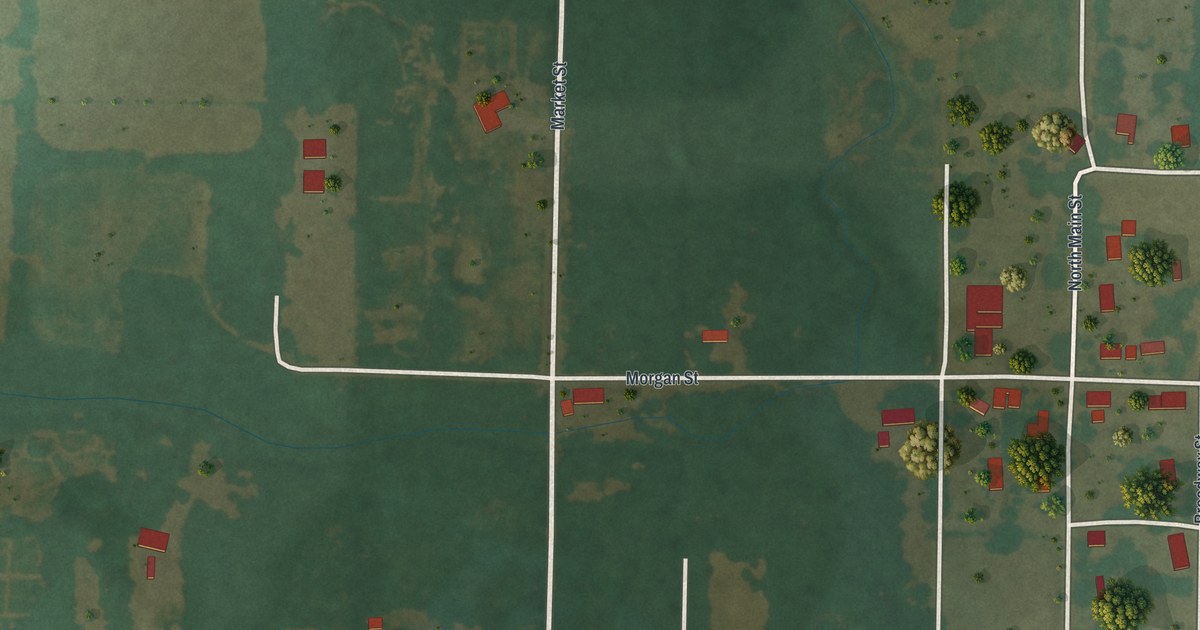
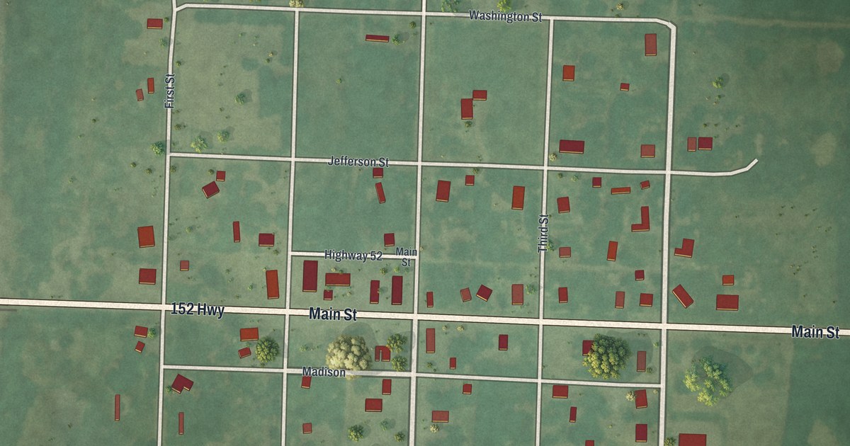
Walk the small grid of Amoret, Missouri from Main Street and Broadway out to Washington and Monroe Streets, and read how the Amoret Beacon newspaper moved to town in the 1890s with the county’s youngest editor.

Read More

Detailed Map of Alton, Missouri

Follow West Broadway and Main Street through Alton, an Oregon County city of 707 people, then find Tucker Creek Road, Laurel Avenue and the green hills east of town on a new map of Alton, Missouri.

Read More

Detailed Map of Allenville, Missouri

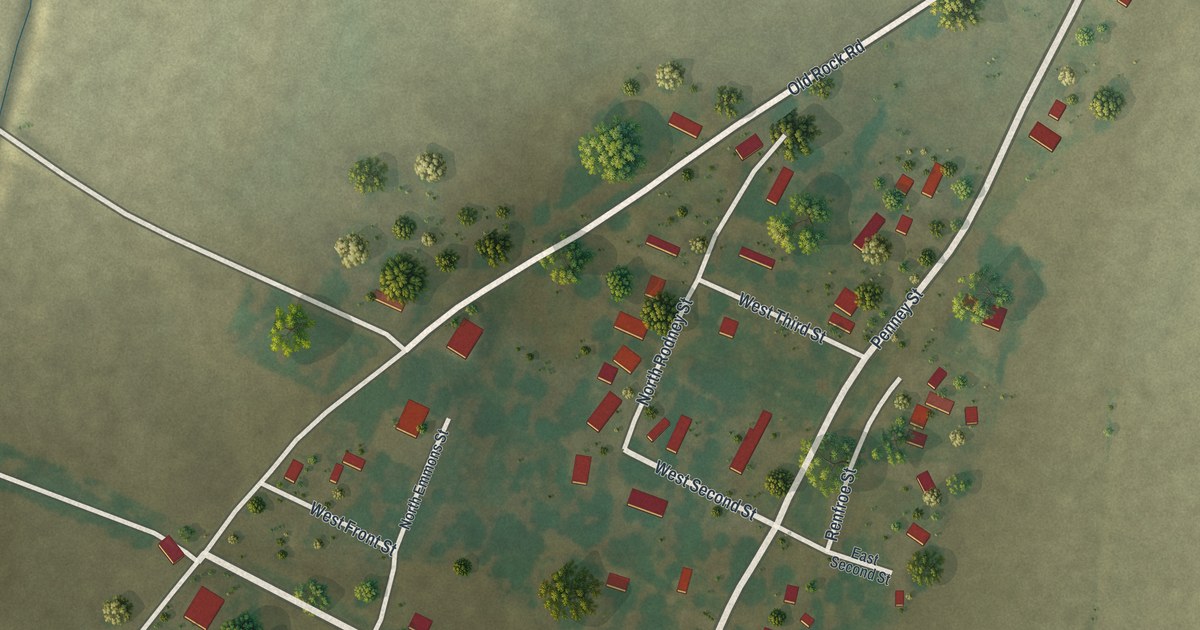
Follow Whitewater Street into Allenville, look for Front, Second and Third Streets, then take Old Rock Road out on this Cape Girardeau County map. About 80 red buildings, a winding stream south of town and the blocks of a village of 95 people.

Read More

Detailed Map of Adrian, Missouri

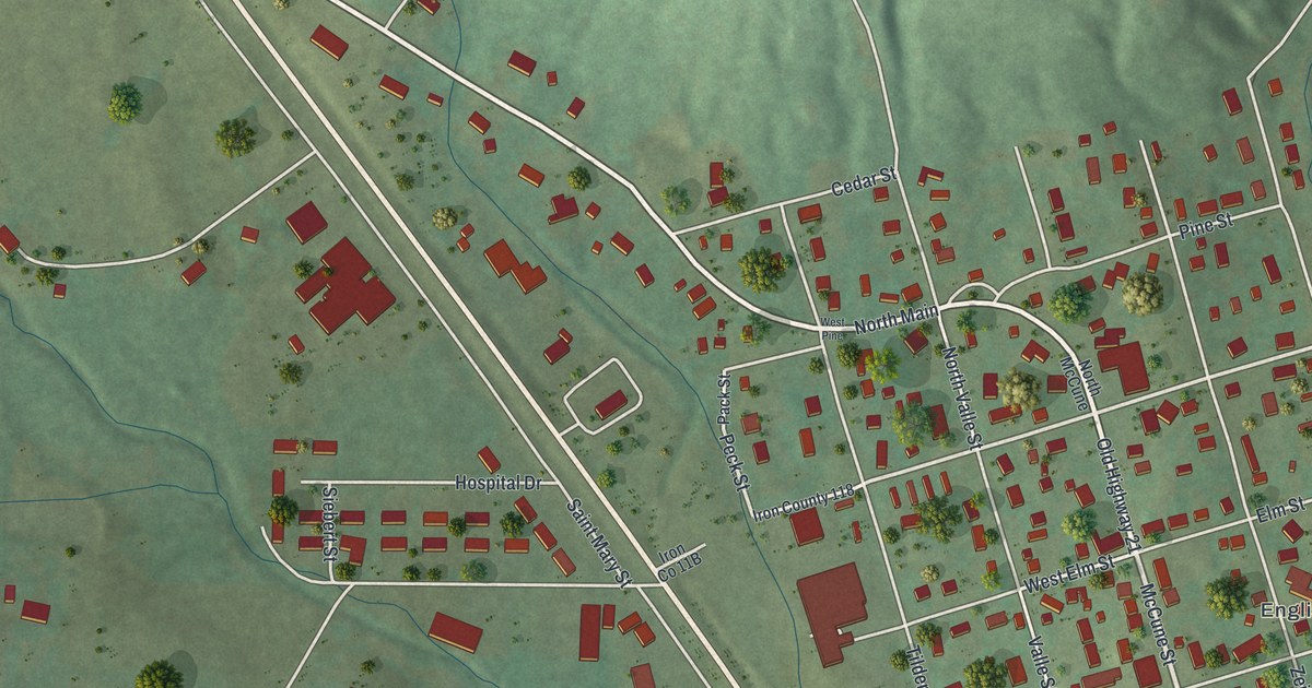
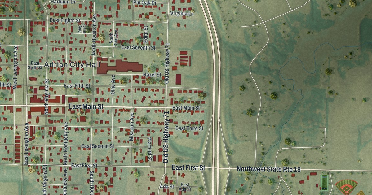
Follow Main Street and the numbered streets across this Adrian, Missouri map, find the lake at Adrian City Park, and read how a company of Butler men founded Adrian in 1880, the year the railroad started running.

Read More

Detailed Map of Advance, Missouri

Start at Advance City Hall and follow Oak Street, Sturdivant Avenue and the side streets out to Westfield Park on this Advance, Missouri map. Flat fields, more than 800 red buildings and the streets of a Stoddard County town of 1,349 people.

Read More

Detailed Map of Altenburg, Missouri

Follow Main Street across this Altenburg, Missouri map, from Ridge Road on the west to Chipmonk Lane in the northeast hills, and find the street of the Concordia Log Cabin College, added to the National Register in 1978.

Read More