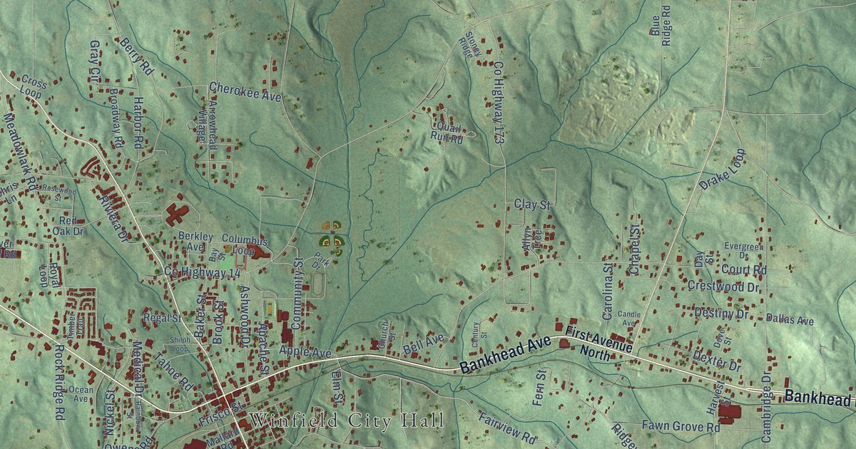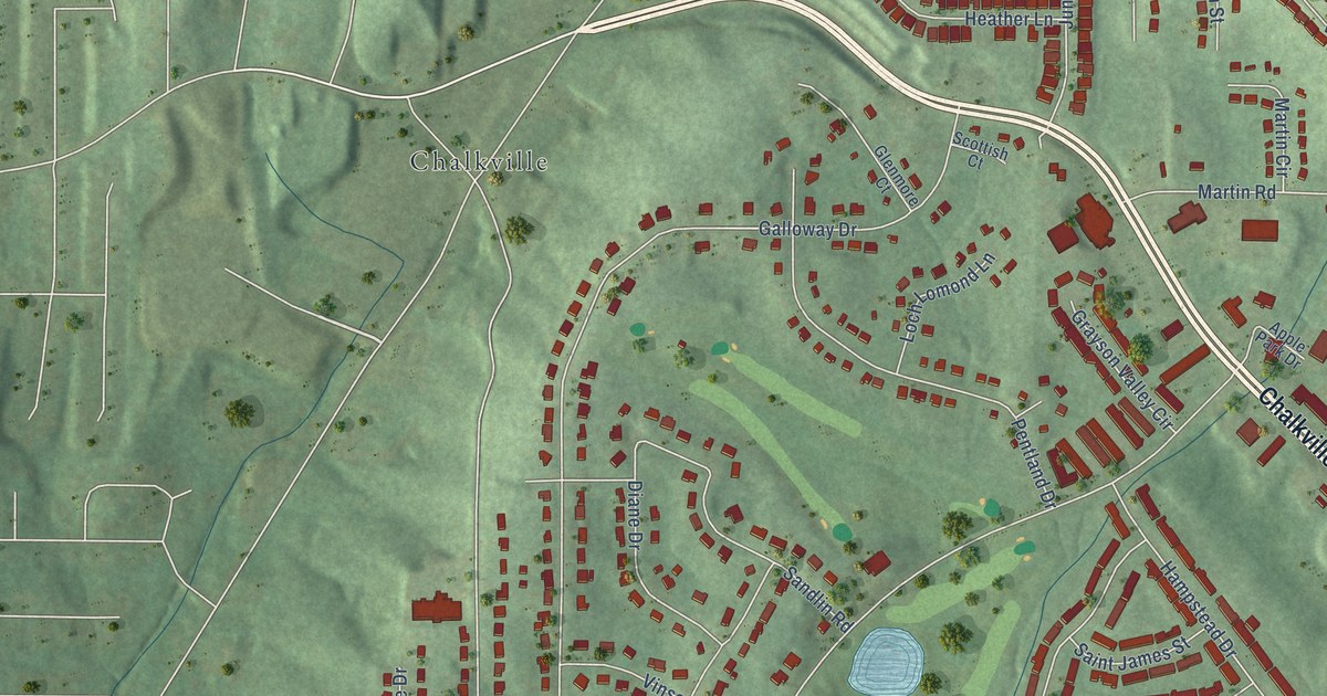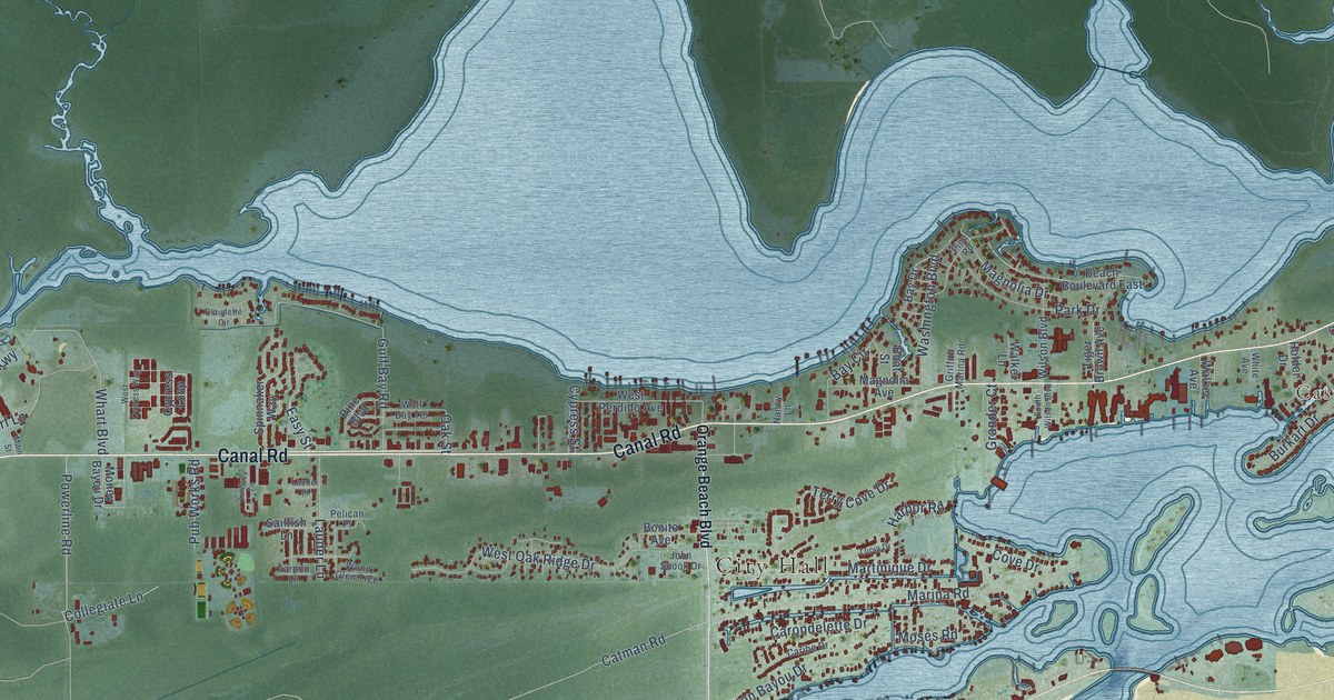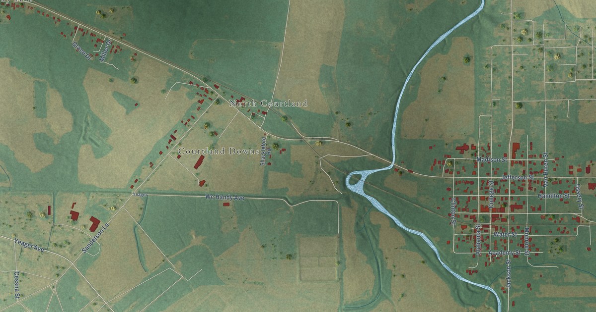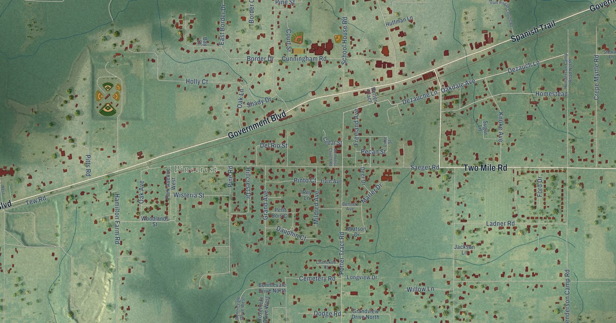
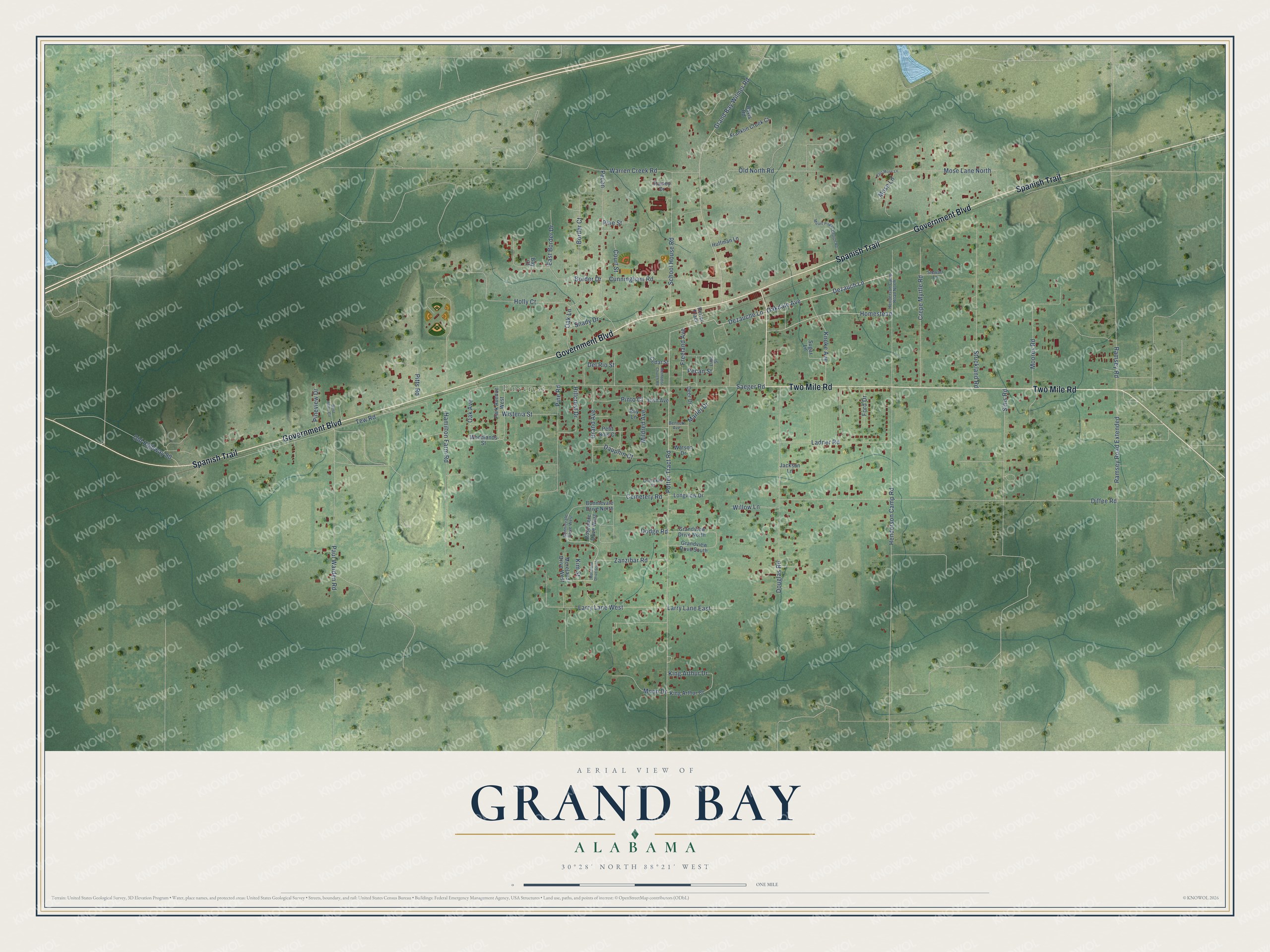
This beautifully detailed map of Grand Bay, Alabama was created in 2026 using aerial imagery combined with modern topographical, census, street and landmark data. It's a modern aerial view of Grand Bay in Mobile County, Alabama, that combines modern data with a vintage aesthetic. The roads feature printed names, and if you look closely you can find your exact house accurately shown in its correct location.
Explore an aerial view of Grand Bay, Alabama
On this map you'll find Pinecrest, Government Boulevard, Spanish Trail, Two Mile Road, Dezauch Lane, Oakdale Avenue, Dezauche Lane, Homestead, Oak Avenue, Potter Tract Road, Henderson Camp Road, Diffee Road, and more. Each red shape is a building, so zoom in on the preview and look for yours.
Every town has a first chapter, and Grand Bay is no exception. Kosaku Sawada, the earliest Japanese settler in Alabama, came to Mobile in 1910 to show a firm how to plant and care for several thousand Satsuma orange seedlings he had sold them, and he started a small nursery in Grand Bay. He later moved to Overlook Hill, opened Overlook Nursery, and developed 27 new varieties of camellia. His wife, Nobuko, brought about 200 unusual camellia seeds with her. A few bloomed 20 years later, and after her death he named the new camellia Mrs. Sawada in her memory. That's from the Congressional Record.
Grand Bay is a community in Mobile County. The Census Bureau counted 3,460 people here in 2020.
Take a closer look at the Grand Bay map
Names on this map
These names are printed on this map.
Places: Pinecrest.
Streets and roads: Government Boulevard, Spanish Trail, Two Mile Road, Dezauch Lane, Oakdale Avenue, Dezauche Lane, Homestead, Oak Avenue, Potter Tract Road, Henderson Camp Road, Diffee Road, Saeger Road.
More street names, A to Z
Bay Court, Bennett Avenue, Bonnievale Drive North, Bonnievale Drive West, Border Court, Border Drive, Cedar Street, Cemetery Road, Cherokee Court, Court Street, Crepe Myrtle Road, Cunningham Road, Dauphin Court, Davis Road, Deer Drive, Del Rio Street, Dodge Road, Douglas Road, East Border Drive, East Mose Lane, Ford Drive, Franklin Creek Court, Freeland Avenue, Grand Avenue, Grand Bay Wilmer Road, Grandview Drive North, Grandview Drive South, Hamilton Farm Road, Henderson Camp Road North, Hillcrest Drive, Holly Court, Huffman Lane, Irvin Avenue, Jackson Lane, Kim Street, King Arthur Court, King Arthur Drive, Knoke Avenue, Ladner Road, Larry Lane East, Larry Lane West, Lime Street, Longview Drive, Marler Drive, Methodist Church Road, Mildred Avenue, Moon Drive, Moores Road, Moreland Drive South, Moreland Drive West, Mose Lane, Mose Lane North, Mount Pisgah Church Road, Oak Lane, Old Highway 90, Old North Road, Park Avenue West, Paul Warden Road, Pecan, Pecan Street, Petit Bois Court, Pine Road, Pine Street, Pineview Drive, Pinto Court, Pitts Road, Potter Tract, Rainey Drive, Ramsey Road, Ramsey Road Extended, Rey Lane, Rosemere Drive West, School House Road, Shady Drive, Sims Road, Stewart Lane, Strickland Road, Sugar Lane, Tew Road, Warren Creek Road, Watson Drive, West Hilton Circle, Willow Lane, Wisteria Street, Woodlands Street, Zanzibar Road.
See it on a wall
The Grand Bay map as a framed print. Swipe for more.


Created by KNOWOL in 2026. The buildings are small red shapes, the roads carry their printed names, and shaded relief shows the shape of the land. The title panel reads "AERIAL VIEW OF GRAND BAY, ALABAMA" with 30°28' NORTH 88°21' WEST.
Hang it in the hallway, the office or the cabin, or give it to someone who left Grand Bay and still calls it home. Open the preview and look for a street you know. See sizes and frames for the Grand Bay map.