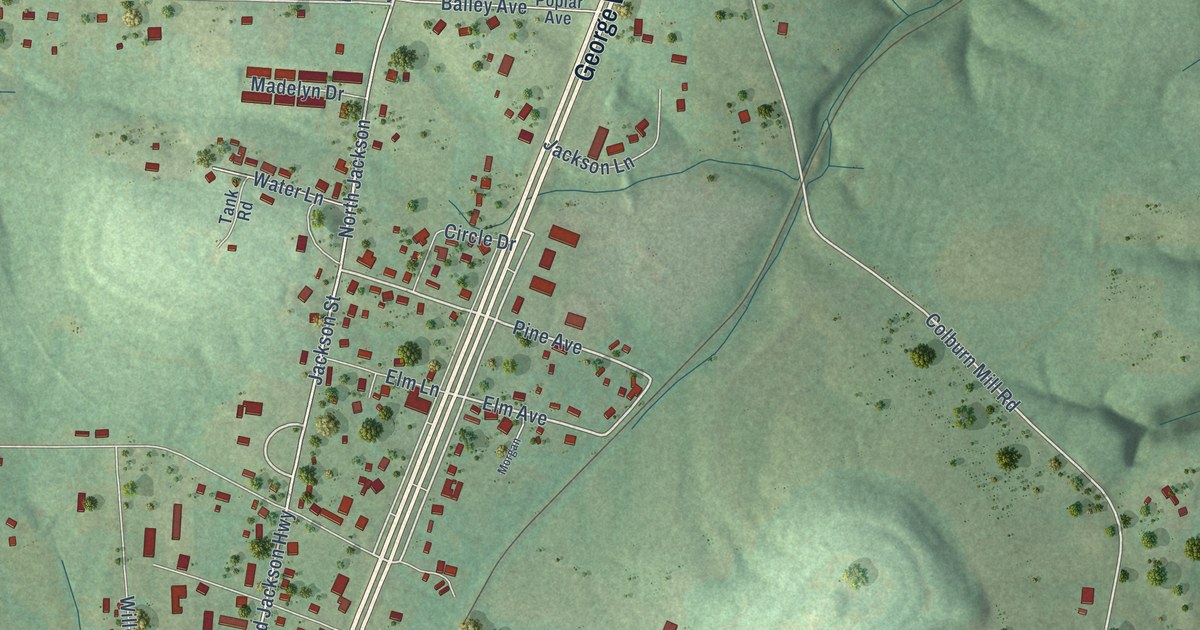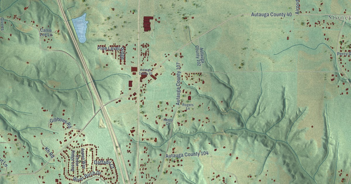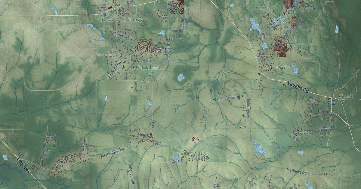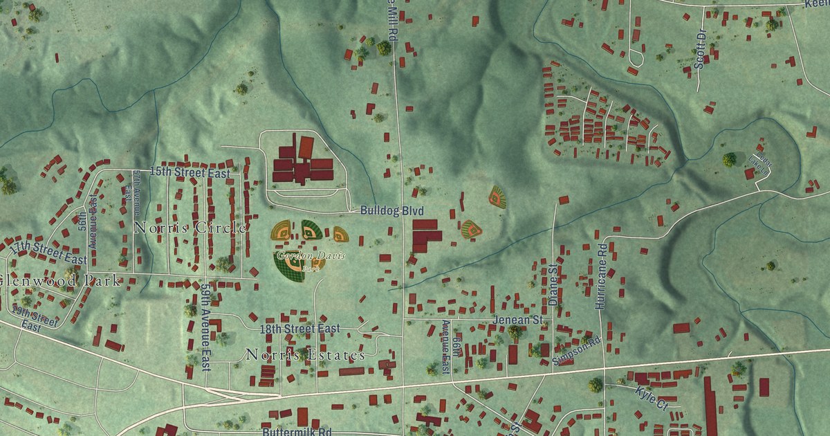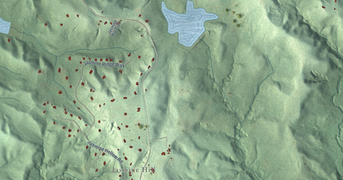
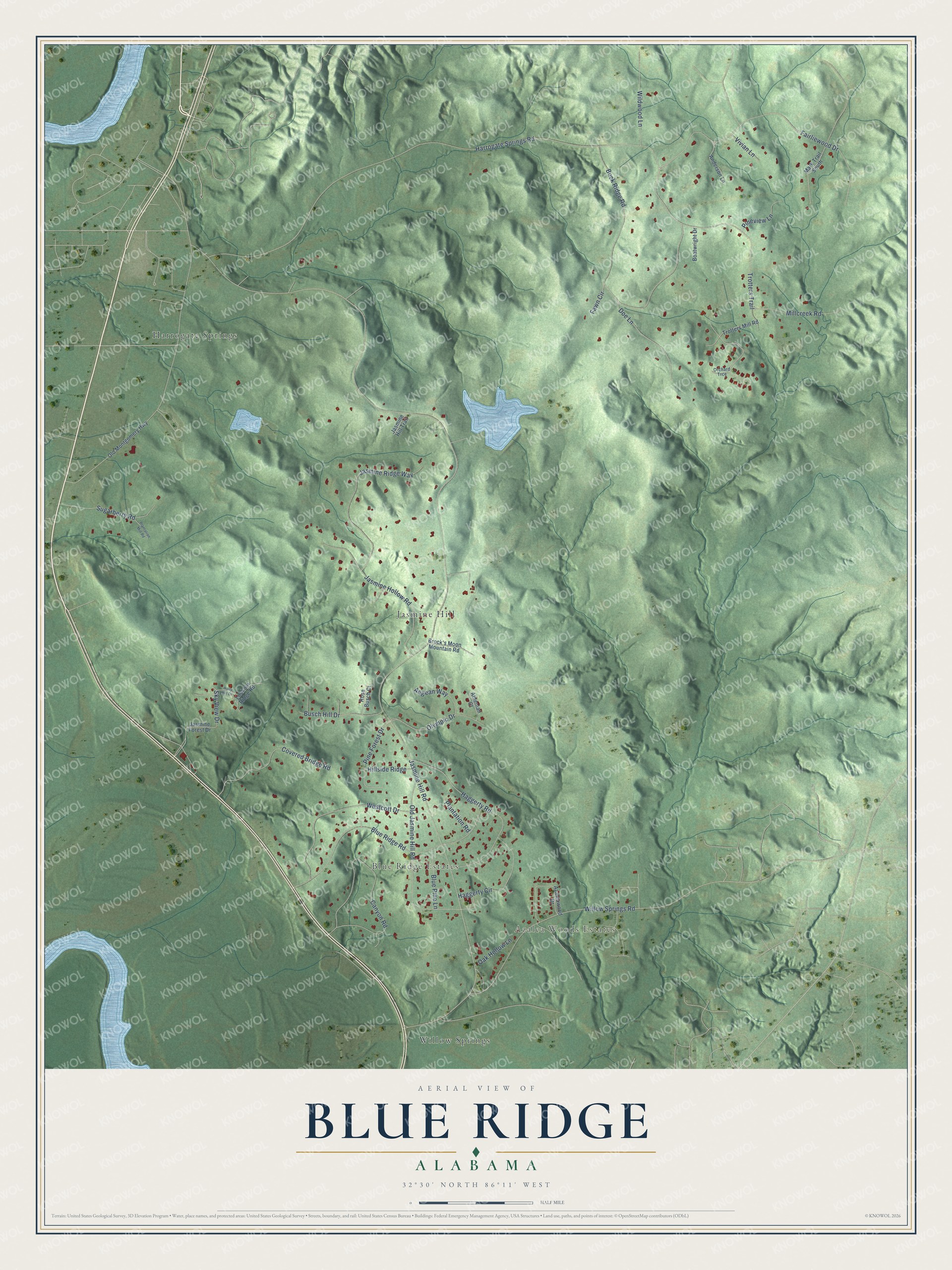
This beautifully detailed map of Blue Ridge, Alabama was created in 2026 using aerial imagery combined with modern topographical, census, street and landmark data. It's a modern aerial view of Blue Ridge in Elmore County, Alabama, that combines modern data with a vintage aesthetic. The roads feature printed names, and if you look closely you can find your exact house accurately shown in its correct location.
Explore an aerial view of Blue Ridge, Alabama
On this map you'll find Azalea Woods Estates, Blue Ridge Estates, Harrogate Springs, Jasmine Hill, Willow Springs, Jasmine Hill Road, Buck Ridge Road, Trotters Trail, Harrogate Springs Road, Blue Ridge Road, Fairliewood Drive, Canyon Road, and more. Each red shape is a building, so zoom in on the preview and look for yours.
Every town has a first chapter, and Blue Ridge is no exception. Jasmine Hill Gardens was created in the early 1930s by Benjamin and Mary Fitzpatrick, who made more than twenty trips to Greece for its art. Its full-scale replica of the Temple of Hera ruins at Olympia became famous, and during the 1996 Atlanta Olympics the Olympic torch made a stop at the gardens on its way to the games. The 20-acre garden held nearly 40 pieces of Greek statuary, both originals and copies, and it drew visitors from across Alabama and the country. That's from the Greek Reporter news site.
Blue Ridge is a community in Elmore County. The Census Bureau counted 1,485 people here in 2020.
Take a closer look at the Blue Ridge map
Names on this map
These names are printed on this map.
Places: Azalea Woods Estates, Blue Ridge Estates, Harrogate Springs, Jasmine Hill and Willow Springs.
Streets and roads: Jasmine Hill Road, Buck Ridge Road, Trotters Trail, Harrogate Springs Road, Blue Ridge Road, Fairliewood Drive, Canyon Road, Willow Springs Road, Haggerty Road, Old Jasmine Hill Road, Jasmine Ridge Way, Jasmine Hollow Road.
More street names, A to Z
Aegean Way, Anderson Lane, Athenian Court, Azaleawood Drive, Blue Pine Lane, Boatwright Drive, Brock's Moon Mountain Road, Busch Hill Drive, Covered Bridge Road, Doe Lane, Fawn Circle, Haggerty Circle, Hillside Ridge, Holly Hill Drive, Jasmine Forest Drive, Jasmine Hill Trail, Lookout Ridge Road, Mark Trail South, Millcreek Road, Oak Hollow Lane, Old Montgomery Highway, Olympic Drive, Orchard Trce, Pine Forest Drive, Pineview Lane, Plantation Mill Road, Plantation Road, Rose Busch Court, Sky View Drive, Sugarberry Road, Trotters Mill Road, Vivian Lane, Westcott Drive, Wildwood Lane.
See it on a wall
The Blue Ridge map as a framed print. Swipe for more.


Created by KNOWOL in 2026. The buildings are small red shapes, the roads carry their printed names, and shaded relief shows the shape of the land. The title panel reads "AERIAL VIEW OF BLUE RIDGE, ALABAMA" with 32°30' NORTH 86°11' WEST.
Hang it in the hallway, the office or the cabin, or give it to someone who left Blue Ridge and still calls it home. Open the preview and look for a street you know. See sizes and frames for the Blue Ridge map.