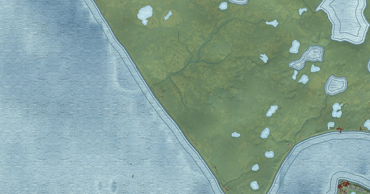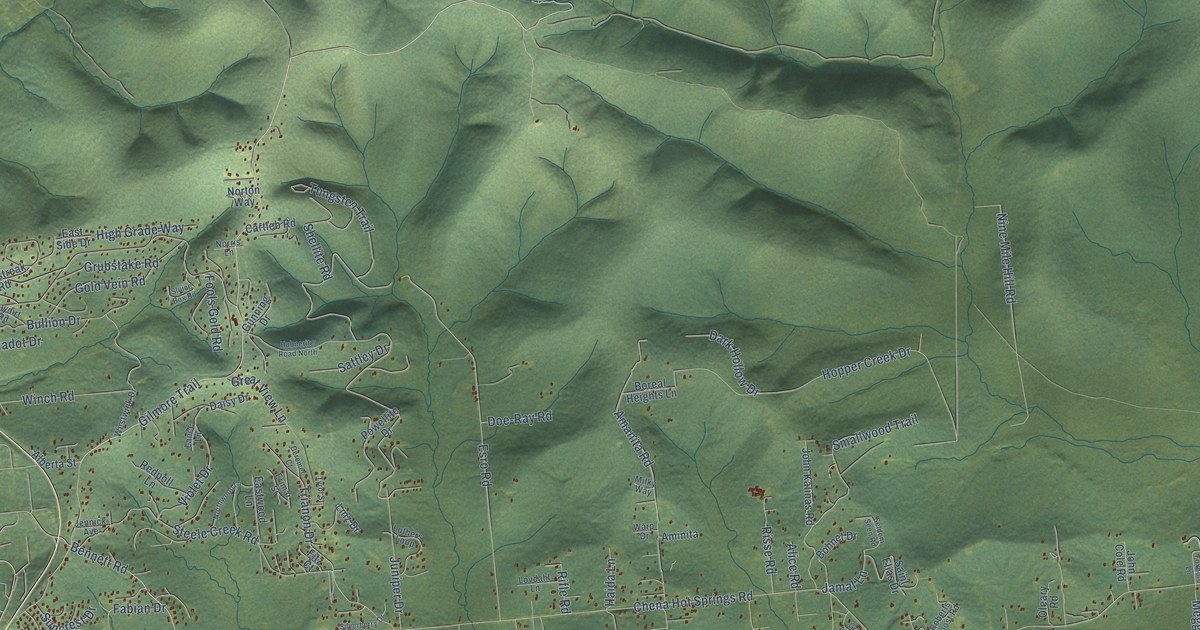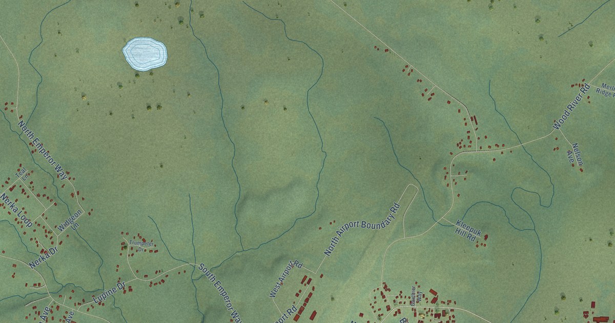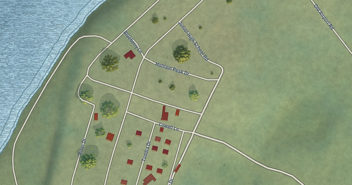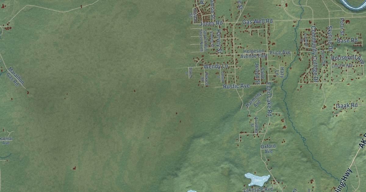
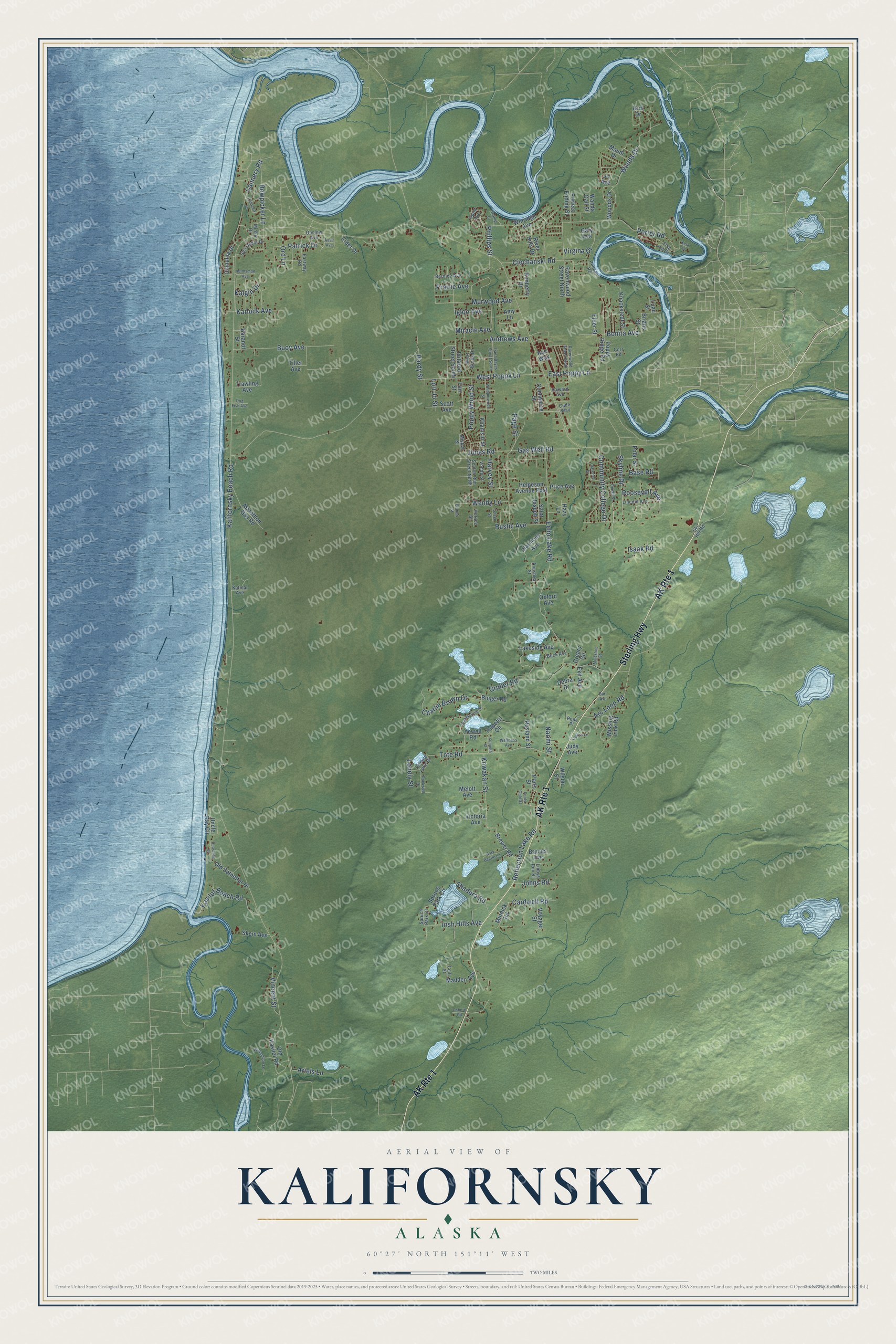
This beautifully detailed map of Kalifornsky, Alaska was created in 2026 using aerial imagery combined with modern topographical, census, street and landmark data. It's a modern aerial view of Kalifornsky in Kenai Peninsula Borough, Alaska, that combines modern data with a vintage aesthetic. The roads feature printed names, and if you look closely you can find your exact house accurately shown in its correct location.
Explore an aerial view of Kalifornsky, Alaska
On this map you'll find Sterling Highway, Phillips Street, Skyline Drive, Miracle Avenue, Kalifornsky Beach Road, Echo Lake Road, Gas Well Road, Ciechanski Road, Arc Loop Road, Tote Road, West Poppy Lane, Buoy Avenue, and more. Each red shape is a building, so zoom in on the preview and look for yours.
Every town has a first chapter, and Kalifornsky is no exception. The Alaska DCRA puts it this way: "Peter Kalifornsky, now deceased, was born in the village and was the last fluent speaker of the Lower Cook Inlet dialect of the Dena'ina language."
Kalifornsky is a community in Kenai Peninsula Borough. The Census Bureau counted 8,487 people here in 2020.
Take a closer look at the Kalifornsky map
Names on this map
These names are printed on this map.
Streets and roads: Sterling Highway, AK Route 1, Phillips Street, Skyline Drive, Miracle Avenue, Kalifornsky Beach Road, Echo Lake Road, Gas Well Road, Ciechanski Road, Arc Loop Road, Tote Road, West Poppy Lane.
More street names, A to Z
Aase Avenue, Amy Lane, Andrews Avenue, Anushka Street, Ariels Lane, Baranof Street, Bark Beetle Lane, Base Road, Bernice Avenue, Binger Road, Blanch Street, Bonita Avenue, Bowpicker Lane, Brewer Road, Brians Street, Bruces Avenue, Buck Avenue, Buoy Avenue, Burt Avenue, Bye Way, Cannery Road, Cardwell Road, Ceili Street, Cetacea Lane, Charlie Brown Drive, Chinulna Drive, Clarence Drive, Coastline Street, Colsen Street, Commerce Street, Community College Drive, Corr Road, Creary Circle, Cude Way, Dana Bayes Street South, Debra Drive, Denali Street, Dog Fish Avenue, Drift Drive, East Poppy Lane, Eastway Road, Eider Drive, Elder Street, Exit Avenue, Farr Street, Fish on Drive, Fools Gold Street, Gary Avenue, Grant Avenue, Gruber Road, Hardy Street, Harmony Avenue, Harvard Avenue, Harvey Street, Hazy Lane, Helgeson Avenue East, Helmsman Avenue, Hopeful Circle, Horace Street, Iditarod Street South, Igloo Avenue, Irish Hills Avenue, Isaak Road, Jo Avenue, Johns Road, Jones Road, Judy Avenue, Kalgin Drive, Karluck Avenue, Kasilof Beach Road, Katmai Avenue, Kenneth Street, Keta Court, Khamsin Street, Kimberly Drive, Knackstedt Street, Kowakan Street, Lacross Lane, Lakeside Avenue, Leisure Lake Drive, Libbys Run Street, Lincoln Avenue, Lonely Street, Lori Jo Street, Luau Street, Madden Avenue, Marathon Gas Road, Maudi Drive, Melott Avenue, Minke Drive, Minnick Road, Missing Link Road, Mistral Street, Muleshoe Street, Murwood Avenue, Naomi Street, Old Kasilof Road, Old Setnetter Drive, Onslow Avenue, Ord Lane, Osborn Road, Oxford Avenue, Page Street, Paris Street, Patrick Drive, Pelican Road, Perfect Ending Street, Polar Street, Pope Place, Poppy Ridge Road, Poppy Wood Street, Porter Road, Prairie Avenue, Price Avenue, Ravenwood Street North, Ravenwood Street South, Reflection Lake Road, River Hills Drive, Rockwell Drive, Roosevelt Avenue, Rosland Street, Rustic Avenue, Saint Joseph Street, Scamp Drive, Scotch Run Street North, Scott Avenue, Sea Quest Drive, Shadura Road, Skein Avenue, Ski Hill Road, Spruce Park Circle, Spruce Park Drive, Stubblefield Drive, Tiller Avenue, Trawling Avenue, Uncle Ray Circle, Victoria Avenue, Vincent Street, Virgina Drive, Vonda Street, Voyager Street, Wanda Gail Street, Wellness Avenue, Wendy Lane, West Brook Drive, Whisperwood Street, Williamson Lane, Wilson Street, Winridge Avenue, Woods Drive, Wooods Drive, Yewell Road.
Created by KNOWOL in 2026. The buildings are small red shapes, the roads carry their printed names, and shaded relief shows the shape of the land. The title panel reads "AERIAL VIEW OF KALIFORNSKY, ALASKA" with 60°27' NORTH 151°11' WEST.
Hang it in the hallway, the office or the cabin, or give it to someone who left Kalifornsky and still calls it home. Open the preview and look for a street you know. See sizes and frames for the Kalifornsky map.