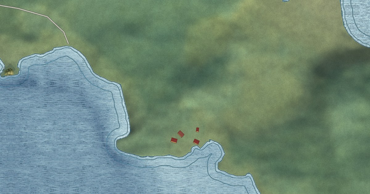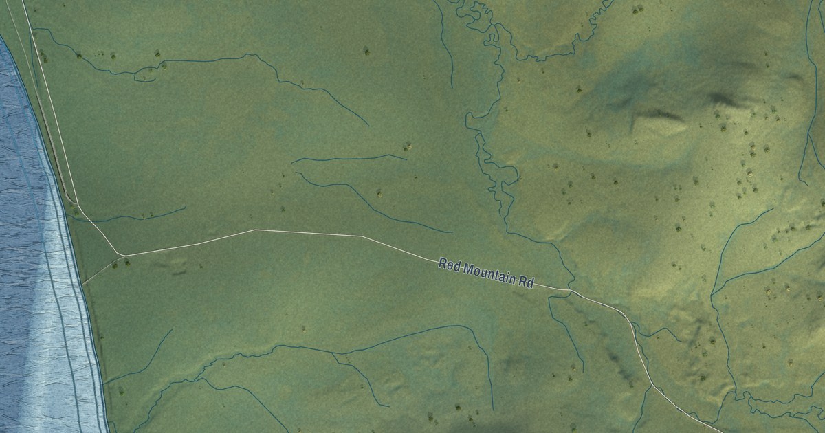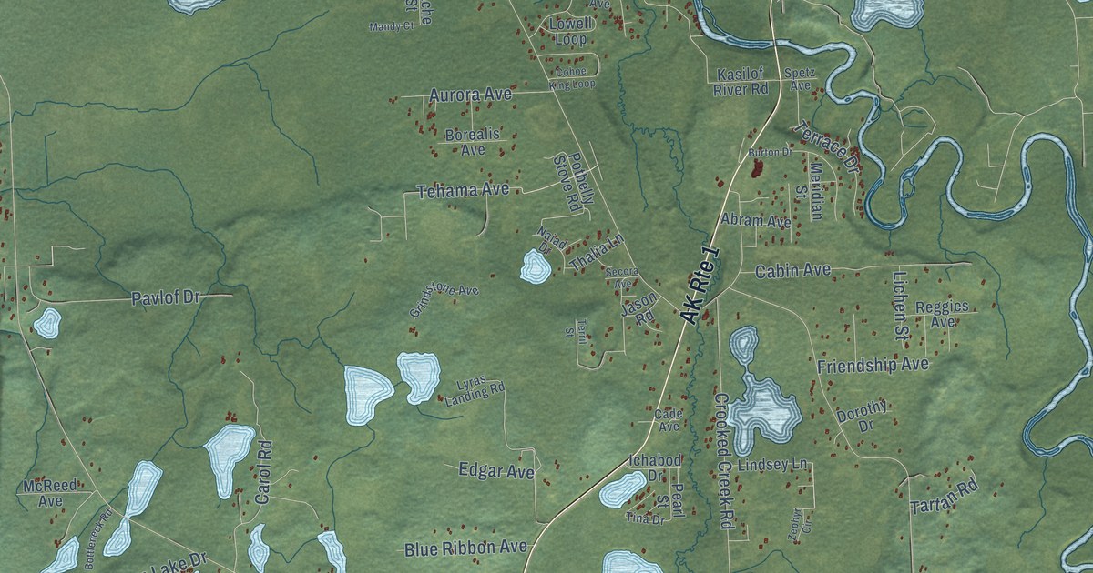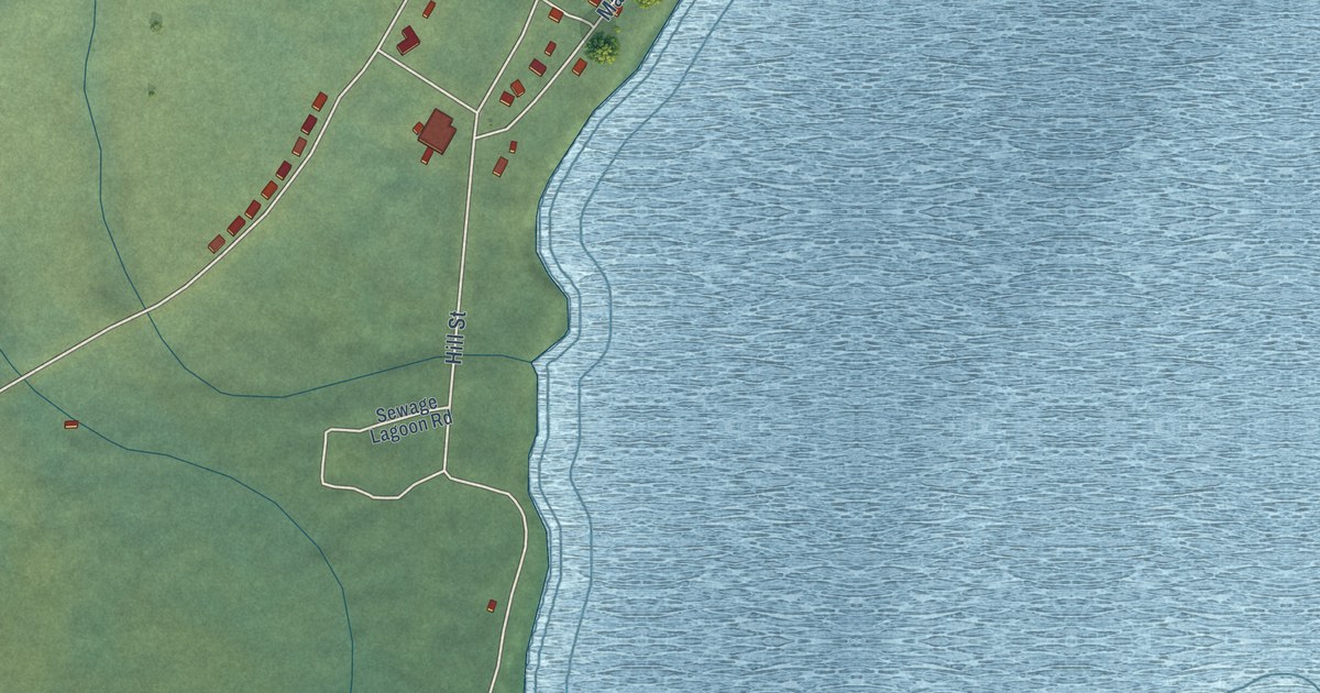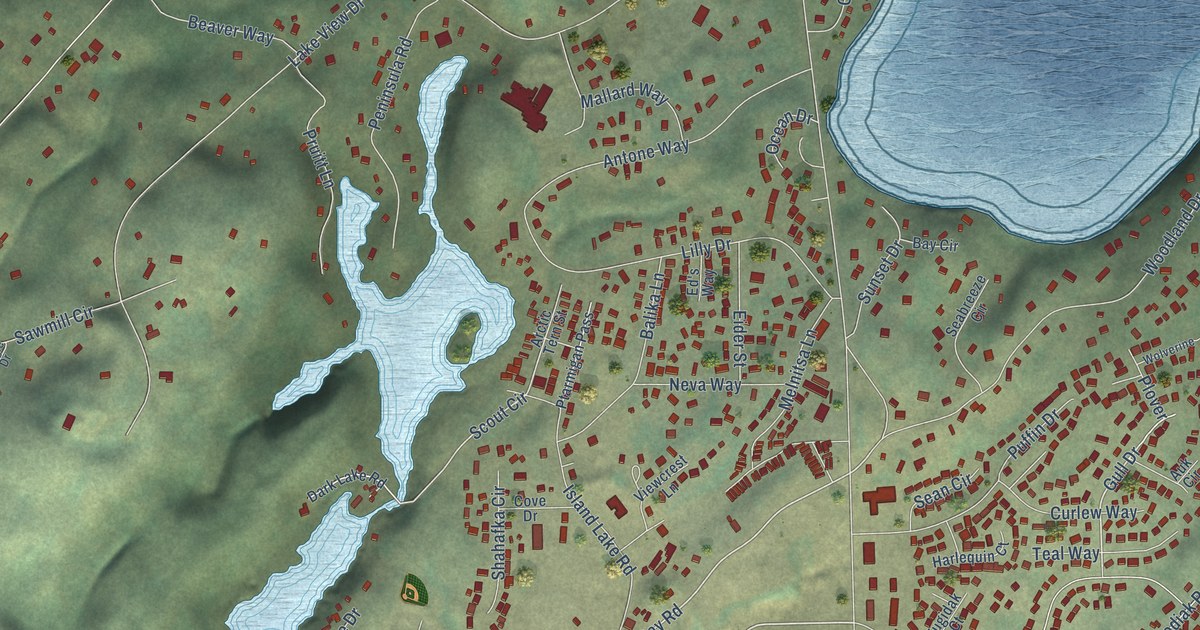
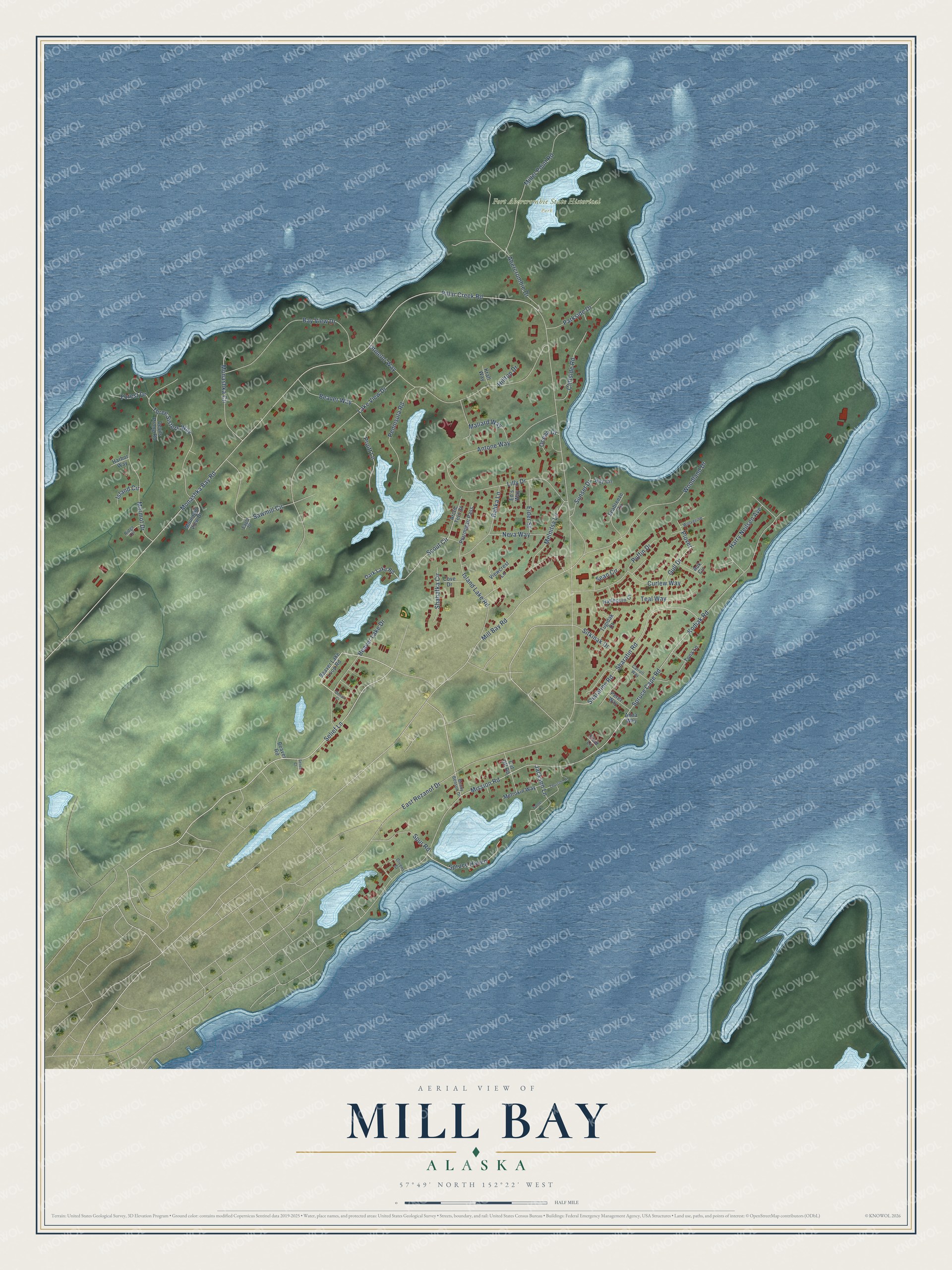
This beautifully detailed map of Mill Bay, Alaska was created in 2026 using aerial imagery combined with modern topographical, census, street and landmark data. It’s a one-of-a-kind view of Mill Bay that combines accurate data with a vintage aesthetic. The map shows every building in its true location, many of the roads carry their names, and the shaded topographic relief shows the shape of the land.
Explore an aerial view of Mill Bay, Alaska
On the map you’ll find Fort Abercrombie State Historical Park, along with Selief Lane, Mill Bay Road, Gull Drive, Scout Circle, East Rezanof Drive, Monashka Bay Road, Pillar Creek Road, Spruce Cape Road, Kodiak Road, Mission Road, Lake View Drive, and more. Mill Bay sits about 3 miles northeast of Kodiak, 8 miles southeast of Ouzinkie and 9 miles east of Kodiak Station. If you look closely you can even find your house accurately drawn in its correct location. Zoom in on the preview to look for yours.
Take a closer look at the Mill Bay map
Names on this map
These names are printed on this map.
Places: Fort Abercrombie State Historical Park.
Streets and roads: Selief Lane, Mill Bay Road, Gull Drive, Scout Circle, East Rezanof Drive, Monashka Bay Road, Pillar Creek Road, Spruce Cape Road, Kodiak Road, Mission Road, Lake View Drive, Otmeloi Way.
More street names, A to Z
Abercrombie Drive, Anna Way, Antone Way, Arctic Tern Street, Auk Circle, Balika Lane, Bay Circle, Bay View Drive, Beaver Lake Drive, Beaver Lake Loop Road, Beaver Road, Beaver Way, Benny Benson Drive, Carroll Way, Cliffside Road, Cove Drive, Curlew Way, Cut Off Road, Dark Lake Road, Denali Court, Devils Prong Road, Eagle Drive, Ed's Way, Eider Street, Fieid Lane, Forest Drive, Givens Street, Harbor Way, Harlequin Court, Harry Neilsen Avenue, Hilltop Drive, Island Circle, Island Lake Road, Jackson Lane, Kraft Way, Lilly Drive, Mallard Way, Marmot Drive, Melnitsa Lane, Metrokin Way, Miller Point Road, Monashka Circle, Mountain View Drive, Neva Way, Ocean Drive, Parkside Drive, Peninsula Road, Perez Way, Plover, Pruitt Lane, Ptarmigan Pass, Puffin Drive, Ridge Circle, Sawmill Circle, Seabreeze Circle, Sean Circle, Selief Court, Shahafka Circle, Sharatine Road, Sharatin Road, Sitkinak Drive, Spruce Haven, Spur Road, Sunset Drive, Teal Way, Three Sisters Way, Thurston Lane, Tona Lane, Tugidak Court, Turner Lane, Viewcrest Lane, Wolverine, Woodland Drive.
See it on a wall
The Mill Bay map as a framed print. Swipe for more.


This beautifully detailed map of Mill Bay makes an attractive addition to your office, library, or den, and it can even be used to teach children the geography and history of the area. It also makes a great gift for someone who left Mill Bay and still calls it home. When you’re done exploring, click here to get your copy of the Mill Bay map.