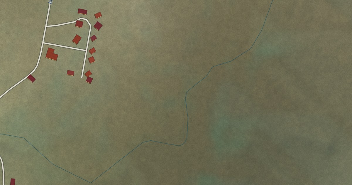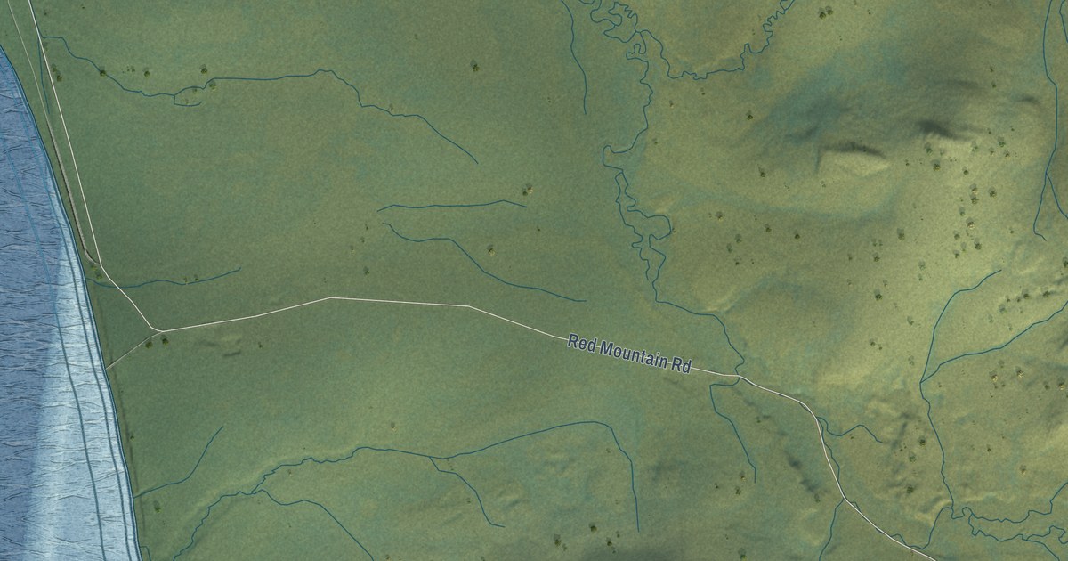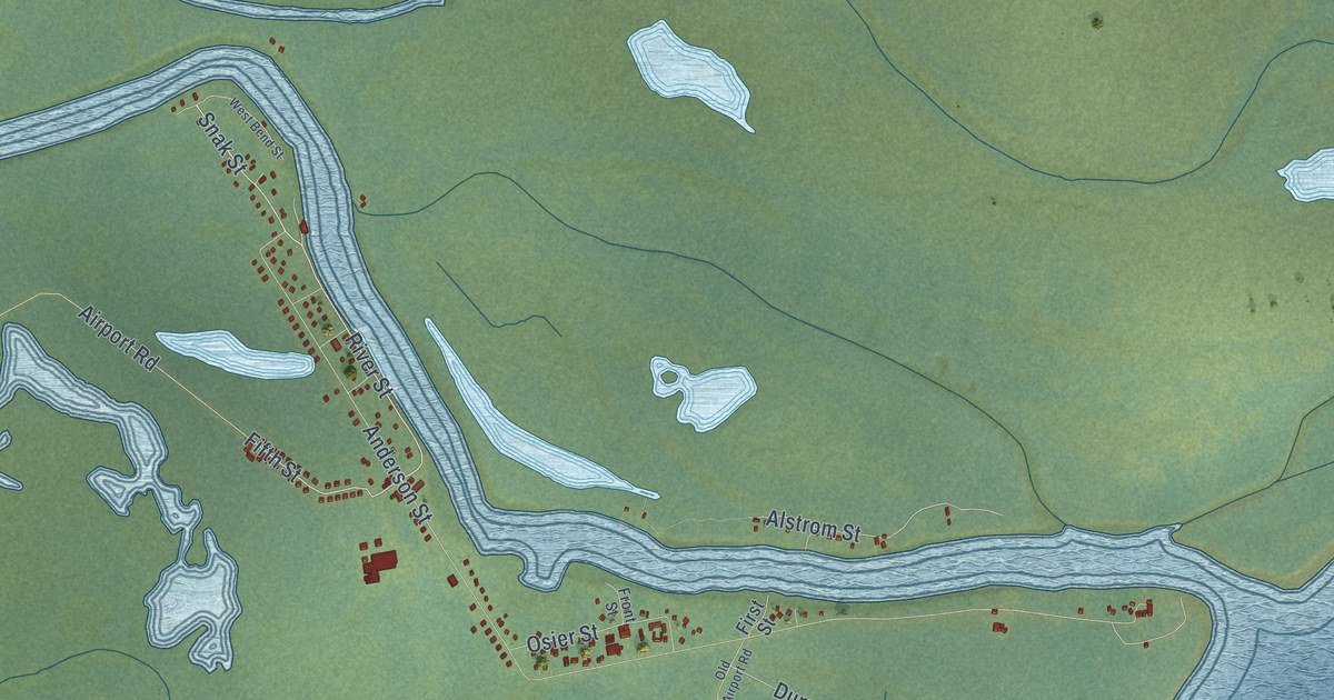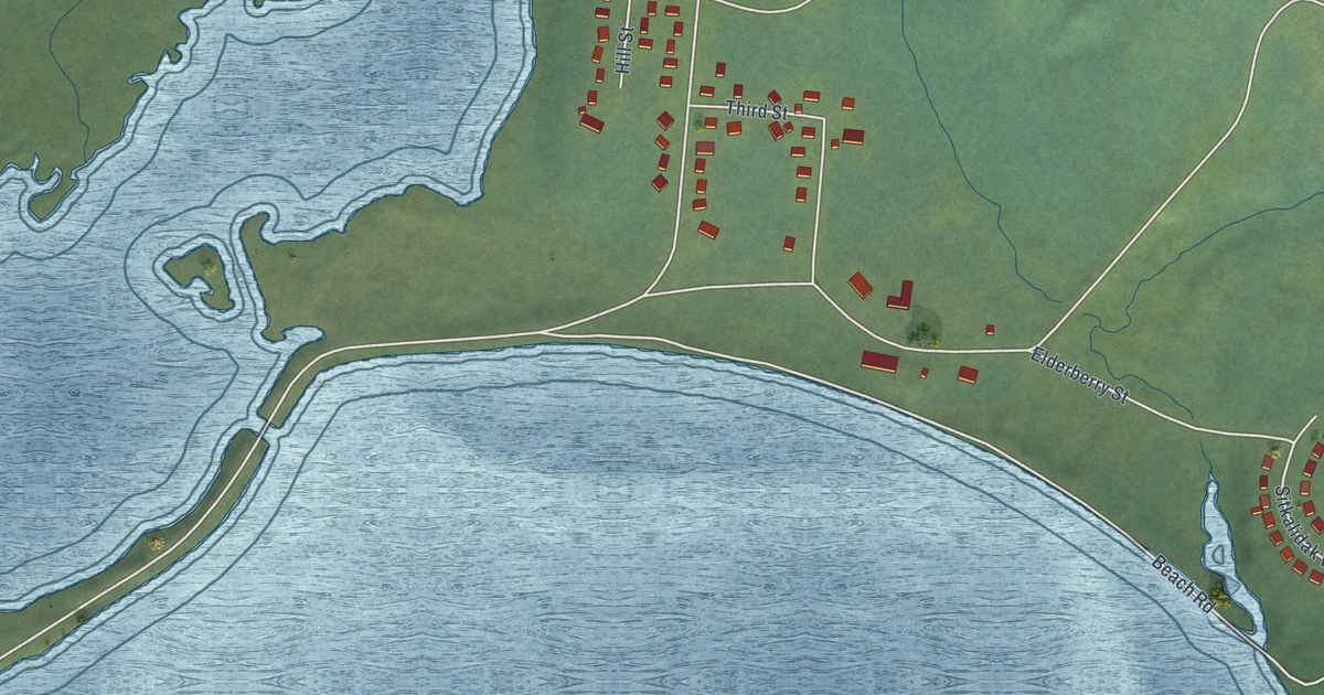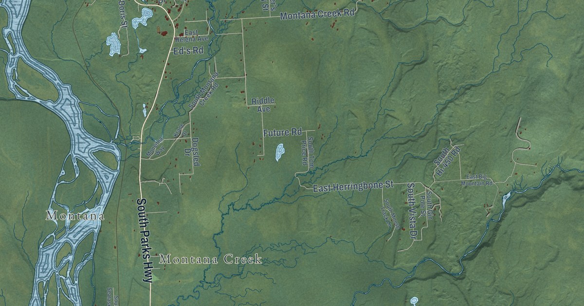
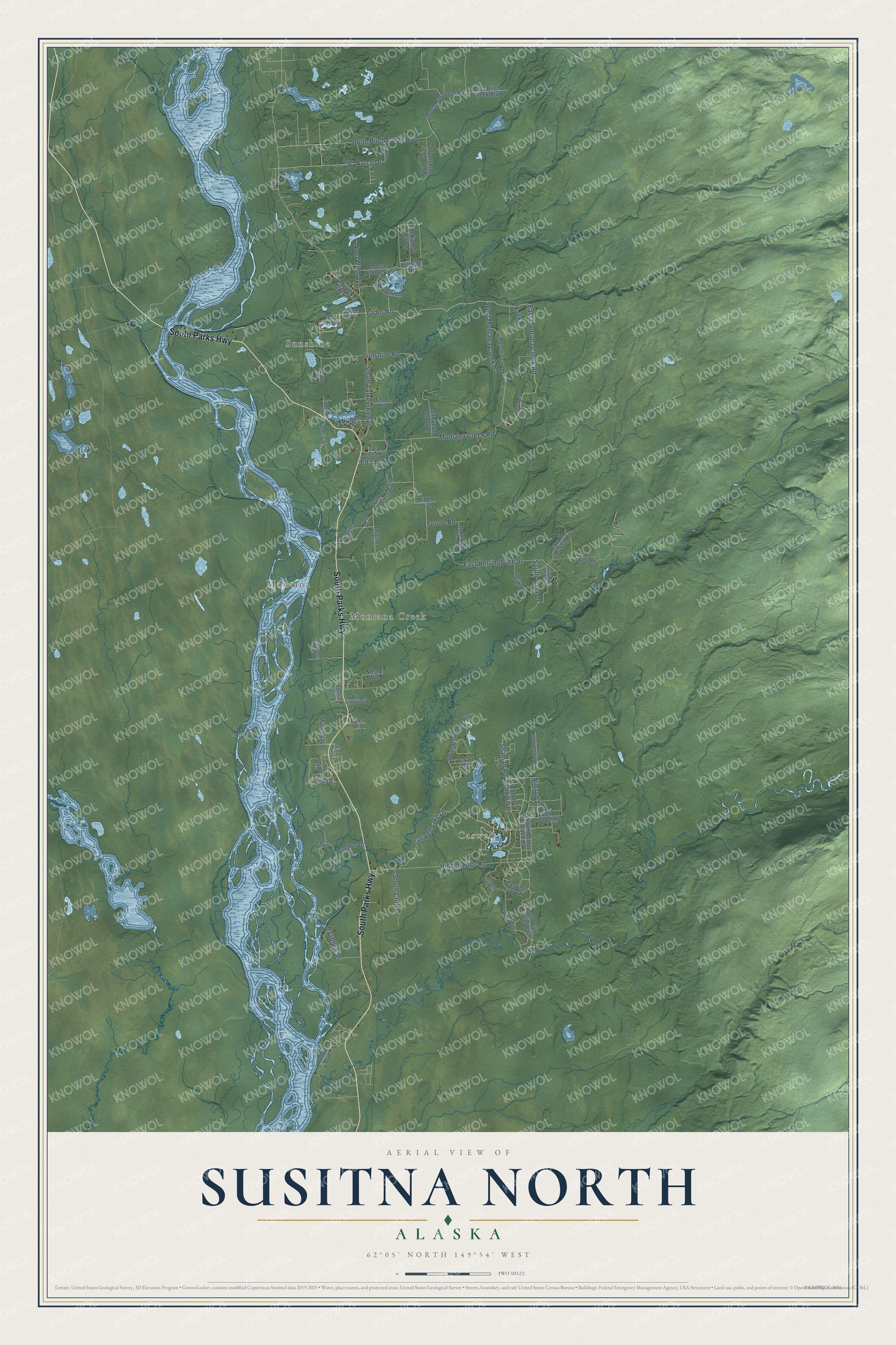
This beautifully detailed map of Susitna North, Alaska was created in 2026 using aerial imagery combined with modern topographical, census, street and landmark data. It’s a one-of-a-kind view of Susitna North that combines accurate data with a vintage aesthetic. The map shows every building in its true location, many of the roads carry their names, and the shaded topographic relief shows the shape of the land.
Explore an aerial view of Susitna North, Alaska
On the map you’ll find Sunshine, Caswell, Montana, Montana Creek, and South Talkeetna Spr, along with South Parks Highway, Yoder Road, East Montana Creek Road, Shaman Road, Montana Creek Road, Sunshine Road, Barce Drive, and more. Susitna North sits about 13 miles southeast of Talkeetna, 18 miles north of Willow and 20 miles south of Chase. If you look closely you can even find your house accurately drawn in its correct location. Zoom in on the preview to look for yours.
Take a closer look at the Susitna North map
Names on this map
These names are printed on this map.
Places: Sunshine, Caswell, Montana and Montana Creek.
Streets and roads: South Parks Highway, Yoder Road, East Montana Creek Road, Shaman Road, Montana Creek Road, Sunshine Road, Barce Drive, South Talkeetna Spr, Hidden Hills Road, Caswell Lake Drive, East Herringbone Street, South Birch Creek Boulevard.
More street names, A to Z
Audubon Drive, Barce Road, Barge Drive, Big Timber Circle, Braund Street, Caswell Creek Drive, Caswell Loop Road, Dogsled Drive, Doris Street, East Atuk Lane, East Big Mountain Road, East Birch Creek Boulevard, East Coffey Lane, East Helena Avenue, East Whopper Avenue, Ed's Road, Future Road, Hillside Drive, Hunter Drive, Jubilee Drive, Kavik Road, Kid Drive, Krane Drive, Lichen Drive, Luthman Drive, Malaspina Loop, Malasupina Loop, McKinley View Drive, Michele Drive, Monsitna Way, Moose Hollow Avenue, Mount Dall Drive, Muir Drive, Mural Way, Nichols Drive, Nimrod Street, Noel Wien Avenue, Nosey Avenue, Resolute Drive, Riddle Avenue, Sawyer's Shady Street, South Amundsen Avenue, South Bald Eagle Way, South Brookestar's Circle, South Crop Circle, South Cutthroat Drive, South Dolly Varden Drive, South Gin Pole Street, South Gries Strasse Street, South Hawk Avenue, South Hi-450 Road, South Mastodon Road, South Montana Creek Road, South Moose Track Lane, South Sealaska Road, South Tom Price Road, South Vista Drive, South Woodland Way, Spurlin Circle, Sroufe Boulevard, Susitna Drive East, West Montana Creek Road, Winterset Drive.
See it on a wall
The Susitna North map as a framed print. Swipe for more.


This beautifully detailed map of Susitna North makes an attractive addition to your office, library, or den, and it can even be used to teach children the geography and history of the area. It also makes a great gift for someone who left Susitna North and still calls it home. When you’re done exploring, click here to get your copy of the Susitna North map.