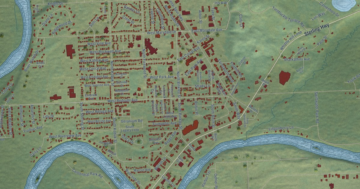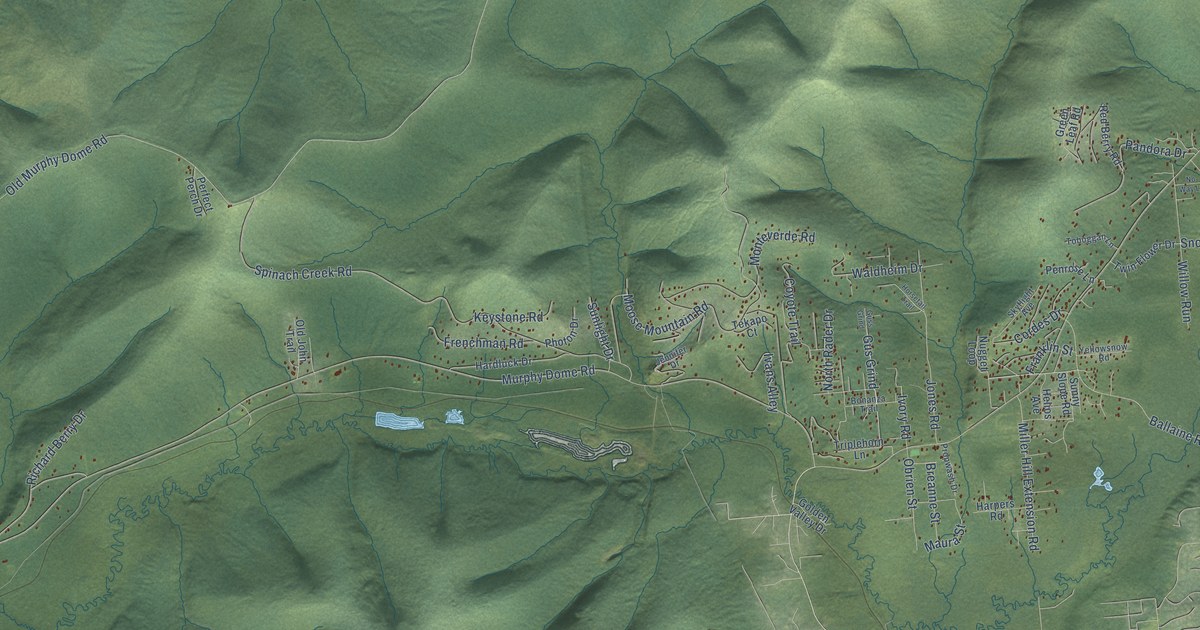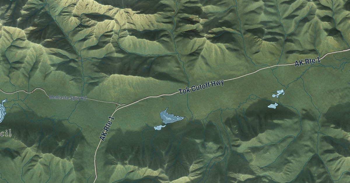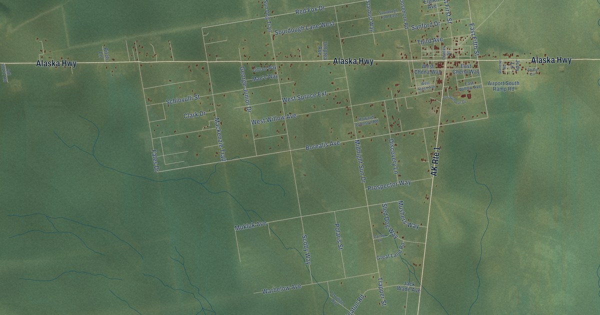
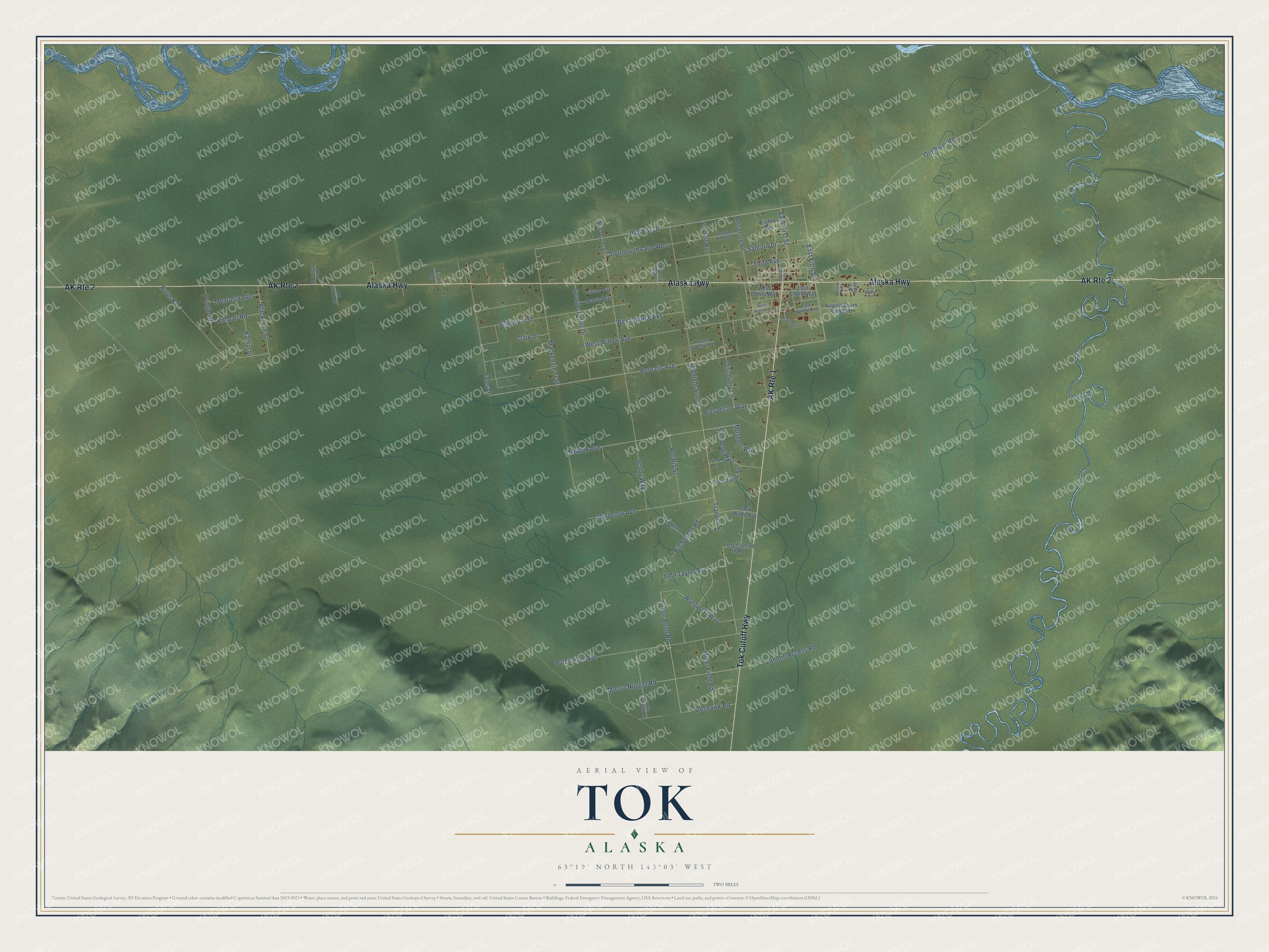
This beautifully detailed map of Tok, Alaska was created in 2026 using aerial imagery combined with modern topographical, census, street and landmark data. It’s a one-of-a-kind view of Tok that combines accurate data with a vintage aesthetic. The map shows every building in its true location, many of the roads carry their names, and the shaded topographic relief shows the shape of the land.
Explore an aerial view of Tok, Alaska
On the map you’ll find Alaska Highway, Tok Cutoff Highway, Red Fox Drive, East Fifth Street, Borealis Avenue, Yukon Bend Road, Mukluk Avenue, Moose Nugget Road, Old River Road, Midnight Sun Drive, West Willow Avenue, Scoby Way, and more. Tok sits about 14 miles east of Tanacross, 19 miles northwest of Tetlin and 27 miles northeast of Mentasta Lake. If you look closely you can even find your house accurately drawn in its correct location. Zoom in on the preview to look for yours.
Take a closer look at the Tok map
Names on this map
These names are printed on this map.
Streets and roads: AK Route 2, Alaska Highway, AK Route 1, Tok Cutoff Highway, Red Fox Drive, East Fifth Street, Borealis Avenue, Yukon Bend Road, Mukluk Avenue, Moose Nugget Road, Old River Road, Midnight Sun Drive.
More street names, A to Z
Adl 40277 Road, Airport South Ramp Road, Bill Seaton Road, Birch Lane, Blackburn Street, Butch Kuth Avenue, Candy Lane, Center Street, Clark Drive, Darlene Road, Discovery Lane, East Chena Way, East First Street, East Willow Avenue, Eighth Avenue, Fales Drive, George Junior Drive, Gilliam Way, Goshawk Road, Great Land Road, Howard Johnson Road, Jackie Circle, Jack Wade Avenue, John Taylor Avenue, Jon Summar Drive, Judy Lane, Kathul Street, Kimball Road, Landfill Access Road, Mackenzie Trail, Mae's Way, Mentasta Avenue, Miller Field Road, Moosehorn Road, Mushers Way, Polaris Street, Pringle Drive, Prospector Way, Pump Station Road, Rufus Road, Sanford Drive, Schiovulli Street, Scoby Way, Sled Dog Way, Sourdough Lane East, Sourdough Lane West, South Elizabeth Lane, Stardust Way, Sun Dog Trail, Terwilliger Way, Third Avenue, Tony Conrad III Road, Trapper Street, Umptea Avenue, Warbelow Avenue, West Aspen Avenue, West Chena Way, West Spruce Extension, West Willow Avenue, Wontorski Way.
See it on a wall
The Tok map as a framed print. Swipe for more.


This beautifully detailed map of Tok makes an attractive addition to your office, library, or den, and it can even be used to teach children the geography and history of the area. It also makes a great gift for someone who left Tok and still calls it home. When you’re done exploring, click here to get your copy of the Tok map.