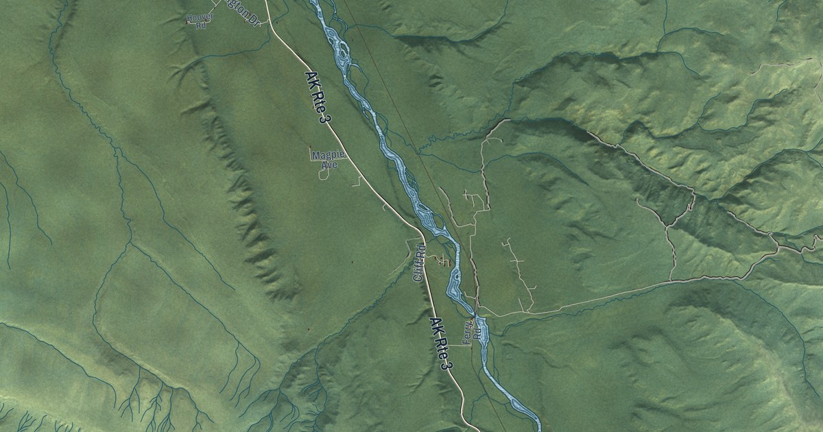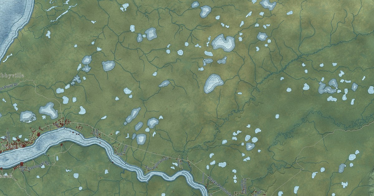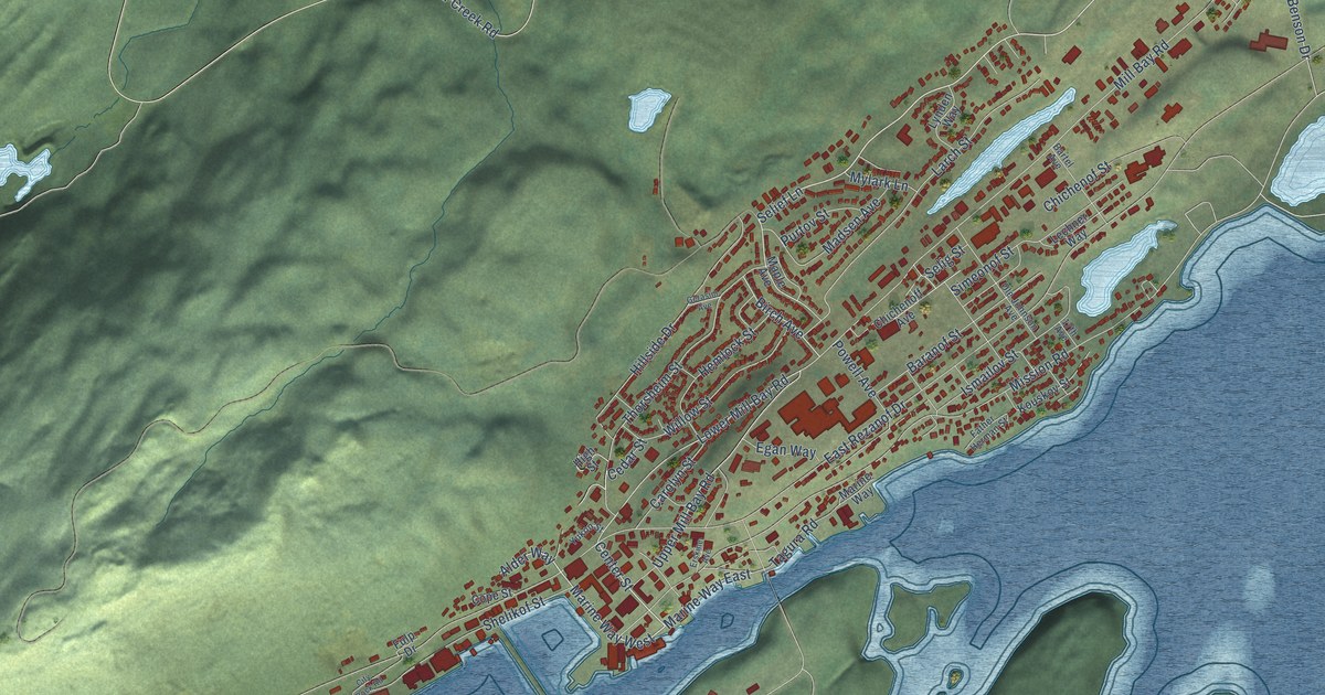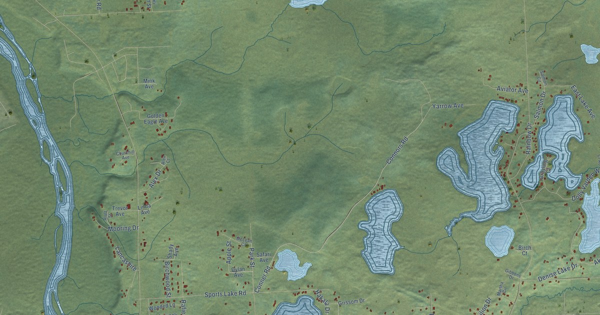
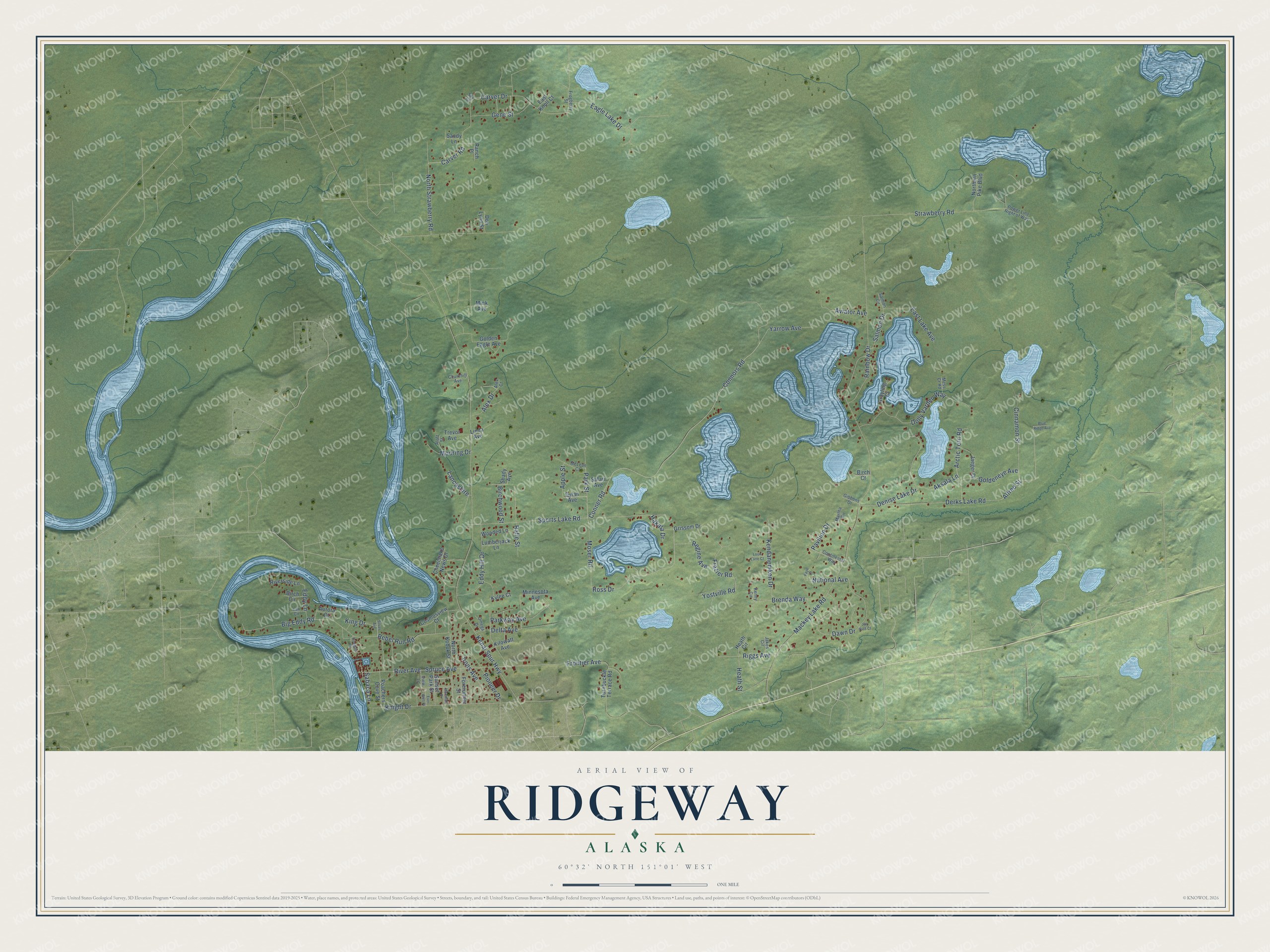
This beautifully detailed map of Ridgeway, Alaska was created in 2026 using aerial imagery combined with modern topographical, census, street and landmark data. It’s a one-of-a-kind view of Ridgeway that combines accurate data with a vintage aesthetic. The map shows every building in its true location, many of the roads carry their names, and the shaded topographic relief shows the shape of the land.
Explore an aerial view of Ridgeway, Alaska
On the map you’ll find Ross Drive, Brenda Way, Kenai Spur Highway, Conner Road, Mackey Lake Road, Connors Road, Big Eddy Road, Strawberry Road, Carver Drive, Rainbow Drive, Sports Lake Road, Knight Drive, and more. Ridgeway sits about 3 miles north of Soldotna, 6 miles east of Kenai and 8 miles northeast of Kalifornsky. If you look closely you can even find your house accurately drawn in its correct location. Zoom in on the preview to look for yours.
Take a closer look at the Ridgeway map
Names on this map
These names are printed on this map.
Streets and roads: Ross Drive, Brenda Way, Kenai Spur Highway, Conner Road, Mackey Lake Road, Connors Road, Big Eddy Road, Strawberry Road, Carver Drive, Rainbow Drive, Sports Lake Road, Knight Drive.
More street names, A to Z
Aksala Lane, Alex Court, Alex Drive, Alfred Street, Aloft Street, Apple Street, Arctic Tern Road, Aurora Court, Aviator Avenue, Birch Circle, Birch Court, Birchwood Street, Blue Ridge Avenue, Carver Road, Cheechako News Drive, Churchill Avenue, Cinnamon Street, Continental Way, Cosmosview Court, Dawn Drive, Delta Avenue, Denise Lake Drive, Derks Lake Road, Dolly Varden Way, Dori Lynn Street, Douglas Road, Dylan Avenue, Eagle Lake Drive, East Knoll Court, East Lake Avenue, Eddy Hill Drive, Eddy Lane, Ever Well Place, Faye Court, Forerunner Street, Frazier Road, Frogberry Street, Frontier Avenue, Gene Street, Gibbons Drive, Golden Eagle Avenue, Goldeneye Avenue, Grayling Court, Grissom Drive, Hakala Drive, Heath Circle, Heath Street, Irons Avenue, Jaeger Drive, Jakes Circle, Jay Bird Court, Kendanemken Drive, Kenny Circle, Kilowatt Avenue, King Drive, Kylee Court, Lancashire, Lax Circle, Linda Avenue, Loon Lane Court, Lumberjack Lane, Marshall Drive, Martha Circle, McLean Court, Mess Cr Road, Mink Avenue, Minnesota Avenue, Mooring Drive, Moser Road, National Avenue, Northern Pike Boulevard, North Kobuk Street, North Strawberry Road, Omega Drive, Park Street, Parkway Avenue, Pavilion Drive, Pioneer Drive, Poachers Cove Street, Power Line Right of Way, Rafie Street, Ranch Place, Rebel Run Road, Regine Avenue, Riggs Avenue, River Avenue, Riverside Lane, Sabaca Lane, Safari Avenue, Salmon Circle, Salmon Drive, Sandy Lane, Shady Avenue, Silver Avenue, Sky Court, Spruce Avenue, Sunset Park Street, Trevor Avenue, Turnbuckle Terrace Road, View Lane, Wooded Lane, Yarrow Avenue, Yostville Road.
See it on a wall
The Ridgeway map as a framed print. Swipe for more.


This beautifully detailed map of Ridgeway makes an attractive addition to your office, library, or den, and it can even be used to teach children the geography and history of the area. It also makes a great gift for anyone with Ridgeway roots. When you’re done exploring, click here to get your copy of the Ridgeway map.