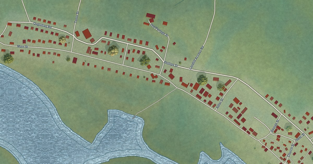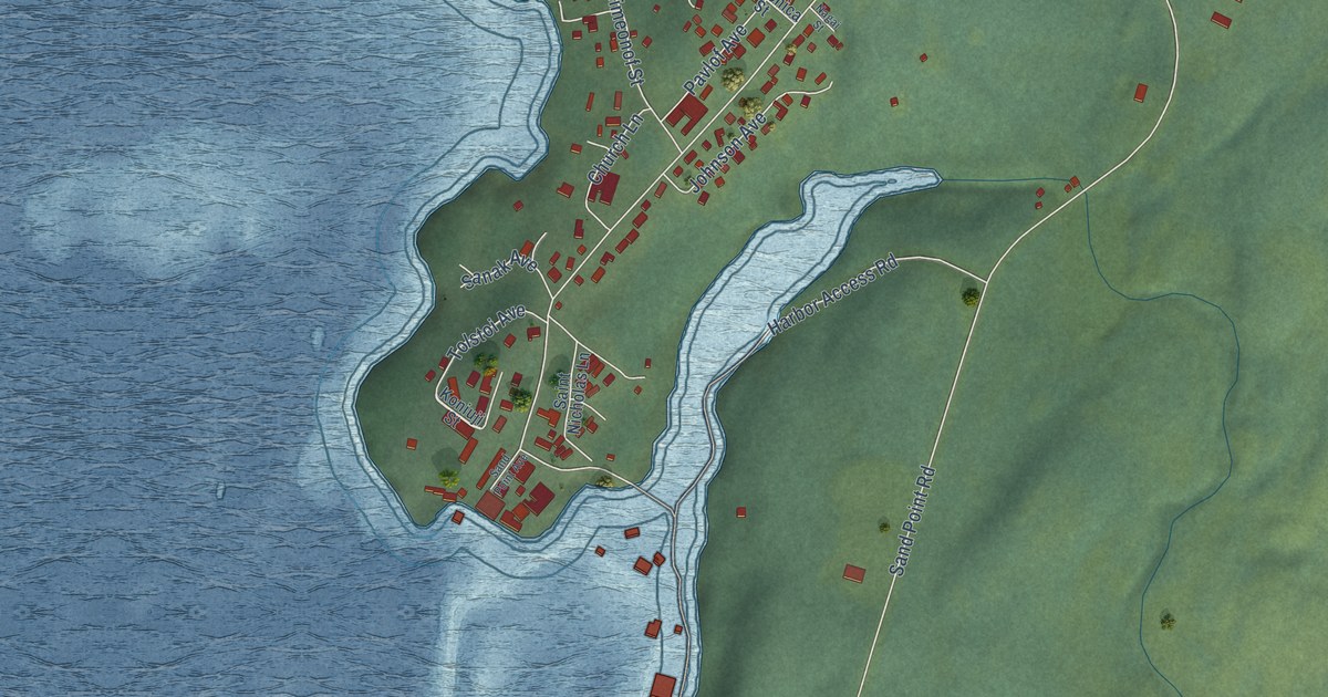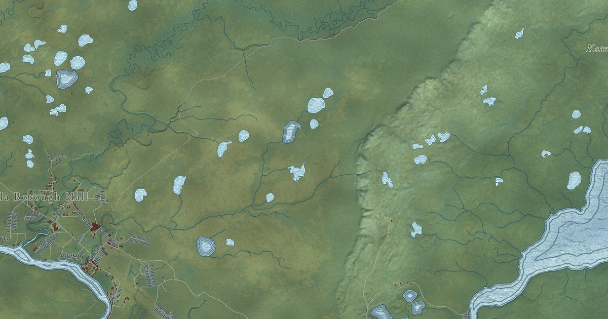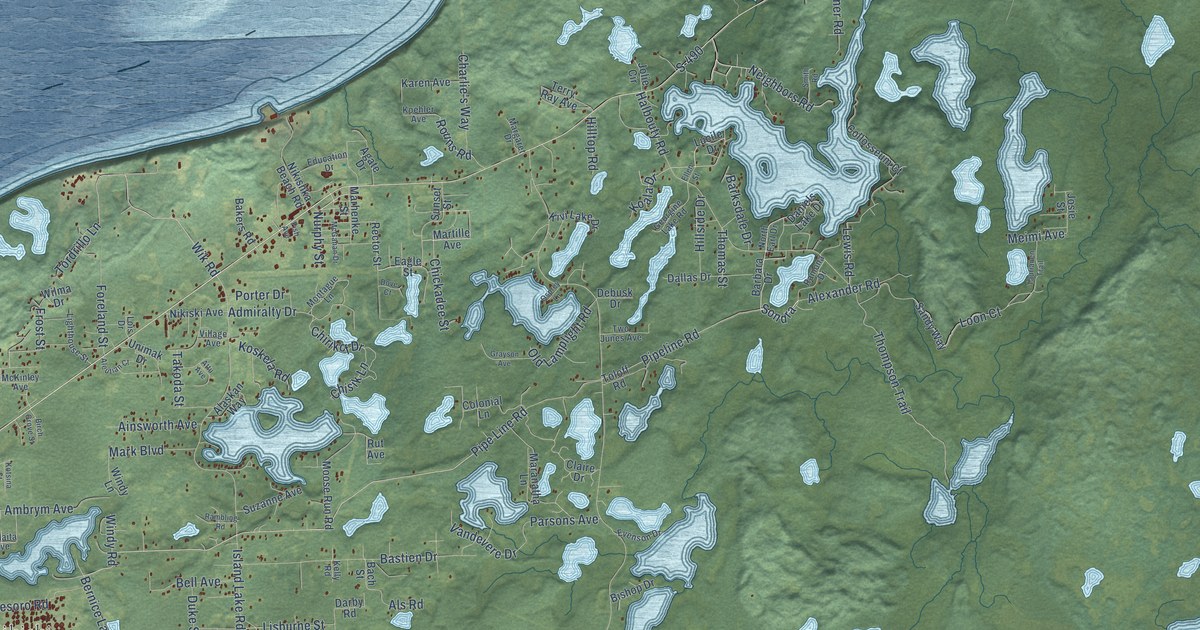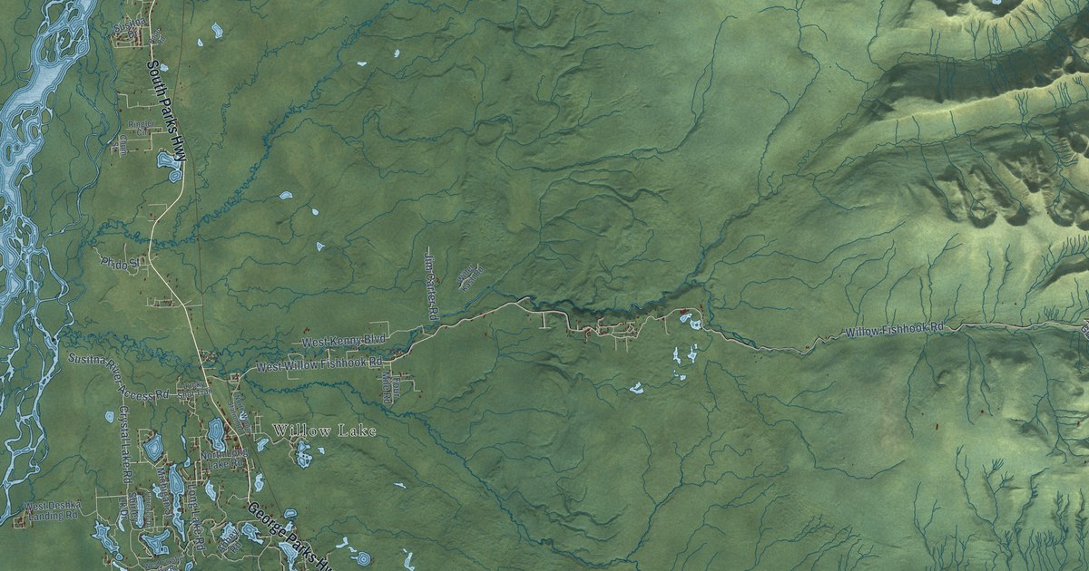
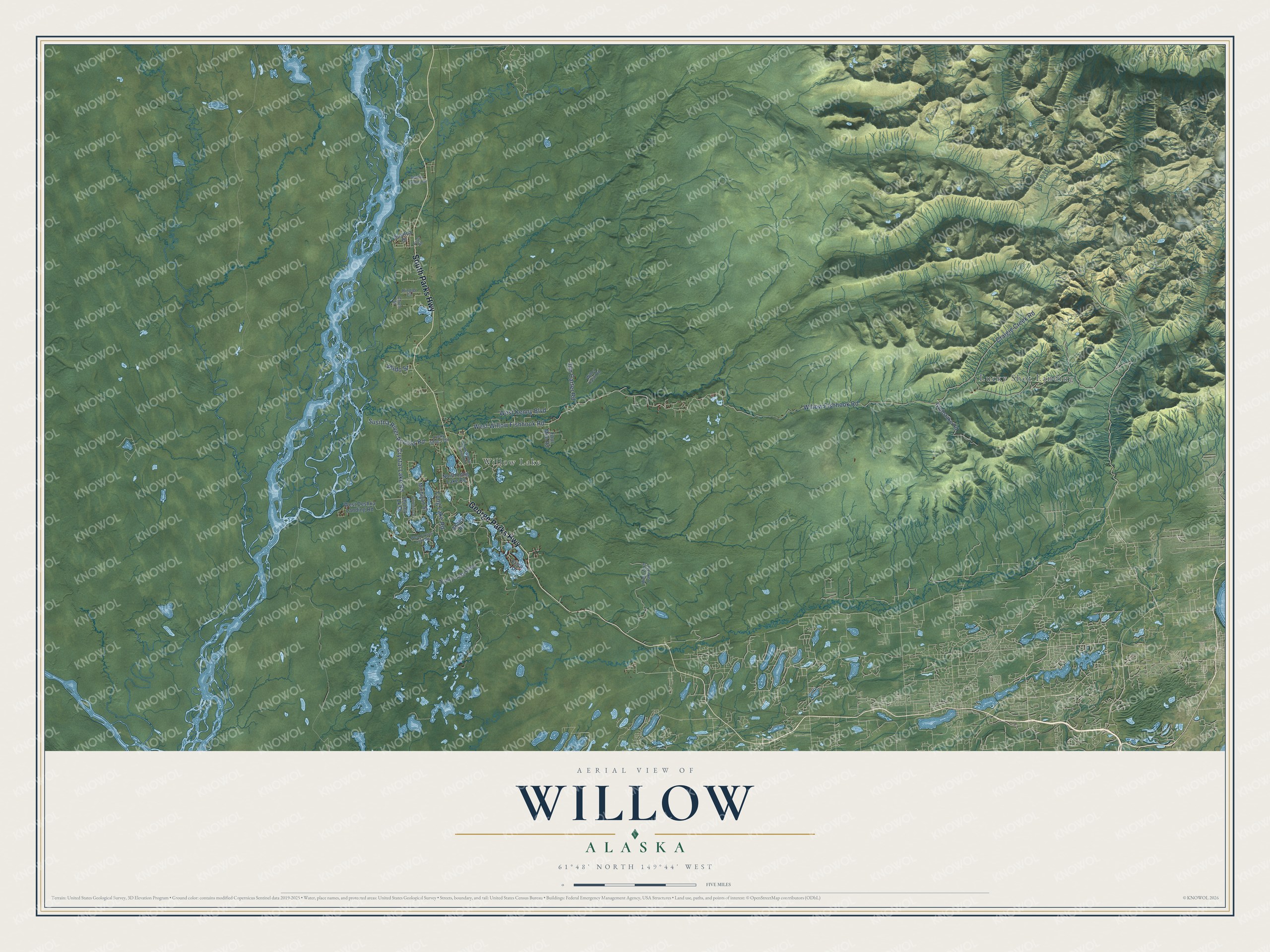
This beautifully detailed map of Willow, Alaska was created in 2026 using aerial imagery combined with modern topographical, census, street and landmark data. It’s a one-of-a-kind view of Willow that combines accurate data with a vintage aesthetic. The map shows every building in its true location, many of the roads carry their names, and the shaded topographic relief shows the shape of the land.
Explore an aerial view of Willow, Alaska
On the map you’ll find Willow Lake and Lucky Shot Landing, along with South Parks Highway, George Parks Highway, West Willow Fishhook Road, Willow Fishhook Road, Long Lake Road, Susitna River Access Road, Craigie Creek Road, West Kenny Boulevard, Crystal Lake Road, Jim Carter Road, and more. Willow sits about 15 miles northwest of Fishhook, 17 miles north of Tanaina and 17 miles north of Meadow Lakes. If you look closely you can even find your house accurately drawn in its correct location. Zoom in on the preview to look for yours.
Did You Know?
In 1976, Alaskans selected Willow as the site for their new state capital. Voters defeated the funding for the move in November 1982. By 1954, Willow Creek was Alaska’s largest gold mining district. Its total production approached 18 million dollars. That’s from the Alaska DCRA.
Take a closer look at the Willow map
Names on this map
These names are printed on this map.
Places: Willow Lake and Lucky Shot Landing.
Streets and roads: South Parks Highway, George Parks Highway, West Willow Fishhook Road, Willow Fishhook Road, Long Lake Road, Susitna River Access Road, Craigie Creek Road, West Kenny Boulevard, Crystal Lake Road, Jim Carter Road, Phido Street, Nancy Lake Parkway.
More street names, A to Z
Abbey Road, Chum Street, Erica Drive, Florence Drive, Four Mile Road, Grubstake Road, Lucky Shot Trail, Michigan Street, North Long Lake Road, North Willow Station Road, Pope Road, Ringler Circle, Shirley Lk Drive, Susitna Drive, Susitna Landing Road, West Crystal Lake Road, West Deshka Landing Road, West Zero Lake Road, Willer Kash Road.
See it on a wall
The Willow map as a framed print. Swipe for more.


This beautifully detailed map of Willow makes an attractive addition to your office, library, or den, and it can even be used to teach children the geography and history of the area. It also makes a great gift for someone who left Willow and still calls it home. When you’re done exploring, click here to get your copy of the Willow map.