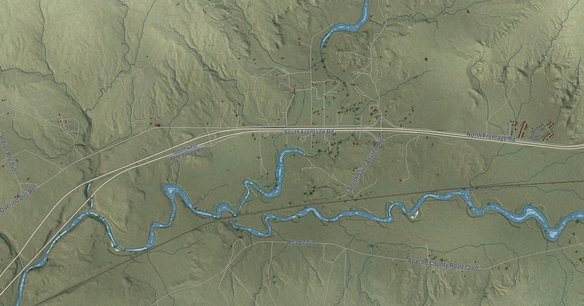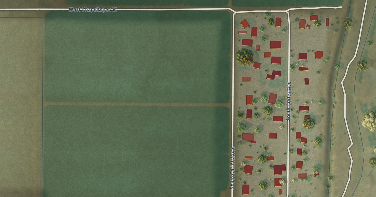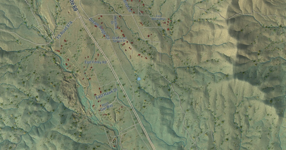
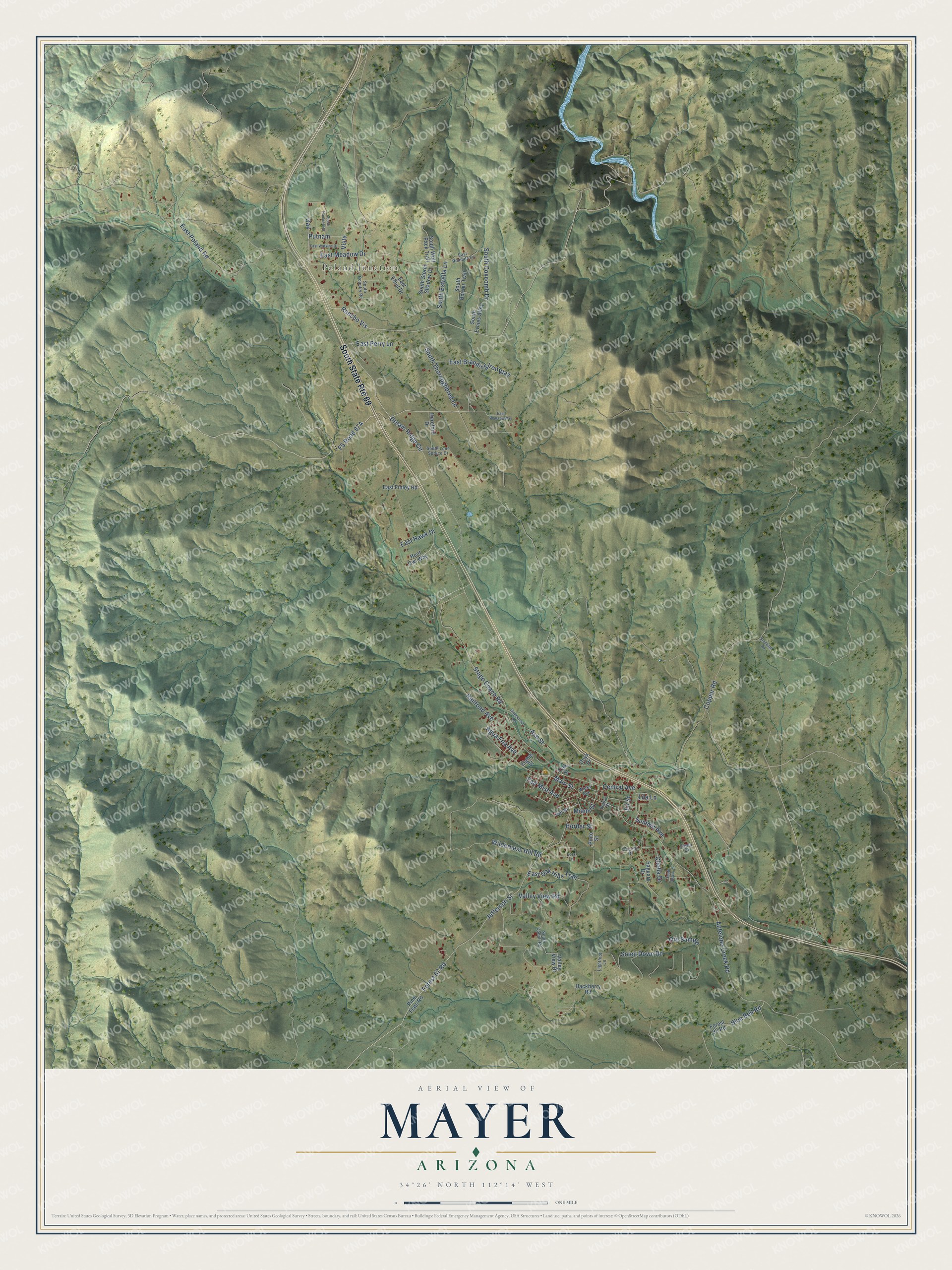
This beautifully detailed map of Mayer, Arizona was created in 2026 using aerial imagery combined with modern topographical, census, street and landmark data. It’s a one-of-a-kind view of Mayer that combines accurate data with a vintage aesthetic. The map shows every building in its true location, many of the roads carry their names, and the shaded topographic relief shows the shape of the land.
Explore an aerial view of Mayer, Arizona
On the map you’ll find Poland Junction, Rancho Vis, Oak, and FS Road 87A, along with Forest 67 Road, Jefferson Street, South Thoroughbred Lane, Dream Ridge Circle, Stage Coach Road, Agua Fria Avenue, Copper Road, Main Street, and more. Mayer sits about 7 miles south of Dewey-Humboldt, 7 miles northwest of Spring Valley and 11 miles northwest of Cordes Lakes. If you look closely you can even find your house accurately drawn in its correct location. Zoom in on the preview to look for yours.
Take a closer look at the Mayer map
Names on this map
These names are printed on this map.
Places: Poland Junction.
Streets and roads: South State Route 69, Rancho Vis, Forest 67 Road, Jefferson Street, South Thoroughbred Lane, Oak, Dream Ridge Circle, Stage Coach Road, Agua Fria Avenue, Copper Road, Main Street, East Poland Road.
More street names, A to Z
Antelope Creek Road, Ash Street, Blue Bell Road, Border Street, Central Avenue, Cholla Drive, East Branding Iron Way, East Elliot Drive, East Finley Road, East Hawk Drive, East Meadow Drive, East Oak Hills Trail, East Perry Lane, East Remuda Lane, East Wallaby Way, East Watkins Drive, Eighth Street, Fair Mist Avenue, Fir Street, Forest 93 Road, Hackberry Road, Hereford Drive, Hill Street, Hoot Owl Way, Lightfoot Lane, Lila Lane, Lois Lane, Miami Street, Oak Street, Ocotillo Drive, Onyx Drive, Ore Sample, Pine Flats Road, Pinto Street, Poplar Street, Putnam, Railroad Avenue, Saguaro Drive, Soleil Down Road, South Austin Lane, South Border Trail, South Cobalt Road, South Country Road, South Coxcomb Drive, South Ernies Alley, South Estrella Lane, South Hankins Road, South Lone Spruce Drive, South Storm Shadow Drive, South Wolf Pack Trail, Stagecoach Road, Stoddard Road, Summit Avenue, Tower Drive, Valley View Drive, Valley View Road, Vista, Wicks Avenue, Wilderness Hill Road.
See it on a wall
The Mayer map as a framed print. Swipe for more.


This beautifully detailed map of Mayer makes an attractive addition to your office, library, or den, and it can even be used to teach children the geography and history of the area. It also makes a great gift for anyone who grew up in Mayer or moved away. When you’re done exploring, click here to get your copy of the Mayer map.