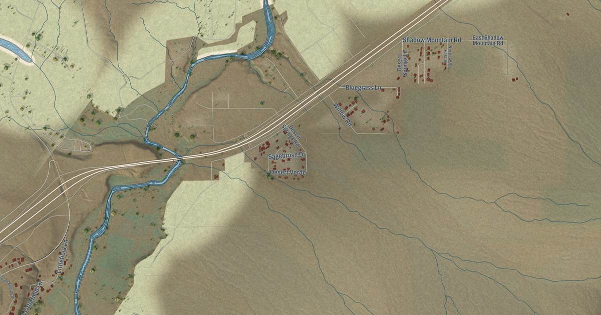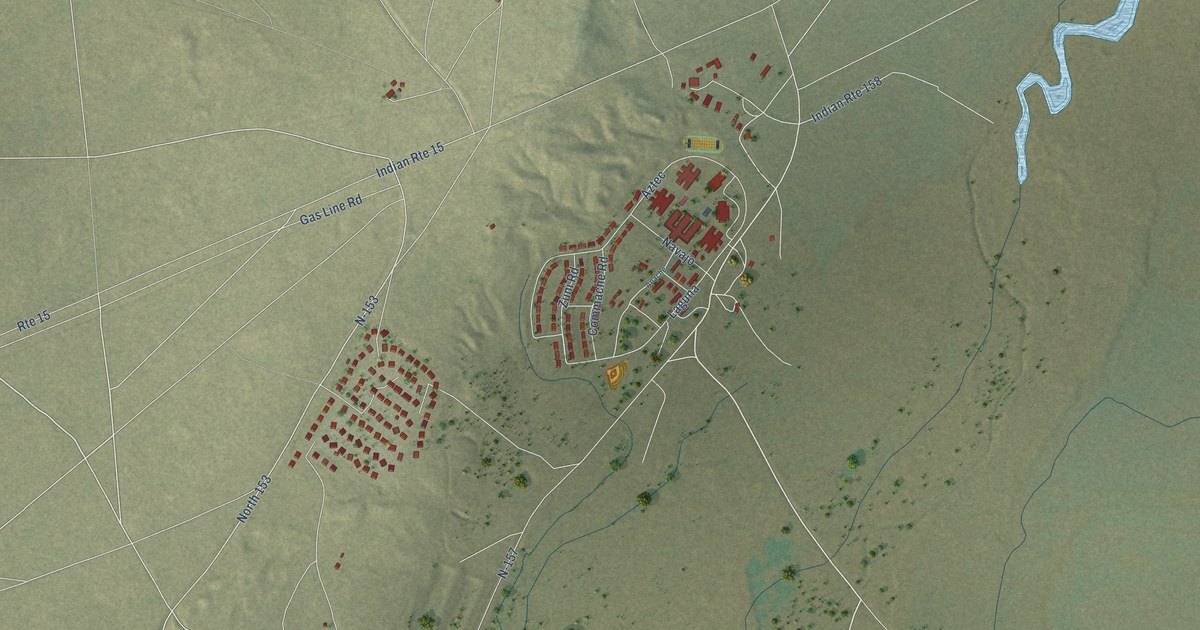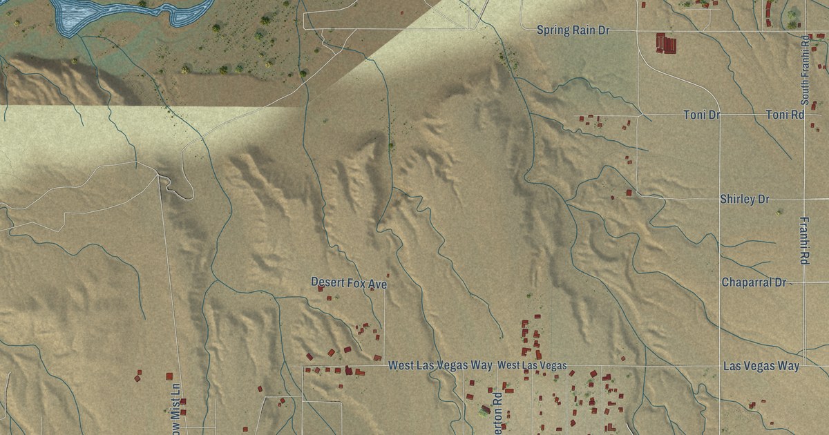
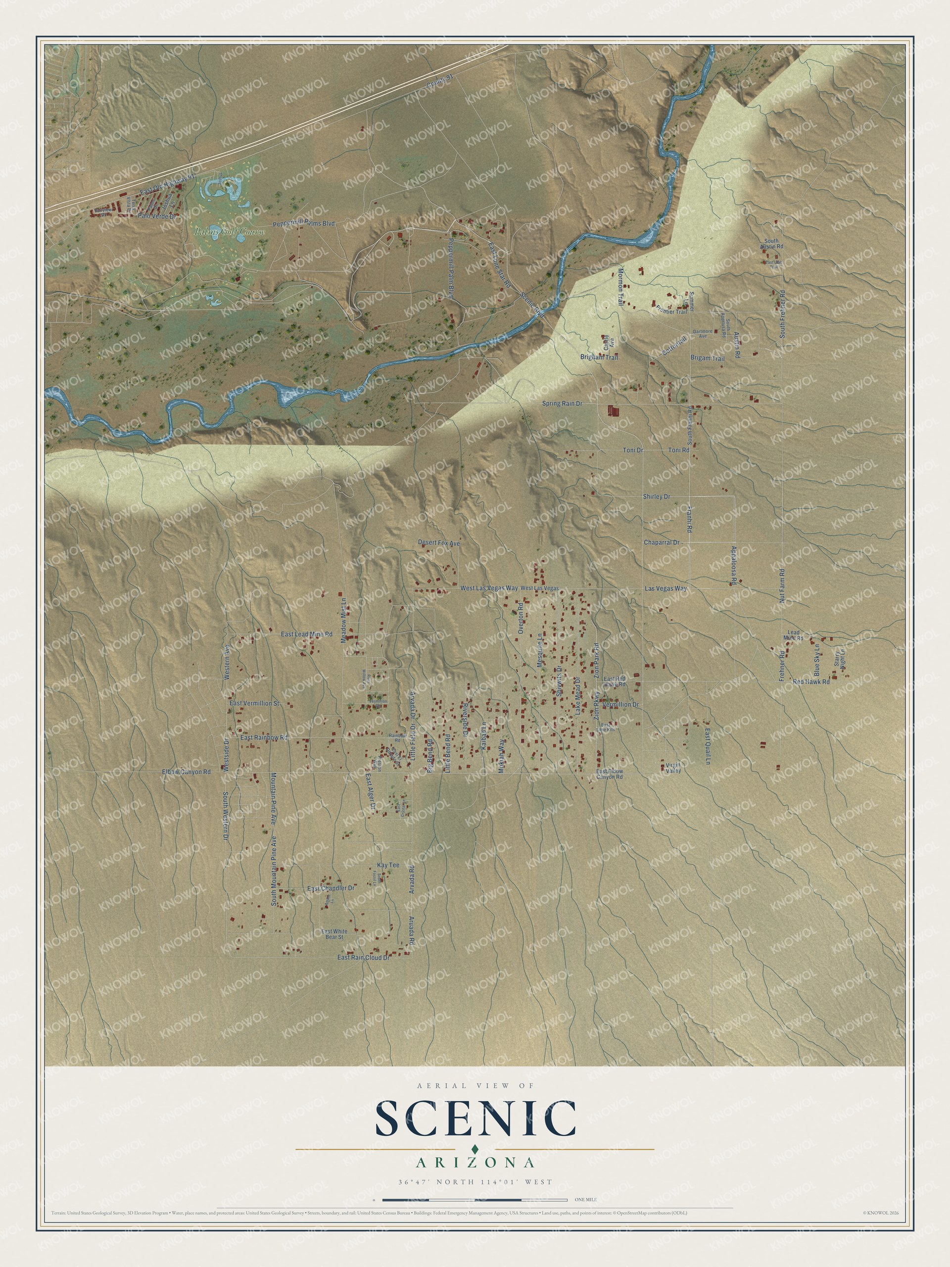
This beautifully detailed map of Scenic, Arizona was created in 2026 using aerial imagery combined with modern topographical, census, street and landmark data. It’s a one-of-a-kind view of Scenic that combines accurate data with a vintage aesthetic. The map shows every building in its true location, many of the roads carry their names, and the shaded topographic relief shows the shape of the land.
Explore an aerial view of Scenic, Arizona
On the map you’ll find Palms Golf Course, along with Scenic Boulevard, East Lone Star Road, Toni Road, Franhi Road, Spring Rain Drive, Zion Park Road, Zion Parkway, Chaparral Drive, Peppermill Palm Boulevard, Toni Drive, Peppermill Palms Boulevard, and more. Scenic sits about 7 miles southwest of Littlefield and 9 miles southwest of Beaver Dam. If you look closely you can even find your house accurately drawn in its correct location. Zoom in on the preview to look for yours.
Take a closer look at the Scenic map
Names on this map
These names are printed on this map.
Places: Palms Golf Course.
Streets and roads: Scenic Boulevard, East Lone Star Road, Toni Road, Franhi Road, Spring Rain Drive, Zion Park Road, Zion Parkway, Chaparral Drive, Peppermill Palm Boulevard, Toni Drive, Peppermill Palms Boulevard, Mormon Trail.
More street names, A to Z
Amber Lane, Appaloosa Road, Aruada Road, Arvada Drive, Arvada Road, Austin Road, Big Bend Road, Blue Sky Lane, Brigam Trail, Brigham Trail, Castle Avenue, Cottontail, County 91, Dartmore Avenue, Desert Fox Avenue, East Alger Drive, East Chandler Drive, East Crystal Lane, East Elbow Canyon Road, East El Dorado Street, East Lead Mine Road, East Lime Kiln, East Old Highway 91, East Quail Lane, East Rainbow Road, East Rain Cloud Drive, East Red Hawk Road, East Utah Trail, East Vermillion Street, East White Bear Street, Elbow Canyon Road, Fairview Drive, Frehner Road, Frontier Trail, Joshua, Joshua Lane, Kaibab Lane, Kay Tee, Lake Mead Drive, Las Vegas Way, Lead Mine Road, Little Bend Road, Little Field Drive, Meadow Mist Lane, Mesquite Lane, Mokiah Way, Mountain Pine Avenue, Nut Farm Road, Overton Road, Palms Drive, Palo Verde Drive, Preston Way, Rainbow Road, Red Hawk Road, Riverside Drive, River Willow Avenue, Shirley Drive, Shivwits Drive, South Apprlusa Road, South Austin Road, South Fossil Lane, South Franhi Road, South Frehner Road, South Mountain Pine Avenue, South Western Drive, Starry Night Lane, Summer Lane, Terra Vista Drive, Vermillion Drive, Vermillion Road, Virgin Valley, Western Avenue, West Las Vegas, West Las Vegas Way, Westside Drive.
See it on a wall
The Scenic map as a framed print. Swipe for more.


This beautifully detailed map of Scenic makes an attractive addition to your office, library, or den, and it can even be used to teach children the geography and history of the area. It also makes a great gift for anyone with Scenic roots. When you’re done exploring, click here to get your copy of the Scenic map.