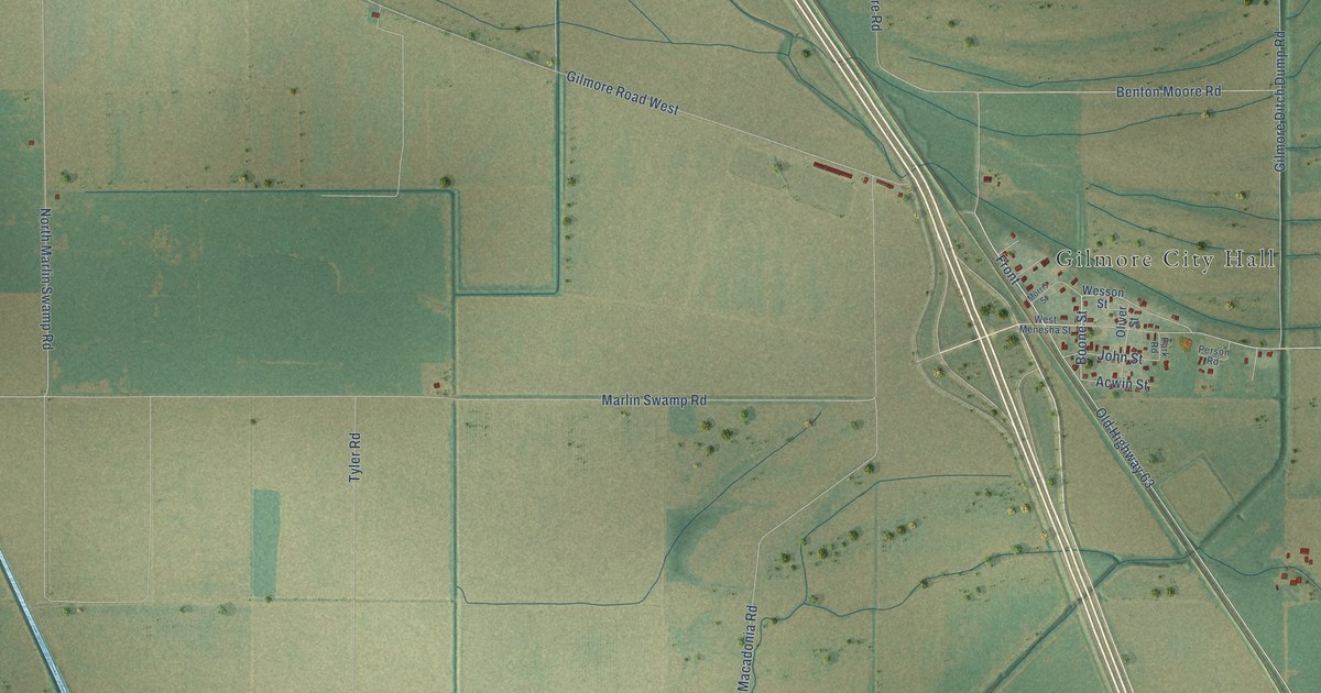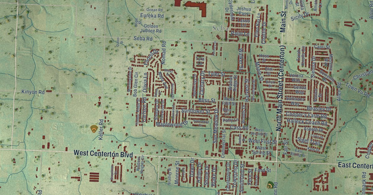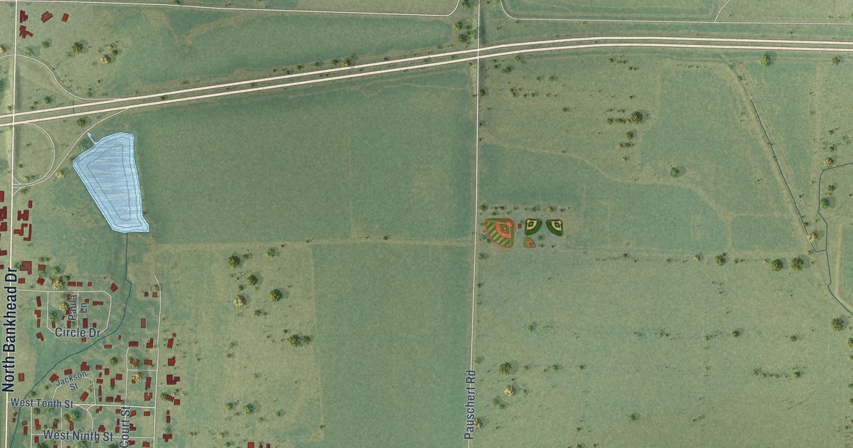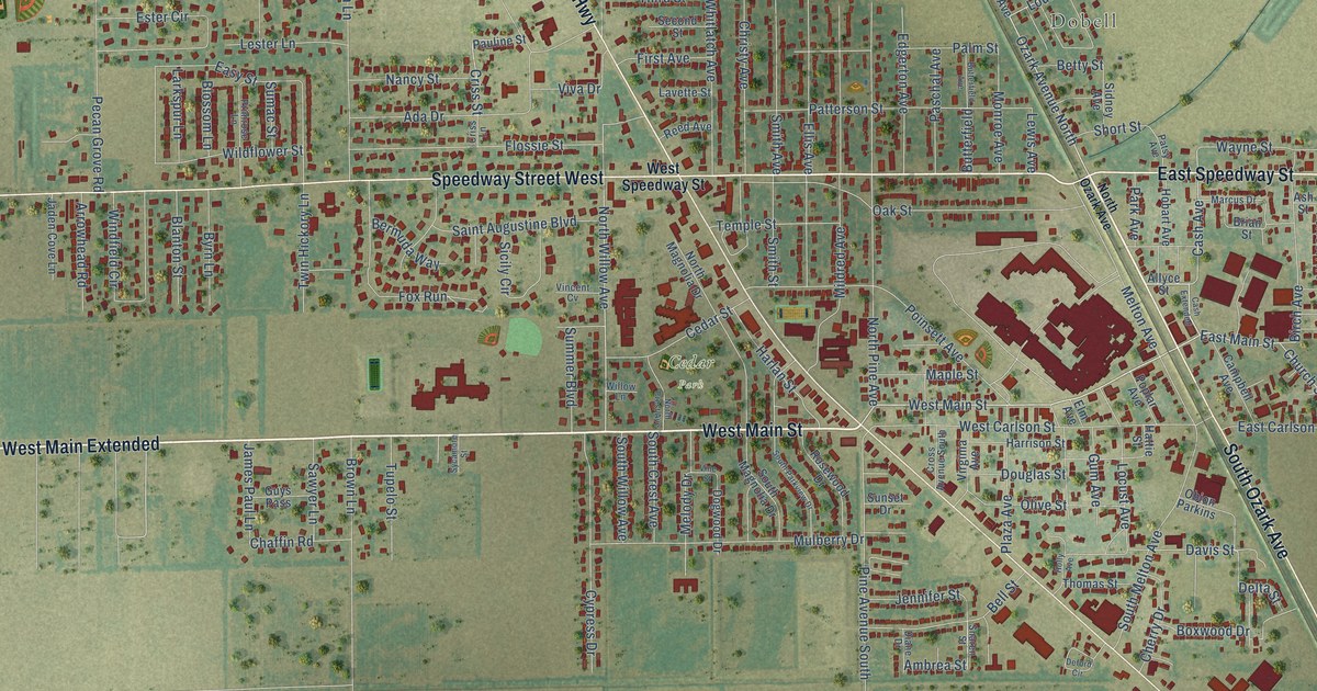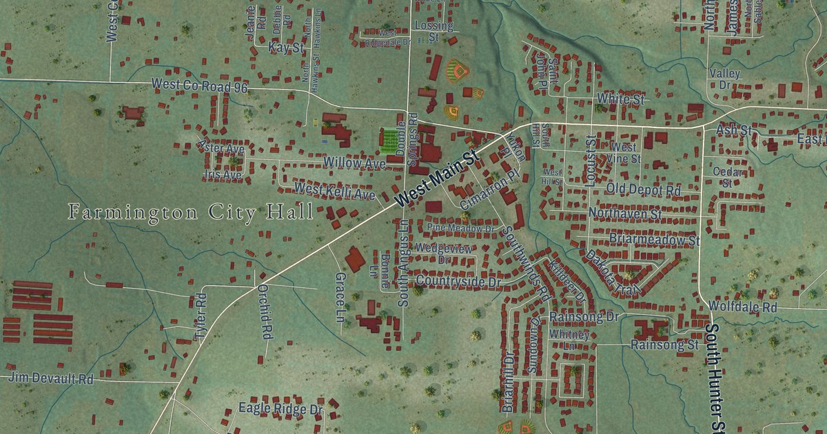
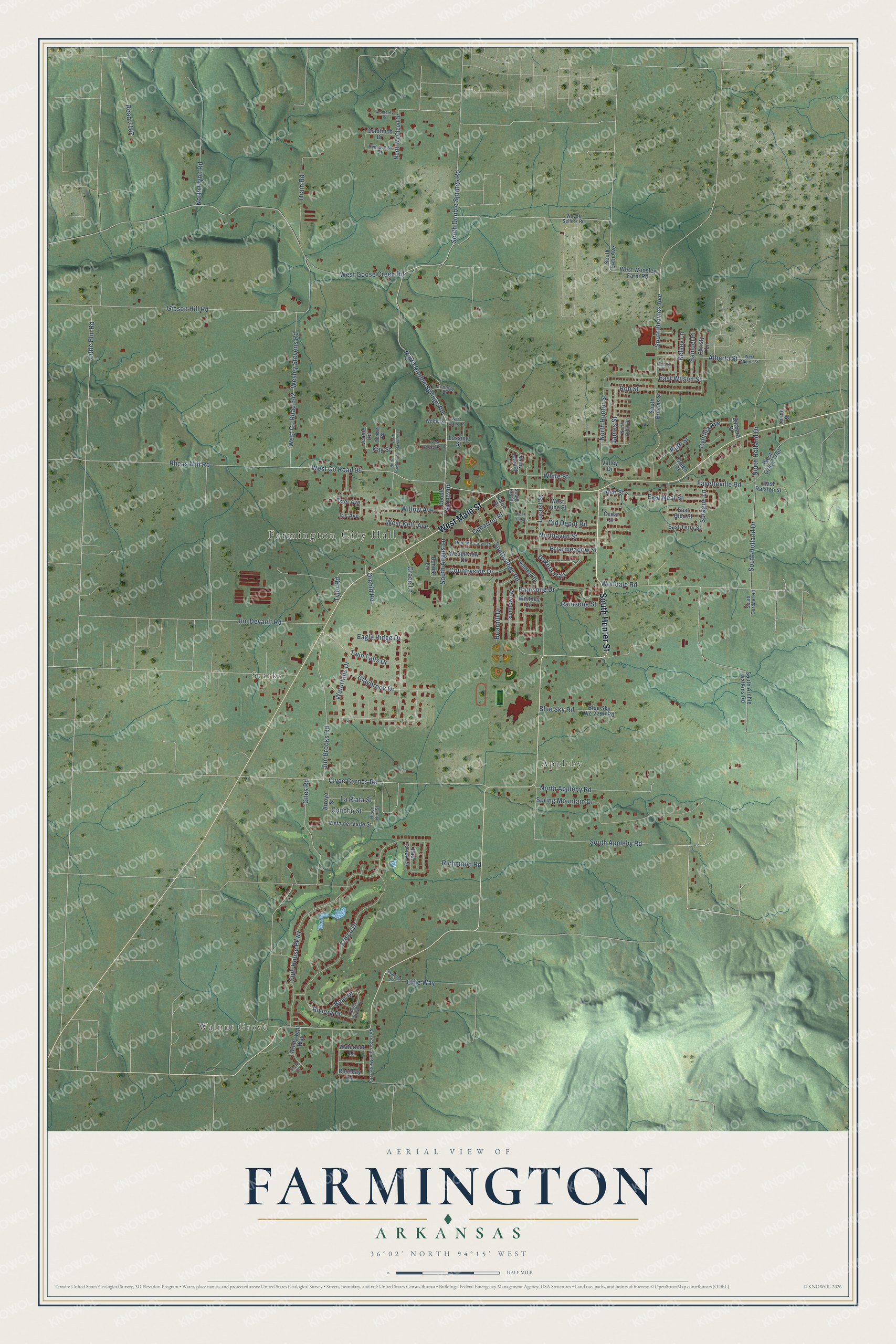
This beautifully detailed map of Farmington, Arkansas was created in 2026 using aerial imagery combined with modern topographical, census, street and landmark data. It's a modern aerial view of Farmington in Washington County, Arkansas, that combines modern data with a vintage aesthetic. The roads feature printed names, and if you look closely you can find your exact house accurately shown in its correct location.
Explore an aerial view of Farmington, Arkansas
On this map you'll find Farmington City Hall, Walnut Grove, Starks, Appleby, West Main Street, South Hunter Street, South Appleby Road, Claybrook Drive, North Double Springs Road, South Double Springs Road, Cimarron Place, West Co Road 96, and more. Each red shape is a building, so zoom in on the preview and look for yours.
Every town has a first chapter, and Farmington is no exception. The CALS Encyclopedia of Arkansas puts it this way: "In the 1850s, William Henry Engels built a small grist mill powered by mules, and the community became known as Engels Mill. In 1856, Engels married Isabella Kinnibrugh, and she was given a sizable acreage of family land upon her marriage. The couple built a large two-story house, which is still standing in Farmington."
Farmington is a city in Washington County.
Take a closer look at the Farmington map
Names on this map
These names are printed on this map.
Places: Farmington City Hall, Walnut Grove, Starks and Appleby.
Streets and roads: West Main Street, South Hunter Street, South Appleby Road, Claybrook Drive, North Double Springs Road, South Double Springs Road, Cimarron Place, West County Road 96, Gibson Hill Road, Little Elm Road, Locust Street, Eagle Ridge Drive.
More street names, A to Z
Alberta Street, Arroyo Street, Ash Street, Aster Avenue, Barbara Place, Bear Drive, Bison Run Street, Blue Sky Road, Blue Sky Wc 2250 Road, Bonnie Lane, Briarhill Drive, Briarmeadow Street, Canary Drive, Cedar Street, Christy Lane, Club House Parkway, Clyde Carnes Road, Concho Street, Countryside Drive, Cynthia Avenue, Dakota Trail, Debbie Road, Double Springs Road, Drain Road, East Creek Lane, East Glen Street, East Neal Street, East Ralston Street, East Terry Street, East Wilson Street, Ecology Drive, Effie Way, Fayetteville Road, Frisco Drive, Giles Road, Goldfinch Drive, Grace Lane, Green Street, Hydraenga Drive, Iris Avenue, James Street, Jeanie Road, Jim Brooks Road, Jim Devault Road, Kay Street, Kelsey Lane, Killdeer Drive, La Riata Street, Layne Street, Lossing Street, Monterey Place, North Appleby Road, Northaven Street, North Flynn Road, North Garland McKee Road, North Hawkins Lane, North Hawkins Street, North Holland Drive, North Hunter Street, North McCleod Drive, North Sable Street, Old Depot Road, Orchid Road, Payne Stewart Drive, Pine Meadow Drive, Rainsong Drive, Rainsong Street, Rheas Mill Road, Richmond Road, Riviera Place, Road 2197, Rob Street, Rosebay Lane, Ruth Street, Saint John Place, Samuel Place, Shells Court, South 54th Avenue, South Angus Lane, South Archie Watkins Road, South Broyles Avenue, South Broyles Street, South Gardner Road, South Hill Street, South Holland Drive, Southwinds Road, Sprague Lane, Spring Mountain Drive, Stratford Road, Sundown Drive, Twin Falls Drive, Tyler Road, Valley Drive, Vista del Valle Street, Waterfalls Drive, Waterleaf Lane, Wayne Sellers Road, Wedgeview Drive, Wesley Stevens Road, West Alberta Street, West County Road 642, West Goose Creek Road, West Hill Street, West Kelli Avenue, West Ozark Trail, West Ridgedale Drive, West Vine Street, West Wolfe Lane, West Woosley Farm Road, White Street, Whitney Lane, Willow Avenue, Windswept Way, Wolfdale Road, Wolfe Lane, Yukon Place.
Created by KNOWOL in 2026. The buildings are small red shapes, the roads carry their printed names, and shaded relief shows the shape of the land. The title panel reads "AERIAL VIEW OF FARMINGTON ARKANSAS" with 36°02' NORTH 94°15' WEST.
Hang it in the hallway, the office or the cabin, or give it to someone who left Farmington and still calls it home. Open the preview and look for a street you know. See sizes and frames for the Farmington map.