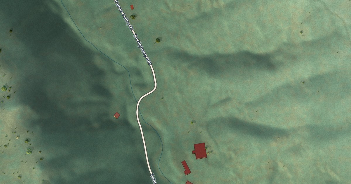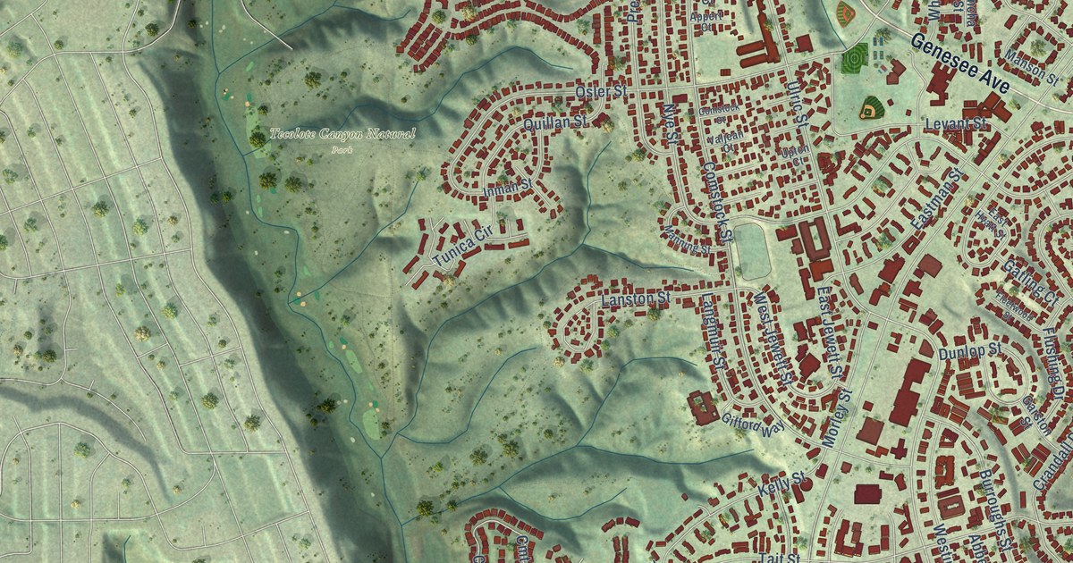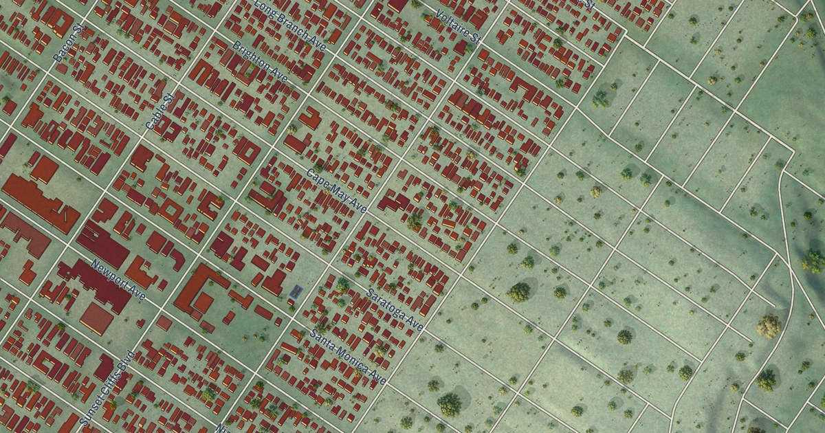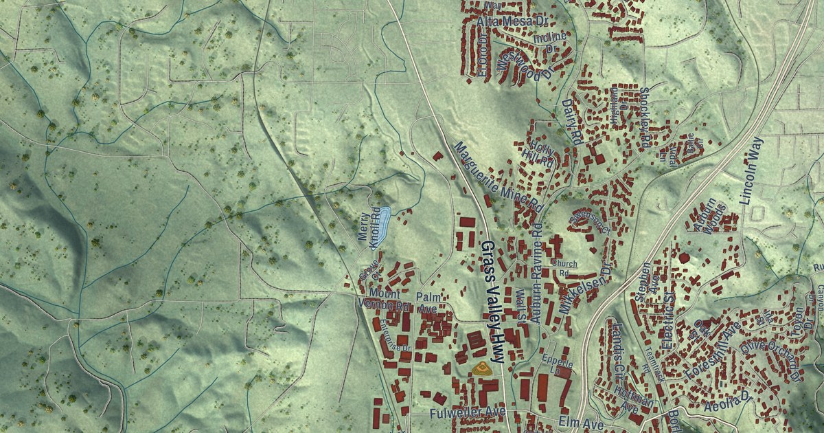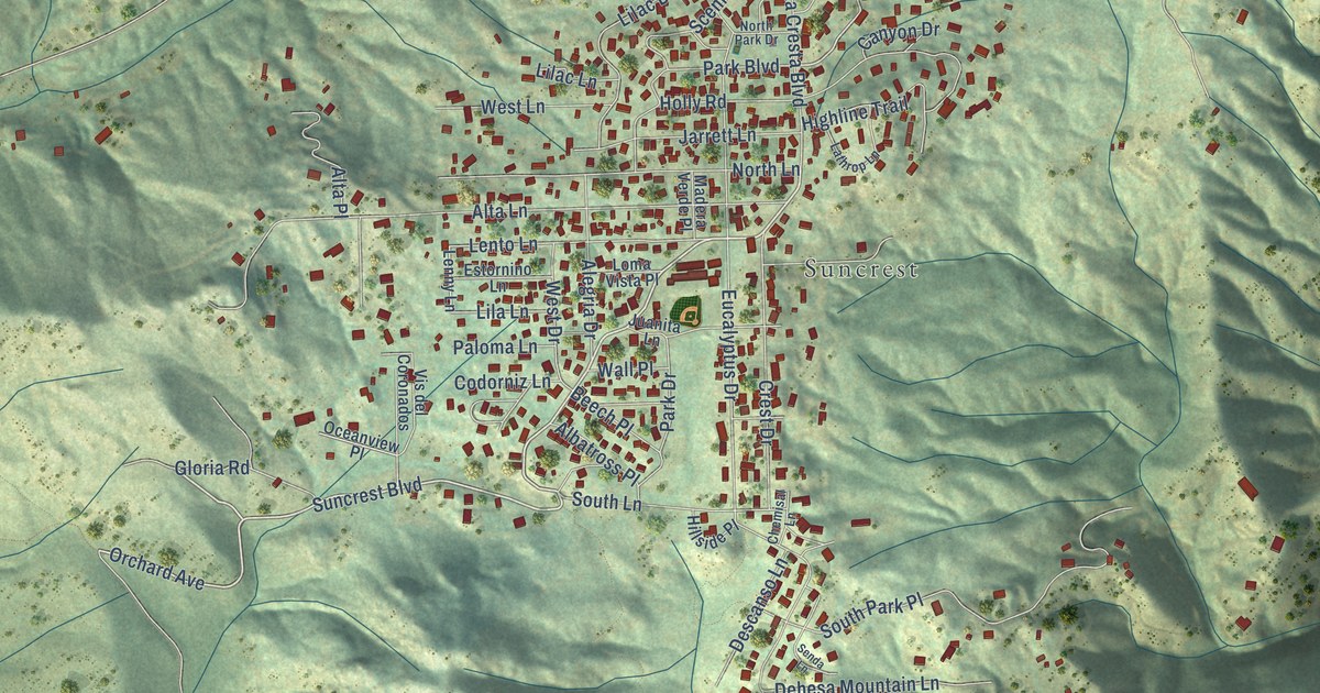
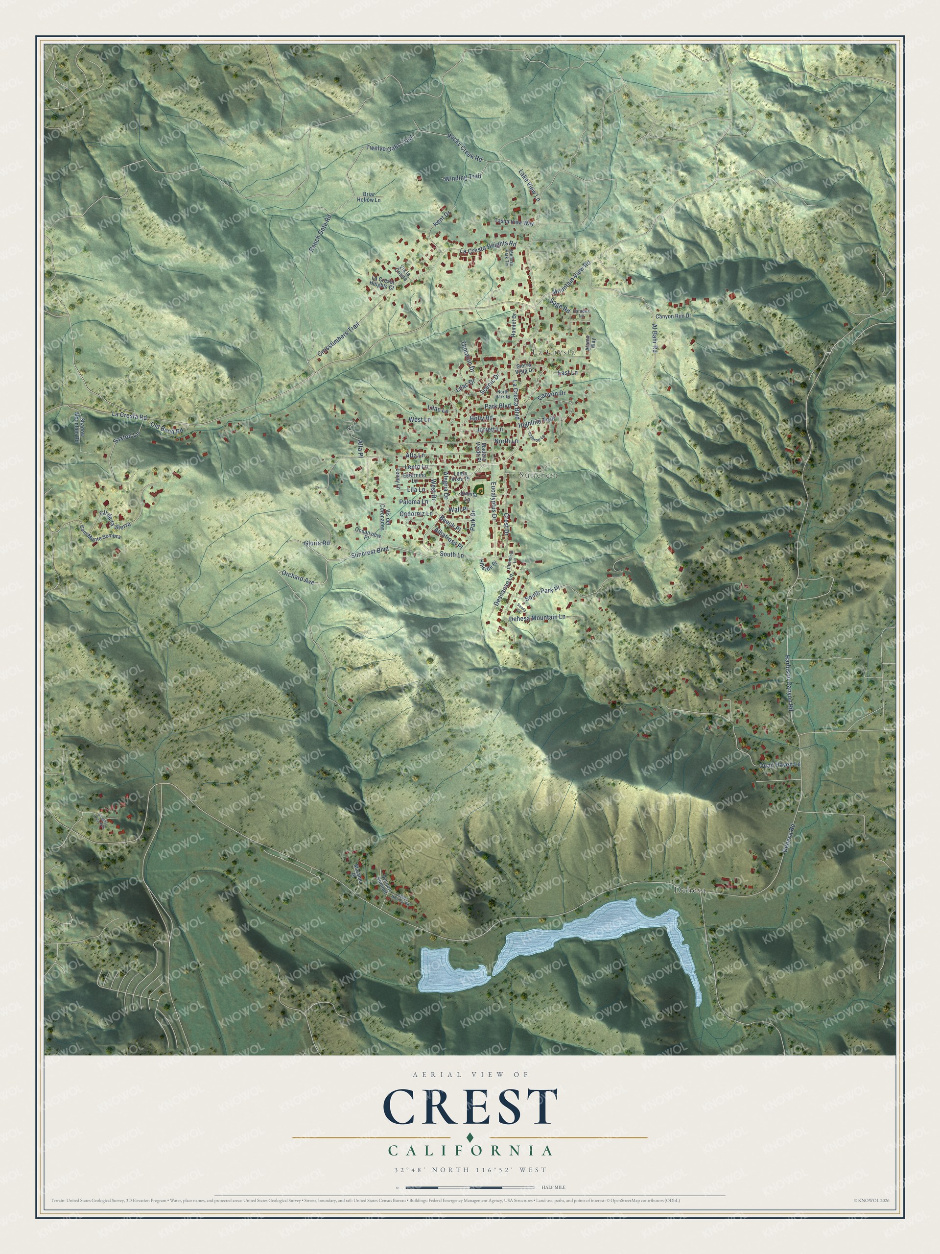
This beautifully detailed map of Crest, California was created in 2026 using aerial imagery combined with modern topographical, census, street and landmark data. It's a modern aerial view of Crest in San Diego County, California, that combines modern data with a vintage aesthetic. The roads feature printed names, and if you look closely you can find your exact house accurately shown in its correct location.
Explore an aerial view of Crest, California
On this map you'll find La Cresta, Suncrest, Dehesa, Suncrest Boulevard, Gloria Road, Orchard Avenue, Sage Road, Dehesa Road, La Cresta Road, Harbison Canyon Road, Eucalyptus Drive, La Cresta Boulevard, and more. Each red shape is a building, so zoom in on the preview and look for yours.
Crest has a story worth telling. Crest was established in the 1920s, though two rival factions wanted to split it into separate communities called Suncrest and La Cresta. It has twice been ravaged by fire and rebuilt, after the Laguna Fire of 1970 and the Cedar Fire of 2003. Some small cabins about a century old came through both fires and have been added onto over the years. That's from the San Diego Reader.
Crest is a community in San Diego County. The Census Bureau counted 2,828 people here in 2020. Crest sits about 2 miles east of Granite Hills, 3 miles southwest of Harbison Canyon and 4 miles northeast of Rancho San Diego. The map prints the town name in its title panel, with the coordinates below it.
Take a closer look at the Crest map
Names on this map
These names are printed on this map.
Places: La Cresta, Suncrest and Dehesa.
Streets and roads: Suncrest Boulevard, Gloria Road, Orchard Avenue, Sage Road, Dehesa Road, La Cresta Road, Harbison Canyon Road, Eucalyptus Drive, La Cresta Boulevard, Alta Lane, Al Bahr Road, Quail Haven Lane.
More street names, A to Z
Alamo Way, Albatross Place, Alegria Drive, Alta Place, Beech Place, Briar Hollow Lane, Cam Monte Sombra, Canyon Drive, Canyon Rim Drive, Chemisal Lane, Cll de la Sierra, Codorniz Lane, Crest Drive, Crosstimbers Trail, Dehesa Meadow Road, Dehesa Mountain Lane, Descanso Lane, East Lane, Estornino Lane, Hamlet Drive, Highline Trail, Hillside Place, Holly Road, Jarrett Lane, Juanita Lane, Kent Drive, La Cresta Heights Court, La Cresta Heights Road, Lake View Lane, Lathrop Lane, Lenny Lane, Lento Lane, Lilac Drive, Lilac Lane, Lila Lane, Loma Vista Place, Madera Verde Place, Matamo Place, Melissa Park Terrace, Mountain View Road, North Lane, North Park Drive, Oceanview Place, Old Bend Road, Paloma Lane, Paradox Lane, Park Boulevard, Park Drive, Ranch Gate Road, Rocky Creek Road, Saxton Lane, Scenic Drive, Senda Lane, Shadow Mountain Road, Sierra Vista Drive, Singing Vista Way, South Lane, South Park Place, Sycuan Summit, Tasha View Way, Thornton Drive, Twelve Oaks Trail, Via la Cresta, Vis del Coronados, Wall Place, West Drive, West Lane, Winding Trail.
See it on a wall
The Crest map as a framed print. Swipe for more.


Created by KNOWOL in 2026. The buildings are small red shapes, the roads carry their printed names, and shaded relief shows the shape of the land. The title panel reads "AERIAL VIEW OF CREST, CALIFORNIA" with 32°48' NORTH 116°52' WEST.
It looks right in a kitchen, an office or a den, and it's a gift for anyone who grew up in Crest or moved away. Open the preview and find your street. See sizes and frames for the Crest map.